Trails near Lerici
183 hikes starting within 15 km, nearest first.
Nearest first, page 4 of 4
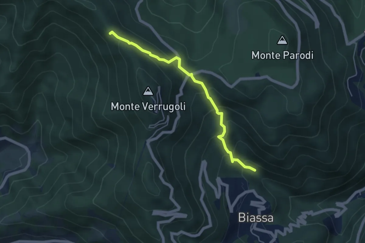
Medium · Trail
Fosso di Piazza – Appulso
4.2 km · ↑ 346 m · 1 h 45 min · 13 km away
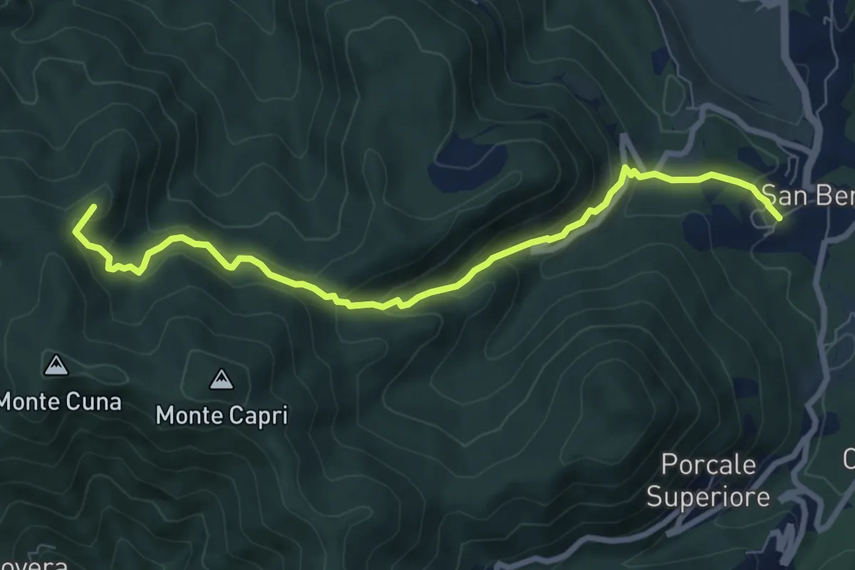
Demanding · Summit
San Benedetto – Aia del Cane
7.9 km · ↑ 506 m · 2 h 58 min · 13 km away
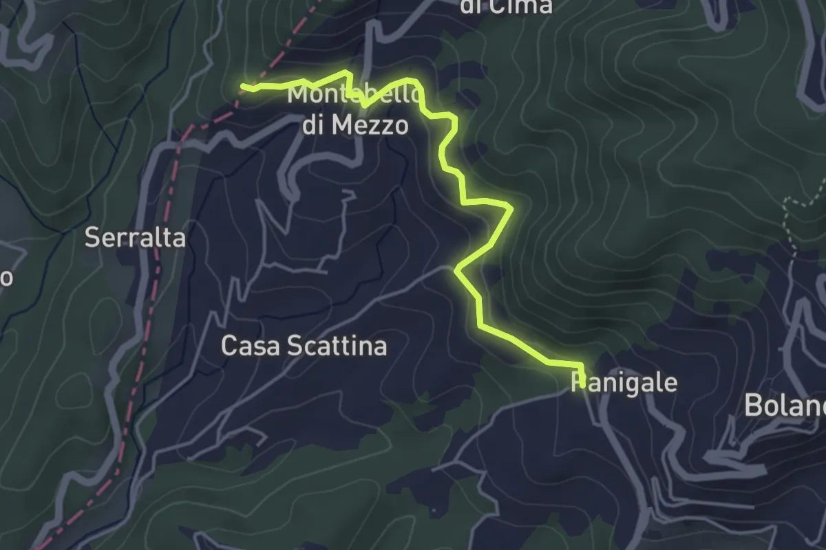
Easy · Trail
Panigale (Percorso 282) – Percorso 281
4.2 km · ↑ 227 m · 1 h 29 min · 13 km away
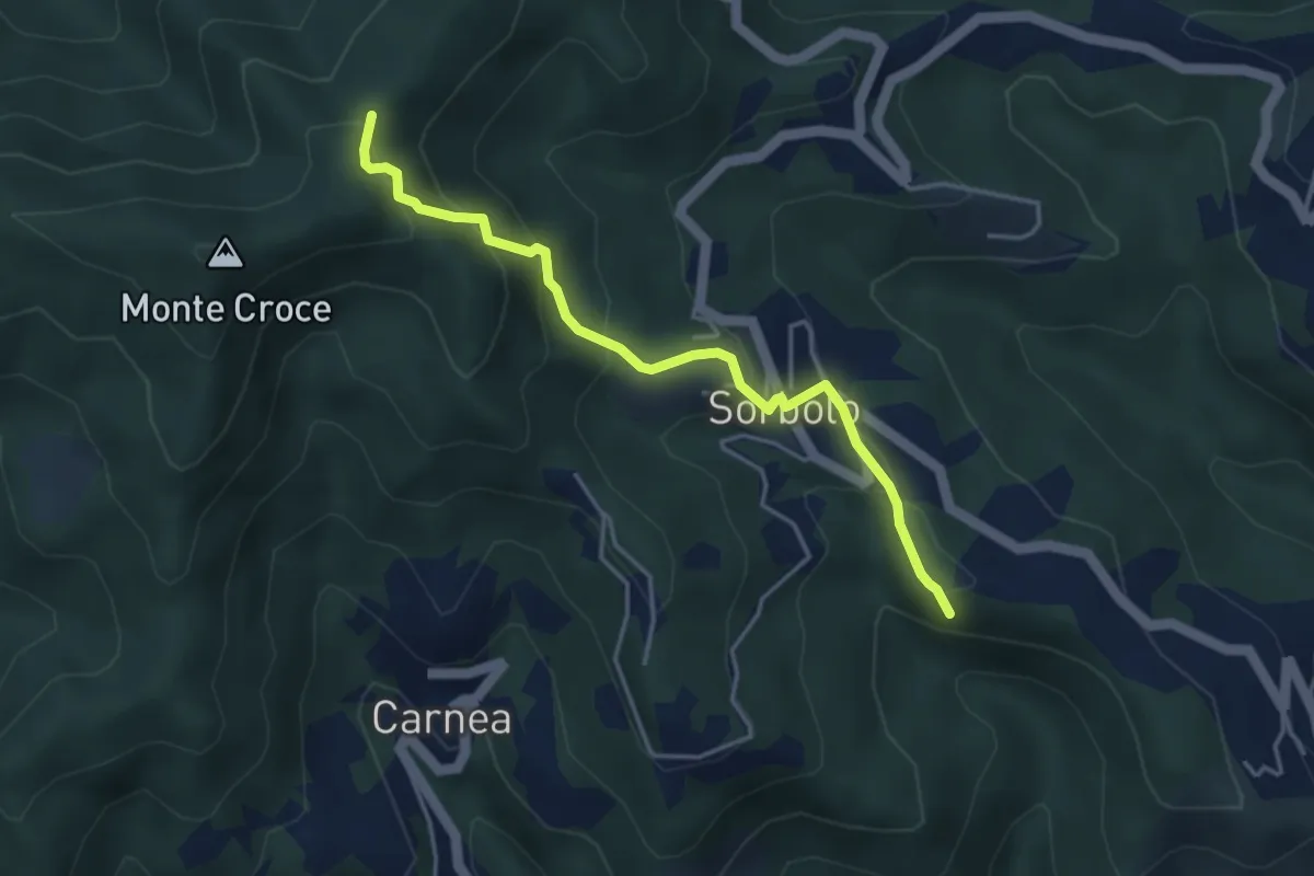
Easy · Summit
Bastremoli – Sella del Monte Croce
4.2 km · ↑ 298 m · 1 h 38 min · 13 km away
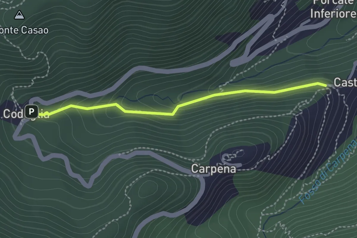
Easy · Trail
Castè – Codeglia
2.3 km · ↑ 104 m · 46 min · 13 km away
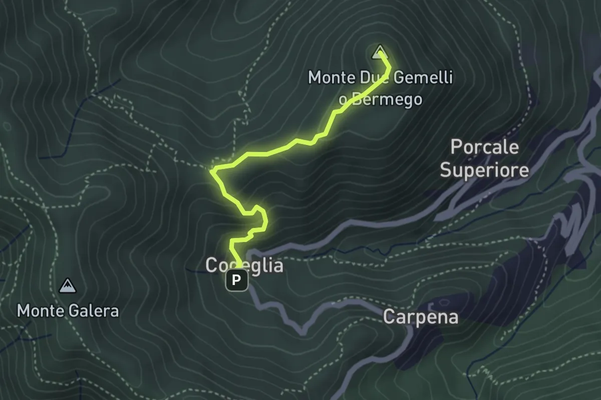
Medium · Summit
Codeglia – Sella Casao – M.Bermego
3.4 km · ↑ 216 m · 1 h 16 min · 13 km away
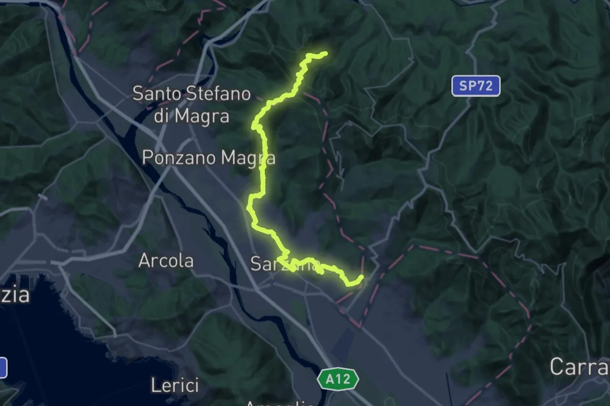
Demanding · Pilgrim path
Via Francigena - 05 Liguria
16.9 km · ↑ 476 m · 5 h 22 min · 13 km away
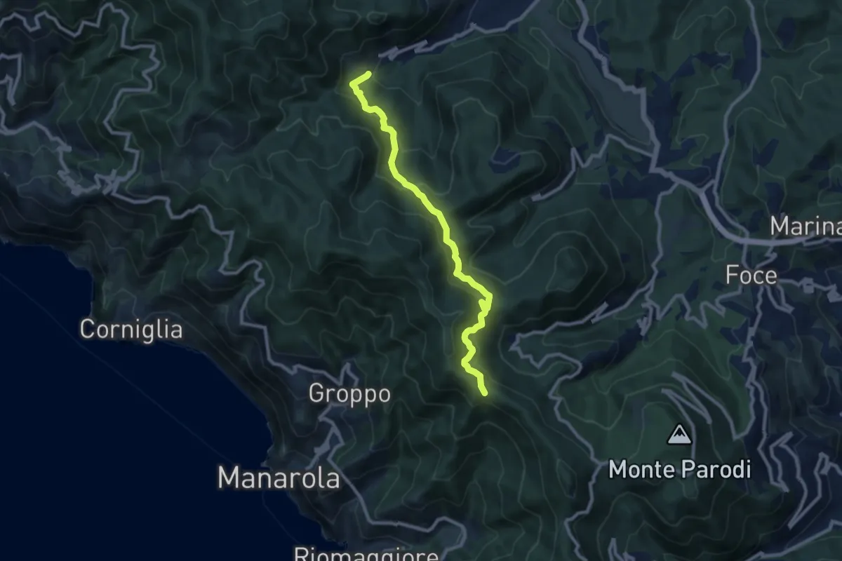
Demanding · Trail
Casella – Sella La Croce
9.1 km · ↑ 556 m · 3 h 21 min · 13 km away
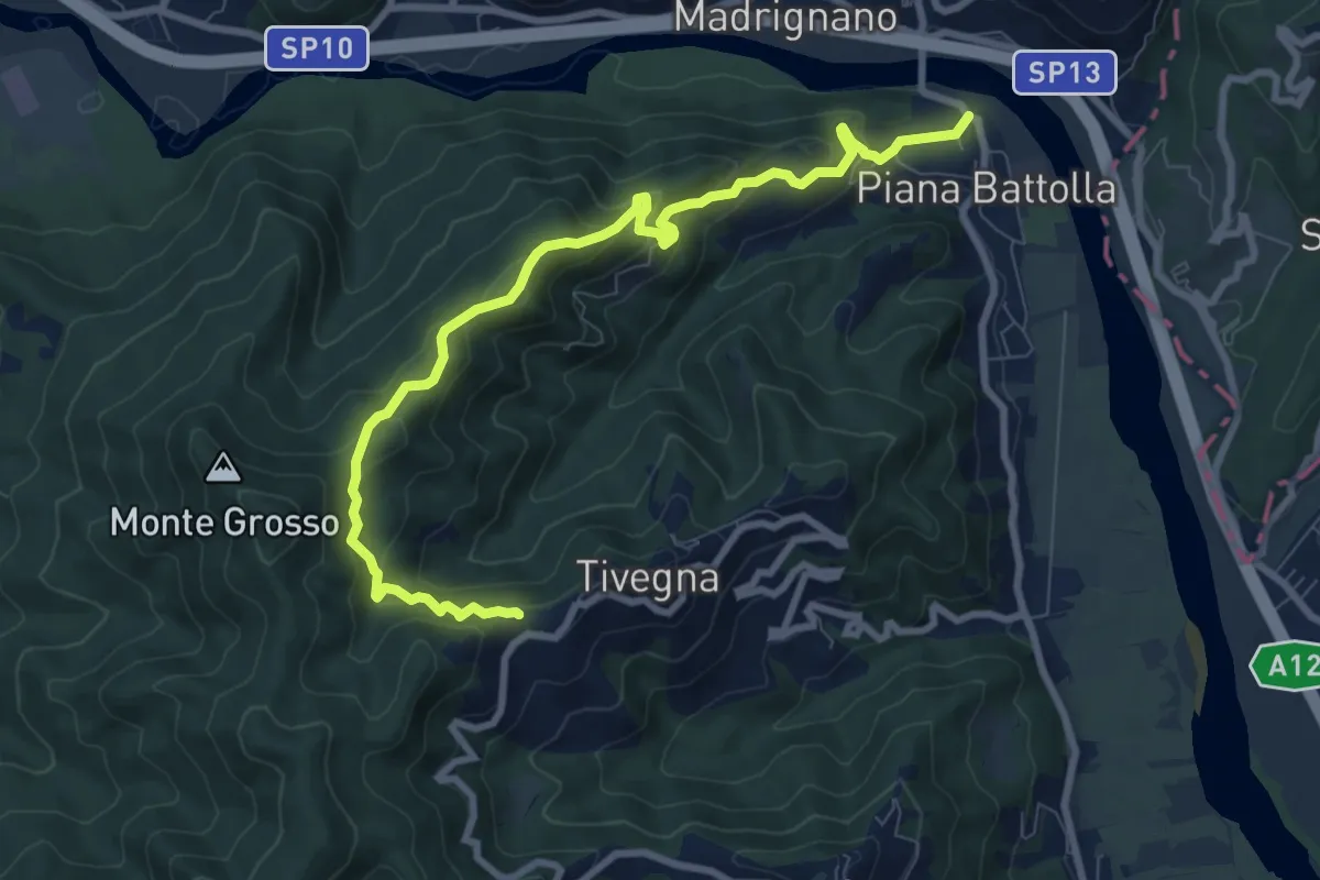
Expert · Trail
Piana Battolla - Torenco – Monte Lama Ebreo
9.9 km · ↑ 618 m · 3 h 41 min · 13 km away
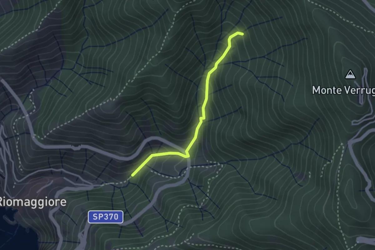
Easy · Trail
Bargone – Via dei Santuari
2.7 km · ↑ 262 m · 1 h 12 min · 13 km away
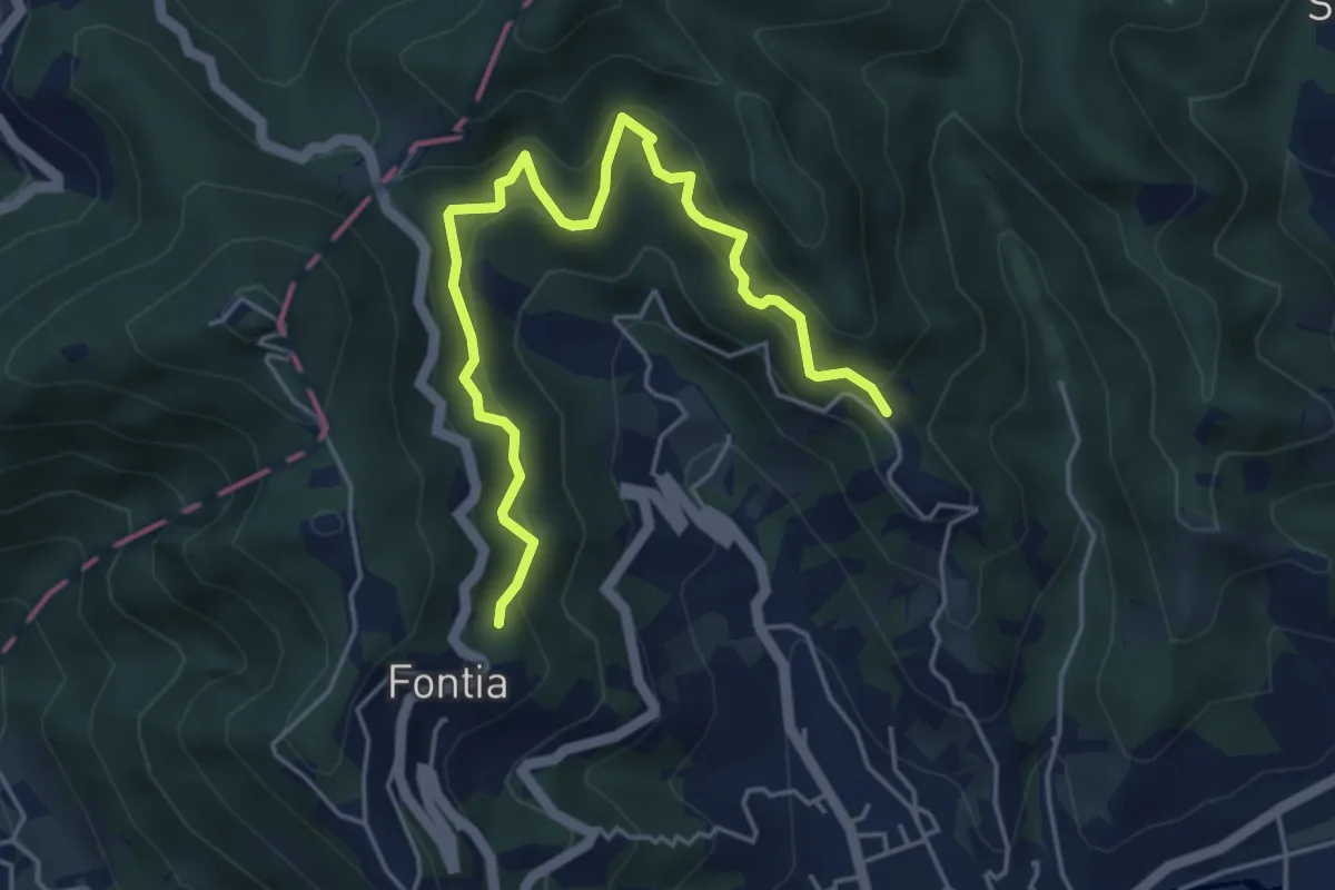
Medium · Trail
Cammino di Aronte - Tappa 1
5.5 km · ↑ 548 m · 2 h 29 min · 13 km away
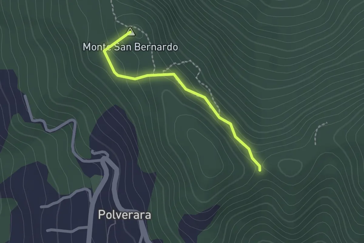
Medium · Summit
Costa di S.Bernardo – Sella del M. Grosso
1.8 km · ↑ 66 m · 33 min · 13 km away
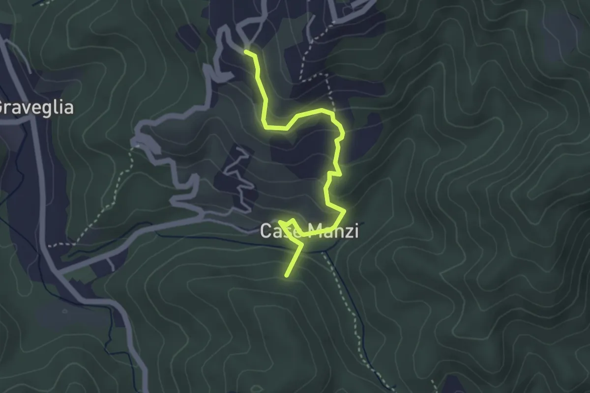
Easy · Summit
Passo di Ri - Case Ri - Polverara
3.5 km · ↑ 229 m · 1 h 19 min · 13 km away
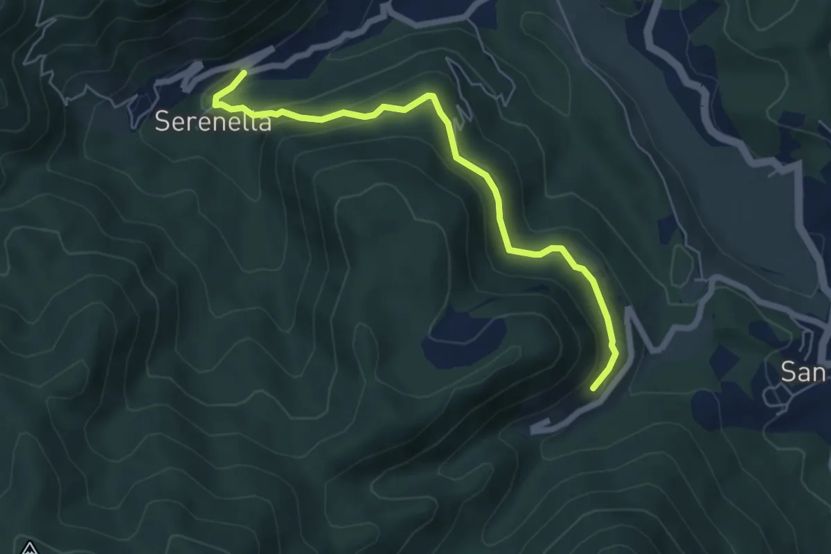
Medium · Trail
Serenella - M.na dell'Agostina – Quaratica
5.7 km · ↑ 251 m · 1 h 53 min · 13 km away
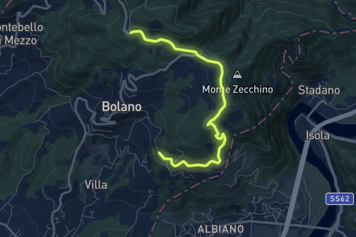
Easy · Trail
Bivio AVML - Tirolo - Case Solegnana - Case Cavanon - Bagatello
7.4 km · ↑ 297 m · 2 h 24 min · 14 km away
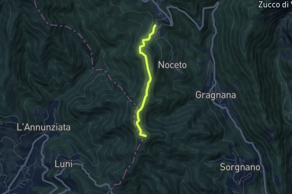
Easy · Summit
Cammino di Aronte - Tappa 2
4.5 km · ↑ 206 m · 1 h 30 min · 14 km away
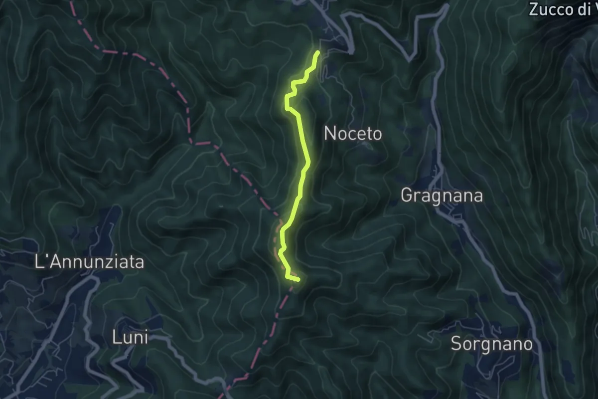
Easy · Summit
Ortonovo – Castelpoggio
4.5 km · ↑ 206 m · 1 h 30 min · 14 km away
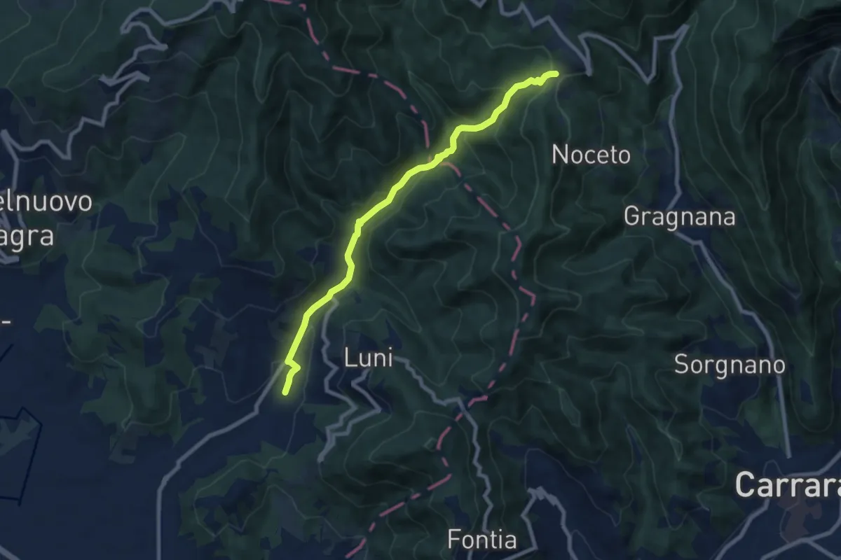
Medium · Trail
Casano – Castelpoggio
7.9 km · ↑ 432 m · 2 h 49 min · 14 km away
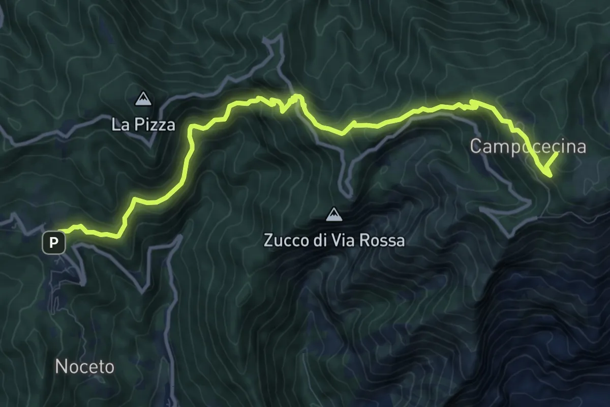
Demanding · Summit
Castelpoggio – Rifugio Carrara
12.1 km · ↑ 946 m · 4 h 55 min · 14 km away
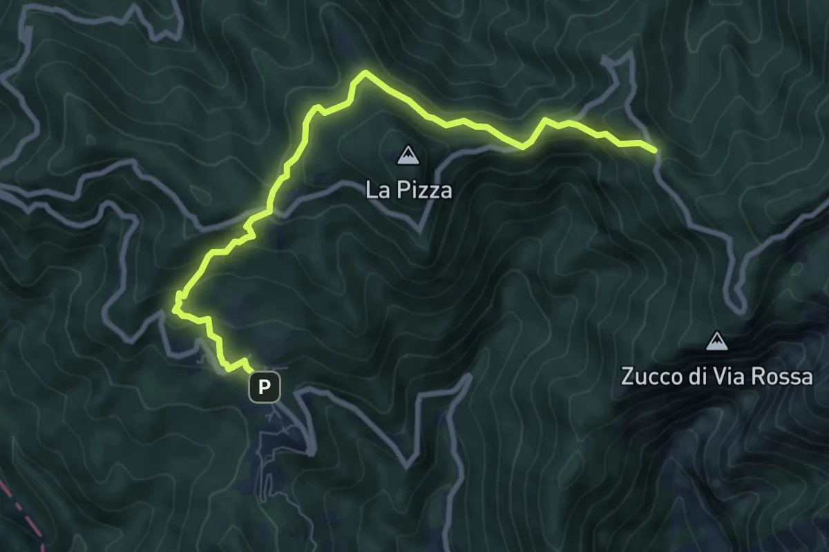
Medium · Trail
Castelpoggio – Gabellaccia
8.4 km · ↑ 454 m · 2 h 58 min · 14 km away
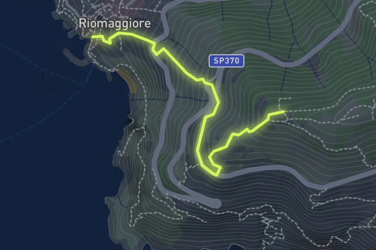
Easy · Trail
Riomaggiore – Mad. di Montenero
2.6 km · ↑ 316 m · 1 h 18 min · 14 km away
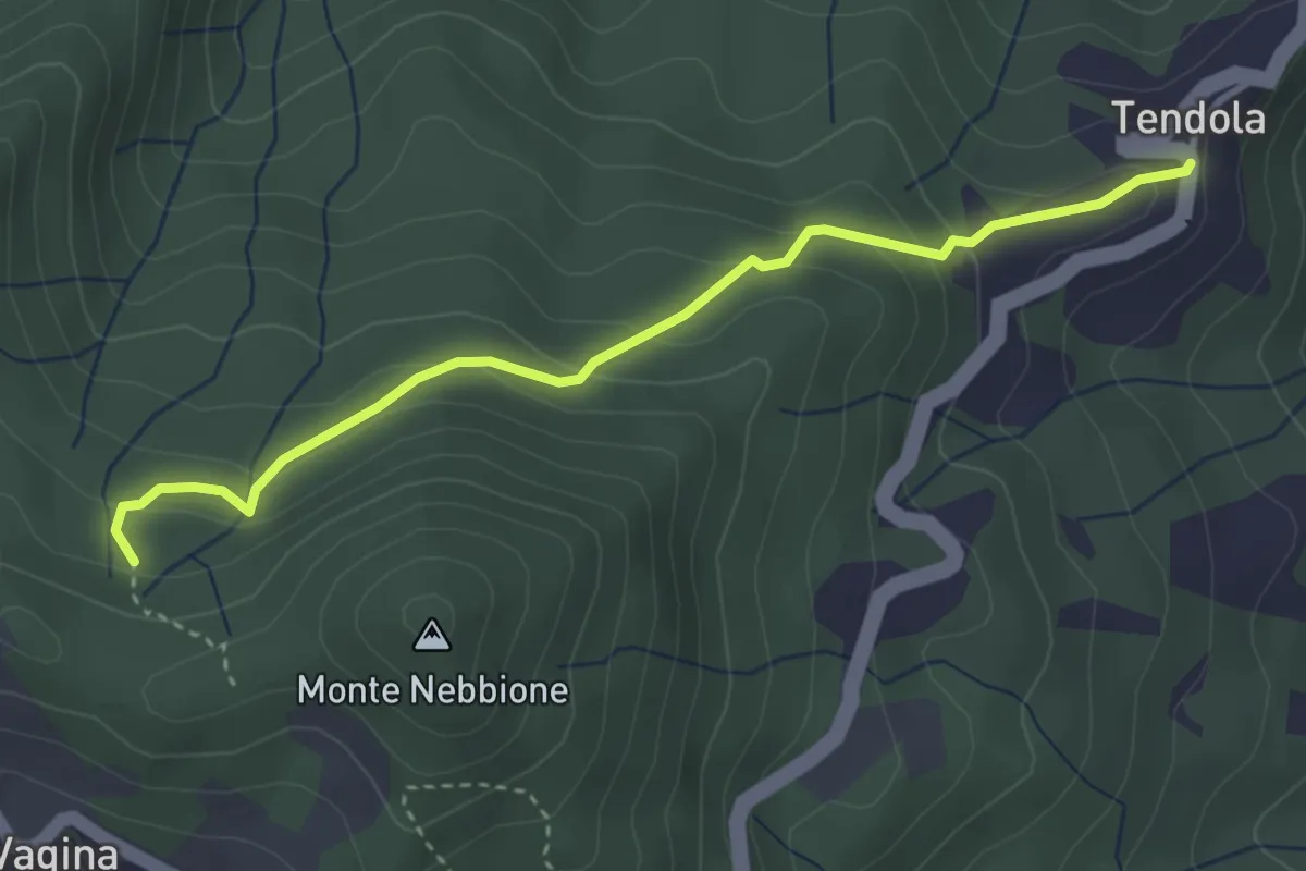
Easy · Trail
paese Tendola – Sentiero CAI 290
3.7 km · ↑ 221 m · 1 h 21 min · 14 km away
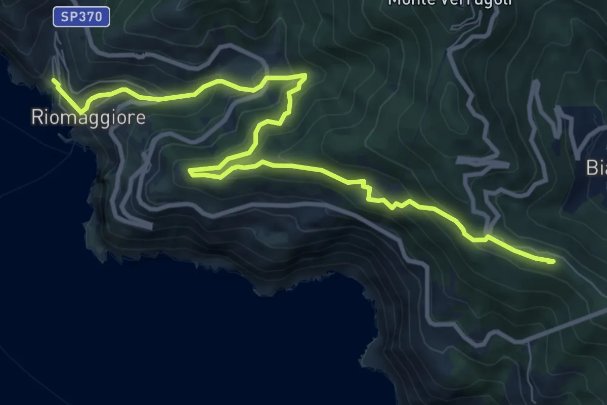
Medium · Summit
Sentiero Liguria - Tappa 3
10.0 km · ↑ 709 m · 3 h 55 min · 14 km away
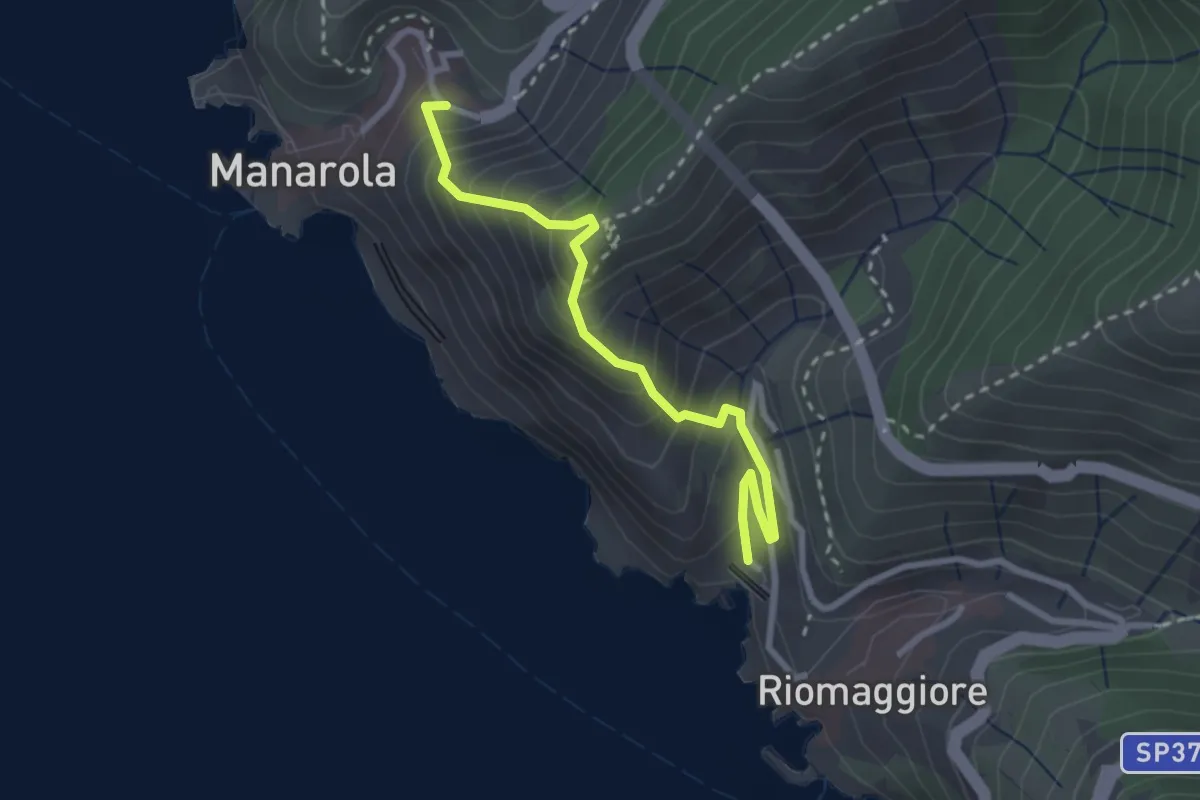
Medium · Trail
Riomaggiore – Manarola
2.8 km · ↑ 366 m · 1 h 27 min · 14 km away
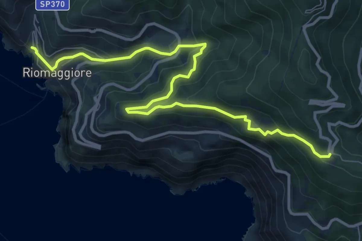
Medium · Trail
Sentiero Verde Azzurro: Telegrafo - Montenero - Riomaggiore
9.2 km · ↑ 682 m · 3 h 39 min · 14 km away
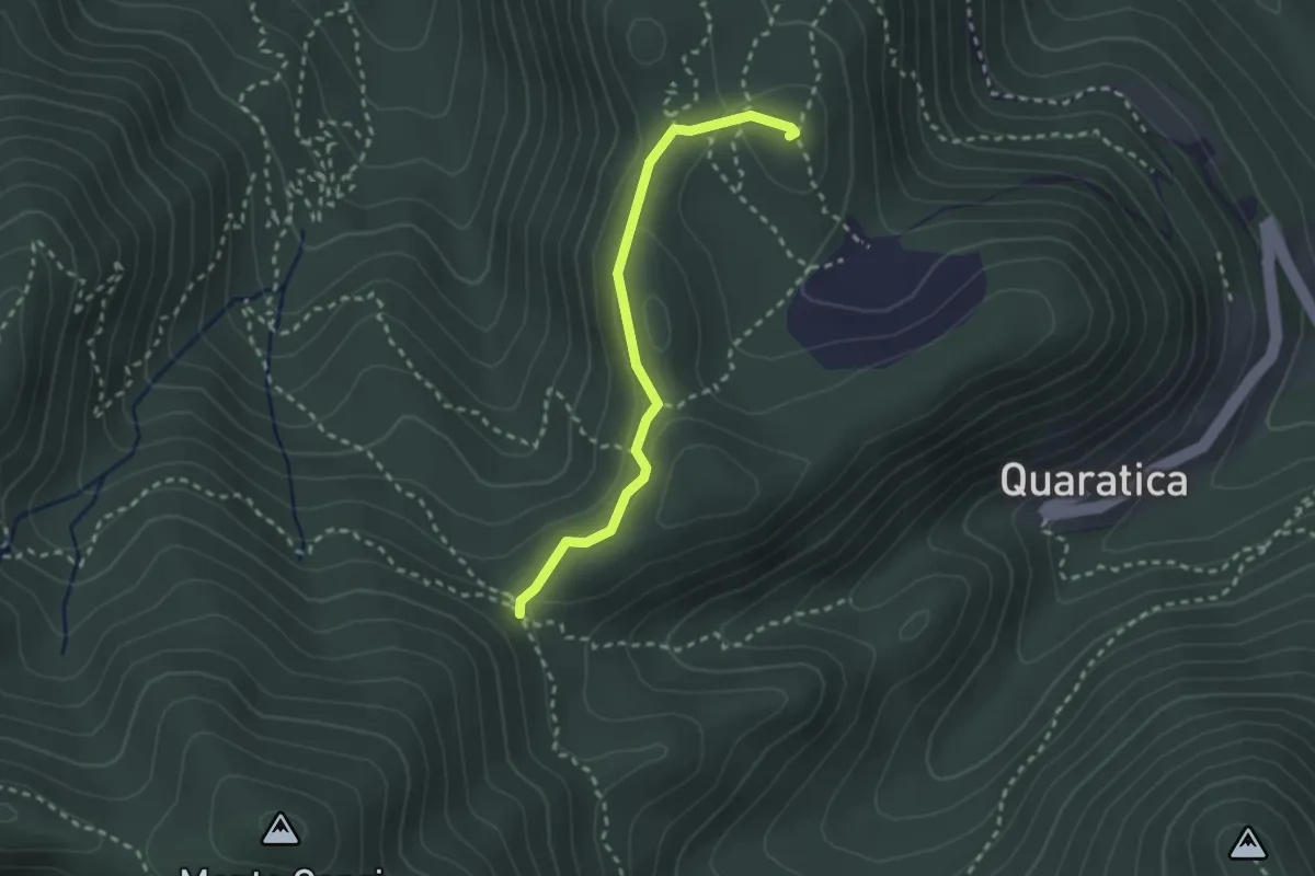
Demanding · Summit
Madonna dell'Agostina – Sella del Termo
2.6 km · ↑ 58 m · 44 min · 14 km away
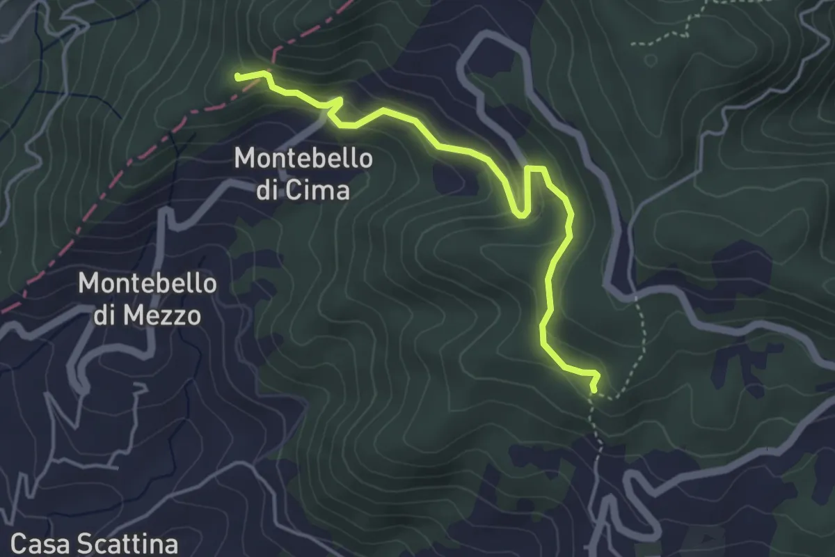
Easy · Trail
Carbonara - Bagatello – Montebello di Cima
4.2 km · ↑ 231 m · 1 h 29 min · 14 km away
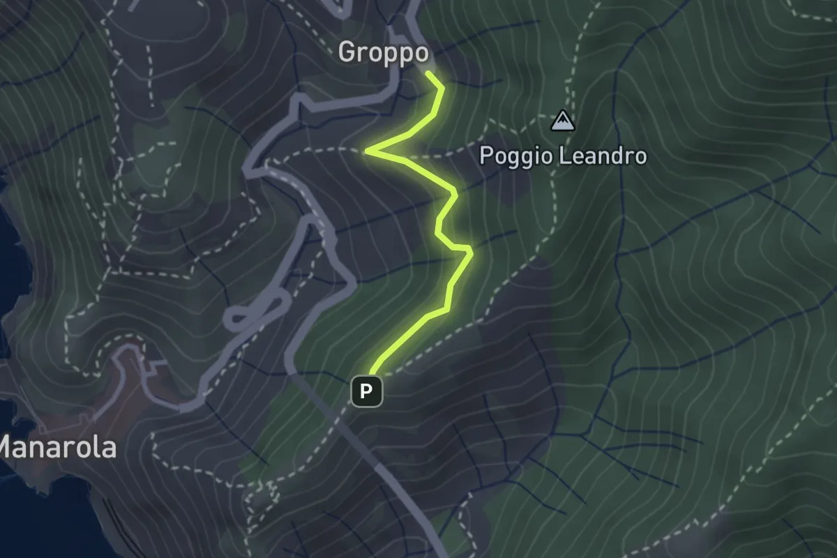
Medium · Trail
Groppo – Costa Corniolo
2.1 km · ↑ 211 m · 58 min · 14 km away
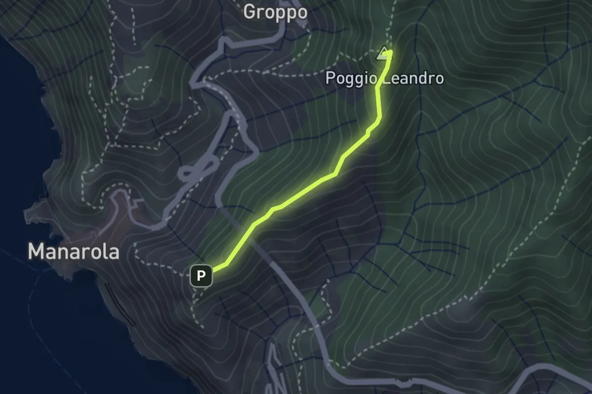
Easy · Summit
Costa Corniolo – Strada dei Santuari
2.3 km · ↑ 169 m · 55 min · 15 km away
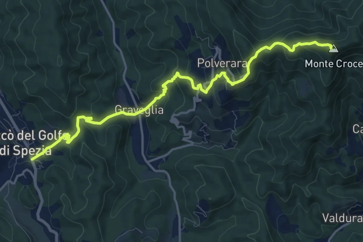
Demanding · Summit
Piana Battolla – Riccò
11.7 km · ↑ 651 m · 4 h 11 min · 15 km away
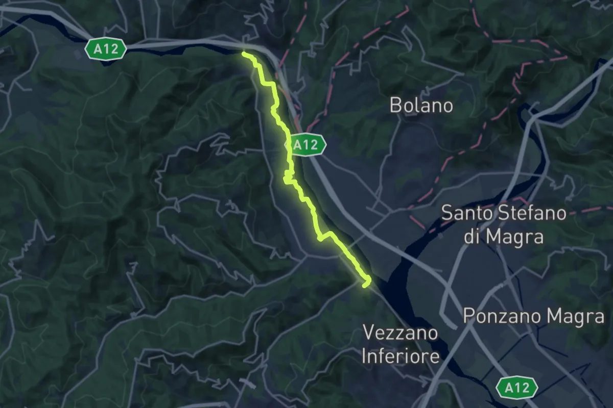
Medium · Trail
Bottagna – Piana Battolla
13.9 km · ↑ 31 m · 3 h 22 min · 15 km away
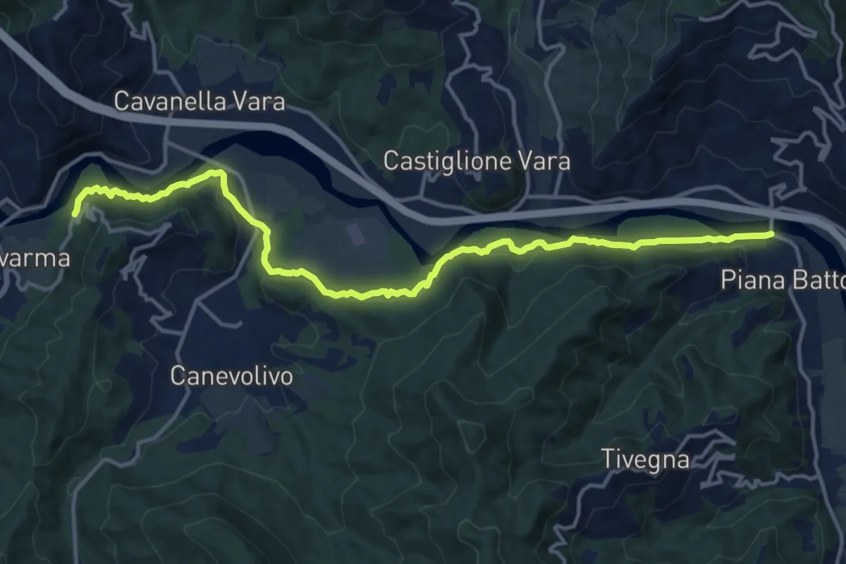
Medium · Trail
Strada dei Tedeschi
14.7 km · ↑ 401 m · 4 h 20 min · 15 km away
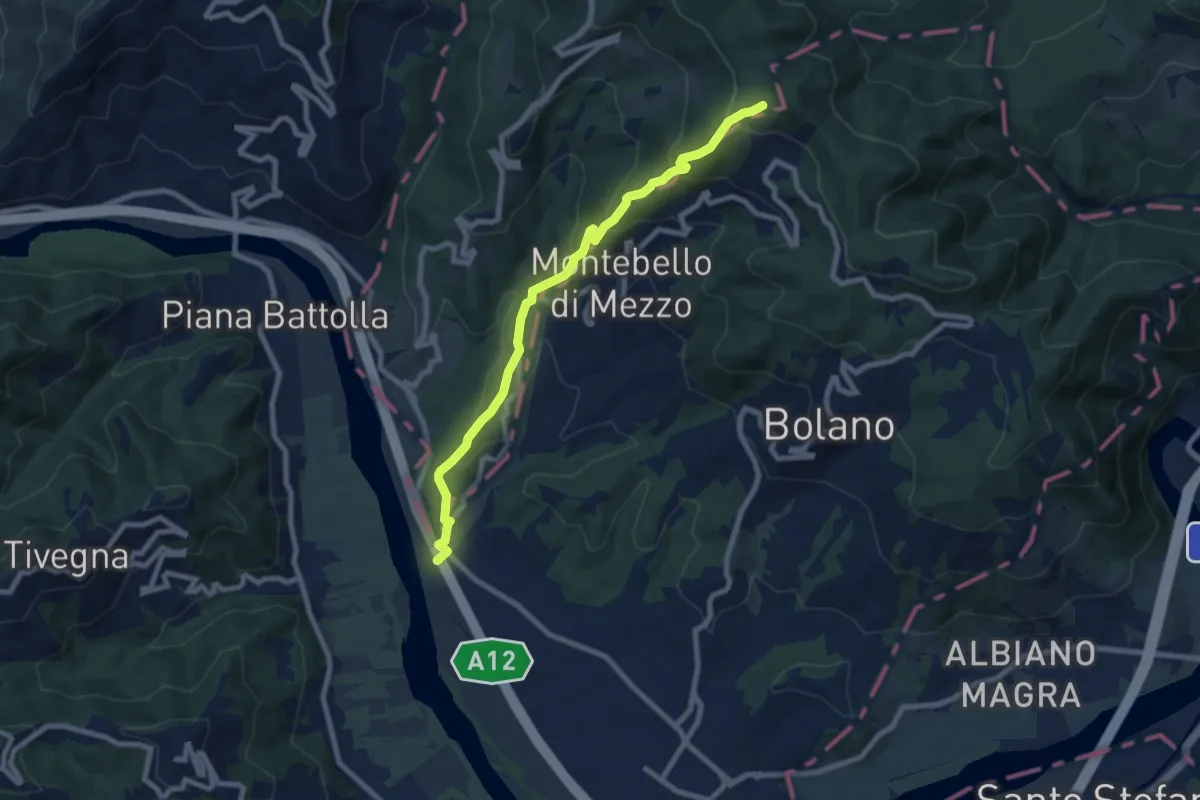
Medium · Trail
Ospedaletto – Monte Grosso
8.3 km · ↑ 516 m · 3 h 5 min · 15 km away
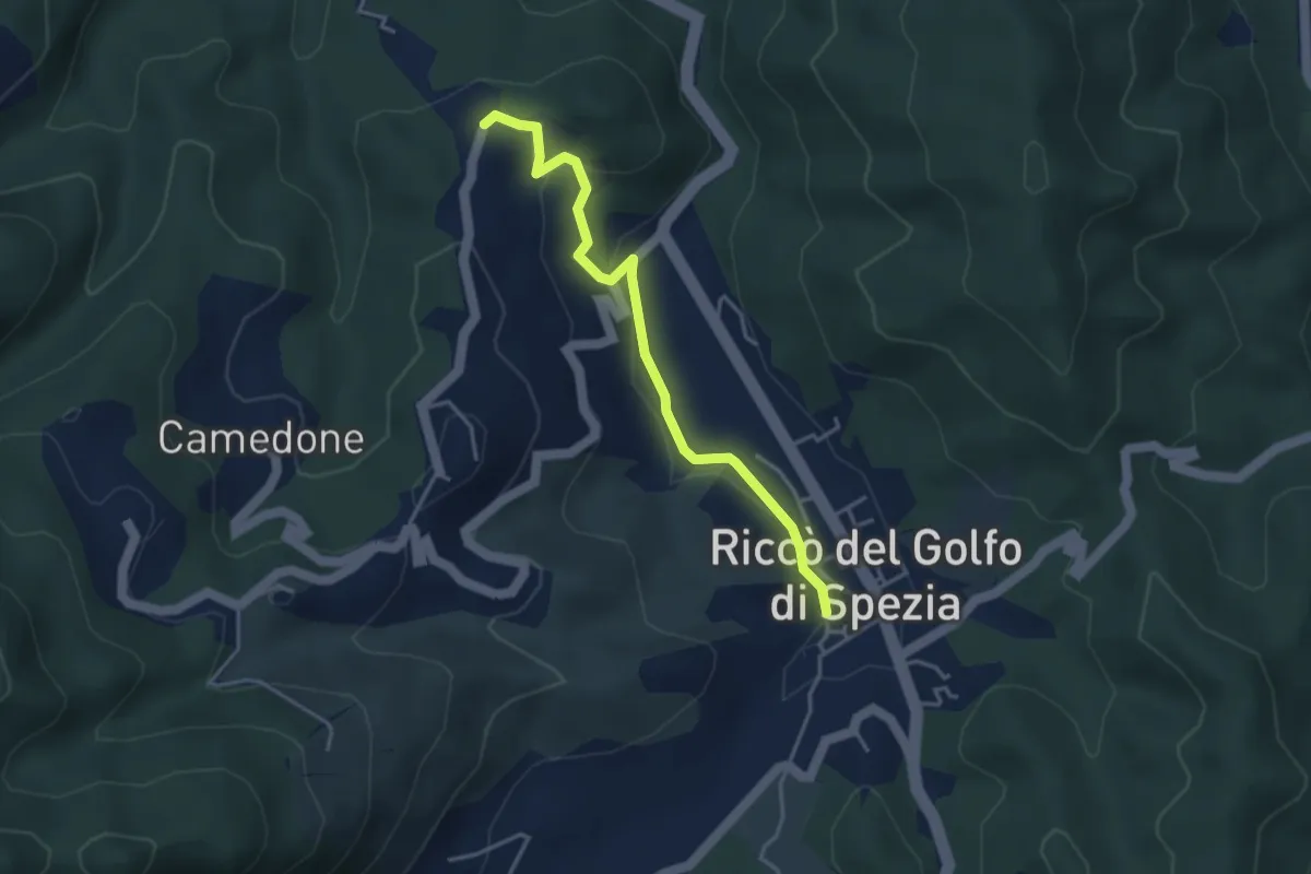
Easy · Trail
Riccò del Golfo – Pizzo Cuchelone
3.9 km · ↑ 138 m · 1 h 14 min · 15 km away
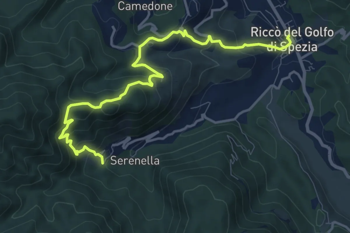
Medium · Trail
Riccò – Casella
10.5 km · ↑ 633 m · 3 h 51 min · 15 km away
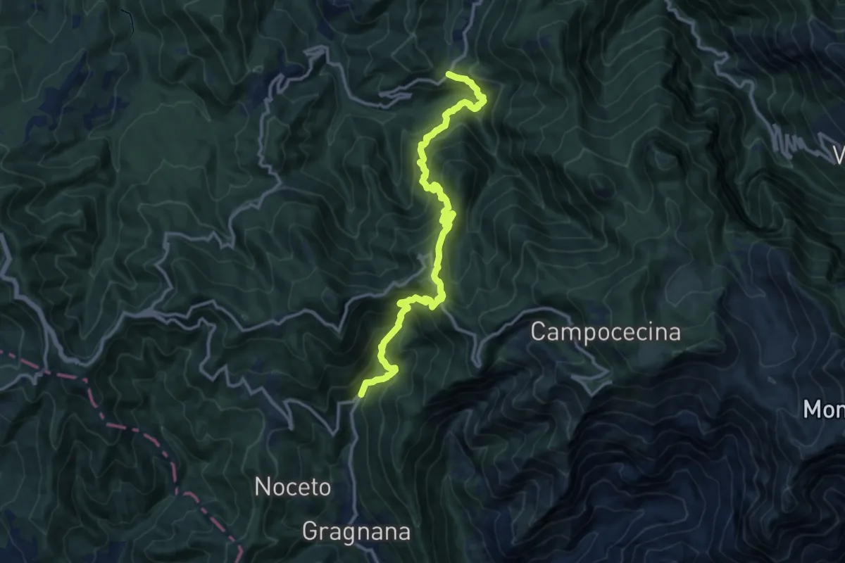
Demanding · Trail
Ponte Storto – Maestà della Villa
13.5 km · ↑ 1285 m · 5 h 58 min · 15 km away
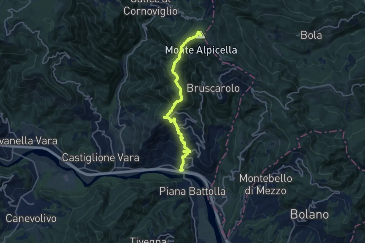
Demanding · Summit
Piano di Madrignano - Madrignano - Foce Carzachi - Alpicella
12.6 km · ↑ 855 m · 4 h 49 min · 15 km away
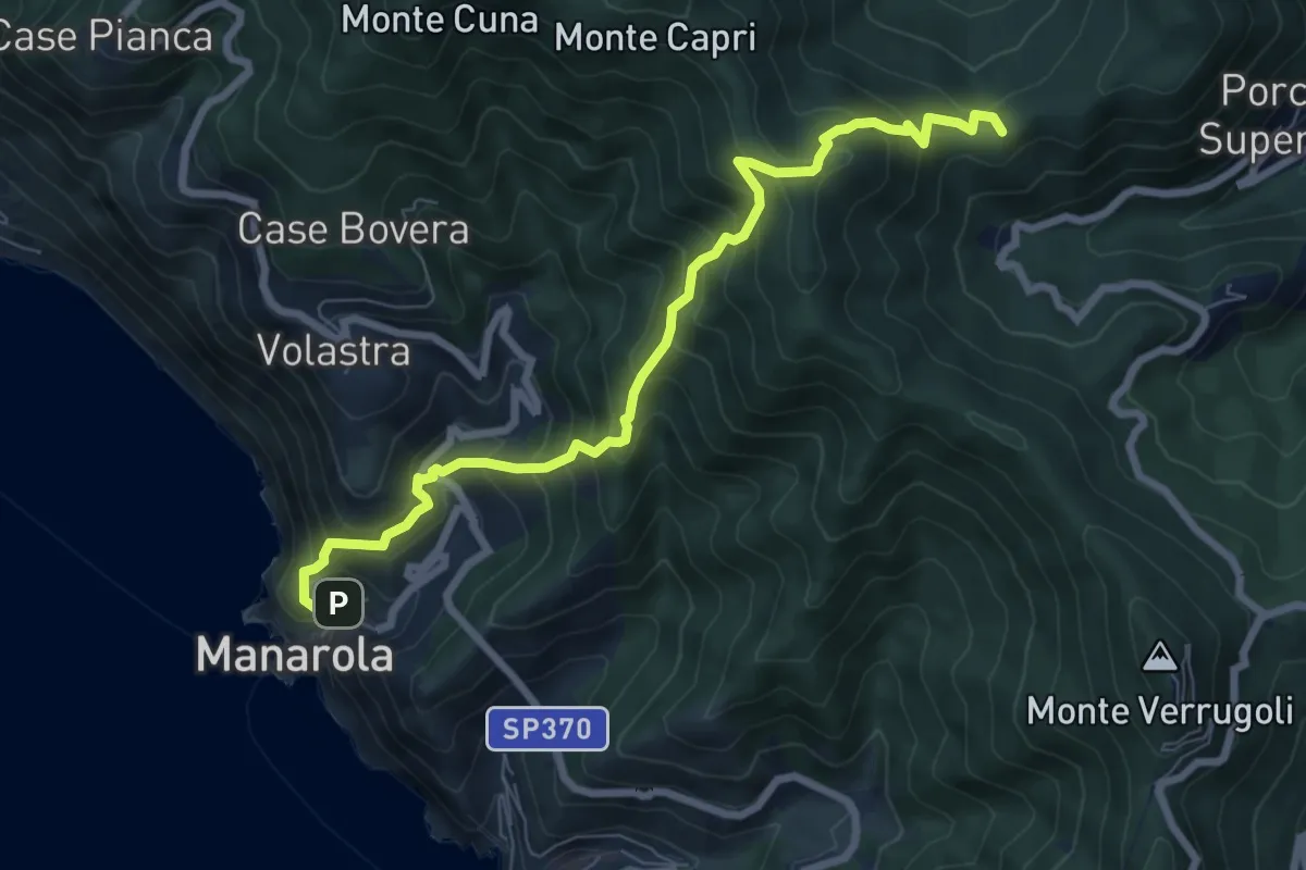
Demanding · Summit
Manarola – San Benedetto
8.1 km · ↑ 891 m · 3 h 51 min · 15 km away
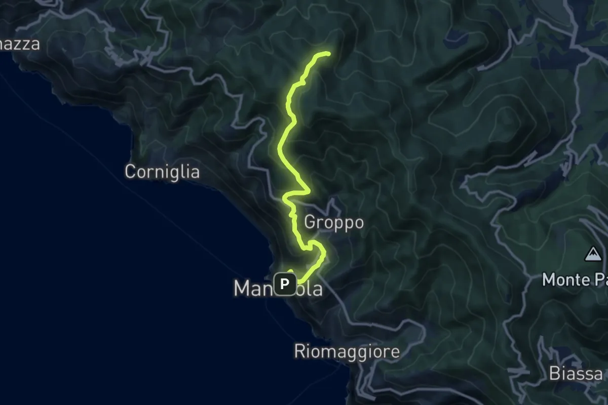
Medium · Summit
Manarola – Casella
9.6 km · ↑ 749 m · 3 h 53 min · 15 km away