Trails near Levico Terme
139 hikes starting within 15 km, nearest first.
Nearest first, page 2 of 3
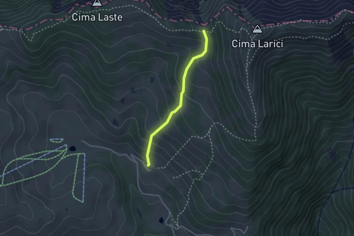
Medium · Cabin
Larici
2.3 km · ↑ 202 m · 59 min · 10 km away
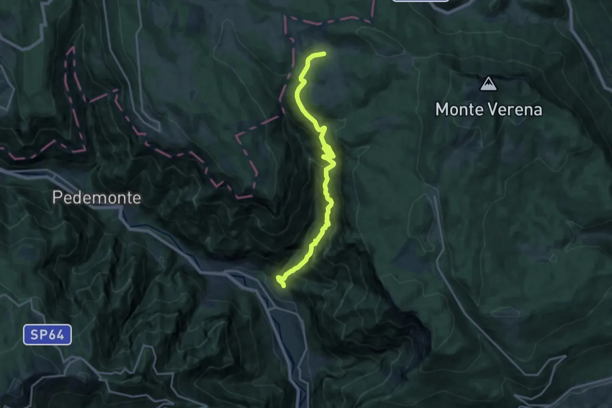
Demanding · Trail
La Singela
14.6 km · ↑ 1362 m · 6 h 24 min · 10 km away
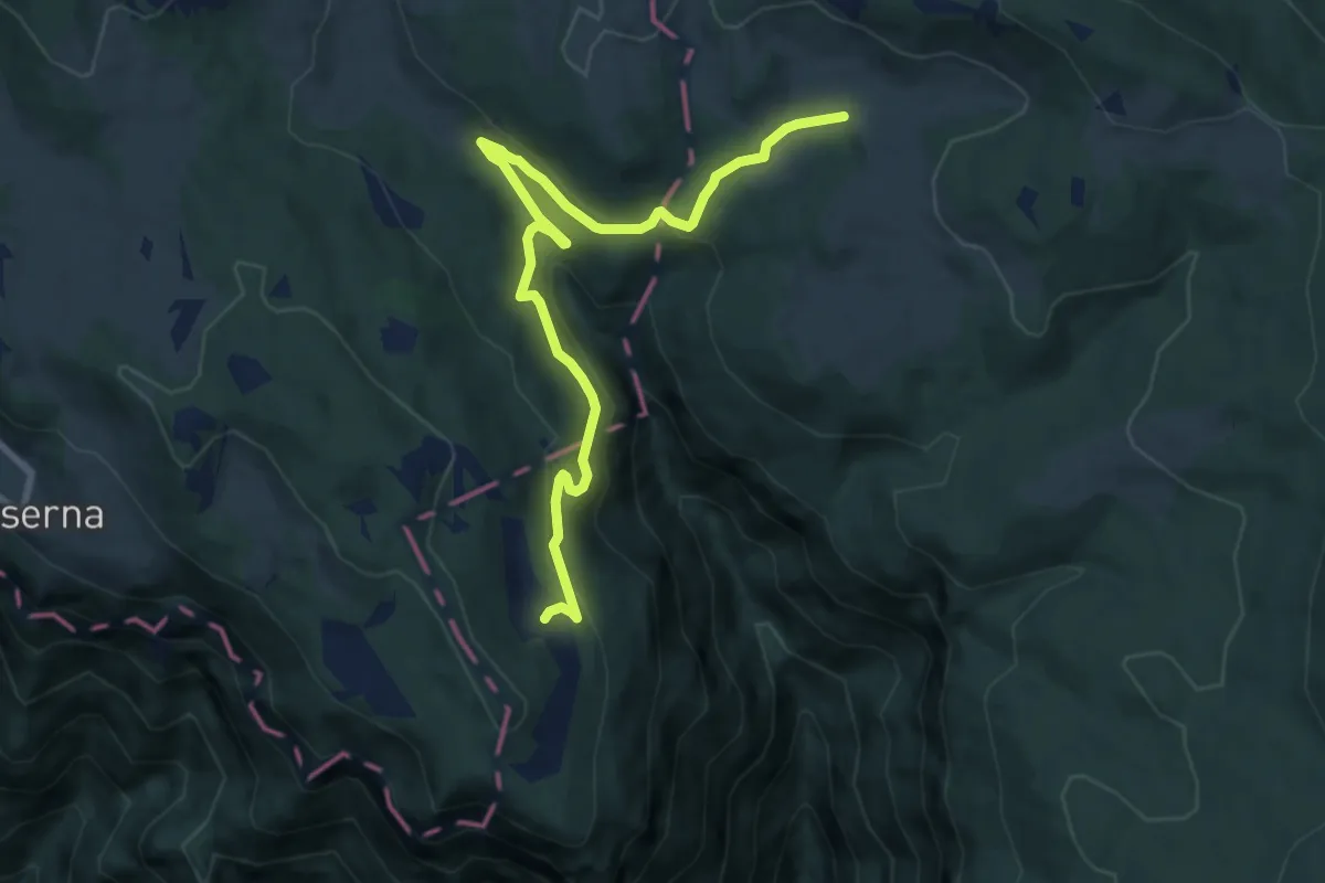
Medium · Trail
Malga Camporosà – Contrà Bisele di Sotto – Ponte Rossato – Malga Crojer
9.8 km · ↑ 340 m · 3 h 2 min · 10 km away
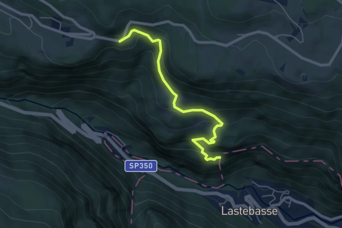
Medium · Trail
Via dell'Ancino, sentiero dell'Ancino o del Lanzino
4.5 km · ↑ 360 m · 1 h 50 min · 10 km away
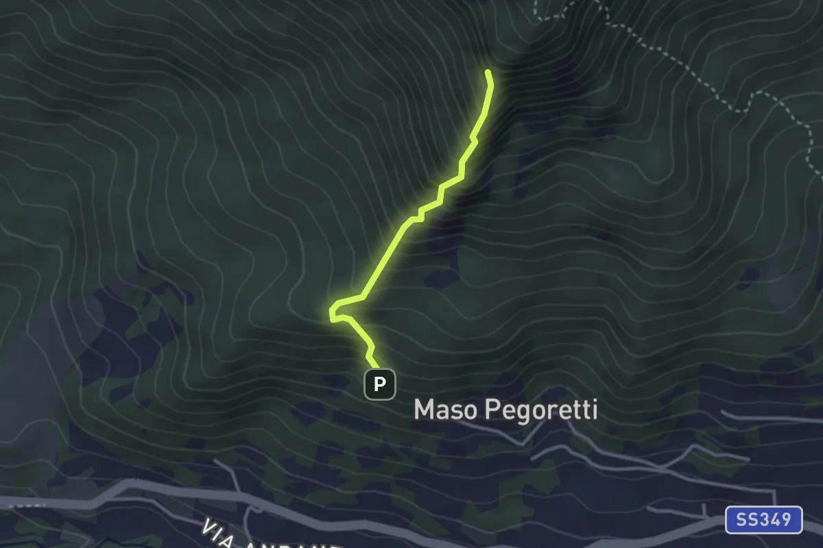
Demanding · Summit
Sentiero attrezzato del Croz de le Ore
2.4 km · ↑ 461 m · 1 h 34 min · 10 km away
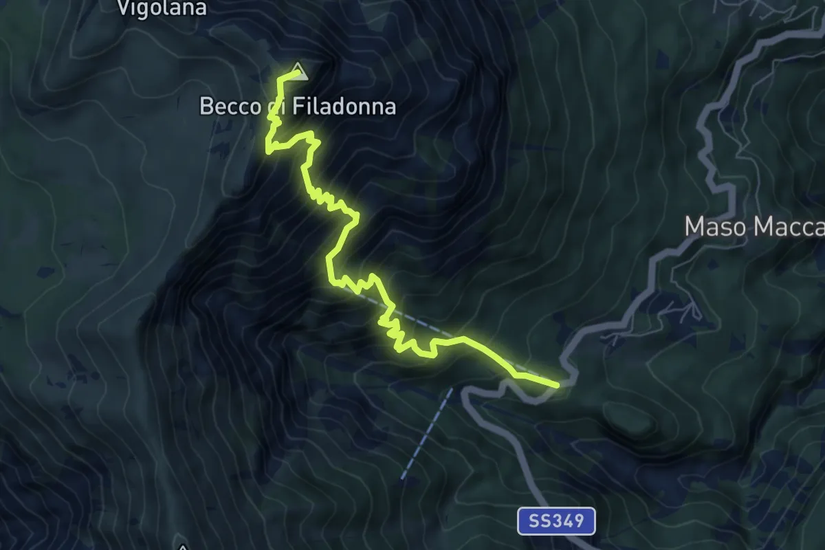
Demanding · Summit
Bar ristorante Al Sindech – Versante o Becco di Filadonna (bivio 425)
7.8 km · ↑ 1013 m · 4 h 2 min · 10 km away
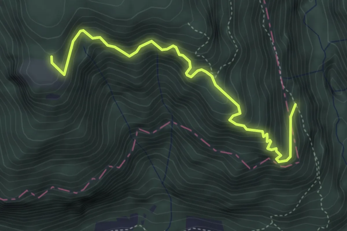
Medium · Trail
Strada nuova, sentiero di Fondo Grande, sentiero delle Scalette
4.7 km · ↑ 589 m · 2 h 23 min · 10 km away
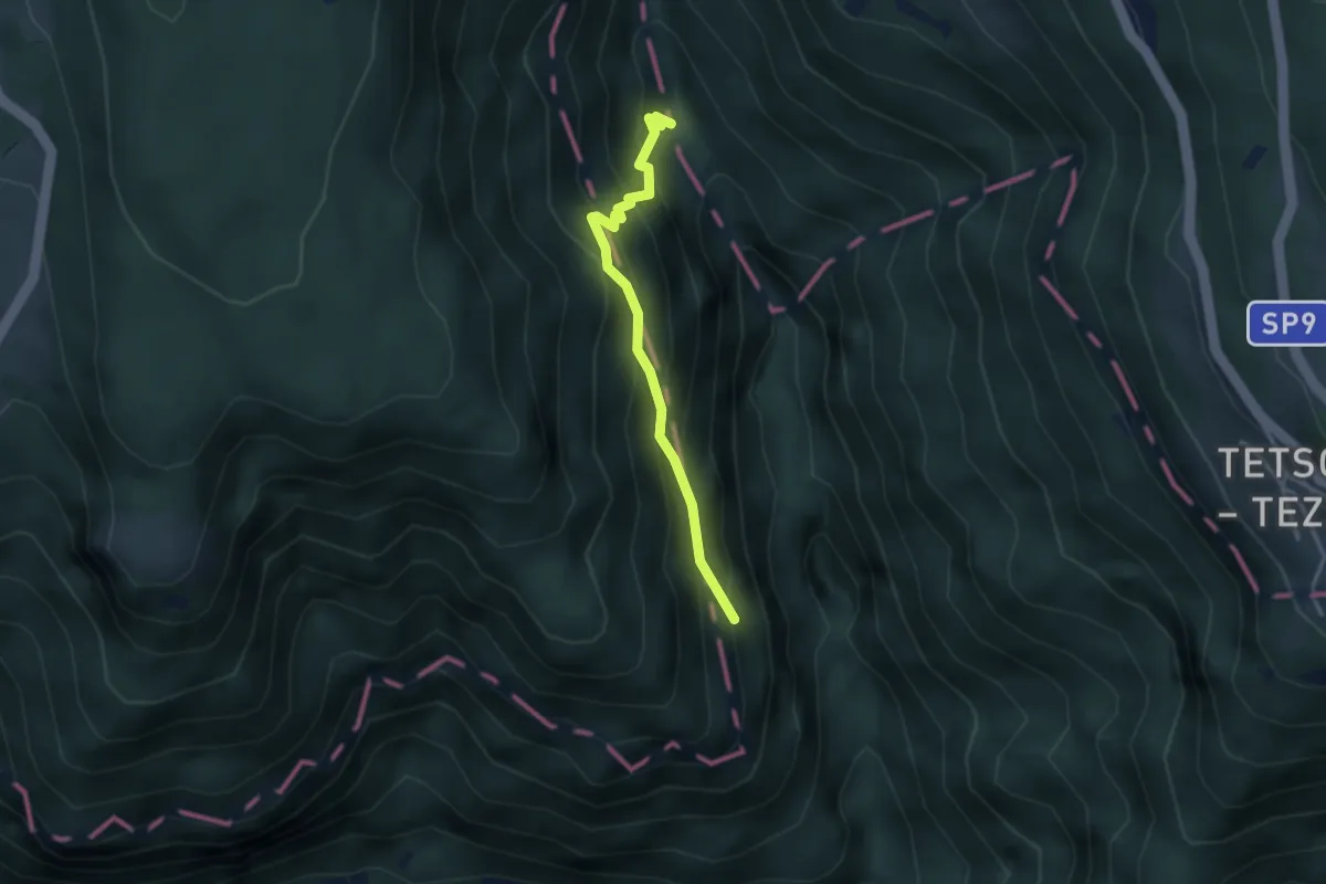
Demanding · Trail
La Crosetta (bivio 597 CAI - 297 SAT) – Valle Rio Torto
2.9 km · ↑ 346 m · 1 h 26 min · 10 km away
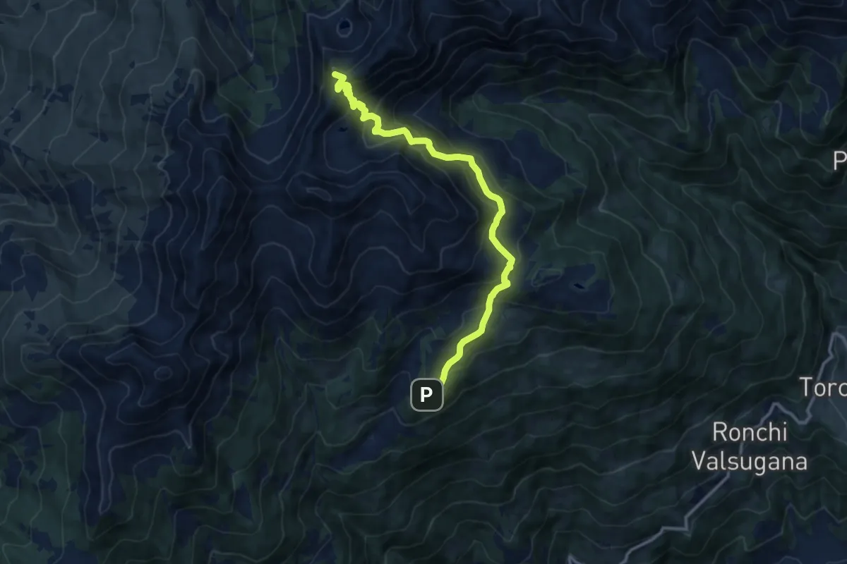
Demanding · Summit
Rifugio Serot (bivio 371 - 372B) – Passo del Lago (bivio 325 - 343)
11.9 km · ↑ 905 m · 4 h 47 min · 10 km away
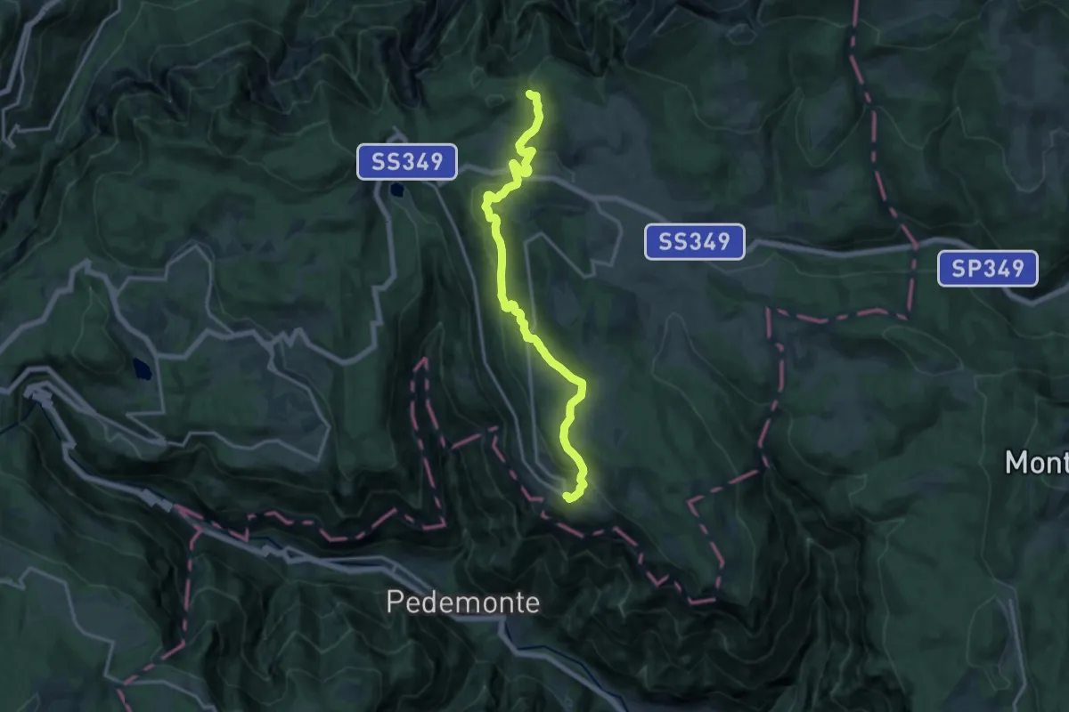
Medium · Trail
Busa delle Scandole (bivio 205) – Luserna
14.9 km · ↑ 487 m · 4 h 35 min · 10 km away
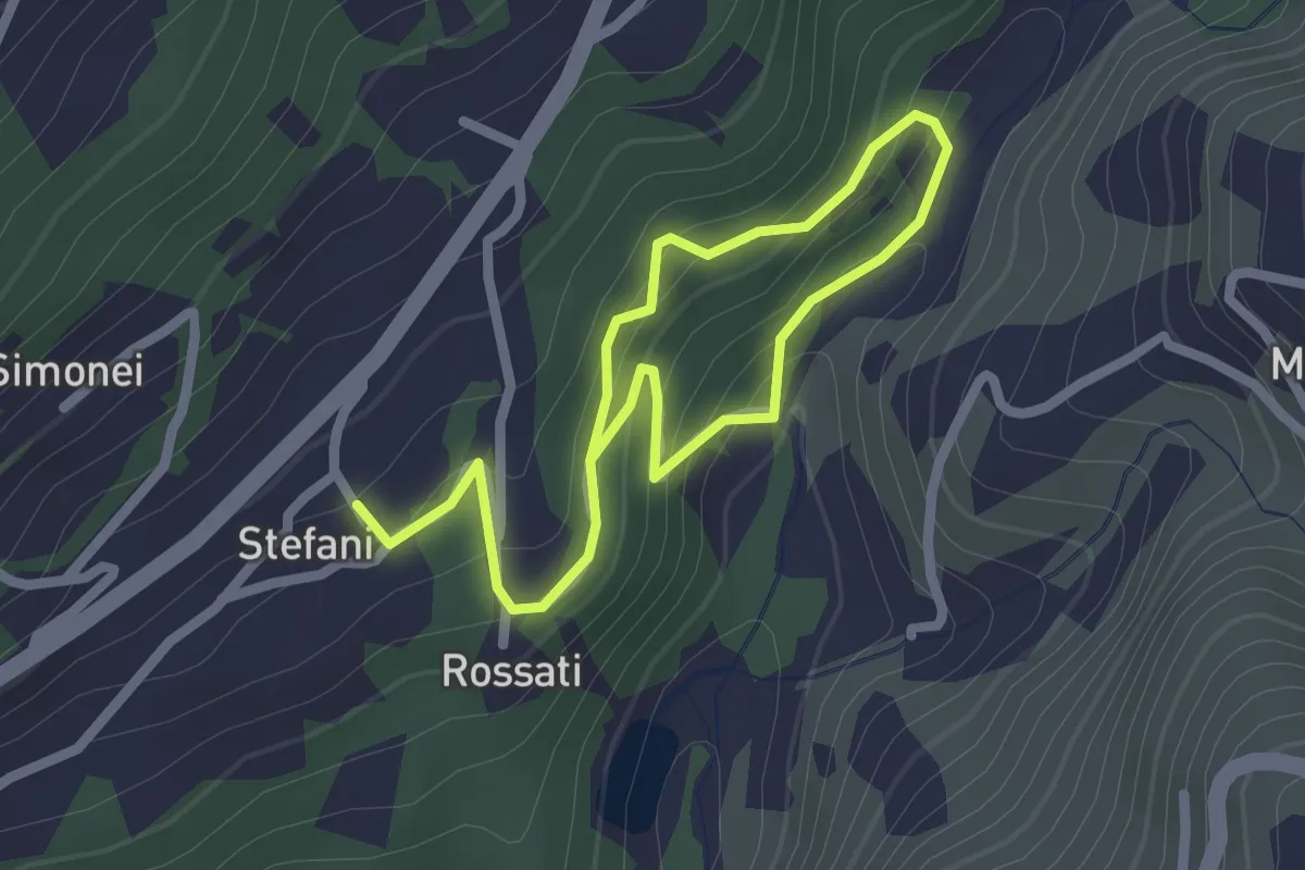
Easy · Trail
Sentiero Fatato
3.3 km · ↑ 174 m · 1 h 10 min · 10 km away
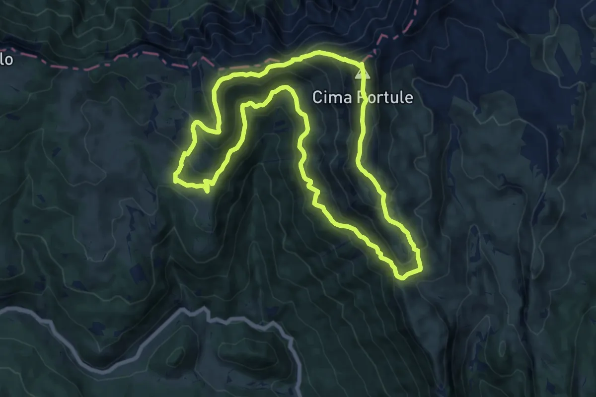
Demanding · Summit
Portule
13.5 km · ↑ 942 m · 5 h 25 min · 10 km away
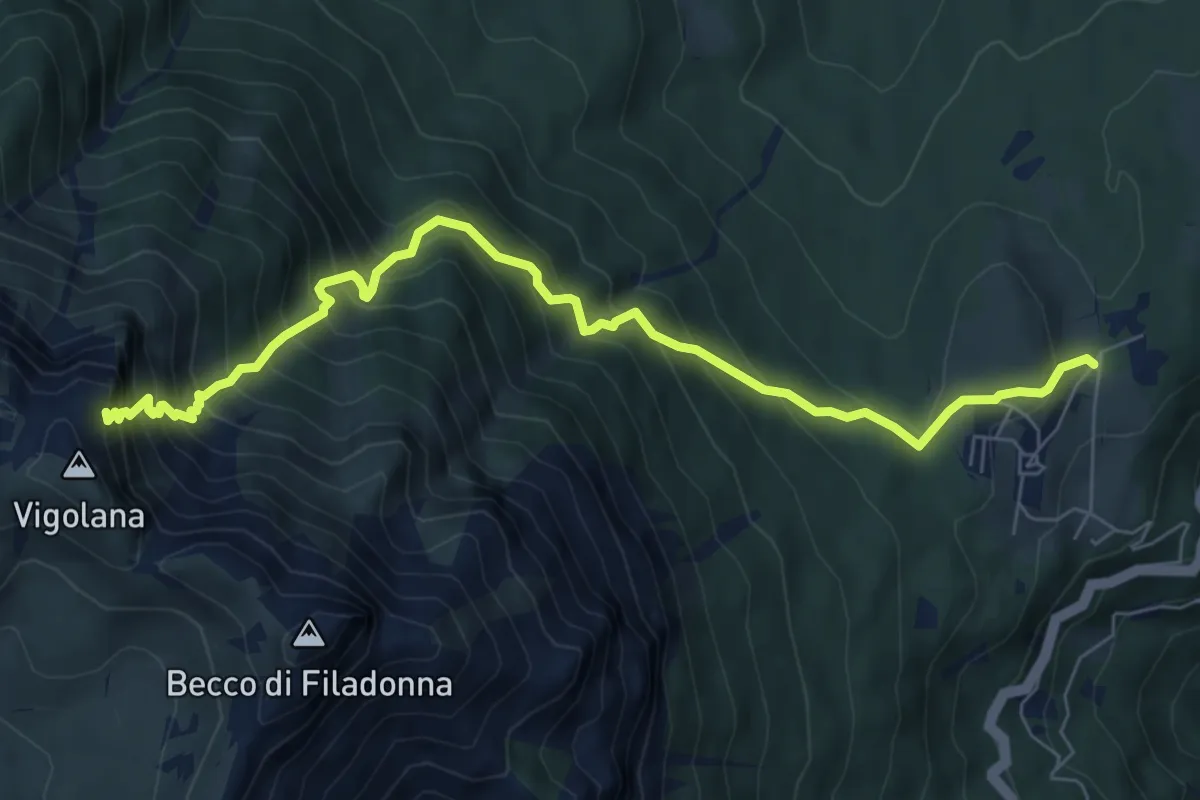
Demanding · Cabin
March (Rifugio Paludèi) – Percorso 425
7.8 km · ↑ 1112 m · 4 h 15 min · 10 km away
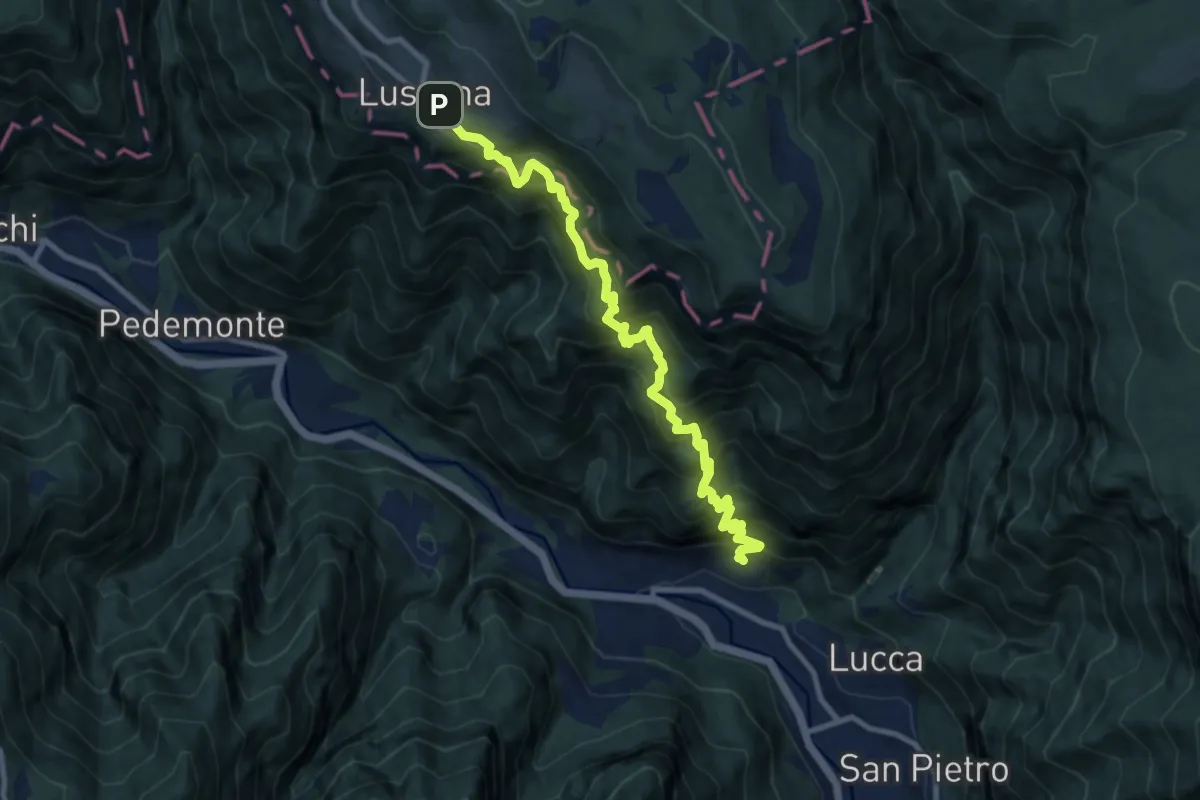
Demanding · Trail
Casotto – Belfiore – Nore - Luserna
10.3 km · ↑ 1591 m · 5 h 53 min · 10 km away
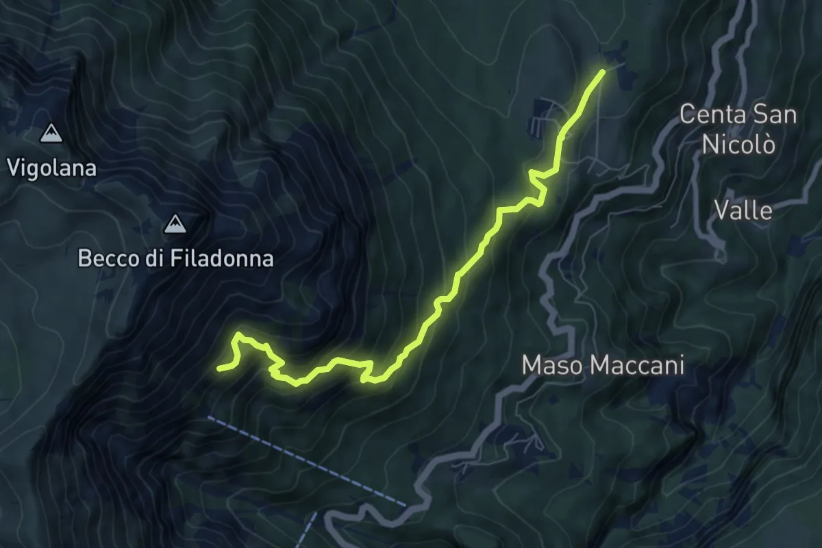
Demanding · Cabin
Sentiero attrezzato dei pastori
7.7 km · ↑ 716 m · 3 h 22 min · 10 km away
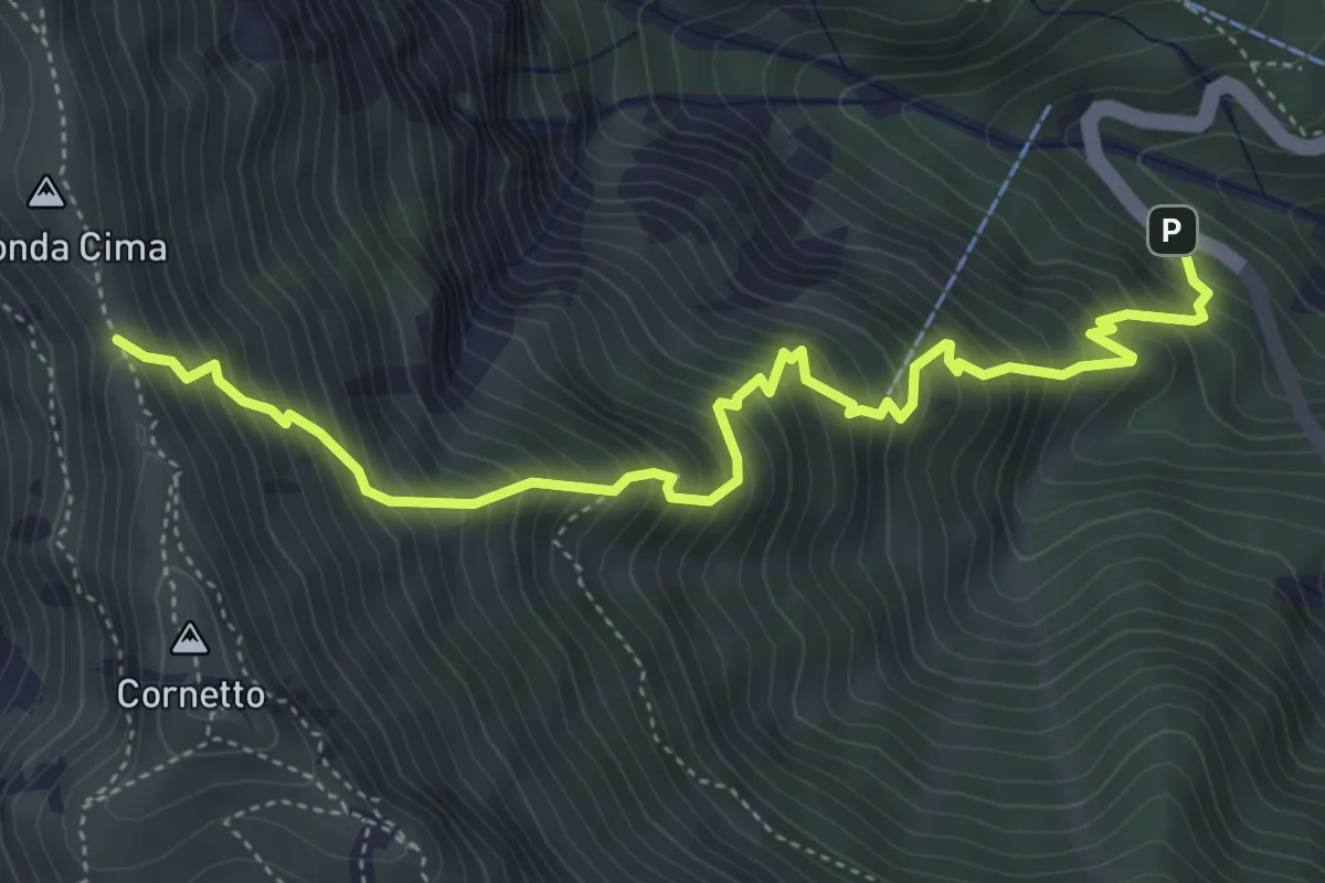
Demanding · Trail
Senter del Pralongo
5.3 km · ↑ 862 m · 3 h 8 min · 10 km away
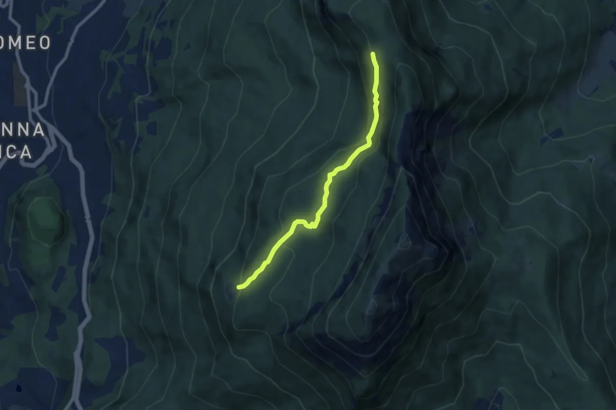
Medium · Cabin
Senter delle Pegore
6.3 km · ↑ 370 m · 2 h 18 min · 10 km away
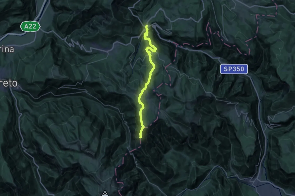
Demanding · Summit
Carbonare – Passo della Borcola (bivio 147)
28.8 km · ↑ 1189 m · 9 h 22 min · 10 km away
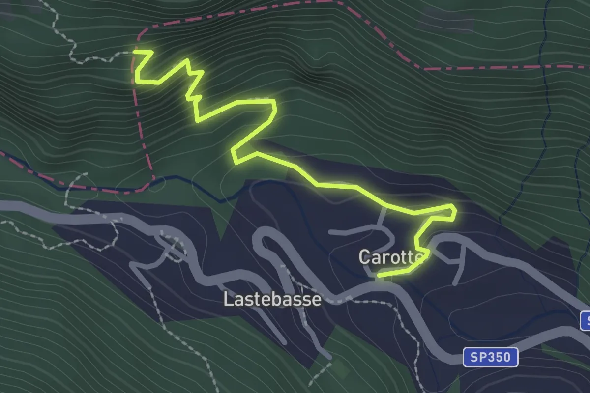
Medium · Trail
Via dell’Ancino
2.7 km · ↑ 223 m · 1 h 7 min · 10 km away
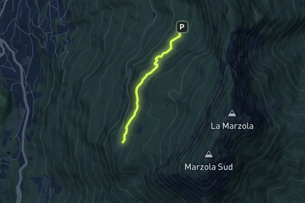
Easy · Cabin
Quota 1059 (bivio 413) – Rifugio Maranza (bivio 412 - 426 - 429 - 441)
4.6 km · ↑ 196 m · 1 h 30 min · 10 km away
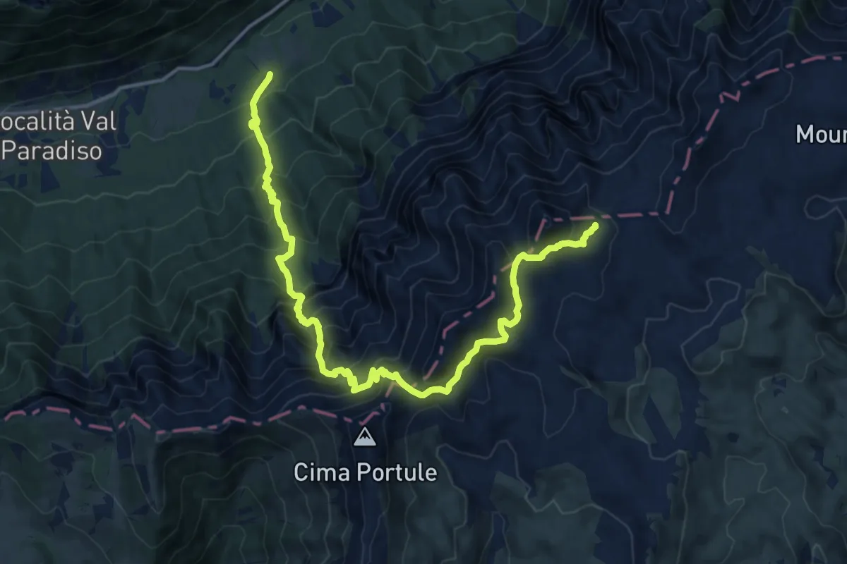
Demanding · Trail
Sella - ex ristorante al Cacciatore – La Forzelletta (bivio E211)
15.8 km · ↑ 1612 m · 7 h 14 min · 10 km away
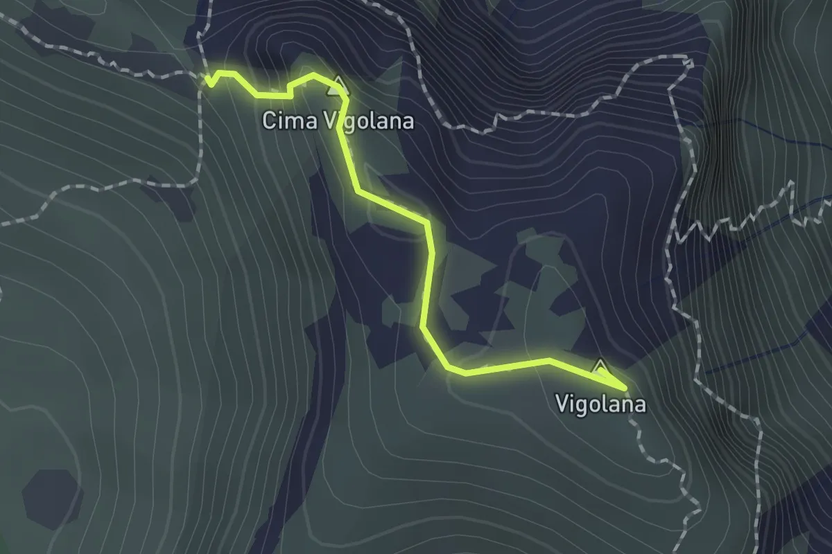
Demanding · Summit
Bocca Lavinella (bivio 450 453) – Bocca di Val Larga (bivio 425)
1.5 km · ↑ 91 m · 33 min · 10 km away
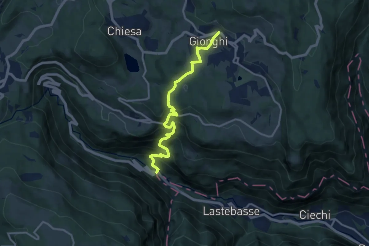
Medium · Trail
Busatti - Val D'Astico – Gionghi
8.3 km · ↑ 603 m · 3 h 15 min · 10 km away
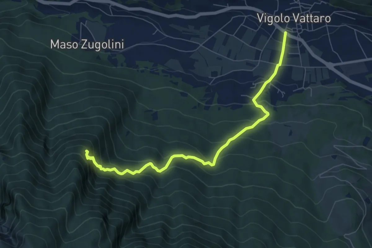
Medium · Trail
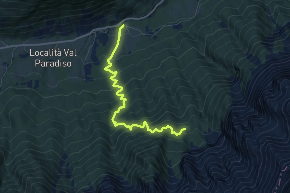
Senter dei Aseni
7.7 km · ↑ 591 m · 3 h 6 min · 11 km away
Medium · Trail
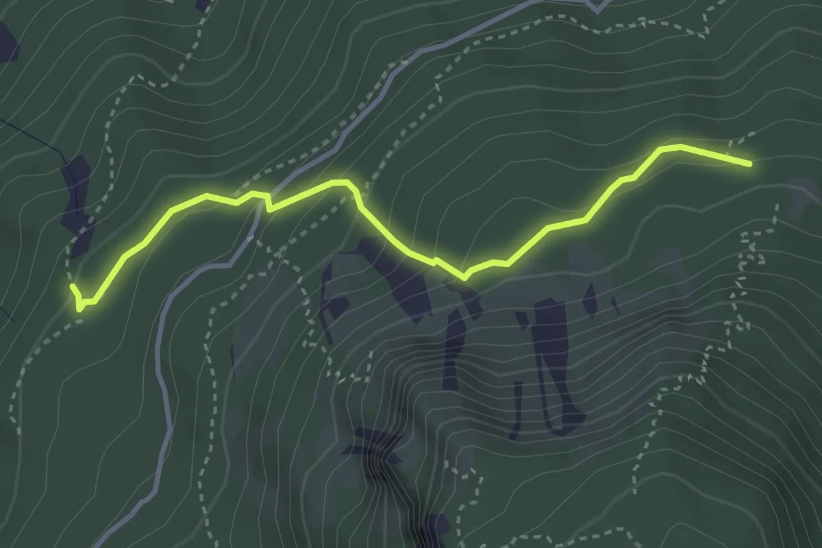
Sella - parcheggio ex Hotel Legno – Baite Lanzola
8.1 km · ↑ 793 m · 3 h 37 min · 11 km away
Medium · Trail
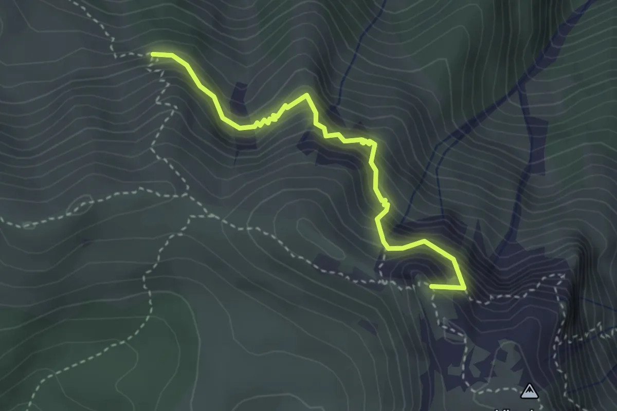
Senter dei Brusadi
3.3 km · ↑ 258 m · 1 h 21 min · 11 km away
Demanding · Summit
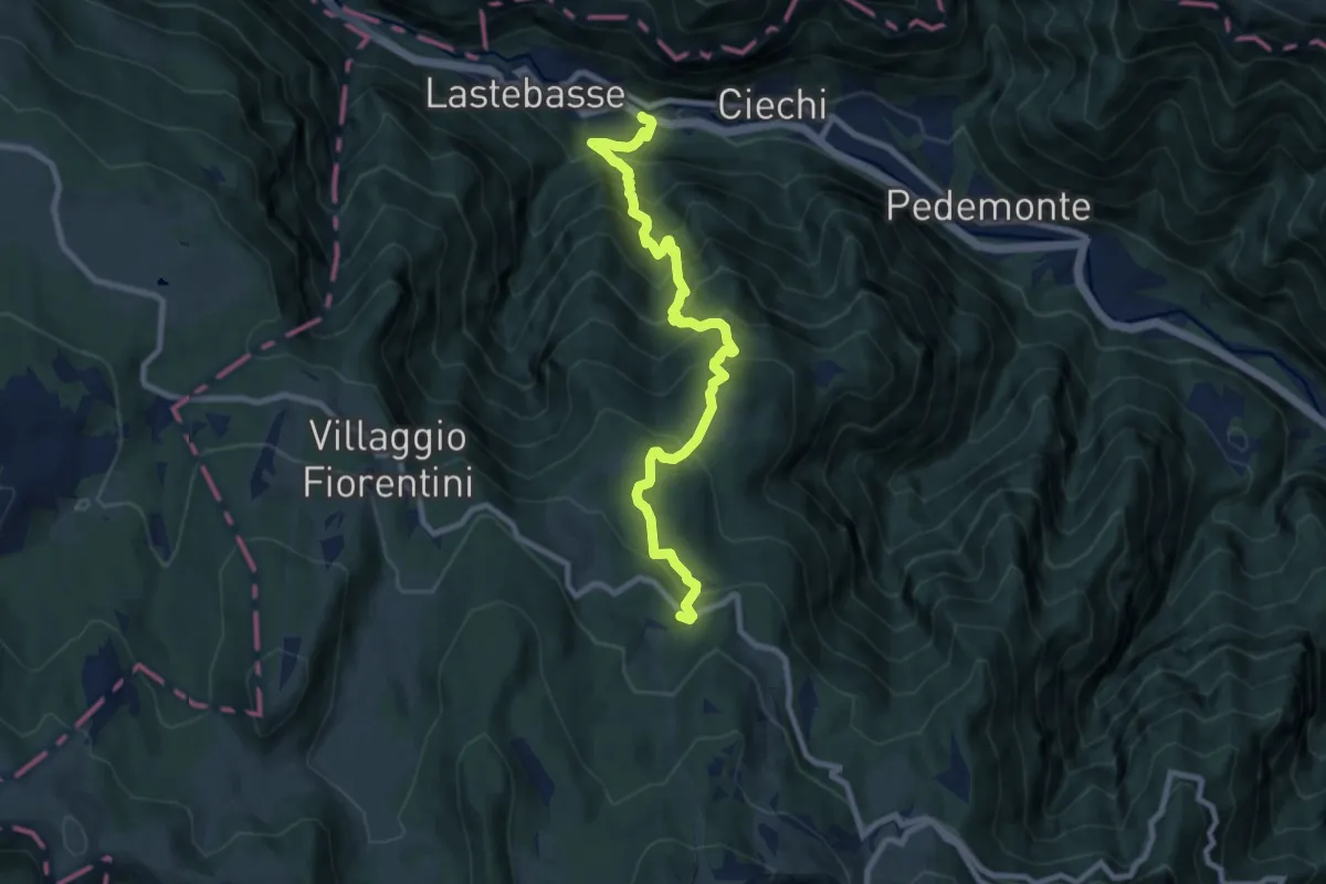
Sentiero Attrezzato delle Grattarole
3.3 km · ↑ 500 m · 1 h 52 min · 11 km away
Demanding · Trail
località Pickel in Valdastico – Strada dei Fiorentini
9.2 km · ↑ 990 m · 4 h 19 min · 11 km away
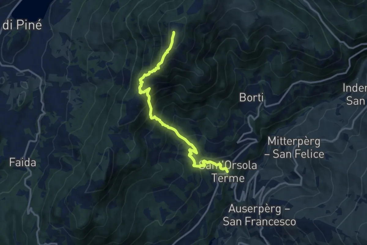
Demanding · Summit
Sant'Orsola – Dosso di Costalta (bivio 404)
10.1 km · ↑ 1094 m · 4 h 45 min · 11 km away
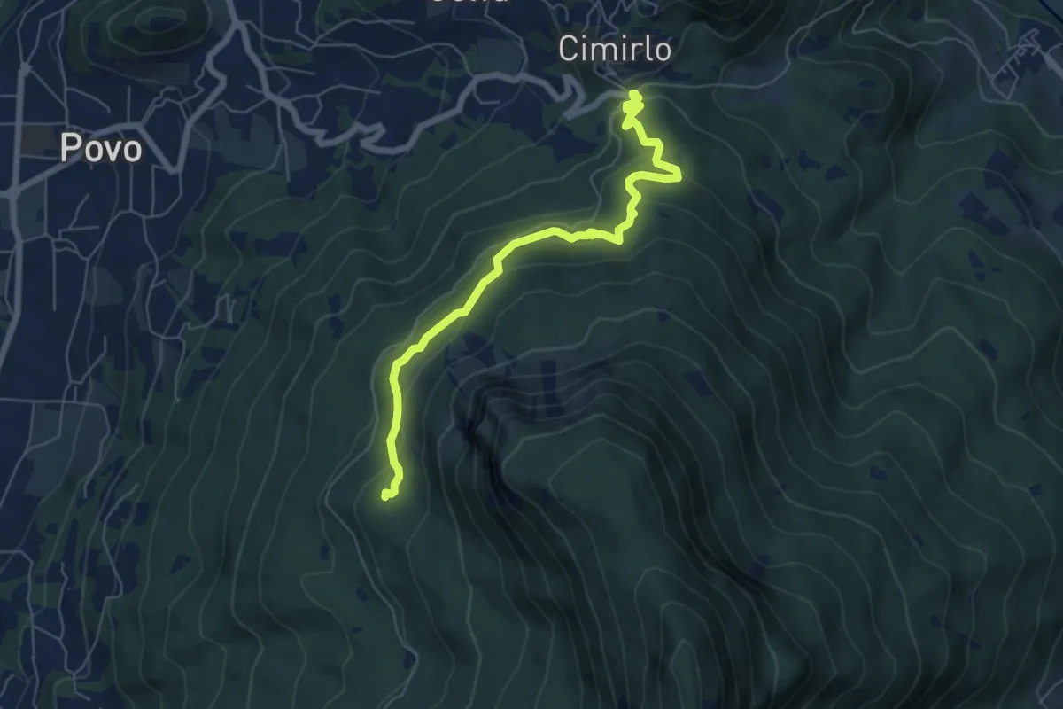
Medium · Trail
Passo del Cimirlo – Busa Granda (bivo 413)
6.3 km · ↑ 277 m · 2 h 5 min · 11 km away
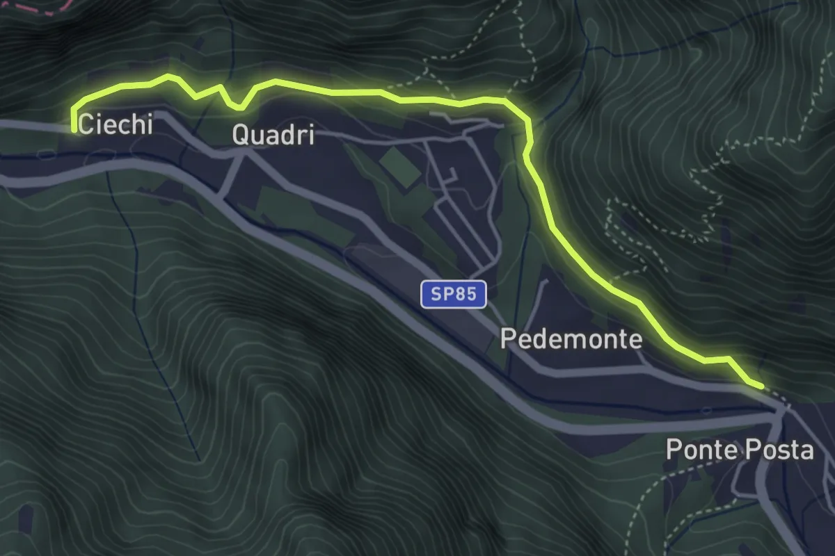
Medium · Trail
Strada de la Riva
4.7 km · ↑ 233 m · 1 h 38 min · 11 km away
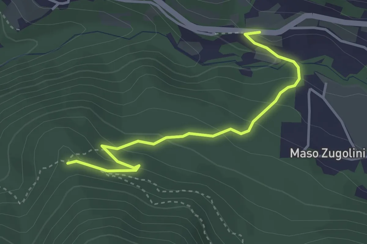
Easy · Trail
Bivio Strada Statale al Km 349 - presso Molini Valsorda – Forte Fornas (bivio 446)
3.3 km · ↑ 161 m · 1 h 8 min · 11 km away
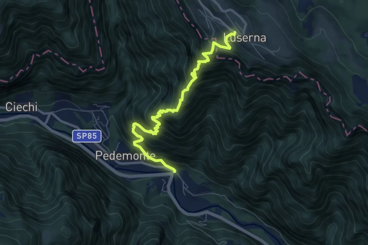
Demanding · Trail
Scalzeri di Pedemonte - Luserna
7.4 km · ↑ 939 m · 3 h 47 min · 11 km away
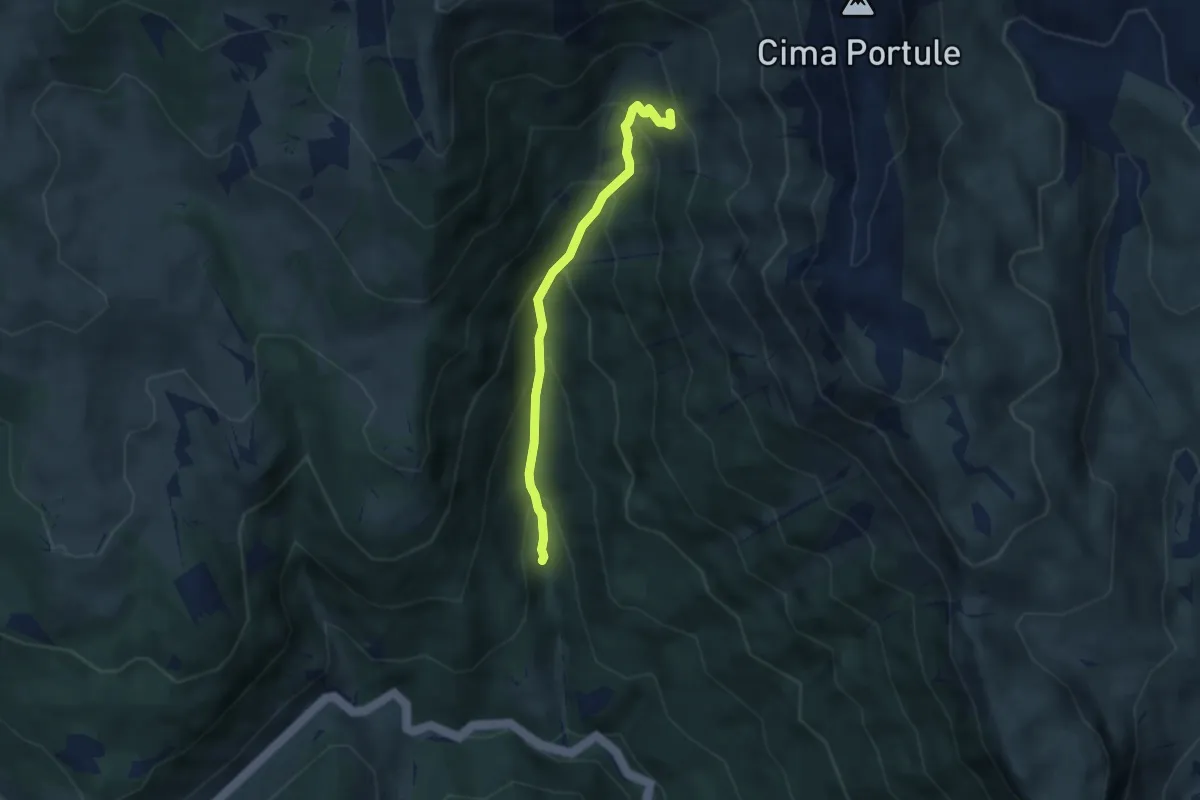
Medium · Trail
Primo Tornamte SP329 per Larici – Alta Val Renzola innesto sentiero 826
5.0 km · ↑ 520 m · 2 h 18 min · 11 km away
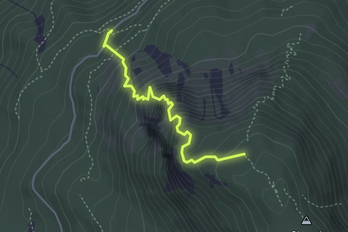
Expert · Trail
Via ferrata "Giordano Bertotti"
3.3 km · ↑ 520 m · 1 h 55 min · 11 km away
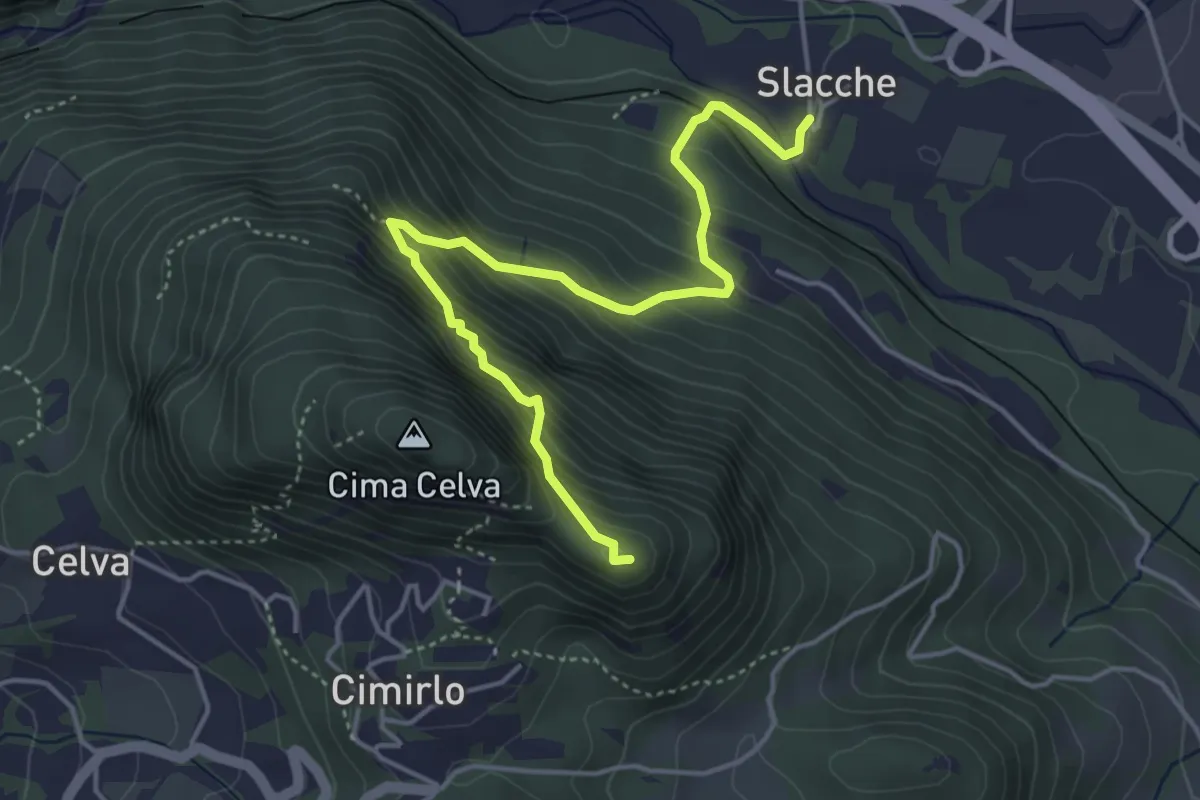
Demanding · Summit
Slacche – Selletta (bivio 419)
4.8 km · ↑ 524 m · 2 h 15 min · 11 km away
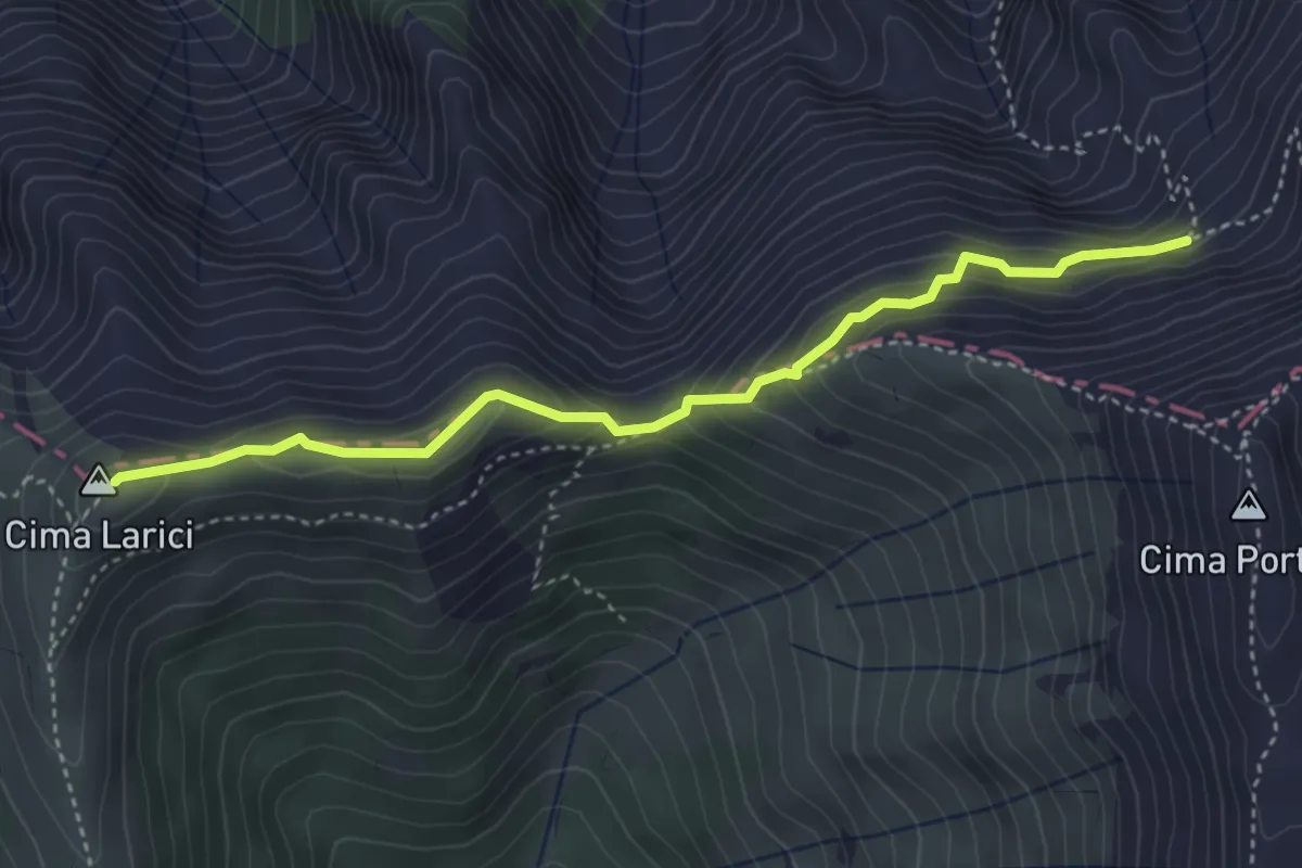
Medium · Summit
Porta Manazzo (bivio 204 - 205 - 220) – Busa del Kempel (bivio 208)
4.0 km · ↑ 324 m · 1 h 38 min · 11 km away
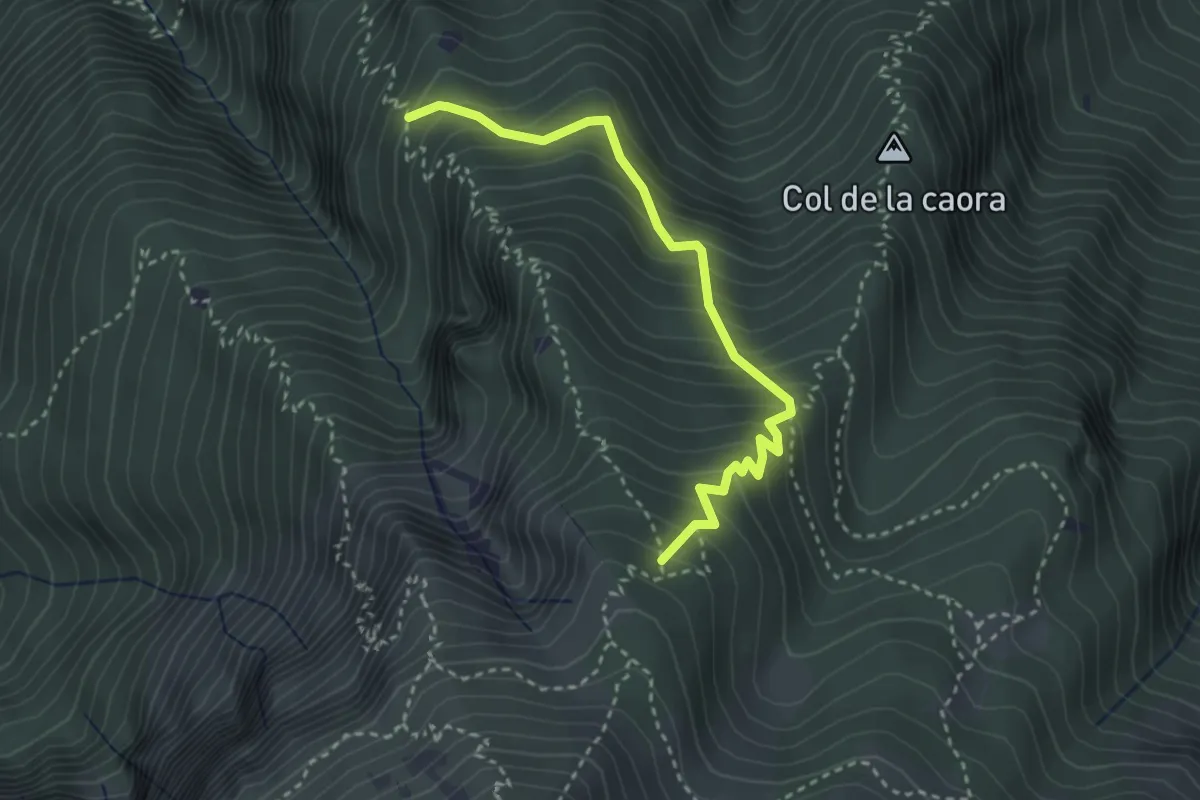
Medium · Trail
Presso Doredondo (bivio 446) – Nord-est Sass dell'Aquila (bivio 446)
3.2 km · ↑ 436 m · 1 h 42 min · 12 km away
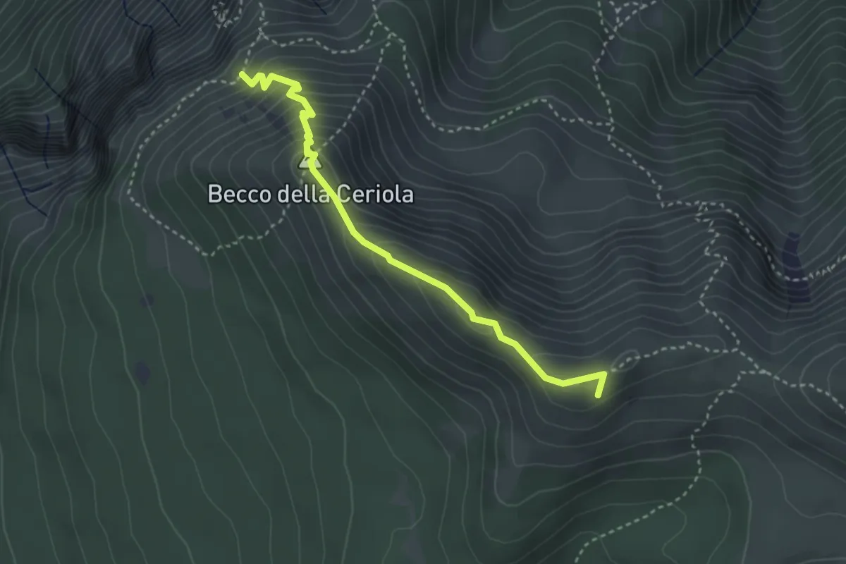
Expert · Summit
Sentiero attrezzato Caduti della Montagna
3.4 km · ↑ 363 m · 1 h 35 min · 12 km away
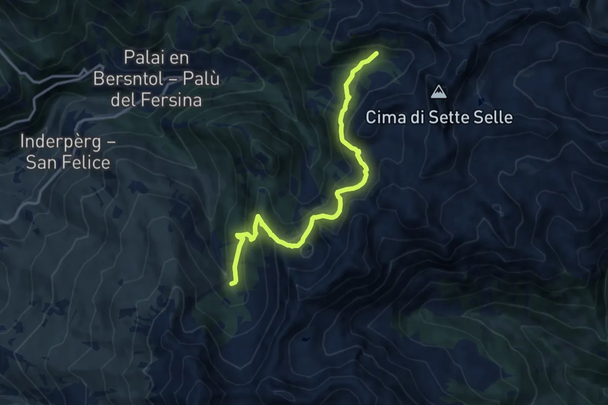
Demanding · Trail
Valcava - Baita Balkofhitt – Indertol (bivio 343)
10.8 km · ↑ 834 m · 4 h 21 min · 12 km away
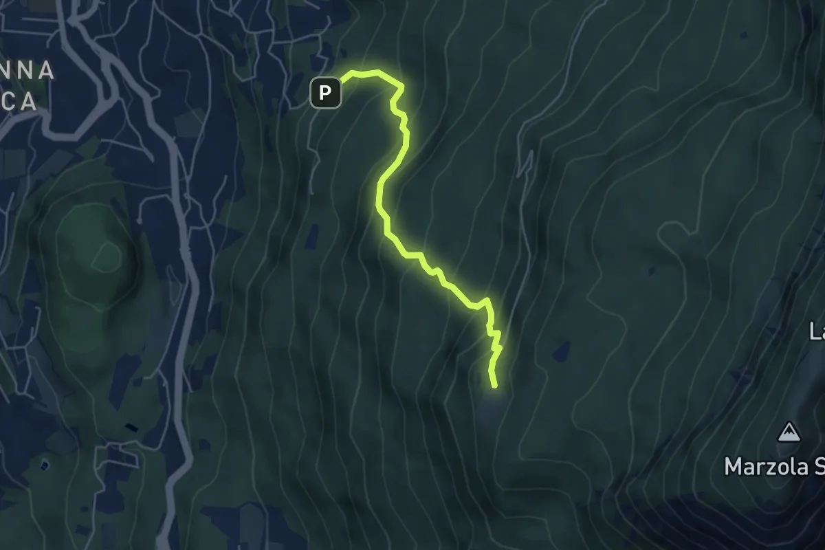
Medium · Cabin
Pinara (bivio 412) – Rifugio Maranza (bivio 412 - 426 - 429 - 456)
4.7 km · ↑ 516 m · 2 h 13 min · 12 km away
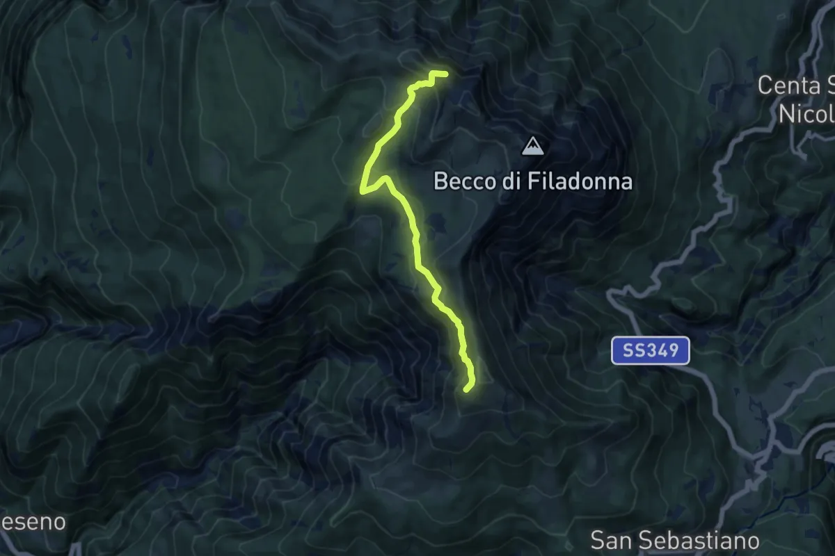
Medium · Summit
Senter del Bus del Giaz
9.5 km · ↑ 600 m · 3 h 33 min · 12 km away
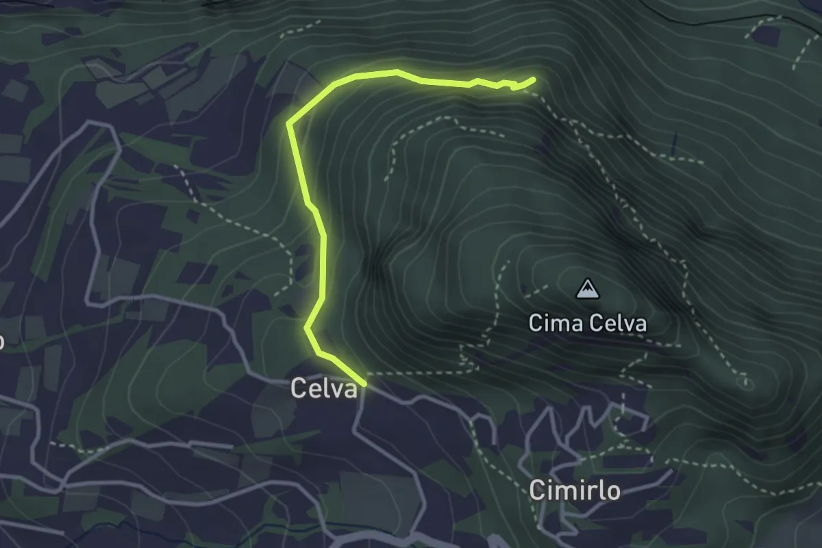
Easy · Summit
Celva – Sella del Celvet
2.9 km · ↑ 188 m · 1 h 5 min · 12 km away
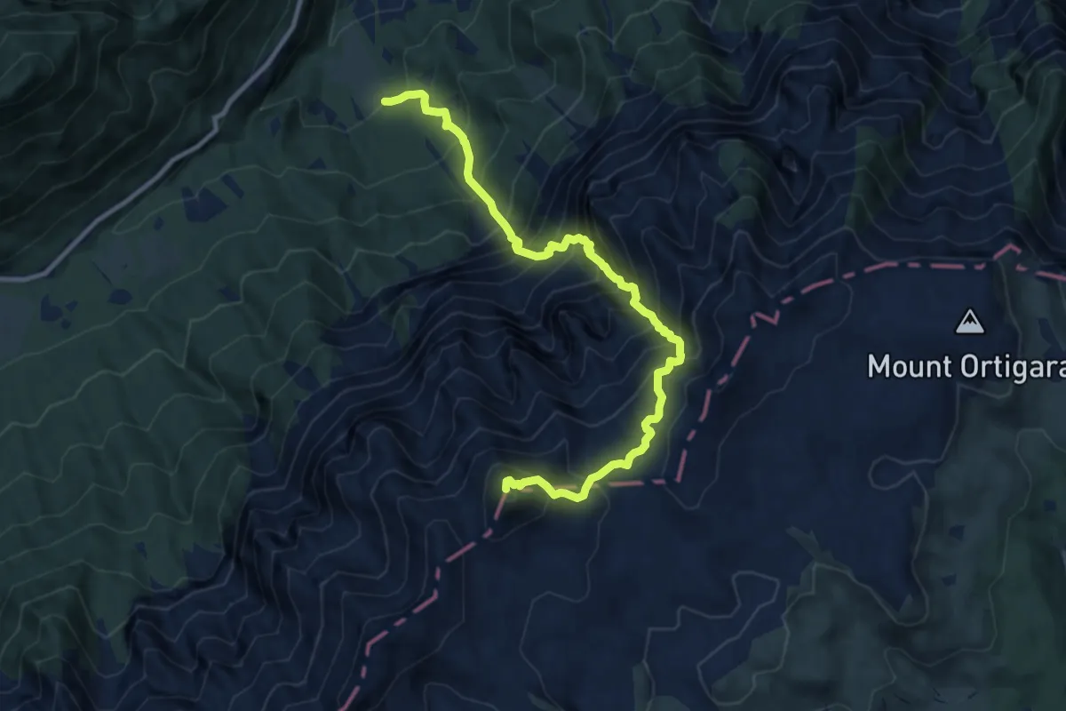
Demanding · Summit
Sentiero alpinistico del Vallon delle Trappole
10.7 km · ↑ 1639 m · 6 h 5 min · 12 km away
Demanding · Summit
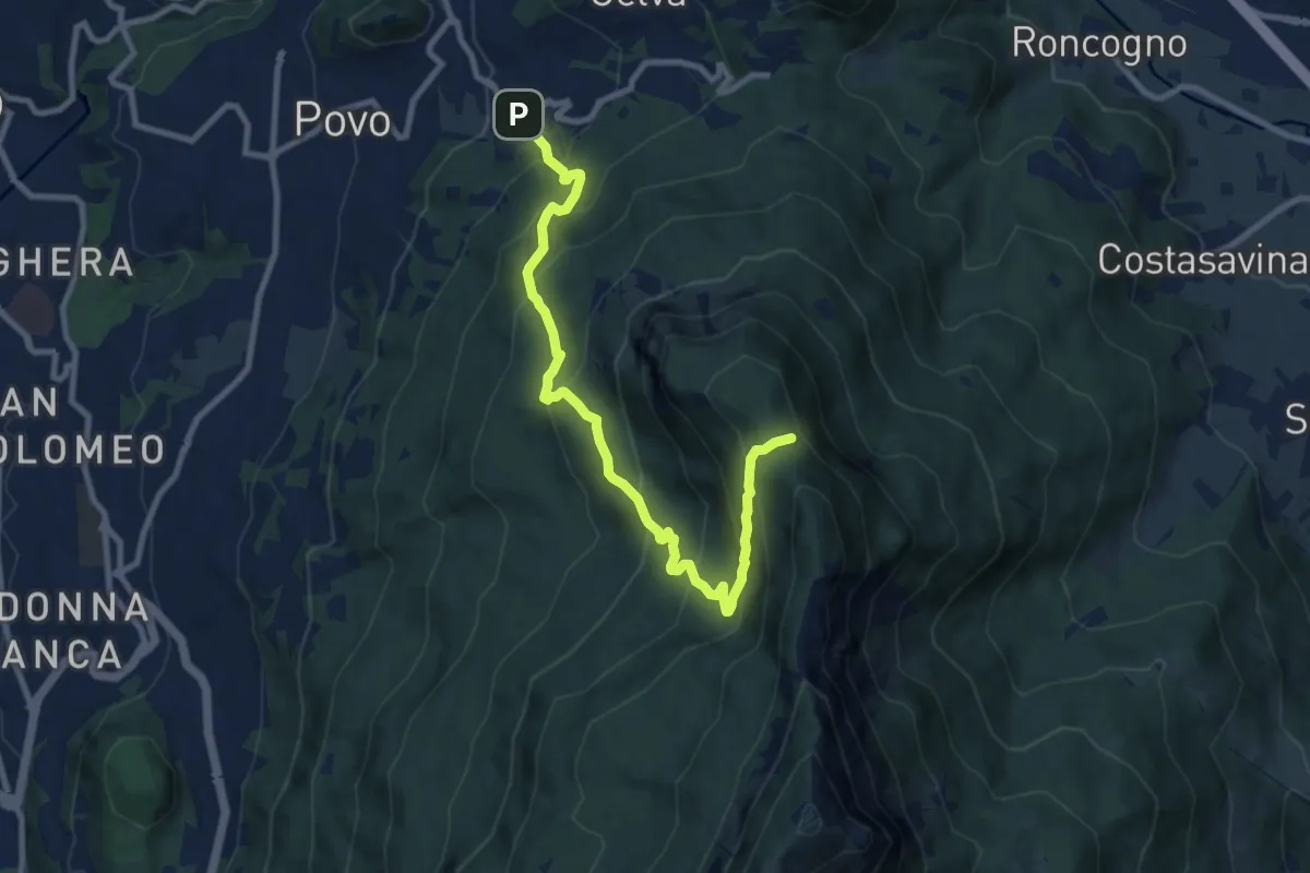
Borino (bivio 411) – Stoi del Chegul (bivio 411)
10.1 km · ↑ 844 m · 4 h 13 min · 12 km away
Medium · Summit
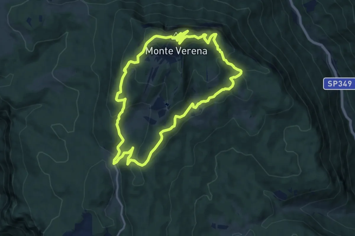
Monte Verena
10.4 km · ↑ 528 m · 3 h 44 min · 12 km away
Demanding · Summit
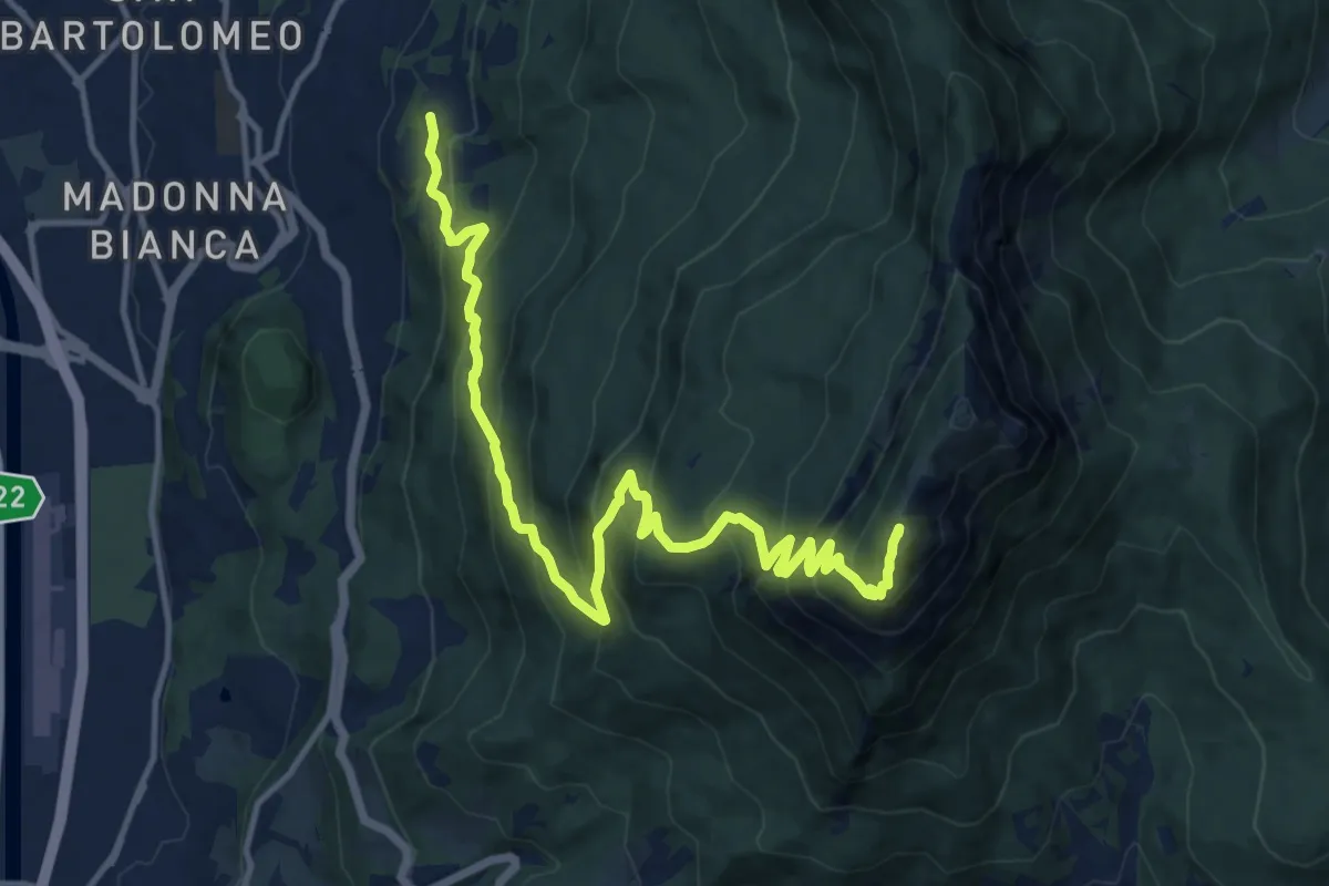
Grotta di Villazzano – Sella nord della Marzola (bivio 411-411A-433)
15.3 km · ↑ 1313 m · 6 h 27 min · 12 km away
Demanding · Summit
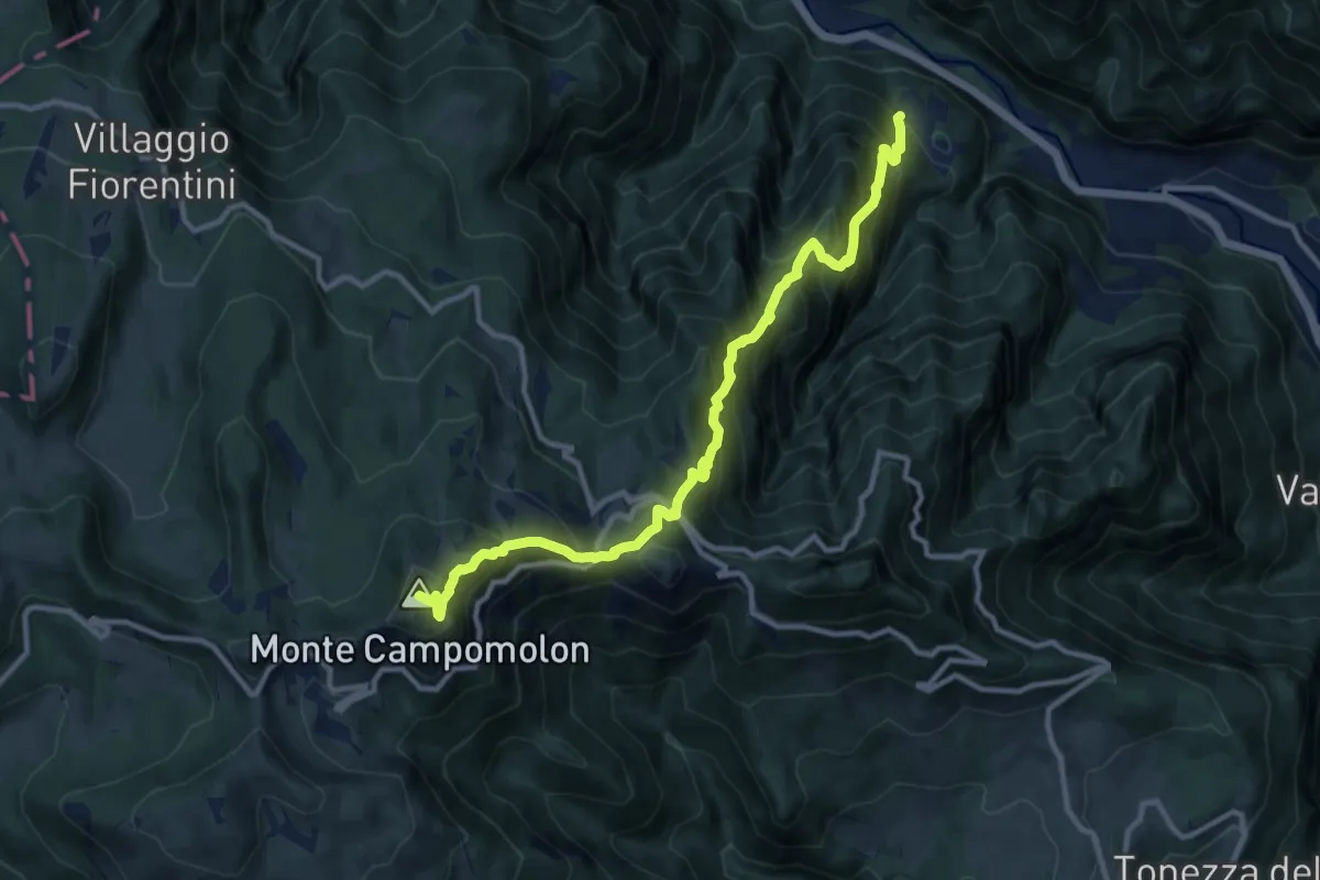
Montepiano in Valdastico – Forte di Campomolon
11.6 km · ↑ 1332 m · 5 h 38 min · 12 km away