Trails near Levico Terme
139 hikes starting within 15 km, nearest first.
Nearest first, page 3 of 3
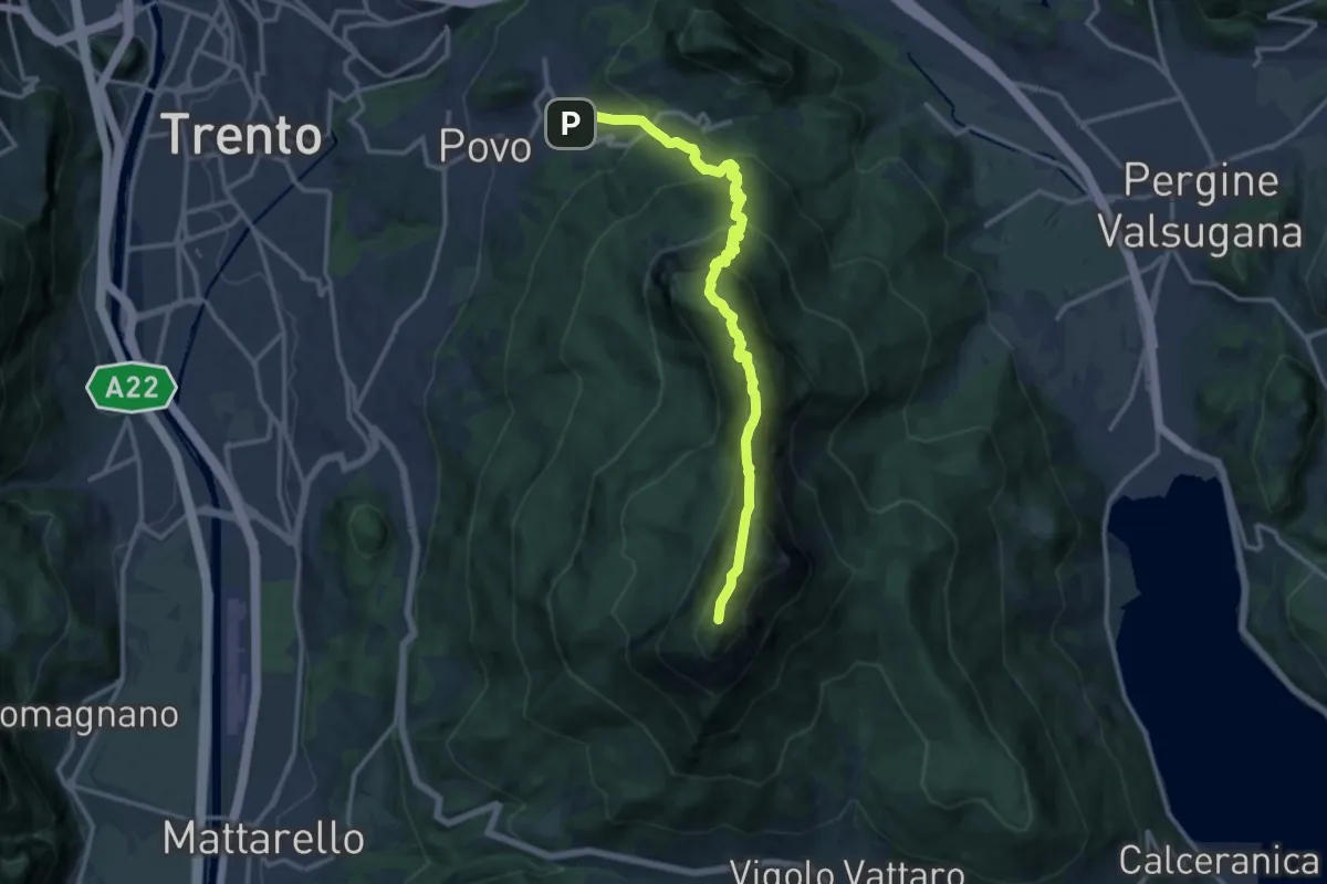
Demanding · Summit
Borino (bivio 413) – Cippo Livio Sartori (bivio 412)
14.2 km · ↑ 1285 m · 6 h 8 min · 12 km away
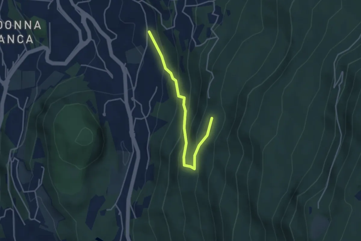
Easy · Cabin
Sentiero degli aquiloni
3.3 km · ↑ 249 m · 1 h 19 min · 12 km away
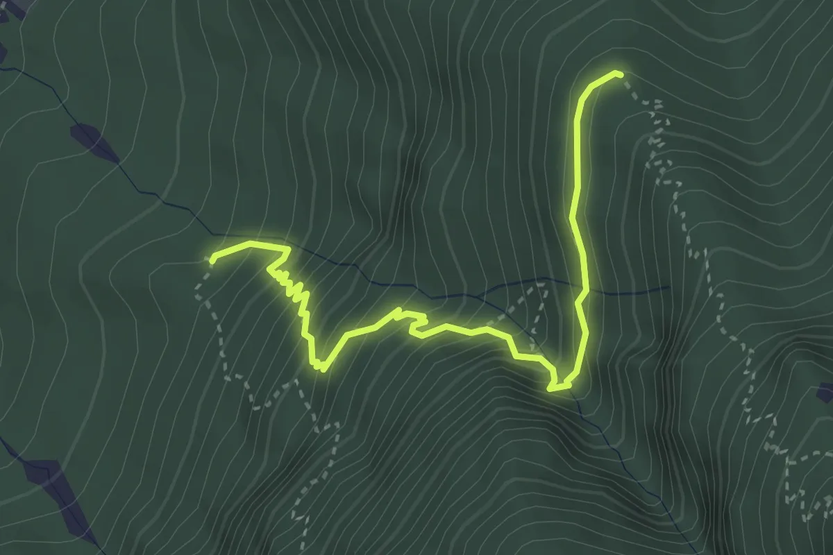
Medium · Trail
Quota 527 (bivio 447) – Malghetta (bivio 446)
3.9 km · ↑ 447 m · 1 h 53 min · 13 km away
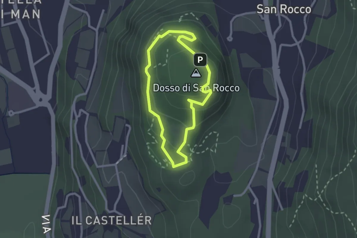
Easy · Summit
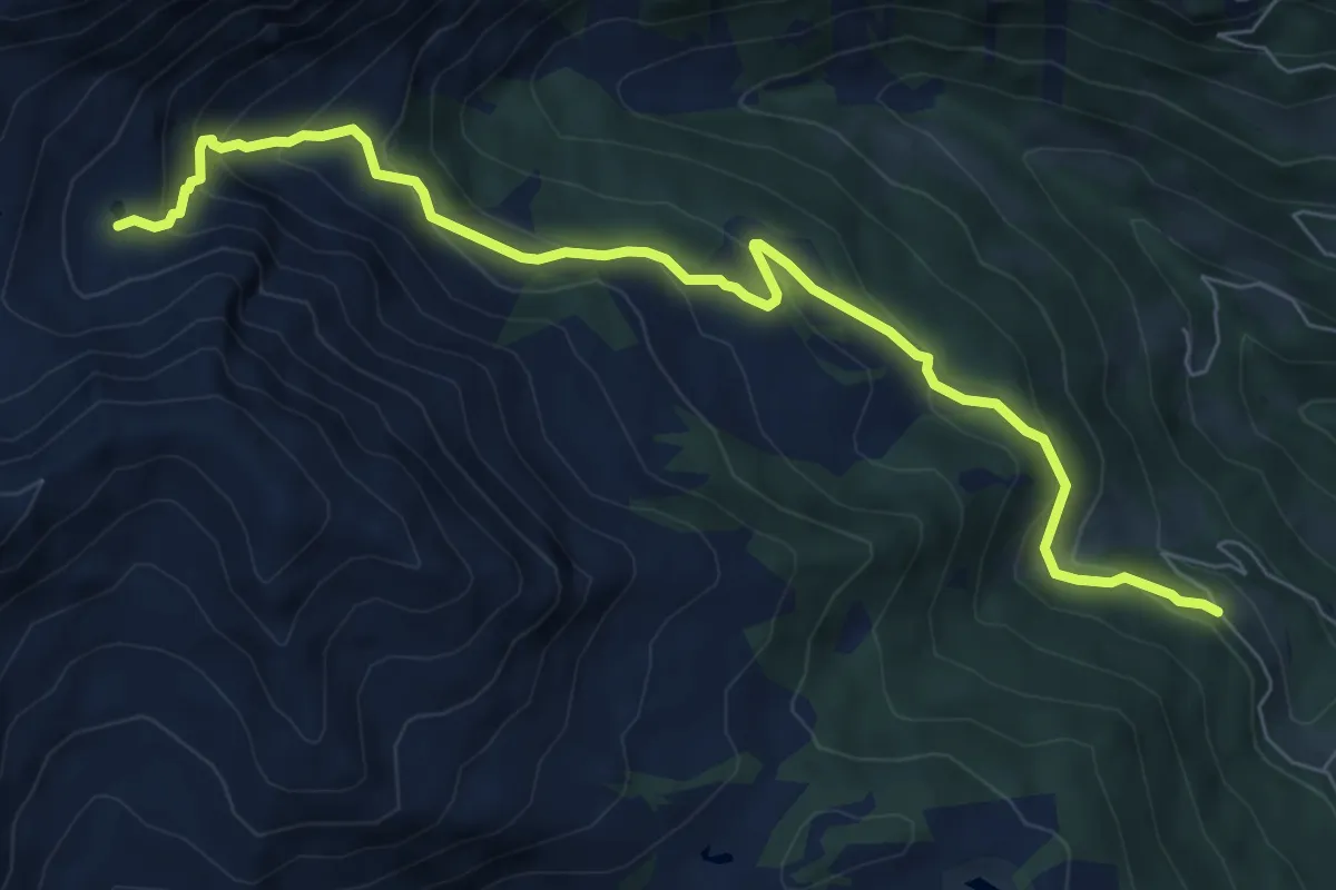
Giro del Dosso di San Rocco
1.9 km · ↑ 97 m · 41 min · 13 km away
Medium · Cabin
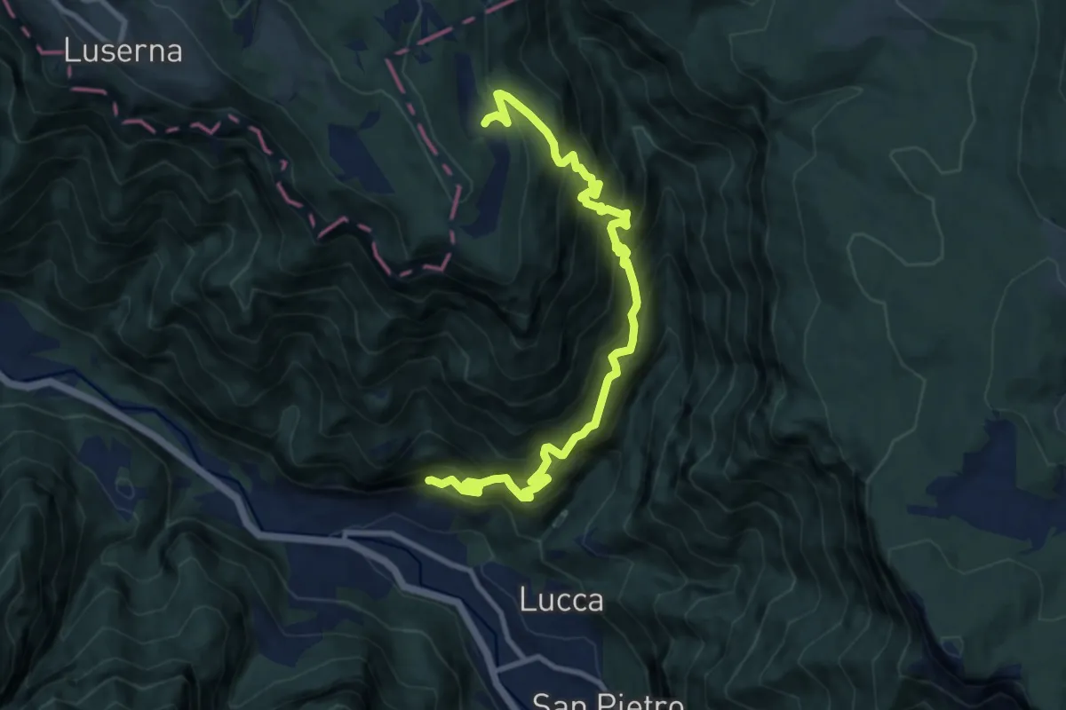
Località Samona – Sette Laghi
8.1 km · ↑ 493 m · 2 h 59 min · 13 km away
Demanding · Trail
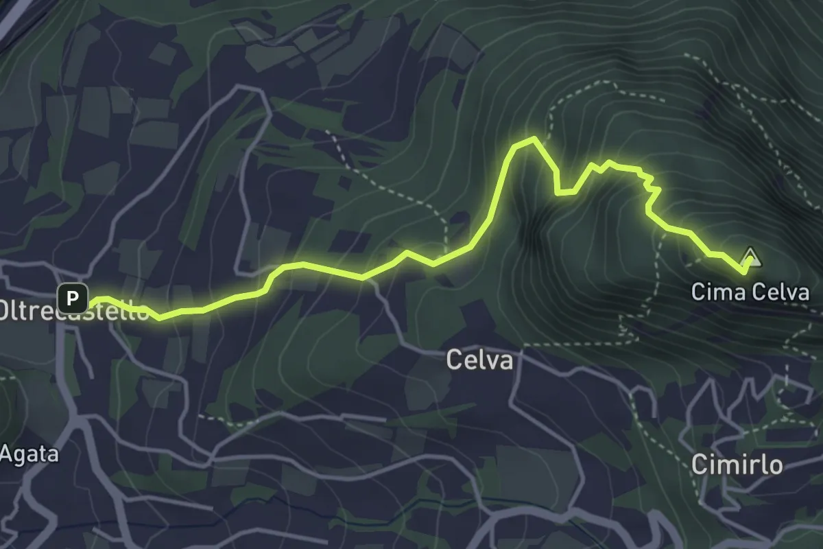
Casotto – Val Torra – Malga Crojer
11.0 km · ↑ 1502 m · 5 h 52 min · 13 km away
Medium · Summit
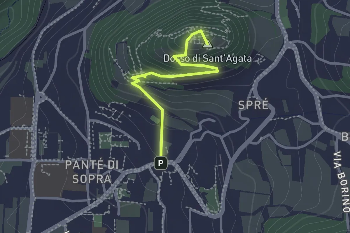
Oltrecastello – Passo del Cimirlo
4.6 km · ↑ 494 m · 2 h 9 min · 13 km away
Medium · Summit
Sentiero Sant'Agata
2.3 km · ↑ 157 m · 52 min · 13 km away
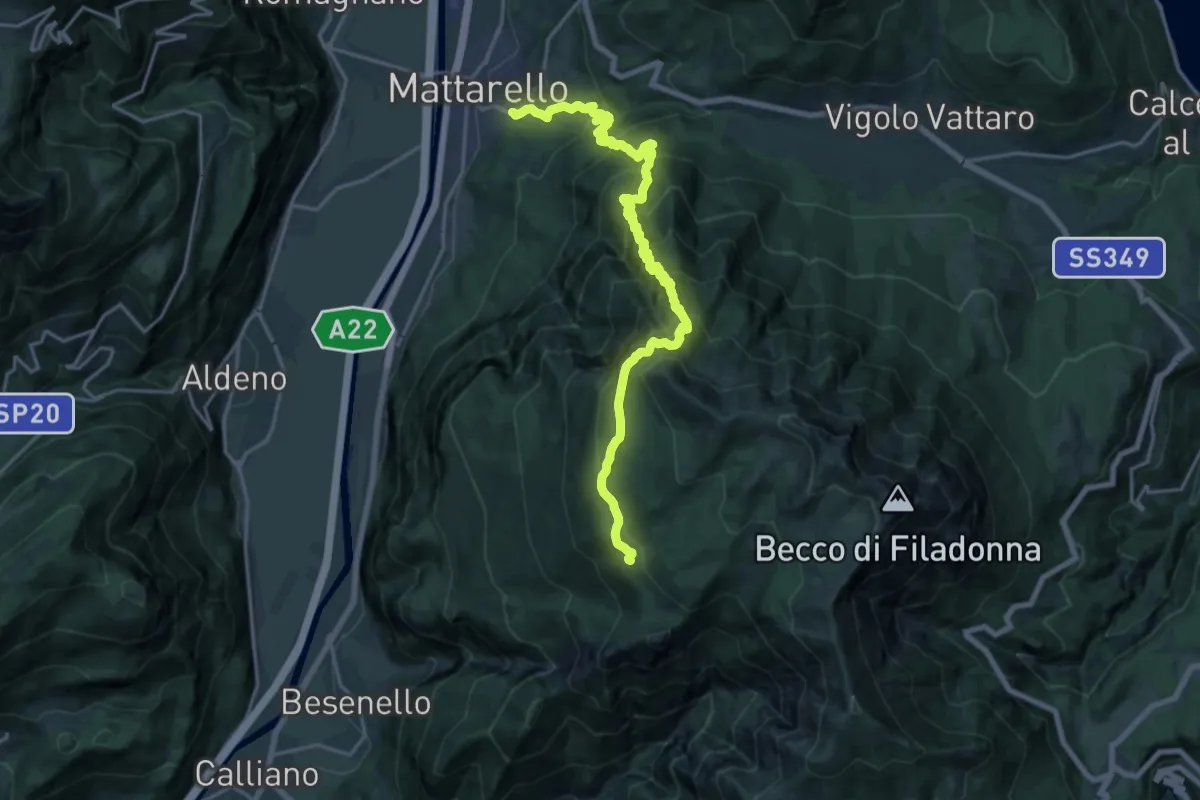
Medium · Trail
Pont dei Micoti - Mattarello – Malga Palazzo (bivio 431 - 448 - 452)
10.7 km · ↑ 247 m · 3 h 53 min · 13 km away
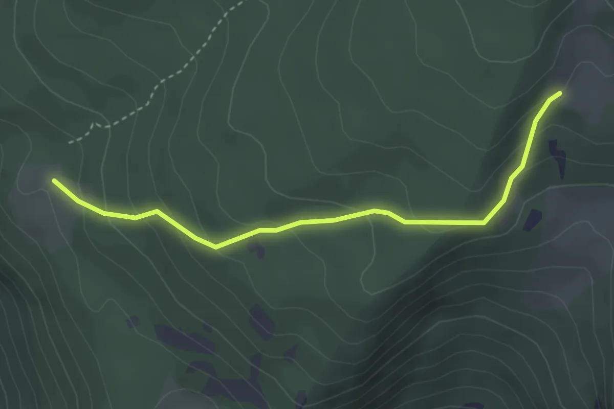
Easy · Trail
Malga Palazzo (bivio 431 - 446 - 448) – Pozza Arionda (bivio 453)
3.3 km · ↑ 213 m · 1 h 15 min · 13 km away
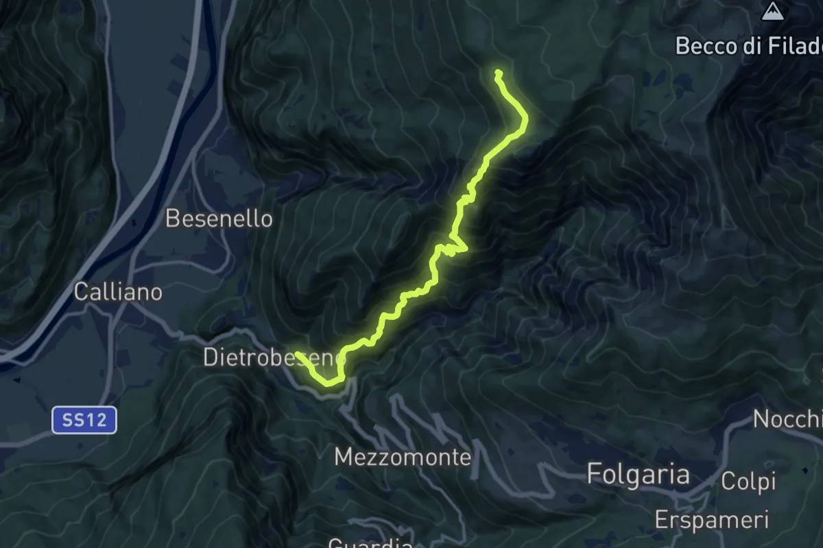
Demanding · Trail
Val di Gola
12.8 km · ↑ 1337 m · 5 h 55 min · 13 km away
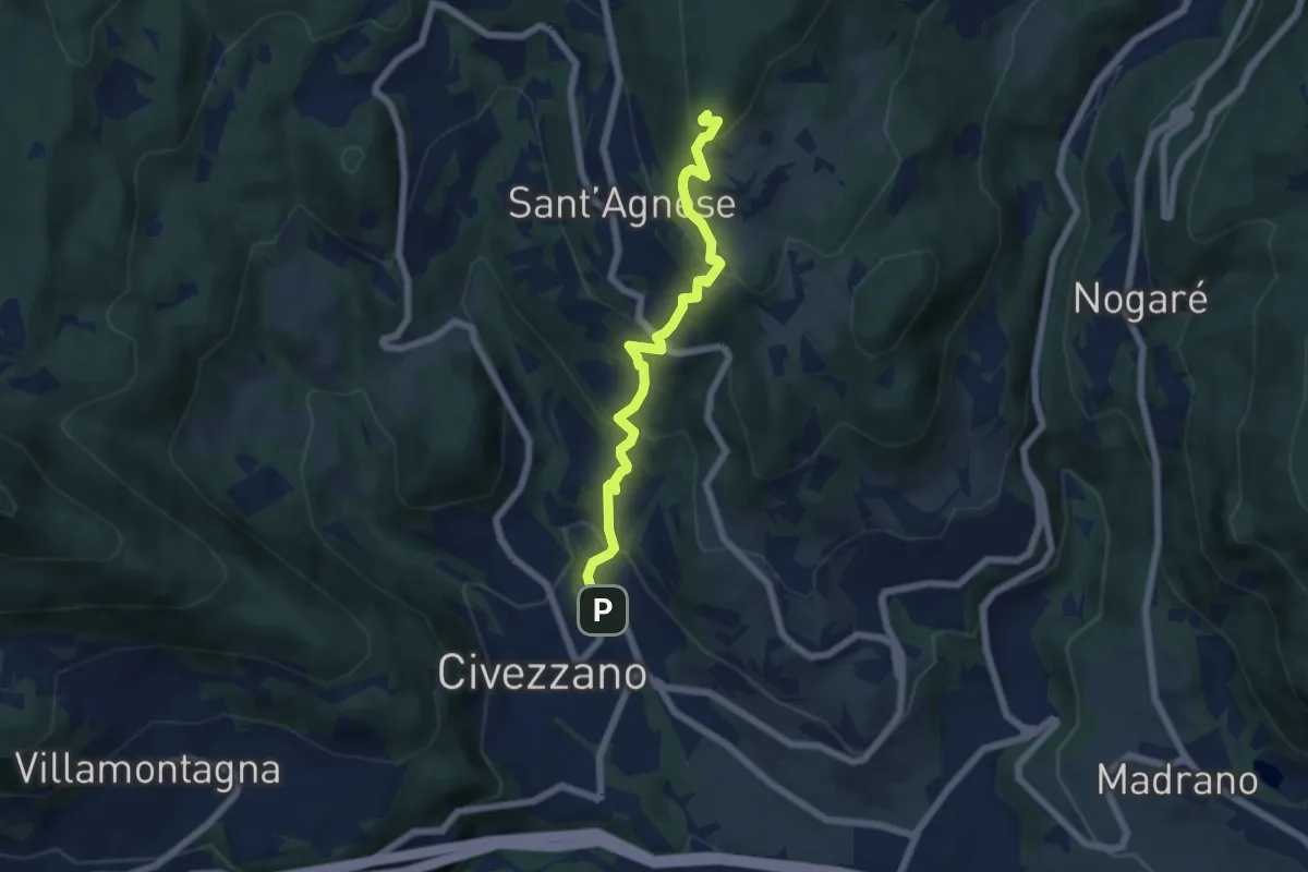
Medium · Summit
Civezzano – Montepiano (bivio 421)
5.9 km · ↑ 454 m · 2 h 23 min · 13 km away
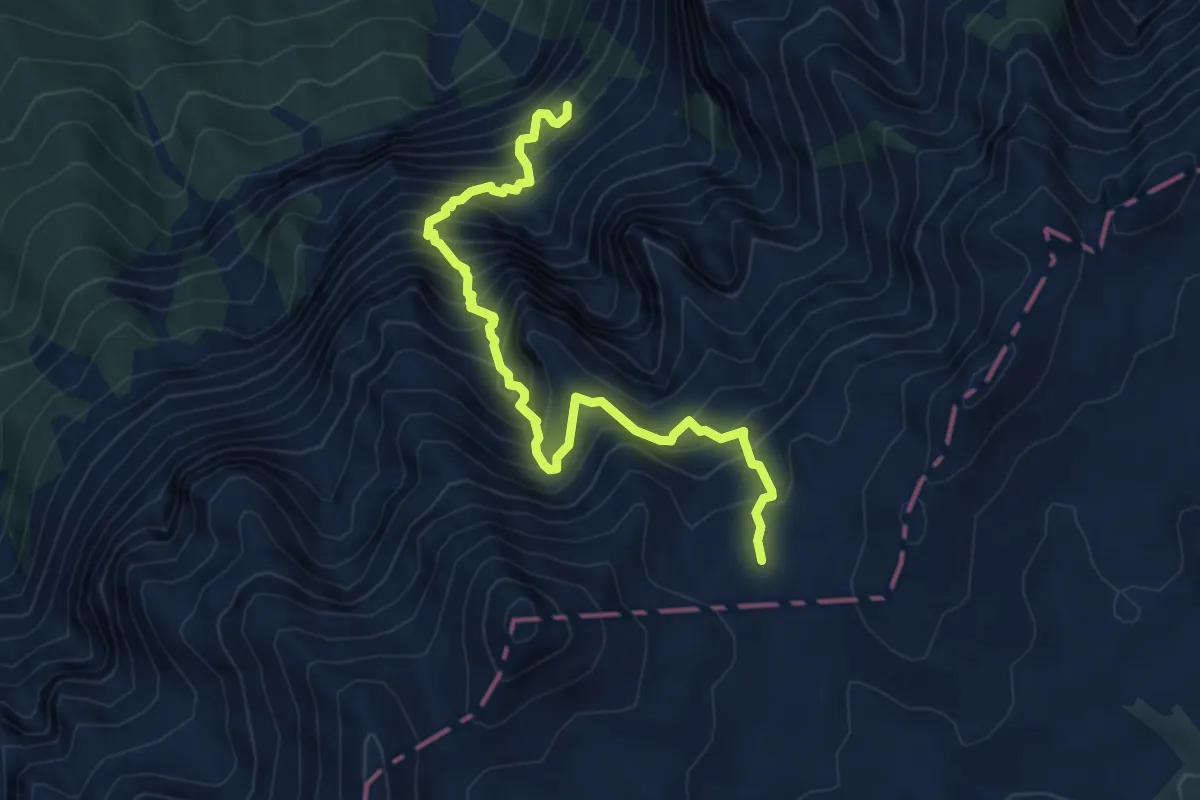
Demanding · Trail
Sentiero alpinistico attrezzato del Vallon delle Dodici
6.2 km · ↑ 1110 m · 3 h 52 min · 13 km away
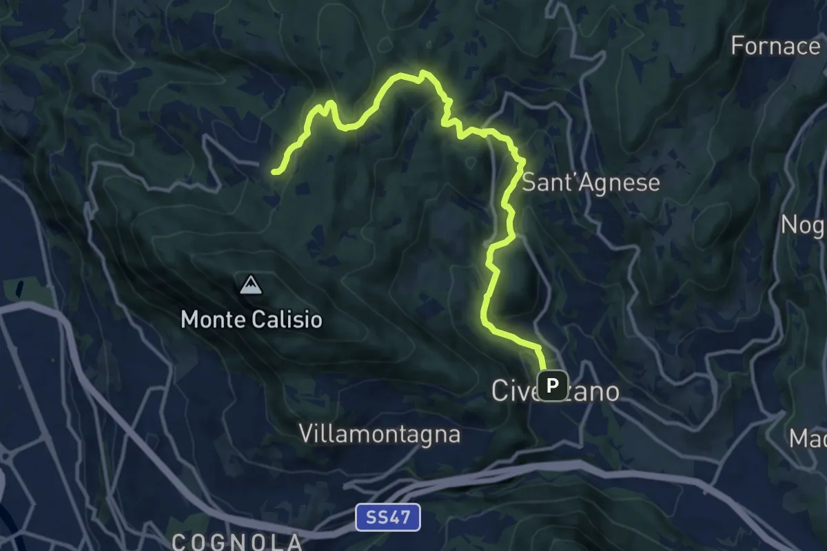
Medium · Trail
Civezzano - Castel Telvana (bivio 403) – Montevaccino di sopra (bivio 430)
13.4 km · ↑ 637 m · 4 h 33 min · 13 km away
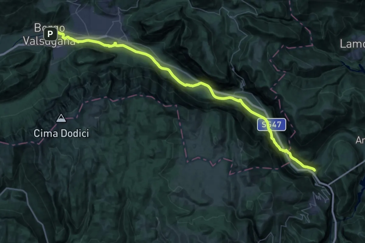
Demanding · Trail
Cammino del beato Enrico - Tappa 6
24.9 km · ↑ 110 m · 6 h 33 min · 13 km away
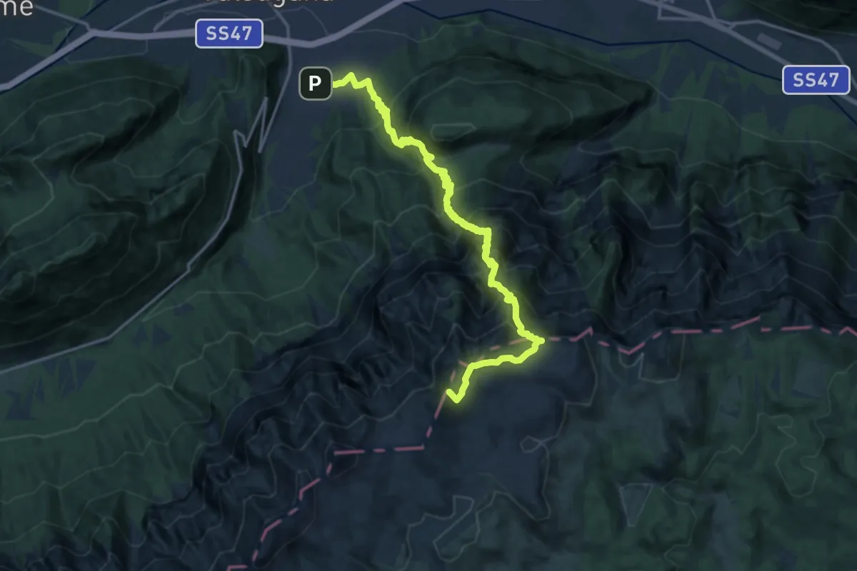
Demanding · Summit
Sentiero di Val Caldiera - Ortigara
18.0 km · ↑ 1922 m · 8 h 25 min · 13 km away
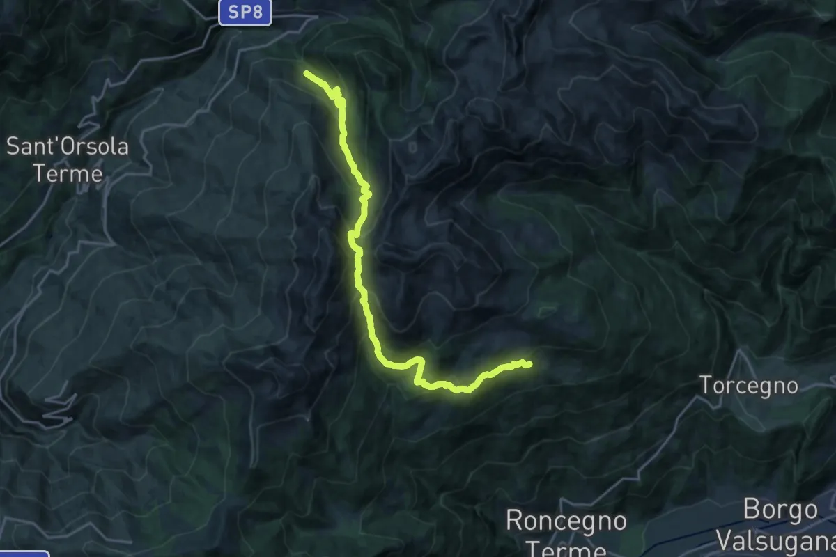
Demanding · Trail
Desene di sopra – Presso Sasso dei Cacciatori
19.0 km · ↑ 1432 m · 7 h 35 min · 13 km away
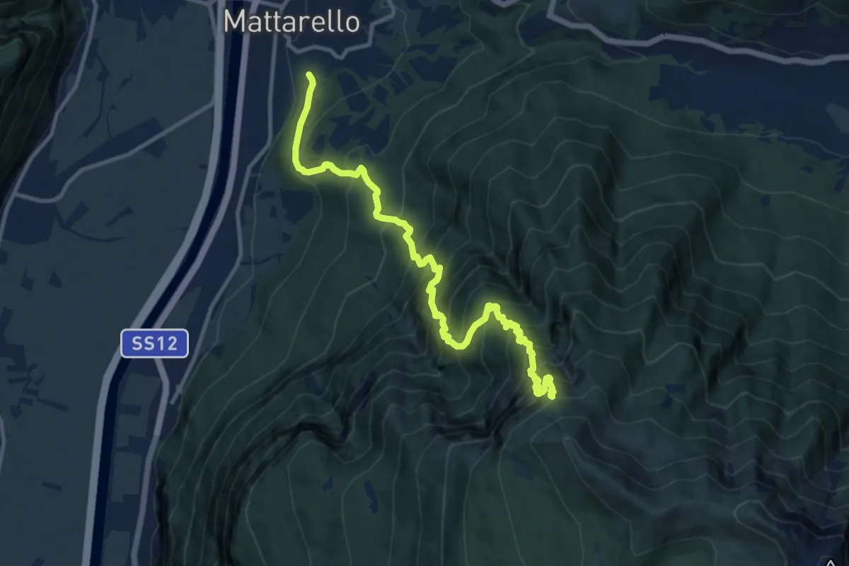
Demanding · Trail
Mattarello - Via Stolzano – Quota 1718 (bivio 446)
11.6 km · ↑ 1649 m · 6 h 19 min · 13 km away
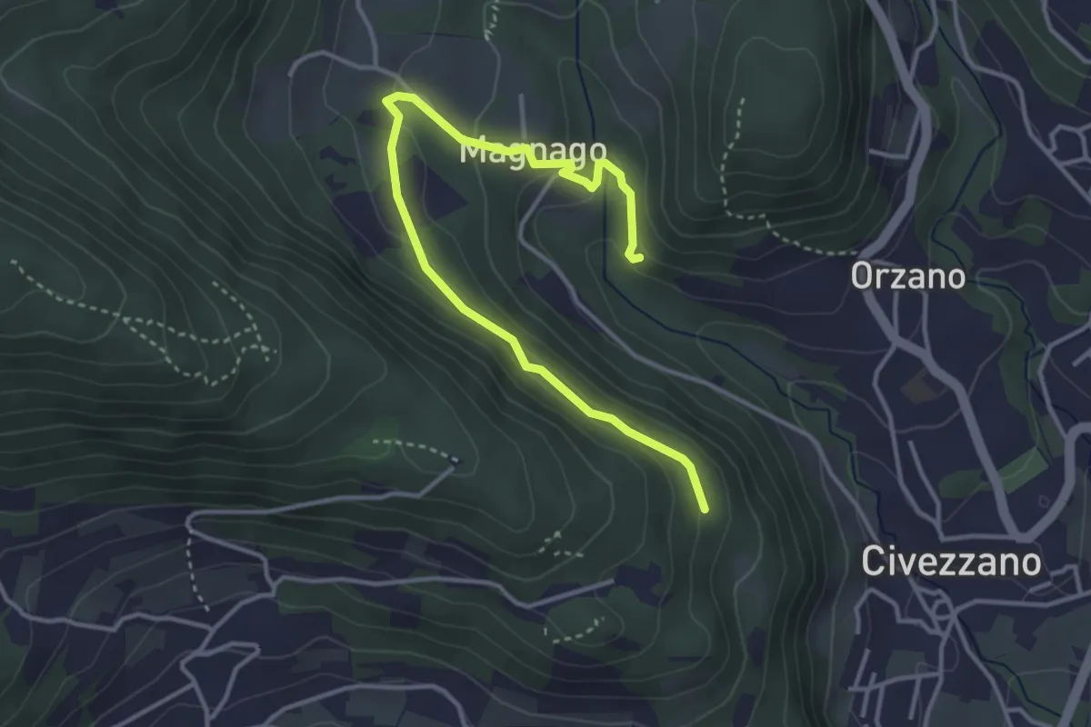
Easy · Trail
Senter del Lof
4.1 km · ↑ 165 m · 1 h 20 min · 13 km away
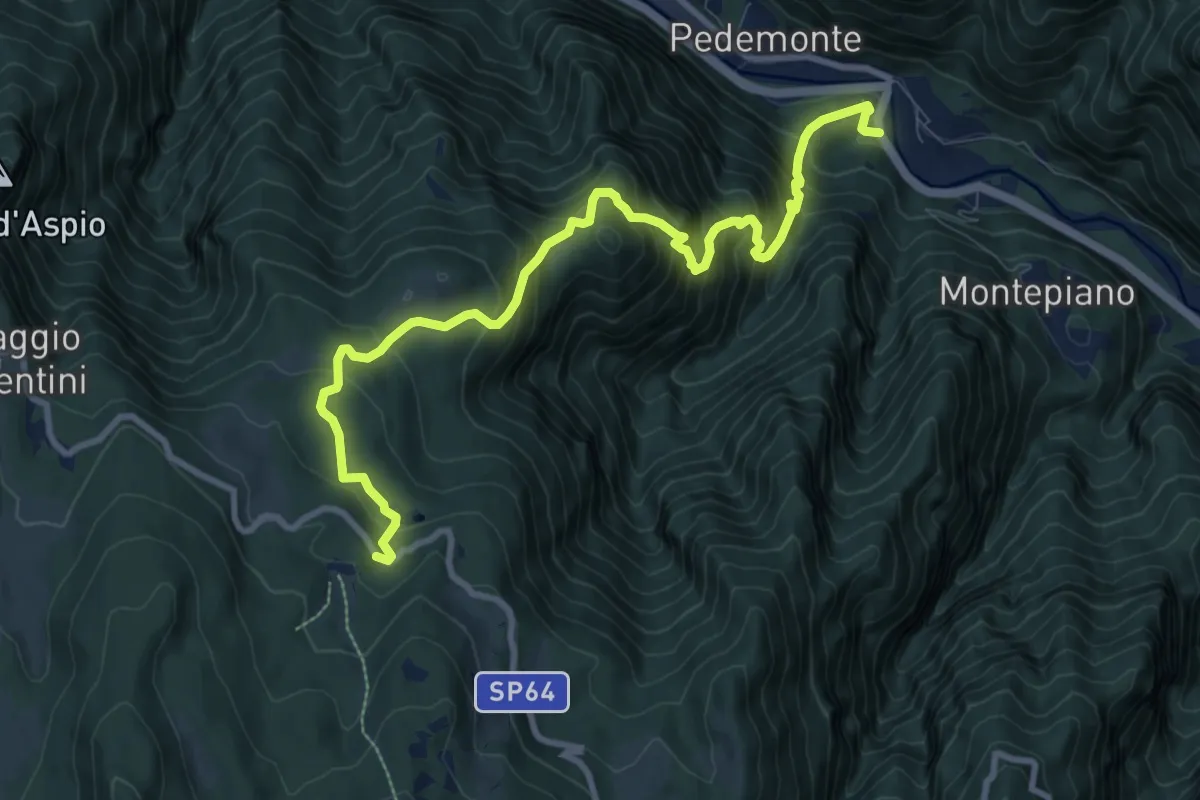
Demanding · Trail
Ponte Posta (Lastebasse) – Strada dei Fiorentini
10.6 km · ↑ 1101 m · 4 h 53 min · 13 km away
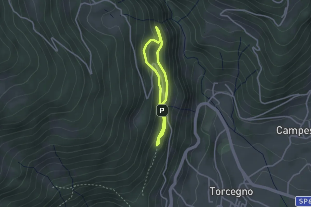
Easy · Trail
Sentiero naturalistico guardia caccia Franco Furlan
1.8 km · ↑ 107 m · 41 min · 13 km away
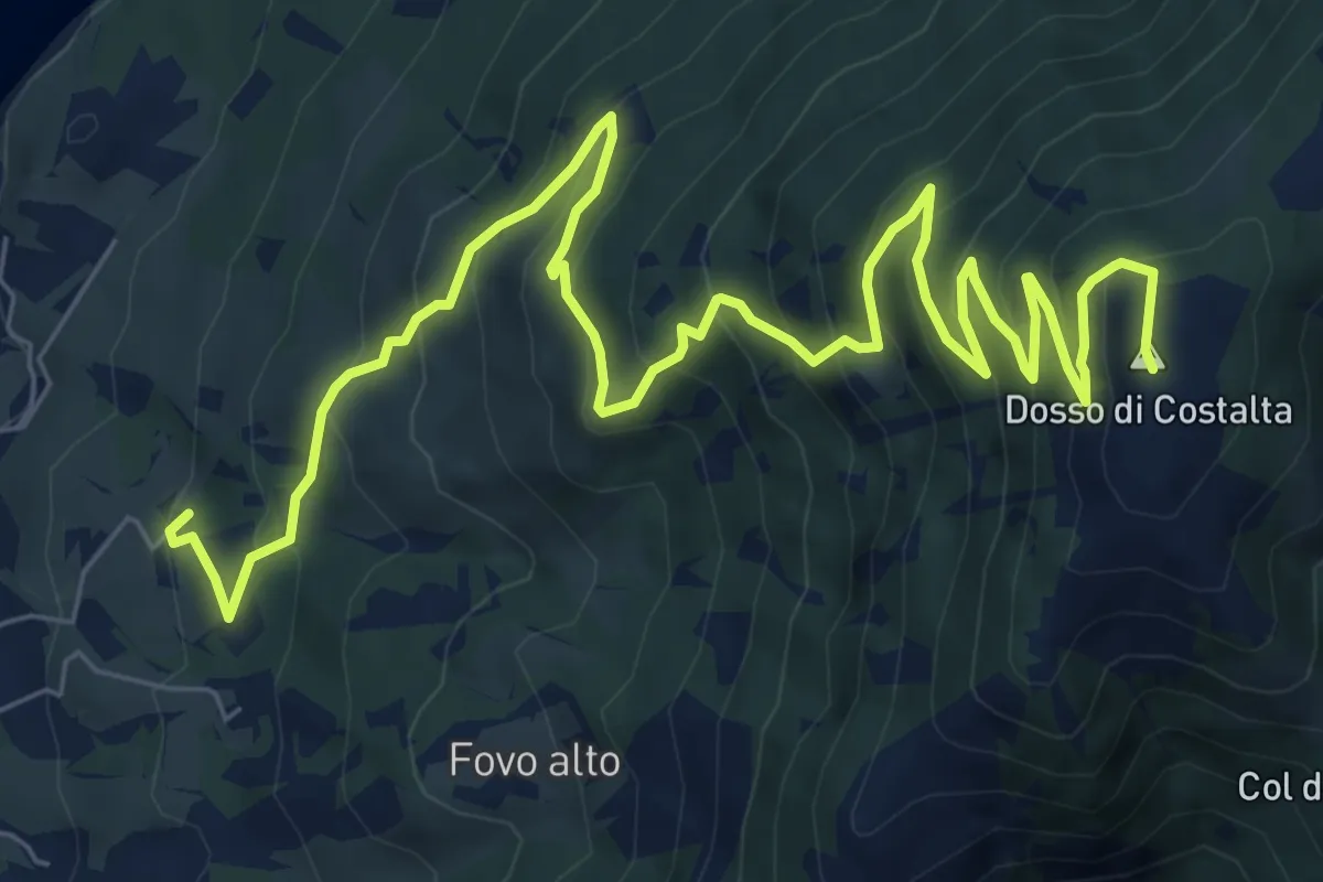
Demanding · Summit
Sentiero di Costalta
11.2 km · ↑ 881 m · 4 h 33 min · 14 km away
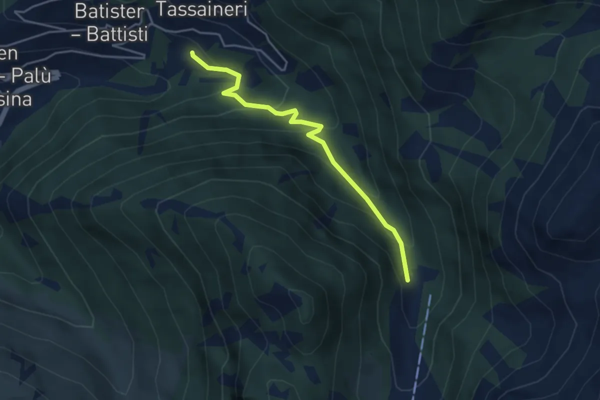
Easy · Trail
Presso Understoll - Palù del Fèrsina (bivio 325) – Presso Maso Lenzi (bivio 325)
3.6 km · ↑ 258 m · 1 h 24 min · 14 km away
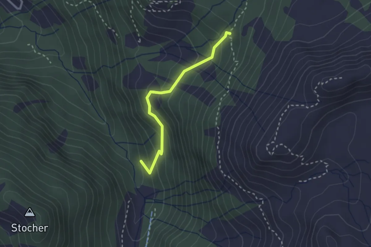
Medium · Trail
Bivio miniera - Grua Hardimbl (bivio 325) – Indertol (bivio 324)
2.2 km · ↑ 215 m · 59 min · 14 km away
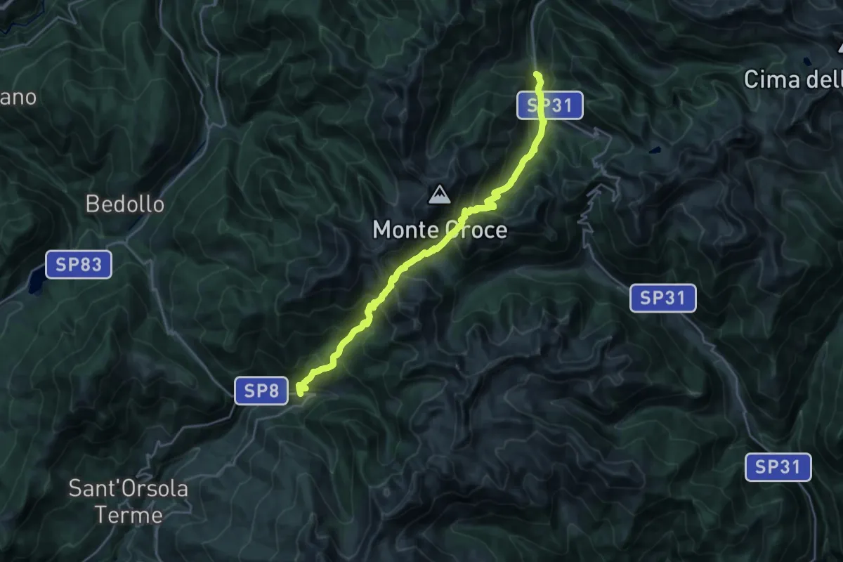
Demanding · Trail
Lènzi - frazione di Palù del Fèrsina – Presso Baito Fornasa Bassa, strada provinciale 31
11.3 km · ↑ 986 m · 4 h 54 min · 14 km away
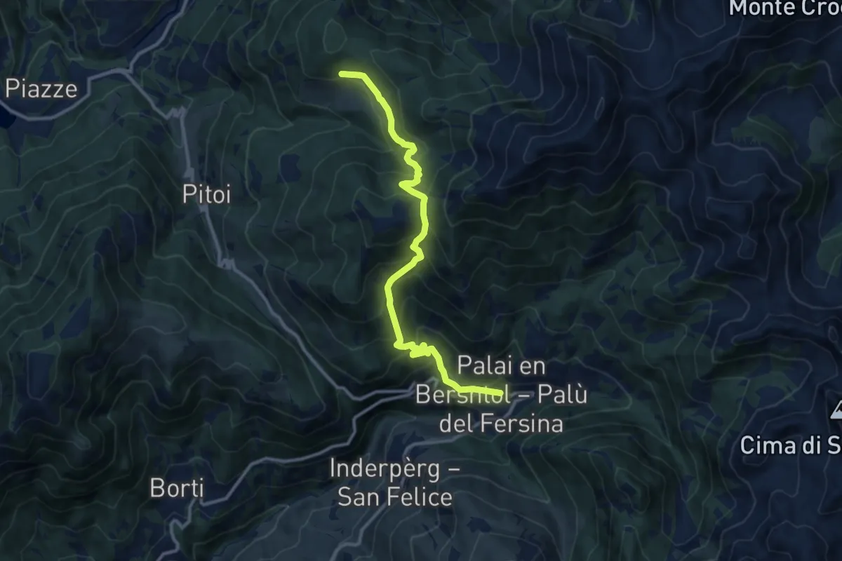
Demanding · Trail
Lènzi - frazione di Palù del Fèrsina – Stramaiolo (bivio 443)
11.3 km · ↑ 875 m · 4 h 33 min · 14 km away
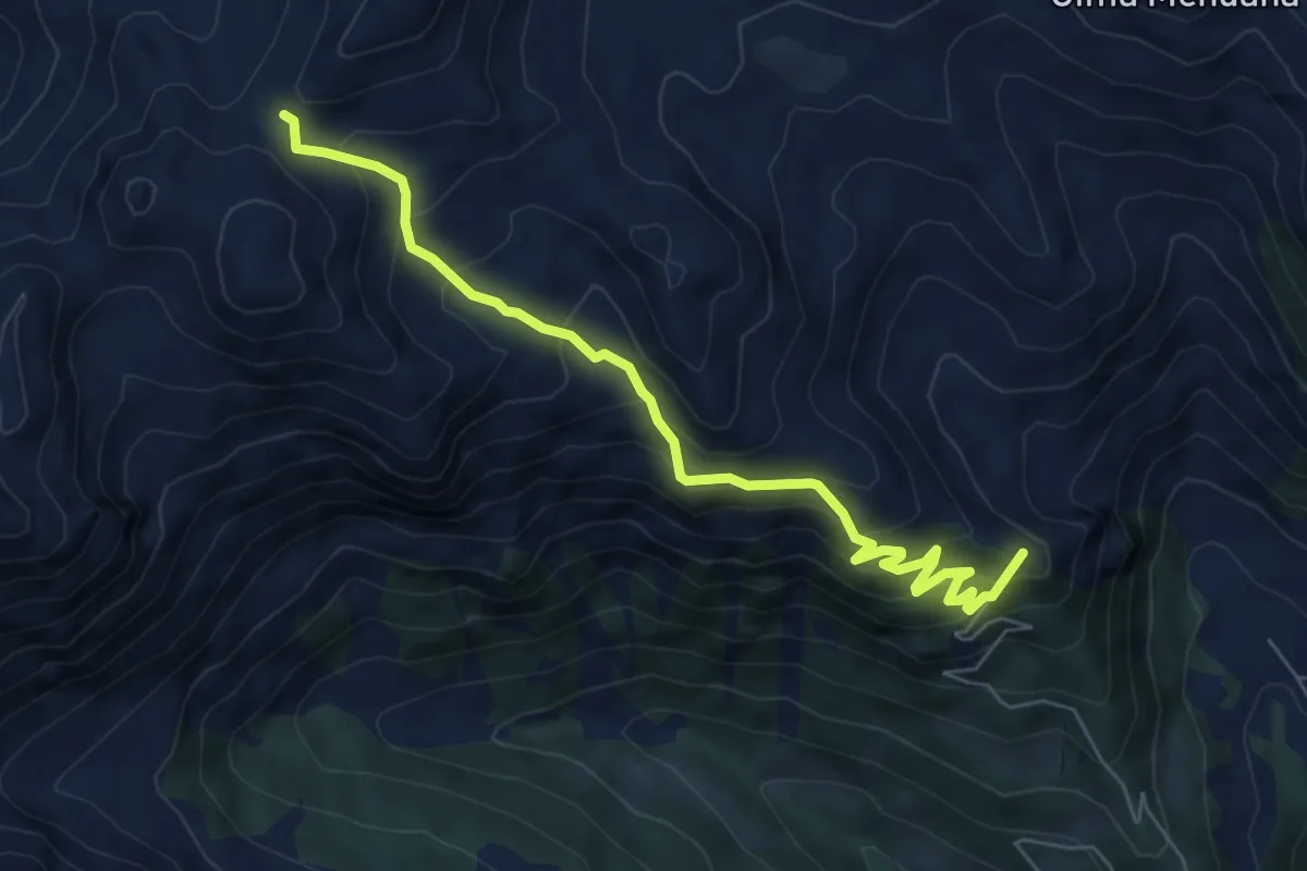
Medium · Summit
Stalon – Forcella delle Conelle - Sensattel (bivio 343)
6.9 km · ↑ 590 m · 2 h 54 min · 14 km away
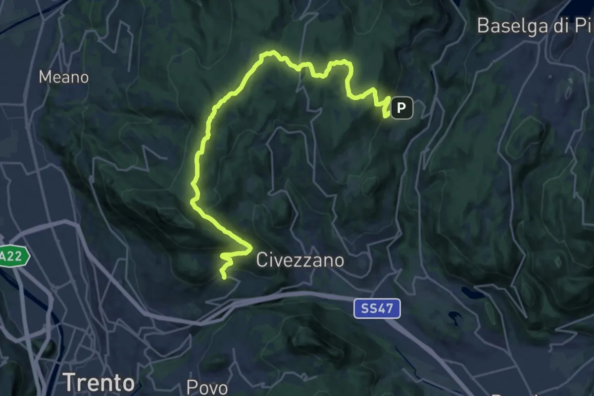
Demanding · Trail
Sentiero di Santa Colomba
23.7 km · ↑ 834 m · 7 h 24 min · 14 km away
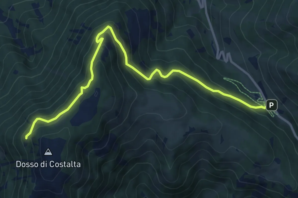
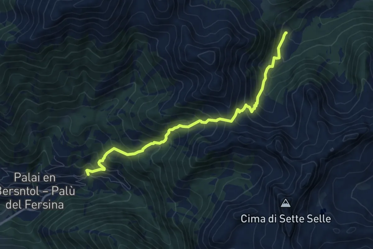
Medium · Trail
Senter dei Russi
8.8 km · ↑ 567 m · 3 h 18 min · 14 km away
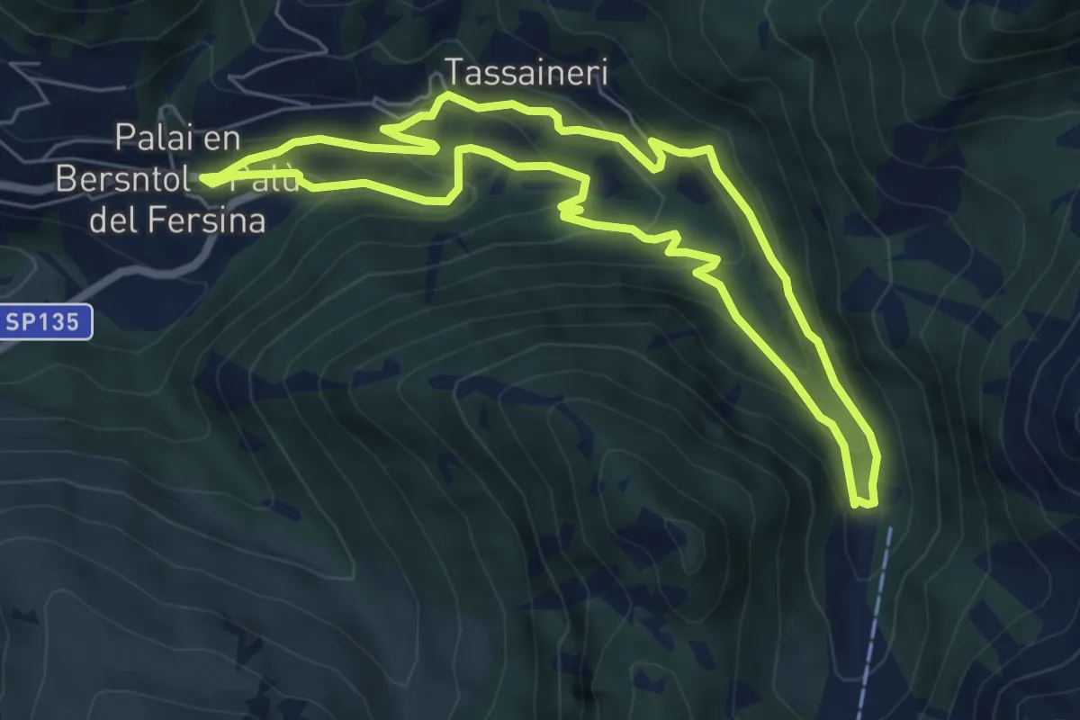
Demanding · Trail
Presso Battisti - Palù del Fèrsina – Malga Cagnon di sotto
9.2 km · ↑ 923 m · 4 h 10 min · 14 km away
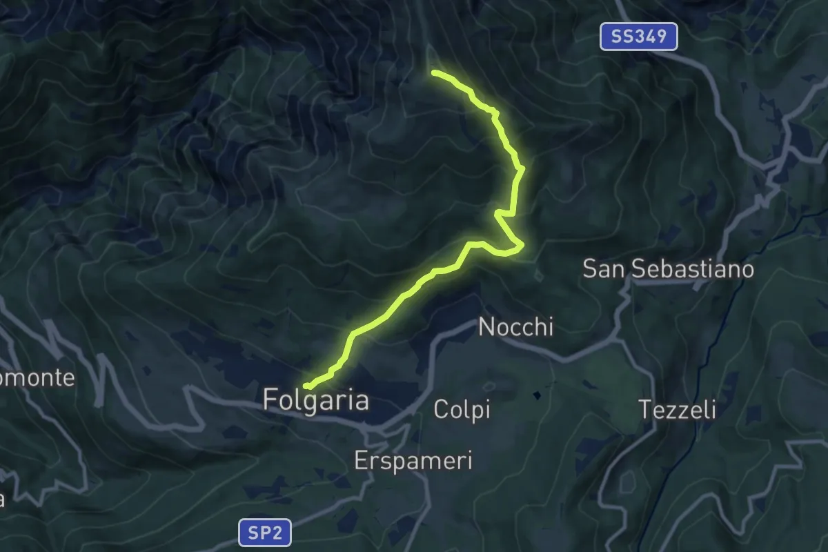
Medium · Trail
Percorso Miniera Palu
6.1 km · ↑ 350 m · 2 h 17 min · 14 km away
Demanding · Trail
Folgaria – Versante sud Cornetto di Folgaria
9.5 km · ↑ 841 m · 4 h 3 min · 14 km away
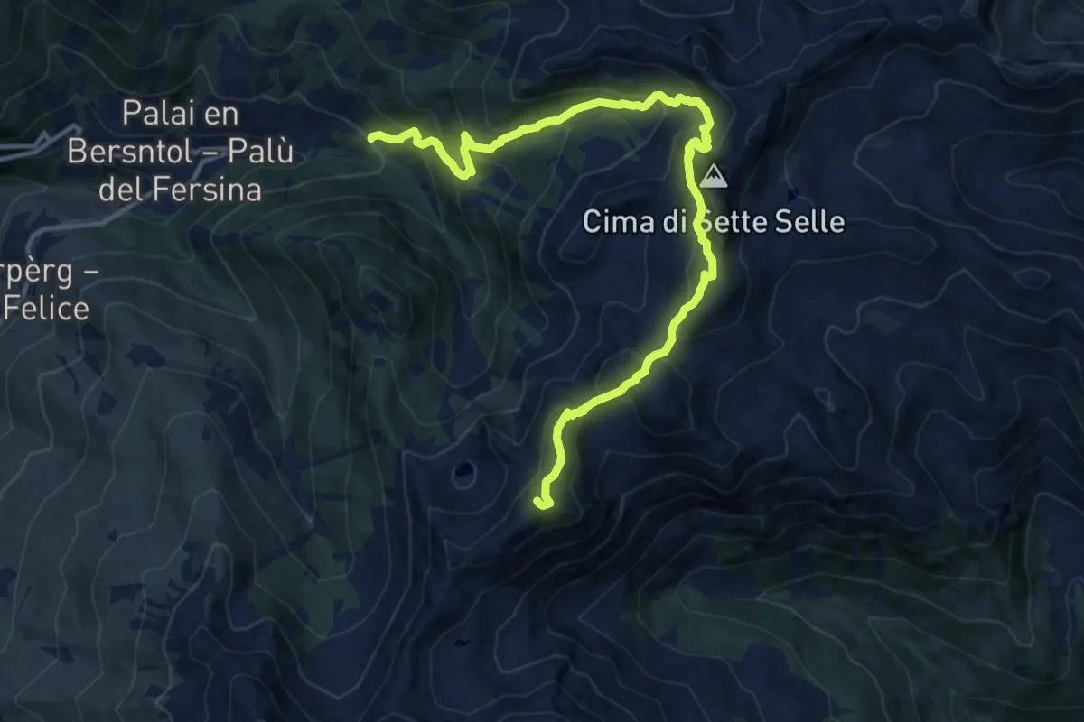
Demanding · Summit
Frotten - Palù del Fersina (bivio 325) – Passo del lago (bivio 323 - 325)
13.6 km · ↑ 1242 m · 5 h 54 min · 14 km away
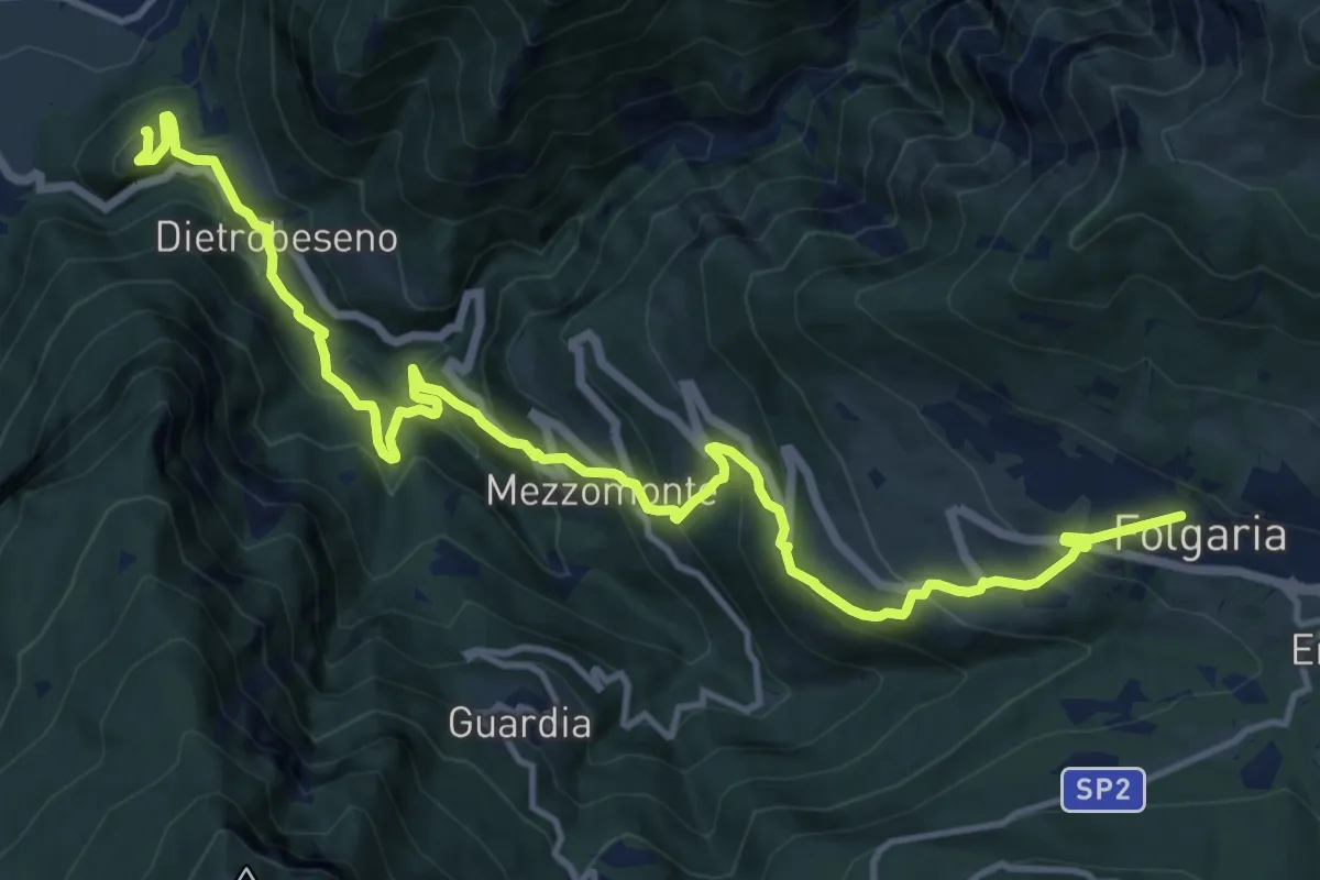
Demanding · Trail
Dal Castello al Monte
16.8 km · ↑ 1254 m · 6 h 40 min · 14 km away
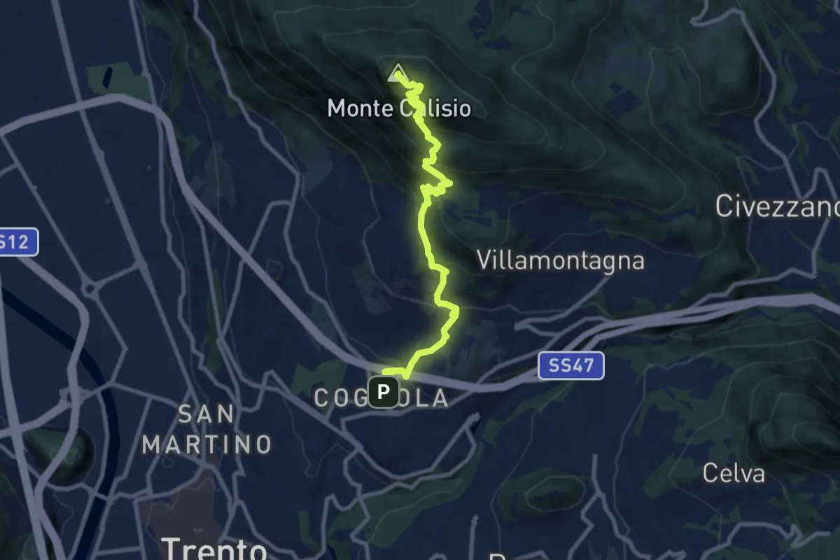
Medium · Summit
Sentiero Natura Cognola - Monte Calisio
8.4 km · ↑ 716 m · 3 h 31 min · 14 km away
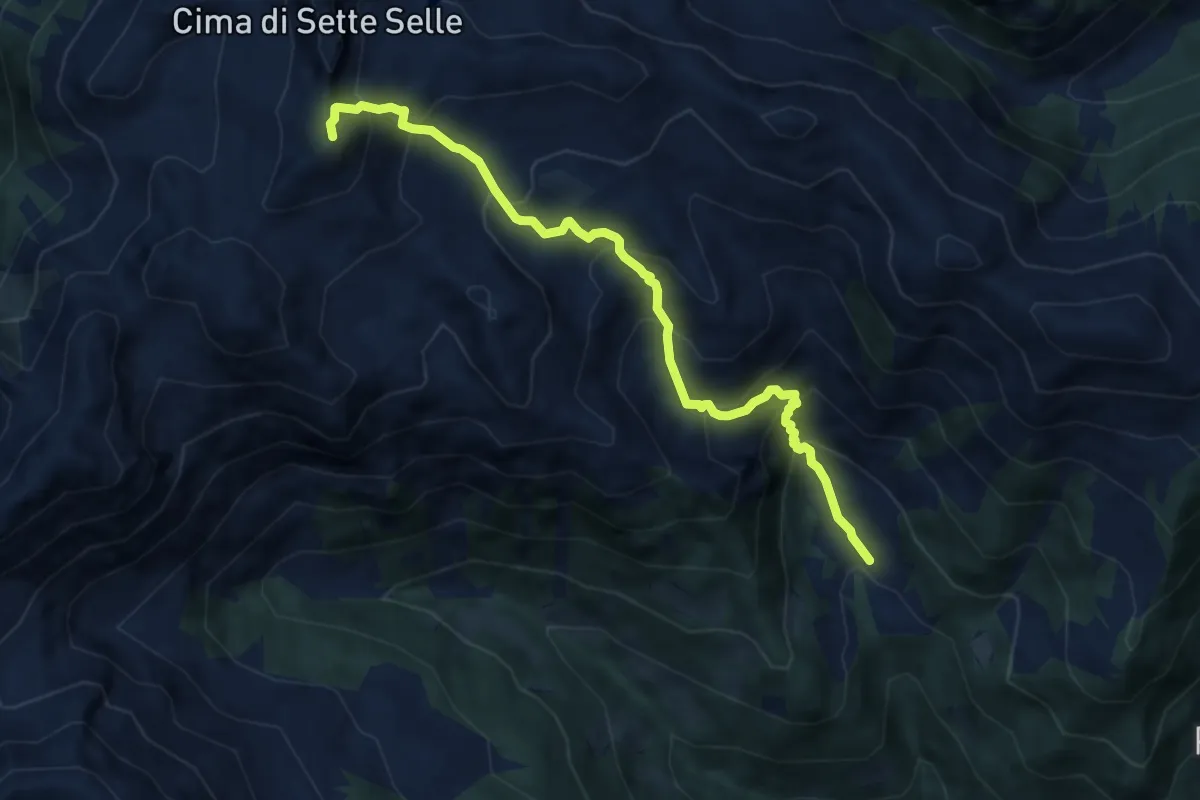
Demanding · Summit
Località Suerta – Presso Forcella di Sasso Rotto (bivio 343)
8.4 km · ↑ 879 m · 3 h 53 min · 15 km away
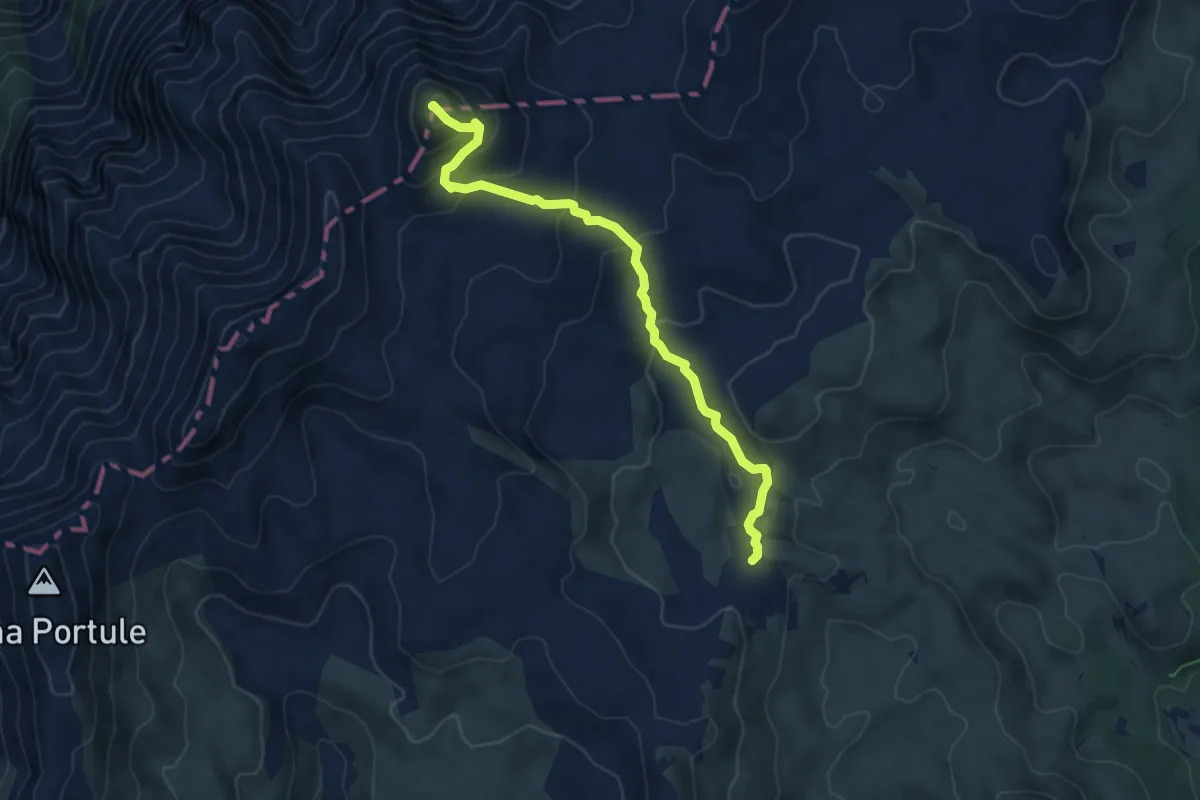
Demanding · Summit
Bivio Italia – Cima Dodici
6.2 km · ↑ 340 m · 2 h 12 min · 15 km away
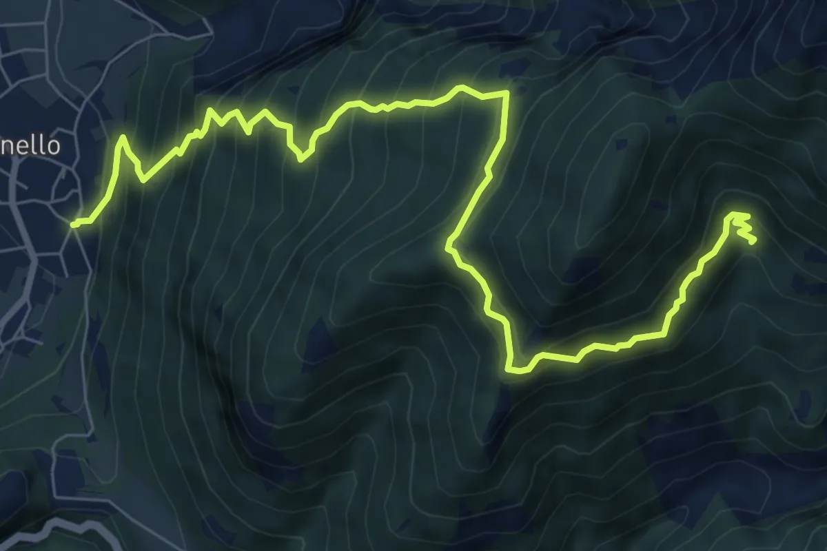
Demanding · Trail
Senter de la Croseta
9.6 km · ↑ 1118 m · 4 h 42 min · 15 km away
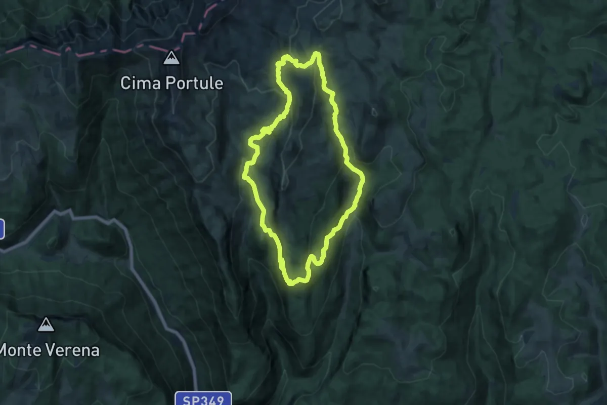
Medium · Summit
Malga Galmarara – Malga Galmarara
13.9 km · ↑ 605 m · 4 h 48 min · 15 km away
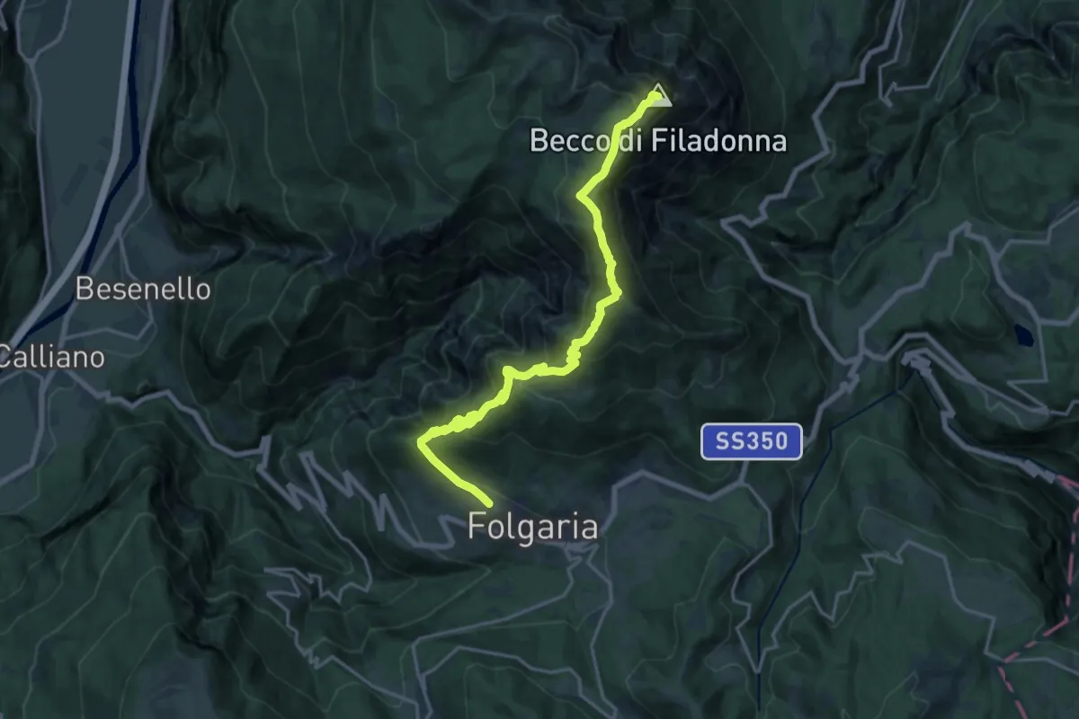
Demanding · Summit
Folgaria ovest – Bivacco Vigolana (bivio 435)
18.9 km · ↑ 1343 m · 7 h 23 min · 15 km away
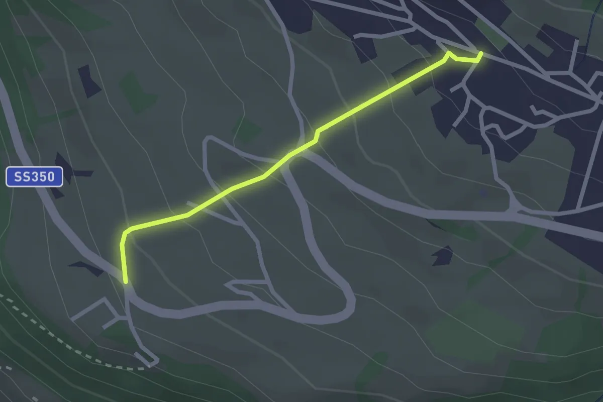
Easy · Trail
2
2.1 km · ↑ 173 m · 53 min · 15 km away
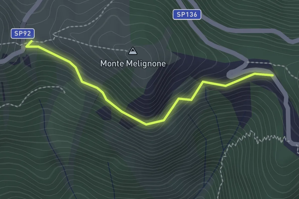
Medium · Trail
dal sent. n. 537, strada della Vena – Bocchetta degli Alpini
2.1 km · ↑ 187 m · 55 min · 15 km away
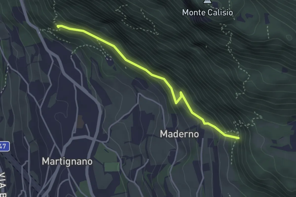
Demanding · Trail
Sentiero delle milizie
3.3 km · ↑ 240 m · 1 h 18 min · 15 km away