Trails near Livigno
134 hikes starting within 15 km, nearest first.
Nearest first, page 1 of 3
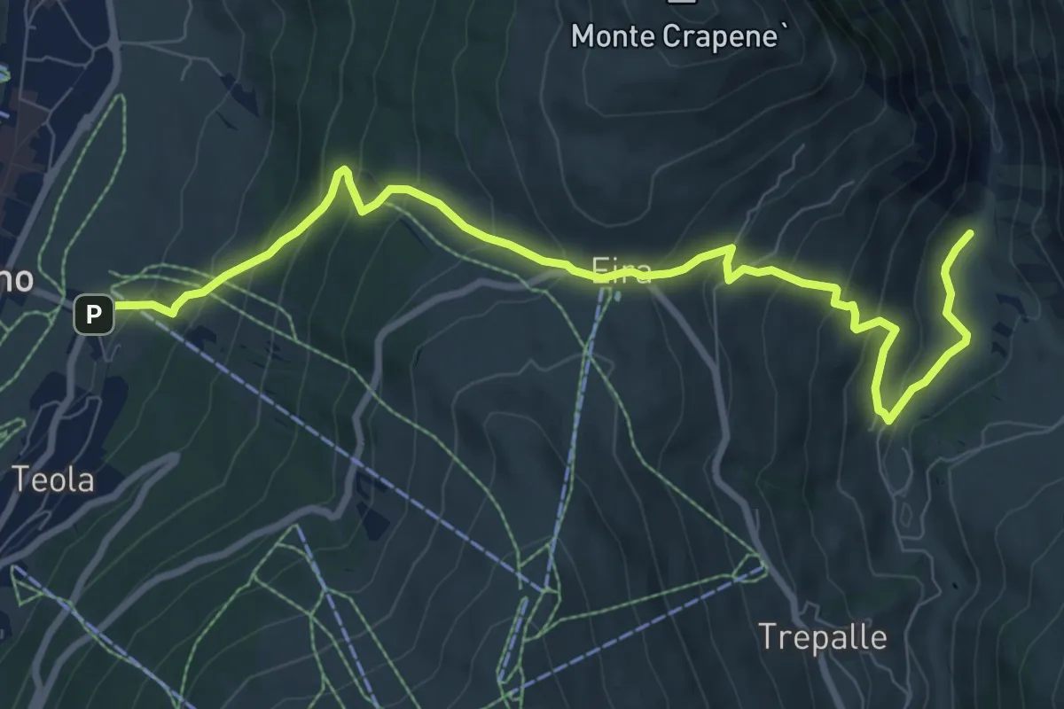
Medium · Trail
SS301 - Livigno – Via Sfefan (Isola)
9.8 km · ↑ 697 m · 3 h 49 min · under 1 km away
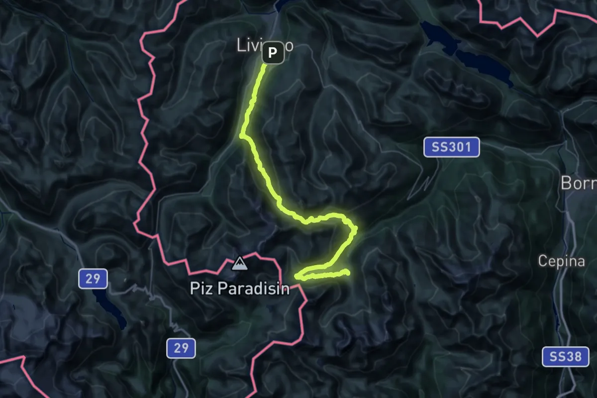
Expert · Cabin
Rifugio Federico – Livigno
24.7 km · ↑ 1360 m · 9 h · 1 km away
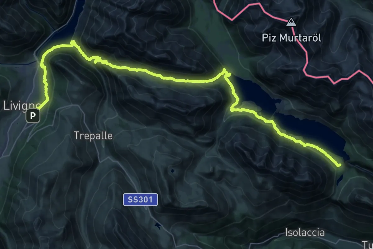
Demanding · Trail
Livigno (Loc. Teola) – Rifugio Monte alle Scale (Cancano)
21.6 km · ↑ 923 m · 7 h 22 min · 1 km away
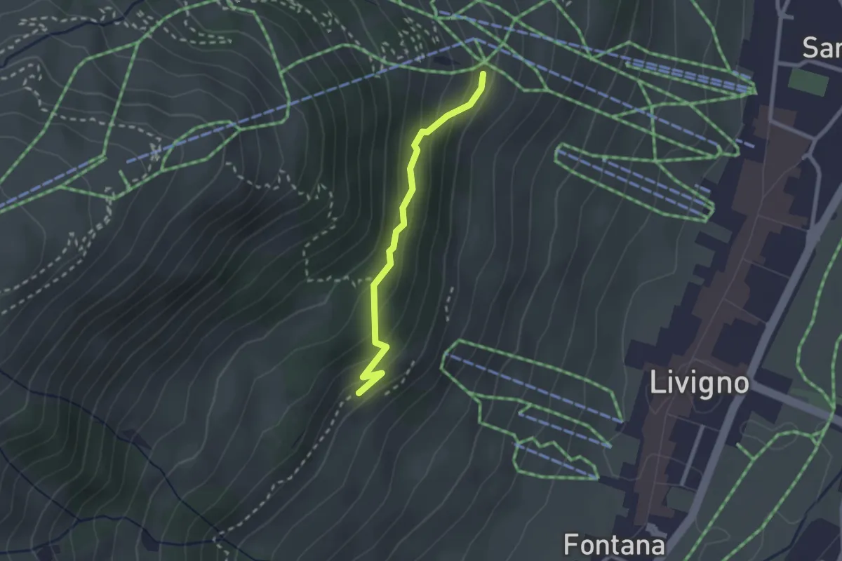
Expert · Cabin
Tea del Plan – 190
2.1 km · ↑ 117 m · 45 min · 1 km away
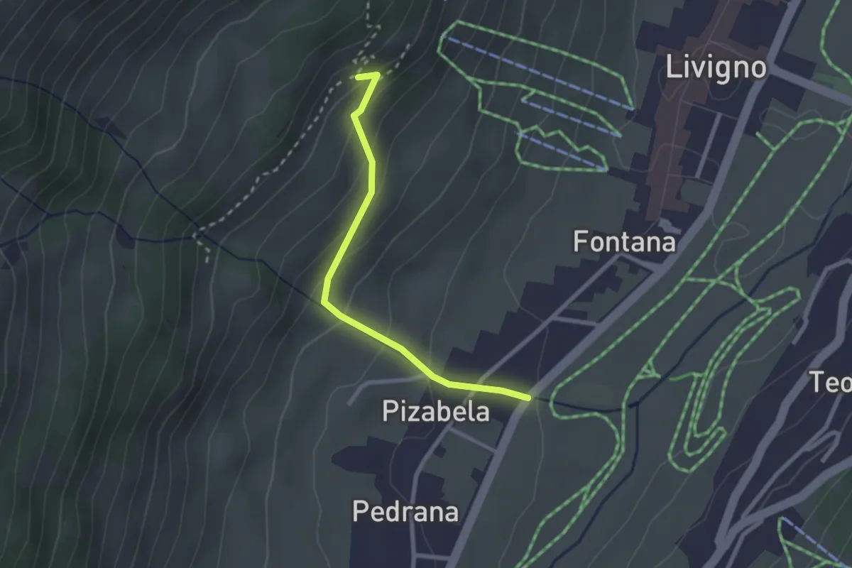
Easy · Trail
Via Pedrana (Livigno) – 190
2.3 km · ↑ 166 m · 54 min · 1 km away
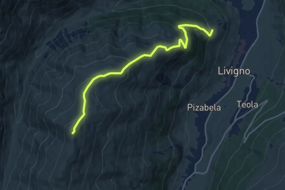
Medium · Summit
Cheseira da Fedaria – Tea del Plan
10.5 km · ↑ 789 m · 4 h 12 min · 1 km away
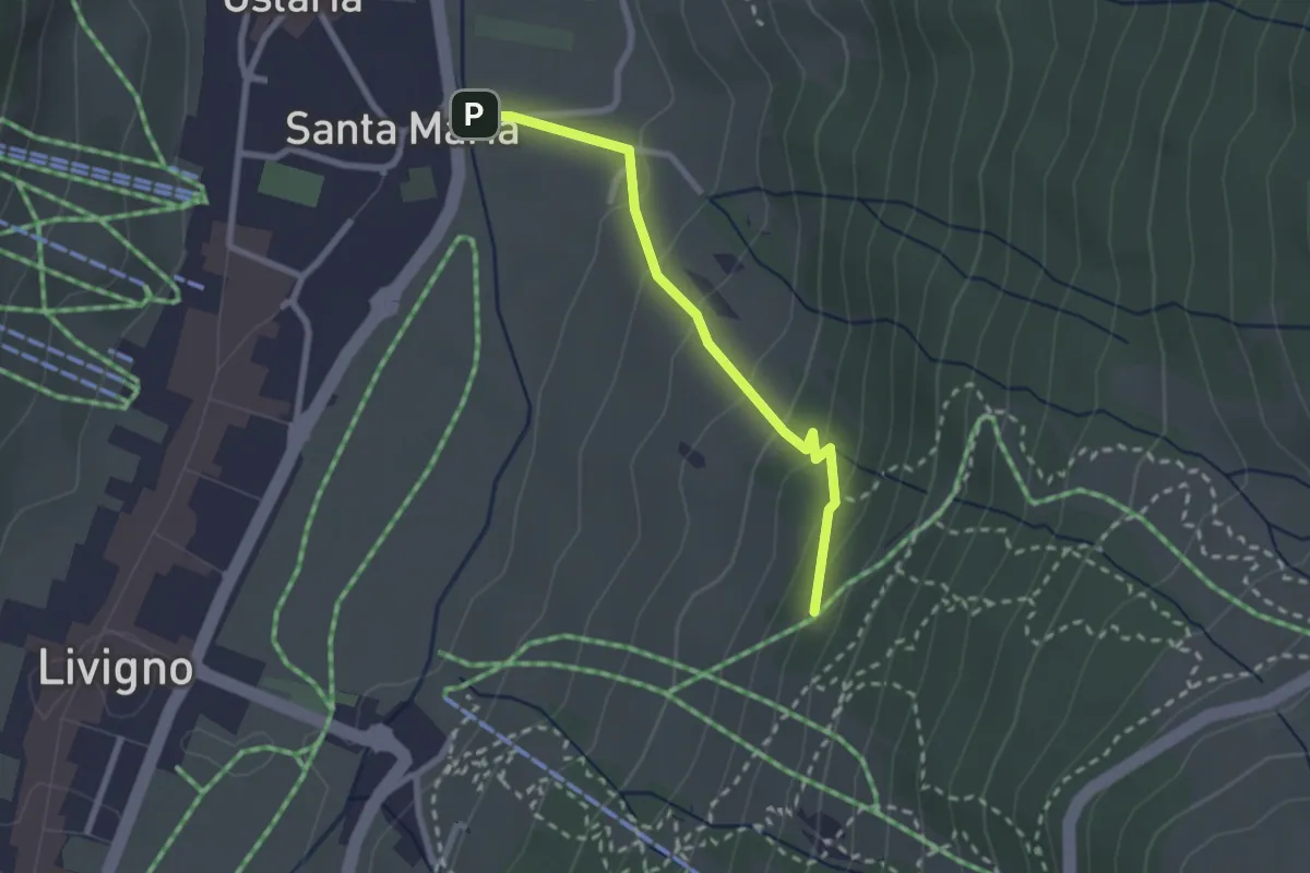
Easy · Cabin
Via Marangona – Monte Sponda
2.3 km · ↑ 151 m · 52 min · 1 km away
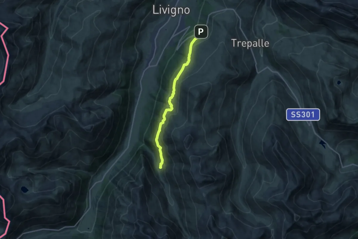
Medium · Trail
Via Paré (Teola) – Alpe Mine
12.6 km · ↑ 701 m · 4 h 29 min · 1 km away
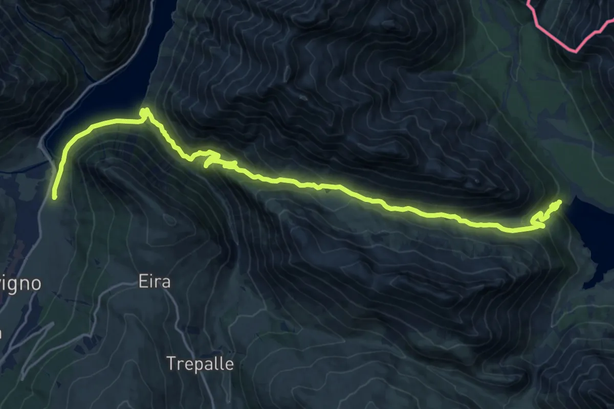
Demanding · Trail
Via Pemont (Livigno) – 138
23.5 km · ↑ 1109 m · 7 h 57 min · 2 km away
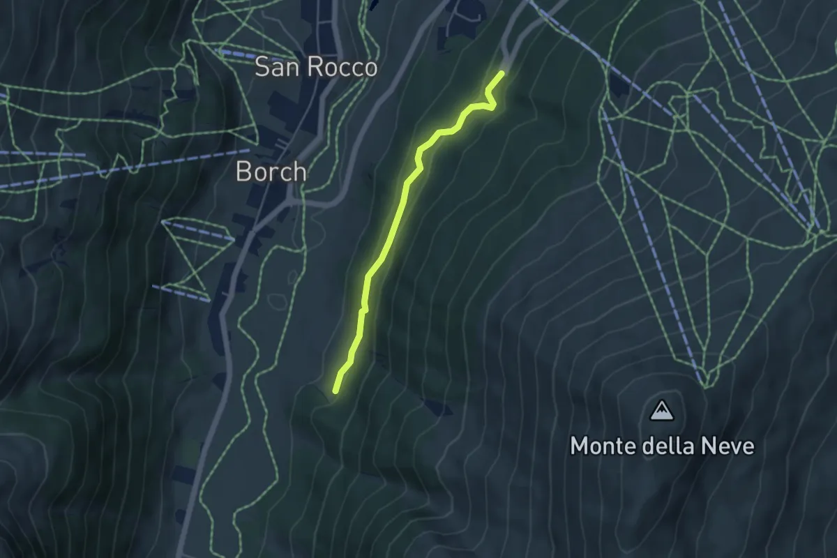
Easy · Trail
SS 301 - Via del Foscagno (Teola) – 100
4.0 km · ↑ 209 m · 1 h 23 min · 2 km away
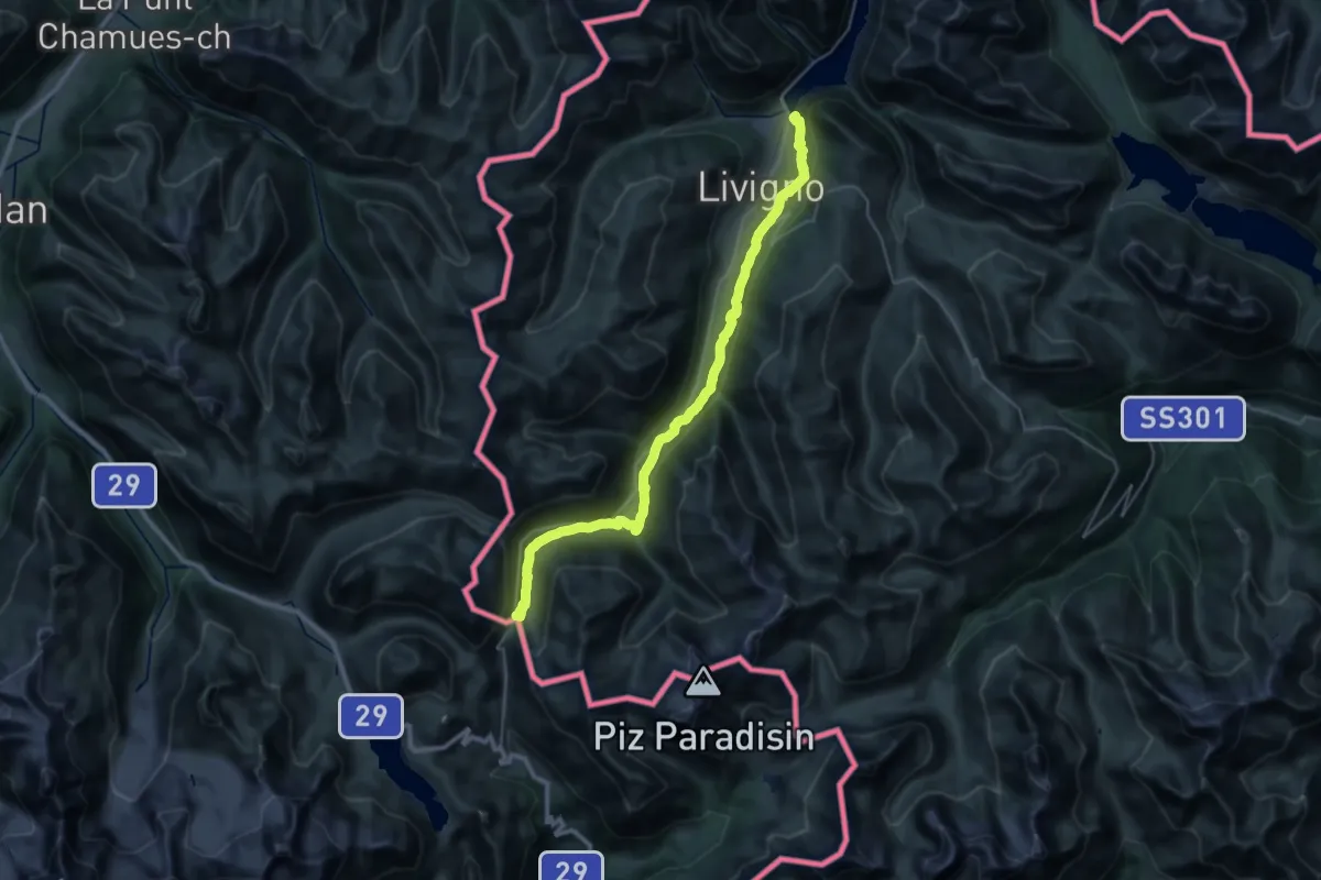
Medium · Cabin
Ponte del Brum (Livigno) – Rifugio Forcola
17.7 km · ↑ 769 m · 5 h 50 min · 2 km away
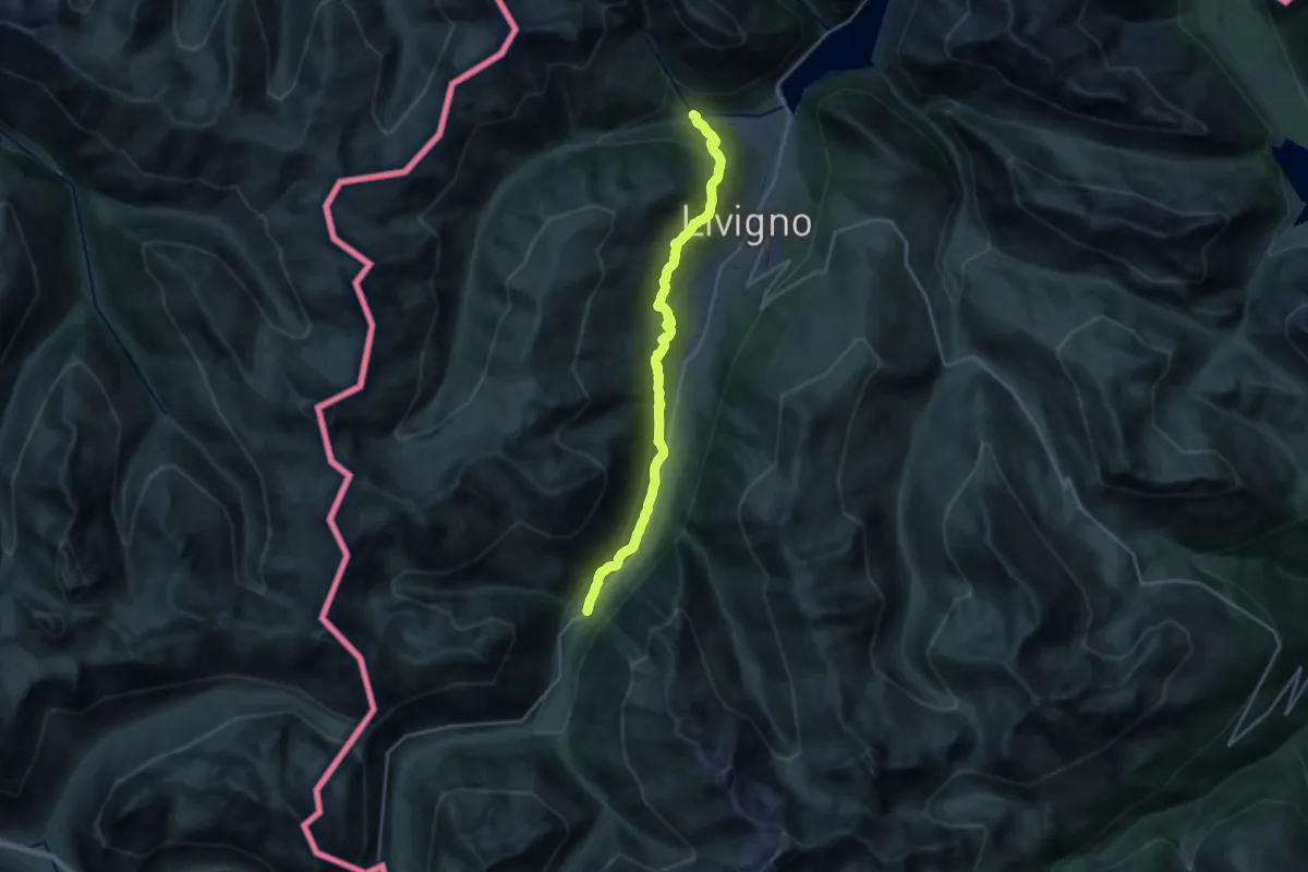
Demanding · Trail
Ponte Calcheira (Livigno) – Via Forcola (Tresenda)
20.0 km · ↑ 775 m · 6 h 24 min · 2 km away
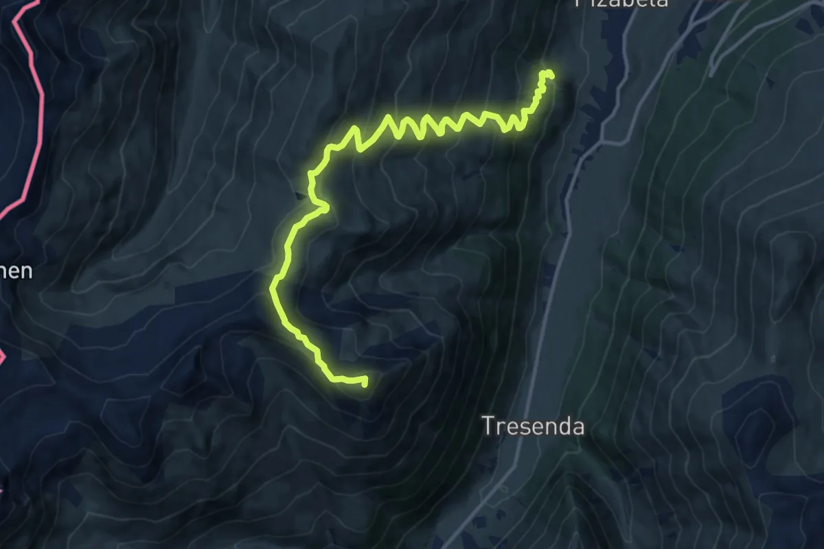
Demanding · Summit
190 – 157 - Baitel da Plasgianet
15.0 km · ↑ 974 m · 5 h 39 min · 2 km away
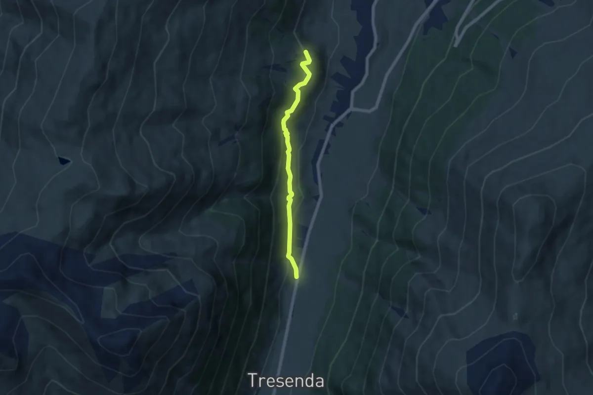
Easy · Trail
Panorama weg
5.3 km · ↑ 218 m · 1 h 43 min · 2 km away
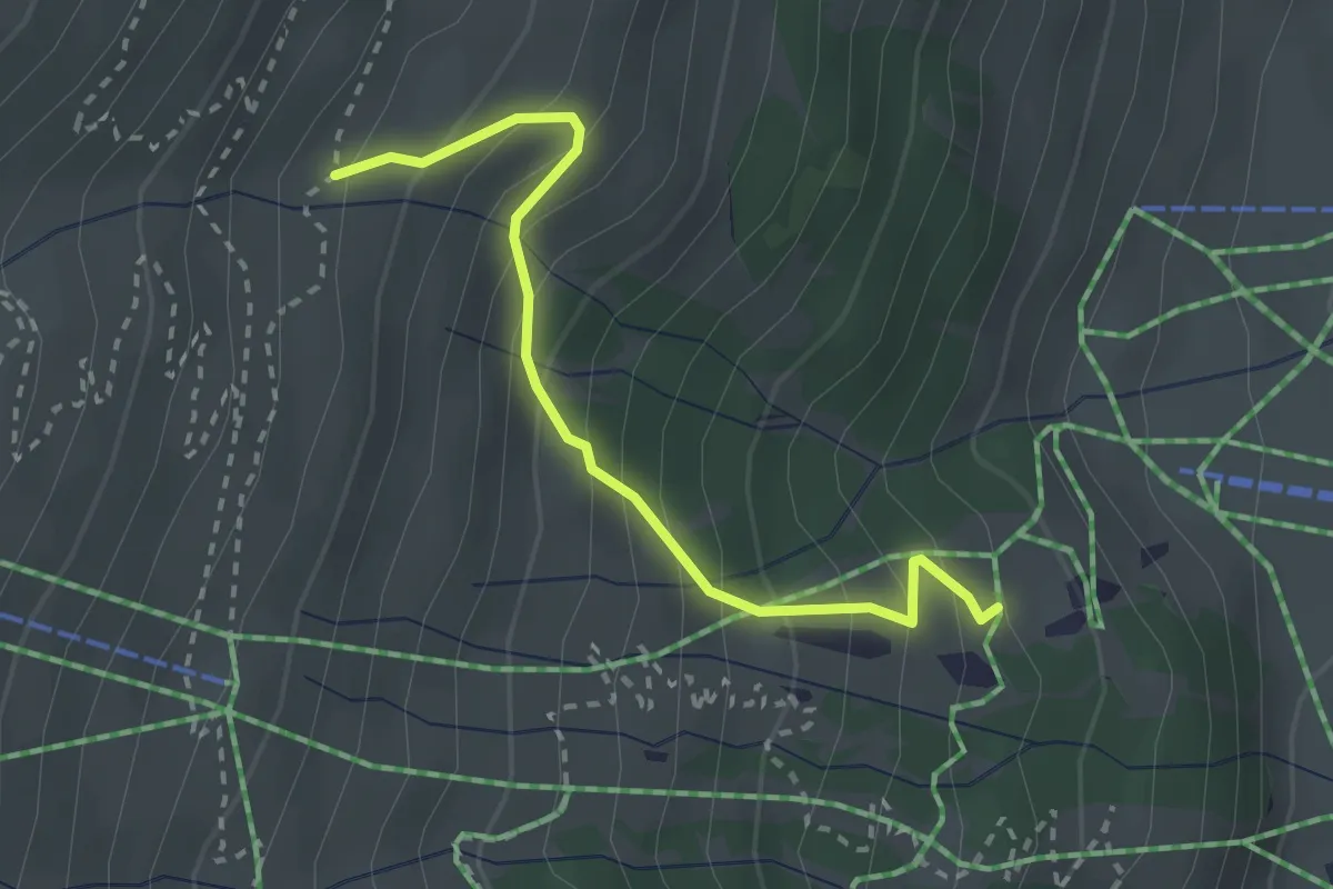
Easy · Trail
157 – 159
2.6 km · ↑ 301 m · 1 h 17 min · 2 km away
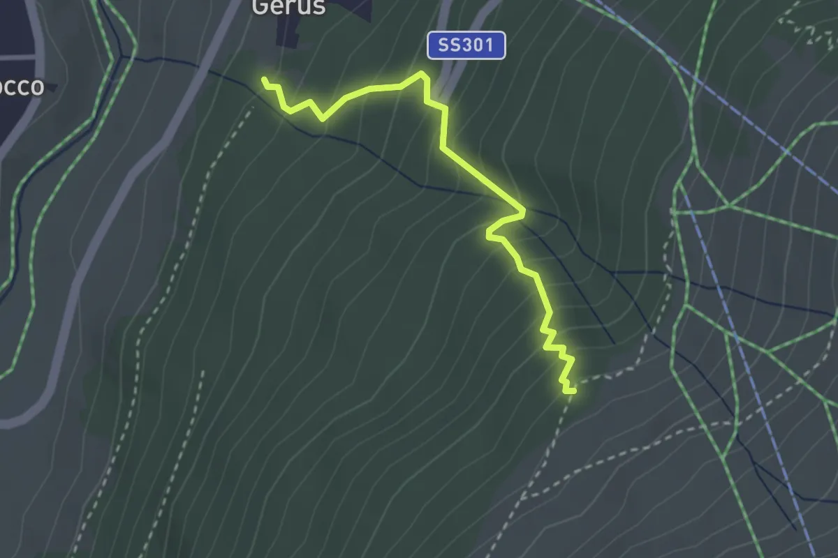
Medium · Trail
100 – 121
2.7 km · ↑ 325 m · 1 h 21 min · 2 km away
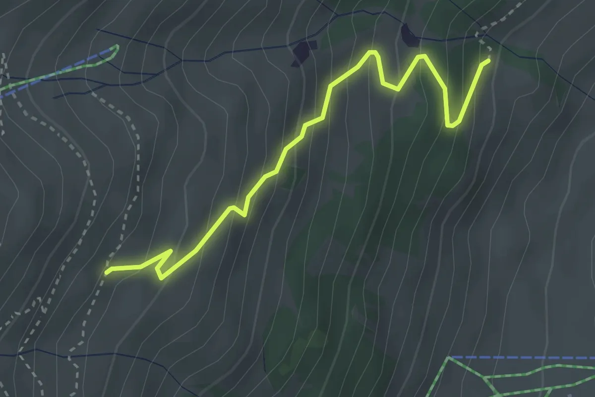
Medium · Trail
159 – 190
3.3 km · ↑ 328 m · 1 h 29 min · 2 km away
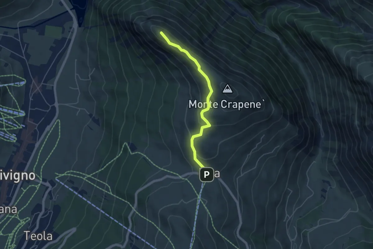
Medium · Summit
Eira – Ponte del Brum (Livigno)
4.5 km · ↑ 166 m · 1 h 25 min · 2 km away
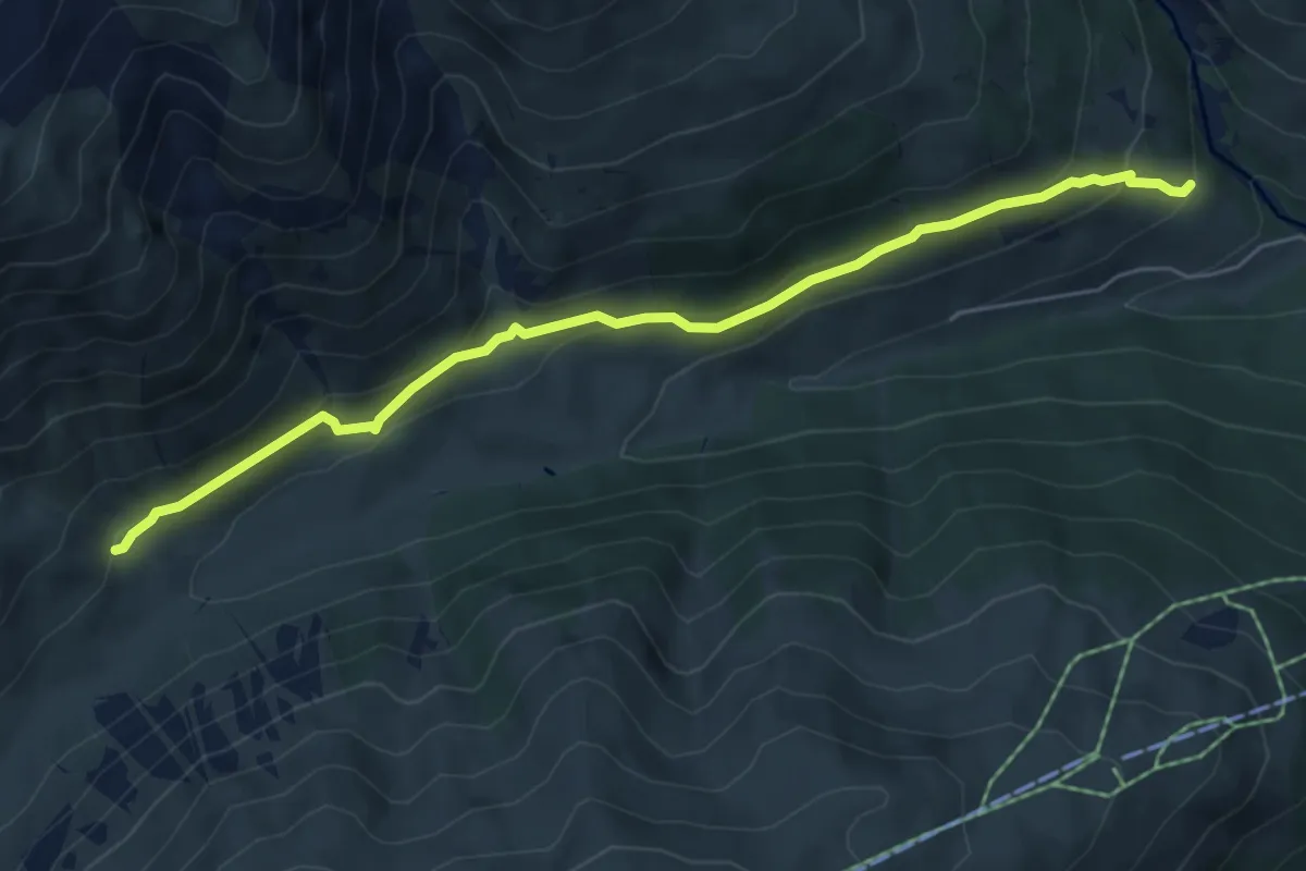
Easy · Trail
175 – 172
6.0 km · ↑ 257 m · 1 h 58 min · 2 km away
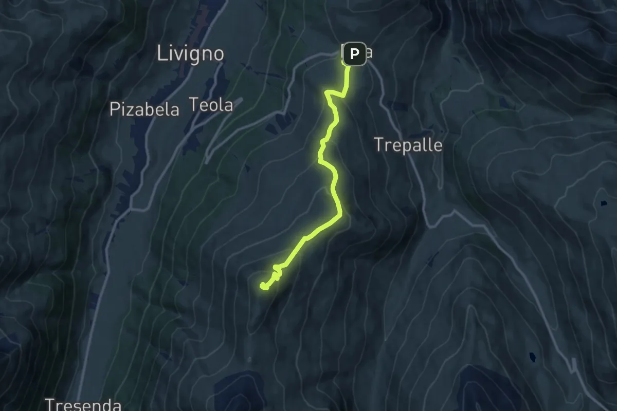
Medium · Summit
Via da li crosceta (Eira) – Monte della Neve
9.7 km · ↑ 550 m · 3 h 28 min · 2 km away
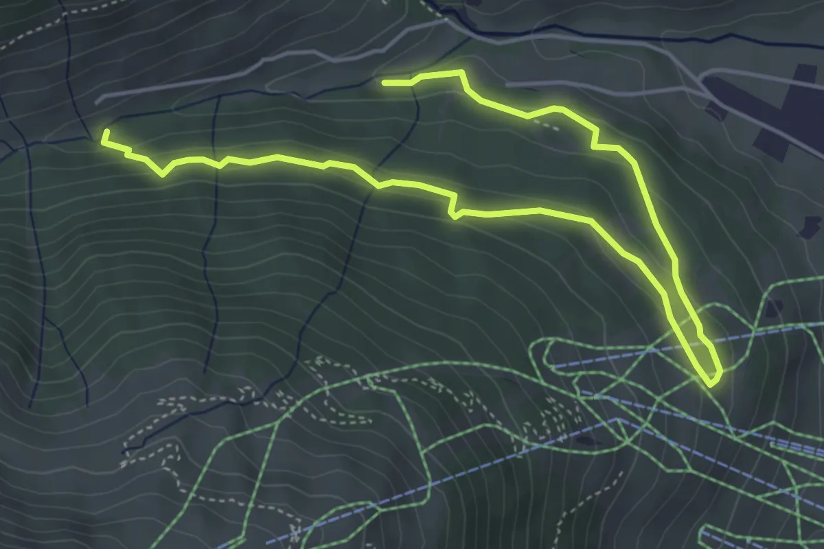
Easy · Trail
167 – 167
6.4 km · ↑ 190 m · 1 h 55 min · 2 km away
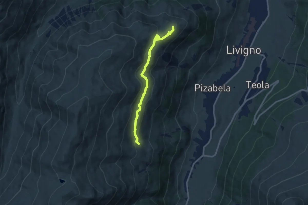
Easy · Cabin
Costaccia – 157
6.4 km · ↑ 280 m · 2 h 7 min · 3 km away
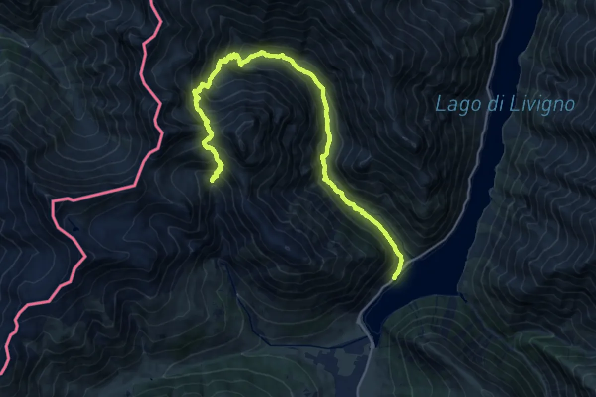
Demanding · Trail
Parcheggio P 2 Vie'ira – Baitel dala Sciascia
18.5 km · ↑ 1499 m · 7 h 37 min · 3 km away
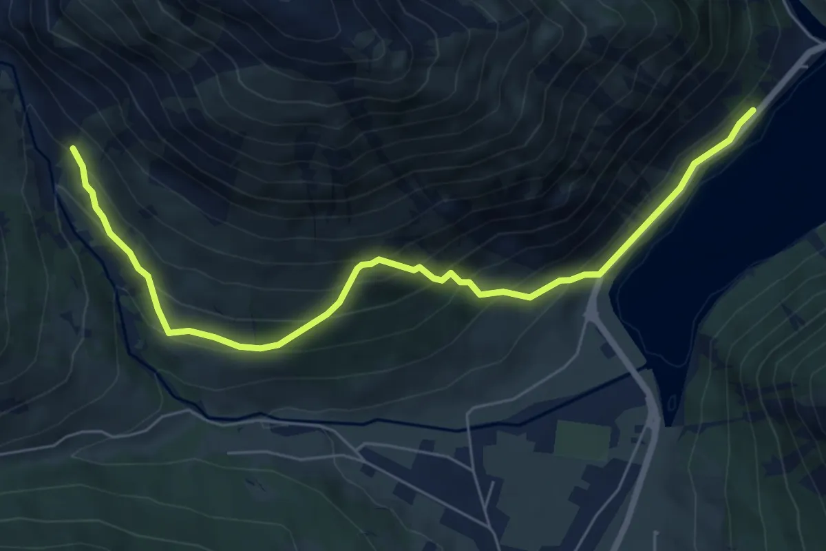
Medium · Trail
176 – 175
6.9 km · ↑ 587 m · 2 h 54 min · 3 km away
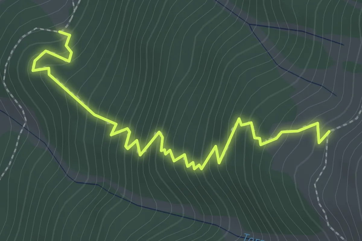
Medium · Trail
100 – 121
2.9 km · ↑ 351 m · 1 h 26 min · 3 km away
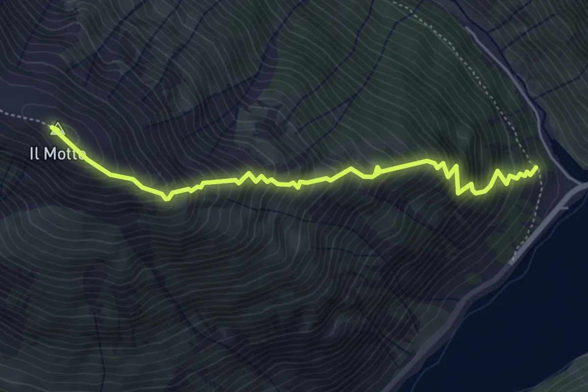
Expert · Summit
176 – 176
5.1 km · ↑ 848 m · 3 h 3 min · 3 km away
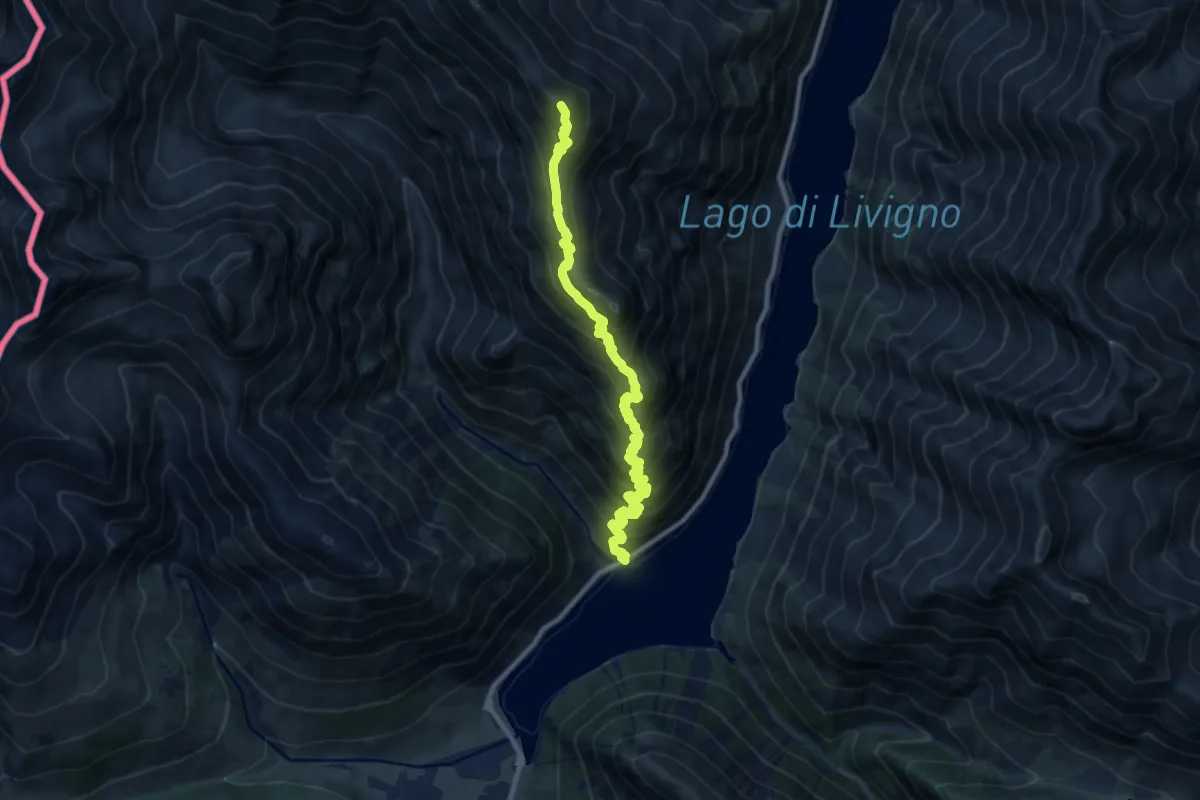
Demanding · Summit
Area Picnic Val Viera – Ristoro Fopel
11.3 km · ↑ 1112 m · 5 h 5 min · 4 km away
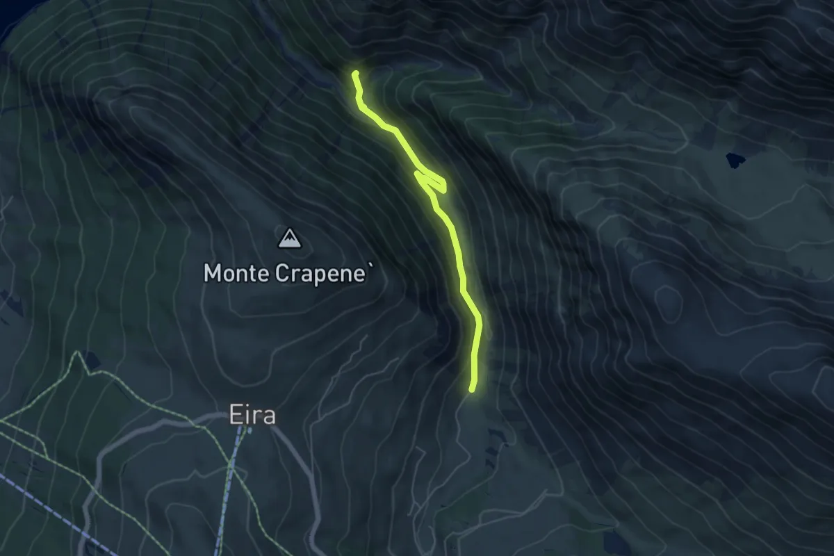
Easy · Trail
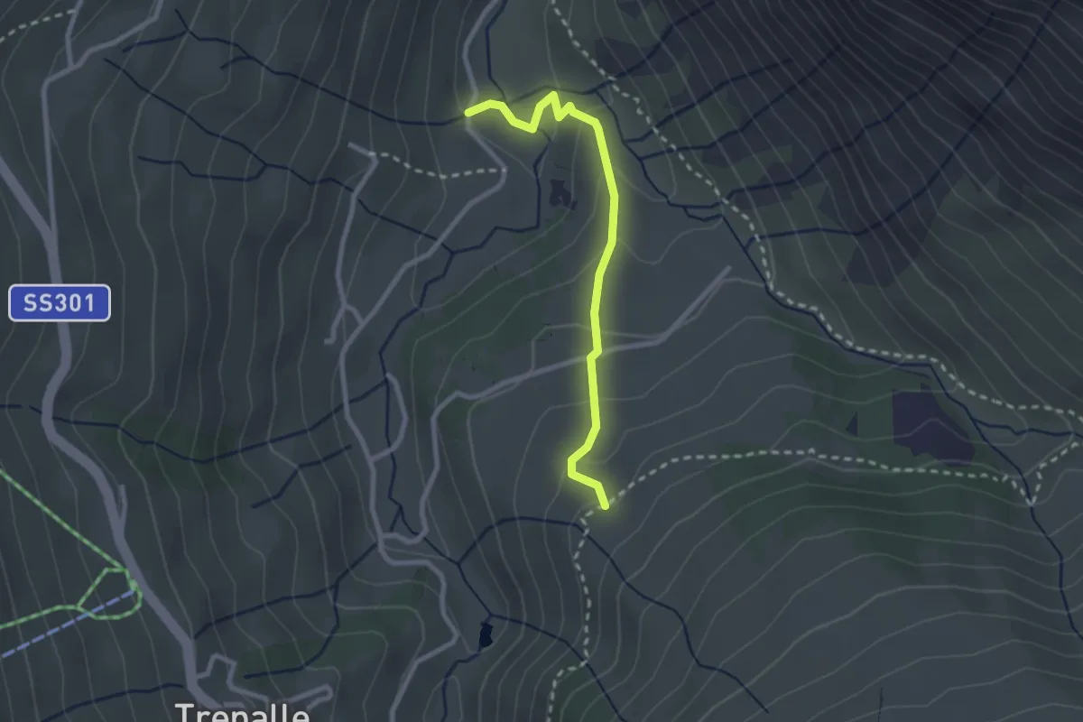
138 – Via Stefan (Trepalle)
4.9 km · ↑ 231 m · 1 h 40 min · 4 km away
Easy · Trail
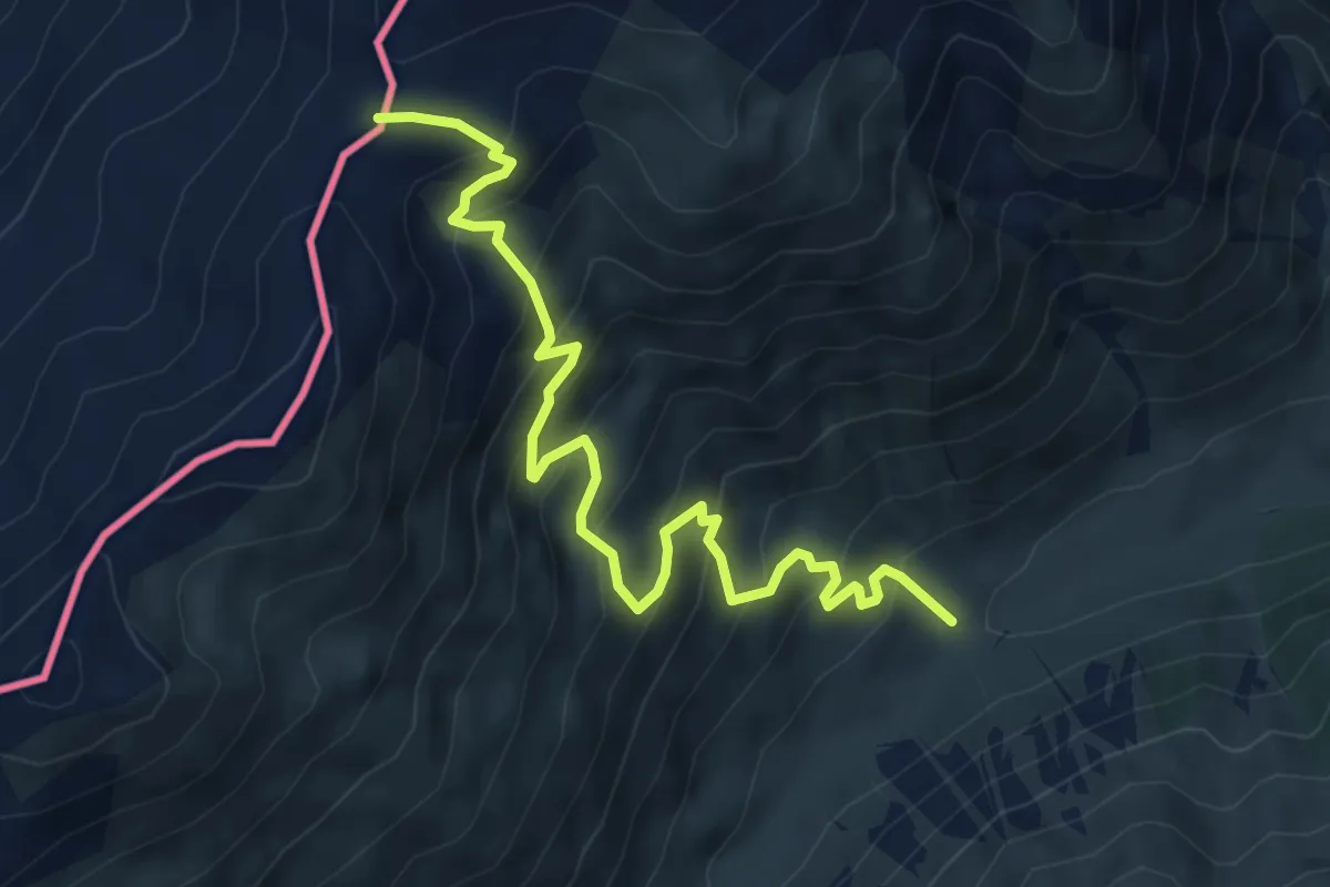
Via dei Pila (Trepalle) – Via Stefan
2.4 km · ↑ 151 m · 54 min · 4 km away
Medium · Trail
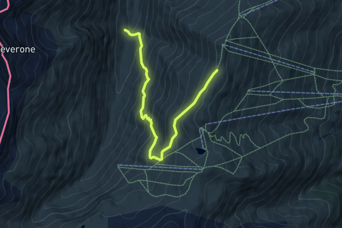
167 – Passo di Cassana
6.5 km · ↑ 632 m · 2 h 54 min · 4 km away
Medium · Trail
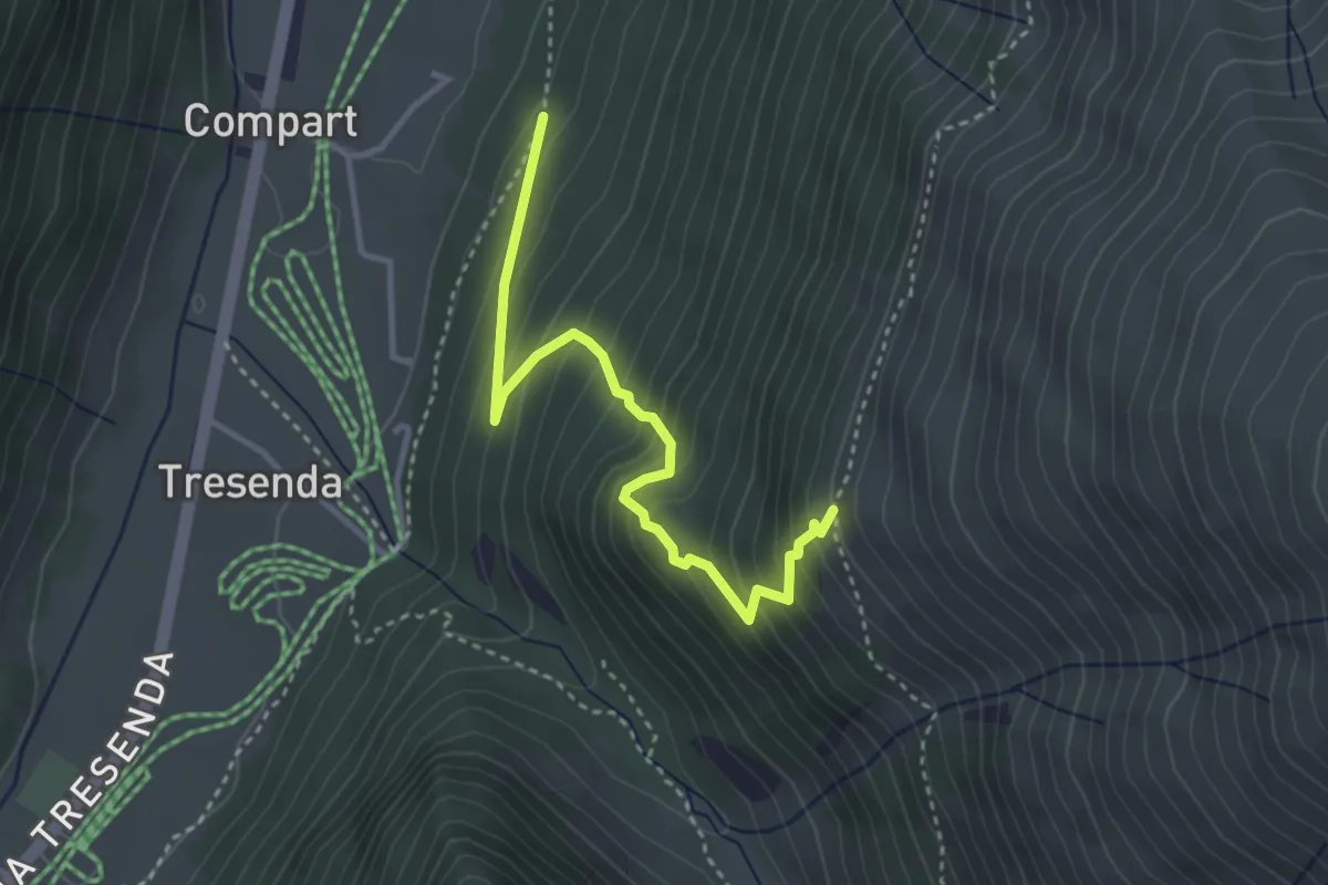
Cheseira da Fedaria – 162
7.6 km · ↑ 562 m · 3 h 1 min · 4 km away
Medium · Trail
Sentiero 100 – Sentiero 121
3.4 km · ↑ 370 m · 1 h 36 min · 4 km away
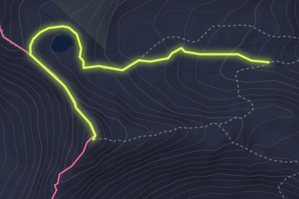
Expert · Summit
173 – Punta Cassana
3.8 km · ↑ 318 m · 1 h 36 min · 5 km away
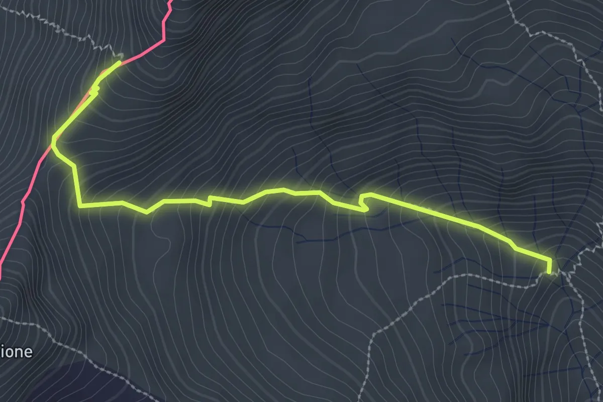
Medium · Trail
Ponte Calcheira – Passo Tropione
3.1 km · ↑ 393 m · 1 h 35 min · 5 km away
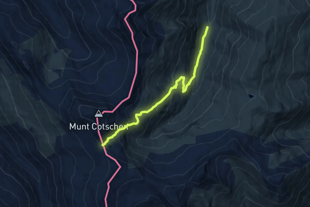
Medium · Trail
Ponte Calcheira – Passo Federia
9.2 km · ↑ 721 m · 3 h 44 min · 5 km away
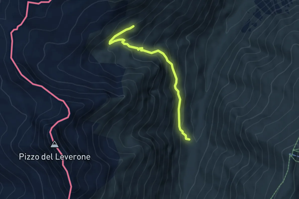
Medium · Trail
Alpe Federia – 170
5.0 km · ↑ 370 m · 1 h 59 min · 5 km away
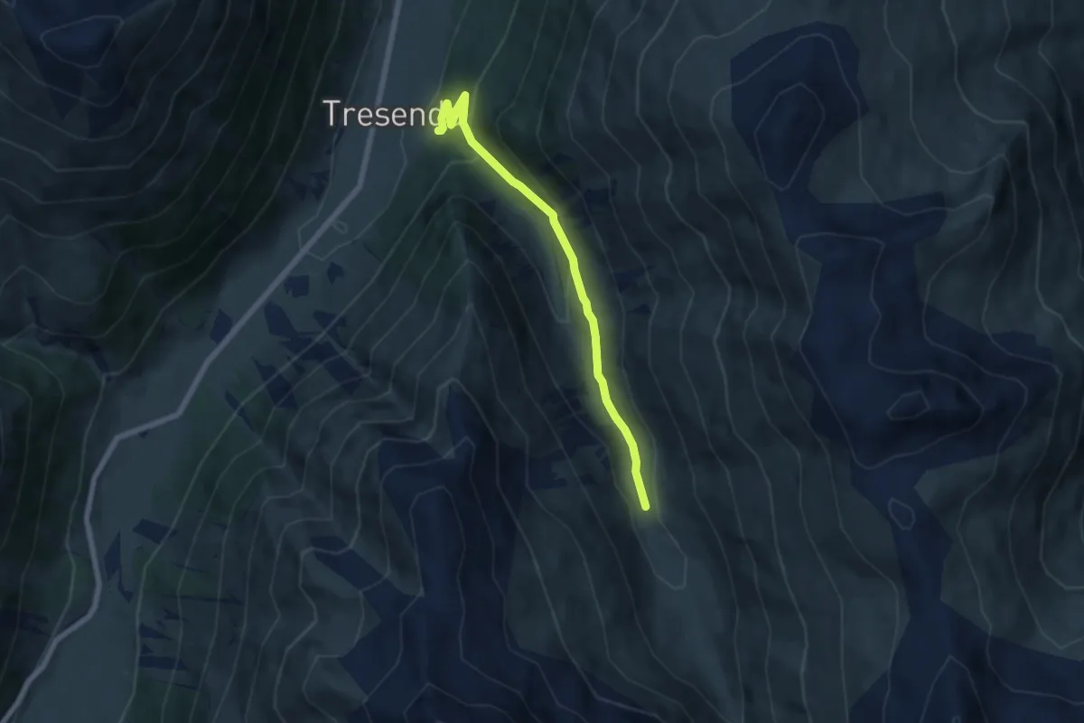
Medium · Trail
Via dali Mina (Tresenda) – 116
6.0 km · ↑ 323 m · 2 h 8 min · 5 km away
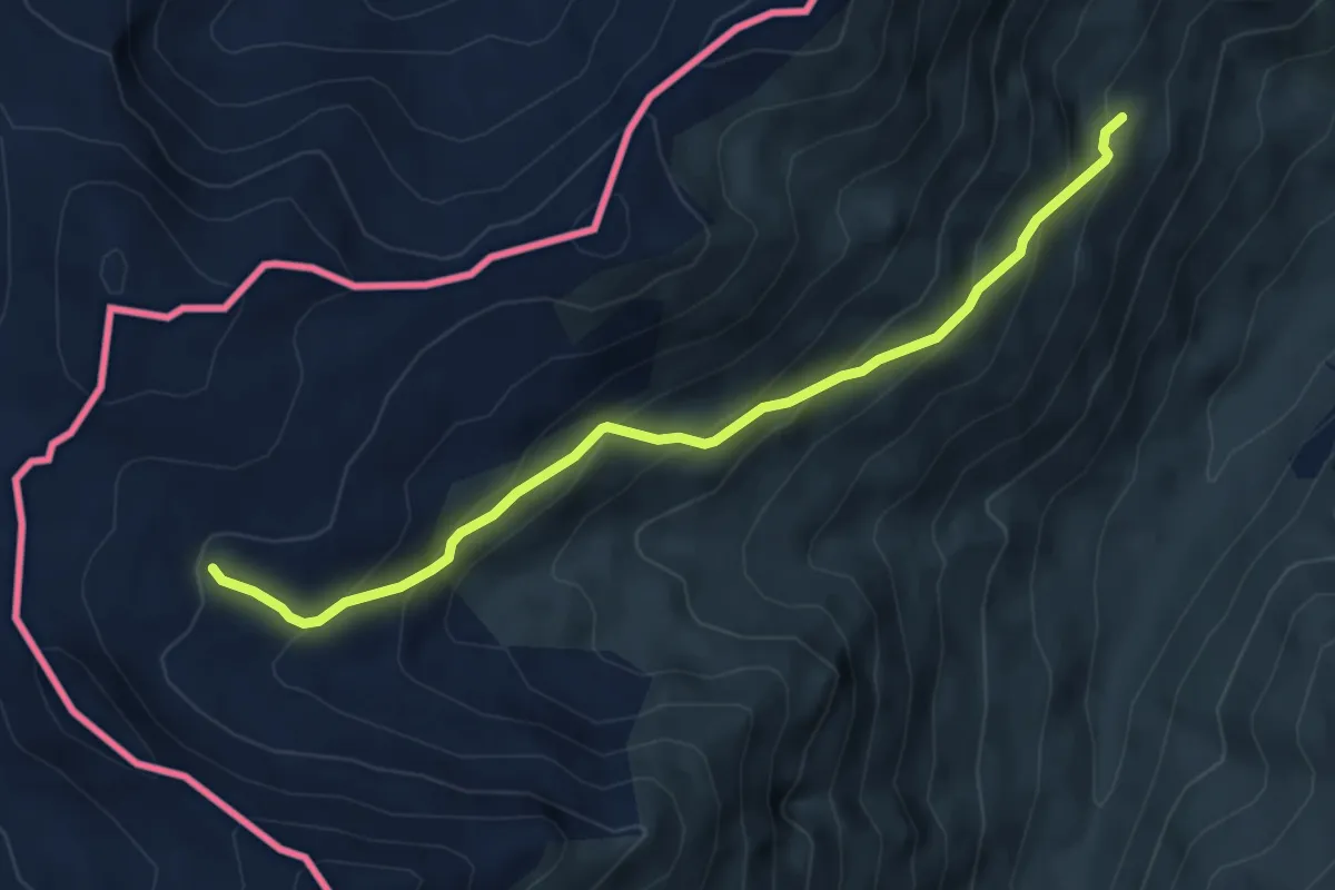
Medium · Trail
172 – Torrente Valle del Laverone
5.3 km · ↑ 429 m · 2 h 11 min · 7 km away
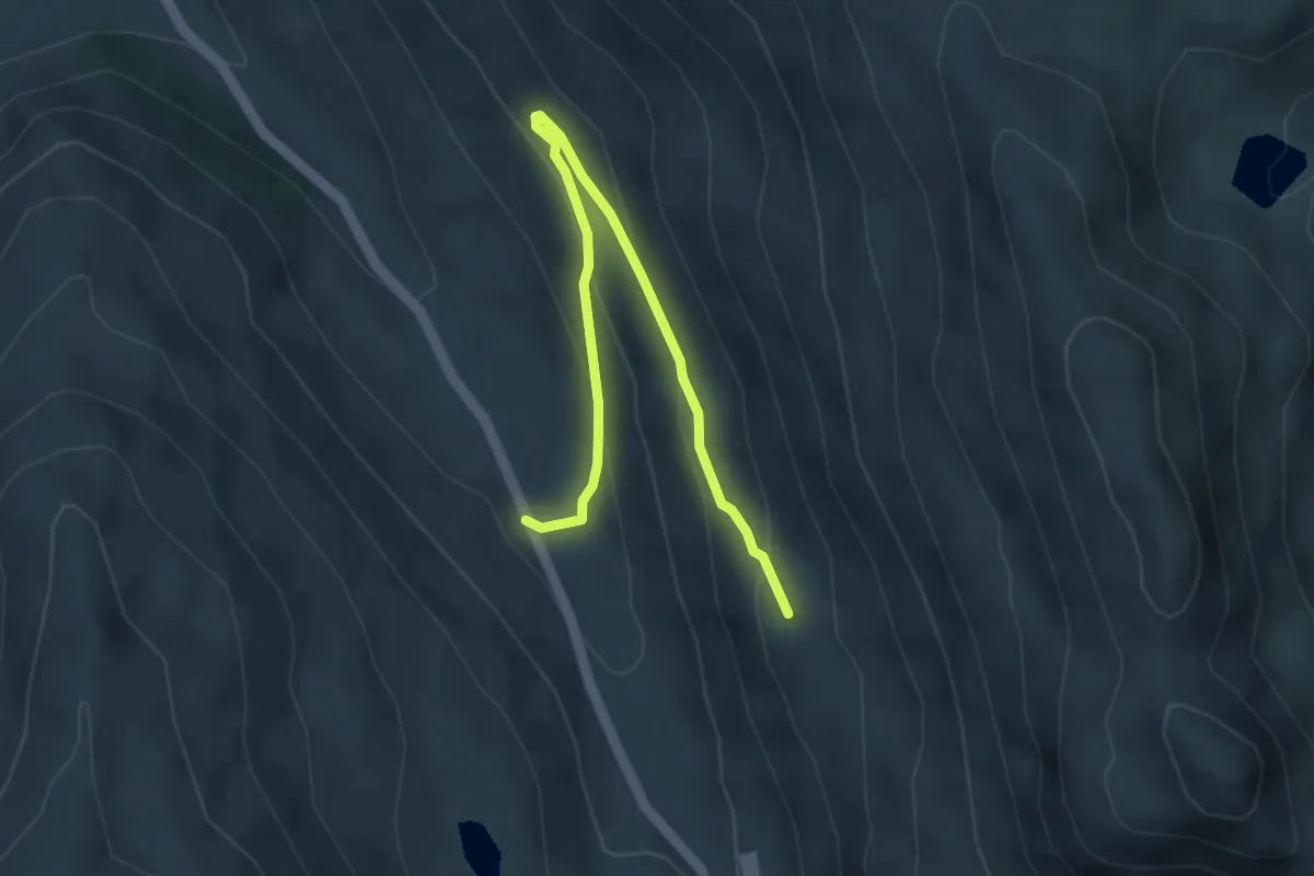
Easy · Trail
SS 301 – 130
4.5 km · ↑ 220 m · 1 h 33 min · 7 km away
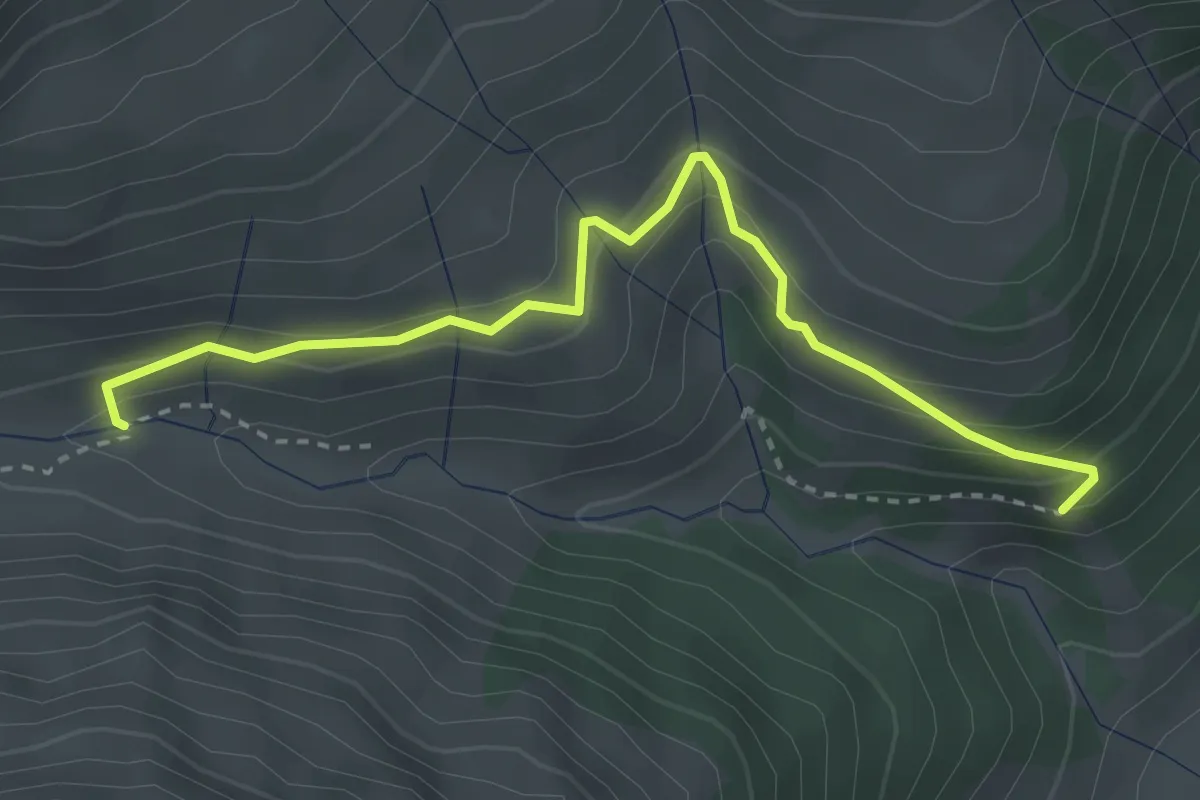
Easy · Trail
151 – 151
3.3 km · ↑ 217 m · 1 h 15 min · 7 km away
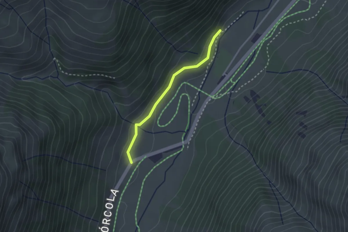
Easy · Trail
Aple Camparaccio – 190
2.1 km · ↑ 56 m · 38 min · 7 km away
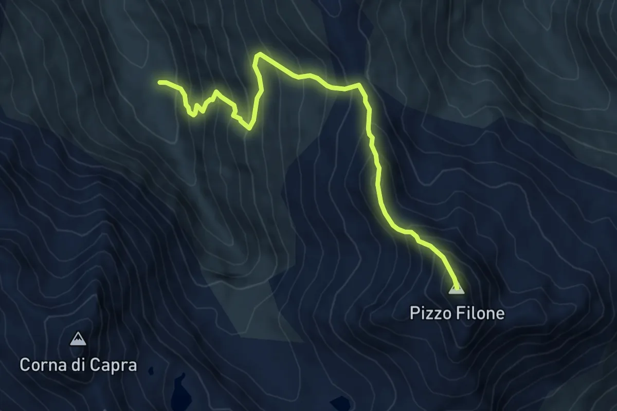
Demanding · Summit
116 – Colle delle Mine
7.5 km · ↑ 918 m · 3 h 46 min · 8 km away
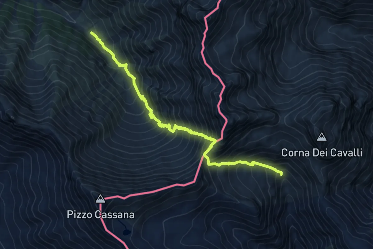
Demanding · Trail
Alp Trupchun – Passo Tropione
9.8 km · ↑ 1237 m · 5 h · 8 km away
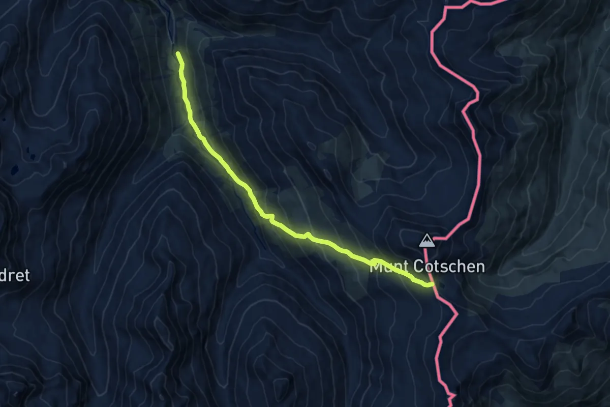
Demanding · Trail
Serlas – Fuorcla Federia
12.6 km · ↑ 923 m · 4 h 58 min · 8 km away
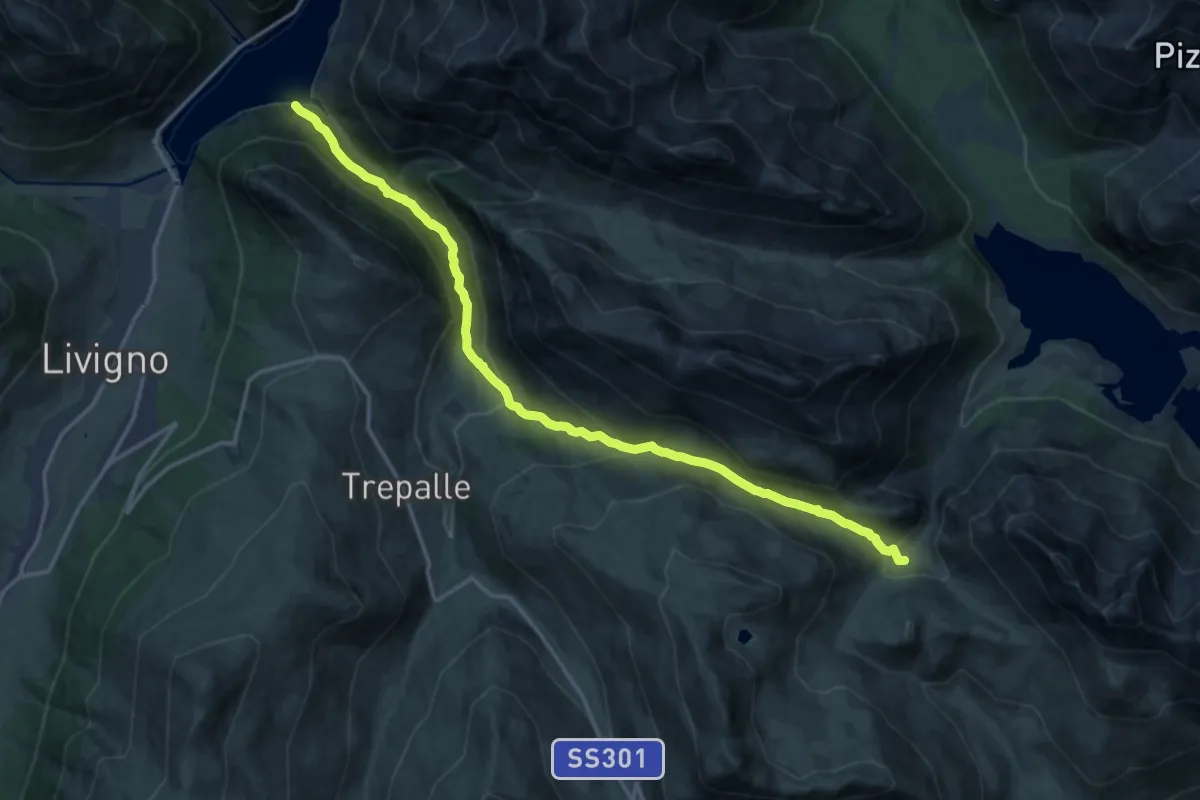
Demanding · Trail
138 – Casine di Trela
17.2 km · ↑ 848 m · 5 h 54 min · 8 km away
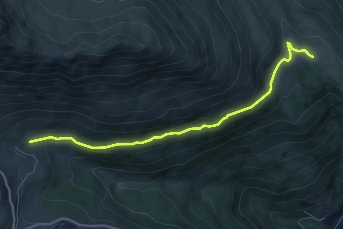
Easy · Trail
Innesto Sentiero 186 – Innesto Sentiero 196
6.8 km · ↑ 254 m · 2 h 10 min · 9 km away
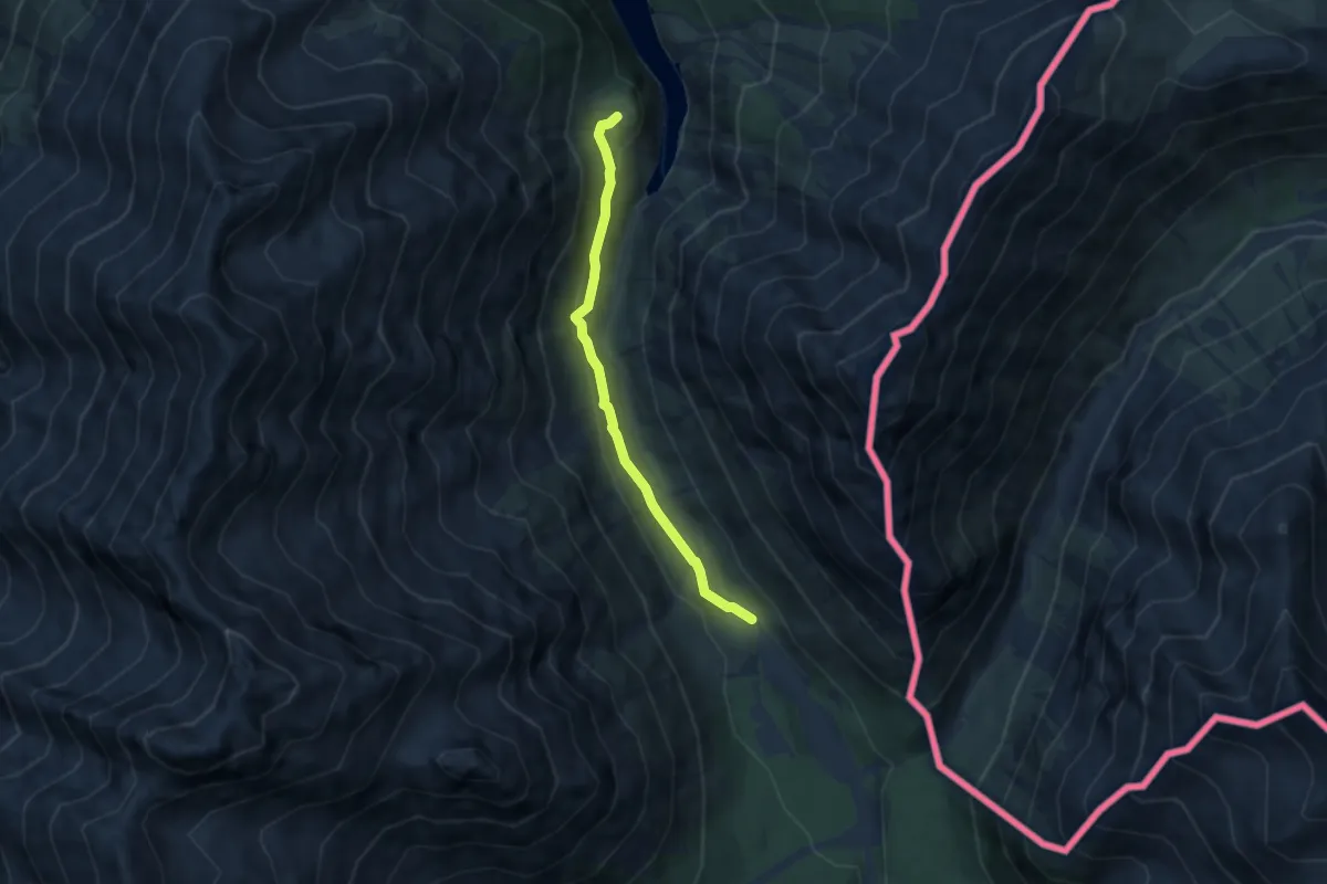
Easy · Trail
Innseto Sentiero 182 – Grasso del Corno
5.8 km · ↑ 241 m · 1 h 54 min · 9 km away
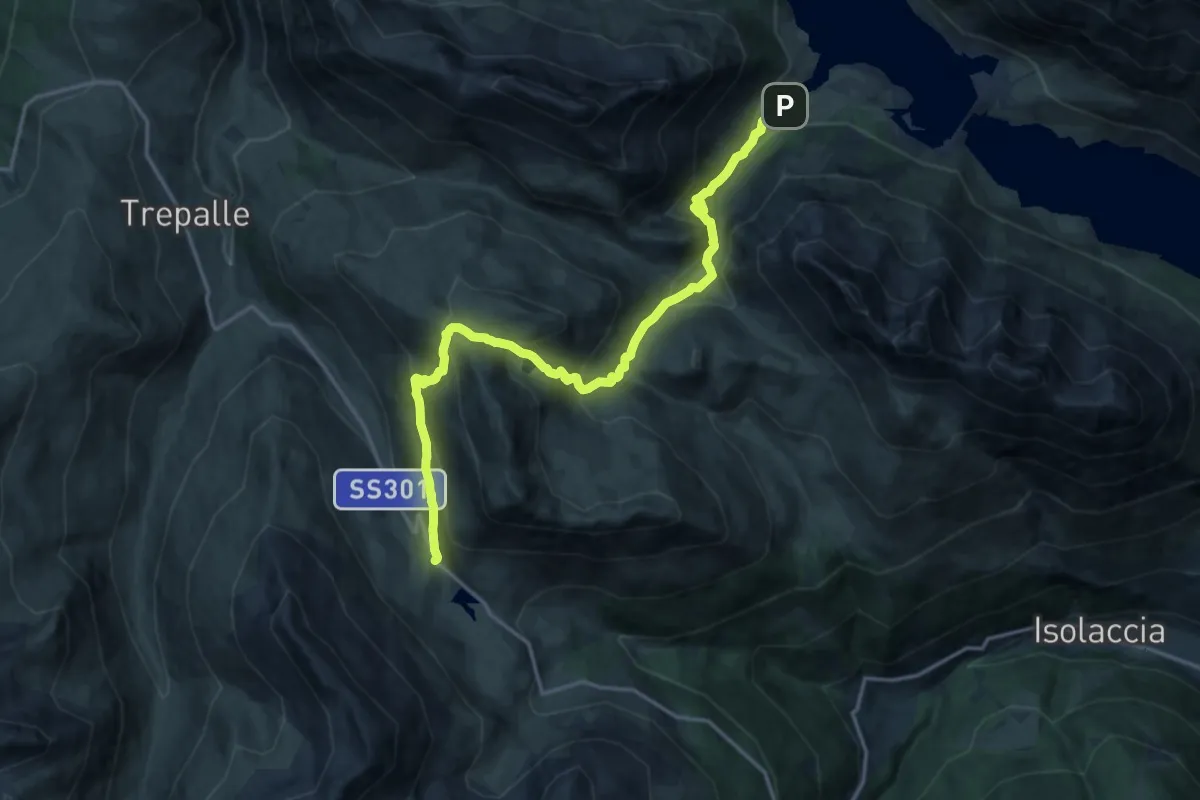
Demanding · Trail
Lago di San Giacomo – Passo Foscagno
17.4 km · ↑ 1096 m · 6 h 29 min · 9 km away