Trails near Livigno
134 hikes starting within 15 km, nearest first.
Nearest first, page 2 of 3
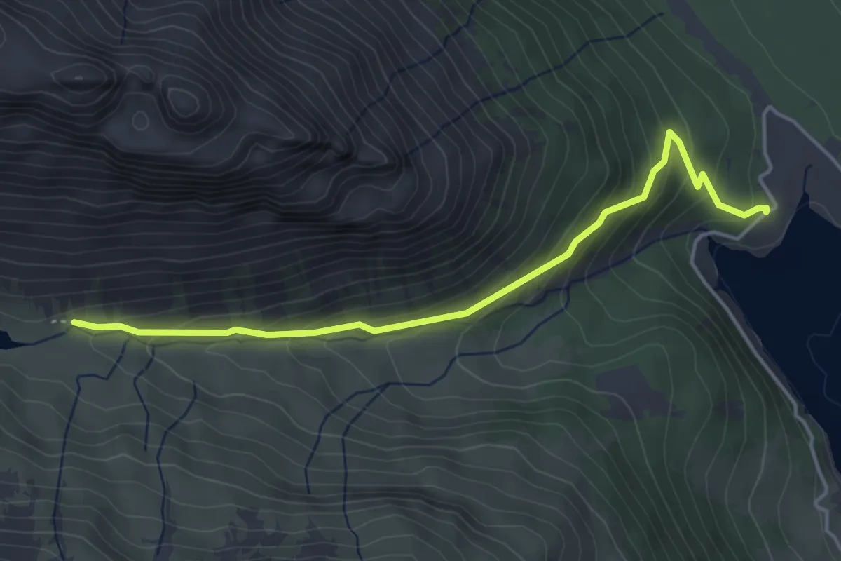
Medium · Trail
Innesto Sentiero 138 – Innesto Sentiero 199
4.4 km · ↑ 291 m · 1 h 40 min · 9 km away
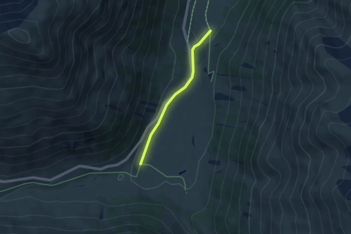
Easy · Trail
100 – 100
2.8 km · ↑ 64 m · 47 min · 9 km away
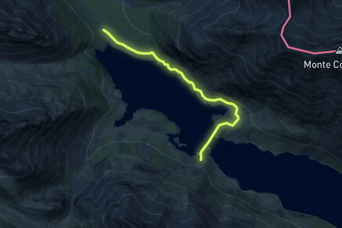
Medium · Trail
Innesto Sentiero 199 – Innesto Sentiero 199
8.6 km · ↑ 155 m · 2 h 22 min · 9 km away
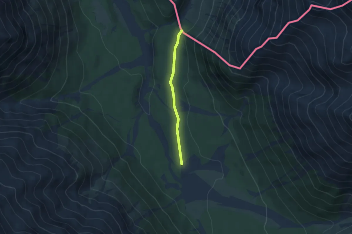
Easy · Trail
Strada del vino e del sale
2.8 km · ↑ 51 m · 47 min · 9 km away
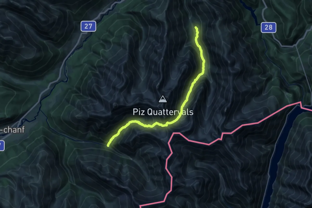
Expert · Cabin
Chamanna Cluozza – Val Trupchun
11.1 km · ↑ 1016 m · 4 h 59 min · 10 km away
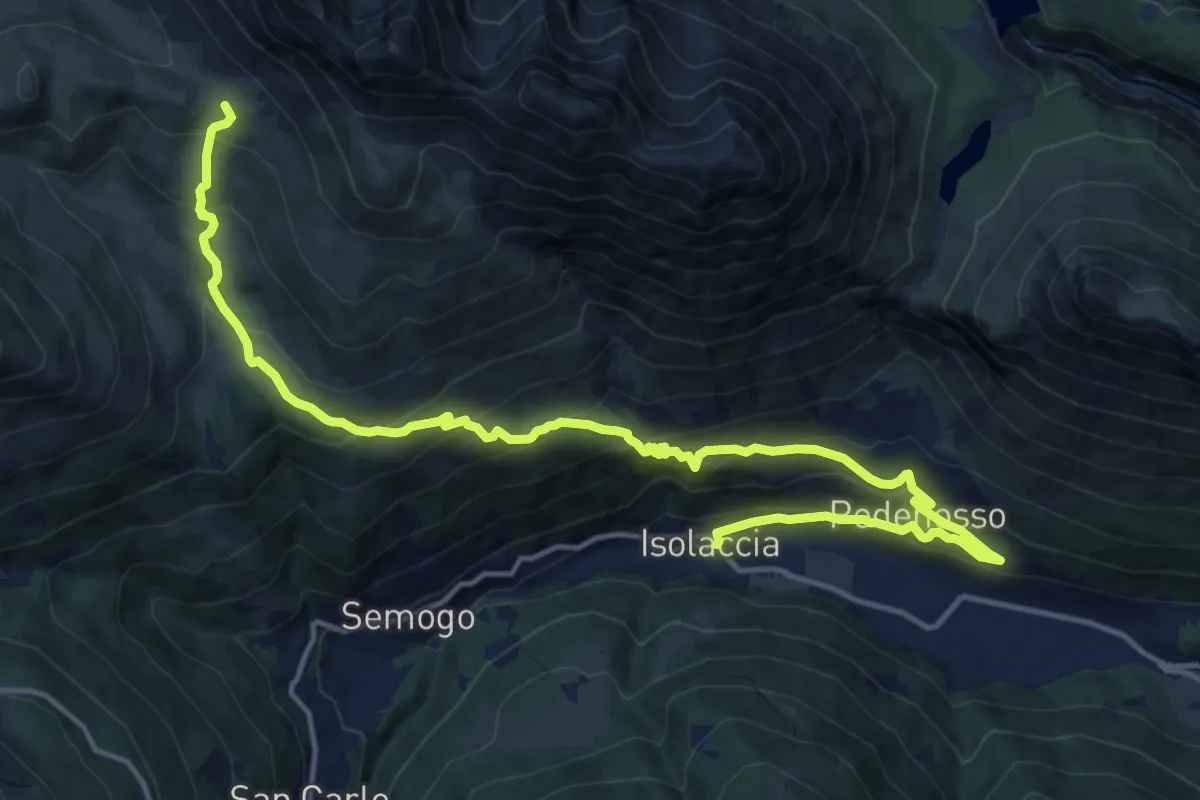
Demanding · Trail
Piazza Quattro Novembre (Isolaccia) – Bocchetta di Trela
18.8 km · ↑ 1110 m · 6 h 51 min · 10 km away
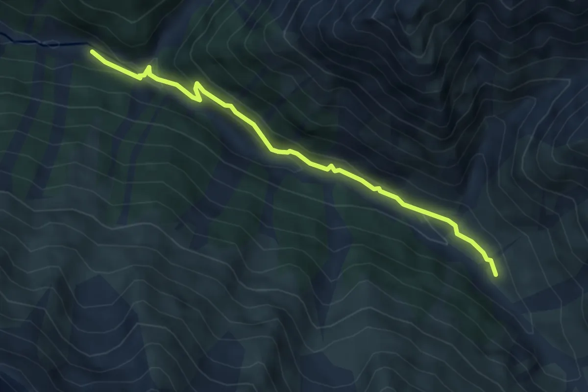
Medium · Trail
Alp Trupchun – Alp Purcher
5.0 km · ↑ 162 m · 1 h 32 min · 10 km away
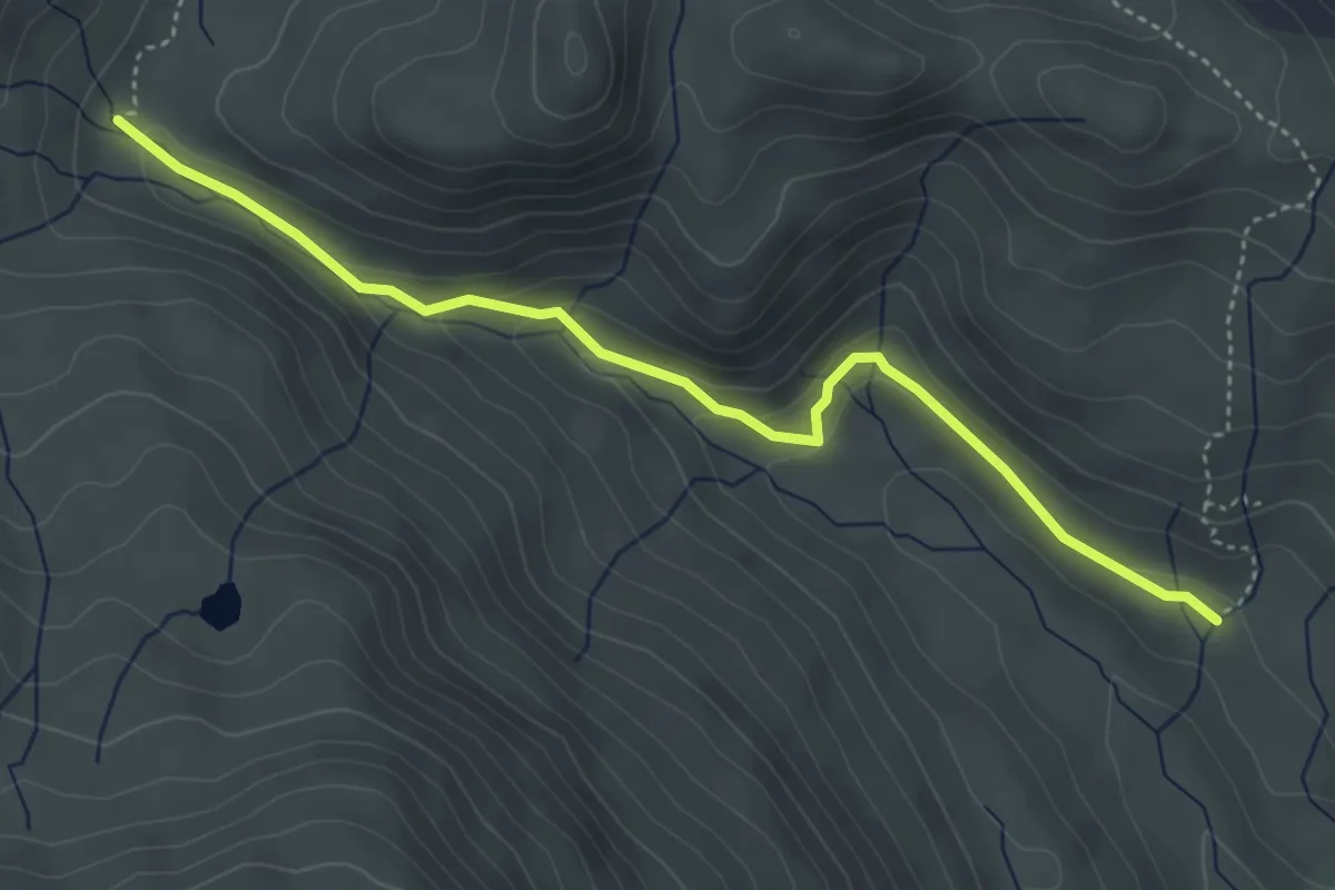
Easy · Trail
Innesto Sentiero 130 – Innesto Sentiero 196
4.4 km · ↑ 184 m · 1 h 26 min · 10 km away
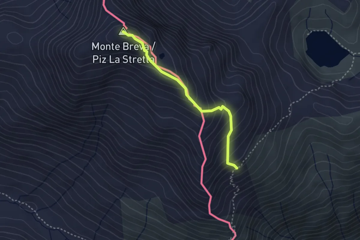
Demanding · Summit
151 – Piz la Stretta
2.8 km · ↑ 268 m · 1 h 15 min · 10 km away
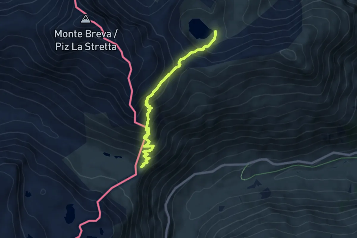
Medium · Trail
La Colma – Alpe Campaccio
5.6 km · ↑ 514 m · 2 h 26 min · 11 km away
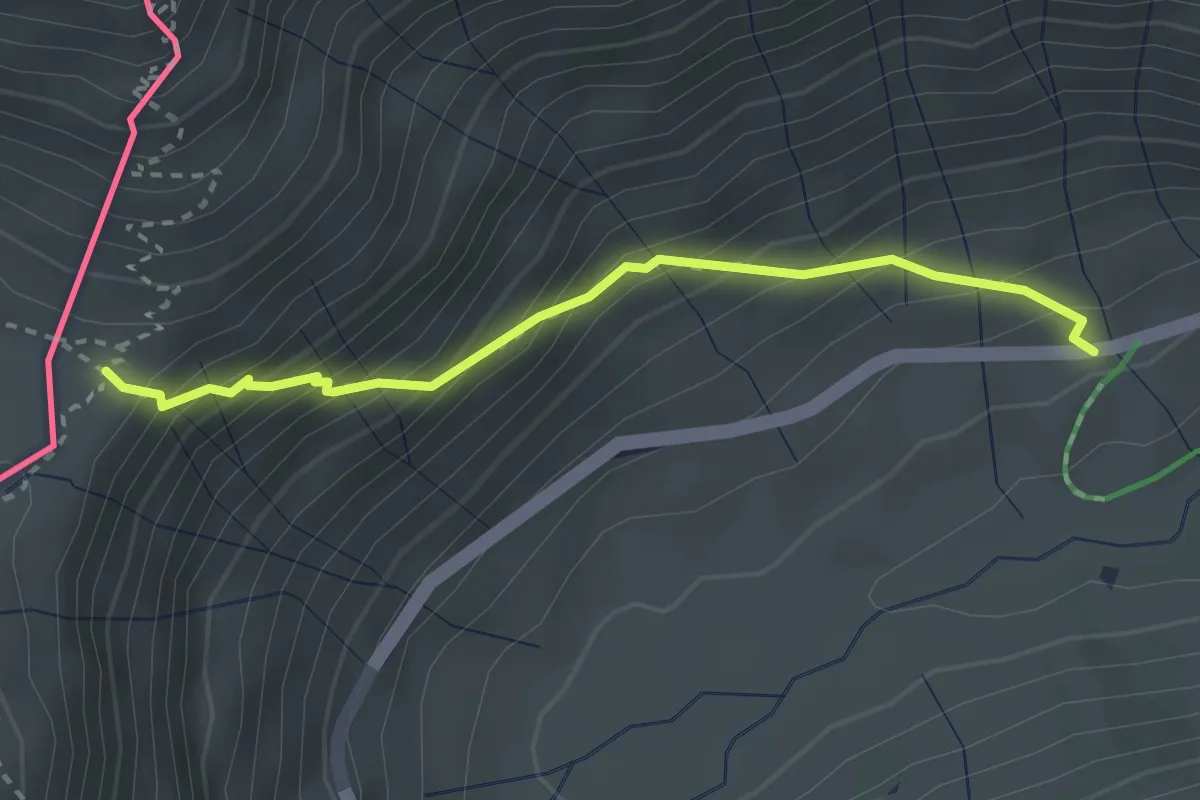
Medium · Trail
Livigno, Val dal Fain – La Colma
2.7 km · ↑ 352 m · 1 h 25 min · 11 km away
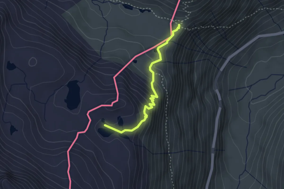
Medium · Trail
La Colma – Laghi Forcola
3.1 km · ↑ 189 m · 1 h 8 min · 11 km away
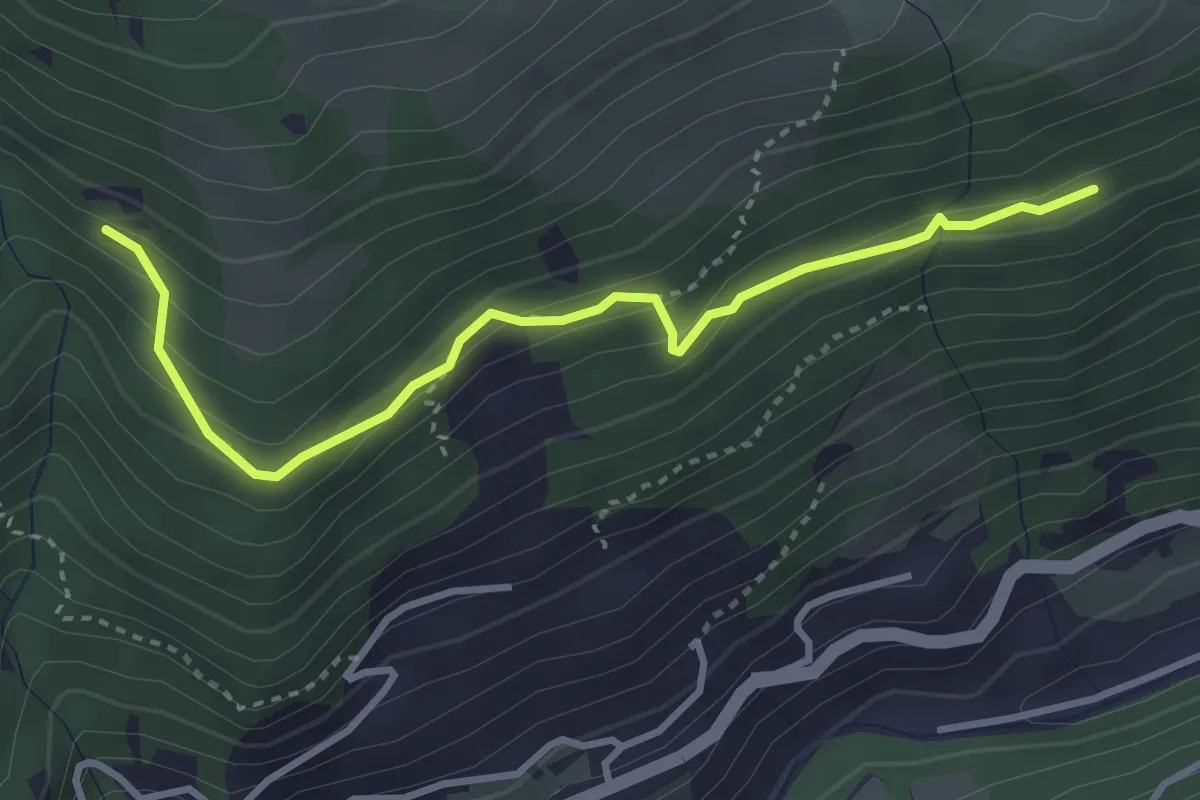
Medium · Trail
Innesto Sentiero 187 – Innesto Sentiero 195
3.5 km · ↑ 222 m · 1 h 19 min · 11 km away
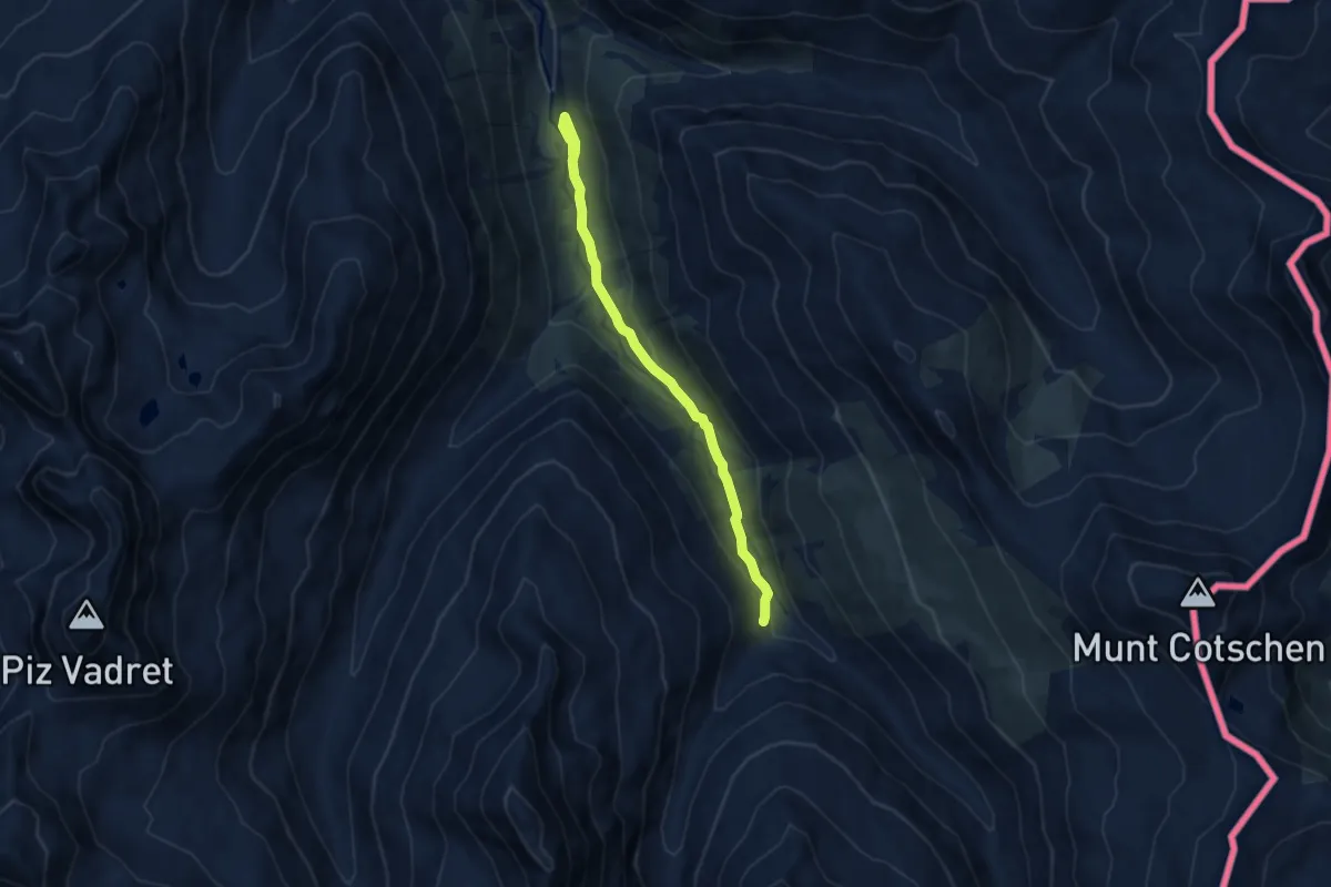
Easy · Trail
Serlas – Alp Pruenela
7.8 km · ↑ 225 m · 2 h 19 min · 11 km away
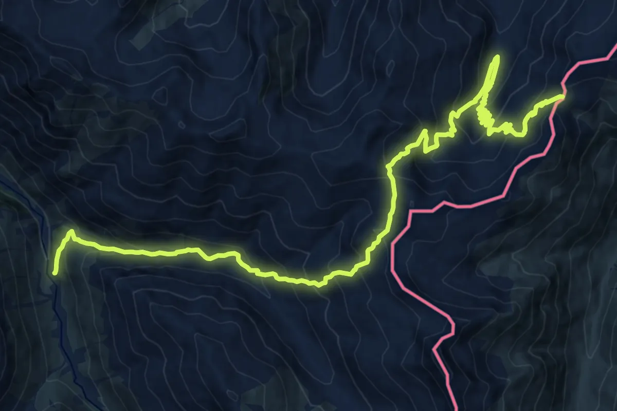
Demanding · Trail
Serlas – Pass Chaschauna
12.4 km · ↑ 1186 m · 5 h 21 min · 11 km away
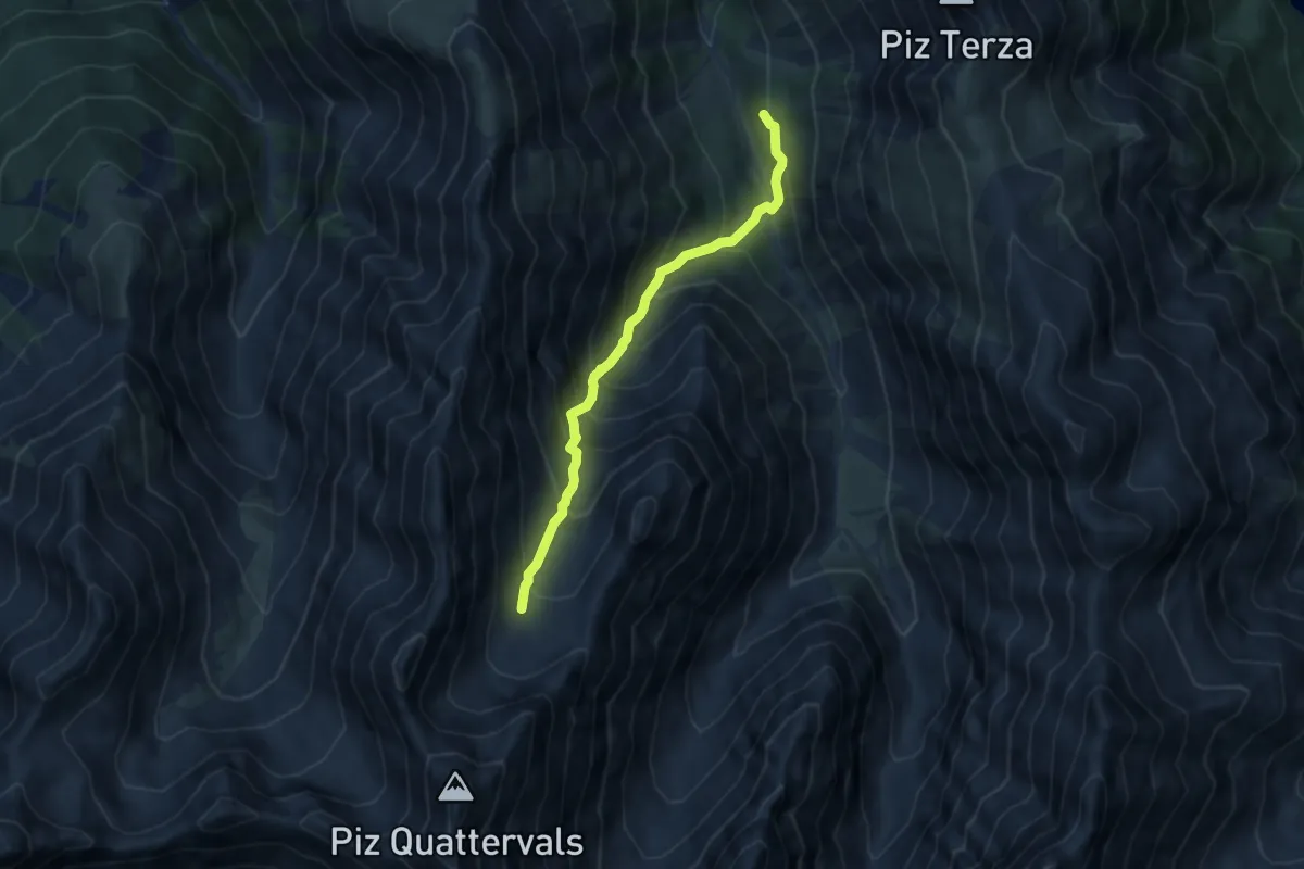
Expert · Cabin
Chamanna Cluozza – Piz Quattervals
7.4 km · ↑ 858 m · 3 h 36 min · 11 km away
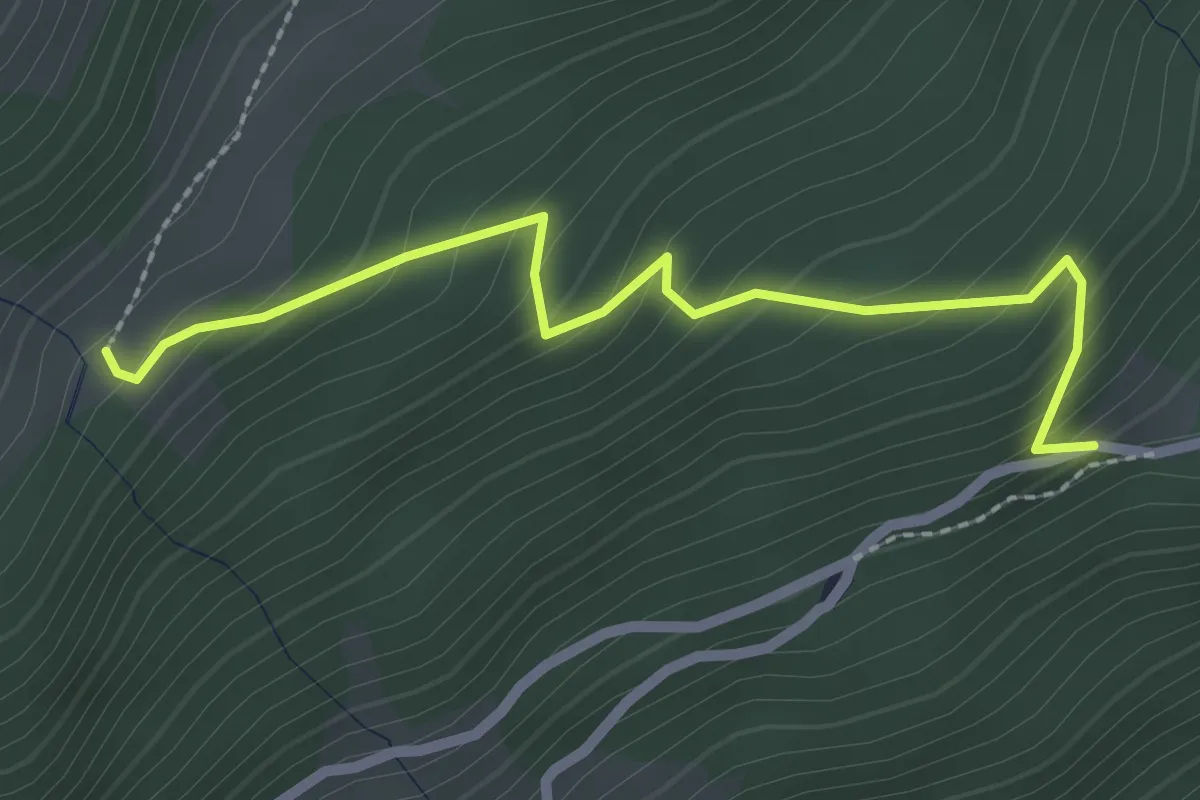
Easy · Trail
Innesto Sentiero 148 – Innesto Sentiero 290
2.5 km · ↑ 226 m · 1 h 4 min · 11 km away
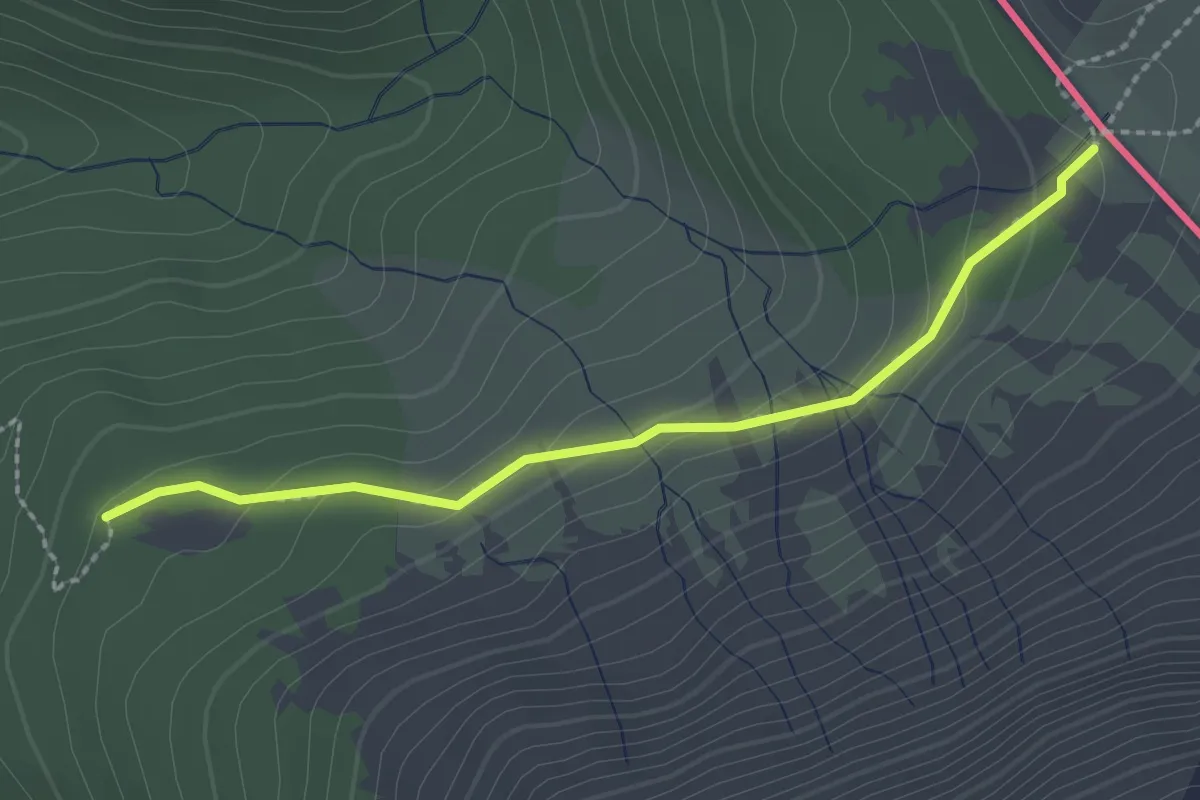
Medium · Trail
199 – Fuorcla del Gal
2.2 km · ↑ 104 m · 45 min · 11 km away
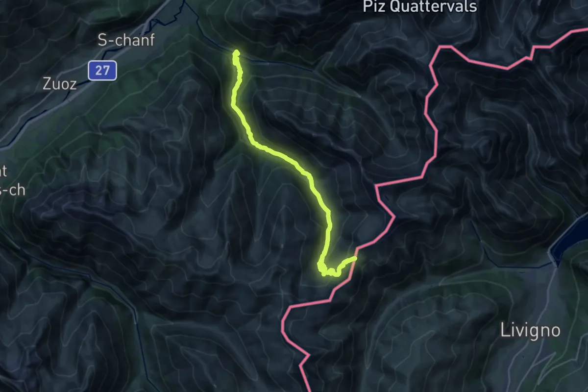
Demanding · Trail
S-chanf, Punt da Scrigns – Passo di Cassana
21.9 km · ↑ 1085 m · 7 h 31 min · 12 km away
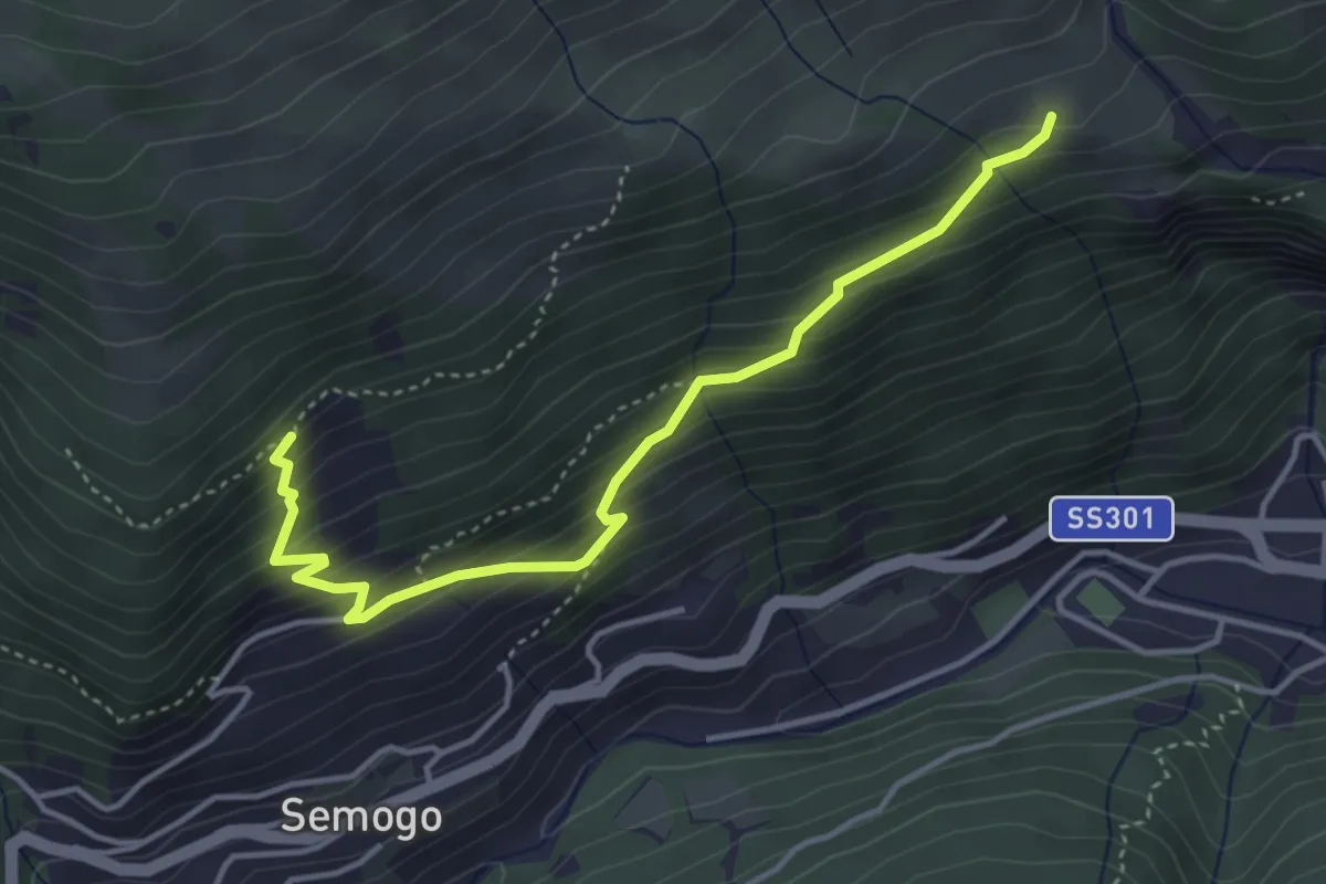
Medium · Trail
Piazza Sant'Abbondio (Segomo) – Dosso di Sopra (Semogo)
4.2 km · ↑ 391 m · 1 h 50 min · 12 km away
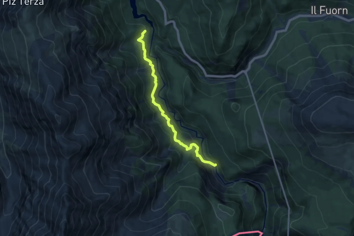
Medium · Trail
Plan Praspöl – Punt Periv
7.7 km · ↑ 402 m · 2 h 41 min · 12 km away
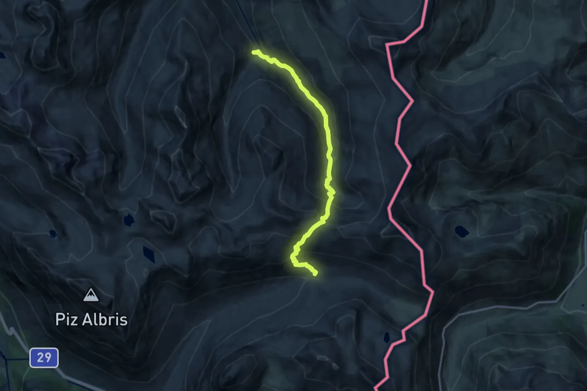
Demanding · Trail
Alp Pruenela – Alp la Stretta
13.2 km · ↑ 1008 m · 5 h 18 min · 12 km away
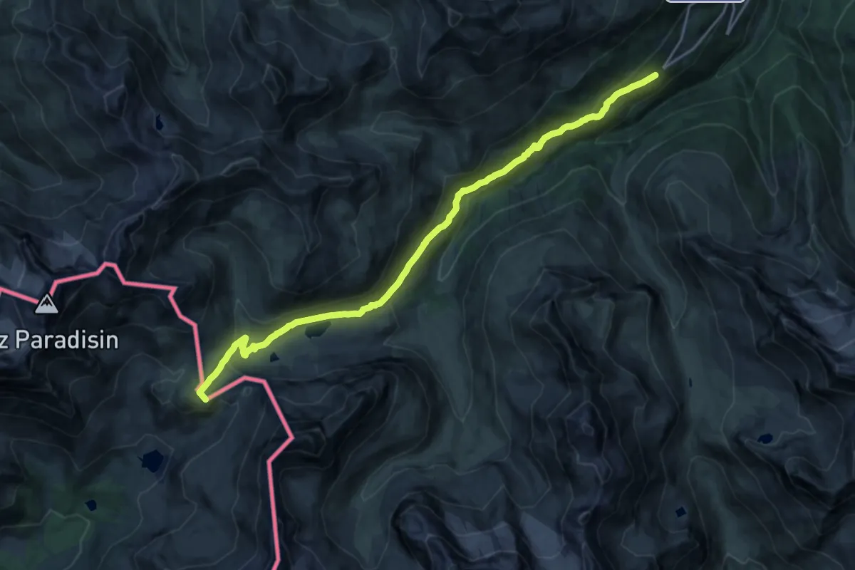
Demanding · Summit
Arnoga – Passo della Val Viola
19.8 km · ↑ 809 m · 6 h 26 min · 12 km away
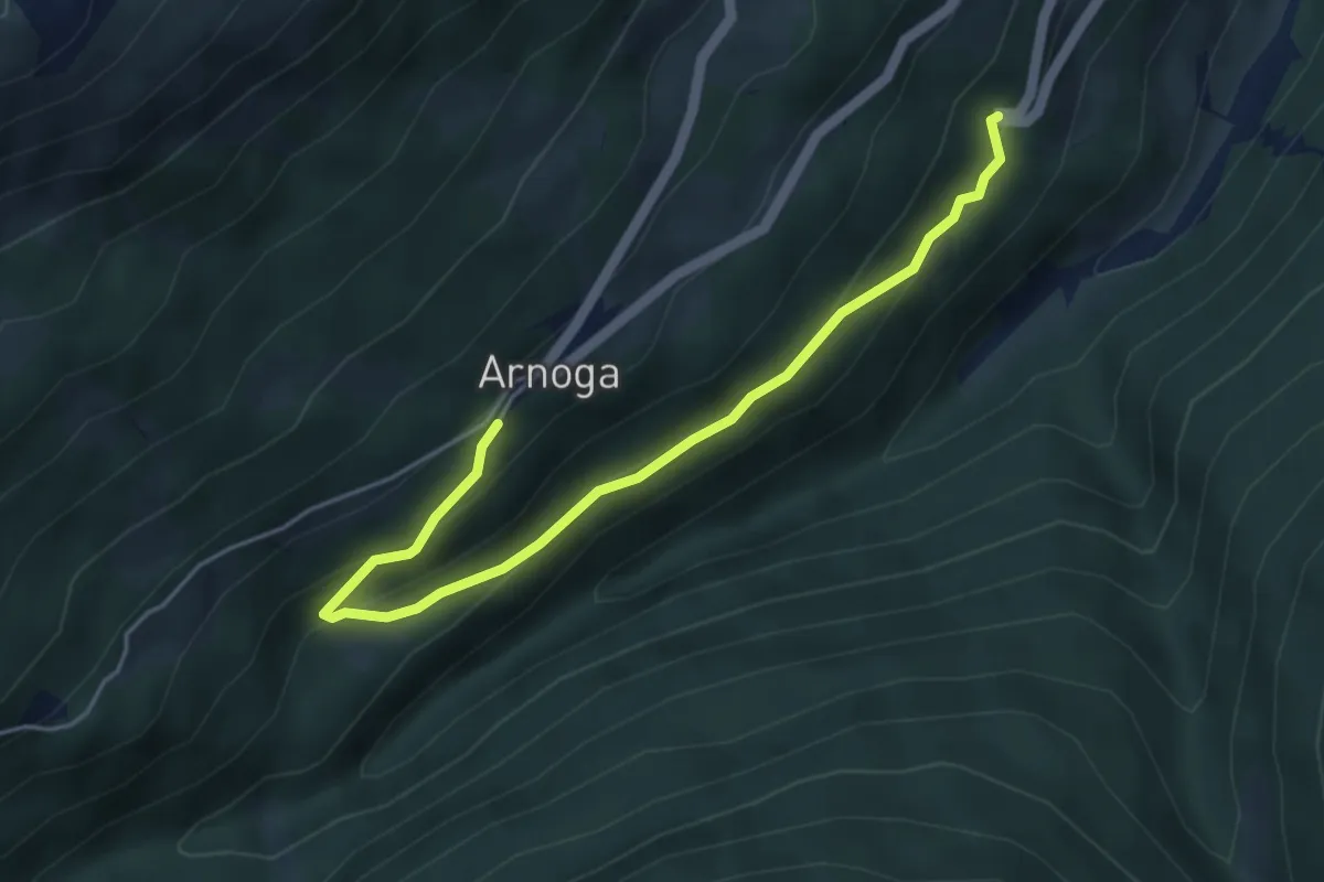
Easy · Trail
Arnoga – SS 301
4.9 km · ↑ 248 m · 1 h 42 min · 12 km away
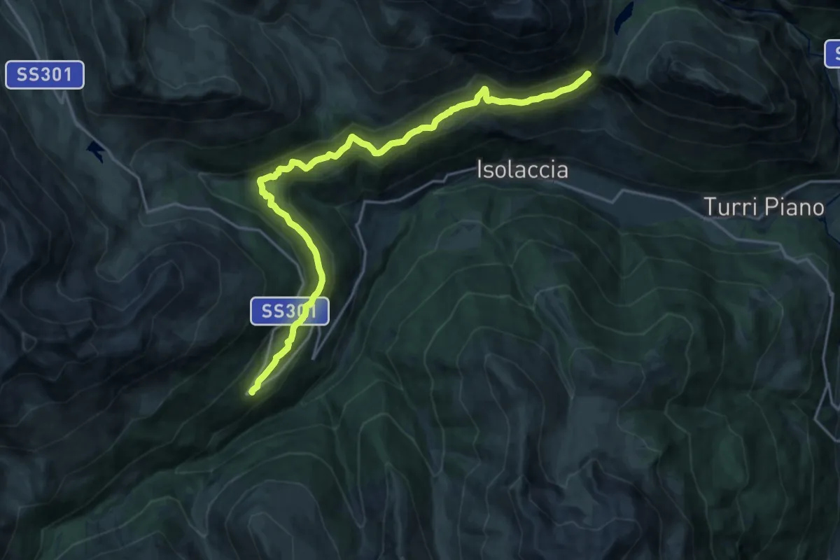
Demanding · Trail
Arnoga – Strada Militare Fior d'Alpe - Cancano - Itineraio 199
20.0 km · ↑ 889 m · 6 h 39 min · 12 km away
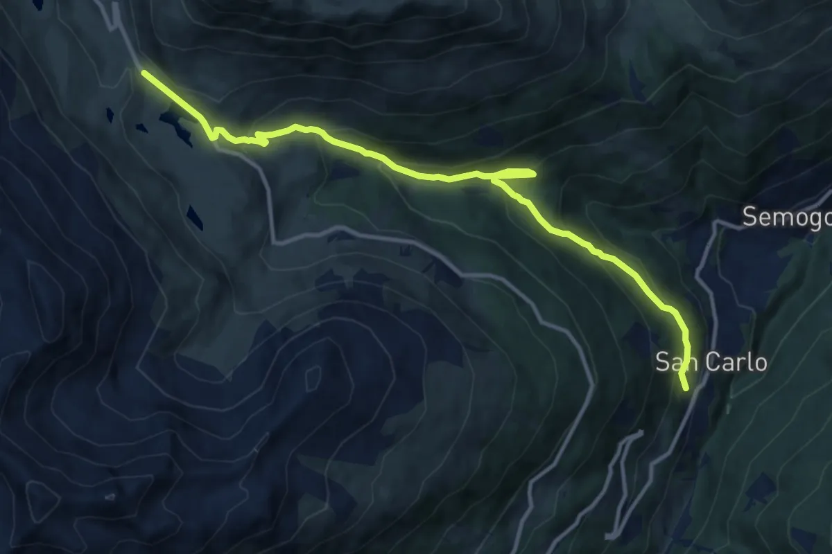
Medium · Trail
Via Clef (San Carlo) – Passo Foscagno
12.2 km · ↑ 771 m · 4 h 33 min · 12 km away
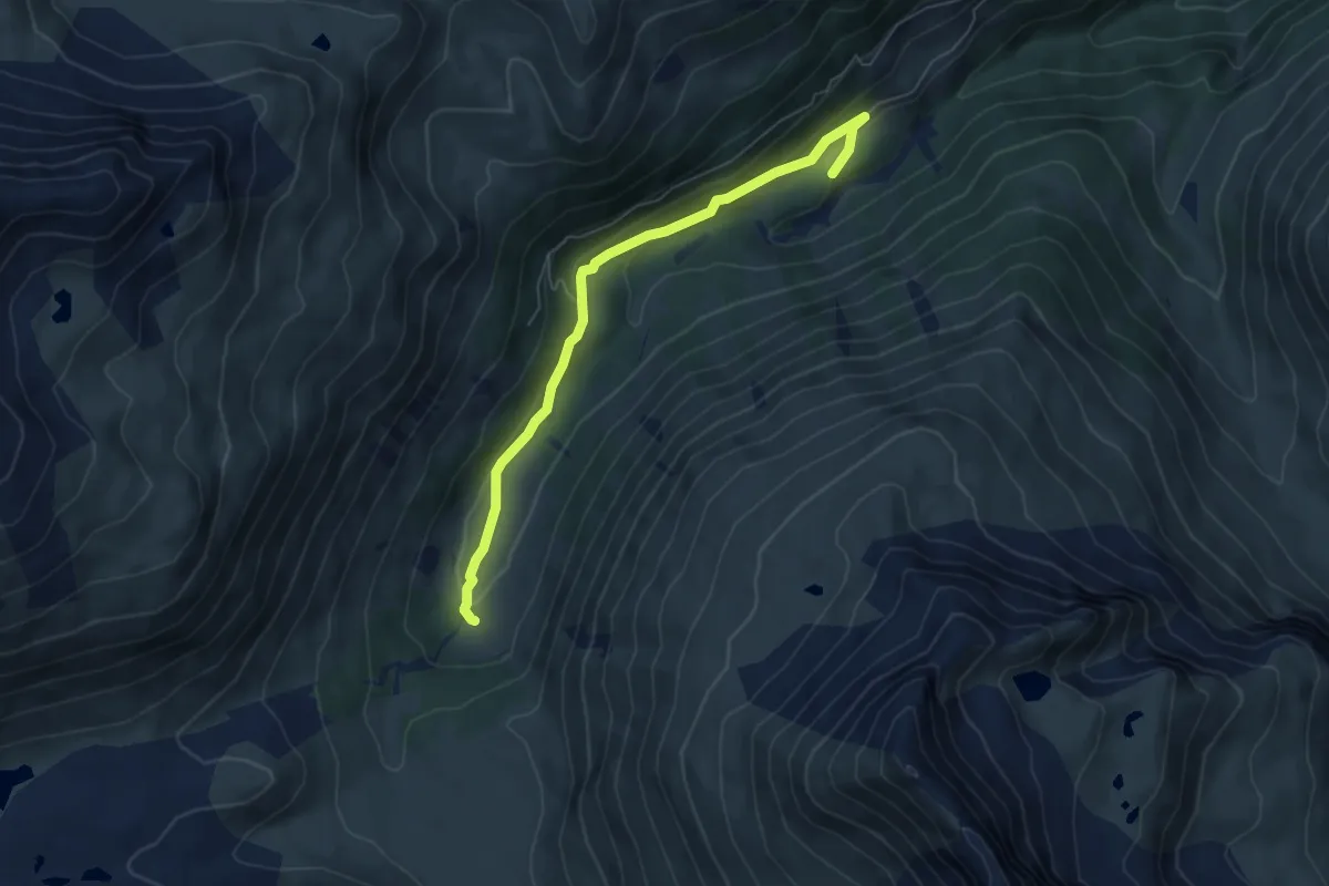
Easy · Trail
Innesto 290 – Innesto 291
6.0 km · ↑ 158 m · 1 h 46 min · 12 km away
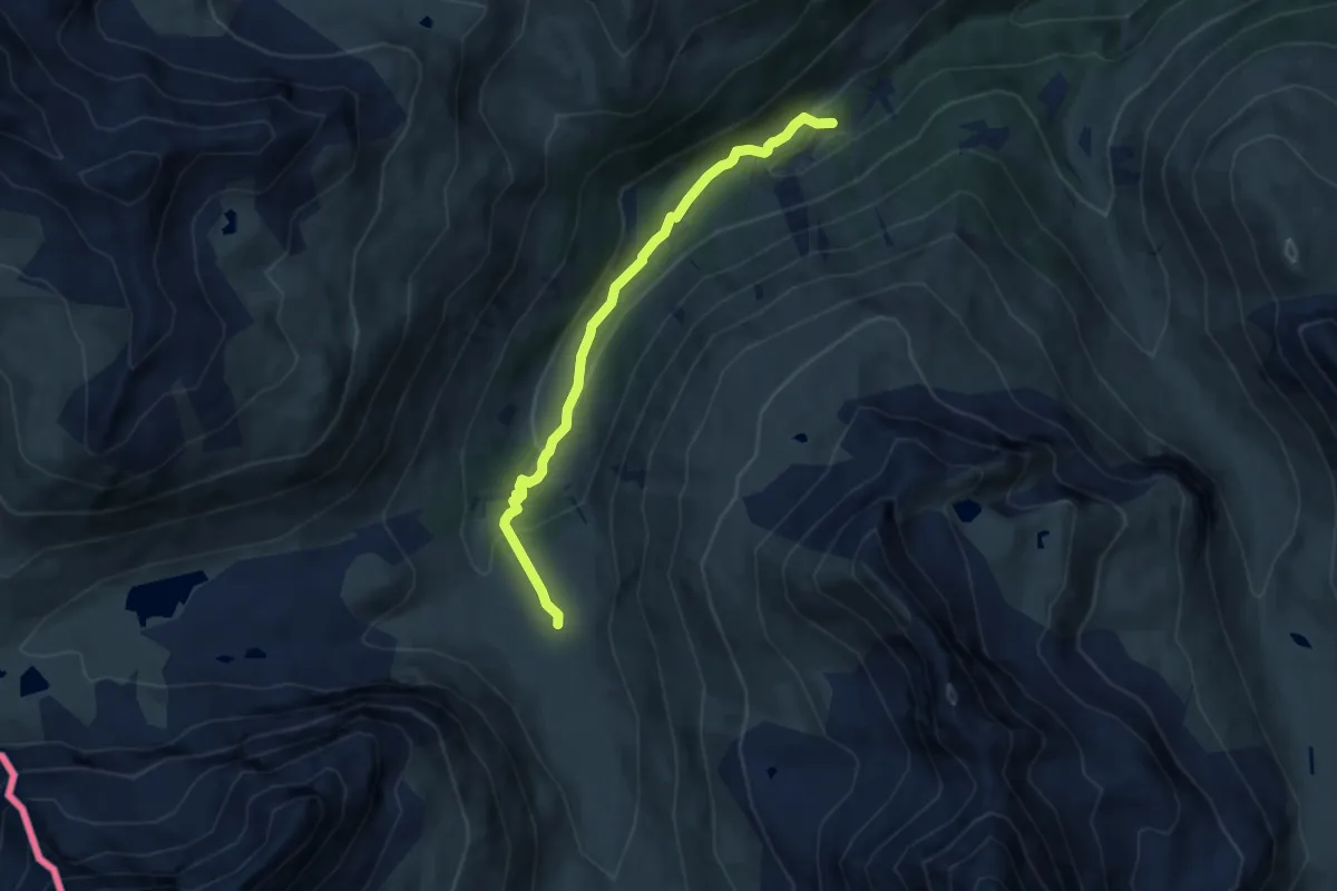
Easy · Cabin
Baite Paluetta – Innesto 294
7.2 km · ↑ 246 m · 2 h 14 min · 12 km away
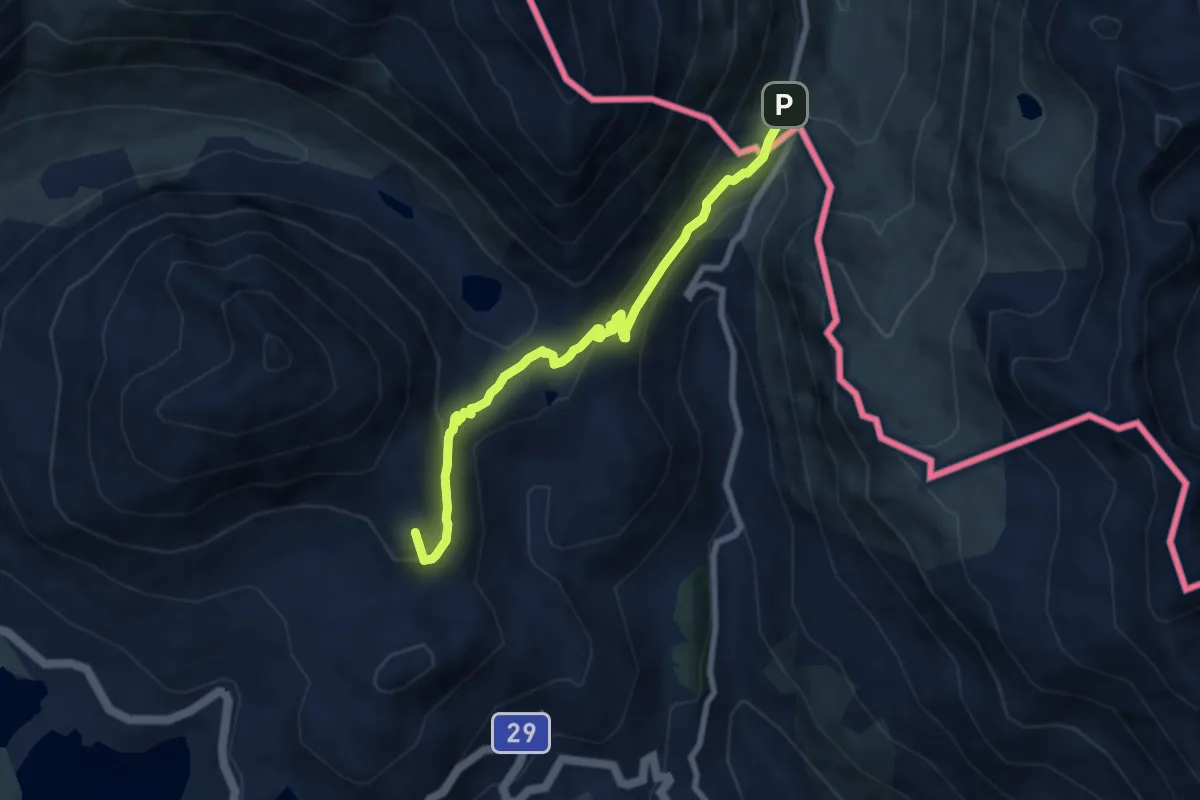
Medium · Summit
Ospizio Bernina – Rifugio Tridentina
7.3 km · ↑ 269 m · 2 h 19 min · 12 km away
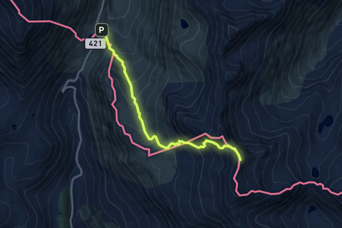
Expert · Summit
Forcola di Livigno – Pass de Val Mera
6.7 km · ↑ 675 m · 3 h 2 min · 12 km away
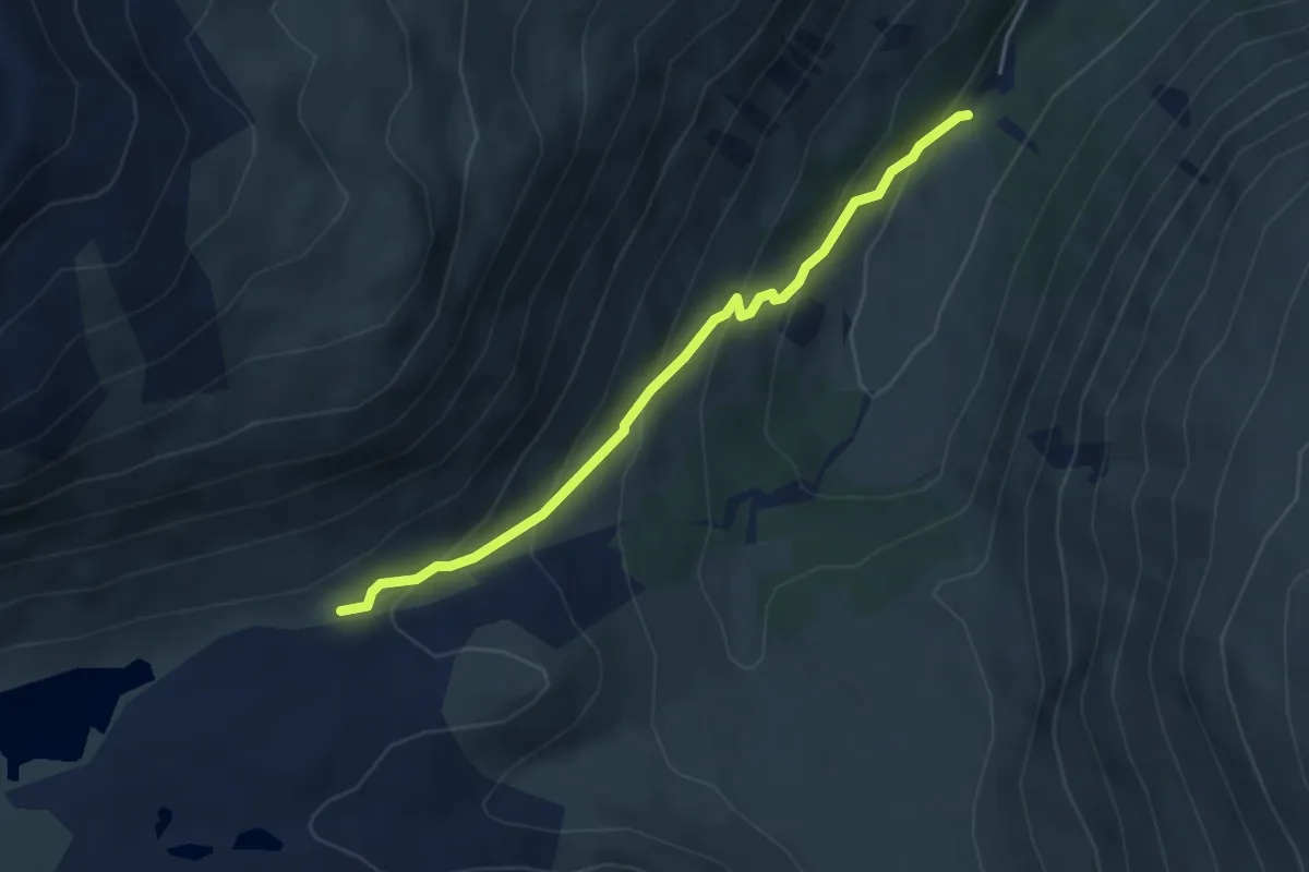
Easy · Trail
Innesto 293 – Innesto 290
4.1 km · ↑ 281 m · 1 h 34 min · 12 km away
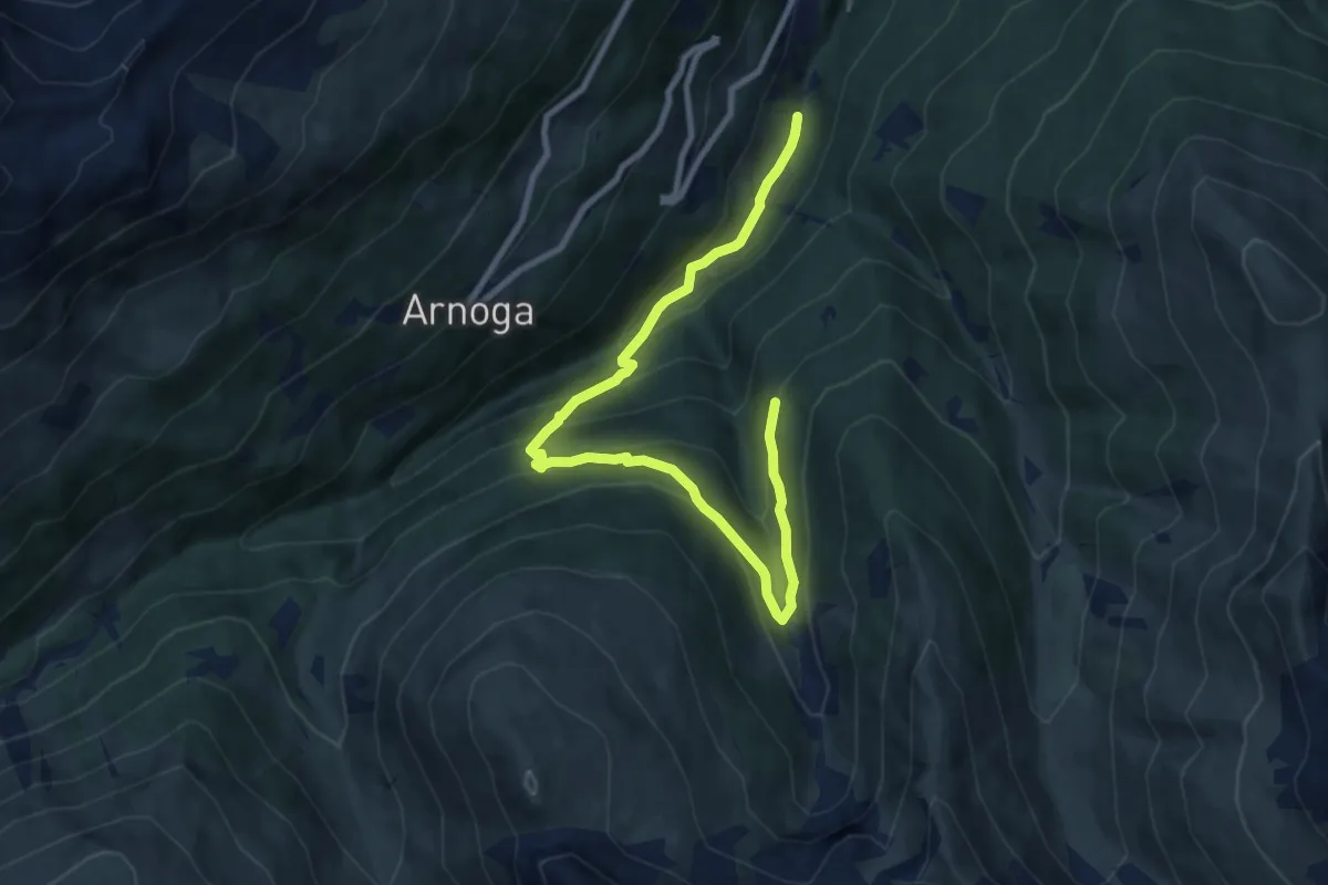
Medium · Trail
Innesto 209 – Innesto 288
10.2 km · ↑ 648 m · 3 h 49 min · 12 km away
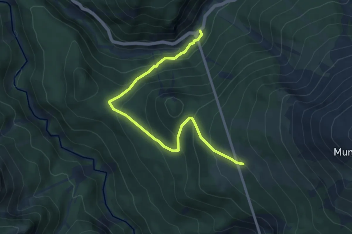
Medium · Trail
Punt la Drossa – Alp la Schera
6.0 km · ↑ 396 m · 2 h 17 min · 13 km away
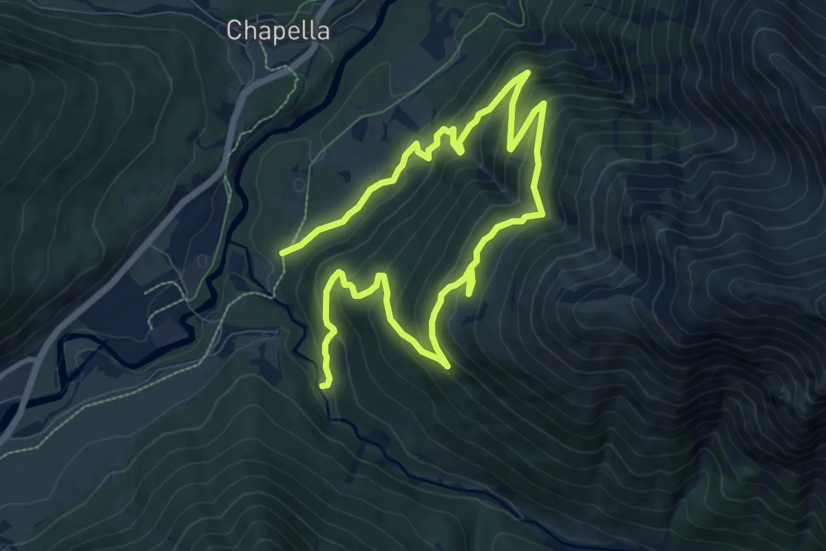
Demanding · Trail
Prasueras – Alp Blais
13.9 km · ↑ 884 m · 5 h 12 min · 13 km away
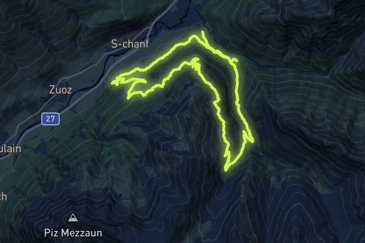
Demanding · Trail
S-chanf – Alp Vaüglia
18.9 km · ↑ 1080 m · 7 h 1 min · 13 km away
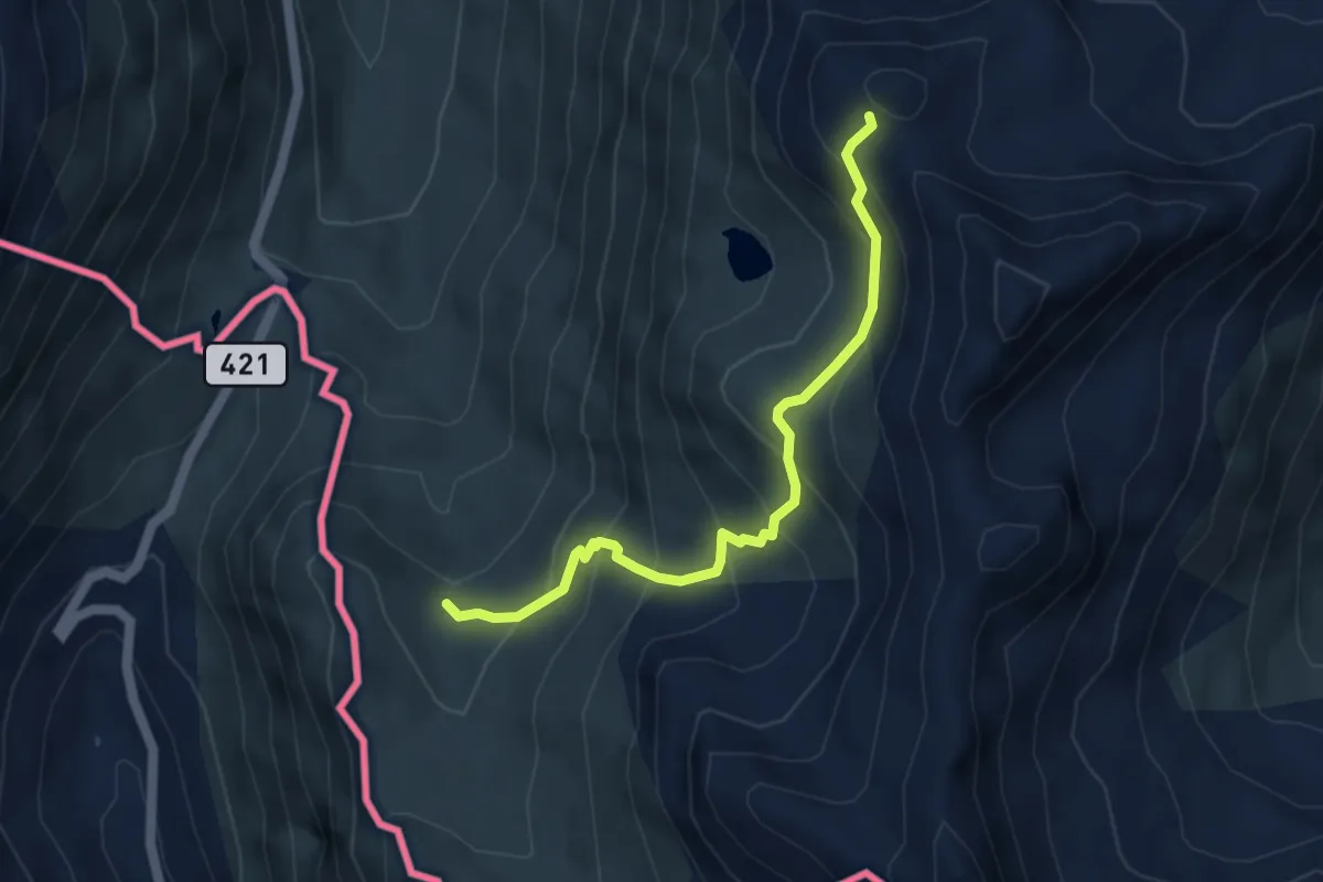
Medium · Trail
111 – Monte Vago
4.5 km · ↑ 420 m · 1 h 58 min · 13 km away
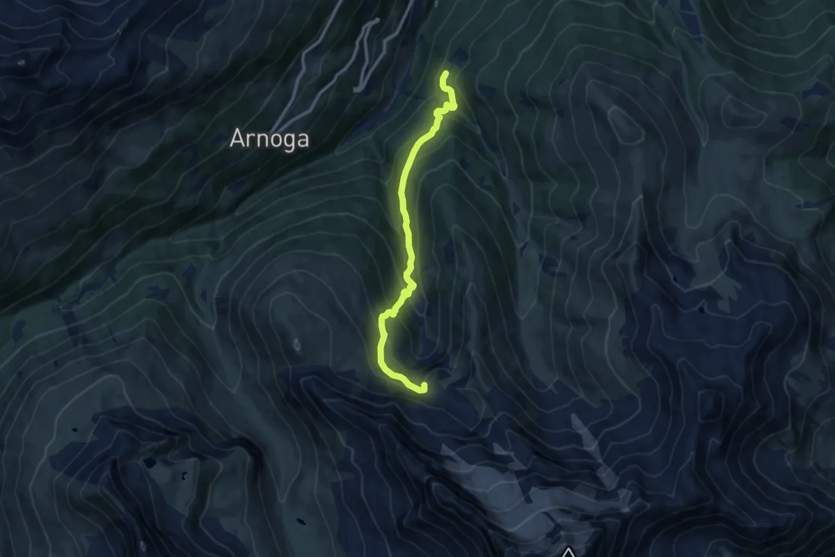
Medium · Trail
Prescedont – Innesto 208 - Bivacco Ferrario
9.4 km · ↑ 682 m · 3 h 41 min · 13 km away
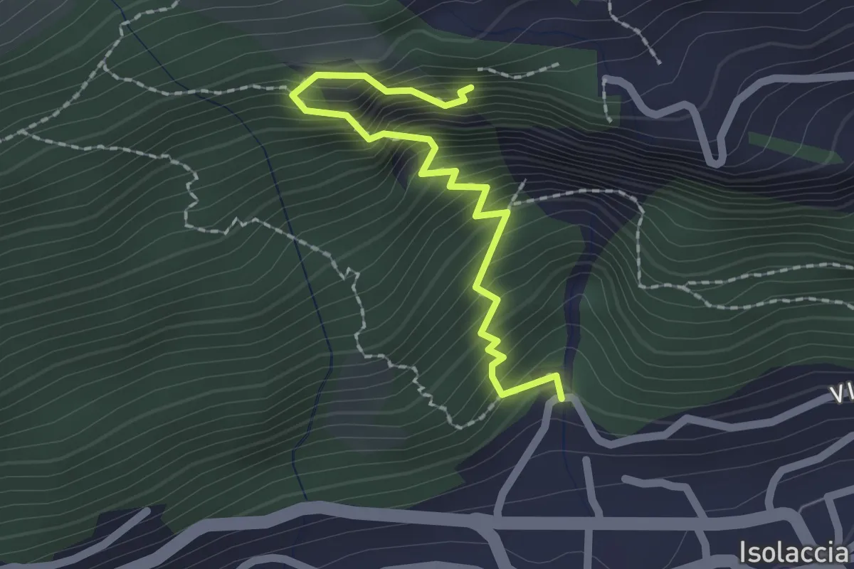
Medium · Trail
Torrente Rio Scianna – 196
2.0 km · ↑ 386 m · 1 h 19 min · 13 km away
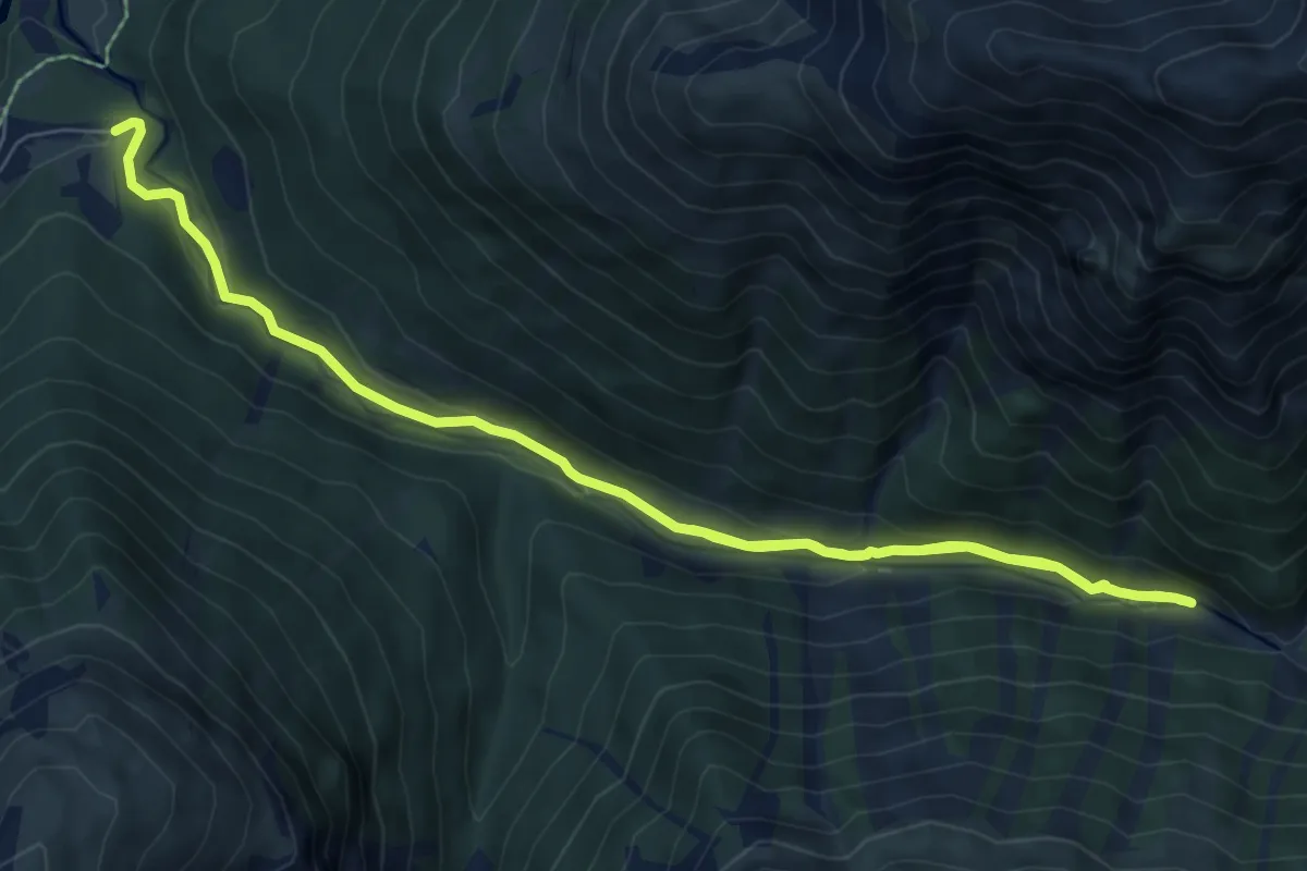
Medium · Cabin
Alp Purcher – Prasüras Parkplatz
10.7 km · ↑ 311 m · 3 h 12 min · 13 km away
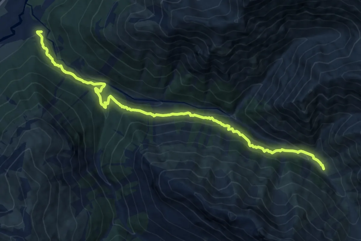
Demanding · Trail
Prasüras Parkplatz – Alp Trupchun
14.9 km · ↑ 903 m · 5 h 29 min · 13 km away
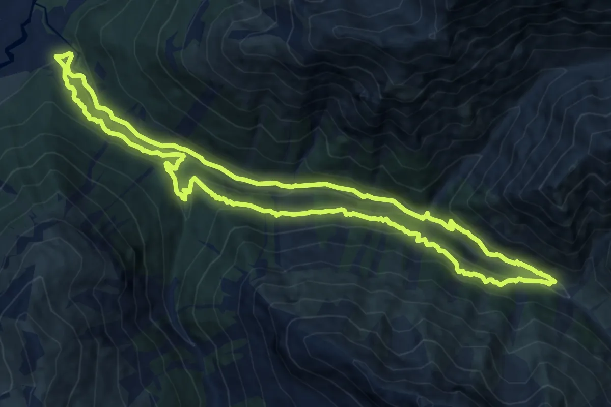
Medium · Trail
Senda Val Trupchun
12.7 km · ↑ 598 m · 4 h 29 min · 13 km away
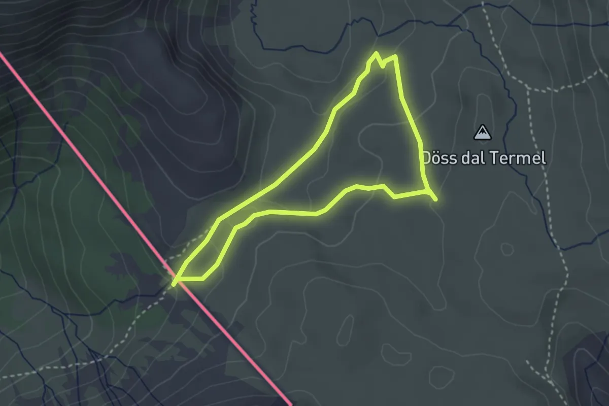
Medium · Trail
Chasa da Cunfin – Fuorcla dal Gal
2.7 km · ↑ 80 m · 50 min · 13 km away
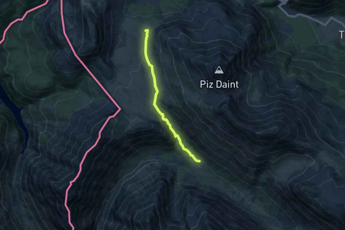
Medium · Summit
Alp Mora – Doss da las Plattas
7.9 km · ↑ 347 m · 2 h 37 min · 13 km away
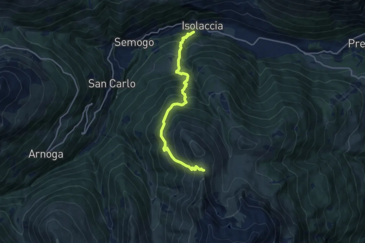
Demanding · Trail
Via Zardin (Isolaccia) – Innesto 208
11.8 km · ↑ 1134 m · 5 h 15 min · 13 km away
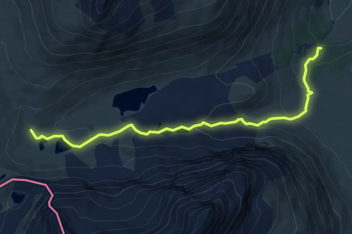
Expert · Trail
Innesto Sentiero 291 – Innesto Sentiero 208
7.3 km · ↑ 262 m · 2 h 17 min · 13 km away
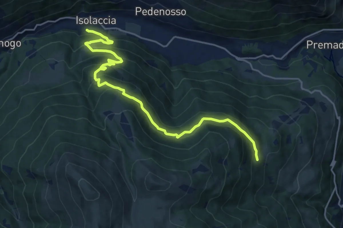
Demanding · Trail
Via Zardin (Isolaccia) – Innesto 280
14.7 km · ↑ 931 m · 5 h 30 min · 13 km away
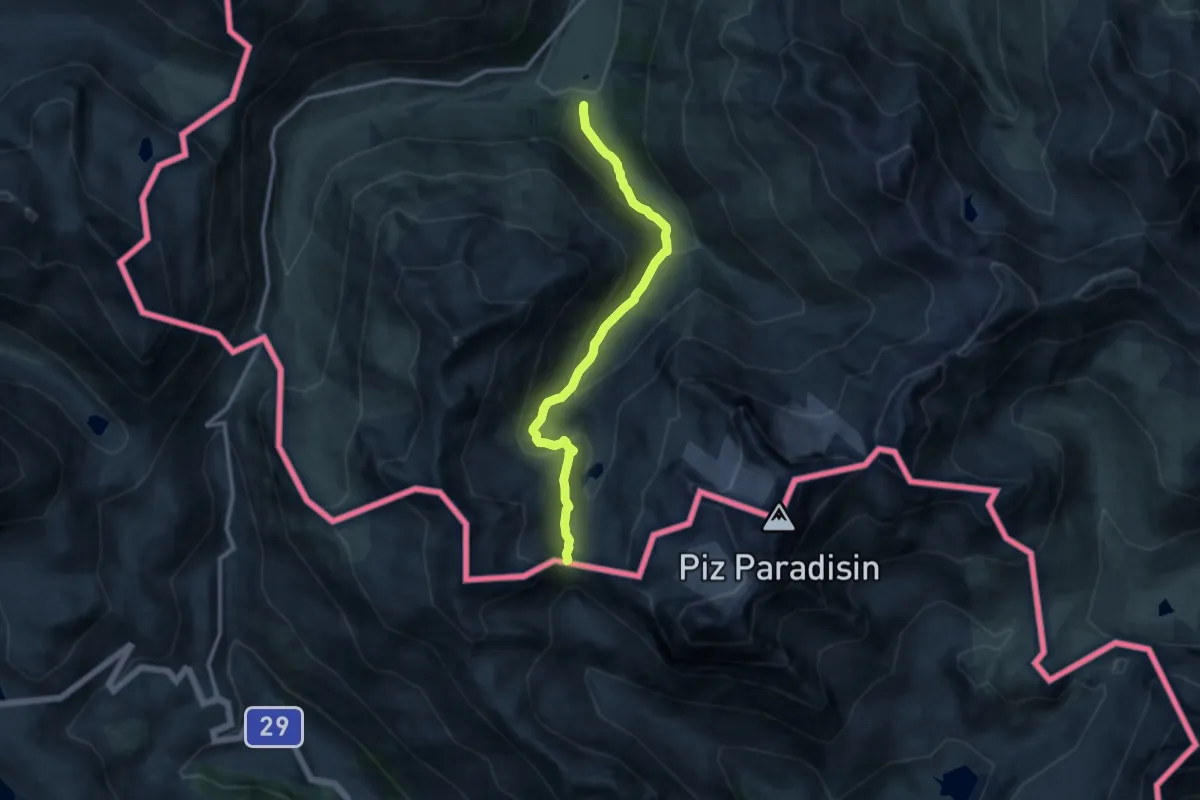
Medium · Trail
Innesto Sentiero 113 – Innesto Sentiero 113
10.6 km · ↑ 676 m · 3 h 58 min · 13 km away
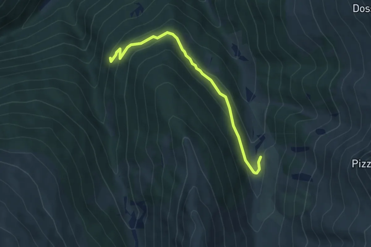
Easy · Trail
Innesto Sentiero 288 – Innesto Sentiero 208
5.0 km · ↑ 218 m · 1 h 39 min · 13 km away