Trails near Livigno
134 hikes starting within 15 km, nearest first.
Nearest first, page 3 of 3
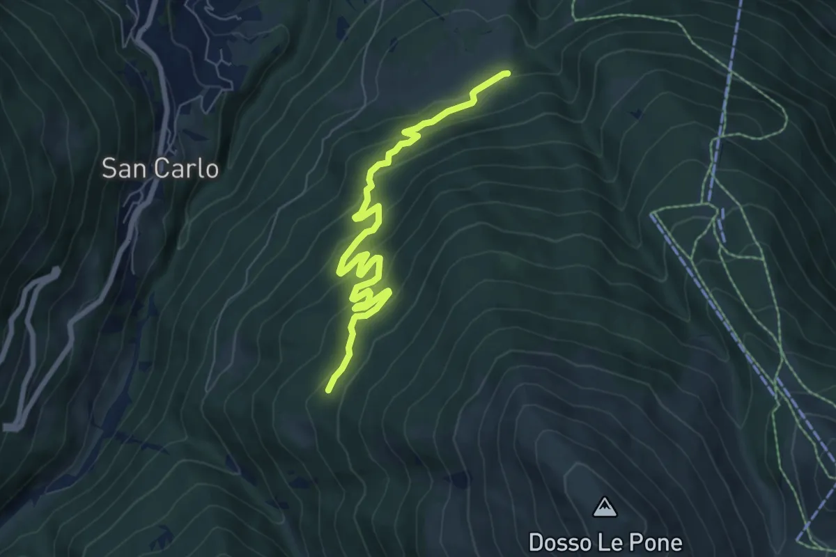
Medium · Trail
Innesto Sentiero 285 – Innesto Sentiero 209
7.2 km · ↑ 409 m · 2 h 35 min · 13 km away
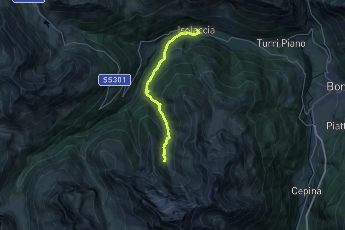
Demanding · Trail
Via Nazionale (Isolaccia) – Bivacco Monte Cantoni
15.9 km · ↑ 965 m · 5 h 50 min · 13 km away
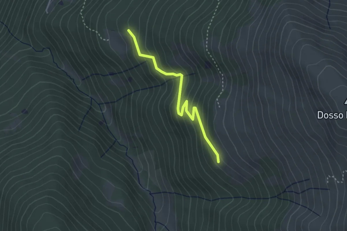
Easy · Trail
Innesto Sentiero 209 – Innesto Sentiero 208
3.0 km · ↑ 214 m · 1 h 11 min · 13 km away
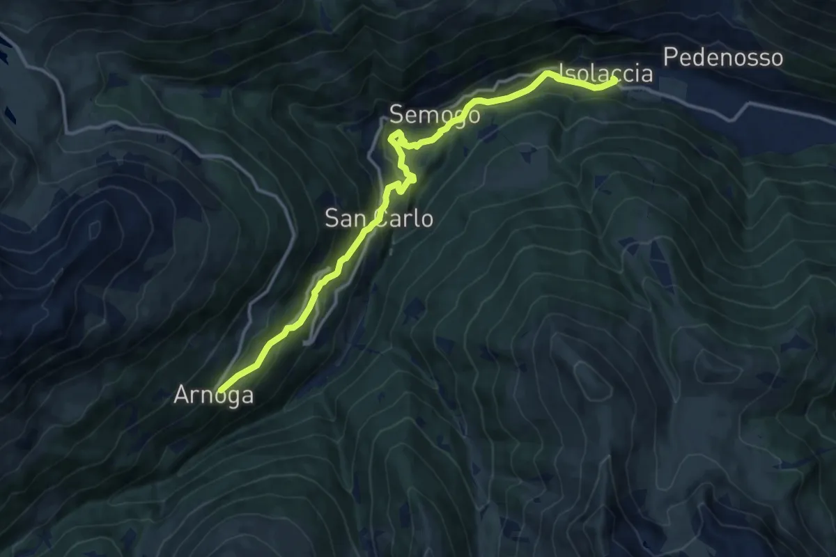
Medium · Trail
SS301 - Via Nazionale (Isolaccia) – Arnoga
13.6 km · ↑ 627 m · 4 h 34 min · 13 km away
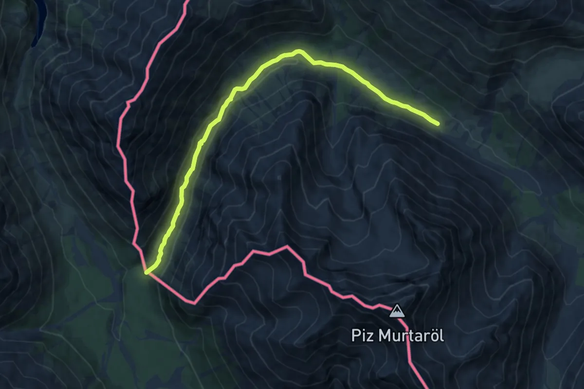
Medium · Trail
Val Mora - Grenze (- San Giacomo di Fraele)
11.4 km · ↑ 150 m · 3 h 1 min · 13 km away
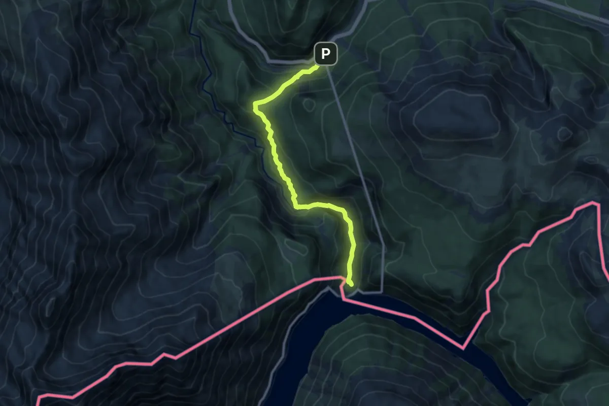
Medium · Trail
Punt dal Gal – Punt la Drossa
9.7 km · ↑ 479 m · 3 h 19 min · 14 km away
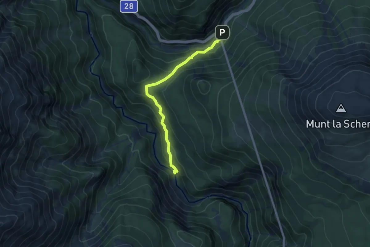
Medium · Trail
Punt la Drossa – Punt Periv
5.3 km · ↑ 299 m · 1 h 54 min · 14 km away
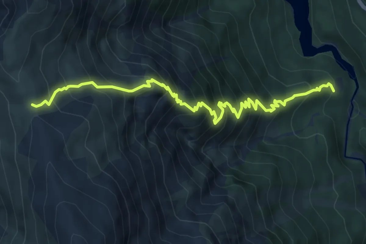
Demanding · Trail
Plan Praspöl – Murter
7.4 km · ↑ 865 m · 3 h 38 min · 14 km away
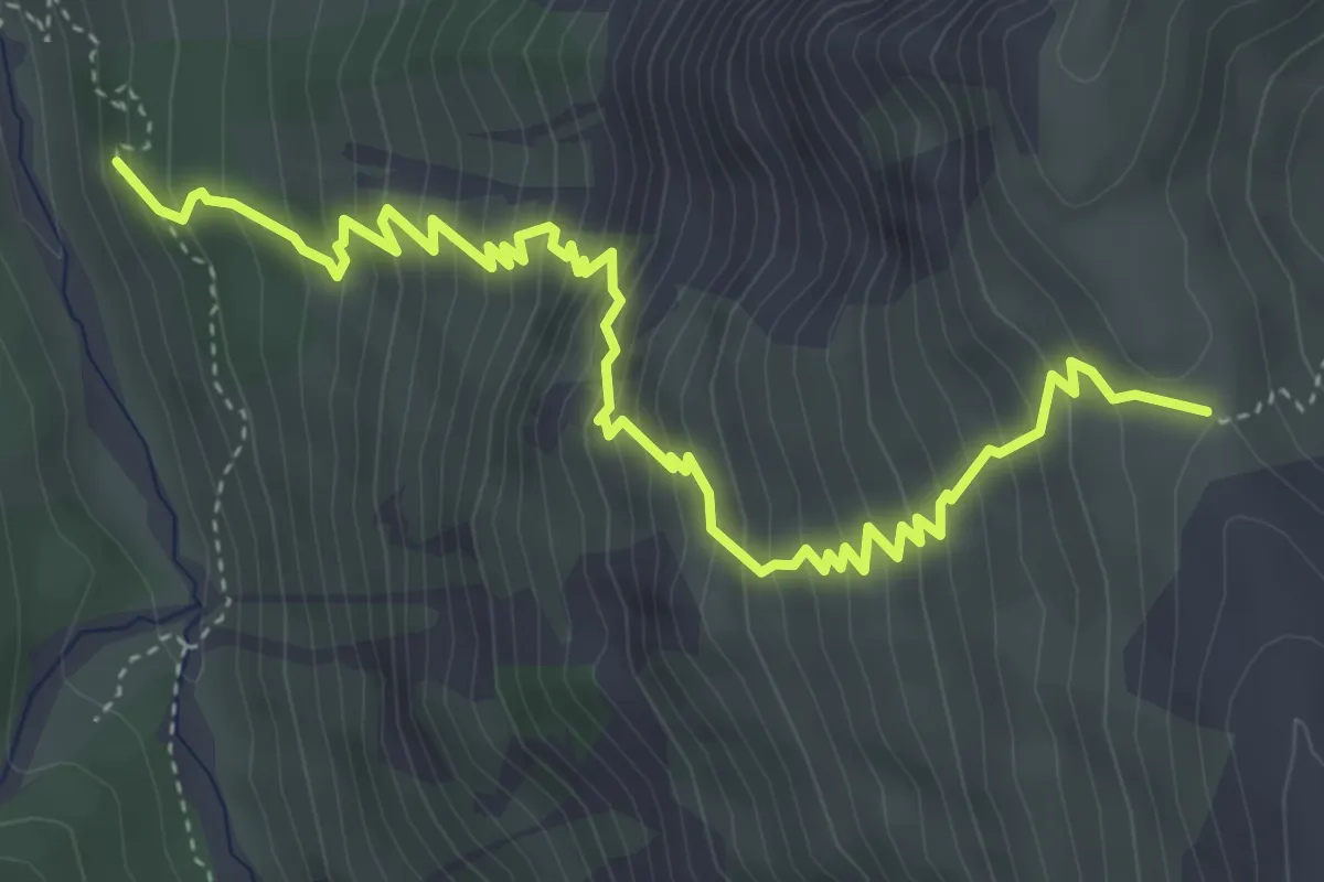
Medium · Cabin
Chamanna Cluozza – Murter
5.5 km · ↑ 674 m · 2 h 46 min · 14 km away
Easy · Trail
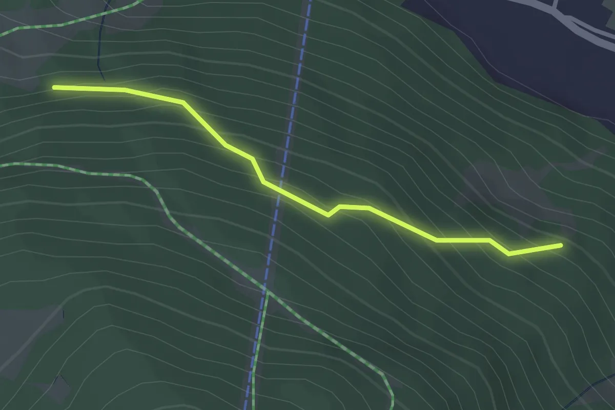
Innesto Sentiero 283 – Innesto Sentiero 284
2.5 km · ↑ 260 m · 1 h 9 min · 14 km away
Medium · Summit
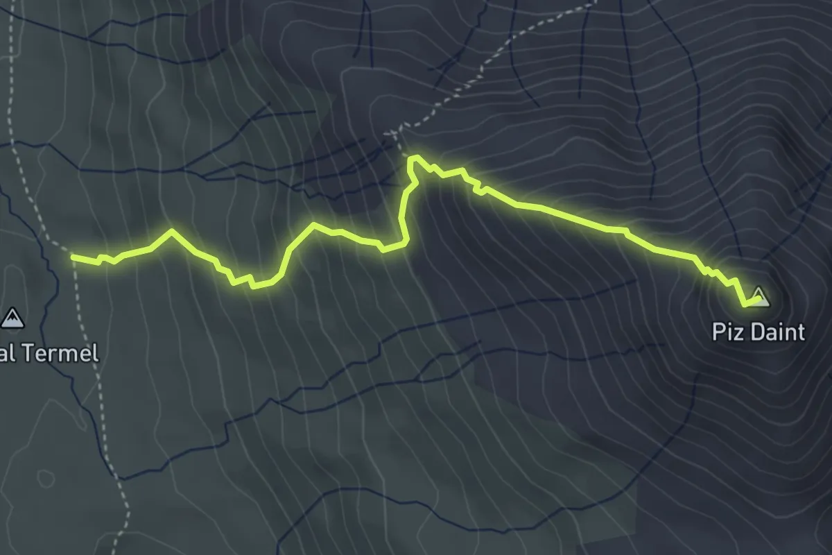
Doss dal Termel – Piz Daint
4.5 km · ↑ 605 m · 2 h 22 min · 14 km away
Easy · Trail
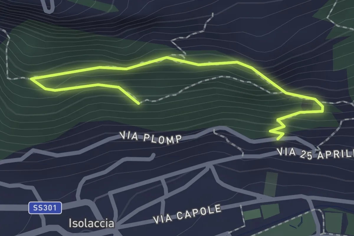
Via Plomp (Isolaccia) – Parco Faunistico
2.2 km · ↑ 210 m · 59 min · 14 km away
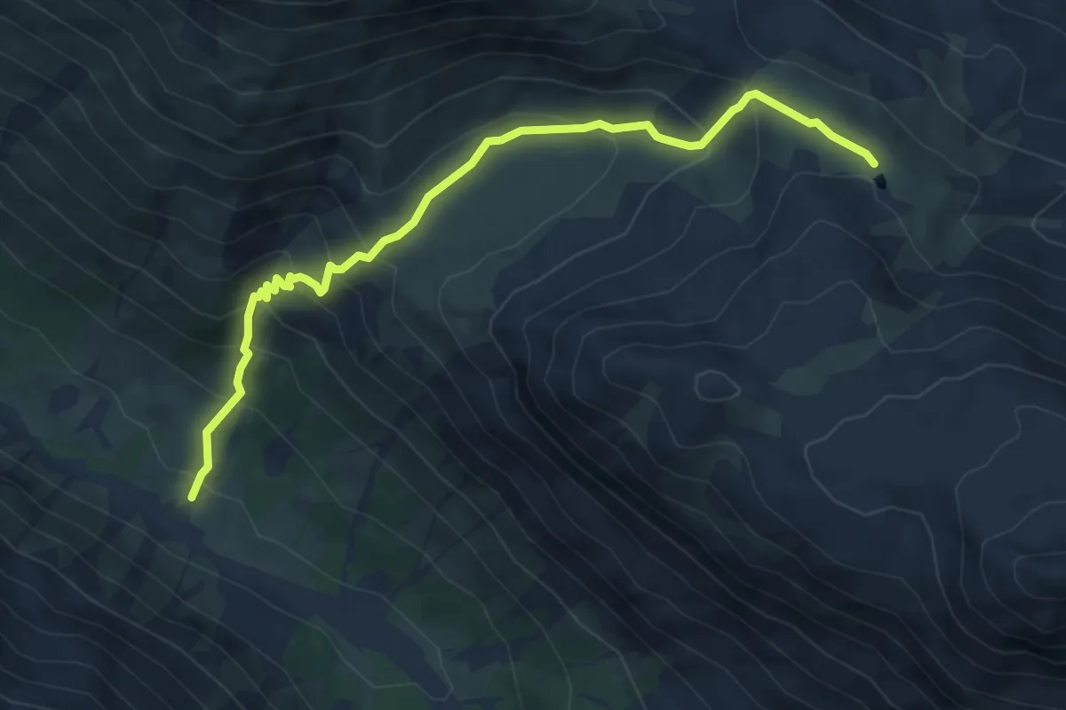
Medium · Trail
Alp Sprella – Lai da Chazfora
6.3 km · ↑ 494 m · 2 h 33 min · 14 km away
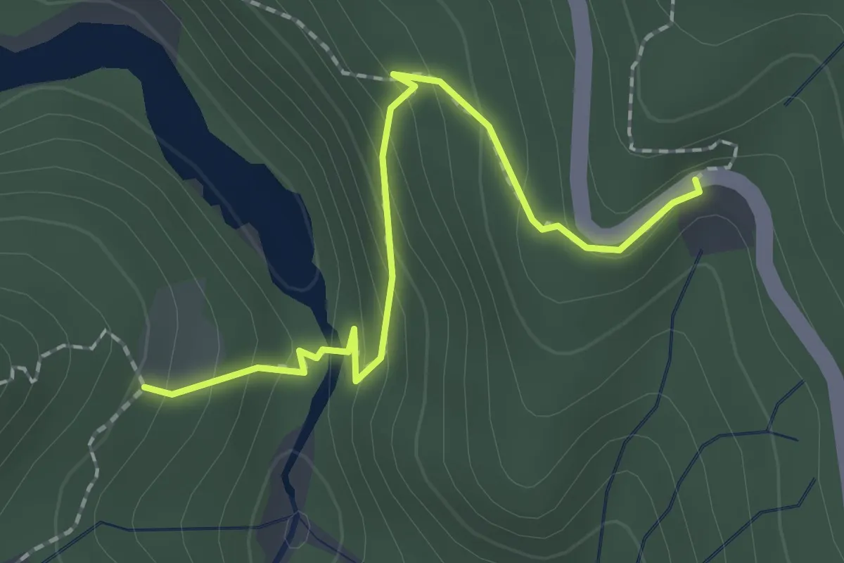
Medium · Trail
Vallun Chafuol – Plan Praspöl
2.0 km · ↑ 117 m · 44 min · 14 km away
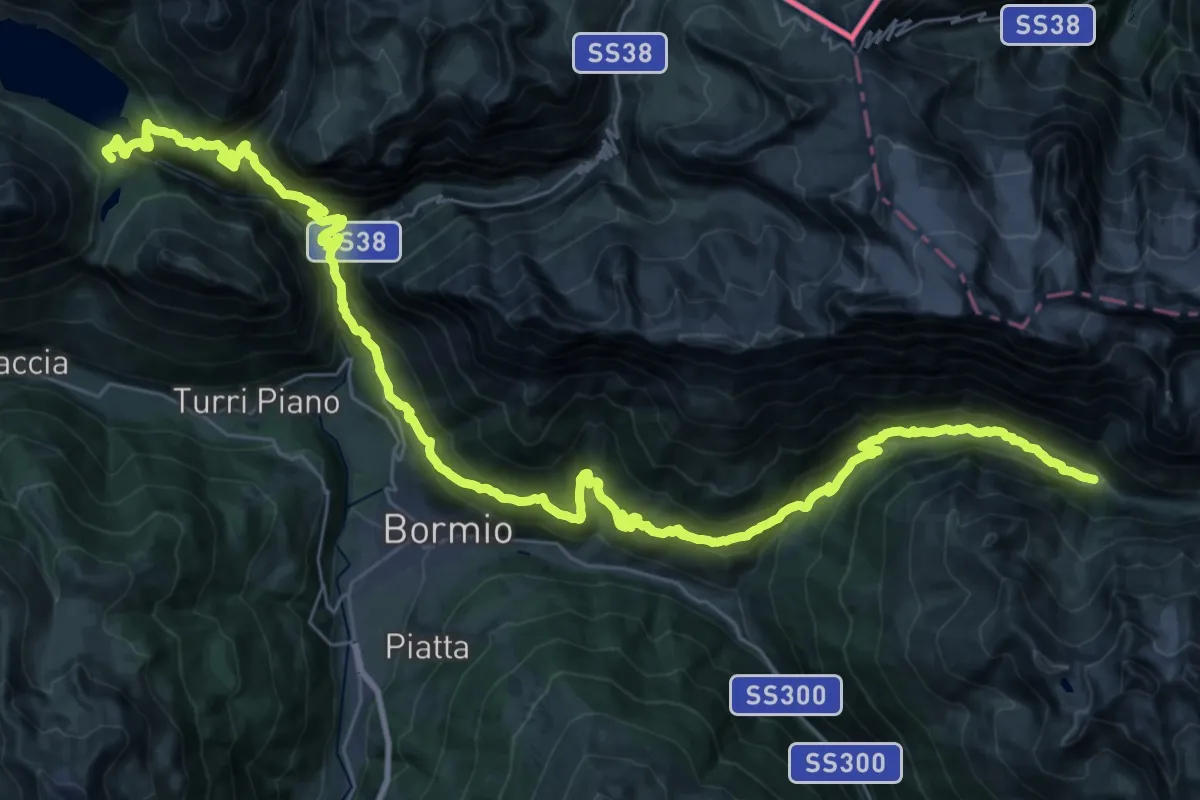
Demanding · Cabin
Rifugio Monte alle Scale (Cancano) – Rifugio Campo
24.6 km · ↑ 1307 m · 8 h 57 min · 14 km away
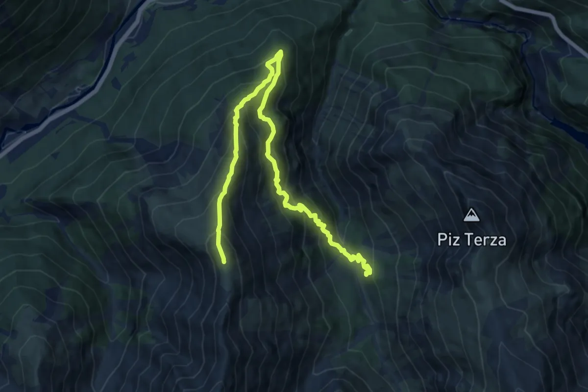
Demanding · Summit
Chamanna Cluozza – Murtaröl
13.1 km · ↑ 1315 m · 5 h 57 min · 14 km away
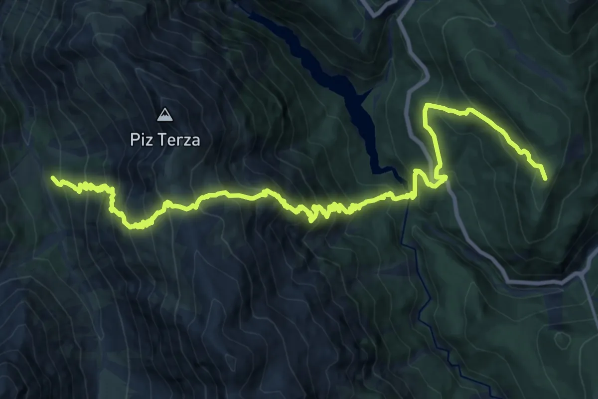
Demanding · Summit
Nationalpark Panoramaweg
20.1 km · ↑ 1982 m · 9 h 3 min · 14 km away
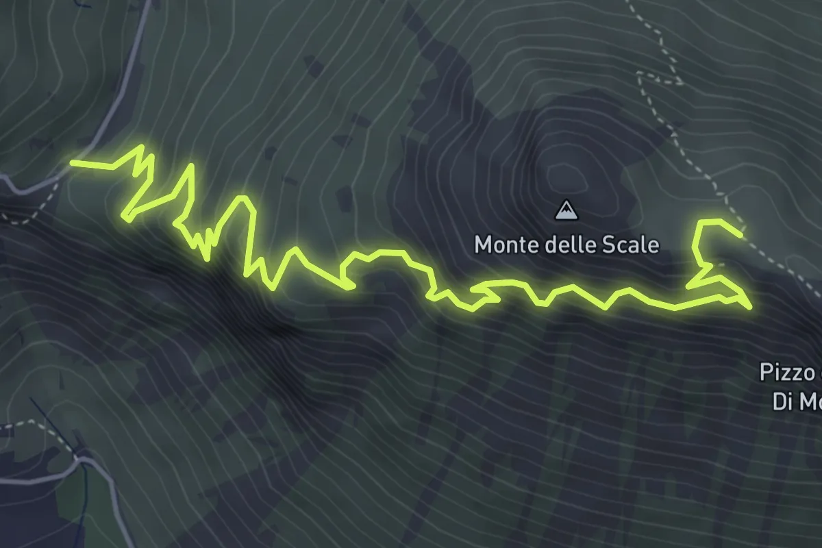
Demanding · Trail
Innesto Percorso 197 – Innesto Percorso 199
6.6 km · ↑ 688 m · 3 h 2 min · 14 km away
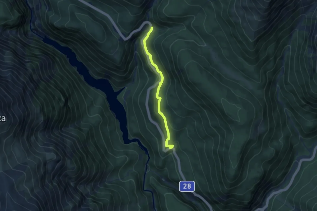
Medium · Trail
Vallun Chafuol – P1
4.6 km · ↑ 236 m · 1 h 35 min · 14 km away
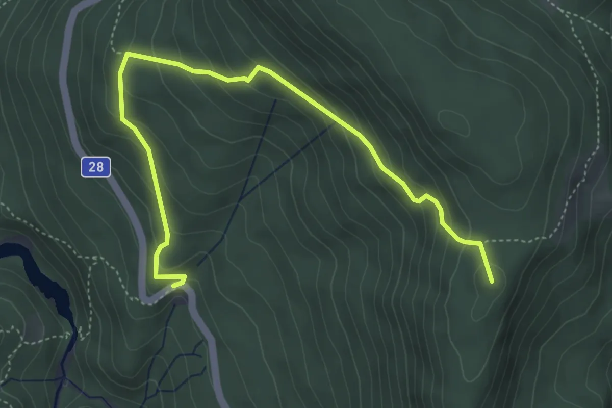
Medium · Summit
Vallun Chafuol – Alp Grimmels
5.2 km · ↑ 346 m · 1 h 58 min · 14 km away
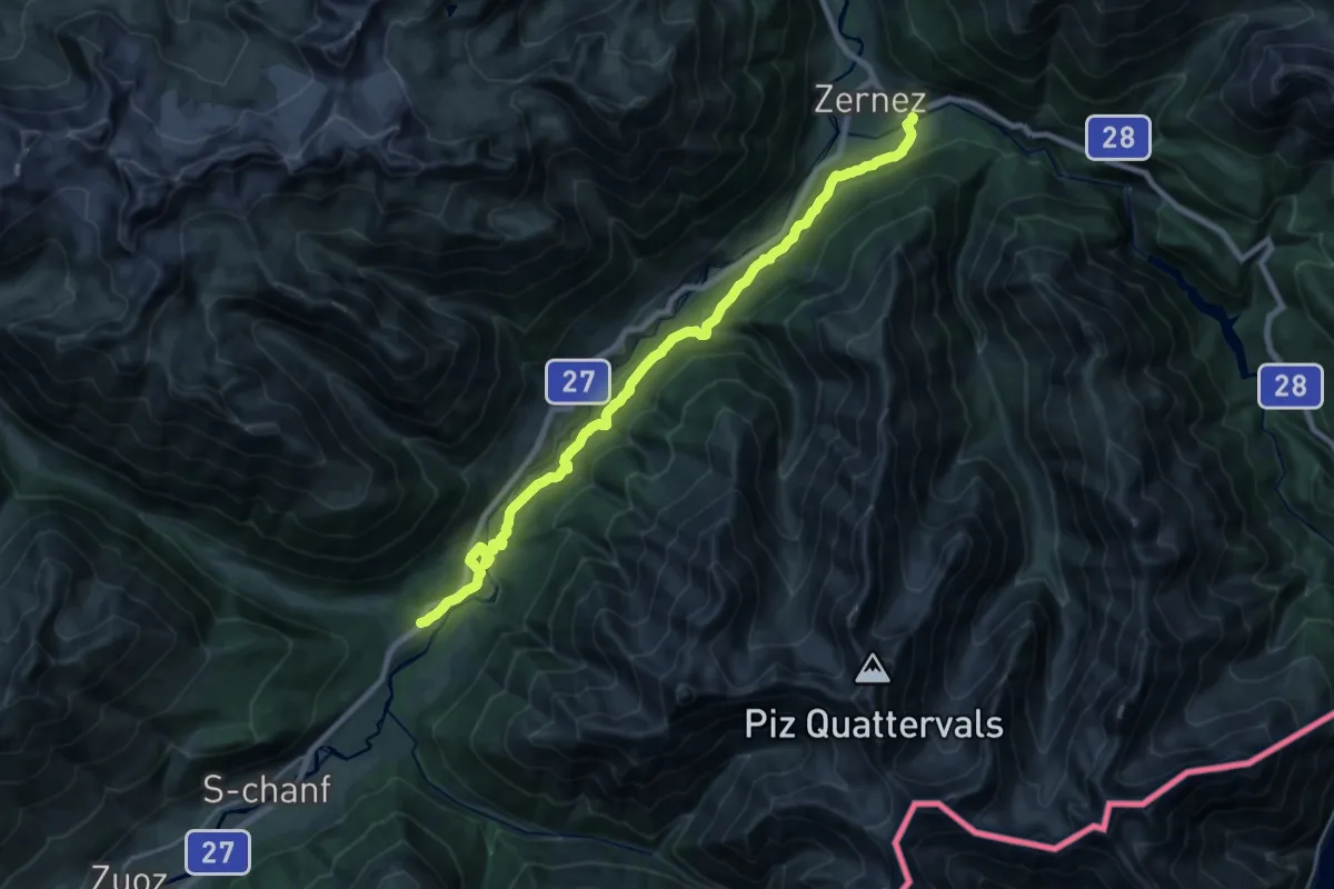
Demanding · Trail
Zernez Pra da Punt – Chapella
23.0 km · ↑ 754 m · 7 h 3 min · 14 km away
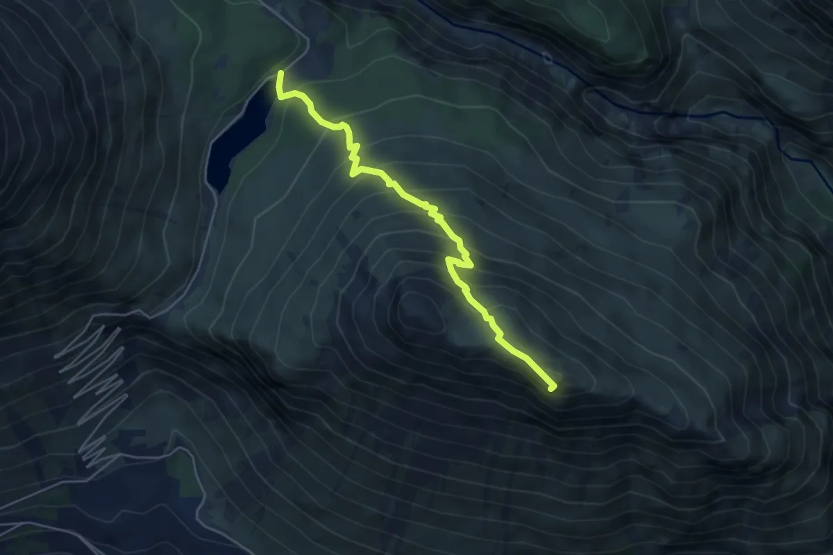
Expert · Summit
Lago delle Scale – Croce delle Scale
4.9 km · ↑ 514 m · 2 h 16 min · 14 km away
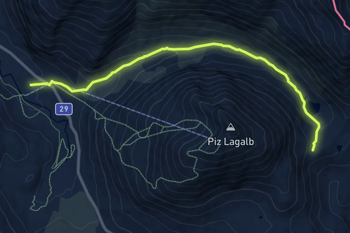
Medium · Trail
Bernina Lagalb – Fuorcla Minor
9.2 km · ↑ 338 m · 2 h 54 min · 14 km away
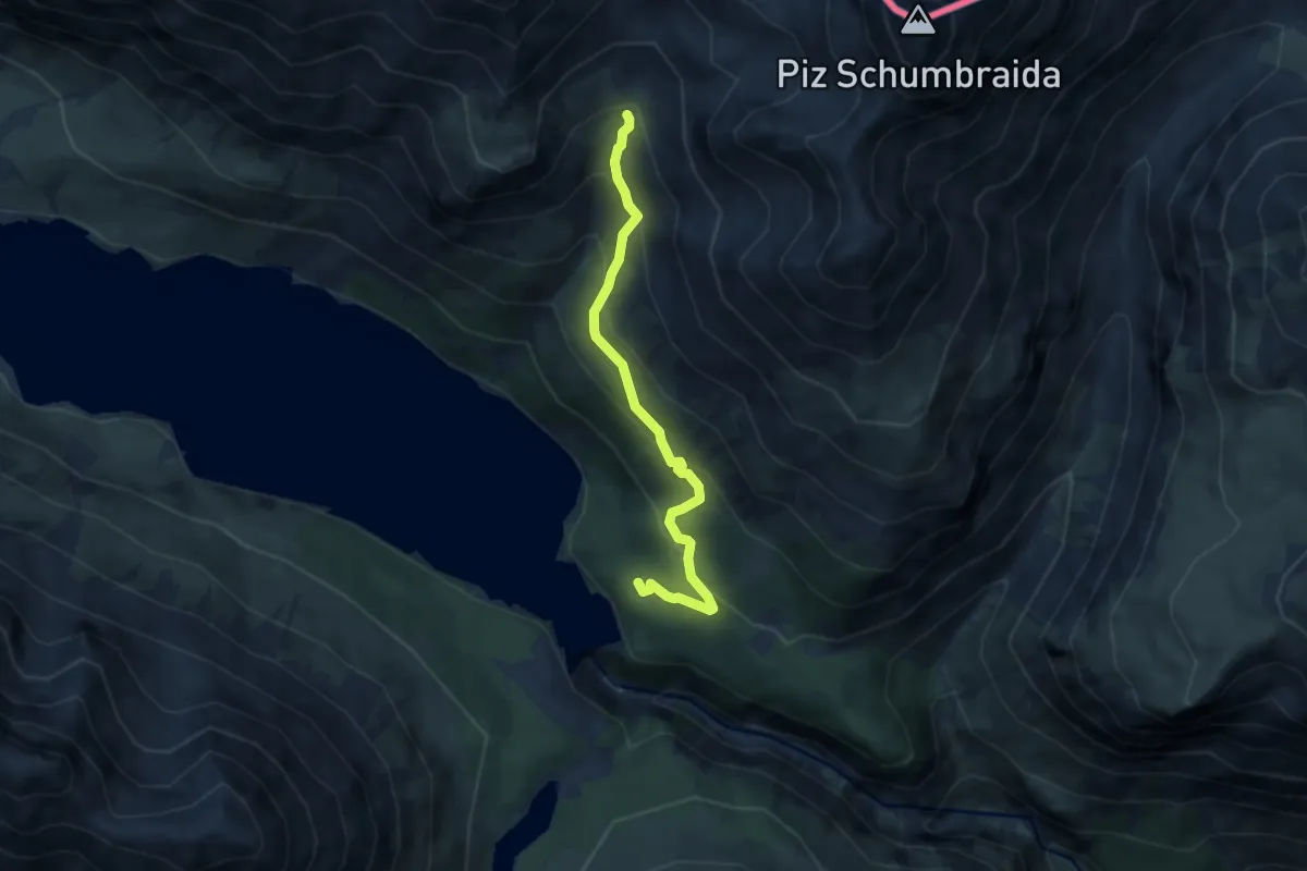
Medium · Trail
Innesto Sentiero 145 – Torrente Val Cancano
6.3 km · ↑ 489 m · 2 h 33 min · 14 km away
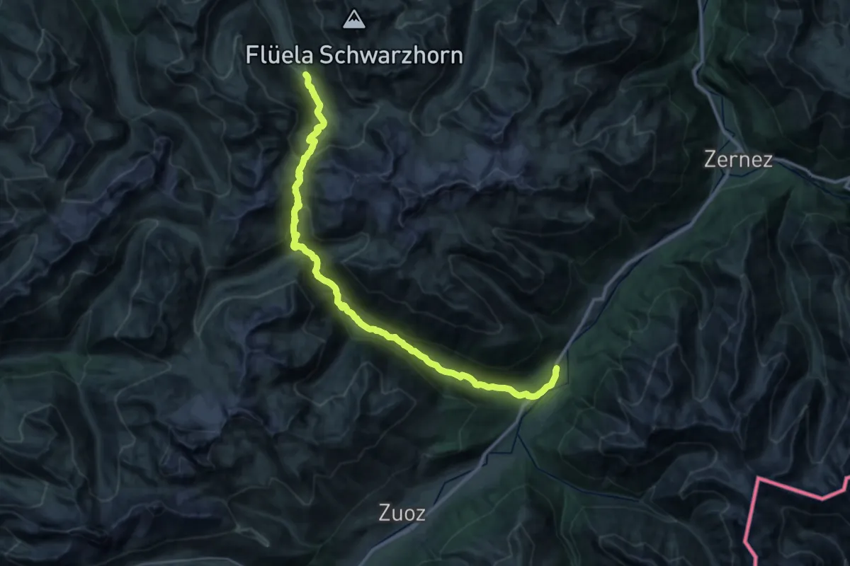
Demanding · Cabin
Via son Giachen
17.8 km · ↑ 1031 m · 6 h 30 min · 14 km away
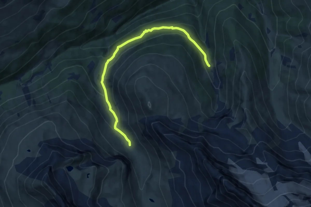
Medium · Trail
Innesto 288 – Innesto 208 - Torrente Val Verva
9.5 km · ↑ 469 m · 3 h 16 min · 14 km away
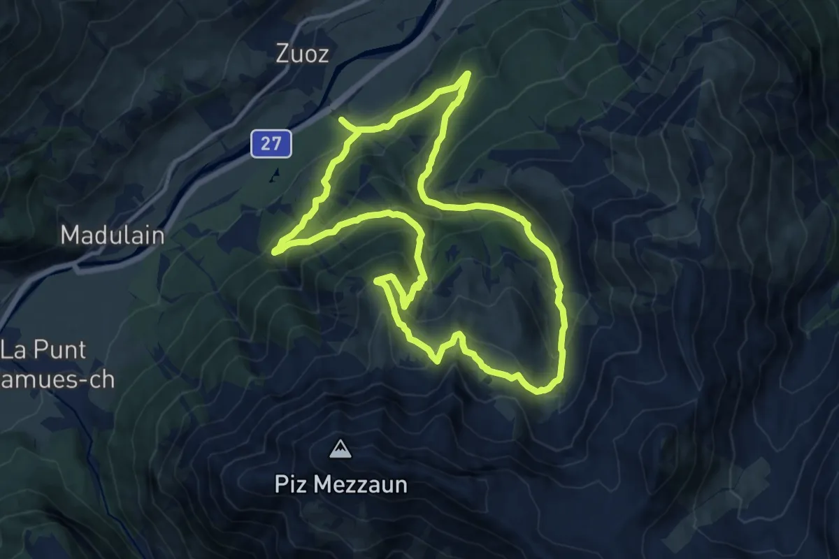
Demanding · Trail
Zuoz – Lei da Prestinaun
11.7 km · ↑ 839 m · 4 h 45 min · 14 km away
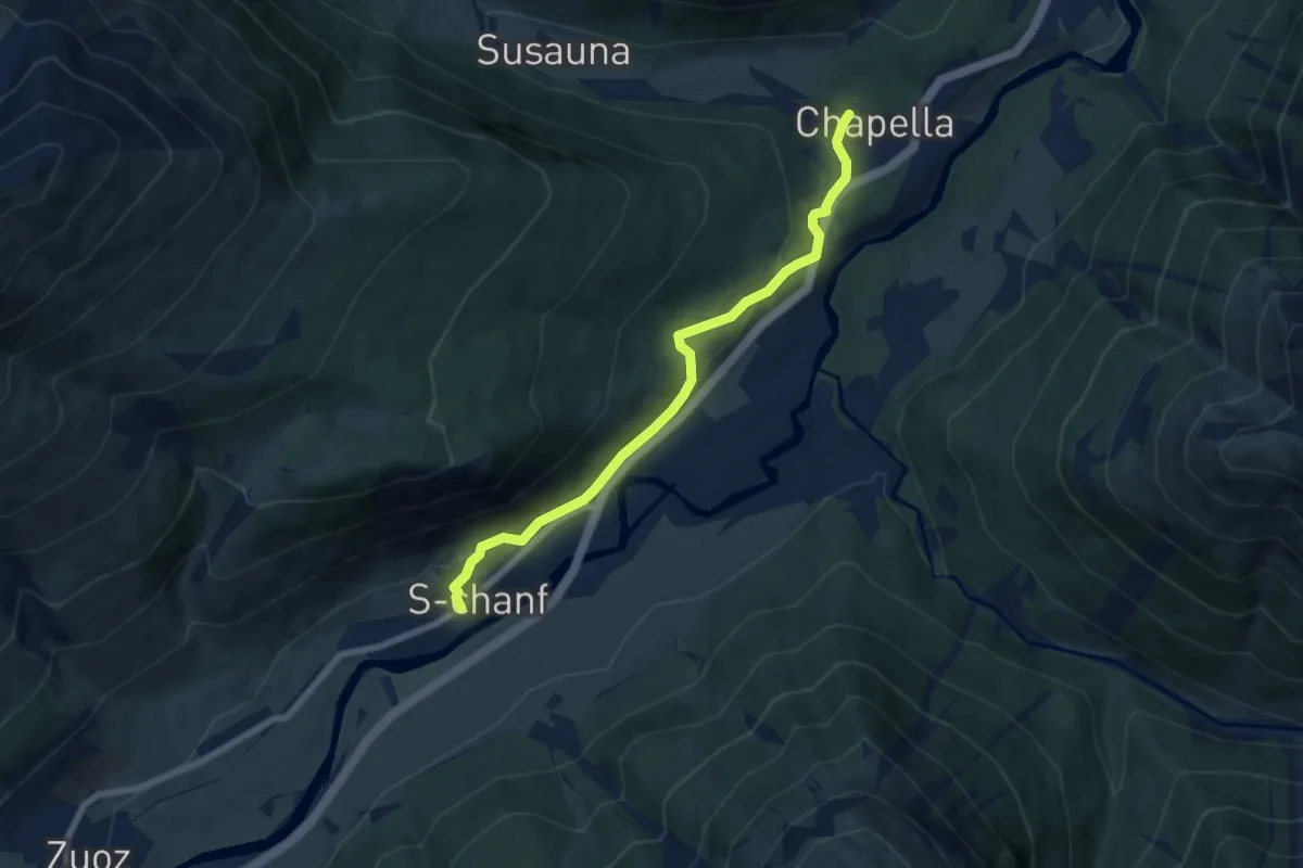
Easy · Trail
S-chanf – Chapella
7.1 km · ↑ 209 m · 2 h 8 min · 14 km away
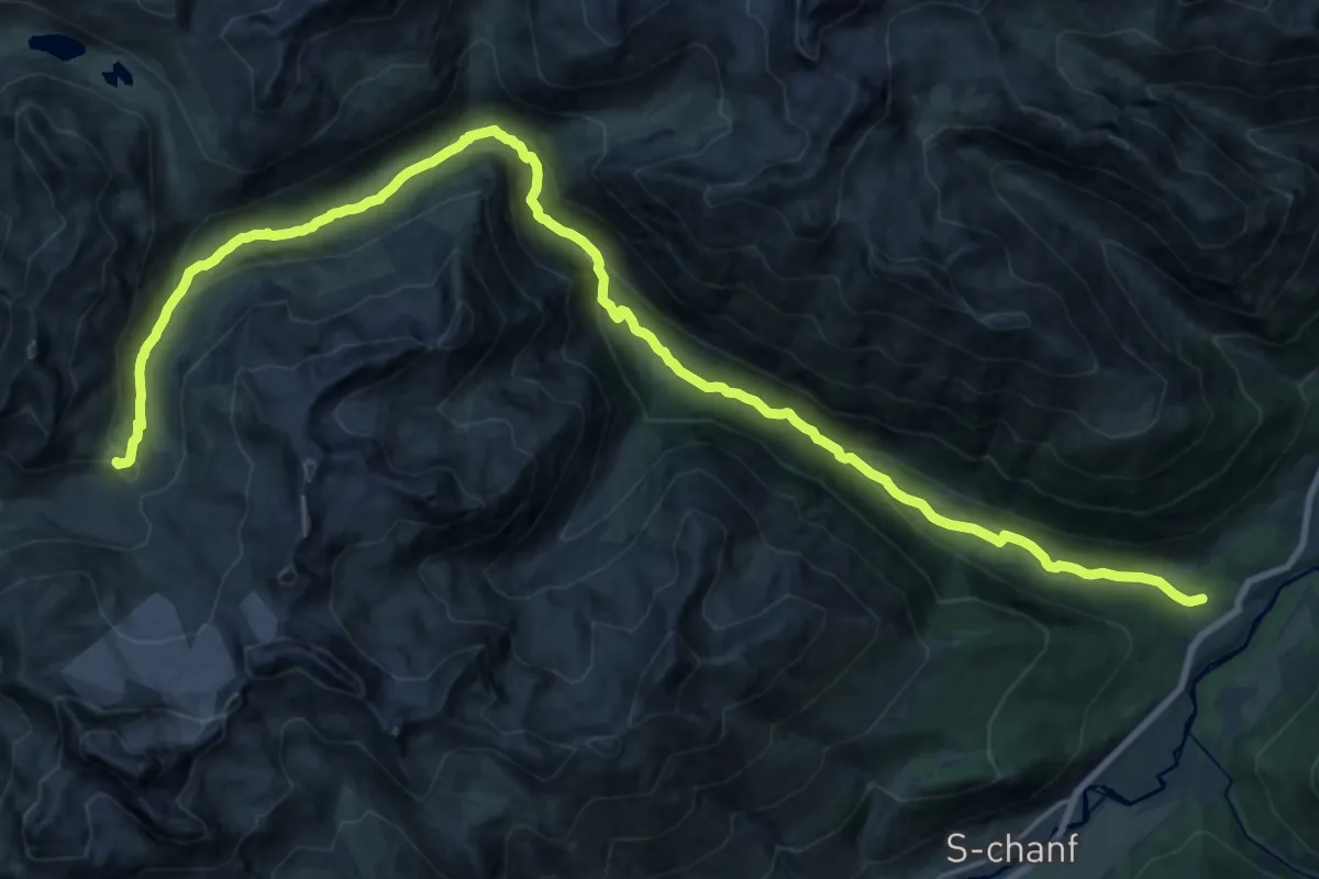
Demanding · Cabin
Chapella – Keschhütte
14.5 km · ↑ 990 m · 5 h 17 min · 14 km away
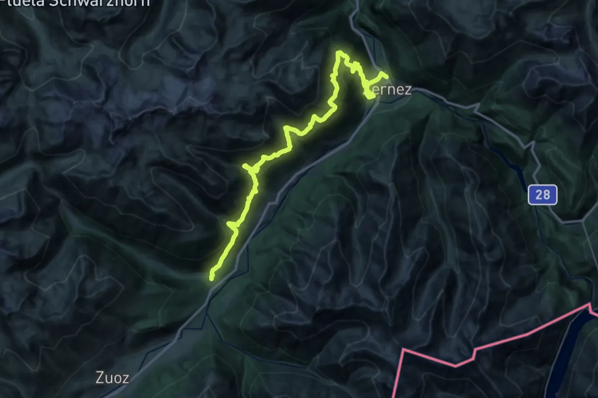
Demanding · Trail
Zernez – Chapella
18.9 km · ↑ 1276 m · 7 h 35 min · 14 km away
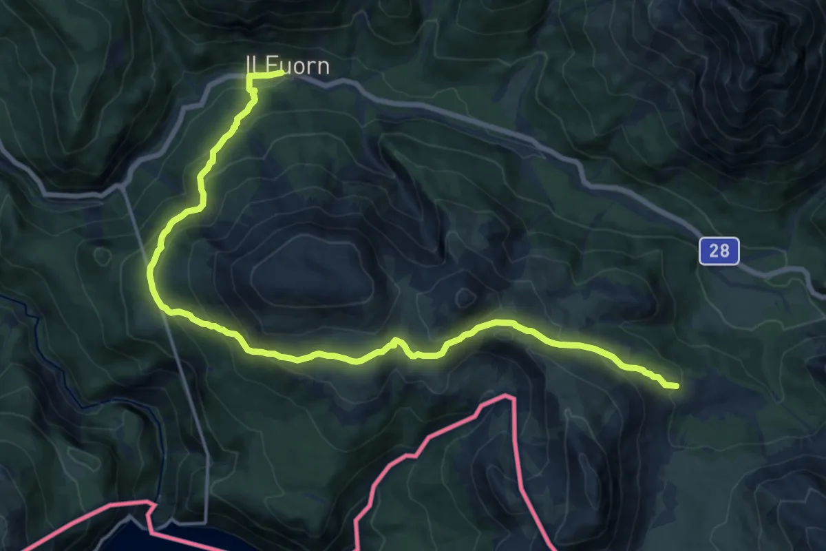
Demanding · Trail
Nationalpark Panoramaweg
17.8 km · ↑ 946 m · 6 h 16 min · 15 km away
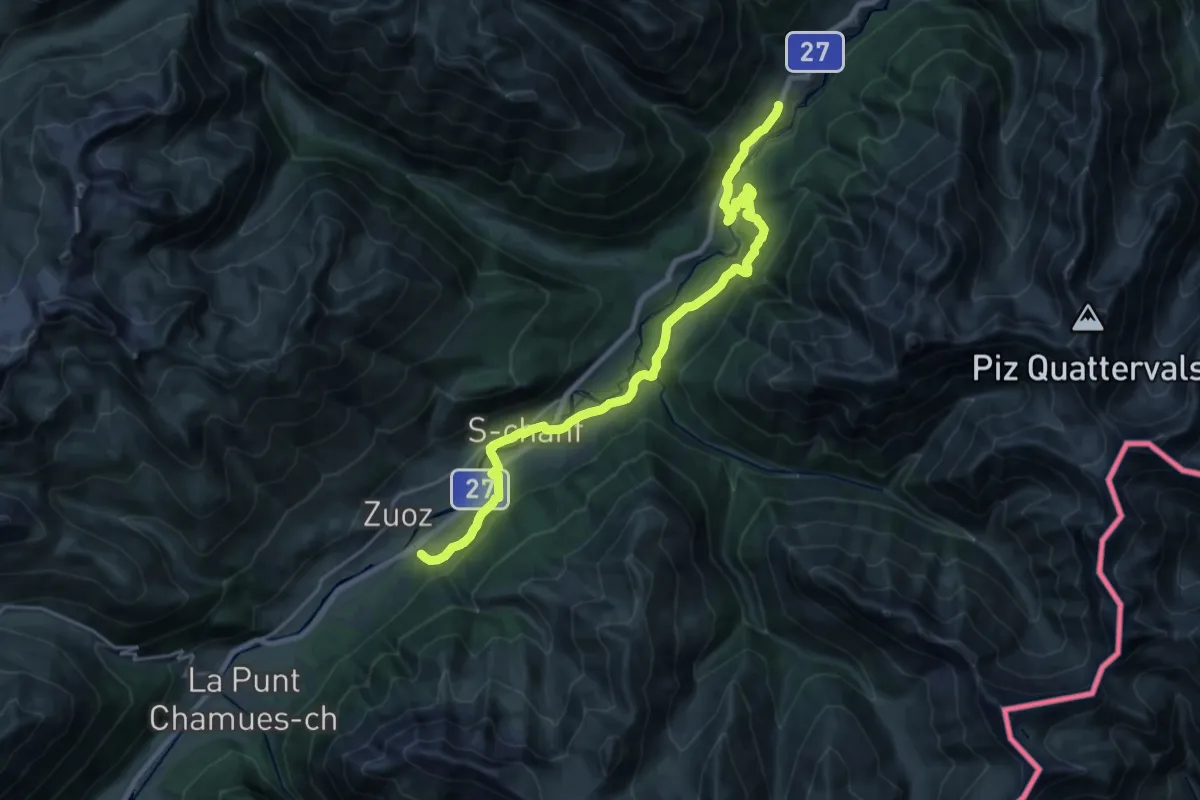
Demanding · Trail
Resgia – Brail
24.4 km · ↑ 624 m · 7 h 7 min · 15 km away
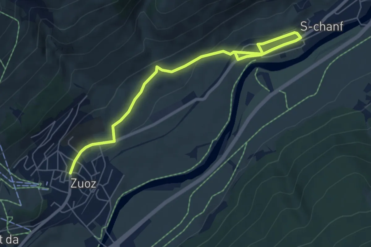
Easy · Trail
Zuoz – S-chanf
6.3 km · ↑ 168 m · 1 h 51 min · 15 km away
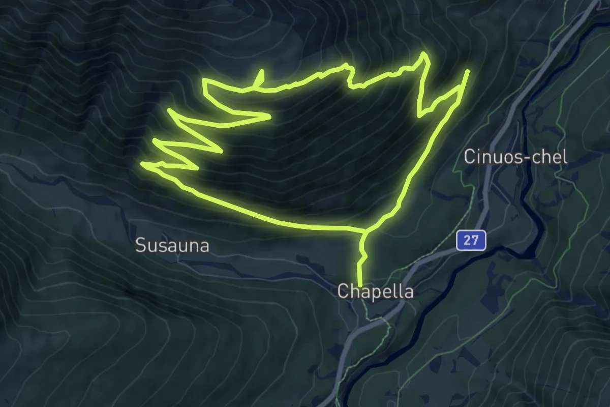
Medium · Trail
Chapella – Murter
10.6 km · ↑ 757 m · 4 h 18 min · 15 km away
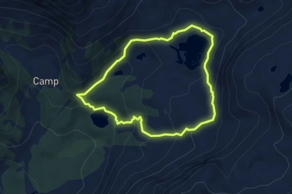
Medium · Trail
Sentiero Val da Camp
4.5 km · ↑ 271 m · 1 h 43 min · 15 km away
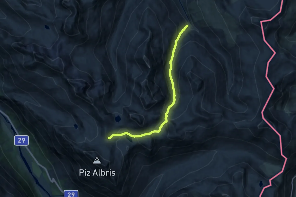
Demanding · Trail
Alp Pruenela – Fuorcla Pischa
12.7 km · ↑ 875 m · 4 h 54 min · 15 km away
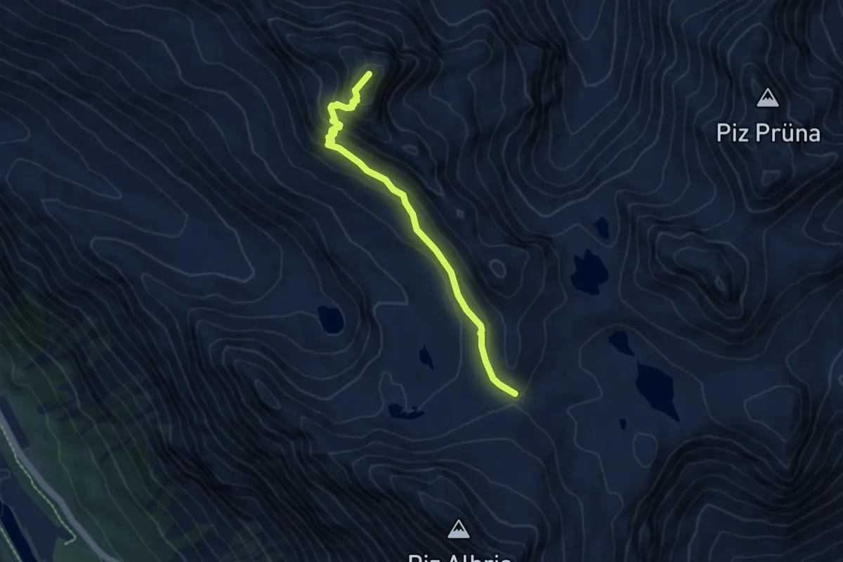
Demanding · Summit
Fuorcla Pischa – Georgy's Hütte
5.6 km · ↑ 425 m · 2 h 15 min · 15 km away
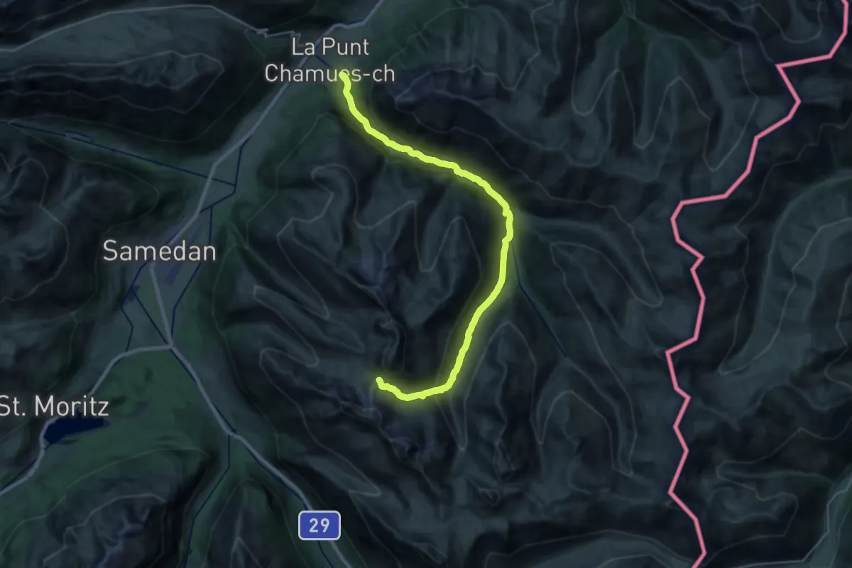
Medium · Trail
Chamues-ch – Fuorcla Muragl
13.1 km · ↑ 133 m · 4 h 9 min · 15 km away