Trails near Loano
91 hikes starting within 15 km, nearest first.
Nearest first, page 1 of 2
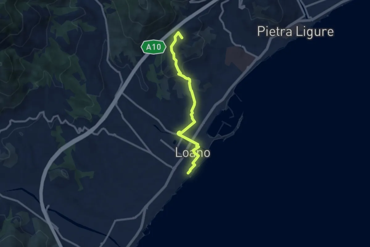
Easy · Summit
Sentiero Liguria – Loano
7.3 km · ↑ 180 m · 2 h 7 min · under 1 km away
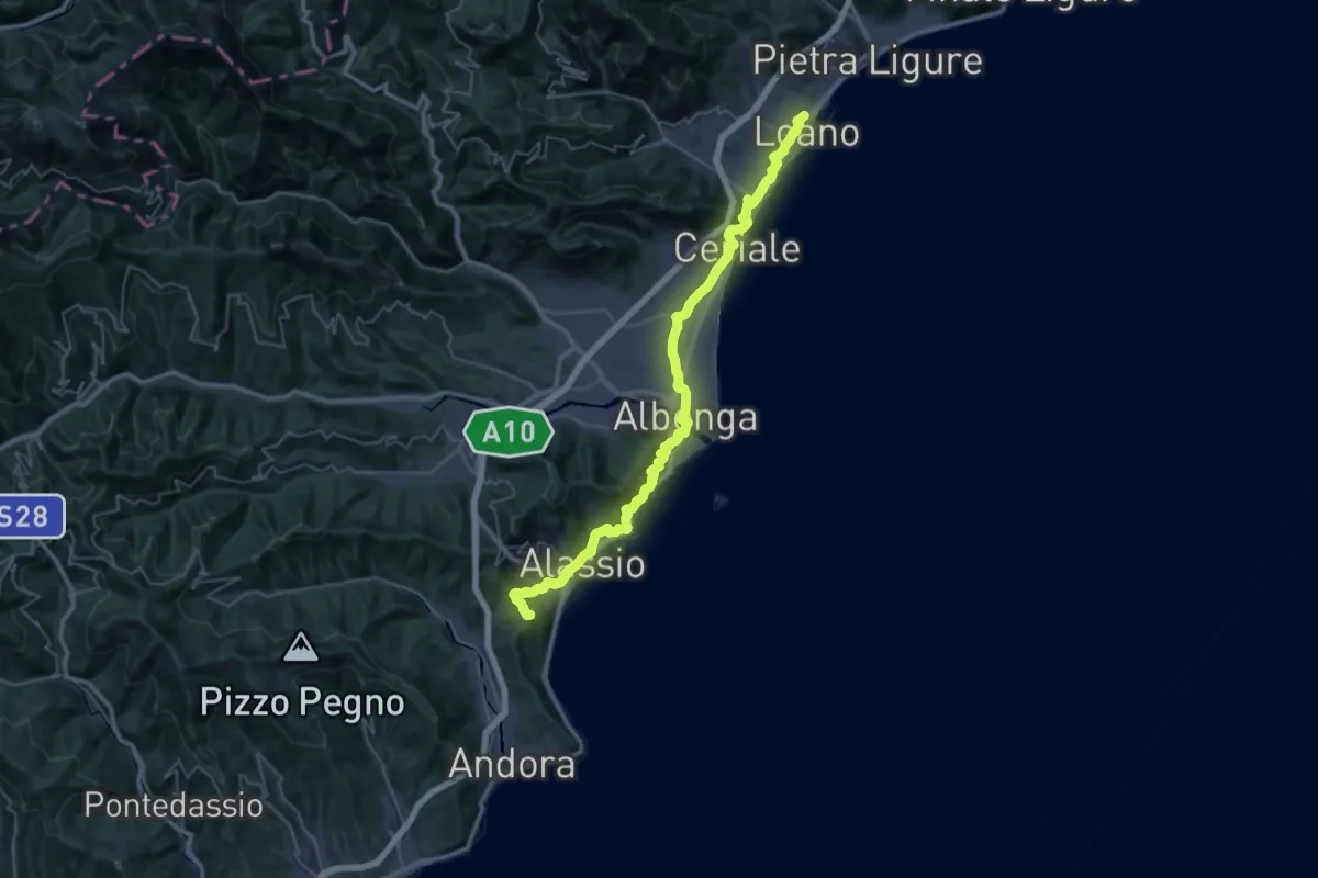
Demanding · Summit
Via della Costa - tappa 4
47.1 km · ↑ 1416 m · 14 h 11 min · under 1 km away
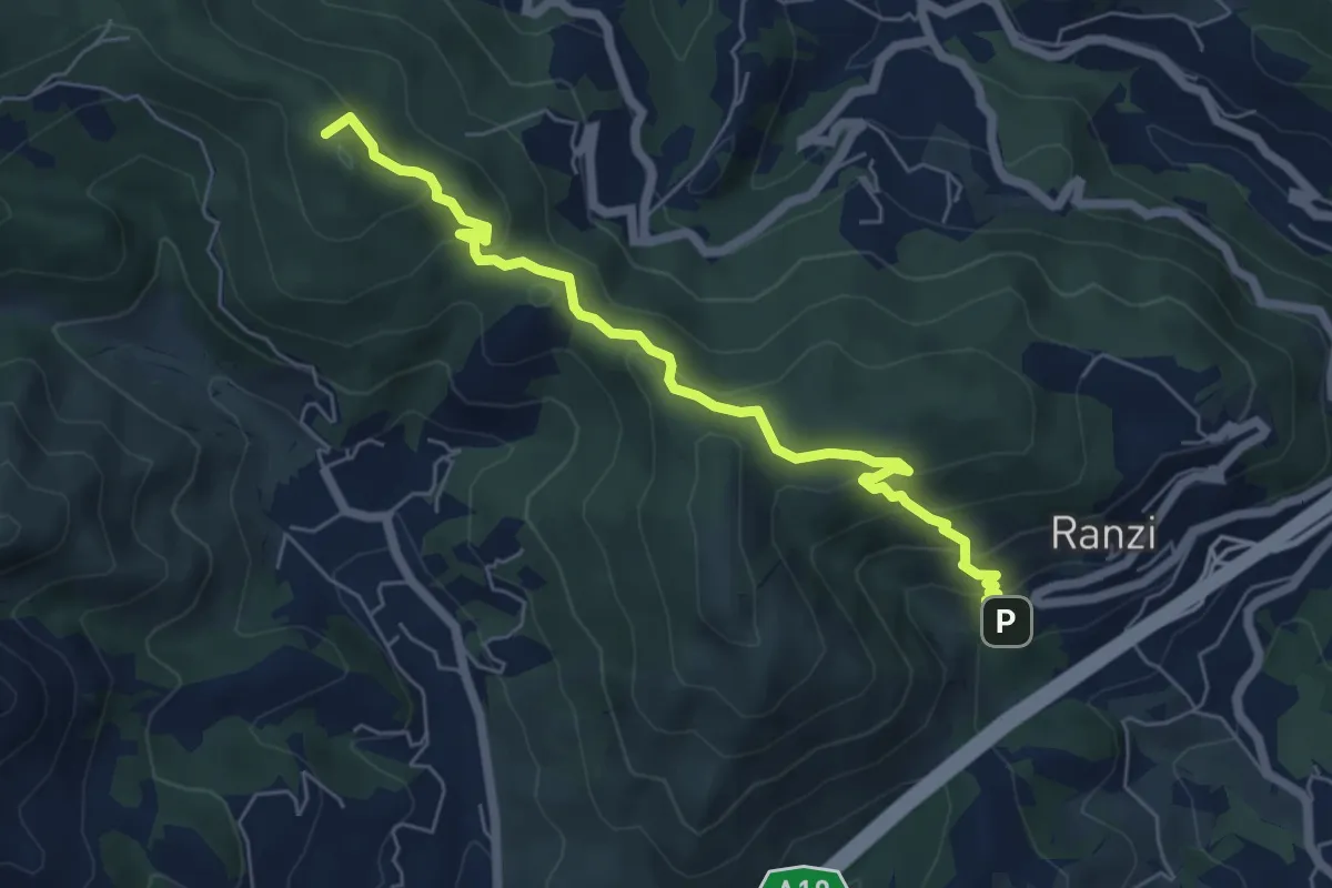
Medium · Summit
Ranzi - Rifugio Pian delle Bosse - Giogo di Giustenice
6.6 km · ↑ 402 m · 2 h 25 min · 3 km away
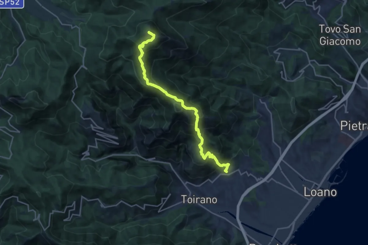
Demanding · Summit
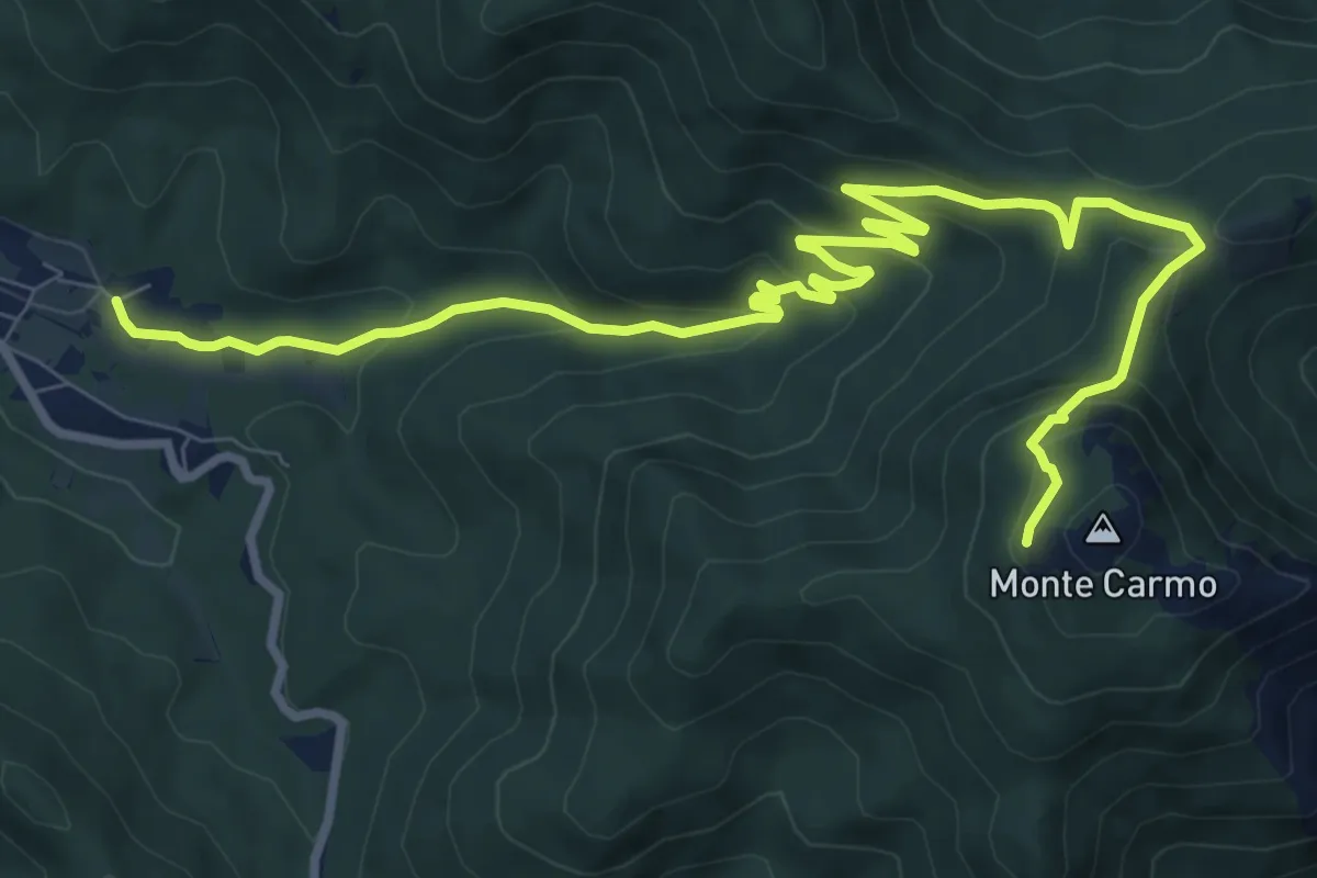
Boissano - Monte Carmo
25.4 km · ↑ 1896 m · 10 h 6 min · 3 km away
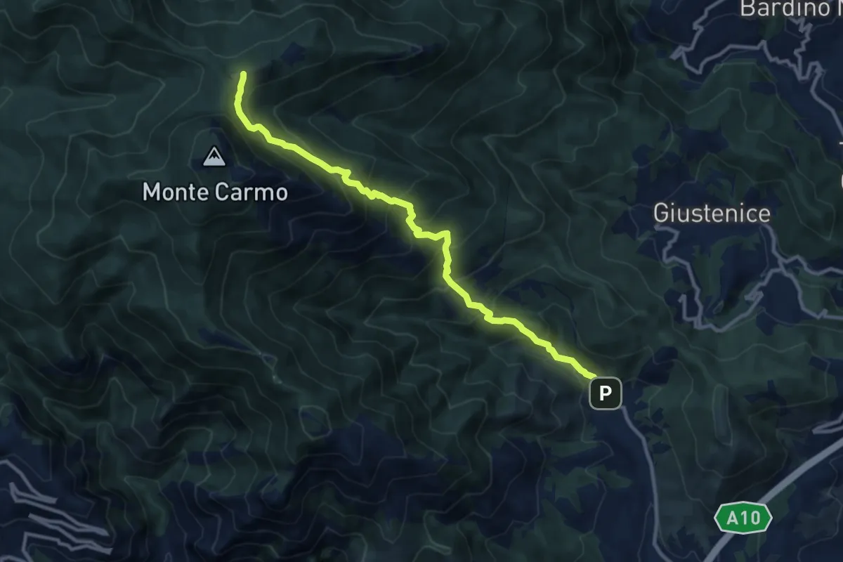
Demanding · Trail
Verzi – Giogo di Giustenice
11.3 km · ↑ 973 m · 4 h 47 min · 4 km away
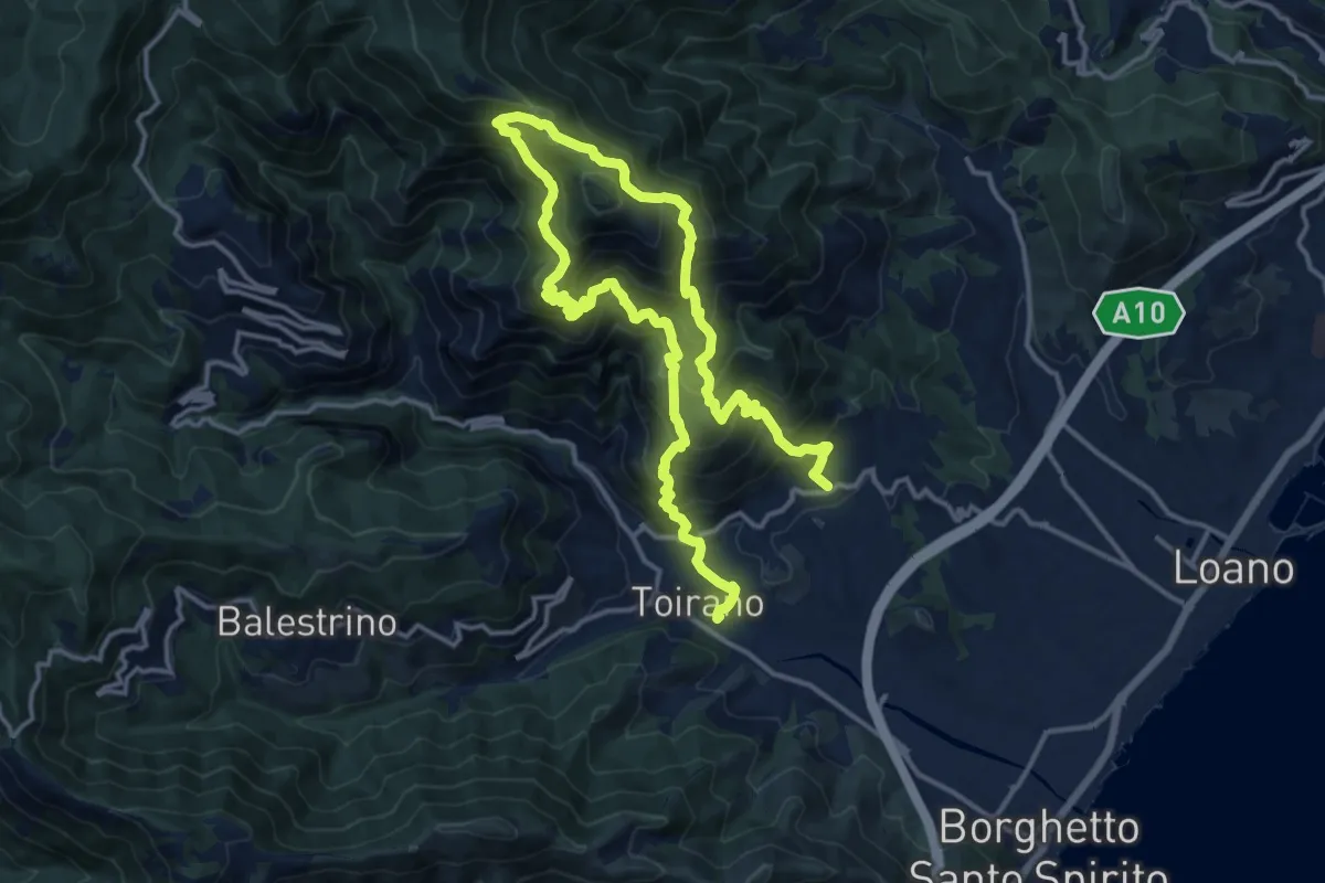
Demanding · Trail
Sentiero Liguria - Tappa 21
12.0 km · ↑ 1081 m · 5 h 19 min · 4 km away
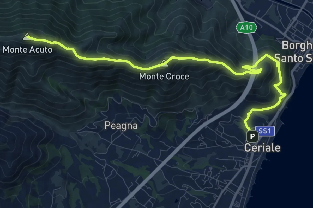
Demanding · Summit
Ceriale - Santuario di Monte Croce - Martinetto
13.0 km · ↑ 970 m · 5 h 10 min · 4 km away
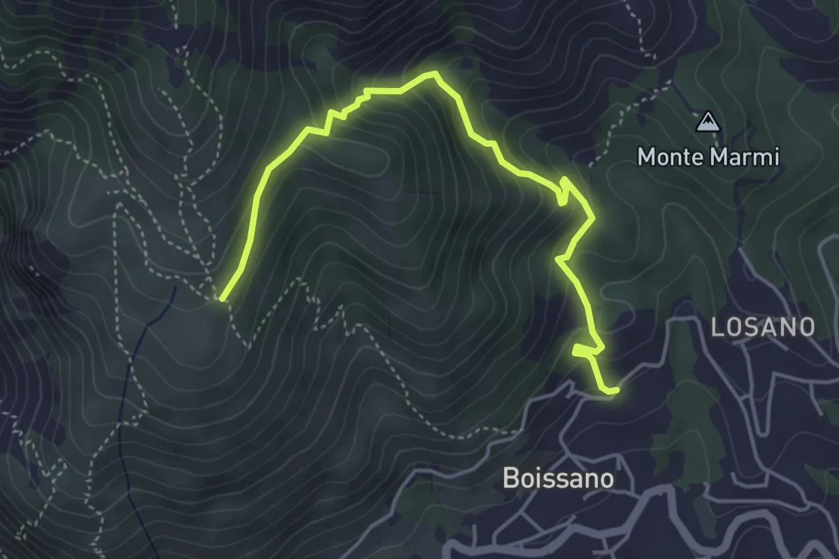
Medium · Trail
Boissano - San Pietrino
4.9 km · ↑ 380 m · 1 h 58 min · 4 km away
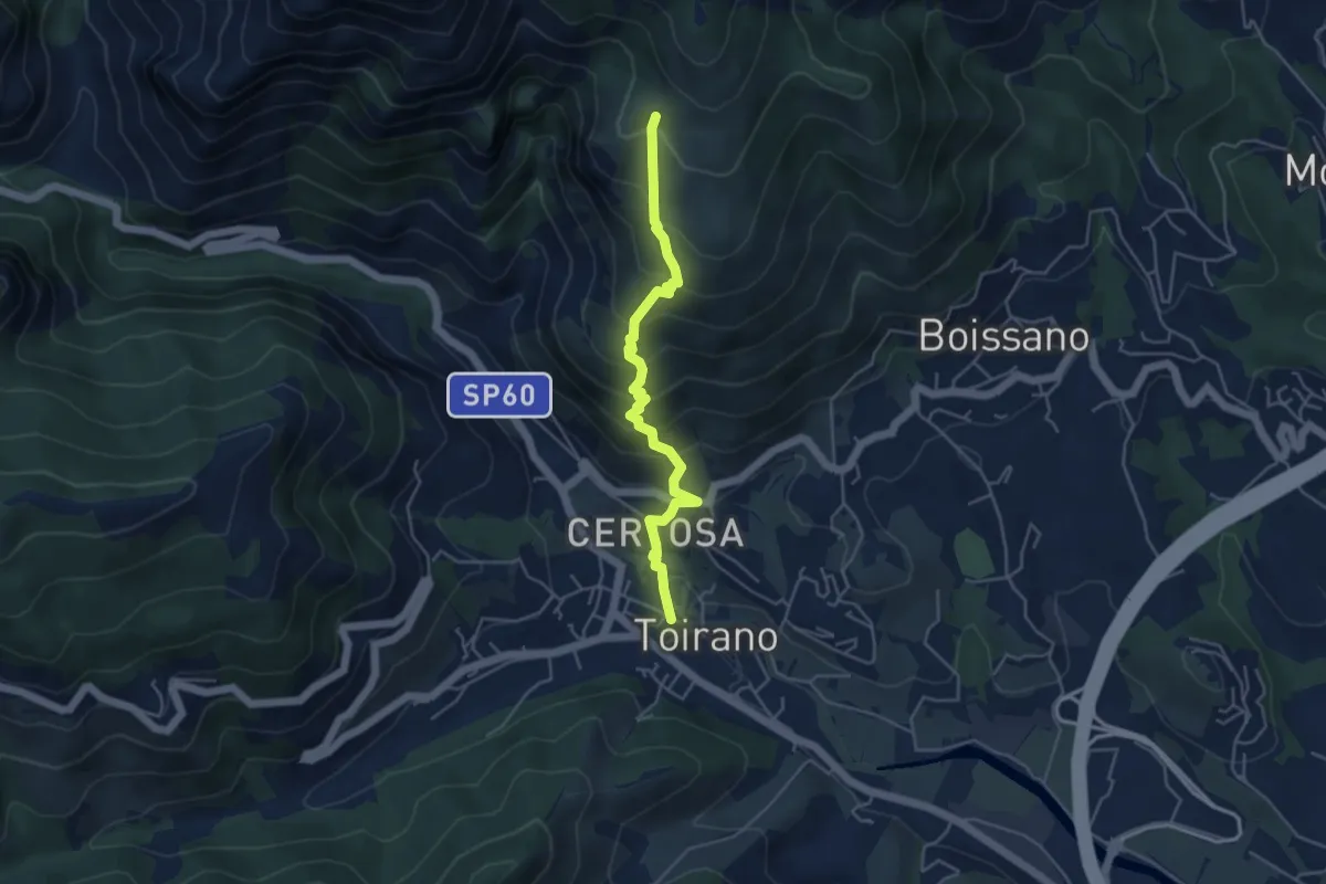
Medium · Trail
Toirano - Ca' dei Prati
4.7 km · ↑ 454 m · 2 h 6 min · 4 km away
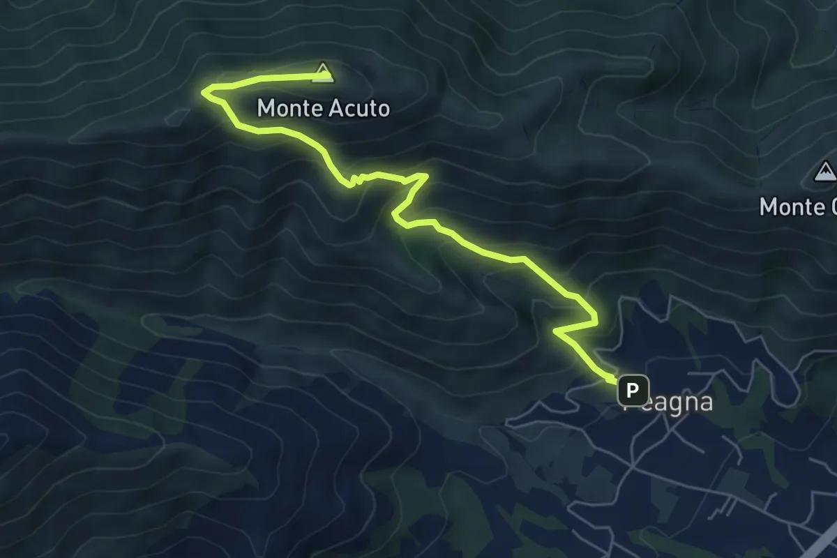
Demanding · Summit
Peagna - Monte Acuto
6.8 km · ↑ 560 m · 2 h 50 min · 5 km away
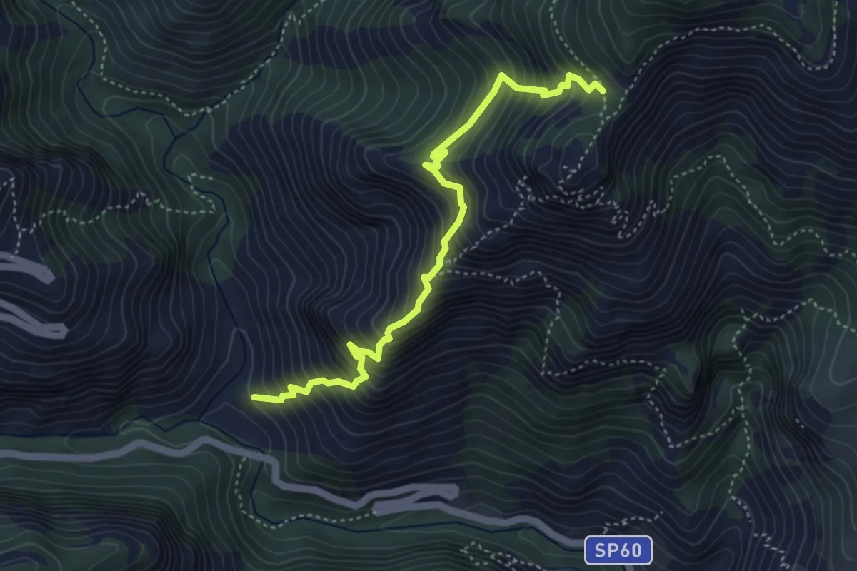
Demanding · Trail
Salto del Lupo - San Pietro dei Monti
4.7 km · ↑ 716 m · 2 h 40 min · 6 km away
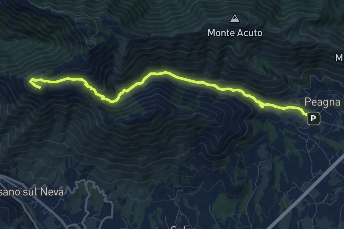
Medium · Summit
Peagna - Rio Ibà - Pizzo Ceresa
11.1 km · ↑ 588 m · 3 h 54 min · 6 km away
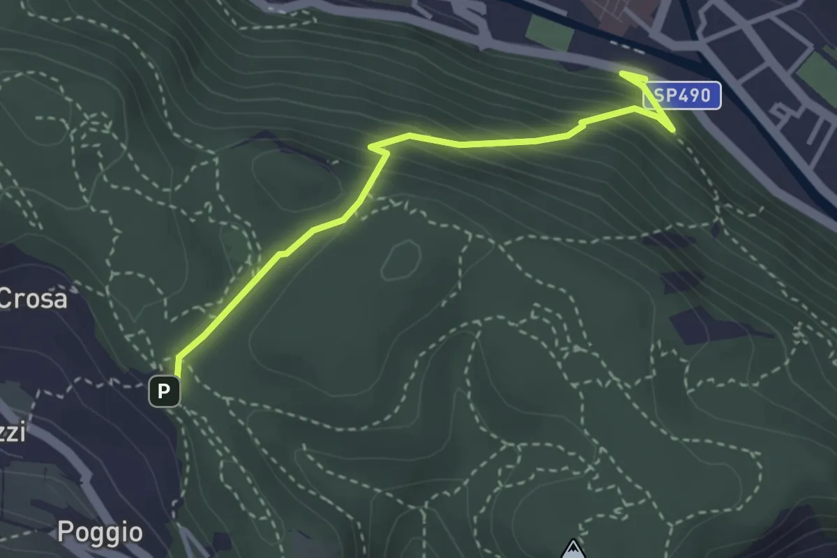
Medium · Trail
Finalborgo-ChiesaVerezzi
3.2 km · ↑ 282 m · 1 h 22 min · 6 km away
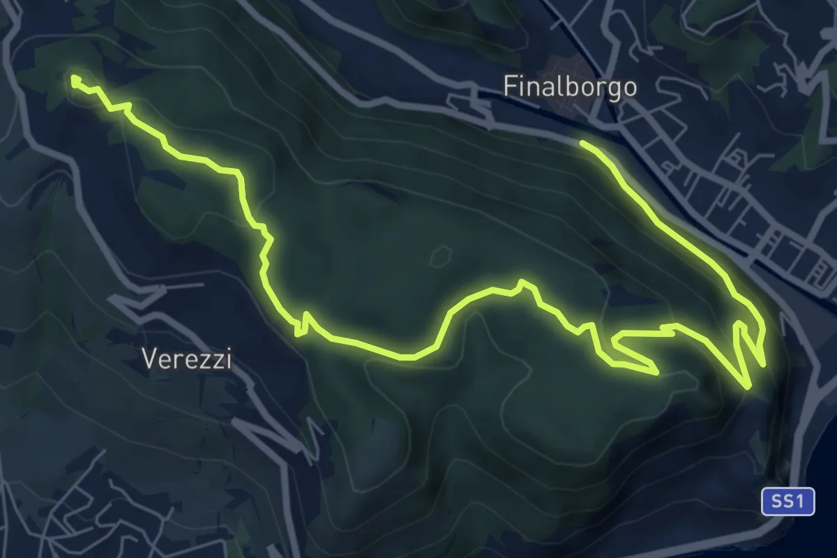
Medium · Summit
Finalborgo - Chiesa di Verezzi - Torre Bastia
10.5 km · ↑ 397 m · 3 h 20 min · 7 km away
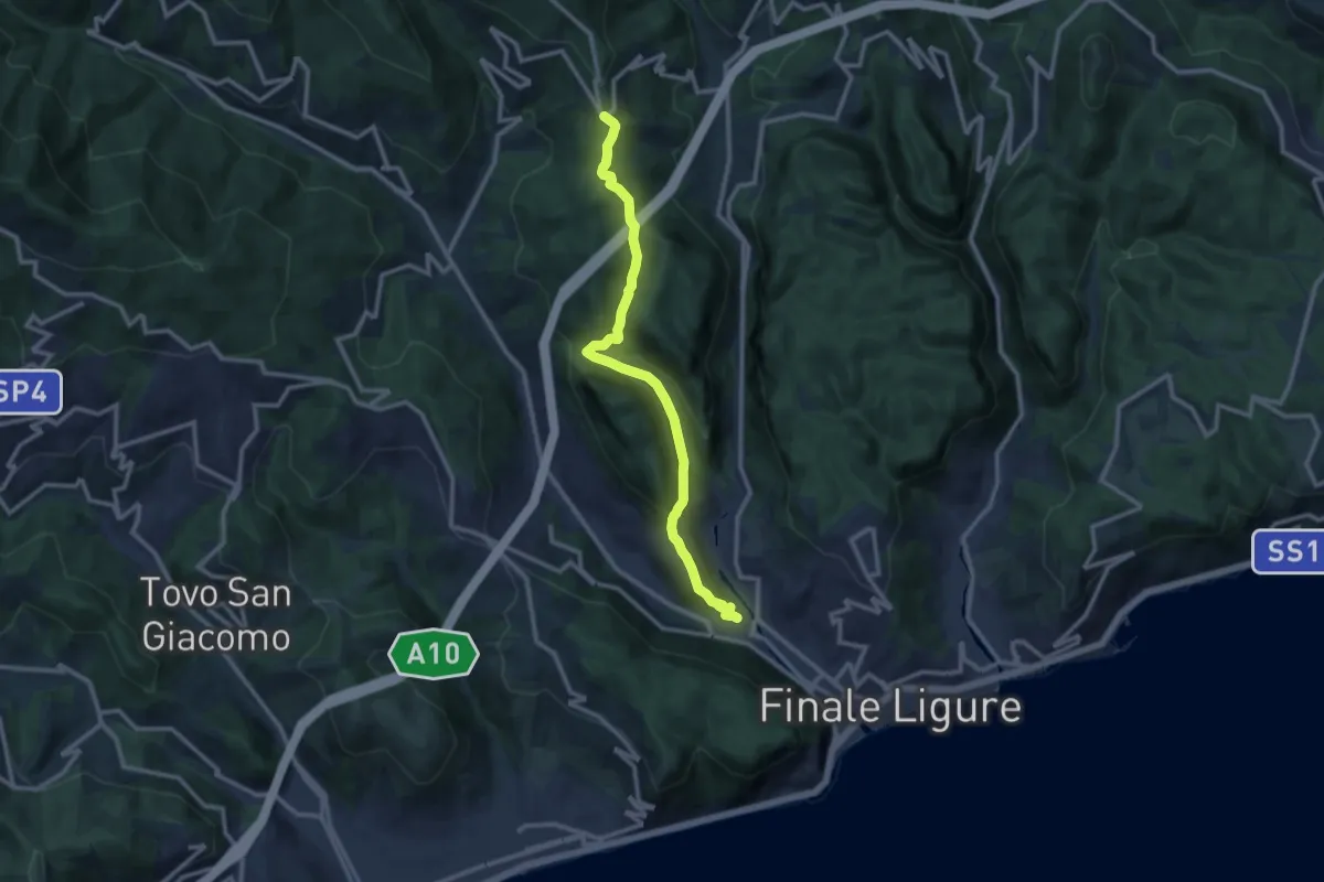
Medium · Trail
Finalborgo – San Rocco
11.8 km · ↑ 429 m · 3 h 43 min · 7 km away
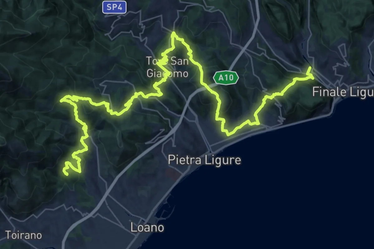
Demanding · Summit
Sentiero Liguria - Tappa 20
48.6 km · ↑ 2501 m · 16 h 53 min · 8 km away
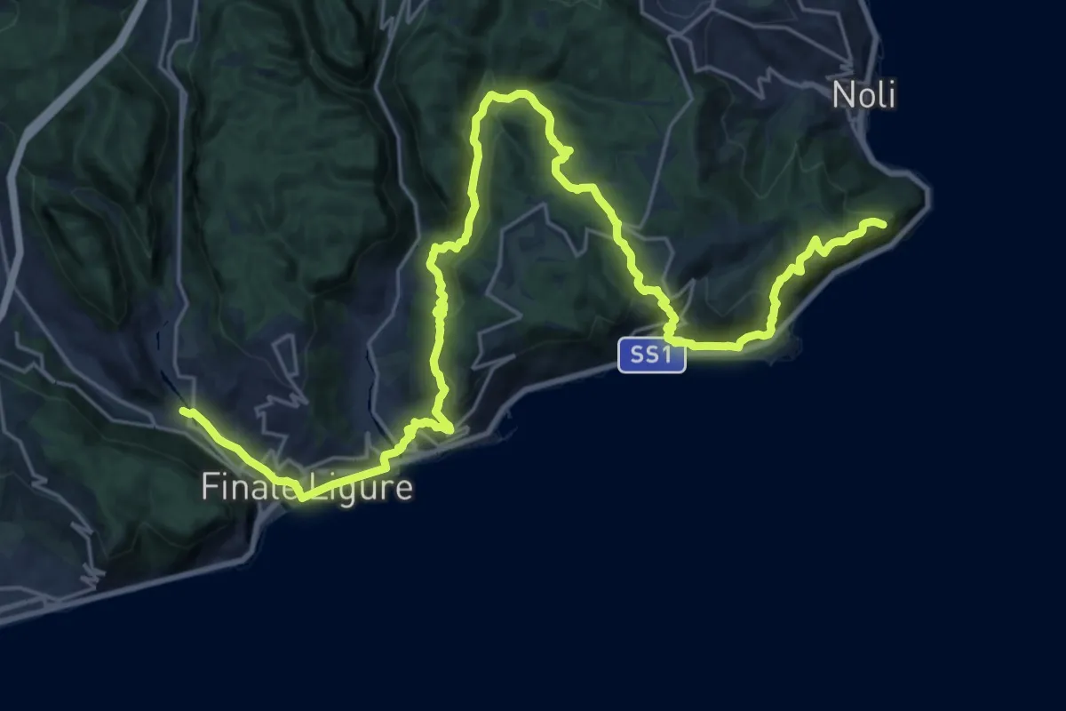
Demanding · Summit
Sentiero Liguria - Tappa 19
31.5 km · ↑ 1274 m · 10 h 12 min · 8 km away
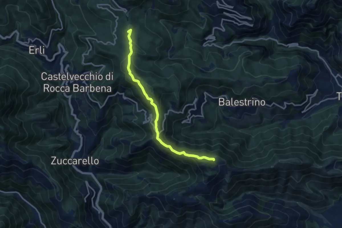
Medium · Summit
Poggio Grande - Monte Guardiola - Colle Scravaion
10.2 km · ↑ 408 m · 3 h 18 min · 8 km away
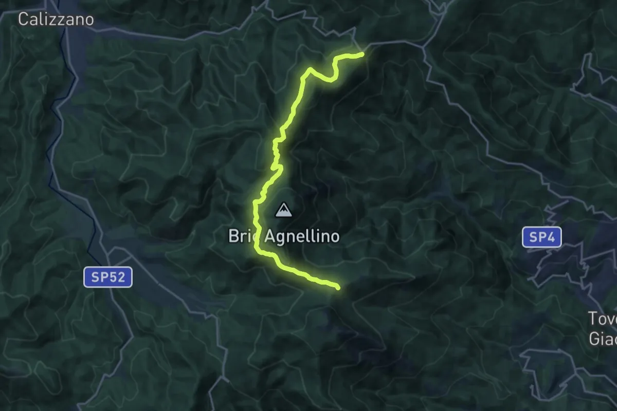
Medium · Trail
Giogo di Giustenice - Colle di Melogno
17.2 km · ↑ 558 m · 5 h 16 min · 8 km away
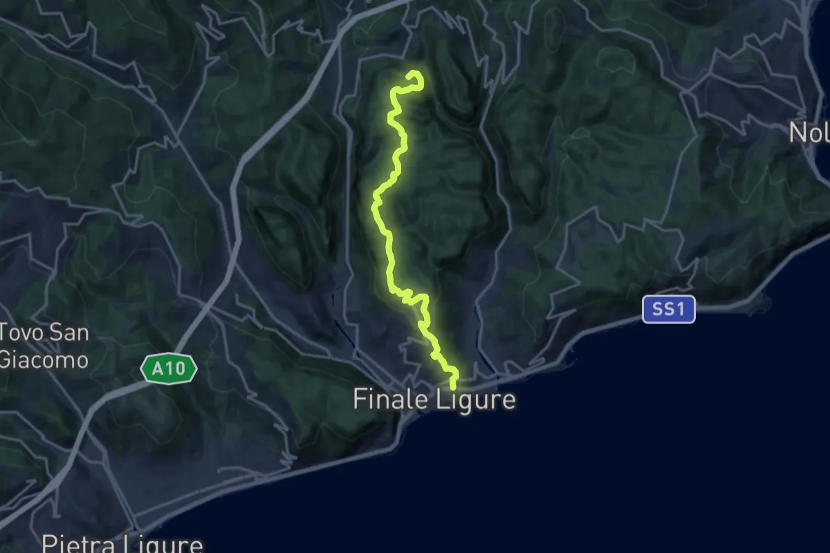
Demanding · Summit
Finalmarina – San Lorenzino
14.6 km · ↑ 496 m · 4 h 31 min · 8 km away
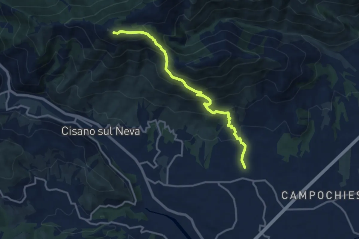
Medium · Summit
Salea - San Giacomo - Poggio Ceresa
8.4 km · ↑ 632 m · 3 h 21 min · 8 km away
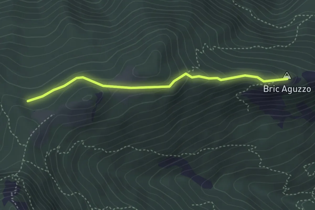
Medium · Summit
Giogo di Giustenice - Bric Aguzzo
3.5 km · ↑ 154 m · 1 h 10 min · 8 km away
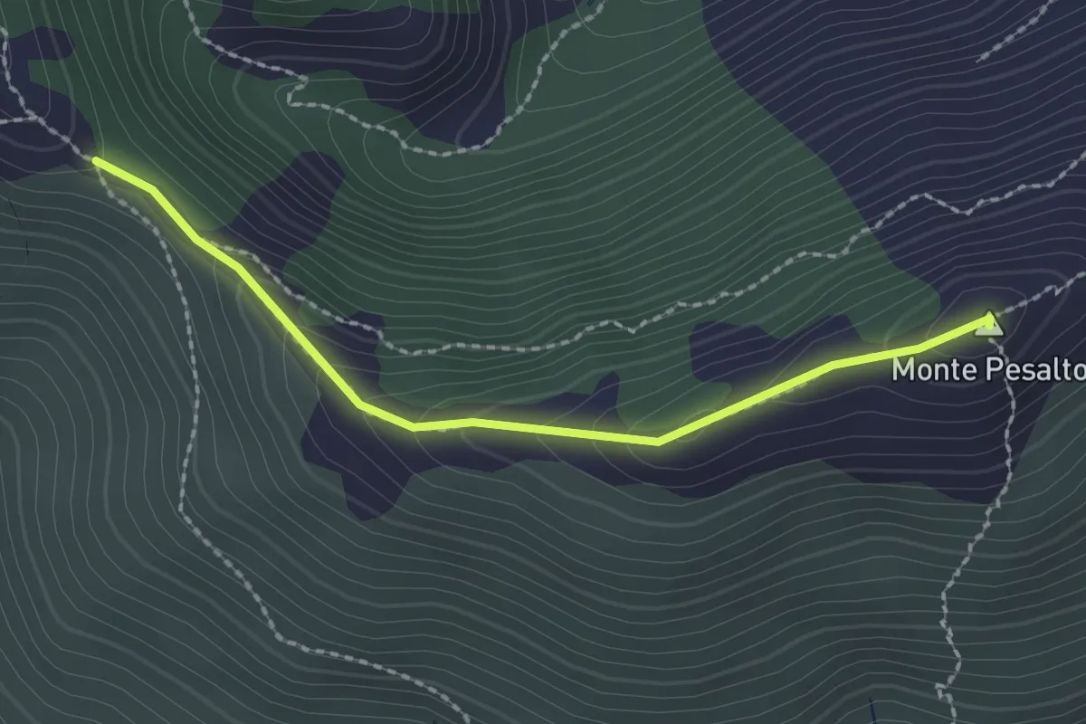
Medium · Summit
Salita al Pesalto
2.2 km · ↑ 147 m · 50 min · 9 km away
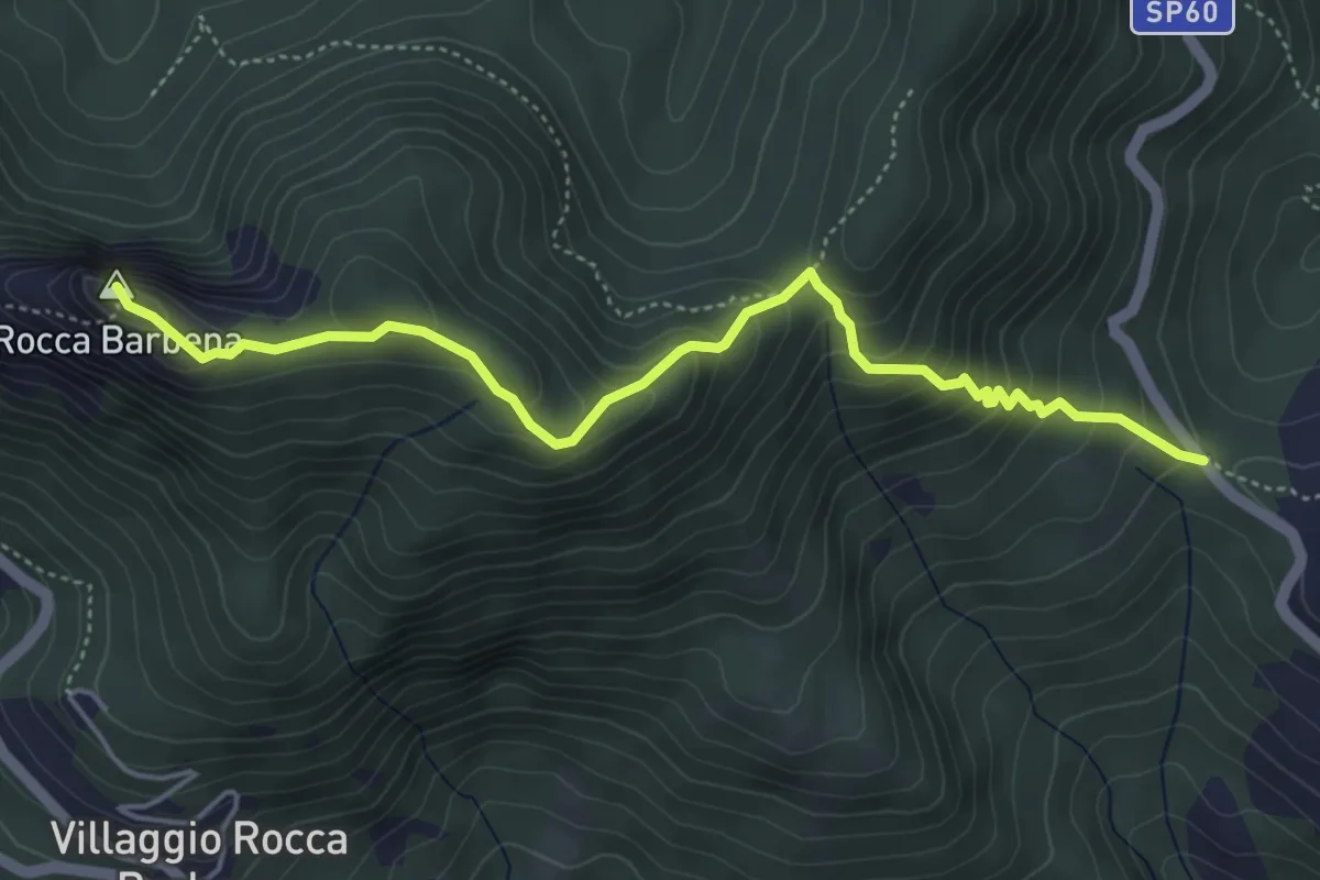
Medium · Summit
Colla Alzabecchi - Rocca Barbena
5.2 km · ↑ 464 m · 2 h 14 min · 9 km away
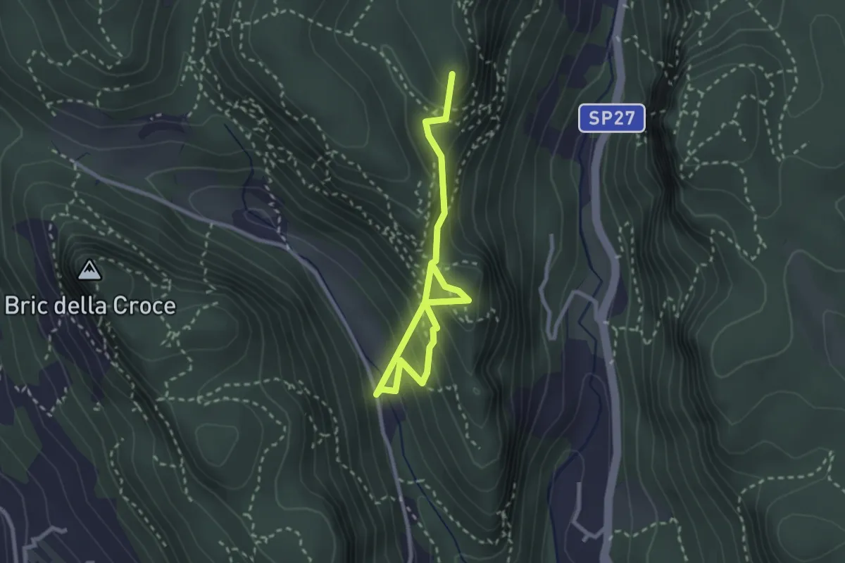
Medium · Summit
Case Valle - Castrum Perticae - Sant'Antonino - Frati
3.2 km · ↑ 252 m · 1 h 19 min · 9 km away
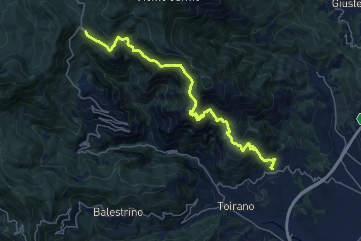
Demanding · Trail
Boissano - San Pietro dei Monti - Giogo di Toirano
18.5 km · ↑ 1321 m · 7 h 14 min · 9 km away
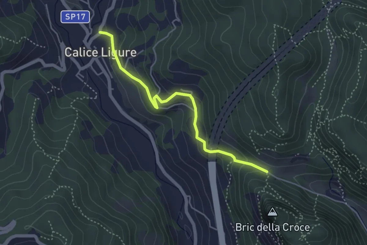
Easy · Trail
Calice Ligure - Cianassi
3.9 km · ↑ 189 m · 1 h 20 min · 9 km away
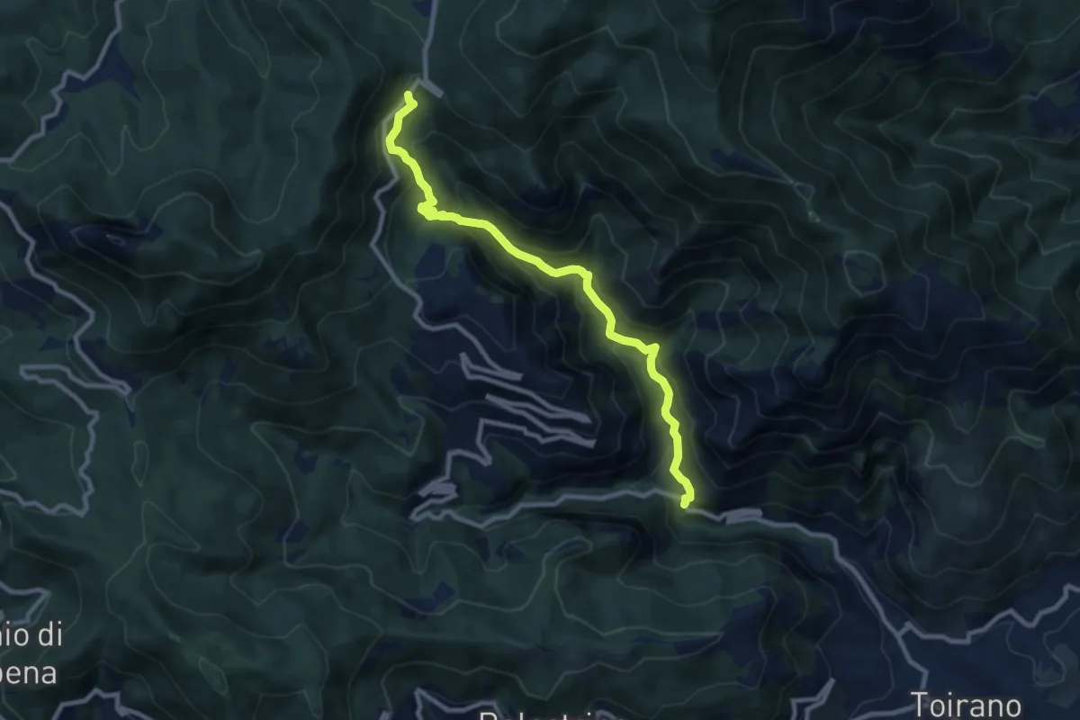
Medium · Trail
Salto del Lupo - Giogo di Toirano
9.5 km · ↑ 673 m · 3 h 43 min · 9 km away
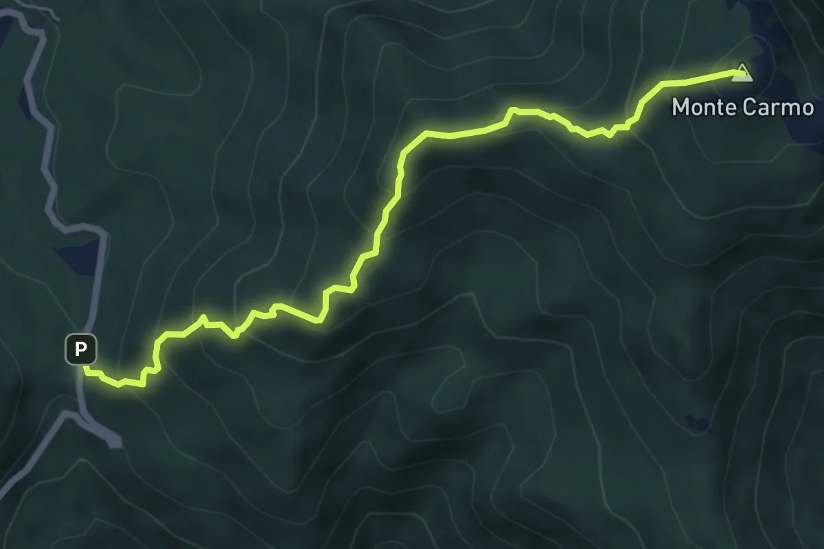
Medium · Summit
Giogo di Toirano - Giogo di Giustenice
6.4 km · ↑ 557 m · 2 h 43 min · 9 km away
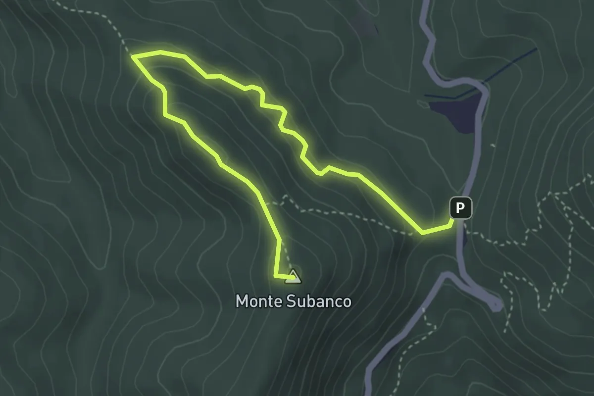
Medium · Summit
Colle Scravaion - Giogo di Toirano
4.8 km · ↑ 241 m · 1 h 39 min · 9 km away
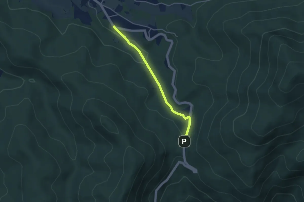
Easy · Trail
Bardineto – Giogo di Toirano
3.1 km · ↑ 78 m · 55 min · 9 km away
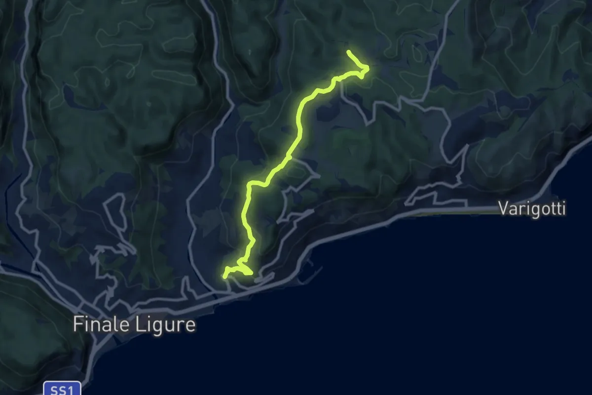
Medium · Trail
Finalpia - Arma delle Manie
8.9 km · ↑ 338 m · 2 h 51 min · 9 km away
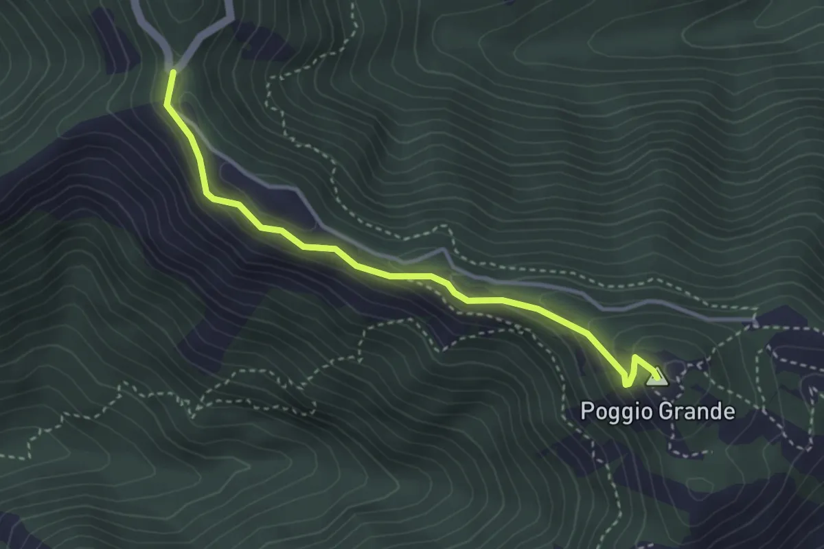
Easy · Summit
Anello del Poggio Grande
3.5 km · ↑ 167 m · 1 h 11 min · 9 km away
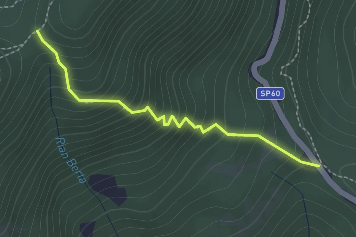
Easy · Trail
Sella Alzabecchi – Colletto Banco
2.0 km · ↑ 245 m · 1 h · 9 km away
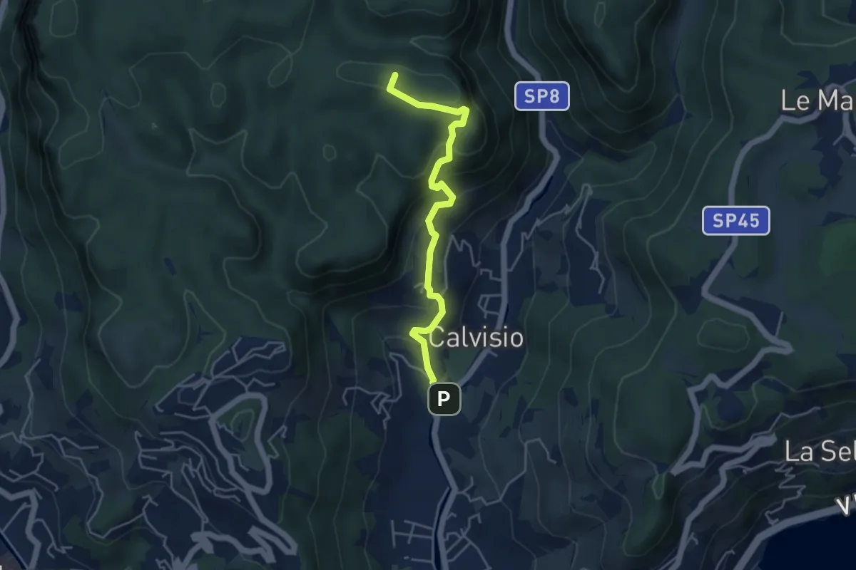
Medium · Summit
Calvisio - Camporotondo
4.4 km · ↑ 339 m · 1 h 46 min · 10 km away
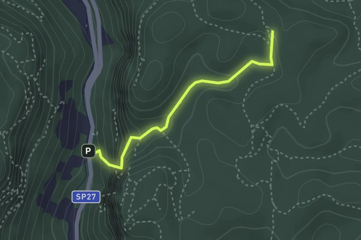
Medium · Trail
Madonna delle Grazie - Ciappo dei Ceci
2.7 km · ↑ 216 m · 1 h 6 min · 10 km away
Demanding · Summit
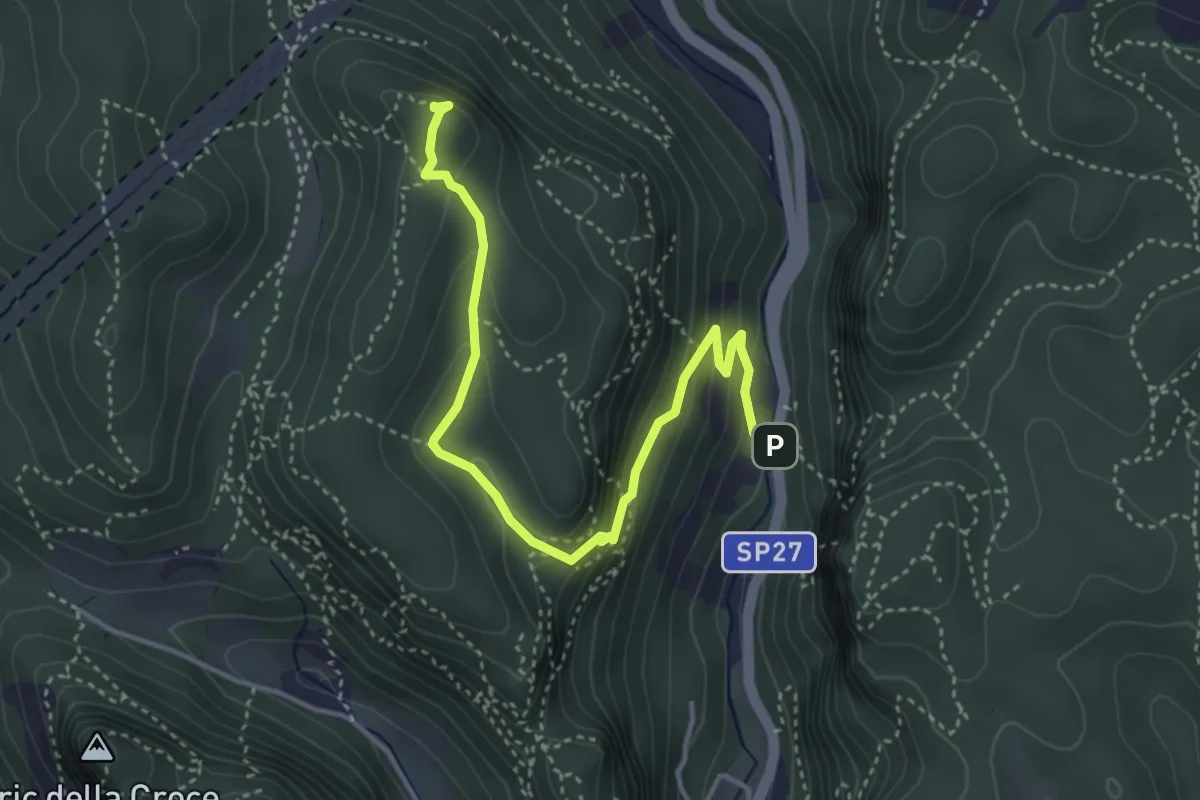
Madonna delle Grazie - Bric del Frate
4.5 km · ↑ 266 m · 1 h 38 min · 10 km away
Demanding · Summit
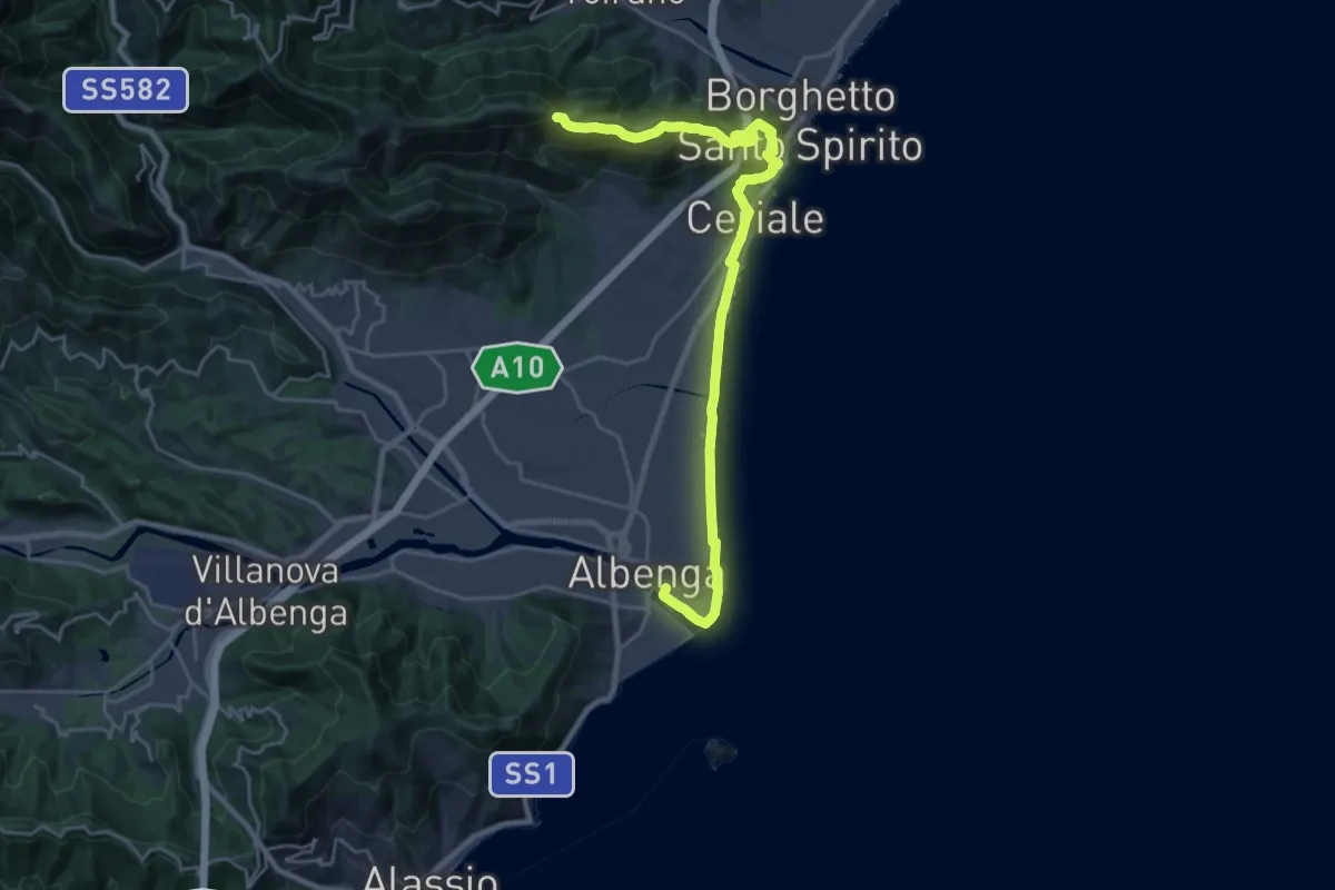
Sentiero Liguria - Tappa 22
26.5 km · ↑ 837 m · 8 h 4 min · 10 km away
Demanding · Summit
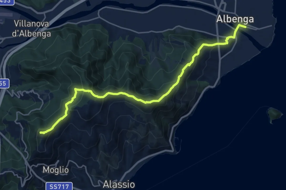
Sentiero Liguria - Tappa 23
16.2 km · ↑ 911 m · 5 h 49 min · 10 km away
Medium · Summit
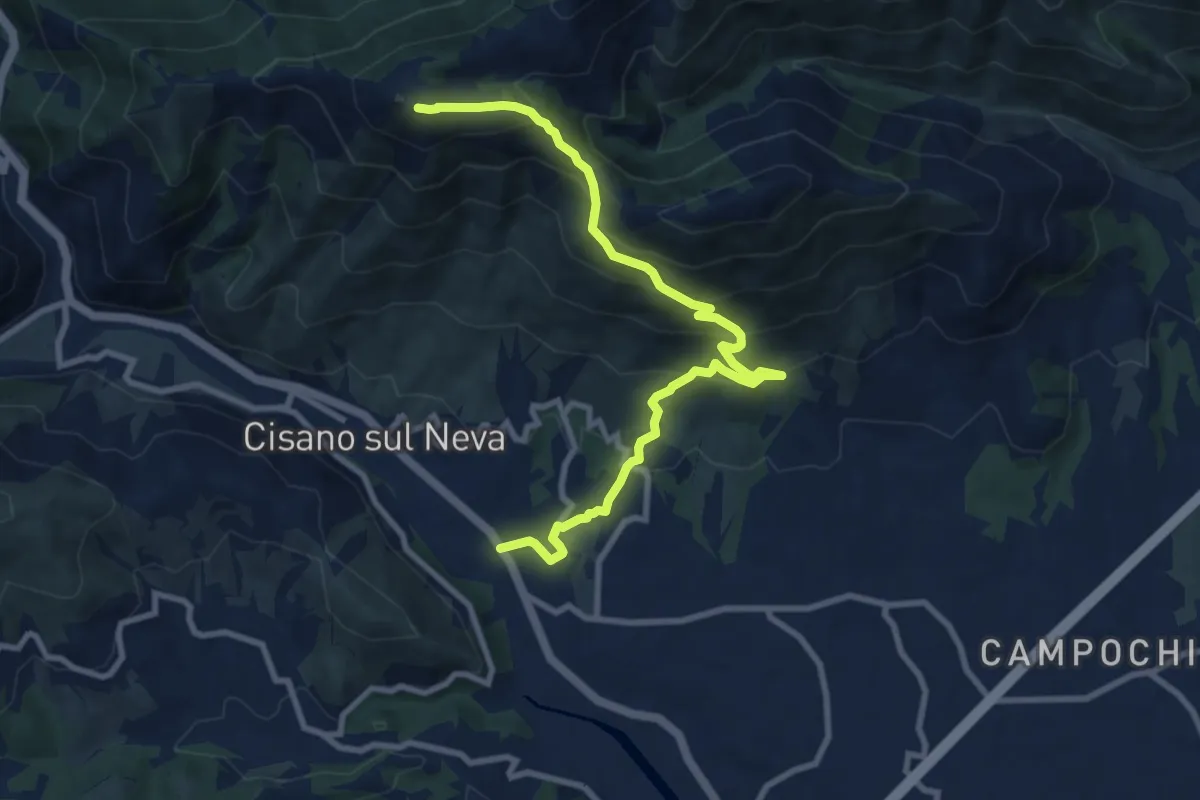
Cisiano sul Neva – Poggio Ceresa
10.4 km · ↑ 711 m · 3 h 59 min · 10 km away
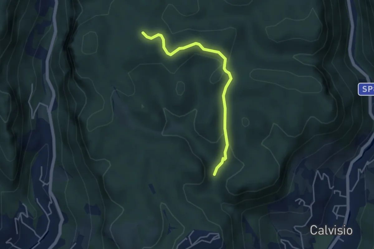
Easy · Trail
Quota 2000 – S. Lorenzino
3.6 km · ↑ 120 m · 1 h 7 min · 10 km away
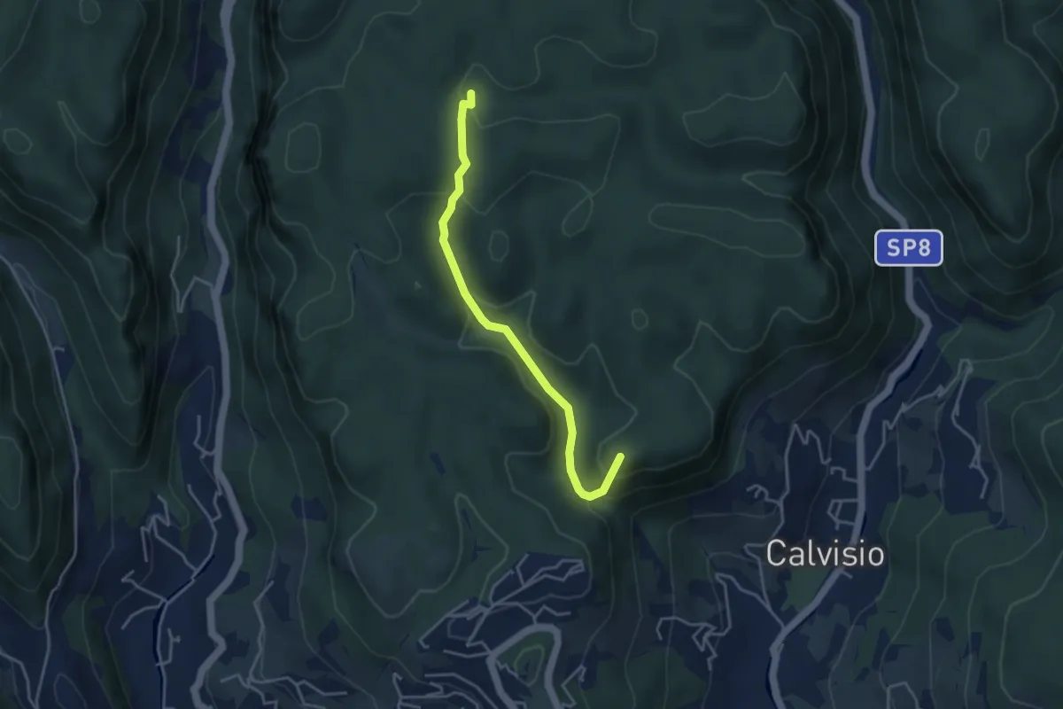
Easy · Summit
Calvisio – Casa Del Vacchè
3.8 km · ↑ 252 m · 1 h 26 min · 10 km away
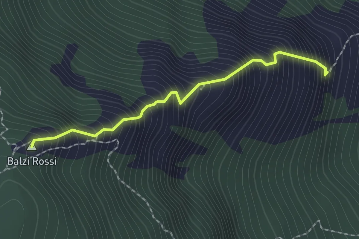
Demanding · Summit
Ferrata degli Artisti
1.7 km · ↑ 434 m · 1 h 21 min · 10 km away
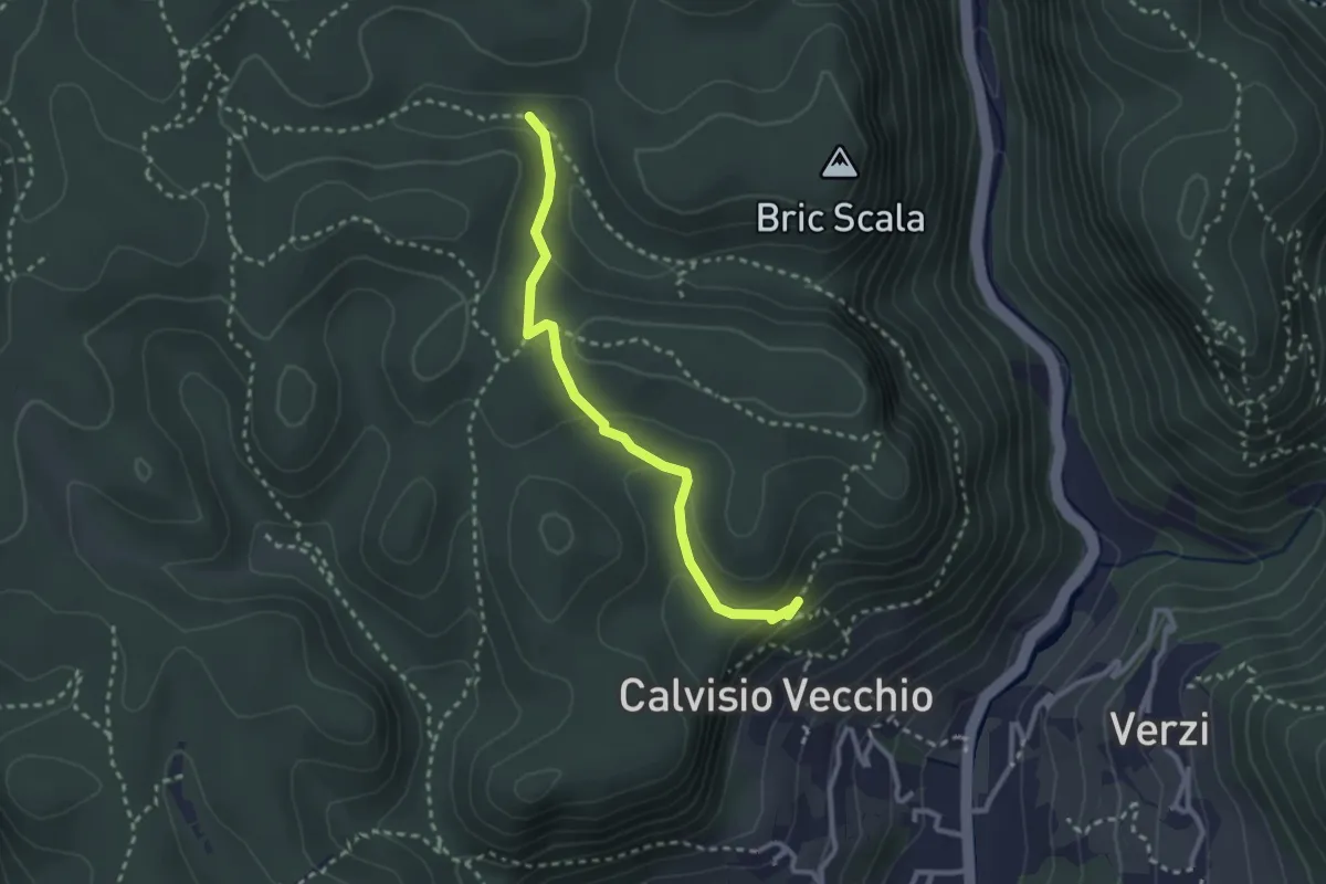
Medium · Trail
Collegamento Calvisio-Camporotondo
2.8 km · ↑ 102 m · 53 min · 10 km away
Medium · Trail
Bardineto - Giogo di Giustenice
12.3 km · ↑ 593 m · 4 h 12 min · 10 km away
Medium · Trail
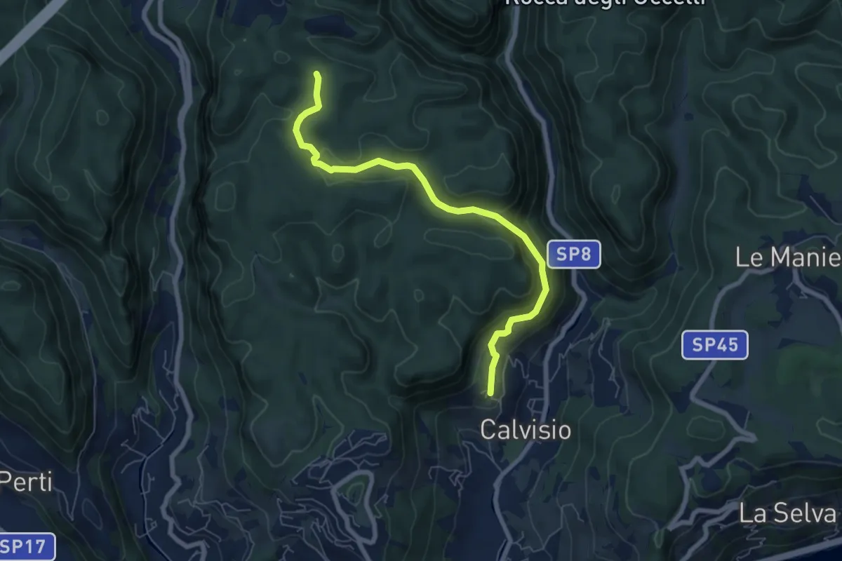
Calvisio – Ciappo Dei Ceci
6.9 km · ↑ 327 m · 2 h 20 min · 11 km away
Easy · Trail
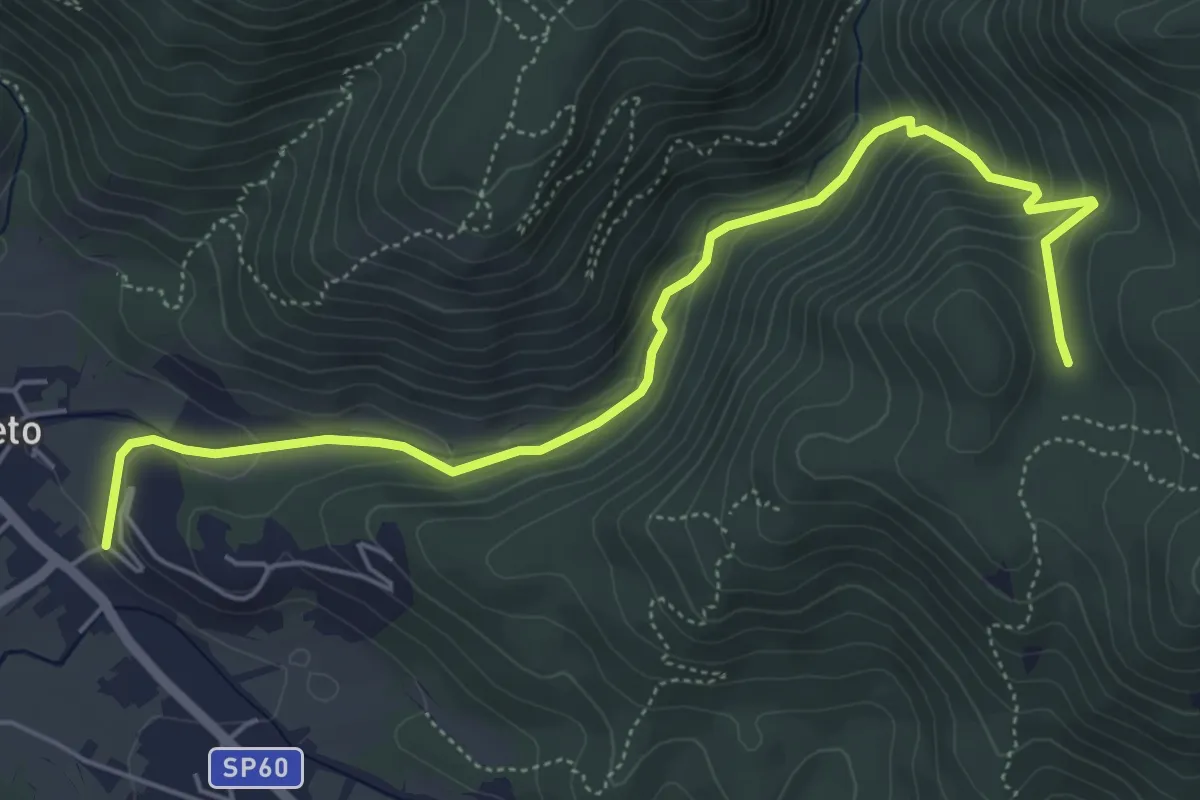
Bardineto - Rio Secco - Pianfieno
6.4 km · ↑ 318 m · 2 h 13 min · 11 km away
Medium · Trail
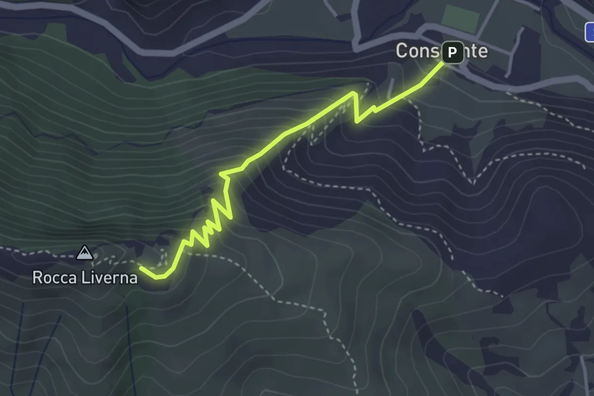
Conscente - Rocca Livernà
3.6 km · ↑ 440 m · 1 h 48 min · 11 km away