Trails near Loano
91 hikes starting within 15 km, nearest first.
Nearest first, page 2 of 2
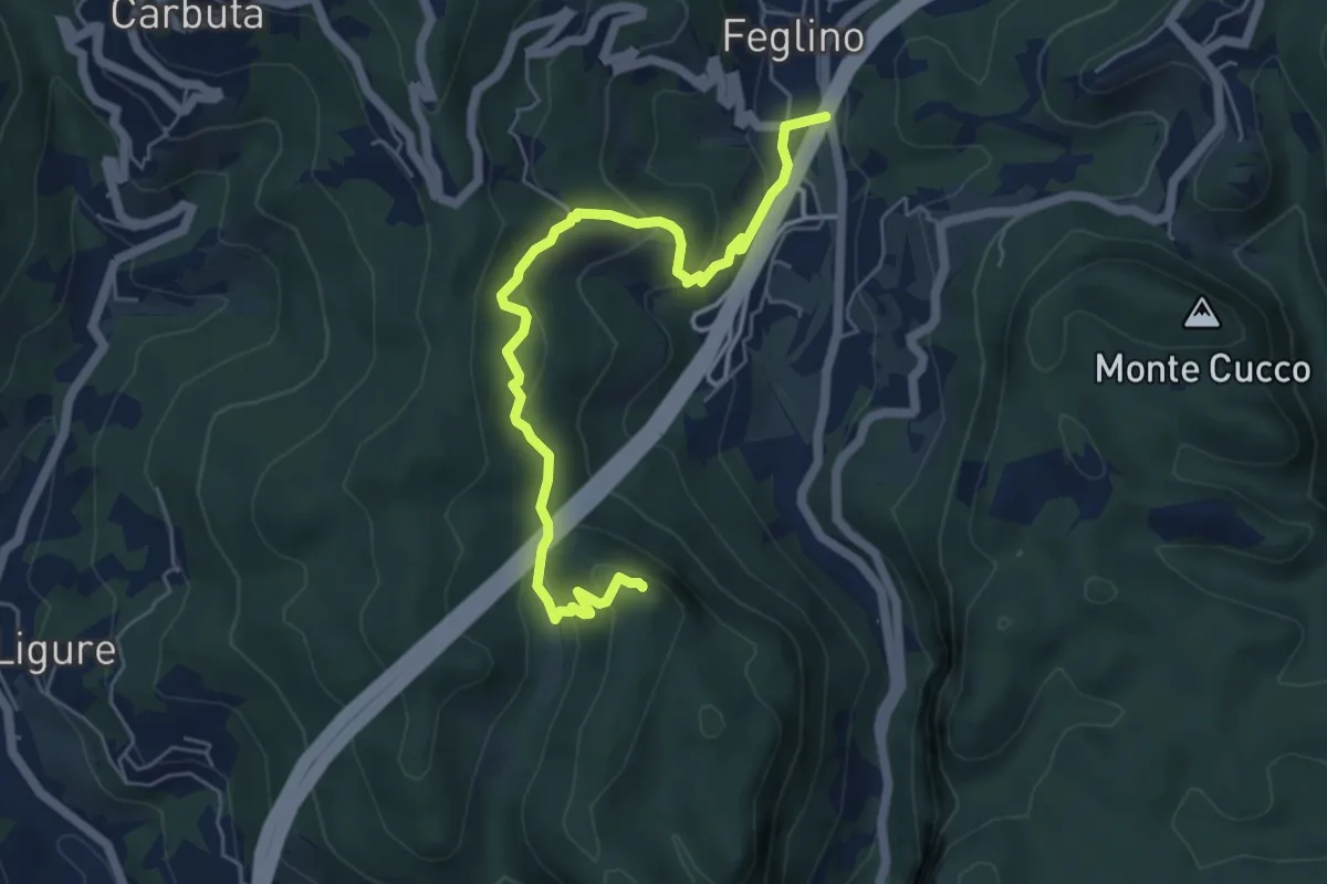
Medium · Summit
Feglino - Bric del Frate
6.3 km · ↑ 295 m · 2 h 7 min · 11 km away
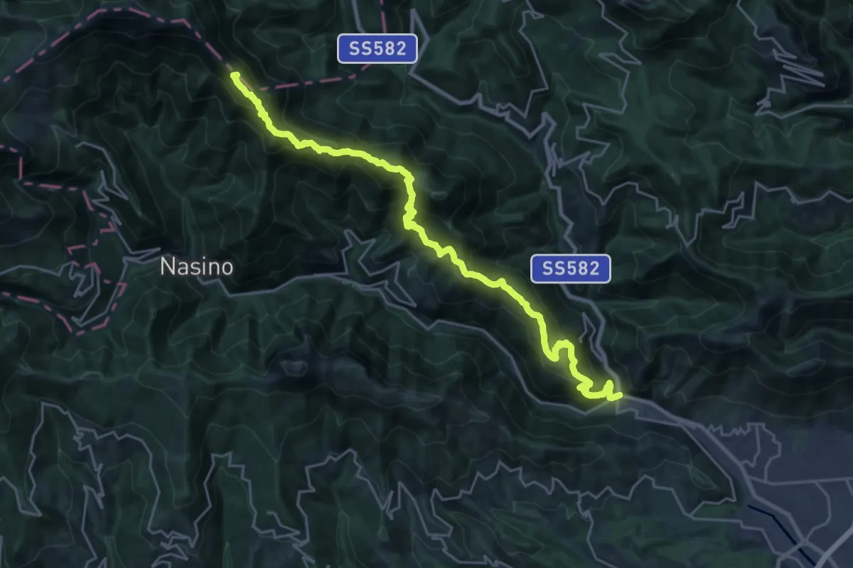
Demanding · Summit
Martinetto - Sella d'Alpe - Passo delle Caranche
26.3 km · ↑ 2010 m · 10 h 34 min · 11 km away
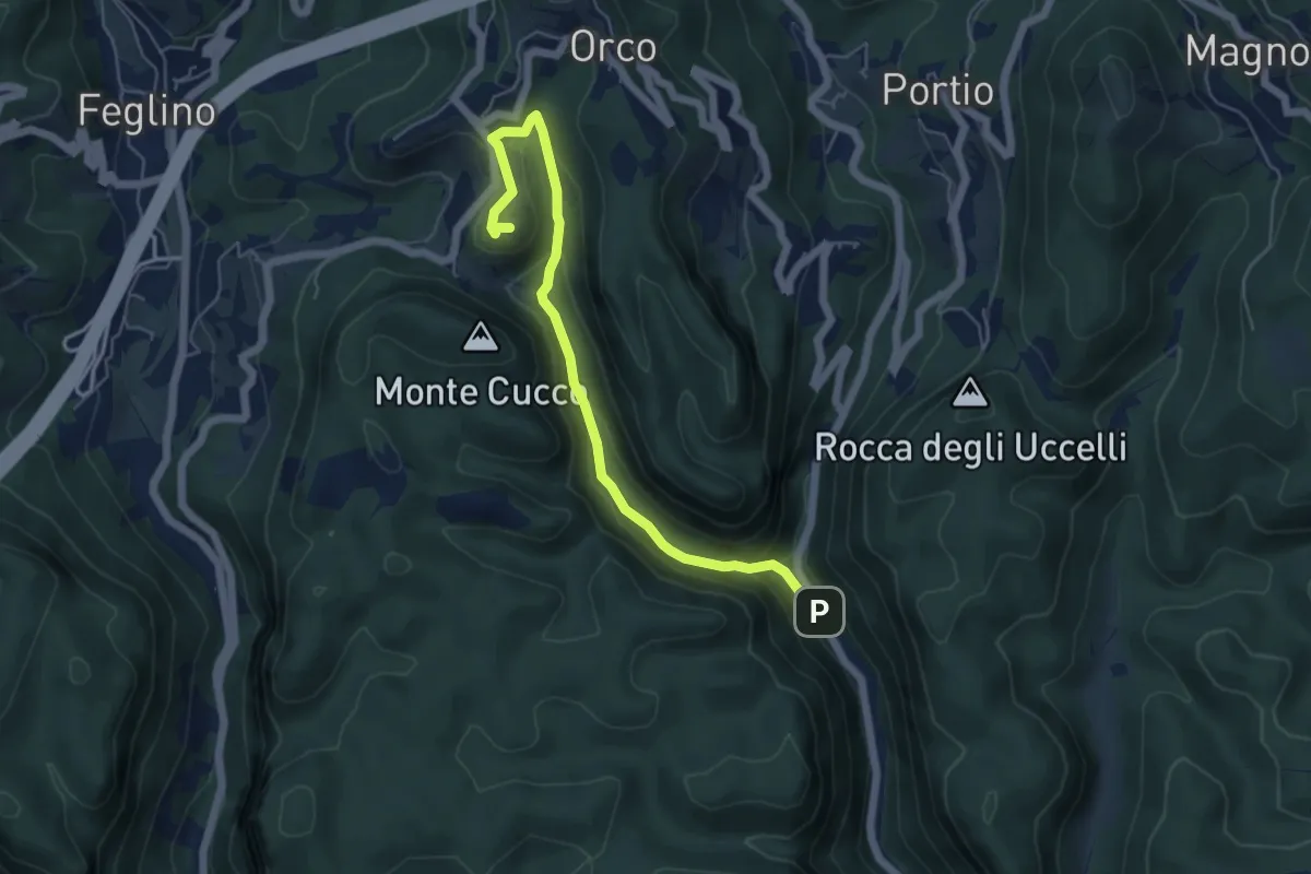
Demanding · Trail
Ponte Cornei – San Lorenzino
5.9 km · ↑ 278 m · 1 h 59 min · 11 km away
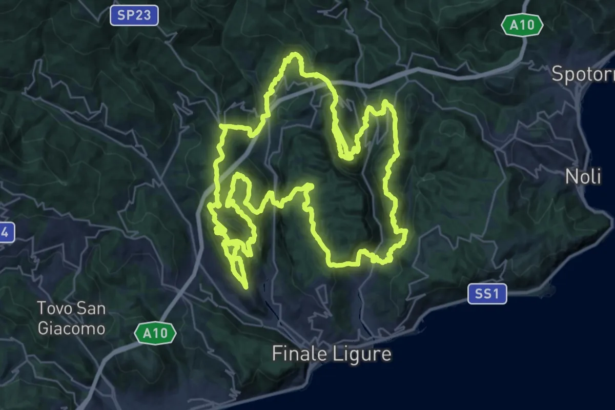
Demanding · Summit
Sentiero Ermano Fossati
33.1 km · ↑ 2005 m · 12 h 35 min · 11 km away
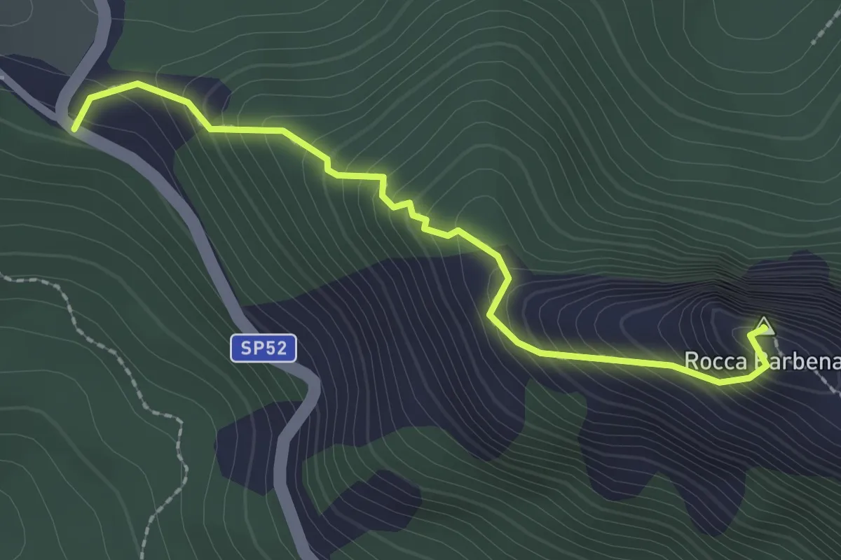
Demanding · Summit
Colle Scravaion - Rocca Barbena
2.4 km · ↑ 327 m · 1 h 16 min · 12 km away
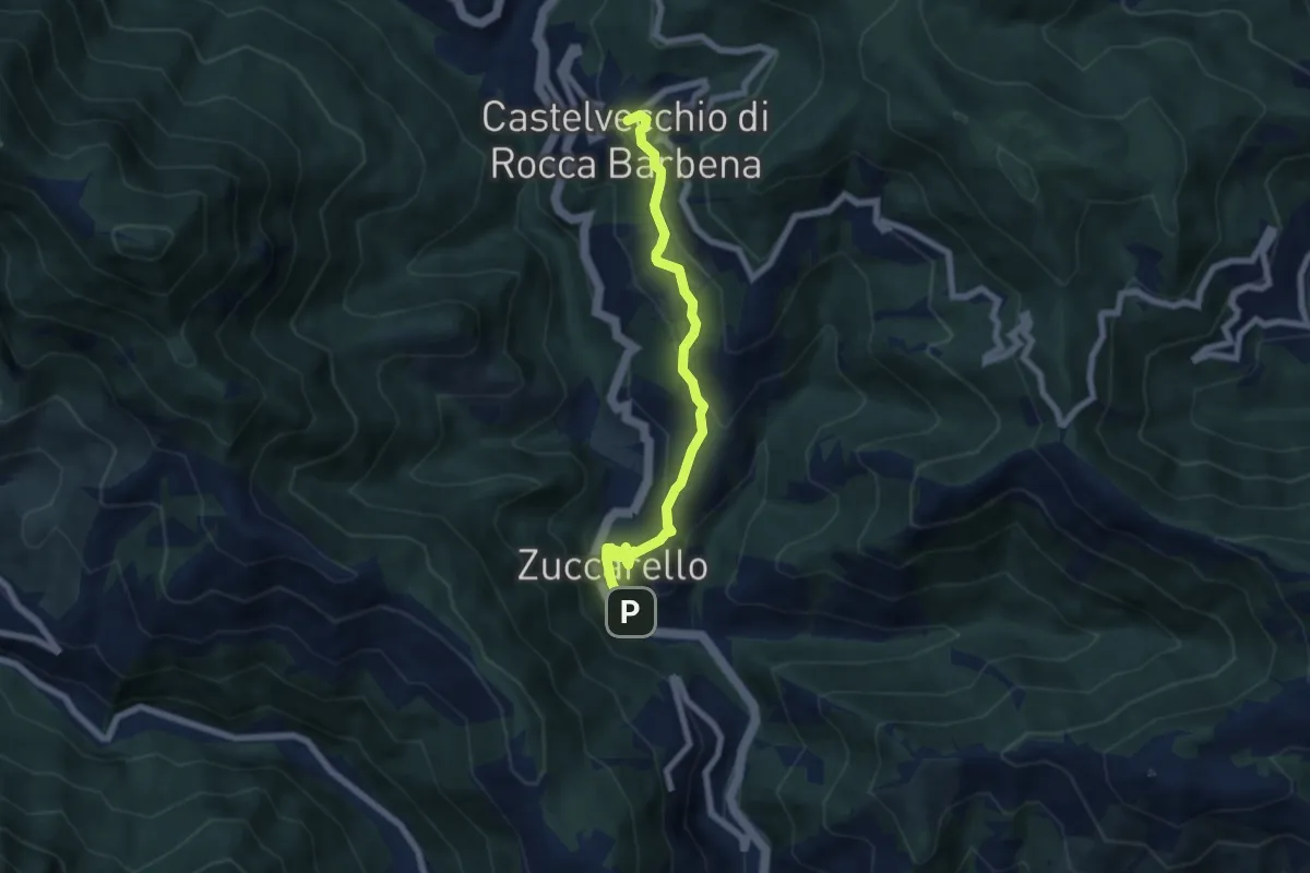
Medium · Trail
Zuccarello – Castelvecchio di Rocca Barbena
6.7 km · ↑ 333 m · 2 h 18 min · 12 km away
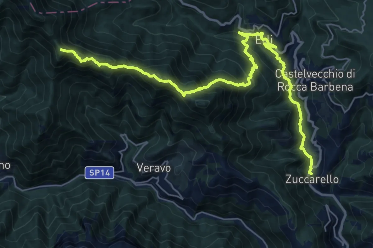
Demanding · Summit
Terre Alte (Ponterotto - Nasino - Monte Alpe - Erti - Zuccarello)
22.4 km · ↑ 1653 m · 8 h 52 min · 12 km away
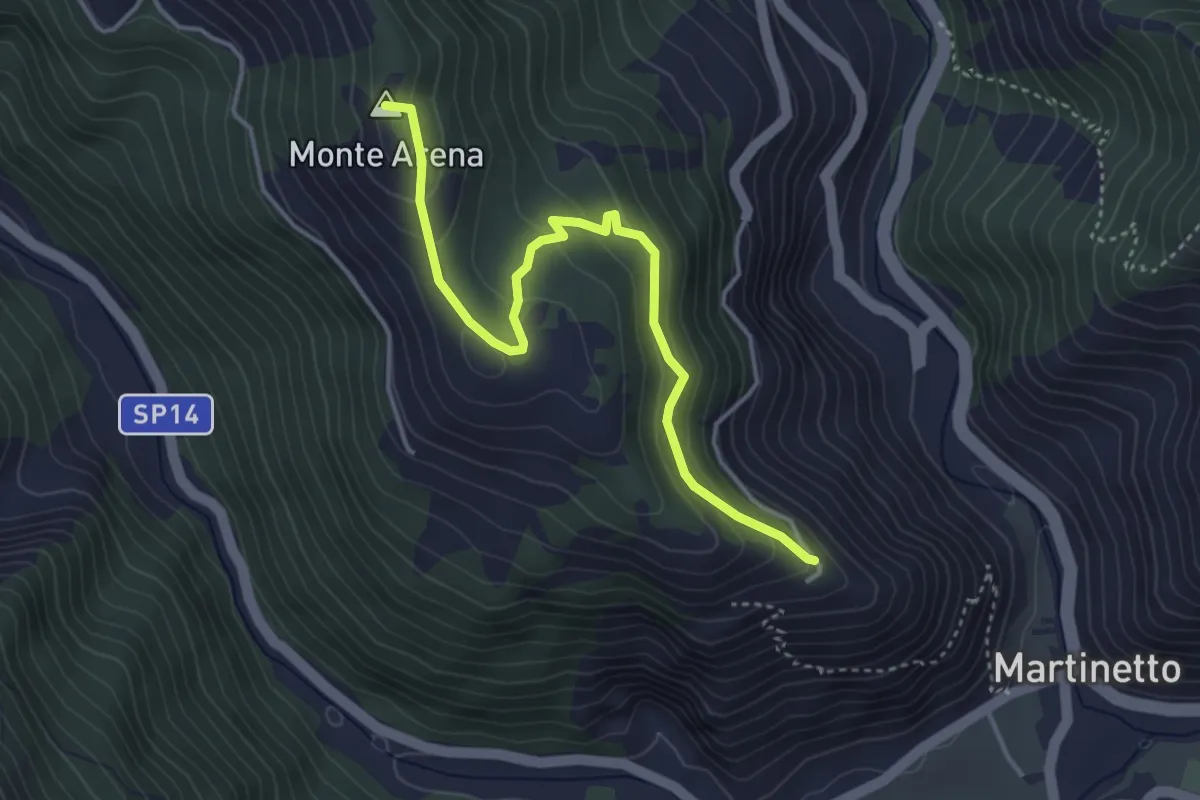
Easy · Summit
Variante Ingauna del Sentiero Liguria – Colletta di Castelbianco
4.2 km · ↑ 234 m · 1 h 31 min · 12 km away
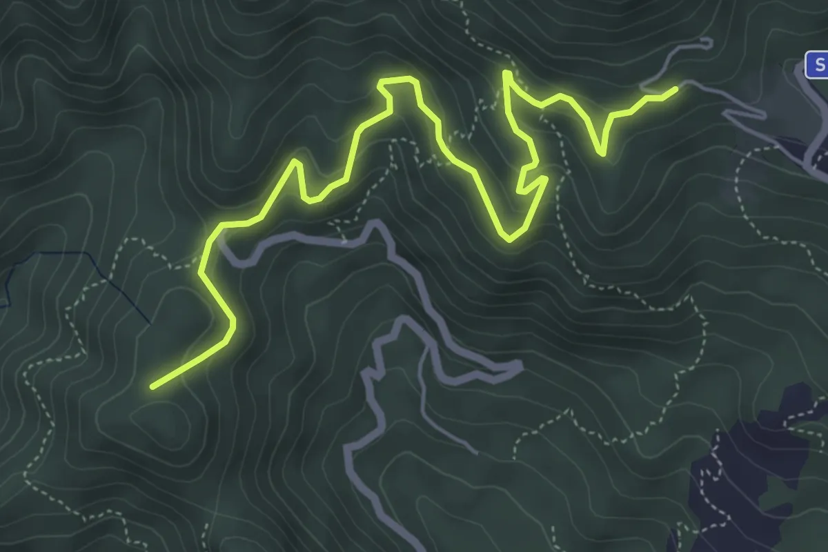
Medium · Summit
Erli - Colle Scravaion
6.7 km · ↑ 360 m · 2 h 21 min · 12 km away
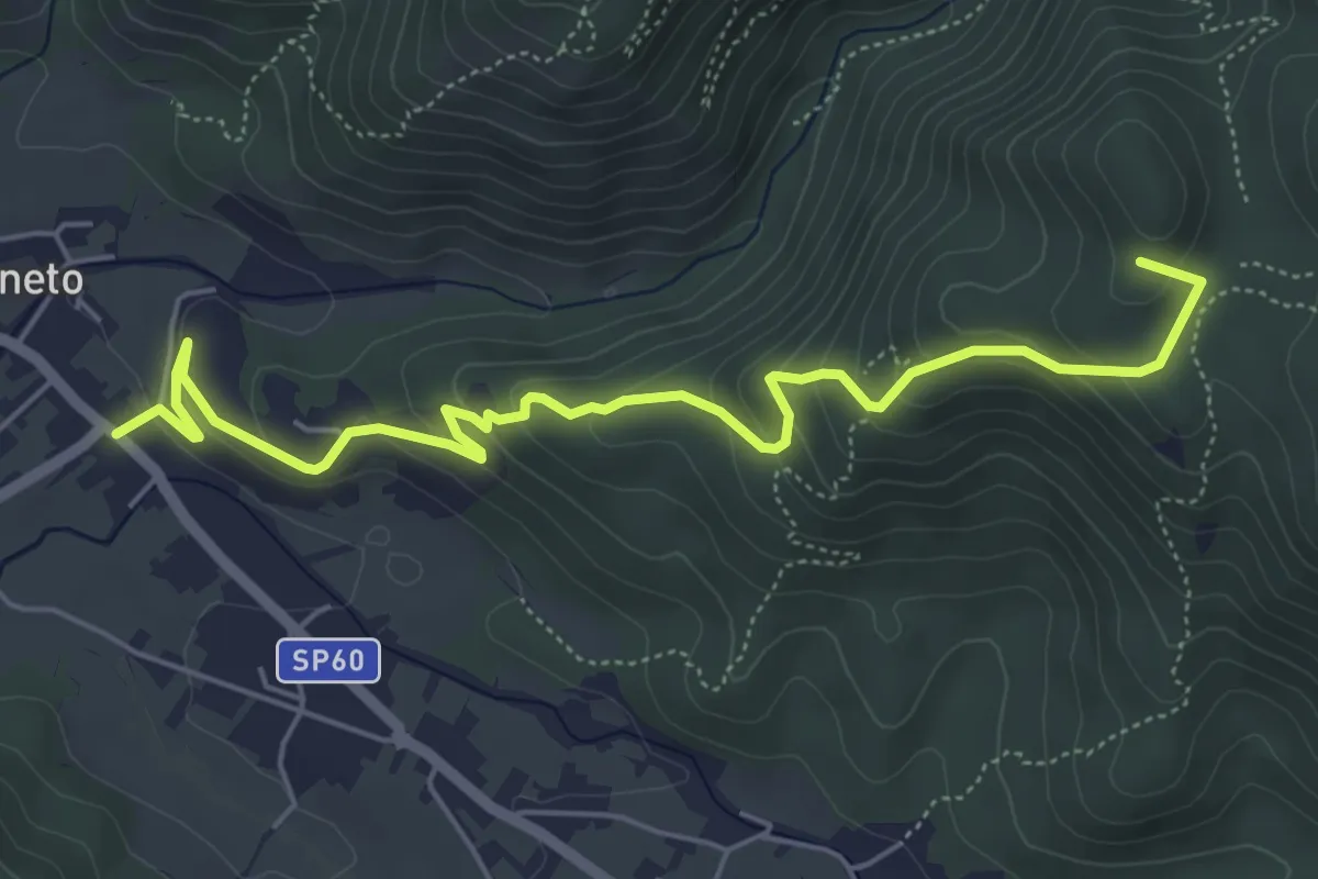
Medium · Summit
Bardineto – Giogo di Giustenice
6.5 km · ↑ 349 m · 2 h 17 min · 12 km away
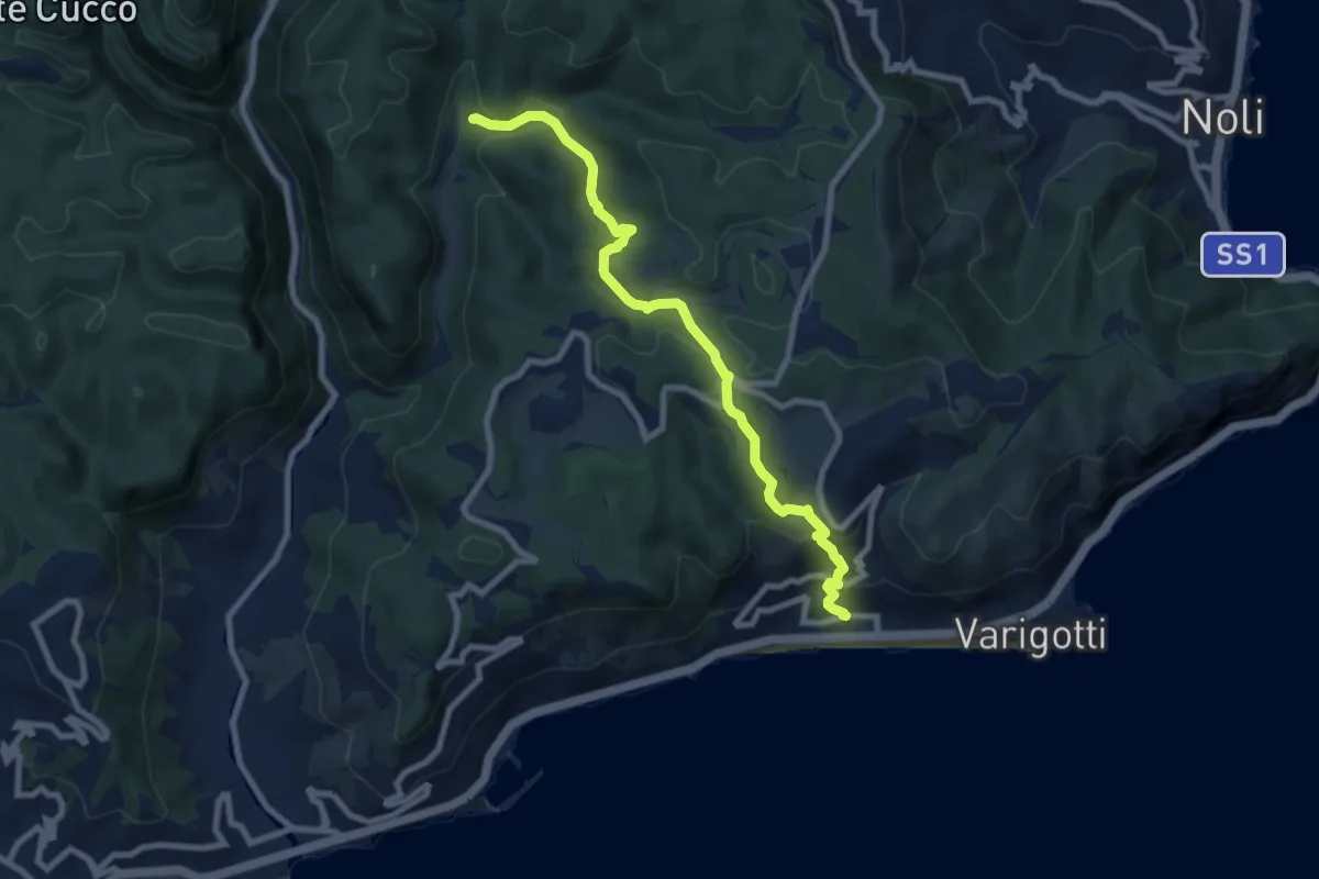
Medium · Trail
Varigotti - Manie
8.7 km · ↑ 406 m · 2 h 55 min · 12 km away
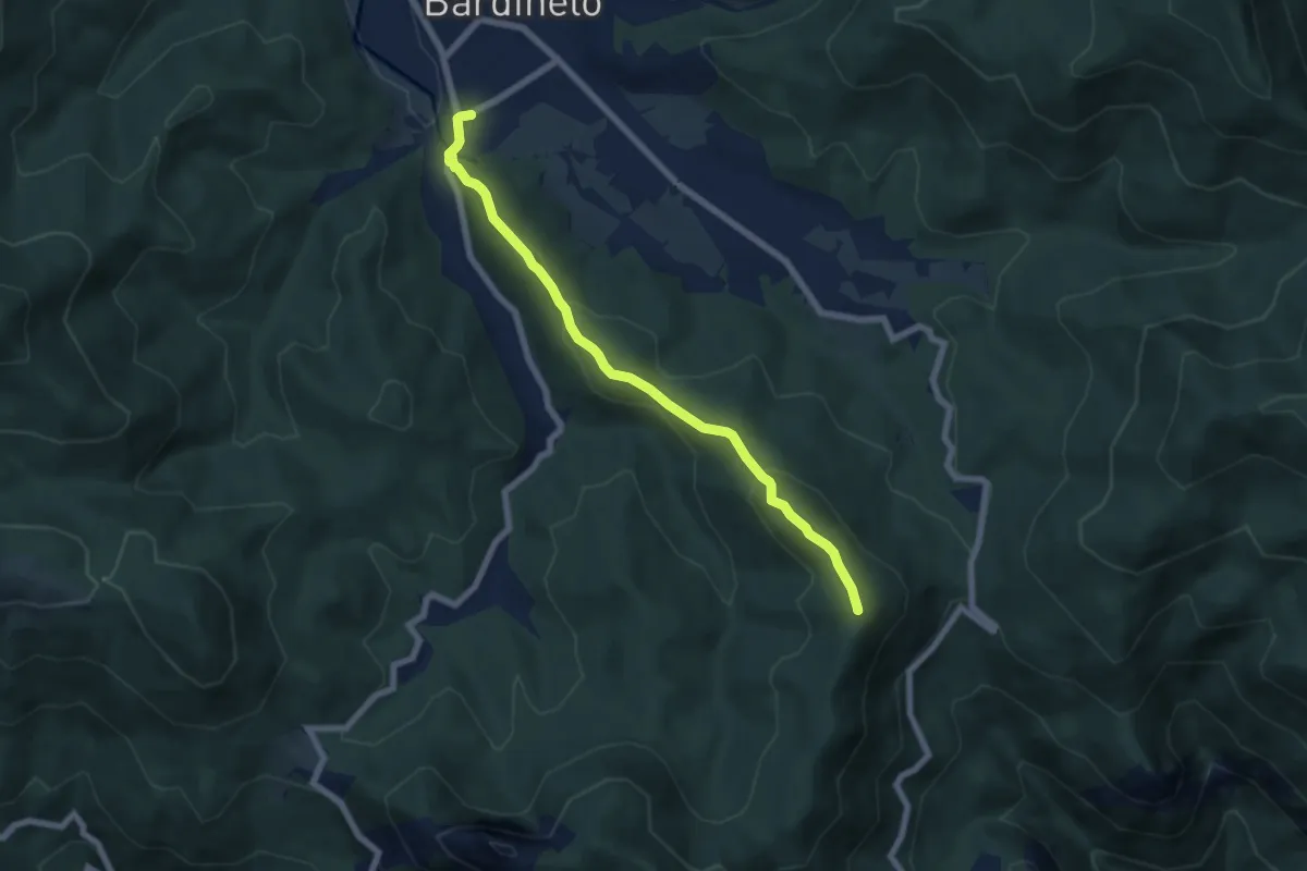
Medium · Summit
Bardineto – Monte Sebanco
6.7 km · ↑ 336 m · 2 h 19 min · 12 km away
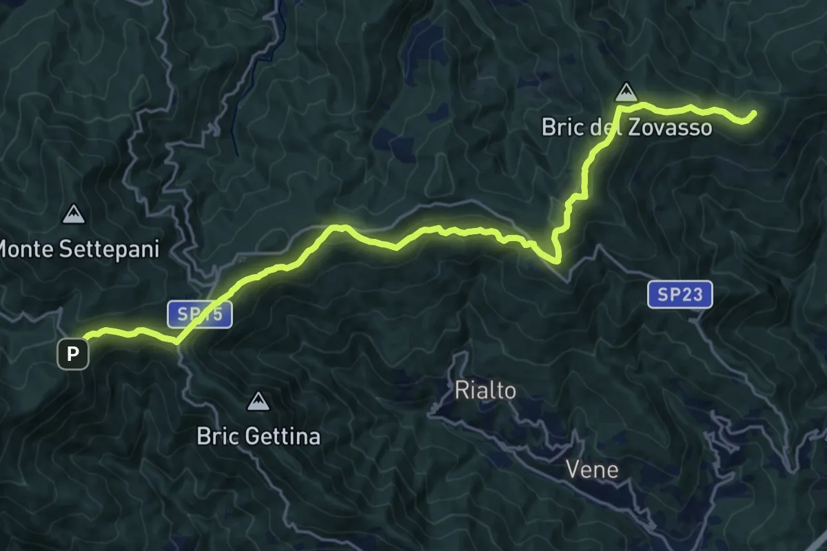
Demanding · Summit
Colle di Melogno - Colla di San Giacomo
23.2 km · ↑ 802 m · 7 h 13 min · 12 km away
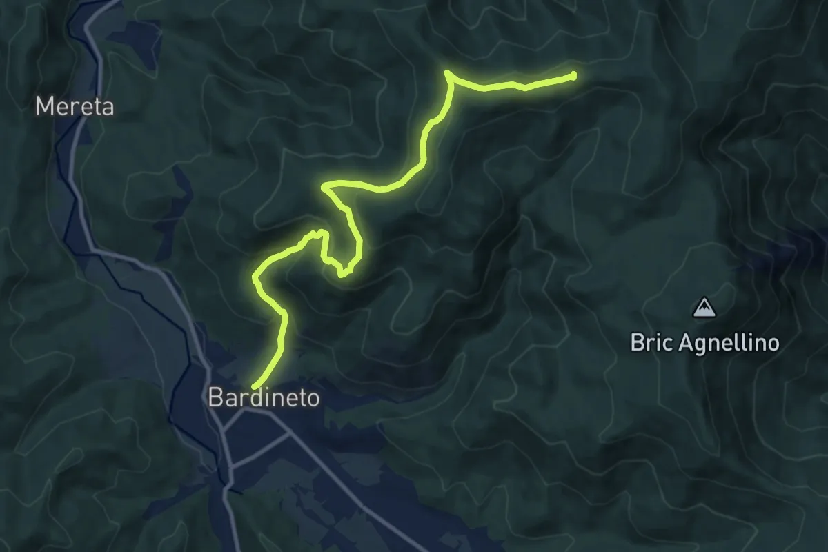
Medium · Summit
Bardineto - Casa Forestale (incontro AVML)
11.7 km · ↑ 661 m · 4 h 11 min · 13 km away
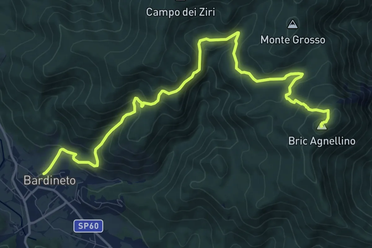
Medium · Summit
Bardineto - Conca dei Carbonari - Bric Agnellino
13.7 km · ↑ 740 m · 4 h 51 min · 13 km away
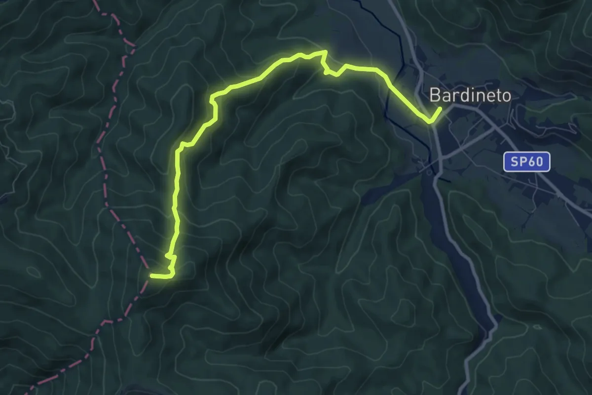
Medium · Summit
Bardineto – Bric Schenasso
9.4 km · ↑ 540 m · 3 h 23 min · 13 km away
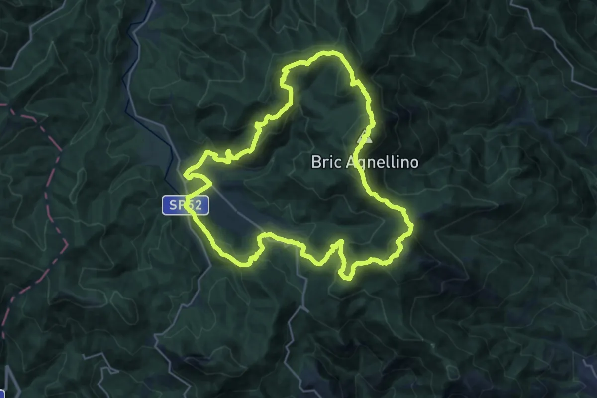
Demanding · Summit
Anello dei Balzi Rossi
20.8 km · ↑ 1169 m · 7 h 44 min · 13 km away
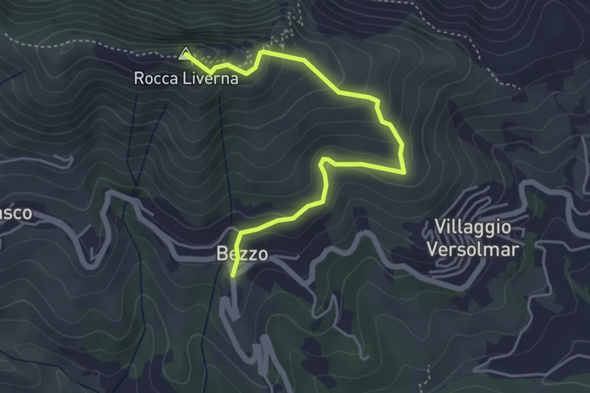
Medium · Summit
Bezzo - Rocca Livernà
4.5 km · ↑ 300 m · 1 h 43 min · 13 km away
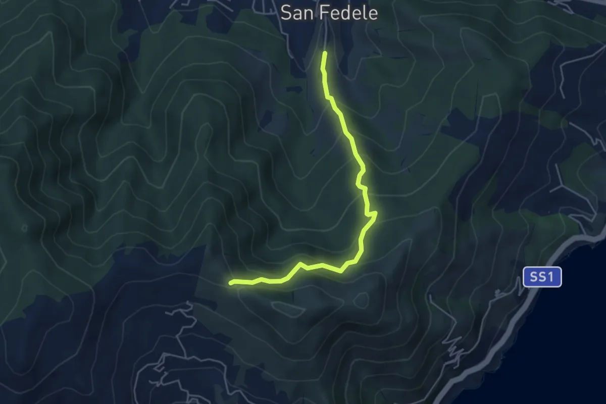
Medium · Trail
San Fedele - Monte Bignone
4.6 km · ↑ 403 m · 1 h 58 min · 13 km away
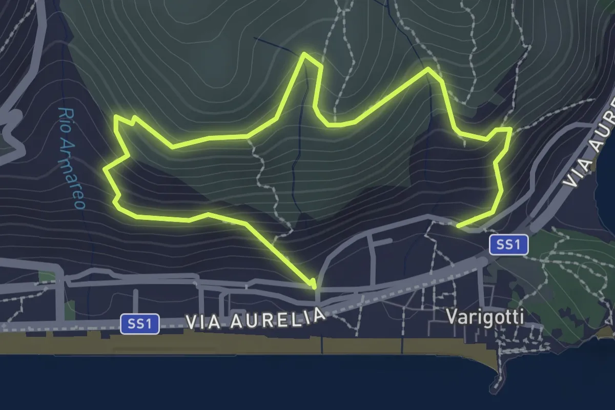
Medium · Trail
Sentiero Balcone sul Mare
3.9 km · ↑ 343 m · 1 h 40 min · 13 km away
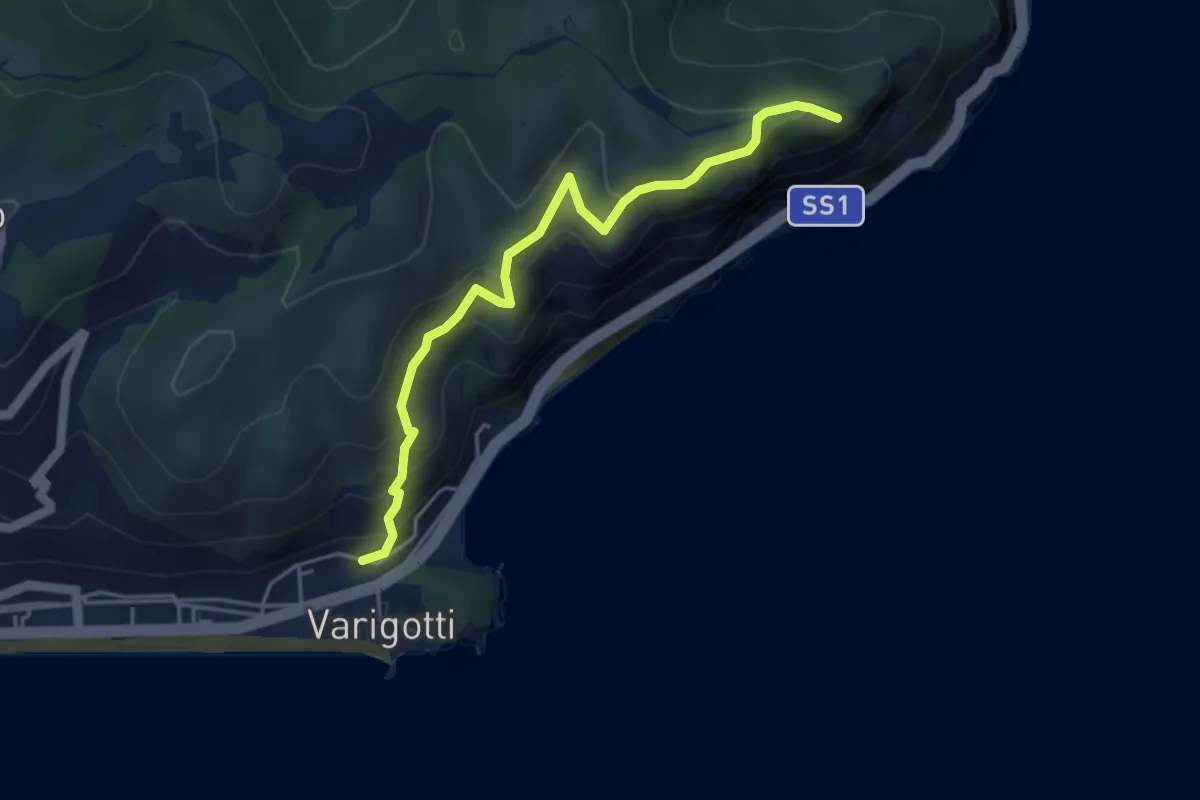
Medium · Summit
Sentiero del Pellegrino
4.6 km · ↑ 322 m · 1 h 48 min · 13 km away
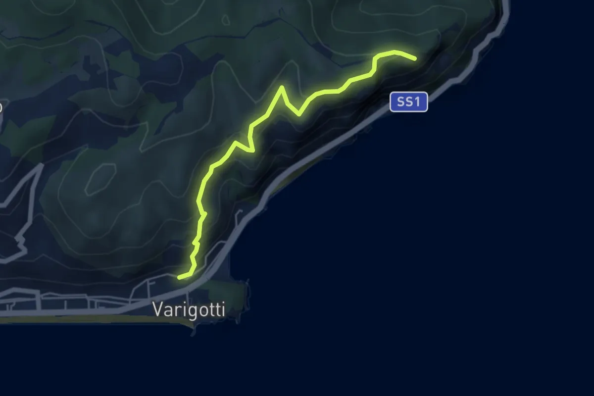
Medium · Summit
Varigotti – Capo Noli Vetta
4.6 km · ↑ 322 m · 1 h 48 min · 13 km away
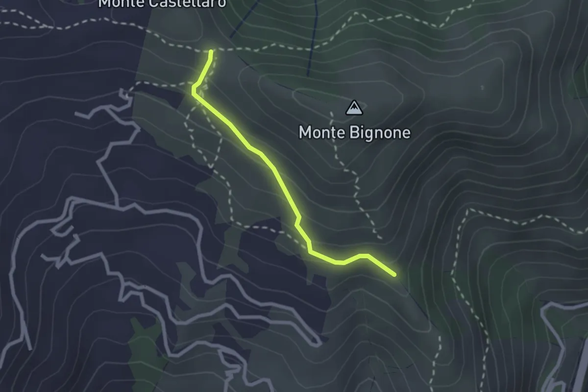
Easy · Trail
Raccordo AVBS
2.0 km · ↑ 151 m · 48 min · 13 km away
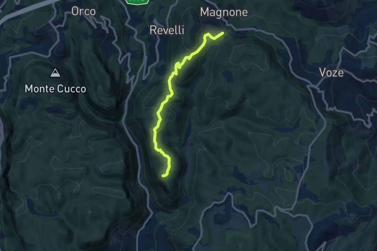
Demanding · Summit
Finalpia - Colla di Magnone
6.9 km · ↑ 266 m · 2 h 13 min · 14 km away
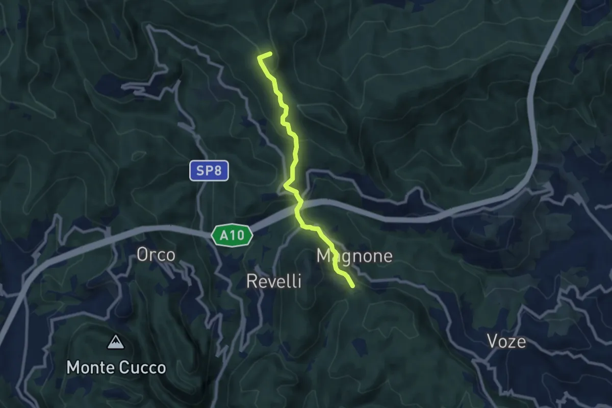
Easy · Summit
Colla Magnone - Santa Libera - Colla di San Giacomo
6.9 km · ↑ 283 m · 2 h 15 min · 14 km away
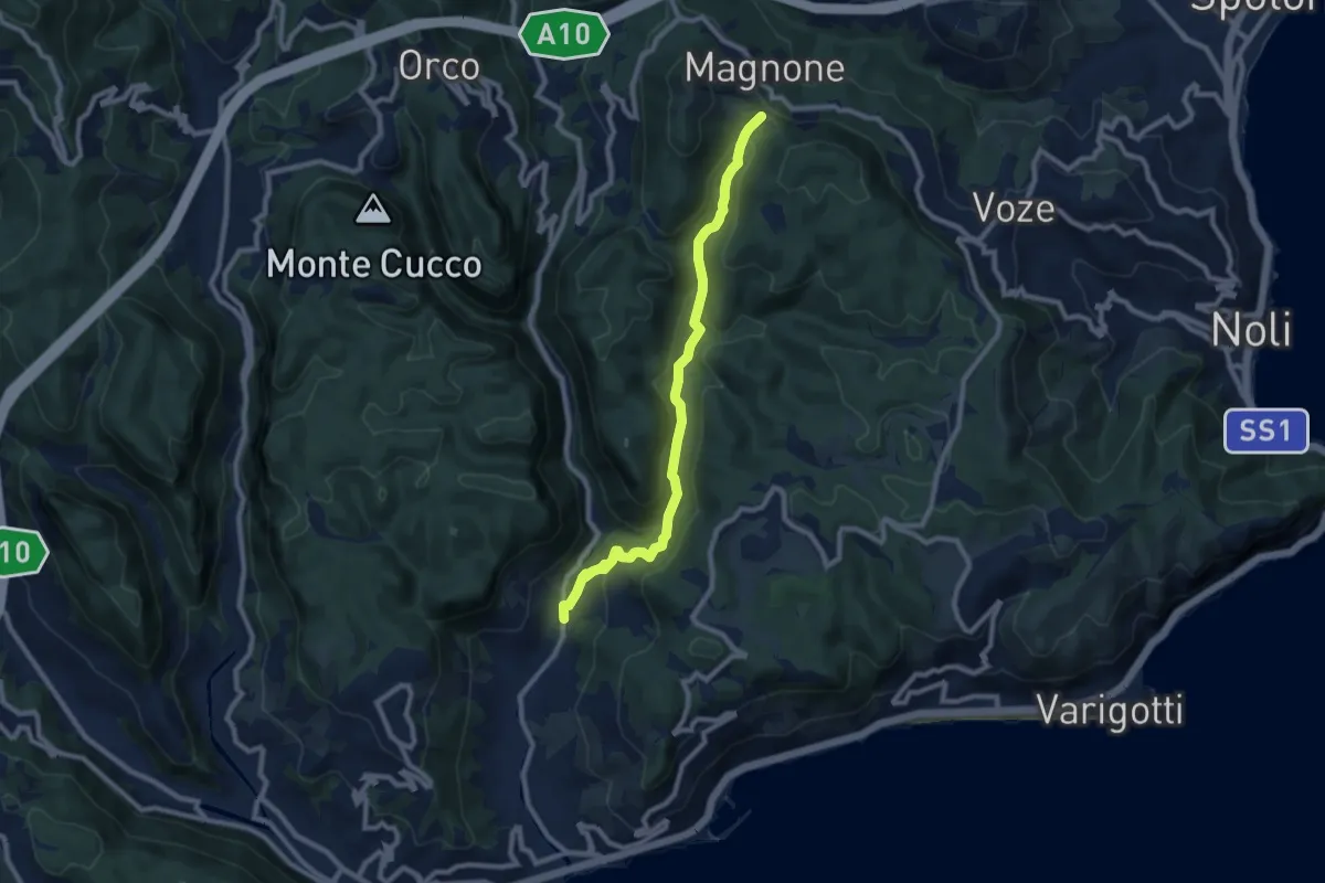
Medium · Trail
Calvisio – Colla Magnone
9.1 km · ↑ 378 m · 2 h 57 min · 14 km away
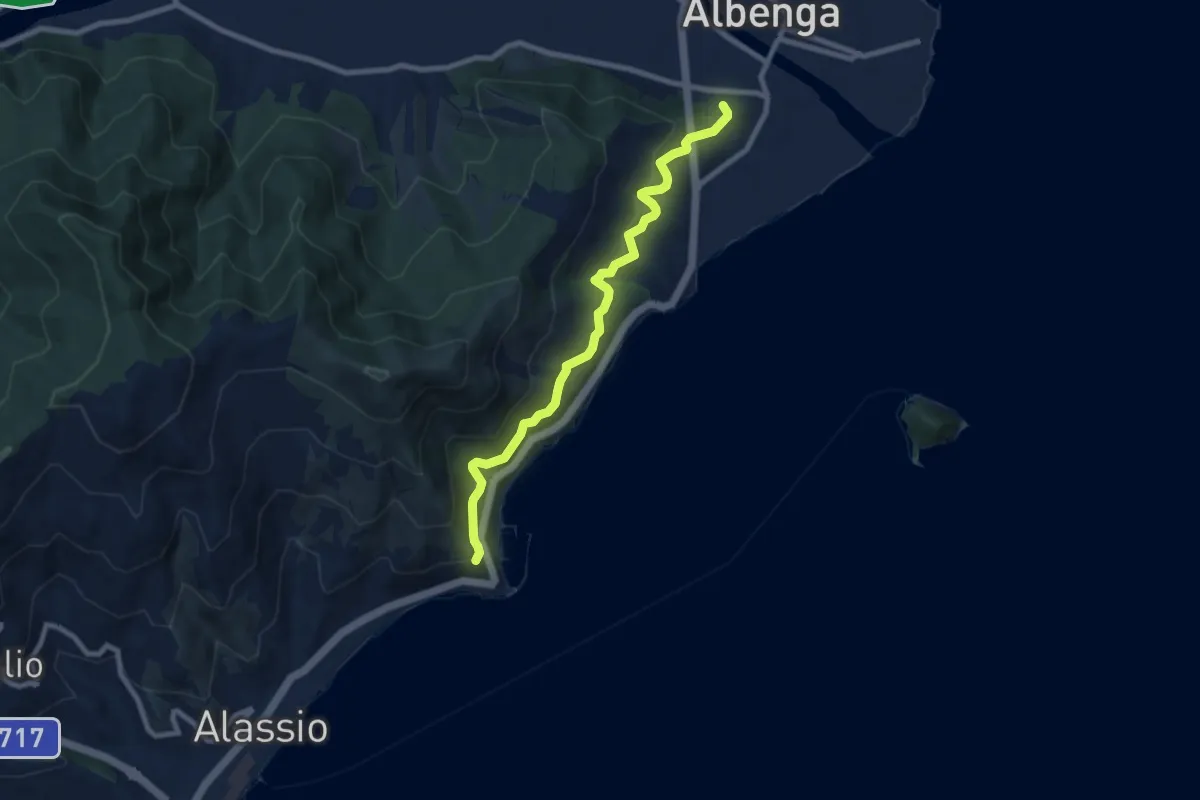
Medium · Trail
Albenga - Via Iulia Augusta - Santa Croce
8.4 km · ↑ 472 m · 3 h · 14 km away
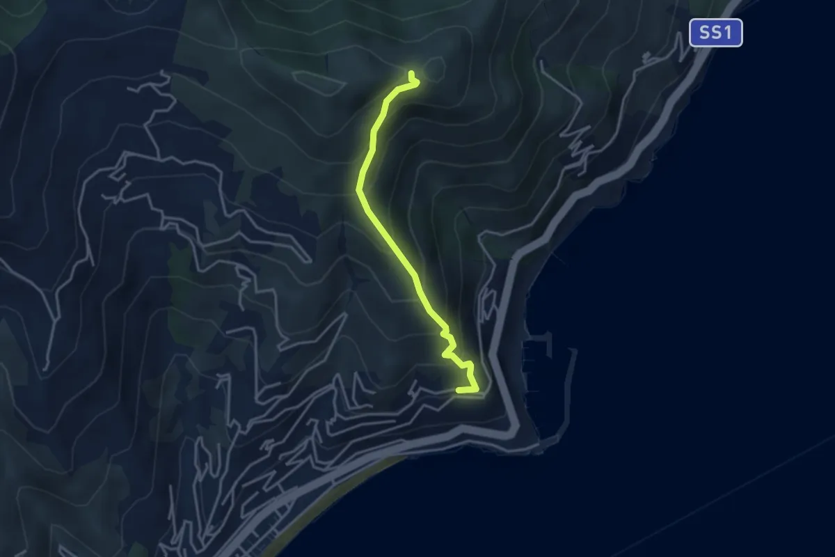
Medium · Trail
Santa Croce - Monte Bignone
3.2 km · ↑ 334 m · 1 h 29 min · 14 km away
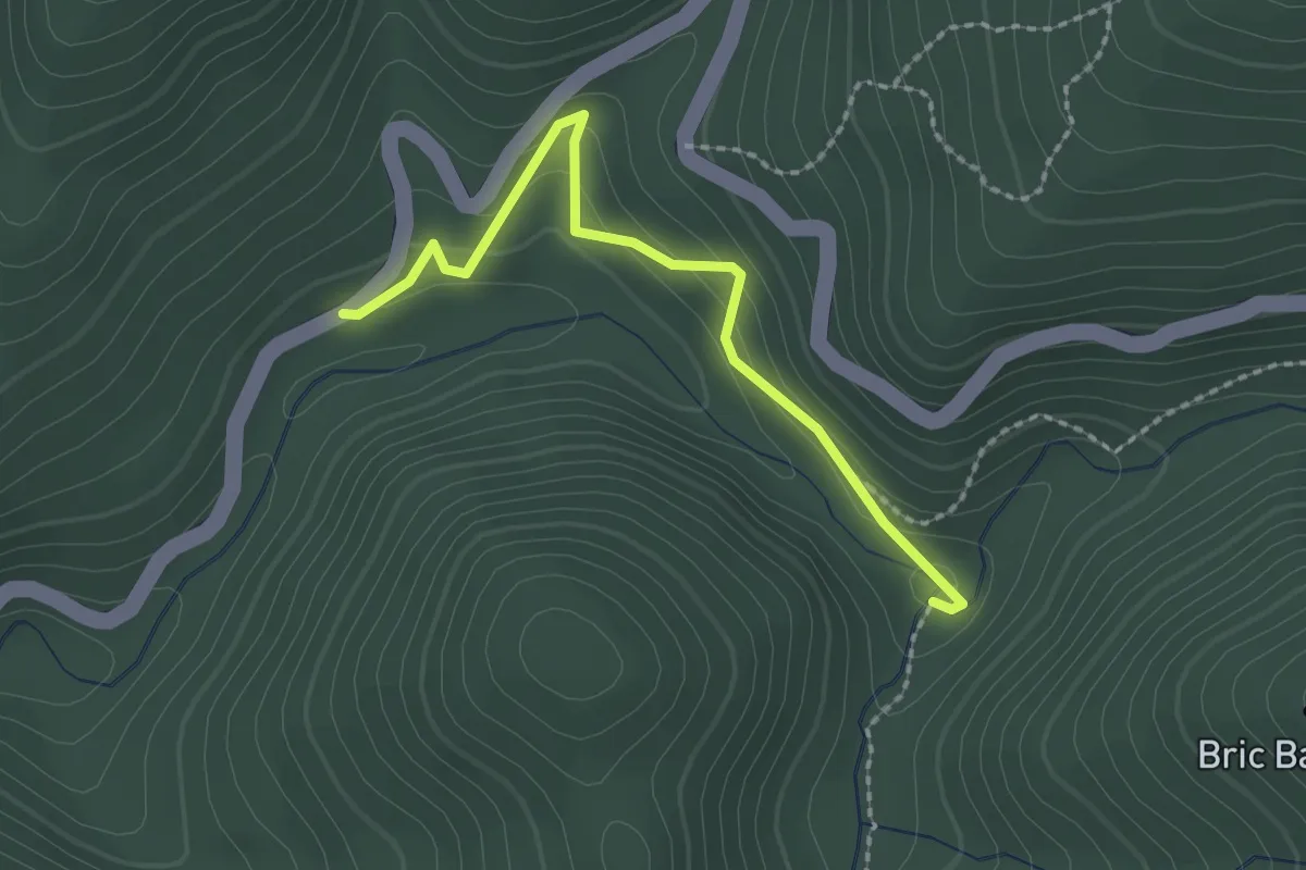
Easy · Trail
Località Franchella - Lago di Cravè
2.2 km · ↑ 114 m · 47 min · 14 km away
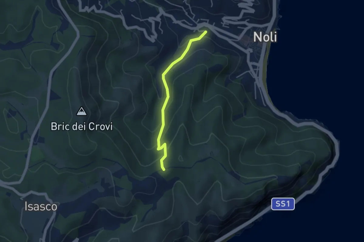
Easy · Trail
Sentiero Acquaviva
3.3 km · ↑ 242 m · 1 h 19 min · 14 km away
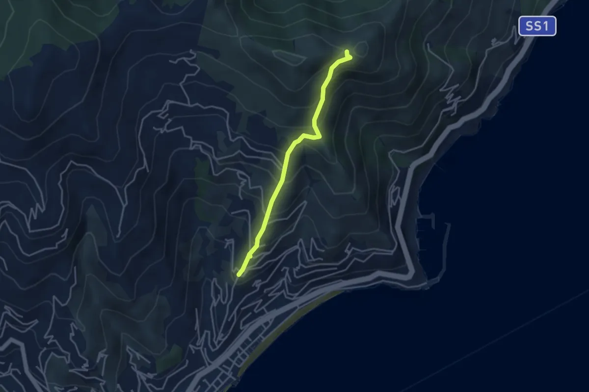
Medium · Trail
Solva - Monte Bignone
3.4 km · ↑ 350 m · 1 h 34 min · 14 km away
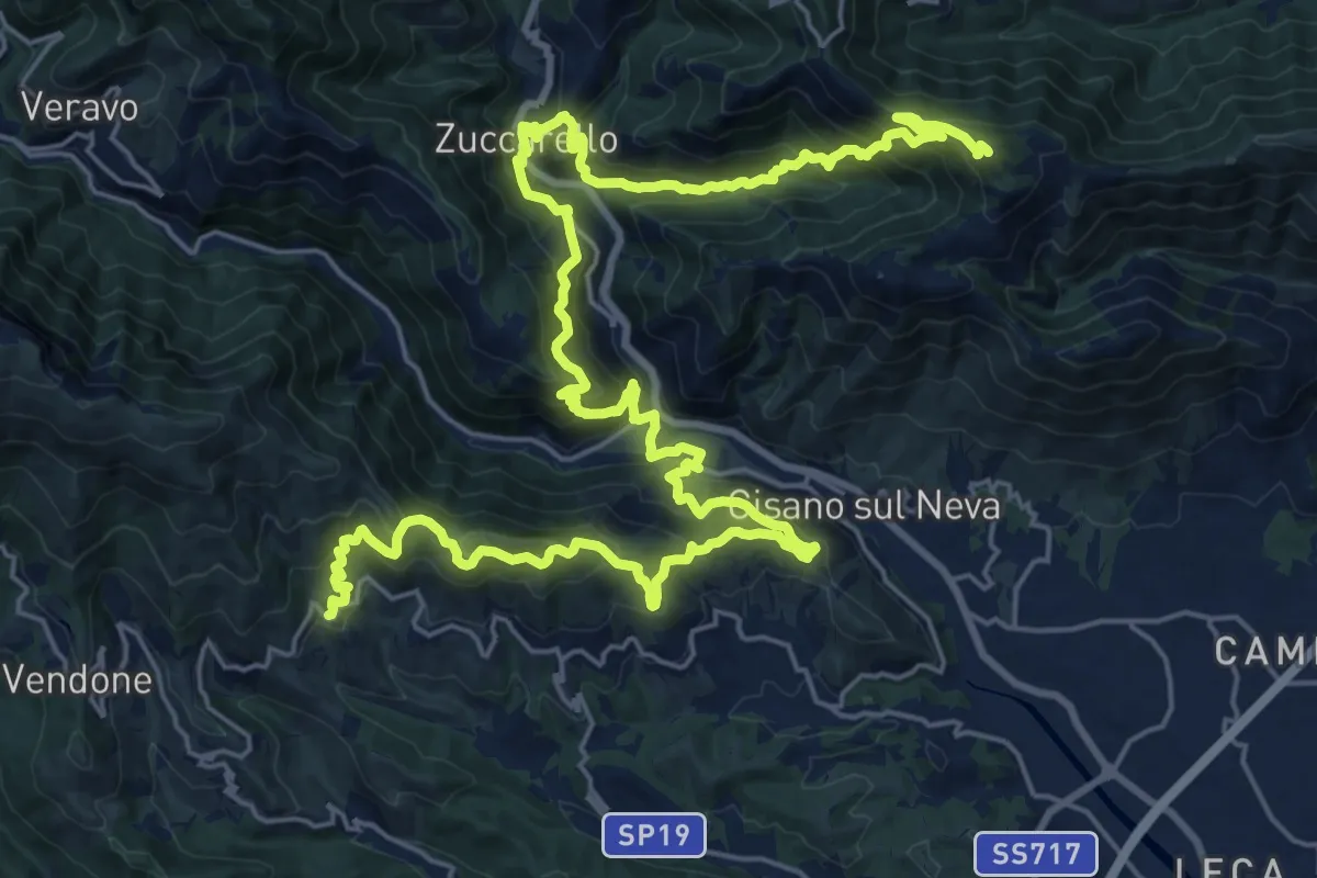
Demanding · Summit
Sentiero Liguria - Tappa 22- variante 1
36.8 km · ↑ 2553 m · 14 h 14 min · 14 km away
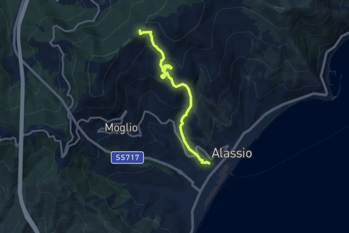
Medium · Trail
Alassio - Vegliasco - Sella di Caso
7.1 km · ↑ 538 m · 2 h 51 min · 14 km away
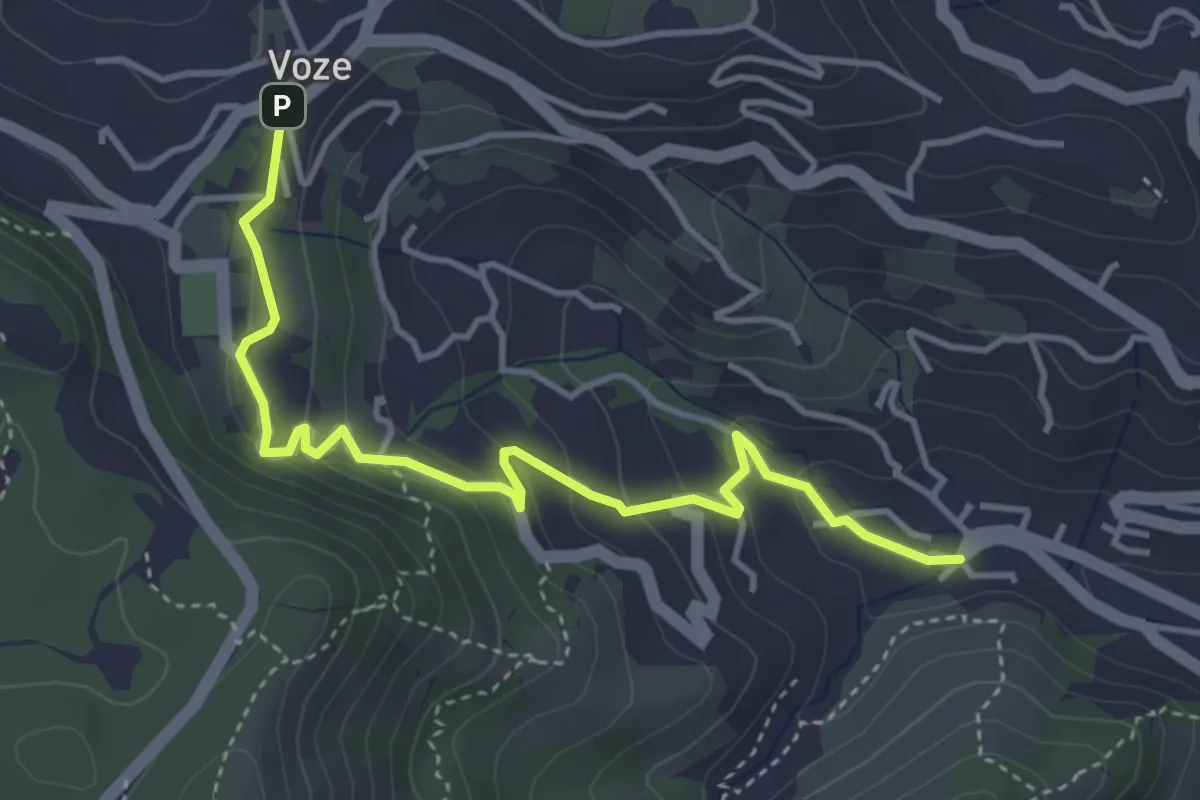
Easy · Trail
Noli - Luminella - Voze
4.5 km · ↑ 227 m · 1 h 33 min · 14 km away
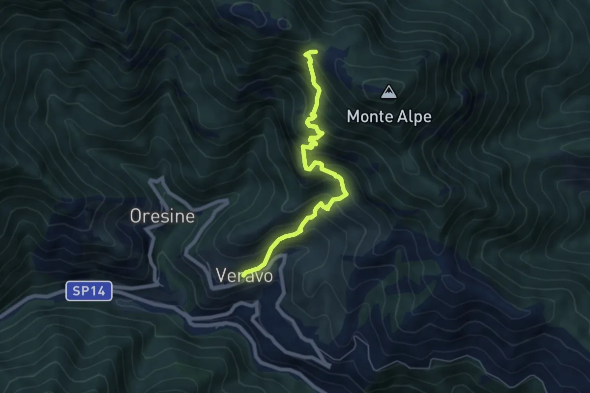
Medium · Trail
Veravo - Sella Alpe
5.7 km · ↑ 635 m · 2 h 44 min · 14 km away
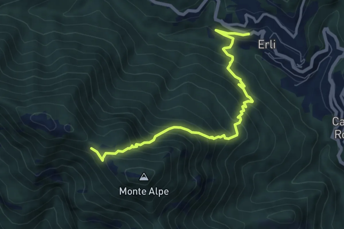
Demanding · Trail
Erli - Sella d'Alpe
7.8 km · ↑ 778 m · 3 h 32 min · 14 km away
Easy · Trail
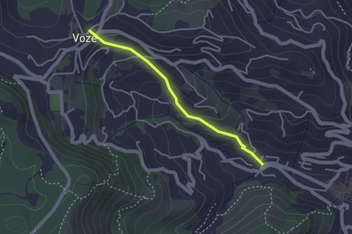
Strada Romana Noli - Voze
2.7 km · ↑ 171 m · 1 h 1 min · 14 km away
Medium · Trail
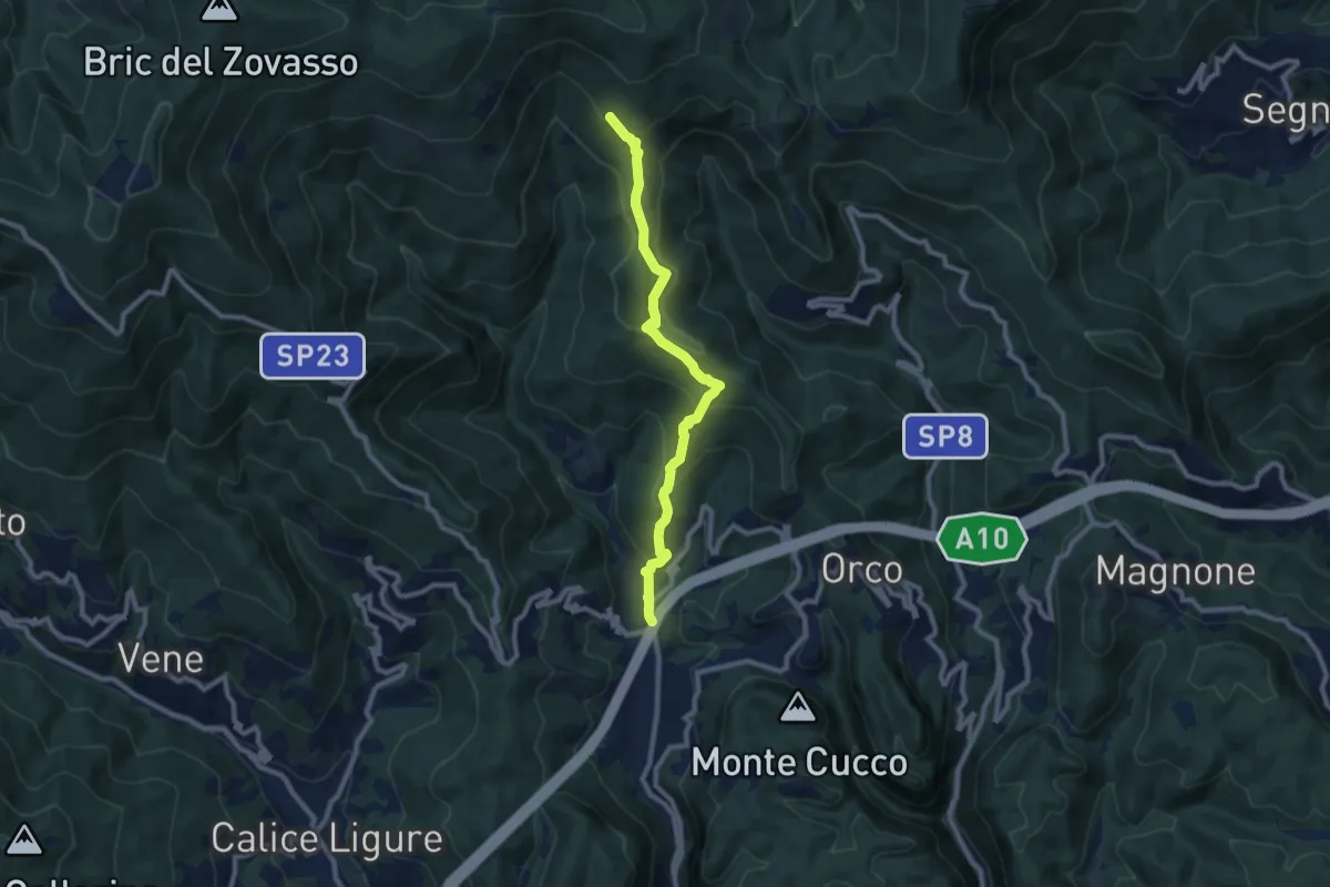
Feglino - Croce del Savio
9.3 km · ↑ 512 m · 3 h 19 min · 15 km away
Medium · Summit
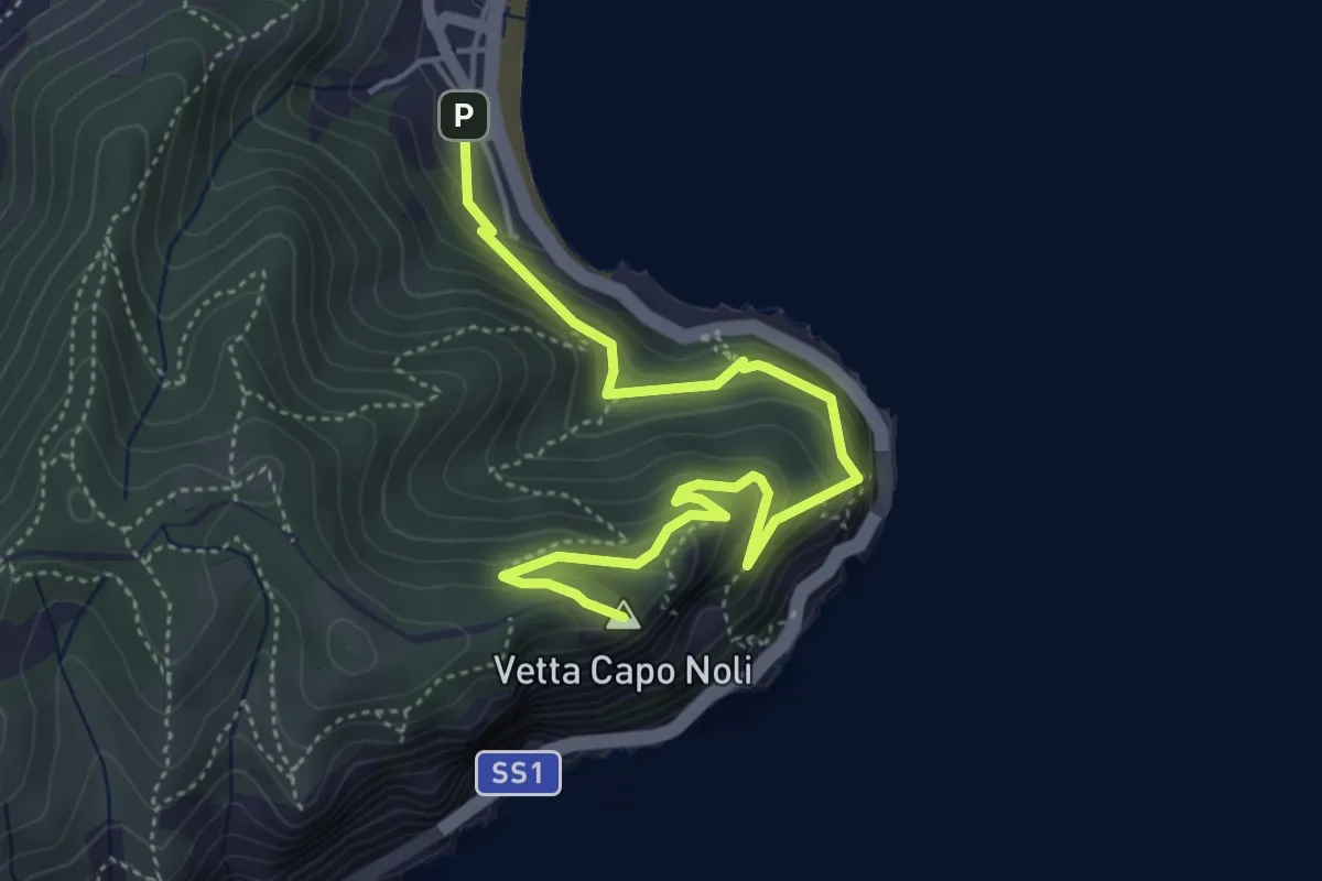
Noli – Capo Noli Vetta
5.4 km · ↑ 450 m · 2 h 15 min · 15 km away
Medium · Summit
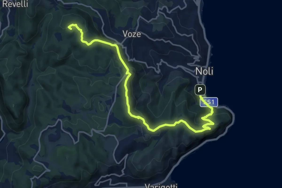
Noli – C. La Magnone
14.6 km · ↑ 678 m · 4 h 55 min · 15 km away
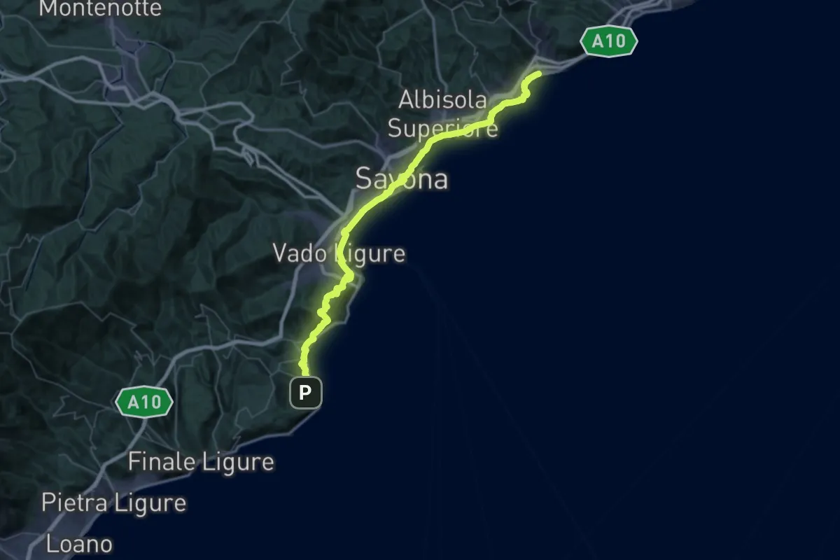
Demanding · Trail
Via della Costa - tappa 6
28.2 km · ↑ 677 m · 8 h 31 min · 15 km away
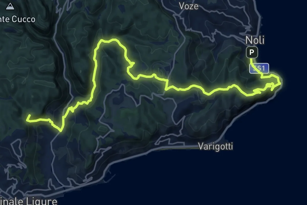
Demanding · Summit
Via della Costa - tappa 5
25.6 km · ↑ 1240 m · 8 h 44 min · 15 km away
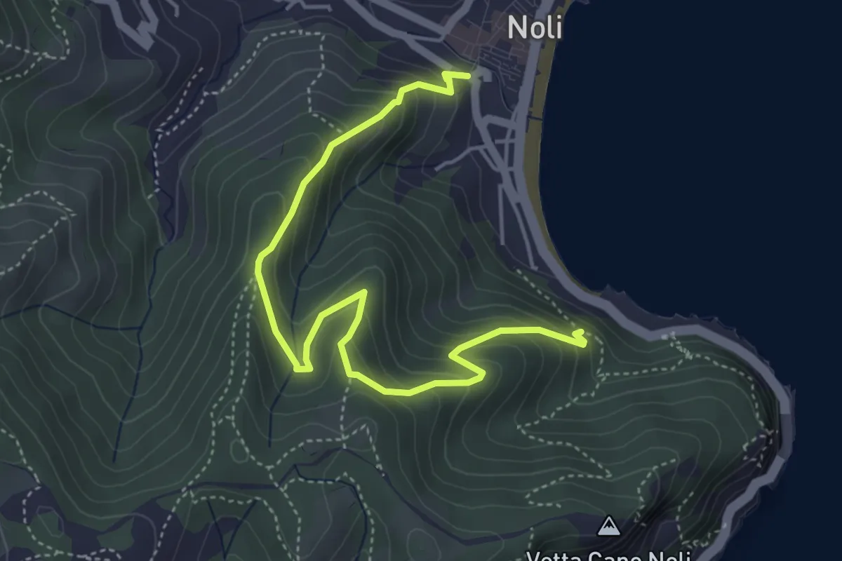
Medium · Trail
Sentiero Amico
5.4 km · ↑ 450 m · 2 h 15 min · 15 km away