Trails near Luino
373 hikes starting within 15 km, nearest first.
Nearest first, page 4 of 8
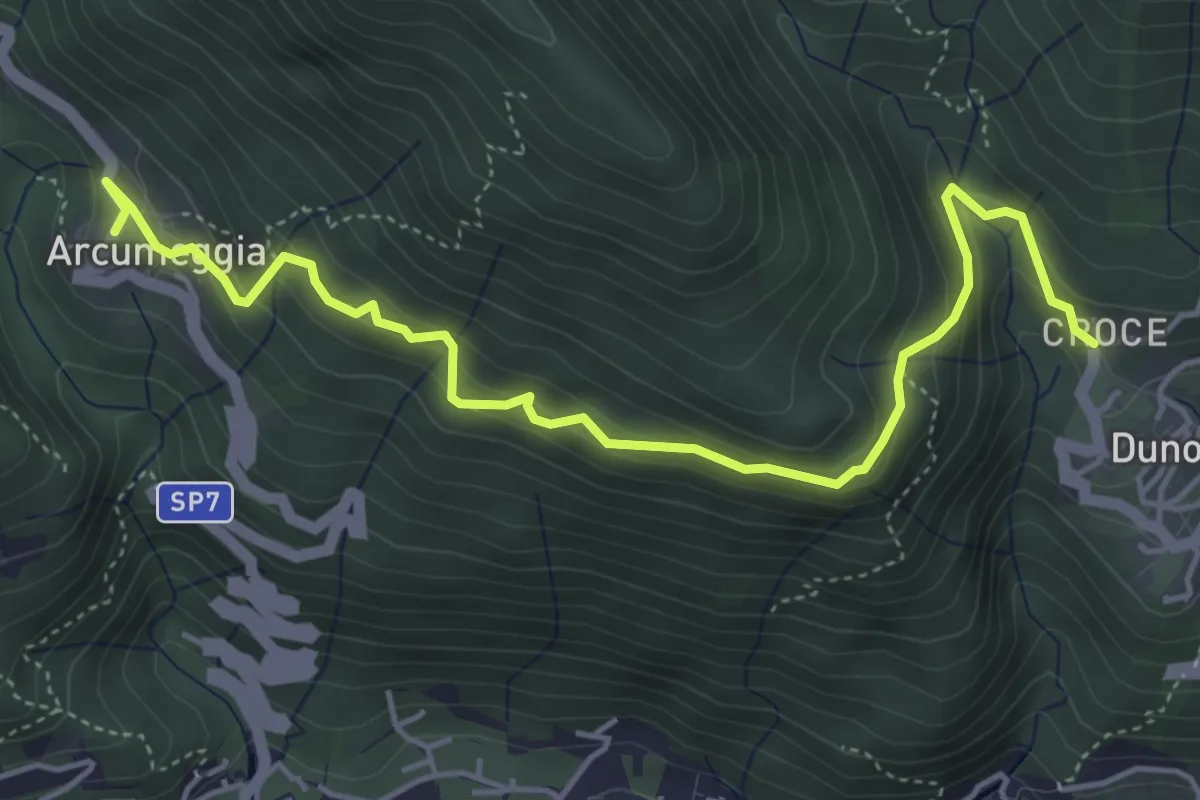
Medium · Trail
Arcumeggia – Duno
5.4 km · ↑ 366 m · 2 h 5 min · 9 km away
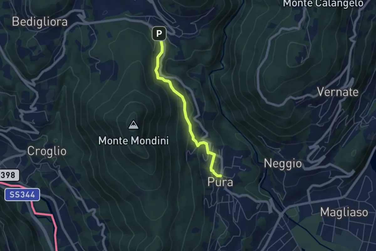
Easy · Trail
Curio-Molino – Pura
4.7 km · ↑ 232 m · 1 h 36 min · 9 km away
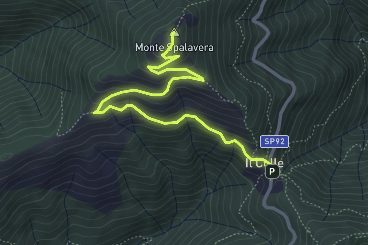
Medium · Summit
Colle (m 1238) – Bivio R20 sotto Cima l'Alpe (m 1298)
5.9 km · ↑ 350 m · 2 h 8 min · 9 km away
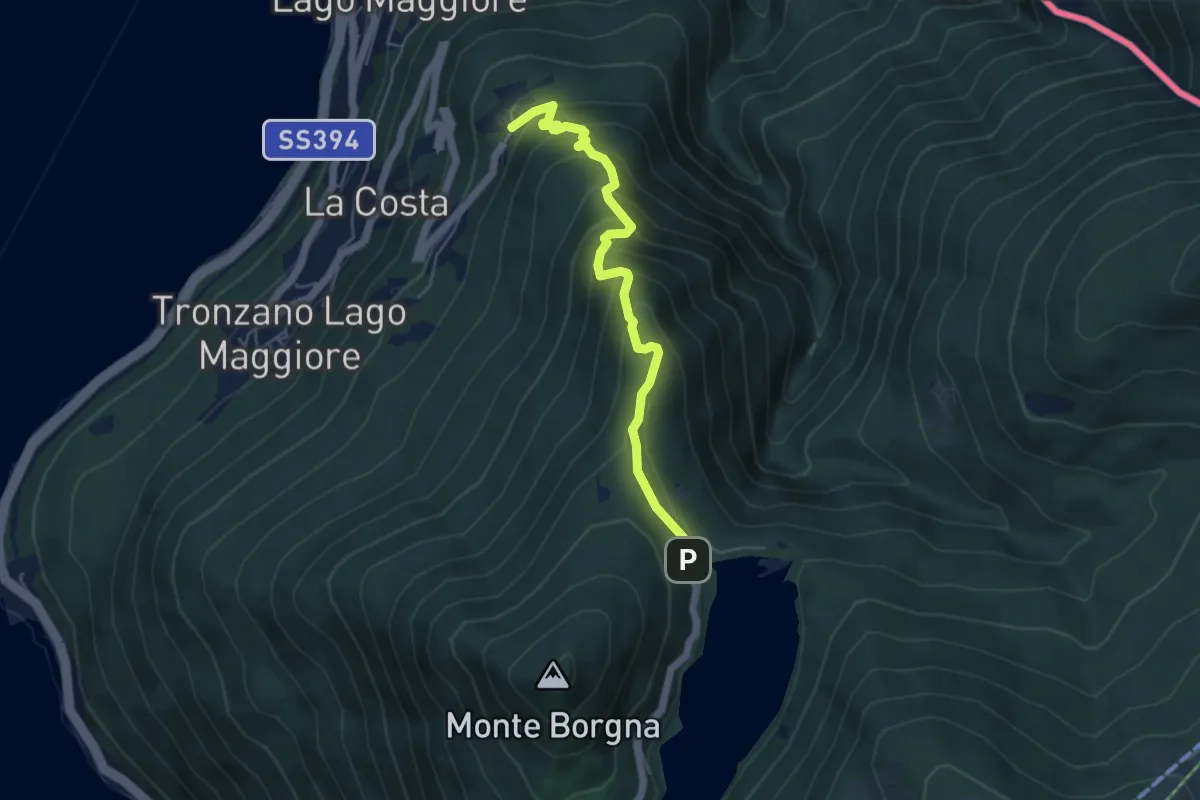
Medium · Trail
Bassano – Monti di Bassano
5.0 km · ↑ 437 m · 2 h 8 min · 9 km away
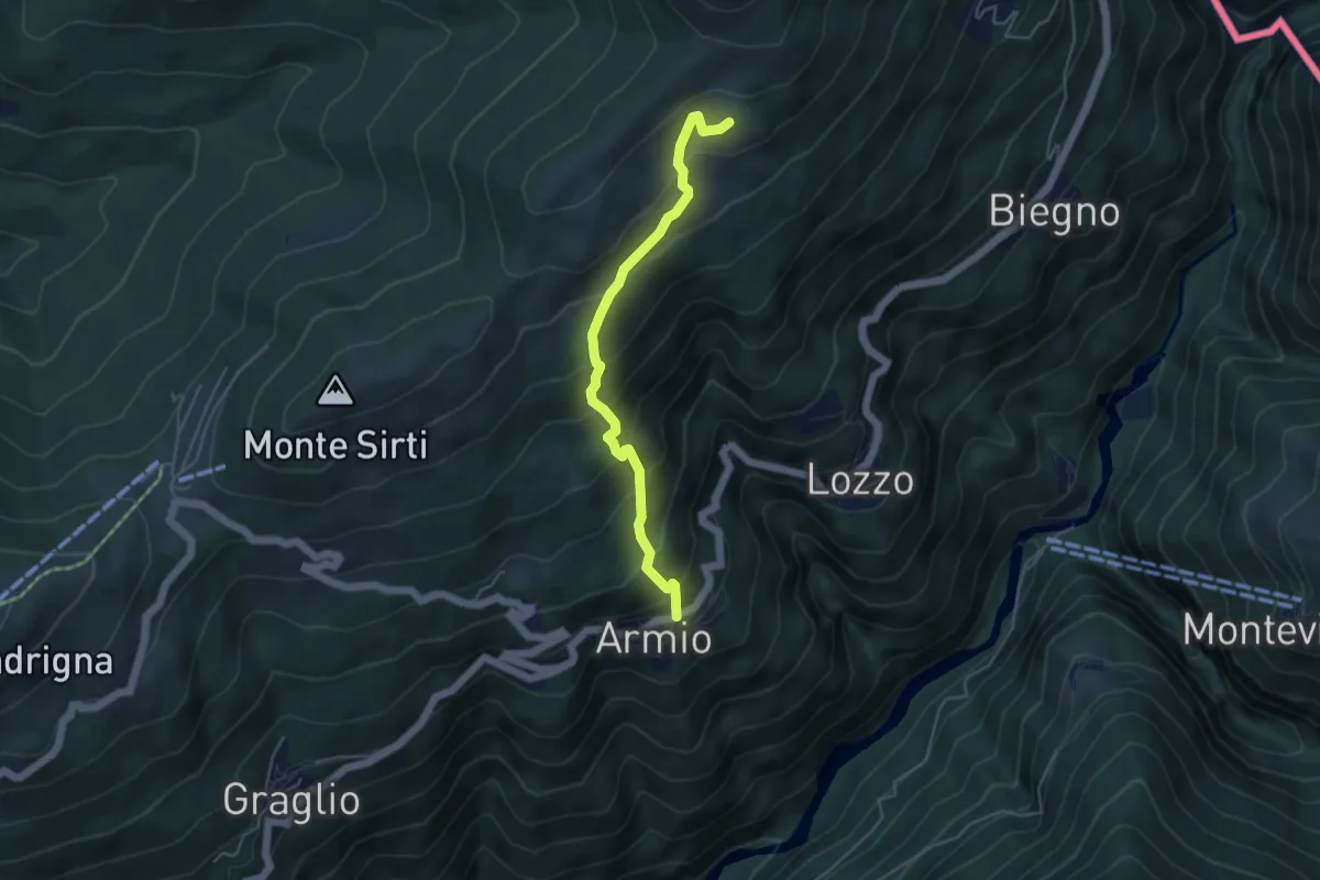
Medium · Trail
Armio – Monterecchio
4.5 km · ↑ 436 m · 2 h · 9 km away
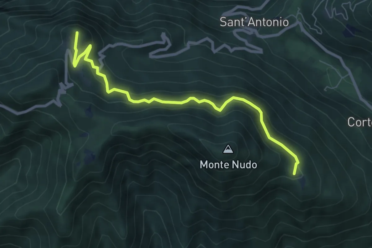
Medium · Summit
Rifugio Adamoli – Pozzo Piano
6.5 km · ↑ 408 m · 2 h 25 min · 9 km away
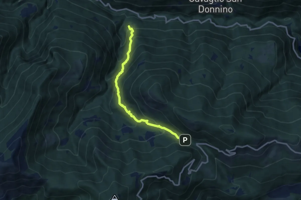
Medium · Trail
S11 Socraggio - Piazza S.Eurosia
7.4 km · ↑ 682 m · 3 h 13 min · 9 km away
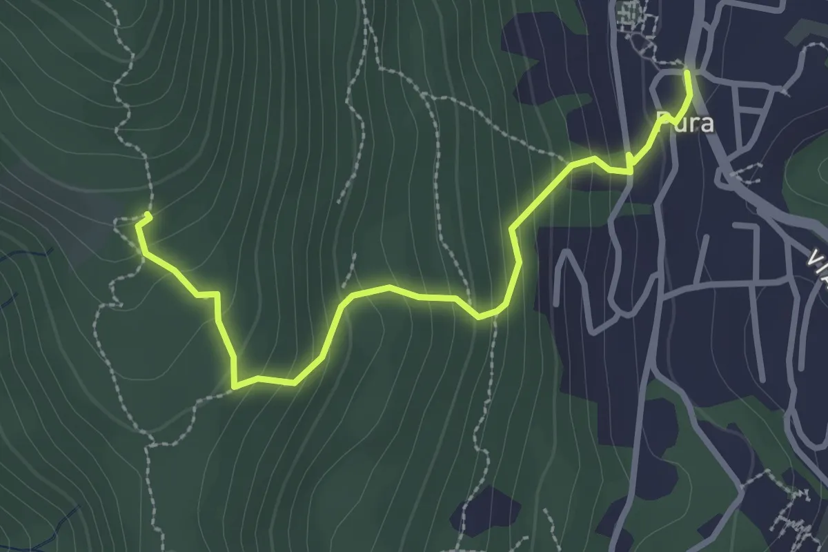
Medium · Trail
Pura – Scangei
2.8 km · ↑ 247 m · 1 h 12 min · 9 km away
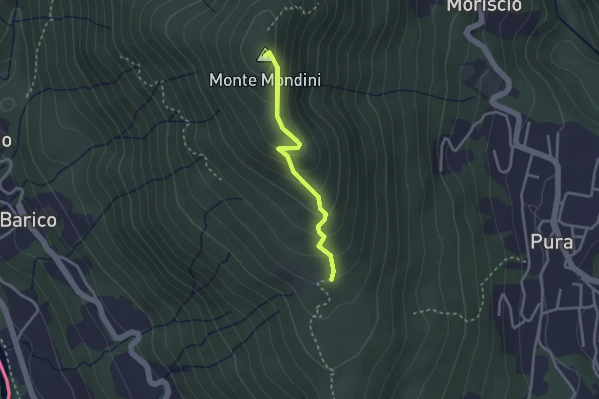
Medium · Summit
Scangei – Monte Mondini
2.2 km · ↑ 153 m · 51 min · 9 km away
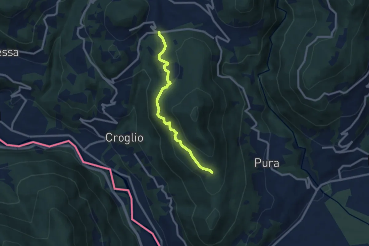
Medium · Trail
Scangei – Feredino
5.7 km · ↑ 265 m · 1 h 55 min · 9 km away
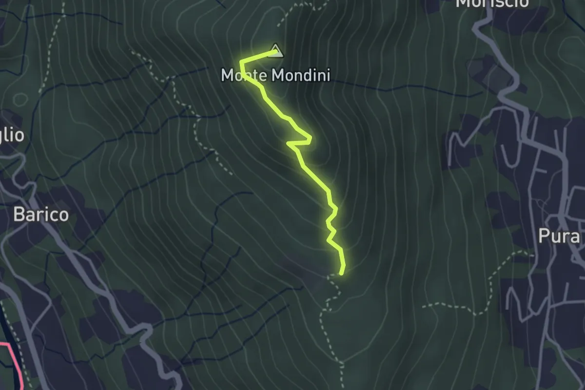
Medium · Summit
Scangei – Curio-Molino
2.4 km · ↑ 171 m · 57 min · 9 km away
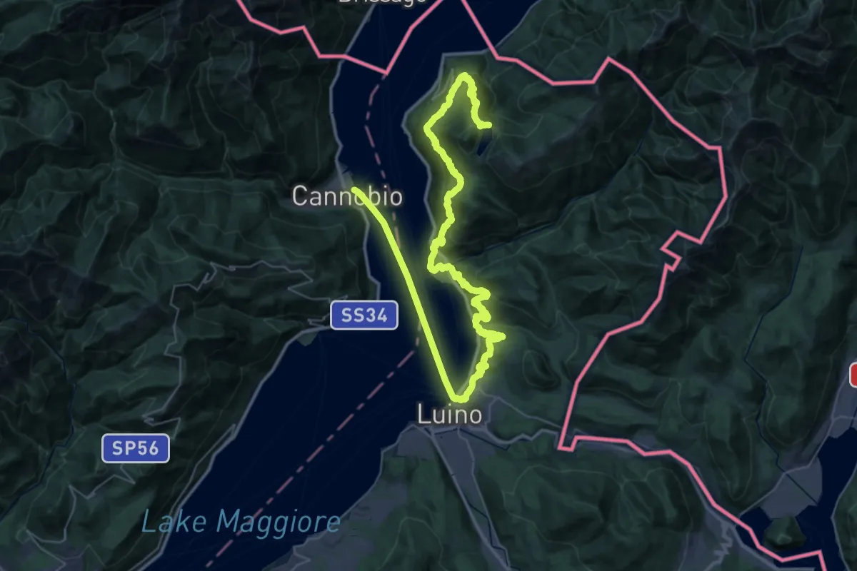
Demanding · Trail
Canobbio – Lago Delio
28.8 km · ↑ 1057 m · 9 h 52 min · 9 km away
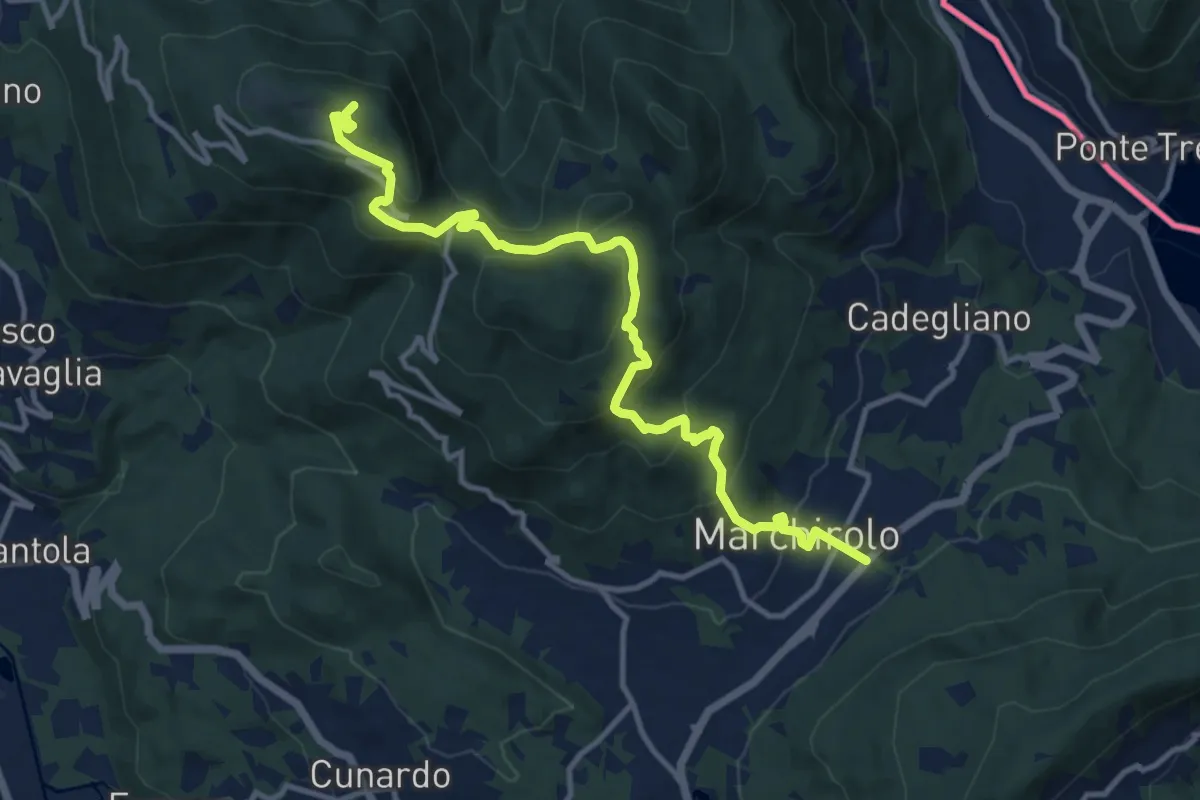
Demanding · Summit
Diga di Creva (Luino) – Marchirolo
13.1 km · ↑ 771 m · 4 h 45 min · 9 km away
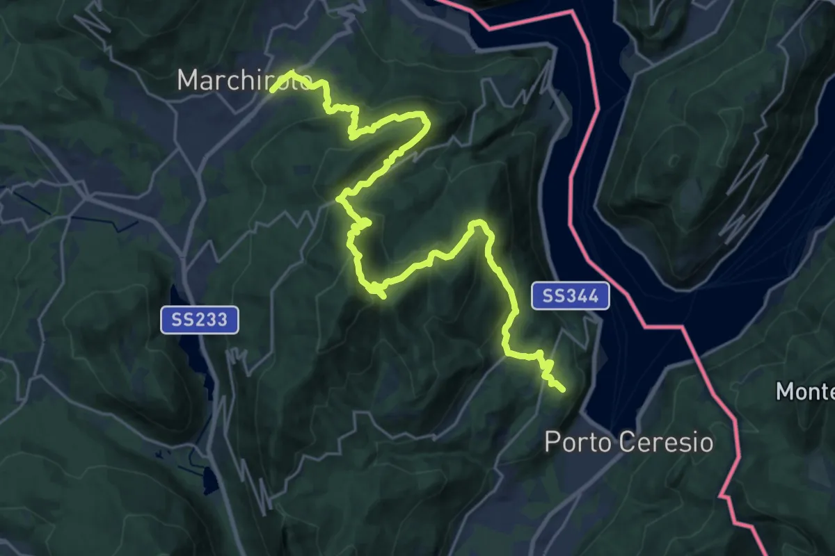
Demanding · Summit
Marchirolo – Porto Ceresio
27.6 km · ↑ 1465 m · 9 h 42 min · 9 km away
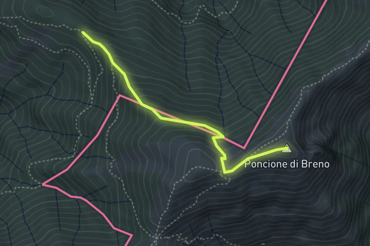
Medium · Summit
Alpone – Poncione di Breno (CH)
3.7 km · ↑ 319 m · 1 h 34 min · 9 km away
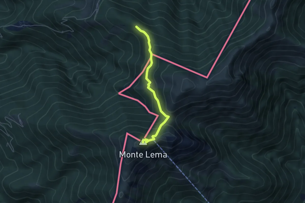
Medium · Summit
Alpone – Monte Lema (CH)
4.3 km · ↑ 318 m · 1 h 42 min · 9 km away
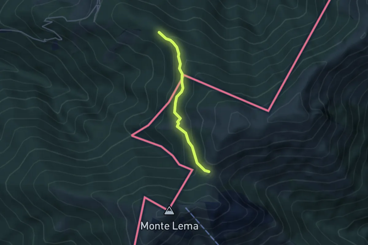
Easy · Trail
Forc. d'Arasio – Alpe Arasio
3.0 km · ↑ 186 m · 1 h 7 min · 9 km away
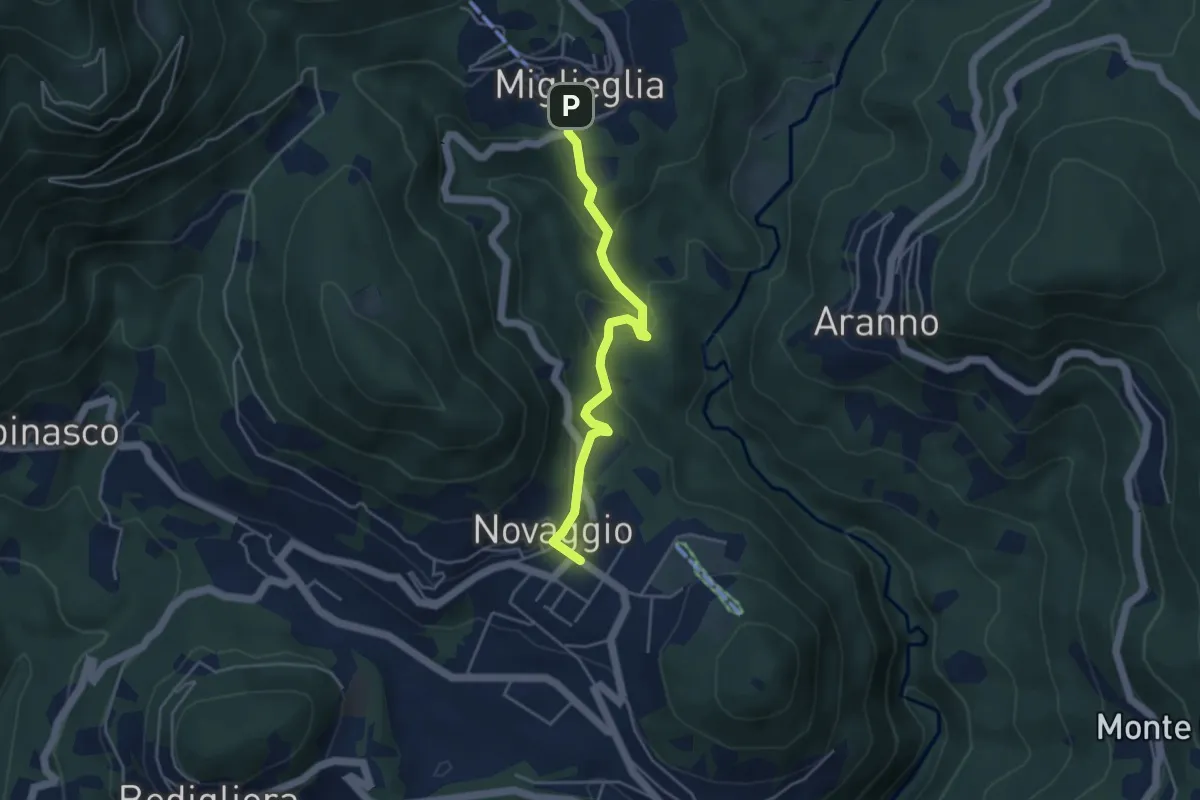
Easy · Trail
Novaggio – Miglieglia
4.1 km · ↑ 218 m · 1 h 27 min · 9 km away
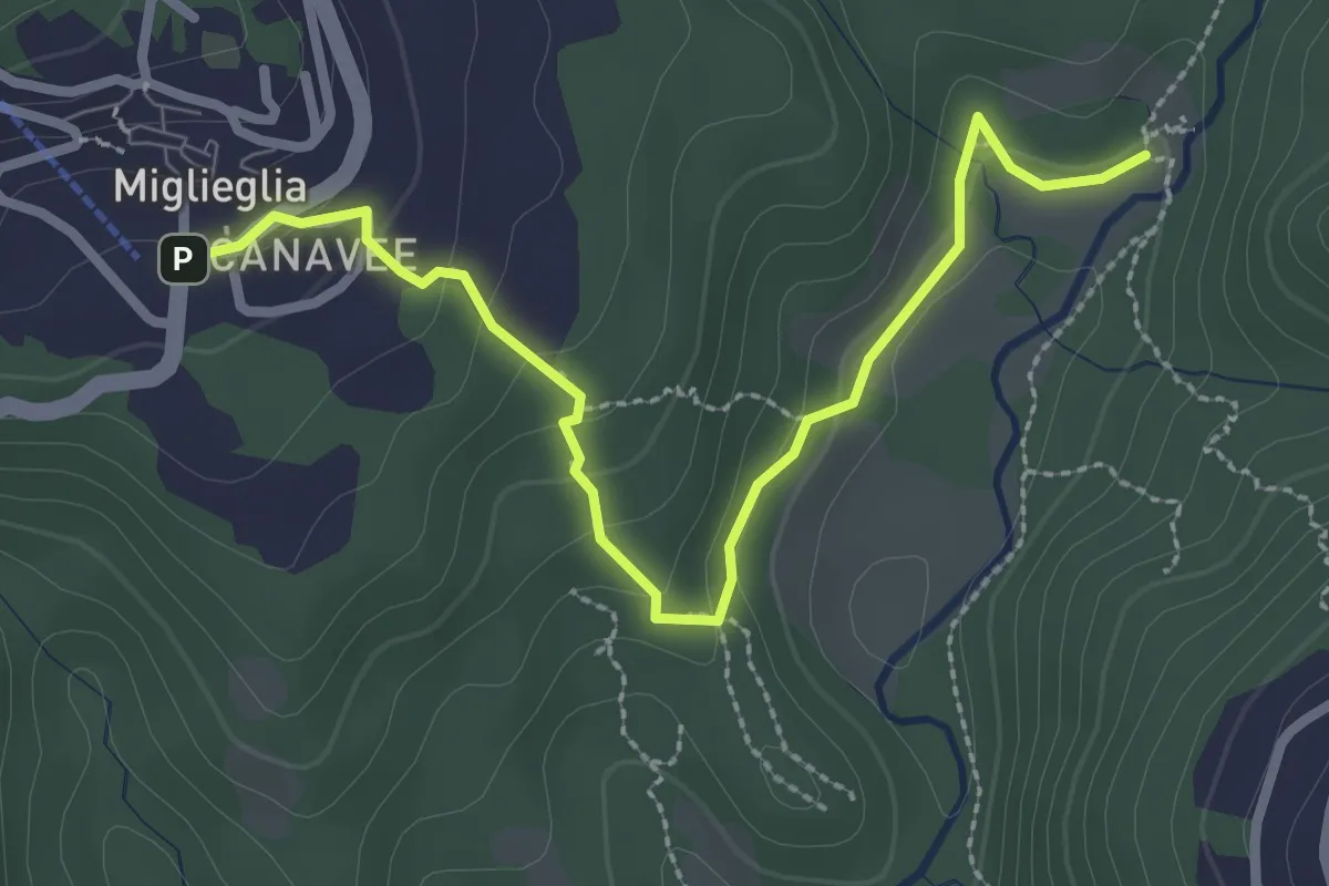
Easy · Trail
Maglio – Miglieglia
3.0 km · ↑ 131 m · 59 min · 9 km away
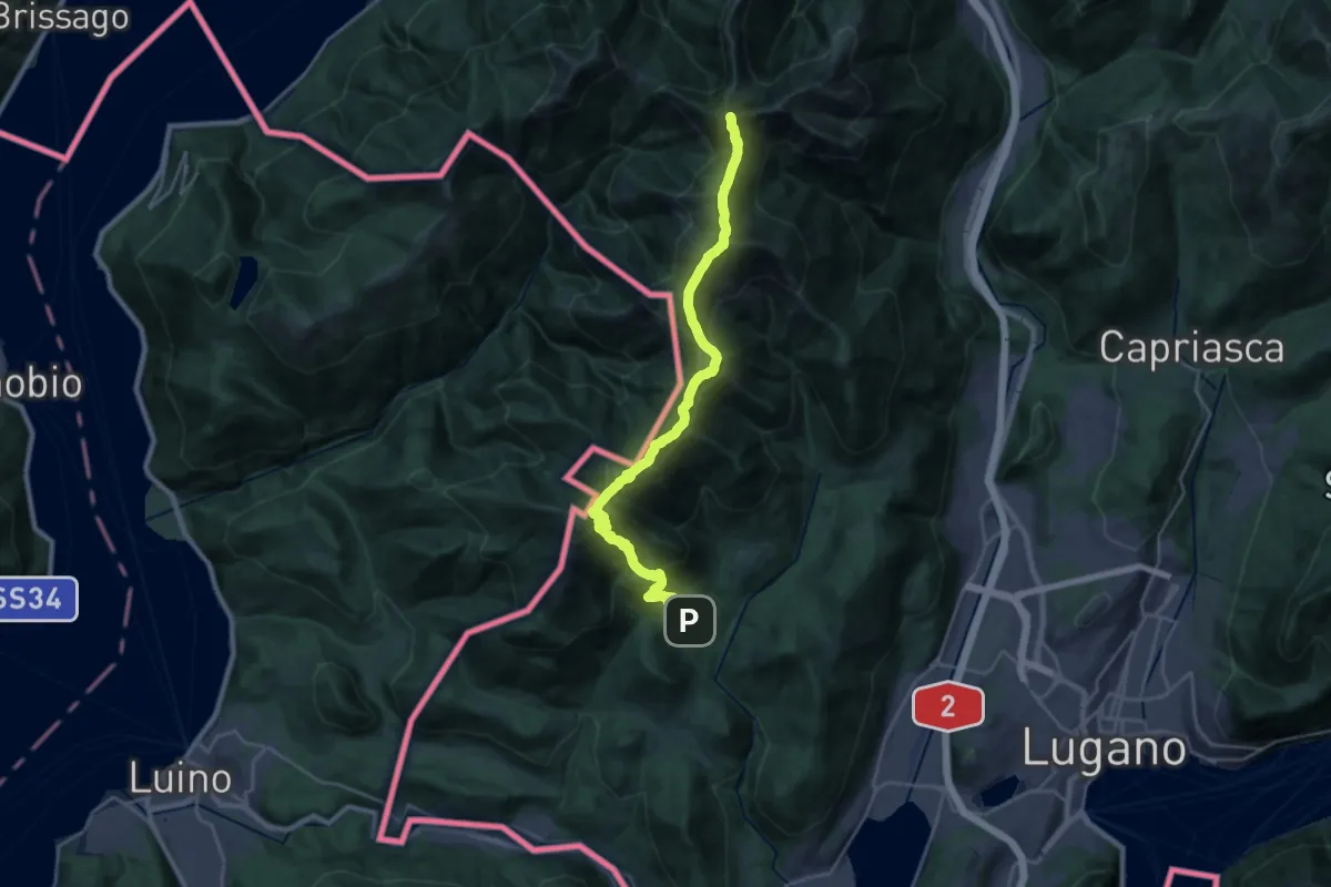
Demanding · Summit
Sentiero Lago di Lugano
26.8 km · ↑ 2282 m · 11 h 17 min · 9 km away
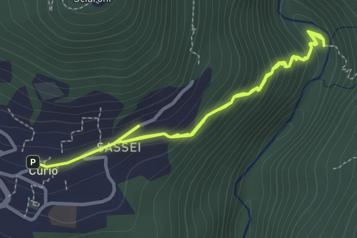
Easy · Trail
Curio – Iseo
4.0 km · ↑ 293 m · 1 h 35 min · 9 km away
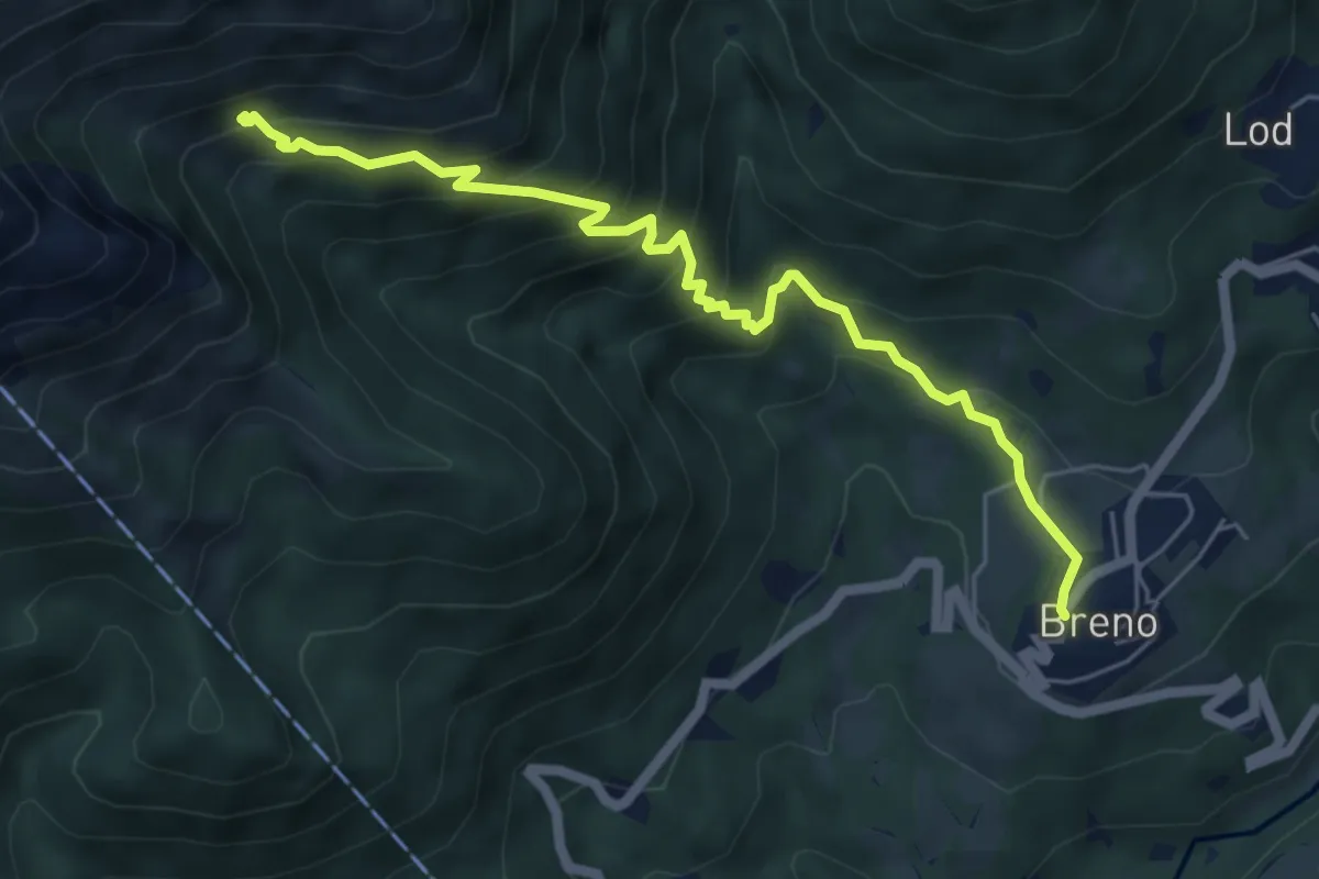
Medium · Trail
Breno – Alpe Tramboschino
6.1 km · ↑ 558 m · 2 h 39 min · 10 km away
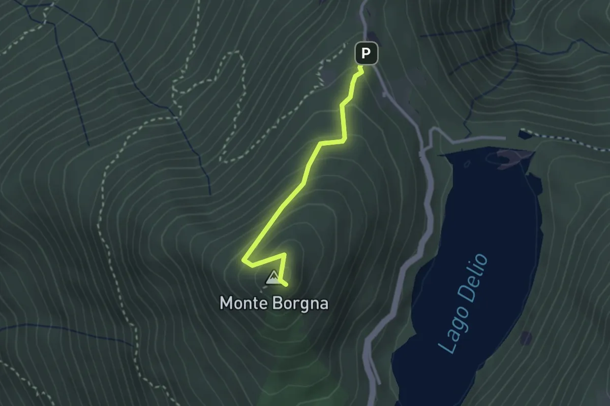
Easy · Summit
Monti di Bassano – Monte Borgna
2.2 km · ↑ 192 m · 56 min · 10 km away
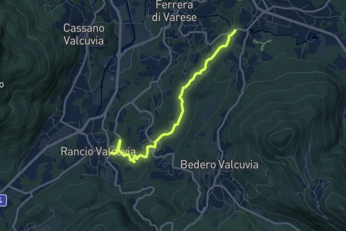
Easy · Trail
Rancio Valcuvia – Orrido di Cunardo
7.4 km · ↑ 201 m · 2 h 11 min · 10 km away
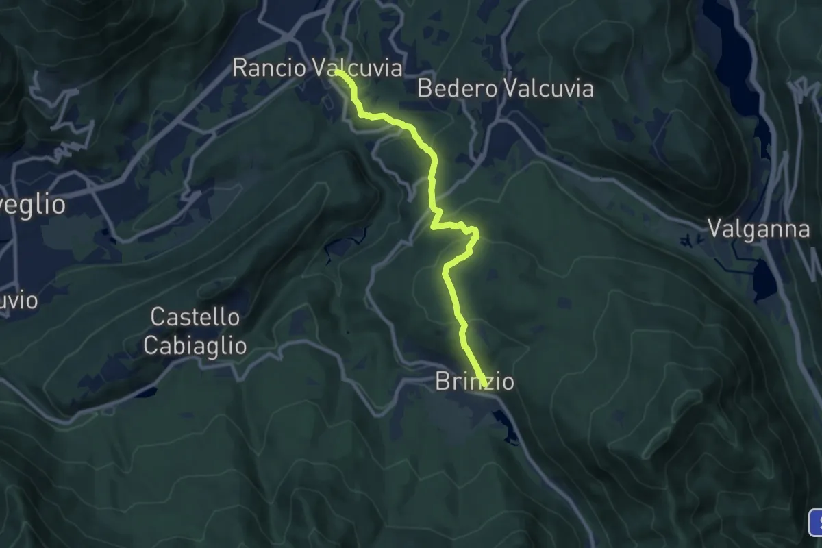
Medium · Trail
Brinzio – Rancio Valcuvia
8.6 km · ↑ 433 m · 2 h 59 min · 10 km away
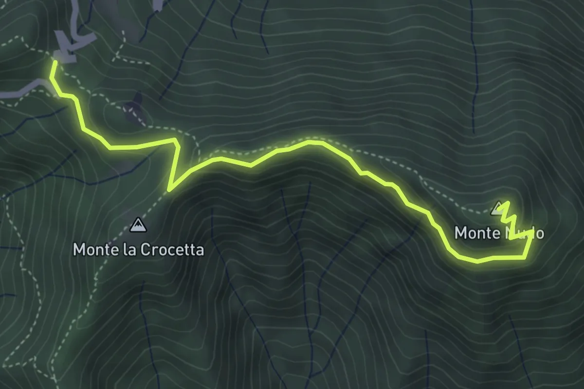
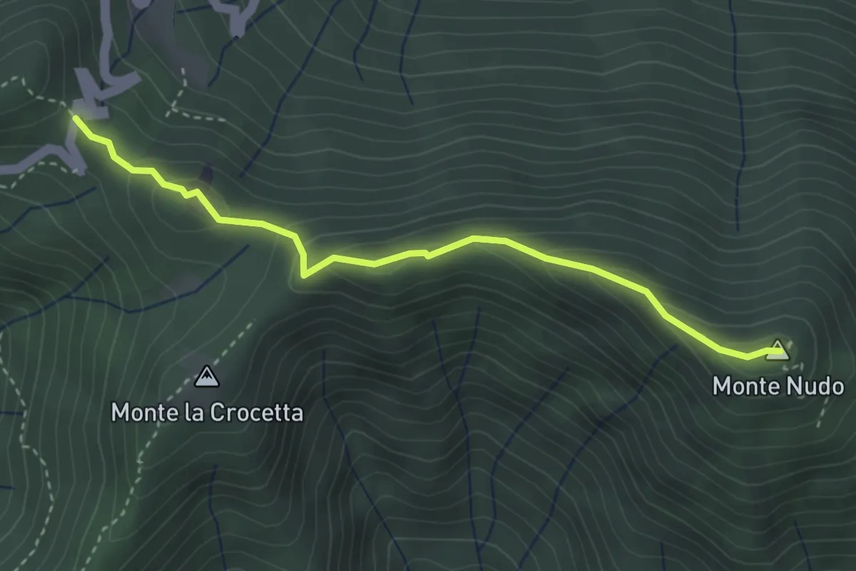
Expert · Summit
Passo Cuvignone – Monte Nudo
5.0 km · ↑ 271 m · 1 h 47 min · 10 km away
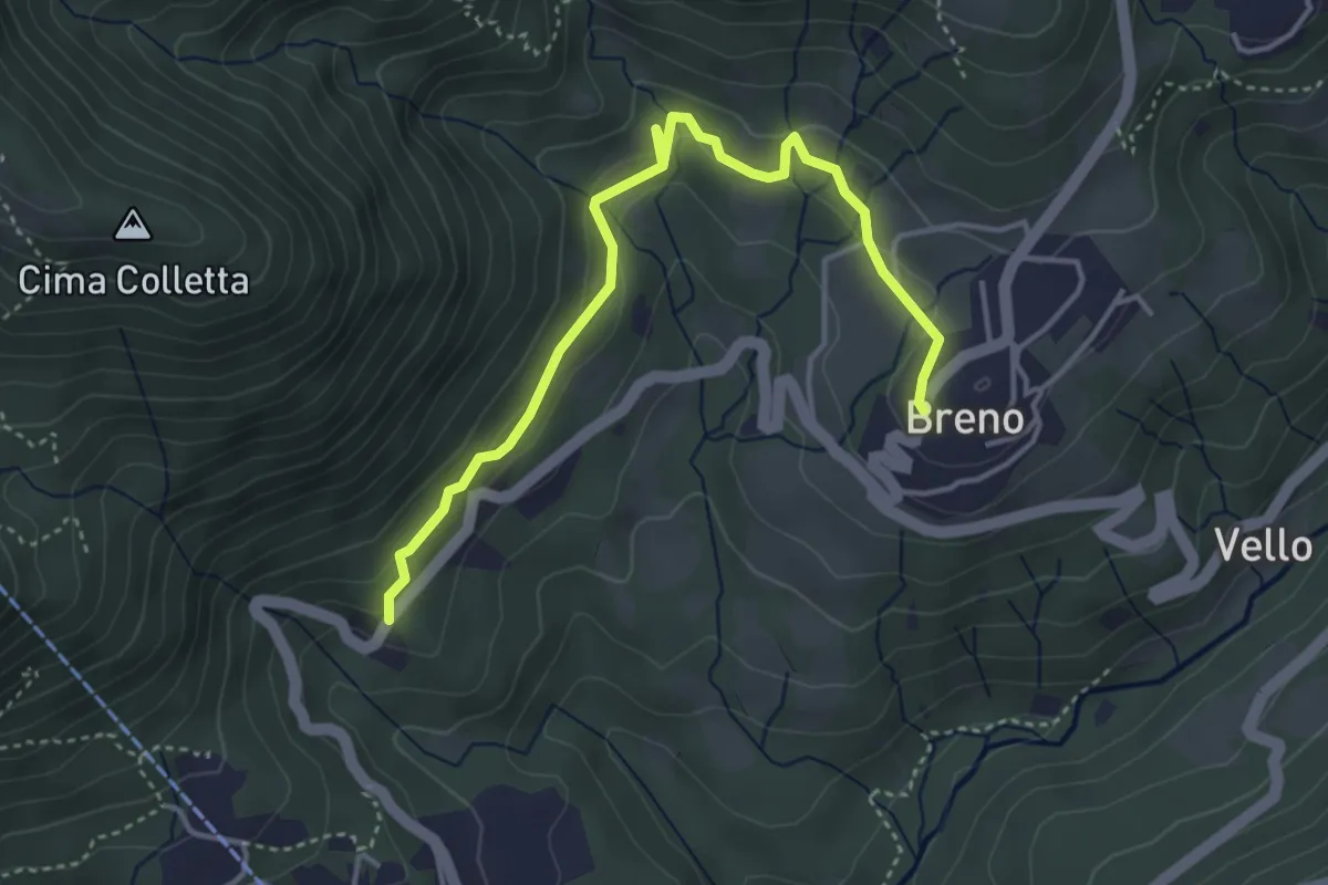
Demanding · Summit
Passo Cuvignone – Pozzopiano
3.5 km · ↑ 183 m · 1 h 13 min · 10 km away
Easy · Trail
Breno – Tortoglio
4.4 km · ↑ 180 m · 1 h 26 min · 10 km away
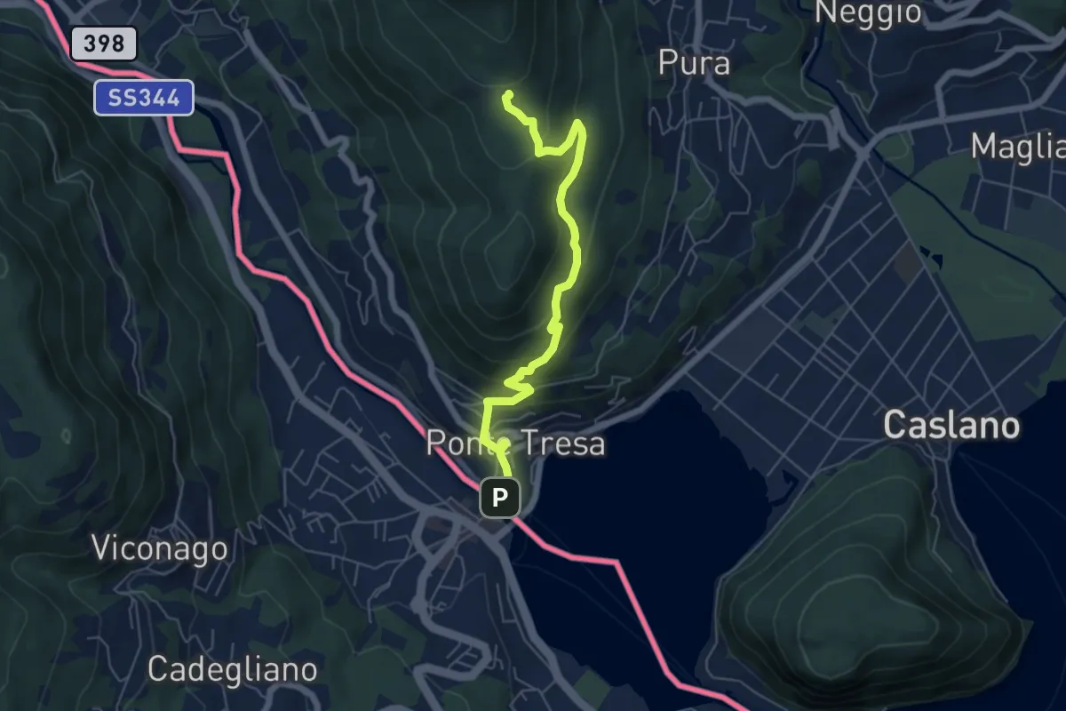
Medium · Trail
Ponte Tresa – Scangei
5.8 km · ↑ 377 m · 2 h 11 min · 10 km away
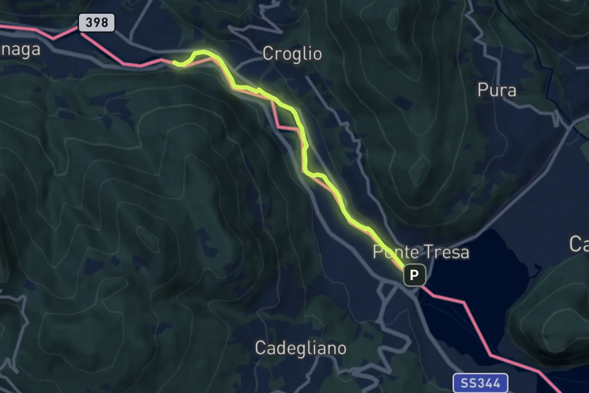
Easy · Trail
Ponte Tresa – ?
7.6 km · ↑ 27 m · 1 h 52 min · 10 km away
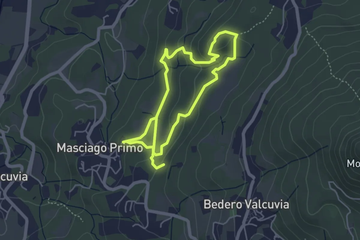
Easy · Trail
Sentiero Furia
7.2 km · ↑ 269 m · 2 h 17 min · 10 km away
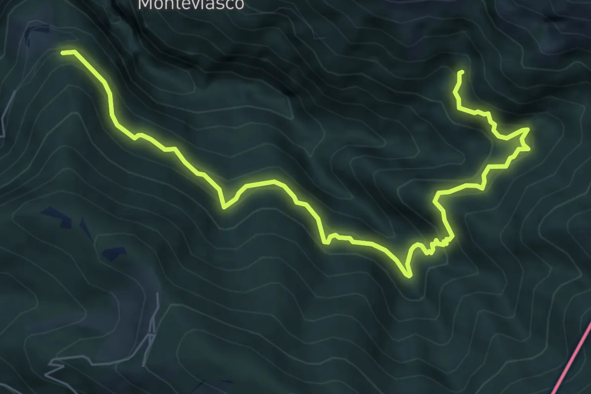
Demanding · Trail
109 3V (Tappa 9 Via Verde Varesina)
8.5 km · ↑ 830 m · 3 h 48 min · 10 km away
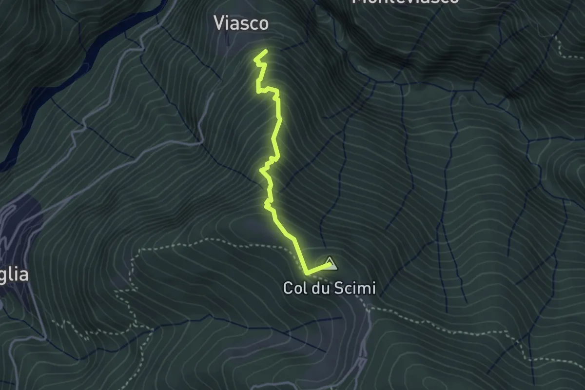
Medium · Summit
Viasco – Alpone
2.8 km · ↑ 377 m · 1 h 28 min · 10 km away
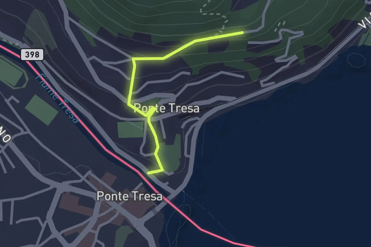
Easy · Trail
Ponte Tresa – Pura
2.0 km · ↑ 113 m · 43 min · 10 km away
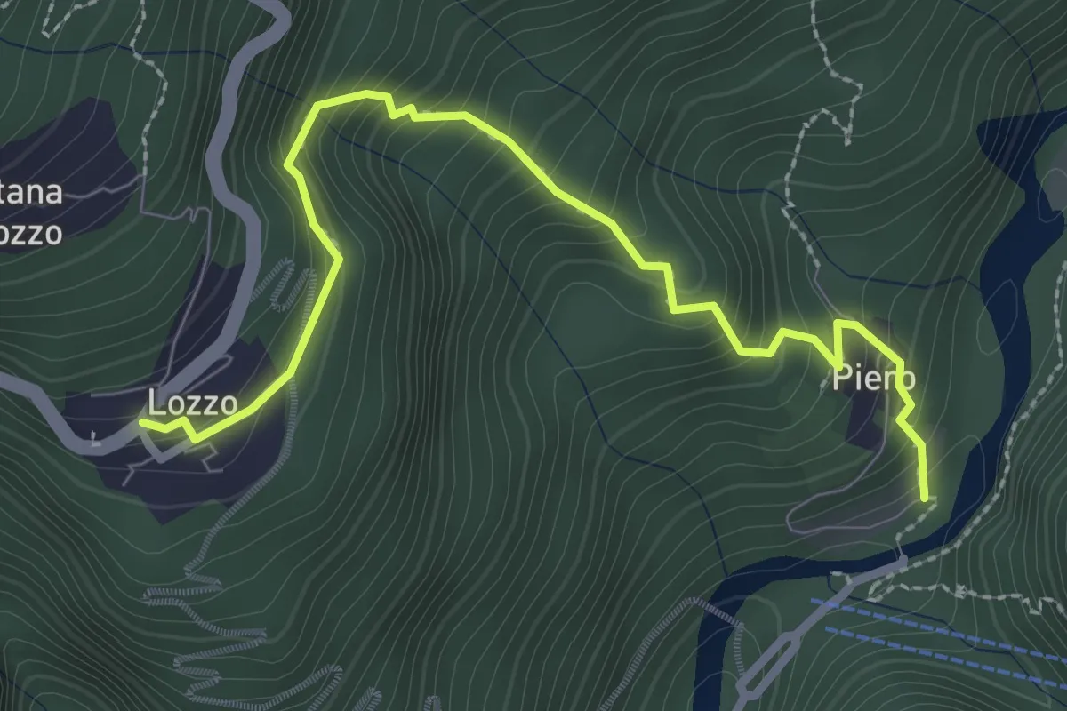
Medium · Trail
Lozzo – Ponte di Piero
3.0 km · ↑ 352 m · 1 h 28 min · 10 km away
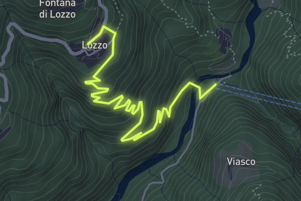
Medium · Trail
Ponte di Piero – Lozzo
5.6 km · ↑ 382 m · 2 h 8 min · 10 km away
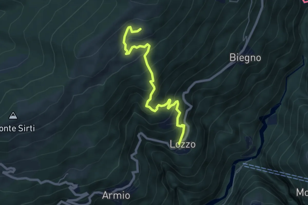
Medium · Trail
Lozzo – Monterecchio
5.3 km · ↑ 489 m · 2 h 19 min · 10 km away
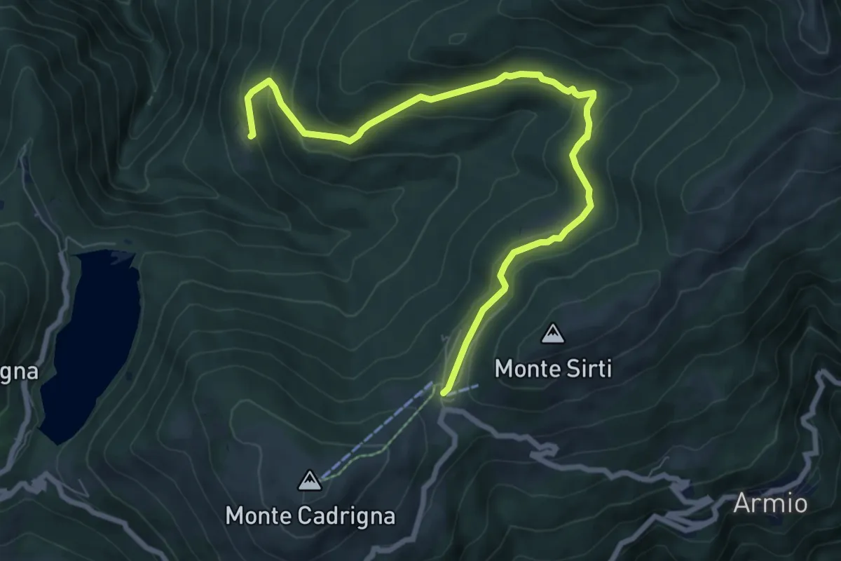
Medium · Cabin
Passo Forcora – Monti di Pino
8.3 km · ↑ 319 m · 2 h 39 min · 10 km away
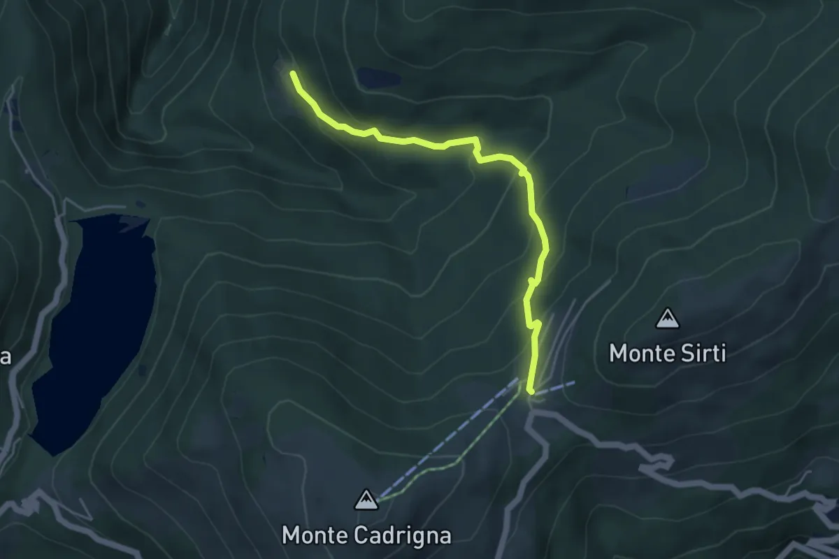
Medium · Cabin
Forcora – Monti di Pino
4.4 km · ↑ 285 m · 1 h 40 min · 10 km away
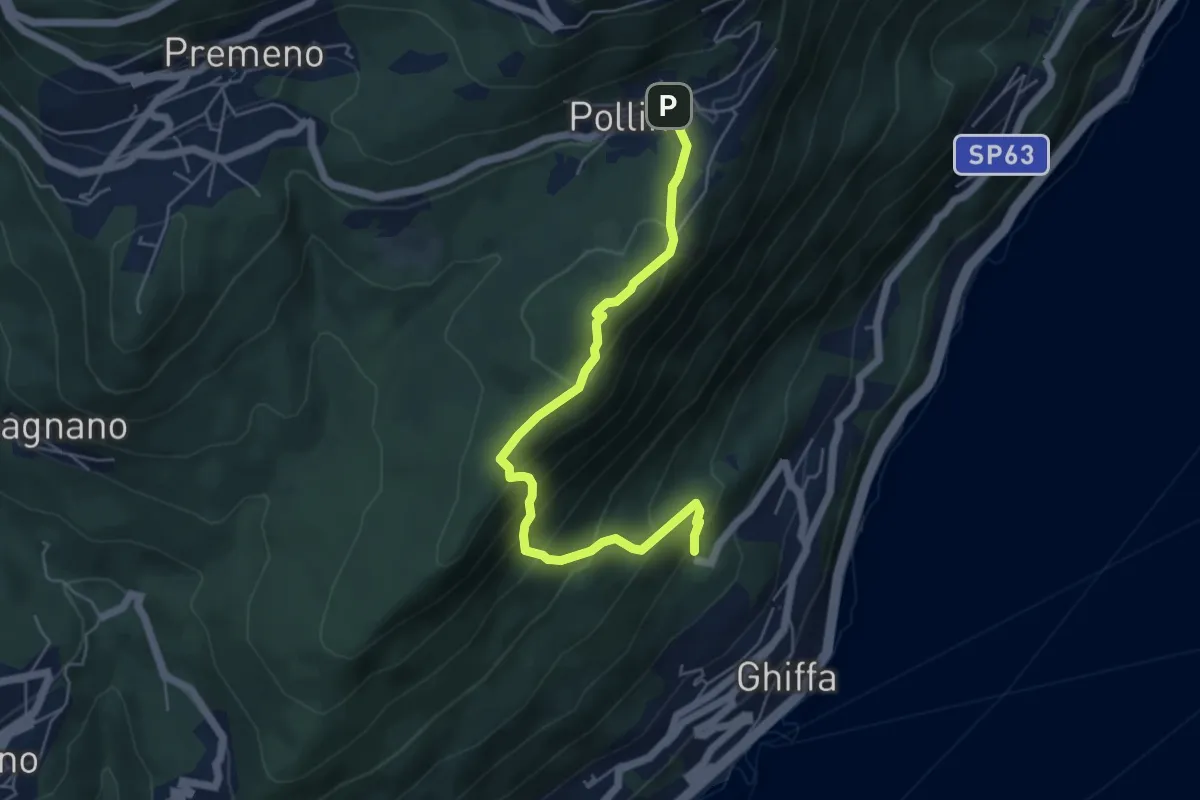
Medium · Trail
R16 Sacro Monte SS.Trinità di Ghiffa - Pollino
5.5 km · ↑ 436 m · 2 h 15 min · 10 km away
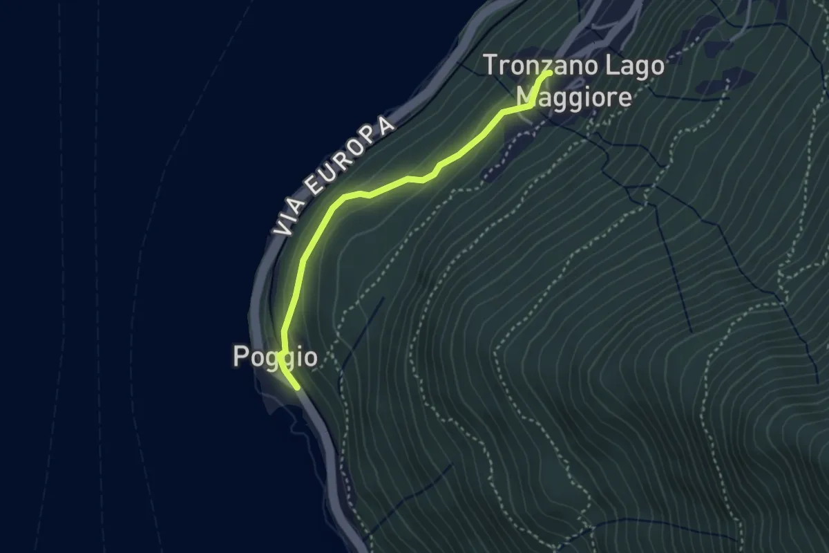
Easy · Trail
Tronzano – Poggio
3.0 km · ↑ 114 m · 57 min · 10 km away
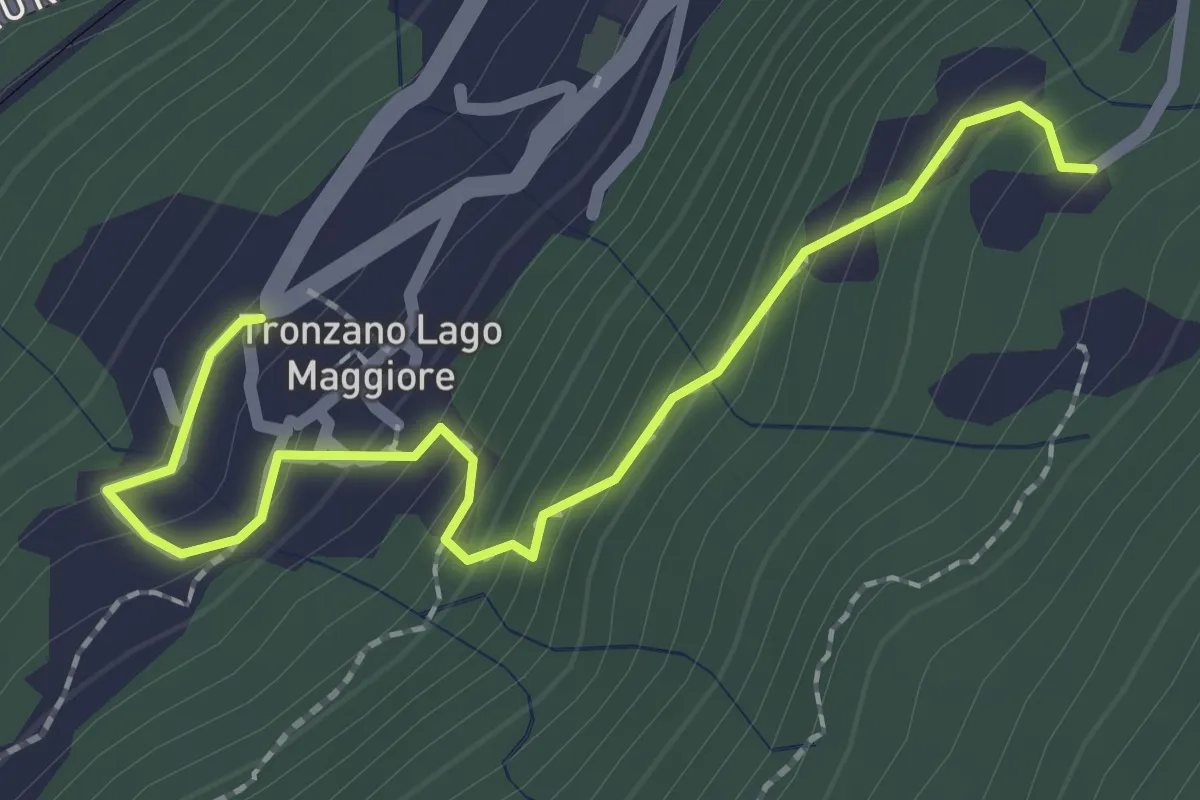
Medium · Trail
Trozzano – Chiesa di Santa Maria Assunta
2.4 km · ↑ 230 m · 1 h 3 min · 10 km away
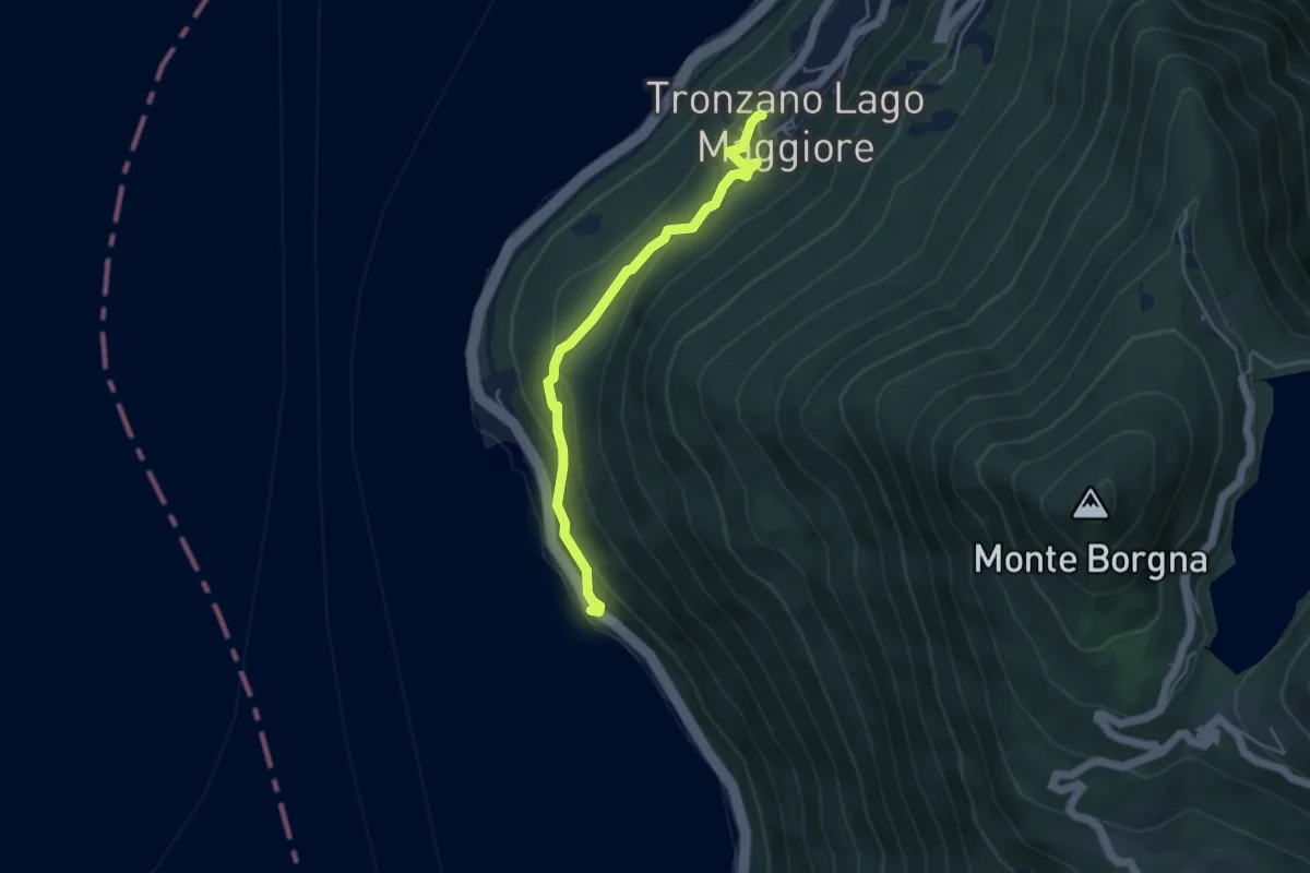
Medium · Trail
Tronzano – Ronco Scigolino
4.3 km · ↑ 242 m · 1 h 32 min · 10 km away
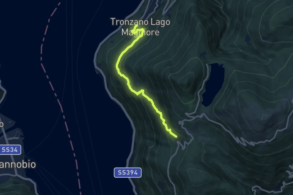
Medium · Trail
Tronzano – Musignano
8.0 km · ↑ 603 m · 3 h 12 min · 10 km away
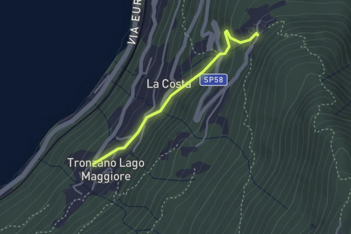
Easy · Trail
Bassano – Tronzano
2.7 km · ↑ 233 m · 1 h 8 min · 10 km away
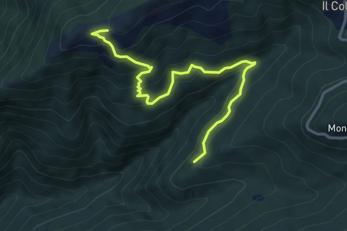
Medium · Trail
R15b Calpera - Pian d'Arla
6.7 km · ↑ 502 m · 2 h 40 min · 10 km away
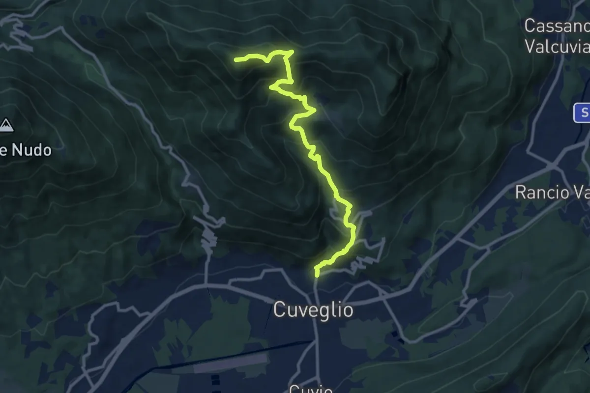
Demanding · Summit
Direttissima Monte della Colonna
9.5 km · ↑ 910 m · 4 h 13 min · 10 km away
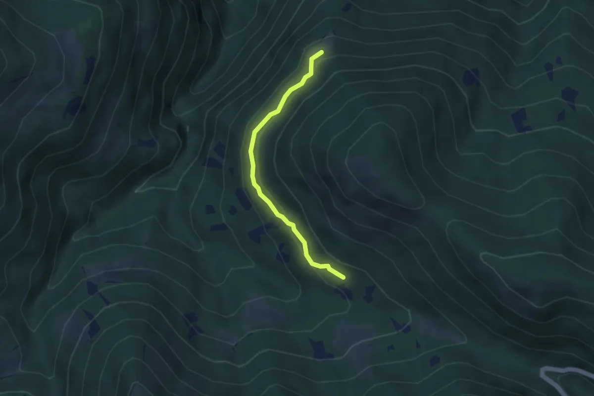
Easy · Trail
S11a Aurasco - Alpe Graggio
3.2 km · ↑ 151 m · 1 h 4 min · 10 km away