Trails near Luino
373 hikes starting within 15 km, nearest first.
Nearest first, page 5 of 8
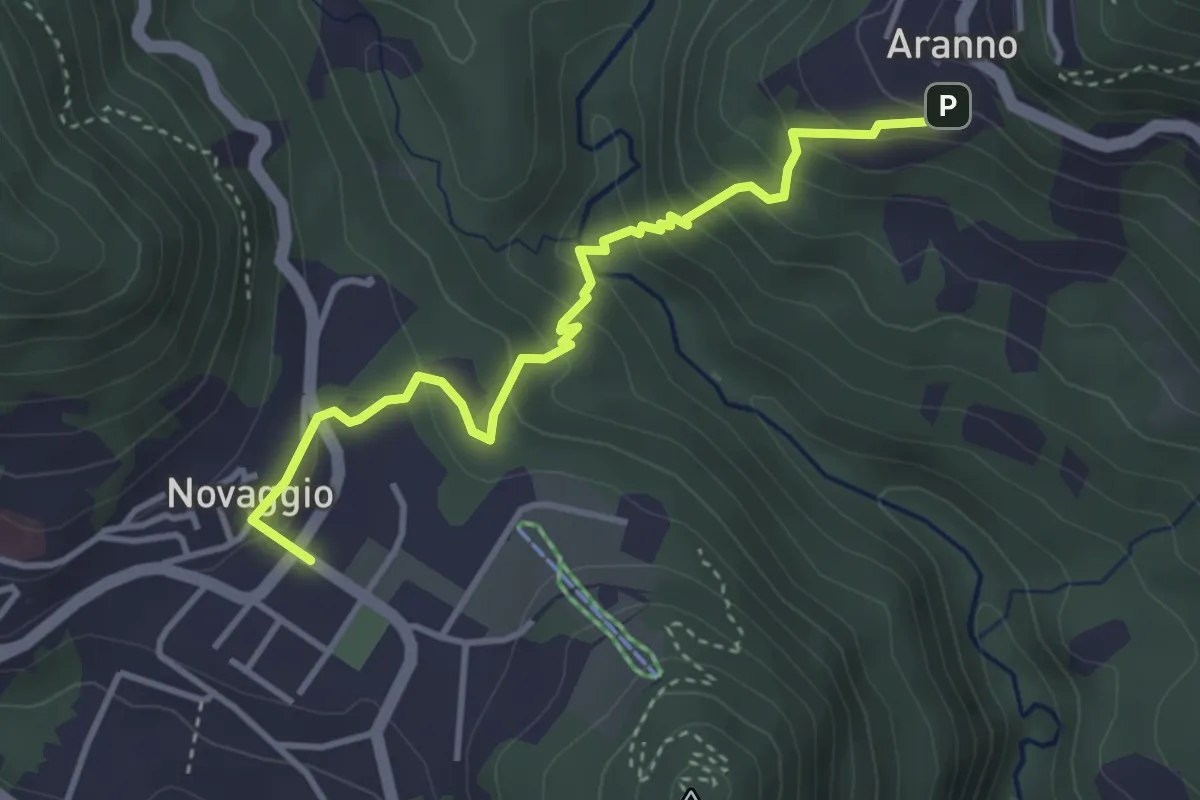
Easy · Trail
Novaggio – Aranno
3.8 km · ↑ 287 m · 1 h 31 min · 10 km away
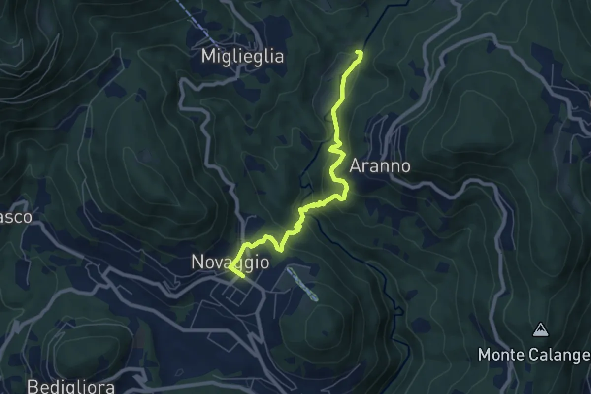
Medium · Trail
Maglio – Novaggio
5.8 km · ↑ 395 m · 2 h 14 min · 10 km away
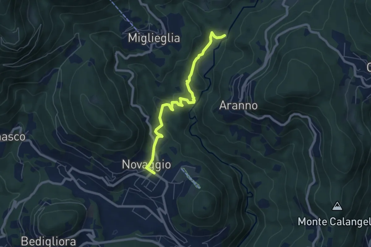
Easy · Trail
Maglio – Novaggio
5.7 km · ↑ 199 m · 1 h 47 min · 10 km away
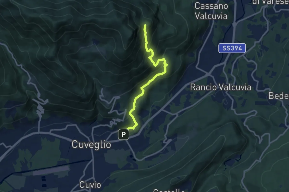
Medium · Trail
Cuveglio – Vallalta
7.9 km · ↑ 614 m · 3 h 12 min · 10 km away
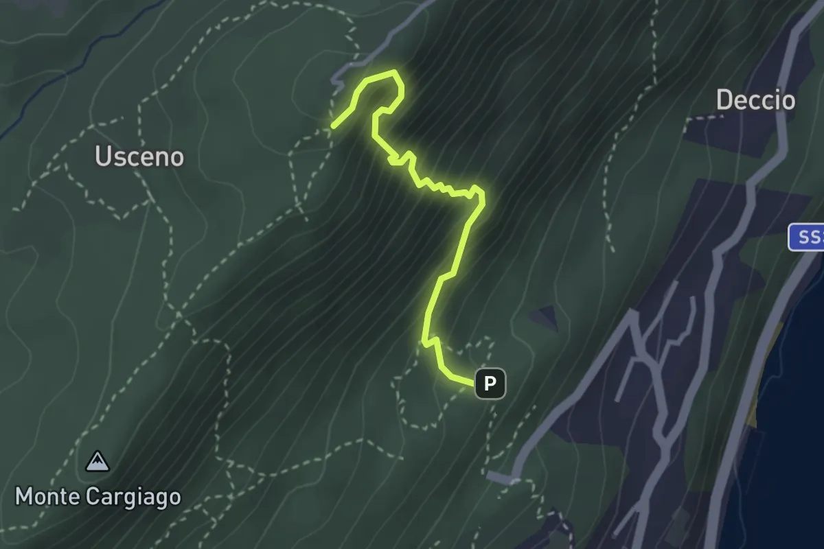
Demanding · Trail
R16a Diramazione R16 Sacro Monte di Ghiffa - Diramazione R16 Laghetto delle Streghe (Pollino)
2.6 km · ↑ 374 m · 1 h 25 min · 10 km away
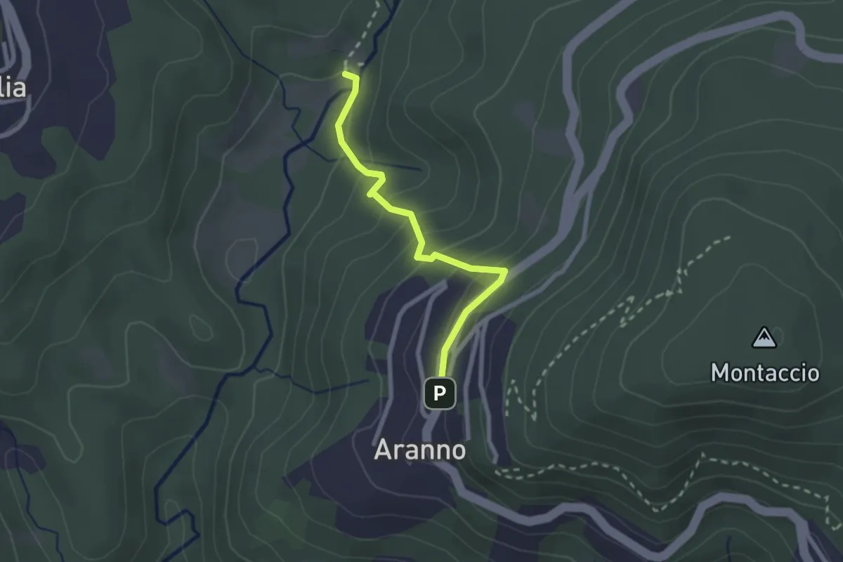
Medium · Trail
Aranno – Maglio
2.2 km · ↑ 162 m · 52 min · 10 km away
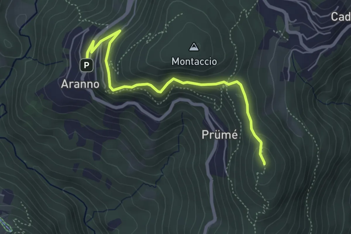
Easy · Summit
San Bernardo – Aranno
4.9 km · ↑ 283 m · 1 h 46 min · 10 km away
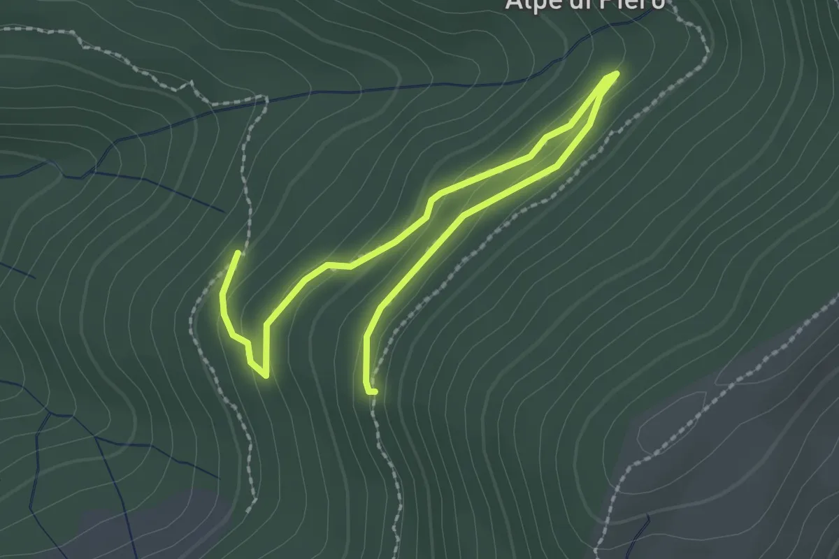
Easy · Trail
115B Variante Alpe Quadra
3.0 km · ↑ 116 m · 58 min · 10 km away
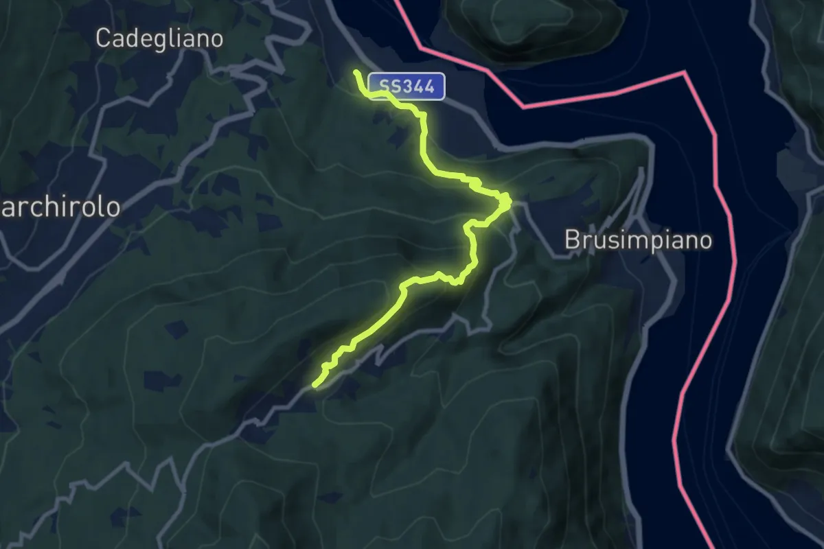
Medium · Trail
Lavena Ponte tresa – Marzio
9.1 km · ↑ 570 m · 3 h 23 min · 10 km away
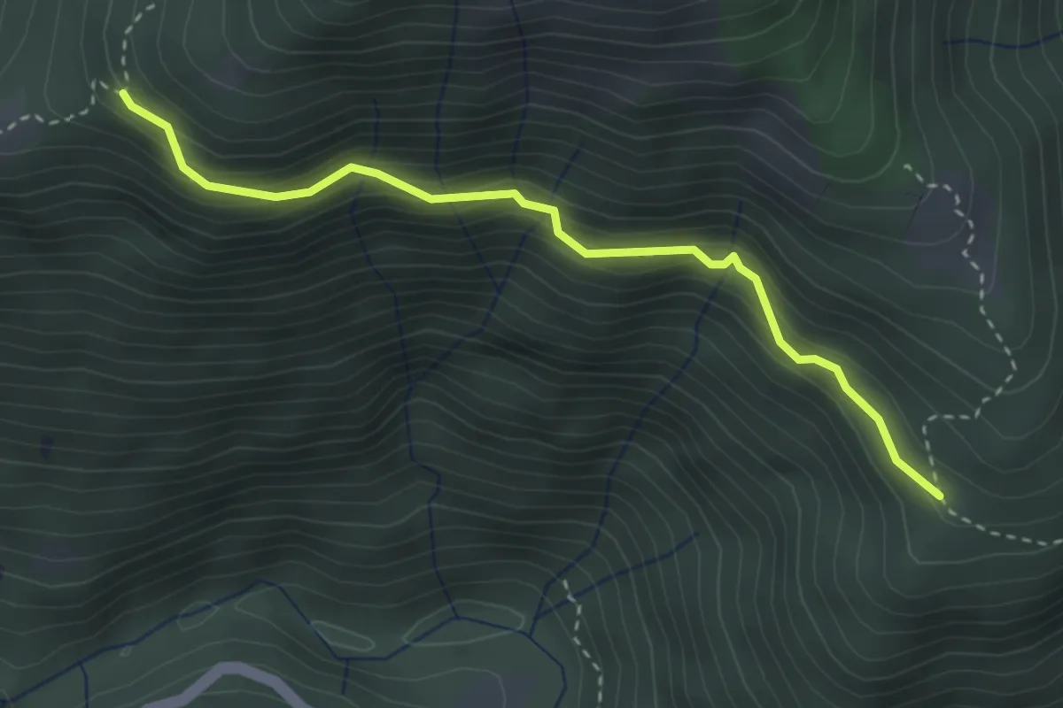
Medium · Trail
S08a Monti Biessen - Bivio S06 Alpe Scesel
3.3 km · ↑ 292 m · 1 h 24 min · 10 km away
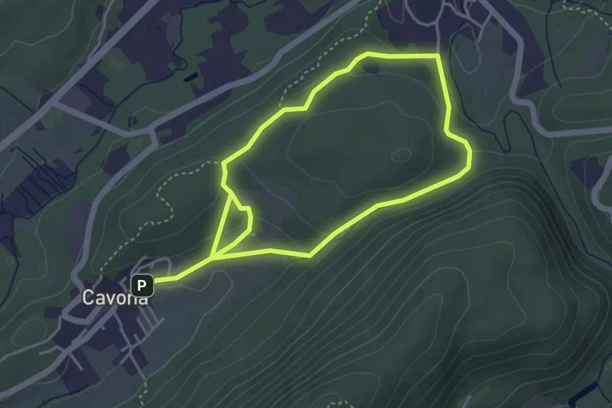
Demanding · Trail
Anello della Valcanasca
6.5 km · ↑ 223 m · 2 h 1 min · 10 km away
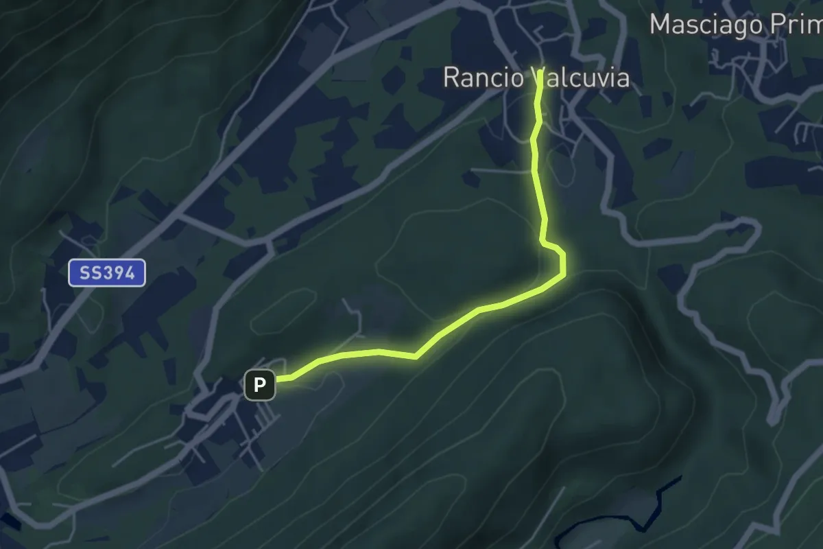
Demanding · Trail
325A Sentiero della Valcanasca
4.1 km · ↑ 131 m · 1 h 15 min · 10 km away
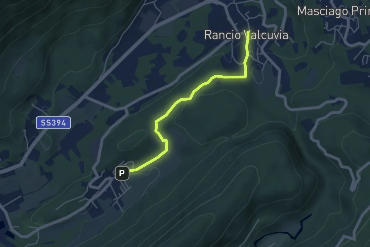
Easy · Trail
Cavona – Rancio Valcuvia
3.9 km · ↑ 87 m · 1 h 7 min · 10 km away
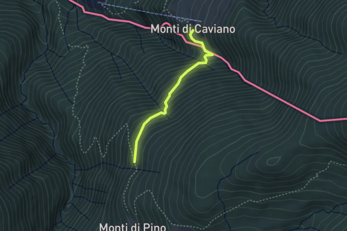
Medium · Trail
Lago Delio – Cento Campi (CH)
2.8 km · ↑ 237 m · 1 h 11 min · 10 km away
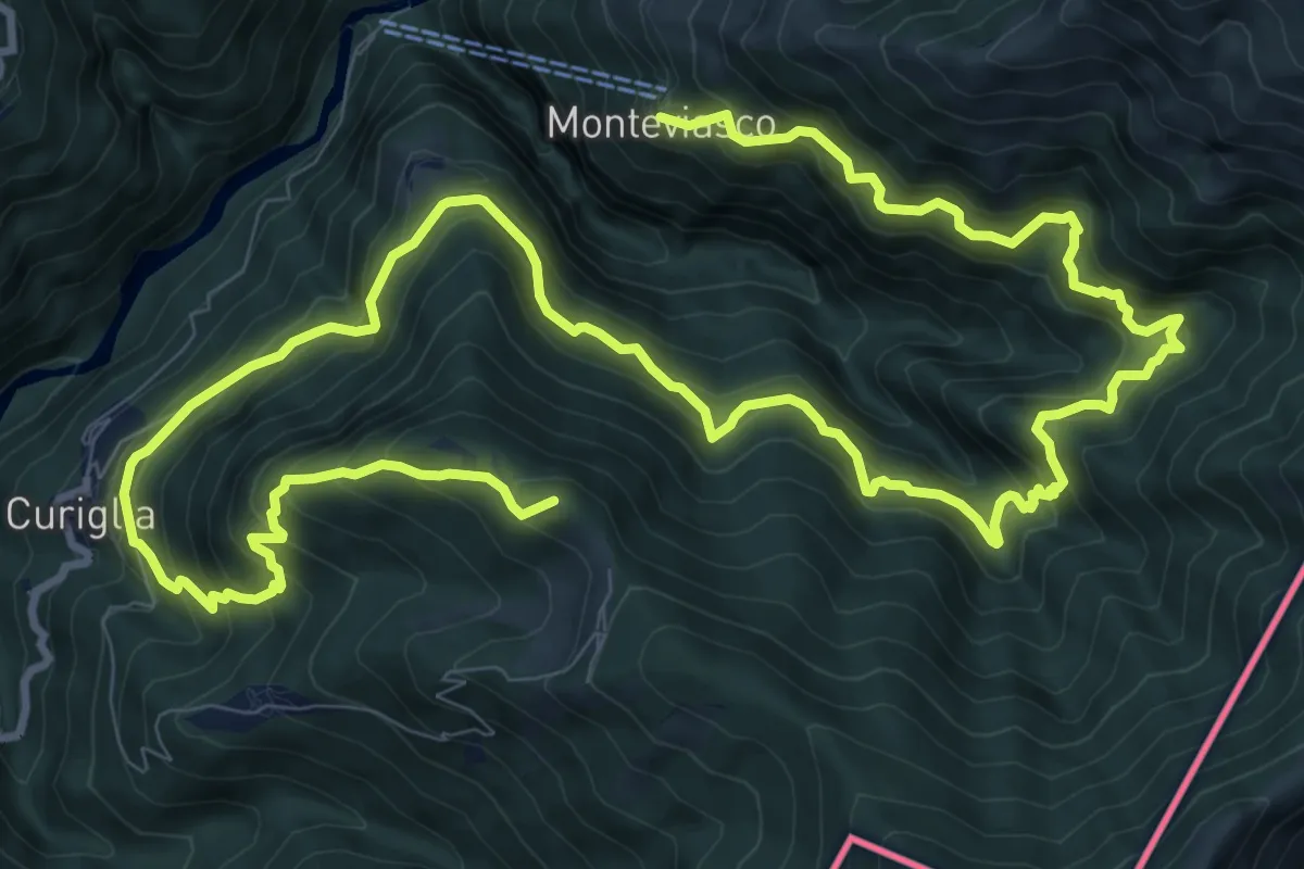
Demanding · Summit
Monteviasco – Rifugio Campiglio al Pradecolo
19.1 km · ↑ 1904 m · 8 h 38 min · 10 km away
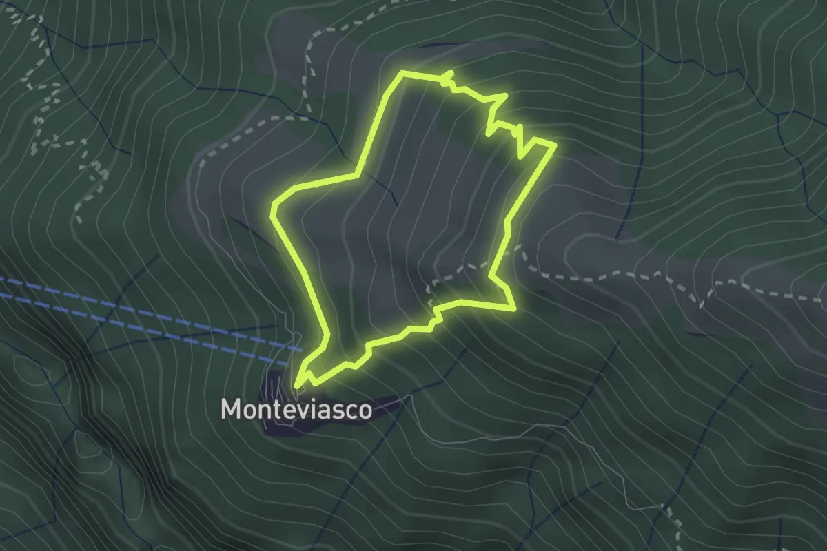
Medium · Trail
Monteviasco – Monteviasco
2.0 km · ↑ 233 m · 1 h · 10 km away
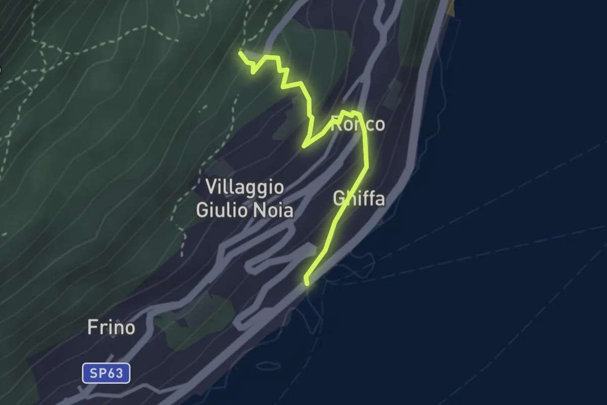
Easy · Trail
R30e Ghiffa - Sacro Monte SS.Trinità di Ghiffa
2.4 km · ↑ 192 m · 59 min · 11 km away
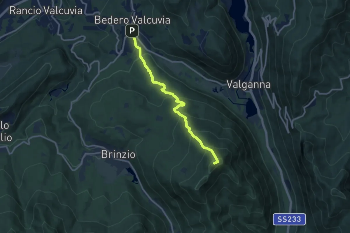
Medium · Summit
Bedero Valcuvia (via Ganna) – Monte Martica
8.2 km · ↑ 548 m · 3 h 8 min · 11 km away
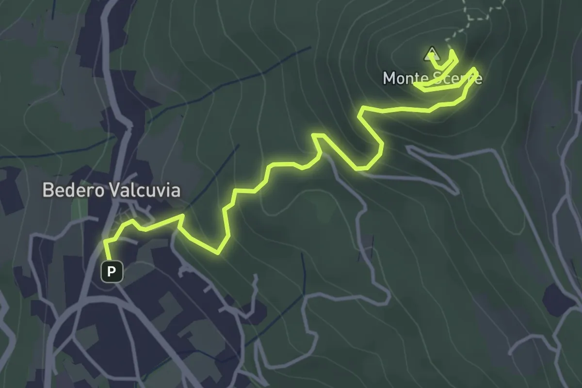
Easy · Summit
Bedero Valcuvia – Monte Scerre'
4.7 km · ↑ 289 m · 1 h 44 min · 11 km away
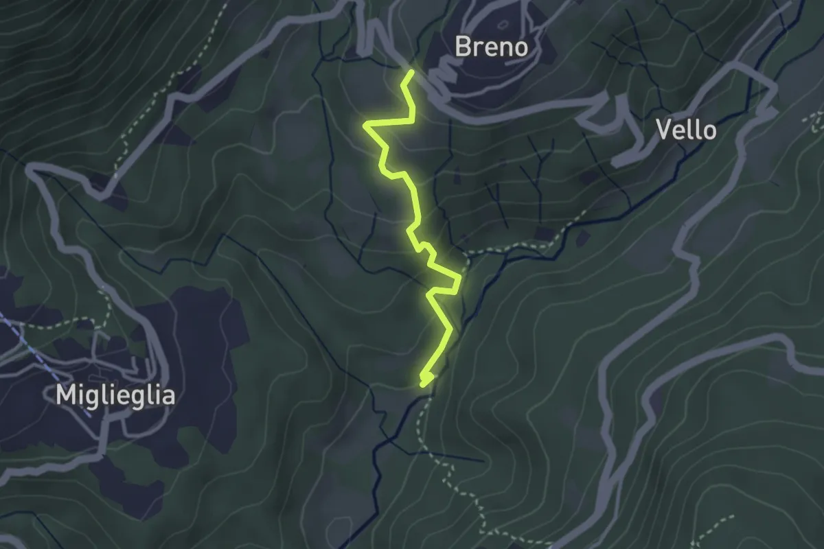
Easy · Trail
Maglio – Breno
2.7 km · ↑ 155 m · 58 min · 11 km away
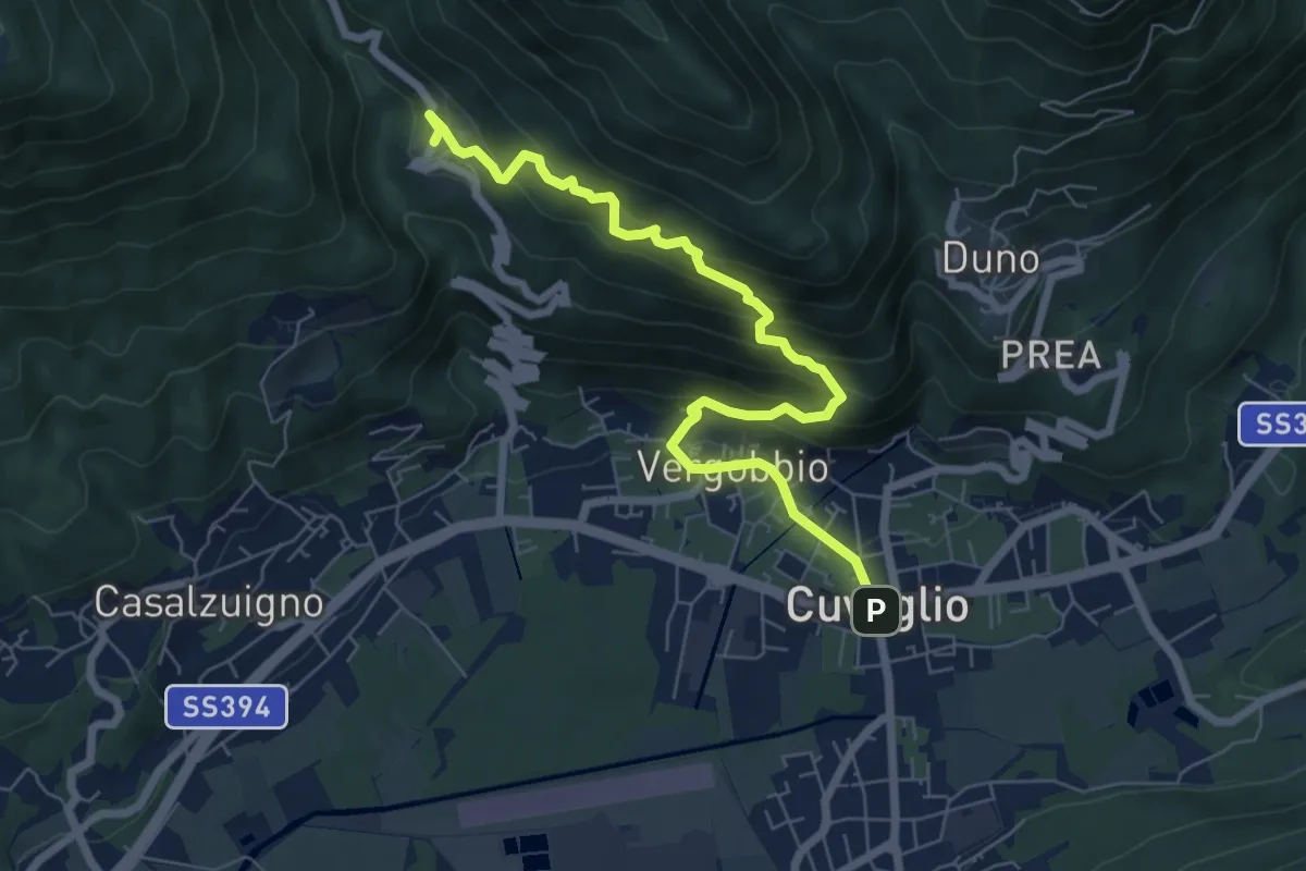
Medium · Trail
Cuveglio – Cascine-Vergobbio-Arcumeggia
7.4 km · ↑ 561 m · 2 h 58 min · 11 km away
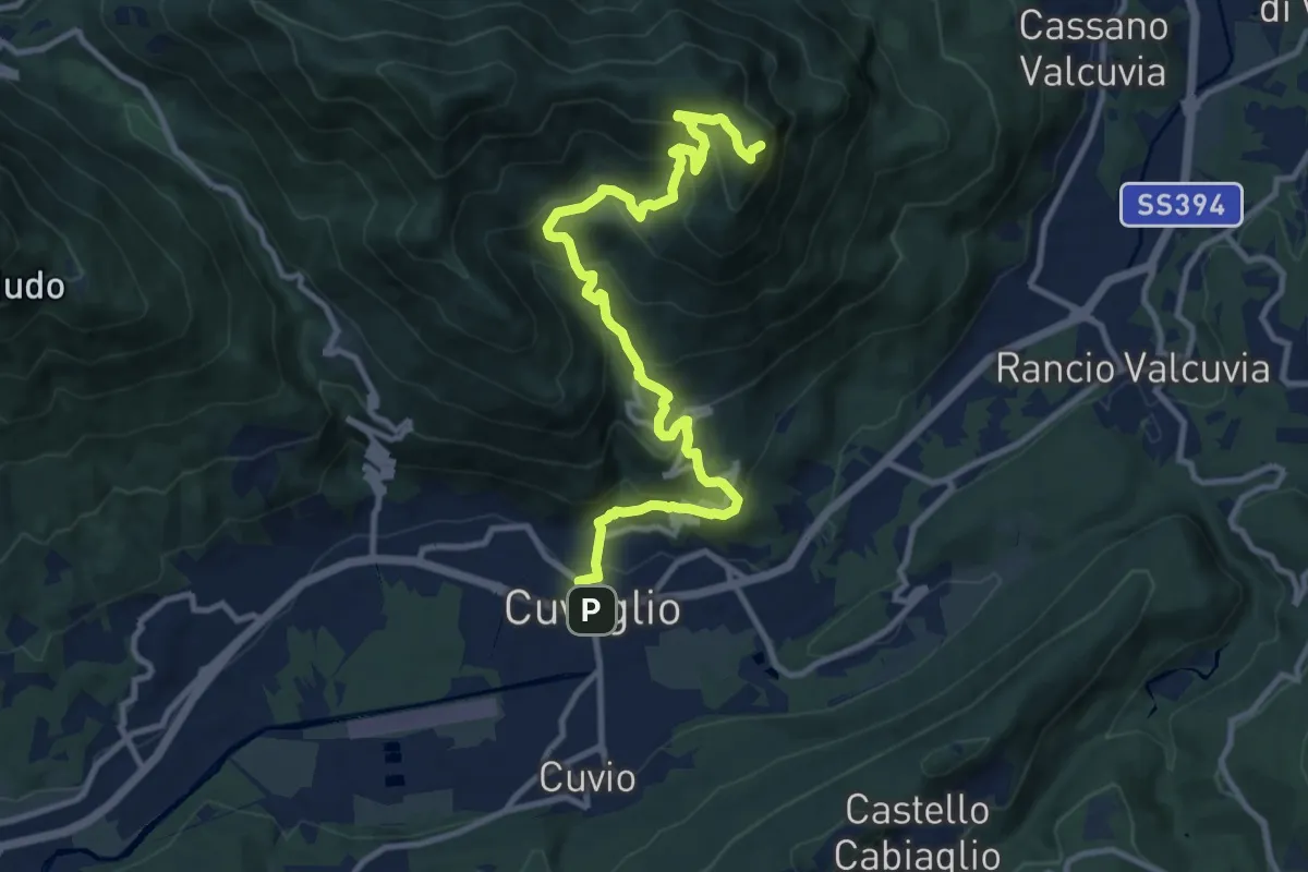
Demanding · Summit
Cuveglio – San Martino
12.5 km · ↑ 834 m · 4 h 45 min · 11 km away
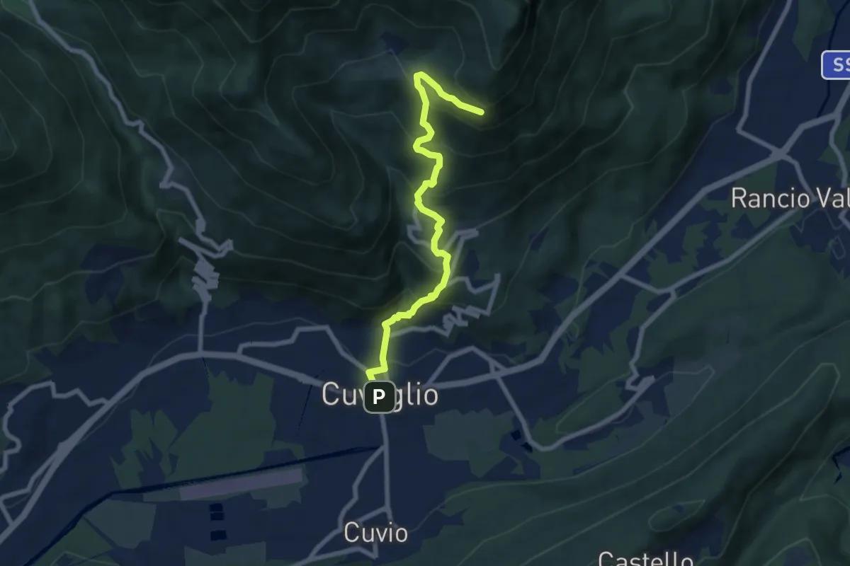
Demanding · Trail
Cuveglio – Vallalta
7.0 km · ↑ 577 m · 2 h 53 min · 11 km away
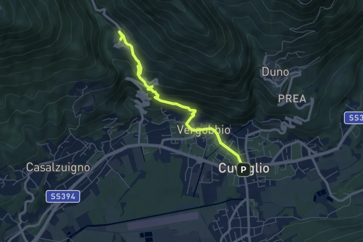
Medium · Trail
Cuveglio – Arcumeggia
5.9 km · ↑ 325 m · 2 h 6 min · 11 km away
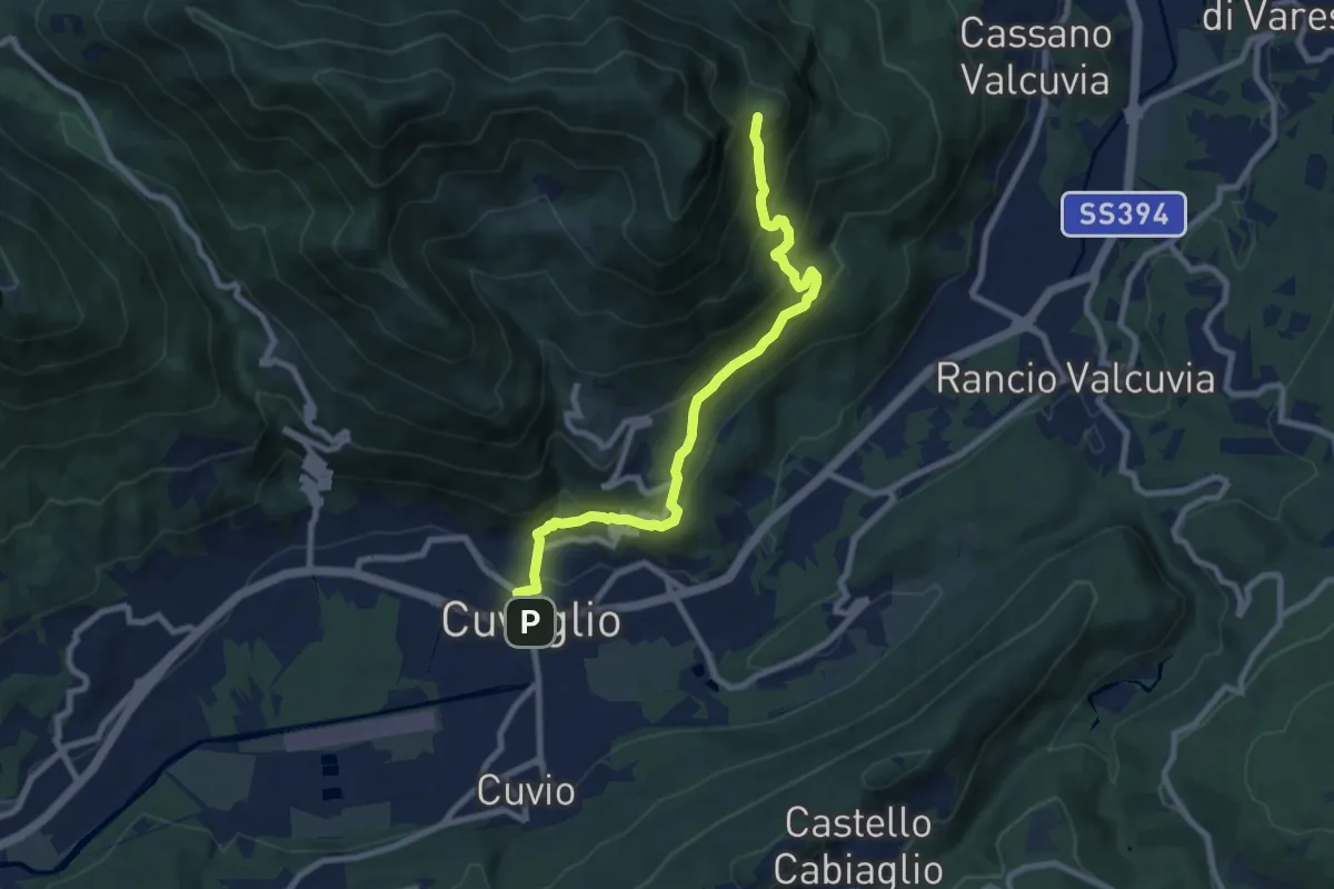
Medium · Trail
Cuveglio – Vallalta
8.7 km · ↑ 612 m · 3 h 23 min · 11 km away
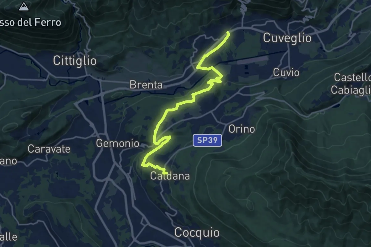
Medium · Trail
Villa Bozzolo – Caldana
15.6 km · ↑ 281 m · 4 h 17 min · 11 km away
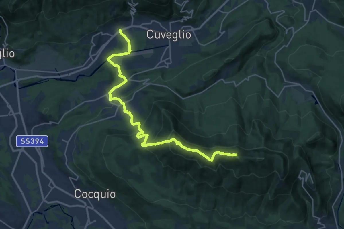
Demanding · Summit
Via Verde Varesina Tappa 3
20.6 km · ↑ 1094 m · 7 h 14 min · 11 km away
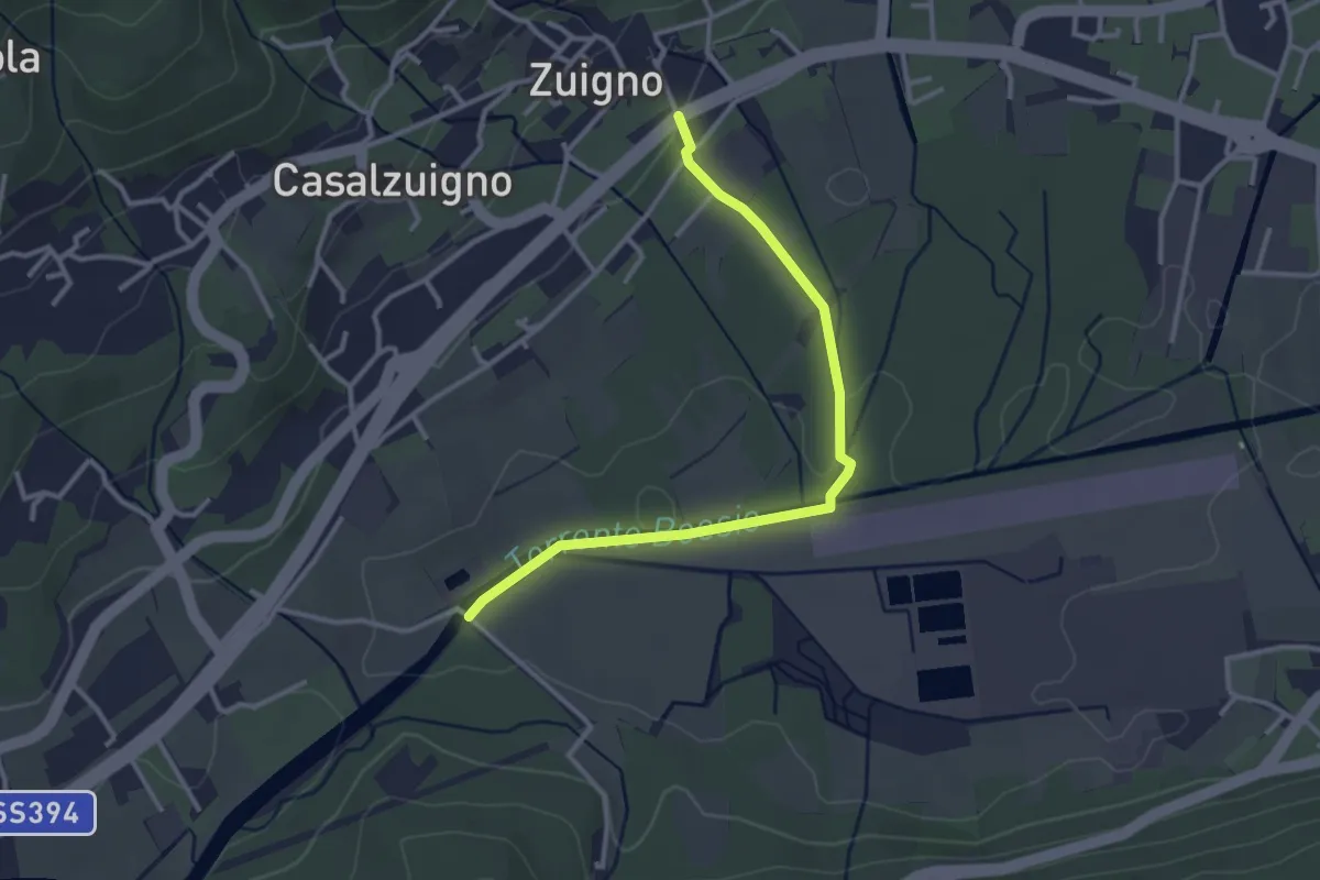
Easy · Trail
Casalzuigno – Località Prada
3.2 km · ↑ 27 m · 49 min · 11 km away
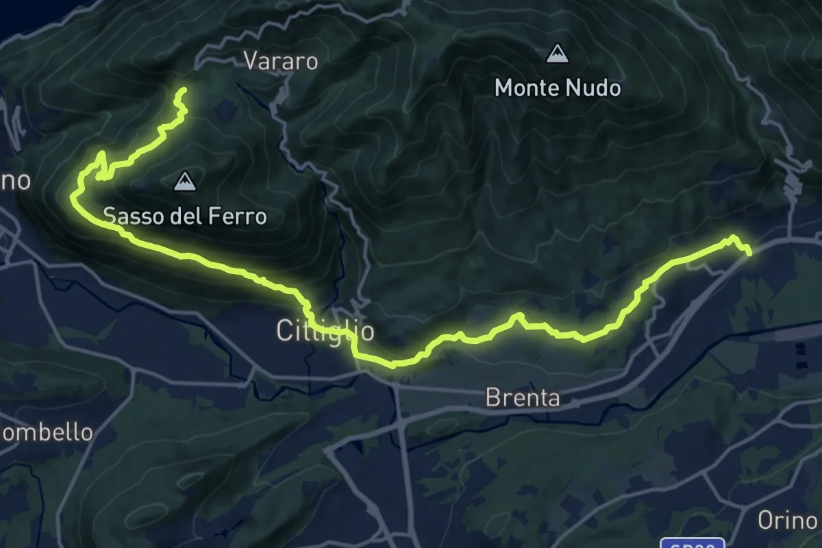
Demanding · Trail
Casalzuigno – Cittiglio-Vararo
21.0 km · ↑ 1143 m · 7 h 26 min · 11 km away
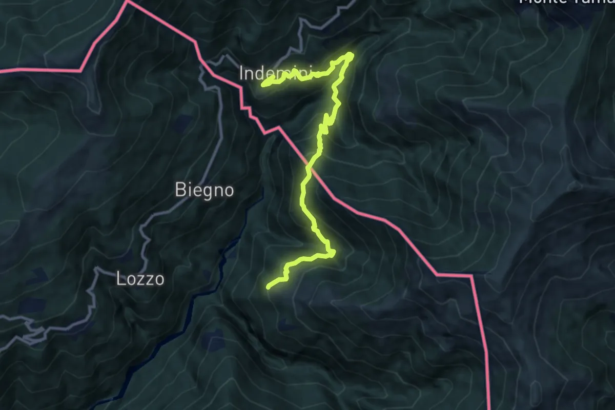
Demanding · Trail
Monteviasco – Indemini (CH)
10.4 km · ↑ 938 m · 4 h 29 min · 11 km away
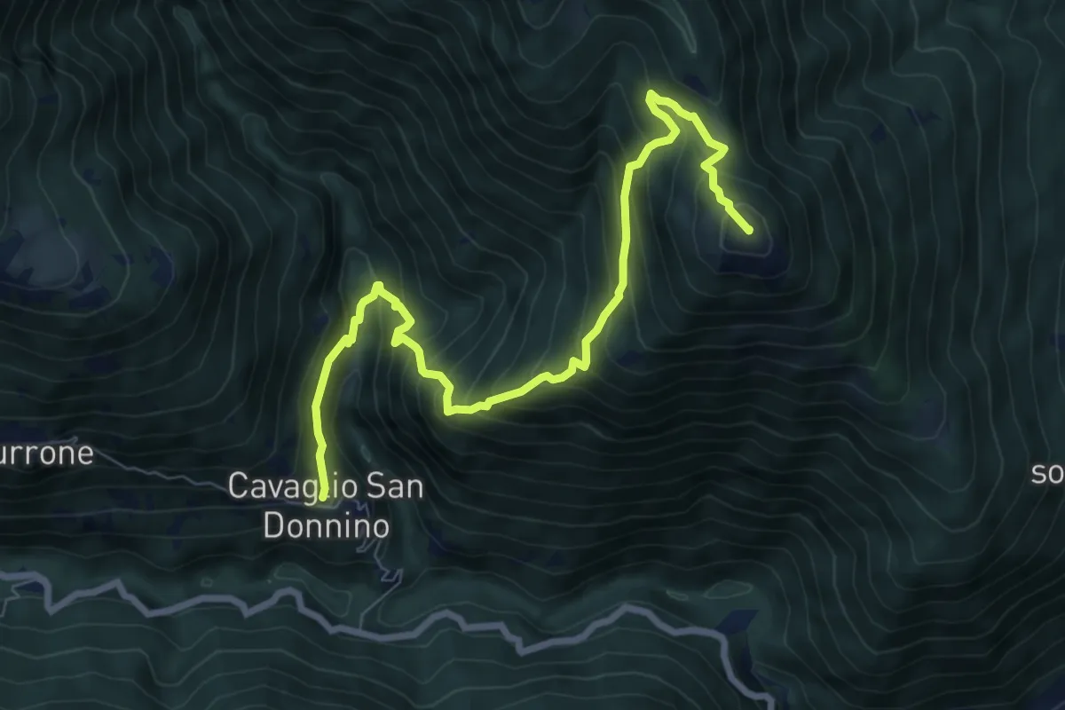
Demanding · Summit
S08 Cavaglio - Monte Giove
8.5 km · ↑ 854 m · 3 h 52 min · 11 km away
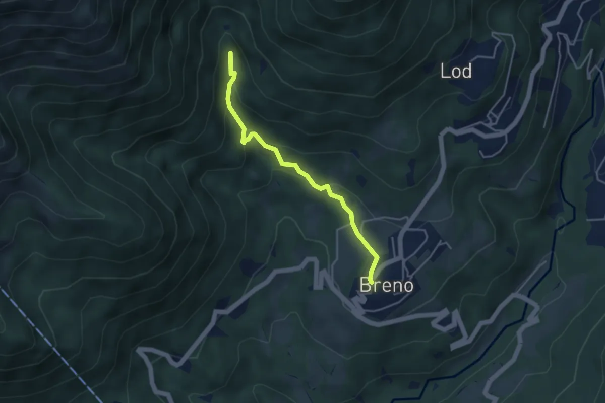
Medium · Trail
Breno – Fescoggia?
3.4 km · ↑ 176 m · 1 h 11 min · 11 km away
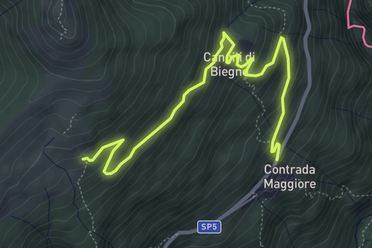
Medium · Trail
110 3V (Tappa 10 Via Verde Varesina)
6.3 km · ↑ 363 m · 2 h 16 min · 11 km away
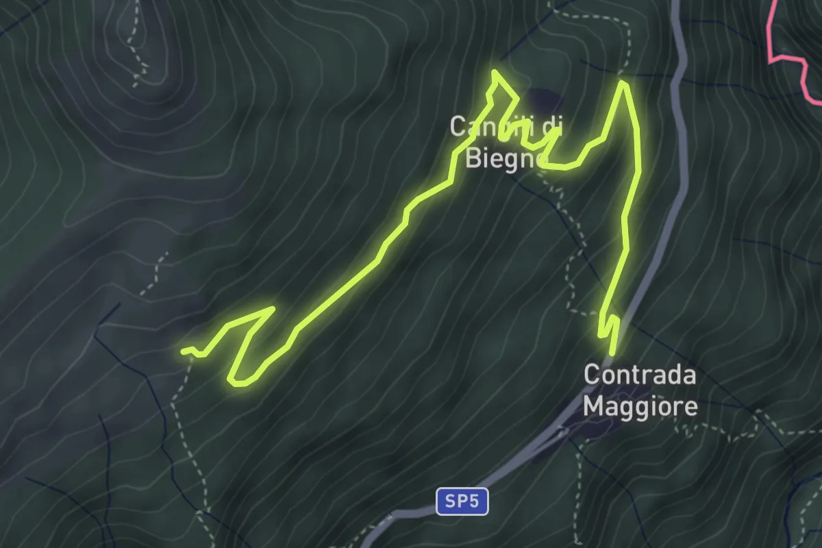
Medium · Trail
Lago Delio – Monteviasco
6.3 km · ↑ 363 m · 2 h 16 min · 11 km away
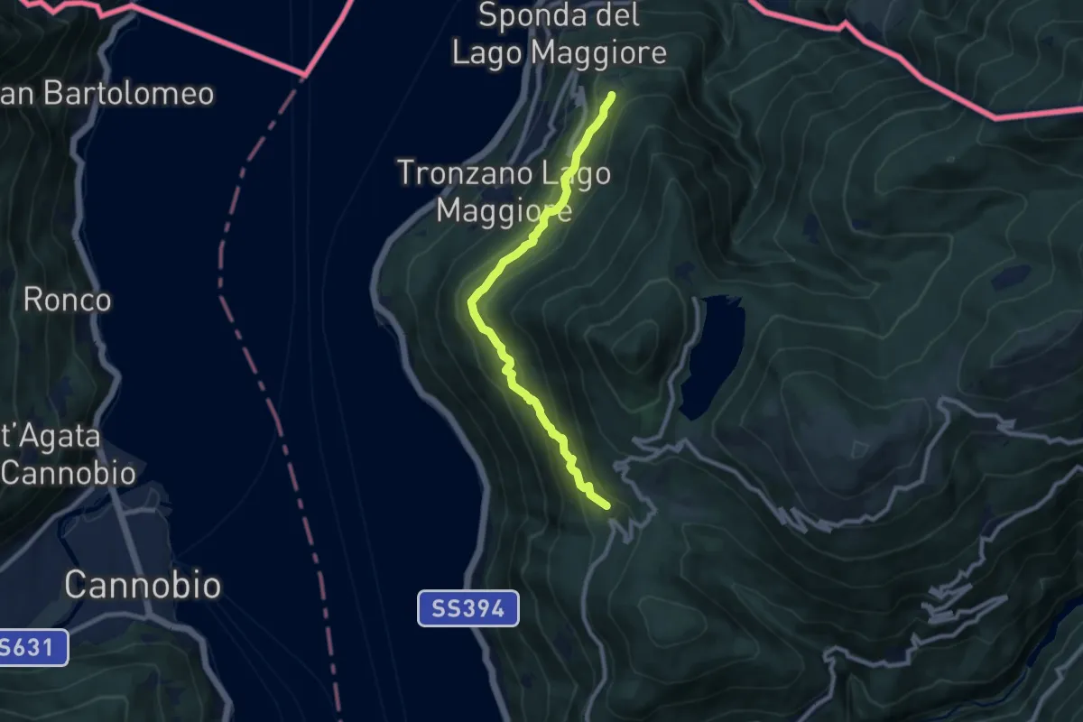
Medium · Trail
Bassano – Musignano
8.4 km · ↑ 476 m · 3 h 1 min · 11 km away
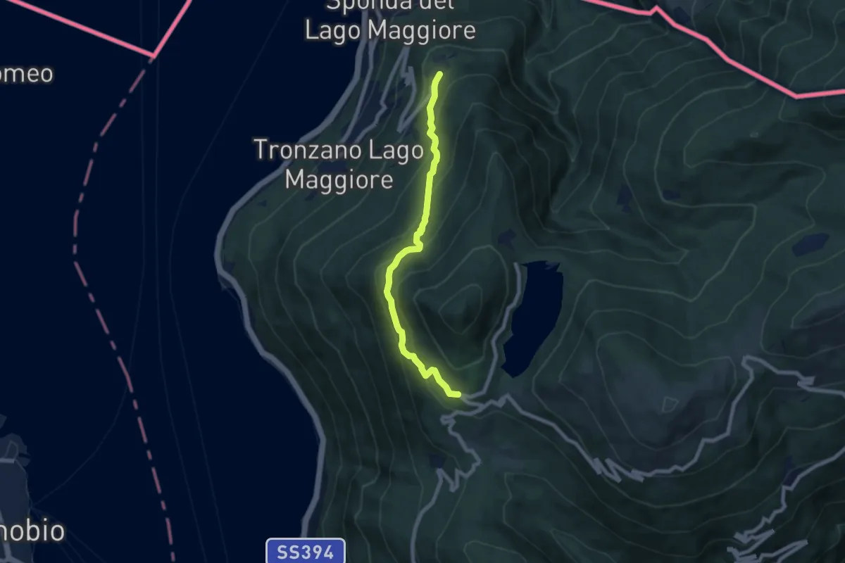
Medium · Trail
Bassano – Ristoro Lago Delio
6.6 km · ↑ 526 m · 2 h 42 min · 11 km away
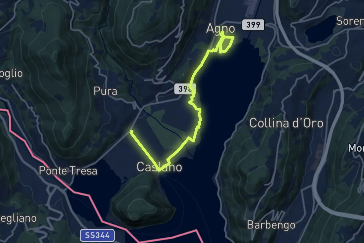
Easy · Trail
Giro lungolago Agno–Caslano
6.2 km · ↑ 23 m · 1 h 36 min · 11 km away
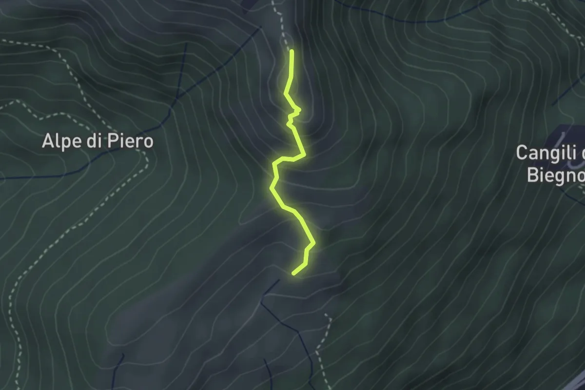
Medium · Summit
Monterecchio – Monte Corbaro
1.9 km · ↑ 186 m · 52 min · 11 km away
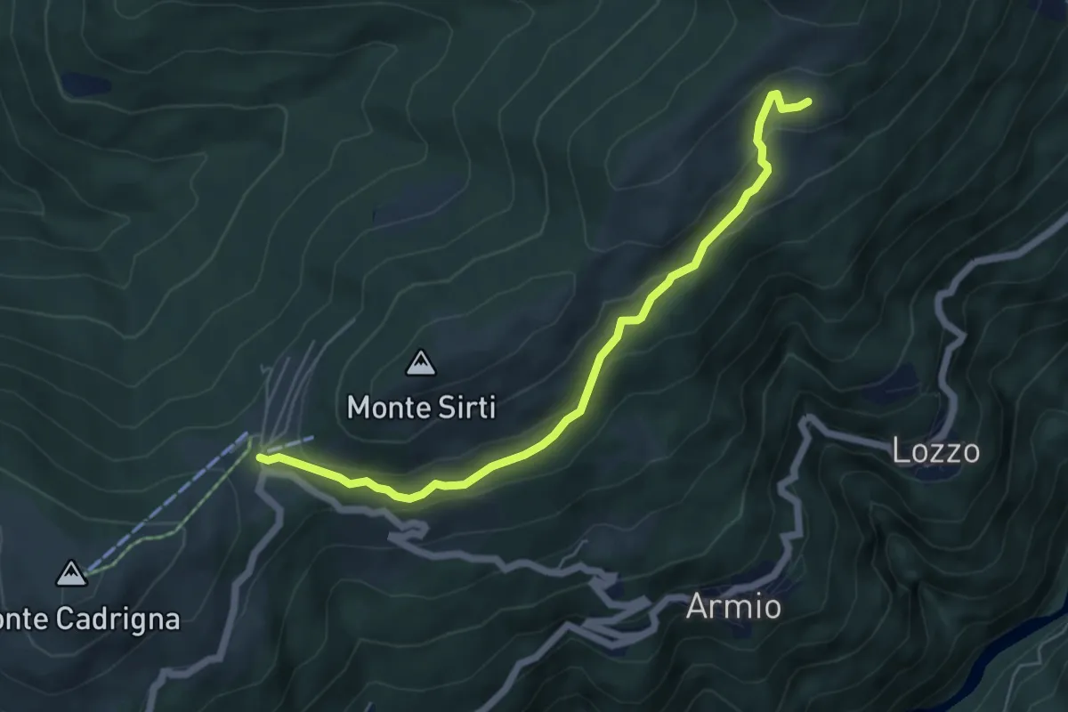
Easy · Cabin
Monterecchio – Forcora
5.6 km · ↑ 233 m · 1 h 50 min · 11 km away
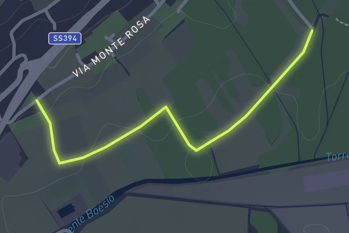
Easy · Trail
Raccordo 302 – Raccordo 302C
2.3 km · ↑ 21 m · 35 min · 11 km away
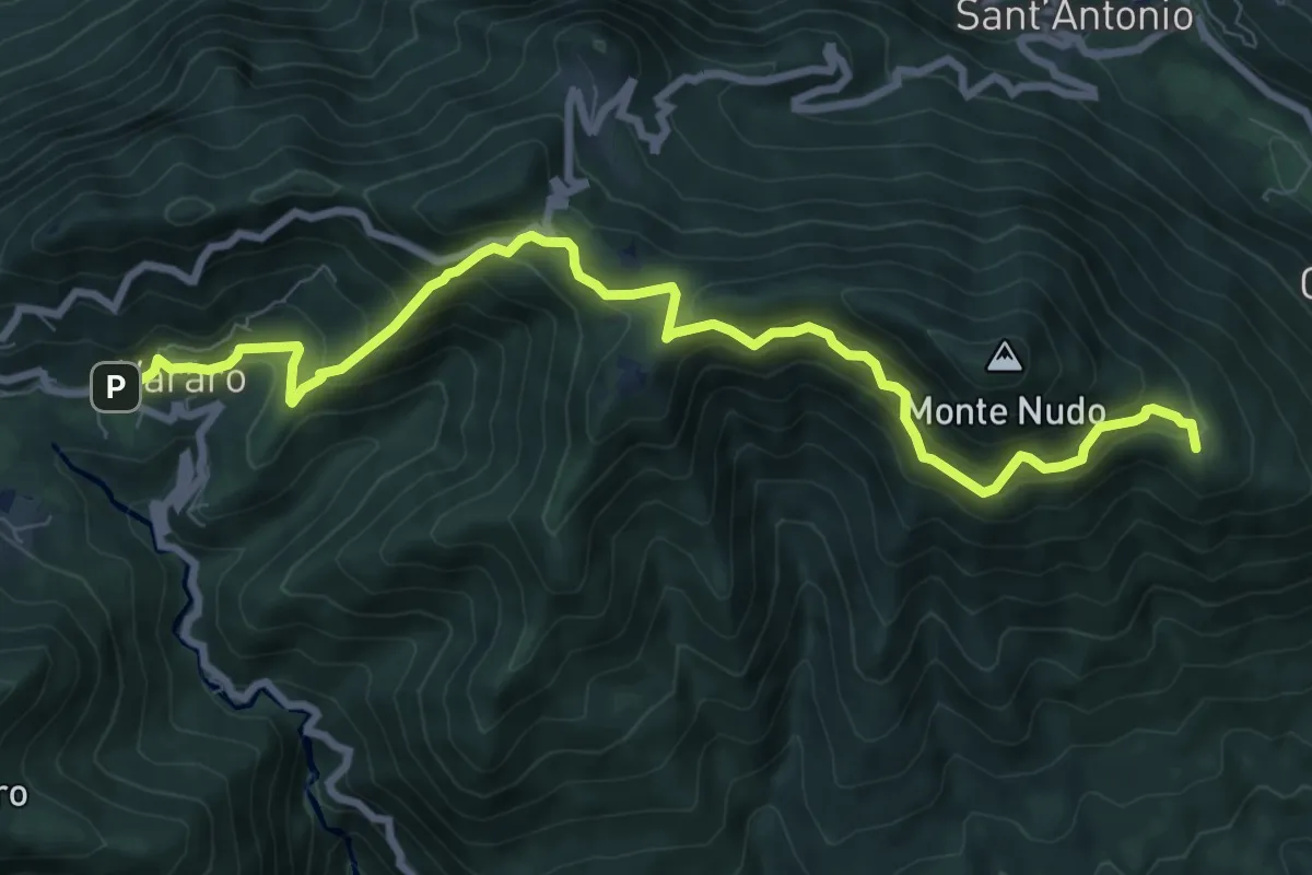
Medium · Summit
205 3V (Tappa 5 Via Verde Varesina)
9.7 km · ↑ 797 m · 4 h 1 min · 11 km away
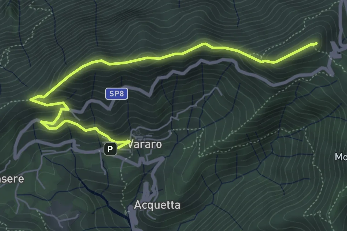
Demanding · Summit
Vararo – P.so Cuvignone
6.5 km · ↑ 418 m · 2 h 26 min · 11 km away
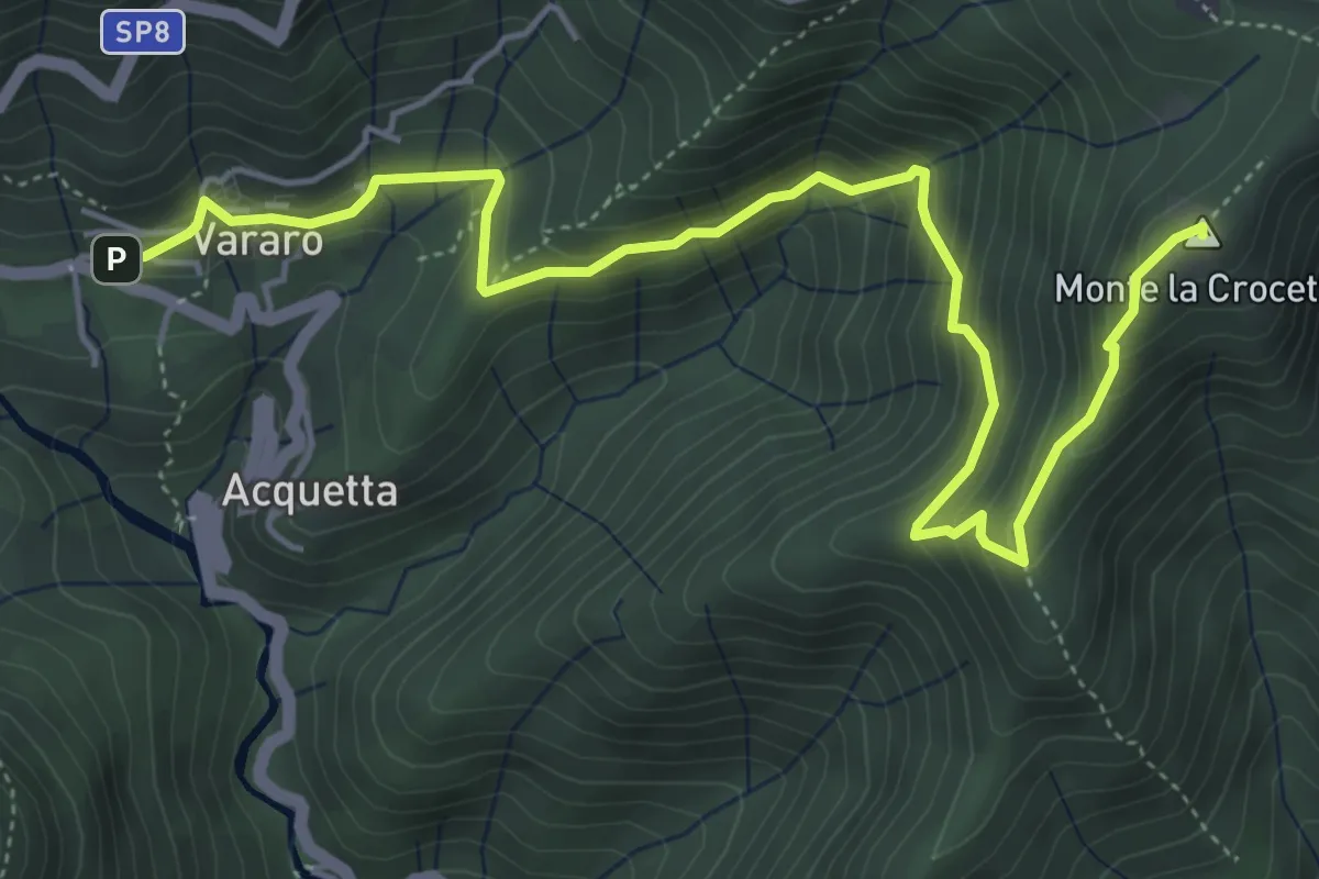
Medium · Summit
Vararo – Crocetta-P.so Cuvignone
6.2 km · ↑ 410 m · 2 h 21 min · 11 km away
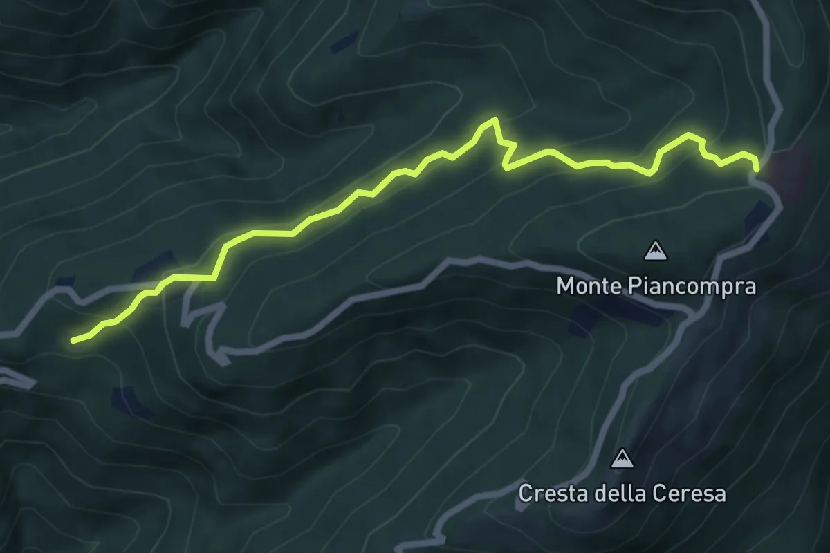
Medium · Trail
R15a Bivio R15 Alpe Segletta - Piancavallo
6.1 km · ↑ 461 m · 2 h 26 min · 11 km away
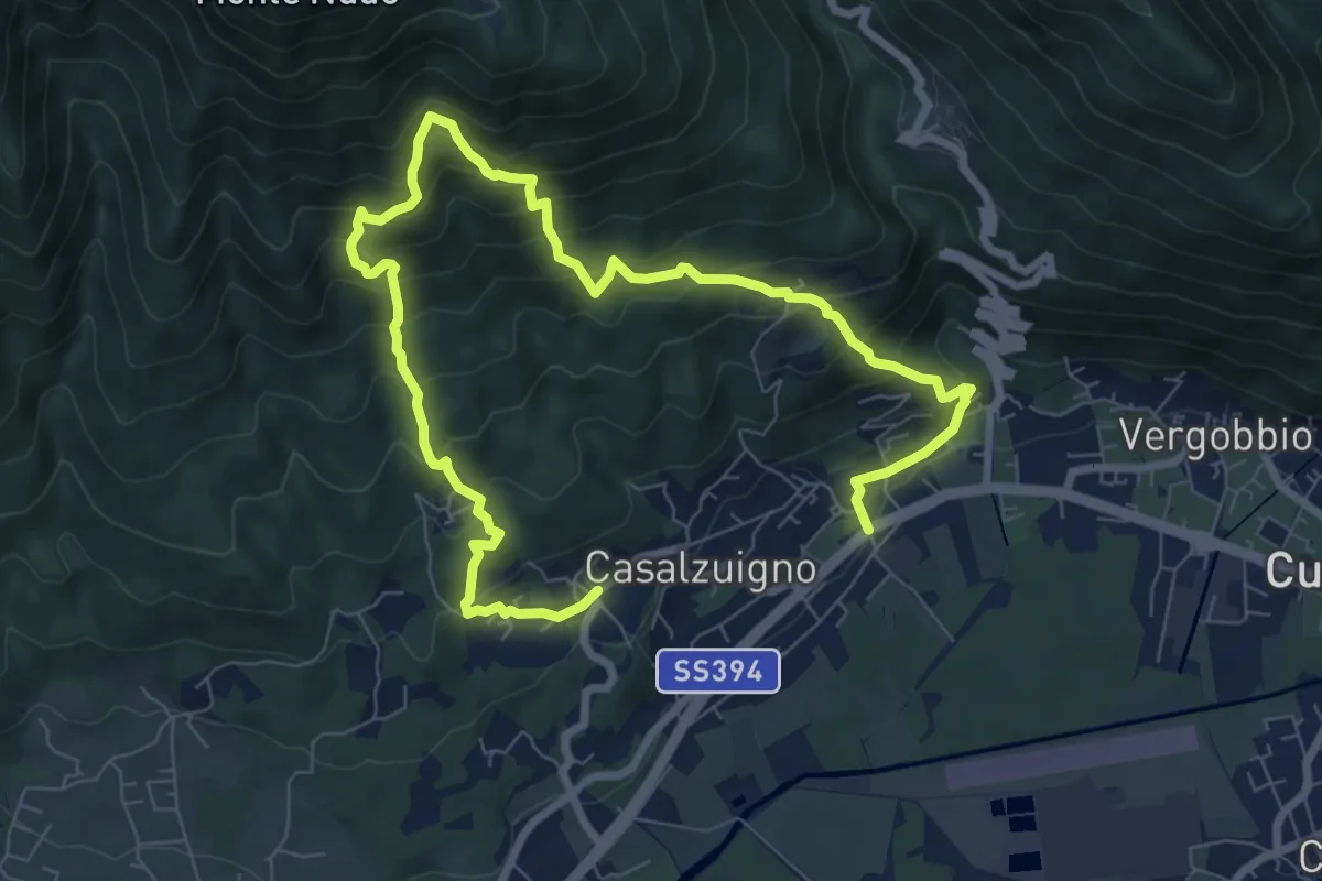
Demanding · Trail
Casale – Aga-Villa Bozzolo
11.5 km · ↑ 1072 m · 5 h 3 min · 11 km away
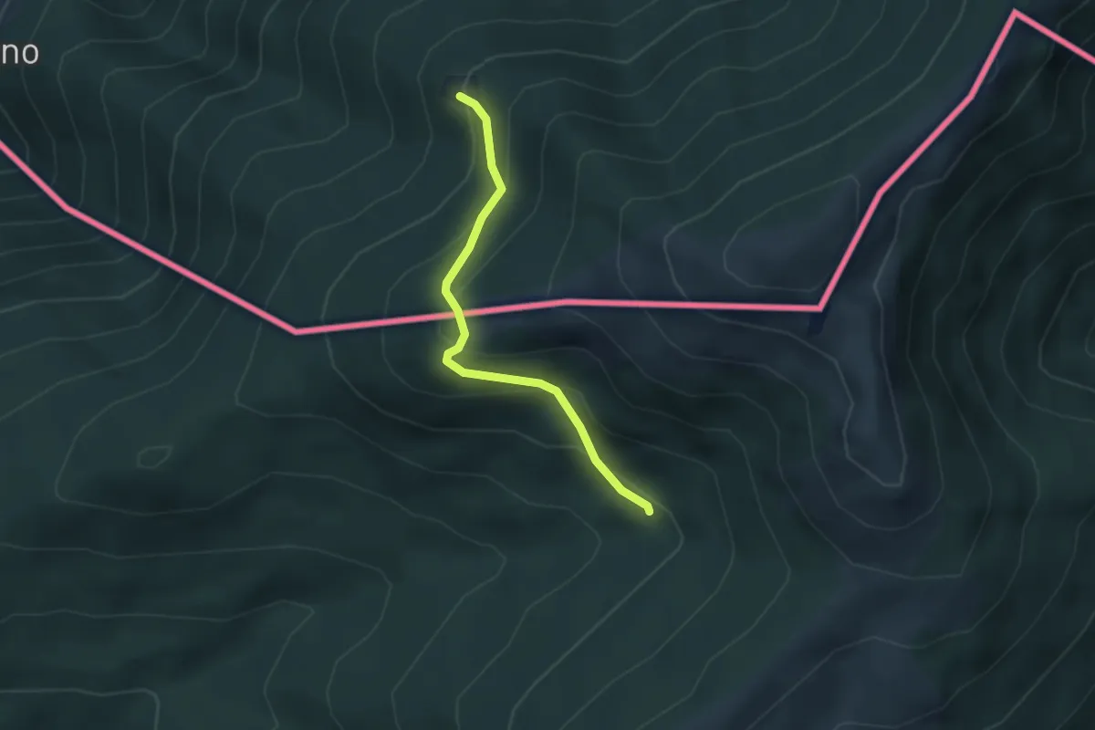
Medium · Cabin
Passo Forcora – Rifugio Alpetto (CH)
2.9 km · ↑ 221 m · 1 h 9 min · 11 km away
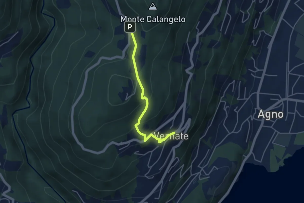
Easy · Trail
Vernate – Iseo
3.3 km · ↑ 216 m · 1 h 15 min · 11 km away
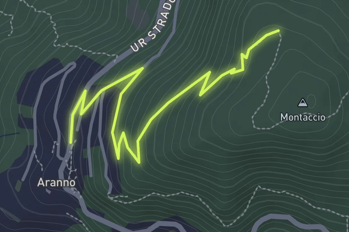
Easy · Trail
Aranno – Montaccio
3.7 km · ↑ 175 m · 1 h 15 min · 11 km away