Trails near Luino
373 hikes starting within 15 km, nearest first.
Nearest first, page 6 of 8
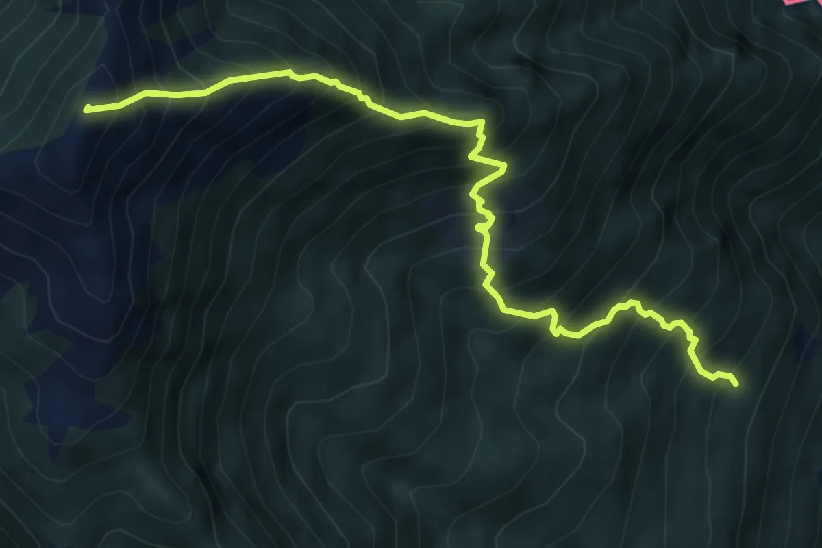
Demanding · Summit
S04 Bivio S02 S.Bartolomeo in Montibus - Monte Faierone
6.7 km · ↑ 1142 m · 4 h 3 min · 11 km away
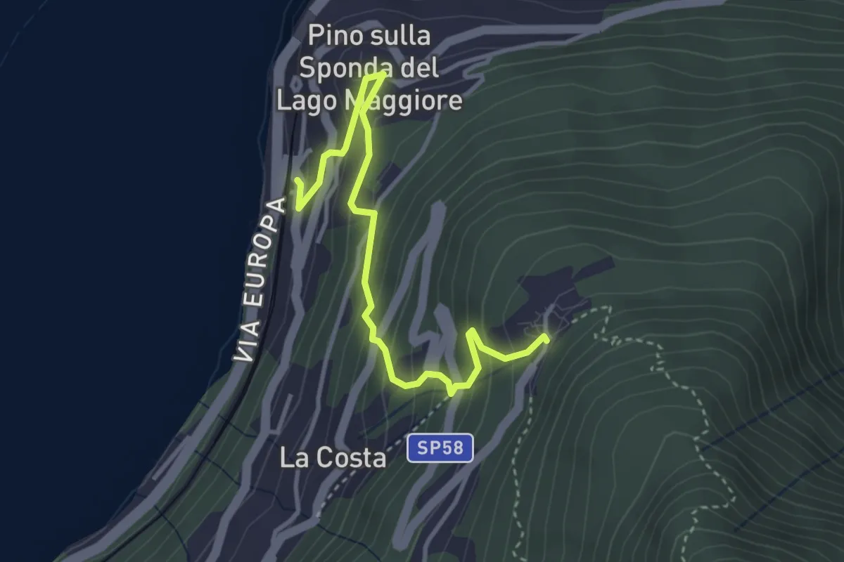
Medium · Trail
Pino sulla Sponda del Lago Maggiore – Bassano
3.7 km · ↑ 334 m · 1 h 36 min · 11 km away
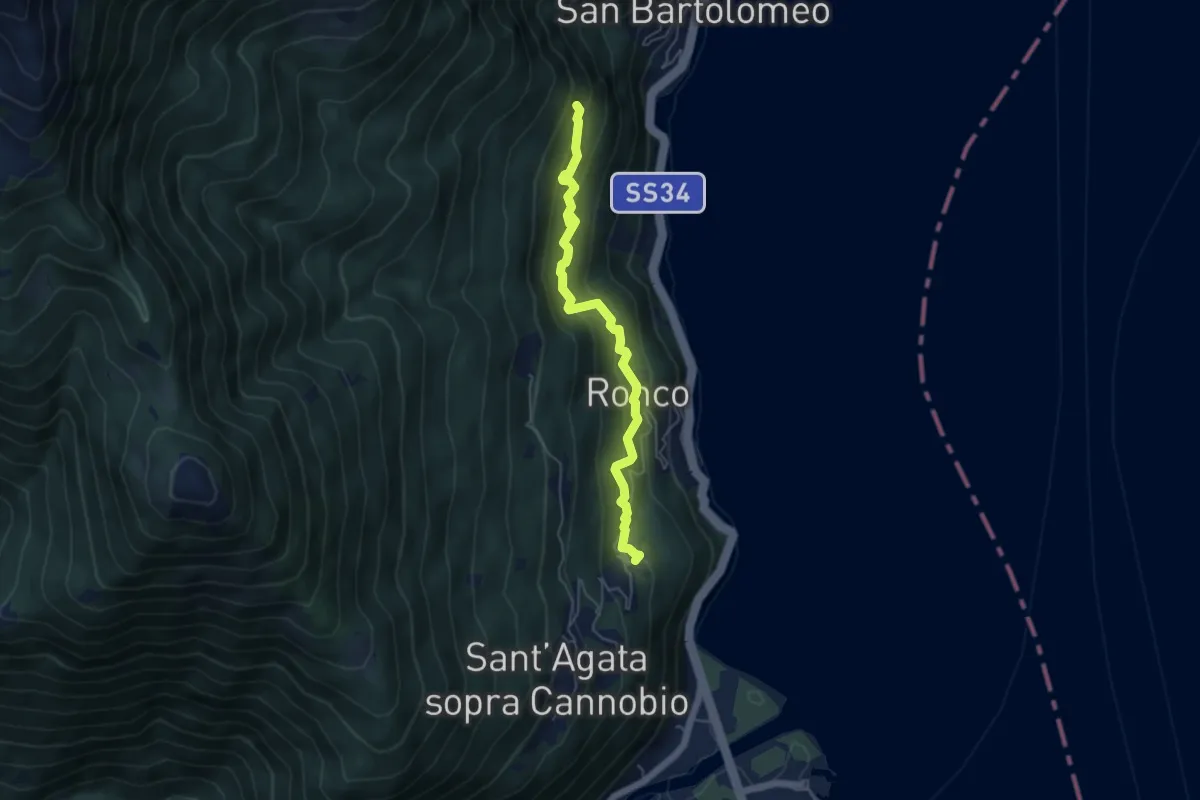
Medium · Trail
S02c Campeglio - Ronco - Formine
5.0 km · ↑ 434 m · 2 h 7 min · 11 km away
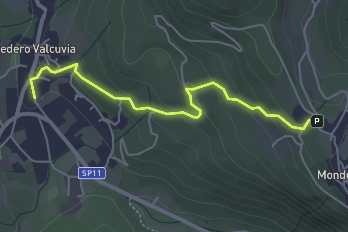
Easy · Trail
Bedero Valcuvia – Madonna degli alpini
3.9 km · ↑ 184 m · 1 h 19 min · 11 km away
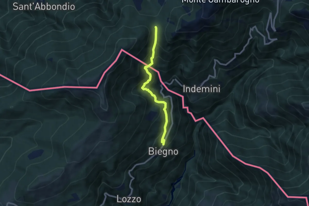
Medium · Cabin
Biegno – Sant'Anna (CH)
5.9 km · ↑ 547 m · 2 h 34 min · 11 km away
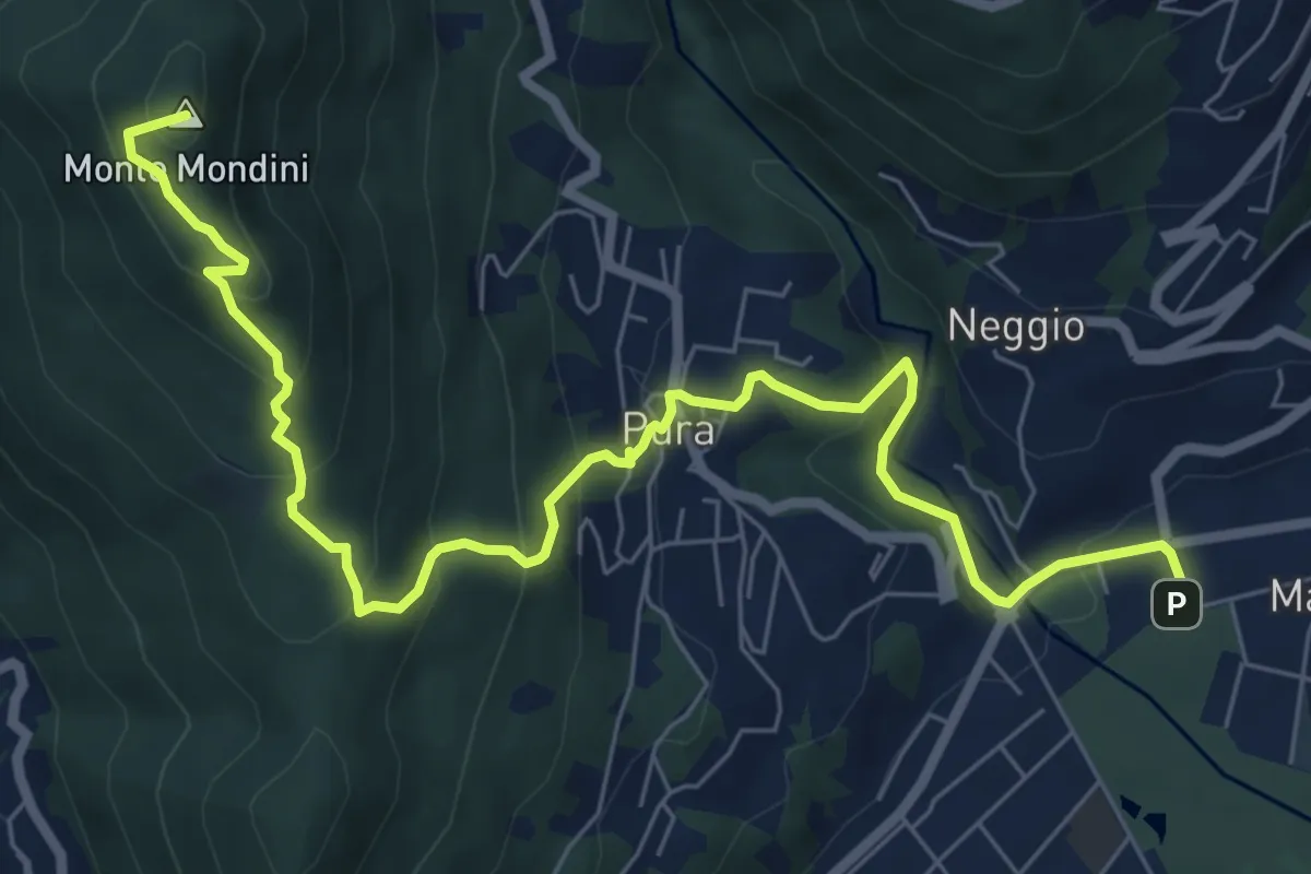
Medium · Summit
Sentiero Lago di Lugano
8.9 km · ↑ 526 m · 3 h 15 min · 11 km away
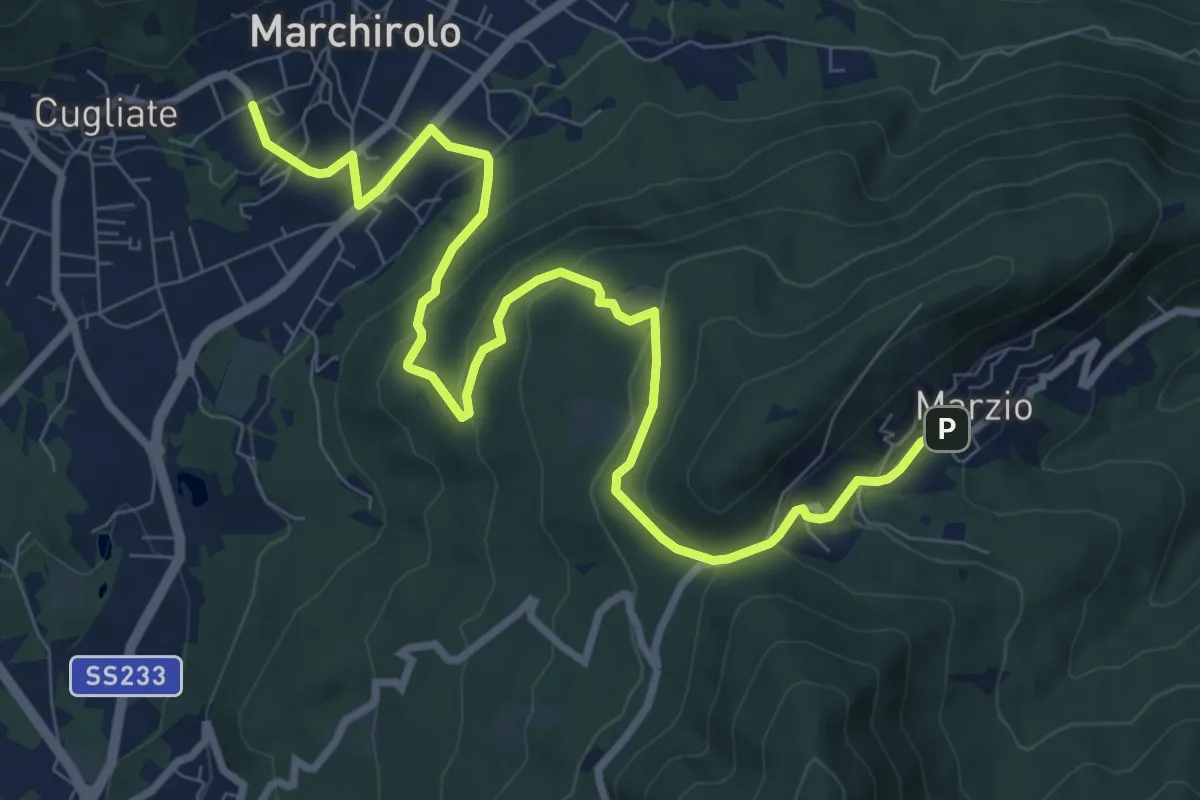
Medium · Trail
Marchirolo – Marzio
10.8 km · ↑ 456 m · 3 h 32 min · 11 km away
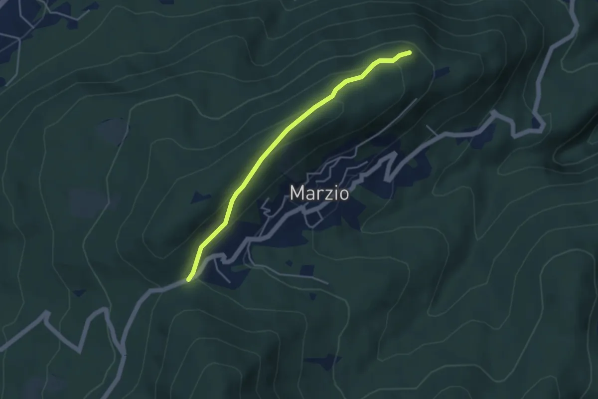
Easy · Trail
Variante Monte Marzio belvedere – Forcorella
3.6 km · ↑ 141 m · 1 h 10 min · 11 km away
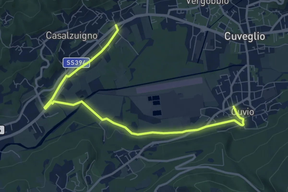
Medium · Trail
Villa Bozzolo – Cuvio
8.7 km · ↑ 92 m · 2 h 15 min · 11 km away
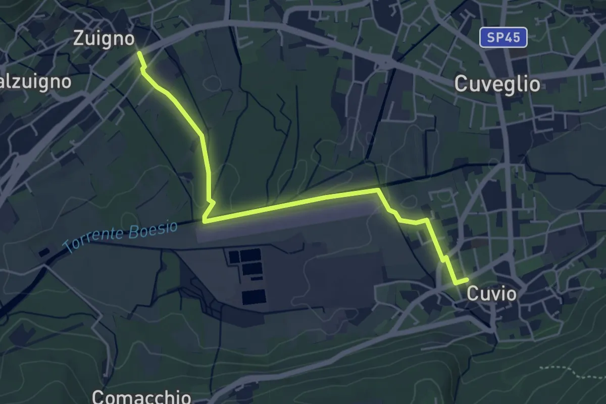
Easy · Trail
Cuvio – Villa Bozzolo
4.6 km · ↑ 33 m · 1 h 10 min · 11 km away
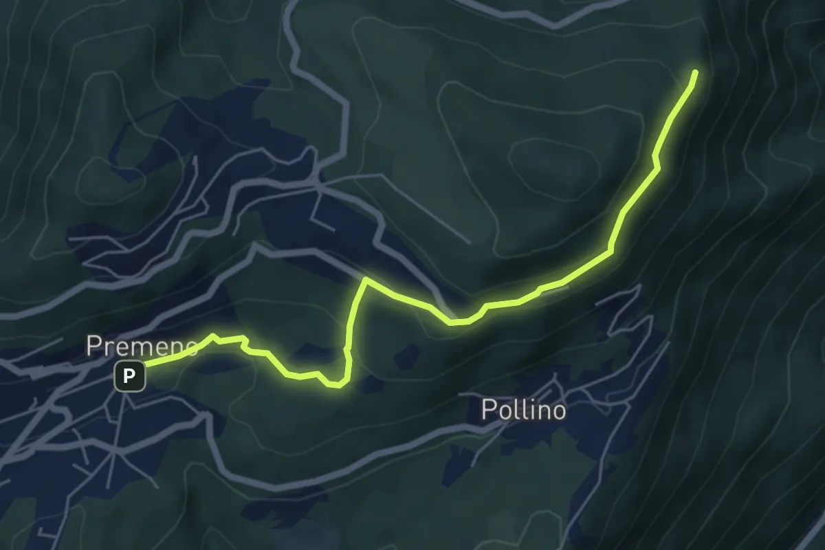
Easy · Trail
R02a Premeno - Pizzo d'Omo (bivio R10)
5.8 km · ↑ 291 m · 1 h 59 min · 11 km away
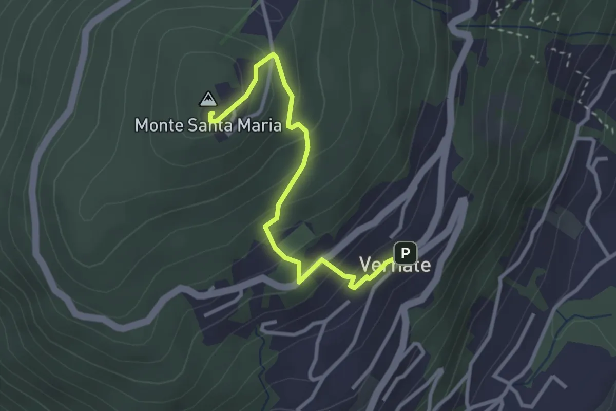
Easy · Summit
Vernate – Santa Maria
2.9 km · ↑ 214 m · 1 h 9 min · 11 km away
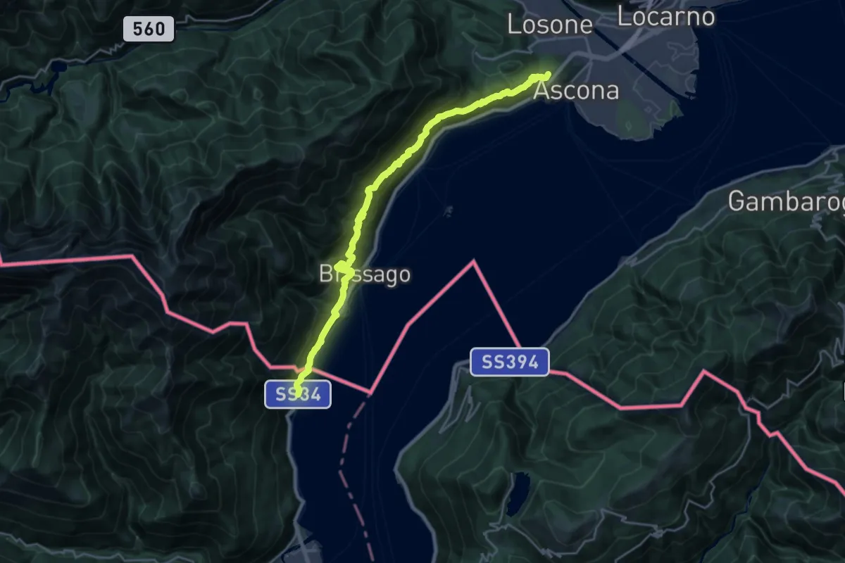
Demanding · Summit
Grand Tour del Lago Maggiore ® - Tappa 10 - Ascona (CH) - Cannobio
22.2 km · ↑ 1317 m · 8 h 6 min · 11 km away
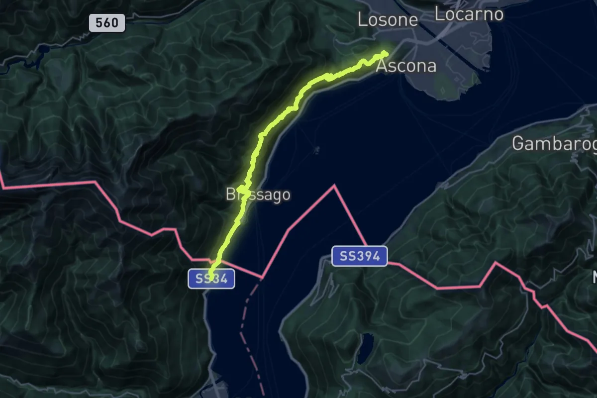
Demanding · Summit
Cammino del Lago Maggiore
23.7 km · ↑ 1505 m · 8 h 52 min · 11 km away
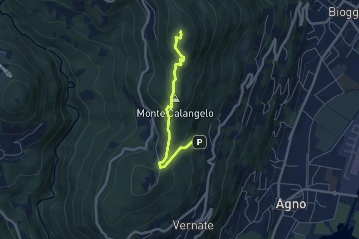
Easy · Summit
San Bernardo – Cimo
4.6 km · ↑ 283 m · 1 h 42 min · 11 km away
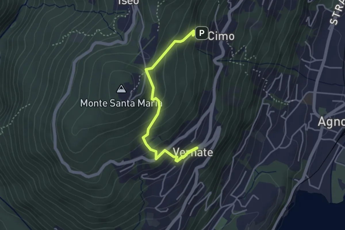
Easy · Trail
Vernate – Cimo
4.0 km · ↑ 276 m · 1 h 33 min · 11 km away
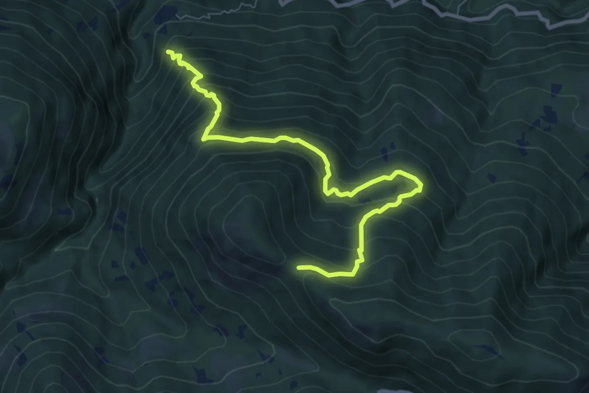
Medium · Trail
S09 Bivio S11 sopra Socraggio - Bocchetta del Tondone
8.1 km · ↑ 767 m · 3 h 35 min · 11 km away
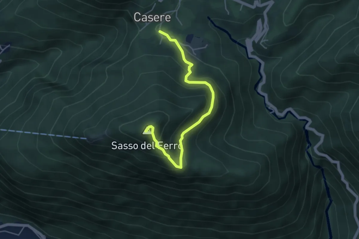
Medium · Summit
Casere – Piana-Sasso del Ferro
4.2 km · ↑ 298 m · 1 h 39 min · 12 km away
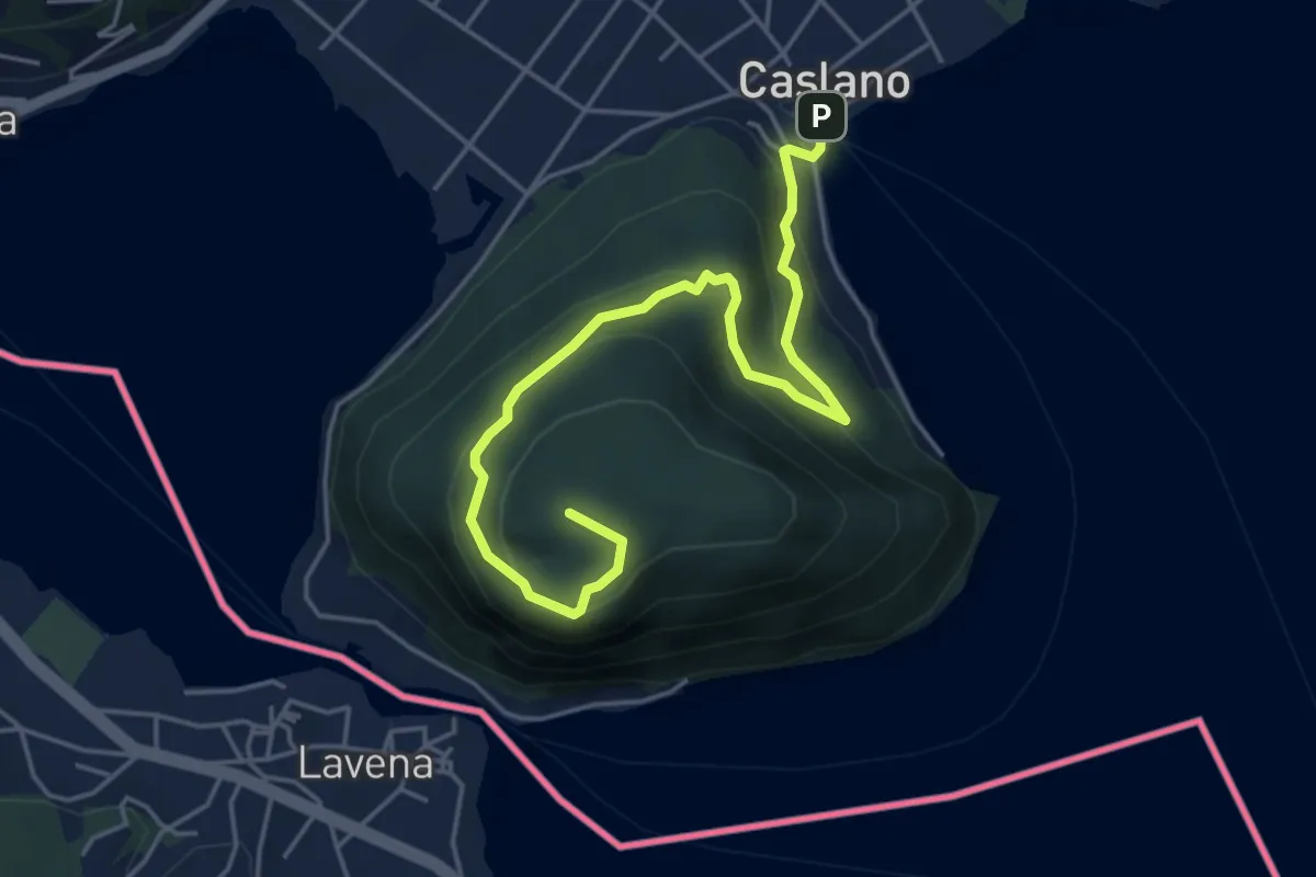
Medium · Summit
Caslano - Monte Caslano
5.4 km · ↑ 331 m · 1 h 59 min · 12 km away
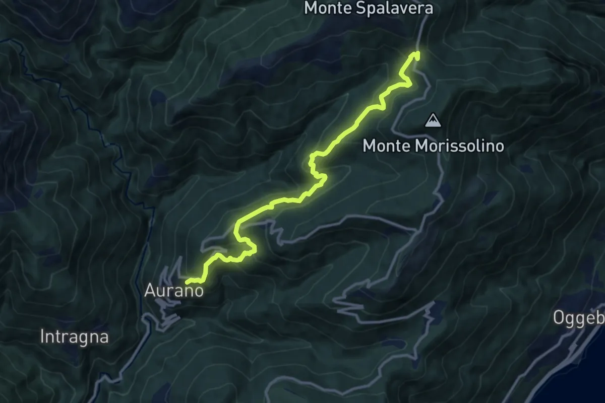
Medium · Trail
R15 Aurano - Calpera - il Colle
11.2 km · ↑ 750 m · 4 h 16 min · 12 km away
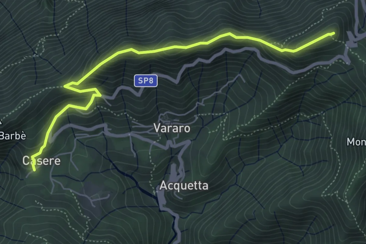
Demanding · Summit
Casere – P.so Cuvignone
6.1 km · ↑ 382 m · 2 h 16 min · 12 km away
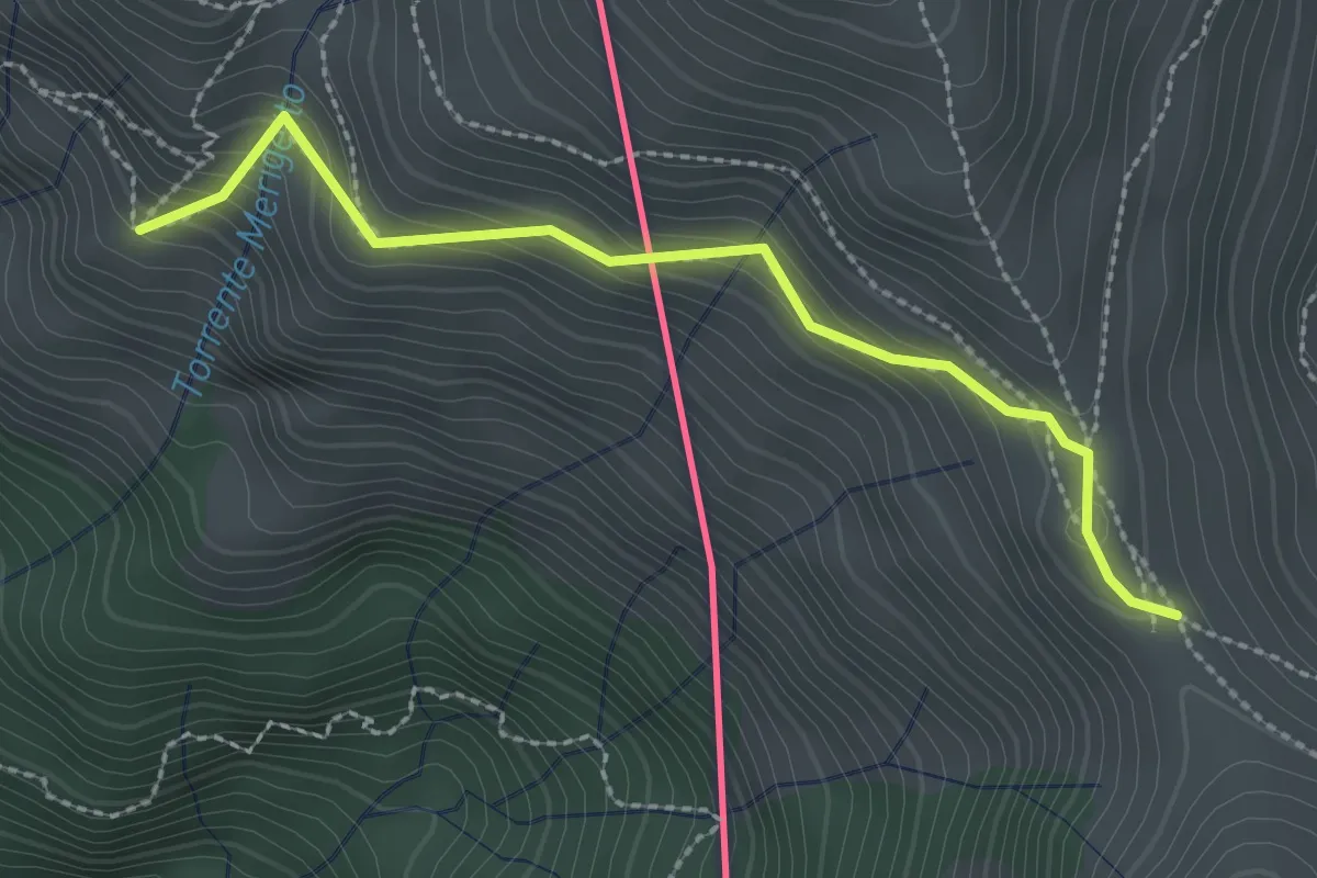
Medium · Cabin
Monteviasco – Passo Agario (CH)
2.5 km · ↑ 213 m · 1 h 3 min · 12 km away
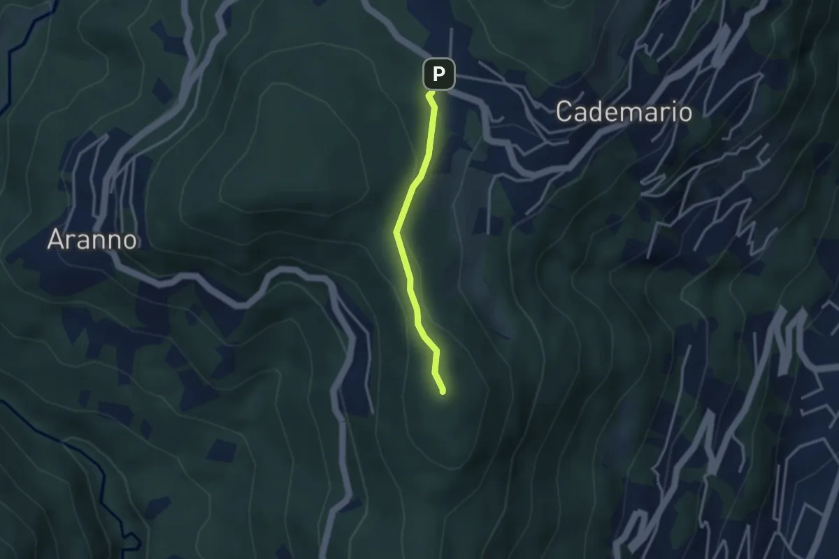
Easy · Summit
San Bernardo – Cademario - Lisone
2.4 km · ↑ 84 m · 45 min · 12 km away
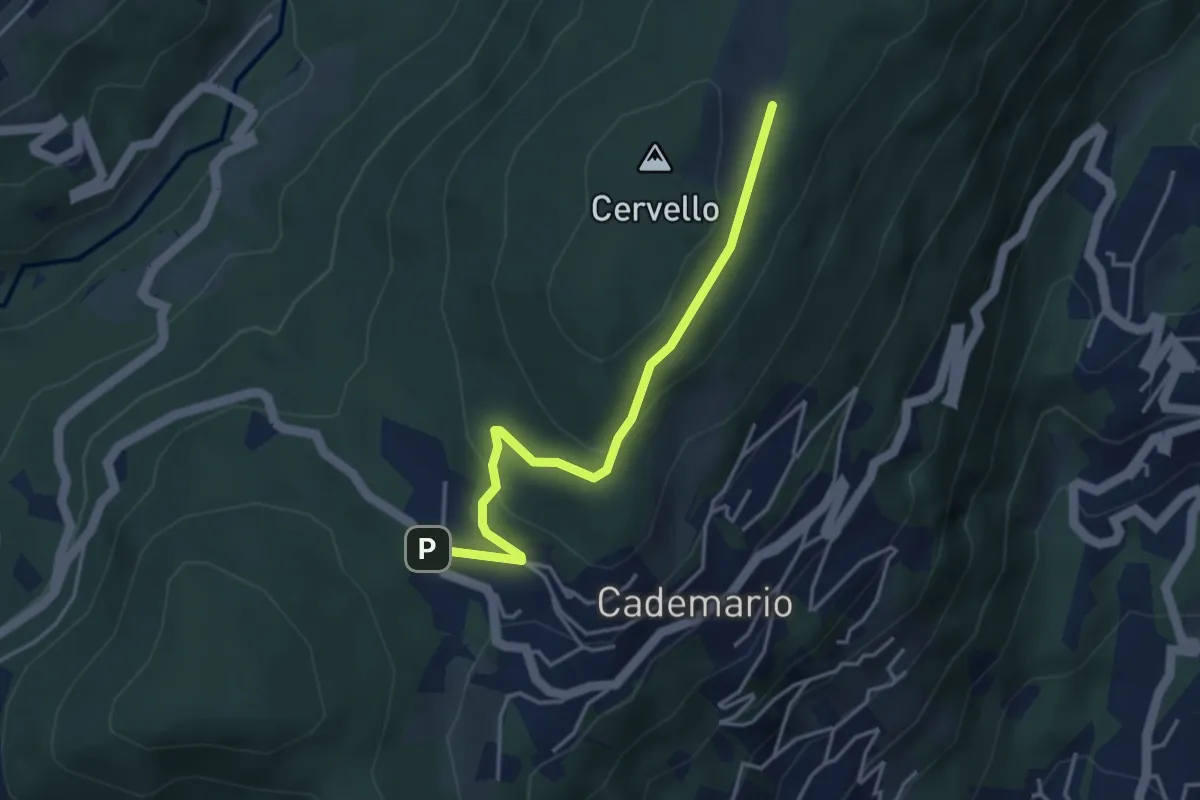
Easy · Trail
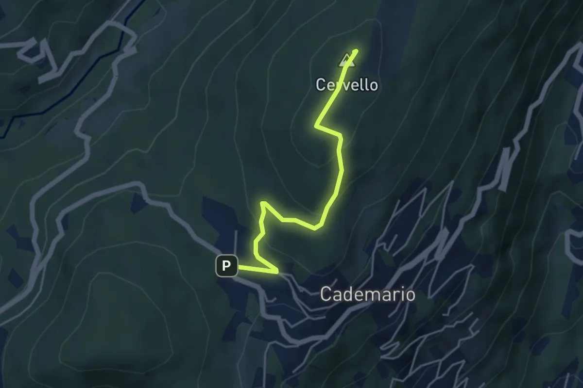
Alpe Agra – Cademario - Lisone
3.8 km · ↑ 121 m · 1 h 10 min · 12 km away
Easy · Summit
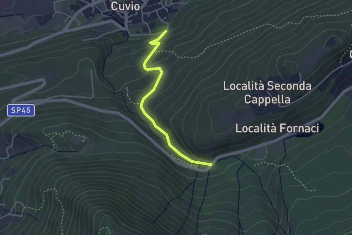
Alpe Agra – Cademario - Lisone
3.8 km · ↑ 163 m · 1 h 14 min · 12 km away
Easy · Trail
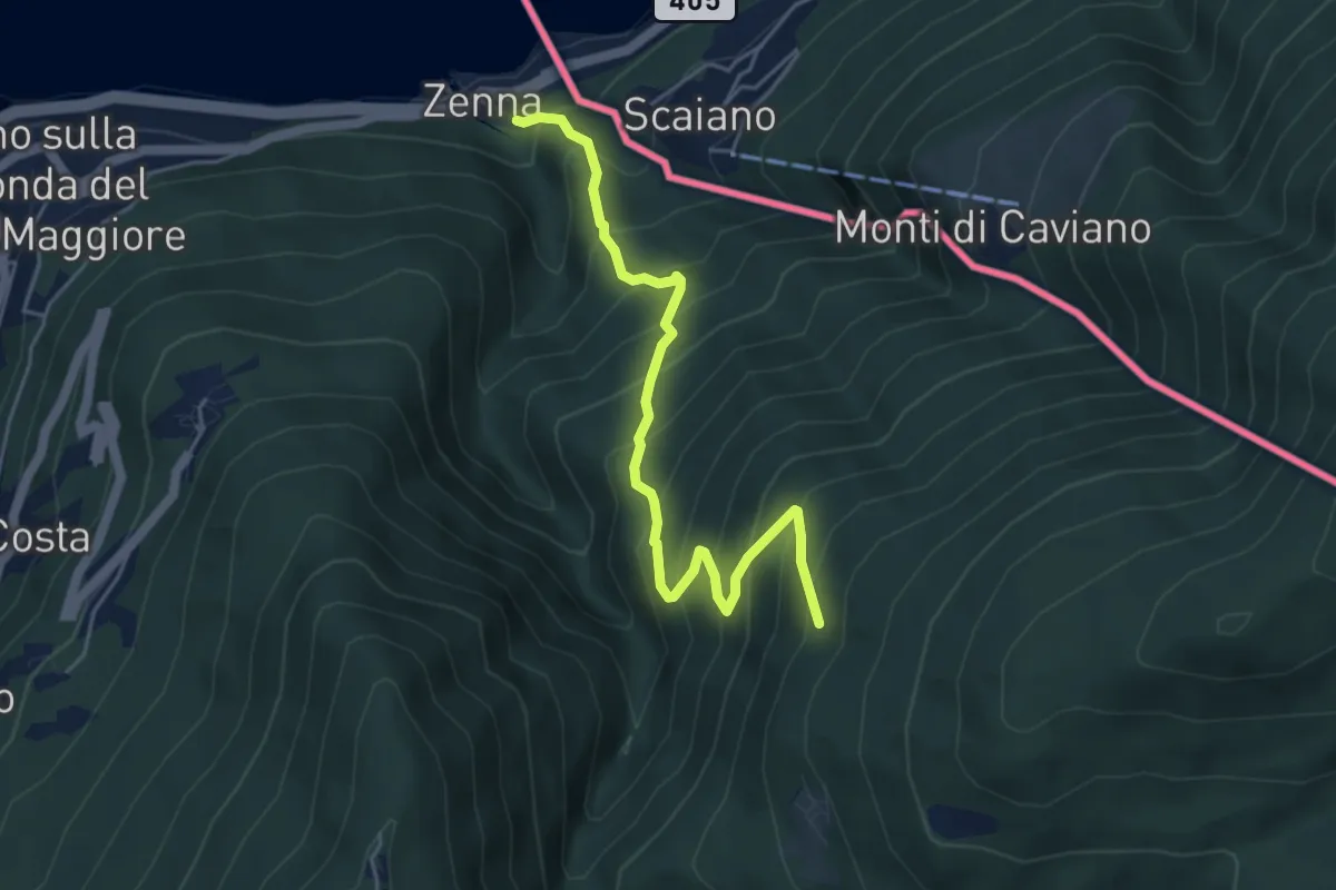
Cuvio – Fornaci
3.1 km · ↑ 163 m · 1 h 5 min · 12 km away
Medium · Trail
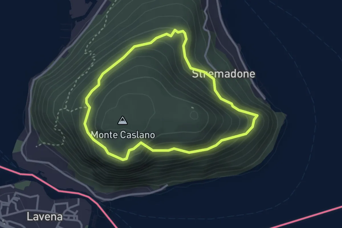
Zenna – Forcora
5.1 km · ↑ 634 m · 2 h 35 min · 12 km away
Easy · Trail
Sentiero del Castagno
2.7 km · ↑ 254 m · 1 h 14 min · 12 km away
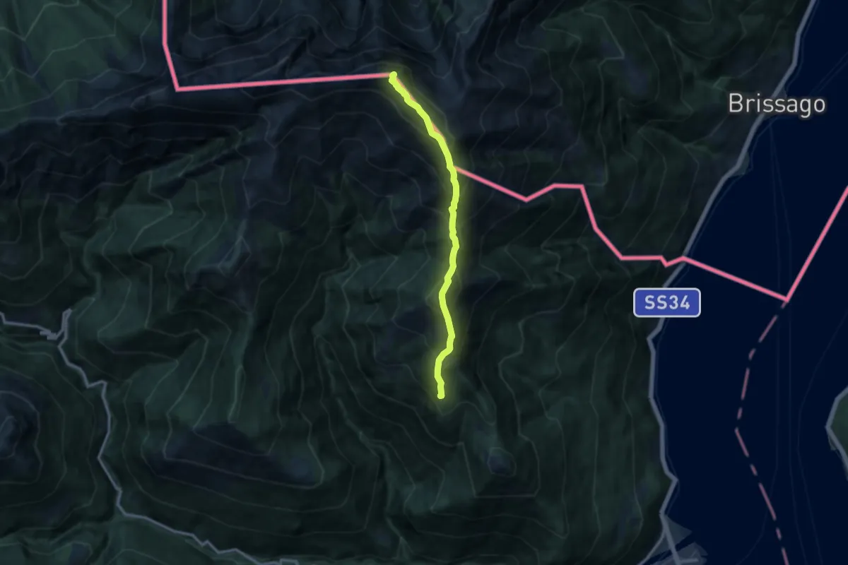
Demanding · Summit
S06 Sant'Agata - Faierone - Monte Limidario
9.4 km · ↑ 1178 m · 4 h 46 min · 12 km away
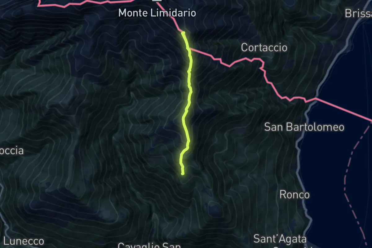
Demanding · Summit
Alta Via dei Gridoni - Tappa 3
7.2 km · ↑ 1028 m · 3 h 56 min · 12 km away
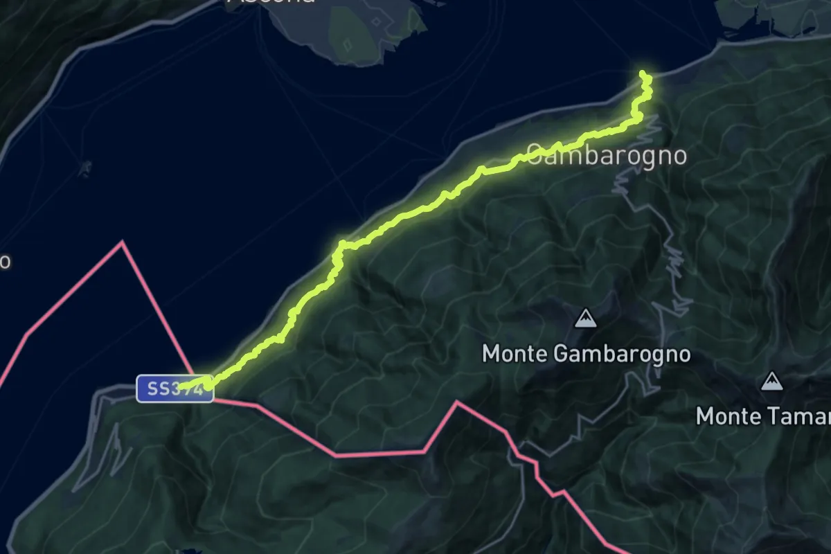
Medium · Trail
Cammino del Lago Maggiore
11.1 km · ↑ 633 m · 4 h 10 min · 12 km away
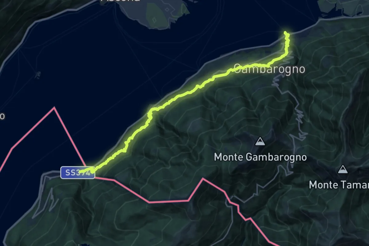
Medium · Trail
Grand Tour del Lago Maggiore ® - Tappa 8 - Maccagno - Pino - Zenna - Vira Gambarogno (CH)
11.0 km · ↑ 672 m · 4 h 12 min · 12 km away
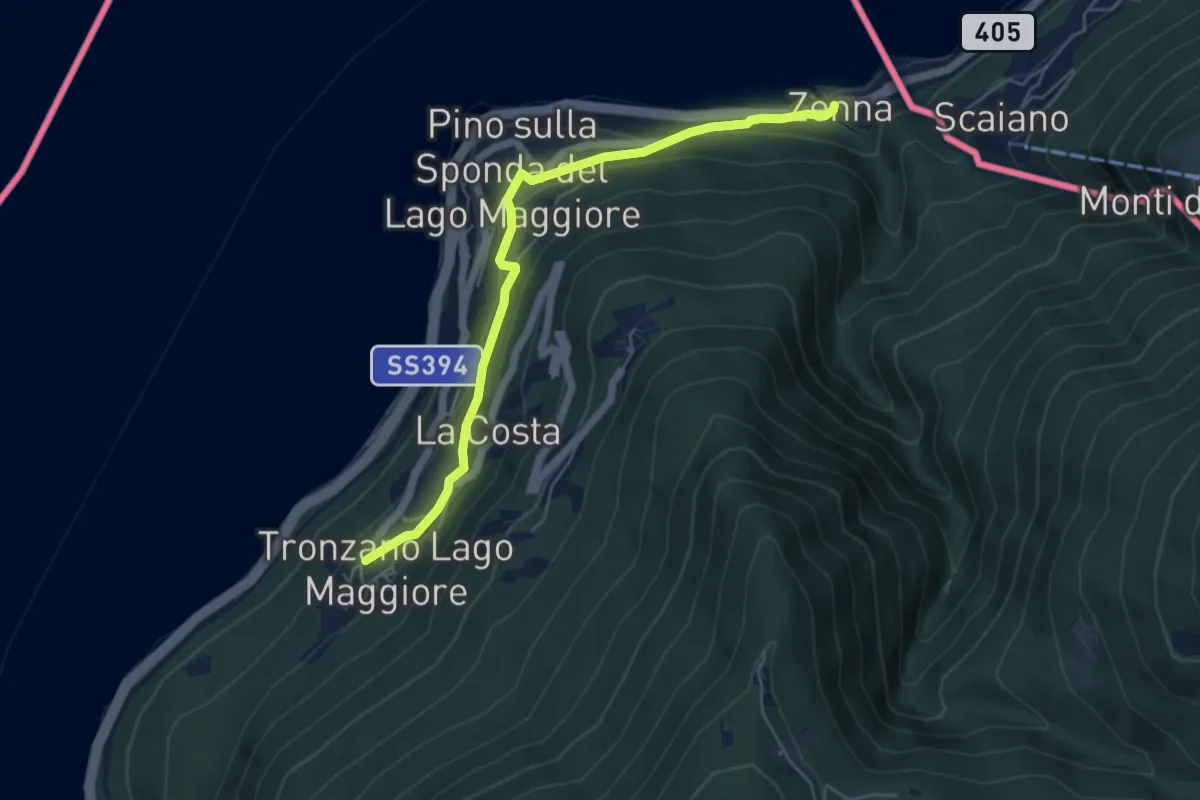
Easy · Trail
Zenna – Tronzano
5.4 km · ↑ 235 m · 1 h 47 min · 12 km away
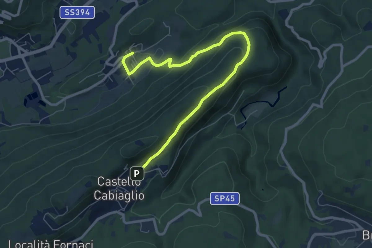
Medium · Trail
Castello Cabiaglio – Cavona
7.3 km · ↑ 341 m · 2 h 28 min · 12 km away
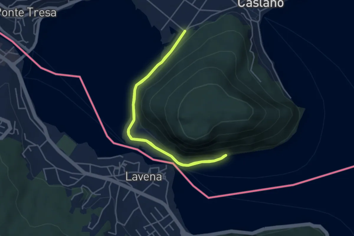
Easy · Trail
Giro lungolago atorno al monte Caslano
3.8 km · ↑ 58 m · 1 h 4 min · 12 km away
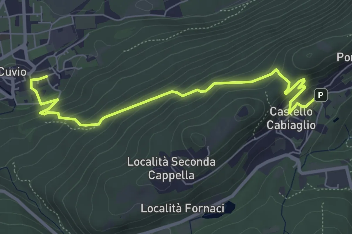
Demanding · Trail
Cuvio – Castello Cabiaglio
6.3 km · ↑ 333 m · 2 h 12 min · 12 km away
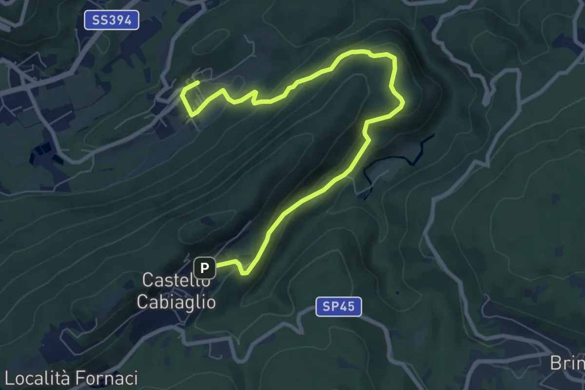
Medium · Trail
Castello Cabiaglio – Cavona
8.5 km · ↑ 375 m · 2 h 49 min · 12 km away
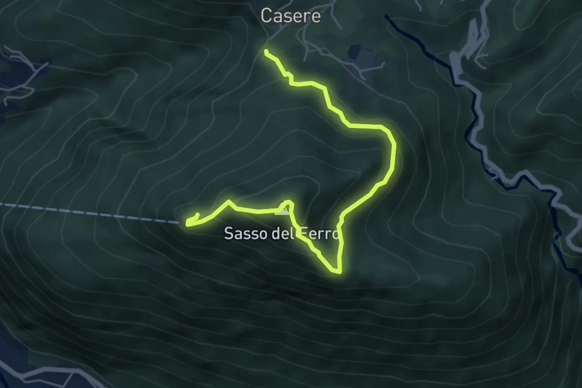
Medium · Summit
Casere – Sasso del Ferro-Casere
2.7 km · ↑ 320 m · 1 h 17 min · 12 km away
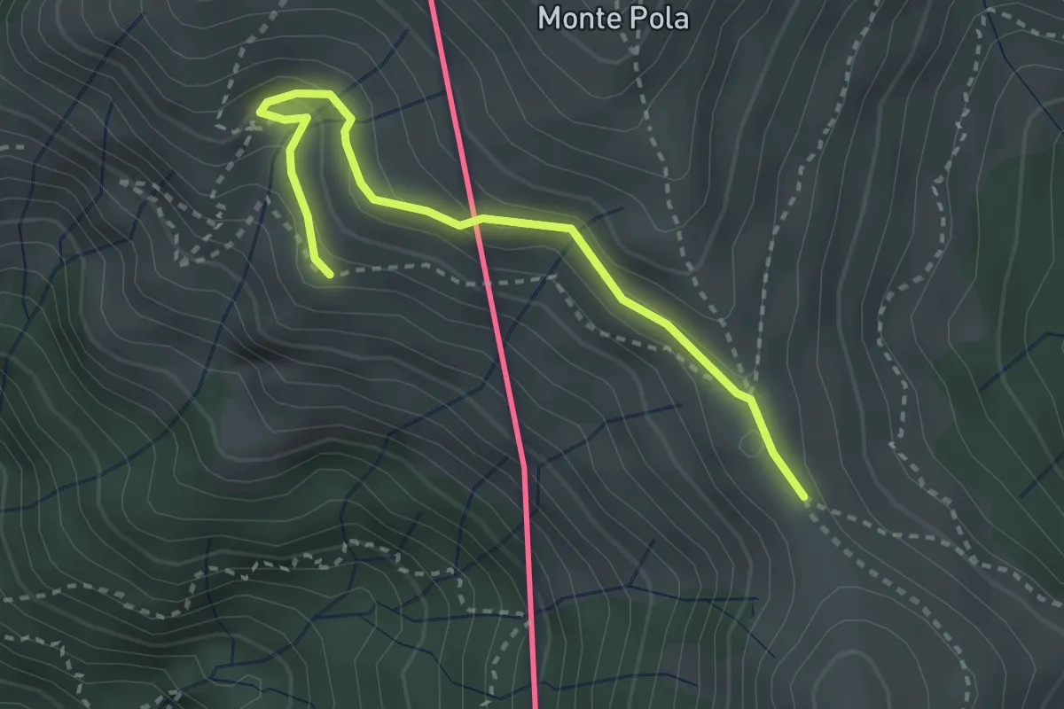
Medium · Cabin
Torre del Merigetto – Passo Agario (CH)
3.0 km · ↑ 191 m · 1 h 7 min · 12 km away
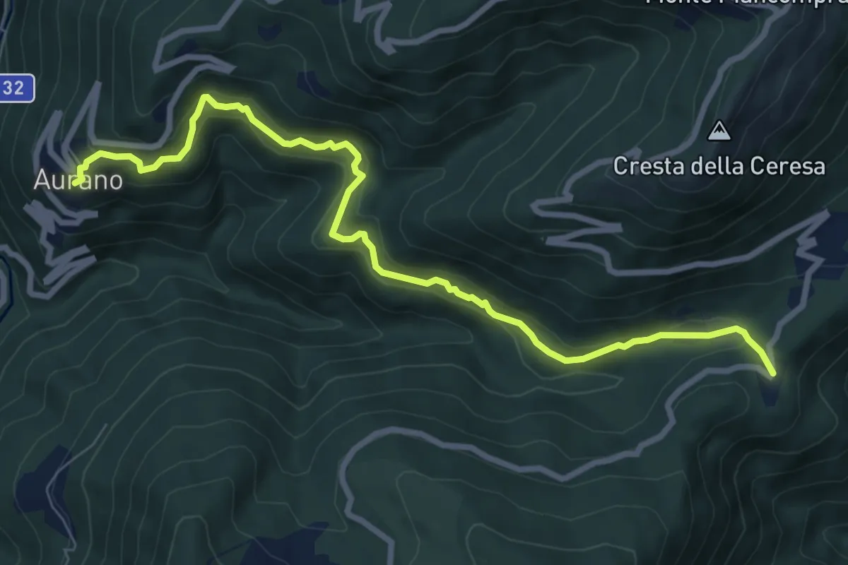
Medium · Trail
R14 Aurano - Luera
8.4 km · ↑ 436 m · 2 h 56 min · 12 km away
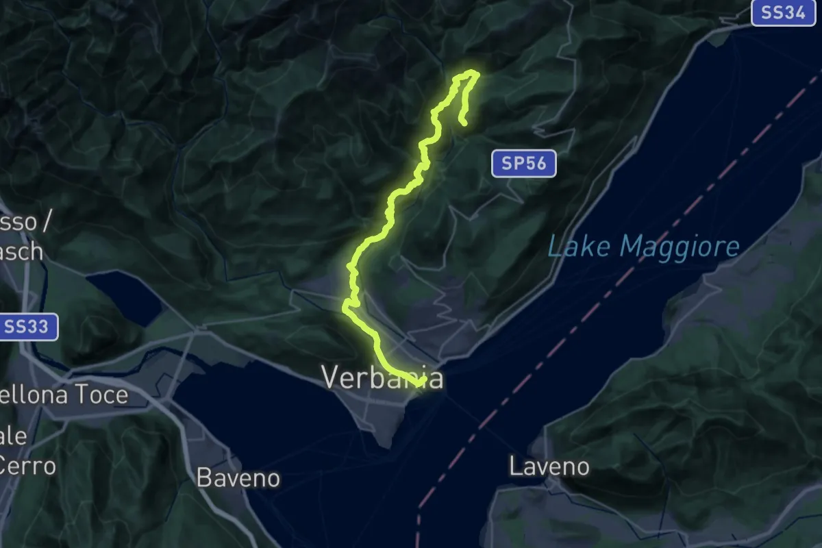
Medium · Trail
R00 Verbania Intra P.le Flaim - Trobaso - Cambiasca - Caprezzo - Intragna - Aurano
16.0 km · ↑ 602 m · 5 h 33 min · 12 km away
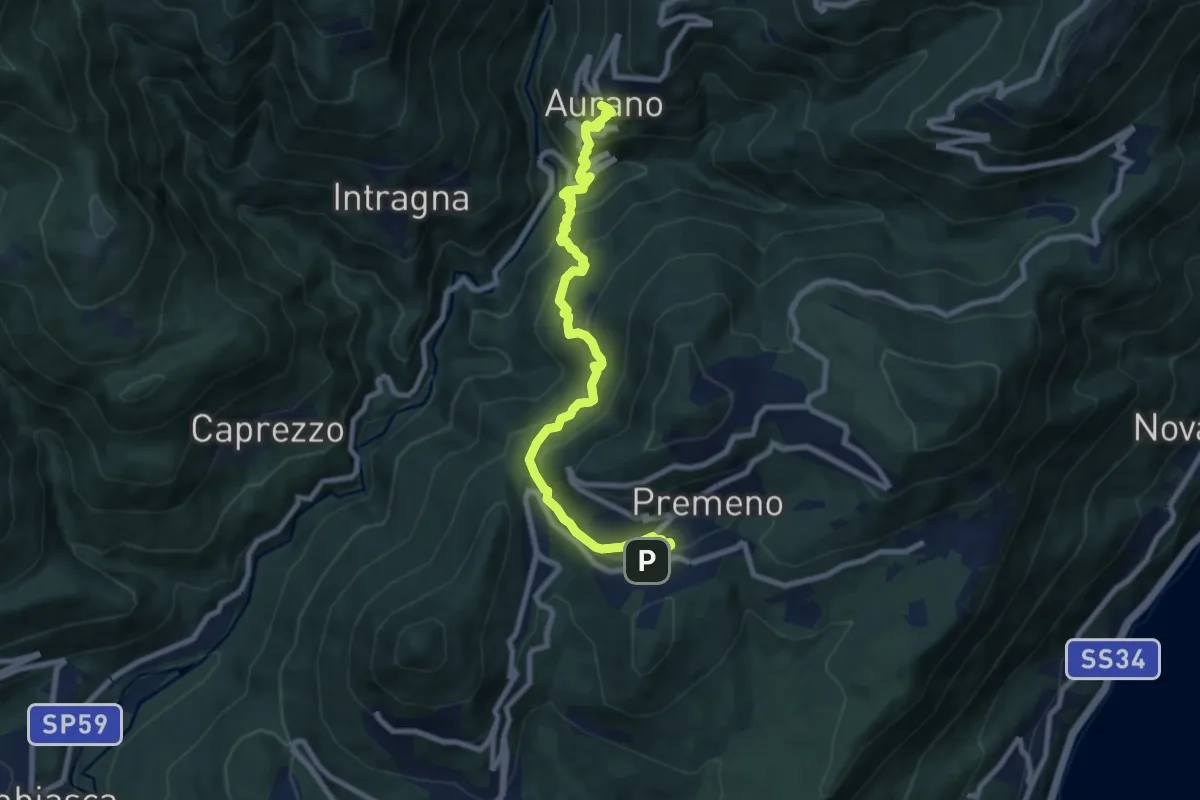
Medium · Trail
R08 Aurano - Esio - Premeno
9.2 km · ↑ 797 m · 3 h 55 min · 12 km away
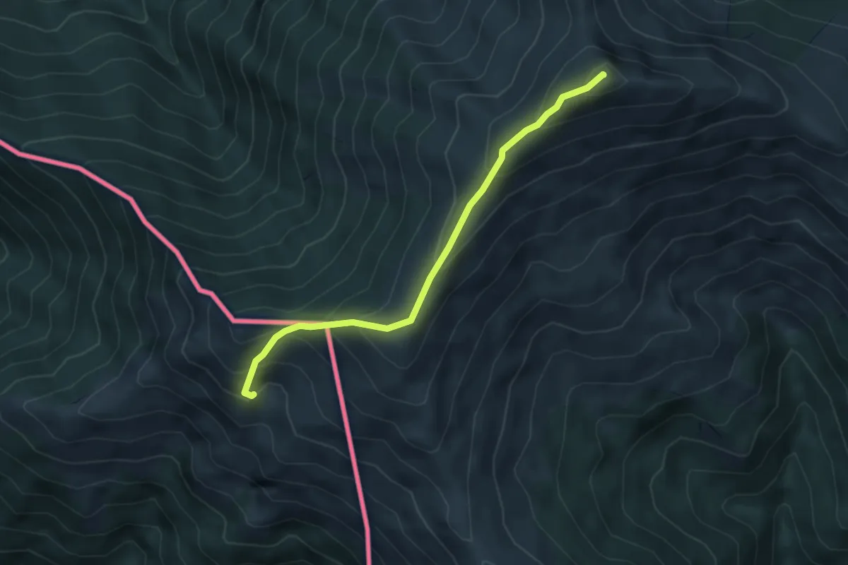
Medium · Summit
Monteviasco – Monte Gradiccioli (CH)
4.1 km · ↑ 403 m · 1 h 51 min · 12 km away
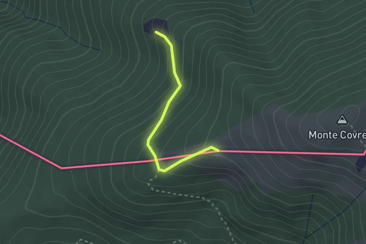
Medium · Summit
Monterecchio – Rifugio Alpetto (CH)
1.9 km · ↑ 168 m · 49 min · 12 km away
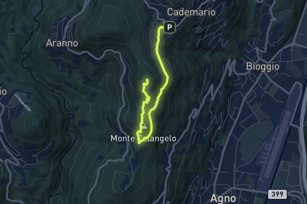
Easy · Summit
San Bernardo – Cademario
6.5 km · ↑ 289 m · 2 h 9 min · 12 km away
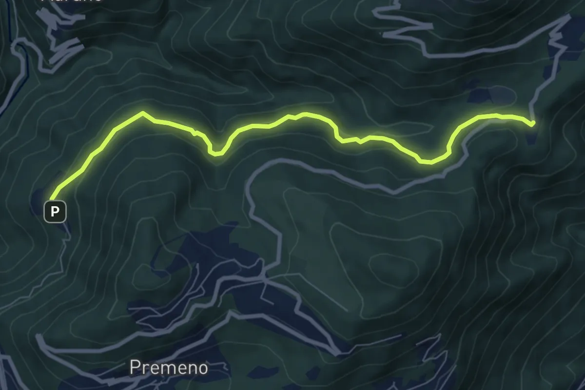
Medium · Trail
R12 - Esio - Luera
7.7 km · ↑ 376 m · 2 h 38 min · 12 km away
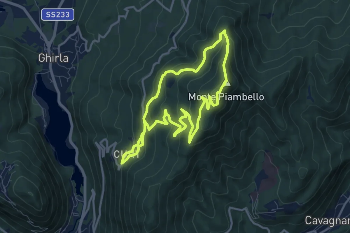
Medium · Summit
Boarezzo anello – Boarezzo
7.8 km · ↑ 425 m · 2 h 52 min · 12 km away
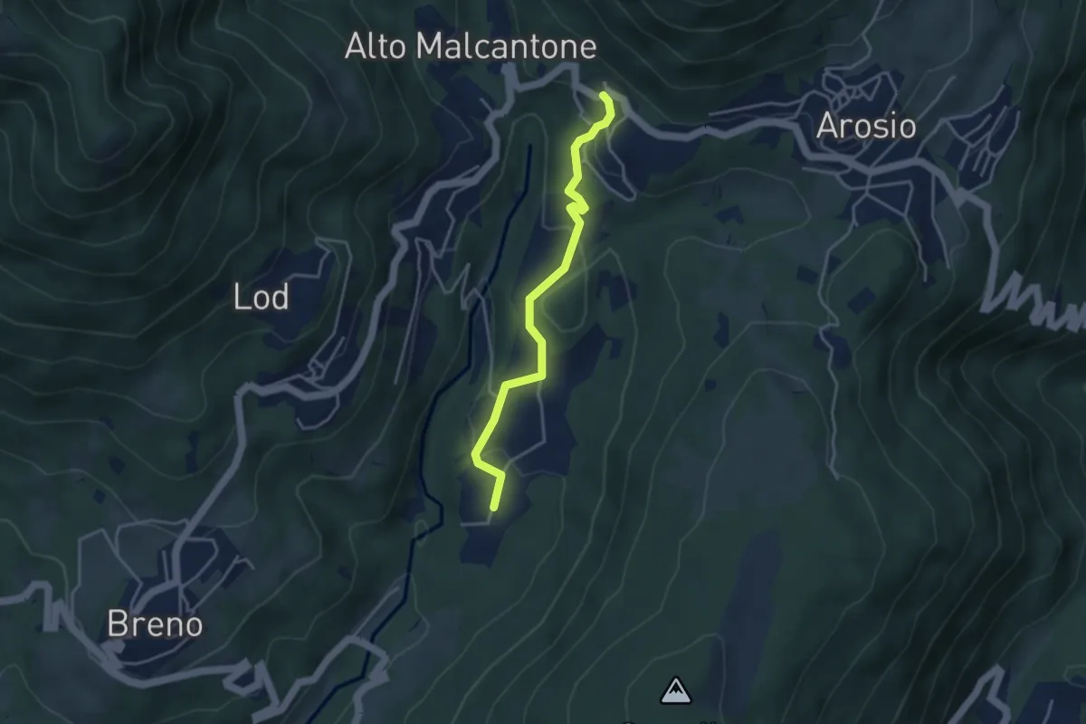
Easy · Trail
Caroggio – Mugena
3.6 km · ↑ 129 m · 1 h 8 min · 12 km away