Trails near Luino
373 hikes starting within 15 km, nearest first.
Nearest first, page 7 of 8
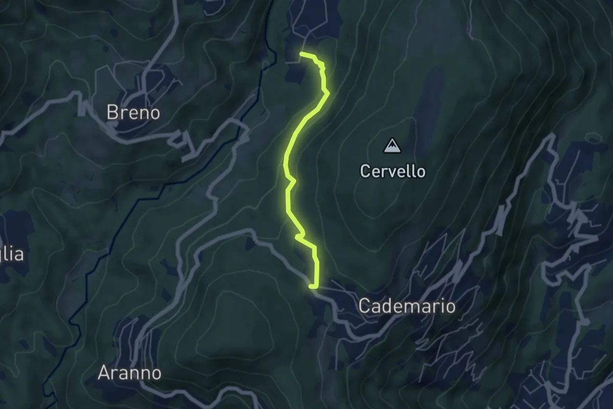
Easy · Trail
Cademario - Lisone – Caroggio
4.0 km · ↑ 148 m · 1 h 15 min · 12 km away
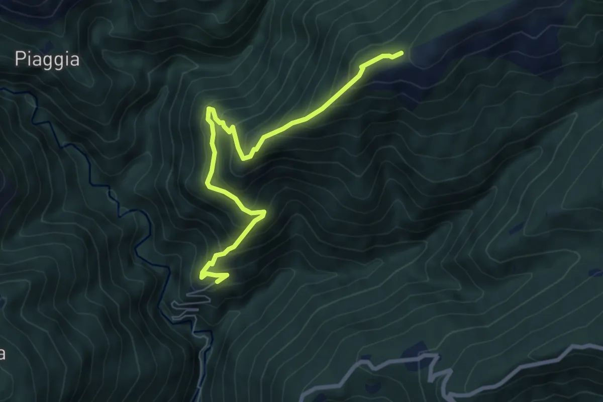
Medium · Trail
R13 Scareno - Pian d'Arla
7.1 km · ↑ 719 m · 3 h 14 min · 12 km away
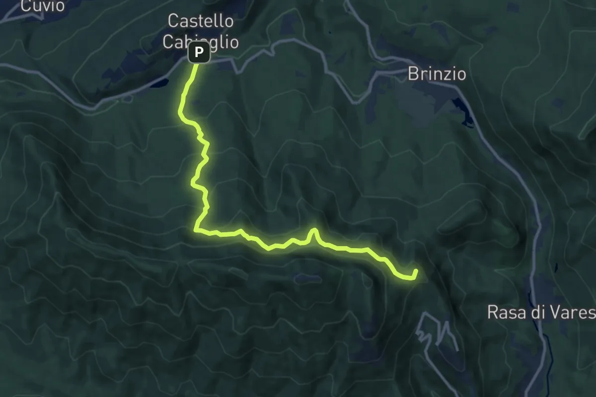
Medium · Summit
Santa Maria del Monte – Castello Cabiaglio
11.0 km · ↑ 725 m · 4 h 10 min · 12 km away
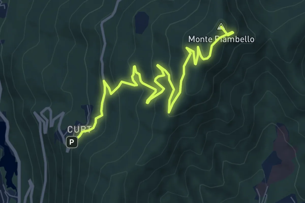
Medium · Summit
Cuasso al Monte – Boarezzo
9.5 km · ↑ 545 m · 3 h 25 min · 12 km away
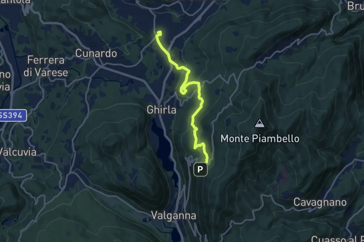
Medium · Trail
Cugliate – Boarezzo
10.9 km · ↑ 365 m · 3 h 22 min · 12 km away
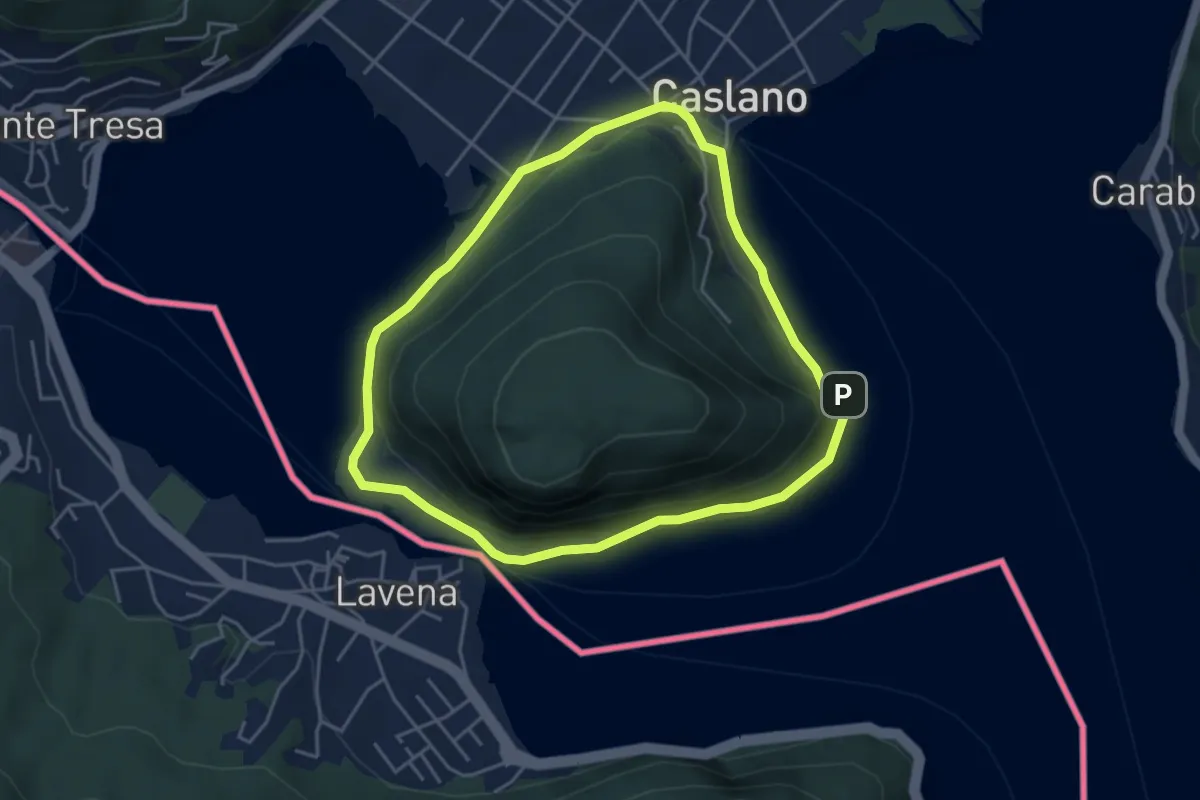
Easy · Trail
Giro/Tour Monte Caslano
4.2 km · ↑ 89 m · 1 h 15 min · 12 km away
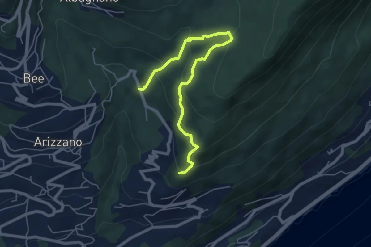
Medium · Trail
Sentiero Archeologico
5.0 km · ↑ 359 m · 1 h 58 min · 12 km away
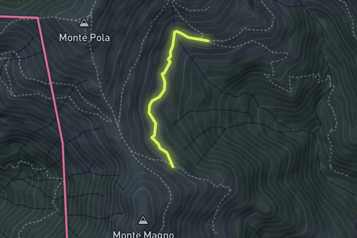
Medium · Trail
Alpe Nisciora – Alpe Agario
2.4 km · ↑ 154 m · 54 min · 12 km away
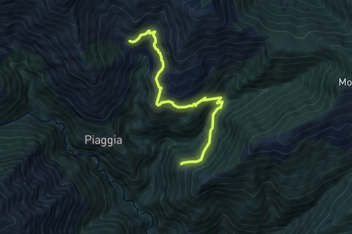
Medium · Trail
R13a Sassello - Corte Bavarone
7.6 km · ↑ 623 m · 3 h 9 min · 12 km away
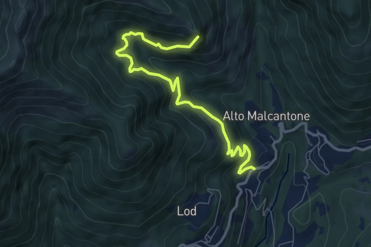
Demanding · Summit
Alpe di Coransù – Vezio
7.3 km · ↑ 592 m · 3 h 1 min · 12 km away
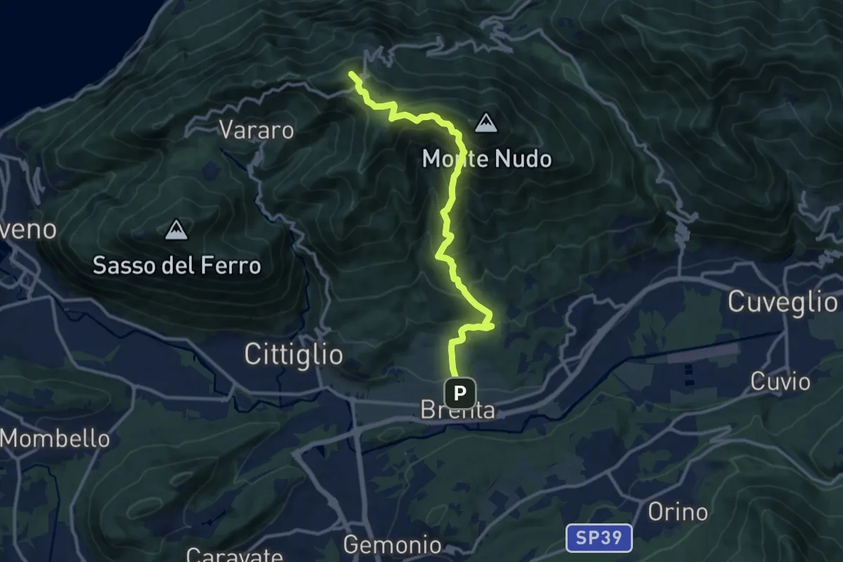
Demanding · Summit
Brenta – Passo Cuvignone
11.5 km · ↑ 1011 m · 4 h 55 min · 12 km away
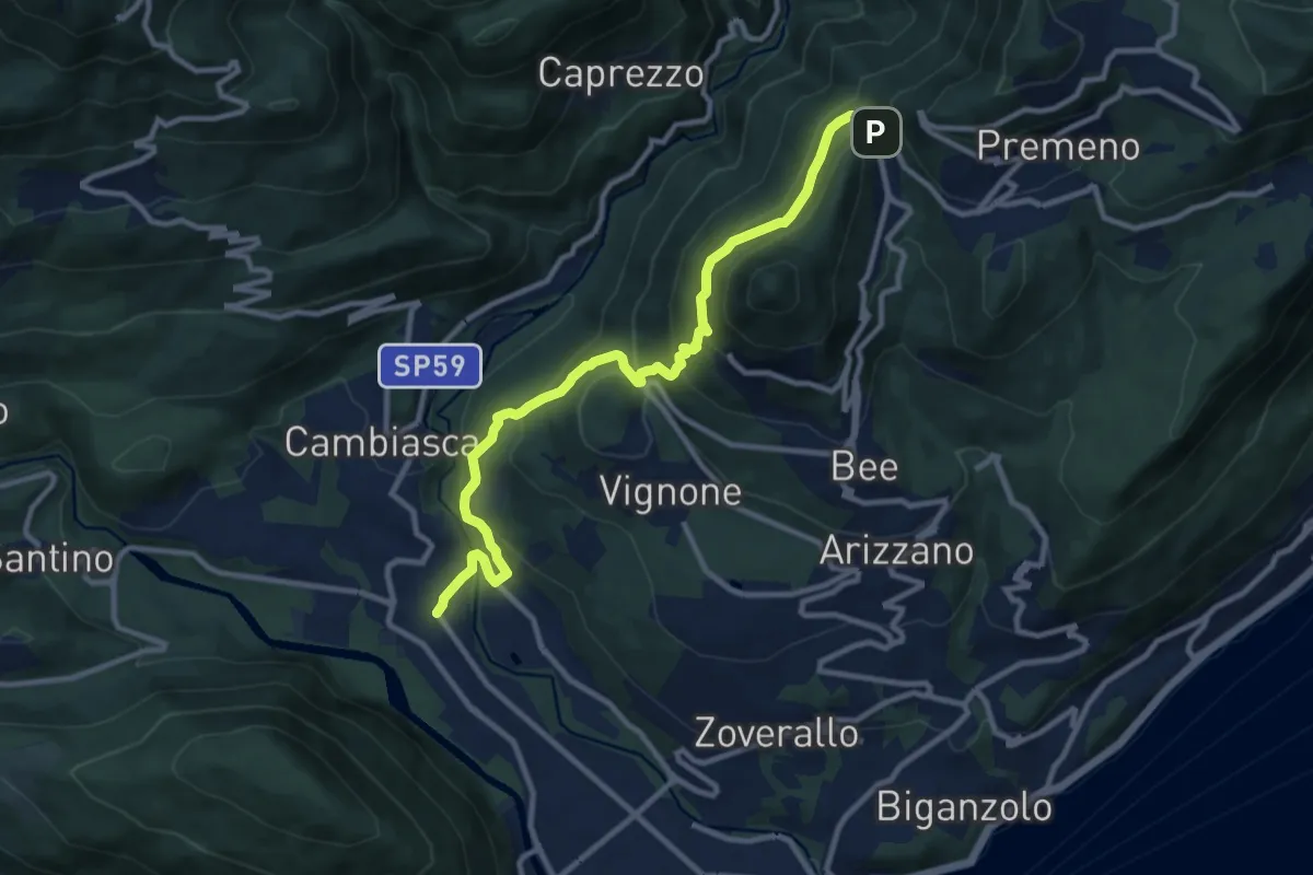
Medium · Trail
R06 Trobaso - Pian Nava
11.0 km · ↑ 697 m · 4 h 7 min · 12 km away
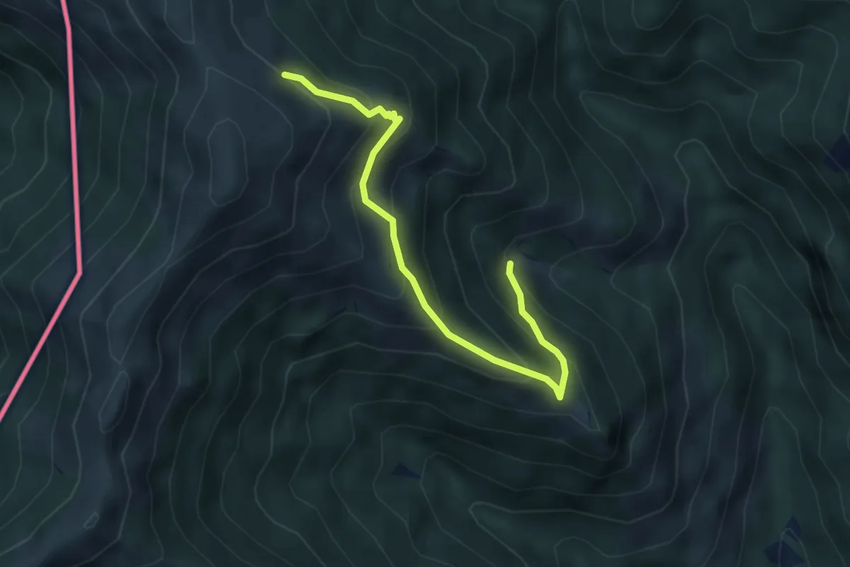
Medium · Trail
Alpe Agario – Alpe di Coransù
4.3 km · ↑ 356 m · 1 h 48 min · 12 km away
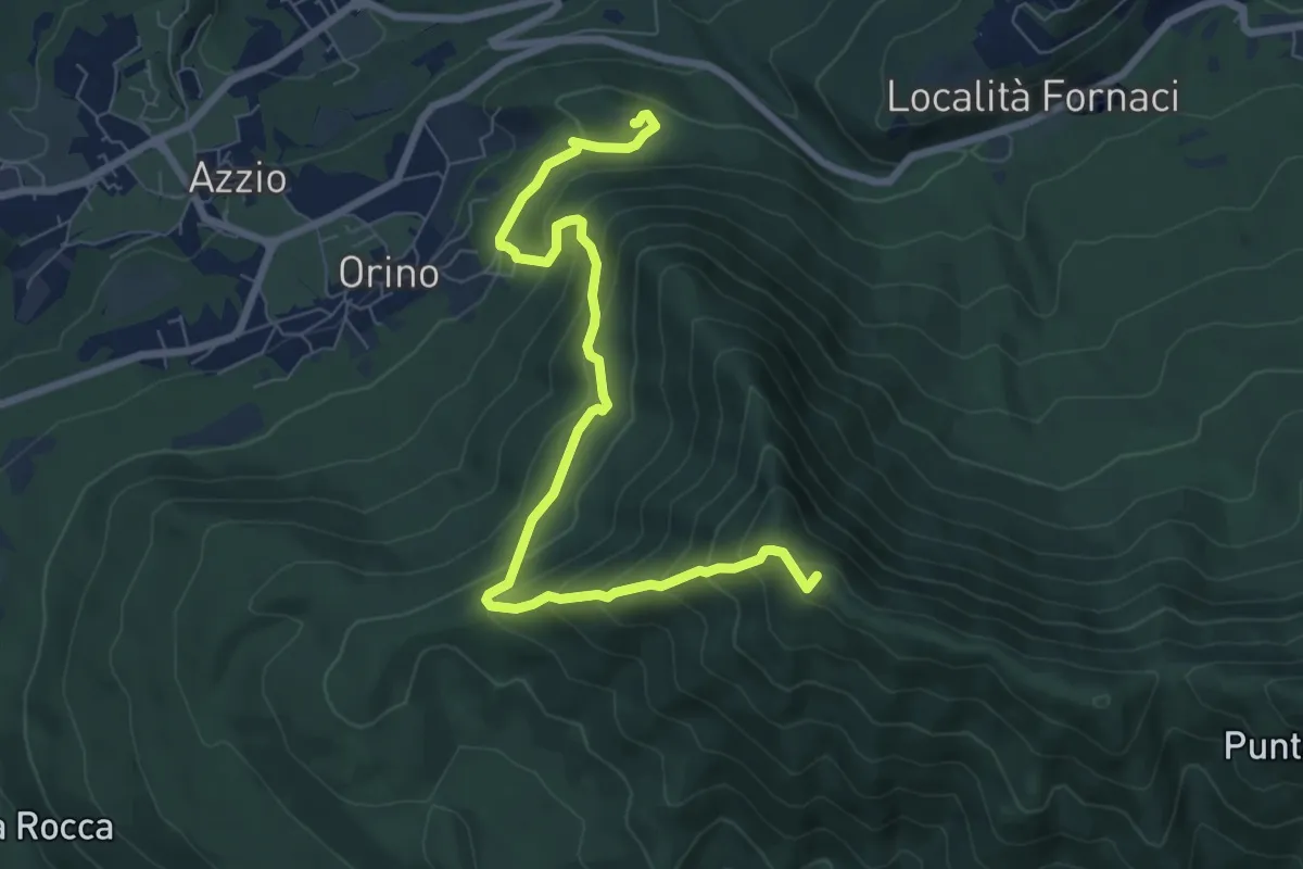
Medium · Summit
Rocca di Orino – Forte di Orino
8.4 km · ↑ 685 m · 3 h 28 min · 12 km away
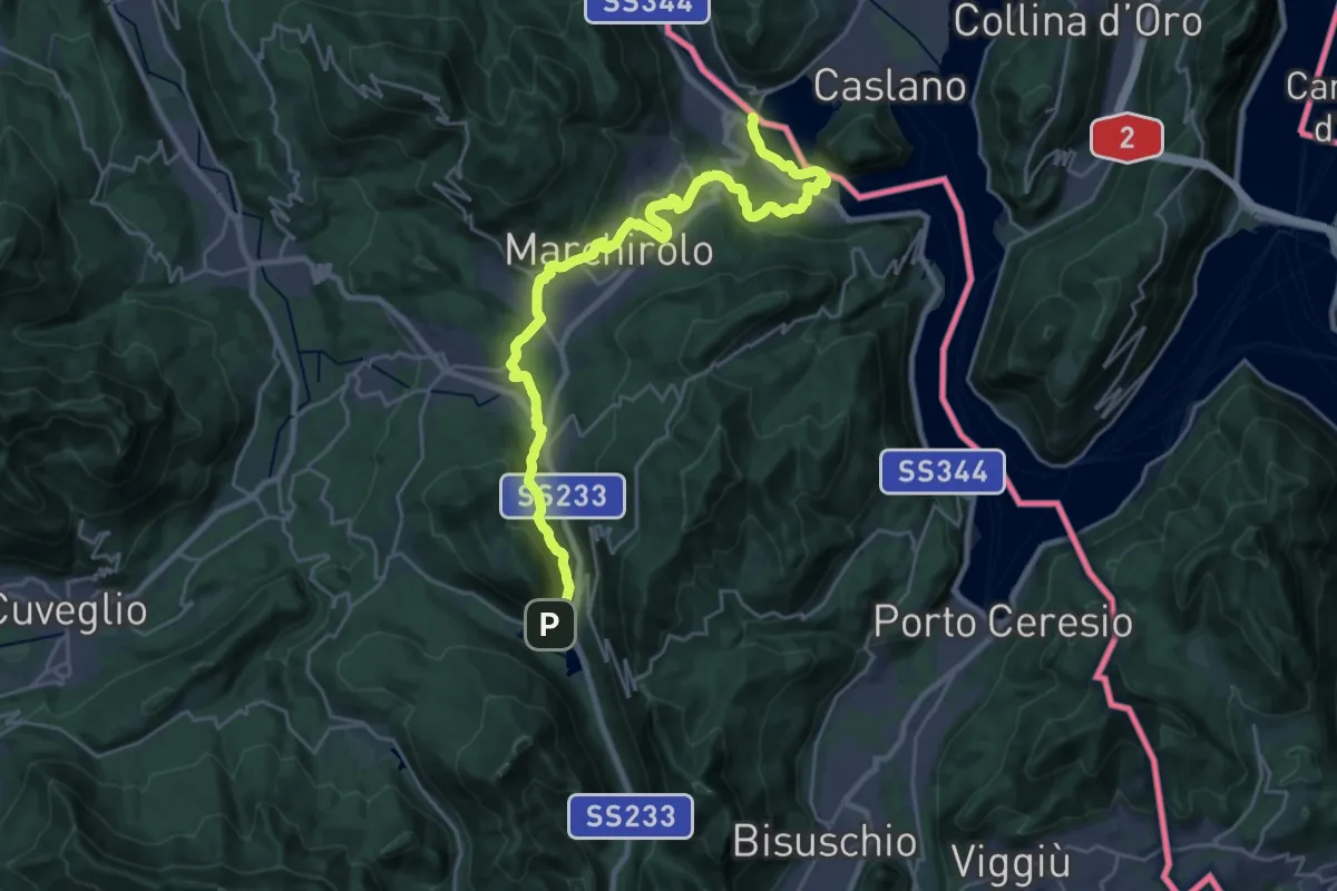
Demanding · Trail
Via Francisca del Lucomagno: Tappa 1
28.2 km · ↑ 503 m · 7 h 45 min · 12 km away
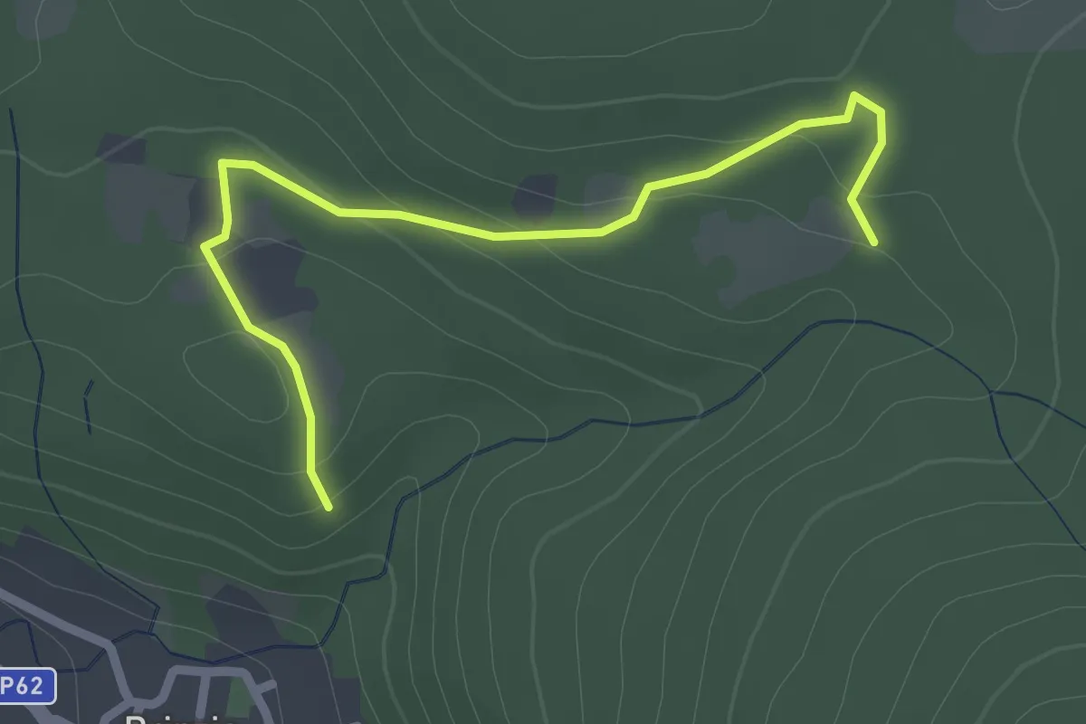
Easy · Trail
Sentiero 315B collegamento
2.6 km · ↑ 83 m · 47 min · 13 km away
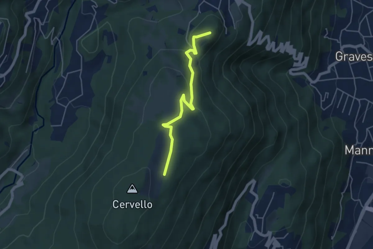
Easy · Summit
Arosio – Alpe Agra
4.0 km · ↑ 103 m · 1 h 9 min · 13 km away
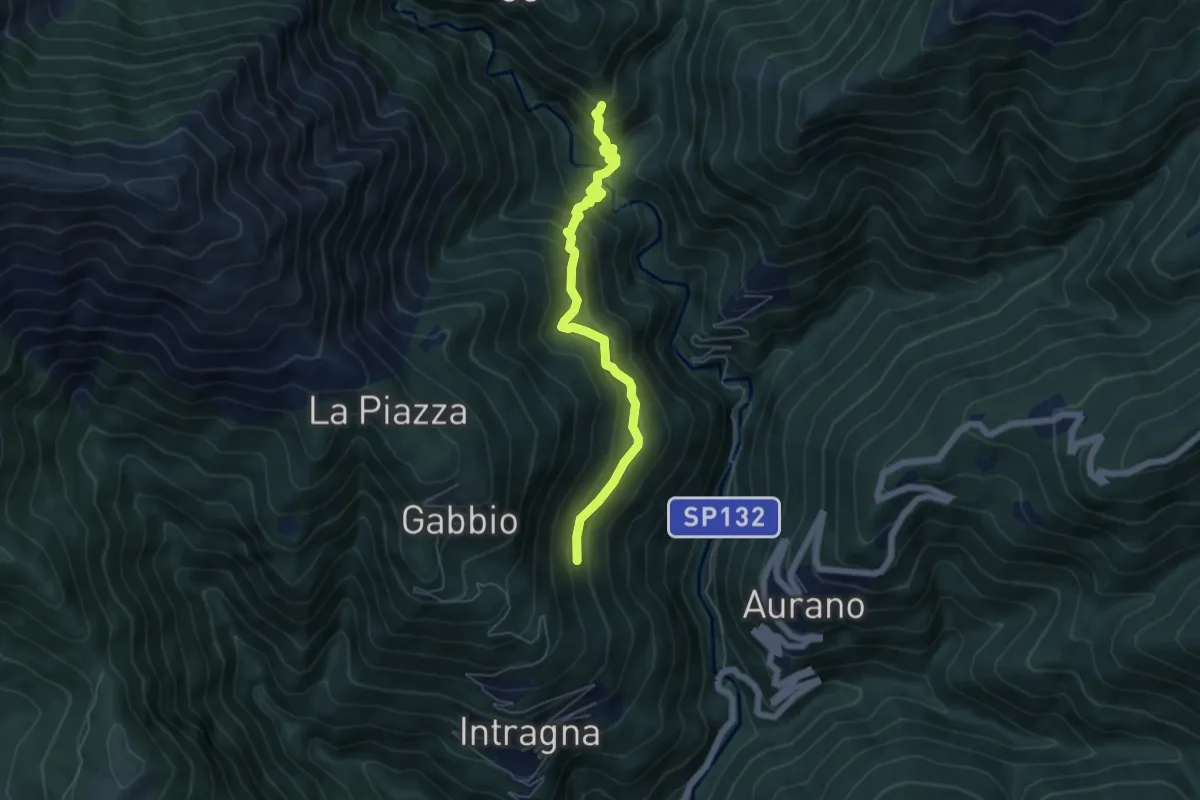
Medium · Trail
R09a Corpetto - Bivio R11 Cappella sopra Ponte del Dragone
5.4 km · ↑ 549 m · 2 h 27 min · 13 km away
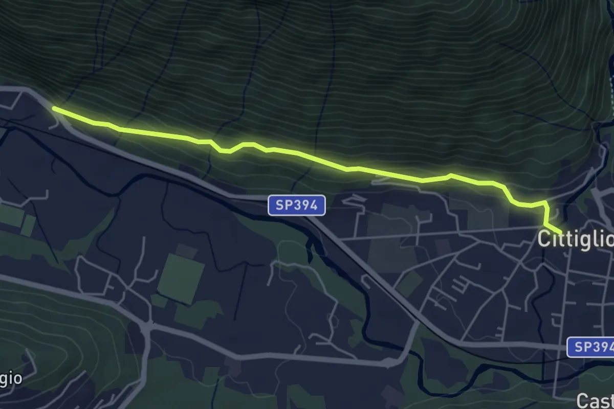
Easy · Trail
Cittiglio – Incrocio con Strada statale
4.7 km · ↑ 221 m · 1 h 36 min · 13 km away
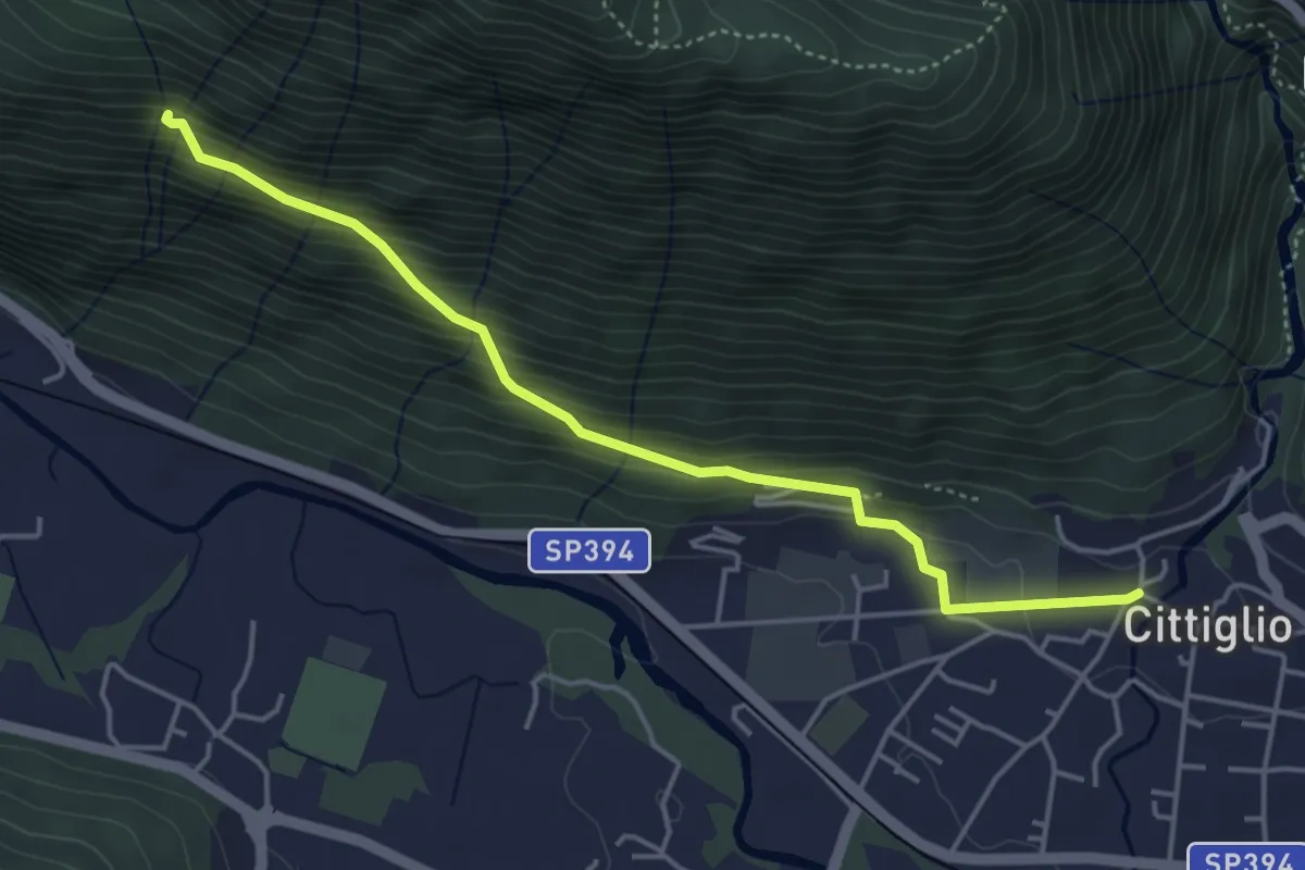
Medium · Trail
204 3V variante
4.6 km · ↑ 385 m · 1 h 55 min · 13 km away
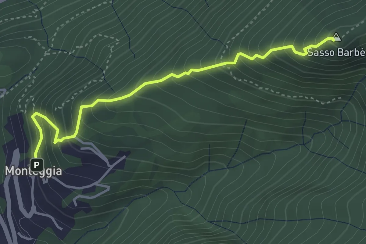
Demanding · Summit
Sasso Barbè
3.7 km · ↑ 558 m · 2 h 5 min · 13 km away
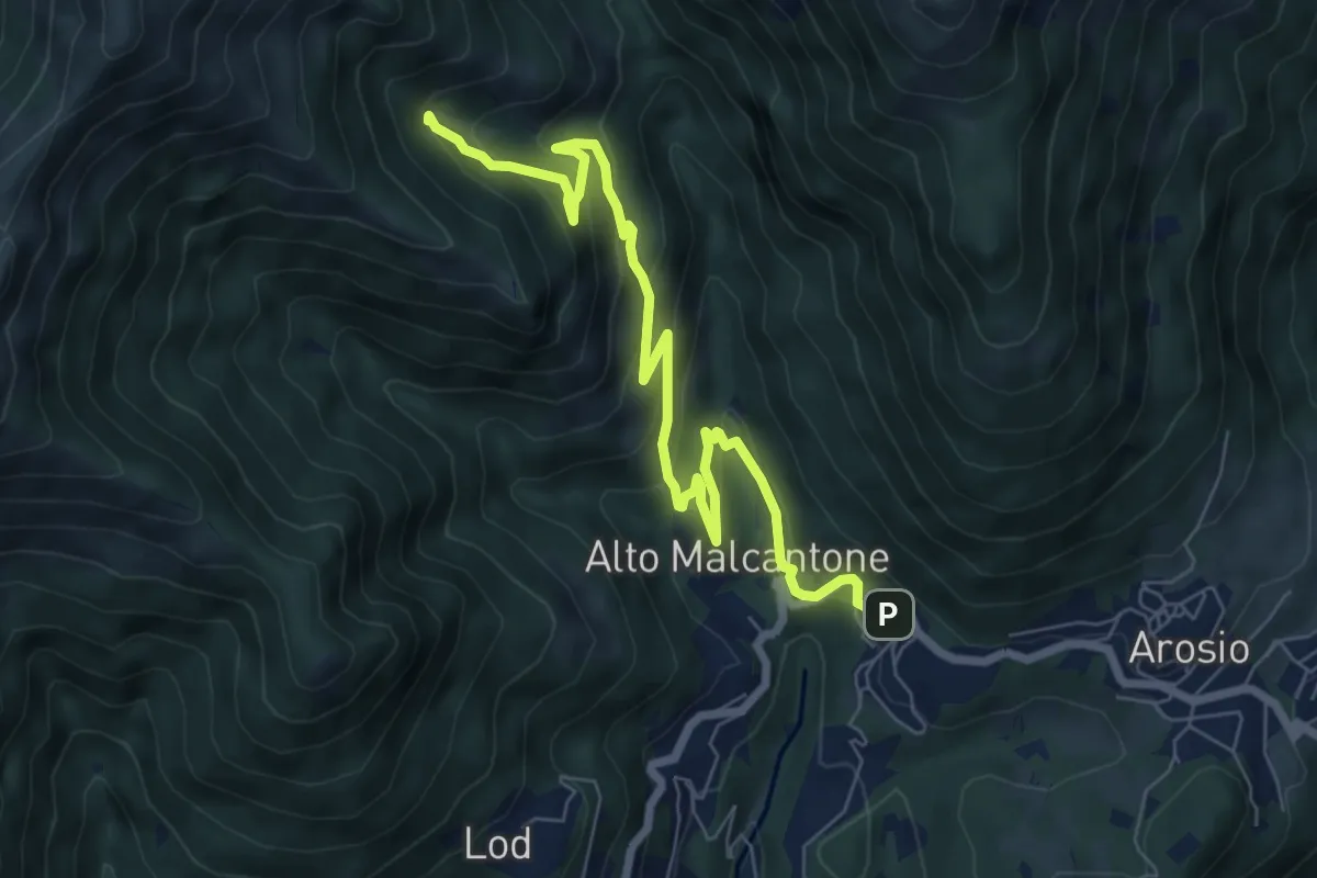
Medium · Trail
Alpe di Coransù – Mugena
8.2 km · ↑ 488 m · 2 h 59 min · 13 km away
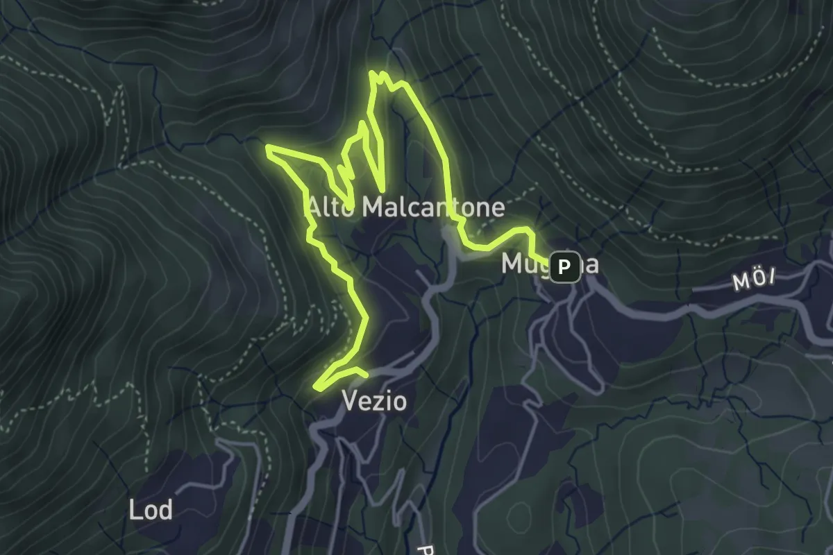
Medium · Trail
Mugena – Vezio
6.3 km · ↑ 320 m · 2 h 12 min · 13 km away
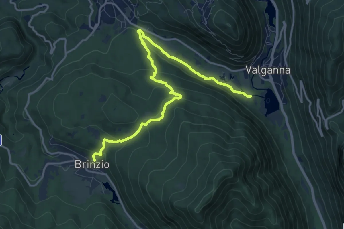
Medium · Trail
Brinzio – Valganna
11.4 km · ↑ 409 m · 3 h 34 min · 13 km away
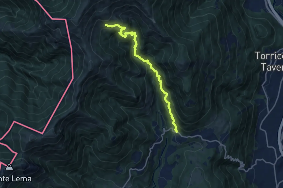
Demanding · Trail
Alpe Nisciora – Mugena
9.9 km · ↑ 916 m · 4 h 19 min · 13 km away
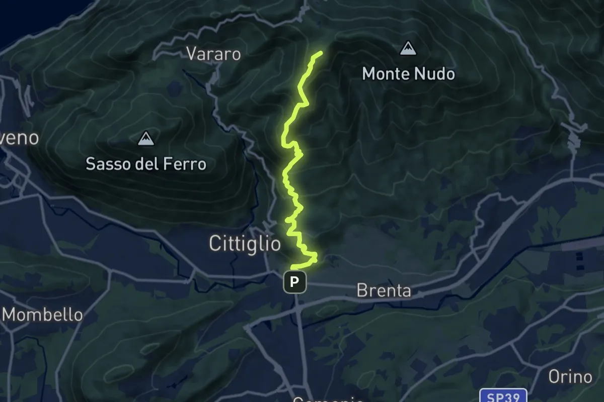
Demanding · Summit
Direttissima Crocetta
9.7 km · ↑ 851 m · 4 h 8 min · 13 km away
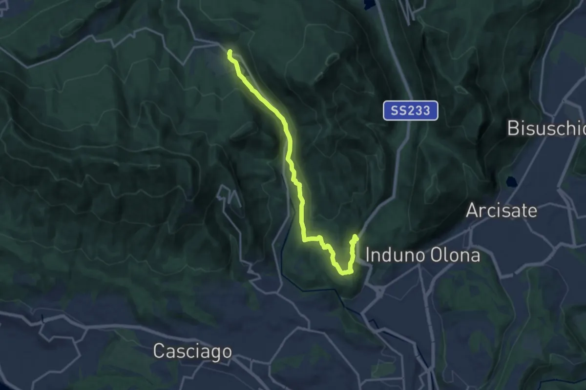
Medium · Trail
Bregazzana – Brinzio
13.4 km · ↑ 310 m · 3 h 50 min · 13 km away
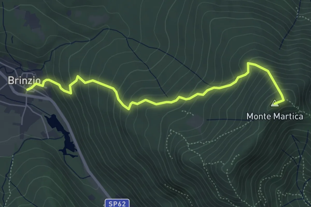
Medium · Summit
Brinzio - Monte Martica
5.6 km · ↑ 501 m · 2 h 25 min · 13 km away
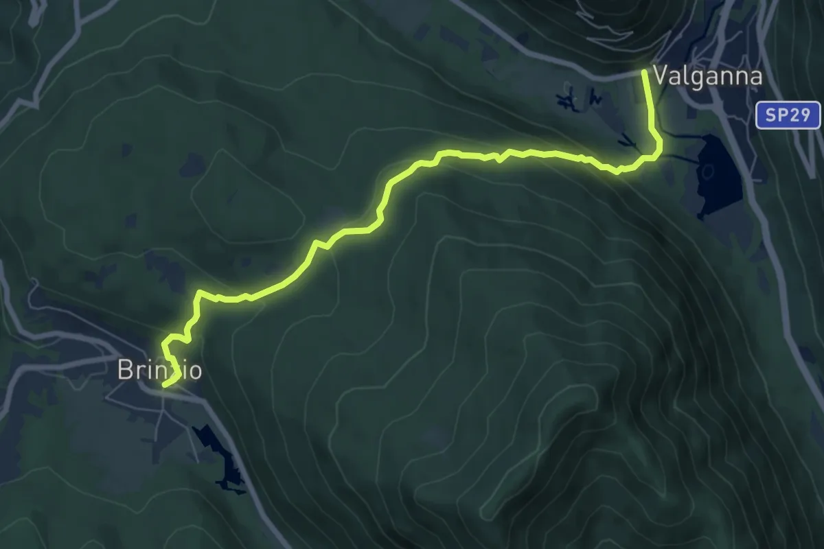
Demanding · Trail
315 - Brinzio-Badia di Ganna
7.7 km · ↑ 372 m · 2 h 37 min · 13 km away
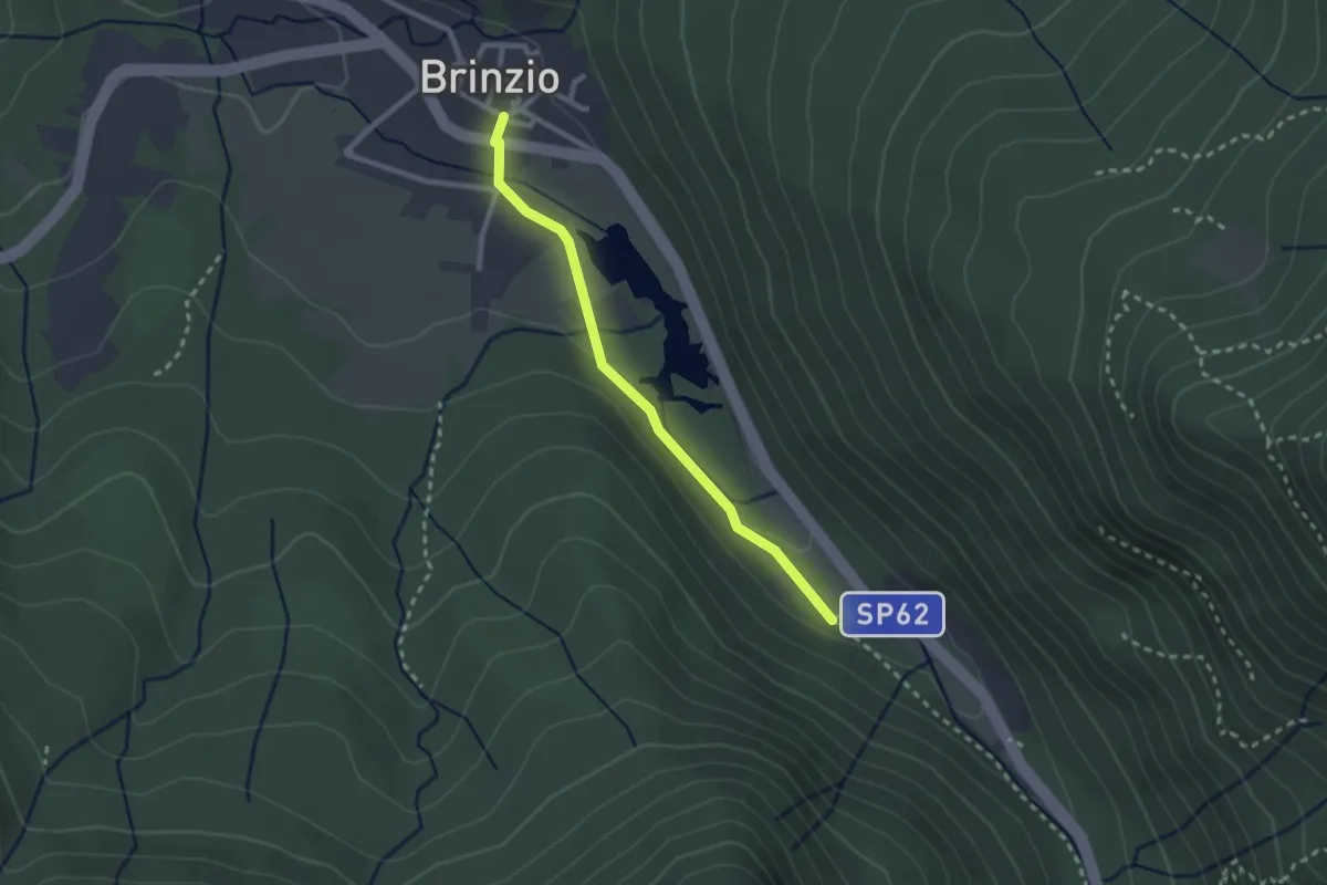
Easy · Trail
Lago di Brinzio
2.4 km · ↑ 43 m · 39 min · 13 km away
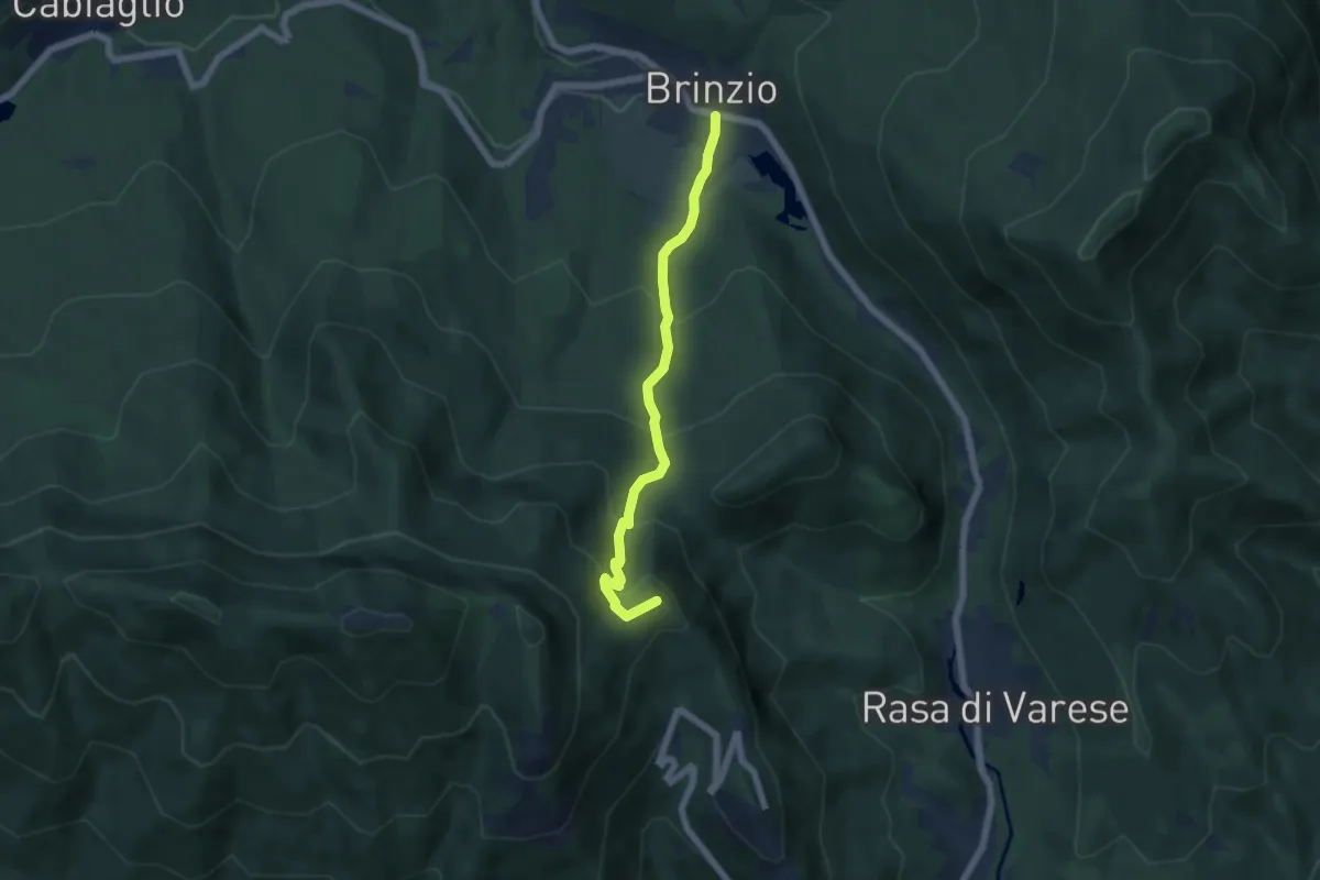
Medium · Summit
Brinzio – Valico Pizzelle
5.5 km · ↑ 420 m · 2 h 13 min · 13 km away
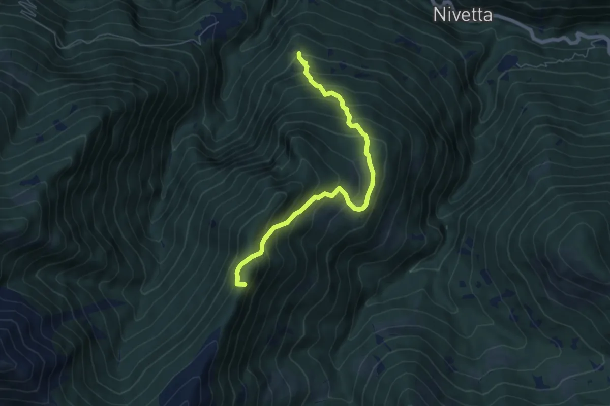
Medium · Summit
S13 Luera - Archia
5.9 km · ↑ 635 m · 2 h 47 min · 13 km away
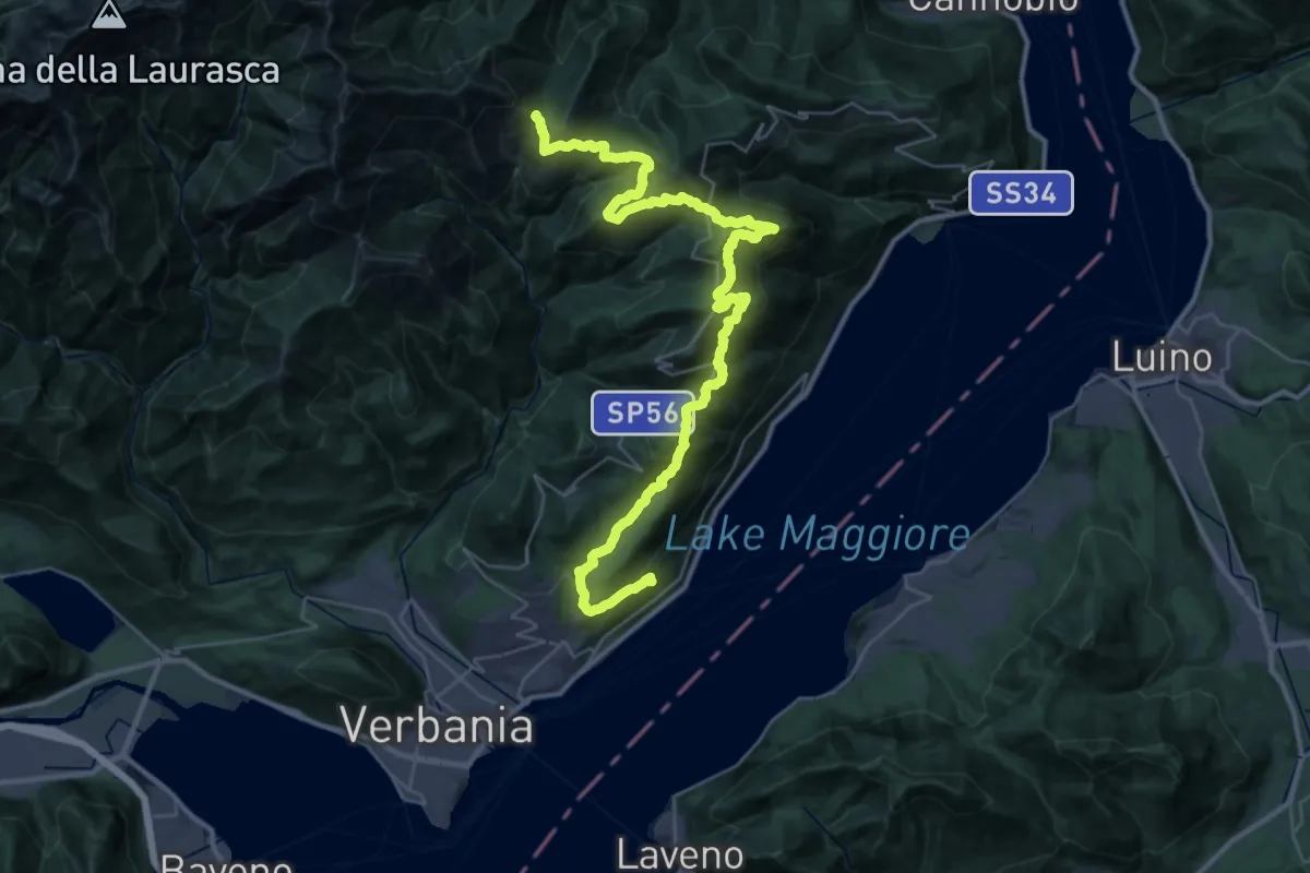
Demanding · Trail
R10 Sacro Monte S.S.Trinità di Ghiffa - Pollino - Piancavallo - Colle - Passo Folungo
21.7 km · ↑ 795 m · 7 h 37 min · 13 km away
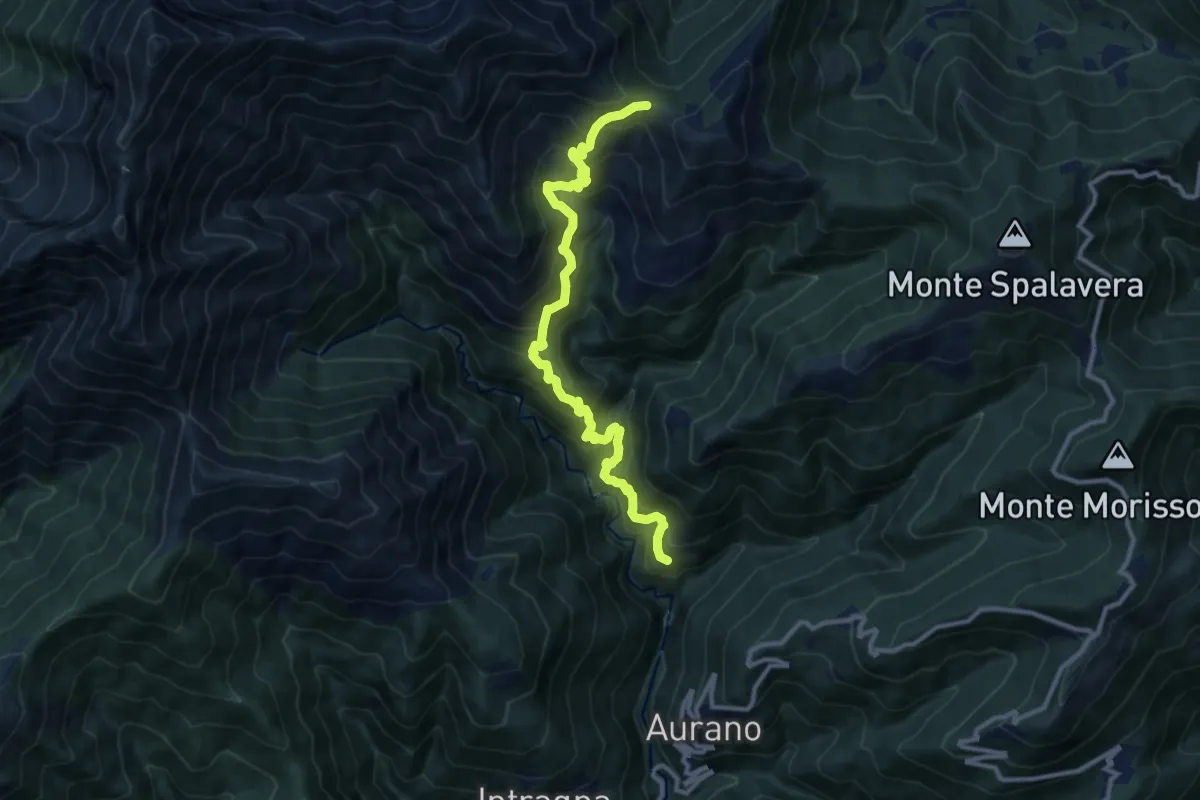
Demanding · Trail
R11 Scareno - Alpe Piaggia - Passo Folungo
11.8 km · ↑ 1167 m · 5 h 18 min · 13 km away
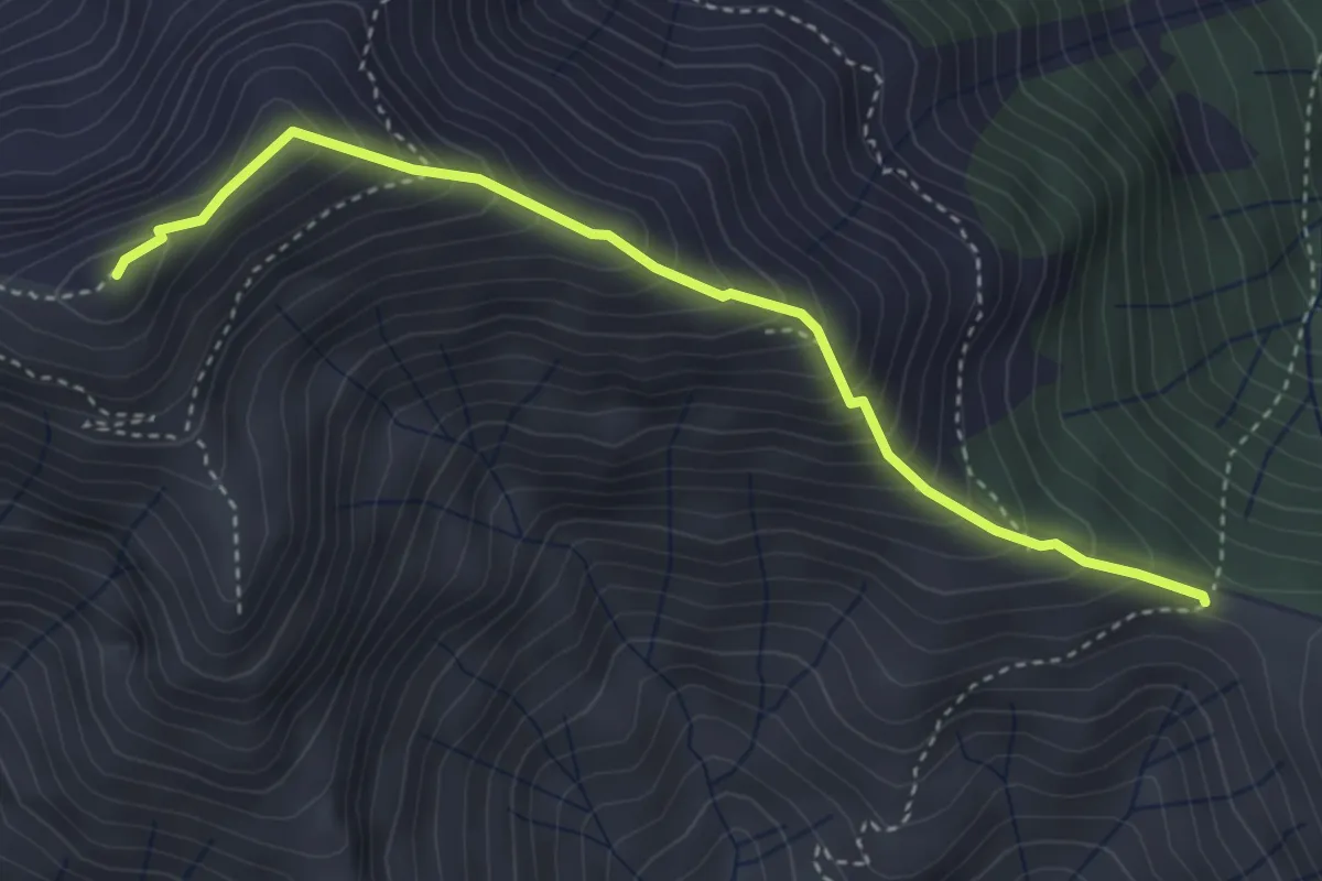
Expert · Summit
R19 Passo Folungo - Monte Vadà - Bivio R20 al Pian Vadà
3.8 km · ↑ 446 m · 1 h 51 min · 13 km away
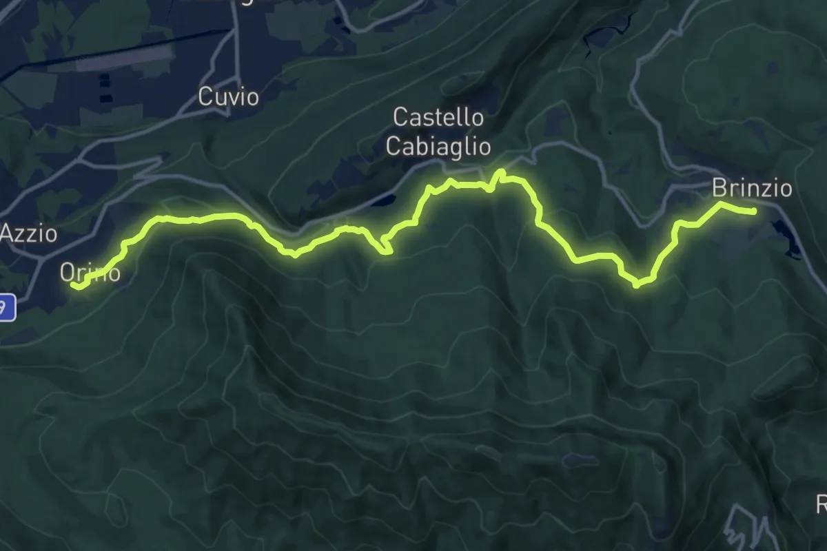
Medium · Trail
Orino, Piazza XI Febbraio – Brinzio, Via Piave
16.3 km · ↑ 703 m · 5 h 22 min · 13 km away
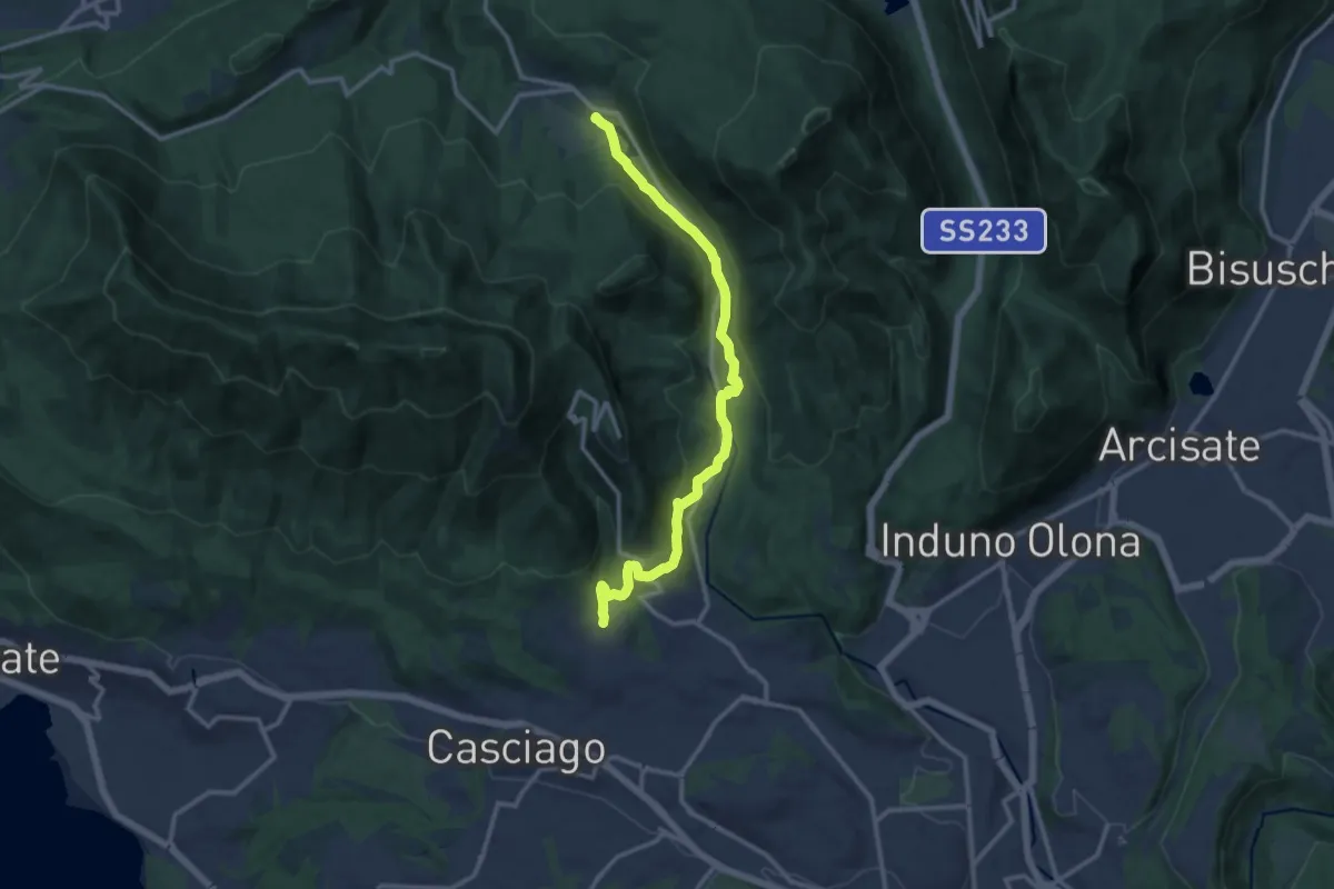
Medium · Trail
Brinzio – Velate
12.9 km · ↑ 355 m · 3 h 49 min · 13 km away
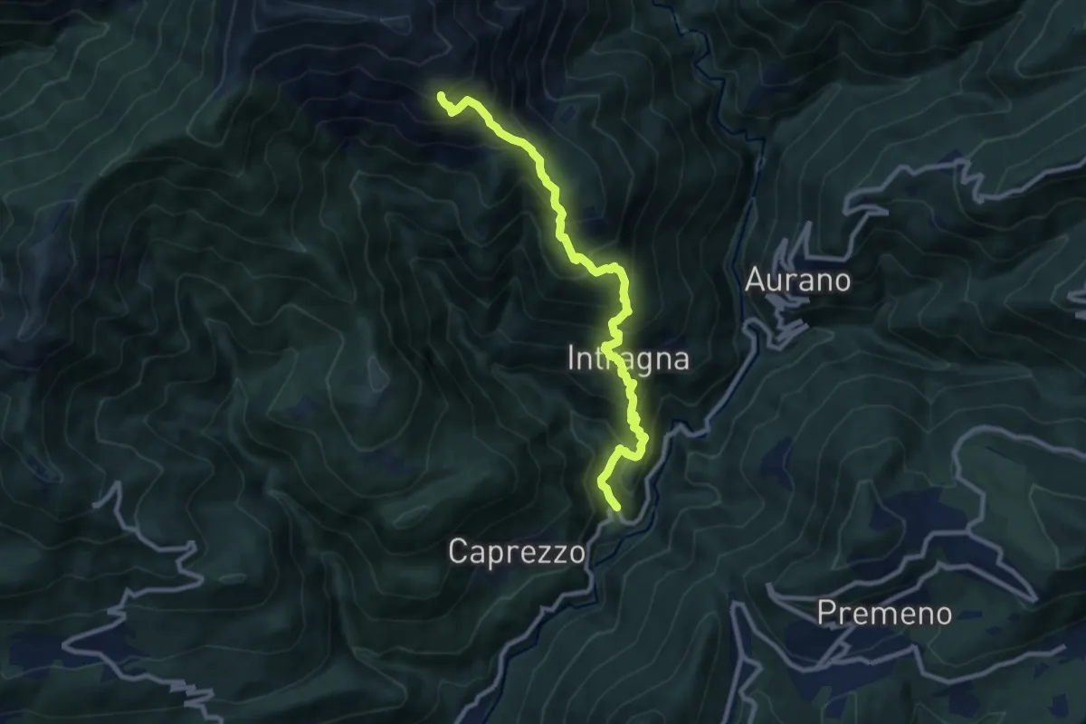
Demanding · Trail
km verticale Intragna
9.3 km · ↑ 949 m · 4 h 16 min · 13 km away
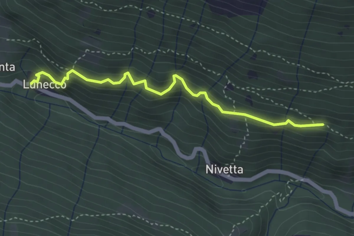
Medium · Trail
S00b - Lunecco - Bivio S00 (vicinanze Drignago)
3.5 km · ↑ 362 m · 1 h 37 min · 13 km away
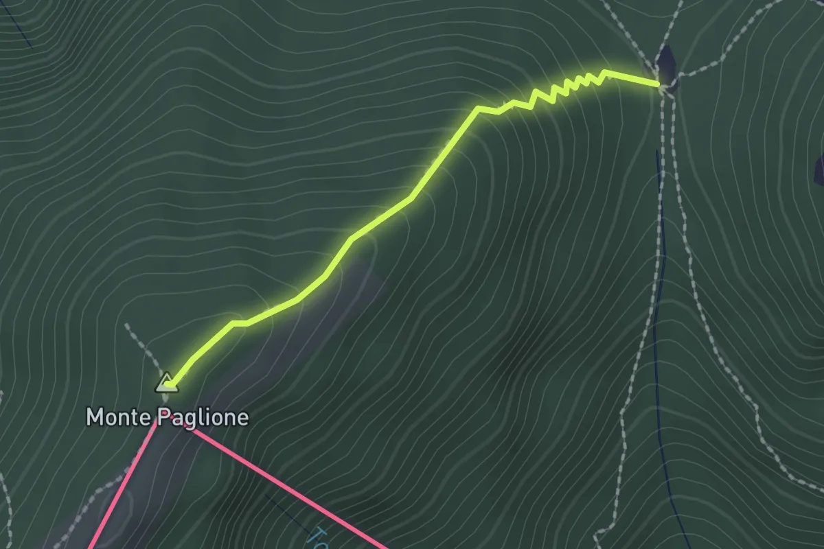
Medium · Summit
Monterecchio – Sant'Anna (CH)
1.8 km · ↑ 190 m · 50 min · 13 km away
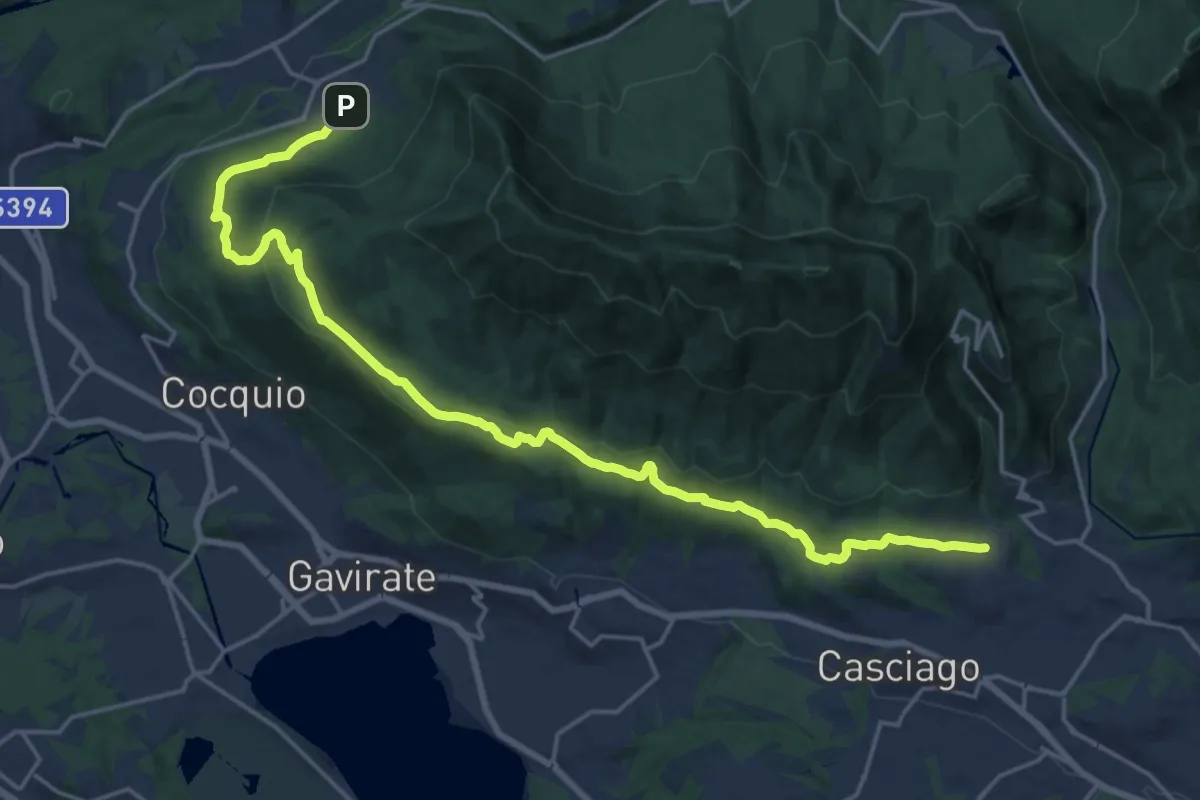
Demanding · Trail
Velate – Orino
22.5 km · ↑ 569 m · 6 h 33 min · 13 km away
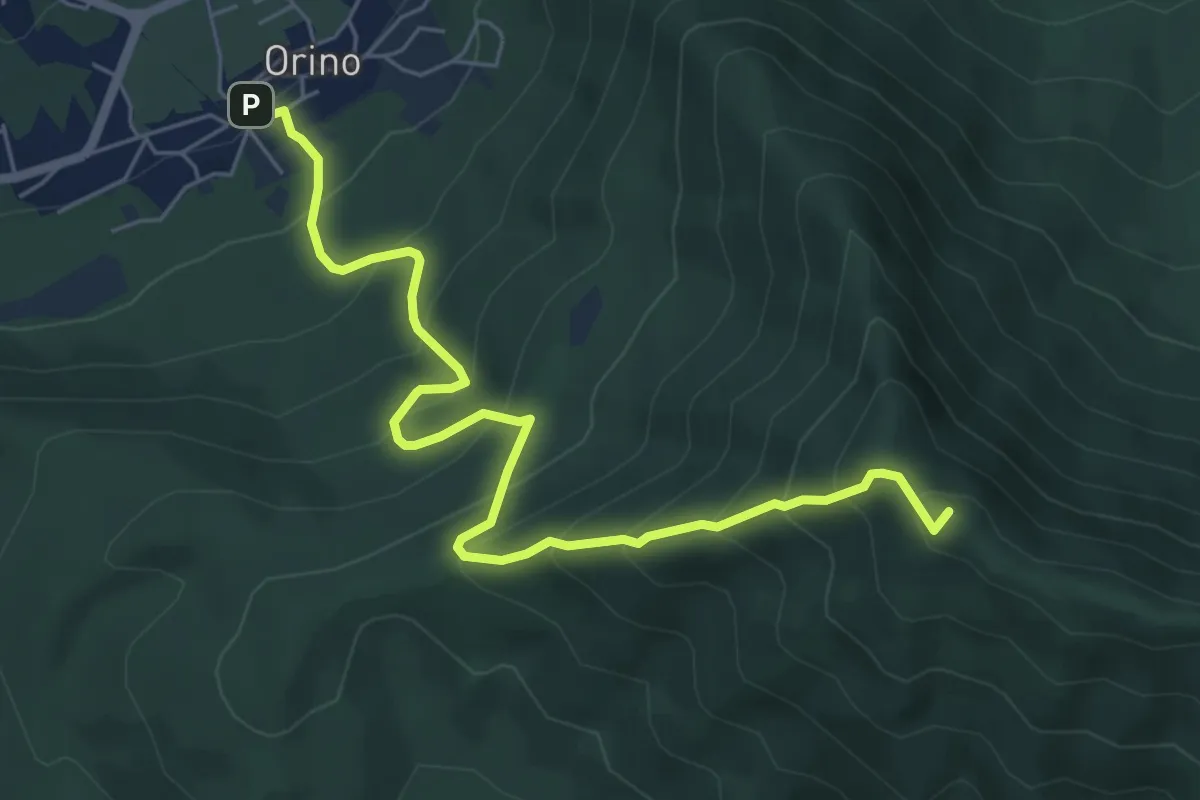
Medium · Summit
Orino – Forte di Orino
6.7 km · ↑ 692 m · 3 h 5 min · 13 km away
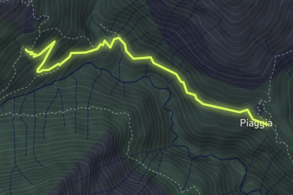
Medium · Trail
R11a Piaggia - Onunchio
4.5 km · ↑ 407 m · 1 h 56 min · 13 km away
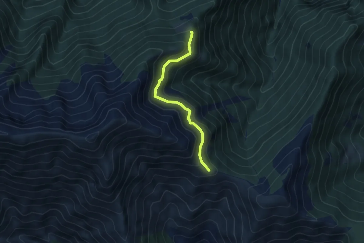
Medium · Trail
S17a Monti Ortighedo - Passo Folungo
4.3 km · ↑ 334 m · 1 h 45 min · 13 km away
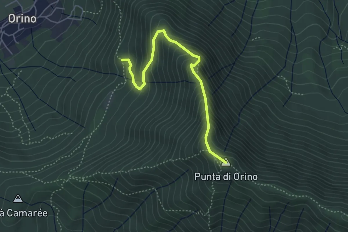
Demanding · Summit
Scarett
4.1 km · ↑ 393 m · 1 h 50 min · 13 km away
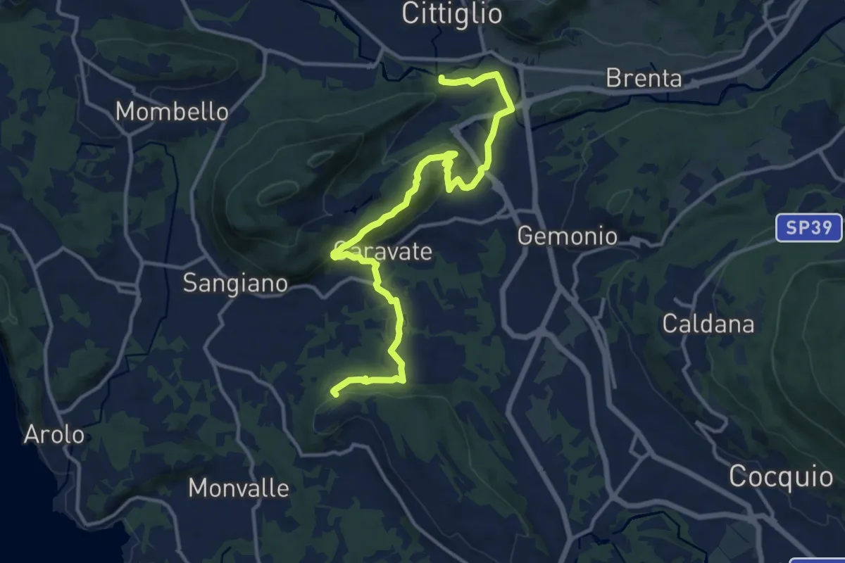
Medium · Trail
285 Cittiglio/Cascina Gravezzano
14.1 km · ↑ 394 m · 4 h 11 min · 13 km away
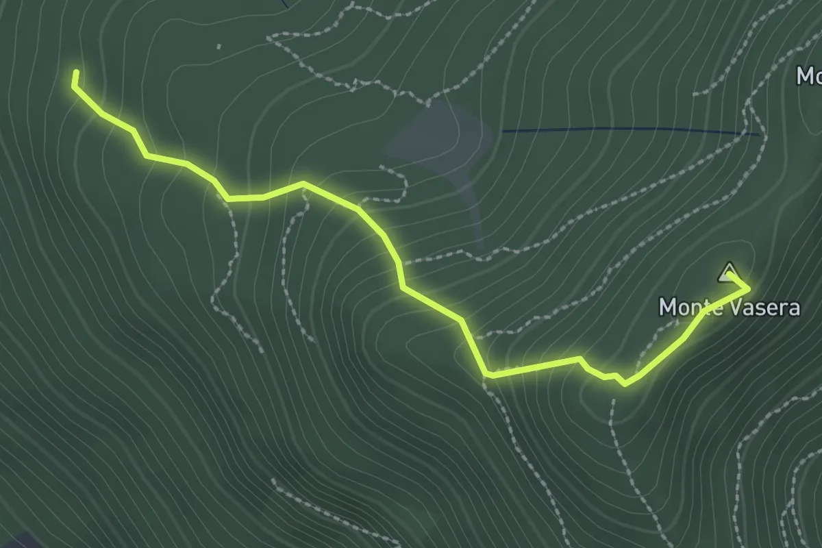
Medium · Summit
Brinzio - Monte Martica
2.6 km · ↑ 276 m · 1 h 13 min · 13 km away
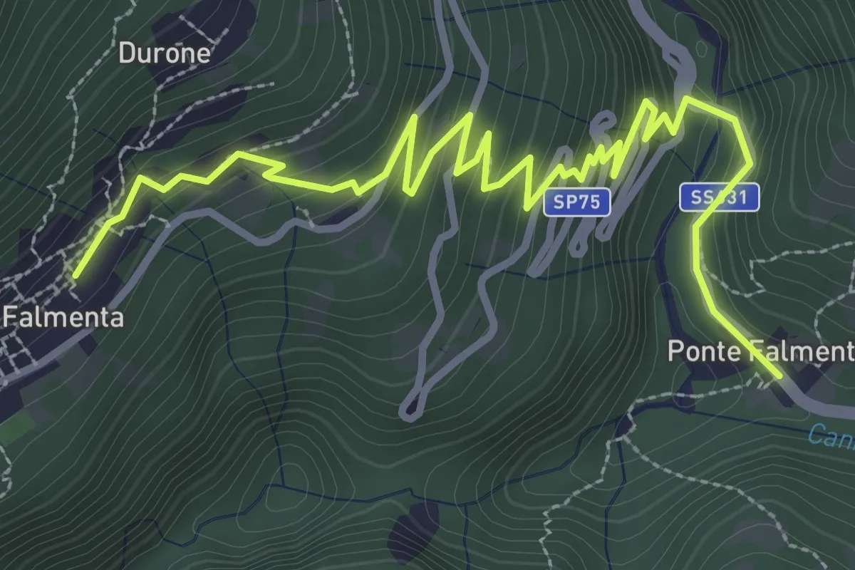
Easy · Trail
S01c Ponte Falmenta - Falmenta
4.2 km · ↑ 281 m · 1 h 36 min · 13 km away