Trails near Luino
373 hikes starting within 15 km, nearest first.
Nearest first, page 8 of 8
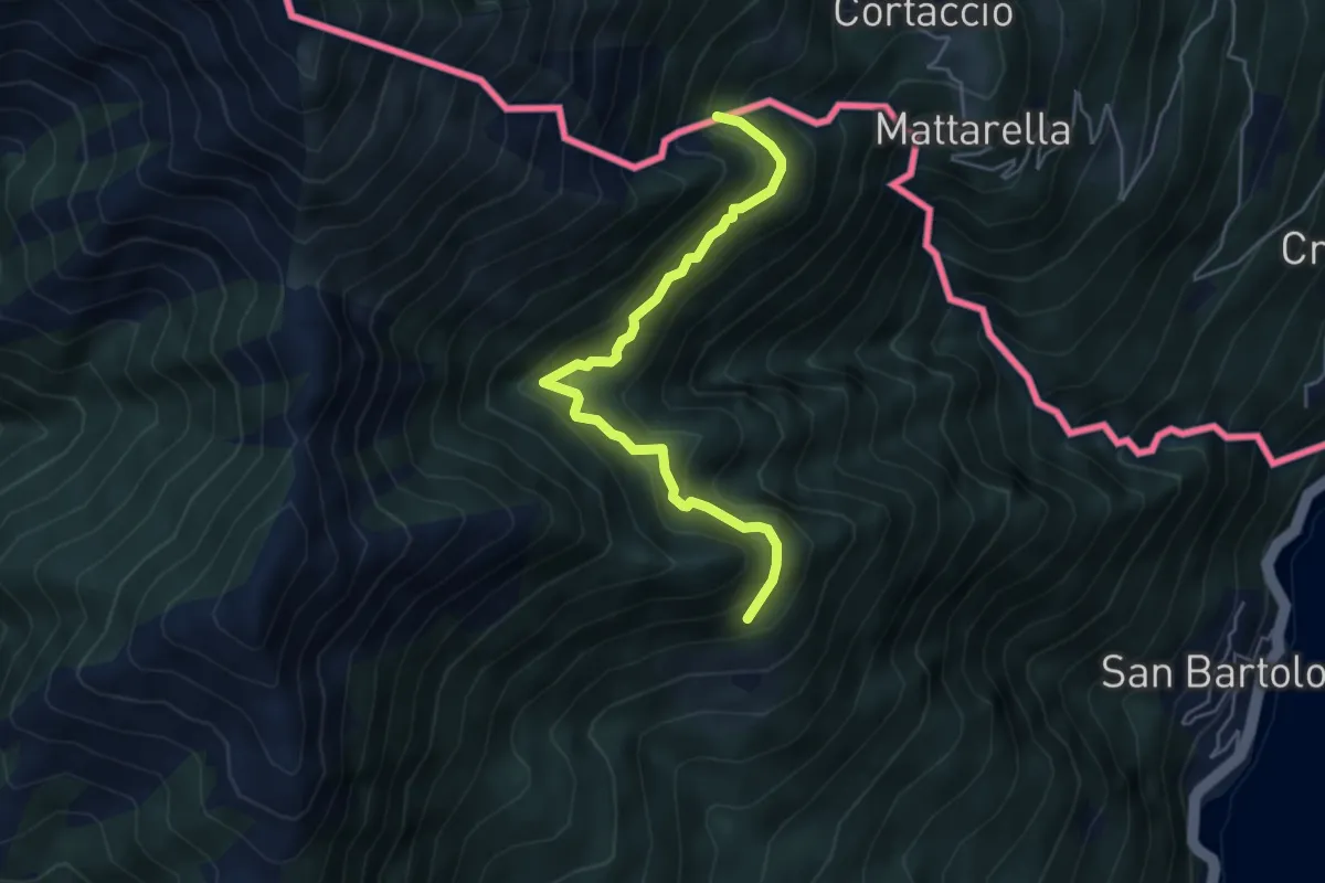
Demanding · Trail
S04a Bivio S04 Prati d'Agro - Alpe Rescerasca CH (fino al Confine Italo-Svizzero)
4.8 km · ↑ 463 m · 2 h 9 min · 13 km away
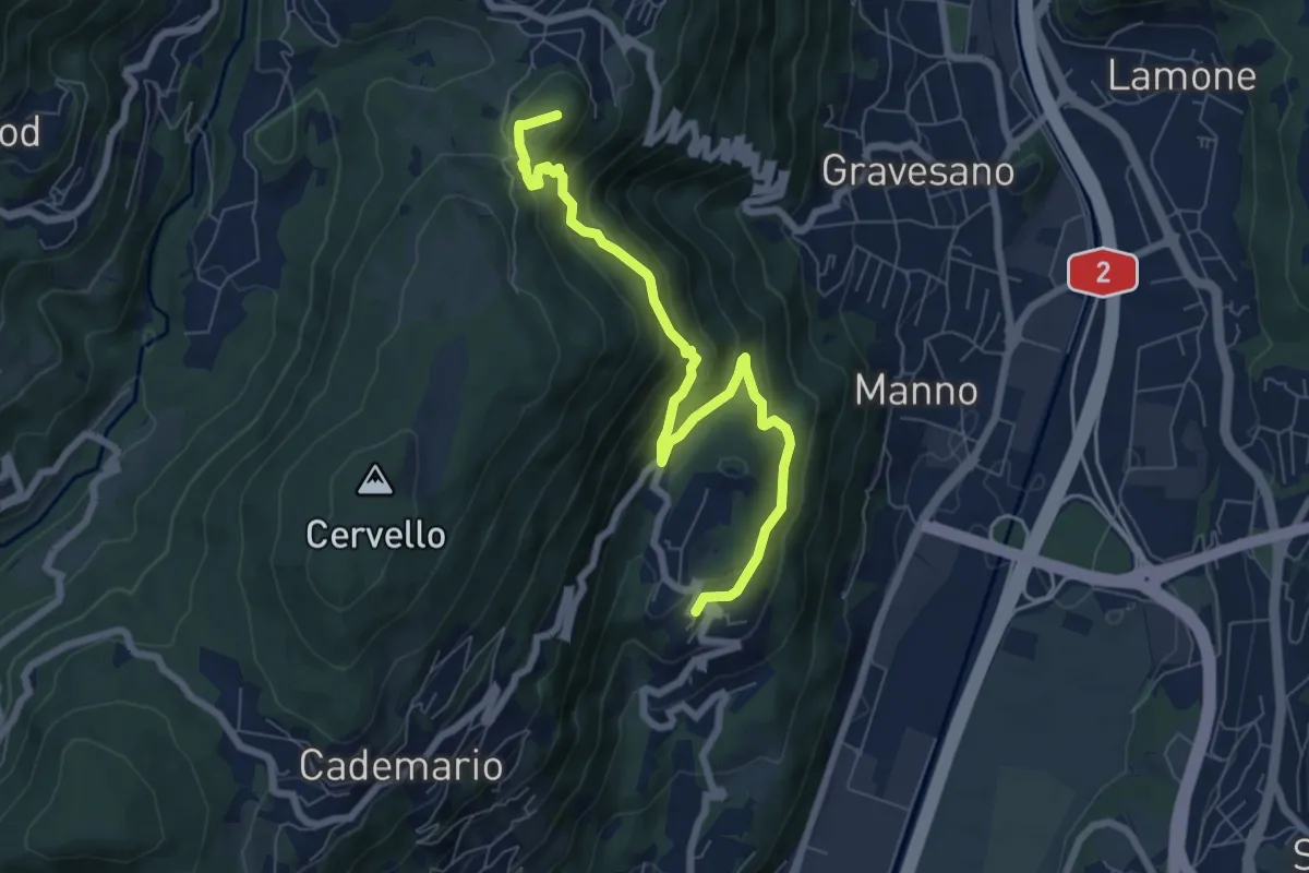
Medium · Summit
Bosco Luganese – Arosio
7.6 km · ↑ 458 m · 2 h 47 min · 13 km away
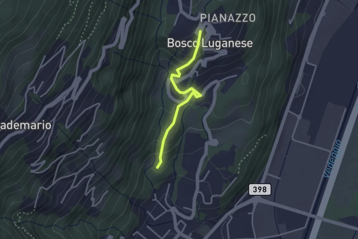
Easy · Trail
Sant'Ilario – Bosco Luganese
2.5 km · ↑ 148 m · 55 min · 13 km away
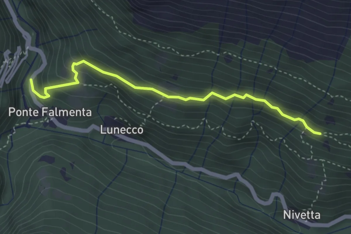
Easy · Trail
S00a Ponte Falmenta - Bivio S00 Drignago
3.4 km · ↑ 277 m · 1 h 25 min · 14 km away
Easy · Trail
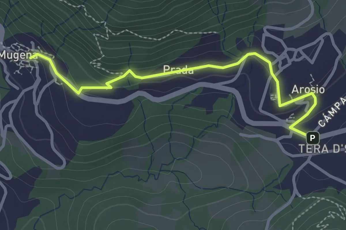
Mugena – Arosio
2.8 km · ↑ 113 m · 54 min · 14 km away
Demanding · Trail
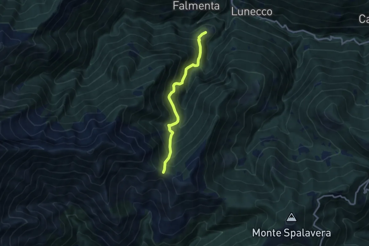
S15 Crealla - Passo Folungo
7.6 km · ↑ 878 m · 3 h 41 min · 14 km away
Medium · Trail
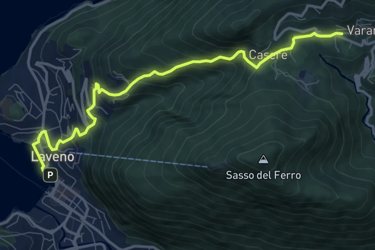
Laveno Mombello – Casere-Vararo
8.7 km · ↑ 637 m · 3 h 26 min · 14 km away
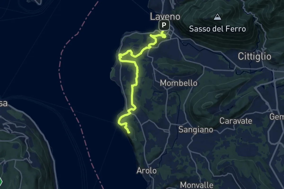
Demanding · Summit
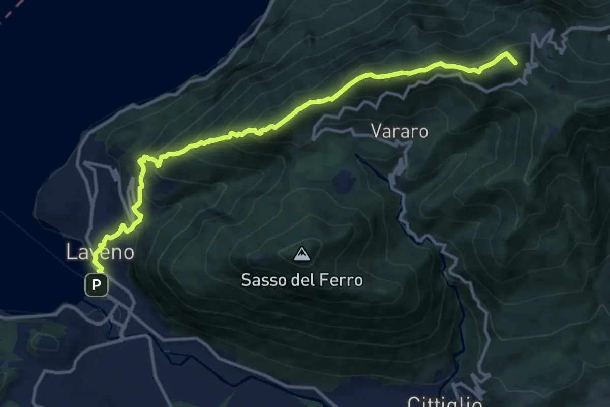
Grand Tour del Lago Maggiore ® - Tappa 6 - Laveno - Porto Valtravaglia
11.8 km · ↑ 1067 m · 5 h 5 min · 14 km away
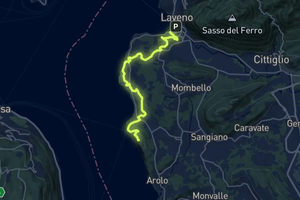
Medium · Summit
Grand Tour del Lago Maggiore ® - Tappa 5 - Ispra - Laveno
15.6 km · ↑ 492 m · 4 h 45 min · 14 km away
Medium · Summit
Cammino del Lago Maggiore
16.5 km · ↑ 528 m · 5 h 2 min · 14 km away
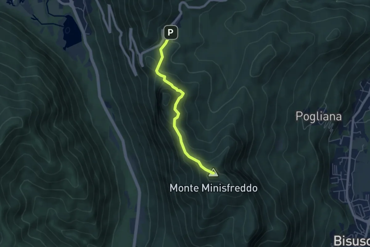
Demanding · Summit
Alpe Tedesco - Monte Rho d'Arcisate
4.5 km · ↑ 345 m · 1 h 48 min · 14 km away
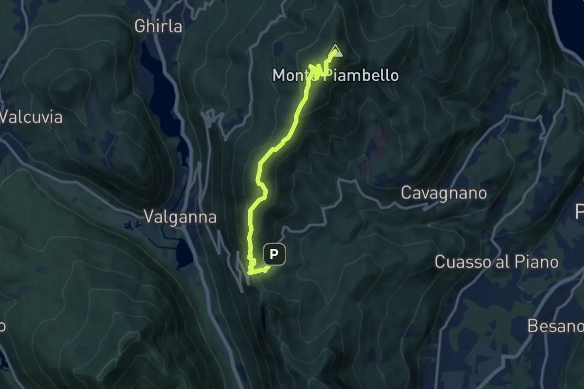
Medium · Summit
Alpe Tedesco – Monte Piambello
9.4 km · ↑ 459 m · 3 h 13 min · 14 km away
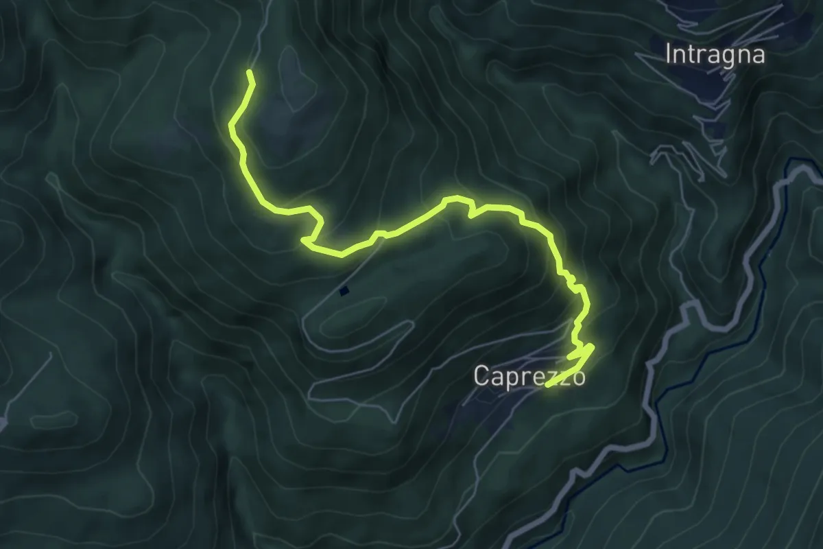
Medium · Trail
R05a Caprezzo - Tremesino - Alpe a Pönt - Bivio R05 sotto Cappella Porta
6.6 km · ↑ 588 m · 2 h 50 min · 14 km away
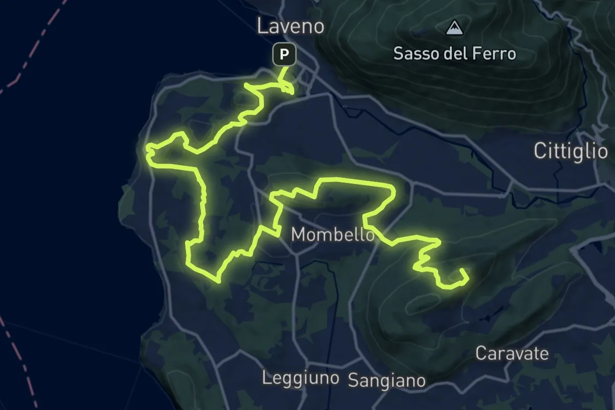
Demanding · Summit
Cittiglio – Laveno Mombello
24.8 km · ↑ 830 m · 7 h 40 min · 14 km away
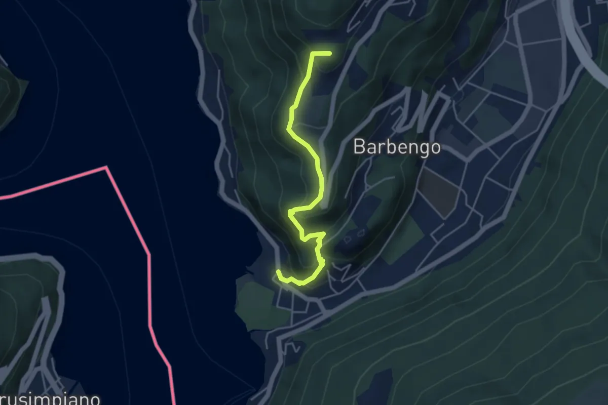
Medium · Summit
Figino – Figino
4.1 km · ↑ 323 m · 1 h 40 min · 14 km away
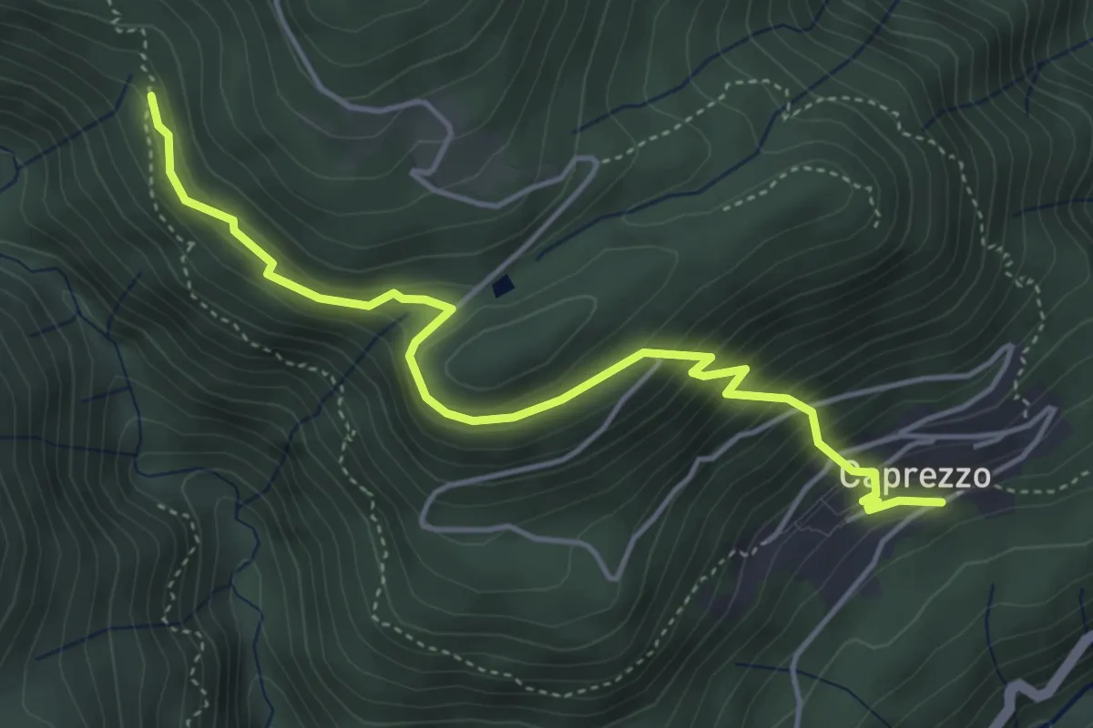
Medium · Trail
R05b Caprezzo - Alpe Mon Rous (Ôr dal Ruś)
4.9 km · ↑ 414 m · 2 h 3 min · 14 km away
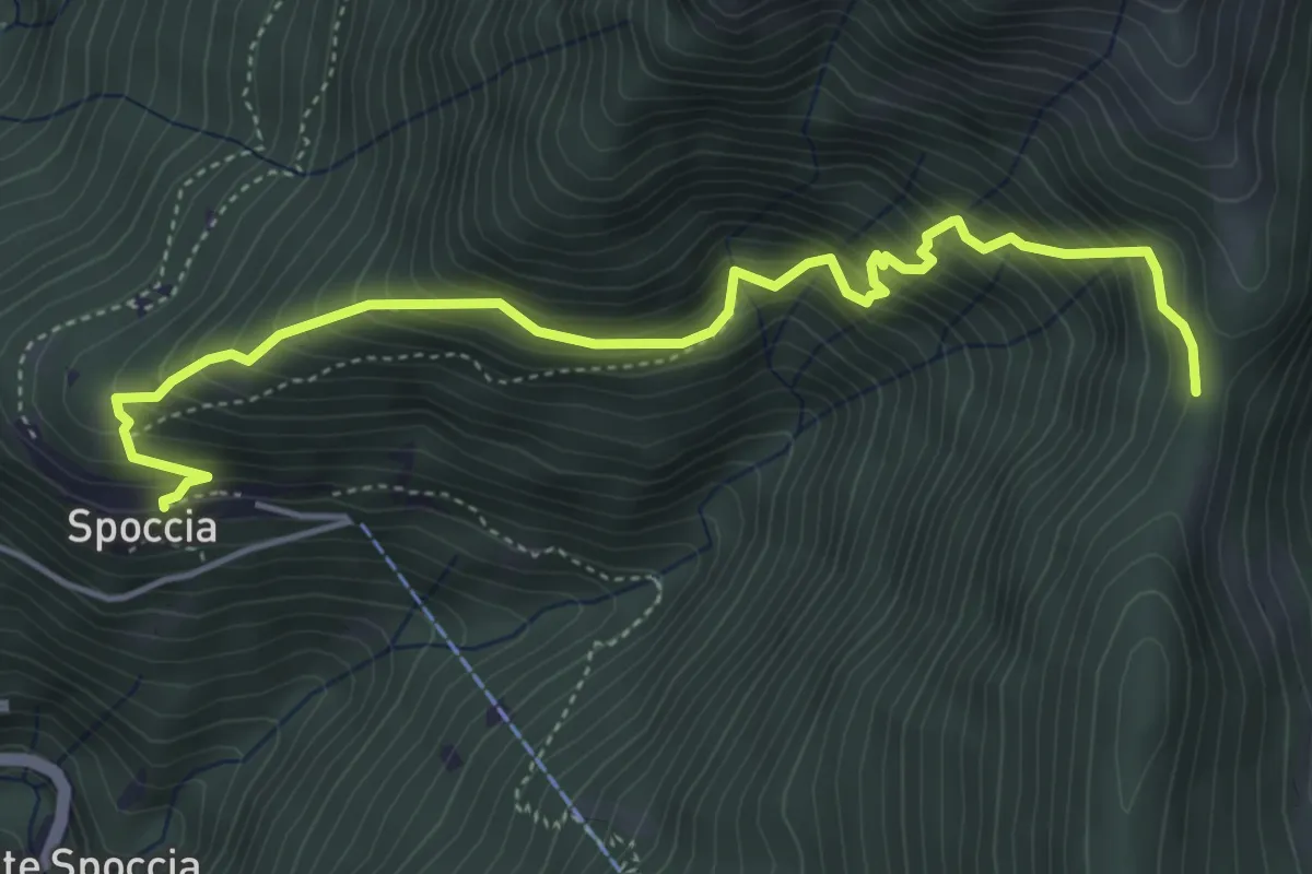
Medium · Trail
S10c Spoccia bivio S10d (S12) - Cappella di Lego - Tre Confini
5.2 km · ↑ 749 m · 2 h 51 min · 14 km away
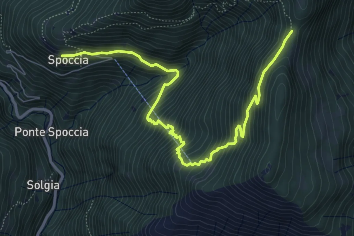
Medium · Trail
S10d Spoccia - Bronte - Tre Confini
7.6 km · ↑ 739 m · 3 h 24 min · 14 km away
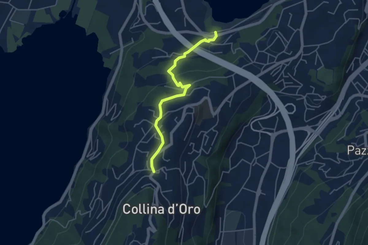
Easy · Trail
Montagnola – Lago di Muzzano
3.9 km · ↑ 125 m · 1 h 11 min · 14 km away
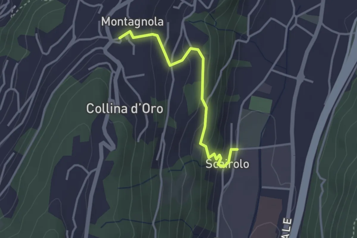
Easy · Trail
Scairolo - Montagnola
2.8 km · ↑ 163 m · 1 h 1 min · 14 km away
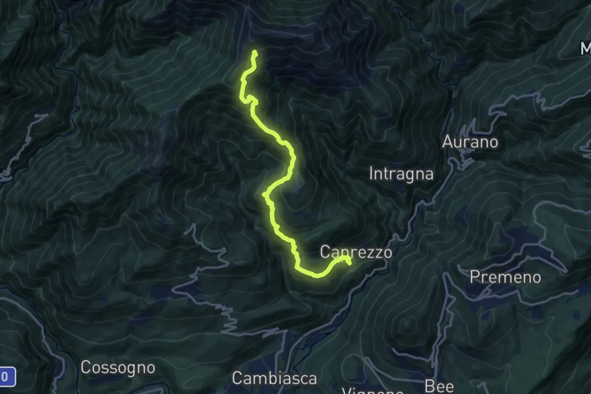
Demanding · Cabin
R05 Caprezzo - Pian Cavallone bivio R07
12.9 km · ↑ 1182 m · 5 h 36 min · 14 km away
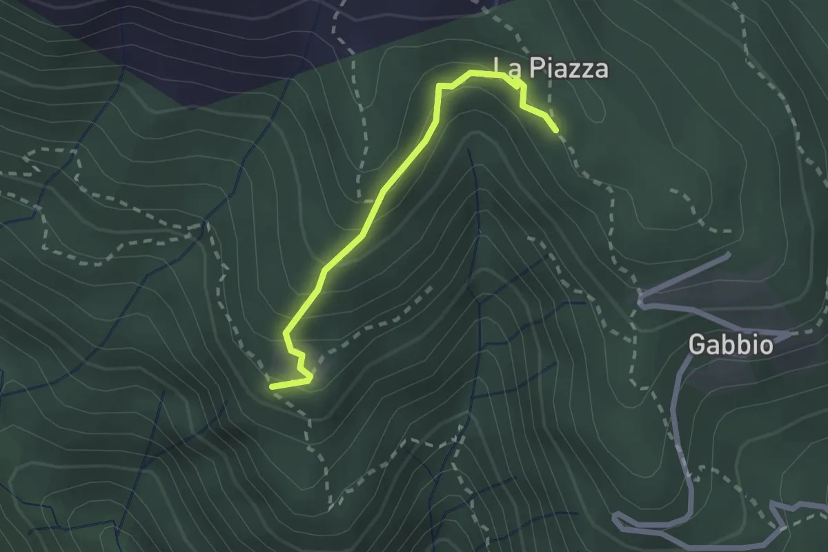
Medium · Trail
XR1A - Steppio - La Piazza
1.9 km · ↑ 173 m · 50 min · 14 km away
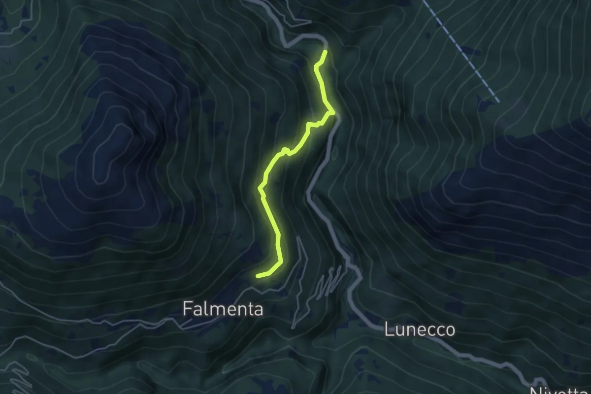
Easy · Trail
S01d Ponte Spoccia - Falmenta
3.6 km · ↑ 250 m · 1 h 24 min · 14 km away
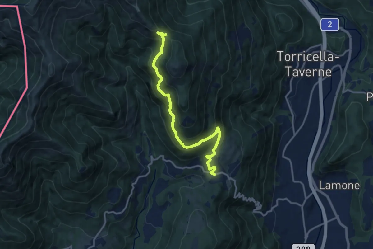
Demanding · Trail
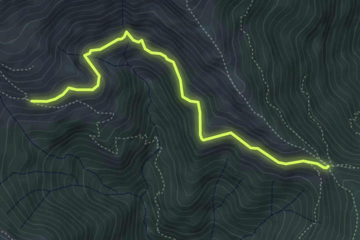
Arosio – La Bassa
10.0 km · ↑ 736 m · 3 h 58 min · 14 km away
Medium · Trail
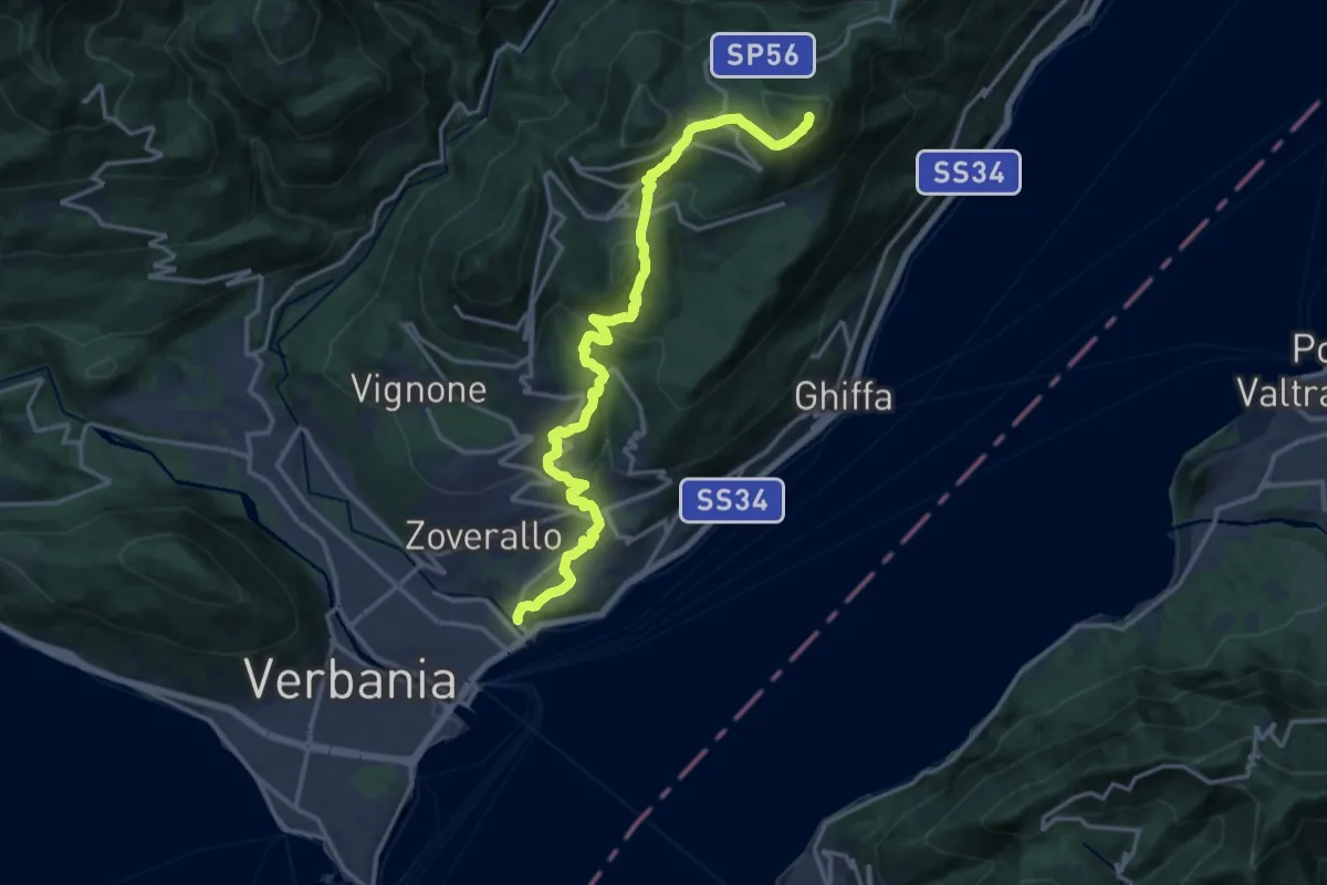
La Bassa – Alpe Nisciora
5.5 km · ↑ 384 m · 2 h 7 min · 14 km away
Demanding · Summit
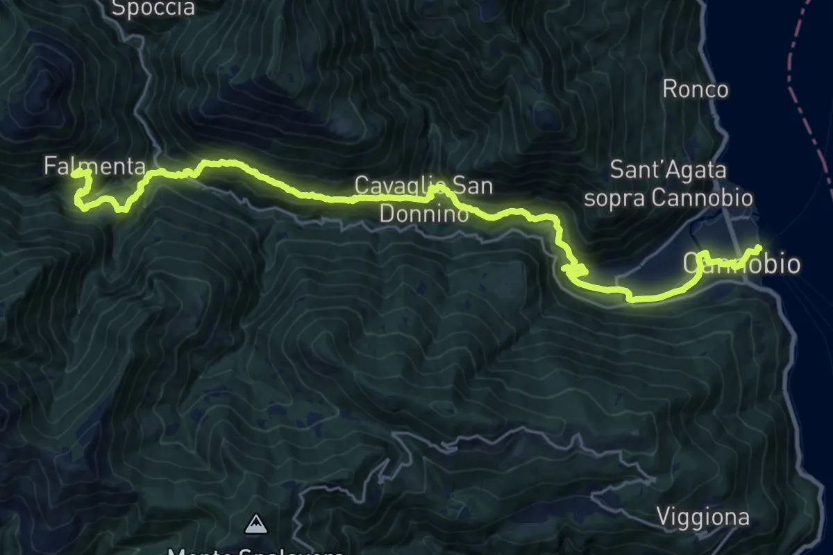
R02 Verbania Intra bivio R30 Via Selasca - Arizzano - Albagnano - Premeno - Pizzo d'Omo
17.8 km · ↑ 902 m · 6 h 9 min · 14 km away
Medium · Trail
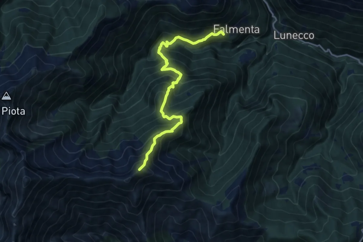
Falmenta – Cannobio
13.0 km · ↑ 564 m · 4 h 43 min · 14 km away
Demanding · Summit
S17 Falmenta - Cresta est Monte Vadà bivio R19
11.7 km · ↑ 1375 m · 5 h 45 min · 14 km away
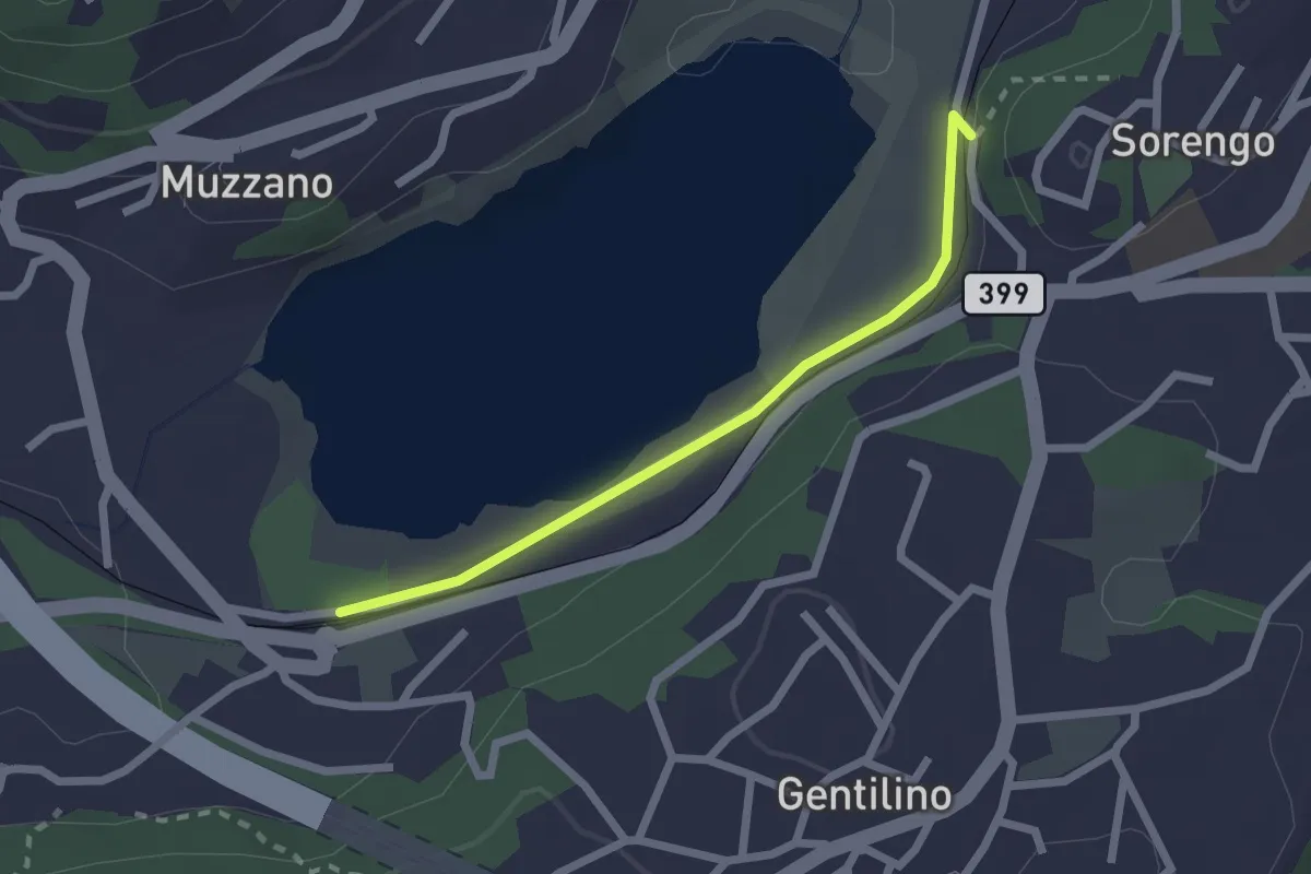
Easy · Trail
Lago di Muzzano – Sorengo Laghetto
2.0 km · ↑ 18 m · 31 min · 14 km away
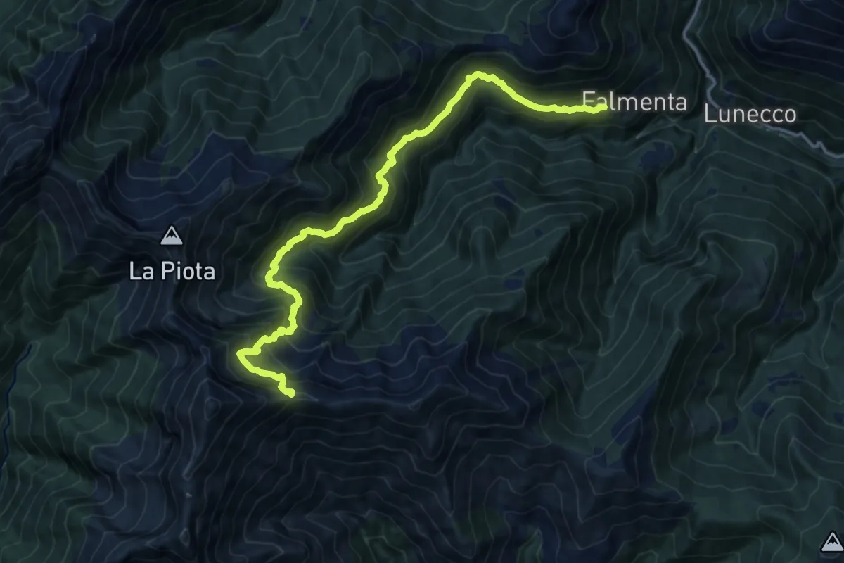
Demanding · Trail
S19 Falmenta - Alpe Fornà - Piè di Zeda
15.0 km · ↑ 1594 m · 6 h 59 min · 14 km away
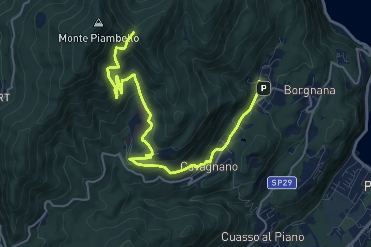
Medium · Trail
Cuasso al Monte – Bivio Bocchetta dei Frati
12.7 km · ↑ 635 m · 4 h 23 min · 14 km away
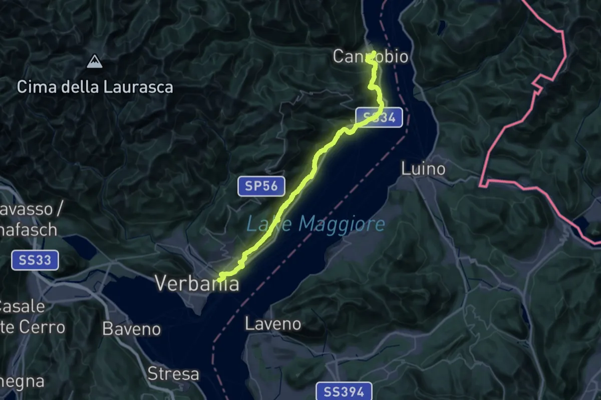
Demanding · Trail
Grand Tour del Lago Maggiore ® - Tappa 11 - Cannobio - Verbania lntra
23.3 km · ↑ 1160 m · 8 h 21 min · 14 km away
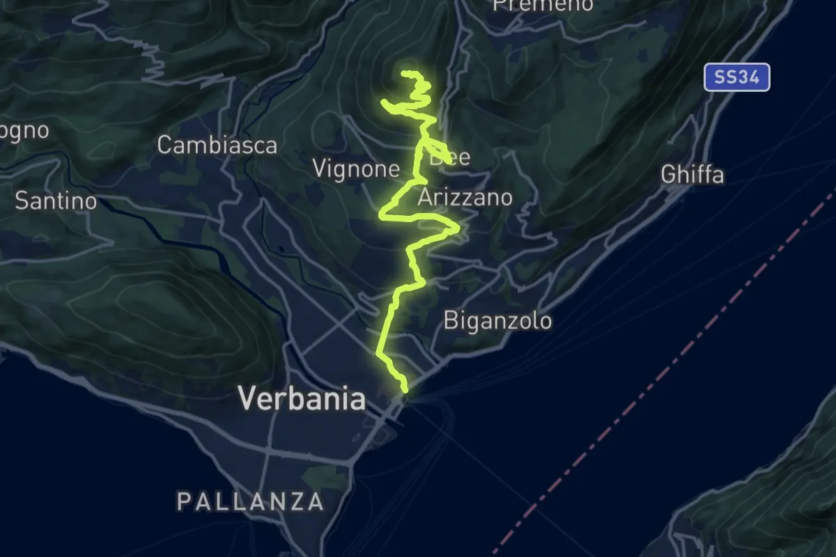
Medium · Summit
R04 Verbania Intra - Zoverallo - San Martino - Bèe - Monte Cimolo - Pian Nava
17.7 km · ↑ 765 m · 5 h 50 min · 15 km away
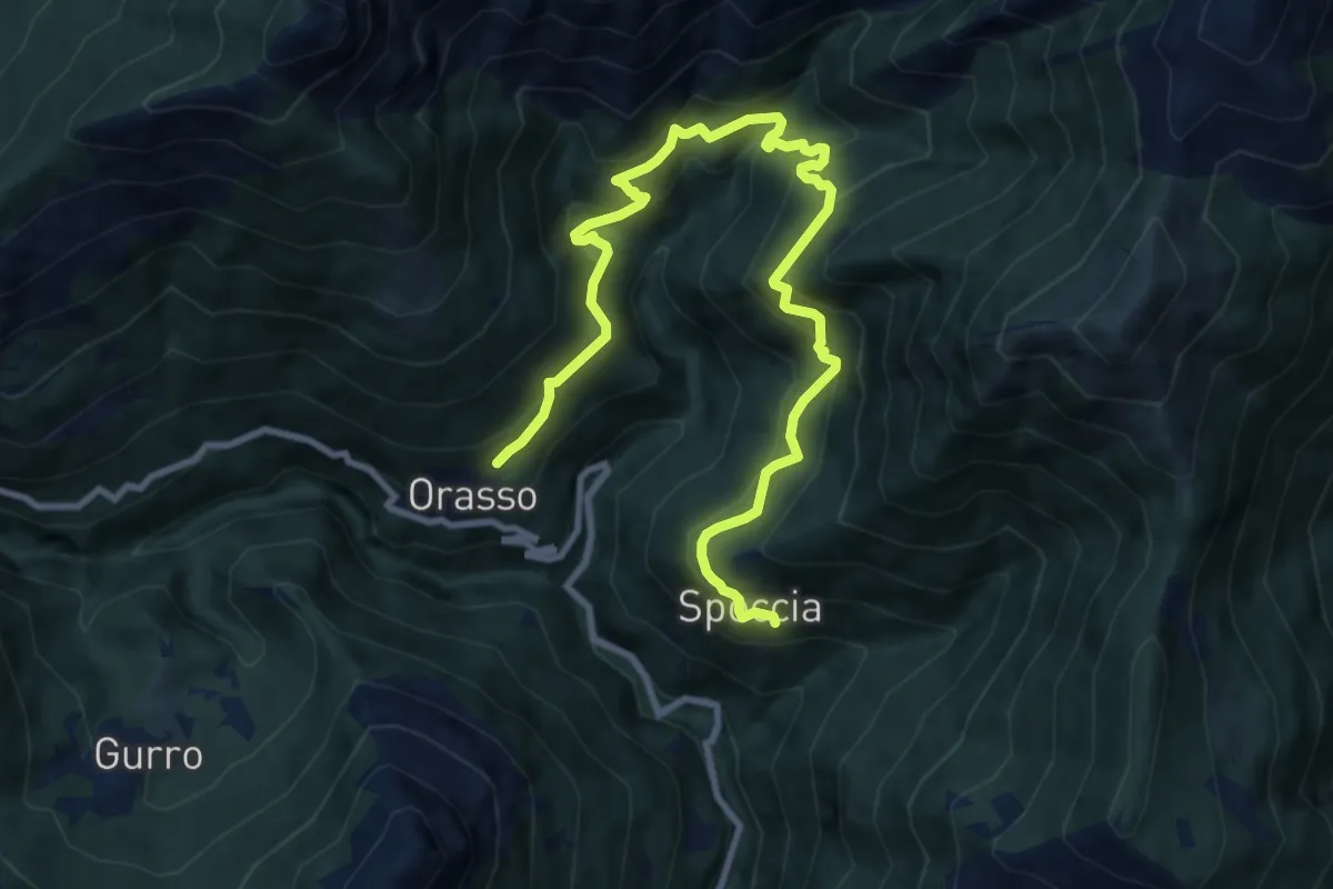
Demanding · Trail
S12 Orasso - Bugnago - Spoccia
11.5 km · ↑ 1078 m · 5 h 3 min · 15 km away
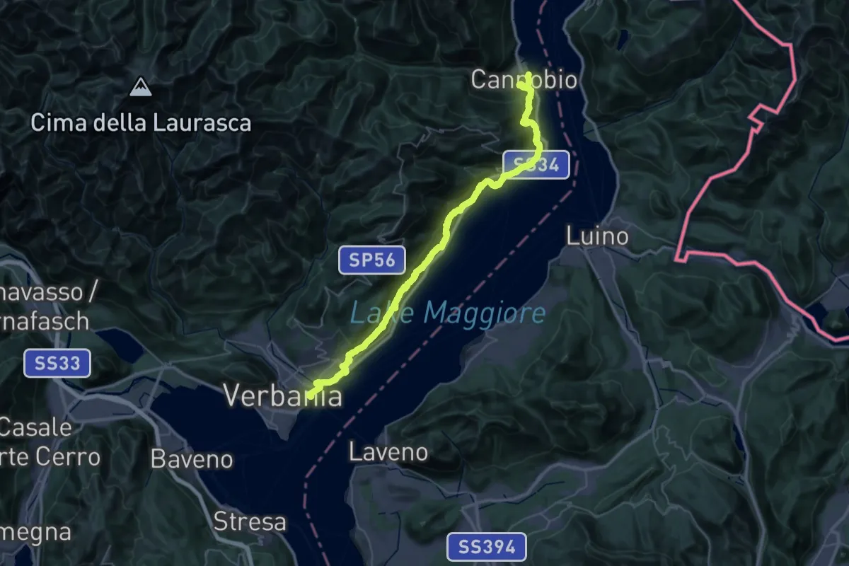
Demanding · Trail
Cammino del Lago Maggiore
23.9 km · ↑ 1193 m · 8 h 33 min · 15 km away
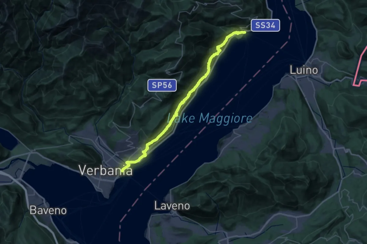
Demanding · Trail
R30 'Via delle Genti': tratto Cannero - Oggebbio - Sacro Monte SS.Trinità di Ghiffa - Verbania Intra
16.7 km · ↑ 839 m · 5 h 59 min · 15 km away
Demanding · Trail
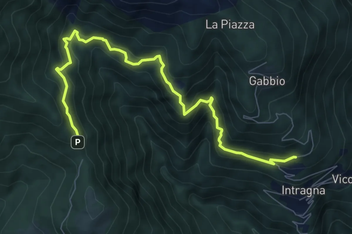
R07a Cambiesso - Cappella Porta
8.4 km · ↑ 755 m · 3 h 37 min · 15 km away