Trails near Lumezzane
321 hikes starting within 15 km, nearest first.
Nearest first, page 1 of 7
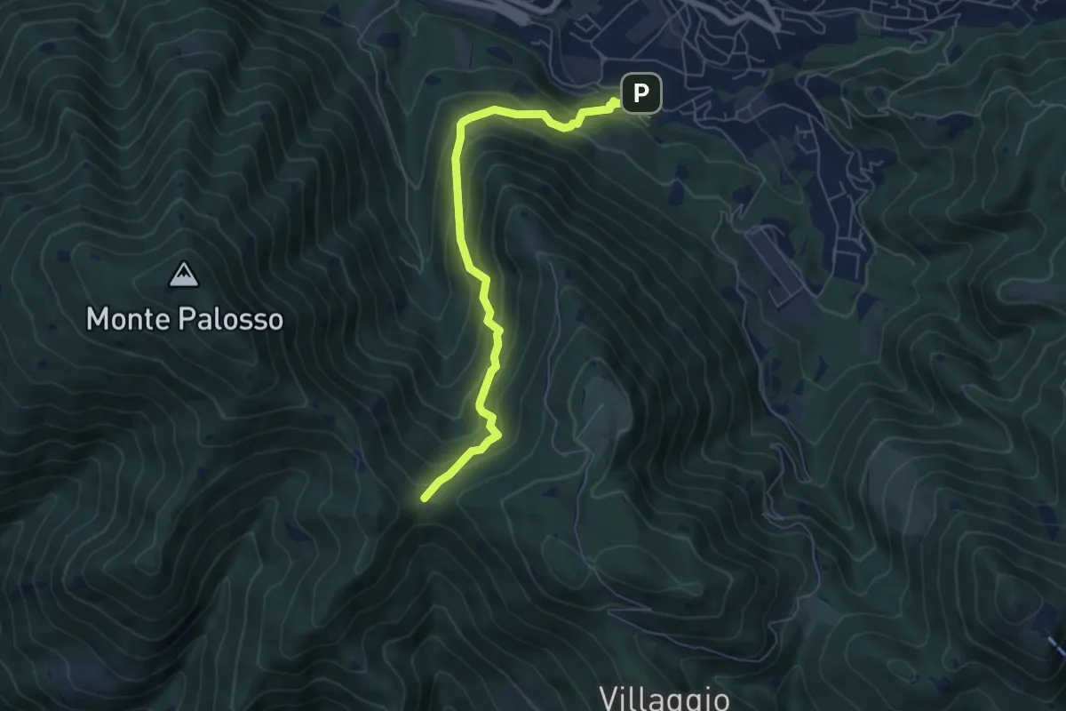
Medium · Trail
Lumezzane (Faidana) - Innesto Sentiero 371
6.4 km · ↑ 552 m · 2 h 43 min · 1 km away
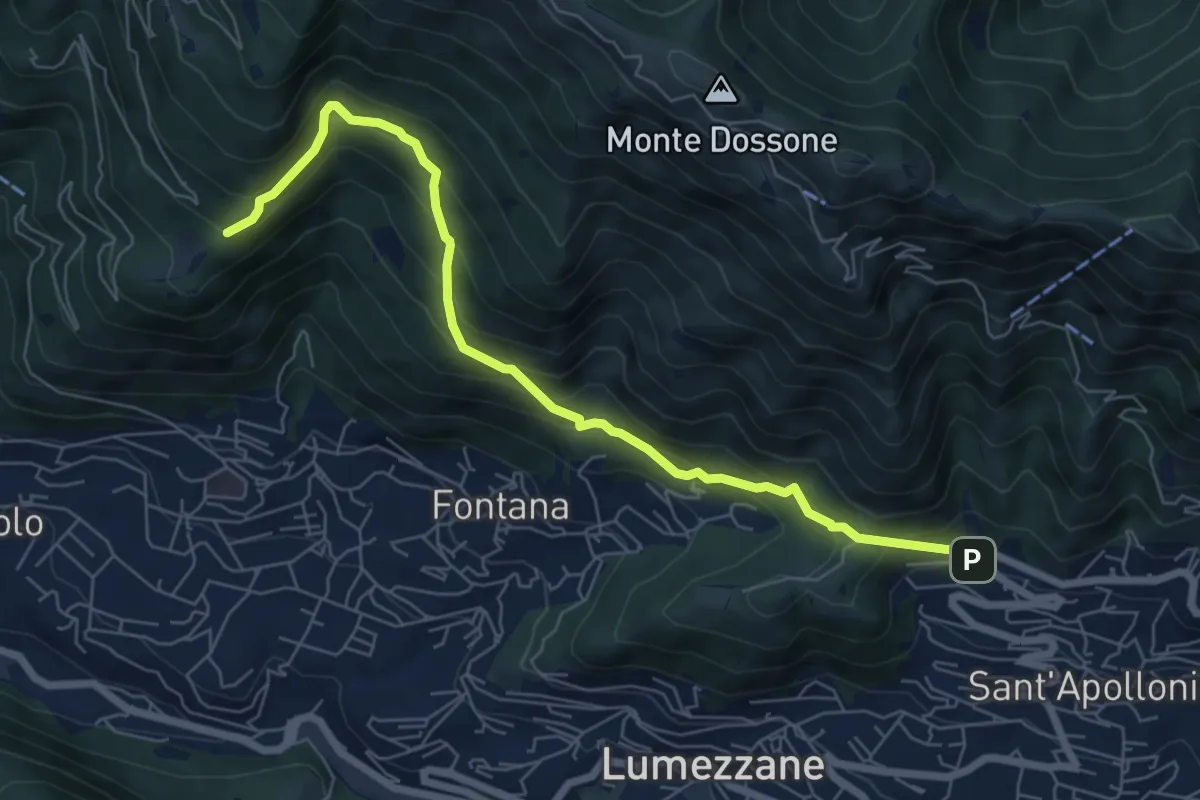
Demanding · Trail
Lumezzane (Ver) – San Bernardo (Bivio Zani Achille)
7.2 km · ↑ 587 m · 2 h 58 min · 1 km away
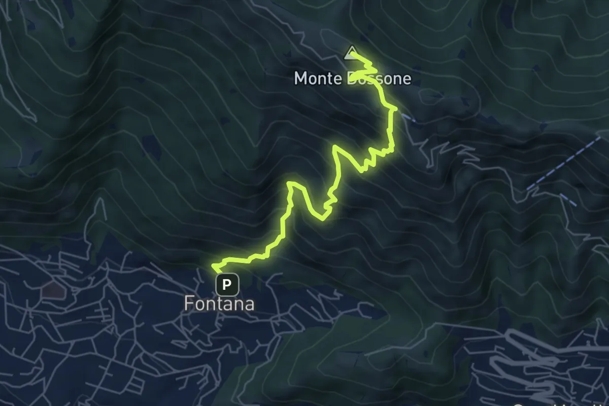
Medium · Summit
Lumezzane (Fontana) - Monte Dossone
6.5 km · ↑ 760 m · 3 h 11 min · 1 km away
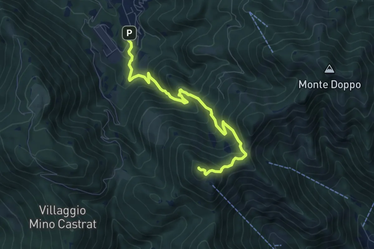
Medium · Summit
Lumezzane (Via Ruca) – Cascina Cocca
8.4 km · ↑ 670 m · 3 h 26 min · 2 km away
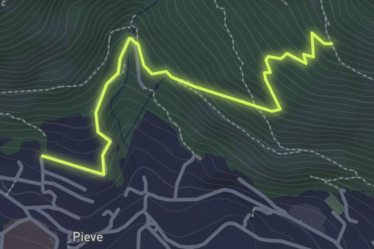
Medium · Trail
Lumezzane (Pieve) - Valle dei Fiori - Dossello
2.9 km · ↑ 292 m · 1 h 19 min · 2 km away
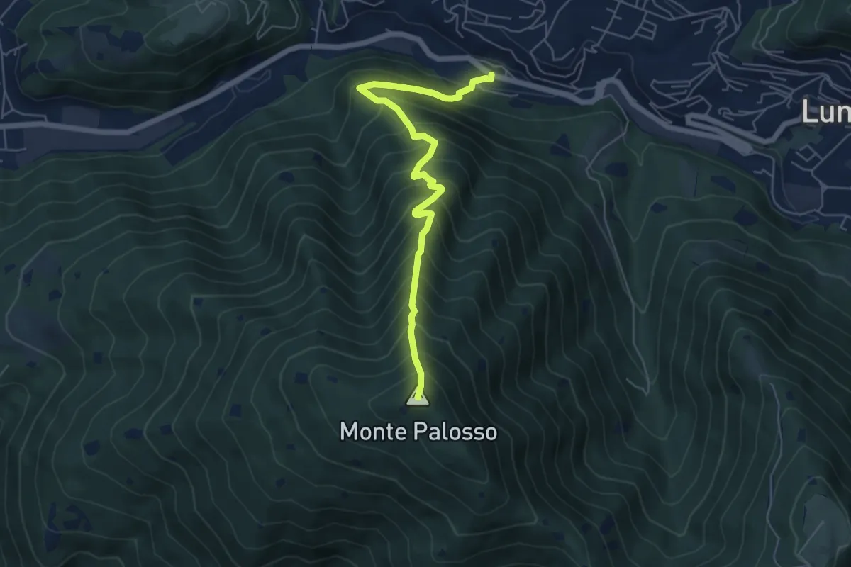
Medium · Summit
Lumezzane (Valle) – Cascina Cocca
5.8 km · ↑ 798 m · 3 h 5 min · 2 km away
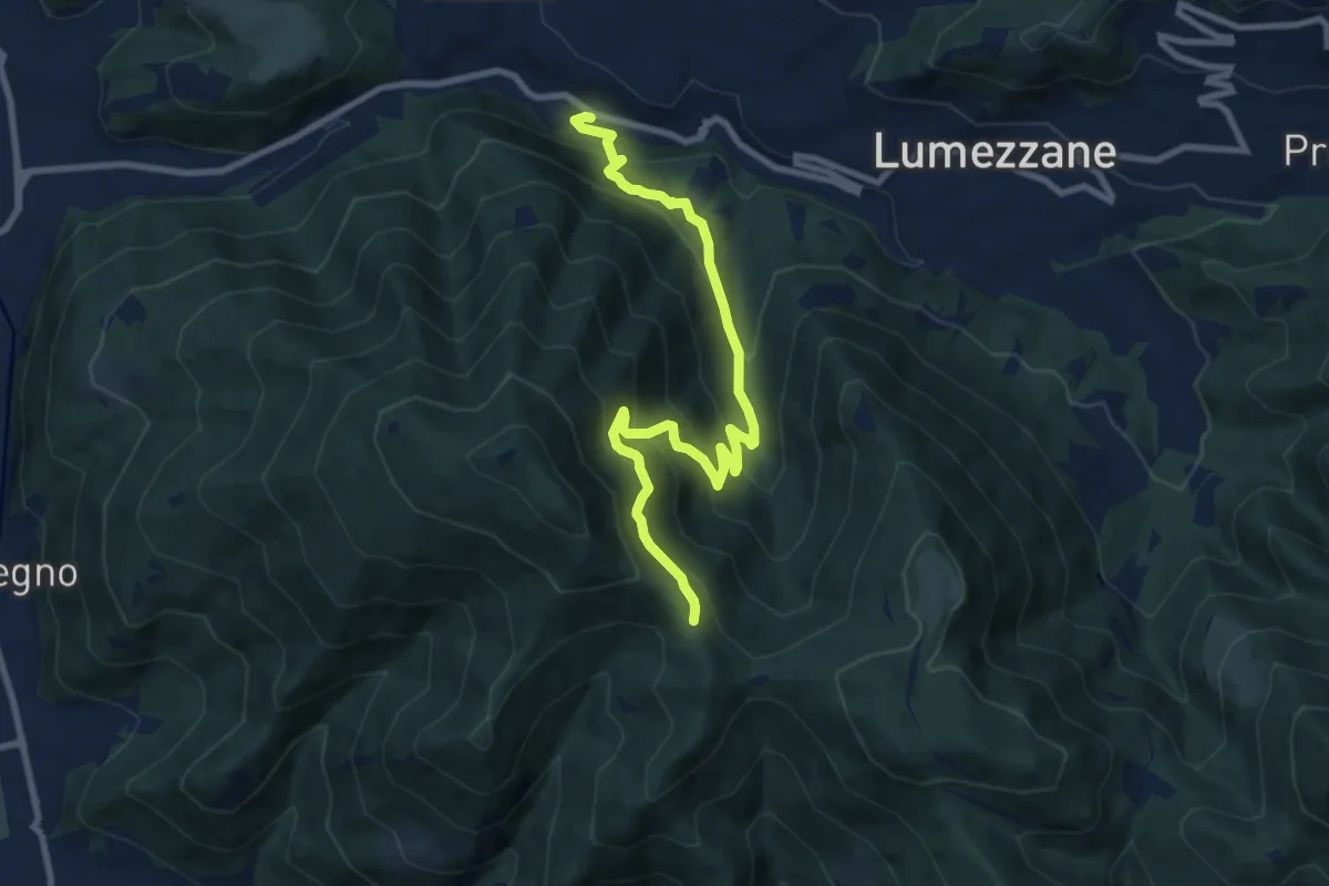
Medium · Trail
Lumezzane (Valle) – Sconfoia
9.7 km · ↑ 716 m · 3 h 50 min · 2 km away
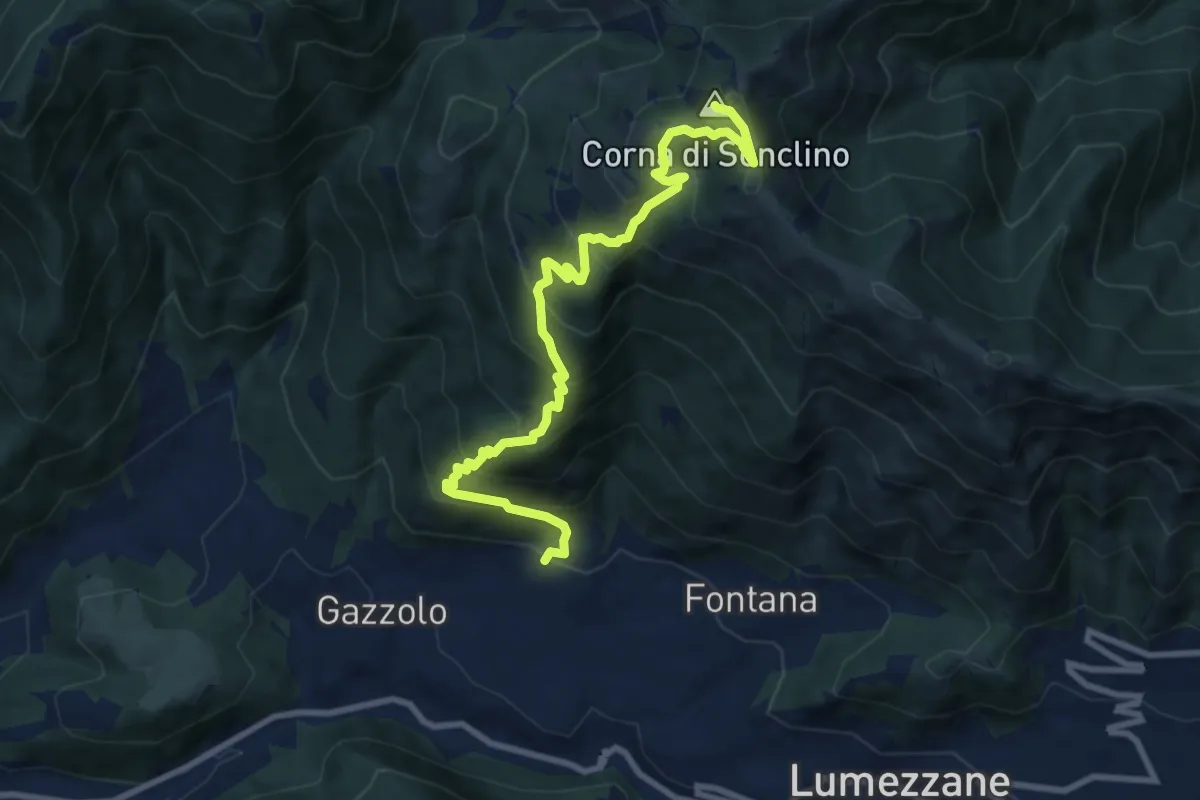
Demanding · Summit
Lumezzane (Pieve) – Corna di Sonclino
9.9 km · ↑ 853 m · 4 h 11 min · 2 km away
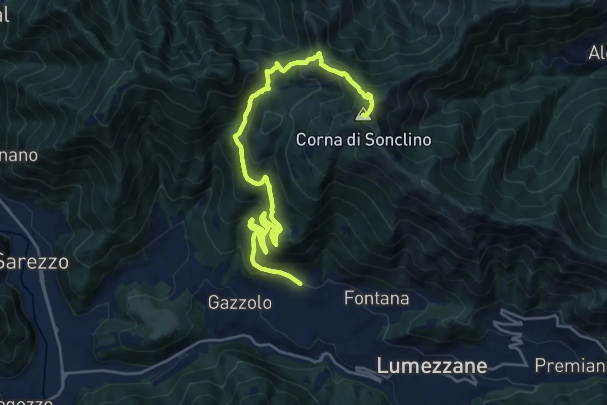
Demanding · Summit
Lumezzane (Pieve) – Corna di Sonclino
16.0 km · ↑ 1116 m · 6 h 11 min · 2 km away
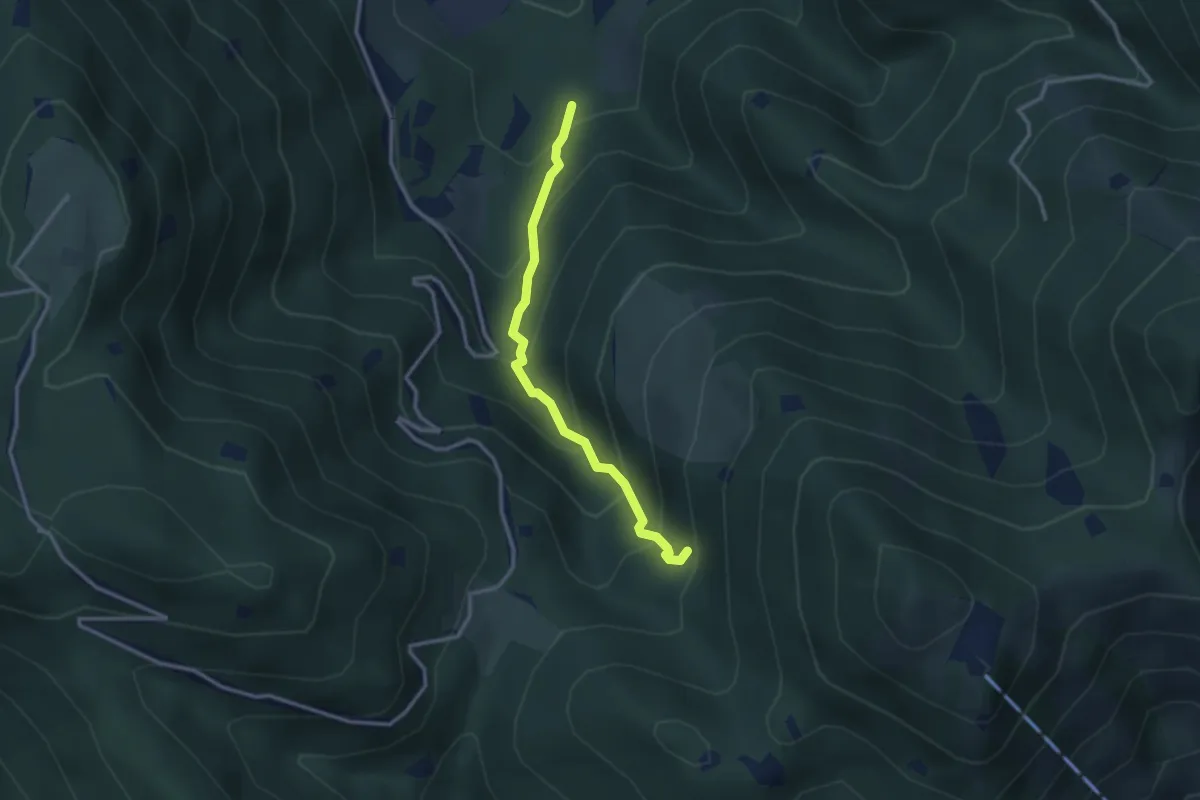
Medium · Trail
Lumezzane (Innesto Sentiero 374) - Fontanì de A'bie - Innesto Sentiero 375
2.7 km · ↑ 300 m · 1 h 18 min · 2 km away
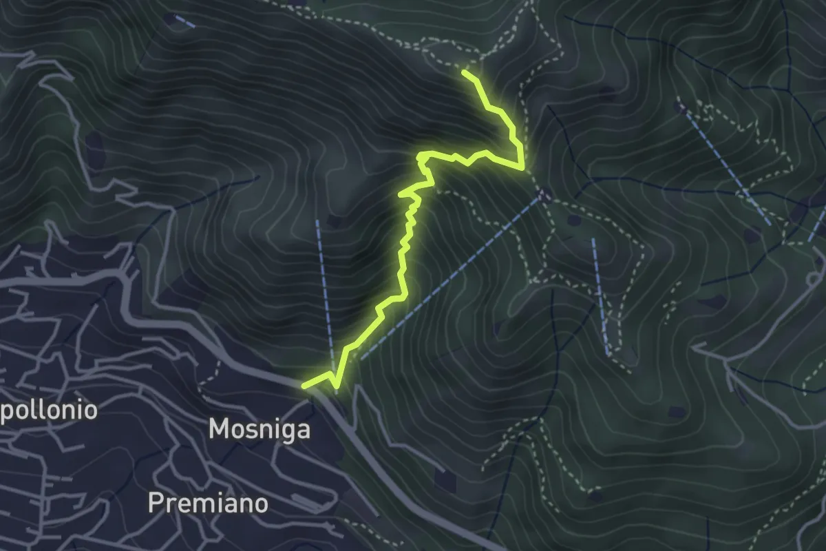
Medium · Summit
Lumezzane (Mosniga) - Punta Camoghera
3.4 km · ↑ 515 m · 1 h 55 min · 2 km away
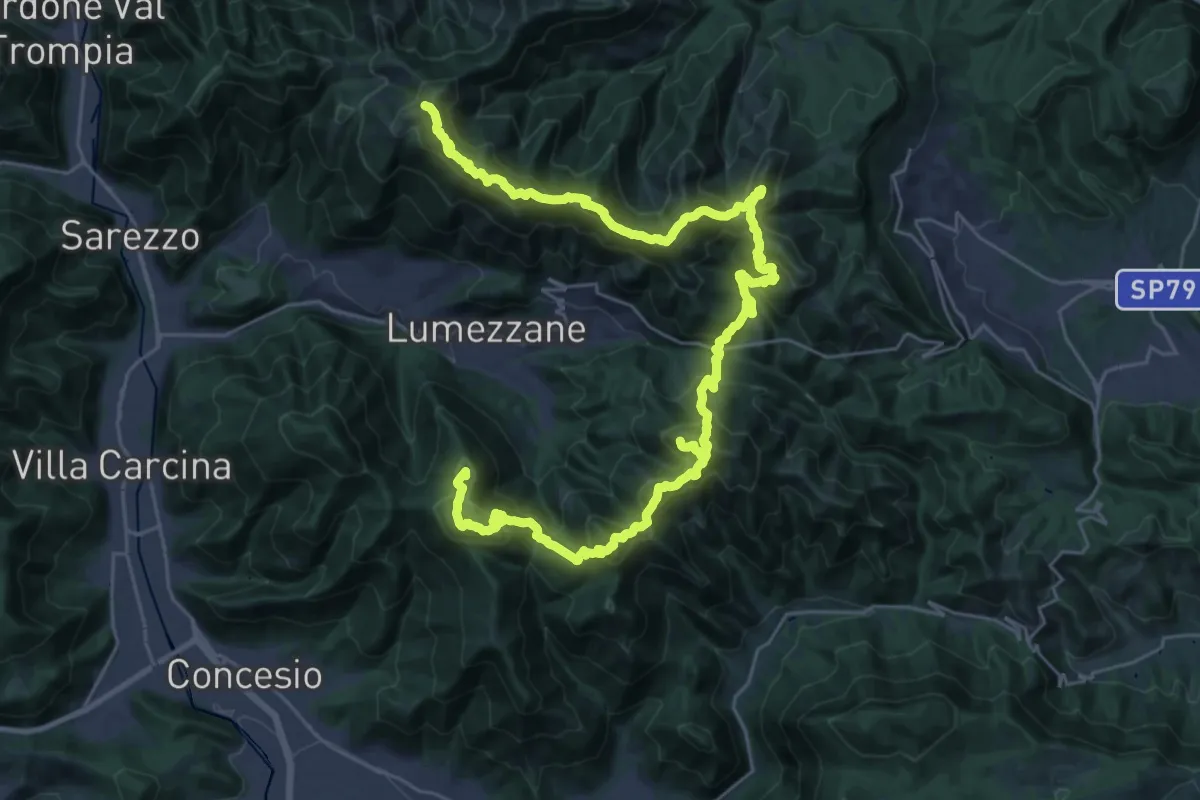
Expert · Summit
Via del Sacro
42.2 km · ↑ 2976 m · 16 h 24 min · 2 km away
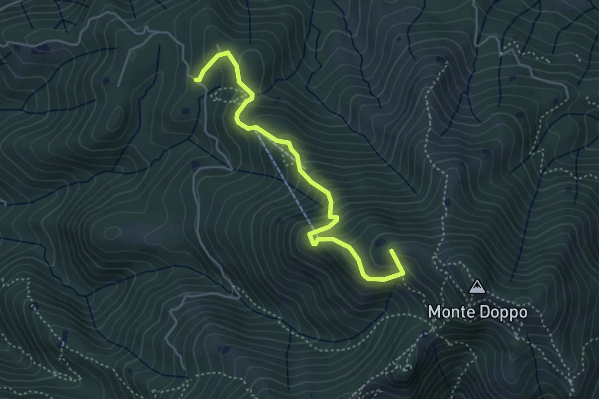
Medium · Summit
Lumezzane (Burio) - Bivio per San Giorgio
4.2 km · ↑ 376 m · 1 h 48 min · 2 km away
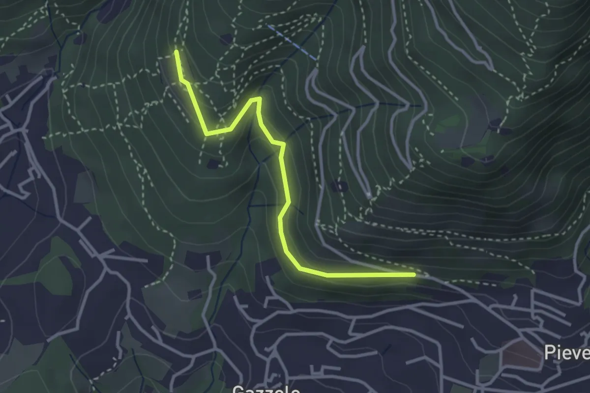
Easy · Trail
Lumezzane (Pieve) - Dosso Castolo
3.0 km · ↑ 153 m · 1 h 3 min · 2 km away
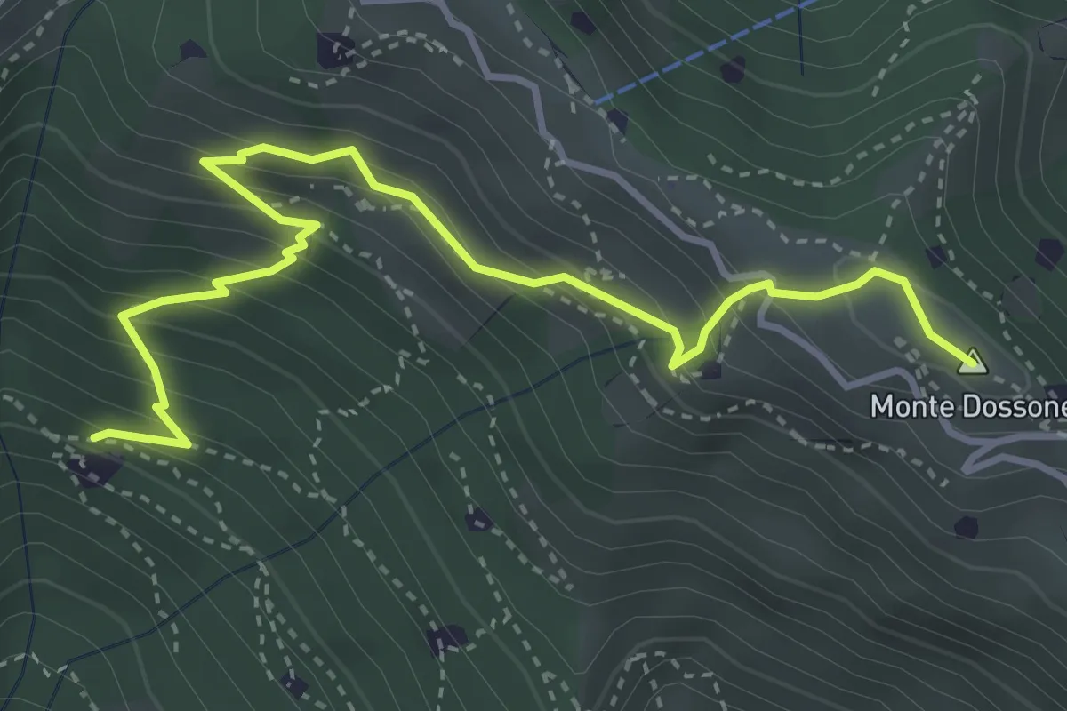
Medium · Summit
Lumezzane (Cascina Al Colonel) - Monte Dossone
4.3 km · ↑ 469 m · 2 h 3 min · 2 km away
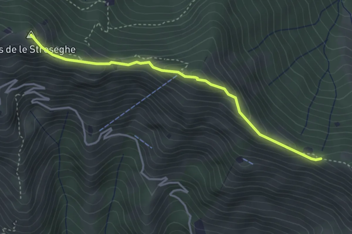
Expert · Summit
Sentiero 3V - Tappa 2 (Variante alta)
3.5 km · ↑ 313 m · 1 h 30 min · 3 km away
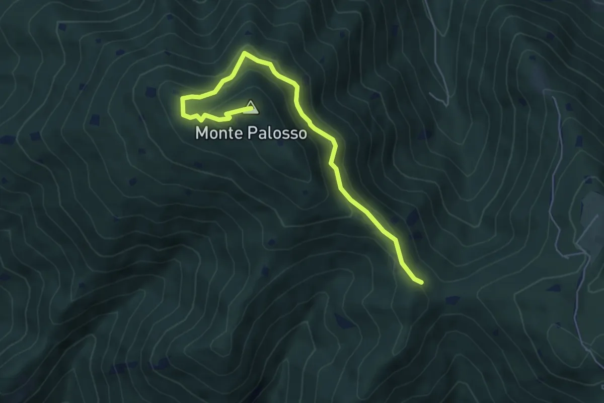
Medium · Summit
Sentiero Gnutti Cirillo
5.8 km · ↑ 302 m · 2 h 2 min · 3 km away
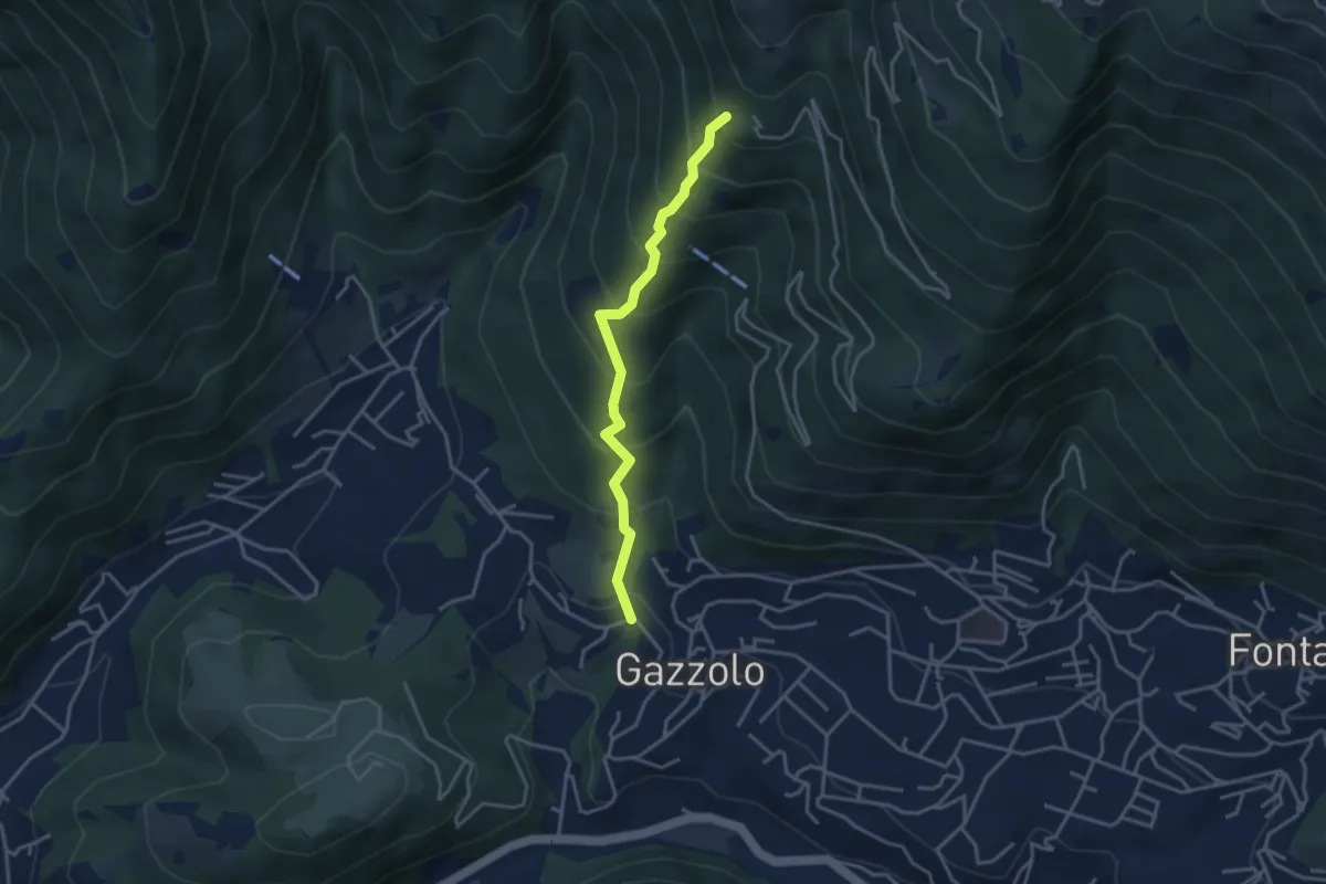
Medium · Trail
Lumezzane (Gazzolo) - Santella dei Giori
3.5 km · ↑ 418 m · 1 h 43 min · 3 km away
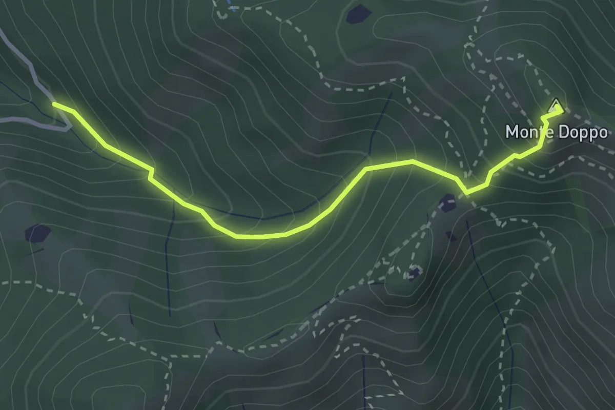
Expert · Summit
Lumezzane (Valle San Giorgio) - Monte Doppo
2.8 km · ↑ 348 m · 1 h 25 min · 3 km away
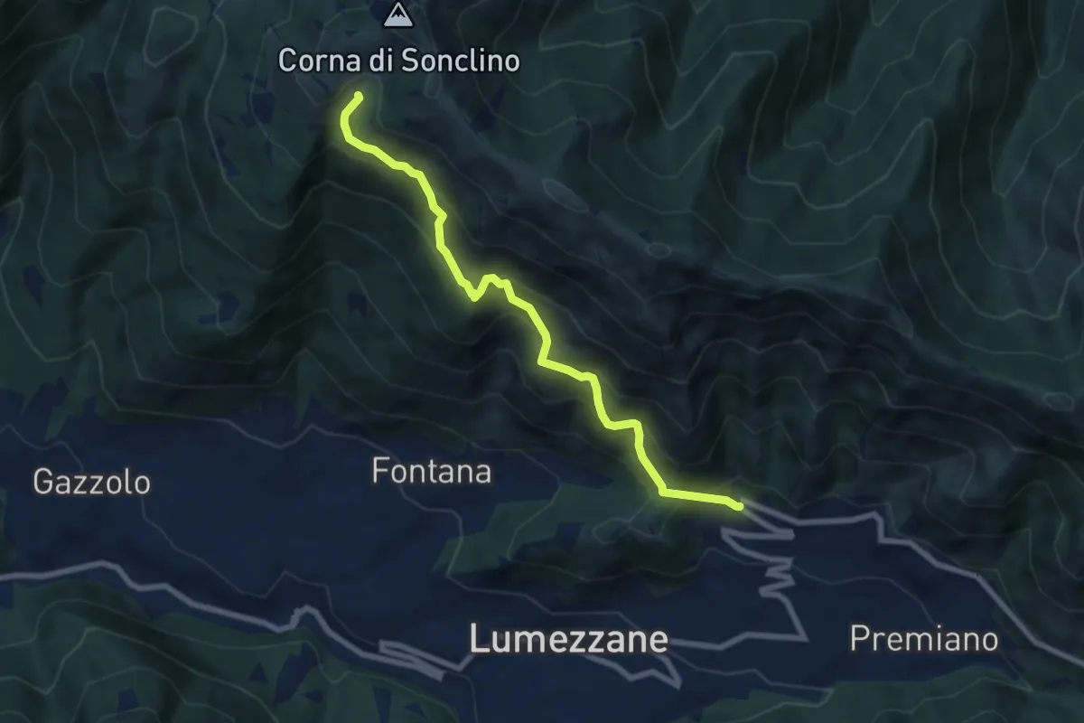
Medium · Trail
Lumezzane (Ver) – Malga Artecle
7.2 km · ↑ 618 m · 3 h 2 min · 3 km away
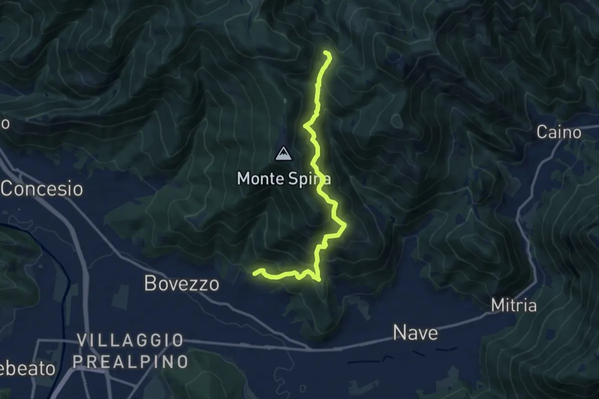
Demanding · Trail
Nave (Cortine) - Cascina Cocca
10.8 km · ↑ 913 m · 4 h 32 min · 3 km away
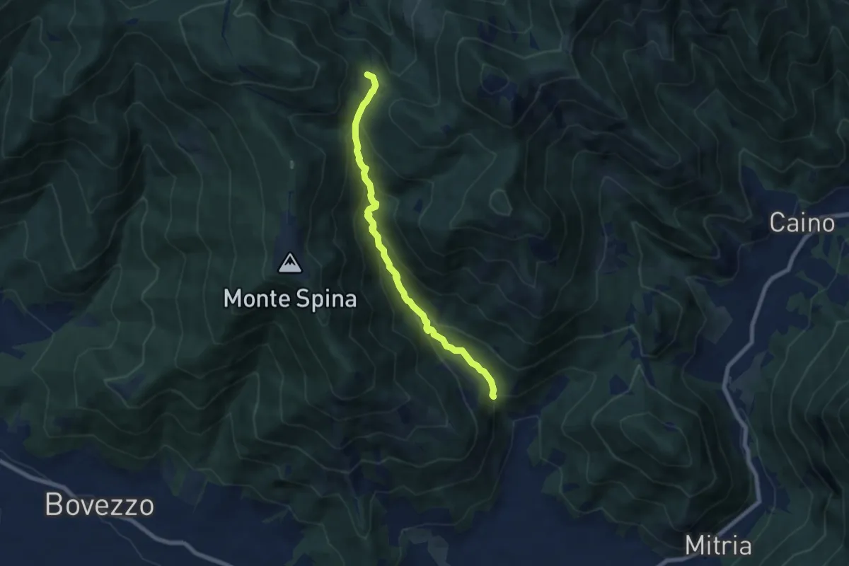
Demanding · Trail
Nave (La Corna) - Cascina Cocca
6.6 km · ↑ 417 m · 2 h 27 min · 3 km away
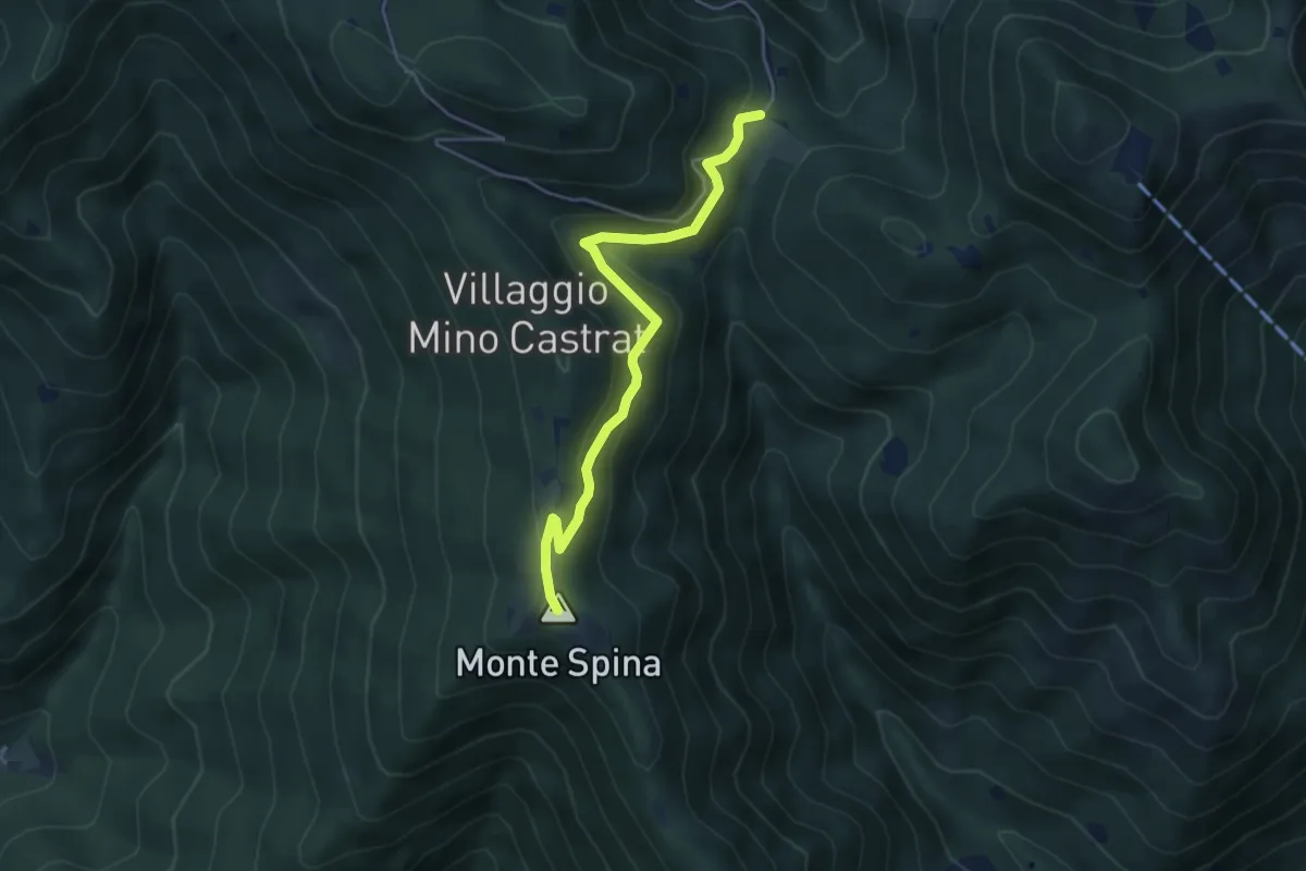
Medium · Summit
Nave (Sacca) - Cascina Cocca
4.7 km · ↑ 209 m · 1 h 33 min · 3 km away
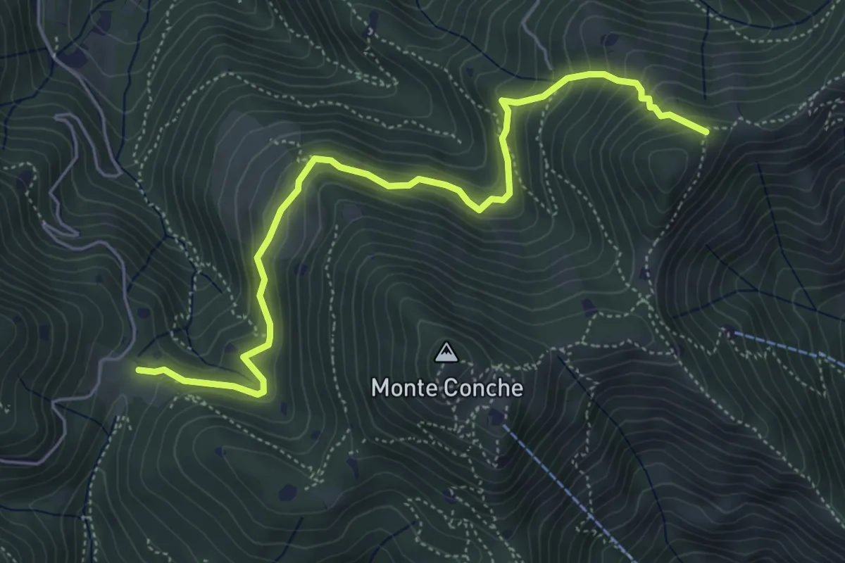
Medium · Trail
Lumezzane (Cascina Cocca) – Forcella di Calone
5.8 km · ↑ 474 m · 2 h 24 min · 3 km away
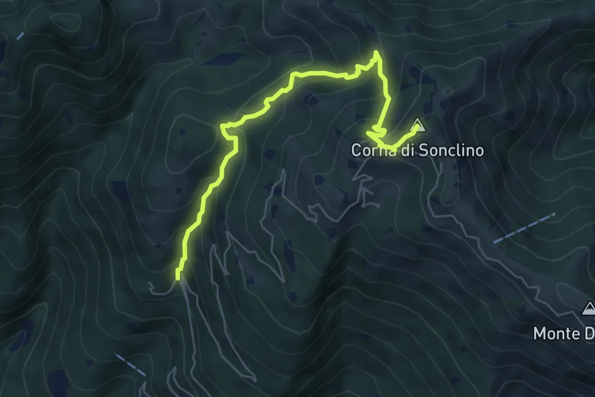
Medium · Summit
Lumezzane (Buca di Porticelle) - Corna di Sonclino
6.1 km · ↑ 583 m · 2 h 41 min · 3 km away
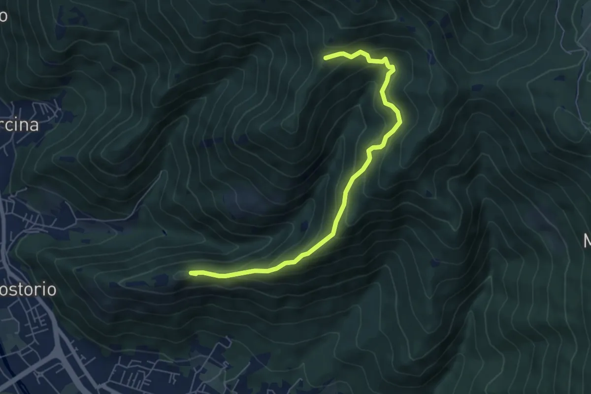
Medium · Summit
Concesio (Costorio) – Tesa del Condigolo (Innesto sentiero 378)
6.4 km · ↑ 468 m · 2 h 32 min · 3 km away
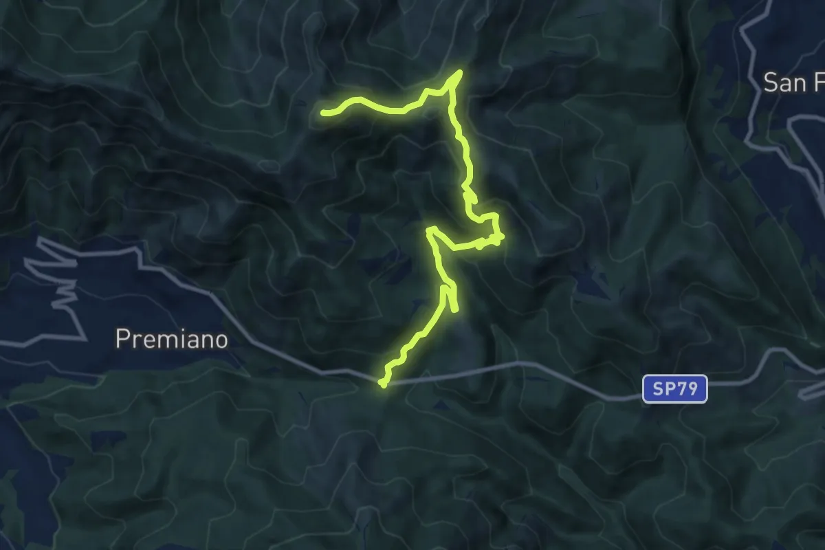
Demanding · Summit
Lumezzane (Passo del Cavallo) – Punta Camoghera
10.5 km · ↑ 734 m · 4 h 4 min · 3 km away
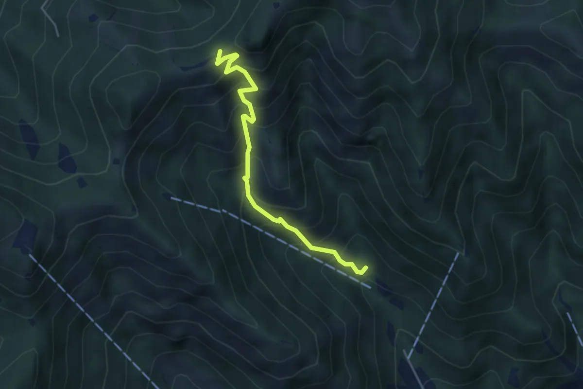
Medium · Trail
Caino (Madonna delle Fontane) – San Giorgio (Innesto Sentiero 381)
3.9 km · ↑ 503 m · 2 h 1 min · 4 km away
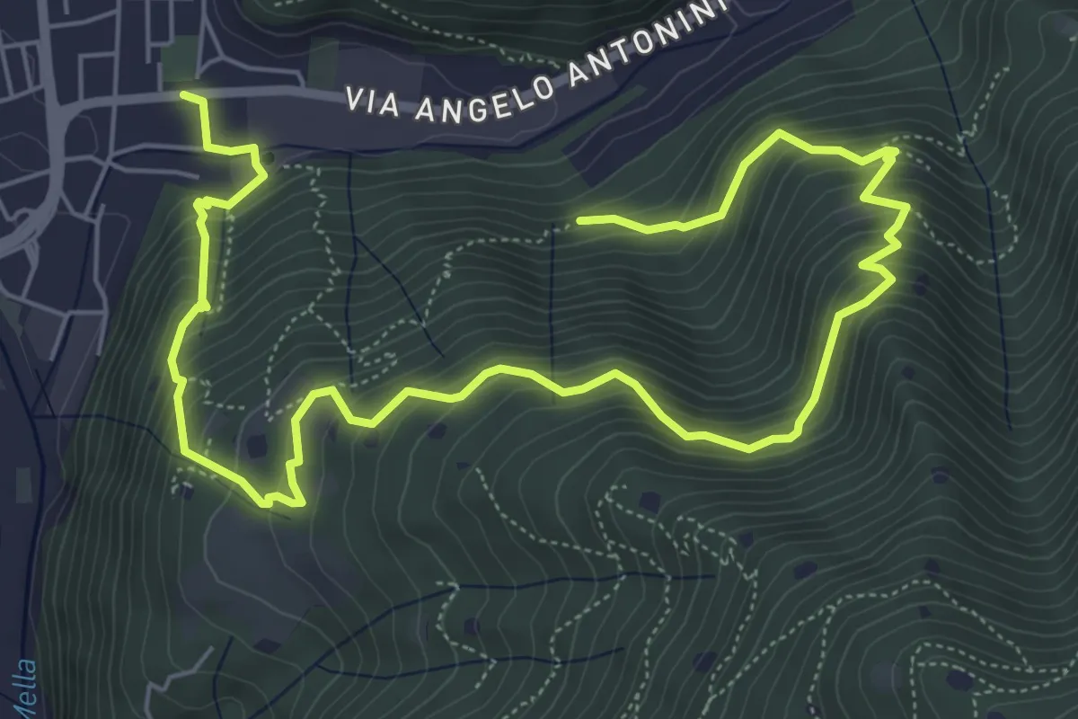
Demanding · Trail
La Vià Antiga
9.3 km · ↑ 858 m · 4 h 3 min · 4 km away
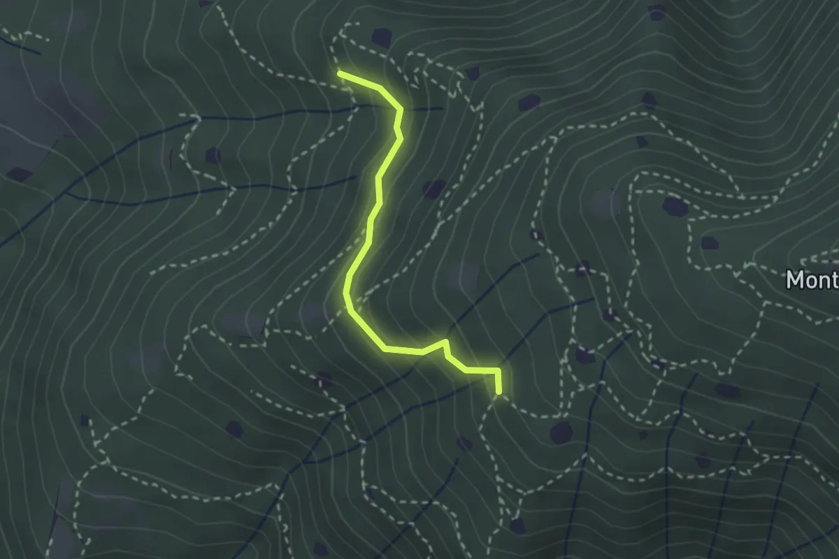
Easy · Trail
Villa Carcina - Sentiero 19
2.3 km · ↑ 210 m · 59 min · 4 km away
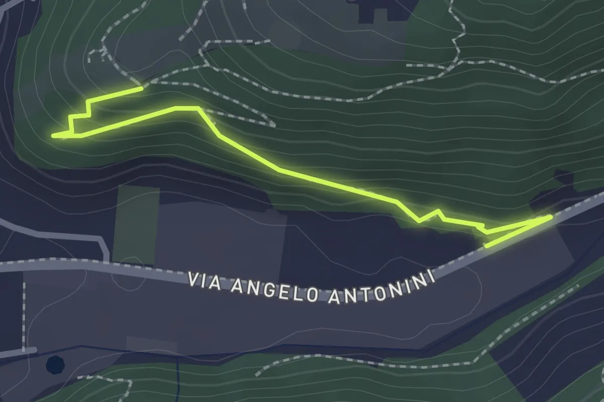
Easy · Trail
Sentiero di Mezzo
2.2 km · ↑ 171 m · 53 min · 4 km away
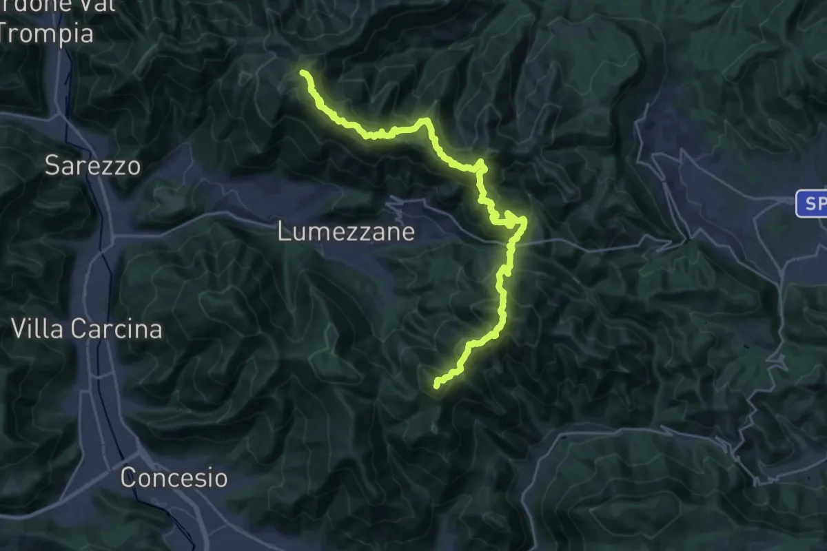
Demanding · Summit
Sentiero 3V - Tappa 2
27.2 km · ↑ 2052 m · 10 h 52 min · 4 km away
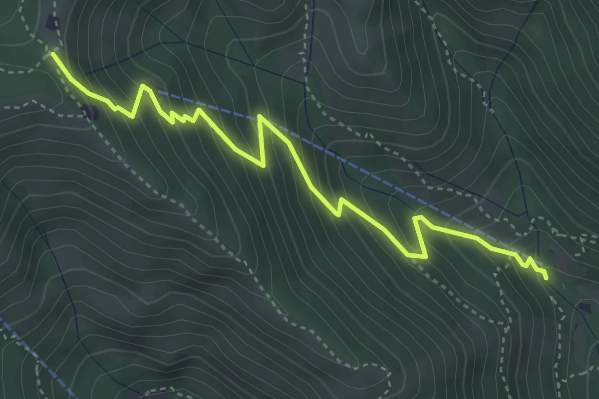
Medium · Trail
Caino (Madonna delle Fontane) – Monte Conche (Innesto Sentiero 381)
4.2 km · ↑ 450 m · 1 h 58 min · 4 km away
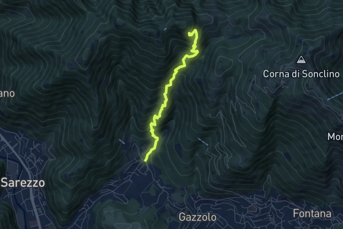
Medium · Cabin
Sarezzo (La Cava) - Sant'Emiliano
6.3 km · ↑ 758 m · 3 h 8 min · 4 km away
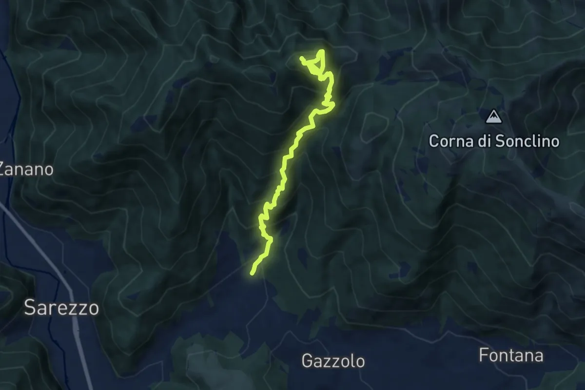
Demanding · Summit
Sarezzo (Santella Valle di Sarezzo) – Monte Sant'Emiliano
8.1 km · ↑ 962 m · 4 h · 4 km away
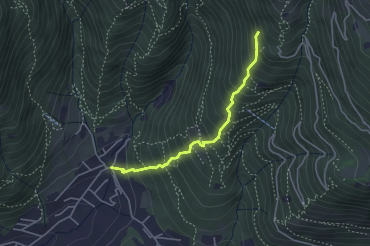
Medium · Trail
Sarezzo (La Santella) - Via Antica
3.0 km · ↑ 421 m · 1 h 38 min · 4 km away
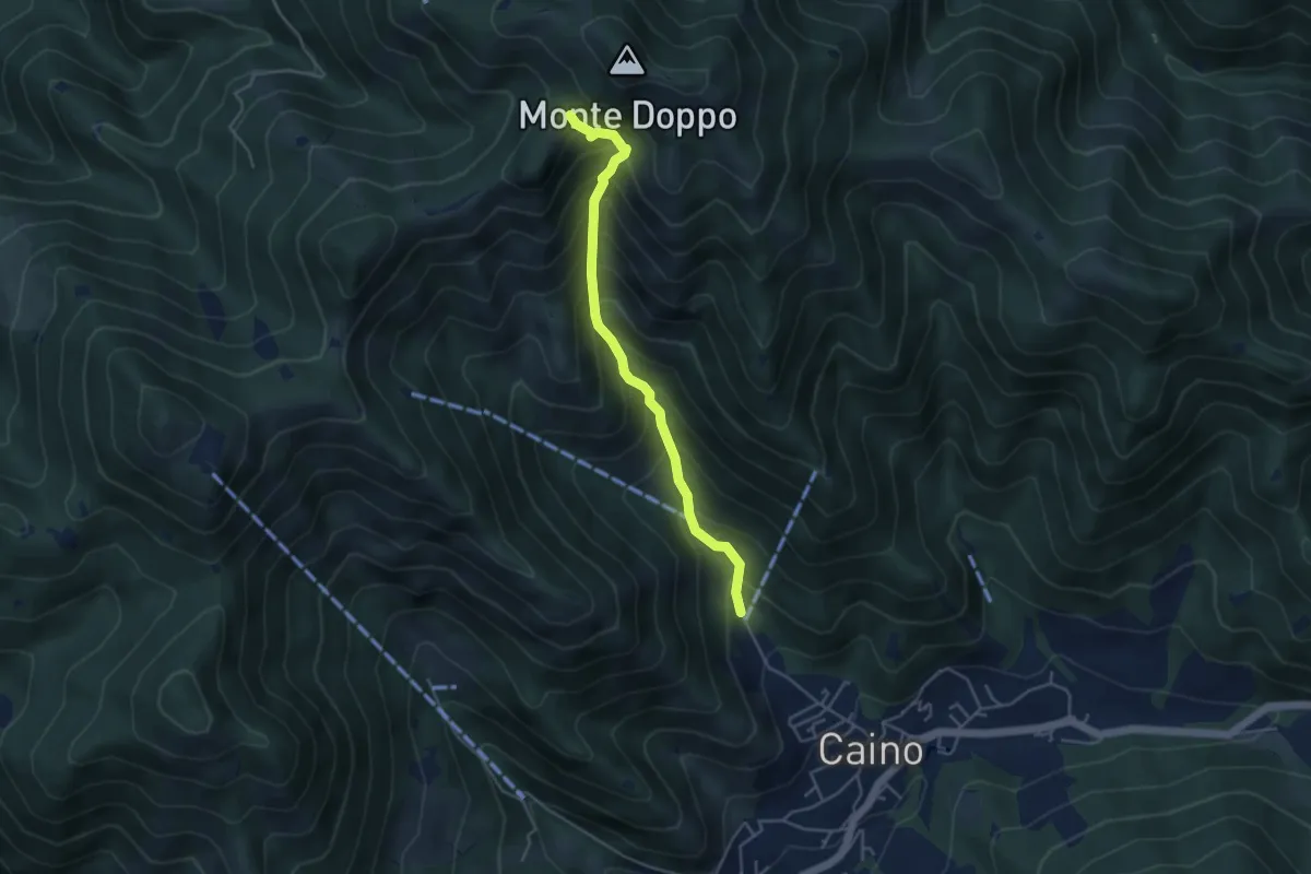
Medium · Trail
Caino (Pian delle Castagne) – Eremo di San Giorgio (Innesto Sentiero 381)
4.3 km · ↑ 584 m · 2 h 16 min · 4 km away
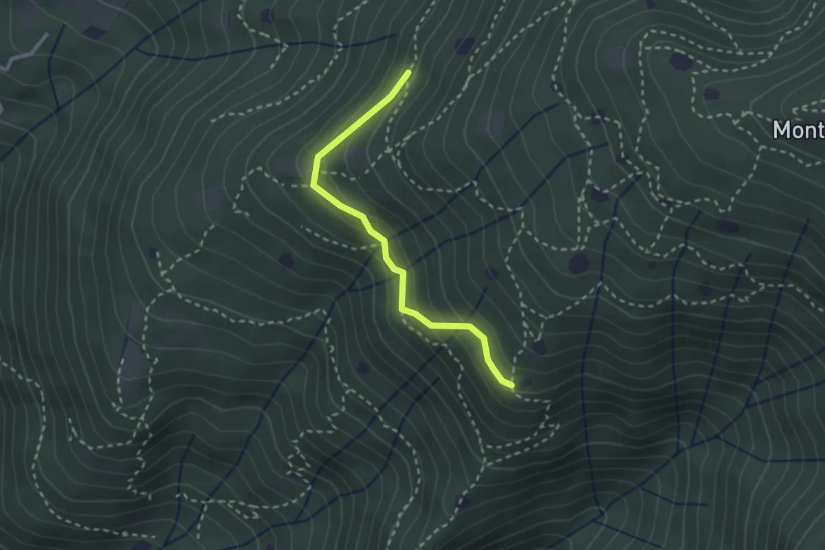
Easy · Trail
Villa Carcina - Sentiero 20
2.4 km · ↑ 169 m · 56 min · 4 km away
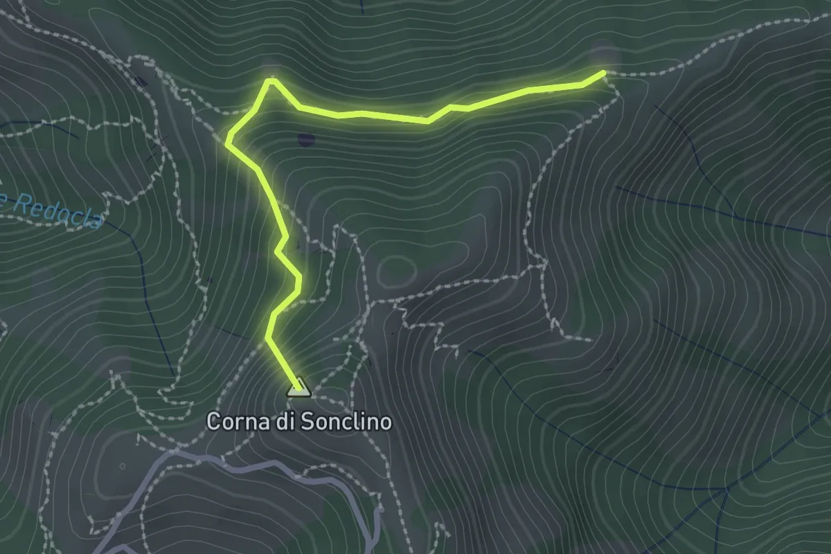
Easy · Summit
Marcheno (Tesa Guizzi) - Lumezzane (Parcheggio Sonclino)
2.3 km · ↑ 229 m · 1 h 3 min · 4 km away
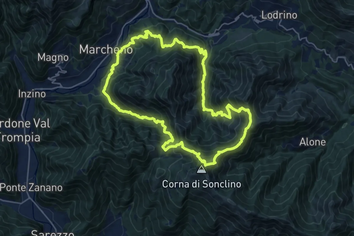
Demanding · Summit
Sentiero 122ª Brigata Garibaldi
17.5 km · ↑ 1345 m · 7 h 17 min · 4 km away
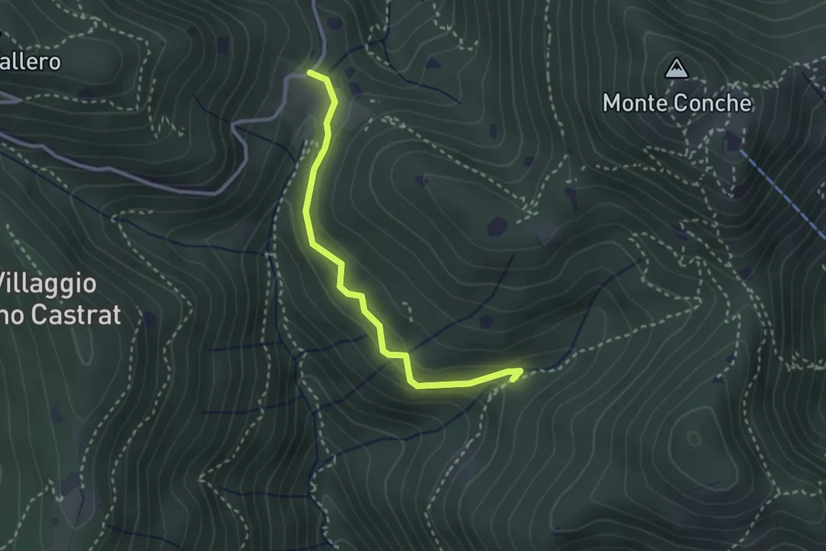
Medium · Trail
Nave (Valle delle Monache) - Cascina Cocca
2.7 km · ↑ 112 m · 53 min · 4 km away
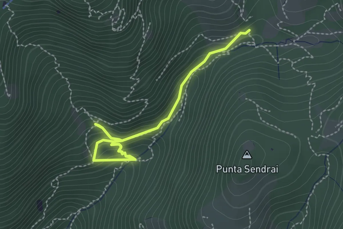
Easy · Trail
Sarezzo - Collegamento sentiero 362 - 359
2.9 km · ↑ 217 m · 1 h 9 min · 4 km away
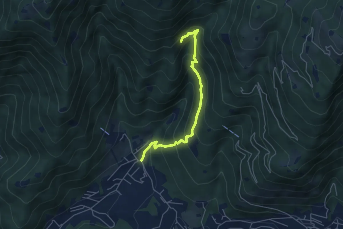
Medium · Trail
Sarezzo - Val Redocla
4.3 km · ↑ 392 m · 1 h 52 min · 4 km away
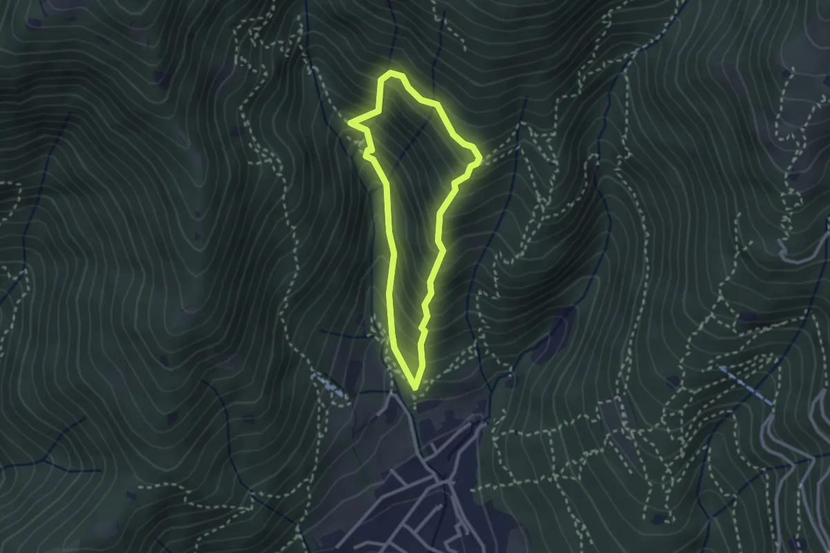
Medium · Trail
Sarezzo (Ponte dei Gromi) - Gromi Bassi
2.2 km · ↑ 307 m · 1 h 13 min · 4 km away
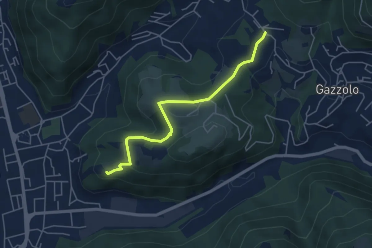
Medium · Trail
Sarezzo (Via Cagnaghe) - Castello
4.1 km · ↑ 134 m · 1 h 15 min · 4 km away
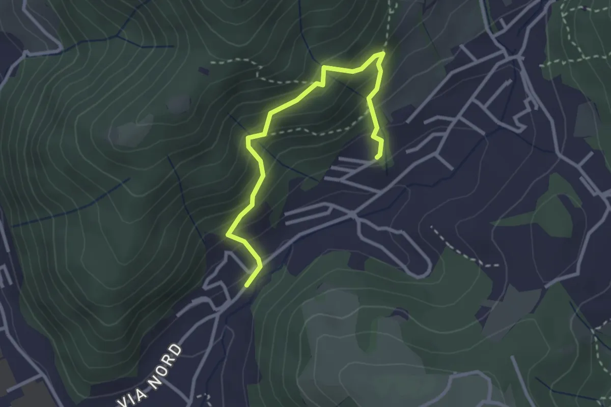
Medium · Trail
Sentiero del Dosalì
2.9 km · ↑ 340 m · 1 h 25 min · 4 km away
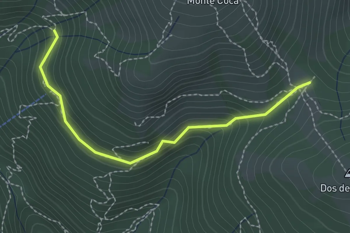
Medium · Trail
Lumezzane (Innesto sentiero 370) - Cocca di Bione
2.2 km · ↑ 106 m · 45 min · 4 km away
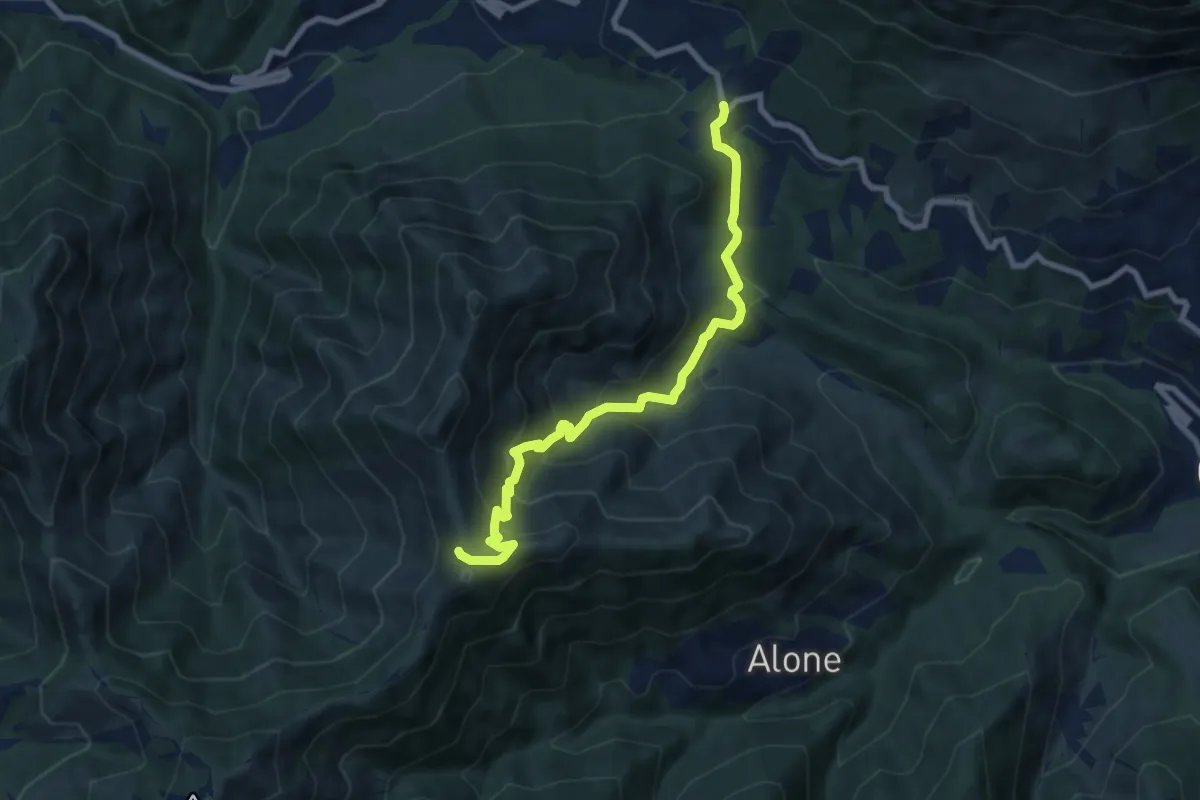
Medium · Trail
Sentiero 3V - Tappa 2 (Variante bassa)
8.4 km · ↑ 653 m · 3 h 24 min · 5 km away