Trails near Lumezzane
321 hikes starting within 15 km, nearest first.
Nearest first, page 2 of 7
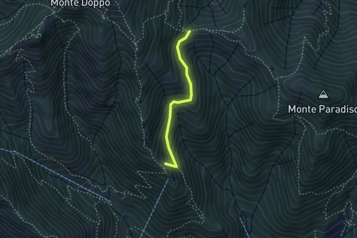
Medium · Summit
Caino (Pian delle Castagne) – Boatica (Innesto Sentiero 381)
2.6 km · ↑ 259 m · 1 h 10 min · 5 km away
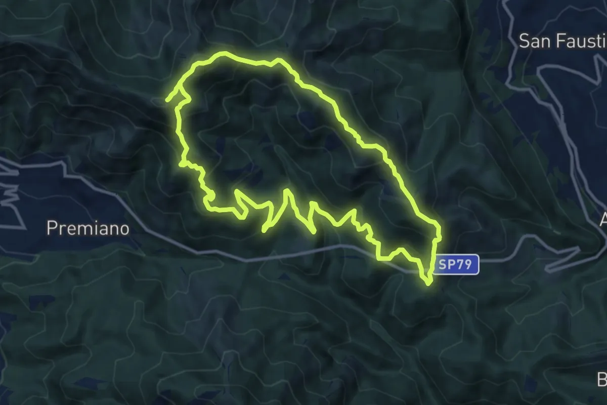
Demanding · Summit
Sentiero Tranquillo Bianchi e Caduti per la Libertà di Lumezzane - Tronco B
10.9 km · ↑ 840 m · 4 h 33 min · 5 km away
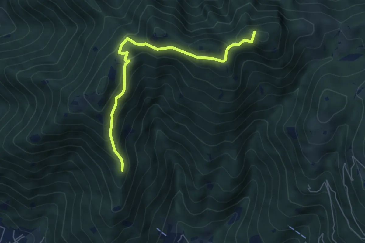
Medium · Summit
Sarezzo (Passata) - Sant'Emiliano
5.6 km · ↑ 377 m · 2 h 9 min · 5 km away
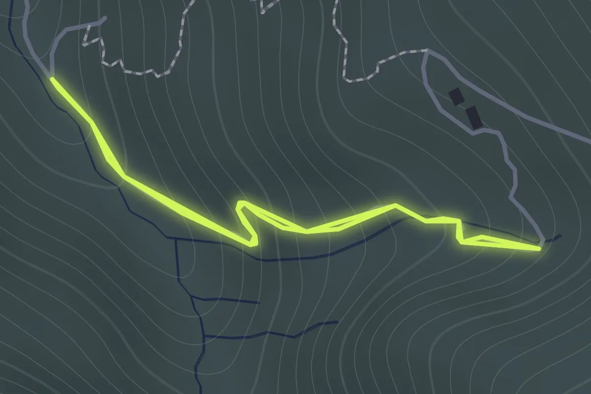
Easy · Trail
Sentiero 122ª Brigata Garibaldi - Variante 3
1.1 km · ↑ 138 m · 34 min · 5 km away
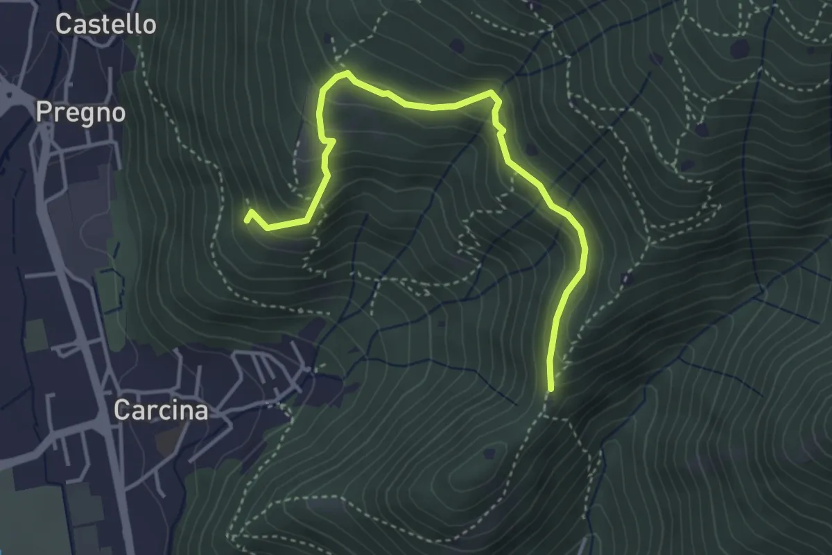
Demanding · Trail
Villa Carcina - Sentiero 16
4.0 km · ↑ 321 m · 1 h 38 min · 5 km away
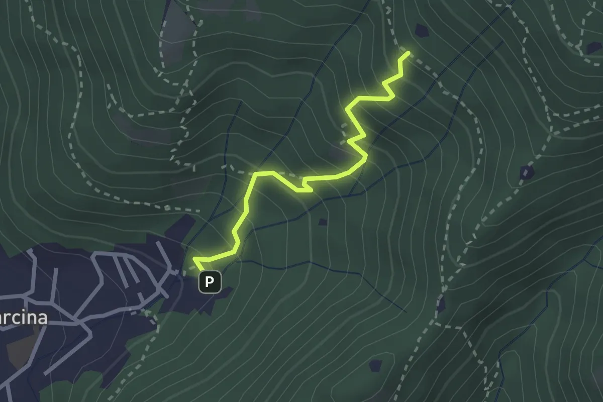
Medium · Trail
Villa Carcina - Sentiero 22
2.3 km · ↑ 303 m · 1 h 12 min · 5 km away
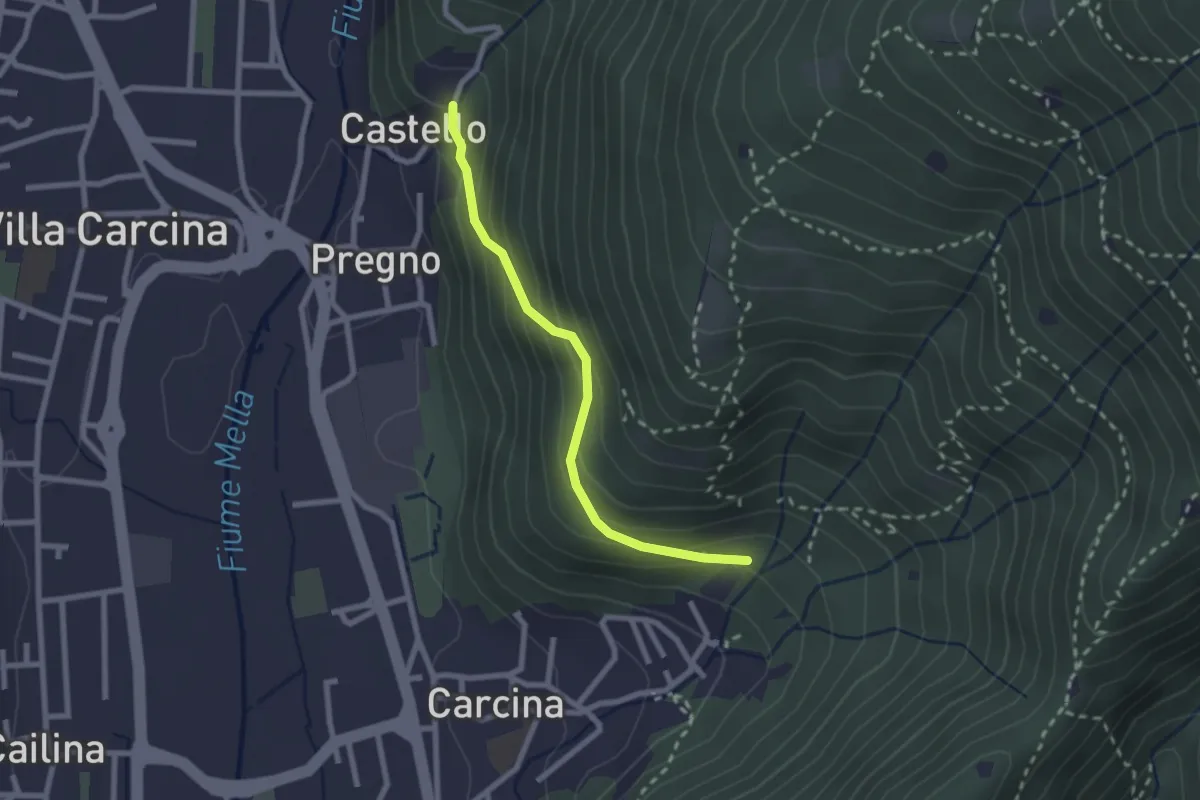
Medium · Trail
Villa Carcina (Carcina) - Pregno
2.2 km · ↑ 165 m · 53 min · 5 km away
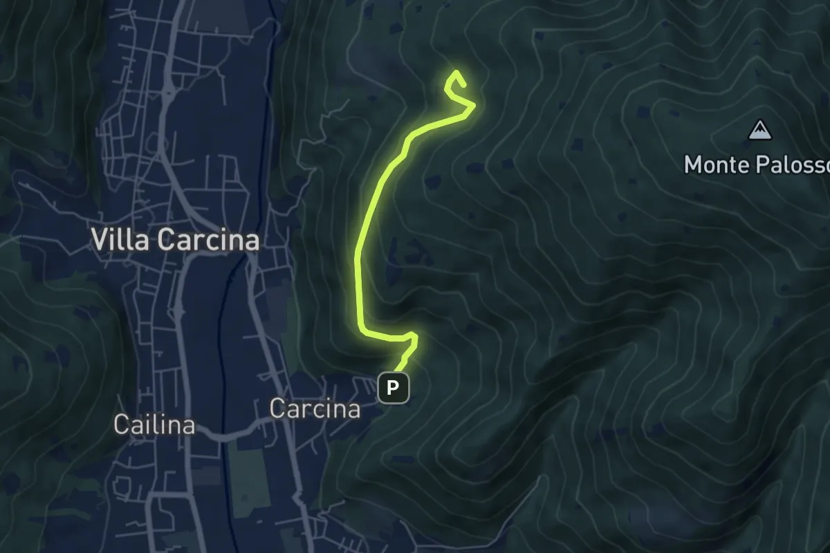
Medium · Summit
Villa Carcina - Sentiero 17
4.5 km · ↑ 395 m · 1 h 56 min · 5 km away
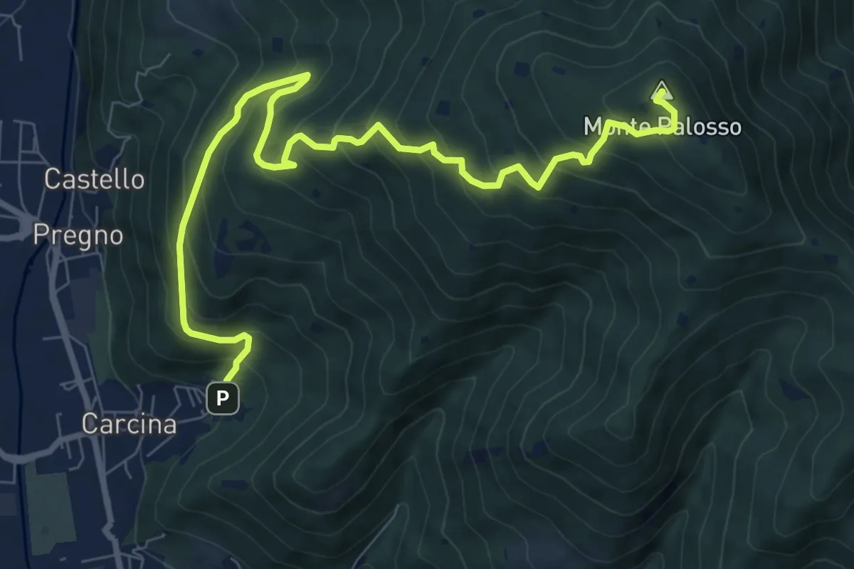
Demanding · Summit
Villa Carcina (Caricatore) – Monte Palosso
9.9 km · ↑ 908 m · 4 h 18 min · 5 km away
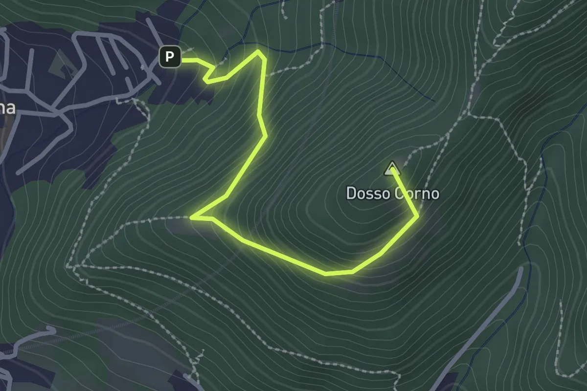
Medium · Summit
Villa Carcina (Caricatore) – Crusal
2.7 km · ↑ 292 m · 1 h 16 min · 5 km away
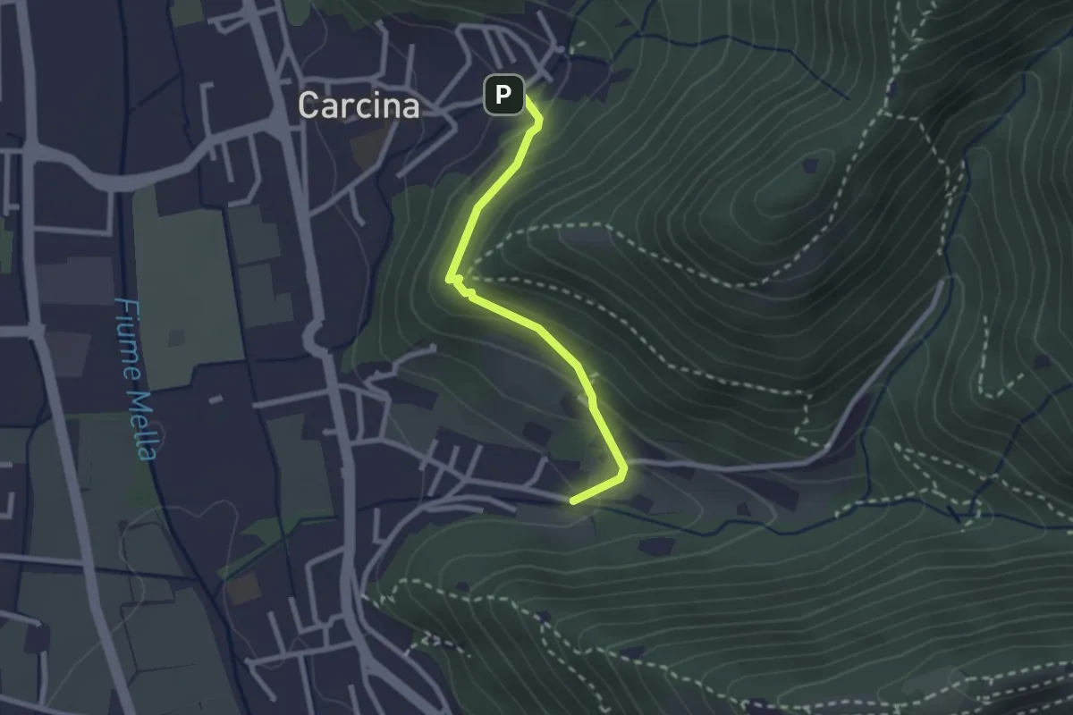
Easy · Trail
Villa Carcina (Carcina) - Costorio
2.2 km · ↑ 126 m · 48 min · 5 km away
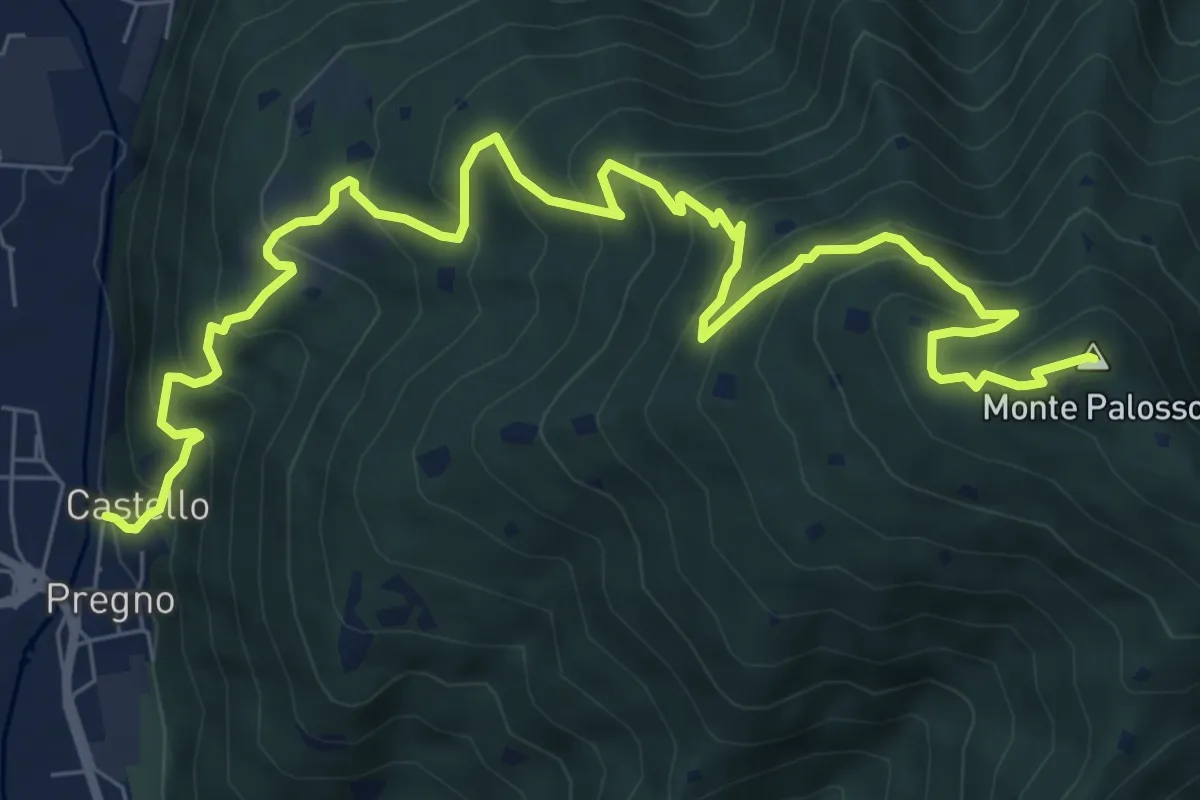
Demanding · Summit
Sentiero n° 2
10.4 km · ↑ 895 m · 4 h 24 min · 5 km away
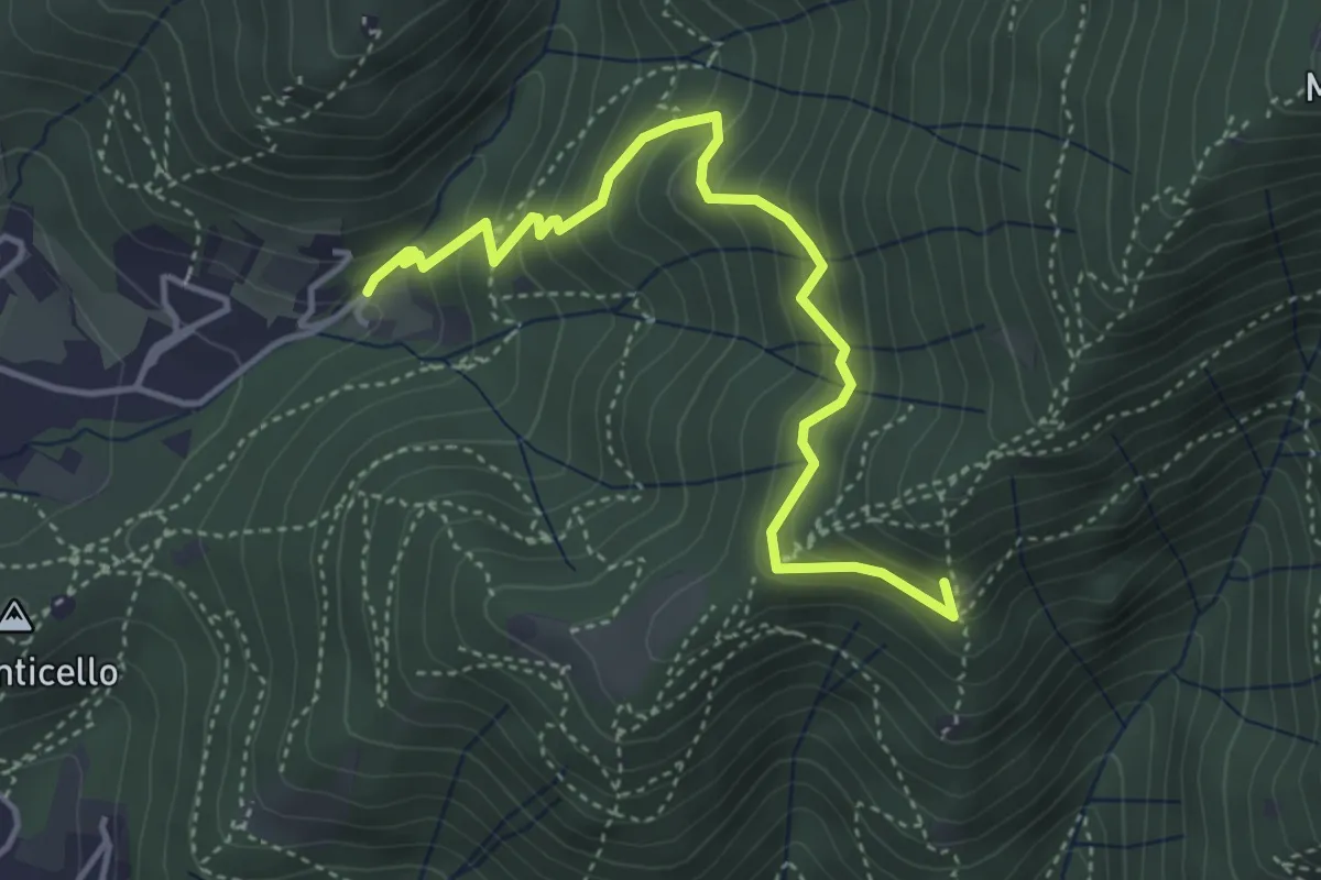
Medium · Summit
Concesio (Roncaglie - Via Sant'Onofrio) – Castagnotta
4.4 km · ↑ 408 m · 1 h 56 min · 5 km away
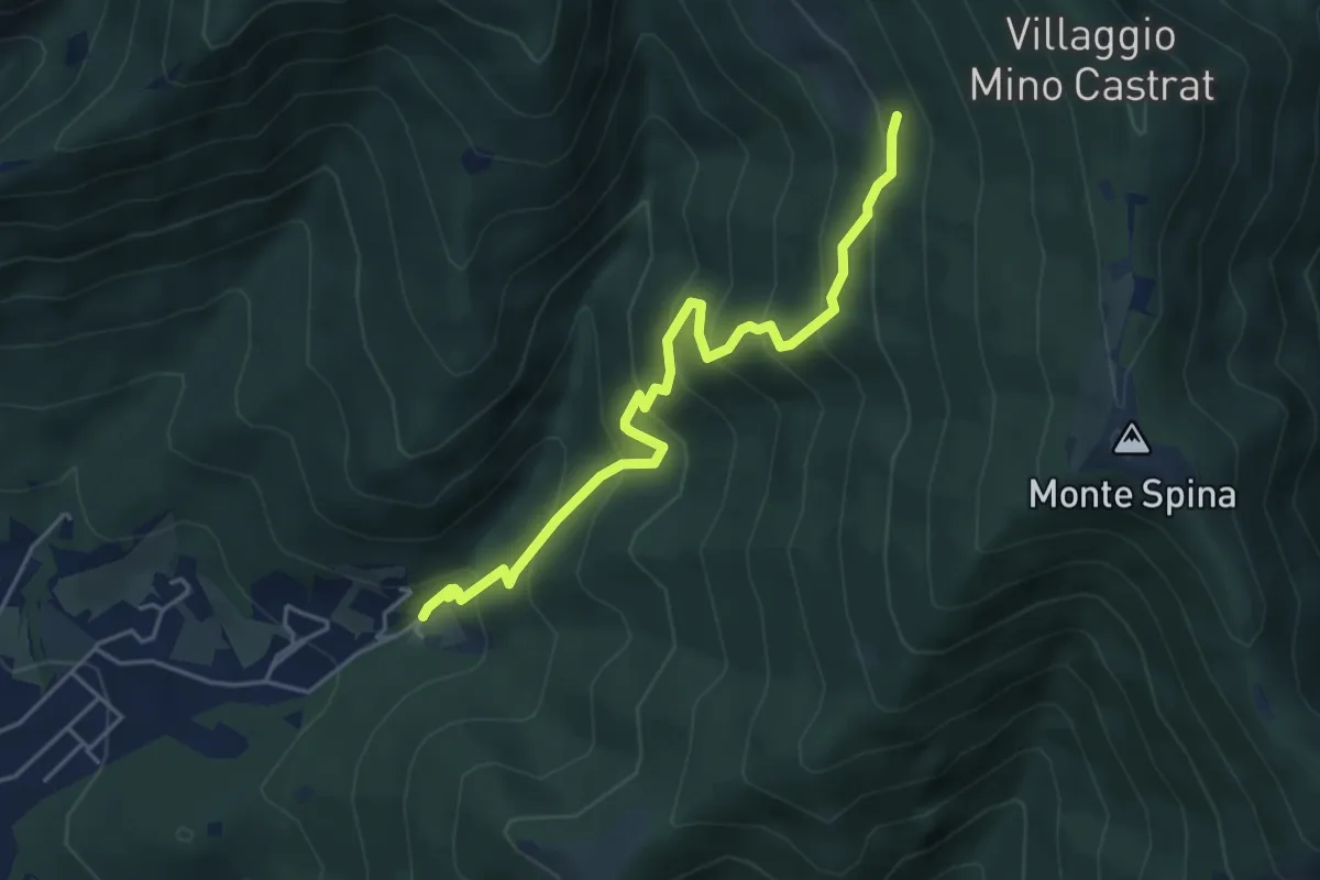
Medium · Trail
Concesio (Roncaglie - Via Sant'Onofrio) – Grassi de le Còle (Innesto Sentiero 390)
4.9 km · ↑ 474 m · 2 h 10 min · 5 km away
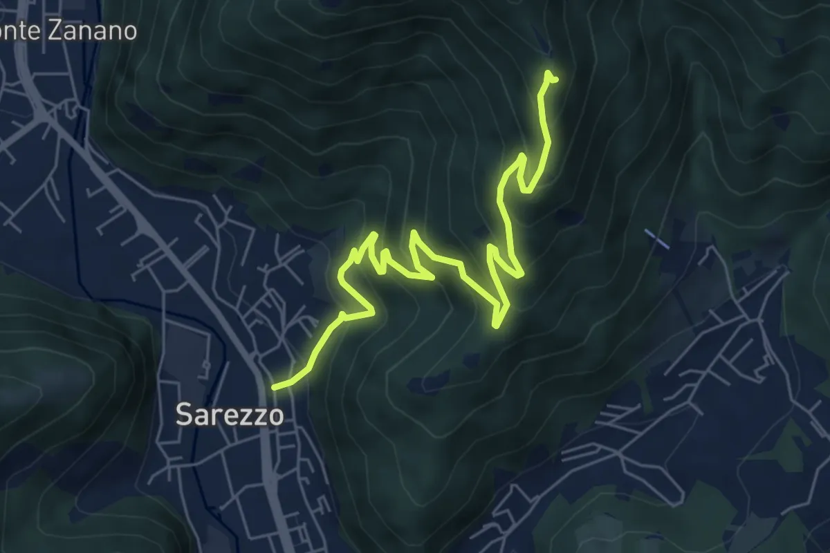
Medium · Trail
Sarezzo (Zanano) - Passata
7.2 km · ↑ 615 m · 3 h 1 min · 5 km away
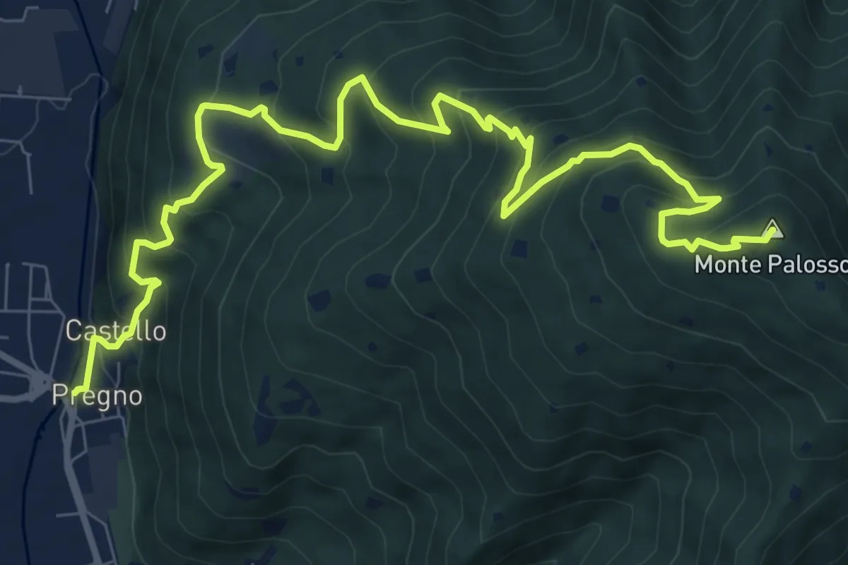
Demanding · Summit
Villa Carcina (Pregno) – Monte Palosso
11.1 km · ↑ 912 m · 4 h 36 min · 5 km away
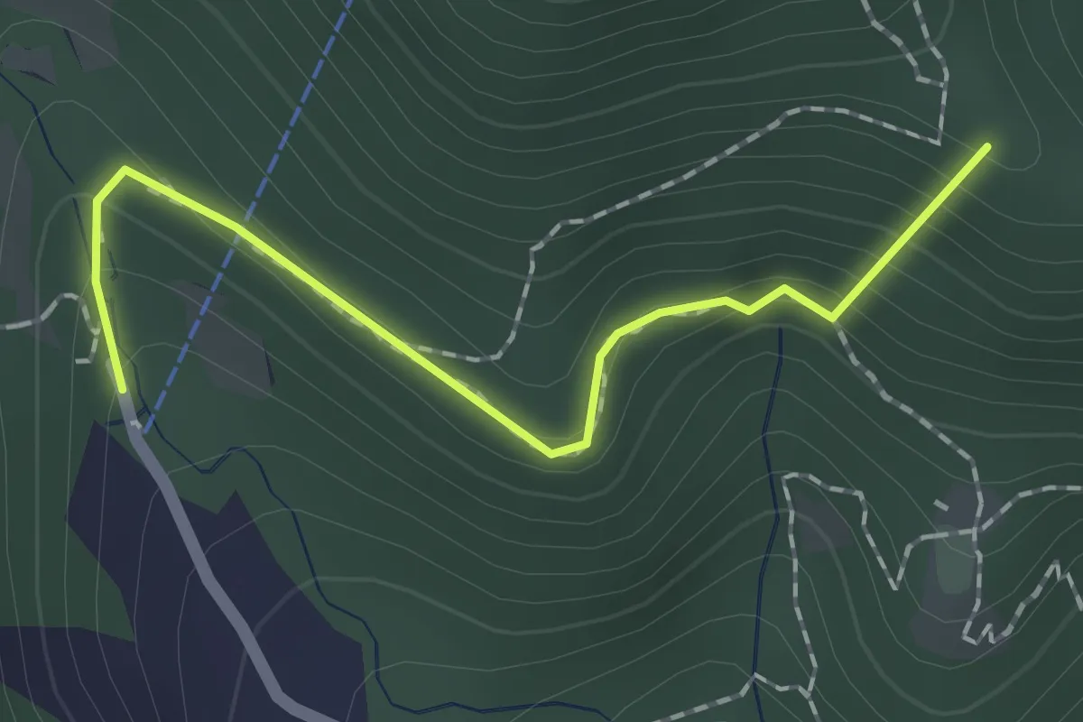
Easy · Summit
Sentiero dei Papi
1.7 km · ↑ 130 m · 42 min · 5 km away
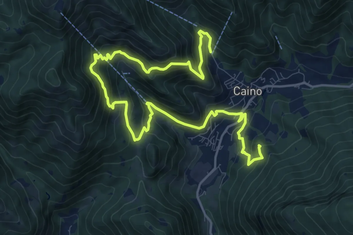
Demanding · Summit
Caino (Pian delle Castagne) – Val Bertone
15.5 km · ↑ 1050 m · 5 h 56 min · 5 km away
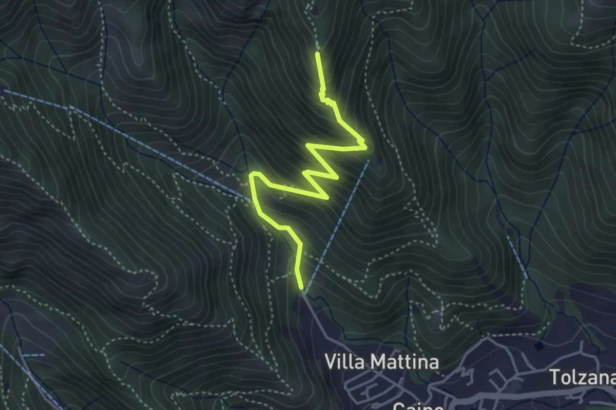
Medium · Summit
Caino (Pian delle Castagne) – Monte Doppo (Innesto Sentiero 381)
4.1 km · ↑ 407 m · 1 h 50 min · 5 km away
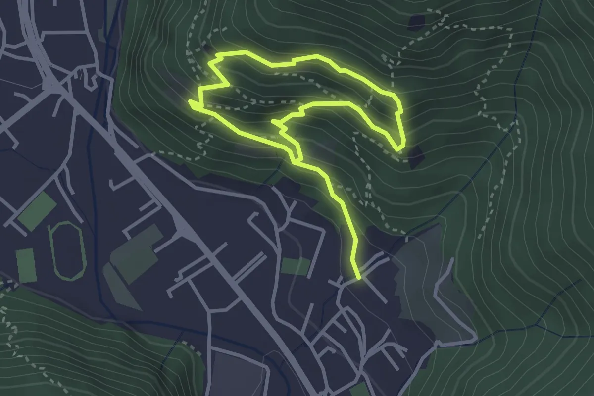
Medium · Trail
Sarezzo (Irle) - Stalla delle Secade - Sarezzo (Irle)
2.3 km · ↑ 269 m · 1 h 9 min · 5 km away
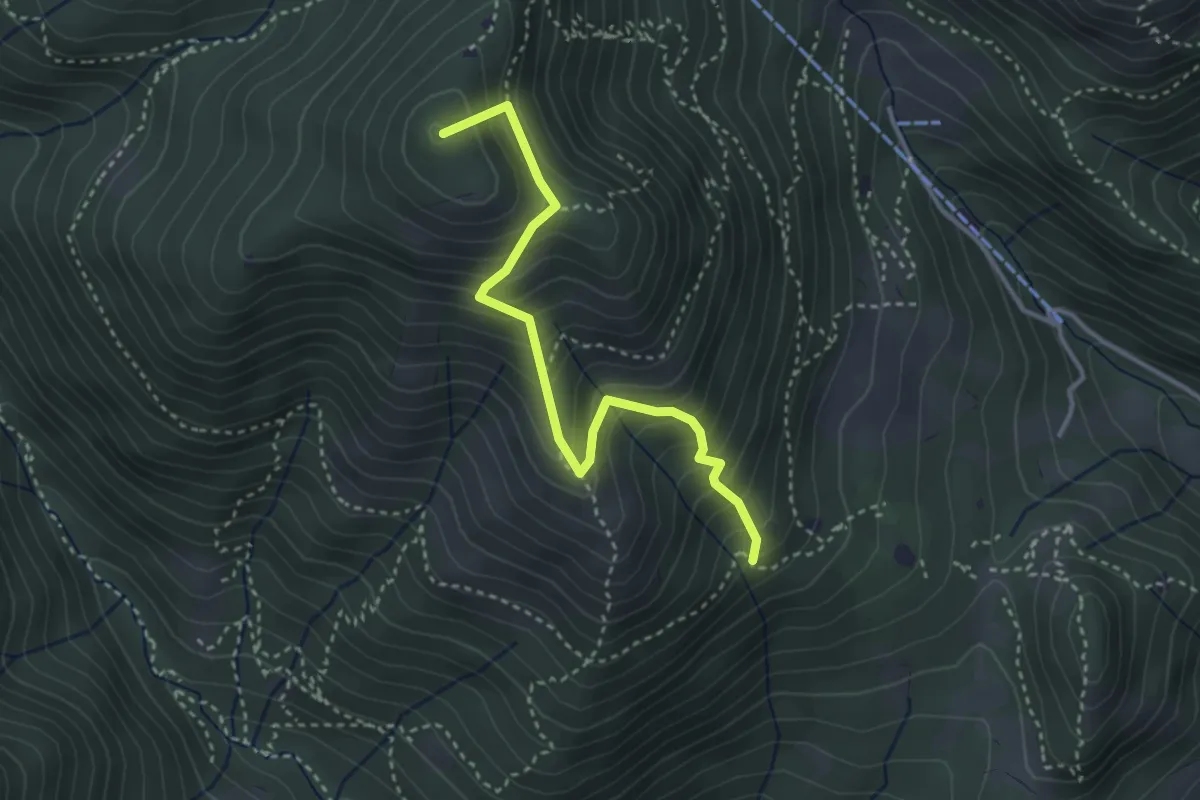
Medium · Summit
Sentiero Nunzio Tocchini
3.4 km · ↑ 371 m · 1 h 36 min · 5 km away
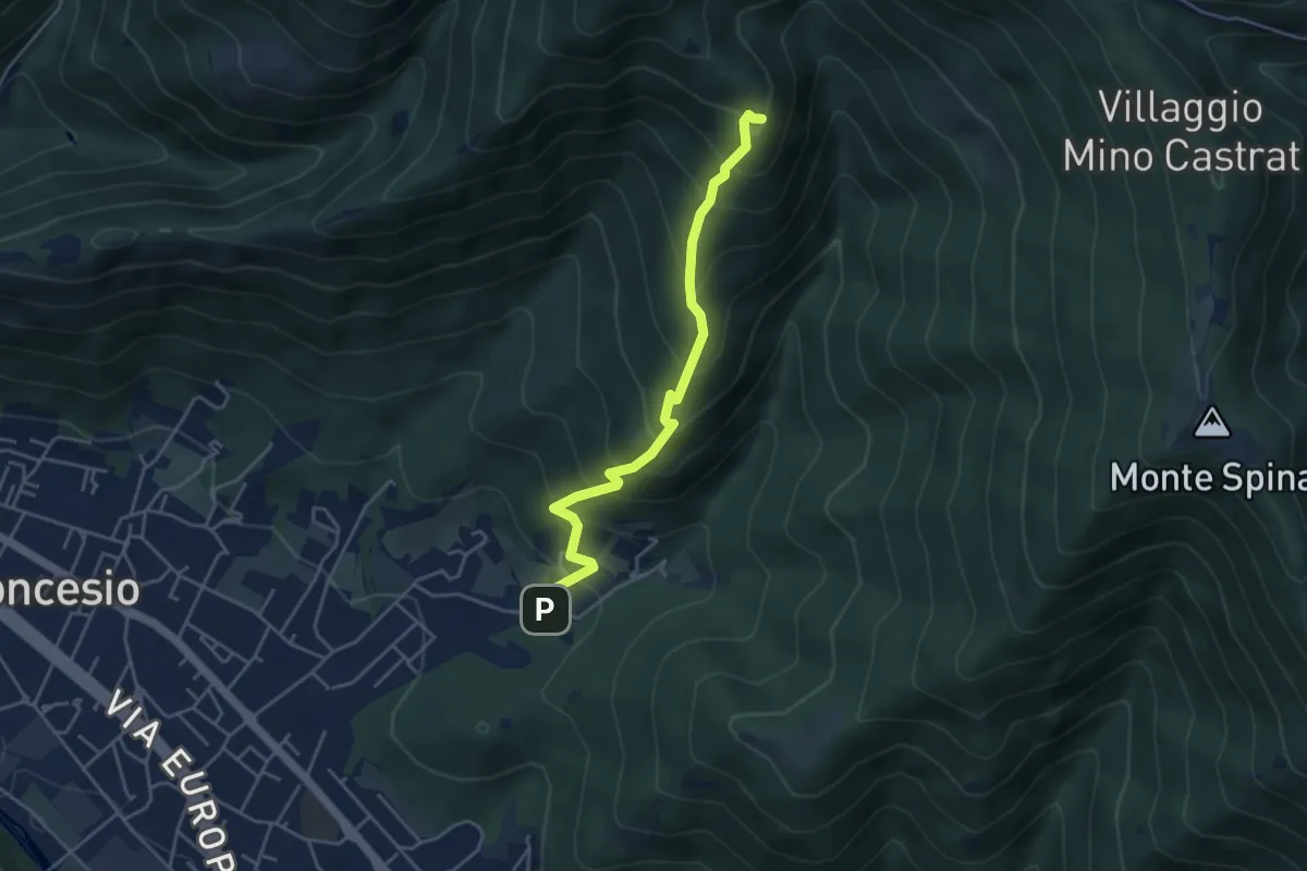
Medium · Summit
Concesio (Roncaglie) – Monte Palosso (Innesto Sentiero 377)
4.3 km · ↑ 481 m · 2 h 3 min · 5 km away
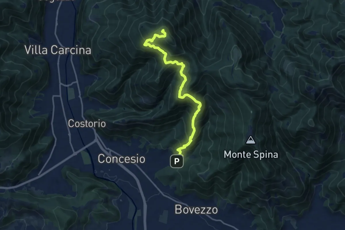
Demanding · Summit
Concesio (Roncaglie) - Monte Palosso
12.8 km · ↑ 1042 m · 5 h 17 min · 5 km away
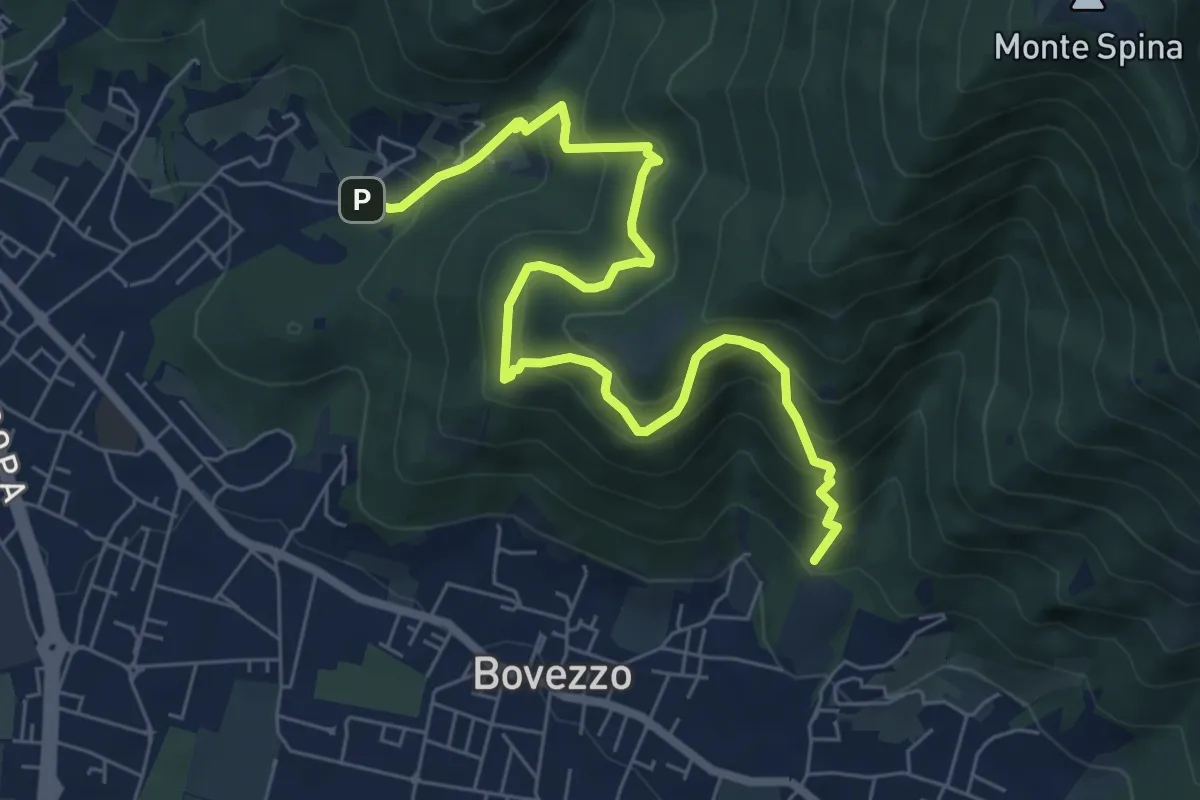
Medium · Trail
Concesio (Roncaglie - Via Sant'Onofrio) – Valle Prignole (Fontanino - Innesto Sentiero 351)
7.9 km · ↑ 704 m · 3 h 24 min · 5 km away
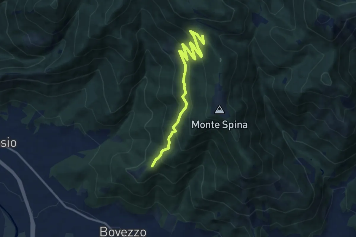
Medium · Trail
Bovezzo (Santella delle Pentere) – Strada del Sant'Onofrio
8.5 km · ↑ 469 m · 3 h 1 min · 5 km away
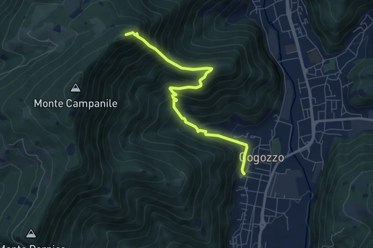
Demanding · Summit
Villa Carcina – Pizzo Cornacchia
6.7 km · ↑ 672 m · 3 h 2 min · 5 km away
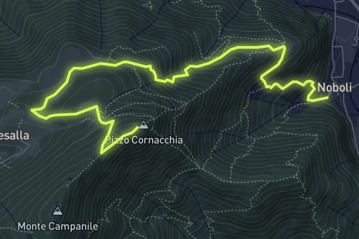
Medium · Summit
Sarezzo (Noboli) - Pizzo Cornacchia
9.1 km · ↑ 682 m · 3 h 37 min · 5 km away
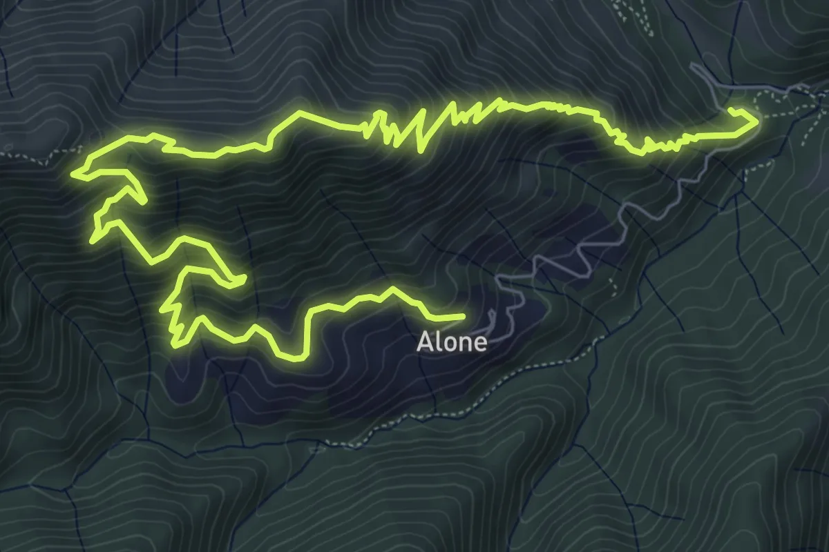
Medium · Trail
Sapei - Santa Caterina - Fo del Gal - San Rocco
6.4 km · ↑ 705 m · 3 h 4 min · 6 km away
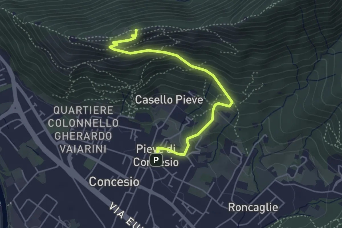
Medium · Cabin
Concesio (Pieve) – Monte Verdura
4.4 km · ↑ 333 m · 1 h 46 min · 6 km away
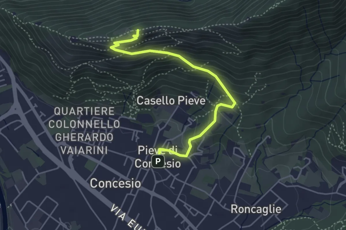
Medium · Cabin
Concesio (Pieve) - Monte Verdura
4.4 km · ↑ 333 m · 1 h 46 min · 6 km away
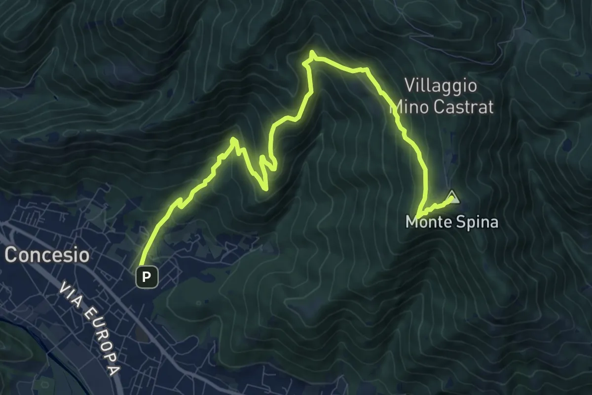
Demanding · Summit
Concesio (Roncaglie - Via Cadizzone) – Sant'Onofrio
13.1 km · ↑ 861 m · 4 h 57 min · 6 km away
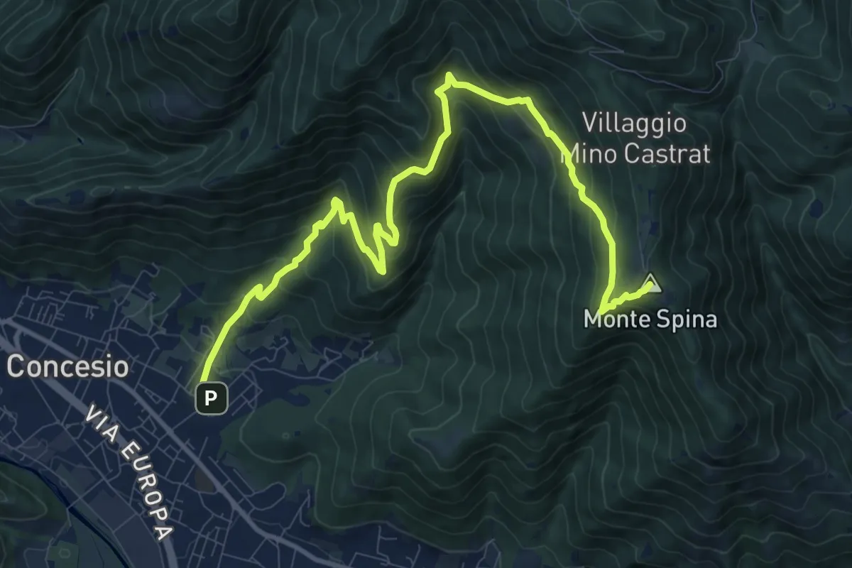
Demanding · Summit
Concesio (Roncaglie) - Sant'Onofrio
13.1 km · ↑ 861 m · 4 h 57 min · 6 km away
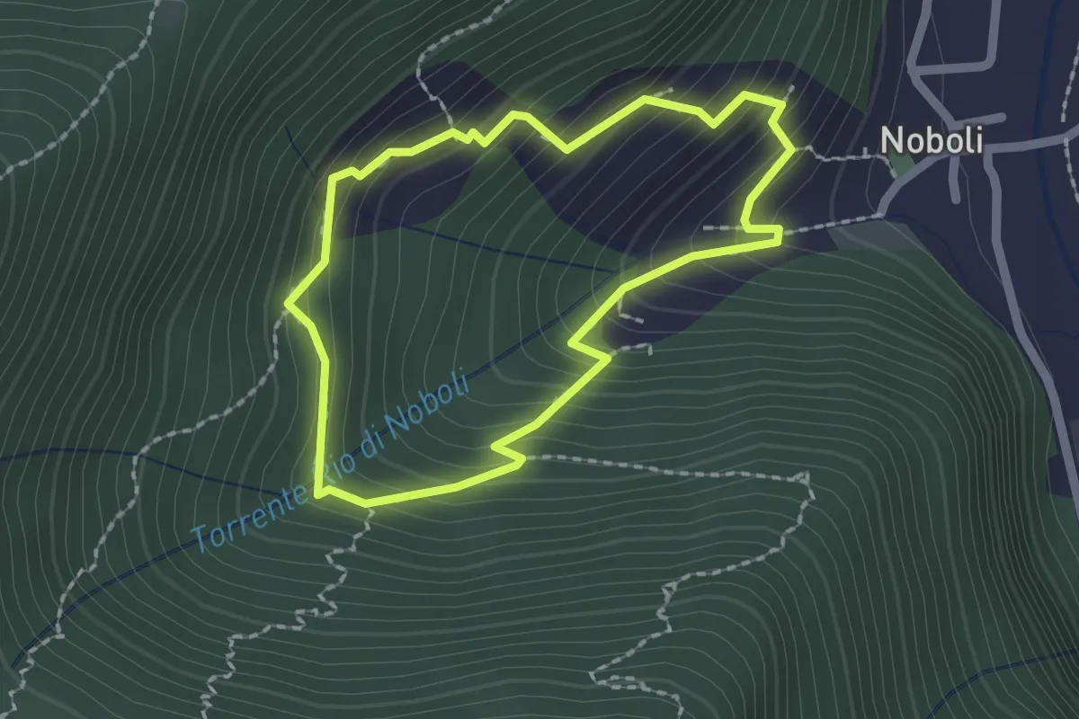
Medium · Trail
La Via dei marù
1.8 km · ↑ 182 m · 50 min · 6 km away
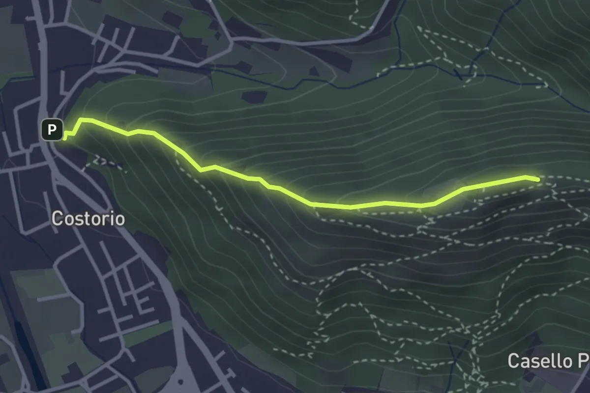
Medium · Summit
Concesio (Costorio) - Grassi Carpini
3.0 km · ↑ 329 m · 1 h 25 min · 6 km away
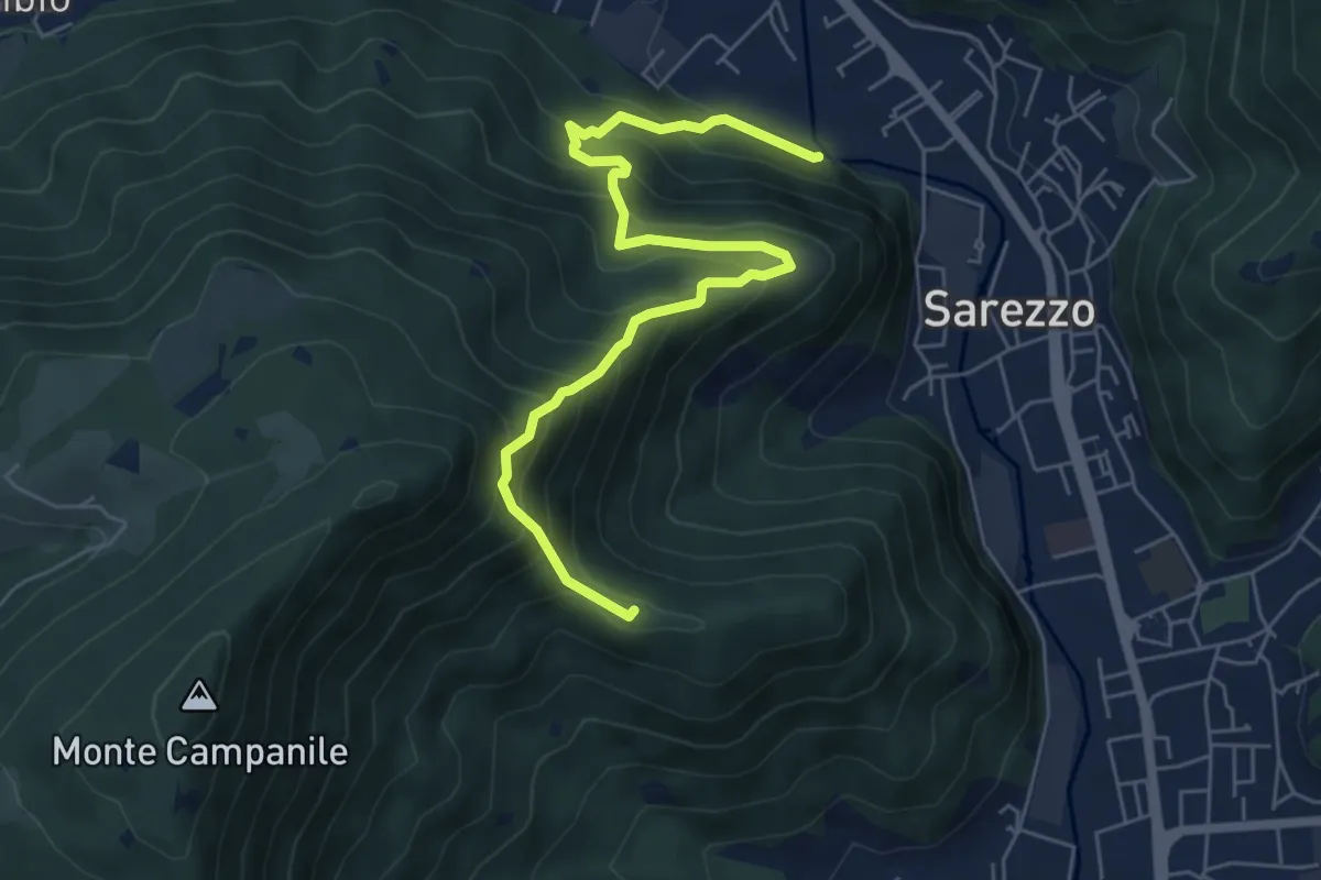
Medium · Summit
Sarezzo (Noboli) - Gelè
6.7 km · ↑ 703 m · 3 h 7 min · 6 km away
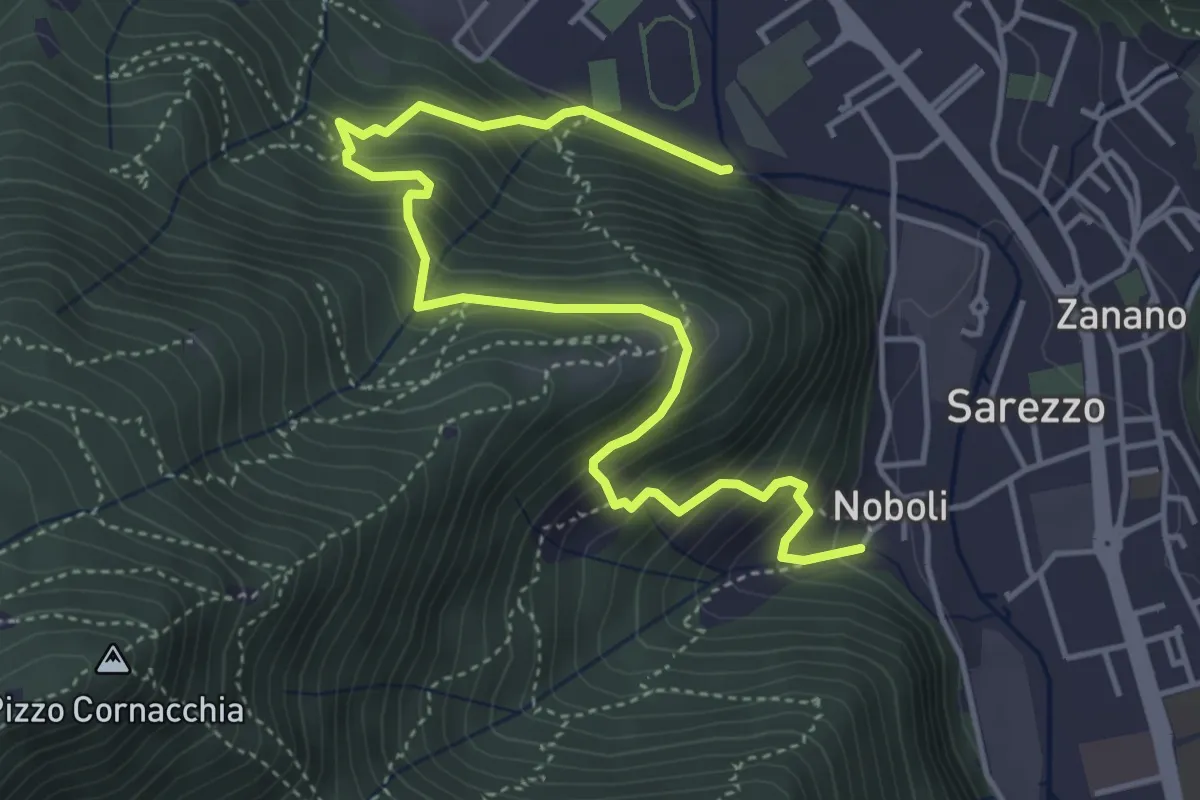
Medium · Trail
Sentiero 3 BIS - Variante C
5.6 km · ↑ 517 m · 2 h 26 min · 6 km away
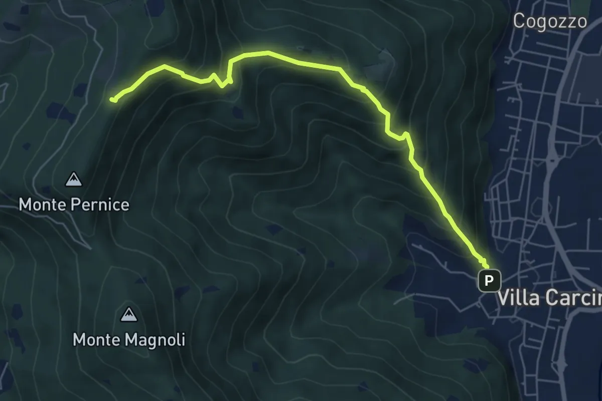
Medium · Trail
Sentiero Domenico Cancarini e Antonio Giubileo
6.1 km · ↑ 617 m · 2 h 46 min · 6 km away
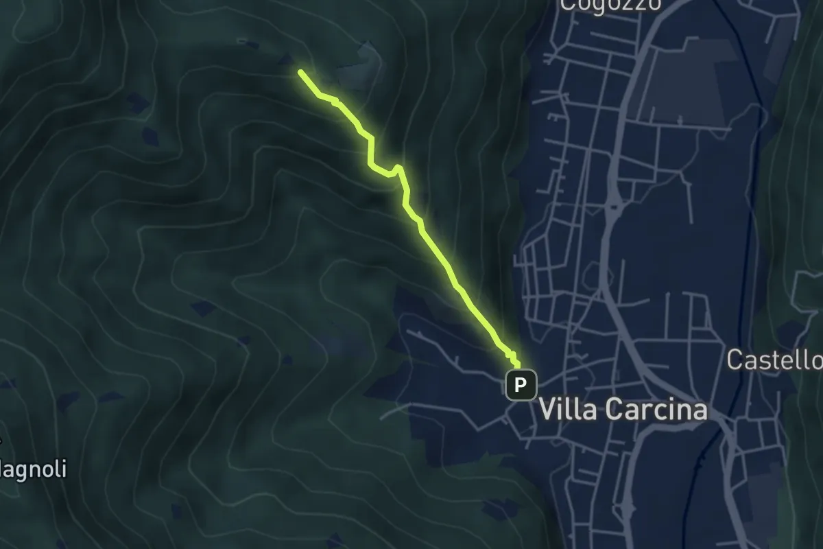
Medium · Trail
Villa Carcina - Campo Lupo
3.1 km · ↑ 389 m · 1 h 34 min · 6 km away
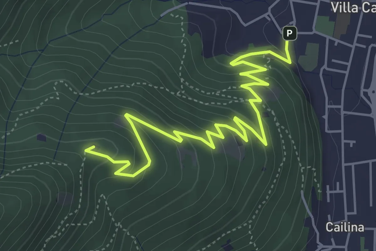
Medium · Summit
Villa Carcina – Sella dell'Oca
6.1 km · ↑ 364 m · 2 h 14 min · 6 km away
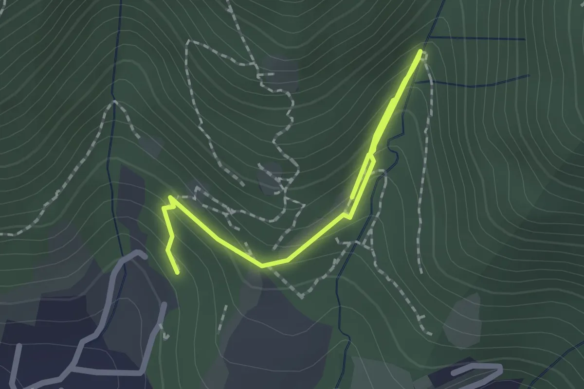
Medium · Trail
Percorso botanico
2.7 km · ↑ 231 m · 1 h 9 min · 6 km away
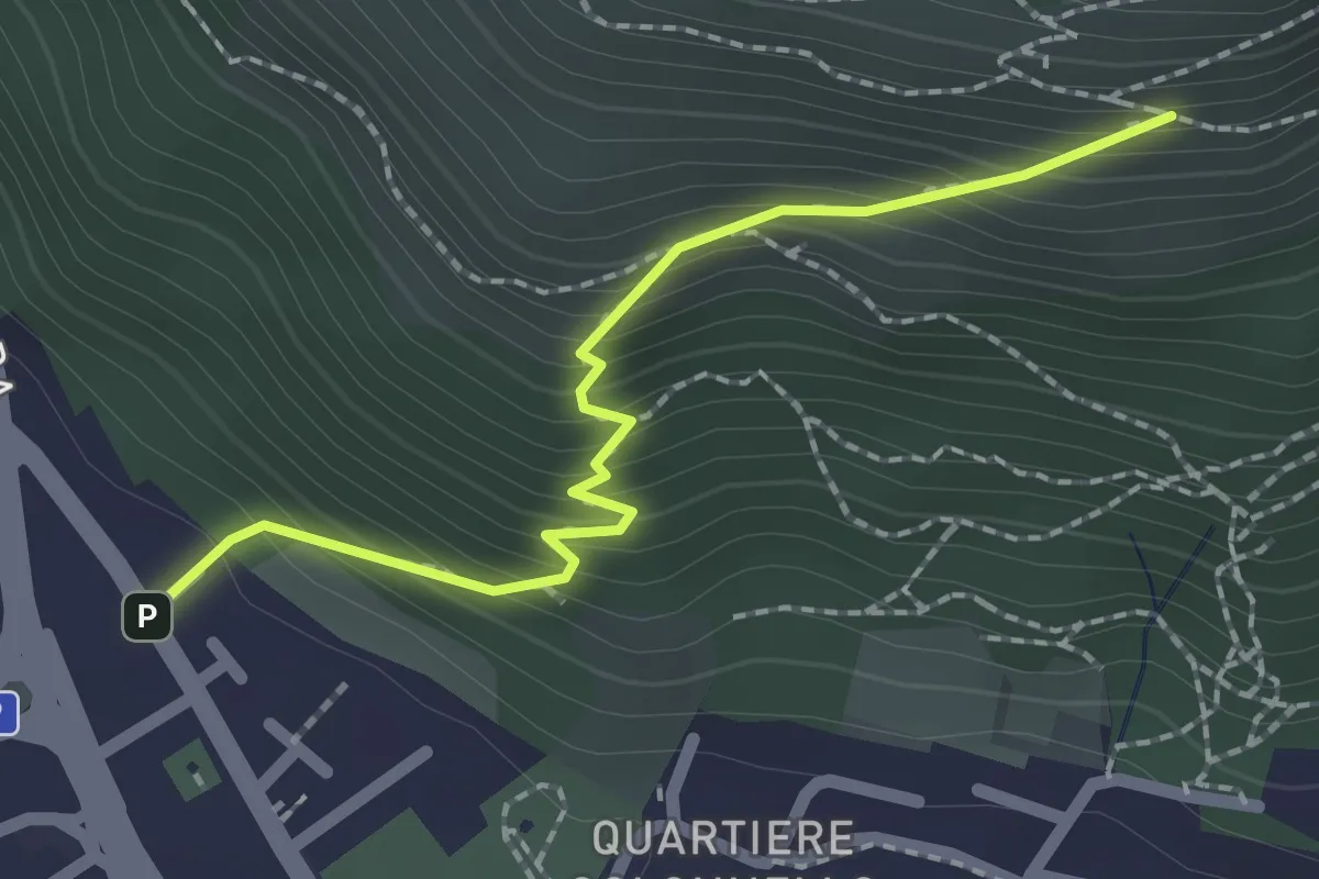
Medium · Cabin
Concesio (Vicolo Verdura) - Monte Verdura (Innesto Sentiero da Pieve)
2.1 km · ↑ 271 m · 1 h 5 min · 6 km away
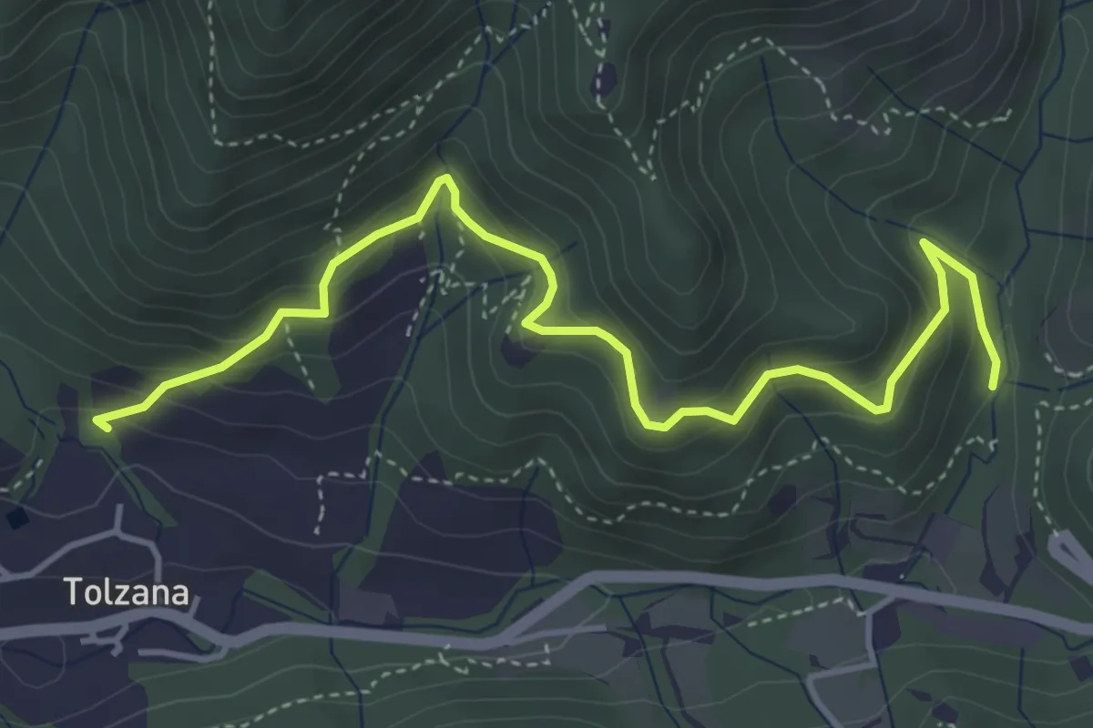
Medium · Trail
Caino (San Cap) – Val Bertone
4.9 km · ↑ 452 m · 2 h 9 min · 6 km away
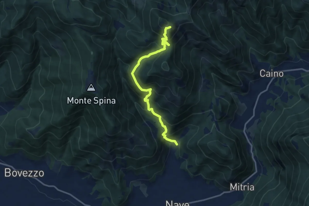
Demanding · Summit
Nave (Piezze) - Santuario di Conche
9.1 km · ↑ 901 m · 4 h 6 min · 6 km away
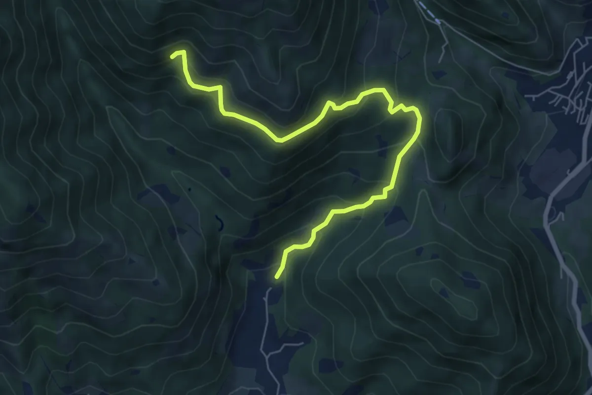
Medium · Trail
Nave (Piezze) - Sant'Antonio - Innesto Sentiero 354
6.7 km · ↑ 527 m · 2 h 44 min · 6 km away
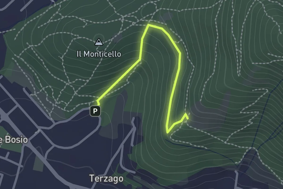
Medium · Trail
Sentiero del Marrone (Variante Concesio)
2.2 km · ↑ 137 m · 49 min · 6 km away
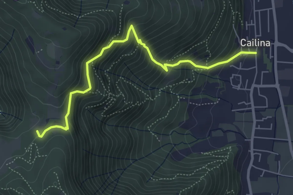
Medium · Trail
Villa Carcina (Cailina) – Quarone
5.8 km · ↑ 607 m · 2 h 42 min · 6 km away
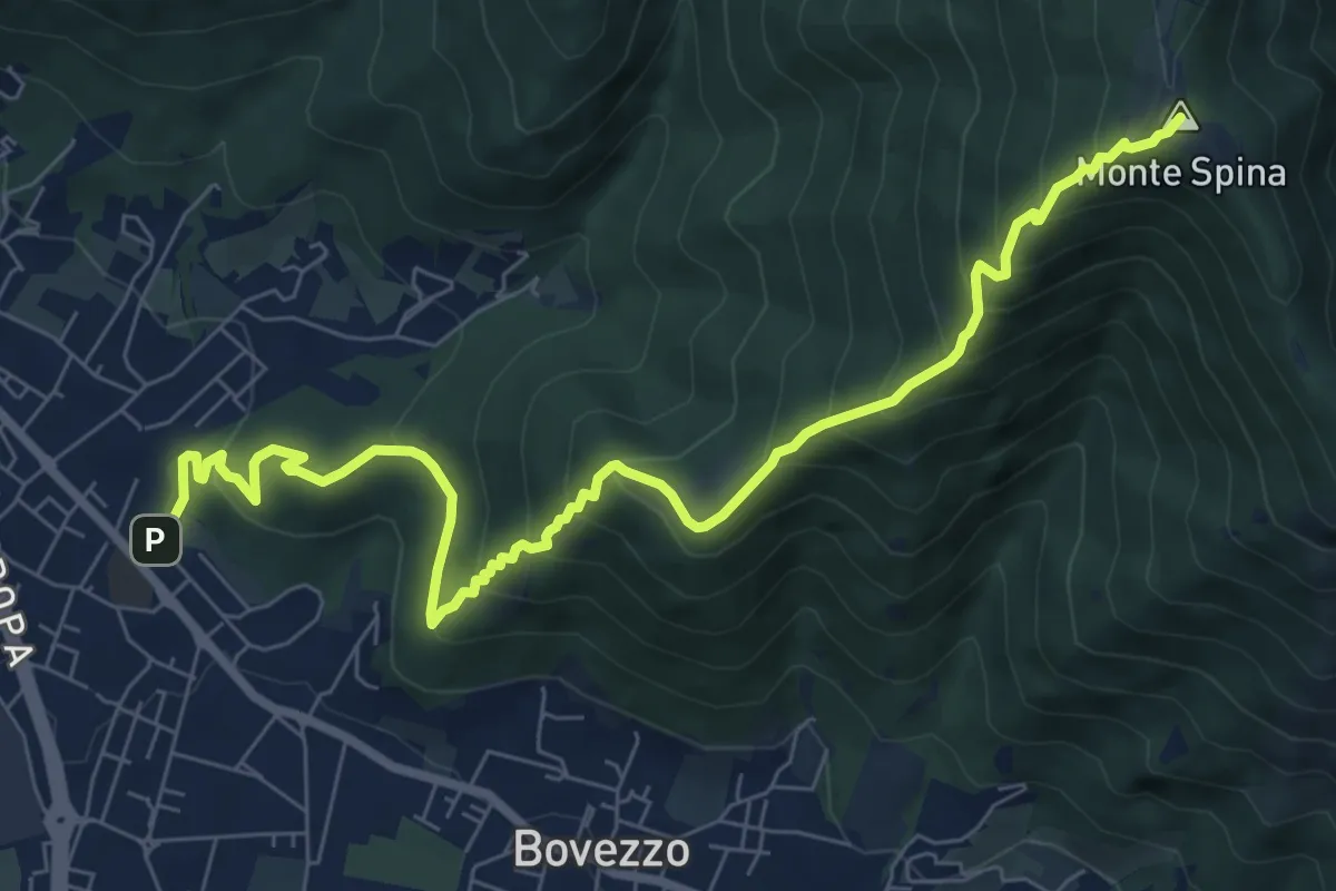
Medium · Summit
Concesio (Sant'Andrea) - Sant'Onofrio
9.4 km · ↑ 736 m · 3 h 48 min · 6 km away
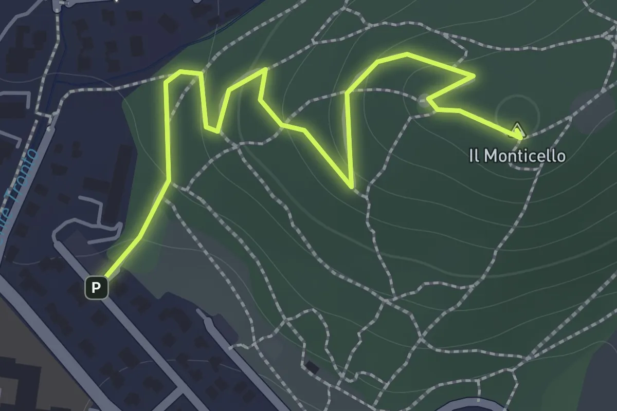
Easy · Summit
Concesio (Monticello) - Sentiero 1
2.0 km · ↑ 76 m · 38 min · 6 km away