Trails near Lumezzane
321 hikes starting within 15 km, nearest first.
Nearest first, page 5 of 7
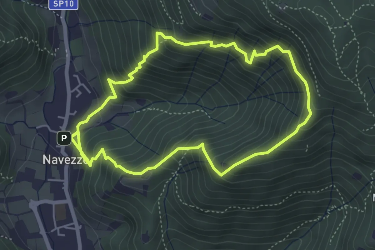
Medium · Trail
Sentiero della Valle di Faidolo
4.3 km · ↑ 452 m · 2 h 2 min · 10 km away
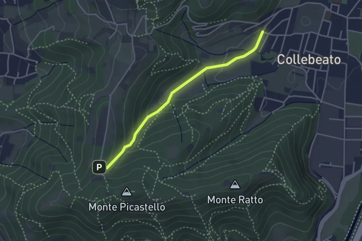
Medium · Trail
Collebeato (Angolo di Sopra) – Campiani (Il Merlo)
3.1 km · ↑ 131 m · 1 h 1 min · 10 km away
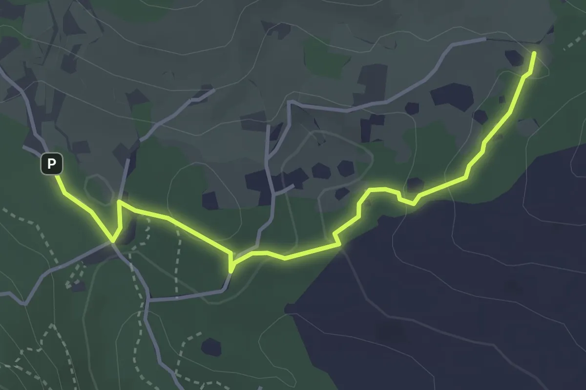
Easy · Trail
Sentiero del Büs del Lat
3.9 km · ↑ 74 m · 1 h 4 min · 10 km away
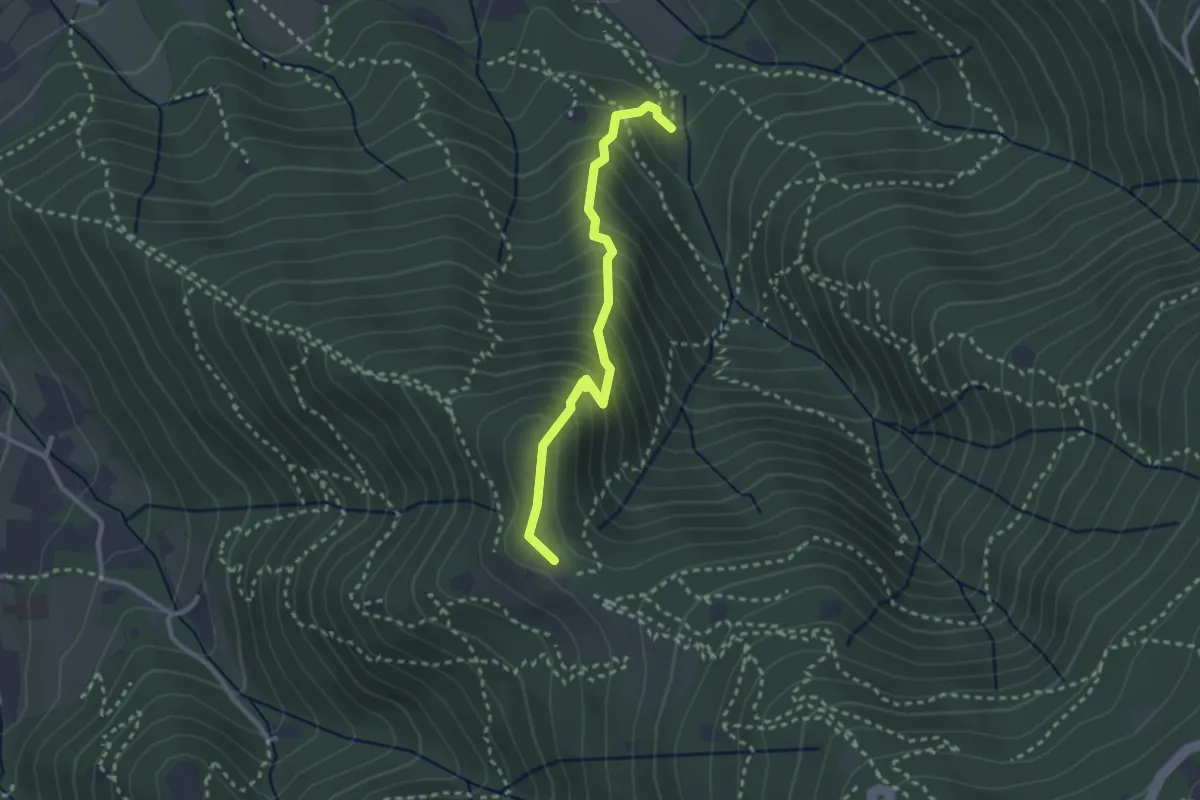
Medium · Trail
Sentiero dei Gnari
2.7 km · ↑ 330 m · 1 h 21 min · 10 km away
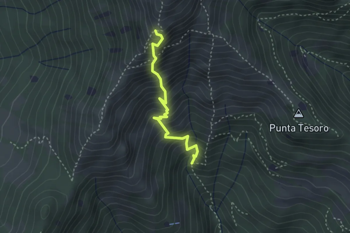
Expert · Trail
Diretta Corna Büsa - Punta Almana (Innesto Sentiero 3V)
2.7 km · ↑ 554 m · 1 h 50 min · 10 km away
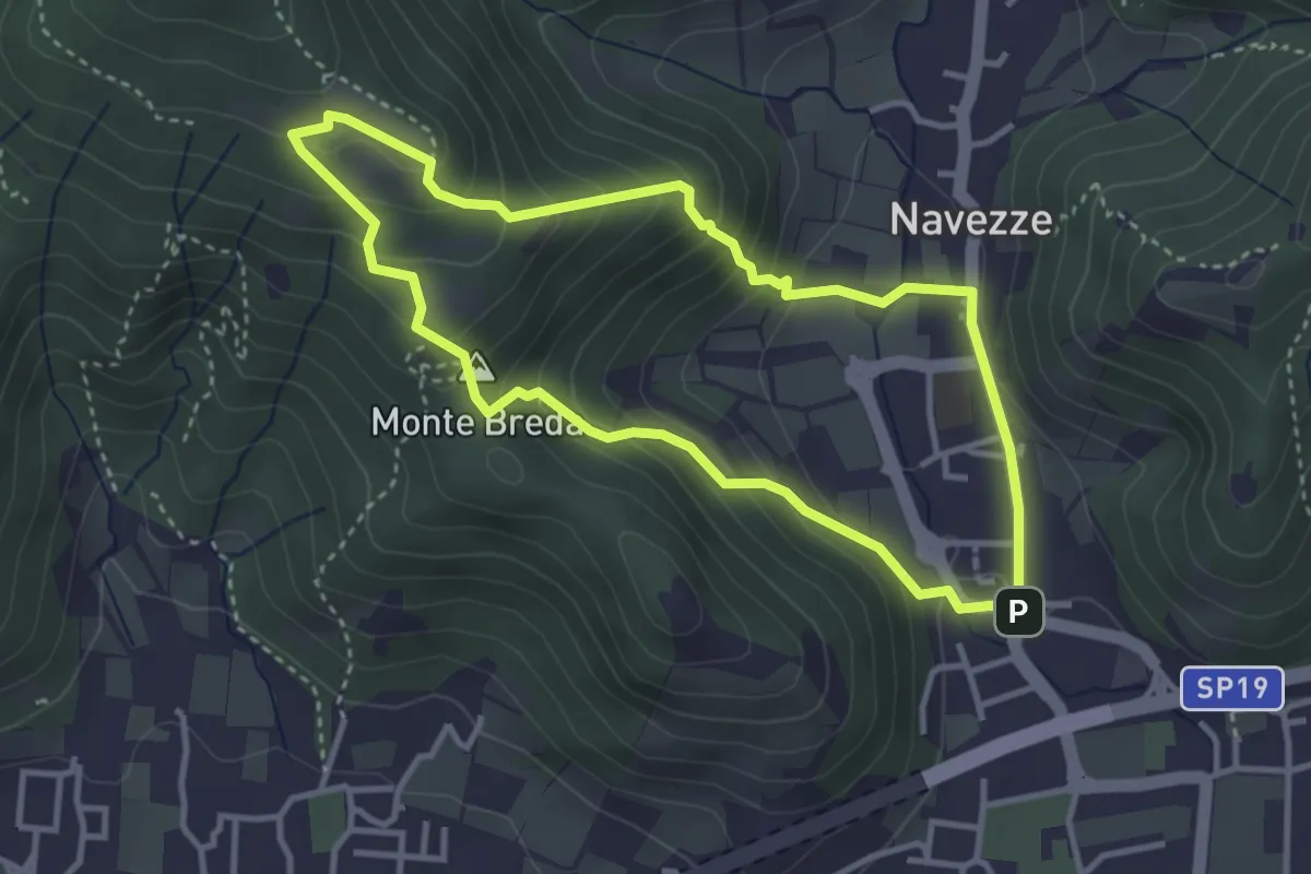
Medium · Summit
Le due Tese - Batoccolo
3.4 km · ↑ 256 m · 1 h 24 min · 10 km away
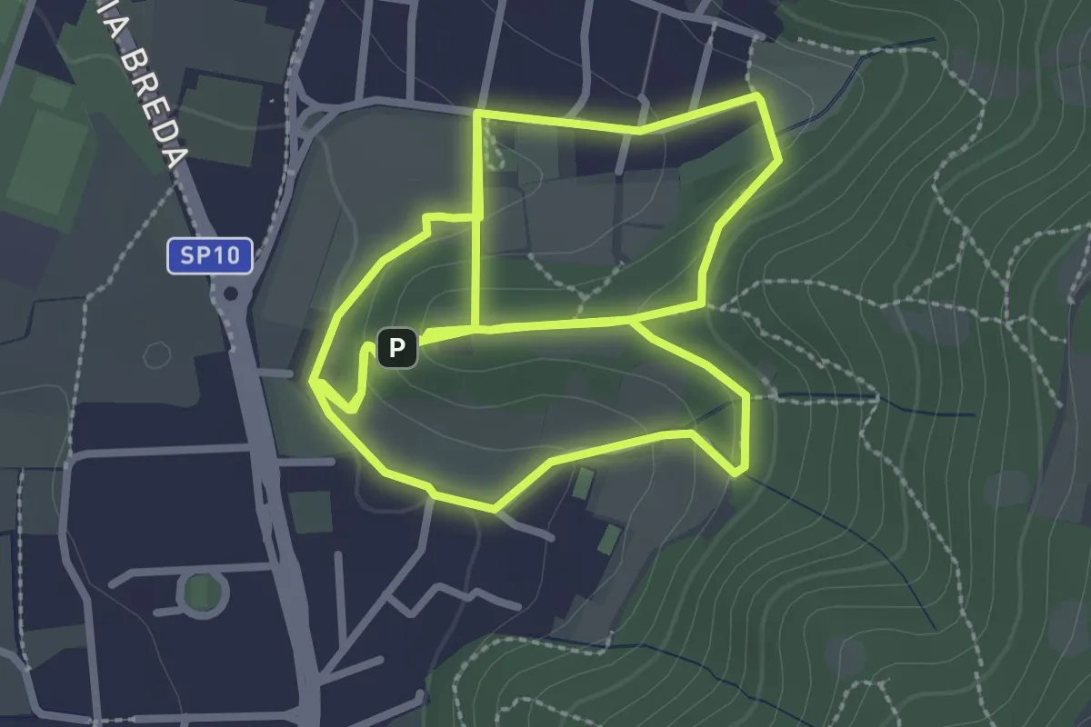
Easy · Trail
Percorso del Colle San Rocco
3.3 km · ↑ 89 m · 1 h 1 min · 10 km away
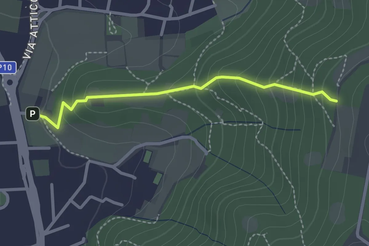
Medium · Trail
Cellatica (Via San Rocco) – Campiani (Innesto Sentiero 219)
2.1 km · ↑ 157 m · 50 min · 10 km away
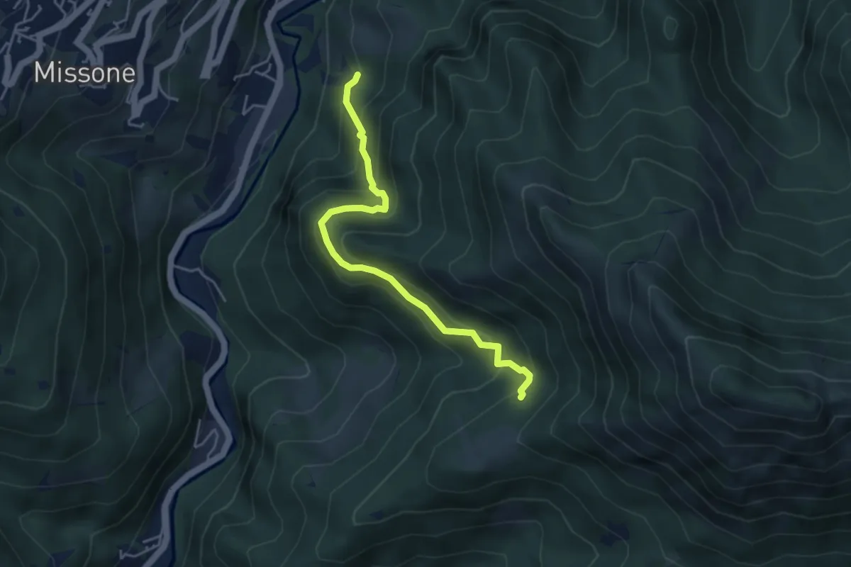
Medium · Trail
Antica Strada della Viola Alta
4.2 km · ↑ 367 m · 1 h 47 min · 10 km away
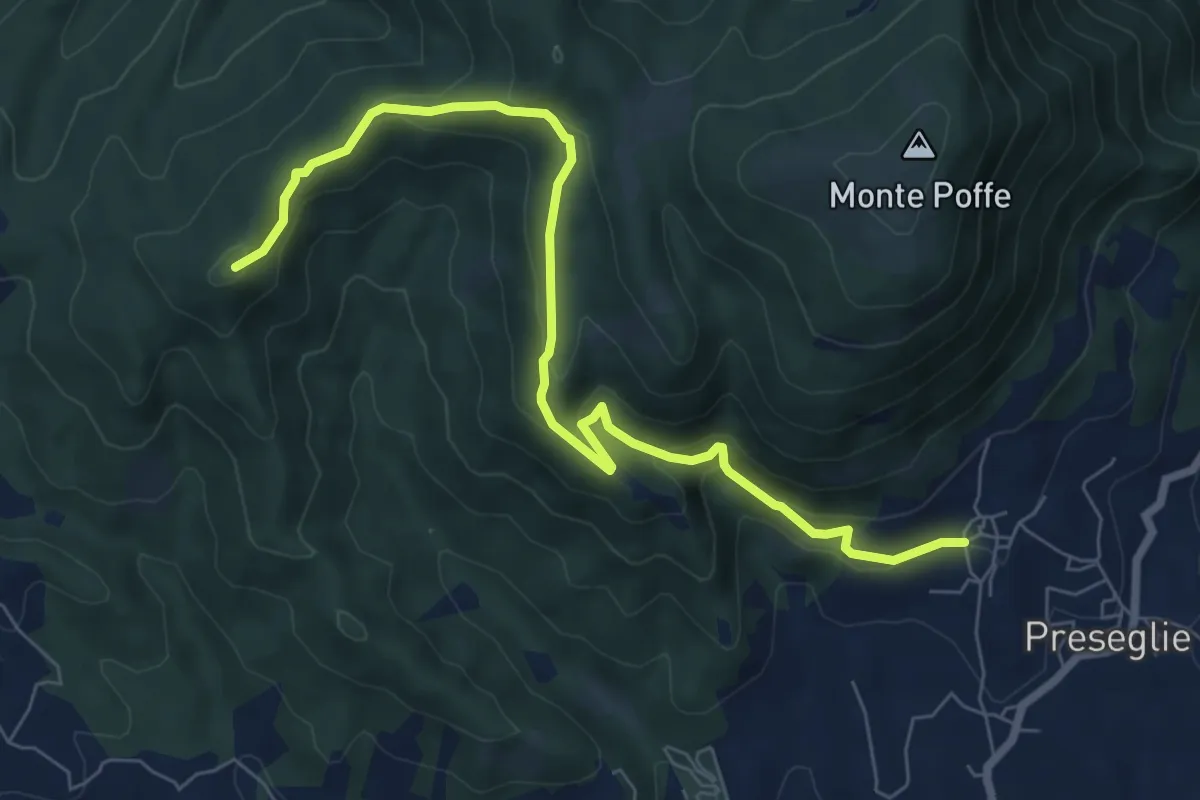
Medium · Summit
Loc. Galaello - Gazzane – Loc. Piazza - Preseglie
8.2 km · ↑ 443 m · 2 h 54 min · 10 km away
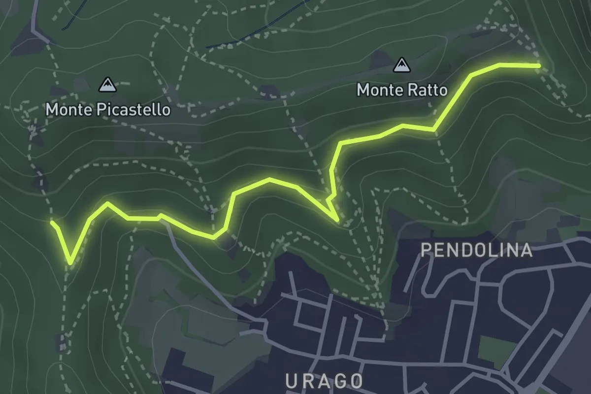
Easy · Trail
Brescia (Valle Bresciana - Innesto Sentiero 218) – Dosso degli Olmi (Innesdto sentiero n. 217)
3.6 km · ↑ 205 m · 1 h 18 min · 10 km away
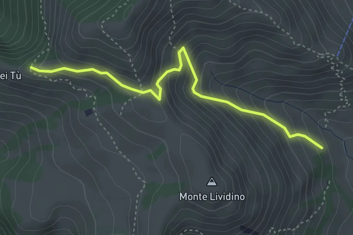
Medium · Trail
Marcheno (Piani di Caregno - Chiesetta degli Alpini) – Corni dei Tù (Bivio Sentiero 317)
3.5 km · ↑ 357 m · 1 h 37 min · 10 km away
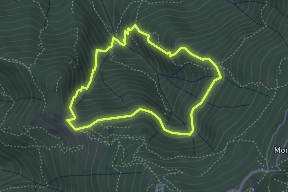
Medium · Cabin
Anello dei Brüsàcc
3.5 km · ↑ 335 m · 1 h 36 min · 10 km away
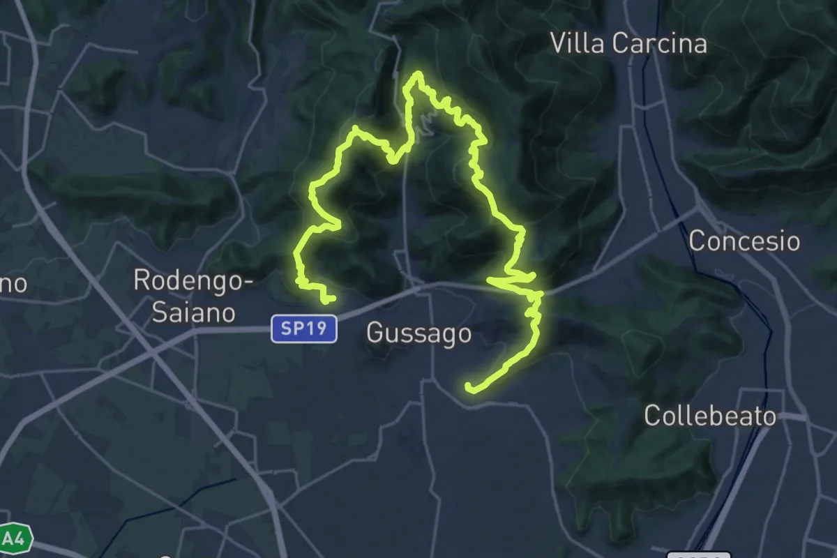
Demanding · Summit
Giro delle Colline
16.7 km · ↑ 1170 m · 6 h 43 min · 10 km away
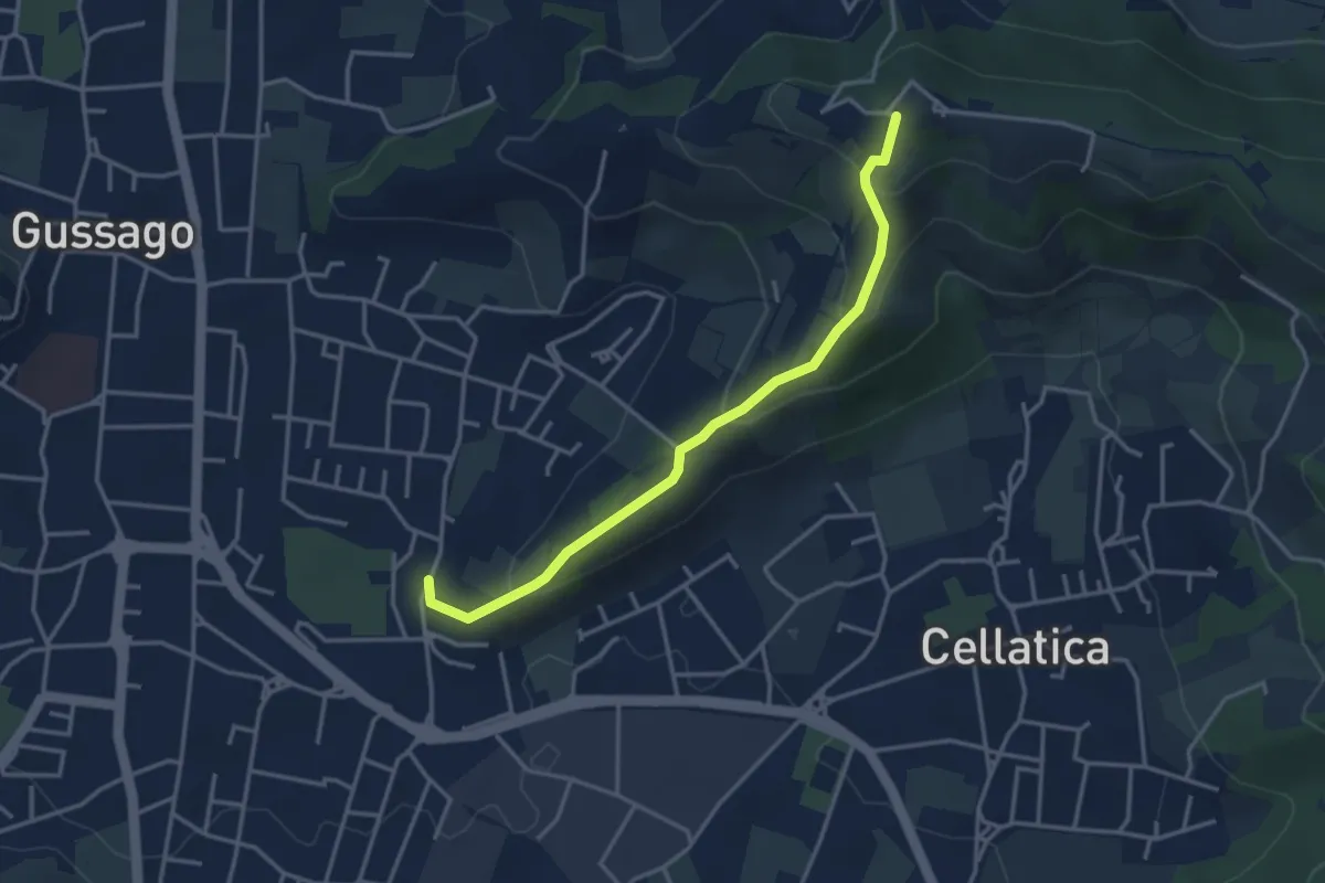
Easy · Trail
Cellatica (Casaglio) – Santuario della Stella
3.6 km · ↑ 213 m · 1 h 19 min · 10 km away
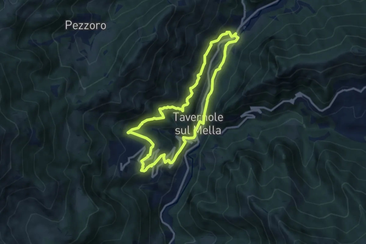
Medium · Trail
Sentiero 2 (La Pergua)
7.4 km · ↑ 437 m · 2 h 47 min · 11 km away
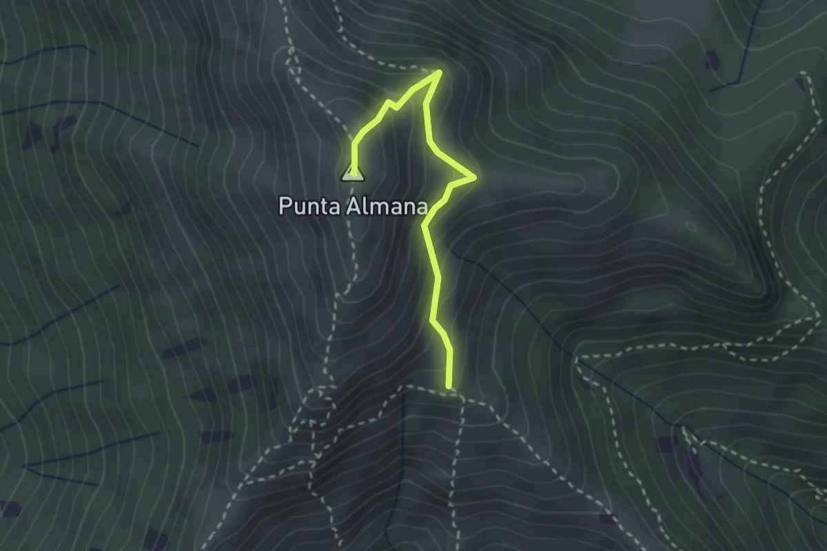
Medium · Summit
Gardone Val Trompia (Bivio Sentiero 313) – Punta Almana
2.4 km · ↑ 309 m · 1 h 14 min · 11 km away
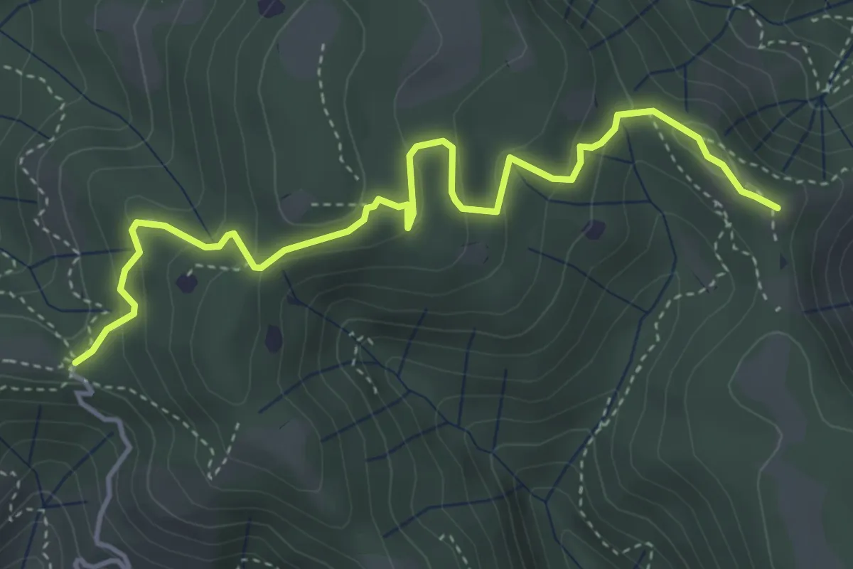
Easy · Summit
Vallio Terme (Barcolo) - Gavardo (Osteria Monte Magno)
4.7 km · ↑ 206 m · 1 h 33 min · 11 km away
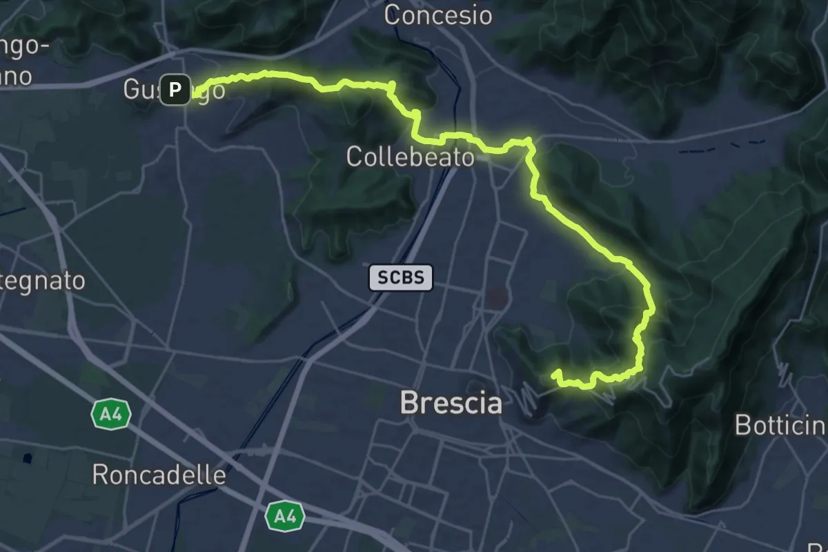
Medium · Summit
La Via delle Sorelle - Tappa 1
16.8 km · ↑ 713 m · 5 h 37 min · 11 km away
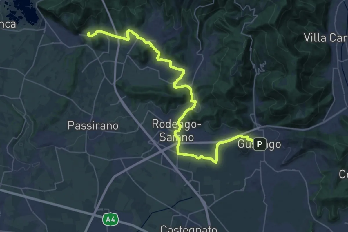
Medium · Summit
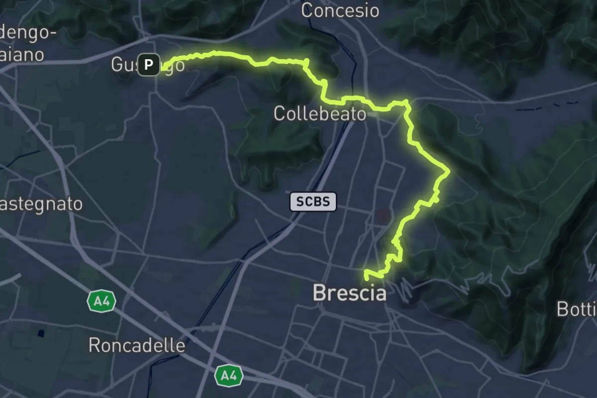
La Via delle Sorelle - Tappa 2 variante bassa
15.3 km · ↑ 256 m · 4 h 19 min · 11 km away
Medium · Summit
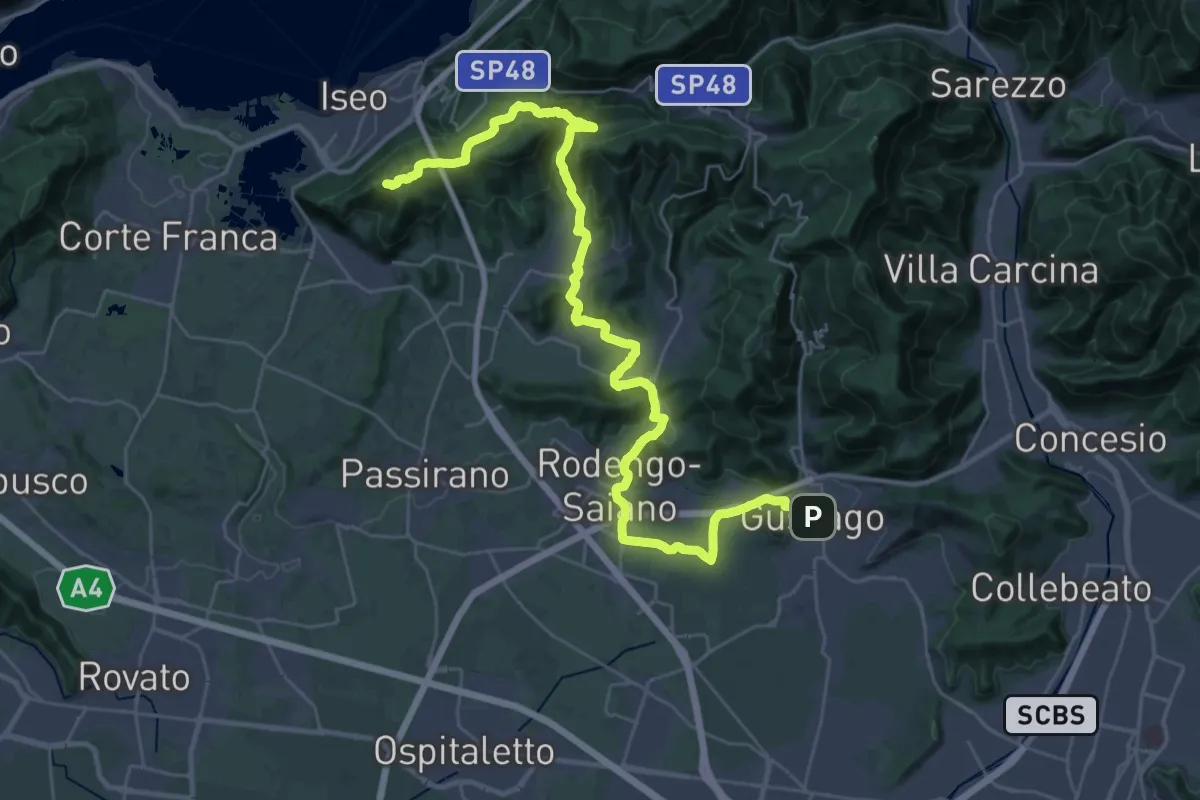
La Via delle Sorelle - Tappa 1 variante bassa
16.4 km · ↑ 431 m · 5 h · 11 km away
Demanding · Summit
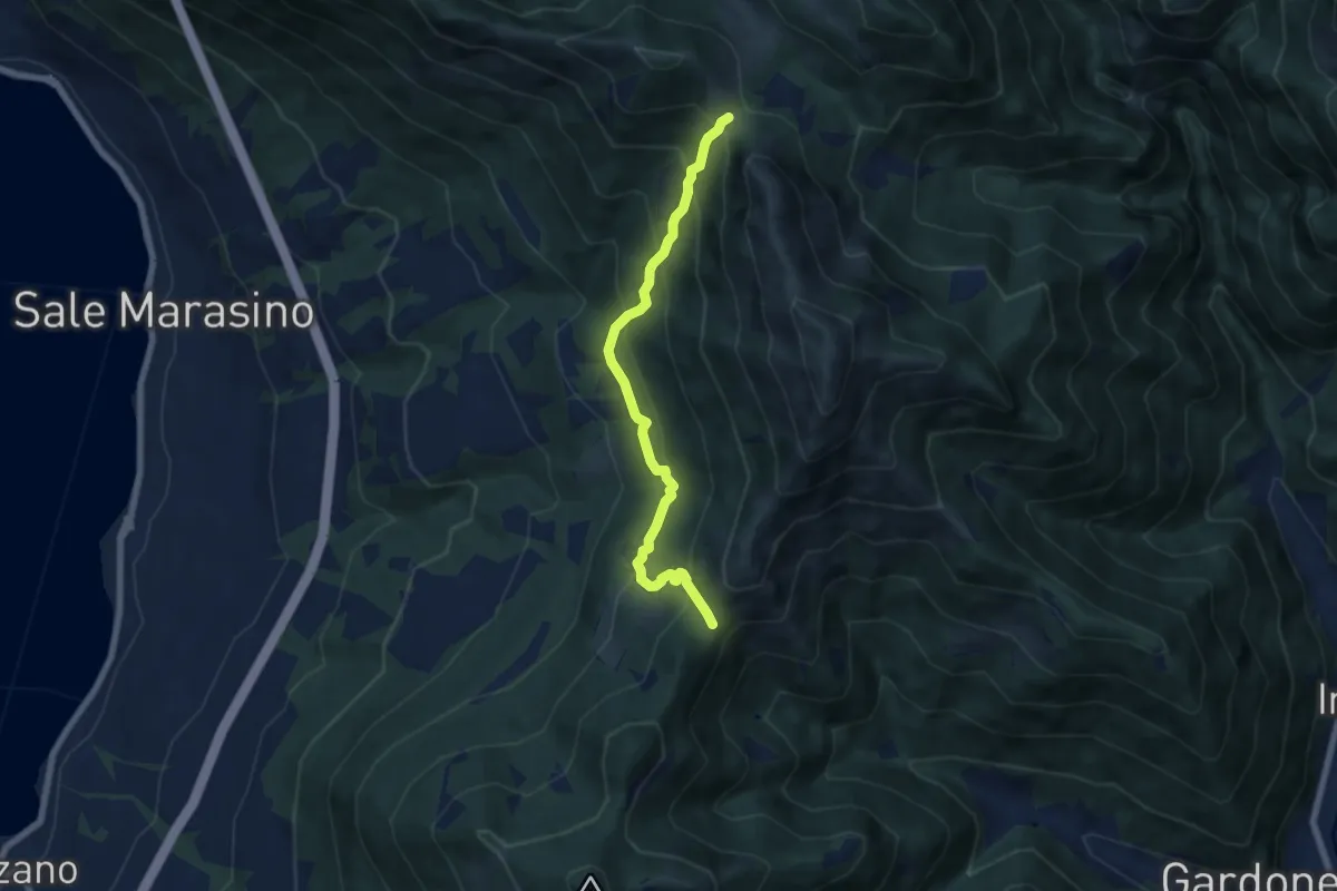
La Via delle Sorelle - Tappa 2
20.0 km · ↑ 651 m · 6 h 10 min · 11 km away
Medium · Trail
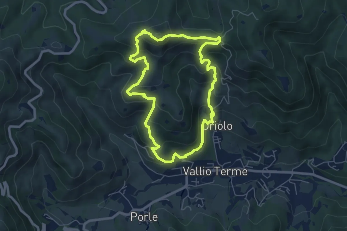
Sentiero 3V - Tappa 7 (Variante bassa)
6.7 km · ↑ 568 m · 2 h 48 min · 11 km away
Medium · Summit
Vallio Terme (Vigle) - Rocca di Bernacco - Oriolo
5.2 km · ↑ 400 m · 2 h 11 min · 11 km away
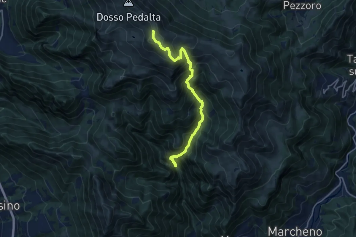
Demanding · Summit
Gardone Val Trompia (Valle di Inzino - Passo del Diavolo) – Monte Guglielmo
11.2 km · ↑ 1307 m · 5 h 28 min · 11 km away
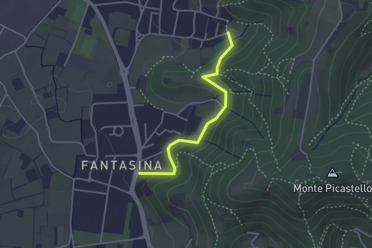
Easy · Trail
Cellatica (Fantasina) – Cellatica (Cantone)
2.9 km · ↑ 101 m · 54 min · 11 km away
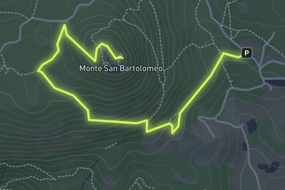
Medium · Summit
Serle (Parcheggio dei Fanti) - Monastero di San Bartolomeo
3.9 km · ↑ 164 m · 1 h 16 min · 11 km away
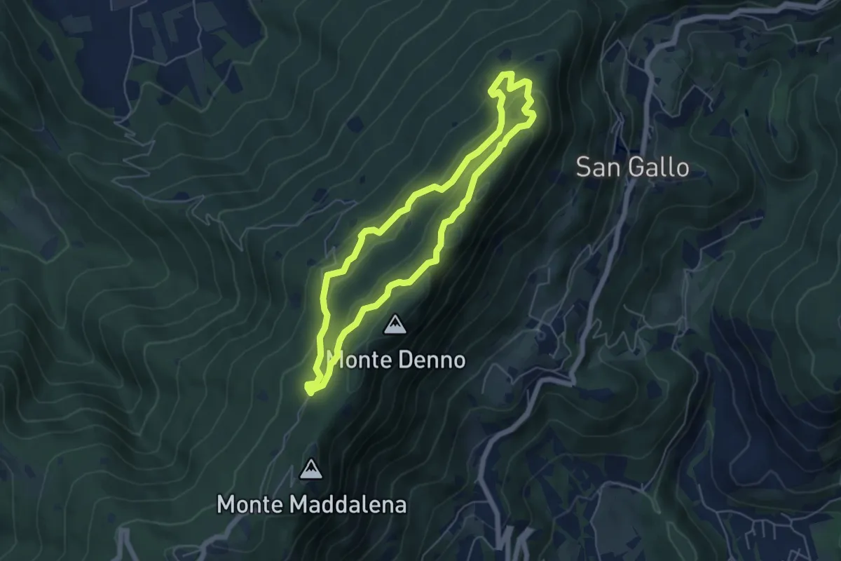
Medium · Summit
Sentiero Brigata Fiamme Verdi Dieci Giornate
5.0 km · ↑ 254 m · 1 h 48 min · 11 km away
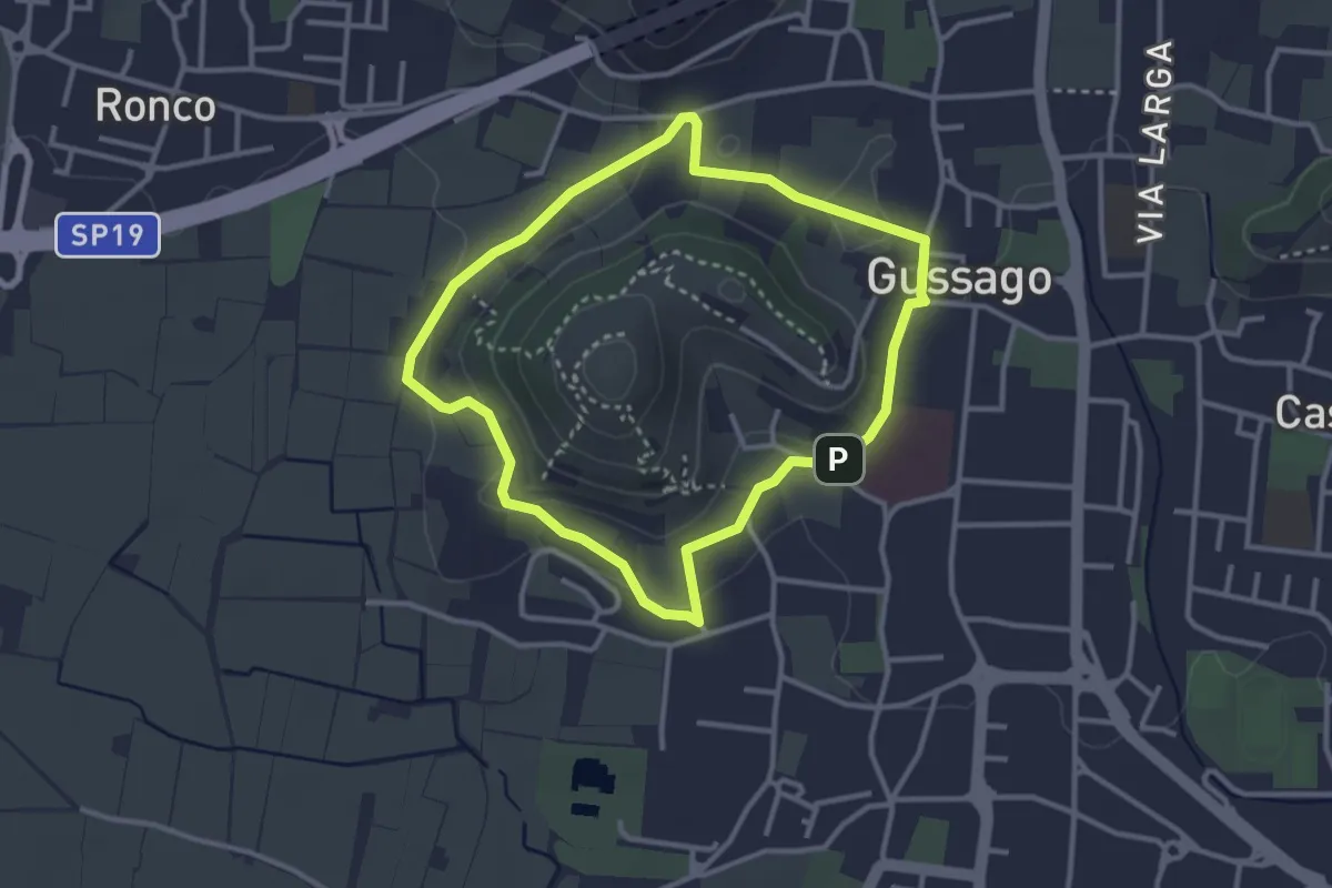
Easy · Trail
Periplo della Santissima
3.0 km · ↑ 70 m · 54 min · 11 km away
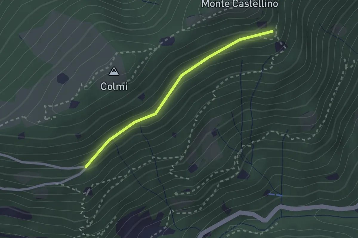
Easy · Trail
Sentiero 310 - Variante 310A
2.0 km · ↑ 104 m · 42 min · 11 km away
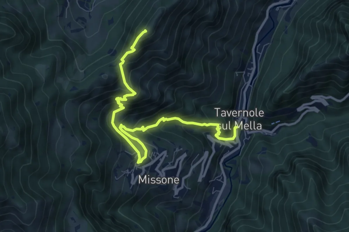
Demanding · Summit
Sentiero 1 (Monte Pergua)
9.5 km · ↑ 818 m · 4 h 1 min · 11 km away
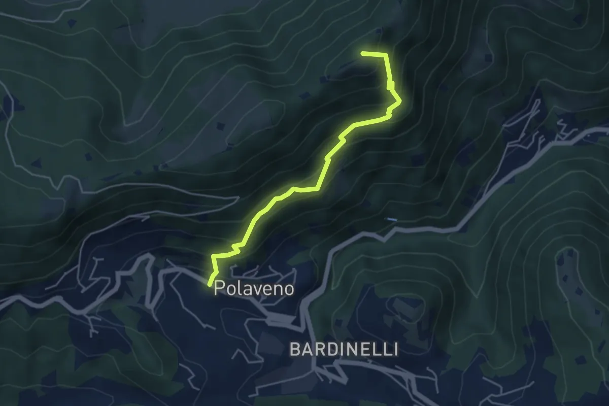
Medium · Summit
Polaveno - Santa Maria del Giogo
4.2 km · ↑ 463 m · 2 h · 11 km away
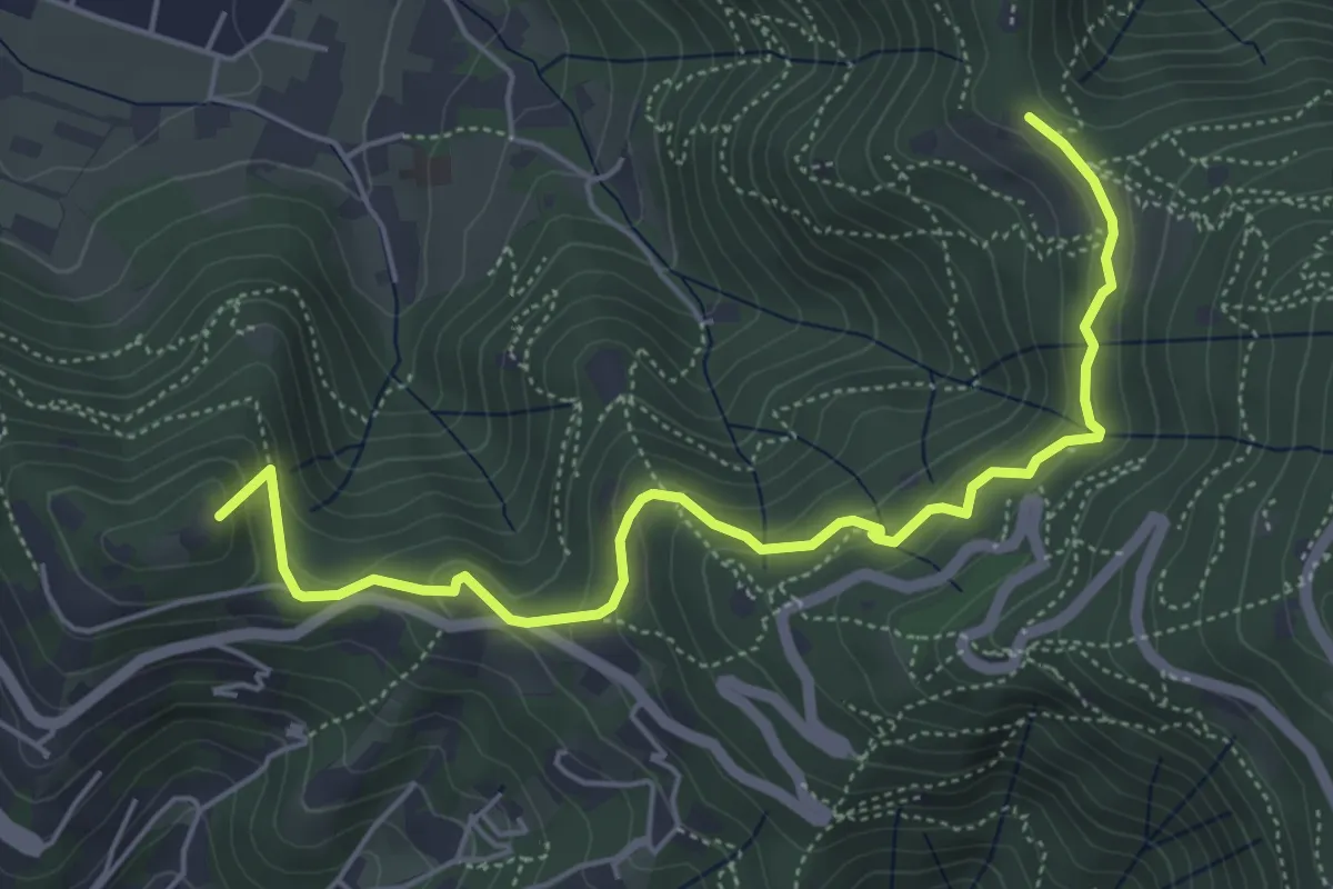
Medium · Summit
Brescia (Via del Goletto) – Cascina Margherita
5.9 km · ↑ 306 m · 2 h 3 min · 11 km away
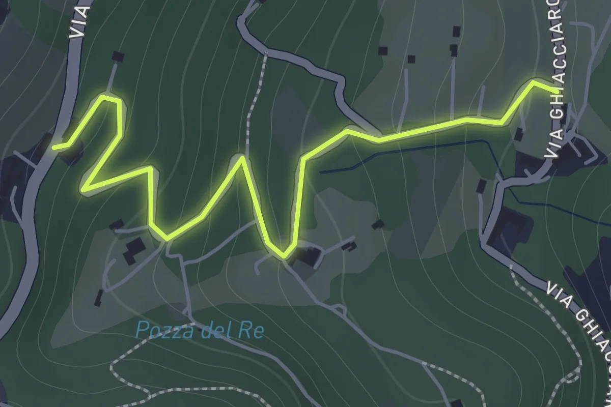
Easy · Trail
La Via del marmo - Botticino (San Gallo)
2.0 km · ↑ 147 m · 48 min · 11 km away
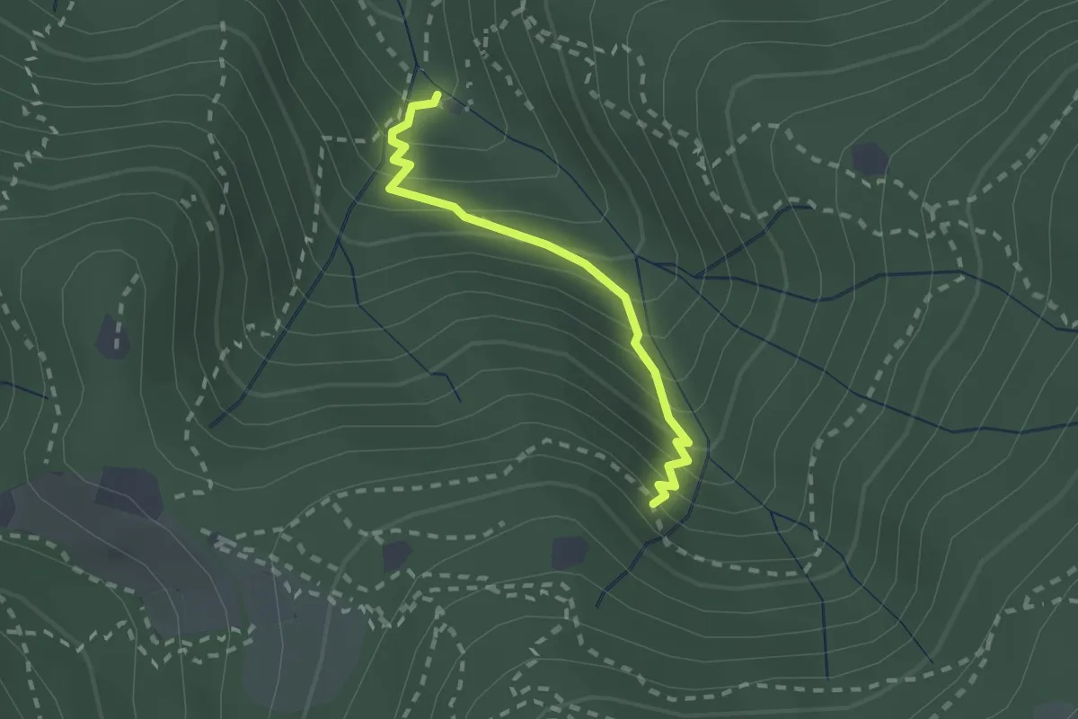
Medium · Cabin
Sentiero di Jago
1.9 km · ↑ 249 m · 59 min · 11 km away
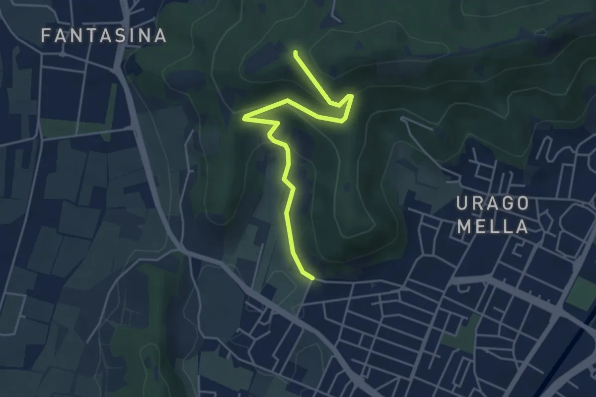
Easy · Trail
Brescia (Via Valle Bresciana) – Passo delle Crosette (Innesto Sentiero 3V)
4.0 km · ↑ 204 m · 1 h 24 min · 11 km away
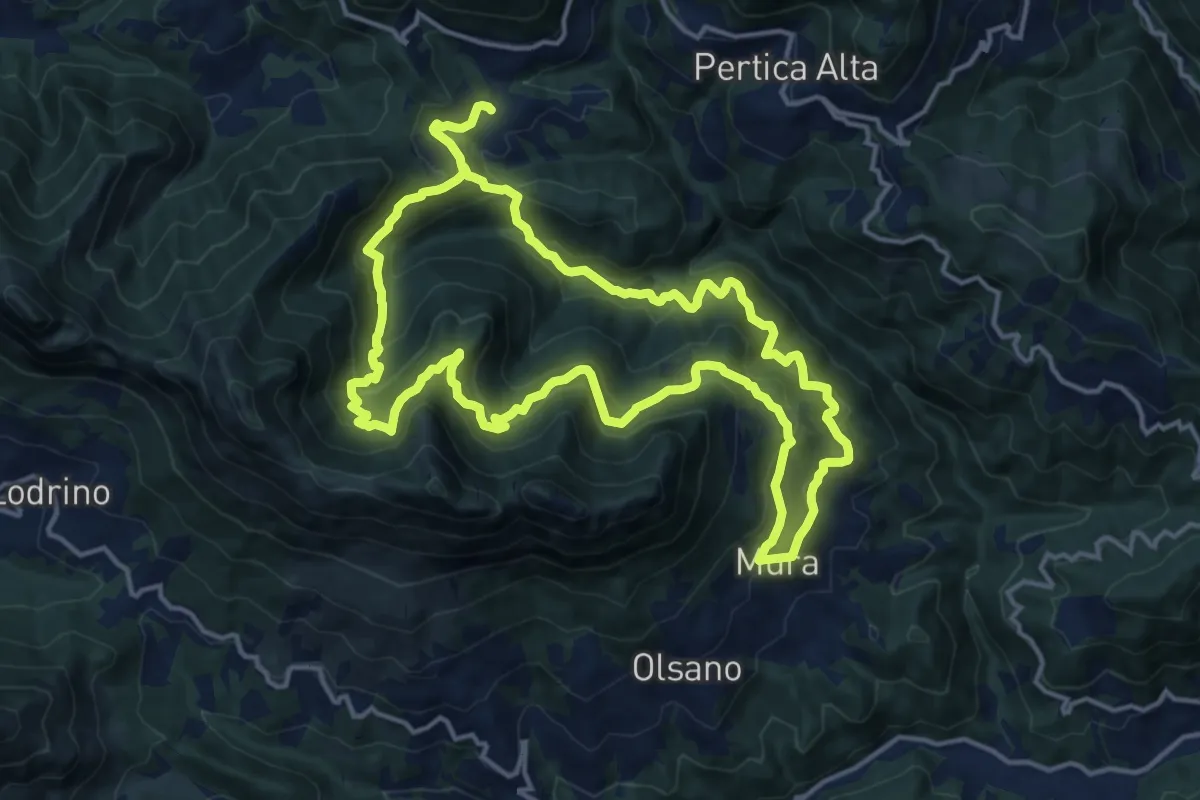
Demanding · Trail
Mura - Noffo - Nasego - Mura
14.7 km · ↑ 1109 m · 6 h 4 min · 11 km away
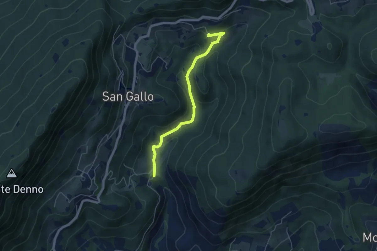
Medium · Summit
La Via del marmo - Botticino (Molino dell'Ora- Castello di Serle)
4.5 km · ↑ 178 m · 1 h 27 min · 11 km away
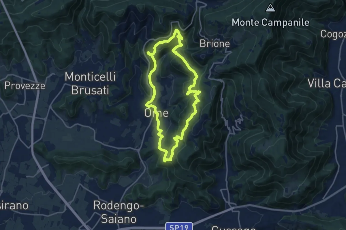
Medium · Trail
Sentiero dei funghi
12.1 km · ↑ 736 m · 4 h 37 min · 11 km away
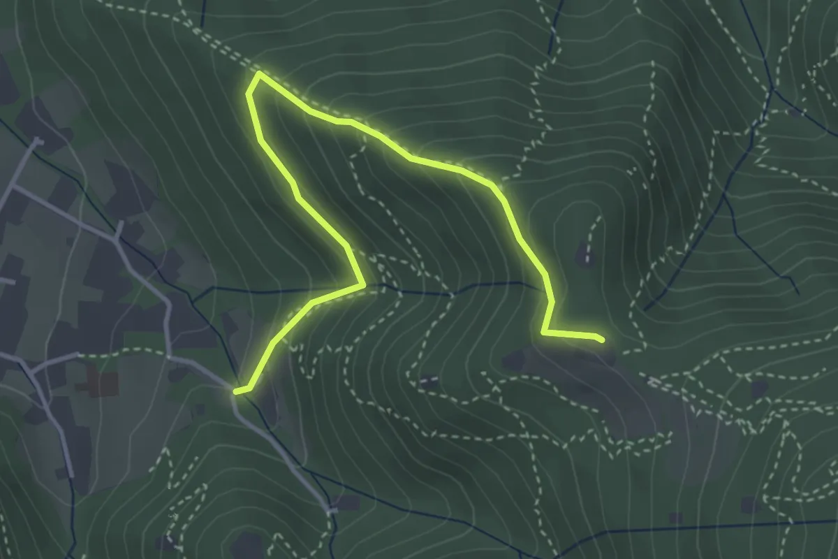
Medium · Trail
Brescia (Costalunga - Via Monte della Valle) – Monte Maddalena (Cascina Margherita - Innesto Sentiero 907)
4.0 km · ↑ 301 m · 1 h 36 min · 11 km away
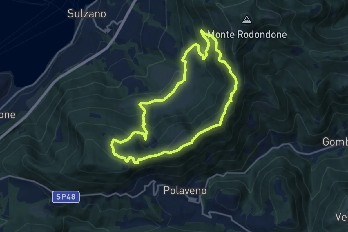
Medium · Summit
Sentiero degli Elfi
8.9 km · ↑ 450 m · 3 h 12 min · 11 km away
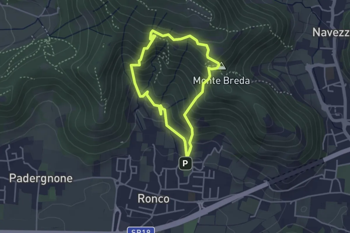
Medium · Summit
Gussago (Ronco) - Tesa di Sotto - Valle Bianca
2.9 km · ↑ 248 m · 1 h 16 min · 11 km away
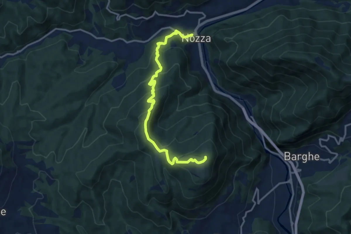
Medium · Summit
Nozza – Monte Poffe
9.7 km · ↑ 605 m · 3 h 37 min · 11 km away
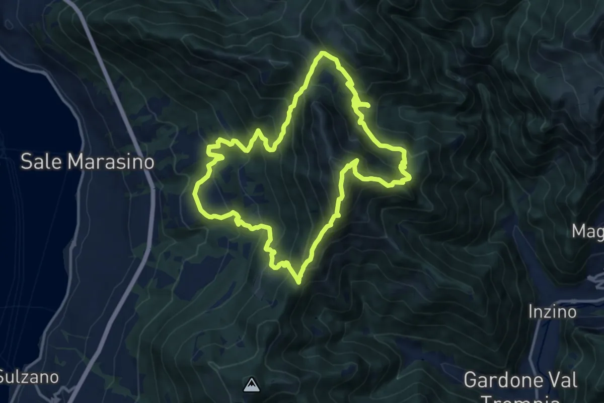
Demanding · Summit
Malghe in Rete - Anello 1 - Punta Almana
12.2 km · ↑ 1122 m · 5 h 30 min · 12 km away
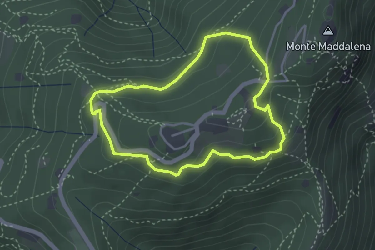
Medium · Trail
Anello della Maddalena
2.7 km · ↑ 144 m · 59 min · 12 km away
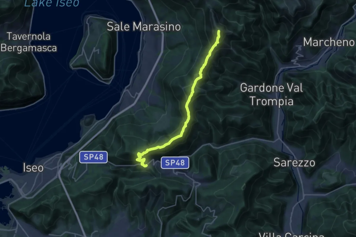
Demanding · Summit
Sentiero 3V - Tappa 7
17.5 km · ↑ 1361 m · 7 h 5 min · 12 km away
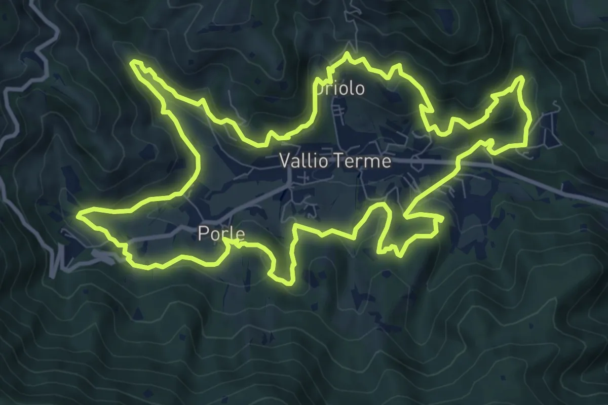
Medium · Trail
Giro delle contrade
11.6 km · ↑ 525 m · 4 h 2 min · 12 km away
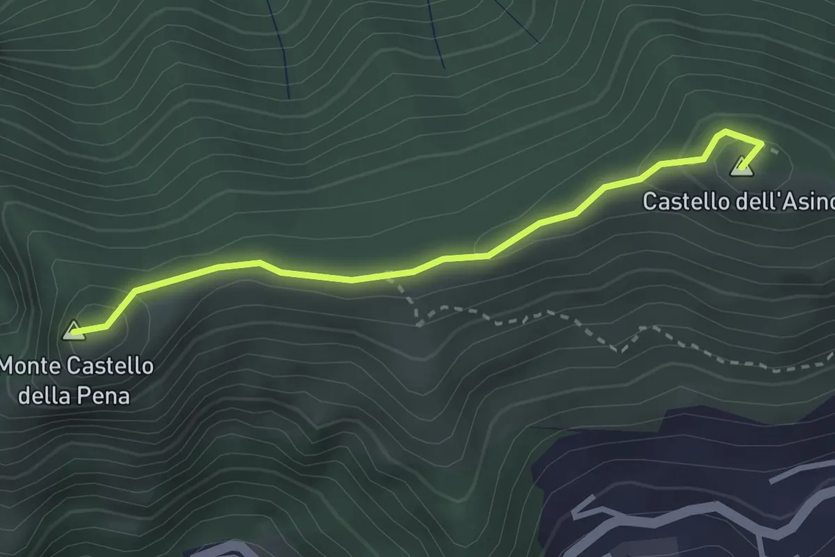
Medium · Summit
Marmentino - Monte Castello della Pena
2.7 km · ↑ 143 m · 57 min · 12 km away