Trails near Lumezzane
321 hikes starting within 15 km, nearest first.
Nearest first, page 6 of 7
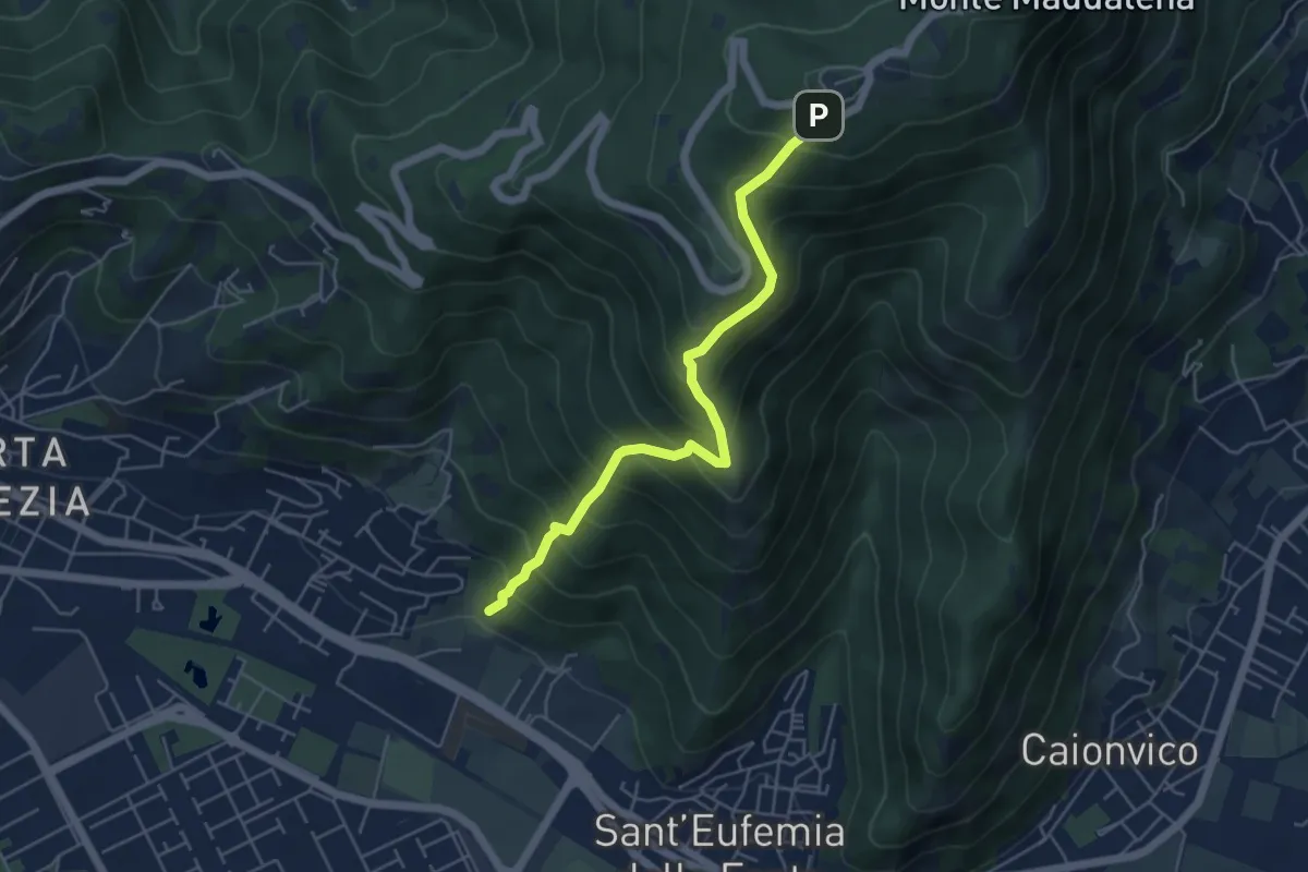
Medium · Trail
Sentiero Pastori 2
5.2 km · ↑ 637 m · 2 h 36 min · 12 km away
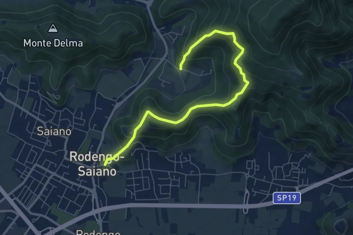
Medium · Trail
Rodengo Saiano (Ponte Cigoli) – Rodengo Saiano (Corneto - Innesto Sentiero 279)
7.5 km · ↑ 561 m · 2 h 59 min · 12 km away
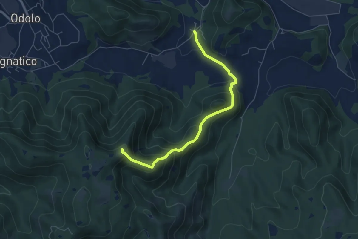
Medium · Summit
Sabbio Chiese (Ponte della Fame) - Monte Corvino
5.7 km · ↑ 397 m · 2 h 13 min · 12 km away
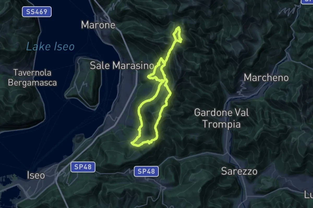
Demanding · Summit
Sentiero Brigata Giustizia e Libertà - Barnaba
18.2 km · ↑ 1346 m · 7 h 21 min · 12 km away
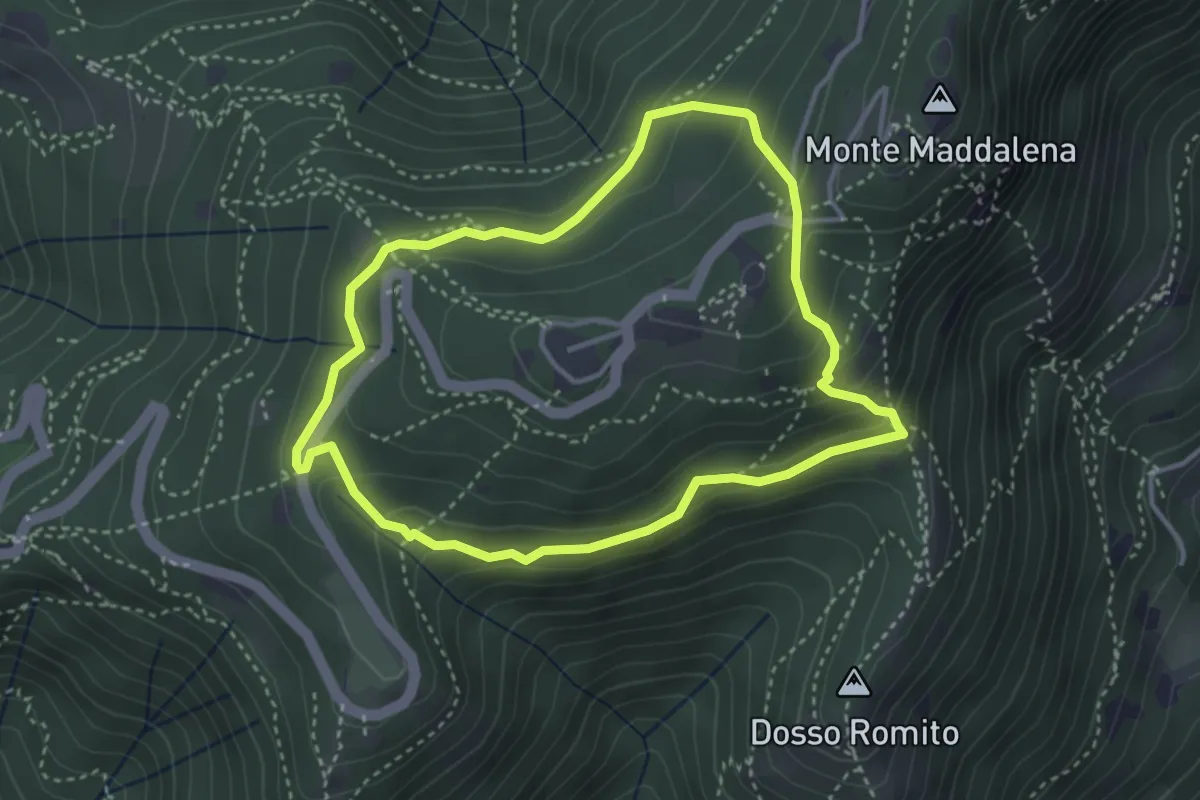
Demanding · Trail
Anello delle Pozze
3.4 km · ↑ 182 m · 1 h 15 min · 12 km away
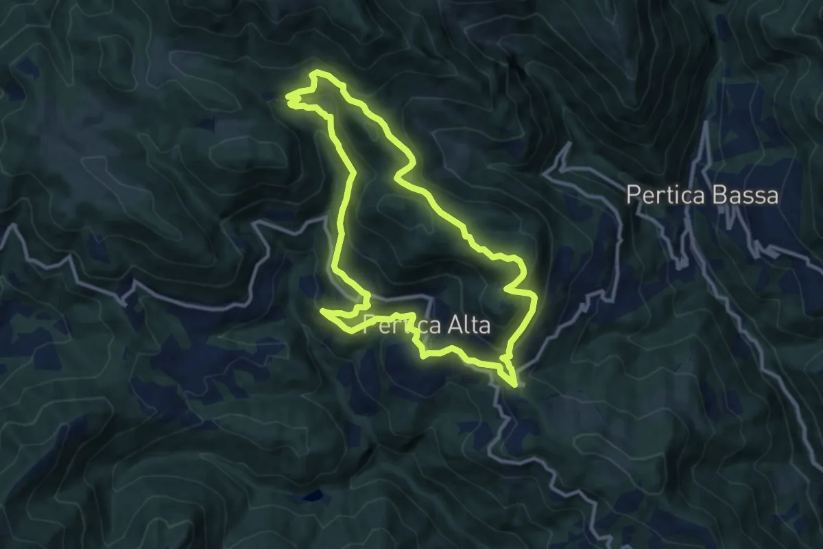
Medium · Summit
Pertica Alta (Livemmo - Passo San Rocco) – Passo San Rocco
9.8 km · ↑ 504 m · 3 h 32 min · 12 km away
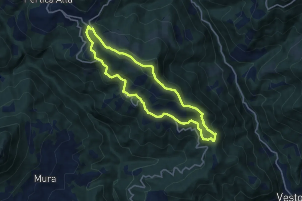
Medium · Summit
Pertica Alta (Belprato - San Bernardo) – San Bernardo
7.8 km · ↑ 404 m · 2 h 49 min · 12 km away
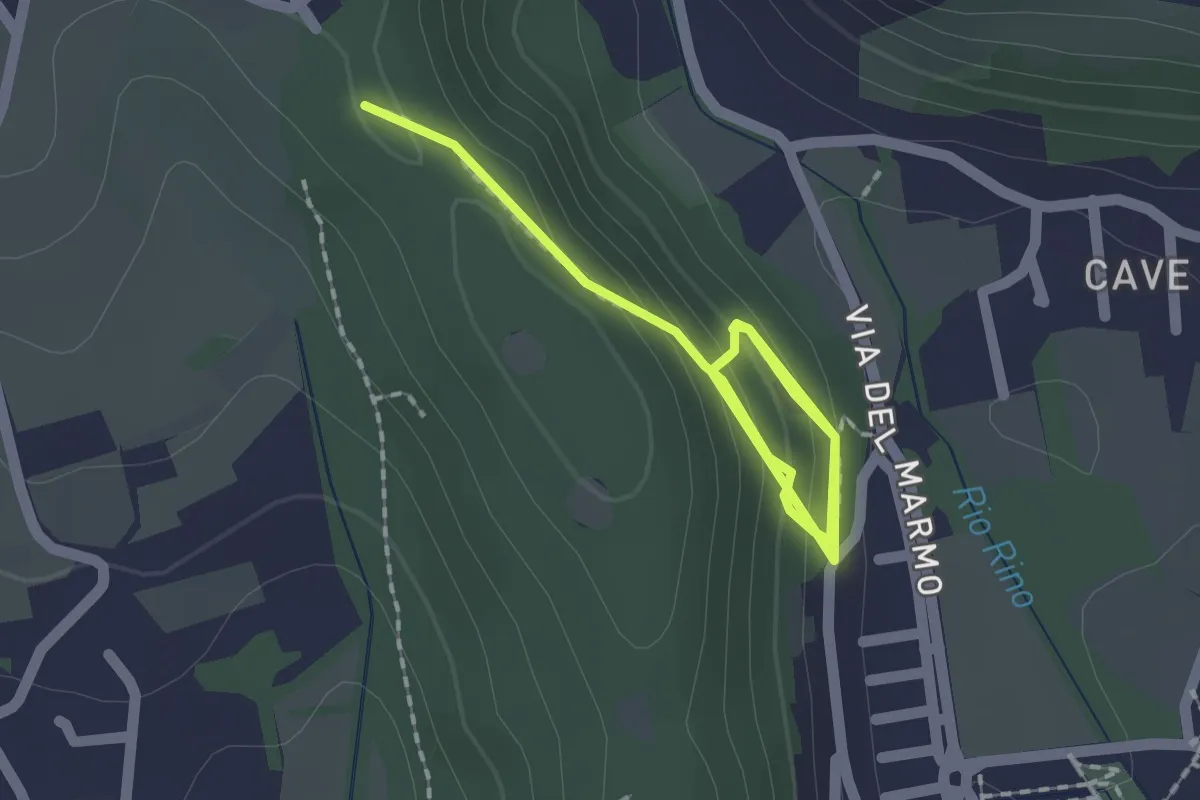
Demanding · Trail
La Via del marmo - Botticino (Castagneto)
2.5 km · ↑ 123 m · 52 min · 12 km away
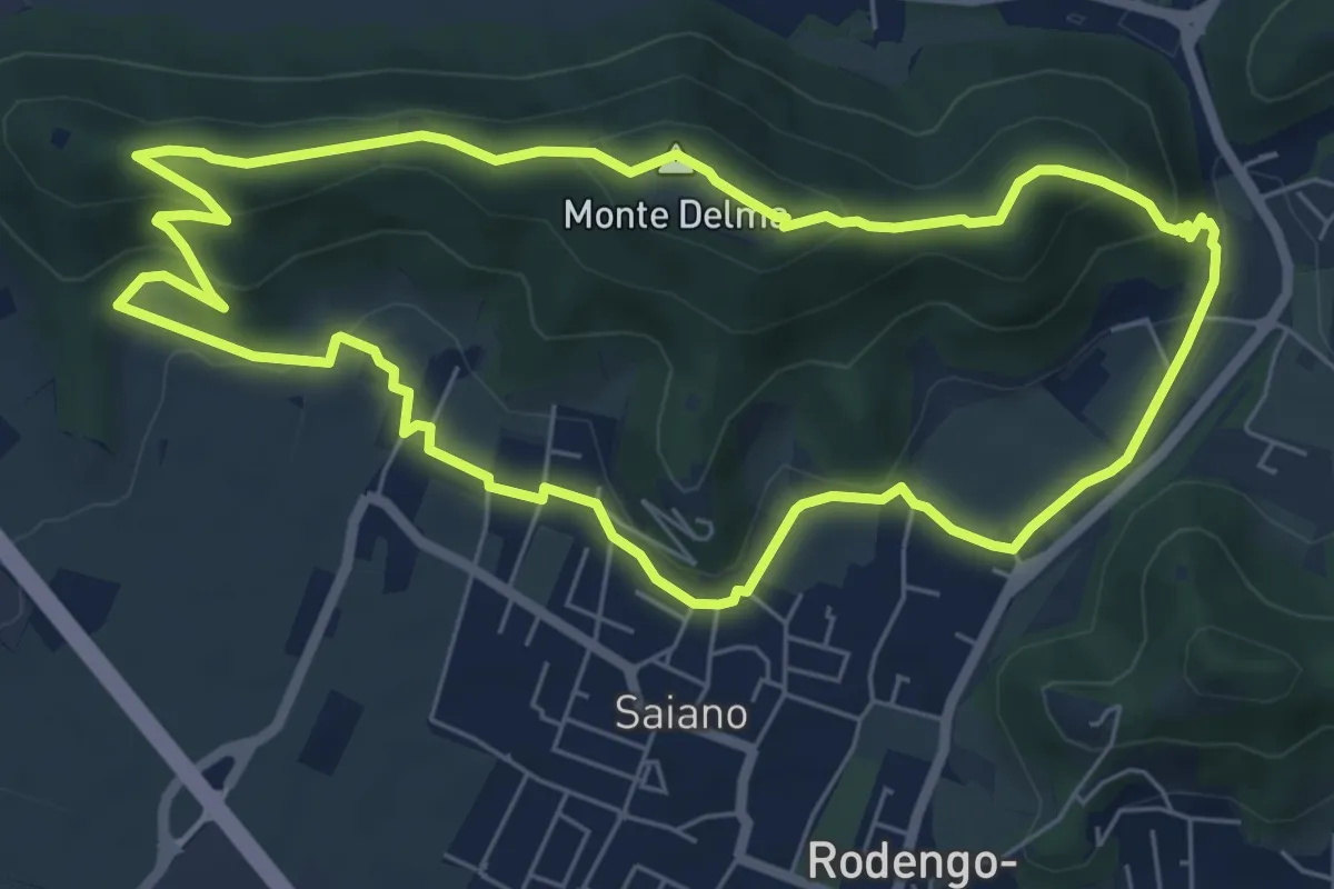
Medium · Summit
Giro del Monte Delma
6.9 km · ↑ 224 m · 2 h 12 min · 12 km away
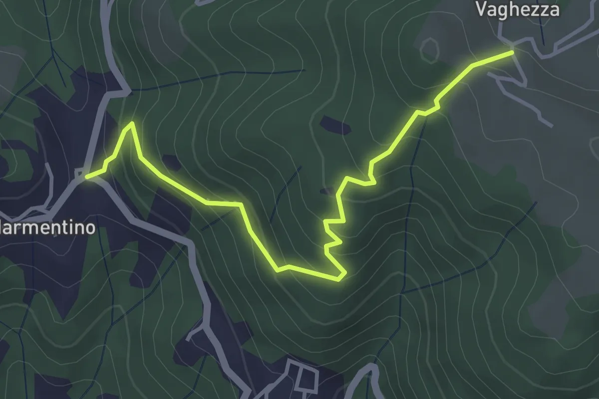
Medium · Trail
Marmentino (Dosso) - Vaghezza
3.8 km · ↑ 329 m · 1 h 36 min · 12 km away
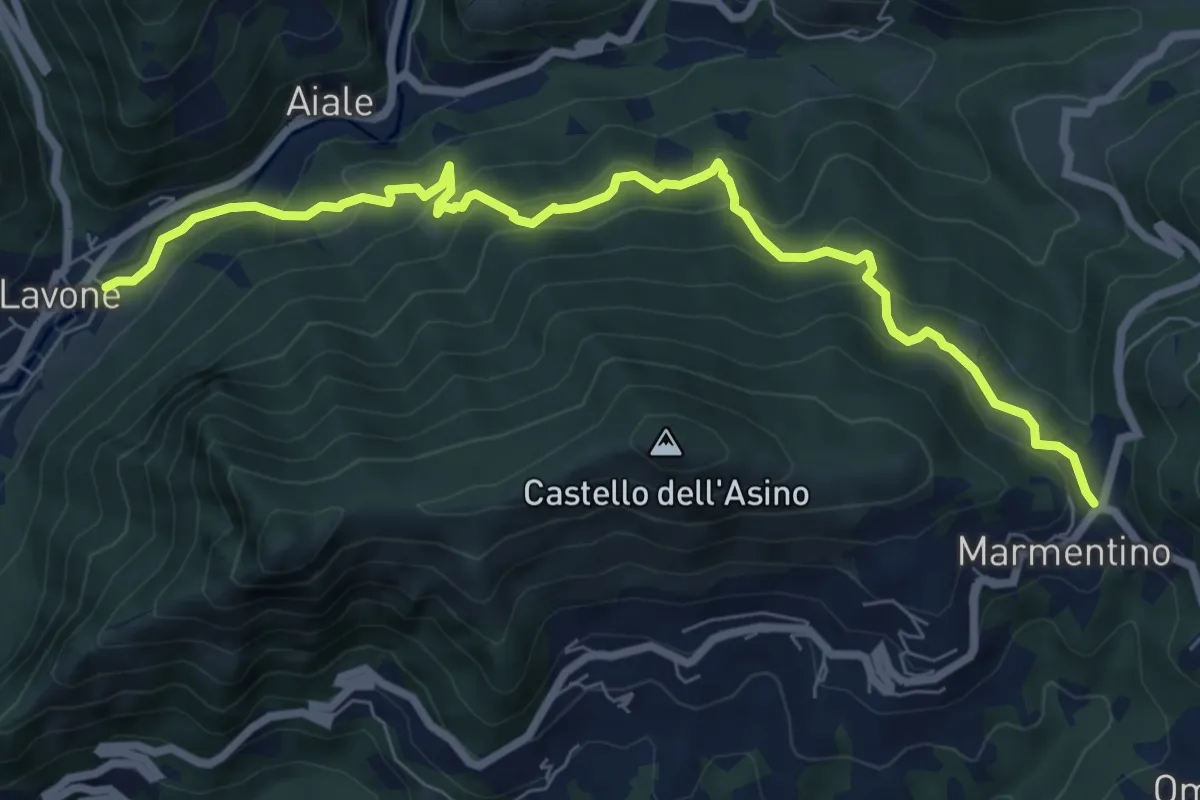
Medium · Trail
Marmentino - Lavone
8.2 km · ↑ 547 m · 3 h 8 min · 12 km away
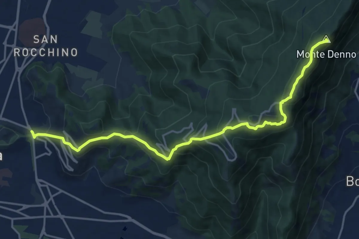
Medium · Summit
Sentiero 3V - Tappa 1a
13.1 km · ↑ 743 m · 4 h 42 min · 12 km away
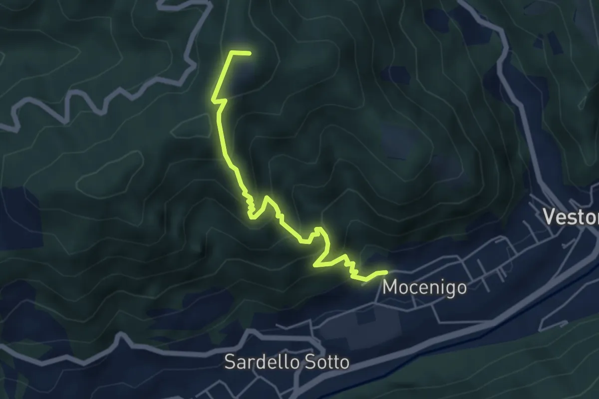
Medium · Summit
San Bernardo – Vestone
4.3 km · ↑ 424 m · 1 h 56 min · 12 km away
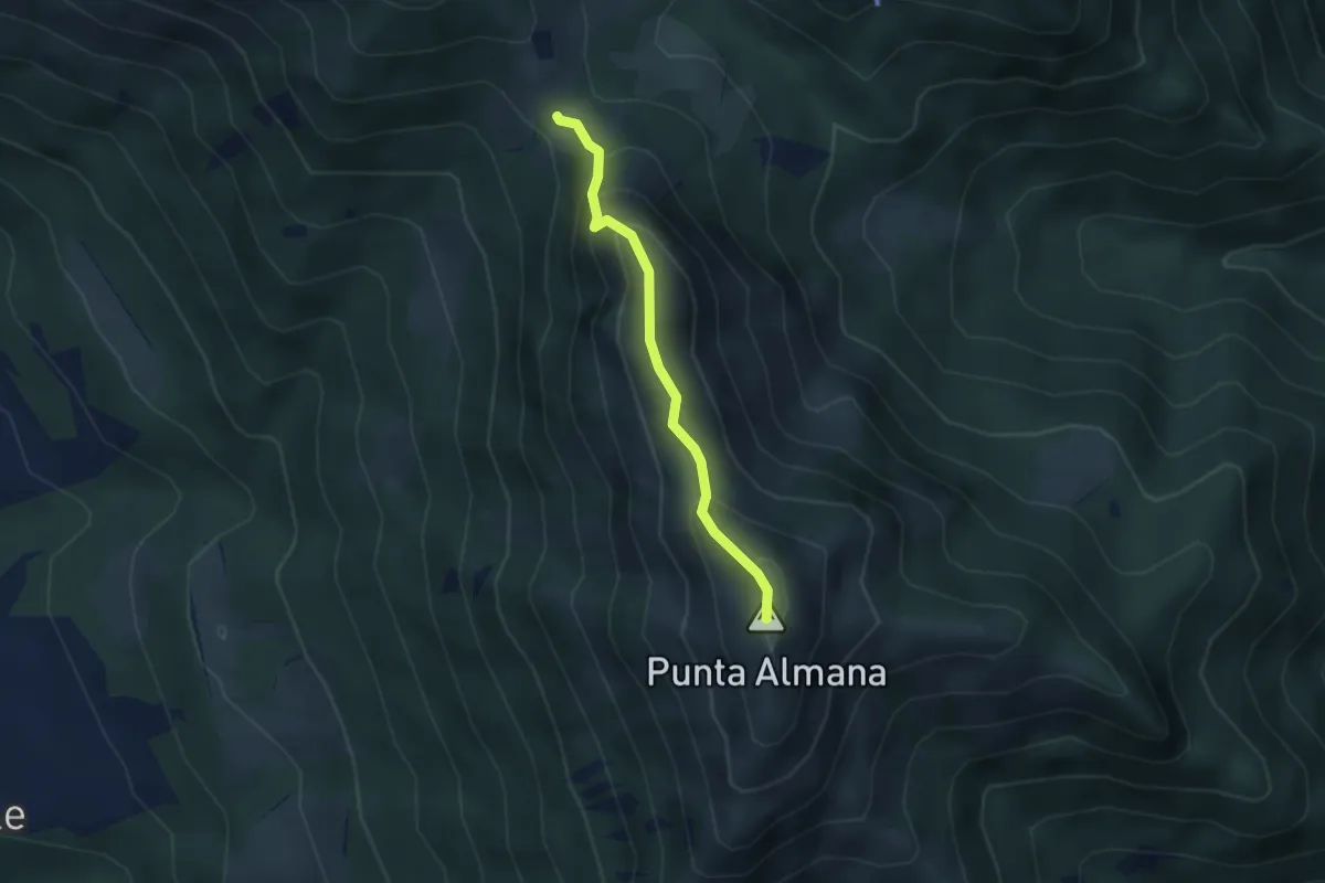
Expert · Summit
Sentiero Filippo Benedetti
2.8 km · ↑ 244 m · 1 h 12 min · 12 km away
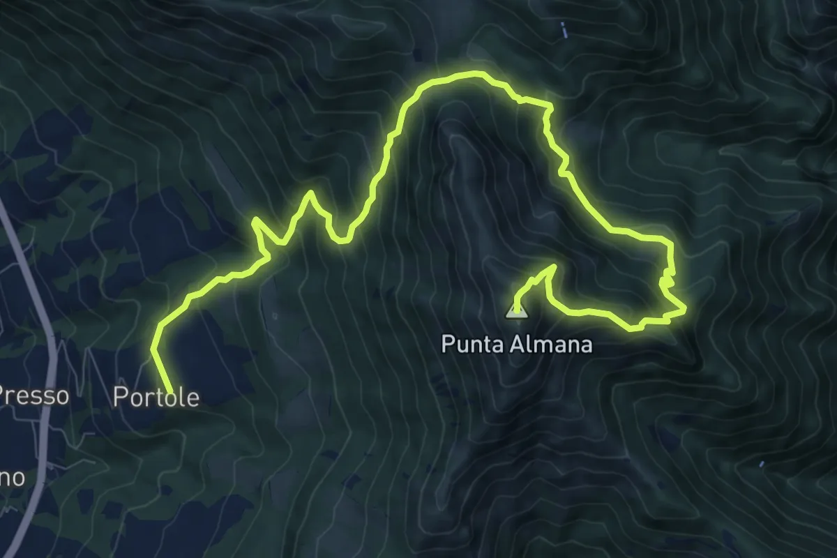
Demanding · Summit
Portole – Punta Almana
13.6 km · ↑ 1282 m · 5 h 59 min · 12 km away
Medium · Summit
Portole – Punta dei Dossi
6.8 km · ↑ 576 m · 2 h 51 min · 12 km away
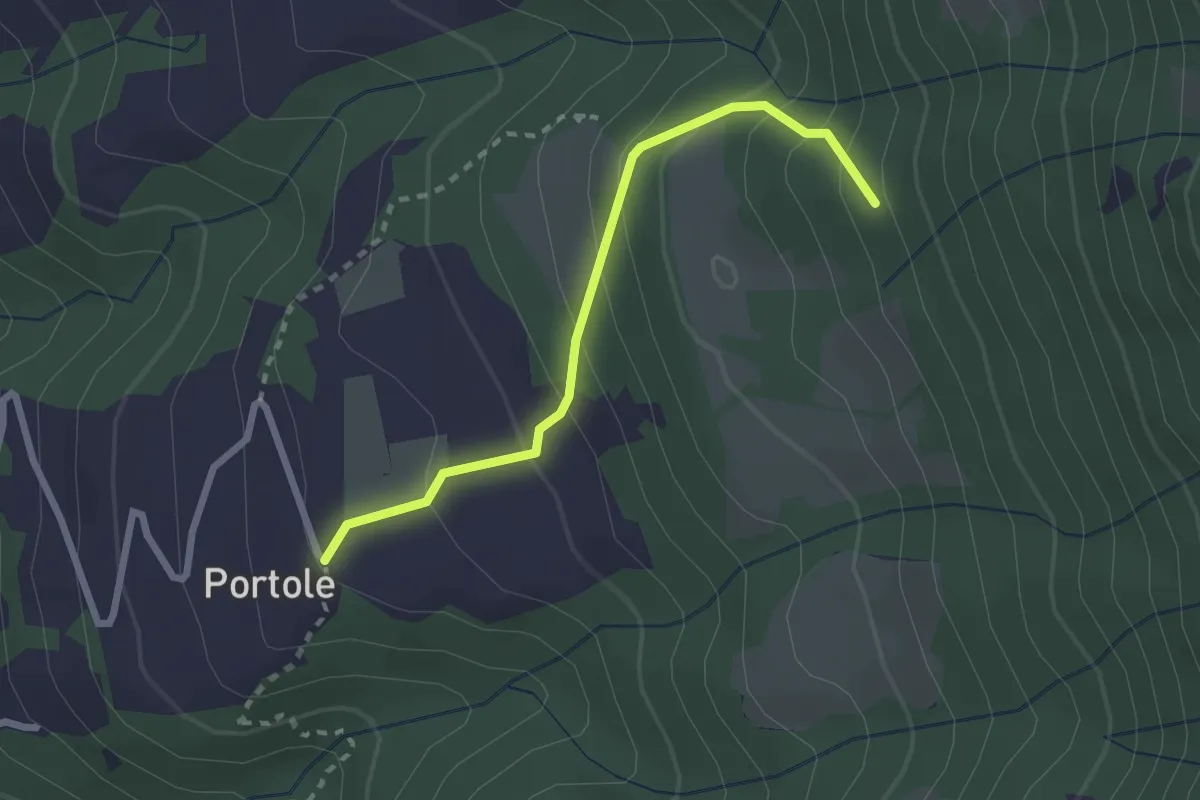
Easy · Trail
Portole – Percorso 238
2.4 km · ↑ 216 m · 1 h 2 min · 12 km away
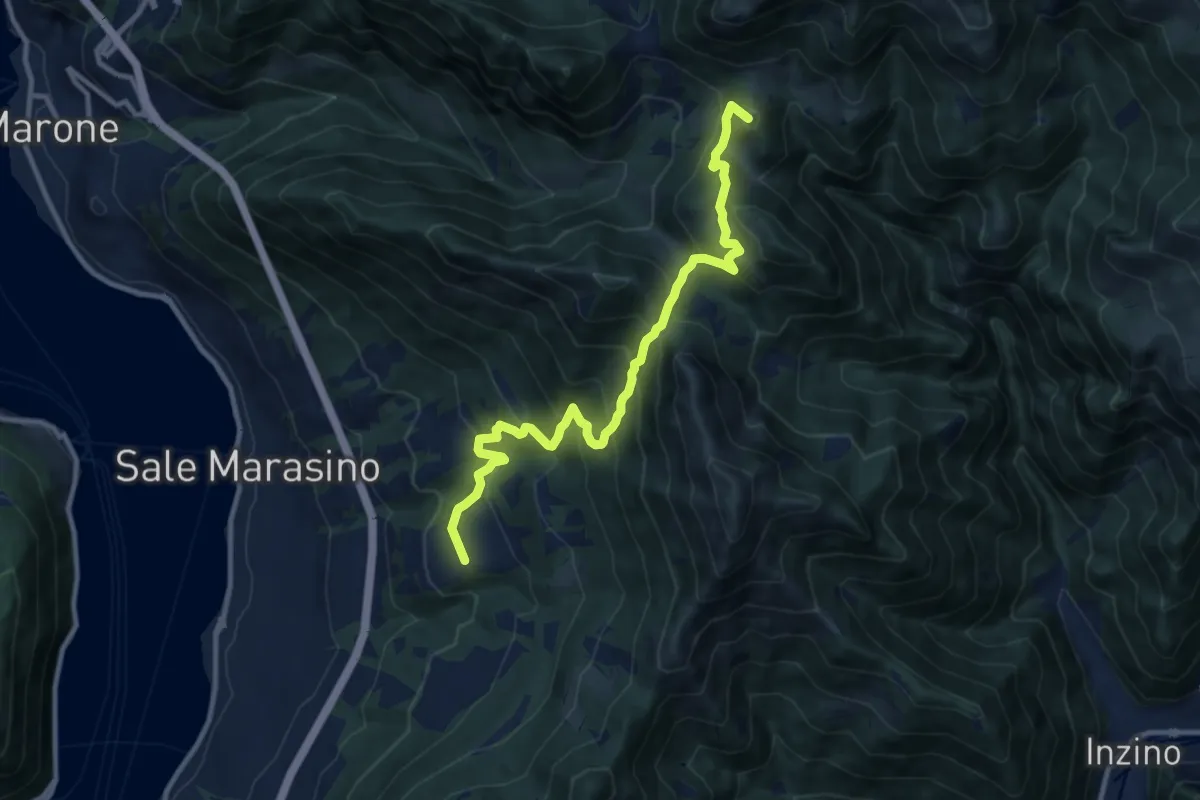
Demanding · Summit
Malghe in Rete - Trekking - Le Valli Tappa 2
11.5 km · ↑ 939 m · 4 h 45 min · 12 km away
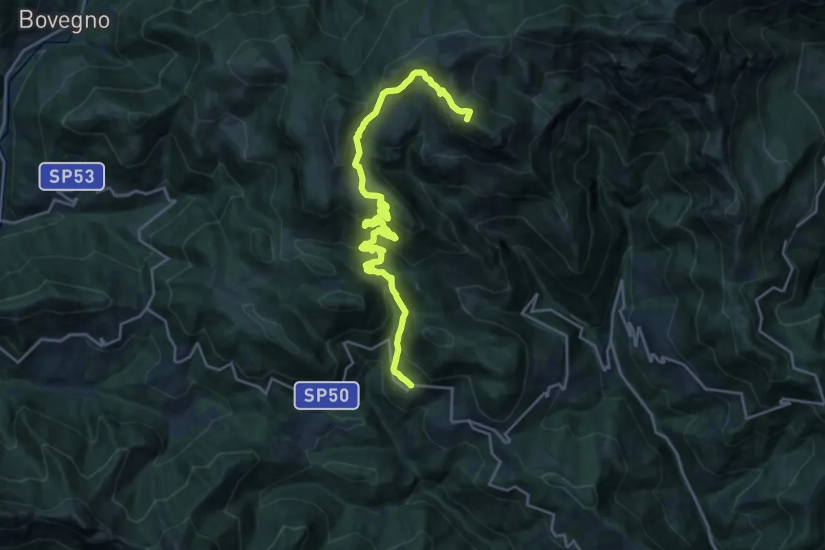
Demanding · Summit
Odeno - Passo Pezzeda
18.0 km · ↑ 1105 m · 6 h 38 min · 12 km away
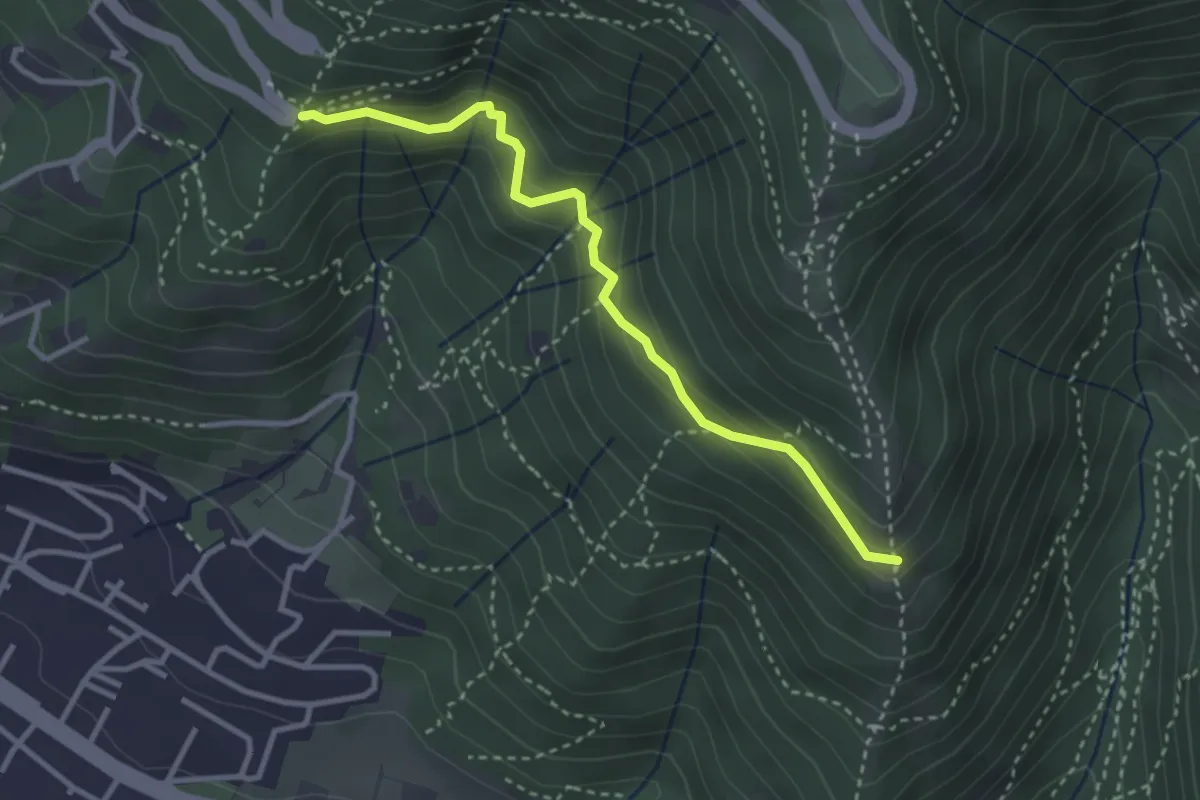
Medium · Trail
Innesto sentiero n. 902 – Innesto sentiero3V n.993
3.2 km · ↑ 233 m · 1 h 16 min · 12 km away
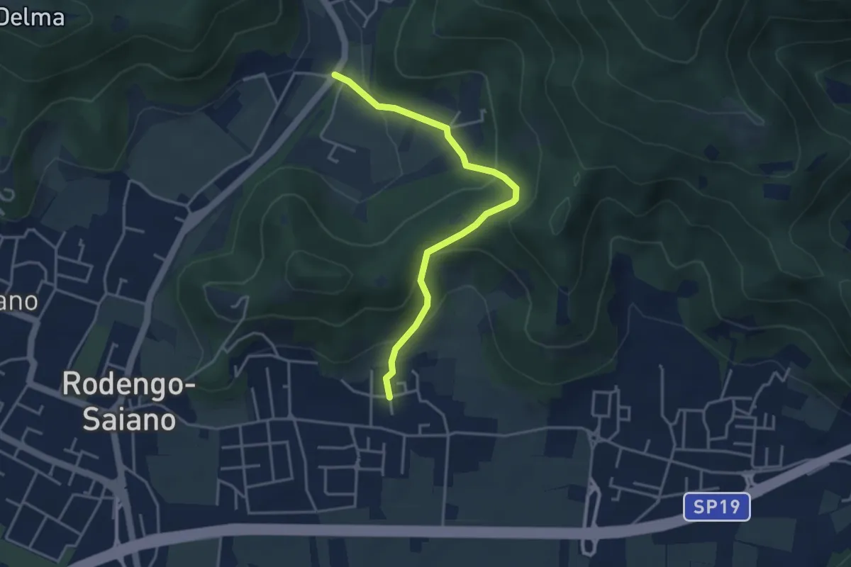
Medium · Trail
Rodengo Saiano (Padergnone - Via Montello incrocio Via Monte Nero) – Corneto
3.7 km · ↑ 194 m · 1 h 18 min · 12 km away
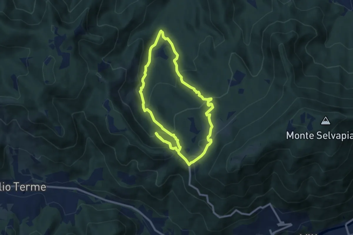
Medium · Trail
Gavardo (Monte Magno) – Monte Magno
6.7 km · ↑ 382 m · 2 h 30 min · 12 km away
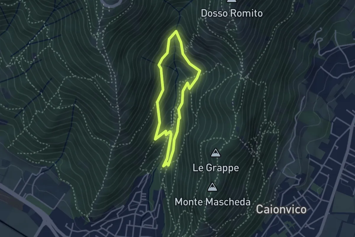
Medium · Trail
Sentiero dei Bucaneve
2.6 km · ↑ 240 m · 1 h 10 min · 13 km away
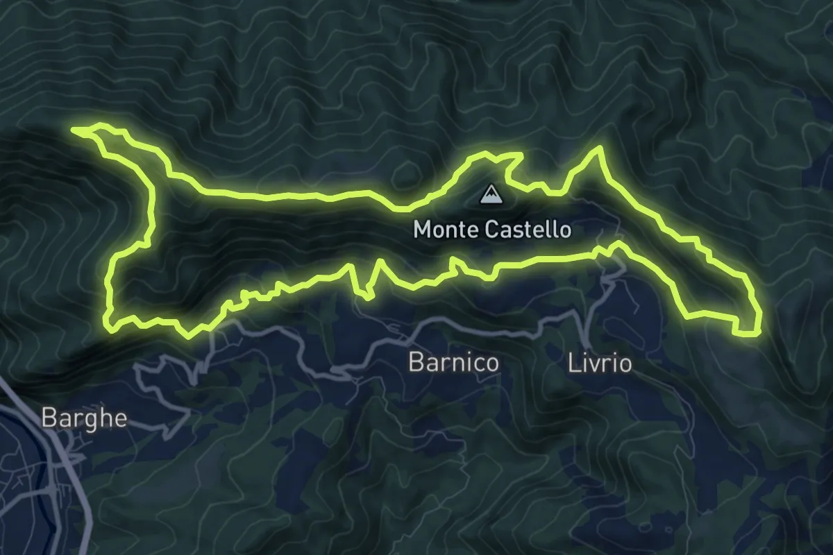
Medium · Summit
Sentiero della Resistenza 7^ Brigata Matteotti
13.1 km · ↑ 767 m · 4 h 57 min · 13 km away
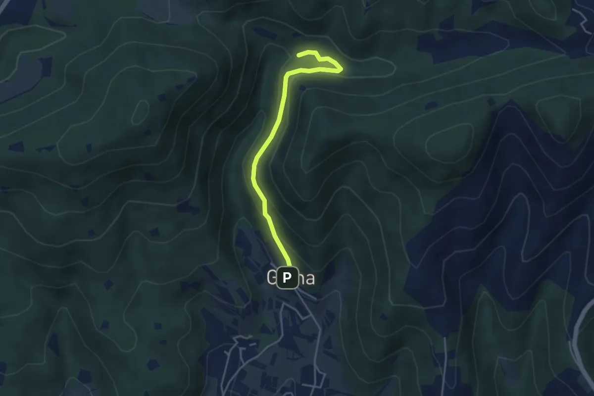
Medium · Trail
Sentiero delle Cascate - Variante B
3.6 km · ↑ 217 m · 1 h 20 min · 13 km away
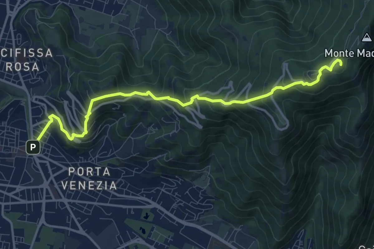
Medium · Trail
Brescia (Via Filippo Turati) – Chiesetta Monte Maddalena
10.7 km · ↑ 699 m · 4 h 2 min · 13 km away
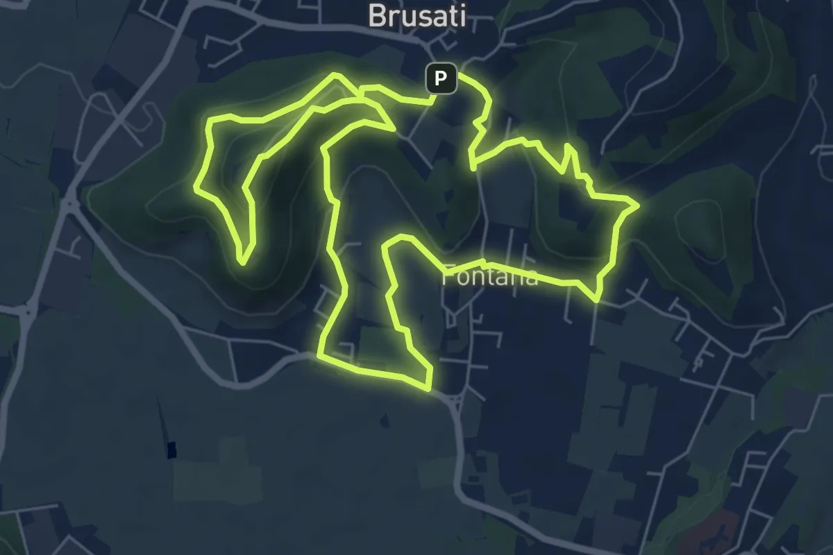
Easy · Trail
Tra il vecchio castello e la Madonna della Rosa
7.0 km · ↑ 299 m · 2 h 24 min · 13 km away
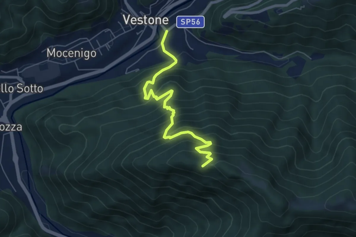
Medium · Trail
Vestone – Monte Colmo
5.7 km · ↑ 693 m · 2 h 52 min · 13 km away
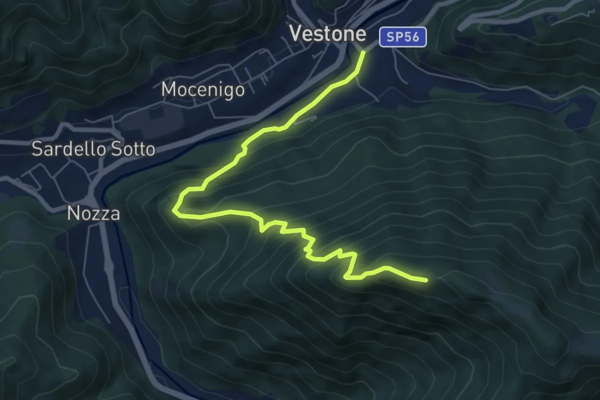
Medium · Trail
Monte Colmo – Vestone
7.1 km · ↑ 619 m · 3 h 1 min · 13 km away
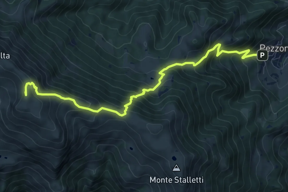
Demanding · Summit
Tavernole sul Mella (Pezzoro) – Monte Guglielmo
11.0 km · ↑ 1020 m · 4 h 48 min · 13 km away
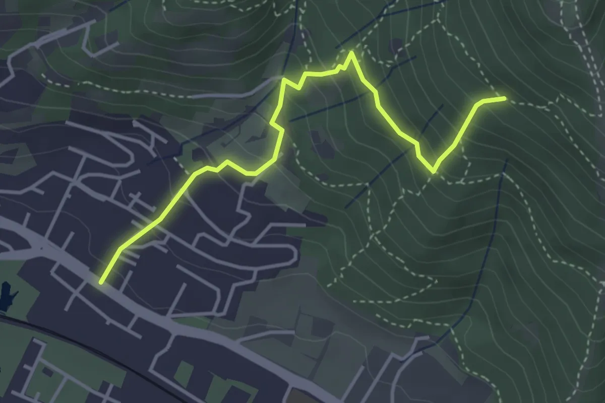
Medium · Trail
Brescia (Viale della Bornata) – Innesto Sentiero 912
3.9 km · ↑ 337 m · 1 h 39 min · 13 km away
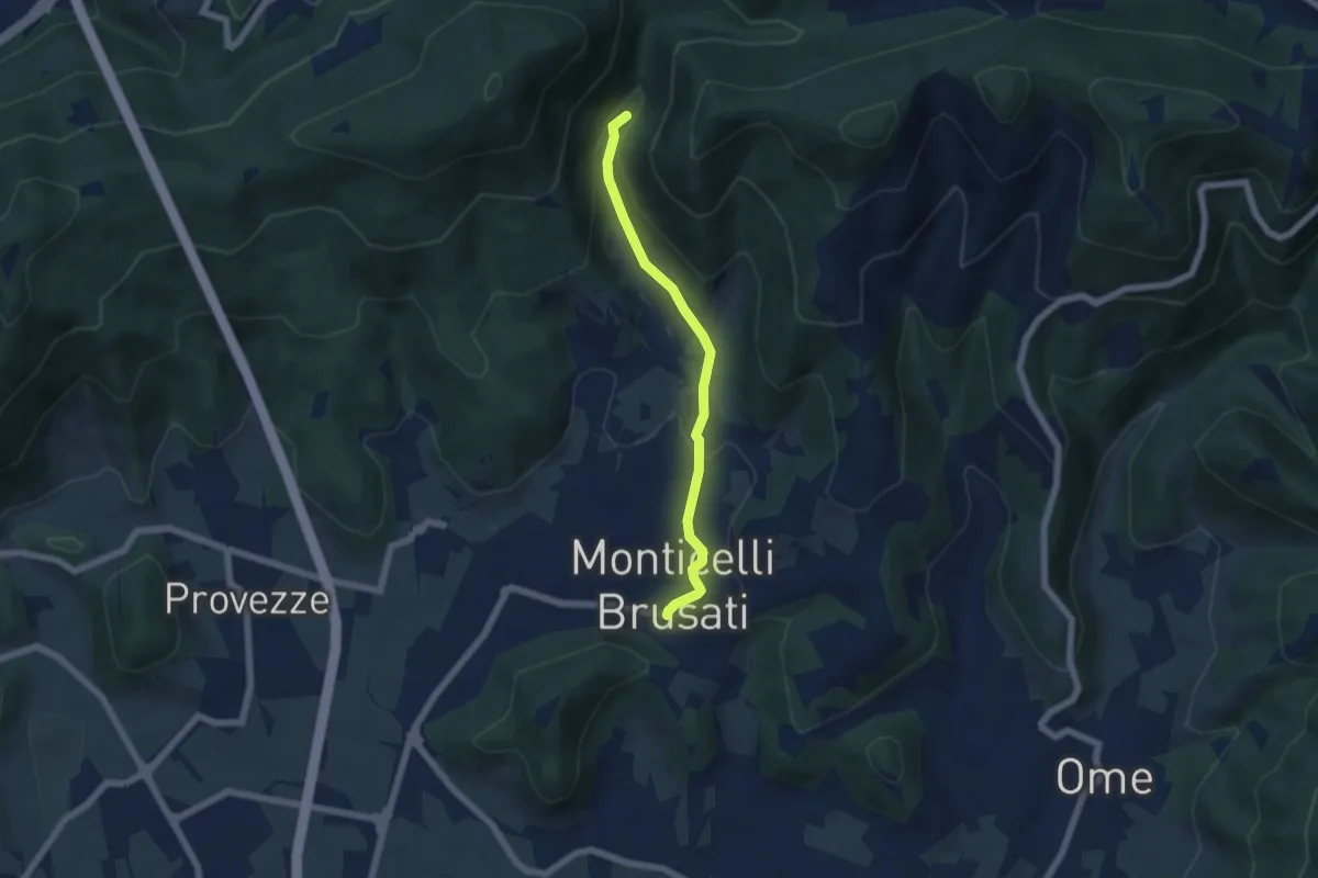
Easy · Trail
Sentiero delle Cascate (Percorso Principale)
5.2 km · ↑ 150 m · 1 h 34 min · 13 km away
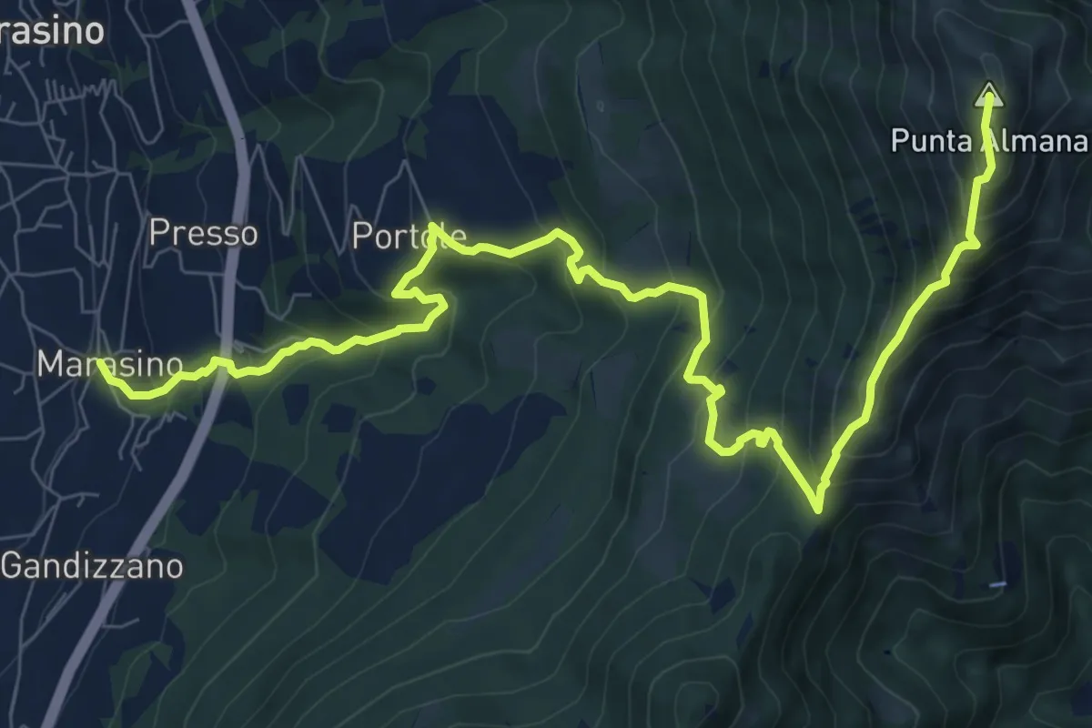
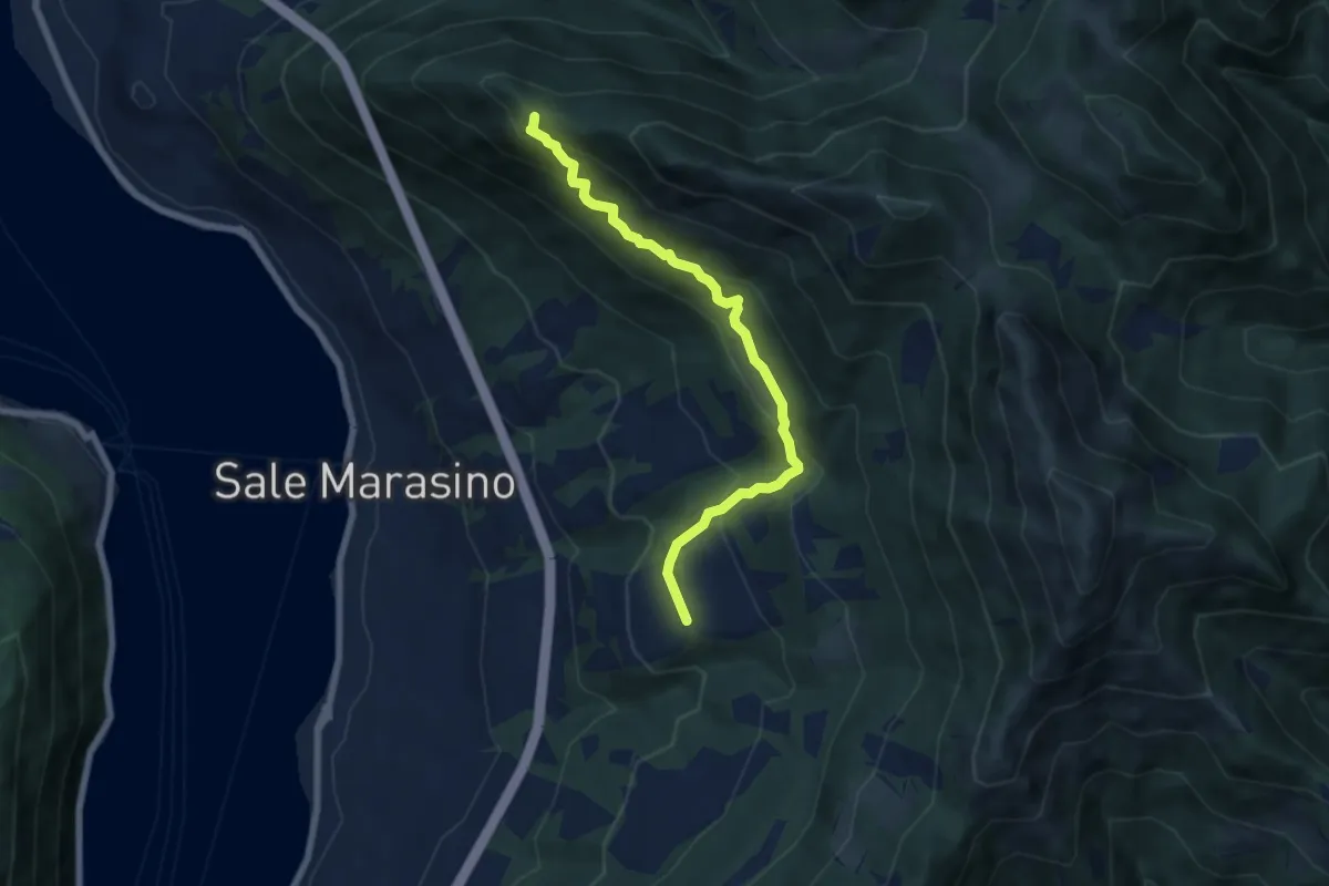
Demanding · Summit
Marasino – Punta Almana
11.4 km · ↑ 1126 m · 5 h 9 min · 13 km away
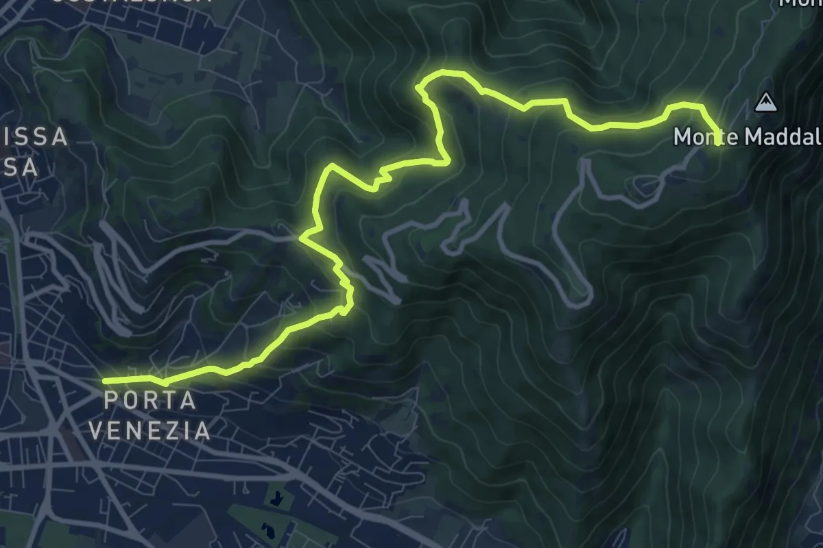
Demanding · Trail
Brescia (Via Amba d'Oro) – Monte Maddalena (Piazzale Ristorante Grillo)
12.1 km · ↑ 852 m · 4 h 42 min · 13 km away
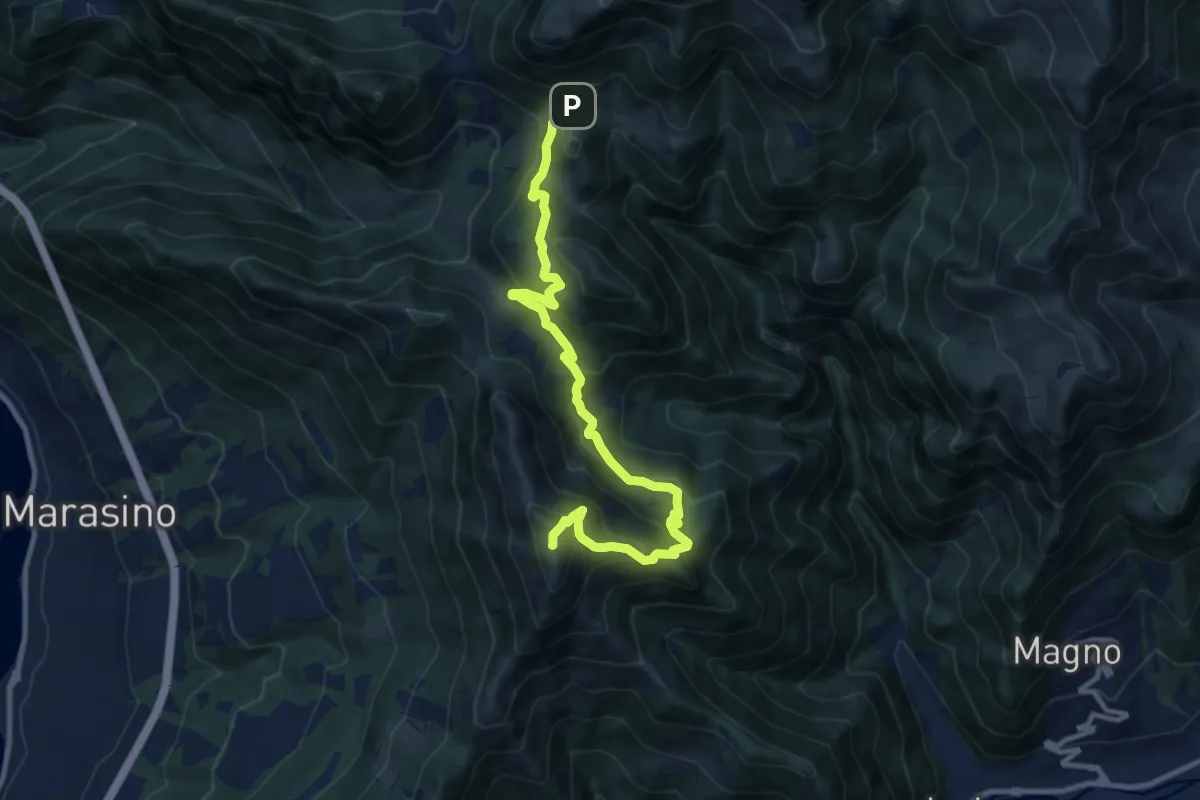
Demanding · Summit
Malghe in Rete - Trekking - Le Creste Tappa 1
11.5 km · ↑ 881 m · 4 h 37 min · 13 km away
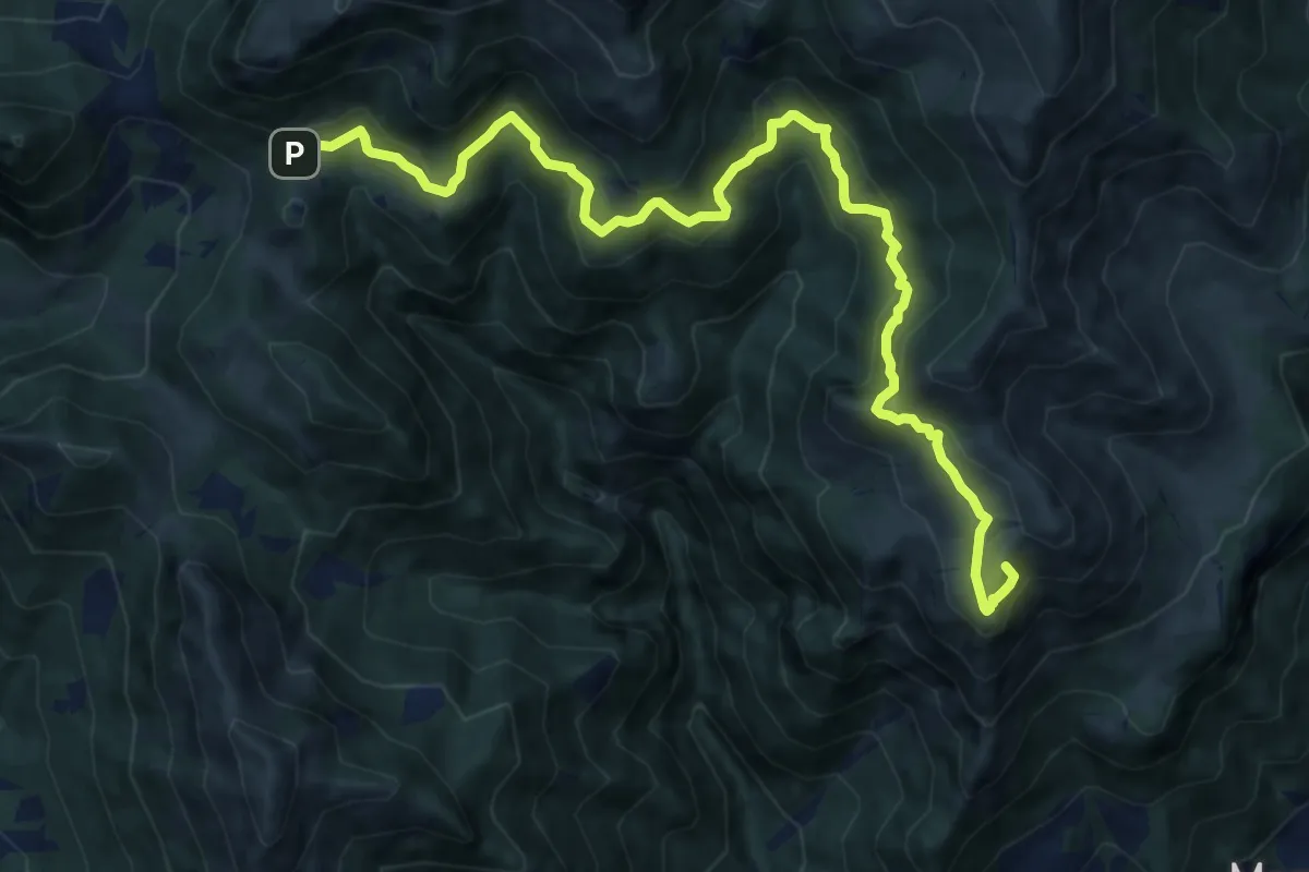
Demanding · Summit
Marcheno (Piani di Caregno) – Croce di Marone
13.2 km · ↑ 836 m · 4 h 56 min · 13 km away
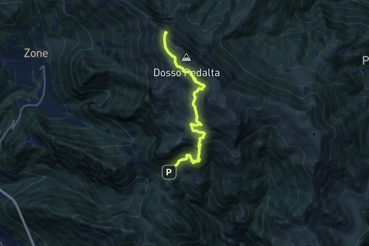
Demanding · Summit
Malghe in Rete - Trekking - Le Creste Tappa 2
11.3 km · ↑ 842 m · 4 h 29 min · 13 km away
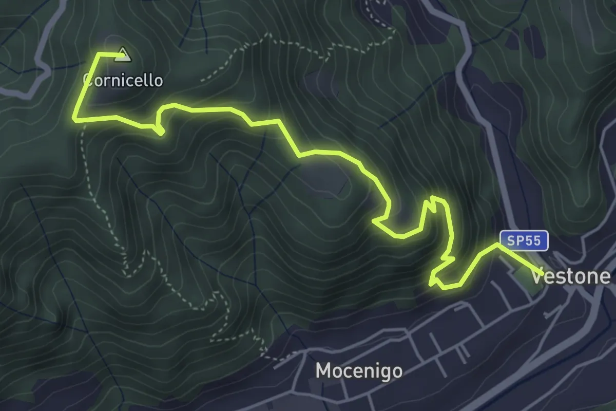
Medium · Summit
Vestone – San Bernardo
5.9 km · ↑ 514 m · 2 h 31 min · 13 km away
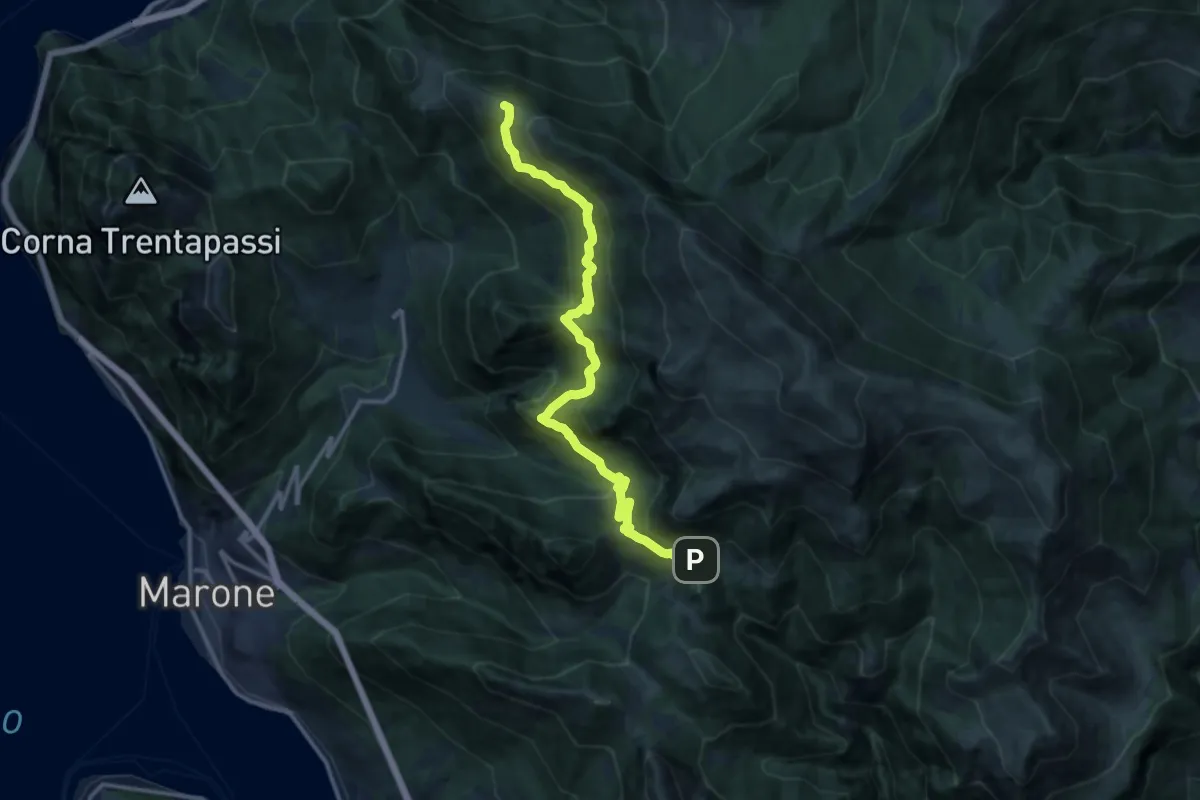
Expert · Summit
Sentiero dell'Uccellatore
14.4 km · ↑ 920 m · 5 h 24 min · 13 km away
Easy · Trail
Tavernole Sul Mella (Malga Pontogna - Bivio Sentiero 325) – Malga Gale (Bivio Sentiero 393 3V)
5.4 km · ↑ 222 m · 1 h 46 min · 13 km away
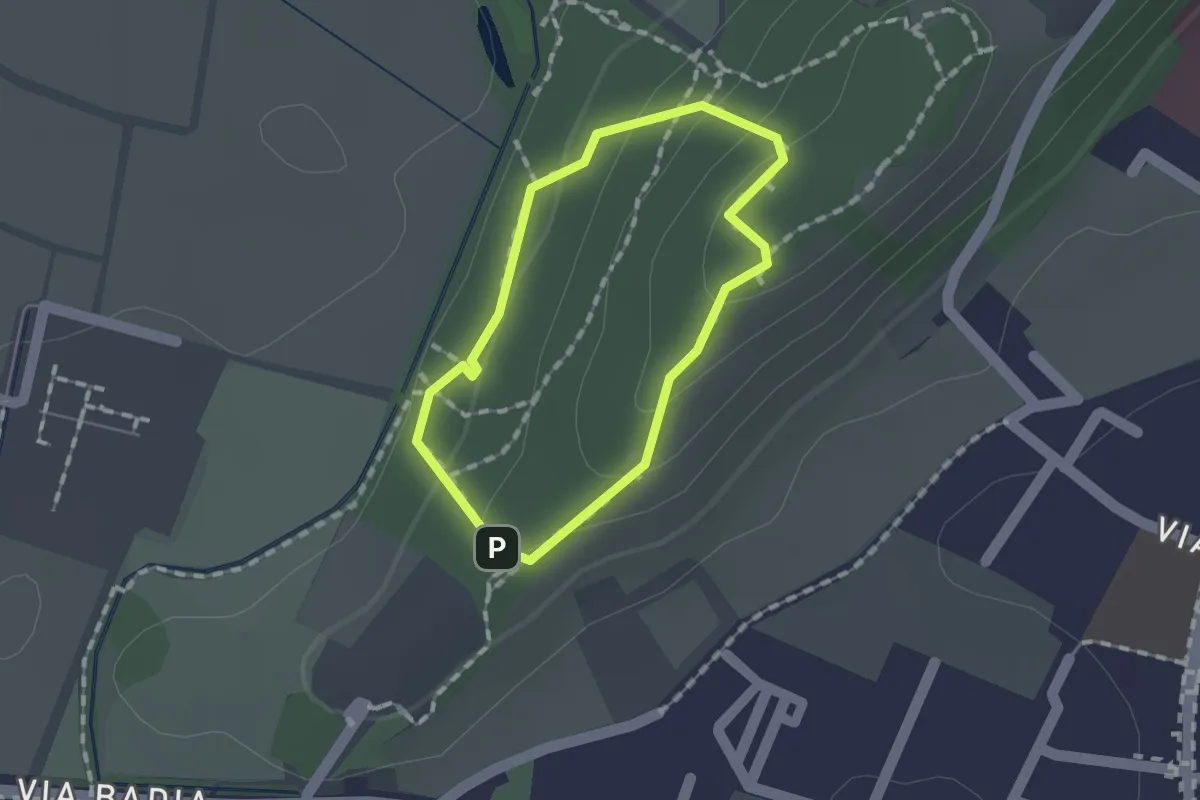
Easy · Trail
Sentiero per non vedenti (Colle di Sant'Anna)
1.1 km · ↑ 55 m · 23 min · 13 km away
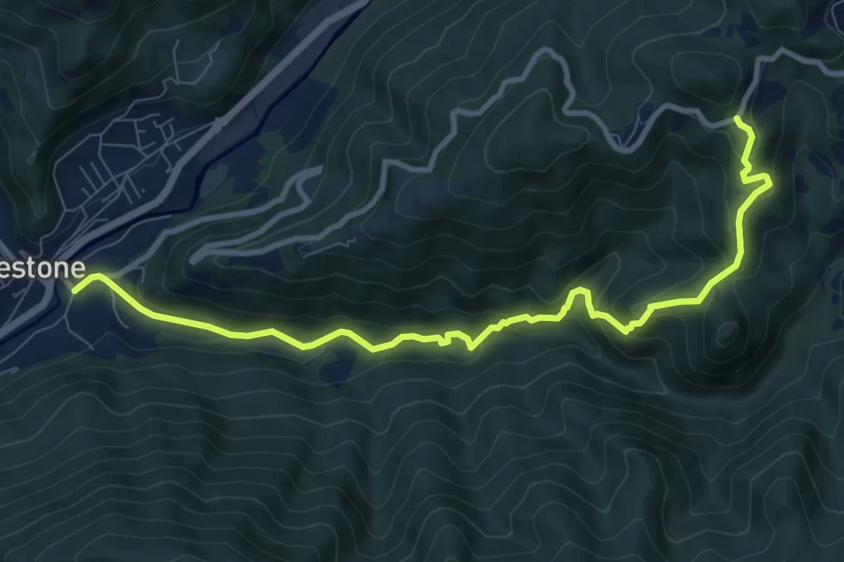
Medium · Trail
Vestone – San Liberale
9.3 km · ↑ 509 m · 3 h 18 min · 13 km away
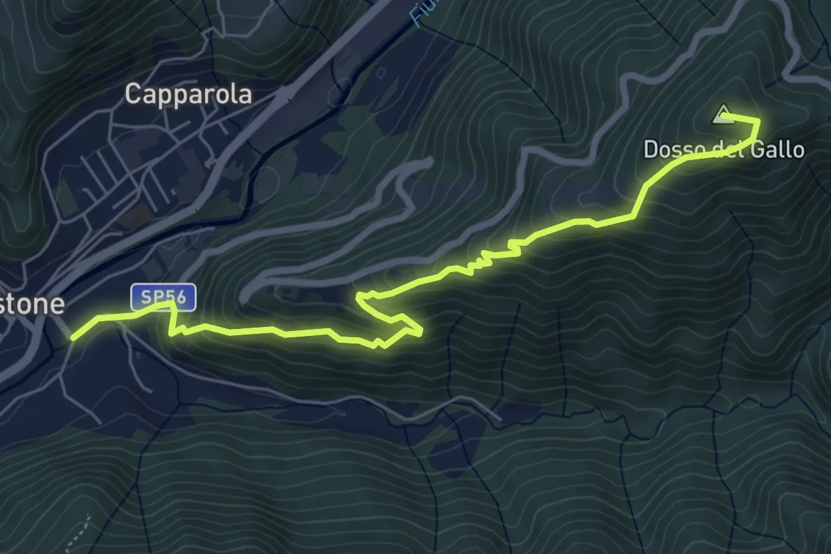
Medium · Summit
Vestone – Treviso B.no, San Liberale
6.6 km · ↑ 510 m · 2 h 40 min · 13 km away
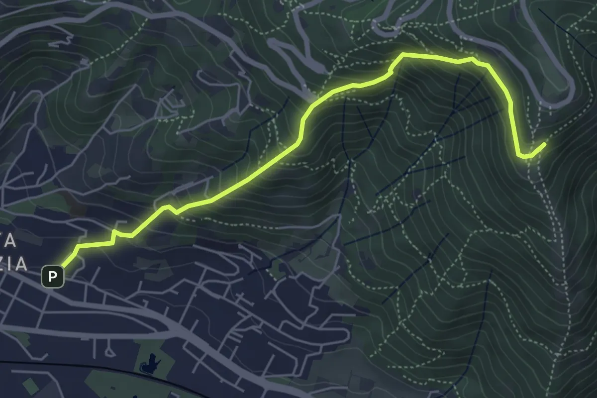
Medium · Trail
Brescia (Via del Canalotto) – Innesto Sentiero 902
5.7 km · ↑ 532 m · 2 h 29 min · 13 km away
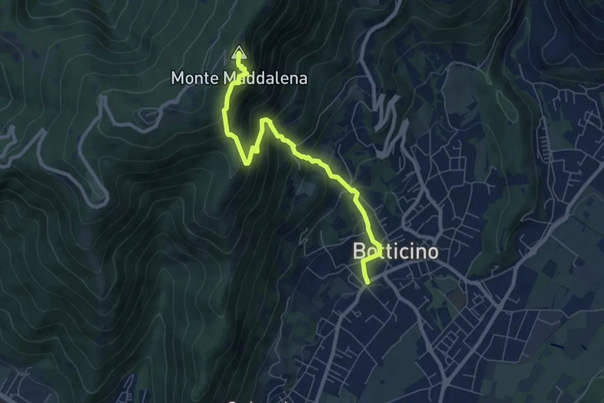
Medium · Summit
Botticino (Via Gioacchino Rossini) – Ex Rifugio Monte Maddalena
6.6 km · ↑ 756 m · 3 h 12 min · 13 km away
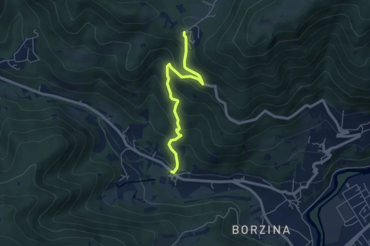
Medium · Trail
Gavardo (Soseto) – Osteria Monte Magno
4.4 km · ↑ 380 m · 1 h 51 min · 13 km away
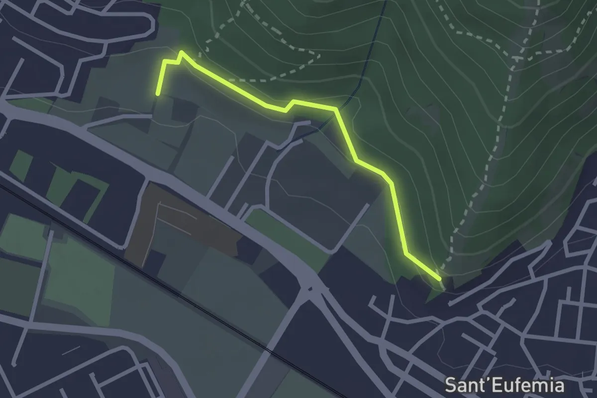
Medium · Trail
Sentiero della Memoria
2.2 km · ↑ 68 m · 39 min · 13 km away
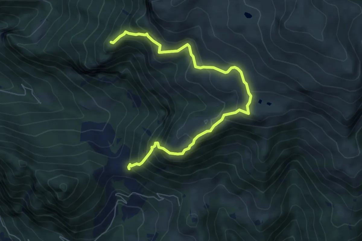
Demanding · Summit
Gasso – Rucca
7.3 km · ↑ 813 m · 3 h 30 min · 13 km away