Trails near Lumezzane
321 hikes starting within 15 km, nearest first.
Nearest first, page 7 of 7
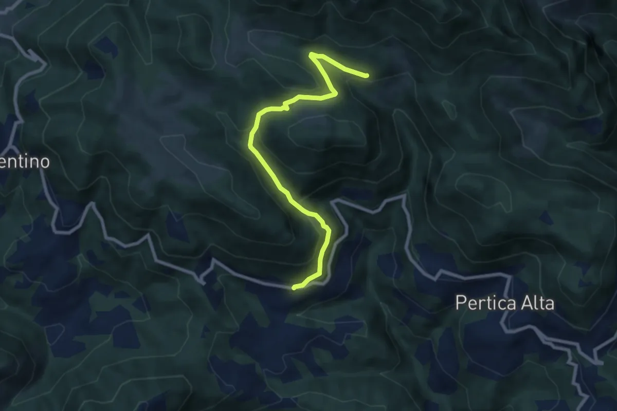
Medium · Trail
Pertica Alta (Lavino) – Ronchi (Innesto con sentiero 446 e 447)
7.3 km · ↑ 387 m · 2 h 34 min · 14 km away
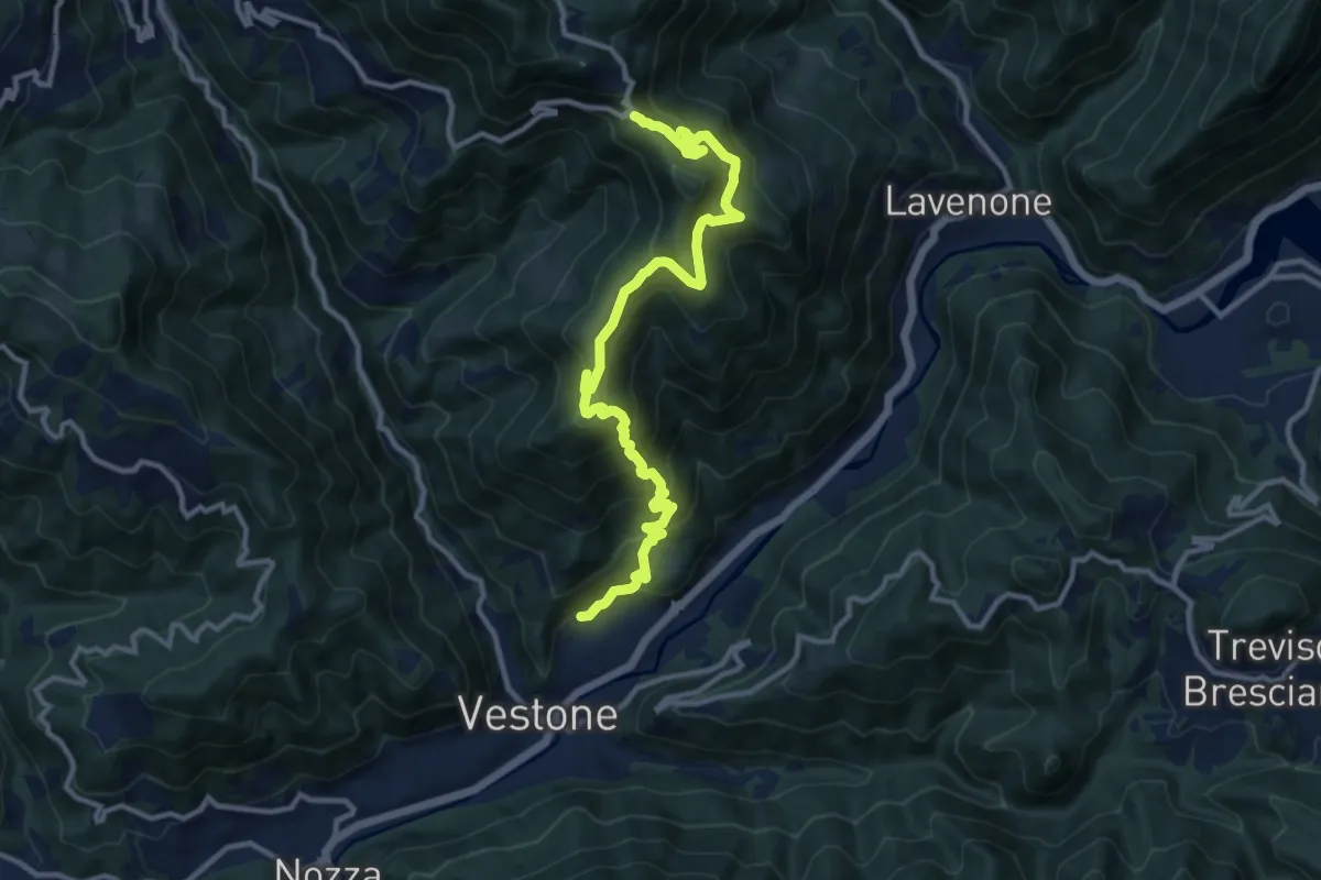
Demanding · Trail
Promo – La Passata
12.9 km · ↑ 936 m · 5 h 4 min · 14 km away
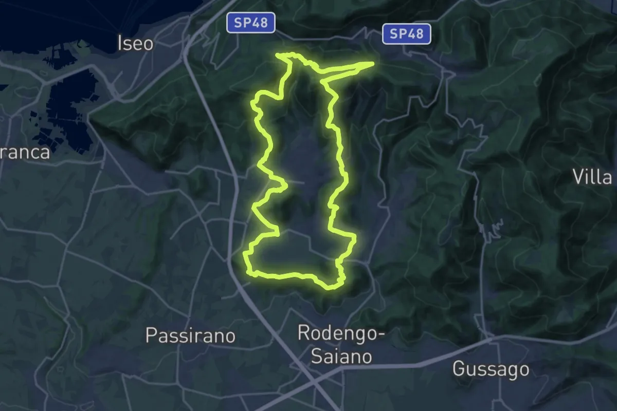
Demanding · Summit
El gir del Muntasel
20.5 km · ↑ 865 m · 6 h 59 min · 14 km away
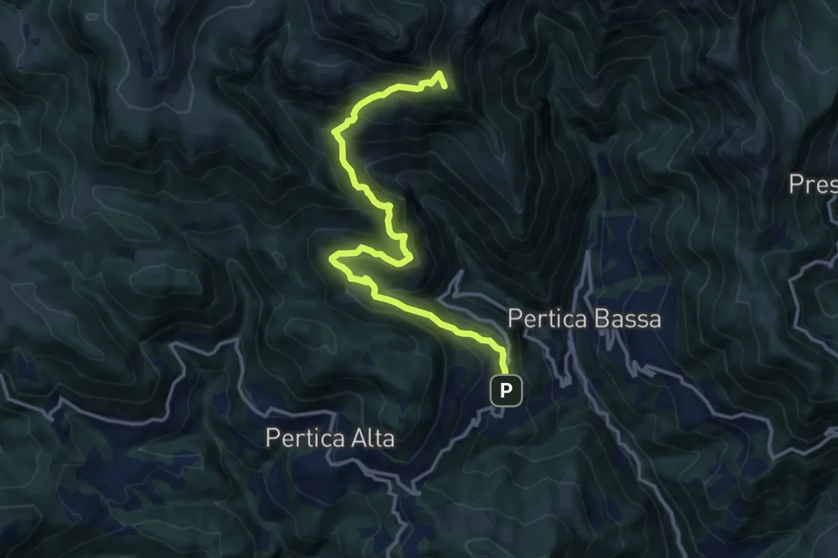
Demanding · Summit
Avenone – P.sso Pezzeda Mattina
12.5 km · ↑ 981 m · 5 h 5 min · 14 km away
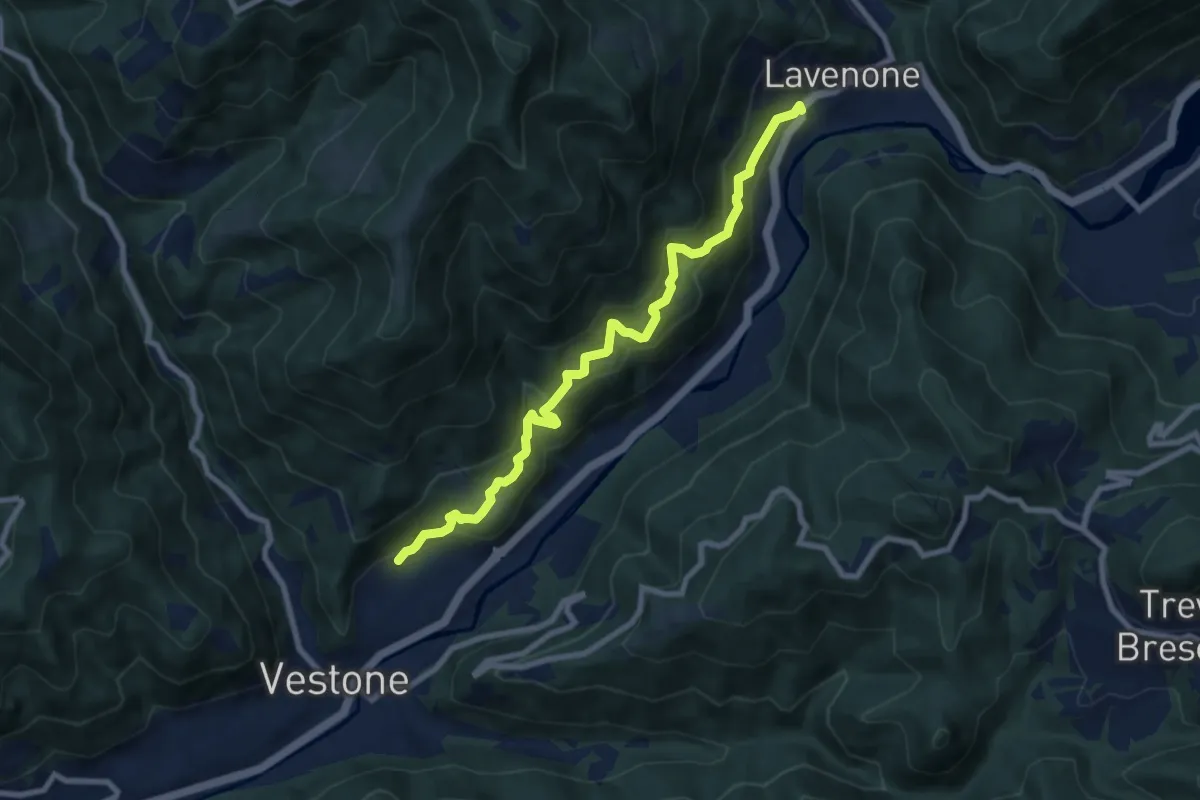
Medium · Trail
Vestone (Promo) – Lavenone
8.5 km · ↑ 632 m · 3 h 22 min · 14 km away
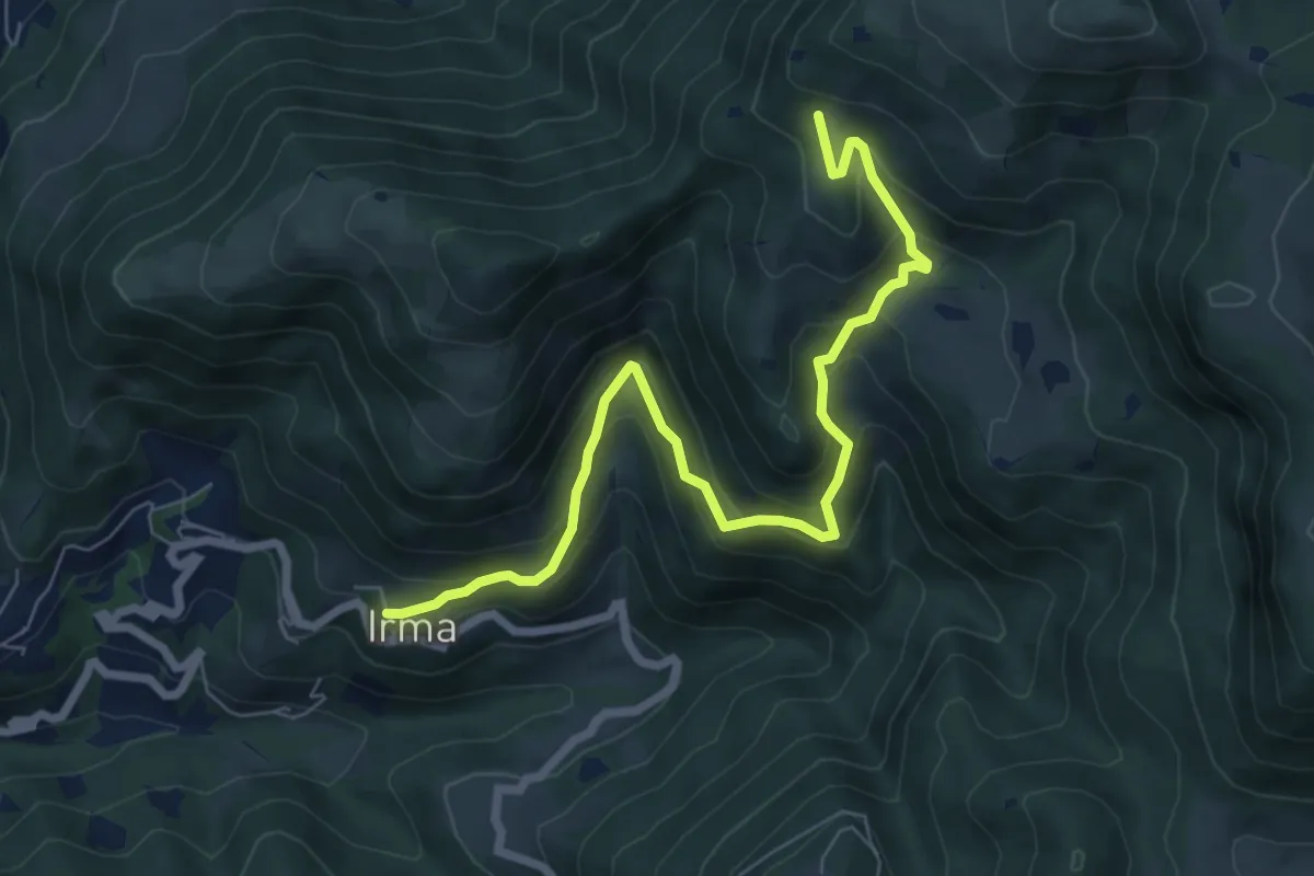
Medium · Trail
Irma (Cimitero) – Monte Ario - (Malga Confine - Innesto Sentiero 345)
7.7 km · ↑ 546 m · 3 h 1 min · 14 km away
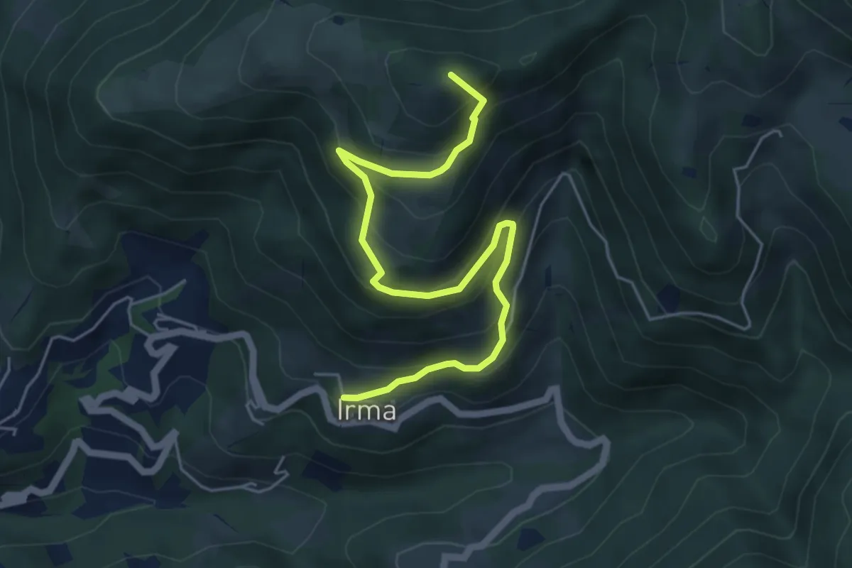
Medium · Summit
Irma (Cimitero) – Monte Ario (Passo del Cavalletto - Innesto Sentiero 345)
5.7 km · ↑ 483 m · 2 h 23 min · 14 km away
Medium · Trail
Sentiero della Ruta
2.1 km · ↑ 95 m · 42 min · 14 km away
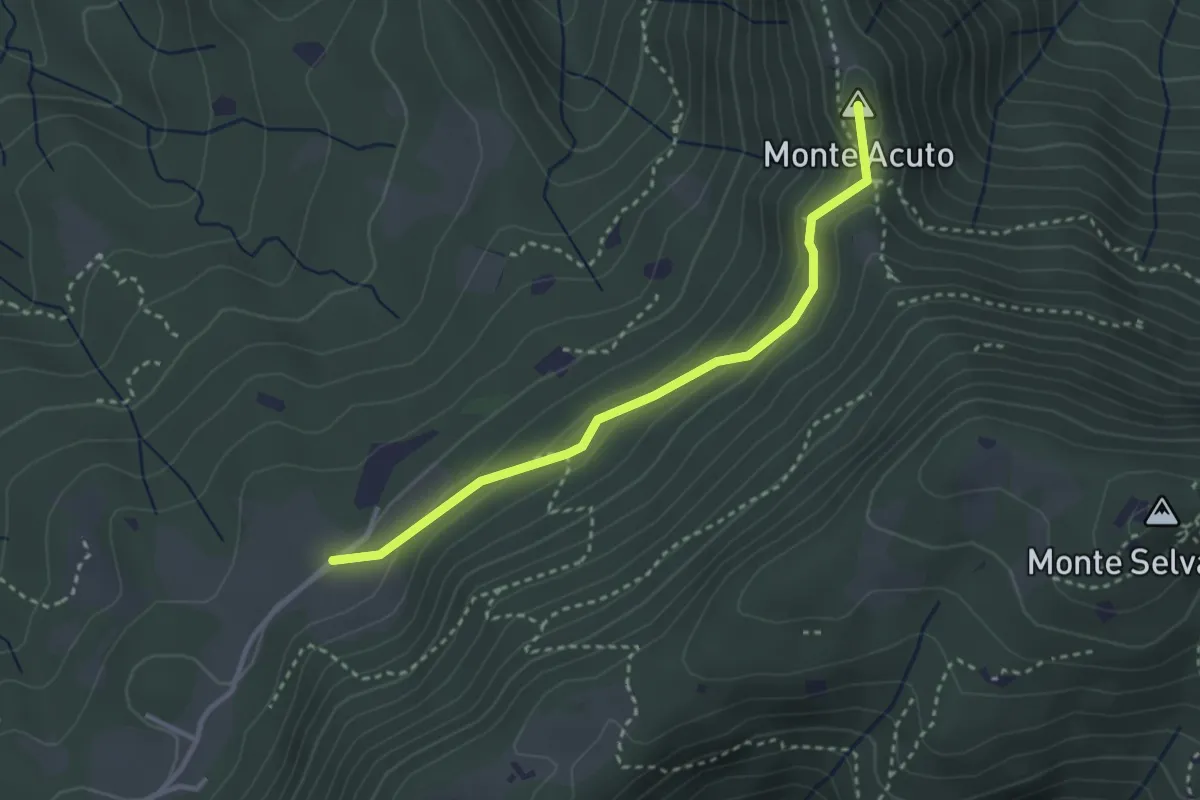
Medium · Summit
Sabbio Chiese (Monte Acuto - Innesto Sentiero 495) - Monte Magno
3.1 km · ↑ 162 m · 1 h 4 min · 14 km away
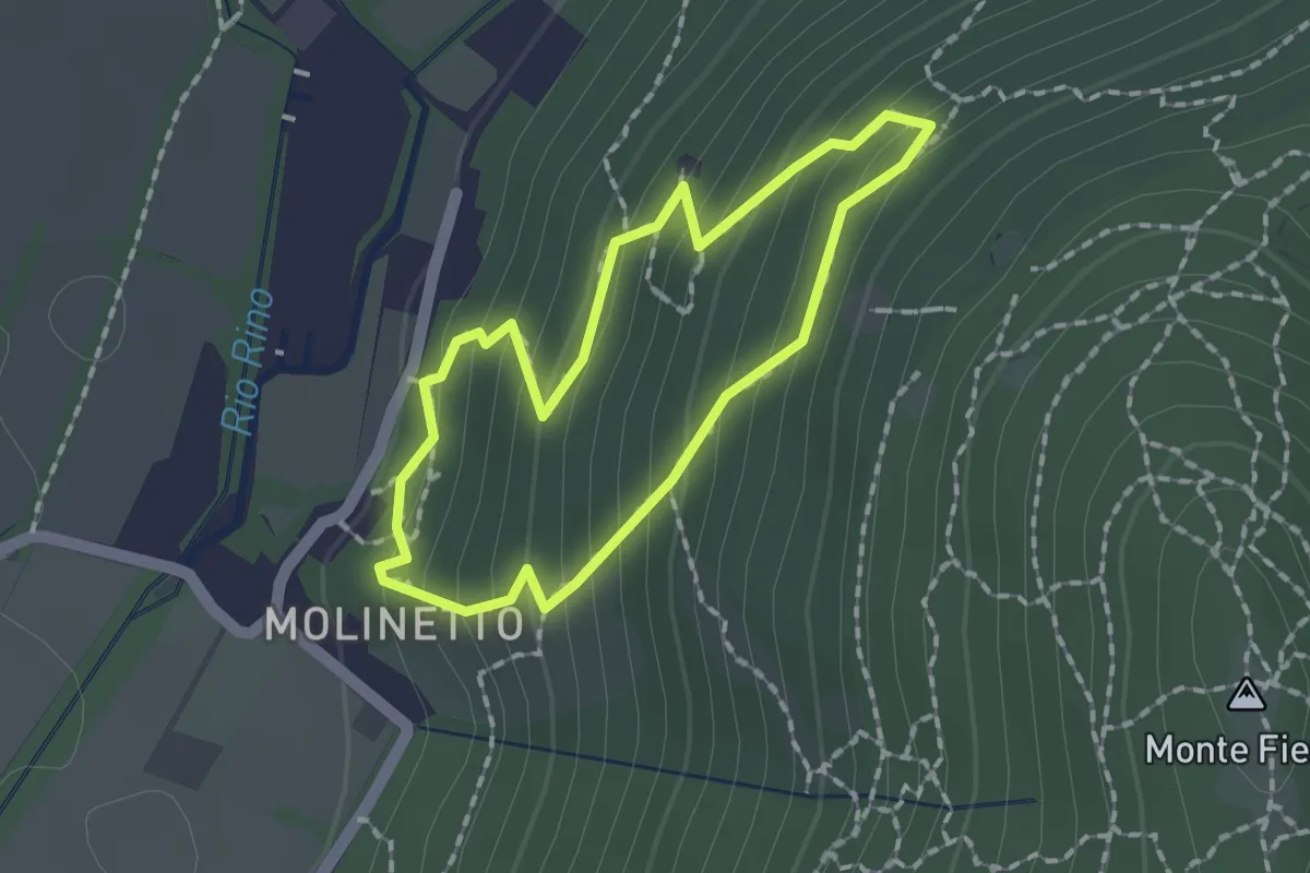
Demanding · Trail
Anello Molinetto di Botticno
1.5 km · ↑ 132 m · 39 min · 14 km away
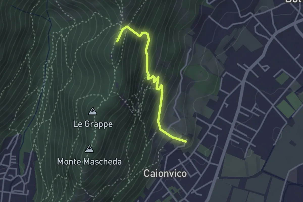
Demanding · Summit
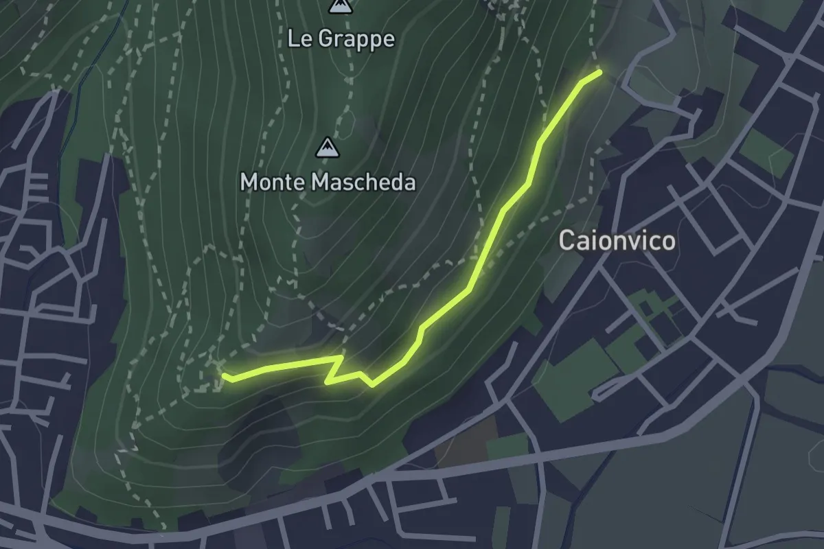
Caionvico (Cimitero) – Sella della Poffa (Innesto Sentiero 901)
2.7 km · ↑ 293 m · 1 h 17 min · 14 km away
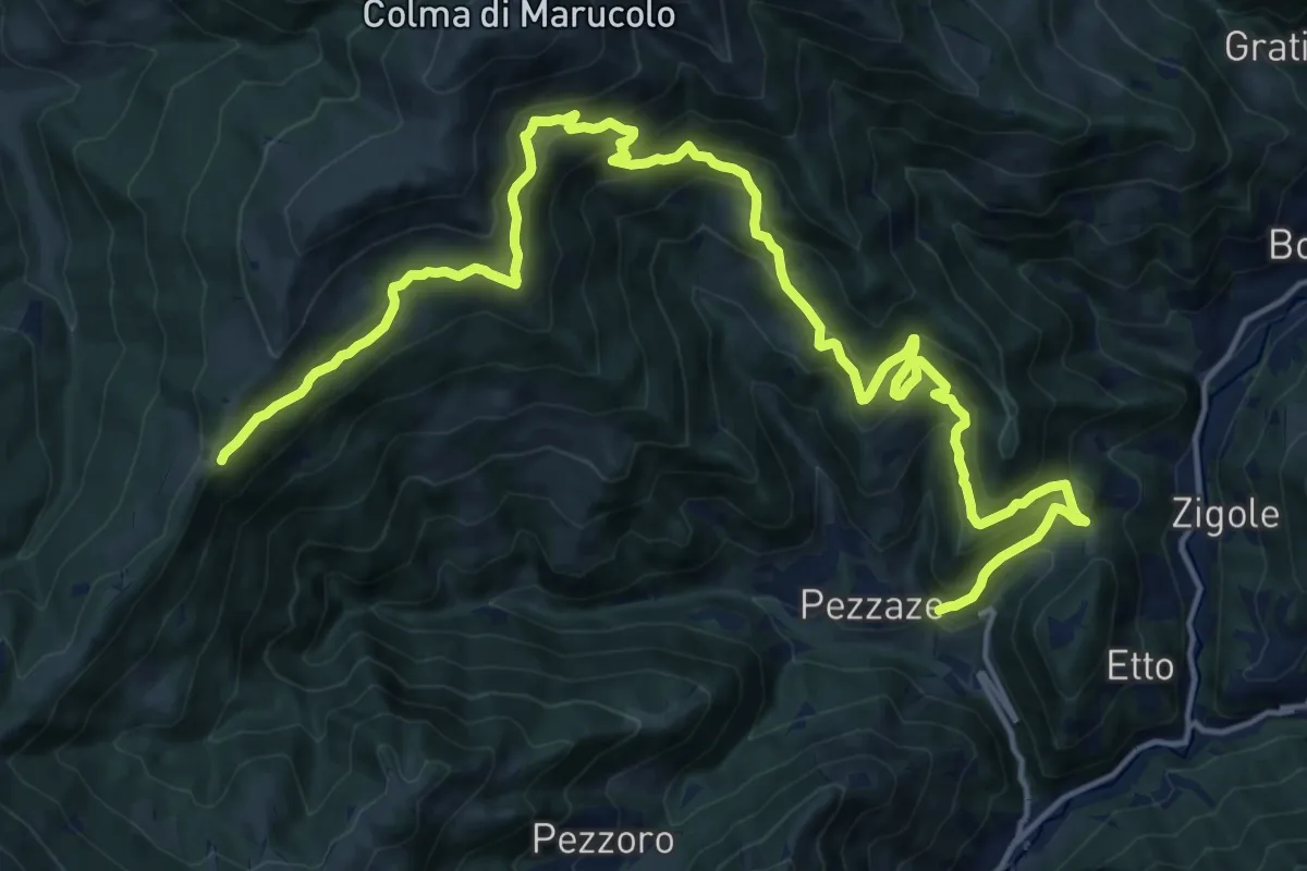
Demanding · Trail
Pezzaze (Pezzazole) – Colle di San Zeno
11.3 km · ↑ 1163 m · 4 h 56 min · 14 km away
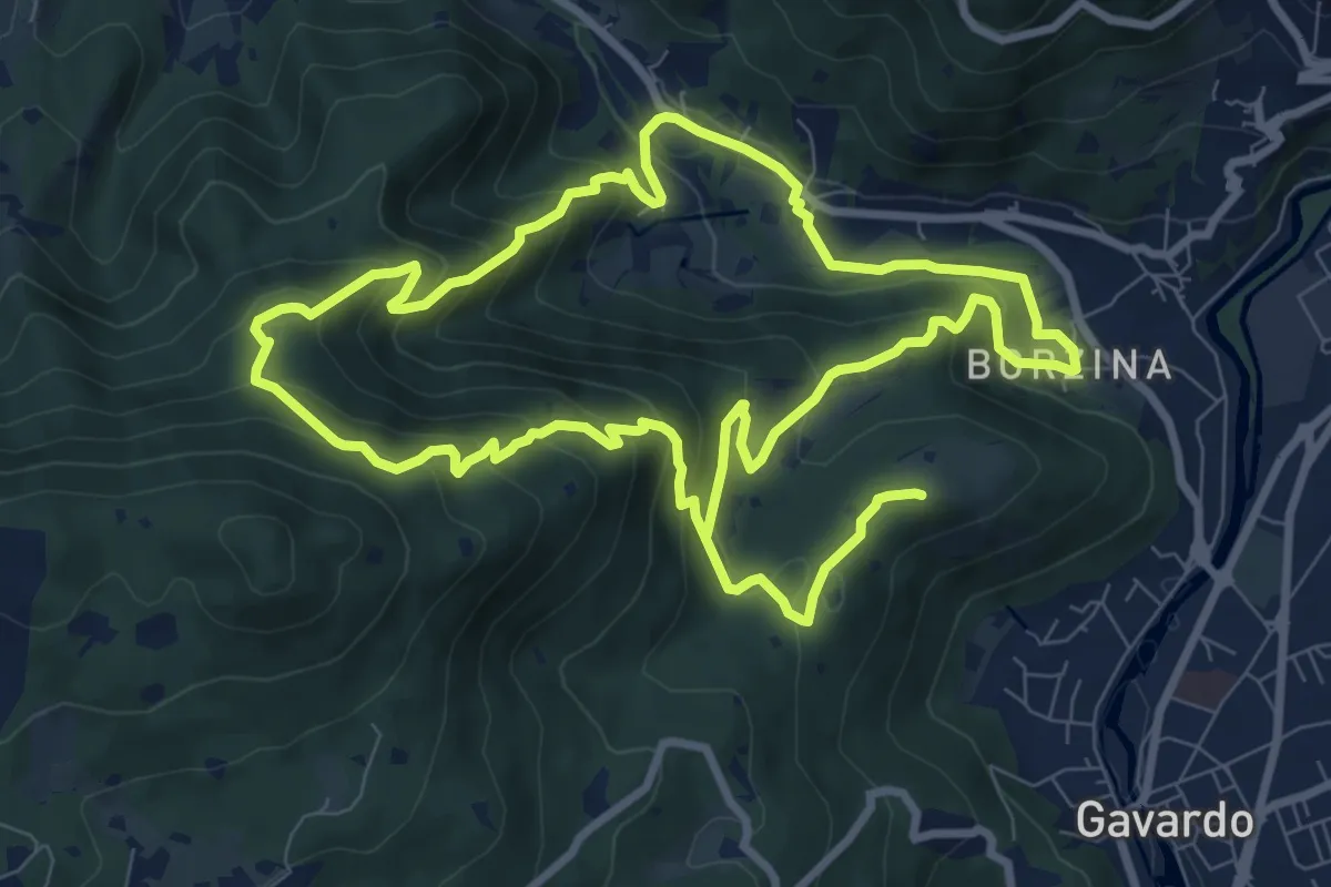
Demanding · Summit
Gavardo (Via Signurì) – Gavardo
18.2 km · ↑ 1056 m · 6 h 35 min · 14 km away
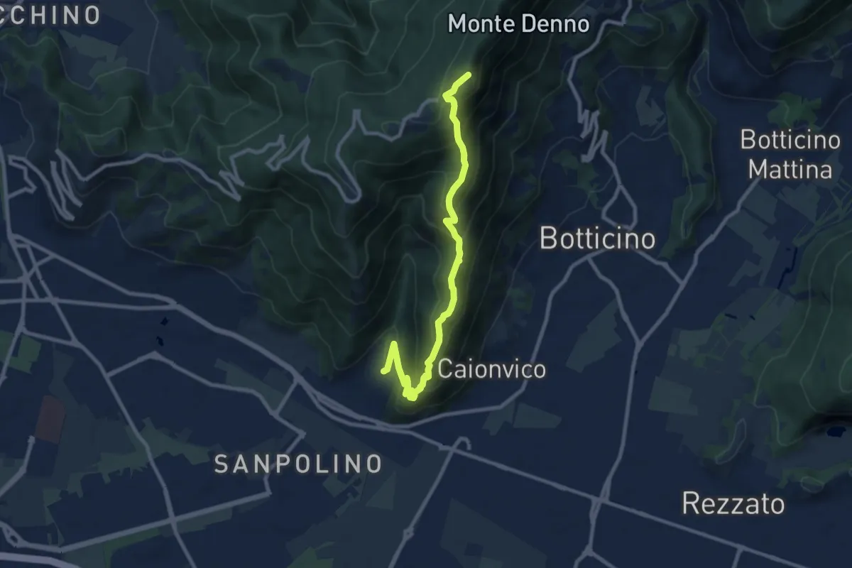
Demanding · Summit
Brescia (Sant'Eufemia - Via Cesare Noventa) – Ex Rifugio Monte Maddalena
9.1 km · ↑ 718 m · 3 h 42 min · 14 km away
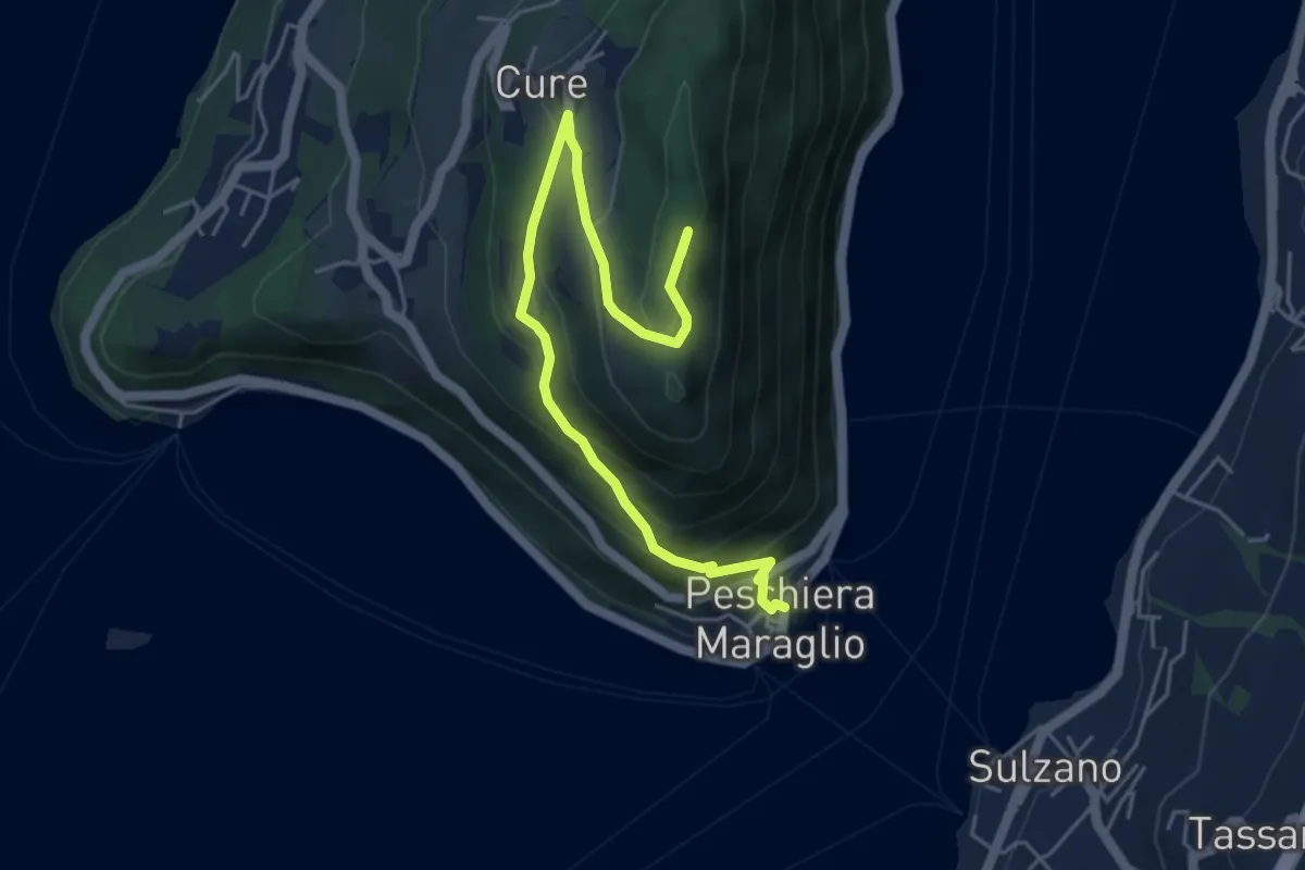
Medium · Summit
Pescheria Maraglio - Santuario della Ceriola
5.7 km · ↑ 392 m · 2 h 11 min · 14 km away
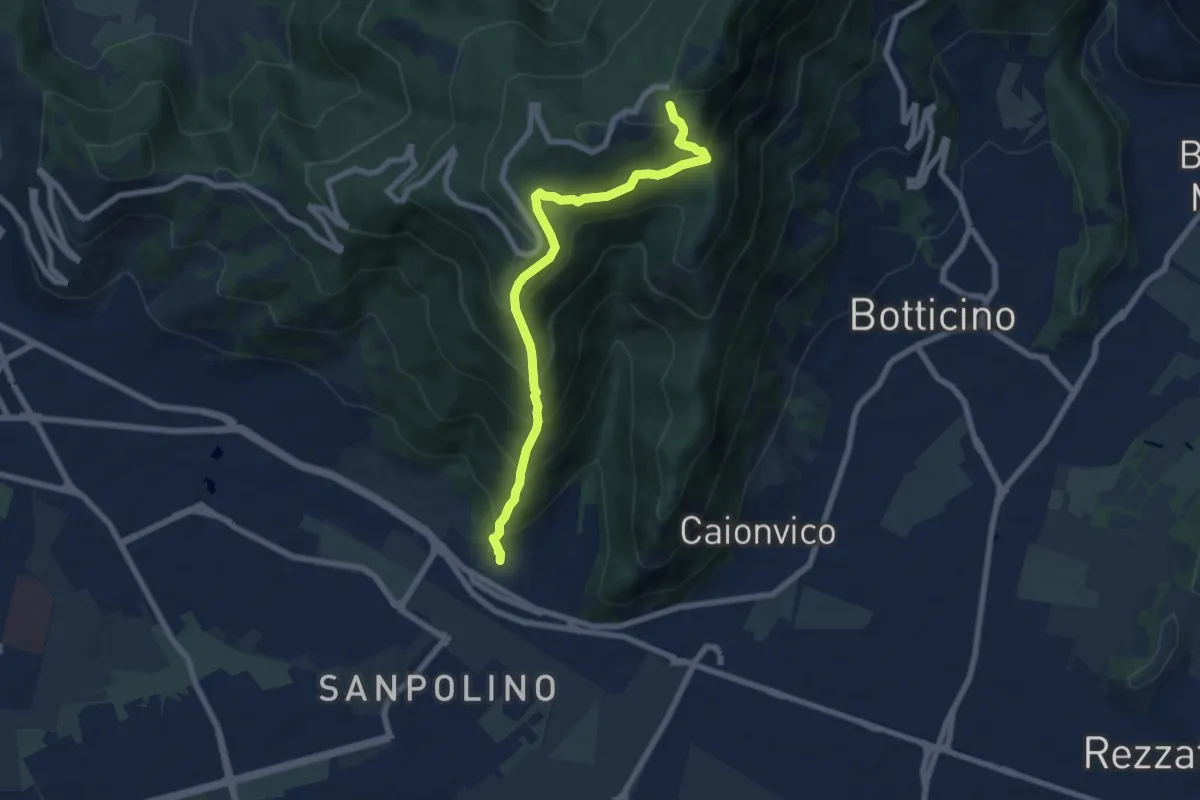
Demanding · Trail
Brescia (Via del Triinale) – Chiesetta della Maddalena
7.4 km · ↑ 760 m · 3 h 24 min · 14 km away
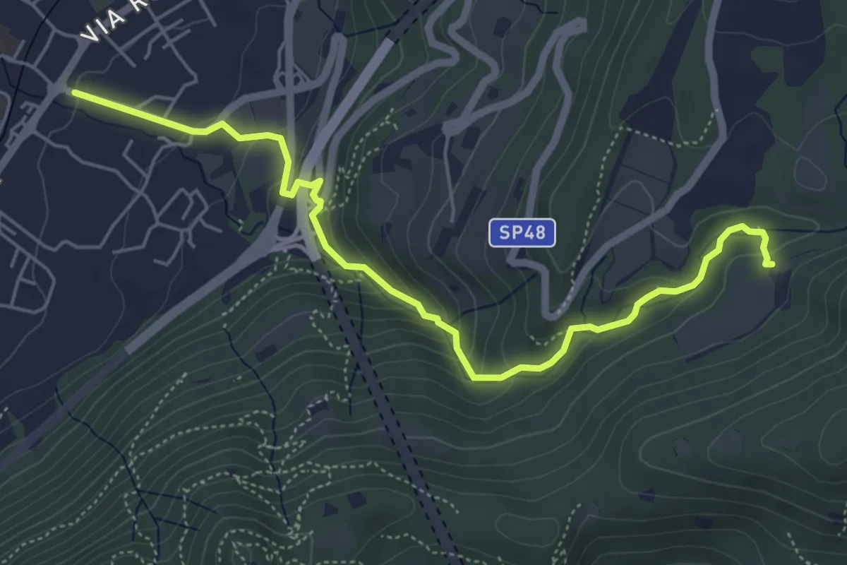
Medium · Trail
Sentér del Gat
5.9 km · ↑ 306 m · 2 h 4 min · 14 km away
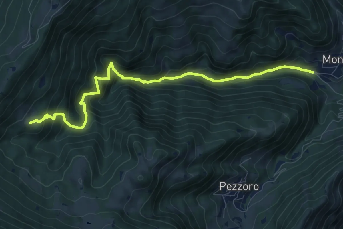
Demanding · Trail
Sentiero dei Carbonai
9.9 km · ↑ 858 m · 4 h 11 min · 14 km away
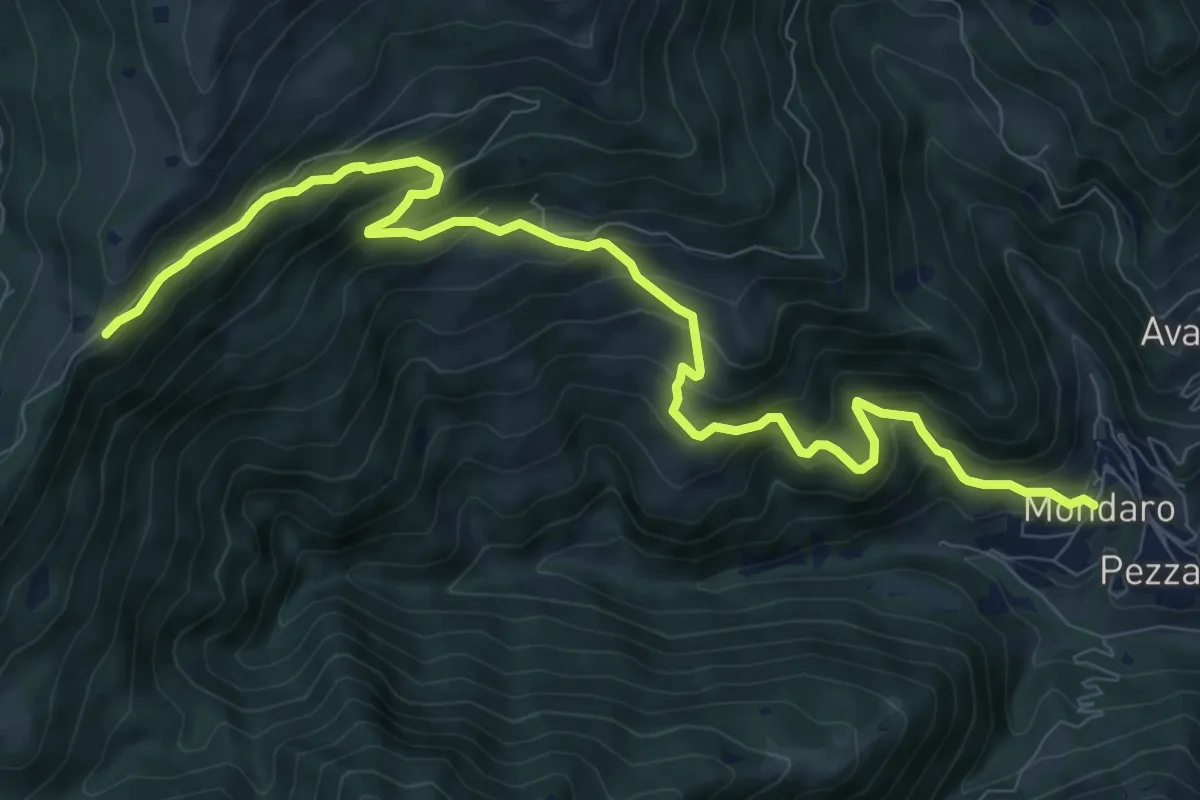
Demanding · Trail
Pezzaze (Mondaro) – Colle di San Zeno
11.4 km · ↑ 856 m · 4 h 33 min · 14 km away
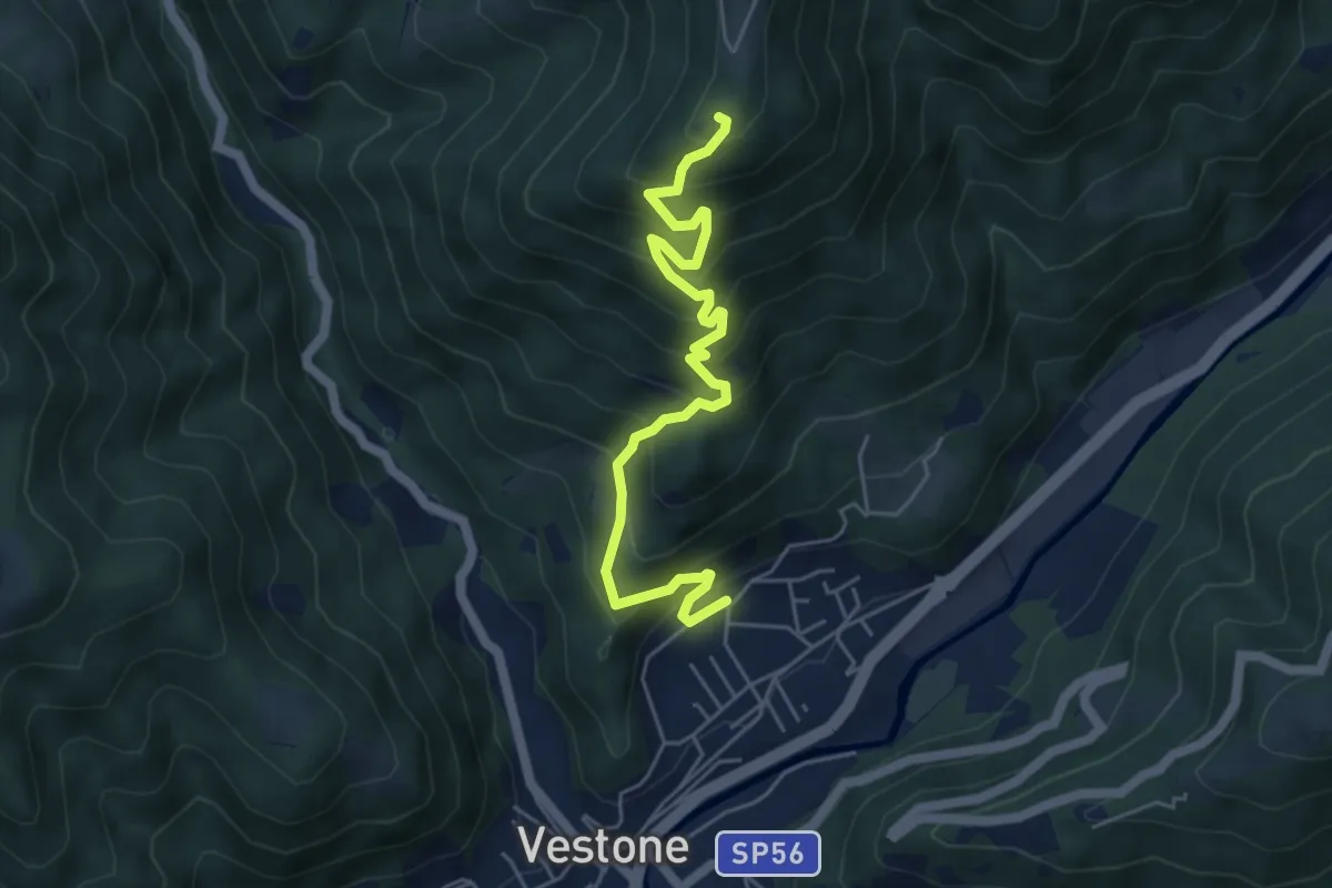
Medium · Trail
roccolo Rossetto – Promo
5.6 km · ↑ 566 m · 2 h 33 min · 14 km away
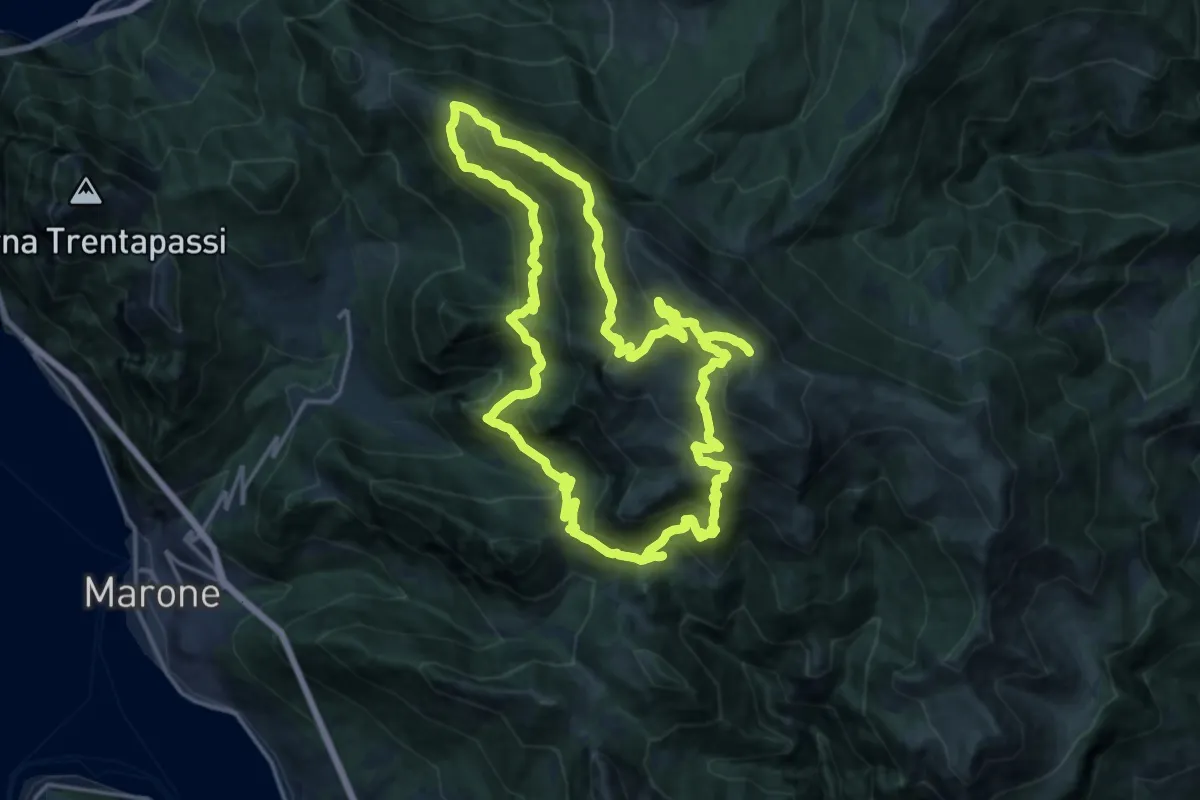
Demanding · Summit
Malghe in Rete - Anello 2 - Monte Guglielmo
18.2 km · ↑ 1257 m · 7 h 16 min · 14 km away
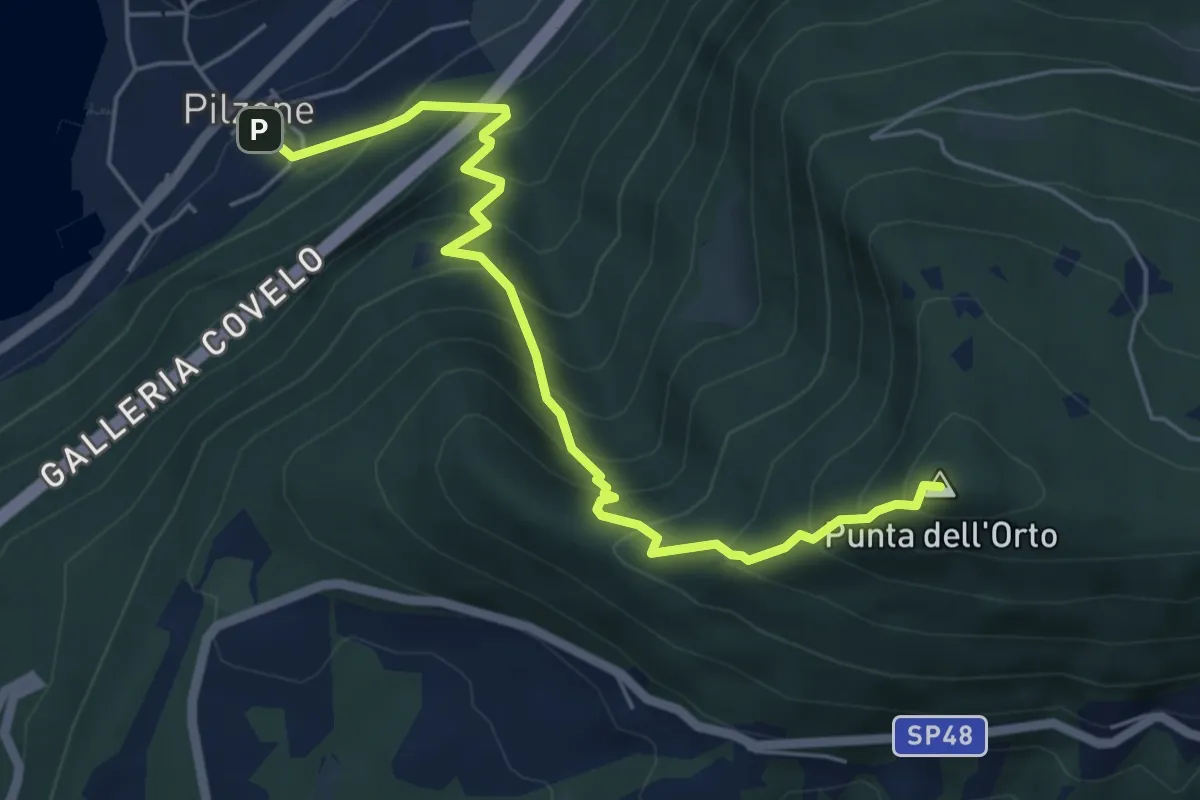
Medium · Summit
Pilzone – Punta dell'Orto
6.0 km · ↑ 762 m · 3 h 3 min · 14 km away
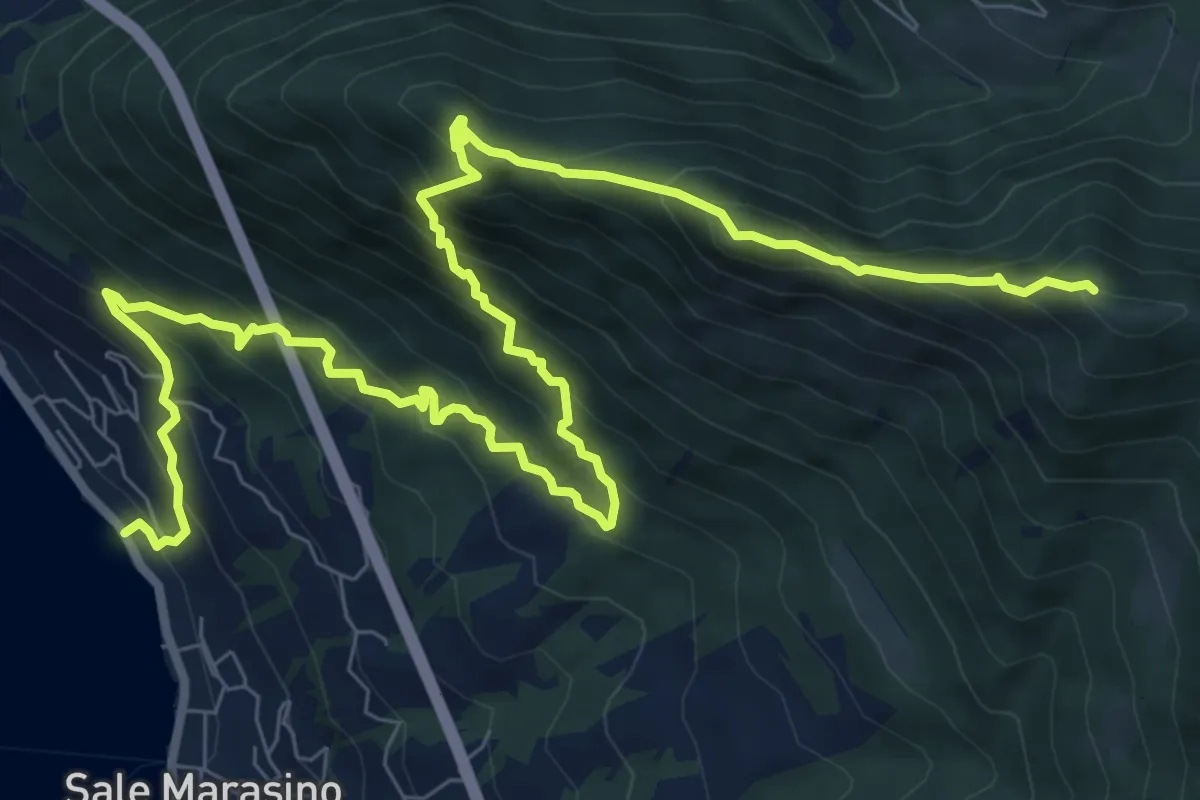
Demanding · Summit
Sale Marasino – Forcella di Sale
12.6 km · ↑ 1245 m · 5 h 40 min · 14 km away
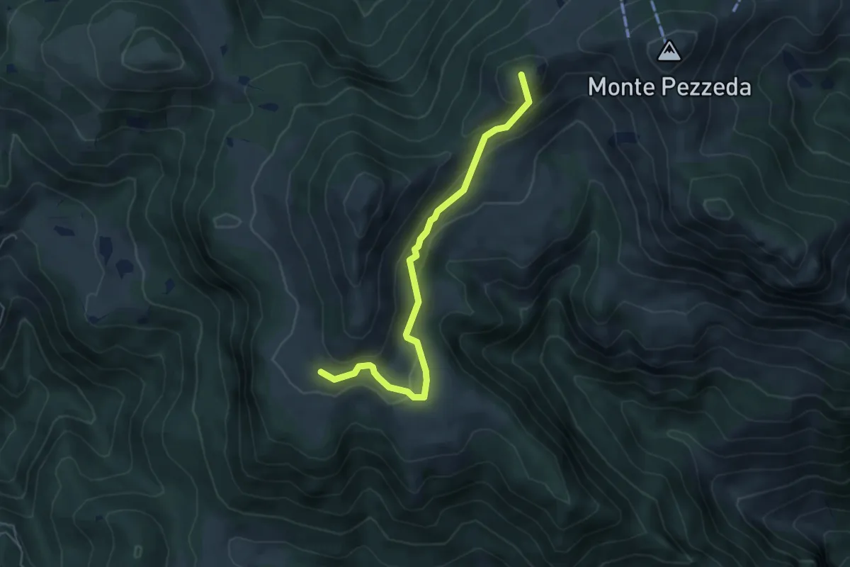
Easy · Summit
Sentiero 3V - Tappa 3 (Variante bassa)
5.1 km · ↑ 298 m · 1 h 51 min · 14 km away
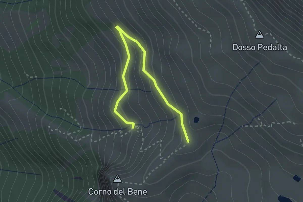
Easy · Cabin
Sentiero del Monte Guglielmo
2.8 km · ↑ 189 m · 1 h 4 min · 15 km away
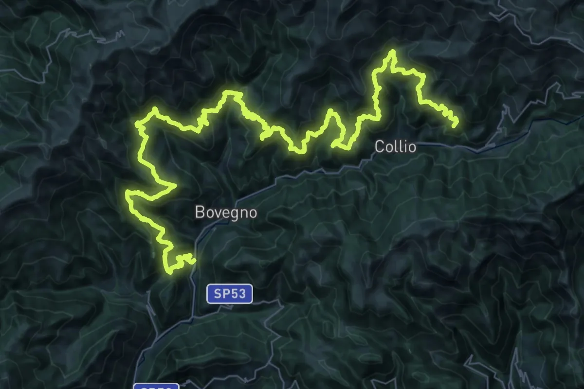
Demanding · Summit
Sentiero Solivo Alta Valle Trompia
59.2 km · ↑ 4432 m · 23 h 36 min · 15 km away
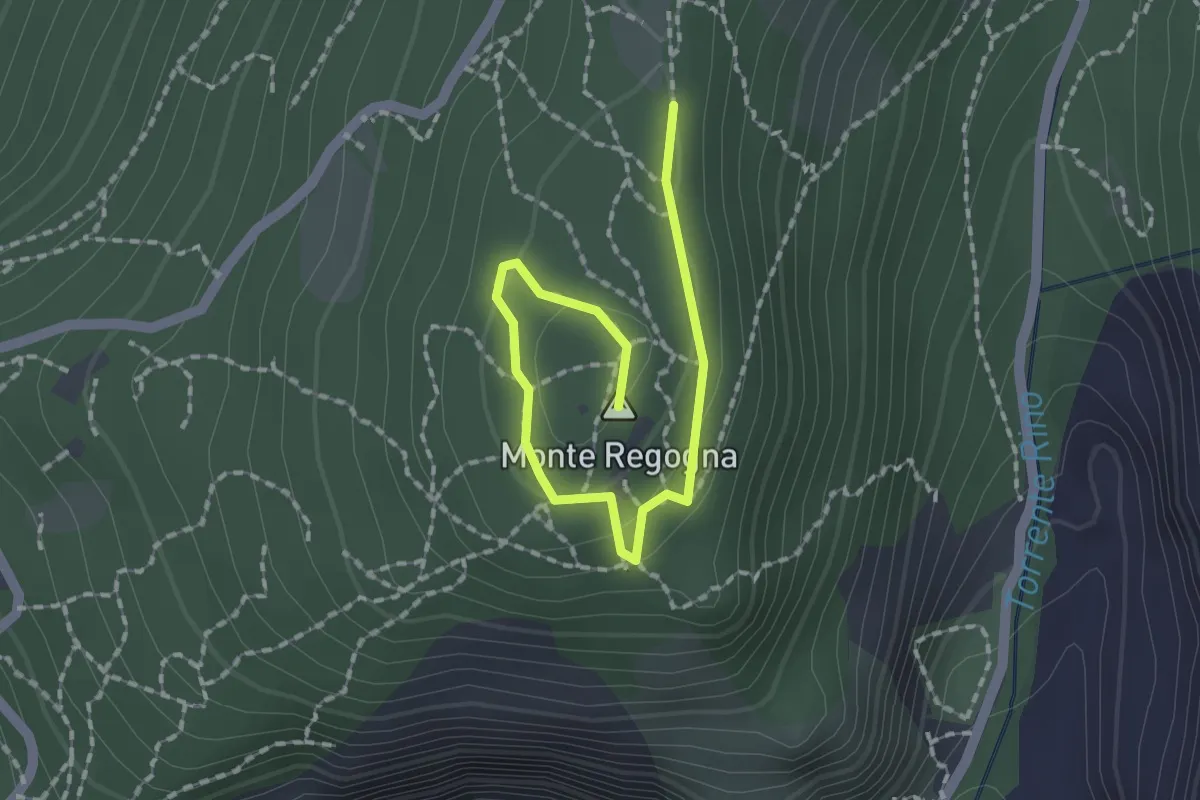
Easy · Summit
Sentiero didattico (Monte Regogna)
2.0 km · ↑ 54 m · 35 min · 15 km away
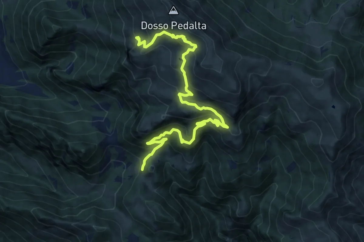
Medium · Summit
Sentiero naturalistico del Sebino
8.0 km · ↑ 356 m · 3 h 1 min · 15 km away
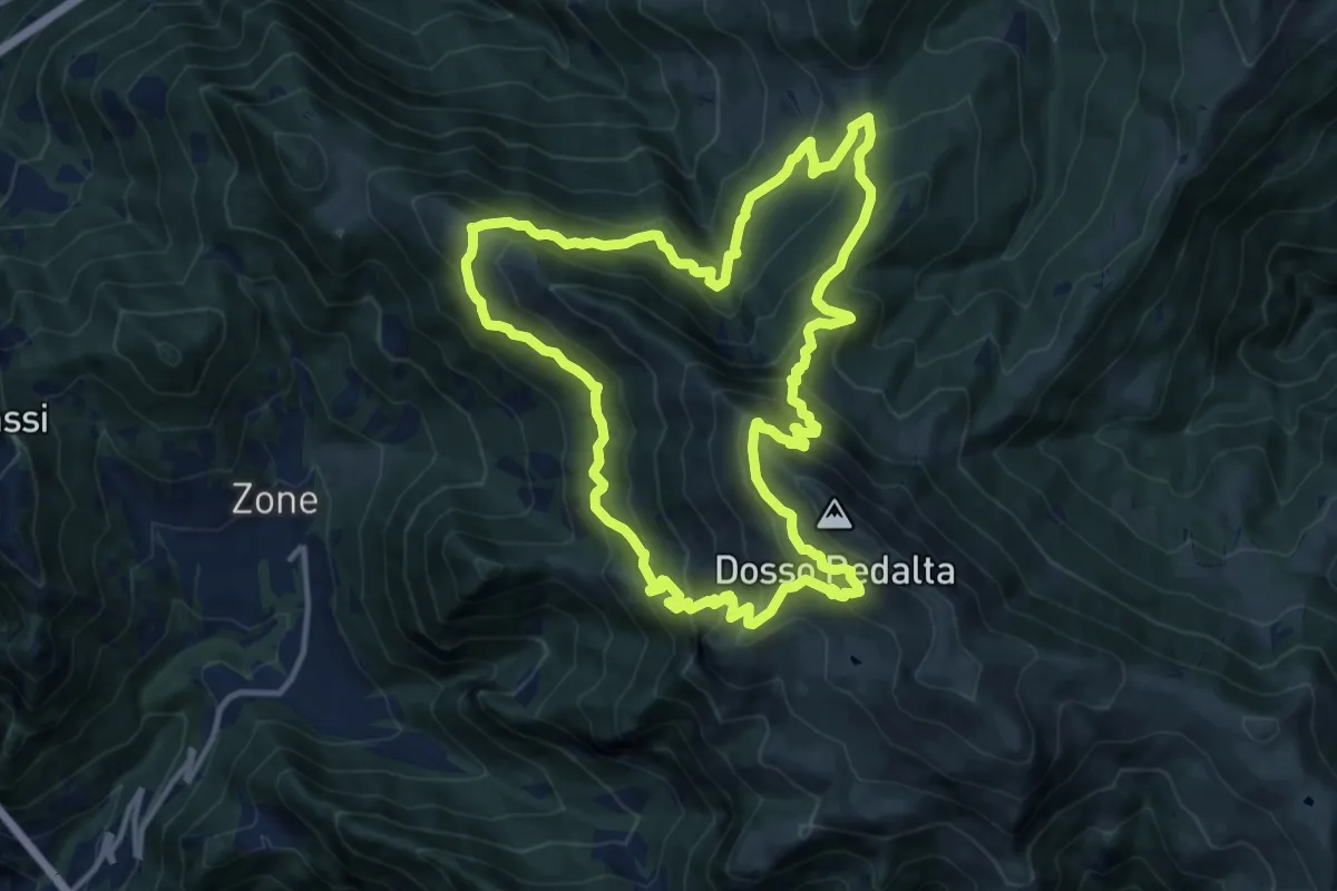
Demanding · Summit
Malghe in Rete - Anello 4 - Punta Caravina
13.5 km · ↑ 1036 m · 5 h 37 min · 15 km away
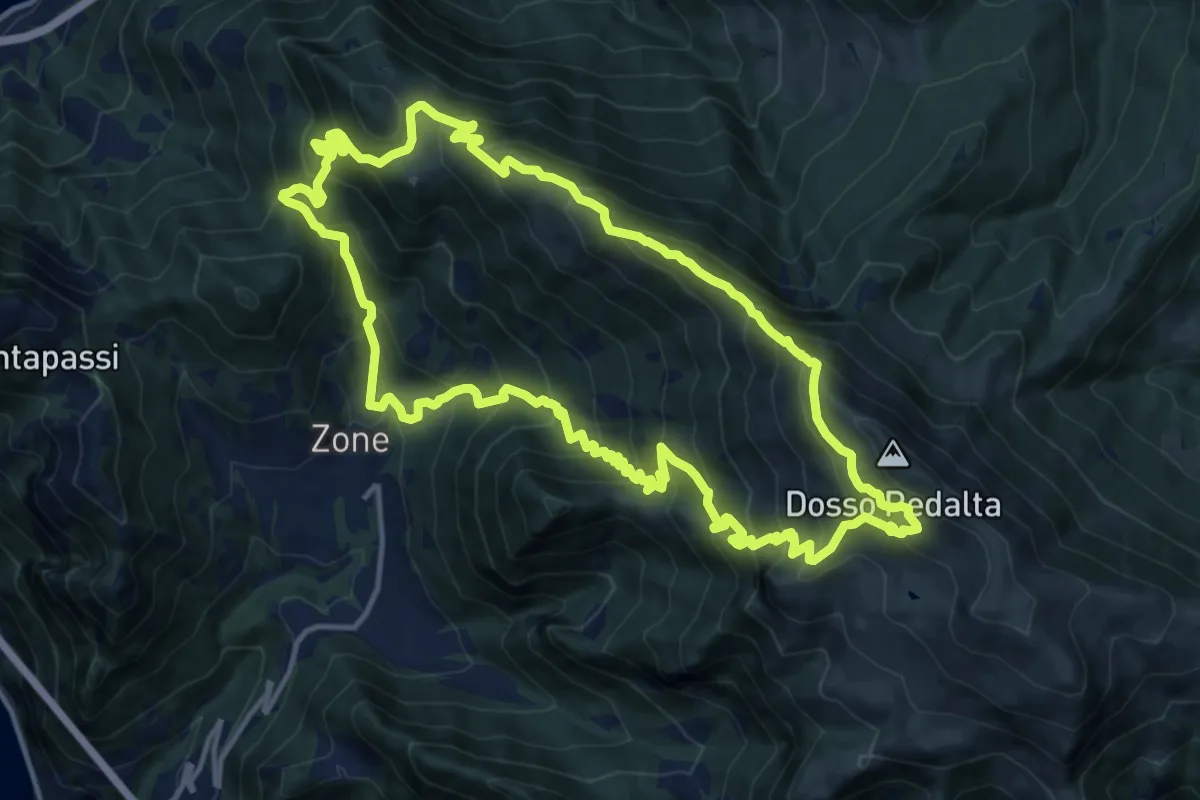
Demanding · Summit
Malghe in Rete - Anello 3 - Tredici Piante
15.1 km · ↑ 1310 m · 6 h 36 min · 15 km away
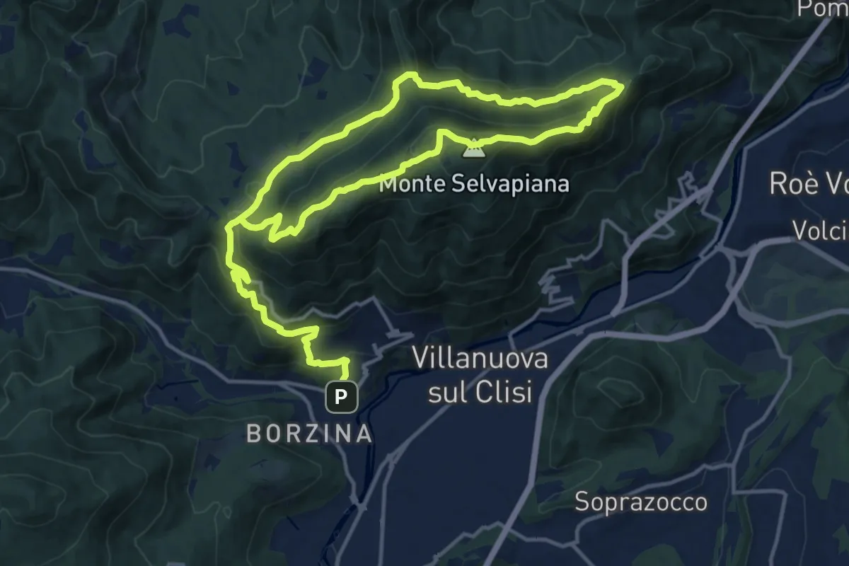
Demanding · Summit
Gavardo (Sopraponte) – Sopraponte
11.8 km · ↑ 965 m · 4 h 51 min · 15 km away
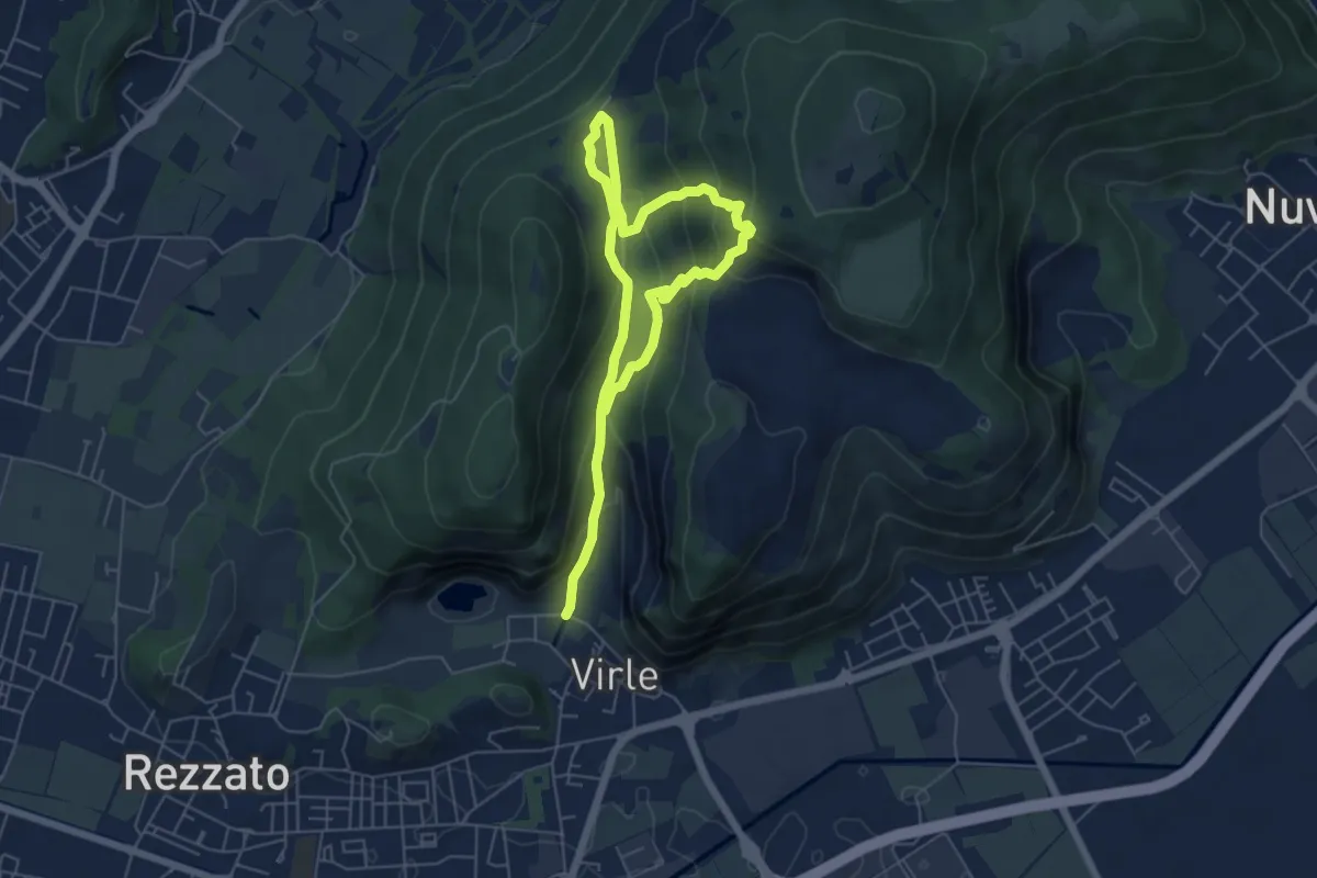
Medium · Trail
Sentiero della Valle di Virle
4.2 km · ↑ 202 m · 1 h 32 min · 15 km away
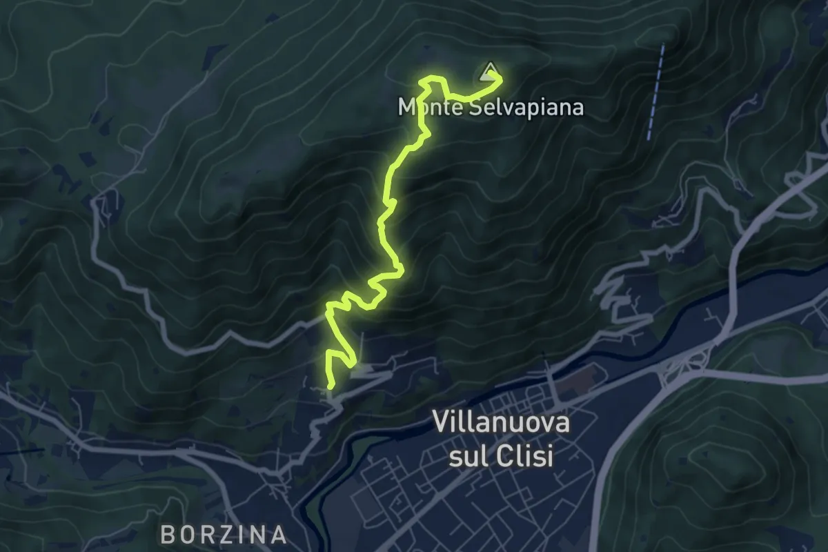
Medium · Summit
Gavardo (Quarena) – Selvapiana
6.7 km · ↑ 634 m · 2 h 58 min · 15 km away