Trails near Lurate Caccivio
133 hikes starting within 15 km, nearest first.
Nearest first, page 1 of 3
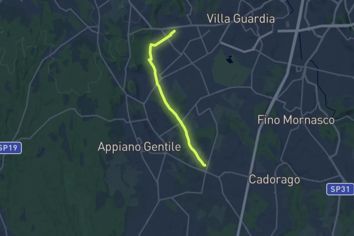
Medium · Trail
Lurate Caccivio – Guanzate
11.5 km · ↑ 86 m · 2 h 53 min · 1 km away
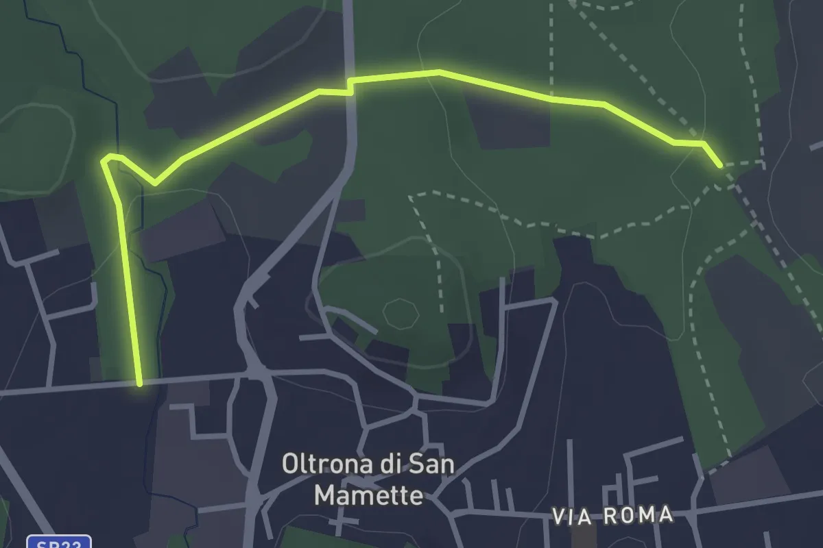
Easy · Trail
Incrocio 715B – Oltrona
3.2 km · ↑ 56 m · 52 min · 2 km away
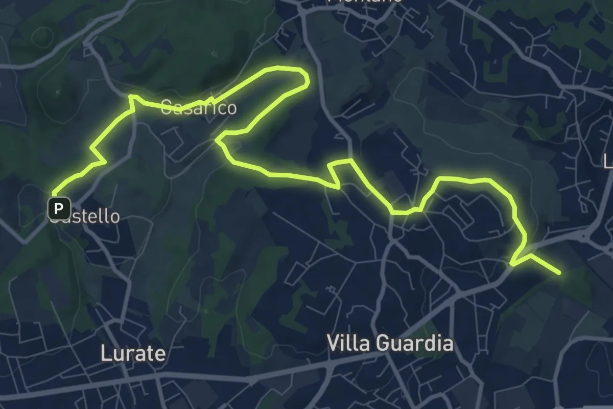
Medium · Trail
Castello – Civello
12.9 km · ↑ 191 m · 3 h 28 min · 2 km away
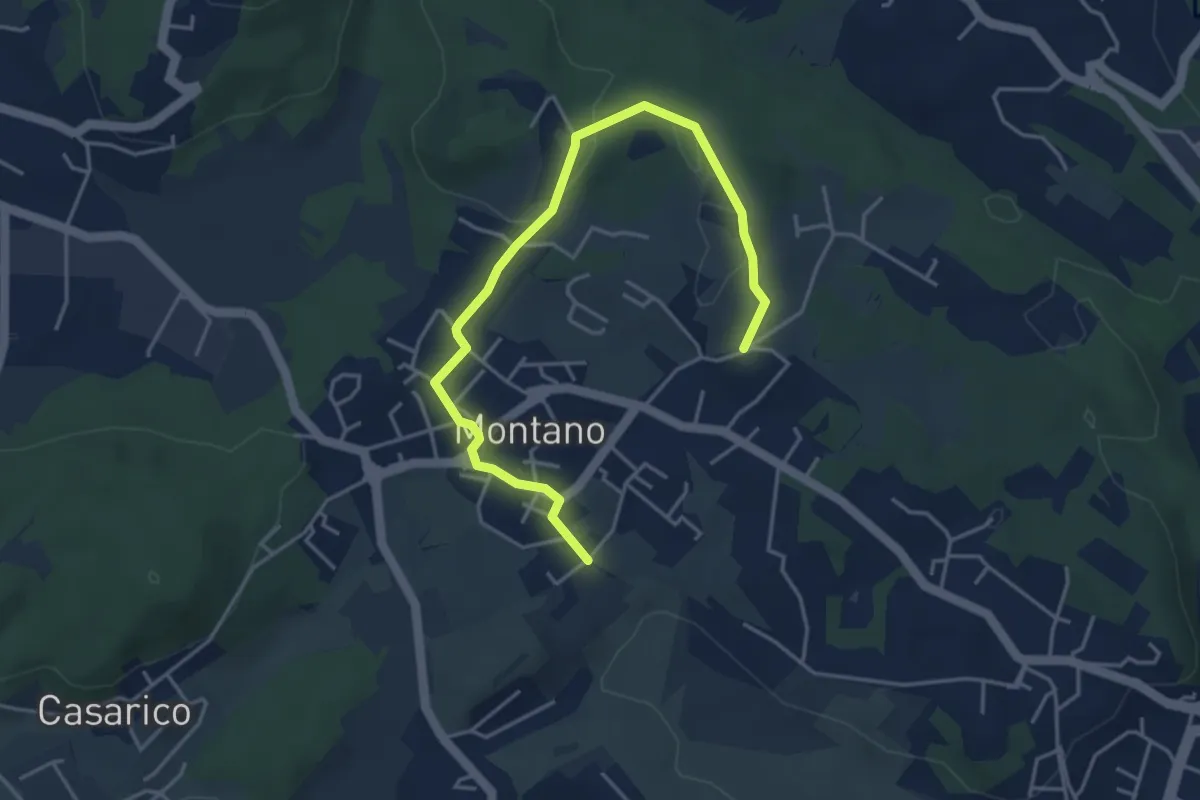
Easy · Trail
Montano Lucino cimitero – Montano Lucino loc. Trivino
4.9 km · ↑ 65 m · 1 h 18 min · 3 km away
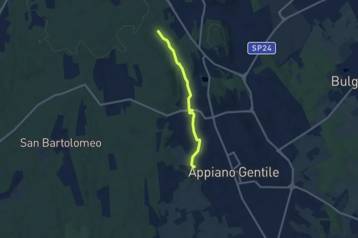
Easy · Trail
Sentiero 846C
4.9 km · ↑ 81 m · 1 h 20 min · 3 km away
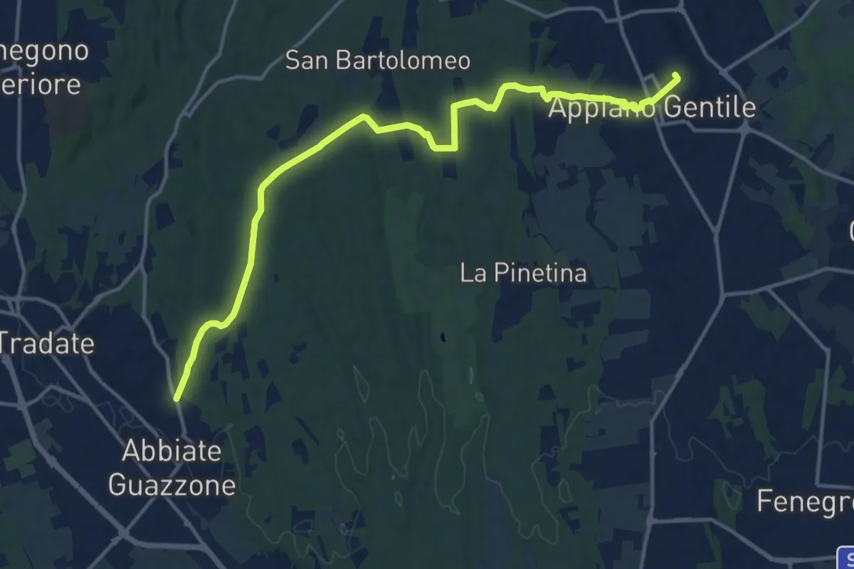
Medium · Trail
Appiano Gentile – Tradate
15.2 km · ↑ 222 m · 4 h 5 min · 4 km away
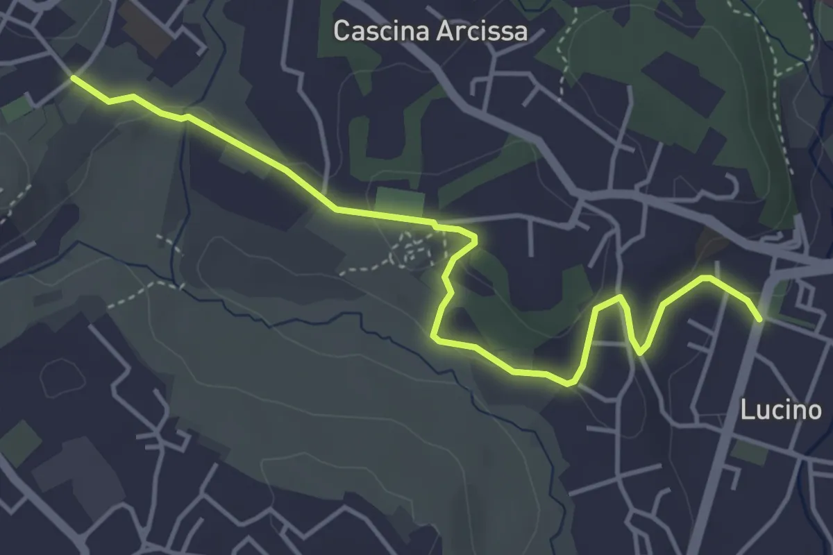
Easy · Trail
Montano Lucino cimitero – Montano Lucino loc. Trivino
4.7 km · ↑ 95 m · 1 h 19 min · 4 km away
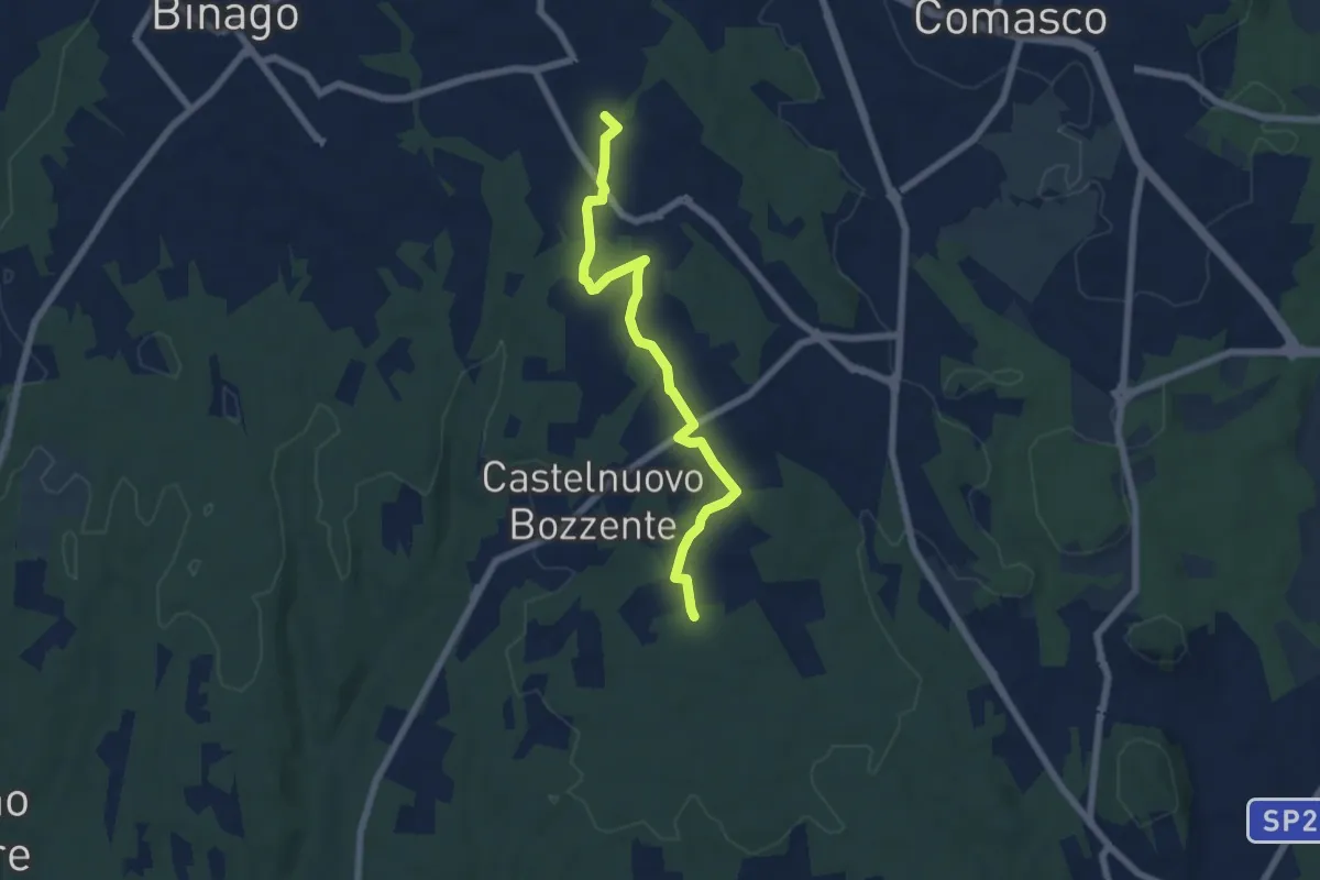
Easy · Trail
Sentiero 846B
6.5 km · ↑ 44 m · 1 h 38 min · 4 km away
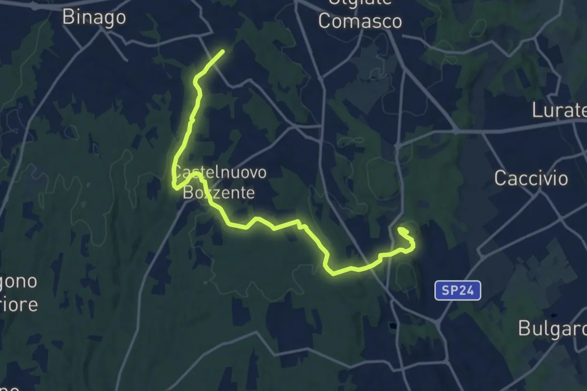
Medium · Trail
Sentiero 846
13.8 km · ↑ 196 m · 3 h 41 min · 5 km away
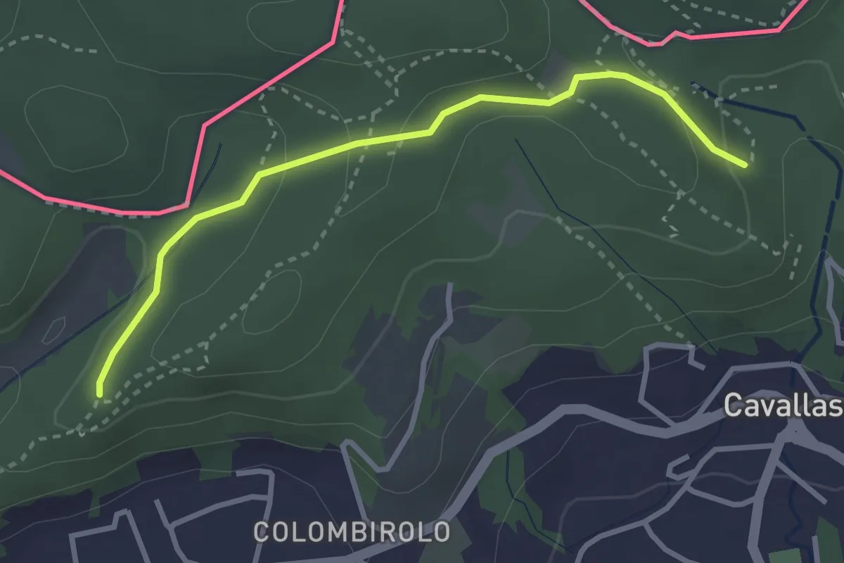
Easy · Trail
Naturalistico di Parè
3.0 km · ↑ 71 m · 51 min · 5 km away
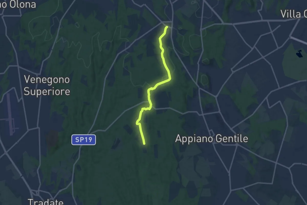
Medium · Trail
Sentiero 847
10.4 km · ↑ 81 m · 2 h 38 min · 6 km away
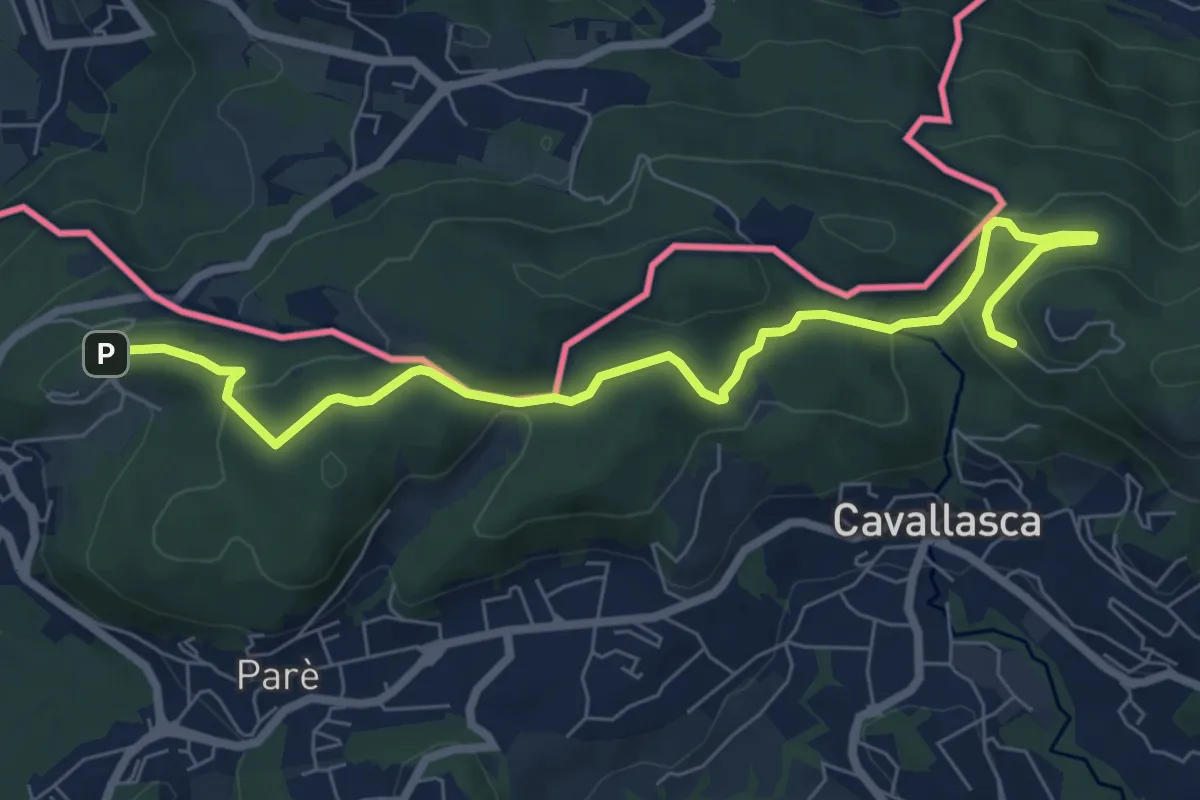
Medium · Trail
Bizzarone – Como
8.2 km · ↑ 264 m · 2 h 30 min · 6 km away
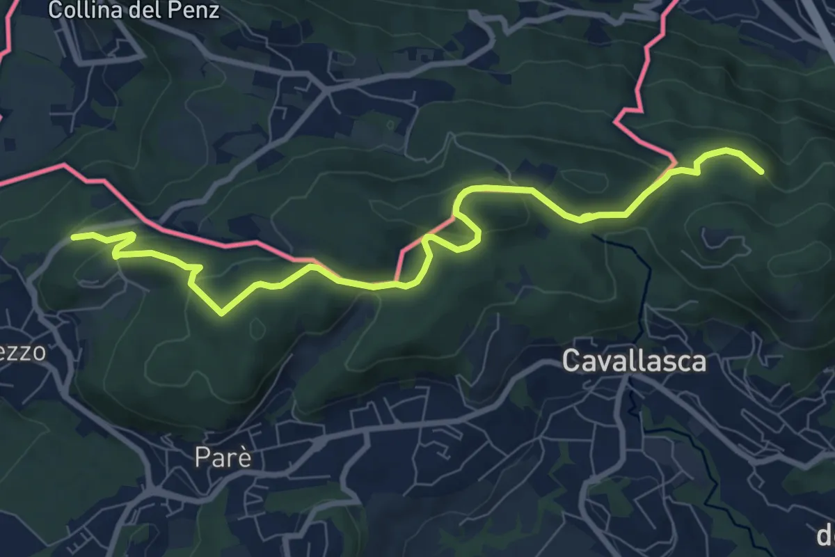
Medium · Trail
Confinale
9.1 km · ↑ 322 m · 2 h 50 min · 6 km away
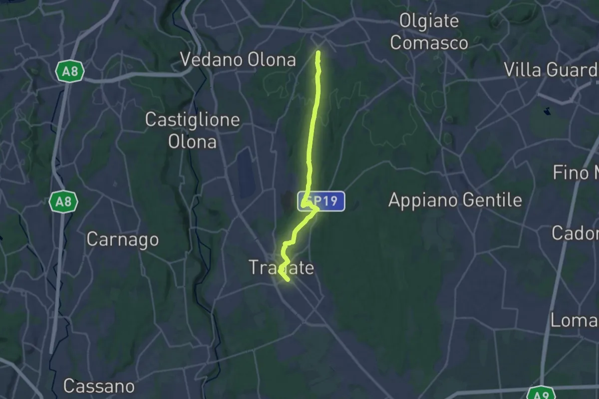
Demanding · Trail
Binago – Tradate
18.1 km · ↑ 185 m · 4 h 41 min · 6 km away
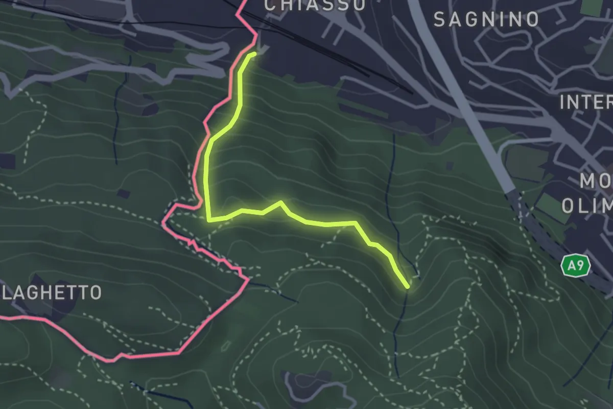
Medium · Trail
Porta Sasso (o del ponte tibetano)
2.8 km · ↑ 294 m · 1 h 17 min · 7 km away
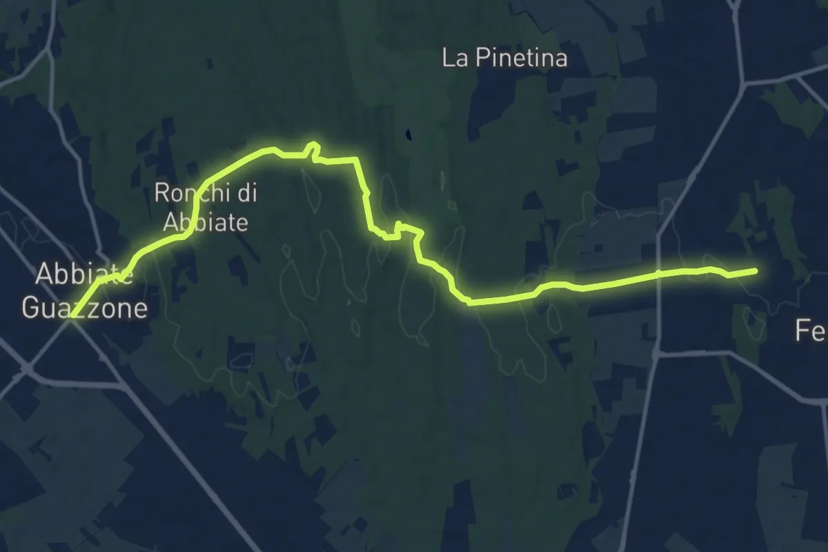
Medium · Trail
Sentiero 844
14.8 km · ↑ 205 m · 3 h 57 min · 7 km away
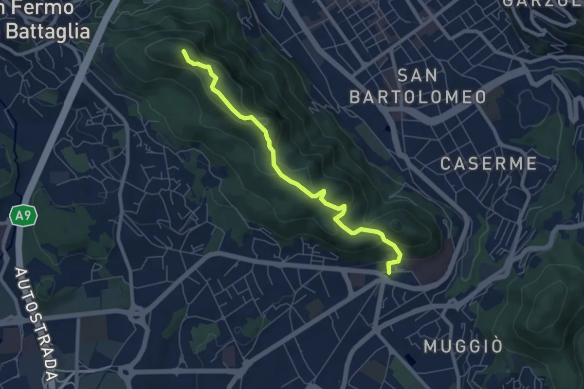
Easy · Summit
Dorsale collinare
6.0 km · ↑ 250 m · 1 h 58 min · 7 km away
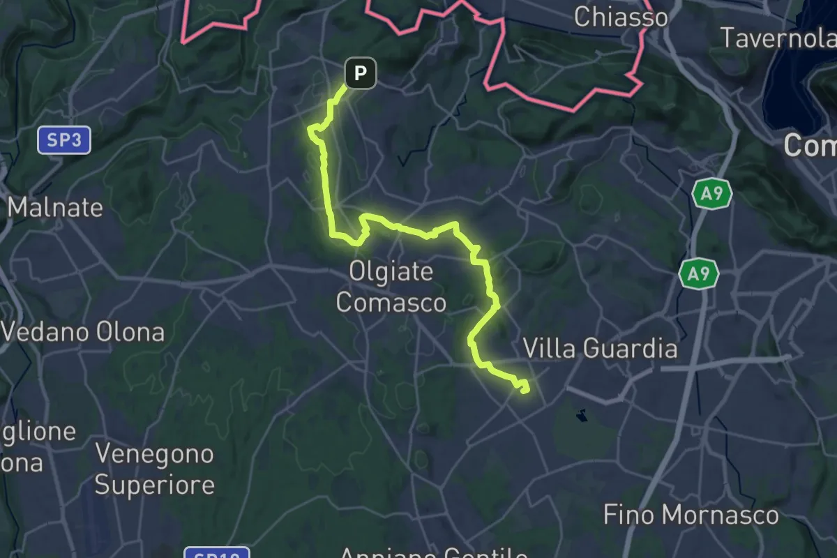
Demanding · Trail
Lurate Caccivio – Bizzarrone confine (CH)
25.7 km · ↑ 211 m · 6 h 31 min · 7 km away
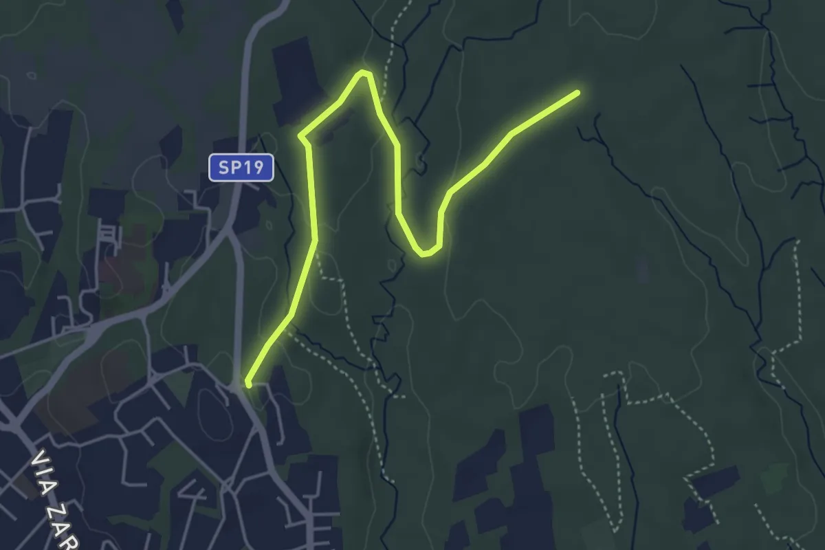
Easy · Trail
Appiano Gentile – Tradate
5.0 km · ↑ 70 m · 1 h 20 min · 7 km away
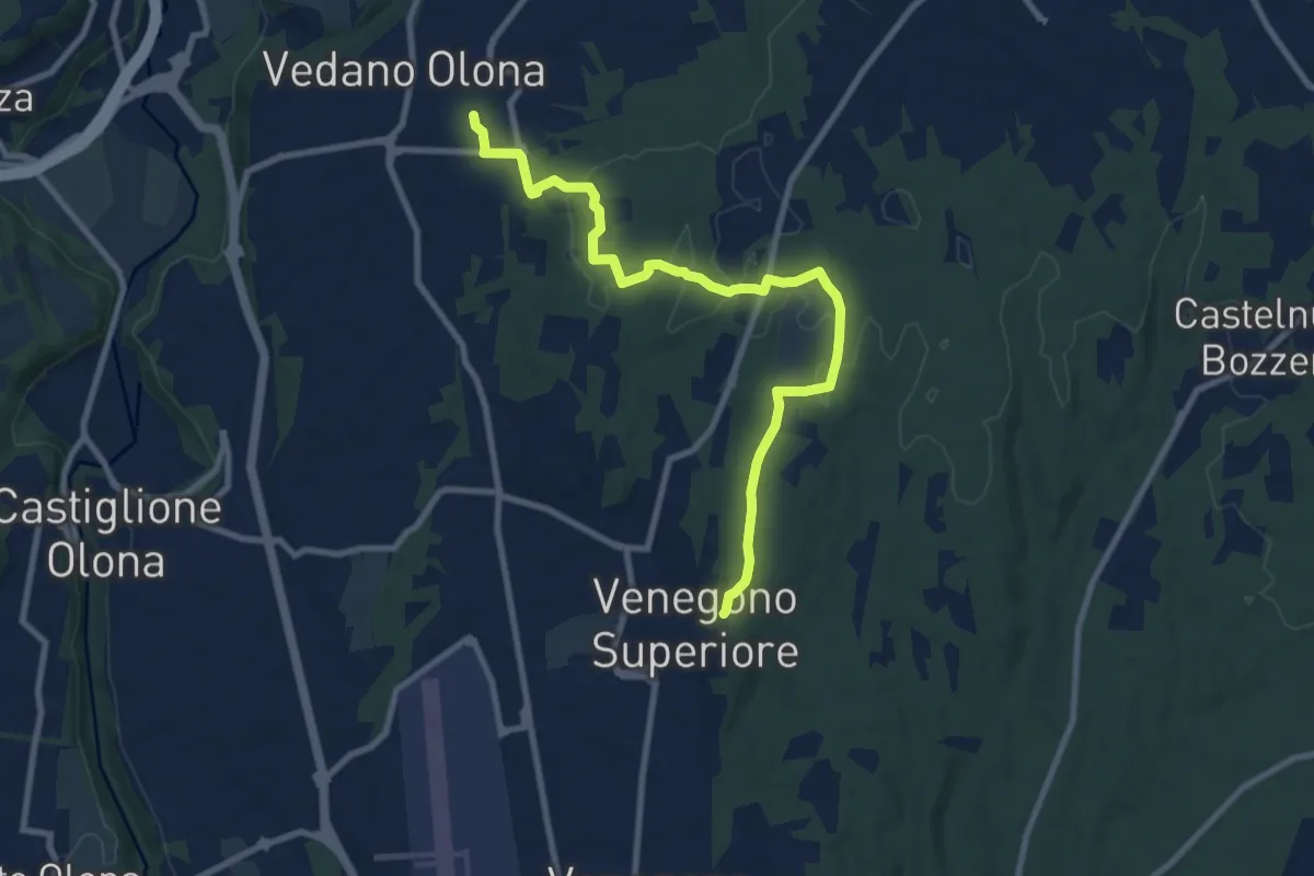
Medium · Trail
Venegono Superiore – Vedano Olona
9.7 km · ↑ 136 m · 2 h 35 min · 8 km away
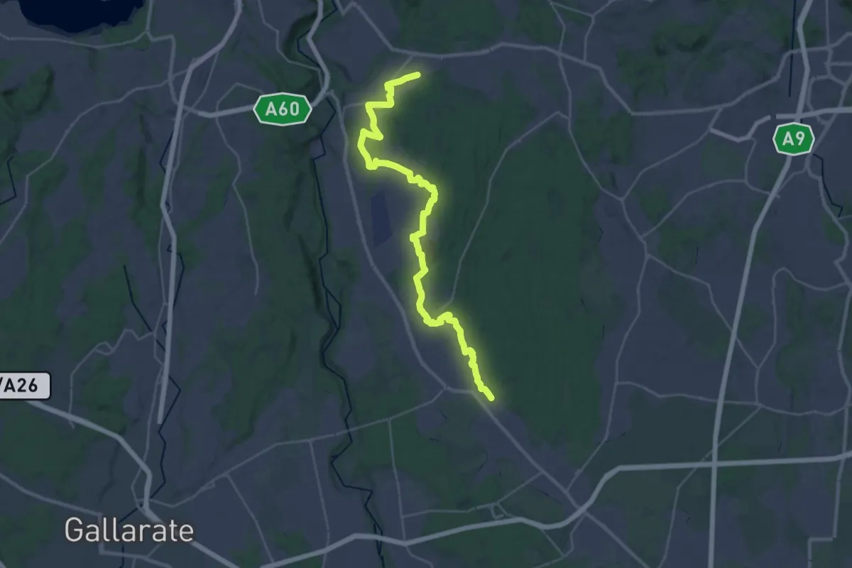
Medium · Trail
Sentiero 540LP
16.5 km · ↑ 81 m · 4 h 21 min · 8 km away
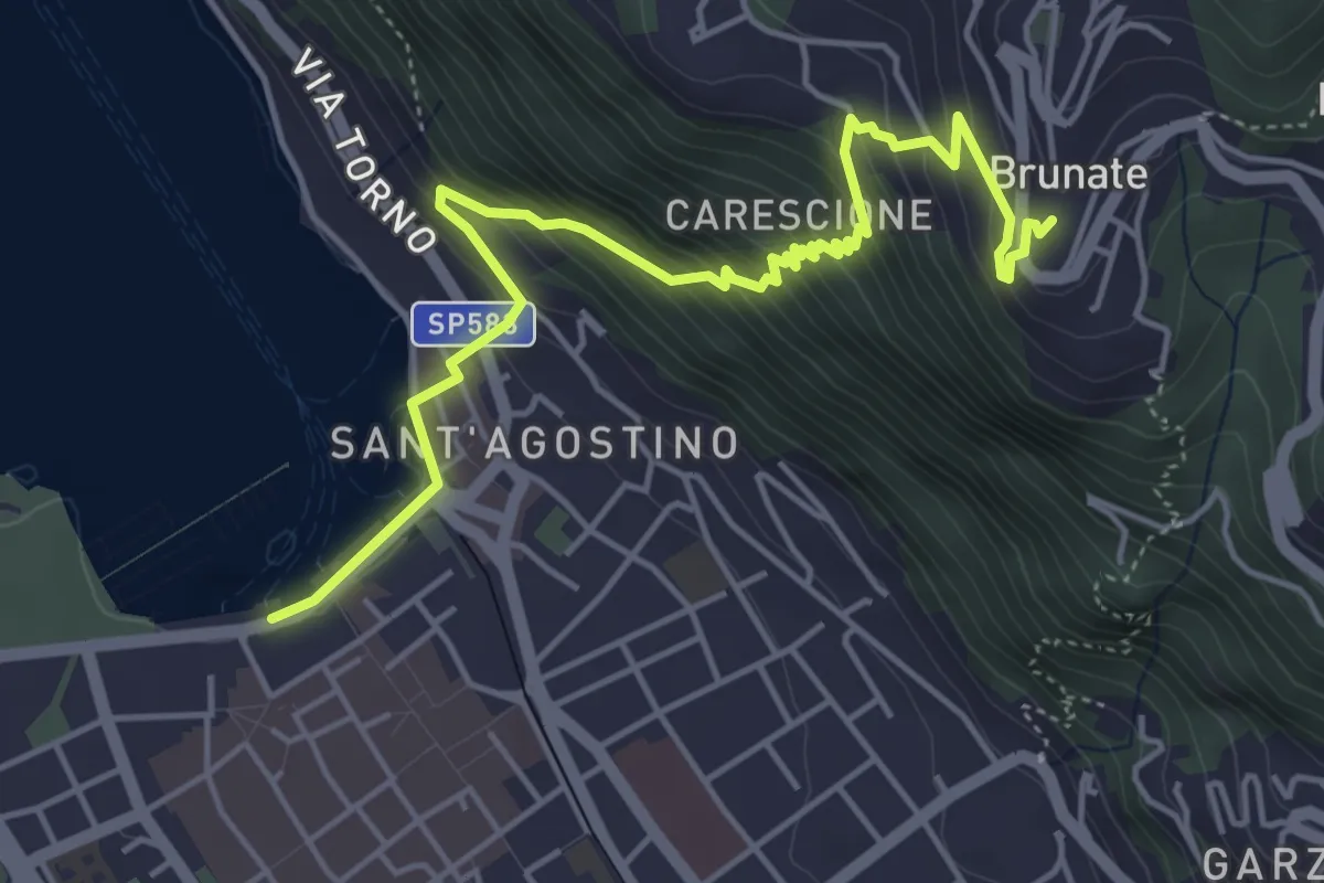
Medium · Trail
Imbarcadero di Como – Funicolare di Brunate
5.7 km · ↑ 522 m · 2 h 28 min · 8 km away
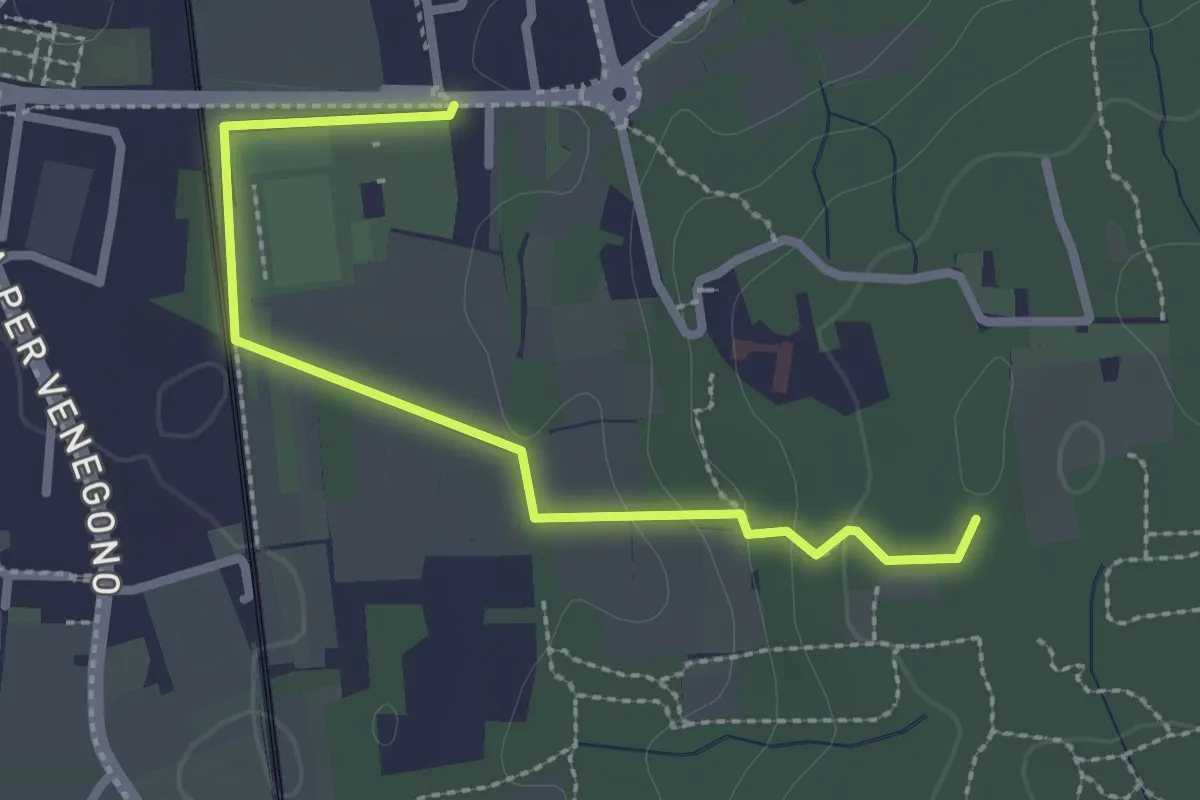
Easy · Trail
Vedano Olona – Innesto su sentiero 540
2.7 km · ↑ 58 m · 46 min · 8 km away
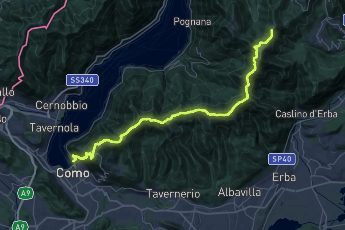
Demanding · Summit
Como – Piano del Tivano
32.2 km · ↑ 2080 m · 12 h 6 min · 8 km away
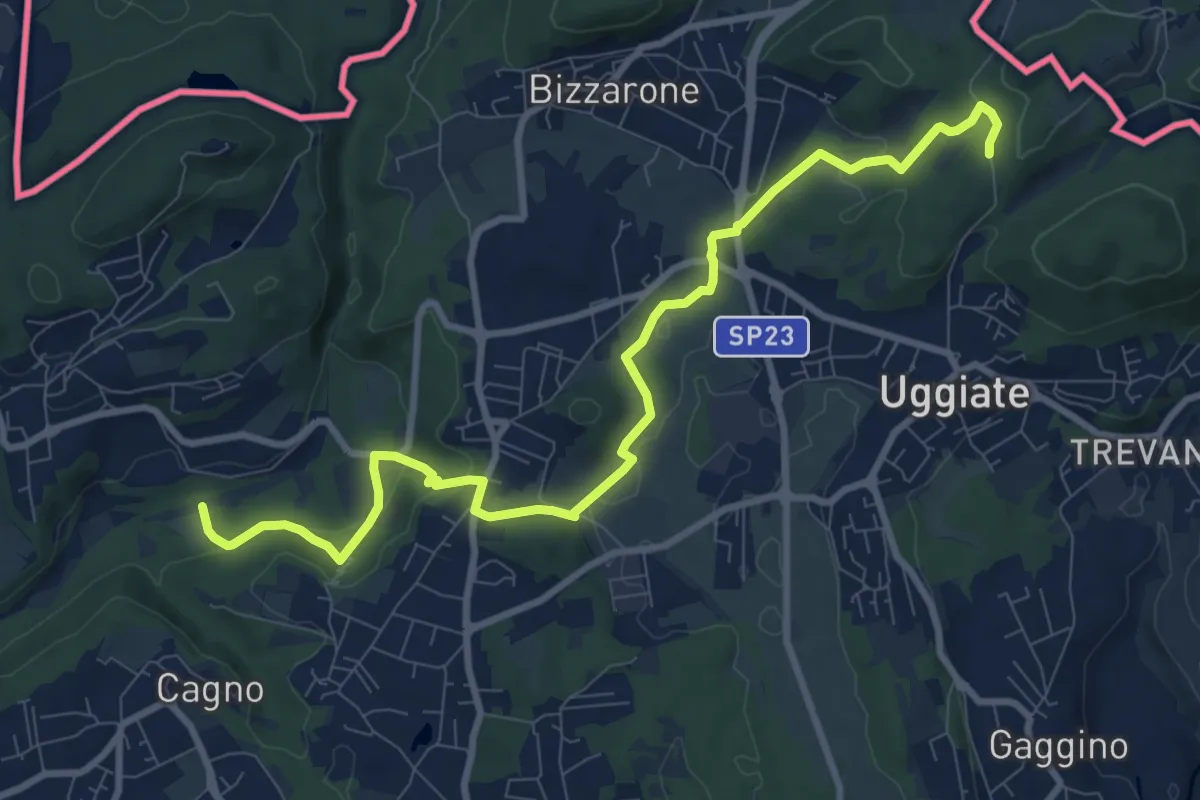
Medium · Trail
Sentiero Lanza-Lura
10.7 km · ↑ 292 m · 3 h 10 min · 8 km away
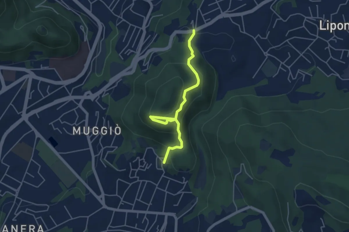
Easy · Trail
Sentiero del Monte Goj
4.1 km · ↑ 268 m · 1 h 33 min · 9 km away
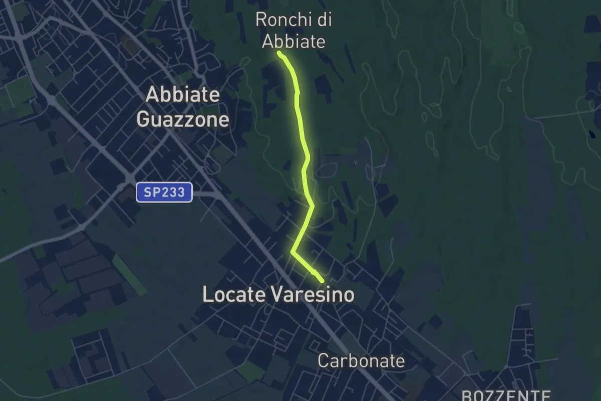
Easy · Trail
Sentiero 844C
4.5 km · ↑ 42 m · 1 h 9 min · 9 km away
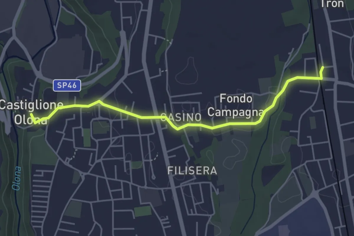
Easy · Trail
Collegamento Castiglione Olona-Trenord
4.6 km · ↑ 63 m · 1 h 13 min · 9 km away
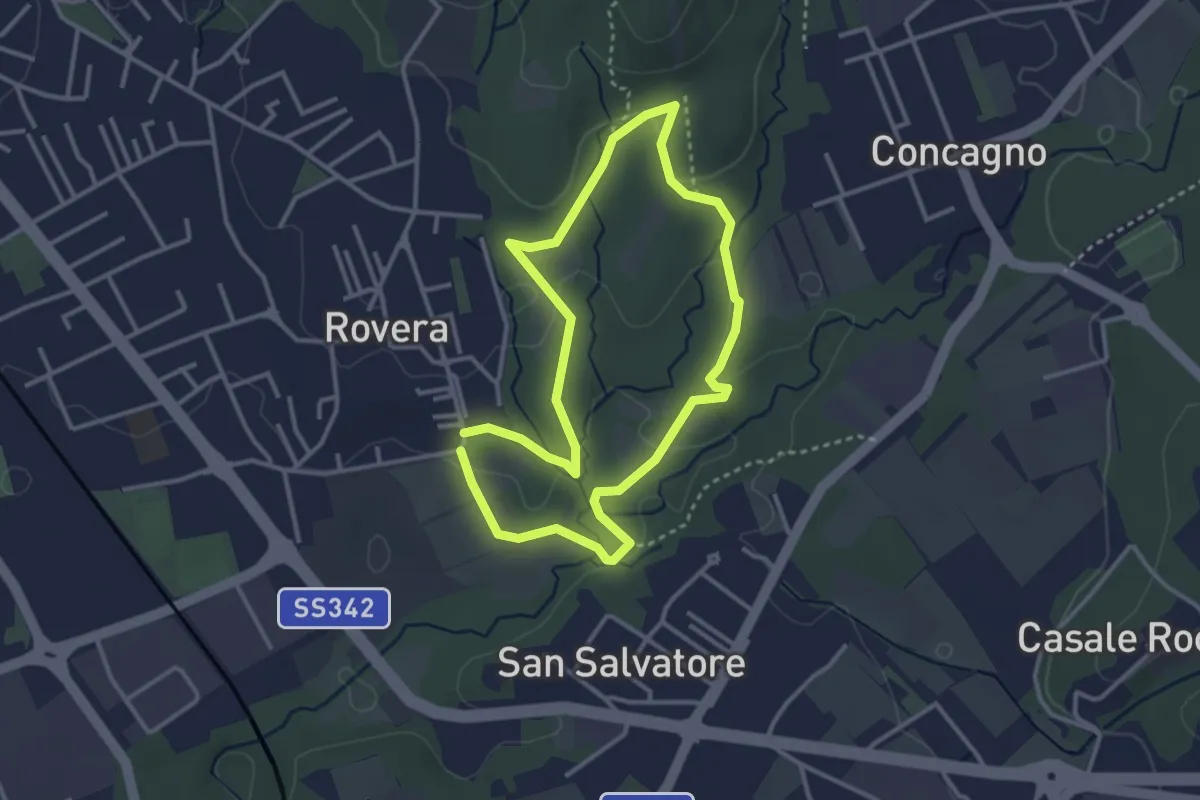
Easy · Trail
Sentiero Quadronna
3.1 km · ↑ 58 m · 54 min · 9 km away
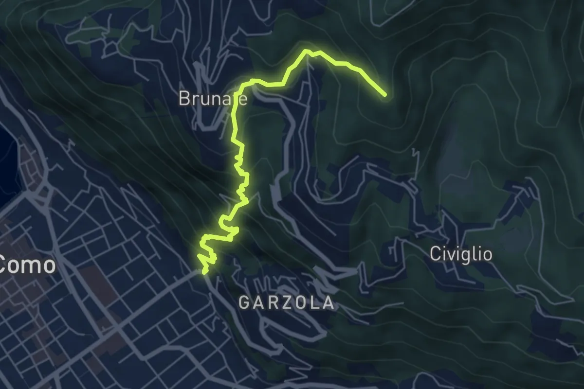
Medium · Summit
Santa Croce – CAO
5.6 km · ↑ 596 m · 2 h 36 min · 9 km away
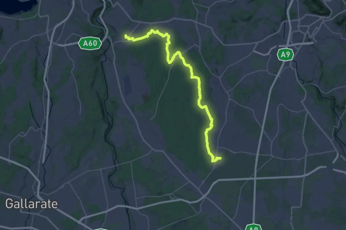
Demanding · Trail
Limido Comasco – Vedano Olona
19.7 km · ↑ 134 m · 5 h 16 min · 9 km away
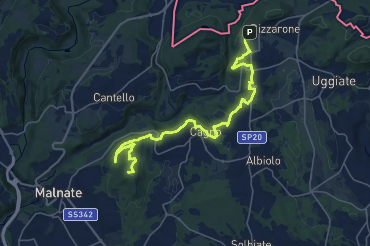
Demanding · Summit
Sentiero cima delle valli
18.5 km · ↑ 411 m · 5 h 16 min · 9 km away
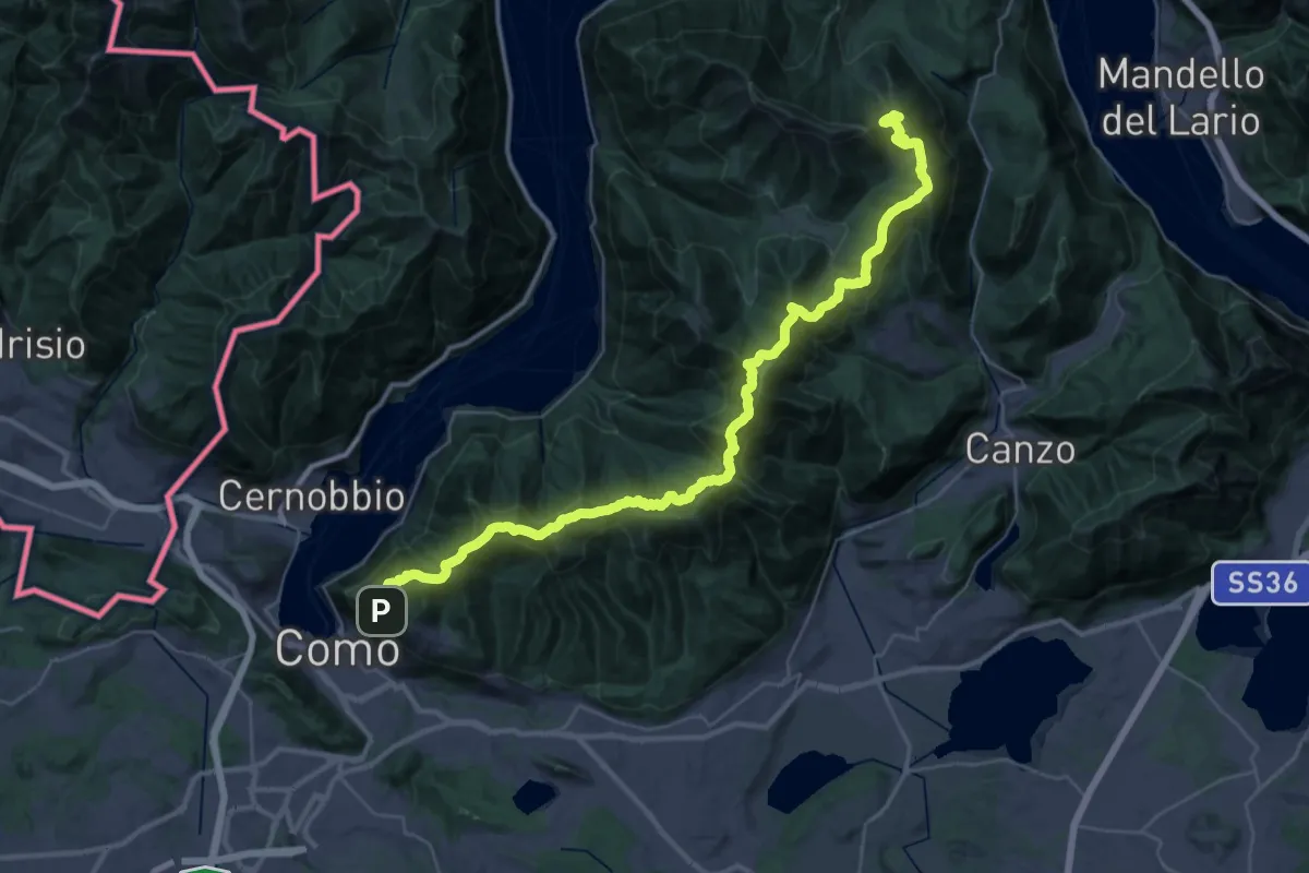
Demanding · Summit
Dorsale del Triangolo Lariano
44.3 km · ↑ 2300 m · 15 h 26 min · 9 km away
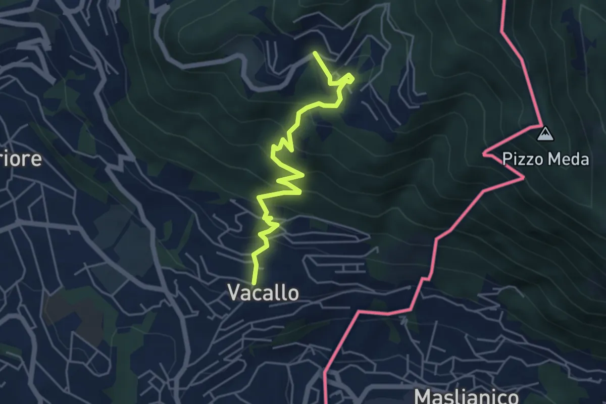
Medium · Trail
Sagno – Vacallo
4.5 km · ↑ 359 m · 1 h 50 min · 9 km away
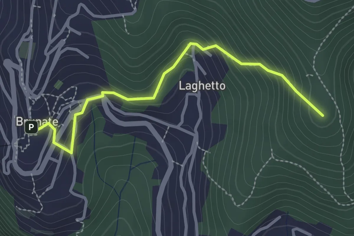
Medium · Summit
Brunate – CAO
2.7 km · ↑ 210 m · 1 h 5 min · 9 km away
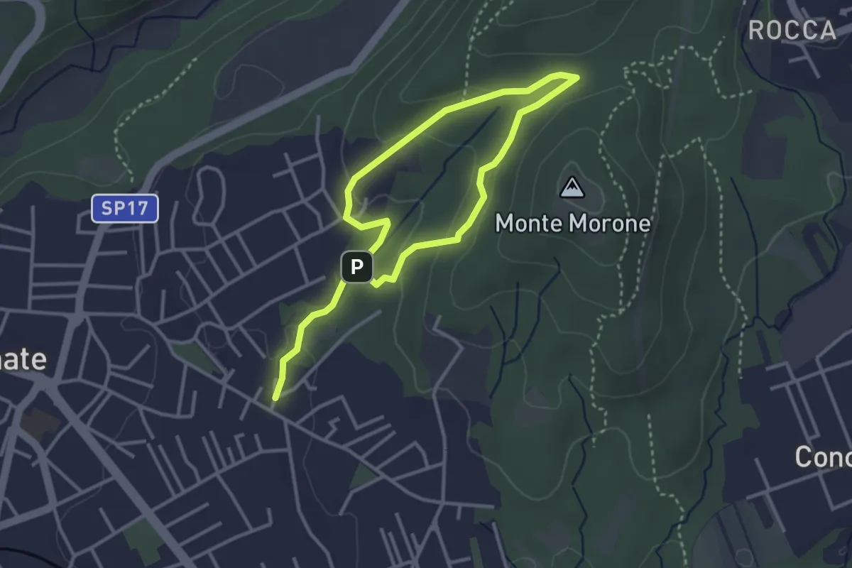
Easy · Trail
Sentiero Fugascé
5.0 km · ↑ 151 m · 1 h 31 min · 9 km away
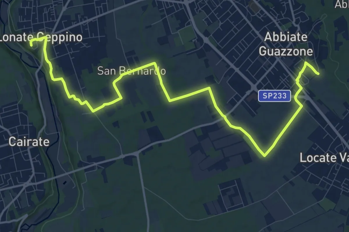
Medium · Trail
520F Collegamento RTO-Pineta
15.1 km · ↑ 102 m · 3 h 47 min · 9 km away
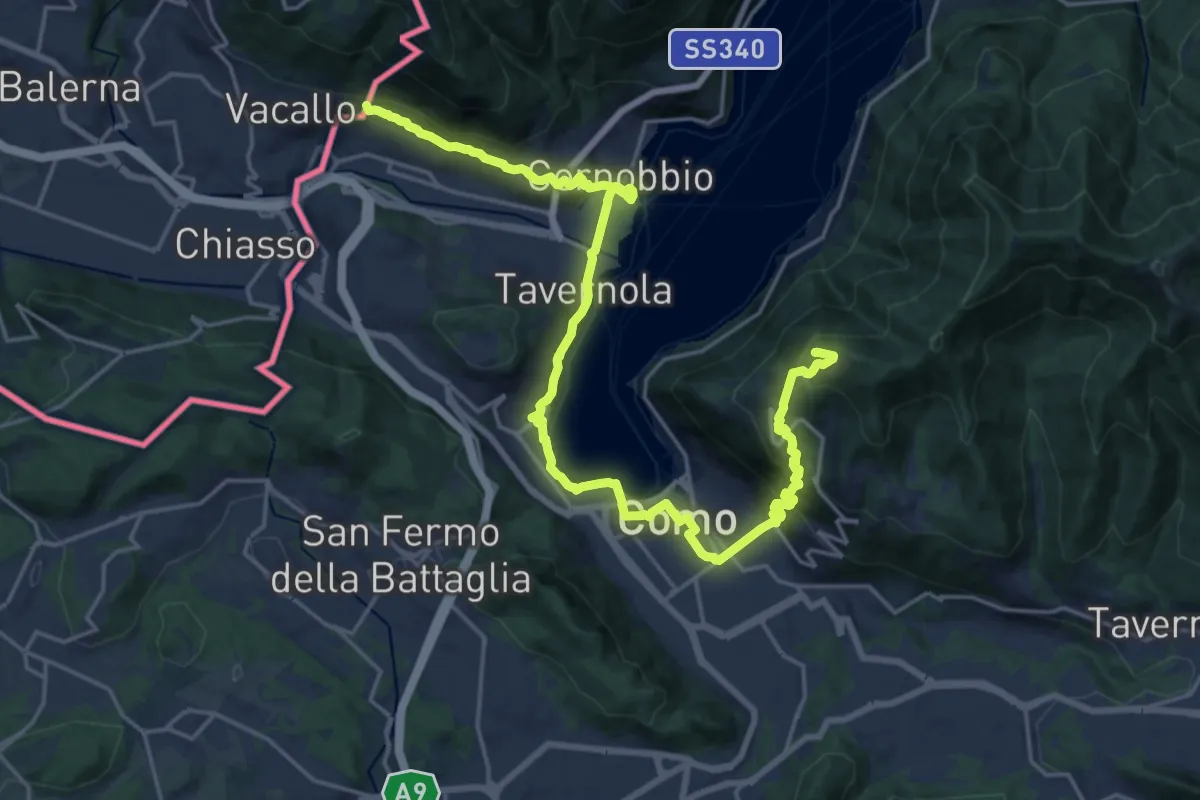
Demanding · Summit
Lake Como Poetry Way
25.8 km · ↑ 1054 m · 8 h 22 min · 10 km away
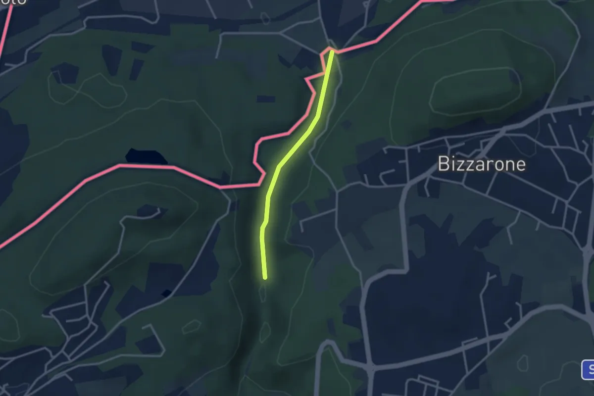
Easy · Trail
Sentiero di Fondovalle
2.3 km · ↑ 32 m · 37 min · 10 km away
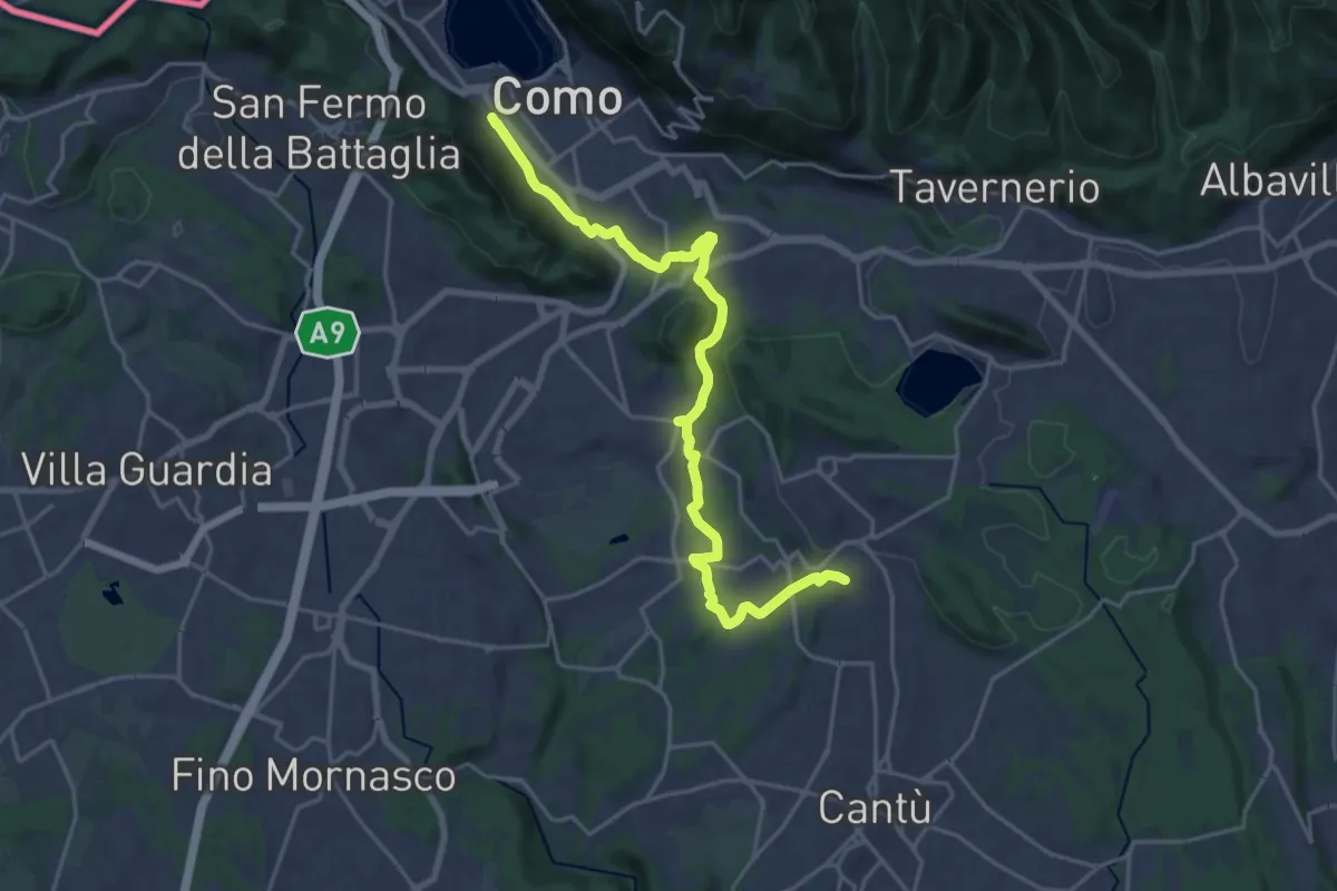
Demanding · Trail
Sentiero Pedemonte - Tappa 1
21.5 km · ↑ 414 m · 5 h 59 min · 10 km away
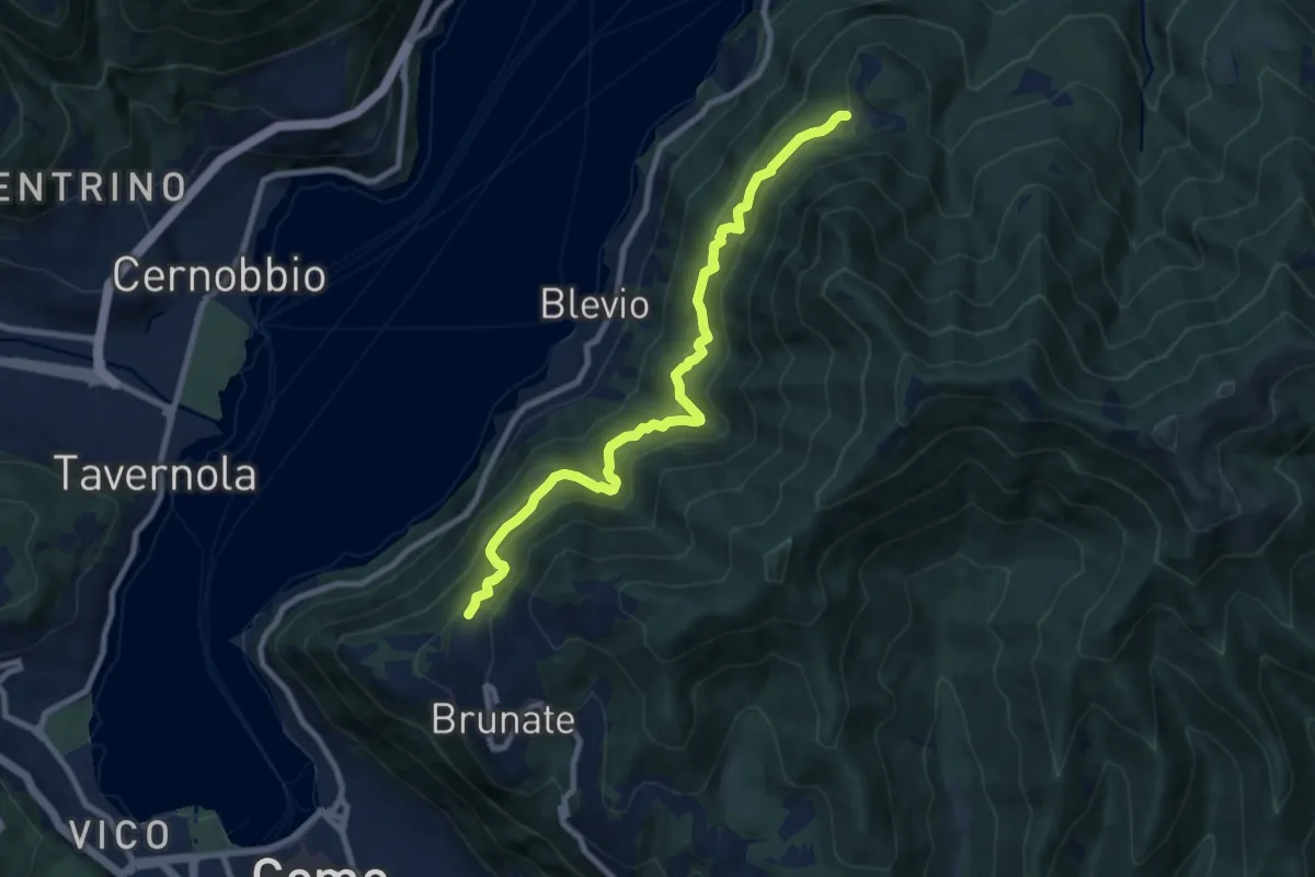
Medium · Trail
Brunate-Montepiatto
9.1 km · ↑ 788 m · 3 h 51 min · 10 km away
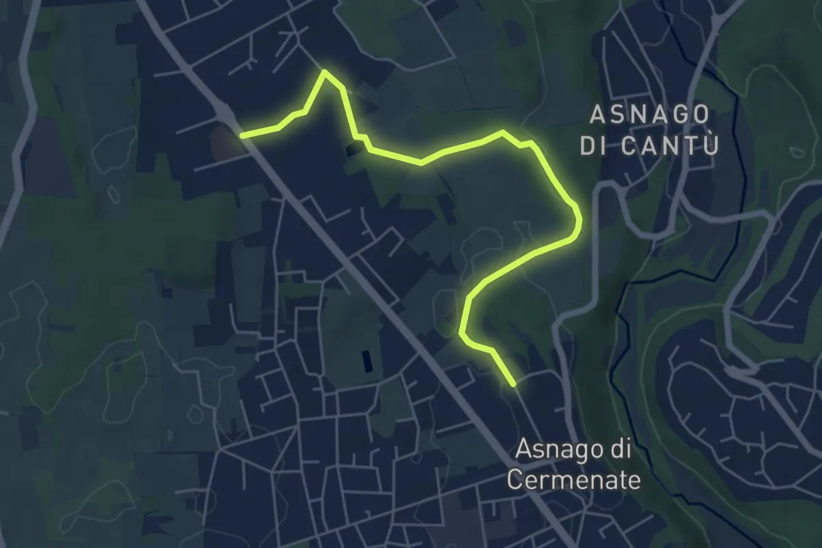
Easy · Trail
Cermenate – Minoprio
5.7 km · ↑ 27 m · 1 h 24 min · 10 km away
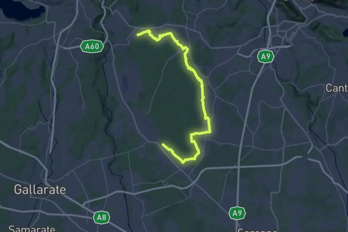
Demanding · Trail
Sentiero 840 LP
23.0 km · ↑ 244 m · 6 h 15 min · 10 km away
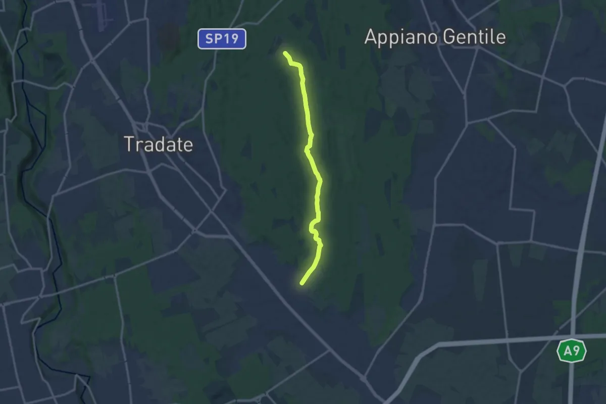
Medium · Trail
Sentiero 845
11.0 km · ↑ 92 m · 2 h 47 min · 10 km away
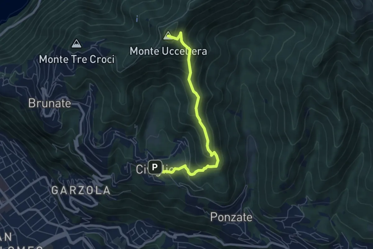
Medium · Summit
Civiglio – CAO
6.1 km · ↑ 379 m · 2 h 15 min · 10 km away
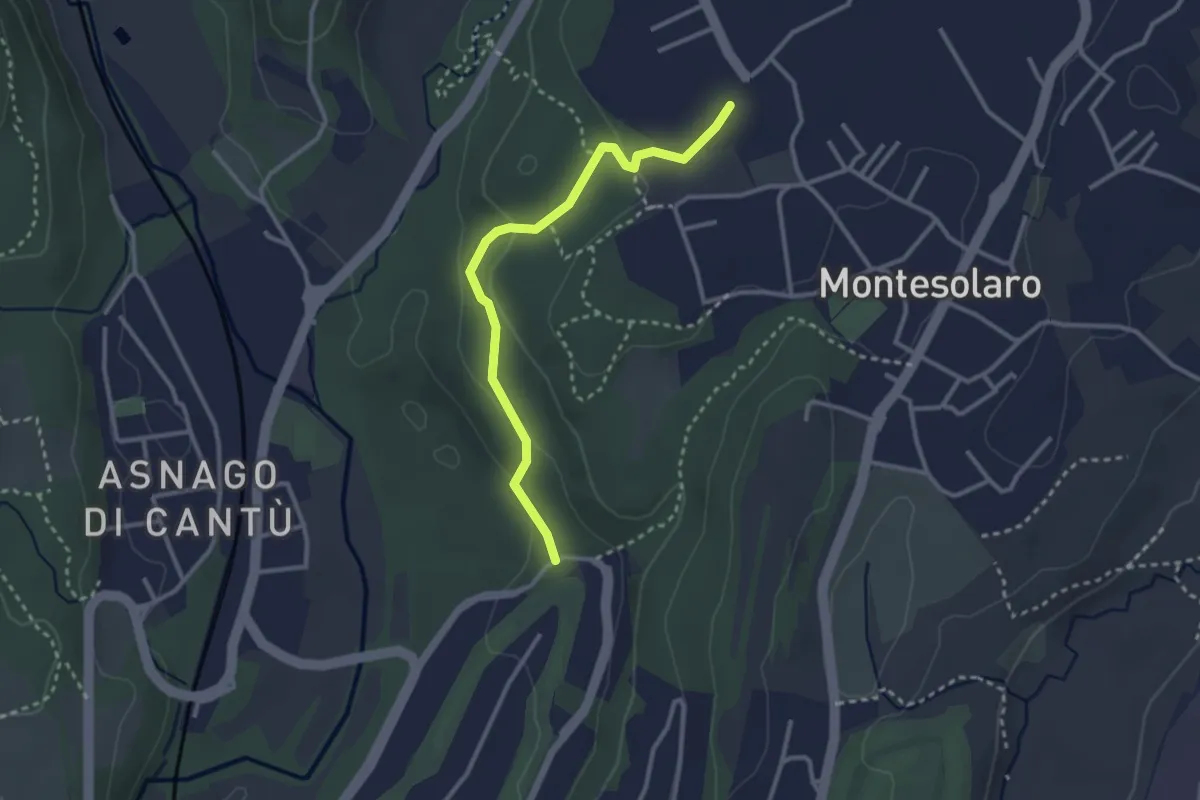
Easy · Trail
Carimate – Cantù
2.9 km · ↑ 102 m · 55 min · 10 km away
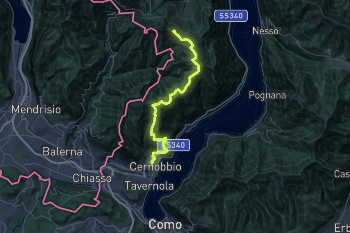
Demanding · Summit
Cernobbio – San Fedele Intelvi
27.1 km · ↑ 1649 m · 9 h 58 min · 10 km away
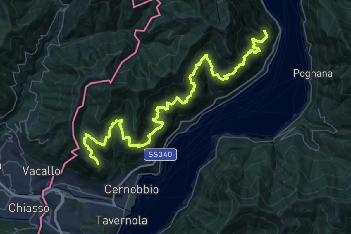
Expert · Trail
Sentiero mezza costa
16.5 km · ↑ 1501 m · 7 h 25 min · 10 km away