Trails near Lurate Caccivio
133 hikes starting within 15 km, nearest first.
Nearest first, page 2 of 3
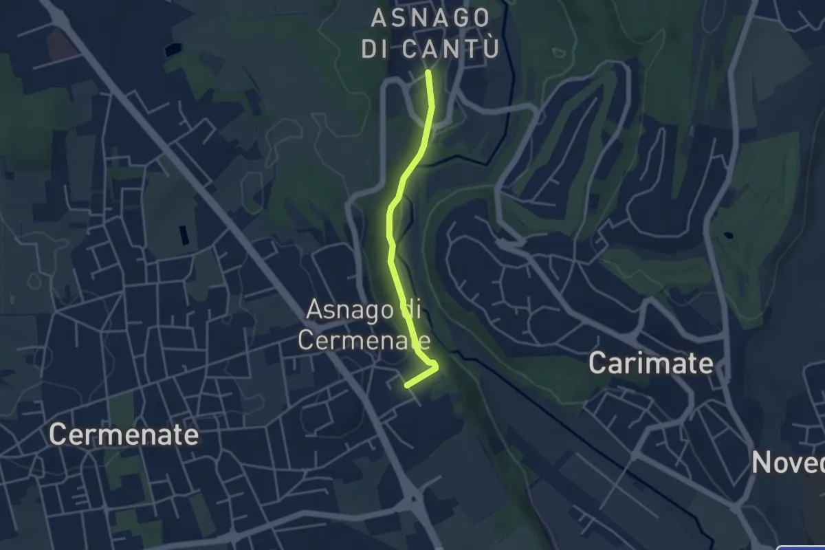
Easy · Trail
Asnago di Cantù – Asnago di Cermenate
3.2 km · ↑ 75 m · 55 min · 10 km away
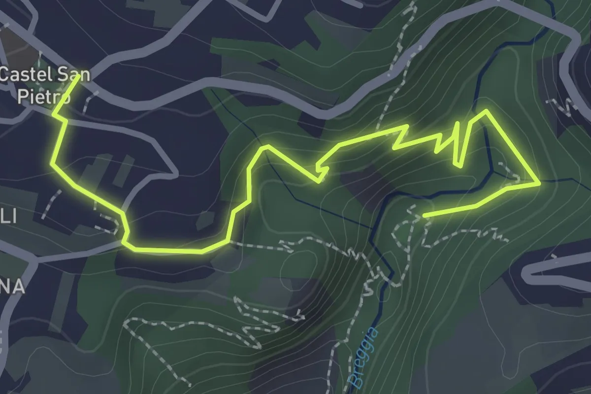
Easy · Trail
Parco Gole della Breggia – Castel San Pietro
3.3 km · ↑ 227 m · 1 h 16 min · 10 km away
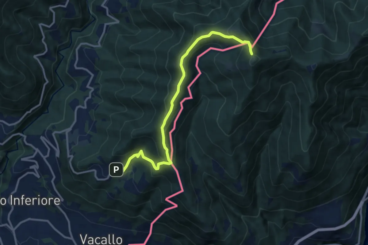
Medium · Trail
Sagno – Monte Bisbino
9.3 km · ↑ 597 m · 3 h 30 min · 10 km away
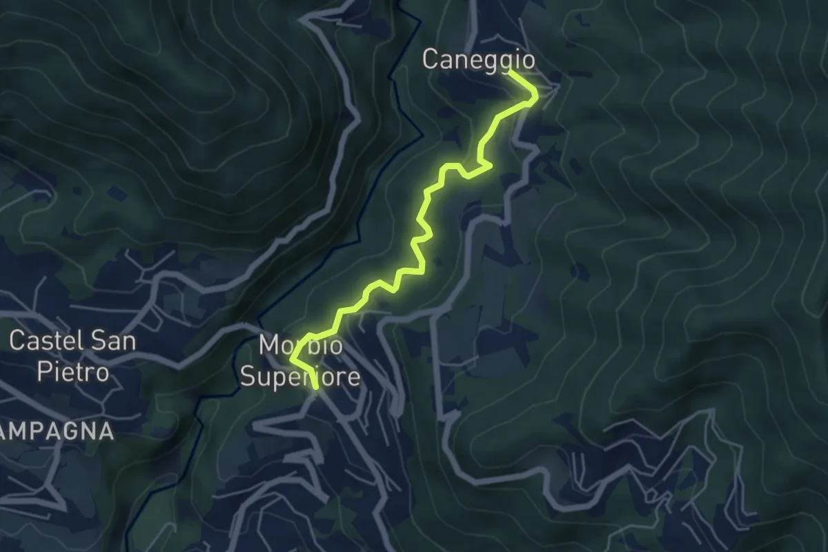
Easy · Trail
Caneggio – Morbio Superiore
4.5 km · ↑ 271 m · 1 h 39 min · 11 km away
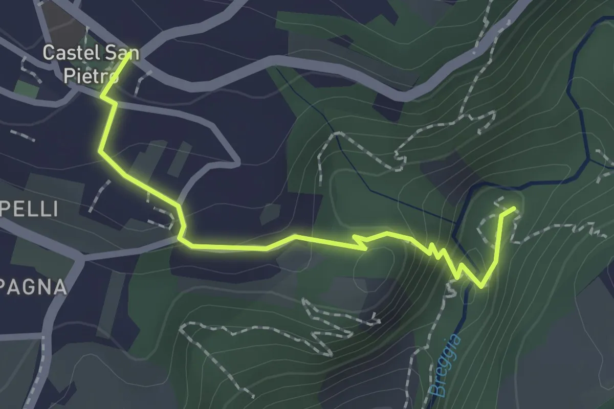
Medium · Trail
Castel San Pietro – Parco Gole della Breggia
2.0 km · ↑ 101 m · 42 min · 11 km away
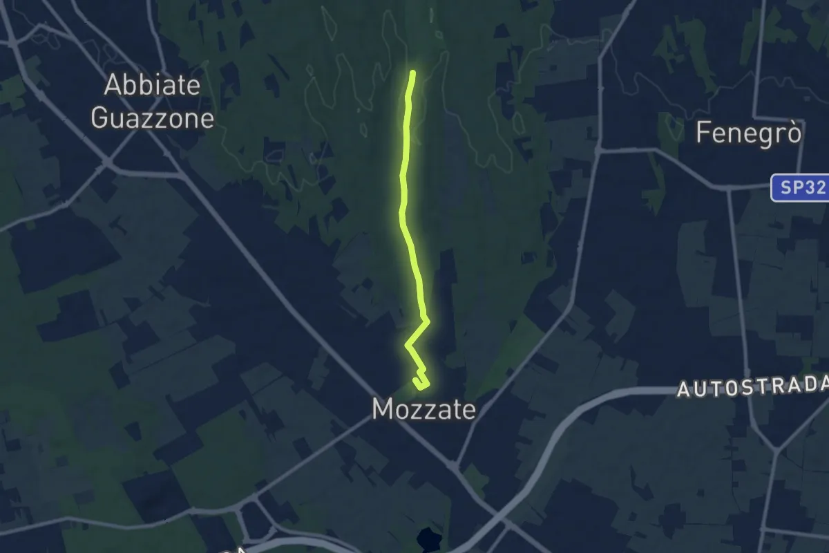
Easy · Trail
Sentiero 844B
7.1 km · ↑ 43 m · 1 h 47 min · 11 km away
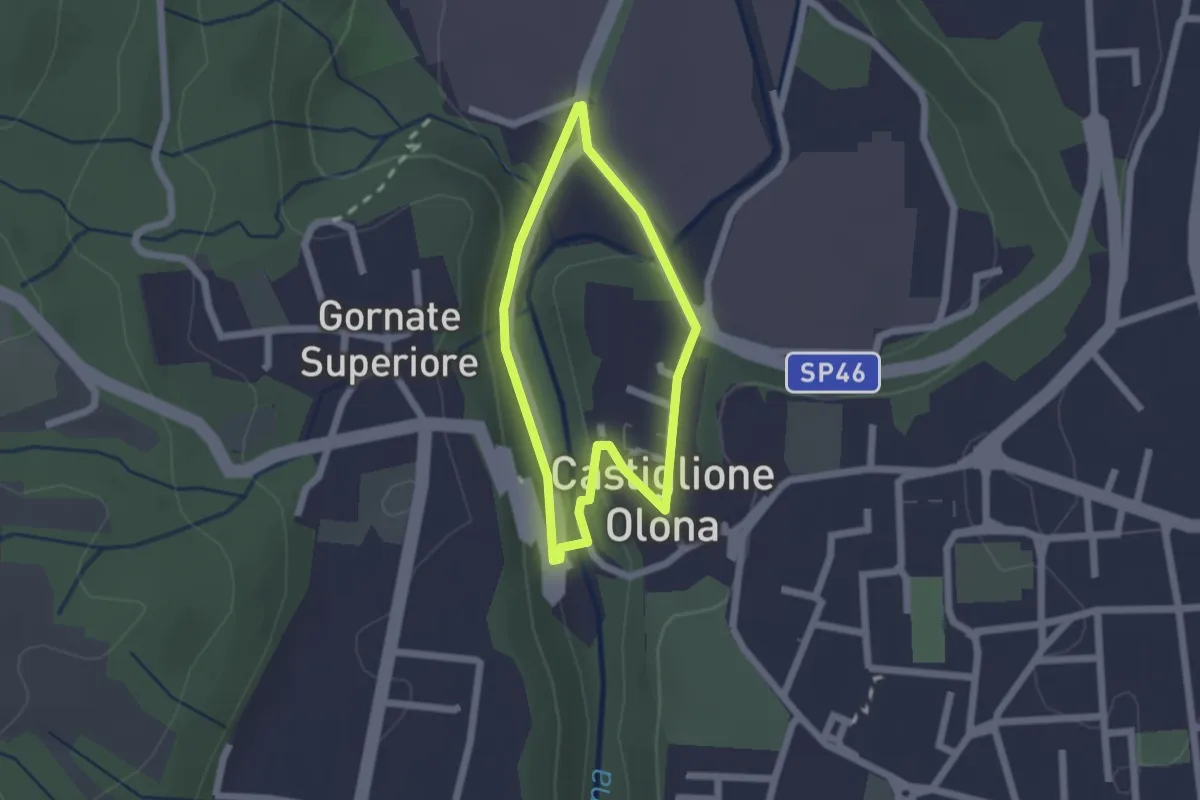
Easy · Trail
Anello Storico di Castiglione
1.6 km · ↑ 38 m · 29 min · 11 km away
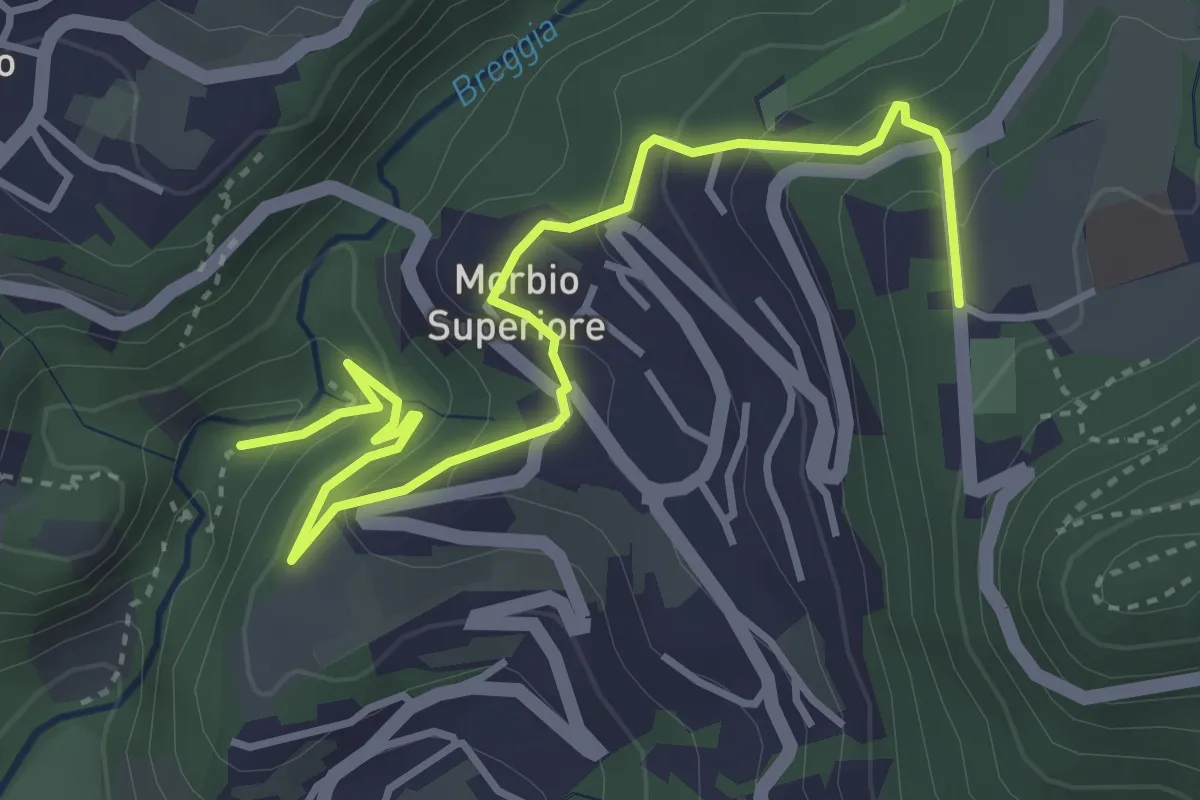
Easy · Trail
Parco Gole della Breggia – Lattecaldo
4.6 km · ↑ 292 m · 1 h 43 min · 11 km away
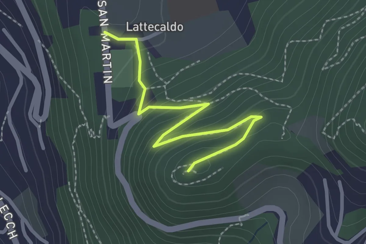
Easy · Trail
Lattecaldo – San Martino
2.3 km · ↑ 138 m · 51 min · 11 km away
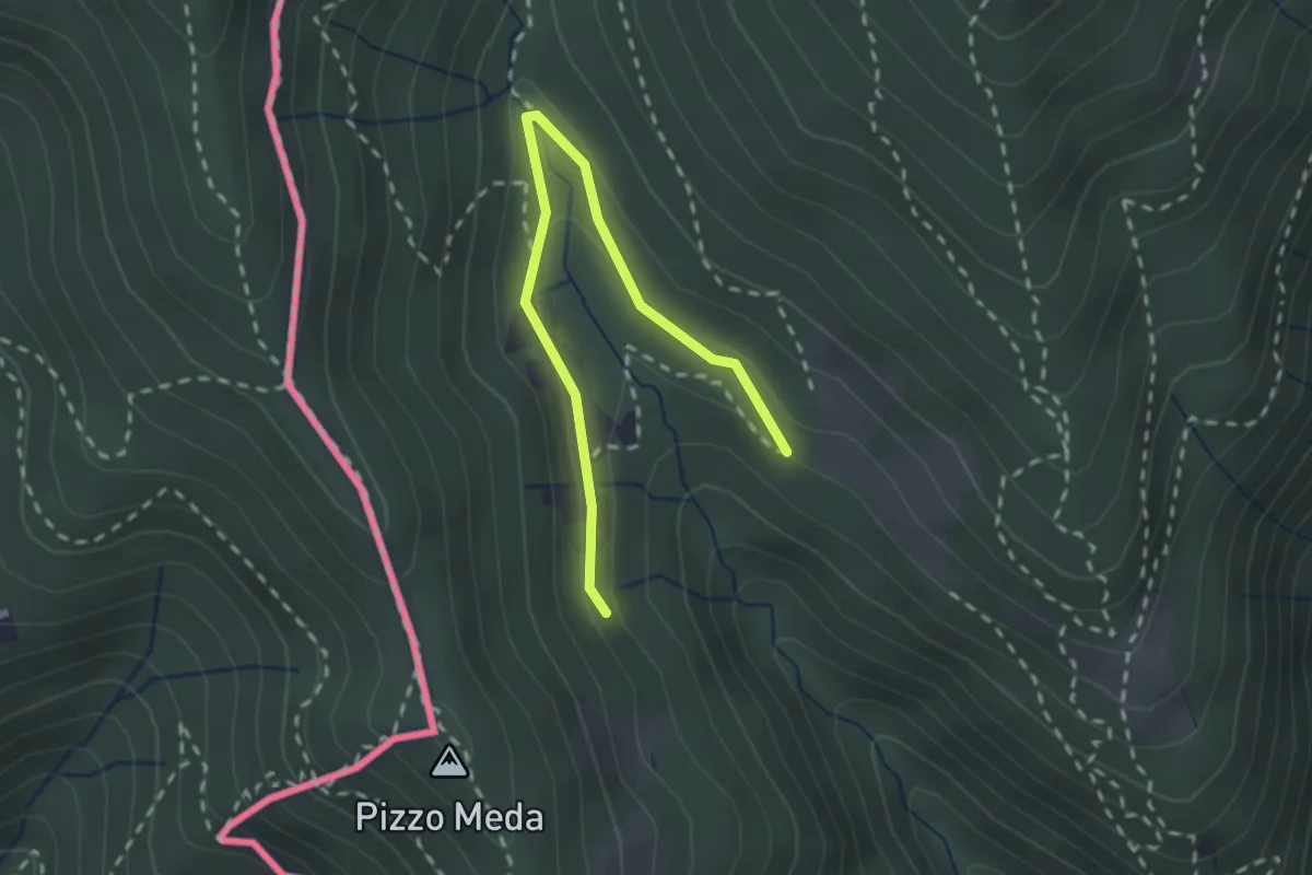
Easy · Trail
Cernobbio-Monte Bisbino
2.5 km · ↑ 103 m · 49 min · 11 km away
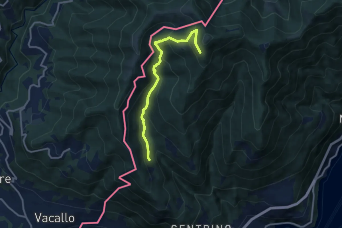
Medium · Trail
Como (Monte Olimpino) – Rifugio Prabello
6.7 km · ↑ 510 m · 2 h 42 min · 11 km away
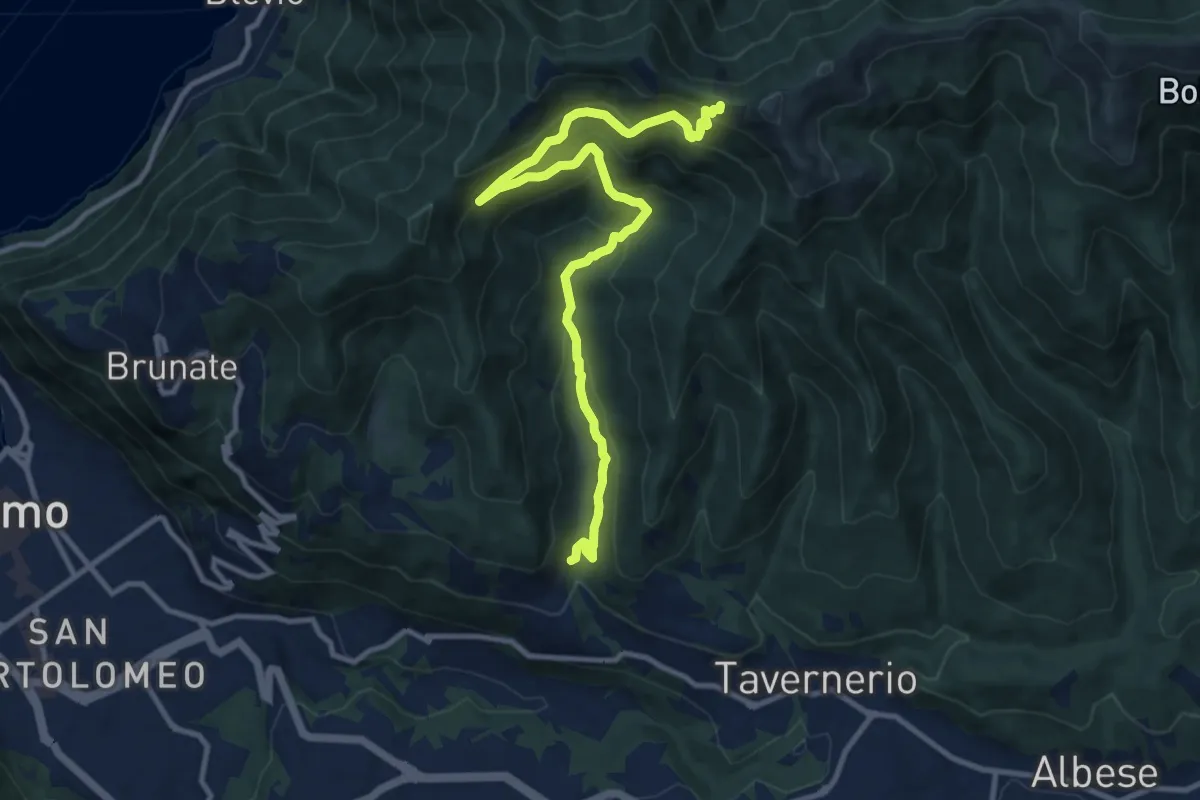
Medium · Trail
Ponzate – Baita Fabrizio
12.4 km · ↑ 721 m · 4 h 29 min · 11 km away
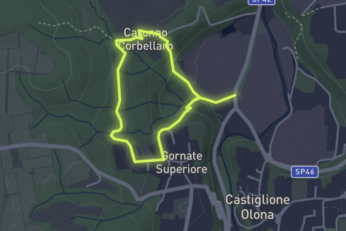
Easy · Trail
Anello dei Lavatoi
2.3 km · ↑ 61 m · 42 min · 11 km away
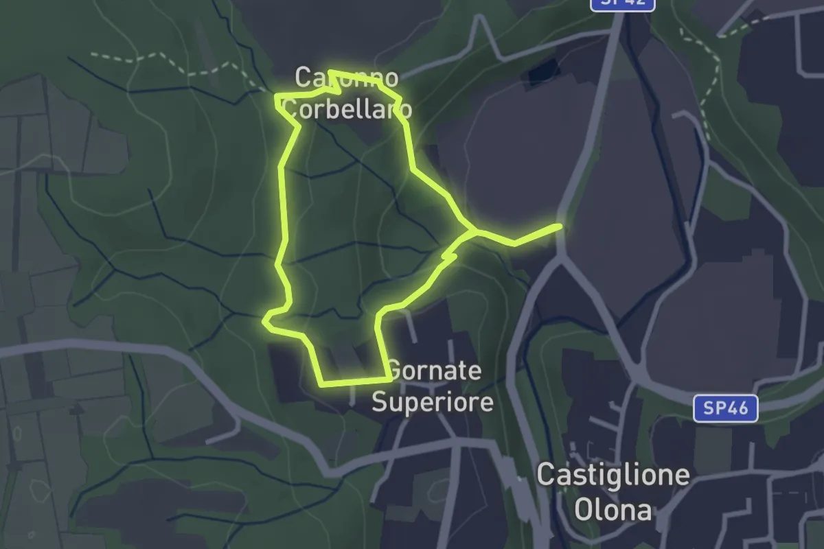
Easy · Trail
521 Anello dei Lavatoi
2.4 km · ↑ 66 m · 45 min · 11 km away
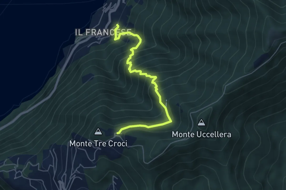
Medium · Trail
Sopravilla (Blevio) – San Maurizio
5.2 km · ↑ 612 m · 2 h 34 min · 11 km away
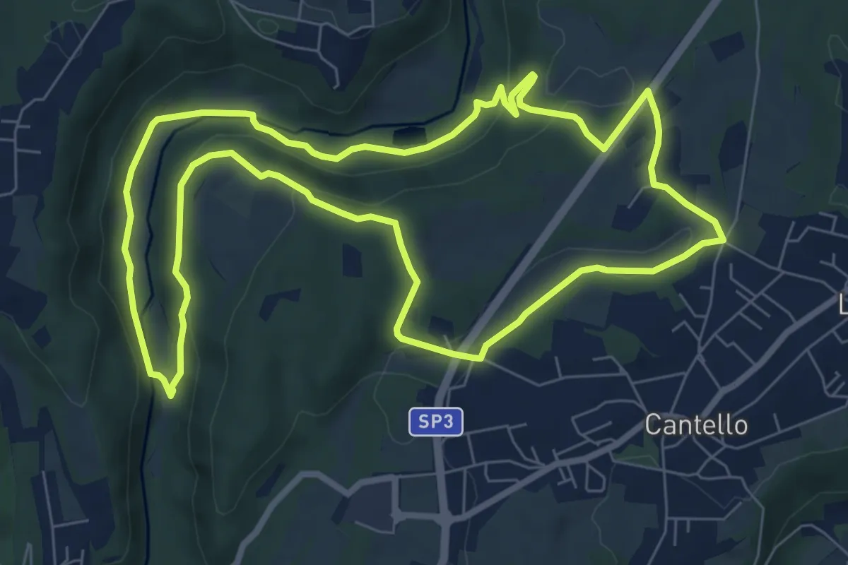
Medium · Trail
Varese via Ca' Bassa Anello della Bevera – Varese via Ca' Bassa Anello della Bevera
8.0 km · ↑ 188 m · 2 h 25 min · 11 km away
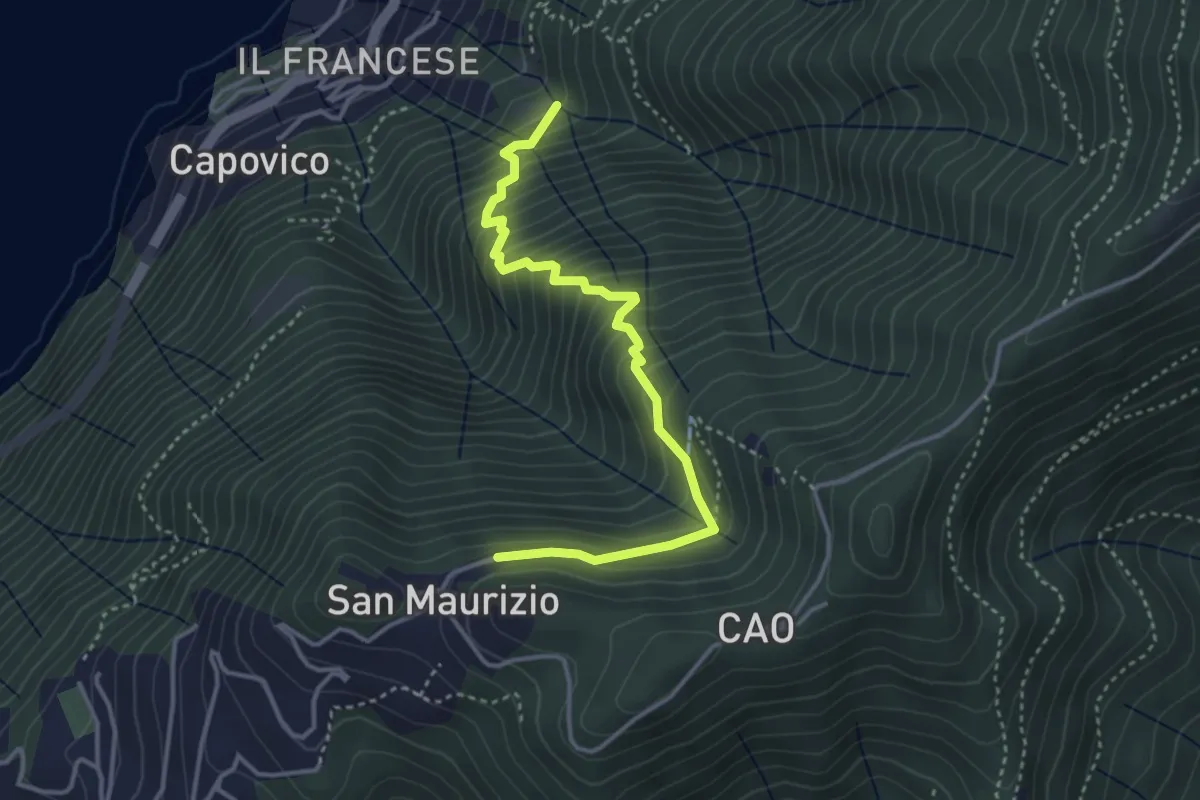
Medium · Trail
Sentiero del Barch (Sopravilla di Blevio-Cascina Barch-San Maurizio)
3.8 km · ↑ 445 m · 1 h 52 min · 11 km away
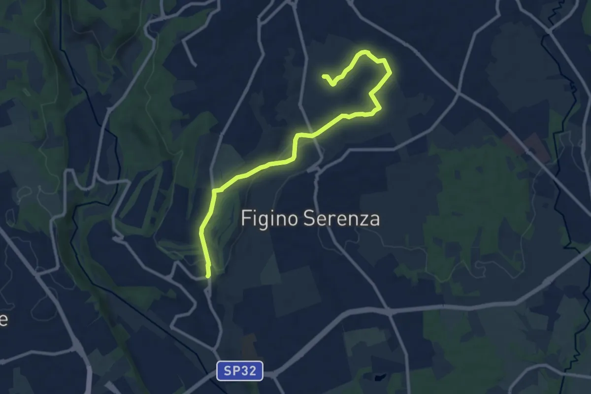
Medium · Trail
Carimate – Cascina Moia
9.3 km · ↑ 103 m · 2 h 25 min · 11 km away
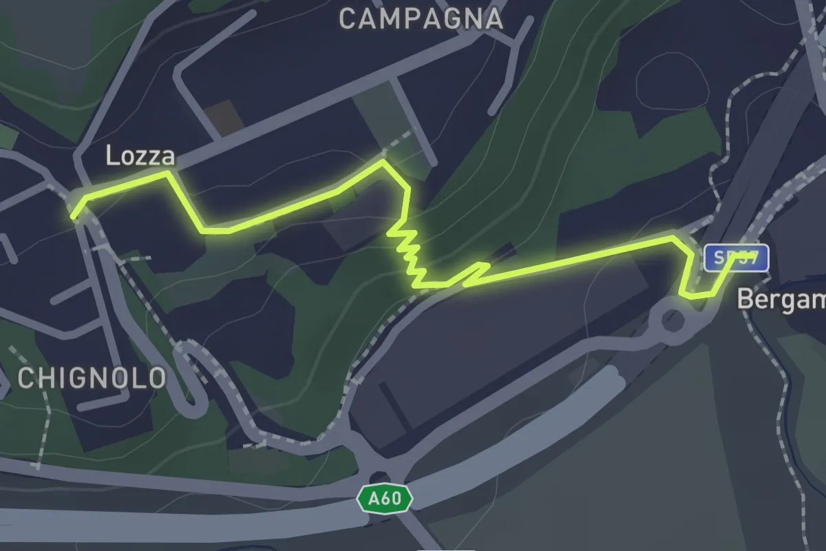
Easy · Trail
Collegamento Lozza - Dorsale RTO
2.3 km · ↑ 54 m · 40 min · 11 km away
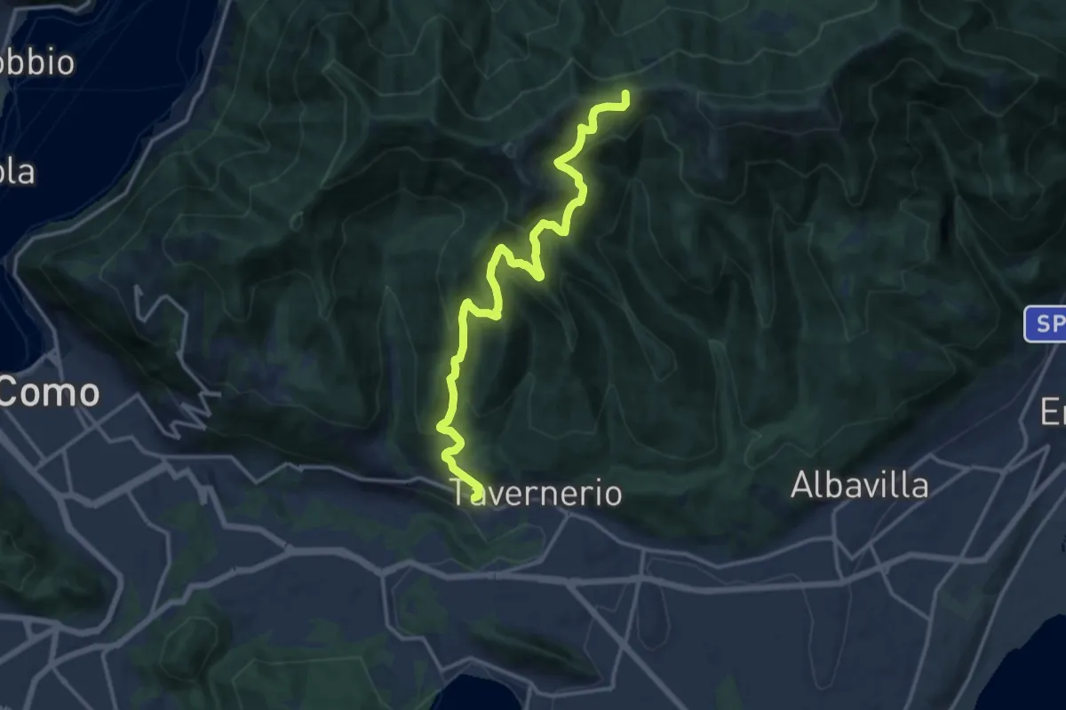
Demanding · Trail
Via Cesare Battisti (Solzago) – Incrocio Sentiero 300 V - Sentiero 363
14.2 km · ↑ 910 m · 5 h 20 min · 11 km away
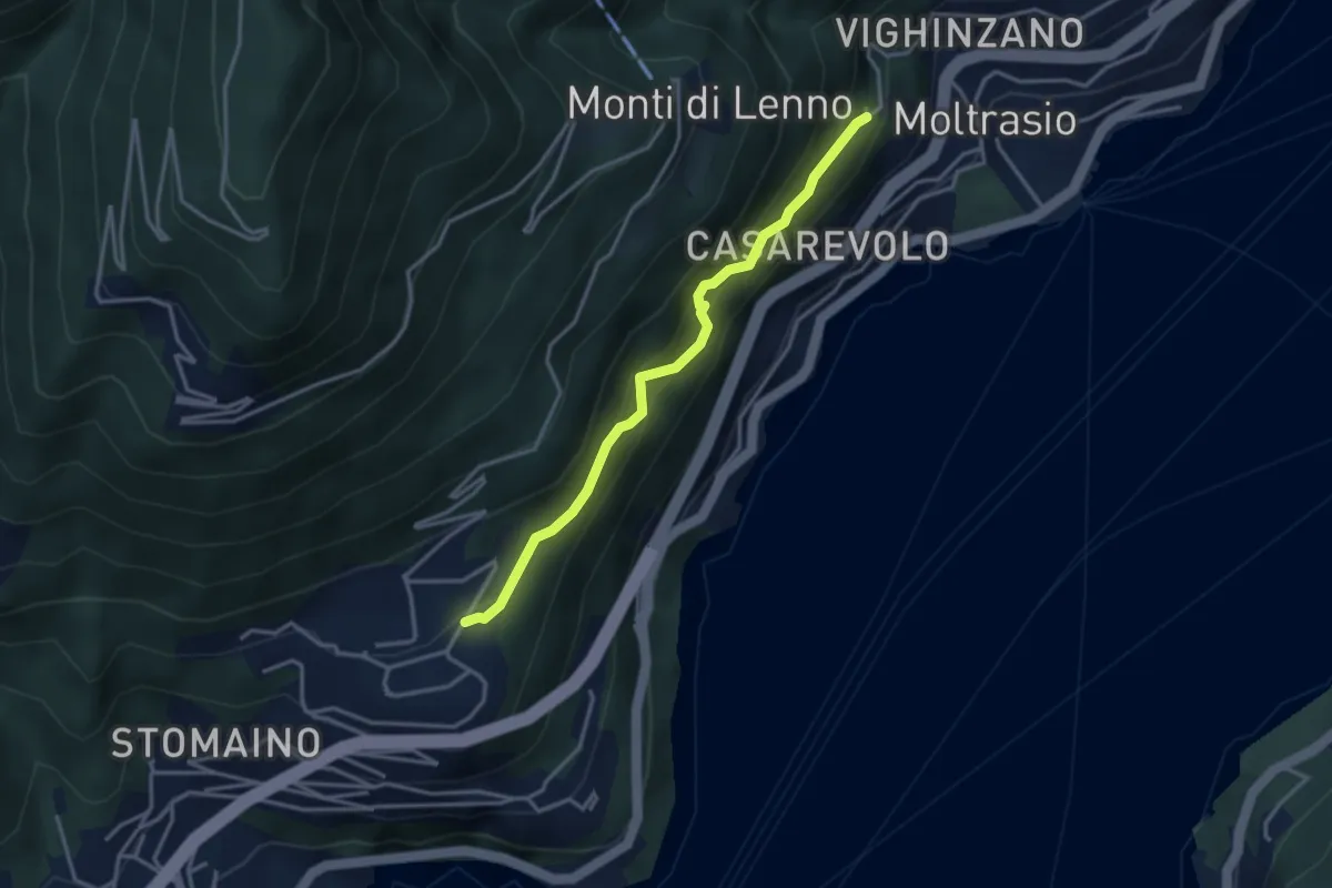
Medium · Trail
Sentee di Sort
3.3 km · ↑ 348 m · 1 h 32 min · 11 km away
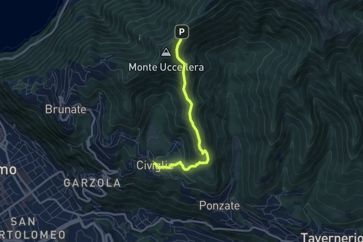
Medium · Trail
Civiglio – Baita Carla
6.2 km · ↑ 367 m · 2 h 16 min · 11 km away
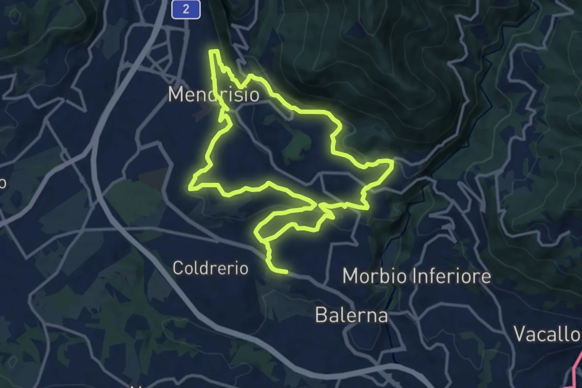
Medium · Trail
Itinerario "L’uomo e la vite"
10.9 km · ↑ 309 m · 3 h 24 min · 11 km away
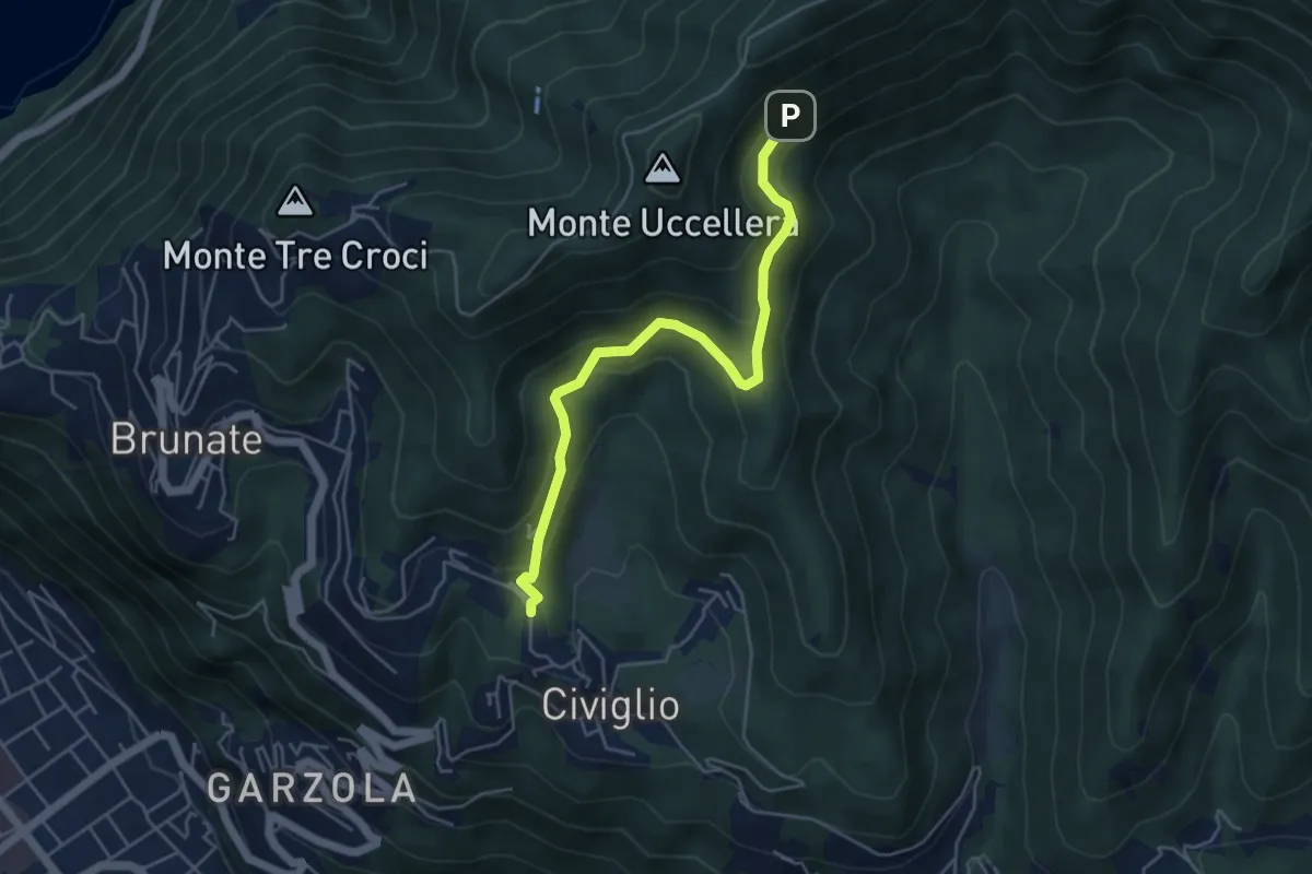
Medium · Trail
Visigna – Strada del Boscone
4.9 km · ↑ 275 m · 1 h 46 min · 11 km away
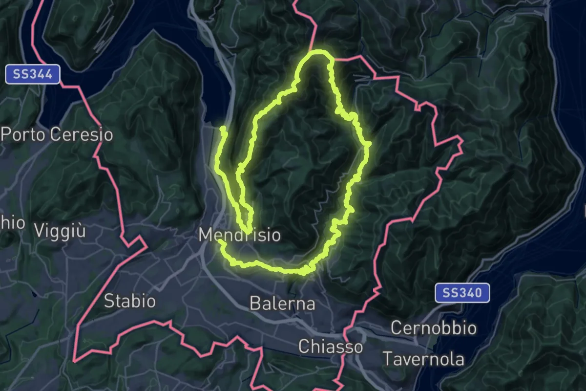
Demanding · Trail
Sentiero Lago di Lugano
32.4 km · ↑ 2076 m · 12 h 38 min · 11 km away
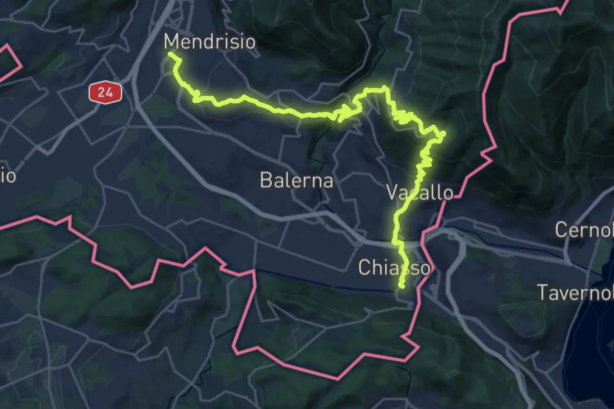
Medium · Trail
ViaGottardo
12.7 km · ↑ 559 m · 4 h 26 min · 11 km away
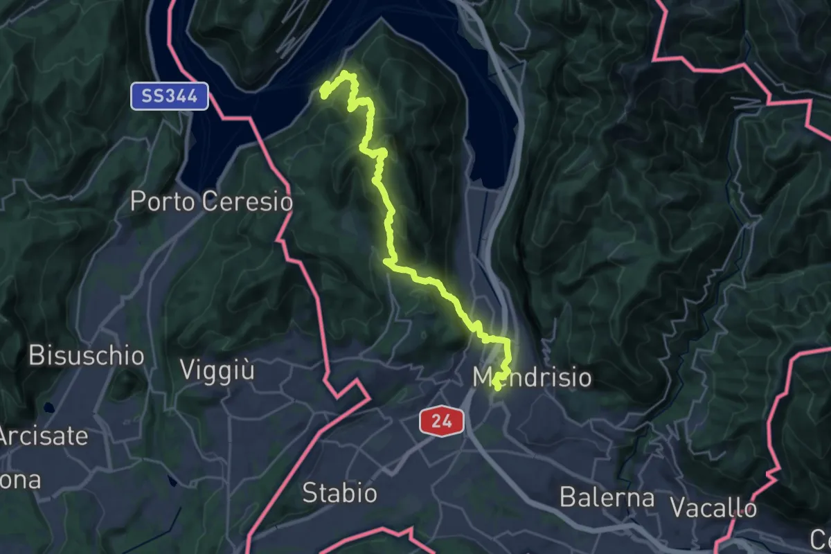
Demanding · Trail
Trans Swiss Trail
12.0 km · ↑ 809 m · 4 h 47 min · 11 km away
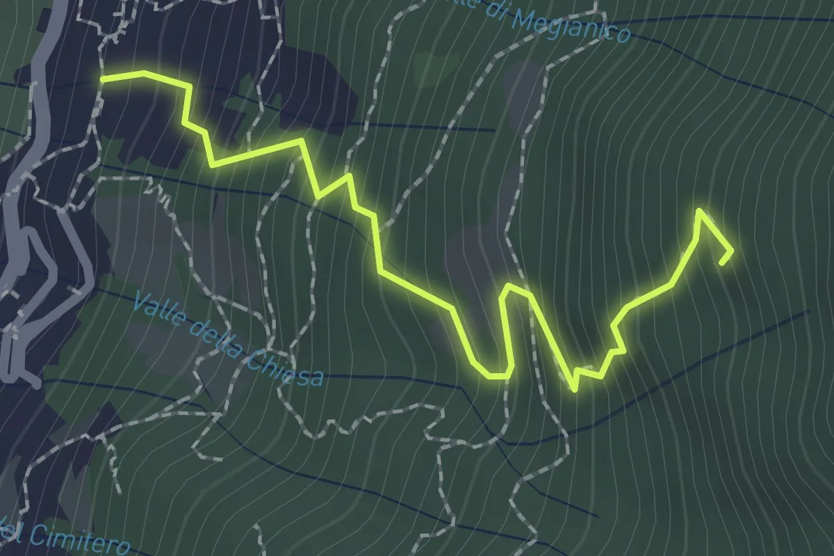
Medium · Trail
Mezzovico (Blevio) – Prea Nairöla
2.2 km · ↑ 395 m · 1 h 23 min · 12 km away
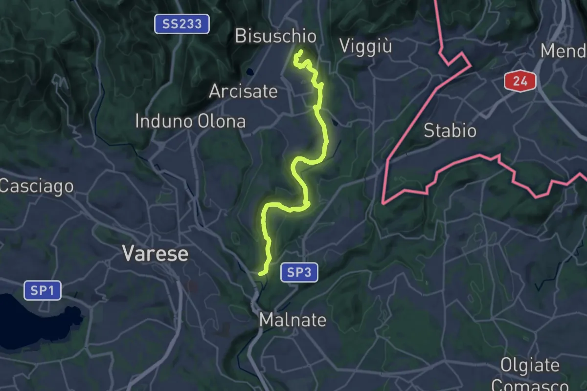
Demanding · Summit
Ca' Bassa – Monte Useria
20.8 km · ↑ 446 m · 5 h 53 min · 12 km away
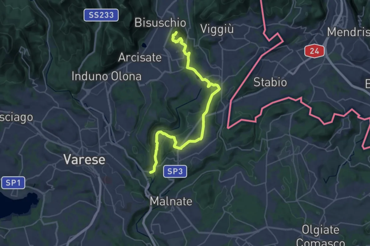
Demanding · Summit
Varese via Ca' Bassa – Monte Useria
24.6 km · ↑ 570 m · 7 h 3 min · 12 km away
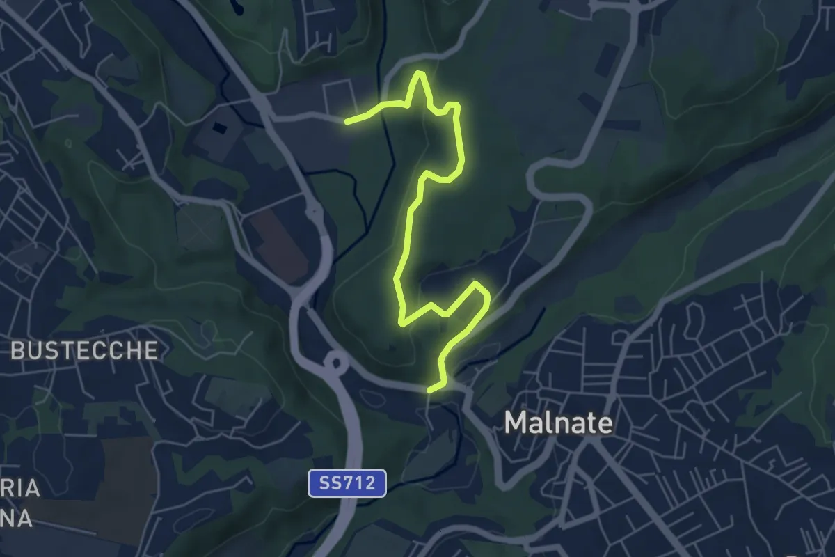
Easy · Trail
Varese via Ca' Bassa – Folla di Malnate
6.0 km · ↑ 159 m · 1 h 45 min · 12 km away
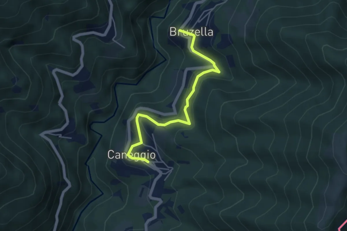
Easy · Trail
Caneggio – Bruzella
4.3 km · ↑ 249 m · 1 h 33 min · 12 km away
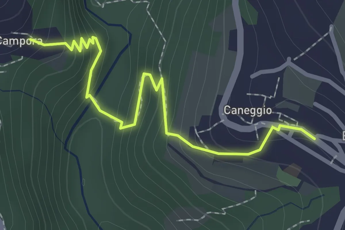
Easy · Trail
Caneggio – Cámpora
2.3 km · ↑ 161 m · 53 min · 12 km away
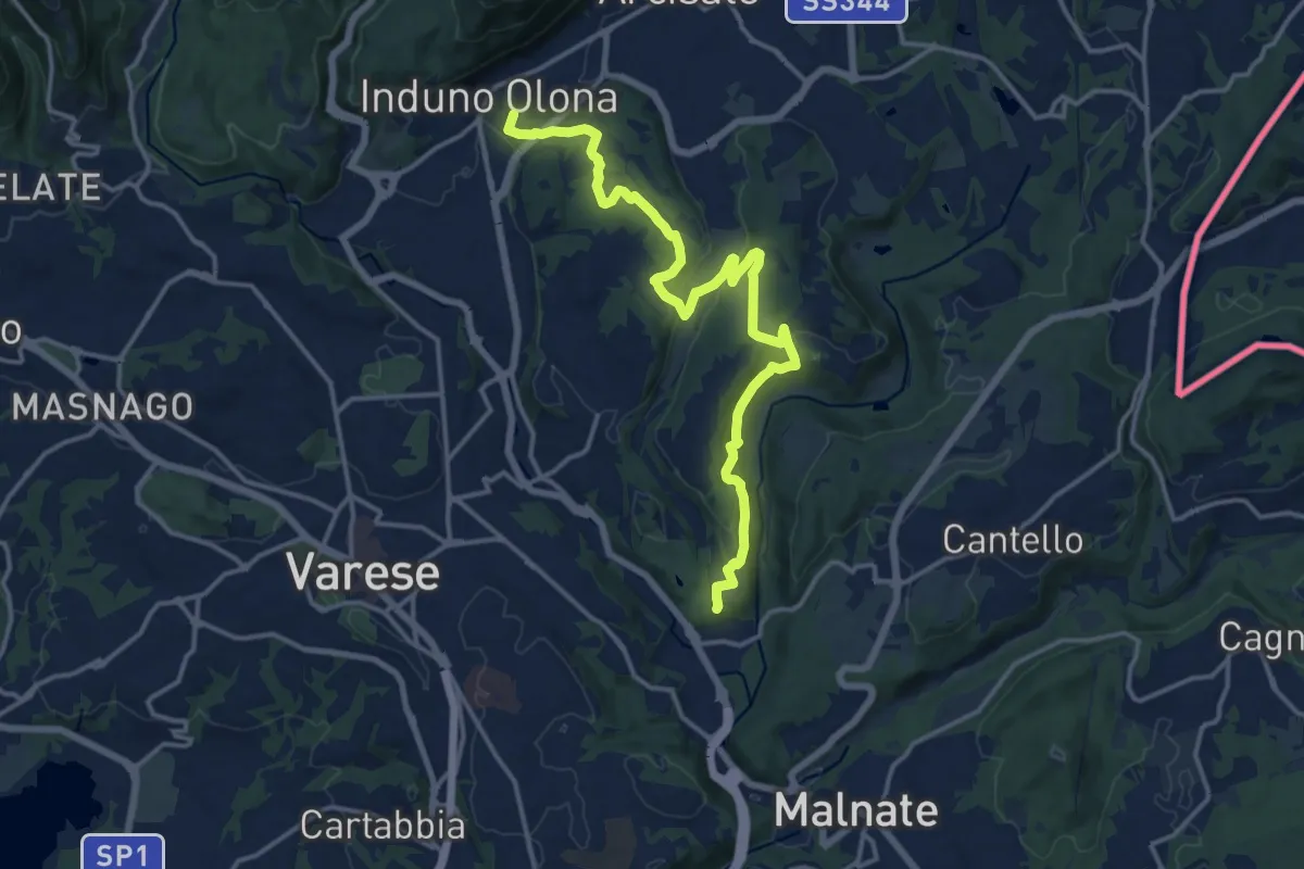
Medium · Summit
Induno Olona – Cascina Mentasti
16.8 km · ↑ 456 m · 4 h 57 min · 12 km away
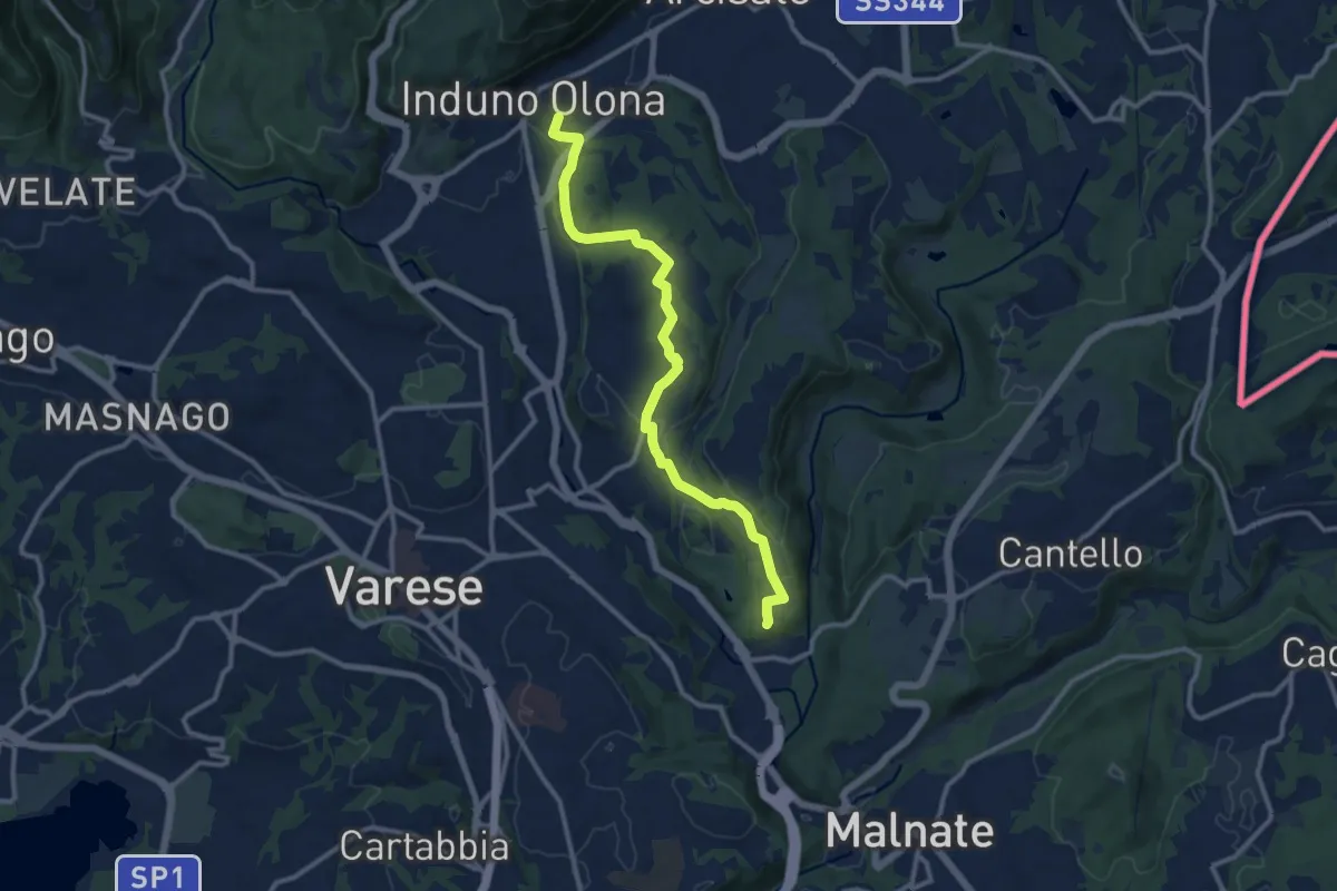
Medium · Summit
Induno Olona – Cascina Mentasti
11.7 km · ↑ 226 m · 3 h 16 min · 12 km away
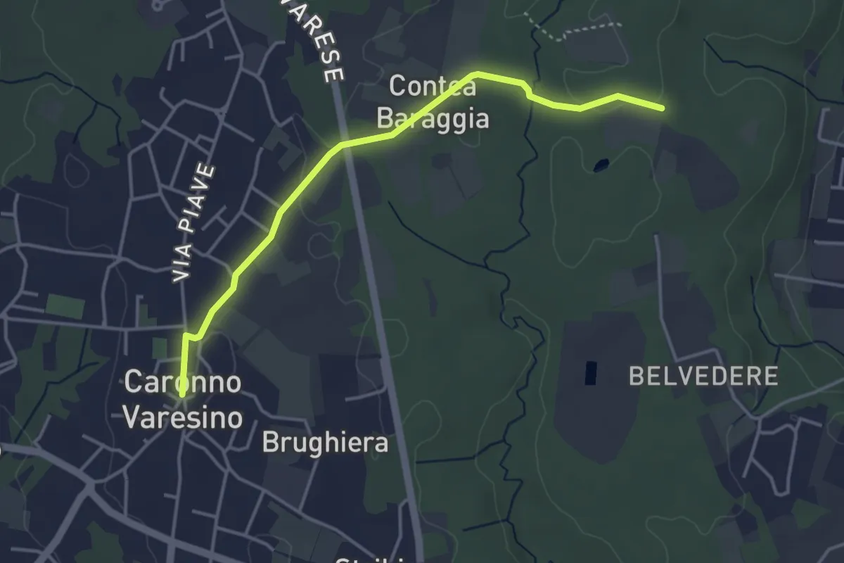
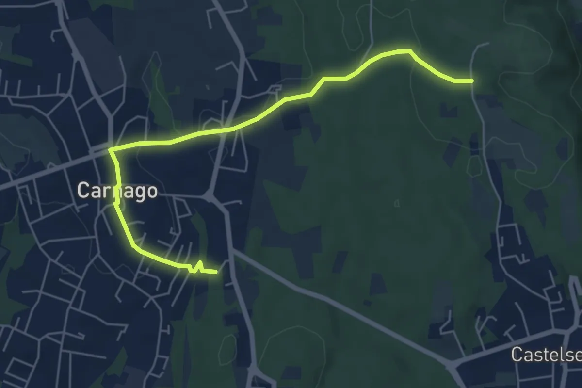
Easy · Trail
520D Collegamento Caronno Varesino-Dorsale RTO
4.0 km · ↑ 32 m · 1 h · 12 km away
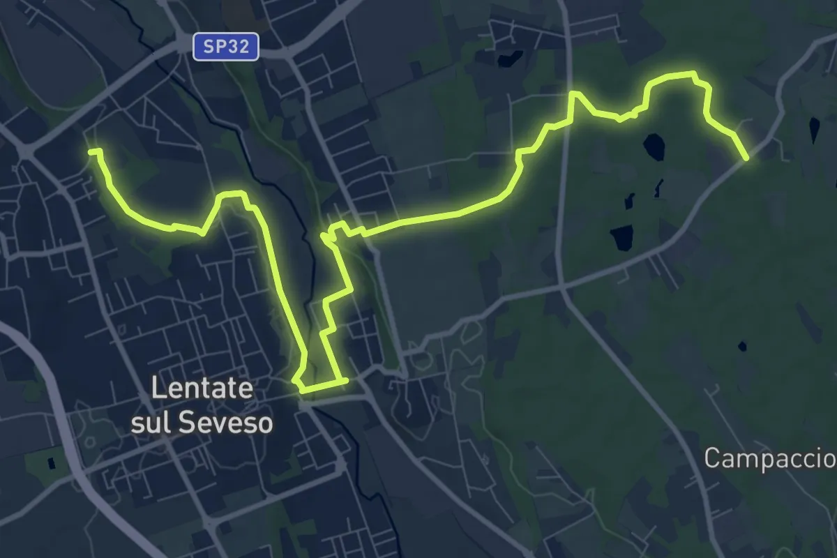
Easy · Trail
520E Collegamento Carnago
5.6 km · ↑ 67 m · 1 h 28 min · 12 km away
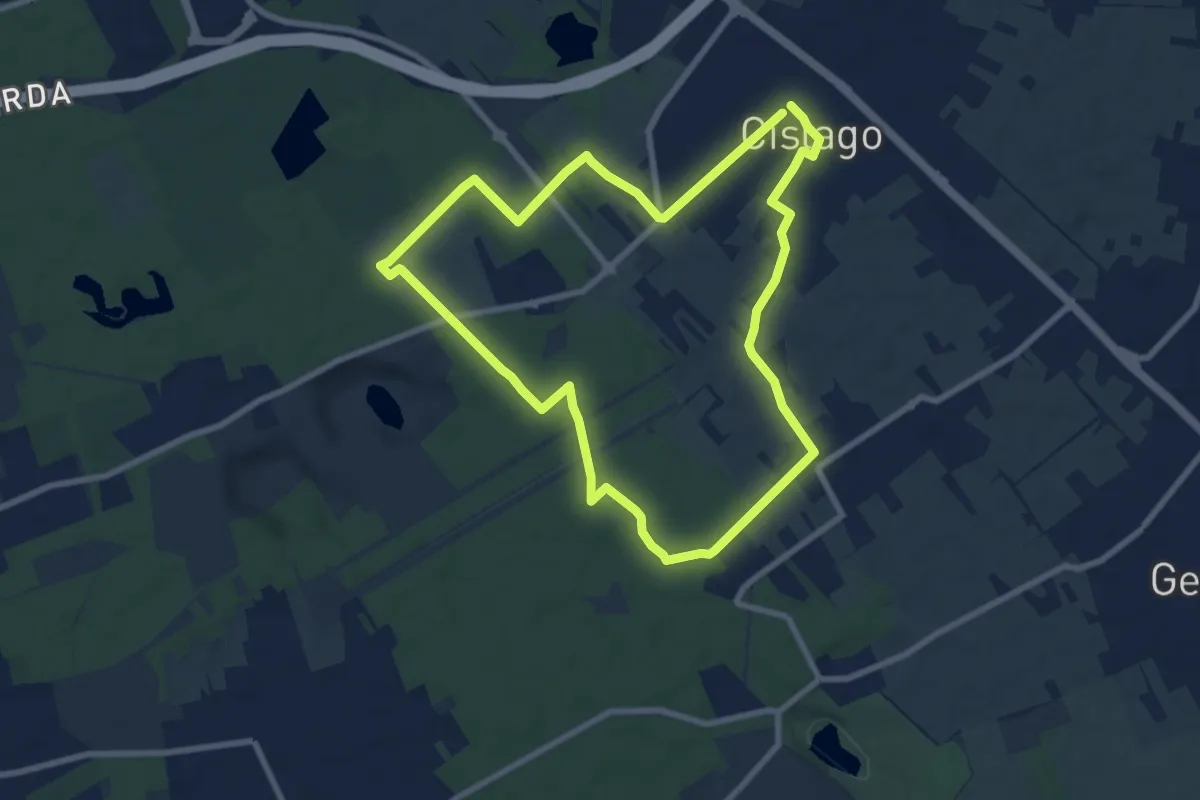
Medium · Trail
Copreno – Boscaccio
13.4 km · ↑ 150 m · 3 h 29 min · 12 km away
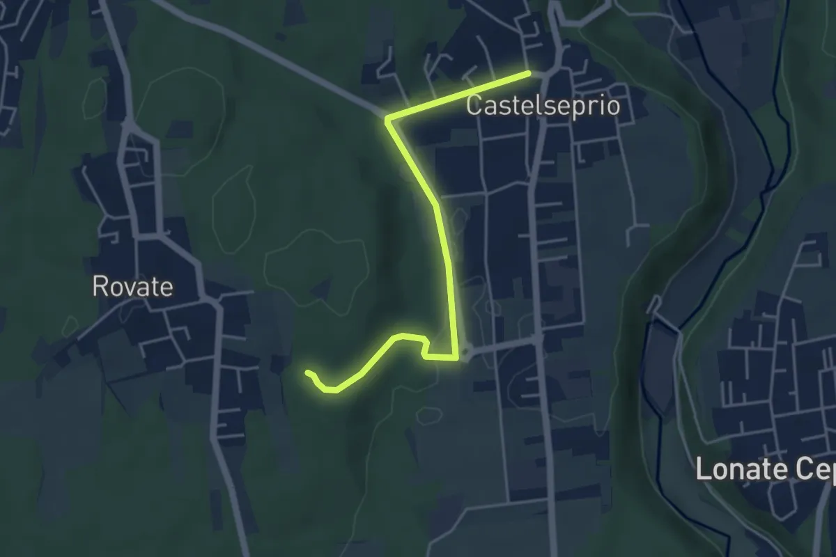
Medium · Trail
Anello Cislago
8.3 km · ↑ 25 m · 2 h 8 min · 12 km away
Easy · Trail
Collegamento Anello del Rile-Dorsale RTO
4.2 km · ↑ 47 m · 1 h 5 min · 12 km away
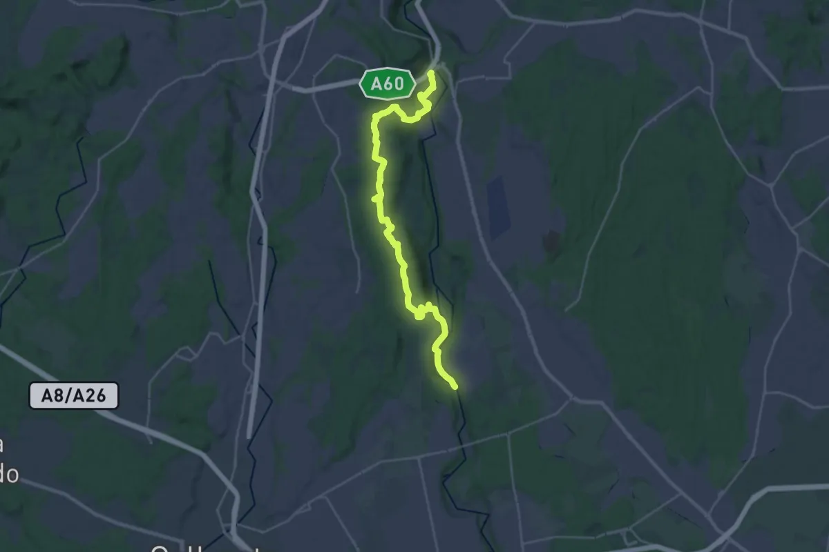
Demanding · Trail
Dorsale Rile-Tenore-Olona
26.4 km · ↑ 426 m · 7 h 9 min · 12 km away
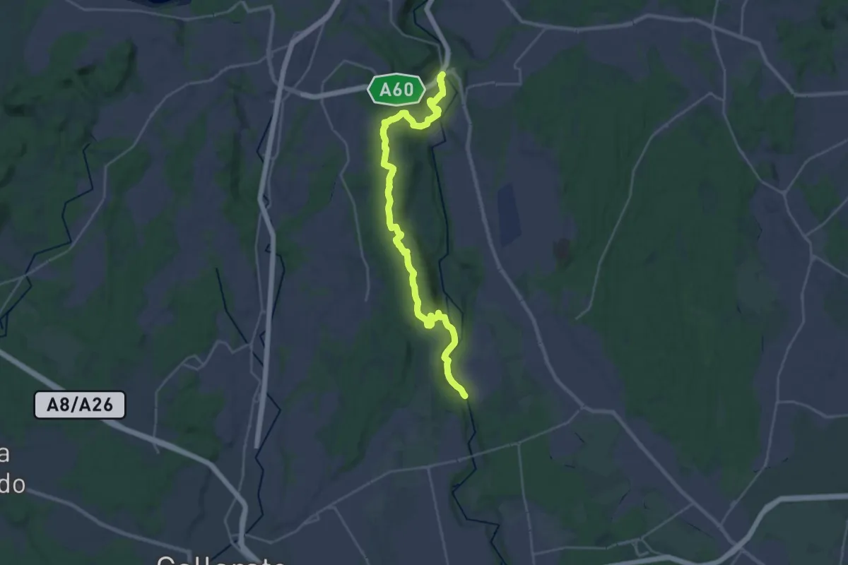
Demanding · Trail
520 Dorsale RTO
25.9 km · ↑ 425 m · 7 h 2 min · 12 km away
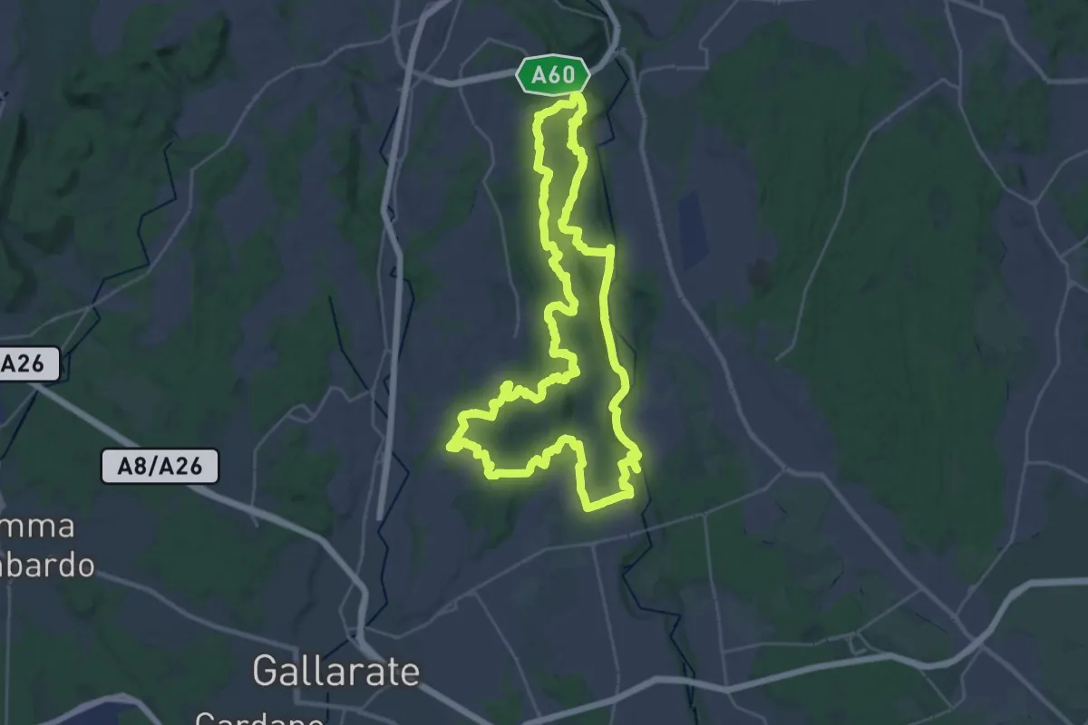
Demanding · Trail
Grandtour RTO
30.8 km · ↑ 344 m · 8 h 28 min · 13 km away
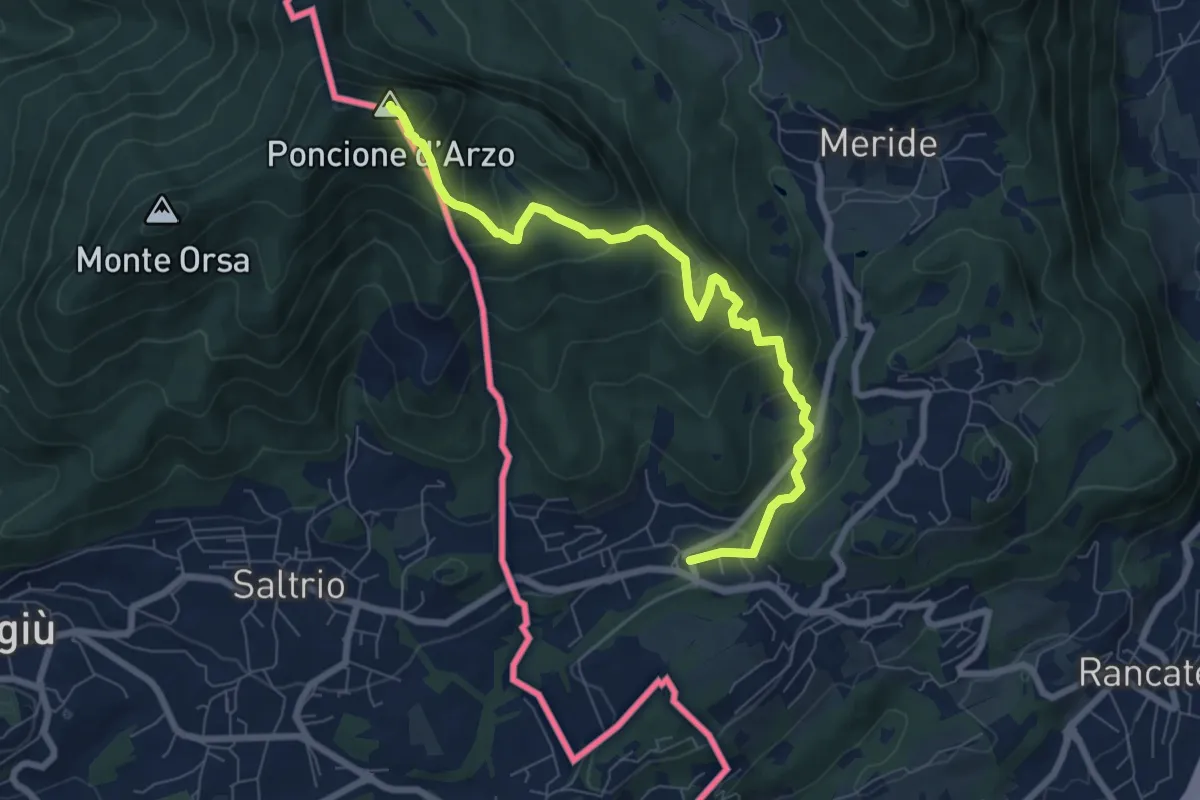
Medium · Summit
Poncione d'Arzo – Arzo
8.0 km · ↑ 537 m · 3 h 3 min · 13 km away
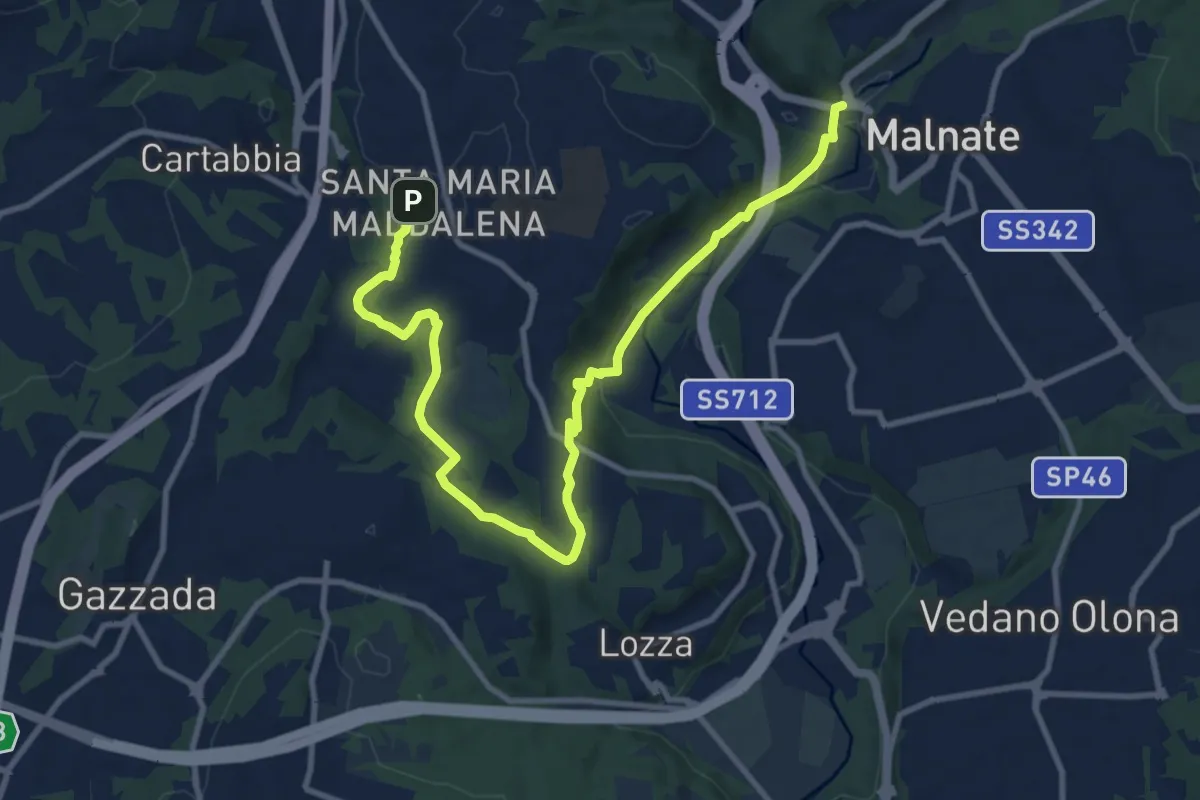
Medium · Trail
Varese - via S.M. Maddalena – Folla di Malnate
13.1 km · ↑ 285 m · 3 h 42 min · 13 km away
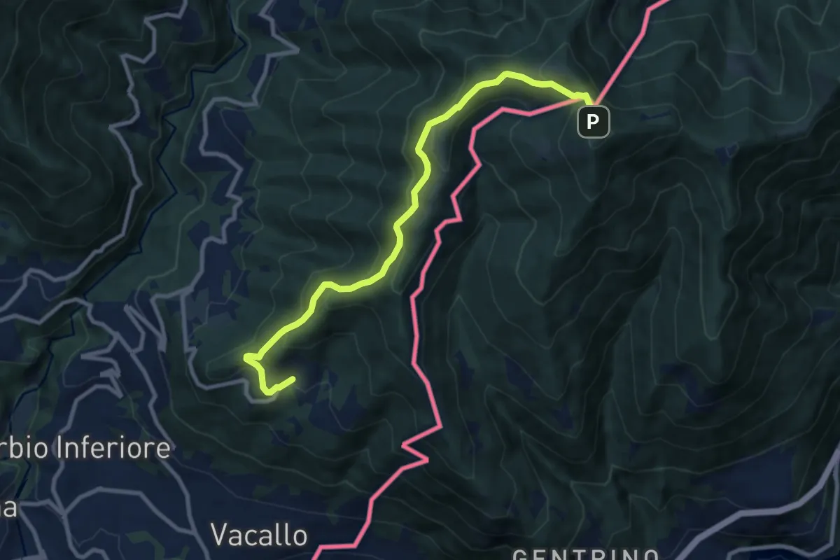
Medium · Trail
Sagno – Monte Bisbino
9.2 km · ↑ 665 m · 3 h 37 min · 13 km away
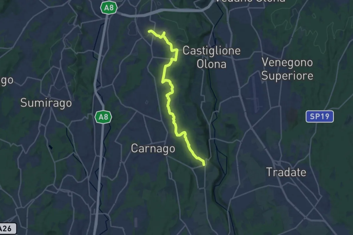
Medium · Trail
Sentiero del Tenore
16.7 km · ↑ 149 m · 4 h 16 min · 13 km away
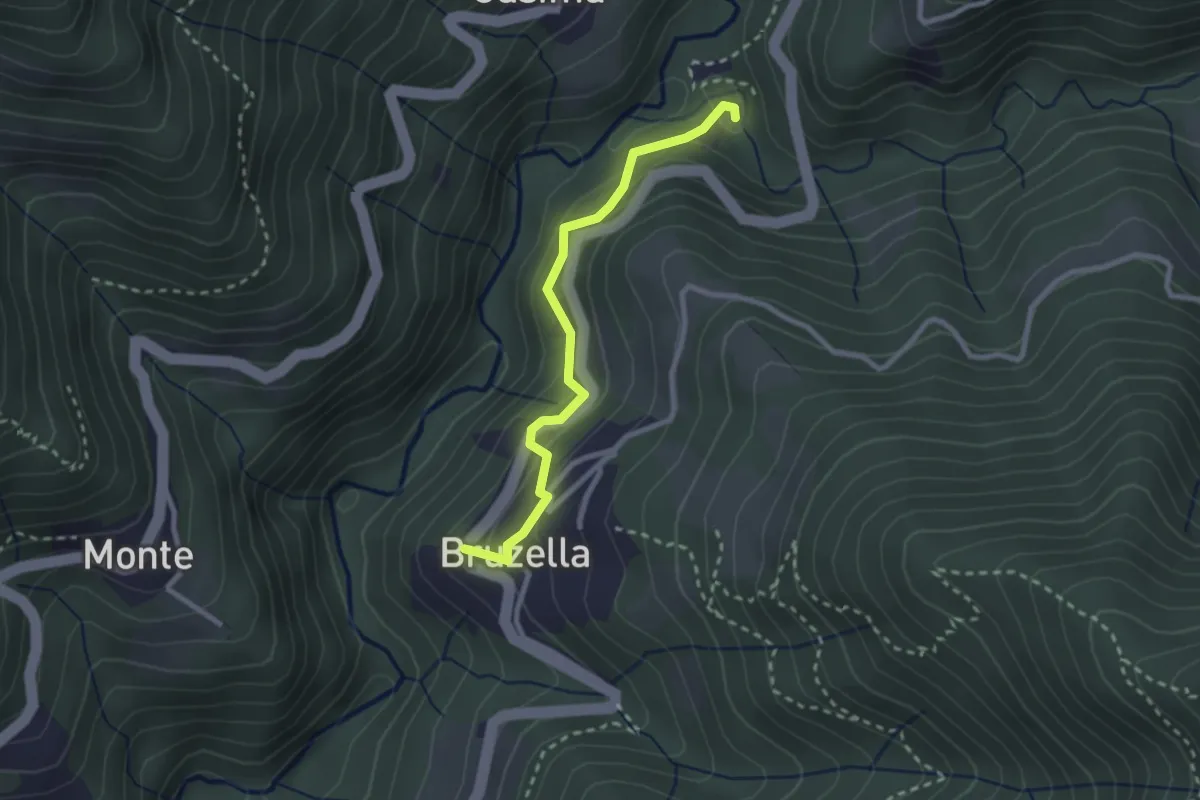
Easy · Trail
Mulino di Bruzella – Bruzella
2.5 km · ↑ 204 m · 1 h 2 min · 13 km away