Trails near Maderno
272 hikes starting within 15 km, nearest first.
Nearest first, page 1 of 6
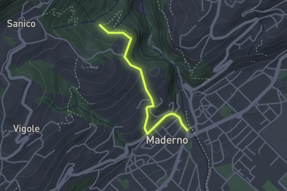
Easy · Trail
Maderno, BVG
3.0 km · ↑ 169 m · 1 h 5 min · under 1 km away
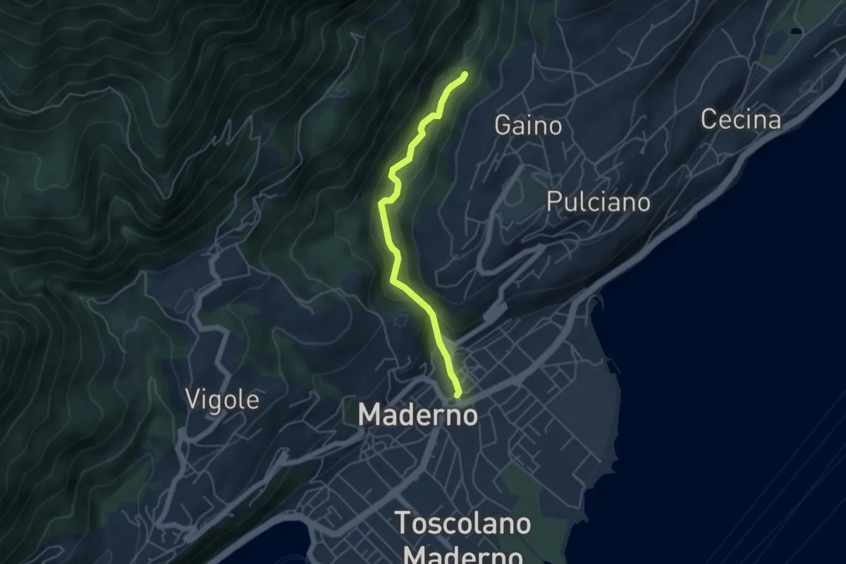
Easy · Trail
Valle delle Cartiere
4.2 km · ↑ 192 m · 1 h 24 min · under 1 km away
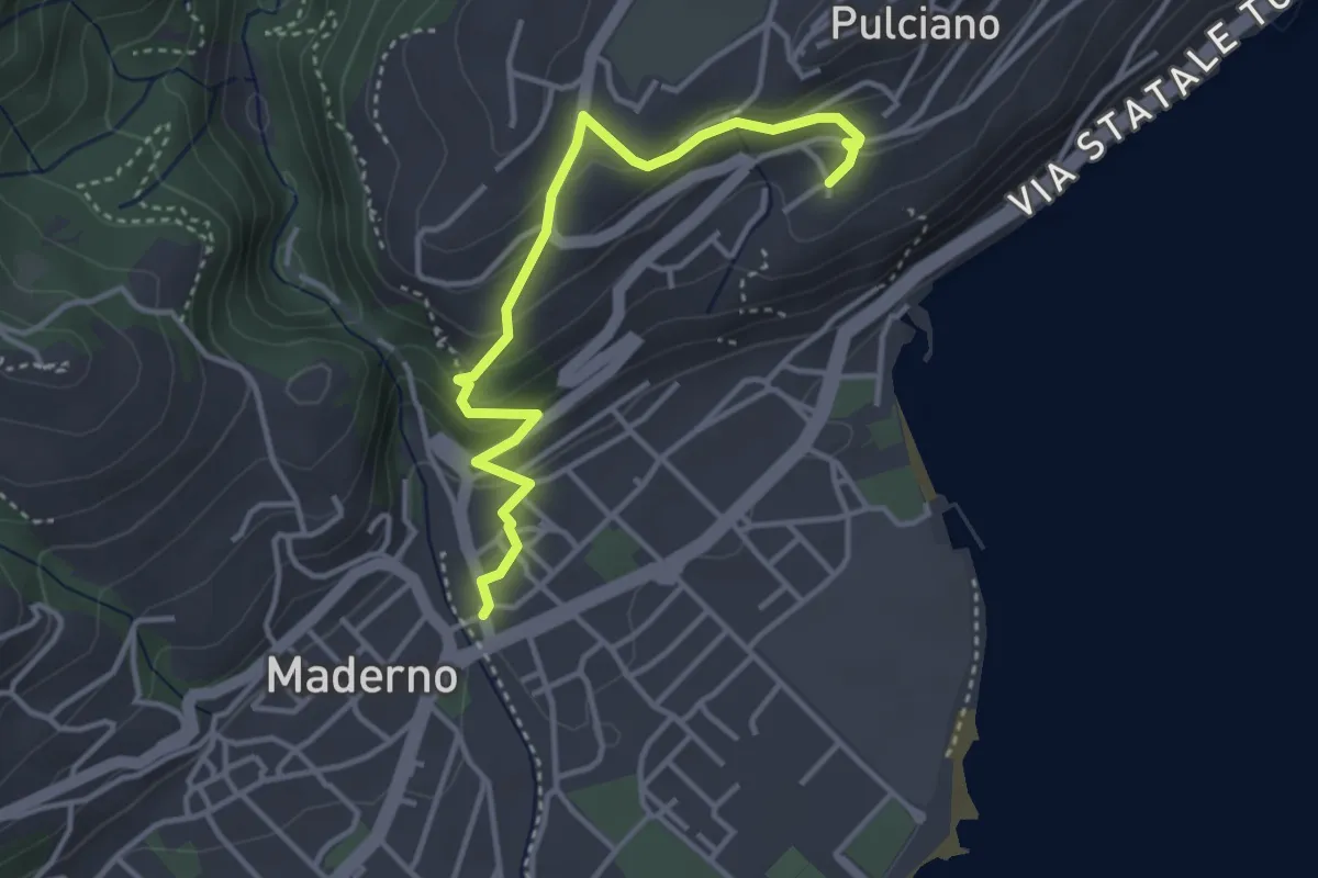
Easy · Trail
Percorso 06 Toscolano Maderno
3.8 km · ↑ 220 m · 1 h 23 min · under 1 km away
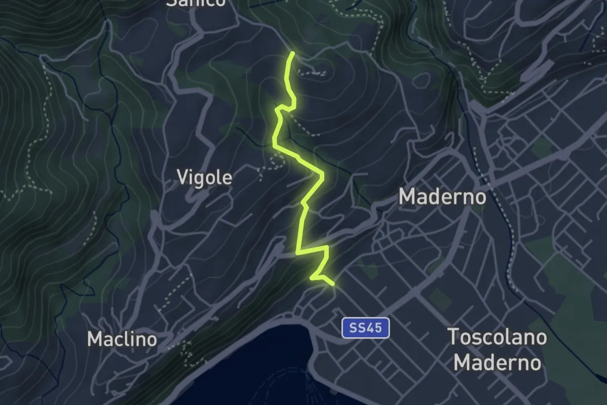
Easy · Trail
Sentiero di San Martino
3.0 km · ↑ 202 m · 1 h 9 min · 1 km away
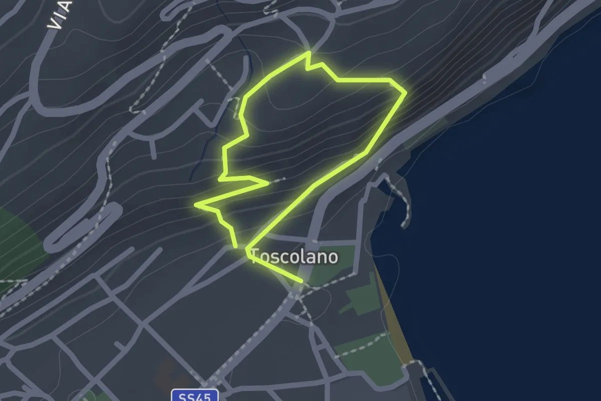
Medium · Trail
Percorso 06B Toscolano Maderno
1.4 km · ↑ 92 m · 33 min · 1 km away
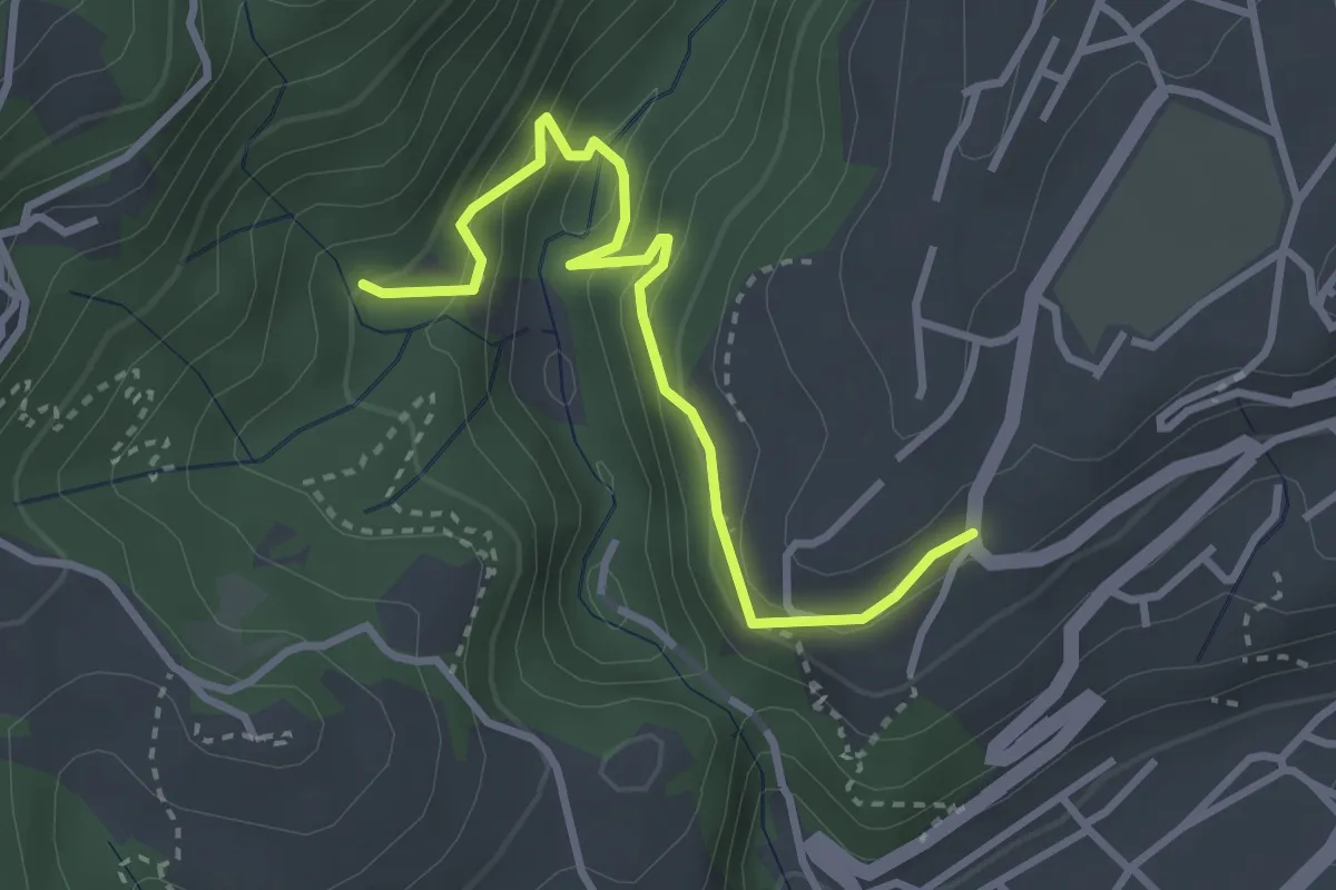
Easy · Trail
BVG, Maina Superiore, Camistero
3.3 km · ↑ 251 m · 1 h 20 min · 1 km away
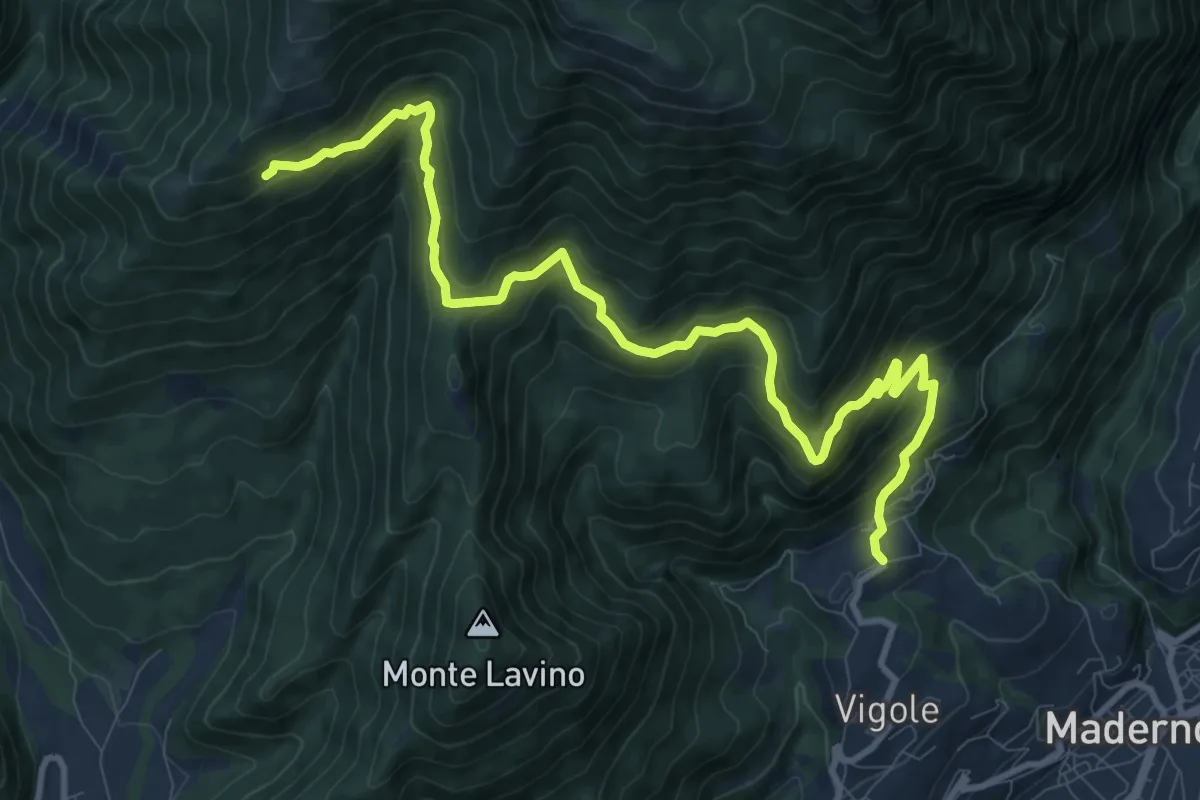
Demanding · Trail
Pirelo - Sanico
12.2 km · ↑ 847 m · 4 h 43 min · 1 km away
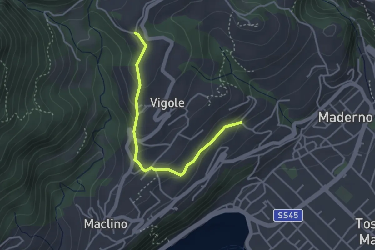
Easy · Trail
Oriolo - Rosei
3.2 km · ↑ 159 m · 1 h 5 min · 1 km away
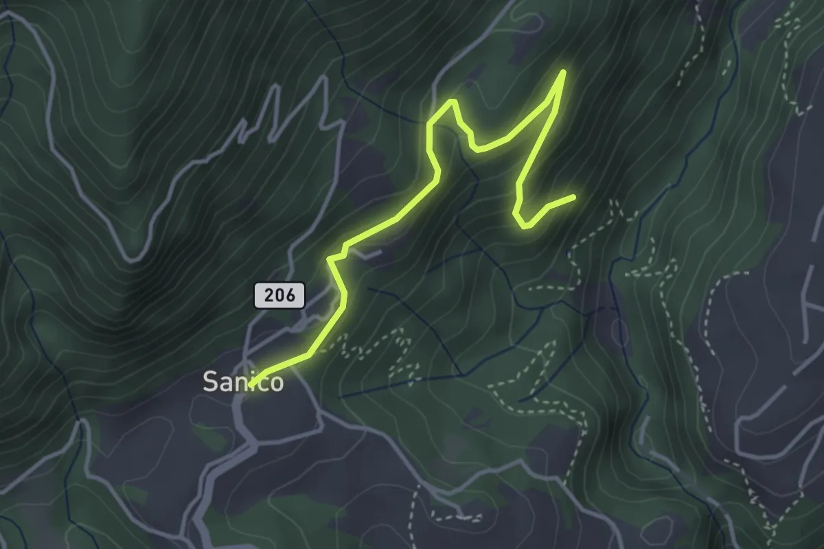
Easy · Trail
Sentiero della Maina
3.8 km · ↑ 244 m · 1 h 26 min · 1 km away
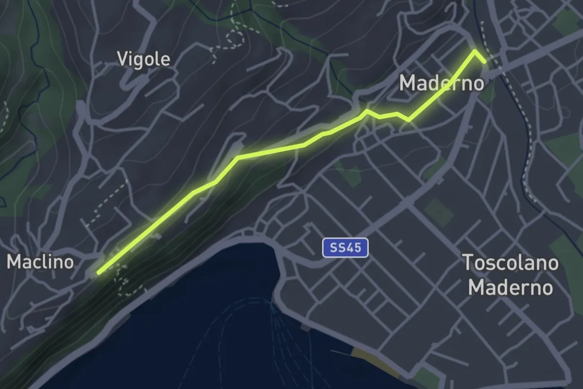
Easy · Trail
Ponte Vecchio - Montemaderno
3.3 km · ↑ 111 m · 1 h 1 min · 1 km away
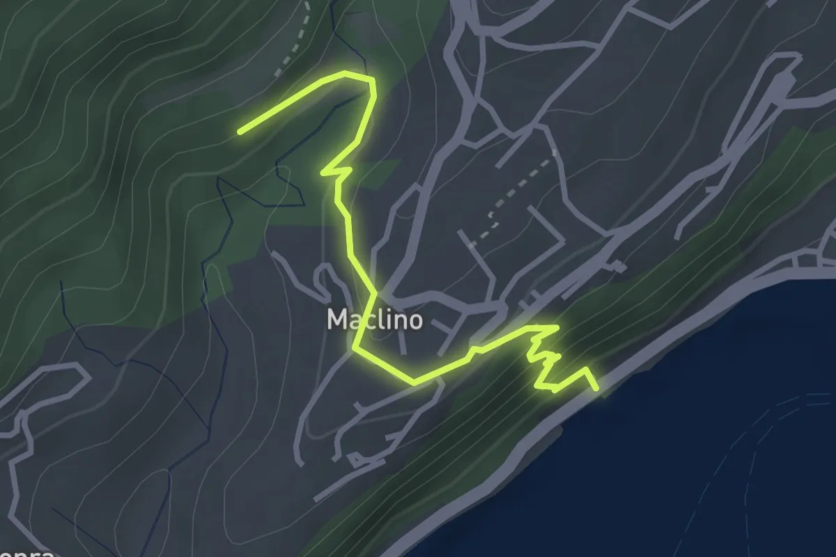
Medium · Trail
Sentiero dei Proch
3.1 km · ↑ 184 m · 1 h 8 min · 2 km away
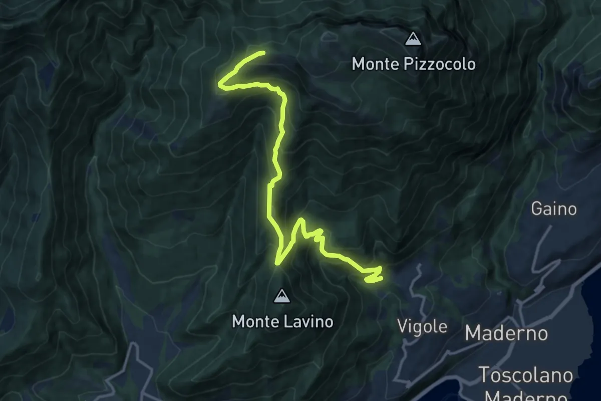
Demanding · Trail
Dos delle Prade - Magnico
12.9 km · ↑ 1066 m · 5 h 22 min · 2 km away
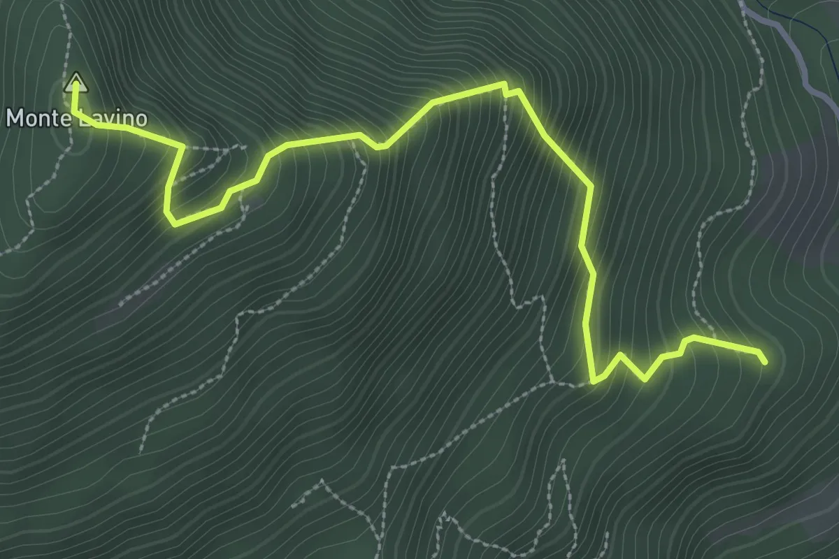
Medium · Summit
Sentiero del Lavino - Percorso 26 Toscolano Maderno
3.6 km · ↑ 538 m · 2 h 1 min · 2 km away
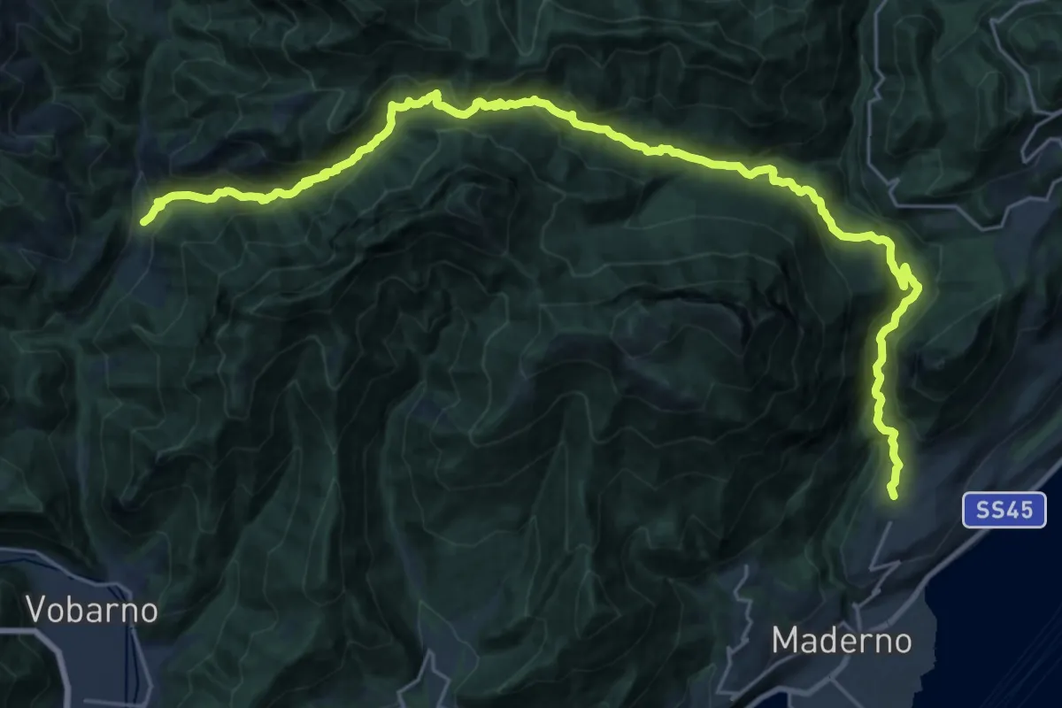
Demanding · Trail
Cecino (Vobarno) – Gaino (Toscolano Maderno)
14.5 km · ↑ 922 m · 5 h 35 min · 2 km away
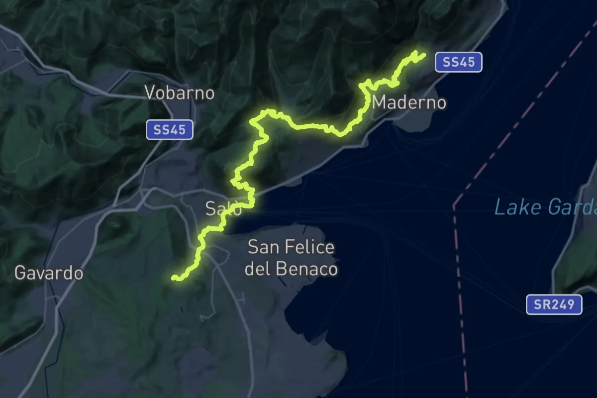
Demanding · Trail
Salò - Gaino
22.9 km · ↑ 1118 m · 8 h 8 min · 2 km away
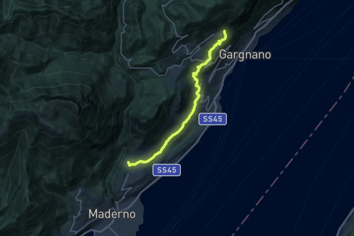
Medium · Trail
Gaino – Musaga
14.0 km · ↑ 584 m · 4 h 34 min · 2 km away
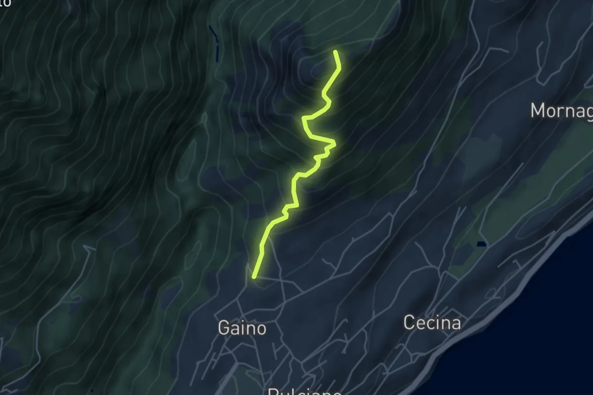
Medium · Summit
Sentiero del Castello di Gaino
3.8 km · ↑ 533 m · 2 h 3 min · 2 km away
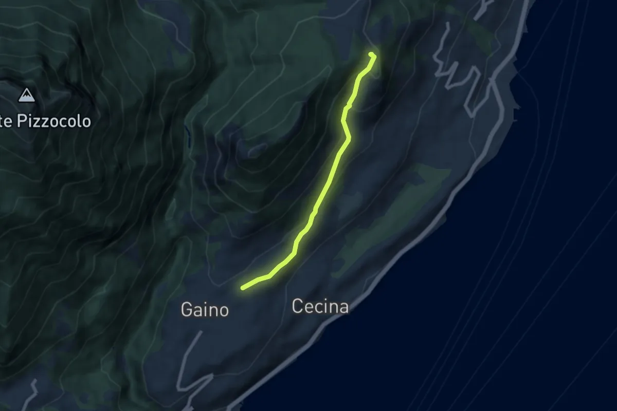
Easy · Summit
Gaino - Navazzo
5.6 km · ↑ 266 m · 1 h 54 min · 2 km away
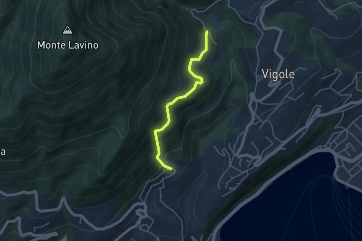
Medium · Trail
Bezzuglio - Pezzuglio
3.1 km · ↑ 345 m · 1 h 29 min · 2 km away
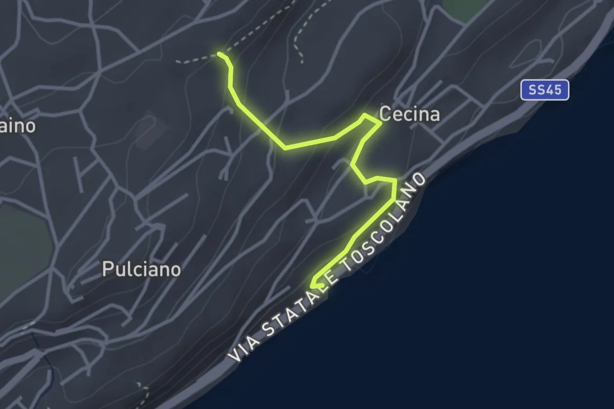
Easy · Trail
Sentiero degli Orticelli
2.7 km · ↑ 184 m · 1 h 2 min · 2 km away
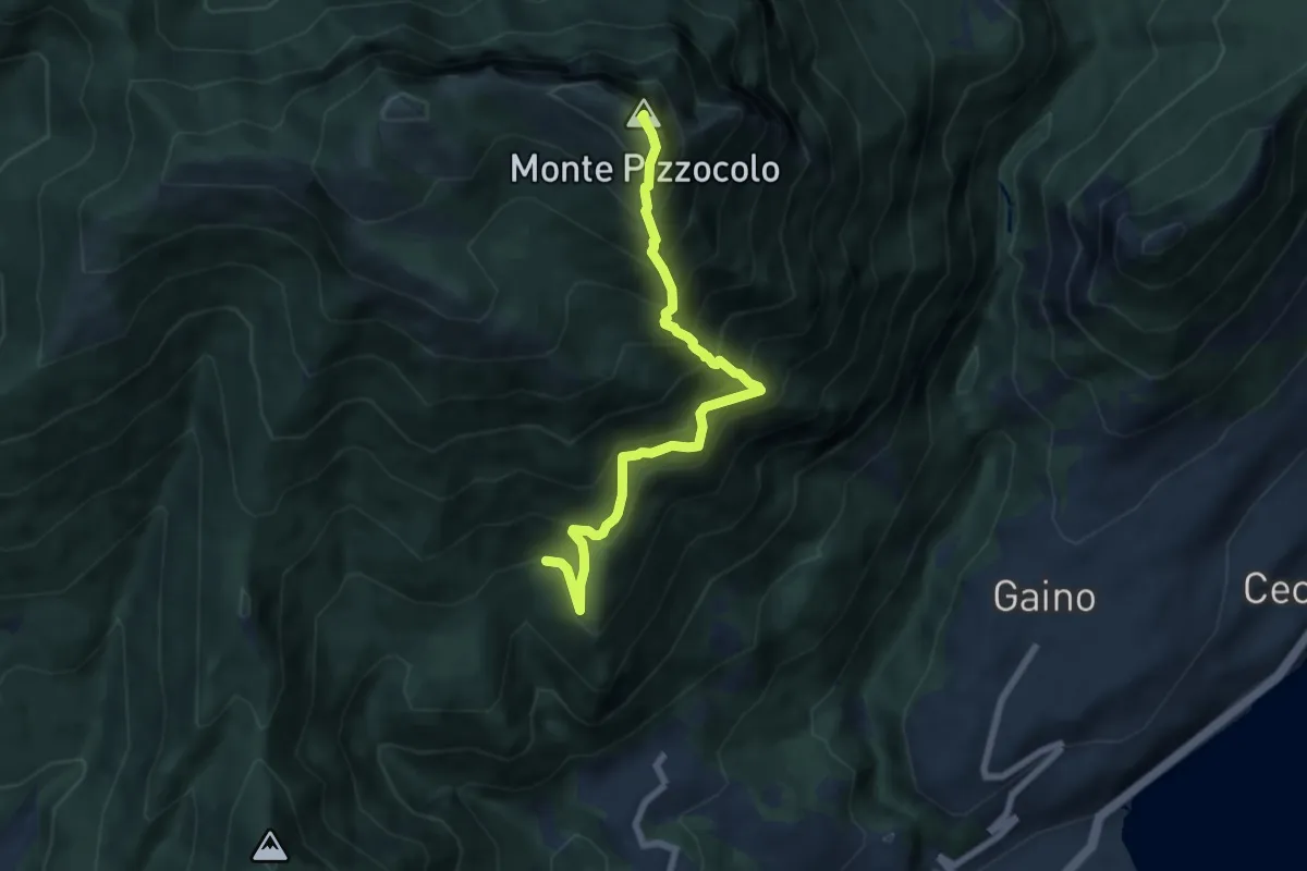
Expert · Summit
Cresta sud-est Pizzocolo
6.9 km · ↑ 972 m · 3 h 45 min · 2 km away
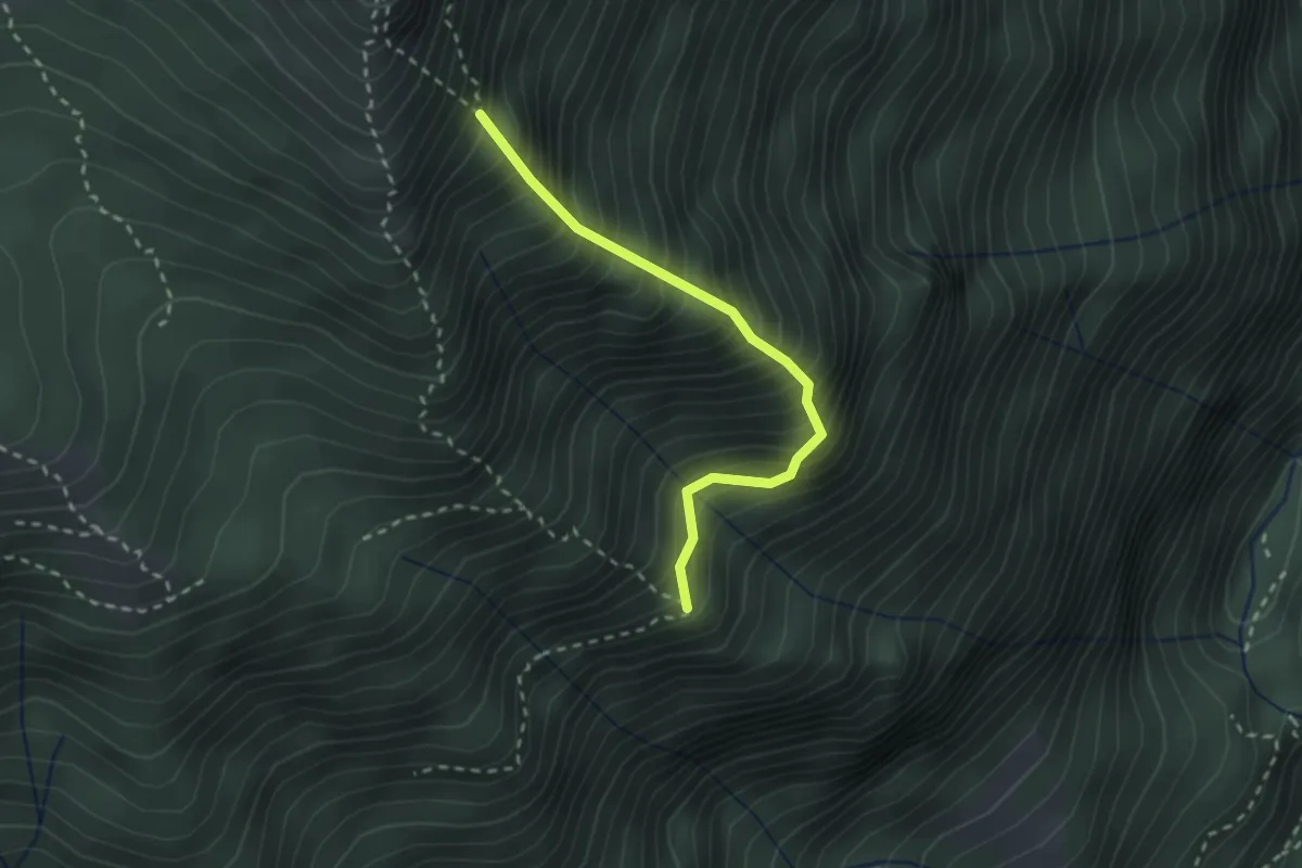
Expert · Trail
Cresta est
2.4 km · ↑ 499 m · 1 h 38 min · 3 km away
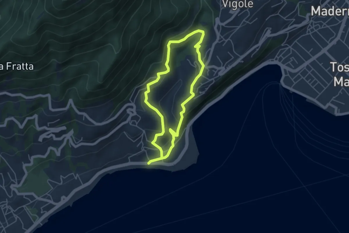
Easy · Trail
Percorso Marrone Gardone Riviera
3.9 km · ↑ 227 m · 1 h 28 min · 3 km away
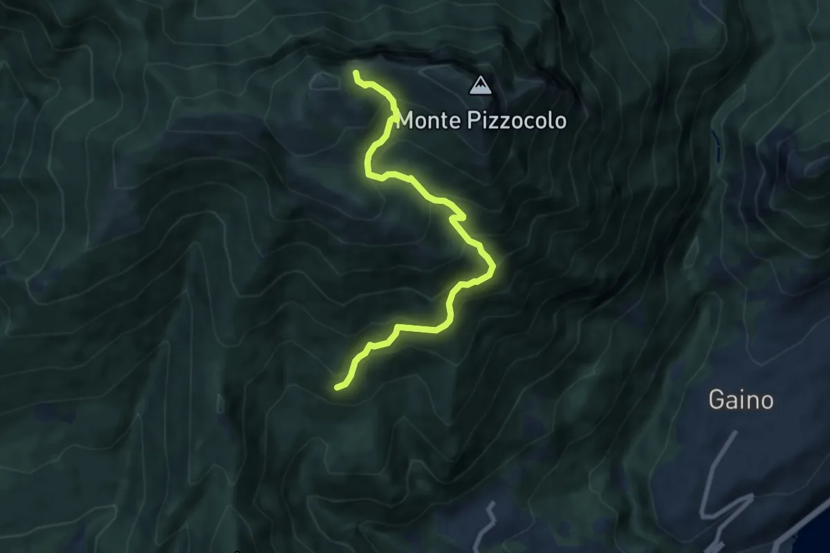
Medium · Trail
Sentiero di Malga Valle
7.5 km · ↑ 716 m · 3 h 19 min · 3 km away
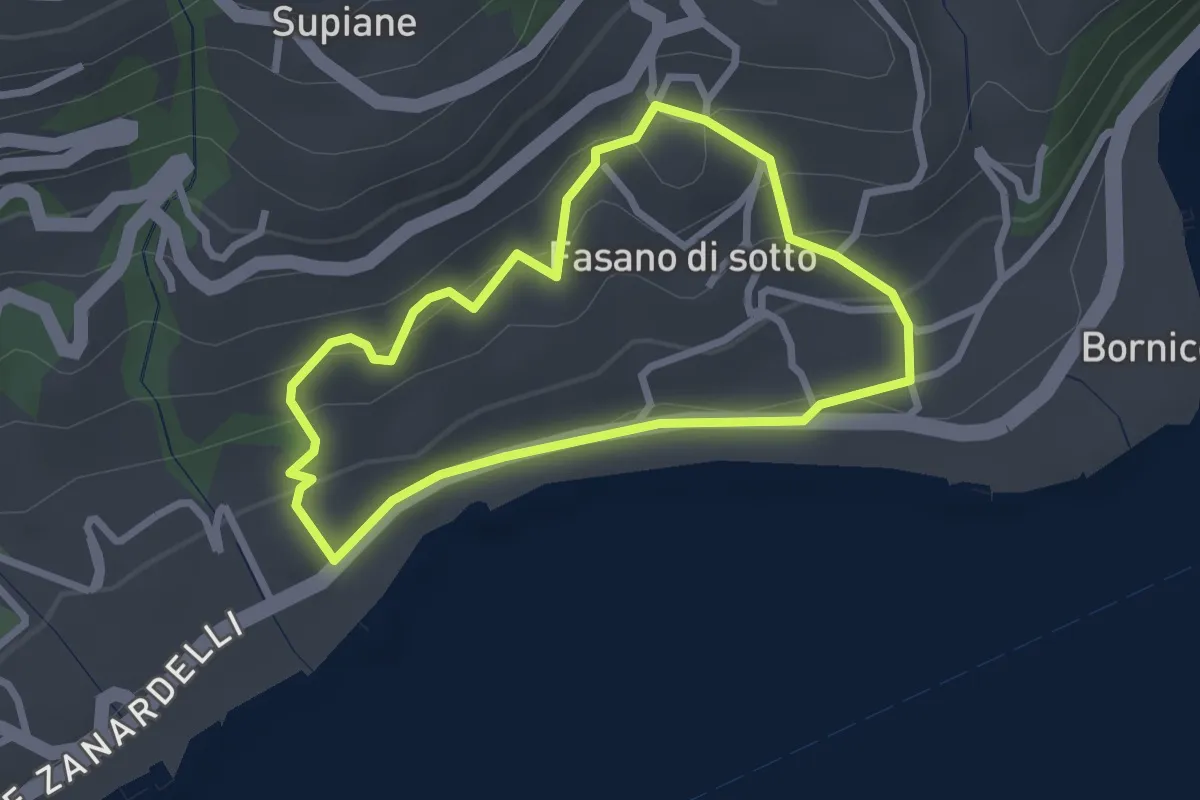
Easy · Trail
Percorso Cobalto Gardone Riviera
2.4 km · ↑ 129 m · 53 min · 3 km away
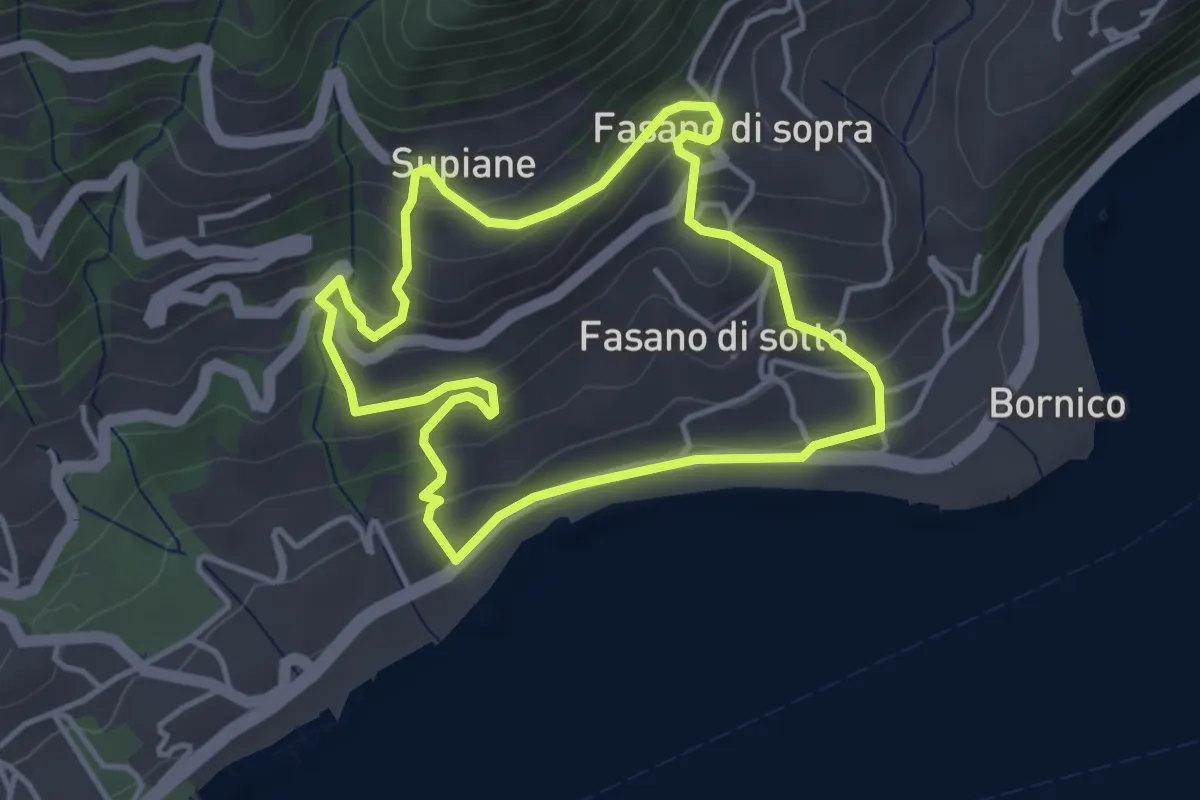
Easy · Trail
Percorso Rosso Gardone Riviera
3.8 km · ↑ 246 m · 1 h 28 min · 3 km away
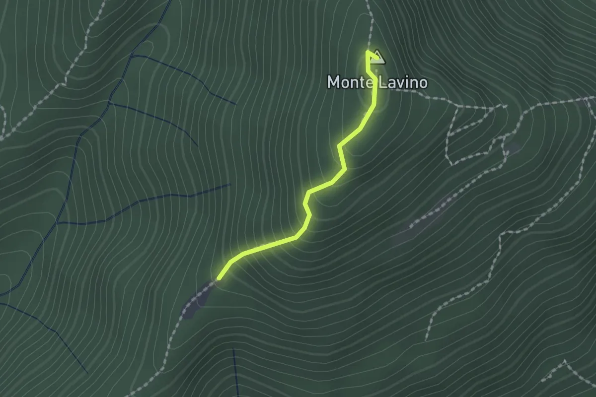
Medium · Summit
Sentiero di Monte Lavino
1.3 km · ↑ 142 m · 37 min · 3 km away
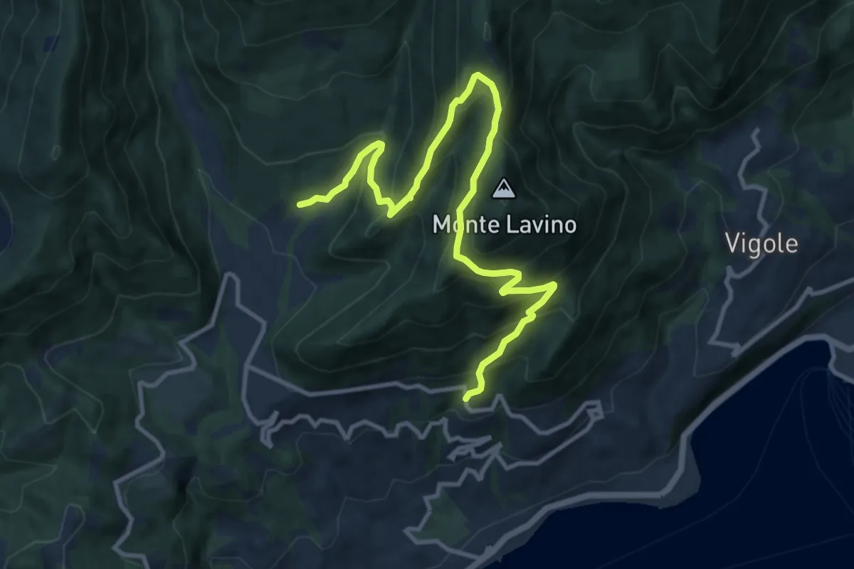
Demanding · Trail
Sentiero del Buelino - Lavino
11.7 km · ↑ 983 m · 4 h 54 min · 3 km away
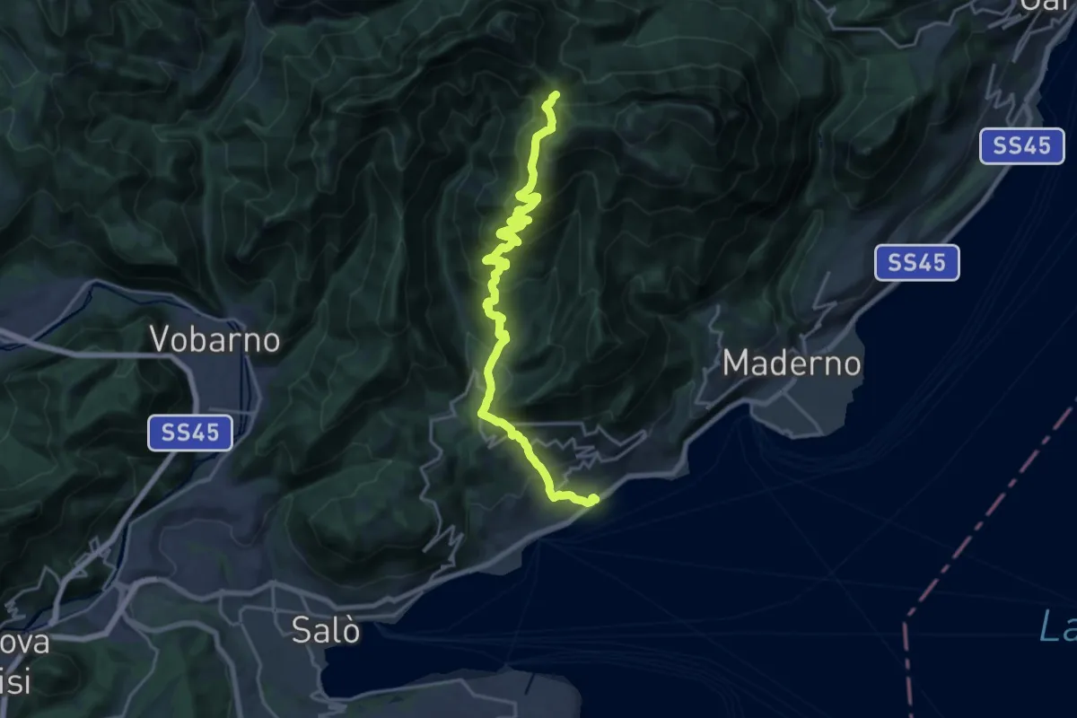
Demanding · Trail
Alta Via n. 10 - Gardone Riviera, Passo di Spino
20.1 km · ↑ 1358 m · 7 h 41 min · 3 km away
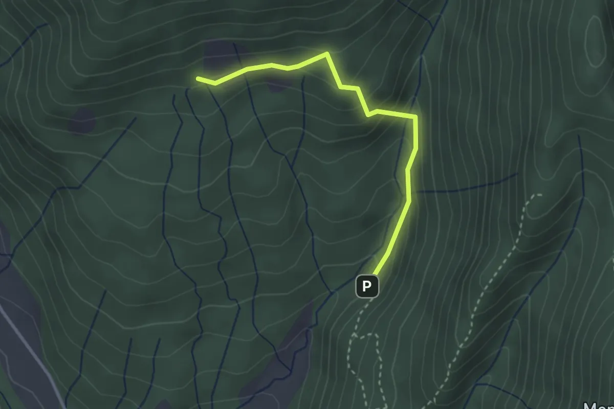
Easy · Trail
Valle del Poiano
2.8 km · ↑ 210 m · 1 h 7 min · 4 km away
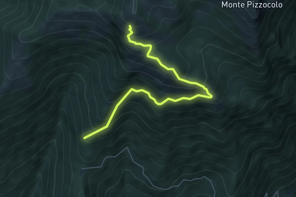
Medium · Trail
Sentiero del Casetto del Veronese
6.0 km · ↑ 605 m · 2 h 44 min · 4 km away
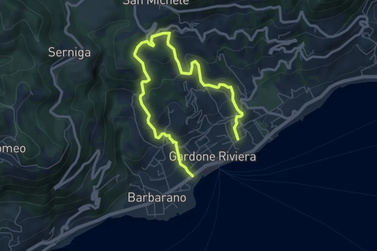
Medium · Trail
Percorso Arancio Gardone Riviera
8.4 km · ↑ 603 m · 3 h 17 min · 4 km away
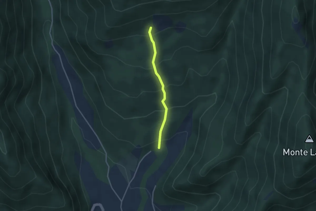
Easy · Trail
Gardone in Bike
2.2 km · ↑ 230 m · 1 h 1 min · 4 km away
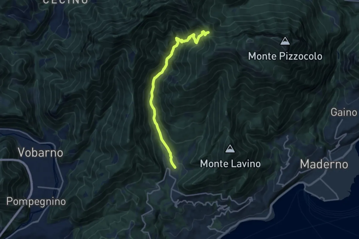
Demanding · Trail
Sentiero Egidio Bosio
12.1 km · ↑ 846 m · 4 h 42 min · 4 km away
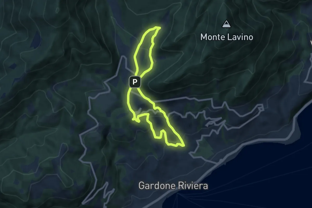
Medium · Trail
Percorso Rosa Gardone Riviera
6.3 km · ↑ 310 m · 2 h 16 min · 4 km away
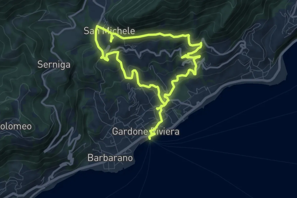
Medium · Trail
Percorso Blu Gardone Riviera
15.6 km · ↑ 693 m · 5 h 12 min · 4 km away
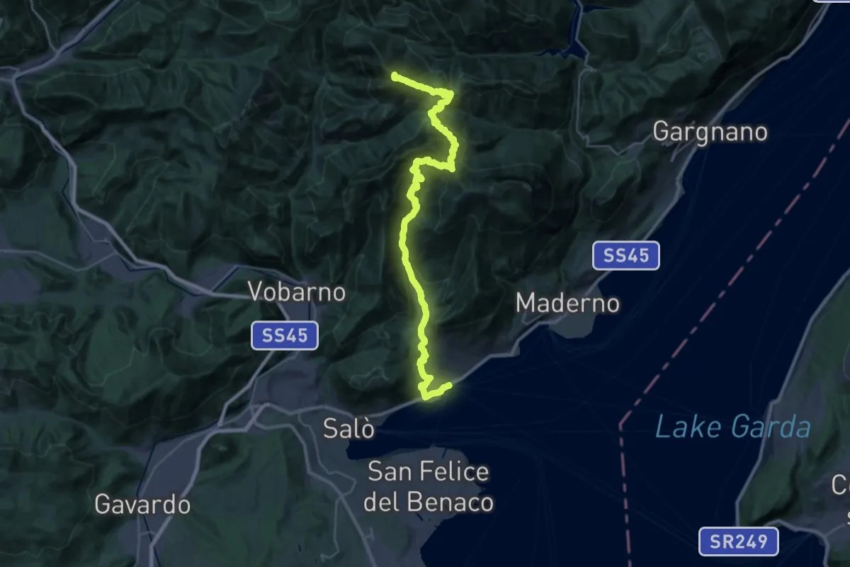
Demanding · Summit
Sentiero 2 Laghi
34.6 km · ↑ 2456 m · 13 h 30 min · 4 km away
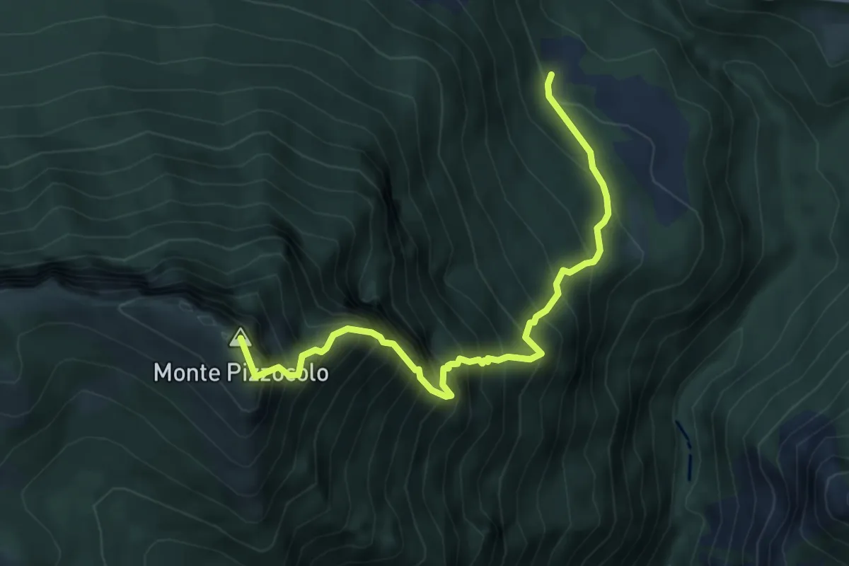
Expert · Summit
Sentiero dei Tre Amici
5.6 km · ↑ 1141 m · 3 h 48 min · 5 km away
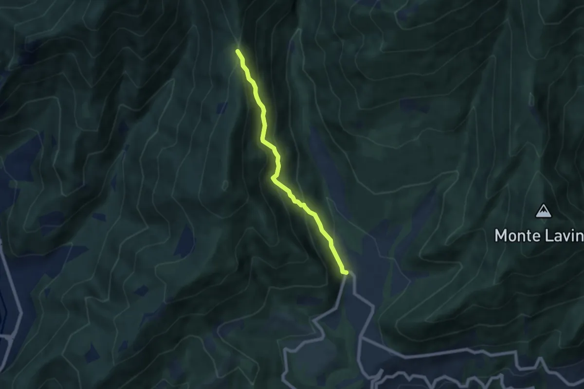
Medium · Trail
Sentiero della Selva
5.1 km · ↑ 471 m · 2 h 14 min · 5 km away
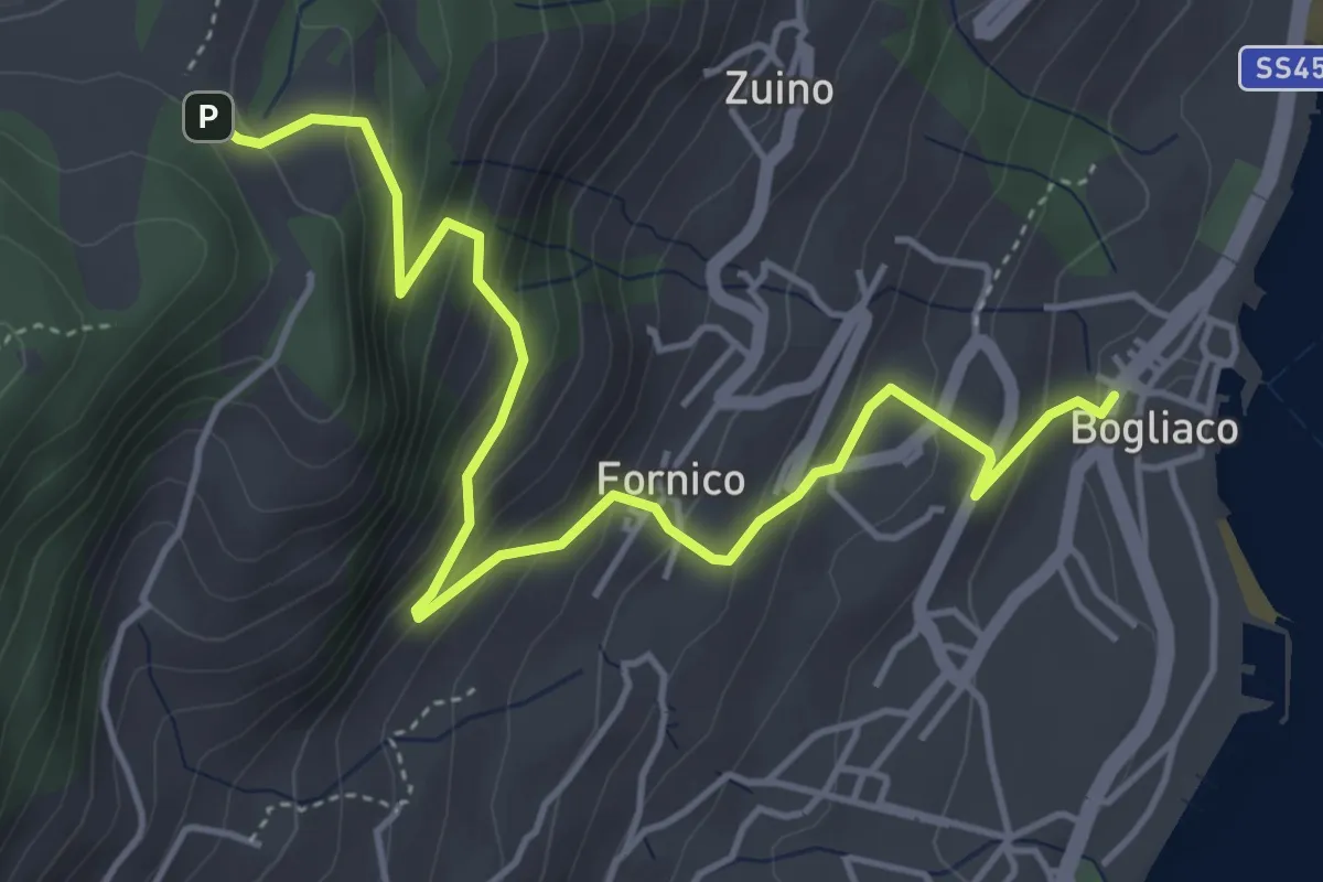
Medium · Trail
Bogliaco (Gargnano) - Sostaga (Gargnano)
5.4 km · ↑ 436 m · 2 h 14 min · 5 km away
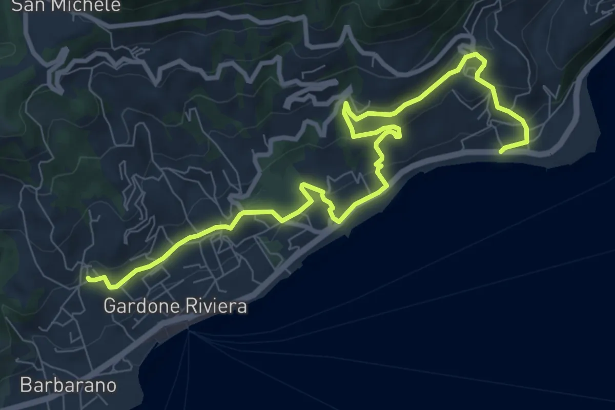
Medium · Trail
Percorso Nero Gardone Riviera
9.6 km · ↑ 415 m · 3 h 9 min · 5 km away
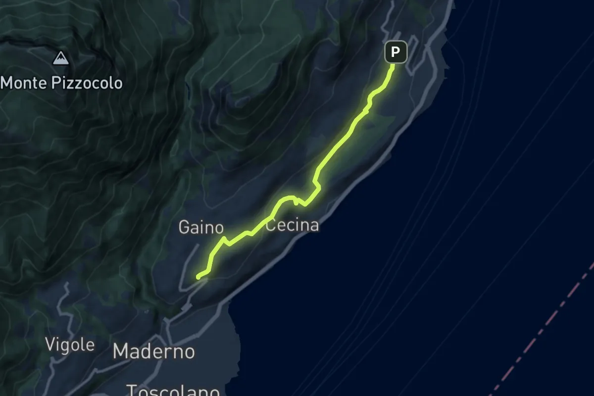
Medium · Trail
Gaino (Toscolano Maderno) - Villavetro (Gargnano)
8.7 km · ↑ 243 m · 2 h 34 min · 5 km away
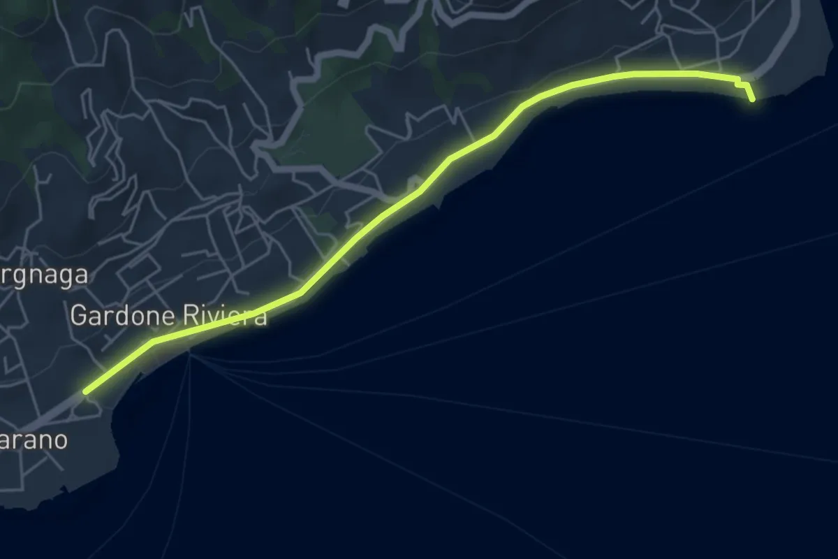
Easy · Trail
Percorso Verde Gardone Riviera
5.3 km · ↑ 47 m · 1 h 22 min · 5 km away
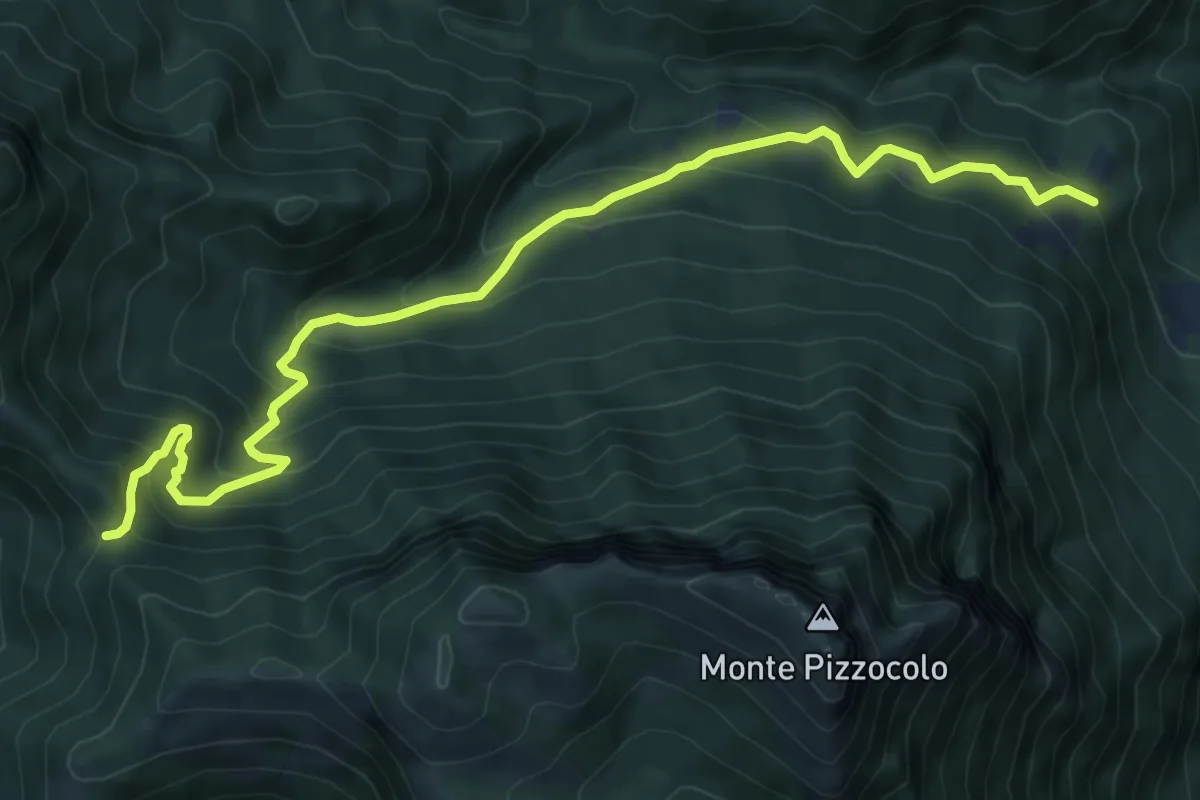
Medium · Trail
Palazzo Archesane - Passo Spino
9.3 km · ↑ 737 m · 3 h 48 min · 5 km away
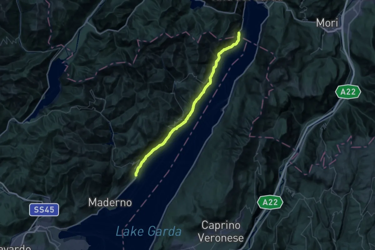
Demanding · Trail
Vecchia Gardesana
25.5 km · ↑ 2646 m · 12 h 6 min · 5 km away
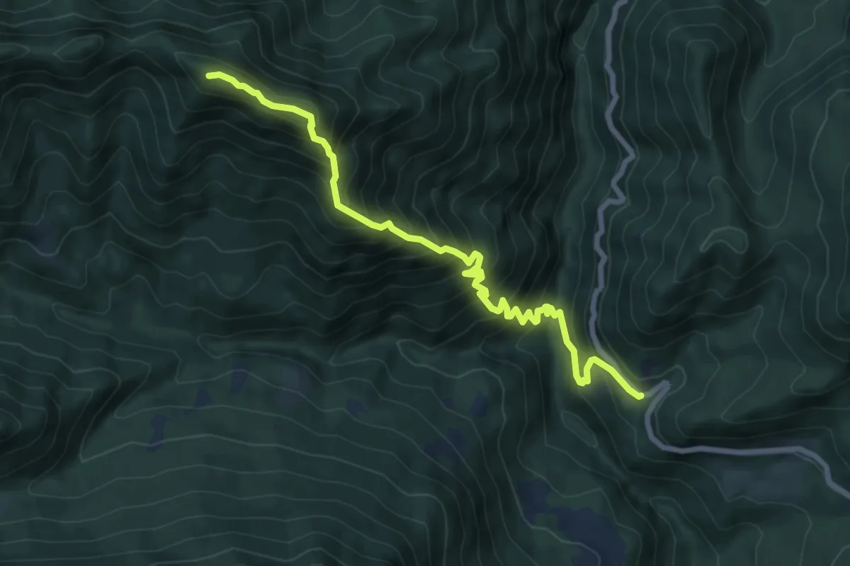
Demanding · Summit
Sentiero del Precalvis
7.7 km · ↑ 956 m · 3 h 54 min · 5 km away
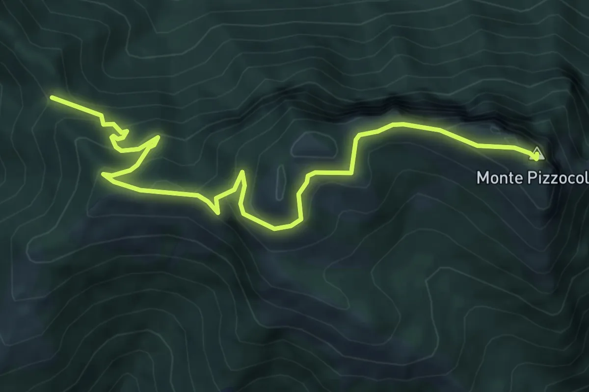
Medium · Summit
Passo Spino – Cima Pizzocolo
7.9 km · ↑ 625 m · 3 h 13 min · 5 km away
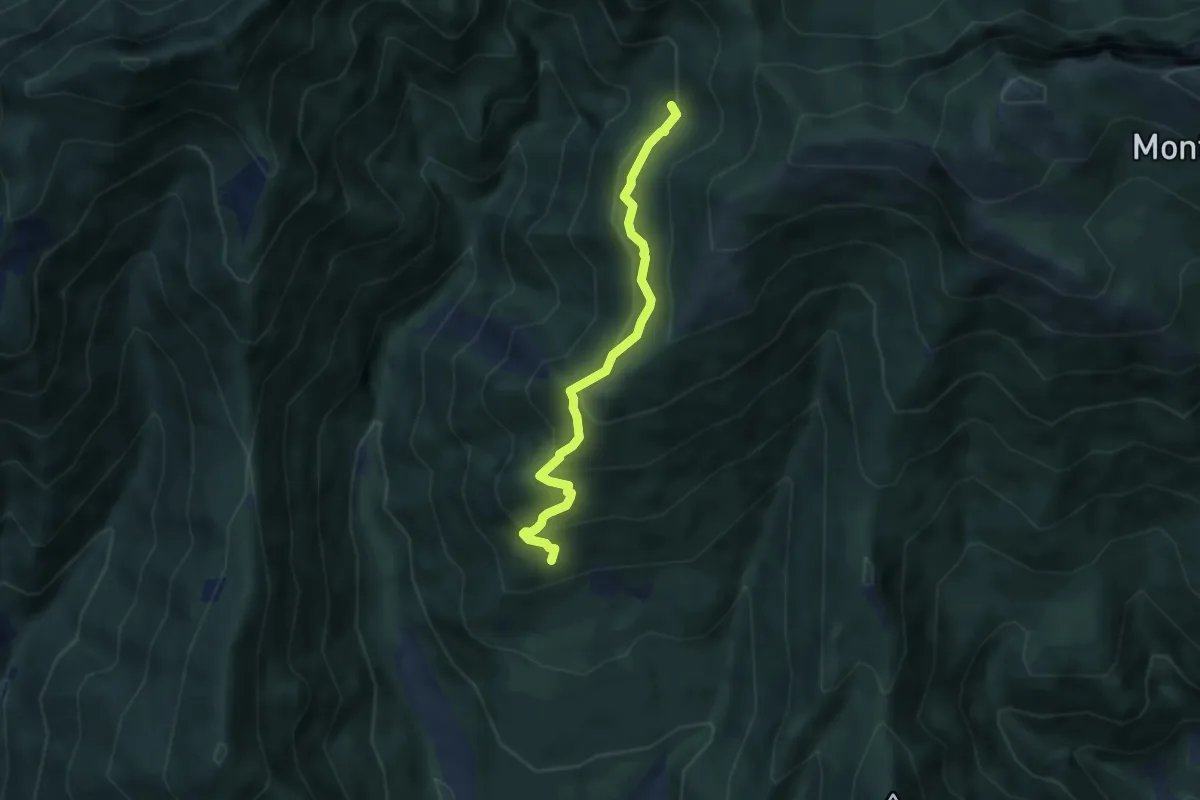
Medium · Trail
Percorso Ossero Ruche
5.5 km · ↑ 462 m · 2 h 18 min · 5 km away