Trails near Maderno
272 hikes starting within 15 km, nearest first.
Nearest first, page 2 of 6
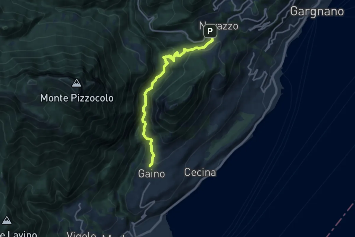
Medium · Trail
Navazzo – Gaino
9.9 km · ↑ 372 m · 3 h 8 min · 5 km away
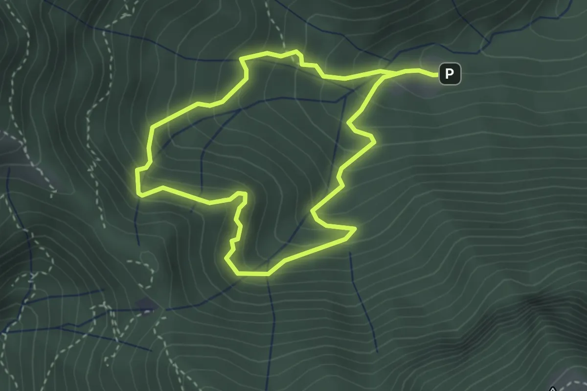
Easy · Trail
Anello Valle di Archesane
2.9 km · ↑ 315 m · 1 h 24 min · 5 km away
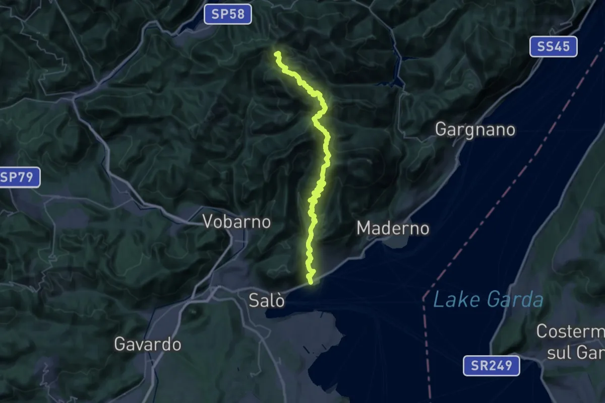
Demanding · Summit
Barbarano – Cavallino della Fobbia
39.5 km · ↑ 2679 m · 15 h 7 min · 5 km away
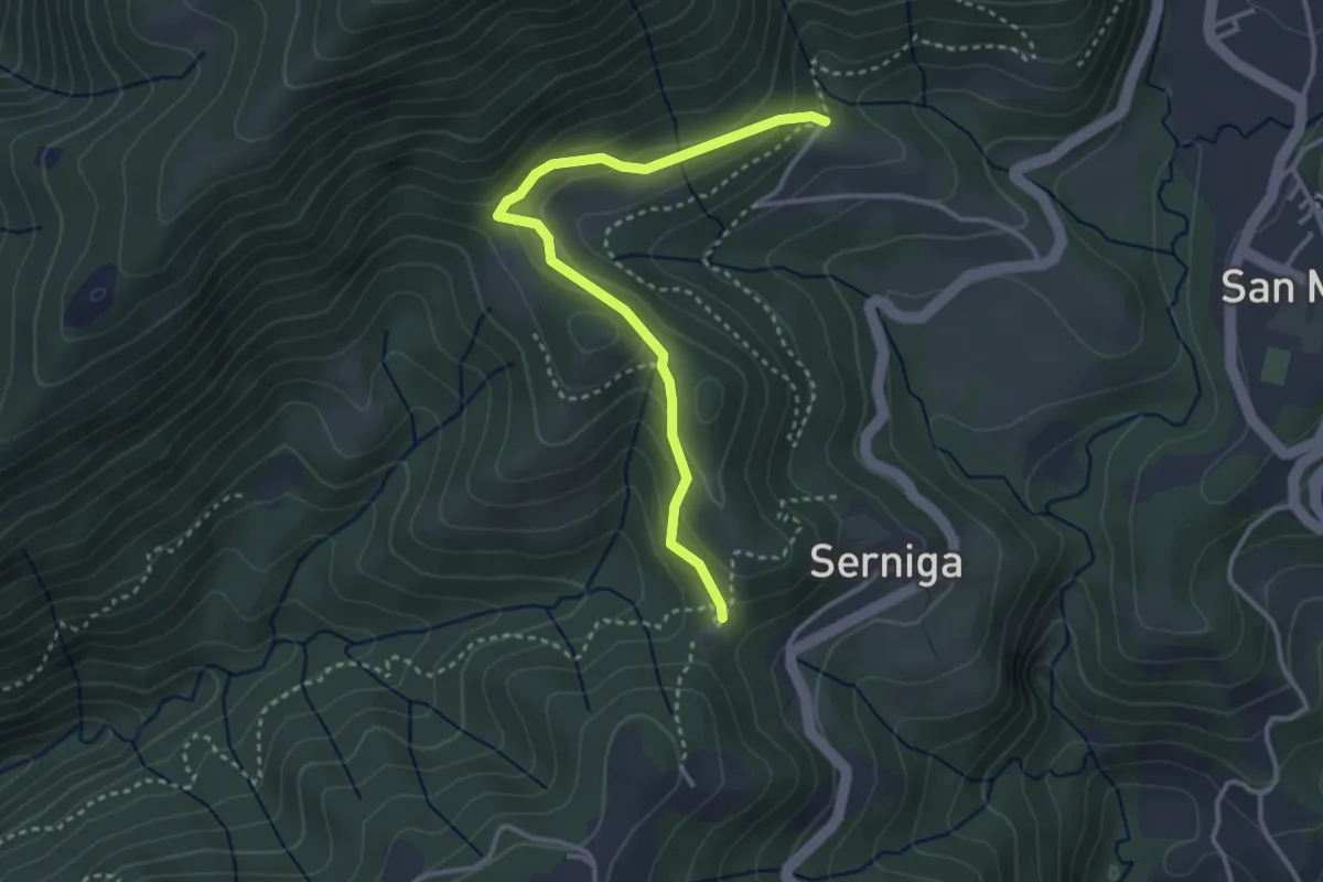
Medium · Trail
Passo della Stacca, Bagnolo
3.4 km · ↑ 187 m · 1 h 13 min · 5 km away
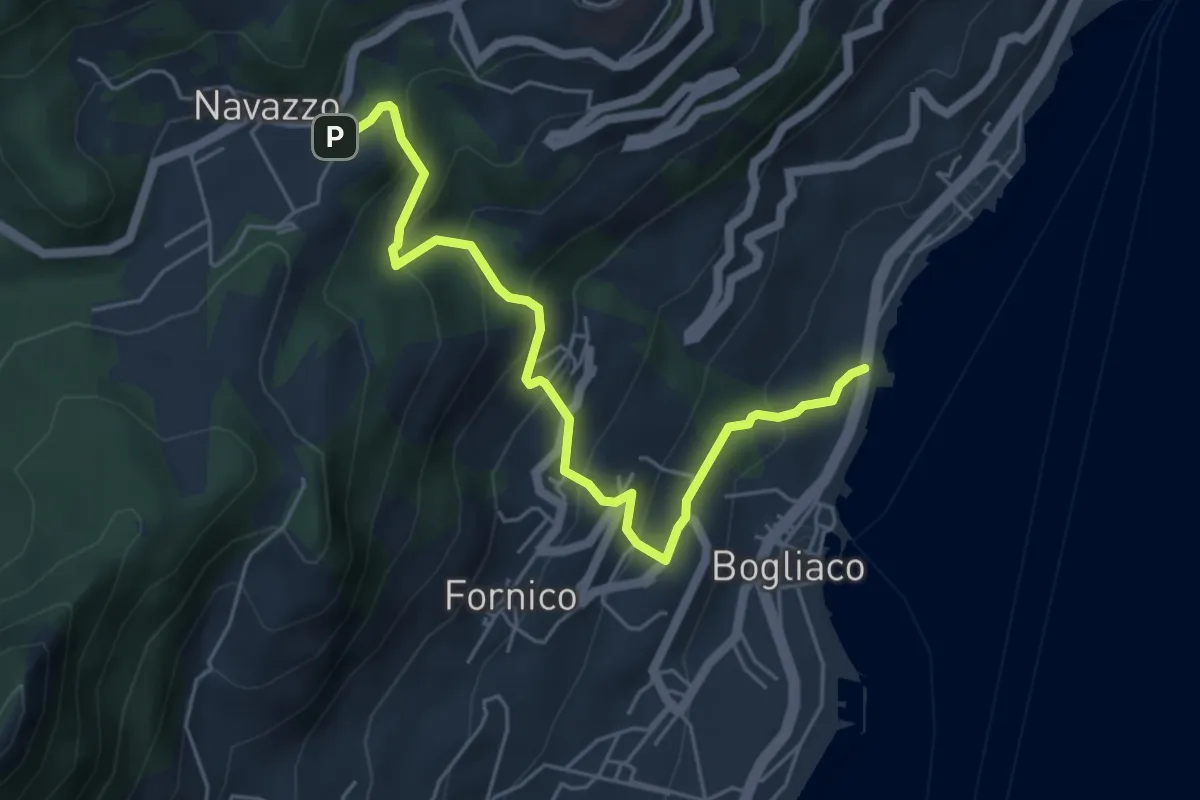
Medium · Trail
Ex caserma Bogliaco (Gargnano) - Navazzo (Gargnano)
5.6 km · ↑ 407 m · 2 h 12 min · 5 km away
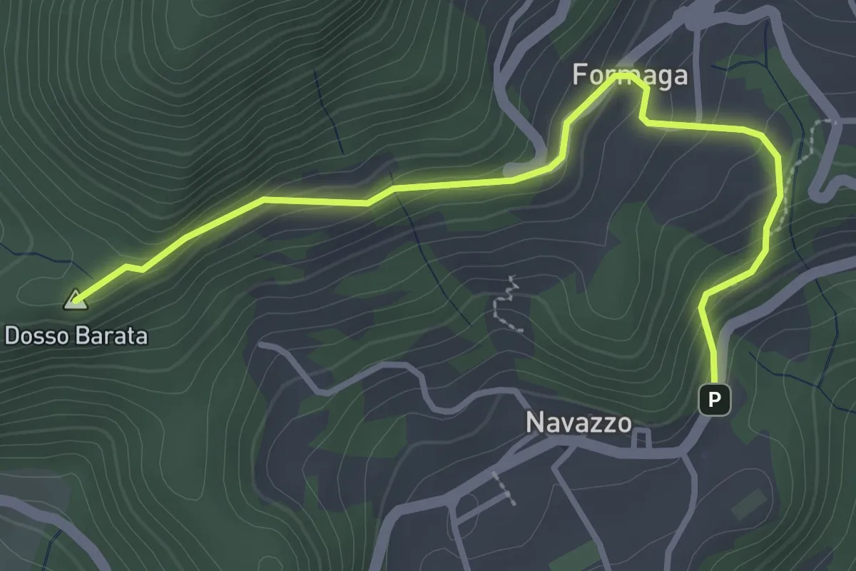
Easy · Summit
Navazzo - Primo ponte Valvestino
3.4 km · ↑ 230 m · 1 h 18 min · 6 km away
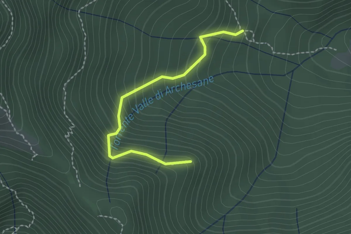
Easy · Trail
Sentiero del Poiat
2.0 km · ↑ 261 m · 1 h 2 min · 6 km away
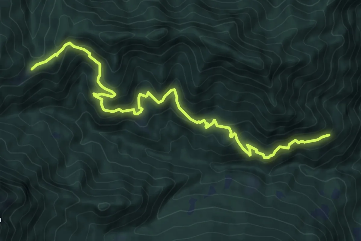
Demanding · Cabin
Sentiero dei Tre Campei
11.4 km · ↑ 890 m · 4 h 37 min · 6 km away
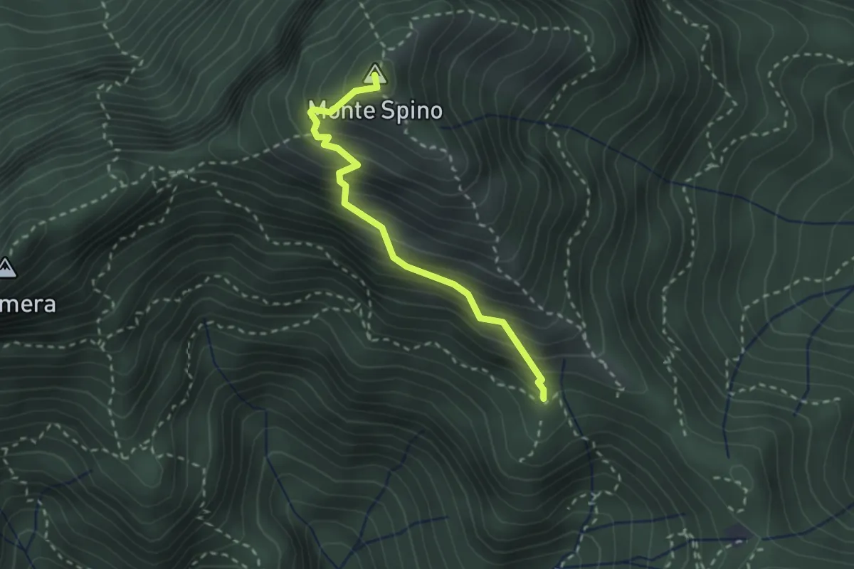
Demanding · Summit
Sentiero del Monte Spino
2.4 km · ↑ 335 m · 1 h 17 min · 6 km away
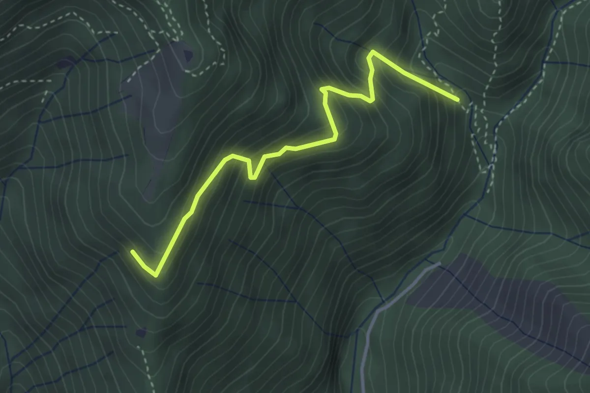
Medium · Trail
Mulattiera variante Senter Lonc
3.4 km · ↑ 399 m · 1 h 41 min · 6 km away
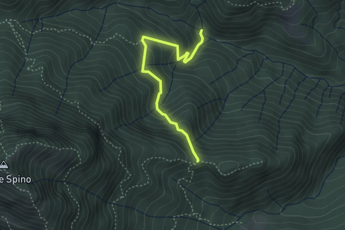
Medium · Trail
Sentiero di Selva Scura
3.4 km · ↑ 305 m · 1 h 28 min · 6 km away
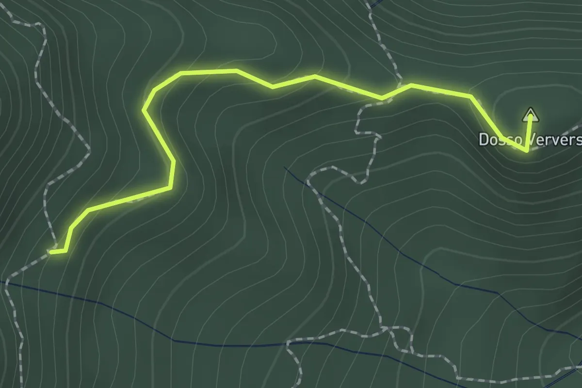
Medium · Summit
Sentiero di Dosso Verver
1.9 km · ↑ 176 m · 50 min · 6 km away
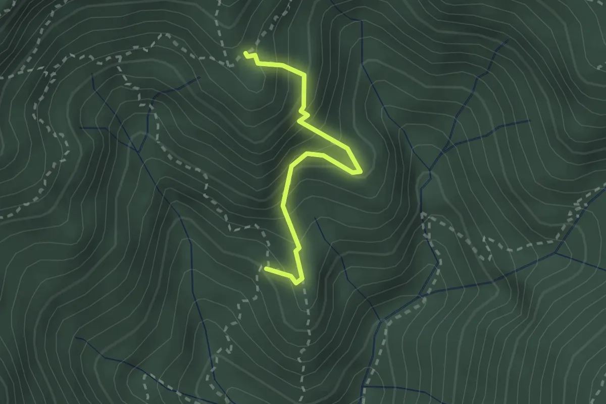
Medium · Trail
Mulattiera dei Carbonai - Est
2.1 km · ↑ 314 m · 1 h 11 min · 6 km away
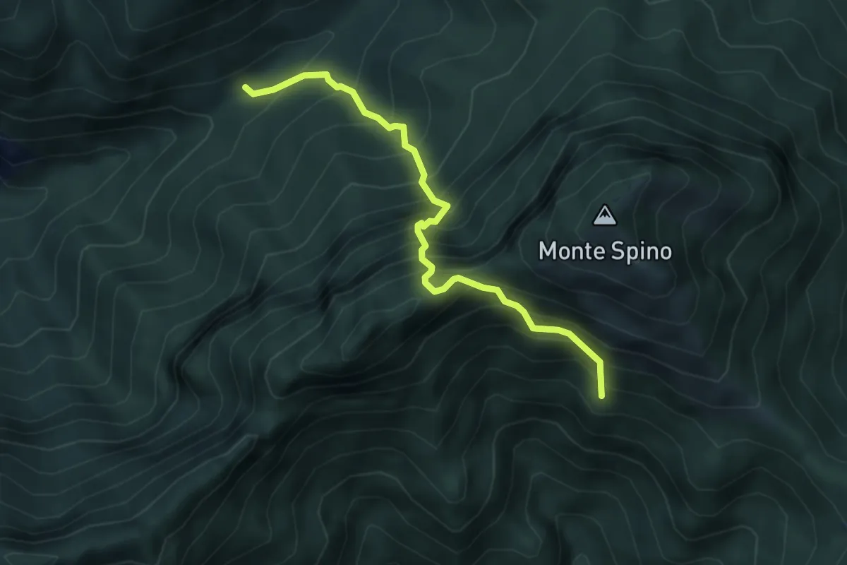
Expert · Trail
Sentiero del Buco del Gatto
4.3 km · ↑ 785 m · 2 h 43 min · 6 km away
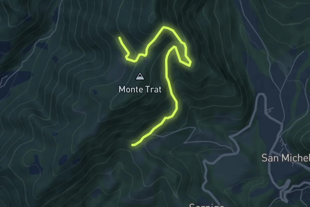
Medium · Trail
Bagnolo – Cascina Trat
6.2 km · ↑ 599 m · 2 h 45 min · 6 km away
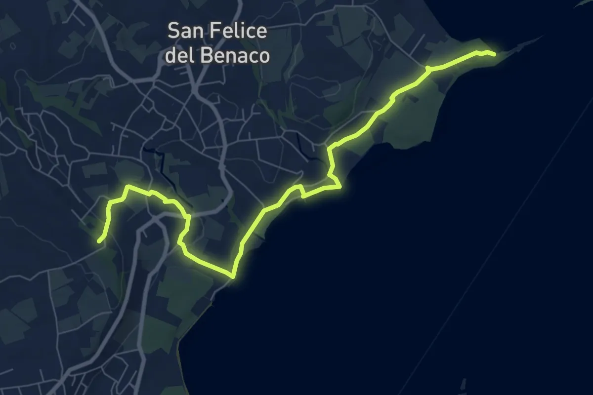
Medium · Summit
2 San Felice del Benaco
8.5 km · ↑ 171 m · 2 h 23 min · 6 km away
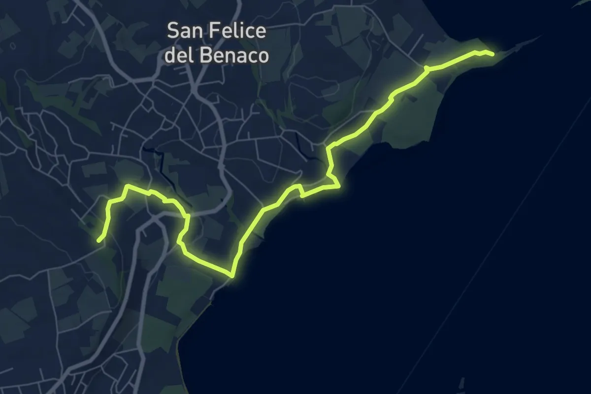
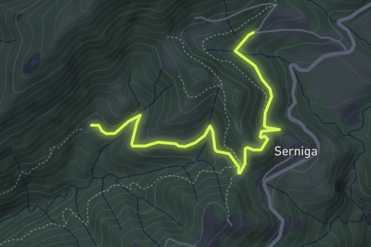
Medium · Summit
San Fermo - Monte Forca
8.5 km · ↑ 171 m · 2 h 23 min · 6 km away
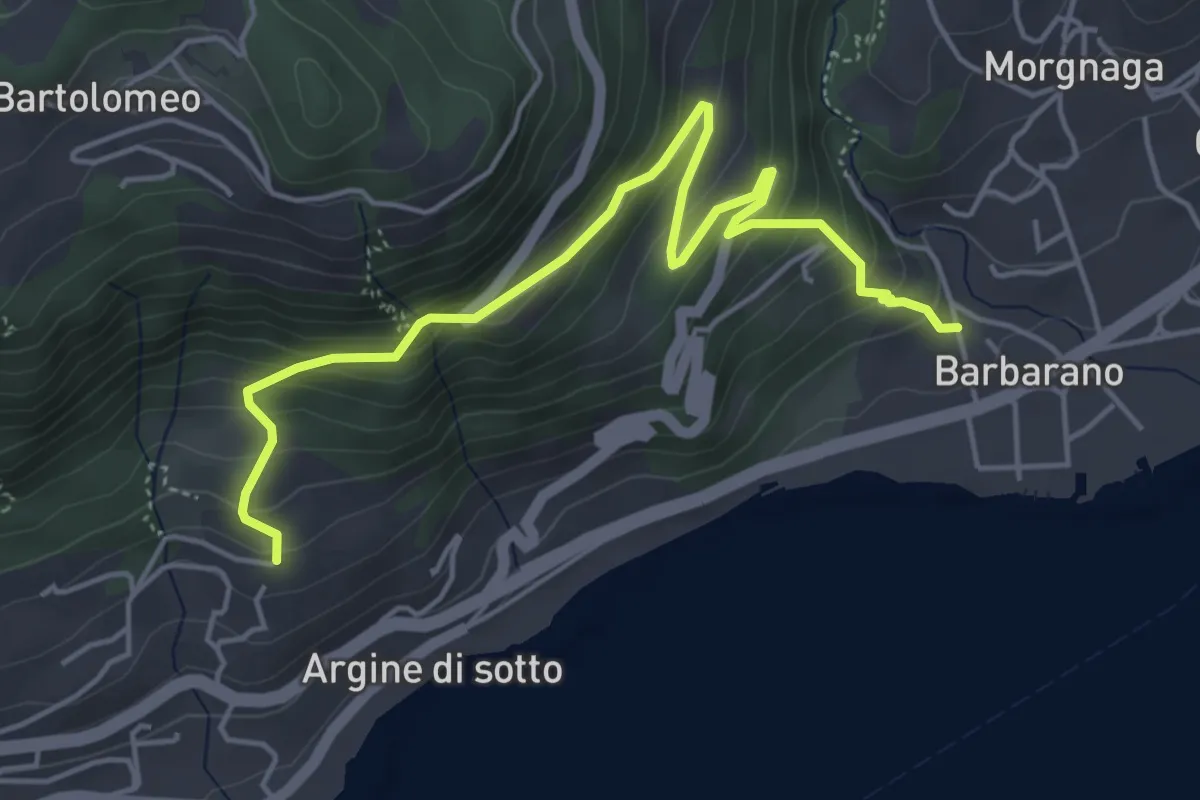
Medium · Trail
Sentiero della Stacca
5.4 km · ↑ 296 m · 1 h 55 min · 6 km away
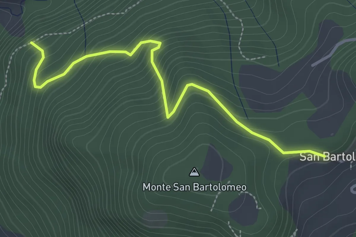
Medium · Trail
Barbarano - Via del Seminario
5.5 km · ↑ 409 m · 2 h 11 min · 7 km away
Medium · Trail
Sentiero della Strinada
3.1 km · ↑ 289 m · 1 h 22 min · 7 km away
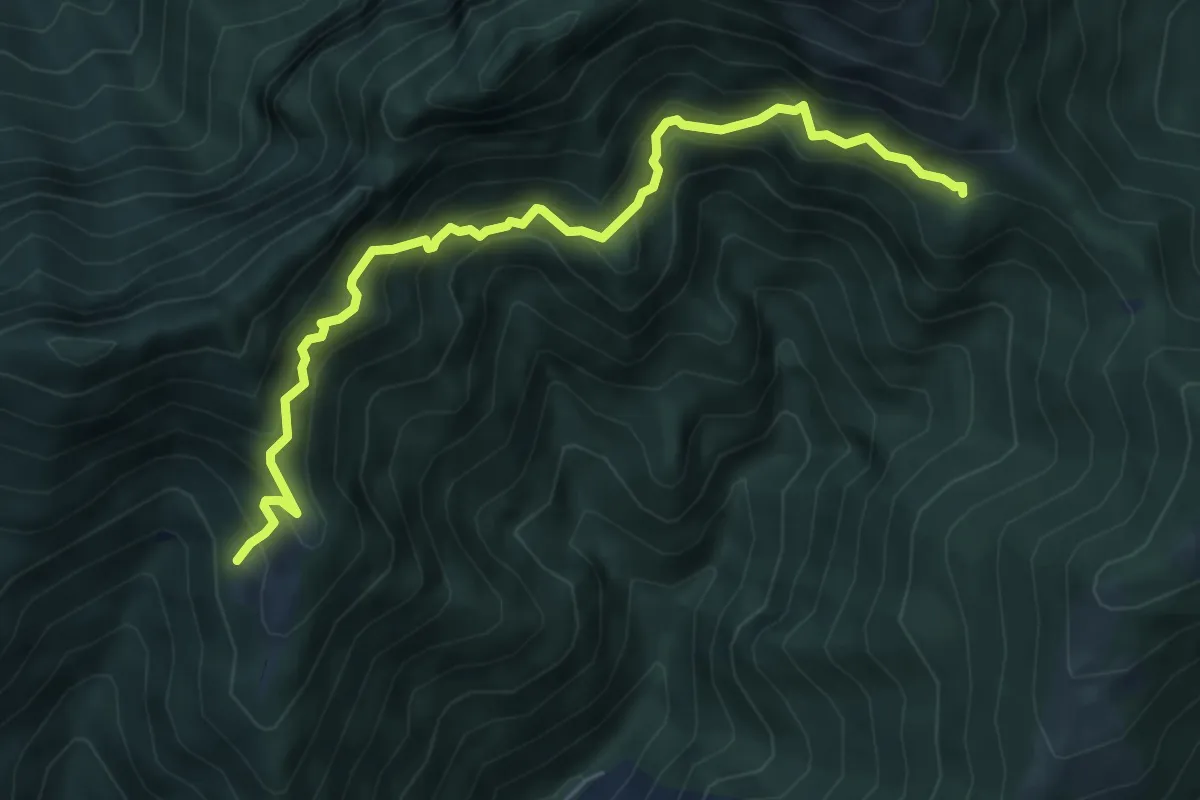
Demanding · Cabin
Sentiero delle Marmere
6.3 km · ↑ 712 m · 3 h 2 min · 7 km away
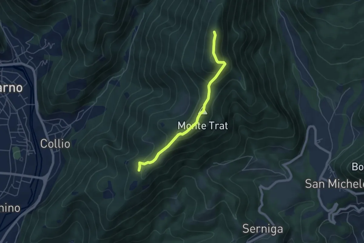
Medium · Summit
Sella di Guine (Vobarno) – Sella di Selva Alta - Gardone Riviera
4.5 km · ↑ 287 m · 1 h 41 min · 7 km away
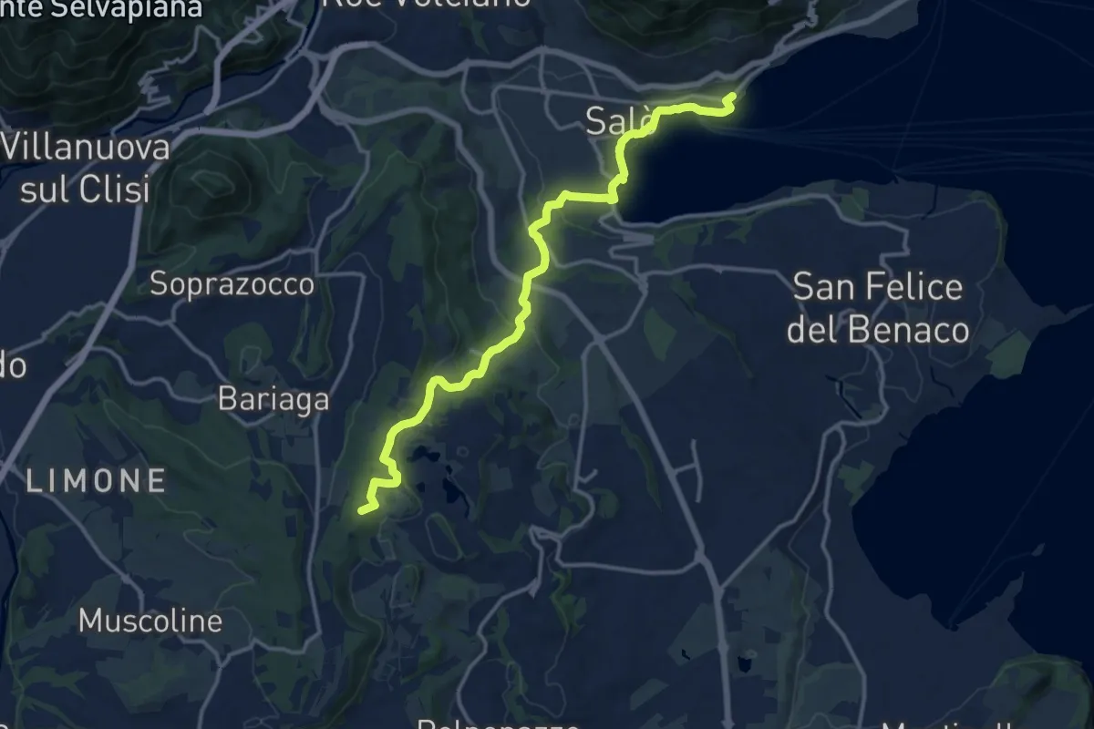
Medium · Summit
BVG Tratto Lago di Lucone, Salò
14.5 km · ↑ 330 m · 4 h 9 min · 7 km away
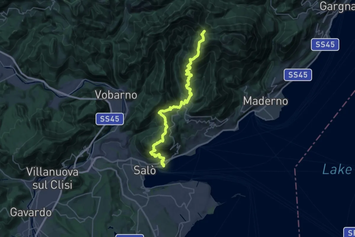
Demanding · Trail
Rifugio G. Pirlo allo Spino - Salò
13.2 km · ↑ 1434 m · 5 h 53 min · 7 km away
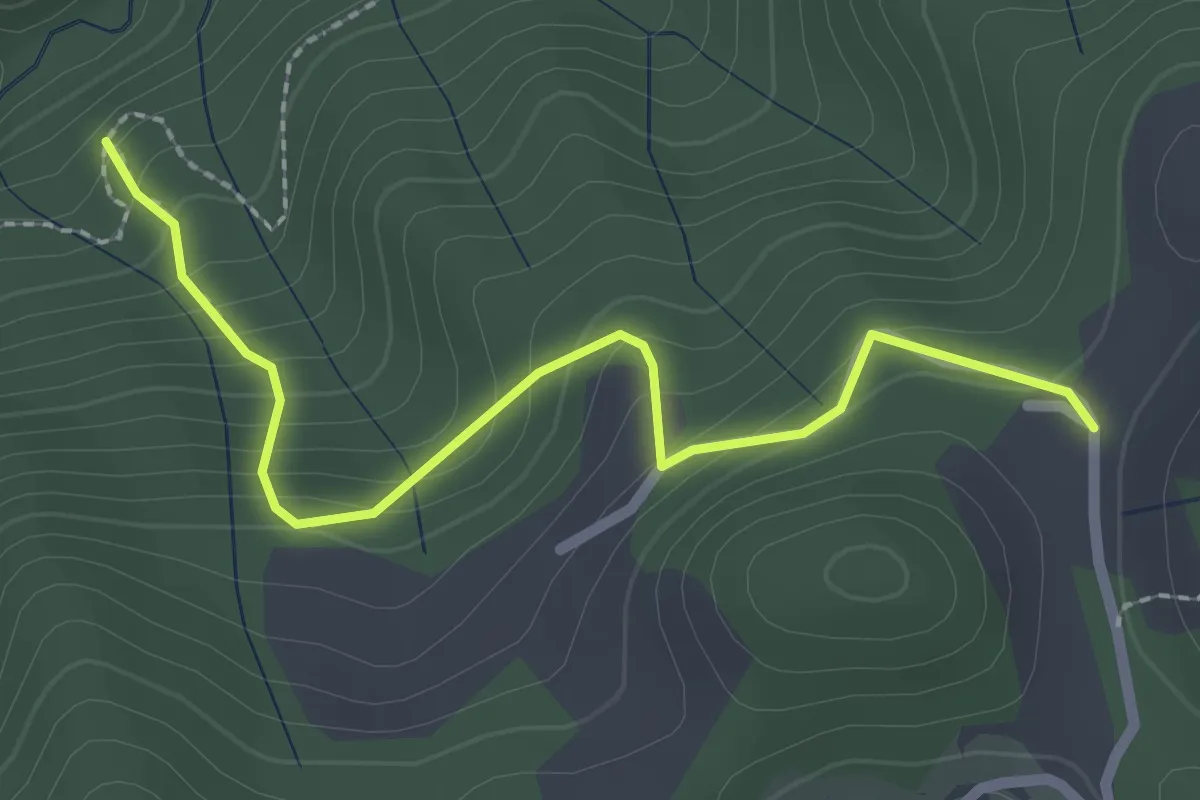
Easy · Trail
Sentiero di Costa Lunga
2.5 km · ↑ 235 m · 1 h 5 min · 7 km away
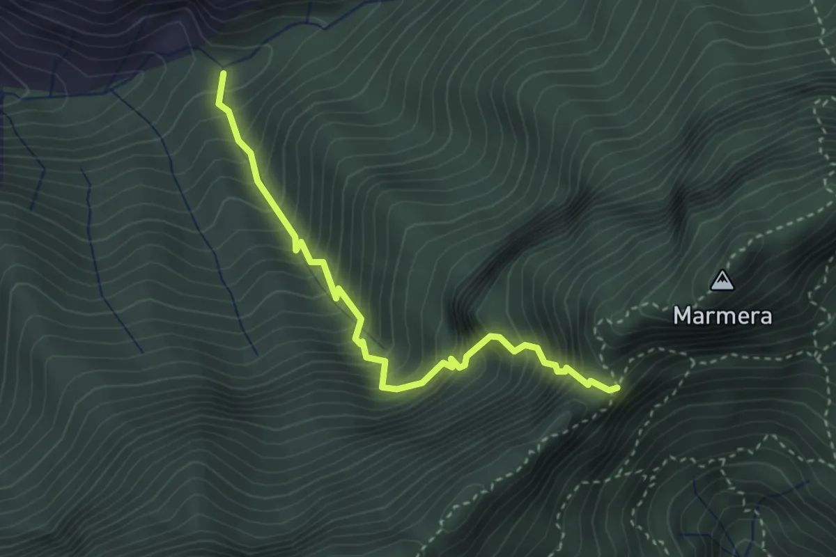
Demanding · Trail
Sentiero del Passo del Buco del Tedesco
3.3 km · ↑ 649 m · 2 h 11 min · 7 km away
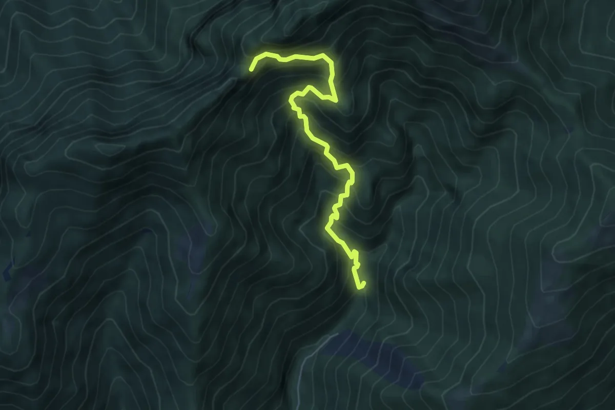
Demanding · Trail
Mulattiera dei Carbonai
5.6 km · ↑ 675 m · 2 h 46 min · 7 km away
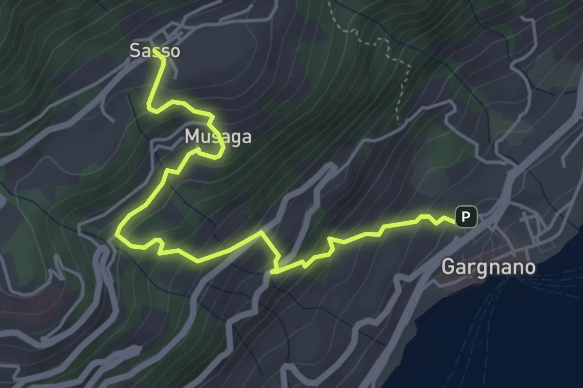
Medium · Trail
Gargnano - Sasso
4.9 km · ↑ 474 m · 2 h 11 min · 7 km away
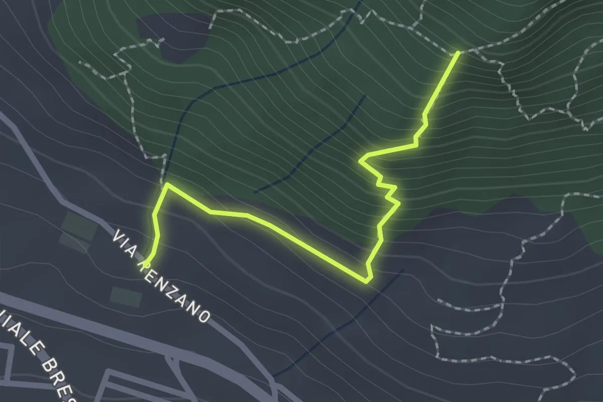
Easy · Trail
Valsiniga - La Corna
2.0 km · ↑ 263 m · 1 h 3 min · 7 km away
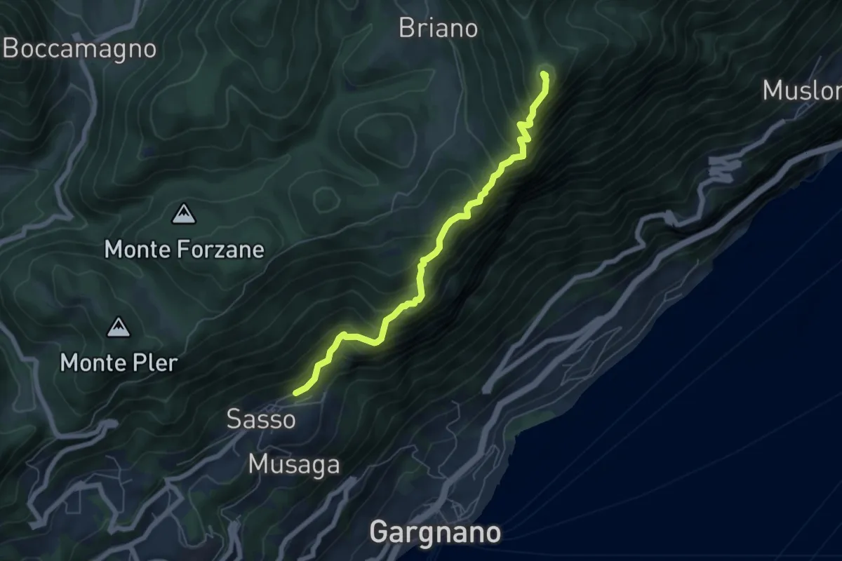
Demanding · Summit
Sasso (Gargnano) – Bocca di Premaur (Gargnano)
5.9 km · ↑ 727 m · 2 h 58 min · 7 km away
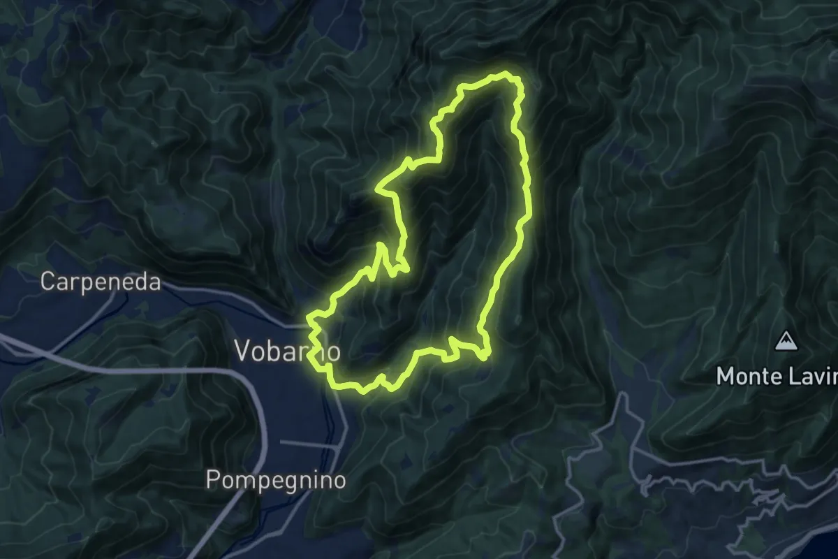
Demanding · Summit
Sentiero Cristoforo Campanardi
13.0 km · ↑ 992 m · 5 h 25 min · 7 km away
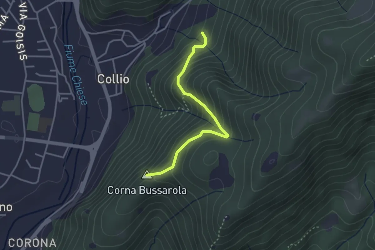
Medium · Summit
Strada Comunale del Pizzocolo
2.9 km · ↑ 319 m · 1 h 23 min · 7 km away
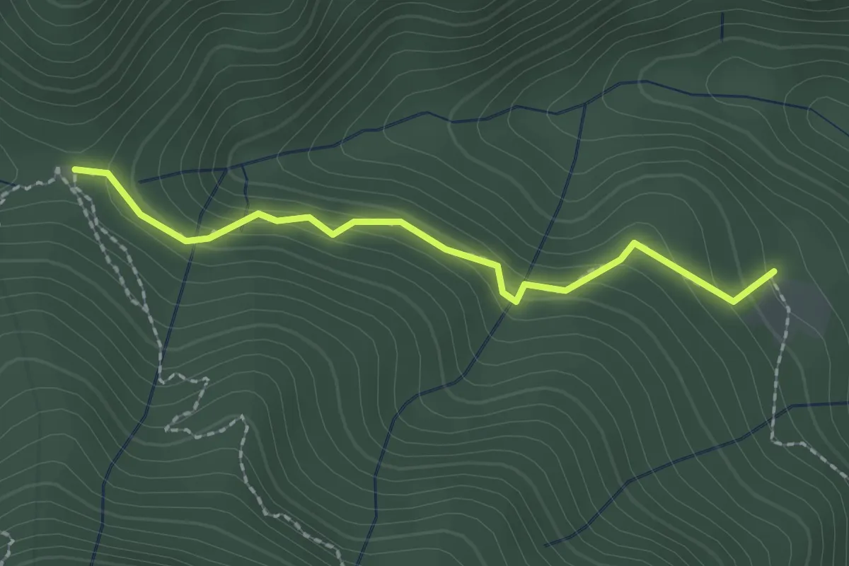
Easy · Trail
Sentiero del Rilo
2.0 km · ↑ 133 m · 46 min · 7 km away
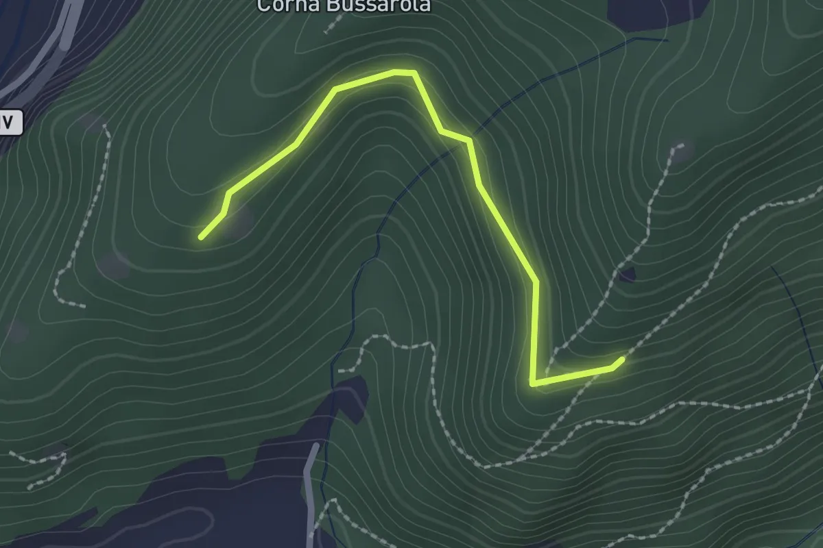
Easy · Trail
Strada degli Spinadei
2.1 km · ↑ 126 m · 46 min · 7 km away
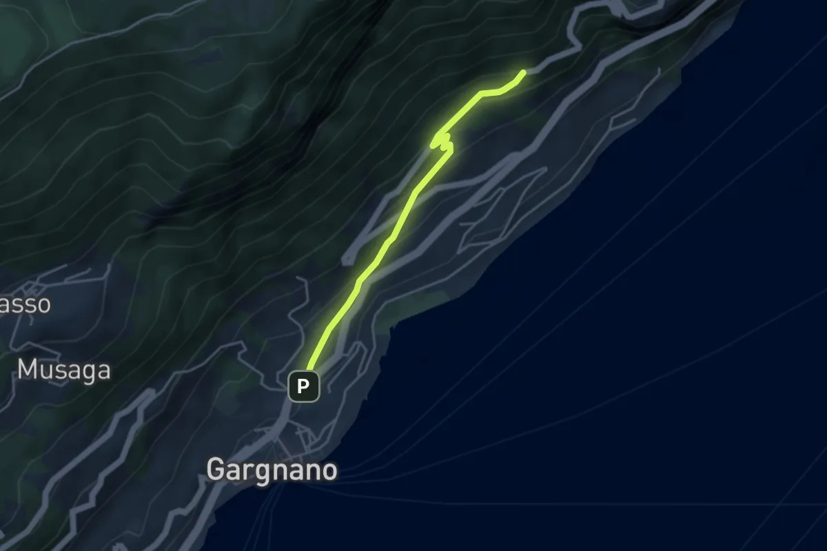
Easy · Trail
Via Crocifisso - Gargnano
1.8 km · ↑ 193 m · 46 min · 7 km away
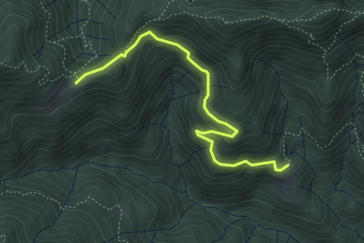
Medium · Cabin
Sentiero dell'Unità Nazionale
4.7 km · ↑ 316 m · 1 h 47 min · 7 km away
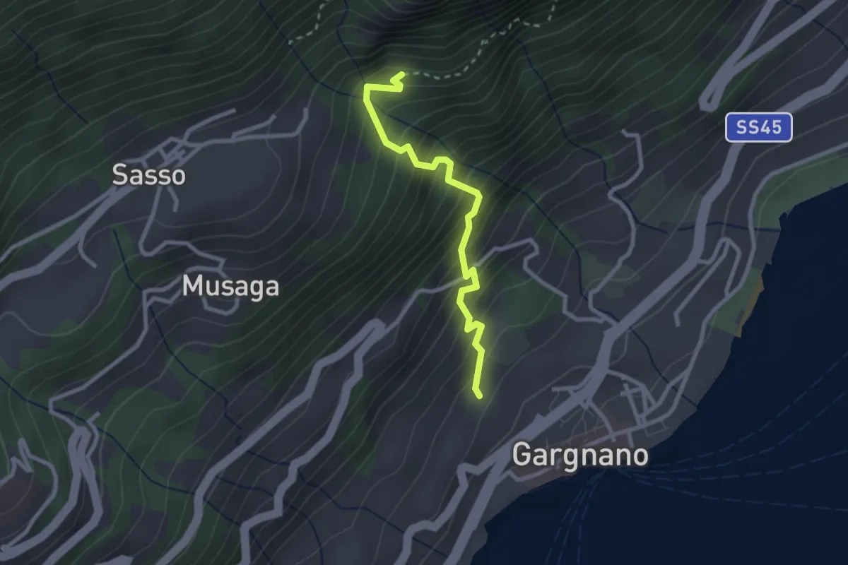
Medium · Trail
Via Quarcina - Gargnano – BVG - Sisengla
2.4 km · ↑ 375 m · 1 h 23 min · 7 km away
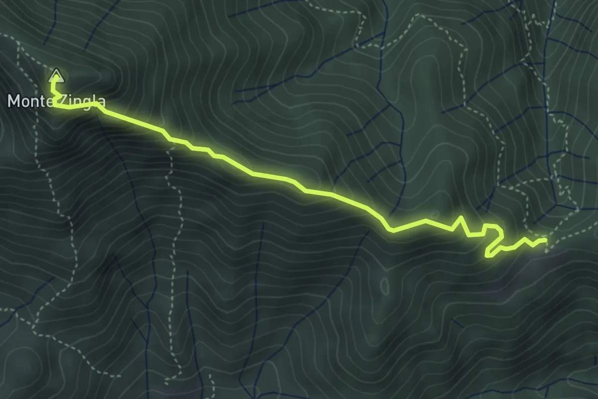
Demanding · Summit
Sentiero della Cresta dello Zingla
4.6 km · ↑ 439 m · 2 h 2 min · 7 km away
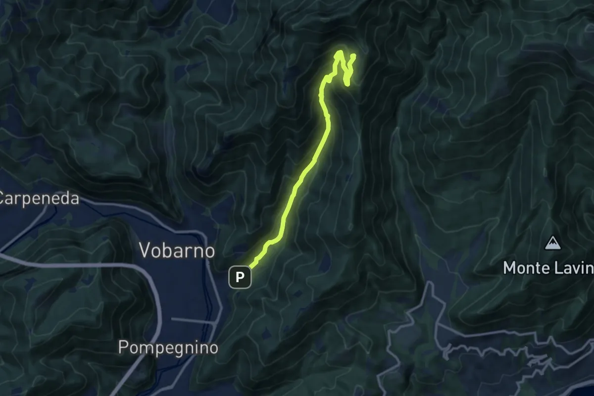
Demanding · Trail
Collio (Vobarno) – Cascina Pozze (Vobarno)
10.3 km · ↑ 842 m · 4 h 15 min · 7 km away
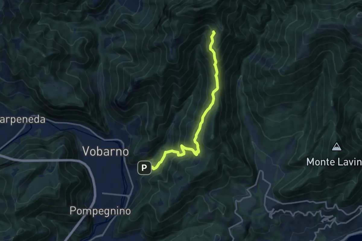
Demanding · Trail
Vobarno (Cascina Pozze) - Cascina Trat - Collio di Vobarno
10.8 km · ↑ 866 m · 4 h 26 min · 7 km away
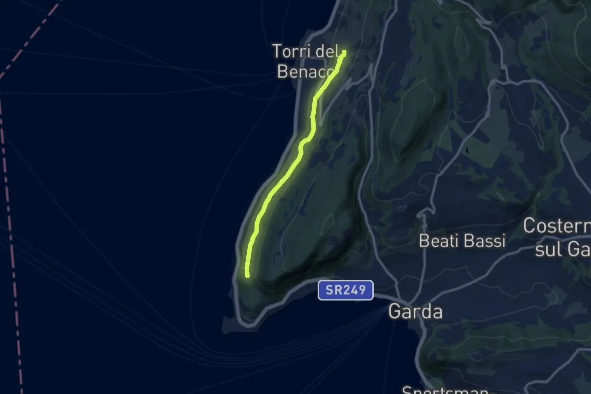
Medium · Trail
Monte Luppia
7.7 km · ↑ 138 m · 2 h 7 min · 8 km away
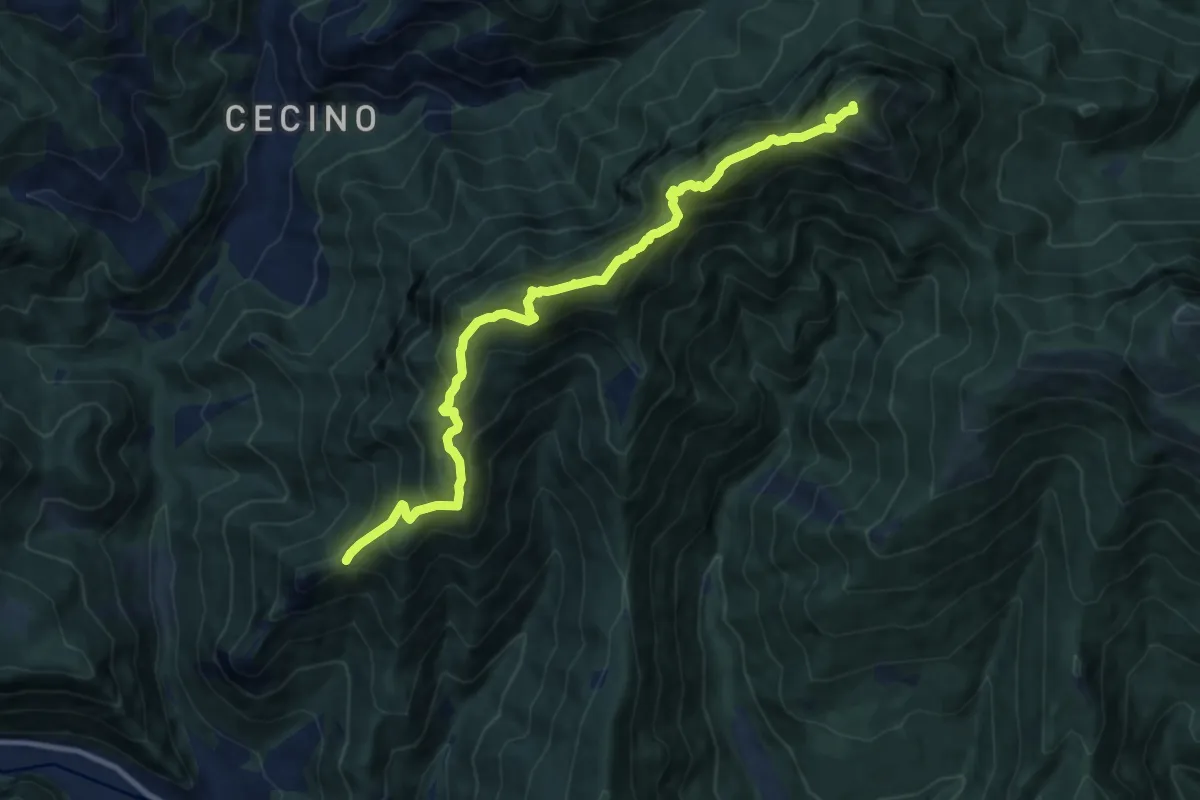
Expert · Summit
Sentiero del Forametto e Marmere
11.0 km · ↑ 1118 m · 5 h 1 min · 8 km away
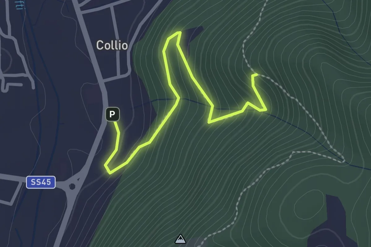
Medium · Trail
Sentiero di Festola
2.7 km · ↑ 202 m · 1 h 4 min · 8 km away
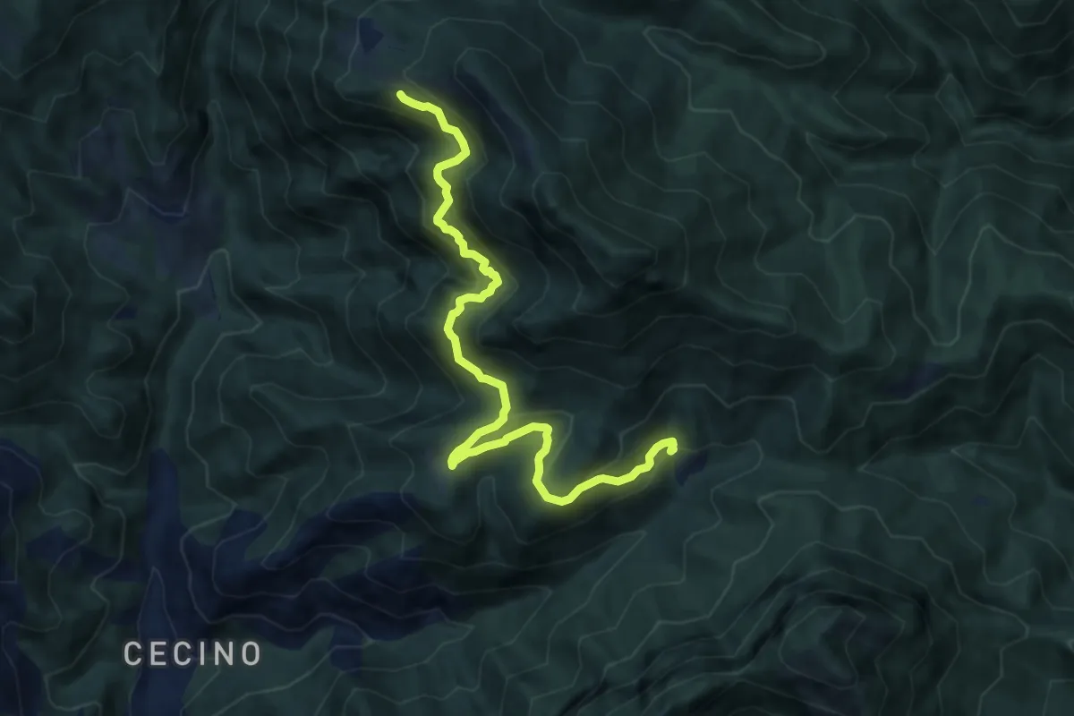
Demanding · Trail
Sentiero dello Zingla
9.9 km · ↑ 837 m · 4 h 9 min · 8 km away
Medium · Summit
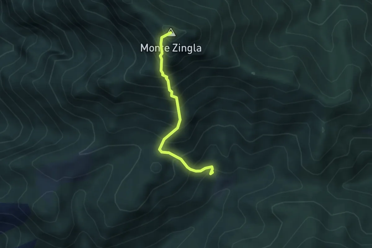
Sentiero dello Zingla
3.2 km · ↑ 552 m · 1 h 57 min · 8 km away
Medium · Trail
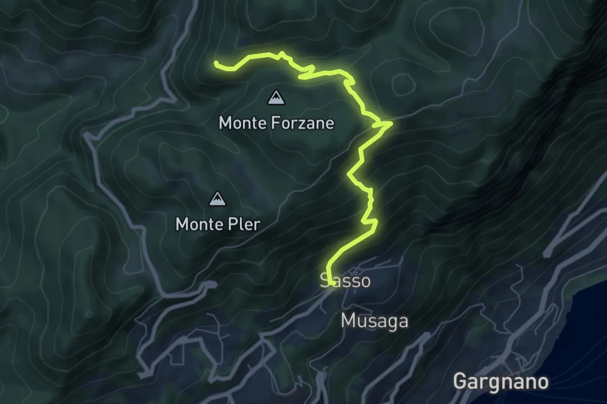
Sasso, Monte Caminala
6.7 km · ↑ 557 m · 2 h 48 min · 8 km away
Medium · Trail
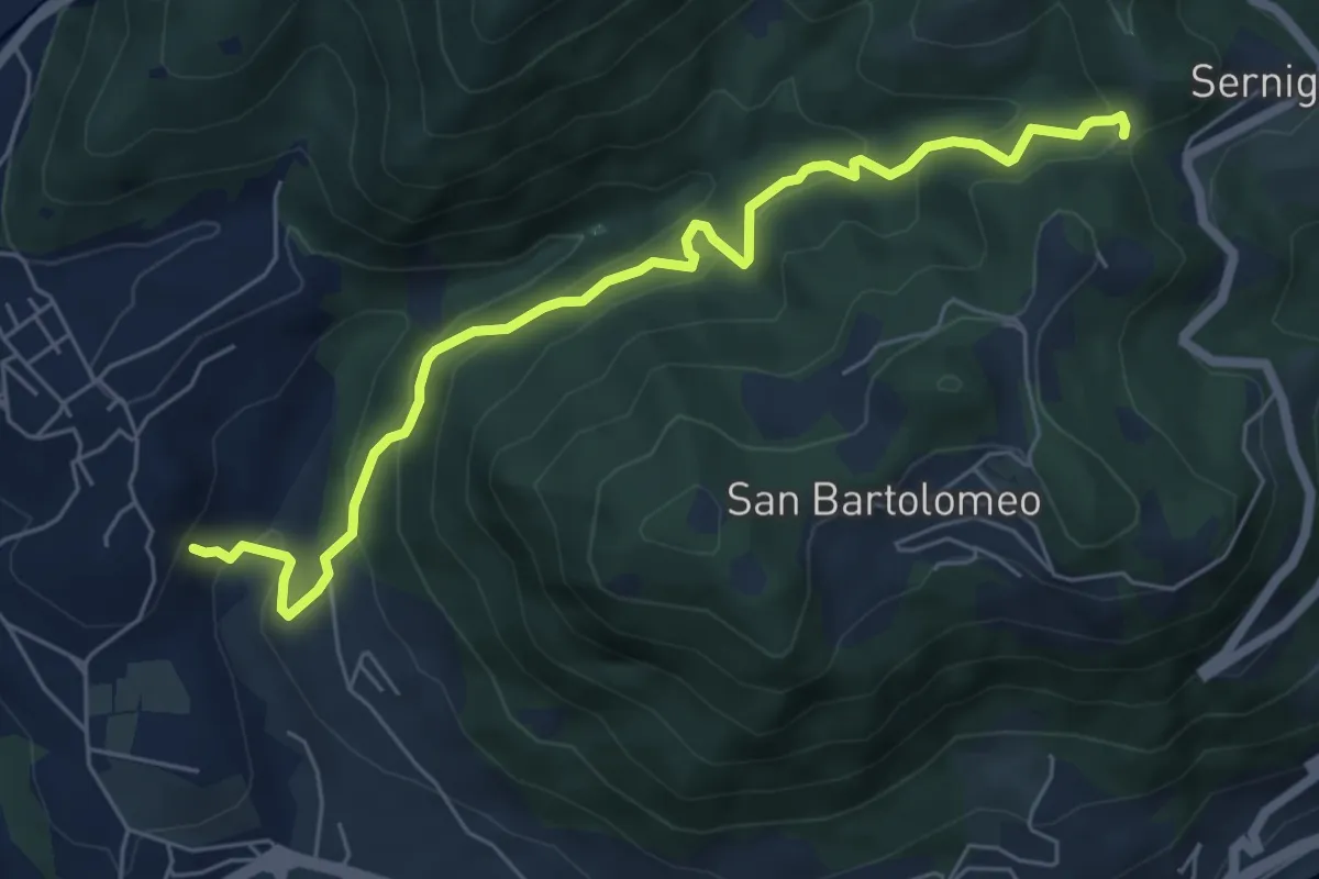
Renzano - Passo della Stacca
6.7 km · ↑ 469 m · 2 h 35 min · 8 km away
Demanding · Summit
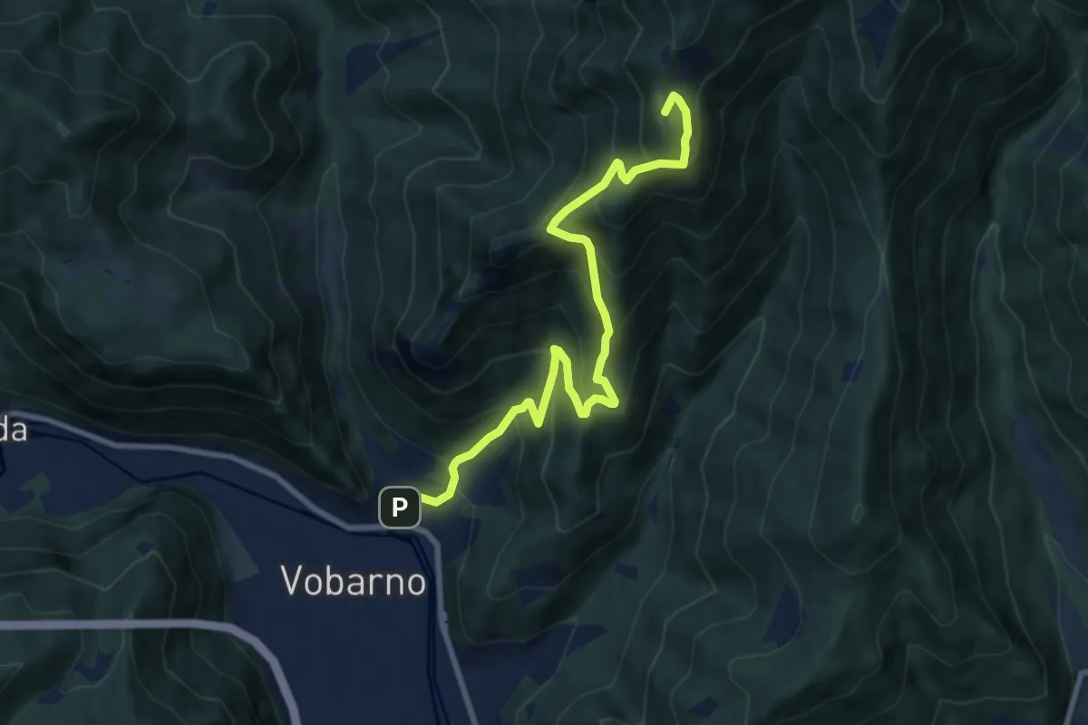
Sentiero di Gardoncello e Spino
9.1 km · ↑ 889 m · 4 h 5 min · 8 km away