Trails near Maderno
272 hikes starting within 15 km, nearest first.
Nearest first, page 3 of 6
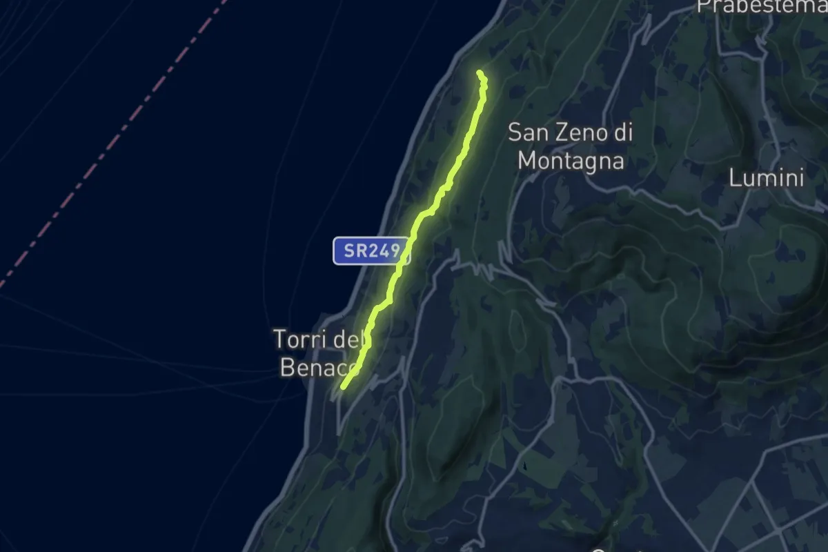
Medium · Trail
Percorso del Pellegrino
8.9 km · ↑ 299 m · 2 h 45 min · 8 km away
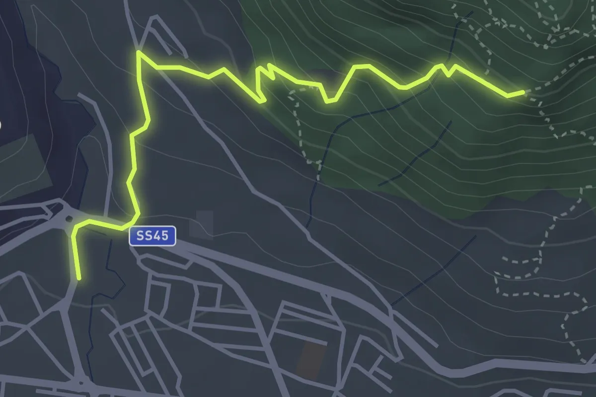
Medium · Trail
Sentiero della Corna
4.0 km · ↑ 303 m · 1 h 36 min · 8 km away
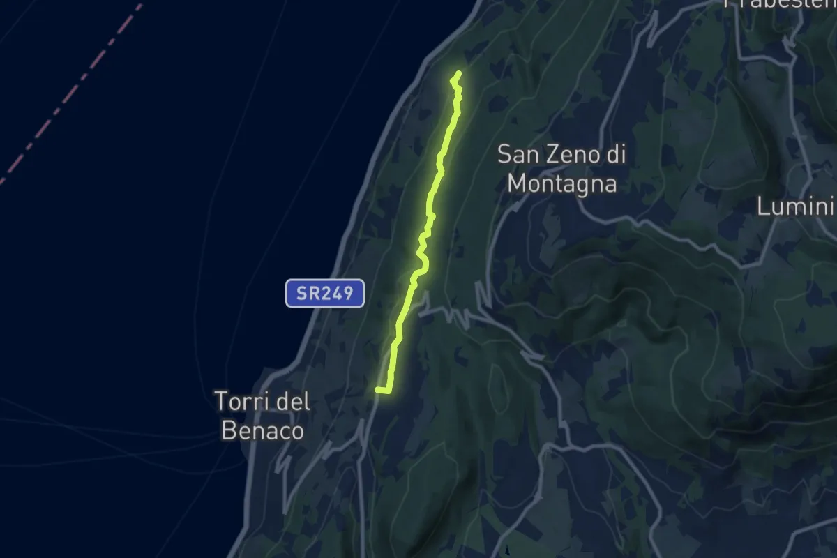
Easy · Trail
Crero - Albisano
7.3 km · ↑ 232 m · 2 h 13 min · 8 km away
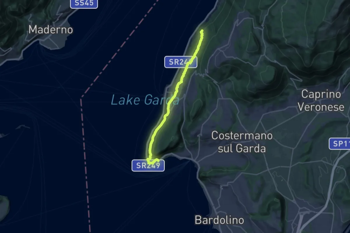
Demanding · Trail
Punta San Vigilio - Crero
18.1 km · ↑ 572 m · 5 h 31 min · 8 km away
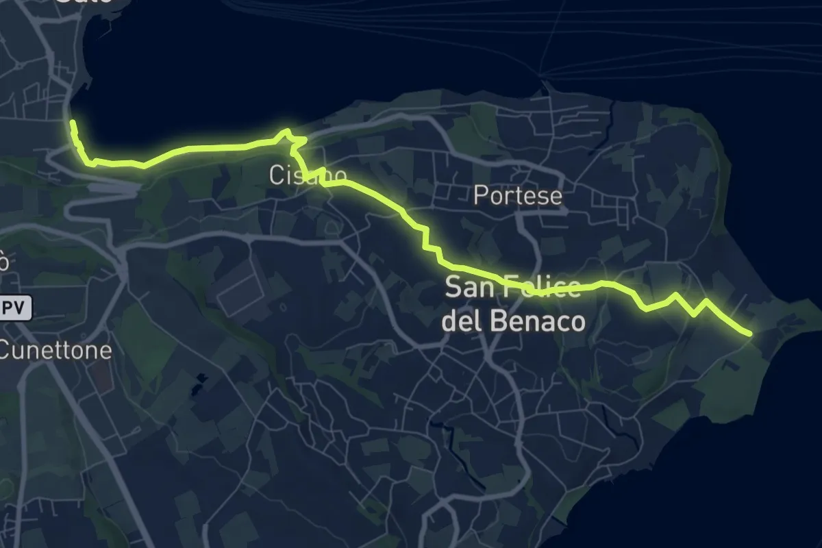
Medium · Trail
1 San Felice del Benaco
10.1 km · ↑ 174 m · 2 h 46 min · 8 km away
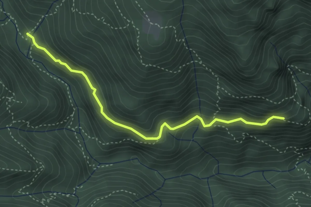
Medium · Trail
Sentiero del Cuel Sant Grand
3.9 km · ↑ 273 m · 1 h 31 min · 8 km away
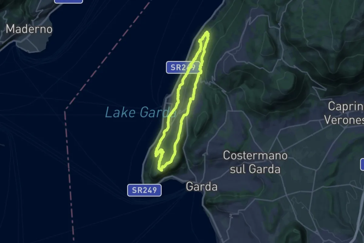
Medium · Summit
Giro del Crero (Torri del Benaco)
16.1 km · ↑ 532 m · 5 h 10 min · 8 km away
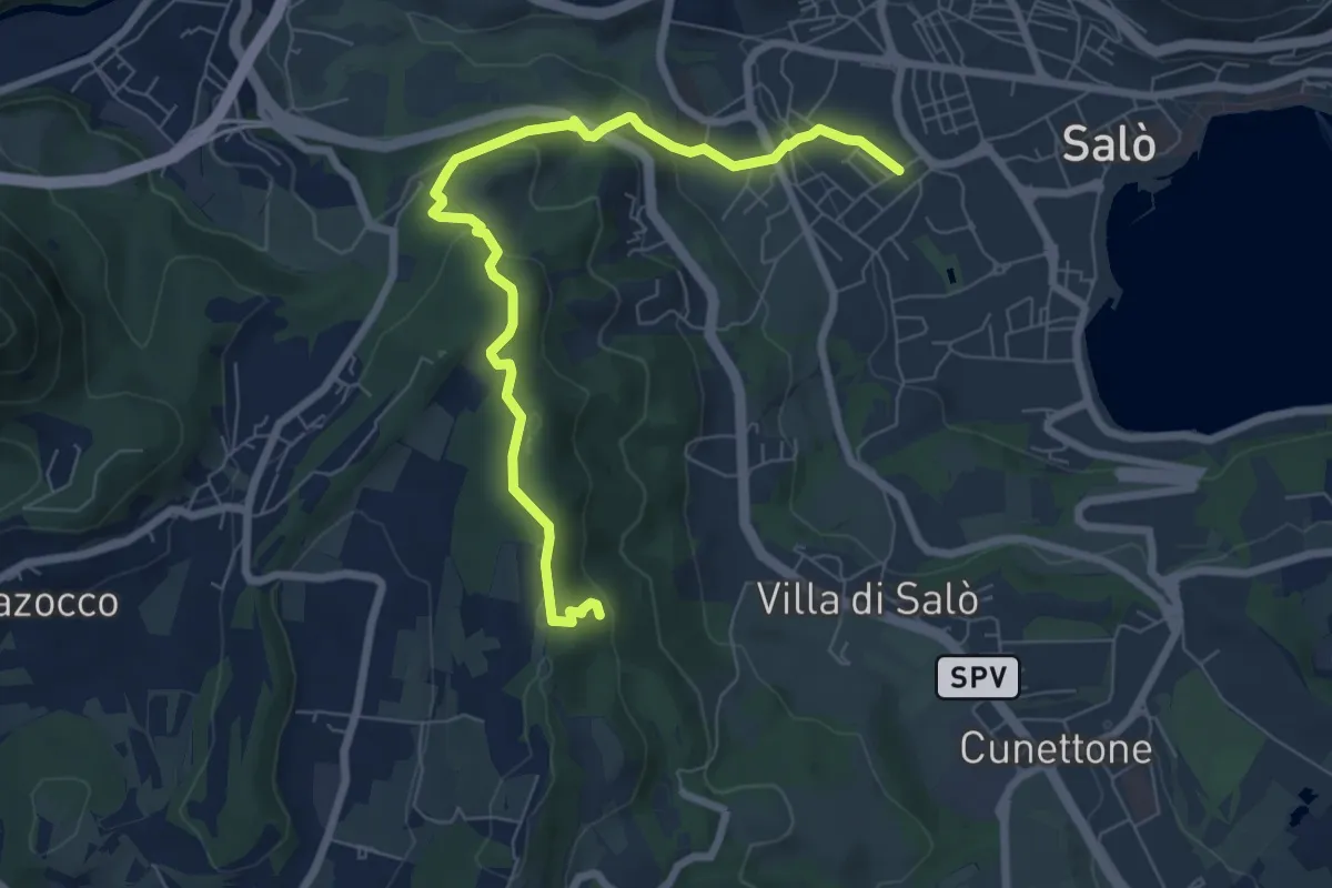
Easy · Trail
Campoverde - Navelli
7.9 km · ↑ 312 m · 2 h 33 min · 8 km away
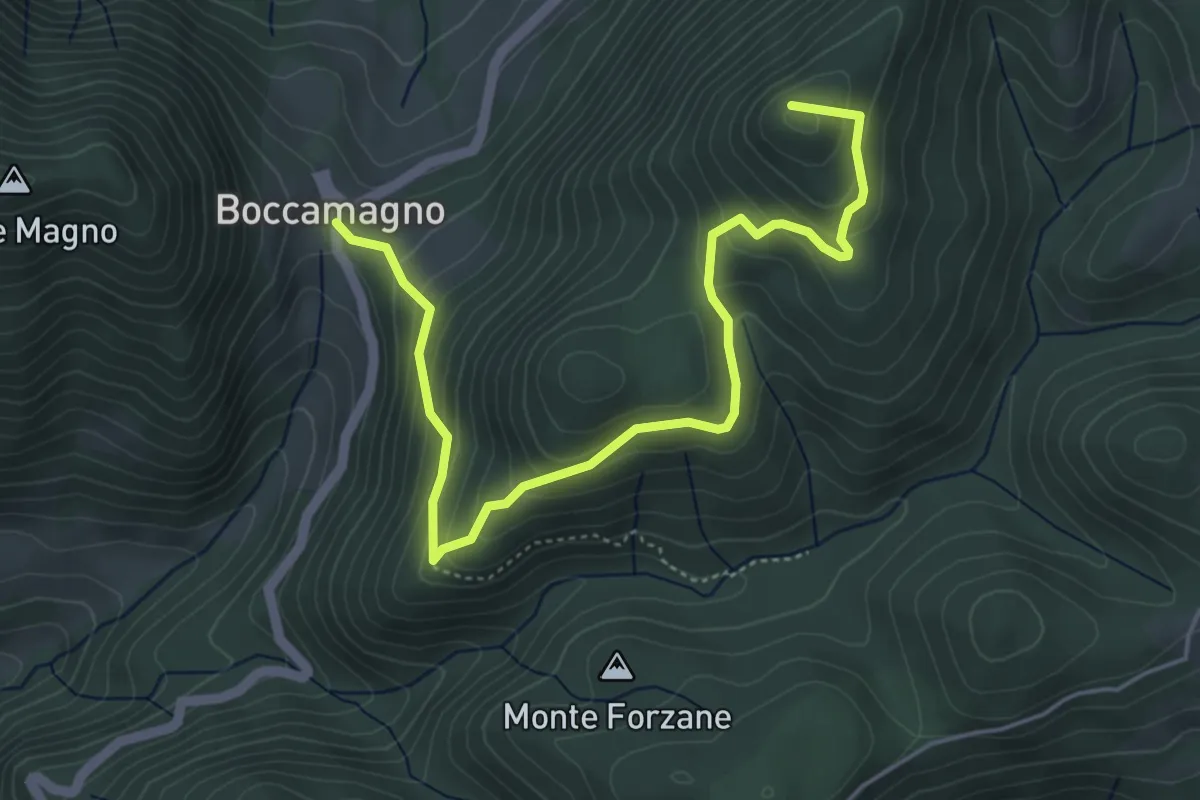
Medium · Summit
Bocca Magno, Passo Fobbia
5.7 km · ↑ 384 m · 2 h 11 min · 8 km away
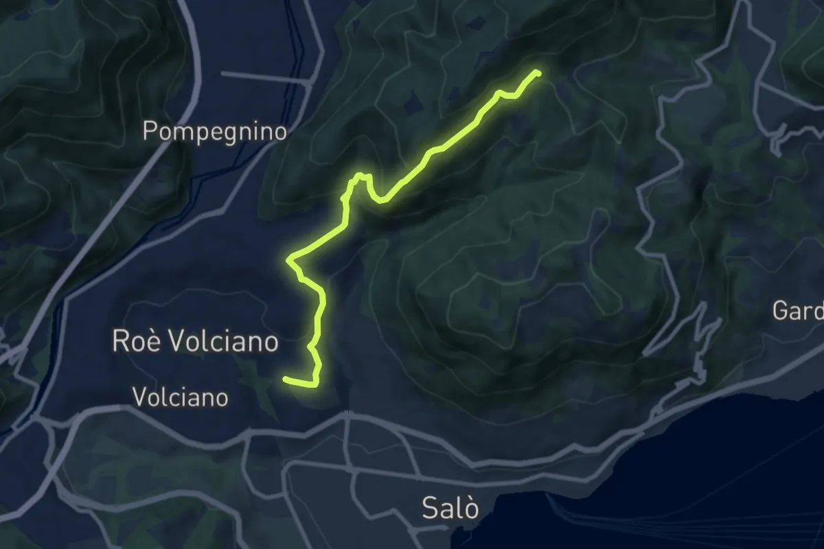
Medium · Trail
Agneto - Bagnolo
8.3 km · ↑ 511 m · 3 h 4 min · 8 km away
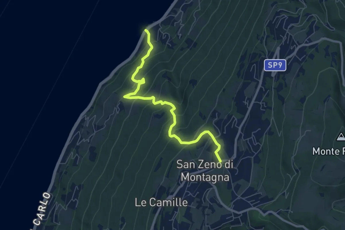
Medium · Trail
Piaghen - Crero - San Zeno di Montagna
7.0 km · ↑ 563 m · 2 h 52 min · 9 km away
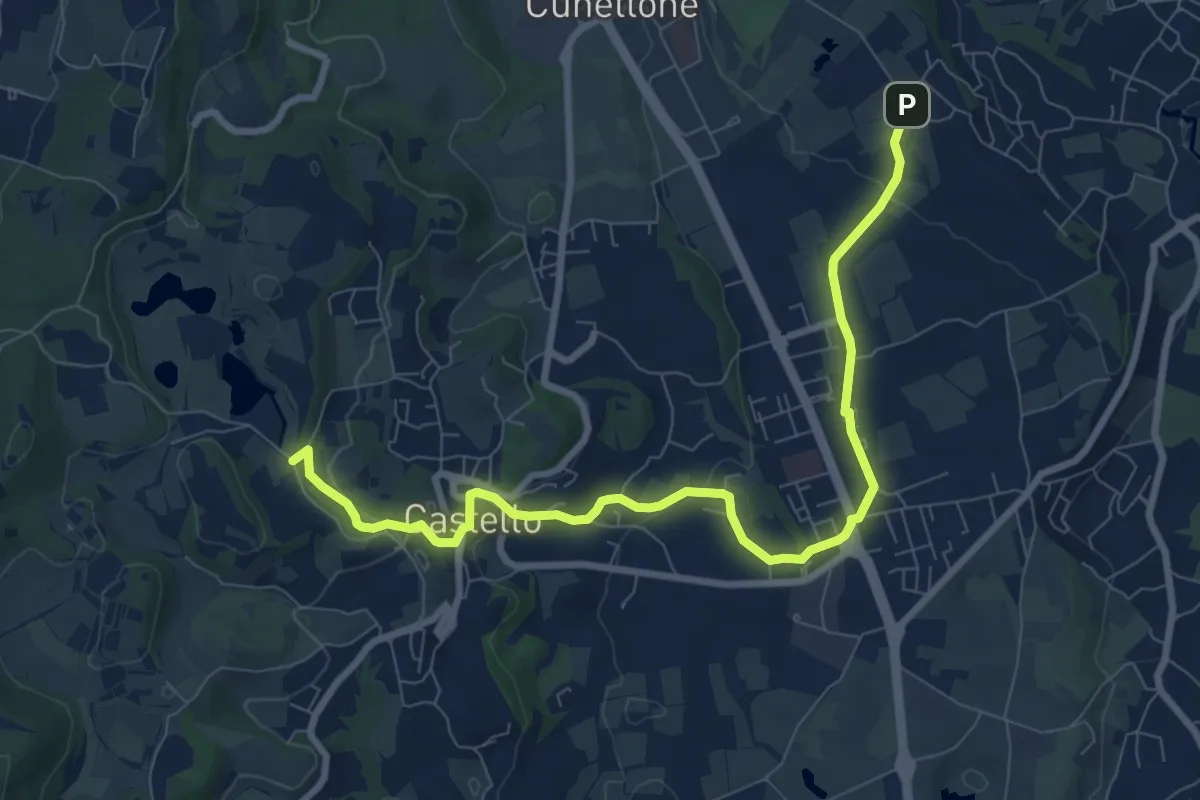
Medium · Trail
5 - Percorsi delle Colline Moreniche di Puegnago
9.5 km · ↑ 198 m · 2 h 40 min · 9 km away
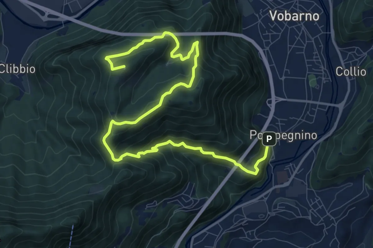
Demanding · Summit
Vobarno (Via Penella) - Passo della Fobbia - Pompegnino
13.8 km · ↑ 954 m · 5 h 19 min · 9 km away
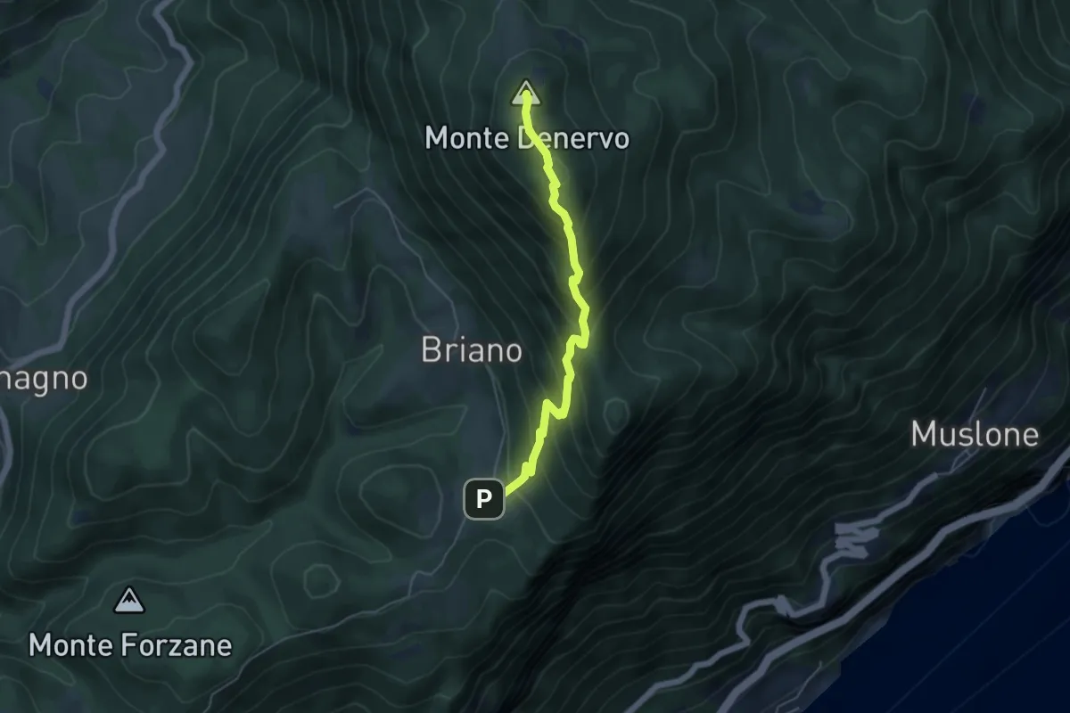
Medium · Summit
Malga Denervo
4.8 km · ↑ 466 m · 2 h 8 min · 9 km away
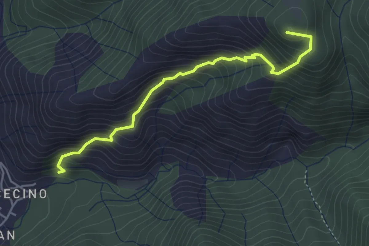
Demanding · Summit
Cecino (Vobarno) – Campei de Sima (Toscolano Maderno)
3.9 km · ↑ 541 m · 2 h 5 min · 9 km away
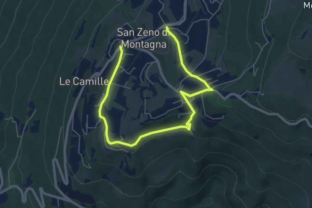
Easy · Trail
da verificare
6.6 km · ↑ 225 m · 2 h 2 min · 9 km away
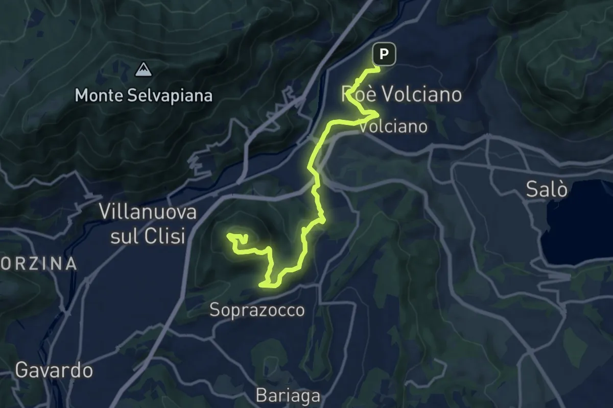
Medium · Summit
Percorso del Monte Covolo
13.1 km · ↑ 516 m · 4 h 13 min · 9 km away
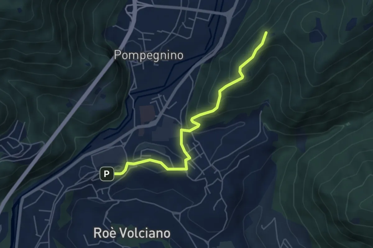
Easy · Summit
Strada delle Guine
5.0 km · ↑ 260 m · 1 h 45 min · 9 km away
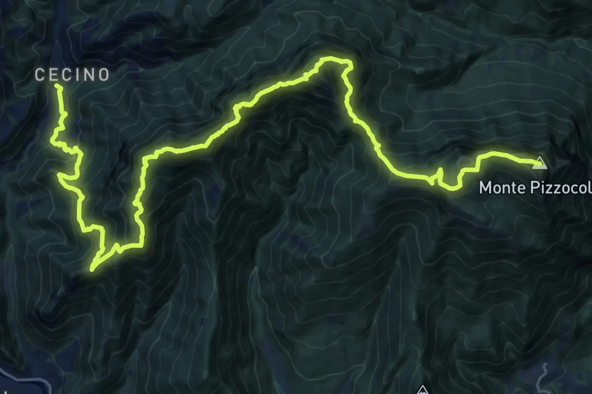
Expert · Summit
Sentiero delle Creste
29.7 km · ↑ 2608 m · 12 h 40 min · 9 km away
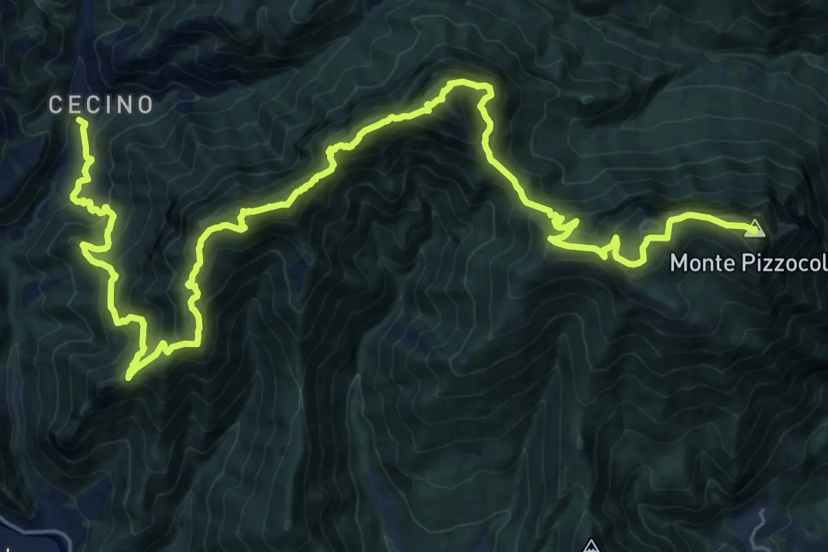
Expert · Summit
Cecino - Ortello
30.9 km · ↑ 2690 m · 13 h 7 min · 9 km away
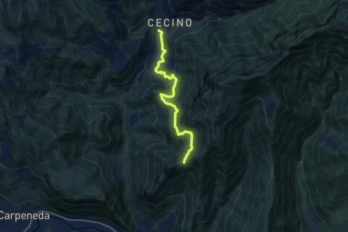
Medium · Trail
Sentiero di Ceresola
8.1 km · ↑ 507 m · 3 h 1 min · 9 km away
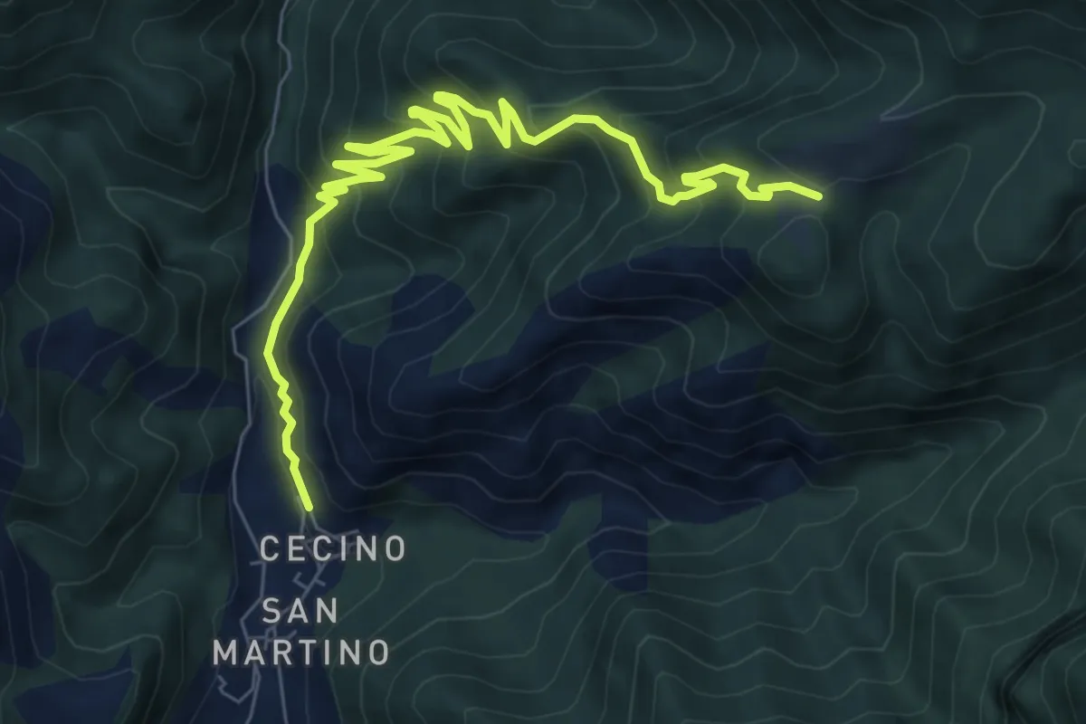
Medium · Trail
Cecino - Ponte Sacca - Cascina Brasassio
4.6 km · ↑ 642 m · 2 h 16 min · 9 km away
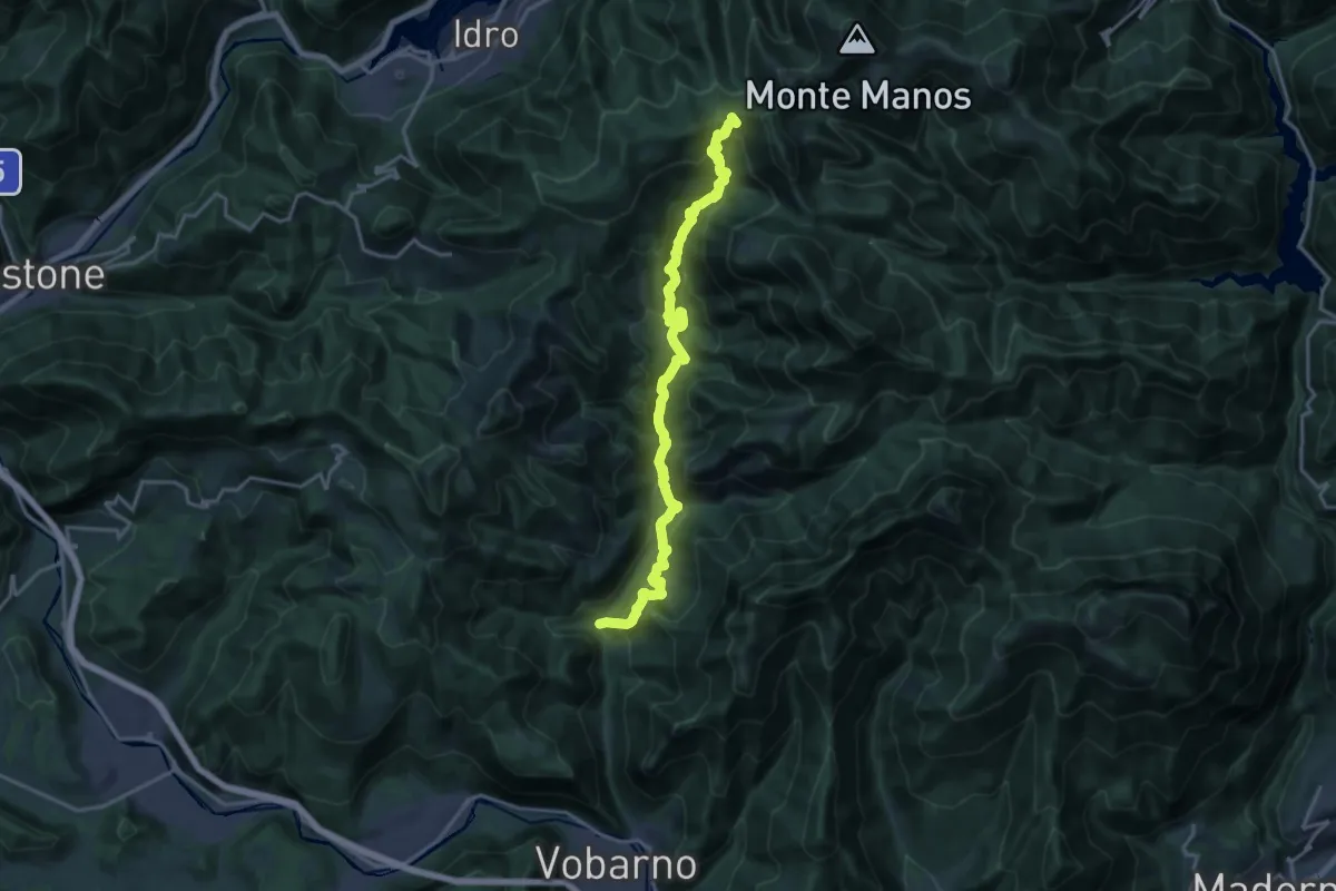
Demanding · Trail
Sentiero dei Lanzichenecchi
18.6 km · ↑ 1408 m · 7 h 27 min · 9 km away
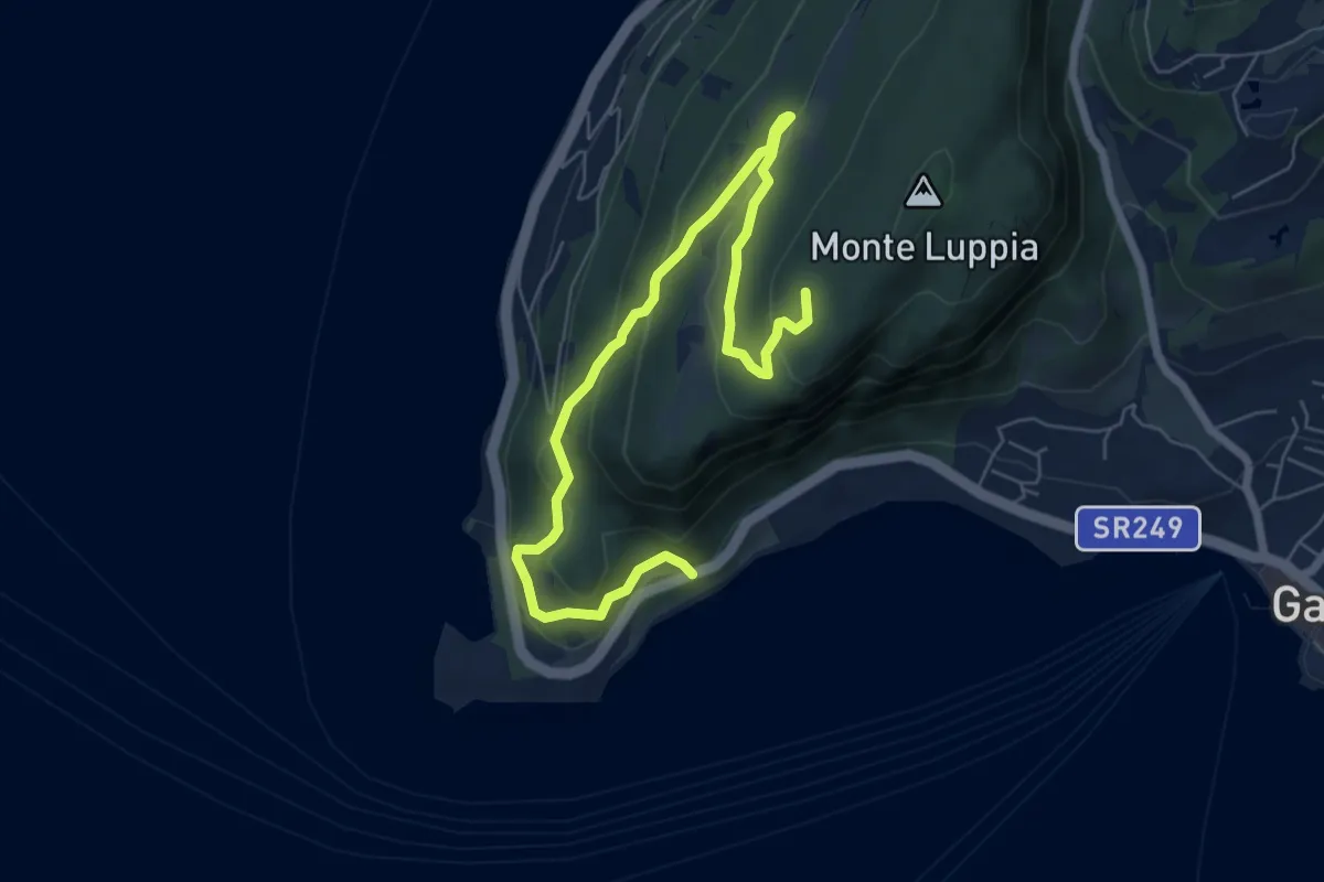
Medium · Summit
San Vigilio - Sengie - Graffitti
8.0 km · ↑ 356 m · 2 h 40 min · 9 km away
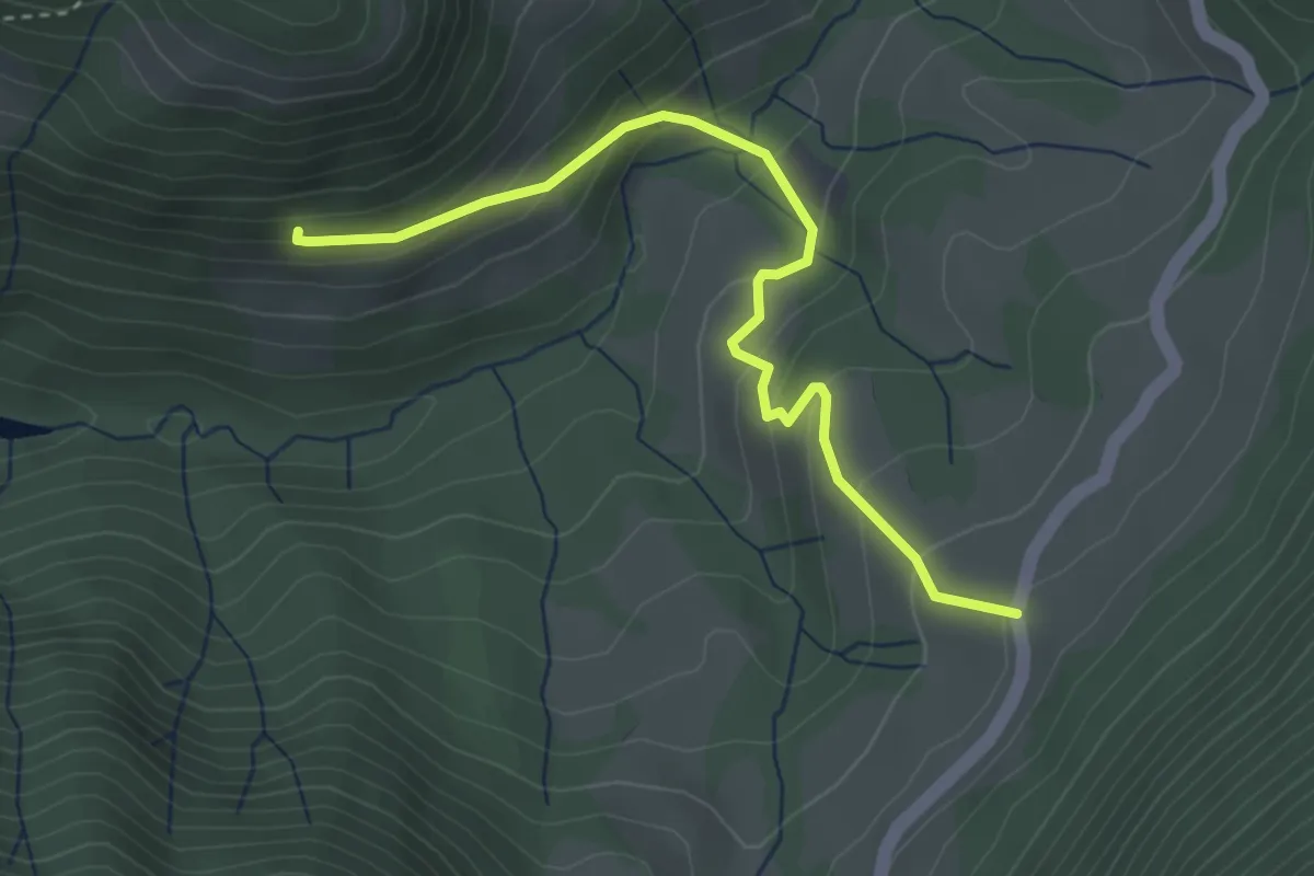
Easy · Trail
Lagù - Pasiana di Costa (Gargnano)
3.6 km · ↑ 229 m · 1 h 21 min · 9 km away
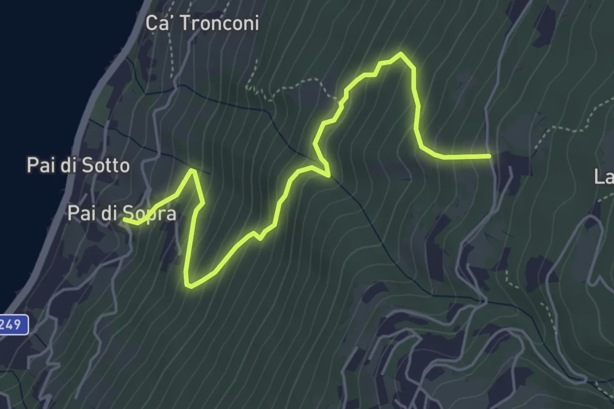
Medium · Trail
Pai di Sopra – Villanova
5.5 km · ↑ 528 m · 2 h 27 min · 9 km away
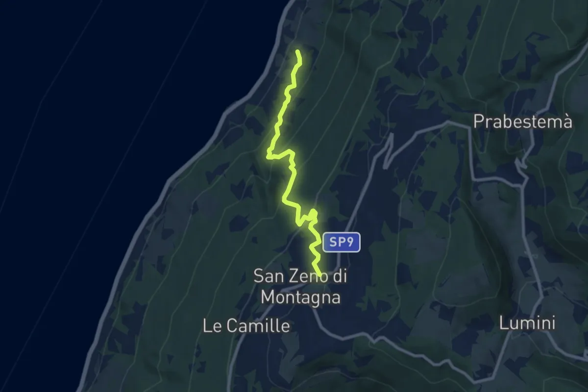
Medium · Trail
Pai – San Zeno di Montagna
6.9 km · ↑ 515 m · 2 h 45 min · 9 km away
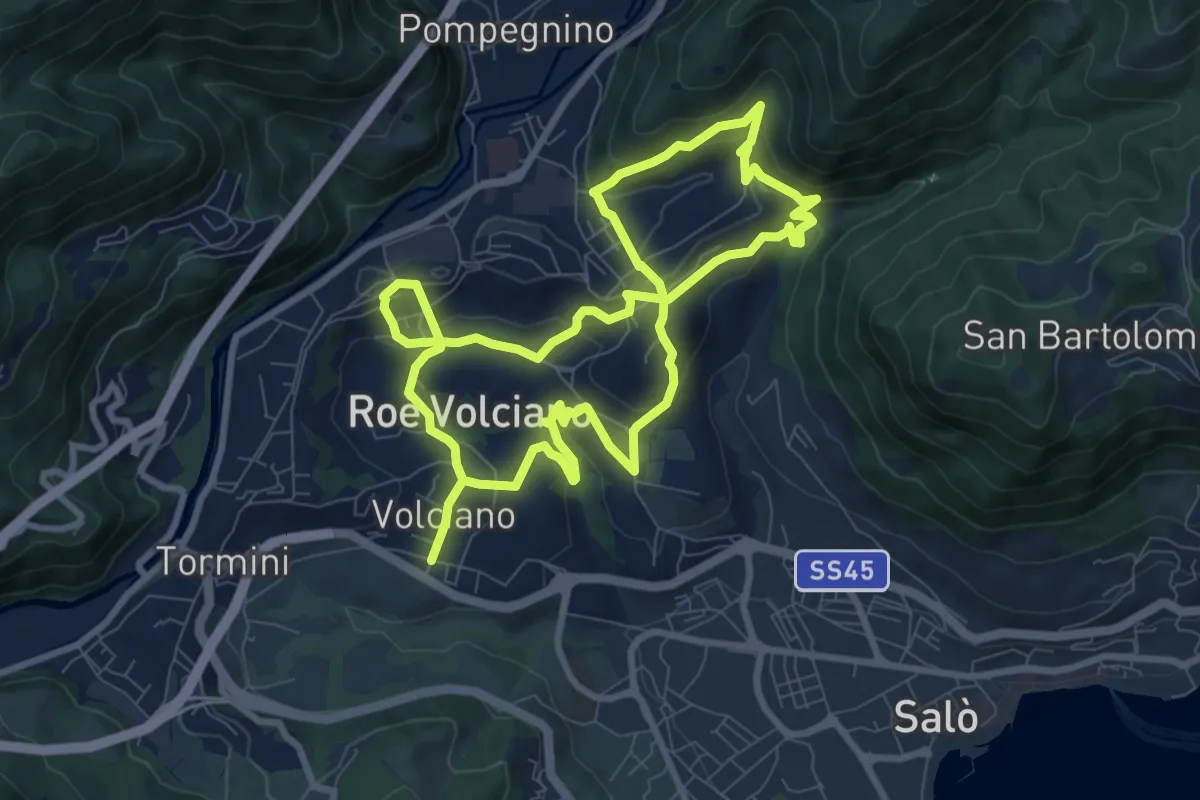
Medium · Trail
Percorso delle Chiese - Roè Volciano
16.7 km · ↑ 687 m · 5 h 26 min · 9 km away
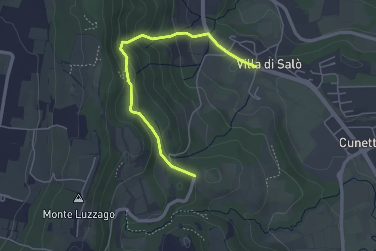
Easy · Trail
Anello della chiesetta degli Alpini
4.1 km · ↑ 202 m · 1 h 24 min · 9 km away
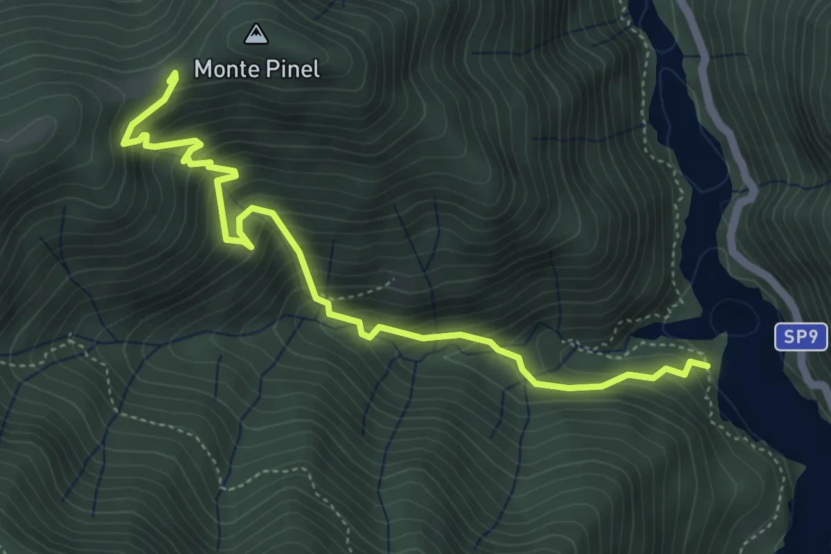
Demanding · Trail
Sentiero di Val di Fassane
5.2 km · ↑ 546 m · 2 h 25 min · 9 km away
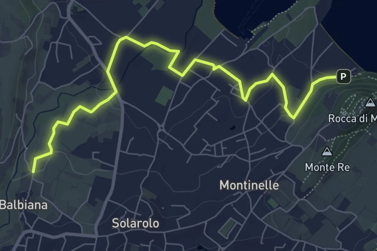
Easy · Trail
Manerba del Garda (Balbiana) – Parcheggio spiaggia di Pisenze
7.6 km · ↑ 65 m · 1 h 57 min · 9 km away
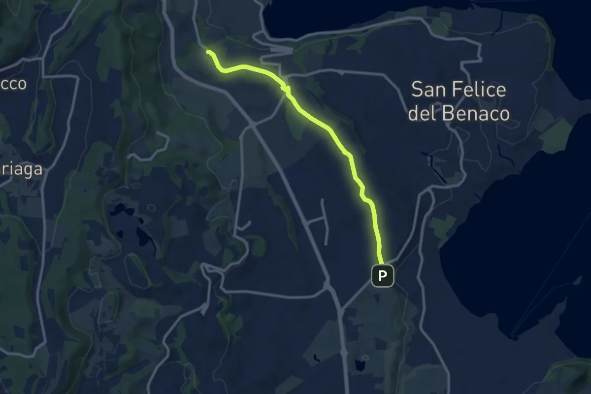
Medium · Trail
Via del Paradiso
8.5 km · ↑ 75 m · 2 h 11 min · 10 km away
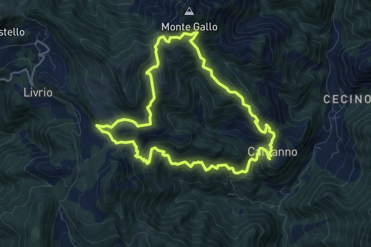
Medium · Summit
Carvanno – Carvanno
9.2 km · ↑ 665 m · 3 h 45 min · 10 km away
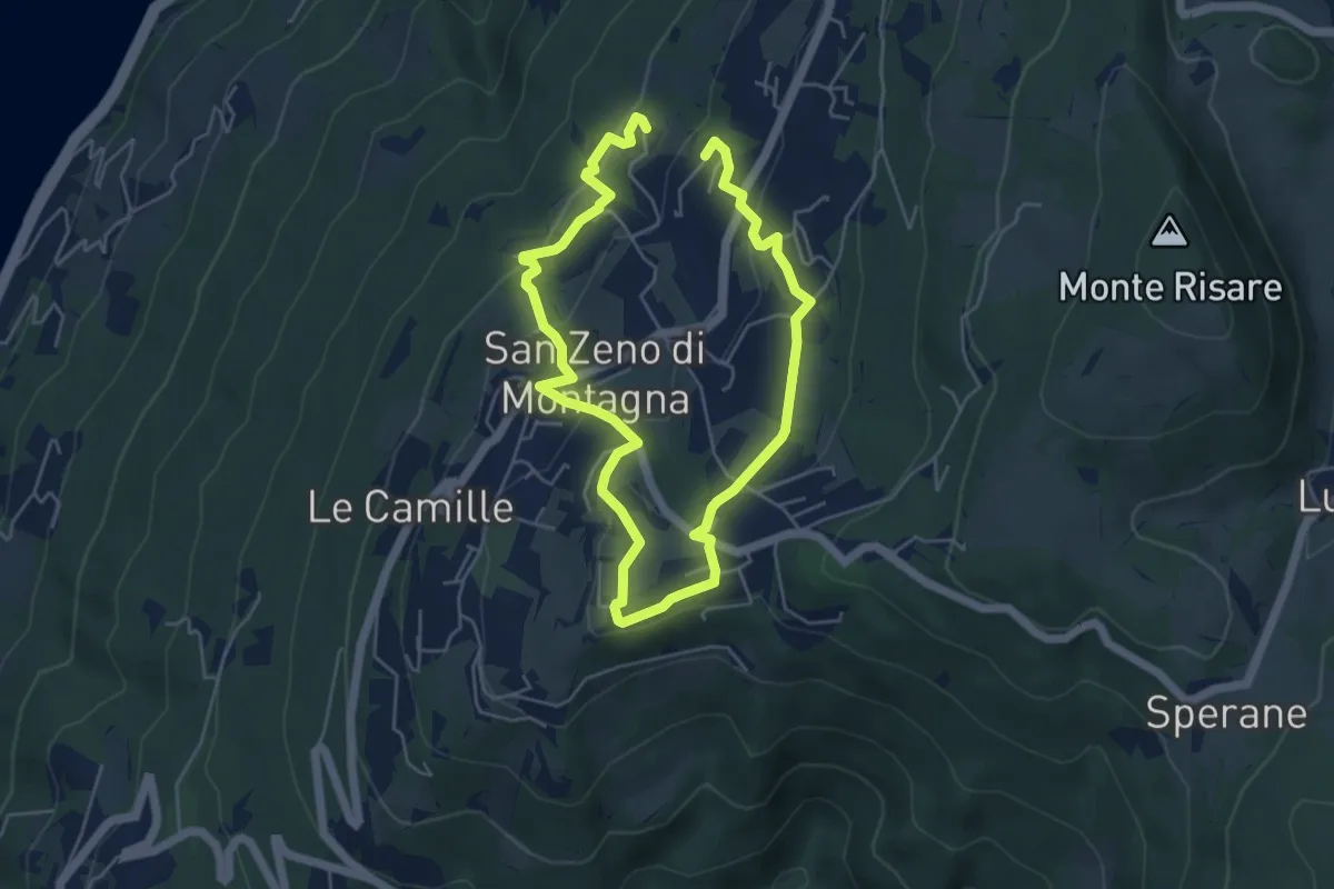
Medium · Trail
Cà Sartori - Capra - Dosso Croce - San Zeno di Montagna - Le Tese - Cà Sartori
8.8 km · ↑ 333 m · 2 h 48 min · 10 km away
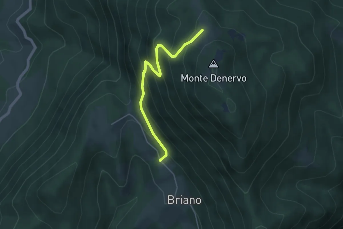
Medium · Trail
Malga Denervo - Bocchetta di Lovere
3.7 km · ↑ 328 m · 1 h 35 min · 10 km away
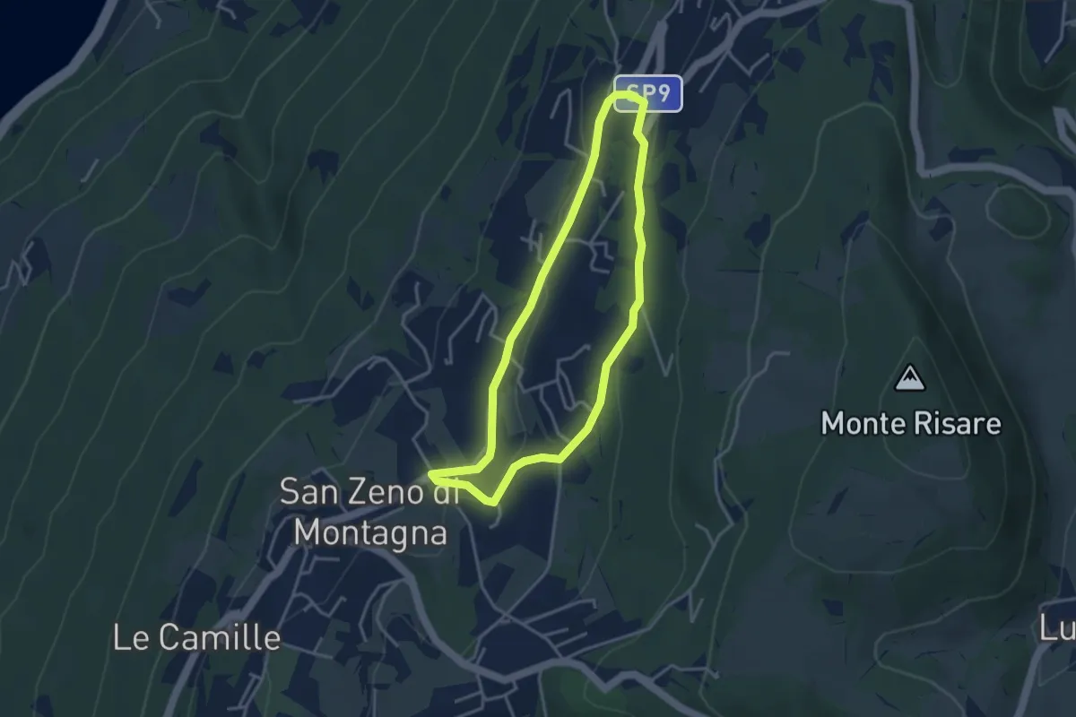
Medium · Trail
Cà Schena - Castello - Cà Montagna - Cà Schena
3.3 km · ↑ 83 m · 1 h · 10 km away
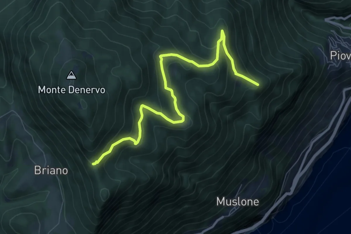
Medium · Summit
Bocca Premaur (Gargnano) - Bivio Tampa (Tignale)
9.0 km · ↑ 472 m · 3 h 8 min · 10 km away
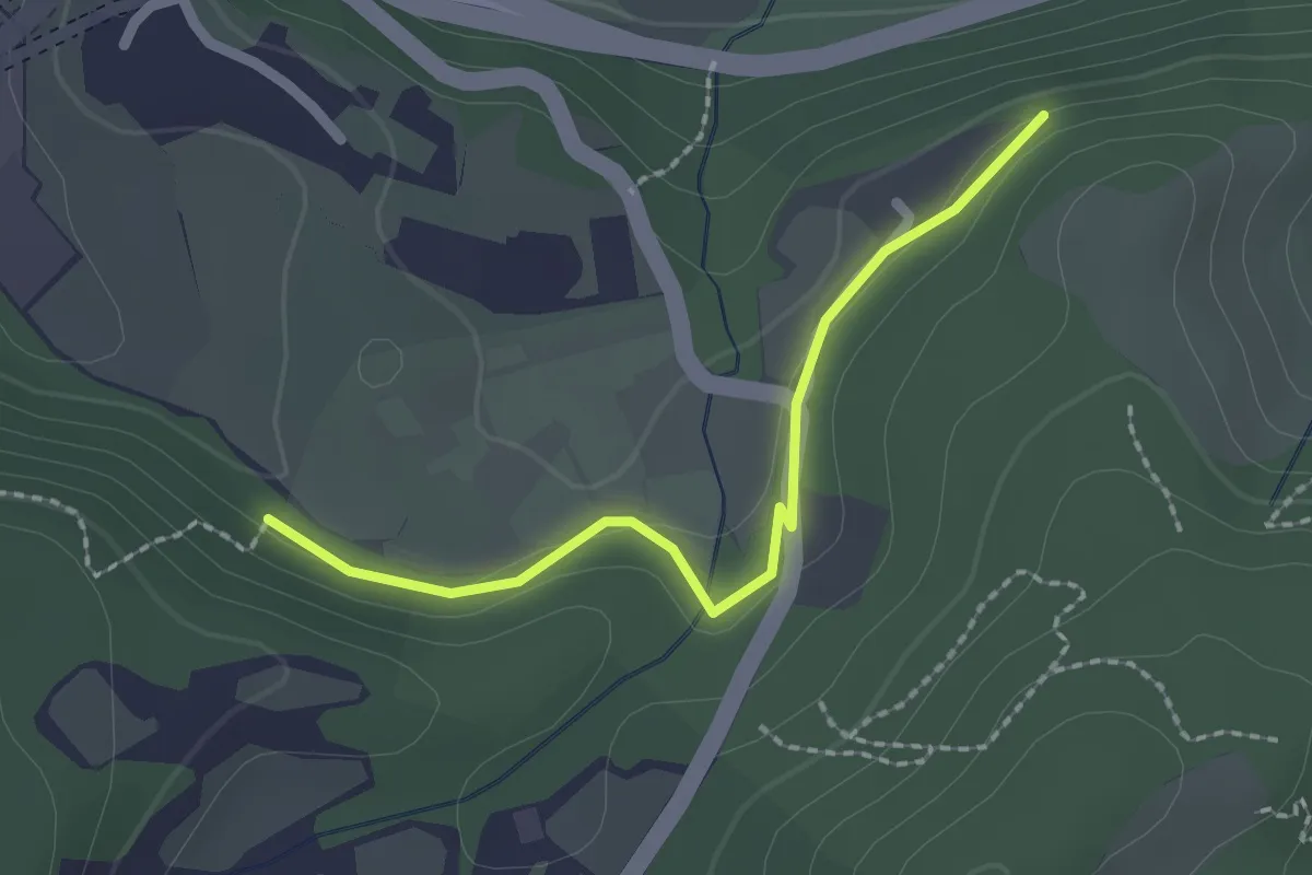
Easy · Trail
Bissinico di Sopra
2.0 km · ↑ 50 m · 35 min · 10 km away
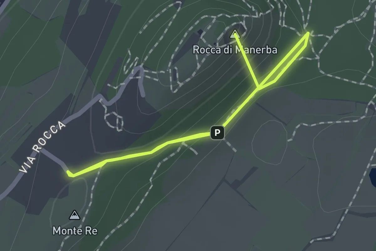
Easy · Summit
Sentiero 3 - Rocca di Manerba del Garda
2.2 km · ↑ 69 m · 40 min · 10 km away
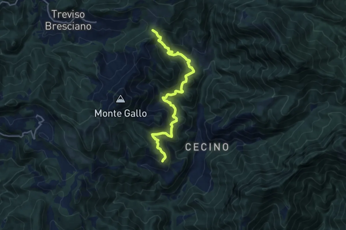
Demanding · Summit
Antica Strada Romana
12.3 km · ↑ 906 m · 4 h 52 min · 10 km away
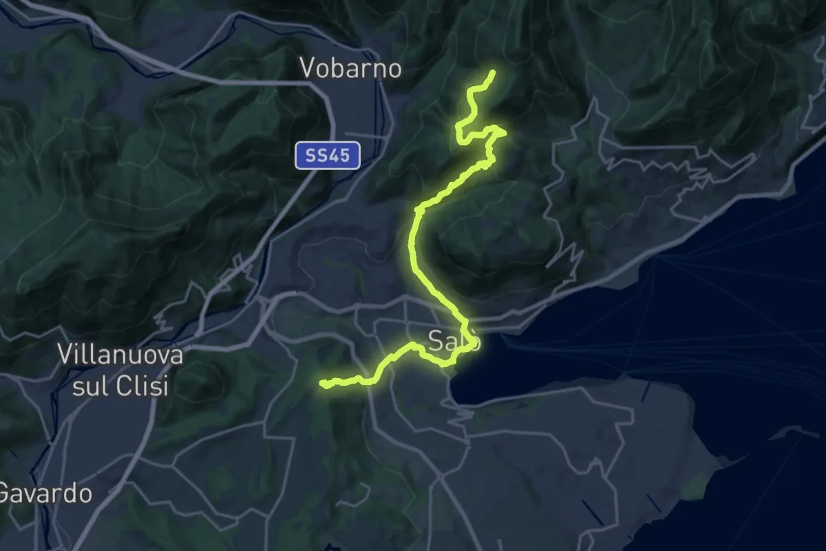
Demanding · Trail
Cascina Trat – Bocca alla Croce
20.6 km · ↑ 1026 m · 7 h 5 min · 10 km away
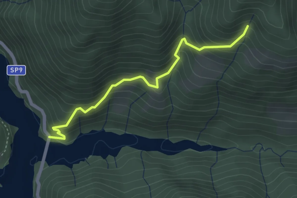
Demanding · Trail
Sentiero dei Casali
3.6 km · ↑ 435 m · 1 h 47 min · 10 km away
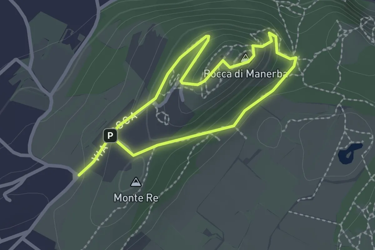
Expert · Summit
Sentiero 4 - Rocca di Manerba del Garda
1.8 km · ↑ 79 m · 37 min · 10 km away
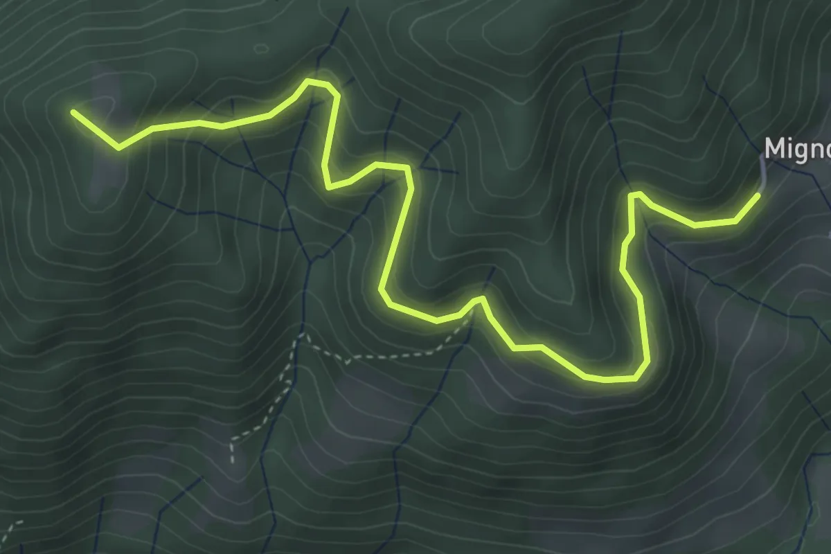
Medium · Summit
Costa (Gargnano) - Monte Prà
5.3 km · ↑ 453 m · 2 h 14 min · 10 km away
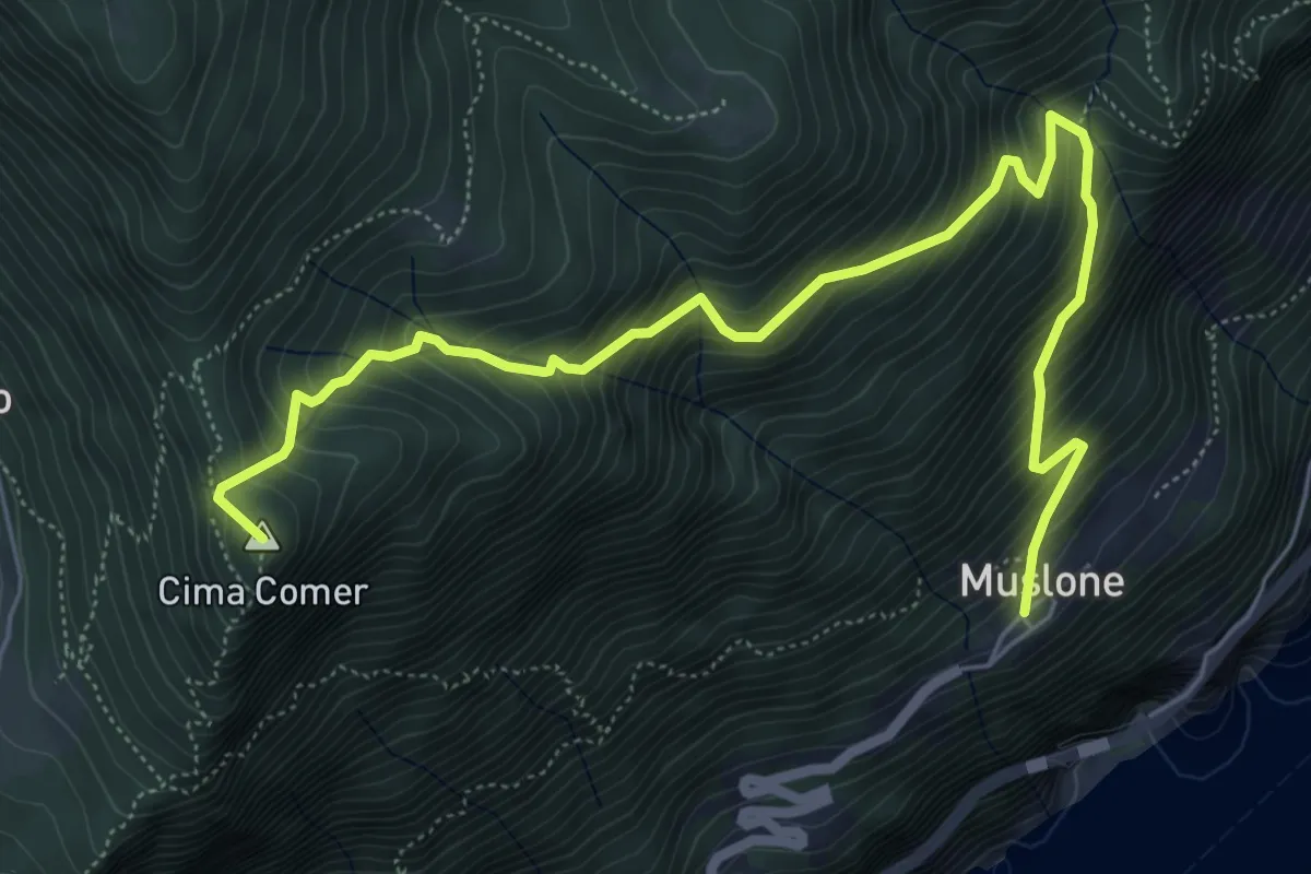
Medium · Summit
Cima Comer - Muslone
7.4 km · ↑ 754 m · 3 h 23 min · 10 km away
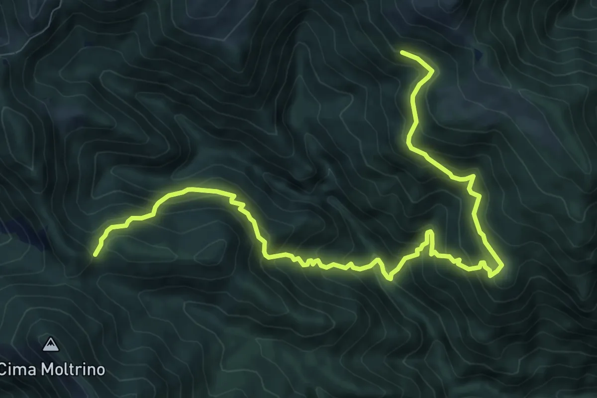
Demanding · Trail
Dosso Corpaglione – Fienile Loatino
11.9 km · ↑ 1203 m · 5 h 25 min · 10 km away
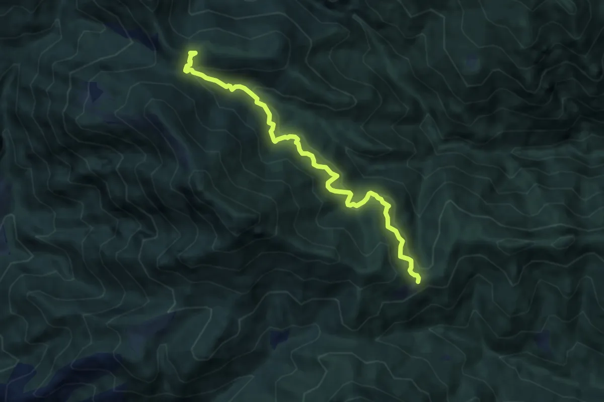
Medium · Cabin
Salò, Cavallino della Fobbia
8.7 km · ↑ 625 m · 3 h 24 min · 10 km away
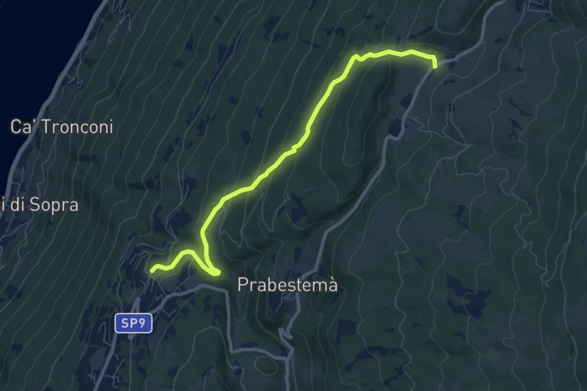
Medium · Trail
Laguna - Ponte del Diavolo - San Bartolomeo - Prada Bassa
4.2 km · ↑ 308 m · 1 h 34 min · 10 km away