Trails near Maderno
272 hikes starting within 15 km, nearest first.
Nearest first, page 4 of 6
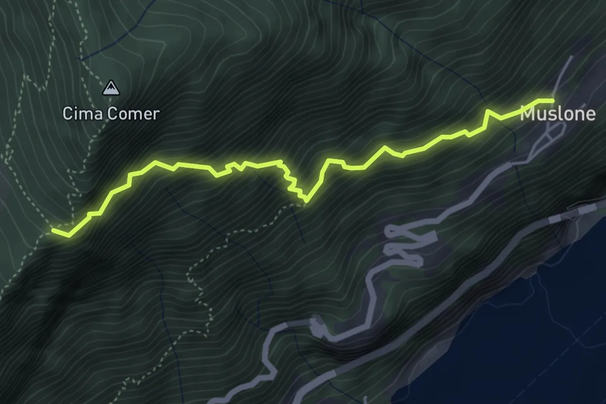
Demanding · Trail
Senter del Luf
4.7 km · ↑ 779 m · 2 h 47 min · 10 km away
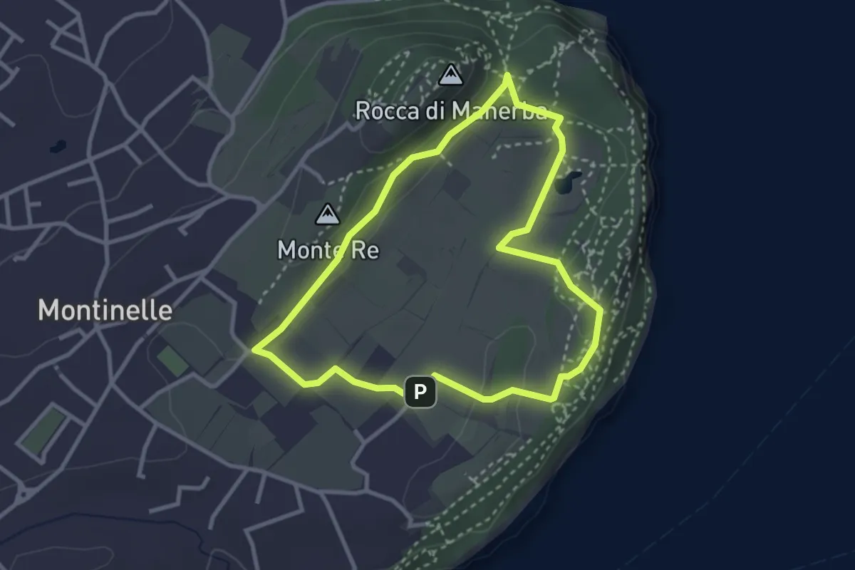
Easy · Summit
Sentiero 5 - Rocca di Manerba del Garda
2.9 km · ↑ 50 m · 50 min · 10 km away
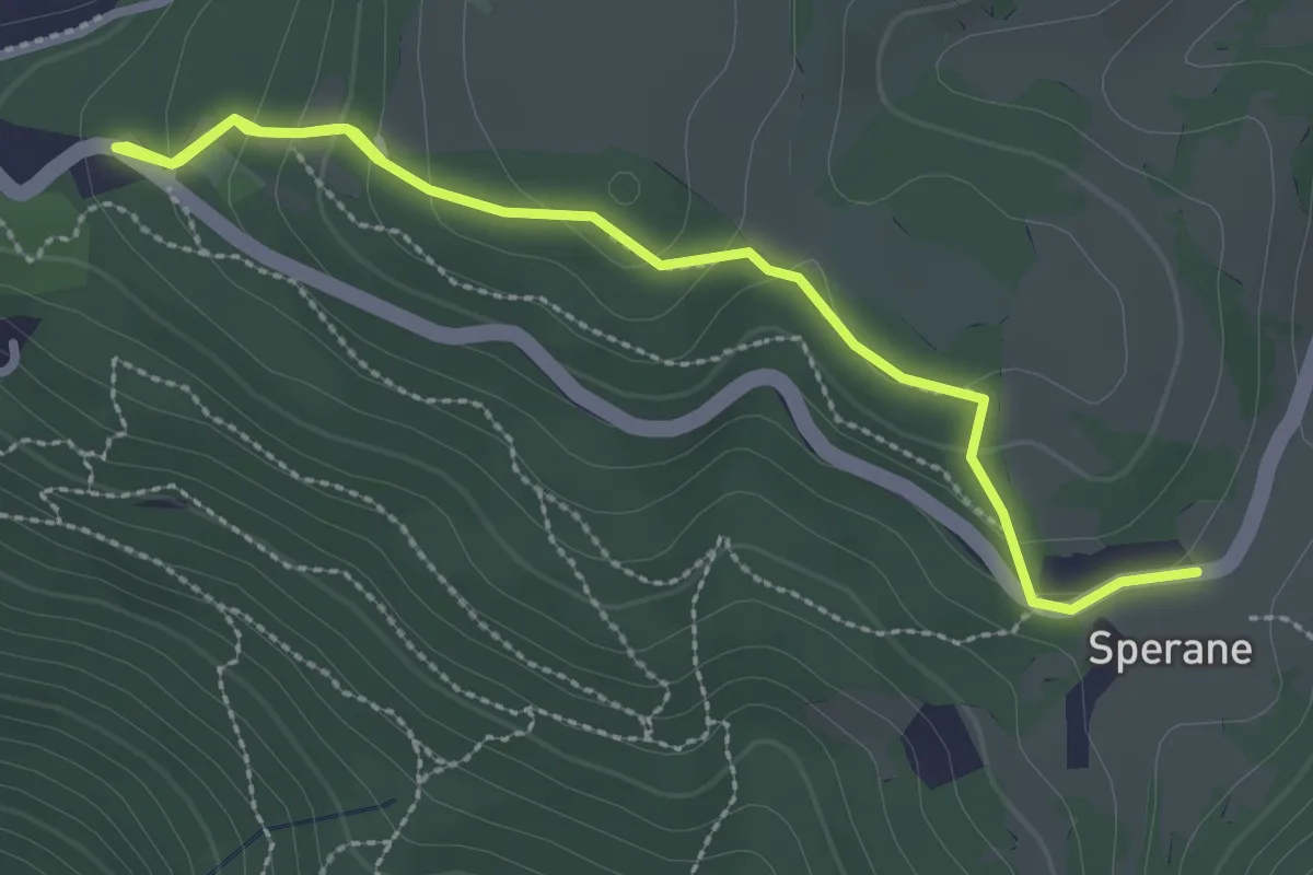
Medium · Trail
Parco Pineta Sperane - Le Fittanze - Sperane
3.3 km · ↑ 163 m · 1 h 9 min · 10 km away
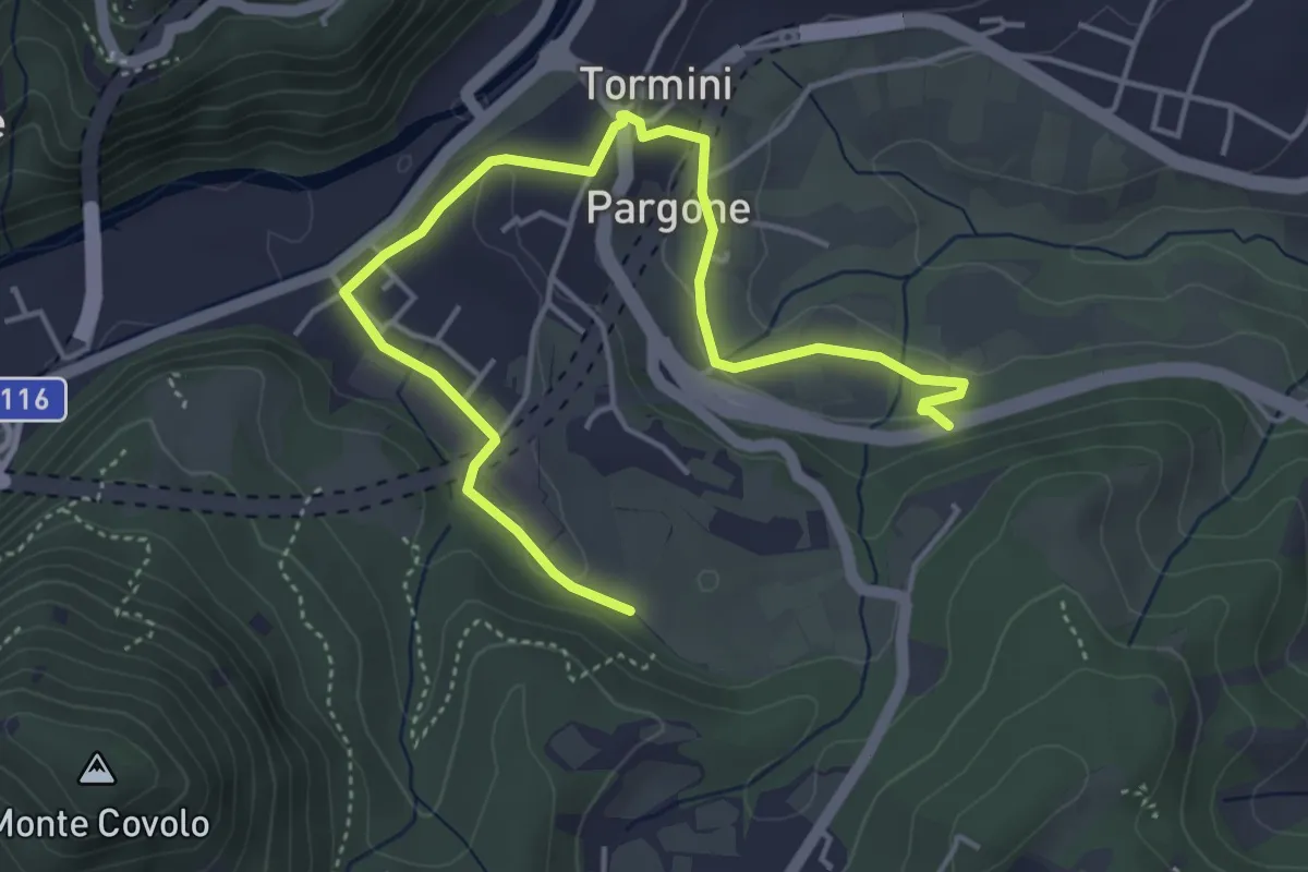
Easy · Trail
Percorso Sud-Ovest Roè Volciano
5.5 km · ↑ 141 m · 1 h 36 min · 11 km away
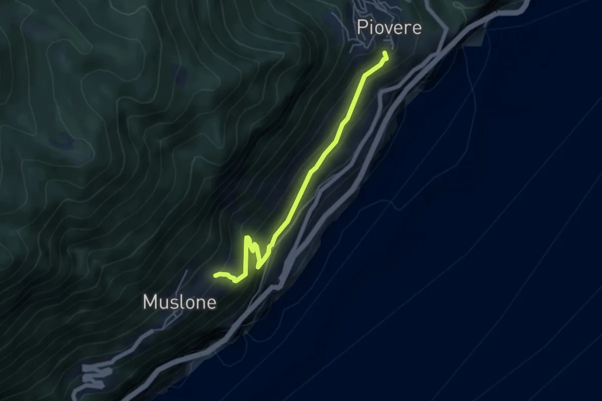
Medium · Trail
Sentiero della Piazza
4.7 km · ↑ 334 m · 1 h 50 min · 11 km away
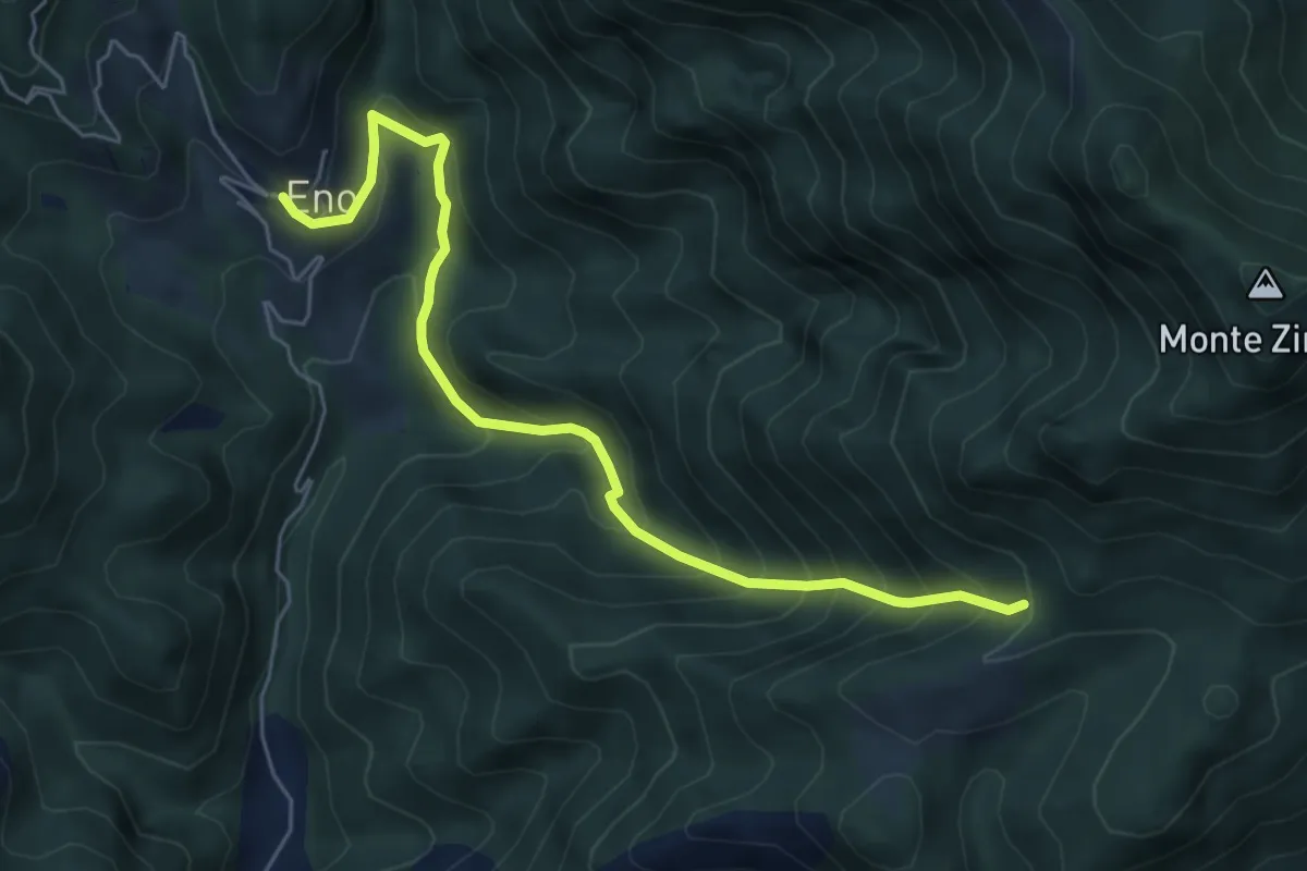
Medium · Trail
Sentiero della Valle di Faeno
6.0 km · ↑ 622 m · 2 h 46 min · 11 km away
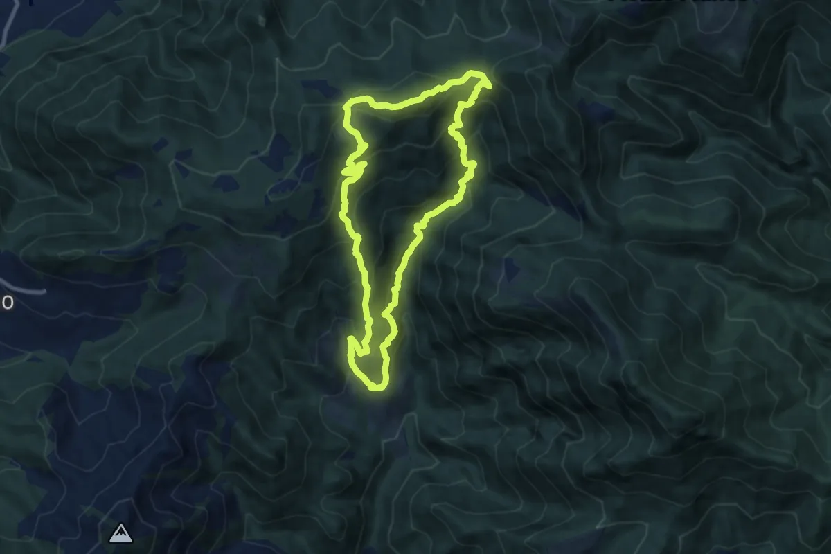
Medium · Summit
Eno – Eno
8.3 km · ↑ 684 m · 3 h 34 min · 11 km away
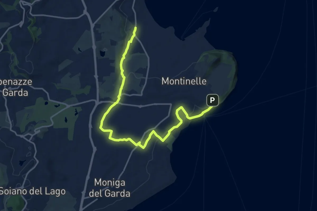
Medium · Trail
Pieve Vecchia – Chiesa di San Giorgio
15.3 km · ↑ 218 m · 4 h 6 min · 11 km away
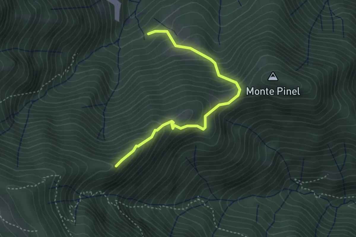
Demanding · Summit
Sentiero della Corna Rossa
3.8 km · ↑ 434 m · 1 h 50 min · 11 km away
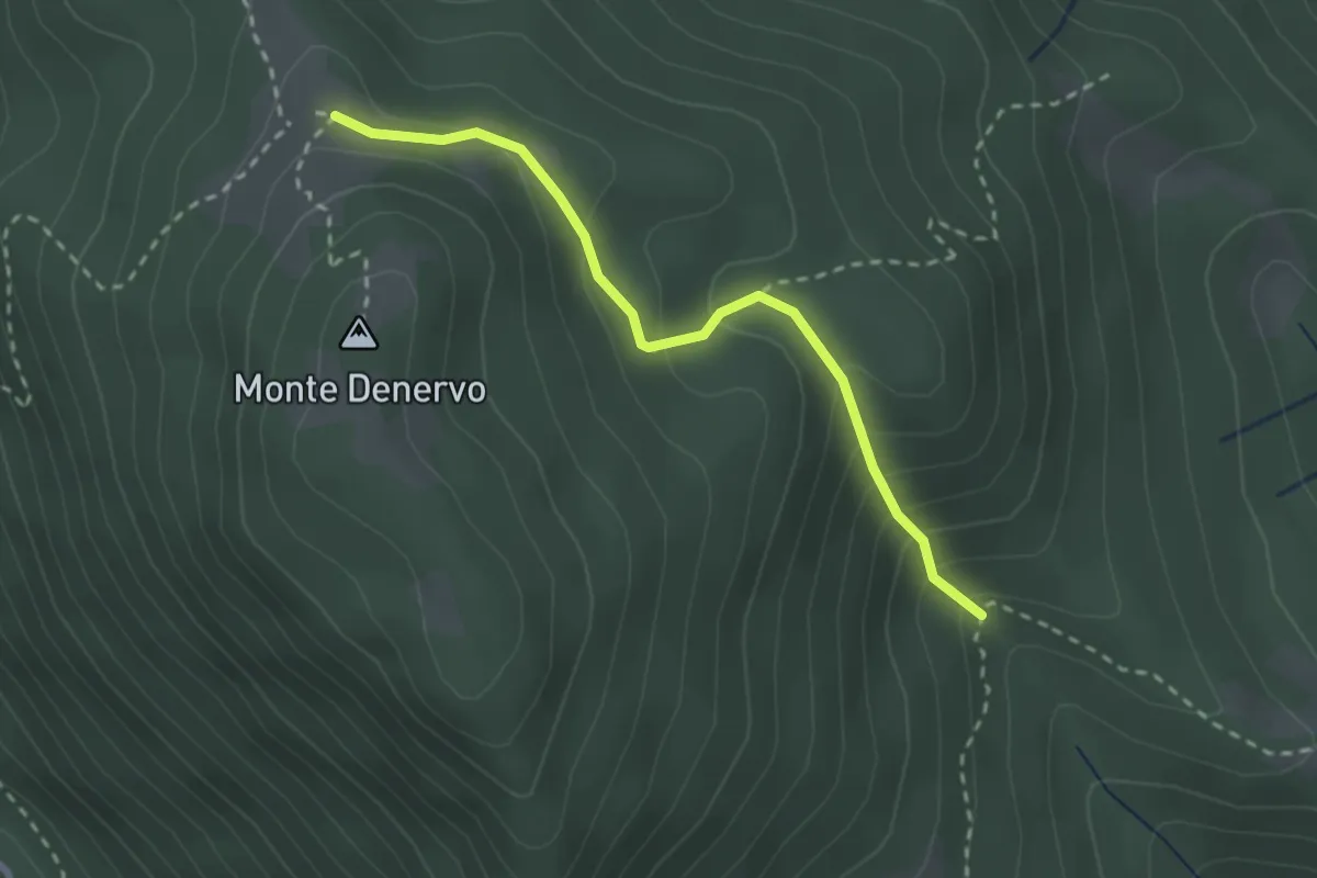
Easy · Trail
Malga Denervo , Malga Premaur
2.6 km · ↑ 210 m · 1 h 4 min · 11 km away
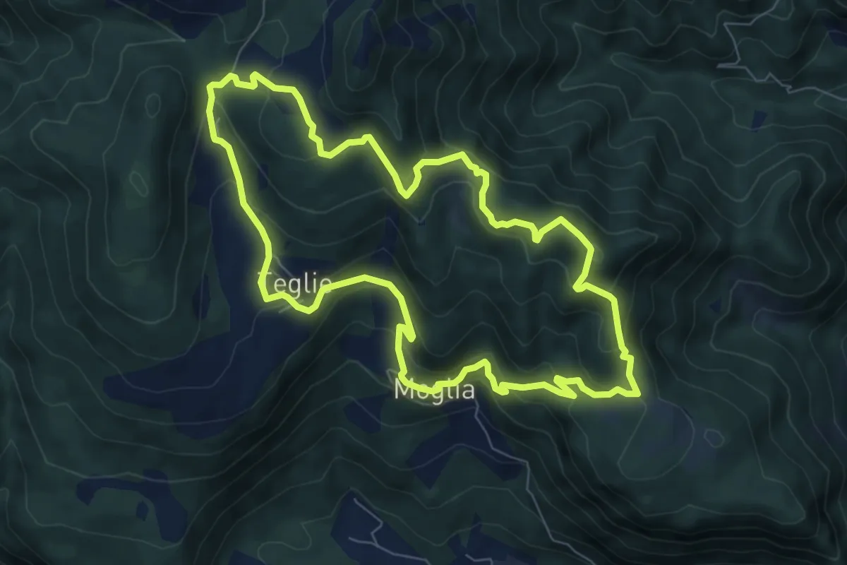
Medium · Summit
Vobarno (Moglia) – Moglia - Vobarno
7.6 km · ↑ 432 m · 2 h 50 min · 11 km away
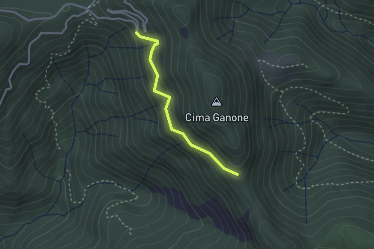
Medium · Trail
Sentiero di Ganone
2.1 km · ↑ 182 m · 53 min · 11 km away
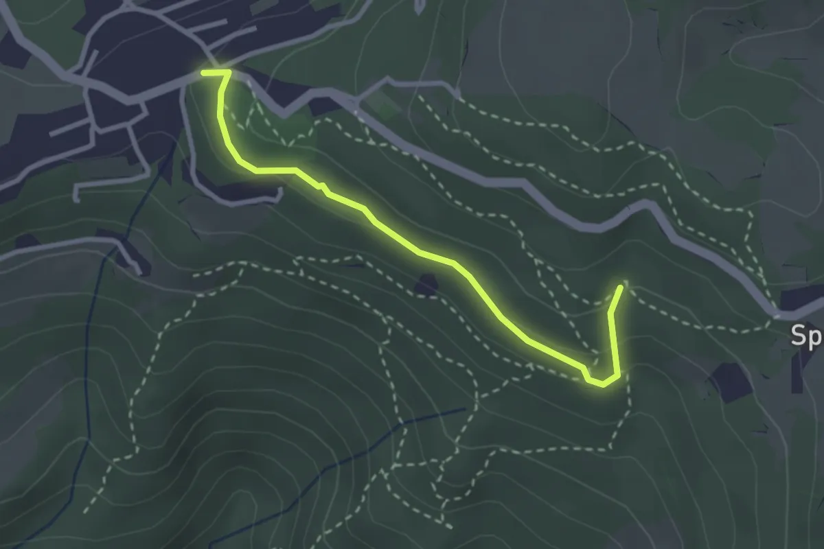
Medium · Trail
Pineta Sperane
2.8 km · ↑ 89 m · 51 min · 11 km away
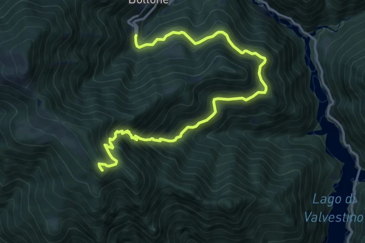
Demanding · Summit
Bollone (Valvestino) – Monte Pallotto (Gargnano)
11.1 km · ↑ 901 m · 4 h 34 min · 11 km away
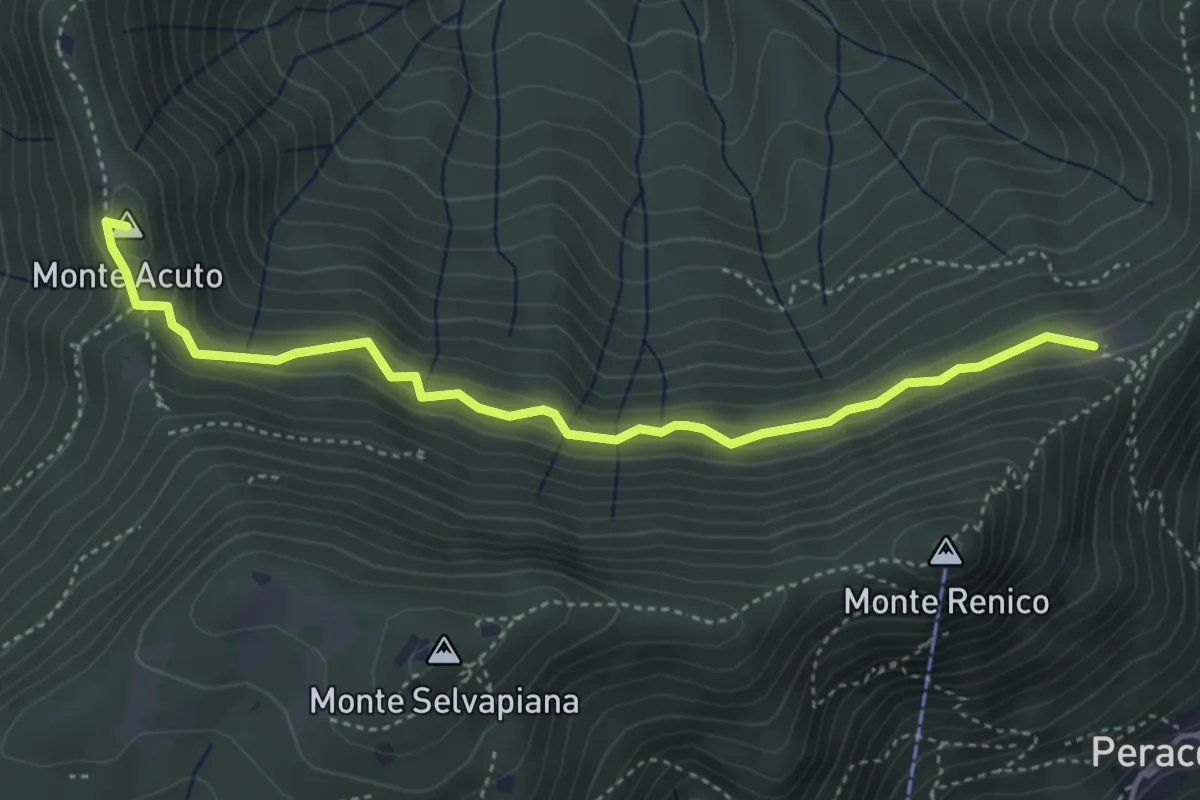
Medium · Summit
Sabbio Chiese (Clibbio) - Cascina Ronchi
4.4 km · ↑ 260 m · 1 h 37 min · 11 km away
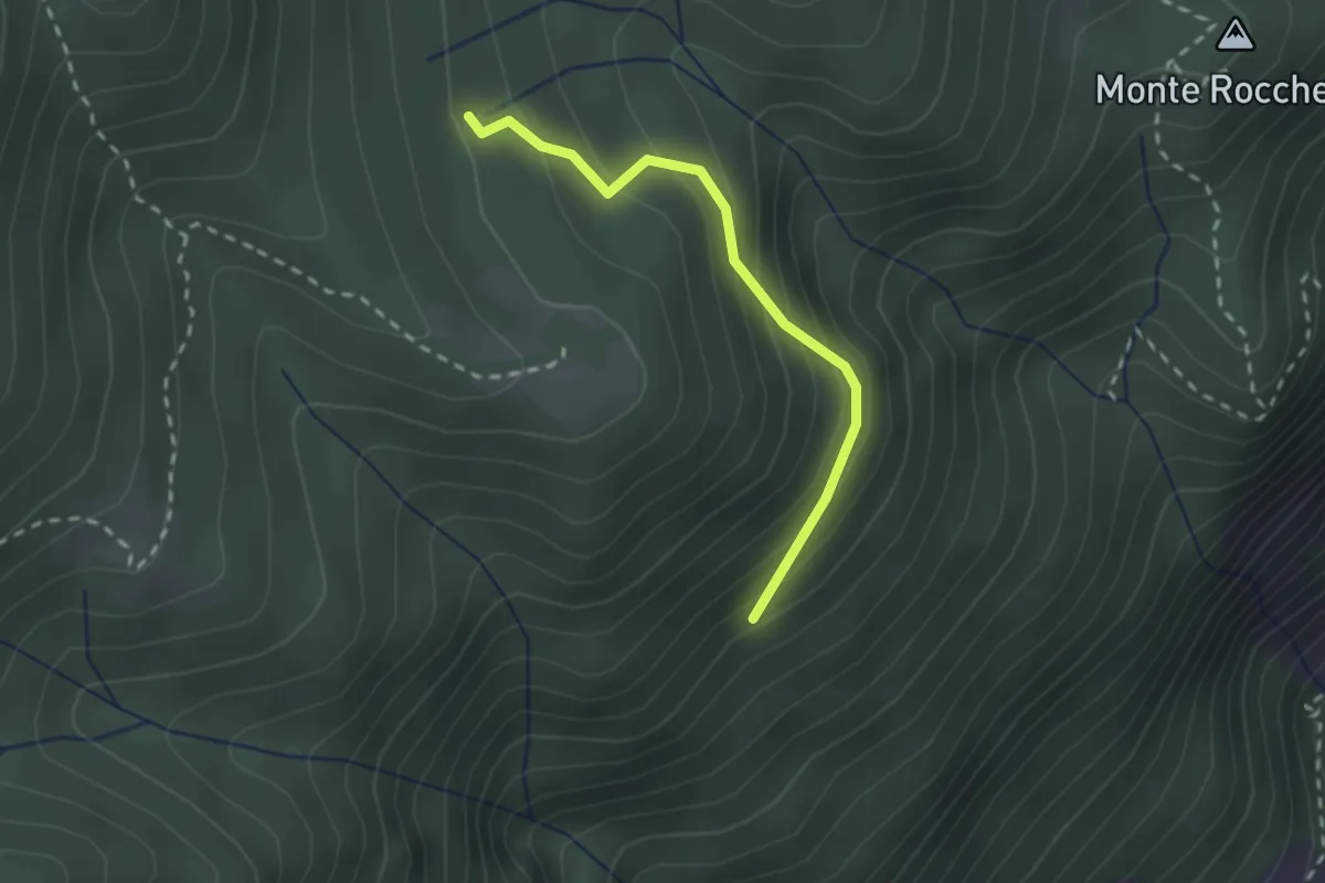
Easy · Trail
Sentiero di Valzana
2.1 km · ↑ 191 m · 55 min · 11 km away
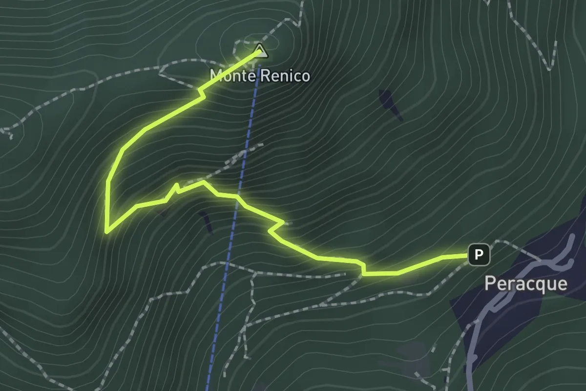
Medium · Summit
Villanuova sul Clisi (Peracque) - Madonna della Neve
2.3 km · ↑ 329 m · 1 h 16 min · 11 km away
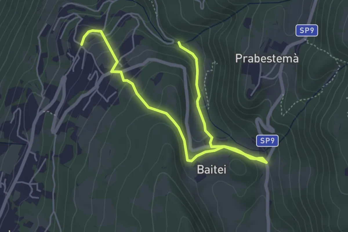
Easy · Trail
Cà Montagna - La Pora - Corrubio - Ponte del Diavolo - Vollanove - Borno - Laguna - Cà Montagna
3.1 km · ↑ 127 m · 1 h 3 min · 11 km away
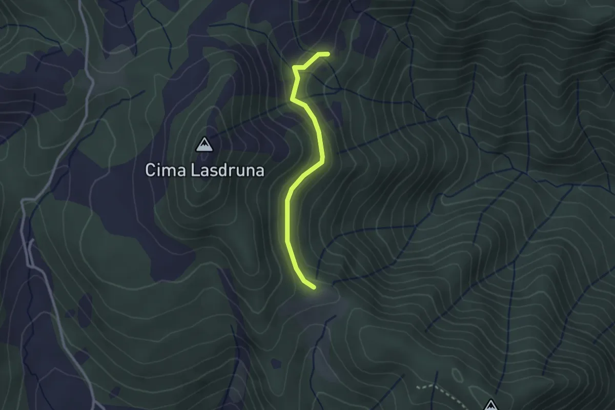
Medium · Trail
Dusina - Ludrio
2.2 km · ↑ 85 m · 43 min · 11 km away
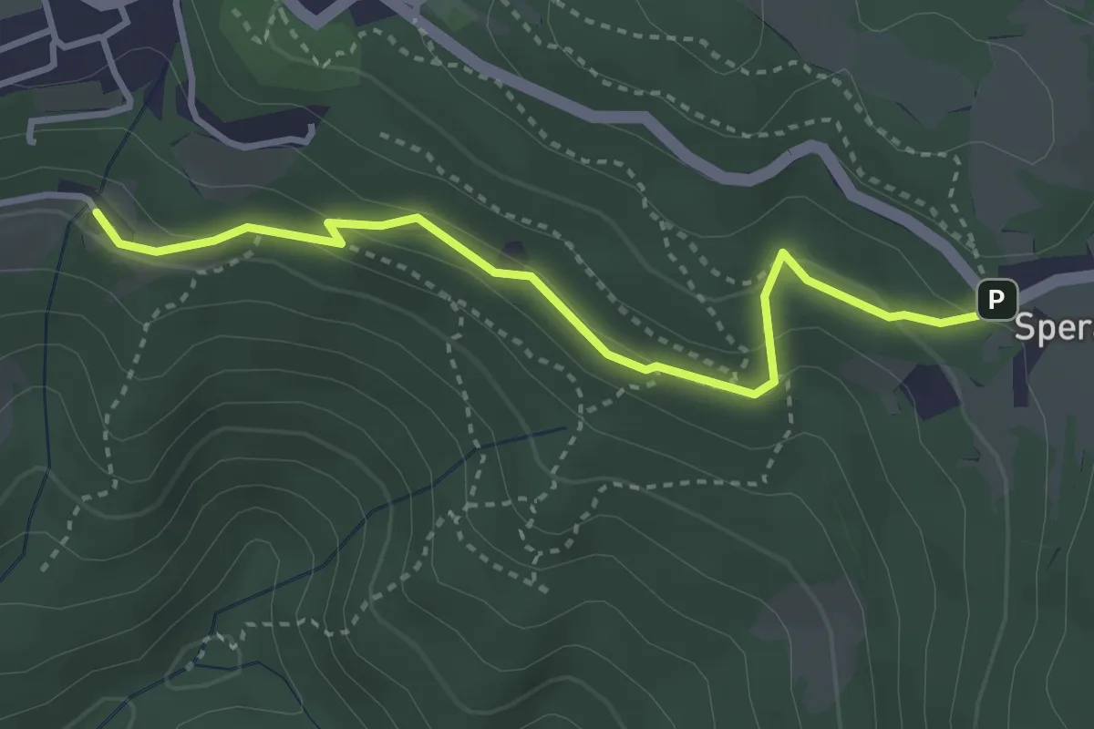
Medium · Trail
Canevoi - Sperane
3.5 km · ↑ 170 m · 1 h 12 min · 11 km away
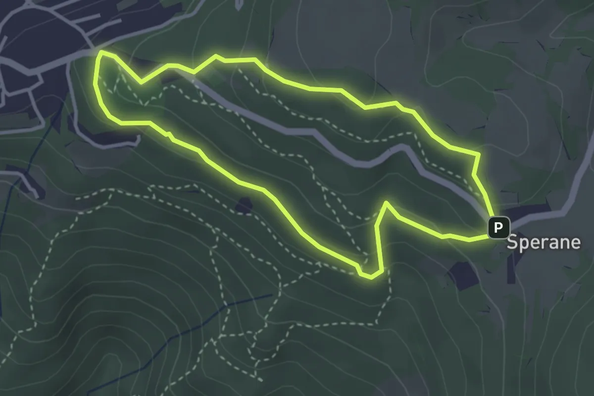
Medium · Trail
Sentiero Natura Pineta Sperane
3.2 km · ↑ 145 m · 1 h 6 min · 11 km away
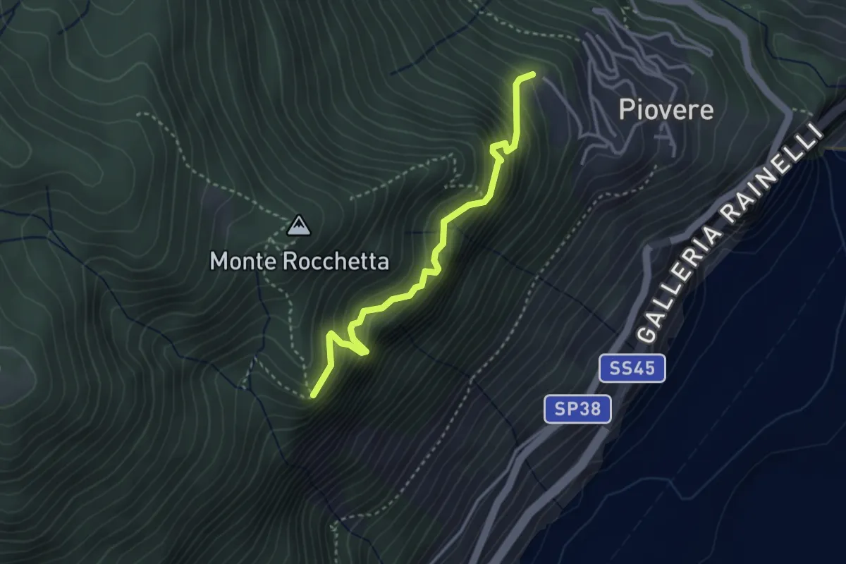
Medium · Trail
Senter del Tampa
3.1 km · ↑ 377 m · 1 h 33 min · 11 km away
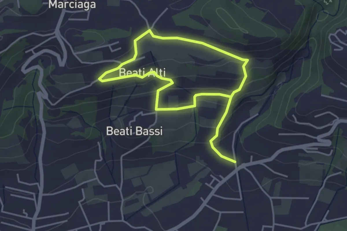
Easy · Trail
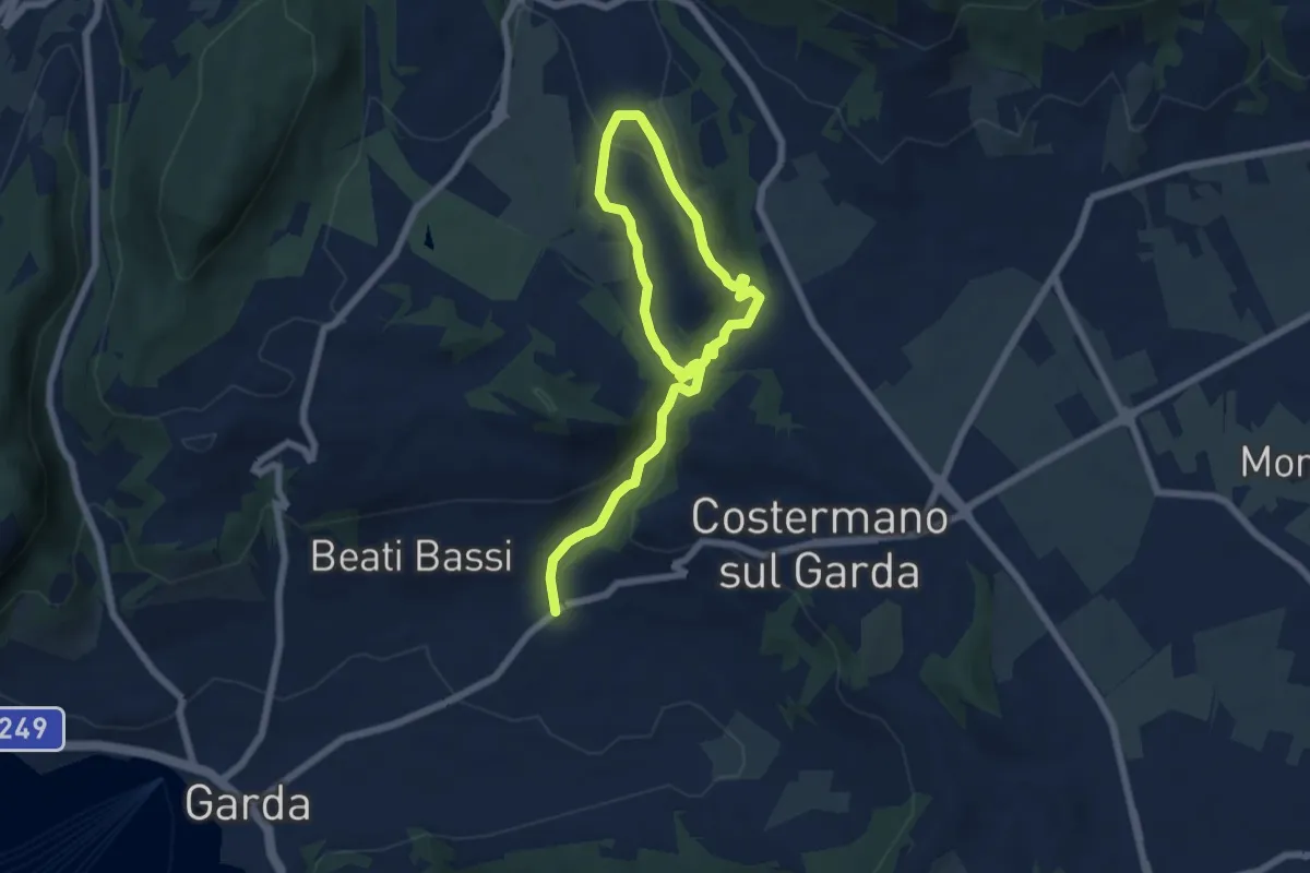
Garda - Beati - Pignoi (Itinerario C)
6.2 km · ↑ 241 m · 1 h 59 min · 11 km away
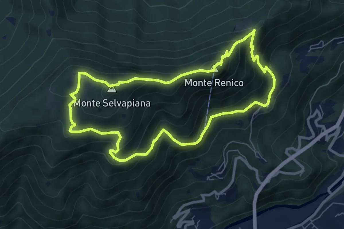
Medium · Summit
Villanuova sul Clisi (Peracque) - Madonna della Neve - Selvapiana - Peracque
6.2 km · ↑ 481 m · 2 h 35 min · 11 km away
Medium · Trail
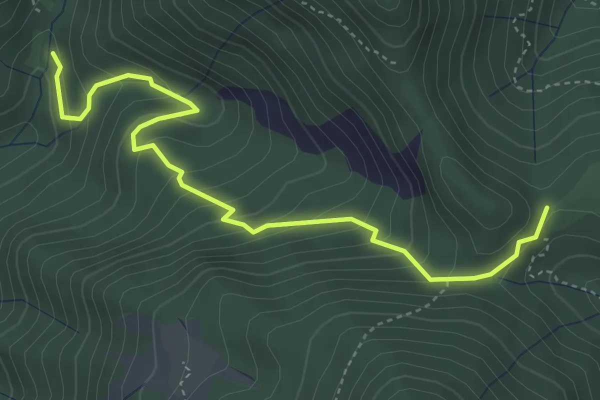
Valle Dei Molini (Itinerario D)
9.0 km · ↑ 299 m · 2 h 46 min · 11 km away
Medium · Trail
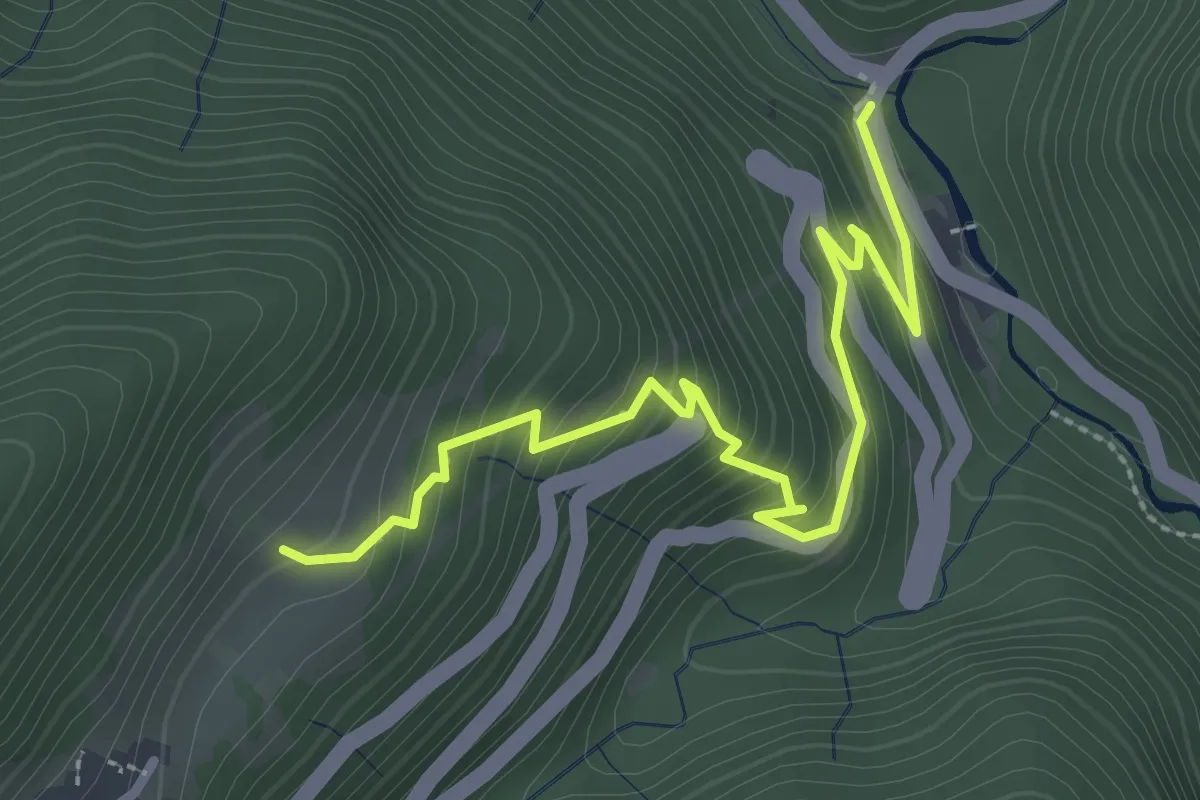
Sentiero del Fienile Resto
4.3 km · ↑ 376 m · 1 h 50 min · 11 km away
Easy · Trail
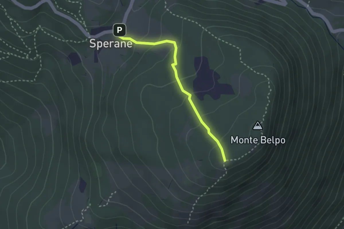
Sperane - Crocetta Monte Belpo
2.5 km · ↑ 133 m · 53 min · 11 km away
Medium · Trail
Antica Via di Bollone
3.2 km · ↑ 307 m · 1 h 25 min · 11 km away
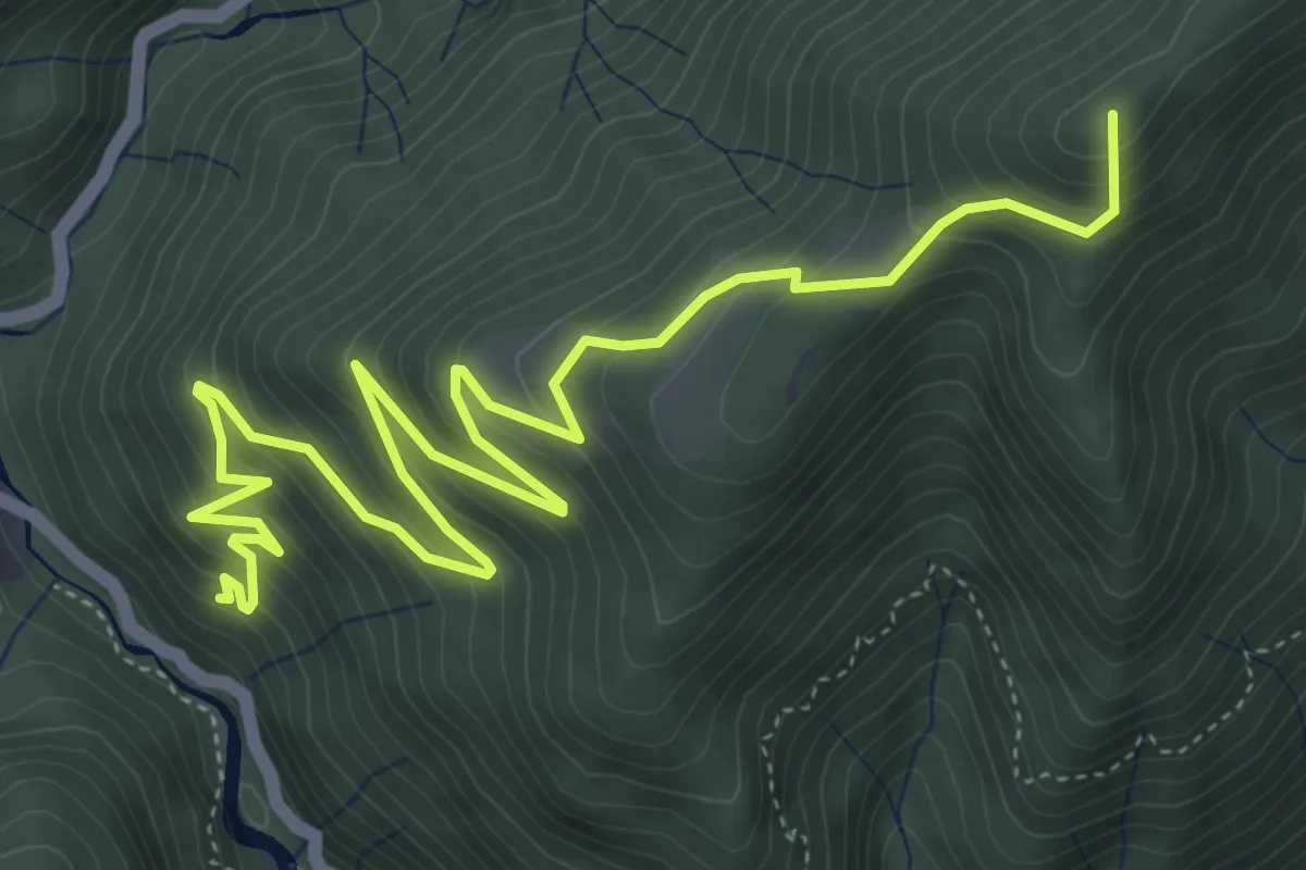
Medium · Summit
Molino di Bollone (Valvestino) – Cima Rest (Magasa)
7.1 km · ↑ 669 m · 3 h 7 min · 11 km away
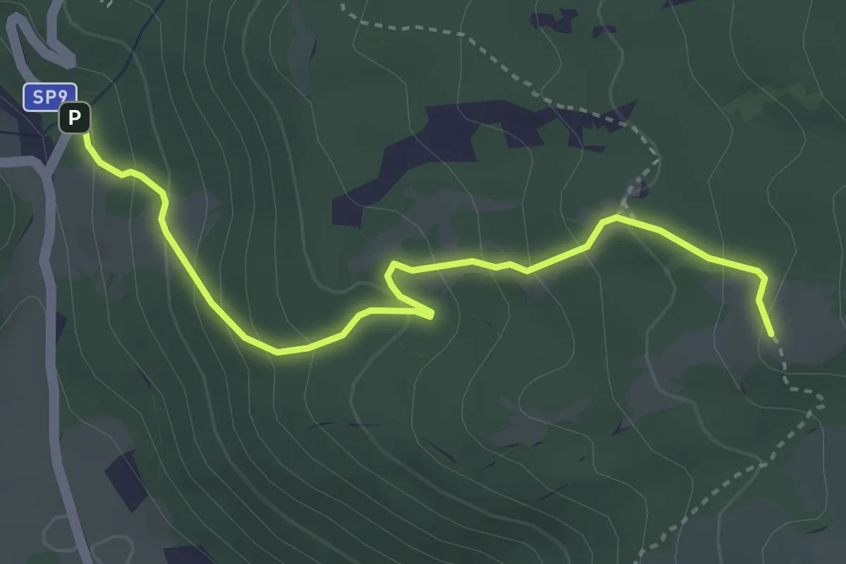
Easy · Trail
Corrubbio – Malga Zilone
3.8 km · ↑ 286 m · 1 h 31 min · 12 km away
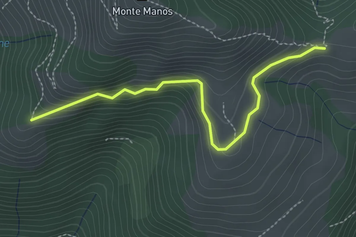
Easy · Trail
Strada del Manos
2.5 km · ↑ 155 m · 56 min · 12 km away
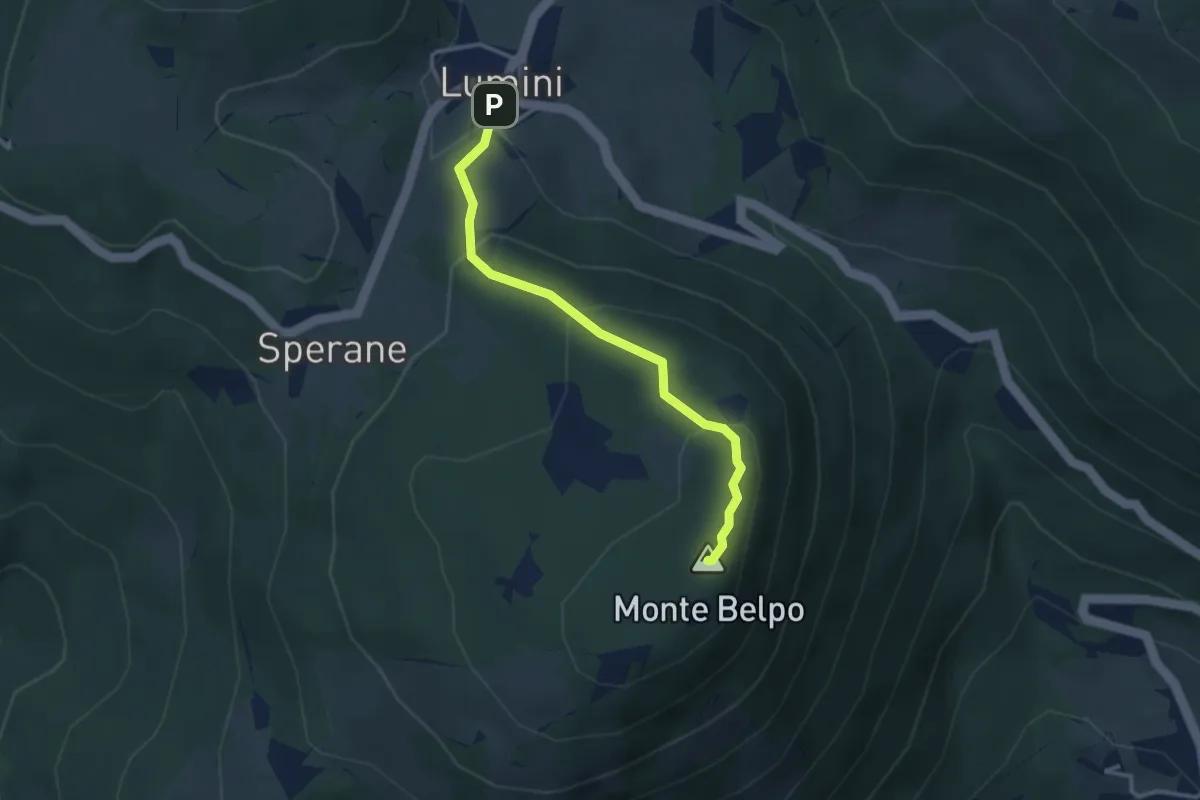
Medium · Summit
Lumini - Crocetta del Monte Belpo
3.1 km · ↑ 176 m · 1 h 7 min · 12 km away
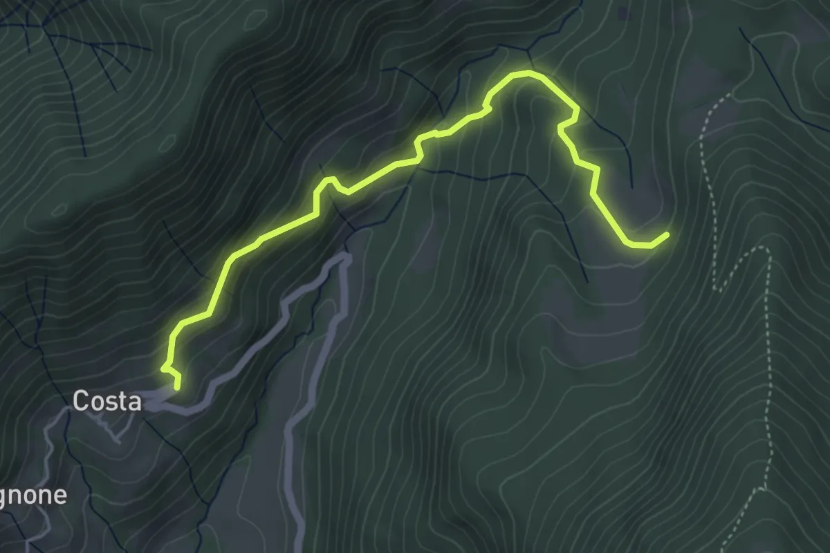
Medium · Trail
Nangui-Costa
5.0 km · ↑ 378 m · 2 h · 12 km away
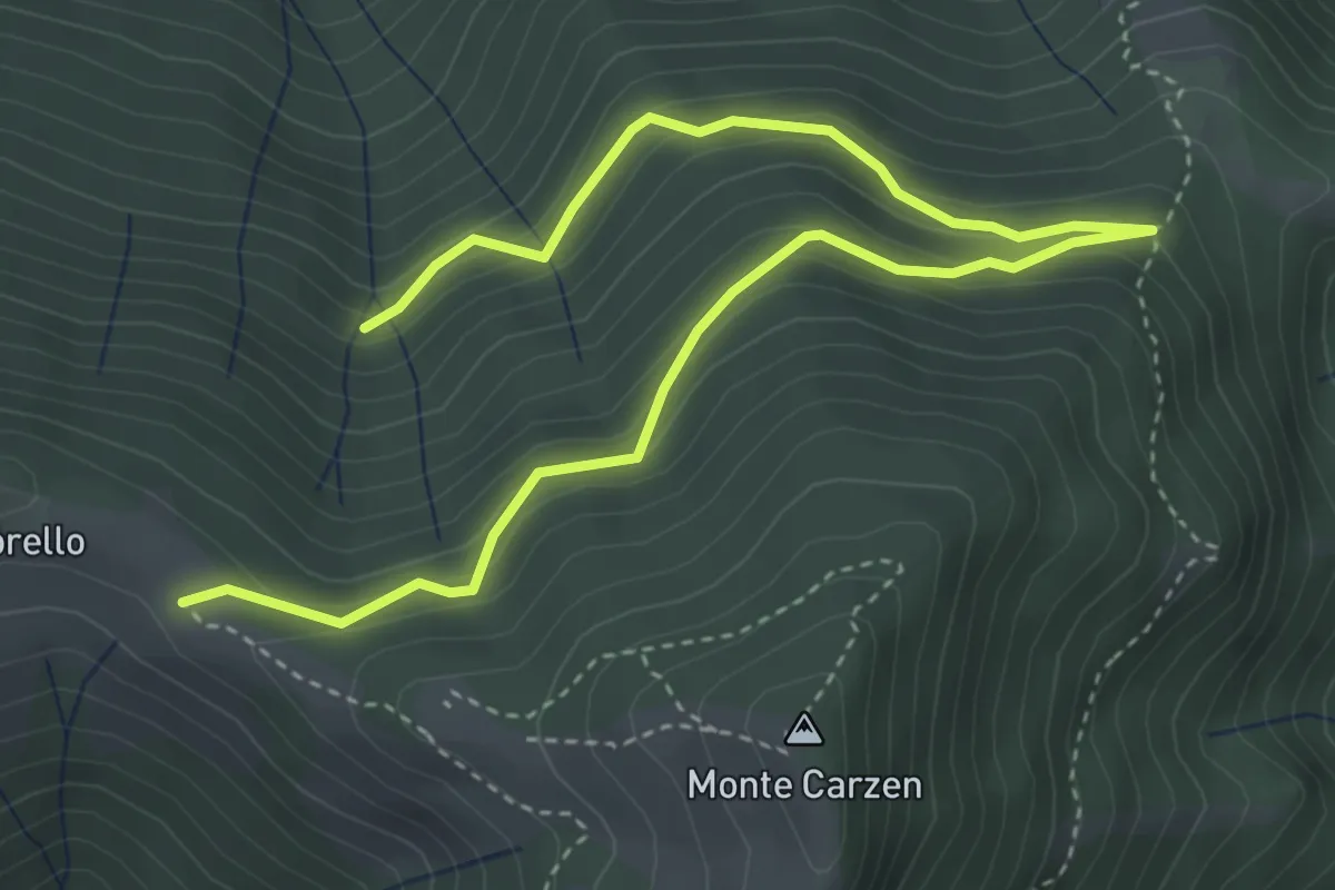
Medium · Trail
Strada della Spinafa
5.4 km · ↑ 379 m · 2 h 5 min · 12 km away
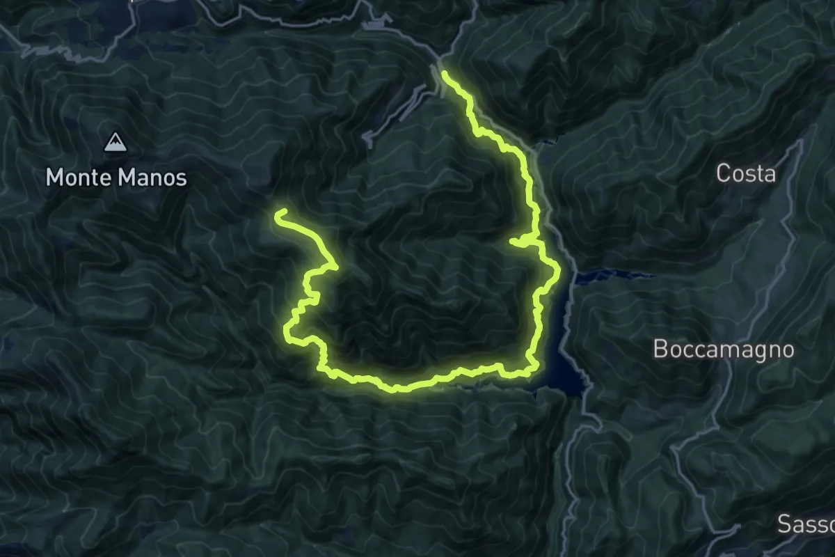
Demanding · Summit
Capovalle (Passo San Rocco) – Valvestino (Molino di Bollone)
25.0 km · ↑ 2251 m · 10 h 47 min · 12 km away
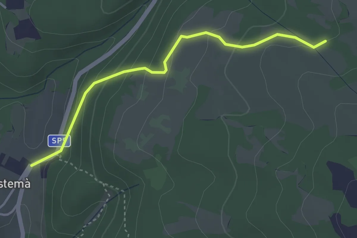
Easy · Trail
Prà Bestemà - Baito dei Santi - Prada Bassa
3.3 km · ↑ 185 m · 1 h 10 min · 12 km away
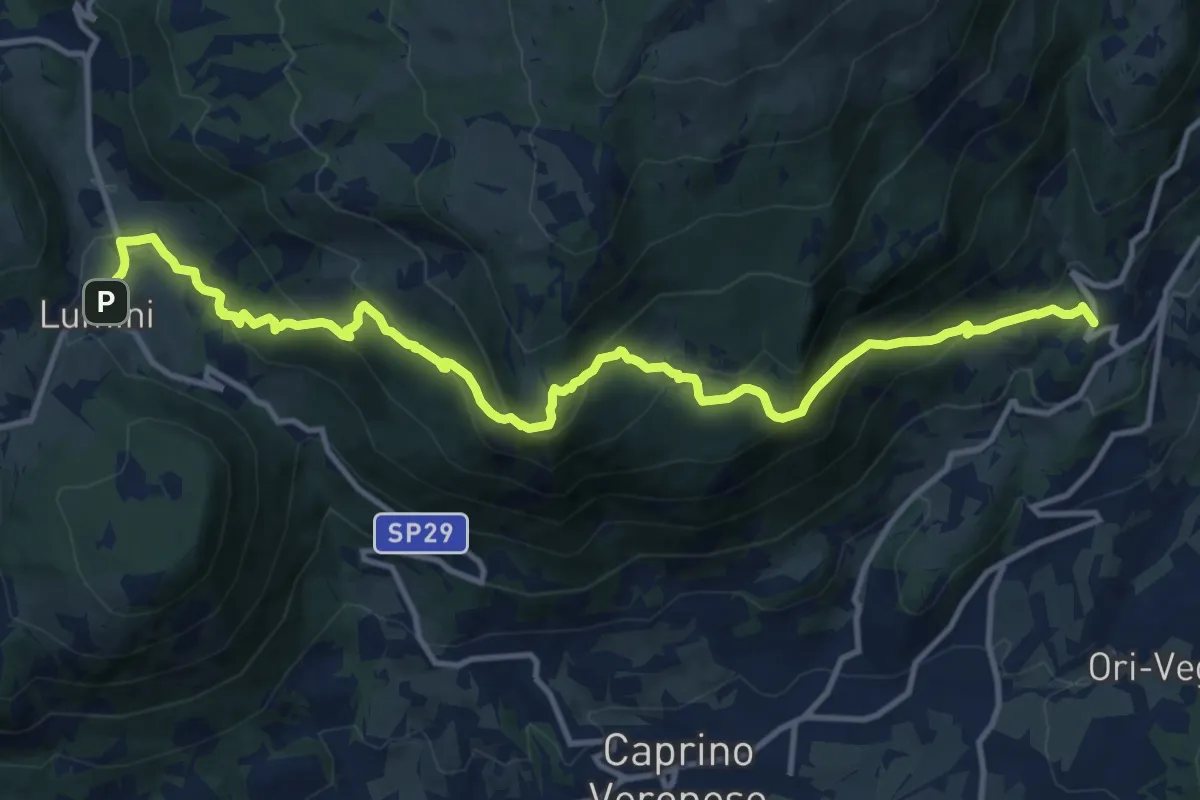
Demanding · Trail
Braga – Lumini
14.8 km · ↑ 921 m · 5 h 29 min · 12 km away
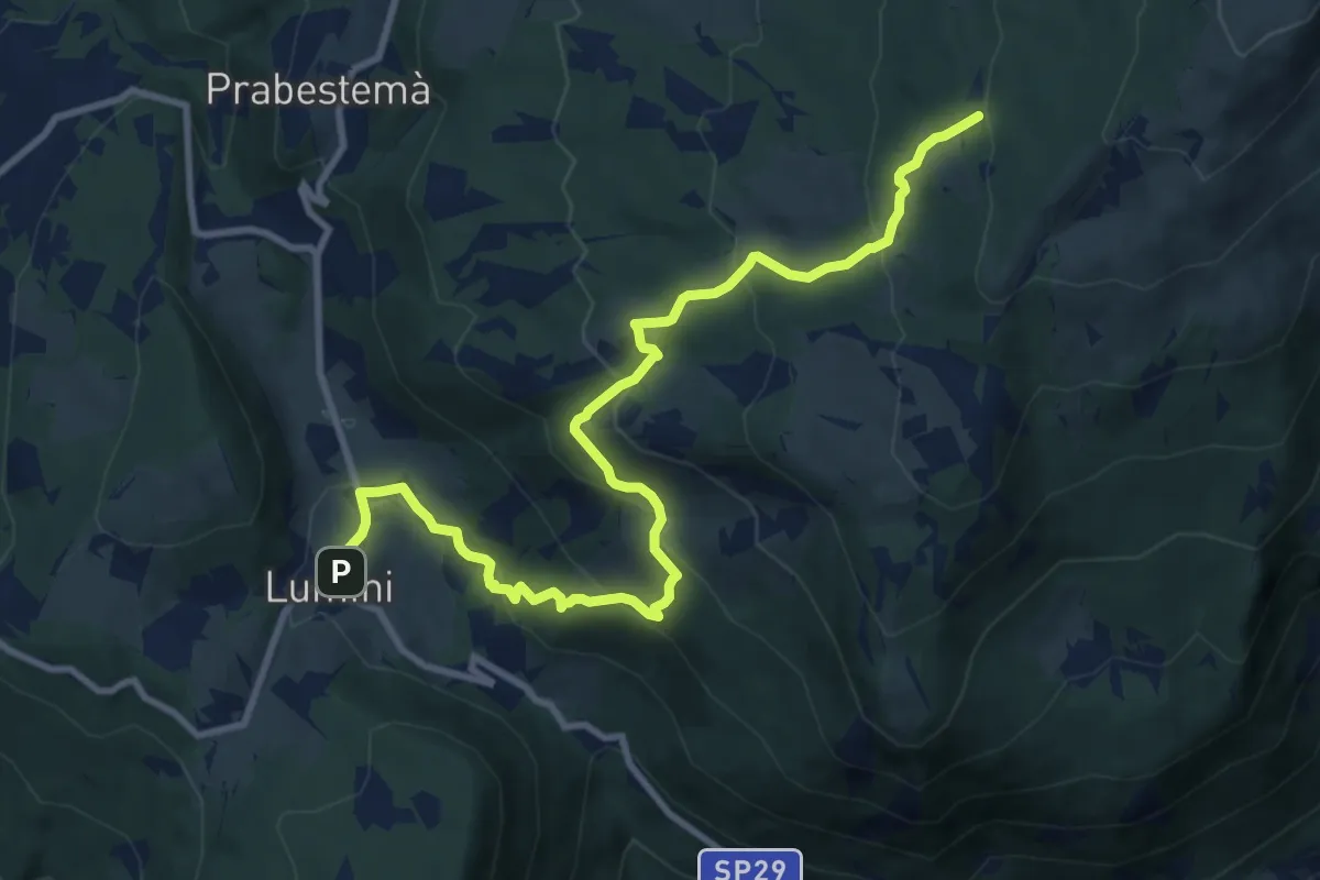
Medium · Summit
Lumini – Baito Eugenio Turri
11.4 km · ↑ 631 m · 4 h 3 min · 12 km away
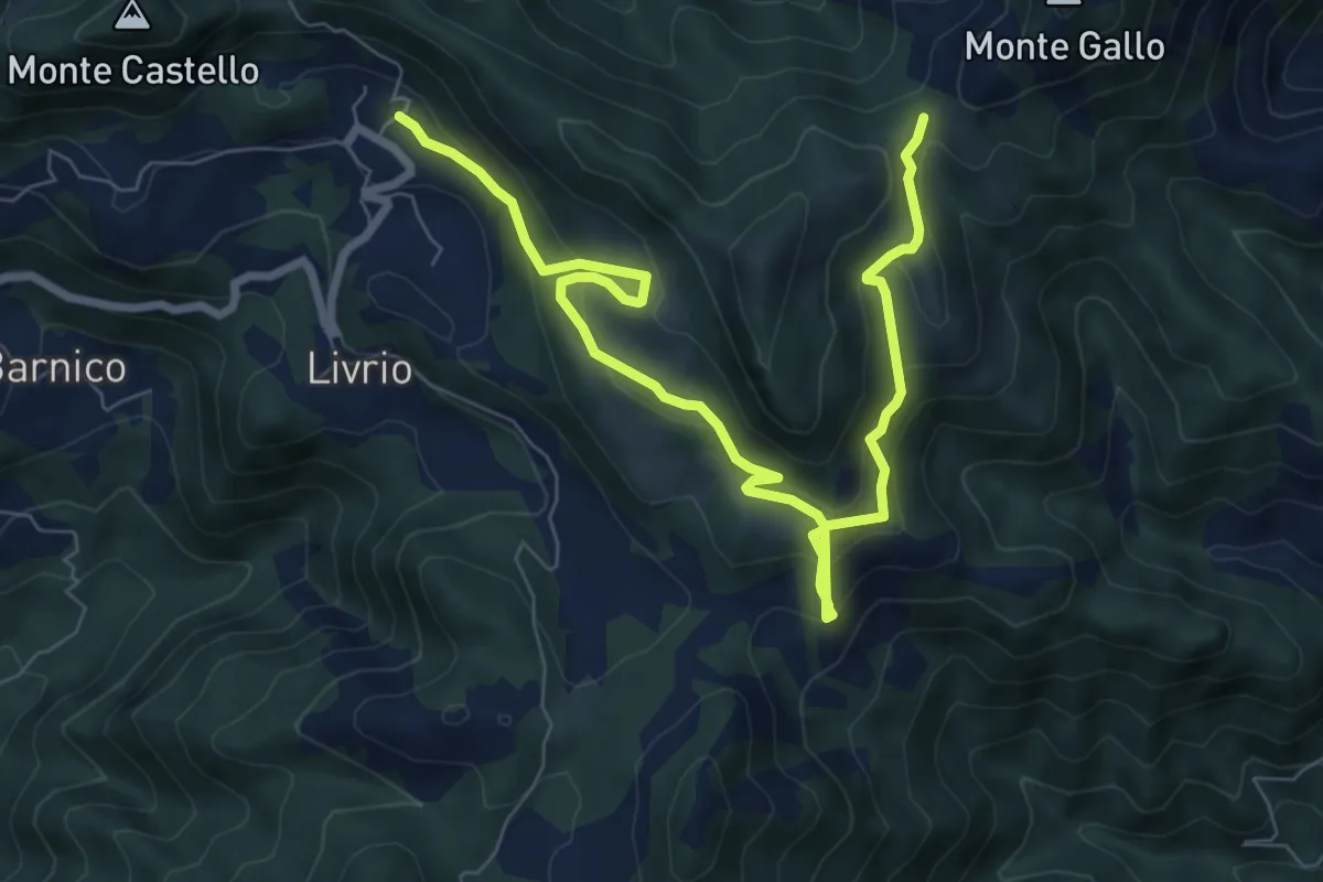
Medium · Trail
Arveaco - Passo del Cul
9.5 km · ↑ 674 m · 3 h 43 min · 12 km away
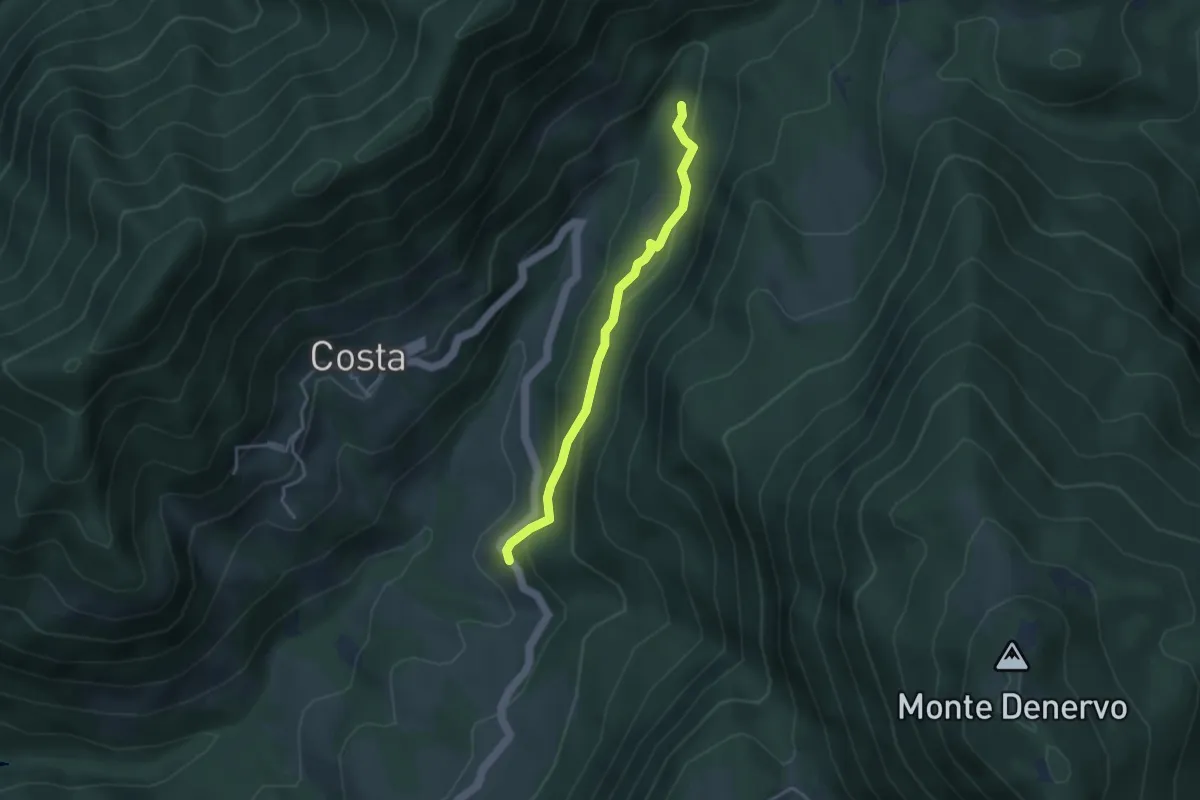
Easy · Trail
Sentiero di Narghere
3.4 km · ↑ 175 m · 1 h 11 min · 12 km away
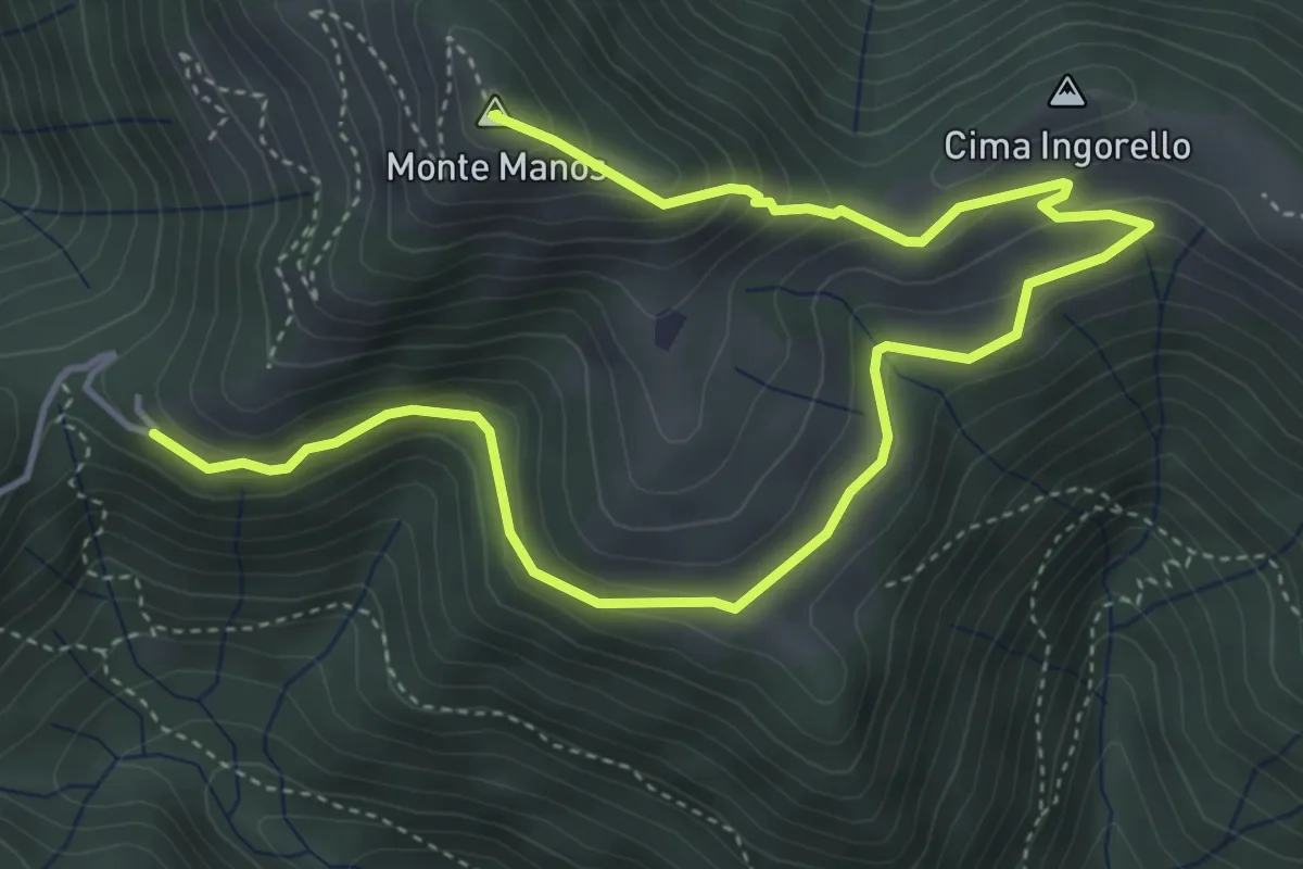
Medium · Summit
Capovalle (Passo di San Rocco) – Fienile del Veronese - Coccaveglie
6.3 km · ↑ 394 m · 2 h 21 min · 12 km away
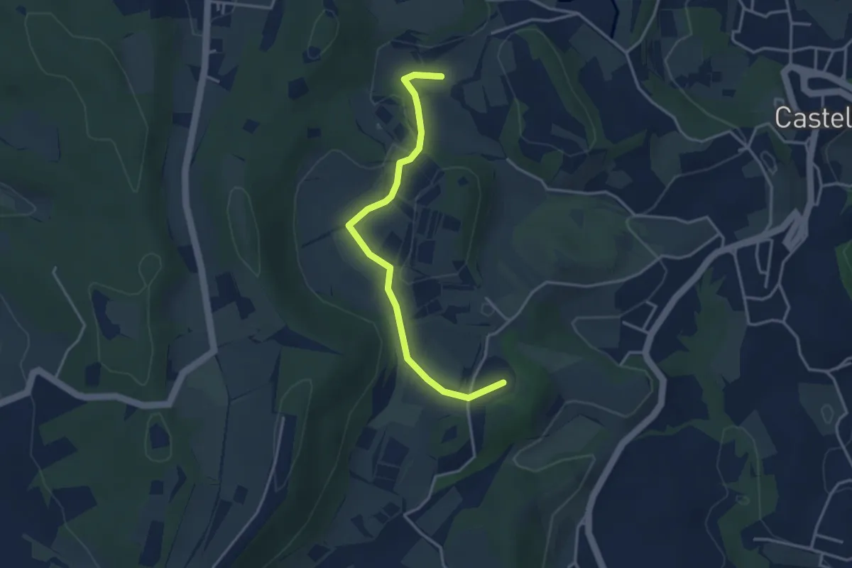
Easy · Summit
BVG di Predefitte
3.5 km · ↑ 29 m · 53 min · 12 km away
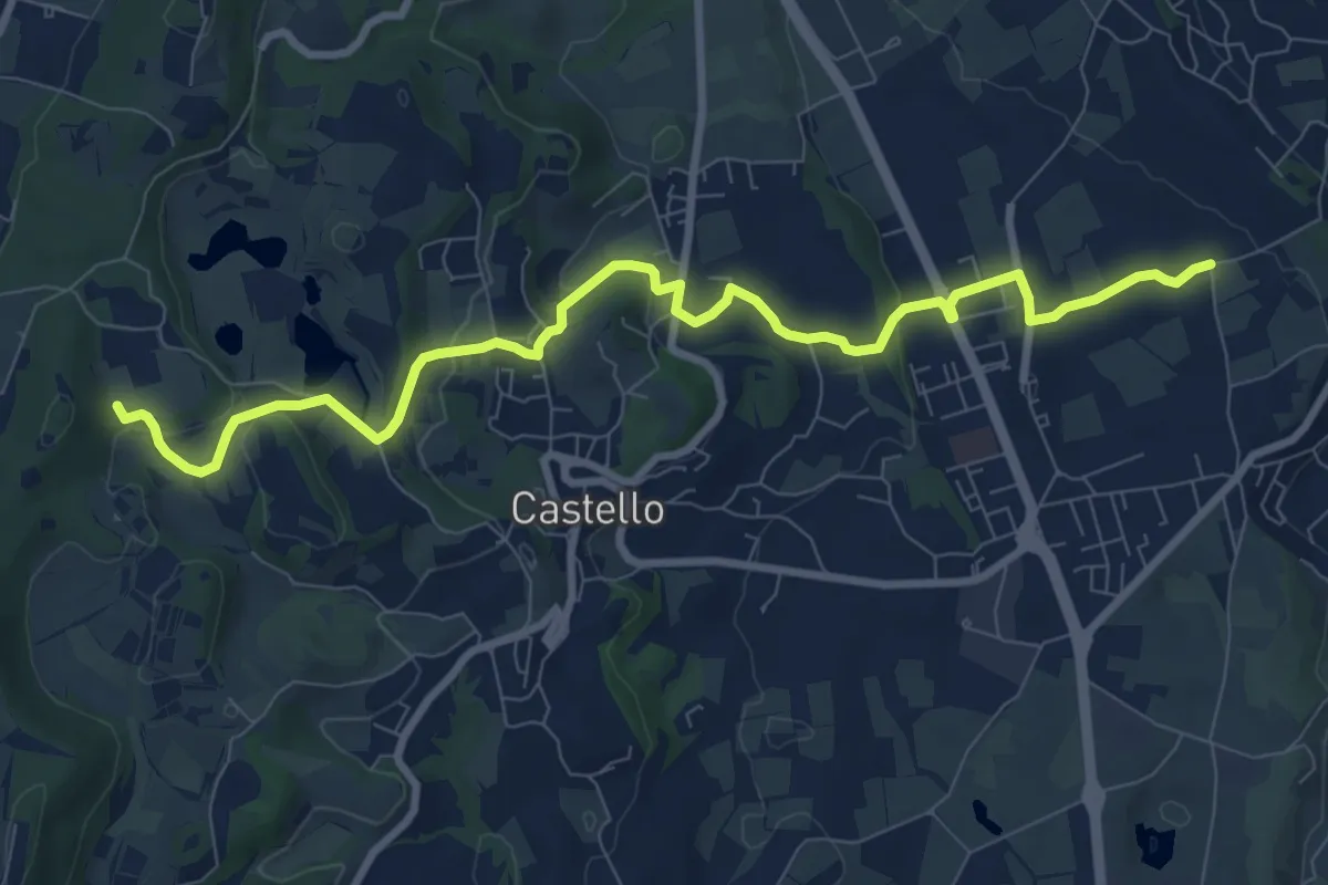
Medium · Trail
2 - Percorsi delle Colline Moreniche di Puegnago
10.1 km · ↑ 195 m · 2 h 48 min · 12 km away
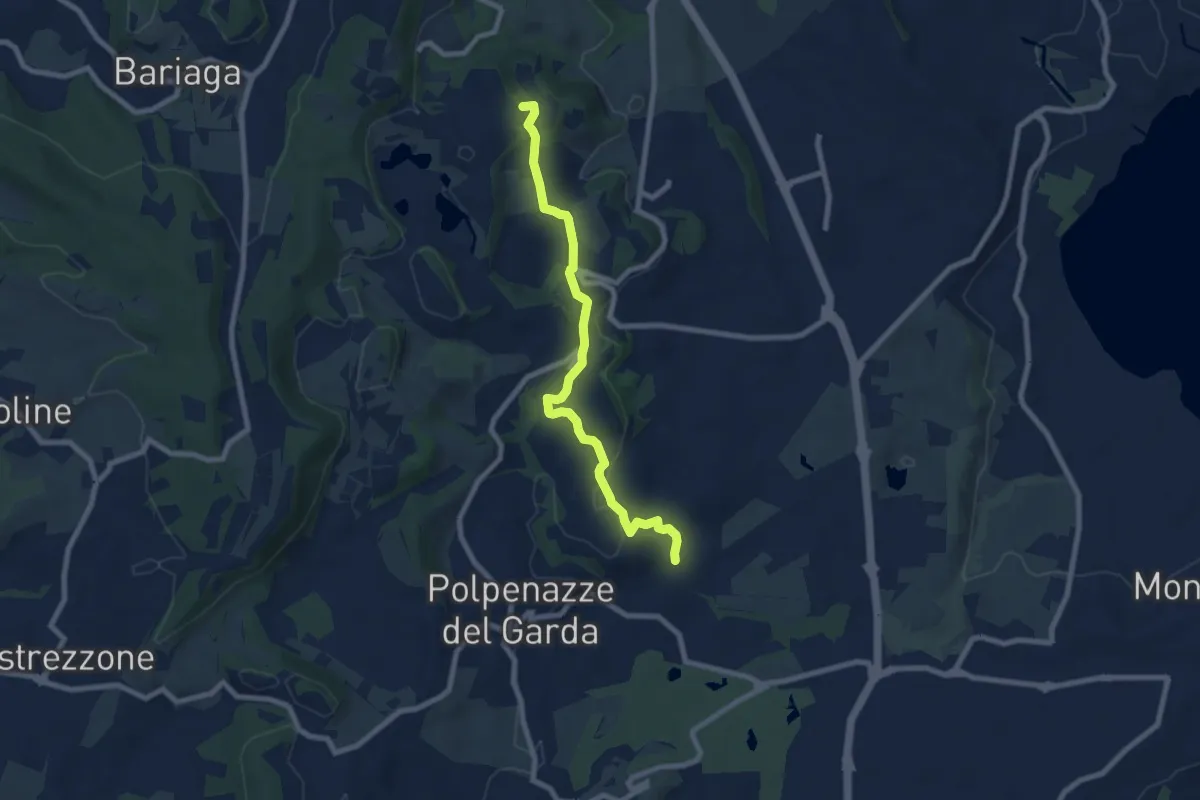
Easy · Summit
4 - Percorsi delle Colline Moreniche di Puegnago
7.9 km · ↑ 166 m · 2 h 14 min · 12 km away
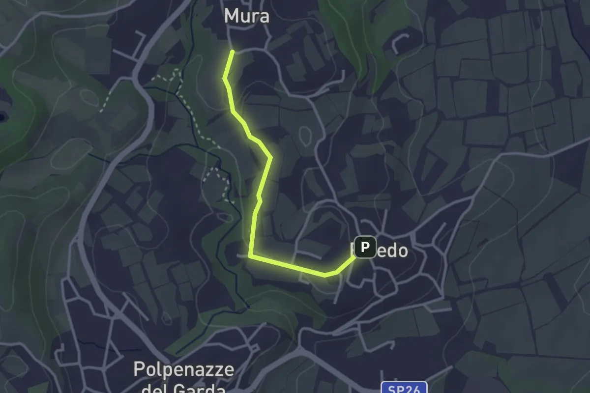
Easy · Trail
7 - Percorsi delle Colline Moreniche di Puegnago
2.7 km · ↑ 38 m · 43 min · 12 km away
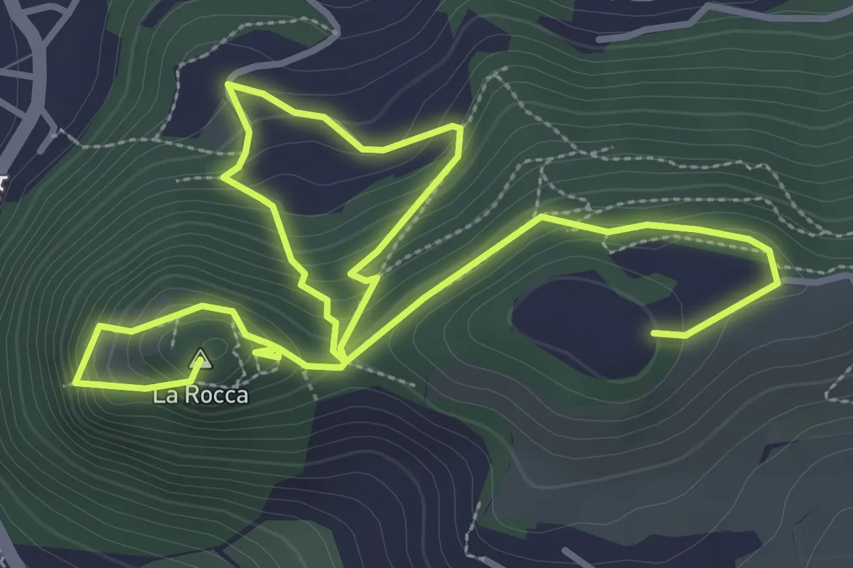
Medium · Summit
Garda - Rocca Vecchia - Eremo dei Camaldolesi
5.8 km · ↑ 404 m · 2 h 15 min · 12 km away
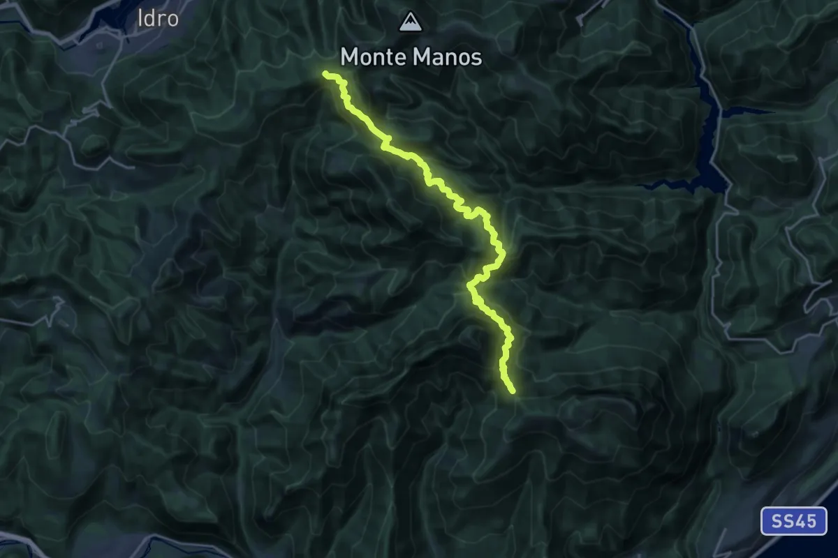
Demanding · Trail
Cavallino della Fobbia - Passo dello Spino
10.0 km · ↑ 813 m · 4 h 14 min · 12 km away
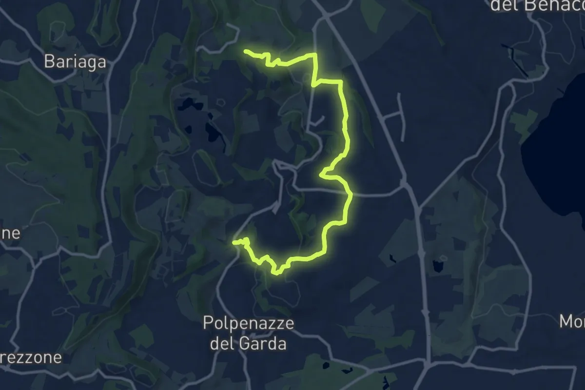
Medium · Trail
6 - Percorsi delle Colline Moreniche di Puegnago
12.6 km · ↑ 267 m · 3 h 34 min · 12 km away