Trails near Maderno
272 hikes starting within 15 km, nearest first.
Nearest first, page 5 of 6
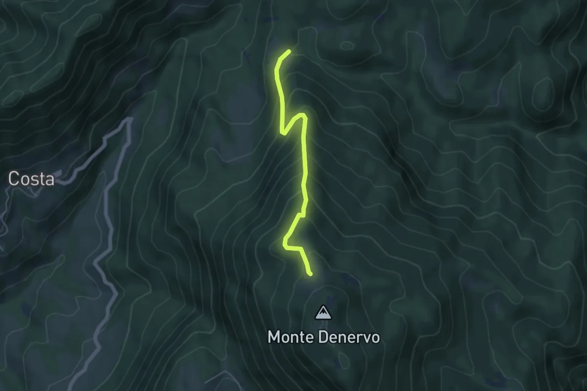
Medium · Trail
Bocca Fobia - Malga Denervo
4.3 km · ↑ 452 m · 1 h 59 min · 12 km away
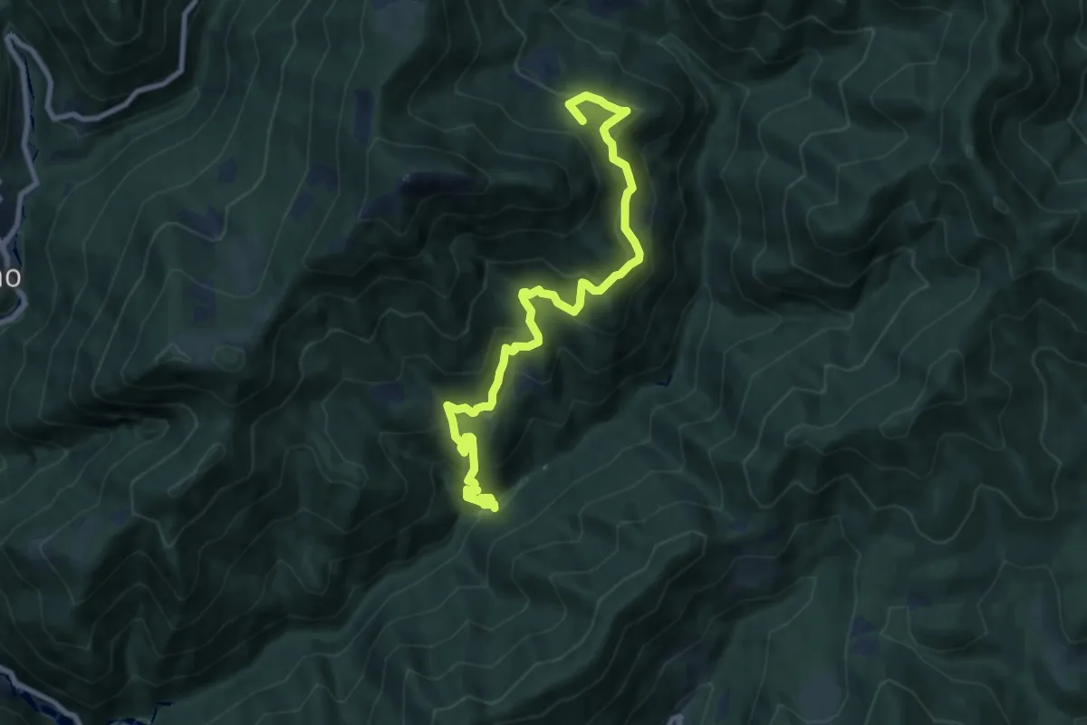
Medium · Summit
Sentiero del Borgo Fornel
9.7 km · ↑ 797 m · 4 h 1 min · 12 km away
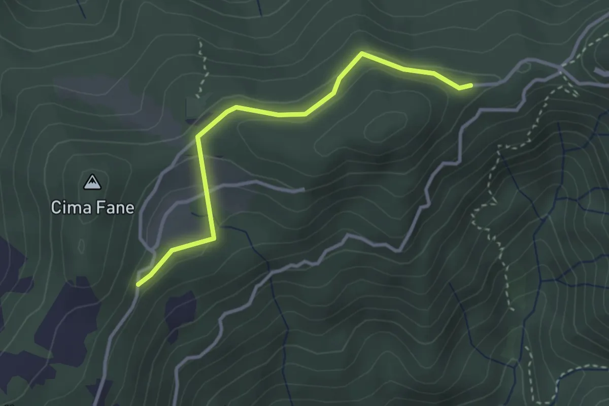
Easy · Trail
Eno - Passo del Cavallino - Eno
1.5 km · ↑ 61 m · 29 min · 12 km away
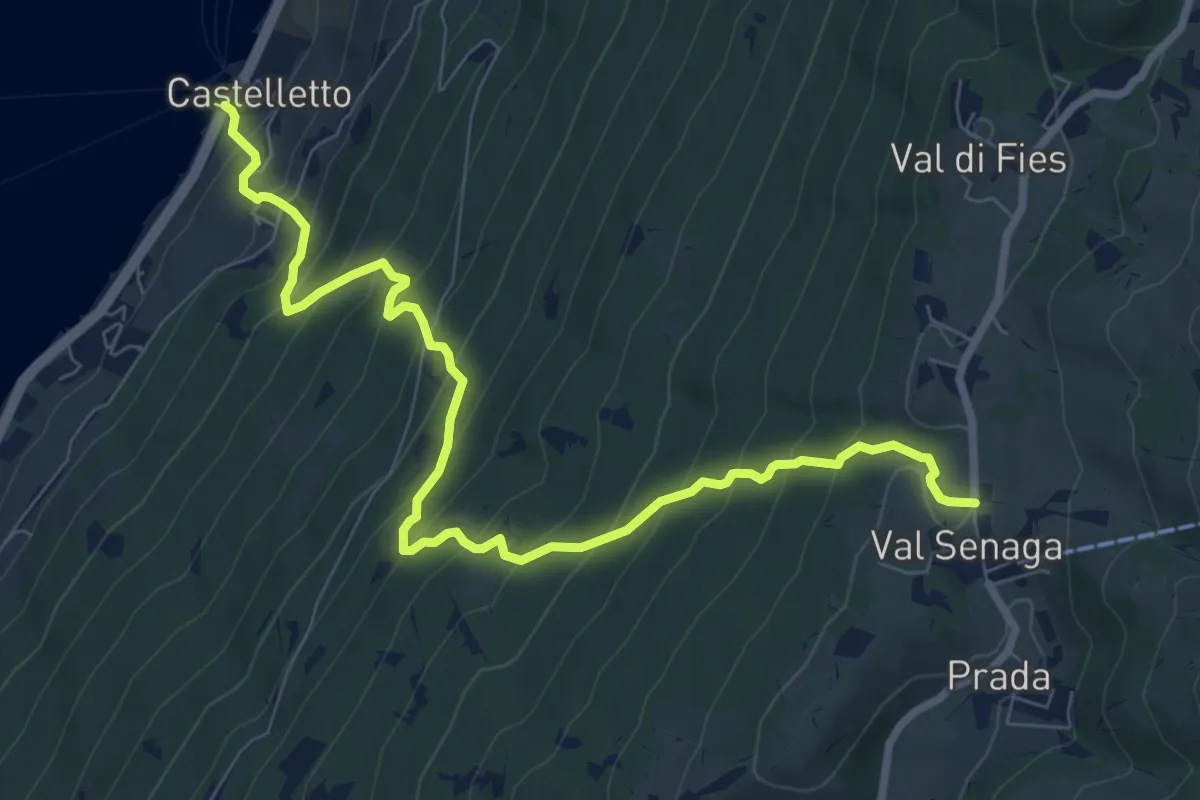
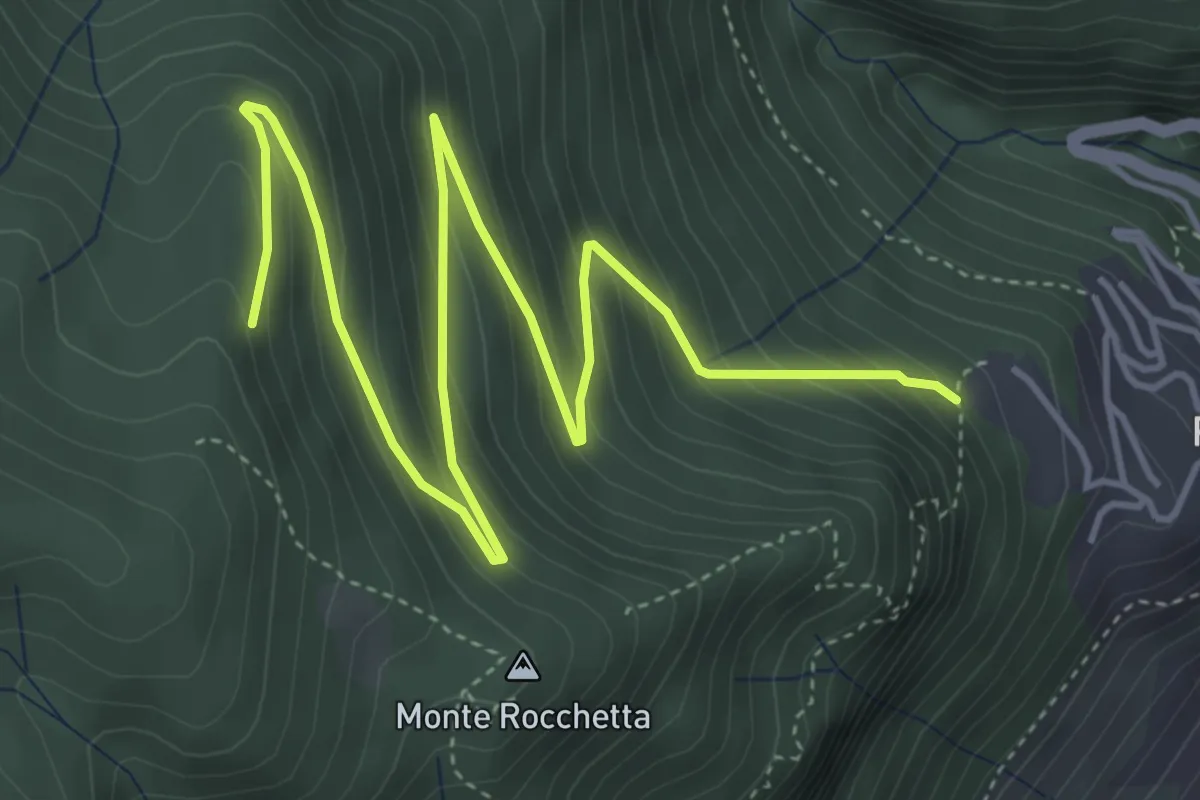
Demanding · Trail
Castelletto di Brenzone – Prada
9.4 km · ↑ 943 m · 4 h 15 min · 12 km away
Medium · Trail
Piovere – Crista
6.5 km · ↑ 428 m · 2 h 28 min · 12 km away
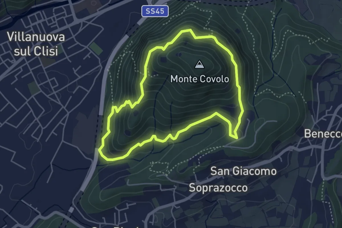
Medium · Trail
Anello Monte Covolo
4.0 km · ↑ 279 m · 1 h 36 min · 12 km away
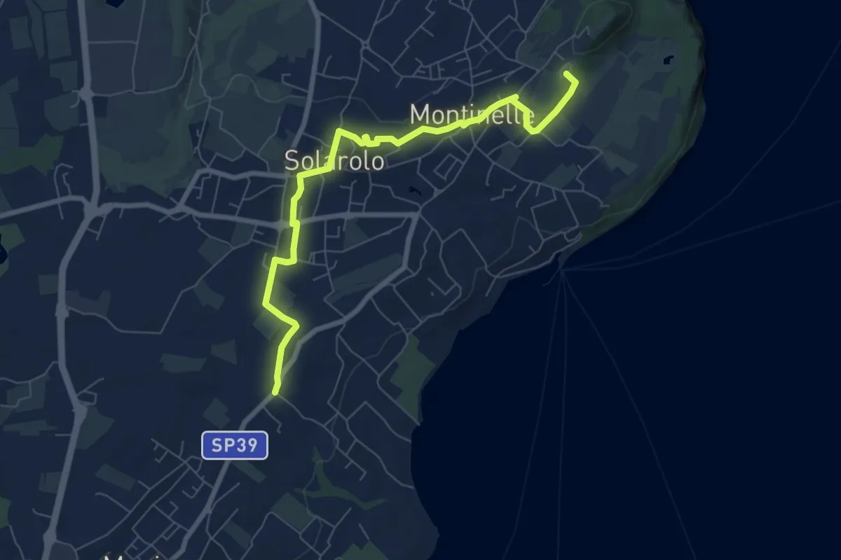
Easy · Summit
Perlino – Museo archeologico
7.7 km · ↑ 99 m · 2 h 1 min · 12 km away
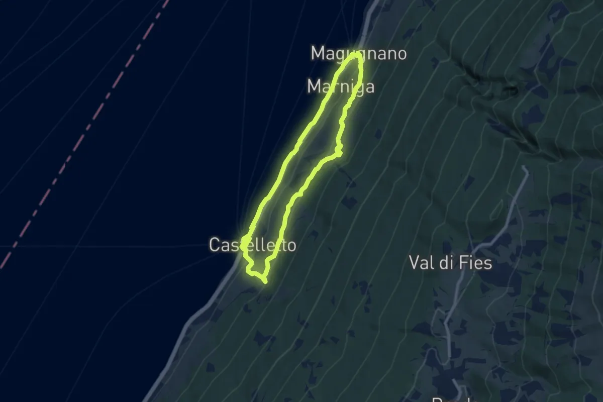
Medium · Trail
Anello Campo - 3 Nordic Walking Park
6.9 km · ↑ 250 m · 2 h 16 min · 12 km away
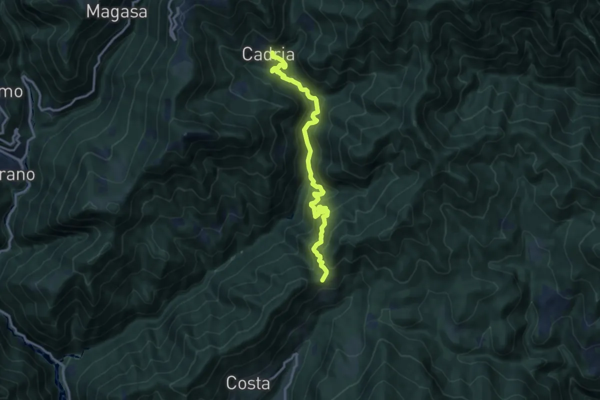
Demanding · Trail
Bocca di Paolone - Cadria
10.6 km · ↑ 826 m · 4 h 18 min · 12 km away
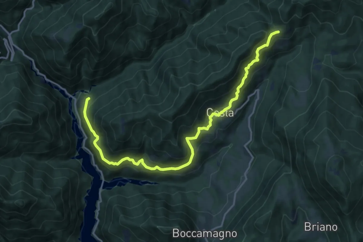
Demanding · Trail
Strada della Traplina e di Paolone
13.4 km · ↑ 1048 m · 5 h 26 min · 12 km away
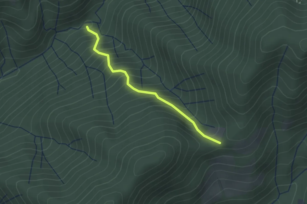
Easy · Trail
Sentiero del Pinì
2.2 km · ↑ 317 m · 1 h 13 min · 12 km away
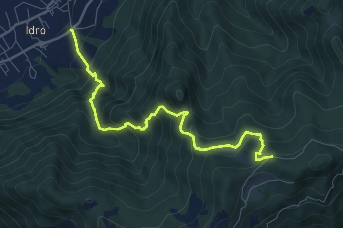
Medium · Trail
Idro (Crone) - Cavacca
7.6 km · ↑ 754 m · 3 h 25 min · 12 km away
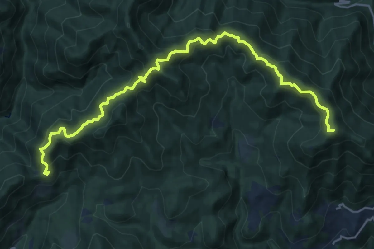
Demanding · Summit
Sentiero dei Tre Passi
14.8 km · ↑ 1133 m · 5 h 58 min · 12 km away
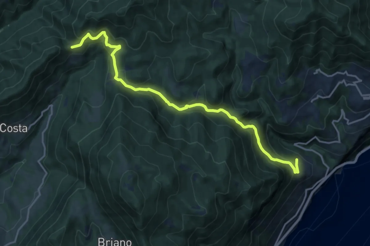
Medium · Trail
Piovere (Tignale) – Bocca di Paolone
12.8 km · ↑ 757 m · 4 h 39 min · 12 km away
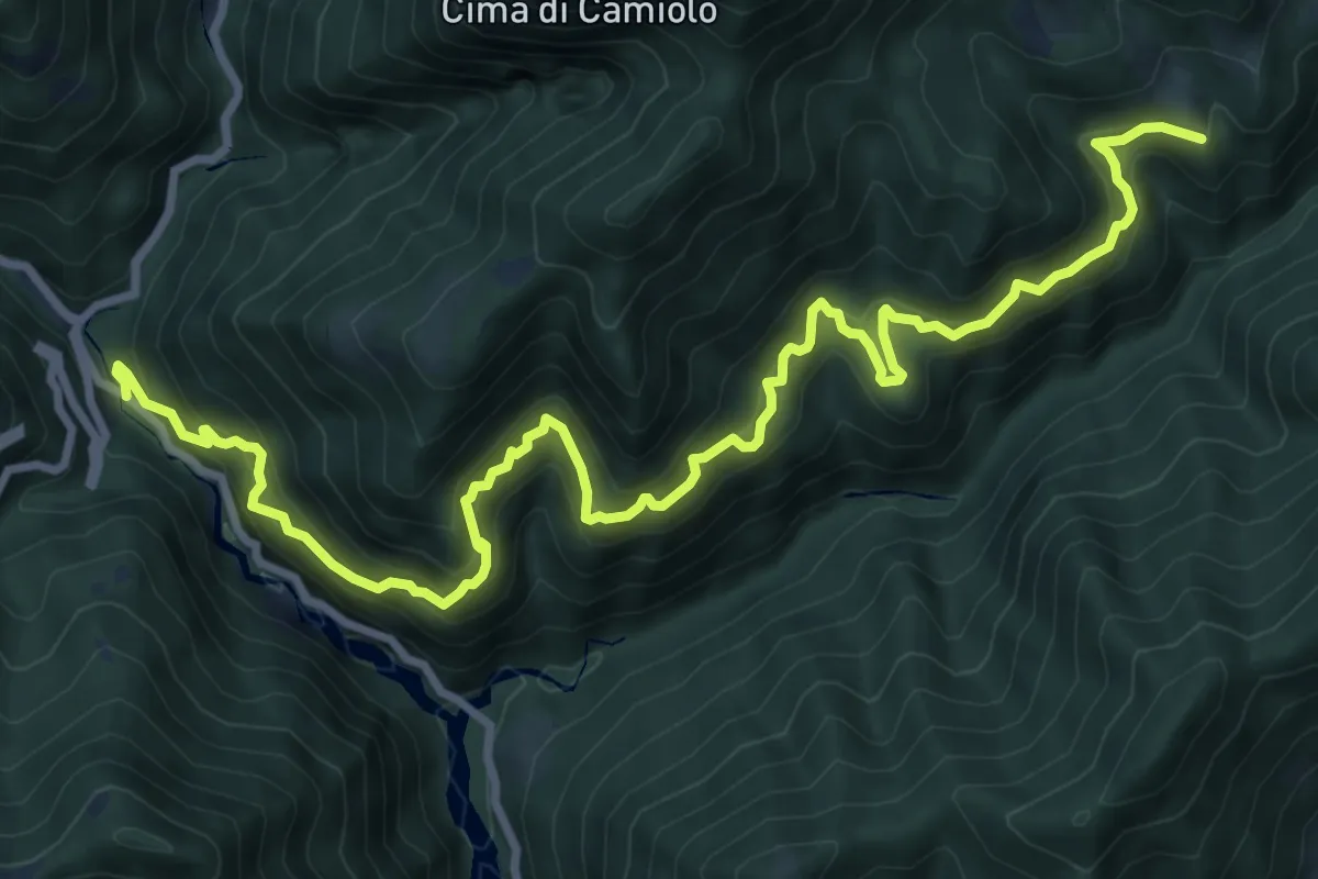
Demanding · Trail
Sentiero del Costone
12.0 km · ↑ 1018 m · 5 h 2 min · 12 km away
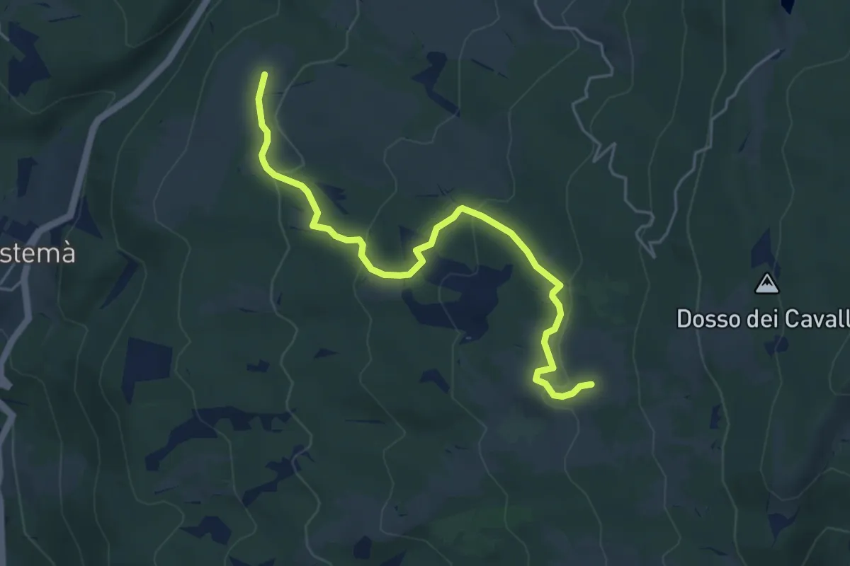
Easy · Trail
Baito dei Santi - Montesel - Baita Zocchi
5.1 km · ↑ 201 m · 1 h 38 min · 12 km away
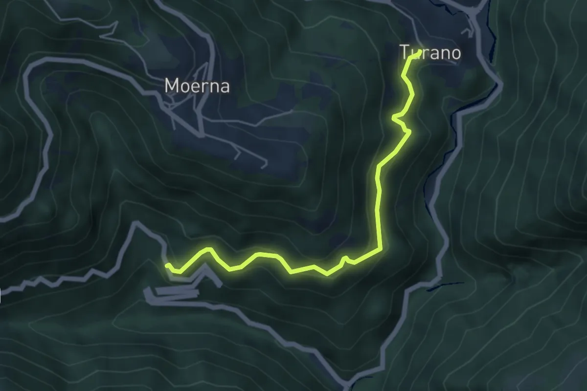
Medium · Trail
Sentiero delle Cedrine
4.7 km · ↑ 467 m · 2 h 7 min · 13 km away
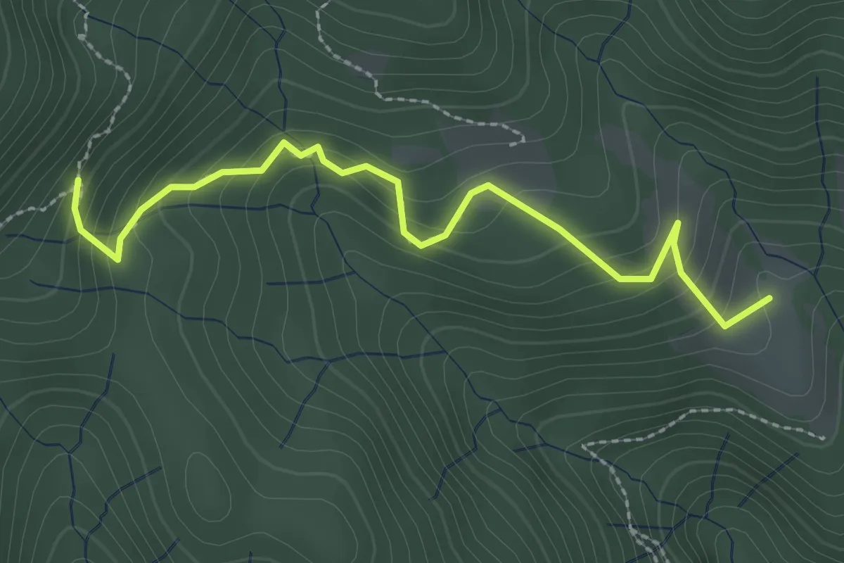
Easy · Trail
Sentiero del Pavarì
2.7 km · ↑ 206 m · 1 h 5 min · 13 km away
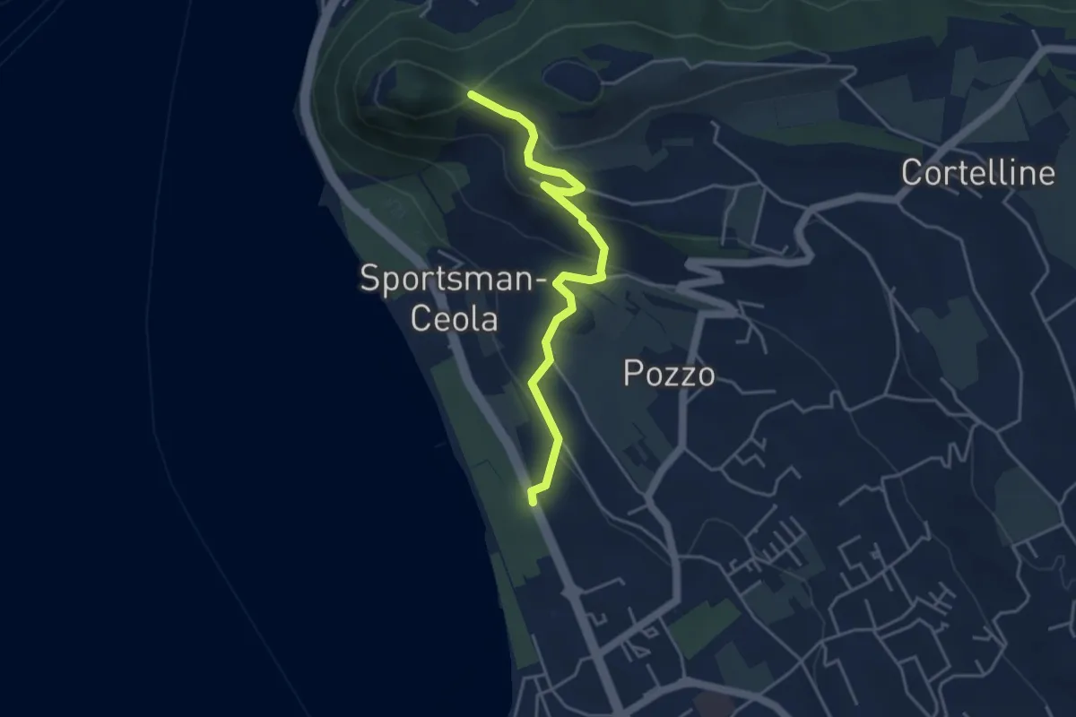
Medium · Trail
Percorso Eremo dei Camaldolesi
4.2 km · ↑ 173 m · 1 h 22 min · 13 km away
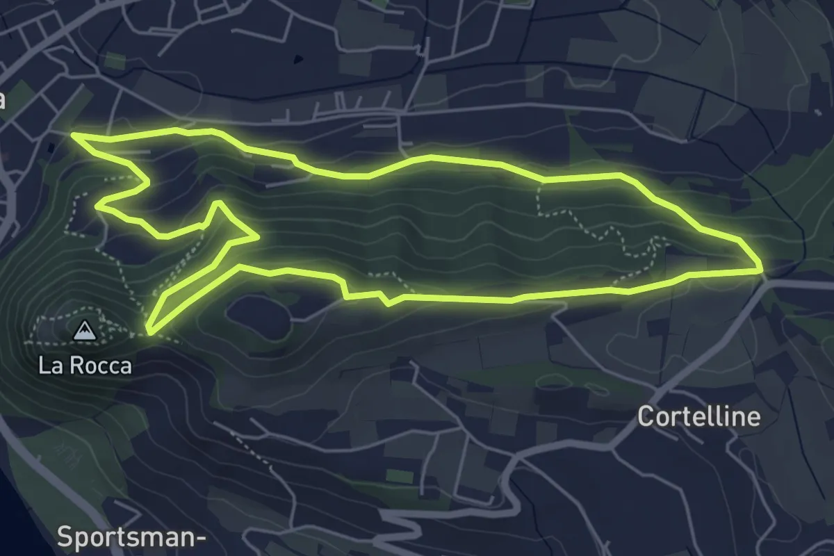
Medium · Trail
Garda - Dacia - Eremo dei Camaldolesi - Rocca Vecchia
5.8 km · ↑ 220 m · 1 h 55 min · 13 km away
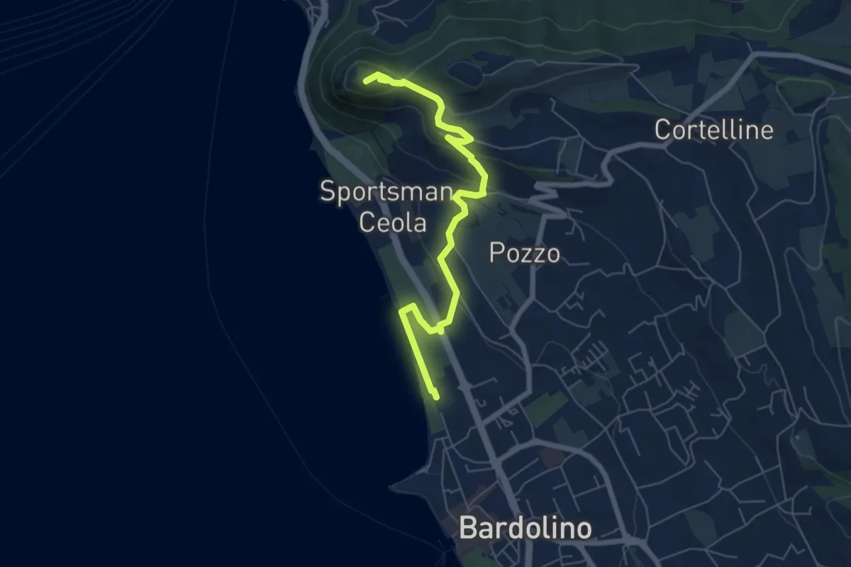
Medium · Summit
Sulle tracce della biodiversità
6.4 km · ↑ 218 m · 1 h 59 min · 13 km away
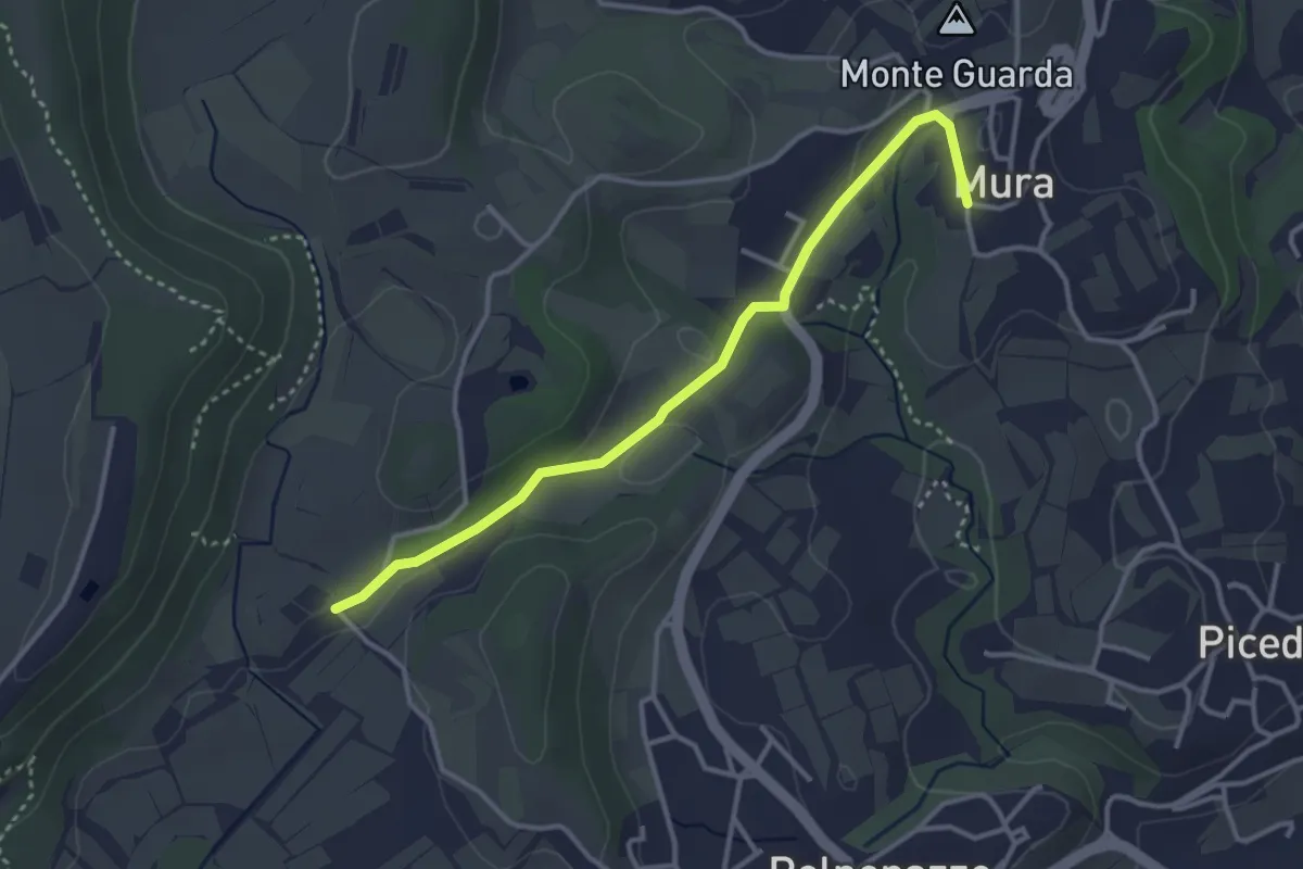
Easy · Trail
8 - Percorsi delle Colline Moreniche di Puegnago
3.5 km · ↑ 41 m · 55 min · 13 km away
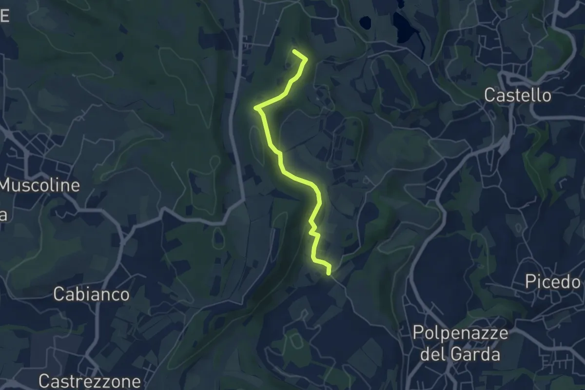
Easy · Summit
1 - Percorsi delle Colline Moreniche di Puegnago
4.8 km · ↑ 137 m · 1 h 26 min · 13 km away
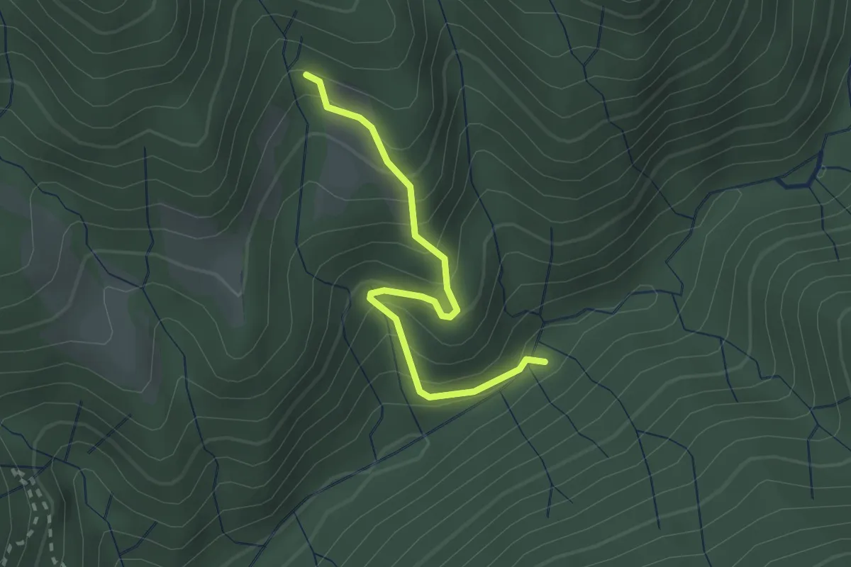
Easy · Trail
Strada di Corsenich
2.3 km · ↑ 275 m · 1 h 9 min · 13 km away
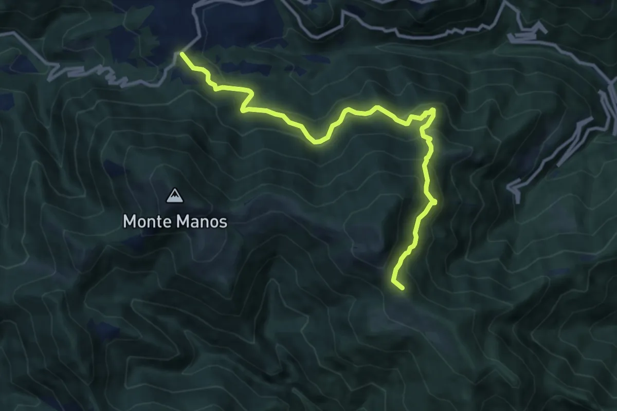
Demanding · Summit
Passo San Rocco - Passo Vesta
10.5 km · ↑ 801 m · 4 h 12 min · 13 km away
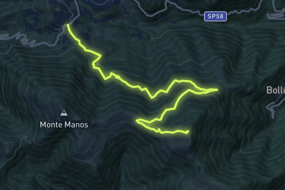
Demanding · Summit
Passo San Rocco – M.te Carzen
11.7 km · ↑ 874 m · 4 h 39 min · 13 km away
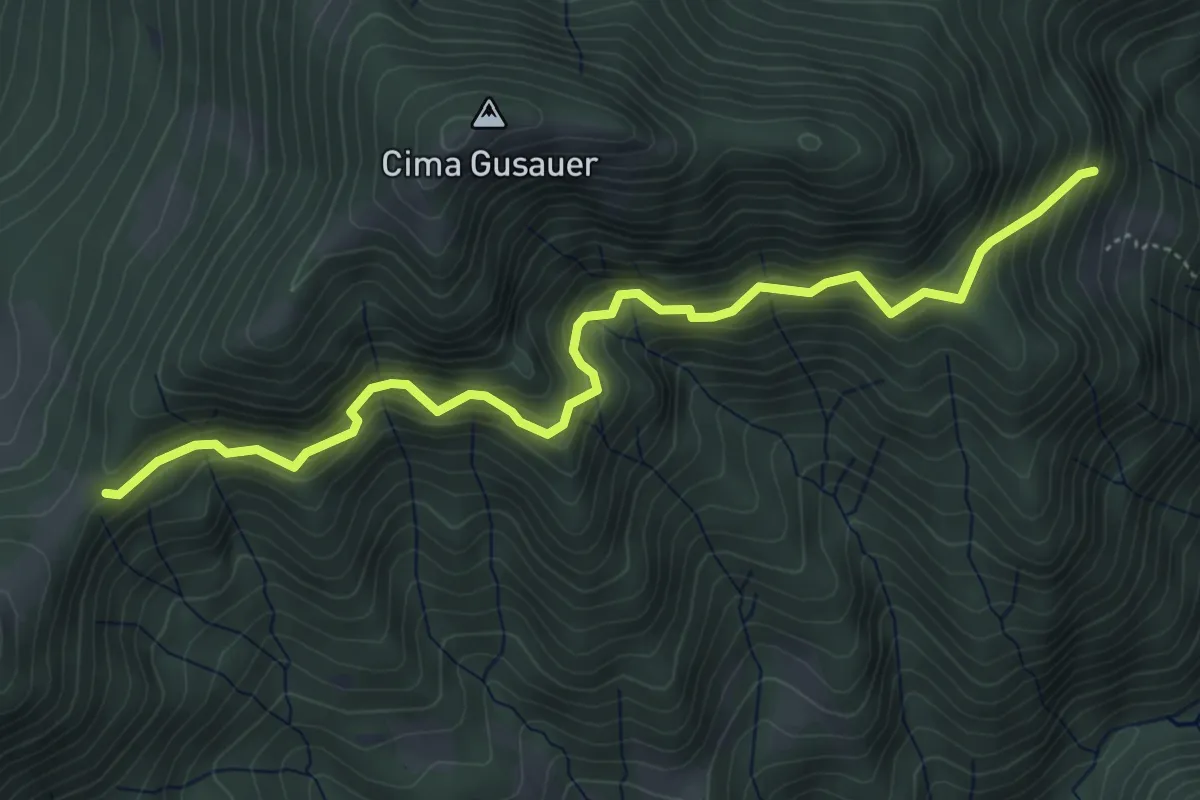
Medium · Trail
Bocca alla Croce (Valvestino) - Fornello (Magasa)
5.5 km · ↑ 565 m · 2 h 31 min · 13 km away
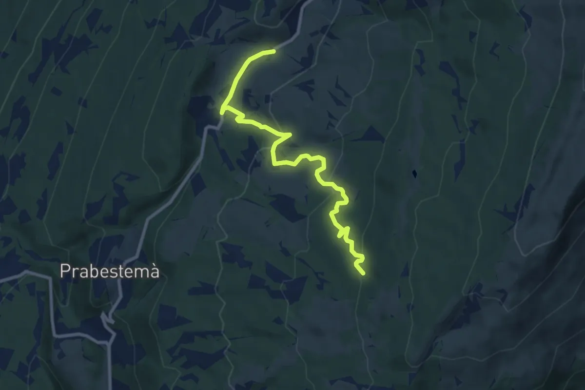
Medium · Trail
Prada Bassa - Naole - Rifugio Fiori del Baldo
8.3 km · ↑ 372 m · 2 h 46 min · 13 km away
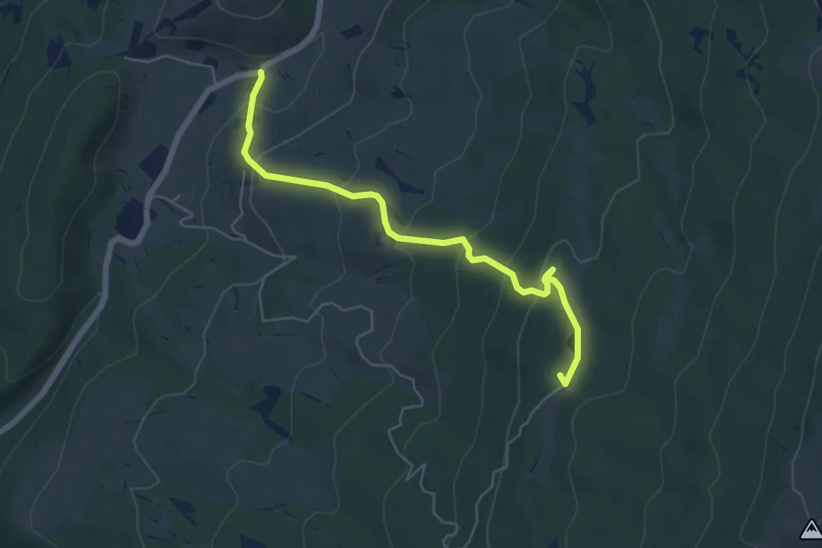
Medium · Summit
Prada Bassa – Due Pozze
5.2 km · ↑ 355 m · 2 h · 13 km away
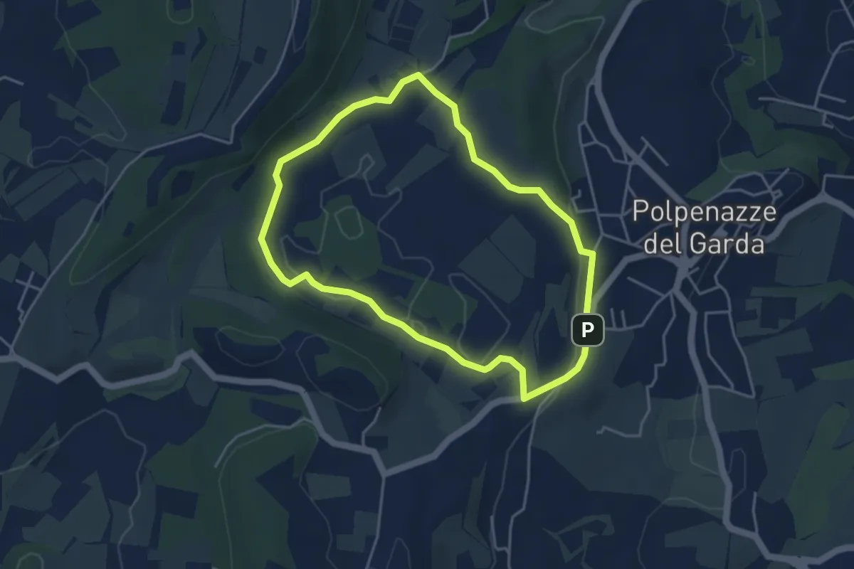
Easy · Trail
Giro del Lago di Lucone
3.9 km · ↑ 42 m · 1 h 3 min · 13 km away
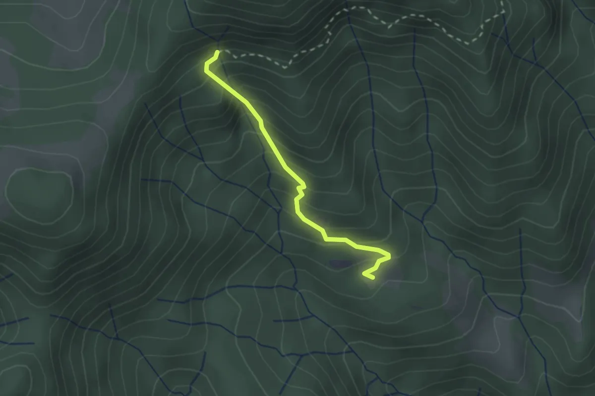
Easy · Cabin
Sentiero del Pavarì
2.0 km · ↑ 261 m · 1 h 3 min · 13 km away
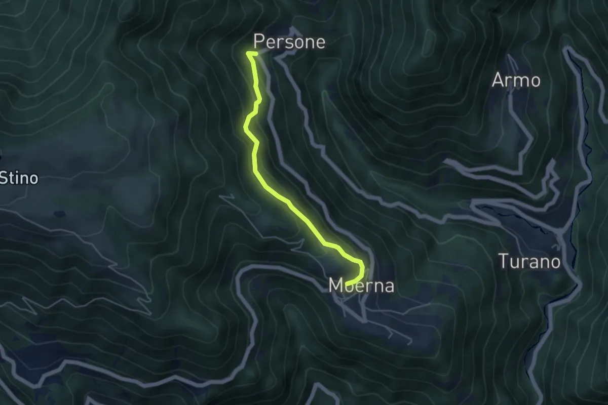
Easy · Trail
Persone. Moerna
4.1 km · ↑ 255 m · 1 h 31 min · 13 km away
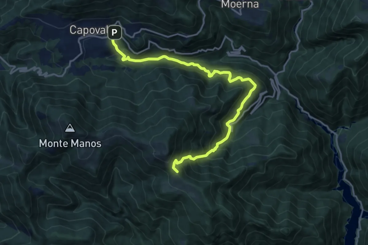
Demanding · Summit
Capovalle – Fienili del Loss
13.4 km · ↑ 1266 m · 5 h 55 min · 13 km away
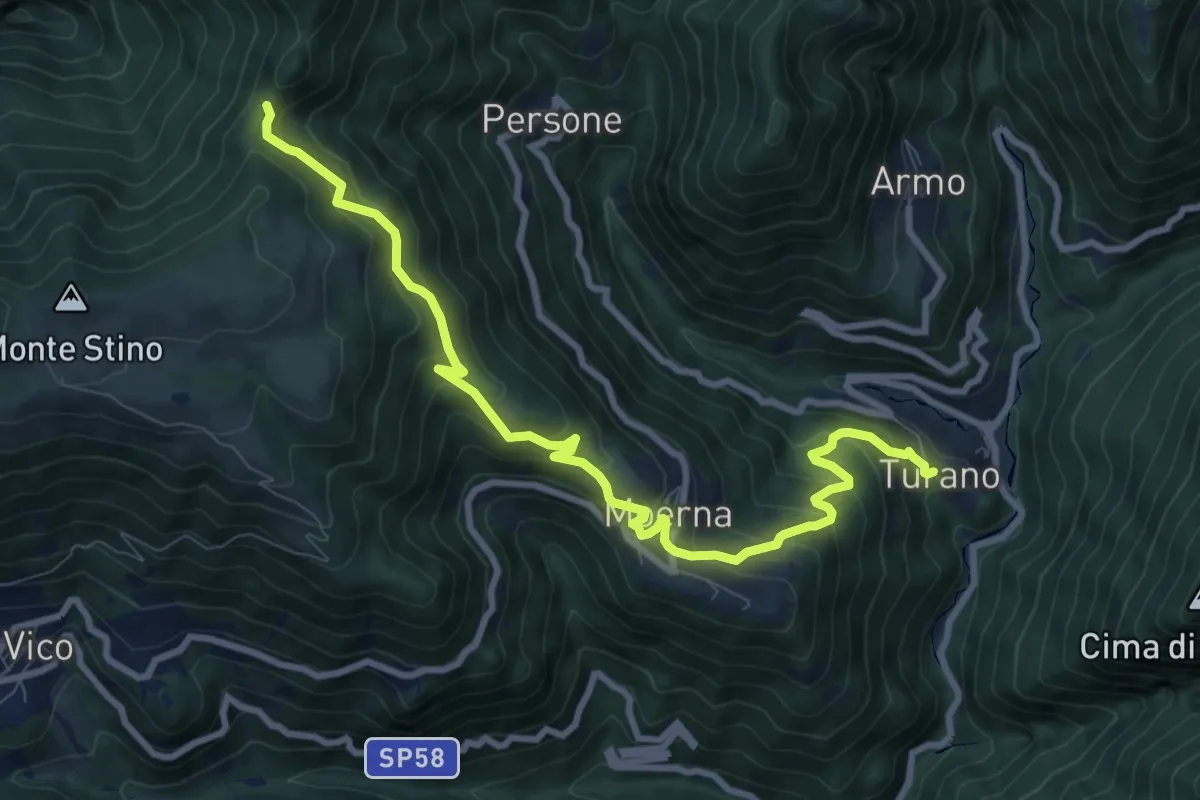
Medium · Trail
Valvestino (Turano) - Moerna - Bocca di Cocca
10.1 km · ↑ 741 m · 4 h · 13 km away
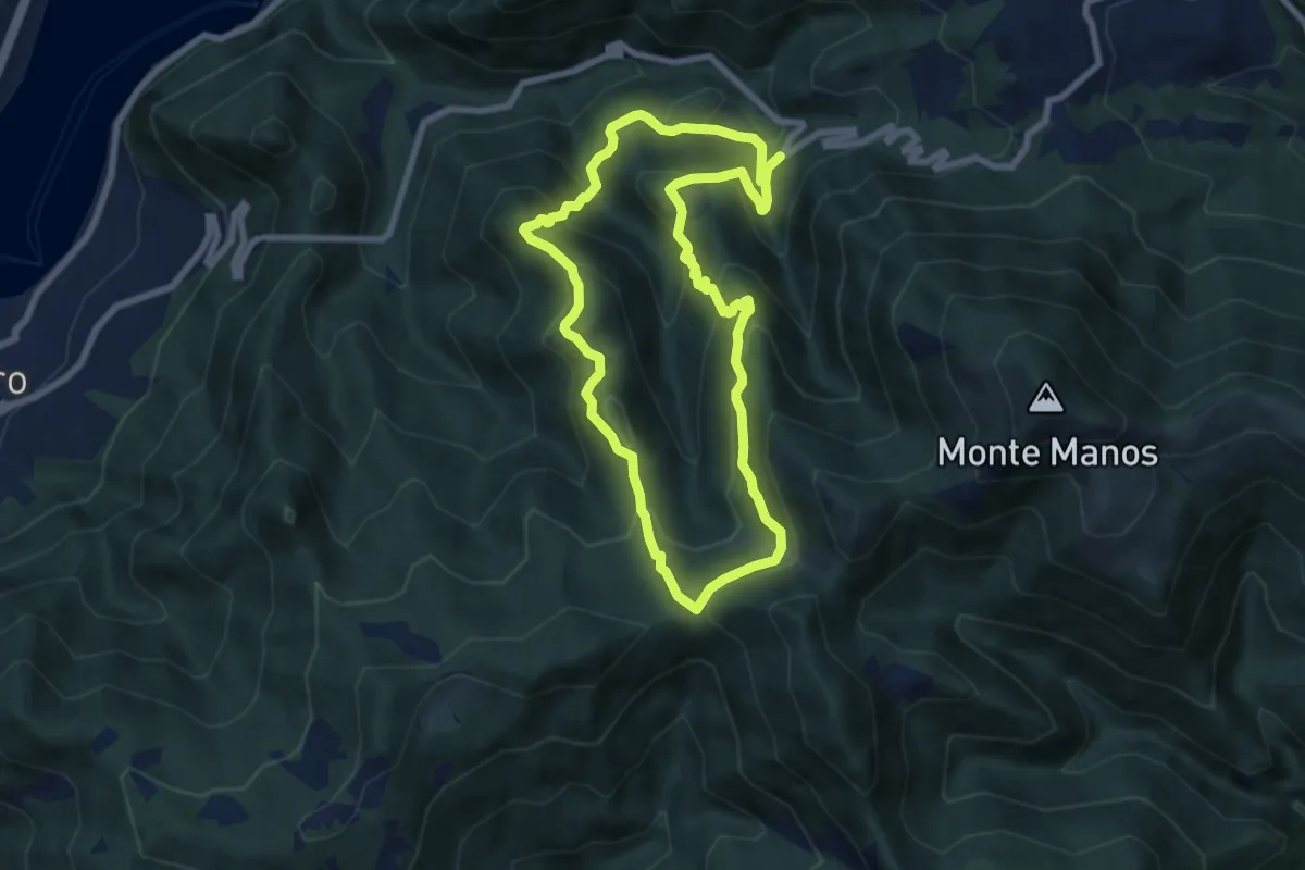
Medium · Summit
Fienili Inguire – Fienili Inguire
7.1 km · ↑ 481 m · 2 h 50 min · 13 km away
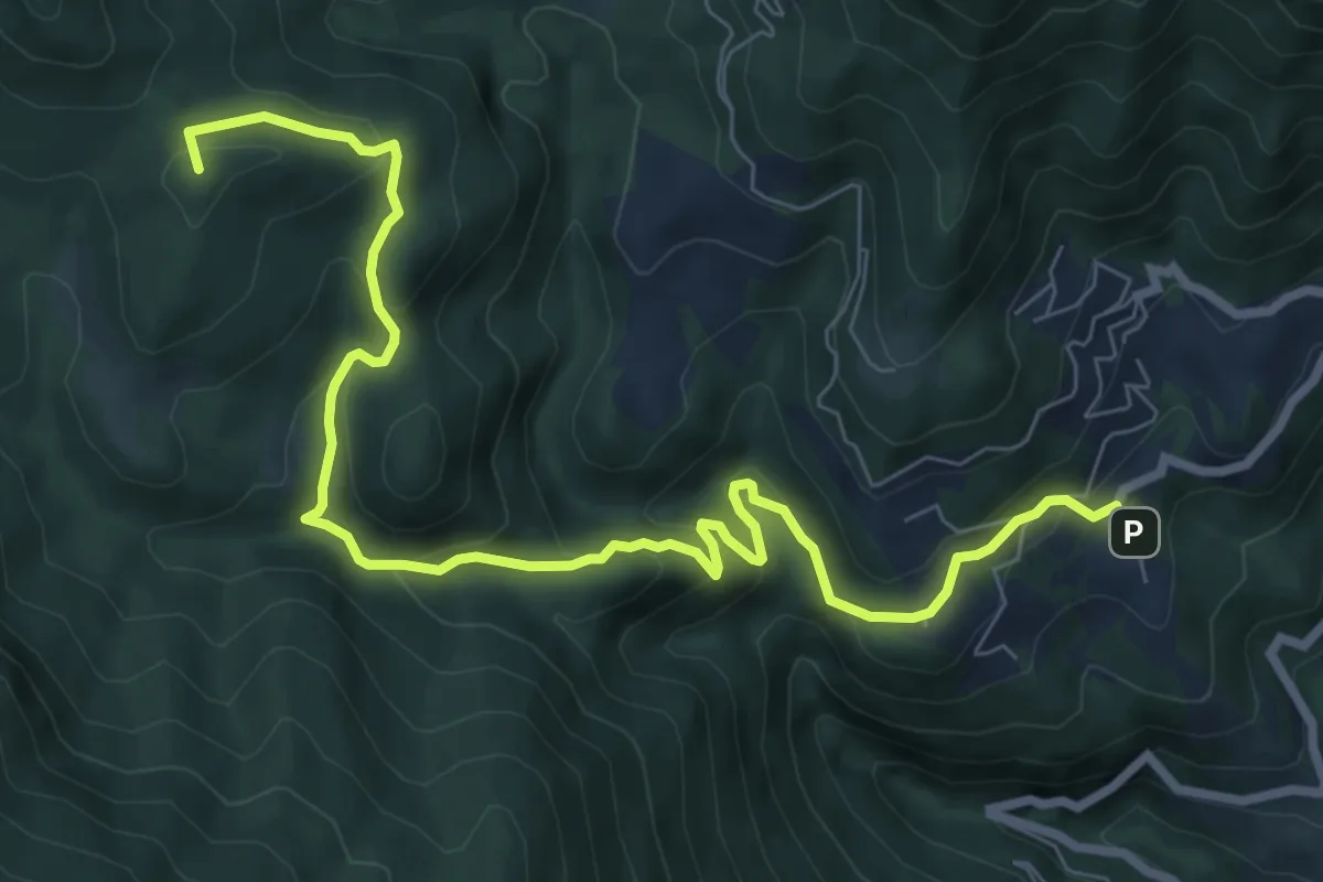
Medium · Summit
Aer (Tignale) – Passo di Fobia
9.7 km · ↑ 513 m · 3 h 24 min · 13 km away
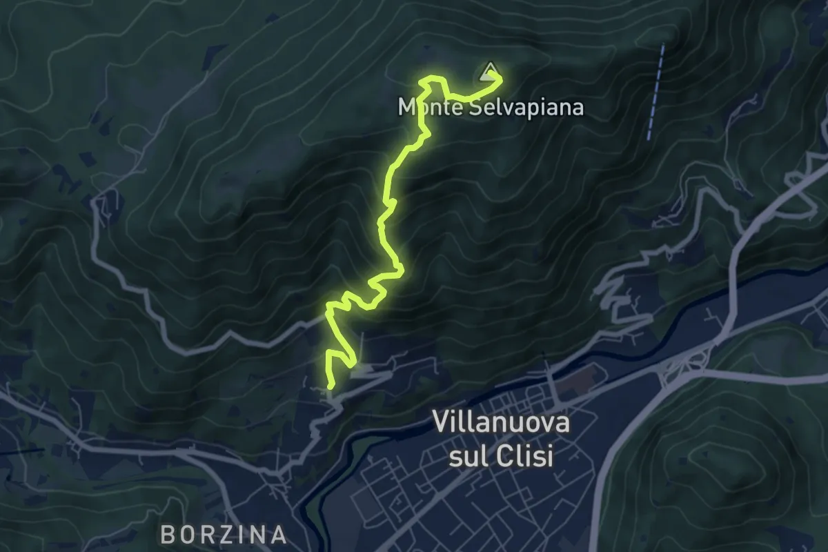
Medium · Summit
Gavardo (Quarena) – Selvapiana
6.7 km · ↑ 634 m · 2 h 58 min · 13 km away
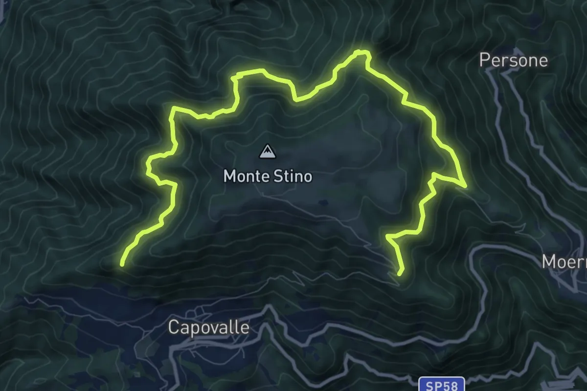
Demanding · Trail
Capovalle (Croce Sassello) - Malga Piombino - Fienile Lombardi
13.6 km · ↑ 1142 m · 5 h 41 min · 13 km away
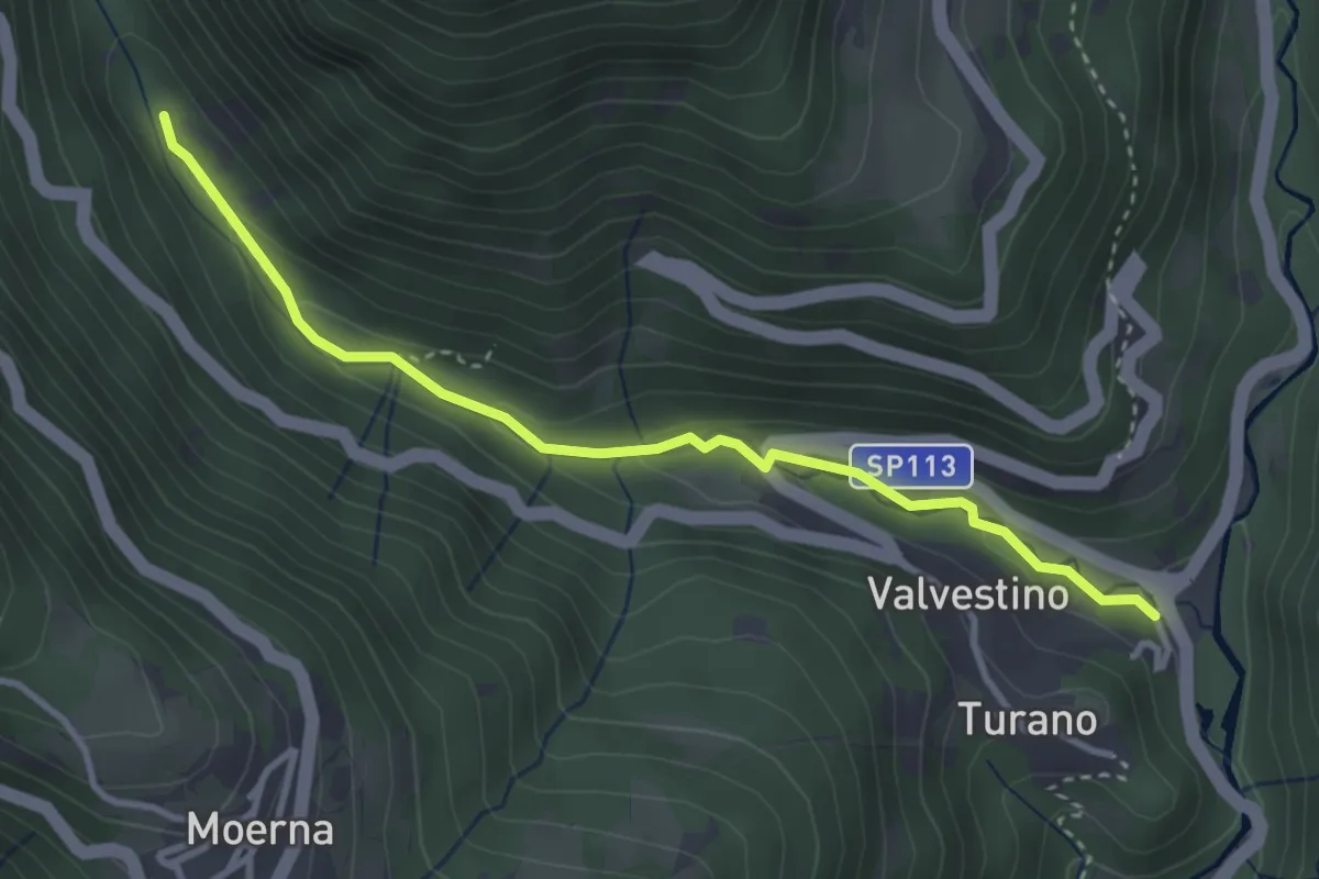
Medium · Trail
Sentiero del Personcino
3.5 km · ↑ 127 m · 1 h 6 min · 13 km away
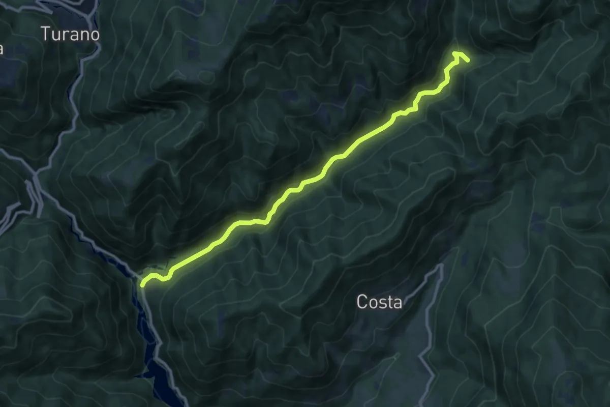
Medium · Trail
Sentiero Droanello
10.0 km · ↑ 320 m · 3 h 3 min · 14 km away
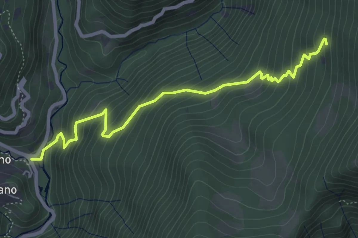
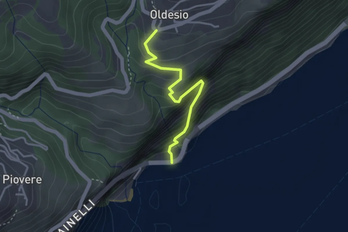
Medium · Trail
Sentiero del Mangana
5.4 km · ↑ 506 m · 2 h 22 min · 14 km away
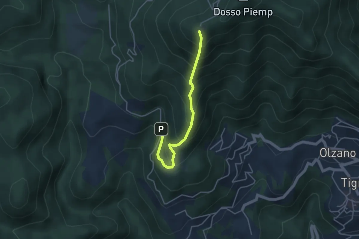
Medium · Trail
Via del Porto di Tignale
2.8 km · ↑ 383 m · 1 h 29 min · 14 km away
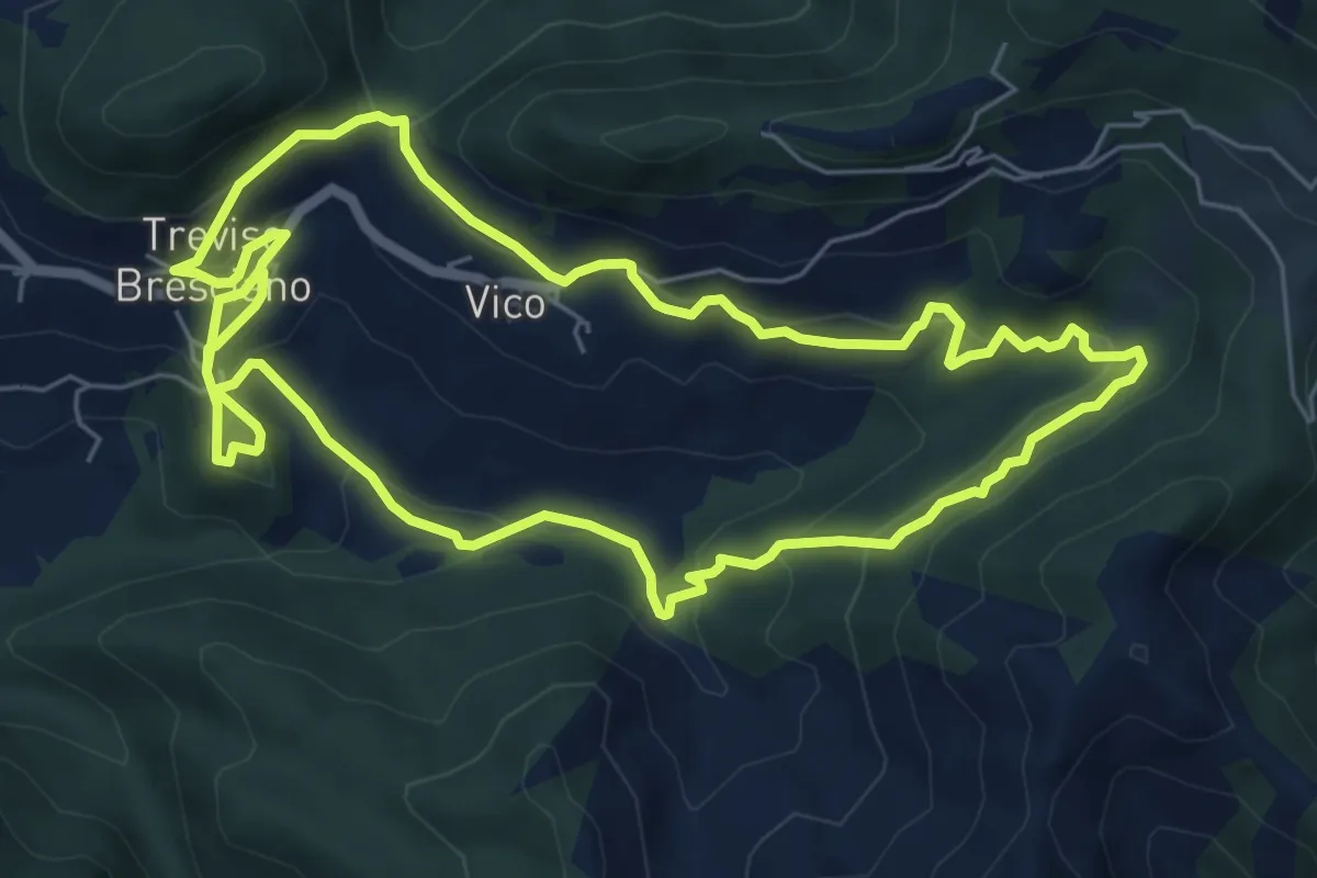
Medium · Cabin
Cima Piemp - Valle del Bosco (Tignale)
3.2 km · ↑ 392 m · 1 h 37 min · 14 km away
Medium · Trail
Valle dei Morti
6.5 km · ↑ 407 m · 2 h 30 min · 14 km away
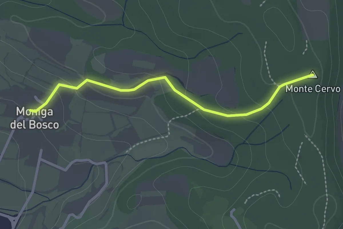
Easy · Summit
Percorso Rosso Muscoline
2.4 km · ↑ 81 m · 45 min · 14 km away
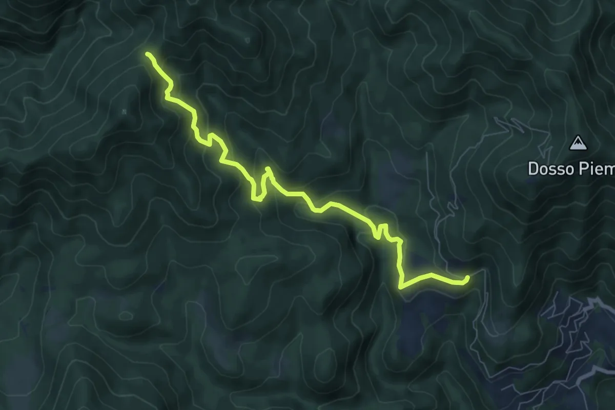
Medium · Trail
Sentiero del Gianech
8.2 km · ↑ 539 m · 3 h 6 min · 14 km away
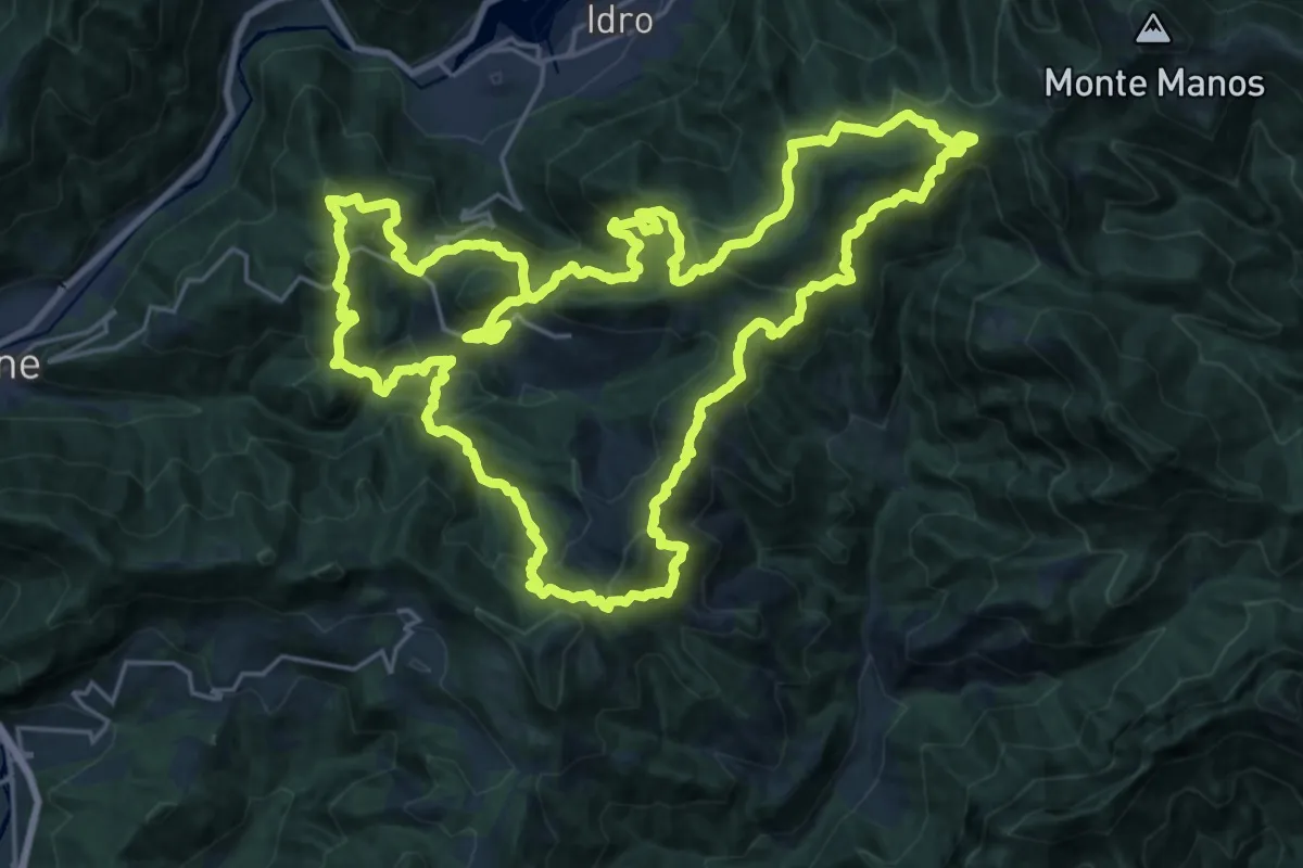
Demanding · Summit
Sentiero della Resistenza dei Caduti Trevigiani
25.6 km · ↑ 1574 m · 9 h 51 min · 14 km away
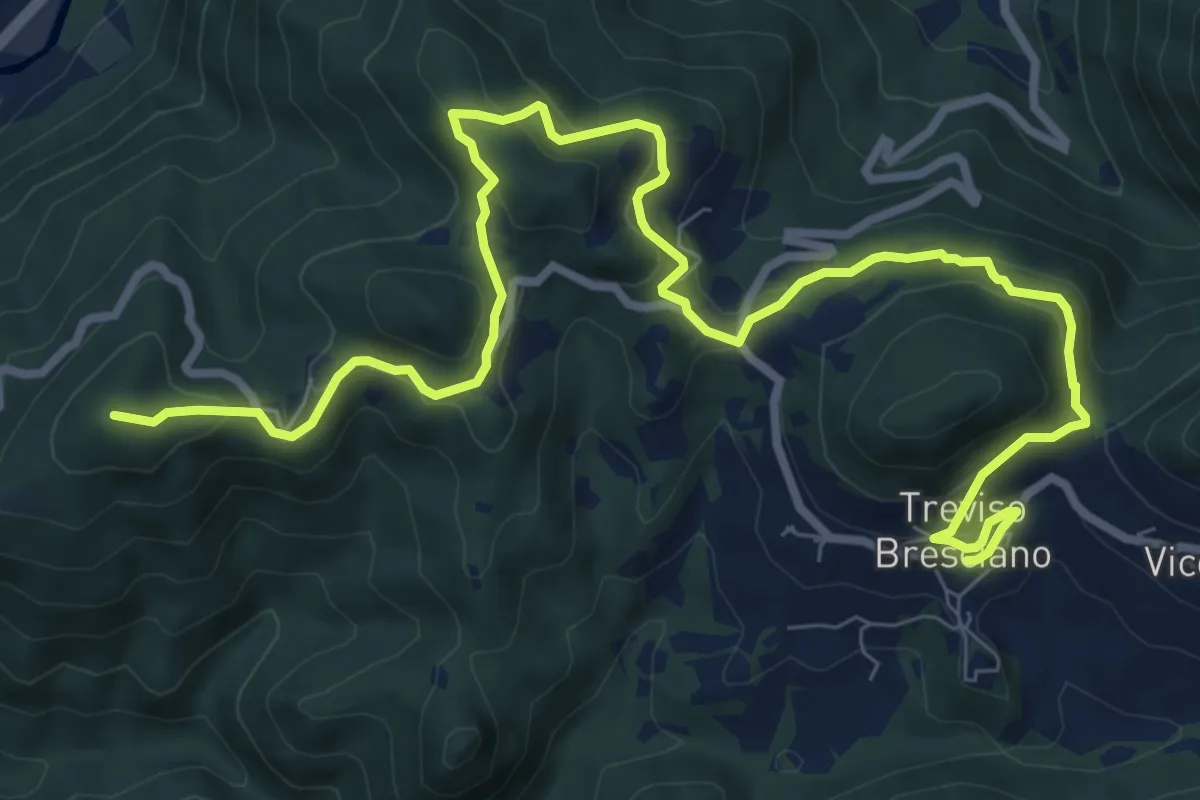
Medium · Summit
550V AVS variante
11.9 km · ↑ 593 m · 4 h 5 min · 14 km away