Trails near Malnate
195 hikes starting within 15 km, nearest first.
Nearest first, page 2 of 5
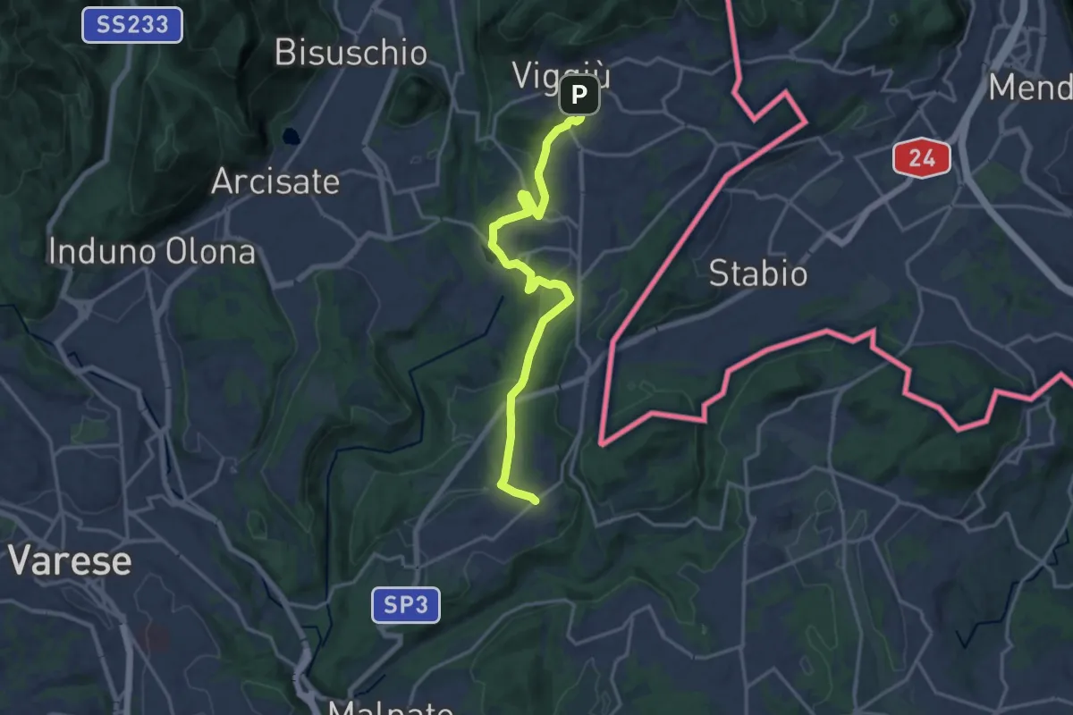
Medium · Trail
Viggiù – Cantello (Ligurno)
15.8 km · ↑ 332 m · 4 h 27 min · 8 km away
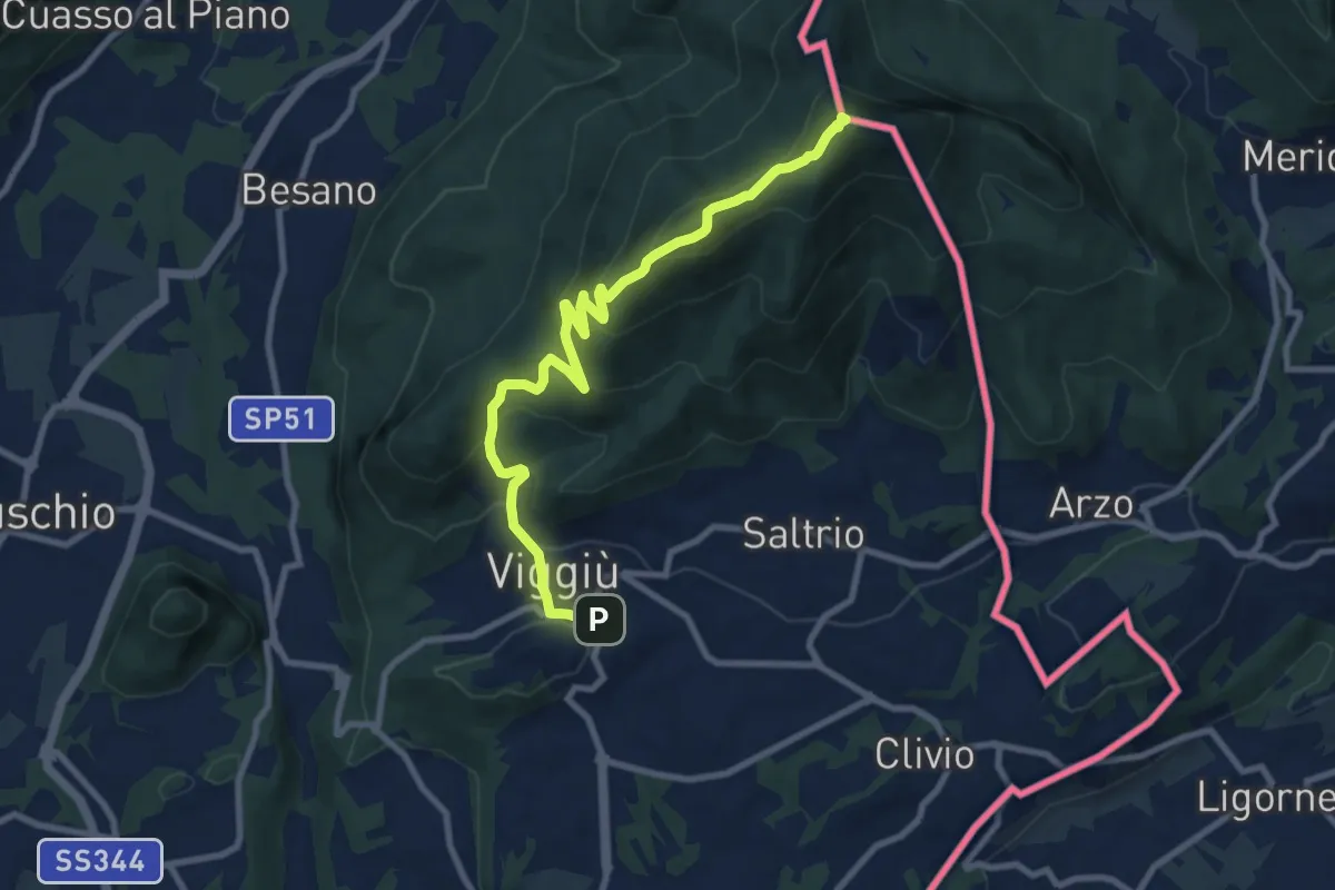
Medium · Summit
Viggiu' – Monte Pravello
9.9 km · ↑ 605 m · 3 h 39 min · 8 km away
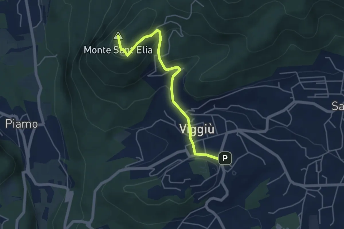
Medium · Summit
Viggiu' – Colle Sant'Elia
4.1 km · ↑ 180 m · 1 h 21 min · 8 km away
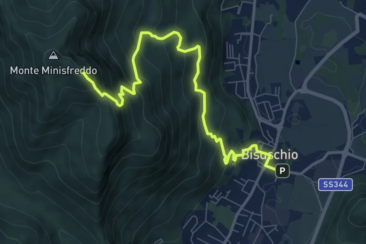
Demanding · Summit
Bisuschio – M. San Bernardo
8.2 km · ↑ 674 m · 3 h 23 min · 8 km away
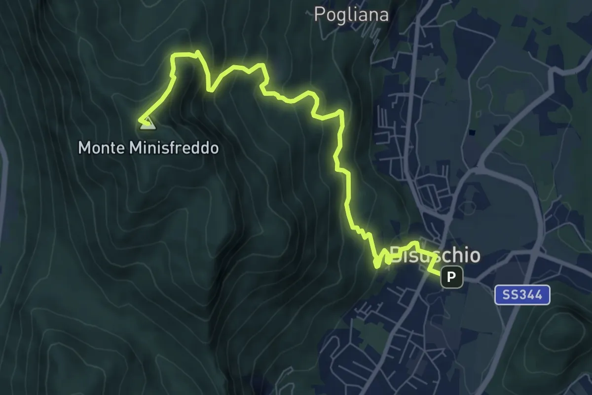
Demanding · Summit
Bisuschio – M.Minisfreddo
8.7 km · ↑ 711 m · 3 h 35 min · 8 km away
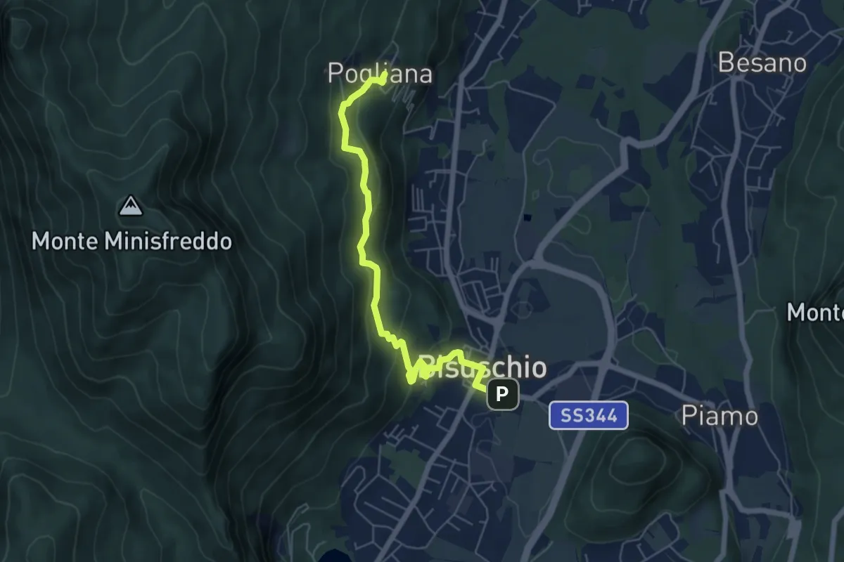
Demanding · Trail
Bisuschio – Pogliana
5.8 km · ↑ 276 m · 1 h 58 min · 8 km away
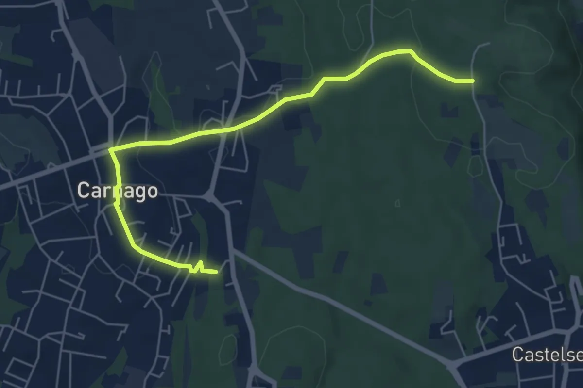
Easy · Trail
520E Collegamento Carnago
5.6 km · ↑ 67 m · 1 h 28 min · 8 km away
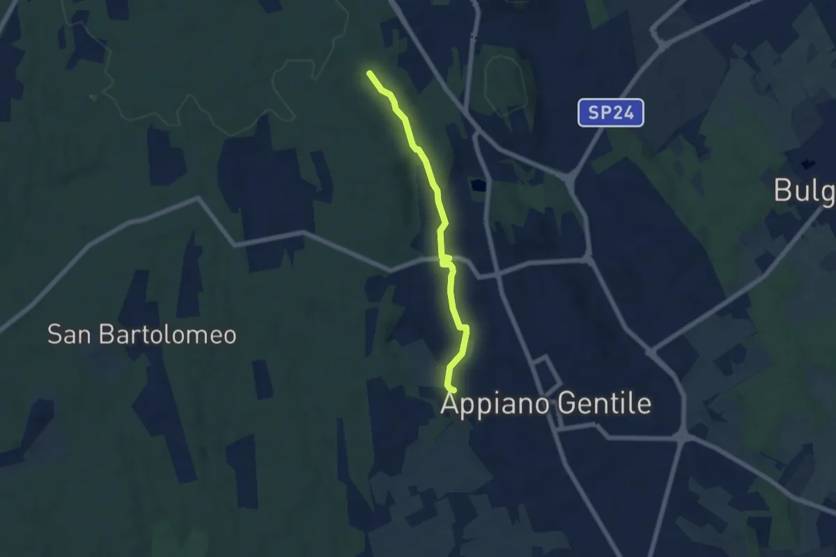
Easy · Trail
Sentiero 846C
4.9 km · ↑ 81 m · 1 h 20 min · 8 km away
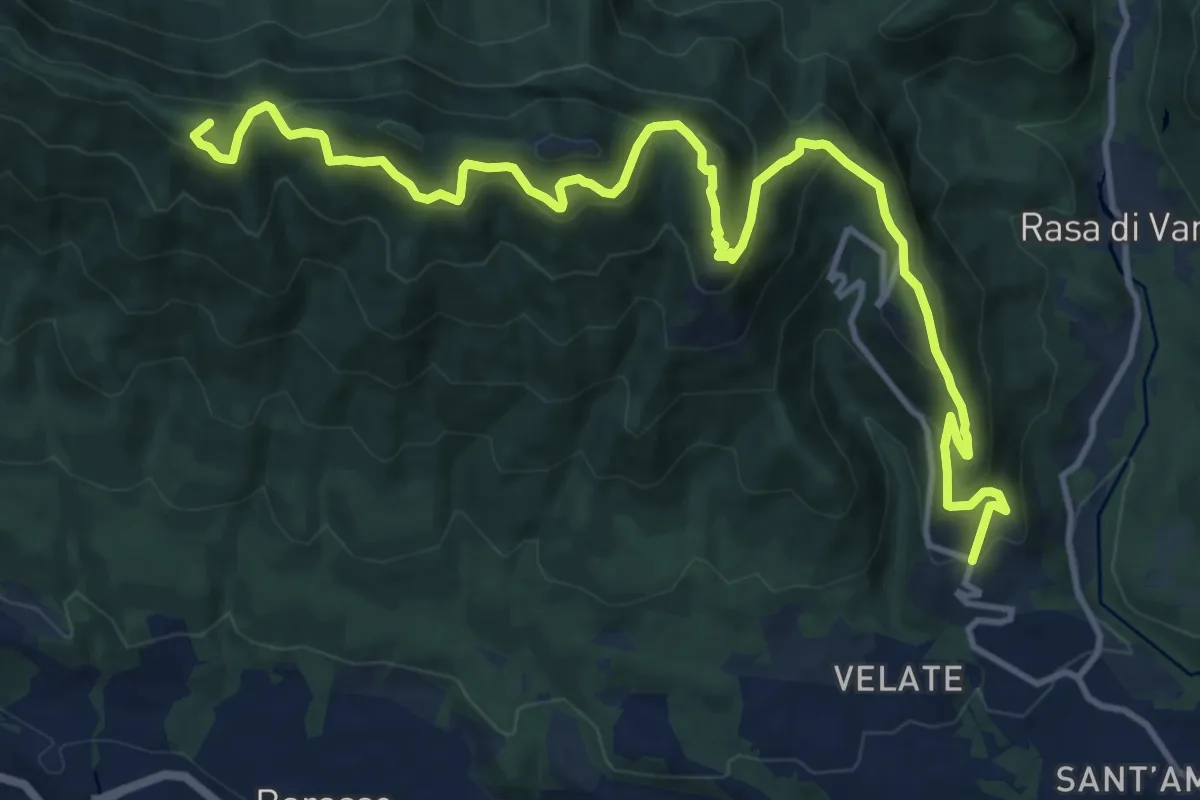
Demanding · Summit
Varese (località Prima Cappella) – Forte di Orino
16.1 km · ↑ 966 m · 5 h 54 min · 8 km away
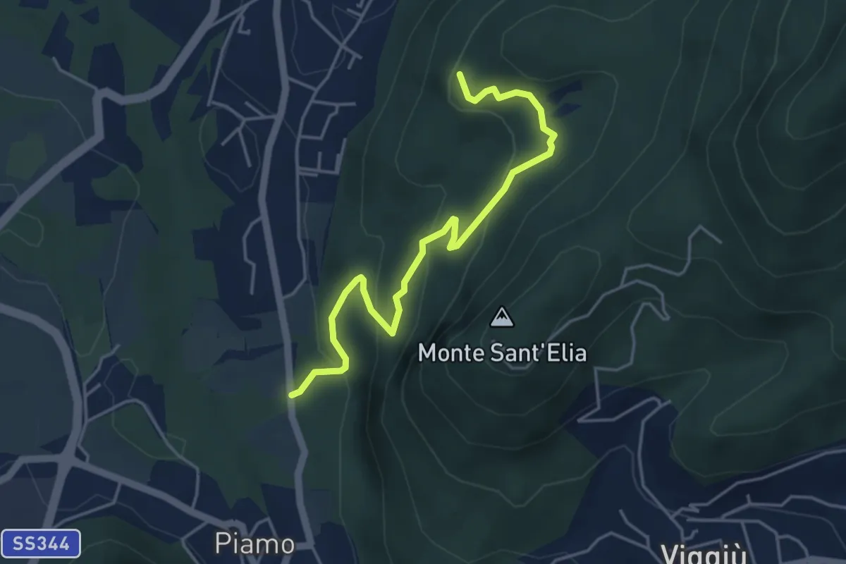
Medium · Summit
Variante Bernasca – Besano SP51
4.5 km · ↑ 236 m · 1 h 35 min · 9 km away
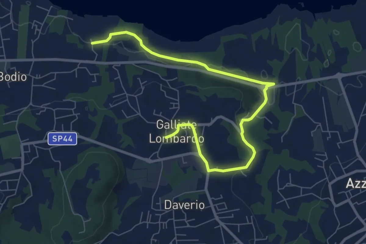
Medium · Trail
Piane Viscontee - Anello di Galliate Lombardo
8.0 km · ↑ 138 m · 2 h 12 min · 9 km away
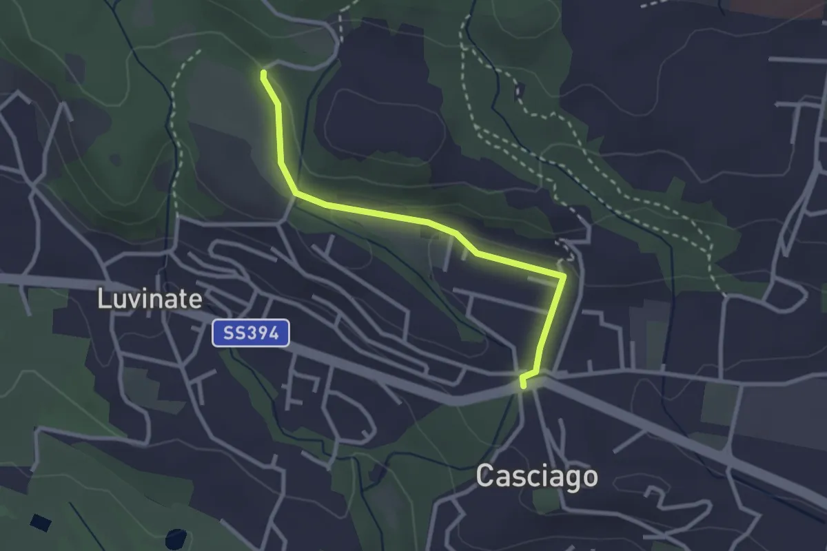
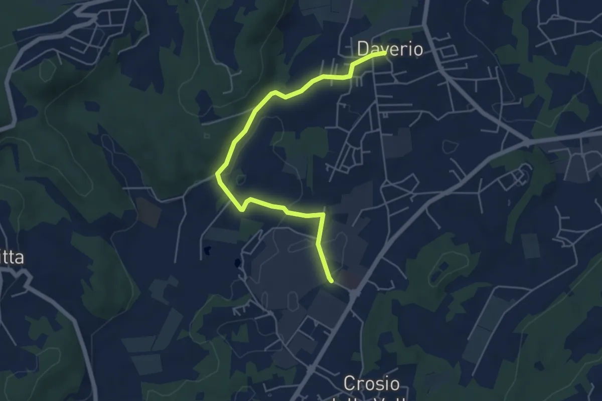
Easy · Trail
Casciago – Sentiero 310A
2.6 km · ↑ 51 m · 43 min · 9 km away
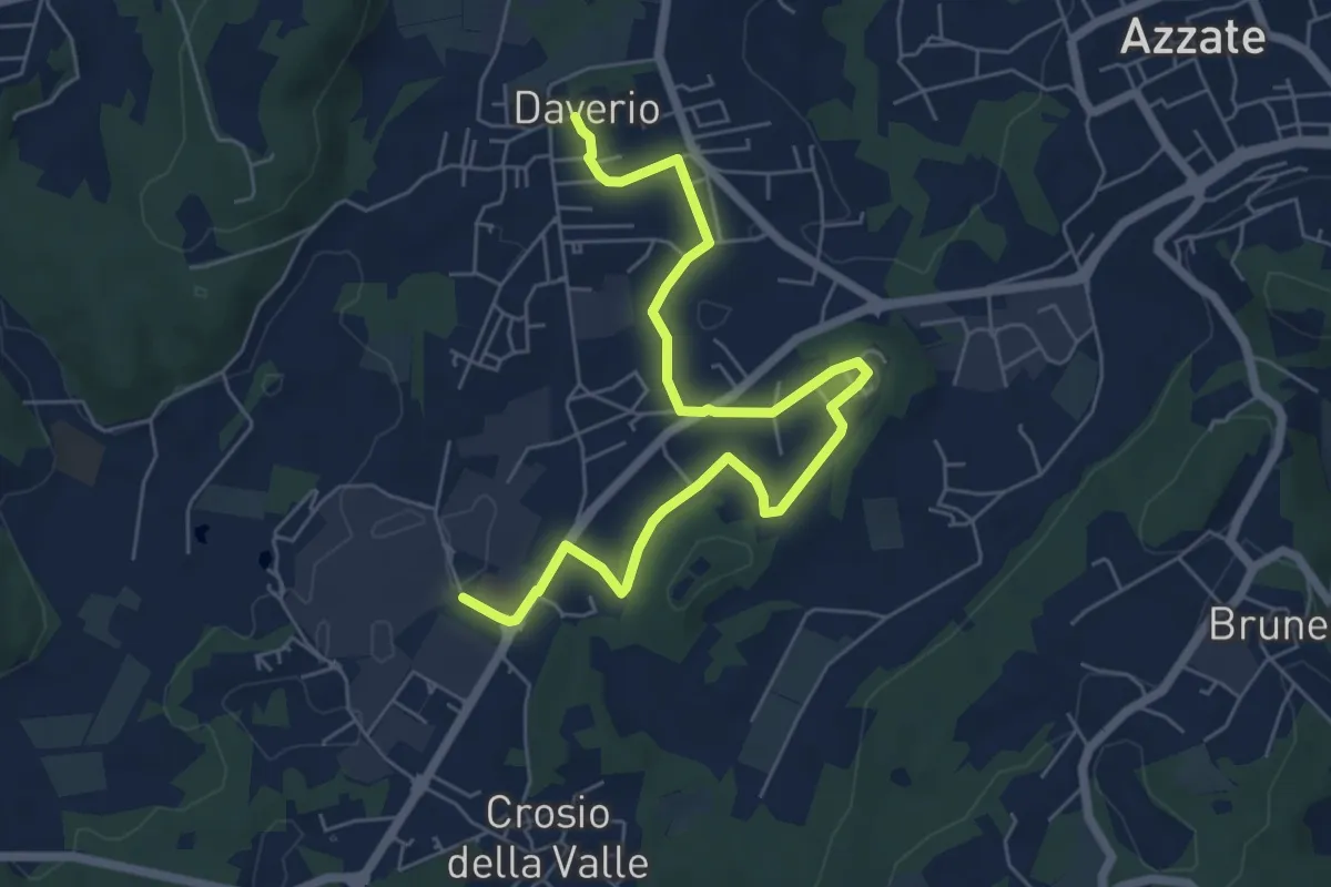
Easy · Trail
Piane Viscontee - Anello di Daverio
5.1 km · ↑ 66 m · 1 h 21 min · 9 km away
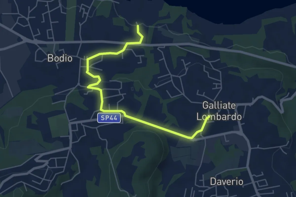
Easy · Trail
Piane Viscontee - Anello di Daverio
7.4 km · ↑ 105 m · 1 h 58 min · 9 km away
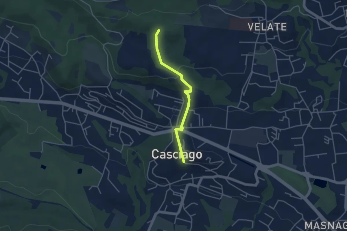
Easy · Trail
Piane Viscontee - Anello di Galliate Lombardo
5.5 km · ↑ 118 m · 1 h 33 min · 9 km away
Easy · Trail
Sentiero 321C
3.0 km · ↑ 95 m · 54 min · 9 km away
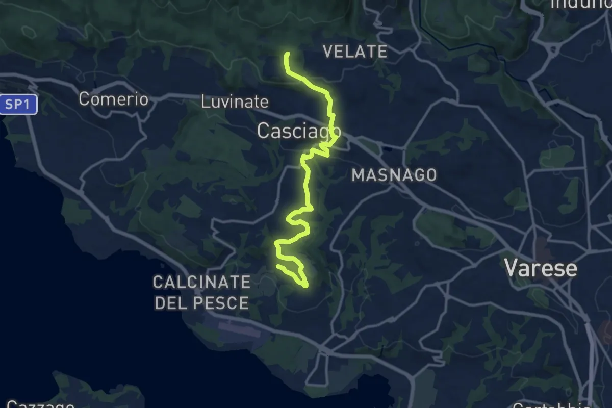
Medium · Trail
Morosolo – Sentiero 310A
12.2 km · ↑ 266 m · 3 h 28 min · 9 km away
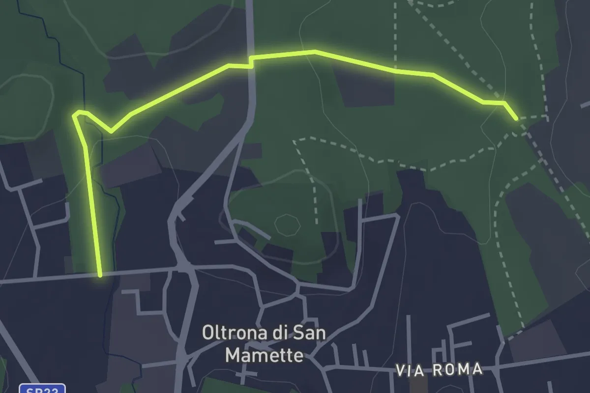
Easy · Trail
Incrocio 715B – Oltrona
3.2 km · ↑ 56 m · 52 min · 9 km away
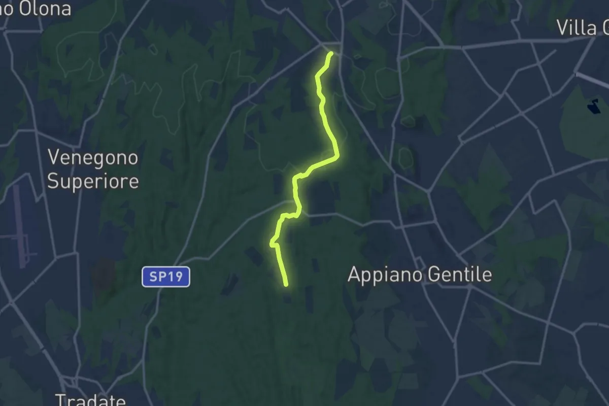
Medium · Trail
Sentiero 847
10.4 km · ↑ 81 m · 2 h 38 min · 9 km away
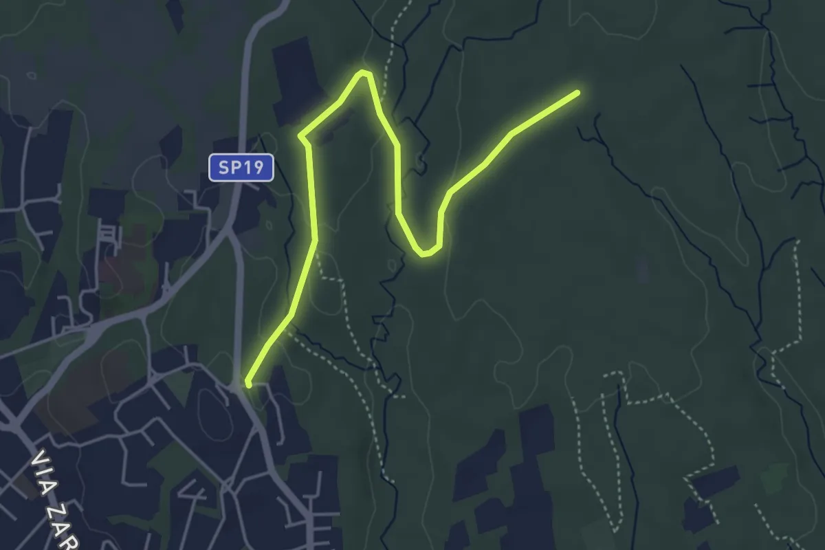
Easy · Trail
Appiano Gentile – Tradate
5.0 km · ↑ 70 m · 1 h 20 min · 9 km away
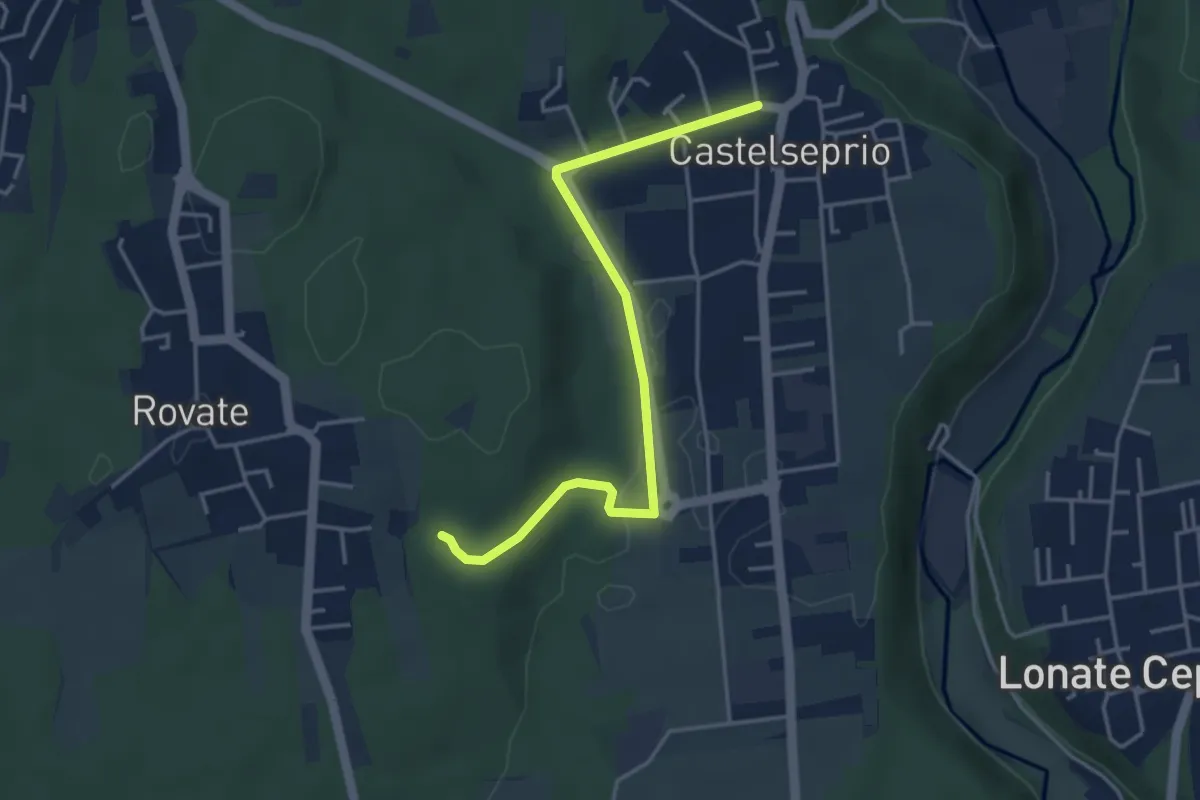
Easy · Trail
Collegamento Anello del Rile-Dorsale RTO
4.2 km · ↑ 47 m · 1 h 5 min · 9 km away
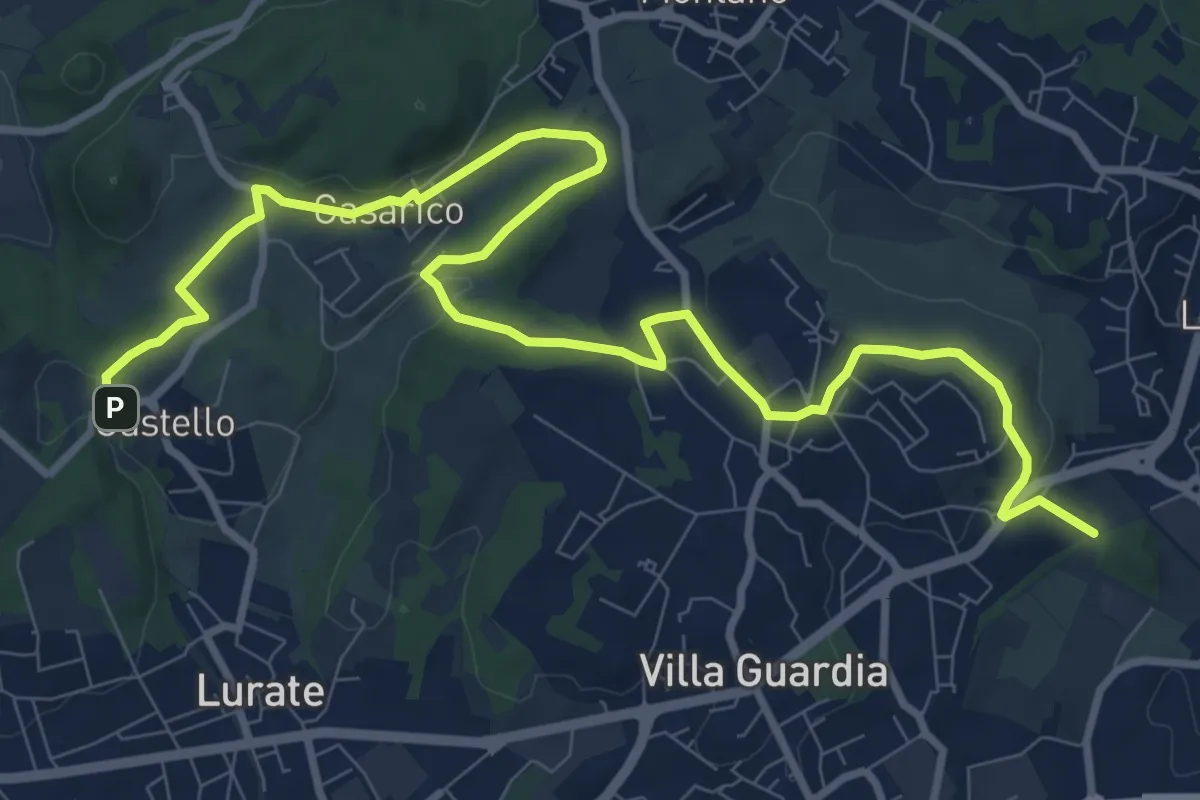
Medium · Trail
Castello – Civello
12.9 km · ↑ 191 m · 3 h 28 min · 9 km away
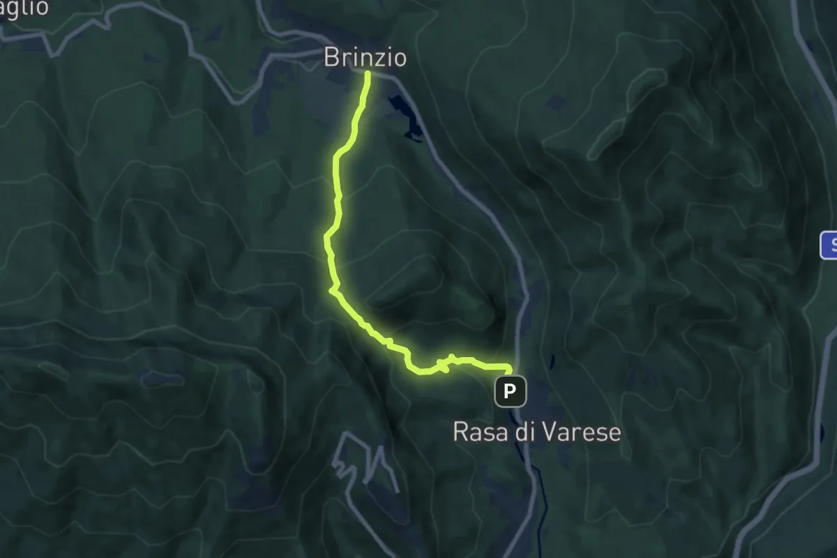
Medium · Trail
Brinzio (Via Piave) – Rasa di Varese
7.3 km · ↑ 476 m · 2 h 46 min · 9 km away
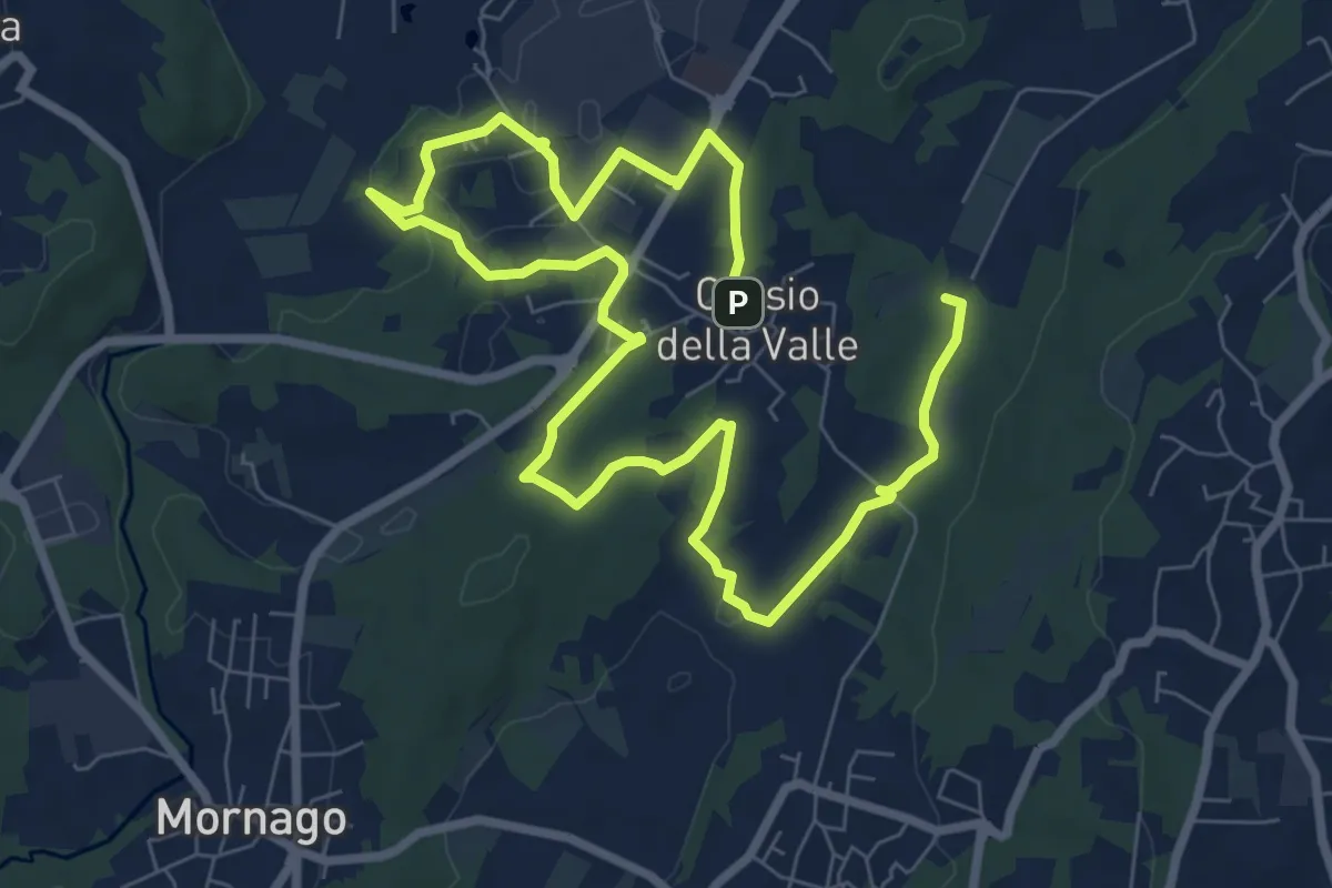
Medium · Trail
Piane Viscontee - Anello di Crosio della Valle
12.8 km · ↑ 141 m · 3 h 19 min · 9 km away
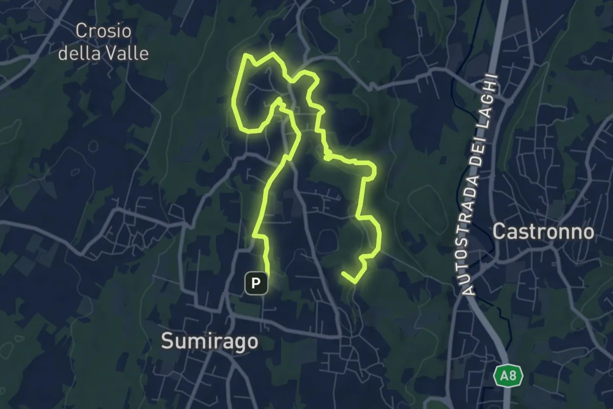
Medium · Summit
Piane Viscontee - Anello di Sumirago
12.3 km · ↑ 254 m · 3 h 28 min · 10 km away
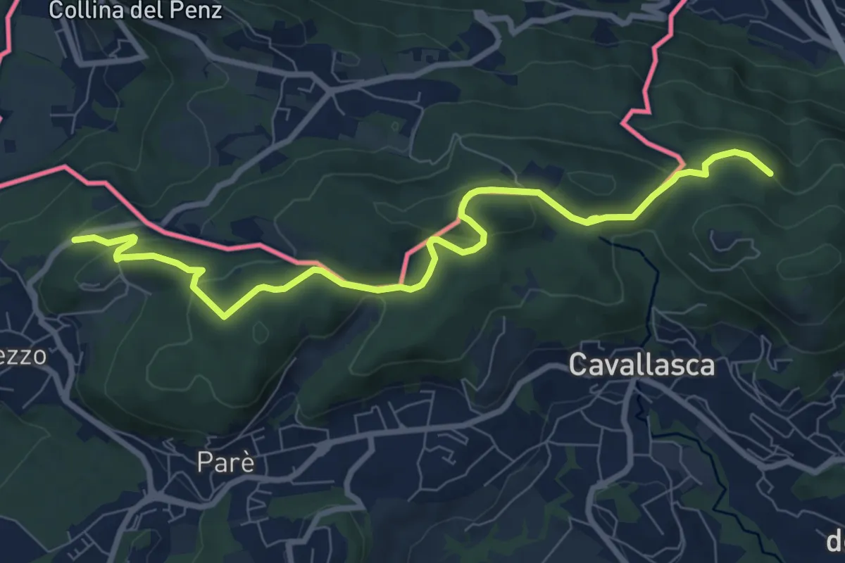
Medium · Trail
Confinale
9.1 km · ↑ 322 m · 2 h 50 min · 10 km away
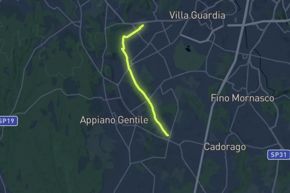
Medium · Trail
Lurate Caccivio – Guanzate
11.5 km · ↑ 86 m · 2 h 53 min · 10 km away
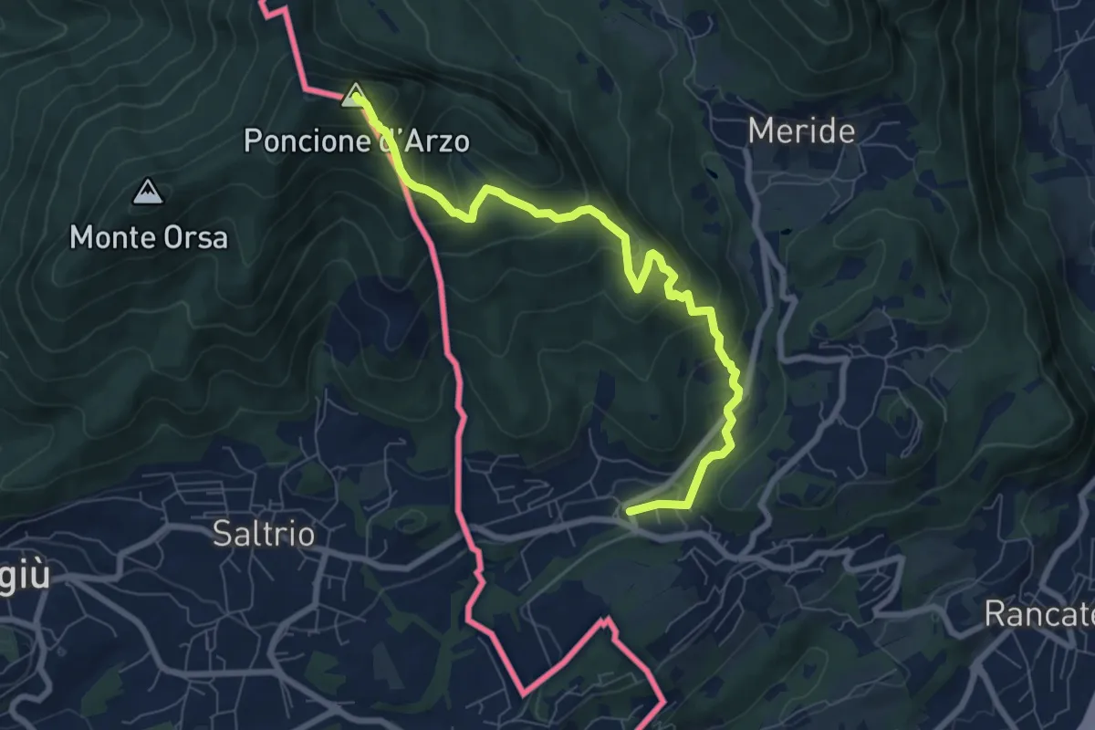
Medium · Summit
Poncione d'Arzo – Arzo
8.0 km · ↑ 537 m · 3 h 3 min · 10 km away
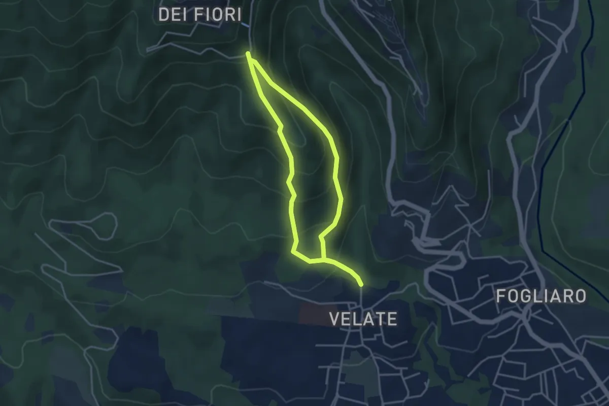
Medium · Summit
Sentiero 309: Velate - Monte San Francesco - Velate
3.1 km · ↑ 281 m · 1 h 22 min · 10 km away
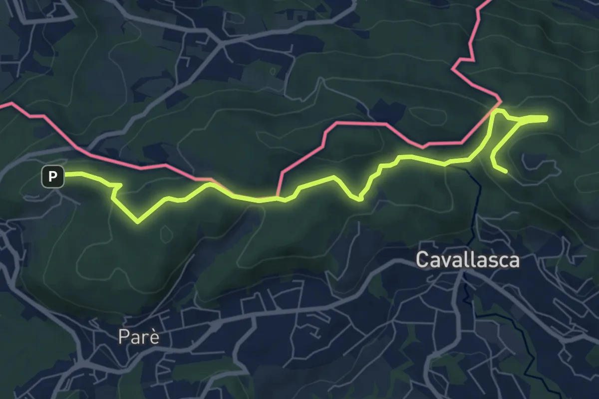
Medium · Trail
Bizzarone – Como
8.2 km · ↑ 264 m · 2 h 30 min · 10 km away
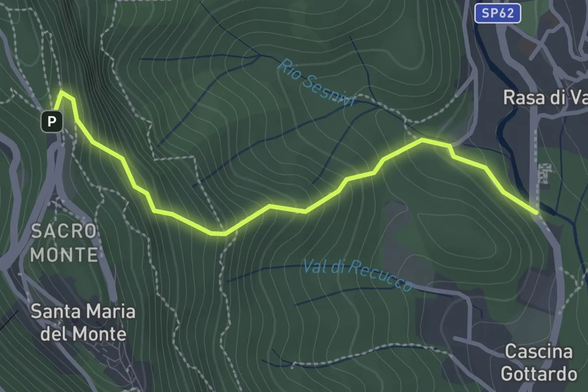
Medium · Trail
Rasa di Varese – Santa Maria del Monte
2.8 km · ↑ 280 m · 1 h 16 min · 10 km away
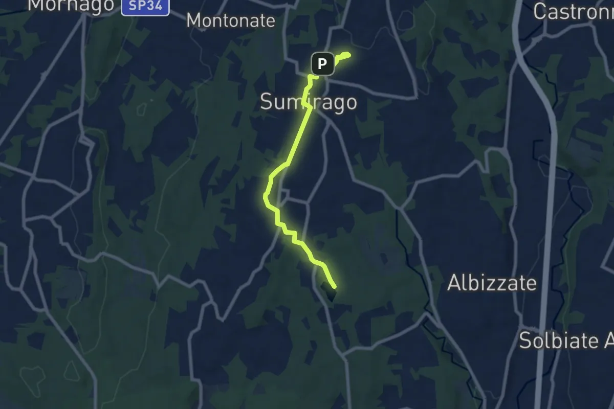
Easy · Trail
Piane Viscontee - Anello di Sumirago
6.9 km · ↑ 94 m · 1 h 50 min · 10 km away
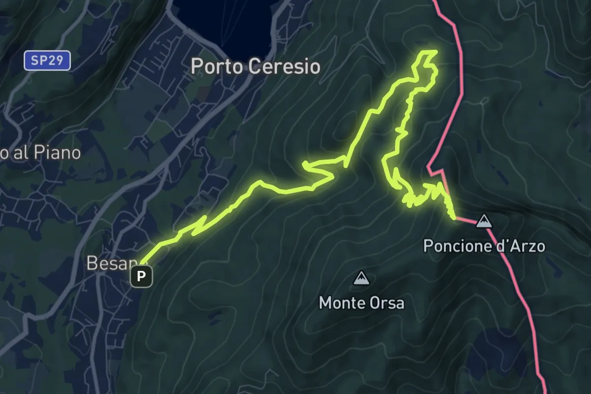
Demanding · Summit
Besano – Monte Pravello
15.0 km · ↑ 1031 m · 5 h 46 min · 10 km away
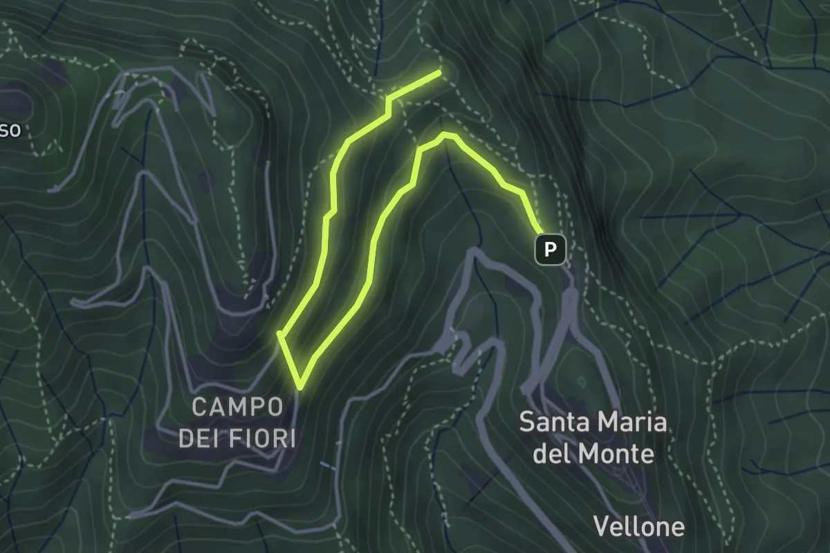
Medium · Summit
Sentiero 8/308: Santa Maria del Monte - Valico Pizzelle
4.5 km · ↑ 301 m · 1 h 43 min · 10 km away
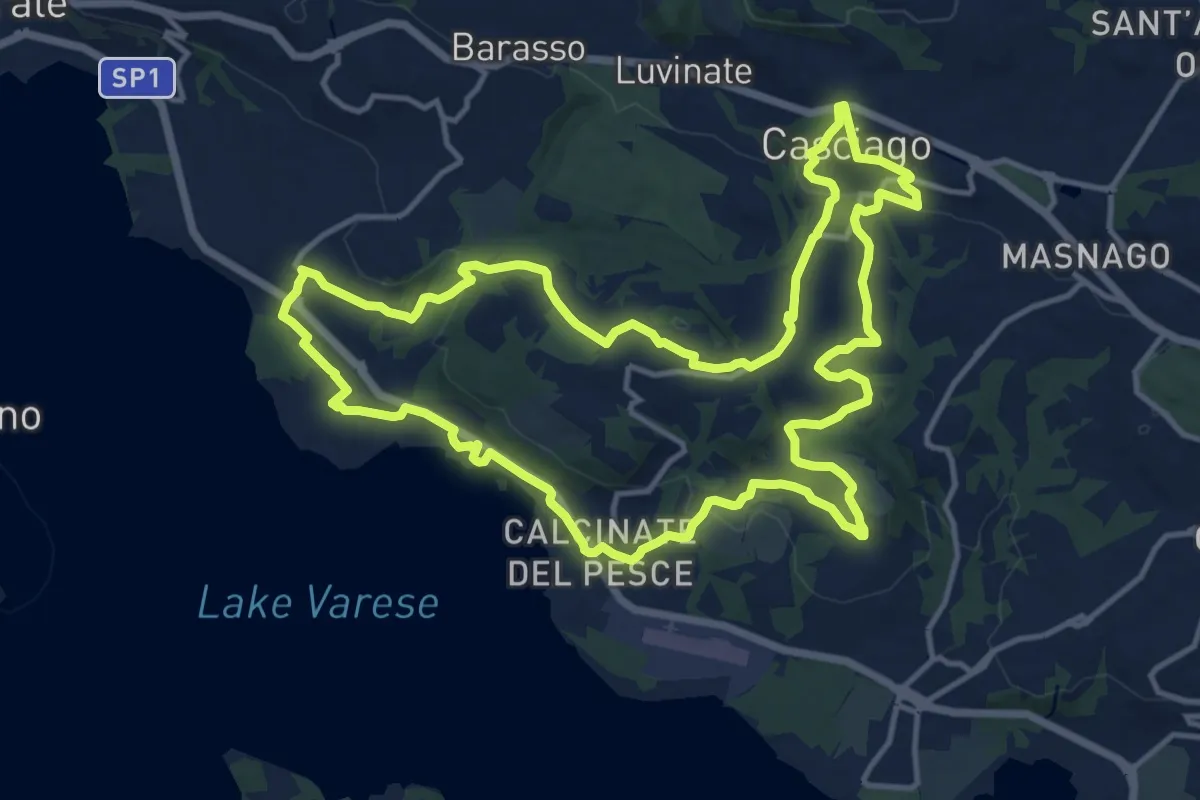
Medium · Trail
Tigros Gavirate – Tigros Gavirate
14.7 km · ↑ 280 m · 4 h 17 min · 10 km away
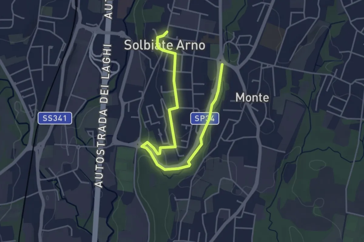
Easy · Trail
Percorsi del Cuore - Anello di Solbiate Arno
5.0 km · ↑ 72 m · 1 h 20 min · 10 km away
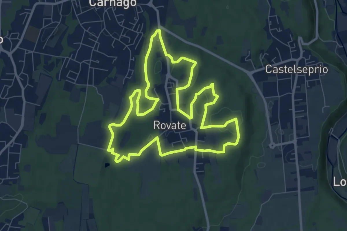
Easy · Trail
523 Anello del Rile
7.9 km · ↑ 100 m · 2 h 12 min · 10 km away
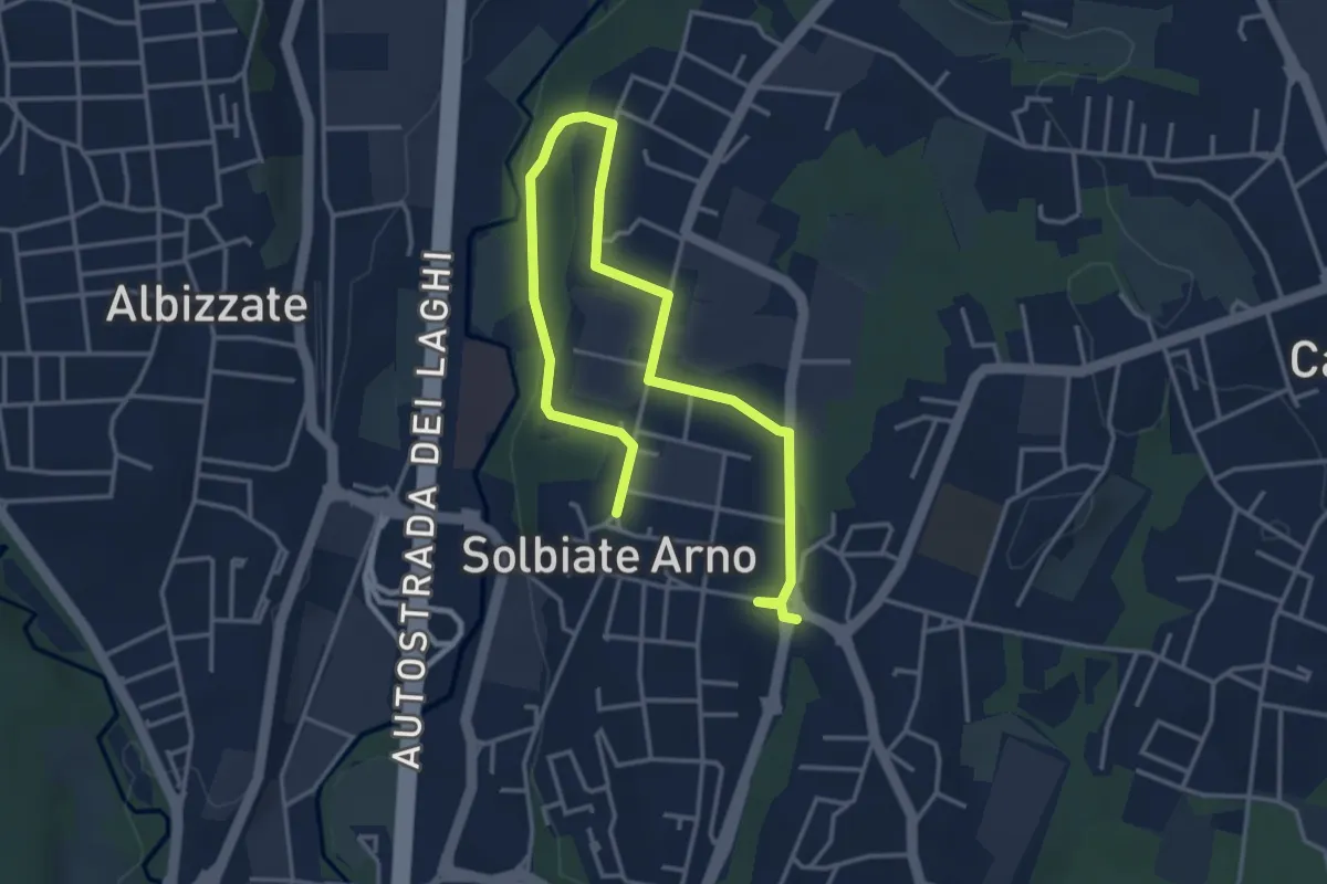
Easy · Trail
Percorsi del Cuore - Anello di Solbiate Arno
5.3 km · ↑ 64 m · 1 h 23 min · 10 km away
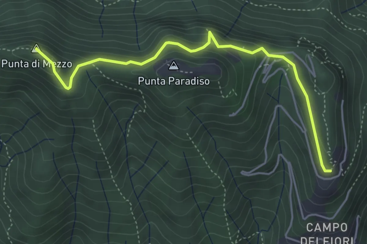
Medium · Summit
Campo dei Fiori (ex stazione funicolare) – Strada militare del Forte di Orino (incrocio sentiero 1)
4.6 km · ↑ 377 m · 1 h 55 min · 10 km away
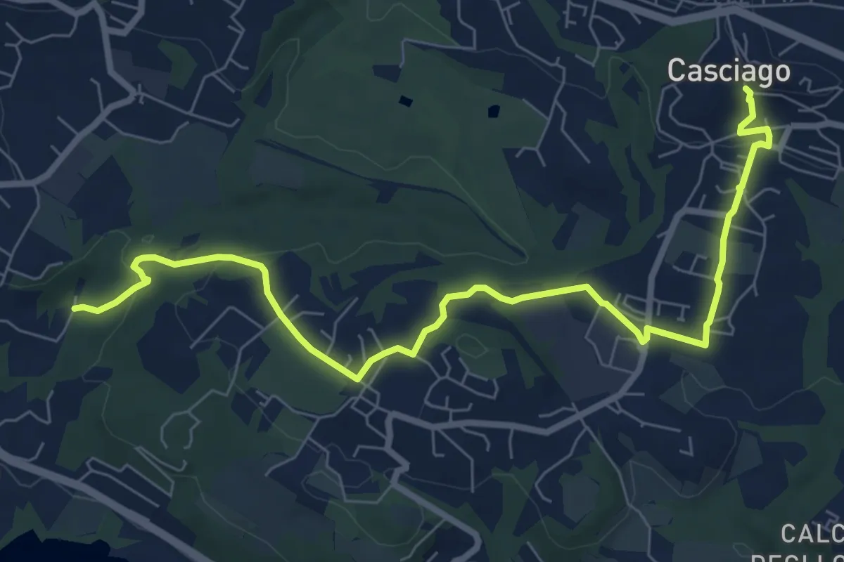
Medium · Trail
Sentiero 321
8.6 km · ↑ 236 m · 2 h 33 min · 10 km away
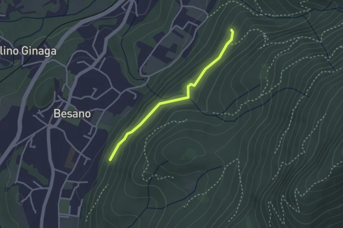
Easy · Trail
Bivio rocce cadenti – Intersezione con 461A
2.5 km · ↑ 116 m · 50 min · 11 km away
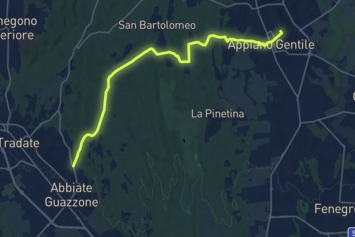
Medium · Trail
Appiano Gentile – Tradate
15.2 km · ↑ 222 m · 4 h 5 min · 11 km away
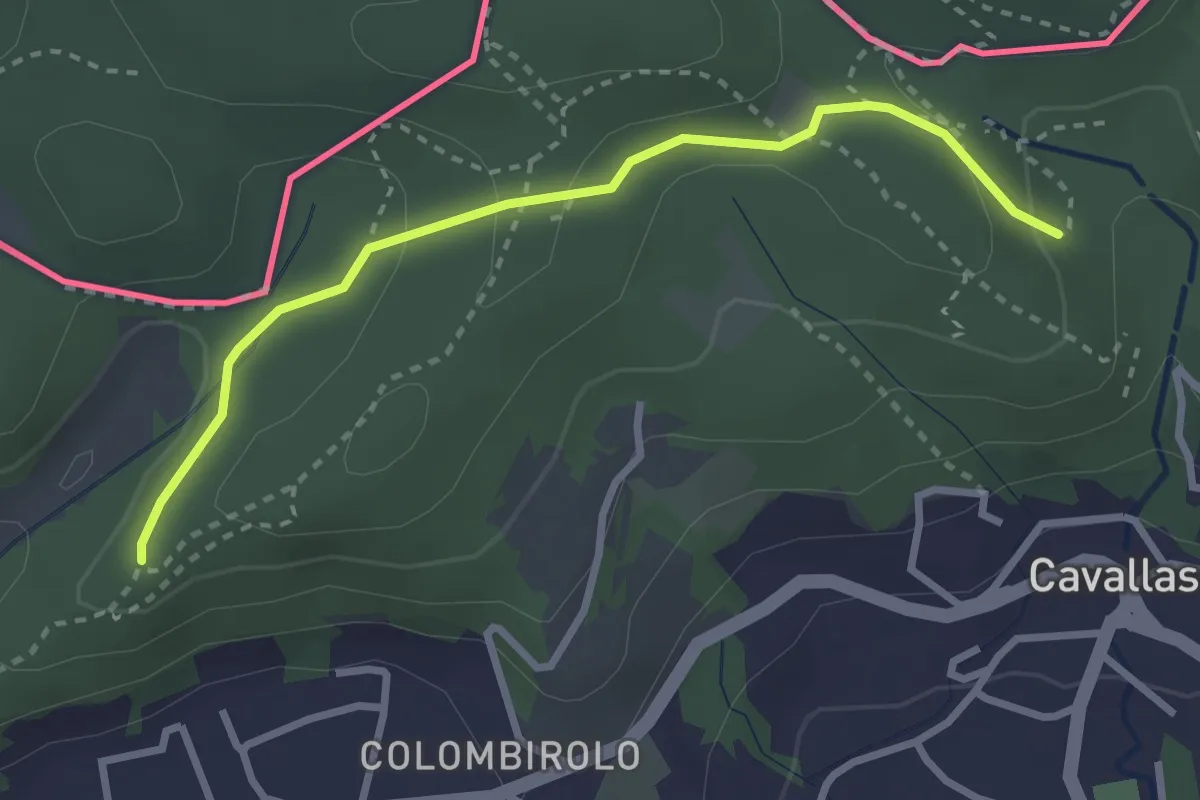
Easy · Trail
Naturalistico di Parè
3.0 km · ↑ 71 m · 51 min · 11 km away
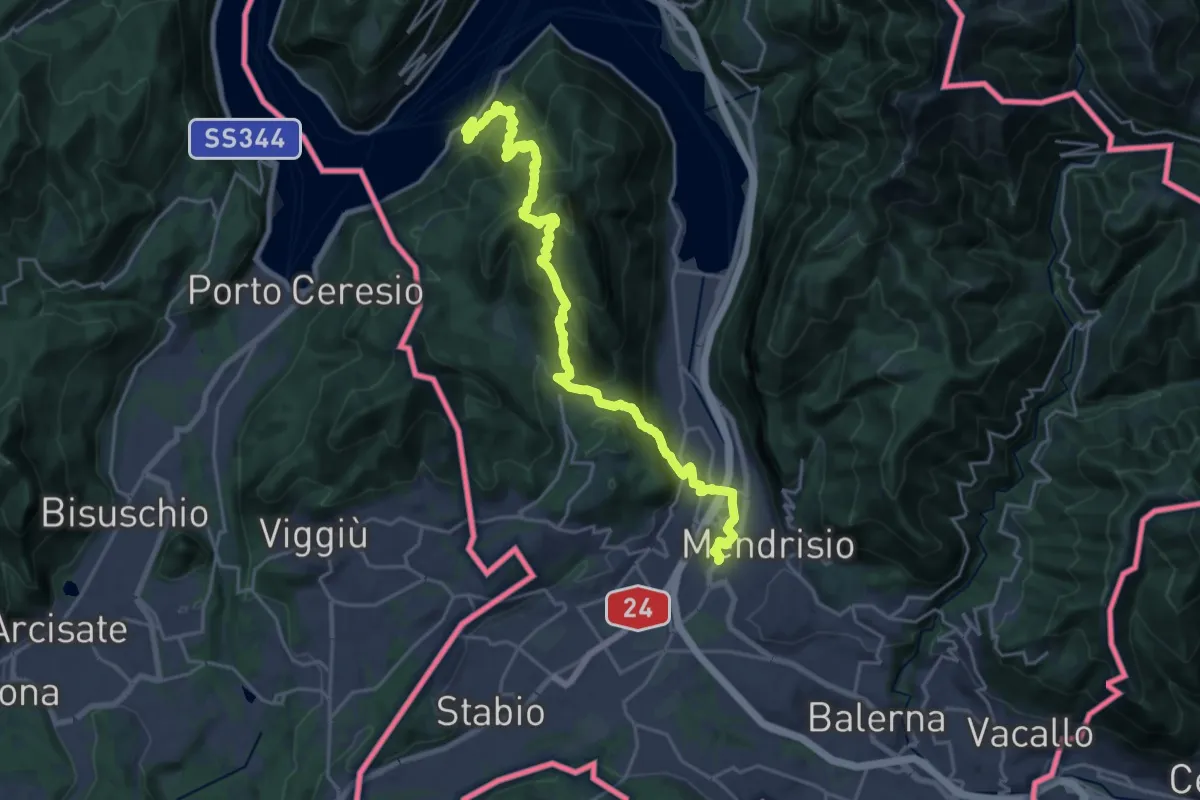
Demanding · Trail
Trans Swiss Trail
12.0 km · ↑ 809 m · 4 h 47 min · 11 km away
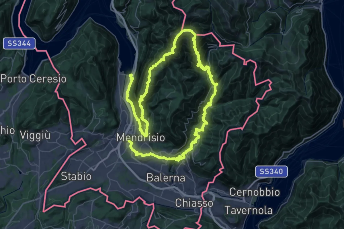
Demanding · Trail
Sentiero Lago di Lugano
32.4 km · ↑ 2076 m · 12 h 38 min · 11 km away
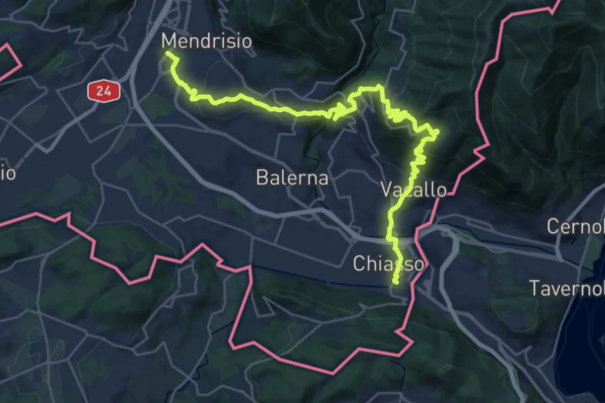
Medium · Trail
ViaGottardo
12.7 km · ↑ 559 m · 4 h 26 min · 11 km away
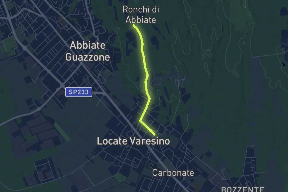
Easy · Trail
Sentiero 844C
4.5 km · ↑ 42 m · 1 h 9 min · 11 km away
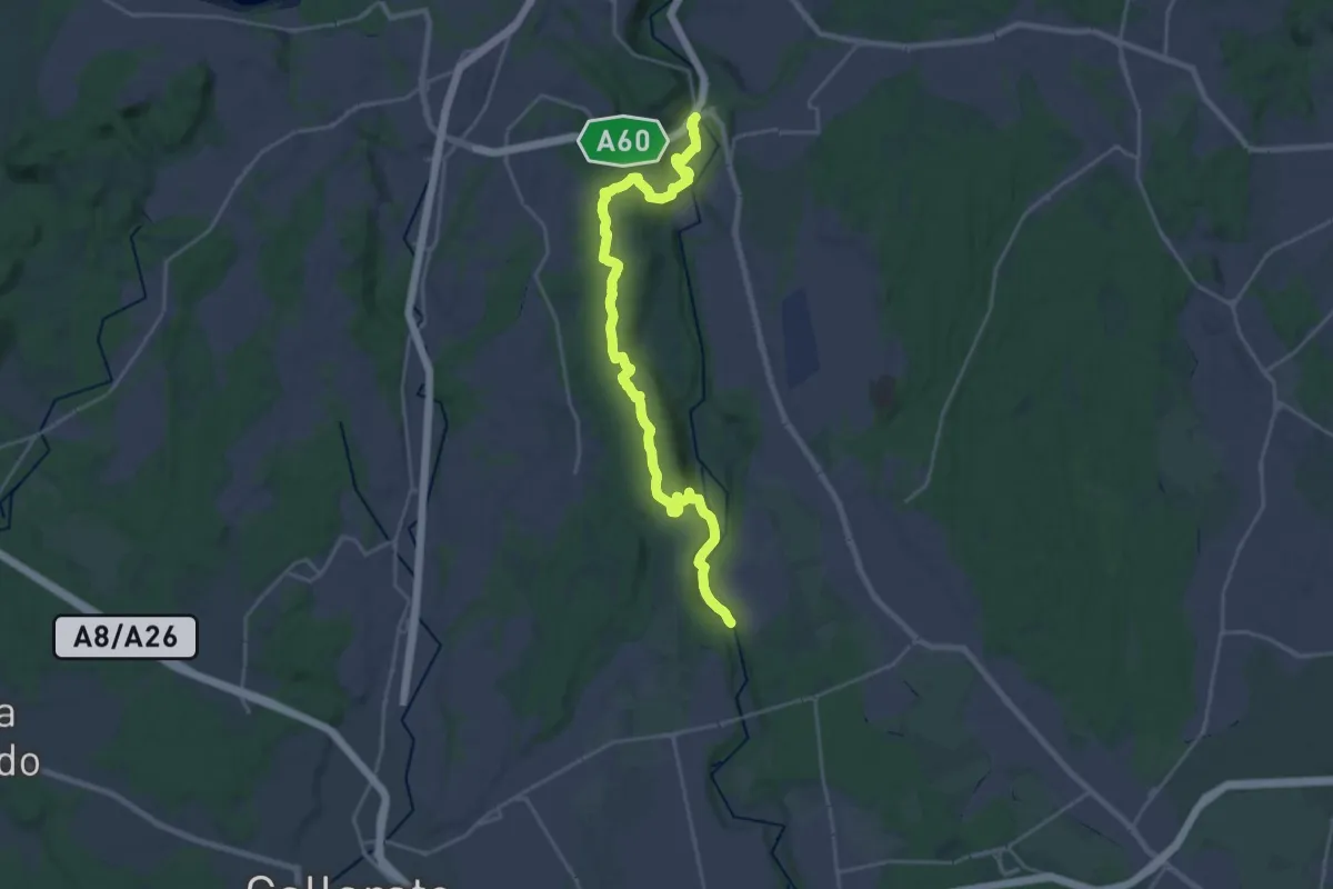
Demanding · Trail
520 Dorsale RTO
25.9 km · ↑ 425 m · 7 h 2 min · 11 km away