Trails near Malnate
195 hikes starting within 15 km, nearest first.
Nearest first, page 3 of 5
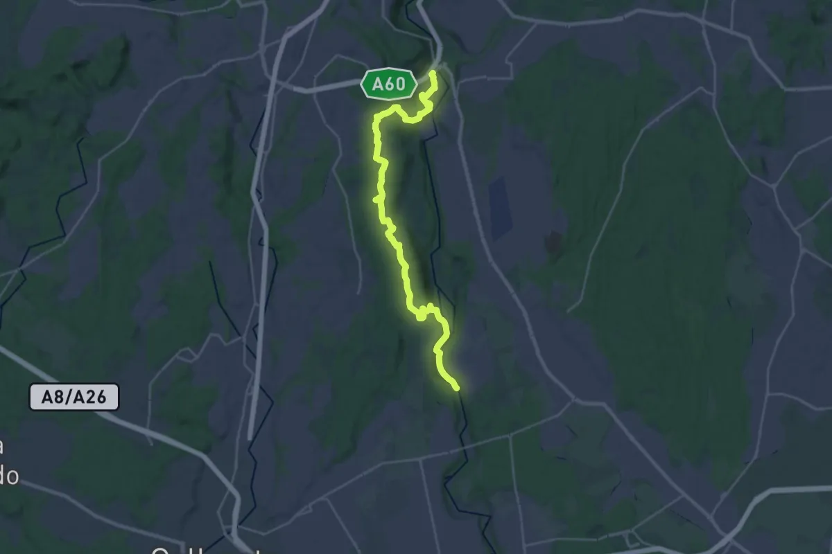
Demanding · Trail
Dorsale Rile-Tenore-Olona
26.4 km · ↑ 426 m · 7 h 9 min · 11 km away
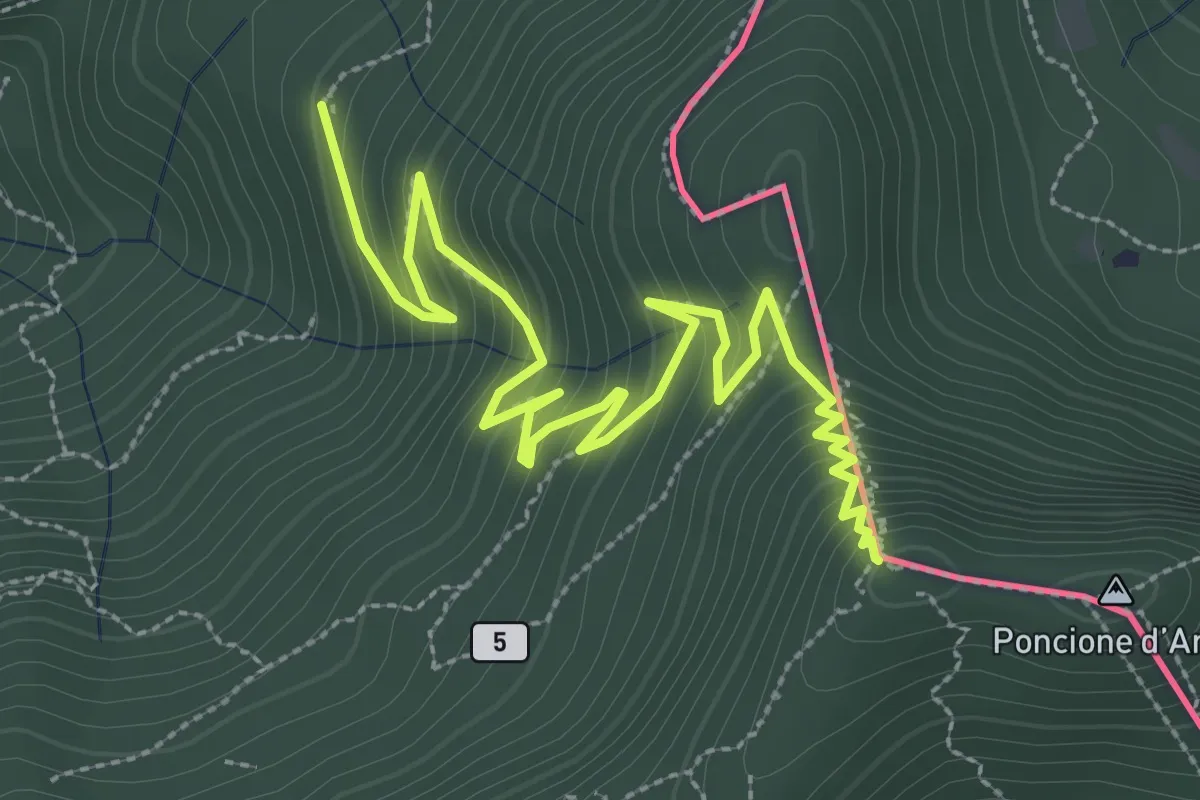
Medium · Summit
Besano – Monte Pravello
4.1 km · ↑ 402 m · 1 h 50 min · 11 km away
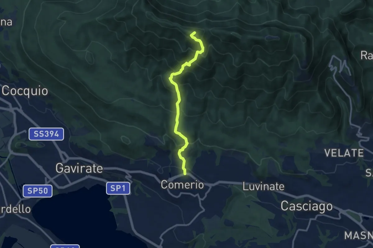
Medium · Summit
Comerio – Forte di Orino
8.2 km · ↑ 763 m · 3 h 36 min · 11 km away
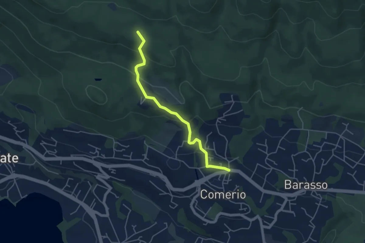
Easy · Trail
311 Comerio - Sentiero 310A
4.1 km · ↑ 197 m · 1 h 24 min · 11 km away
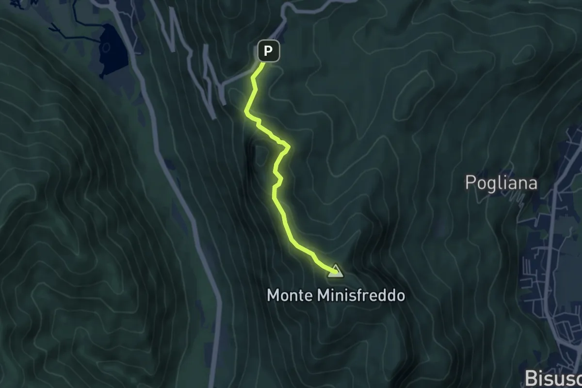
Demanding · Summit
Alpe Tedesco - Monte Rho d'Arcisate
4.5 km · ↑ 345 m · 1 h 48 min · 11 km away
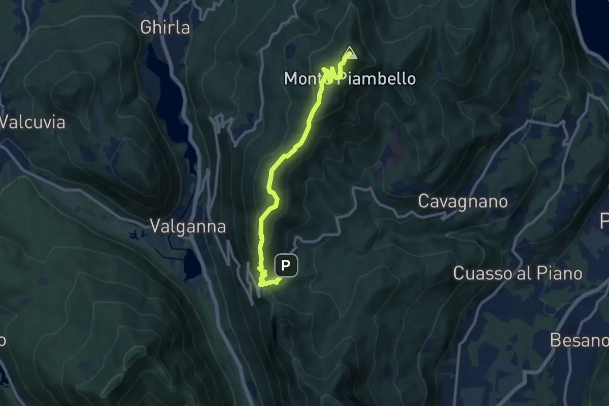
Medium · Summit
Alpe Tedesco – Monte Piambello
9.4 km · ↑ 459 m · 3 h 13 min · 11 km away
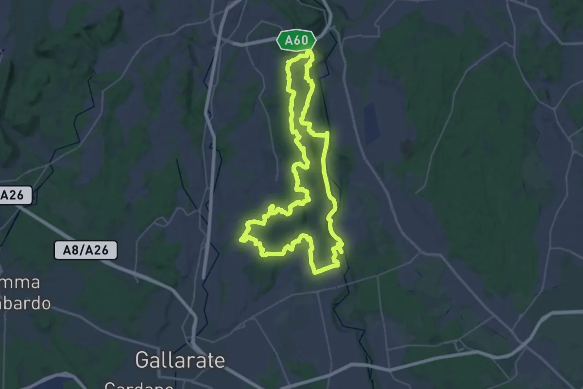
Demanding · Trail
Grandtour RTO
30.8 km · ↑ 344 m · 8 h 28 min · 11 km away
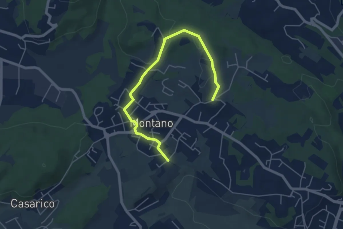
Easy · Trail
Montano Lucino cimitero – Montano Lucino loc. Trivino
4.9 km · ↑ 65 m · 1 h 18 min · 11 km away
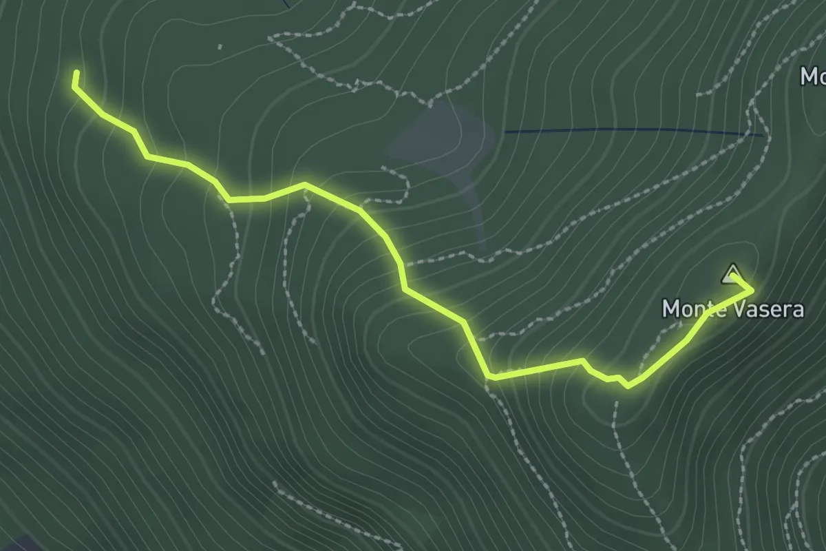
Medium · Summit
Brinzio - Monte Martica
2.6 km · ↑ 276 m · 1 h 13 min · 11 km away
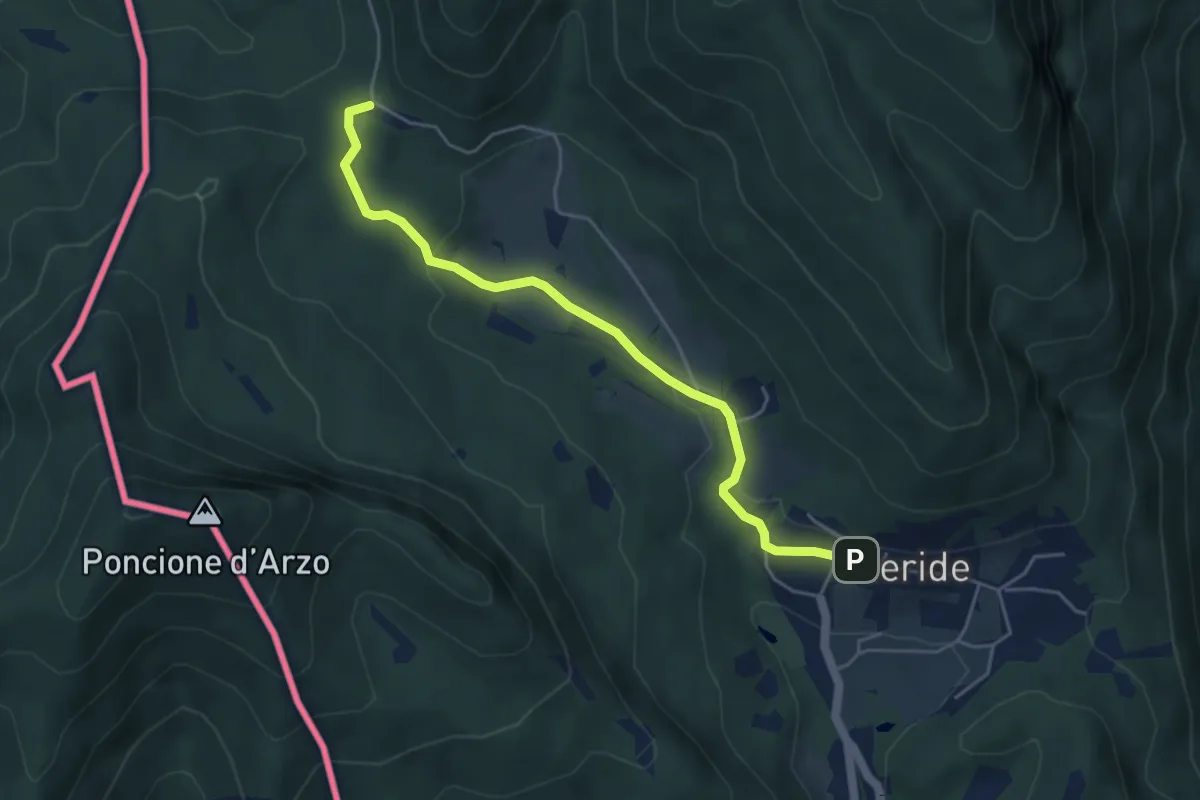
Easy · Trail
Crocifisso – Meride
4.8 km · ↑ 121 m · 1 h 23 min · 12 km away
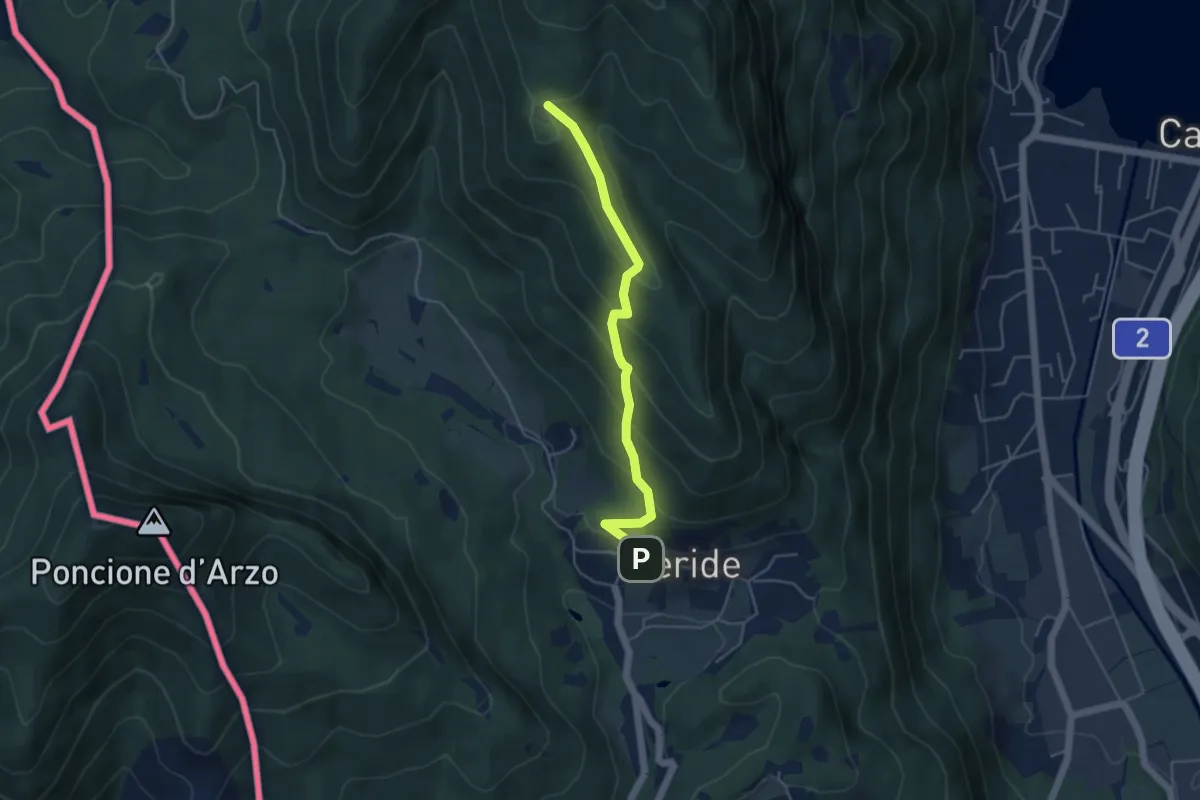
Easy · Trail
Meride – Cassina
4.6 km · ↑ 309 m · 1 h 45 min · 12 km away
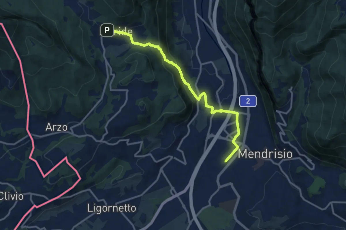
Medium · Trail
Meride – Mendrisio Stazione
8.9 km · ↑ 326 m · 2 h 48 min · 12 km away
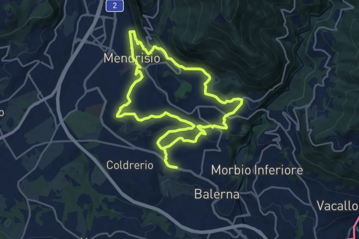
Medium · Trail
Itinerario "L’uomo e la vite"
10.9 km · ↑ 309 m · 3 h 24 min · 12 km away
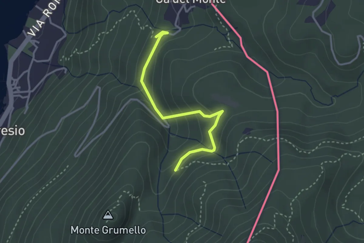
Easy · Trail
Porto Ceresio – Monte Grumello
2.9 km · ↑ 192 m · 1 h 6 min · 12 km away
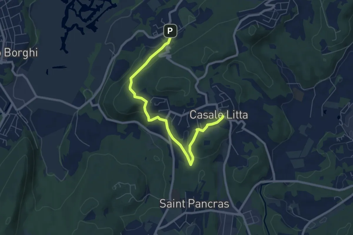
Easy · Trail
Piane Viscontee - Anello di Casale Litta
6.7 km · ↑ 183 m · 1 h 59 min · 12 km away
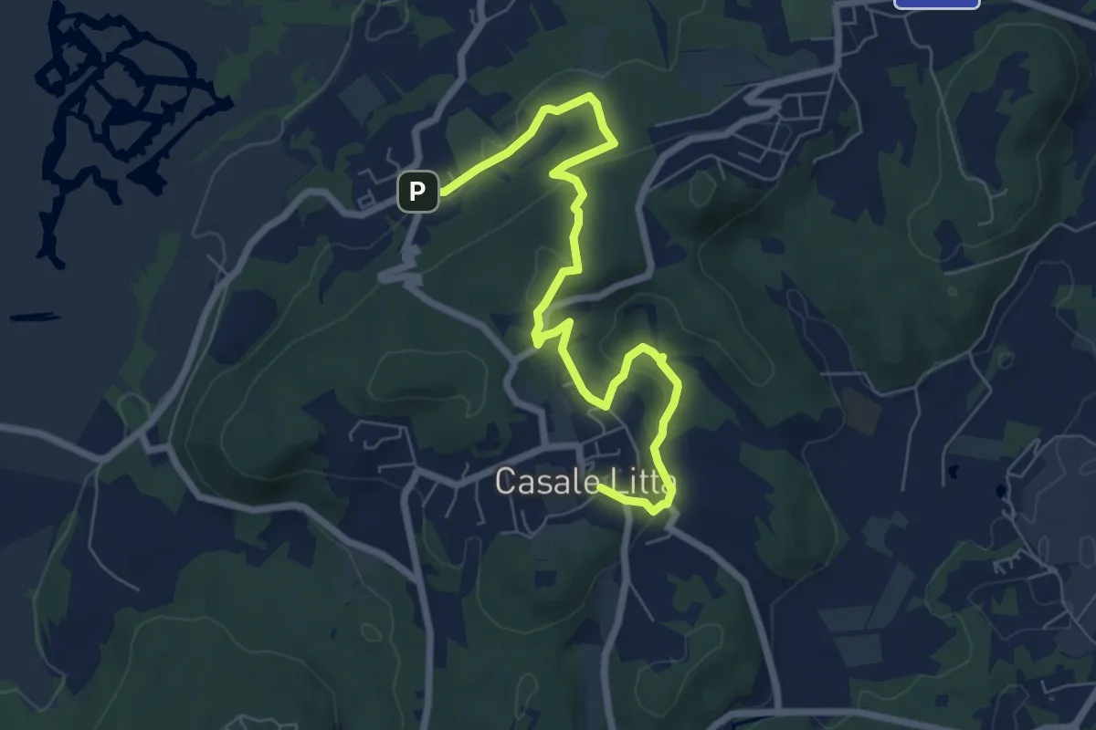
Easy · Trail
Piane Viscontee - Anello di Casale Litta
7.7 km · ↑ 219 m · 2 h 18 min · 12 km away
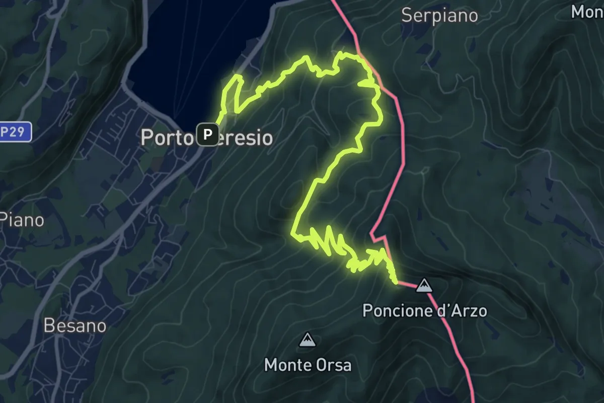
Demanding · Summit
Porto Ceresio – Viggiù (Piazza Europa)
15.3 km · ↑ 1101 m · 5 h 59 min · 12 km away
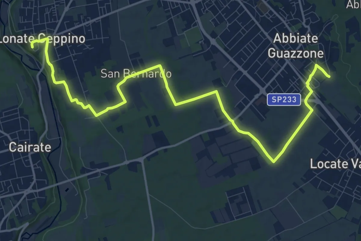
Medium · Trail
520F Collegamento RTO-Pineta
15.1 km · ↑ 102 m · 3 h 47 min · 12 km away
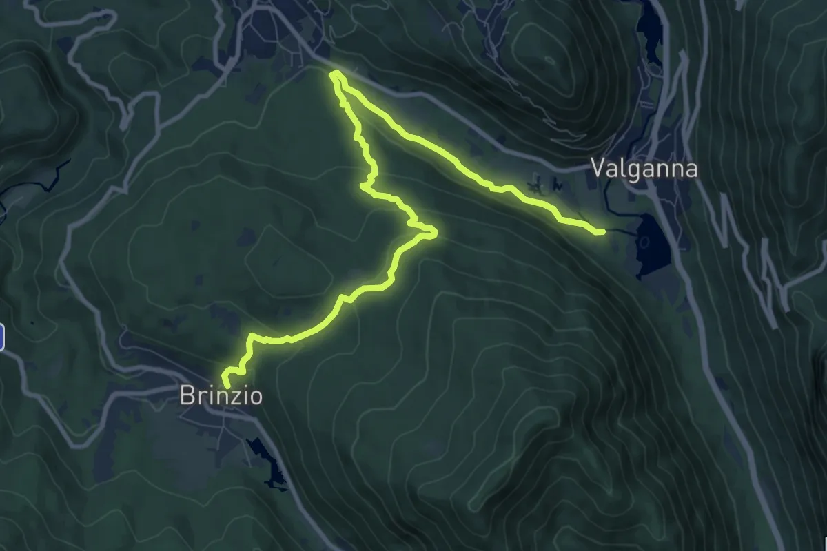
Medium · Trail
Brinzio – Valganna
11.4 km · ↑ 409 m · 3 h 34 min · 12 km away
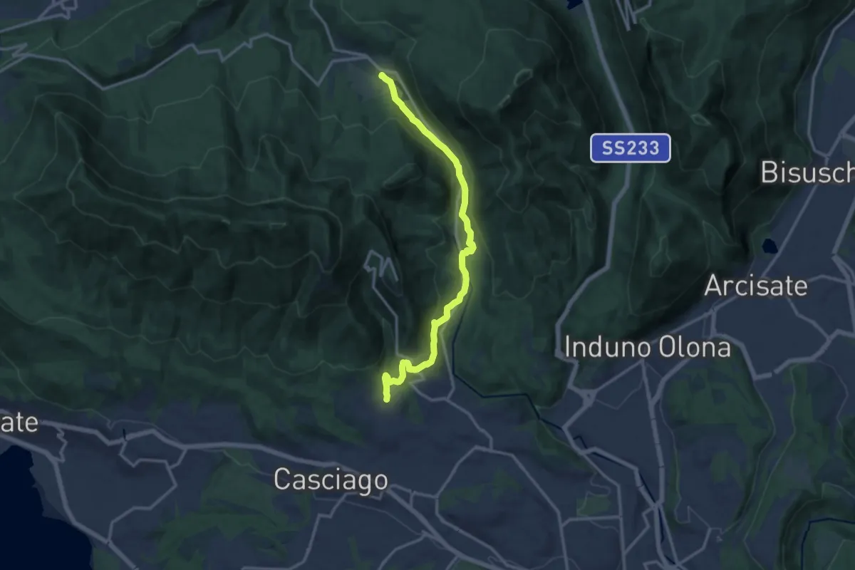
Medium · Trail
Brinzio – Velate
12.9 km · ↑ 355 m · 3 h 49 min · 12 km away
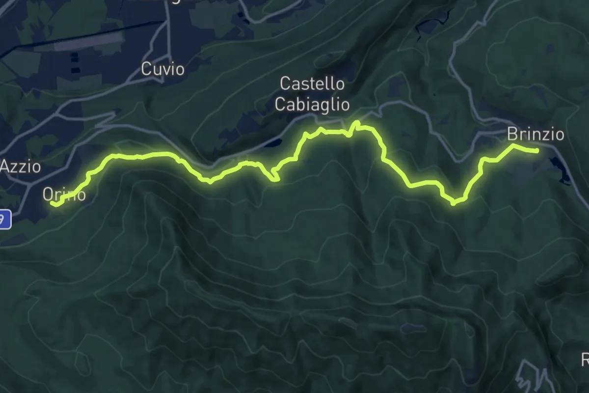
Medium · Trail
Orino, Piazza XI Febbraio – Brinzio, Via Piave
16.3 km · ↑ 703 m · 5 h 22 min · 12 km away
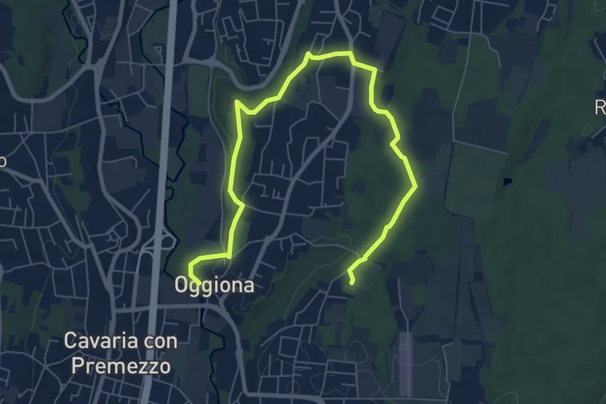
Medium · Trail
Percorsi del Cuore - Anello di Oggiona Santo Stefano
8.2 km · ↑ 118 m · 2 h 11 min · 12 km away
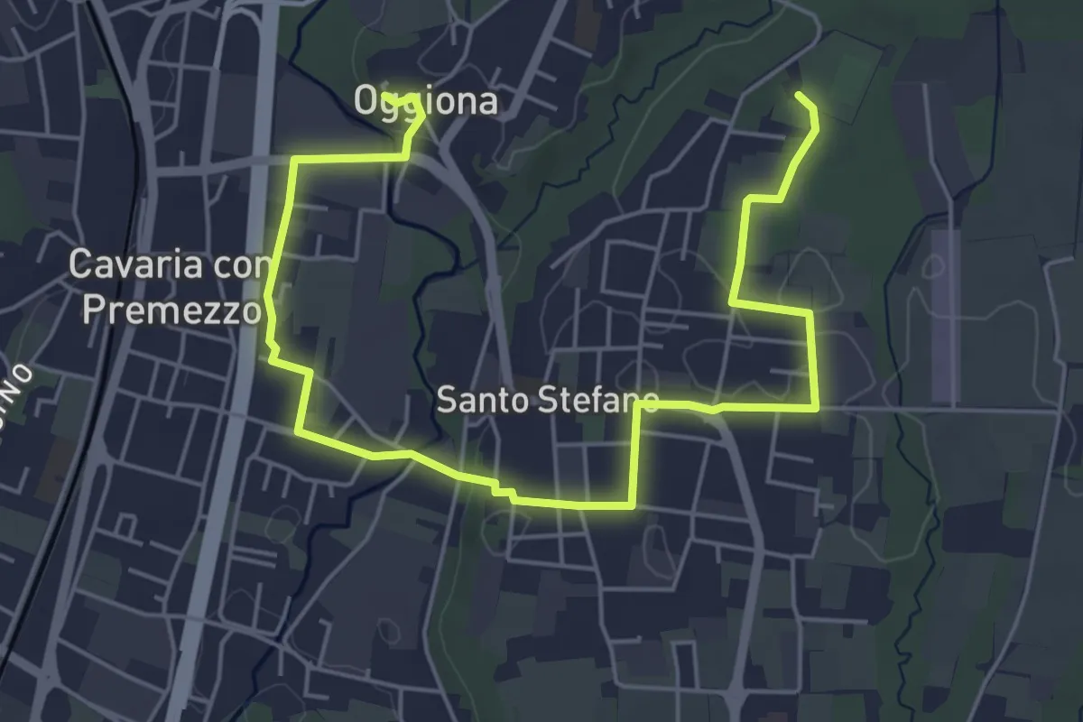
Easy · Trail
Percorsi del Cuore - Anello di Oggiona Santo Stefano
7.1 km · ↑ 68 m · 1 h 50 min · 12 km away
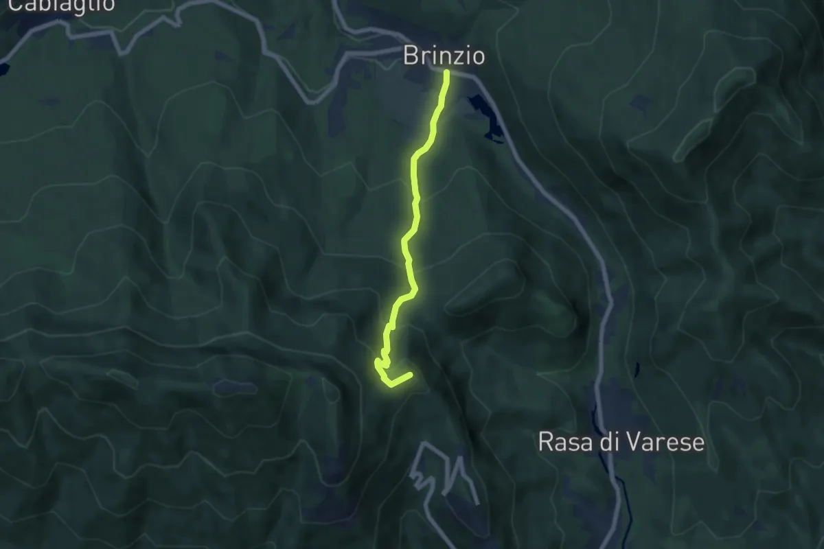
Medium · Summit
Brinzio – Valico Pizzelle
5.5 km · ↑ 420 m · 2 h 13 min · 12 km away
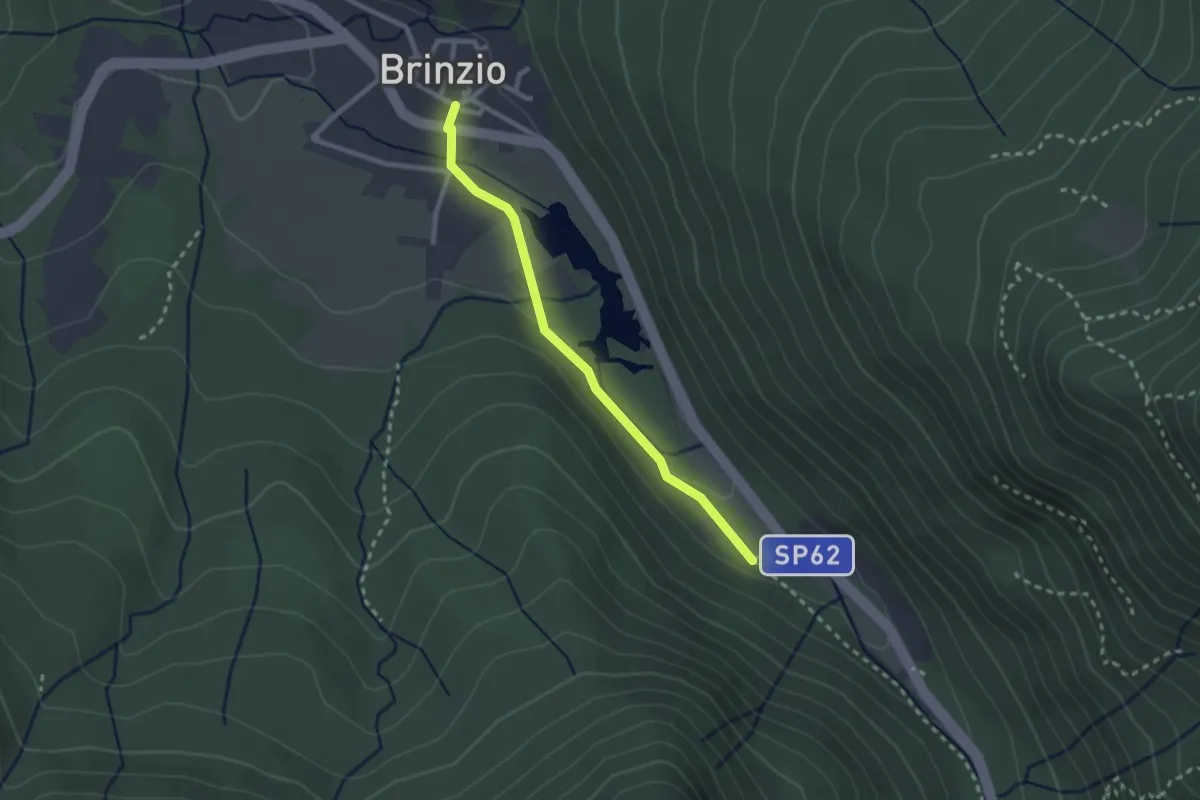
Easy · Trail
Lago di Brinzio
2.4 km · ↑ 43 m · 39 min · 12 km away
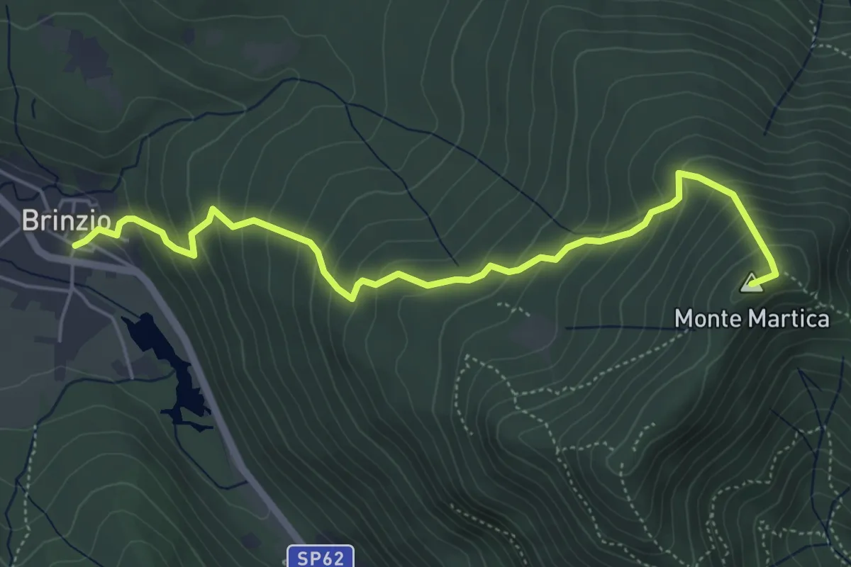
Medium · Summit
Brinzio - Monte Martica
5.6 km · ↑ 501 m · 2 h 25 min · 12 km away
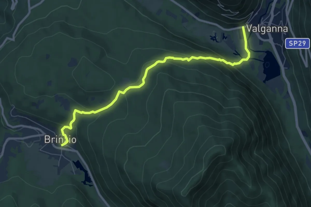
Demanding · Trail
315 - Brinzio-Badia di Ganna
7.7 km · ↑ 372 m · 2 h 37 min · 12 km away
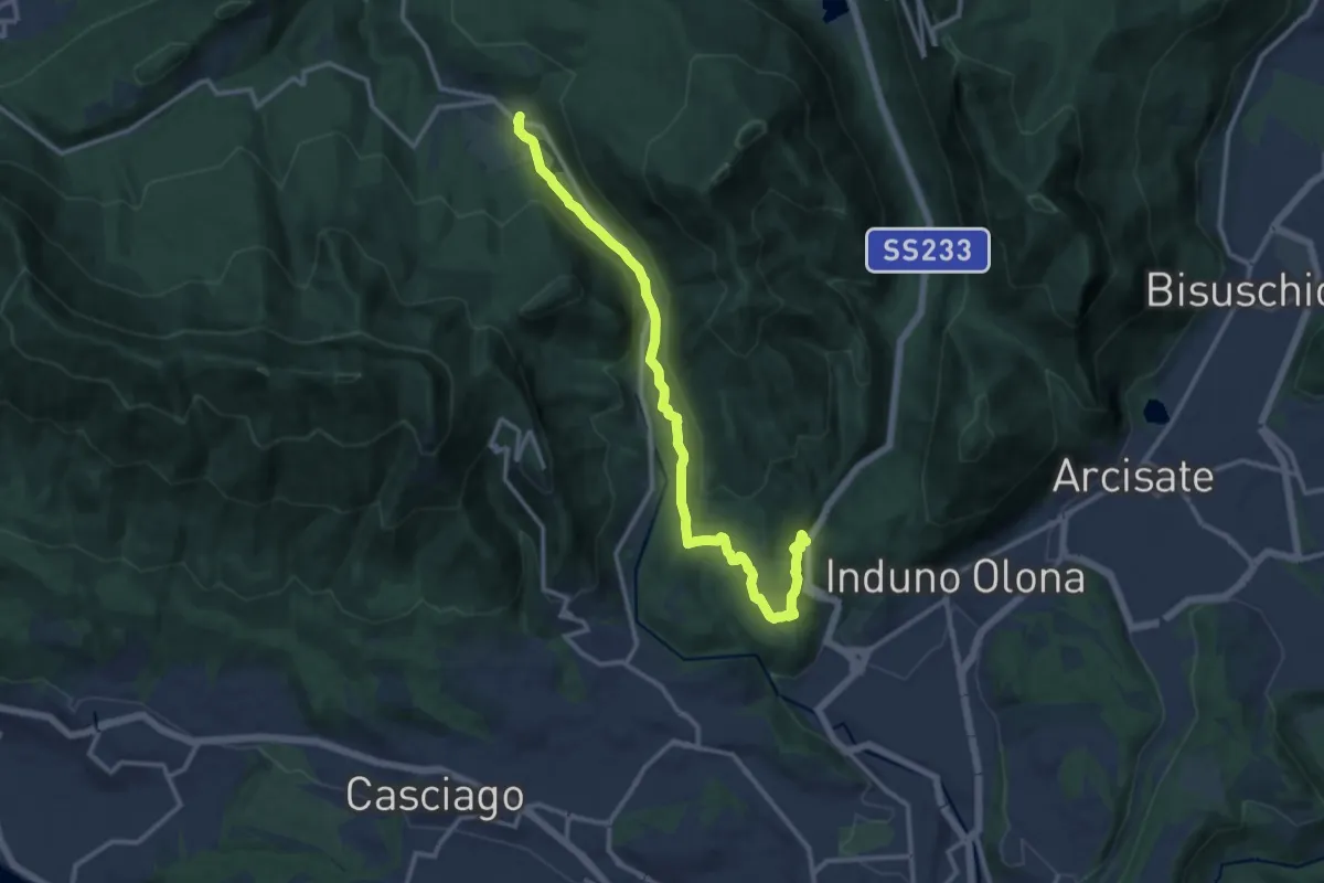
Medium · Trail
Bregazzana – Brinzio
13.4 km · ↑ 310 m · 3 h 50 min · 12 km away
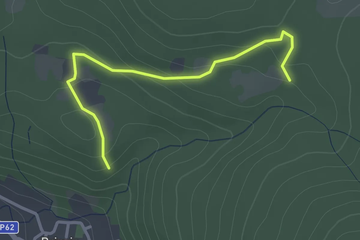
Easy · Trail
Sentiero 315B collegamento
2.6 km · ↑ 83 m · 47 min · 12 km away
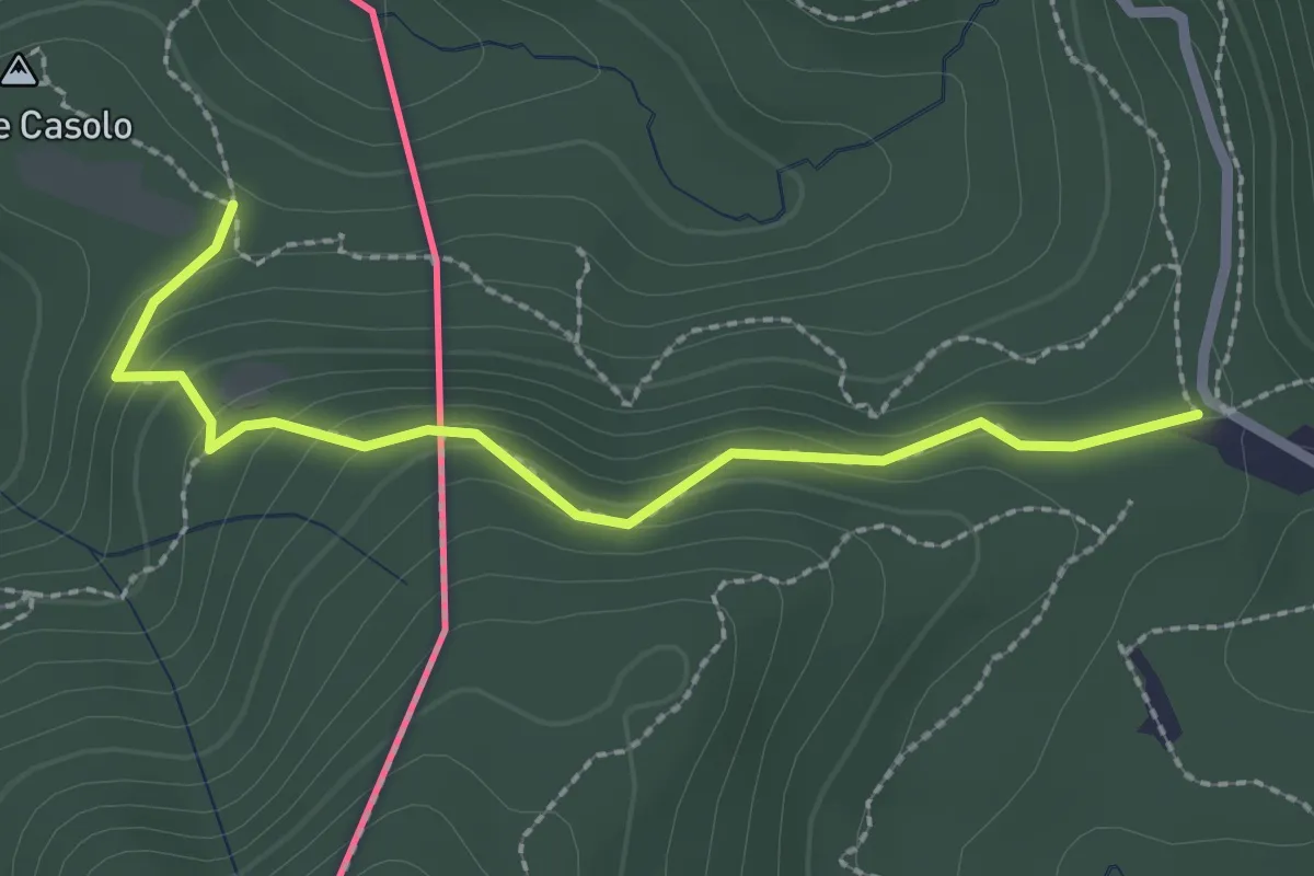
Medium · Trail
Crossifico - Monte Casolo (I) ? / Porto Ceresio (I) ? - fixme
2.5 km · ↑ 122 m · 51 min · 12 km away
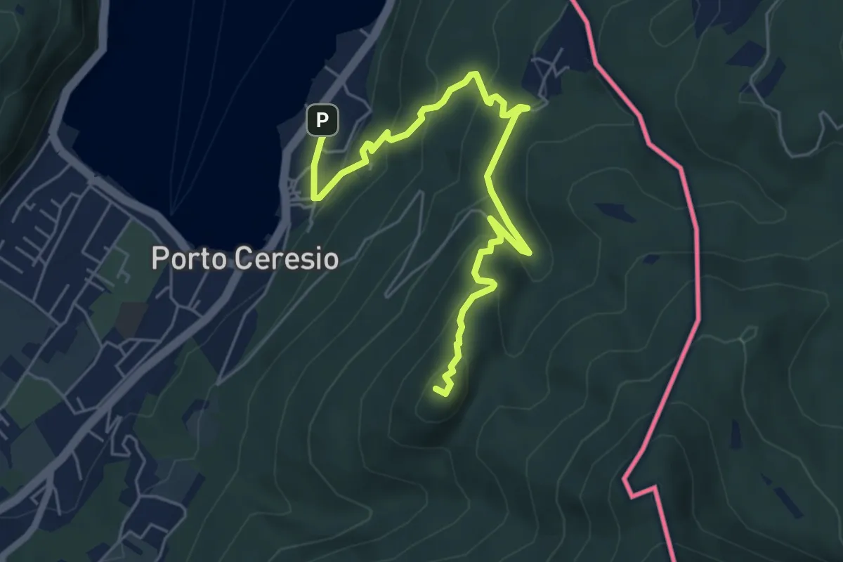
Medium · Summit
Porto Ceresio – Monte Grumello
6.3 km · ↑ 452 m · 2 h 28 min · 12 km away
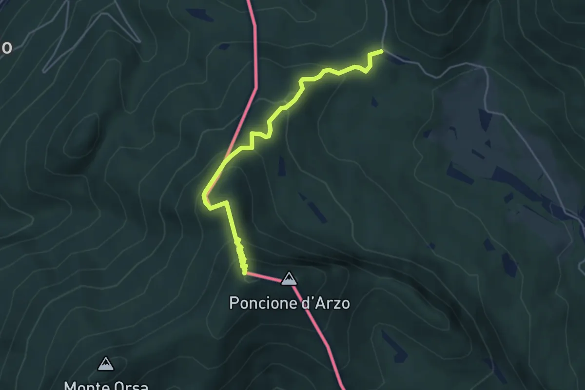
Medium · Summit
Crocifisso – Poncione d'Arzo
4.3 km · ↑ 320 m · 1 h 43 min · 12 km away
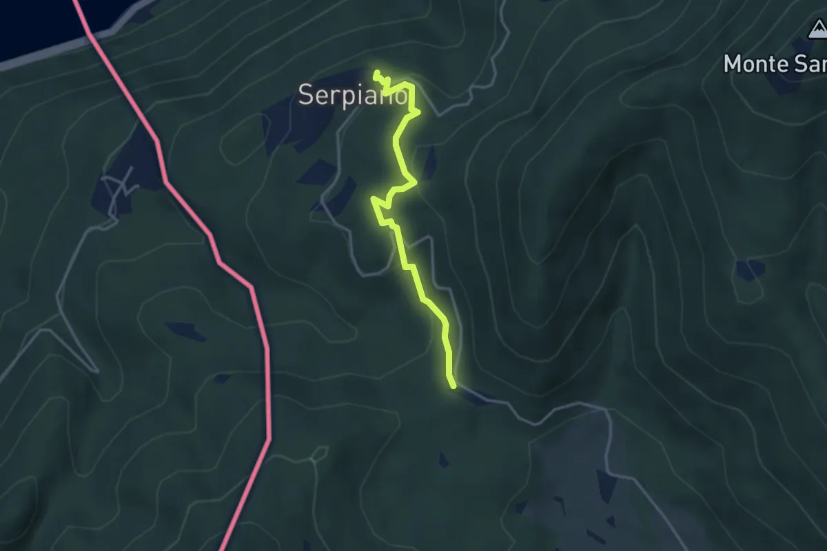
Medium · Trail
Crocifisso – Serpiano
3.2 km · ↑ 156 m · 1 h 6 min · 12 km away
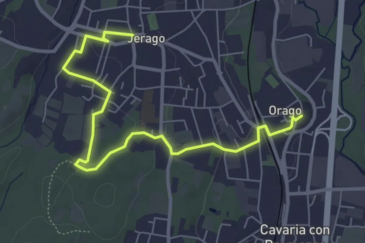
Easy · Trail
DID - Anello di Jerago
6.5 km · ↑ 54 m · 1 h 38 min · 12 km away
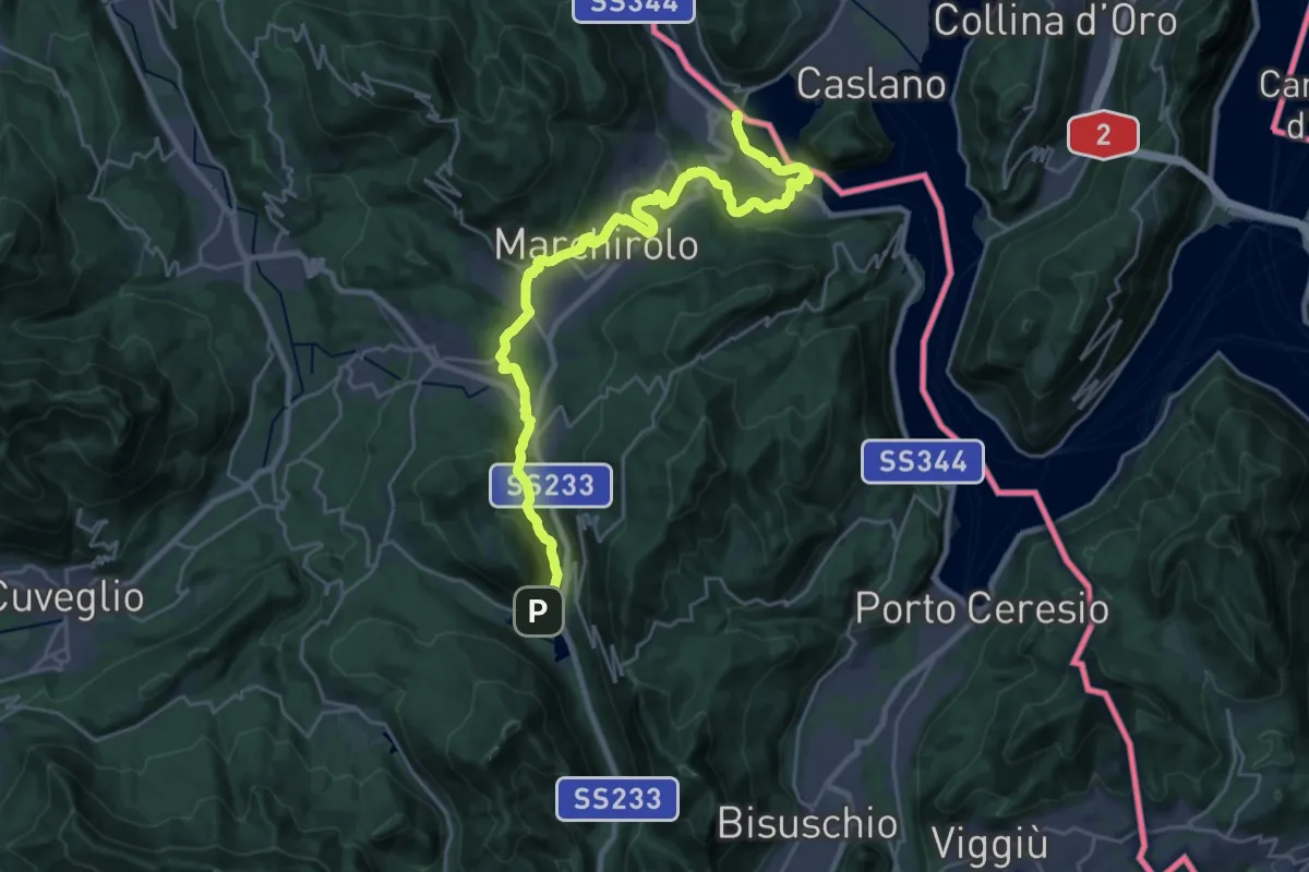
Demanding · Trail
Via Francisca del Lucomagno: Tappa 1
28.2 km · ↑ 503 m · 7 h 45 min · 12 km away
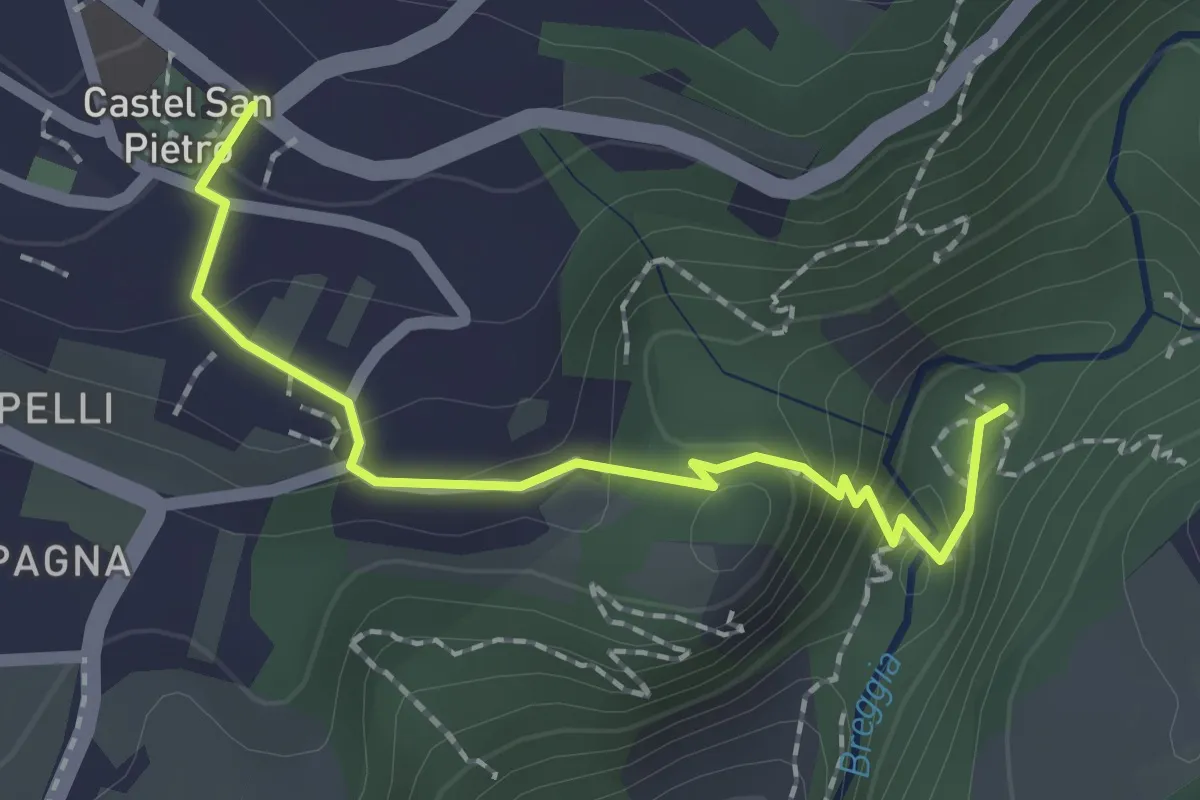
Medium · Trail
Castel San Pietro – Parco Gole della Breggia
2.0 km · ↑ 101 m · 42 min · 12 km away
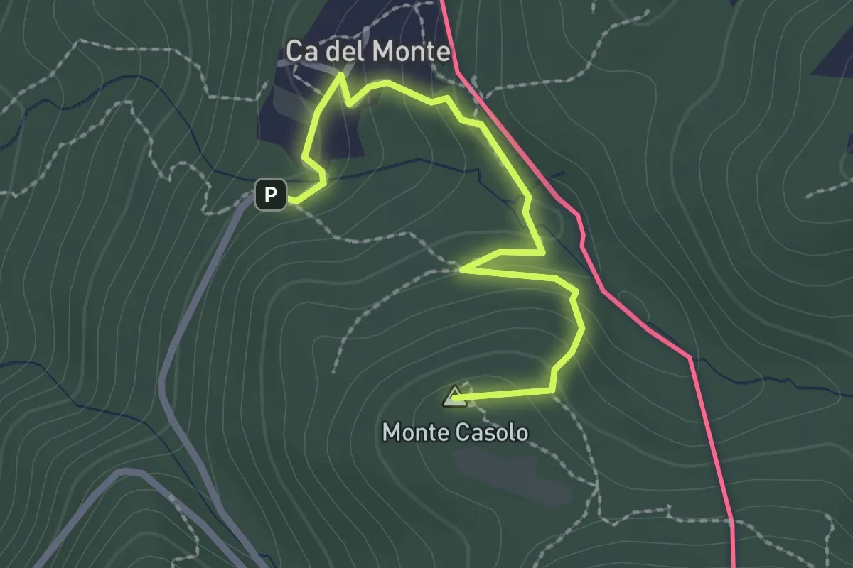
Easy · Summit
Variante Ca' del Monte – Innesto su 461A
2.4 km · ↑ 120 m · 50 min · 12 km away
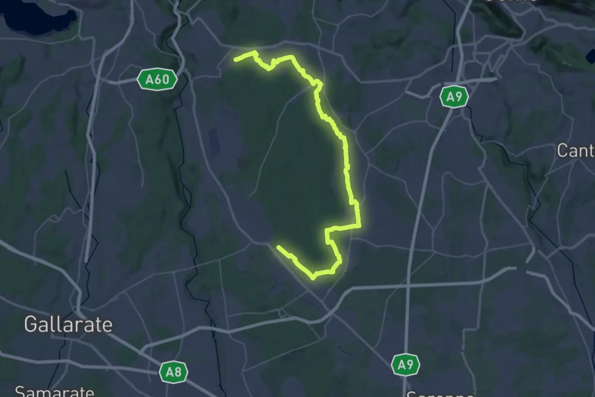
Demanding · Trail
Sentiero 840 LP
23.0 km · ↑ 244 m · 6 h 15 min · 12 km away
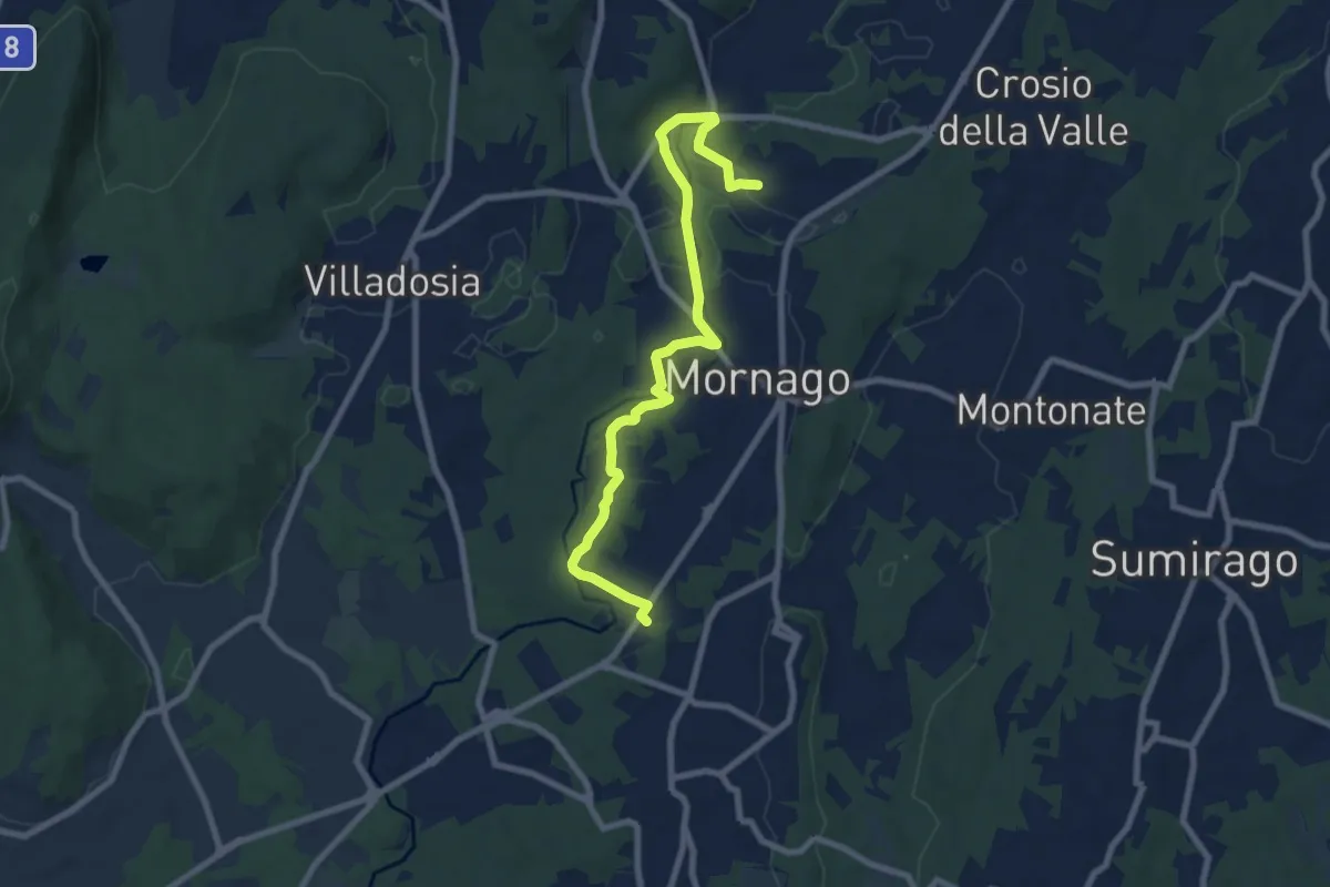
Medium · Trail
Piane Viscontee - Anello di Mornago
8.8 km · ↑ 63 m · 2 h 12 min · 13 km away
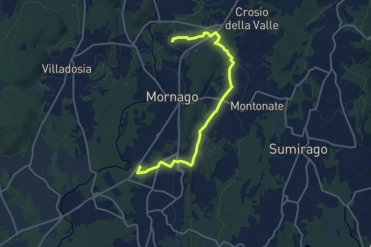
Medium · Trail
Piane Viscontee - Anello di Mornago
10.0 km · ↑ 100 m · 2 h 34 min · 13 km away
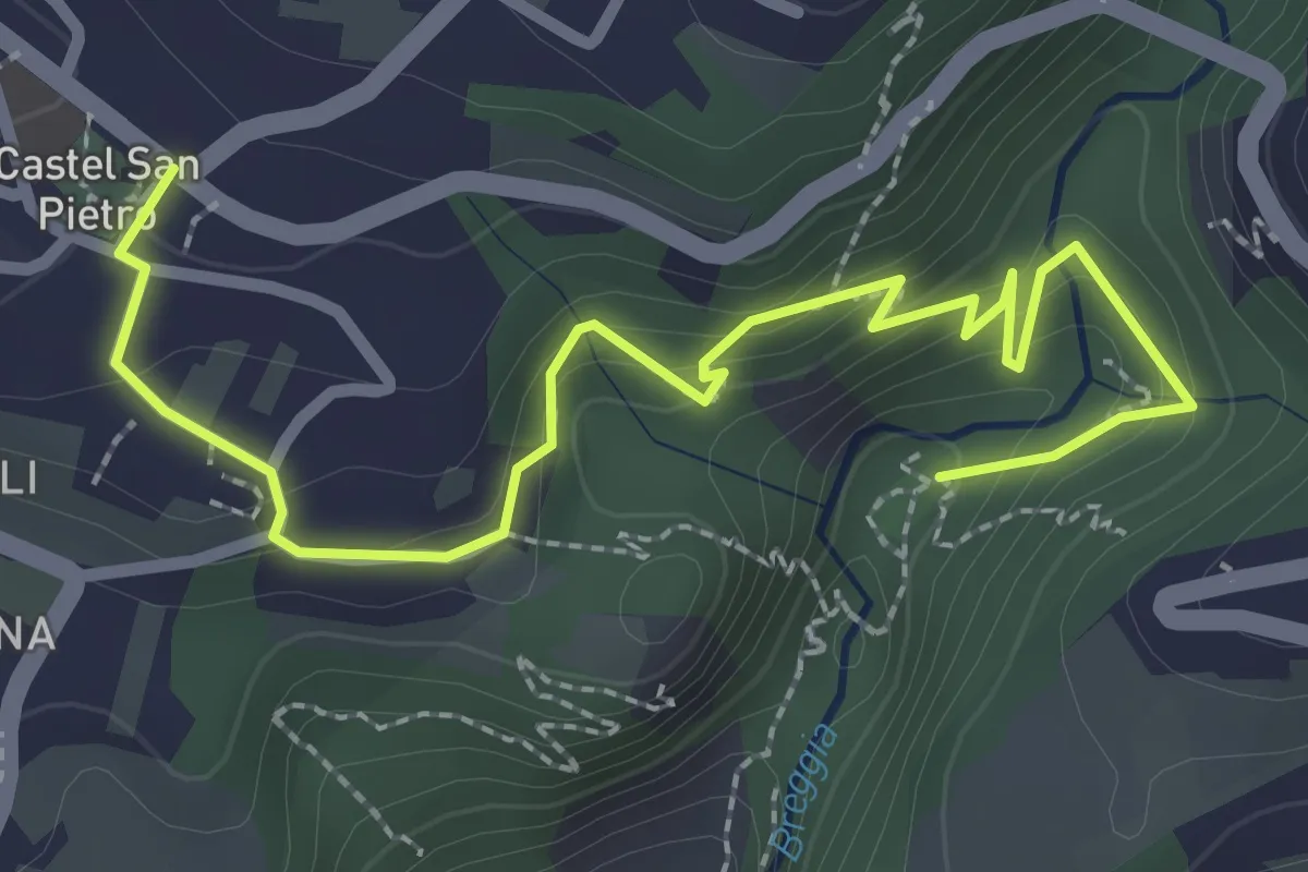
Easy · Trail
Parco Gole della Breggia – Castel San Pietro
3.3 km · ↑ 227 m · 1 h 16 min · 13 km away
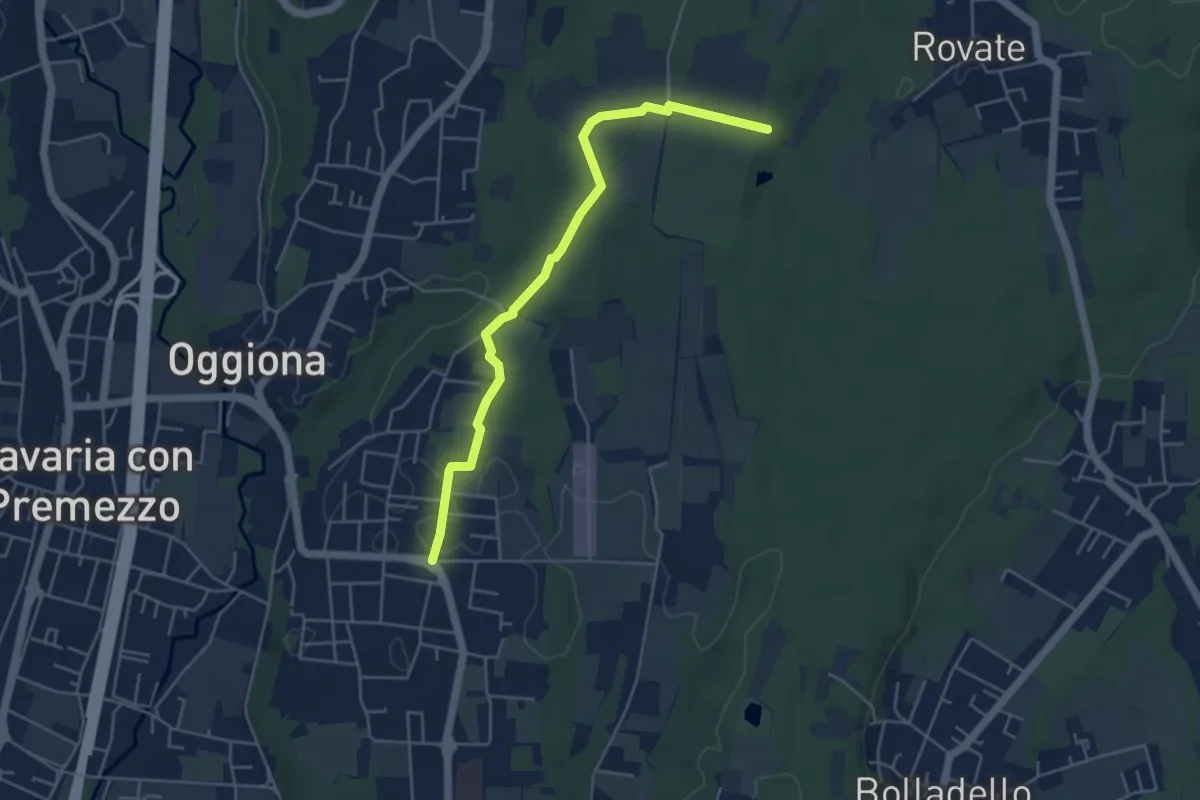
Easy · Trail
523A Sentiero Rio Freddo
4.9 km · ↑ 36 m · 1 h 15 min · 13 km away
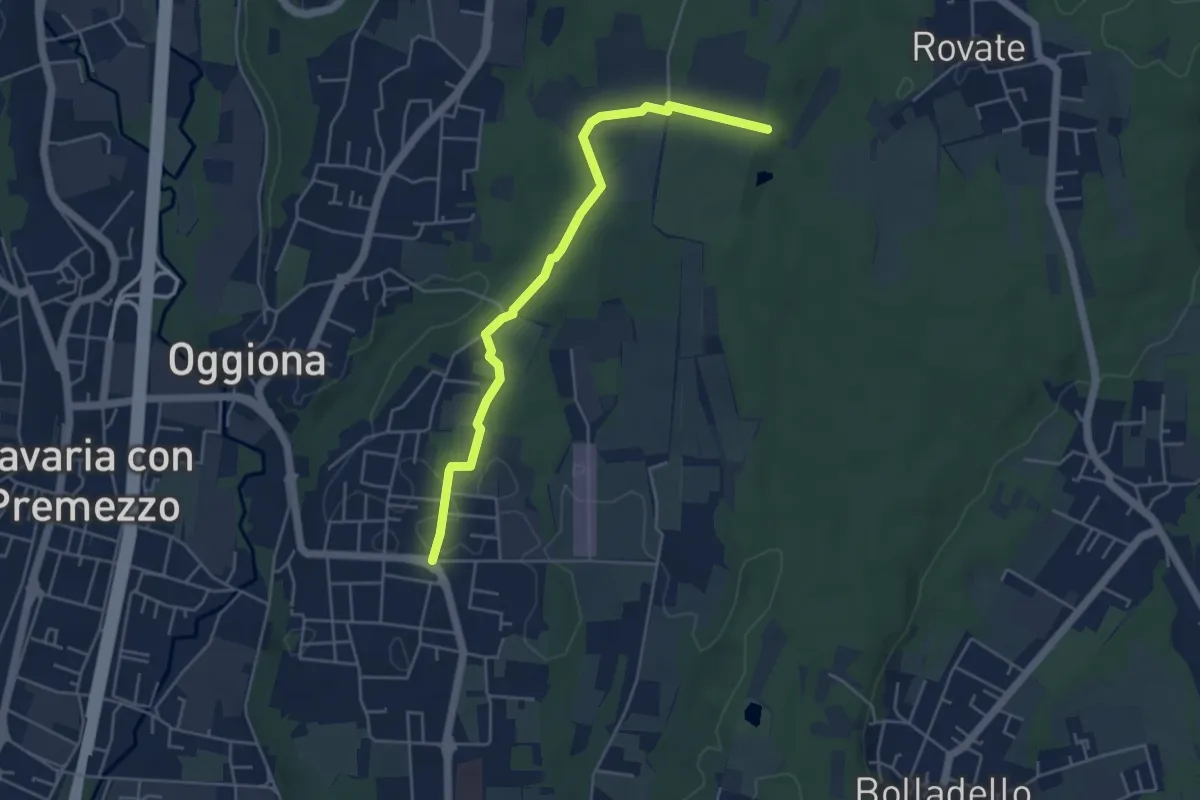
Easy · Trail
Sentiero Rio Freddo
4.9 km · ↑ 36 m · 1 h 15 min · 13 km away
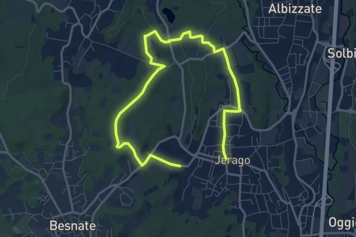
Medium · Trail
Piane Viscontee - Anello di Jerago
11.3 km · ↑ 87 m · 2 h 51 min · 13 km away
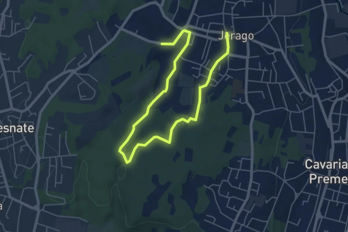
Easy · Trail
Piane Viscontee - Anello di Jerago
6.8 km · ↑ 65 m · 1 h 45 min · 13 km away
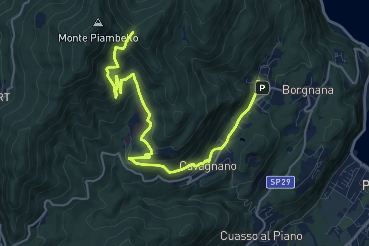
Medium · Trail
Cuasso al Monte – Bivio Bocchetta dei Frati
12.7 km · ↑ 635 m · 4 h 23 min · 13 km away
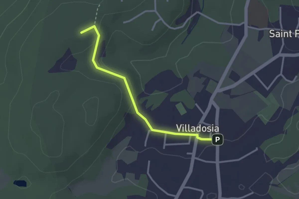
Easy · Trail
Villadosia – Cascina Bruciata
2.5 km · ↑ 56 m · 43 min · 13 km away
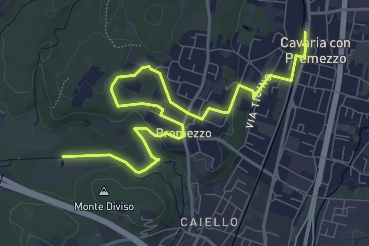
Medium · Trail
DID Anello di Cavaria
8.8 km · ↑ 98 m · 2 h 17 min · 13 km away