Trails near Malnate
195 hikes starting within 15 km, nearest first.
Nearest first, page 4 of 5
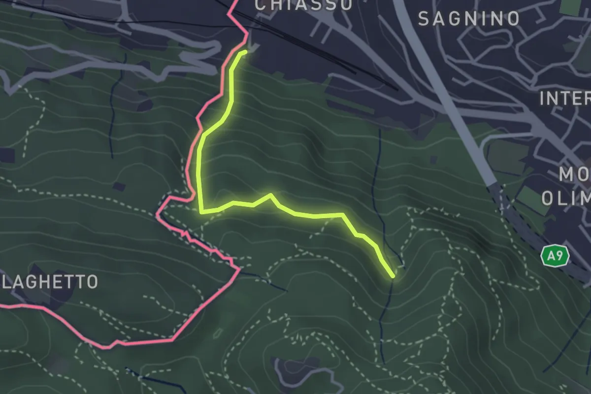
Medium · Trail
Porta Sasso (o del ponte tibetano)
2.8 km · ↑ 294 m · 1 h 17 min · 13 km away
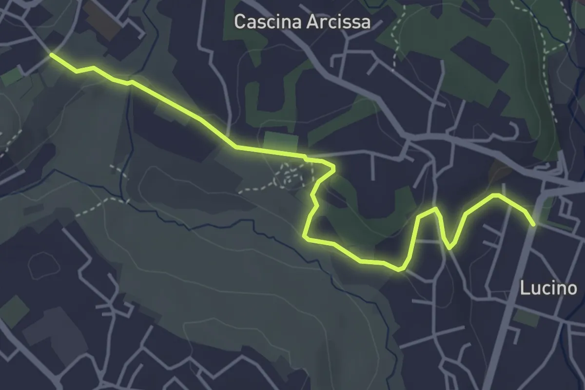
Easy · Trail
Montano Lucino cimitero – Montano Lucino loc. Trivino
4.7 km · ↑ 95 m · 1 h 19 min · 13 km away
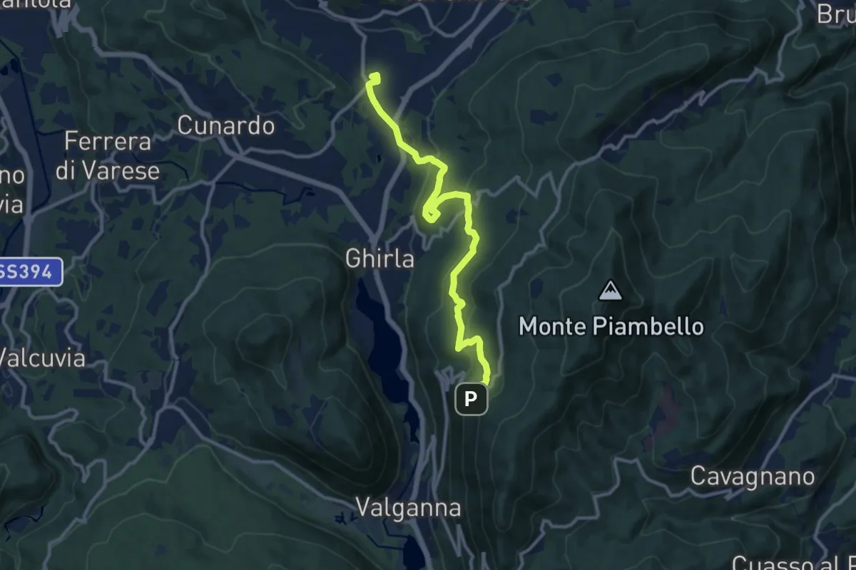
Medium · Trail
Cugliate – Boarezzo
10.9 km · ↑ 365 m · 3 h 22 min · 13 km away
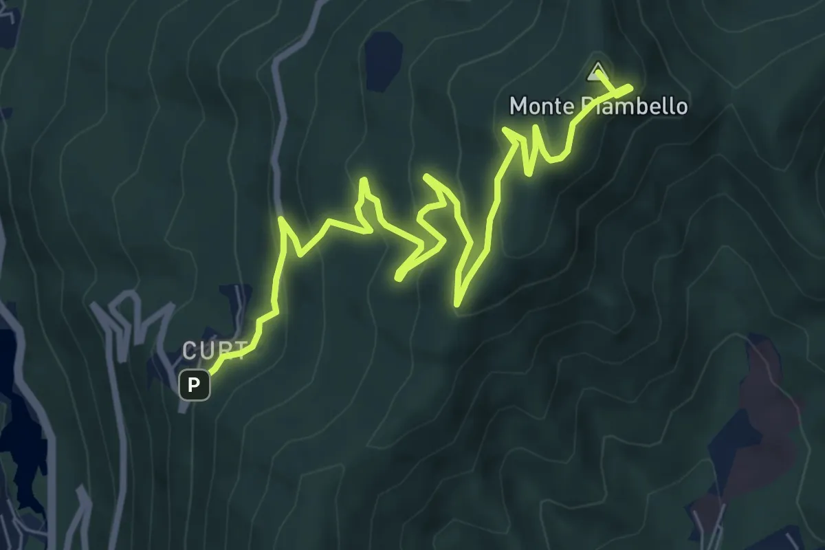
Medium · Summit
Cuasso al Monte – Boarezzo
9.5 km · ↑ 545 m · 3 h 25 min · 13 km away
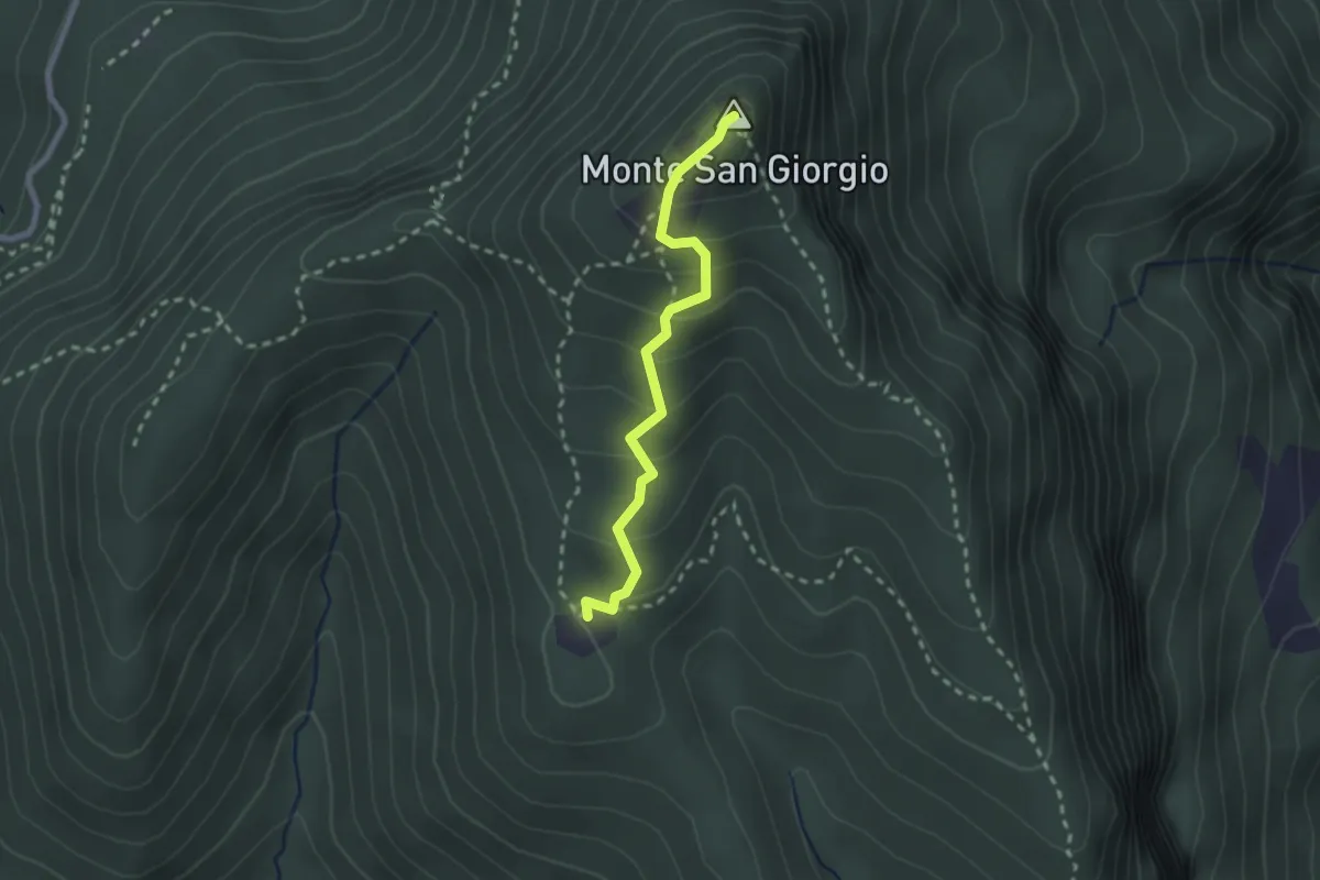
Medium · Summit
Monte San Giorgio – Cassina
2.2 km · ↑ 179 m · 55 min · 13 km away
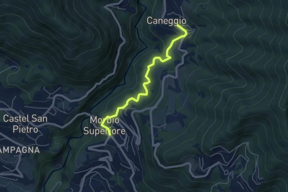
Easy · Trail
Caneggio – Morbio Superiore
4.5 km · ↑ 271 m · 1 h 39 min · 13 km away
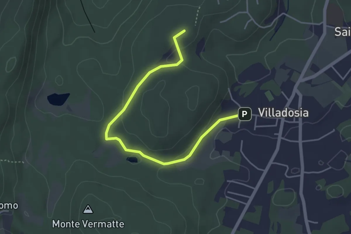
Easy · Trail
Via Santa Maria – Cascina Bruciata
4.3 km · ↑ 84 m · 1 h 12 min · 13 km away
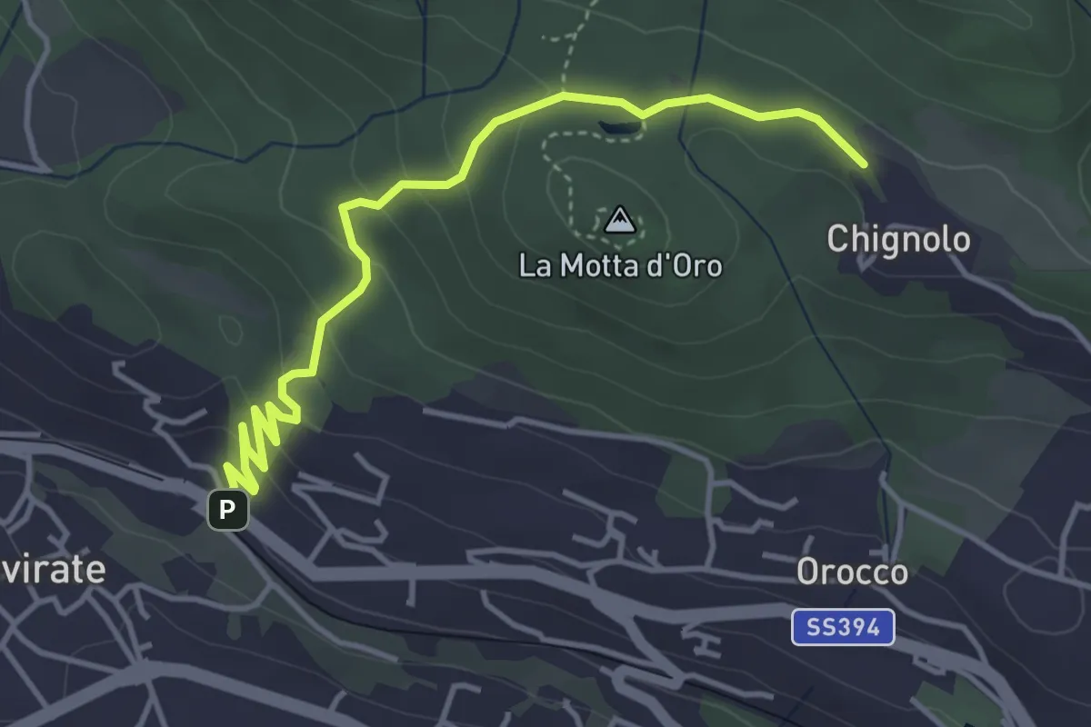
Easy · Trail
Gavirate – Percorso 311
4.3 km · ↑ 201 m · 1 h 26 min · 13 km away
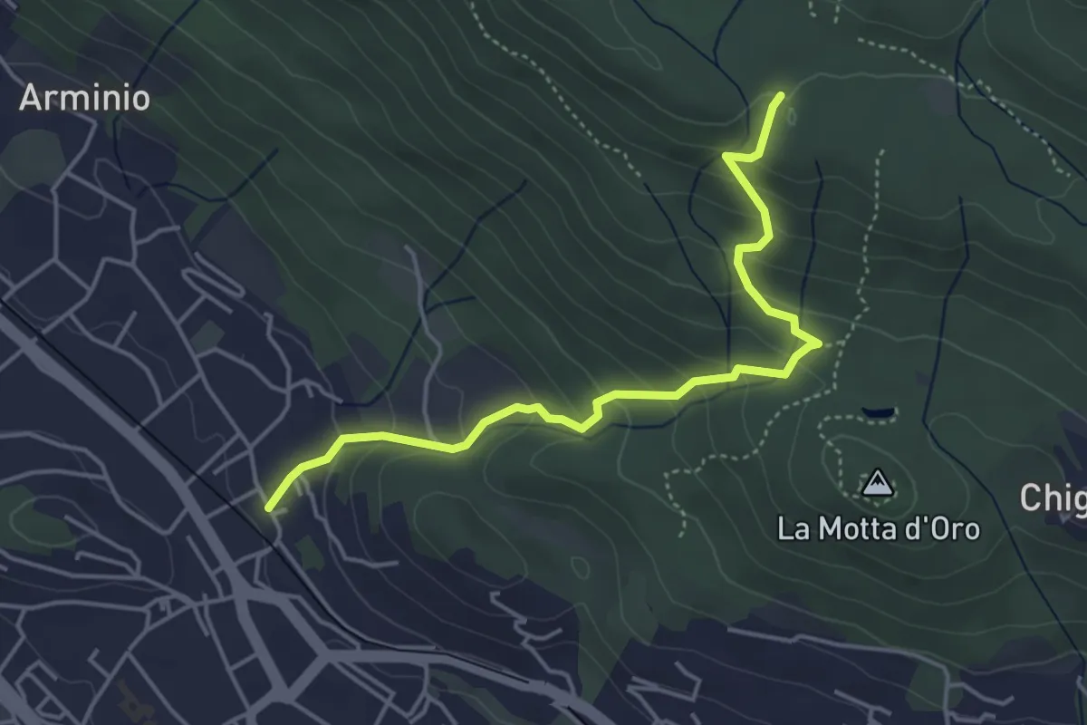
Easy · Trail
Gavirate – Forte di Orino (Percorso 310A)
4.6 km · ↑ 317 m · 1 h 46 min · 13 km away
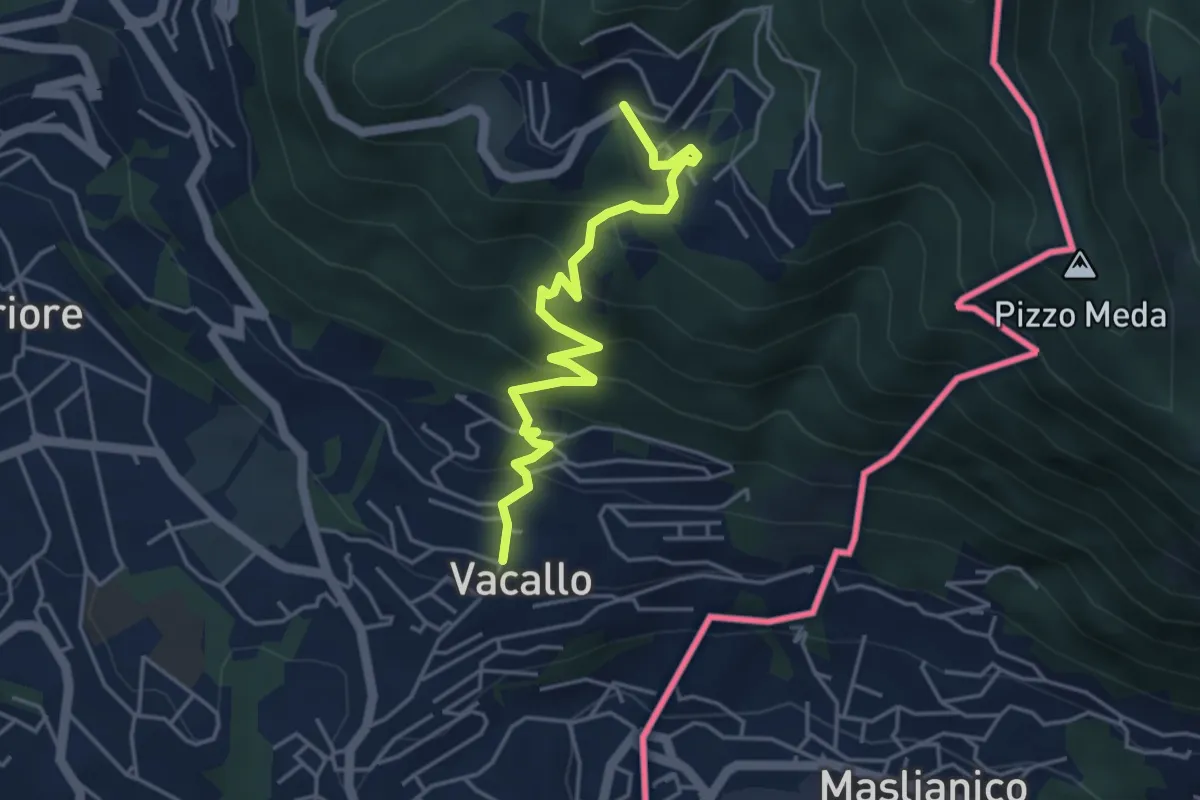
Medium · Trail
Sagno – Vacallo
4.5 km · ↑ 359 m · 1 h 50 min · 13 km away
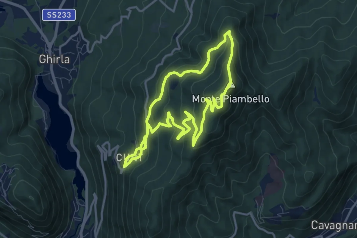
Medium · Summit
Boarezzo anello – Boarezzo
7.8 km · ↑ 425 m · 2 h 52 min · 13 km away
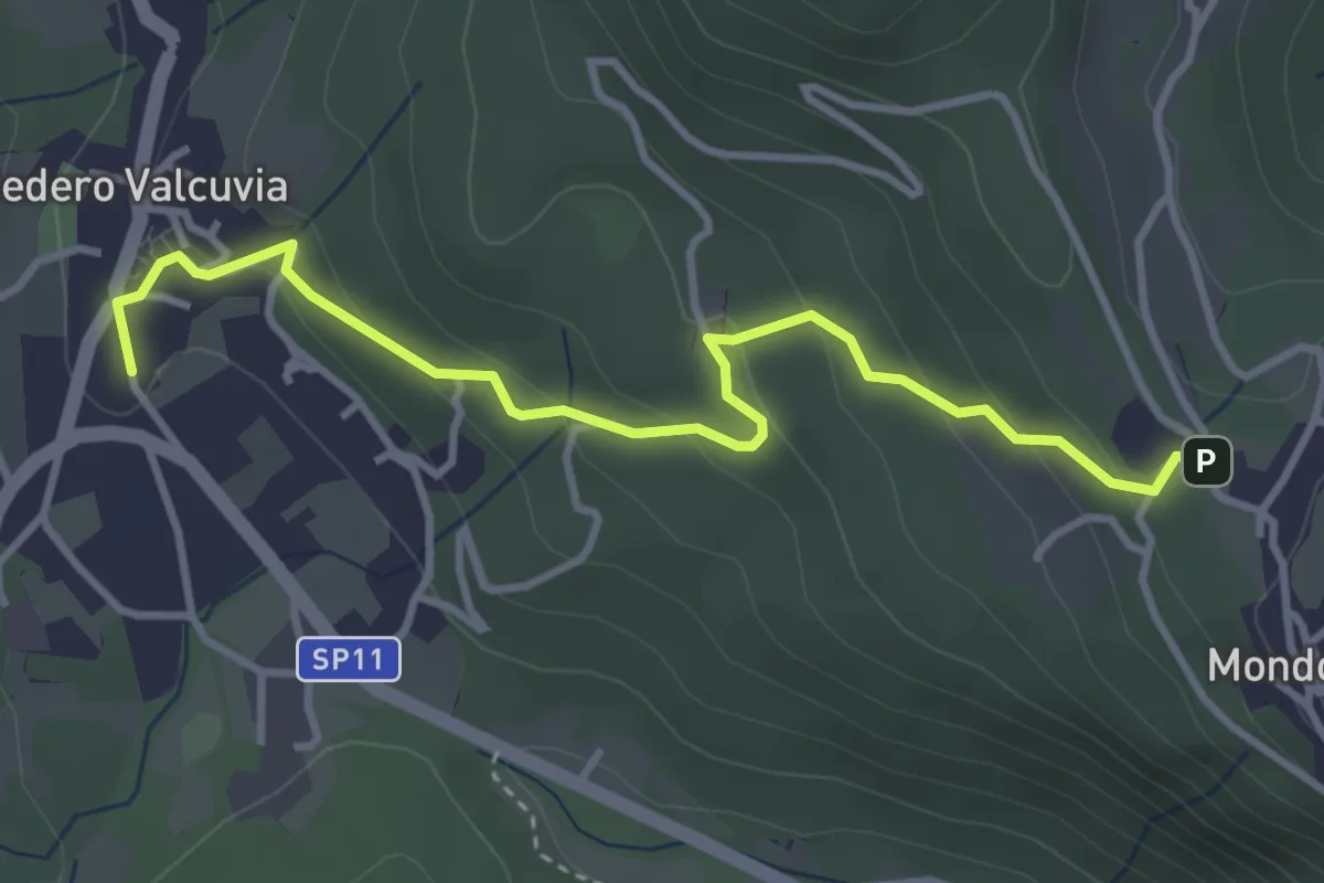
Easy · Trail
Bedero Valcuvia – Madonna degli alpini
3.9 km · ↑ 184 m · 1 h 19 min · 13 km away
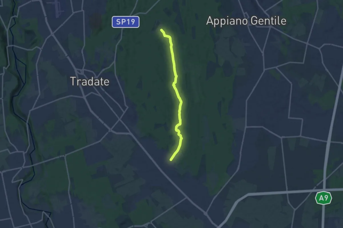
Medium · Trail
Sentiero 845
11.0 km · ↑ 92 m · 2 h 47 min · 13 km away
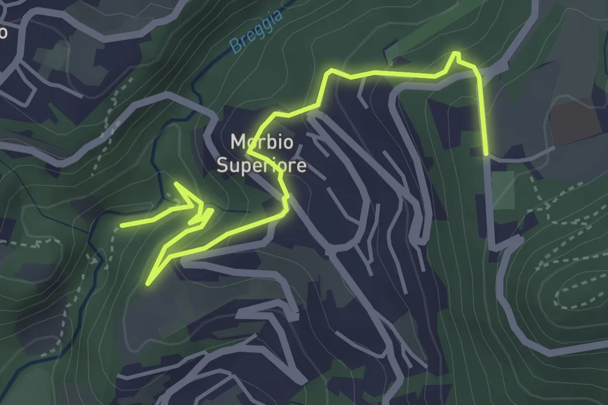
Easy · Trail
Parco Gole della Breggia – Lattecaldo
4.6 km · ↑ 292 m · 1 h 43 min · 13 km away
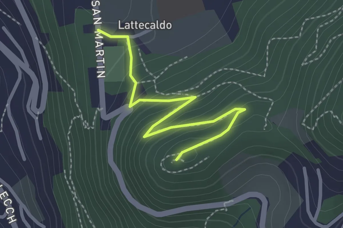
Easy · Trail
Lattecaldo – San Martino
2.3 km · ↑ 138 m · 51 min · 13 km away
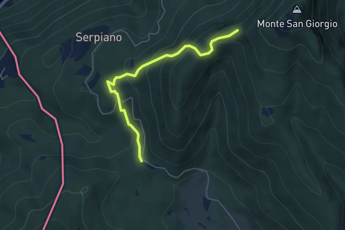
Medium · Trail
Punto 902 – Crocifisso
4.3 km · ↑ 290 m · 1 h 39 min · 13 km away
Medium · Trail
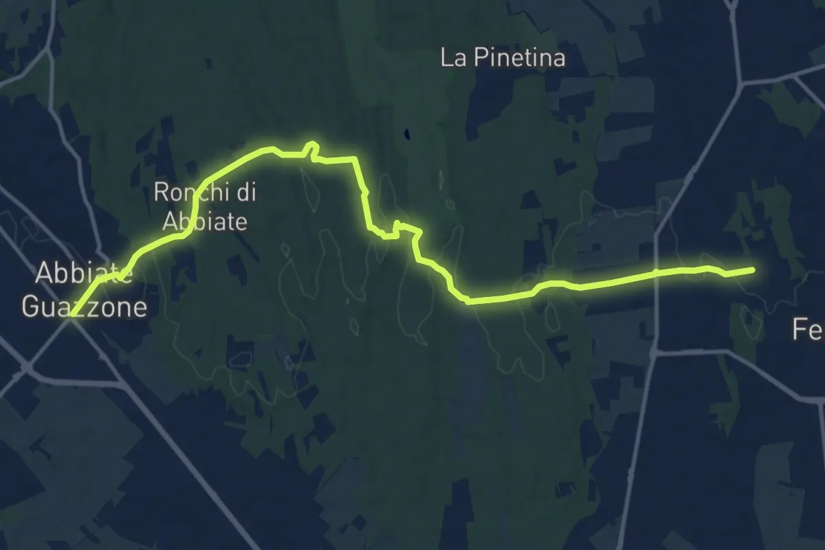
Sentiero 844
14.8 km · ↑ 205 m · 3 h 57 min · 14 km away
Medium · Trail
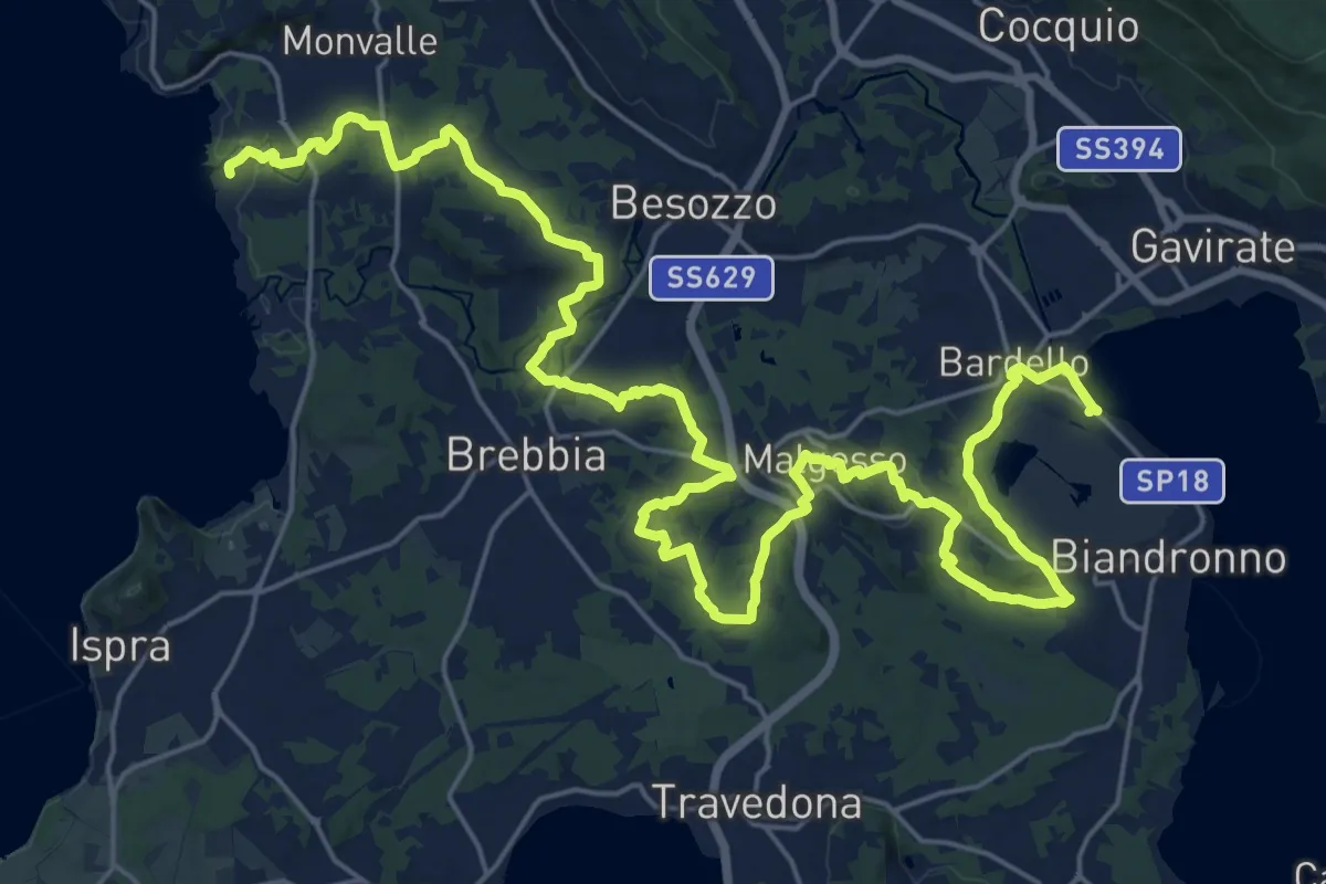
Sentiero dei Mulini
17.8 km · ↑ 250 m · 5 h 1 min · 14 km away
Medium · Summit
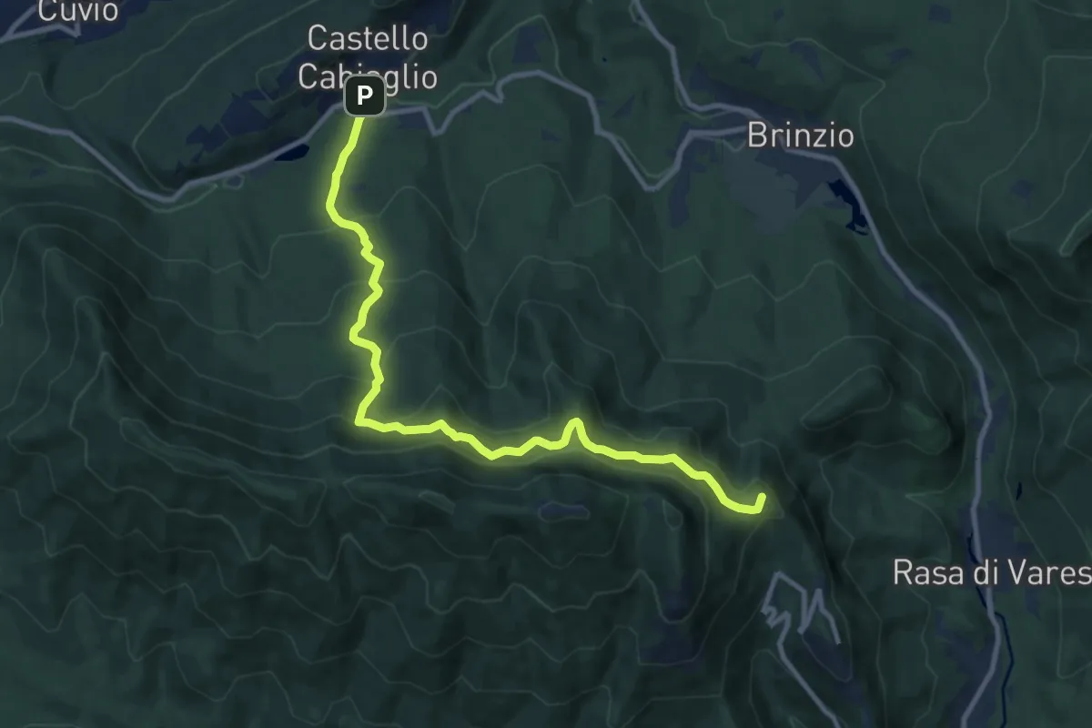
Santa Maria del Monte – Castello Cabiaglio
11.0 km · ↑ 725 m · 4 h 10 min · 14 km away
Demanding · Summit
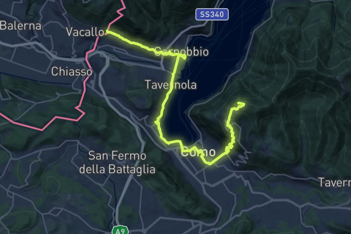
Lake Como Poetry Way
25.8 km · ↑ 1054 m · 8 h 22 min · 14 km away
Medium · Trail
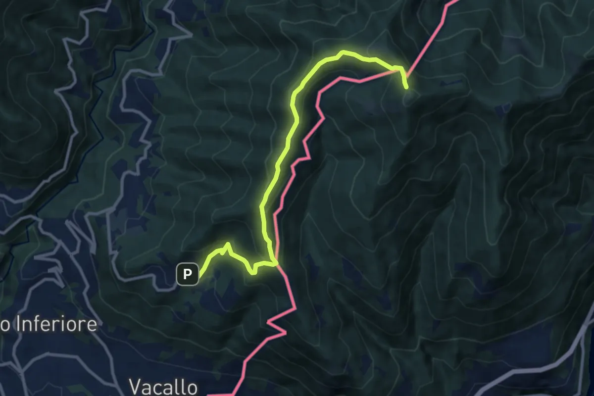
Sagno – Monte Bisbino
9.3 km · ↑ 597 m · 3 h 30 min · 14 km away
Easy · Trail
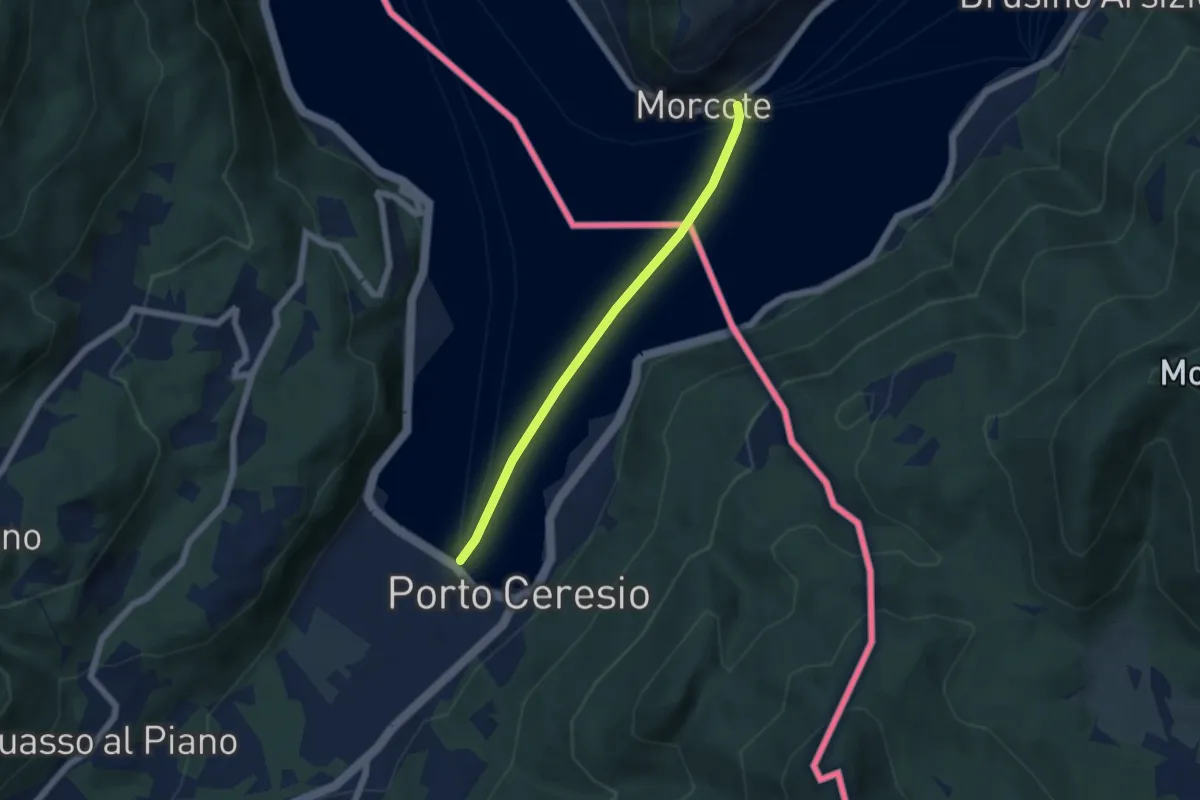
European Long distance path E1 - part Switzerland
4.9 km · ↑ 0 m · 1 h 9 min · 14 km away
Medium · Trail
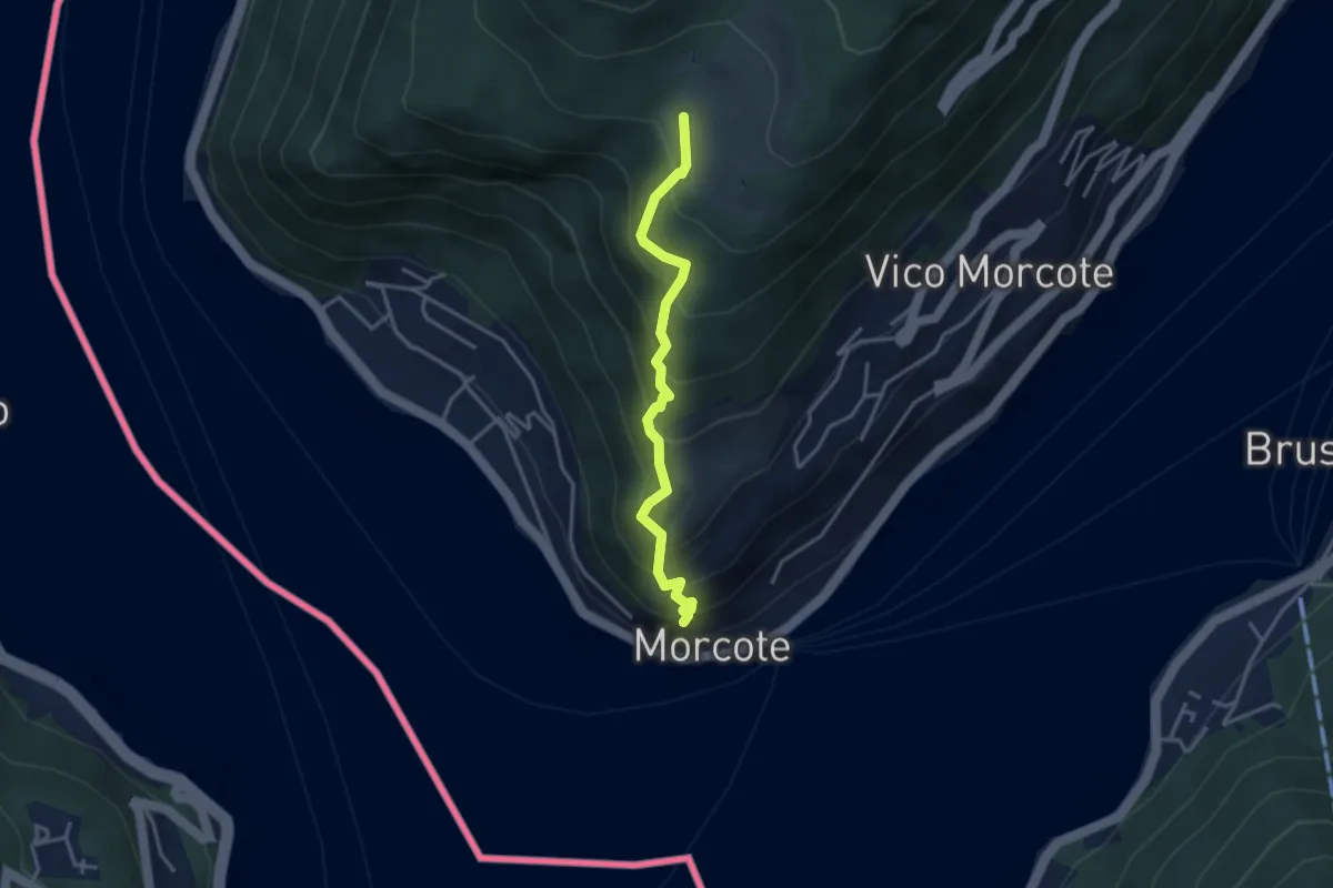
Alpe Vicania – Santa Maria del Sasso
3.3 km · ↑ 400 m · 1 h 39 min · 14 km away
Demanding · Summit
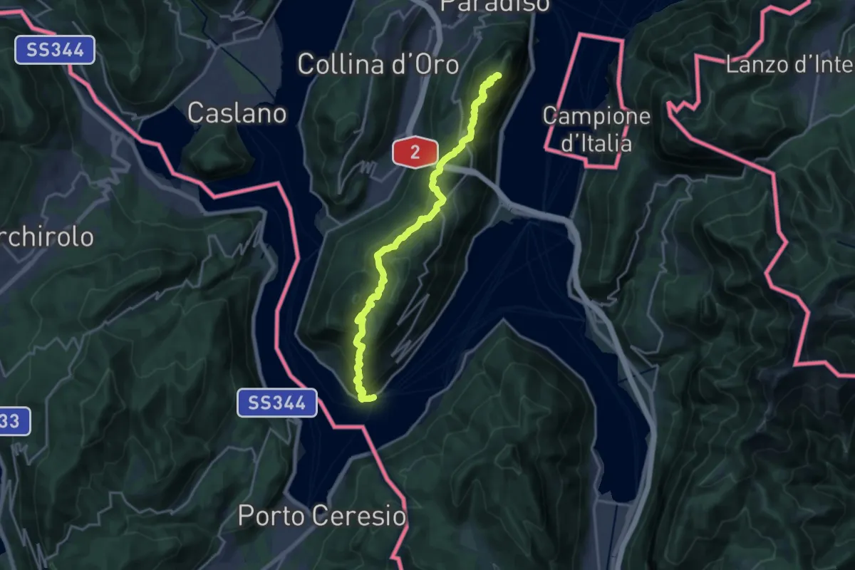
ViaGottardo
18.2 km · ↑ 1119 m · 6 h 44 min · 14 km away
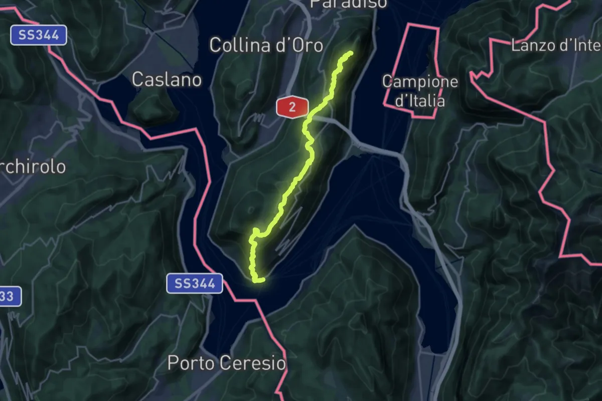
Demanding · Summit
Sentiero Lago di Lugano
18.5 km · ↑ 1189 m · 6 h 56 min · 14 km away
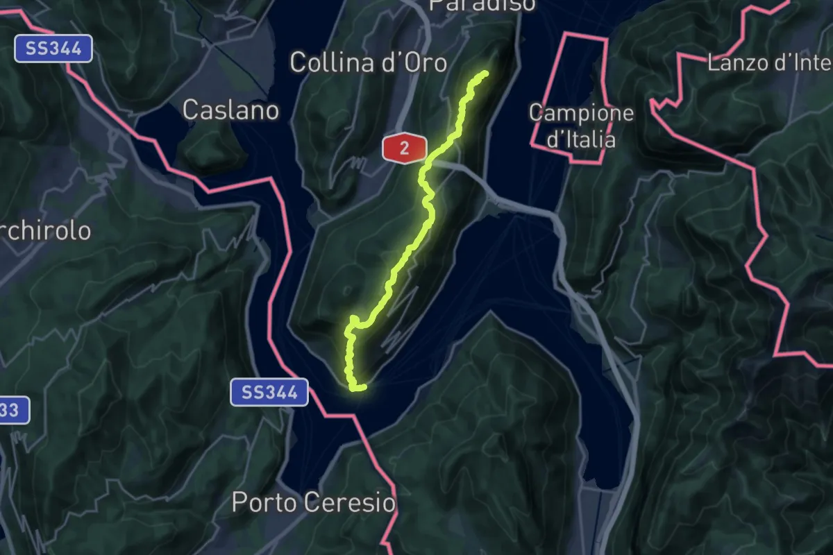
Demanding · Summit
Trans Swiss Trail
18.5 km · ↑ 1189 m · 6 h 56 min · 14 km away
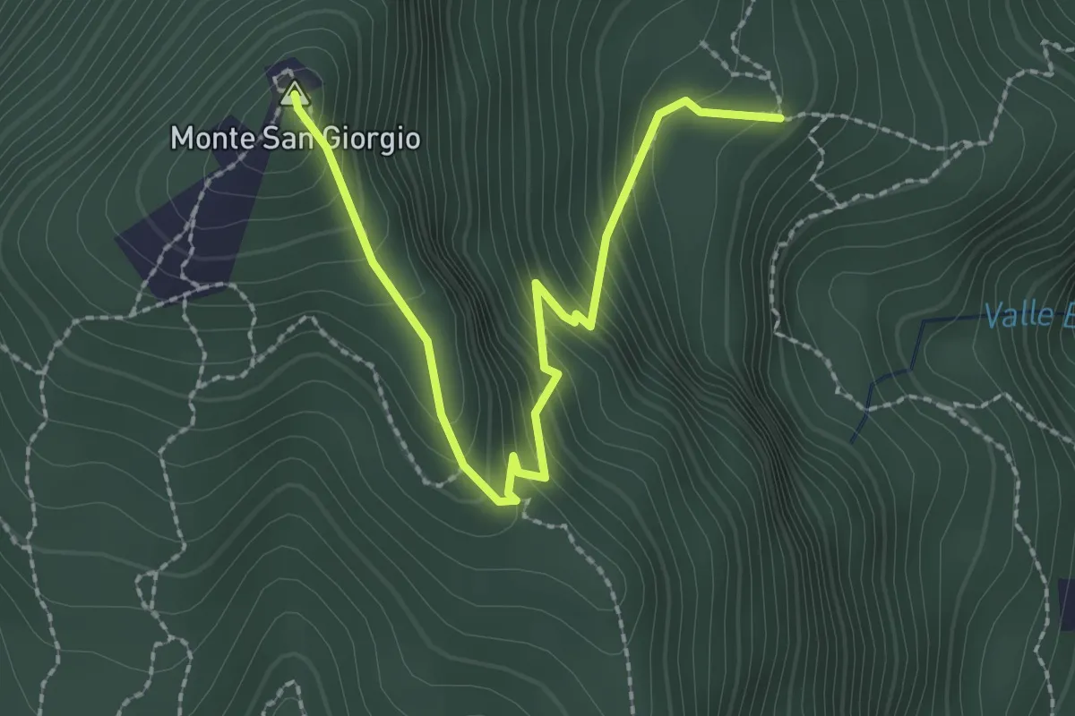
Easy · Summit
M.te San Giorgio - Pozzo? - fixme
2.6 km · ↑ 257 m · 1 h 11 min · 14 km away
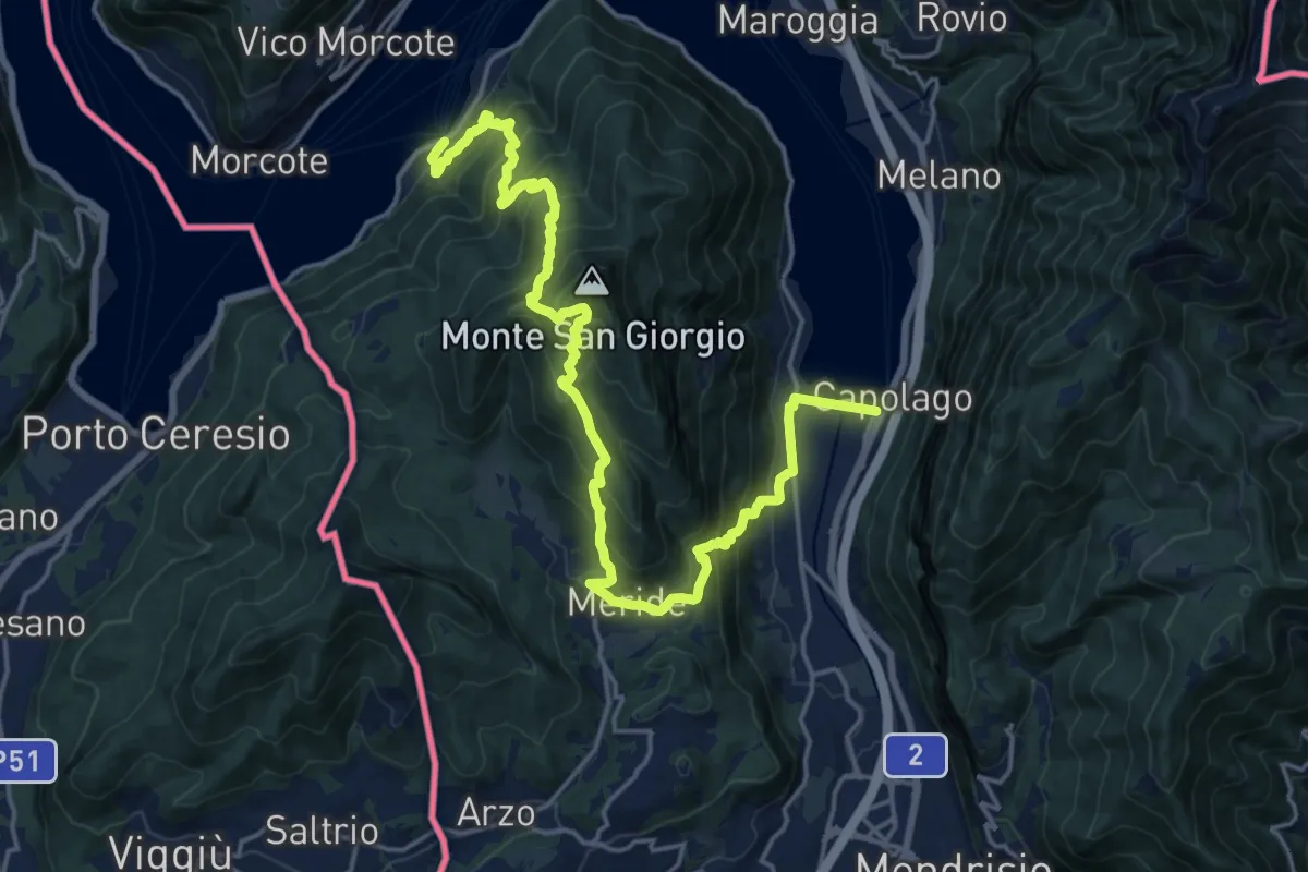
Demanding · Trail
Sentiero Lago di Lugano
11.1 km · ↑ 863 m · 4 h 38 min · 14 km away
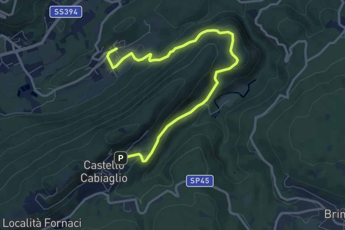
Medium · Trail
Castello Cabiaglio – Cavona
8.5 km · ↑ 375 m · 2 h 49 min · 14 km away
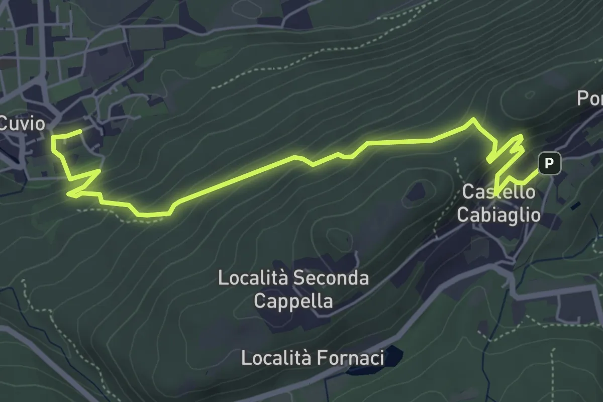
Demanding · Trail
Cuvio – Castello Cabiaglio
6.3 km · ↑ 333 m · 2 h 12 min · 14 km away
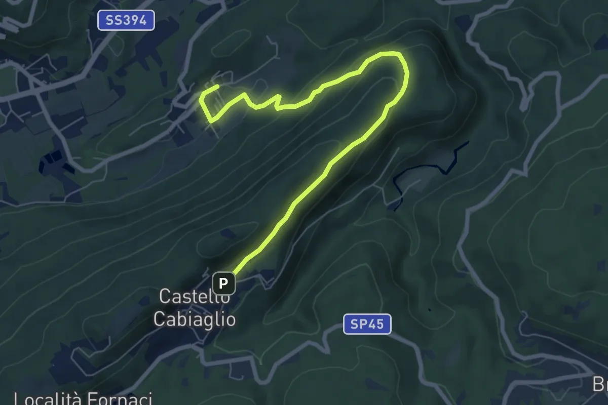
Medium · Trail
Castello Cabiaglio – Cavona
7.3 km · ↑ 341 m · 2 h 28 min · 14 km away
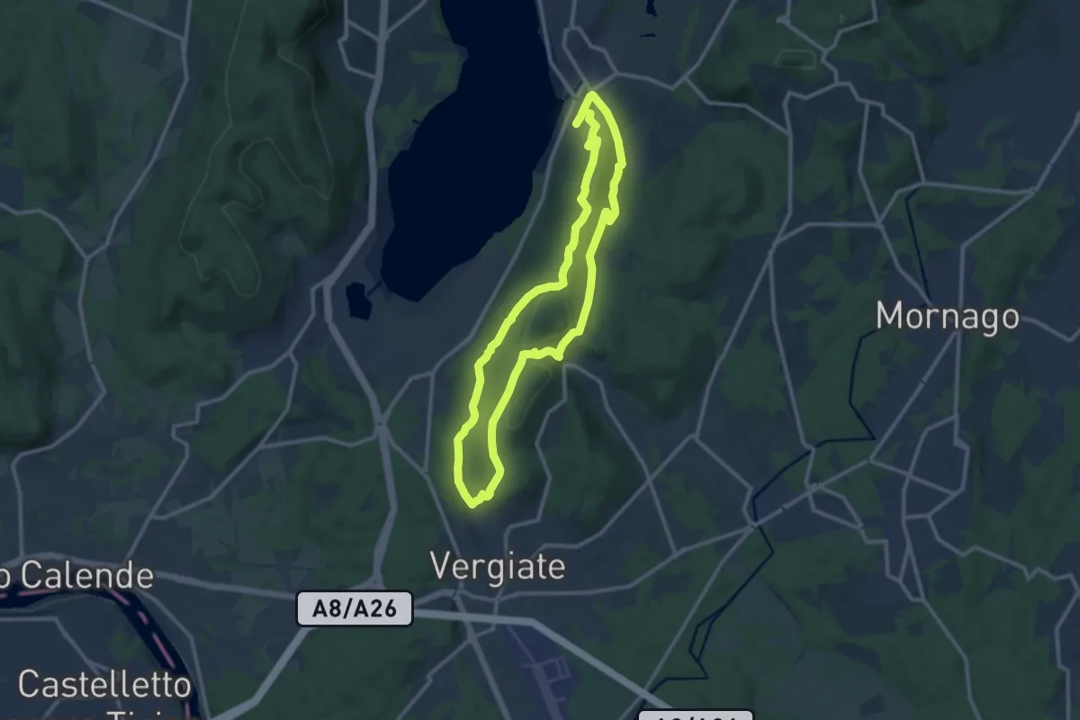
Medium · Trail
Anello Monte San Giacomo
10.6 km · ↑ 320 m · 3 h 20 min · 14 km away
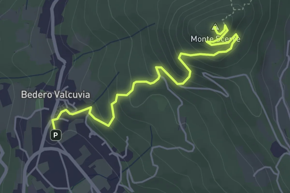
Easy · Summit
Bedero Valcuvia – Monte Scerre'
4.7 km · ↑ 289 m · 1 h 44 min · 14 km away
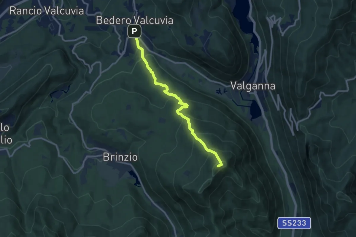
Medium · Summit
Bedero Valcuvia (via Ganna) – Monte Martica
8.2 km · ↑ 548 m · 3 h 8 min · 14 km away
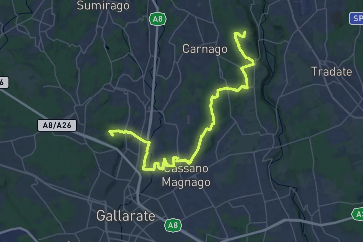
Medium · Trail
Collegamento Ticino-Seprio
16.0 km · ↑ 202 m · 4 h 23 min · 14 km away
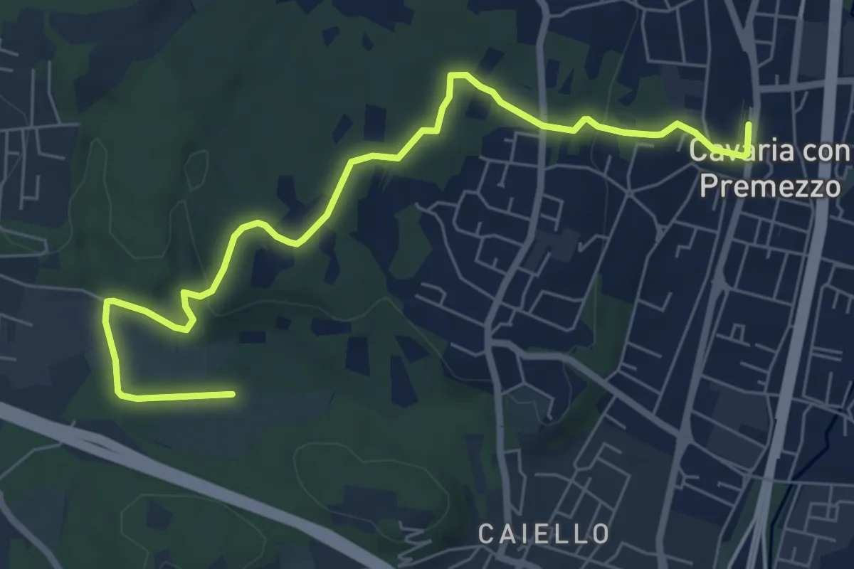
Medium · Trail
DID Anello di Cavaria
7.3 km · ↑ 114 m · 1 h 58 min · 14 km away
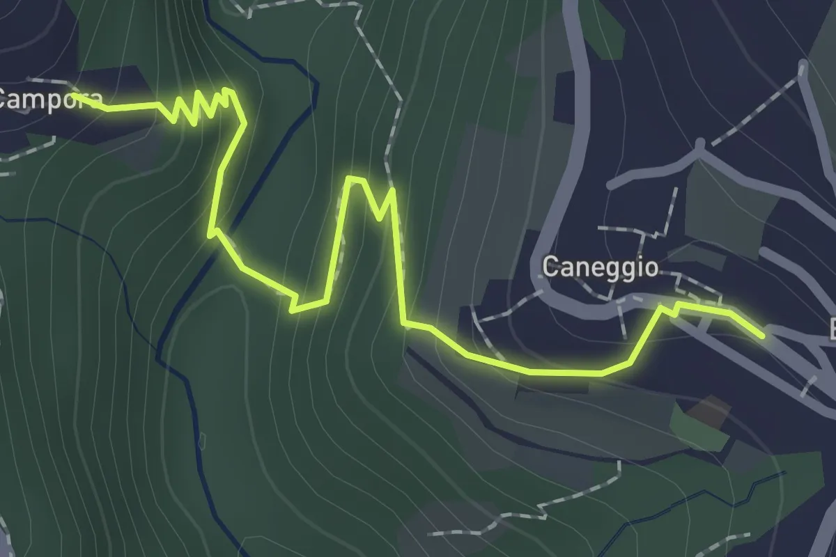
Easy · Trail
Caneggio – Cámpora
2.3 km · ↑ 161 m · 53 min · 14 km away
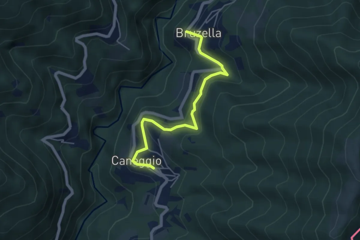
Easy · Trail
Caneggio – Bruzella
4.3 km · ↑ 249 m · 1 h 33 min · 14 km away
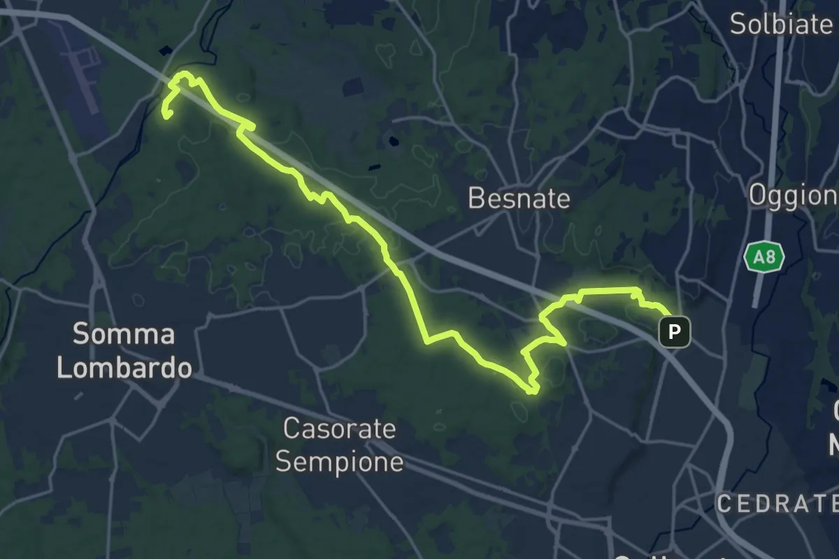
Demanding · Summit
Sentiero Strona
22.8 km · ↑ 292 m · 6 h · 14 km away
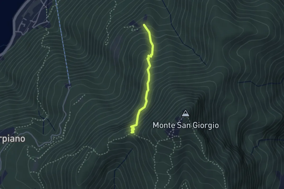
Medium · Trail
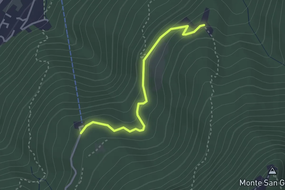
Alpe di Brusino – Punto 902
2.4 km · ↑ 262 m · 1 h 8 min · 14 km away
Easy · Trail
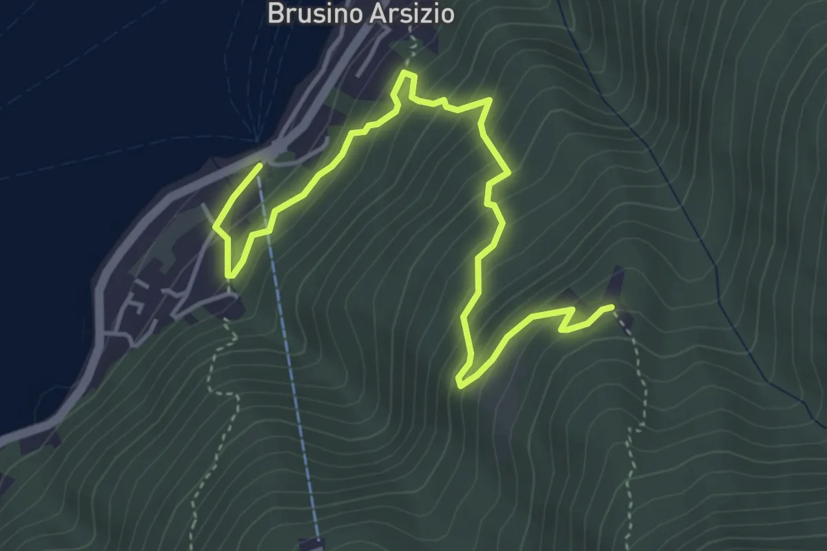
Serpiano Statione – Alpe di Brusino
2.7 km · ↑ 164 m · 1 h · 14 km away
Medium · Trail
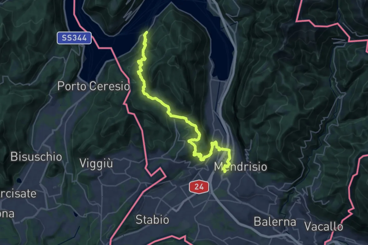
Brusino Arsizio Statione – Alpe di Brusino
5.1 km · ↑ 442 m · 2 h 9 min · 14 km away
Medium · Trail
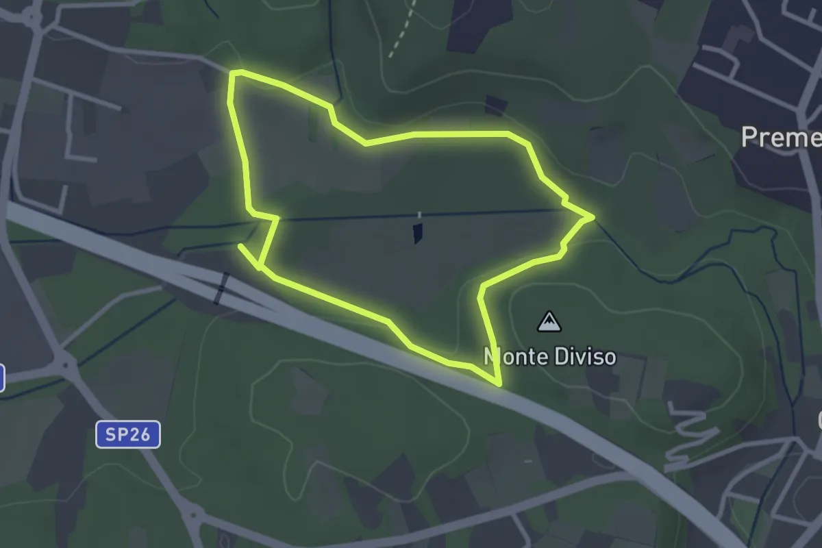
ViaGottardo
13.4 km · ↑ 576 m · 4 h 34 min · 14 km away
Easy · Summit
Anello dei Fontanili
2.6 km · ↑ 22 m · 42 min · 15 km away
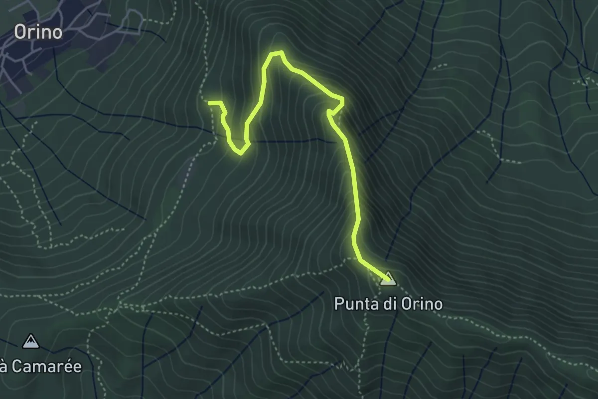
Demanding · Summit
Scarett
4.1 km · ↑ 393 m · 1 h 50 min · 15 km away
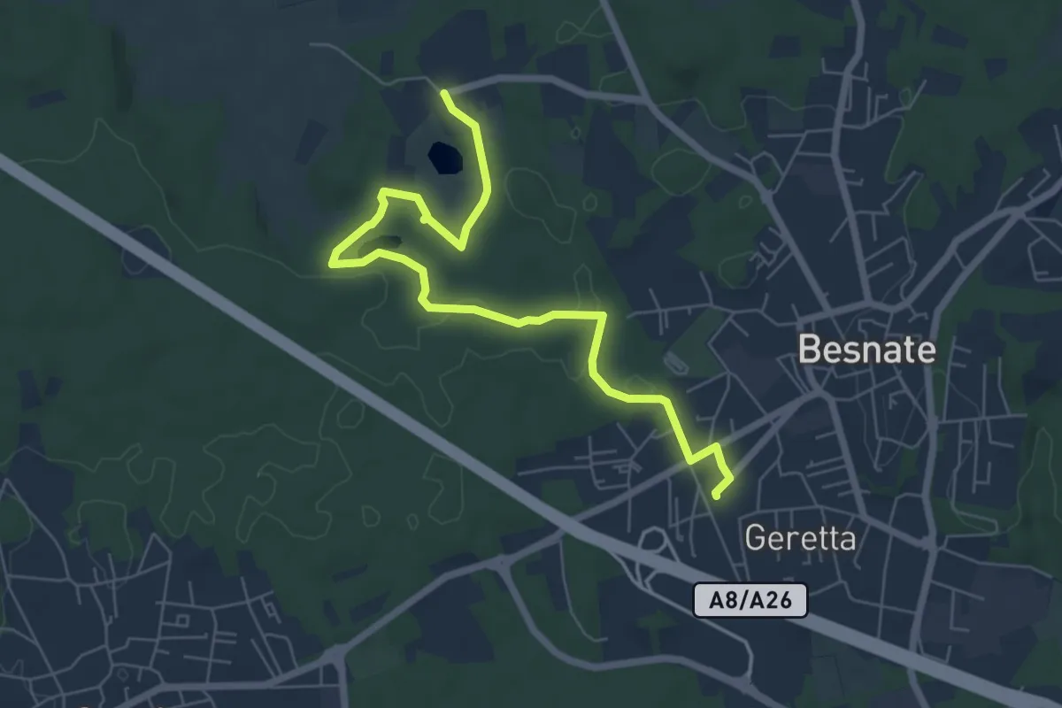
Easy · Trail
Percorsi del Cuore - Anello di Besnate
7.1 km · ↑ 51 m · 1 h 47 min · 15 km away
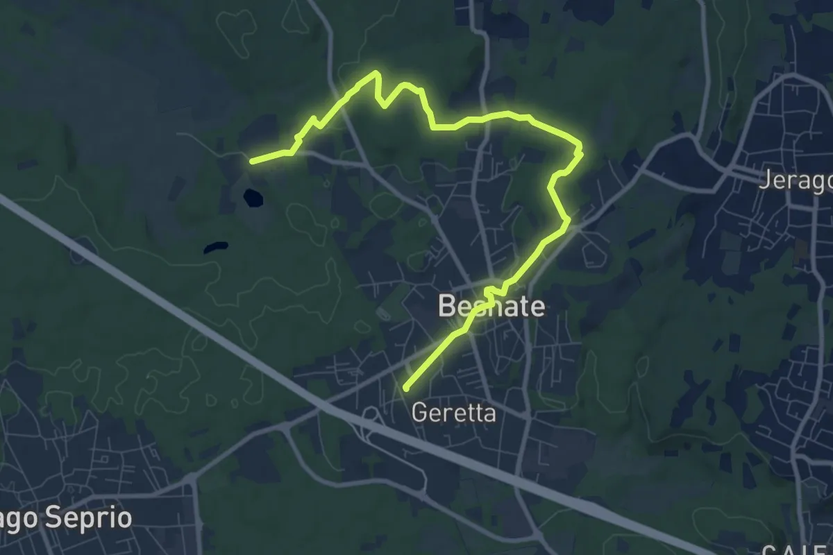
Medium · Trail
Percorsi del Cuore - Anello di Besnate
10.2 km · ↑ 90 m · 2 h 37 min · 15 km away
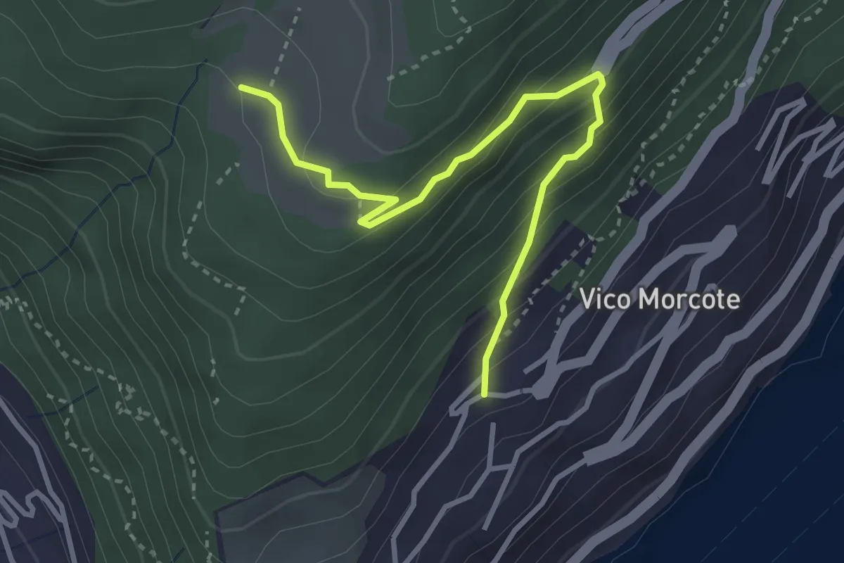
Medium · Trail
Alpe Vicania – Vico Morcote
3.4 km · ↑ 261 m · 1 h 22 min · 15 km away