Trails near Malo
98 hikes starting within 15 km, nearest first.
Nearest first, page 1 of 3
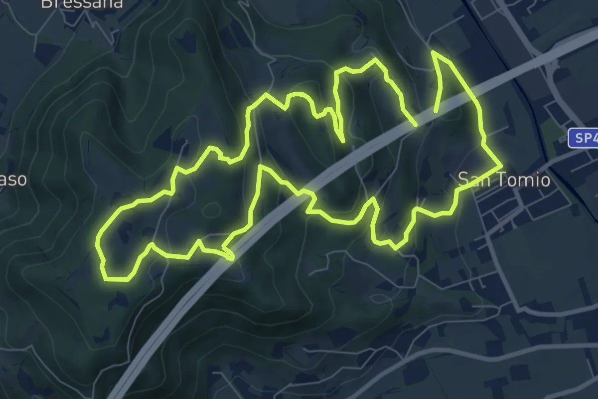
Medium · Trail
Primo sentiero della Memoria (o Dei Capitelli)
8.4 km · ↑ 358 m · 2 h 51 min · 2 km away
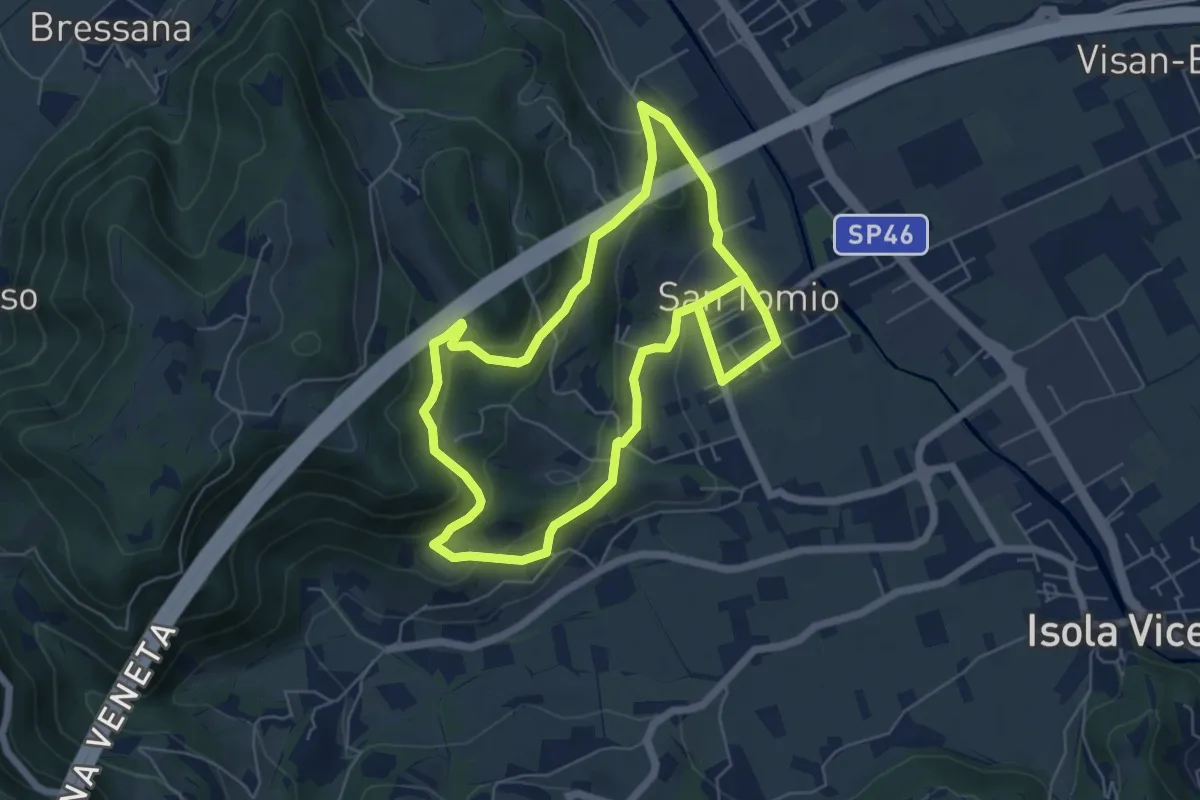
Medium · Trail
Sentiero degli Asini
11.8 km · ↑ 411 m · 3 h 41 min · 3 km away
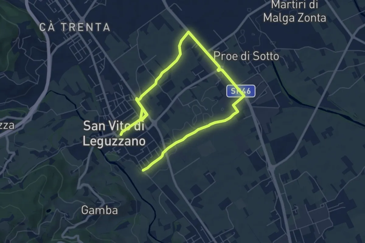
Medium · Trail
Sentiero dei campi
10.4 km · ↑ 17 m · 2 h 29 min · 3 km away
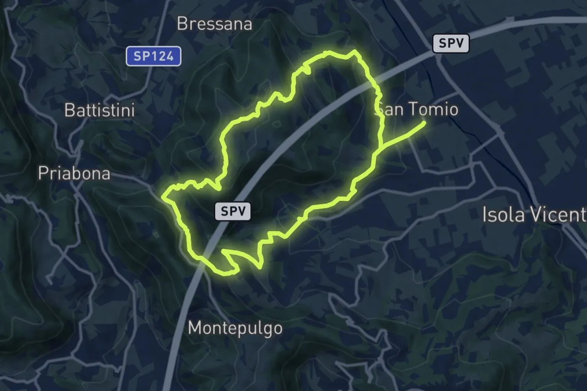
Medium · Trail
Giro panoramico del Monte Pian
10.4 km · ↑ 452 m · 3 h 34 min · 3 km away
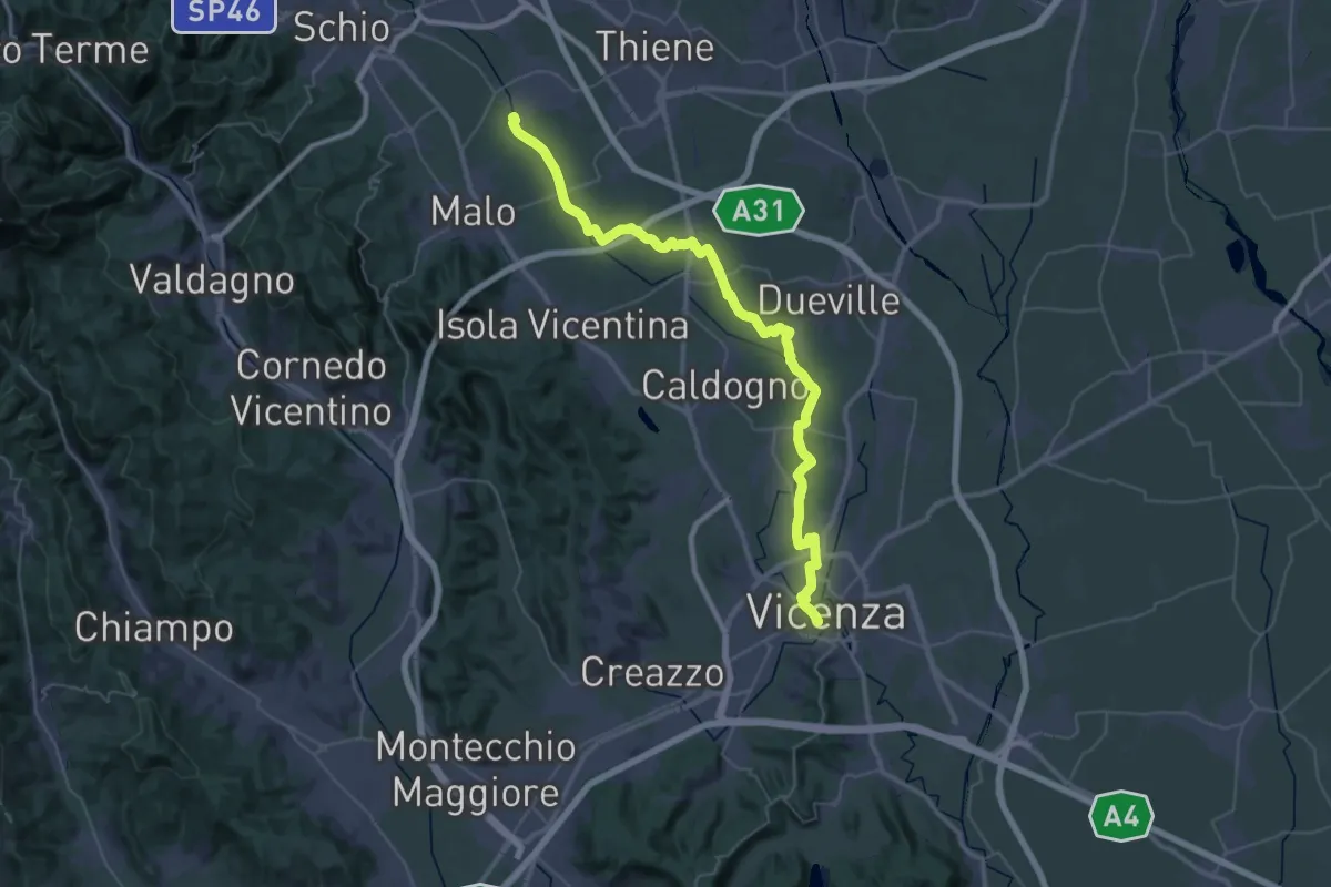
Demanding · Trail
Cammino Fogazzaro Roi - Tappa 2
25.1 km · ↑ 17 m · 6 h 21 min · 3 km away
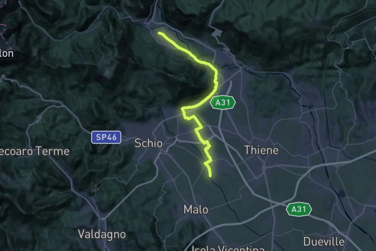
Demanding · Trail
Cammino Fogazzaro Roi - Tappa 3
20.3 km · ↑ 284 m · 5 h 37 min · 3 km away
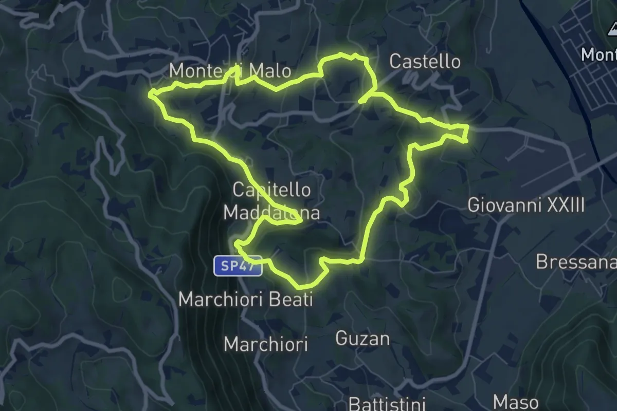
Medium · Trail
Anello del Buso della Rana (variante lunga)
8.0 km · ↑ 317 m · 2 h 42 min · 3 km away
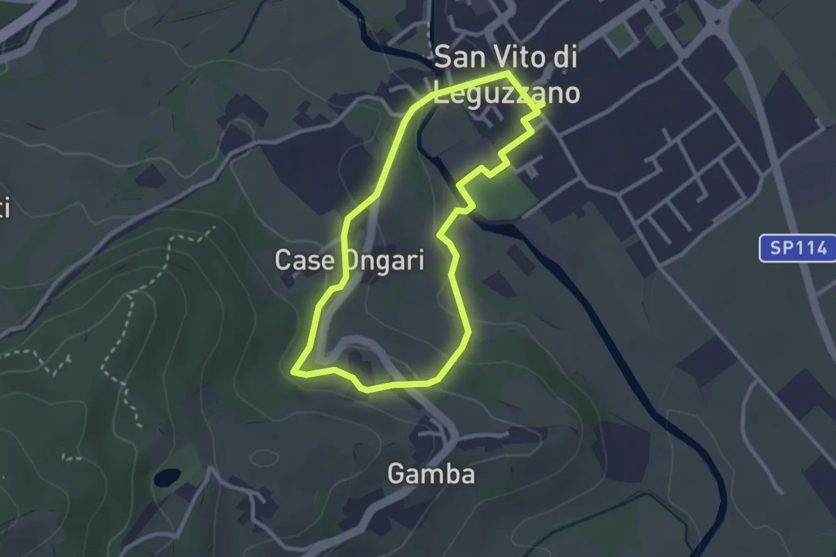
Easy · Trail
Sentiero Natura - Percorso 3 (giallo)
2.6 km · ↑ 70 m · 48 min · 3 km away
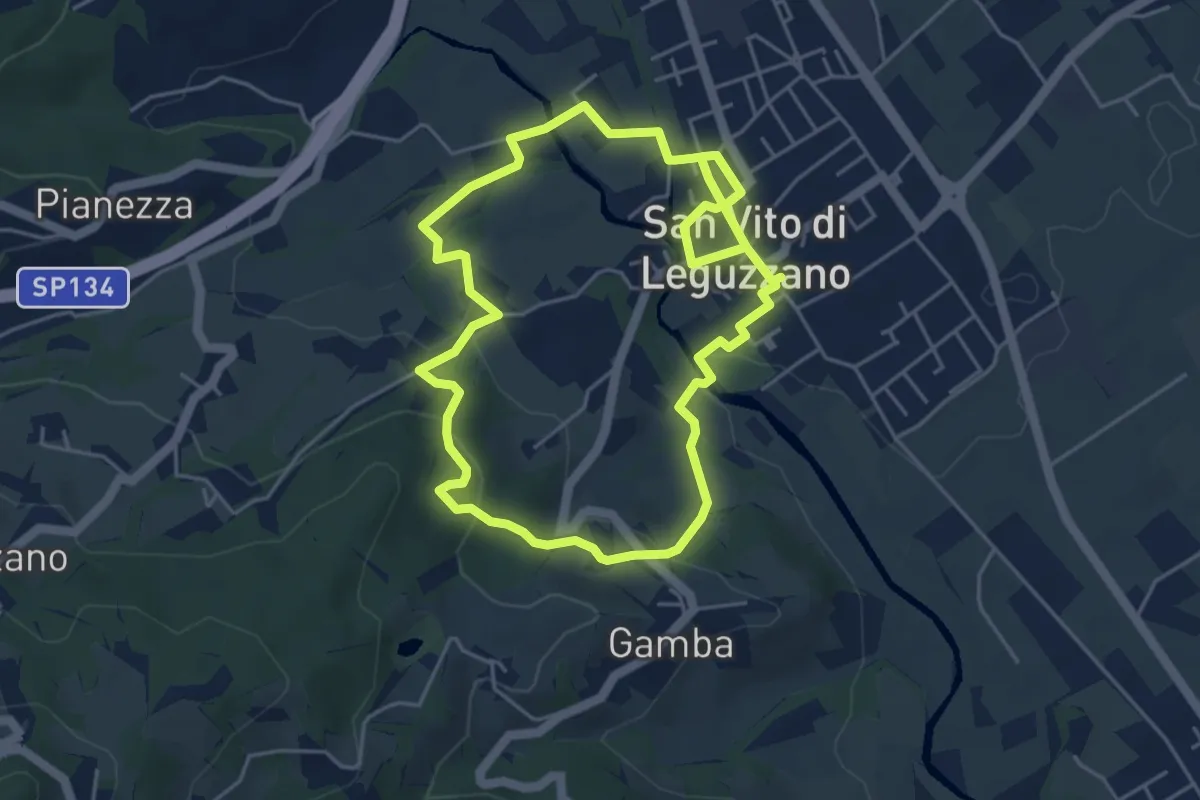
Easy · Trail
Sentiero Natura - Percorso 2 (verde)
4.7 km · ↑ 122 m · 1 h 27 min · 3 km away
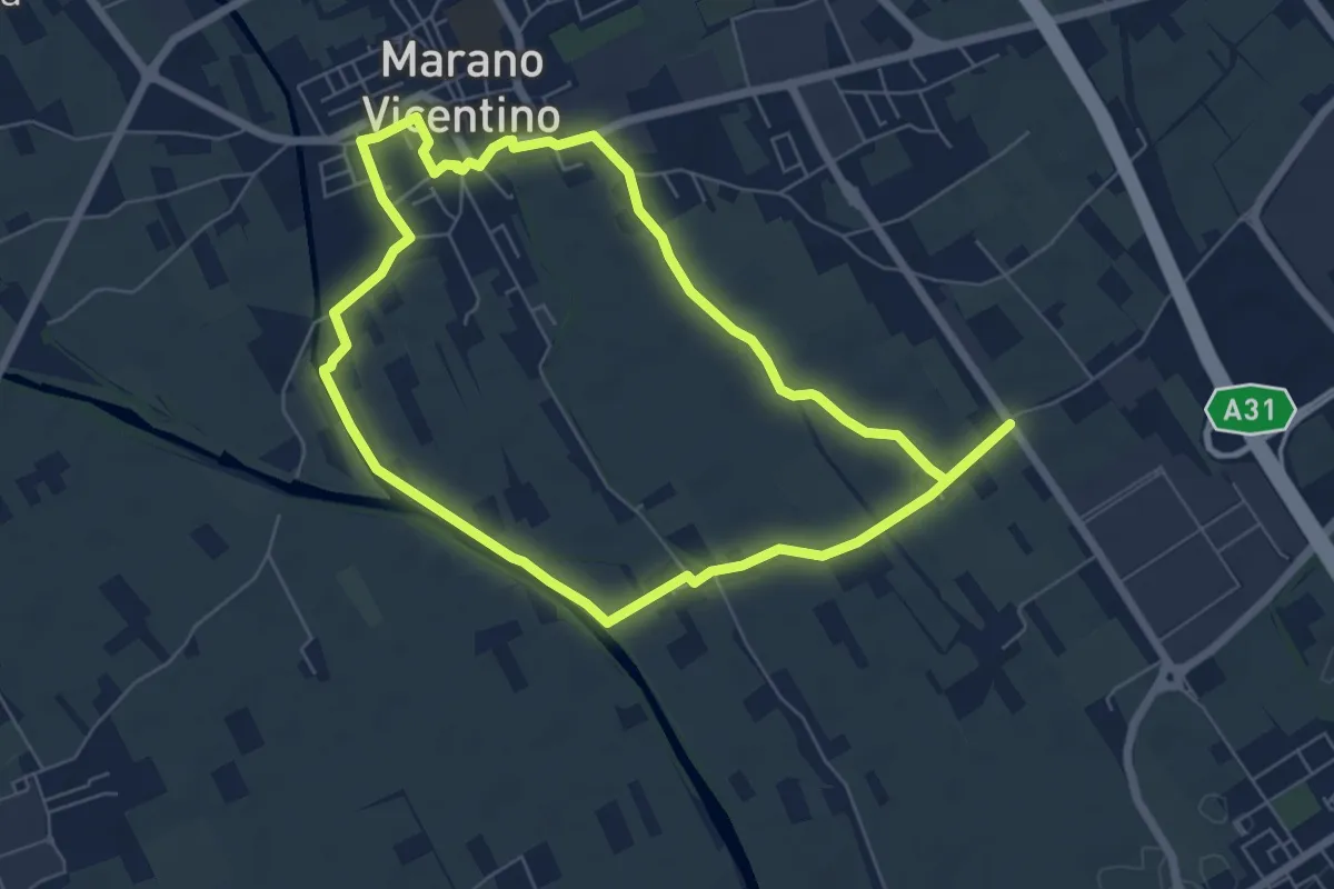
Easy · Trail
Agritour dea Molonara (percorso verde)
6.4 km · ↑ 17 m · 1 h 39 min · 4 km away
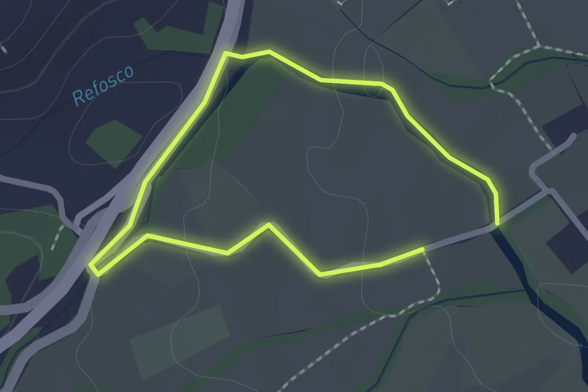
Easy · Trail
Sentiero dell'acqua - Lungo il Refosco
1.4 km · ↑ 22 m · 25 min · 4 km away
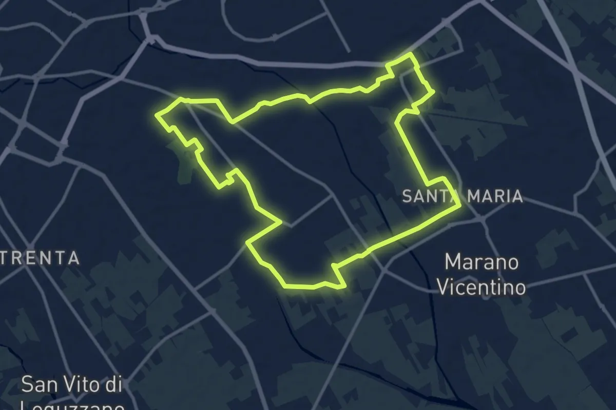
Medium · Trail
Agritour dea Molonara (percorso azzurro)
10.8 km · ↑ 35 m · 2 h 46 min · 4 km away
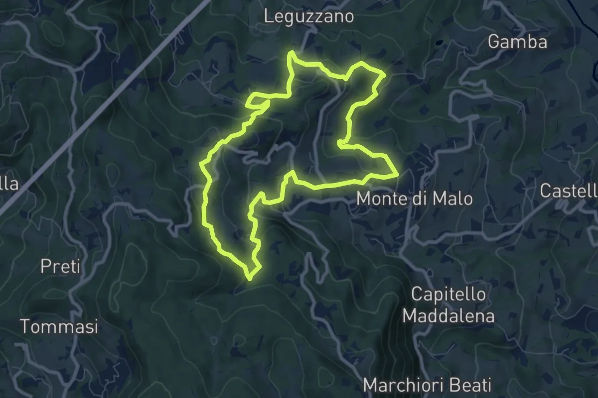
Easy · Trail
Maronari Medio
7.9 km · ↑ 318 m · 2 h 39 min · 4 km away
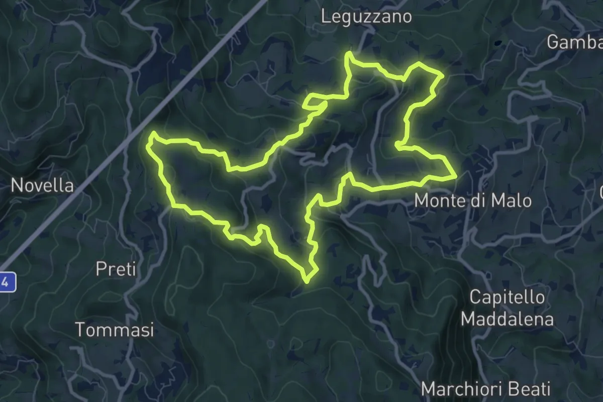
Medium · Trail
Maronari Lungo
10.2 km · ↑ 433 m · 3 h 29 min · 4 km away
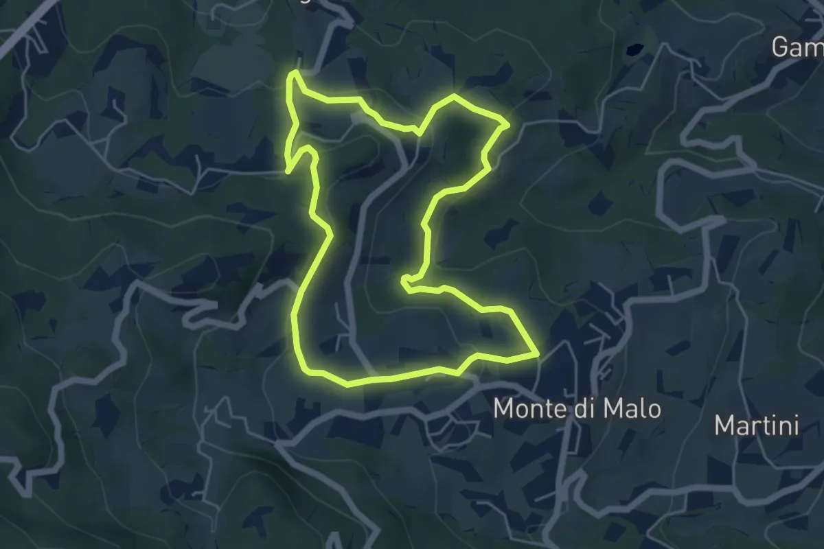
Easy · Trail
Maronari Corto
4.7 km · ↑ 163 m · 1 h 32 min · 4 km away
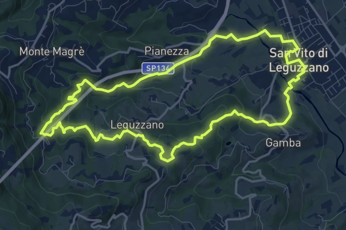
Medium · Trail
Sentiero natura percorso 1 (rosso)
9.9 km · ↑ 375 m · 3 h 17 min · 4 km away
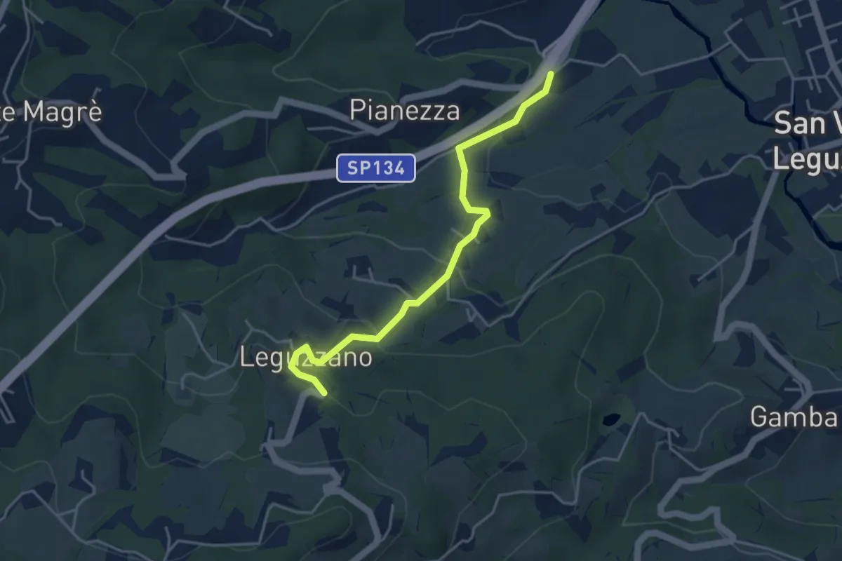
Easy · Trail
Sentiero Natura - Variante Percorso 1
3.9 km · ↑ 169 m · 1 h 18 min · 4 km away
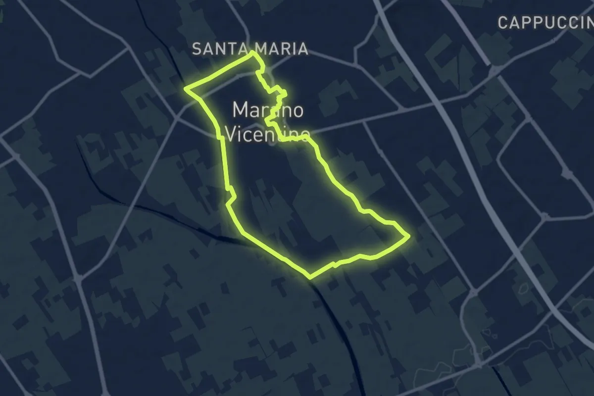
Medium · Trail
La Via del Pane - percorso sud
8.1 km · ↑ 25 m · 2 h 5 min · 5 km away
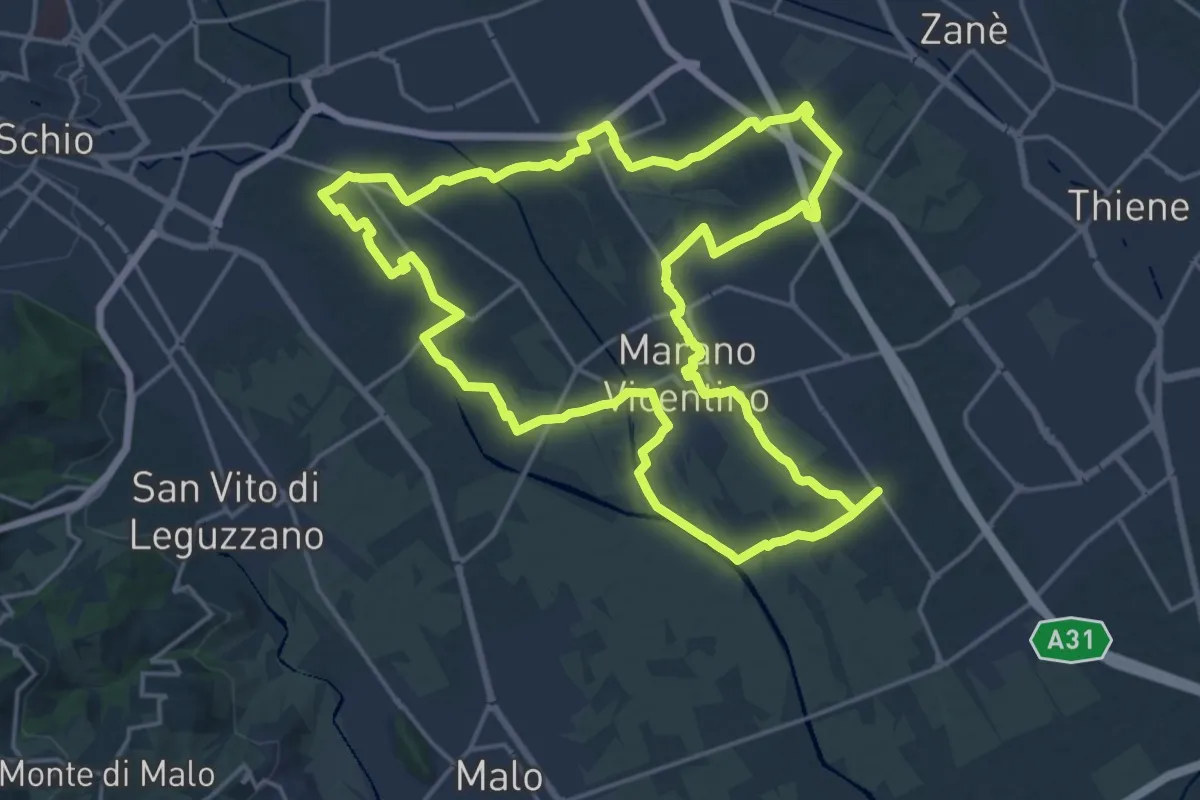
Demanding · Trail
Agritour dea Molonara (percorso rosso)
20.9 km · ↑ 67 m · 5 h 22 min · 5 km away
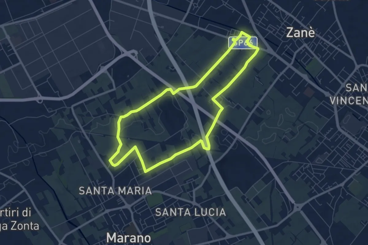
Easy · Trail
Agritour dea Molonara (percorso giallo)
7.3 km · ↑ 25 m · 1 h 52 min · 5 km away
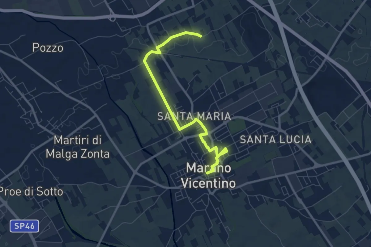
Easy · Trail
La Via del Pane - percorso nord
7.5 km · ↑ 17 m · 1 h 48 min · 6 km away
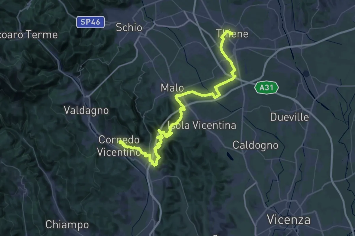
Demanding · Trail
Cammino del Beato Claudio 06
31.8 km · ↑ 702 m · 9 h 26 min · 8 km away
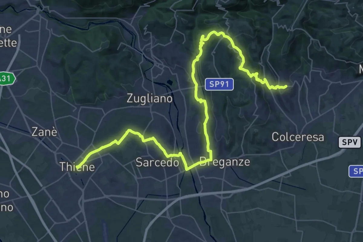
Demanding · Trail
Cammino del Beato Claudio 05
21.6 km · ↑ 492 m · 6 h 25 min · 8 km away
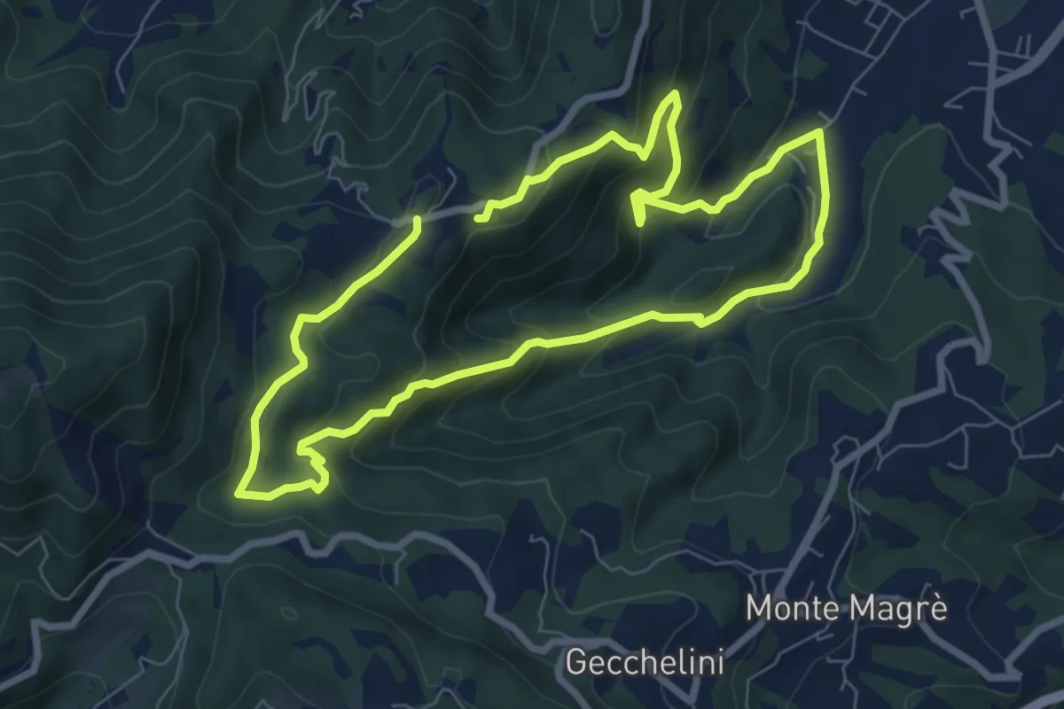
Medium · Trail
Sentiero dell'Alpino
6.6 km · ↑ 380 m · 2 h 29 min · 8 km away
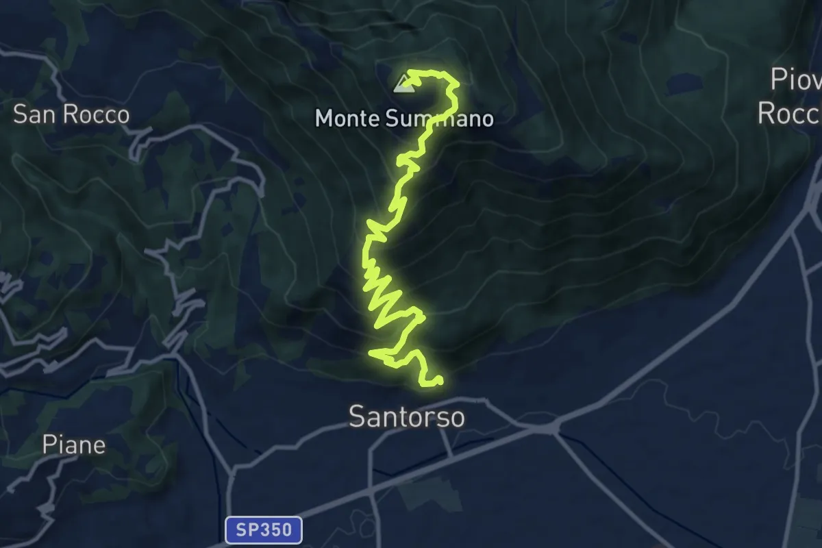
Demanding · Summit
Via Crucis
12.8 km · ↑ 1091 m · 5 h 23 min · 9 km away
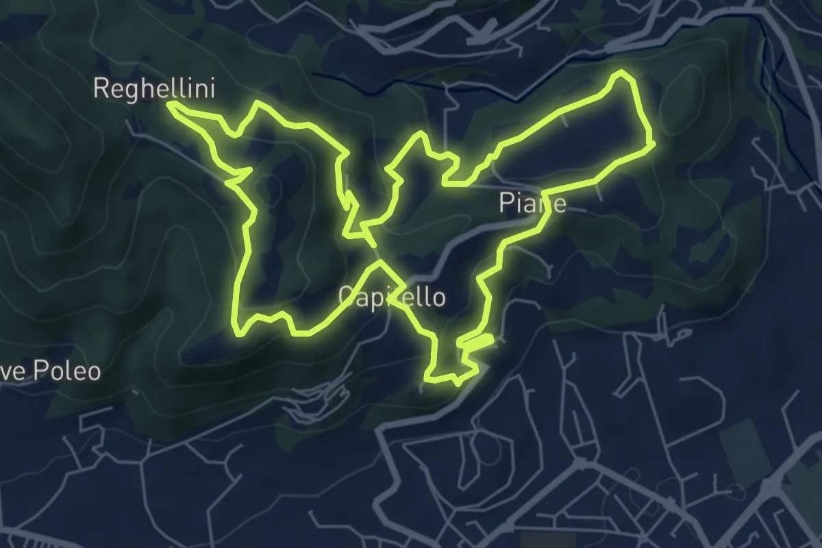
Medium · Trail
Percorso Pio Penzo
7.1 km · ↑ 383 m · 2 h 36 min · 9 km away
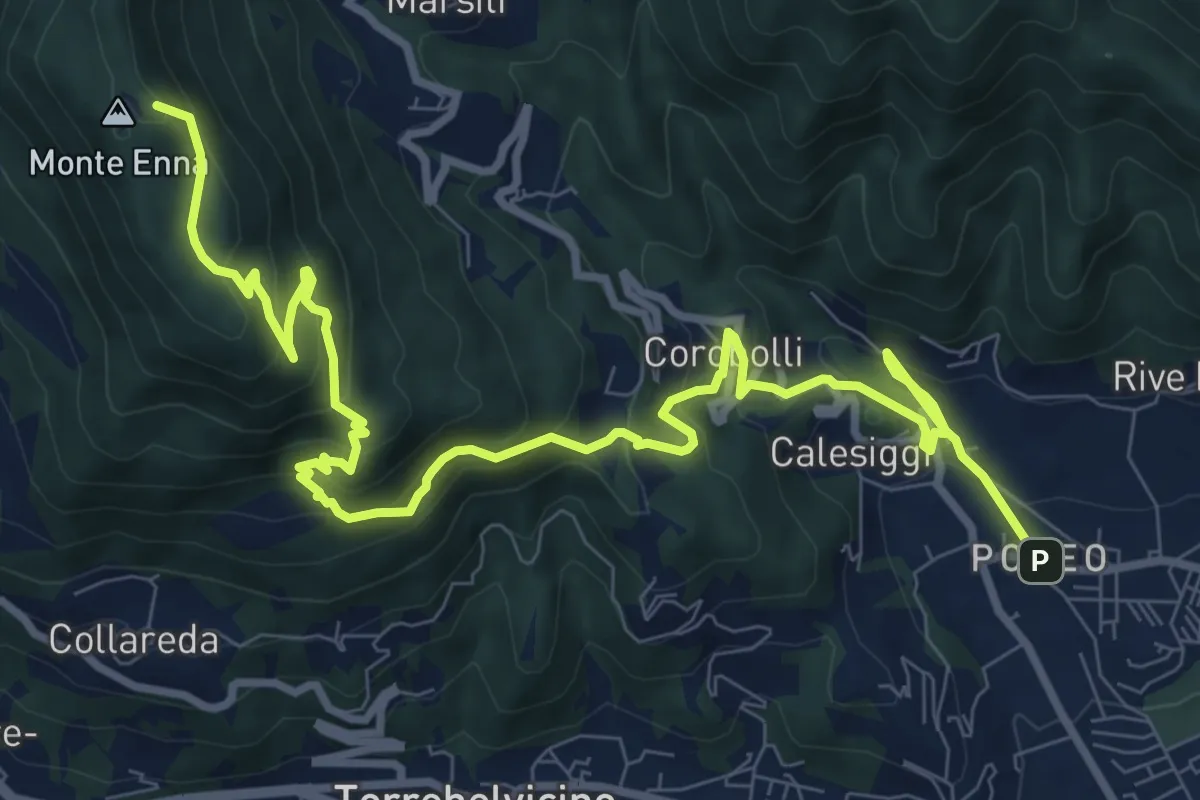
Demanding · Summit
S3
12.8 km · ↑ 901 m · 4 h 58 min · 9 km away
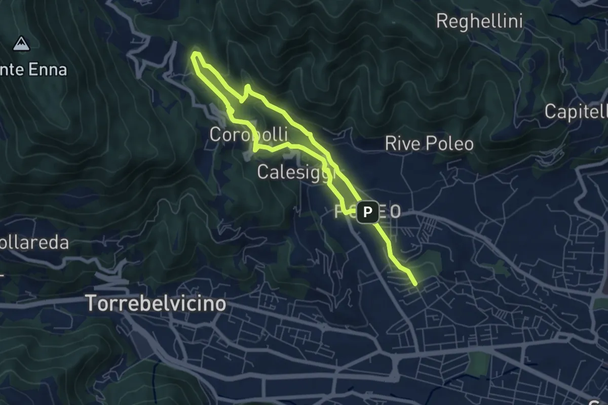
Medium · Trail
La via dei Mulini
10.3 km · ↑ 541 m · 3 h 36 min · 9 km away
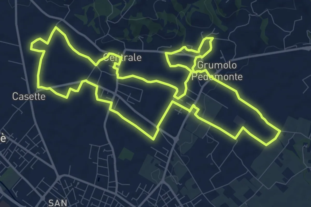
Medium · Trail
Anello Blu Zugliano
11.6 km · ↑ 95 m · 3 h 7 min · 10 km away
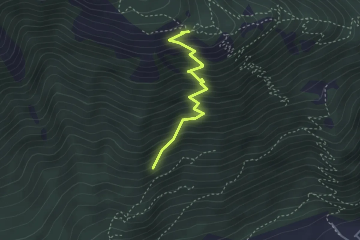
Medium · Trail
Sasso de la Poia
2.7 km · ↑ 413 m · 1 h 31 min · 10 km away
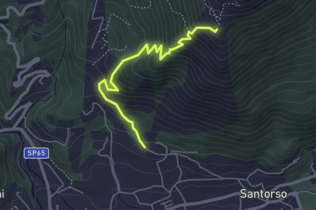
Medium · Trail
Cava di Pietra (Santorso) – Prà Minore (innesto sentiero 457)
4.3 km · ↑ 487 m · 2 h 5 min · 10 km away
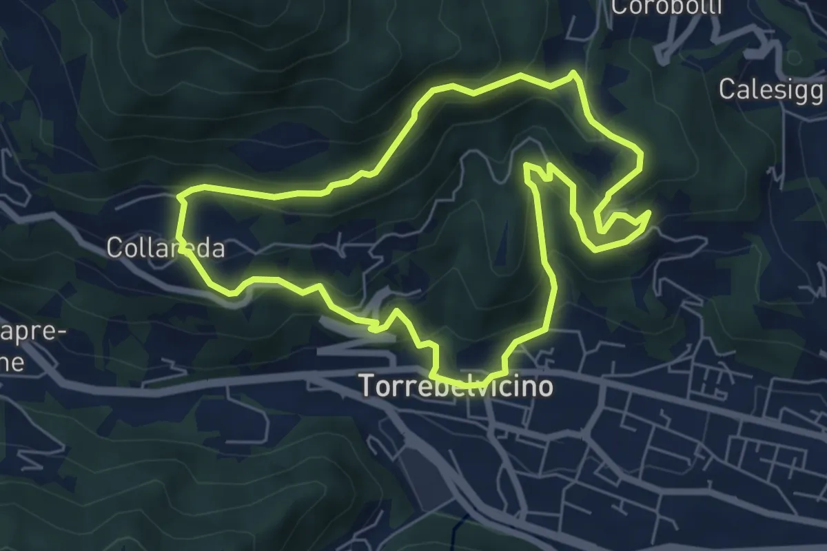
Medium · Trail
Sentiero delle cinque colombe
5.9 km · ↑ 411 m · 2 h 22 min · 10 km away
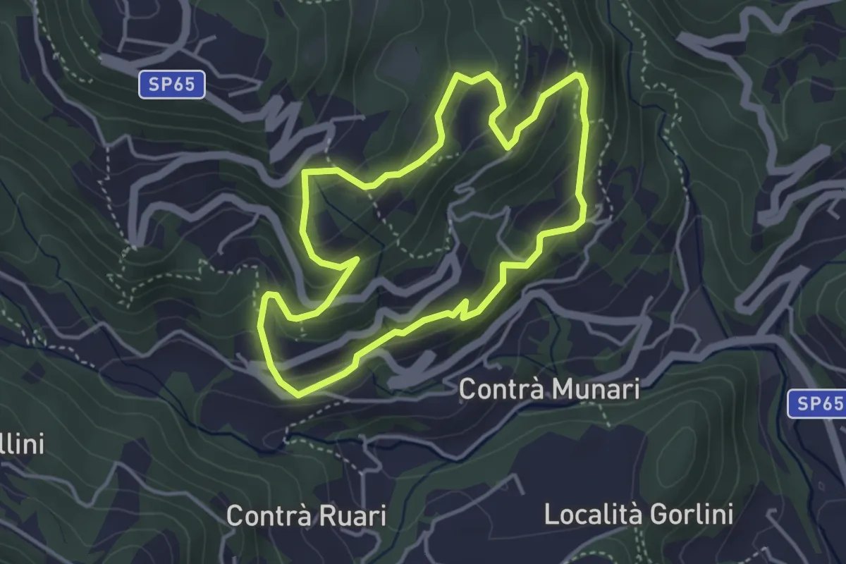
Medium · Trail
Terre e miniere
3.6 km · ↑ 251 m · 1 h 26 min · 10 km away
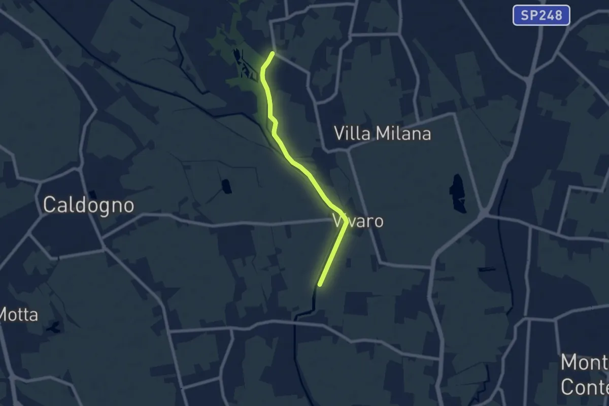
Easy · Trail
Percorso Bluette
5.9 km · ↑ 9 m · 1 h 25 min · 10 km away
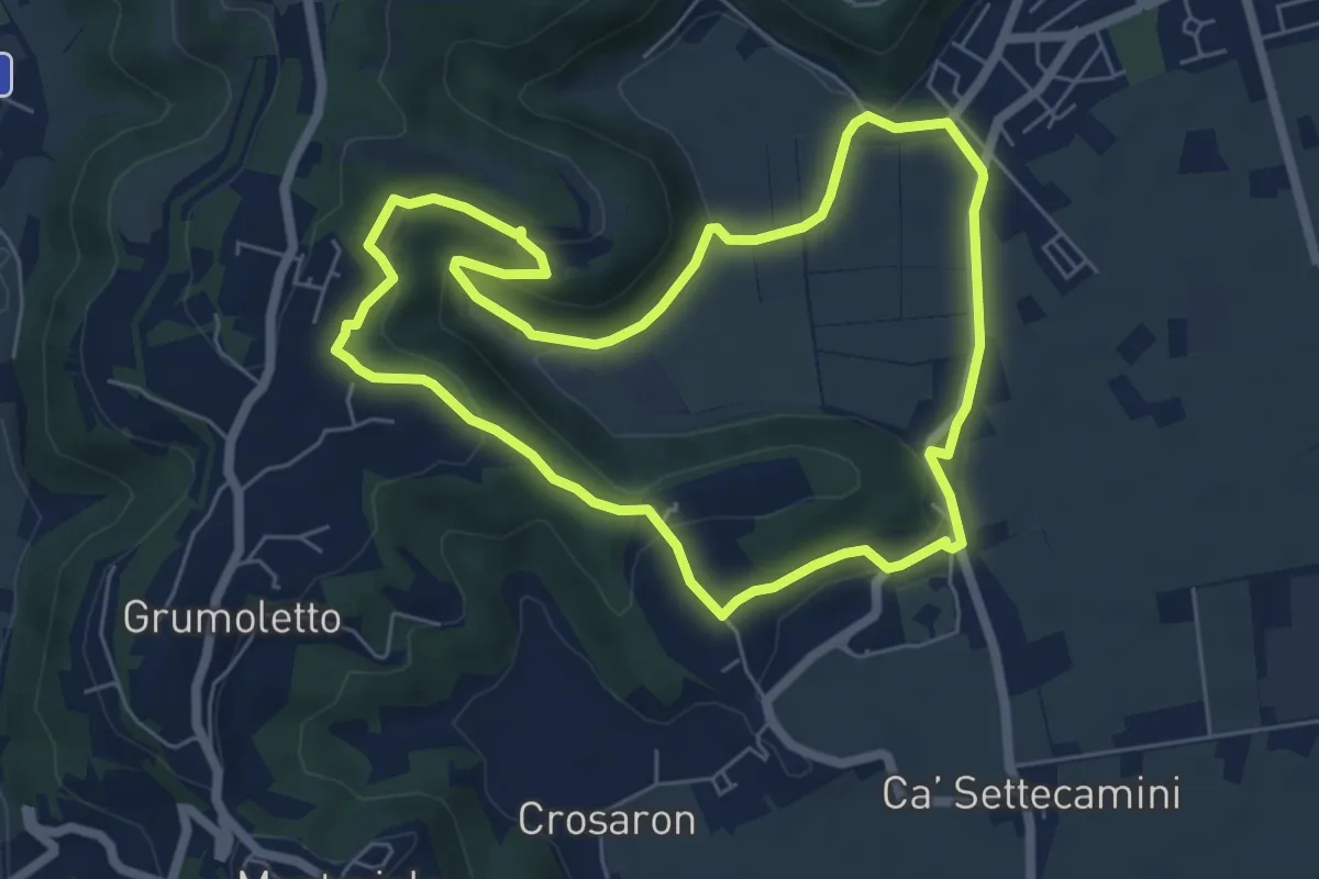
Easy · Trail
Sentiero del Perozzo
6.2 km · ↑ 160 m · 1 h 53 min · 10 km away
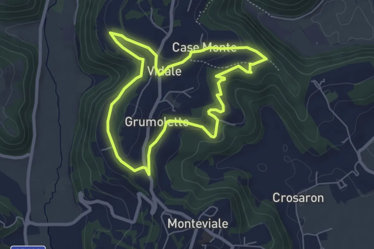
Easy · Trail
Sentiero Vegrolongo - della Sorgente - dell'Ornaro
4.6 km · ↑ 141 m · 1 h 27 min · 11 km away
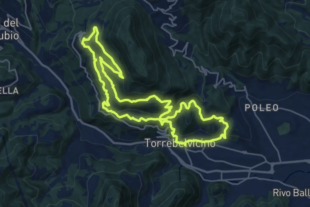
Demanding · Trail
Sentiero Panoramico della Val Leogra
13.3 km · ↑ 655 m · 4 h 45 min · 11 km away
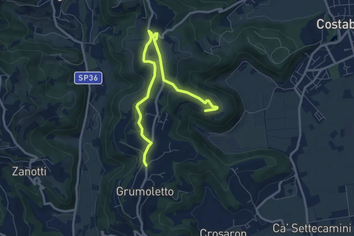
Easy · Trail
Sentiero Strada False
7.5 km · ↑ 173 m · 2 h 9 min · 11 km away
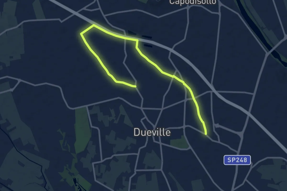
Medium · Trail
Percorso Fucsia
10.9 km · ↑ 17 m · 2 h 36 min · 11 km away
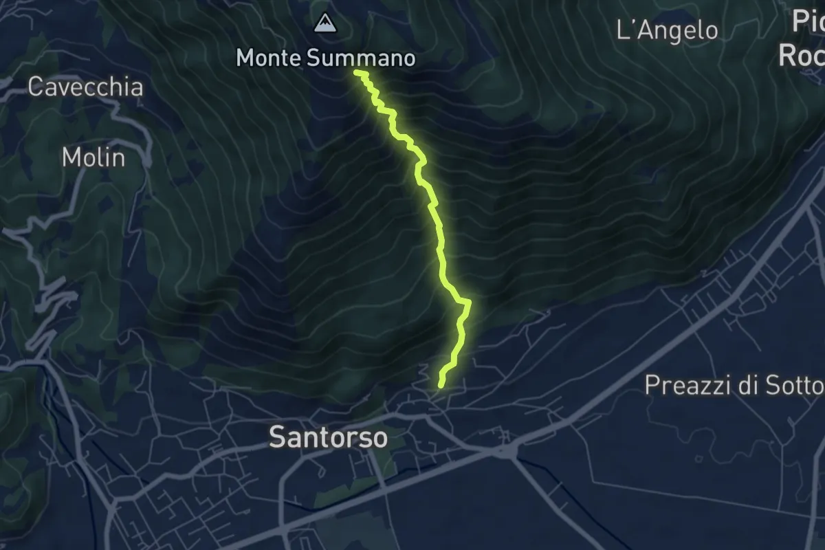
Demanding · Trail
Lesina (Santorso) – sotto Monte Summano (innesto sentiero 457)
4.9 km · ↑ 886 m · 3 h 4 min · 11 km away
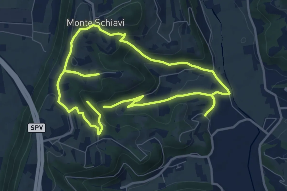
Easy · Trail
12-Maso, Vallarona, Monteschiavi, Valle del Podestà
6.9 km · ↑ 232 m · 2 h 15 min · 11 km away
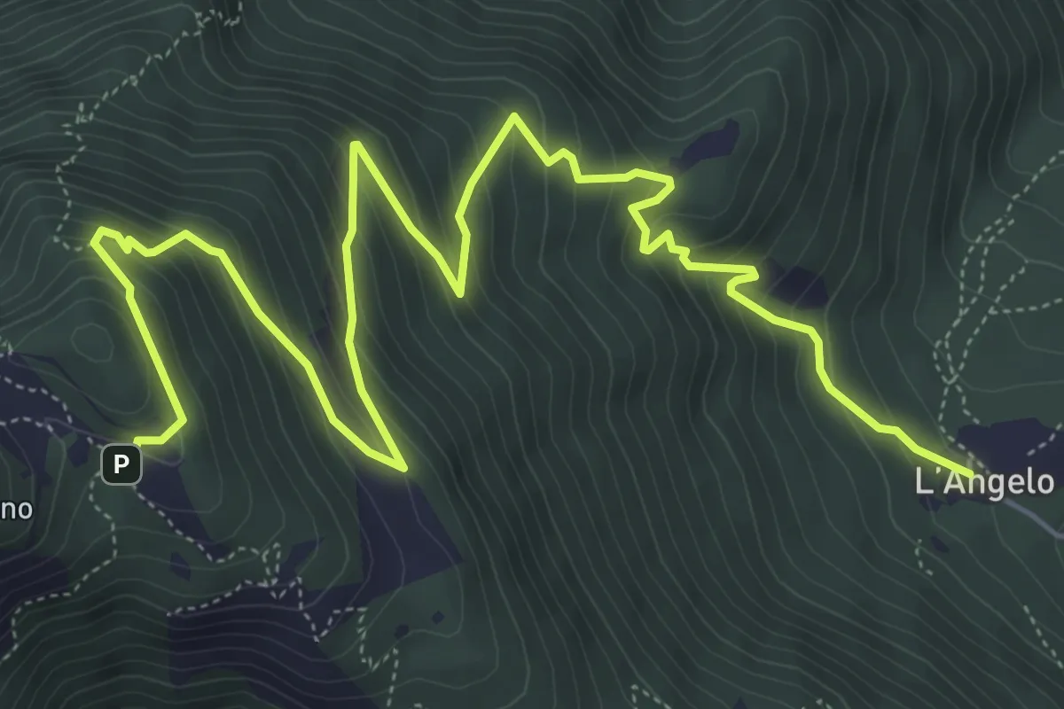
Medium · Trail
Chiesa dell'Angelo (Piovene Rocchette) – Santuario Madonna (innesto sentiero 457)
8.7 km · ↑ 742 m · 3 h 40 min · 11 km away
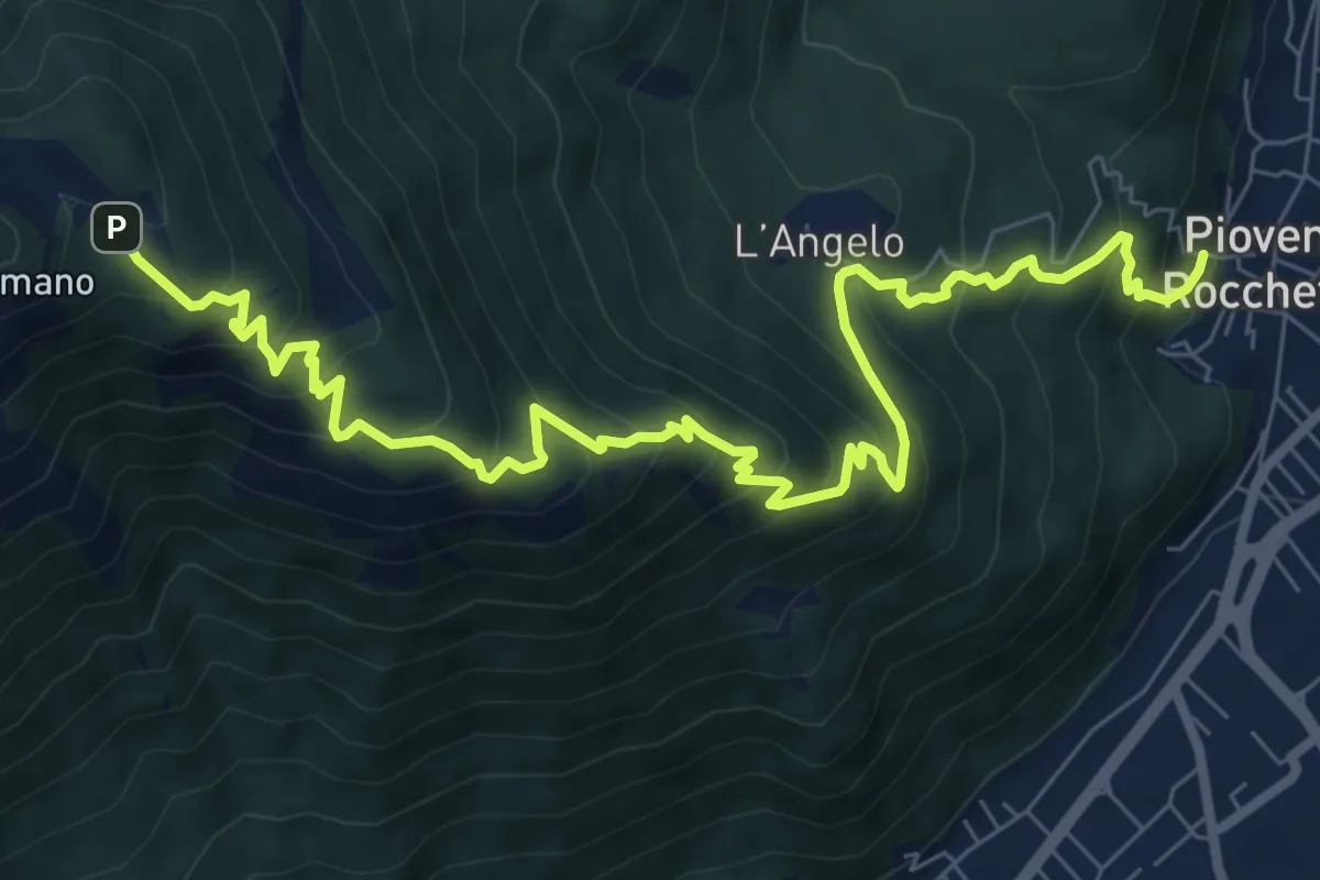
Demanding · Trail
Sentiero dei Girolimini
10.4 km · ↑ 910 m · 4 h 25 min · 11 km away
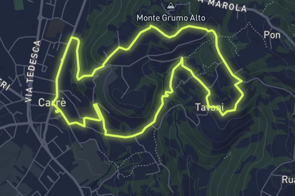
Easy · Trail
Sentiero Natura del Castello
6.6 km · ↑ 181 m · 2 h 2 min · 11 km away
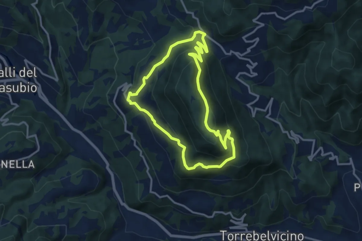
Medium · Summit
Sentiero del Monte Enna
7.8 km · ↑ 403 m · 2 h 49 min · 11 km away
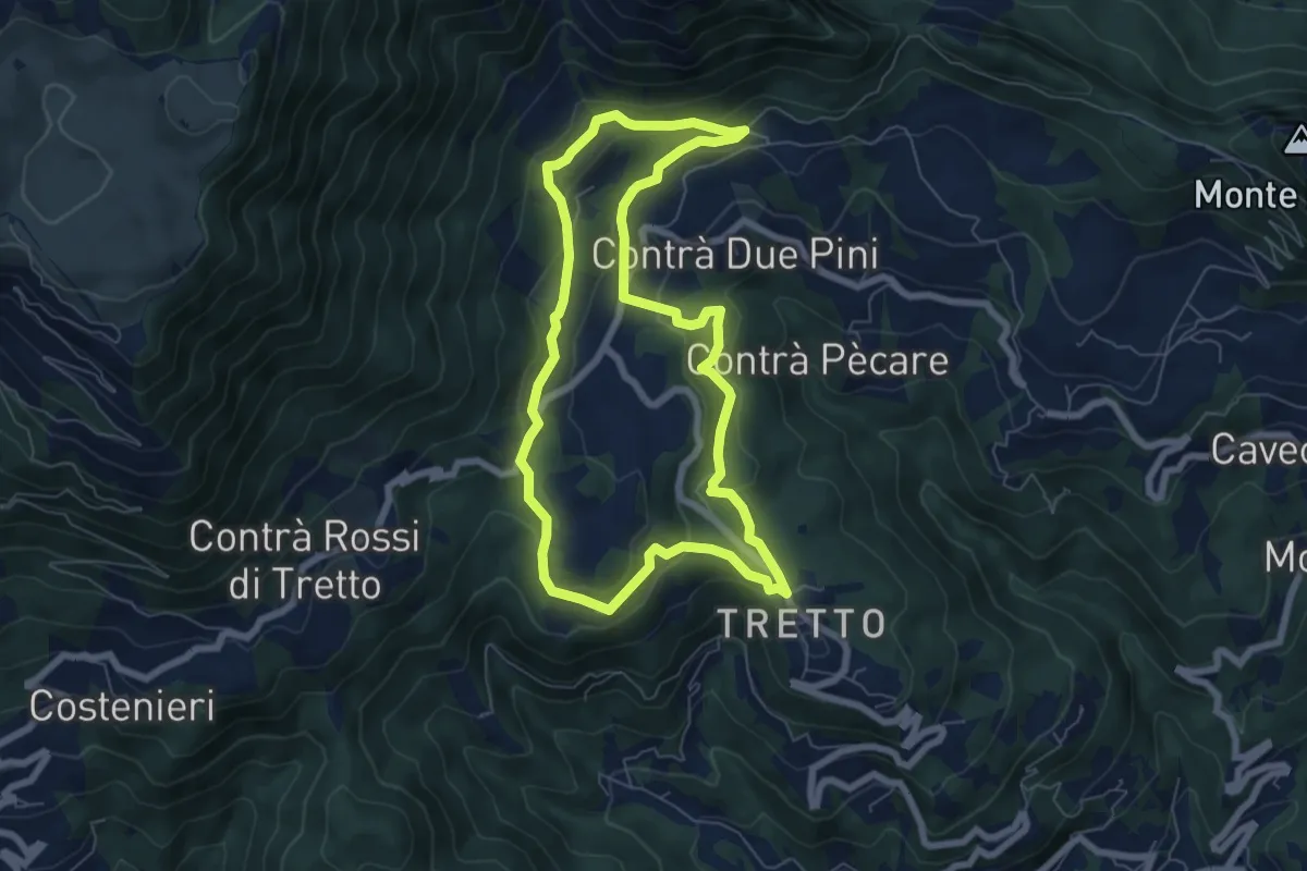
Easy · Trail
Sopra la Valle dell'Orco
6.6 km · ↑ 258 m · 2 h 13 min · 11 km away
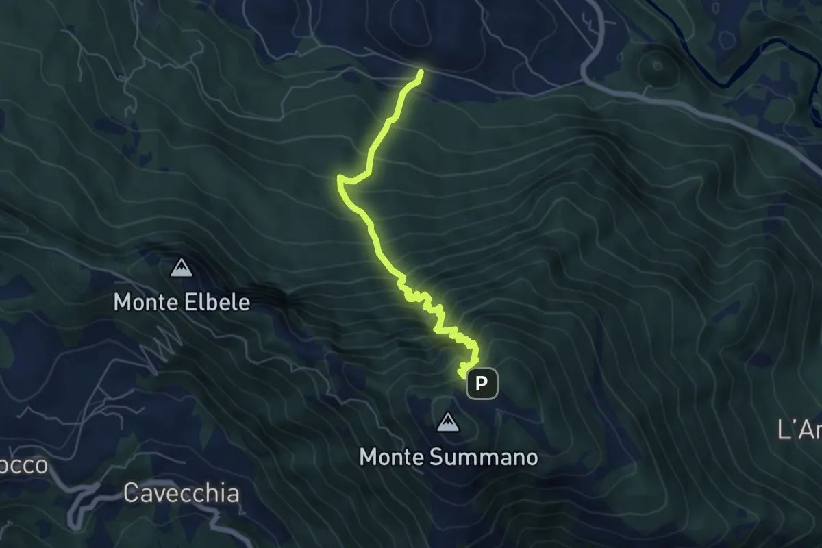
Demanding · Trail
Crosare di Velo d'Astico – Piazzale Belvedere (Monte Summano)-inn. sent. 462a
6.0 km · ↑ 833 m · 3 h 13 min · 11 km away
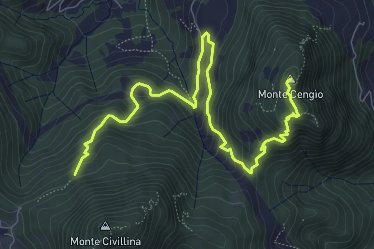
Medium · Summit
Sentiero del Singio
8.2 km · ↑ 569 m · 3 h 11 min · 11 km away