Trails near Malo
98 hikes starting within 15 km, nearest first.
Nearest first, page 2 of 3
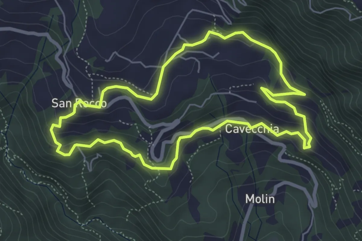
Easy · Trail
Sojo Negro
5.2 km · ↑ 205 m · 1 h 44 min · 11 km away
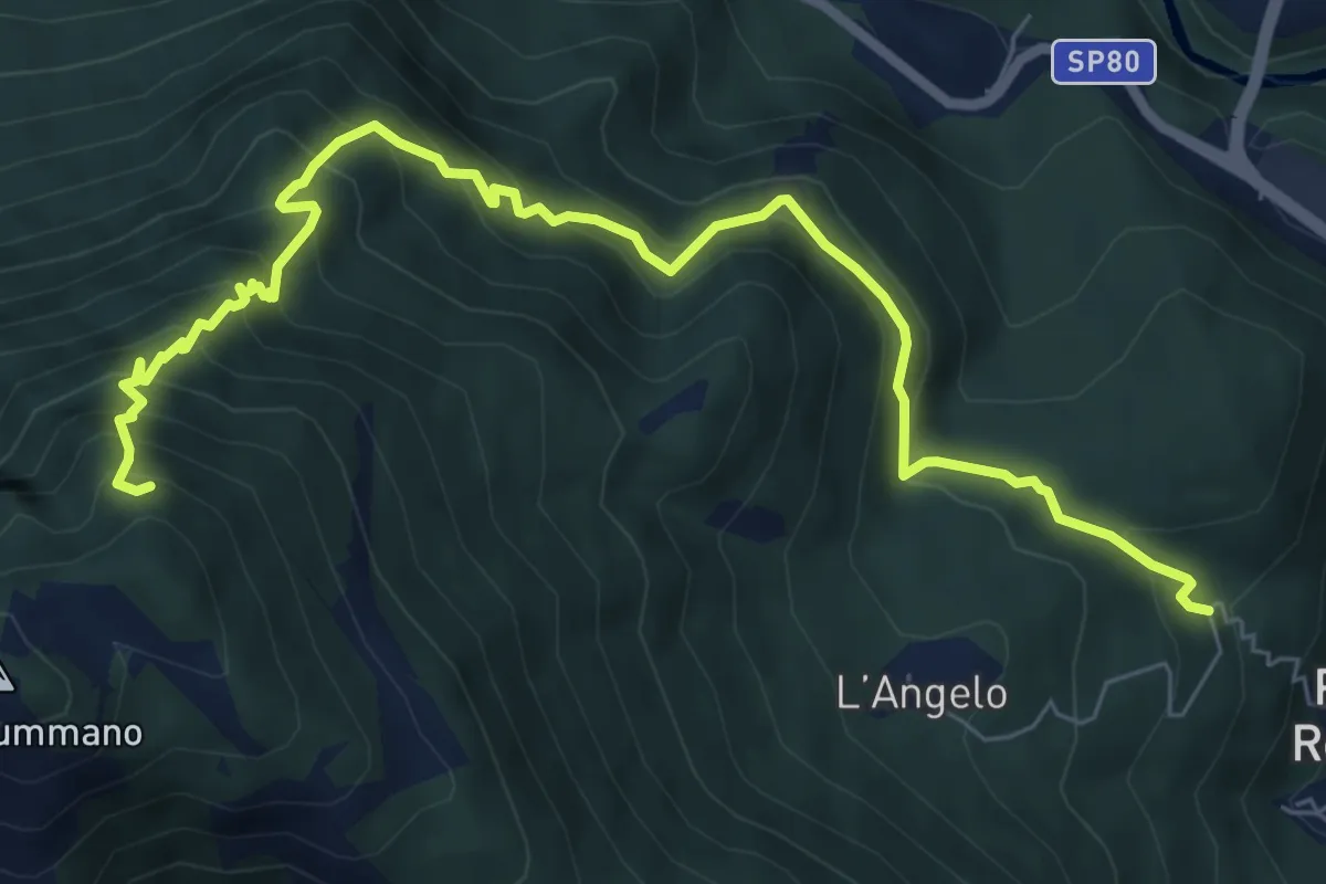
Demanding · Trail
Via dell'Angelo (quota 400m) – innesto sentiero 460
8.7 km · ↑ 916 m · 4 h 2 min · 12 km away
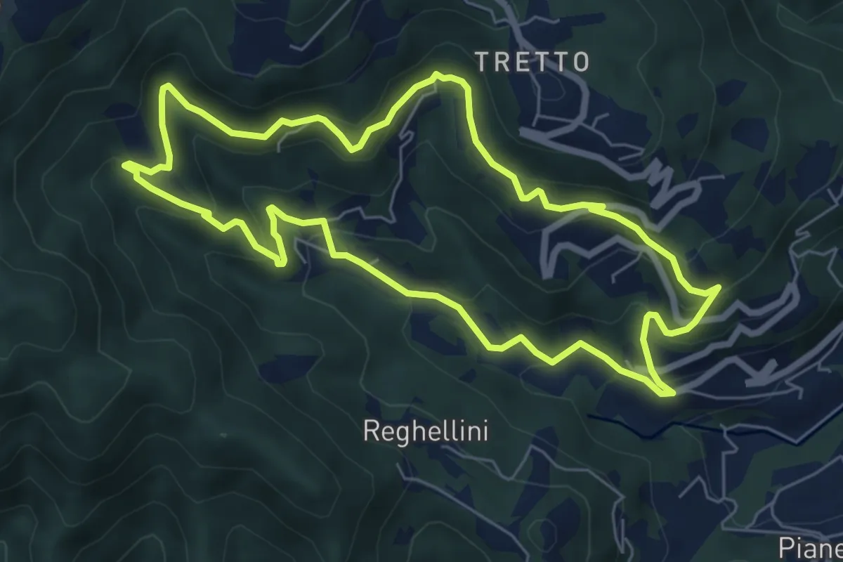
Medium · Trail
Lungo l'Acquasaliente
6.3 km · ↑ 373 m · 2 h 22 min · 12 km away
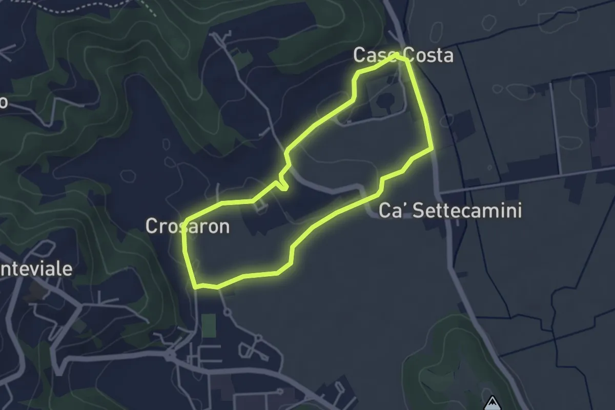
Easy · Trail
Sentiero Zuccheriei - delle Are
3.3 km · ↑ 20 m · 52 min · 12 km away
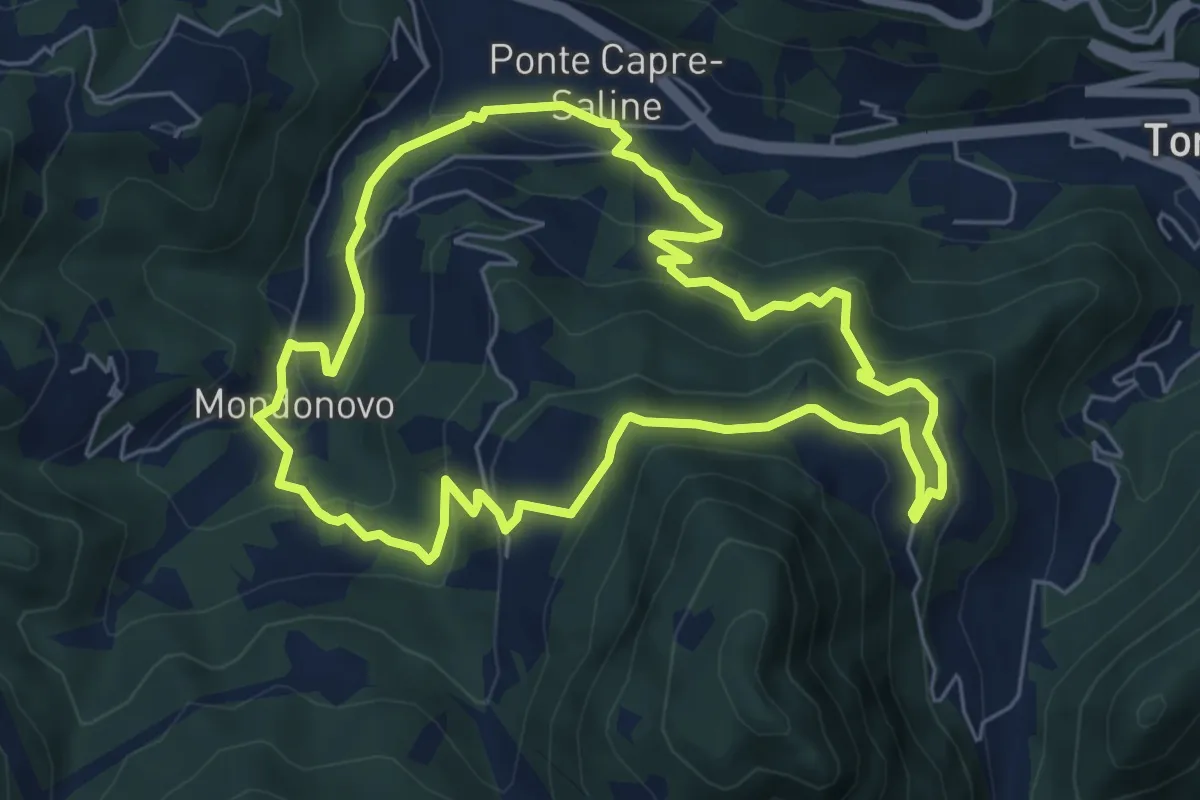
Medium · Trail
Sentiero di Mondonovo
6.1 km · ↑ 335 m · 2 h 15 min · 12 km away
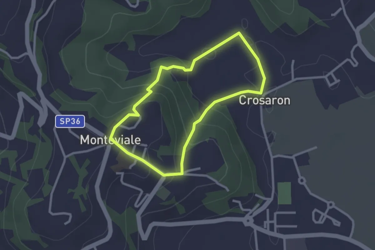
Easy · Trail
Sentiero del Cornugio
2.2 km · ↑ 113 m · 47 min · 12 km away
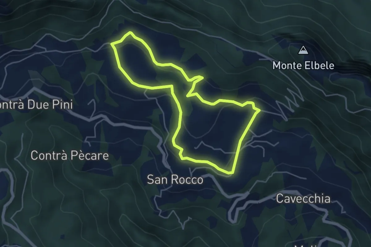
Easy · Trail
Prati di S. Rocco
4.2 km · ↑ 144 m · 1 h 22 min · 12 km away
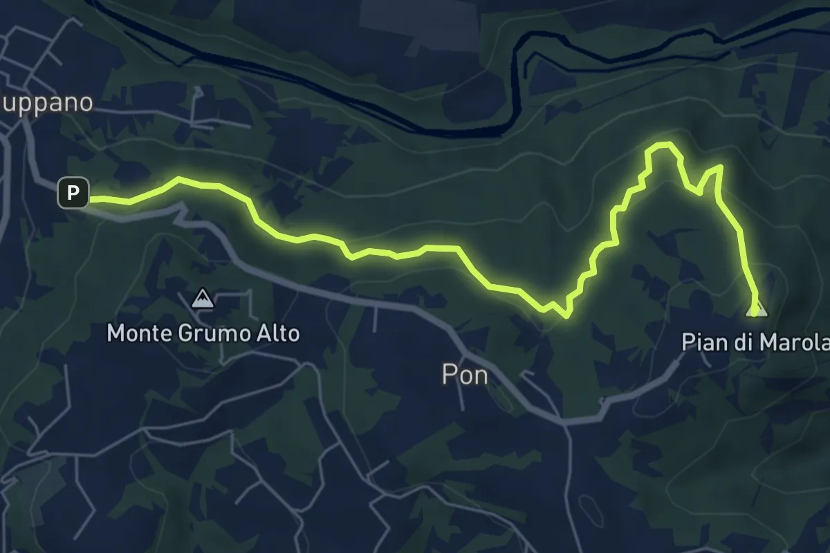
Medium · Summit
Strada Vicinale della Fonda
7.3 km · ↑ 288 m · 2 h 21 min · 12 km away
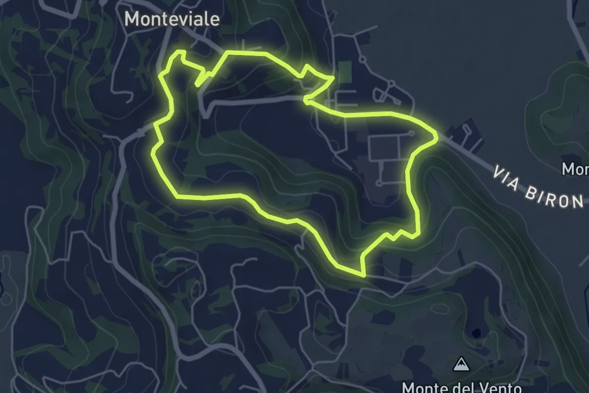
Easy · Trail
Sentiero Canestrello
4.5 km · ↑ 143 m · 1 h 26 min · 12 km away
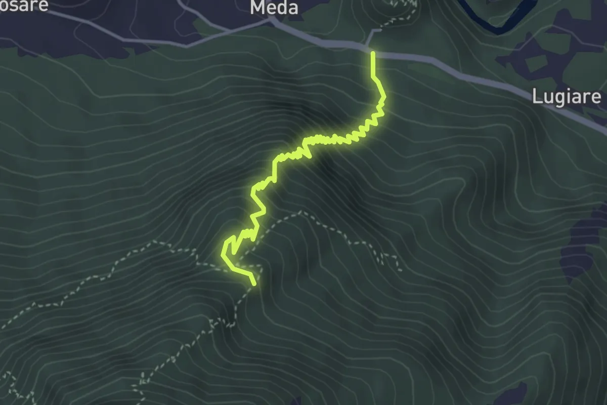
Medium · Trail
Meda di Sopra – Bocca del Lovo - incrocio sent. n. 461
3.9 km · ↑ 474 m · 1 h 57 min · 12 km away
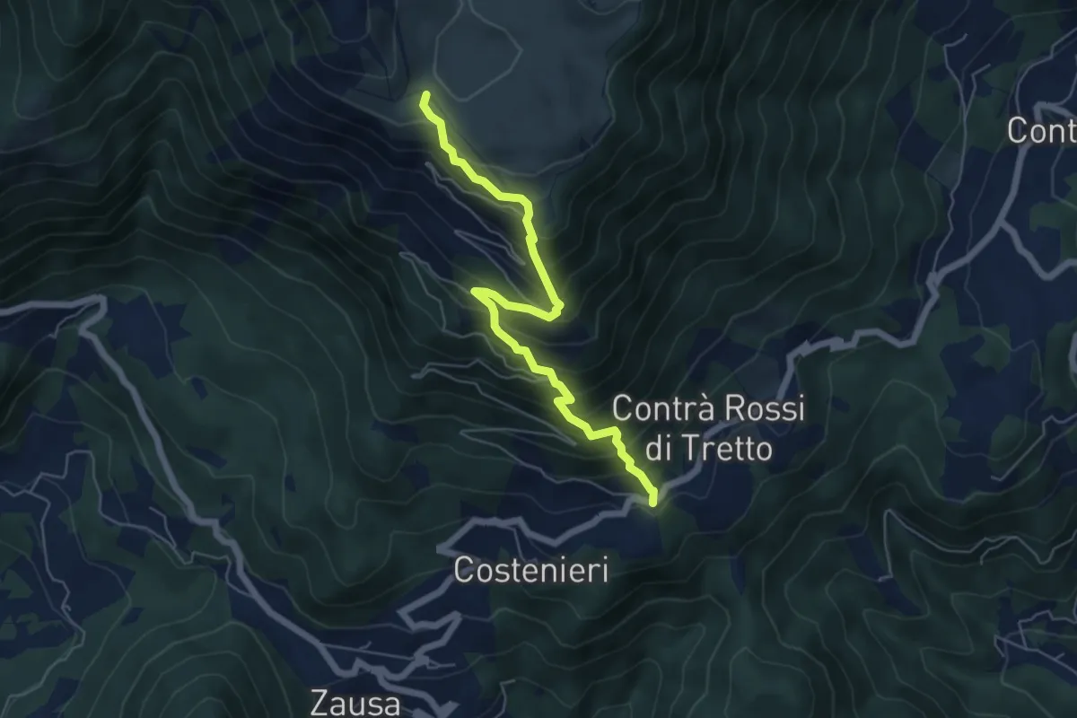
Demanding · Trail
Contrà Rossi - Busa Novegno
5.8 km · ↑ 623 m · 2 h 43 min · 12 km away
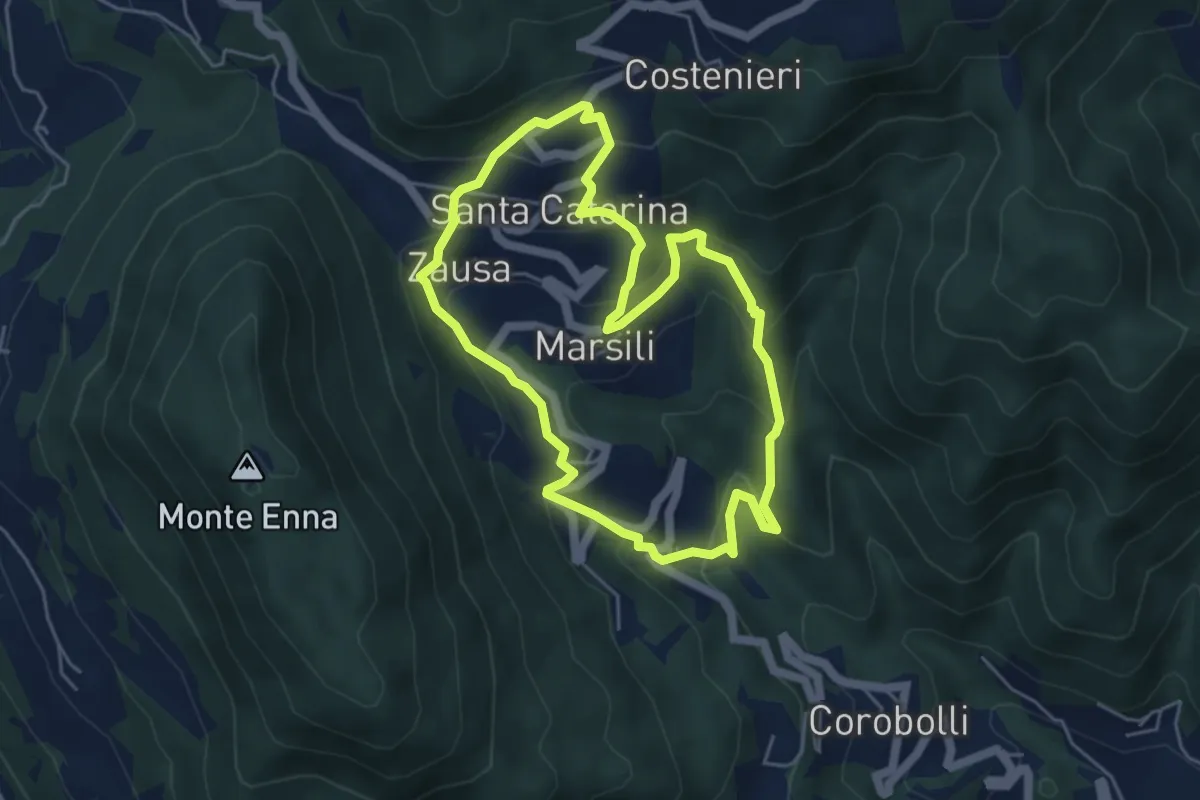
Medium · Trail
Valbona e Valmara
4.8 km · ↑ 323 m · 1 h 54 min · 12 km away
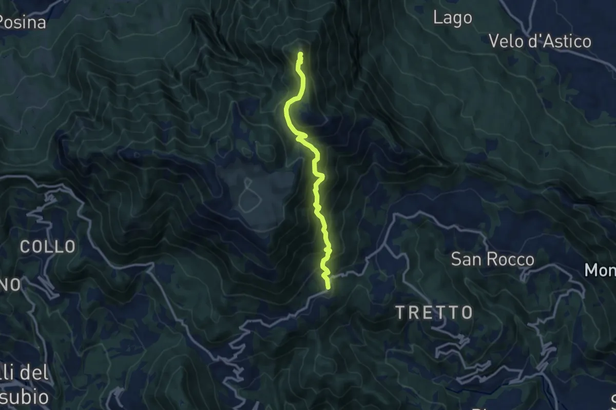
Demanding · Summit
Cerbaro (Santa Caterina del Tretto) - da sentiero 433 – Monte Priaforà
9.6 km · ↑ 762 m · 3 h 55 min · 12 km away
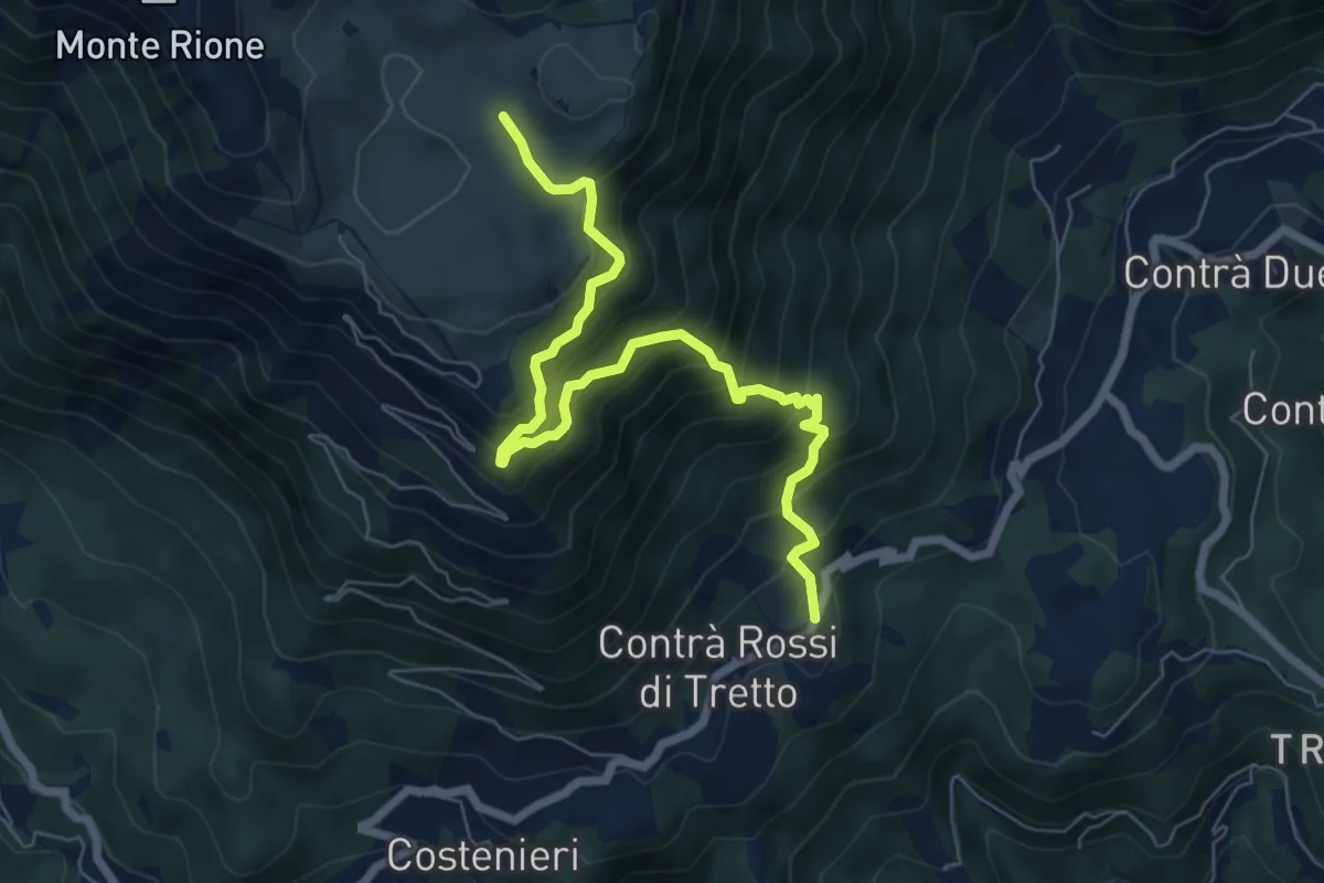
Demanding · Trail
Cerbaro - Busa Novegno
7.5 km · ↑ 865 m · 3 h 38 min · 12 km away
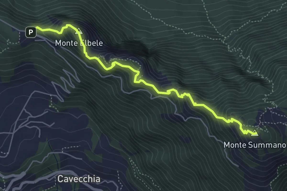
Demanding · Summit
Creste del Summano
5.5 km · ↑ 507 m · 2 h 24 min · 12 km away
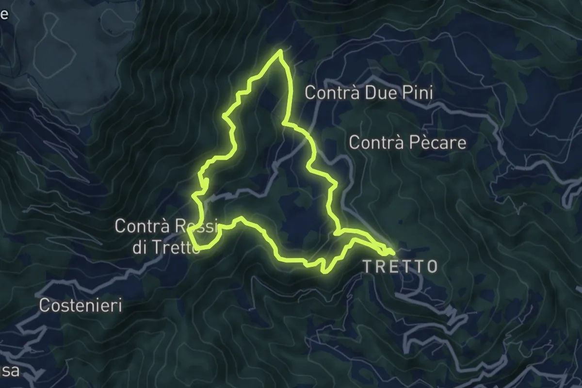
Medium · Trail
Alta Vista
7.2 km · ↑ 428 m · 2 h 44 min · 12 km away
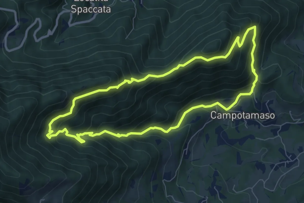
Medium · Summit
Sentiero Gianni Braggion
7.1 km · ↑ 629 m · 3 h 9 min · 13 km away
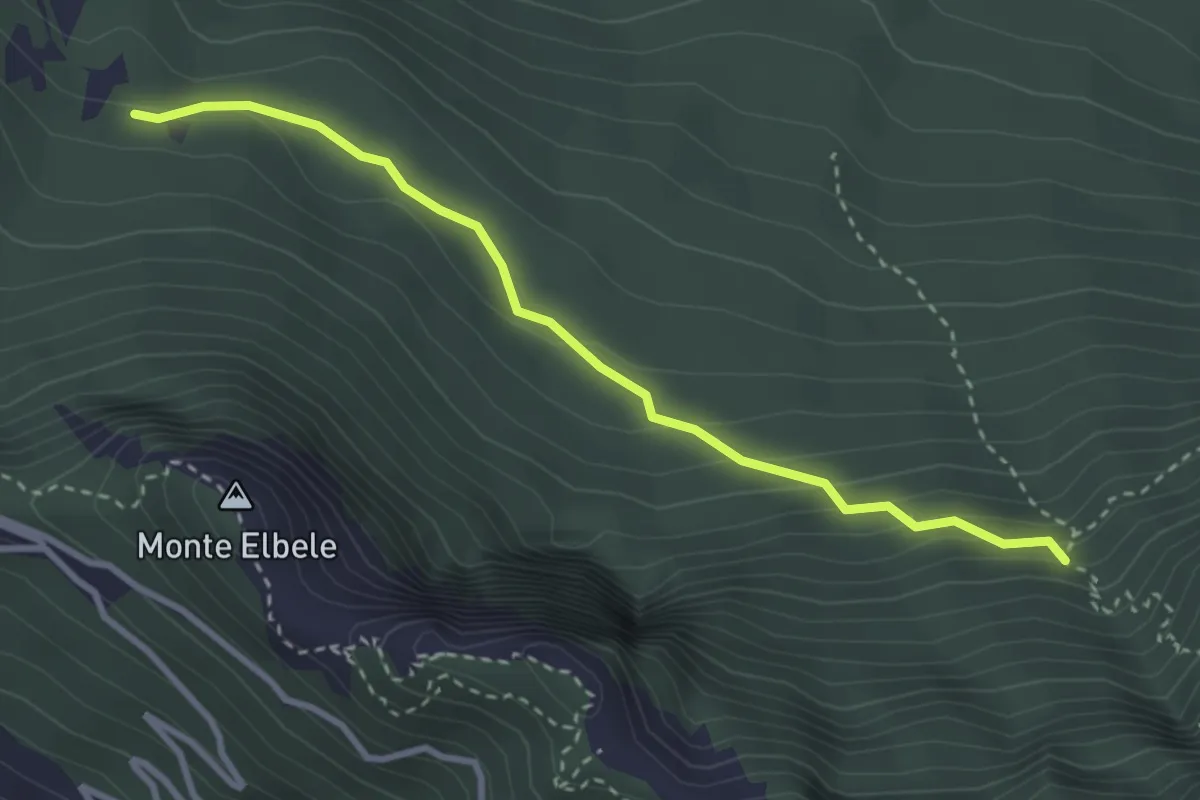
Medium · Trail
Lauri di Velo d'Astico (da sentiero 463) – Capitello della Madonna (innesto sentiero 462)
3.2 km · ↑ 178 m · 1 h 8 min · 13 km away
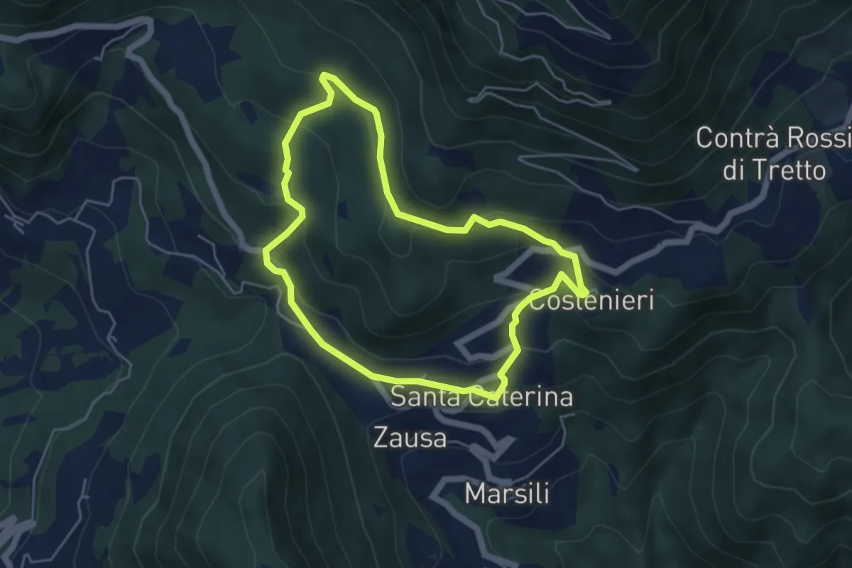
Easy · Trail
Santa Caterinella
4.4 km · ↑ 218 m · 1 h 35 min · 13 km away
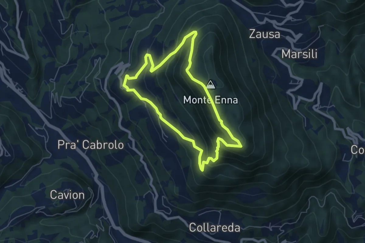
Demanding · Trail
Sentiero delle rogazioni
5.1 km · ↑ 345 m · 2 h 1 min · 13 km away
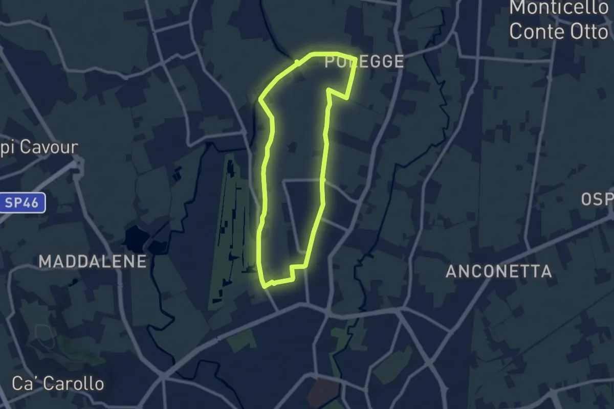
Easy · Trail
Anello Nord Laghetto
7.0 km · ↑ 0 m · 1 h 45 min · 13 km away
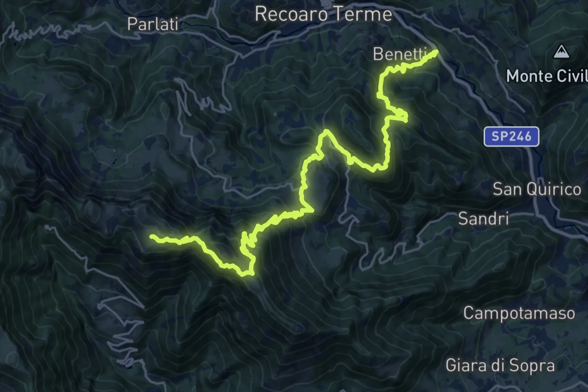
Demanding · Trail
Sentiero del partigiano e della resistenza
13.5 km · ↑ 1513 m · 6 h 4 min · 13 km away
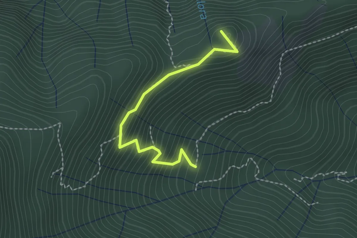
Easy · Trail
Croce dei Castiglieri
2.0 km · ↑ 209 m · 56 min · 13 km away
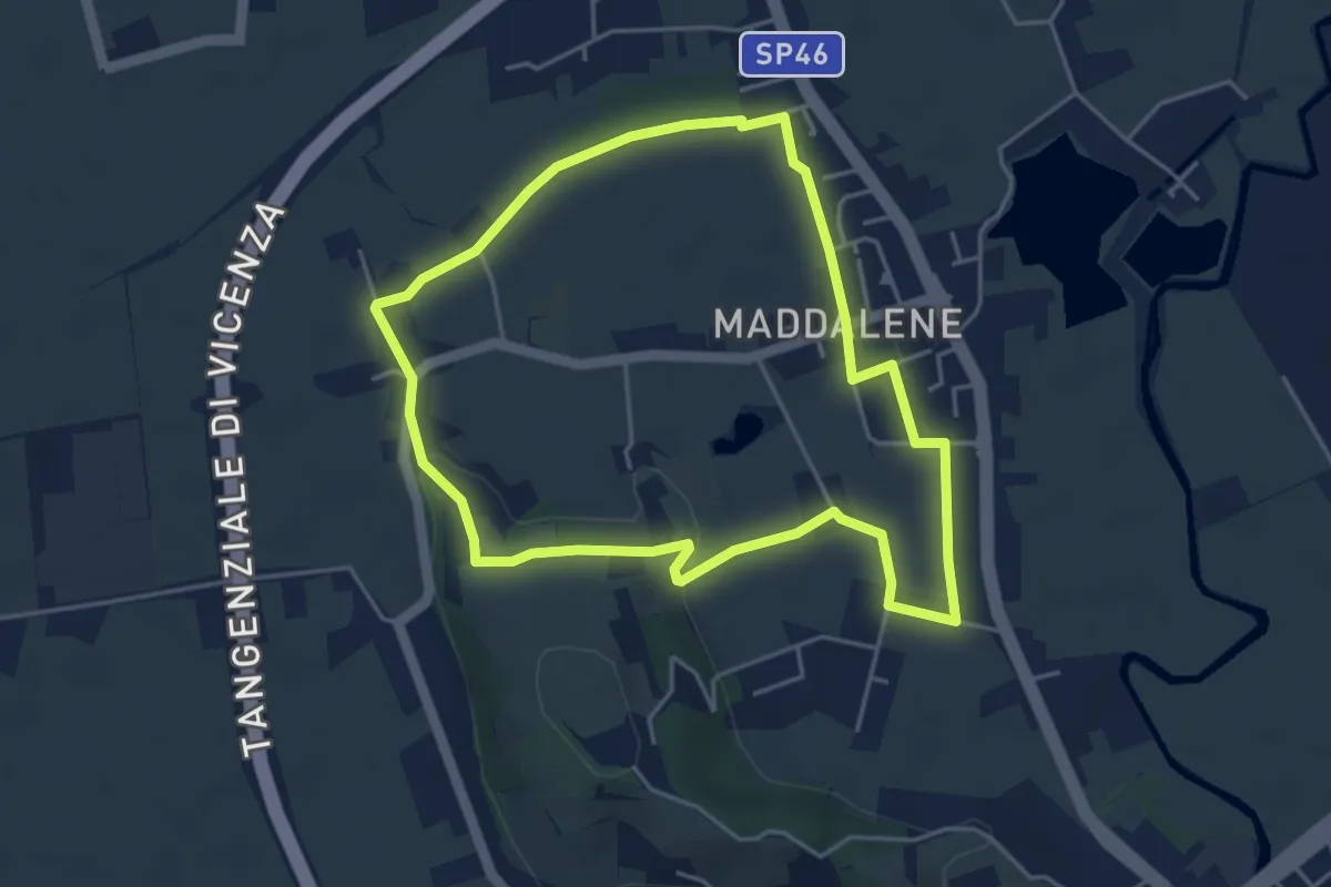
Easy · Trail
Anello Monte Crocetta
4.4 km · ↑ 34 m · 1 h 11 min · 13 km away
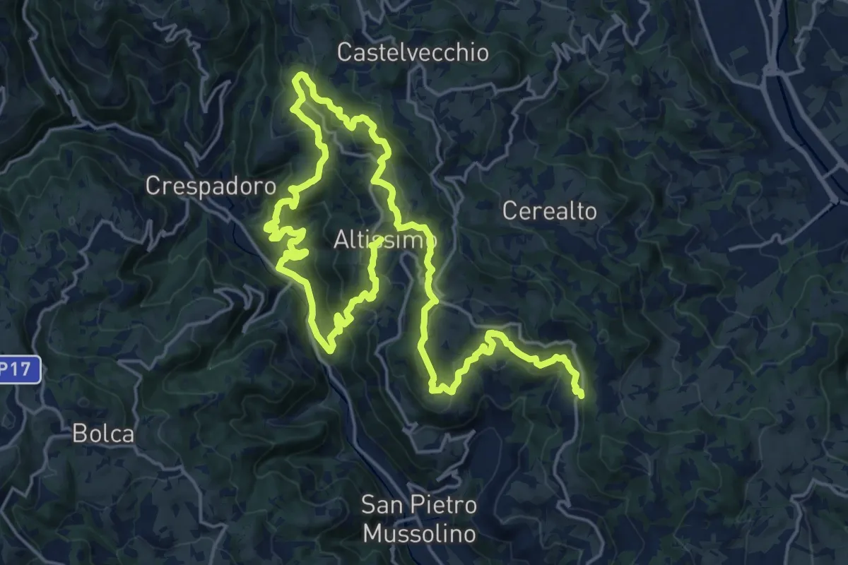
Medium · Summit
Sentiero delle Contrade di Altissimo
15.6 km · ↑ 780 m · 5 h 35 min · 13 km away
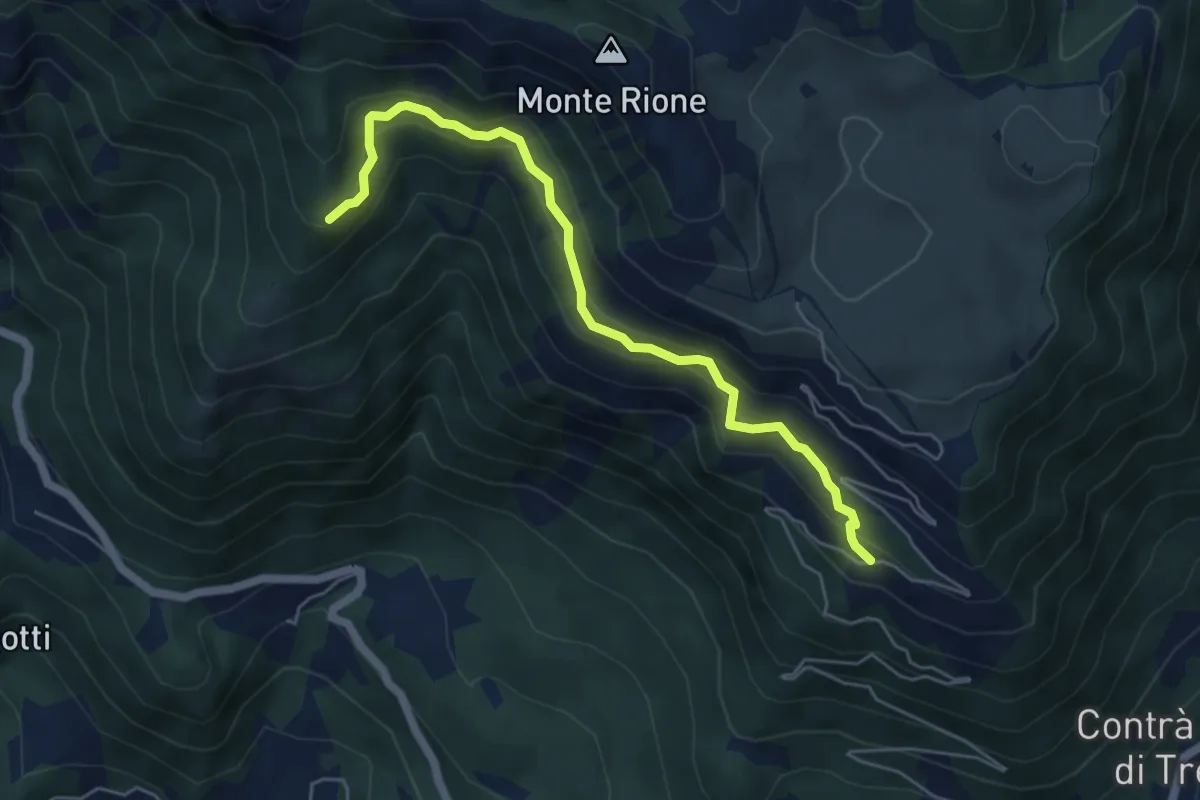
Medium · Trail
sotto Malga Pianeti (parcheggio) - da sent. 422 – Malga Ronchetta bivio sent. 411
5.5 km · ↑ 414 m · 2 h 11 min · 13 km away
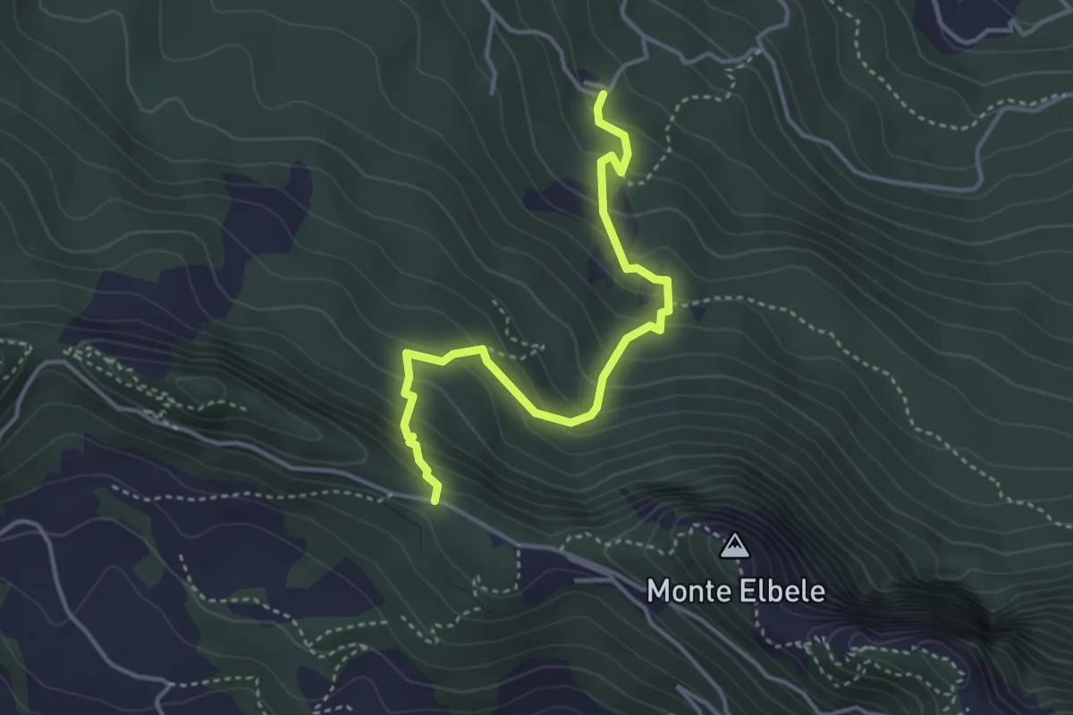
Medium · Trail
Contrà Burini (Velo d'Astico) – Passo Colletto Grande di Velo
3.8 km · ↑ 321 m · 1 h 36 min · 13 km away
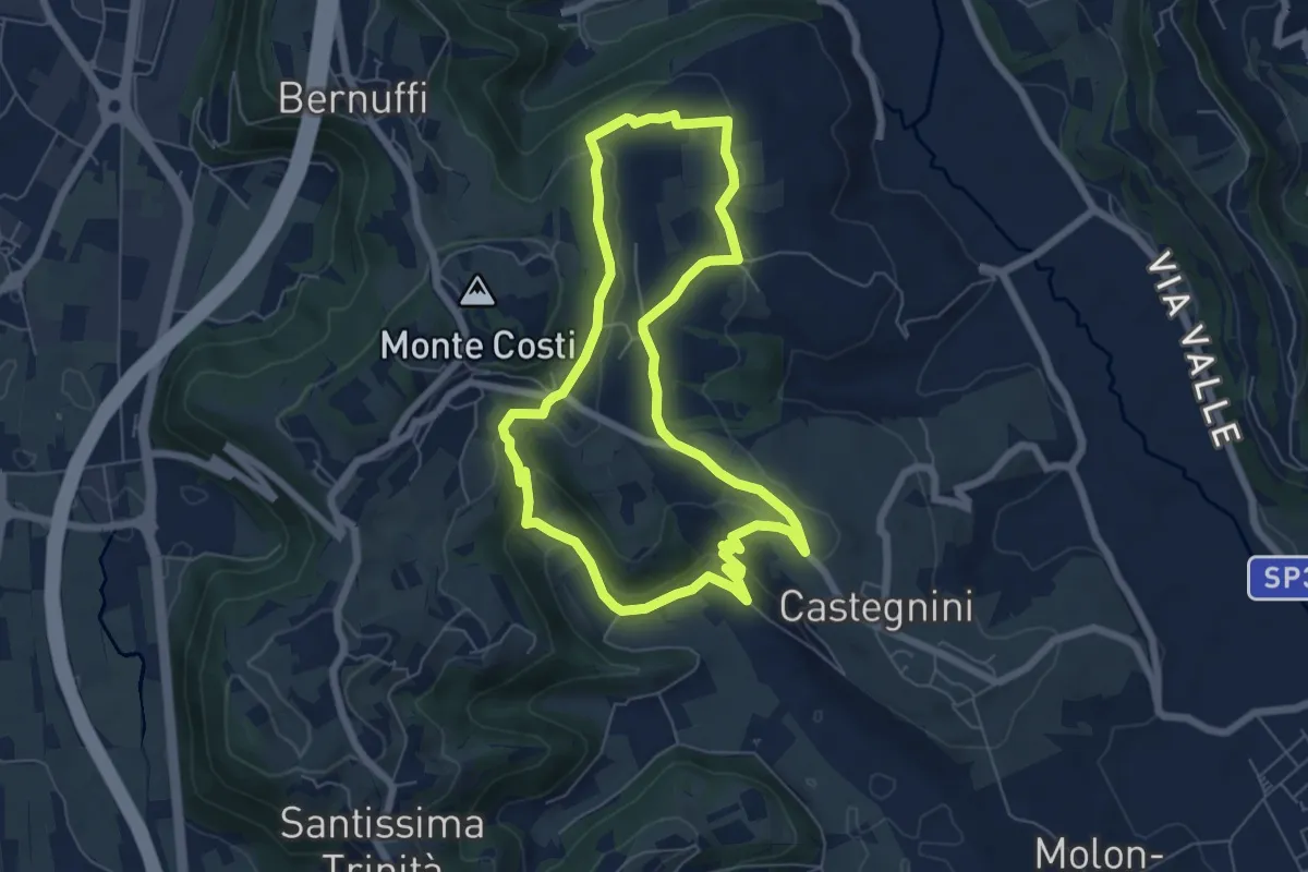
Easy · Trail
11-Carbonara, Vigo e S. Urbano
6.4 km · ↑ 177 m · 1 h 59 min · 13 km away
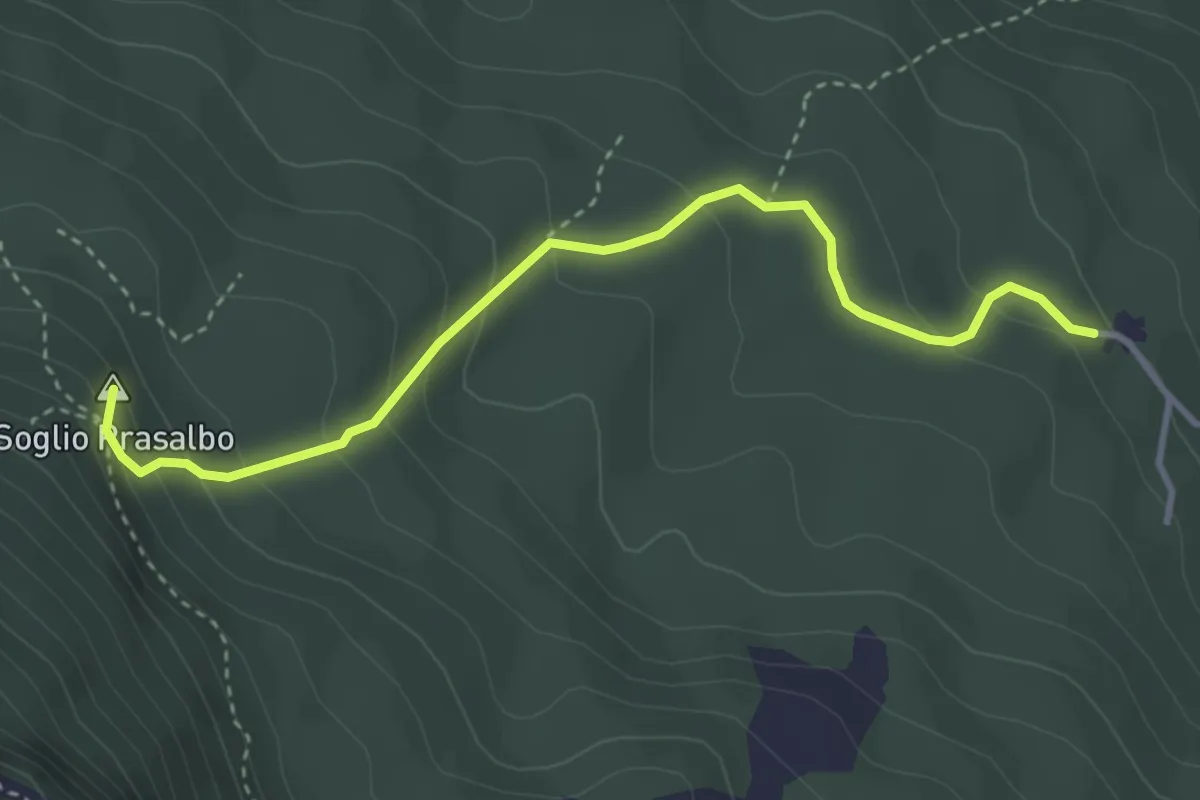
Medium · Summit
Contrà Anzolone di Velo d'Astico – Passo Colletto Piccolo
3.7 km · ↑ 259 m · 1 h 26 min · 14 km away
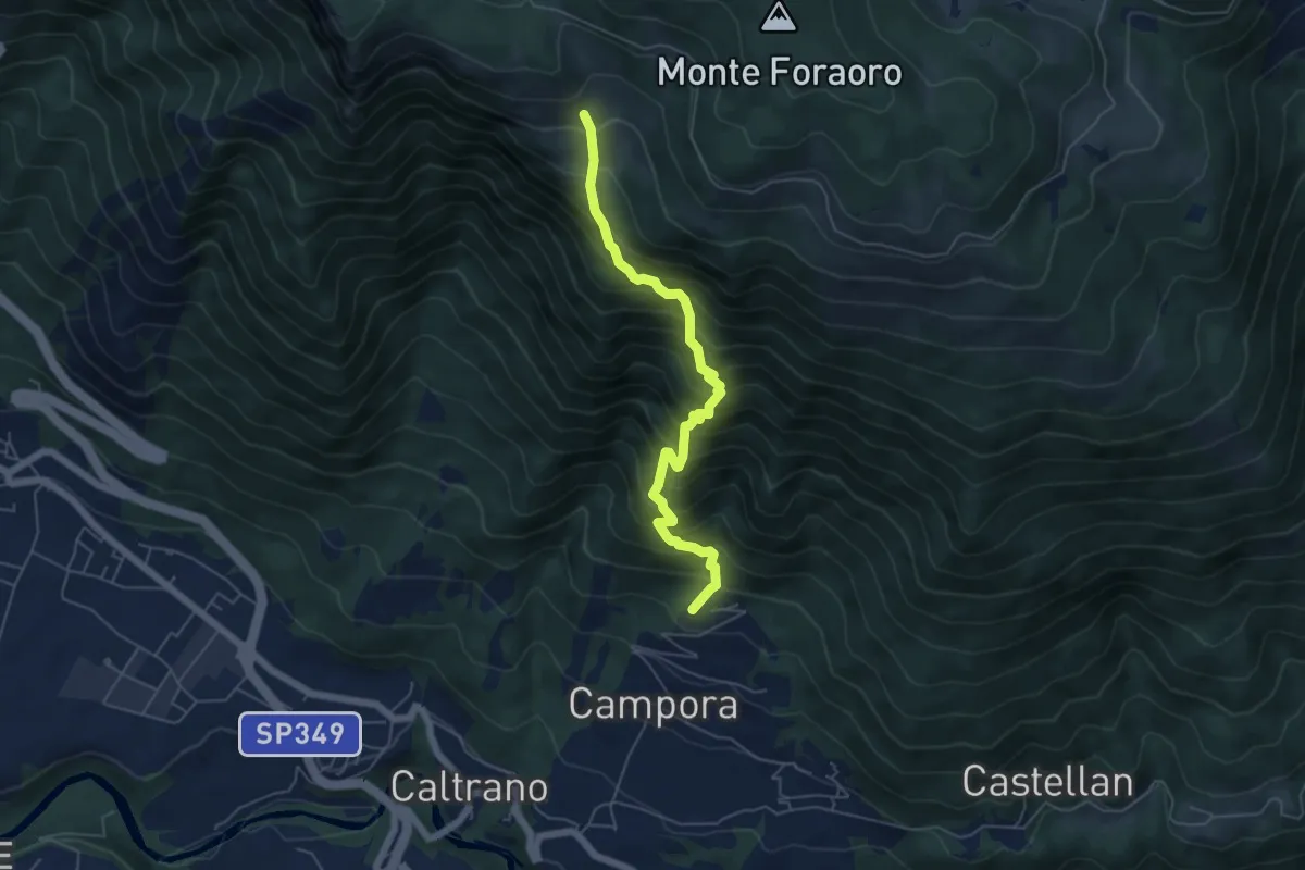
Demanding · Trail
Tezze di Caltrano - Malga Sunio
5.6 km · ↑ 857 m · 3 h 11 min · 14 km away
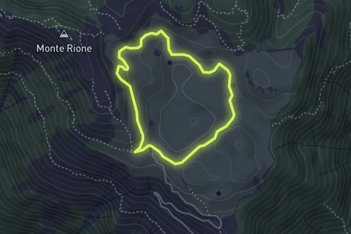
Easy · Trail
Anello di Busa Novegno
2.8 km · ↑ 92 m · 54 min · 14 km away
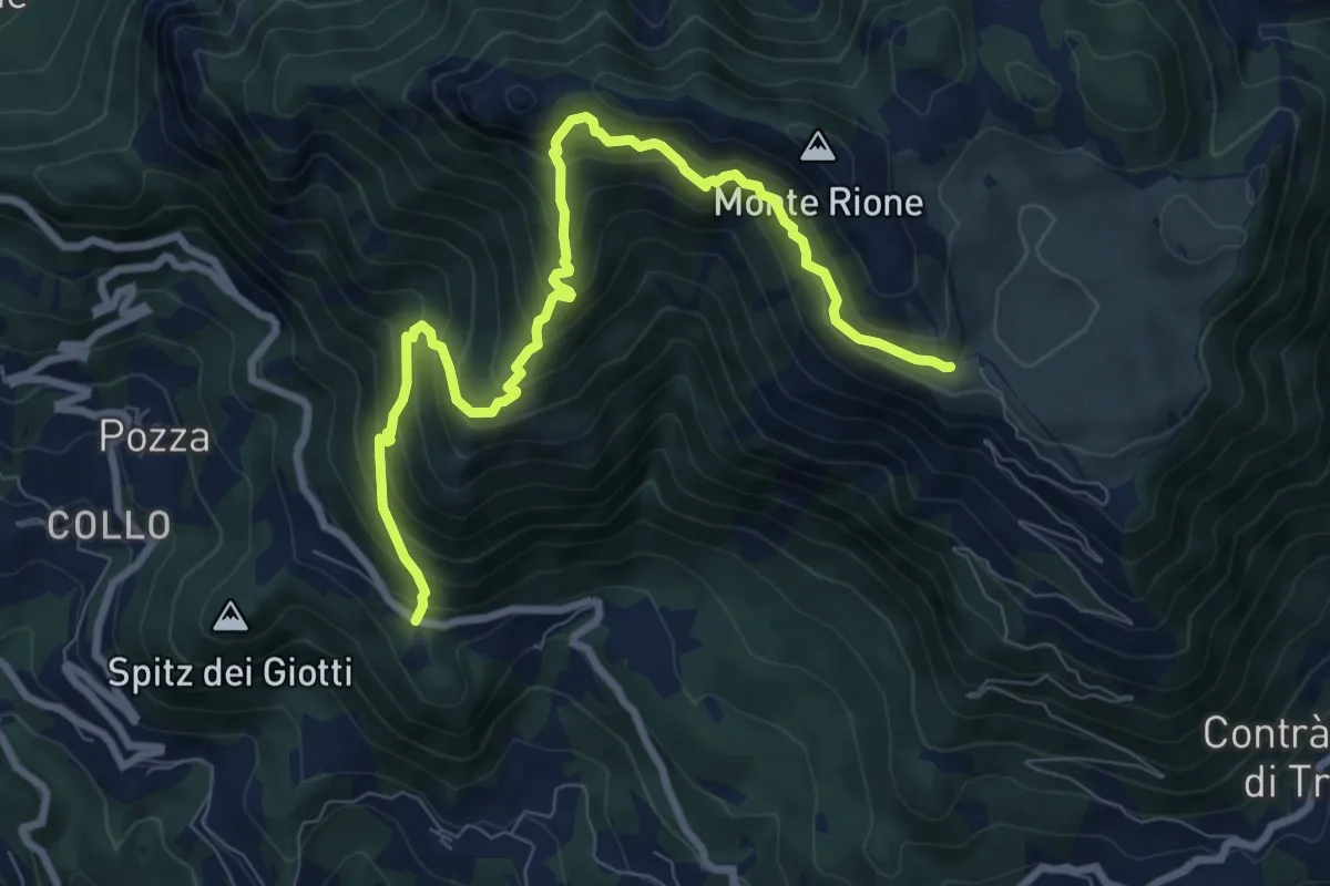
Demanding · Trail
Vallortigara - Busa del Novegno
9.4 km · ↑ 970 m · 4 h 19 min · 14 km away
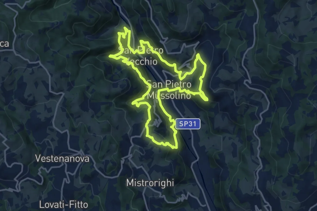
Medium · Trail
Sentiero delle Api
12.1 km · ↑ 757 m · 4 h 40 min · 14 km away
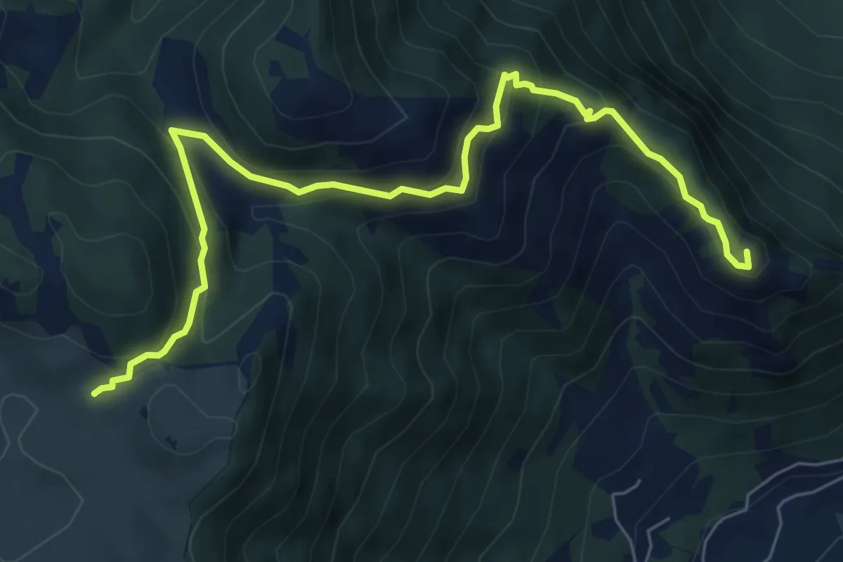
Medium · Summit
Colletto Piccolo - Busa Novegno
7.6 km · ↑ 508 m · 2 h 53 min · 14 km away
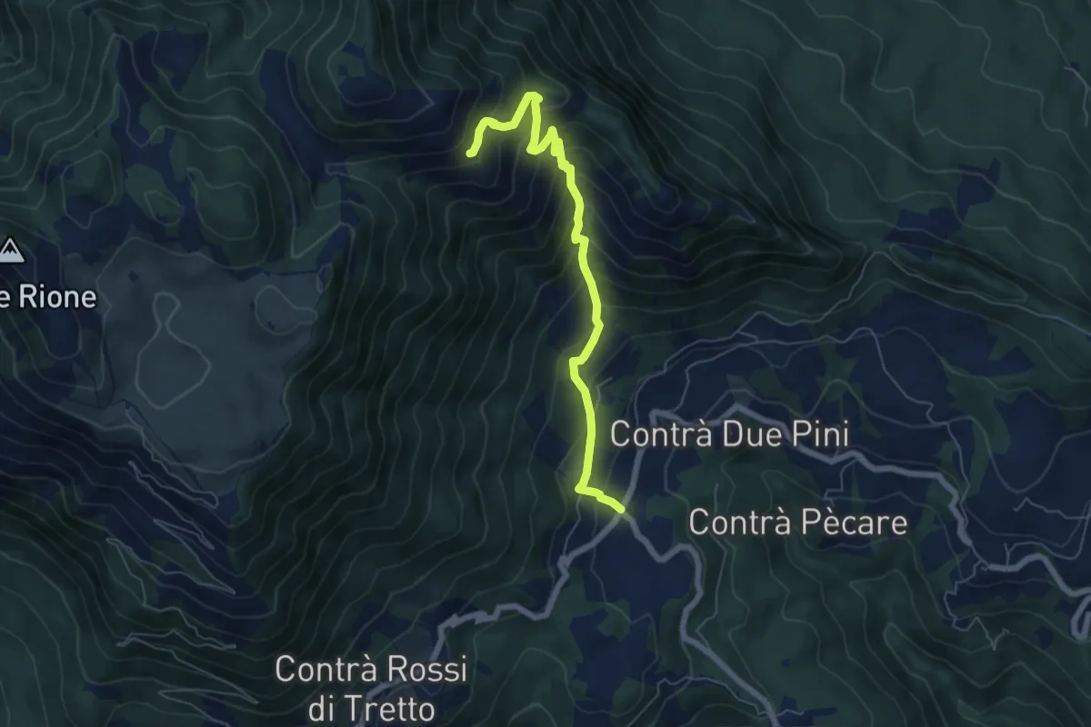
Medium · Trail
Bosco di Tretto – Innesto sentiero 455 (prima del Cimitero di Guerra)
6.4 km · ↑ 636 m · 2 h 53 min · 14 km away
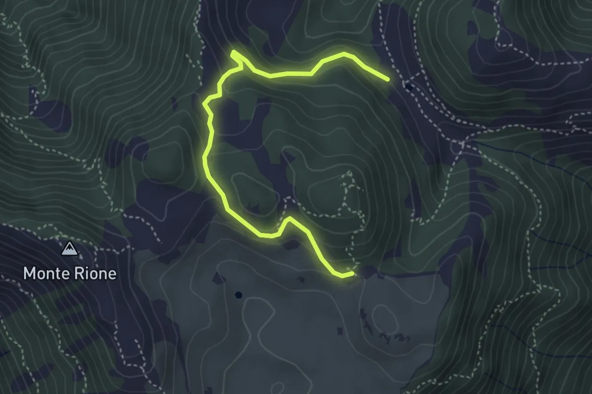
Easy · Trail
Variante Cima Alta
4.2 km · ↑ 238 m · 1 h 31 min · 14 km away
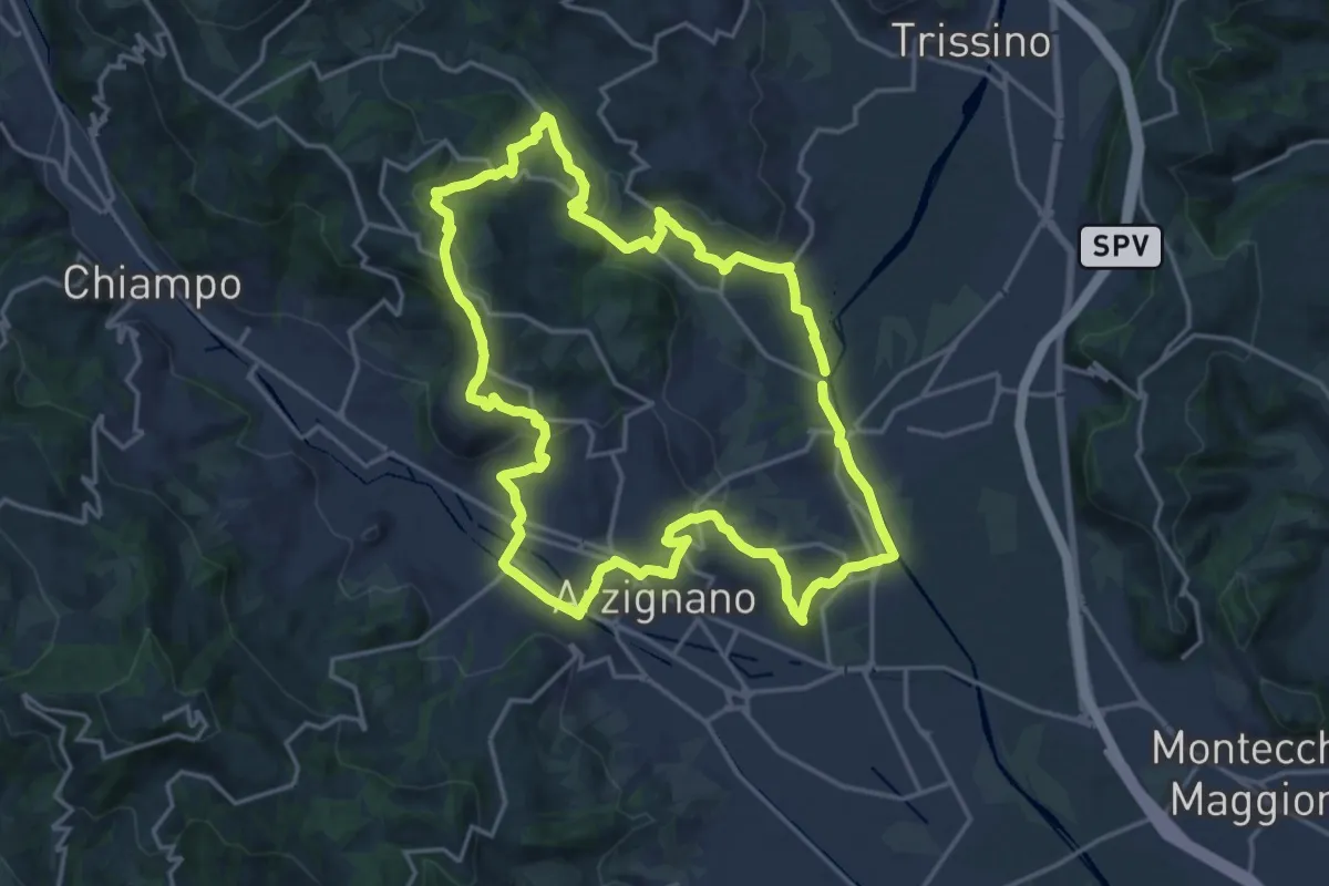
Demanding · Trail
Sentiero Giallo
18.5 km · ↑ 457 m · 5 h 37 min · 14 km away
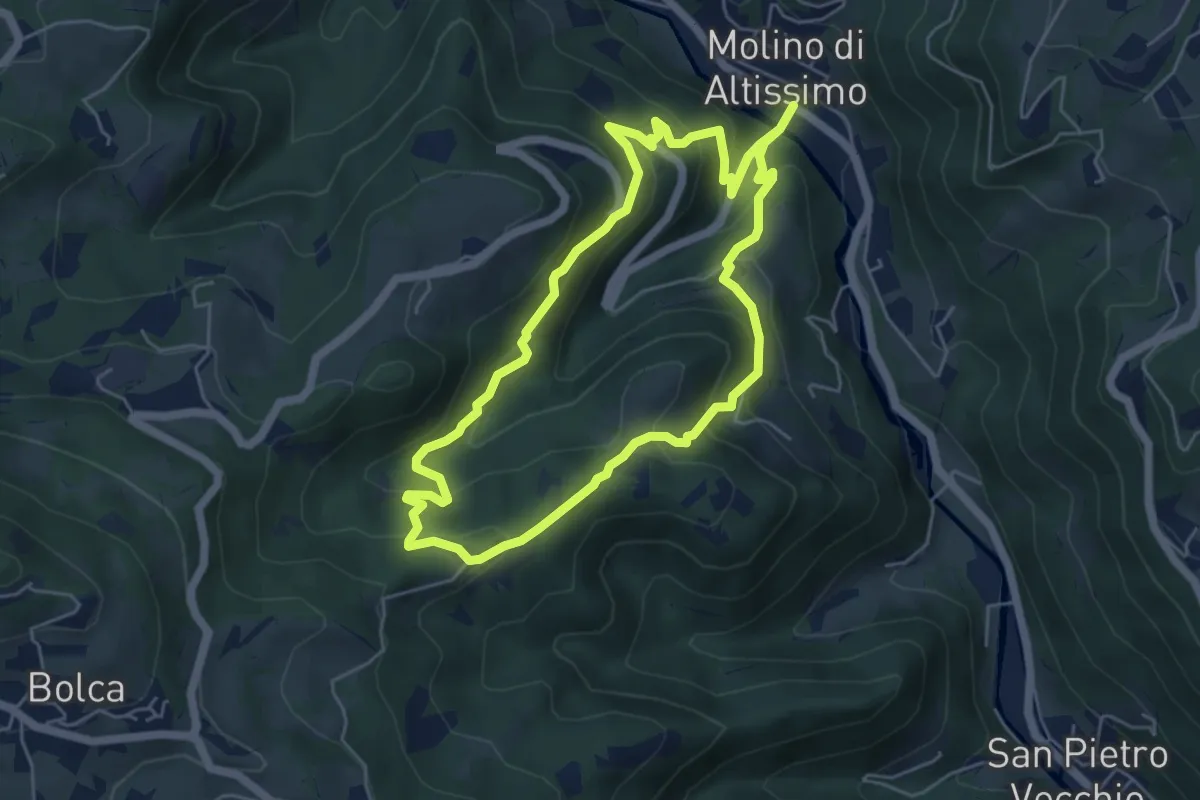
Medium · Trail
Sentiero Pesciaia
5.3 km · ↑ 362 m · 2 h 6 min · 14 km away
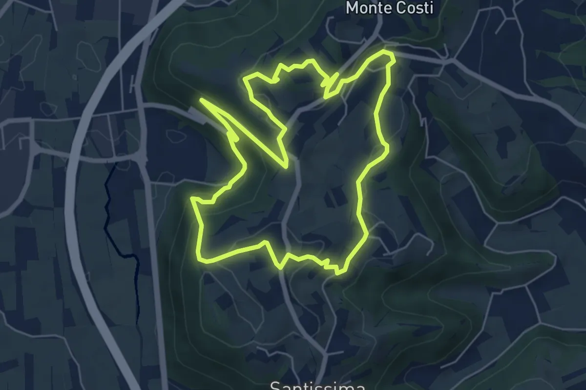
Easy · Trail
06-Sentiero Giaragù e priare di S. Urbano
5.7 km · ↑ 217 m · 1 h 53 min · 14 km away
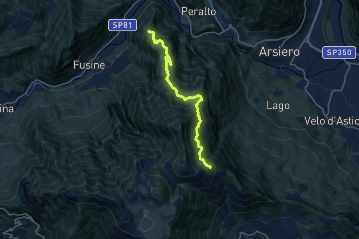
Demanding · Summit
Sentiero del Monte Aralta
10.7 km · ↑ 1060 m · 4 h 49 min · 14 km away
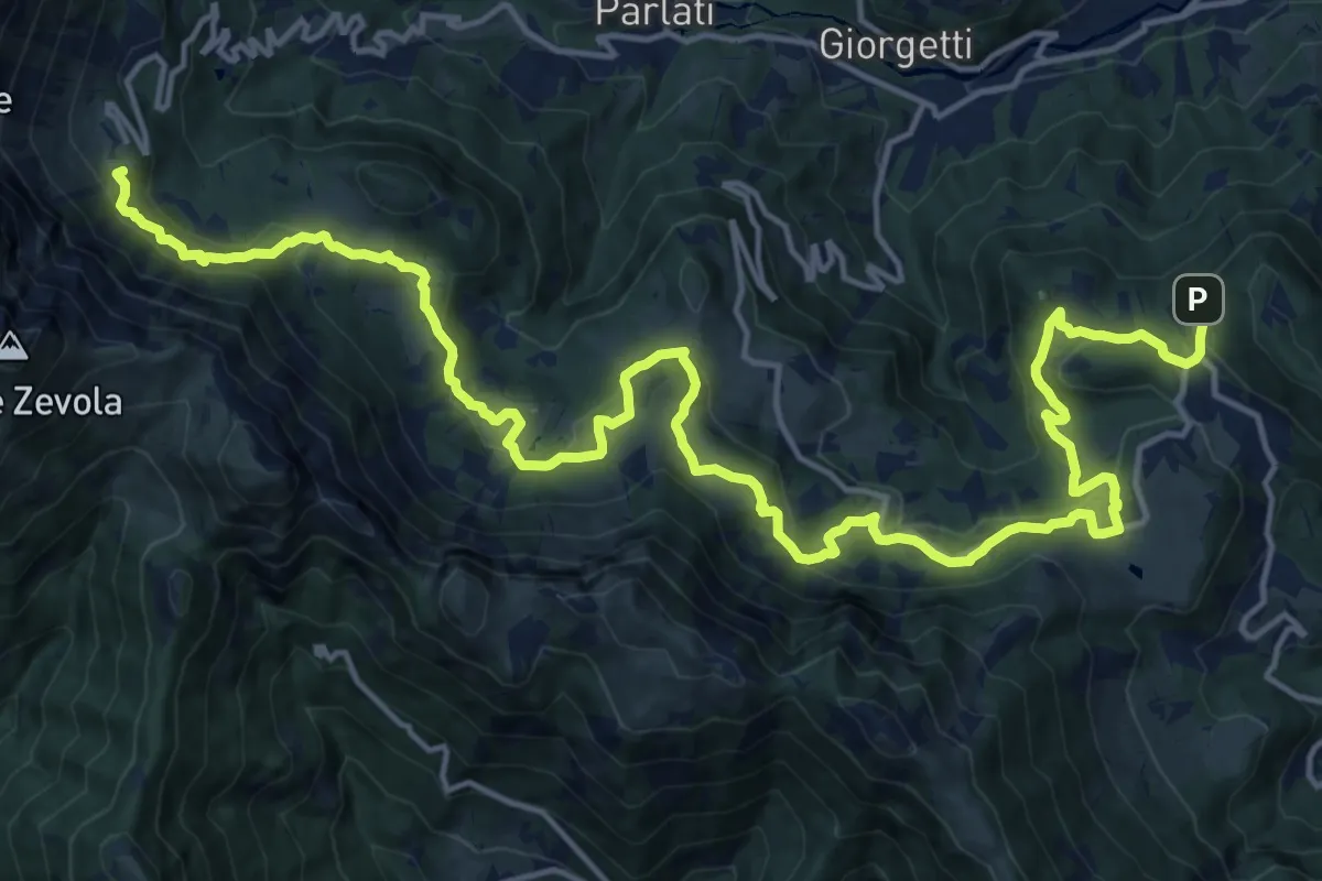
Demanding · Summit
Sentiero dei Grandi Alberi
23.5 km · ↑ 985 m · 7 h 41 min · 15 km away
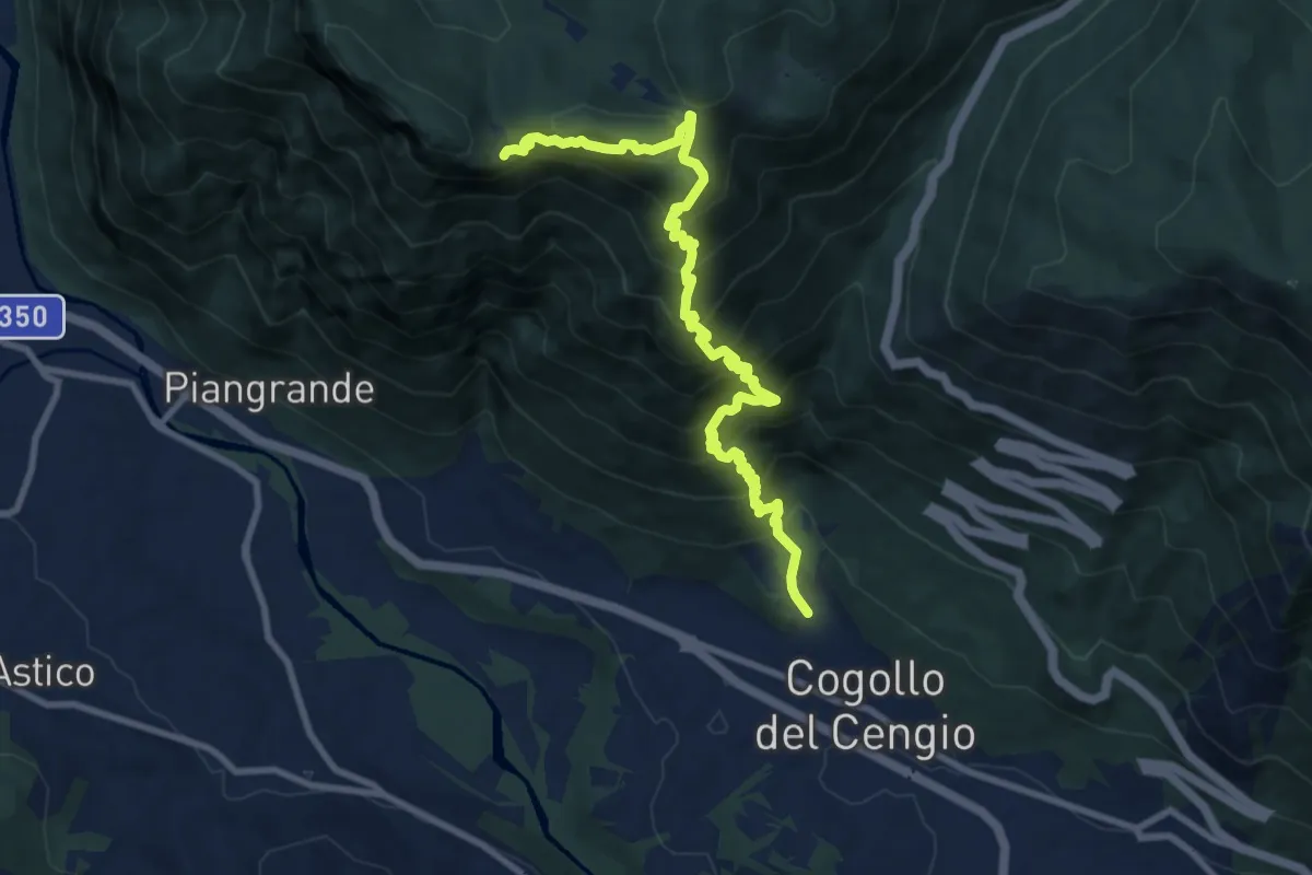
Demanding · Cabin
Cogollo - Monte Cengio per Val Sengela
10.8 km · ↑ 1130 m · 4 h 59 min · 15 km away
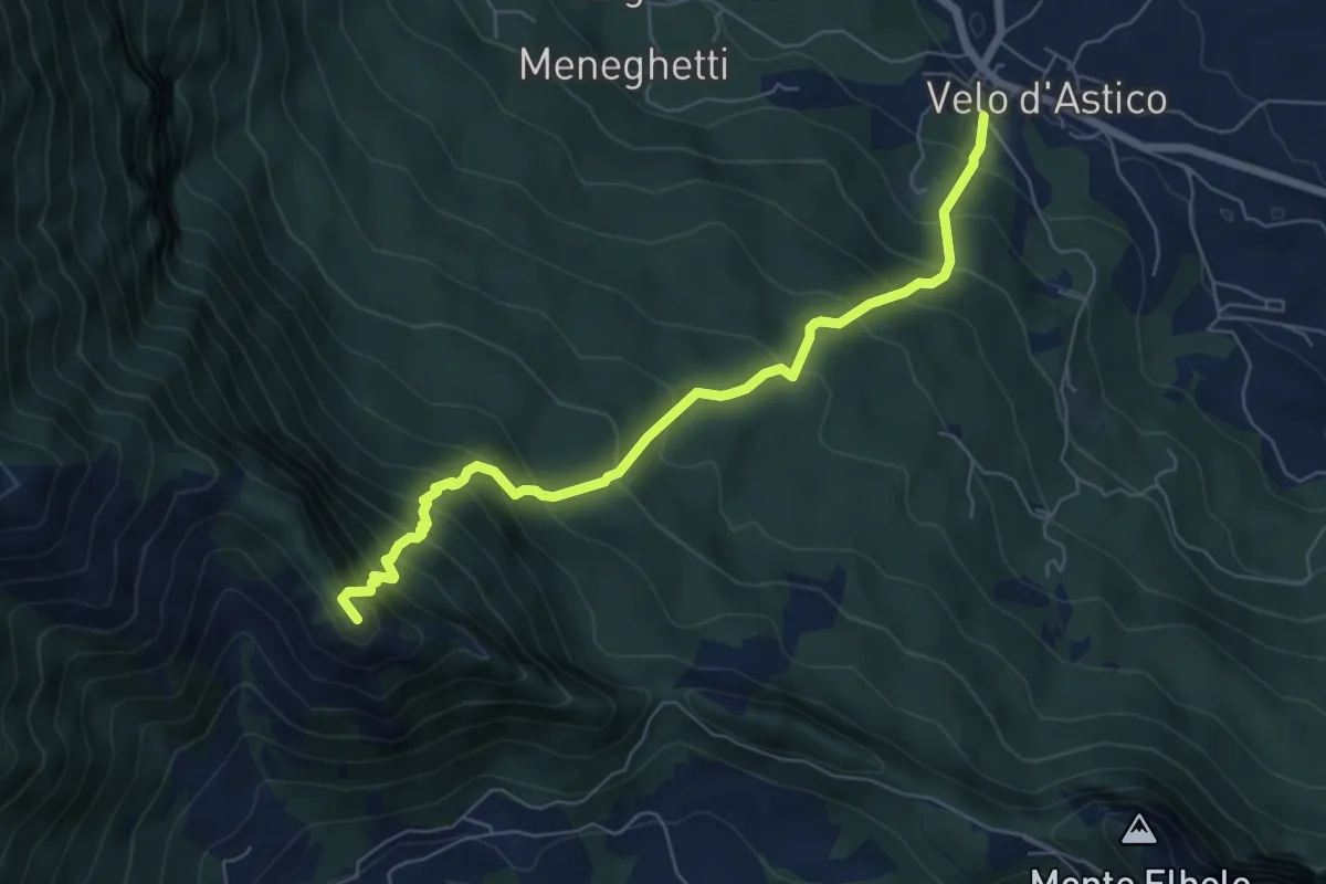
Demanding · Summit
Velo d'Astico – Passo Tre Rocchette
6.7 km · ↑ 832 m · 3 h 23 min · 15 km away
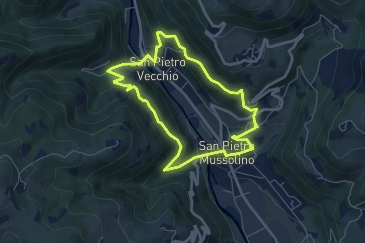
Medium · Trail
Sentiero Amico
4.8 km · ↑ 323 m · 1 h 54 min · 15 km away
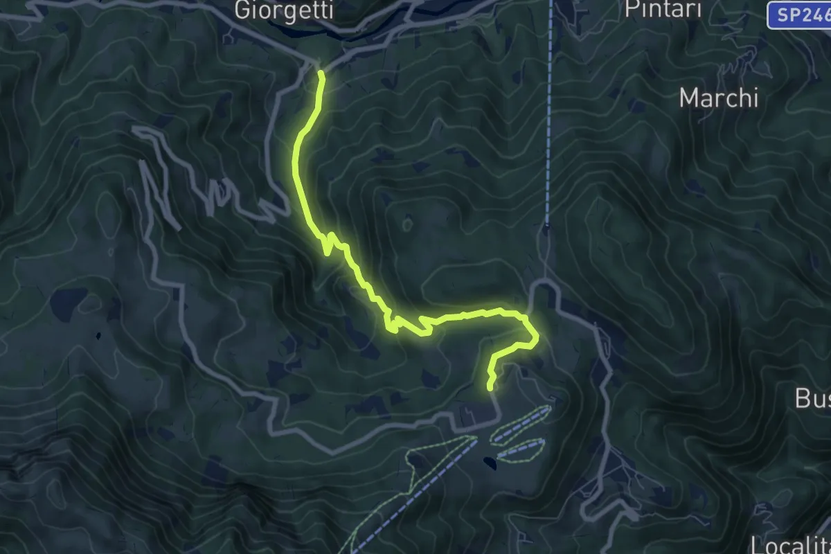
Medium · Trail
Contrada Asnicar (Recoaro Terme) – Casare Busacco (Recoaro Mille)
7.8 km · ↑ 491 m · 2 h 55 min · 15 km away
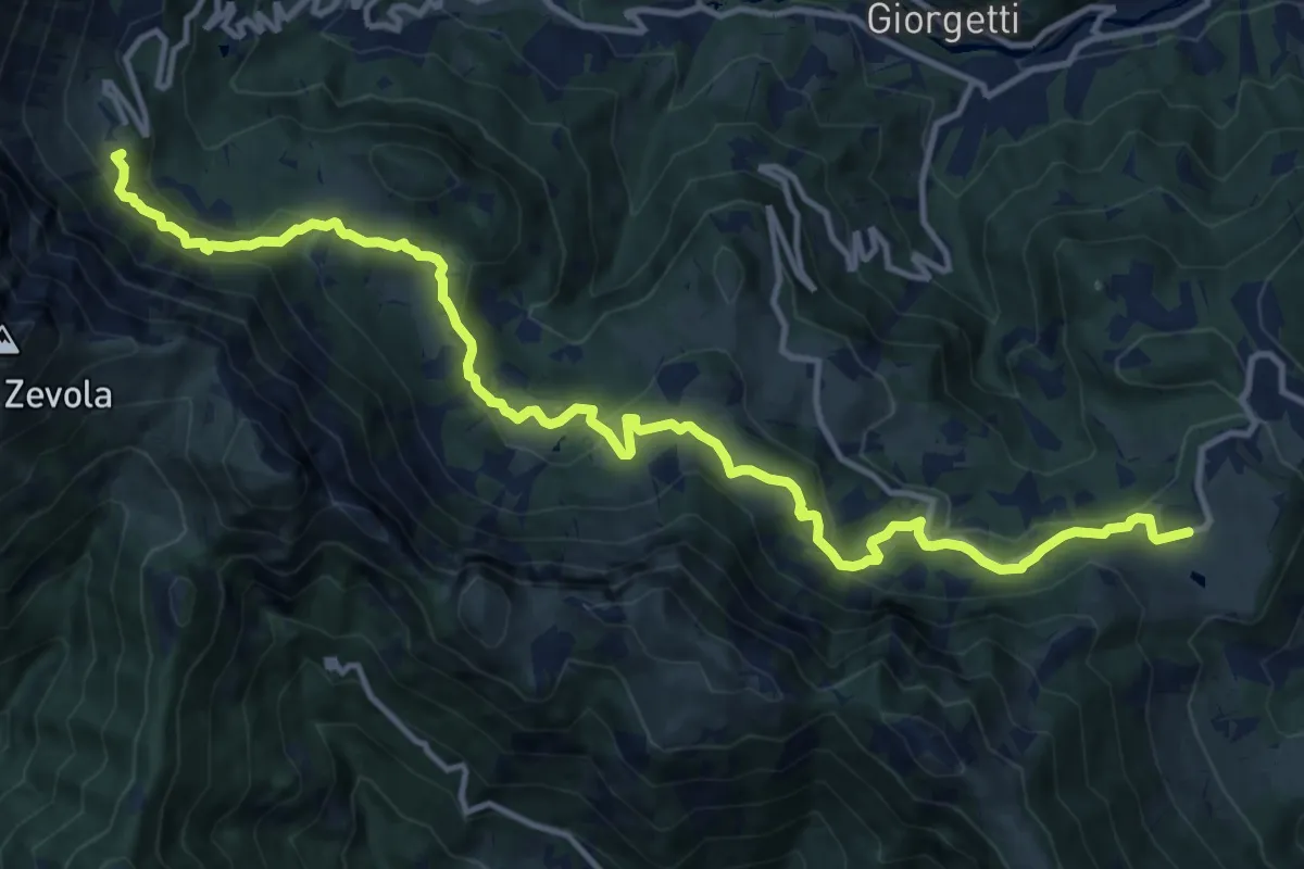
Demanding · Summit
Recoaro Mille - Pizzegoro – Rifugio Battisti alla Gazza
15.8 km · ↑ 726 m · 5 h 18 min · 15 km away
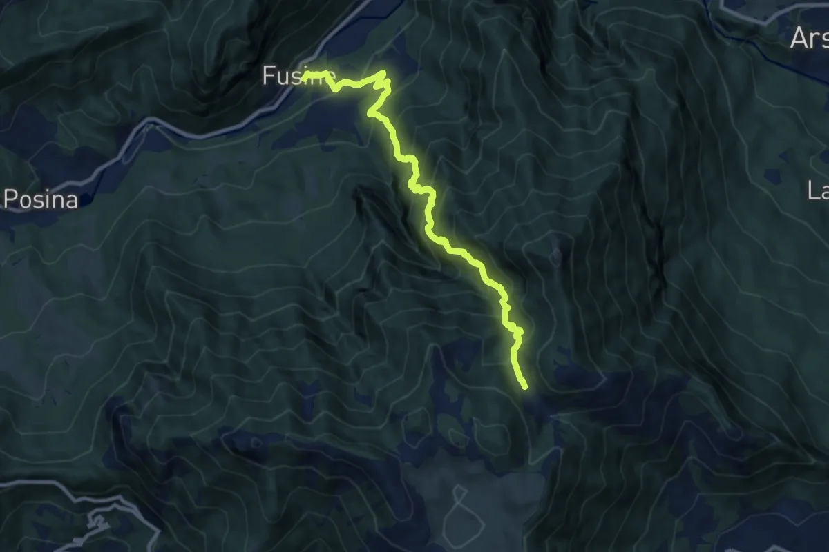
Demanding · Trail
Val del Rio
10.1 km · ↑ 1198 m · 4 h 59 min · 15 km away
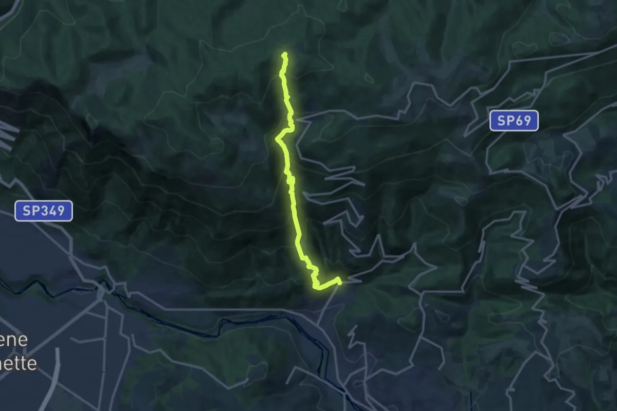
Demanding · Trail
Contrà Grumale di Calvene - Cima del Porco
12.4 km · ↑ 1249 m · 5 h 38 min · 15 km away