Trails near Mandello del Lario
372 hikes starting within 15 km, nearest first.
Nearest first, page 1 of 8
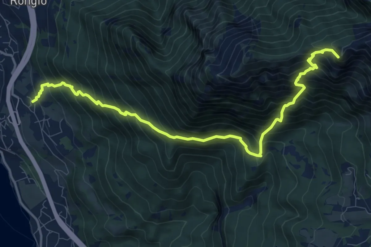
Demanding · Summit
Maggiana or Rongio – Rifugio Rosalba
11.2 km · ↑ 1434 m · 5 h 45 min · 1 km away
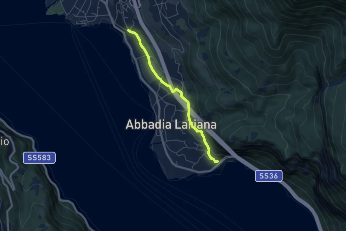
Easy · Trail
Sentiero del Viandante (Abbadia Lariana - Mandello del Lario)
4.6 km · ↑ 124 m · 1 h 22 min · 1 km away
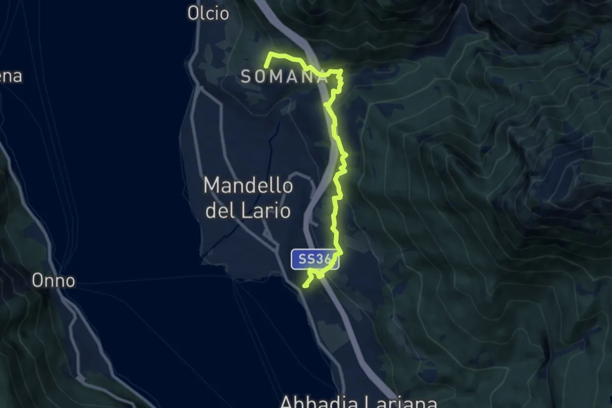
Medium · Summit
Sentiero del Viandante (Mandello del Lario - Lierna)
8.0 km · ↑ 430 m · 2 h 50 min · 1 km away
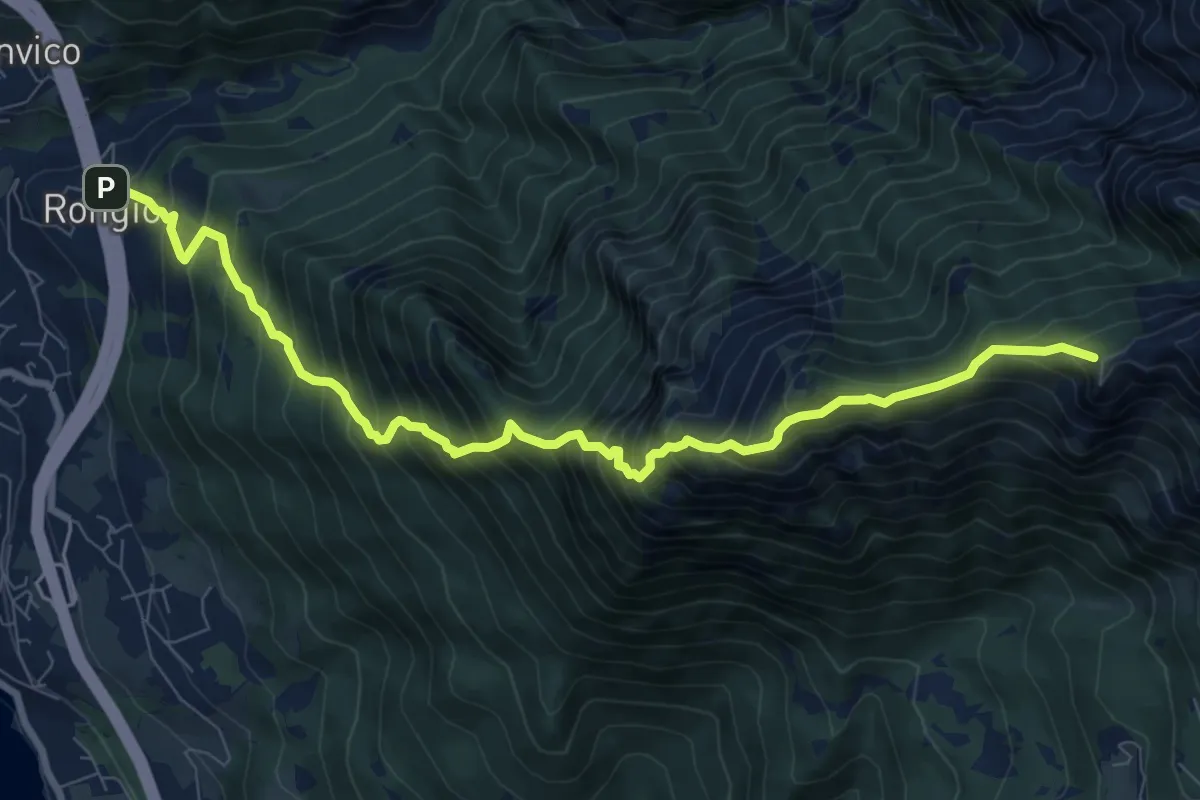
Demanding · Summit
Rongio – Rifugio Rosalba
9.7 km · ↑ 1345 m · 5 h 13 min · 1 km away
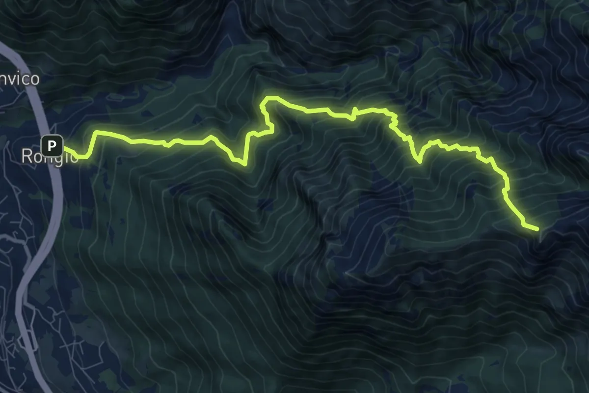
Demanding · Summit
Rongio – Rifugio Rosalba
11.2 km · ↑ 1537 m · 5 h 58 min · 1 km away
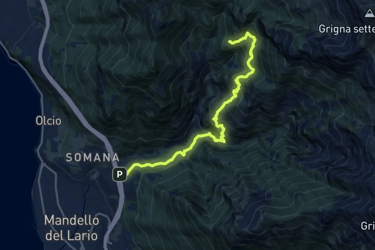
Demanding · Trail
Rongio – Alpe Cetra
12.0 km · ↑ 1353 m · 5 h 46 min · 1 km away
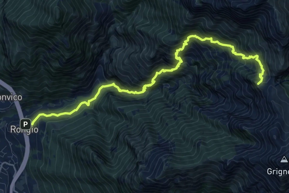
Demanding · Summit
Rongio – Buco di Grigna
14.8 km · ↑ 1871 m · 7 h 33 min · 1 km away
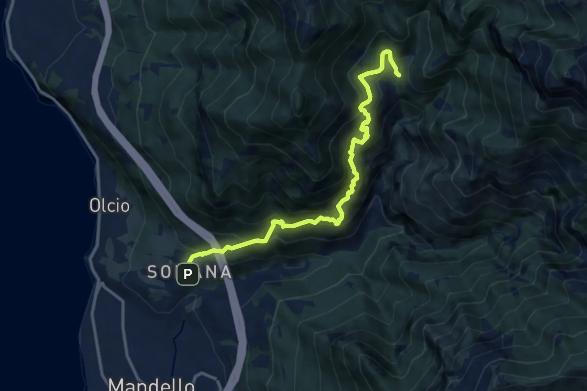
Demanding · Trail
Somana-Mandello – Rifugio Bietti Buzzi
9.3 km · ↑ 1082 m · 4 h 33 min · 1 km away
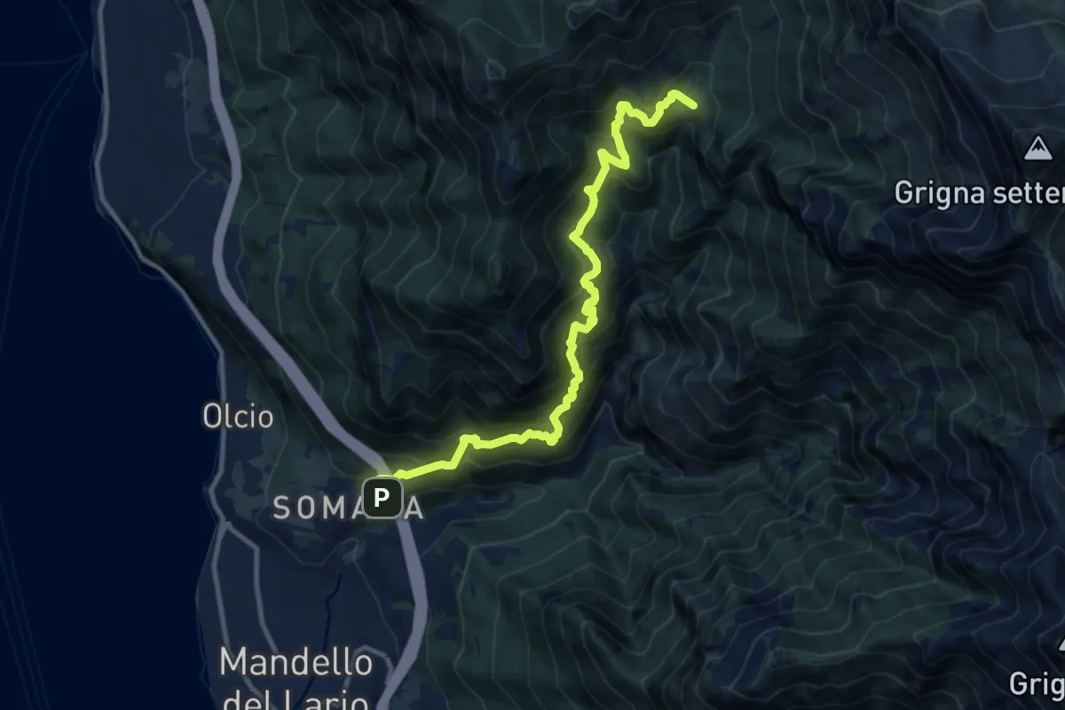
Demanding · Summit
Somana – Bocchetta di Prada
12.0 km · ↑ 1371 m · 5 h 48 min · 1 km away
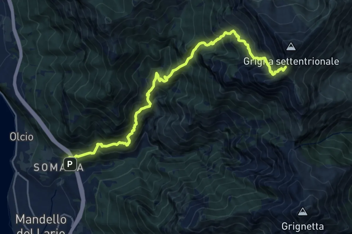
Demanding · Trail
Somana – Grignone
8.2 km · ↑ 2058 m · 5 h 35 min · 1 km away
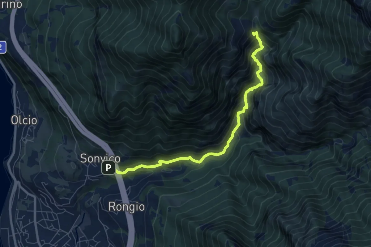
Expert · Trail
Sentiero del Fiume
7.2 km · ↑ 617 m · 3 h 2 min · 1 km away
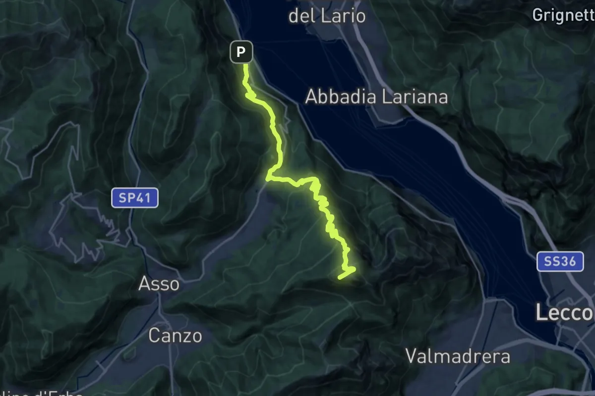
Demanding · Summit
Lago del Segrino – Onno (Oliveto Lario)
19.3 km · ↑ 1178 m · 7 h 7 min · 2 km away
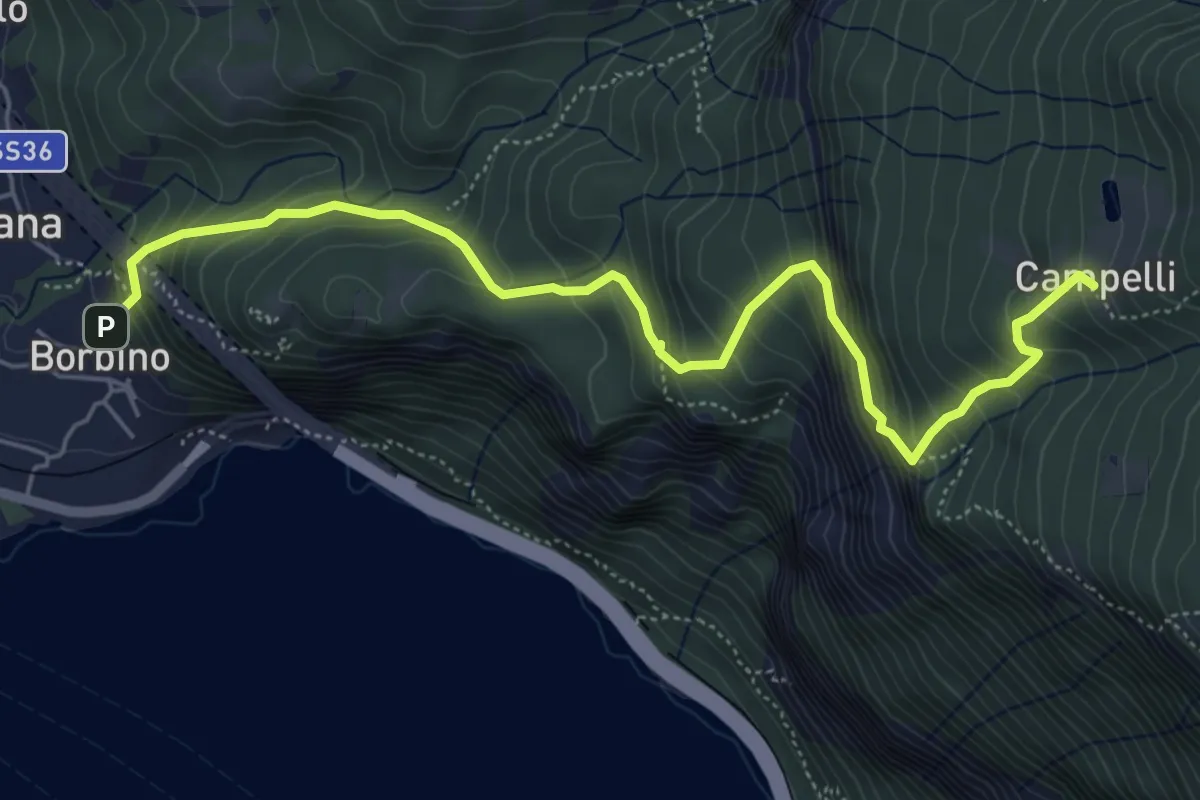
Medium · Trail
Borbino – Campelli, Chiesa di Santa Maria
6.3 km · ↑ 682 m · 2 h 58 min · 3 km away
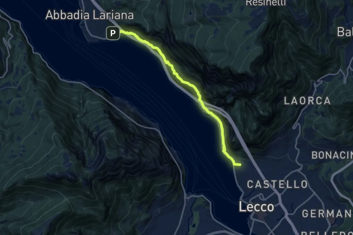
Medium · Summit
Sentiero del Viandante (Lecco - Abbadia Lariana)
11.1 km · ↑ 640 m · 4 h · 3 km away
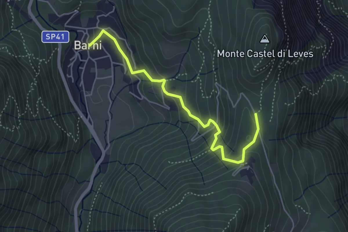
Easy · Trail
Barni – Caval di Barni
4.5 km · ↑ 262 m · 1 h 37 min · 3 km away
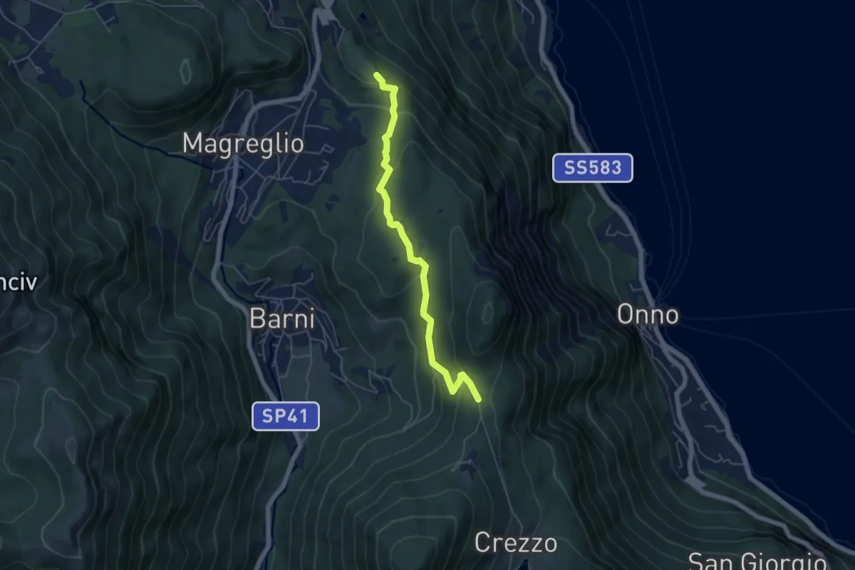
Easy · Trail
Caval di Barni – Alpetto
5.1 km · ↑ 253 m · 1 h 45 min · 3 km away
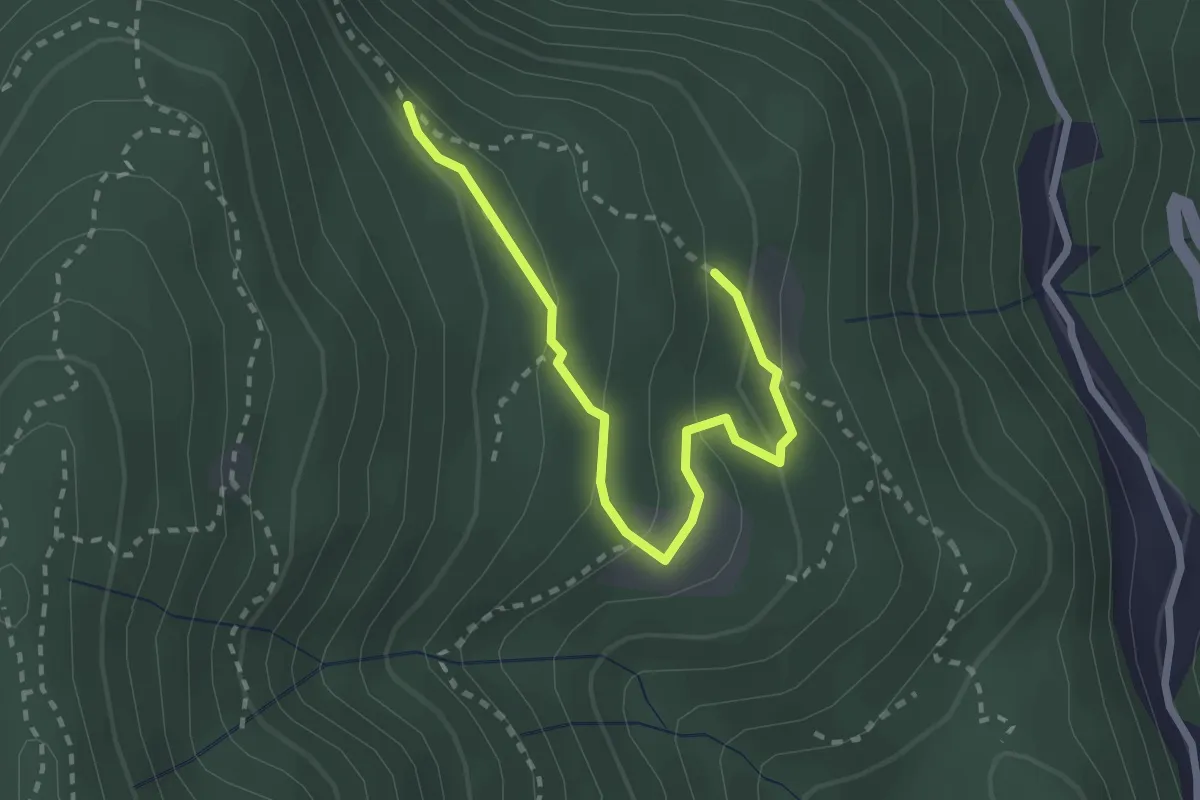
Easy · Trail
Alpe di Prezzapino – Alpe di Monte
2.7 km · ↑ 133 m · 55 min · 3 km away
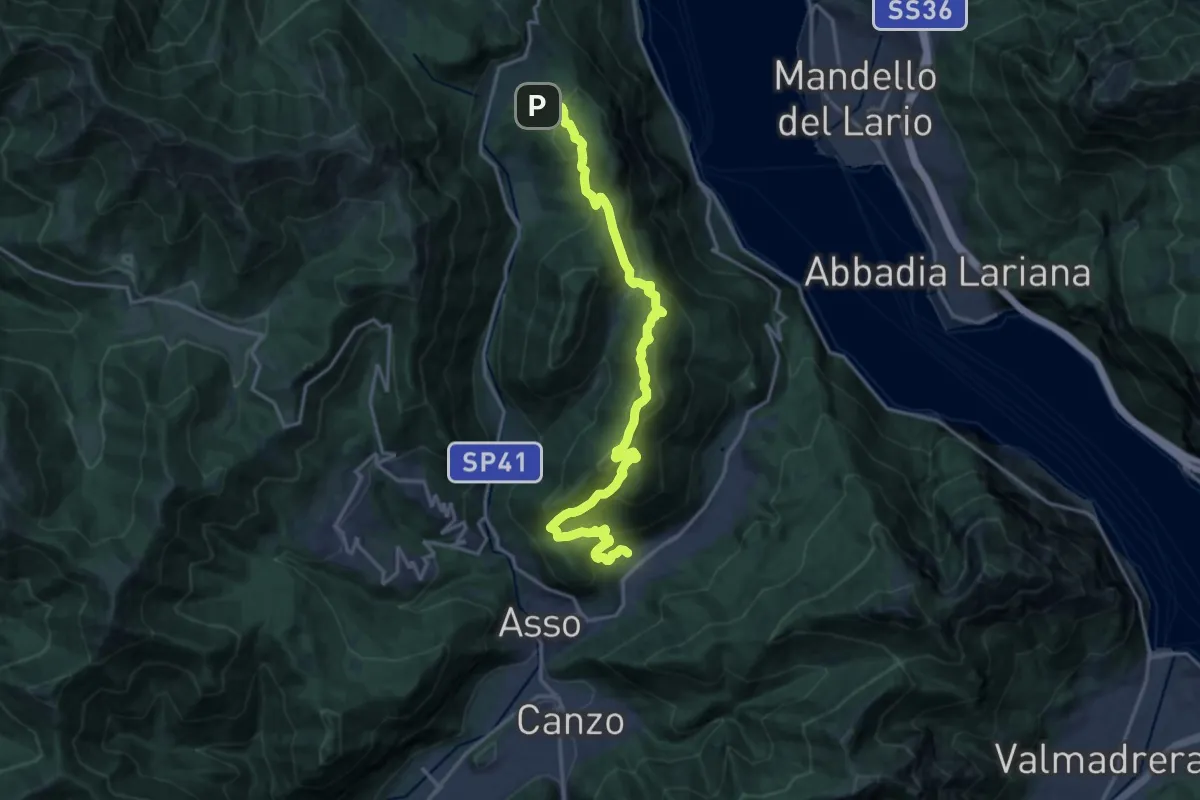
Demanding · Trail
Sentiero del Tivano
18.9 km · ↑ 1104 m · 6 h 52 min · 4 km away
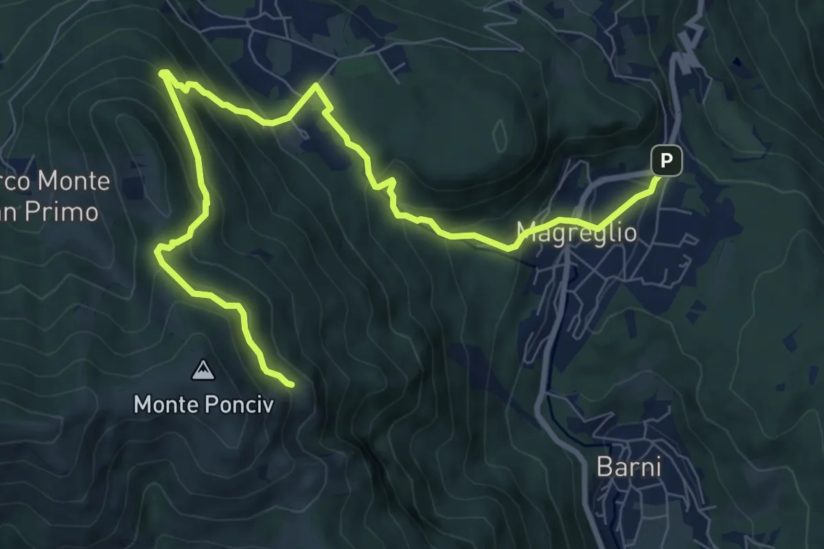
Expert · Trail
Madonna del Ghisallo (Magreglio) – Monte Ponciv
10.1 km · ↑ 657 m · 3 h 49 min · 4 km away
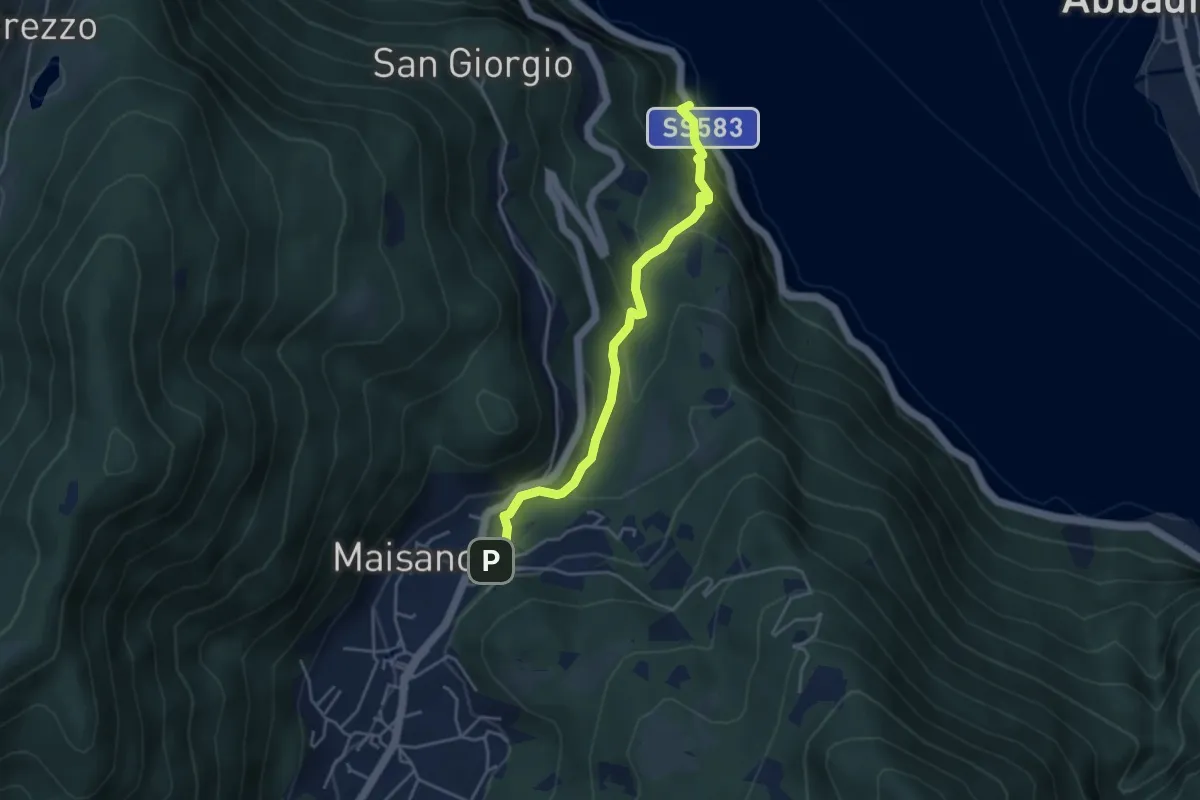
Demanding · Trail
Caprante – San Rocco (Valbrona)
4.0 km · ↑ 284 m · 1 h 34 min · 4 km away
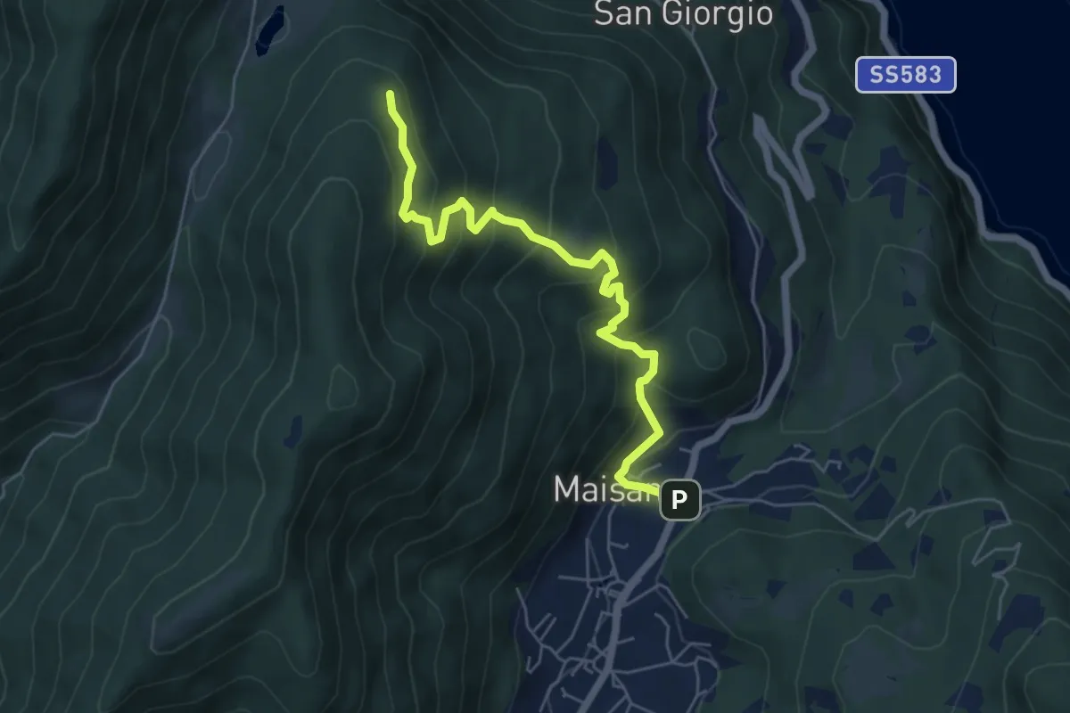
Medium · Trail
San Rocco (Valbrona) – Alpe di Piano
5.8 km · ↑ 478 m · 2 h 24 min · 4 km away
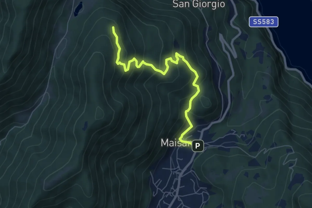
Medium · Trail
San Rocco (Valbrona) – Alpe di Piano
6.6 km · ↑ 472 m · 2 h 35 min · 4 km away
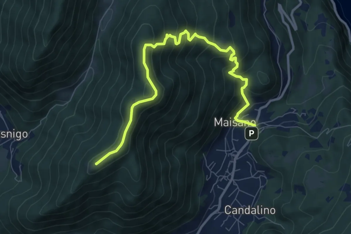
Medium · Summit
Valbrona - Maisano – Monte Megna
9.1 km · ↑ 626 m · 3 h 30 min · 4 km away
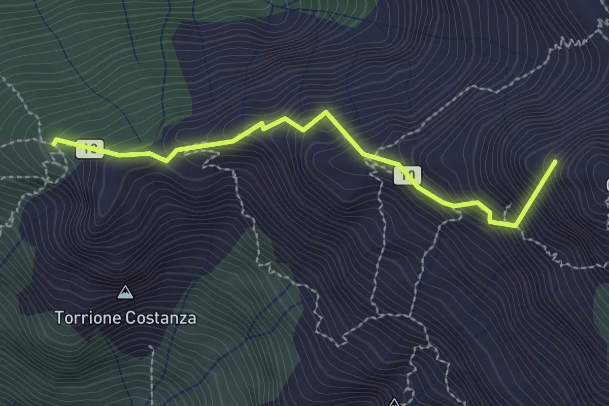
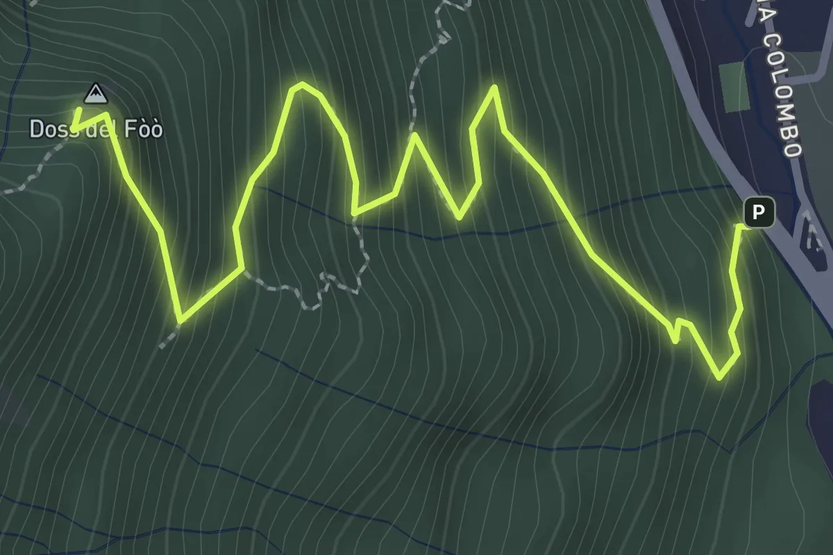
Expert · Summit
Sentiero Cecilia
2.4 km · ↑ 349 m · 1 h 19 min · 4 km away
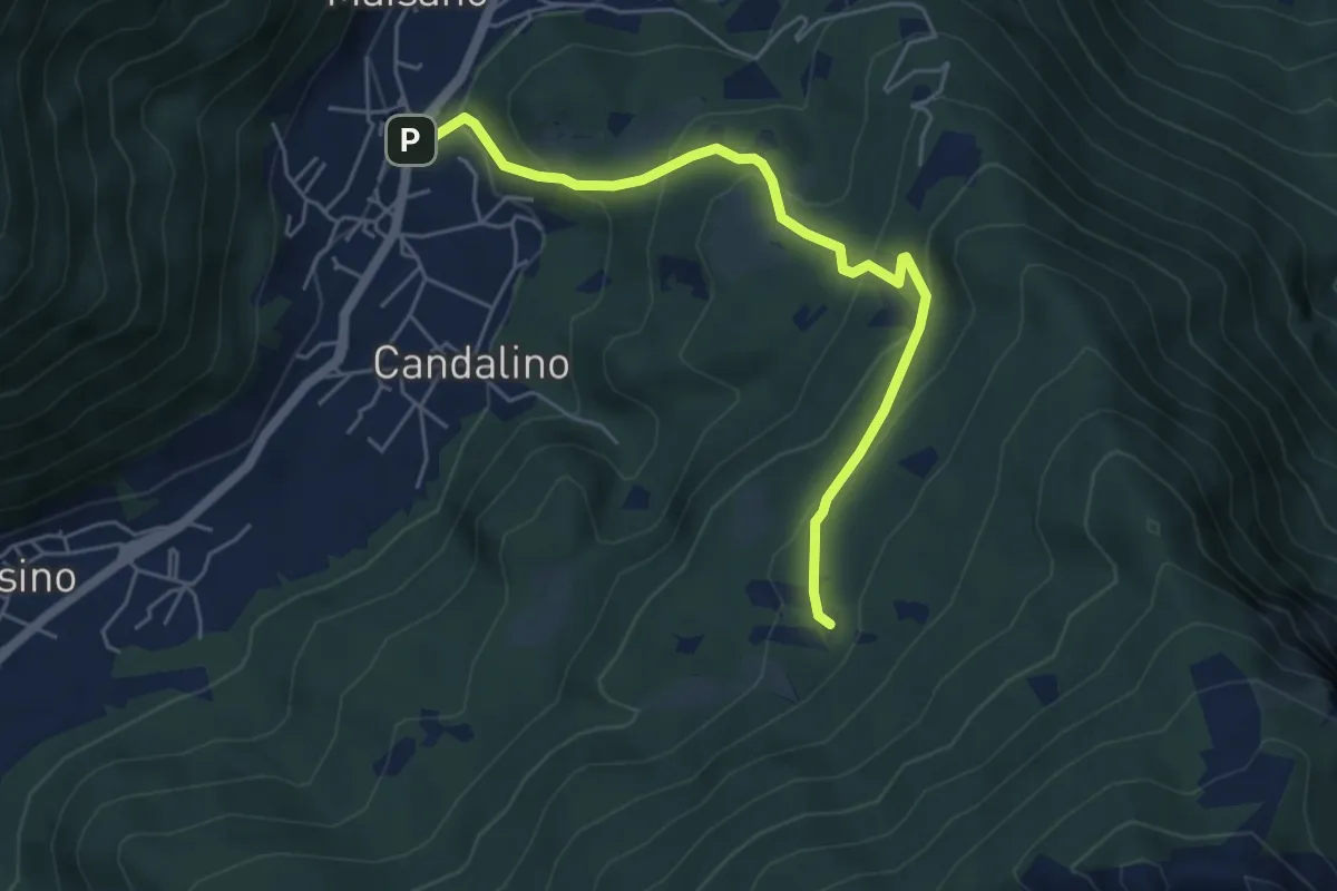
Medium · Summit
Barni – Bocchetta di Spessola
3.6 km · ↑ 433 m · 1 h 48 min · 4 km away
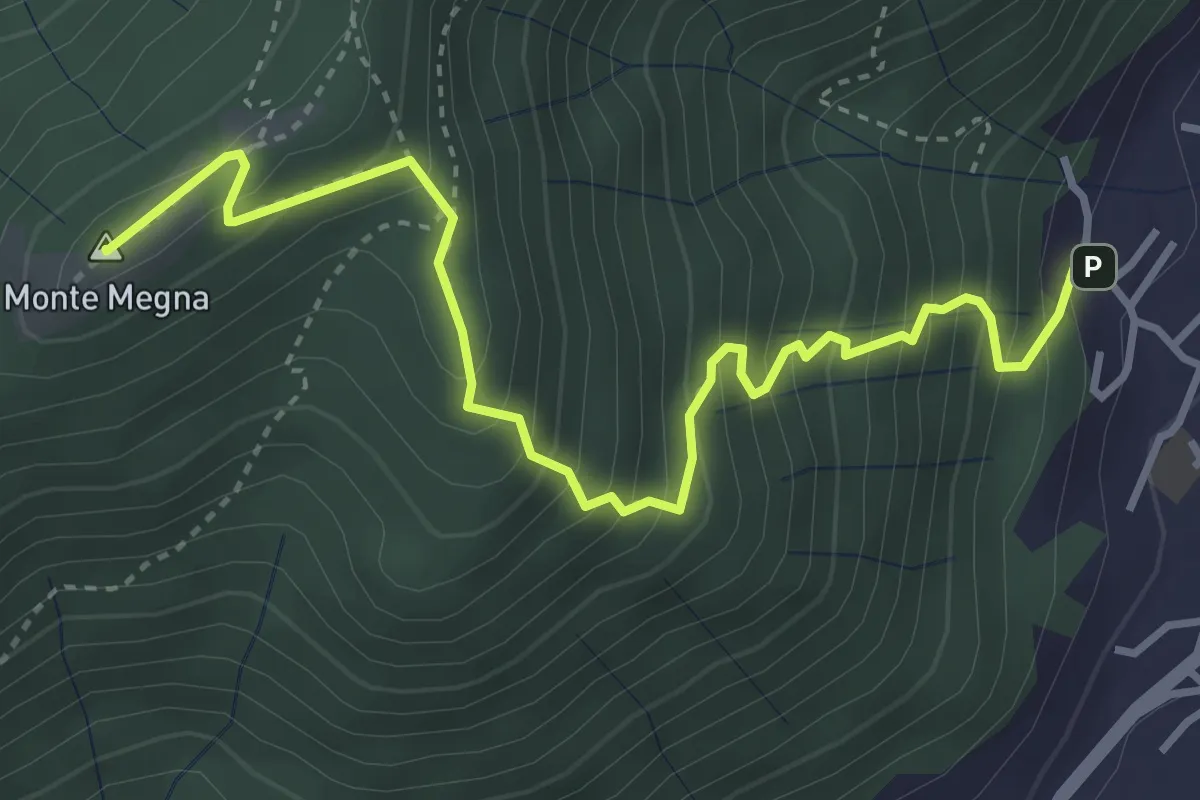
Medium · Trail
Osigo (Valbrona) – Valcerrina
5.4 km · ↑ 323 m · 1 h 58 min · 5 km away
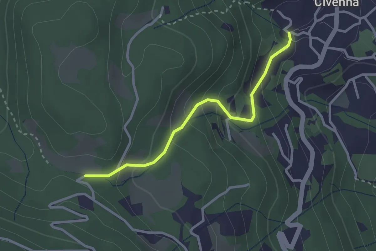
Demanding · Summit
Erta del Giubileo
4.3 km · ↑ 483 m · 2 h 3 min · 5 km away
Easy · Trail
Civenna – C.na Barco (Bellagio)
2.4 km · ↑ 185 m · 58 min · 5 km away
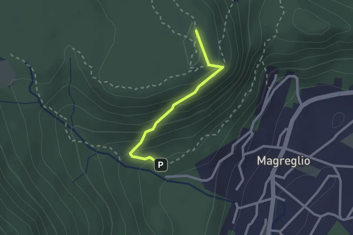
Medium · Summit
Piano Rancio – Castagneti
1.6 km · ↑ 158 m · 43 min · 5 km away
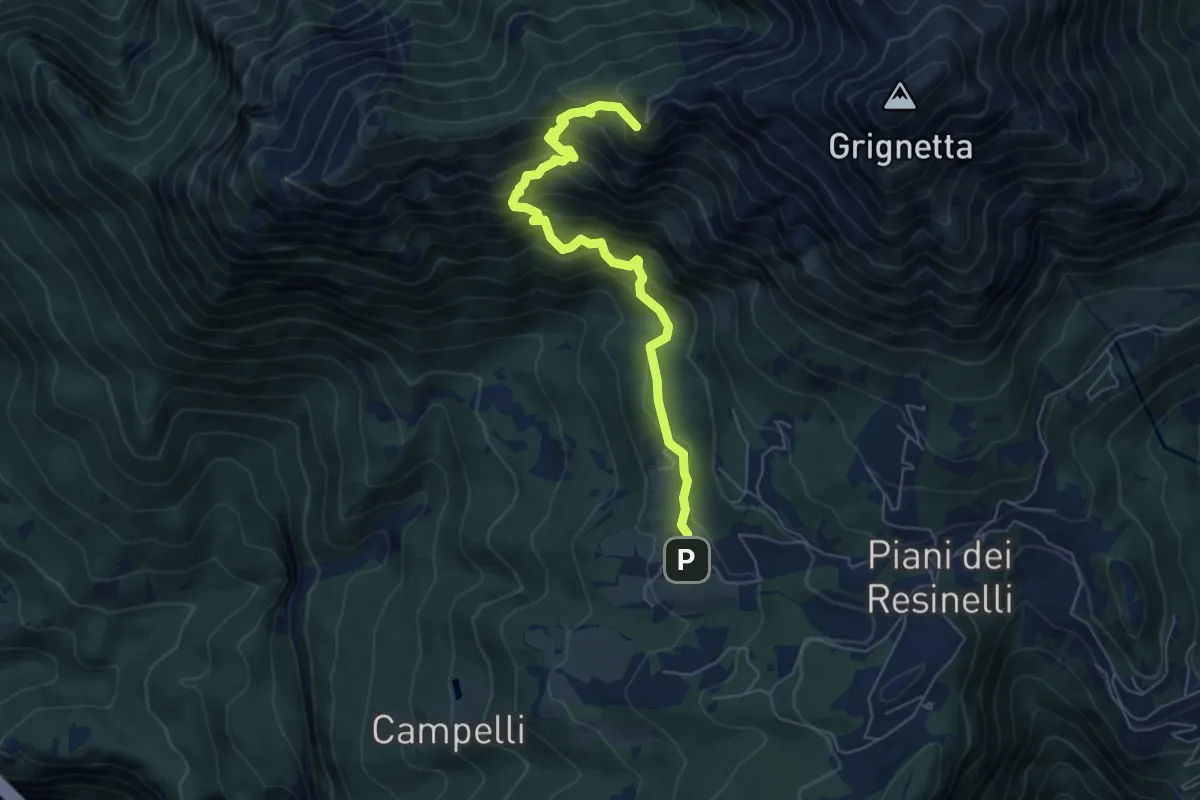
Demanding · Summit
Sentiero delle Foppe 2
6.2 km · ↑ 697 m · 2 h 59 min · 5 km away
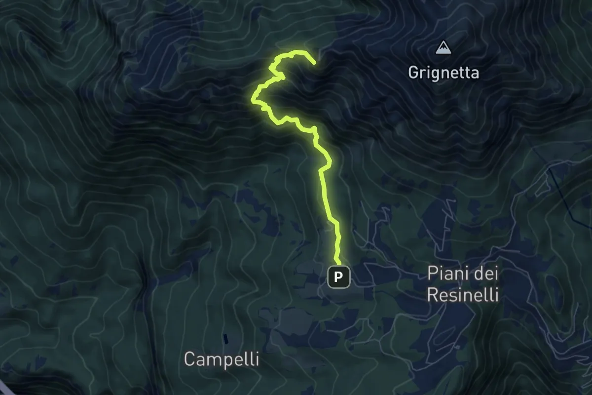
Demanding · Summit
Sentiero delle Foppe
6.2 km · ↑ 701 m · 2 h 59 min · 5 km away
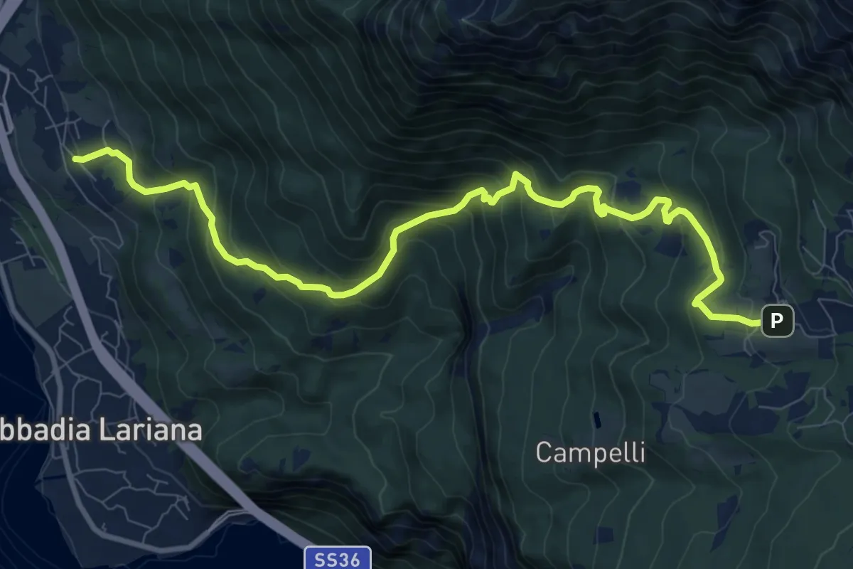
Demanding · Trail
Crebbio – Piani Resinelli
11.0 km · ↑ 883 m · 4 h 31 min · 5 km away
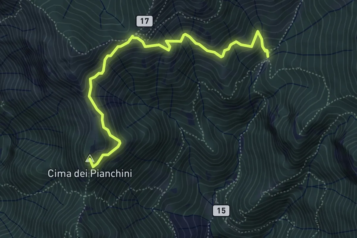
Medium · Summit
Somana – Alpe di Calivazzo
5.8 km · ↑ 549 m · 2 h 34 min · 5 km away
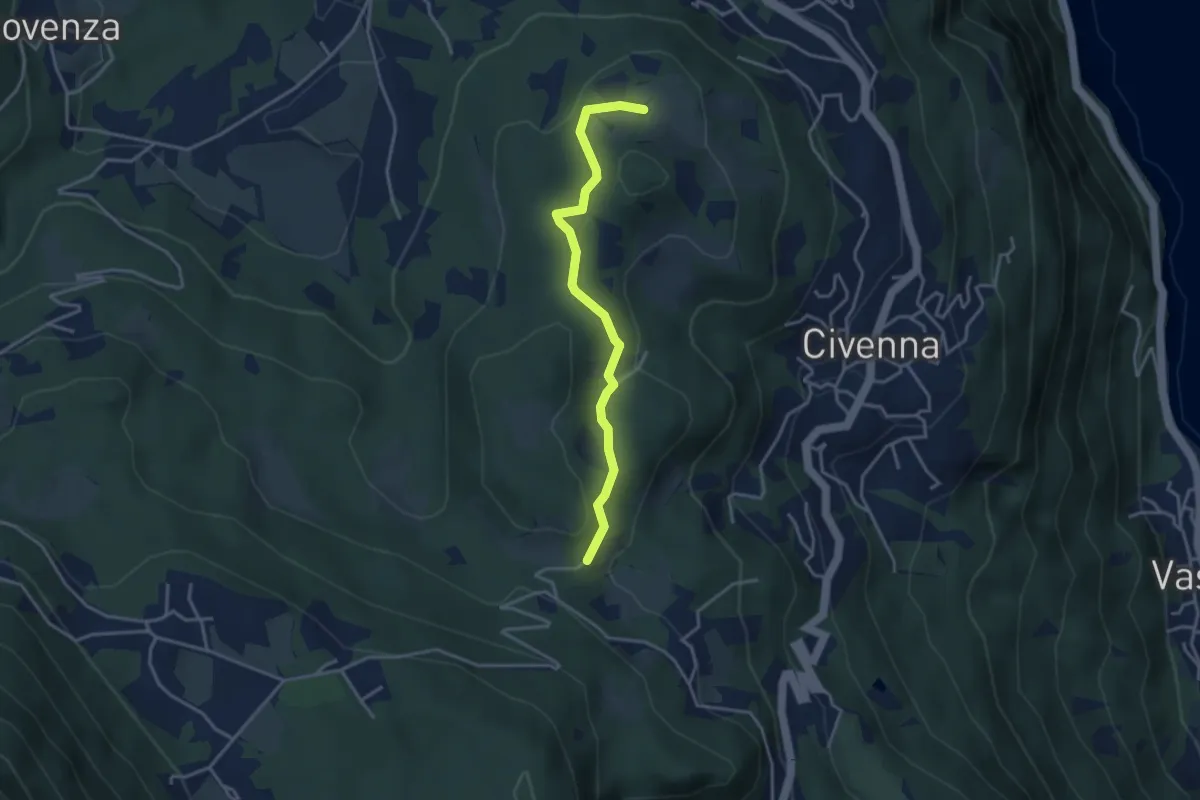
Easy · Trail
C.na Tronca (Bellagio) – Stalle di Villa Mora (Bellagio)
3.5 km · ↑ 126 m · 1 h 6 min · 5 km away
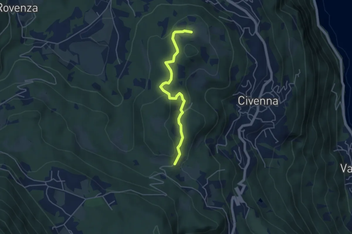
Easy · Trail
C.na Tronca (Bellagio) – Stalle di Villa Mora (Bellagio)
4.0 km · ↑ 166 m · 1 h 18 min · 5 km away
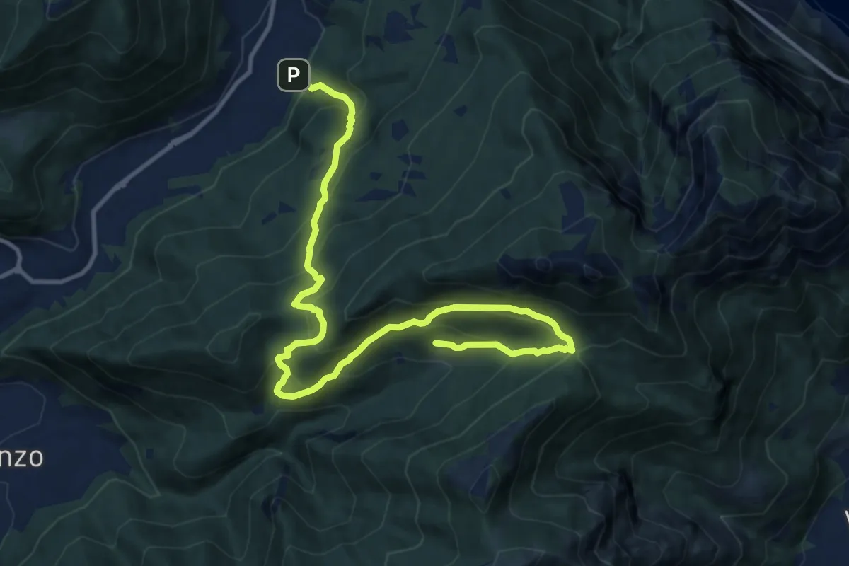
Demanding · Trail
Candalino – Terz'Alpe
13.4 km · ↑ 1138 m · 5 h 37 min · 5 km away
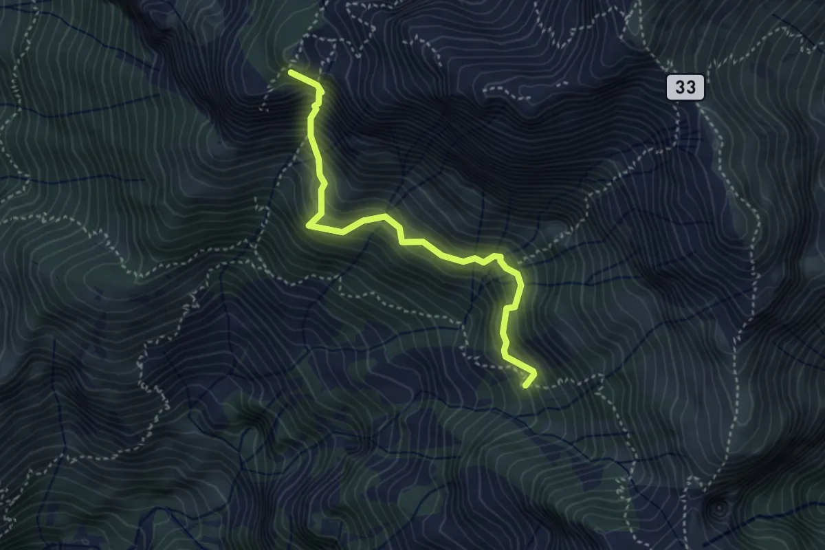
Expert · Summit
Rifugio Elisa – Rifugio Bietti
3.6 km · ↑ 580 m · 2 h 7 min · 5 km away
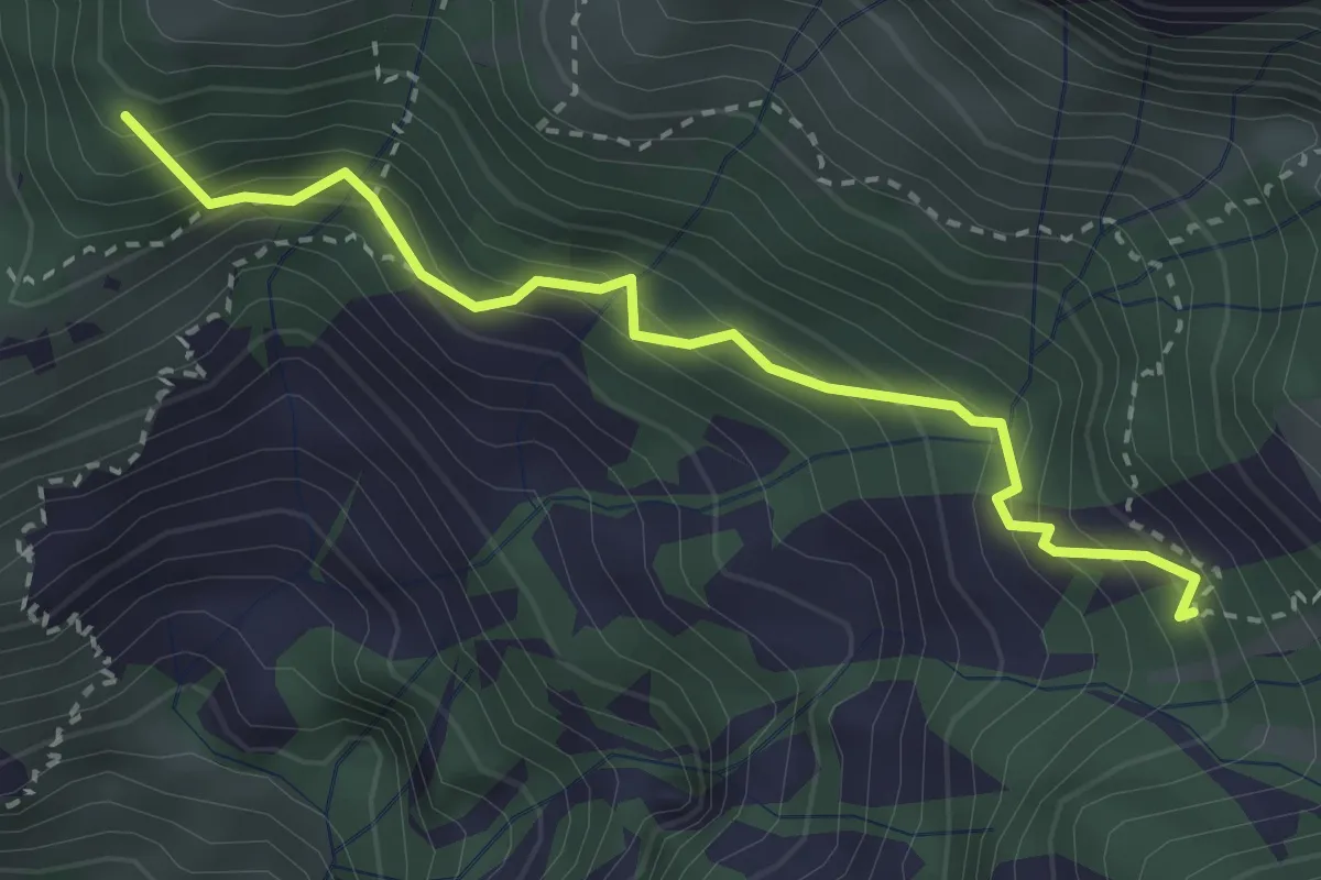
Medium · Summit
La Gardata - Rifugio Elisa
3.1 km · ↑ 395 m · 1 h 35 min · 5 km away
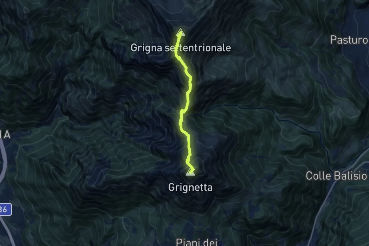
Expert · Summit
Traversata Alta delle Grigne
9.0 km · ↑ 1038 m · 4 h 22 min · 6 km away
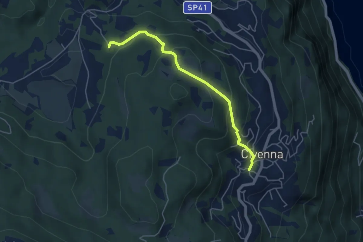
Easy · Trail
Civenna – Villa Mora (Bellagio)
4.0 km · ↑ 250 m · 1 h 29 min · 6 km away
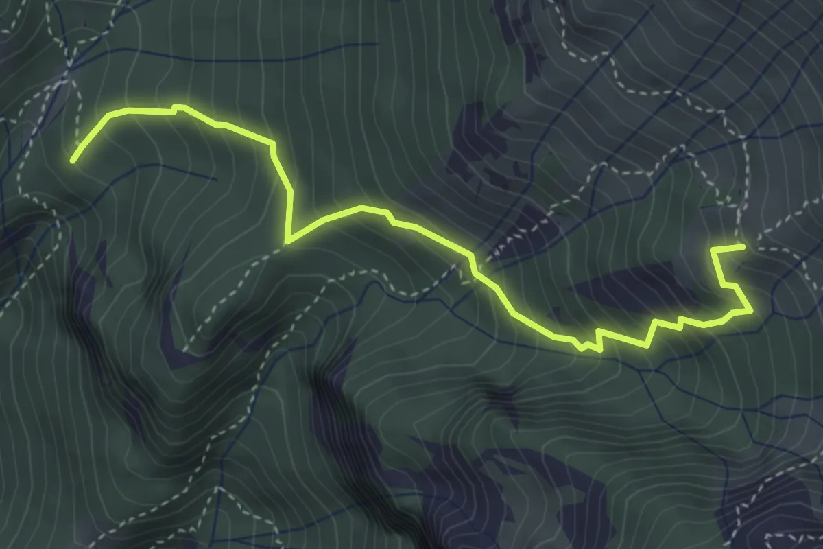
Medium · Summit
Alpe Calivazzo – Rifugio Bietti
4.1 km · ↑ 544 m · 2 h 9 min · 6 km away
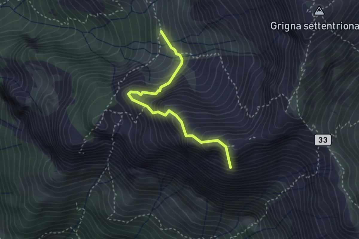
Expert · Summit
Ferrata del Sasso Carbonari
2.9 km · ↑ 483 m · 1 h 44 min · 6 km away
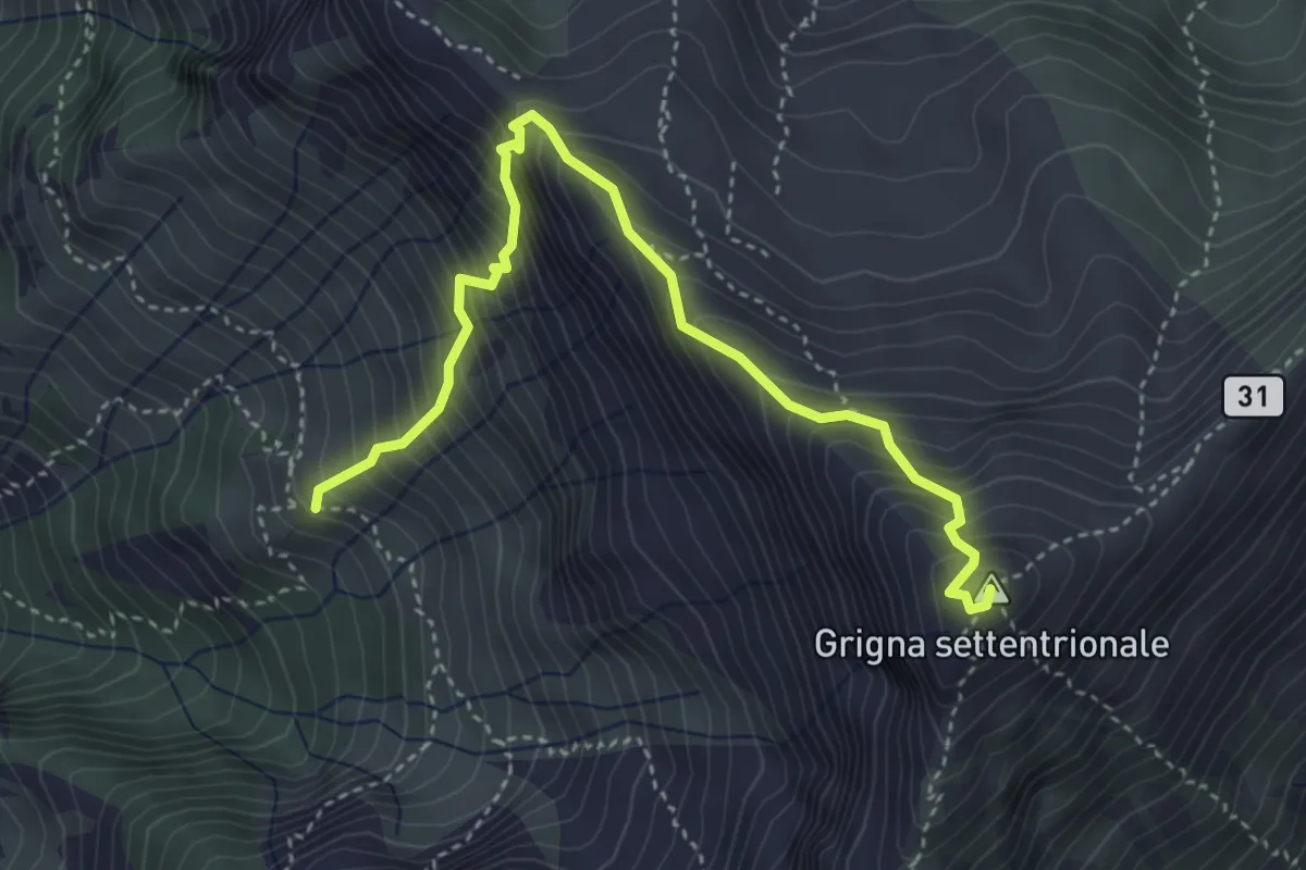
Demanding · Summit
Via Guzzi
4.3 km · ↑ 677 m · 2 h 29 min · 6 km away
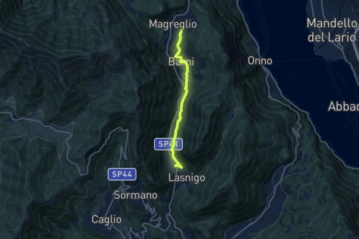
Medium · Trail
Sant'Alessandro (Lasnigo) – Paraguai (Magreglio)
9.3 km · ↑ 302 m · 2 h 51 min · 6 km away
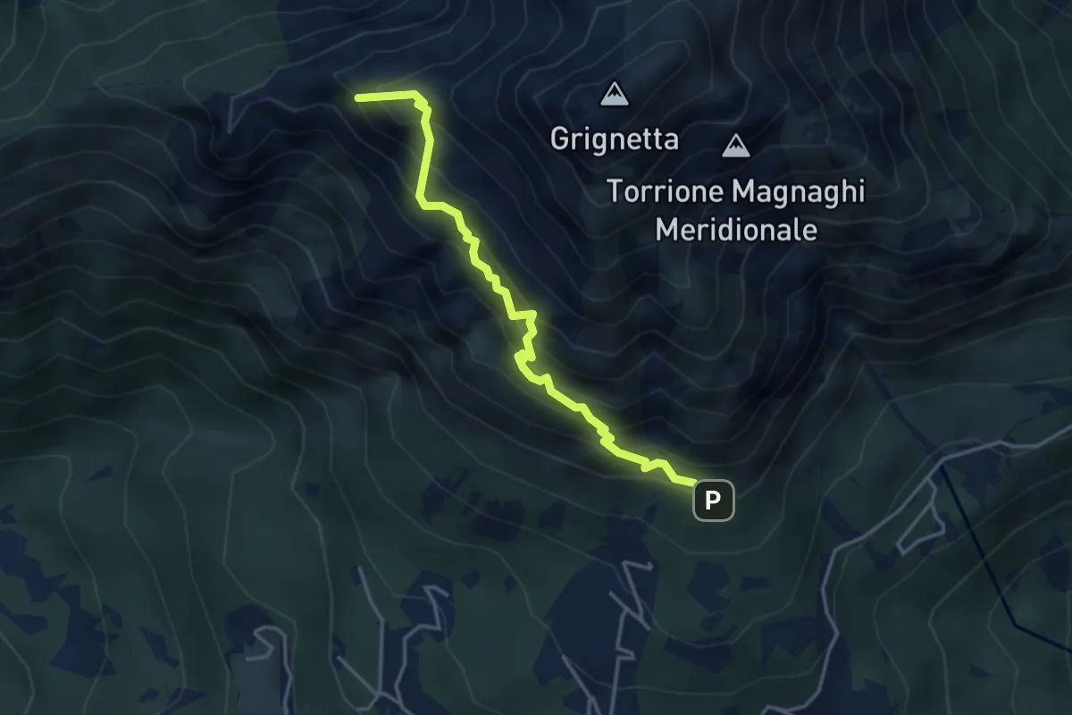
Expert · Summit
Direttissima
3.9 km · ↑ 621 m · 2 h 16 min · 6 km away
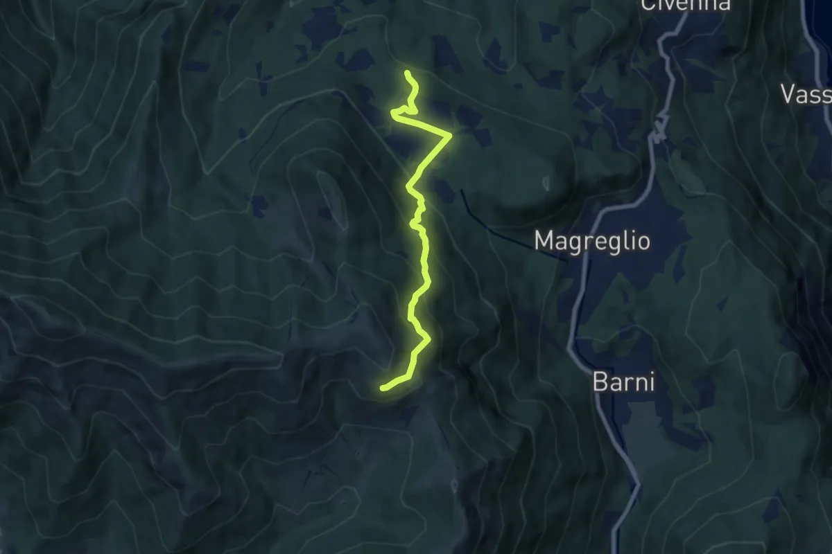
Medium · Trail
Pietra Luna – Innesto Dorsale
6.7 km · ↑ 501 m · 2 h 41 min · 6 km away
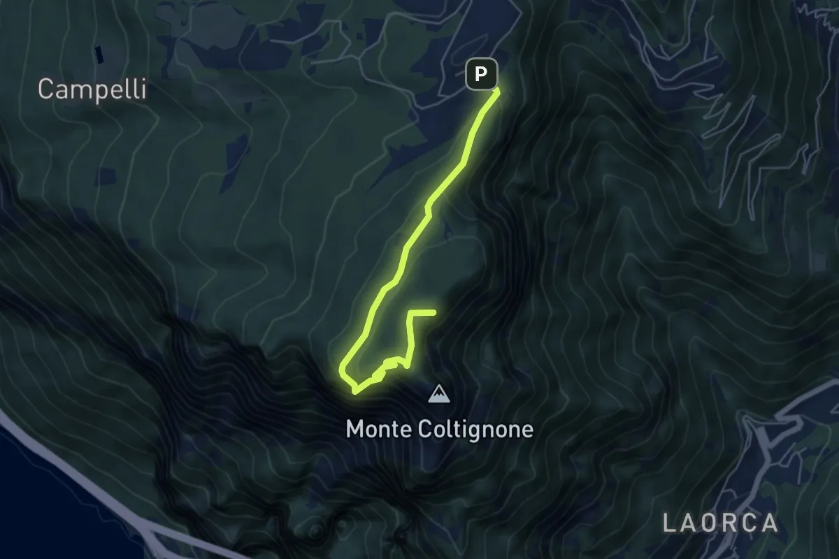
Medium · Summit
Itinerario 1 Parco Valentino
5.4 km · ↑ 301 m · 1 h 55 min · 6 km away
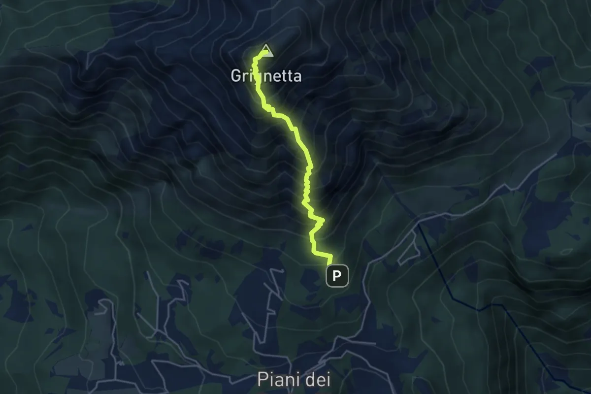
Demanding · Summit
Sentiero Cermenati
3.7 km · ↑ 670 m · 2 h 20 min · 6 km away