Trails near Mandello del Lario
372 hikes starting within 15 km, nearest first.
Nearest first, page 2 of 8
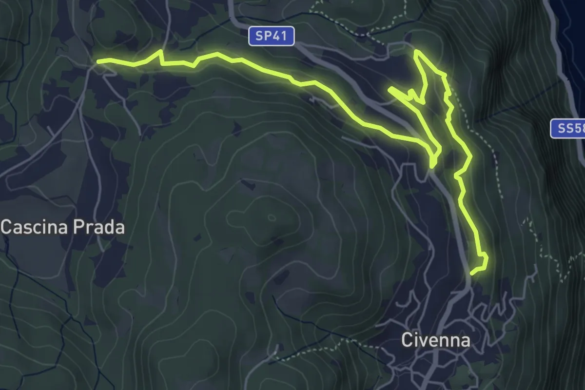
Easy · Trail
Belvedere delle Grigne (Civenna) – Regina Pacis (Bellagio)
7.5 km · ↑ 267 m · 2 h 21 min · 6 km away
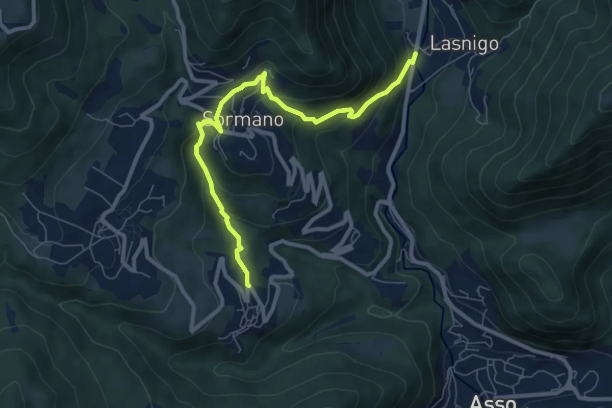
Medium · Trail
Bocchetta di Palanzo – Santi Cosma e Damiano (Rezzago)
6.8 km · ↑ 412 m · 2 h 30 min · 6 km away
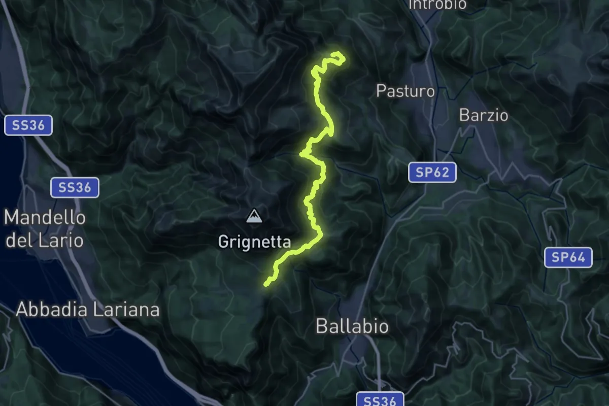
Demanding · Summit
Traversata Bassa delle Grigne
21.3 km · ↑ 1565 m · 8 h 25 min · 6 km away
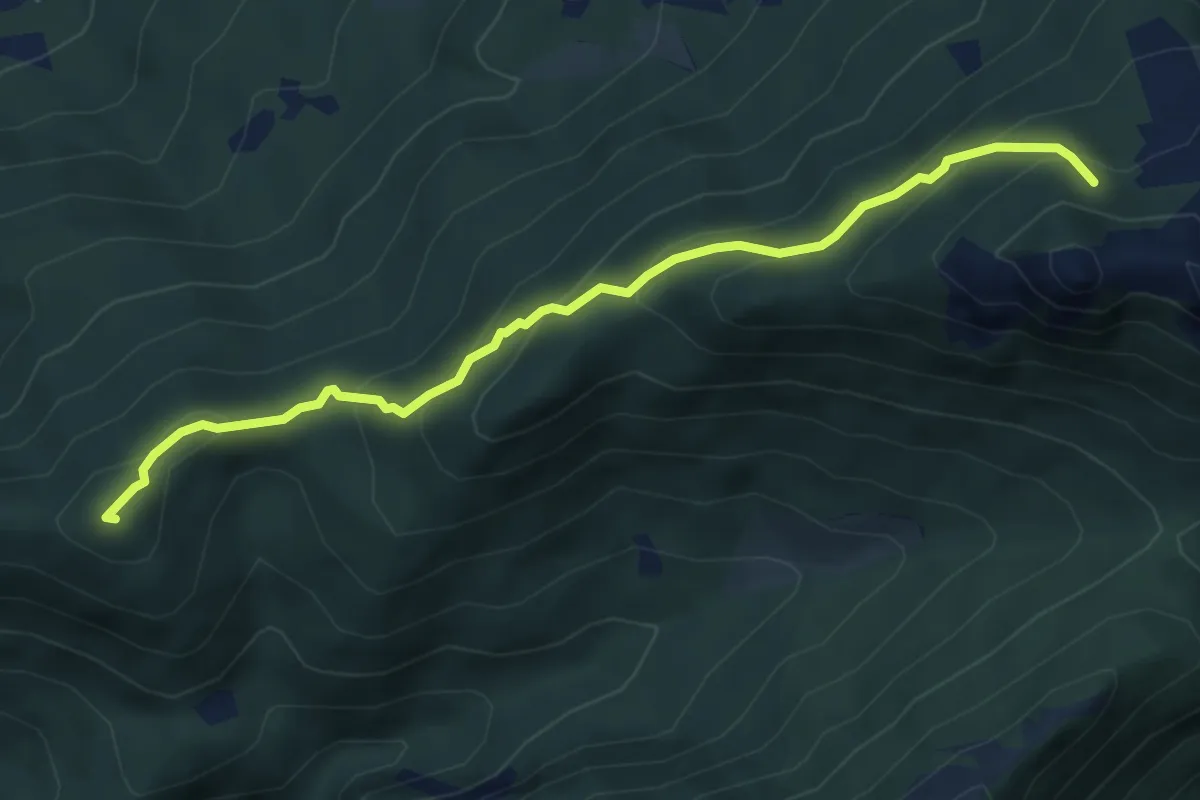
Medium · Summit
Visino (Valbrona) – Rifugio SEV
5.5 km · ↑ 406 m · 2 h 11 min · 6 km away
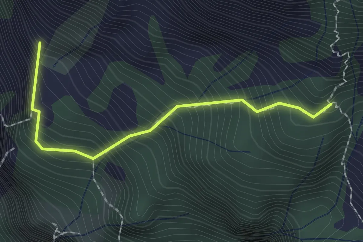
Expert · Summit
Sentiero dei Tecett
1.8 km · ↑ 408 m · 1 h 18 min · 6 km away
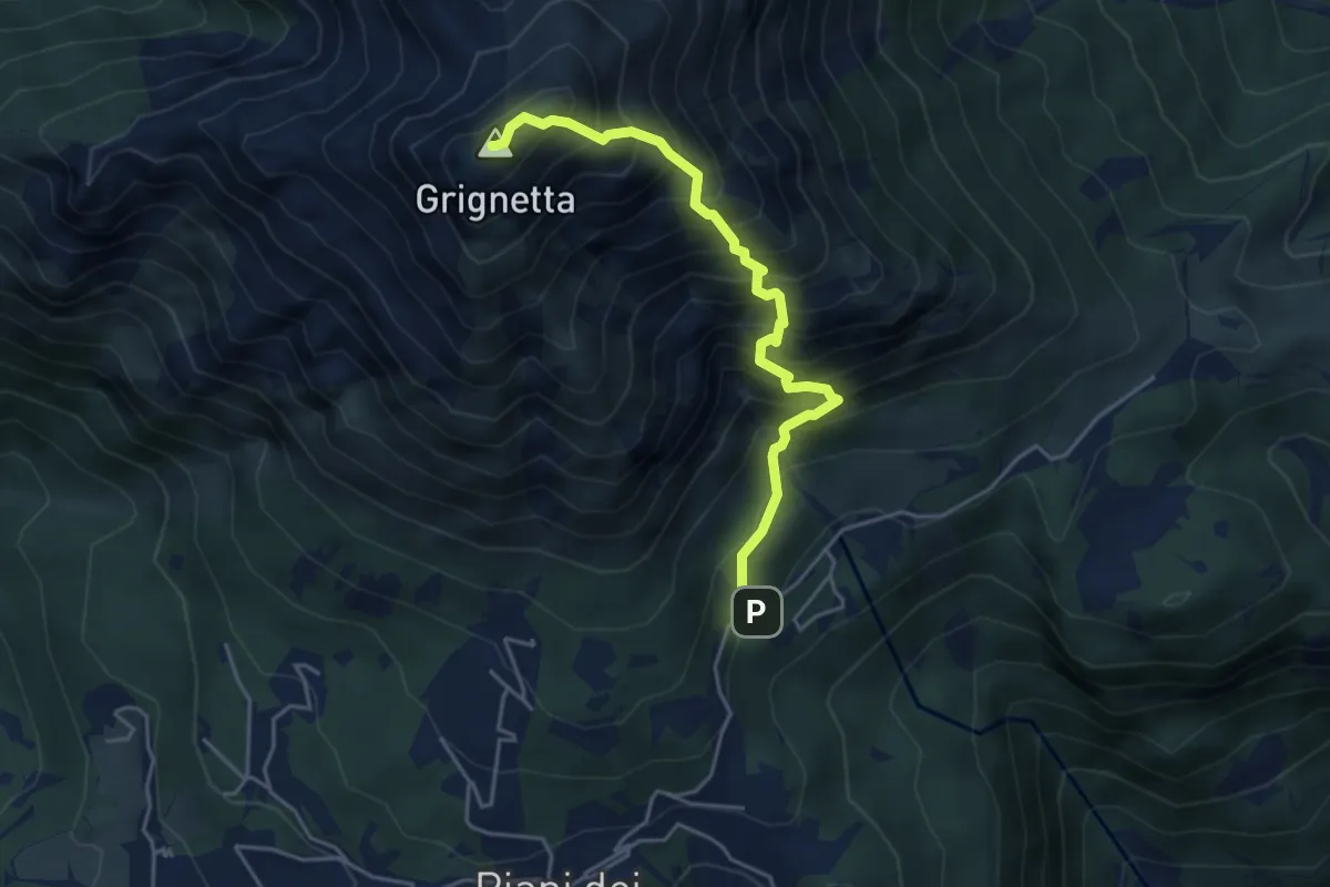
Expert · Summit
Cresta Sinigaglia
4.6 km · ↑ 824 m · 2 h 52 min · 6 km away
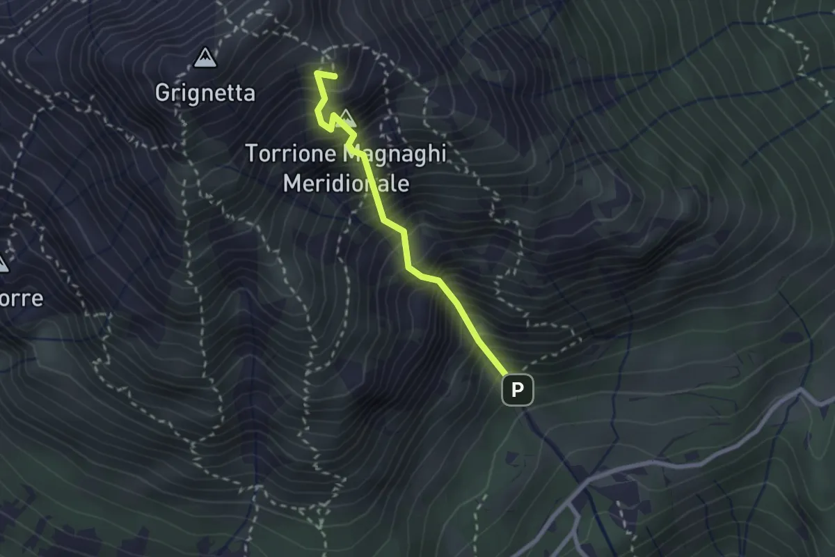
Expert · Summit
Canalone Porta
2.1 km · ↑ 606 m · 1 h 48 min · 6 km away
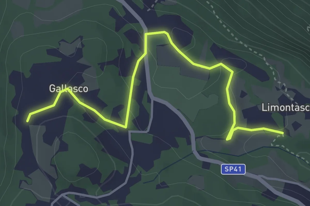
Easy · Trail
Limonta – Gallasco
4.0 km · ↑ 95 m · 1 h 9 min · 6 km away
Easy · Trail
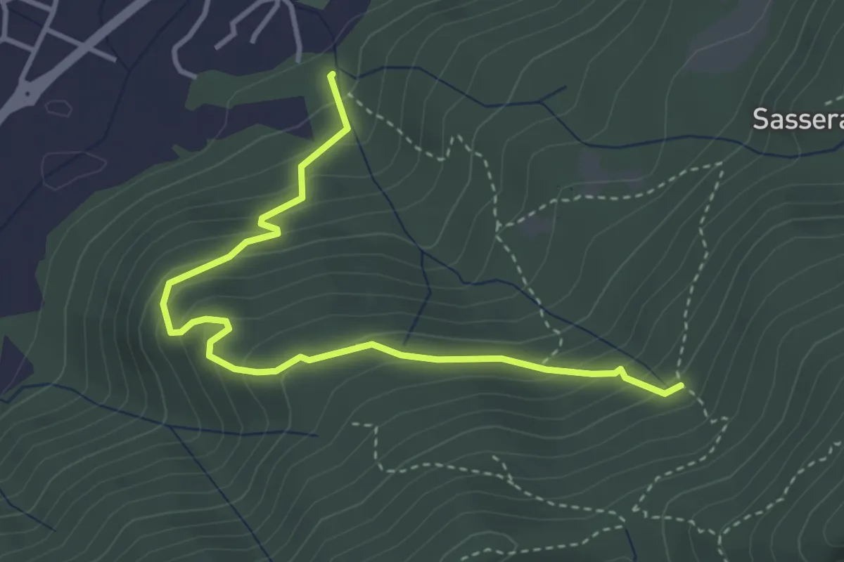
Ponte Castel – Sorgente (Valbrona)
4.0 km · ↑ 308 m · 1 h 37 min · 6 km away
Easy · Trail
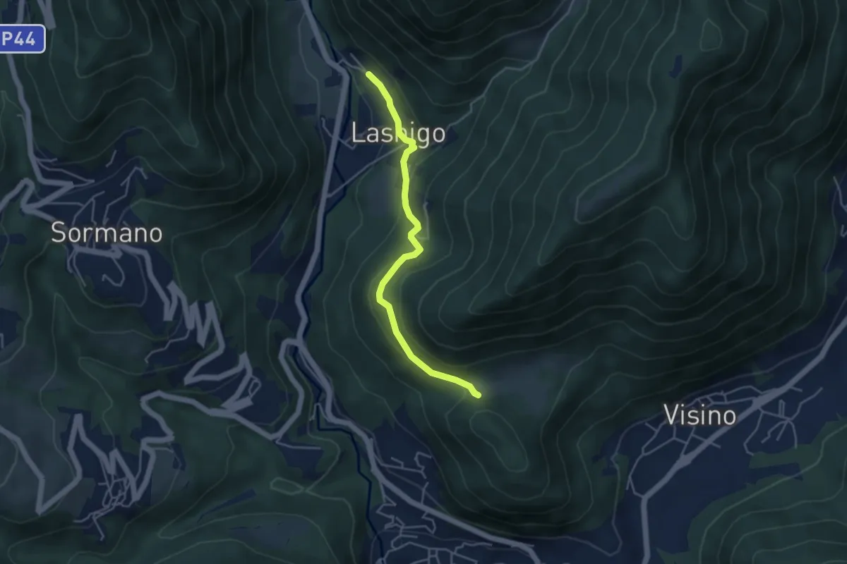
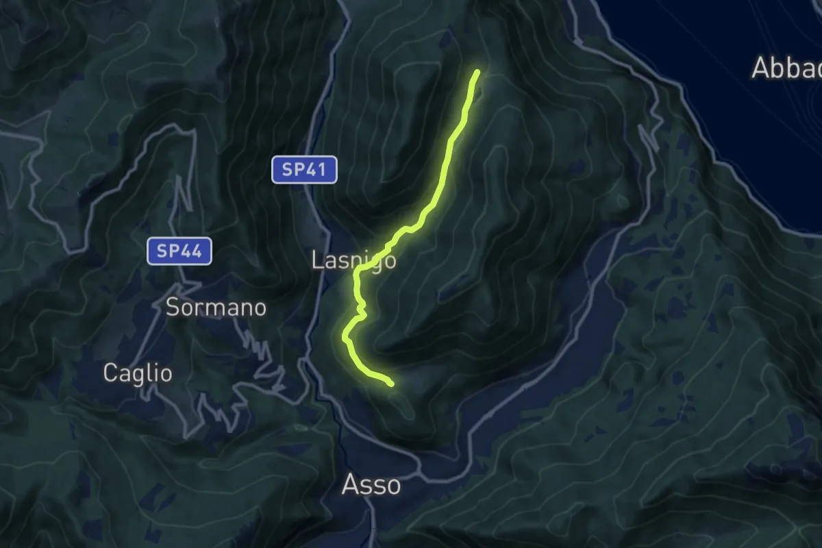
Lasnigo – Alpe Megna
4.1 km · ↑ 149 m · 1 h 18 min · 7 km away
Medium · Trail
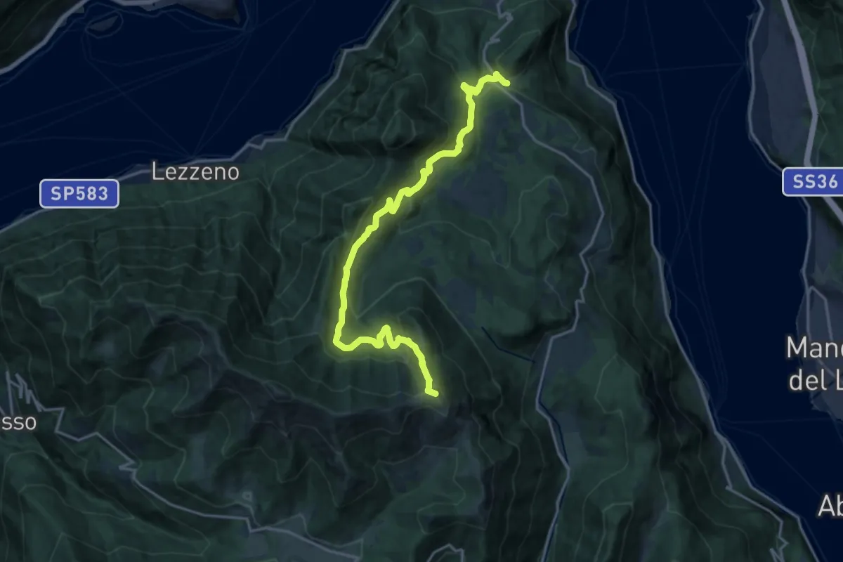
Piana di Crezzo – Alpe Megna
8.3 km · ↑ 390 m · 2 h 48 min · 7 km away
Demanding · Summit
Chevrio – Bocchetta di Terrabiotta
18.0 km · ↑ 985 m · 6 h 23 min · 7 km away
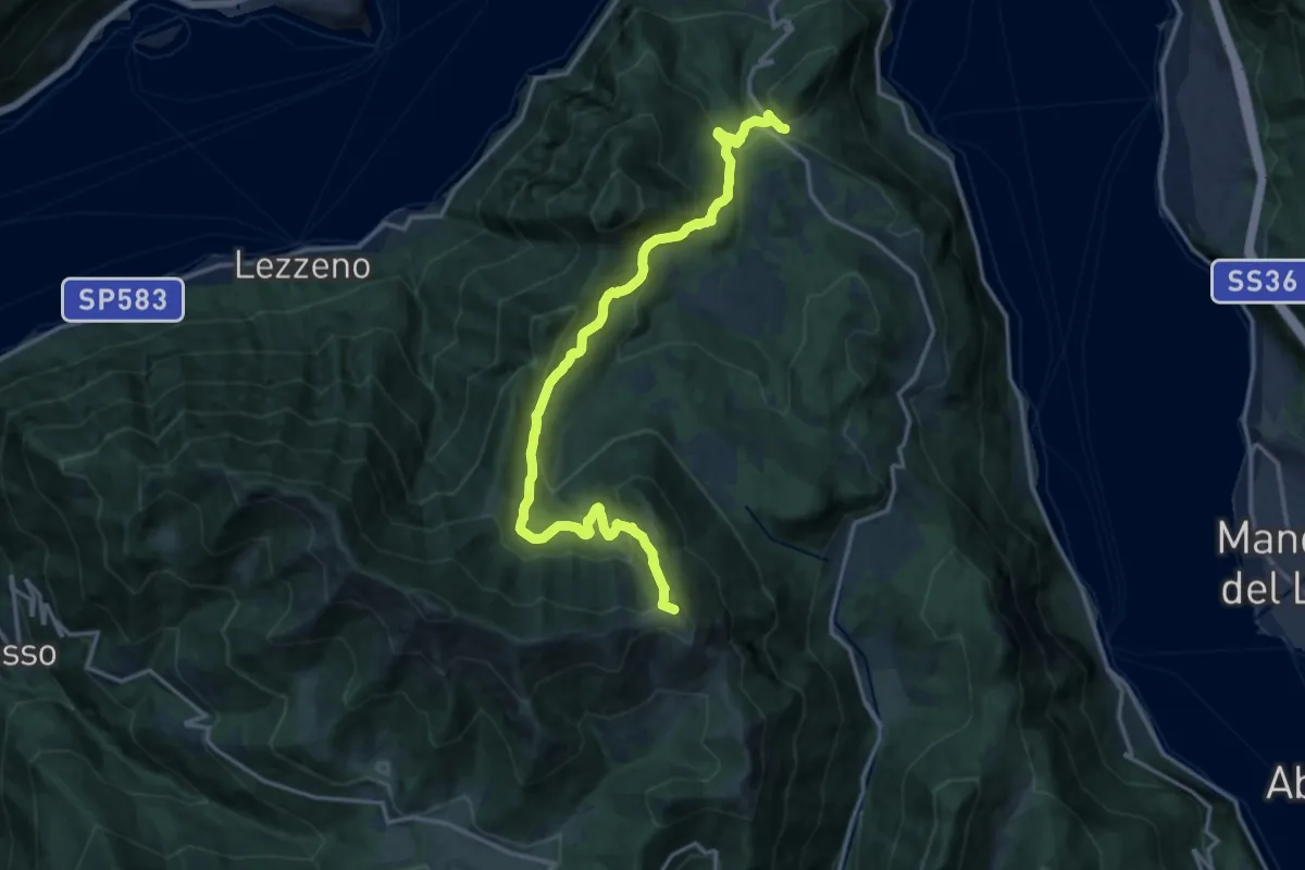
Demanding · Summit
Chevrio – Bocchetta di Terrabiotta
17.2 km · ↑ 986 m · 6 h 11 min · 7 km away
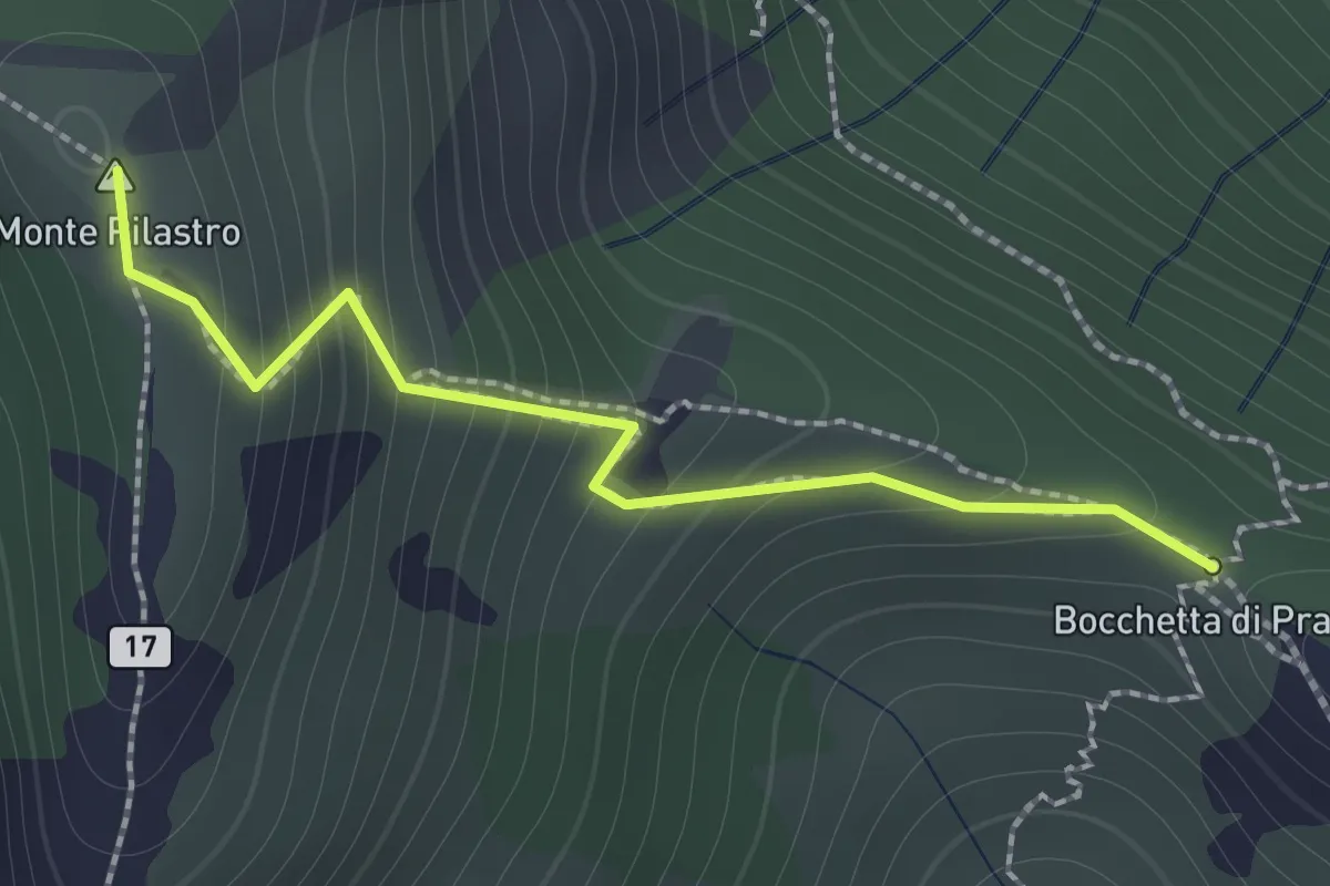
Demanding · Summit
Bocchetta di Prada - Monte Croce
1.4 km · ↑ 184 m · 44 min · 7 km away
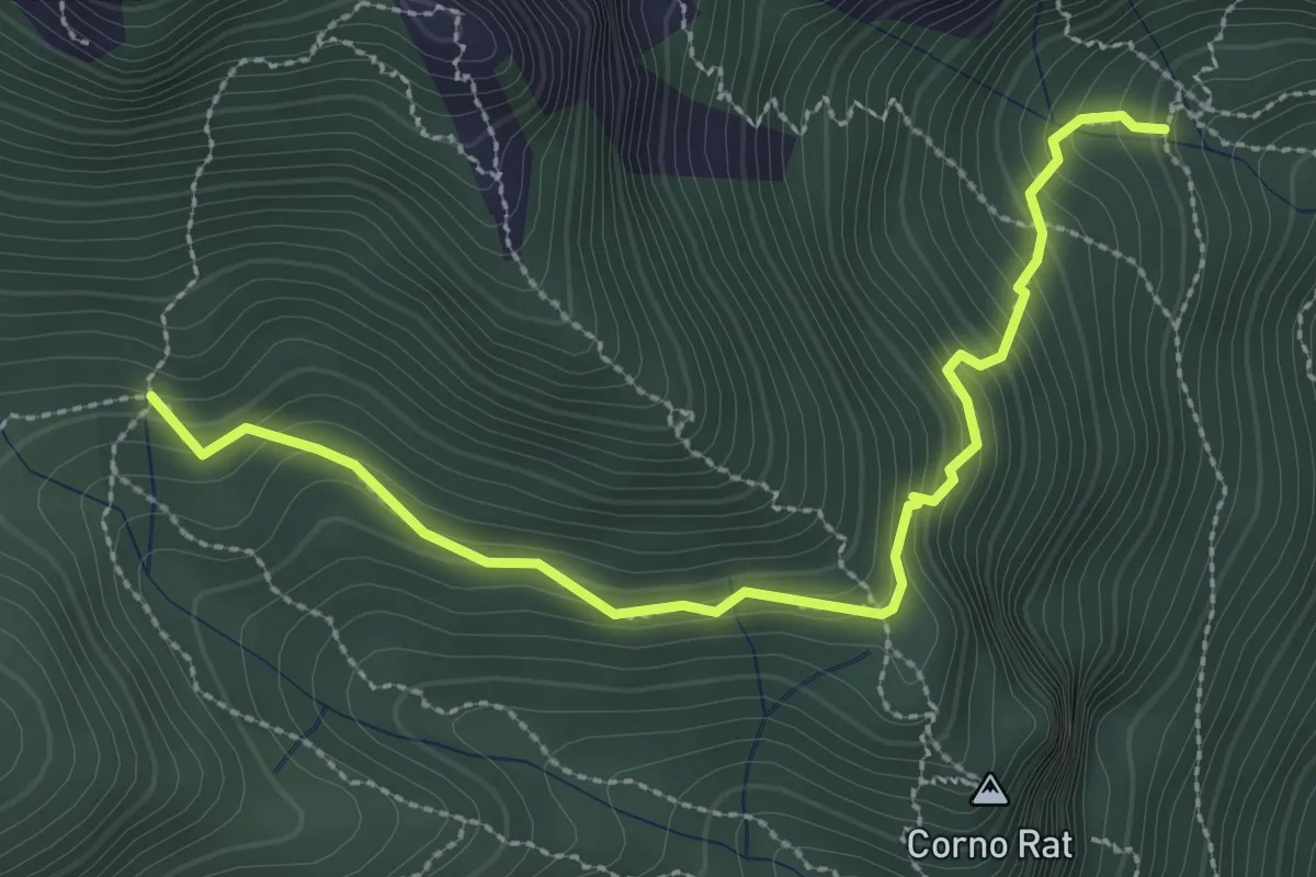
Medium · Trail
Fontanino di Sambrosera – Acqua del Fo'
3.1 km · ↑ 292 m · 1 h 22 min · 7 km away
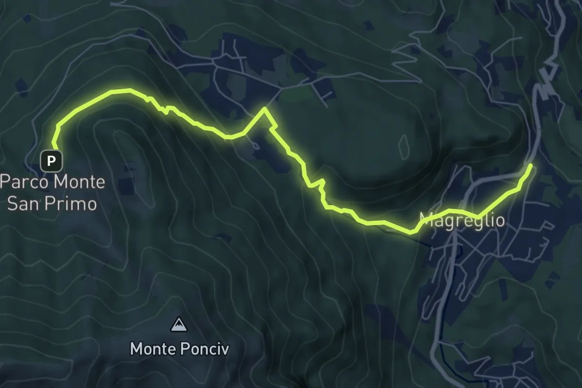
Expert · Trail
Madonna del Ghisallo (Magreglio) – Parco Monte San Primo
7.9 km · ↑ 460 m · 2 h 52 min · 7 km away
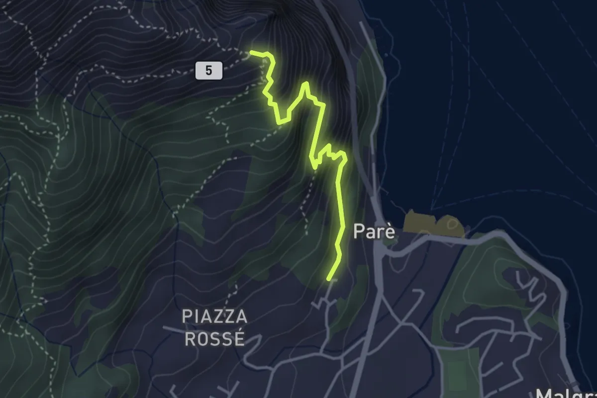
Demanding · Trail
Ul Sentee del Lach
3.2 km · ↑ 418 m · 1 h 40 min · 7 km away
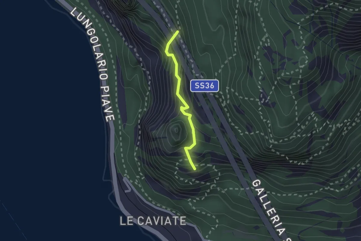
Expert · Summit
Sentiero Piero Pensa
1.6 km · ↑ 311 m · 1 h 2 min · 7 km away
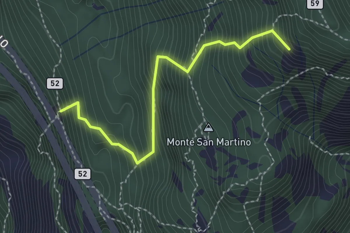
Demanding · Summit
Rifugio Riccardo Piazza – Corno Medale
2.1 km · ↑ 415 m · 1 h 24 min · 7 km away
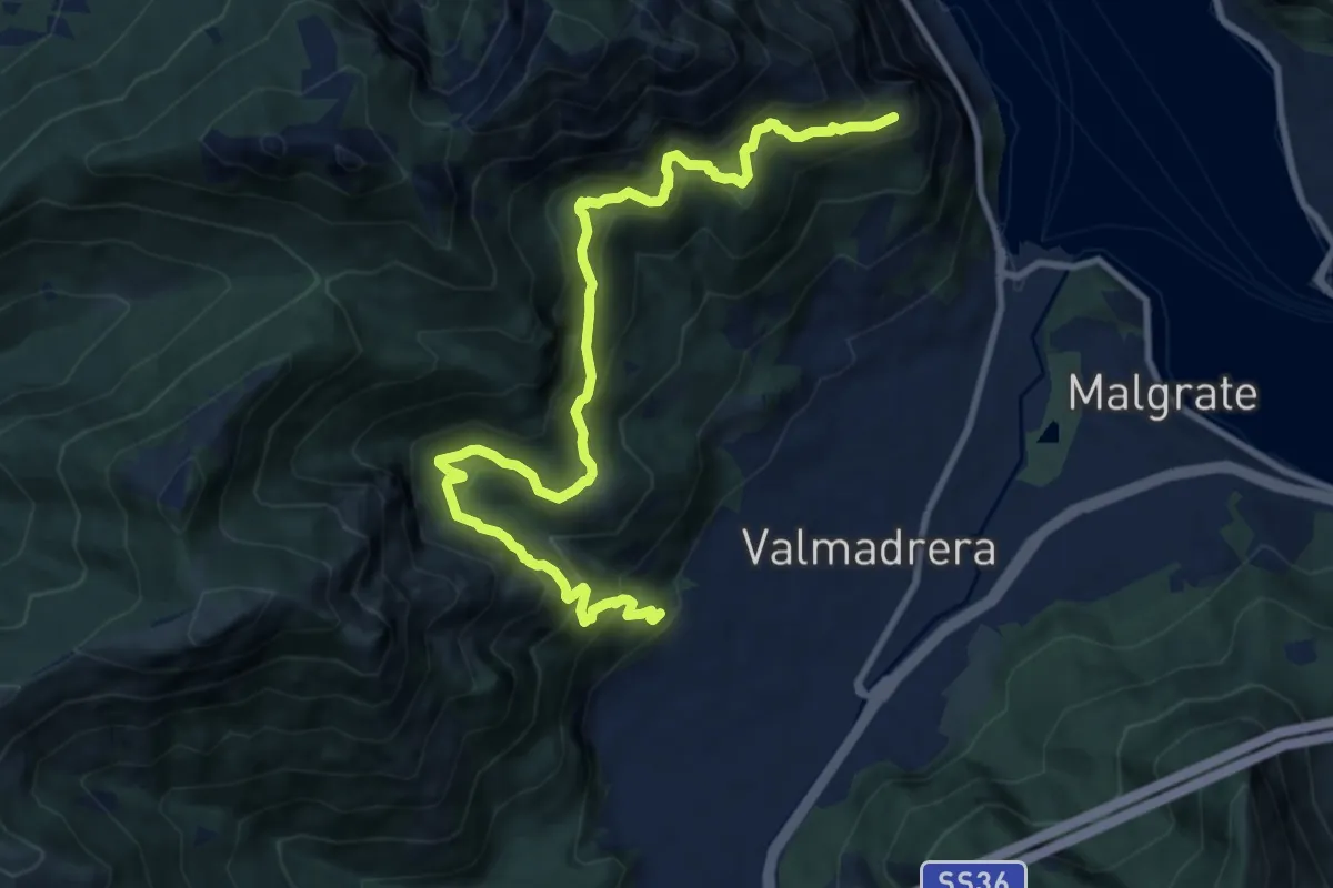
Demanding · Trail
Santuario della Madonna di San Martino – Sasso di Preguda
11.9 km · ↑ 1039 m · 5 h 3 min · 7 km away
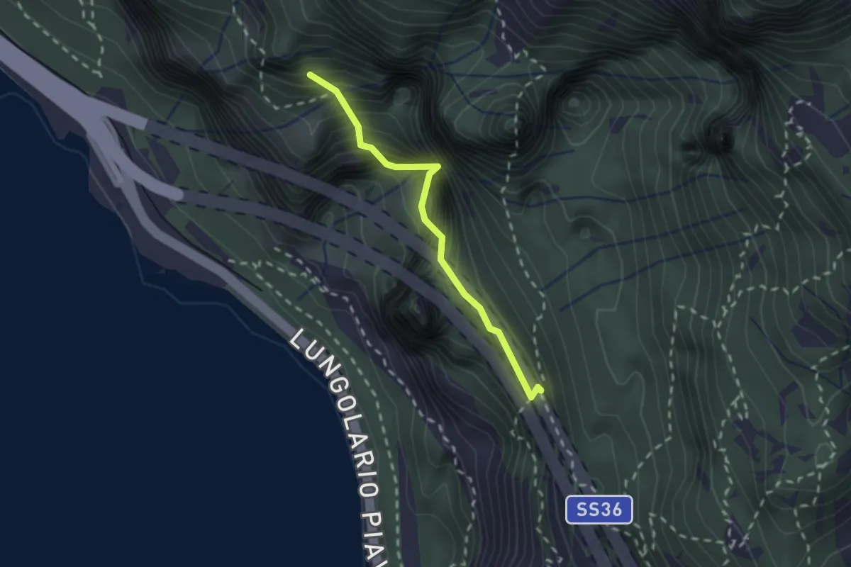
Demanding · Summit
Sentiero Costantino Fiocchi
1.8 km · ↑ 629 m · 1 h 48 min · 7 km away
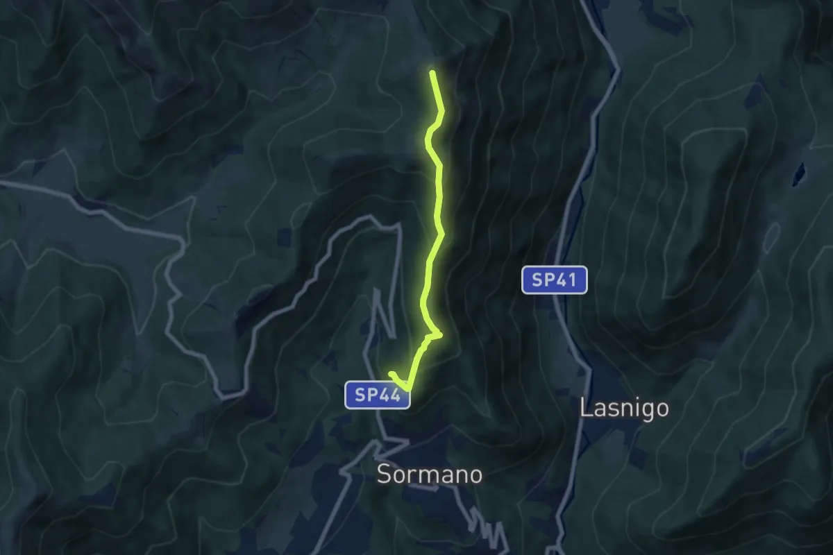
Medium · Summit
Salita per Colma del Bosco – Salita per Colma del Bosco
5.5 km · ↑ 398 m · 2 h 9 min · 7 km away
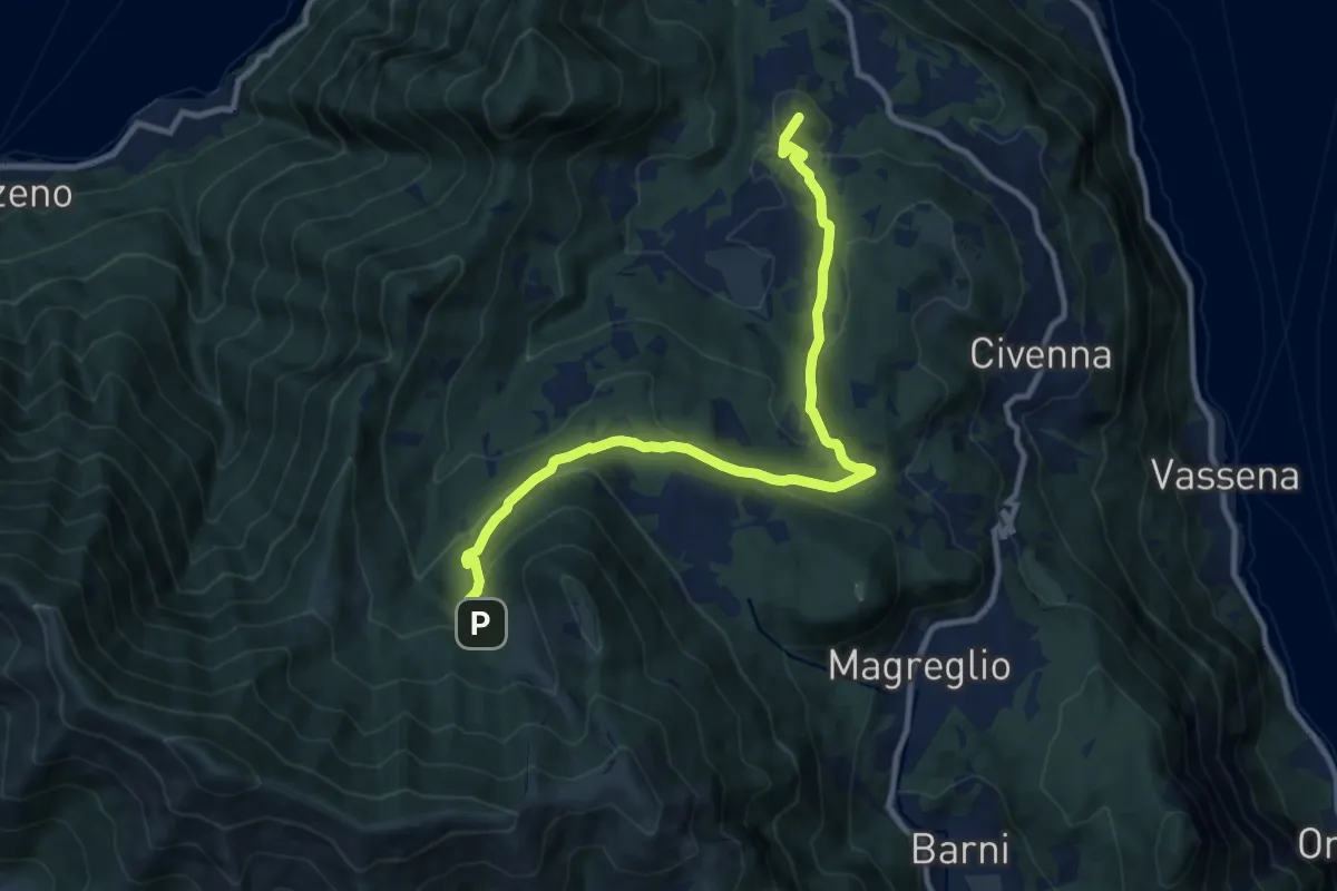
Medium · Summit
Innesto Sentiero del Tivano Monte Gamasca – Parco Monte San Primo
11.4 km · ↑ 444 m · 3 h 39 min · 7 km away
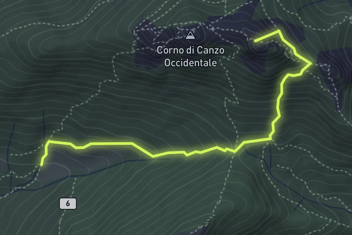
Medium · Summit
Terz'Alpe – Rifugio SEV Pianezzo
4.5 km · ↑ 519 m · 2 h 11 min · 7 km away
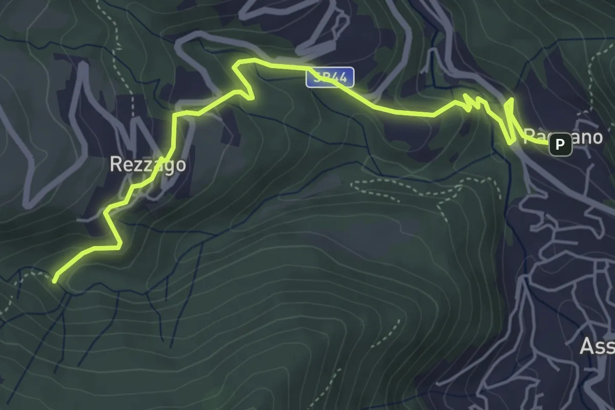
Easy · Trail
Pagnano – Madonna dei Morti
5.7 km · ↑ 281 m · 1 h 58 min · 7 km away
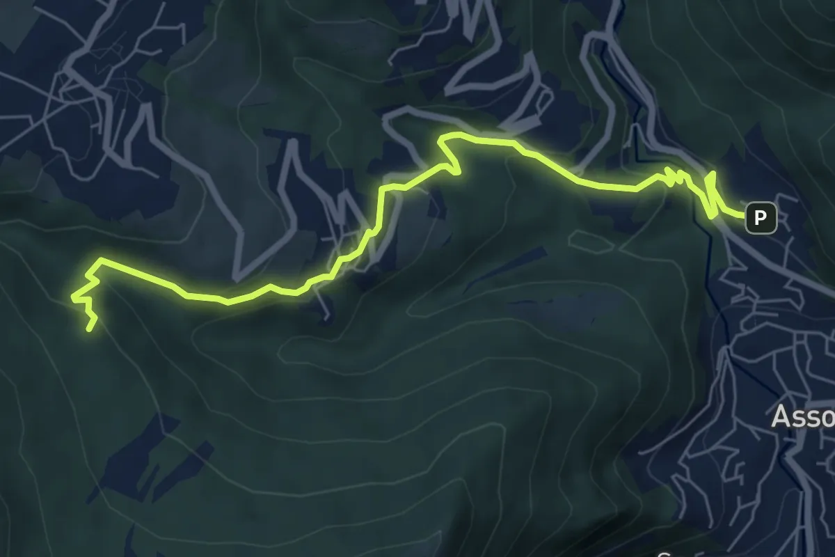
Medium · Trail
Pagnano – C.na Braga (Rezzago)
7.3 km · ↑ 340 m · 2 h 27 min · 7 km away
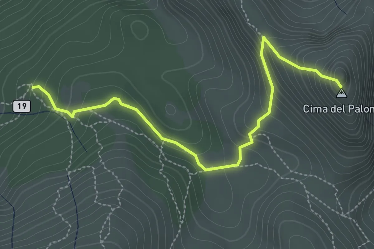
Expert · Summit
Palone Vallori
3.0 km · ↑ 231 m · 1 h 13 min · 7 km away
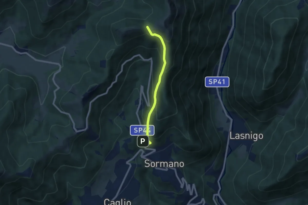
Medium · Trail
Sormano – Colma del Bosco
4.8 km · ↑ 392 m · 1 h 59 min · 7 km away
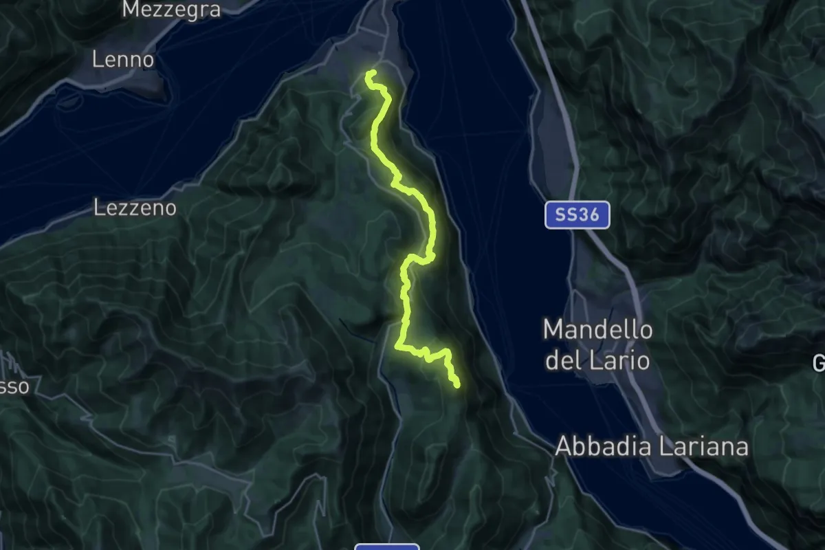
Demanding · Summit
Caval di Barni – Breno (Bellagio)
20.6 km · ↑ 955 m · 6 h 56 min · 7 km away
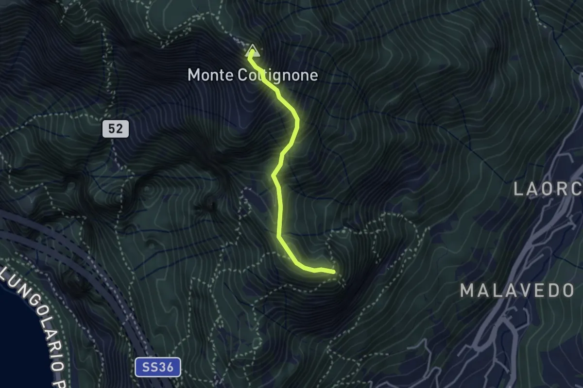
Expert · Summit
Sentiero GER
2.6 km · ↑ 532 m · 1 h 45 min · 7 km away
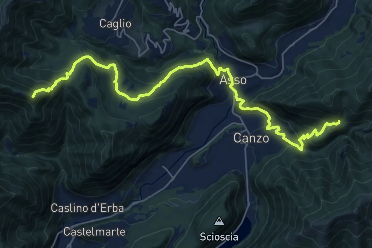
Demanding · Summit
CamminaForeste - Tappa 9B
20.9 km · ↑ 1286 m · 7 h 44 min · 7 km away
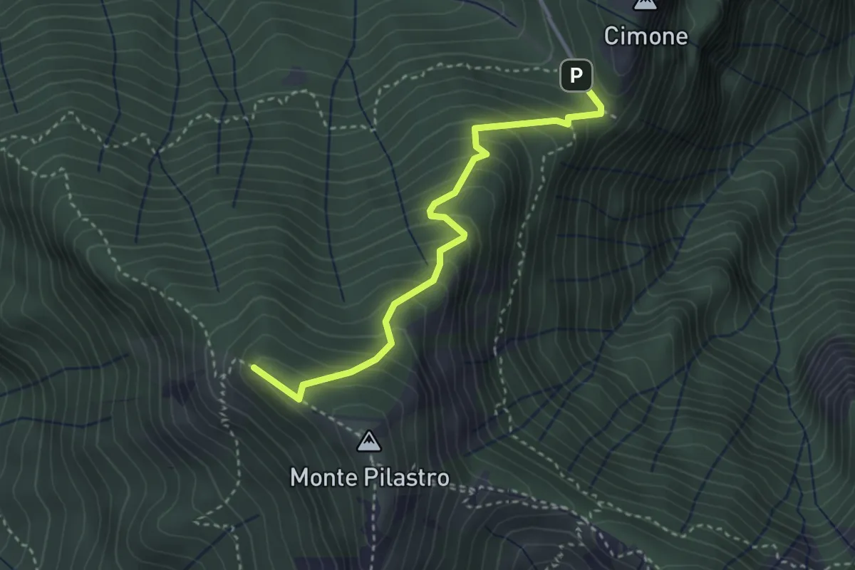
Medium · Summit
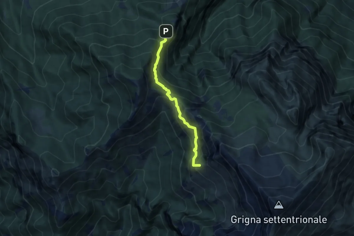
Vo di Moncodeno - Monte Croce
3.2 km · ↑ 355 m · 1 h 32 min · 8 km away
Medium · Summit
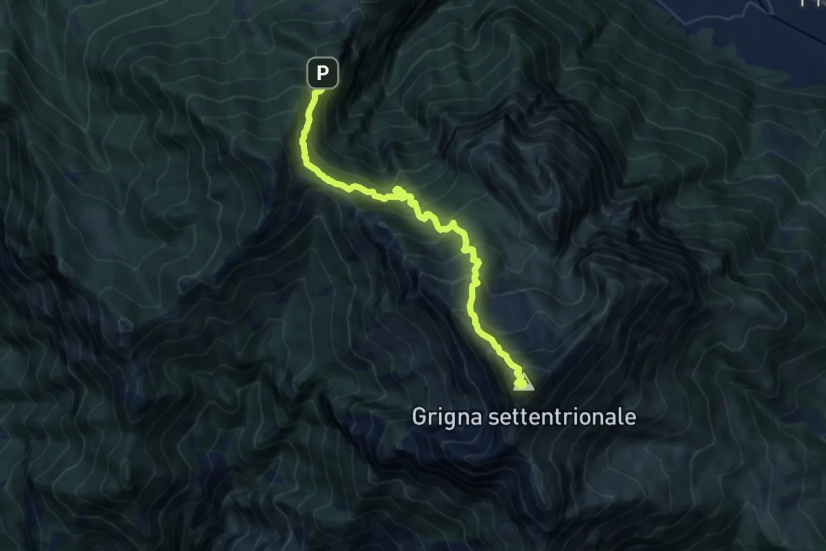
Cainallo - Rifugio Bietti
6.2 km · ↑ 536 m · 2 h 38 min · 8 km away
Demanding · Summit
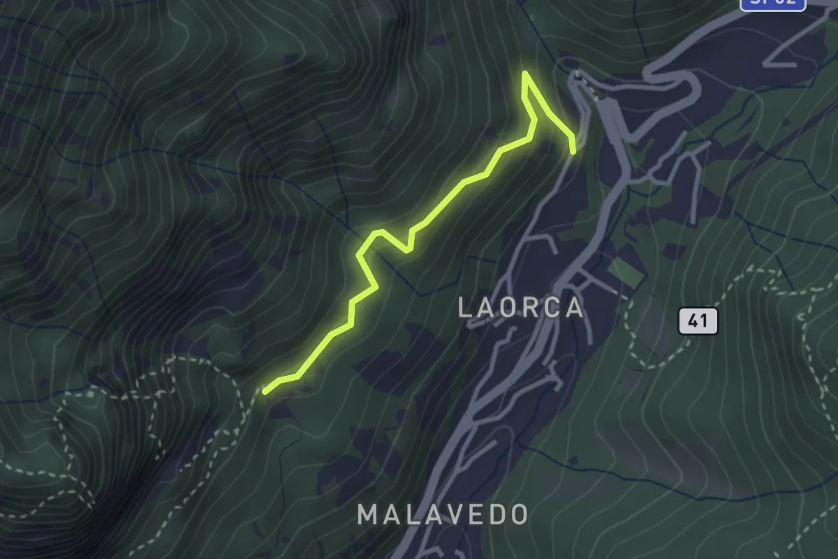
Esino - Rifugio Brioschi
10.7 km · ↑ 1273 m · 5 h 16 min · 8 km away
Easy · Trail
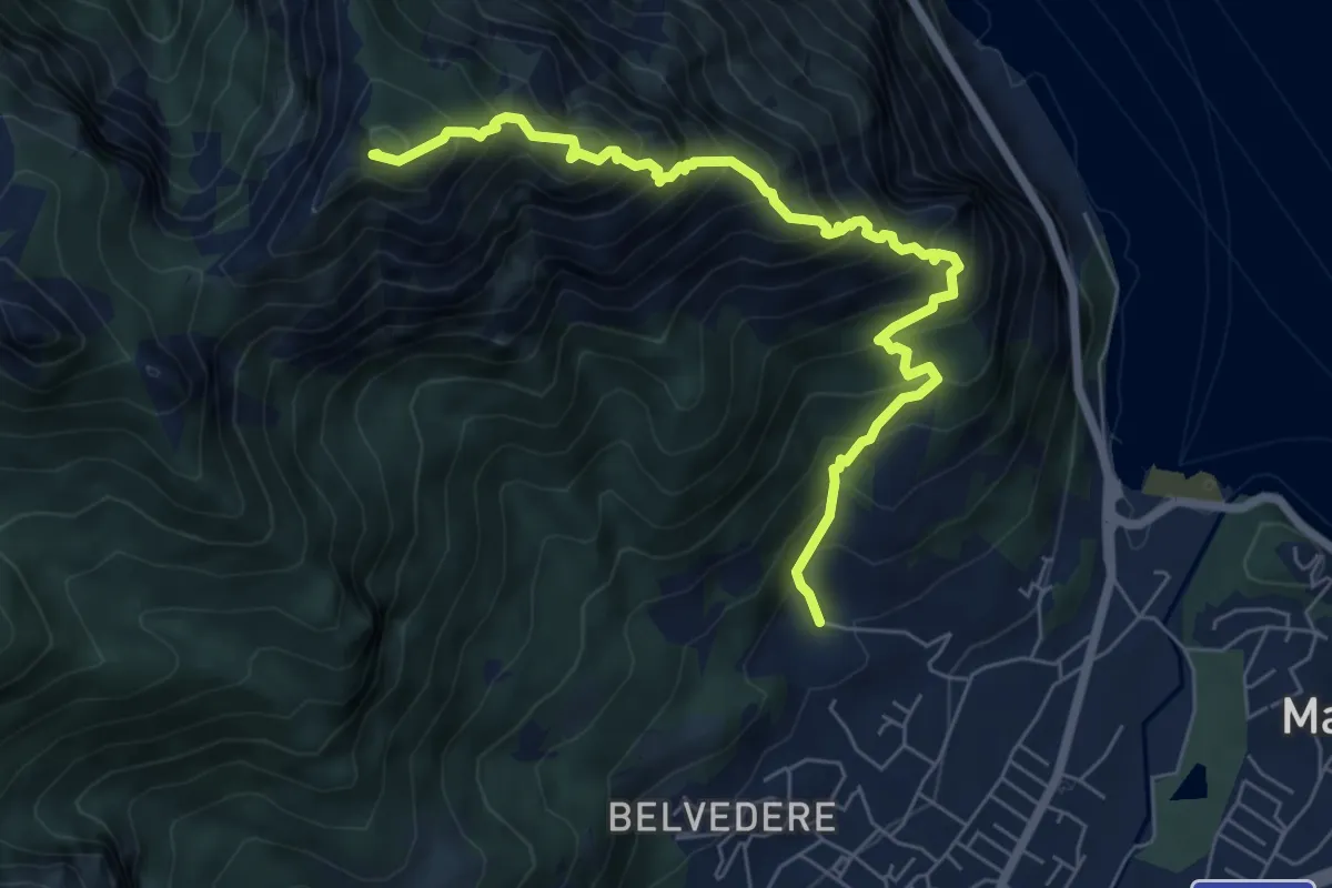
Incrocio 551 – Incrocio 556
2.7 km · ↑ 193 m · 1 h 3 min · 8 km away
Expert · Summit
Piazza Rossé – Bocchetta di Moregge
7.2 km · ↑ 935 m · 3 h 43 min · 8 km away
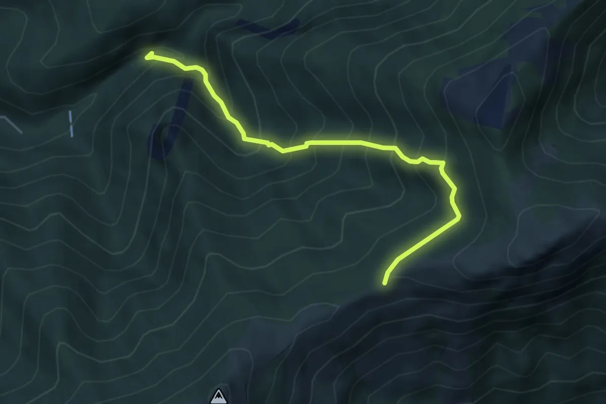
Medium · Trail
Sentiero Geologico (San Miro) – Pendici del Monte Rai
4.7 km · ↑ 531 m · 2 h 15 min · 8 km away
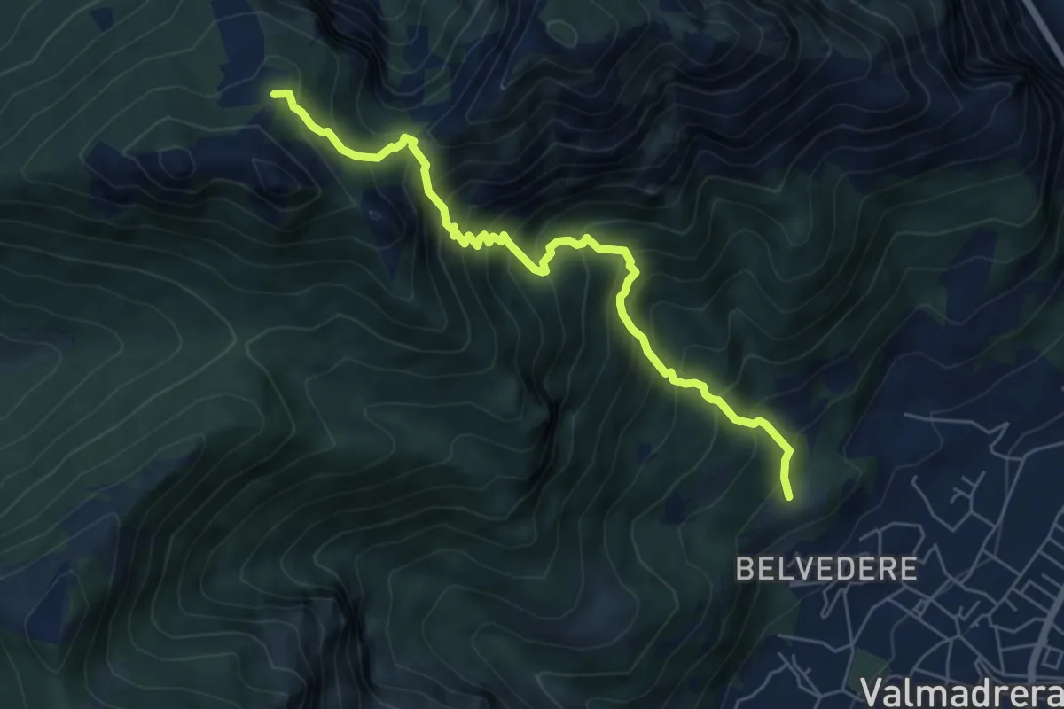
Demanding · Cabin
Cappelletta VARS – Rifugio S.E.V.
6.2 km · ↑ 837 m · 3 h 17 min · 8 km away
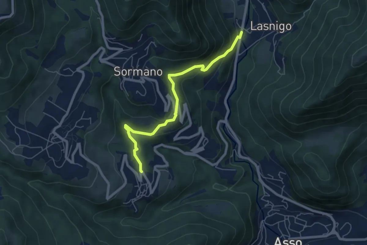
Easy · Trail
Bocchetta di Palanzo – Santi Cosma e Damiano (Rezzago)
5.5 km · ↑ 257 m · 1 h 52 min · 8 km away
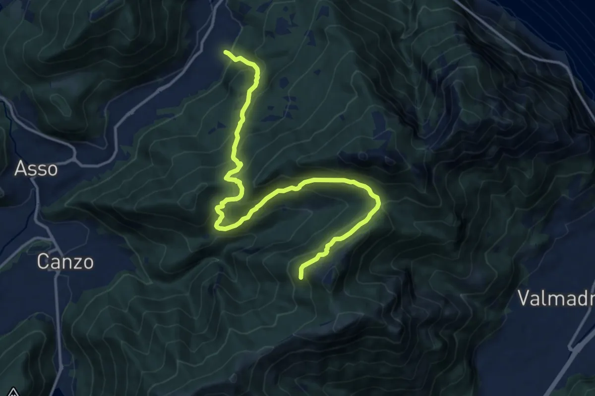
Demanding · Trail
Candalino – Alpe Alto
14.3 km · ↑ 1171 m · 5 h 55 min · 8 km away
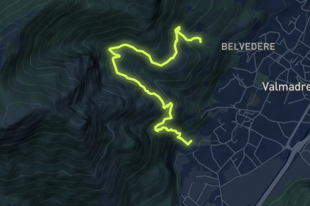
Demanding · Trail
Il percorso dei massi erratici
3.7 km · ↑ 263 m · 1 h 35 min · 8 km away
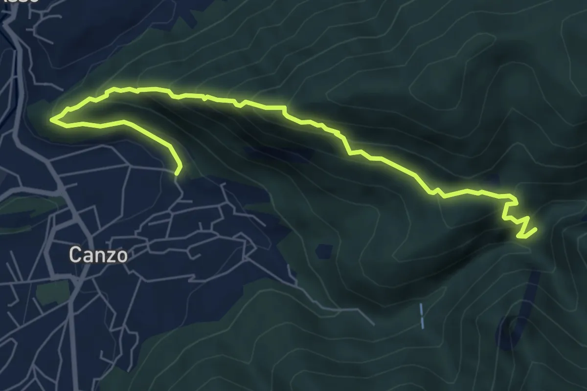
Medium · Trail
Ca' Bianca (Canzo) – Sentiero Geologico (San Miro)
7.2 km · ↑ 697 m · 3 h 12 min · 8 km away
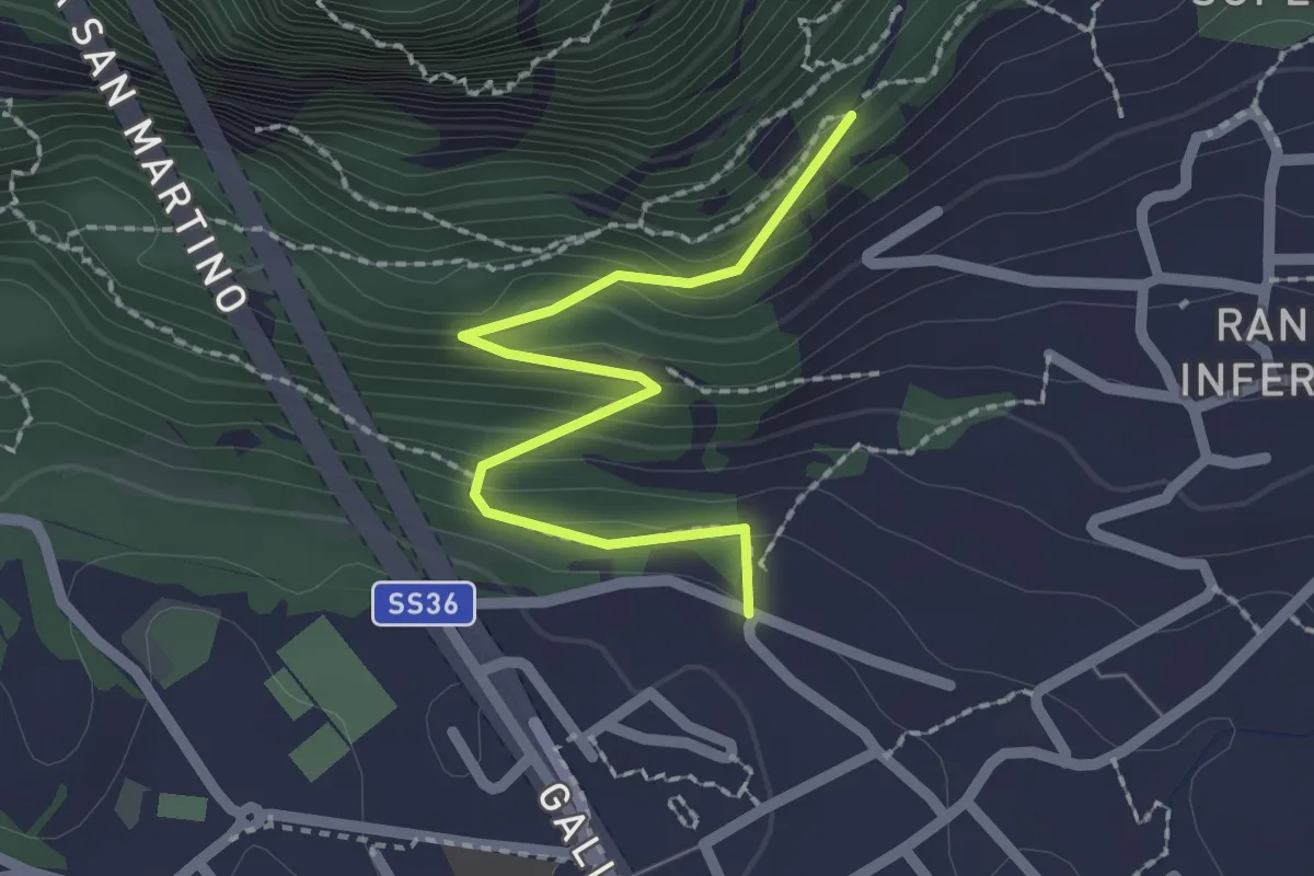
Easy · Trail
Lecco (via Ronco Inferiore) – Incrocio 552_1
2.1 km · ↑ 168 m · 52 min · 8 km away
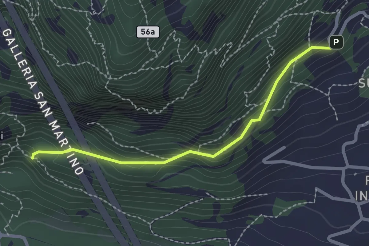
Medium · Trail
Incrocio 552 – Incrocio 553_1
2.1 km · ↑ 156 m · 50 min · 8 km away
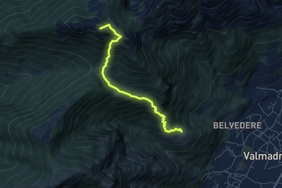
Medium · Summit
San Tomaso – Rifugio S.E.V.
5.6 km · ↑ 734 m · 2 h 55 min · 8 km away
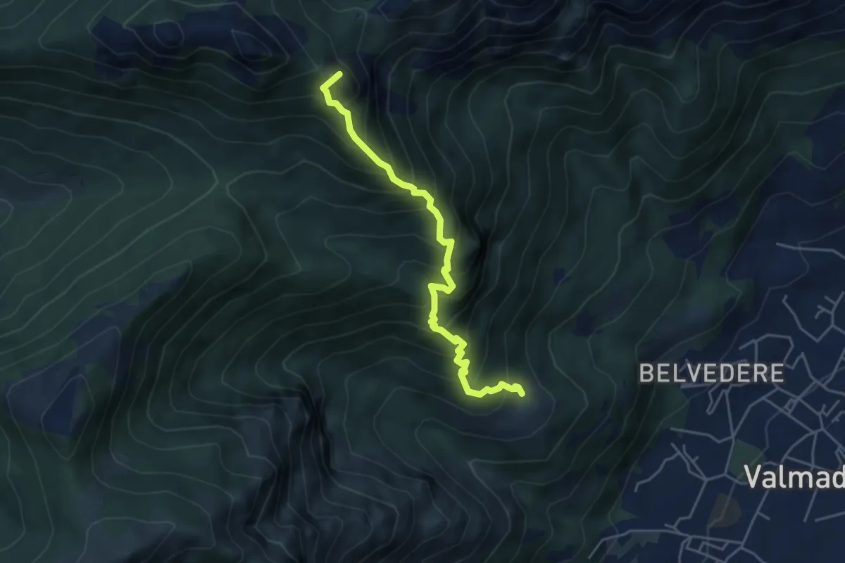
Expert · Summit
San Tomaso – Bocchetta di Luera
4.5 km · ↑ 629 m · 2 h 26 min · 8 km away
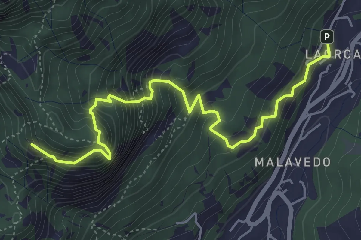
Demanding · Summit
Rifugio Piazza – Corno Medale
4.9 km · ↑ 860 m · 3 h 2 min · 8 km away
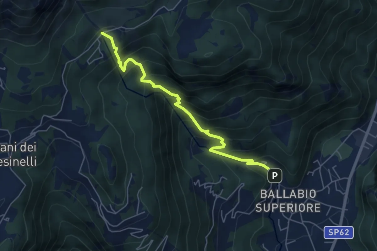
Medium · Trail
Sentiero 50: Ballabio - Piani Resinelli
5.1 km · ↑ 623 m · 2 h 33 min · 8 km away