Trails near Mandello del Lario
372 hikes starting within 15 km, nearest first.
Nearest first, page 3 of 8
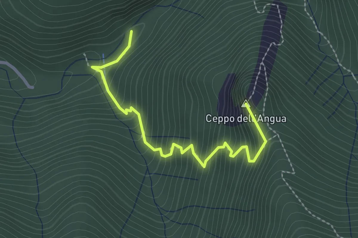
Medium · Summit
Sentiero Geologico – Rifugio SEC "Marisa Consigliere"
2.5 km · ↑ 328 m · 1 h 18 min · 8 km away
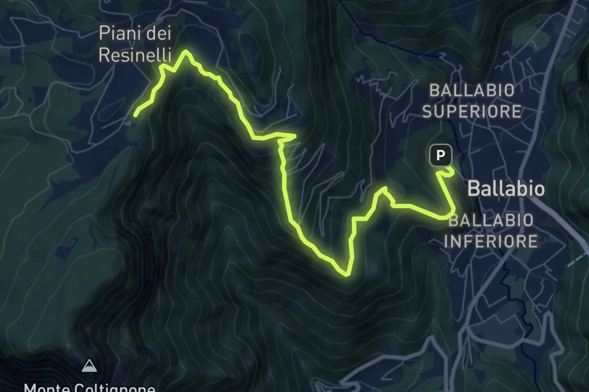
Medium · Cabin
Ballabio – Rifugio Rocca Locatelli
9.3 km · ↑ 653 m · 3 h 37 min · 8 km away
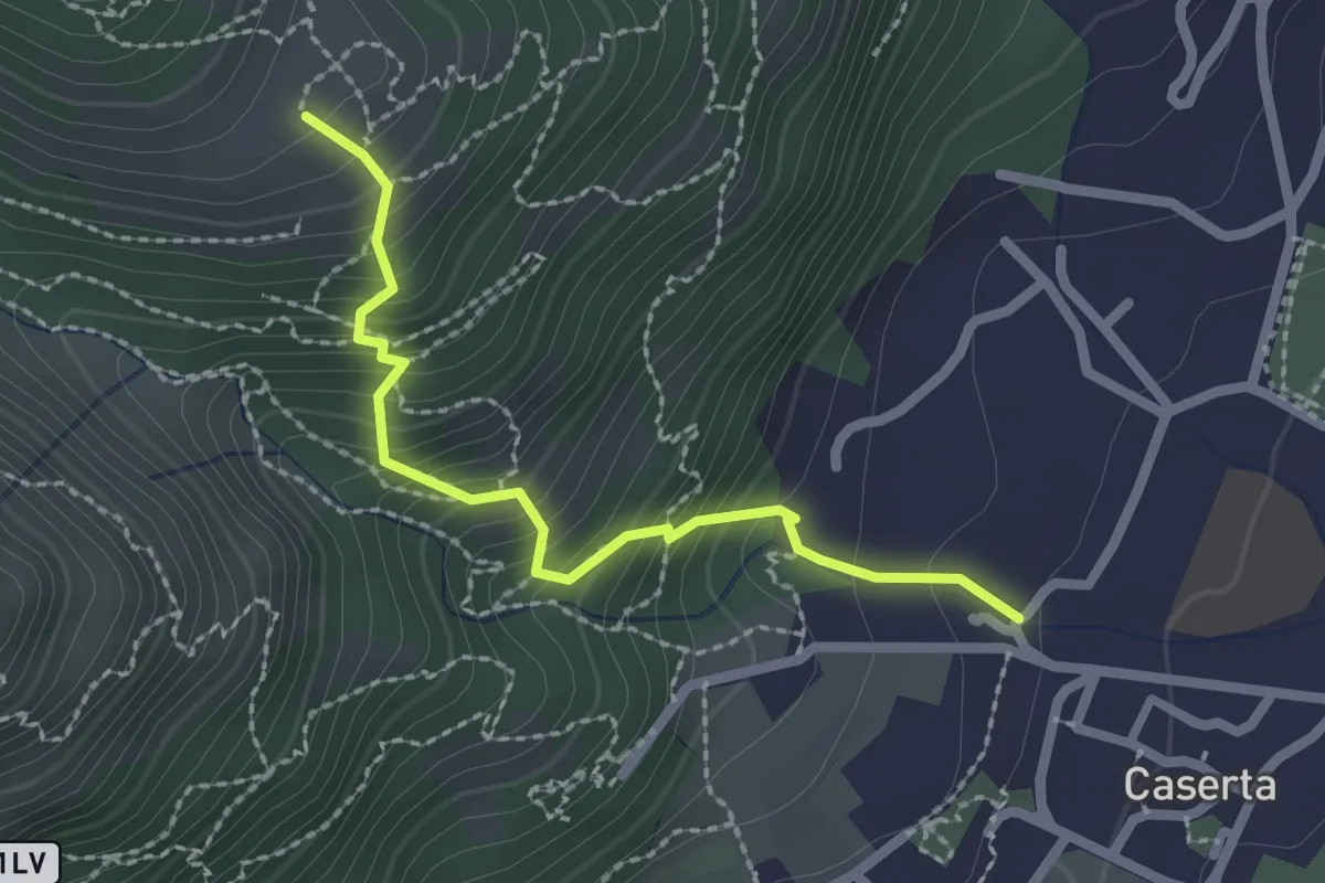
Demanding · Trail
Caserta – San Tomaso
2.2 km · ↑ 312 m · 1 h 12 min · 8 km away
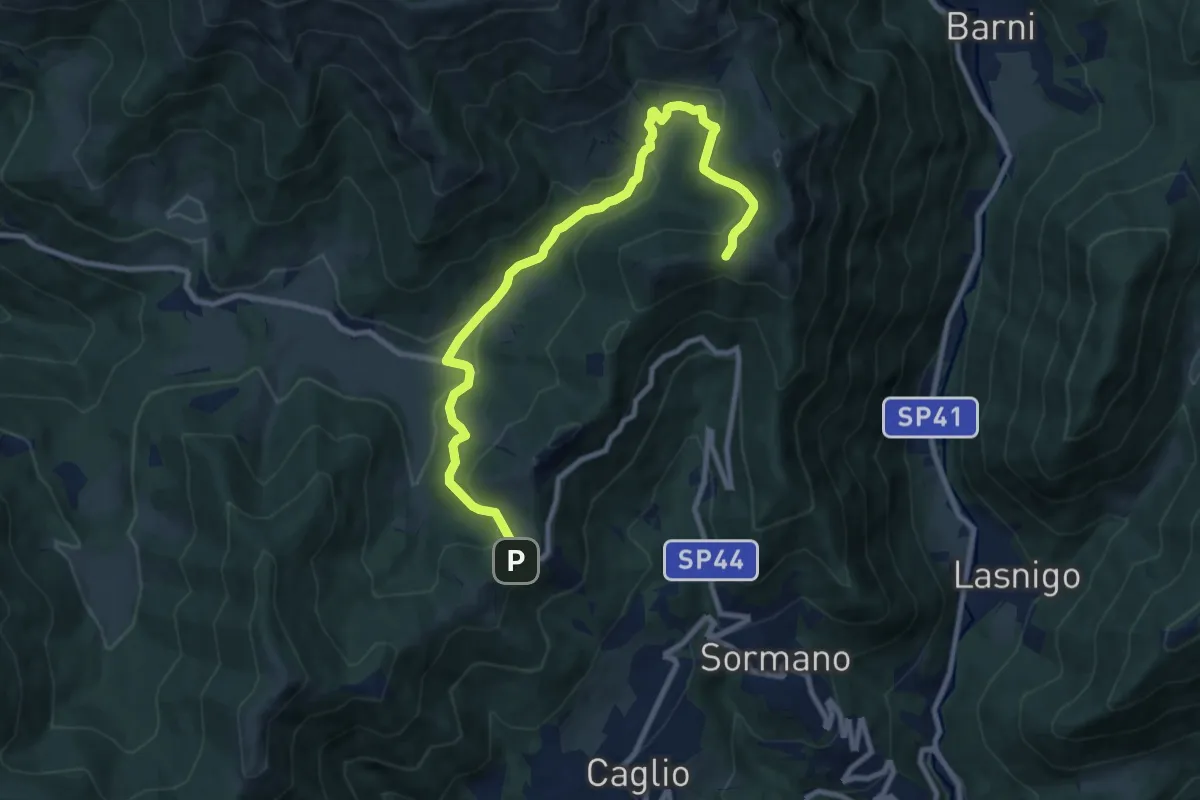
Medium · Trail
Colma di Sormano – Colma del Bosco
10.4 km · ↑ 419 m · 3 h 21 min · 8 km away
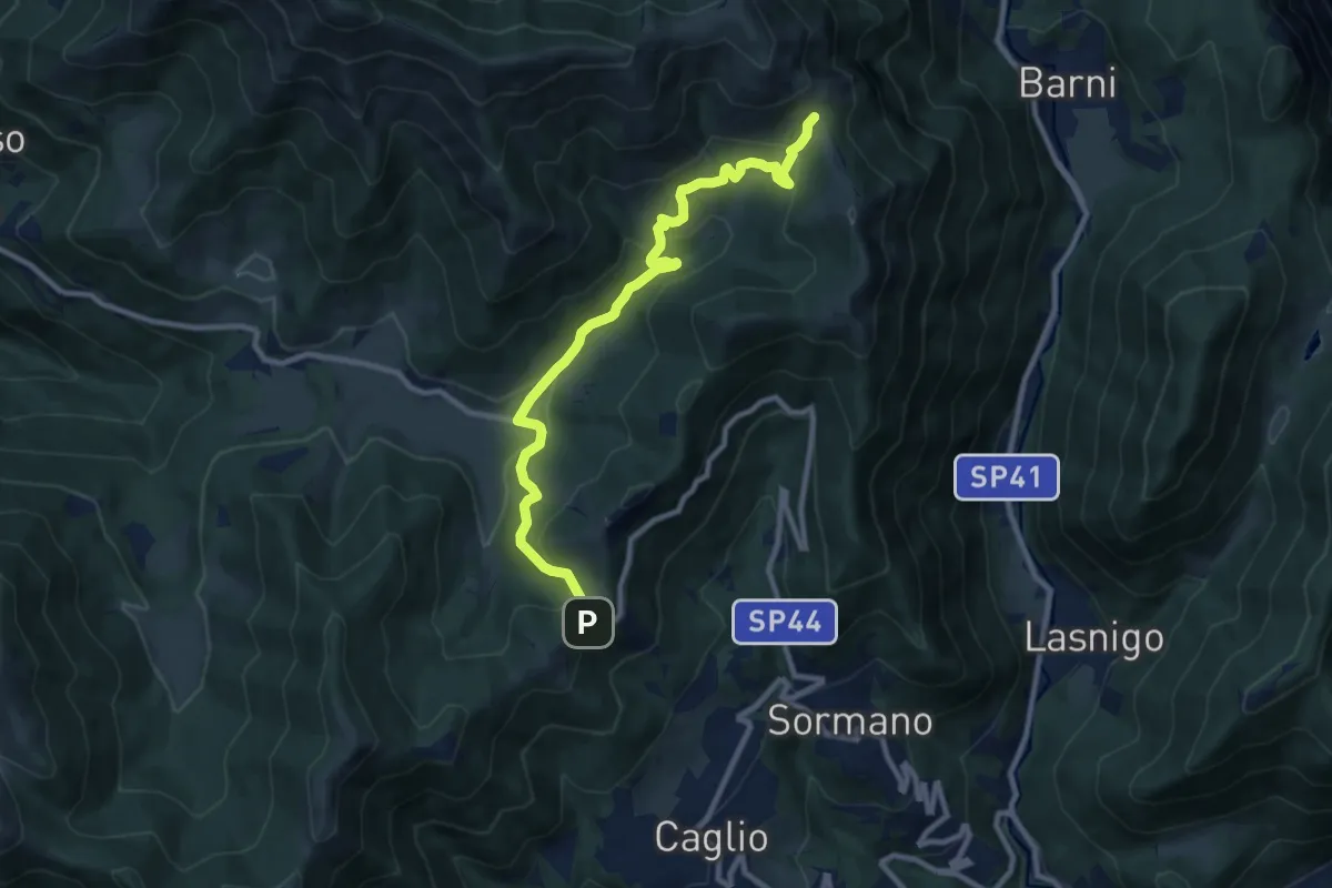
Medium · Trail
Colma di Sormano – Bocchetta di Spessola
10.1 km · ↑ 446 m · 3 h 21 min · 8 km away
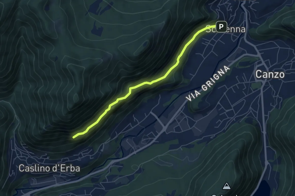
Demanding · Trail
Scarenna – Sentiero Falghèe
6.0 km · ↑ 565 m · 2 h 39 min · 8 km away
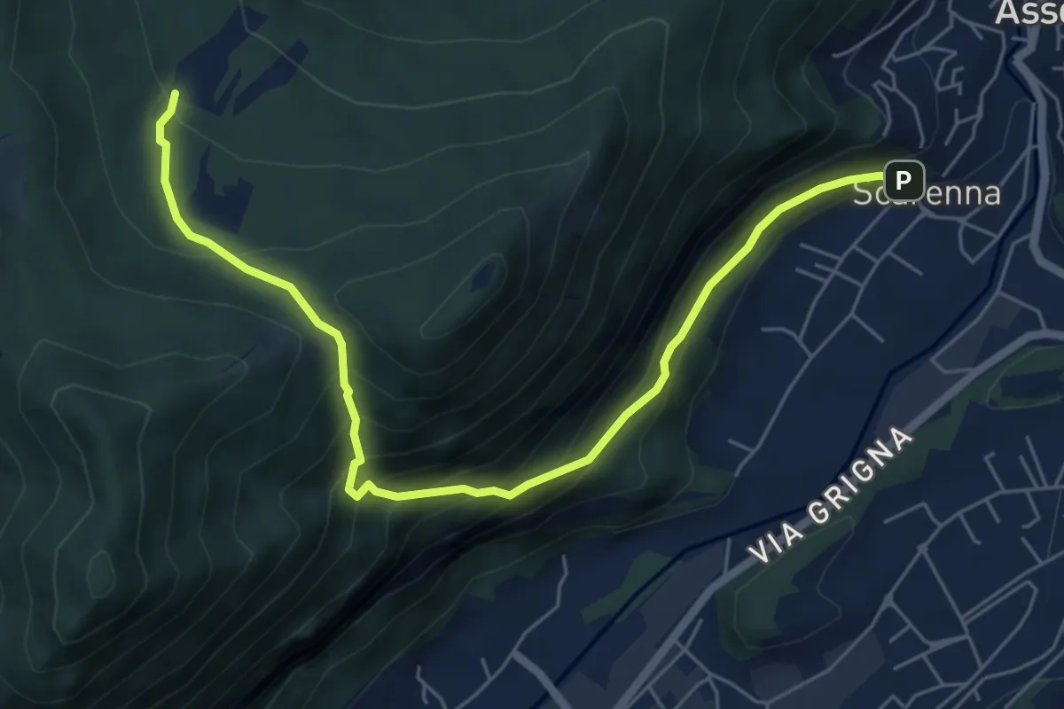
Demanding · Trail
Scarenna – Enco
6.7 km · ↑ 629 m · 2 h 57 min · 8 km away
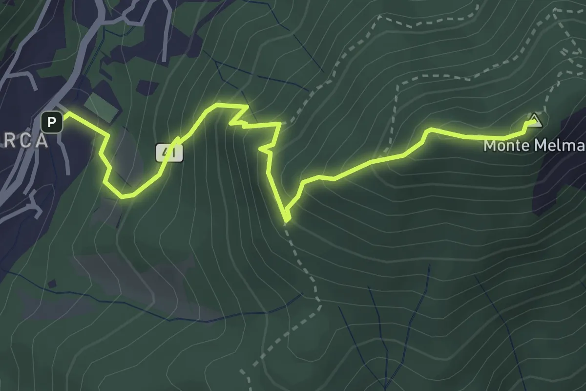
Medium · Summit
Laorca – Monte Melma
3.8 km · ↑ 481 m · 1 h 57 min · 8 km away
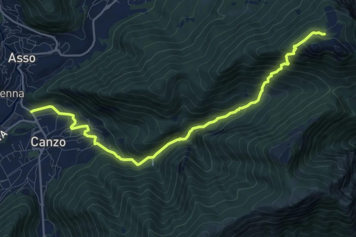
Demanding · Cabin
Stazione Canzo-Asso – Rifugio SEC "Marisa Consigliere"
11.9 km · ↑ 910 m · 4 h 46 min · 8 km away
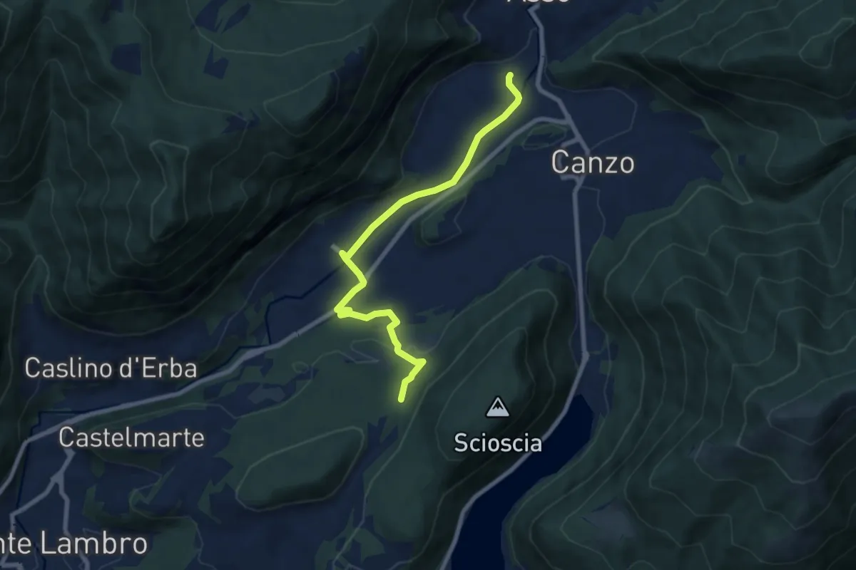
Easy · Trail
Scarenna (Asso) – Bosco della Gualdera
7.6 km · ↑ 145 m · 2 h 7 min · 8 km away
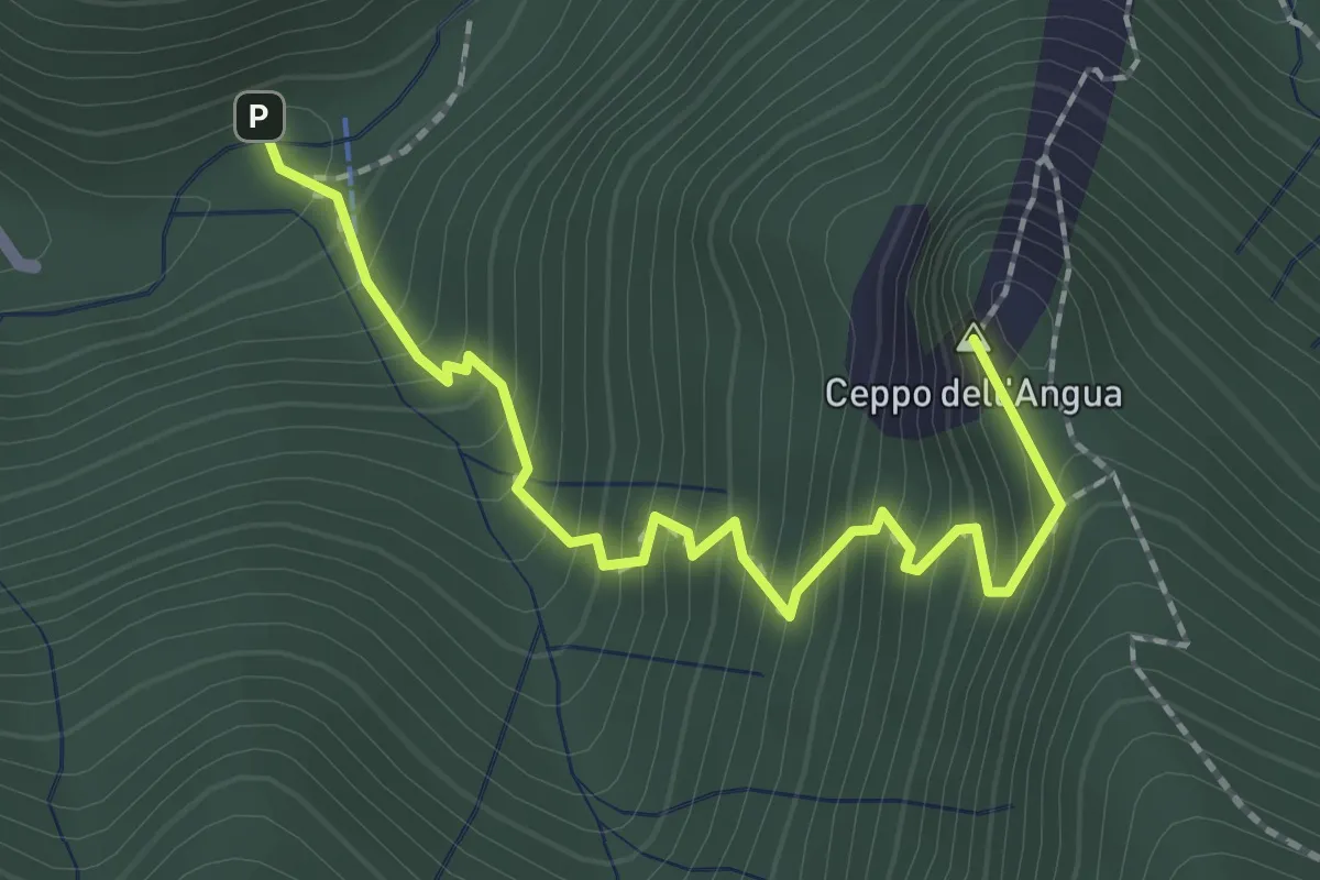
Medium · Summit
Sentiero Geologico – Rifugio SEC "Marisa Consigliere"
2.3 km · ↑ 312 m · 1 h 13 min · 8 km away
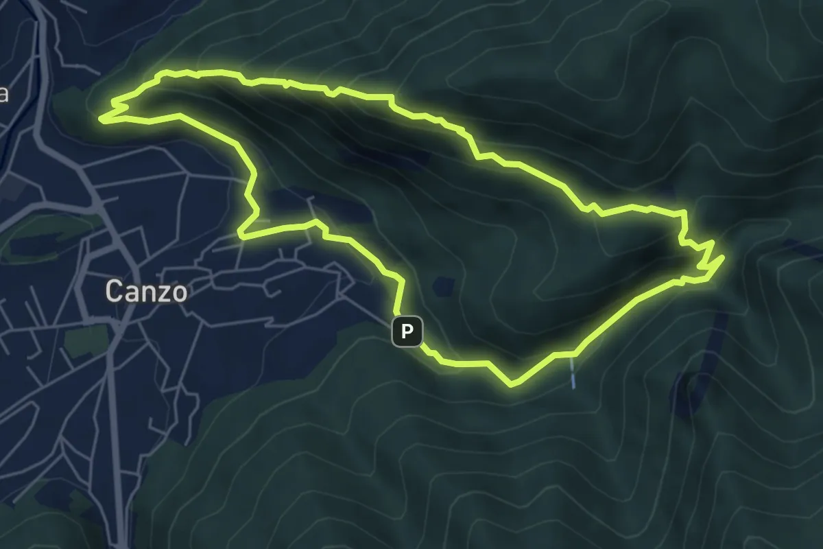
Medium · Trail
Sentiero Naturalistico dello Spaccasassi
5.9 km · ↑ 462 m · 2 h 29 min · 8 km away
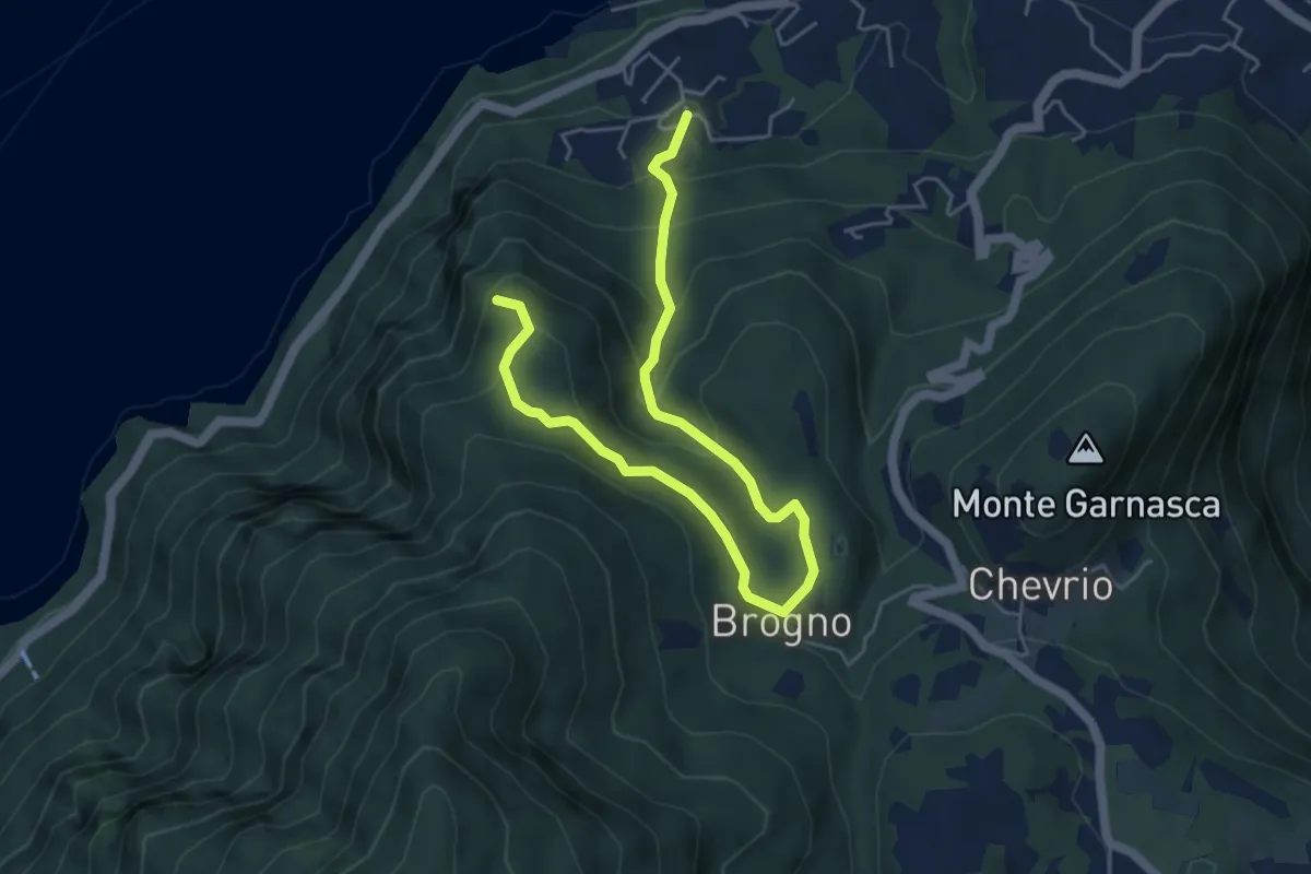
Medium · Trail
Vergonese – Belvedere
6.3 km · ↑ 438 m · 2 h 27 min · 8 km away
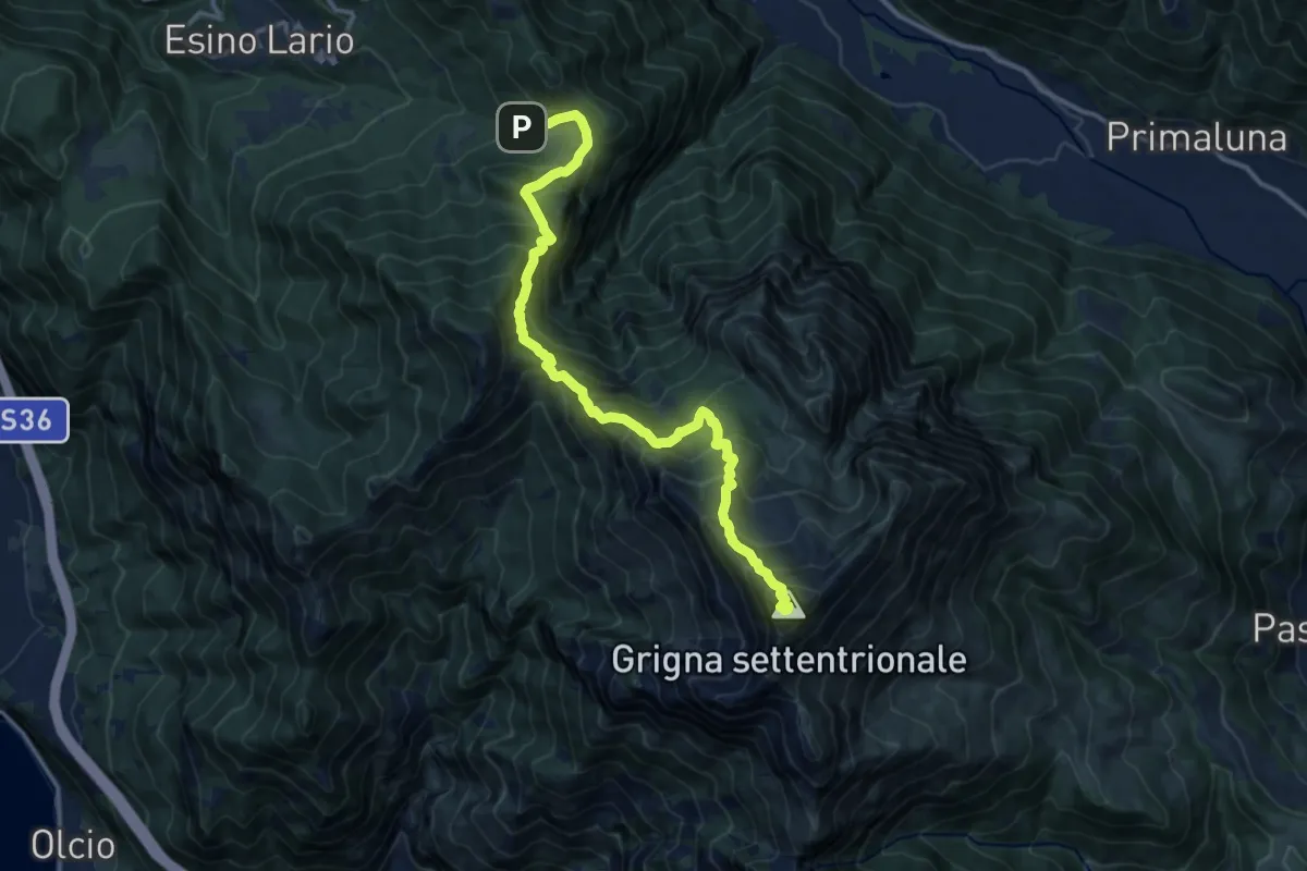
Demanding · Summit
Alpe Cainallo – Rifugio Luigi Brioschi
14.1 km · ↑ 1286 m · 6 h 7 min · 8 km away
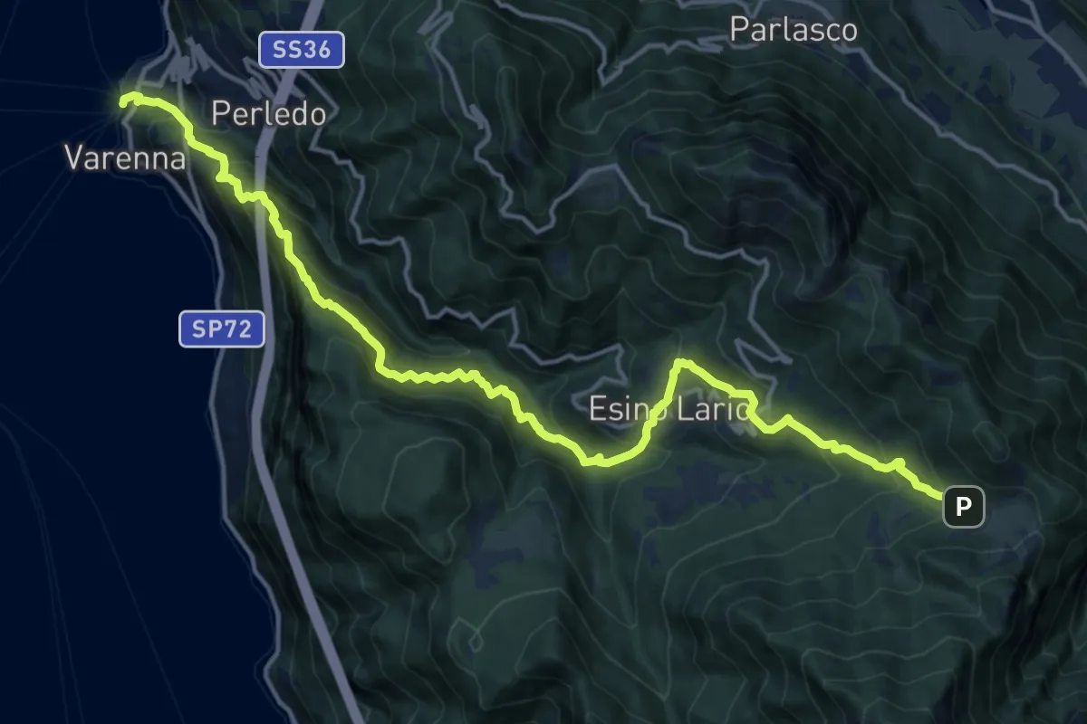
Demanding · Trail
Varenna – Alpe Cainallo
18.0 km · ↑ 1572 m · 7 h 40 min · 8 km away
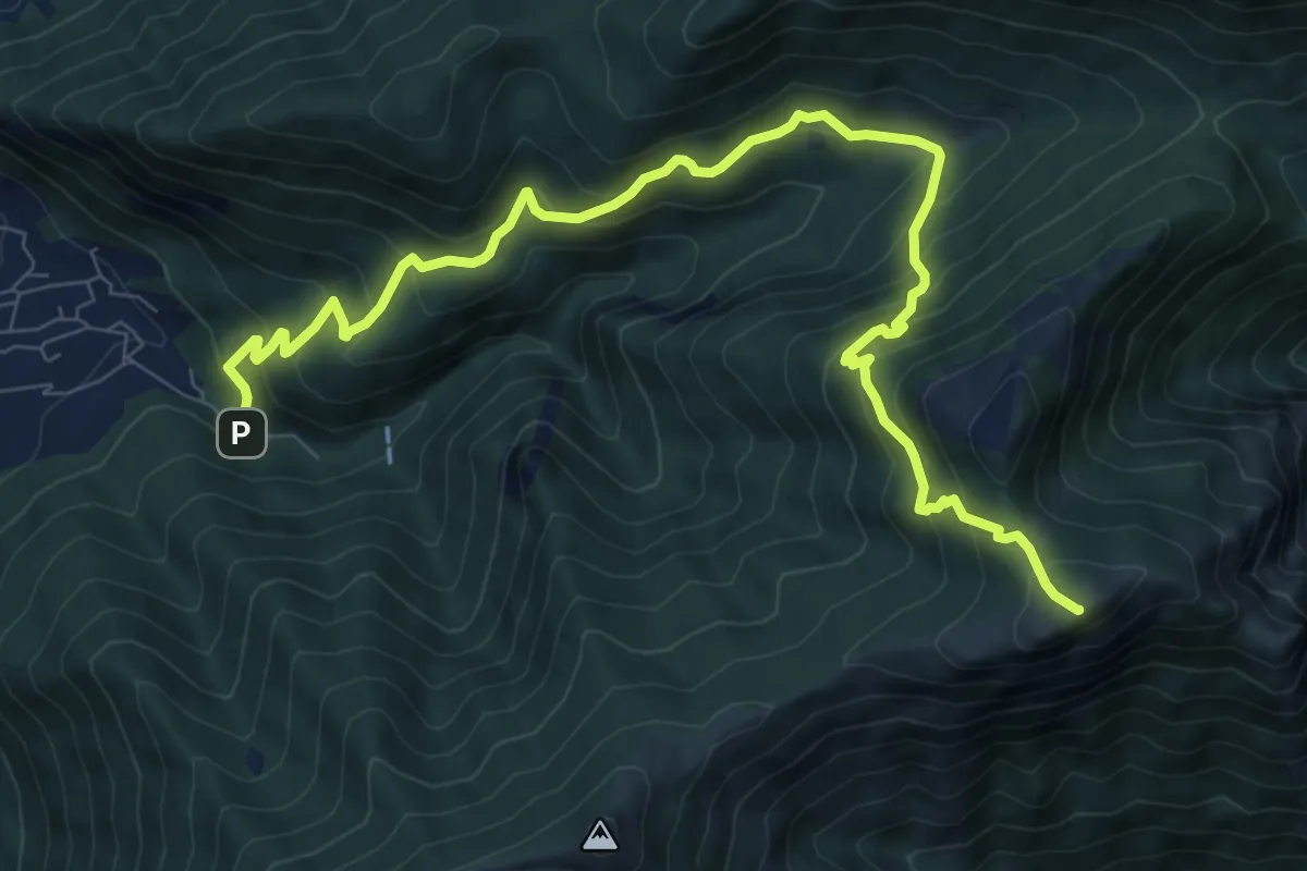
Demanding · Summit
Fonte di Gajum – Pendici del Monte Rai
10.9 km · ↑ 872 m · 4 h 28 min · 8 km away
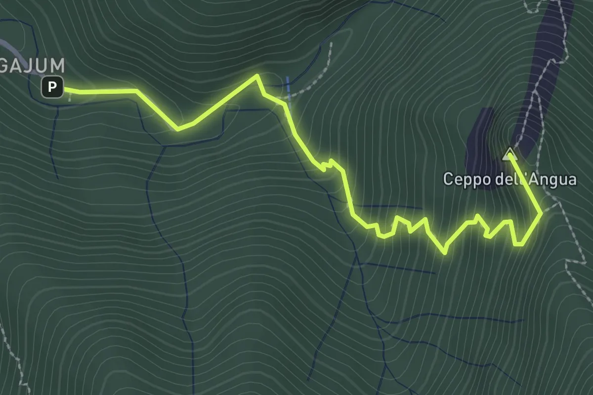
Medium · Summit
Fonti di Gajum – Rifugio Consiglieri
3.2 km · ↑ 370 m · 1 h 33 min · 8 km away
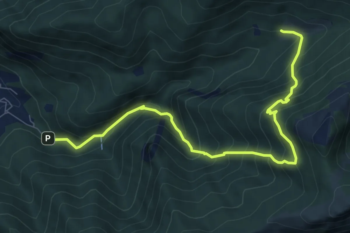
Demanding · Trail
Fonti di Gajum – Terz'Alpe
8.5 km · ↑ 900 m · 3 h 57 min · 8 km away
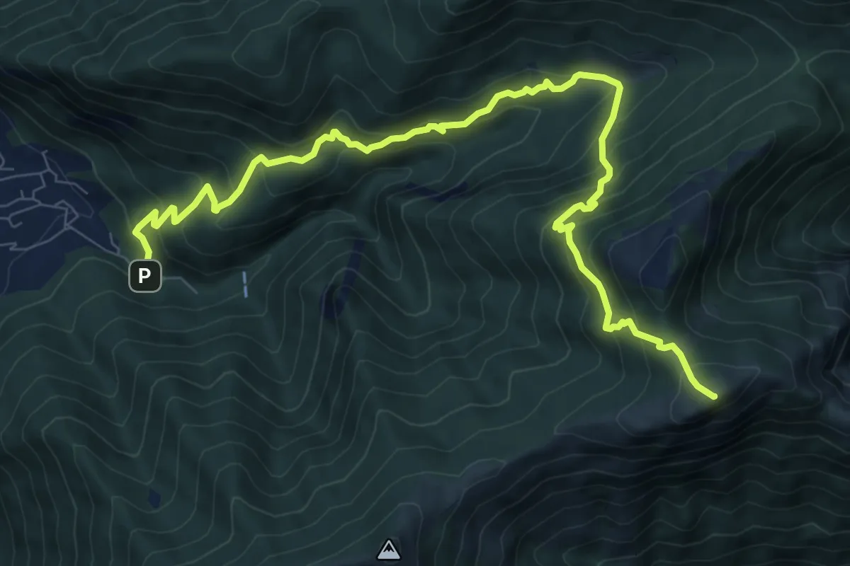
Demanding · Summit
Fonte di Gajum – Pendici del Monte Rai
10.9 km · ↑ 887 m · 4 h 30 min · 8 km away
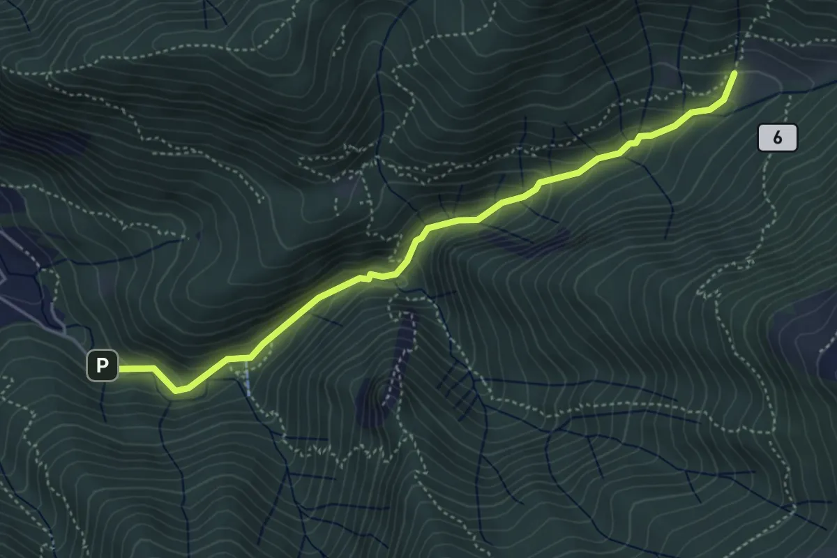
Medium · Trail
Fonti di Gajum – Terz'Alpe
4.8 km · ↑ 303 m · 1 h 47 min · 8 km away
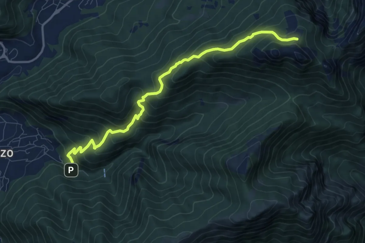
Medium · Cabin
Fonti di Gajum – Pianezzo
9.6 km · ↑ 780 m · 3 h 58 min · 8 km away
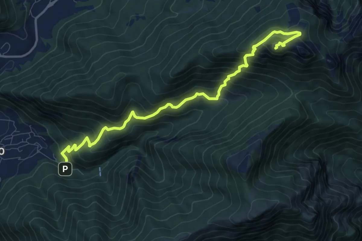
Expert · Summit
Fonti di Gajum – Vetta Corno Occidentale
10.7 km · ↑ 937 m · 4 h 33 min · 8 km away
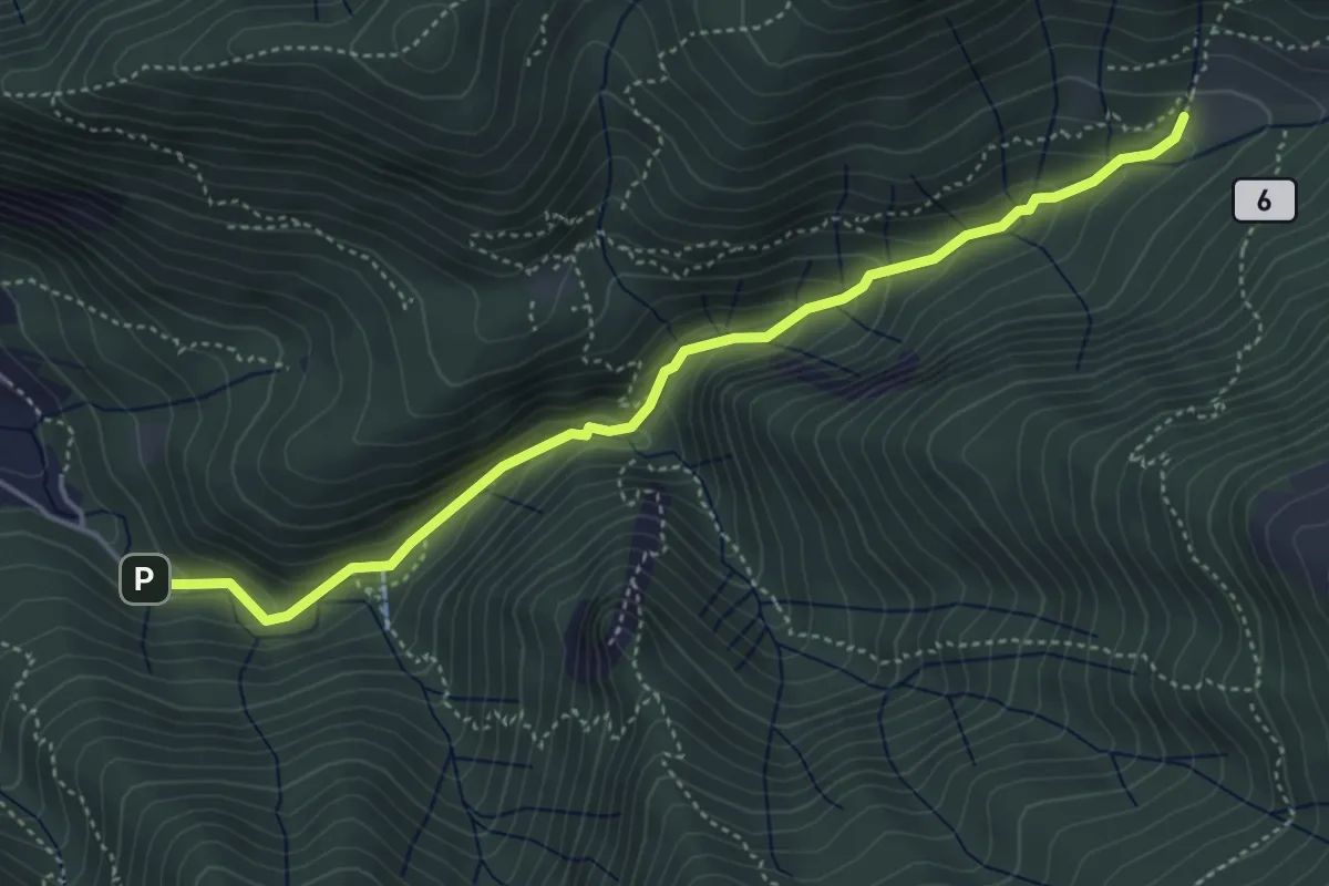
Medium · Trail
Sentiero Geologico Giorgio Achermann
4.7 km · ↑ 291 m · 1 h 45 min · 8 km away
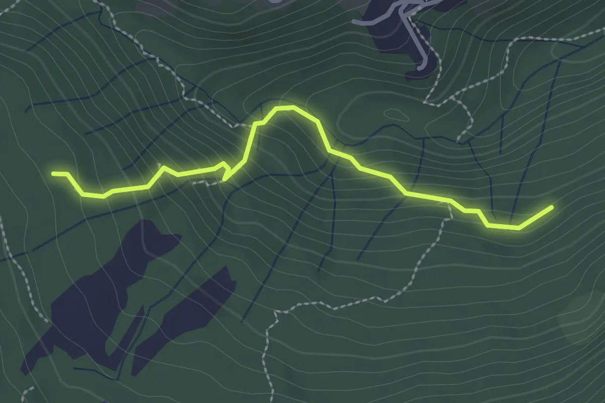
Medium · Trail
Funghi e boschi di Rezzago – Selva di Rezzago
2.6 km · ↑ 216 m · 1 h 5 min · 8 km away
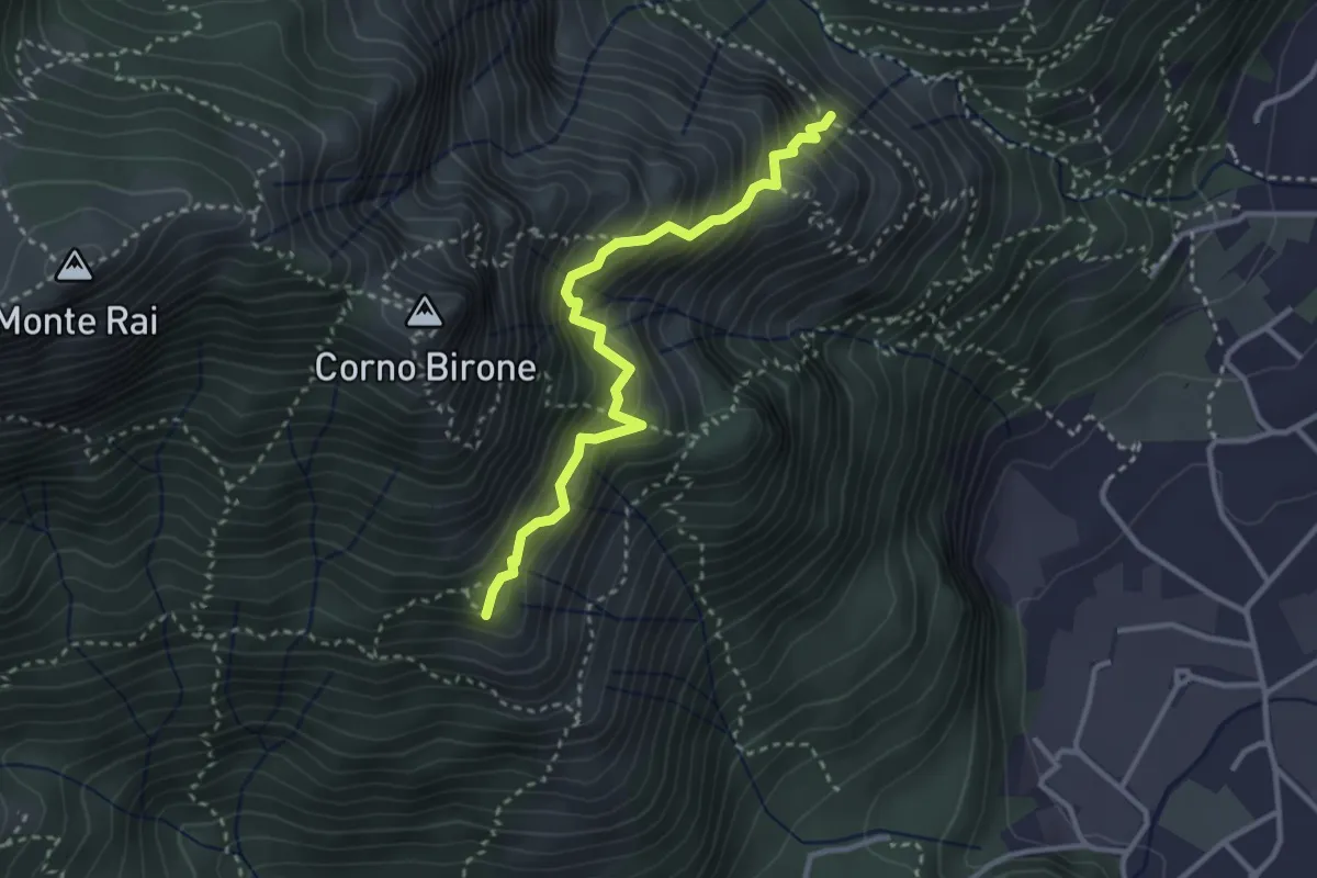
Demanding · Summit
Sentiero del Luisin
3.1 km · ↑ 489 m · 1 h 48 min · 8 km away
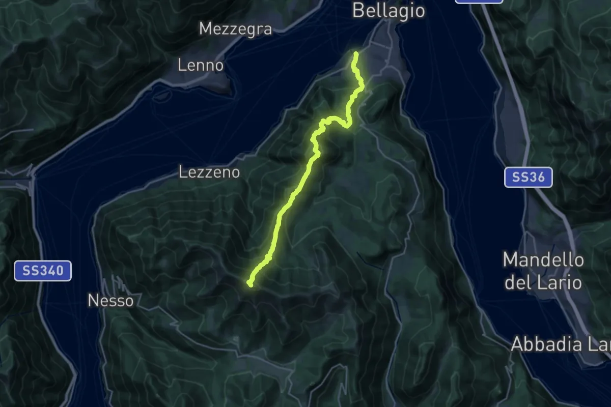
Expert · Summit
Dorsale del Triangolo Lariano per cresta
19.2 km · ↑ 1785 m · 8 h 24 min · 8 km away
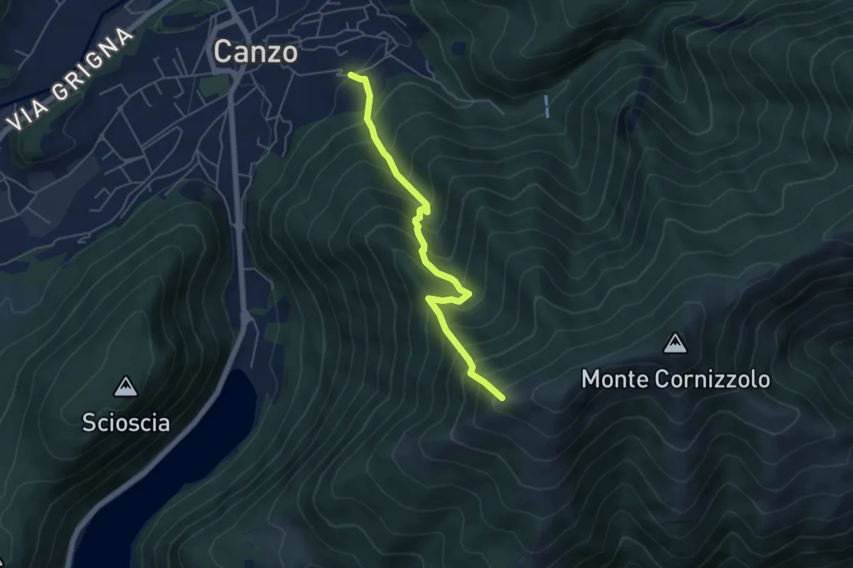
Medium · Trail
Lazzaretto (Canzo) – Monte Pesora
4.7 km · ↑ 667 m · 2 h 34 min · 8 km away
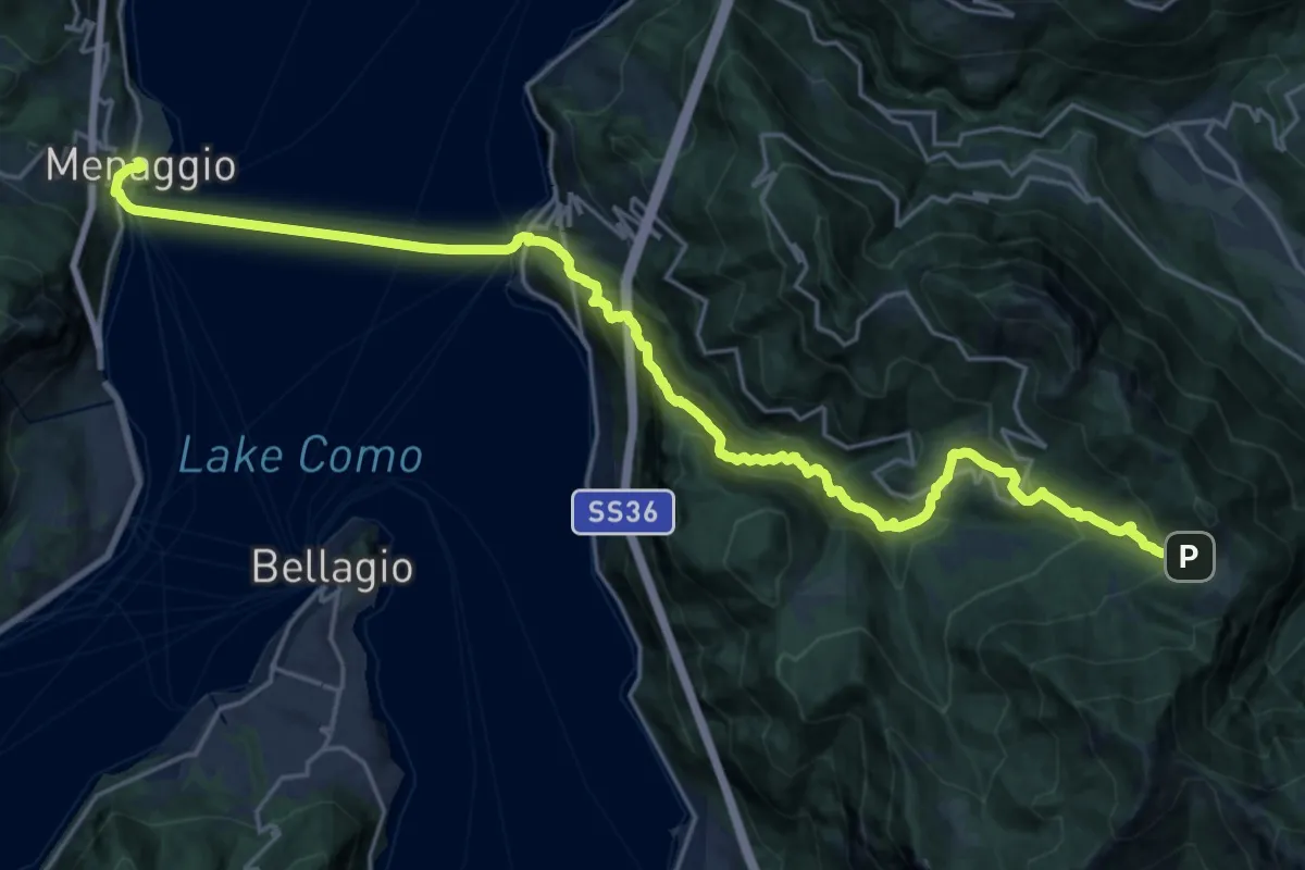
Medium · Trail
CamminaForeste - Tappa 7E
13.2 km · ↑ 293 m · 4 h 28 min · 8 km away
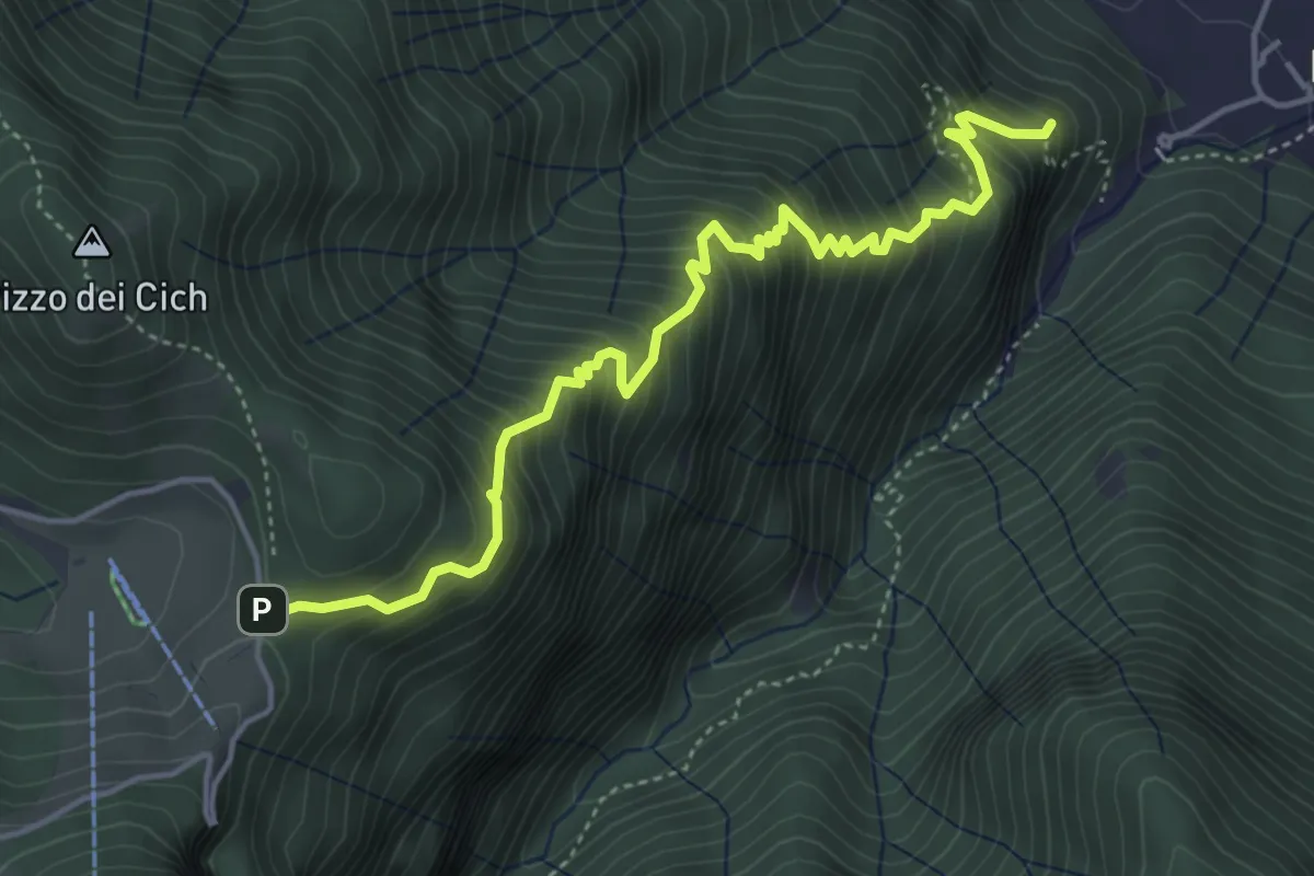
Medium · Summit
Sentiero 38: Sentiero della Scaletta
5.0 km · ↑ 721 m · 2 h 45 min · 8 km away
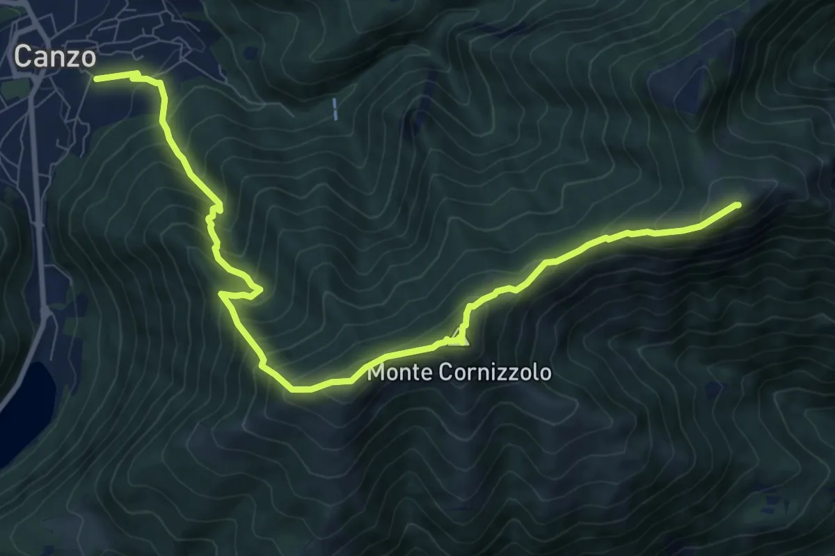
Demanding · Summit
Chiesa di San Francesco (Canzo) – La Colma (Rifugio Marisa Consiglieri)
11.0 km · ↑ 1087 m · 4 h 58 min · 8 km away
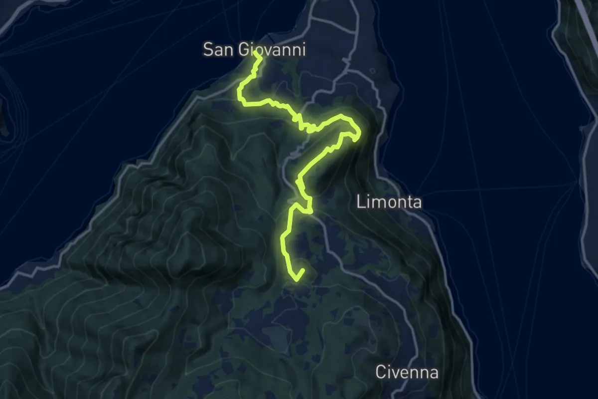
Medium · Summit
San Giovanni (Bellagio) – Parco Monte San Primo
13.3 km · ↑ 656 m · 4 h 34 min · 8 km away
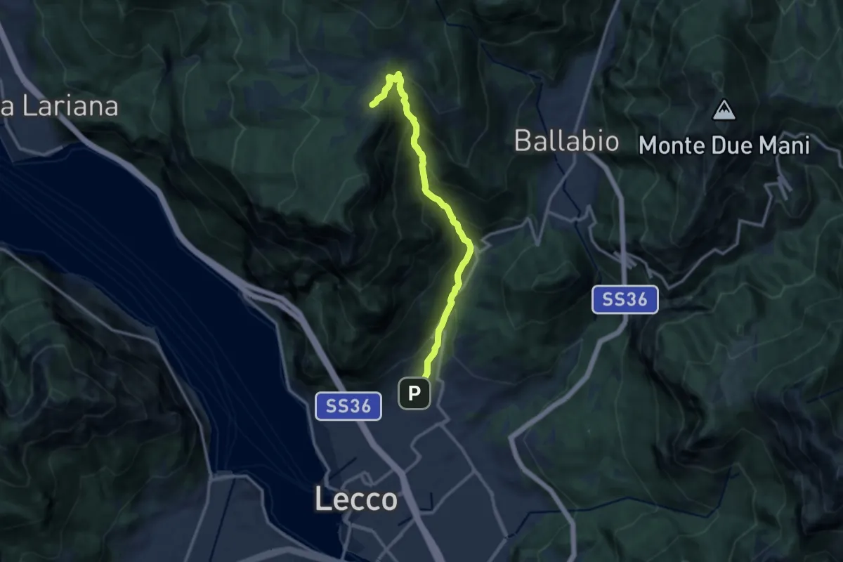
Demanding · Cabin
Sentiero della Val Calolden
10.5 km · ↑ 1010 m · 4 h 40 min · 8 km away
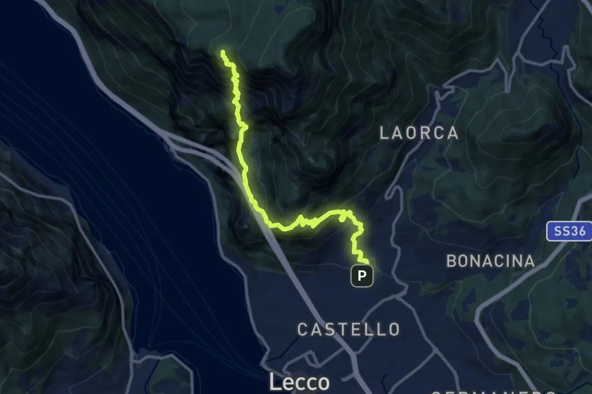
Expert · Summit
Lecco (San Giovanni) – Pian dei Resinelli
10.0 km · ↑ 1587 m · 5 h 47 min · 9 km away
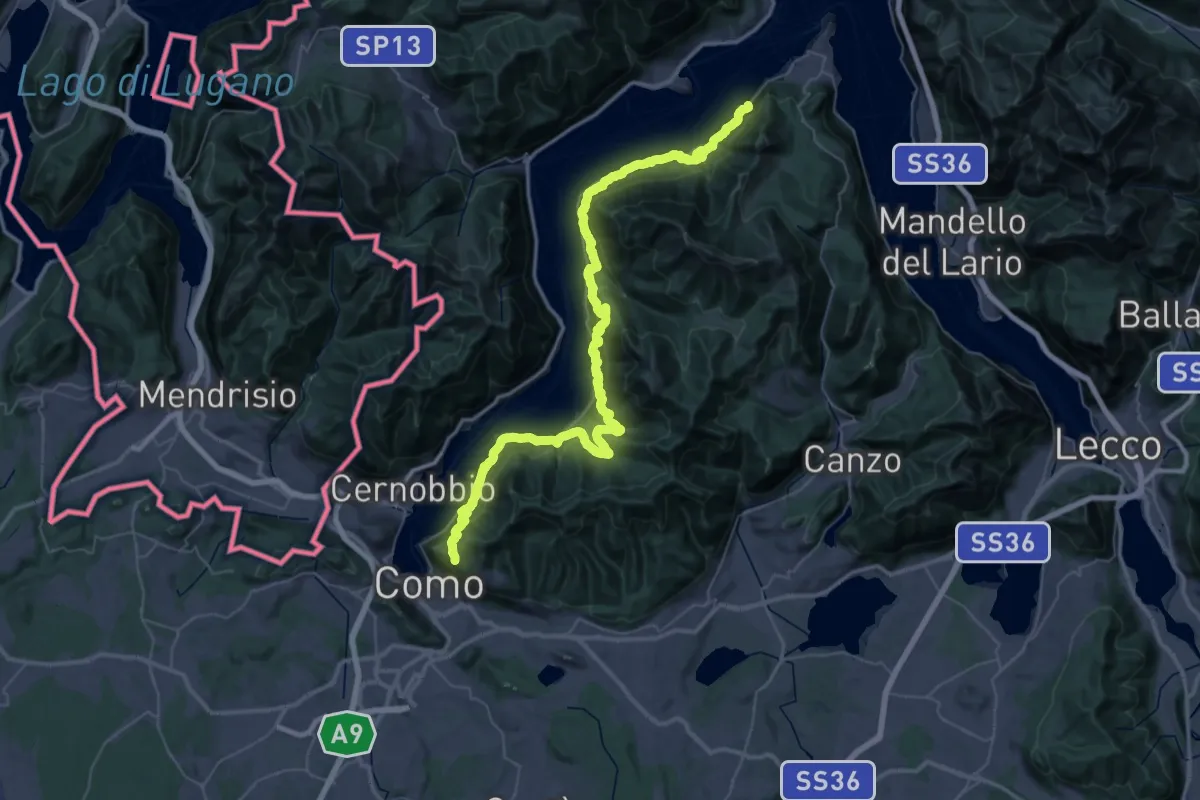
Demanding · Trail
Strada Regia
31.5 km · ↑ 2491 m · 13 h 4 min · 9 km away
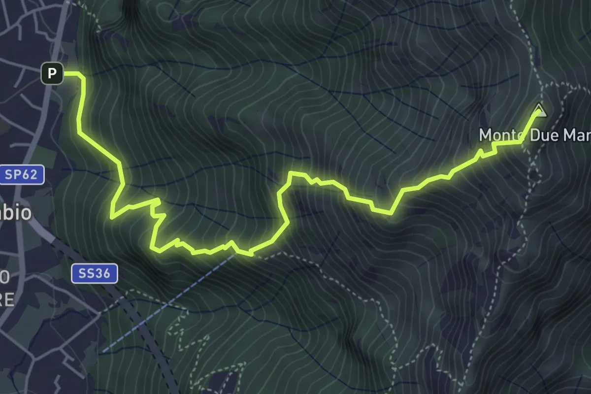
Demanding · Summit
Gera – Monte Due Mani
6.3 km · ↑ 961 m · 3 h 34 min · 9 km away
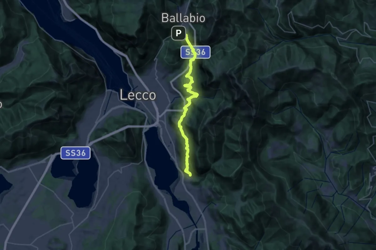
Medium · Trail
Sentiero Rotary
12.6 km · ↑ 429 m · 4 h 15 min · 9 km away
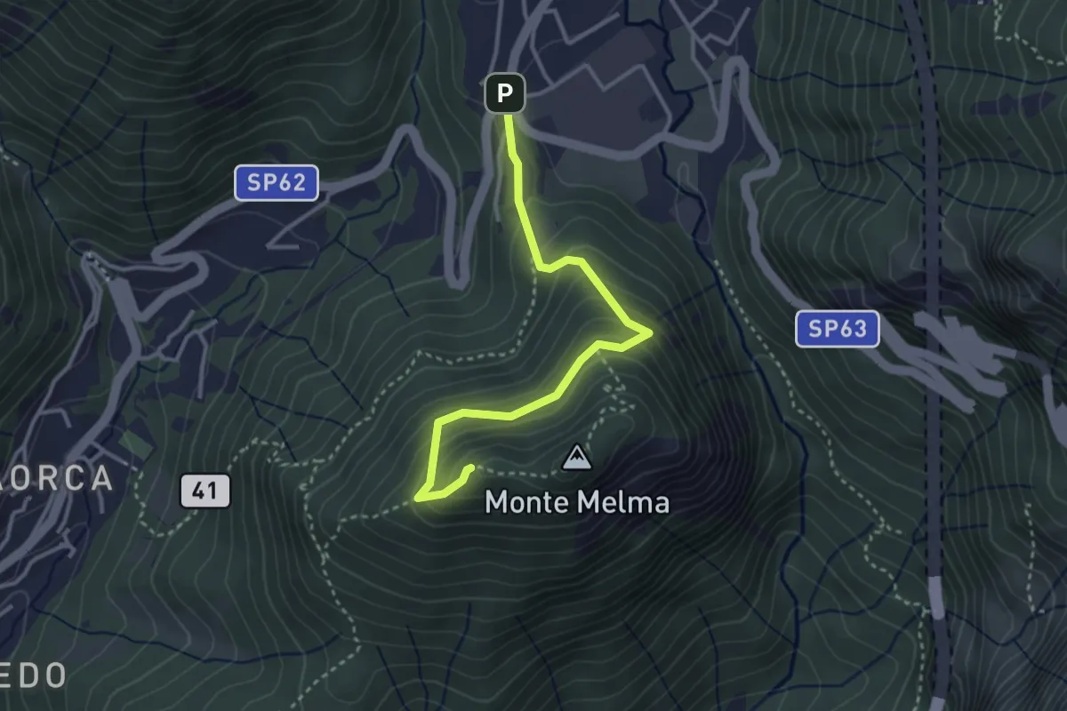
Medium · Summit
Sentiero Casati
3.3 km · ↑ 305 m · 1 h 27 min · 9 km away
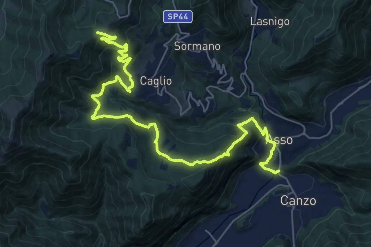
Demanding · Trail
Innesto Sentiero 300 – Innesto Sentiero 307V
22.6 km · ↑ 1139 m · 7 h 48 min · 9 km away
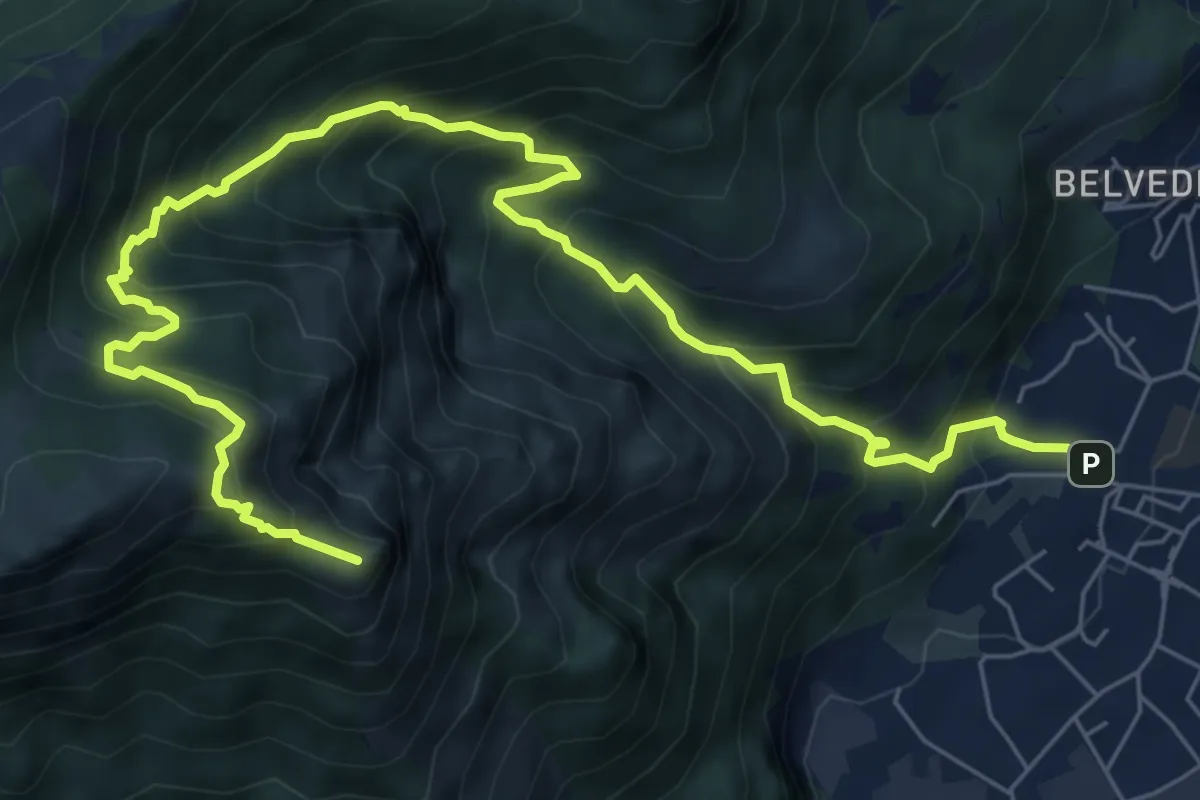
Expert · Summit
Caserta – Corno Birone
9.3 km · ↑ 1043 m · 4 h 28 min · 9 km away
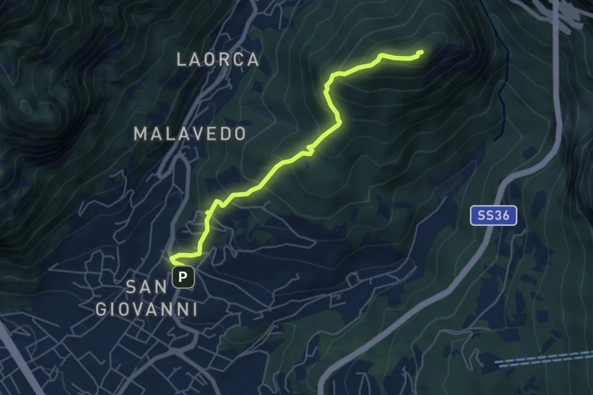
Medium · Summit
Lecco (Varigione) – Monte Melma
5.3 km · ↑ 554 m · 2 h 27 min · 9 km away
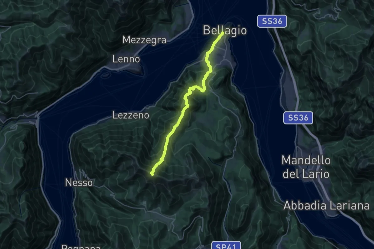
Expert · Summit
Colma di Sormano – Imbarcadero di Bellagio
22.2 km · ↑ 1840 m · 9 h 14 min · 9 km away
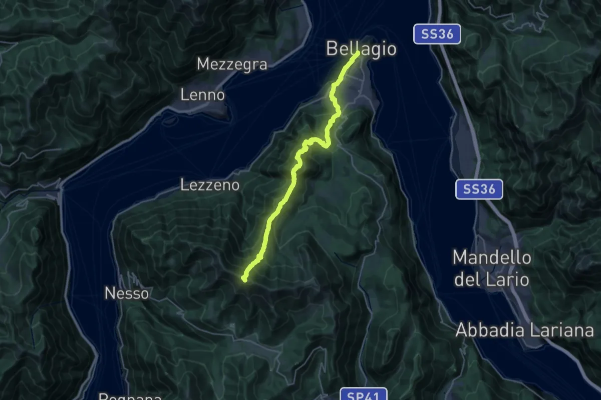
Demanding · Summit
Colma di Sormano – Imbarcadero di Bellagio
22.3 km · ↑ 1827 m · 9 h 13 min · 9 km away
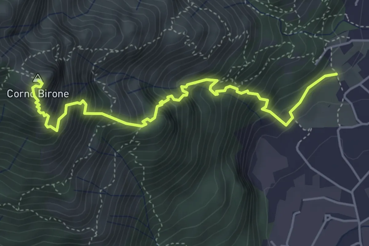
Demanding · Summit
Sentiero Lucio Vassena
5.0 km · ↑ 898 m · 3 h 7 min · 9 km away
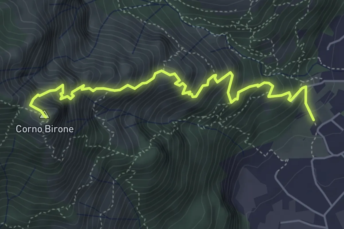
Expert · Summit
Sentiero Dario e William
5.4 km · ↑ 872 m · 3 h 10 min · 9 km away
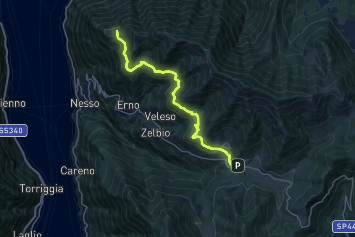
Medium · Trail
Pian del Tivano – Cresta NW M. Colmenacco
13.2 km · ↑ 610 m · 4 h 26 min · 9 km away
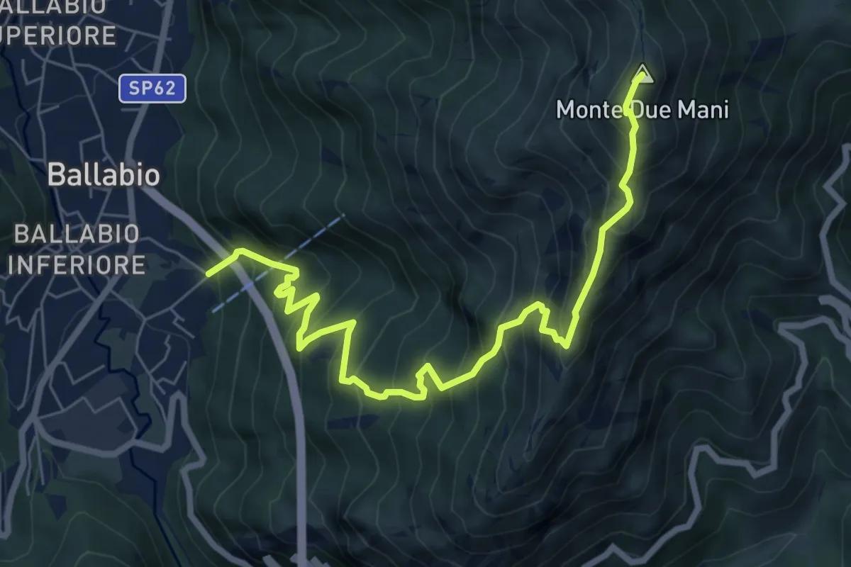
Demanding · Summit
Ballabio Inferiore (Ca' Formai) – Monte Due Mani
7.7 km · ↑ 970 m · 3 h 56 min · 9 km away
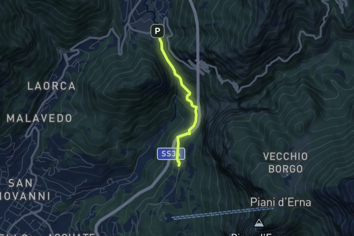
Medium · Trail
Sentiero Passo del Lupo
4.7 km · ↑ 225 m · 1 h 35 min · 9 km away
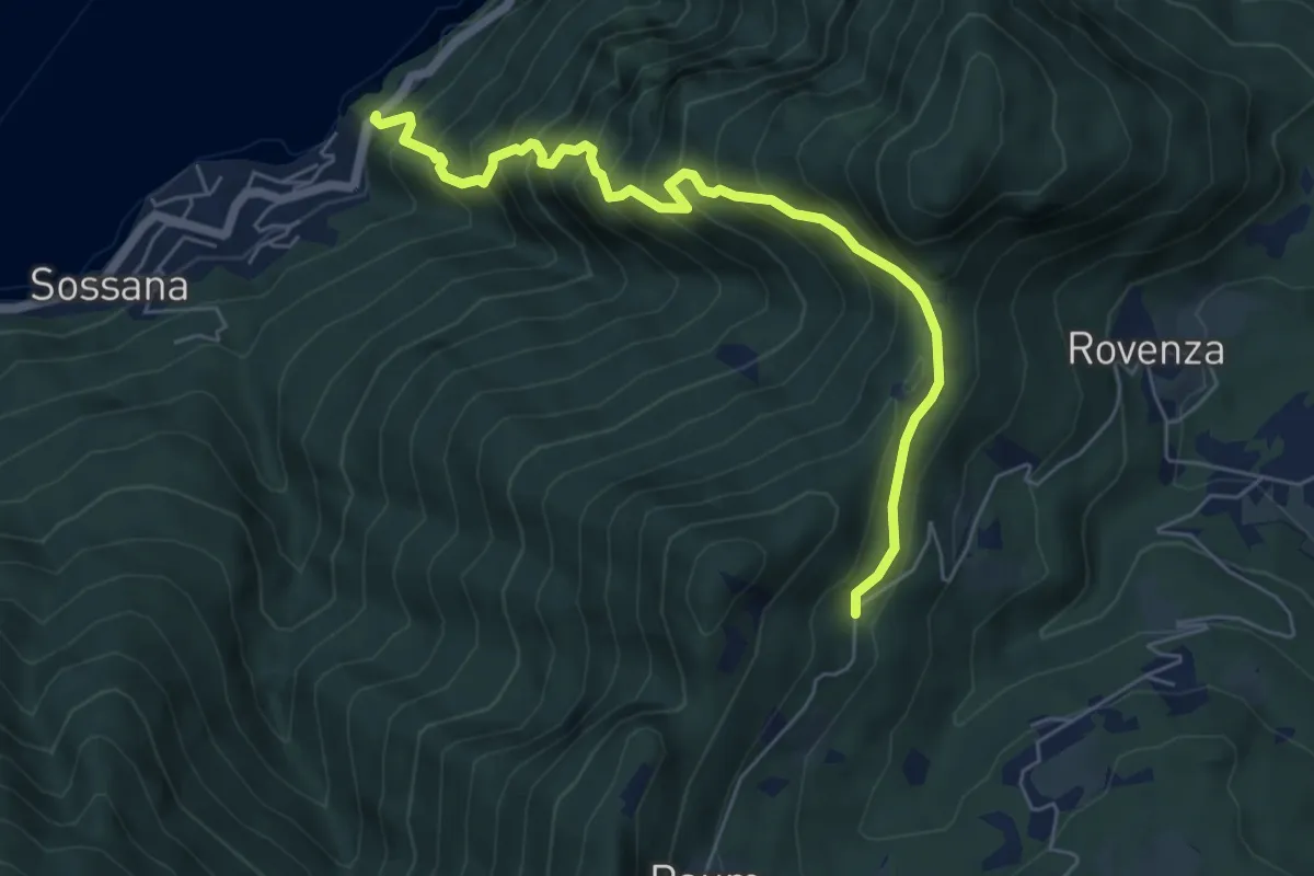
Medium · Trail
Casate – Rovenzola
6.2 km · ↑ 754 m · 3 h 7 min · 9 km away