Trails near Mandello del Lario
372 hikes starting within 15 km, nearest first.
Nearest first, page 4 of 8
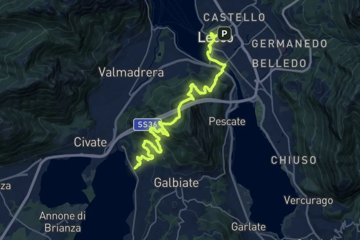
Demanding · Trail
Sentiero Pedemonte - Tappa 4
20.8 km · ↑ 1302 m · 7 h 43 min · 9 km away
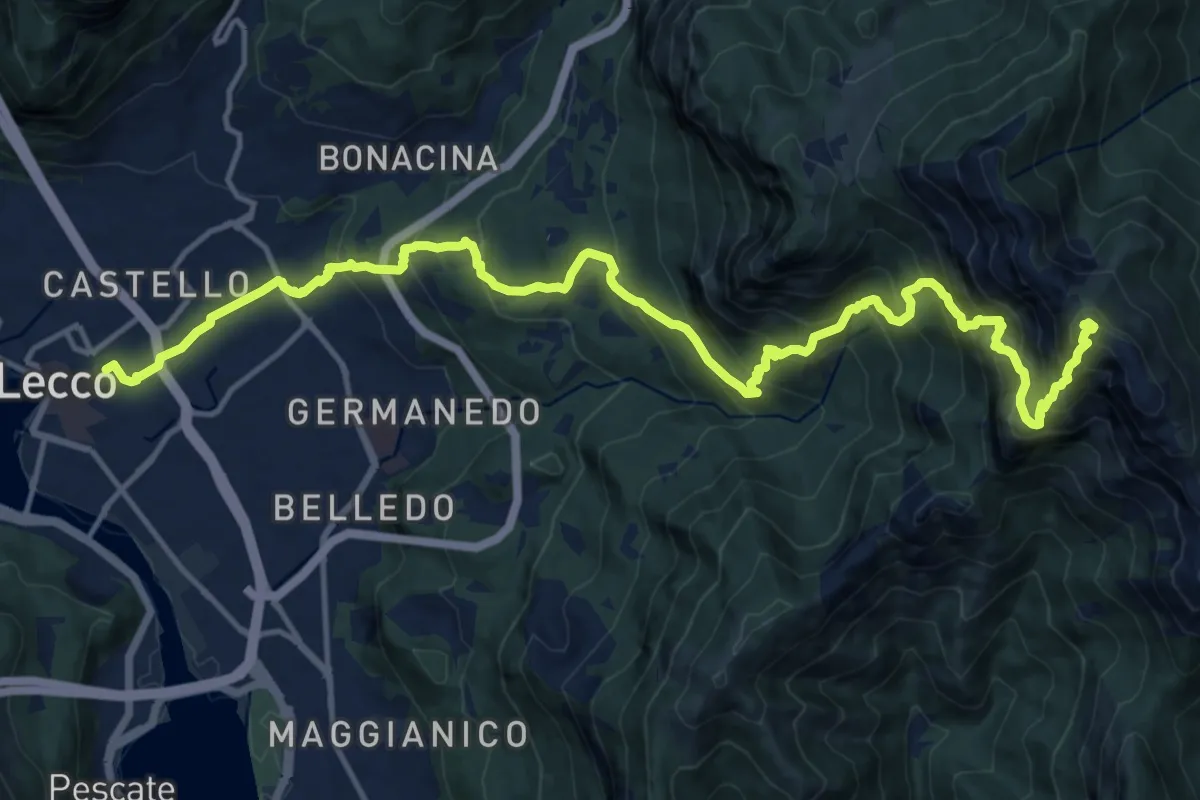
Demanding · Summit
Lecco (Stazione) – Monte Resegone
18.8 km · ↑ 1725 m · 8 h 10 min · 9 km away
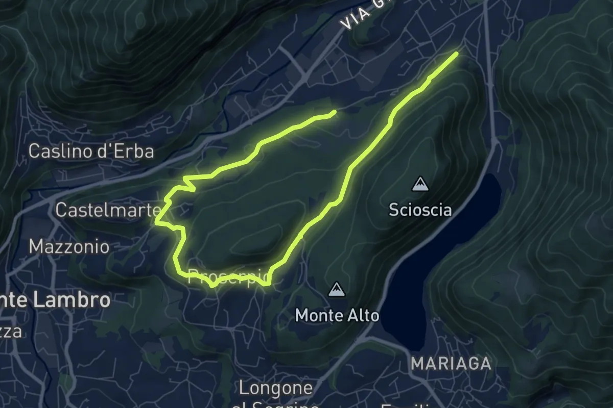
Medium · Trail
Canzo – C.na Emilia (Castelmarte)
12.0 km · ↑ 306 m · 3 h 30 min · 9 km away
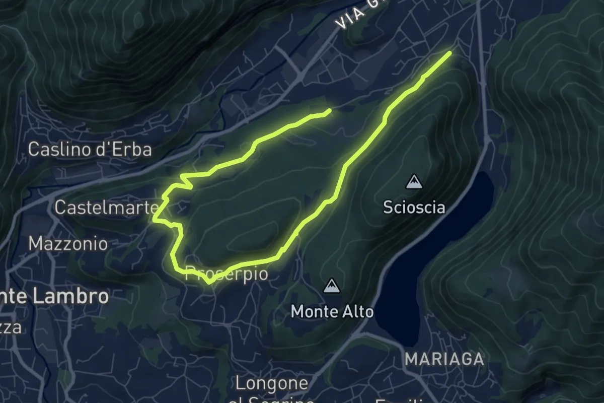
Medium · Trail
Canzo – C.na Emilia (Castelmarte)
11.8 km · ↑ 289 m · 3 h 24 min · 9 km away
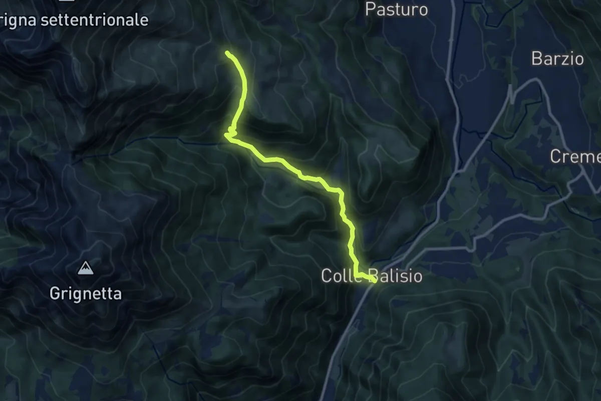
Medium · Trail
Balisio - Pialeral
9.0 km · ↑ 697 m · 3 h 38 min · 9 km away
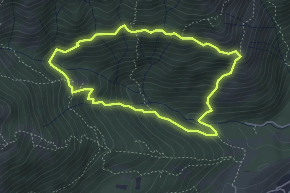
Medium · Summit
Anello dei Tre Casott
3.5 km · ↑ 387 m · 1 h 42 min · 9 km away
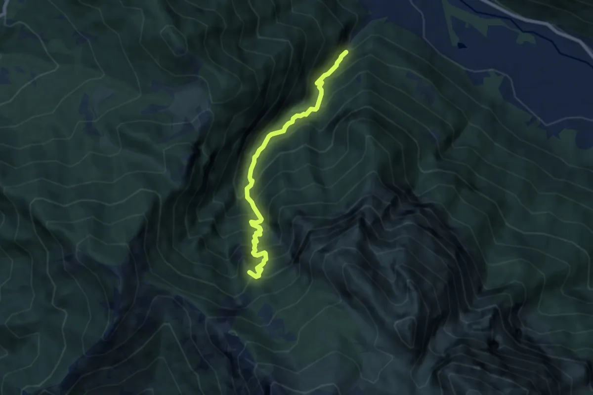
Demanding · Summit
Valle dei Mulini
6.6 km · ↑ 1057 m · 3 h 51 min · 9 km away
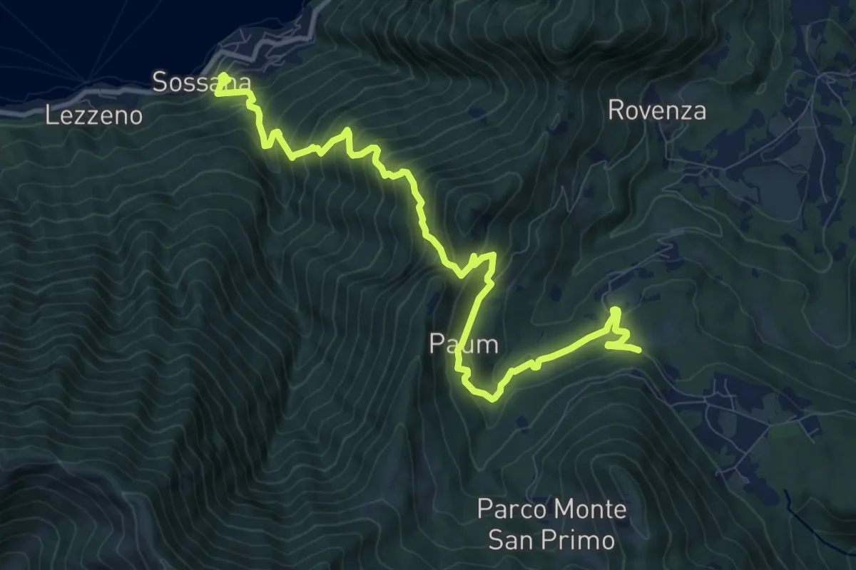
Demanding · Trail
Cendraro (Lezzeno) – Pietra Lentina
12.3 km · ↑ 1124 m · 5 h 20 min · 9 km away
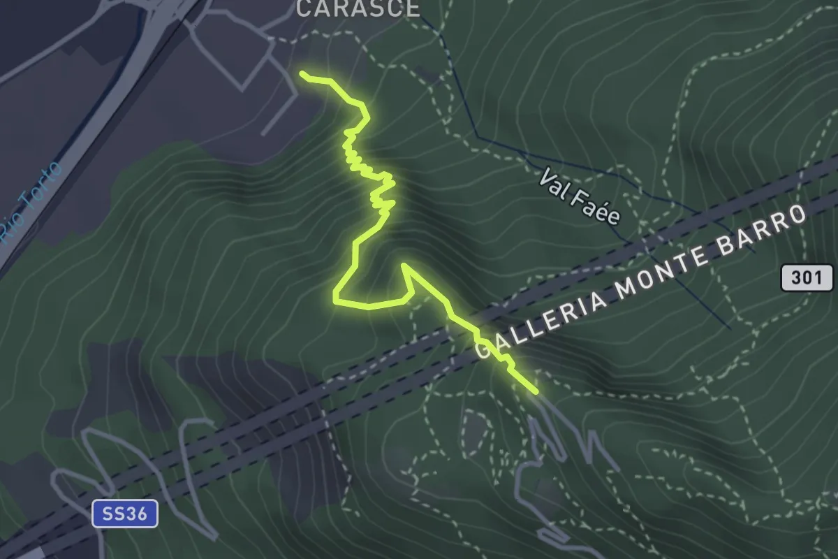
Medium · Trail
Valmadrera (fornaci Villa) – Culcinera
3.1 km · ↑ 428 m · 1 h 40 min · 10 km away
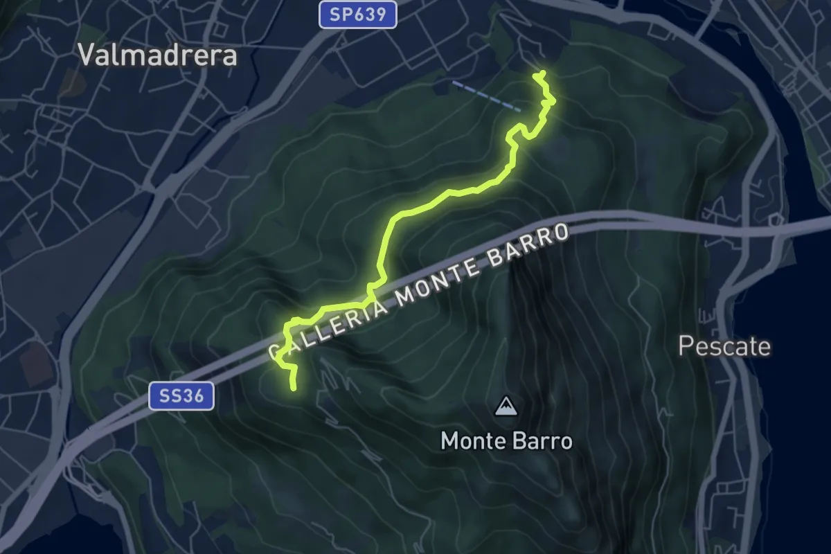
Demanding · Trail
Malgrate – Parco archeologico Monte Barro
5.6 km · ↑ 409 m · 2 h 12 min · 10 km away
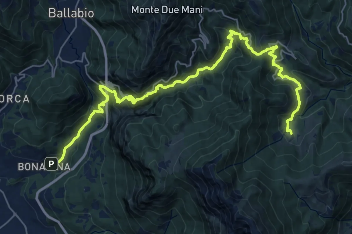
Demanding · Trail
Bonacina – Morterone
11.5 km · ↑ 1187 m · 5 h 5 min · 10 km away
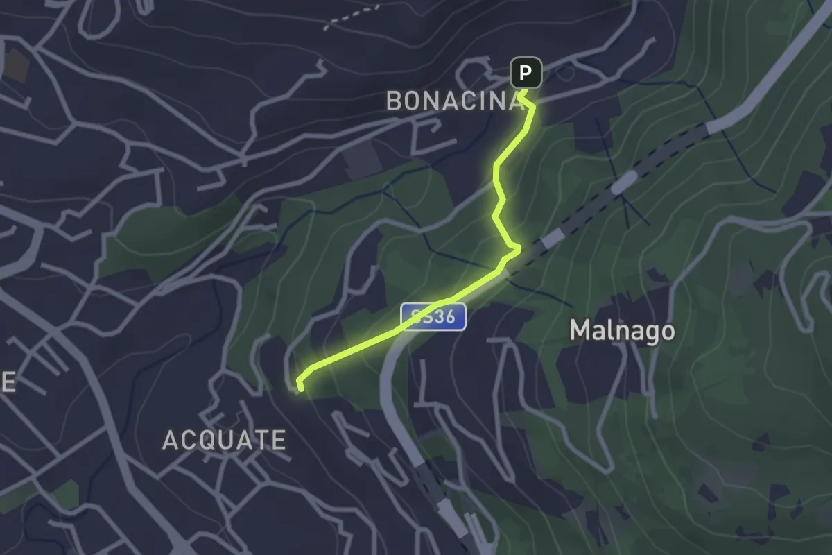
Easy · Trail
Bonacina – Acquate, Madonna di Lourdes
2.1 km · ↑ 114 m · 45 min · 10 km away
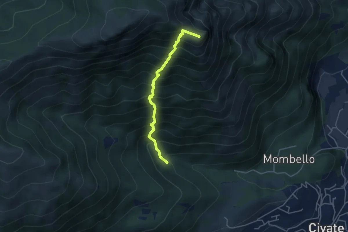
Medium · Summit
Innesto 10 SEC – Innesto 1 OSA
3.2 km · ↑ 652 m · 2 h 10 min · 10 km away
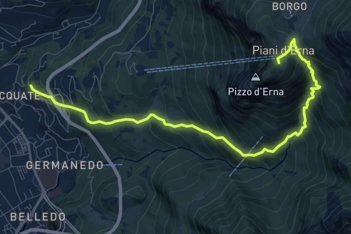
Demanding · Trail
Acquate – Piani d'Erna, funivia
10.6 km · ↑ 997 m · 4 h 40 min · 10 km away
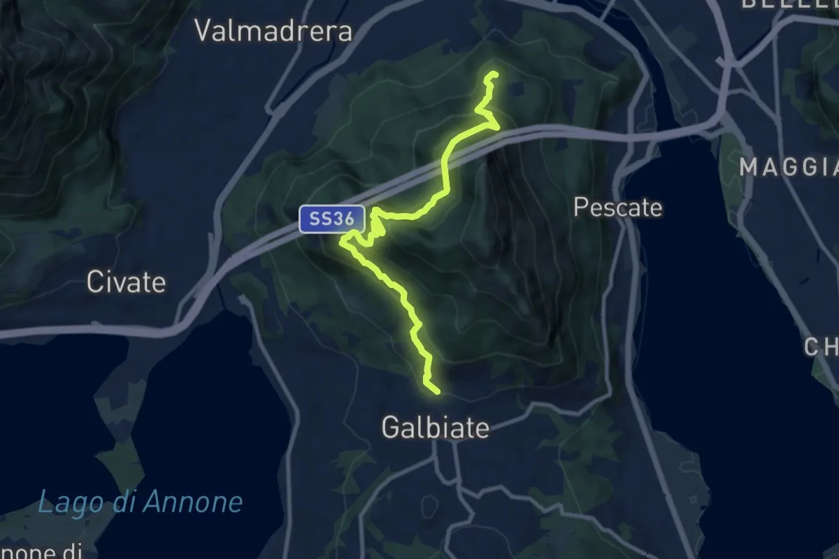
Medium · Trail
Sentiero di mezzo
9.3 km · ↑ 734 m · 3 h 47 min · 10 km away
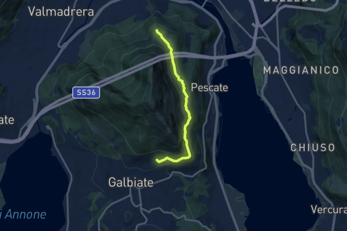
Medium · Trail
Sentiero di mezzo
6.7 km · ↑ 354 m · 2 h 21 min · 10 km away
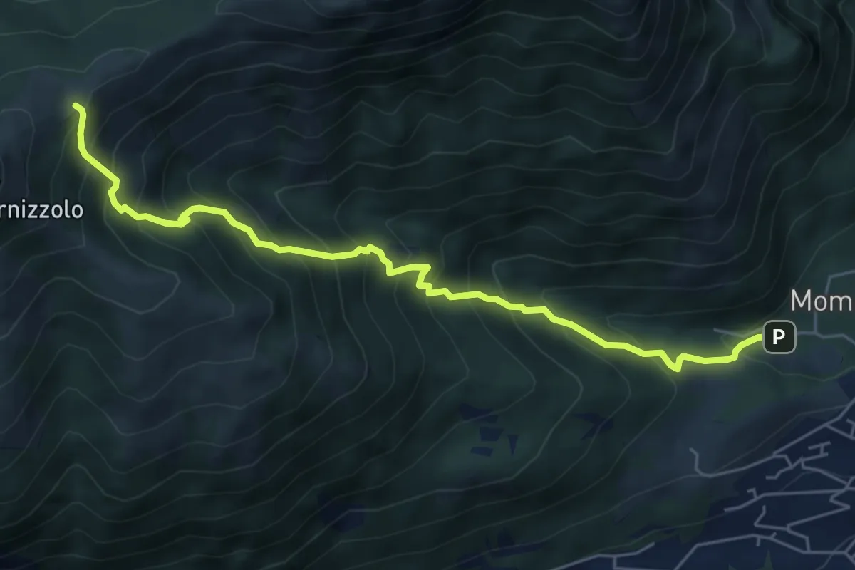
Medium · Cabin
Pozzo – Rifugio SEC Marisa Consigliere
6.2 km · ↑ 778 m · 3 h 9 min · 10 km away
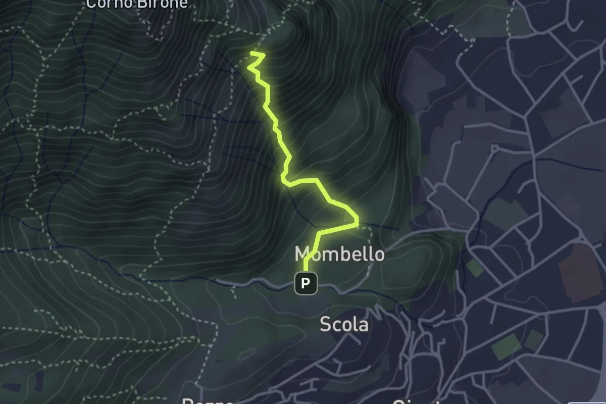
Medium · Trail
Mombello – Innesto 8 SEC
2.7 km · ↑ 375 m · 1 h 27 min · 10 km away
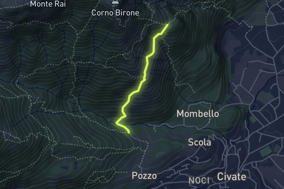
Medium · Trail
Cascina Oro – Ceppo della Forcola
2.6 km · ↑ 345 m · 1 h 22 min · 10 km away
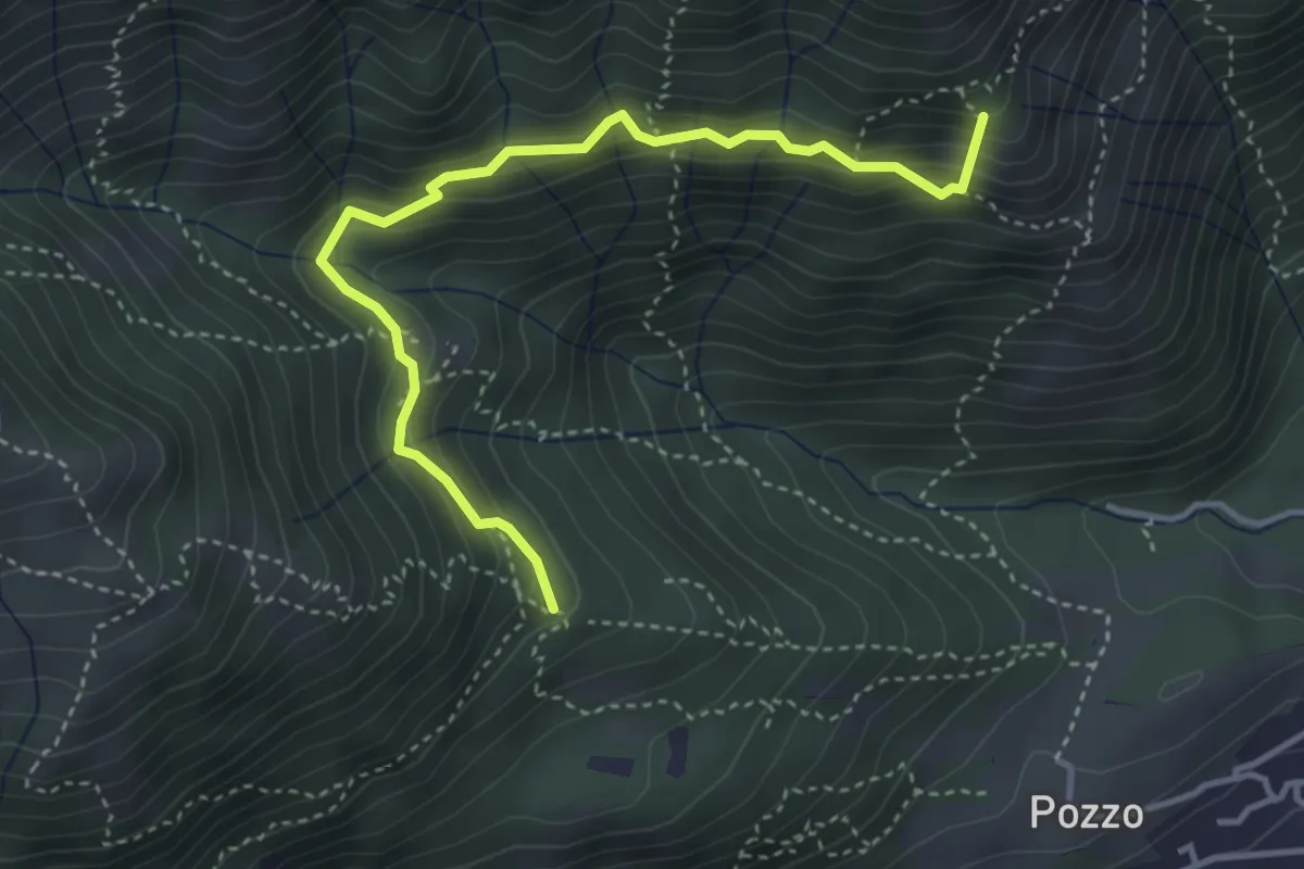
Medium · Summit
Tre Casott – Dosso della Guardia
4.1 km · ↑ 347 m · 1 h 43 min · 10 km away
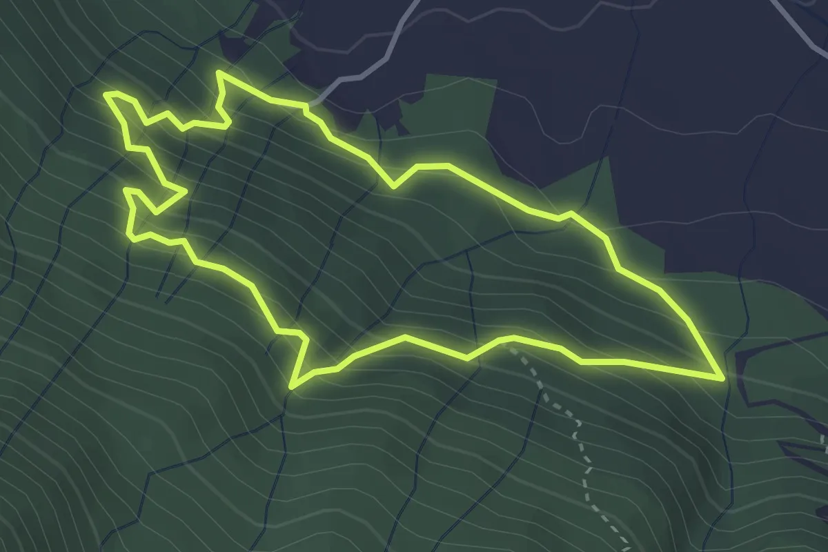
Medium · Trail
Sentiero delle Miniere
3.2 km · ↑ 341 m · 1 h 33 min · 10 km away
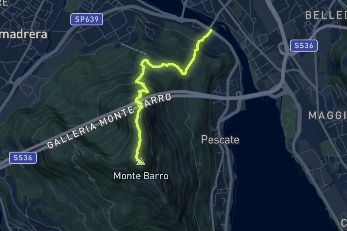
Expert · Summit
Lecco (Ponte Azzone Visconti) – Monte Barro
6.6 km · ↑ 705 m · 3 h 5 min · 10 km away
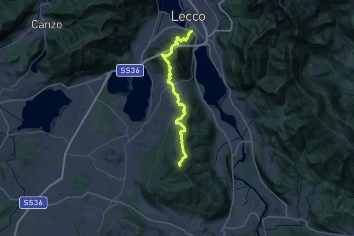
Demanding · Summit
Sentierone
27.4 km · ↑ 1740 m · 10 h 14 min · 10 km away
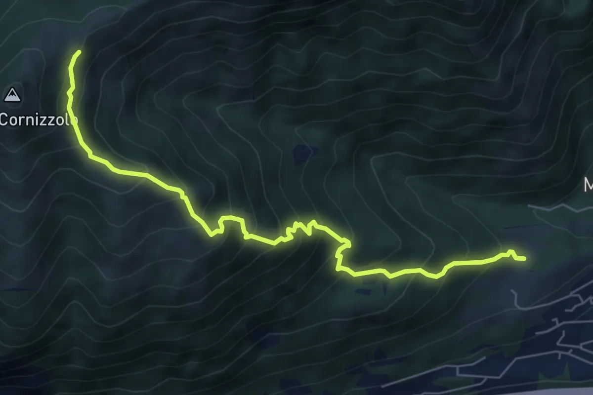
Medium · Cabin
Pozzo – Rifugio SEC Marisa Consigliere
6.7 km · ↑ 747 m · 3 h 12 min · 10 km away
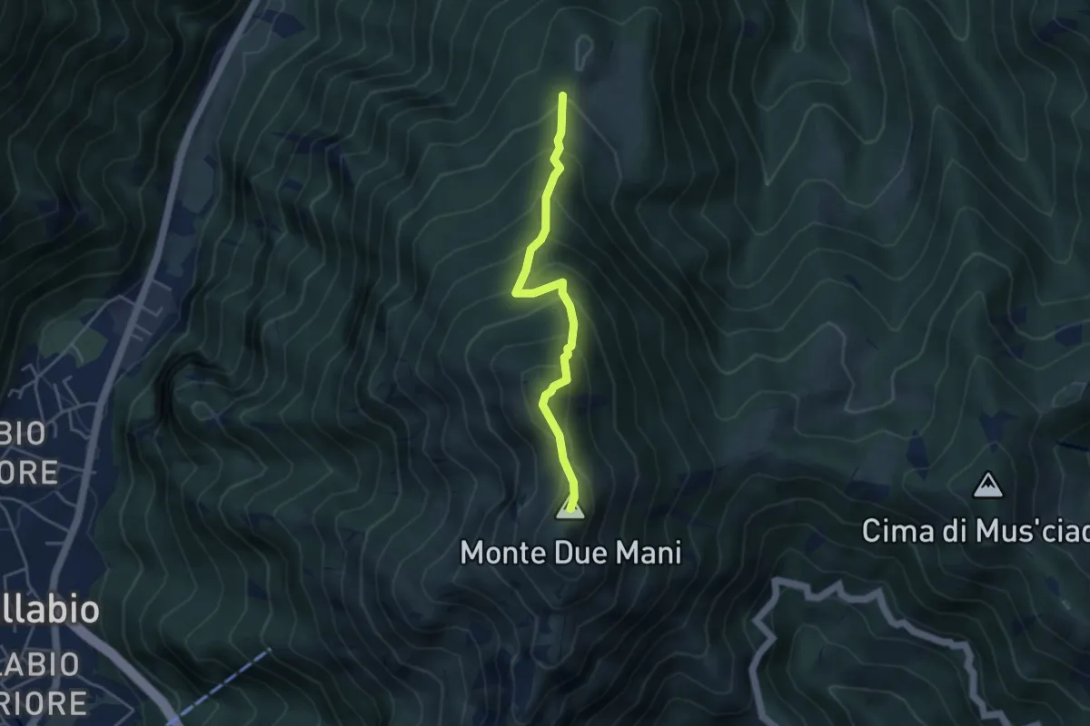
Medium · Summit
Casera di Bodega – Monte Due Mani
3.8 km · ↑ 424 m · 1 h 49 min · 10 km away
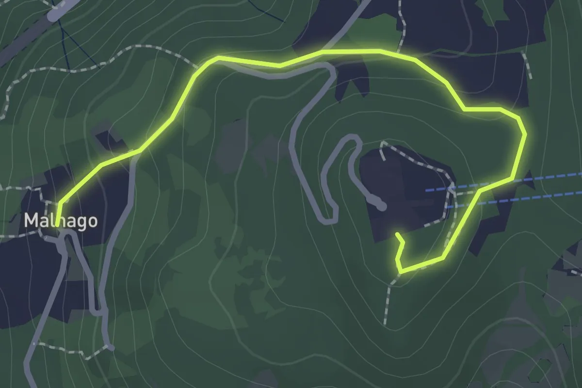
Easy · Trail
Malnago – Piazzale funivia per Erna
2.5 km · ↑ 112 m · 50 min · 10 km away
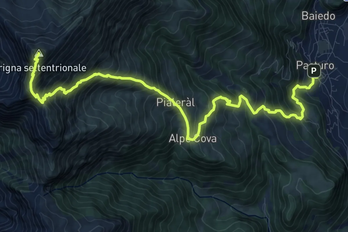
Demanding · Summit
Rifugio Luigi Brioschi – Pasturo
16.5 km · ↑ 1832 m · 7 h 52 min · 10 km away
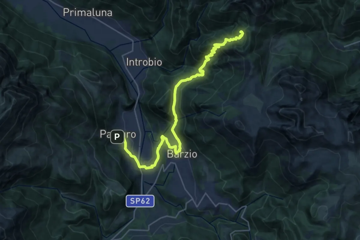
Demanding · Cabin
Pasturo – Rifugio Buzzoni
10.6 km · ↑ 1181 m · 4 h 46 min · 10 km away
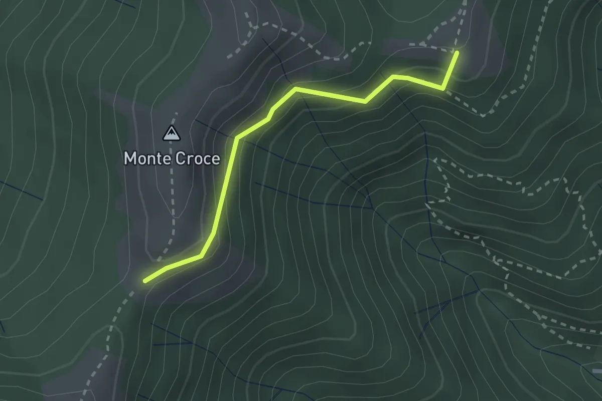
Medium · Summit
Ca' del Boschet – Bocchetta di Caglio
2.3 km · ↑ 128 m · 49 min · 10 km away
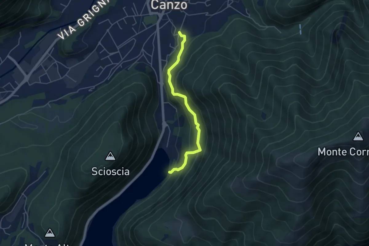
Medium · Trail
Lago del Segrino – Canzo
4.2 km · ↑ 399 m · 1 h 52 min · 10 km away
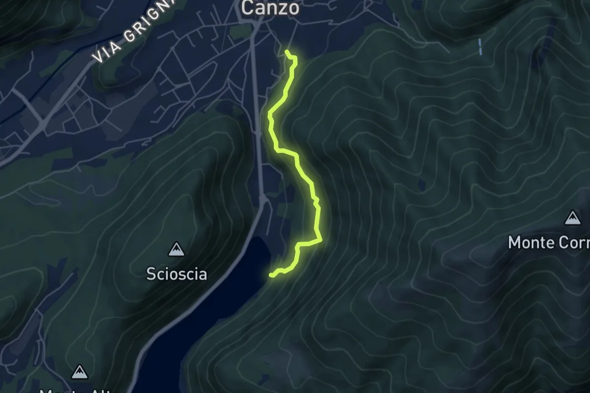
Medium · Trail
Sentiero di Budracch
4.2 km · ↑ 399 m · 1 h 52 min · 10 km away
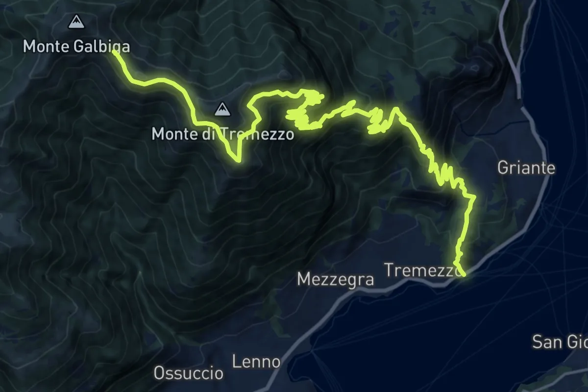
Demanding · Cabin
Tremezzo – Rifugio Venini
14.4 km · ↑ 1696 m · 6 h 35 min · 10 km away
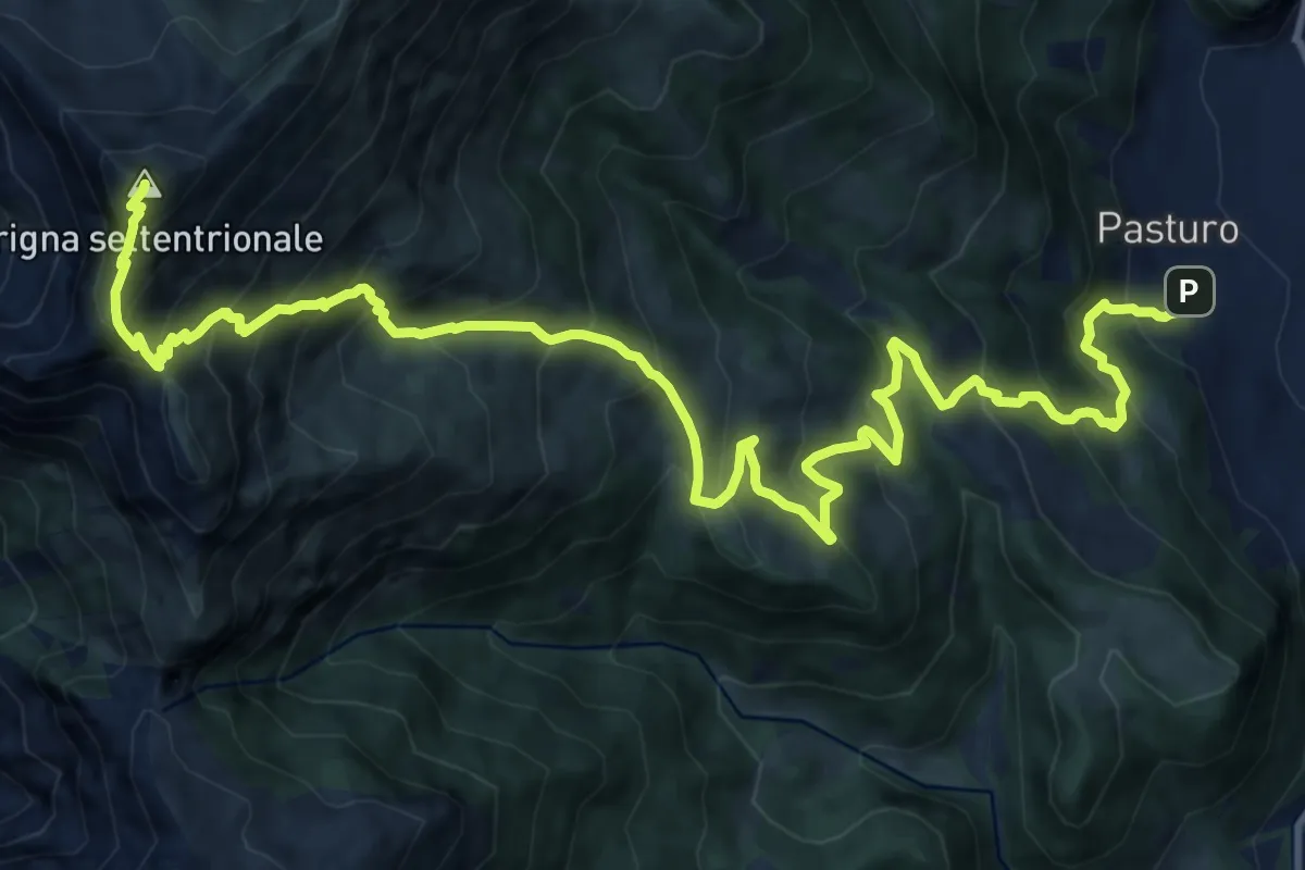
Demanding · Summit
Pasturo - Grignone (via estiva)
18.3 km · ↑ 1819 m · 8 h 15 min · 10 km away
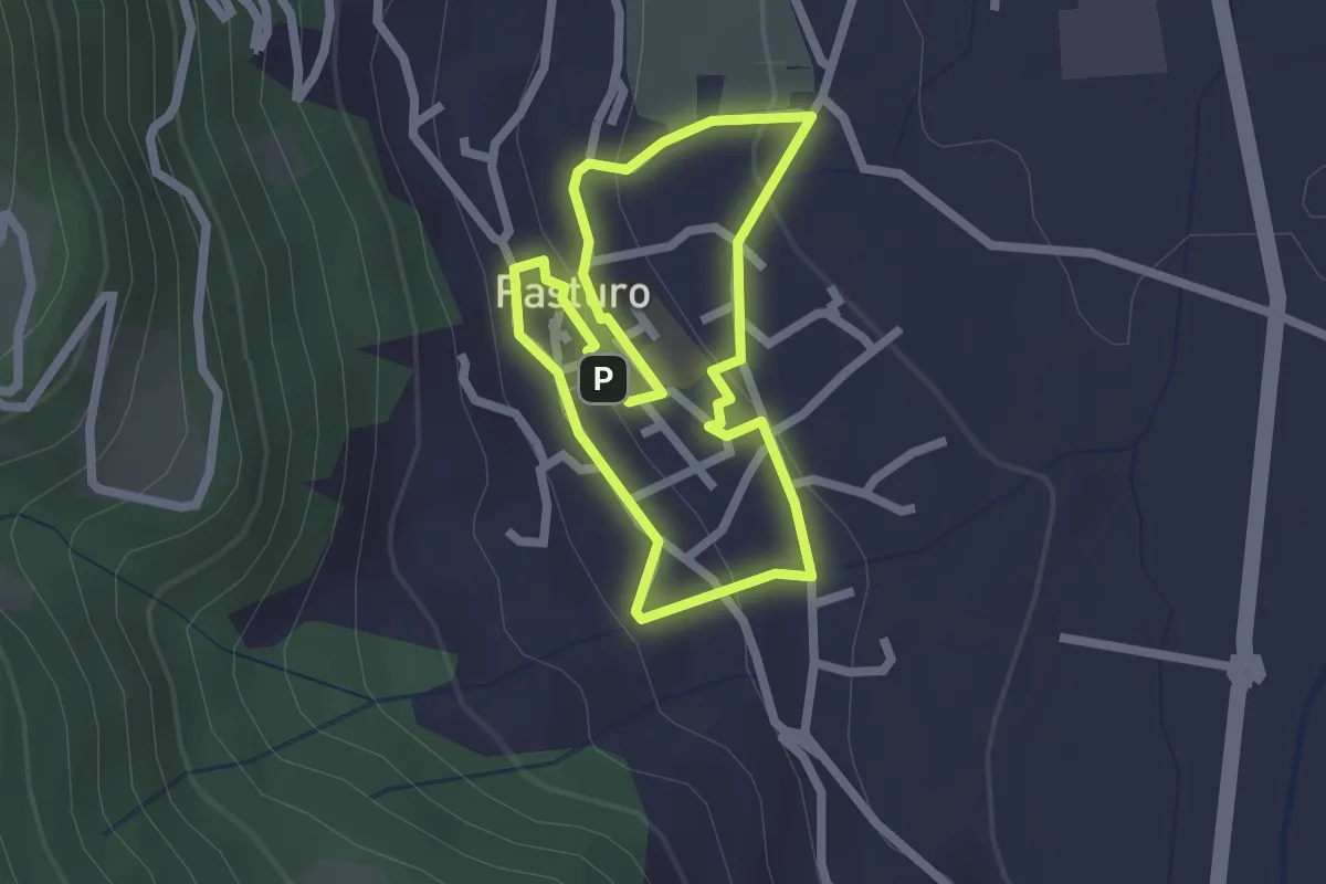
Easy · Trail
Percorso poetico di Antonia Pozzi
2.0 km · ↑ 69 m · 39 min · 10 km away
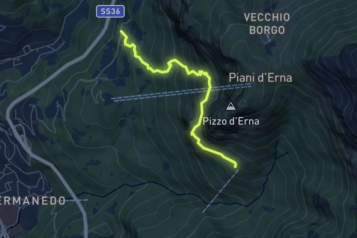
Expert · Cabin
Versasio – Rifugio Stoppani
5.6 km · ↑ 636 m · 2 h 42 min · 10 km away
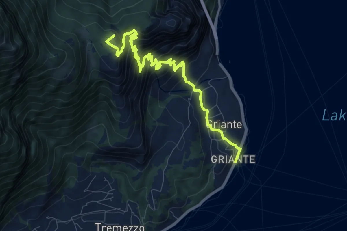
Demanding · Summit
Cadenabbia – Bocchetta di Nava
10.5 km · ↑ 897 m · 4 h 25 min · 10 km away
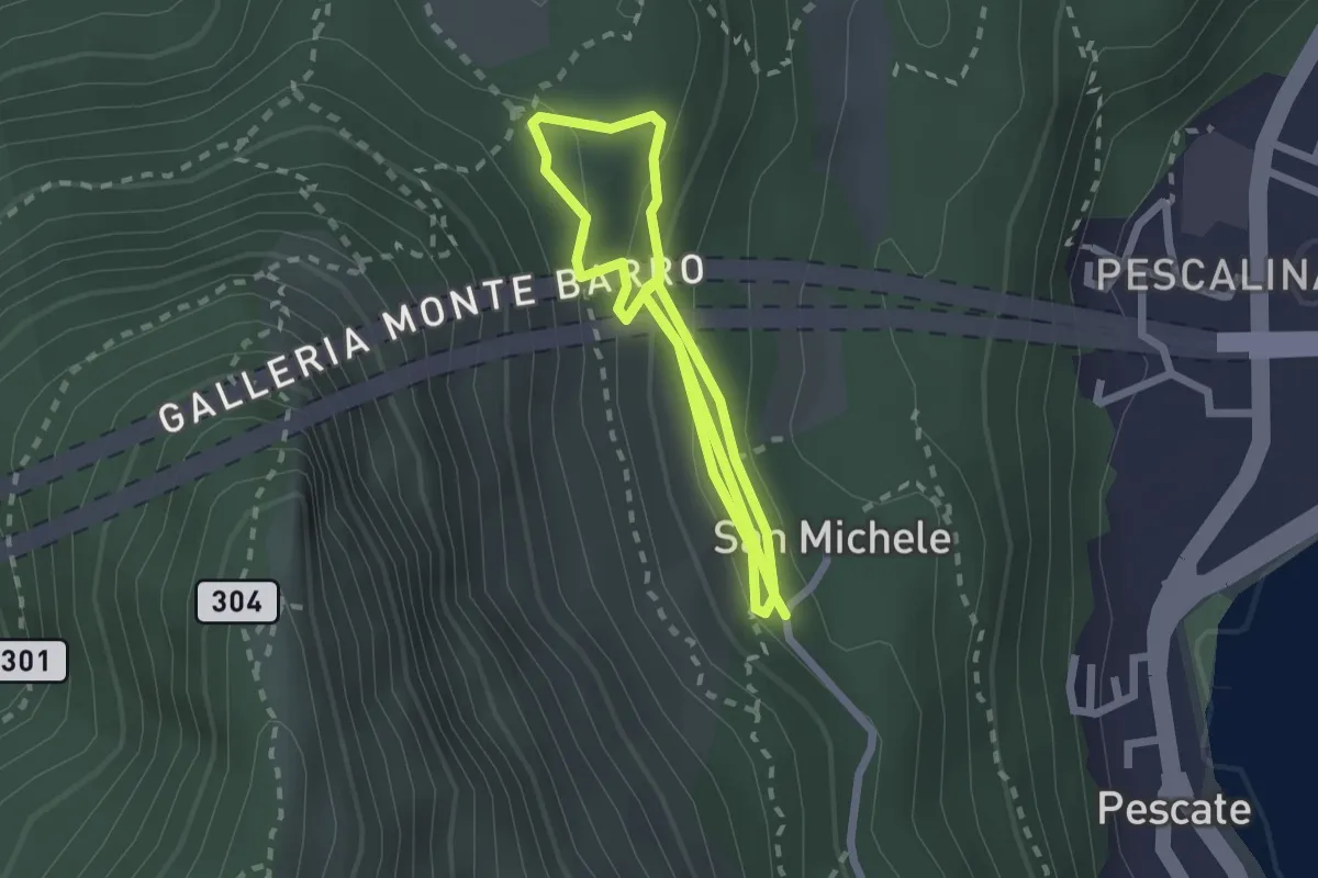
Medium · Trail
San Michele – San Michele
4.2 km · ↑ 208 m · 1 h 26 min · 10 km away
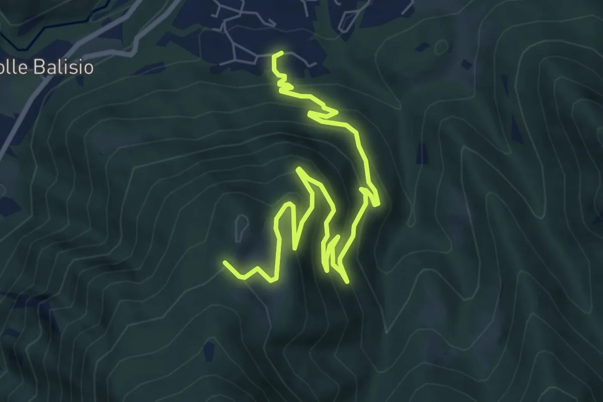
Medium · Trail
Casere di Maggio – La Foppa
8.4 km · ↑ 555 m · 3 h 11 min · 10 km away
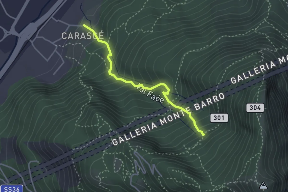
Medium · Trail
Carascé – Faée Alto
2.9 km · ↑ 388 m · 1 h 31 min · 10 km away
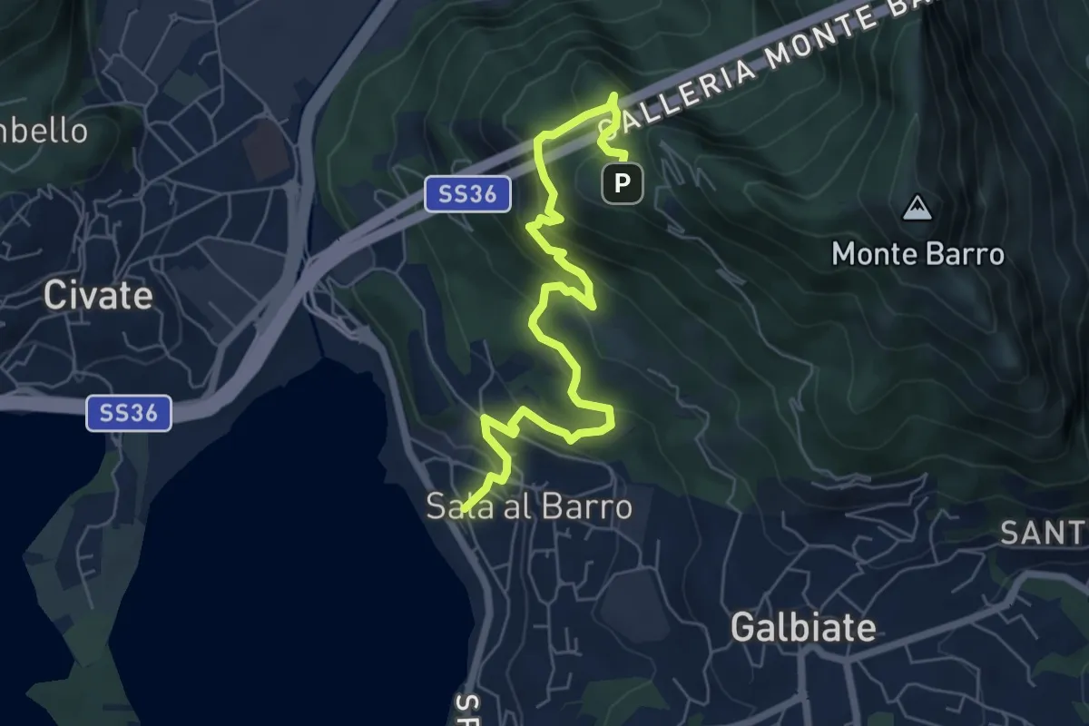
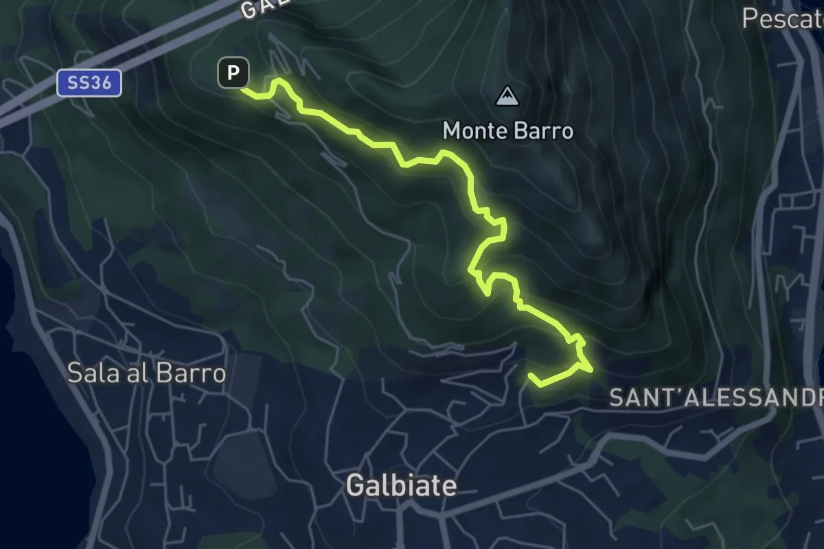
Medium · Trail
Sala al Barro (FS) – Parco archeologico Monte Barro
6.9 km · ↑ 476 m · 2 h 40 min · 10 km away
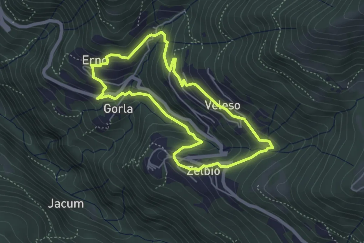
Medium · Trail
Galbiate – Parco archeologico Monte Barro
5.6 km · ↑ 521 m · 2 h 27 min · 10 km away
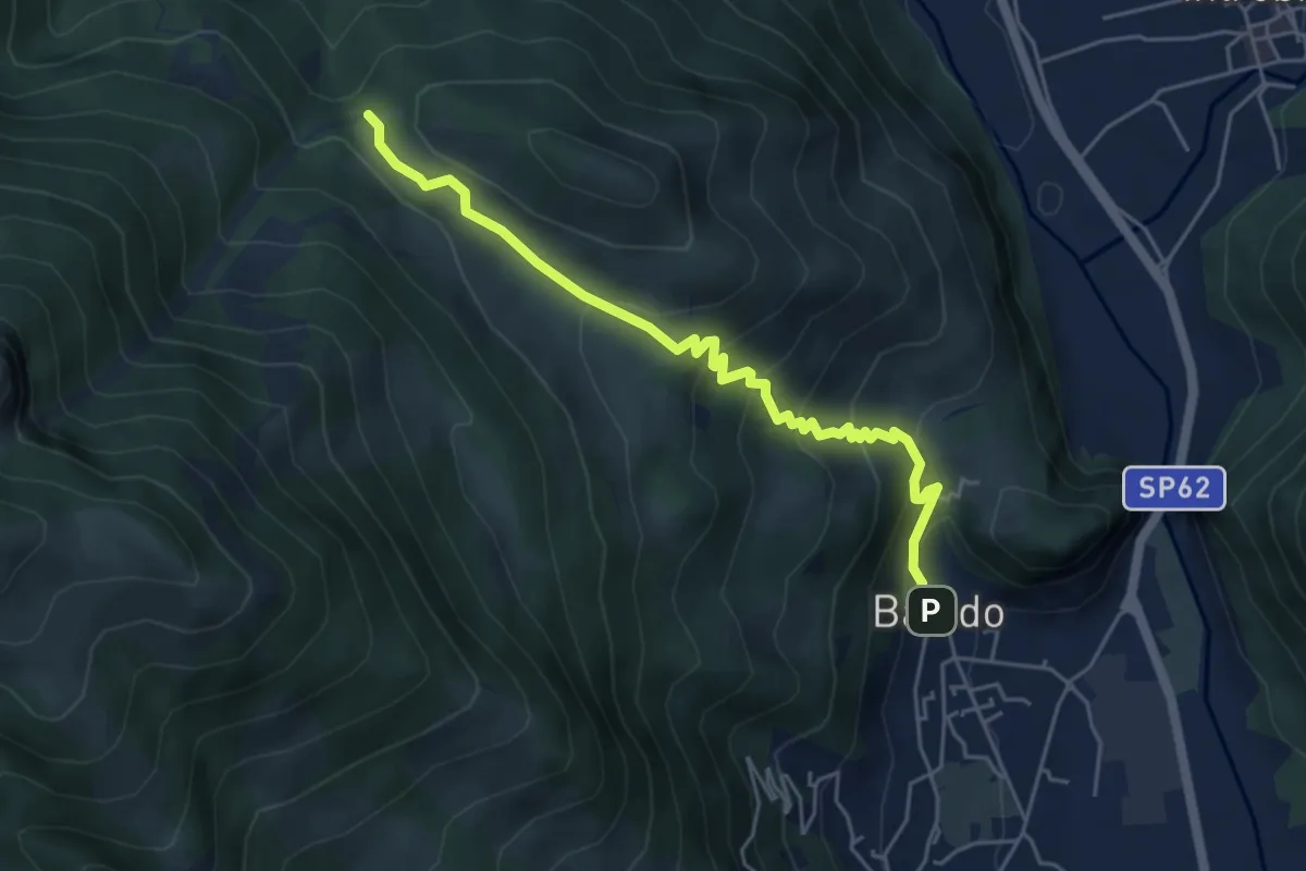
Easy · Trail
Anello dei tre campanili
4.0 km · ↑ 219 m · 1 h 29 min · 10 km away
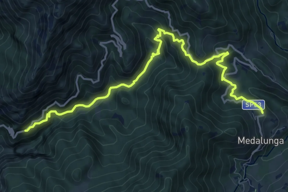
Medium · Trail
Sentiero 34: Baiedo - Rifugio Riva
5.2 km · ↑ 383 m · 2 h 4 min · 10 km away
Demanding · Trail
Antica Strada Comunale di Morterone
11.9 km · ↑ 805 m · 4 h 33 min · 11 km away
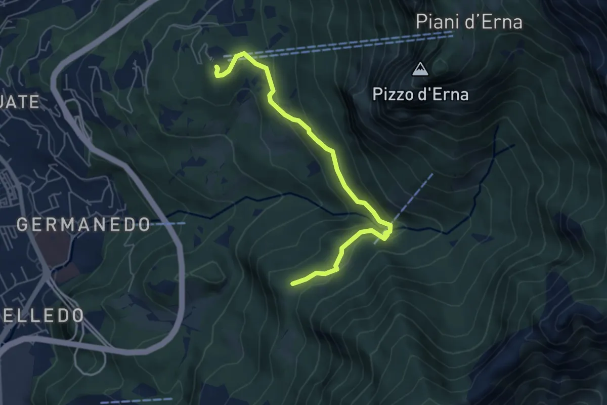
Easy · Trail
Piazzale funivia – Campo de' Boi - La Madonnina
5.5 km · ↑ 212 m · 1 h 45 min · 11 km away
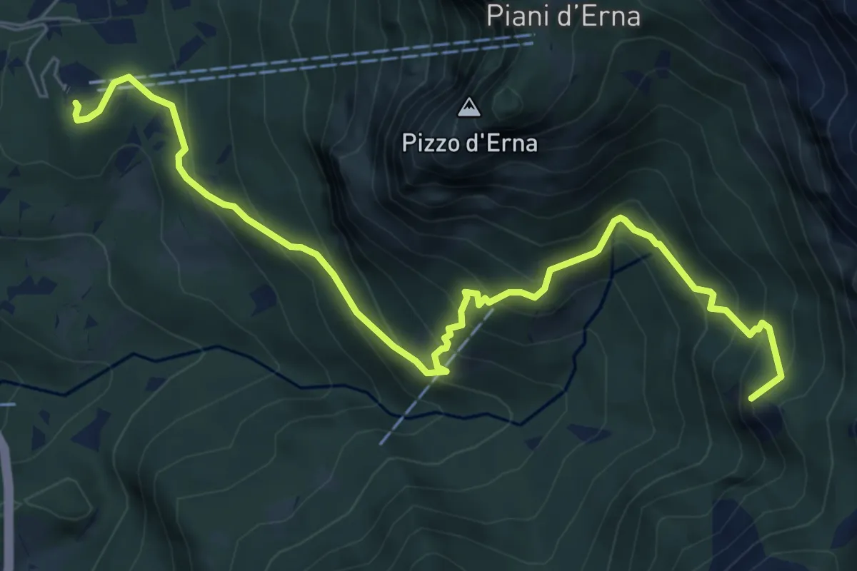
Medium · Summit
Piazzale funivia per Piani d'Erna – Rif. Alpinisti Monzesi
7.7 km · ↑ 658 m · 3 h 15 min · 11 km away
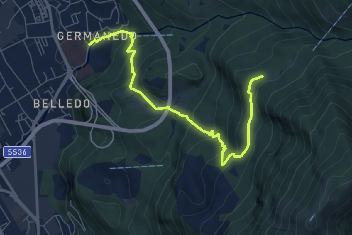
Medium · Trail
Lecco – Campo de' Boi, La Madonnina
6.5 km · ↑ 445 m · 2 h 31 min · 11 km away
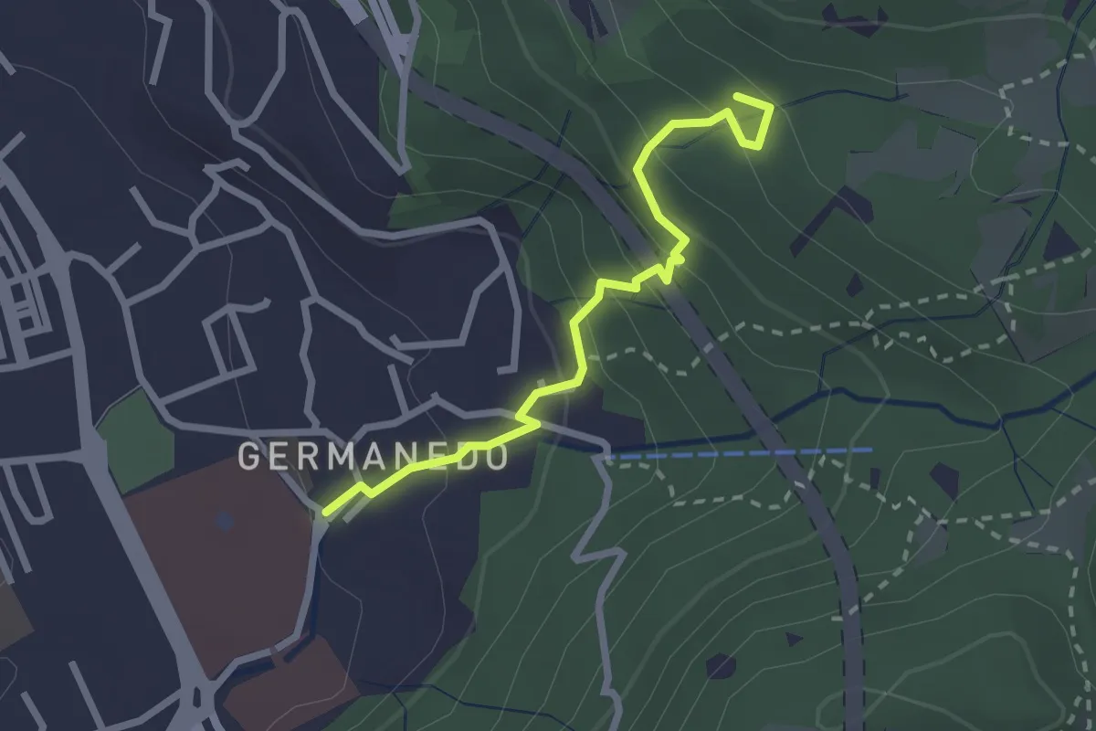
Easy · Trail
Lecco – Innesto su percorso 903
2.4 km · ↑ 183 m · 57 min · 11 km away