Trails near Mandello del Lario
372 hikes starting within 15 km, nearest first.
Nearest first, page 5 of 8
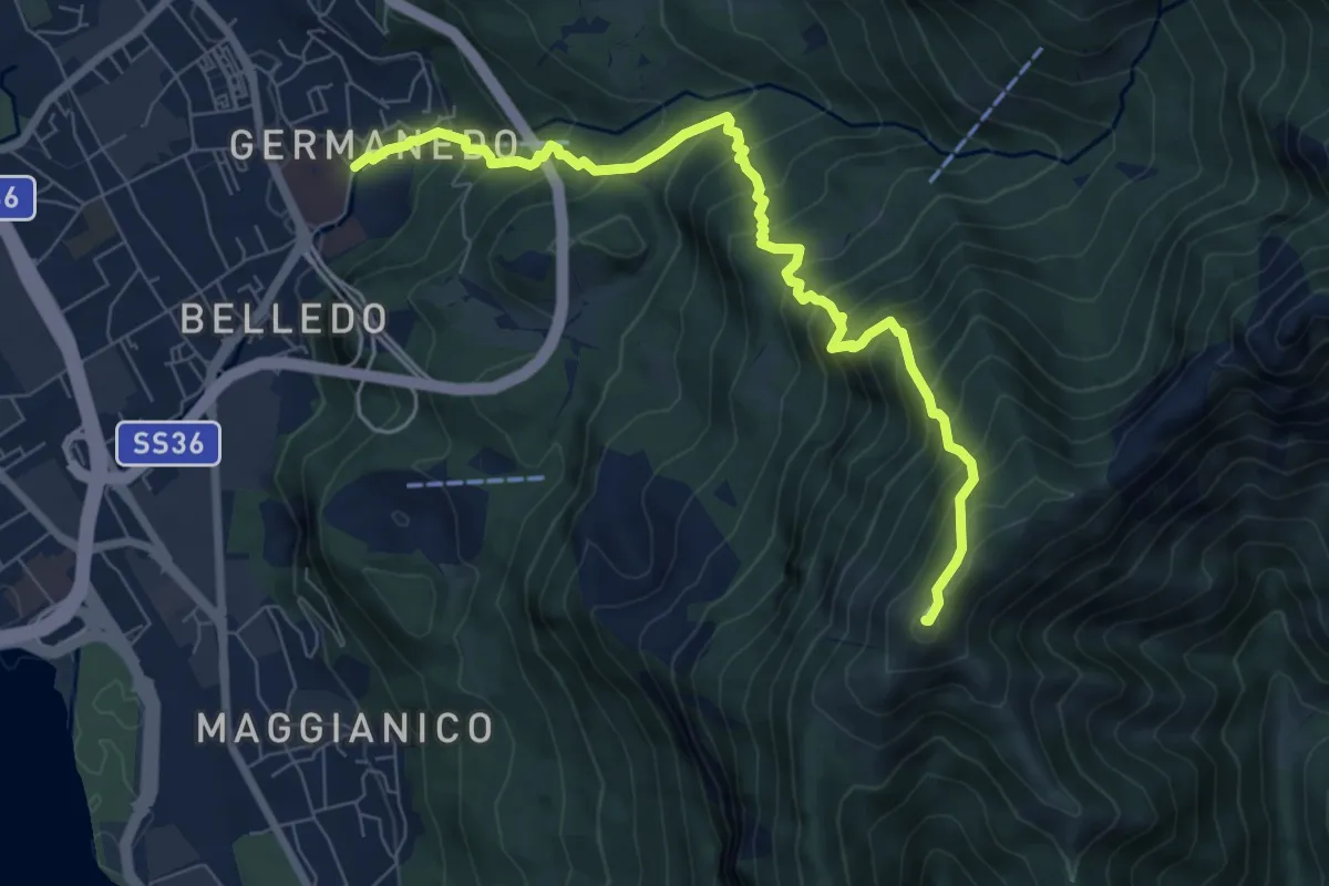
Demanding · Summit
Lecco Germanedo – Monte Magnodeno
8.0 km · ↑ 950 m · 3 h 57 min · 11 km away
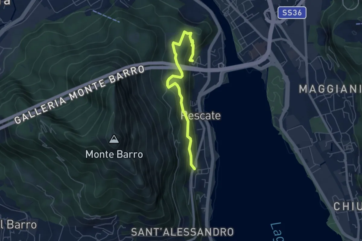
Medium · Trail
Pescalina – Pescate (cimitero)
5.5 km · ↑ 361 m · 2 h 4 min · 11 km away
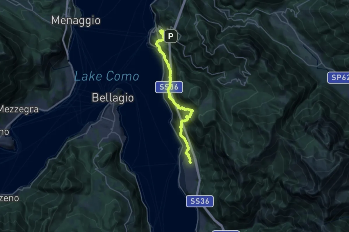
Demanding · Trail
Sentiero del Viandante (Lierna - Perledo) (variante bassa)
10.2 km · ↑ 934 m · 4 h 39 min · 11 km away
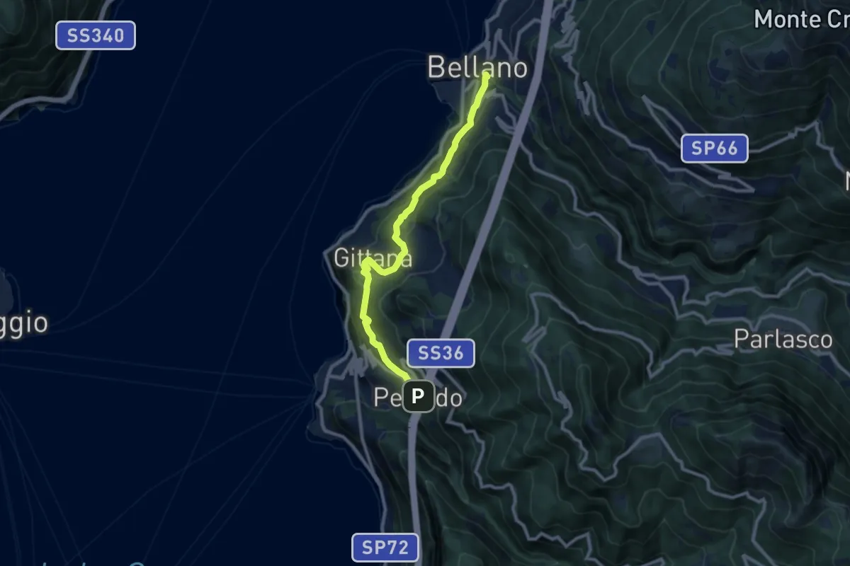
Medium · Trail
Sentiero del Viandante (Perledo - Bellano)
9.1 km · ↑ 516 m · 3 h 15 min · 11 km away
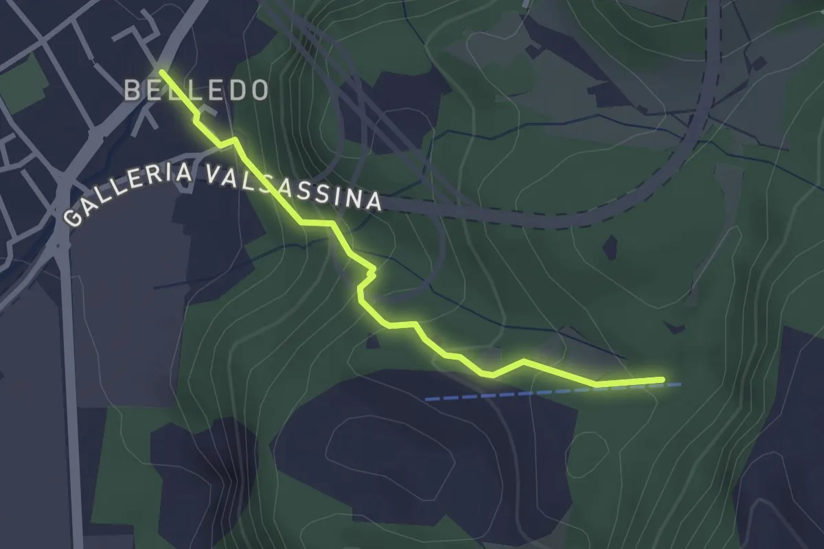
Easy · Trail
Belledo (Lecco) – Sentiero Rotary 920, Vaiolo Bassa
2.5 km · ↑ 202 m · 1 h 1 min · 11 km away
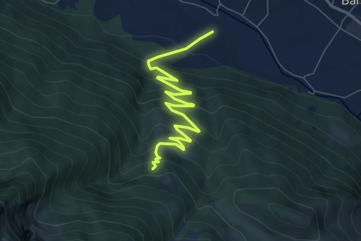
Medium · Trail
Sentiero 35: Primaluna - Rifugio Riva
7.2 km · ↑ 476 m · 2 h 44 min · 11 km away
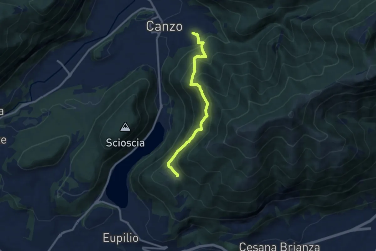
Medium · Trail
Senterun
6.7 km · ↑ 648 m · 2 h 59 min · 11 km away
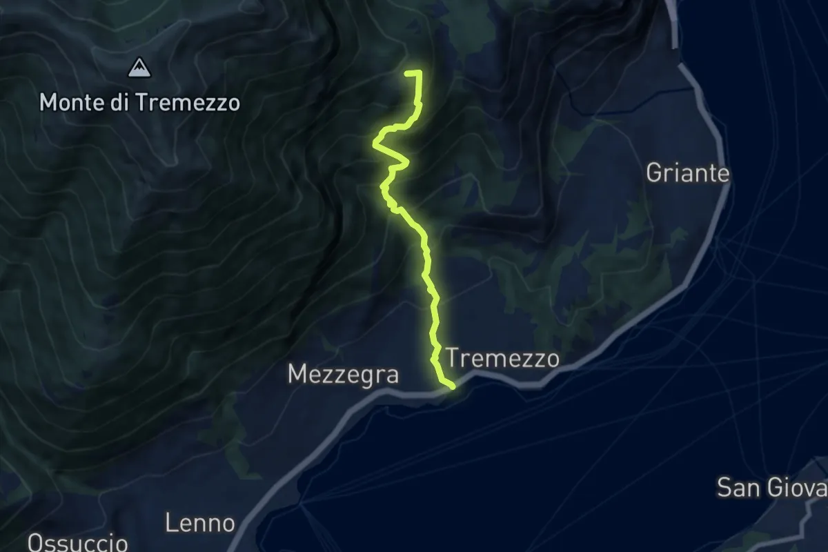
Medium · Trail
Bolvedro – Monti di Brente
6.2 km · ↑ 776 m · 3 h 9 min · 11 km away
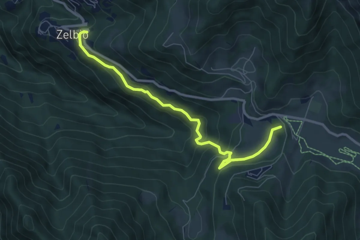
Medium · Summit
Zelbio – Il Dosso
7.1 km · ↑ 350 m · 2 h 26 min · 11 km away
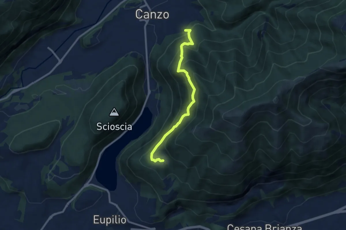
Medium · Trail
Rifugio SEC "Marisa Consigliere" – Alpe di Carella
6.6 km · ↑ 618 m · 2 h 54 min · 11 km away
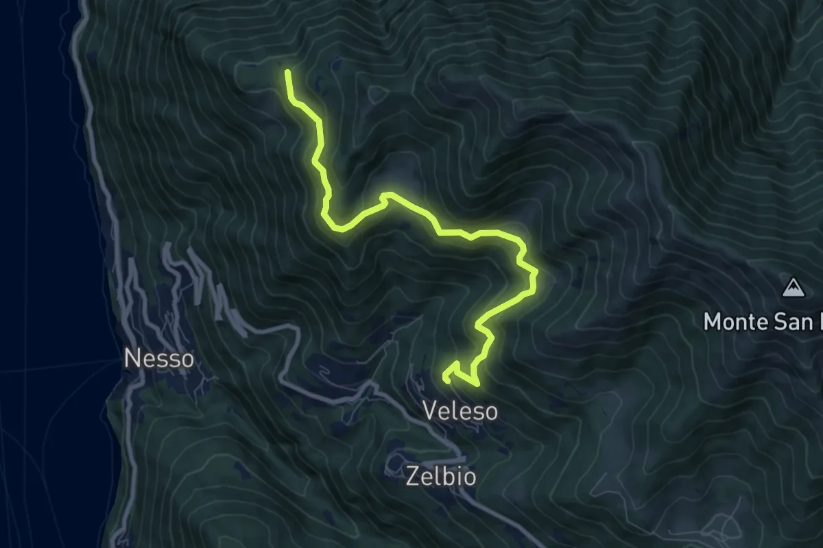
Medium · Trail
Veleso – Cresta NW M. Colmenacco
8.5 km · ↑ 502 m · 3 h 5 min · 11 km away
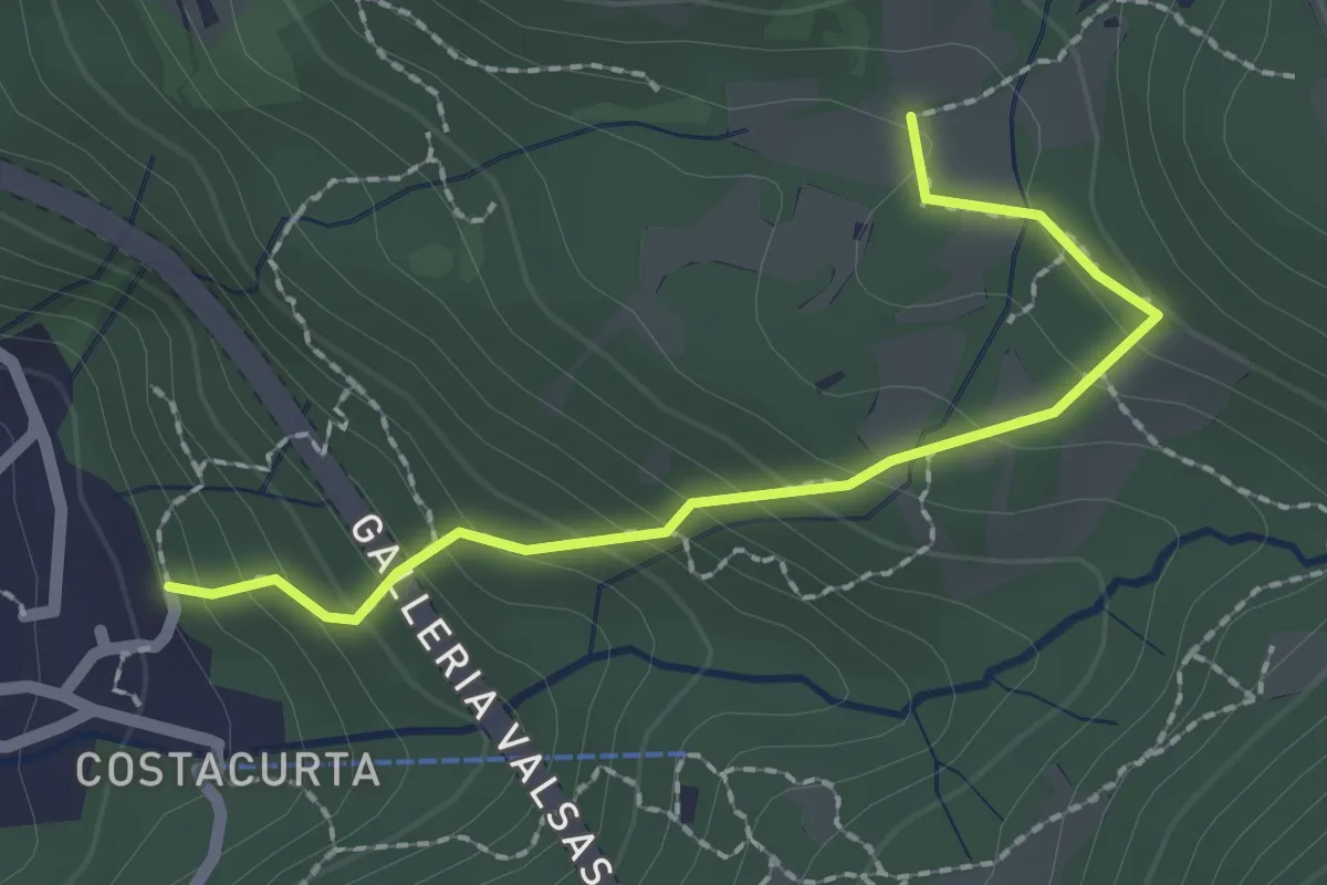
Easy · Trail
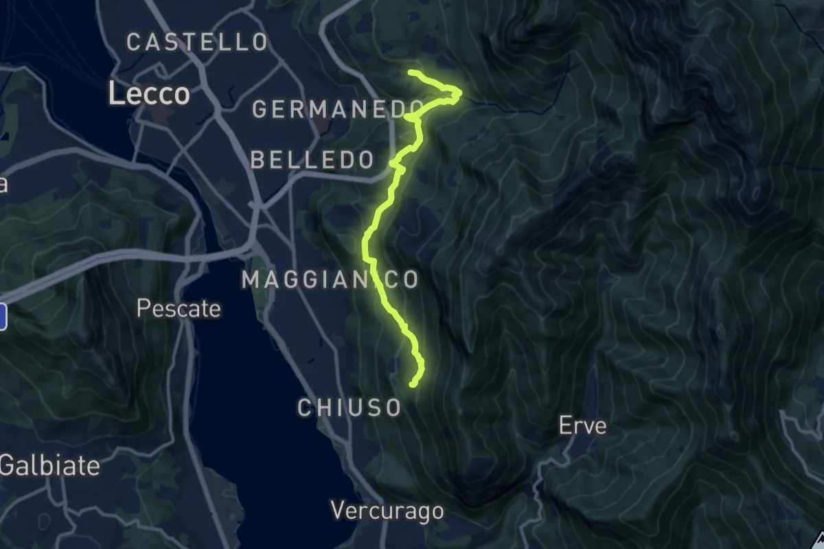
Germanedo, innesto percorso 903-1 – Cavagiozzo, innesto percorso 903
2.1 km · ↑ 196 m · 56 min · 11 km away
Medium · Trail
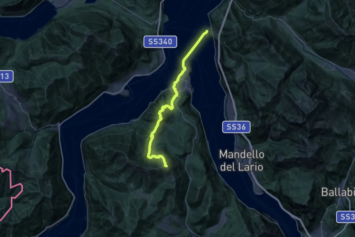
Percorso Giorgio Combi
10.5 km · ↑ 564 m · 3 h 43 min · 11 km away
Expert · Summit
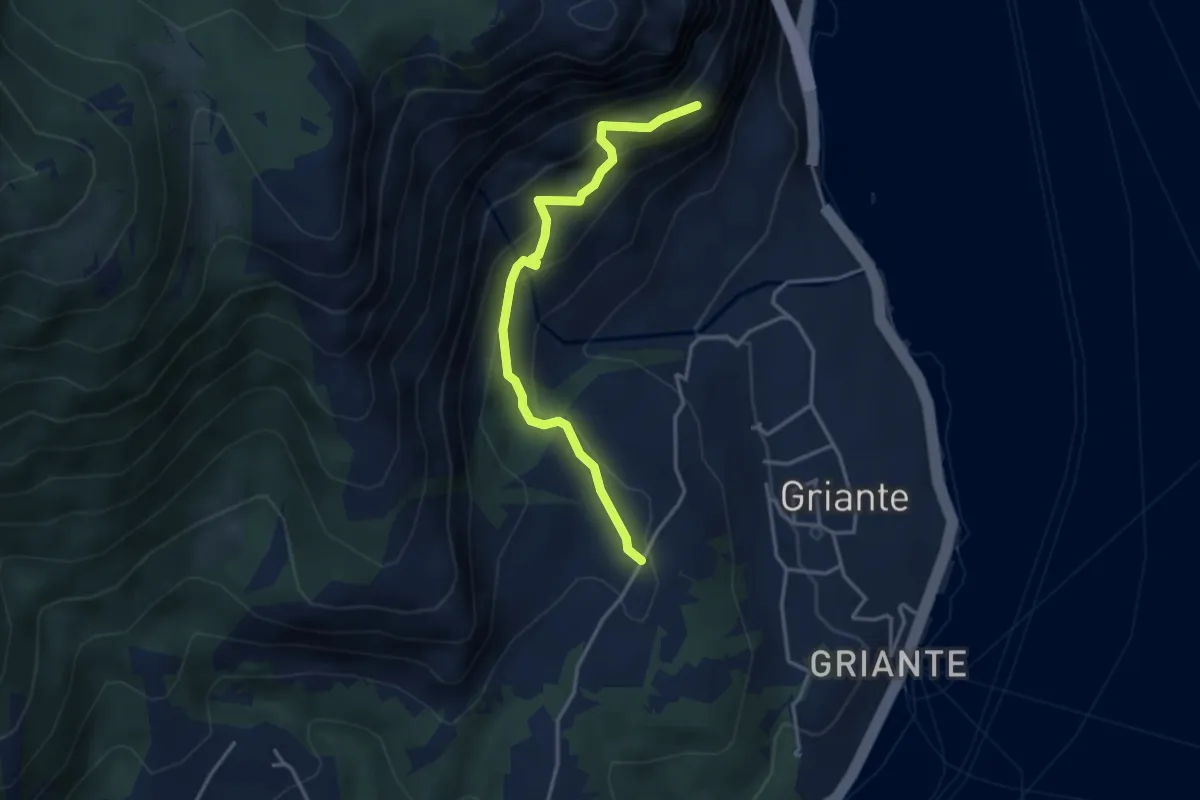
Piano del Tivano – Varenna
32.5 km · ↑ 1815 m · 11 h 36 min · 11 km away
Medium · Trail
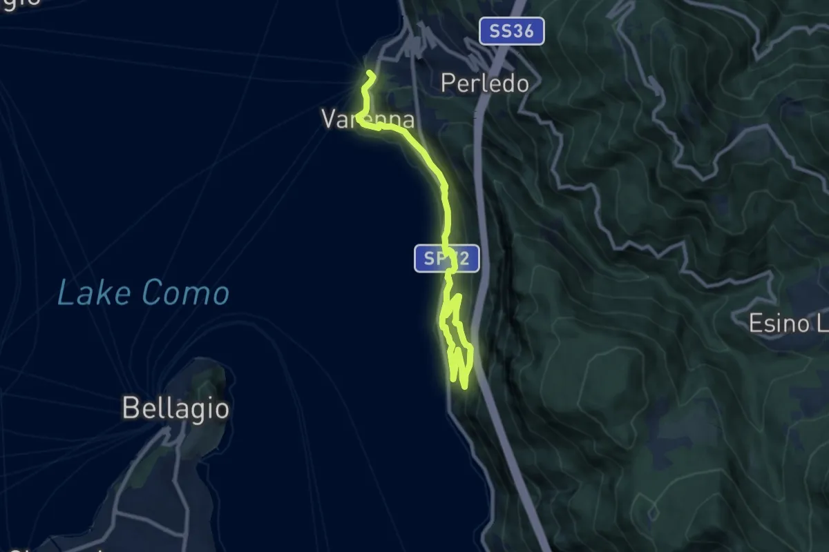
Rogaro – San Martino
3.7 km · ↑ 428 m · 1 h 47 min · 11 km away
Medium · Trail
Greenway Dei Patriarchi
10.4 km · ↑ 422 m · 3 h 23 min · 11 km away
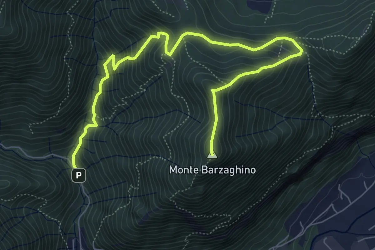
Demanding · Summit
strada per Forum Franciscanum – Monte Barzaghino
8.0 km · ↑ 642 m · 3 h 17 min · 11 km away
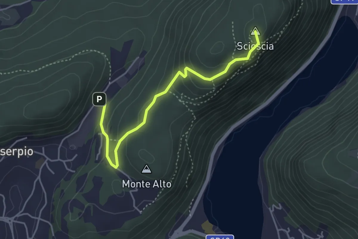
Easy · Summit
Zona industriale di Proseprio – Canzo
4.0 km · ↑ 173 m · 1 h 19 min · 11 km away
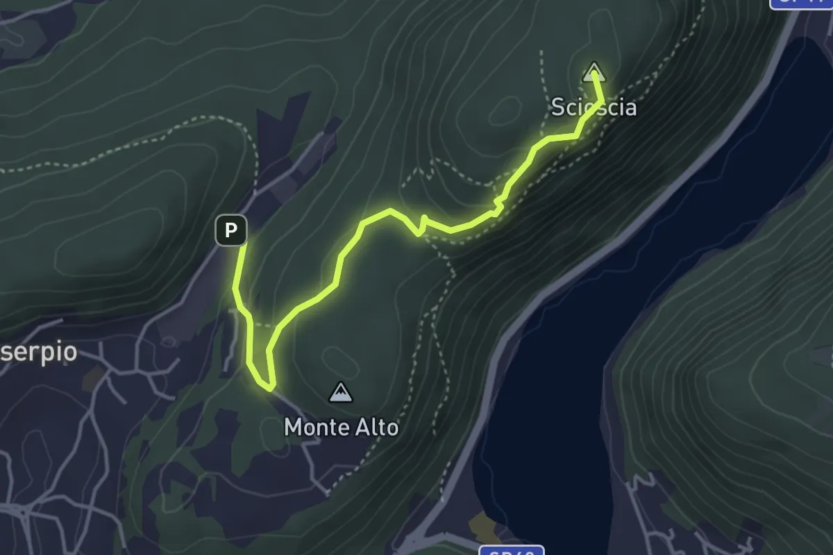
Demanding · Summit
Zona industriale di Proseprio – Canzo
4.1 km · ↑ 185 m · 1 h 21 min · 11 km away
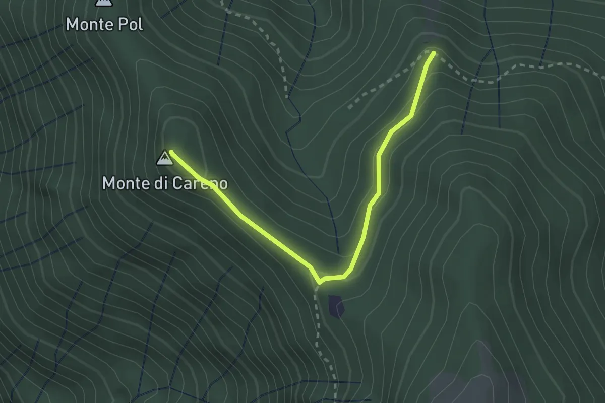
Medium · Summit
Radura – Monte Pol
2.5 km · ↑ 146 m · 55 min · 11 km away
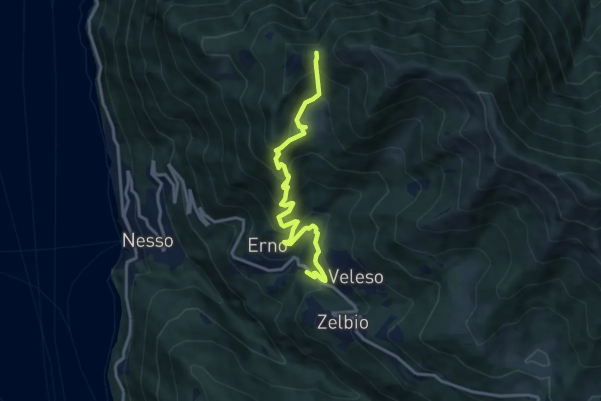
Medium · Trail
Veleso – La Forcoletta
7.9 km · ↑ 698 m · 3 h 23 min · 11 km away
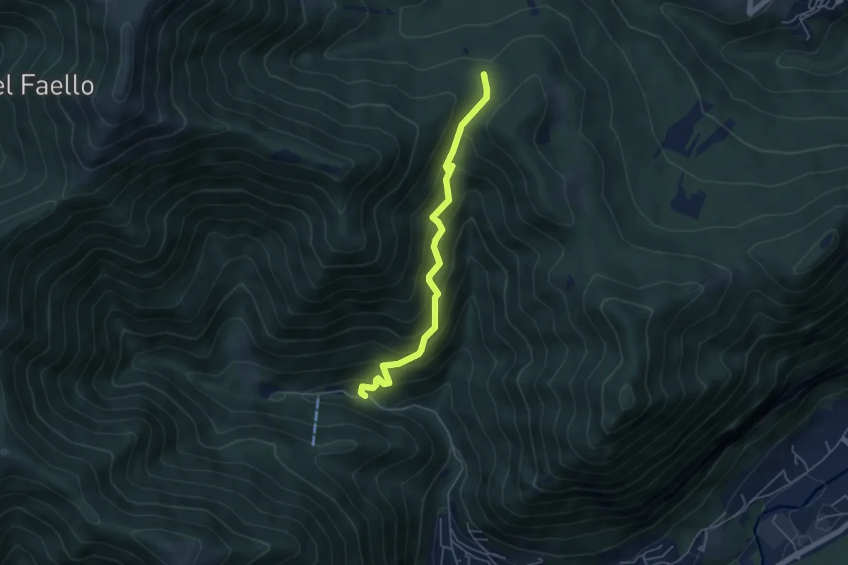
Medium · Trail
Forum Franciscanum – Bocchetta della Vallunga
4.6 km · ↑ 458 m · 2 h 5 min · 11 km away
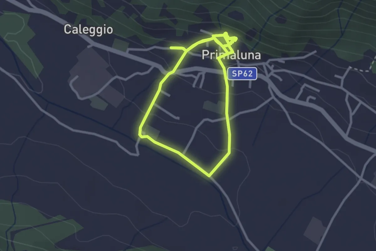
Easy · Trail
Ri-vivi Primaluna
2.5 km · ↑ 109 m · 52 min · 11 km away
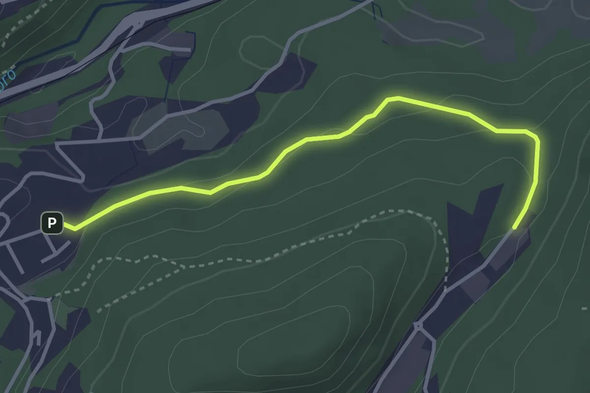
Easy · Trail
Sasso del Numero – Zona industriale di Proseprio
3.3 km · ↑ 99 m · 59 min · 11 km away
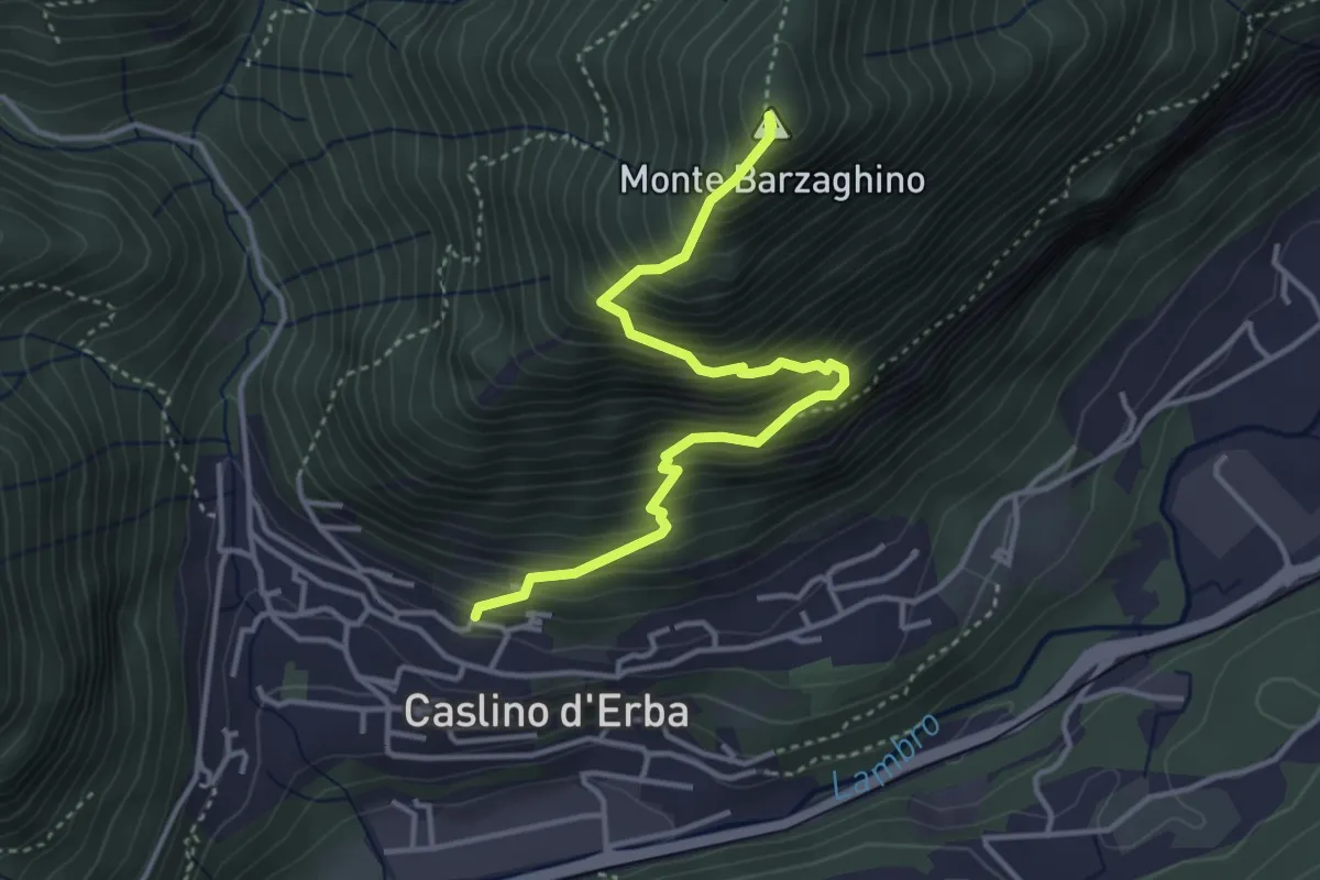
Demanding · Summit
Caslino d’Erba – Via ai Ronchi – Monte Barzaghino
3.9 km · ↑ 614 m · 2 h 15 min · 11 km away
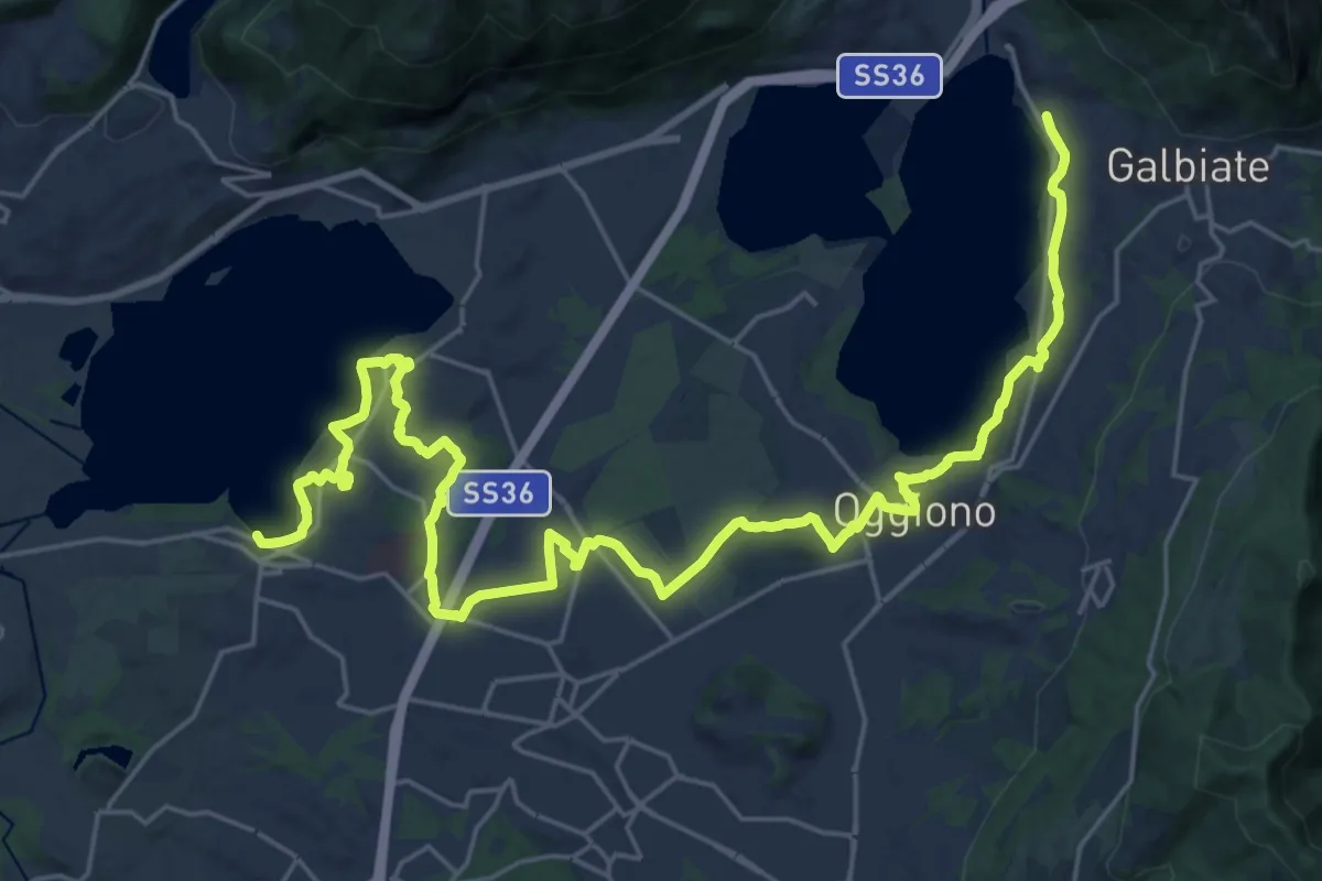
Medium · Trail
Sentiero Pedemonte - Tappa 3
16.6 km · ↑ 163 m · 4 h 30 min · 11 km away
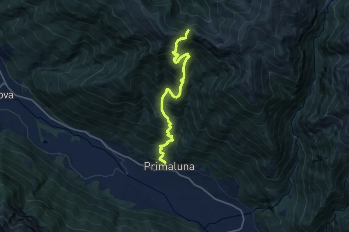
Demanding · Trail
Primaluna – Bocchetta di Olino
9.4 km · ↑ 1233 m · 4 h 54 min · 11 km away
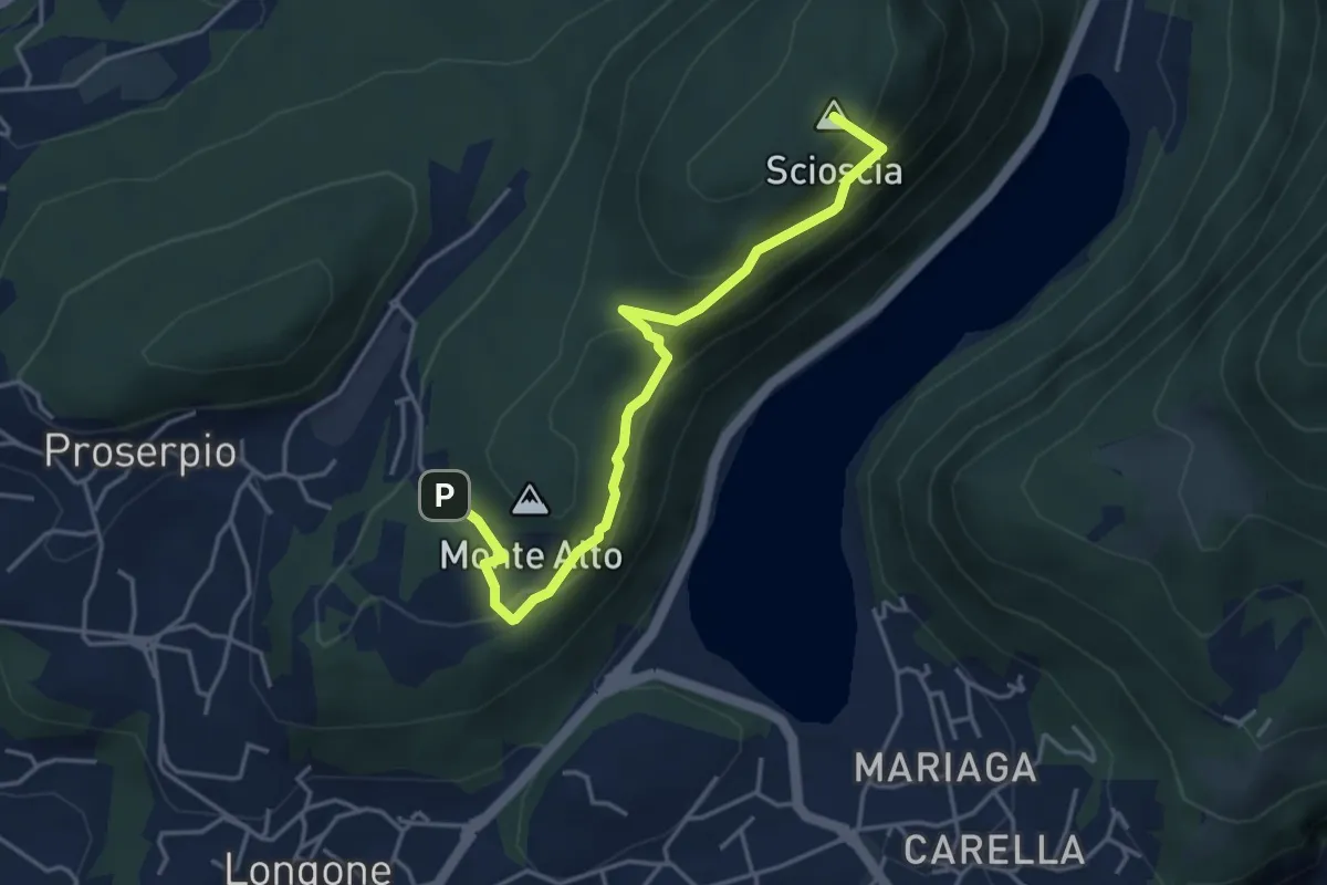
Demanding · Summit
Inarca (Proserpio) – Monte Scioscia
4.3 km · ↑ 243 m · 1 h 33 min · 11 km away
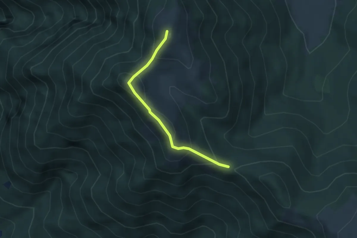
Medium · Summit
Bocchetta di Sciff – Monte Preaola
3.1 km · ↑ 196 m · 1 h 9 min · 11 km away
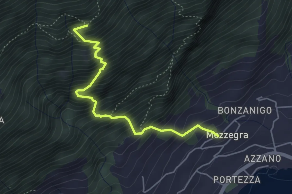
Medium · Trail
Mezzegra – Redendola
4.1 km · ↑ 720 m · 2 h 32 min · 11 km away
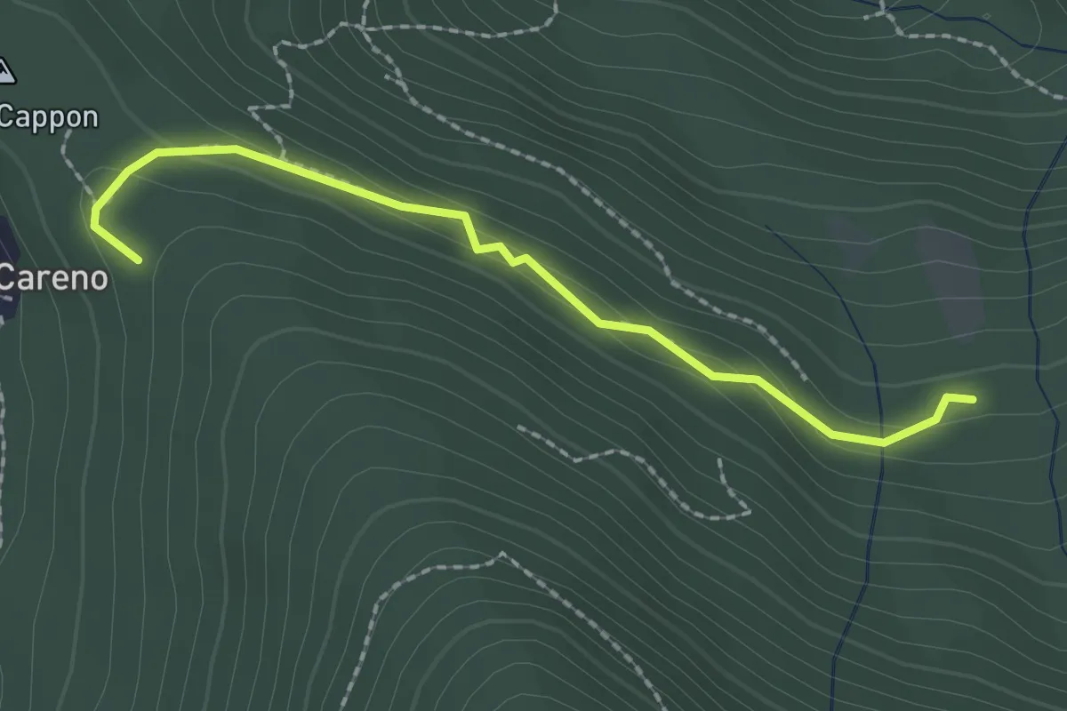
Medium · Trail
Vasce – Monti di Careno
2.1 km · ↑ 97 m · 42 min · 11 km away
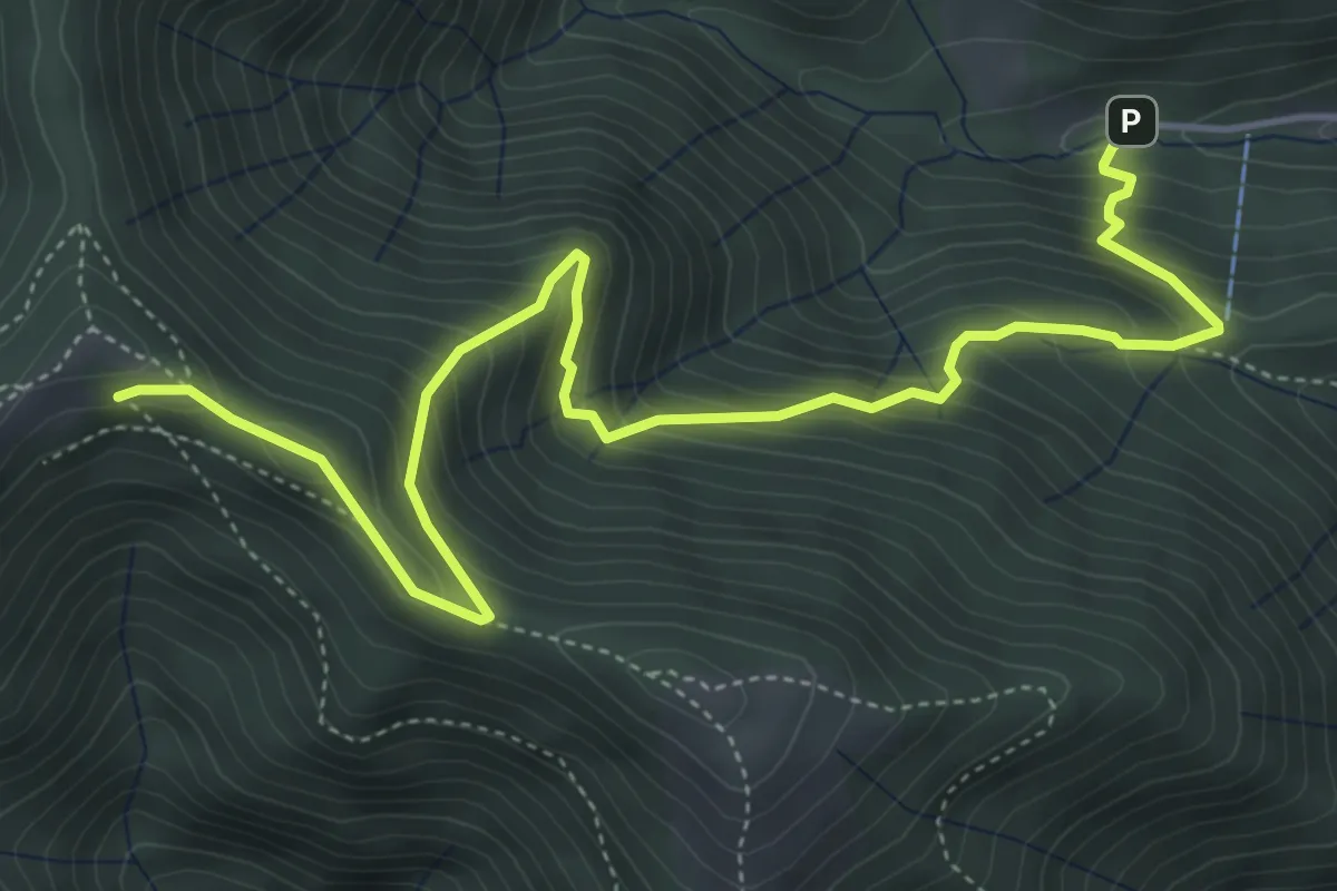
Medium · Cabin
Alpe del Prina – Rifugio Capanna Mara
6.2 km · ↑ 586 m · 2 h 44 min · 11 km away
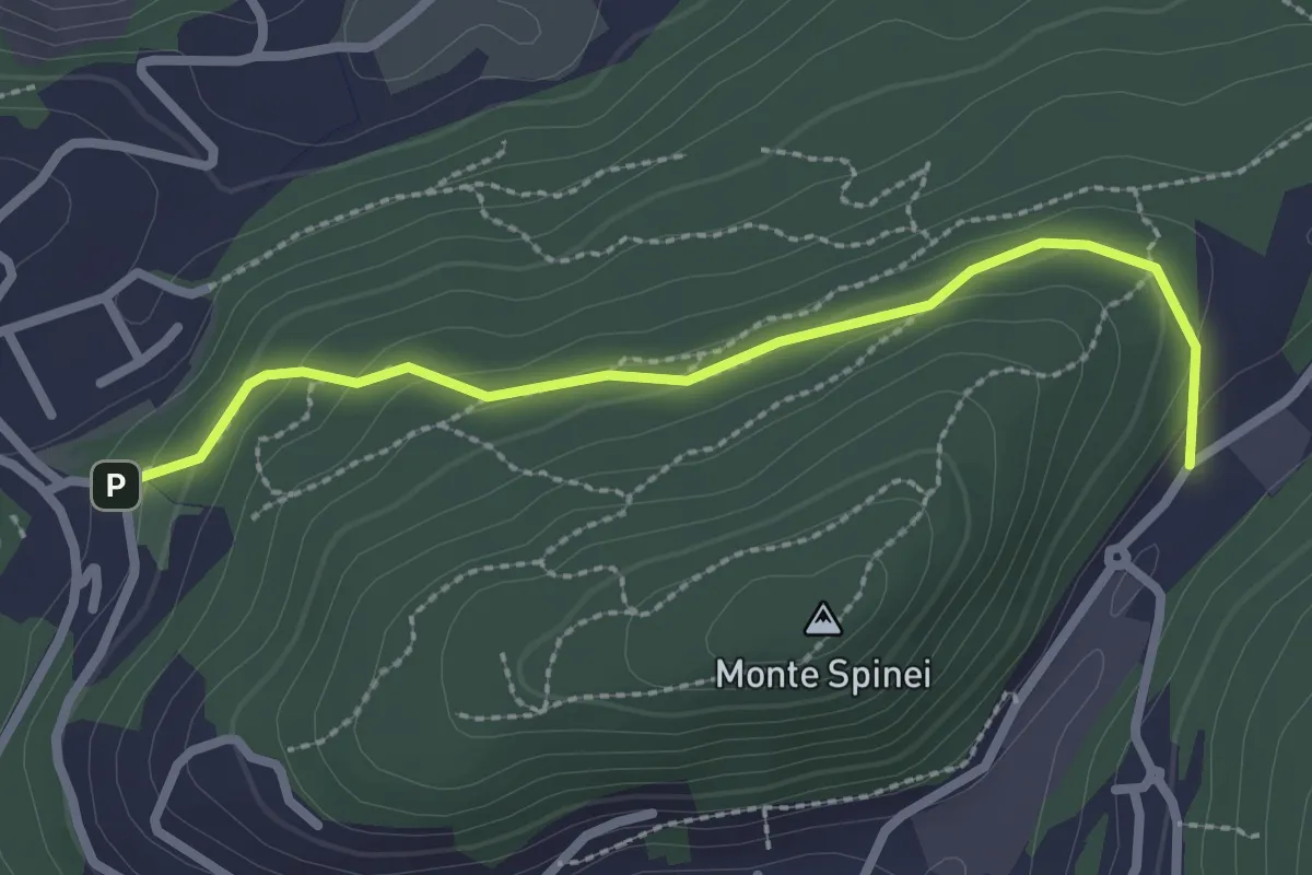
Easy · Trail
Bosco della Gualdera – Zona industriale di Proseprio
2.6 km · ↑ 85 m · 48 min · 11 km away
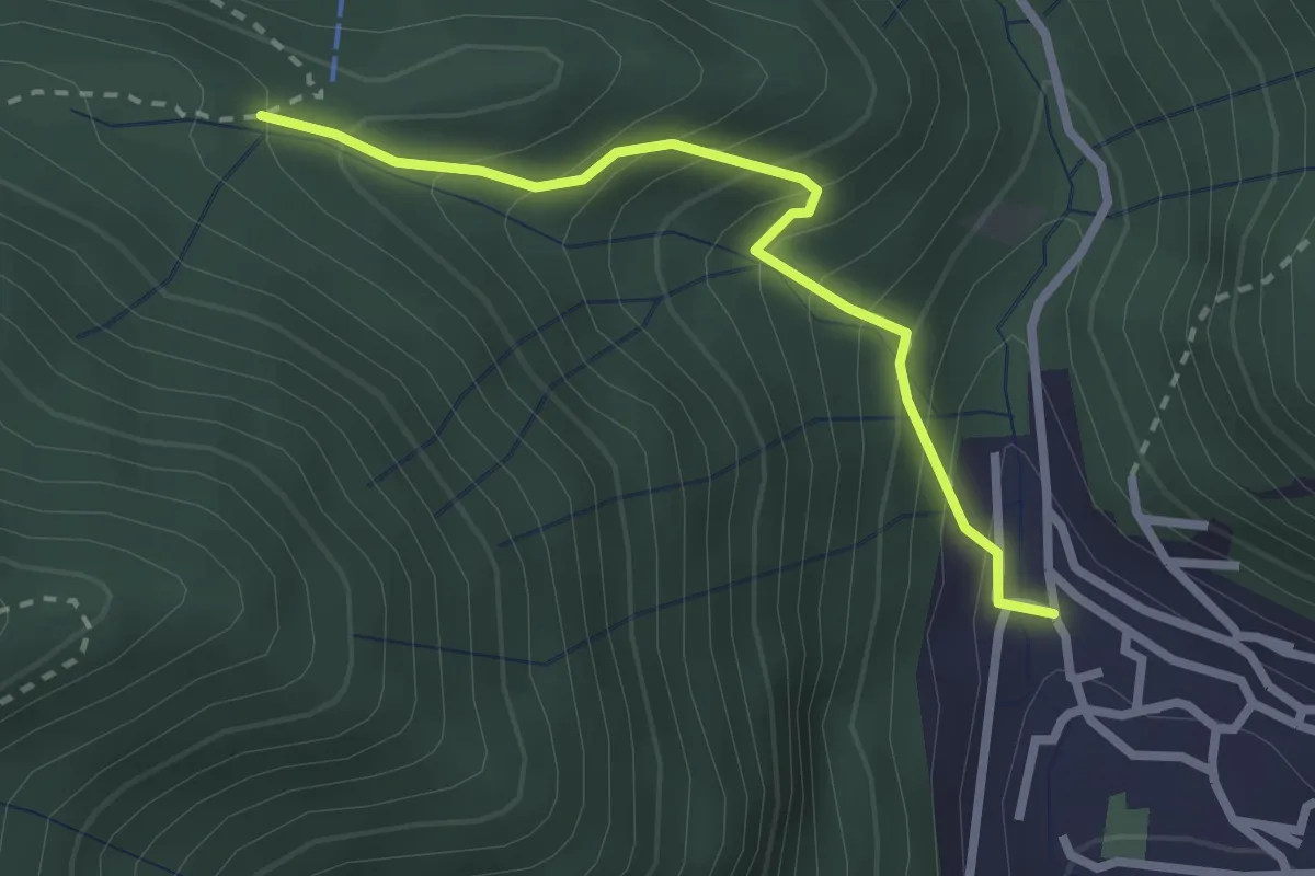
Easy · Trail
Sentiero Tamon - variante per Capanna Mara
2.5 km · ↑ 283 m · 1 h 12 min · 11 km away
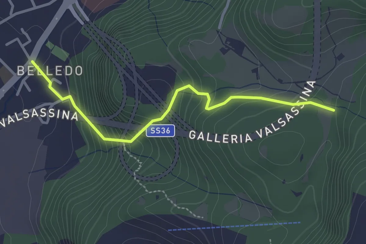
Easy · Trail
Belledo (Lecco) – Sentiero Rotary 920
2.7 km · ↑ 228 m · 1 h 8 min · 11 km away
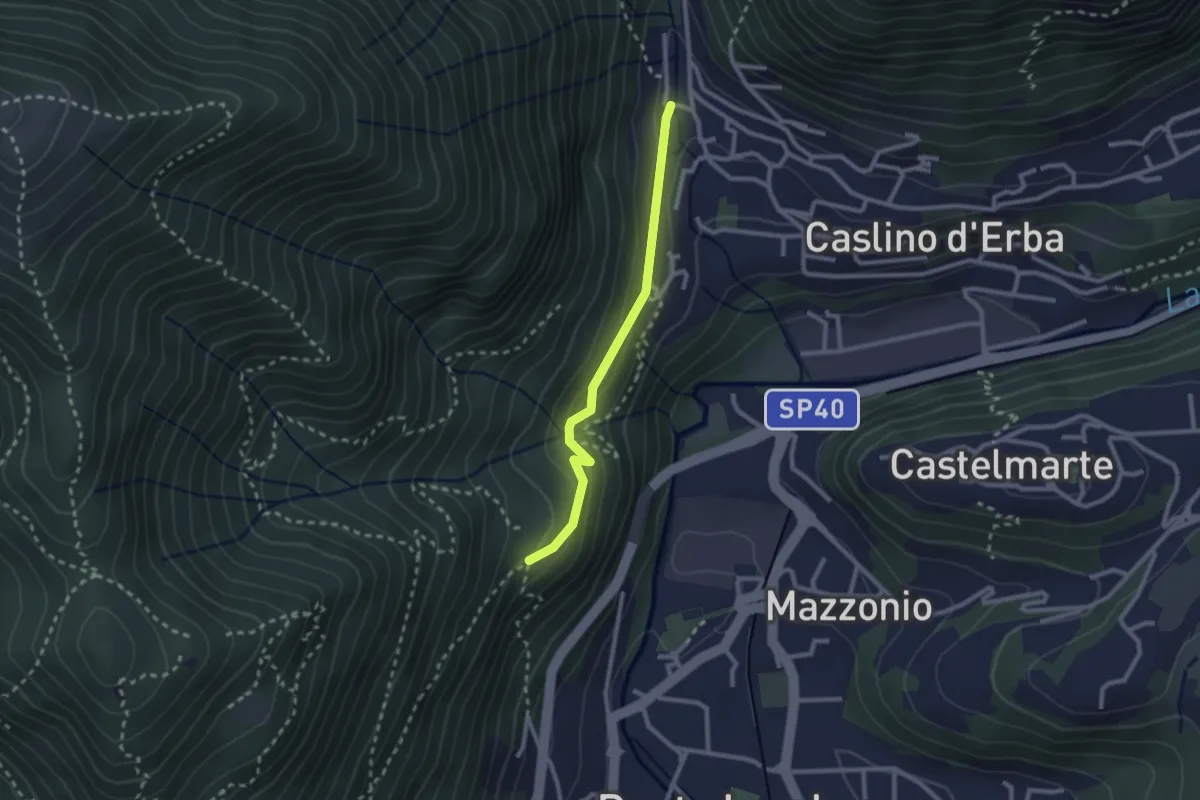
Demanding · Trail
Caslino d’Erba, loc. Punt di Murnèe – incrocio con sentiero 312 per Monte Puscio
2.3 km · ↑ 102 m · 46 min · 11 km away
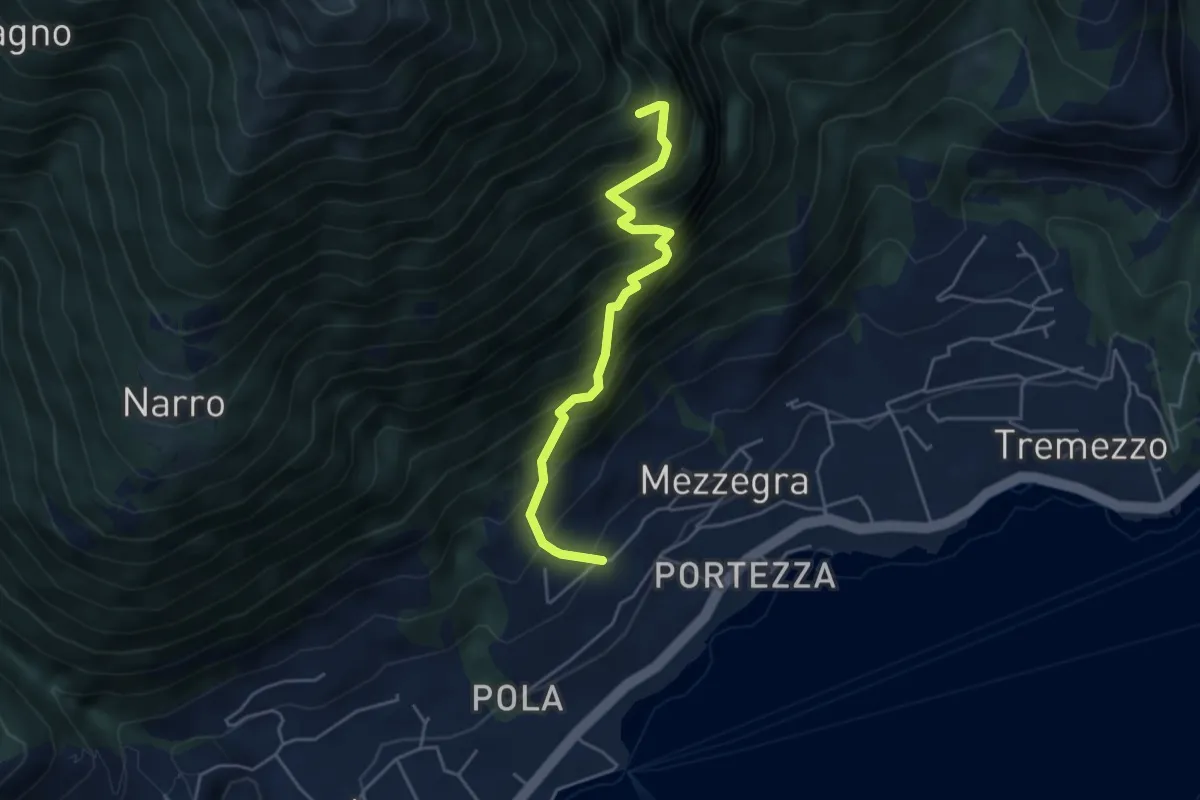
Medium · Trail
Mezzegra – Ossino
4.4 km · ↑ 714 m · 2 h 36 min · 12 km away
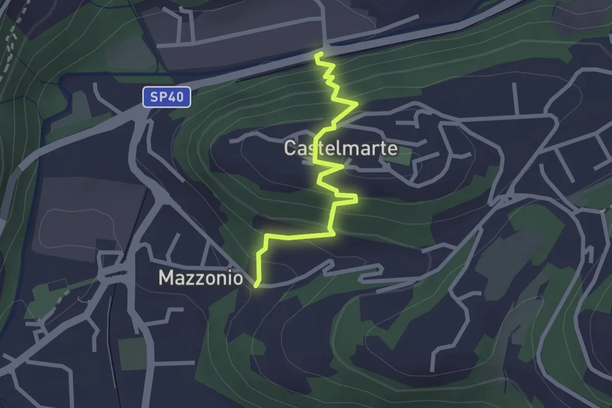
Easy · Trail
Stazione di Caslino d'Erba – Mazzonio (Ponte Lambro)
2.2 km · ↑ 199 m · 56 min · 12 km away
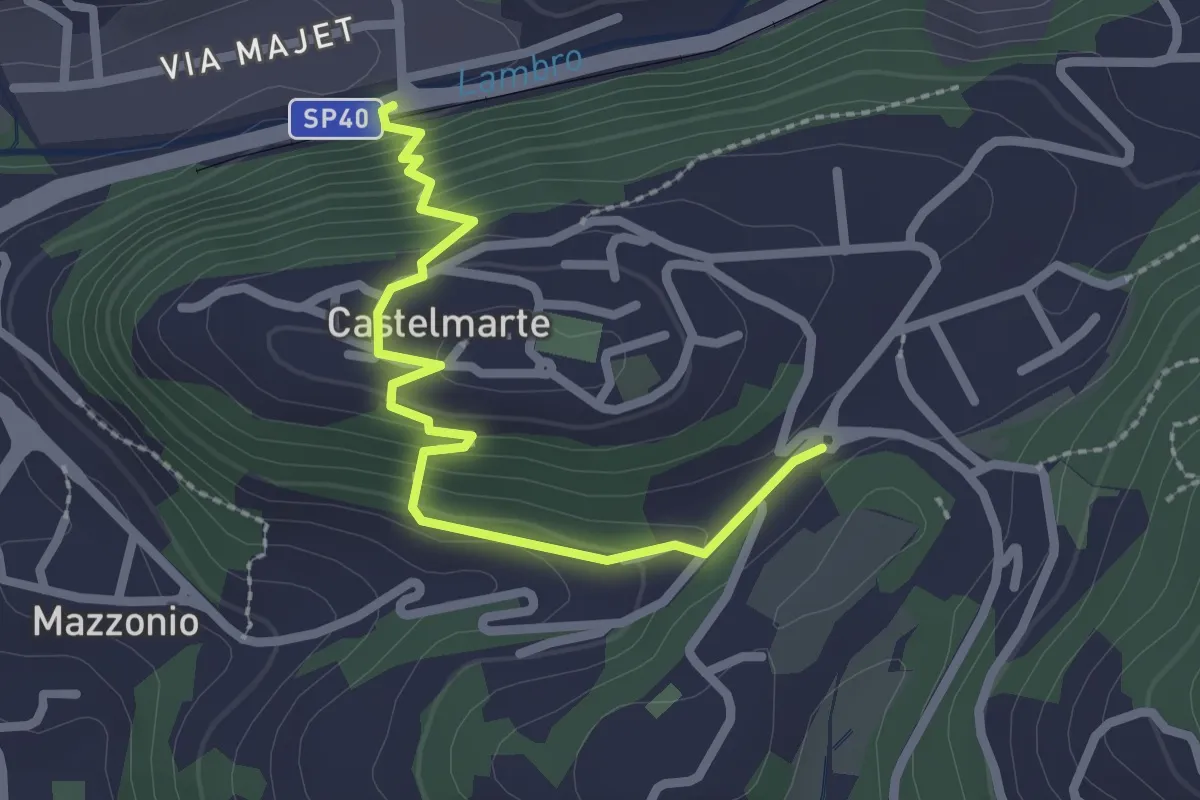
Easy · Trail
Stazione di Caslino d'Erba – Castelmarte
2.5 km · ↑ 179 m · 58 min · 12 km away
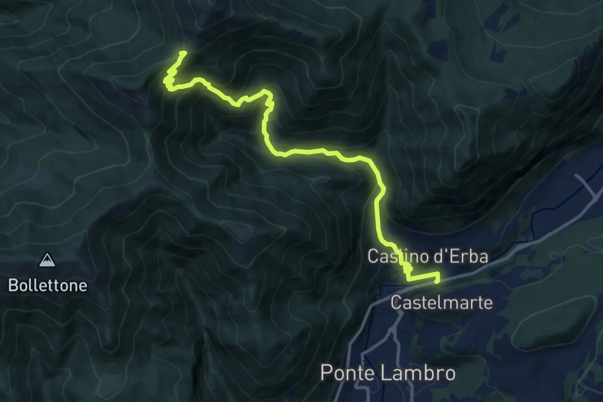
Demanding · Trail
Caslino d'Erba – Bocchetta di Palanzo
11.7 km · ↑ 912 m · 4 h 45 min · 12 km away
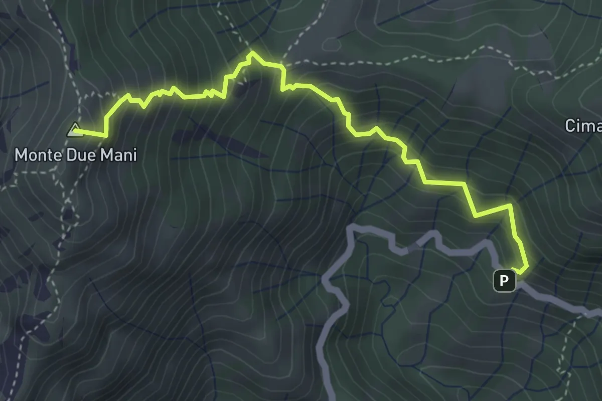
Medium · Summit
Innesto SP63 – Monte Due Mani
4.1 km · ↑ 587 m · 2 h 14 min · 12 km away
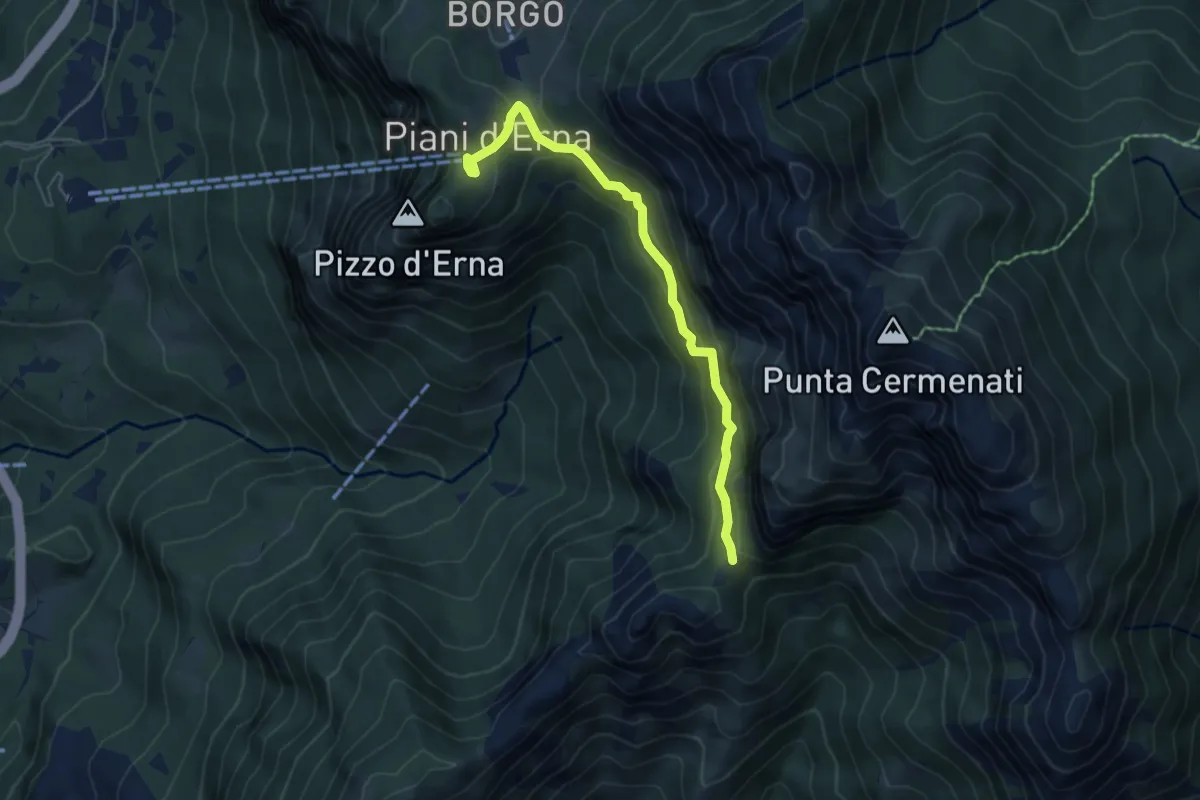
Demanding · Cabin
Piani d'Erna – Capanna Ghislandi
5.3 km · ↑ 350 m · 2 h · 12 km away
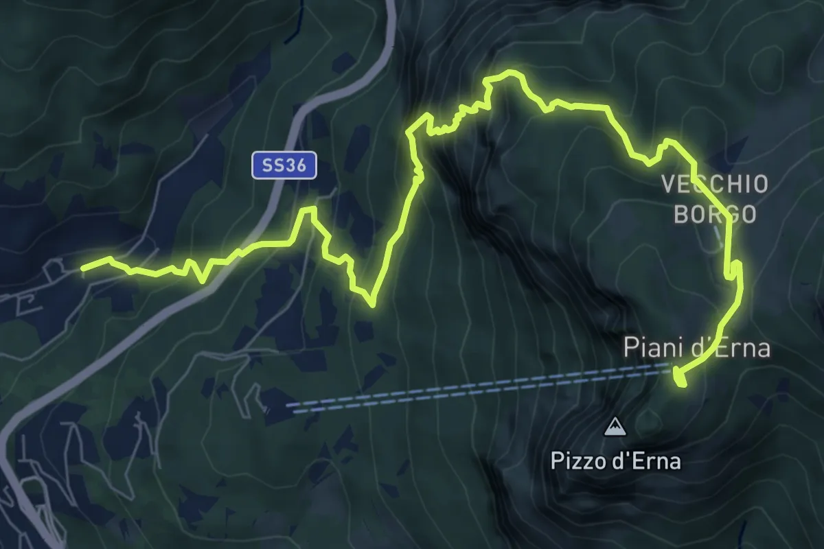
Demanding · Trail
Sentiero del Passo del Cammello
10.6 km · ↑ 1107 m · 4 h 54 min · 12 km away
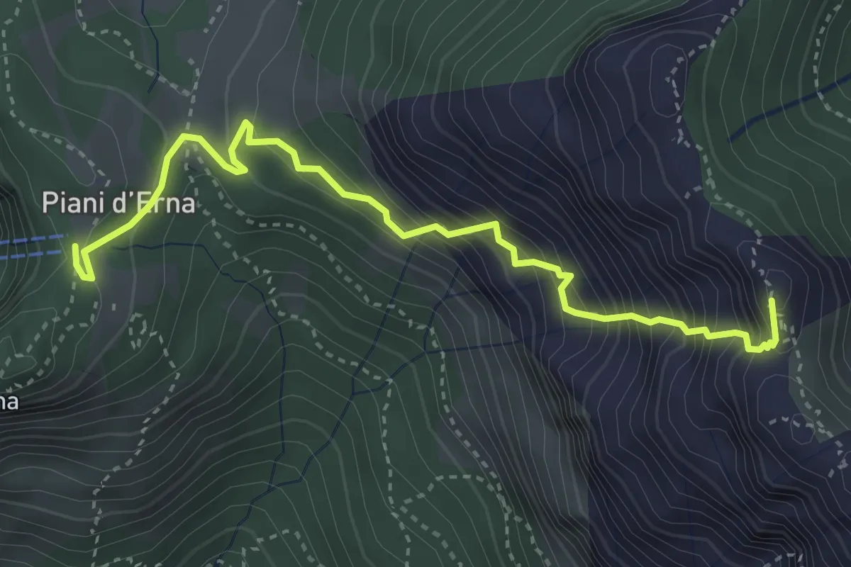
Expert · Summit
Sentiero Carlo Villa
4.1 km · ↑ 544 m · 2 h 9 min · 12 km away
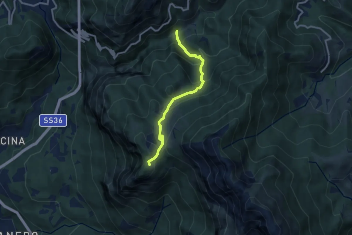
Medium · Trail
Boazzo, percorso 922 – Piani d'Erna, arrivo Funivia
6.2 km · ↑ 477 m · 2 h 29 min · 12 km away
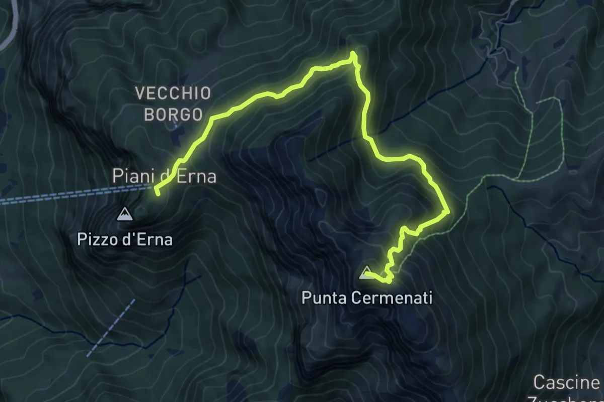
Demanding · Summit
Piani d'Erna – Rif. Azzoni
10.0 km · ↑ 884 m · 4 h 16 min · 12 km away
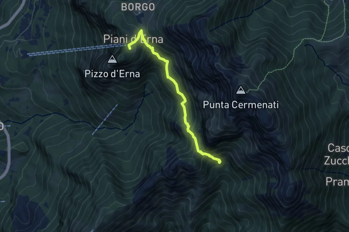
Medium · Cabin
Capanna Alpinisti Monzesi – Piani d'Erna
6.0 km · ↑ 566 m · 2 h 38 min · 12 km away
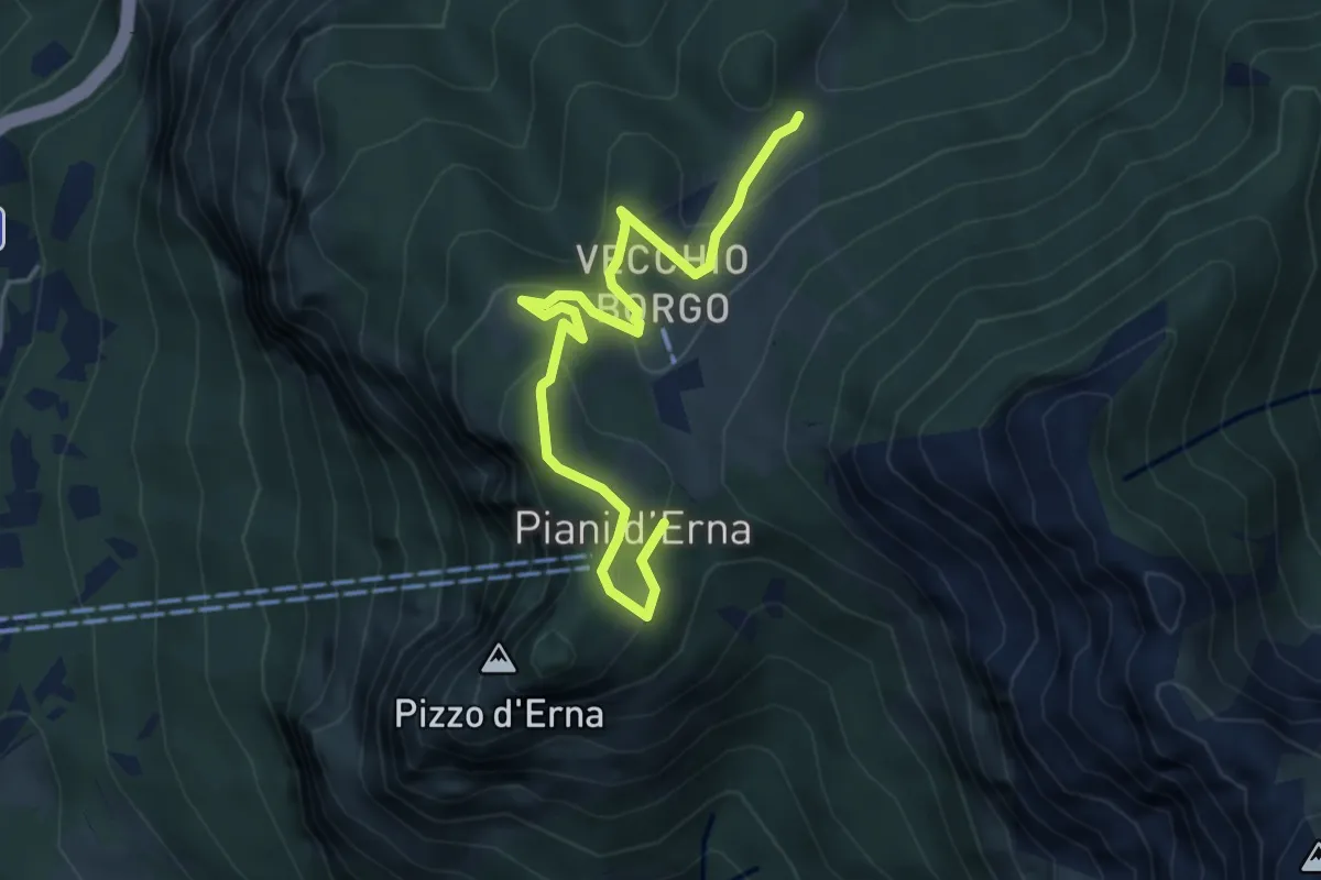
Easy · Trail
Sentiero Natura
5.3 km · ↑ 246 m · 1 h 47 min · 12 km away