Trails near Mandello del Lario
372 hikes starting within 15 km, nearest first.
Nearest first, page 6 of 8
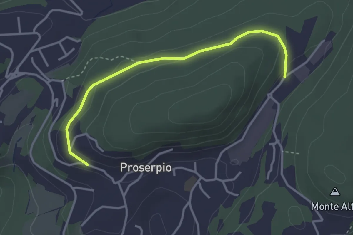
Easy · Trail
Rusera (Proserpio) – Zona industriale di Proseprio
3.1 km · ↑ 50 m · 51 min · 12 km away
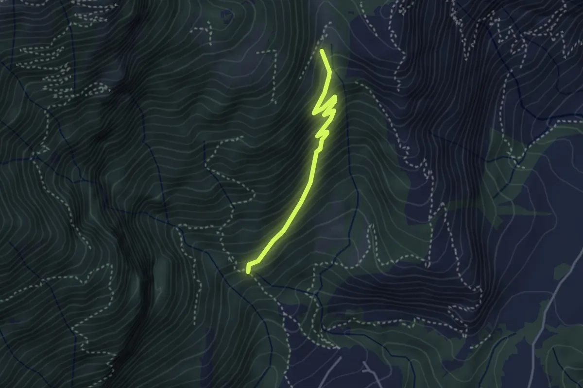
Medium · Trail
Sent 895 – Nava
3.0 km · ↑ 324 m · 1 h 24 min · 12 km away
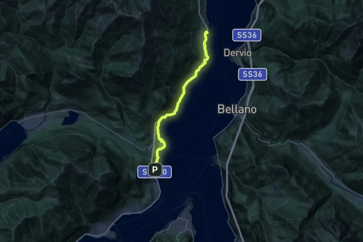
Demanding · Trail
Lungolago
23.3 km · ↑ 1015 m · 7 h 42 min · 12 km away
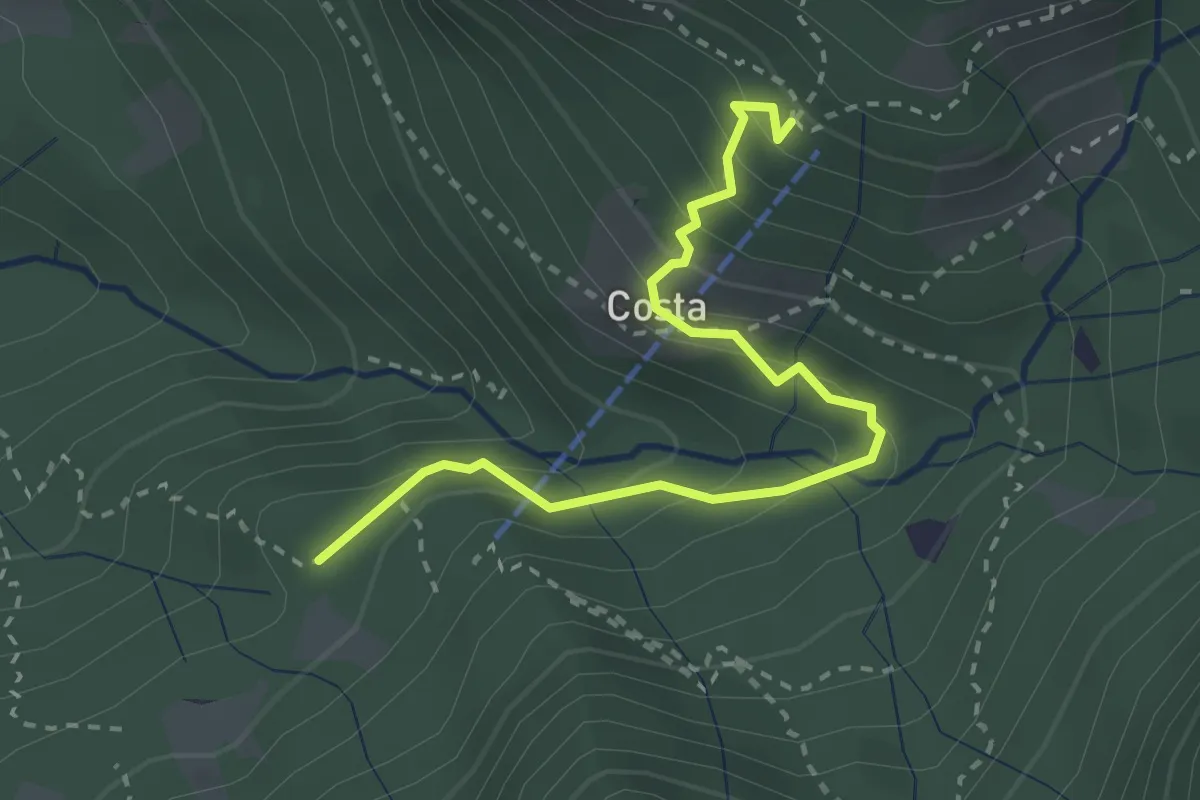
Medium · Cabin
Innesto 919 – Rifugio Sotppani
3.0 km · ↑ 272 m · 1 h 18 min · 12 km away
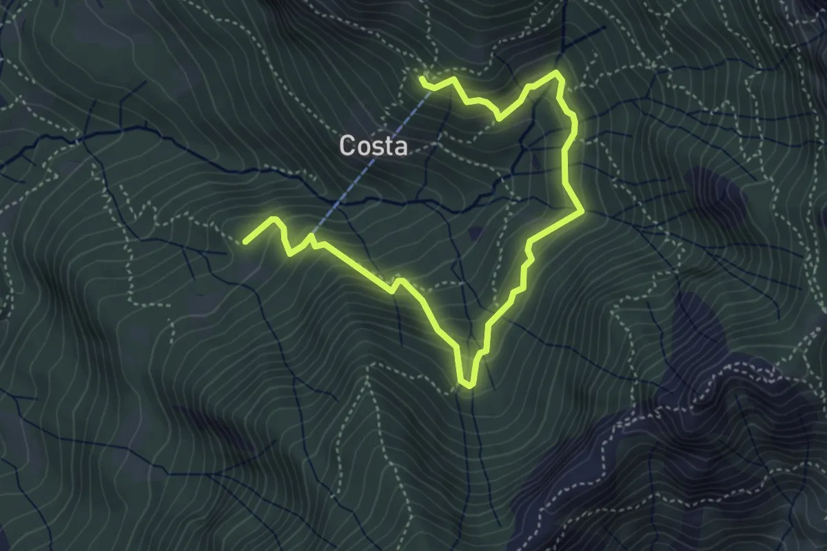
Medium · Cabin
Rifugio Stoppani – Innesto sentiero 919
5.6 km · ↑ 532 m · 2 h 28 min · 12 km away
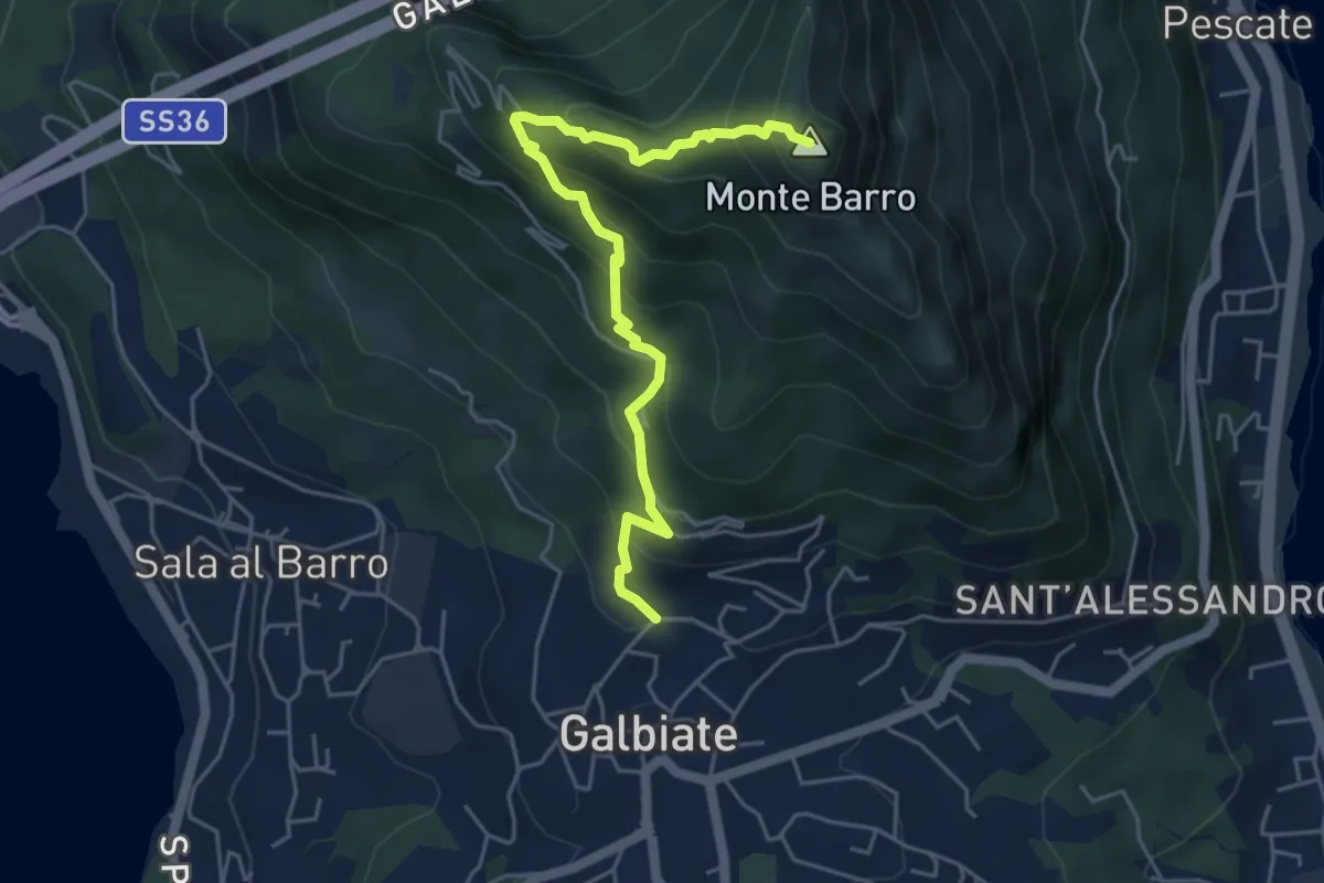
Demanding · Summit
Galbiate (lavatoio) – Monte Barro
5.3 km · ↑ 485 m · 2 h 18 min · 12 km away
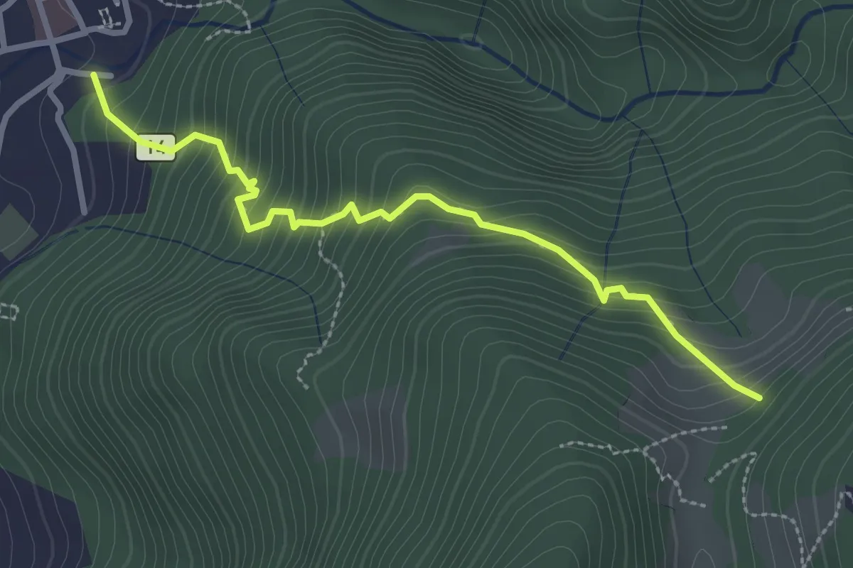
Medium · Trail
Sentiero 14: Introbio - Passo di Nava
2.9 km · ↑ 356 m · 1 h 27 min · 12 km away
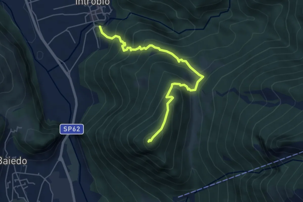
Medium · Summit
Sentiero 14A: Introbio - Zucco Angelone
5.2 km · ↑ 554 m · 2 h 26 min · 12 km away
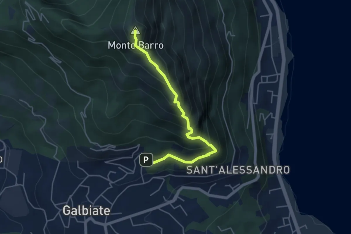
Expert · Summit
Galbiate – Monte Barro
4.1 km · ↑ 475 m · 2 h · 12 km away
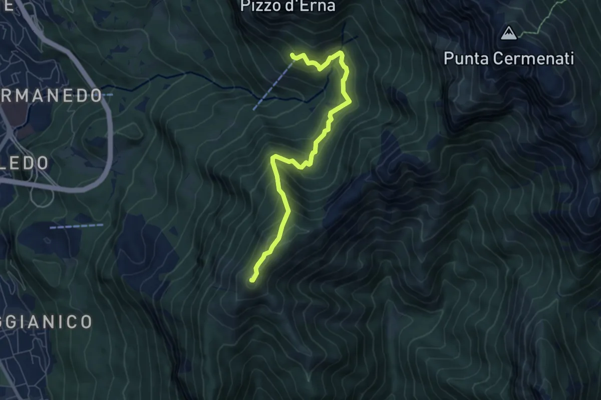
Demanding · Summit
Rifugio Stoppani – Monte Magnodeno
6.5 km · ↑ 557 m · 2 h 45 min · 12 km away
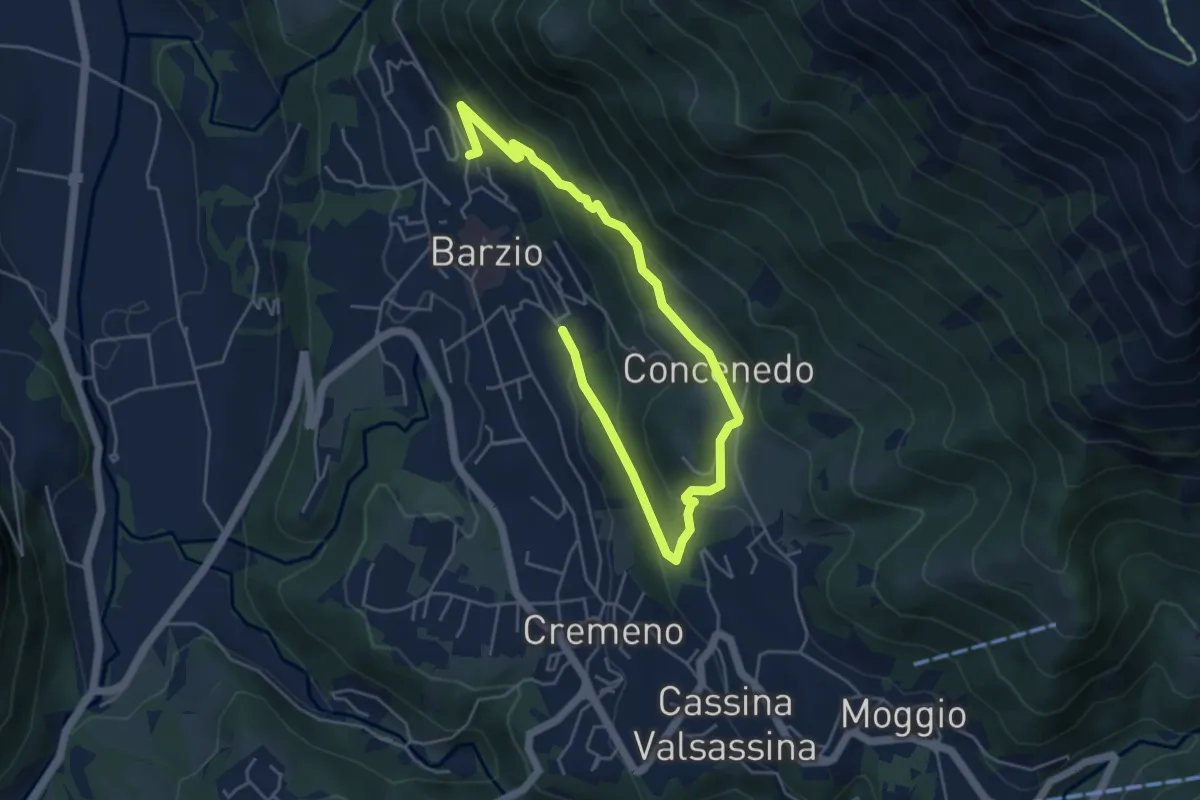
Easy · Trail
Robiasca – Berlendino
6.5 km · ↑ 287 m · 2 h 9 min · 12 km away
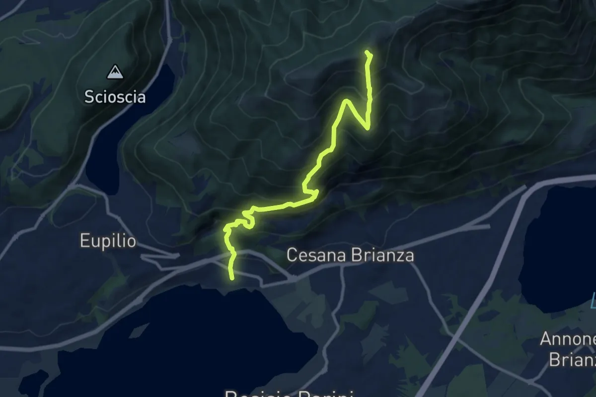
Demanding · Summit
Pusiano – Monte Cornizzolo
9.6 km · ↑ 1053 m · 4 h 32 min · 12 km away
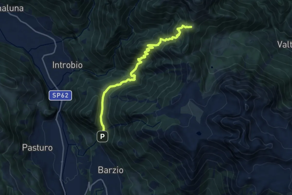
Demanding · Trail
Sentiero 19: Barzio - Passo del Gandazzo
12.2 km · ↑ 1197 m · 5 h 29 min · 12 km away
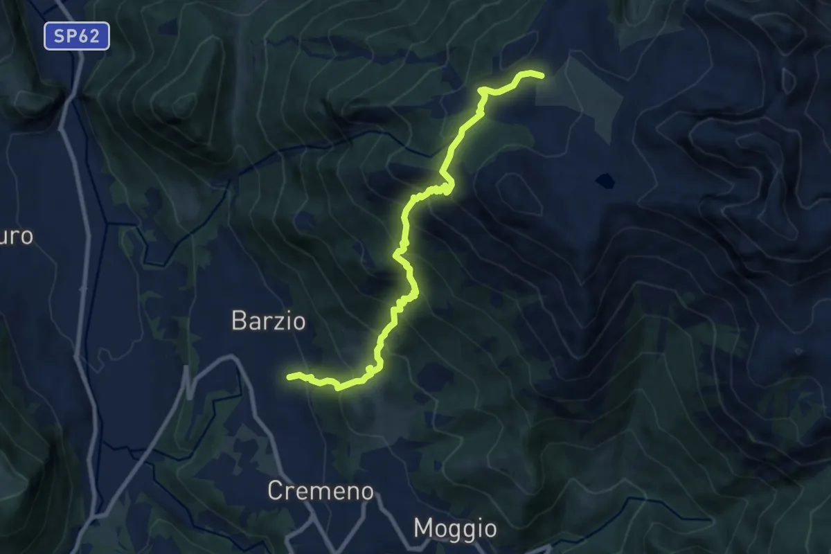
Demanding · Trail
Vallicello – Piani di Bobbio (Chiesa)
8.7 km · ↑ 919 m · 4 h 3 min · 12 km away
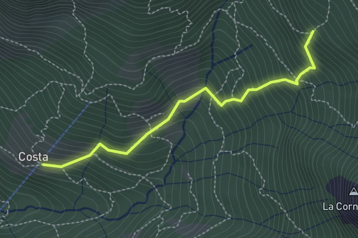
Medium · Trail
Frazione Costa – Innesto sentiero 901
2.4 km · ↑ 303 m · 1 h 14 min · 12 km away
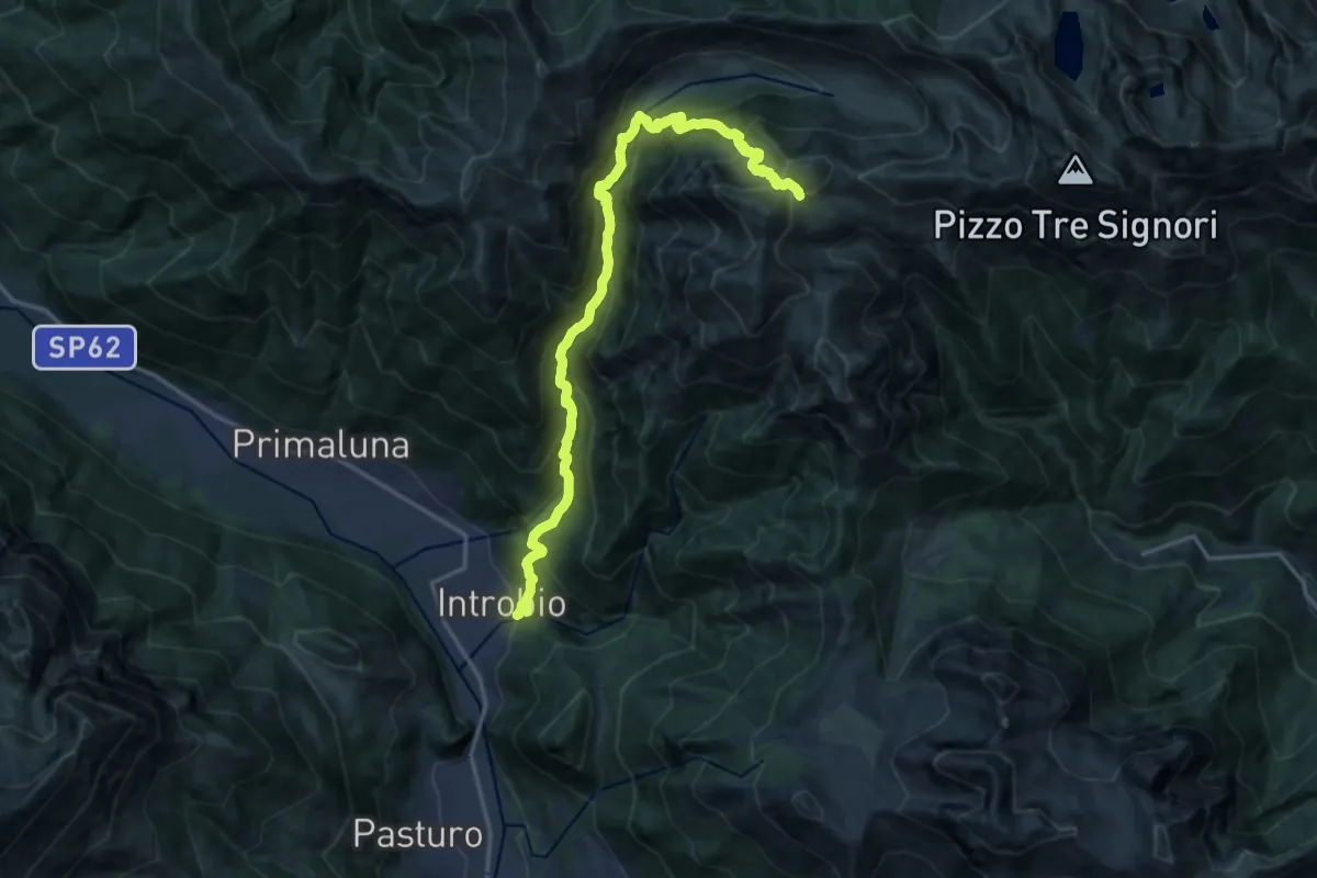
Demanding · Cabin
Introbio – Rifugio Grassi
17.7 km · ↑ 1540 m · 7 h 31 min · 12 km away
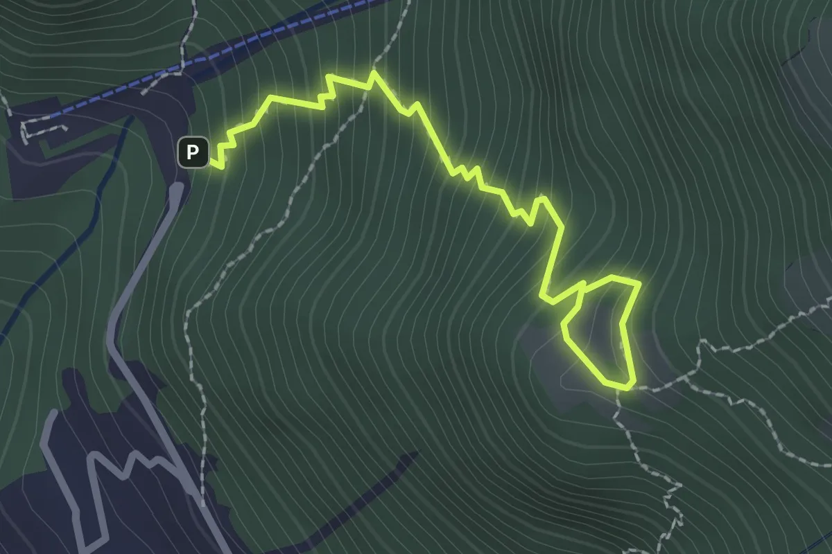
Medium · Trail
La Piazza – Masone
2.5 km · ↑ 294 m · 1 h 13 min · 12 km away
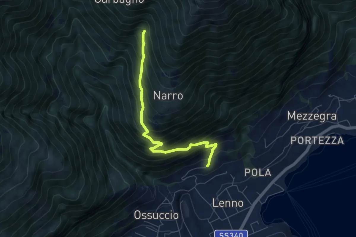
Medium · Trail
Lenno Abbazia dell' Acqua Fredda – Garbagno sent 850
5.9 km · ↑ 668 m · 2 h 50 min · 12 km away
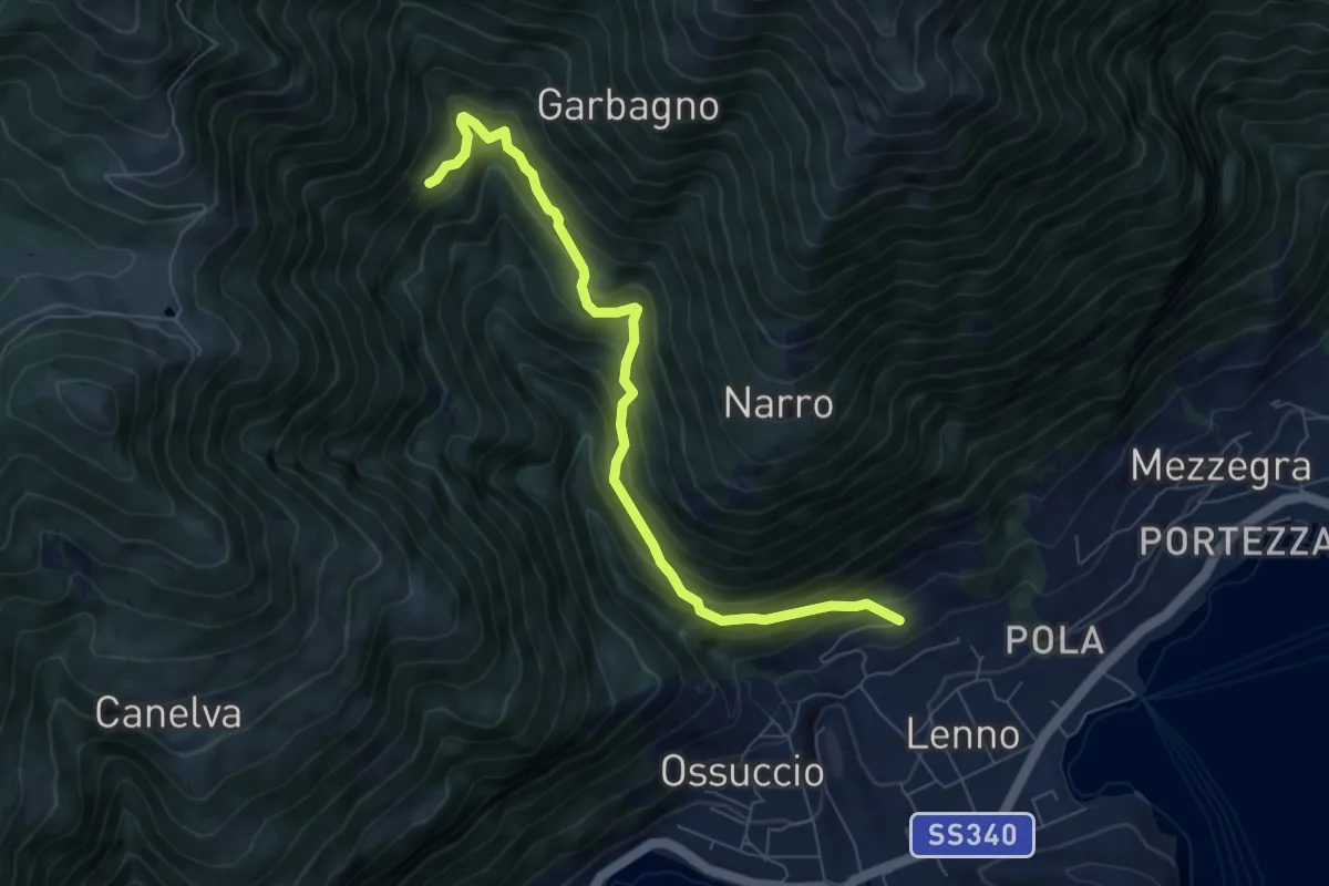
Medium · Trail
Lenno Abbazia dell' Acqua Fredda – San Benedetto
7.4 km · ↑ 663 m · 3 h 11 min · 12 km away
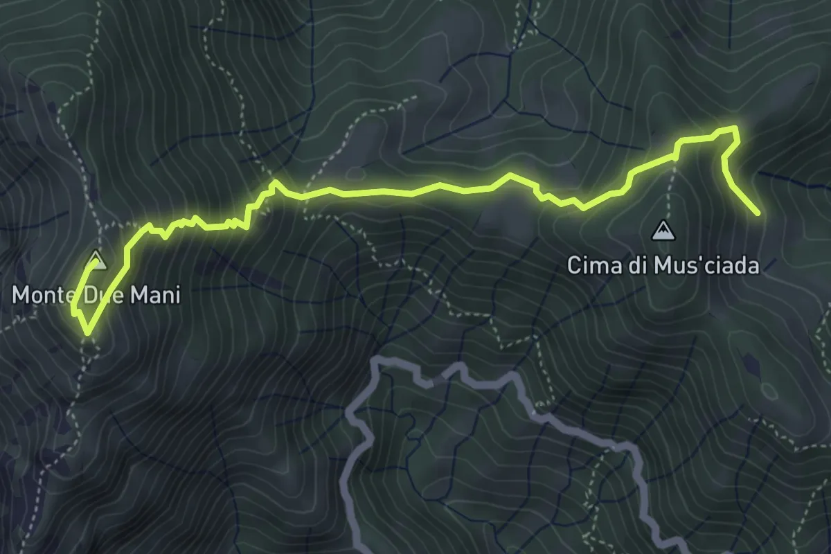
Medium · Summit
Casera di Musciada - Monte Due Mani
5.6 km · ↑ 485 m · 2 h 22 min · 12 km away
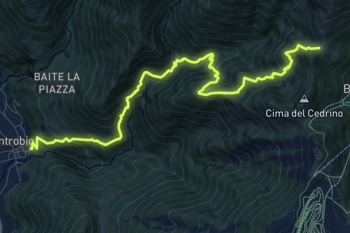
Demanding · Trail
Introbio – Introbio - Passo del Gandazzo
12.1 km · ↑ 1163 m · 5 h 23 min · 12 km away
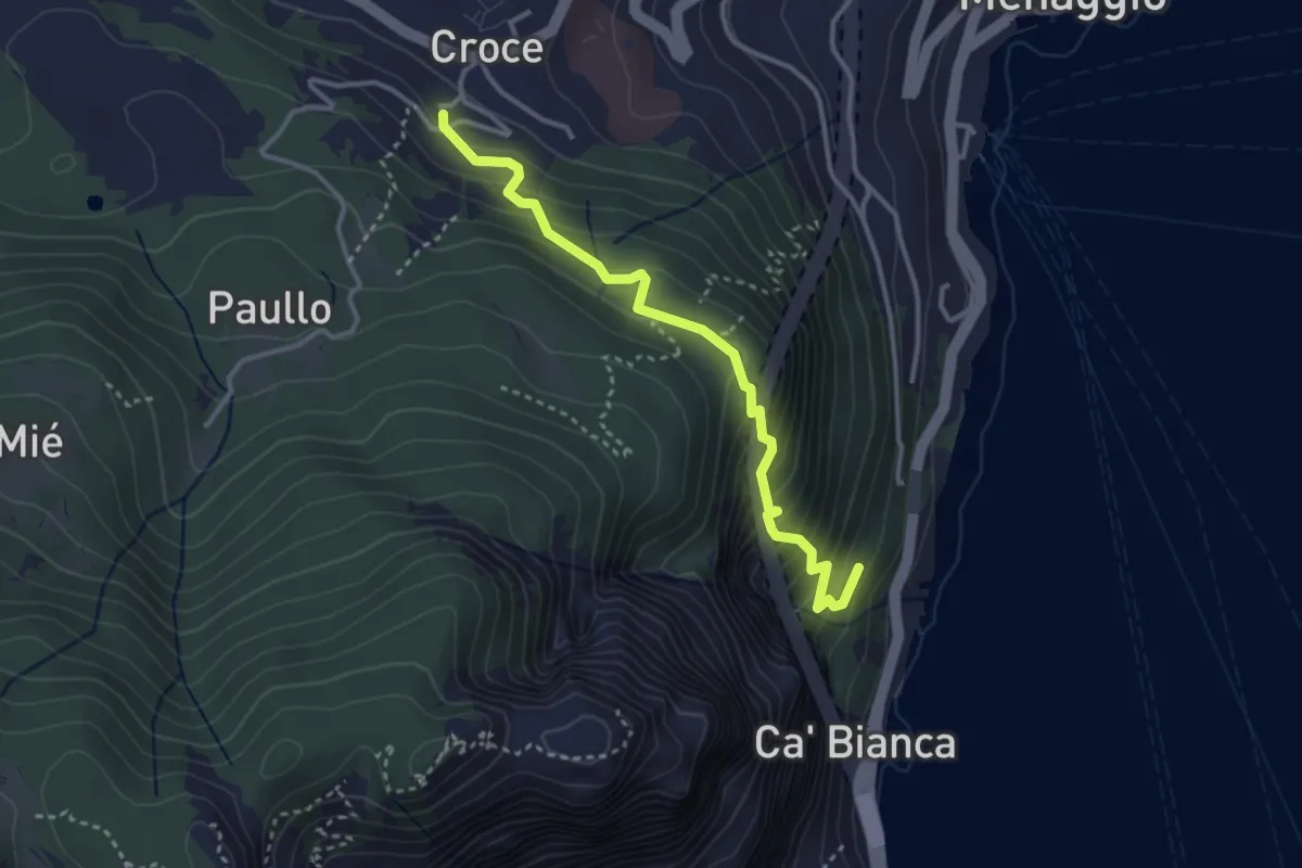
Medium · Trail
Pastura – Croce
3.3 km · ↑ 335 m · 1 h 31 min · 12 km away
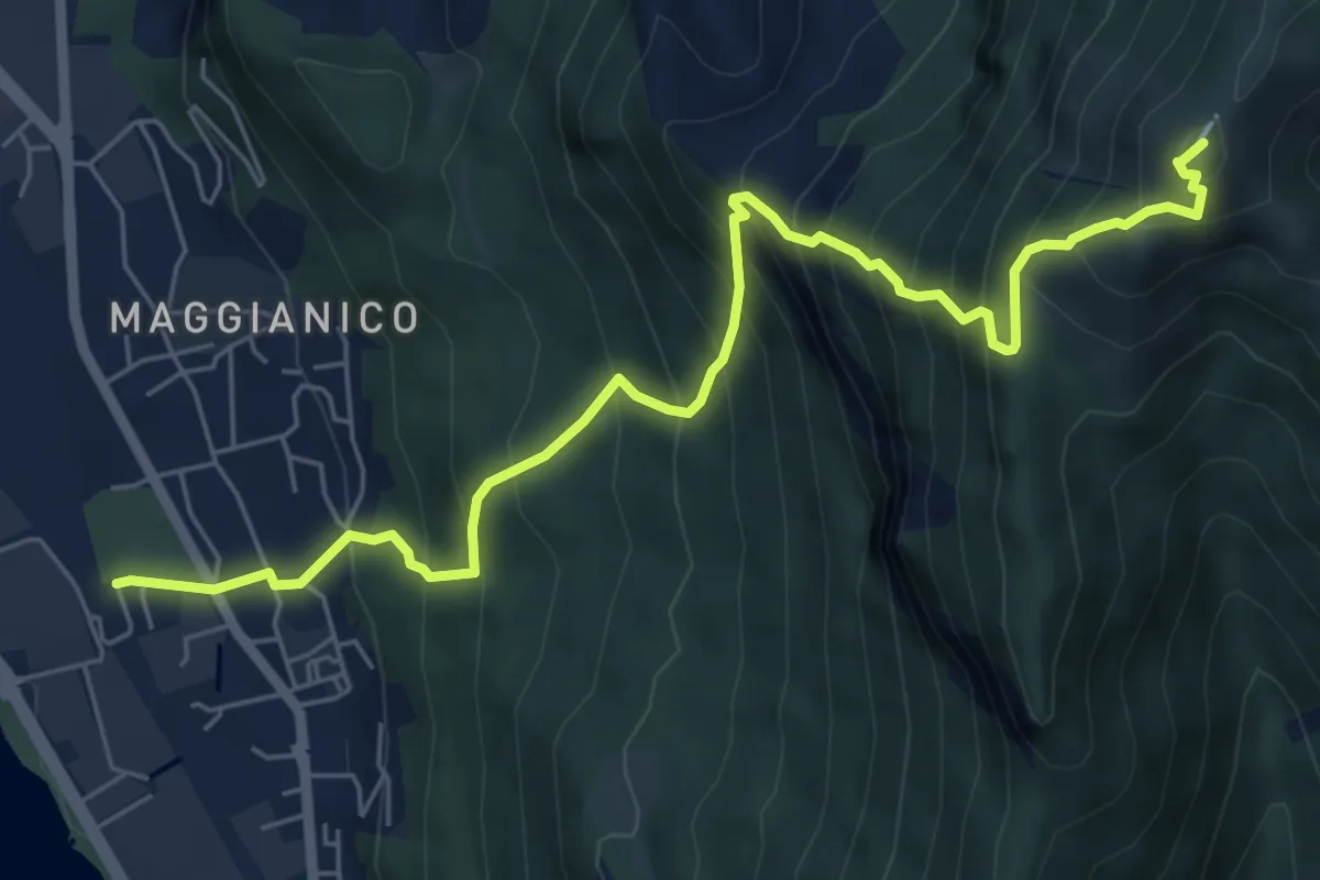
Demanding · Summit
Lecco – Monte Magnodeno
7.2 km · ↑ 1006 m · 3 h 52 min · 12 km away
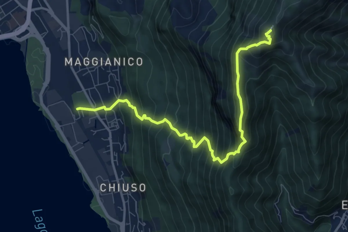
Demanding · Summit
Lecco – Monte Magnodeno
9.1 km · ↑ 992 m · 4 h 18 min · 12 km away
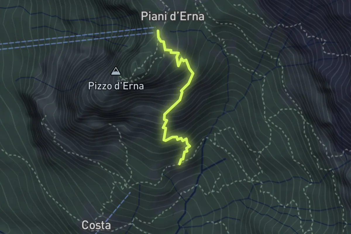
Medium · Trail
Sentiero della Sponda
2.4 km · ↑ 361 m · 1 h 21 min · 12 km away
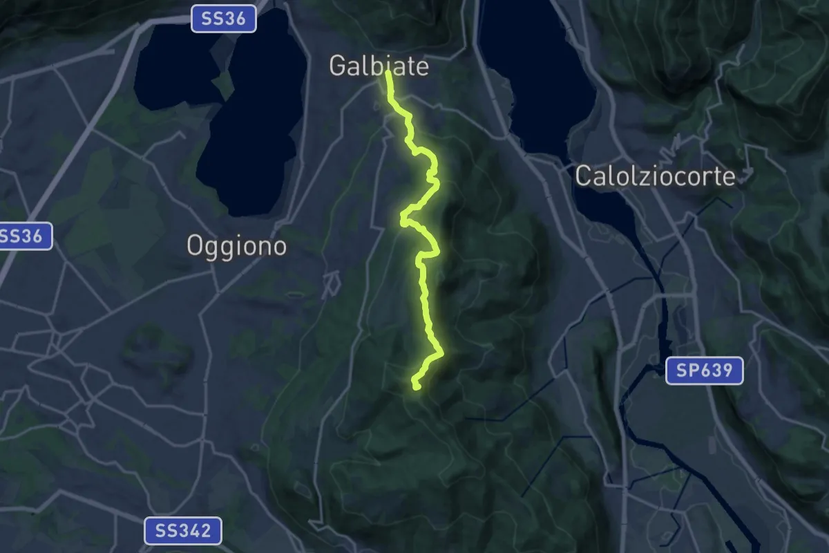
Medium · Summit
Olgiate Molgora (FS) – Galbiate
14.3 km · ↑ 669 m · 4 h 50 min · 12 km away
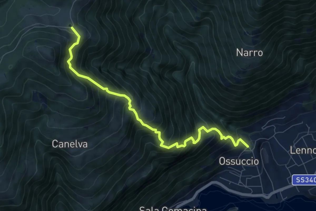
Demanding · Cabin
Ossuccio – Rifugio Boffalora
8.5 km · ↑ 1046 m · 4 h 16 min · 12 km away
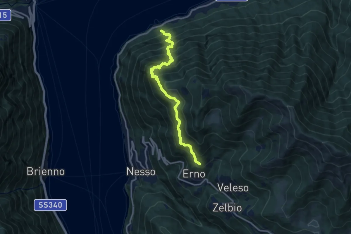
Demanding · Trail
Carvagnana – Erno
8.9 km · ↑ 1168 m · 4 h 38 min · 12 km away
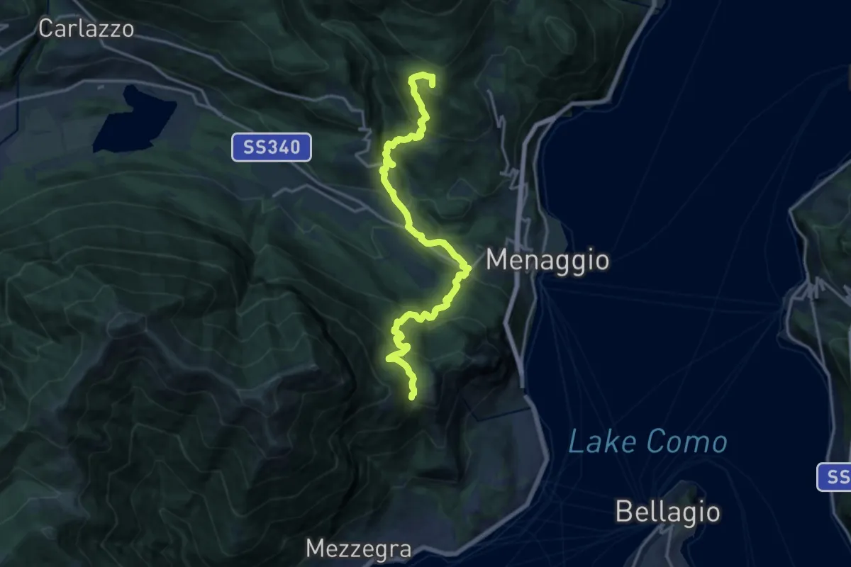
Demanding · Summit
Via dei Monti Lariani (Bocchetta di Nava - Luina)
16.6 km · ↑ 1069 m · 6 h 14 min · 12 km away
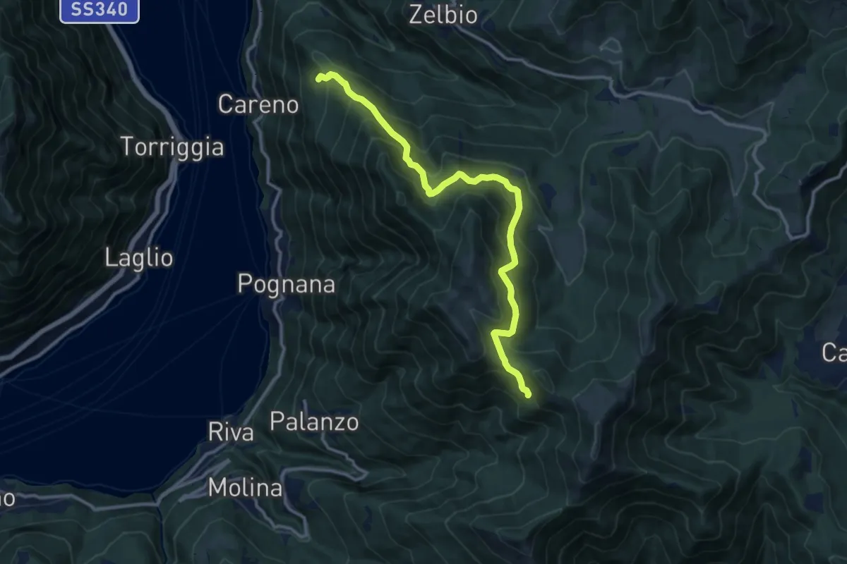
Demanding · Trail
Monte Palanzone – Bocchetta di Sciff
11.5 km · ↑ 986 m · 4 h 51 min · 12 km away
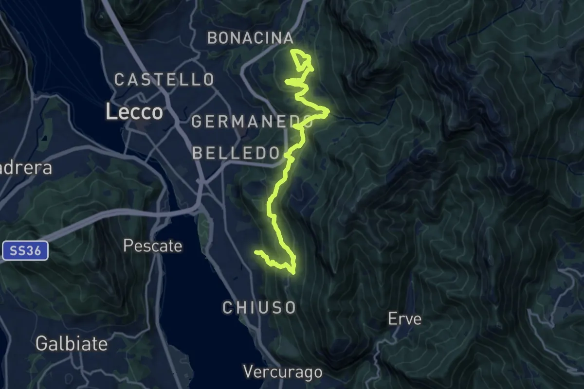
Demanding · Trail
Sentiero Rotary Lecco
16.4 km · ↑ 875 m · 5 h 46 min · 12 km away
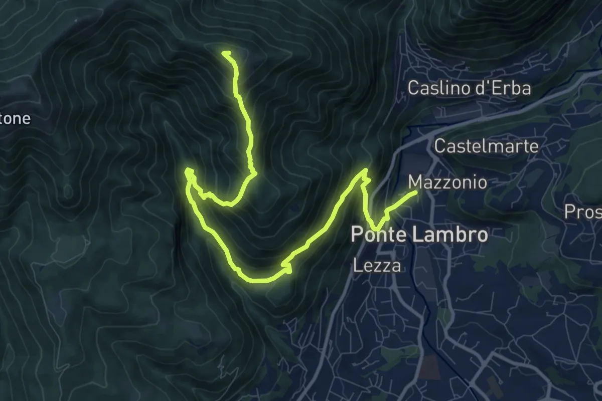
Demanding · Summit
Ponte Lambro – Monte Puscio
11.7 km · ↑ 1032 m · 5 h · 12 km away
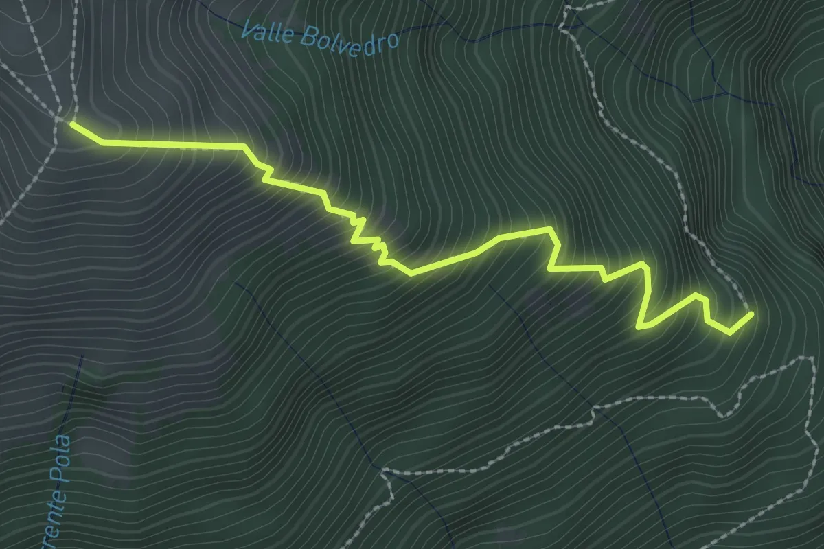
Medium · Trail
Ossino – Alpe di Mezzegra
2.8 km · ↑ 542 m · 1 h 49 min · 12 km away
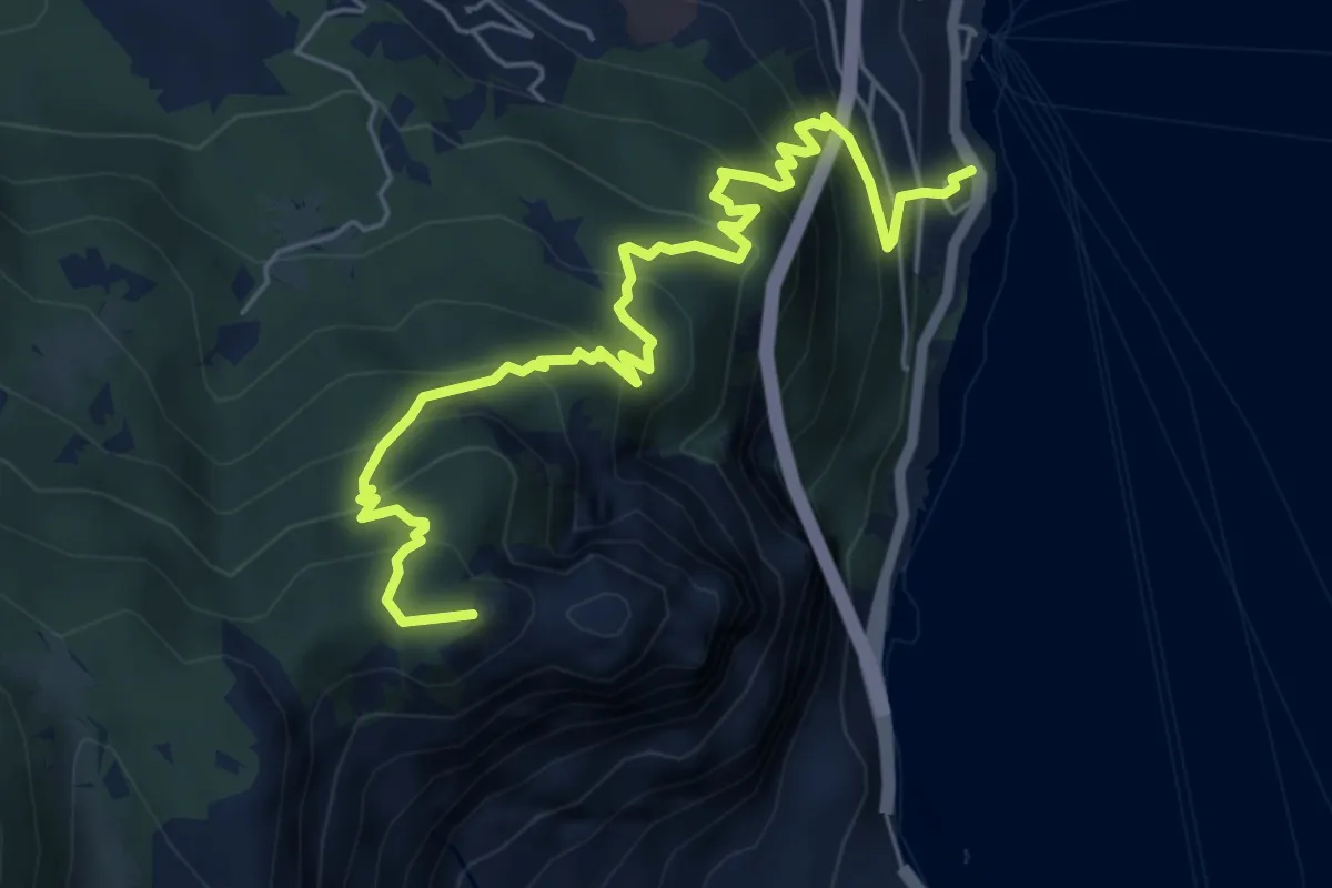
Medium · Summit
Casate – Pilone
6.9 km · ↑ 652 m · 3 h 3 min · 12 km away
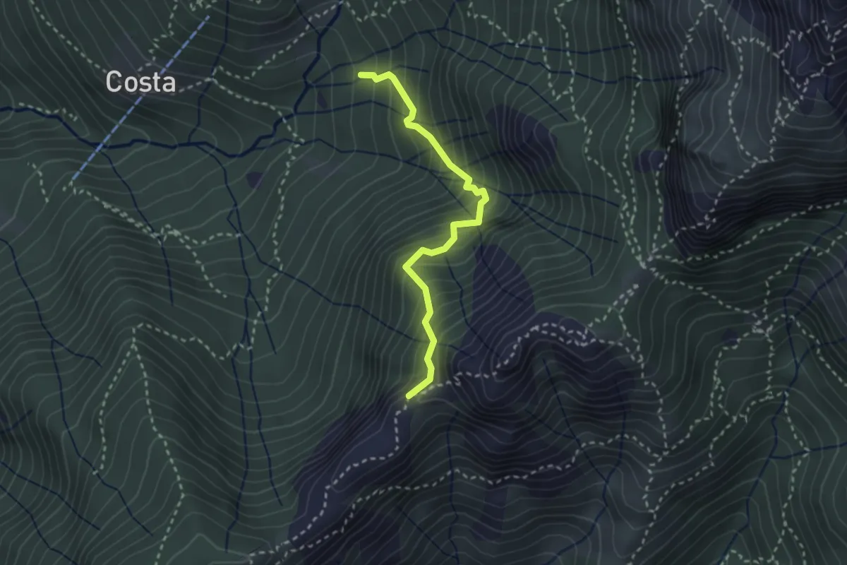
Demanding · Trail
Sentiero della Guardia
2.7 km · ↑ 404 m · 1 h 30 min · 12 km away
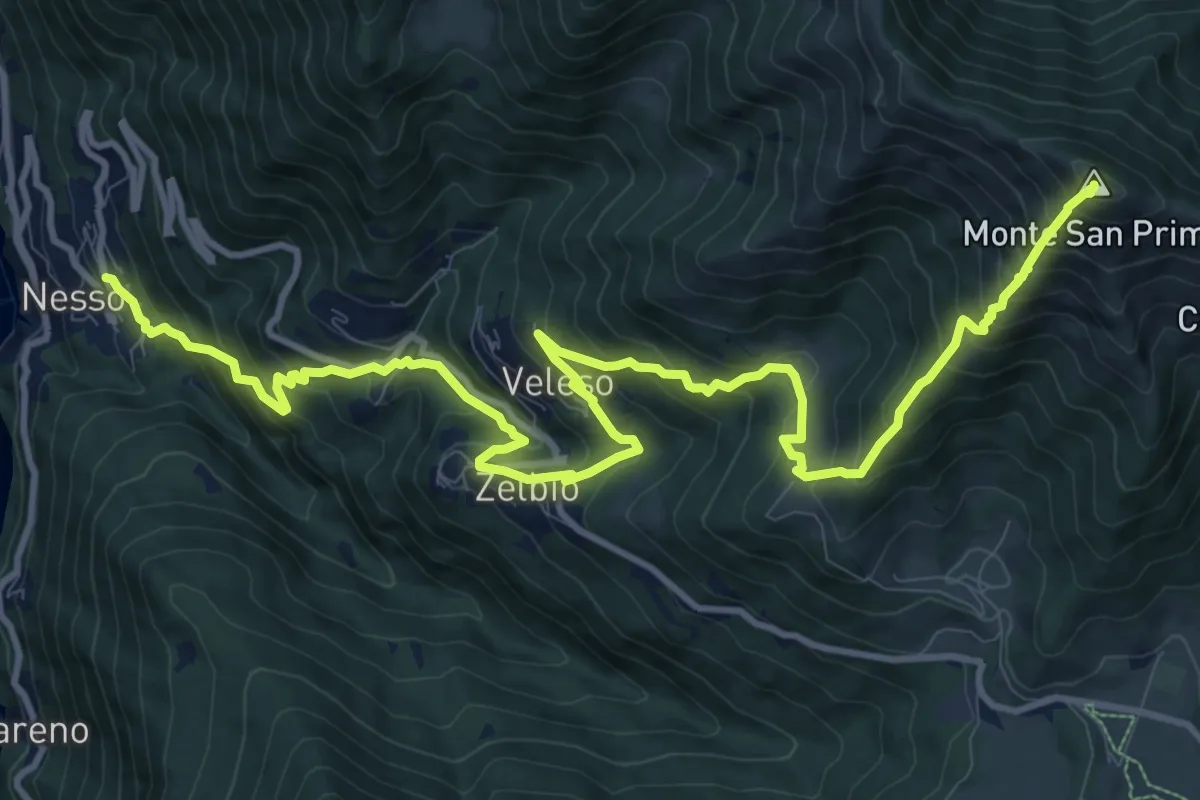
Demanding · Summit
Nesso – Monte San Primo
15.3 km · ↑ 1369 m · 6 h 35 min · 12 km away
Medium · Trail
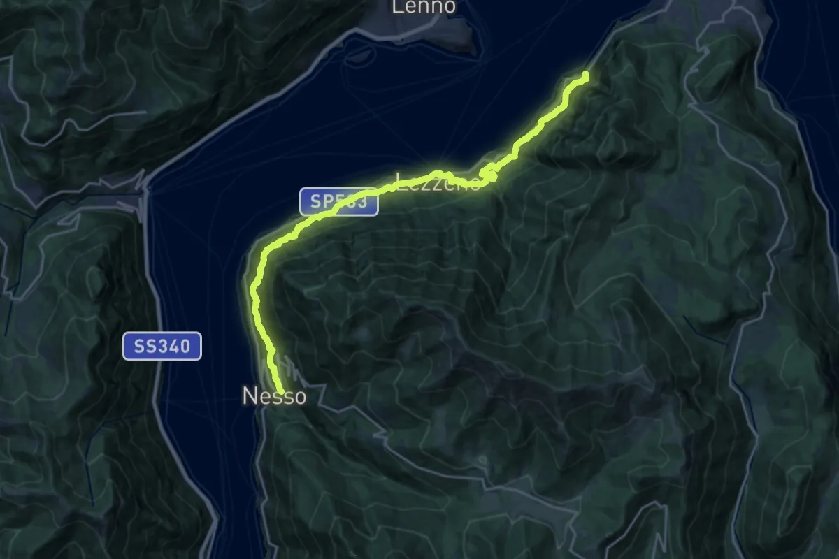
Nesso – Ponte del Diavolo (Bellagio)
10.8 km · ↑ 630 m · 4 h 8 min · 12 km away
Demanding · Summit
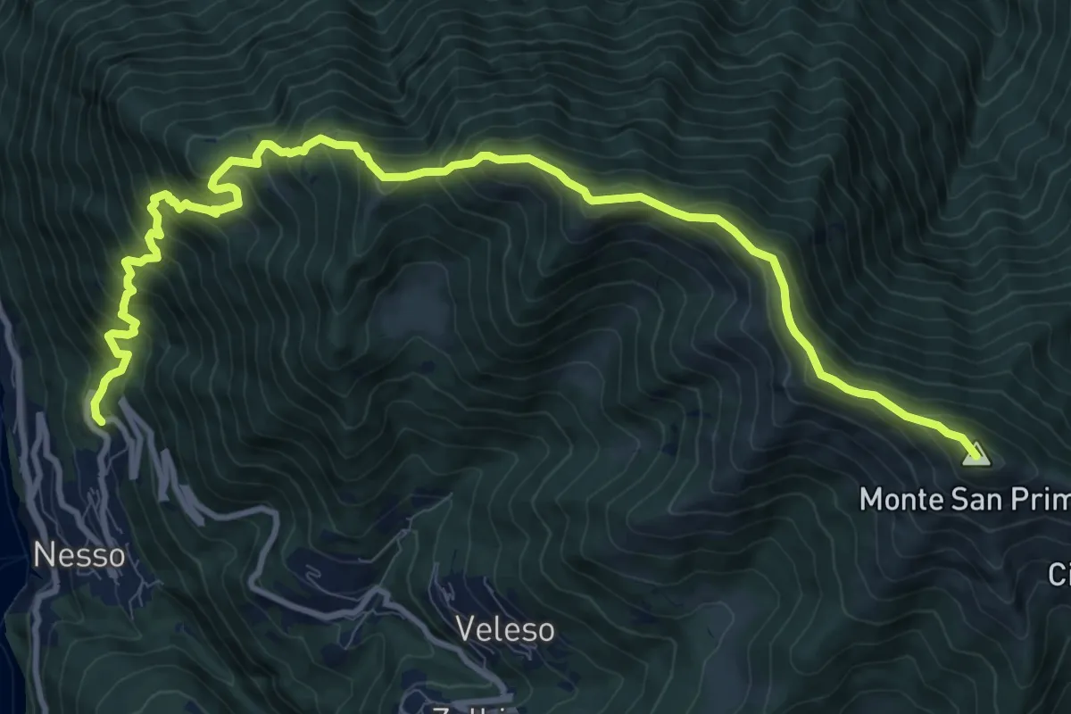
Nesso – Monte San Primo
13.2 km · ↑ 1364 m · 6 h 5 min · 12 km away
Demanding · Summit
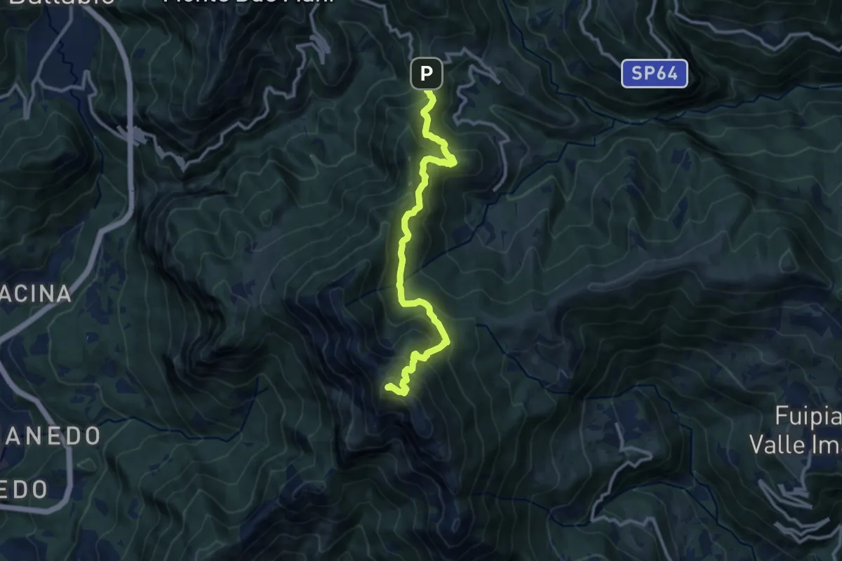
Forcella di Olino – Monte Resegone
10.5 km · ↑ 866 m · 4 h 22 min · 12 km away
Expert · Trail
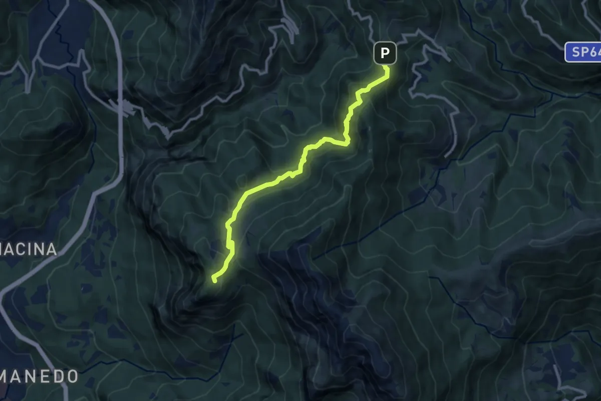
Pianid'Erna – Forcella di Olino
8.9 km · ↑ 659 m · 3 h 32 min · 12 km away
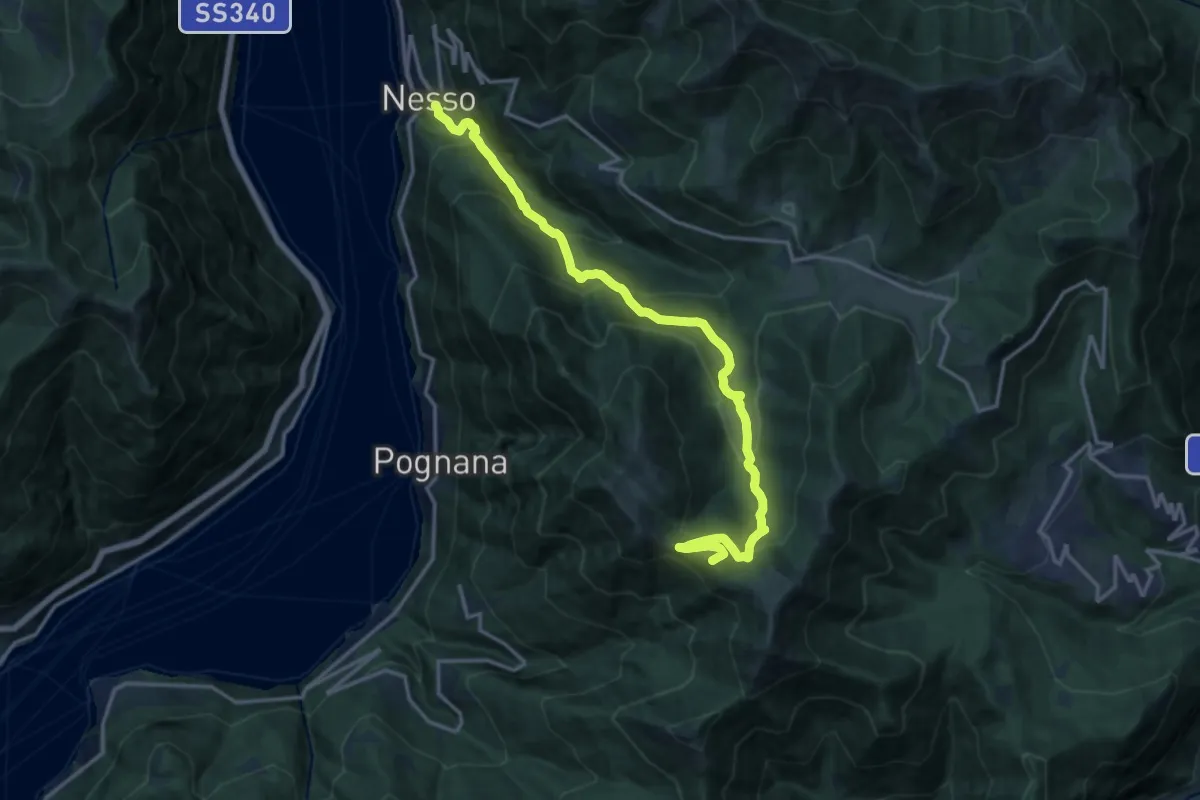
Demanding · Summit
Nesso – Monte Palanzone
16.5 km · ↑ 1052 m · 6 h 11 min · 13 km away
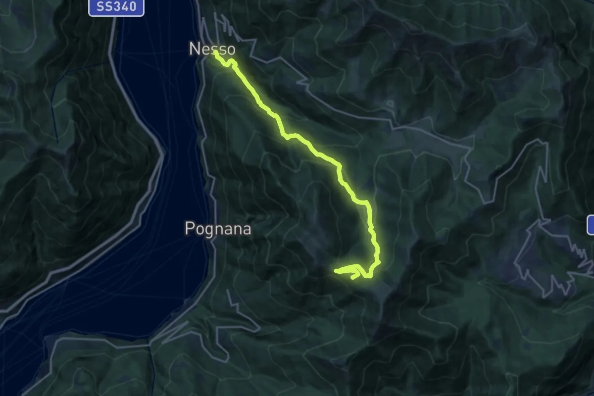
Demanding · Summit
Nesso – Monte Palanzone
16.2 km · ↑ 1157 m · 6 h 20 min · 13 km away
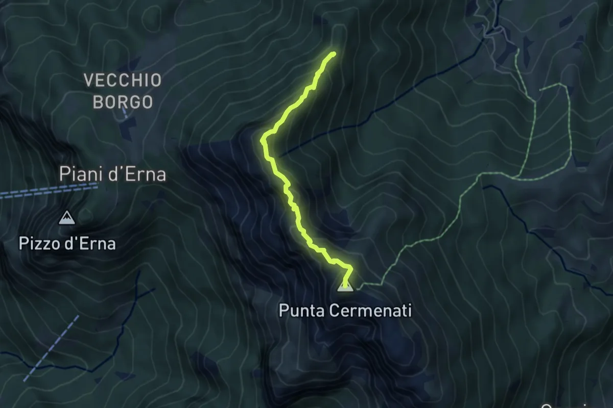
Expert · Summit
Sentiero delle Creste Nord
4.5 km · ↑ 323 m · 1 h 45 min · 13 km away
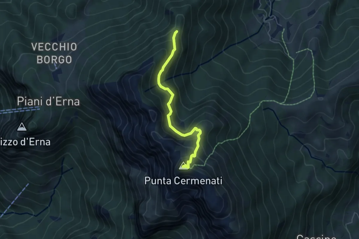
Demanding · Summit
Passo del Giuff – Monte Resegone
4.7 km · ↑ 410 m · 2 h · 13 km away
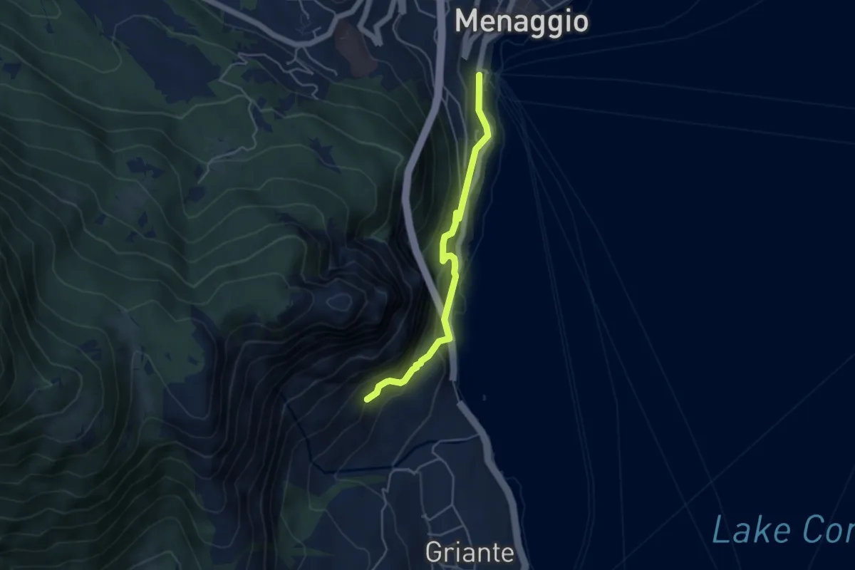
Medium · Trail
Imbarcadero Menaggio – sent 893 per San Martino
4.3 km · ↑ 333 m · 1 h 45 min · 13 km away
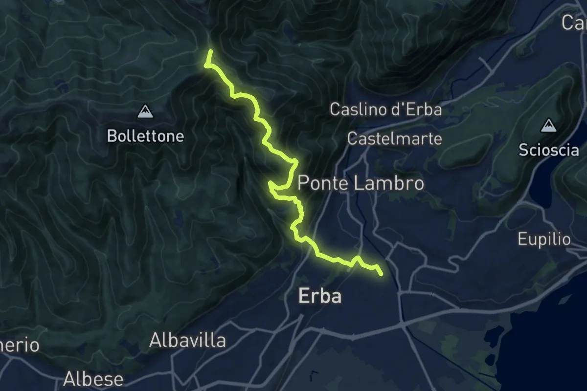
Demanding · Trail
Stazione di Erba – Bocchetta di Lemma
13.9 km · ↑ 1049 m · 5 h 34 min · 13 km away
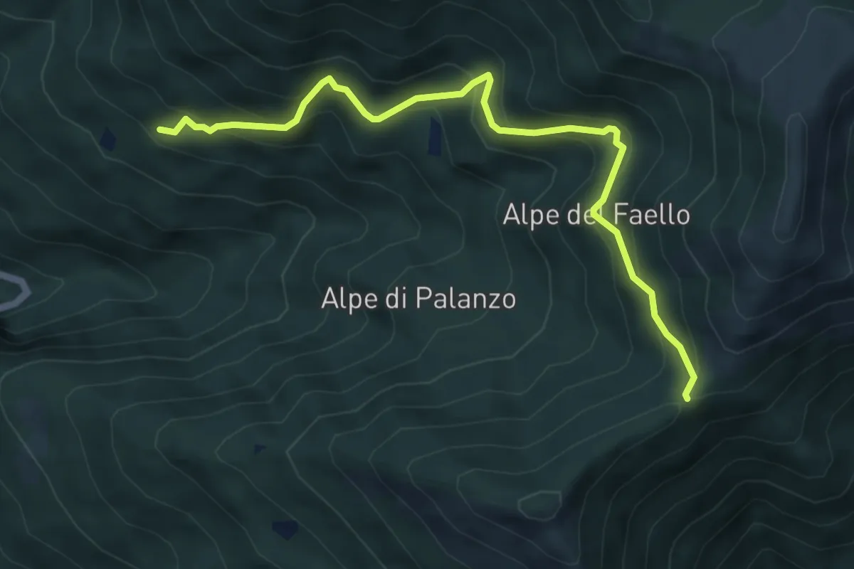
Medium · Trail
Il Gaggio (Faggeto Lario) – Bocchetta di Palanzo
5.8 km · ↑ 475 m · 2 h 24 min · 13 km away
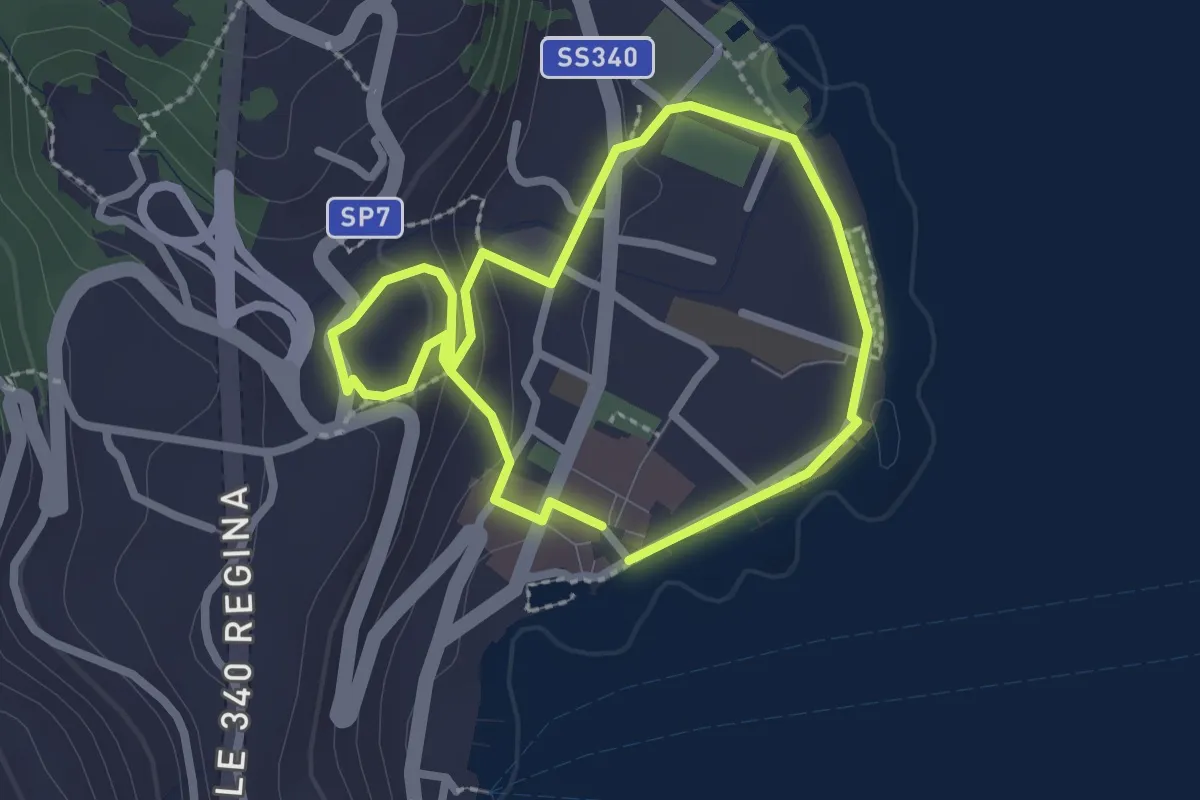
Easy · Trail
Itinerario storico-artistico di Menaggio
2.1 km · ↑ 59 m · 39 min · 13 km away