Trails near Mandello del Lario
372 hikes starting within 15 km, nearest first.
Nearest first, page 7 of 8
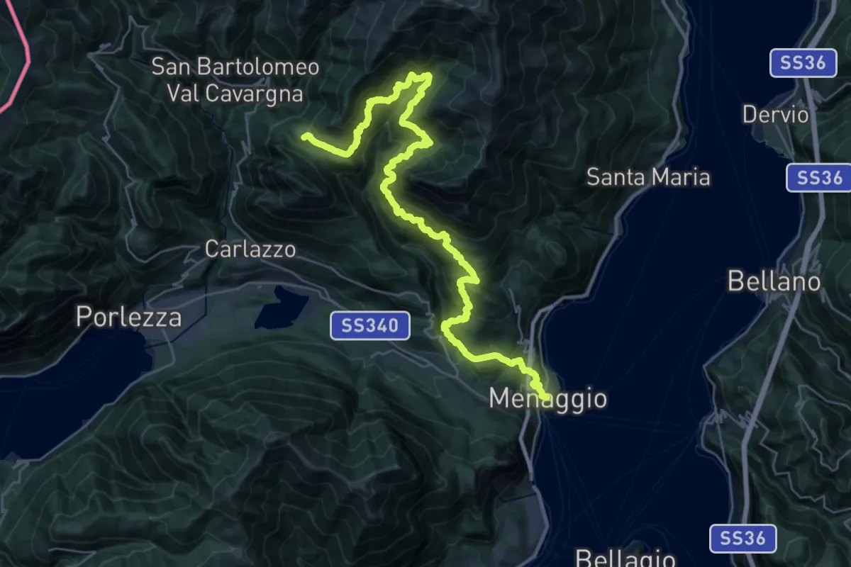
Demanding · Summit
CamminaForeste - Tappa 8A
35.8 km · ↑ 2409 m · 13 h 40 min · 13 km away
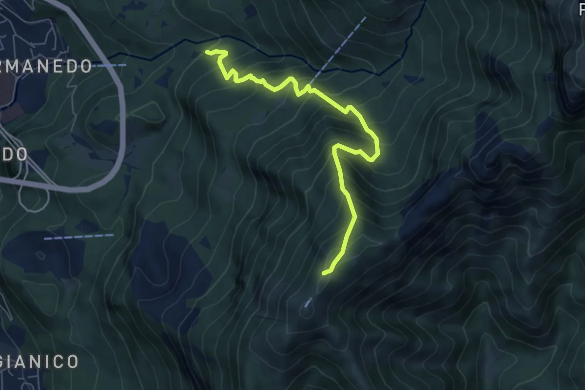
Medium · Trail
Innesto percorso 927 – Monte Magnodeno, innesto percorso 927
6.2 km · ↑ 754 m · 3 h 5 min · 13 km away
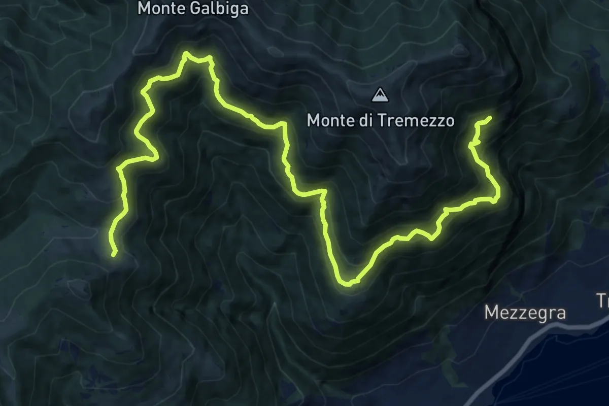
Demanding · Cabin
Rifugio Boffalora – La Gogia sent 898
9.6 km · ↑ 863 m · 4 h 13 min · 13 km away
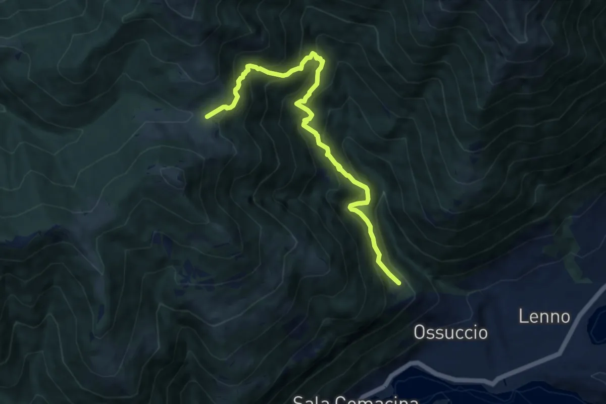
Demanding · Trail
Santuario del Soccorso – Rifugio Boffalora
9.1 km · ↑ 946 m · 4 h 12 min · 13 km away
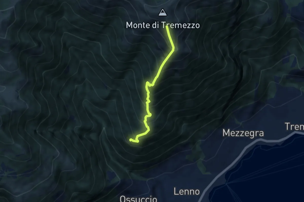
Demanding · Trail
Daie sent 884 – Alpe di Mezzegra
5.7 km · ↑ 857 m · 3 h 12 min · 13 km away
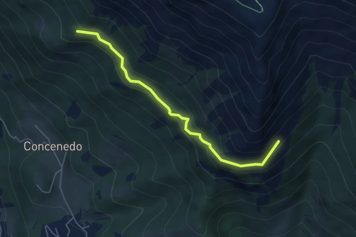
Medium · Trail
Piazza Alta – Baita Pesciola bassa
4.3 km · ↑ 269 m · 1 h 36 min · 13 km away
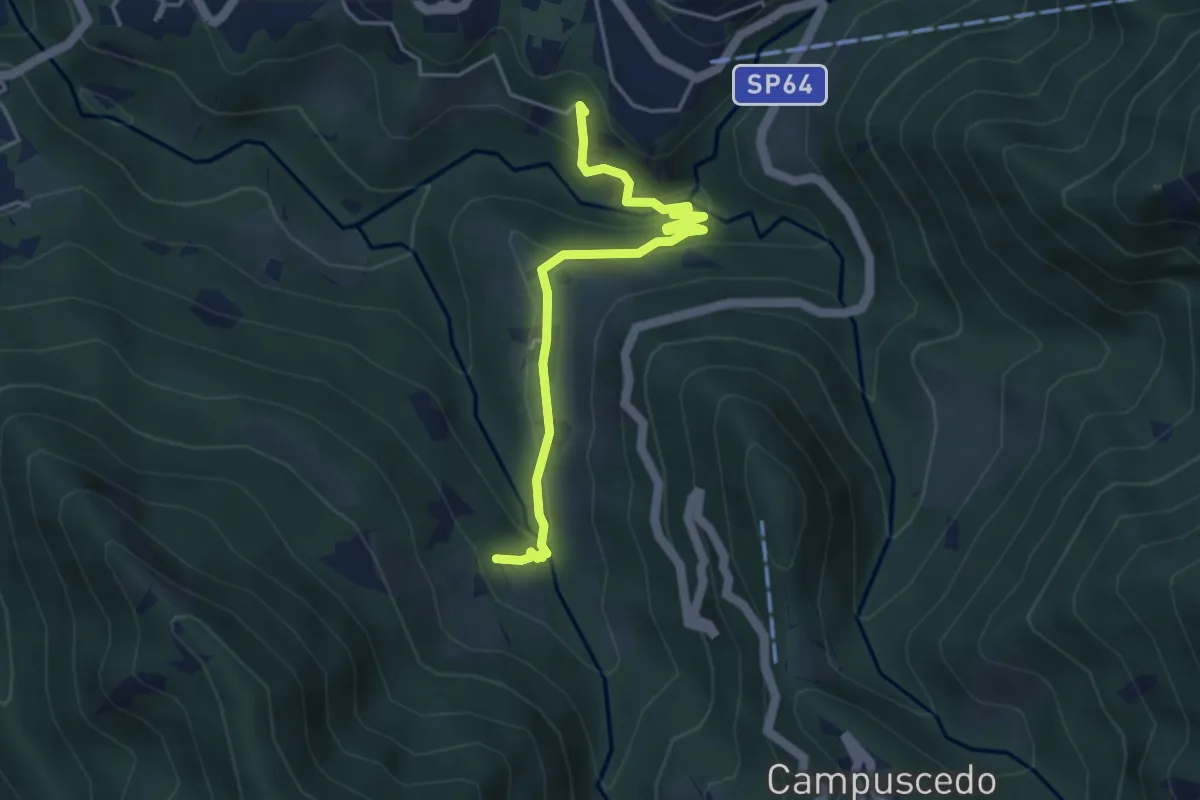
Easy · Trail
Moggio - Ussola
4.5 km · ↑ 162 m · 1 h 24 min · 13 km away
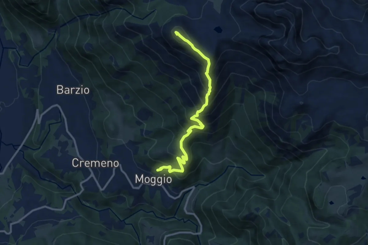
Demanding · Summit
Moggio – Zucco Orscellera
8.7 km · ↑ 996 m · 4 h 13 min · 13 km away
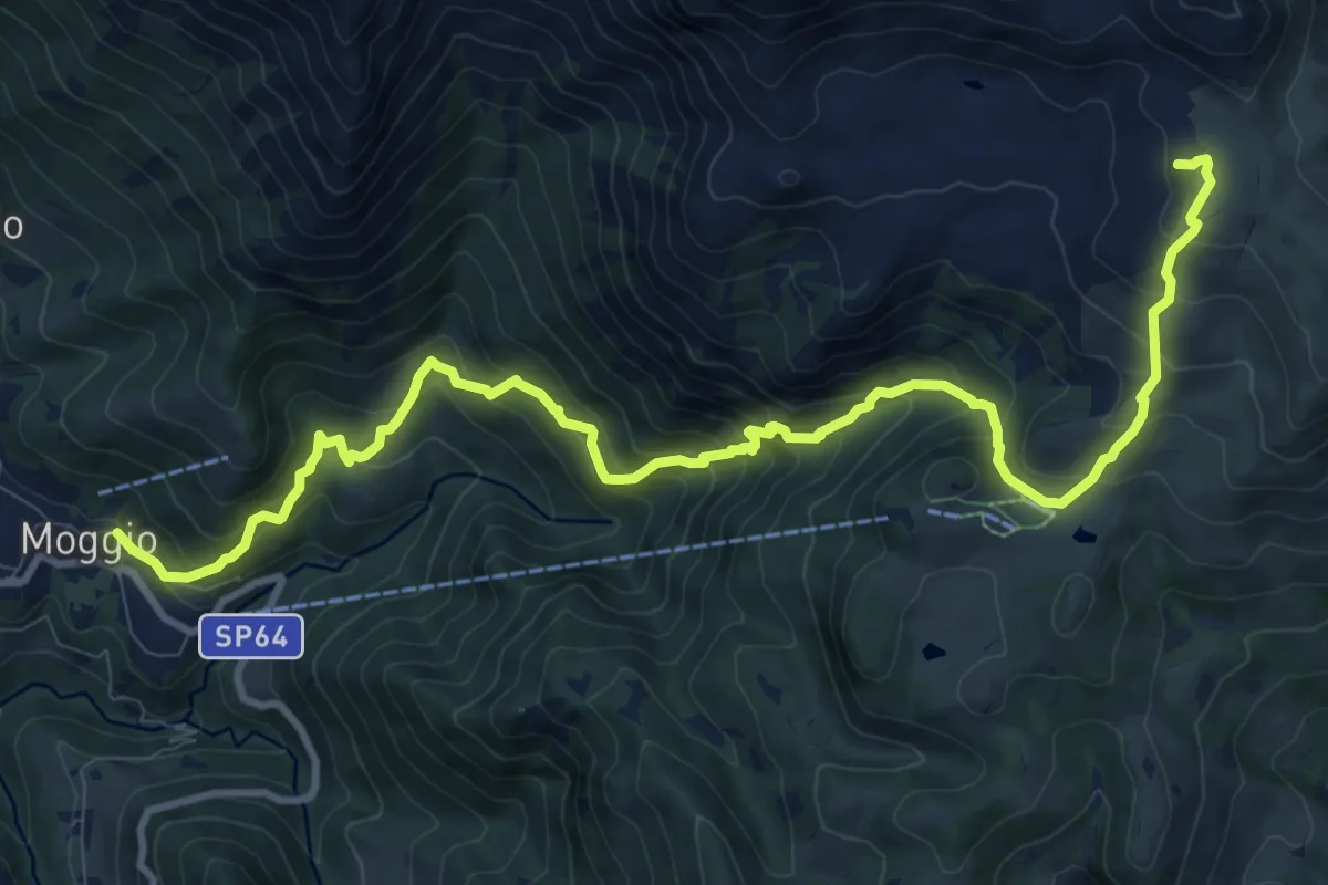
Demanding · Cabin
Moggio – Rifugio Cazzaniga-Merlini
13.2 km · ↑ 1135 m · 5 h 34 min · 13 km away
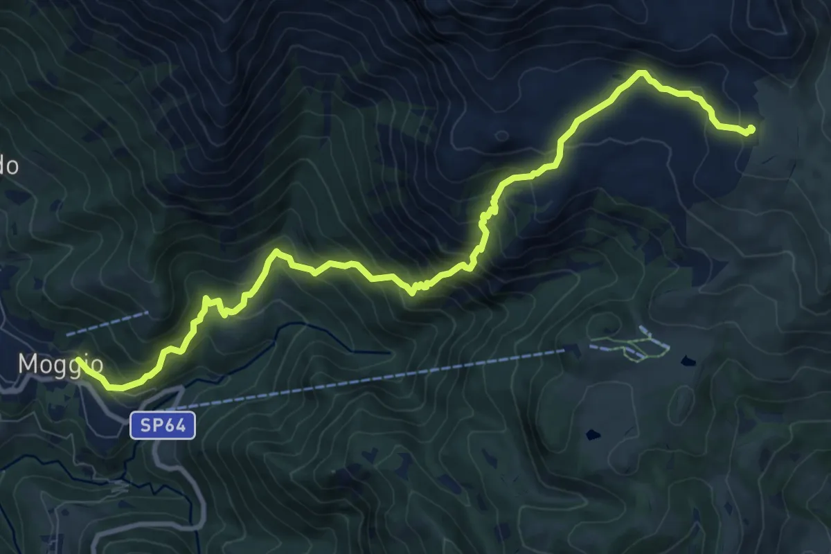
Demanding · Cabin
Sentiero del Canale di Bürei
11.4 km · ↑ 1068 m · 5 h 1 min · 13 km away
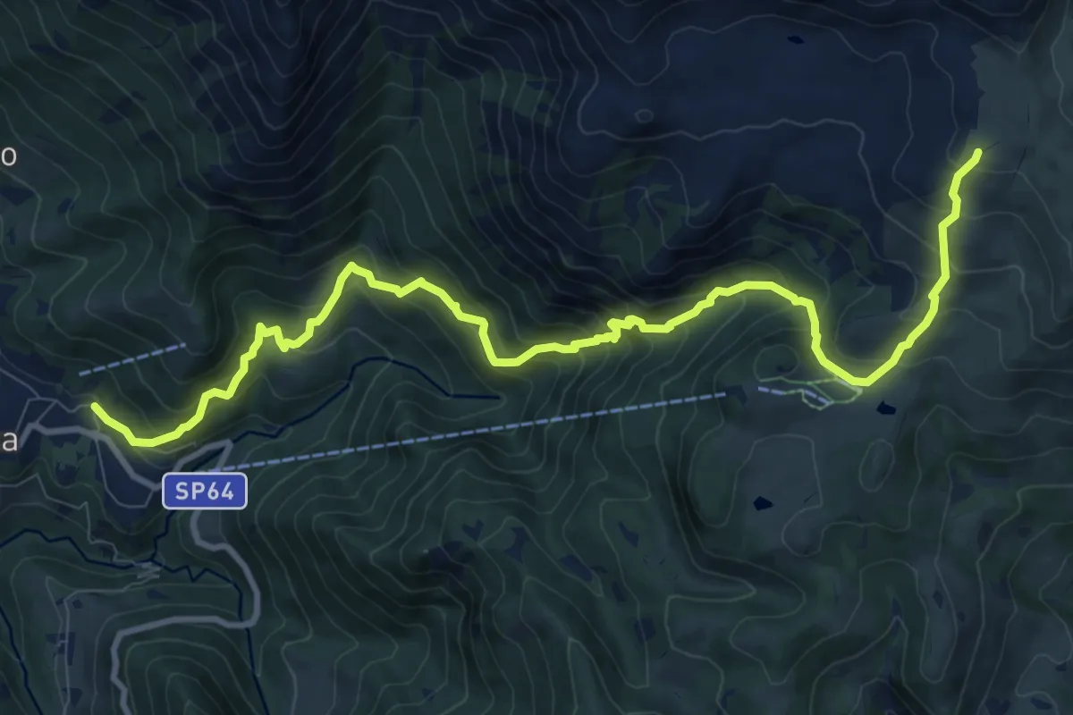
Demanding · Cabin
Moggio – Rifugio Nicola
12.4 km · ↑ 1120 m · 5 h 21 min · 13 km away
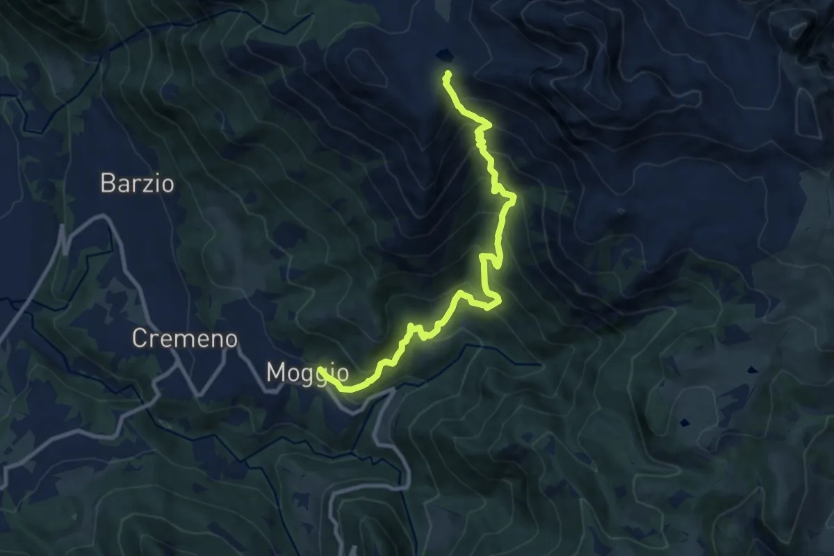
Demanding · Trail
Moggio – Bocchetta di Pesciola
9.9 km · ↑ 1046 m · 4 h 36 min · 13 km away
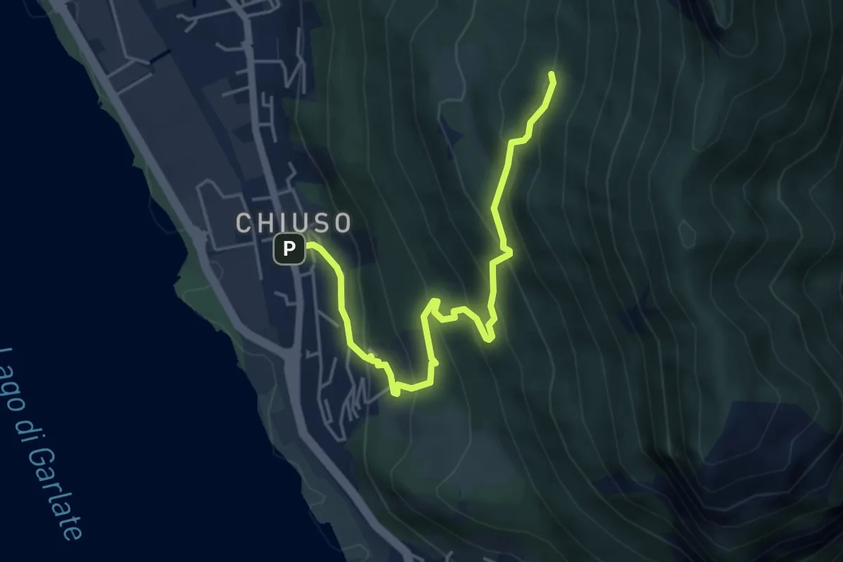
Medium · Cabin
Chiuso – Rifugio Camposecco
4.8 km · ↑ 430 m · 2 h 4 min · 13 km away
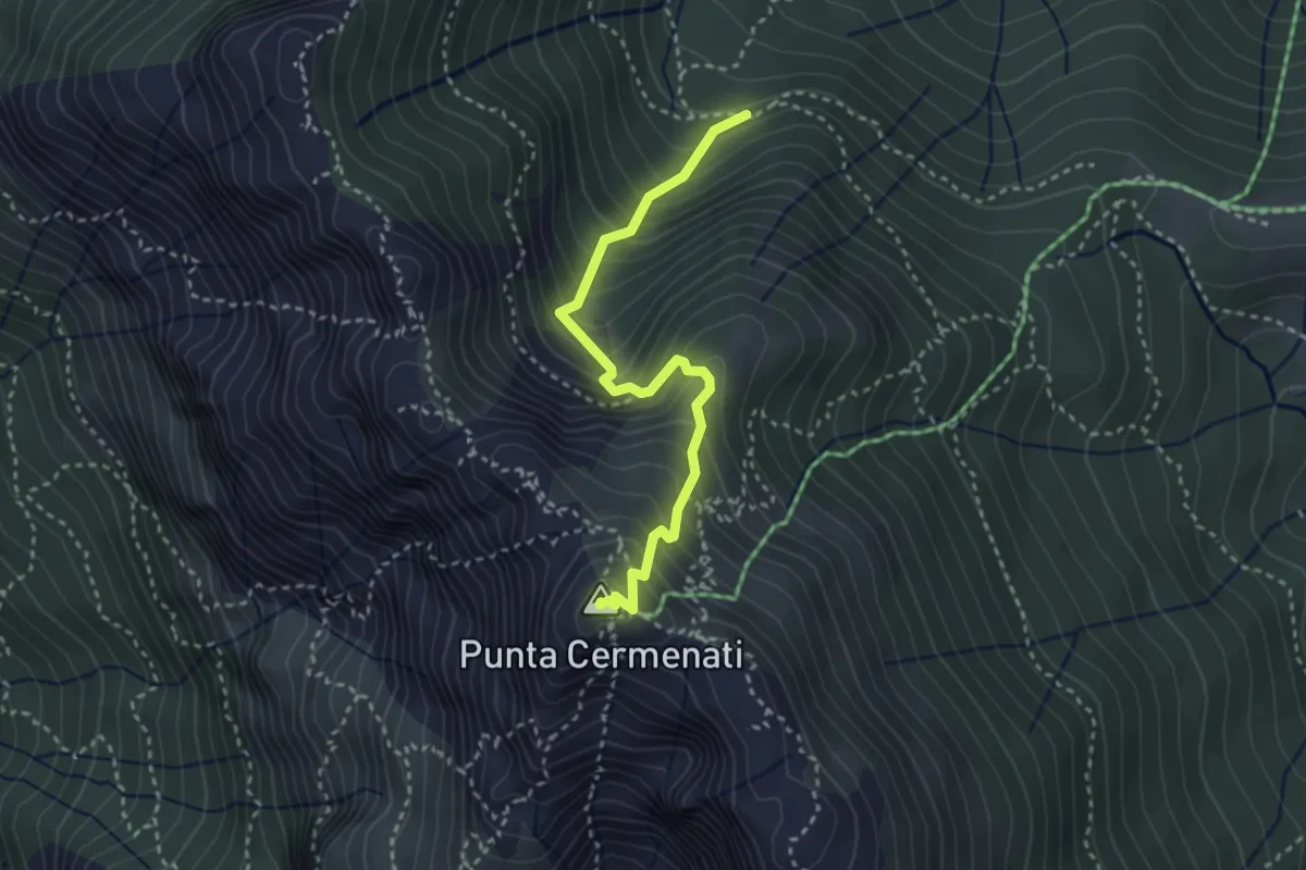
Demanding · Summit
Sorgente Forbesette – Monte Resegone
3.1 km · ↑ 458 m · 1 h 44 min · 13 km away
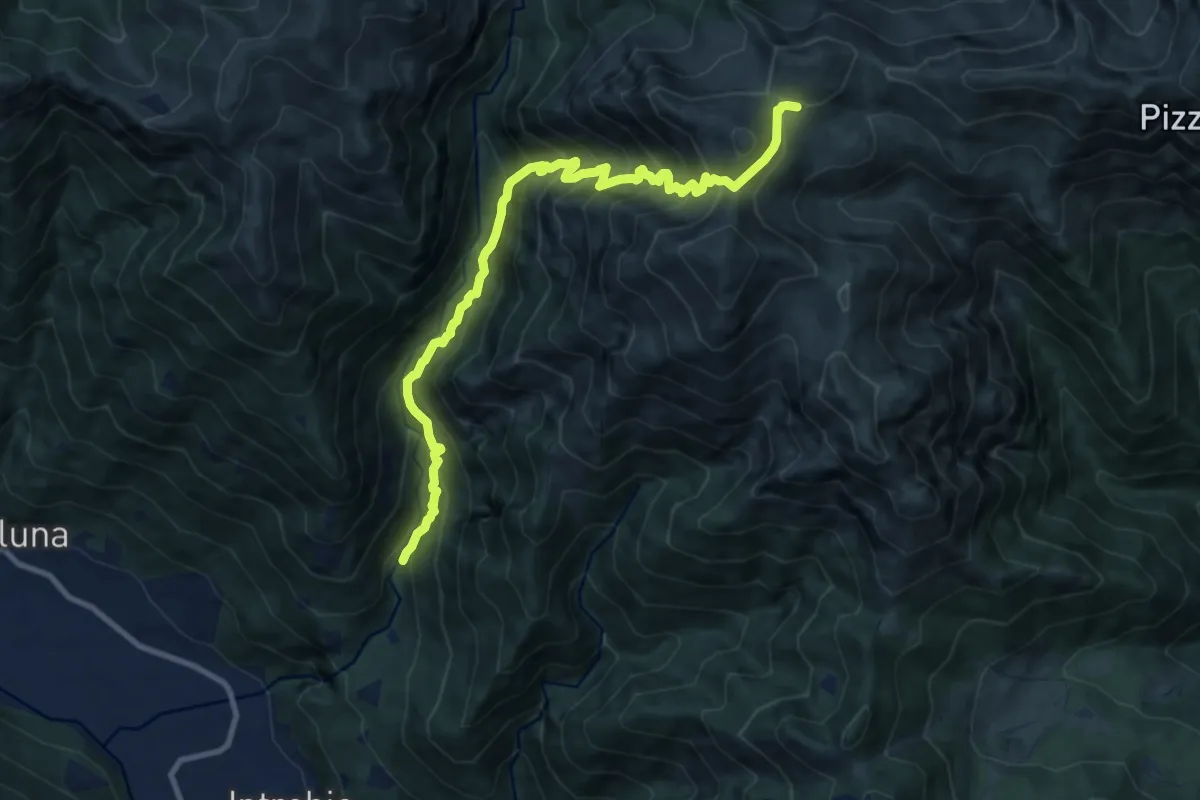
Demanding · Cabin
Sentiero 34 della Val Bona
11.1 km · ↑ 1365 m · 5 h 35 min · 13 km away
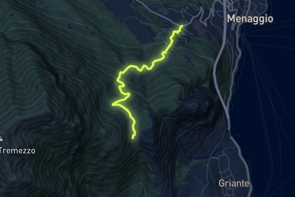
Medium · Trail
Croce – Monti Nava
6.9 km · ↑ 533 m · 2 h 47 min · 13 km away
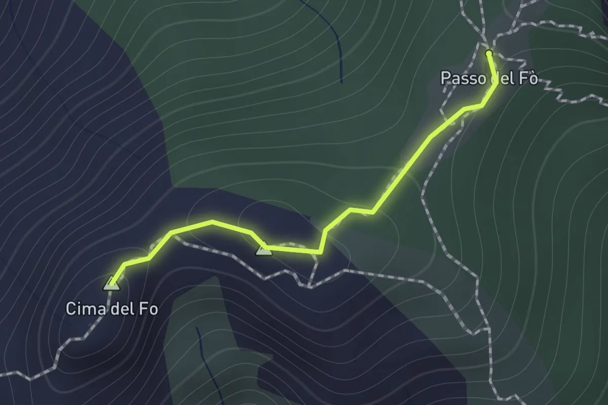
Expert · Summit
Sentiero 928 – Passo del Fo'
1.0 km · ↑ 72 m · 23 min · 13 km away
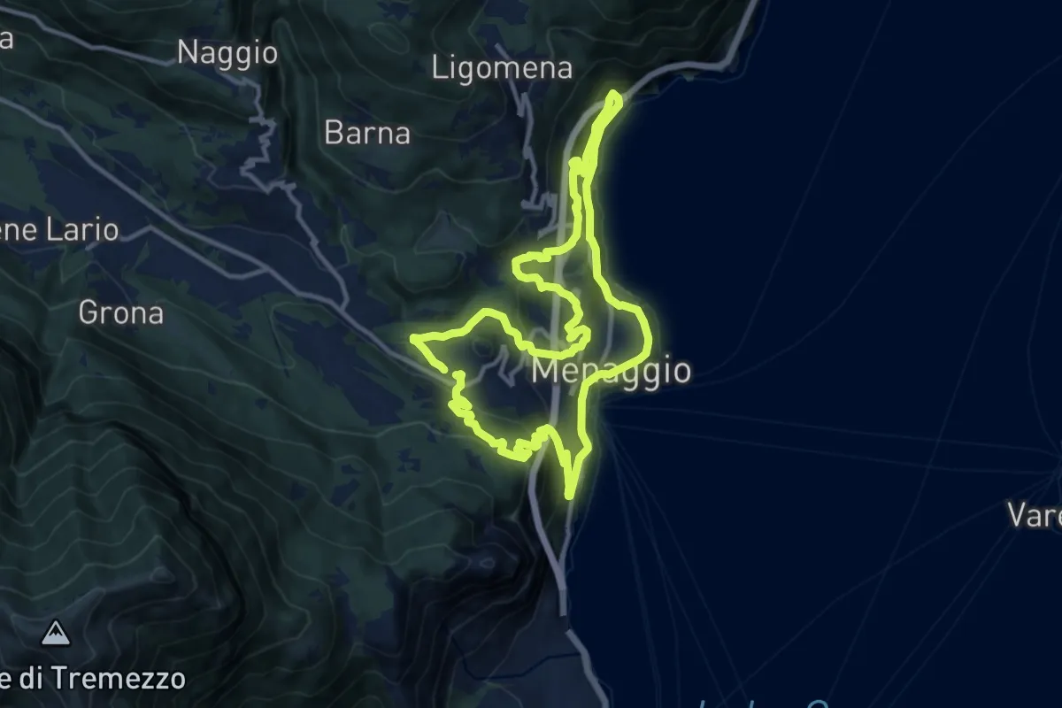
Medium · Trail
Menaggio e i suoi borghi
11.5 km · ↑ 593 m · 4 h 10 min · 13 km away
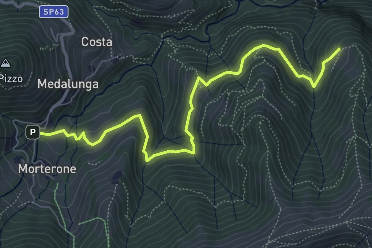
Medium · Trail
Morterone – Selvano
7.0 km · ↑ 331 m · 2 h 23 min · 13 km away
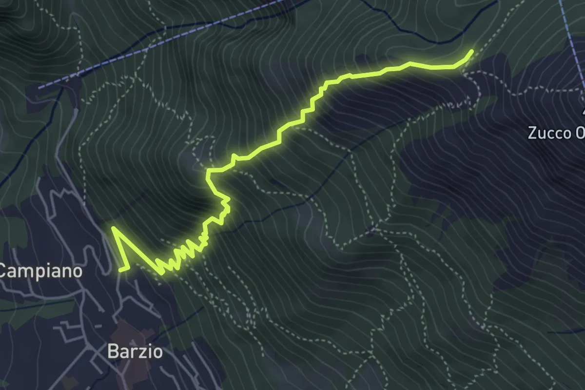
Medium · Trail
Robiasca – Albergo Pequeno
5.6 km · ↑ 800 m · 3 h 4 min · 14 km away
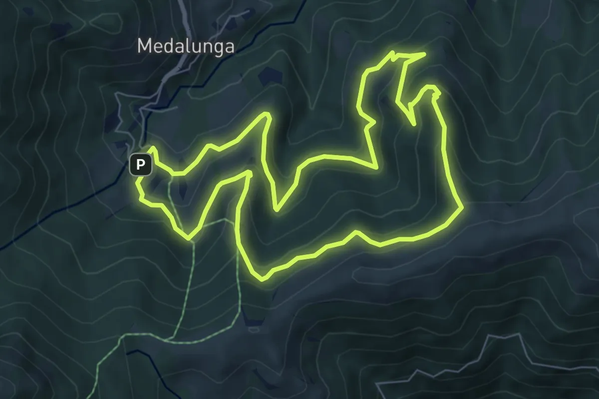
Medium · Trail
Sentiero dei Grandi Alberi - Anello
7.4 km · ↑ 485 m · 2 h 54 min · 14 km away
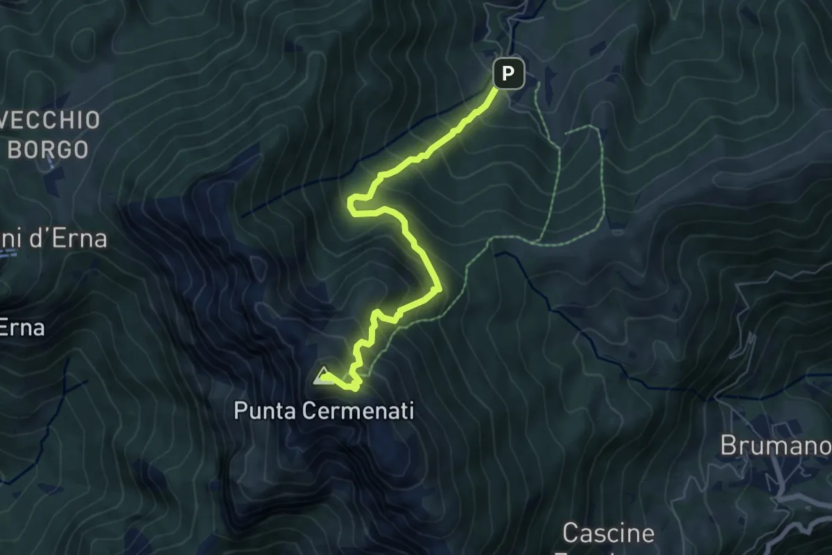
Medium · Summit
Morterone – Monte Resegone
6.5 km · ↑ 759 m · 3 h 11 min · 14 km away
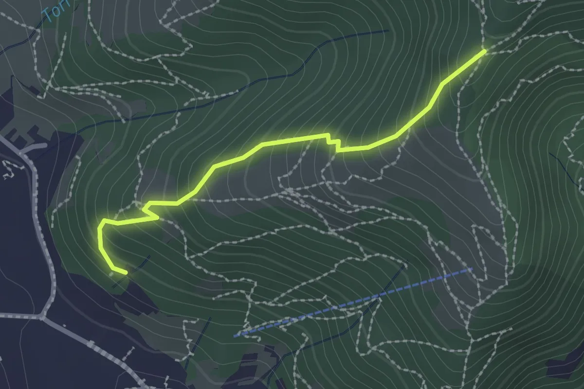
Medium · Trail
Moggio – Acquadela
2.2 km · ↑ 257 m · 1 h 4 min · 14 km away
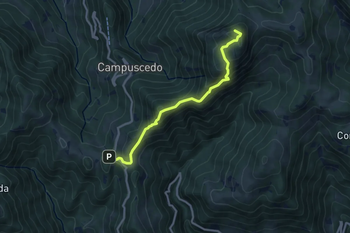
Medium · Summit
Culmine San Pietro – Area di sosta Maesimo
6.4 km · ↑ 504 m · 2 h 36 min · 14 km away
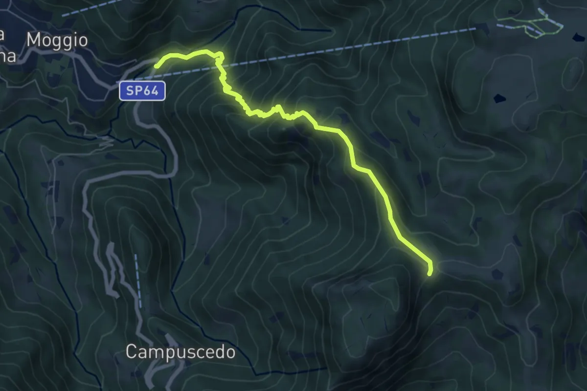
Medium · Trail
Moggio (Mulino) – Area di sosta Maesimo
6.7 km · ↑ 676 m · 3 h 2 min · 14 km away
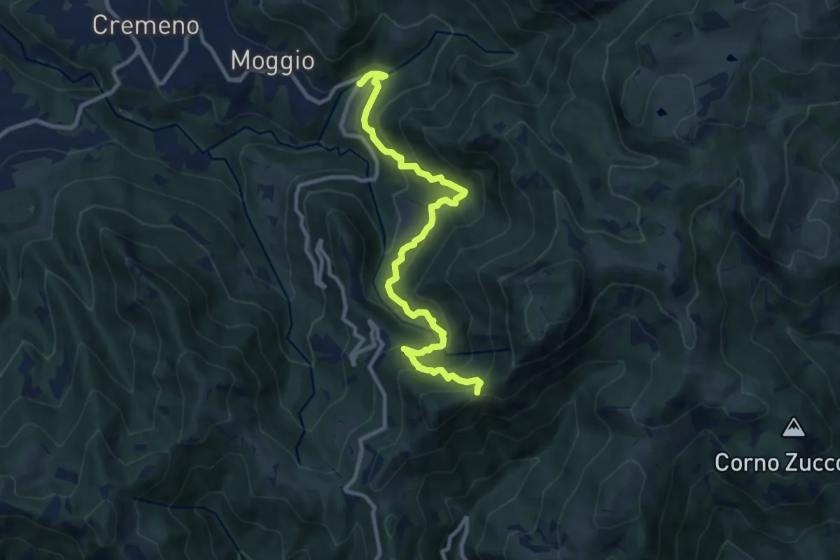
Demanding · Trail
Moggio (Mulino) – Baitel del Lozz
9.8 km · ↑ 912 m · 4 h 17 min · 14 km away
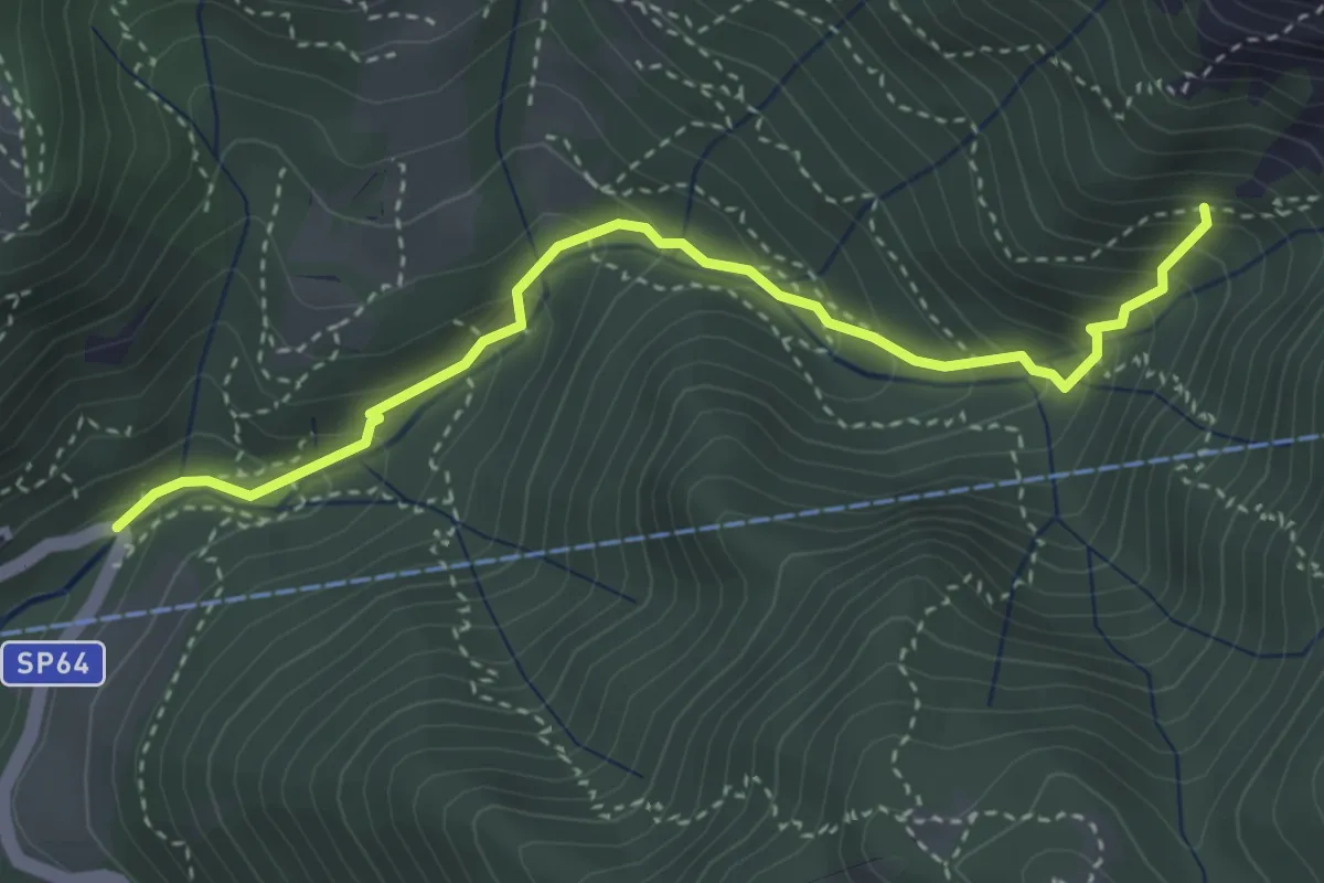
Medium · Trail
Moggio (Mulino) – Innesto 724
3.7 km · ↑ 354 m · 1 h 39 min · 14 km away
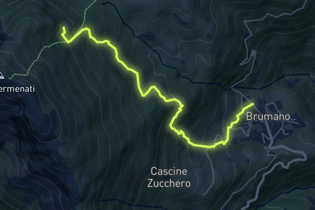
Medium · Trail
Brumano – Colletto di Brumano (incrocio 571)
6.4 km · ↑ 625 m · 2 h 52 min · 14 km away
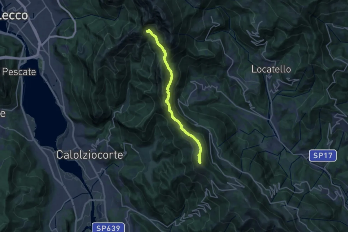
Demanding · Summit
Sentiero del 70° UOEI
14.5 km · ↑ 1044 m · 5 h 41 min · 14 km away
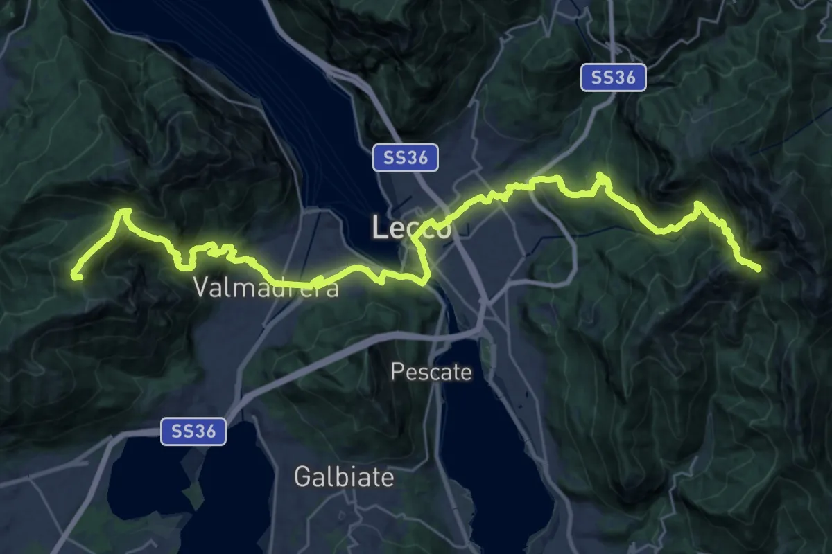
Demanding · Summit
CamminaForeste - Tappa 9C
38.3 km · ↑ 2417 m · 14 h 17 min · 14 km away
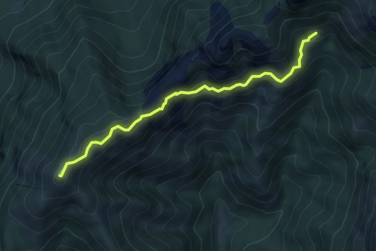
Demanding · Summit
Rif. Alpinisti Monzesi – Monte Magnodeno
5.1 km · ↑ 345 m · 1 h 57 min · 14 km away
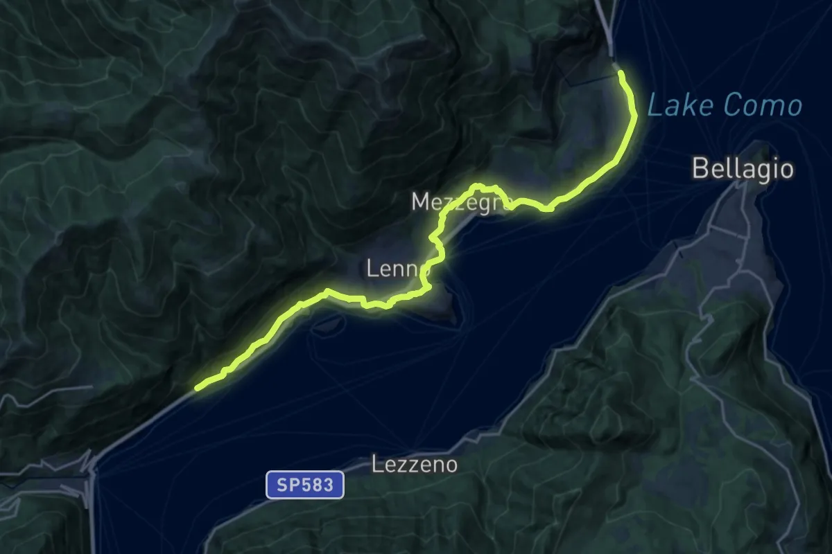
Demanding · Trail
Greenway del Lago di Como
22.3 km · ↑ 593 m · 6 h 33 min · 14 km away
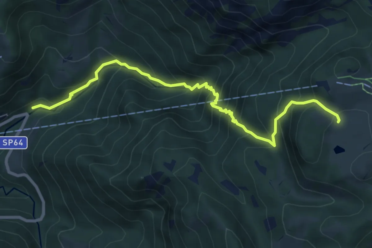
Medium · Cabin
Moggio (Mulino) – Ca' Rovellasca
6.8 km · ↑ 749 m · 3 h 14 min · 14 km away
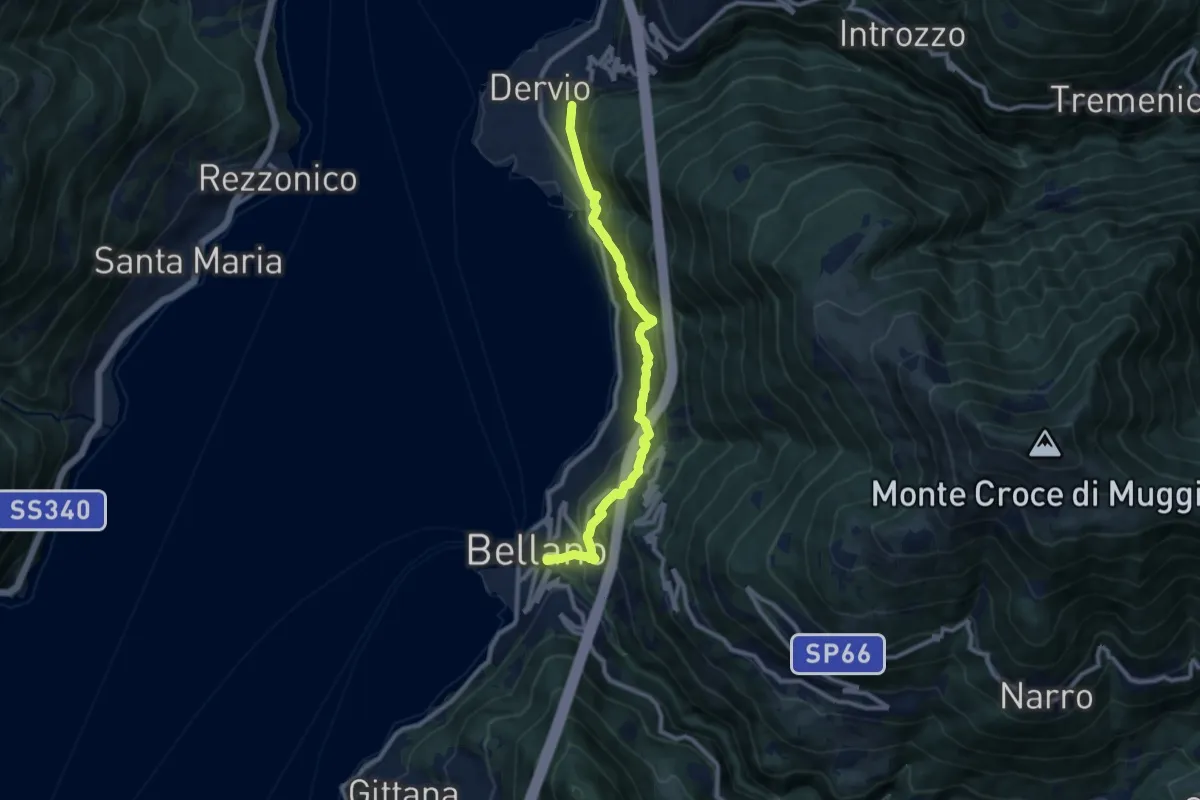
Medium · Trail
Sentiero del Viandante (Bellano - Dervio)
9.6 km · ↑ 668 m · 3 h 42 min · 14 km away
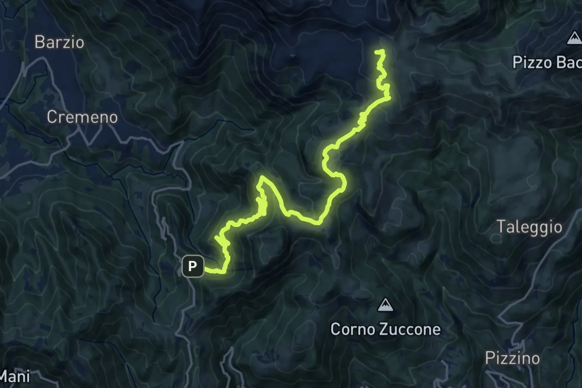
Demanding · Cabin
Campuscedo – Rifugio Cazzaniga-Merlini
19.7 km · ↑ 1105 m · 7 h 2 min · 14 km away
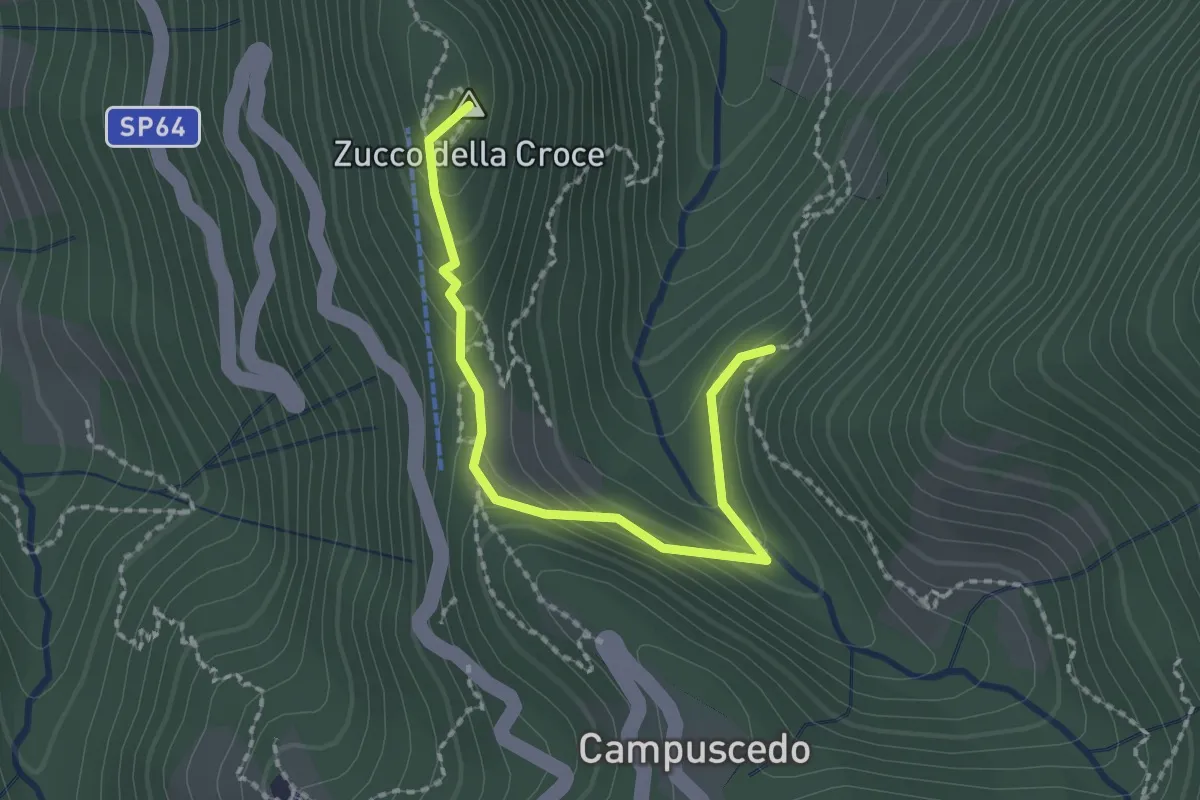
Medium · Summit
Baite Francetto – Rifugio Zucco della Croce
2.1 km · ↑ 115 m · 45 min · 14 km away
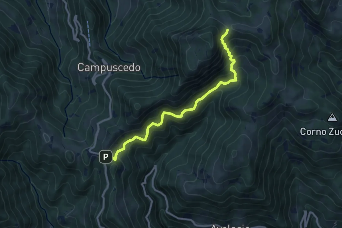
Medium · Trail
Innesto 730 – Area di sosta Maesimo
7.2 km · ↑ 661 m · 3 h 9 min · 14 km away
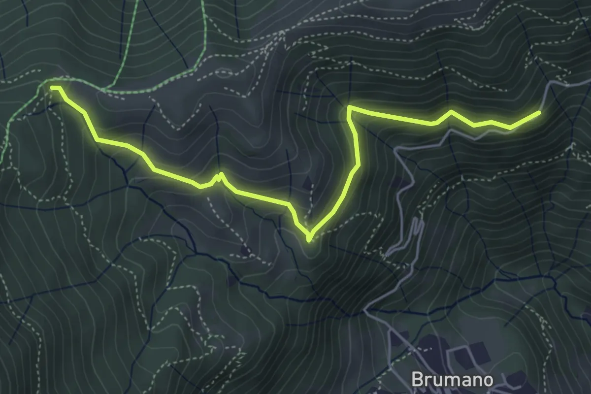
Medium · Trail
Strada Brumano/Fuipiano – Bocca di Palio
5.3 km · ↑ 363 m · 2 h 2 min · 14 km away
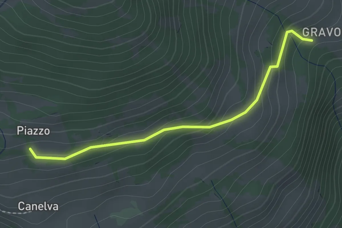
Easy · Trail
Gravona – Canelva
2.0 km · ↑ 121 m · 45 min · 14 km away
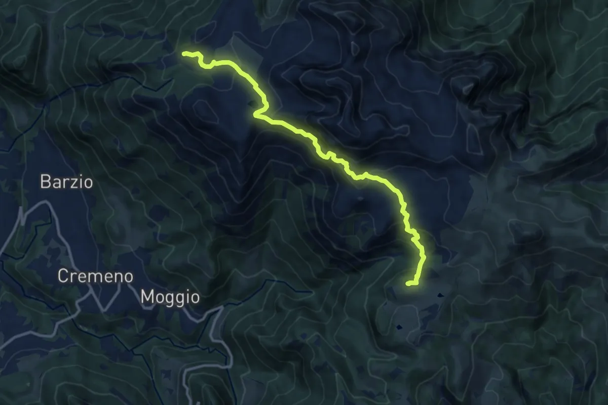
Expert · Cabin
Piani di Bobbio (funivia) – Rifugio Sassi Castelli
11.9 km · ↑ 765 m · 4 h 28 min · 14 km away
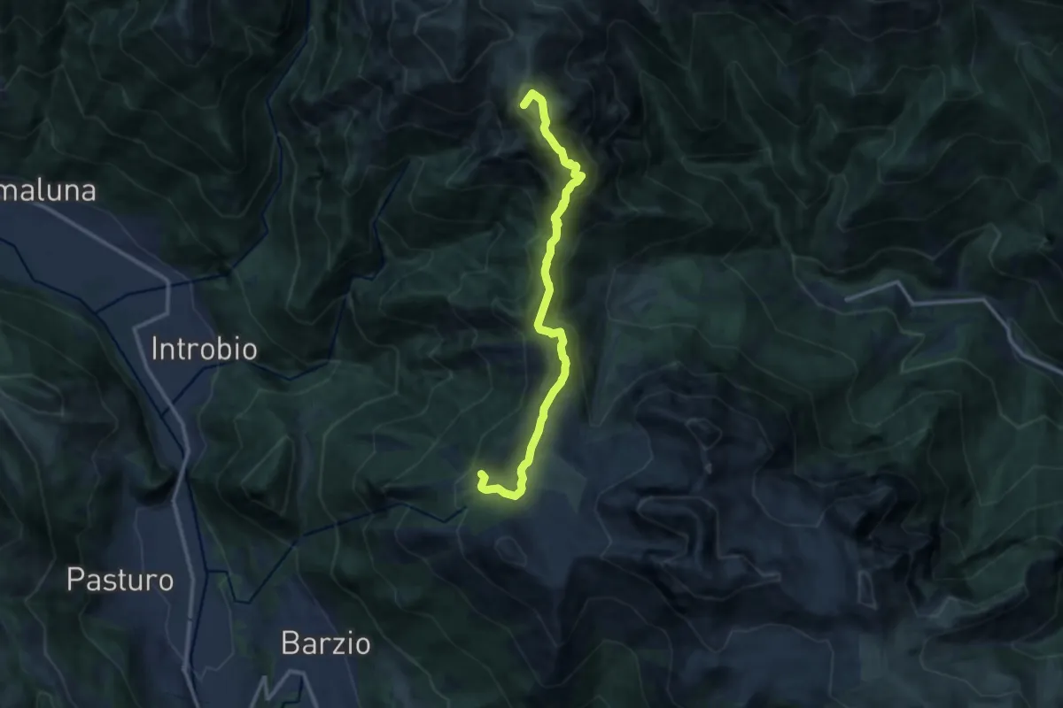
Demanding · Summit
Sentiero dei Laghi Alto - Tappa 1
11.2 km · ↑ 623 m · 4 h · 14 km away
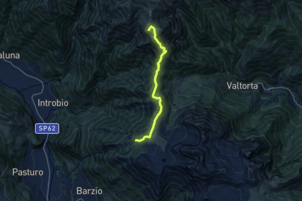
Demanding · Summit
Piani di Bobbio – Rifugio Grassi
10.4 km · ↑ 611 m · 3 h 47 min · 14 km away
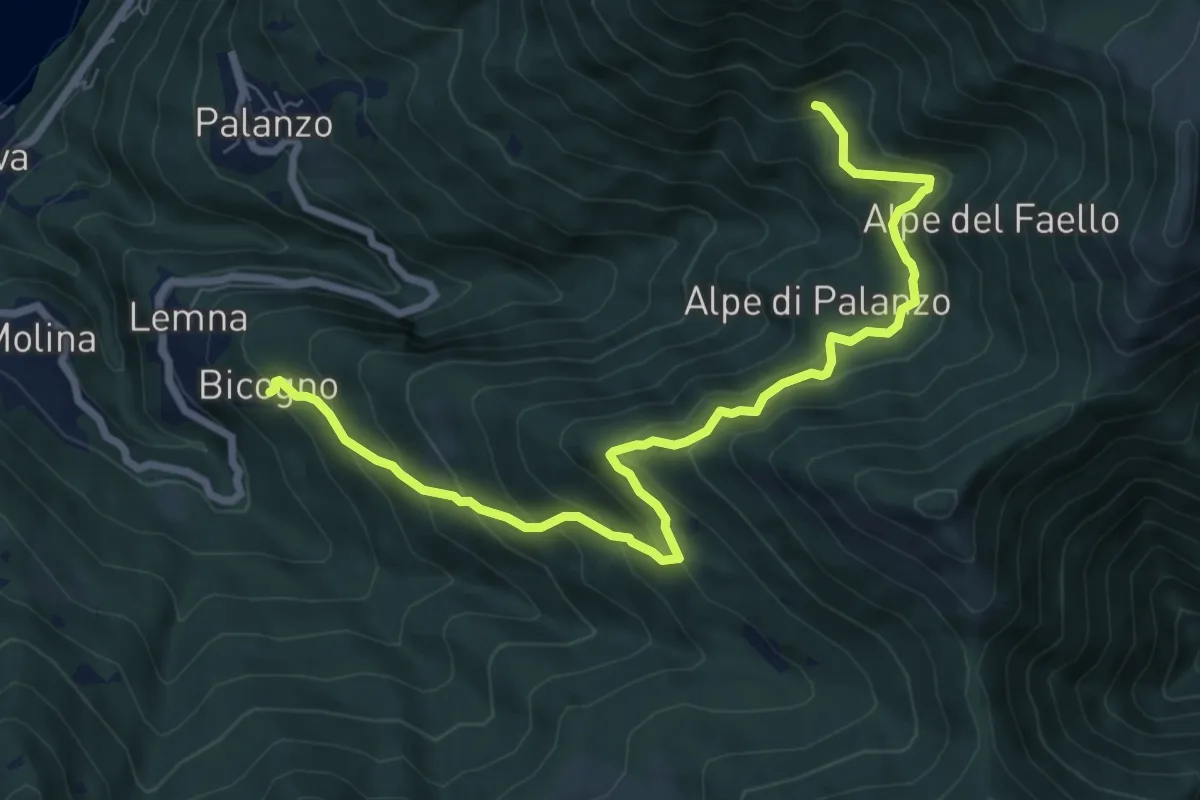
Medium · Trail
Bicogno – Alpe di Palanzo
8.7 km · ↑ 642 m · 3 h 27 min · 14 km away
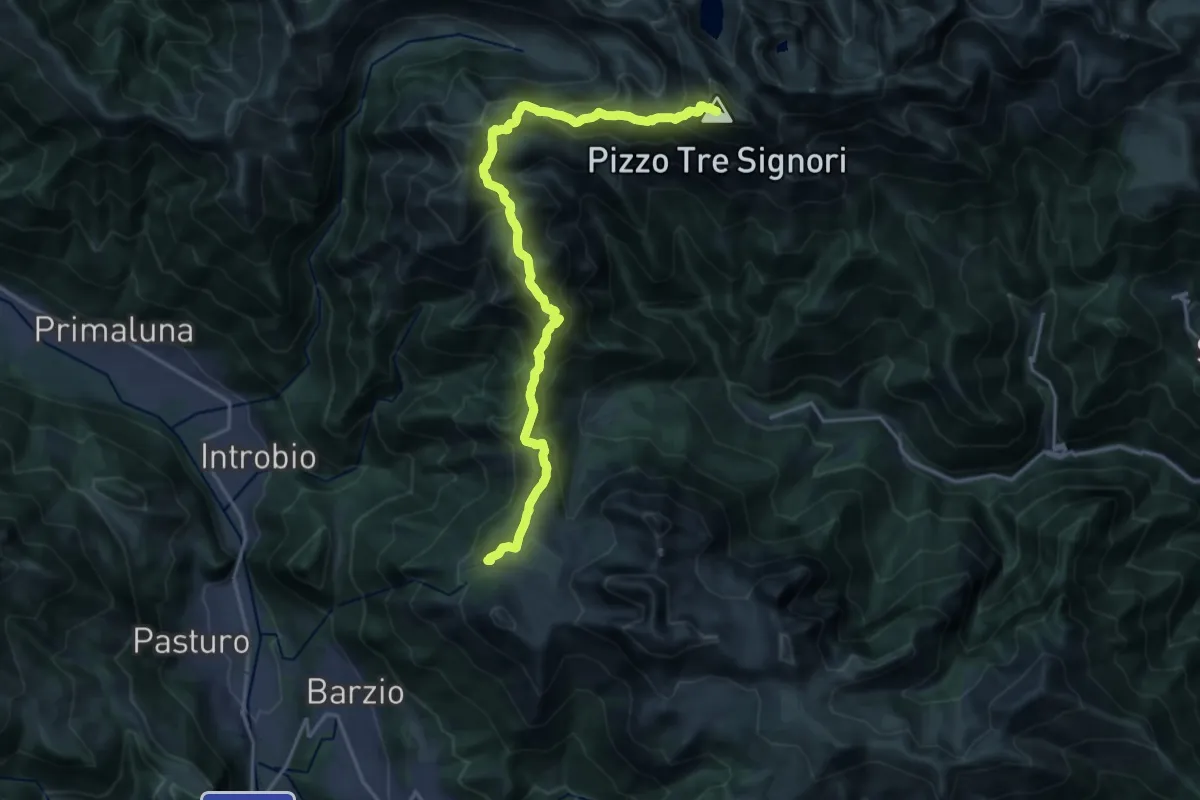
Expert · Summit
Alta Via della Valsassina - Tappa 3
20.3 km · ↑ 1329 m · 7 h 40 min · 14 km away
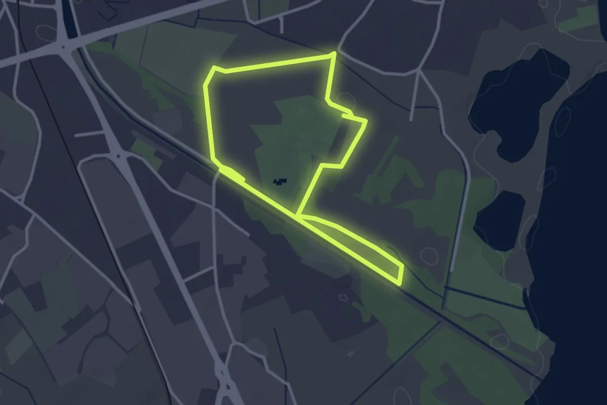
Easy · Trail
Percorso maggiore
2.8 km · ↑ 9 m · 44 min · 14 km away
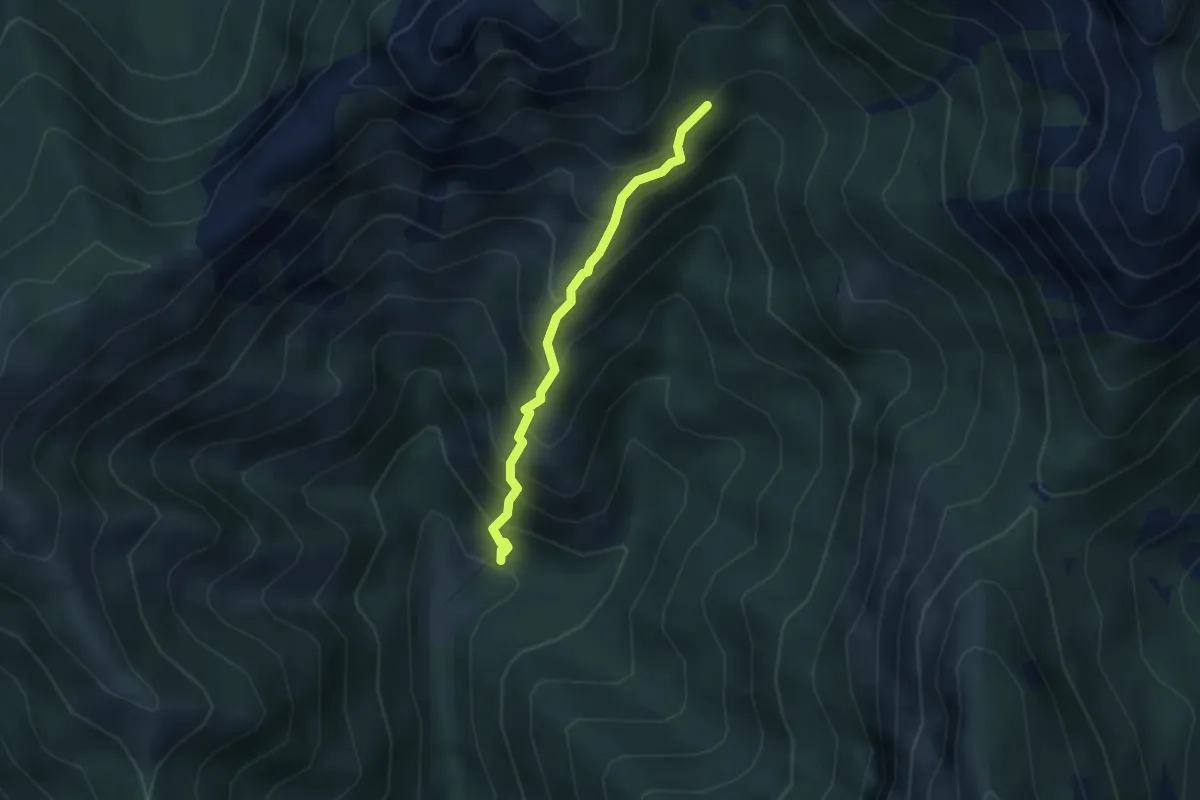
Demanding · Trail
Sentiero 803 – Sentiero 803
2.7 km · ↑ 404 m · 1 h 31 min · 14 km away
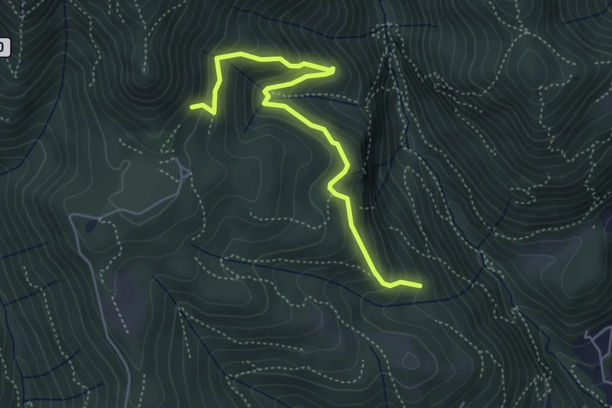
Medium · Trail
Praa Sciresöö – Rifugio Cacciatori
4.8 km · ↑ 479 m · 2 h 10 min · 14 km away
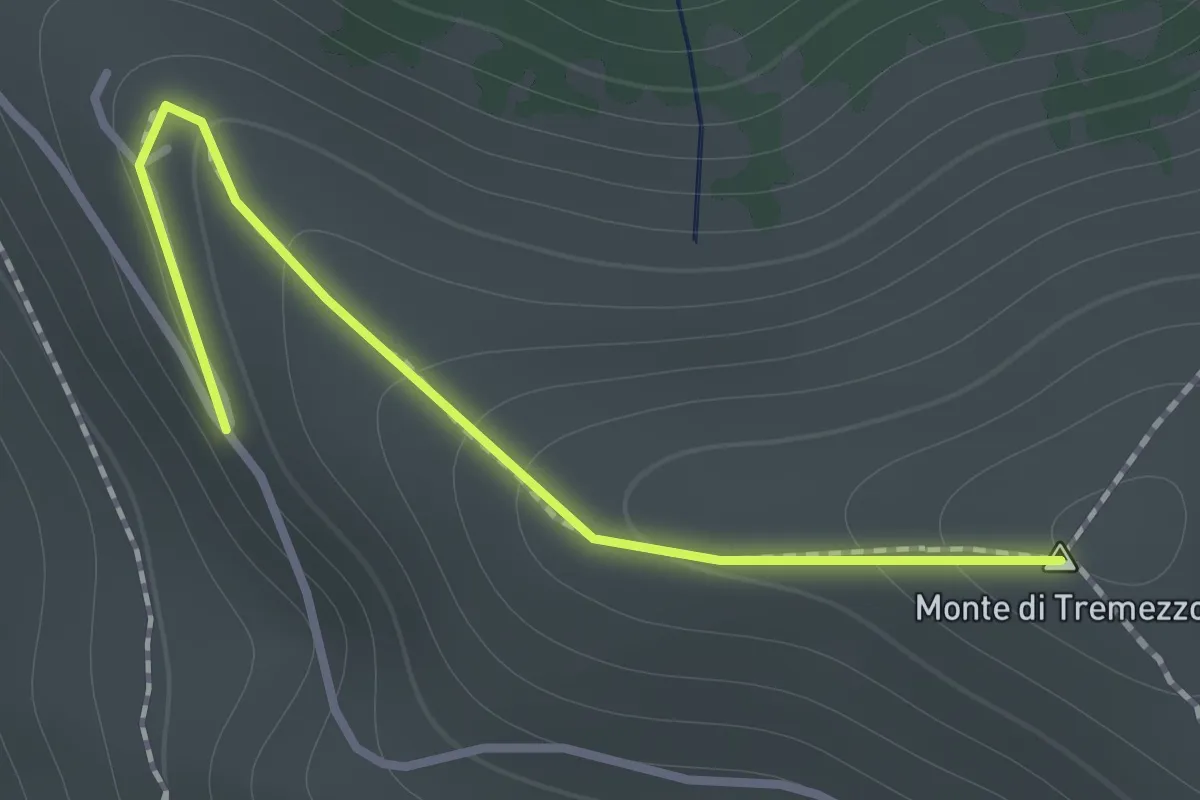
Medium · Summit
Rifugio Venini 880 – Monte Crocione
1.2 km · ↑ 88 m · 28 min · 14 km away