Trails near Mandello del Lario
372 hikes starting within 15 km, nearest first.
Nearest first, page 8 of 8
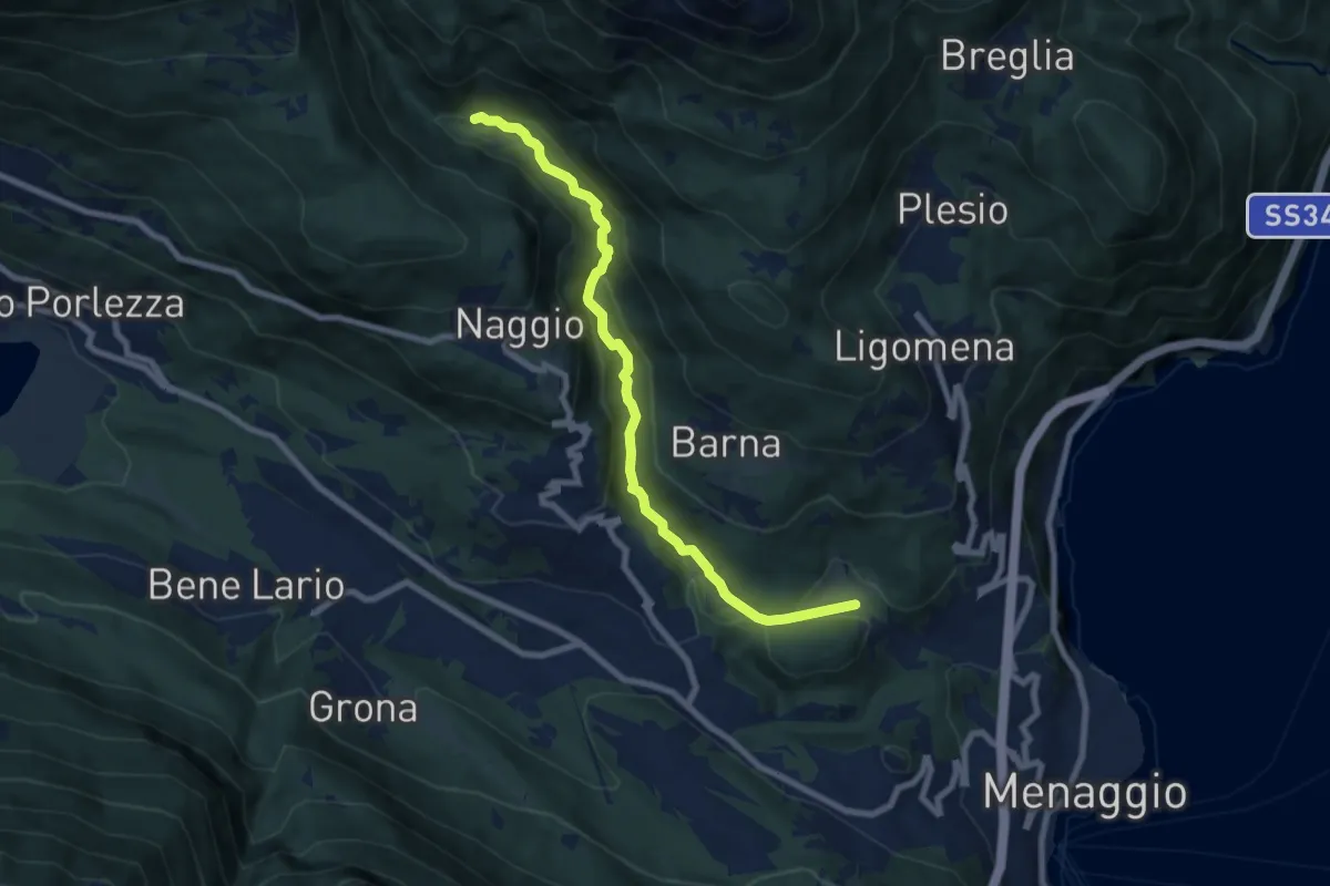
Medium · Trail
Piamuro – Monti di Madri
8.0 km · ↑ 252 m · 2 h 25 min · 14 km away
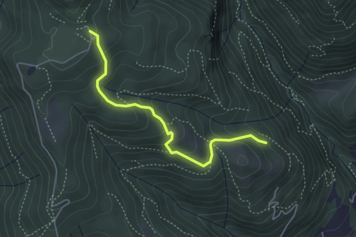
Medium · Trail
Cardögia – Alpe del Vicerè
3.8 km · ↑ 238 m · 1 h 25 min · 14 km away
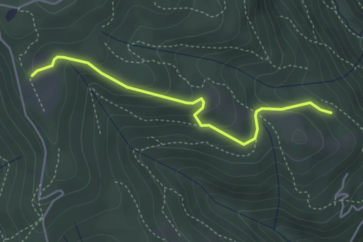
Easy · Trail
Cardögia – Ex Albergo la Salute
3.5 km · ↑ 186 m · 1 h 14 min · 14 km away
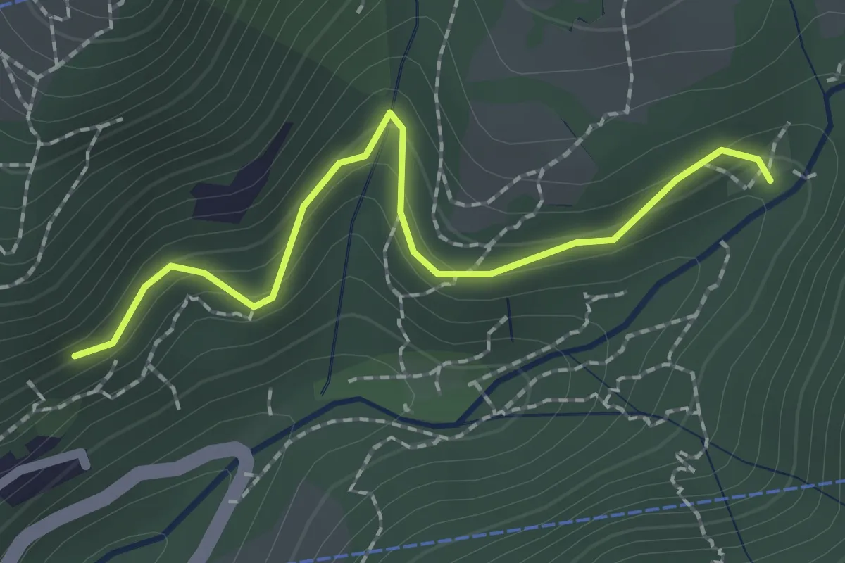
Easy · Trail
Innesto 724 – Pé Gròss
2.0 km · ↑ 162 m · 49 min · 14 km away
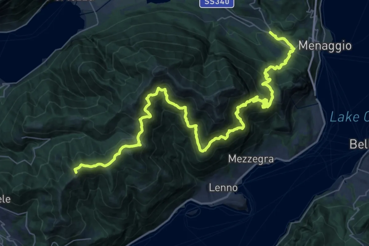
Demanding · Summit
San Fedele Intelvi – Cardano
41.2 km · ↑ 2937 m · 16 h 6 min · 14 km away
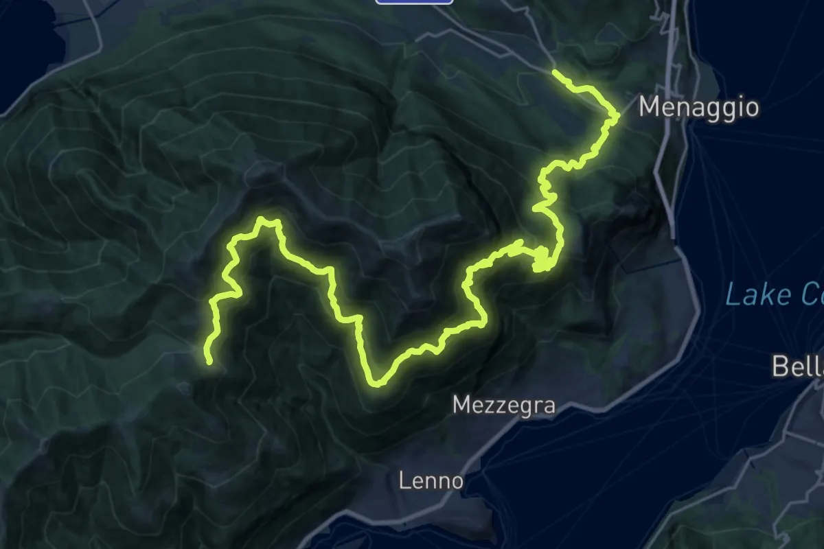
Demanding · Cabin
Rifugio Boffalora – Grandola e Uniti (Frazione Cardano)
17.5 km · ↑ 1764 m · 7 h 46 min · 14 km away
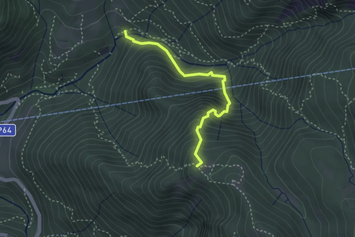
Medium · Trail
Pé Gròss – Prato del Darden basso
2.9 km · ↑ 449 m · 1 h 39 min · 14 km away
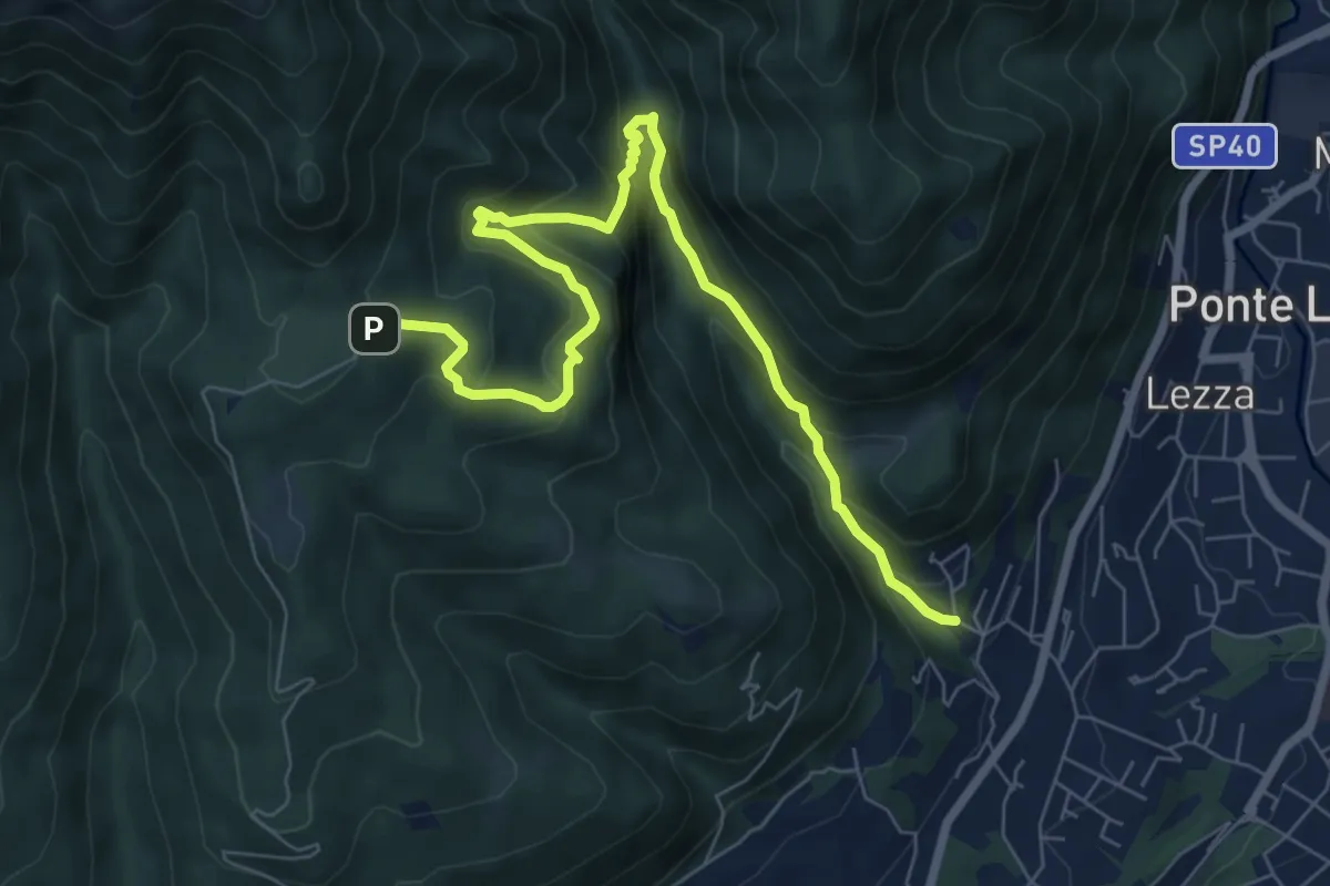
Demanding · Trail
Ca Nova – Alpe Vicerè
8.5 km · ↑ 602 m · 3 h 18 min · 14 km away
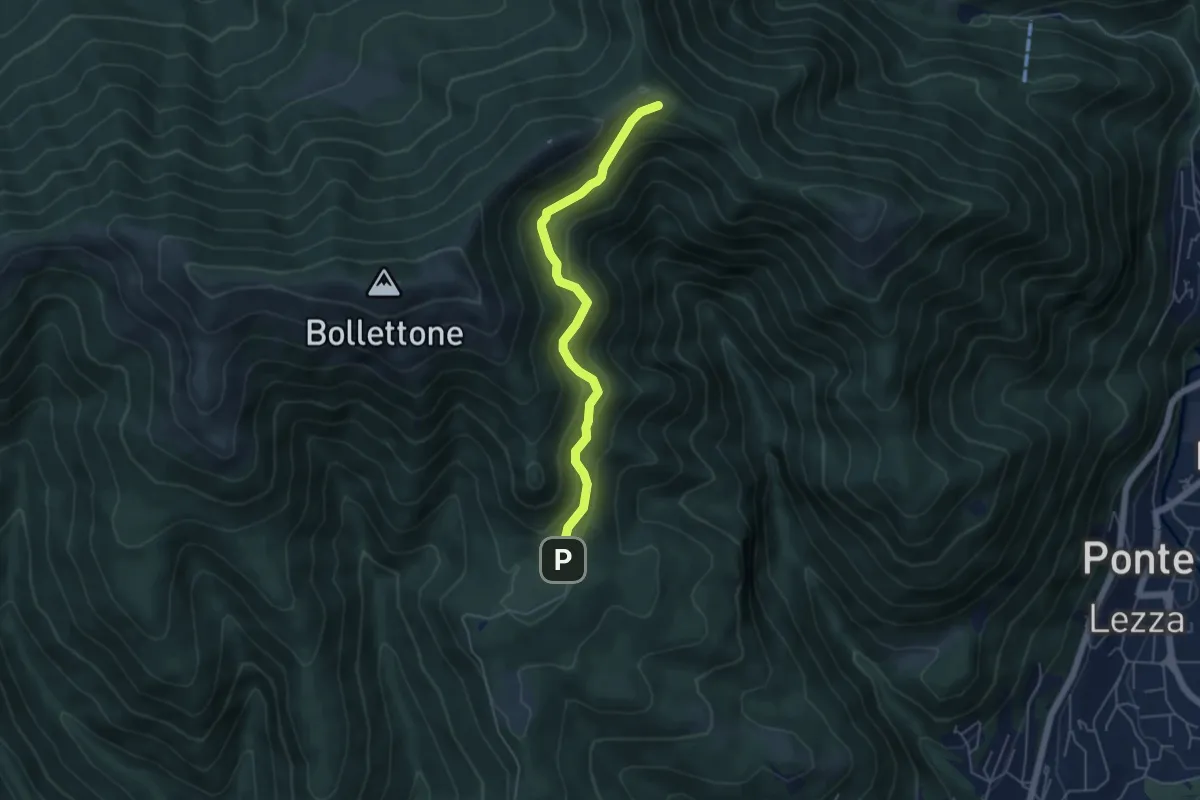
Easy · Cabin
Sentiero 23: Alpe del Vicerè - Rifugio Cacciatori - Capanna Mara
4.9 km · ↑ 303 m · 1 h 48 min · 14 km away
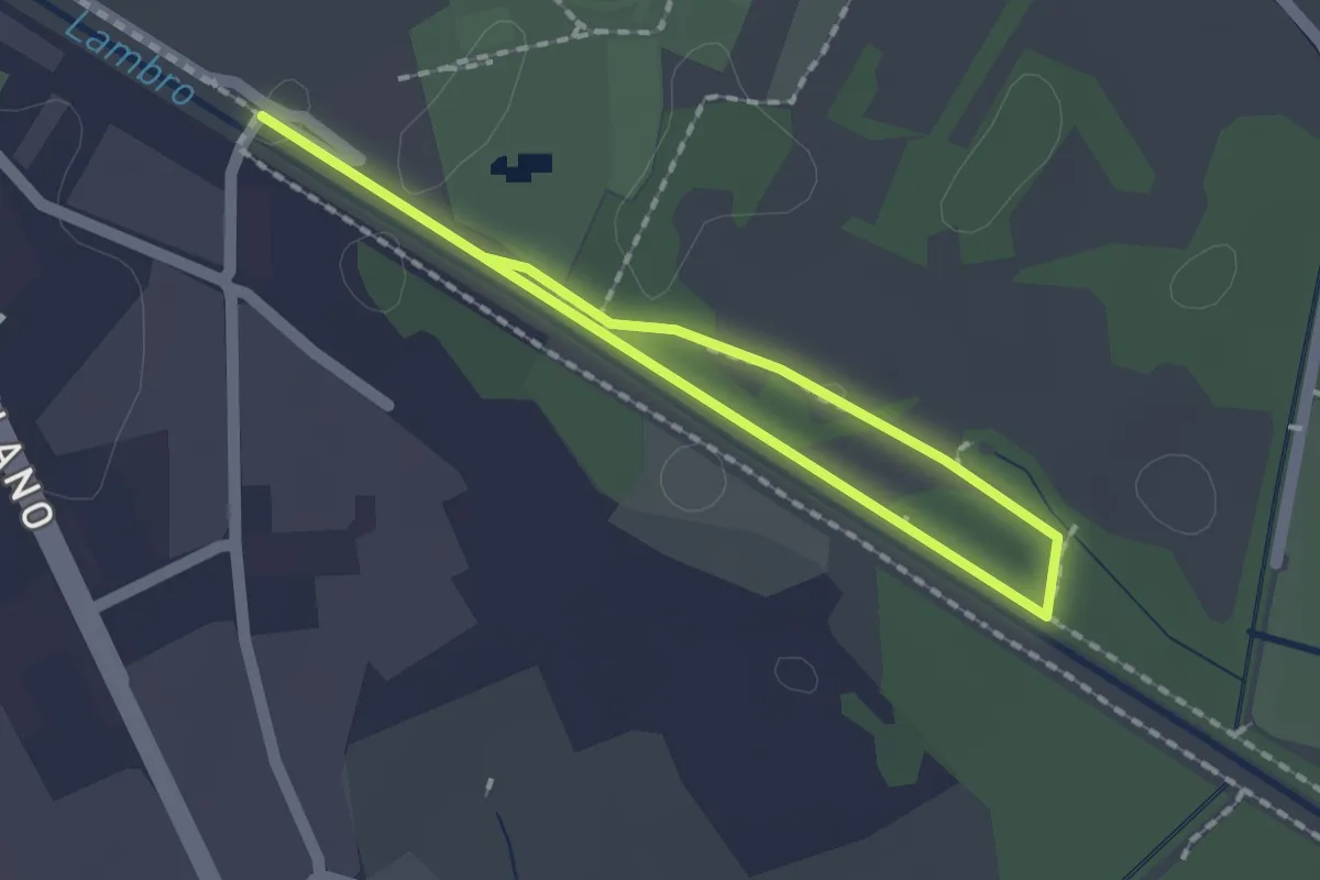
Easy · Trail
Percorso minore
1.3 km · ↑ 0 m · 20 min · 14 km away
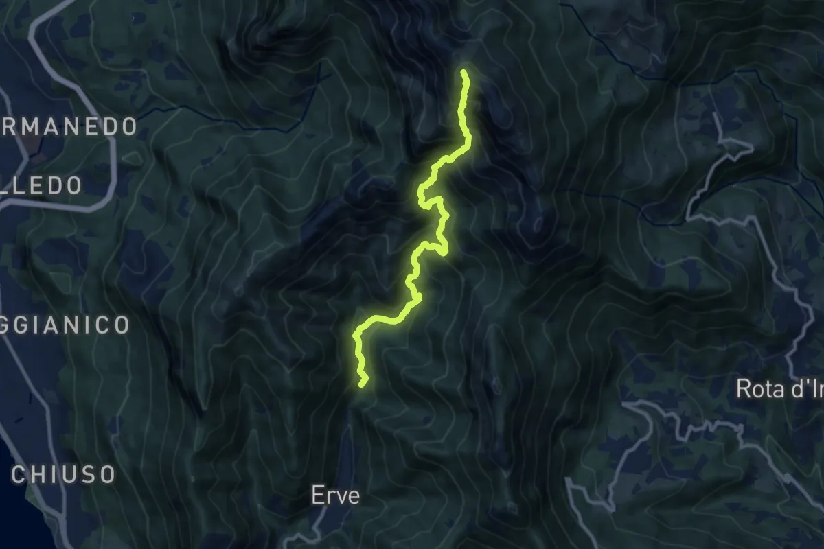
Expert · Summit
Erve – Rifugio Azzoni
9.6 km · ↑ 1242 m · 4 h 57 min · 14 km away
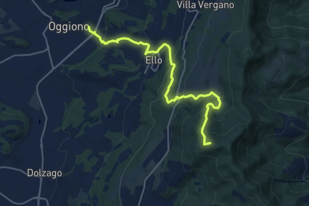
Medium · Summit
Oggiono – Monte Crocione
11.5 km · ↑ 618 m · 4 h 3 min · 14 km away
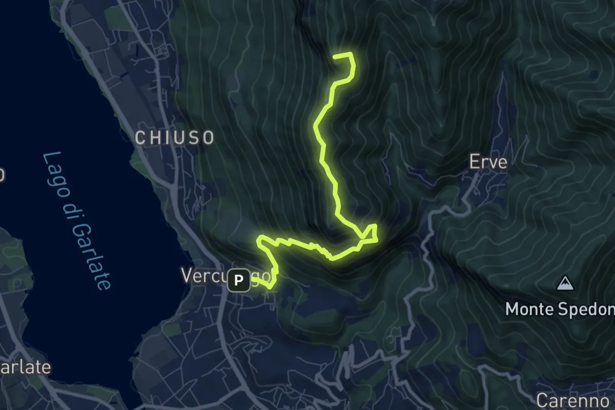
Demanding · Summit
Erve – Somasca (Vercurago)
8.6 km · ↑ 981 m · 4 h 9 min · 14 km away
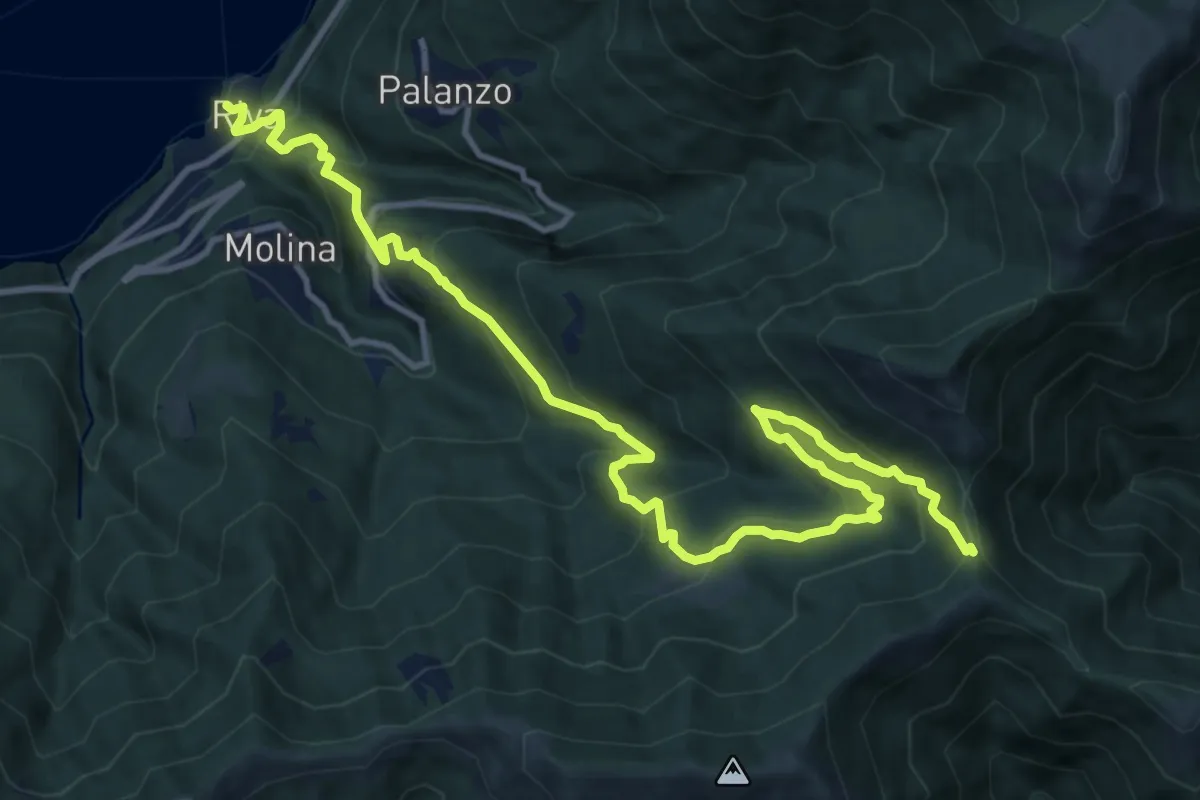
Demanding · Trail
Riva (Faggeto Lario) – Bocchetta di Lemna
14.6 km · ↑ 1011 m · 5 h 39 min · 14 km away
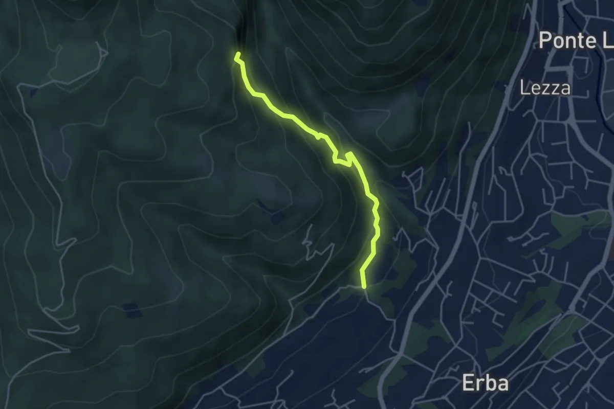
Demanding · Trail
C.na Ginocchio – Buco del Piombo
3.7 km · ↑ 335 m · 1 h 36 min · 14 km away
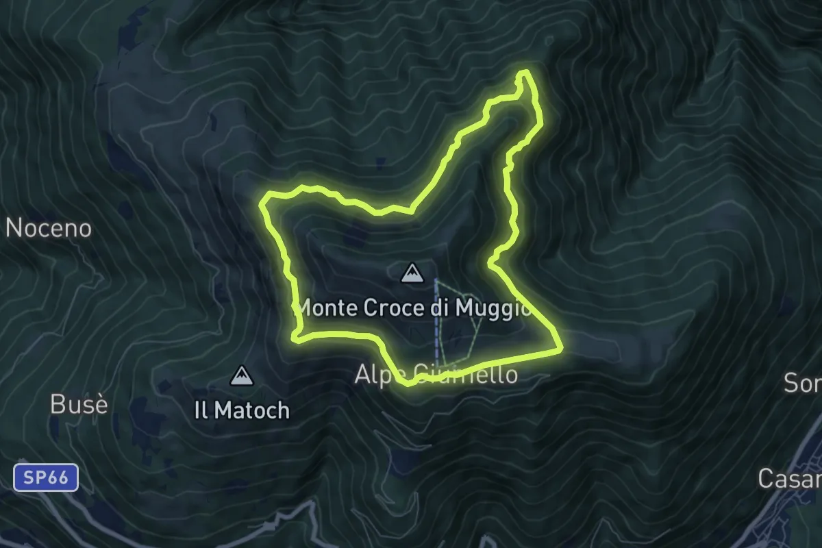
Demanding · Trail
Anello del Monte Muggio
7.1 km · ↑ 454 m · 2 h 46 min · 14 km away
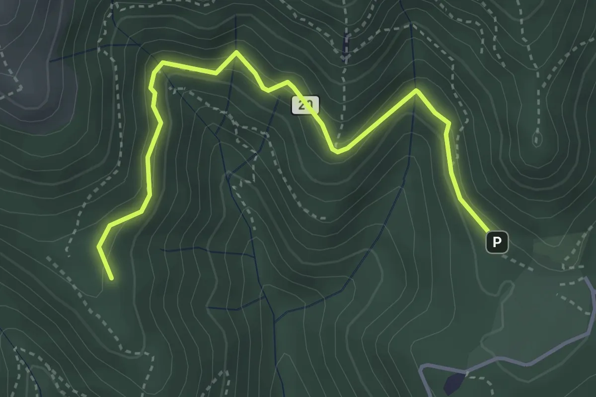
Medium · Trail
Alpe del Vicerè – Baita Patrizi
4.1 km · ↑ 256 m · 1 h 31 min · 15 km away
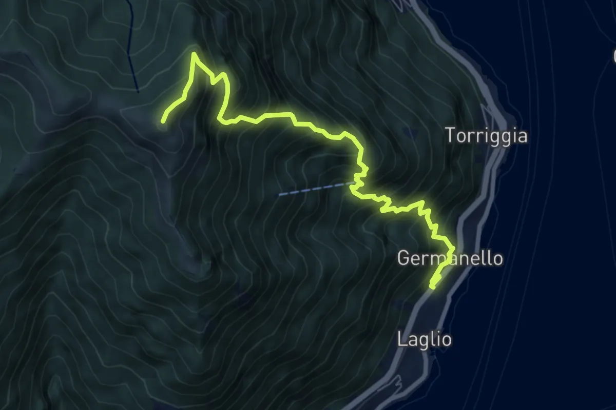
Demanding · Summit
Laglio – Monte Colmegnone
7.7 km · ↑ 1121 m · 4 h 15 min · 15 km away
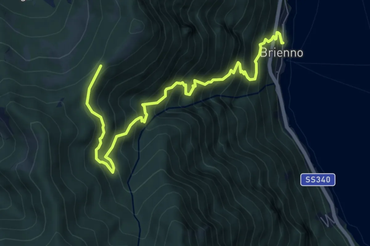
Demanding · Trail
Sentiero botanico di Brienno
8.2 km · ↑ 1026 m · 4 h 10 min · 15 km away
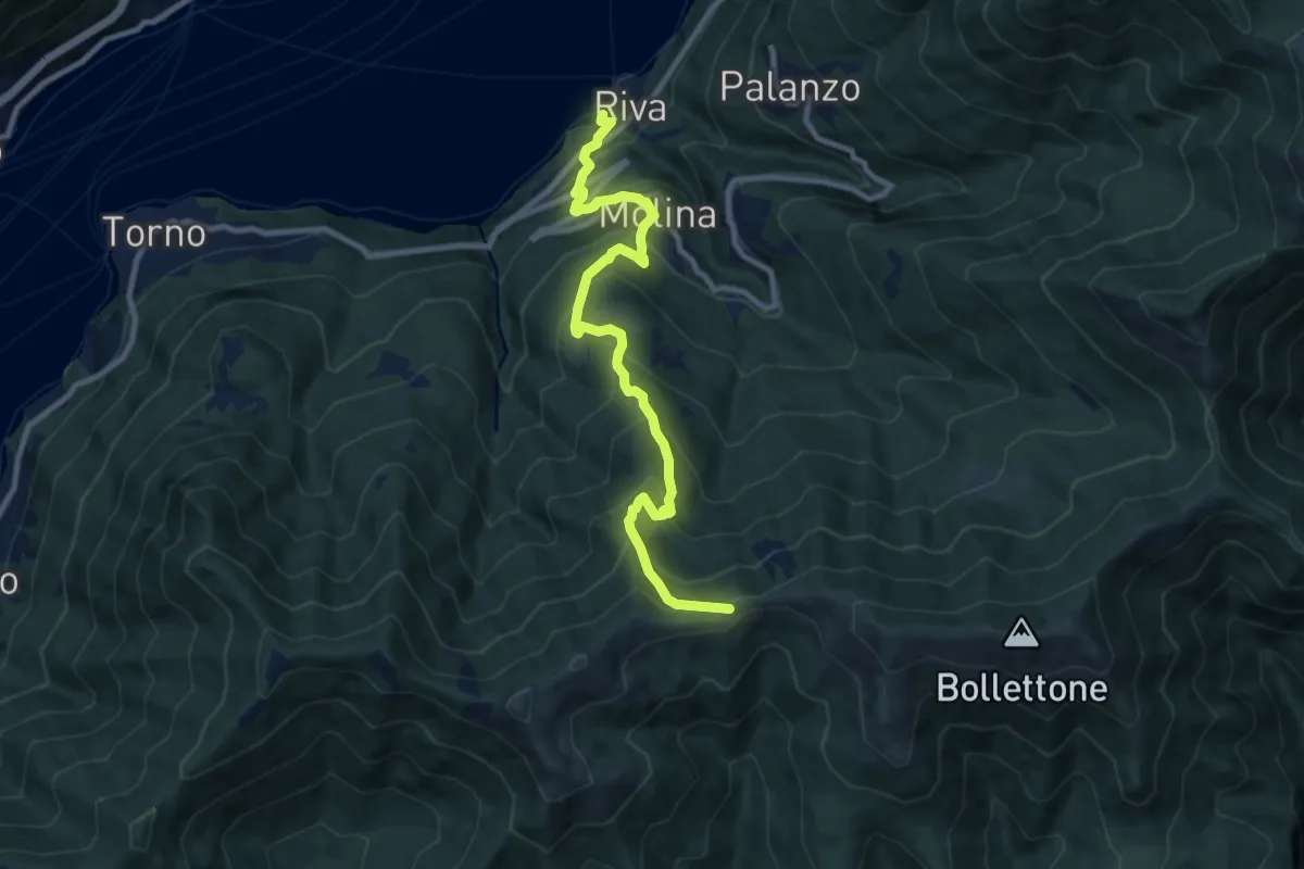
Demanding · Trail
Imbarcadero di Faggeto Lario – Bocchetta di Molina
10.0 km · ↑ 918 m · 4 h 22 min · 15 km away
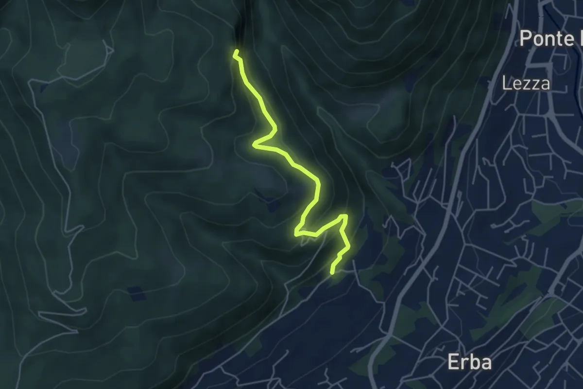
Medium · Trail
C.na Paradiso – Buco del Piombo
4.4 km · ↑ 324 m · 1 h 44 min · 15 km away
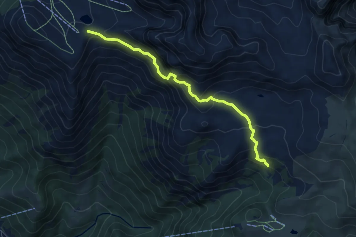
Expert · Trail
Sentiero degli stradini
6.5 km · ↑ 519 m · 2 h 40 min · 15 km away
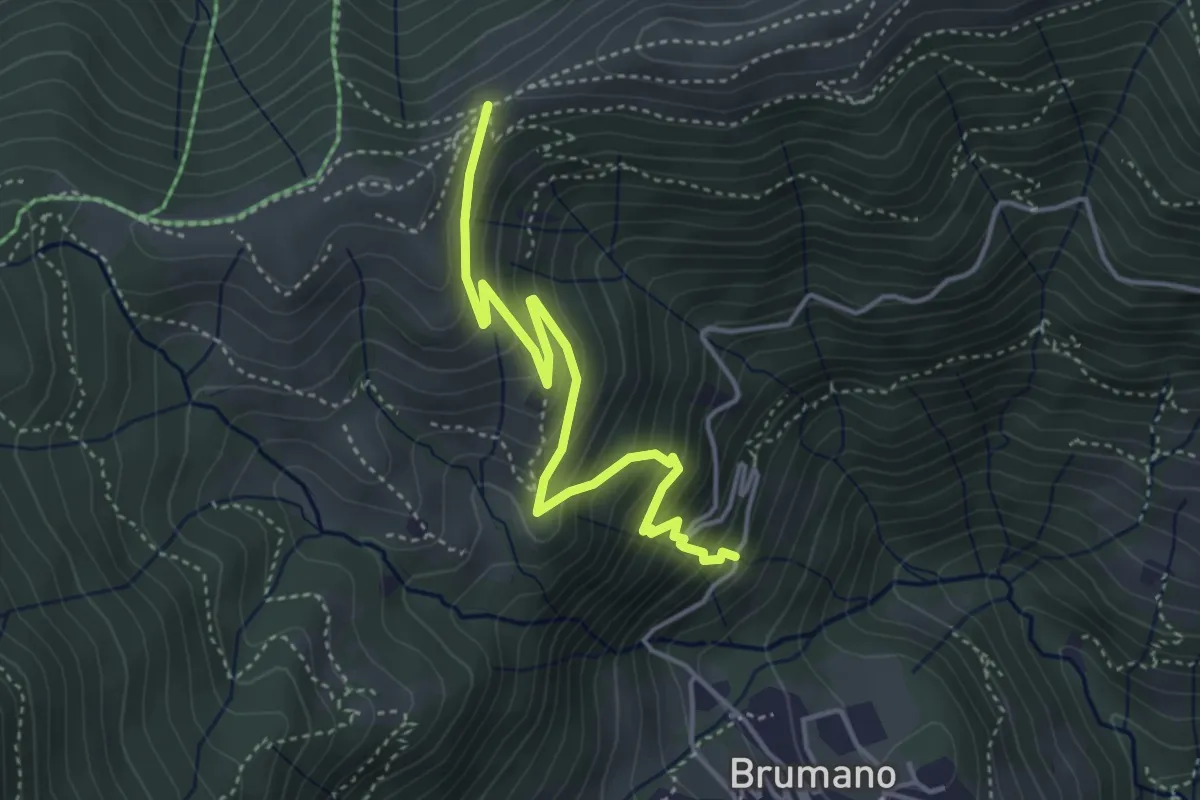
Medium · Trail
Brumano – Passo del Palio
4.3 km · ↑ 401 m · 1 h 54 min · 15 km away
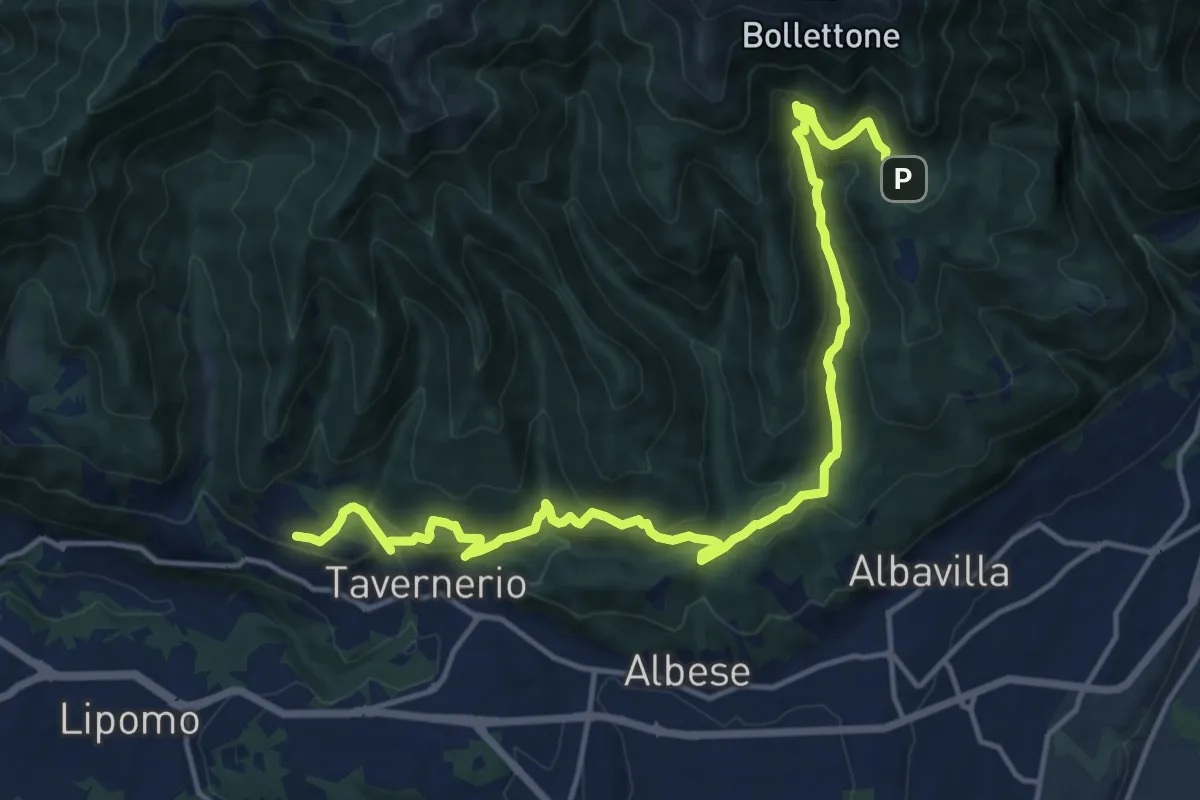
Demanding · Trail
Caslascio (Tavernerio) – Alpe del Vicerè
17.7 km · ↑ 819 m · 5 h 57 min · 15 km away
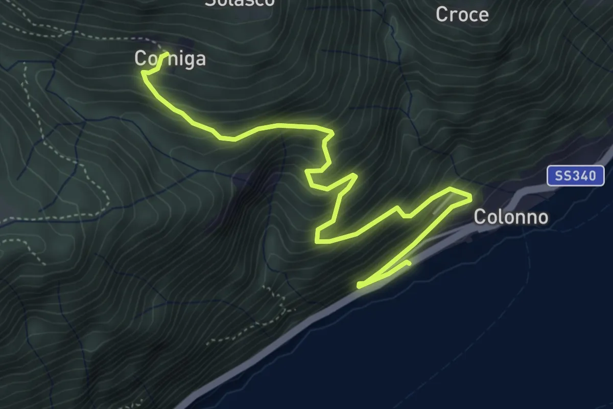
Medium · Trail
Corniga – Colonno
5.8 km · ↑ 577 m · 2 h 38 min · 15 km away
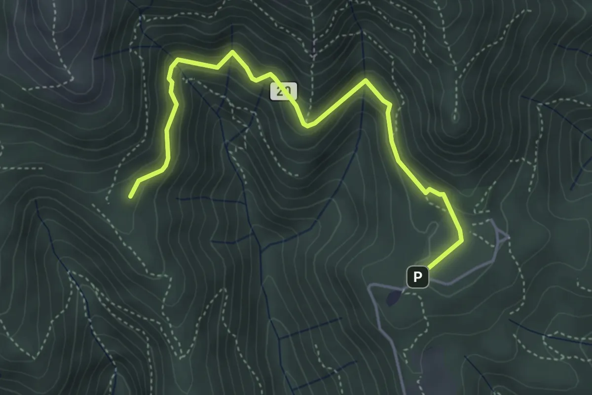
Medium · Trail
Sentiero 20: Alpe del Viceré - Baita Patrizi
4.8 km · ↑ 275 m · 1 h 44 min · 15 km away
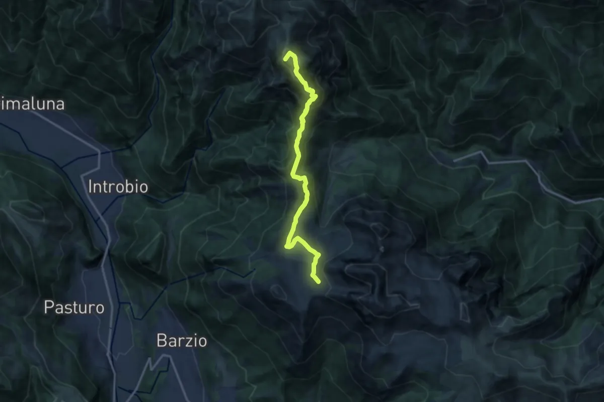
Demanding · Summit
101 - Tappa 3
12.2 km · ↑ 639 m · 4 h 16 min · 15 km away
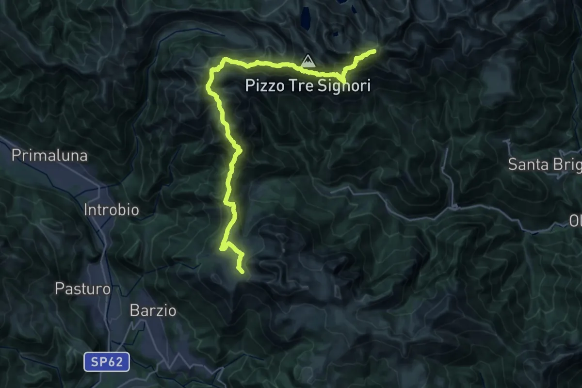
Demanding · Summit
Sentiero delle Orobie Occidentali - Tappa 2
27.8 km · ↑ 1797 m · 10 h 27 min · 15 km away
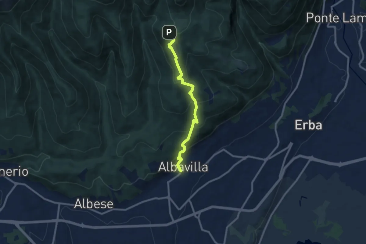
Medium · Trail
Sentiero degli Alpini
6.5 km · ↑ 474 m · 2 h 33 min · 15 km away
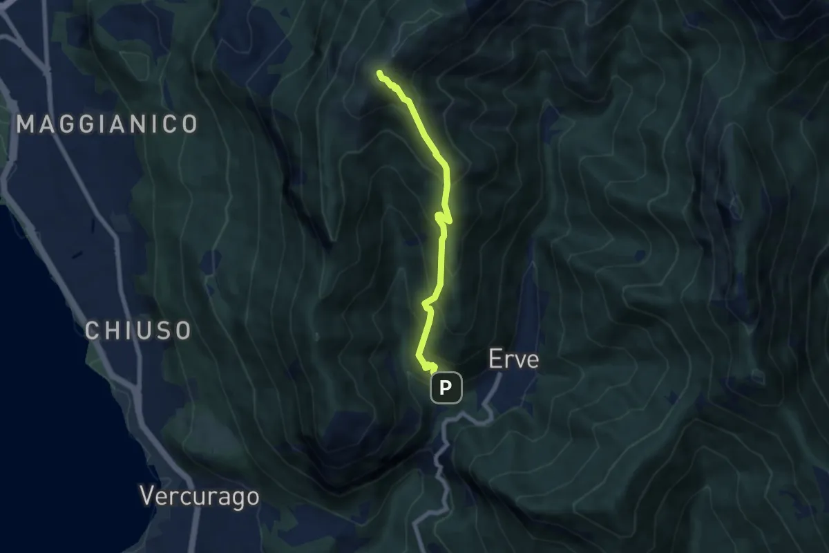
Medium · Summit
Erve – Monte Magnodeno
5.6 km · ↑ 626 m · 2 h 41 min · 15 km away
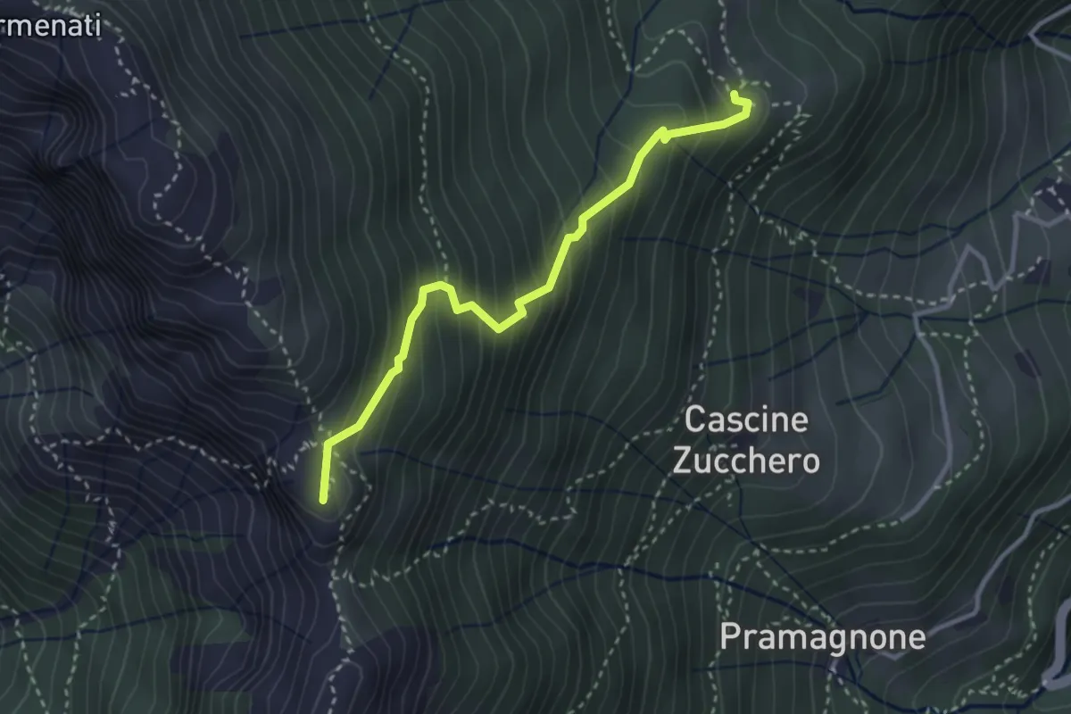
Demanding · Summit
Rifugio Resegone (incrocio 587) – Passo dei Solitari
3.1 km · ↑ 351 m · 1 h 29 min · 15 km away
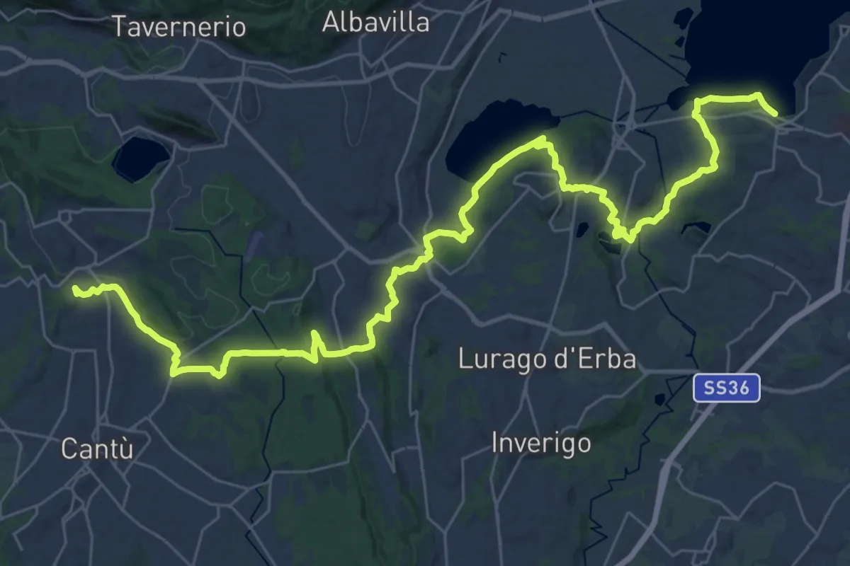
Demanding · Trail
Sentiero Pedemonte - Tappa 2
21.4 km · ↑ 377 m · 6 h 7 min · 15 km away
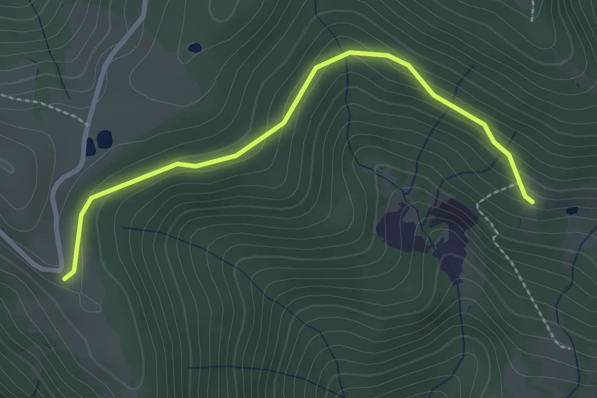
Easy · Trail
Alpe di Colonno – Alpe di Sala
2.5 km · ↑ 124 m · 51 min · 15 km away
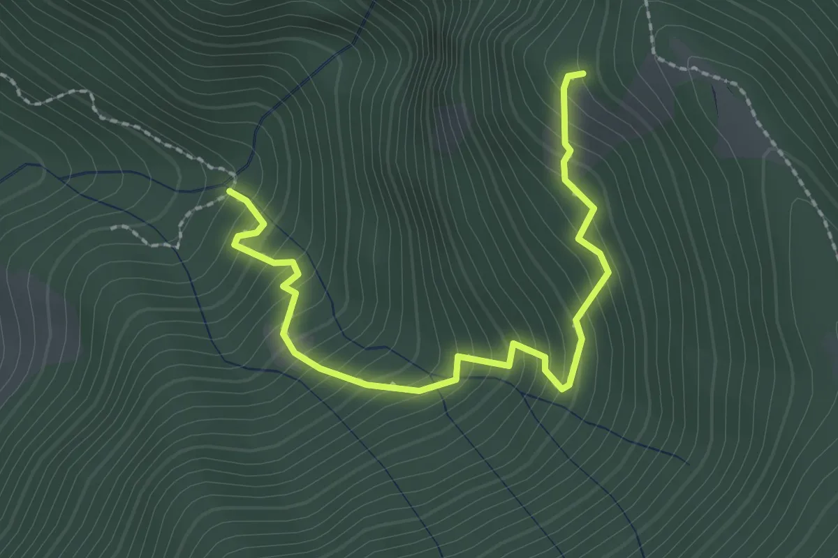
Medium · Trail
Innesto 728 – Innesto SASP58
2.5 km · ↑ 320 m · 1 h 17 min · 15 km away
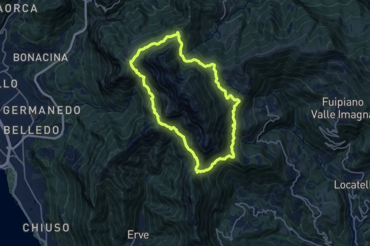
Demanding · Summit
Anello del Resegone
12.8 km · ↑ 1001 m · 5 h 21 min · 15 km away
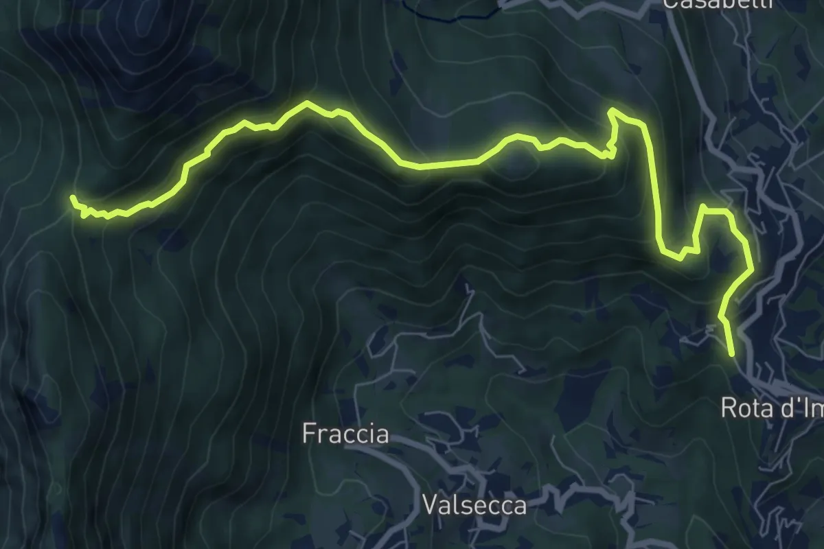
Medium · Trail
Rota d'Imagna – La Passata
9.3 km · ↑ 699 m · 3 h 43 min · 15 km away