Trails near Massa
179 hikes starting within 15 km, nearest first.
Nearest first, page 2 of 4
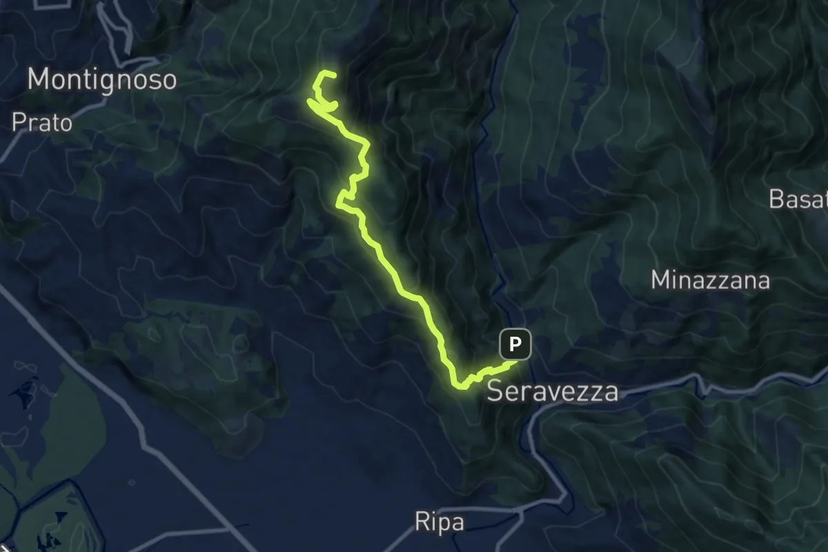
Demanding · Summit
Seravezza – Pasquilio
10.3 km · ↑ 858 m · 4 h 18 min · 8 km away
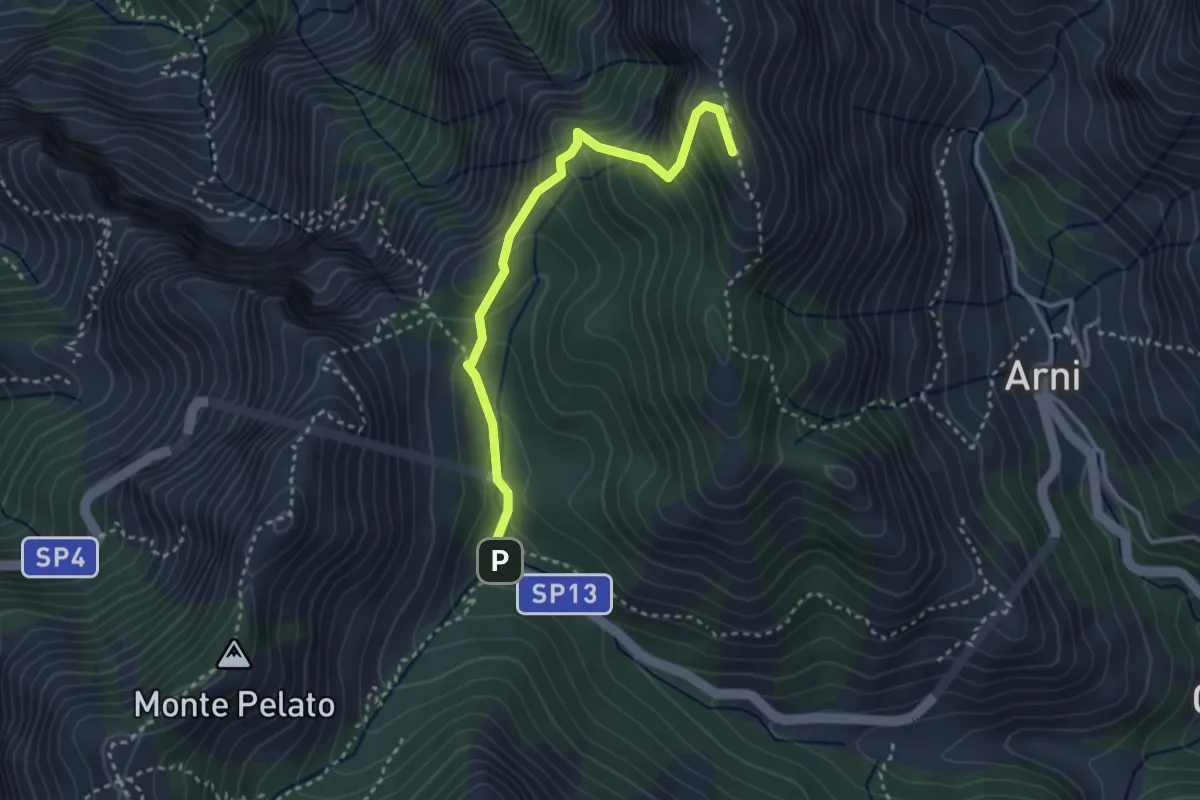
Expert · Summit
Le Gobbie – Passo Sella
3.3 km · ↑ 320 m · 1 h 28 min · 8 km away
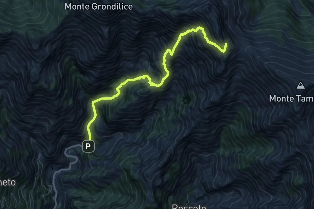
Demanding · Summit
Biforco – Passo della Focolaccia
9.3 km · ↑ 1427 m · 5 h 17 min · 8 km away
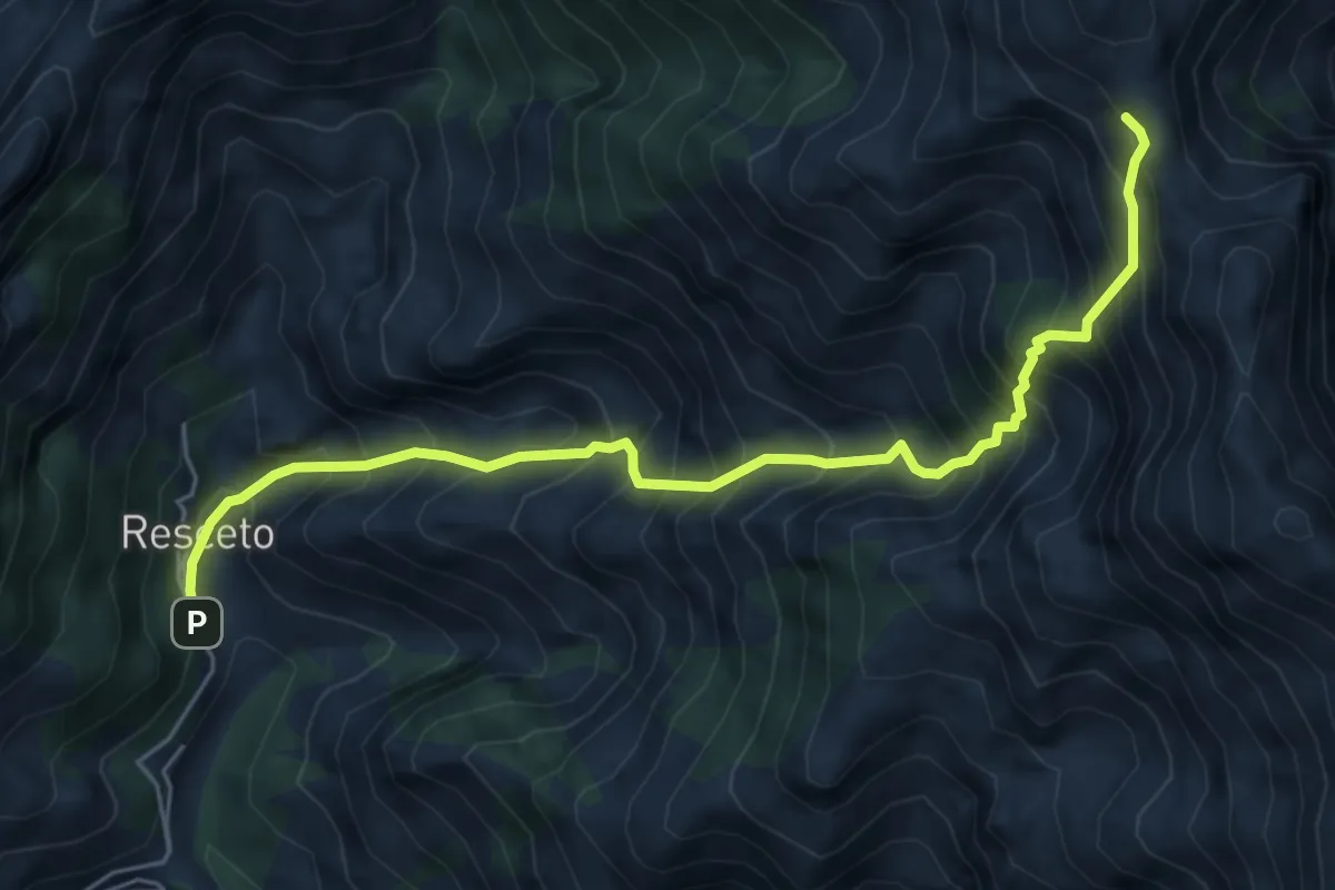
Demanding · Trail
Resceto – Foce dell Acqua Fredda
6.1 km · ↑ 1208 m · 4 h 4 min · 8 km away
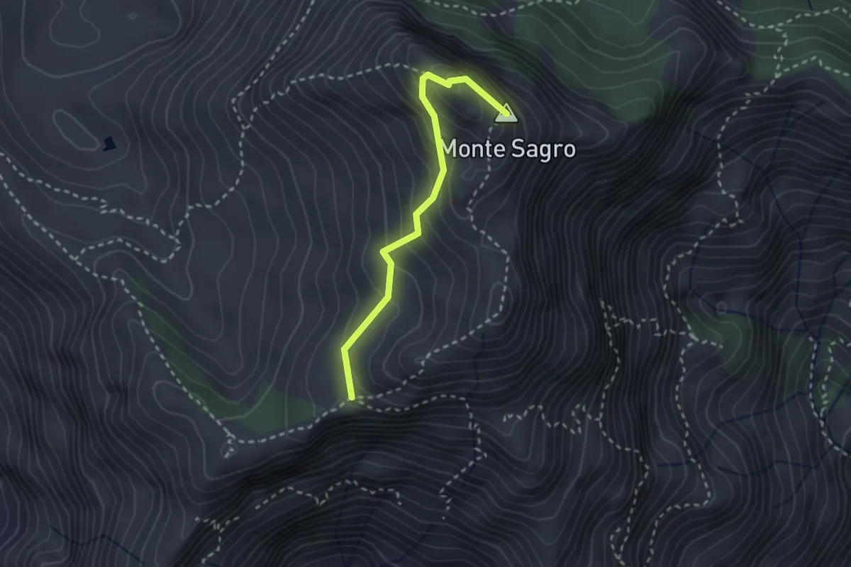
Medium · Summit
Via Normale al Sagro
2.5 km · ↑ 246 m · 1 h 8 min · 8 km away
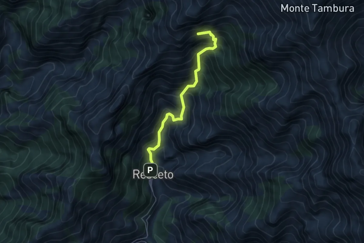
Demanding · Summit
Resceto – Sentiero CAI 162 ex 36
4.8 km · ↑ 701 m · 2 h 40 min · 8 km away
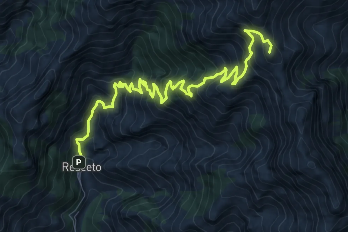
Demanding · Summit
Via Vandelli
11.2 km · ↑ 1340 m · 5 h 33 min · 8 km away
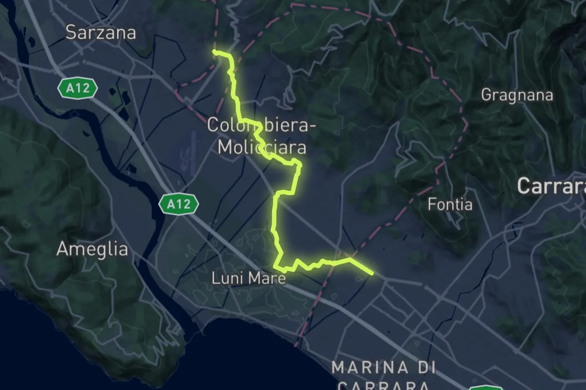
Medium · Pilgrim path
Via Francigena - 06 Toscana
10.5 km · ↑ 63 m · 2 h 44 min · 8 km away
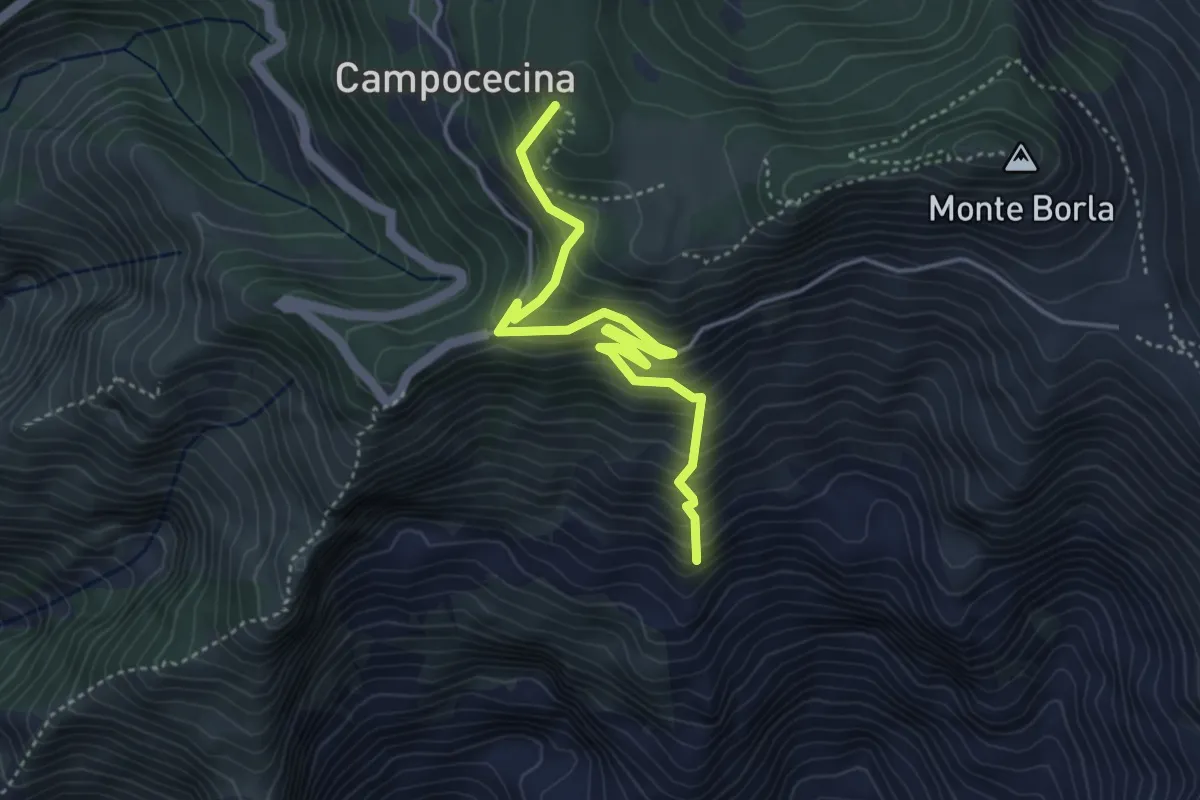
Medium · Summit
Torano – Rifugio Carrara
4.5 km · ↑ 586 m · 2 h 20 min · 8 km away
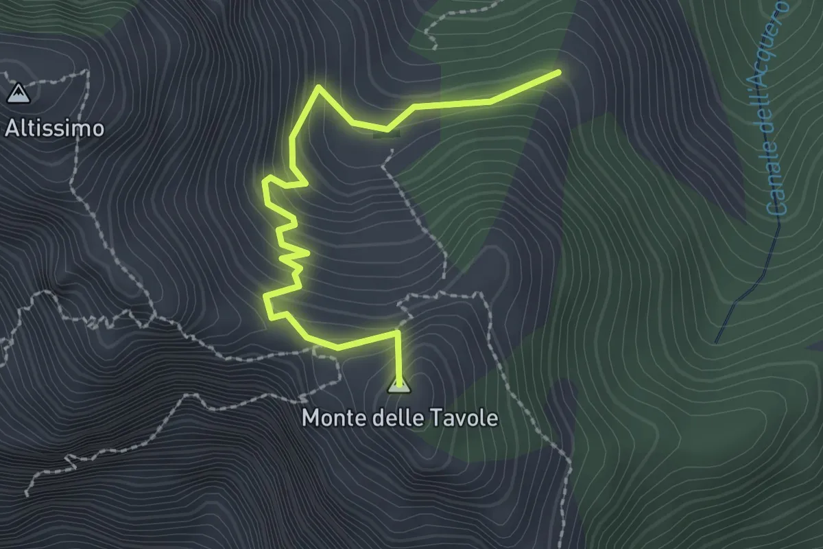
Demanding · Summit
Cave Cervaiole – Cava Fondone
2.5 km · ↑ 235 m · 1 h 6 min · 9 km away
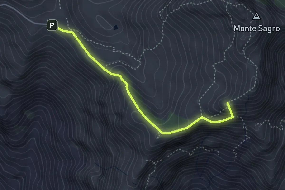
Demanding · Summit
Foce di Pianza – Foce Luccica
3.8 km · ↑ 302 m · 1 h 33 min · 9 km away
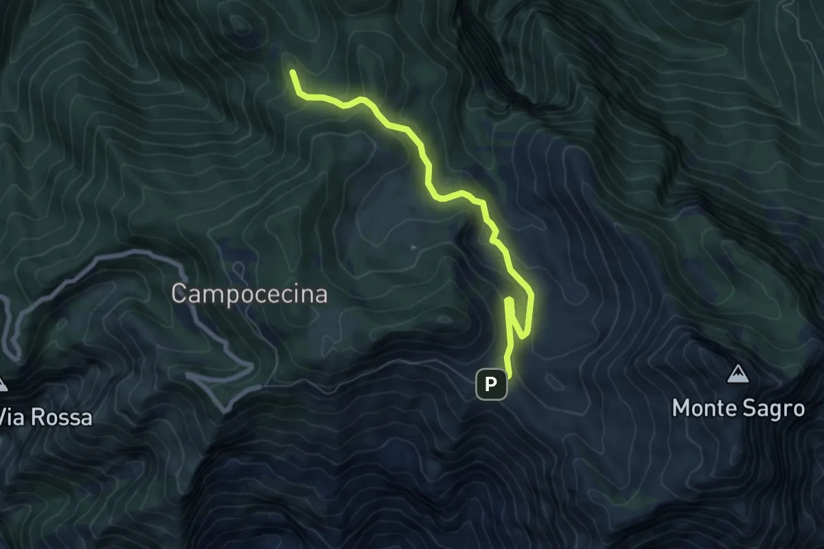
Medium · Trail
Foce di Pianza – Casa Cardeto
7.0 km · ↑ 327 m · 2 h 22 min · 9 km away
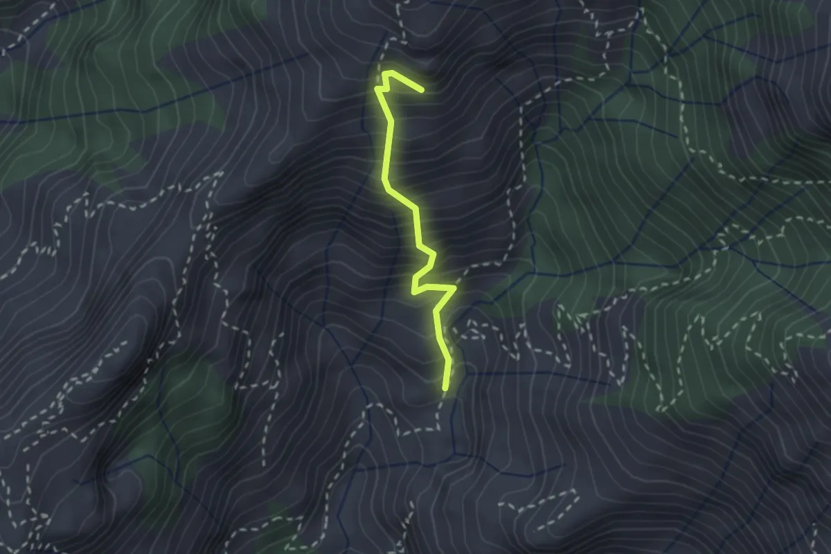
Medium · Summit
Lizza del Padulello
2.0 km · ↑ 490 m · 1 h 32 min · 9 km away
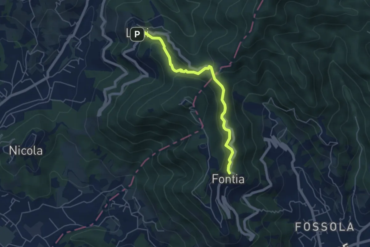
Easy · Trail
Ortonovo – Percorso 362
4.6 km · ↑ 238 m · 1 h 37 min · 9 km away
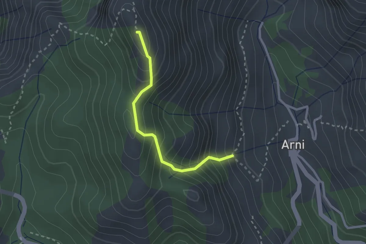
Medium · Summit
Rifugio Adelmo Puliti (Percorso 141) – Schienale dell'Asino (Pecorso 150)
2.1 km · ↑ 294 m · 1 h 8 min · 9 km away
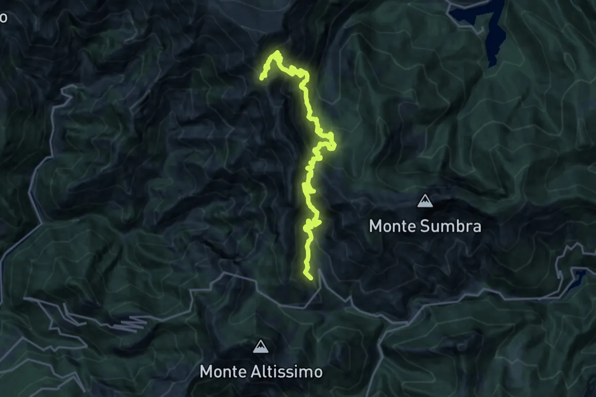
Demanding · Summit
Rifugio CAI Puliti – Rifugio CAI Nello Conti
19.2 km · ↑ 1895 m · 8 h 38 min · 9 km away
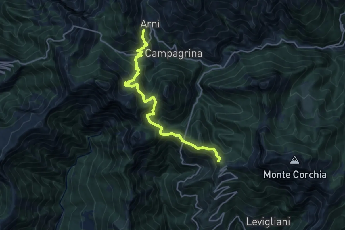
Demanding · Summit
Rifugio CAI Del Freo – Rifugio CAI Puliti
12.9 km · ↑ 1058 m · 5 h 20 min · 9 km away
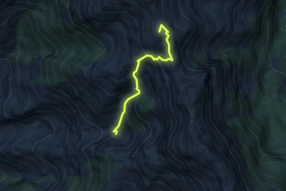
Expert · Summit
Canale della Neve – Passo della Tambura
3.6 km · ↑ 530 m · 1 h 59 min · 9 km away
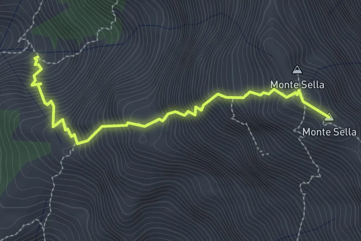
Demanding · Summit
Percorso 165 – Monte Sella
2.8 km · ↑ 558 m · 1 h 52 min · 9 km away
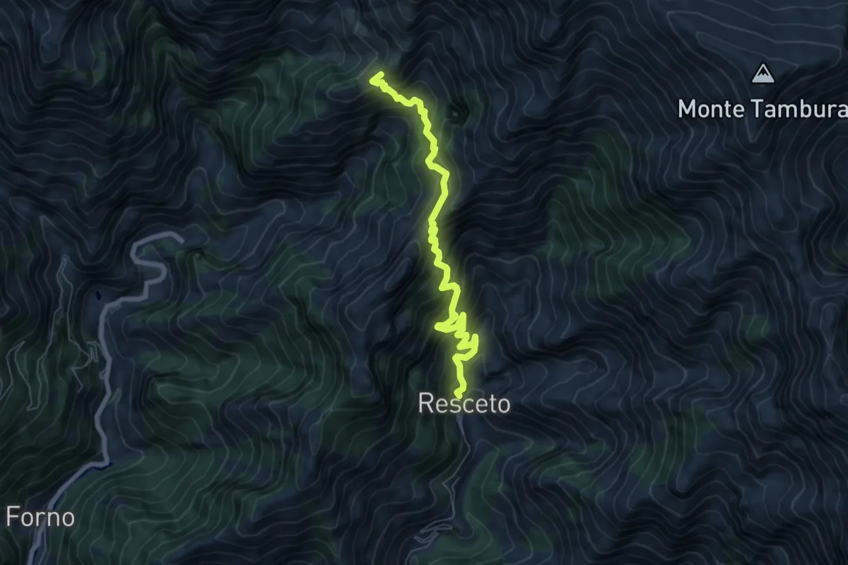
Demanding · Trail
Resceto – Case Carpano
6.9 km · ↑ 851 m · 3 h 29 min · 10 km away
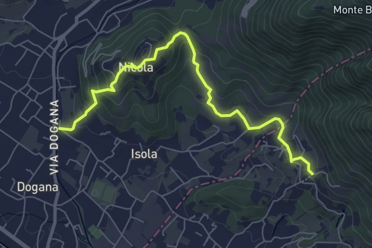
Easy · Trail
Isola – Fossola
6.3 km · ↑ 287 m · 2 h 6 min · 10 km away
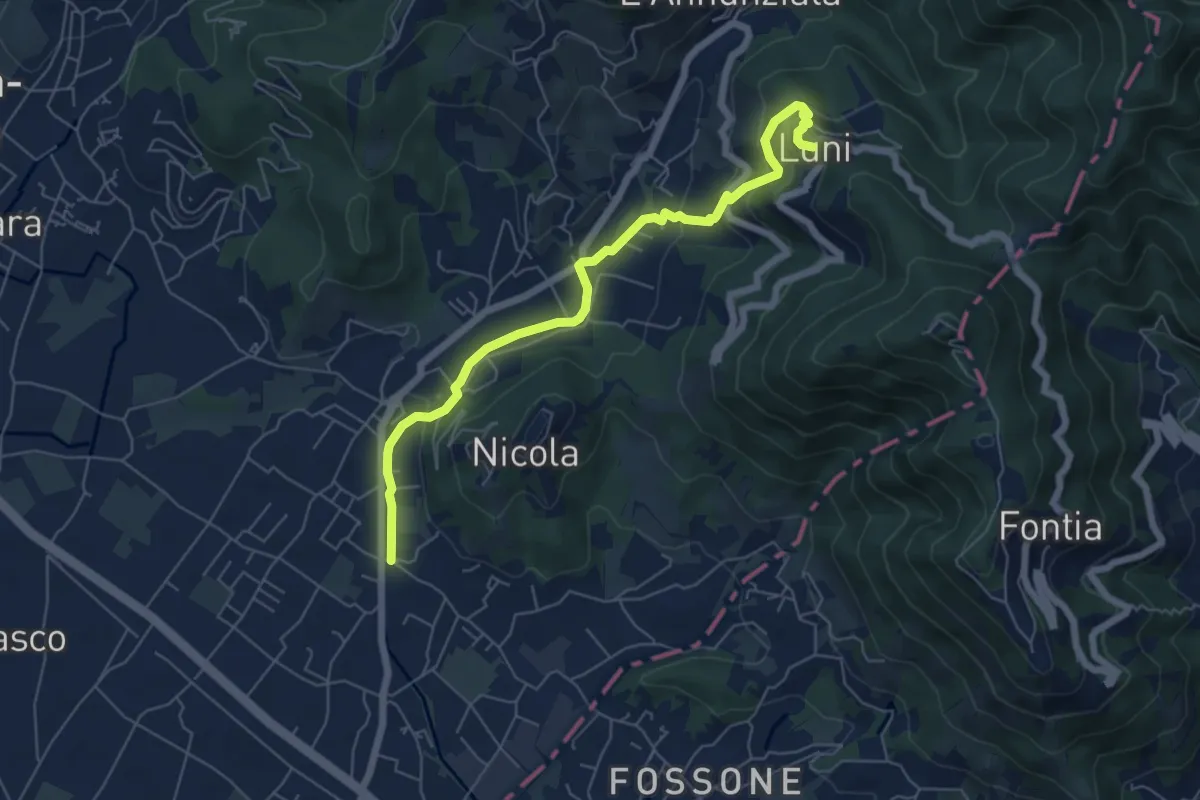
Easy · Trail
Isola - Lungo Parmignola - Ortonovo
6.6 km · ↑ 264 m · 2 h 8 min · 10 km away
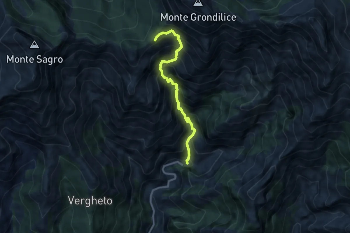
Demanding · Trail
Biforco – Foce Rasori
6.5 km · ↑ 1081 m · 3 h 53 min · 10 km away
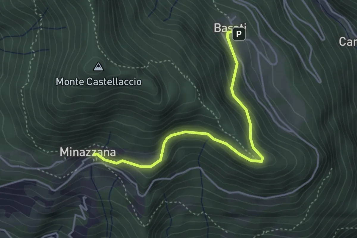
Easy · Trail
Sentiero Alta Versilia - Tappa 03
4.0 km · ↑ 224 m · 1 h 26 min · 10 km away
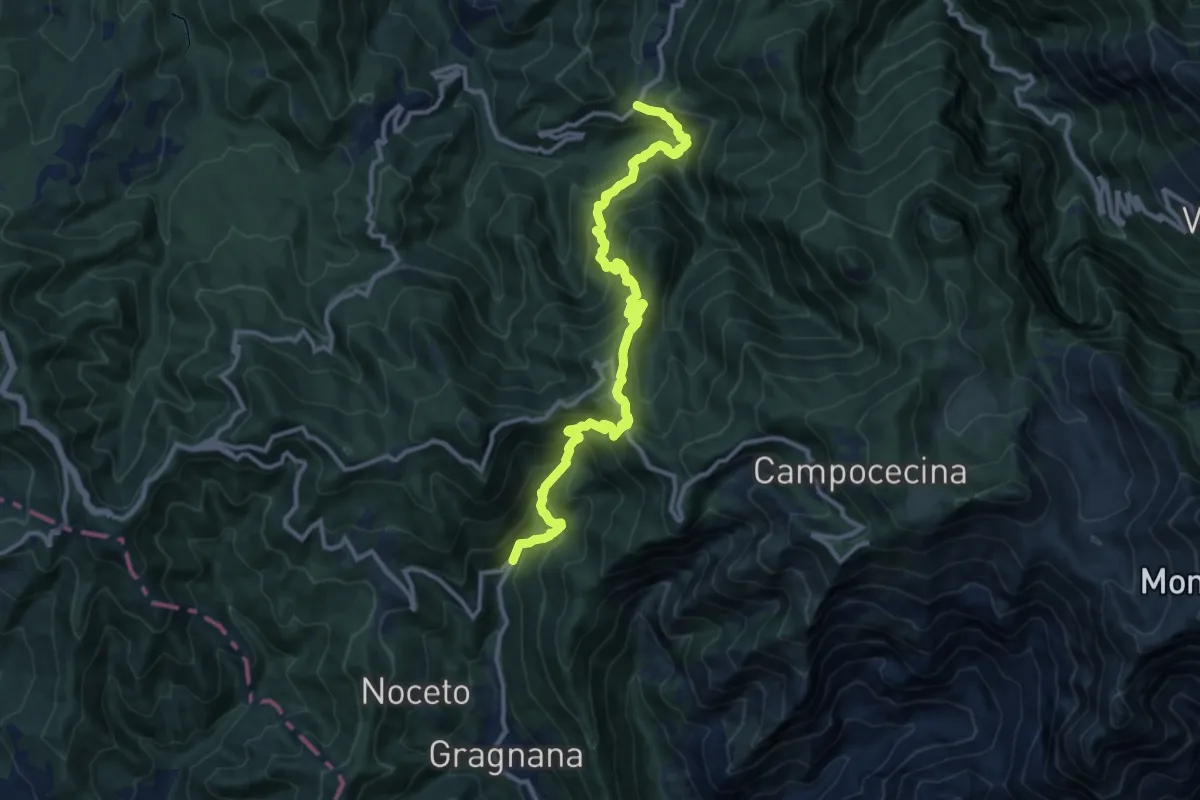
Demanding · Trail
Ponte Storto – Maestà della Villa
13.5 km · ↑ 1285 m · 5 h 58 min · 10 km away
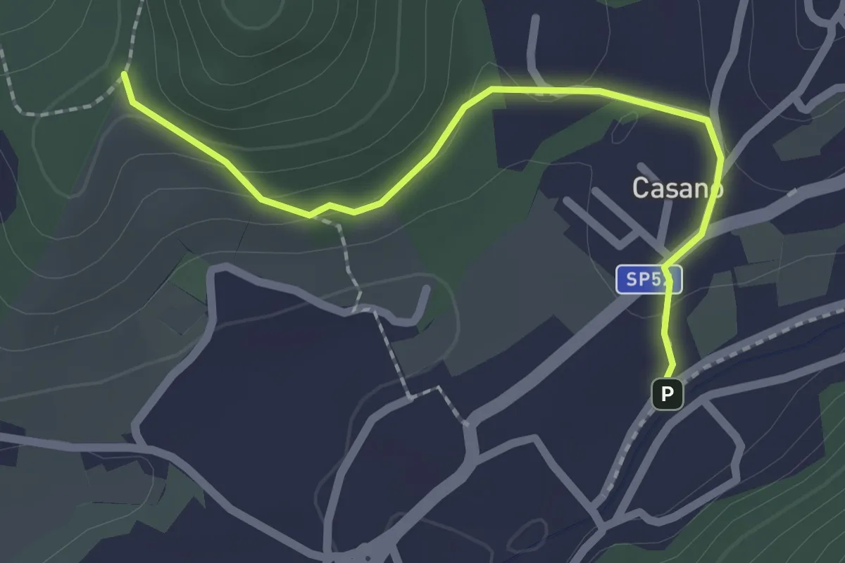
Easy · Trail
Serravalle – Monte dei Frati
2.2 km · ↑ 63 m · 40 min · 10 km away
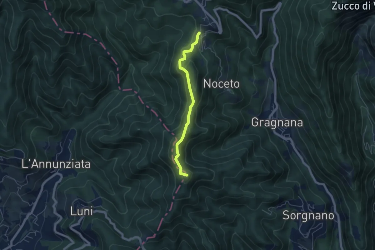
Easy · Summit
Ortonovo – Castelpoggio
4.5 km · ↑ 206 m · 1 h 30 min · 10 km away
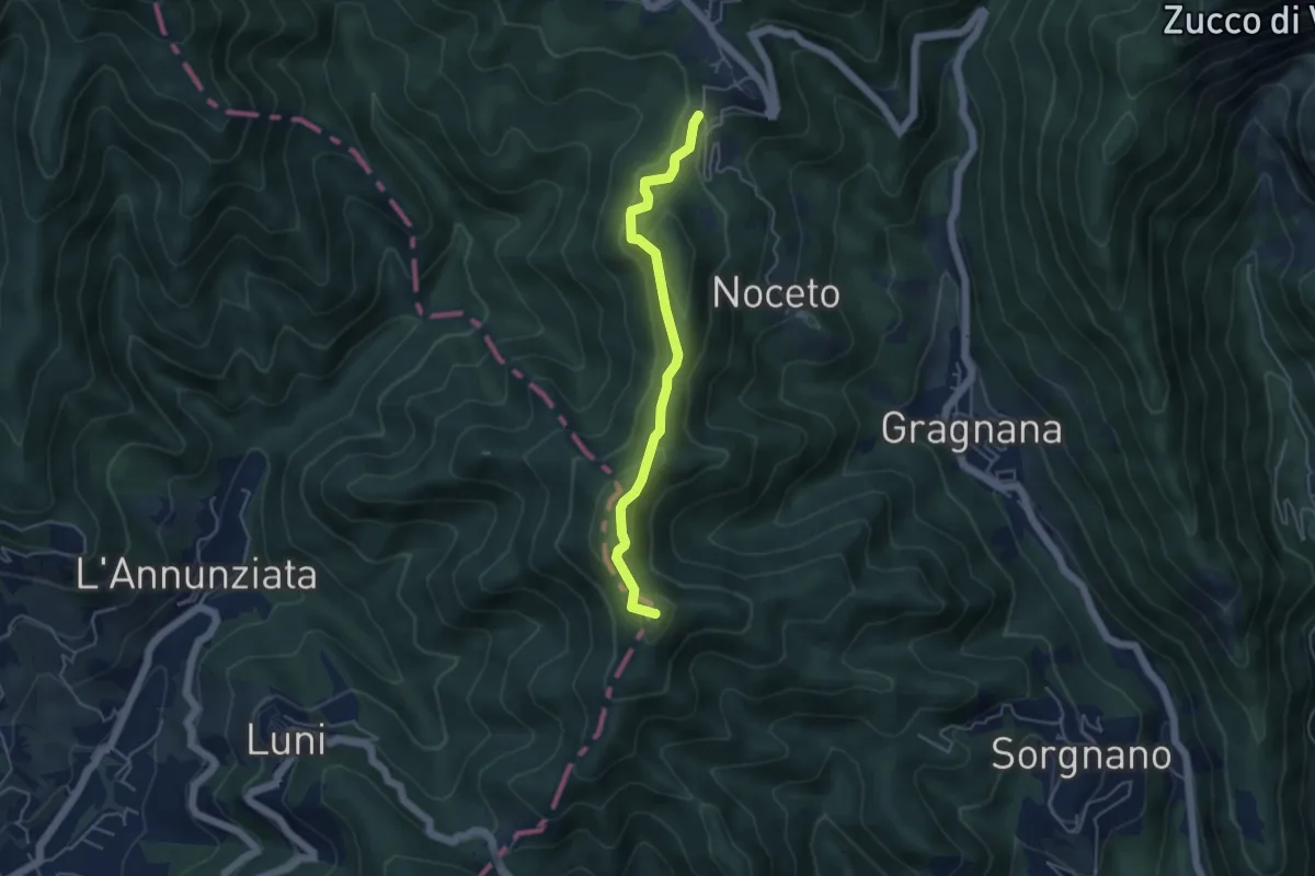
Easy · Summit
Cammino di Aronte - Tappa 2
4.5 km · ↑ 206 m · 1 h 30 min · 10 km away
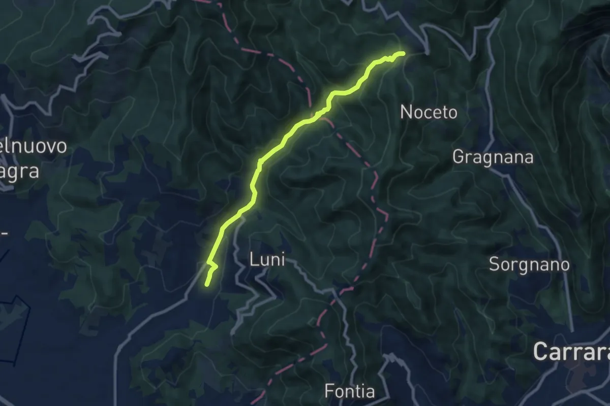
Medium · Trail
Casano – Castelpoggio
7.9 km · ↑ 432 m · 2 h 49 min · 10 km away
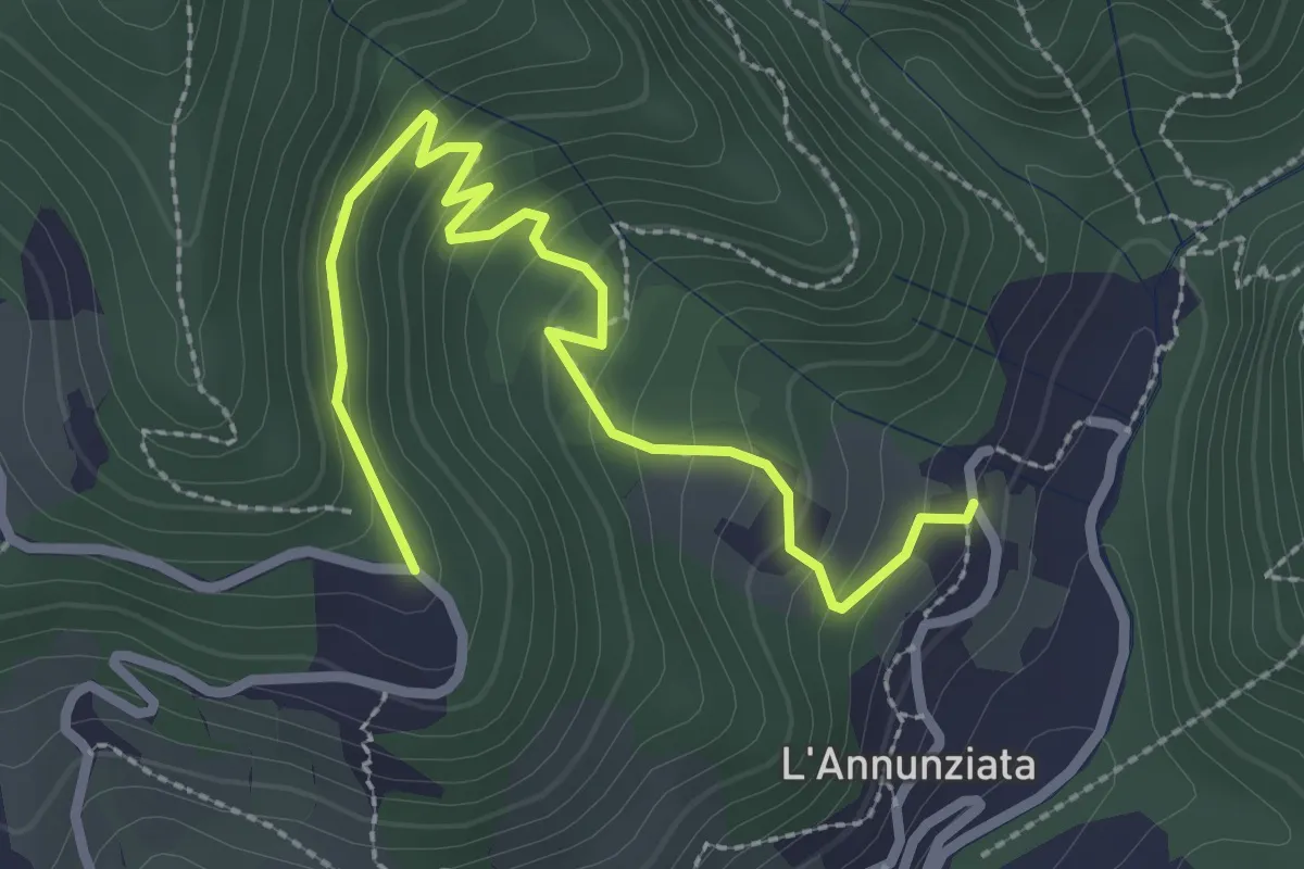
Easy · Trail
Percorso 373 – Percorso 304
3.2 km · ↑ 217 m · 1 h 14 min · 10 km away
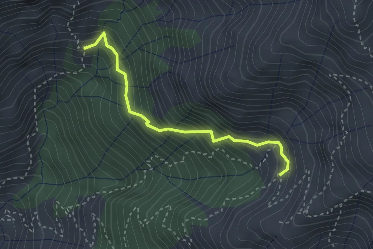
Demanding · Trail
Via Vandelli (Percorso 135) – Quota 1000 Canal Pianone
2.6 km · ↑ 389 m · 1 h 27 min · 10 km away
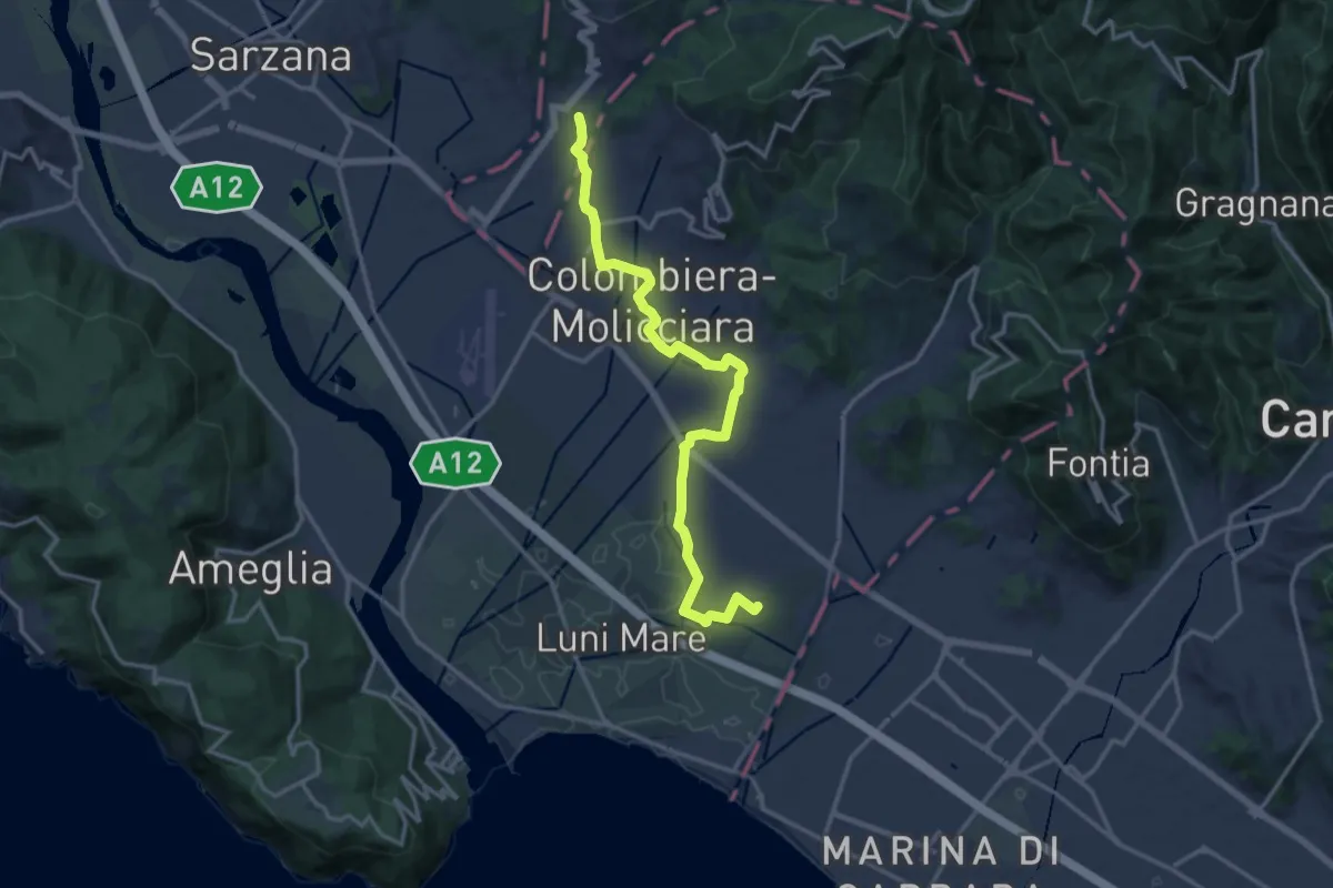
Medium · Trail
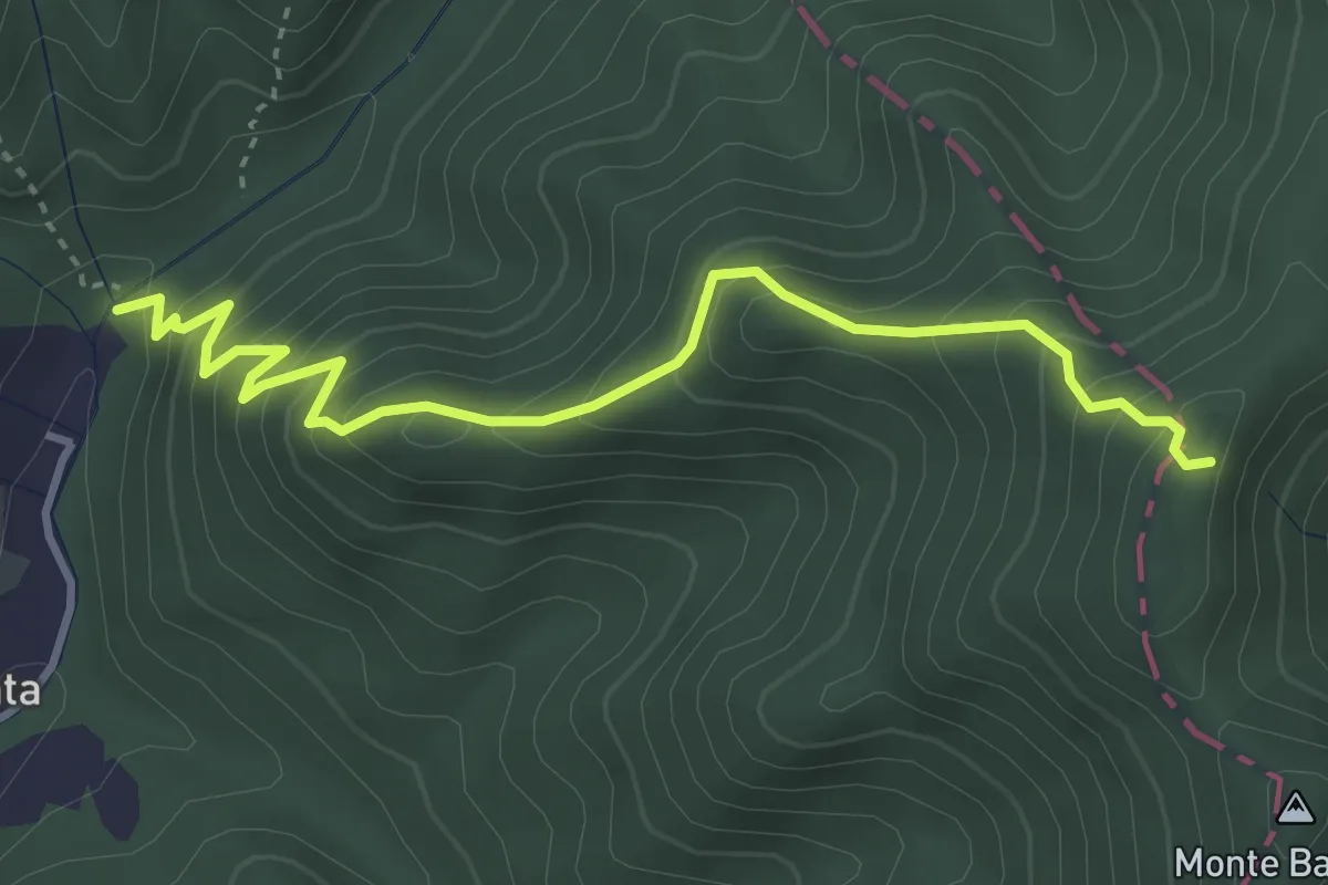
Sentiero dei Ducati Variante Luni
16.3 km · ↑ 61 m · 3 h 59 min · 10 km away
Medium · Trail
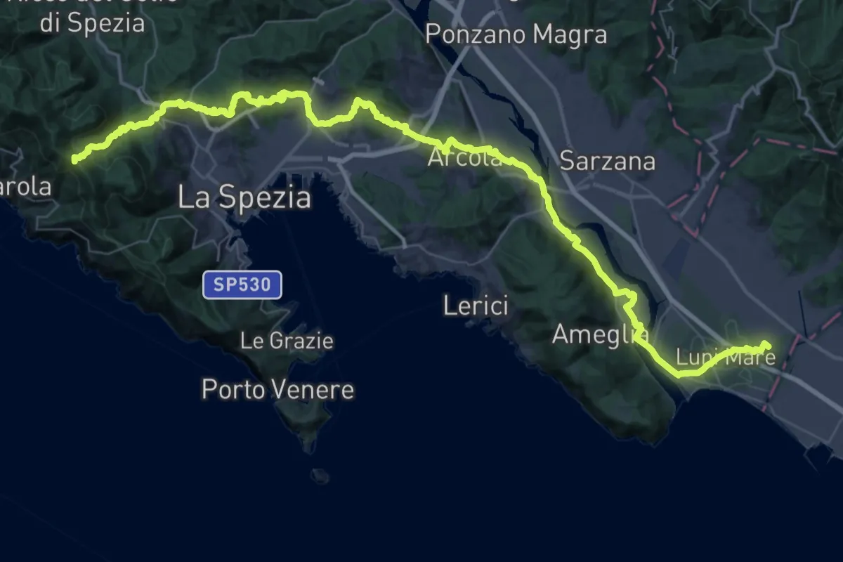
Molino del Lucco – Volpiglione
4.1 km · ↑ 419 m · 1 h 53 min · 10 km away
Expert · Summit
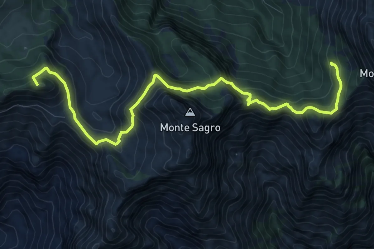
Via della Costa - Tappa 12
65.8 km · ↑ 1657 m · 19 h 7 min · 10 km away
Demanding · Summit
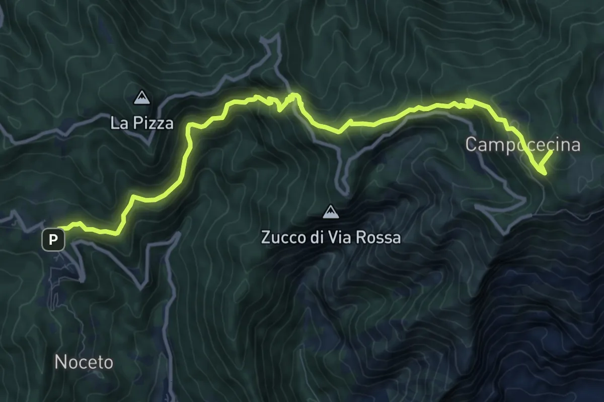
Rifugio Carrara – Capanna Garnerone
12.4 km · ↑ 912 m · 4 h 54 min · 10 km away
Demanding · Summit
Castelpoggio – Rifugio Carrara
12.1 km · ↑ 946 m · 4 h 55 min · 10 km away
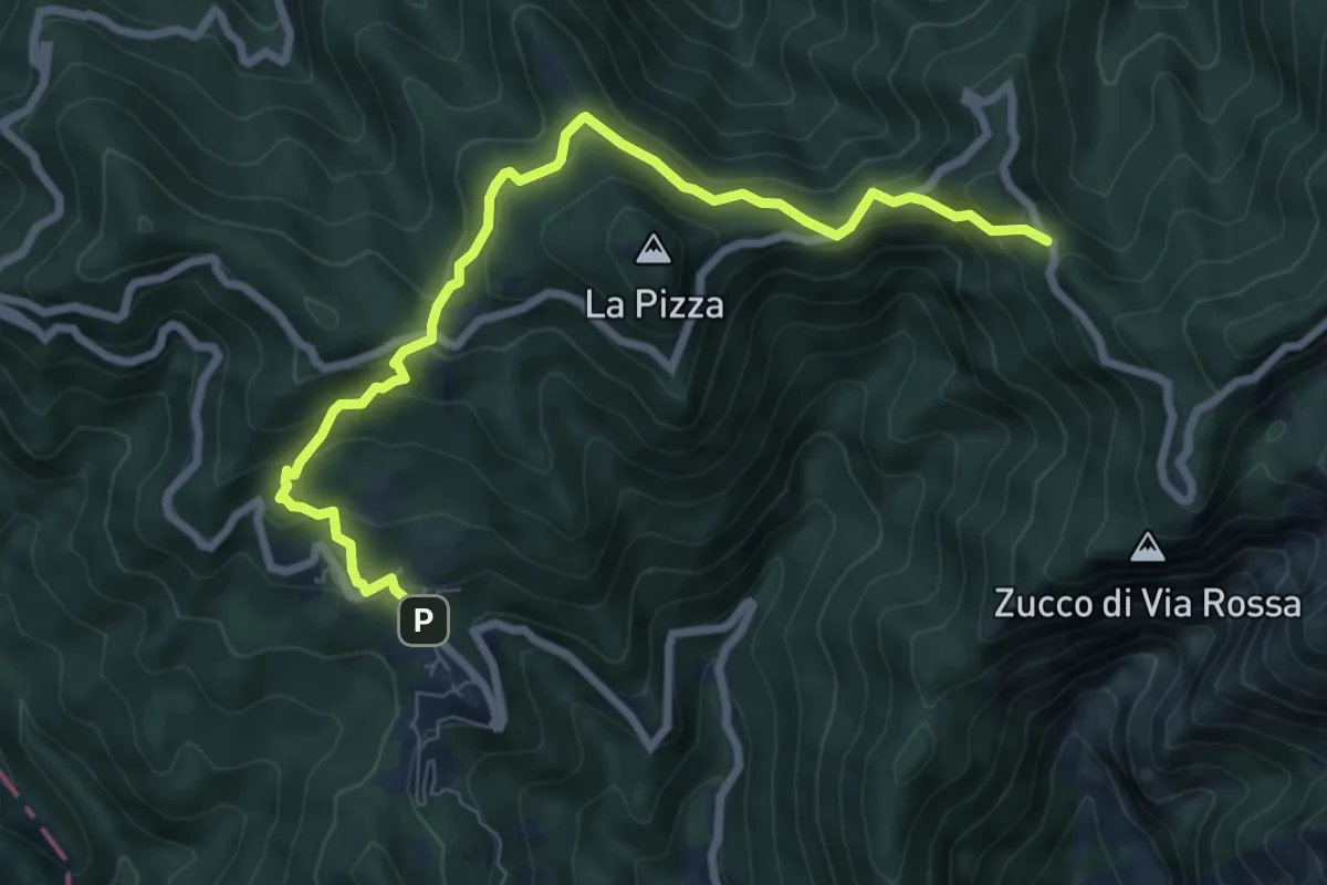
Medium · Trail
Castelpoggio – Gabellaccia
8.4 km · ↑ 454 m · 2 h 58 min · 10 km away
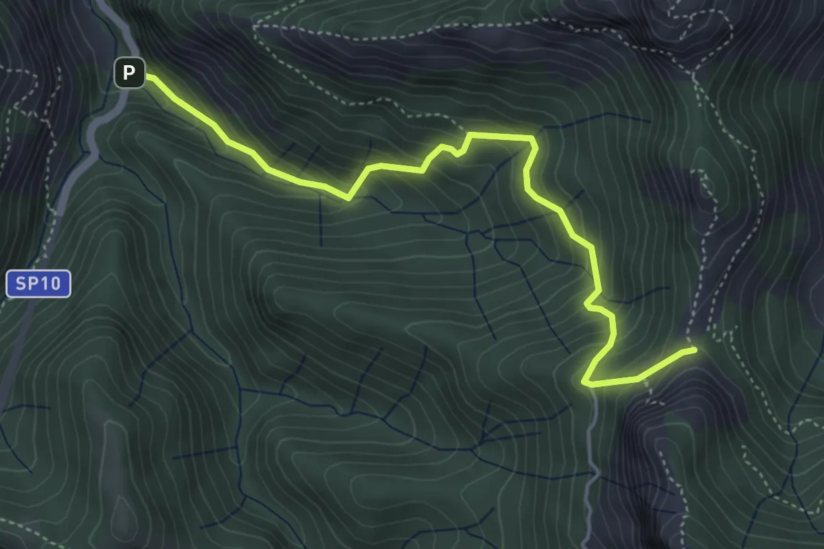
Medium · Trail
Ponte Merletti – Fociomboli
5.1 km · ↑ 497 m · 2 h 17 min · 10 km away
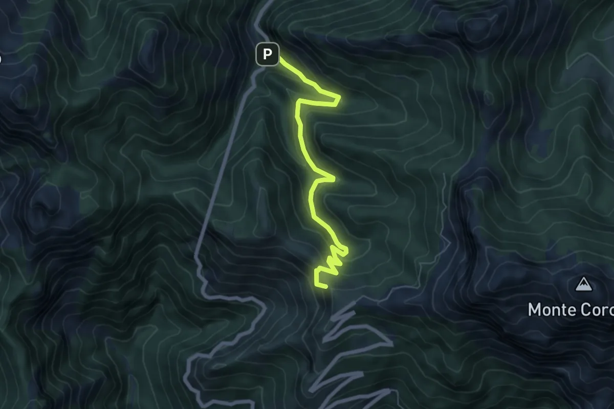
Medium · Summit
Ponte dei Merletti – Terrinca
6.4 km · ↑ 404 m · 2 h 24 min · 10 km away
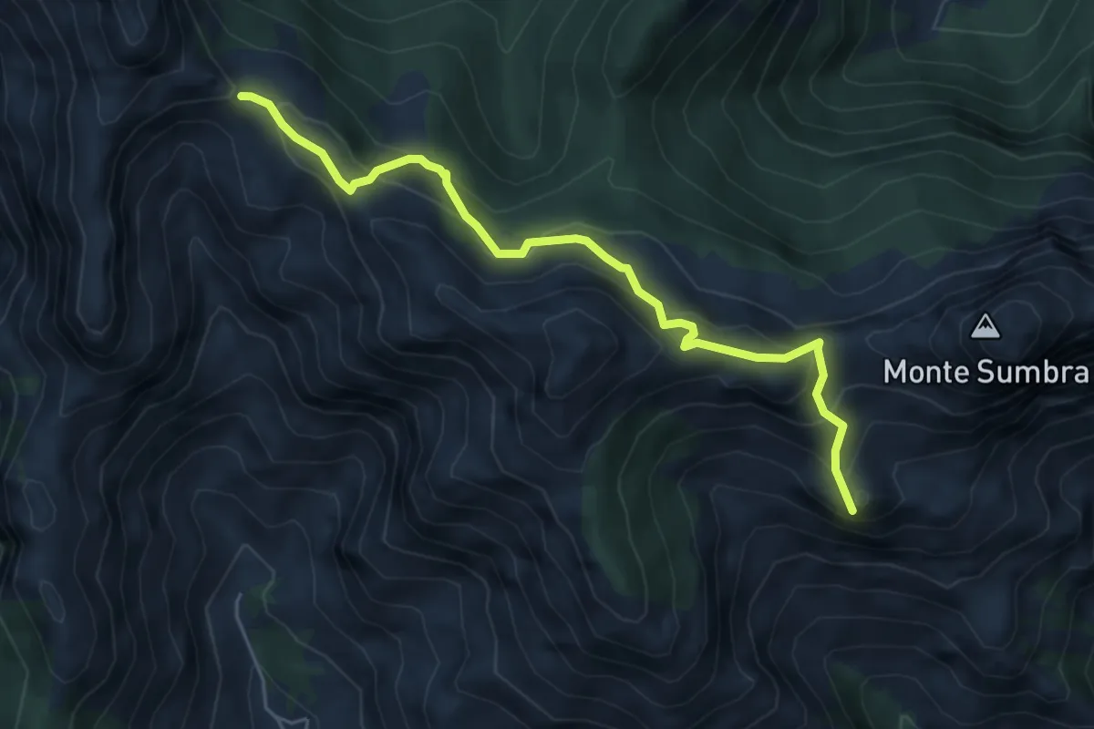
Demanding · Summit
Arni – Passo Sella
5.7 km · ↑ 476 m · 2 h 23 min · 10 km away
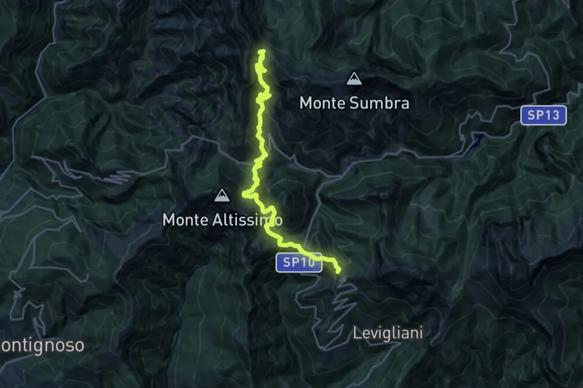
Demanding · Summit
Foce di Mosceta – Passo Sella
20.3 km · ↑ 1754 m · 8 h 35 min · 10 km away
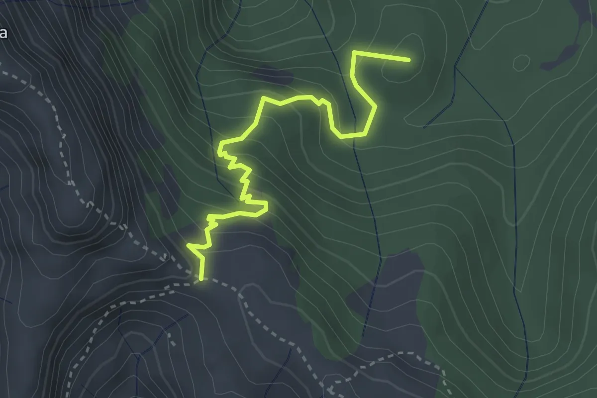
Medium · Summit
Arnetola – Cave delle Cervaiole
3.3 km · ↑ 287 m · 1 h 24 min · 10 km away
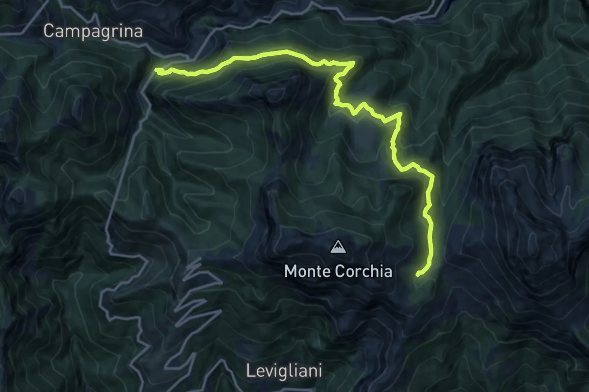
Demanding · Cabin
Tre Fiumi – Rifugio Giuseppe Del Freo
13.7 km · ↑ 1047 m · 5 h 31 min · 10 km away
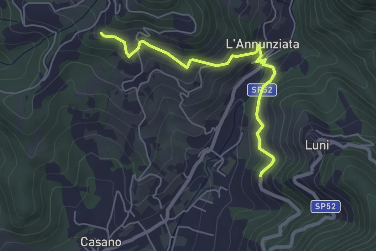
Easy · Trail
Santa Maria – Noceto
4.7 km · ↑ 307 m · 1 h 46 min · 10 km away
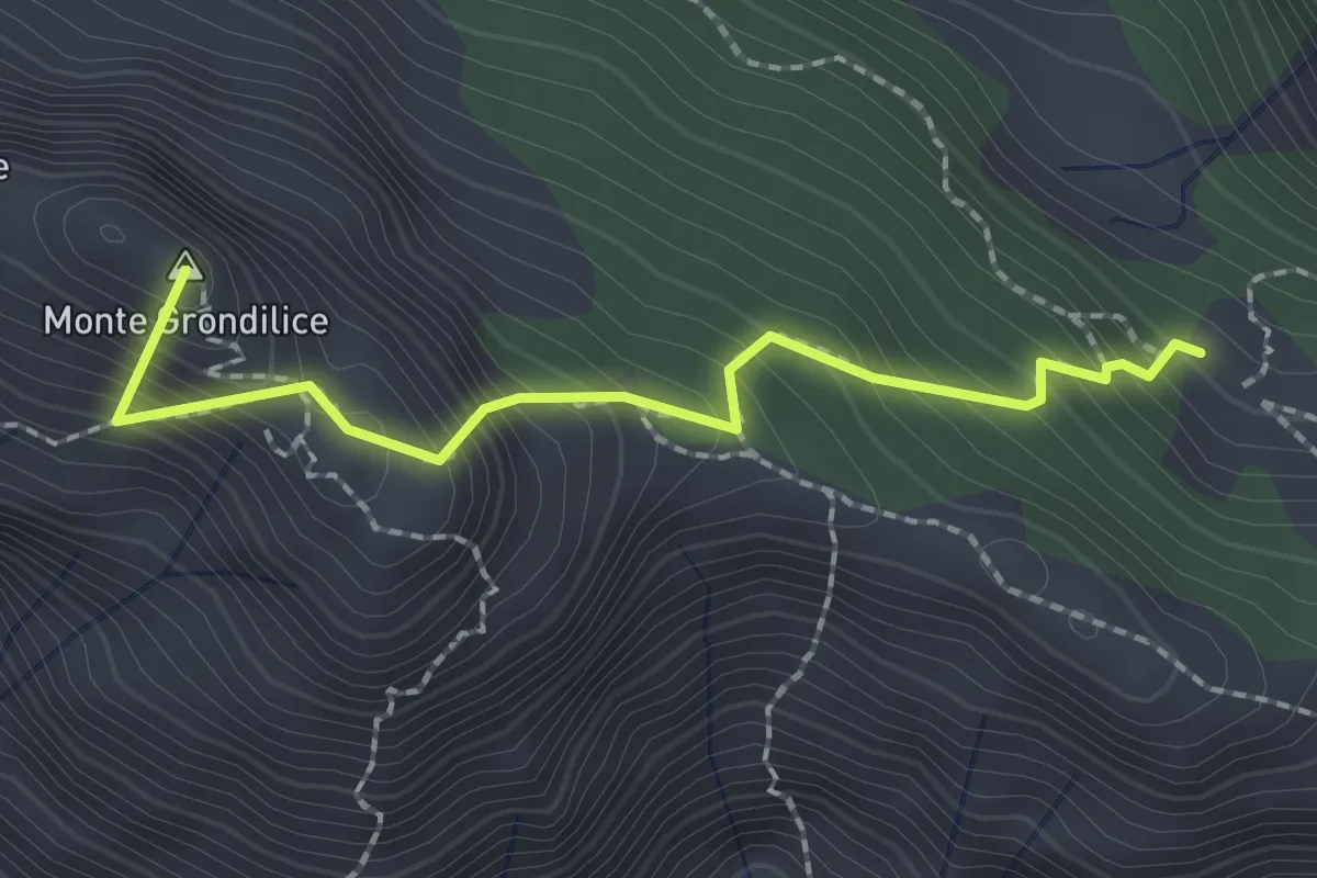
Demanding · Summit
Foce di Rasori – Orto di Donna
2.1 km · ↑ 266 m · 1 h 4 min · 11 km away
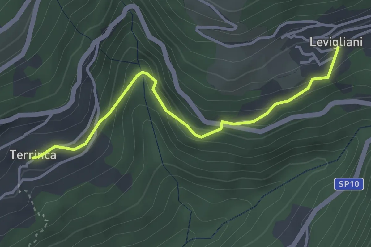
Easy · Trail
Sentiero Alta Versilia - Tappa 05
3.2 km · ↑ 205 m · 1 h 12 min · 11 km away
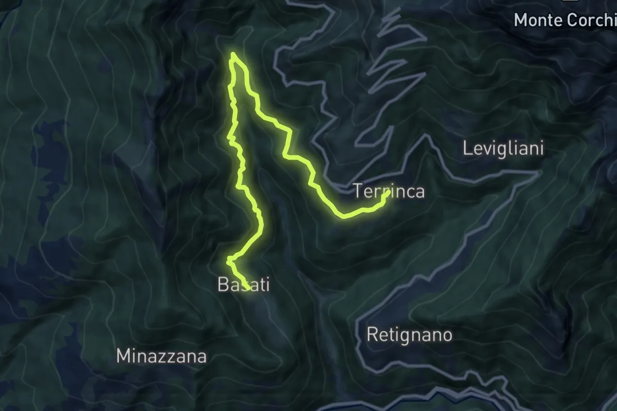
Medium · Trail
Sentiero Alta Versilia - Tappa 04
11.4 km · ↑ 758 m · 4 h 20 min · 11 km away
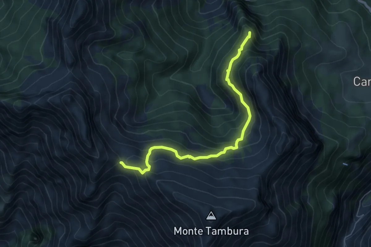
Demanding · Summit
Vagli Sopra – Passo della Focolaccia
6.3 km · ↑ 525 m · 2 h 38 min · 11 km away