Trails near Massa
179 hikes starting within 15 km, nearest first.
Nearest first, page 3 of 4
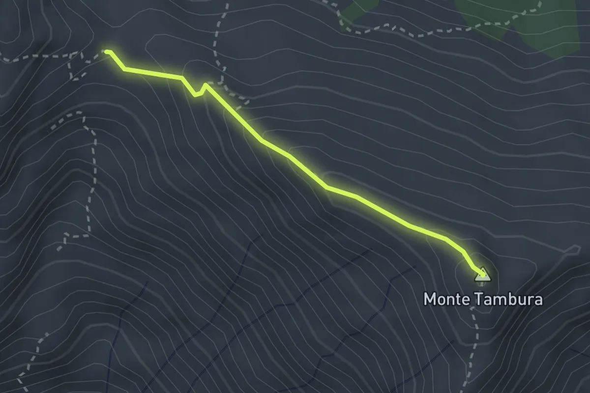
Demanding · Summit
Passo Della Focolaccia – Passo della Tambura
2.4 km · ↑ 186 m · 58 min · 11 km away
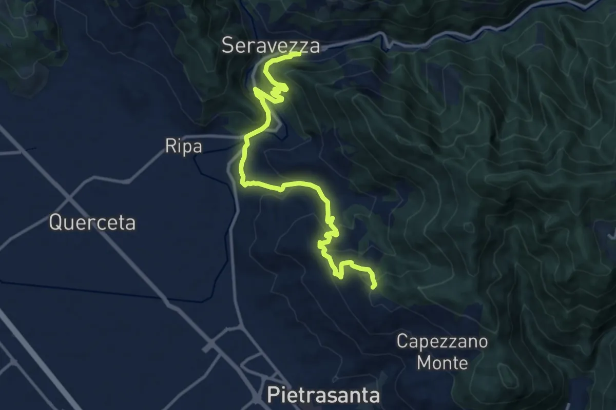
Medium · Trail
Sentiero Alta Versilia - Tappa 12
12.2 km · ↑ 646 m · 4 h 17 min · 11 km away
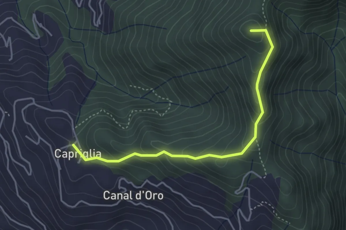
Easy · Summit
Sentiero Alta Versilia - Tappa 11
4.0 km · ↑ 314 m · 1 h 38 min · 11 km away
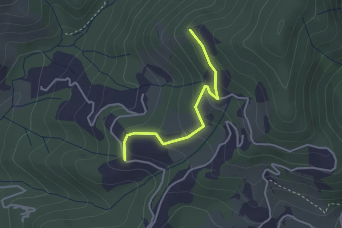
Easy · Trail
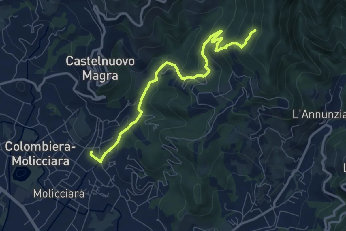
Santa Rosa (Percorso 308) – Orbagnano di Sopra
2.5 km · ↑ 130 m · 52 min · 11 km away
Medium · Trail
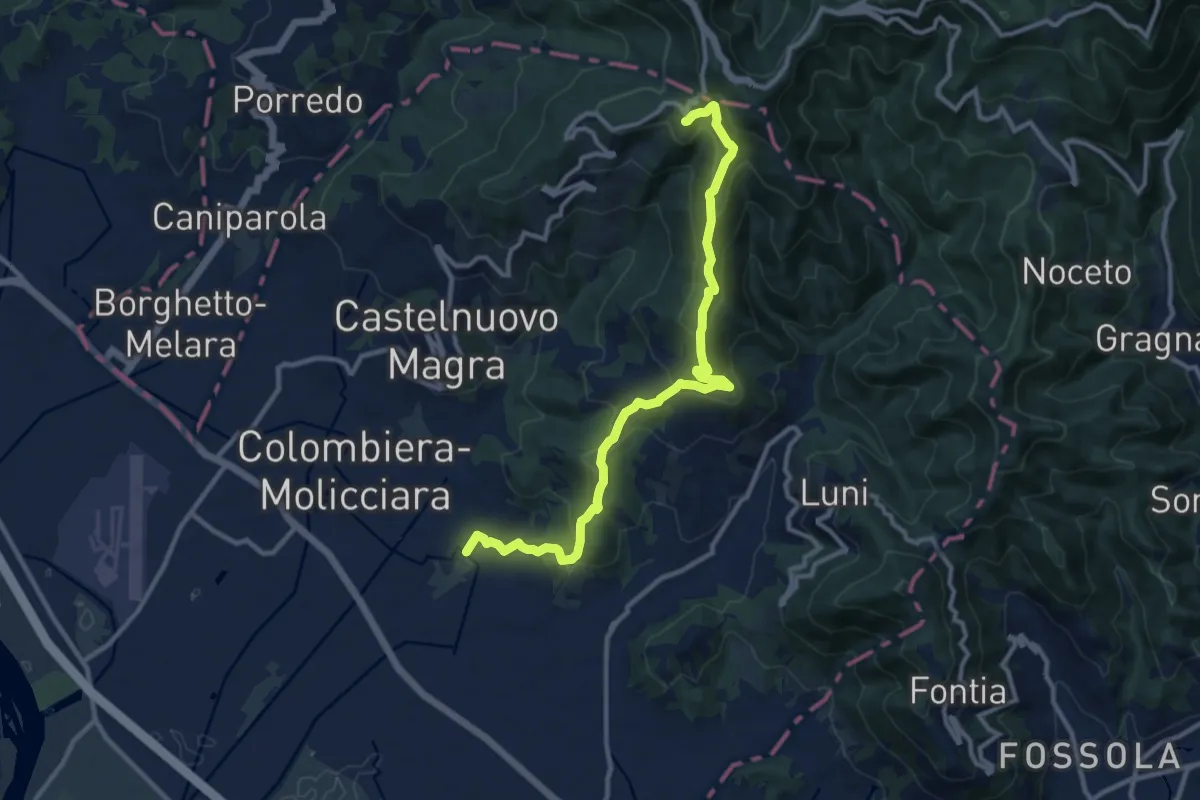
Molino del Piano – Vallecchia
7.9 km · ↑ 388 m · 2 h 43 min · 11 km away
Medium · Trail
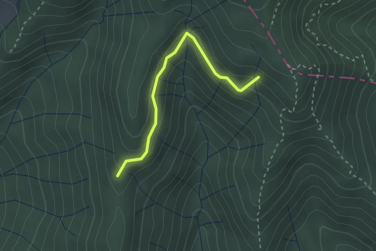
Coll. VF - Olmarello - Sarticola – Monticello – C. Bertella
12.1 km · ↑ 625 m · 4 h 13 min · 11 km away
Easy · Trail
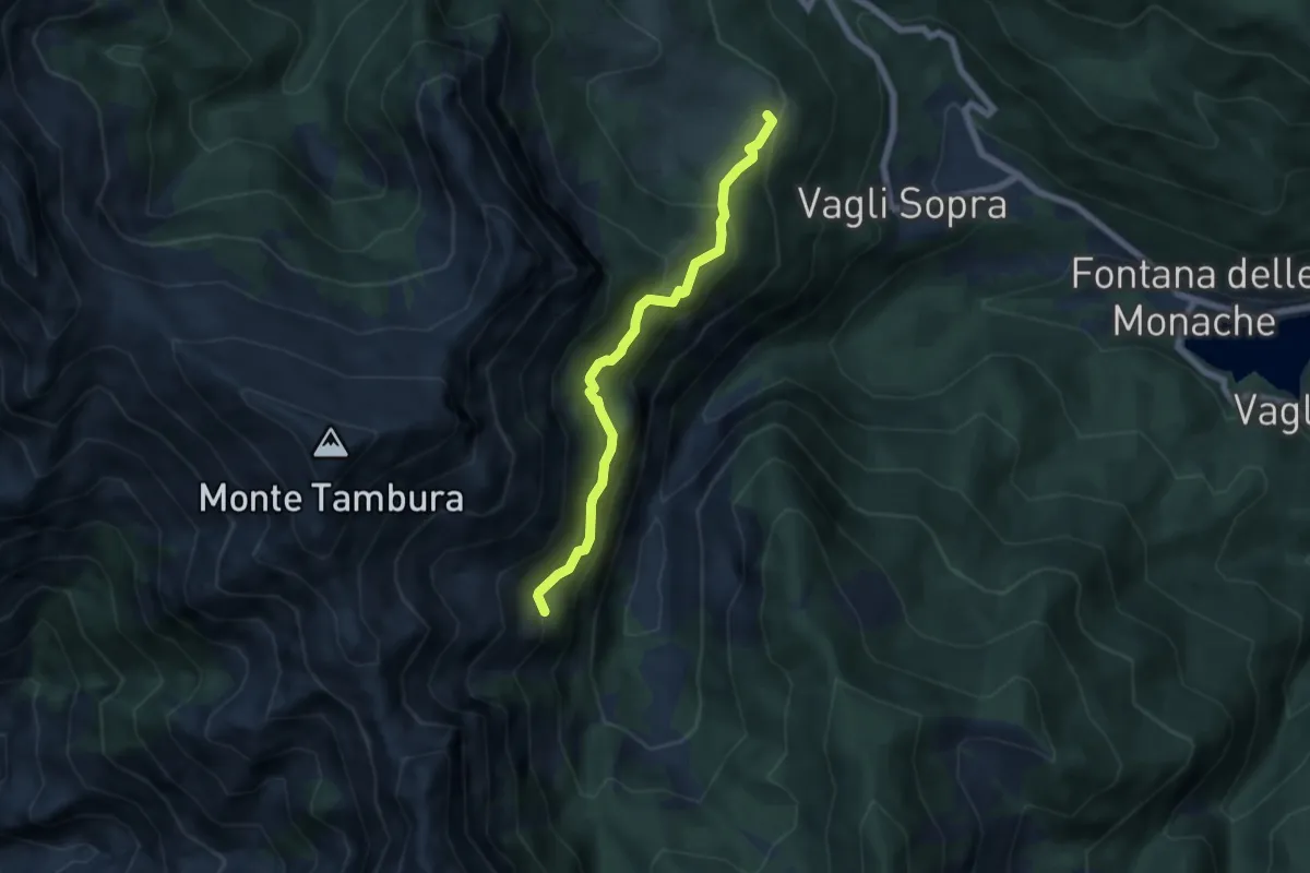
Percorso 373 – Percorso 304
2.2 km · ↑ 131 m · 48 min · 11 km away
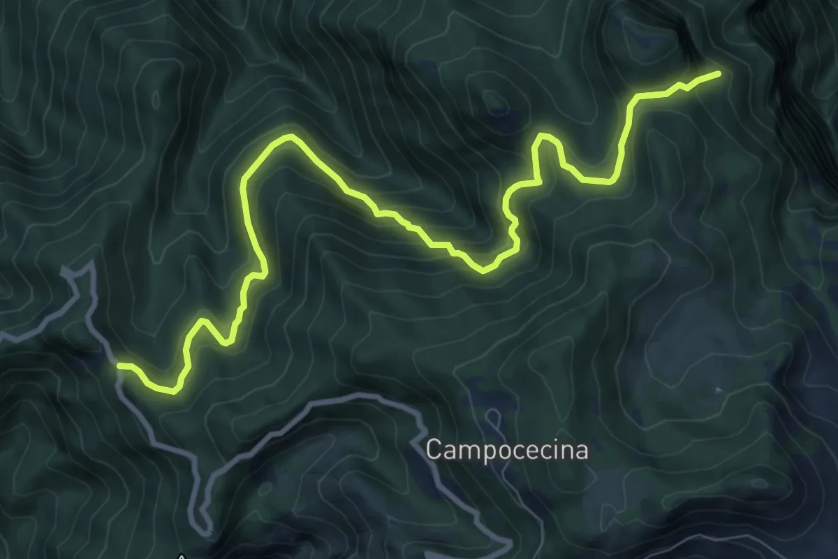
Expert · Trail
Campocatino – Percorso 135
5.7 km · ↑ 430 m · 2 h 16 min · 11 km away
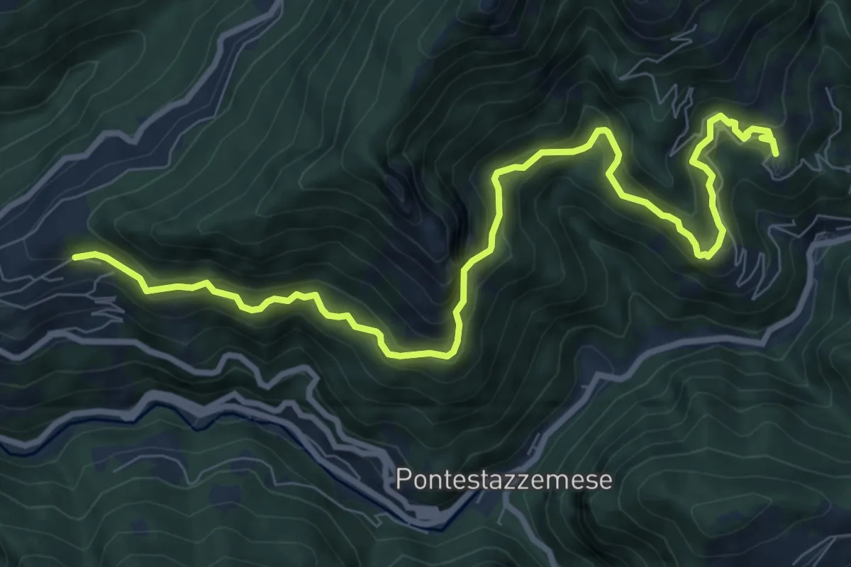
Demanding · Trail
Gabellaccia – Case Respettolo
11.0 km · ↑ 839 m · 4 h 24 min · 11 km away
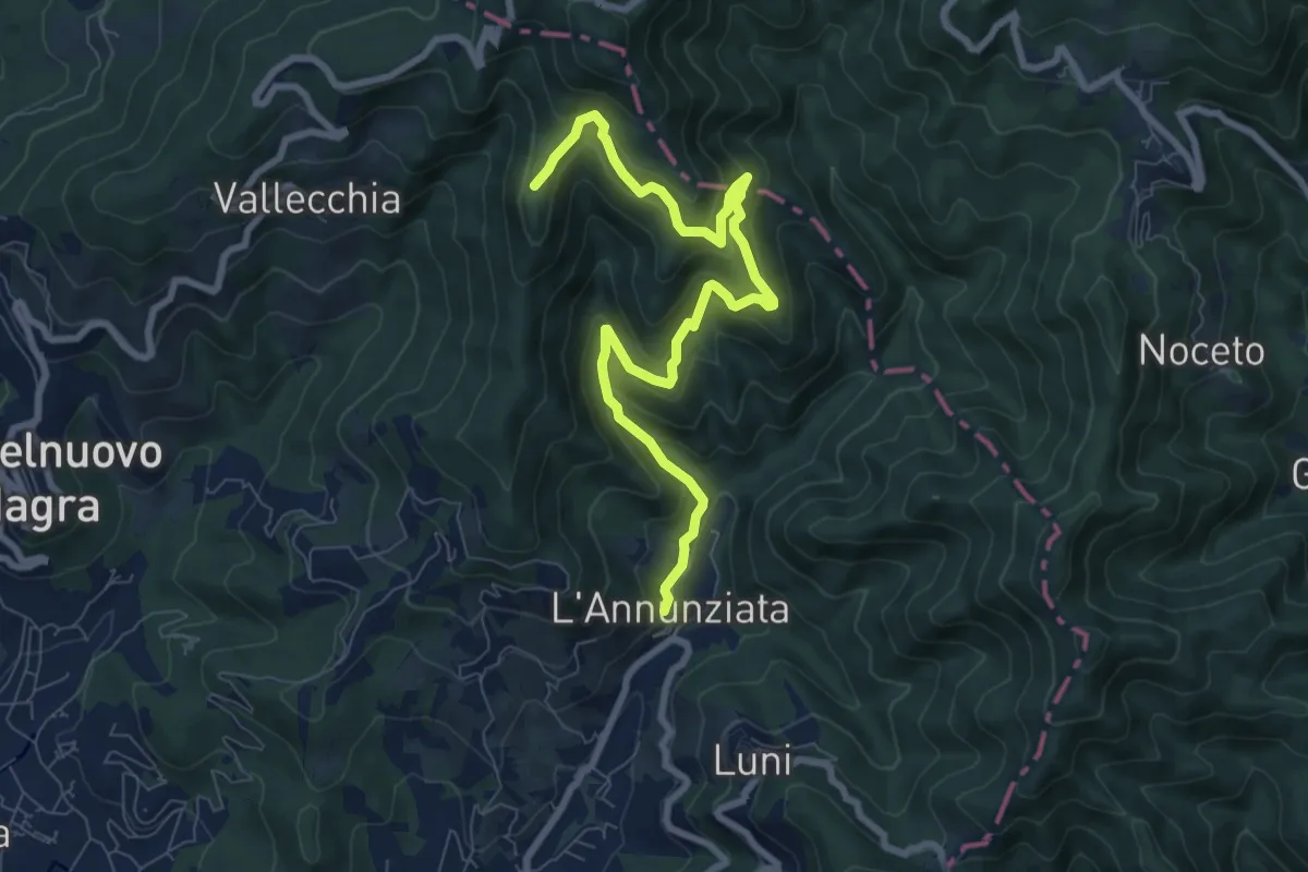
Demanding · Trail
Sentiero Alta Versilia - Tappa 07
10.5 km · ↑ 950 m · 4 h 32 min · 11 km away
Medium · Trail
Percorso 364 - Località Annunziata – Percorso 304
9.3 km · ↑ 643 m · 3 h 36 min · 11 km away
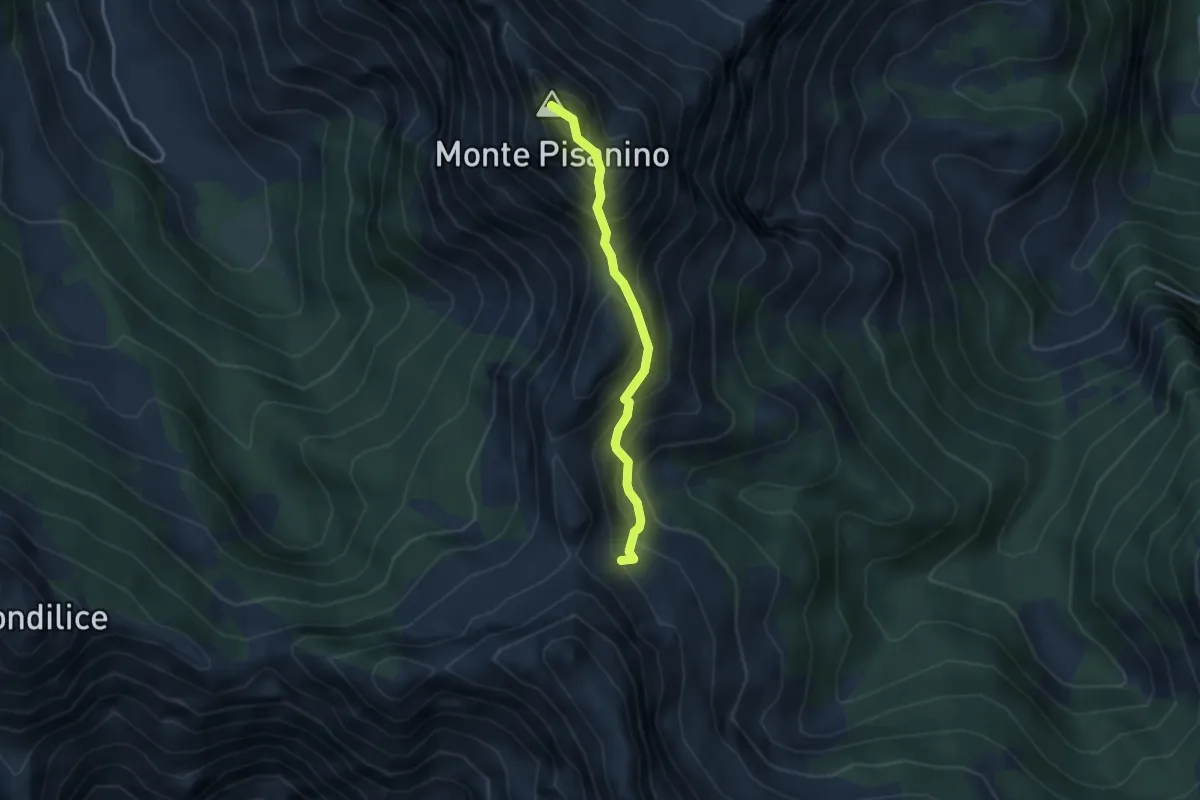
Expert · Summit
Via Normale Monte Pisanino
3.2 km · ↑ 467 m · 1 h 46 min · 11 km away
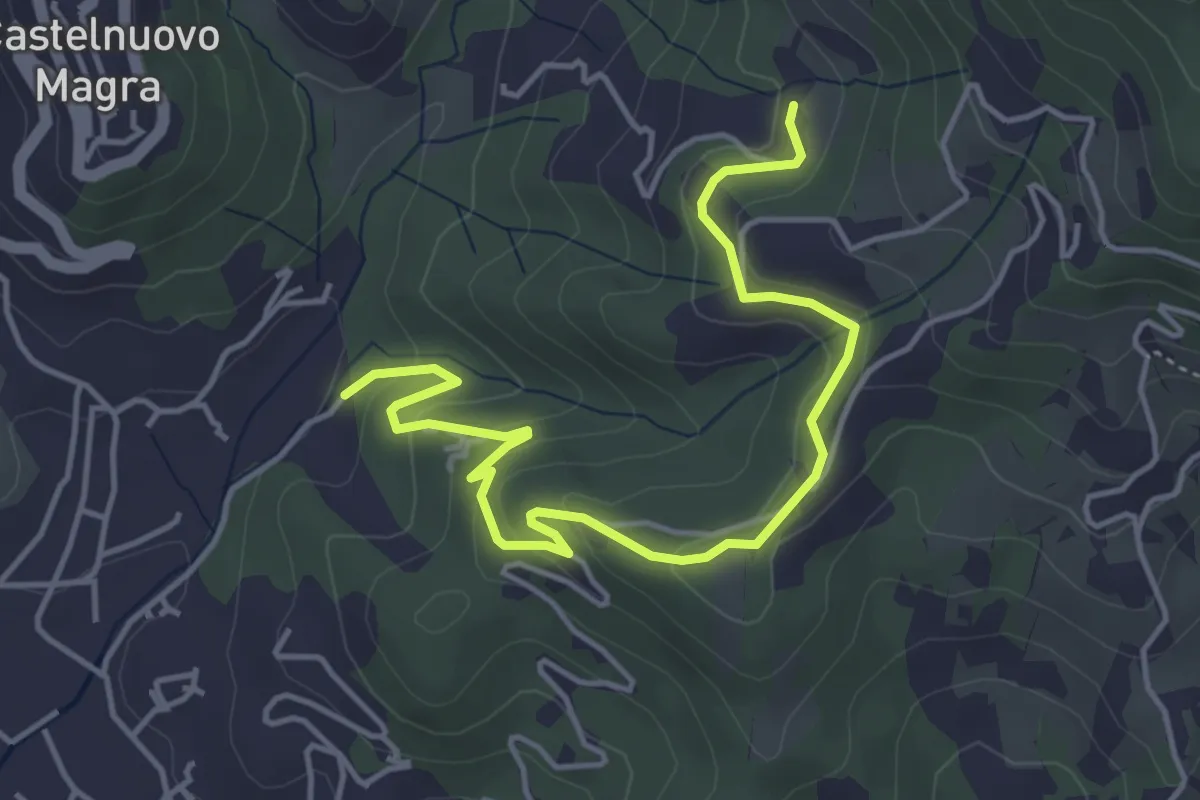
Easy · Trail
Bivio Molino Dogliotti - Marciano
5.4 km · ↑ 211 m · 1 h 44 min · 11 km away
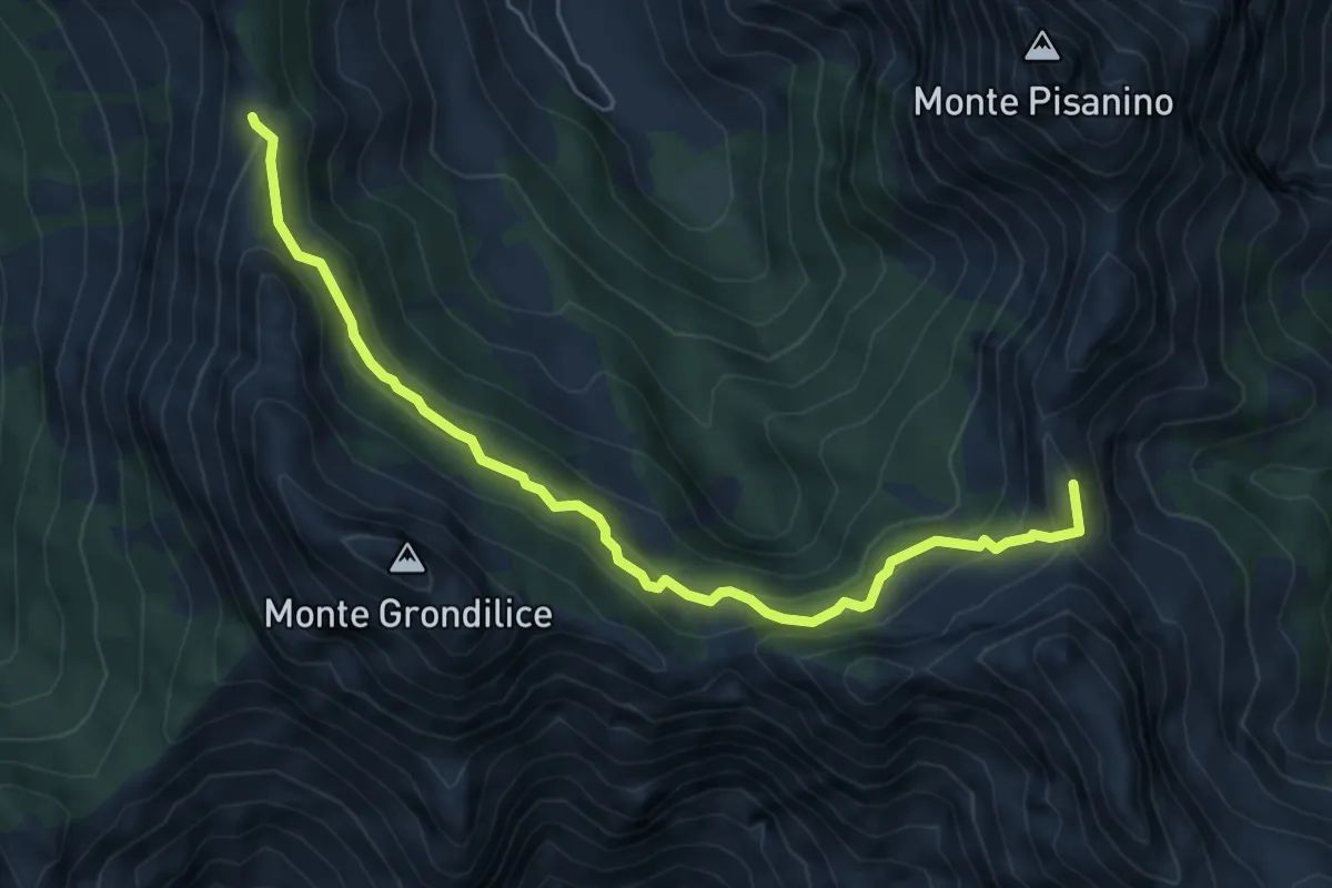
Medium · Summit
Foce di Giovo – Passo della Focolaccia
6.7 km · ↑ 494 m · 2 h 39 min · 11 km away
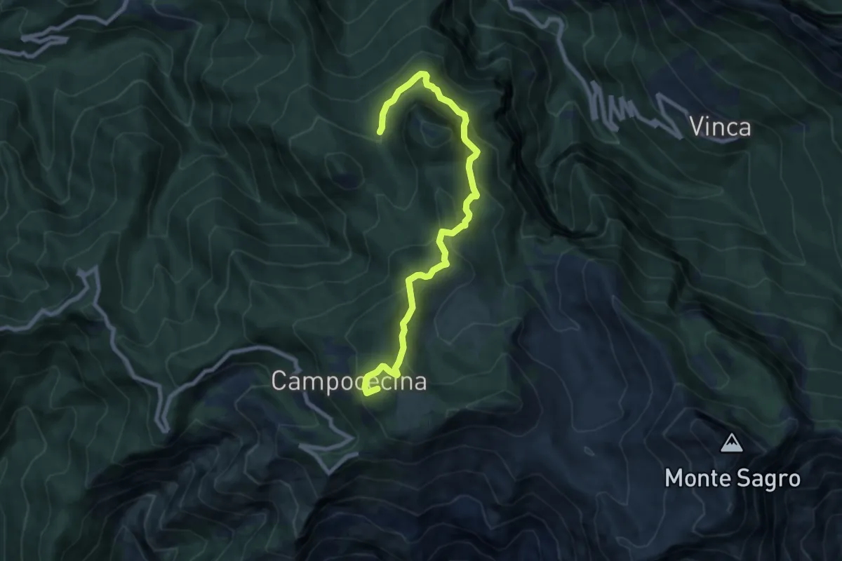
Medium · Summit
Rifugio Carrara – Bivio Monzonara - Innesto Sentiero 40
8.5 km · ↑ 565 m · 3 h 15 min · 11 km away
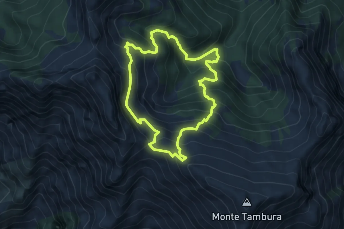
Demanding · Trail
Sentiero dei meno mille
5.1 km · ↑ 514 m · 2 h 23 min · 11 km away
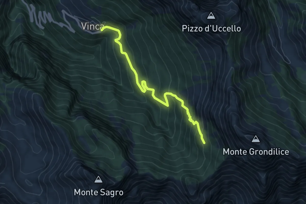
Demanding · Cabin
Vinca – Capanna Garnerone
7.6 km · ↑ 582 m · 3 h 3 min · 11 km away
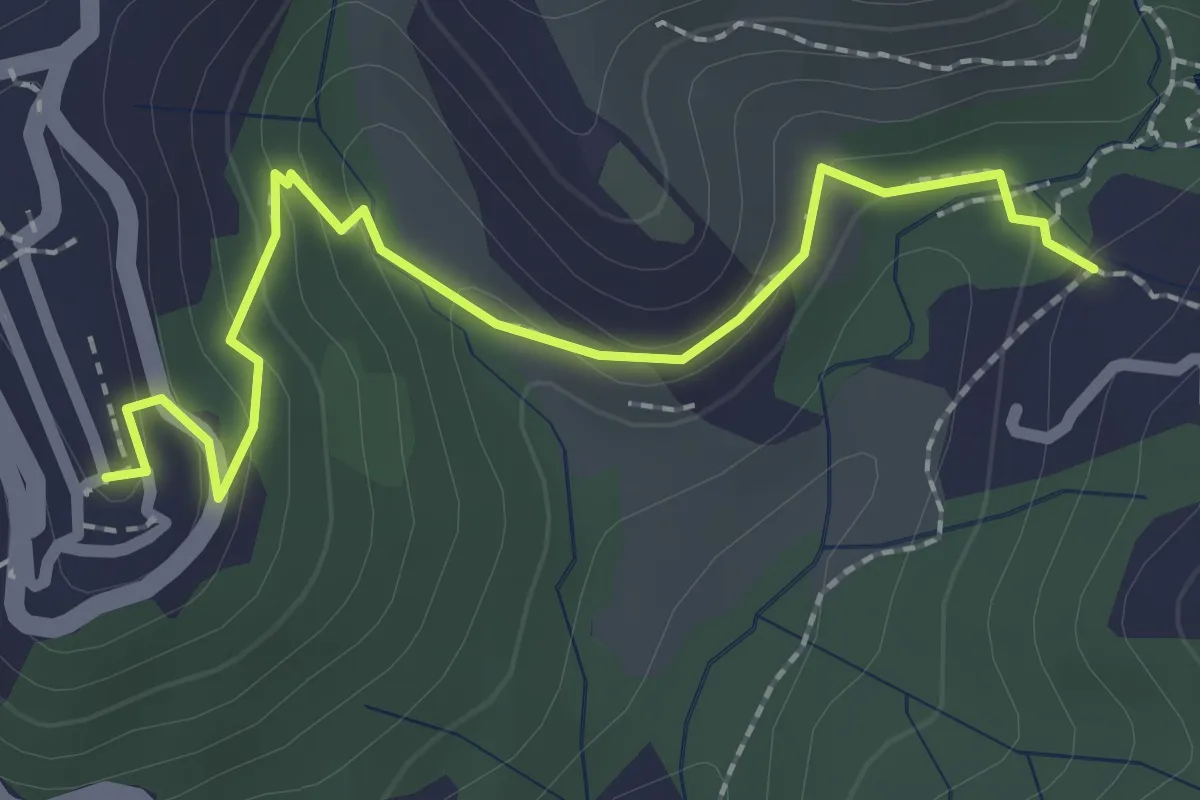
Easy · Trail
Sentiero 301 – Sentiero 302
2.6 km · ↑ 109 m · 50 min · 11 km away
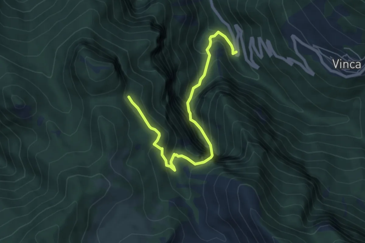
Demanding · Trail
Vinca – Innesto percorso 183
6.1 km · ↑ 880 m · 3 h 21 min · 11 km away
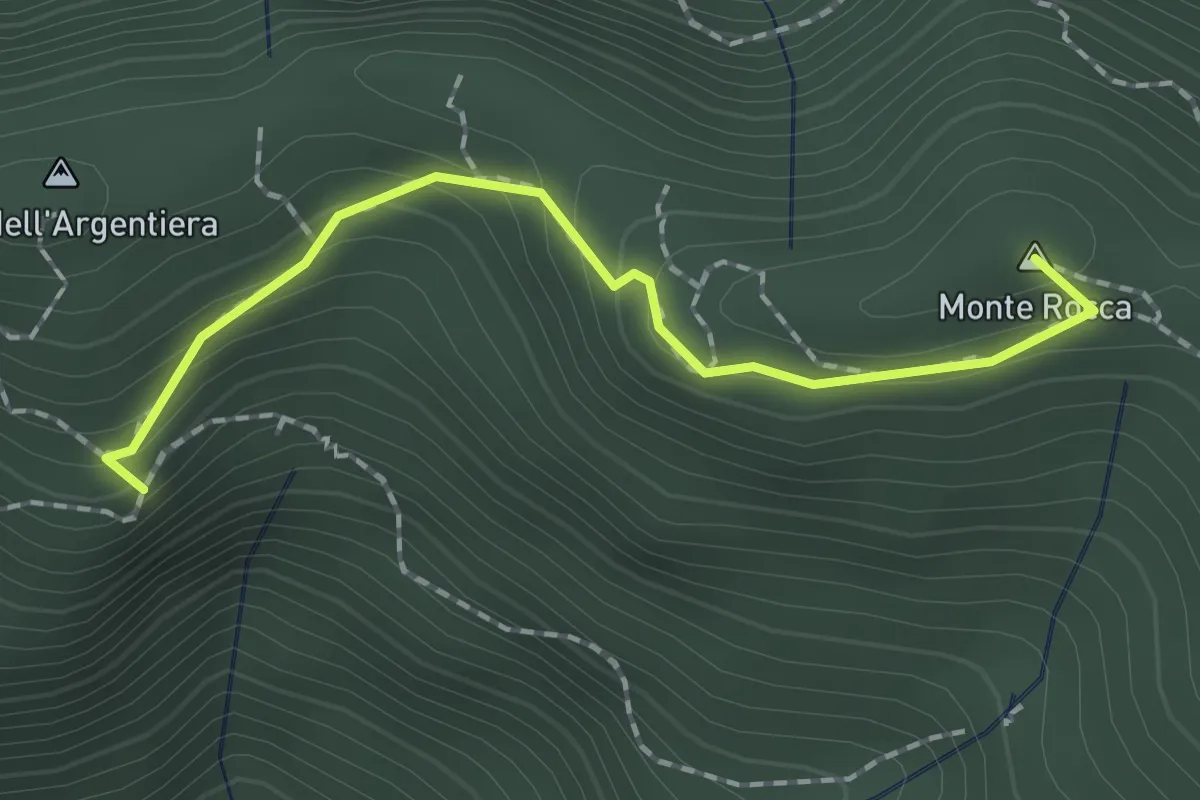
Easy · Summit
Casa Zuffone – Foce di Sant'Anna
1.8 km · ↑ 126 m · 43 min · 11 km away
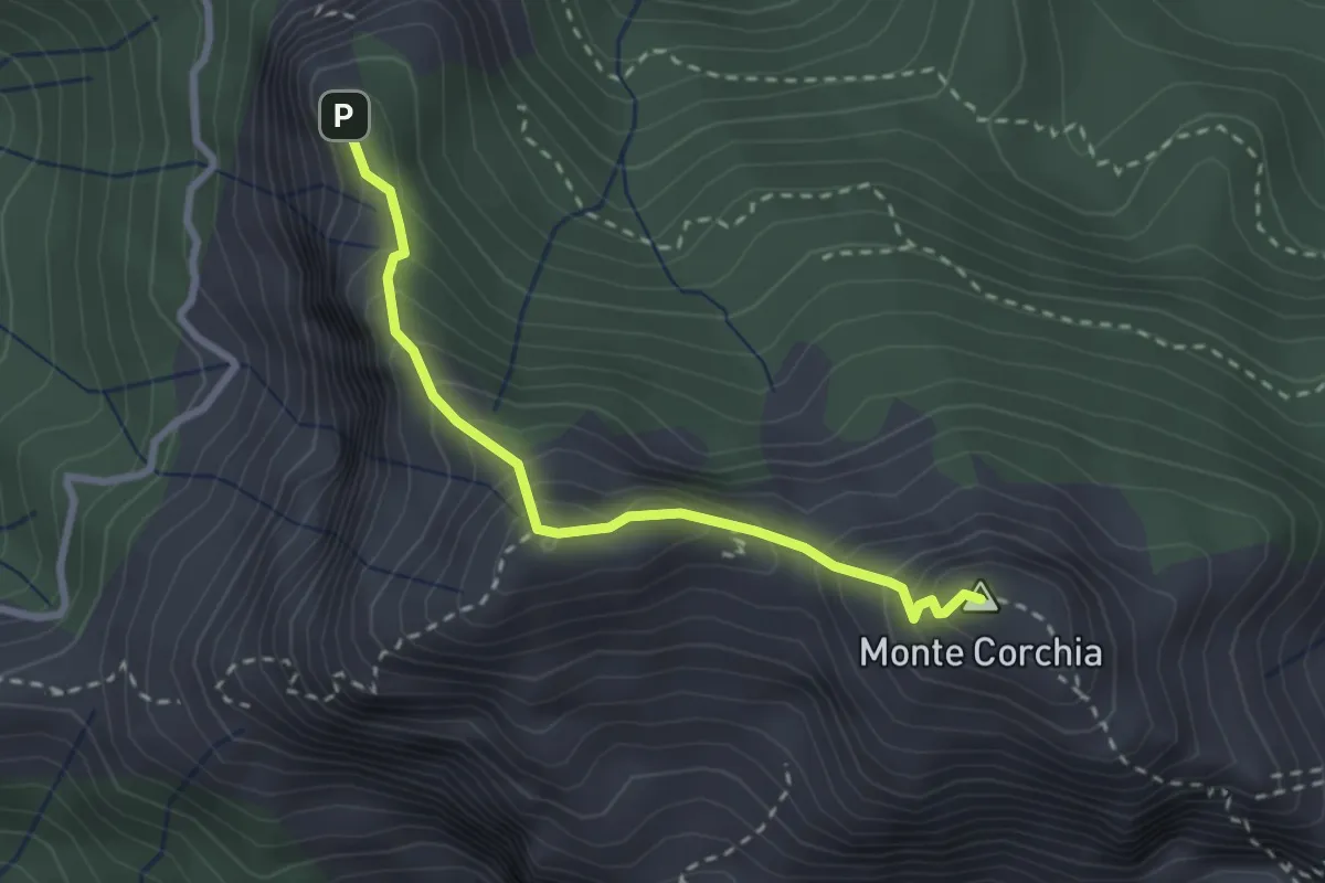
Demanding · Summit
Cresta del Monte Corchia
2.6 km · ↑ 263 m · 1 h 12 min · 11 km away
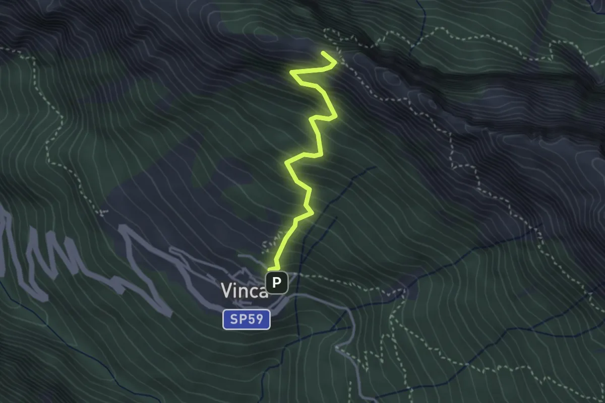
Demanding · Summit
Vinca – Cave del Cantonaccio
3.1 km · ↑ 451 m · 1 h 43 min · 12 km away
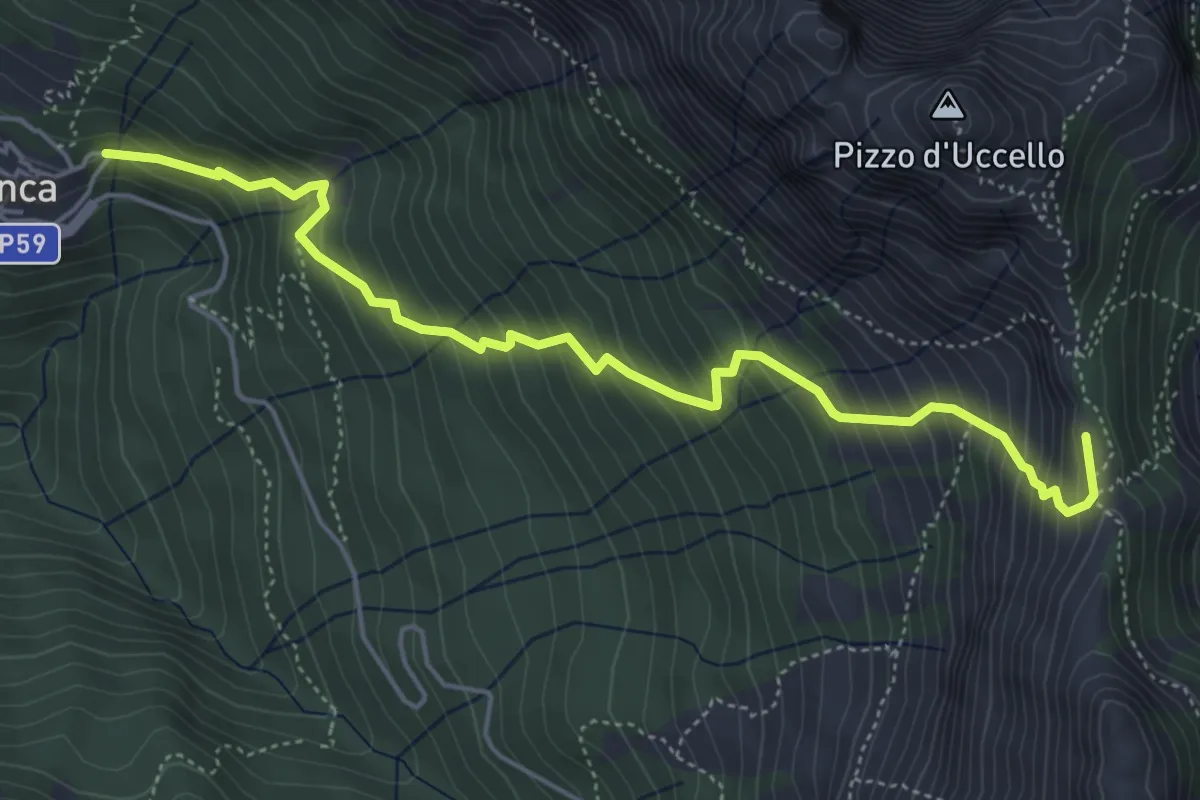
Medium · Summit
Vinca – Foce di Giovo
5.7 km · ↑ 712 m · 2 h 54 min · 12 km away
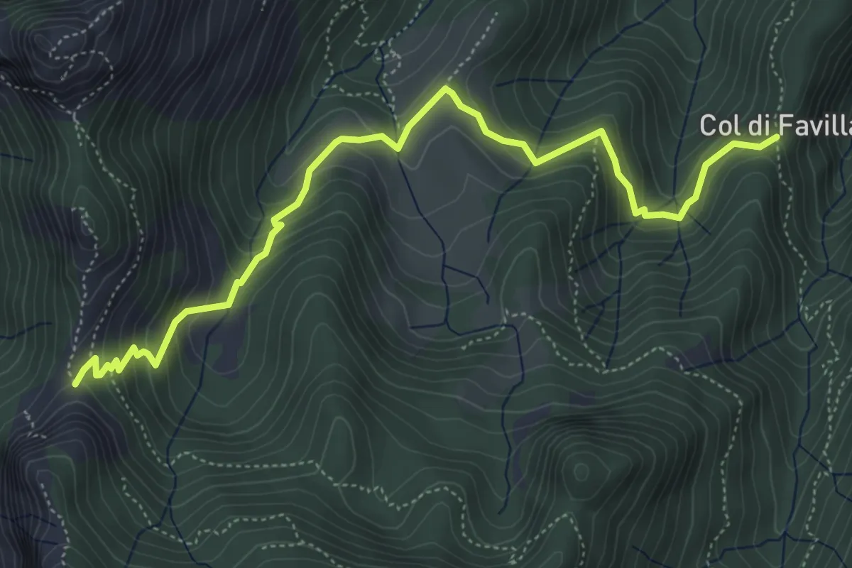
Medium · Trail
Fociomboli – Col di Favilla
6.3 km · ↑ 461 m · 2 h 29 min · 12 km away
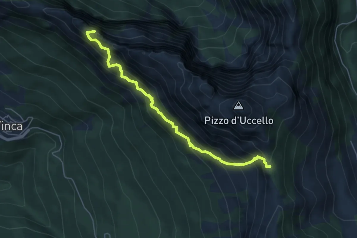
Expert · Summit
Sentiero attrezzato Mario Piotti
4.8 km · ↑ 705 m · 2 h 40 min · 12 km away
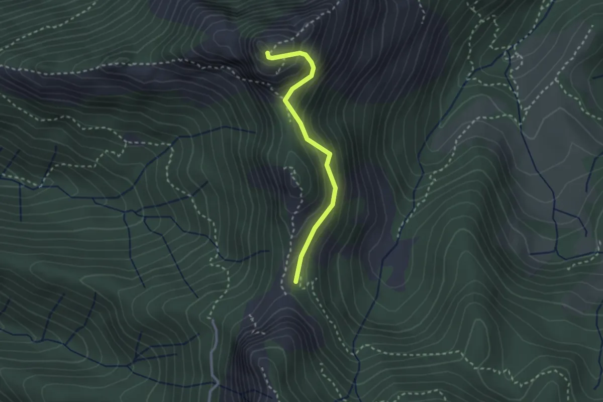
Demanding · Summit
Via Normale Monte Freddone
2.5 km · ↑ 199 m · 1 h 1 min · 12 km away
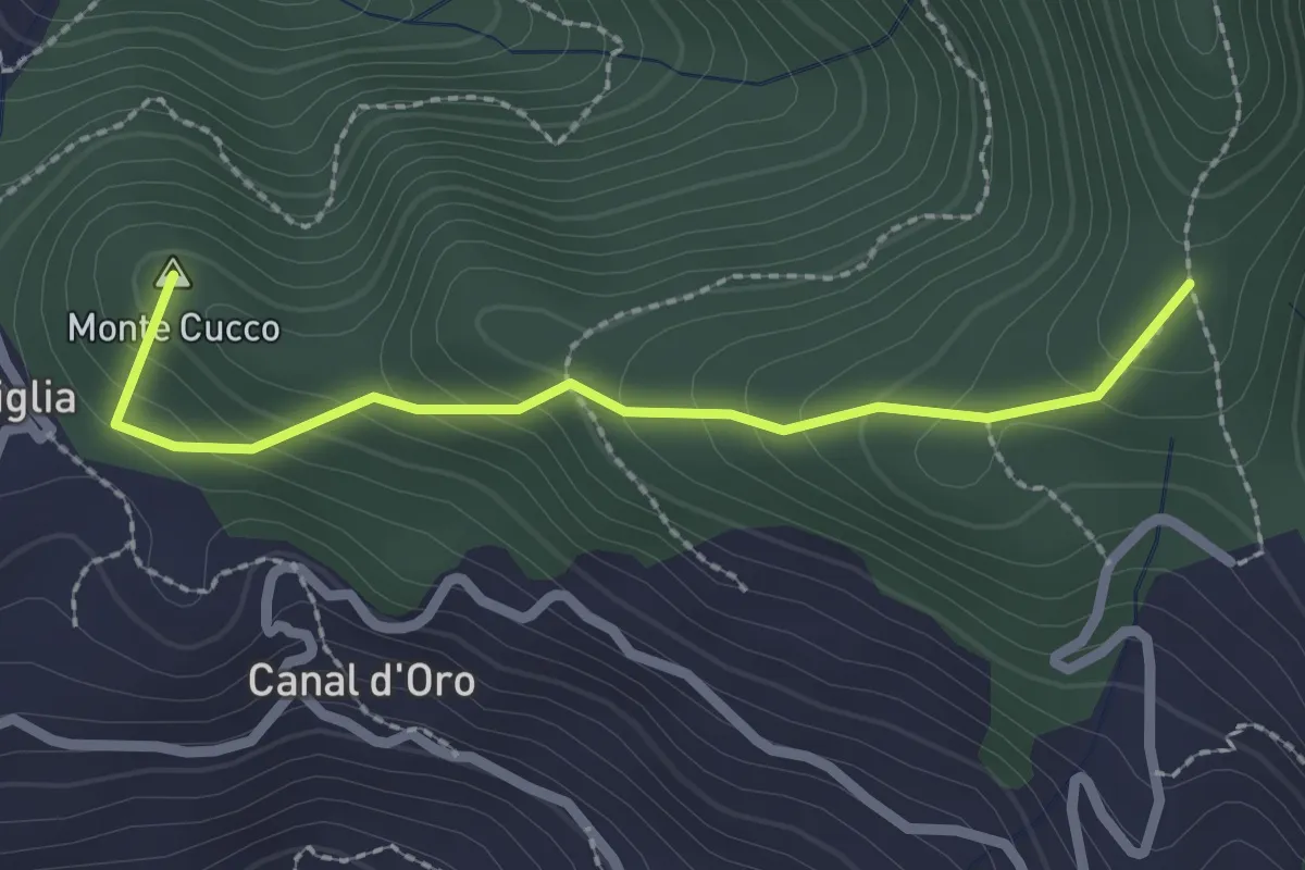
Easy · Summit
Capriglia – Le Foci
2.4 km · ↑ 181 m · 57 min · 12 km away
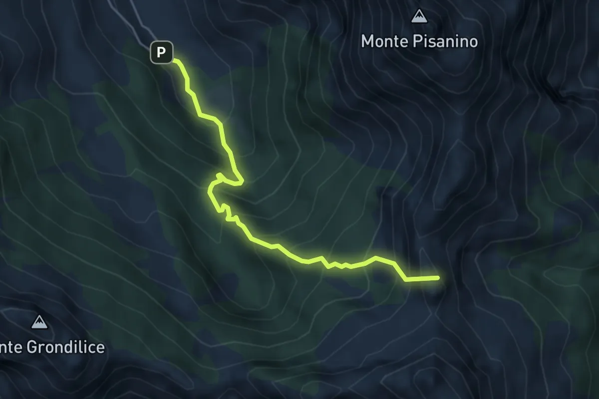
Demanding · Summit
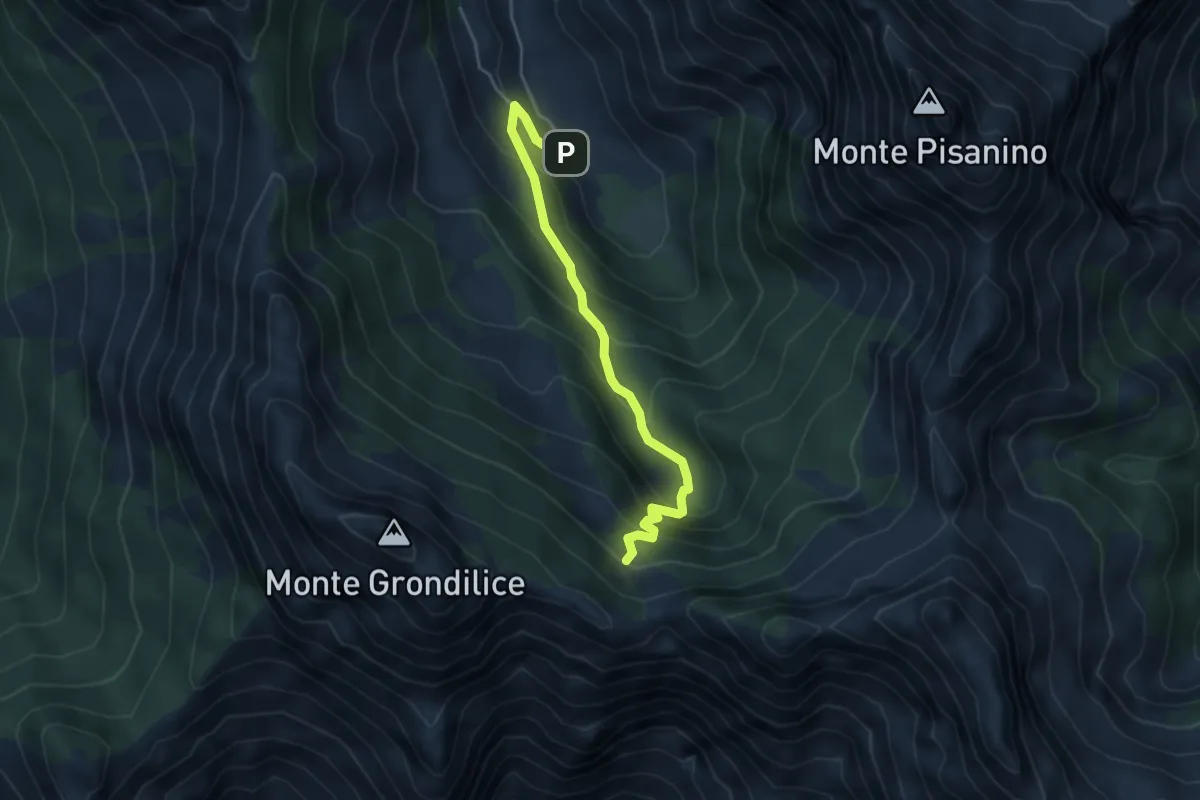
Val Serenaia – Innesto Percorso 179 (Foce di Cardeto)
4.6 km · ↑ 565 m · 2 h 19 min · 12 km away
Medium · Cabin
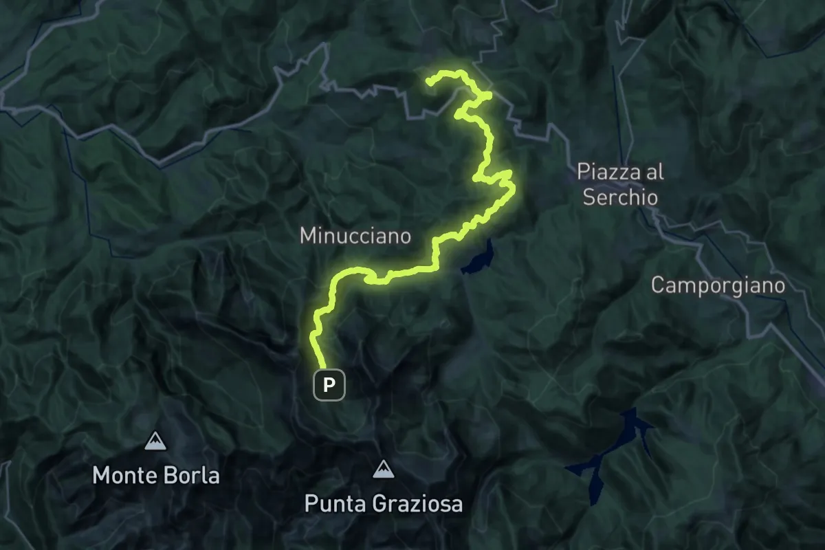
Val Seranaia – Orto di Donna
4.4 km · ↑ 436 m · 1 h 59 min · 12 km away
Demanding · Summit
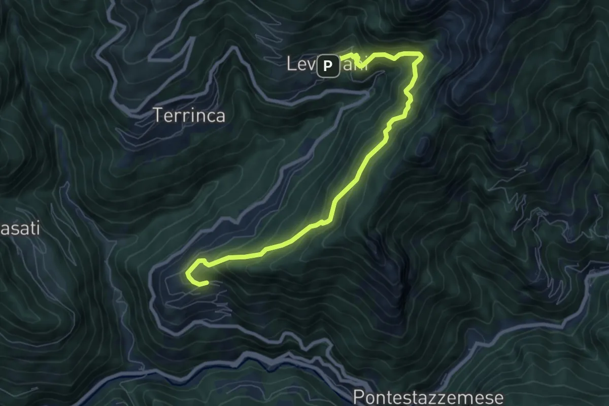
Garfagnana Trekking - Tappa 5
39.5 km · ↑ 1668 m · 12 h 57 min · 12 km away
Demanding · Trail
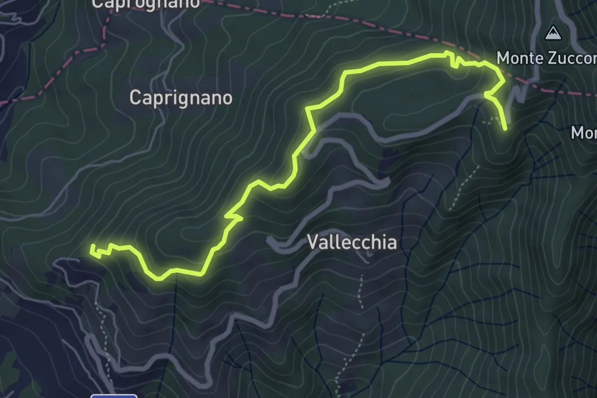
Sentiero Alta Versilia - Tappa 06
8.4 km · ↑ 831 m · 3 h 47 min · 12 km away
Medium · Trail
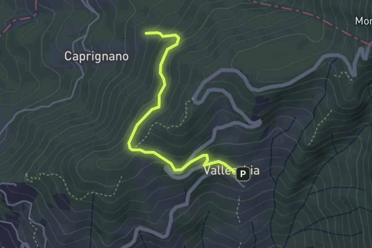
Monte Doglio – Case Bertella
6.4 km · ↑ 363 m · 2 h 18 min · 12 km away
Easy · Trail
Vallecchia – M. Doglio - Il Tofo
3.5 km · ↑ 180 m · 1 h 14 min · 12 km away
Demanding · Summit
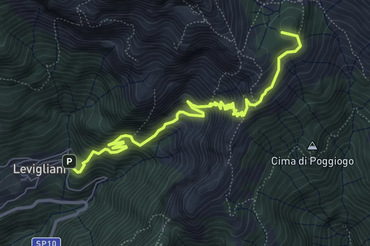
Levigliani – Foce di Mosceta
7.5 km · ↑ 977 m · 3 h 53 min · 12 km away
Medium · Trail
Monzone Alto – Foce Sant'Antonio
5.5 km · ↑ 635 m · 2 h 40 min · 12 km away
Medium · Trail
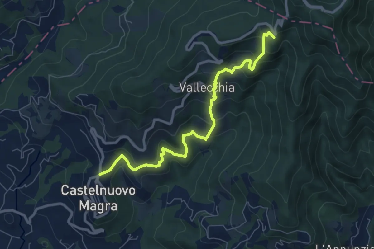
Castelnuovo Magra – Case Bertella
7.3 km · ↑ 567 m · 2 h 57 min · 12 km away
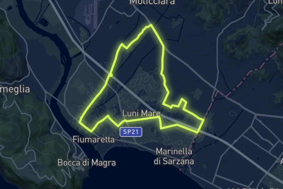
Medium · Trail
Sentiero Liguria - Tappa 0
12.9 km · ↑ 9 m · 3 h 15 min · 12 km away
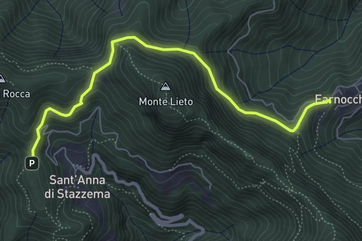
Medium · Trail
Sentiero Alta Versilia - Tappa 10
6.0 km · ↑ 450 m · 2 h 23 min · 12 km away
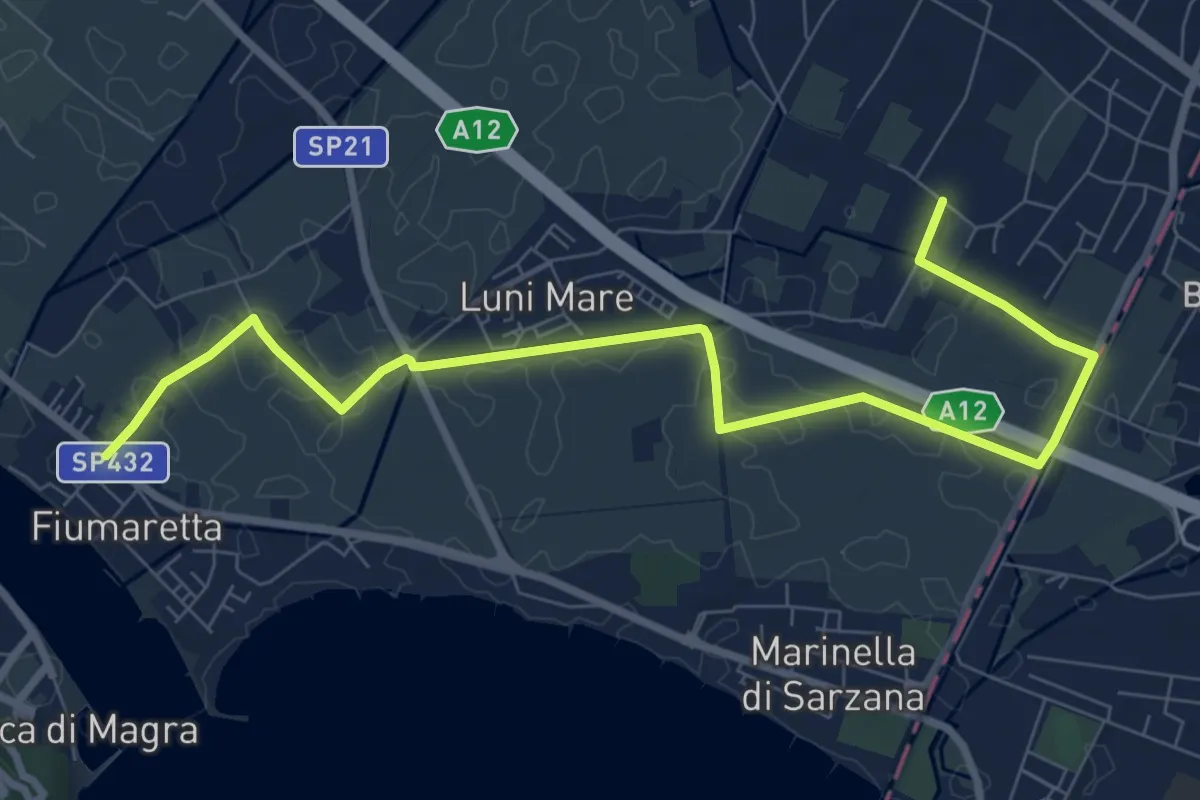
Medium · Trail
Fiumaretta – Anfiteatro Di Luni
10.2 km · ↑ 0 m · 2 h 25 min · 12 km away
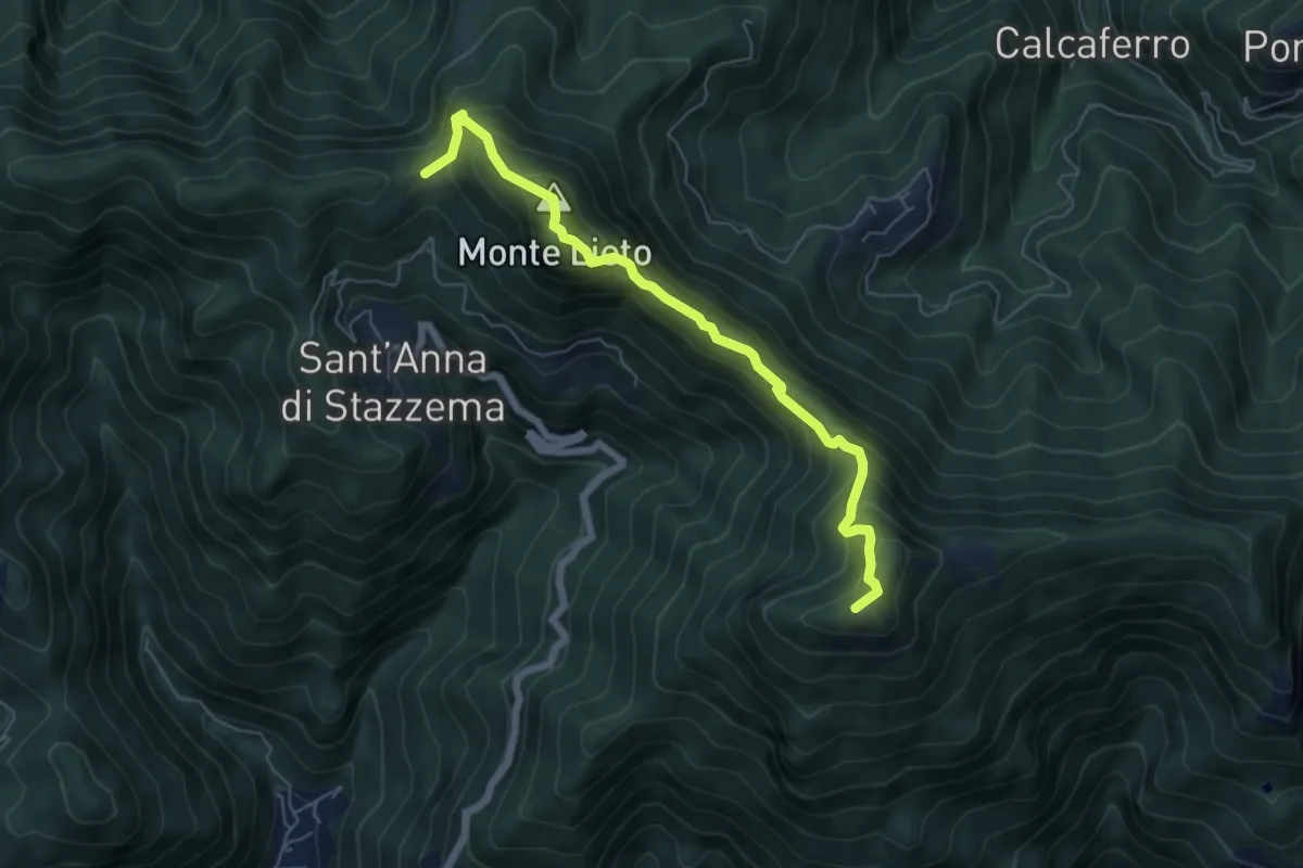
Medium · Summit
Foce di Sant'Anna – Percorso 117 (base "gradino Hillary")
6.3 km · ↑ 681 m · 2 h 58 min · 12 km away
Medium · Summit
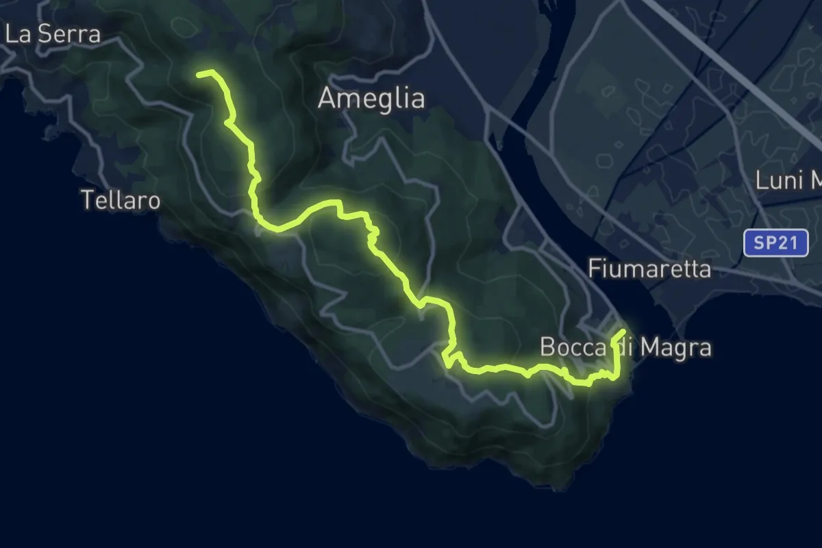
Alta Via del Golfo: Bocca di Magra - Il Termo
13.9 km · ↑ 762 m · 4 h 56 min · 12 km away
Demanding · Trail
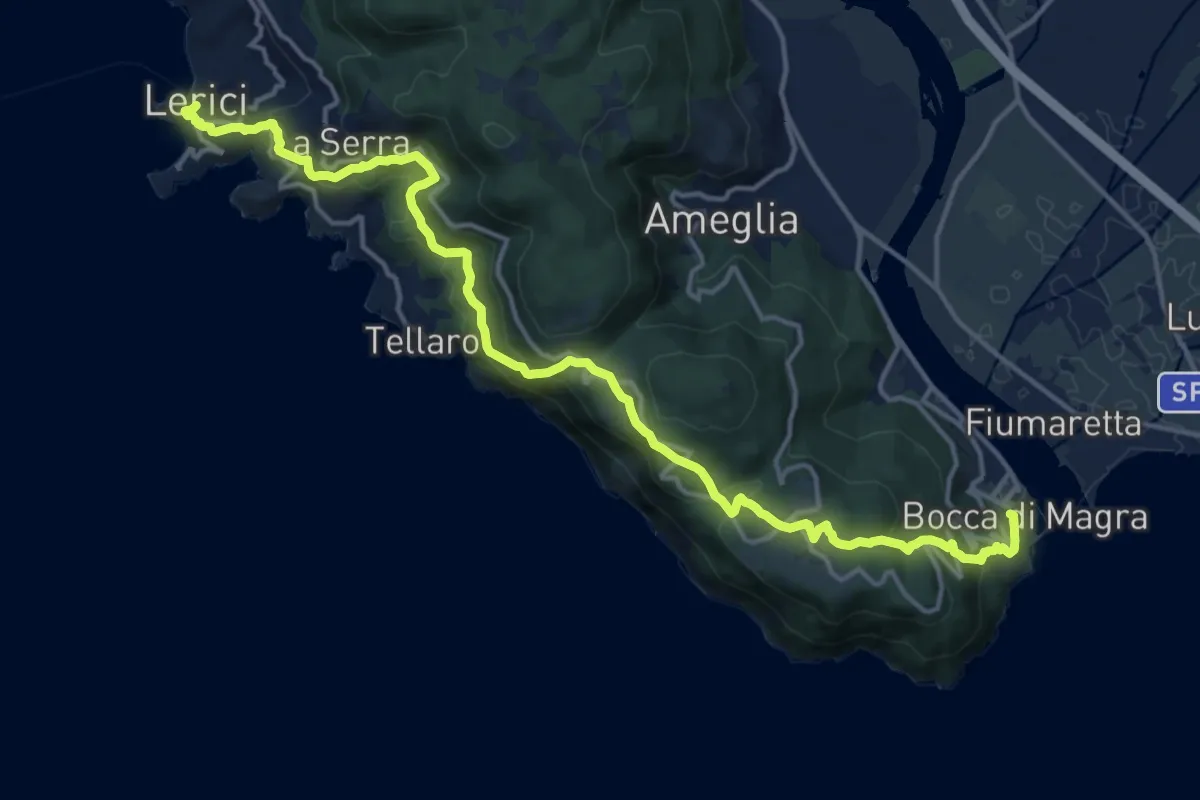
Bocca di Magra – Lerici
18.9 km · ↑ 924 m · 6 h 28 min · 13 km away
Demanding · Trail
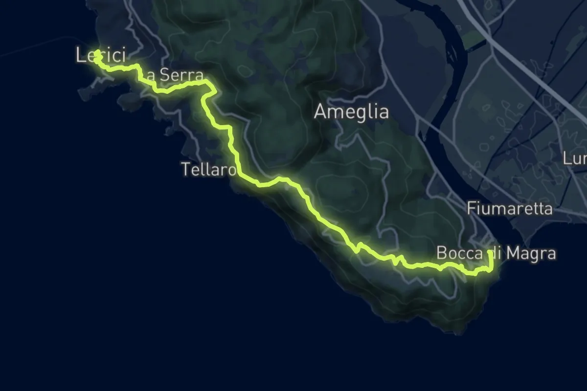
Sentiero Liguria - Tappa 1
19.1 km · ↑ 933 m · 6 h 33 min · 13 km away
Medium · Cabin
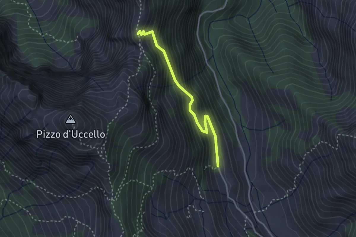
Val Serenaia (Rifugio Donegani) – Foce Siggioli
2.7 km · ↑ 279 m · 1 h 15 min · 13 km away
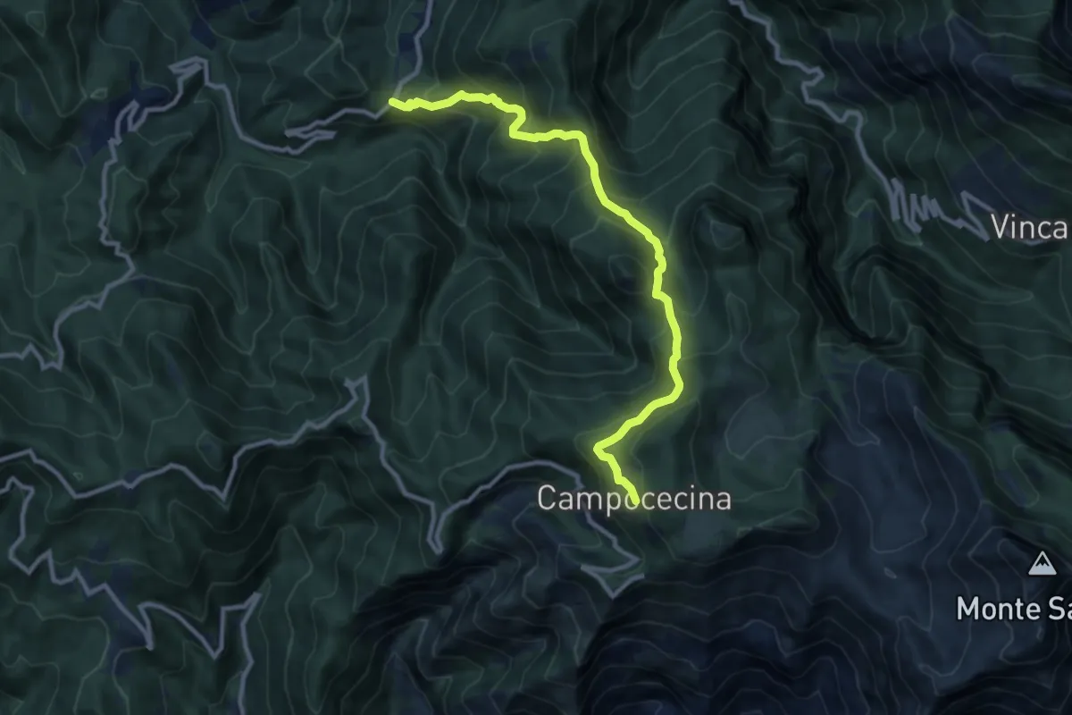
Demanding · Trail
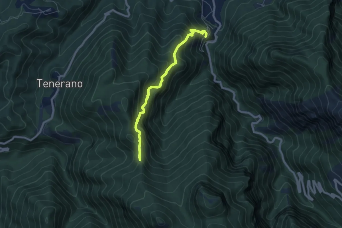
Tenerano – Rifugio Carrara
10.7 km · ↑ 936 m · 4 h 33 min · 13 km away
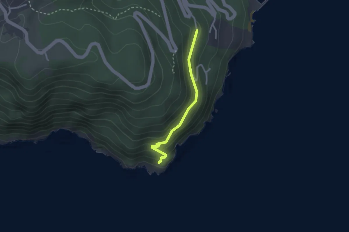
Easy · Trail
Punta Bianca – Carmelitane scalze
2.2 km · ↑ 170 m · 53 min · 13 km away
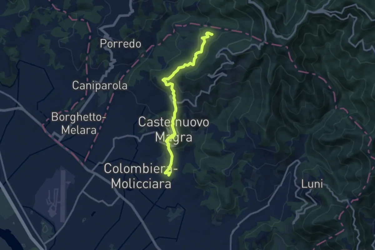
Medium · Trail
M.no del Piano - Castelnuovo Magra - Casala
9.1 km · ↑ 572 m · 3 h 23 min · 13 km away
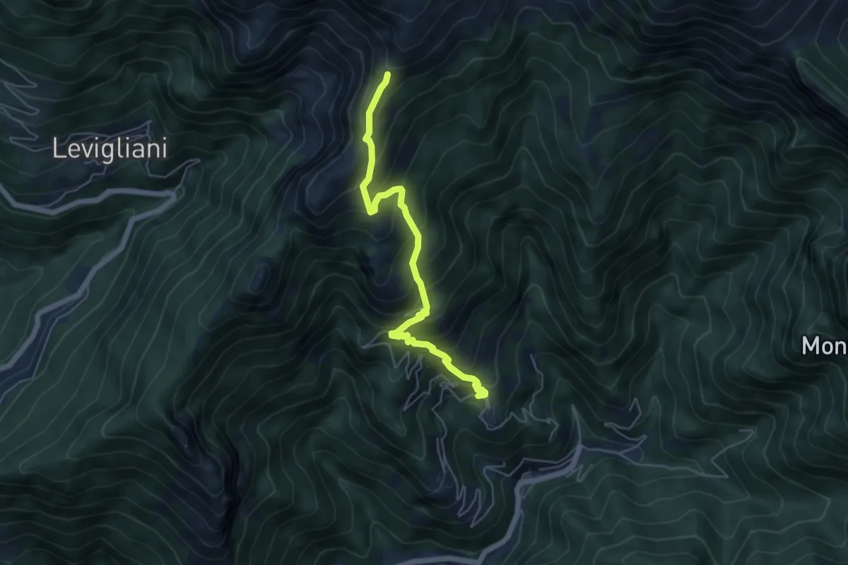
Medium · Trail
Pruno – Passo dell'Alpino
5.5 km · ↑ 611 m · 2 h 37 min · 13 km away