Trails near Mazzano
139 hikes starting within 15 km, nearest first.
Nearest first, page 1 of 3
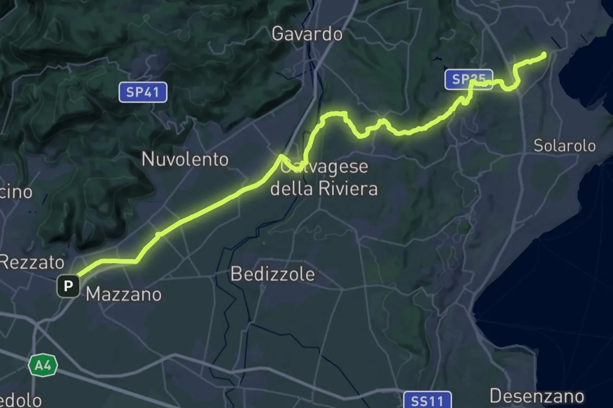
Demanding · Summit
Via della Valtenesi
46.5 km · ↑ 468 m · 11 h 59 min · 2 km away
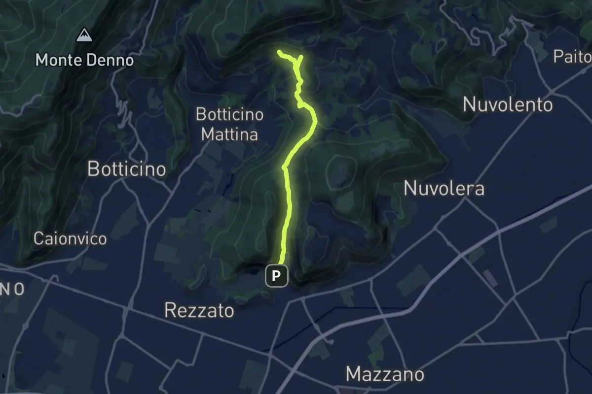
Medium · Cabin
La Via del marmo - Rezzato (Valle di Virle)
10.9 km · ↑ 399 m · 3 h 27 min · 2 km away
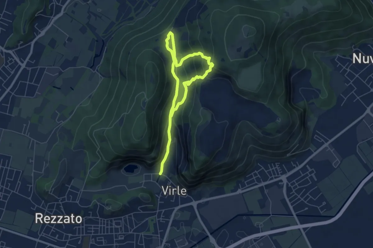
Medium · Trail
Sentiero della Valle di Virle
4.2 km · ↑ 202 m · 1 h 32 min · 3 km away
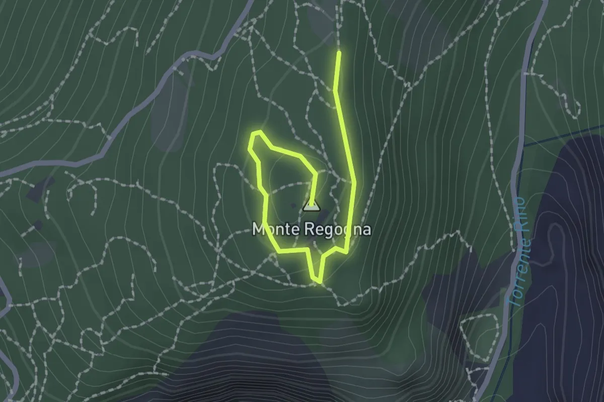
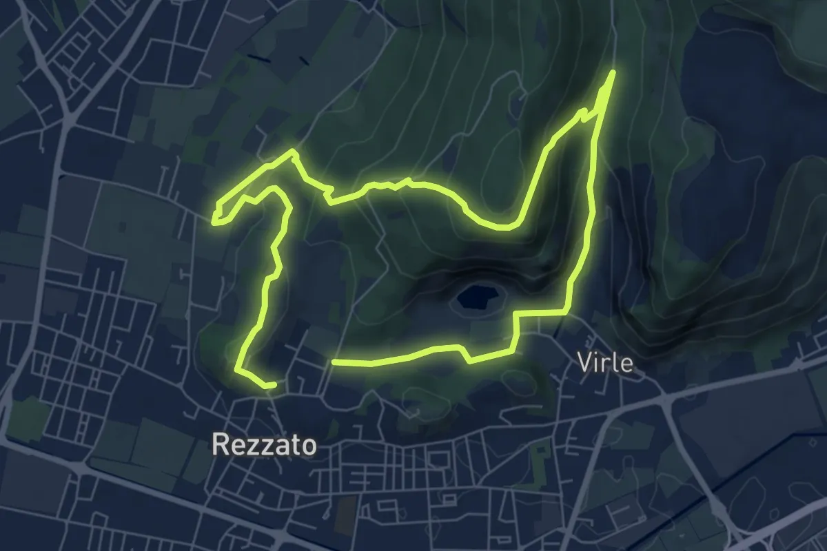
Easy · Summit
Sentiero didattico (Monte Regogna)
2.0 km · ↑ 54 m · 35 min · 3 km away
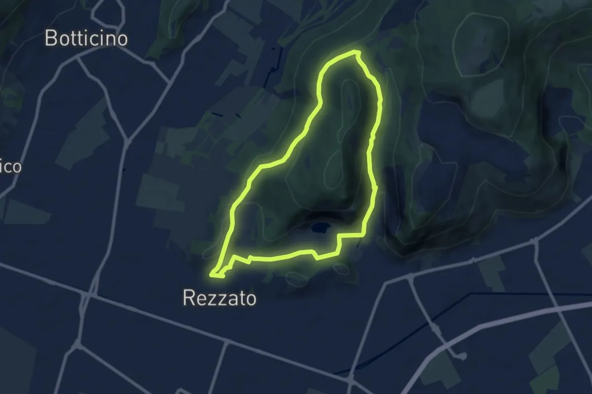
Medium · Summit
Sentiero della storia
6.4 km · ↑ 306 m · 2 h 16 min · 3 km away
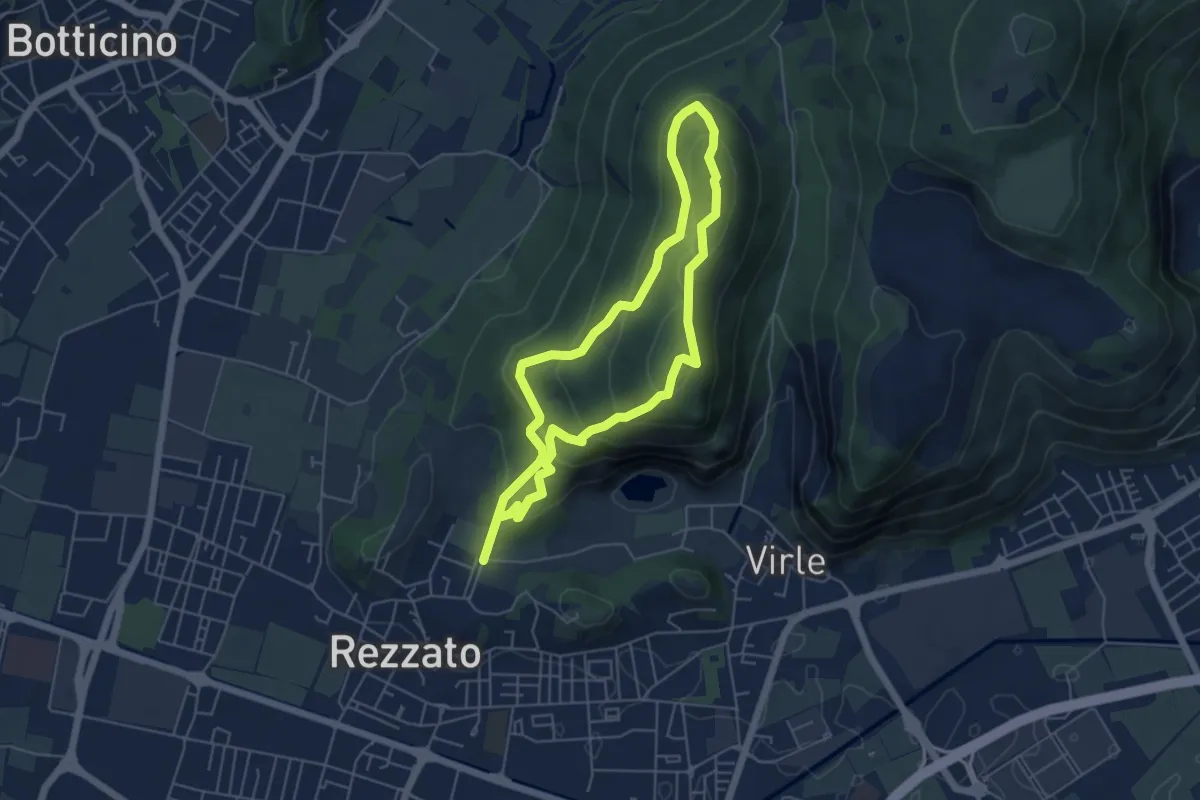
Medium · Summit
Sentiero della Rasa
6.3 km · ↑ 203 m · 2 h 1 min · 3 km away
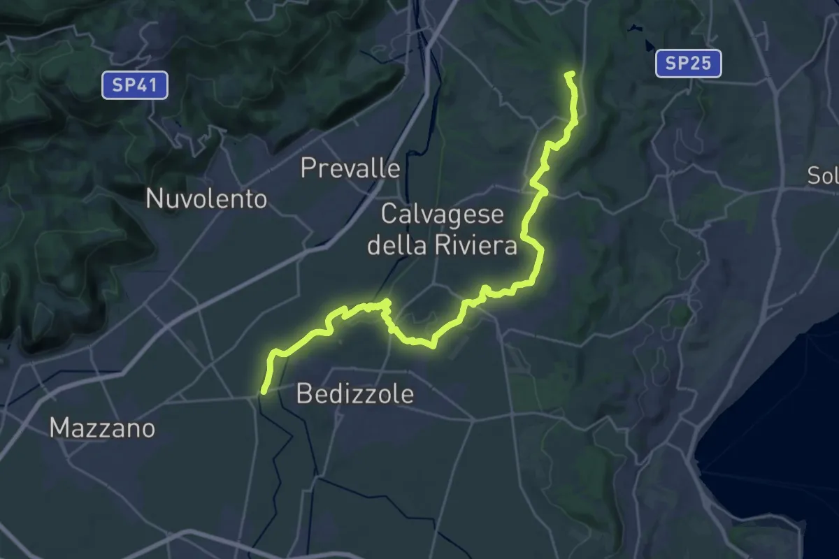
Medium · Summit
Sentiero dei fiori
4.8 km · ↑ 271 m · 1 h 48 min · 3 km away
Demanding · Summit
Via delle Colline Moreniche
28.7 km · ↑ 381 m · 7 h 37 min · 3 km away
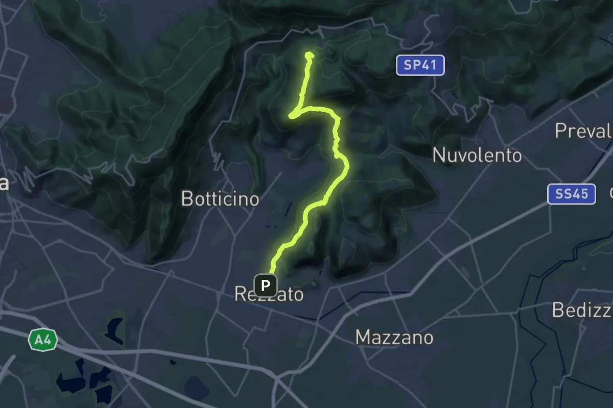
Demanding · Summit
Sentiero principale Valverde
17.5 km · ↑ 748 m · 5 h 45 min · 3 km away
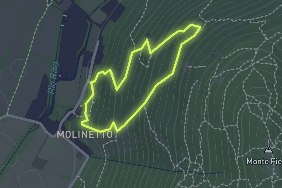
Demanding · Trail
Anello Molinetto di Botticno
1.5 km · ↑ 132 m · 39 min · 4 km away
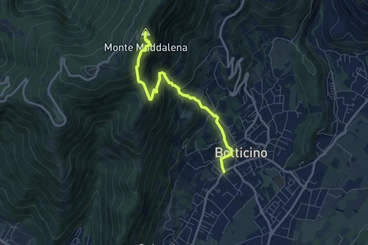
Medium · Summit
Botticino (Via Gioacchino Rossini) – Ex Rifugio Monte Maddalena
6.6 km · ↑ 756 m · 3 h 12 min · 6 km away
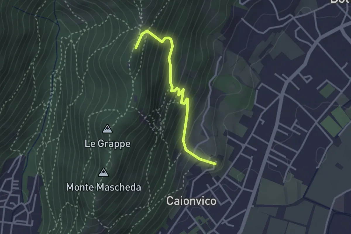
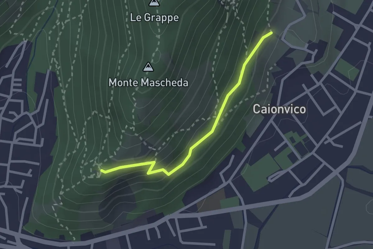
Demanding · Summit
Caionvico (Cimitero) – Sella della Poffa (Innesto Sentiero 901)
2.7 km · ↑ 293 m · 1 h 17 min · 6 km away
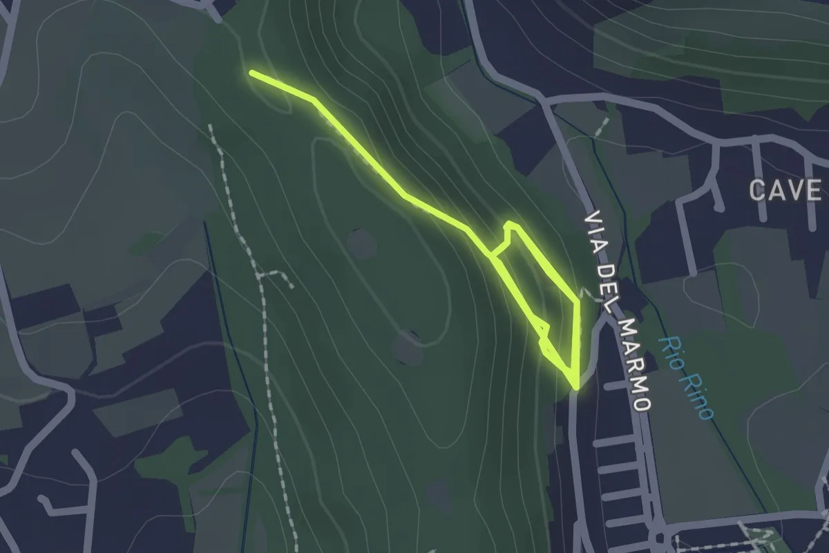
Medium · Trail
Sentiero della Ruta
2.1 km · ↑ 95 m · 42 min · 6 km away
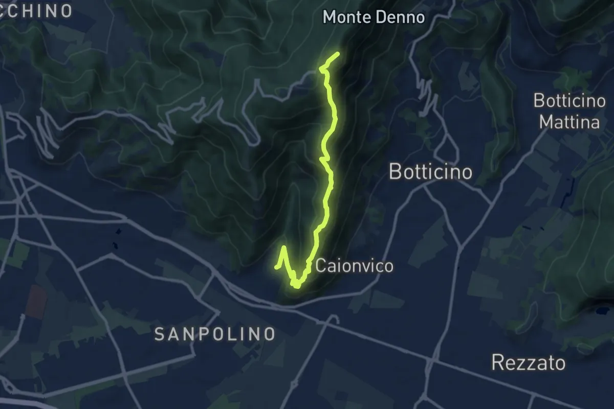
Demanding · Trail
La Via del marmo - Botticino (Castagneto)
2.5 km · ↑ 123 m · 52 min · 6 km away
Demanding · Summit
Brescia (Sant'Eufemia - Via Cesare Noventa) – Ex Rifugio Monte Maddalena
9.1 km · ↑ 718 m · 3 h 42 min · 7 km away
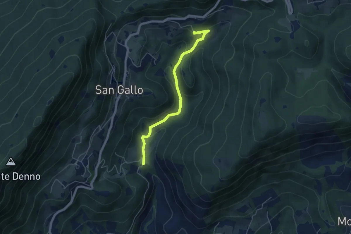
Medium · Summit
La Via del marmo - Botticino (Molino dell'Ora- Castello di Serle)
4.5 km · ↑ 178 m · 1 h 27 min · 7 km away
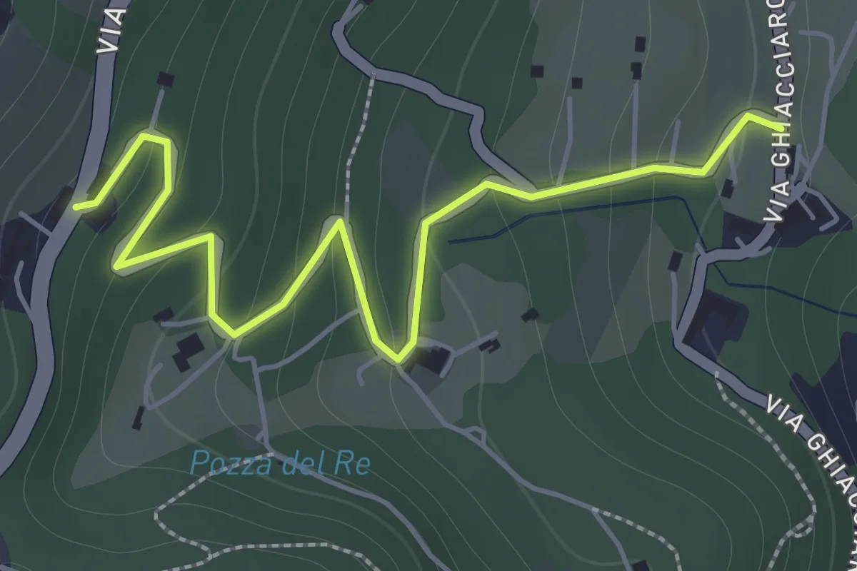
Easy · Trail
La Via del marmo - Botticino (San Gallo)
2.0 km · ↑ 147 m · 48 min · 7 km away
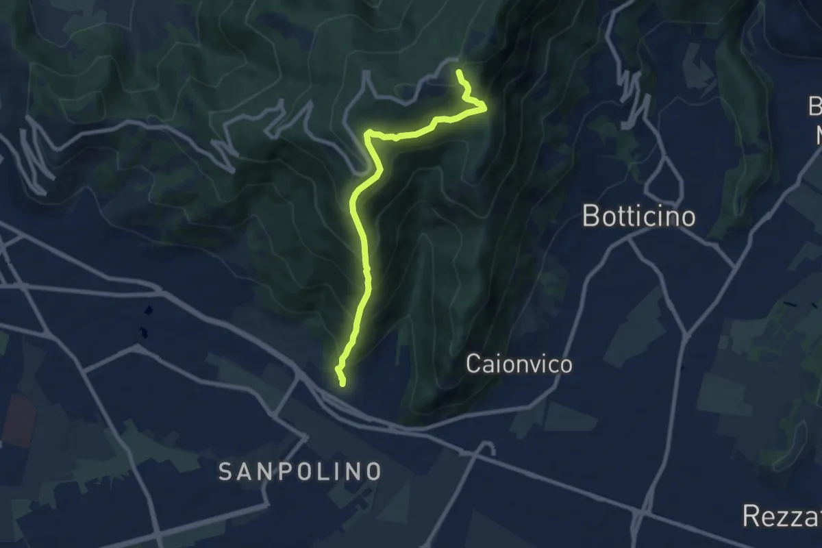
Demanding · Trail
Brescia (Via del Triinale) – Chiesetta della Maddalena
7.4 km · ↑ 760 m · 3 h 24 min · 7 km away
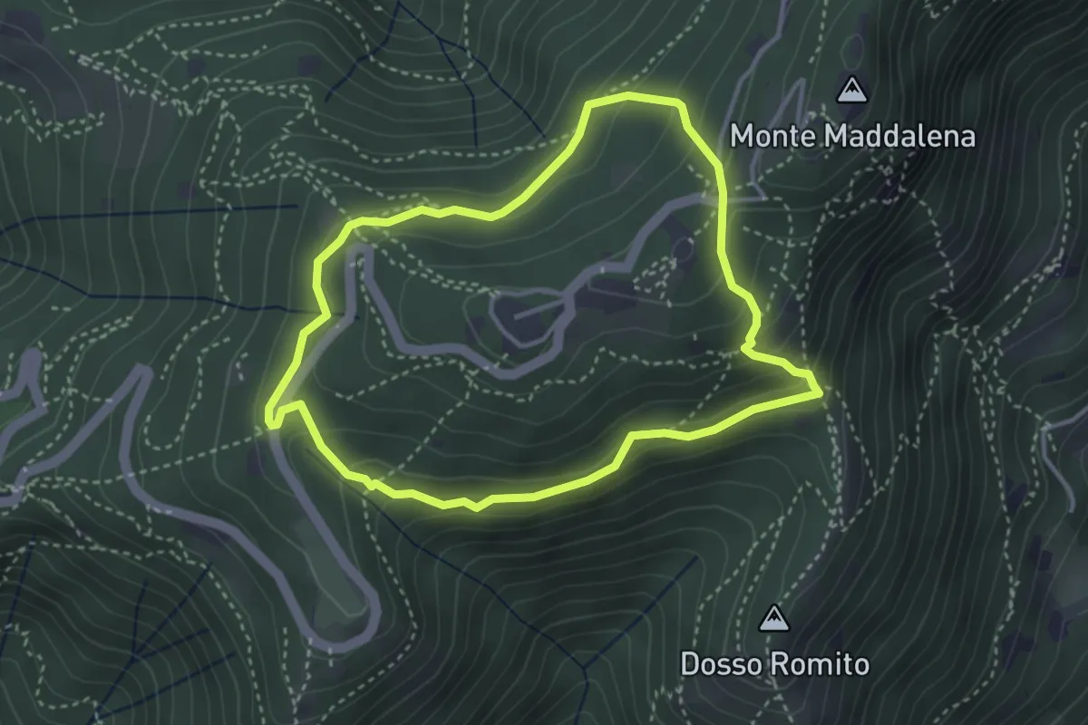
Demanding · Trail
Anello delle Pozze
3.4 km · ↑ 182 m · 1 h 15 min · 7 km away
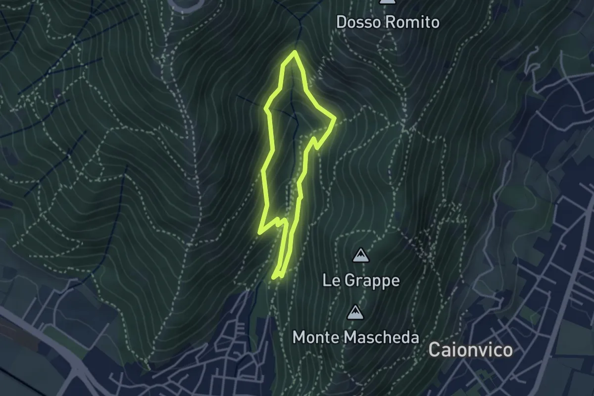
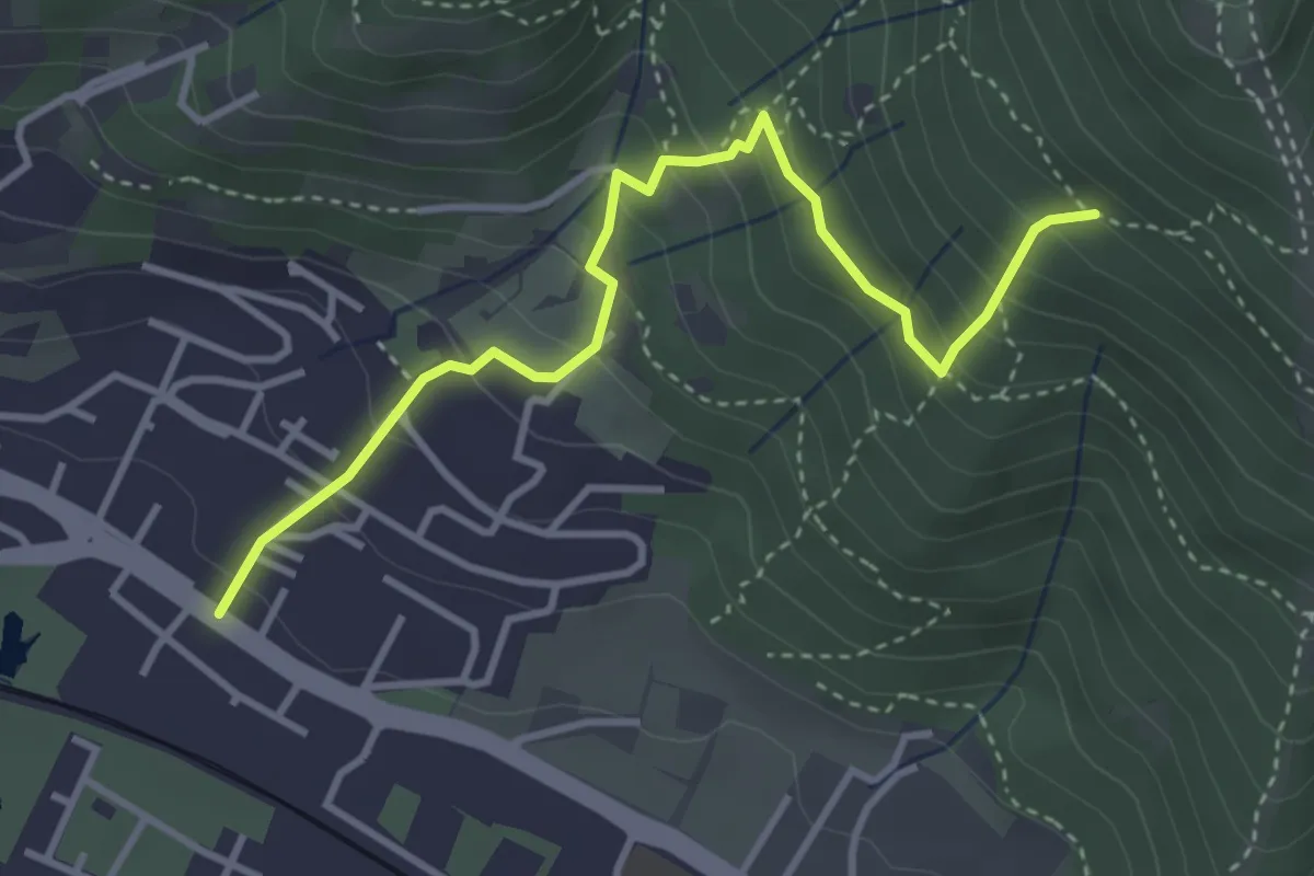
Medium · Trail
Sentiero dei Bucaneve
2.6 km · ↑ 240 m · 1 h 10 min · 7 km away
Medium · Trail
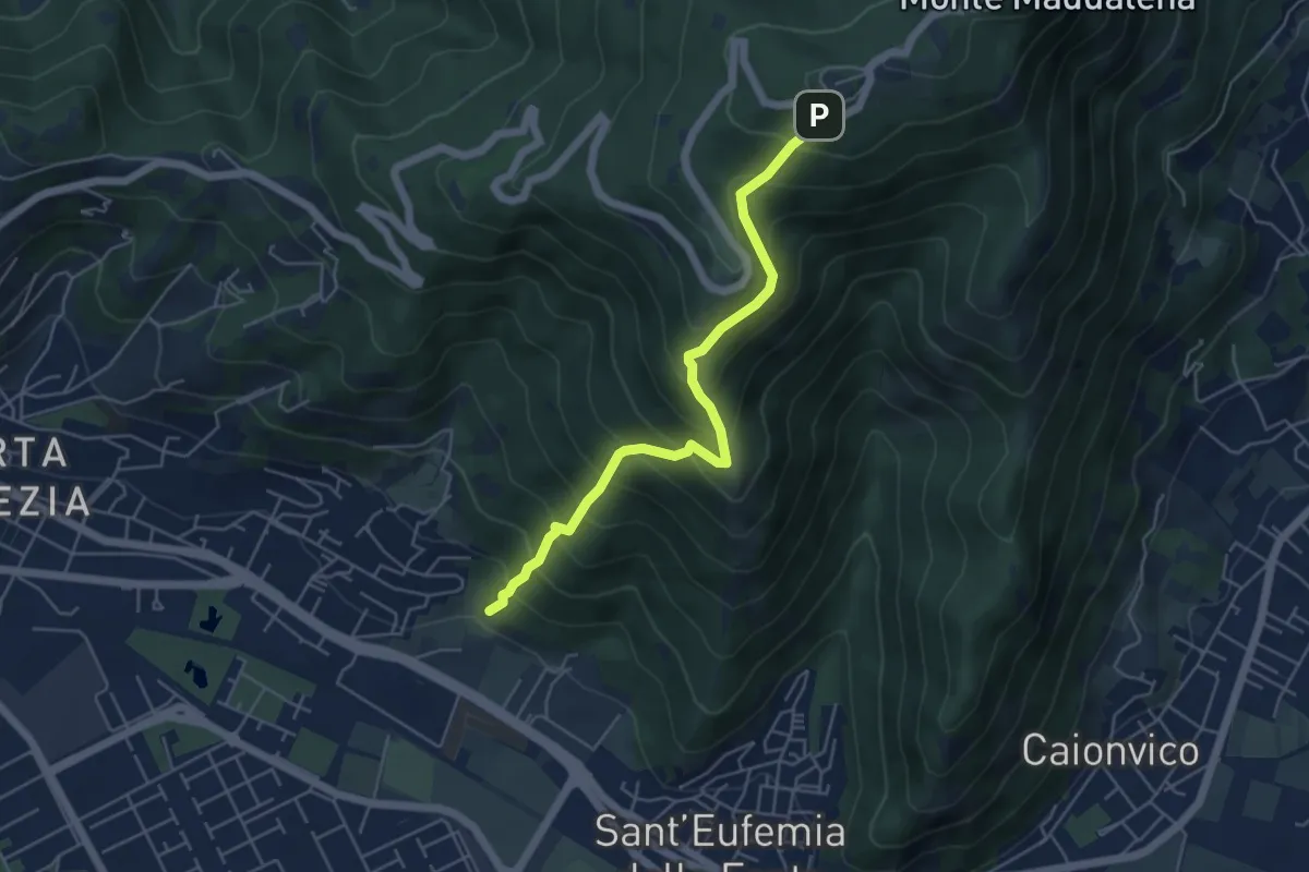
Brescia (Viale della Bornata) – Innesto Sentiero 912
3.9 km · ↑ 337 m · 1 h 39 min · 8 km away
Medium · Trail
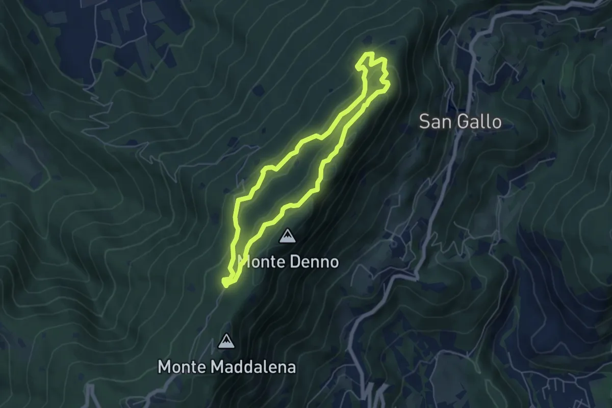
Sentiero Pastori 2
5.2 km · ↑ 637 m · 2 h 36 min · 8 km away
Medium · Summit
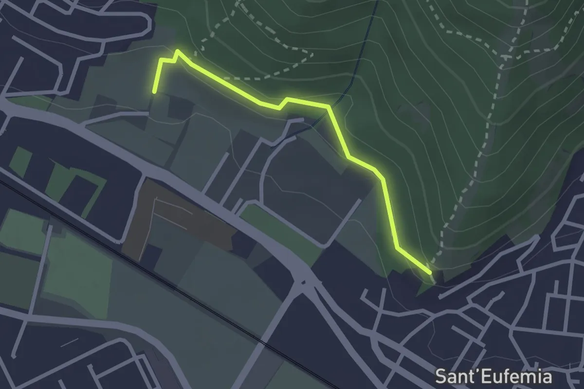
Sentiero Brigata Fiamme Verdi Dieci Giornate
5.0 km · ↑ 254 m · 1 h 48 min · 8 km away
Medium · Trail
Sentiero della Memoria
2.2 km · ↑ 68 m · 39 min · 8 km away
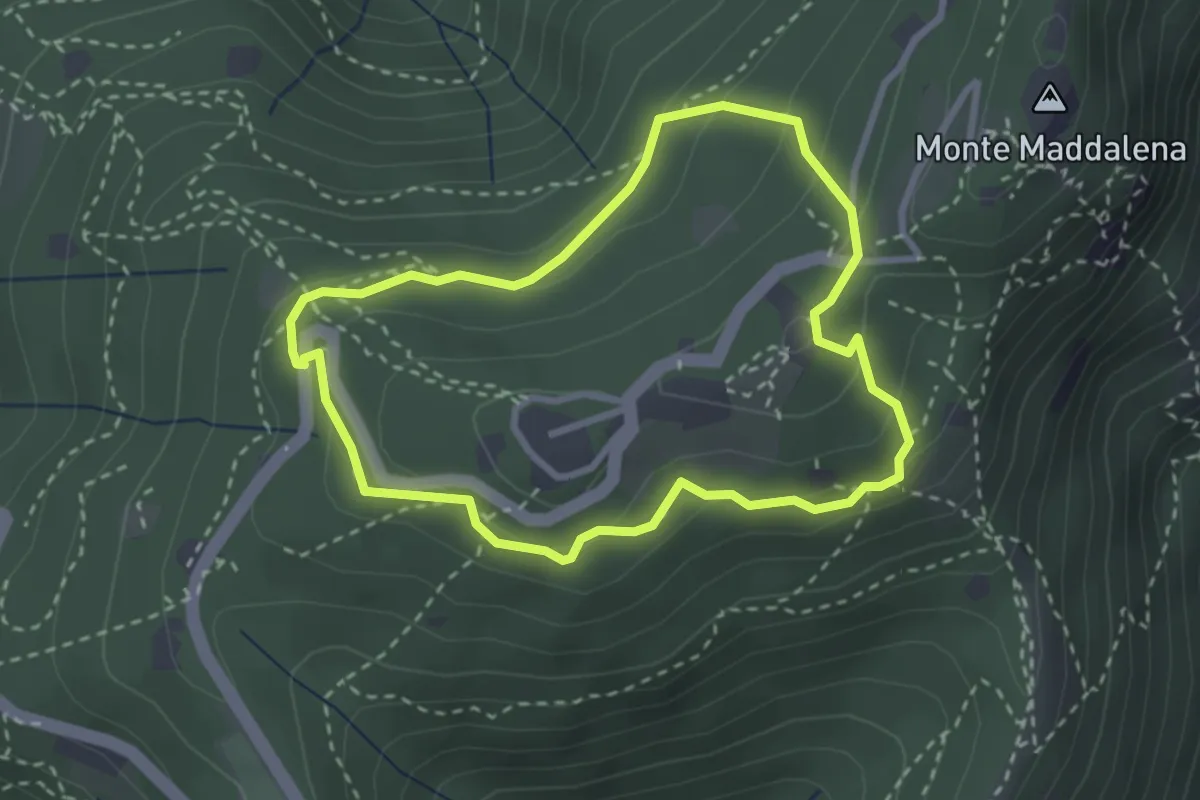
Medium · Trail
Anello della Maddalena
2.7 km · ↑ 144 m · 59 min · 8 km away
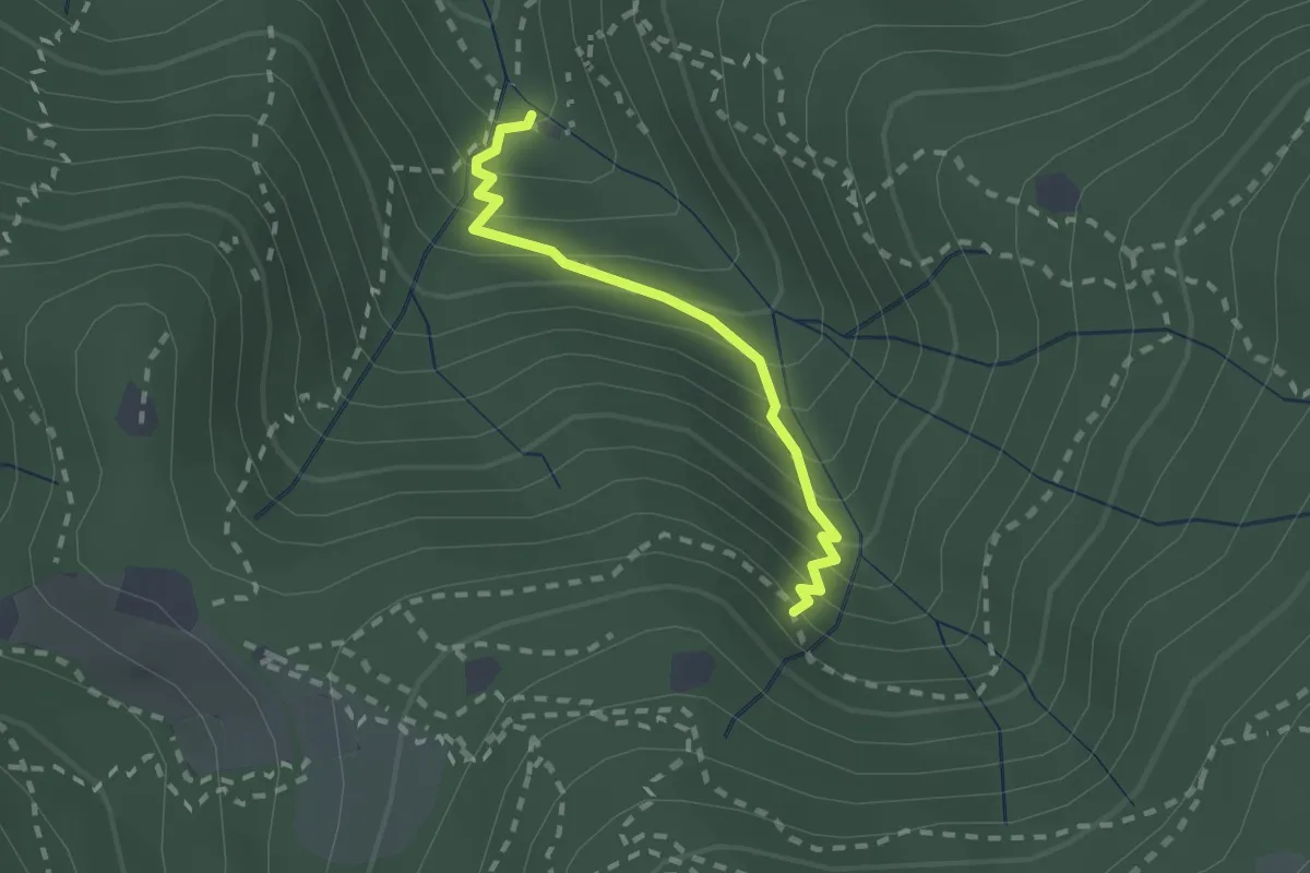
Medium · Cabin
Sentiero di Jago
1.9 km · ↑ 249 m · 59 min · 8 km away
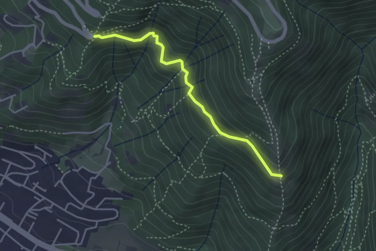
Medium · Trail
Innesto sentiero n. 902 – Innesto sentiero3V n.993
3.2 km · ↑ 233 m · 1 h 16 min · 9 km away
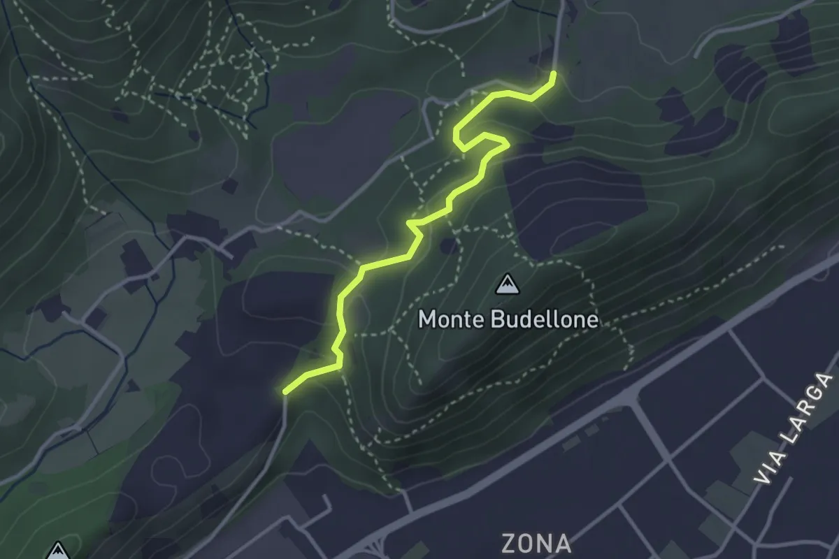
Easy · Trail
La Via del marmo - Prevalle (Buco del Frate)
3.1 km · ↑ 132 m · 1 h 1 min · 9 km away
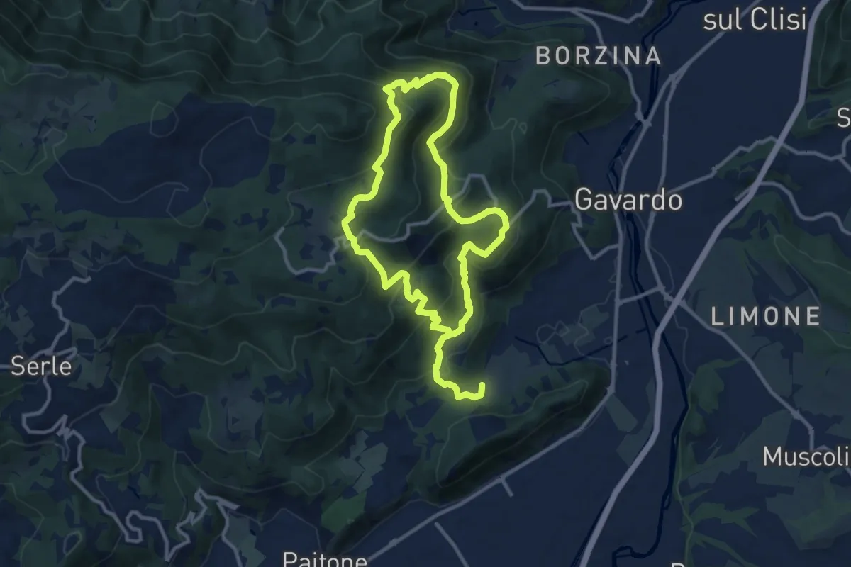
Medium · Summit
Sentiero Mario Merelli
9.5 km · ↑ 548 m · 3 h 31 min · 9 km away
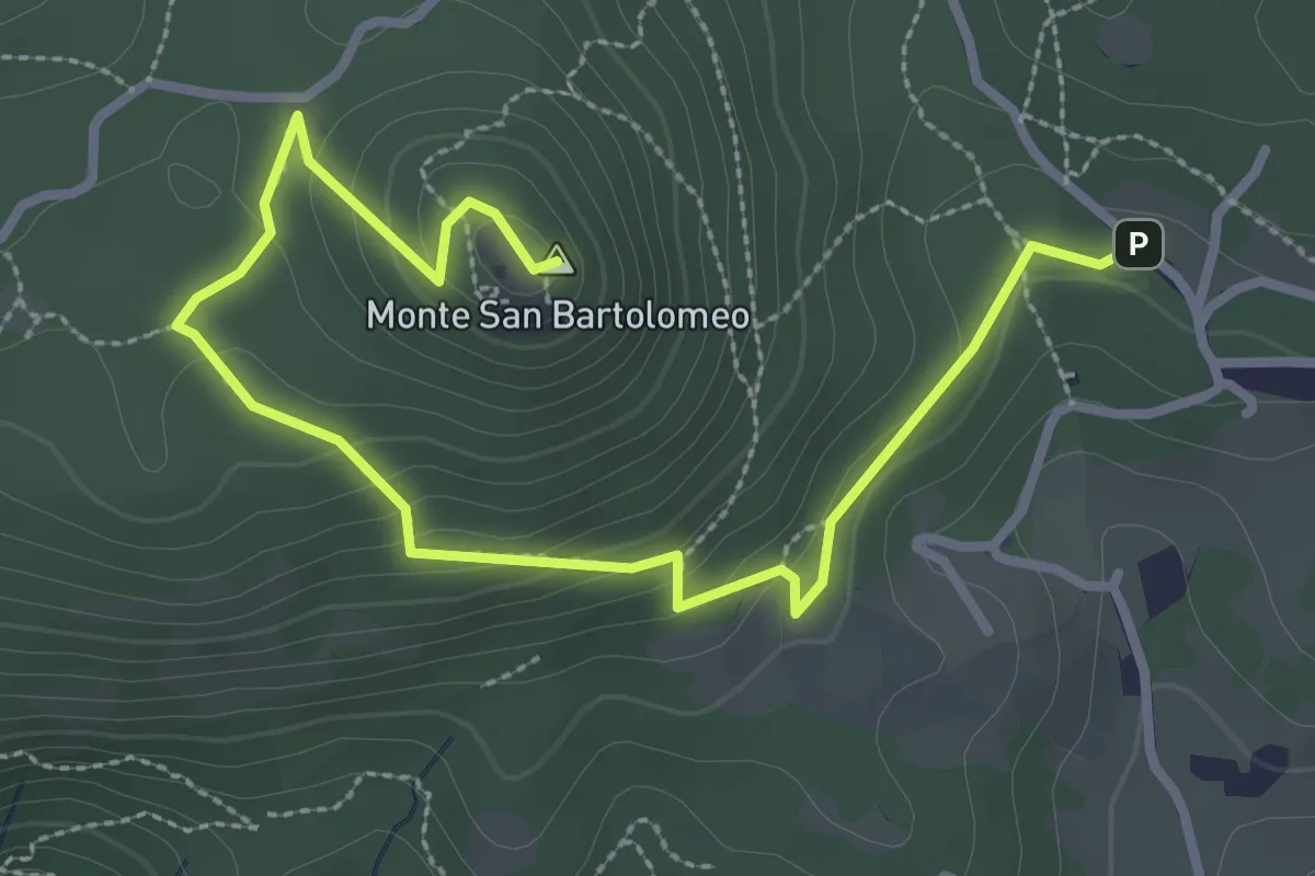
Medium · Summit
Serle (Parcheggio dei Fanti) - Monastero di San Bartolomeo
3.9 km · ↑ 164 m · 1 h 16 min · 9 km away
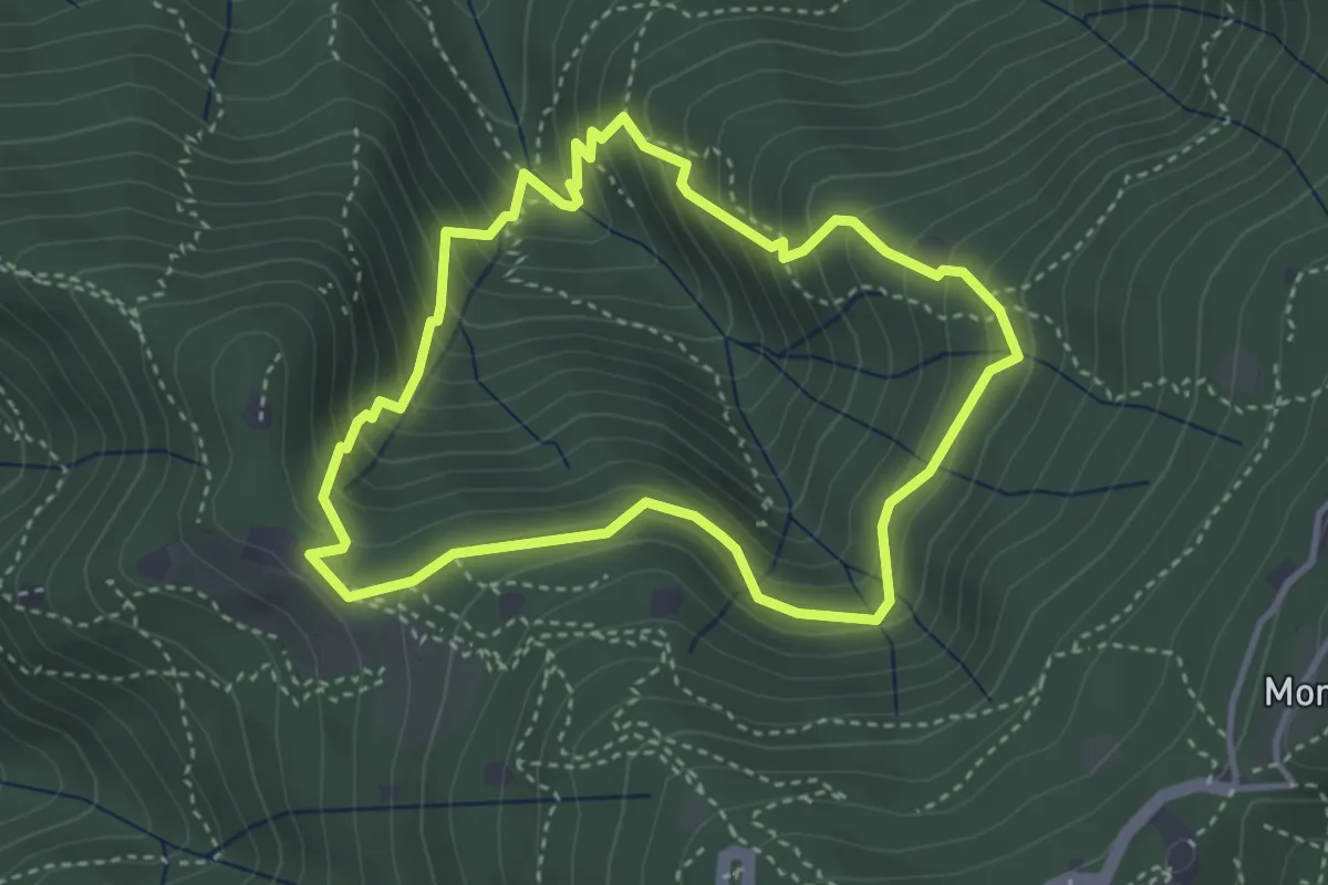
Medium · Cabin
Anello dei Brüsàcc
3.5 km · ↑ 335 m · 1 h 36 min · 9 km away
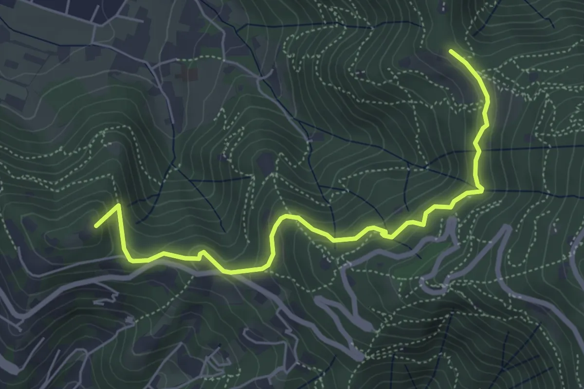
Medium · Summit
Brescia (Via del Goletto) – Cascina Margherita
5.9 km · ↑ 306 m · 2 h 3 min · 9 km away
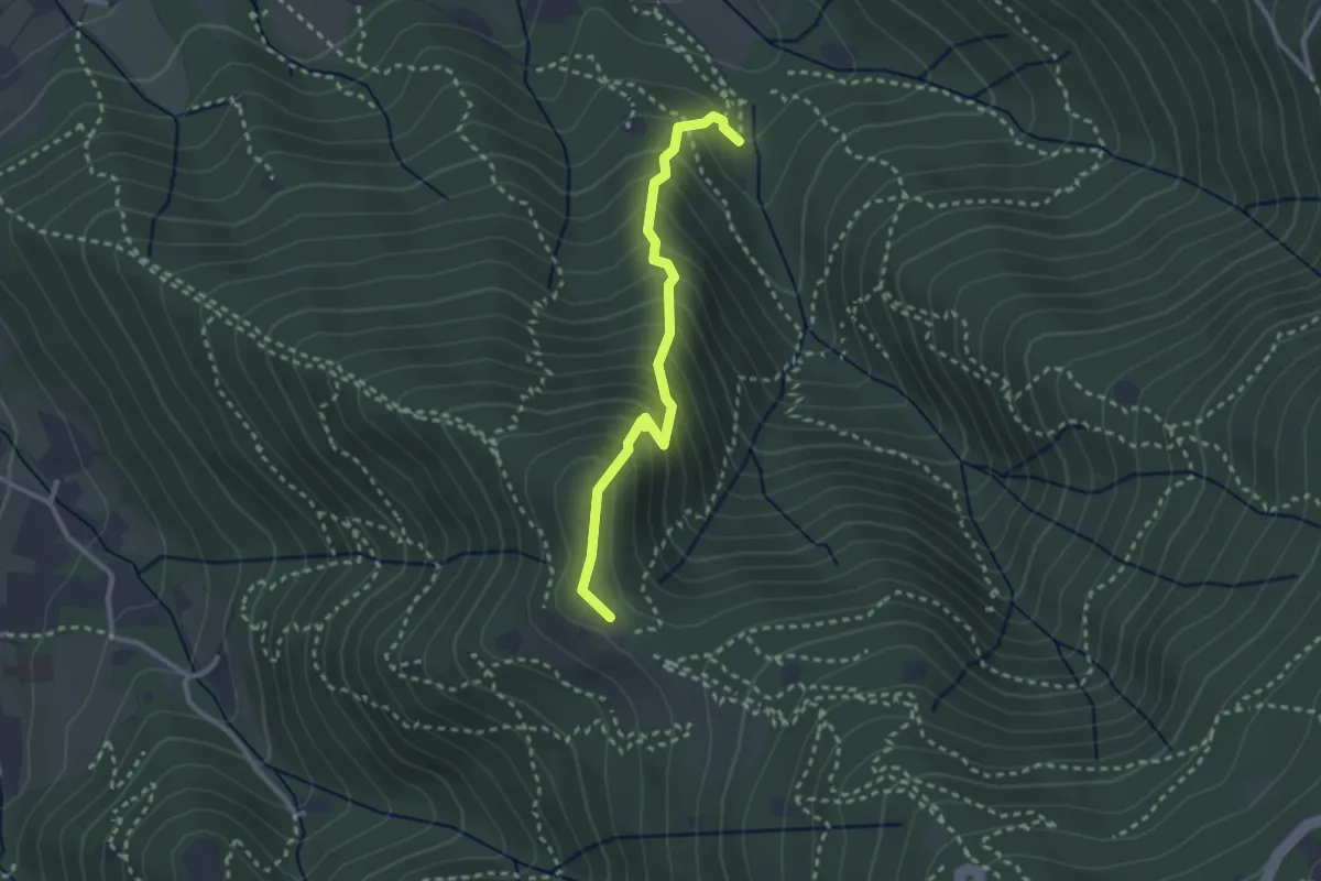
Medium · Trail
Sentiero dei Gnari
2.7 km · ↑ 330 m · 1 h 21 min · 9 km away
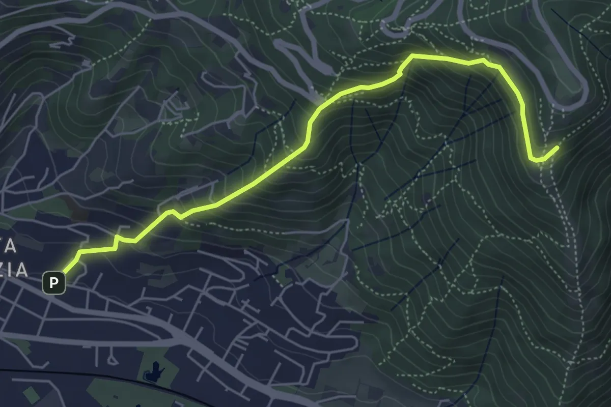
Medium · Trail
Brescia (Via del Canalotto) – Innesto Sentiero 902
5.7 km · ↑ 532 m · 2 h 29 min · 9 km away
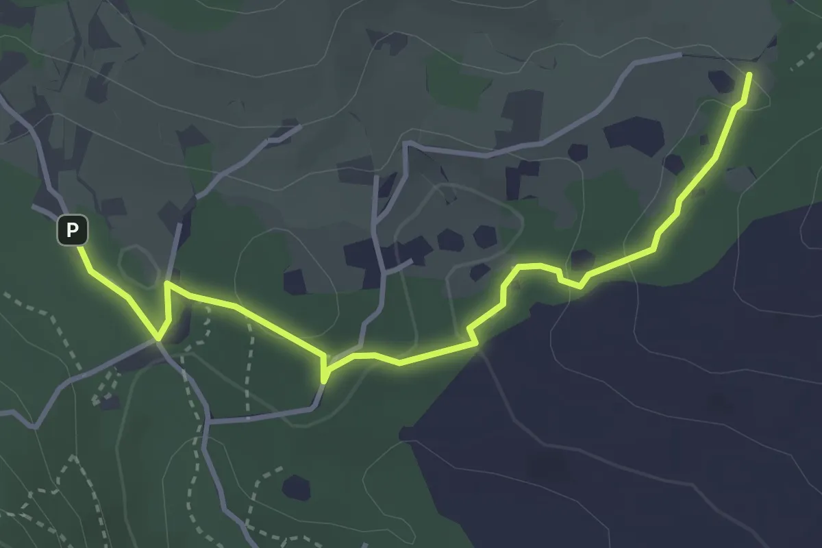
Easy · Trail
Sentiero del Büs del Lat
3.9 km · ↑ 74 m · 1 h 4 min · 10 km away
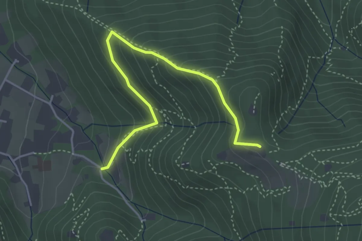
Medium · Trail
Brescia (Costalunga - Via Monte della Valle) – Monte Maddalena (Cascina Margherita - Innesto Sentiero 907)
4.0 km · ↑ 301 m · 1 h 36 min · 10 km away
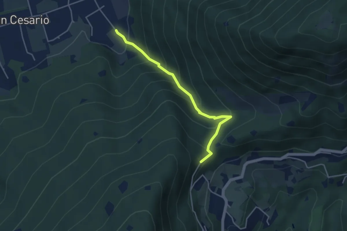
Demanding · Summit
Nave (Calasa) – Colle San Vito
3.4 km · ↑ 343 m · 1 h 32 min · 10 km away
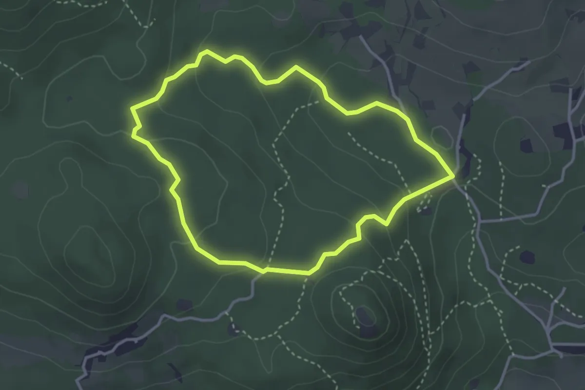
Easy · Trail
Serle (Grotta della Carbonella) - Büs de la Pocia
3.2 km · ↑ 108 m · 1 h 2 min · 10 km away
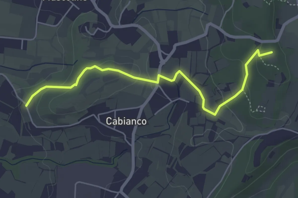
Easy · Summit
Percorso Muscoline Blu1
4.8 km · ↑ 103 m · 1 h 22 min · 10 km away
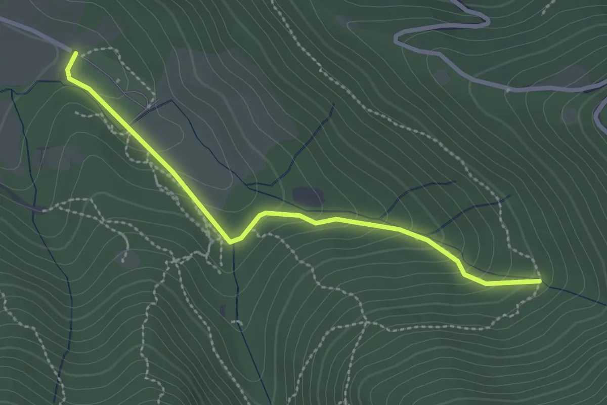
Easy · Trail
Sentiero Val Persane
2.6 km · ↑ 152 m · 57 min · 10 km away
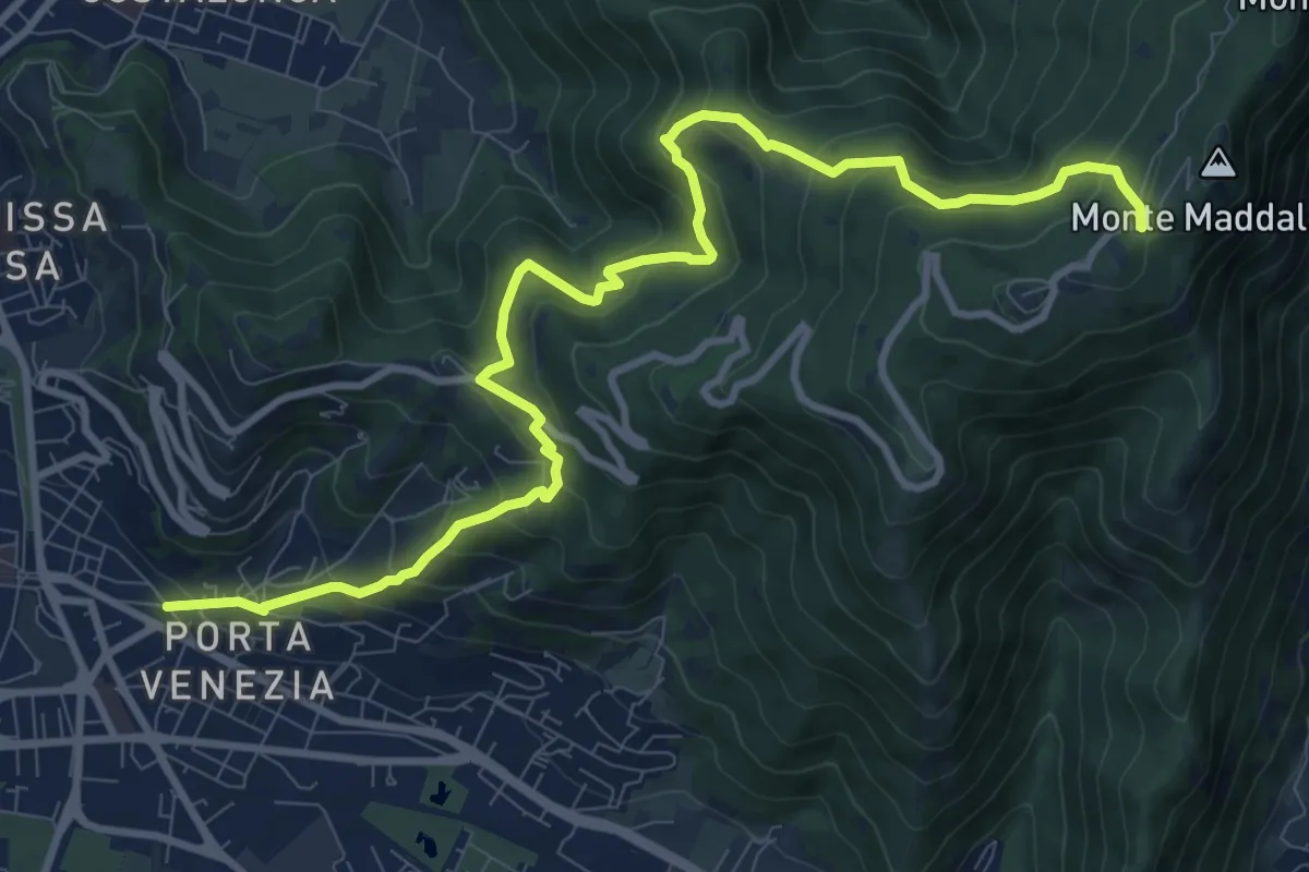
Demanding · Trail
Brescia (Via Amba d'Oro) – Monte Maddalena (Piazzale Ristorante Grillo)
12.1 km · ↑ 852 m · 4 h 42 min · 10 km away
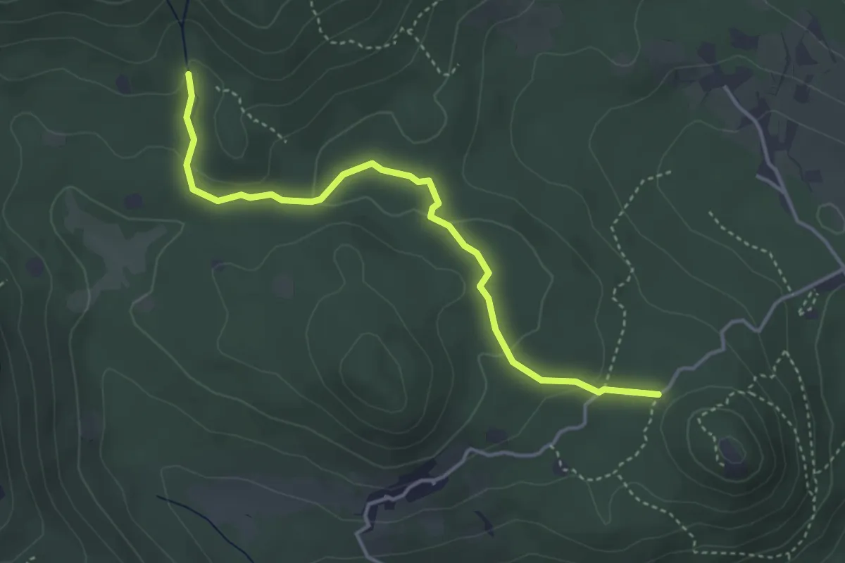
Easy · Trail
Serle (Santuario di San Bartolomeo) - Monte Ucia
4.1 km · ↑ 123 m · 1 h 14 min · 10 km away
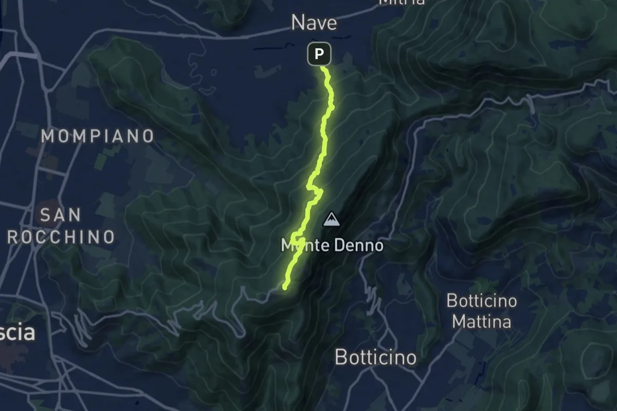
Medium · Trail
Nave (Via Piedimonte) – Chiesetta Monte Maddalena
10.1 km · ↑ 665 m · 3 h 49 min · 10 km away
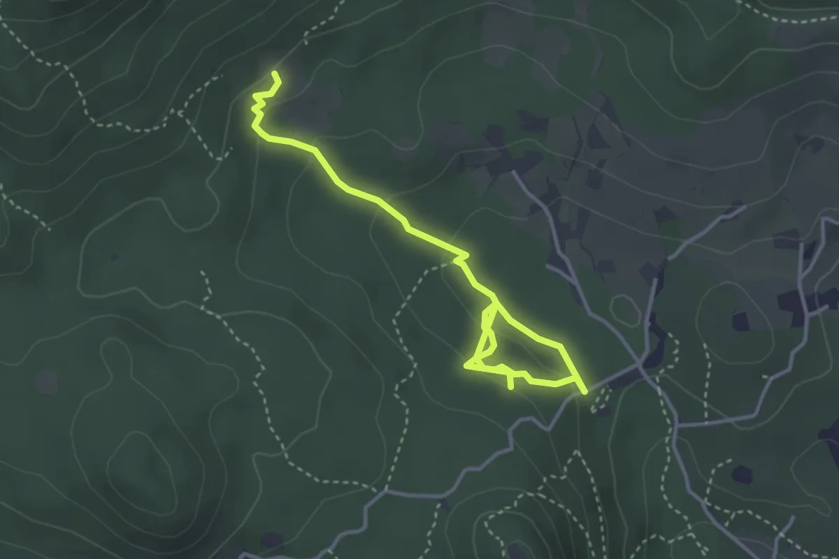
Easy · Trail
Sentiero degli Omber
2.2 km · ↑ 40 m · 40 min · 10 km away
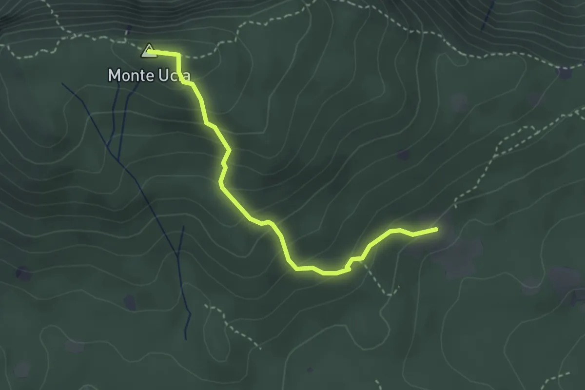
Easy · Summit
Serle (Cascina del Comune) - Corna di Caino
3.1 km · ↑ 265 m · 1 h 19 min · 10 km away
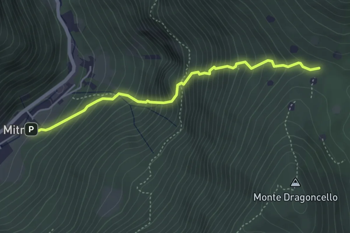
Demanding · Trail
Sentiero della dieta
4.1 km · ↑ 675 m · 2 h 26 min · 10 km away
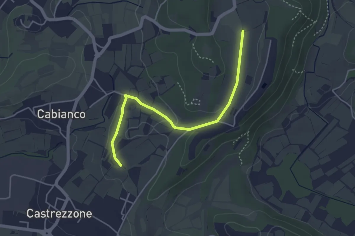
Easy · Trail
Percorso Muscoline Blu2
3.8 km · ↑ 58 m · 1 h 2 min · 10 km away
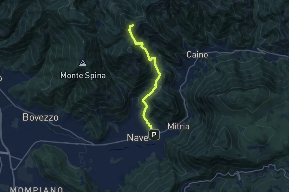
Demanding · Summit
Sentiero 3V - Tappa 1b
11.1 km · ↑ 932 m · 4 h 39 min · 10 km away