Trails near Mazzano
139 hikes starting within 15 km, nearest first.
Nearest first, page 2 of 3
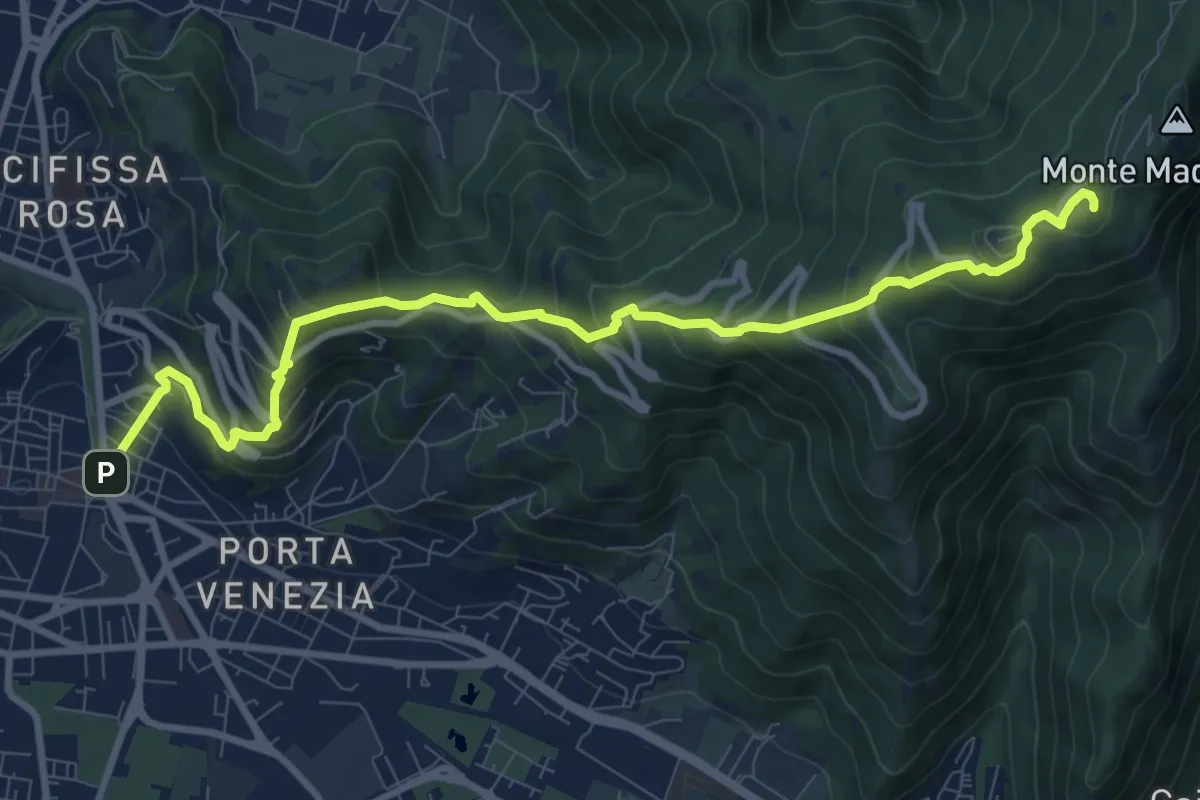
Medium · Trail
Brescia (Via Filippo Turati) – Chiesetta Monte Maddalena
10.7 km · ↑ 699 m · 4 h 2 min · 10 km away
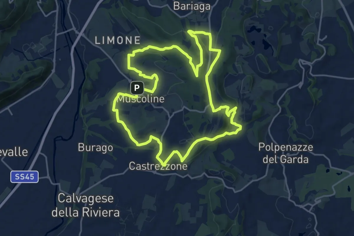
Medium · Summit
Percorso Verde Muscoline
15.1 km · ↑ 297 m · 4 h 24 min · 10 km away
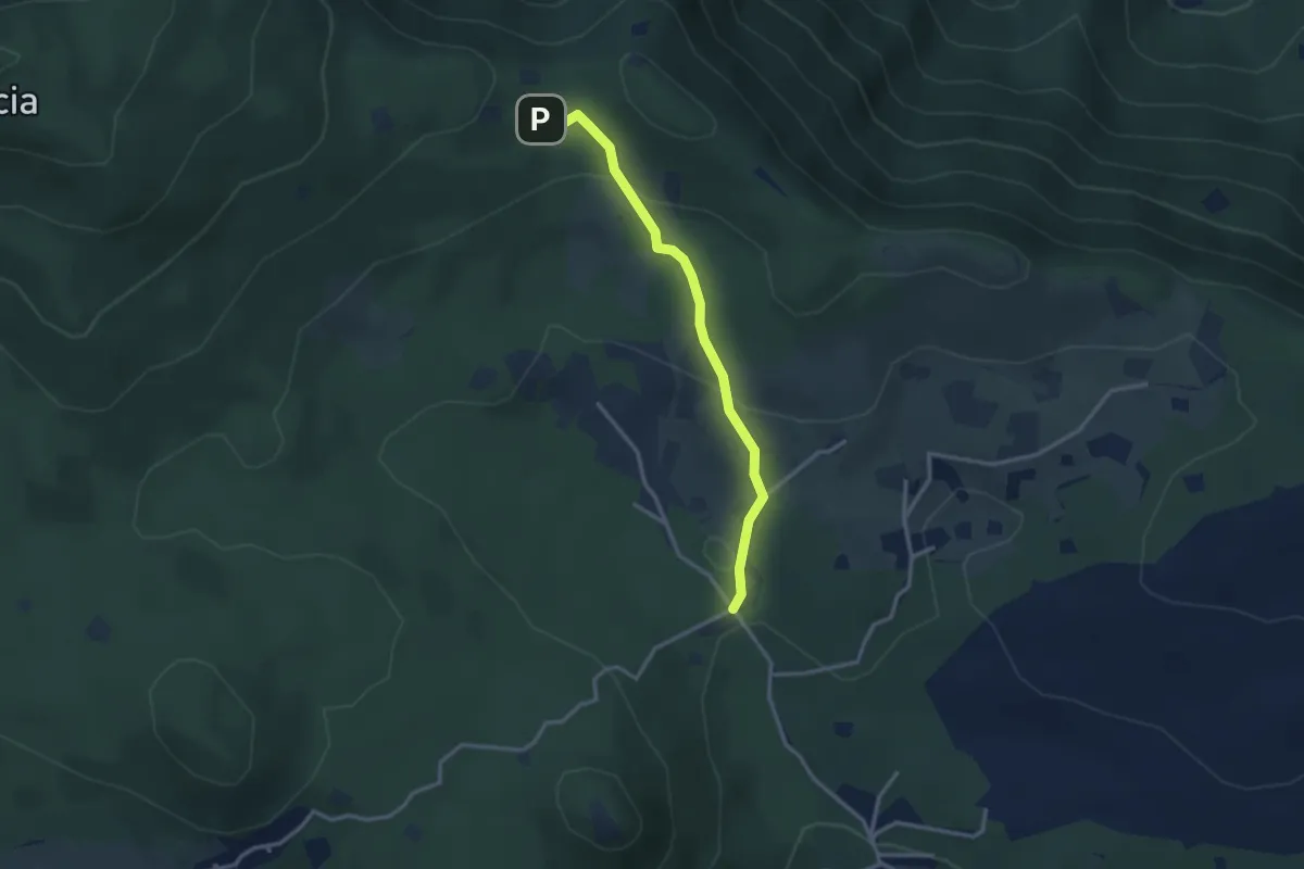
Easy · Cabin
Serle (Rifugio Alpini di Serle) - Monte Ucia - Corna di Caino
2.9 km · ↑ 122 m · 57 min · 10 km away
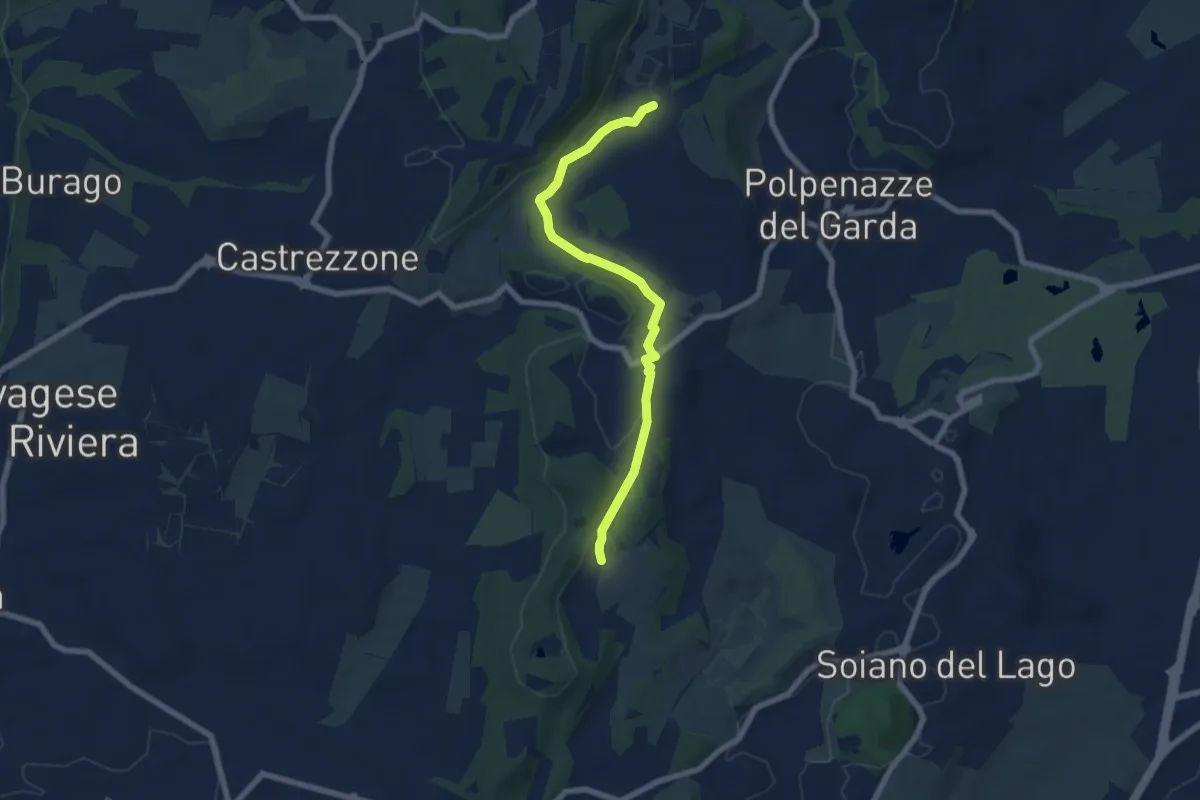
Easy · Trail
Lago di Lucone, Castelletto
6.9 km · ↑ 97 m · 1 h 51 min · 11 km away
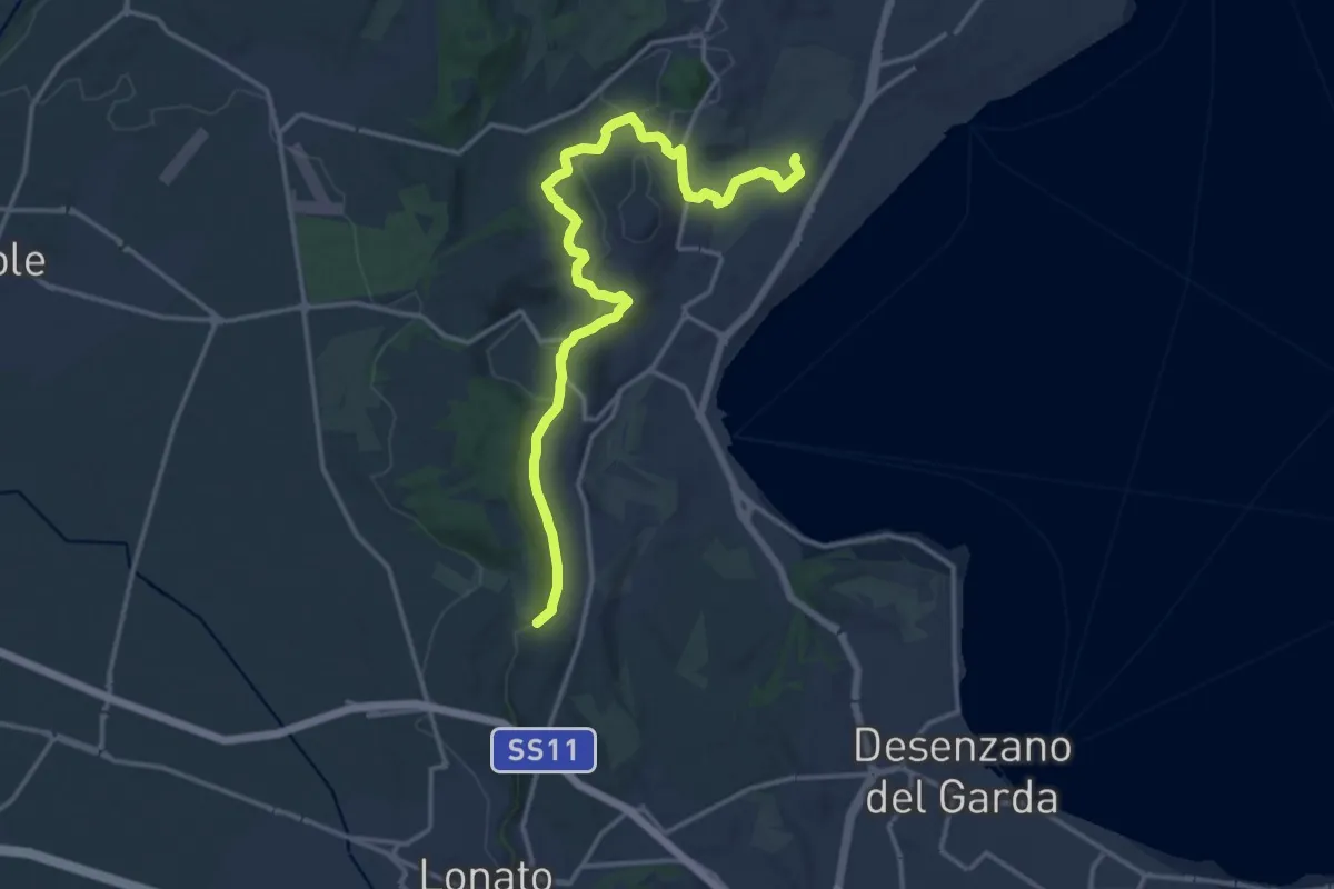
Medium · Trail
Barcuzzi – Balosse
17.4 km · ↑ 263 m · 4 h 40 min · 11 km away
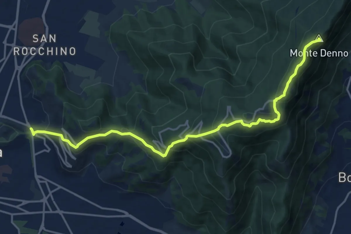
Medium · Summit
Sentiero 3V - Tappa 1a
13.1 km · ↑ 743 m · 4 h 42 min · 11 km away
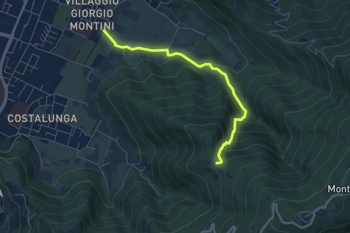
Medium · Trail
Brescia (Mompiano - Via Egidio Dabbeni) – Cascina Margherita
5.8 km · ↑ 398 m · 2 h 14 min · 11 km away
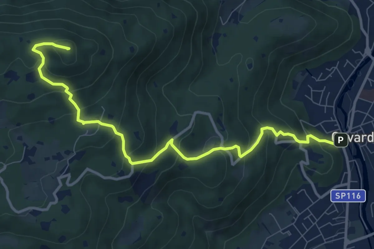
Medium · Summit
Gavardo – Tesio
9.4 km · ↑ 655 m · 3 h 38 min · 11 km away
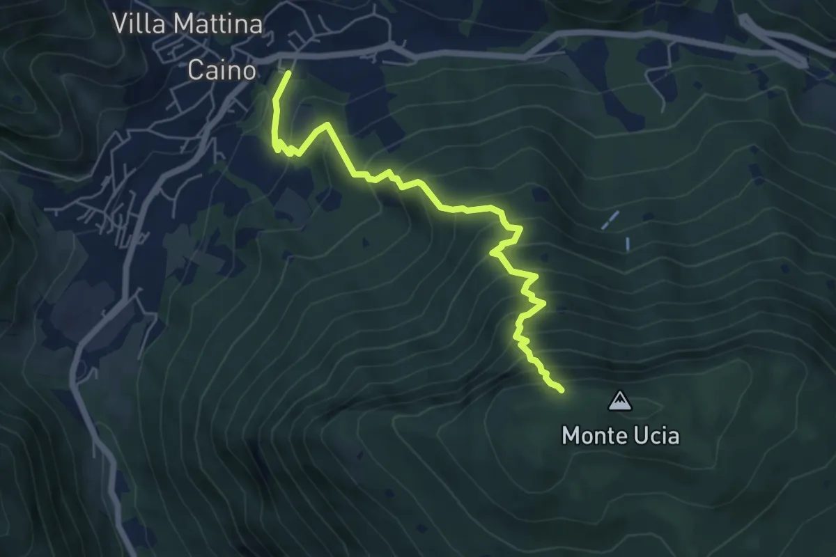
Demanding · Trail
Caino – Monte Ucia (Innesto Sentiero 391)
5.7 km · ↑ 736 m · 2 h 56 min · 11 km away
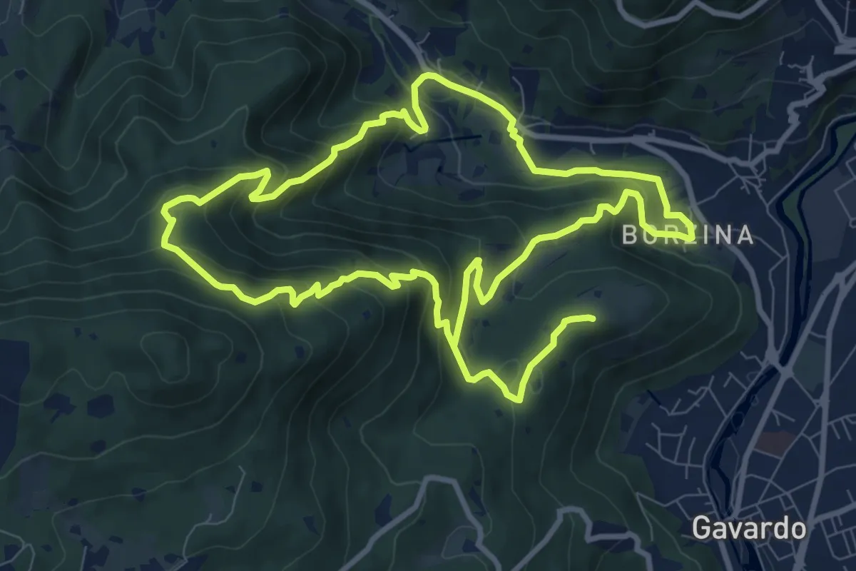
Demanding · Summit
Gavardo (Via Signurì) – Gavardo
18.2 km · ↑ 1056 m · 6 h 35 min · 11 km away
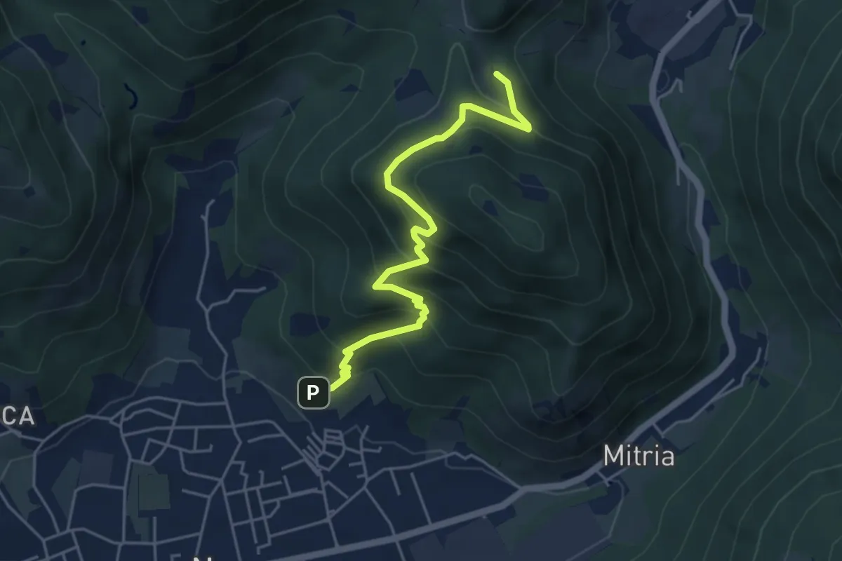
Medium · Trail
Sentiero delle miniere
4.9 km · ↑ 425 m · 2 h 5 min · 11 km away
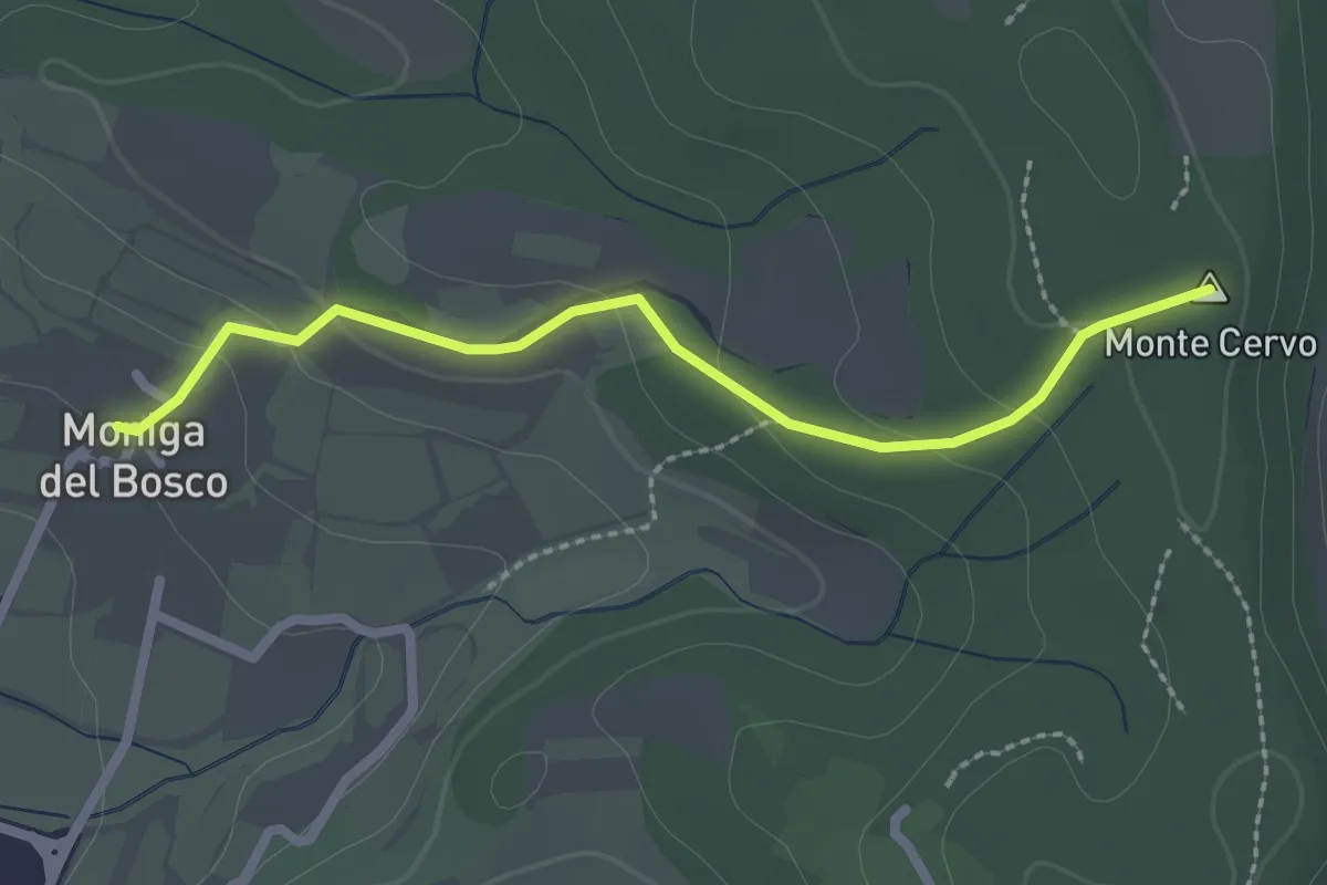
Easy · Summit
Percorso Rosso Muscoline
2.4 km · ↑ 81 m · 45 min · 11 km away
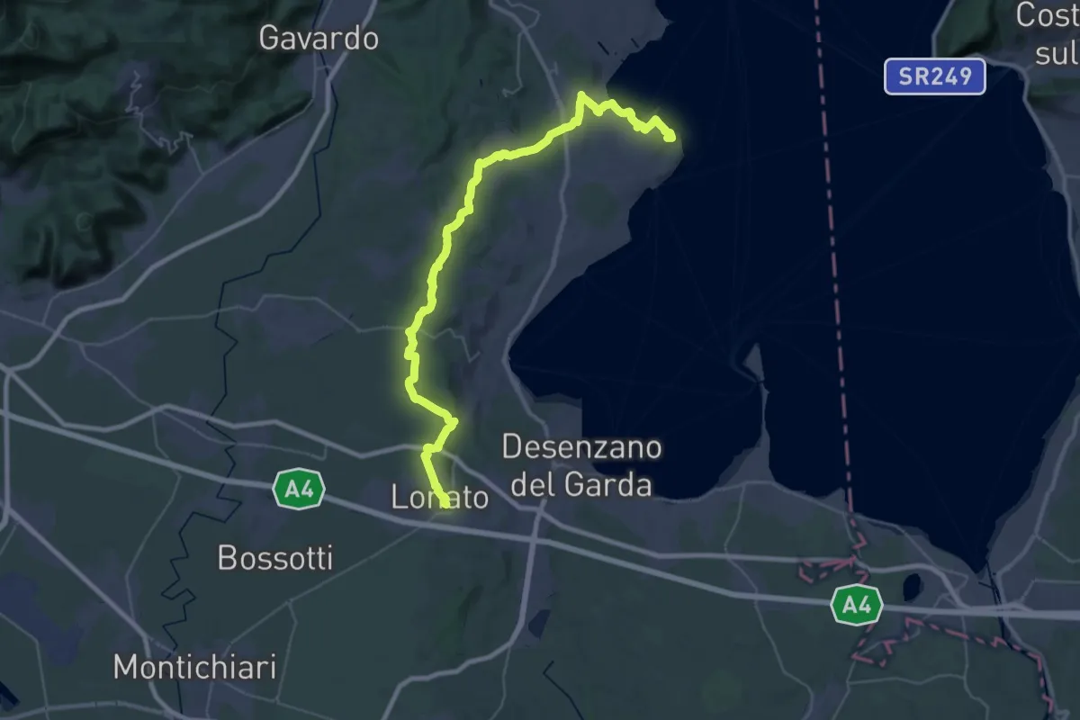
Demanding · Summit
Manerba del Garda (San Giorgio) – Lonato del Garda
44.2 km · ↑ 707 m · 11 h 58 min · 11 km away
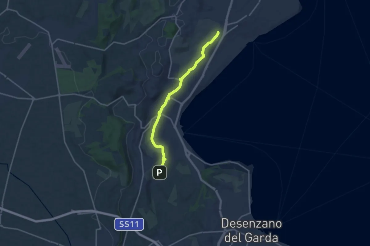
Medium · Trail
Maguzzano – Moniga
11.3 km · ↑ 61 m · 2 h 48 min · 12 km away
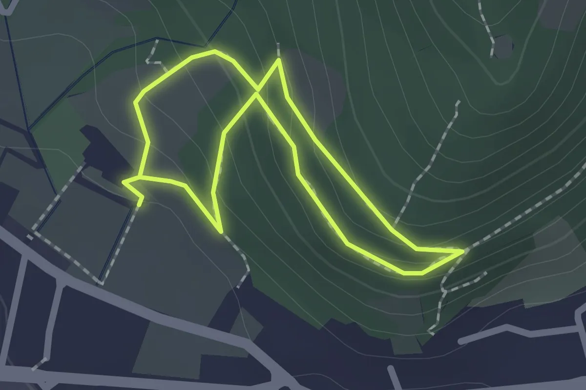
Easy · Trail
Sentiero Zanardelli percorso alto
1.5 km · ↑ 68 m · 32 min · 12 km away
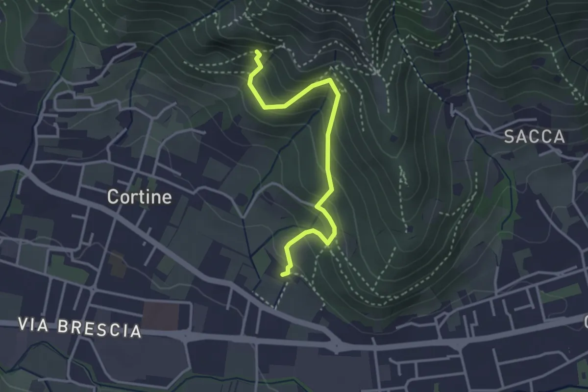
Easy · Trail
Sentiero del Marrone (Variante Nave)
3.1 km · ↑ 314 m · 1 h 25 min · 12 km away
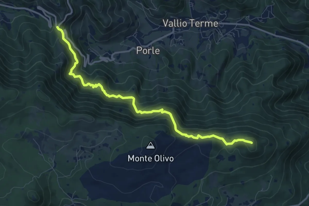
Medium · Summit
Sentér de mès
10.1 km · ↑ 629 m · 3 h 45 min · 12 km away
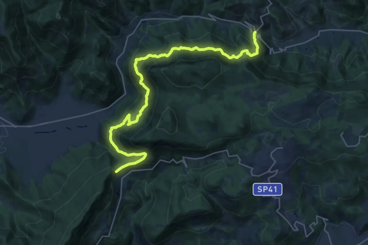
Demanding · Summit
Sentér Bandìt
22.8 km · ↑ 2084 m · 9 h 53 min · 12 km away
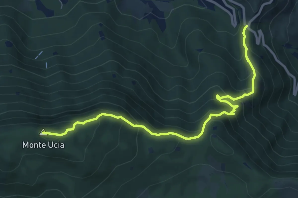
Medium · Summit
Sentiero Donna - Guarneri
7.2 km · ↑ 651 m · 3 h 7 min · 12 km away
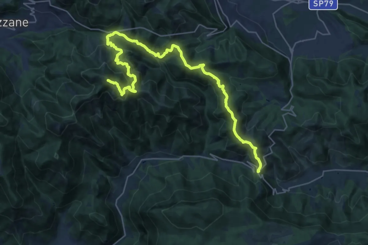
Expert · Summit
Caino (Villa Sera) – Colle di Sant'Eusebio
24.7 km · ↑ 1761 m · 9 h 39 min · 12 km away
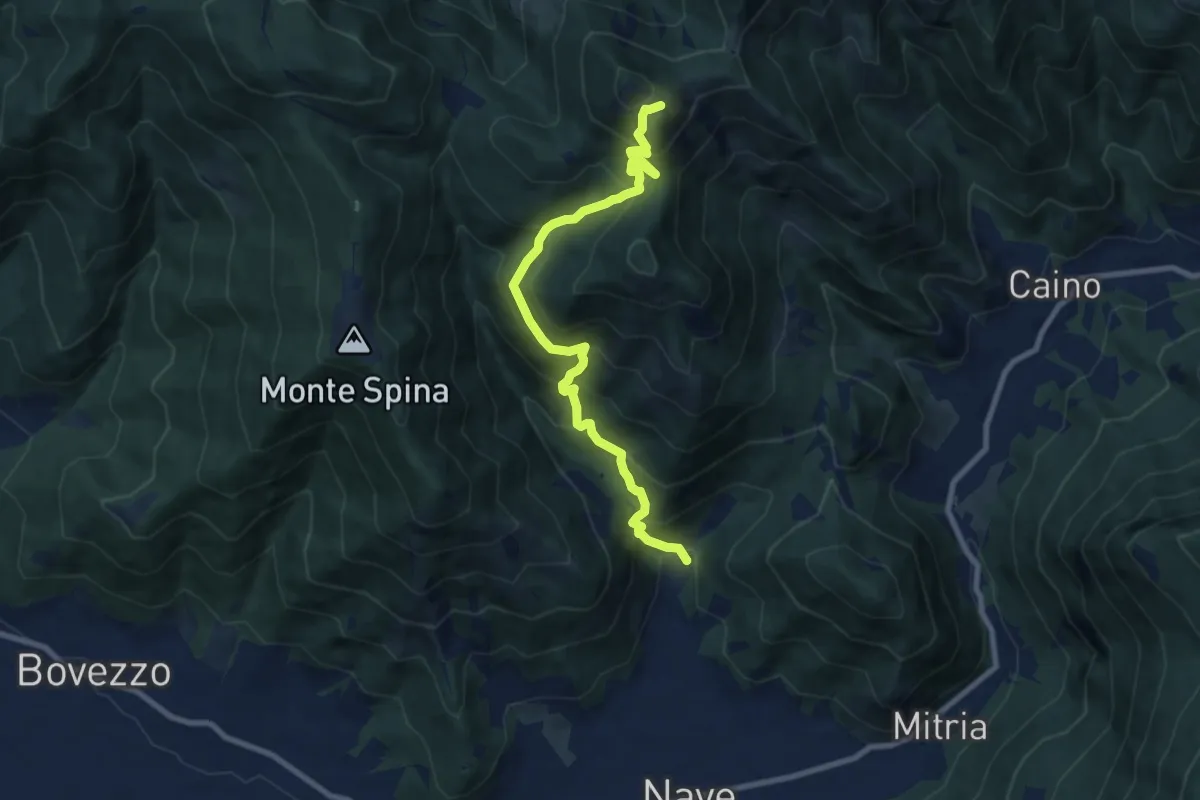
Demanding · Summit
Nave (Piezze) - Santuario di Conche
9.1 km · ↑ 901 m · 4 h 6 min · 12 km away
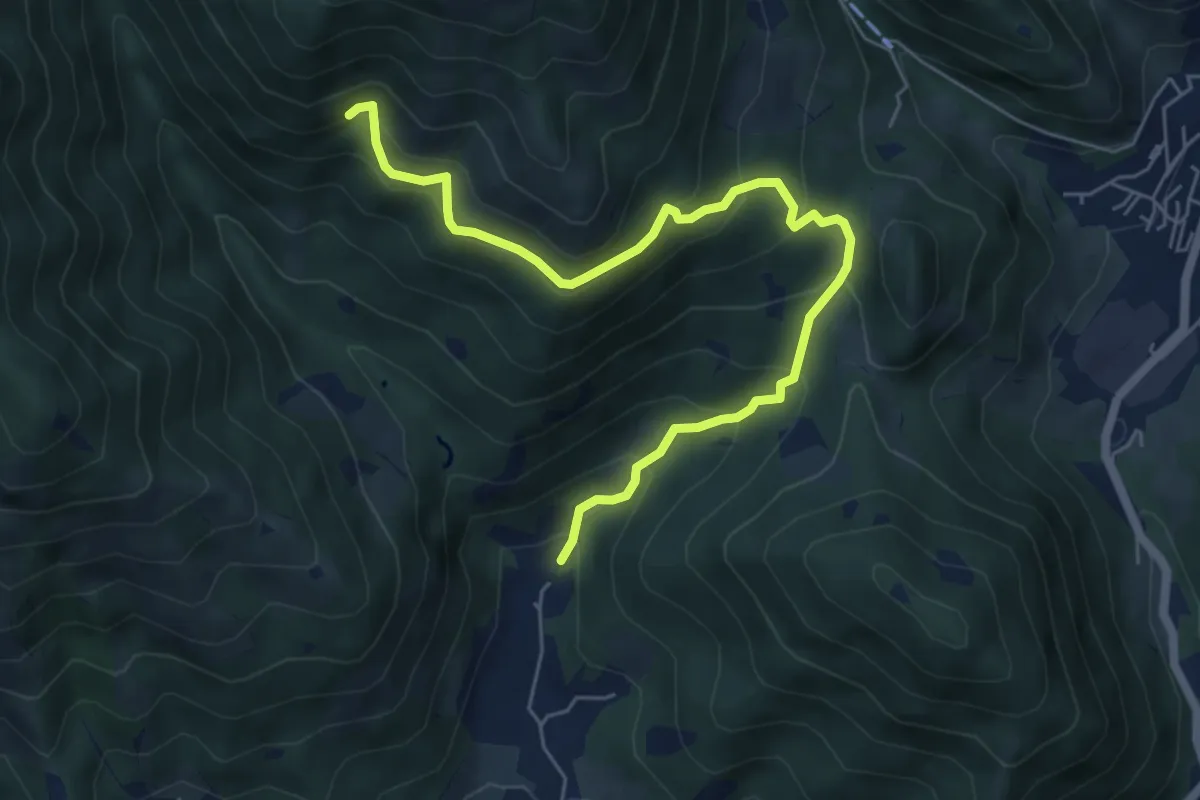
Medium · Trail
Nave (Piezze) - Sant'Antonio - Innesto Sentiero 354
6.7 km · ↑ 527 m · 2 h 44 min · 12 km away
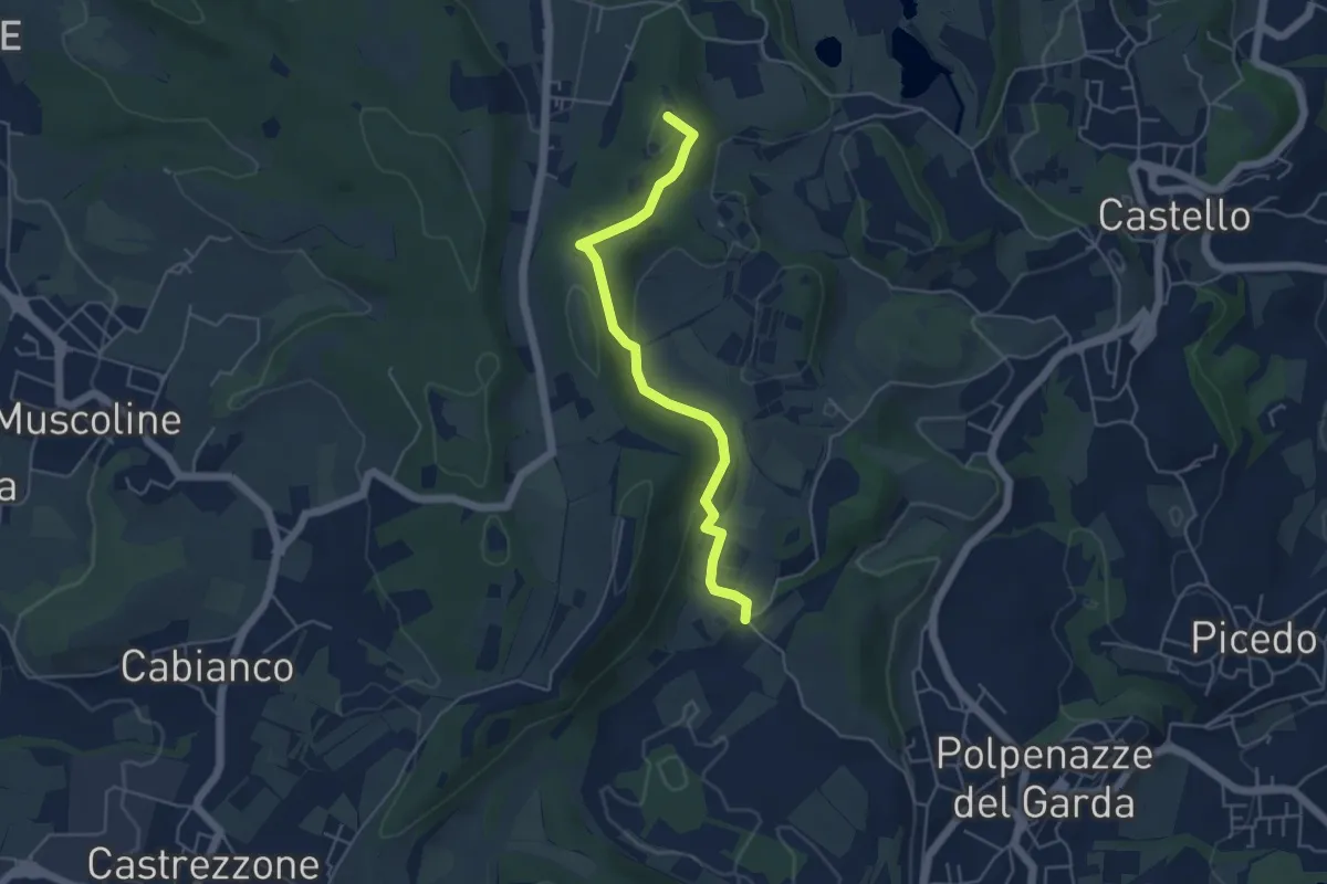
Easy · Summit
1 - Percorsi delle Colline Moreniche di Puegnago
4.8 km · ↑ 137 m · 1 h 26 min · 12 km away
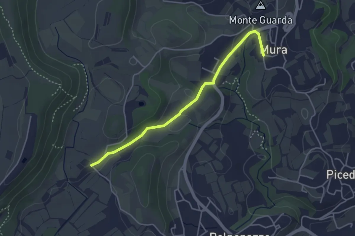
Easy · Trail
8 - Percorsi delle Colline Moreniche di Puegnago
3.5 km · ↑ 41 m · 55 min · 12 km away
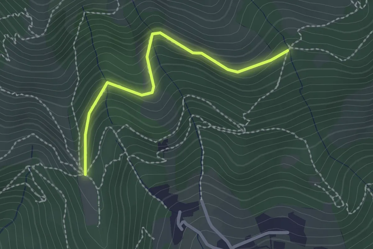
Easy · Trail
Nave (Cascina Mezzana) - Pozza Cà del Lì (Innesto Sentiero 392)
2.1 km · ↑ 177 m · 53 min · 12 km away
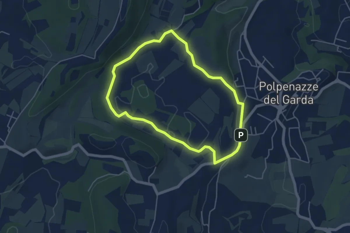
Easy · Trail
Giro del Lago di Lucone
3.9 km · ↑ 42 m · 1 h 3 min · 12 km away
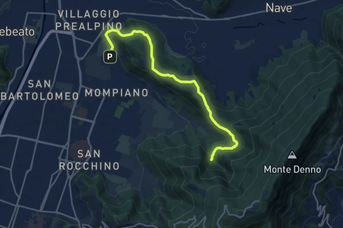
Medium · Cabin
Brescia (Via San Cristoforo) – Rifugio Valle di Mompiano
12.0 km · ↑ 345 m · 3 h 35 min · 12 km away
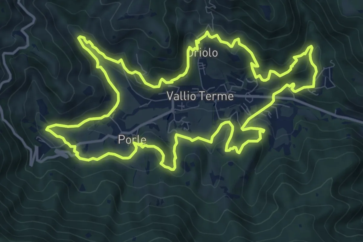
Medium · Trail
Giro delle contrade
11.6 km · ↑ 525 m · 4 h 2 min · 12 km away
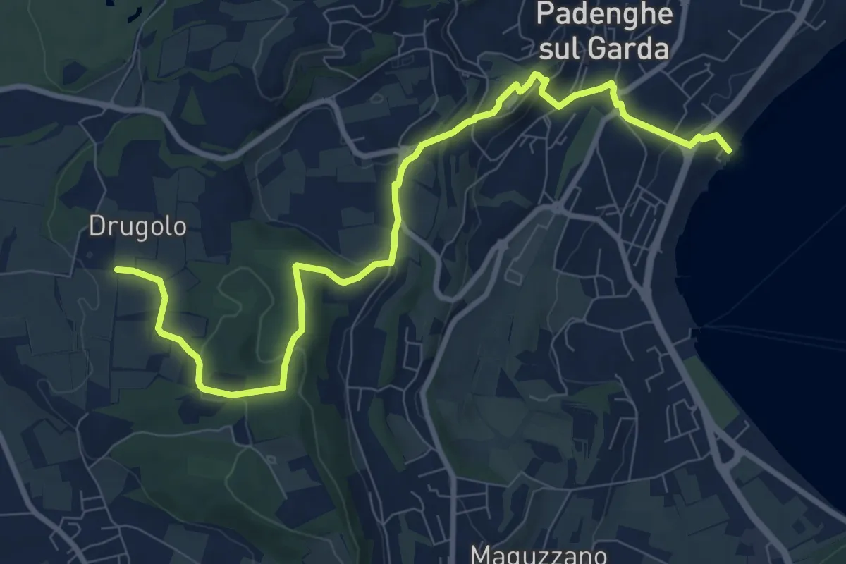
Medium · Trail
Drugolo – Padenghe lido
10.3 km · ↑ 240 m · 2 h 58 min · 12 km away
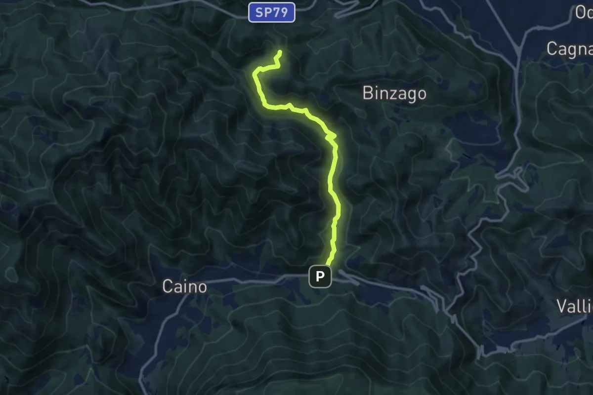
Medium · Trail
Caino (Val Bertone) – Passo Viglio
8.9 km · ↑ 525 m · 3 h 14 min · 12 km away
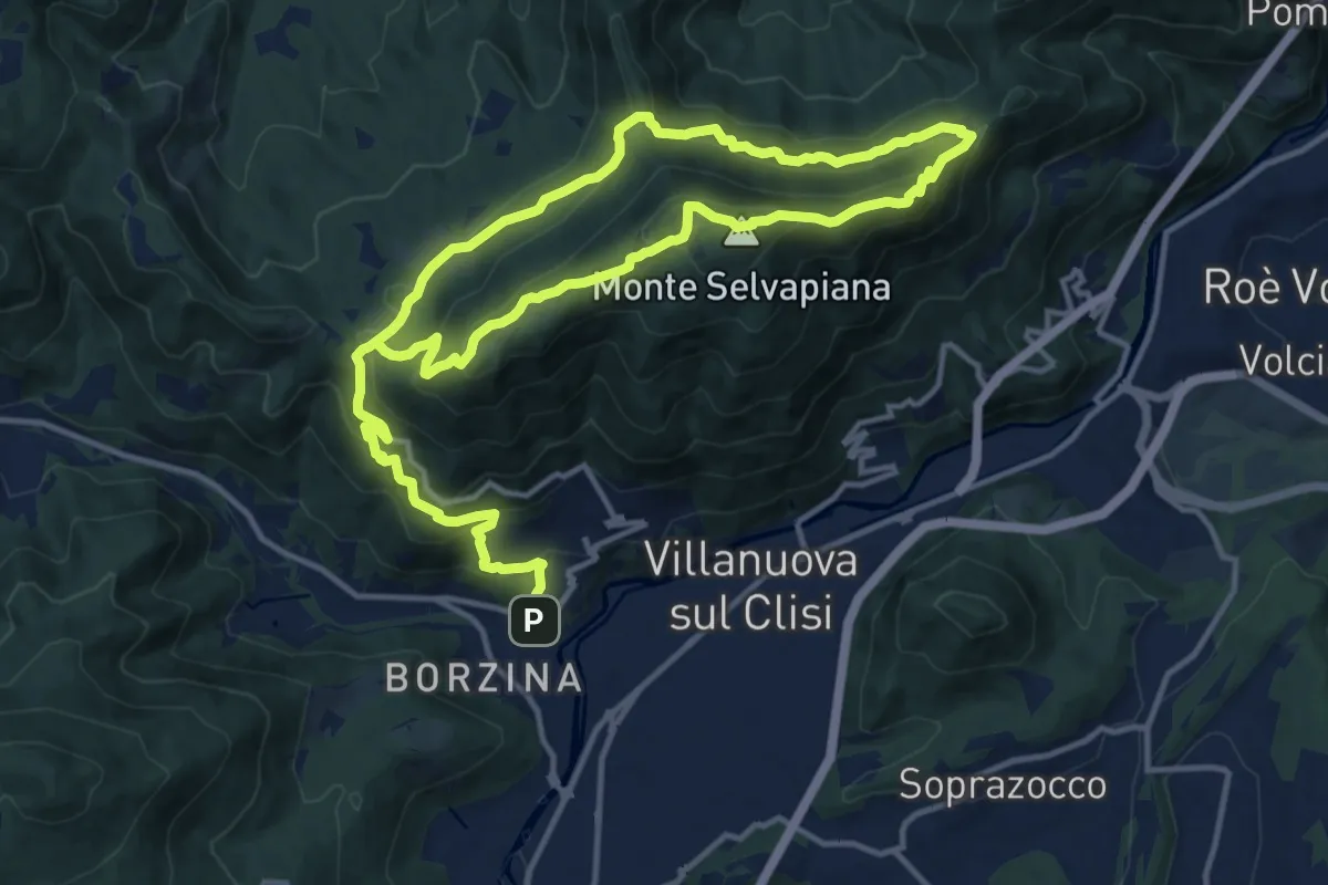
Demanding · Summit
Gavardo (Sopraponte) – Sopraponte
11.8 km · ↑ 965 m · 4 h 51 min · 12 km away
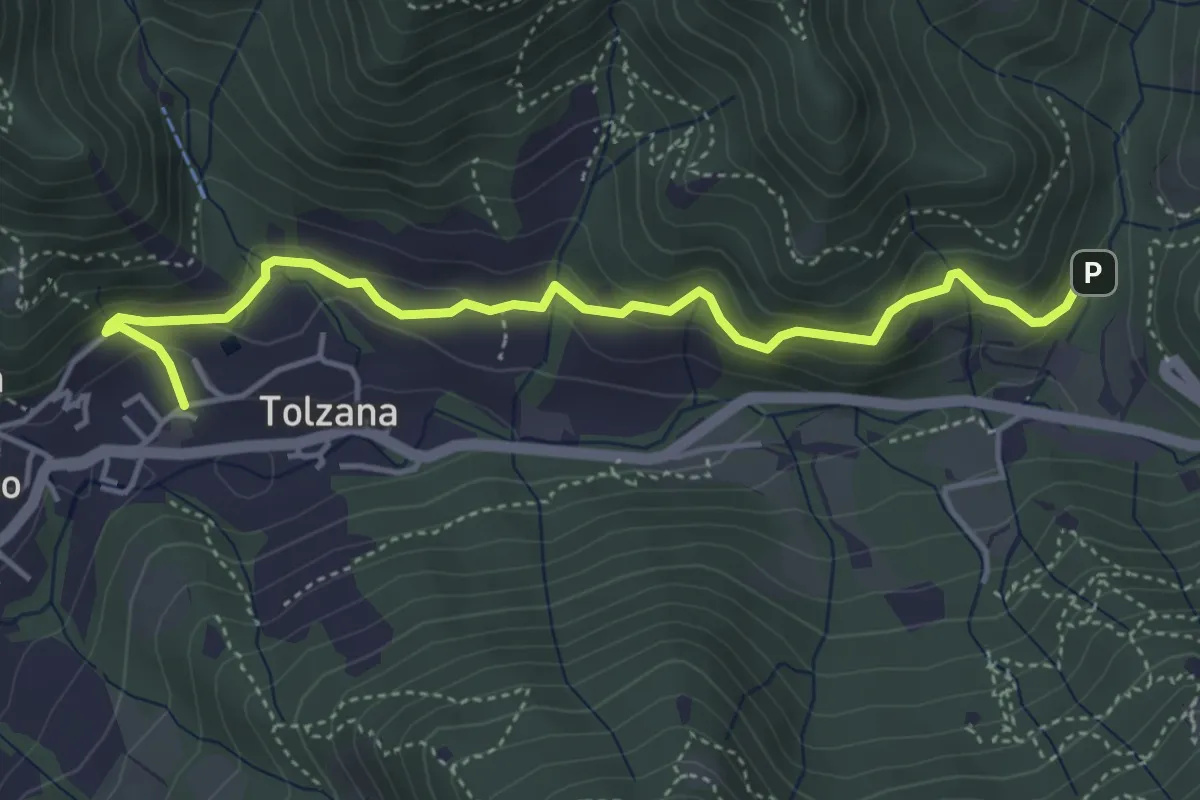
Easy · Trail
Caino – Val Bertone
4.7 km · ↑ 261 m · 1 h 41 min · 12 km away
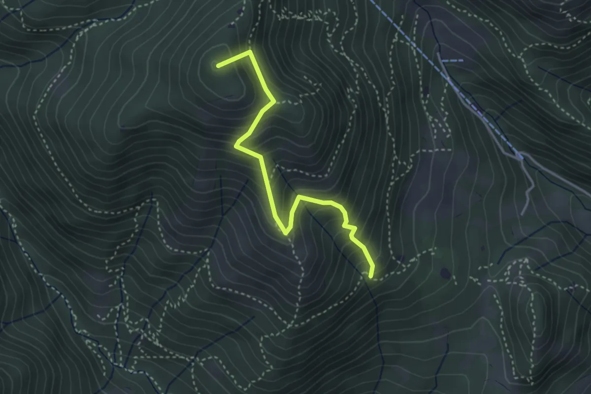
Medium · Summit
Sentiero Nunzio Tocchini
3.4 km · ↑ 371 m · 1 h 36 min · 13 km away
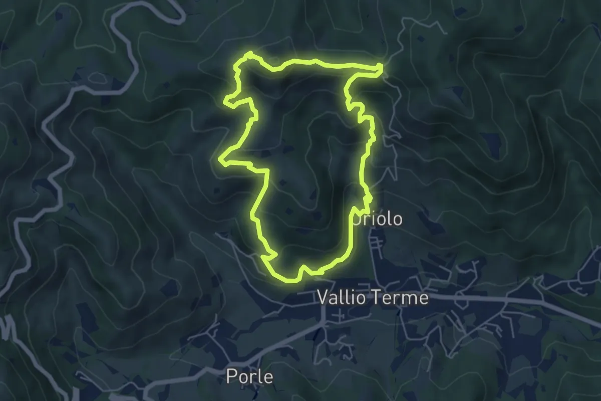
Medium · Summit
Vallio Terme (Vigle) - Rocca di Bernacco - Oriolo
5.2 km · ↑ 400 m · 2 h 11 min · 13 km away
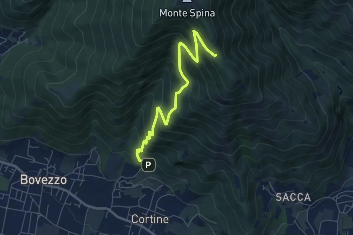
Medium · Cabin
Nave (Cortine - Albergo dei Poveri) – Roccolo Squassina
6.2 km · ↑ 586 m · 2 h 45 min · 13 km away
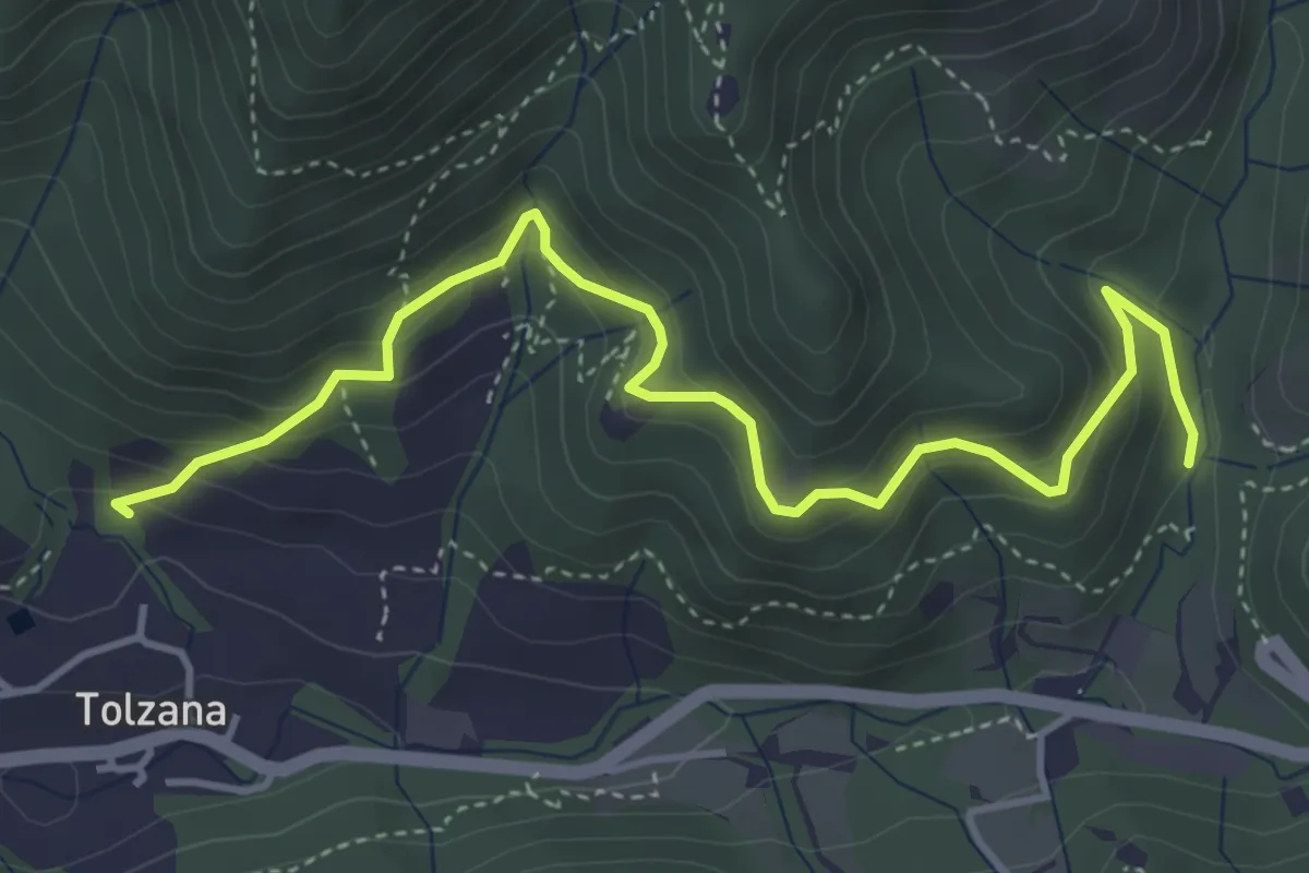
Medium · Trail
Caino (San Cap) – Val Bertone
4.9 km · ↑ 452 m · 2 h 9 min · 13 km away
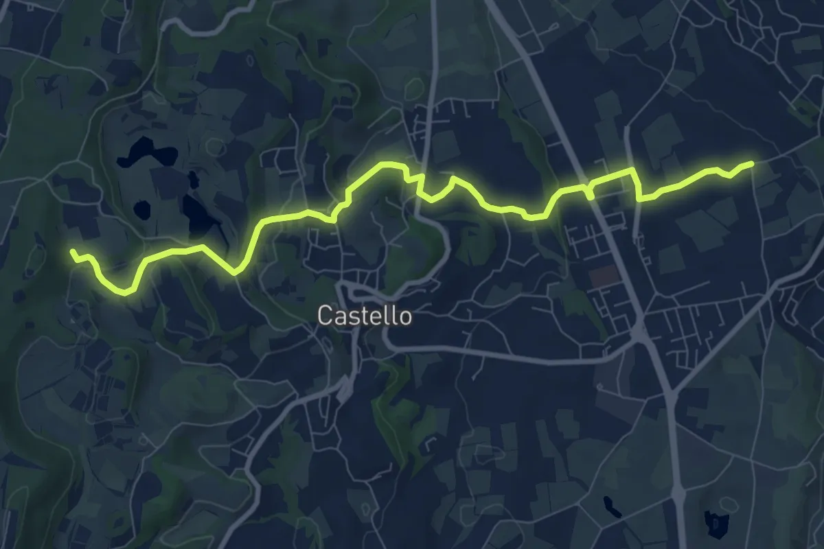
Medium · Trail
2 - Percorsi delle Colline Moreniche di Puegnago
10.1 km · ↑ 195 m · 2 h 48 min · 13 km away
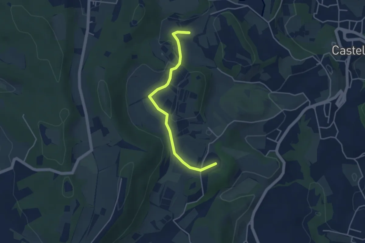
Easy · Summit
BVG di Predefitte
3.5 km · ↑ 29 m · 53 min · 13 km away
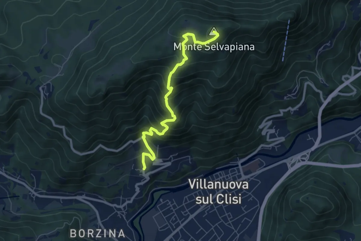
Medium · Summit
Gavardo (Quarena) – Selvapiana
6.7 km · ↑ 634 m · 2 h 58 min · 13 km away
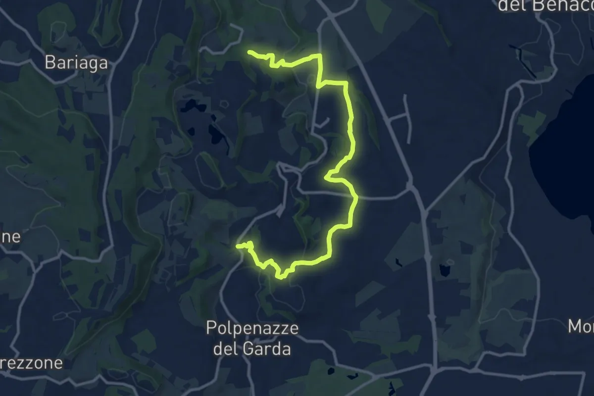
Medium · Trail
6 - Percorsi delle Colline Moreniche di Puegnago
12.6 km · ↑ 267 m · 3 h 34 min · 13 km away
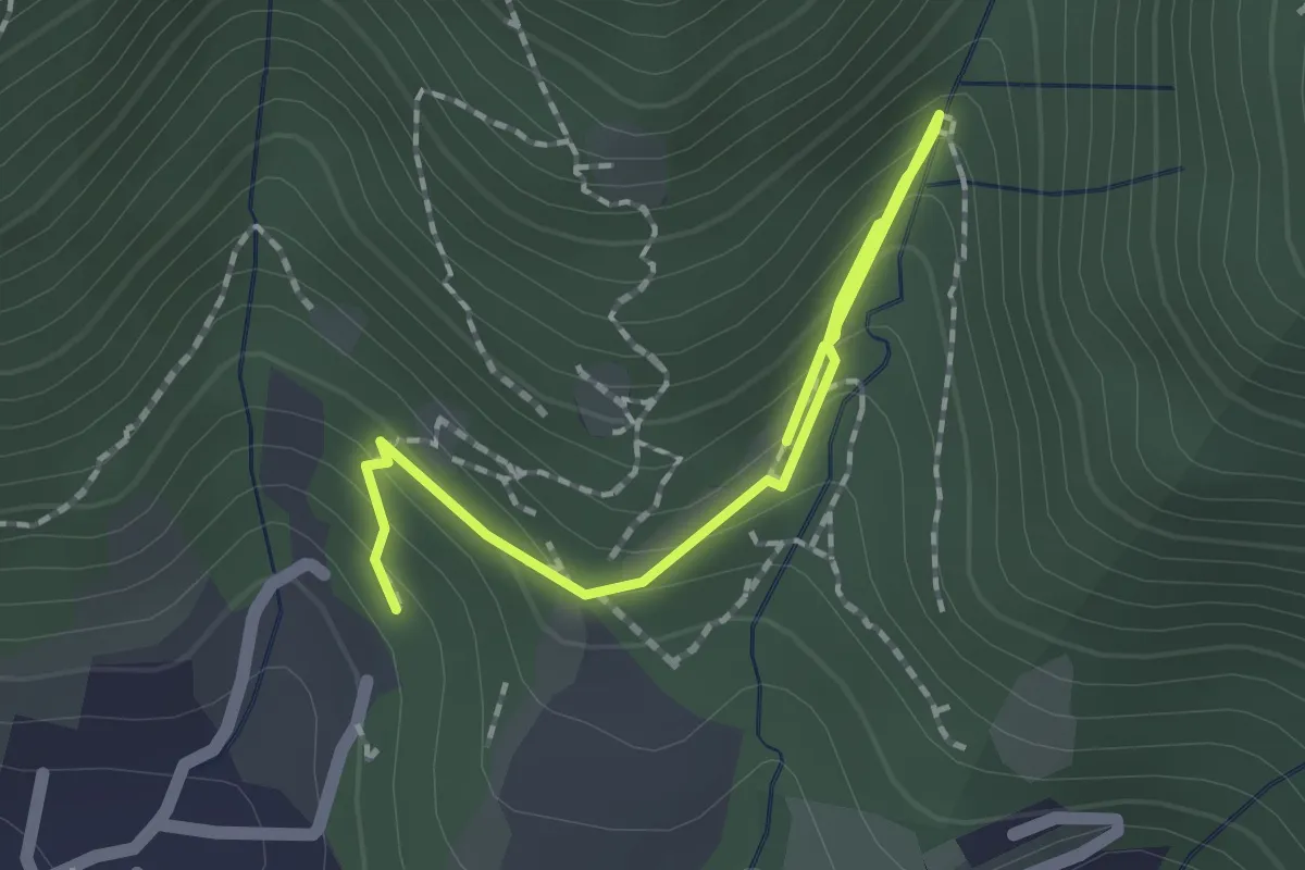
Medium · Trail
Percorso botanico
2.7 km · ↑ 231 m · 1 h 9 min · 13 km away
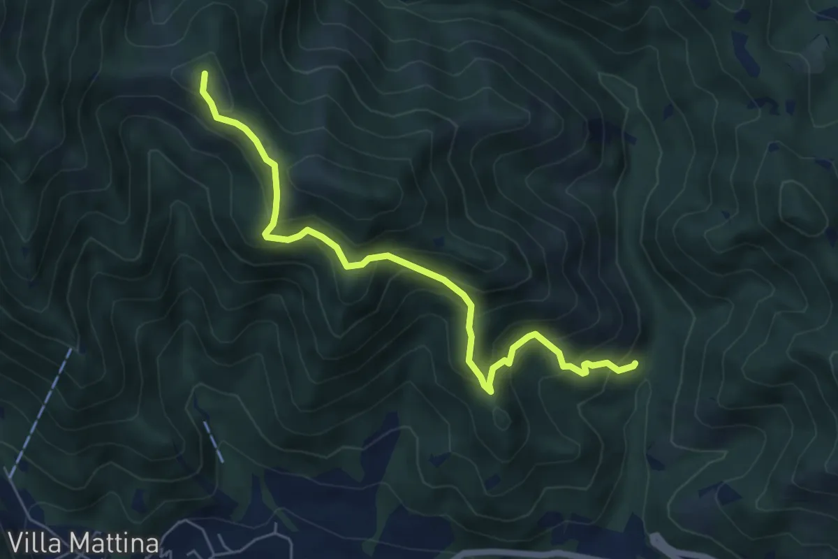
Medium · Summit
Caino (Val Bertone) – Boatica (Innesto Sentiero 381)
6.1 km · ↑ 507 m · 2 h 32 min · 13 km away
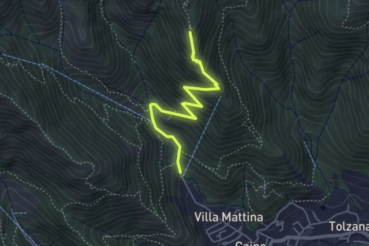
Medium · Summit
Caino (Pian delle Castagne) – Monte Doppo (Innesto Sentiero 381)
4.1 km · ↑ 407 m · 1 h 50 min · 13 km away
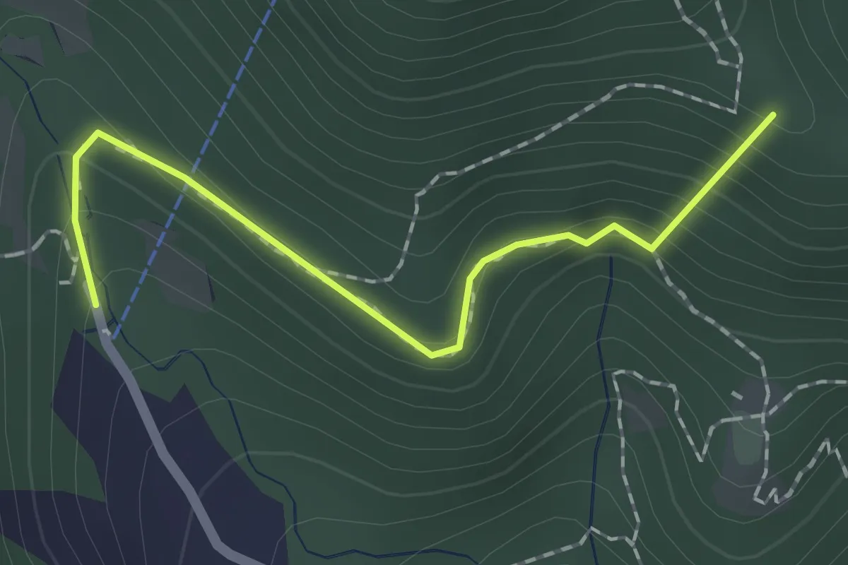
Easy · Summit
Sentiero dei Papi
1.7 km · ↑ 130 m · 42 min · 13 km away
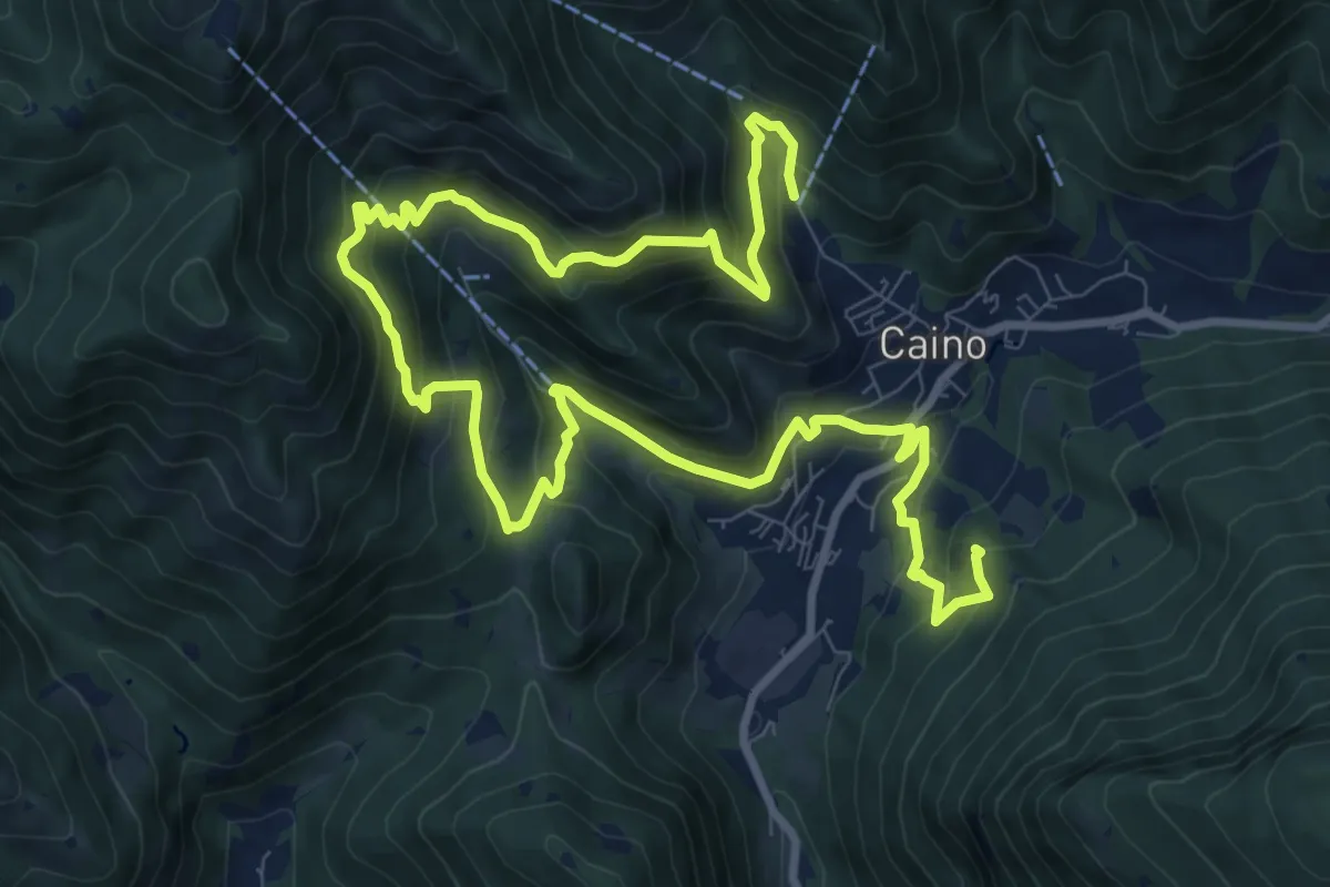
Demanding · Summit
Caino (Pian delle Castagne) – Val Bertone
15.5 km · ↑ 1050 m · 5 h 56 min · 13 km away
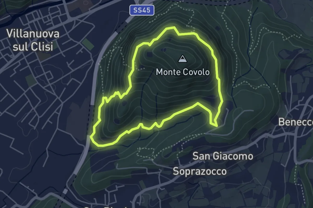
Medium · Trail
Anello Monte Covolo
4.0 km · ↑ 279 m · 1 h 36 min · 13 km away
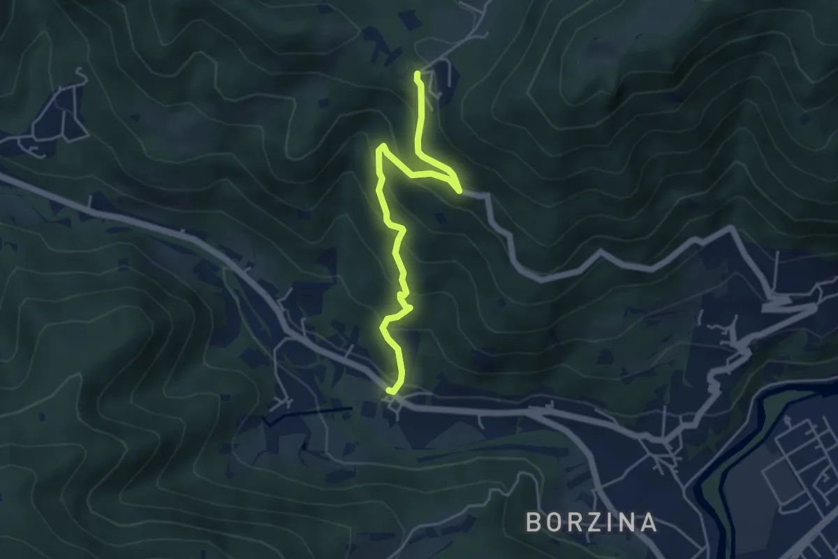
Medium · Trail
Gavardo (Soseto) – Osteria Monte Magno
4.4 km · ↑ 380 m · 1 h 51 min · 13 km away
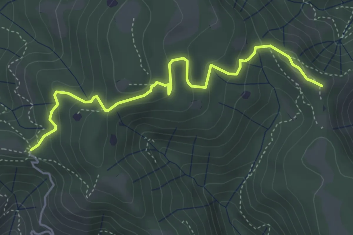
Easy · Summit
Vallio Terme (Barcolo) - Gavardo (Osteria Monte Magno)
4.7 km · ↑ 206 m · 1 h 33 min · 13 km away