Trails near Merate
104 hikes starting within 15 km, nearest first.
Nearest first, page 1 of 3
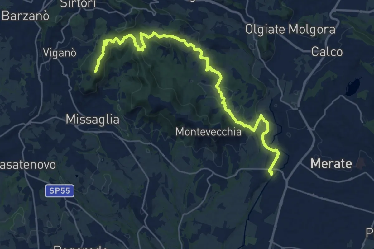
Demanding · Summit
Cernusco Lombardone (FS) – Missaglia
21.8 km · ↑ 575 m · 6 h 23 min · 2 km away
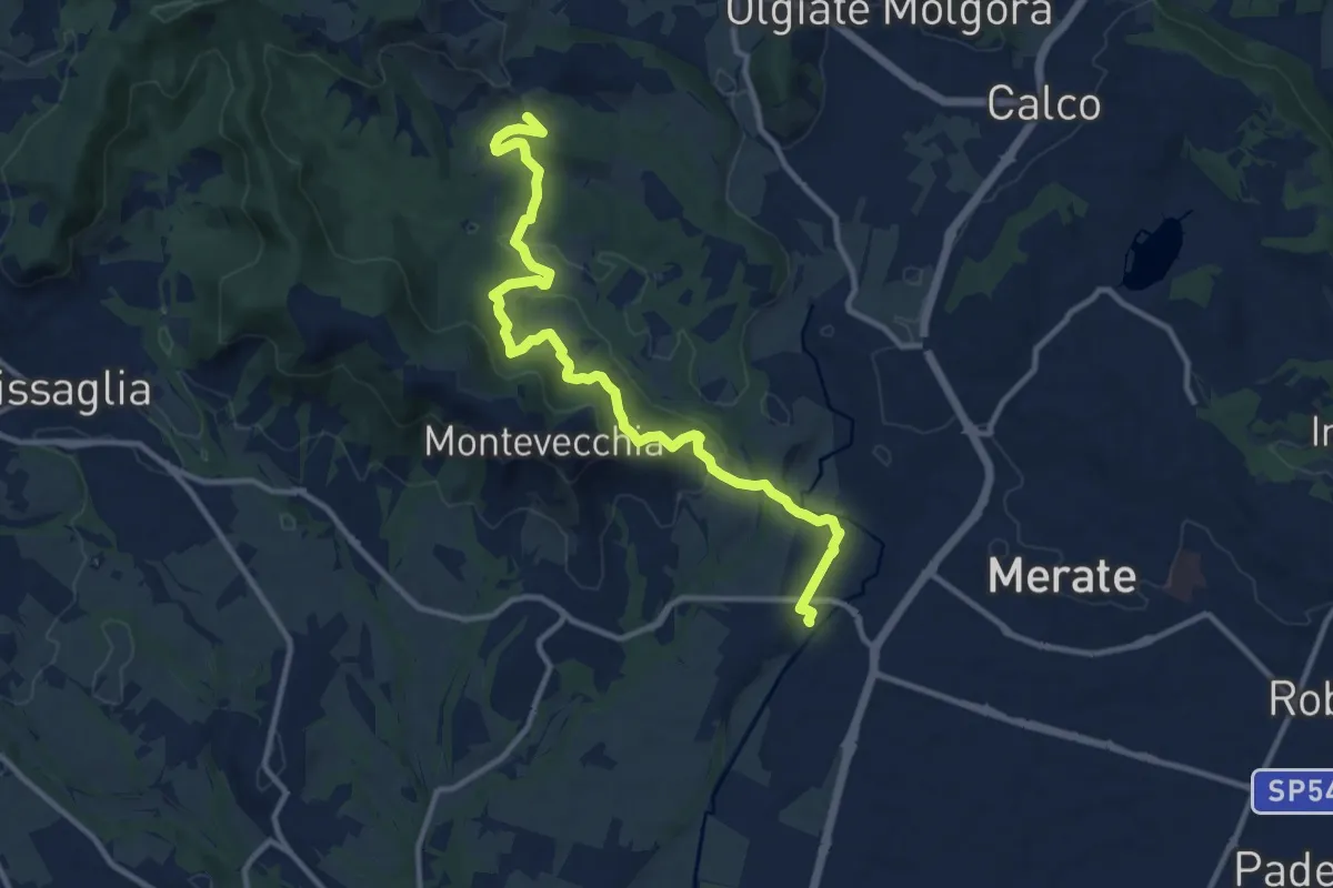
Medium · Summit
Cernusco Lombardone (FS) – Perego
12.5 km · ↑ 409 m · 3 h 51 min · 2 km away
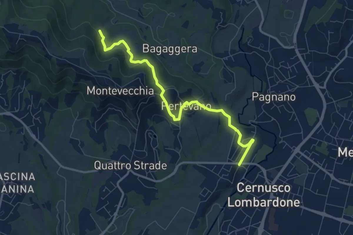
Medium · Trail
Percorso stazione
8.4 km · ↑ 261 m · 2 h 32 min · 2 km away
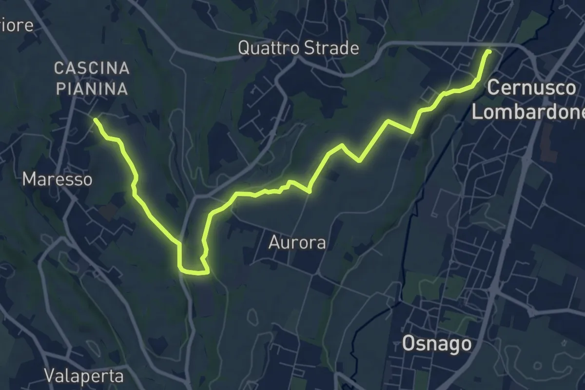
Medium · Trail
Cernusco Lombardone (FS) – Maresso
10.5 km · ↑ 100 m · 2 h 42 min · 2 km away
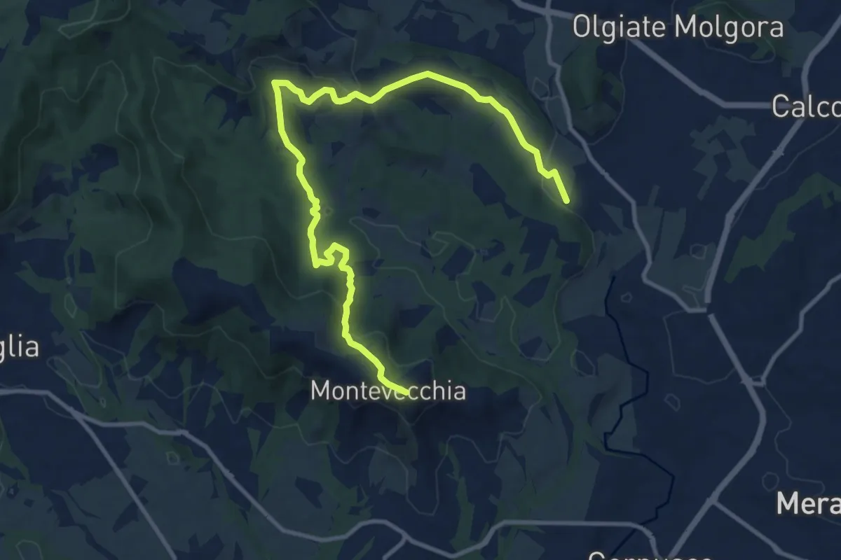
Medium · Summit
Cernusco Lombardone (FS) – Beolco
12.4 km · ↑ 430 m · 3 h 52 min · 3 km away
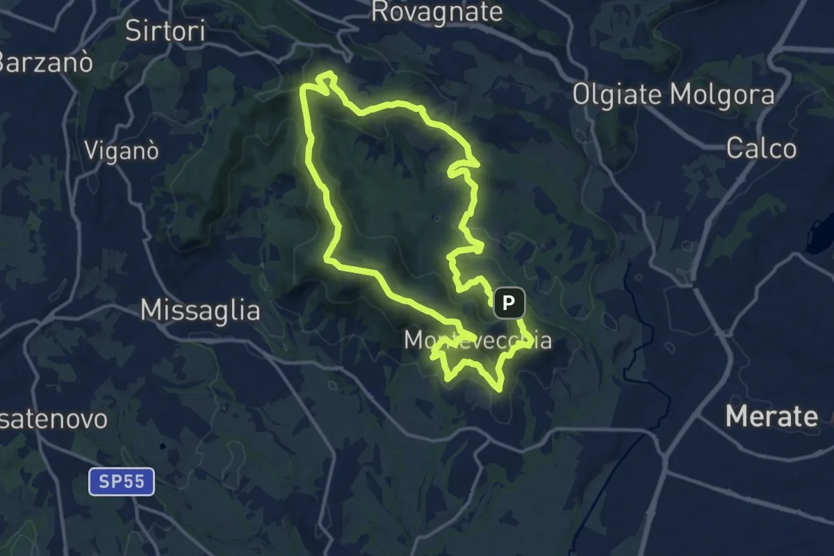
Medium · Summit
Percorso geologico
13.3 km · ↑ 473 m · 4 h 22 min · 3 km away
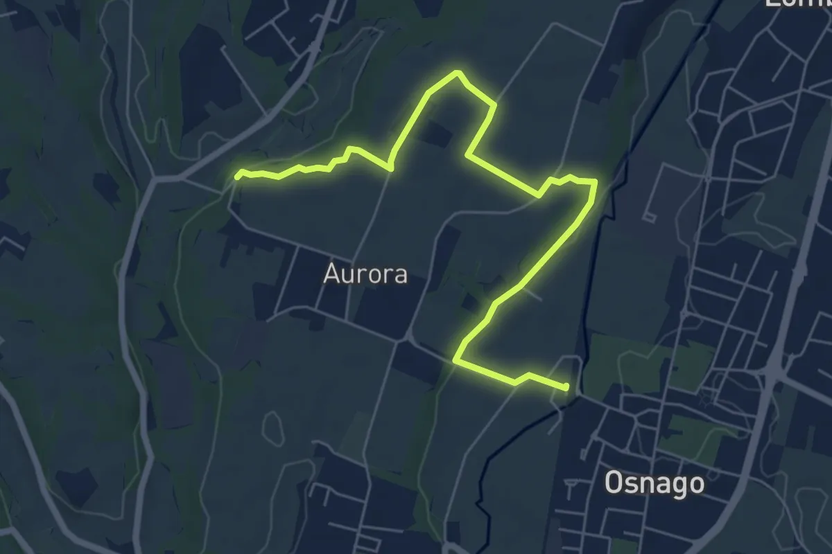
Easy · Trail
Osnago – Torrente Curone
6.8 km · ↑ 43 m · 1 h 42 min · 3 km away
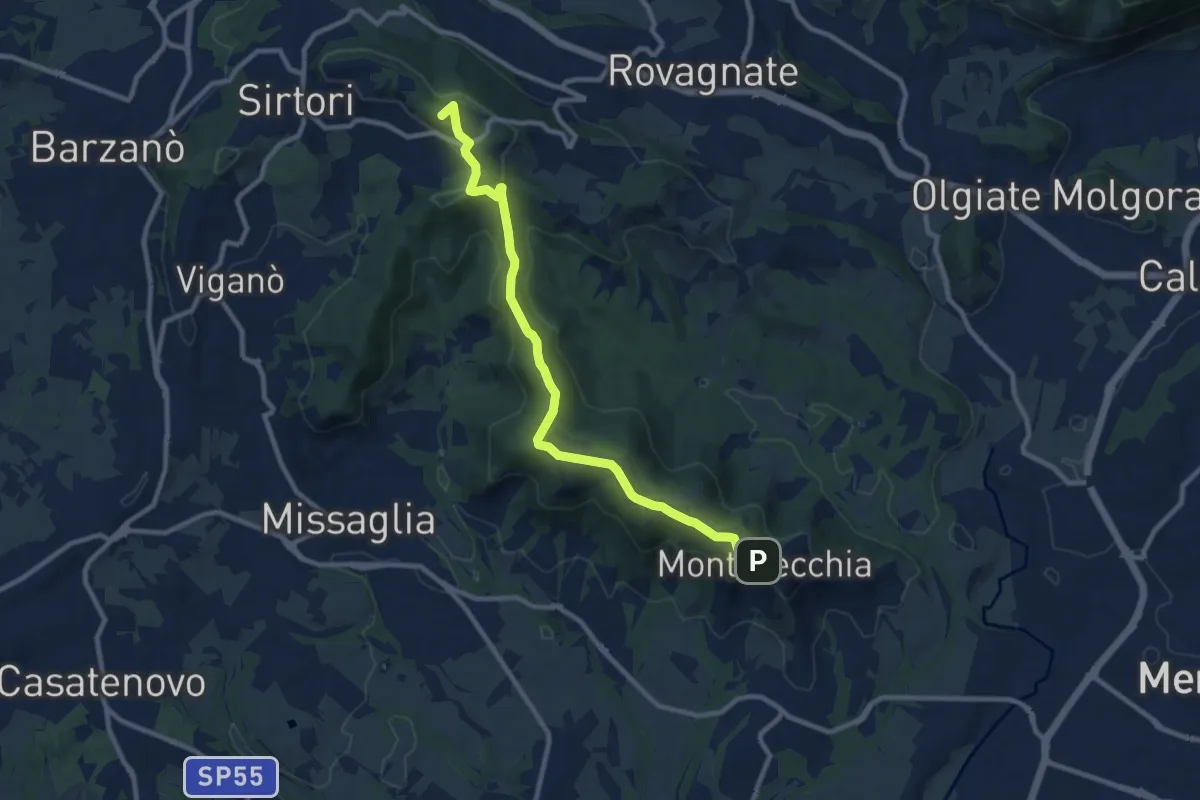
Medium · Summit
Ceregallo – Montevecchia alta
10.2 km · ↑ 305 m · 3 h 5 min · 3 km away
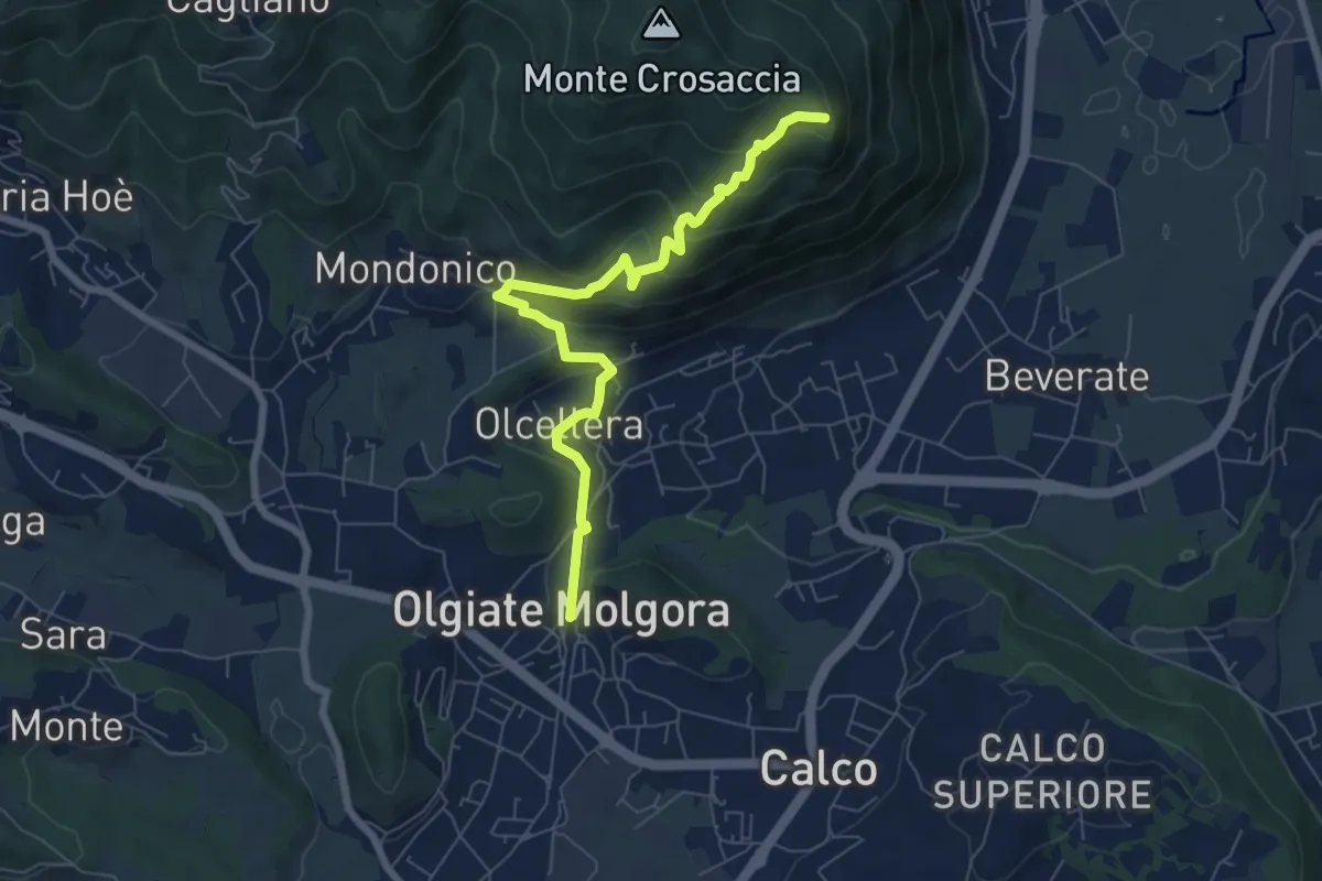
Medium · Trail
Olgiate Molgora (FS) – Crosaccia
7.3 km · ↑ 425 m · 2 h 39 min · 4 km away
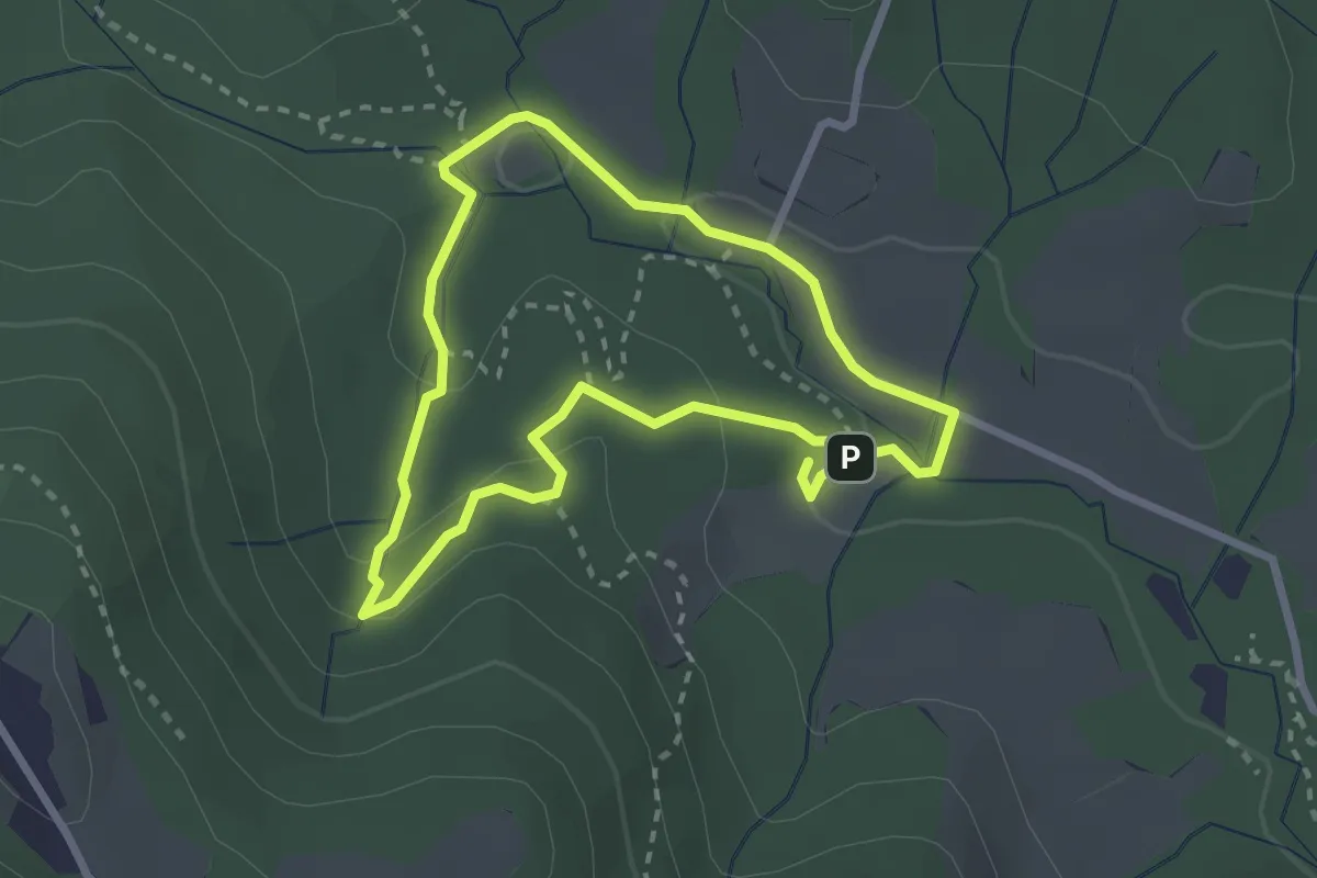
Easy · Trail
Percorso delle sorgenti petrificanti
2.5 km · ↑ 73 m · 46 min · 4 km away
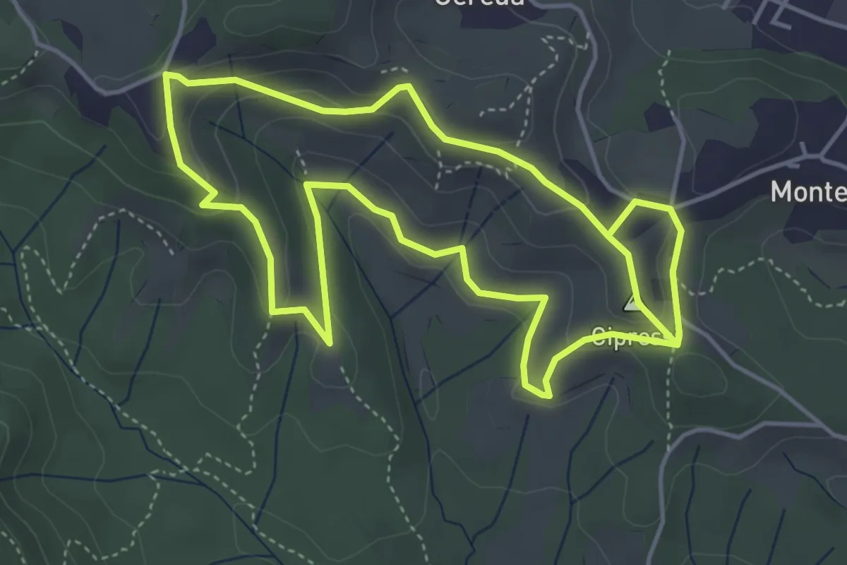
Easy · Summit
Percorso dei prati magri
4.5 km · ↑ 154 m · 1 h 28 min · 4 km away
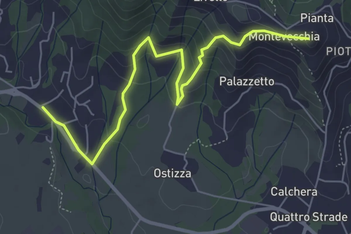
Medium · Summit
Lomaniga – Beolco
5.8 km · ↑ 304 m · 2 h 2 min · 5 km away
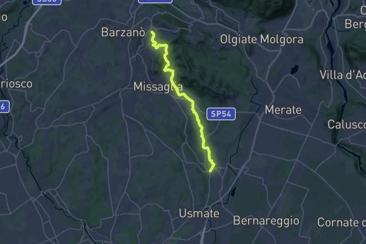
Demanding · Trail
Sirtori – Lomagna
20.3 km · ↑ 429 m · 5 h 43 min · 5 km away
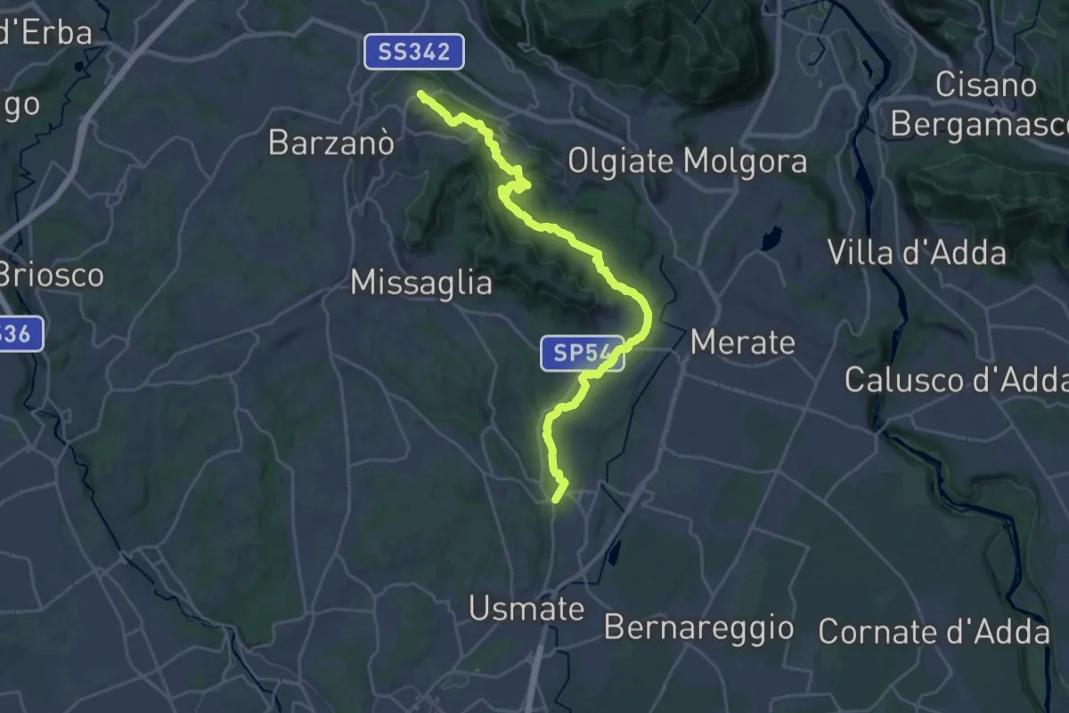
Demanding · Trail
Ceregallo – Lomagna
27.3 km · ↑ 443 m · 7 h 24 min · 5 km away
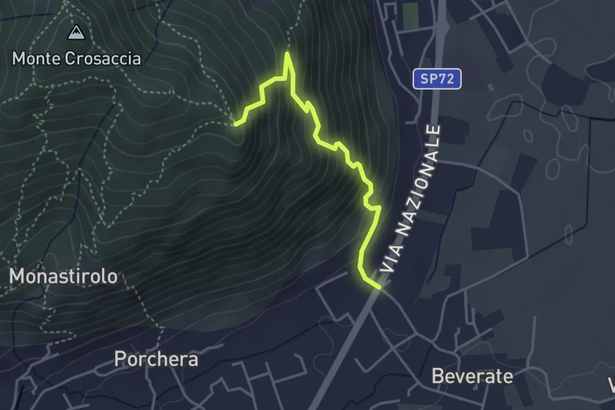
Medium · Trail
Beverate – Crosaccia
3.3 km · ↑ 384 m · 1 h 37 min · 5 km away
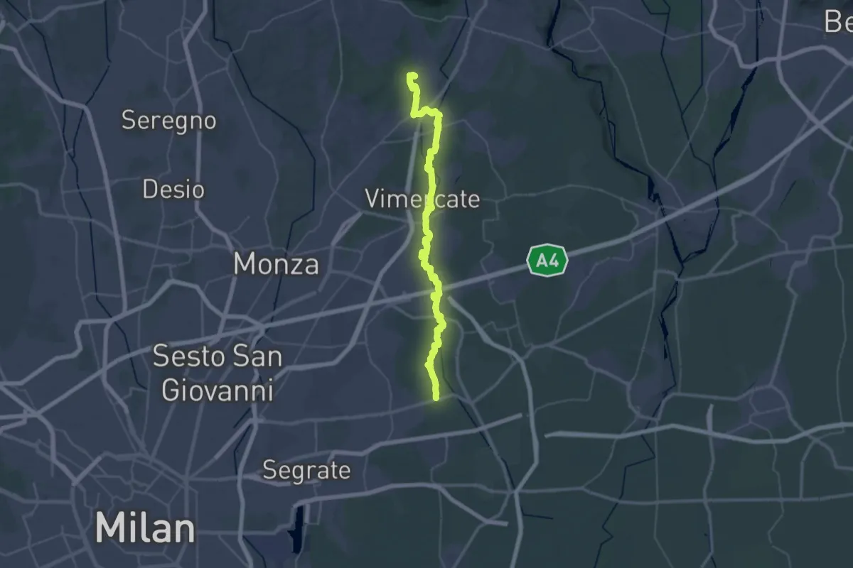
Demanding · Trail
Bussero (Cascina Gogna) – Lomagna (Fornace)
23.1 km · ↑ 53 m · 5 h 56 min · 5 km away
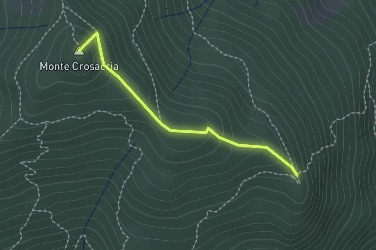
Easy · Summit
Crosaccia – Campsirago
1.7 km · ↑ 100 m · 37 min · 5 km away
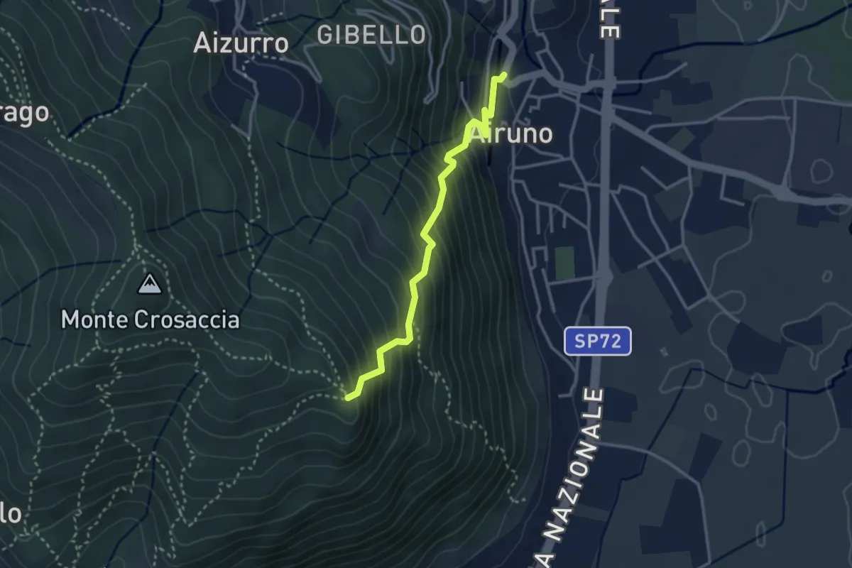
Medium · Trail
Airuno (FS) – Crosaccia
2.9 km · ↑ 356 m · 1 h 27 min · 5 km away
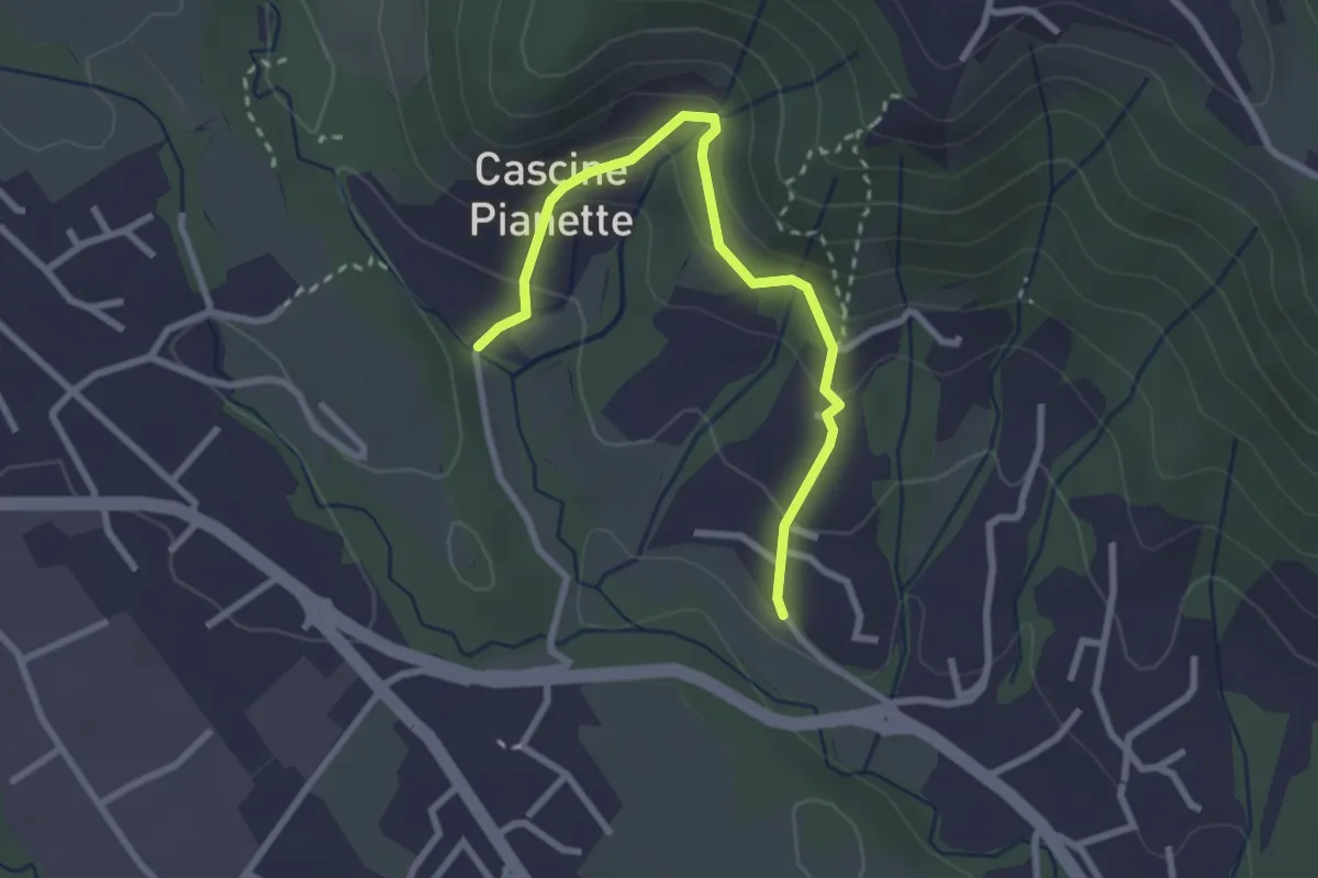
Easy · Trail
Cascina Oliva – Cascina Pianetta Prima
2.8 km · ↑ 163 m · 1 h 1 min · 5 km away
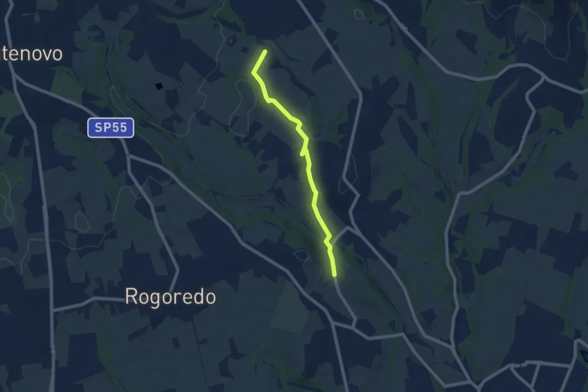
Easy · Trail
Campù Inferiore – Valaperta
5.1 km · ↑ 37 m · 1 h 17 min · 6 km away
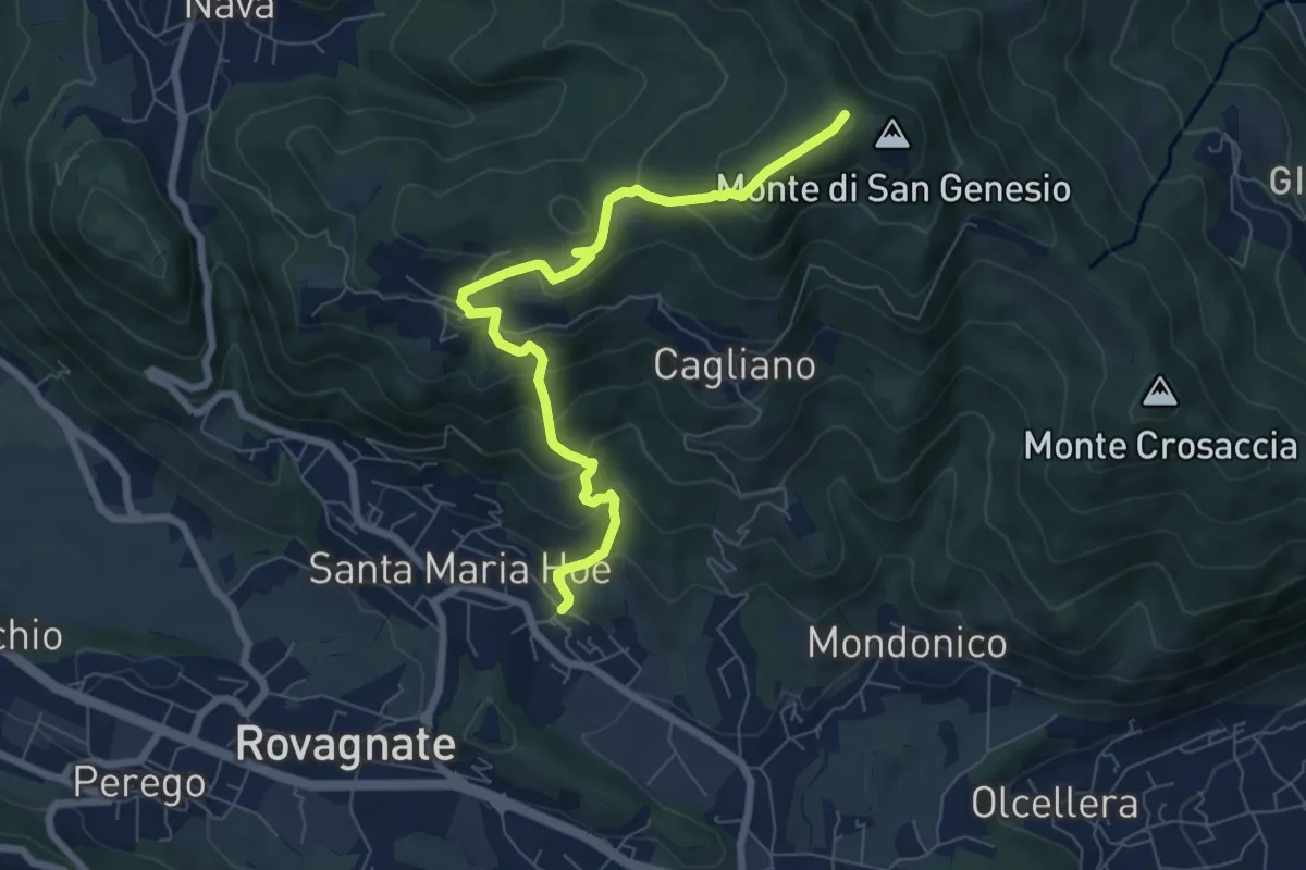
Medium · Summit
Tremonte – Monte di San Genesio
7.4 km · ↑ 475 m · 2 h 47 min · 6 km away
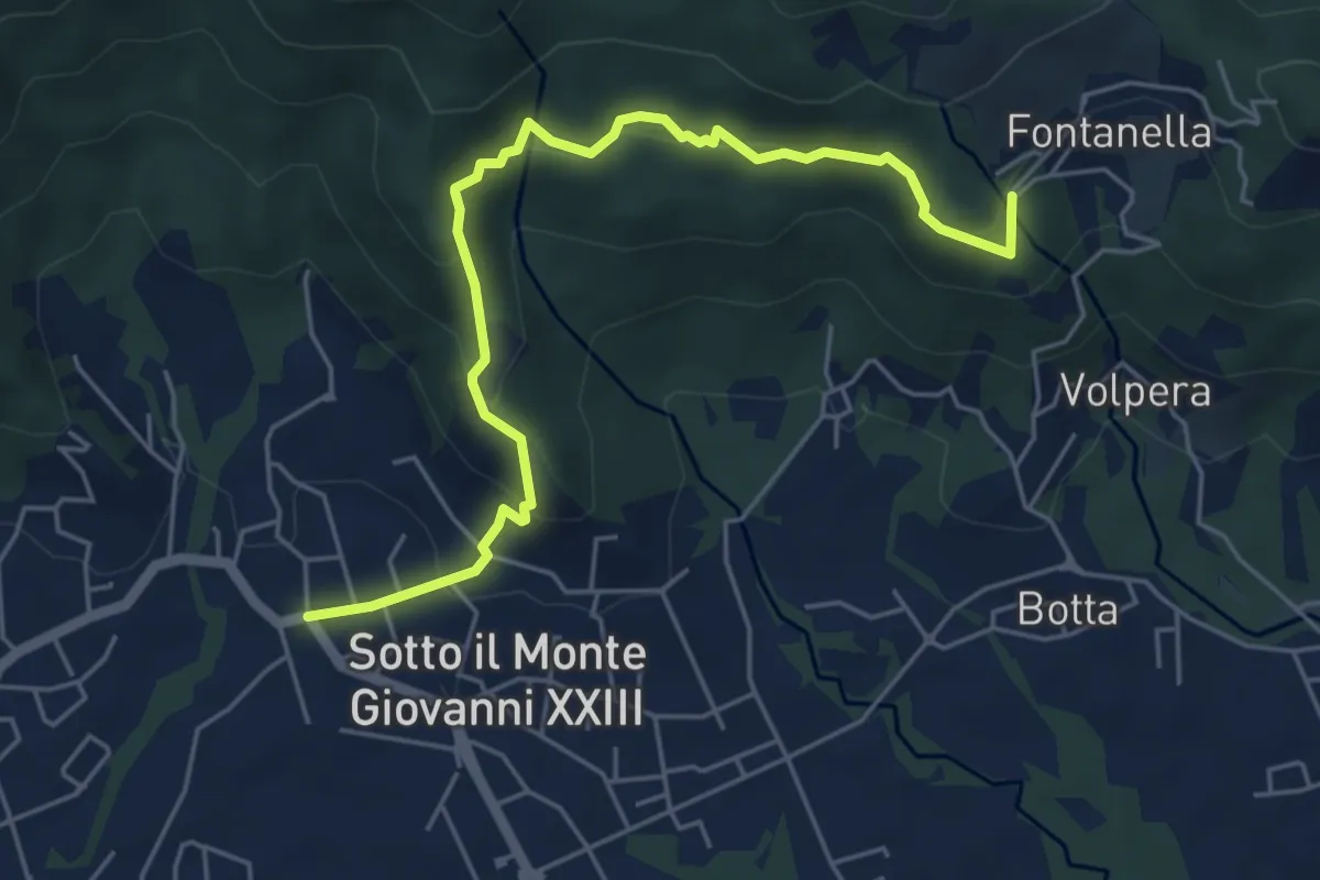
Easy · Trail
Sotto il Monte – Fontanella (incrocio 892)
5.8 km · ↑ 311 m · 2 h 3 min · 6 km away
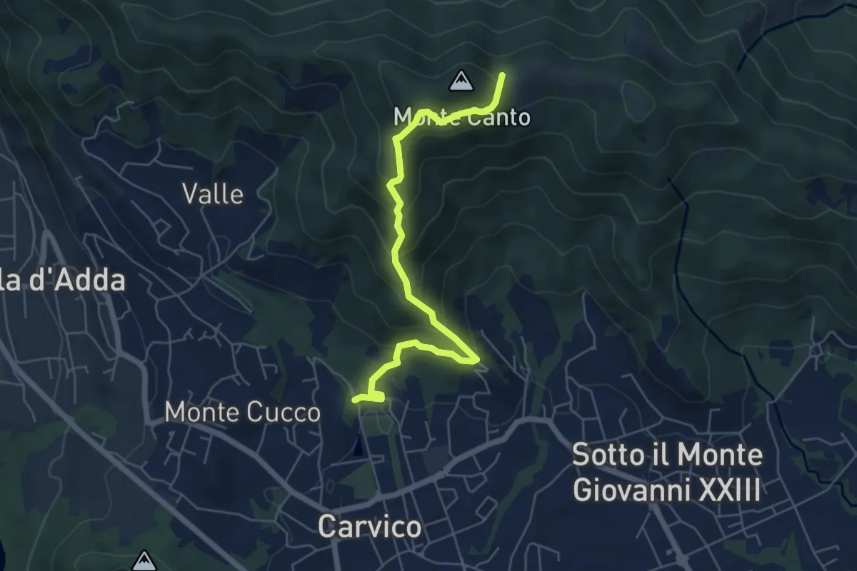
Medium · Trail
Carvico – Il Canto (incrocio 891)
5.7 km · ↑ 438 m · 2 h 18 min · 6 km away
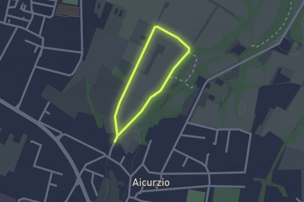
Easy · Trail
Percorso n° 8
1.2 km · ↑ 4 m · 19 min · 6 km away
Easy · Trail
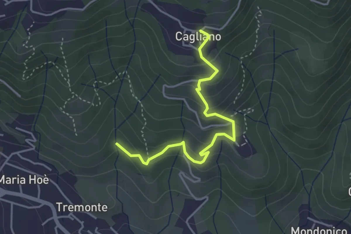
Ponte del Bordeà – Cagliano
3.6 km · ↑ 253 m · 1 h 25 min · 6 km away
Medium · Summit
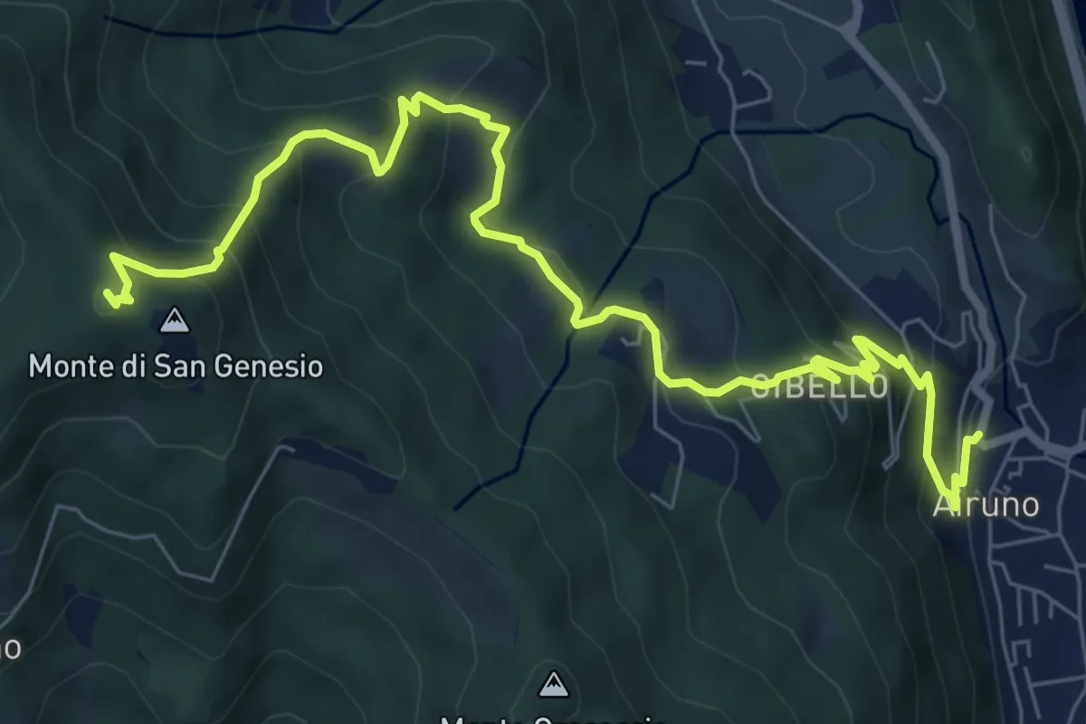
Airuno (FS) – Monte di San Genesio
9.2 km · ↑ 619 m · 3 h 31 min · 6 km away
Medium · Trail
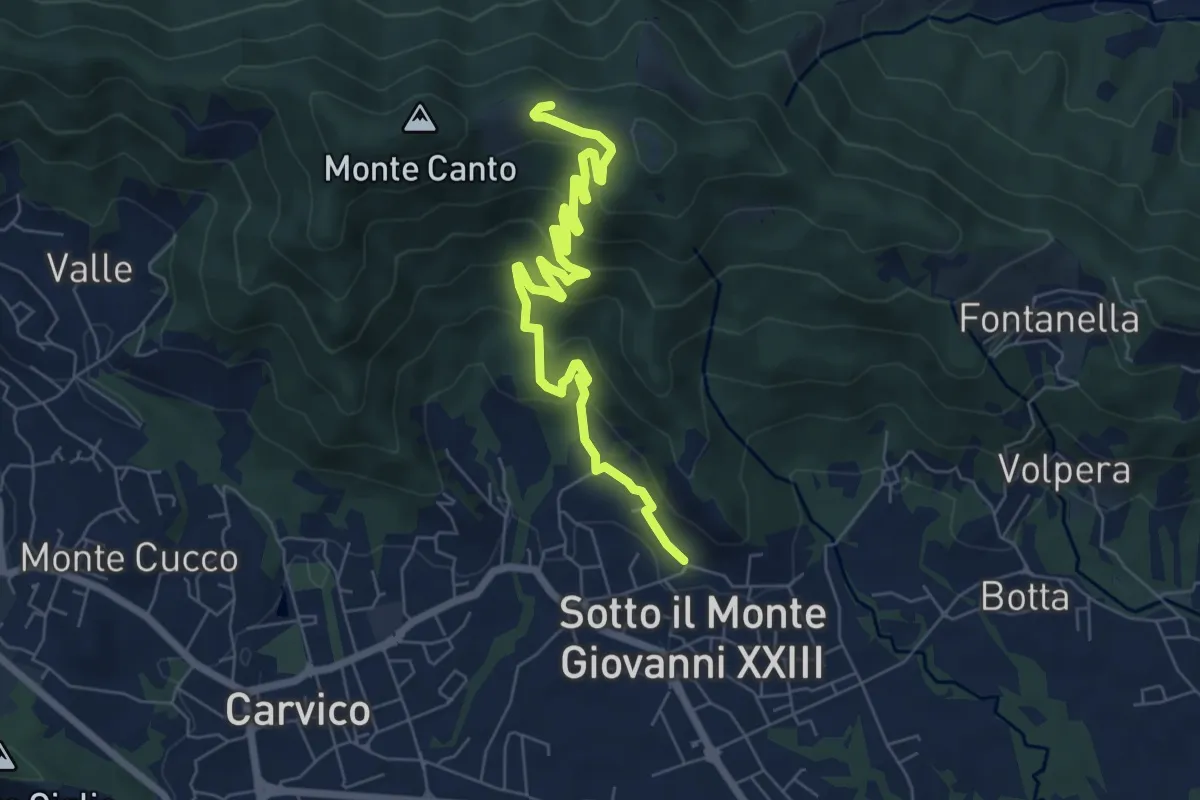
Sotto il Monte – Monte Canto (incrocio 891)
7.8 km · ↑ 458 m · 2 h 50 min · 6 km away
Medium · Summit
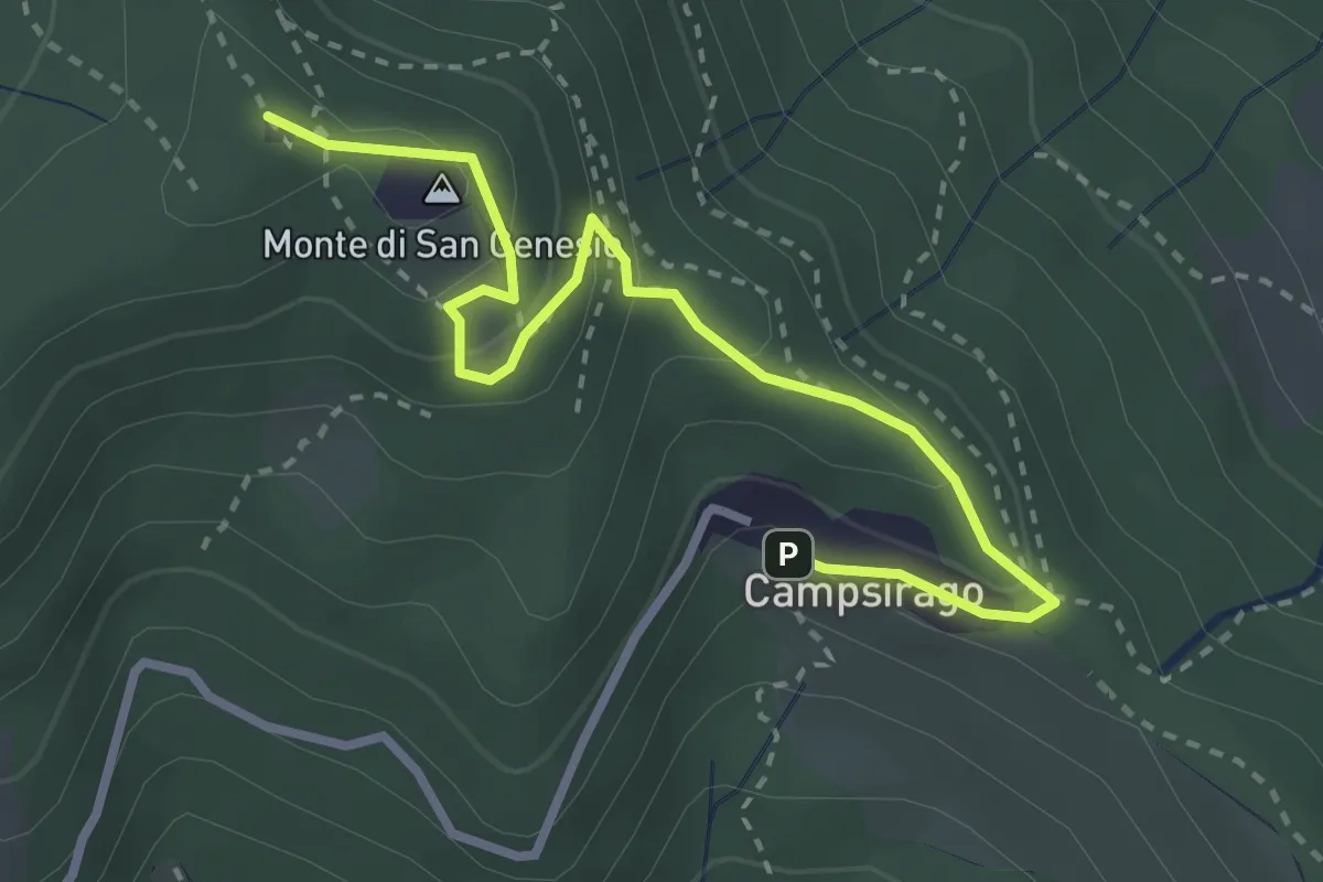
Il Sentiero di Giano
3.4 km · ↑ 182 m · 1 h 11 min · 7 km away
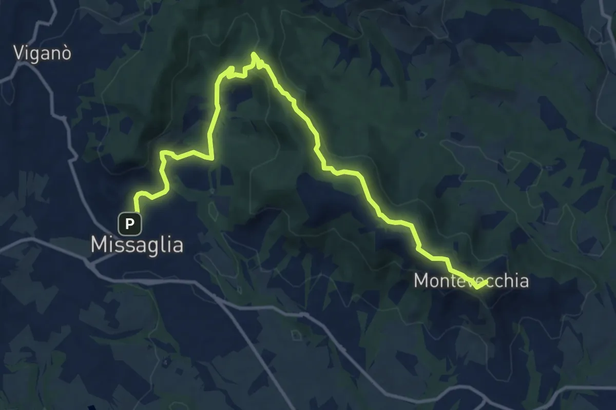
Medium · Summit
Montevecchia – Missaglia
12.8 km · ↑ 341 m · 3 h 45 min · 7 km away
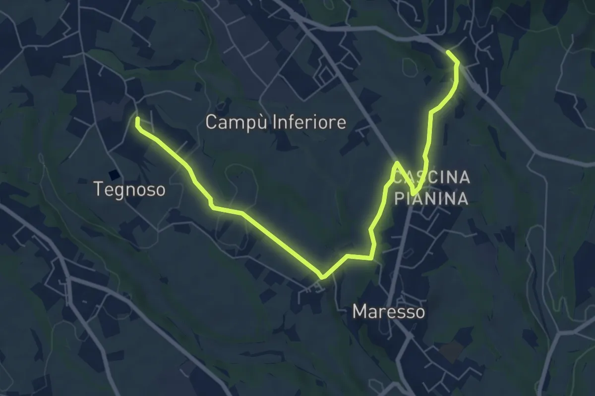
Easy · Trail
Contra – Lomaniga
7.8 km · ↑ 117 m · 2 h 5 min · 7 km away
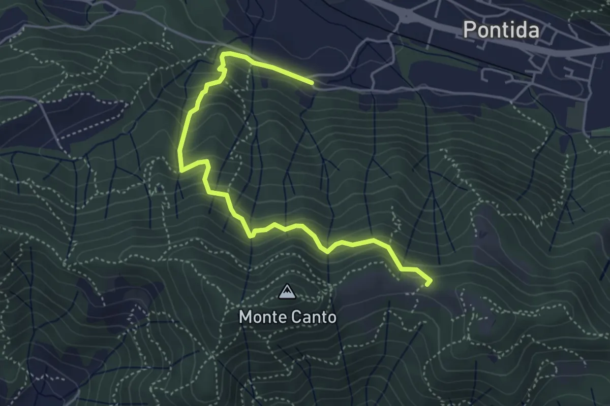
Medium · Trail
Pontida (Santuario San Giuseppe) – Il Canto (incrocio 897)
4.9 km · ↑ 429 m · 2 h 5 min · 7 km away
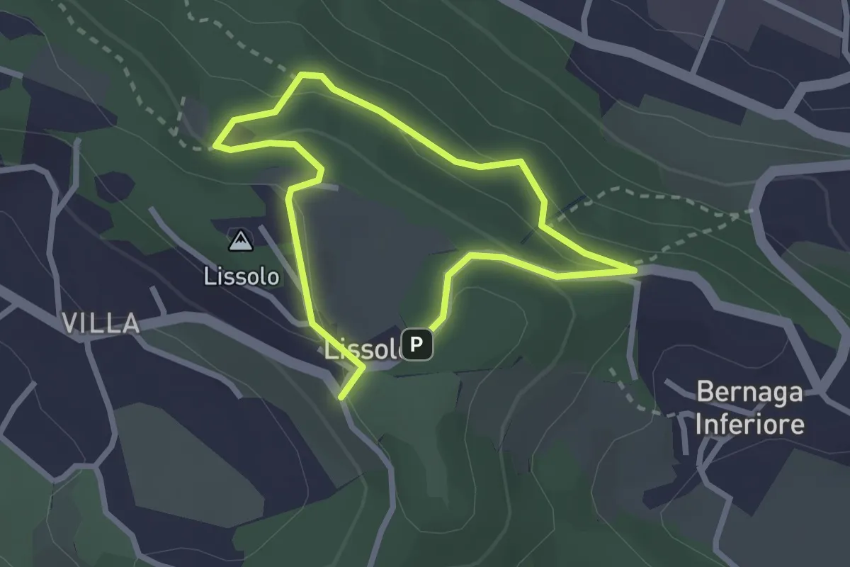
Easy · Summit
Sentiero dei Proverbi
2.0 km · ↑ 74 m · 39 min · 7 km away
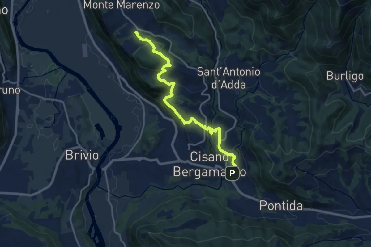
Medium · Trail
Costa (Monte Marenzo) – Cava (Caprino Bergamasco)
11.9 km · ↑ 462 m · 3 h 48 min · 7 km away
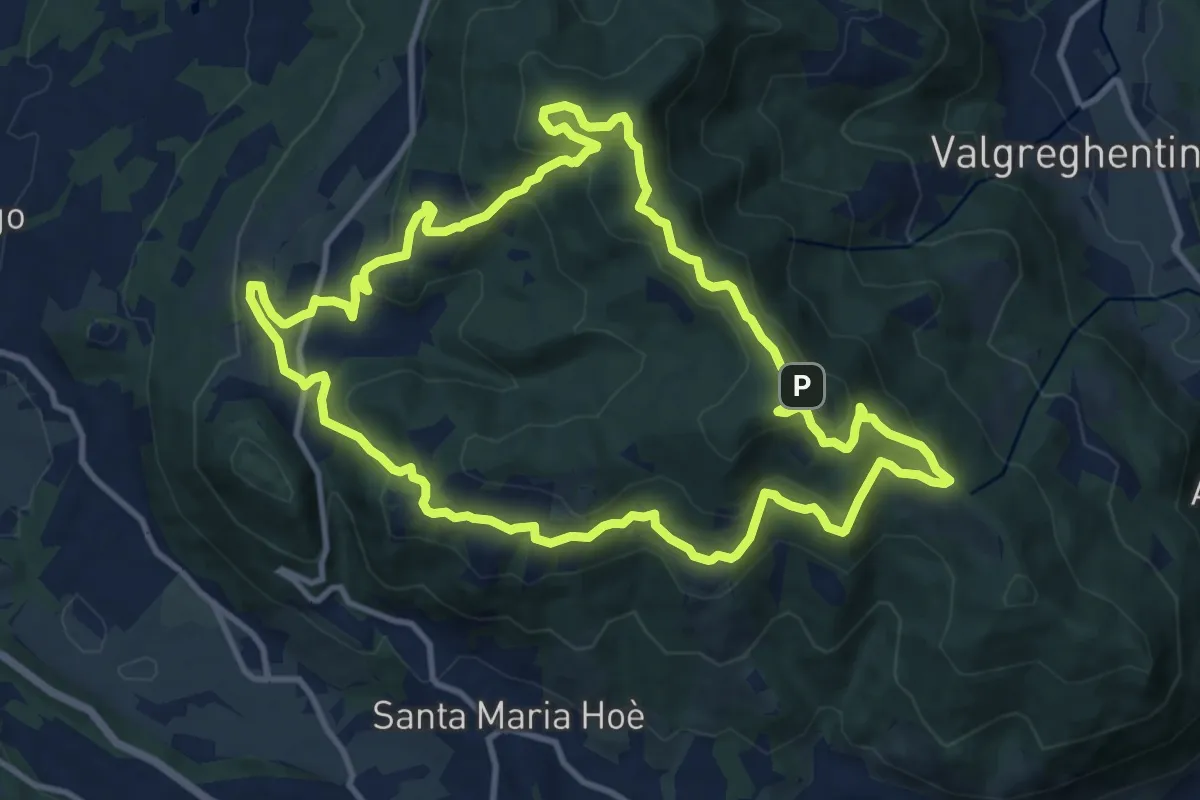
Medium · Summit
Percorso geologico naturalistico
12.1 km · ↑ 534 m · 4 h 12 min · 7 km away
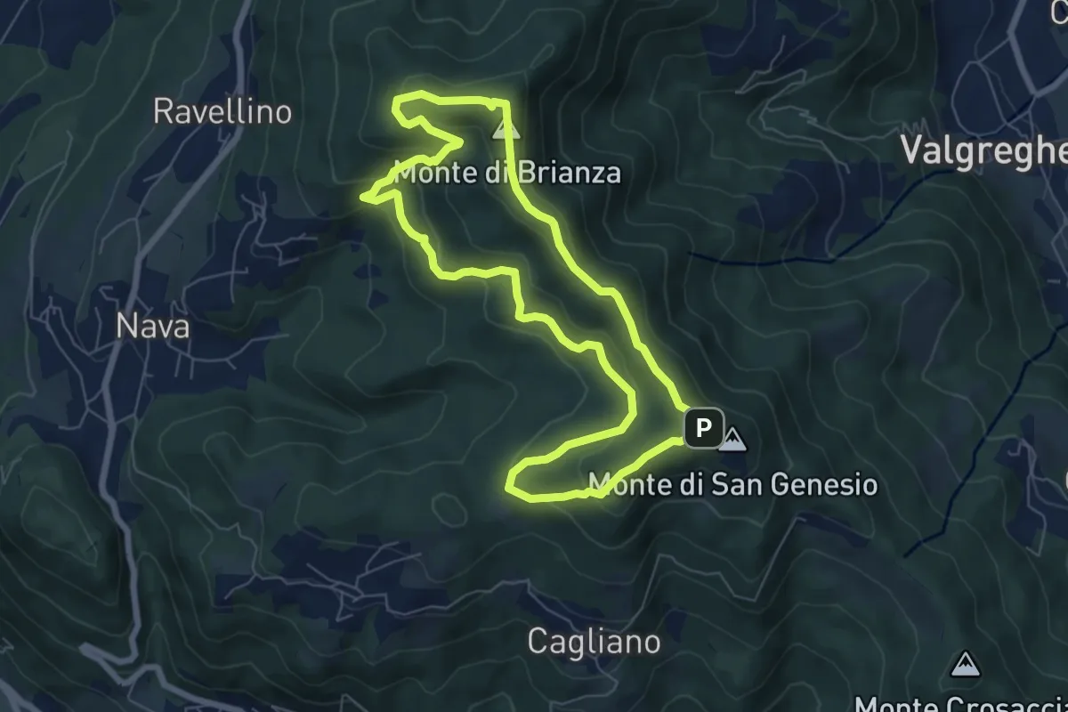
Medium · Summit
Sentiero Clorofillati!
6.5 km · ↑ 317 m · 2 h 19 min · 7 km away
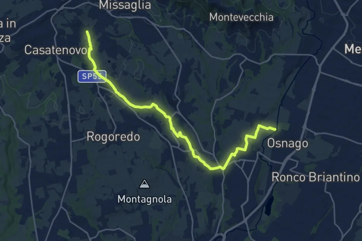
Medium · Trail
Osnago – Misericordia
17.0 km · ↑ 173 m · 4 h 24 min · 7 km away
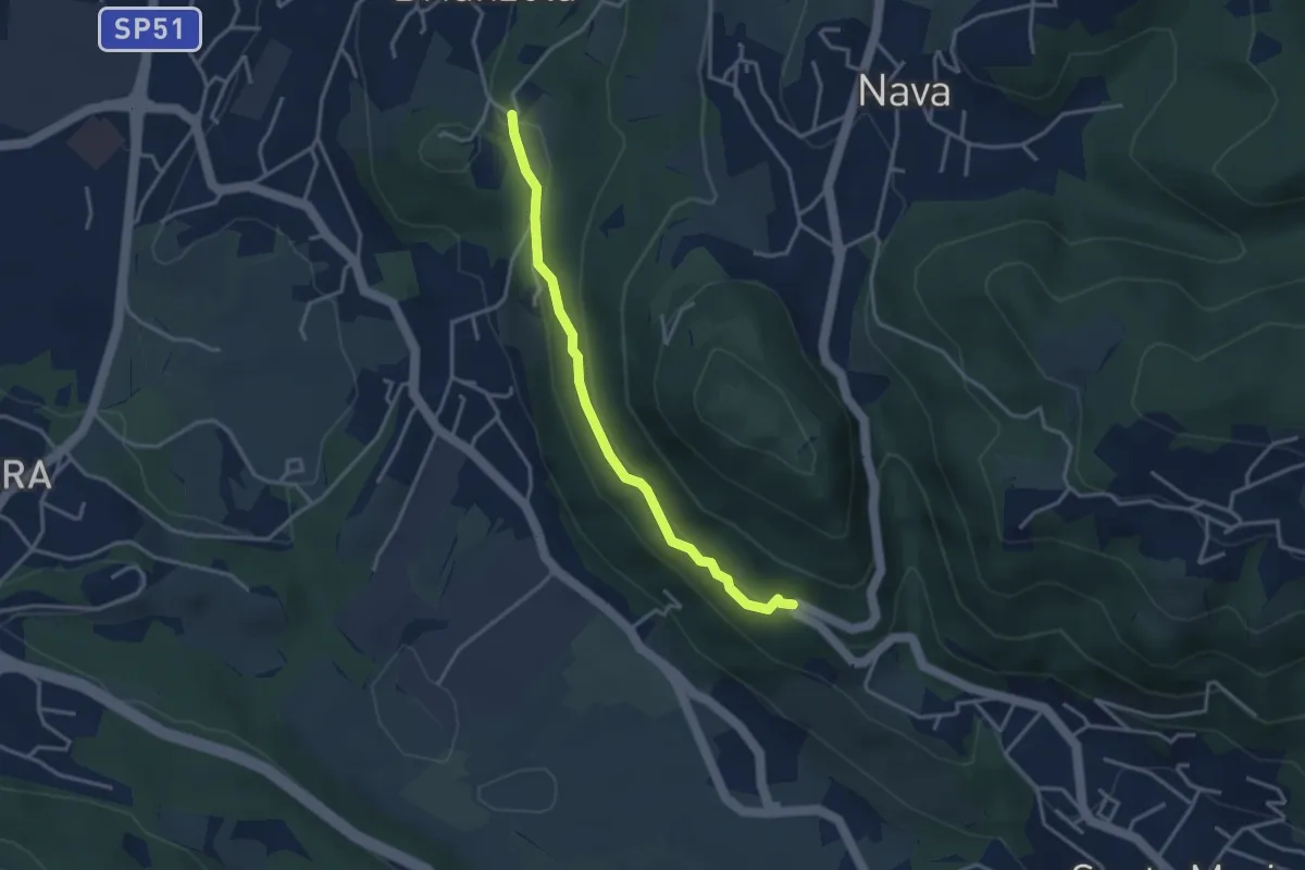
Easy · Trail
Brianzola – Ceppetto
3.3 km · ↑ 108 m · 1 h 1 min · 7 km away
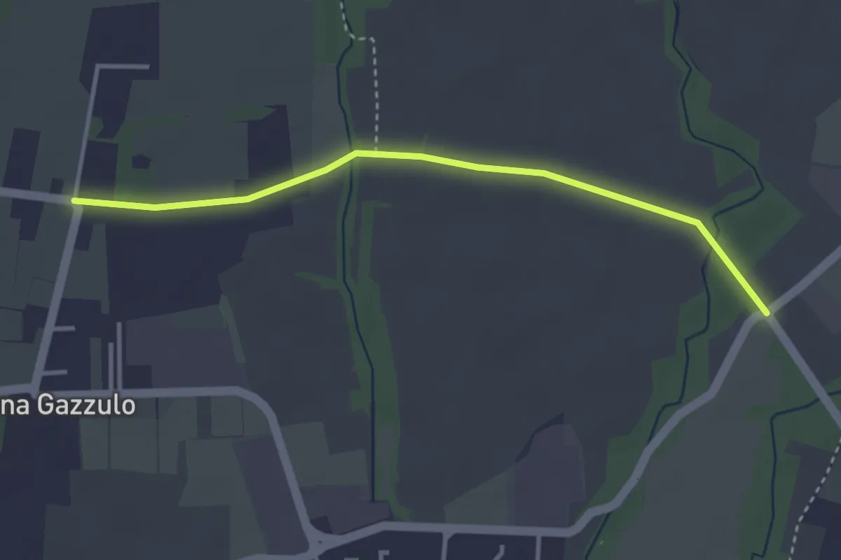
Easy · Trail
Percorso n° 6
3.4 km · ↑ 5 m · 49 min · 7 km away
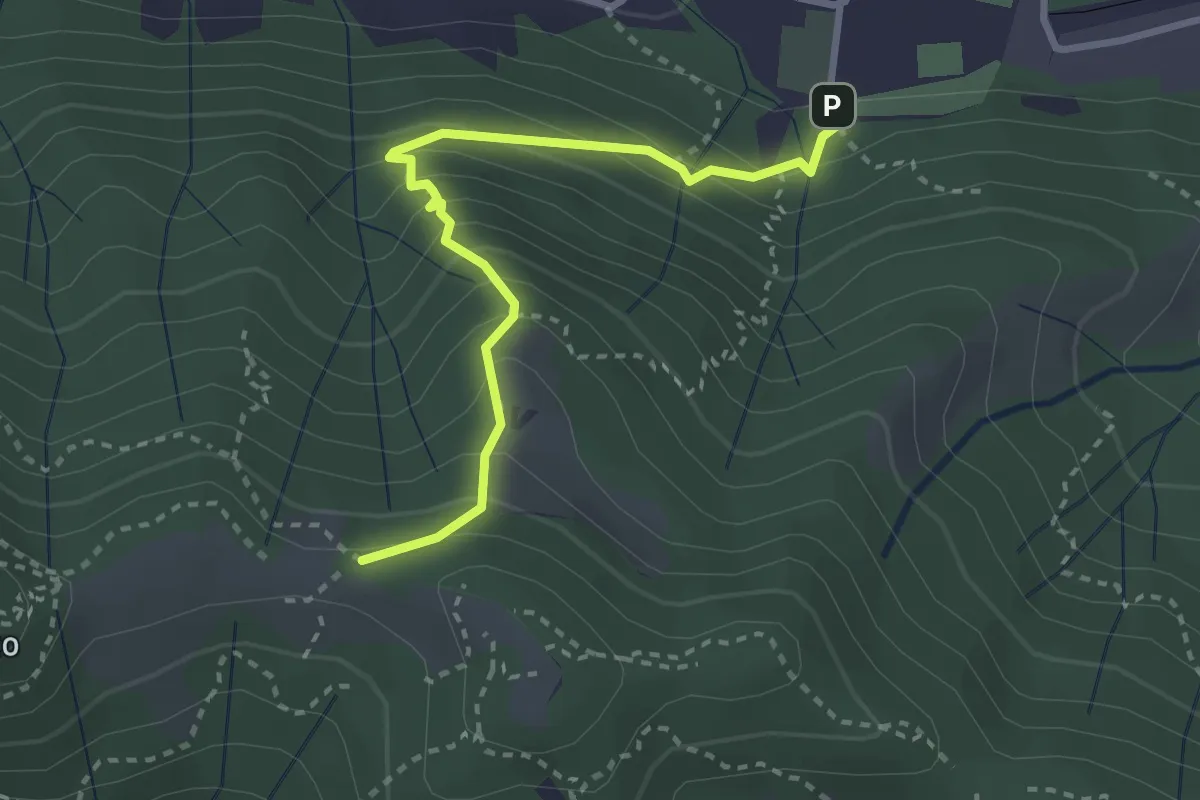
Medium · Trail
Pontida – Il Canto (incrocio 891)
3.1 km · ↑ 308 m · 1 h 23 min · 7 km away
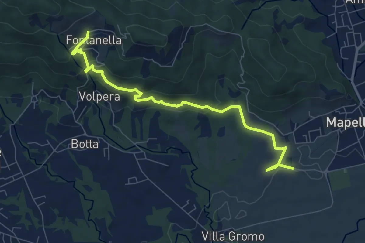
Medium · Trail
Madonna di Prada – Fontanella (Sotto il Monte)
7.5 km · ↑ 231 m · 2 h 17 min · 8 km away
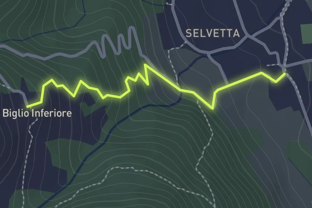
Easy · Trail
Valgreghentino – Biglio Inferiore
2.3 km · ↑ 184 m · 57 min · 8 km away
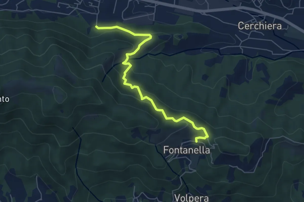
Medium · Trail
Pontida – Fontanella
5.9 km · ↑ 347 m · 2 h 8 min · 8 km away
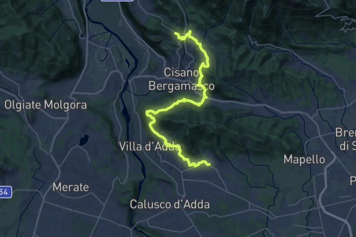
Medium · Trail
Sentiero Papa Giovanni XXIII
13.8 km · ↑ 408 m · 4 h 24 min · 8 km away
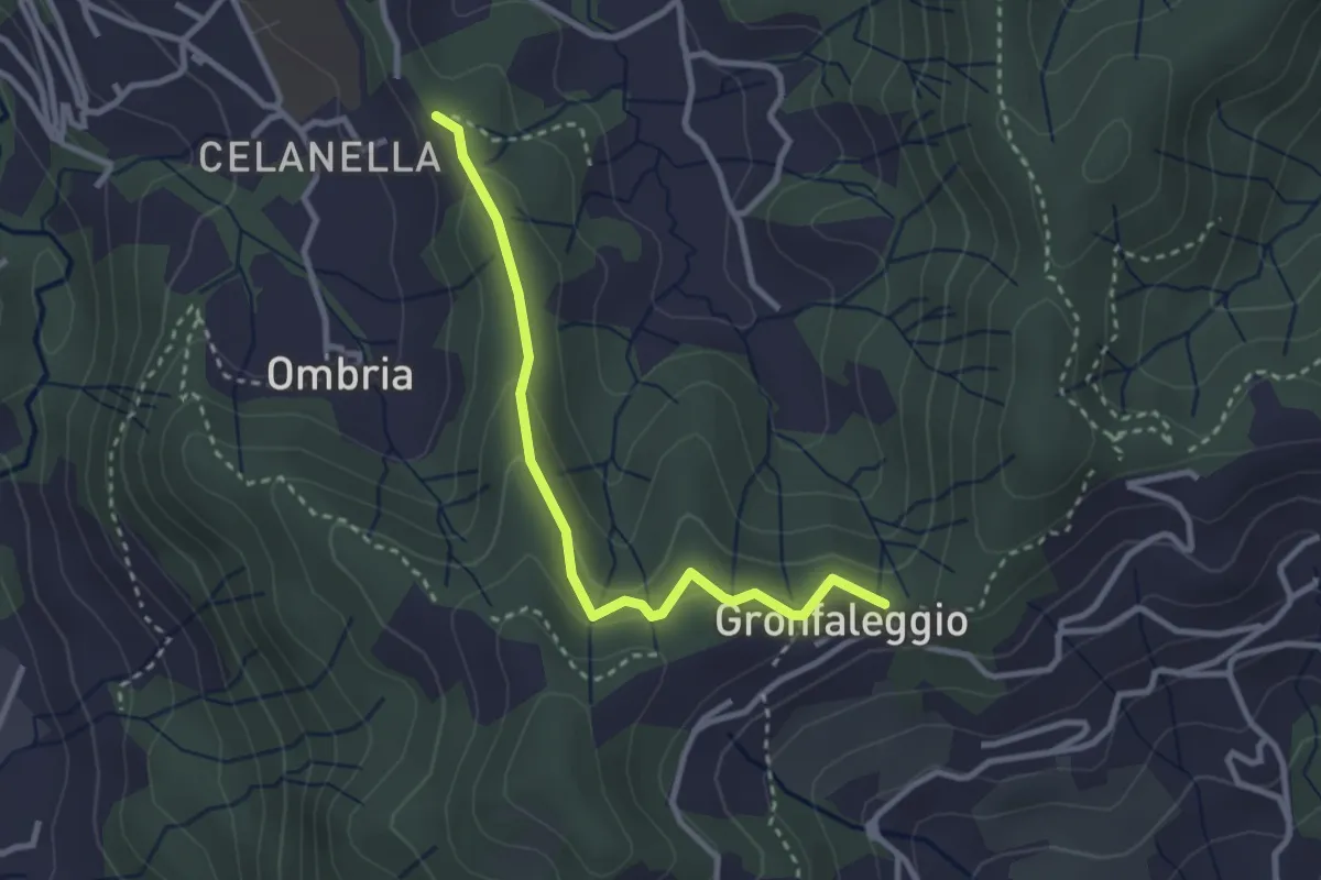
Easy · Trail
Celana – Gronfaleggio
2.9 km · ↑ 126 m · 58 min · 8 km away
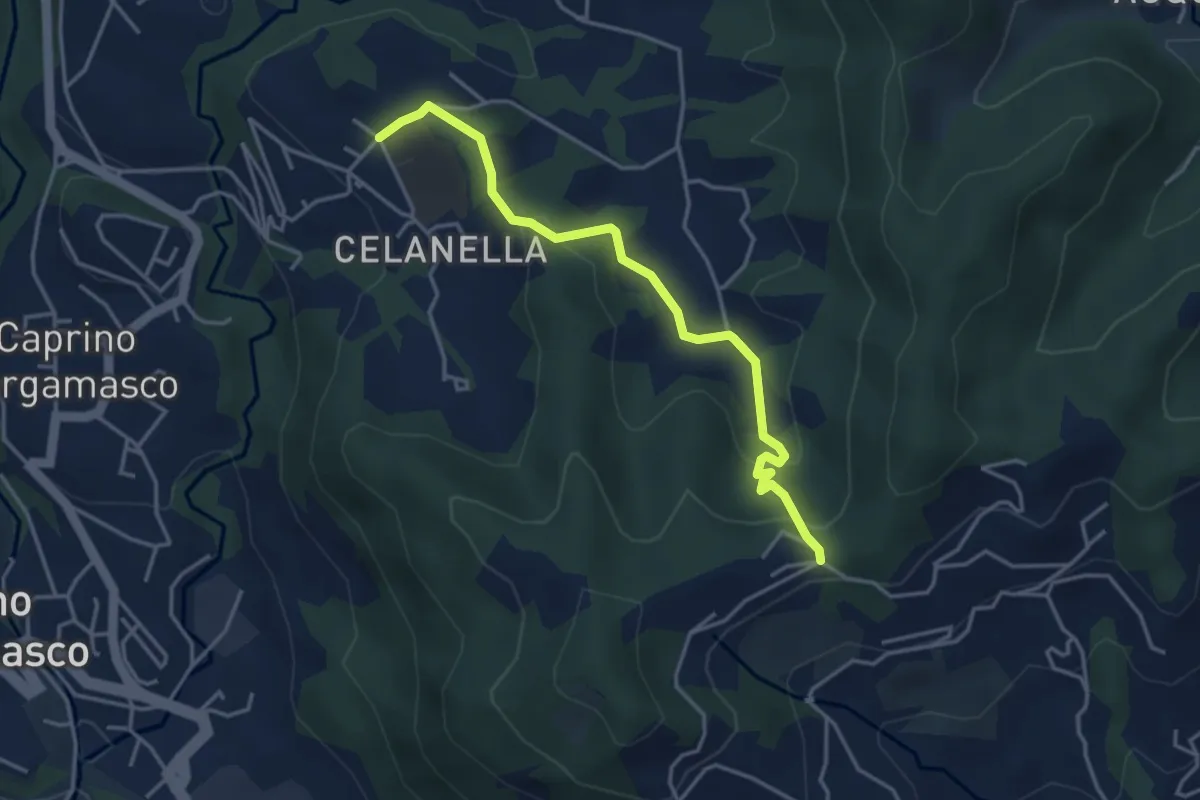
Easy · Trail
Gronfaleggio – Celana
4.0 km · ↑ 148 m · 1 h 16 min · 8 km away
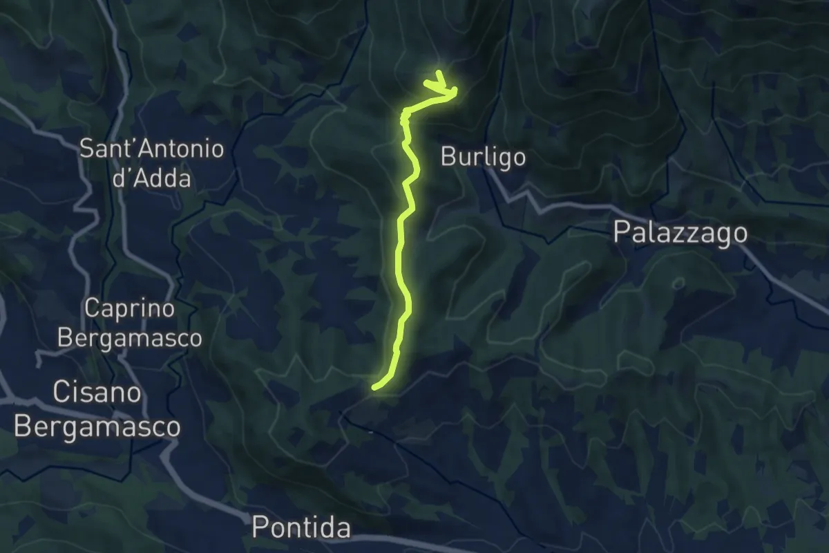
Medium · Summit
Gronfaleggio – Col Pedrino
6.5 km · ↑ 368 m · 2 h 20 min · 8 km away
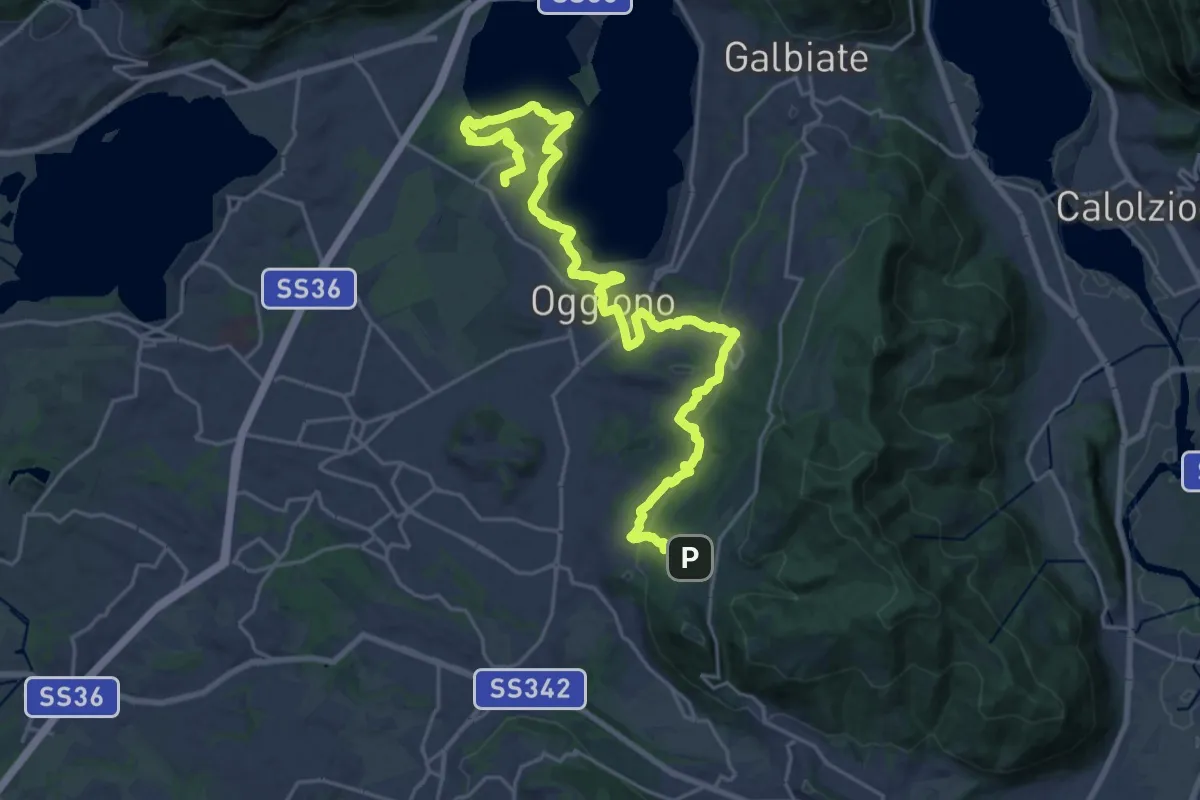
Medium · Trail
Antico Percorso di Fede dell'Alta Brianza
14.0 km · ↑ 200 m · 4 h 4 min · 9 km away
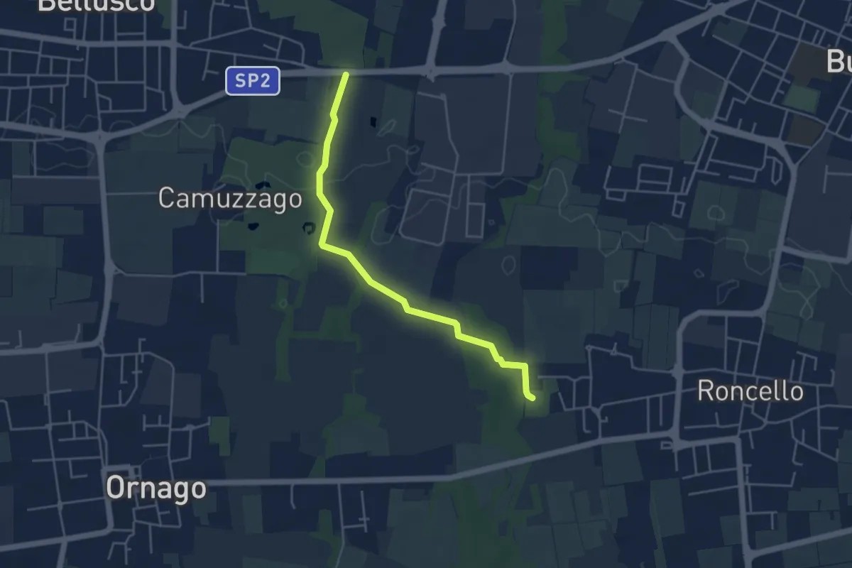
Easy · Trail
Percorso n° 4
4.3 km · ↑ 14 m · 1 h 3 min · 9 km away