Trails near Merate
104 hikes starting within 15 km, nearest first.
Nearest first, page 2 of 3
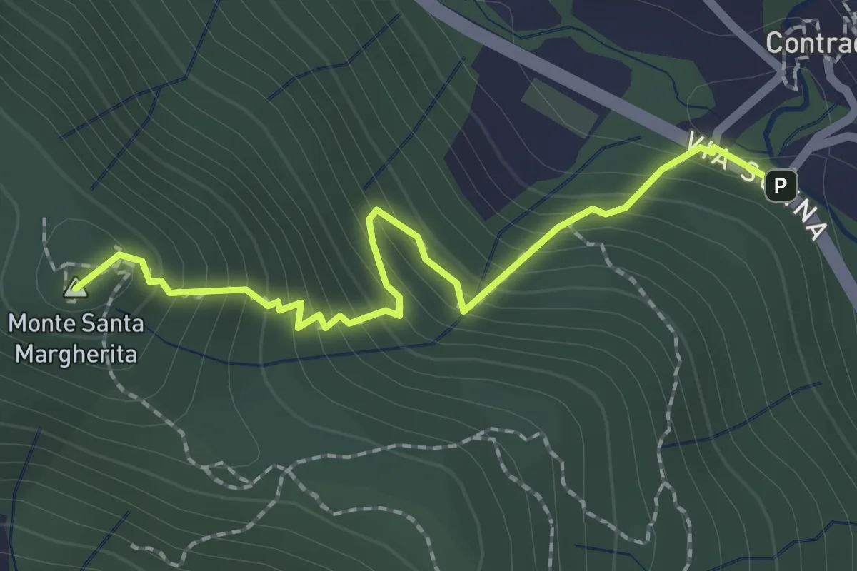
Medium · Summit
Contrada (Torre de' Busi) – S. Margherita (Monte Marenzo)
2.2 km · ↑ 259 m · 1 h 5 min · 9 km away
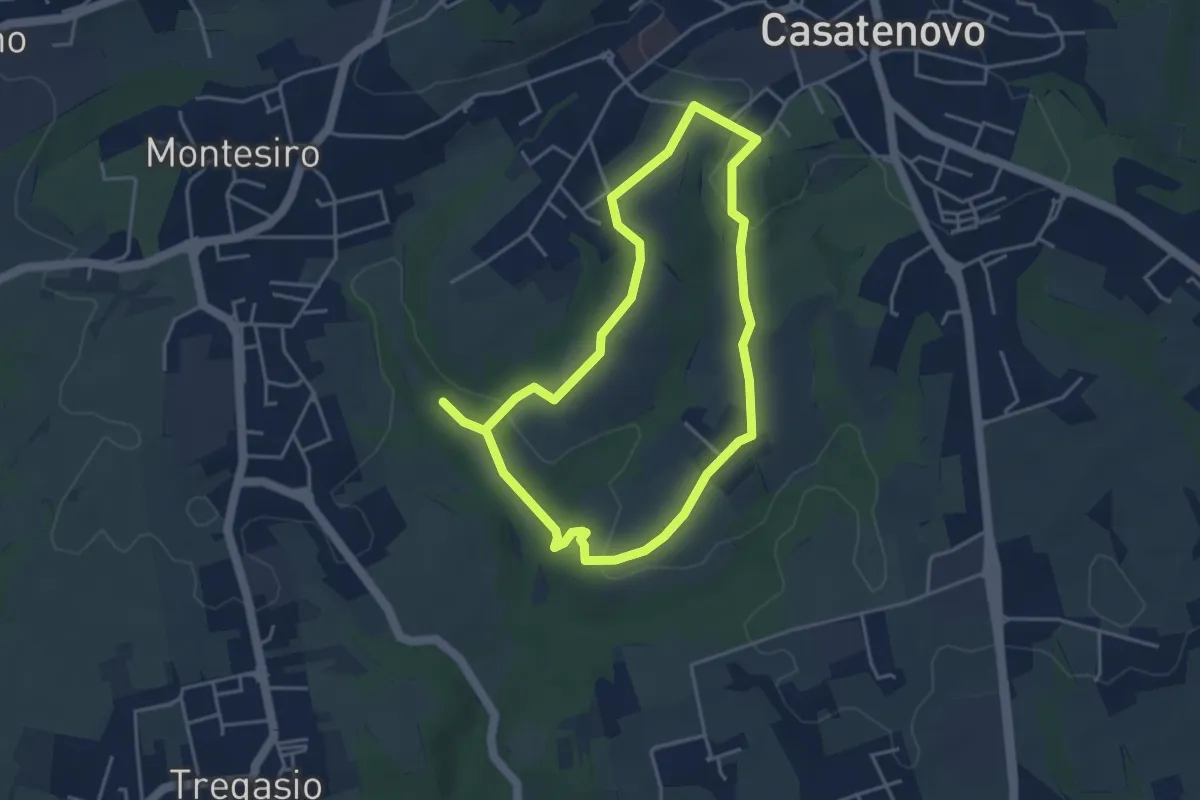
Easy · Trail
A Casatenovo tra ricchi e poveri
3.8 km · ↑ 74 m · 1 h 6 min · 9 km away
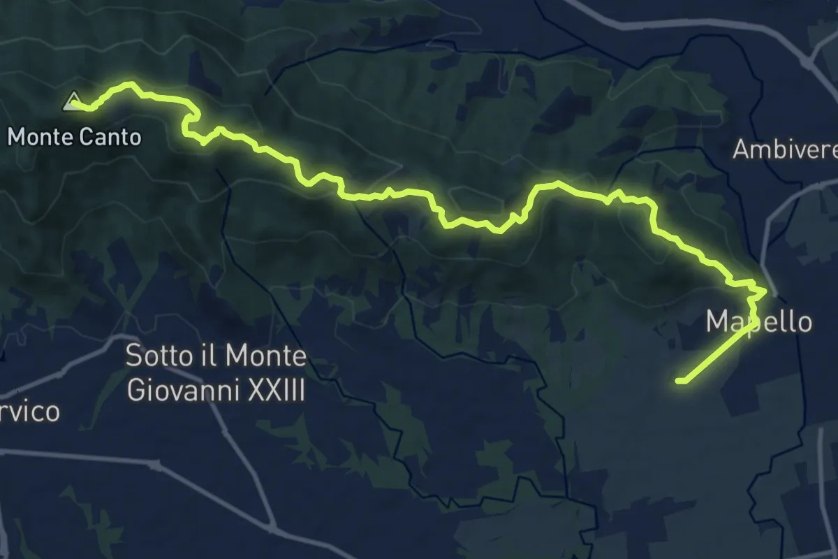
Medium · Summit
Mapello – Villa d'Adda (traghetto)
15.0 km · ↑ 666 m · 4 h 59 min · 10 km away
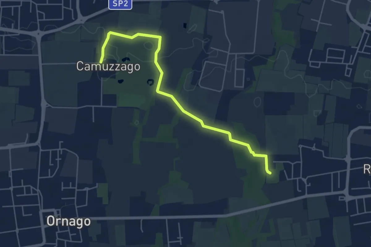
Easy · Trail
Sentiero delle Brughiere
5.1 km · ↑ 9 m · 1 h 14 min · 10 km away
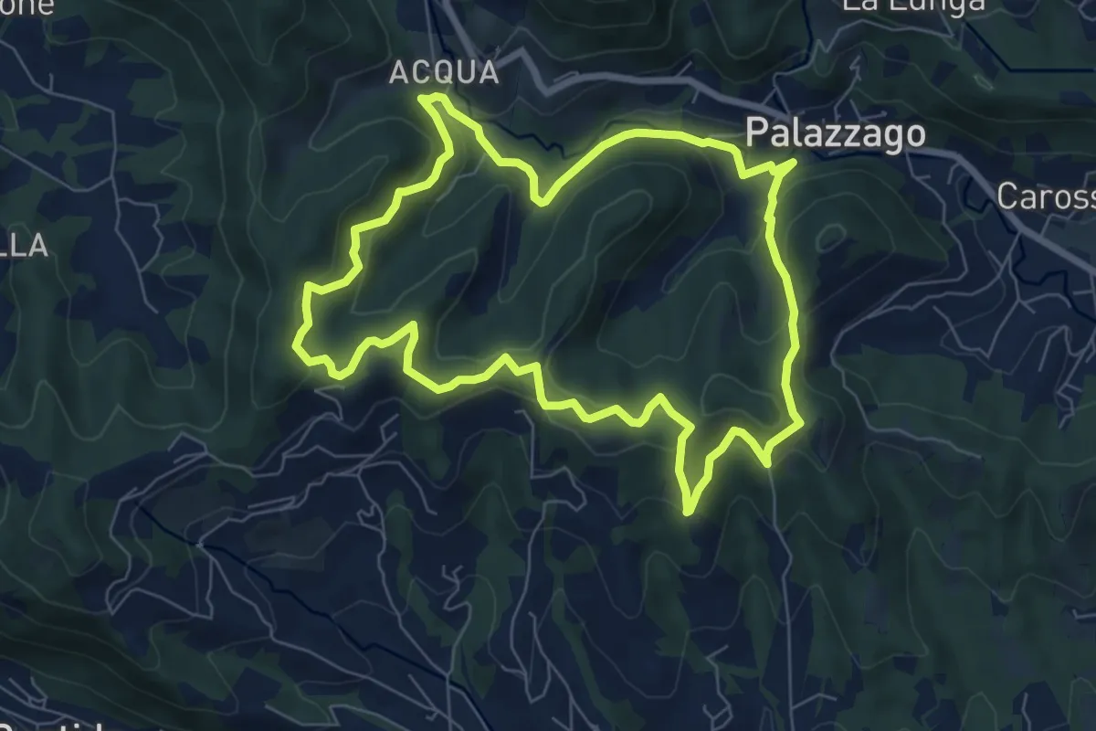
Medium · Summit
Percorso dei Pradéi
7.3 km · ↑ 344 m · 2 h 34 min · 10 km away
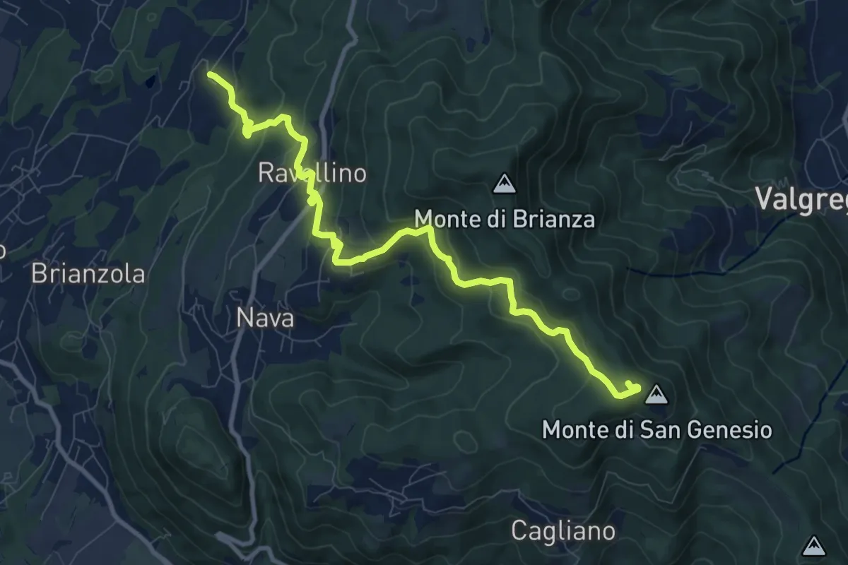
Medium · Summit
Marconaga – Monte di San Genesio
9.9 km · ↑ 516 m · 3 h 28 min · 10 km away
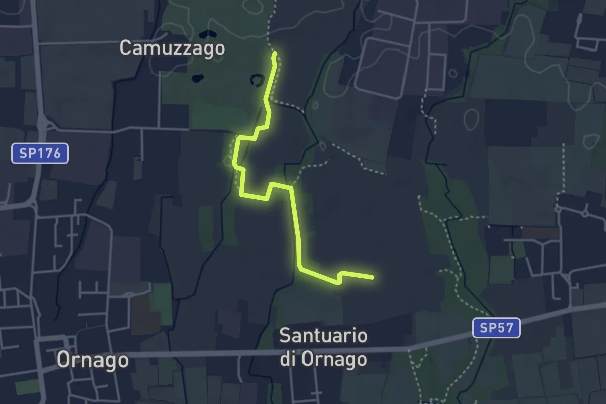
Easy · Trail
Percorso n° 4/A
3.4 km · ↑ 4 m · 49 min · 10 km away
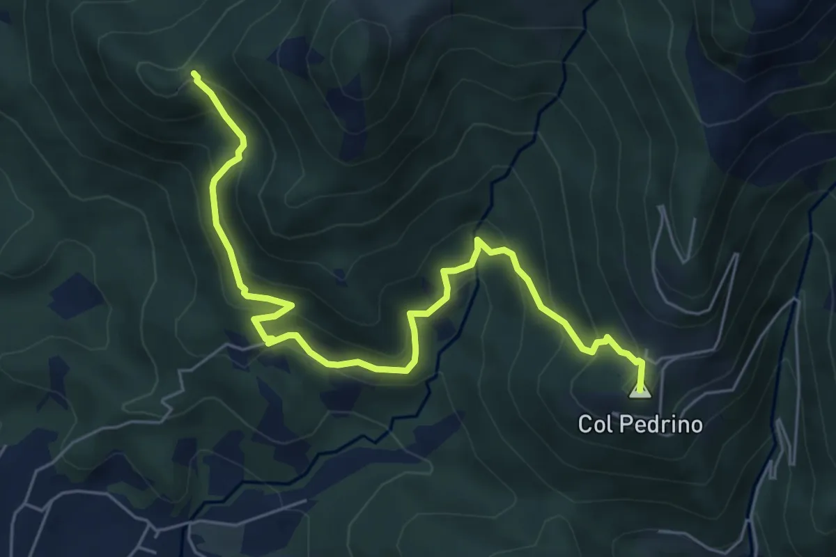
Medium · Summit
Località Foppa – Coldara
6.6 km · ↑ 509 m · 2 h 39 min · 10 km away
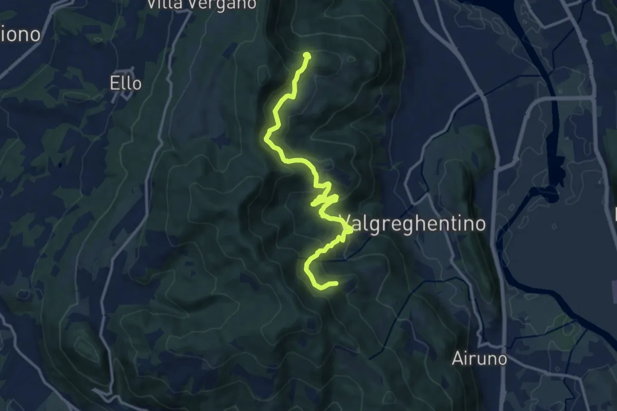
Medium · Trail
Campiano – Consonno
11.0 km · ↑ 534 m · 3 h 45 min · 10 km away
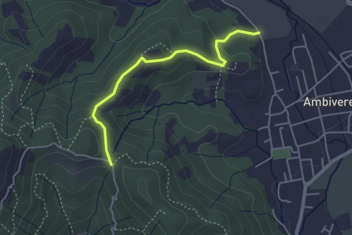
Easy · Trail
Ambivere – Chiesetta dei Cerri (incrocio 891)
3.4 km · ↑ 116 m · 1 h 3 min · 10 km away
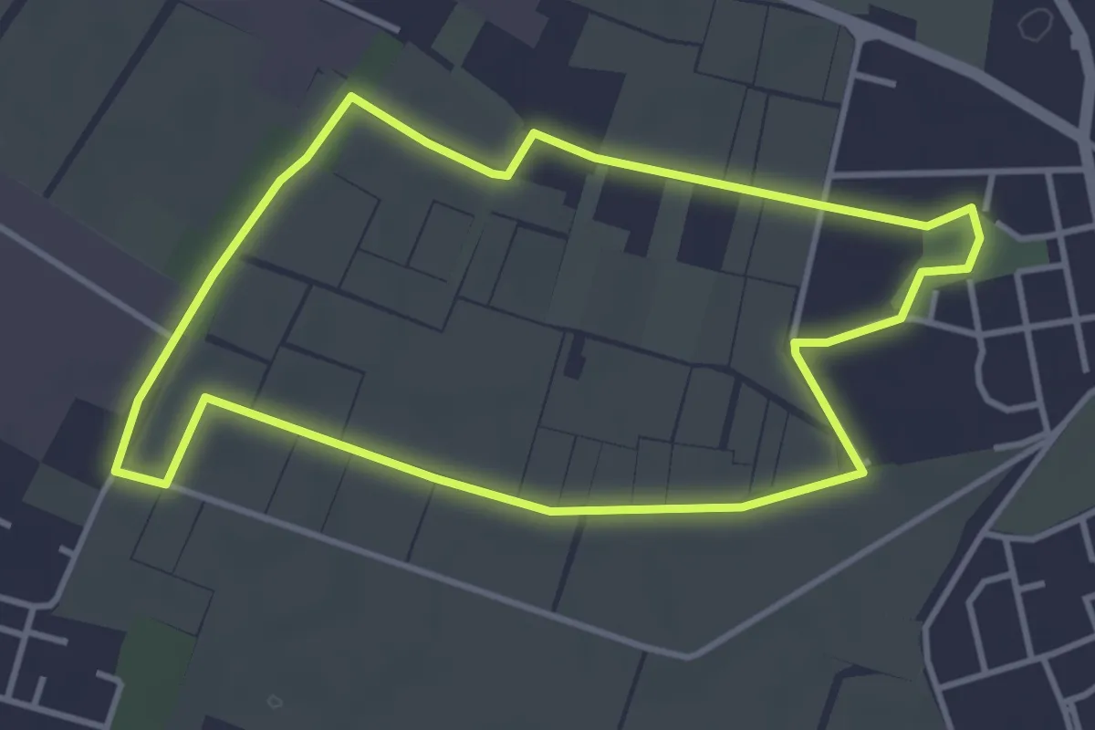
Easy · Trail
Il giro della Cavallera
3.8 km · ↑ 4 m · 58 min · 10 km away
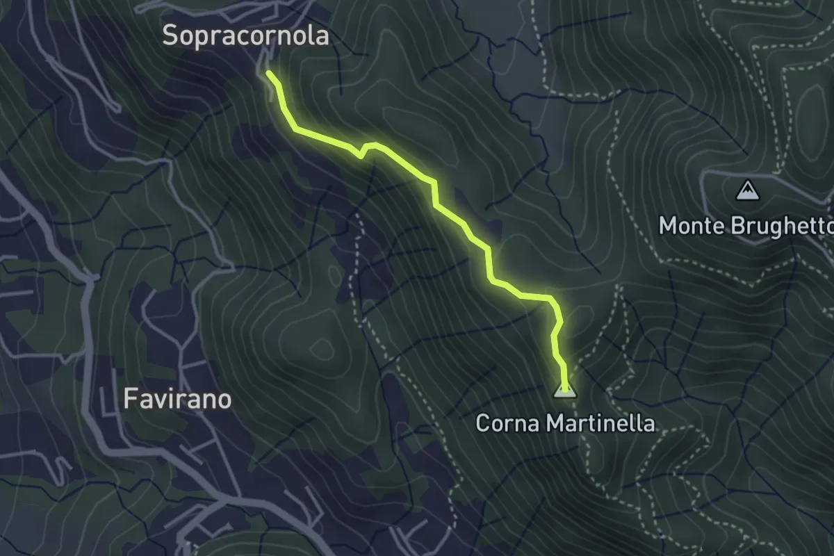
Easy · Summit
Torre de Busi – Sopracornola
2.9 km · ↑ 212 m · 1 h 9 min · 11 km away
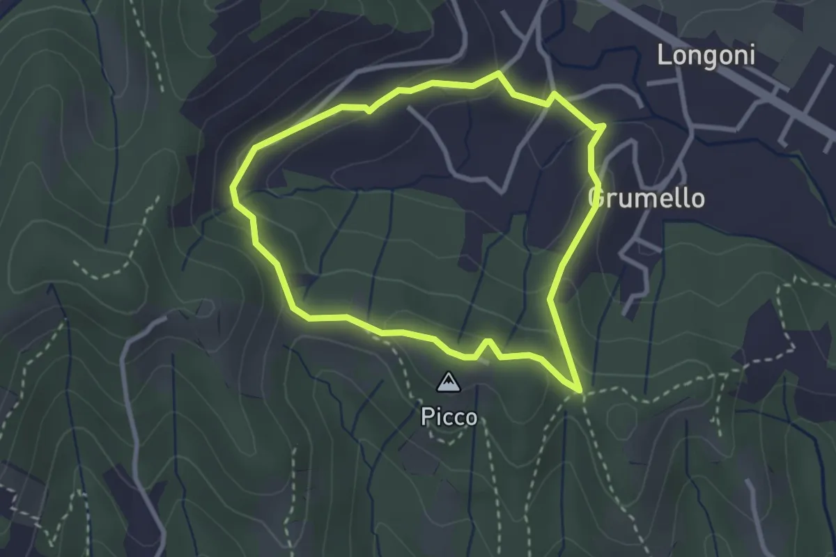
Easy · Summit
I dintorni di Brocchione
2.5 km · ↑ 93 m · 50 min · 11 km away
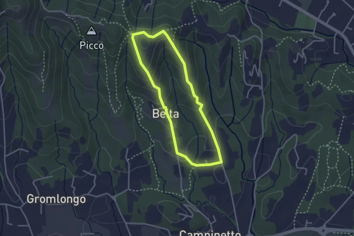
Easy · Summit
Beita - La Vena - Secchia
2.5 km · ↑ 116 m · 53 min · 11 km away
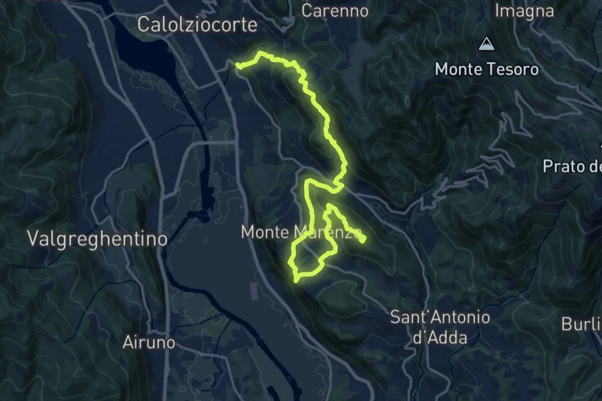
Demanding · Summit
Ponte Serta (Calolziocorte) – Ponte Contrada (Torre de' Busi)
18.8 km · ↑ 982 m · 6 h 34 min · 11 km away
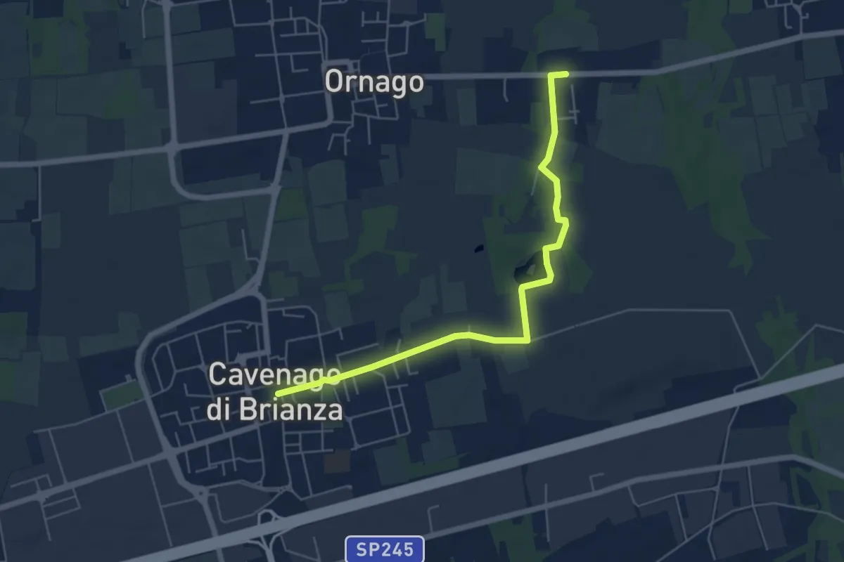
Easy · Trail
Percorso n° 2
5.7 km · ↑ 18 m · 1 h 23 min · 11 km away
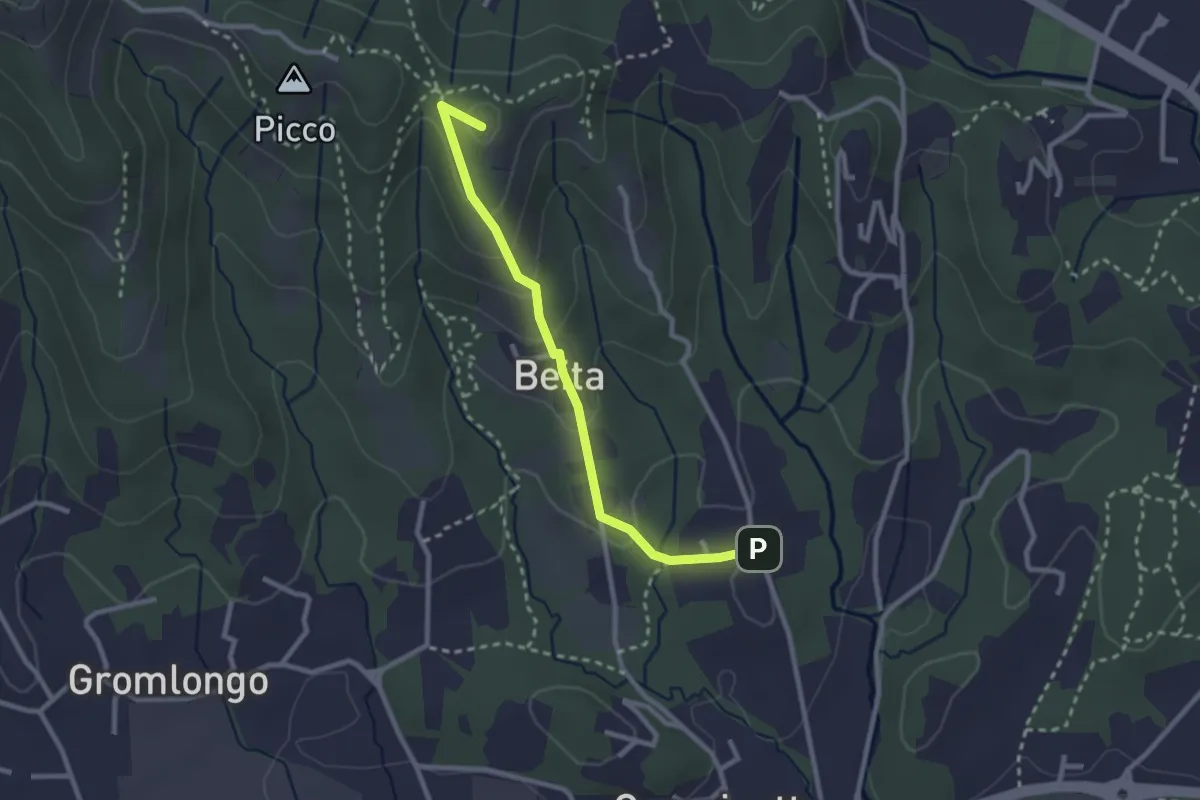
Easy · Summit
Brocchione – Secchia
2.6 km · ↑ 121 m · 53 min · 11 km away
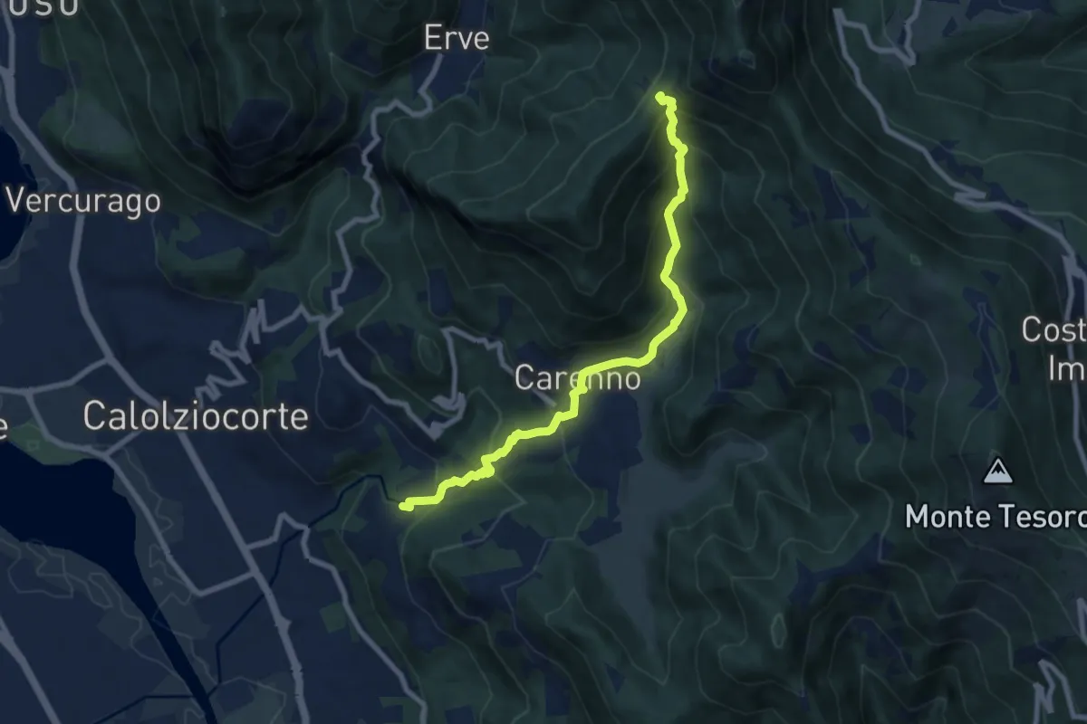
Medium · Trail
Lorentino (Calolziocorte) – Passo della Pertulena
8.1 km · ↑ 668 m · 3 h 21 min · 11 km away
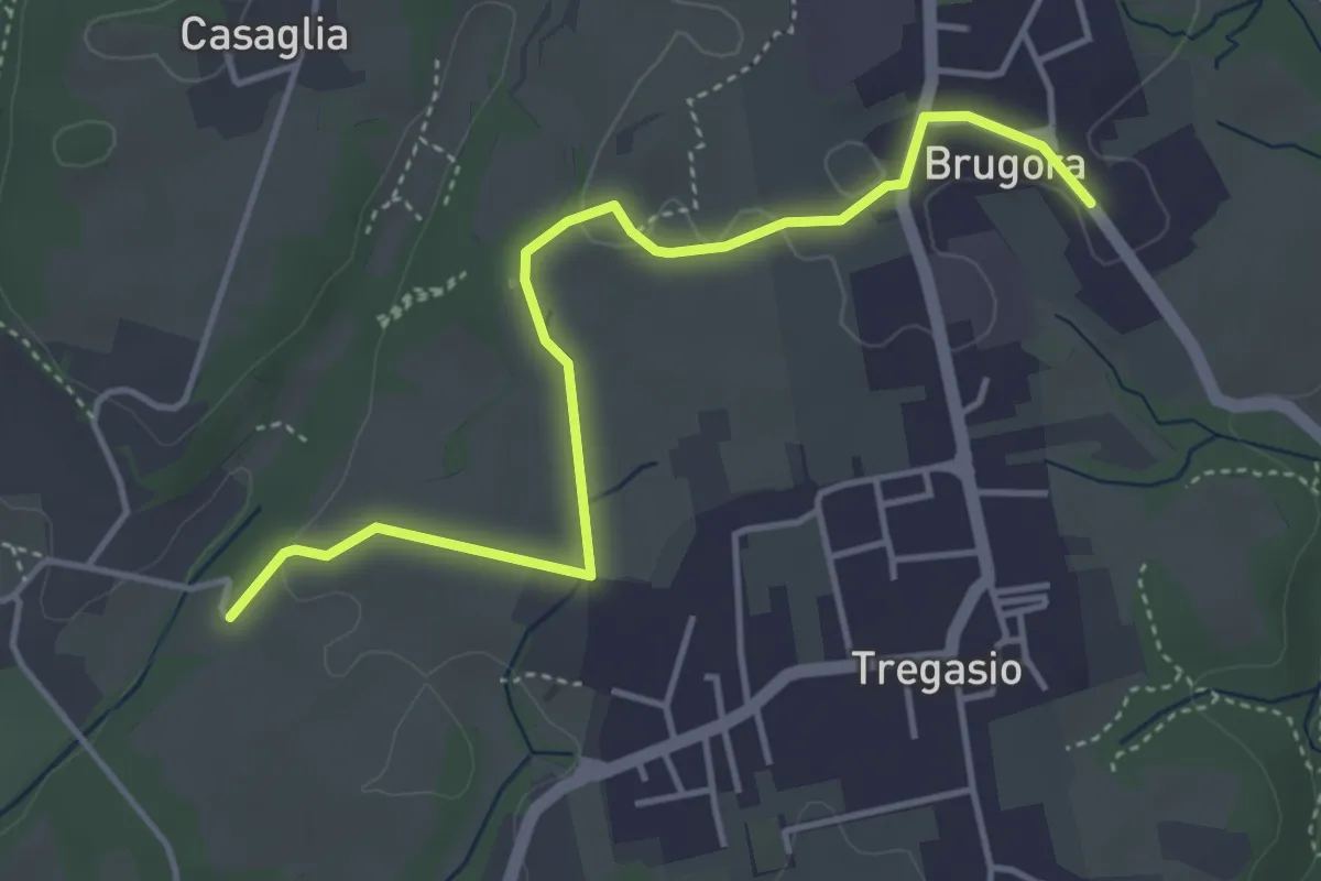
Easy · Trail
Brugora – Cascina Riva
4.5 km · ↑ 33 m · 1 h 8 min · 11 km away
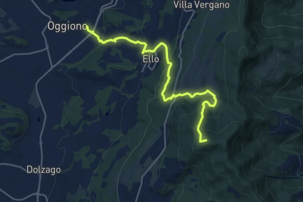
Medium · Summit
Oggiono – Monte Crocione
11.5 km · ↑ 618 m · 4 h 3 min · 12 km away
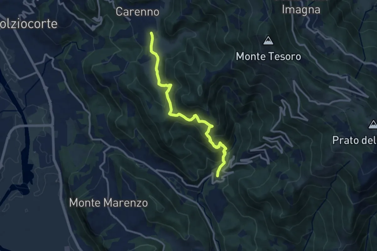
Medium · Trail
Carenno – Torre de' Busi
8.8 km · ↑ 708 m · 3 h 37 min · 12 km away
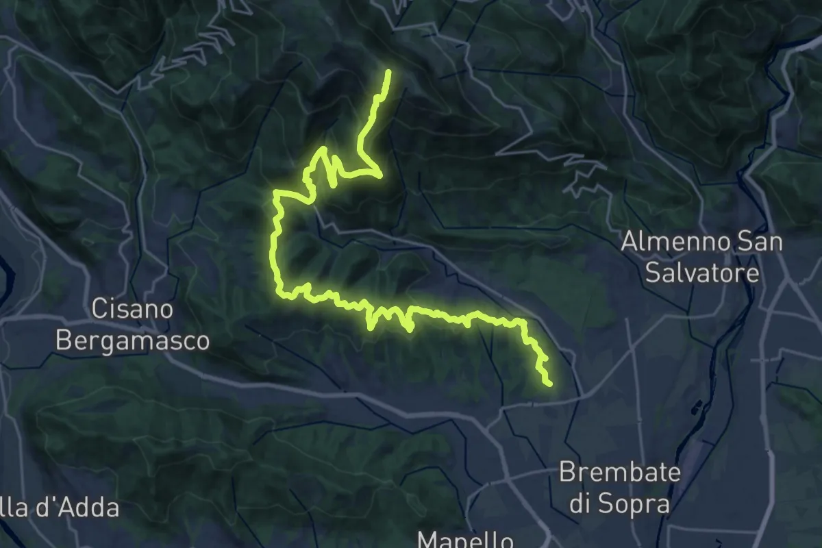
Demanding · Summit
Sentiero del Crinale
30.4 km · ↑ 1770 m · 11 h · 12 km away
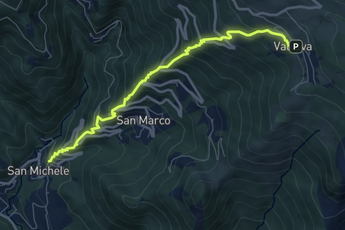
Medium · Trail
Torre de' Busi – Valcava
6.9 km · ↑ 790 m · 3 h 20 min · 12 km away
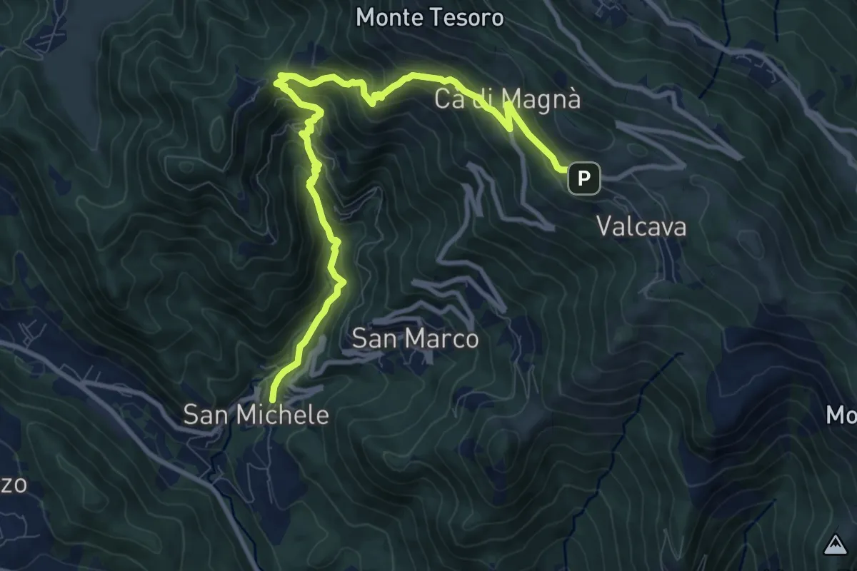
Demanding · Trail
Torre de' Busi – Valcava
10.8 km · ↑ 894 m · 4 h 29 min · 12 km away
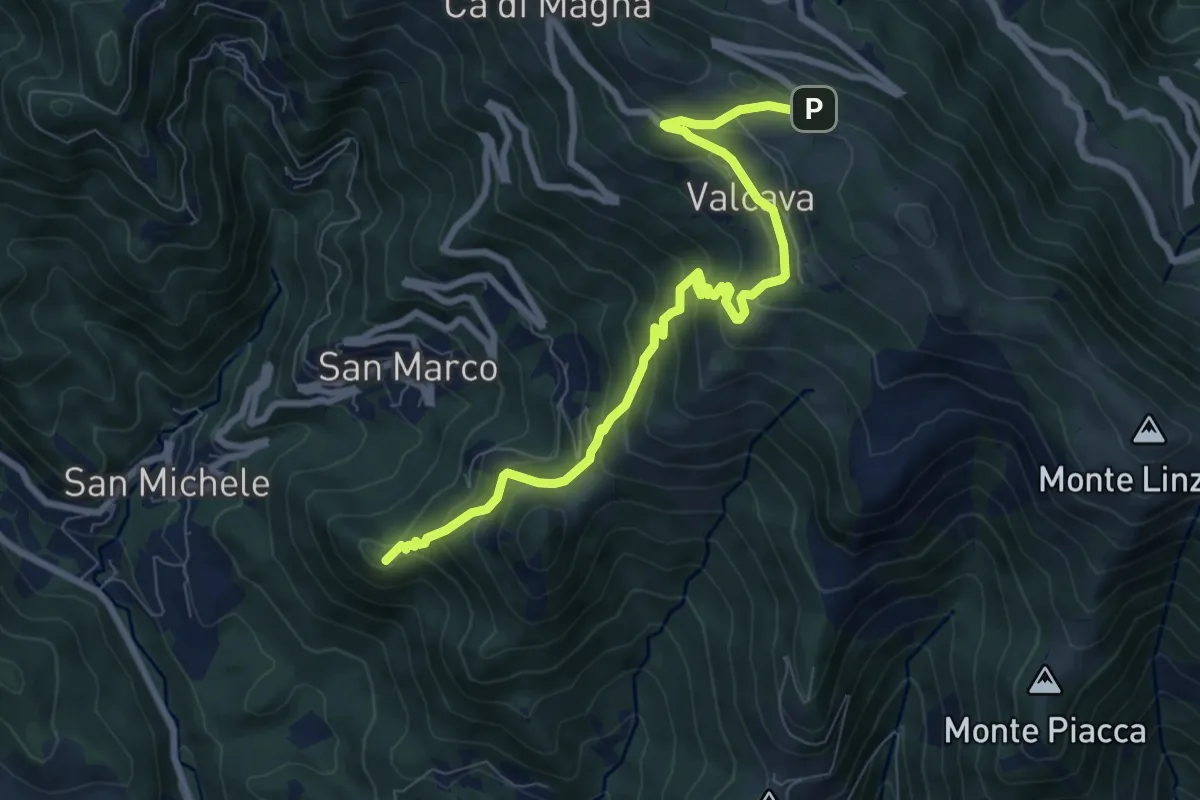
Medium · Summit
Torre de' Busi – Ripetitori (Valcava)
8.7 km · ↑ 620 m · 3 h 23 min · 13 km away
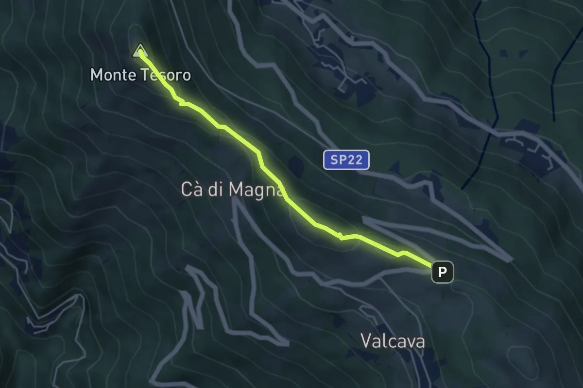
Medium · Summit
Ripetitori (Valcava) – Convento del Pertus
4.1 km · ↑ 216 m · 1 h 27 min · 13 km away
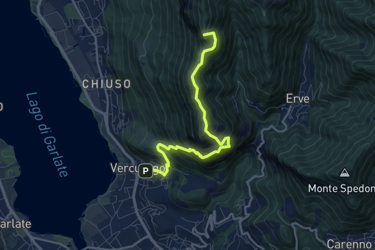
Demanding · Summit
Erve – Somasca (Vercurago)
8.6 km · ↑ 981 m · 4 h 9 min · 13 km away
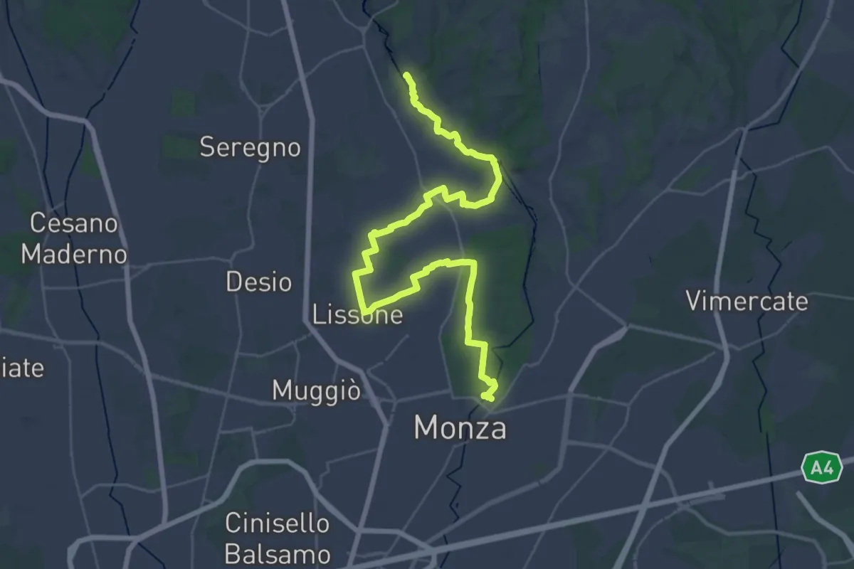
Demanding · Trail
CSA - Il Fiore Della Rosa - Tappa 1
20.0 km · ↑ 65 m · 5 h 11 min · 13 km away
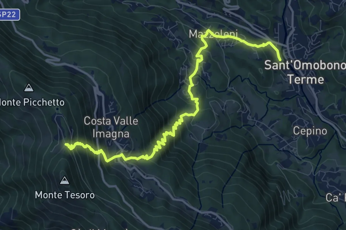
Demanding · Trail
Ca' Mazzoleni – Forcella Alta
12.2 km · ↑ 902 m · 4 h 50 min · 13 km away
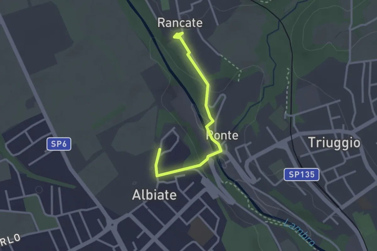
Easy · Trail
CSA - Il Fiore Della Rosa - Tappa 2
2.6 km · ↑ 63 m · 45 min · 13 km away
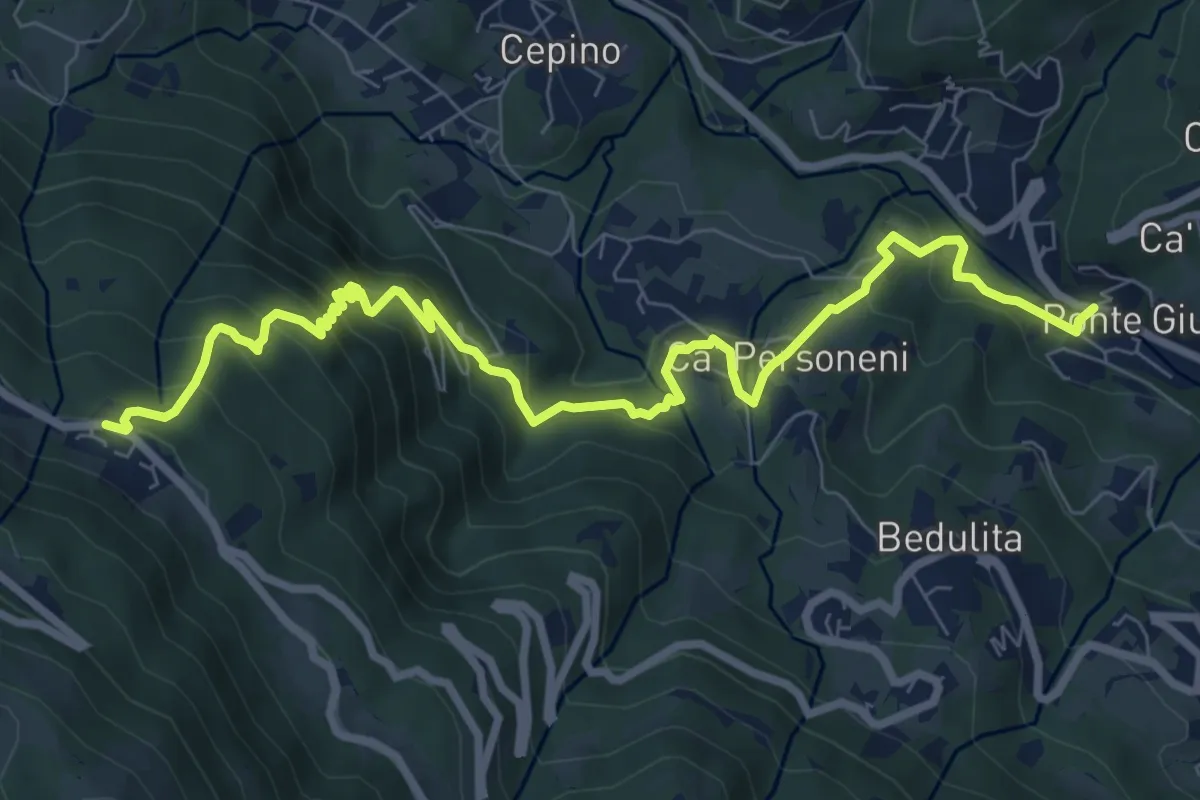
Medium · Trail
Ponte Giurino – Costa Imagna
9.8 km · ↑ 797 m · 4 h 2 min · 13 km away
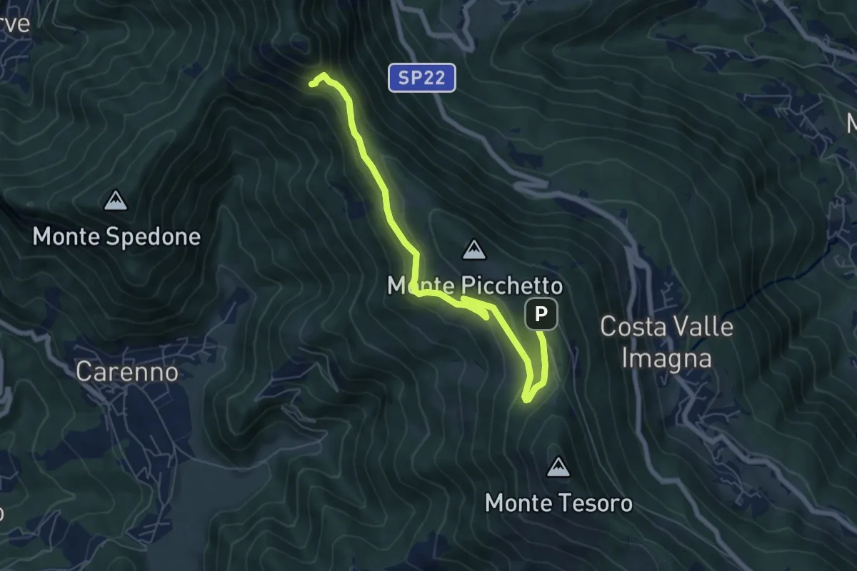
Medium · Trail
Percorso didattico naturalistico del Pertüs
7.0 km · ↑ 262 m · 2 h 13 min · 13 km away
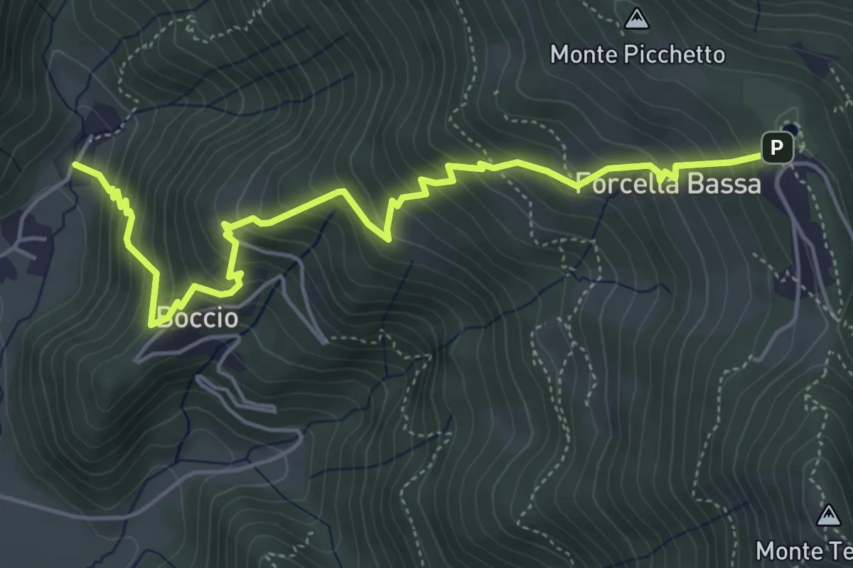
Medium · Trail
Carenno – Forcella Alta
5.8 km · ↑ 631 m · 2 h 45 min · 13 km away
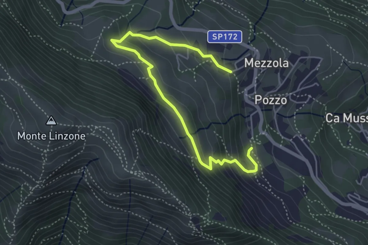
Medium · Trail
Sentiero dei Pascoli
5.2 km · ↑ 310 m · 1 h 54 min · 13 km away
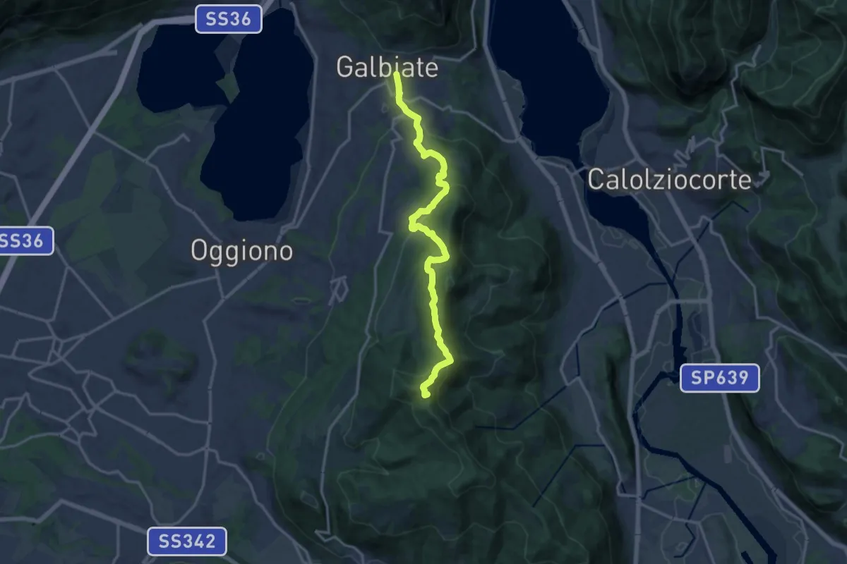
Medium · Summit
Olgiate Molgora (FS) – Galbiate
14.3 km · ↑ 669 m · 4 h 50 min · 14 km away
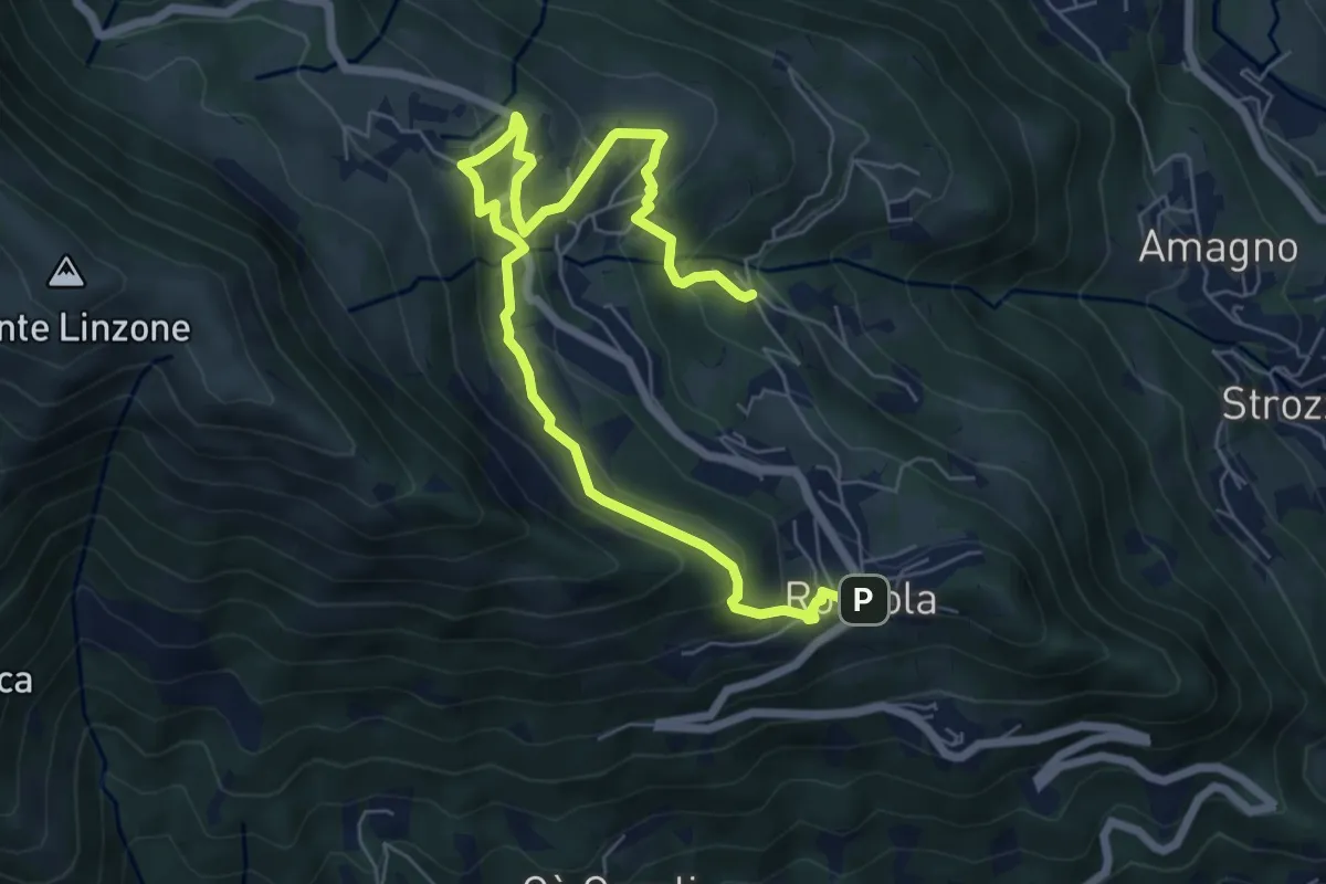
Medium · Trail
Sentiero dell'Acqua
8.4 km · ↑ 438 m · 2 h 56 min · 14 km away
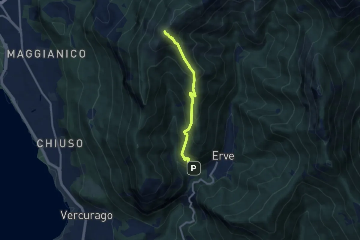
Medium · Summit
Erve – Monte Magnodeno
5.6 km · ↑ 626 m · 2 h 41 min · 14 km away
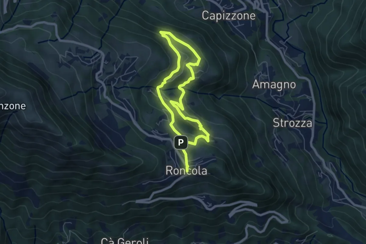
Medium · Trail
Sentiero dei Borghi
9.6 km · ↑ 453 m · 3 h 15 min · 14 km away
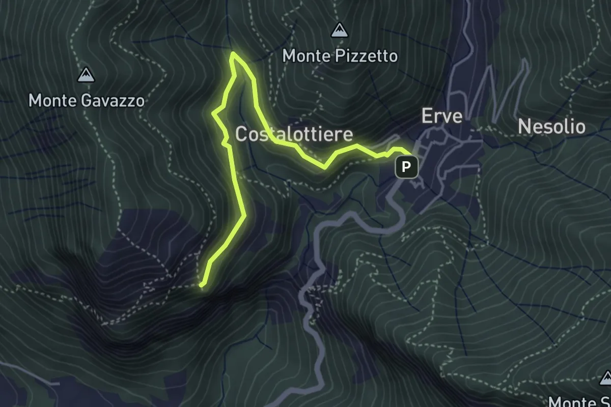
Easy · Trail
Erve – Croce di Vicerola
4.2 km · ↑ 219 m · 1 h 28 min · 14 km away
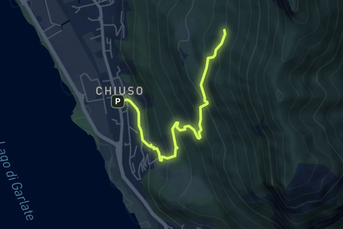
Medium · Cabin
Chiuso – Rifugio Camposecco
4.8 km · ↑ 430 m · 2 h 4 min · 14 km away
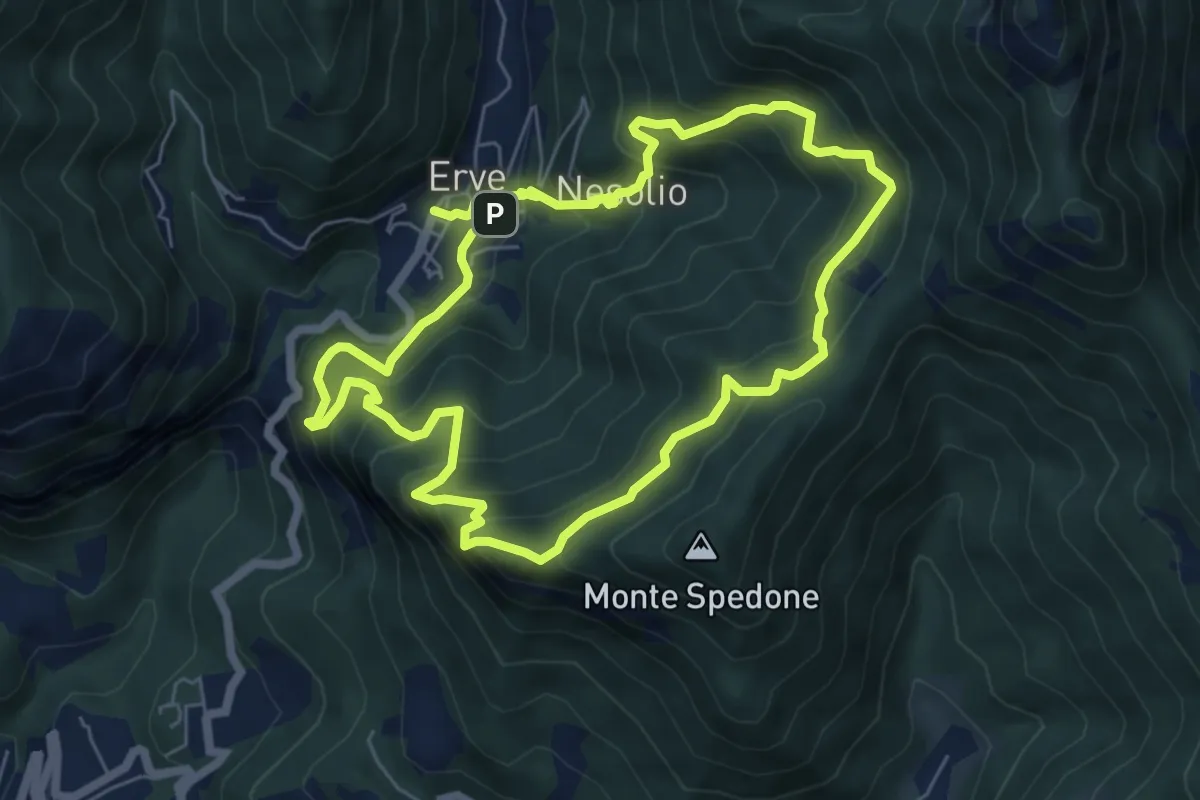
Demanding · Trail
Erve – Erve
6.1 km · ↑ 678 m · 3 h · 14 km away
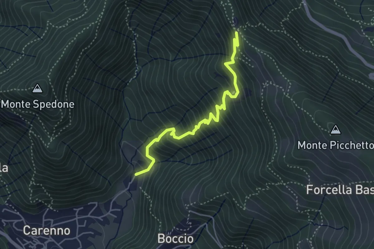
Medium · Trail
Carenno – Pertüs
4.2 km · ↑ 509 m · 2 h 6 min · 14 km away
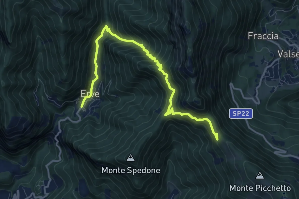
Demanding · Trail
Convento del Pertus – Erve, Piazza del Municipio
10.4 km · ↑ 869 m · 4 h 20 min · 14 km away
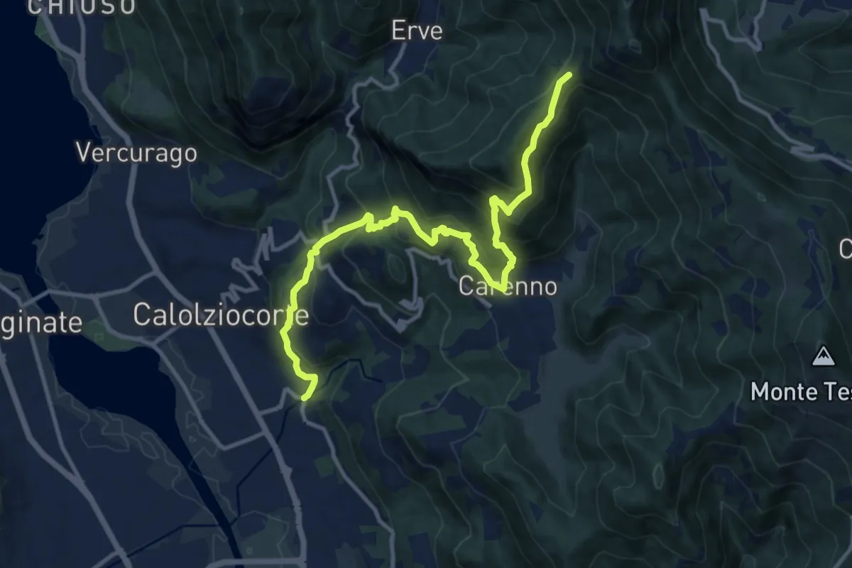
Demanding · Trail
Serta (Calolziocorte) – Passo della Pertulena
12.4 km · ↑ 967 m · 5 h 2 min · 14 km away
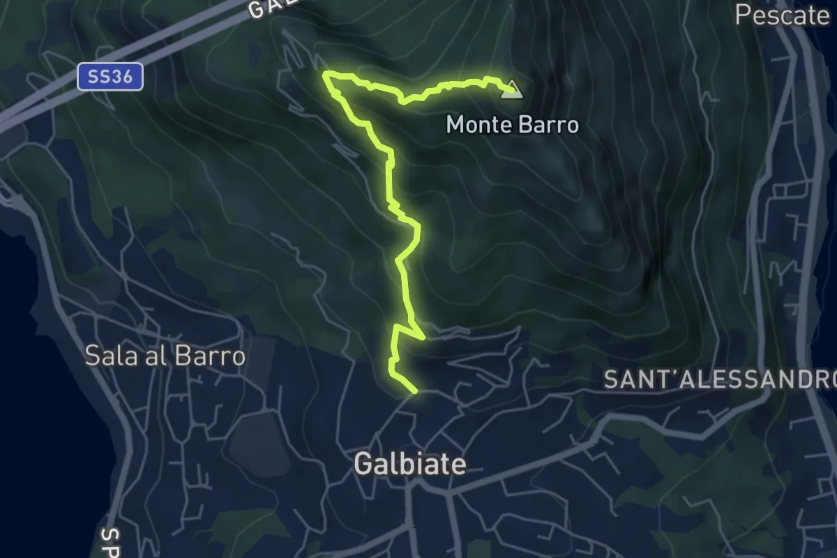
Demanding · Summit
Galbiate (lavatoio) – Monte Barro
5.3 km · ↑ 485 m · 2 h 18 min · 14 km away
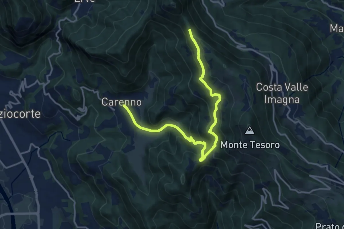
Medium · Trail
Carenno – Pertüs
11.3 km · ↑ 683 m · 4 h 9 min · 14 km away
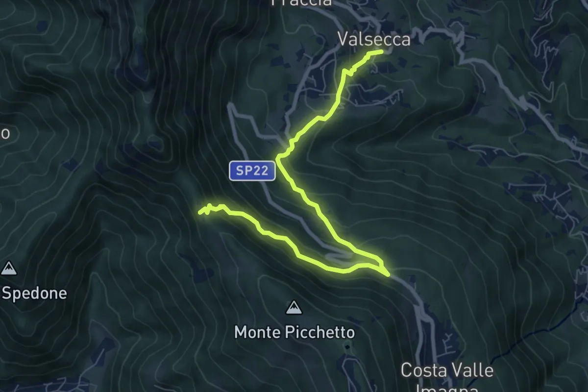
Medium · Trail
Valsecca – Pertüs
8.3 km · ↑ 616 m · 3 h 17 min · 14 km away
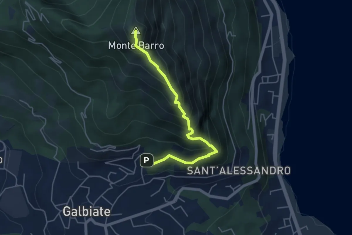
Expert · Summit
Galbiate – Monte Barro
4.1 km · ↑ 475 m · 2 h · 14 km away