Trails near Monsummano Terme
75 hikes starting within 15 km, nearest first.
Nearest first, page 1 of 2
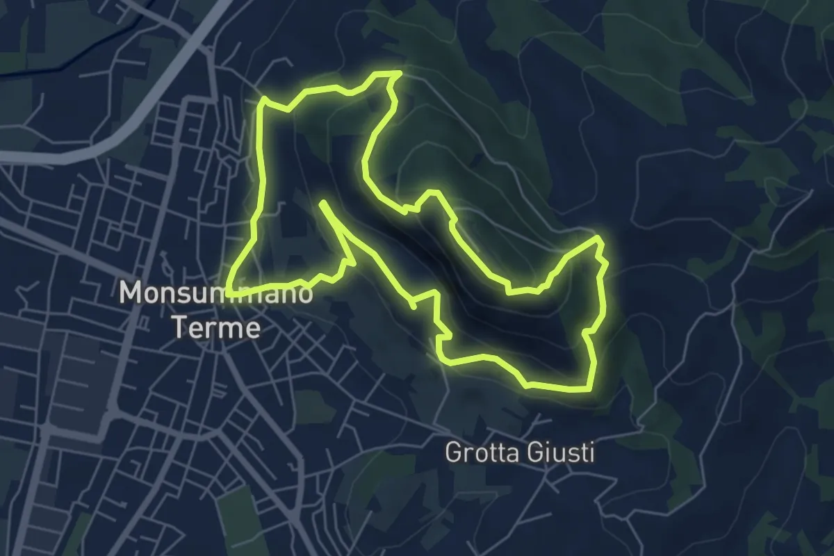
Medium · Summit
Monsummano Terme – Monsummano Terme
6.4 km · ↑ 359 m · 2 h 23 min · 1 km away
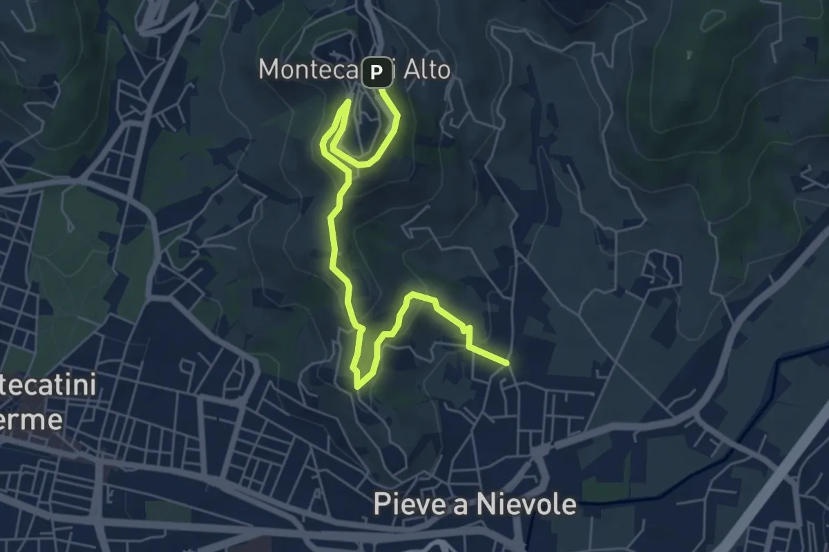
Medium · Trail
Via Fra Carlo (Pieve a NIevole) – Montecatini Alto (Ospizio San Francesco)
6.8 km · ↑ 328 m · 2 h 19 min · 3 km away
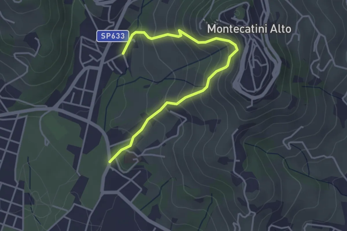
Medium · Trail
Montecatini Terme – Montecatini Terme
4.0 km · ↑ 330 m · 1 h 40 min · 3 km away
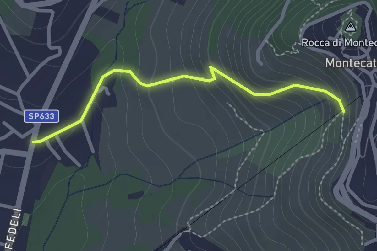
Easy · Trail
[B] Via Amore
2.1 km · ↑ 153 m · 50 min · 4 km away
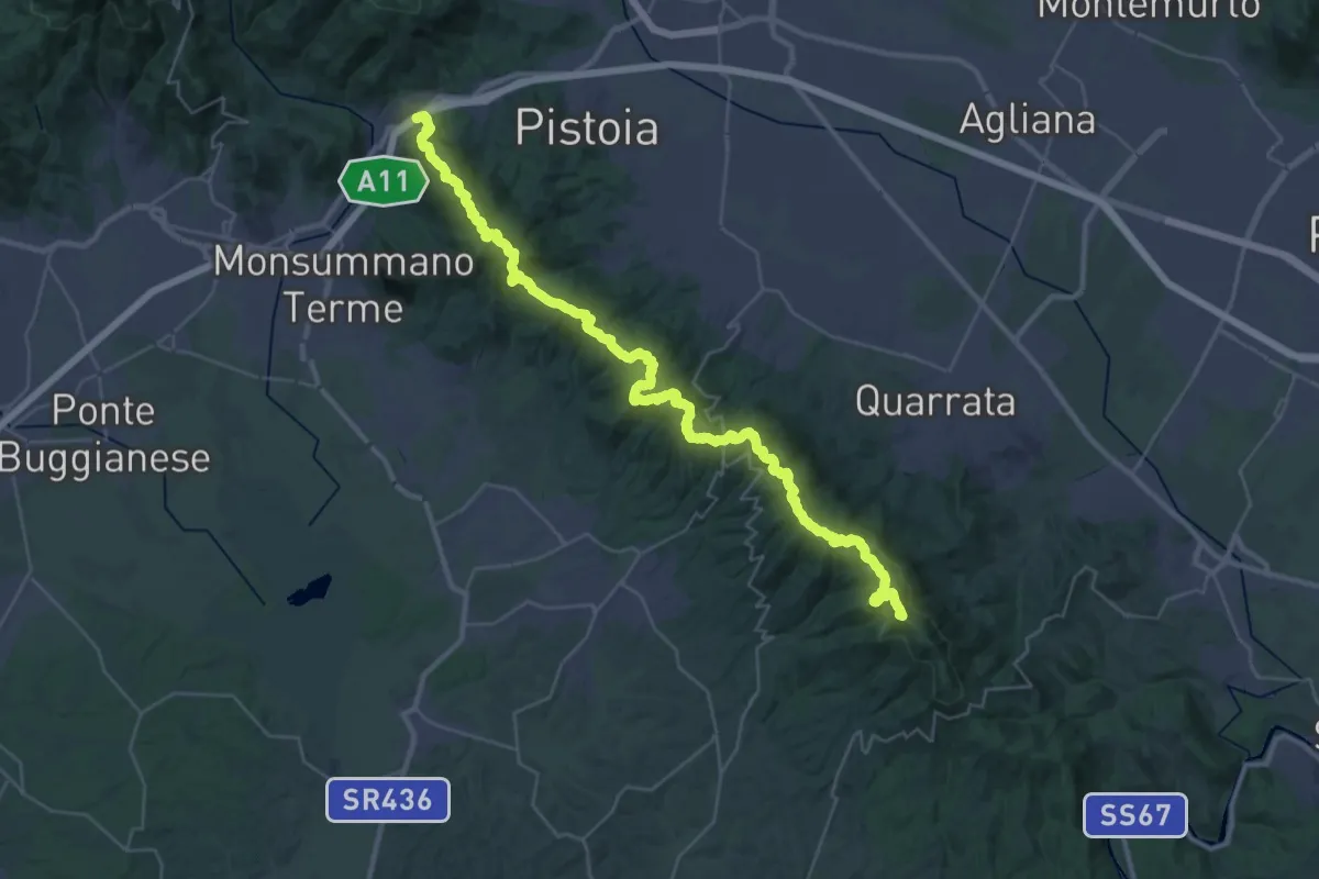
Demanding · Summit
Parcheggio via Buricchi La Malvax Stazione di Carmignano – Serravalle Pistoiese
44.8 km · ↑ 1705 m · 14 h 16 min · 4 km away
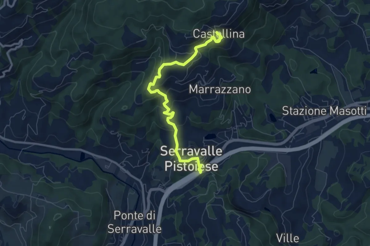
Medium · Trail
Passo Serravalle Pistoiese – Castellina
7.8 km · ↑ 370 m · 2 h 38 min · 4 km away
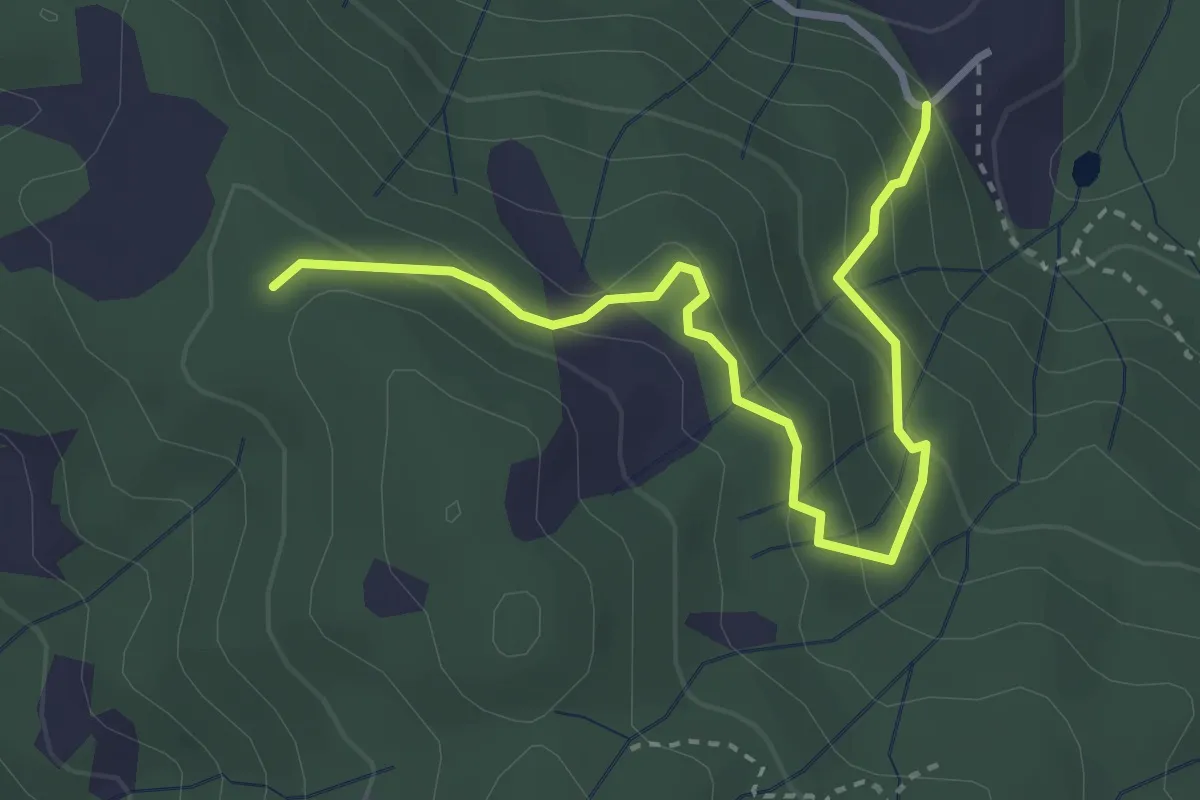
Easy · Trail
Montalto innesto sentiero 821 – innesto sentiero 800
3.7 km · ↑ 215 m · 1 h 21 min · 4 km away
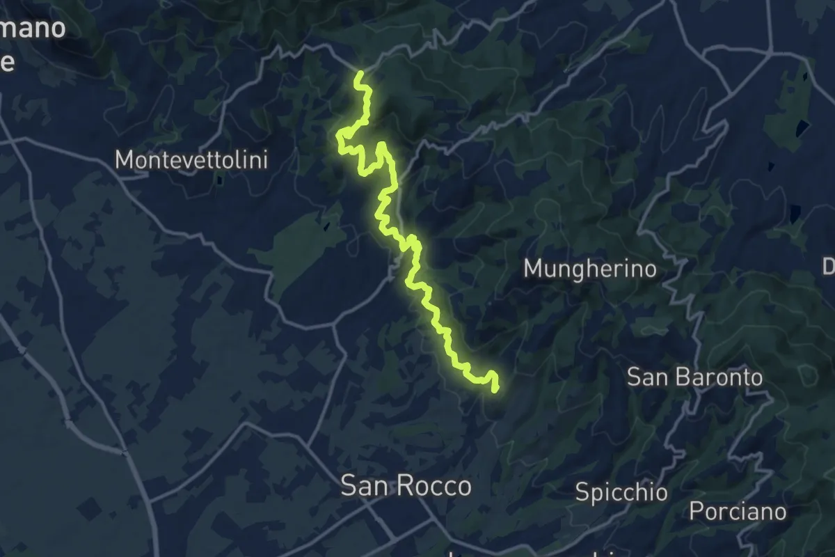
Medium · Trail
Larciano Castello – innesto sentiero 800
15.2 km · ↑ 612 m · 4 h 54 min · 5 km away
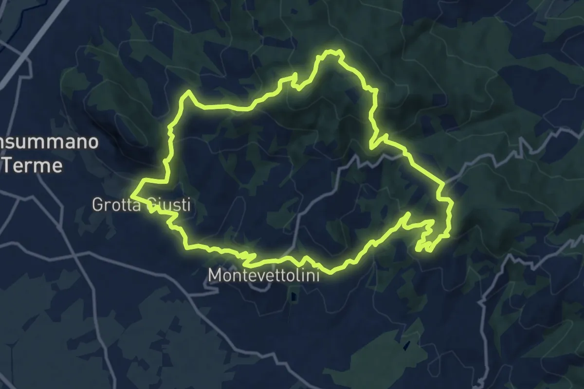
Medium · Trail
Monsummano – Monsummano
13.2 km · ↑ 628 m · 4 h 40 min · 5 km away
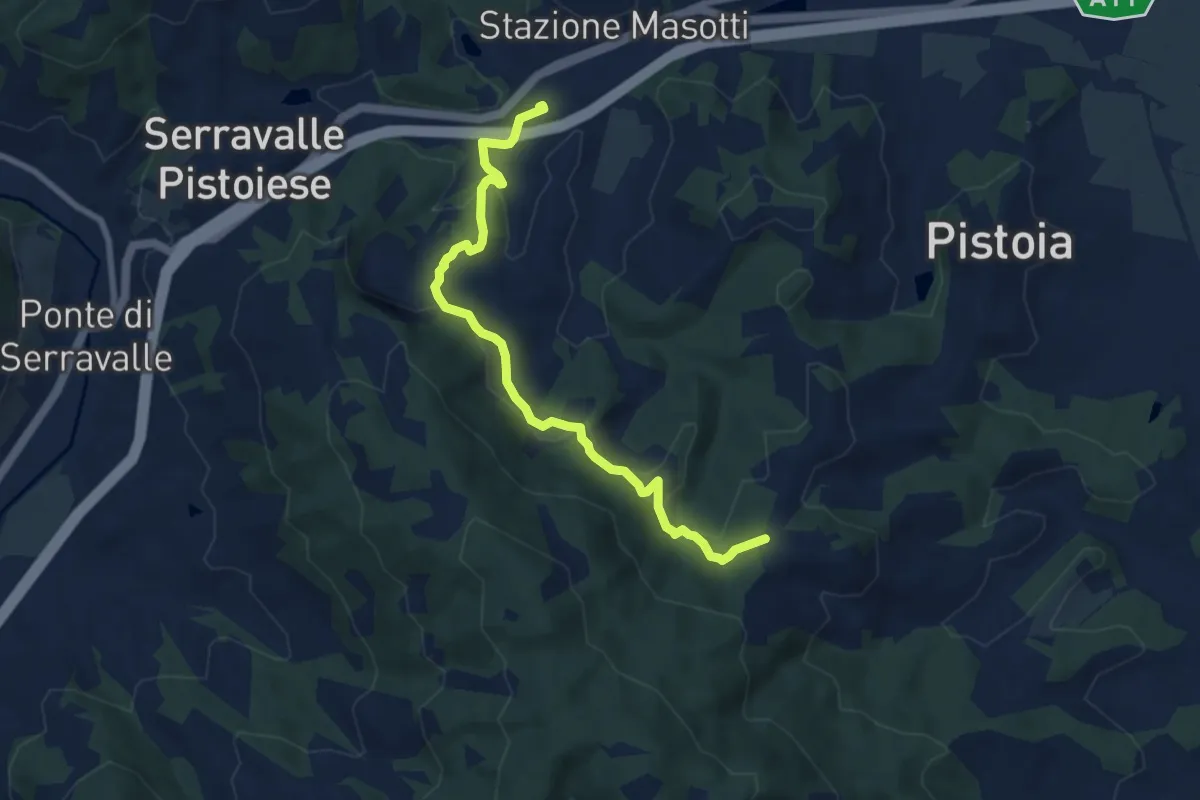
Medium · Trail
Stazione Masotti FFSS – innesto sentiero 817
8.4 km · ↑ 309 m · 2 h 39 min · 5 km away
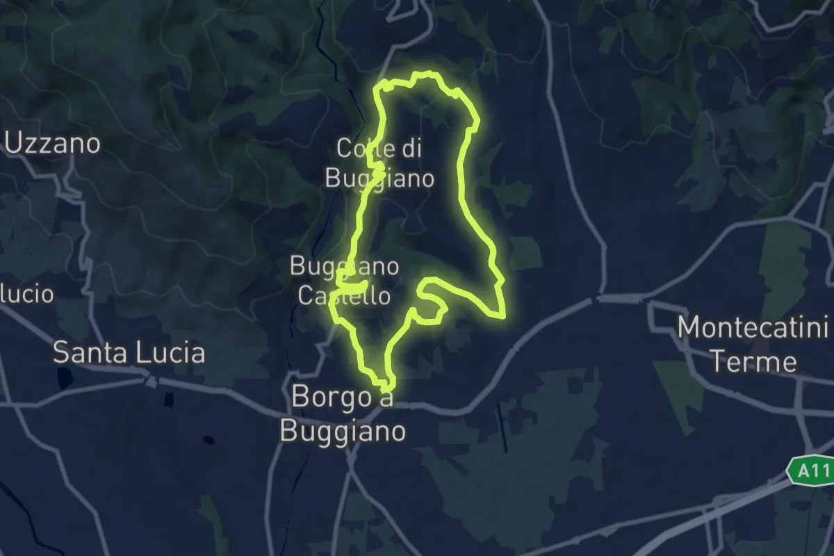
Medium · Summit
Sentiero 6 "Colle e dintorni"
8.5 km · ↑ 236 m · 2 h 37 min · 6 km away
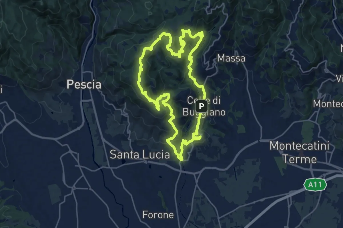
Demanding · Summit
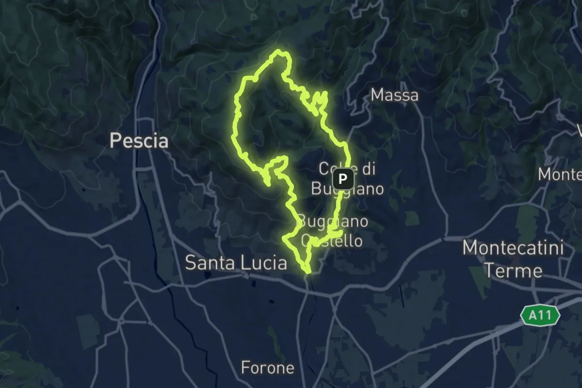
Sentiero 8 "Colle e dintorni"
16.5 km · ↑ 807 m · 5 h 52 min · 7 km away
Medium · Summit
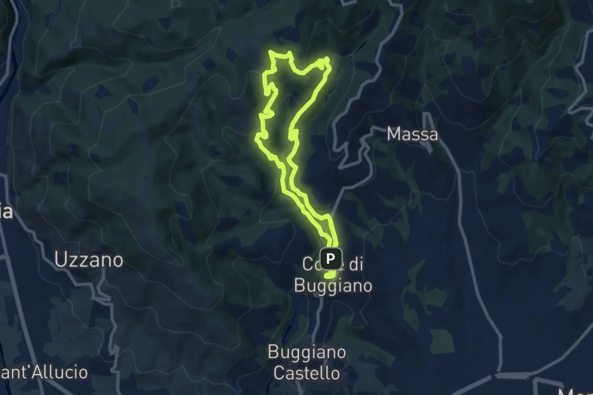
Sentiero 5 "Colle e dintorni"
14.6 km · ↑ 659 m · 5 h 5 min · 7 km away
Medium · Trail
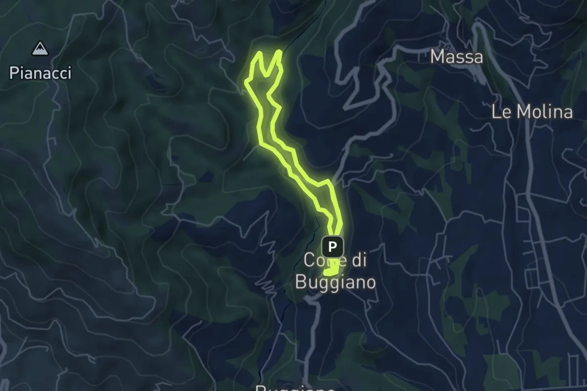
Sentiero 2 "Colle e dintorni"
7.9 km · ↑ 396 m · 2 h 50 min · 7 km away
Easy · Trail
Sentiero 1 "Colle e dintorni"
4.6 km · ↑ 141 m · 1 h 27 min · 7 km away
Demanding · Summit
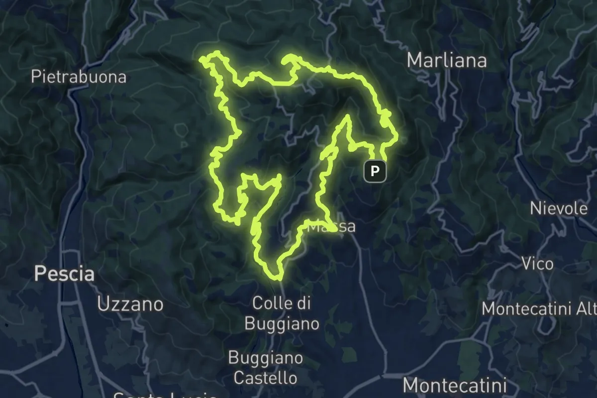
Sentiero 9 "Colle e dintorni"
23.0 km · ↑ 1293 m · 8 h 33 min · 7 km away
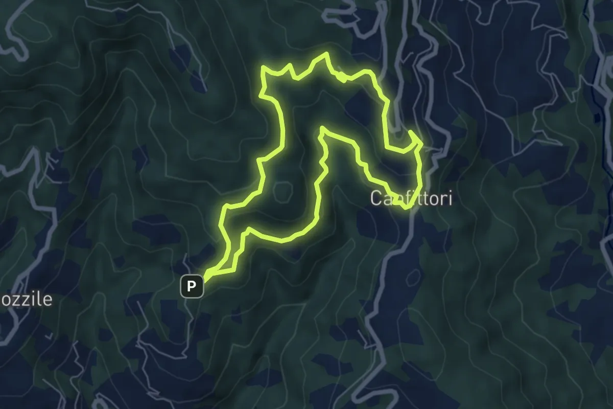
Easy · Summit
Anello Croci Marliana
6.1 km · ↑ 305 m · 2 h 11 min · 7 km away
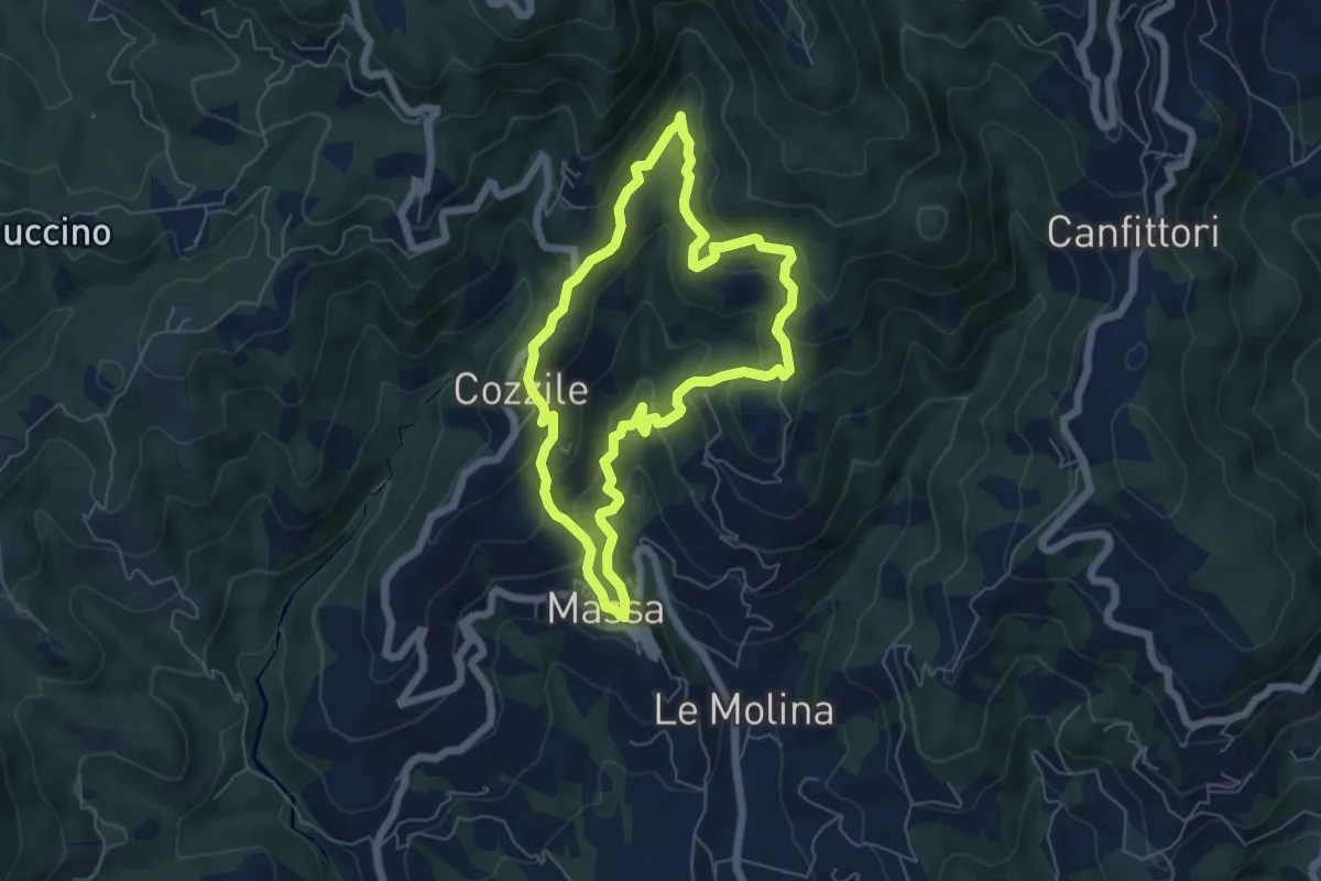
Medium · Summit
Massa – Massa
5.7 km · ↑ 383 m · 2 h 15 min · 7 km away
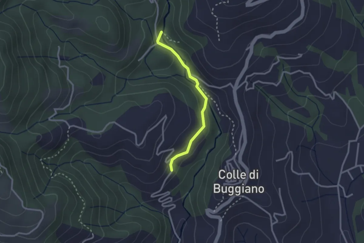
Easy · Trail
Sentiero dei Mulini
2.2 km · ↑ 51 m · 38 min · 7 km away
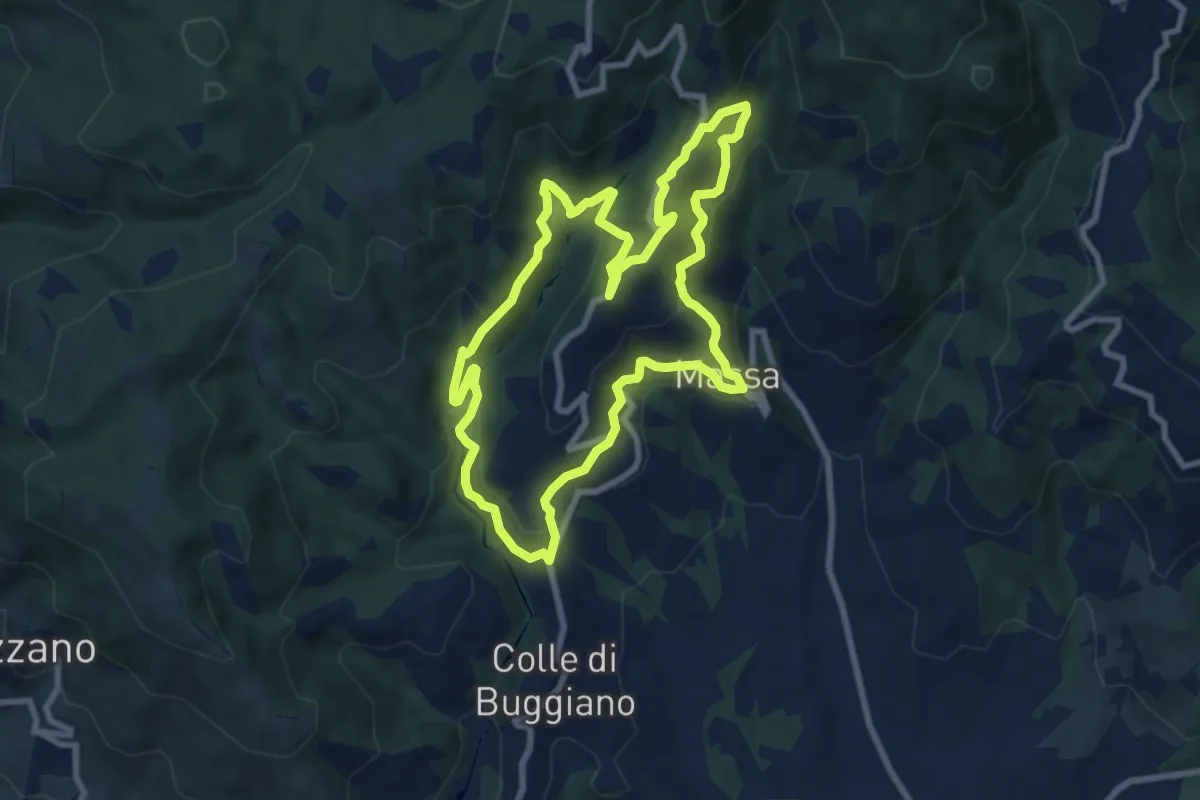
Medium · Trail
Sentiero 3 "Colle e dintorni"
8.6 km · ↑ 448 m · 3 h 8 min · 8 km away
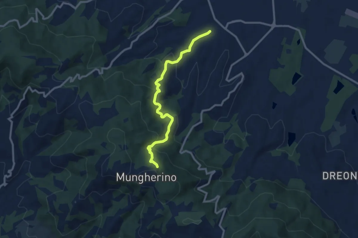
Medium · Trail
Casalguidi – innesto sentiero 800
7.1 km · ↑ 422 m · 2 h 36 min · 8 km away
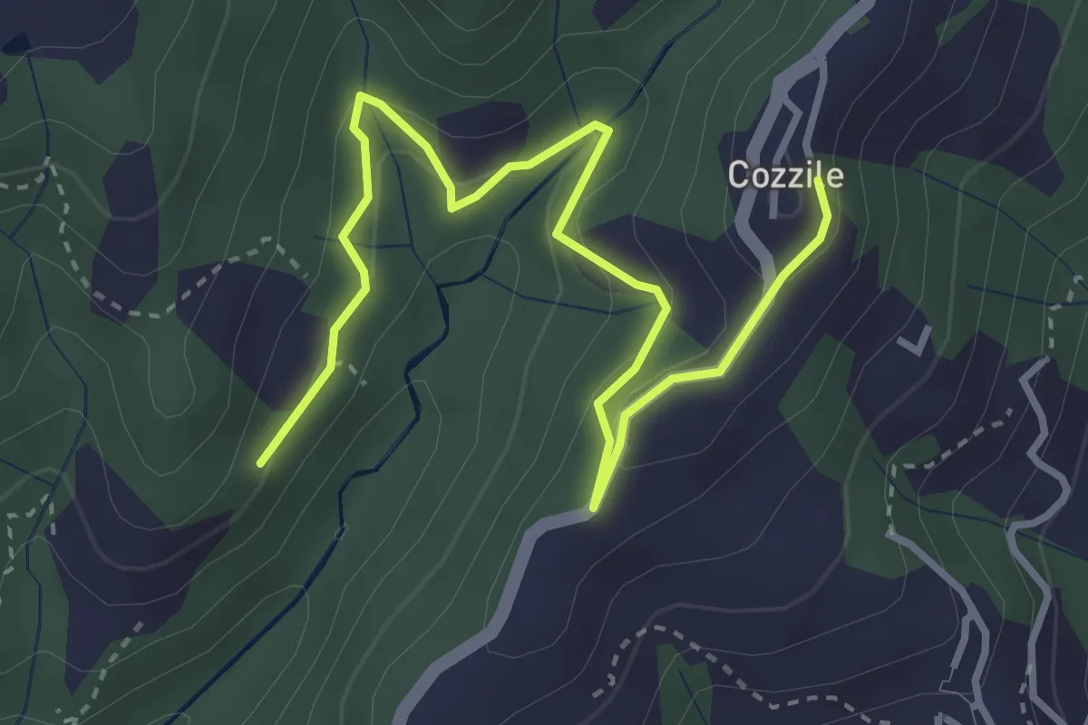
Easy · Trail
Sentiero 246 – Cozzile
4.3 km · ↑ 206 m · 1 h 28 min · 8 km away
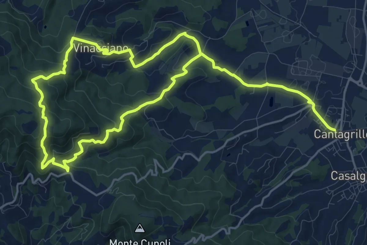
Medium · Trail
Cantagrillo – Cantagrillo
11.5 km · ↑ 463 m · 3 h 52 min · 8 km away
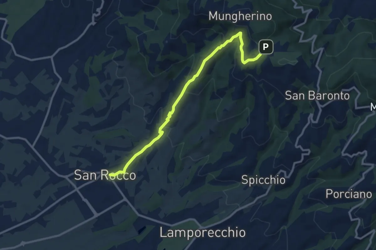
Medium · Trail
Larciano – innesto sentiero 800
8.6 km · ↑ 390 m · 2 h 53 min · 8 km away
Medium · Trail
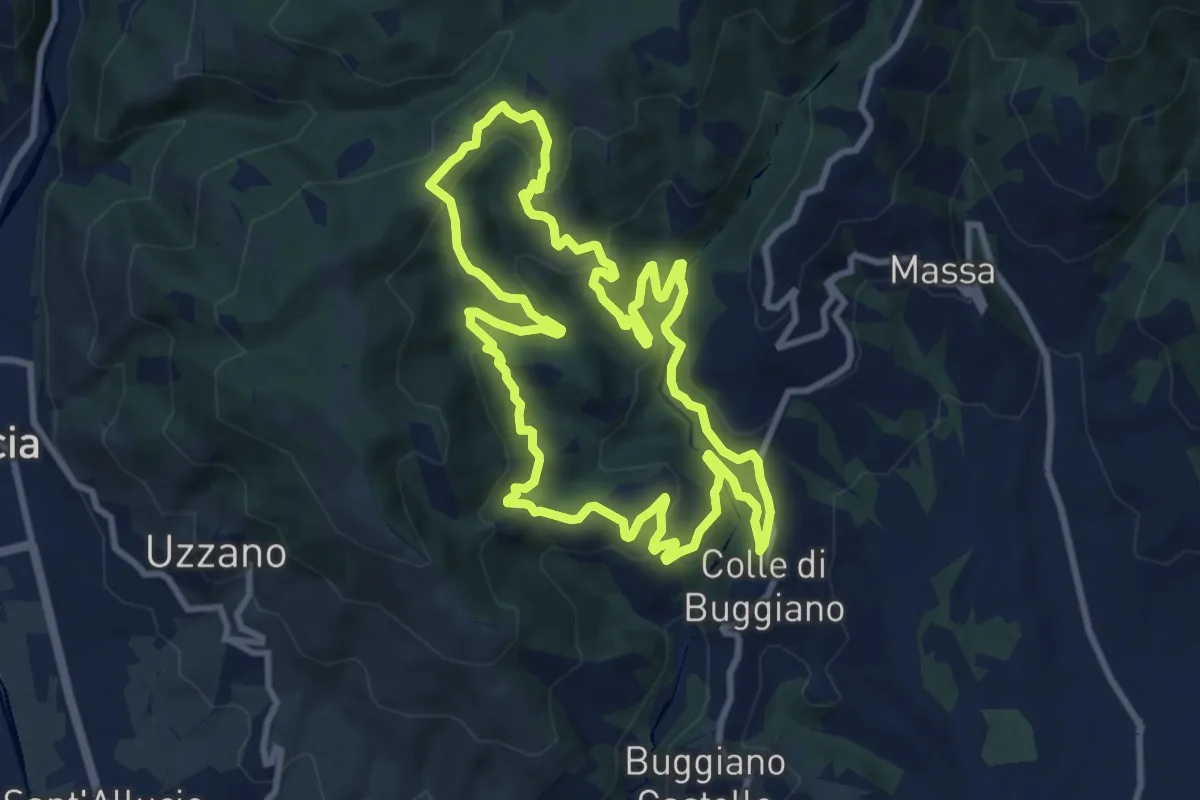
Sentiero 4 "Colle e dintorni"
10.2 km · ↑ 468 m · 3 h 34 min · 8 km away
Medium · Trail
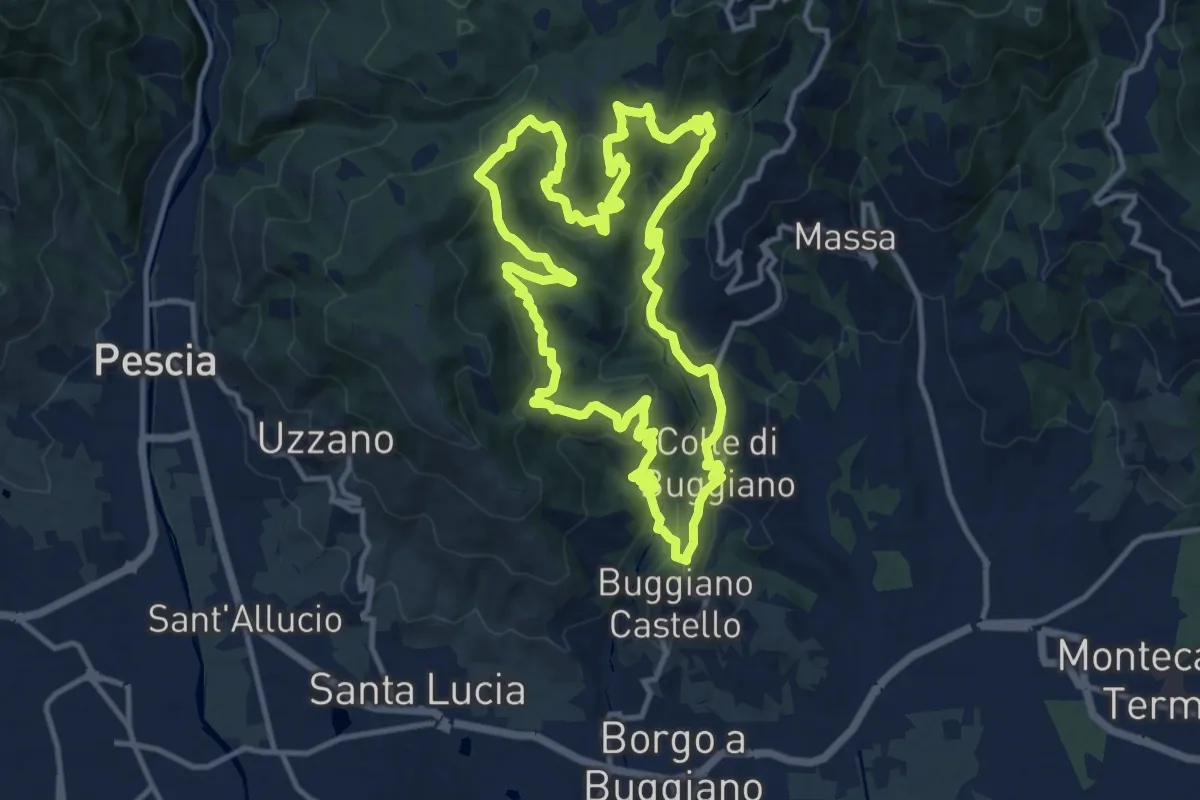
Sentiero 7 "Colle e dintorni"
13.4 km · ↑ 675 m · 4 h 49 min · 8 km away
Easy · Trail
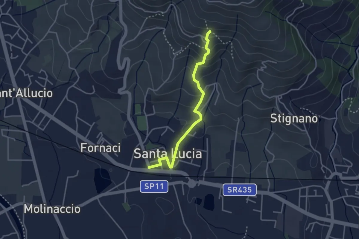
Santa Lucia – La Costa
3.0 km · ↑ 169 m · 1 h 5 min · 8 km away
Medium · Trail
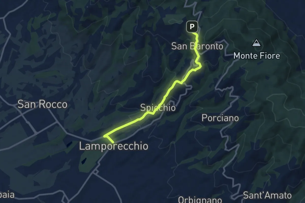
Lamporecchio – innesto sentiero 800
8.3 km · ↑ 305 m · 2 h 37 min · 9 km away
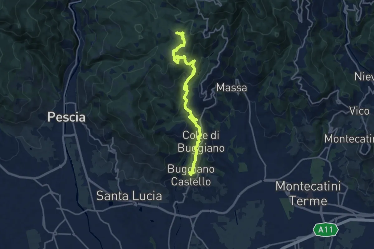
Medium · Summit
Buggiano Castello – Malocchio
13.1 km · ↑ 552 m · 4 h 18 min · 9 km away
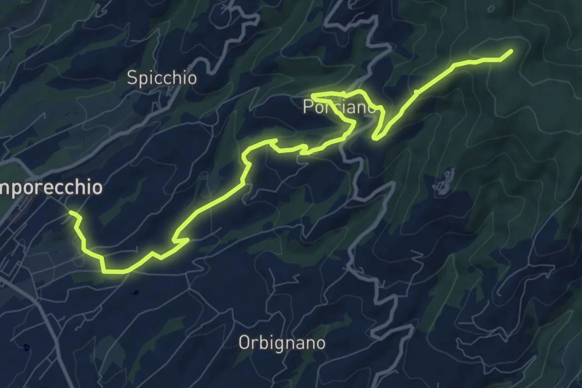
Medium · Summit
Lamporecchio – innesto sentiero 00
12.3 km · ↑ 546 m · 4 h 5 min · 9 km away
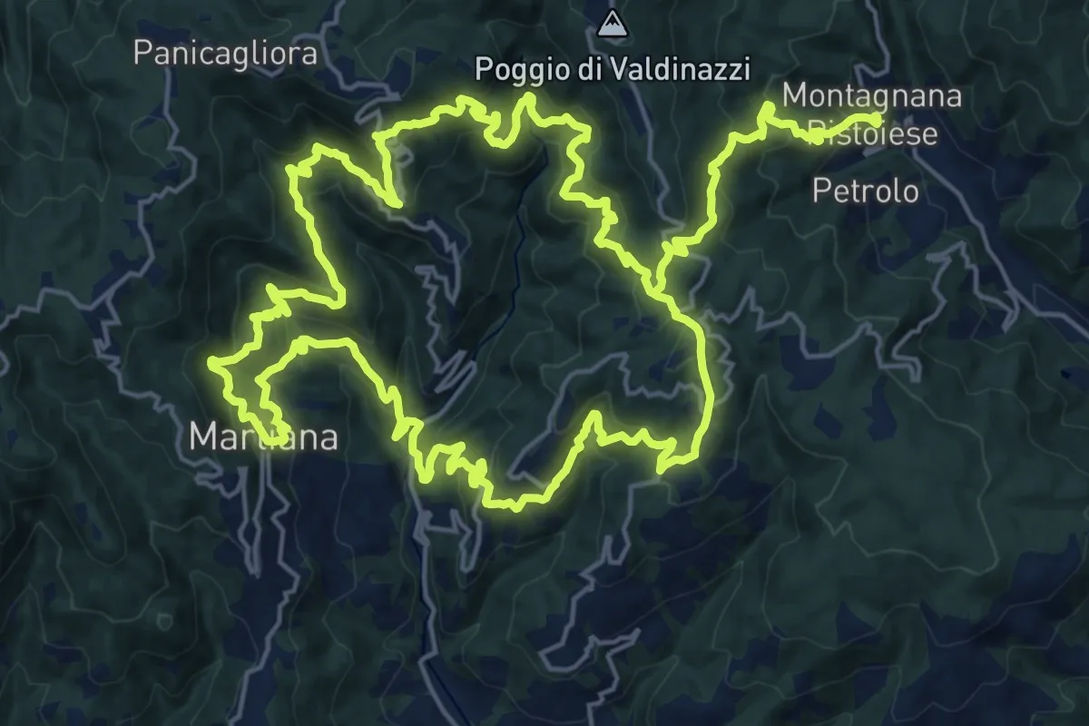
Demanding · Summit
Anello 4 - Sentiero del pane
22.6 km · ↑ 1495 m · 8 h 46 min · 9 km away
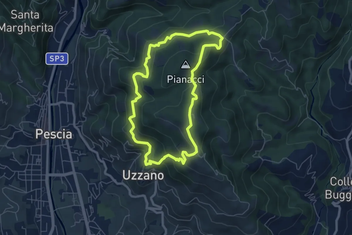
Easy · Summit
Uzzano Castello – Uzzano Castello
5.9 km · ↑ 317 m · 2 h 9 min · 10 km away
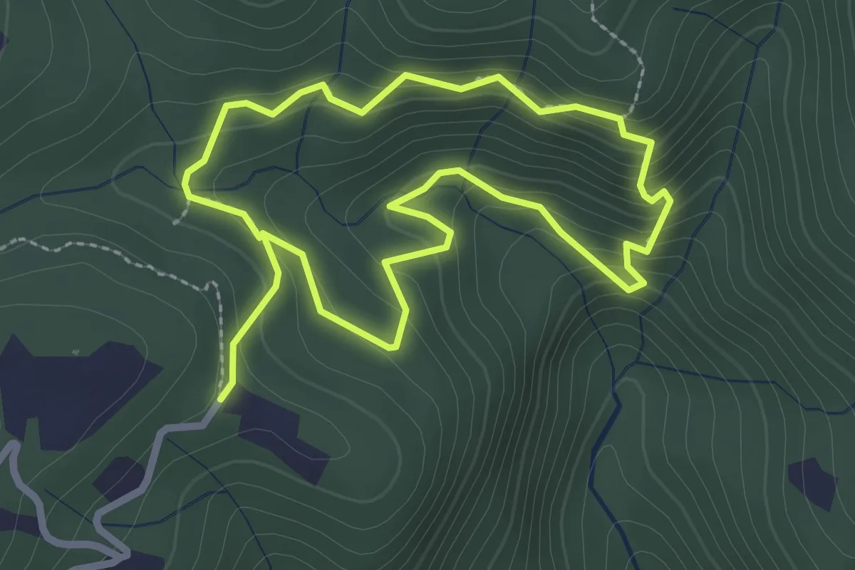
Easy · Trail
Giro Sasso del Diavolo
2.3 km · ↑ 160 m · 56 min · 10 km away
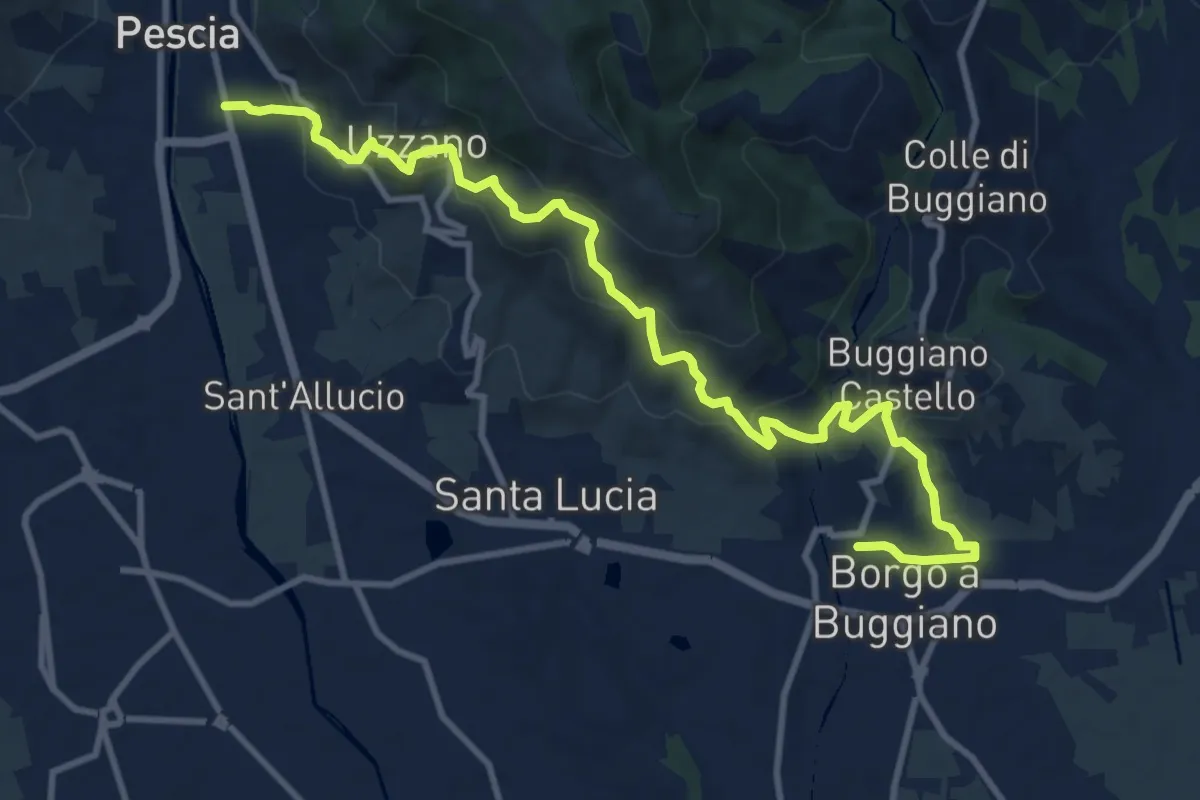
Medium · Trail
Pescia – Borgo a Buggiano
12.6 km · ↑ 693 m · 4 h 29 min · 10 km away
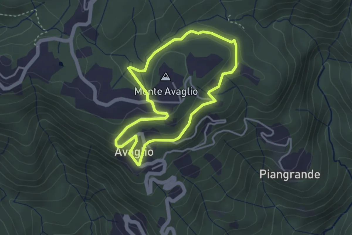
Easy · Summit
Giro Ortocieco
2.9 km · ↑ 93 m · 56 min · 10 km away
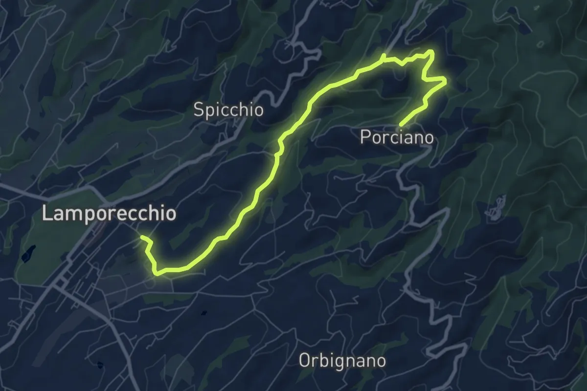
Medium · Trail
Lamporecchio – Porciano
9.1 km · ↑ 368 m · 2 h 56 min · 10 km away
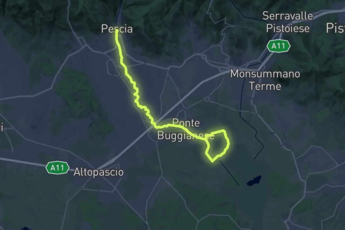
Demanding · Trail
Valle del Pescia - Il trekking lungo il fiume
18.0 km · ↑ 0 m · 4 h 32 min · 10 km away
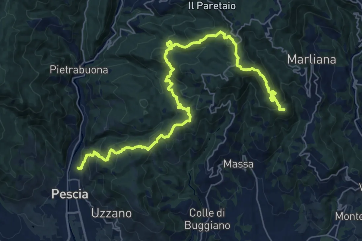
Demanding · Summit
Alta Via della Valdinievole
26.0 km · ↑ 1285 m · 8 h 56 min · 11 km away
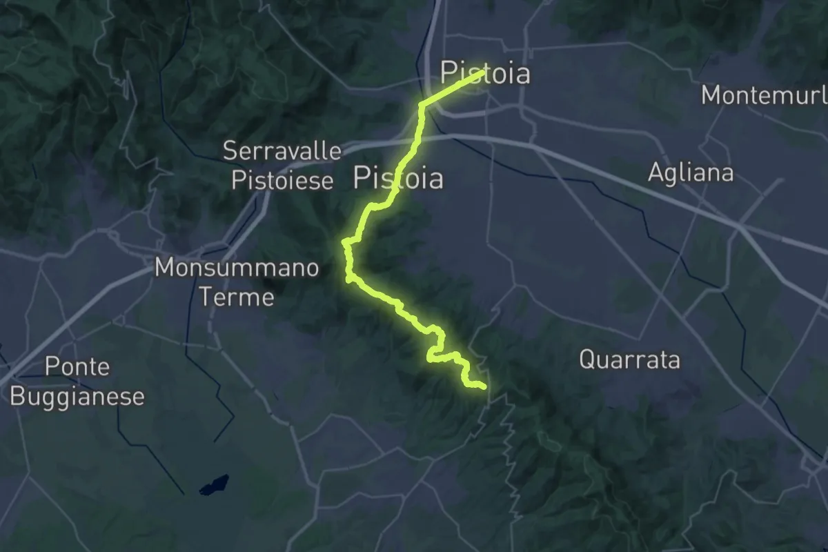
Demanding · Trail
Via Romea Nonantolana e Via della Sambuca: Tappa 7
18.7 km · ↑ 728 m · 6 h 7 min · 11 km away
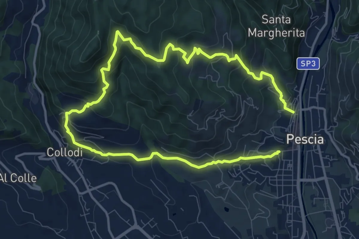
Medium · Trail
Pescia – Pescia
8.1 km · ↑ 446 m · 3 h · 11 km away
Demanding · Summit
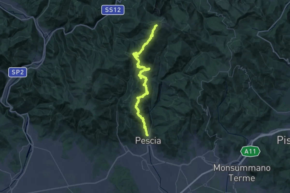
Pescia – Popiglio
43.9 km · ↑ 2381 m · 15 h 31 min · 11 km away
Demanding · Summit
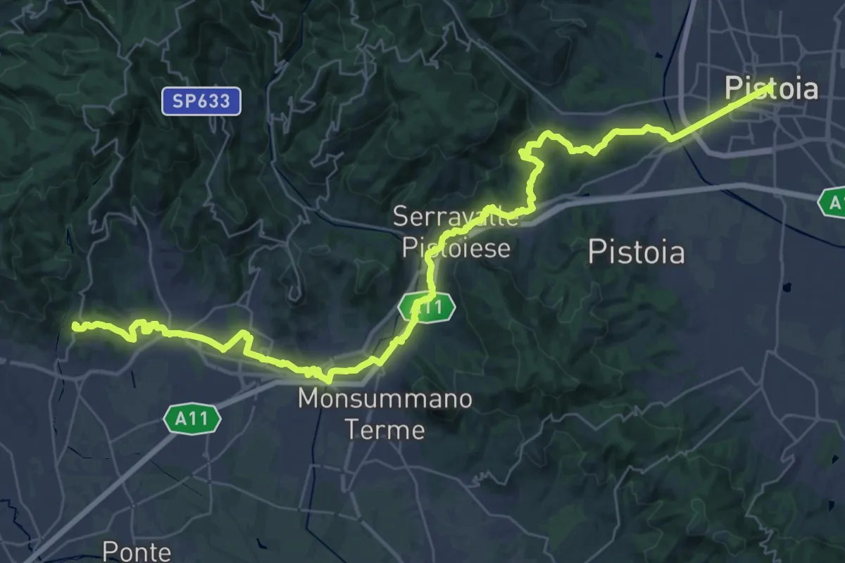
Il Cammino di San Jacopo - Tappa 3
48.0 km · ↑ 989 m · 13 h 29 min · 11 km away
Demanding · Summit
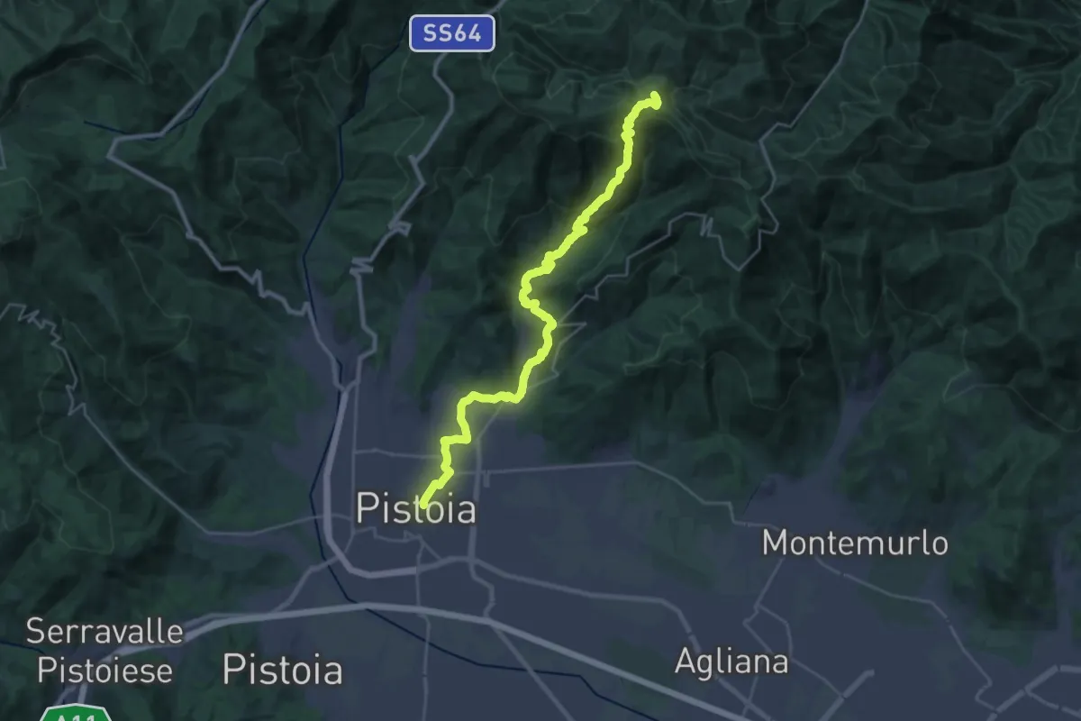
Cammino di San Bartolomeo - TAPPA Spedaletto -Pistoia
29.3 km · ↑ 1358 m · 9 h 51 min · 11 km away
Demanding · Summit
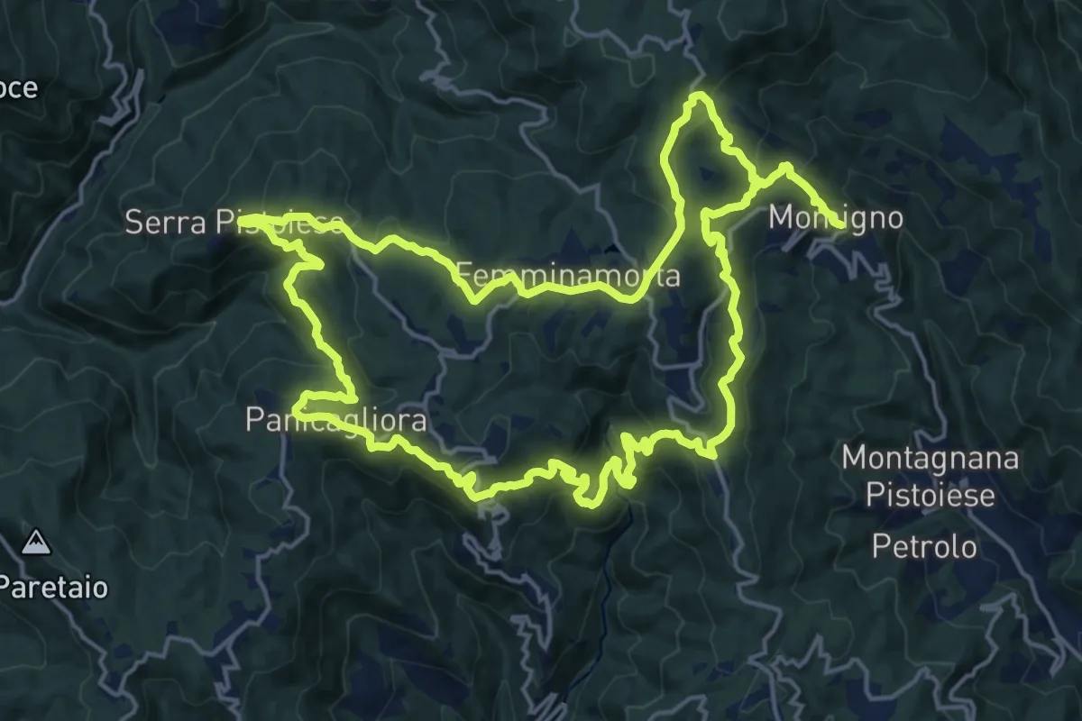
Anello 2 - Sentiero della pietra
19.2 km · ↑ 977 m · 6 h 51 min · 11 km away
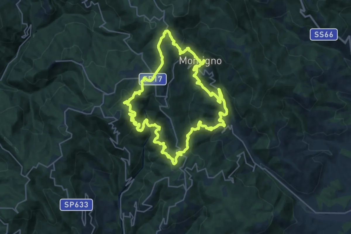
Demanding · Summit
Anello 3 - Sentiero della castagna
19.0 km · ↑ 995 m · 6 h 55 min · 11 km away
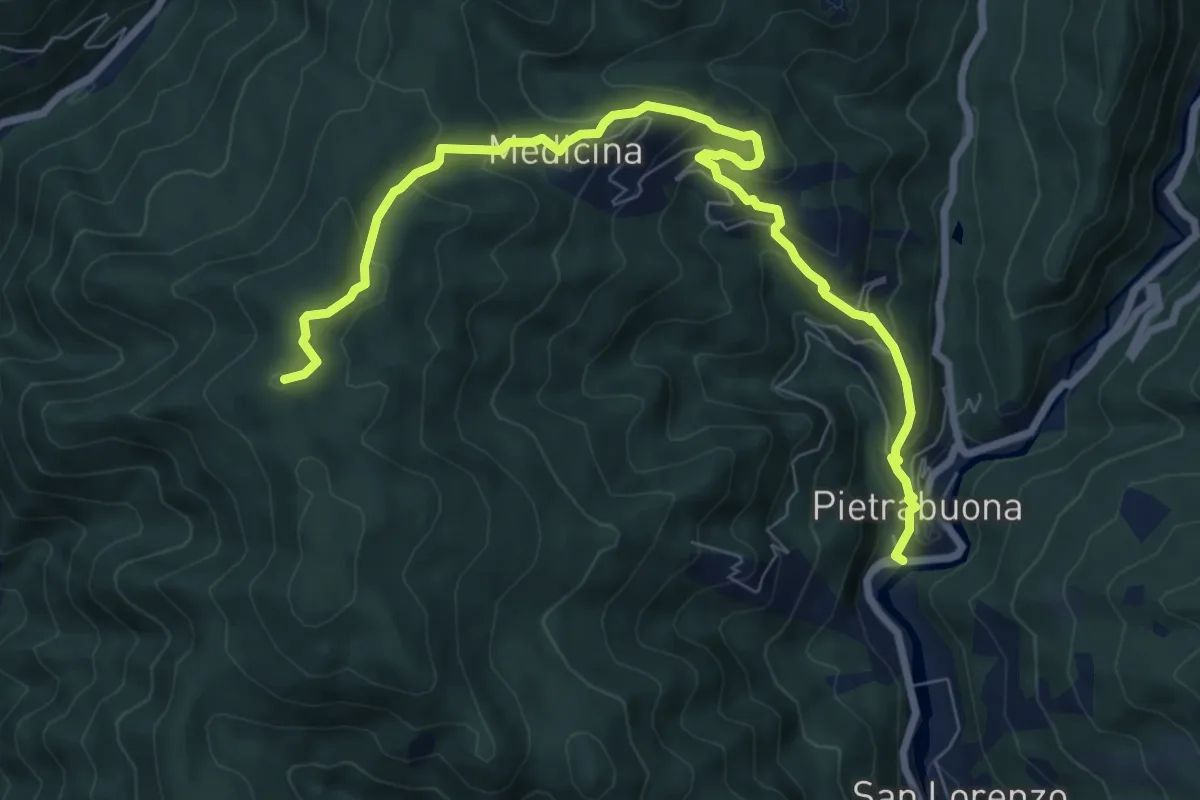
Medium · Summit
Pietrabuona – Sant'Anna
9.3 km · ↑ 579 m · 3 h 27 min · 12 km away
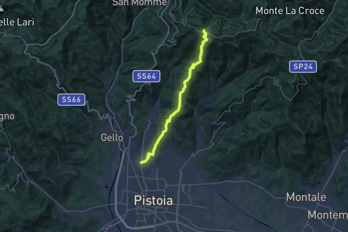
Demanding · Trail
Via delle Gaine - (Pistoia) – innesto sentiero 00
18.7 km · ↑ 959 m · 6 h 30 min · 12 km away
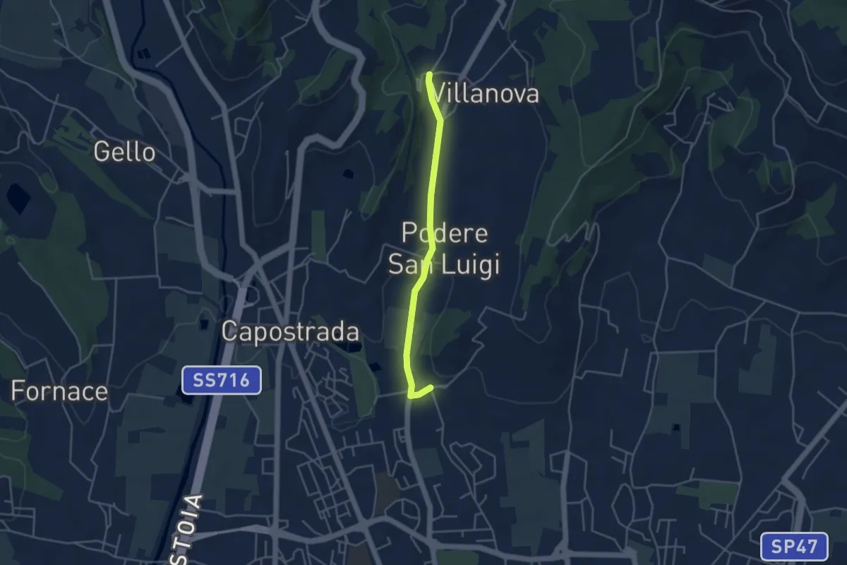
Easy · Pilgrim path
Via Francesca della Sambuca BO-PT: Percorso diretto Via Valdibrana
1.9 km · ↑ 36 m · 32 min · 12 km away