Trails near Monsummano Terme
75 hikes starting within 15 km, nearest first.
Nearest first, page 2 of 2
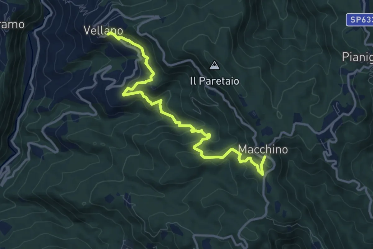
Medium · Trail
Vellano – Macchino
9.8 km · ↑ 515 m · 3 h 26 min · 12 km away
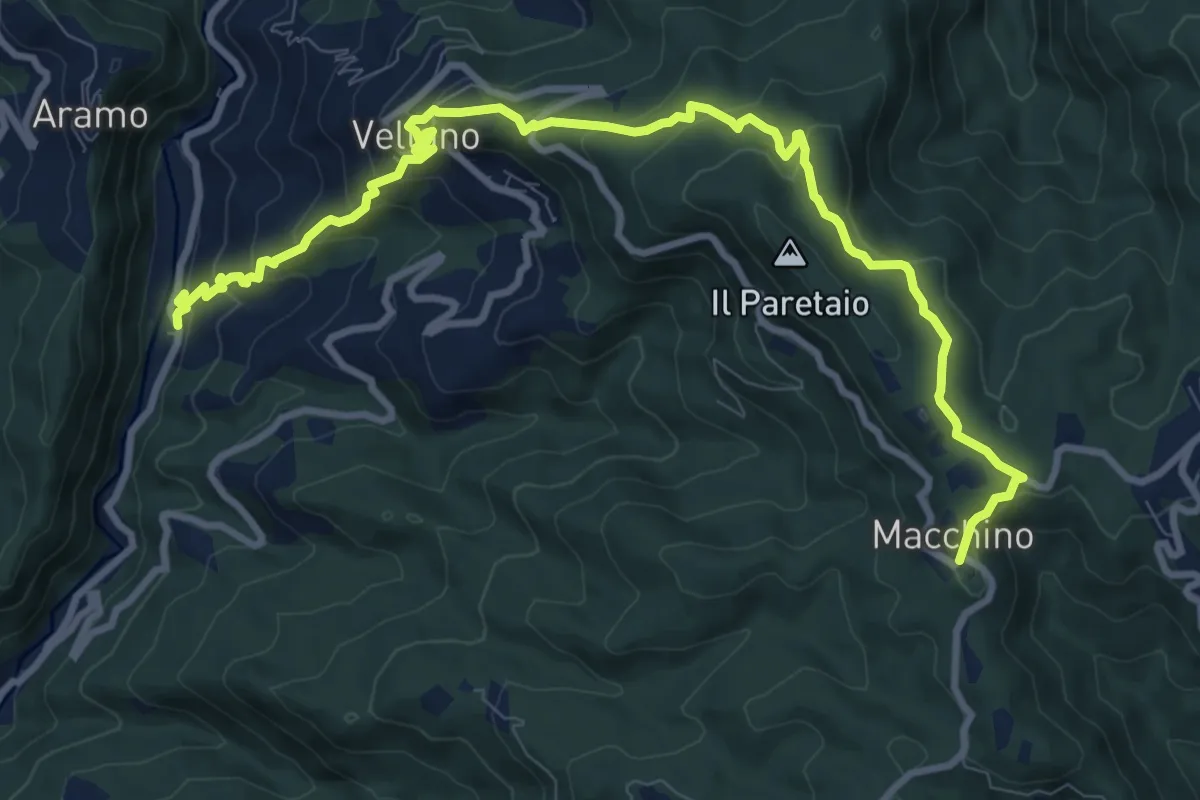
Medium · Summit
Calamari – Macchino
6.1 km · ↑ 644 m · 2 h 38 min · 12 km away
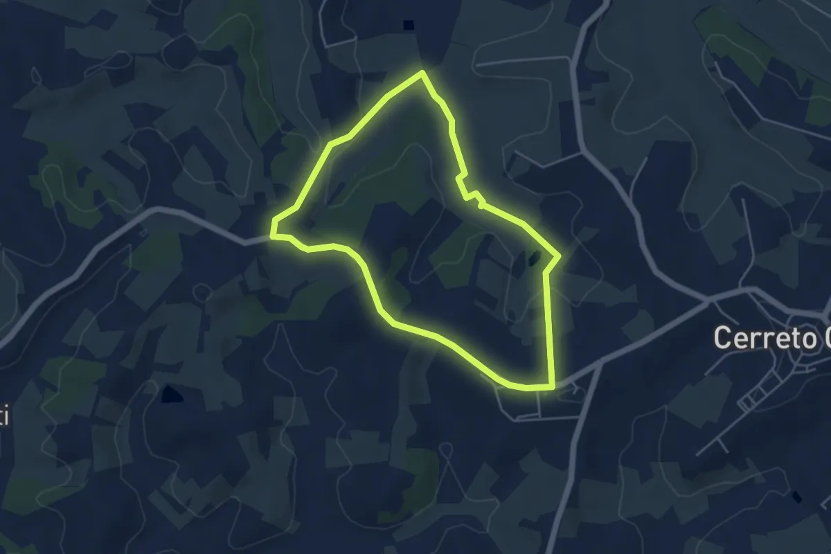
Easy · Trail
Anello mediceo 3 - Il Bosco di Cameretta
4.4 km · ↑ 77 m · 1 h 16 min · 12 km away
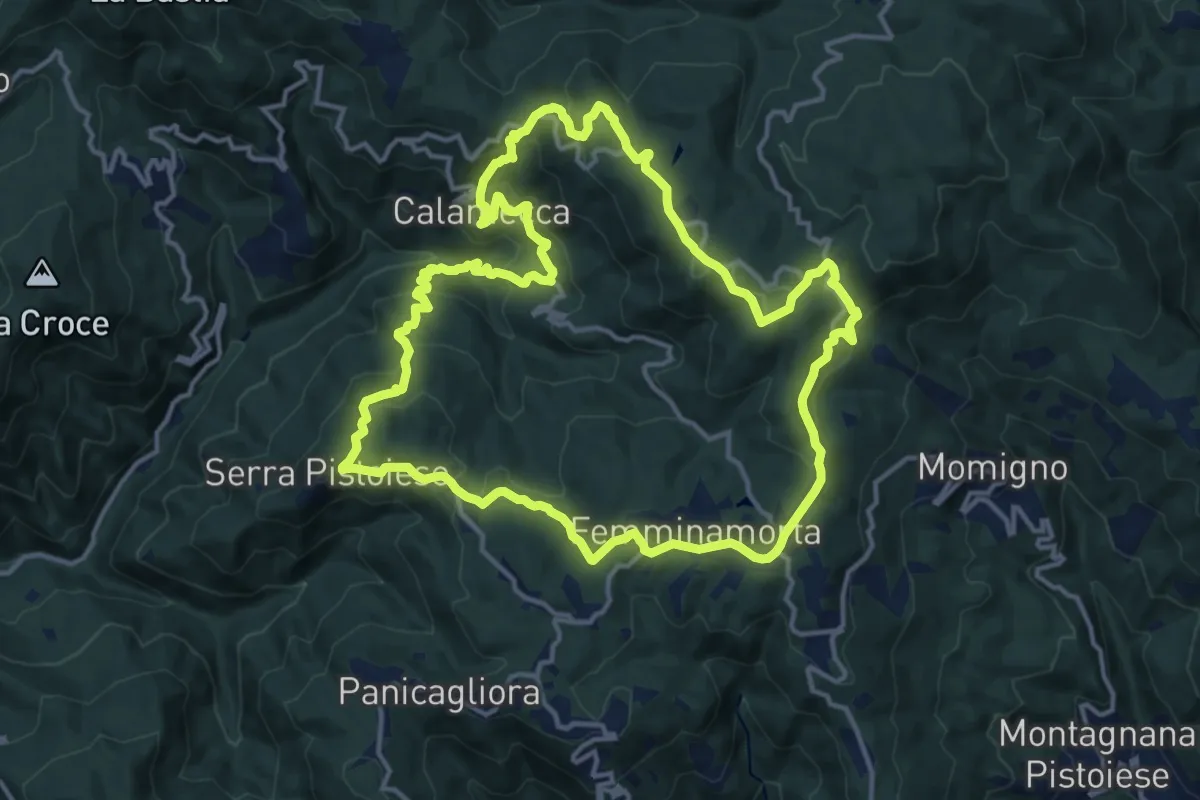
Medium · Summit
Anello 1 - Sentiero dei borghi
15.3 km · ↑ 689 m · 5 h 19 min · 13 km away
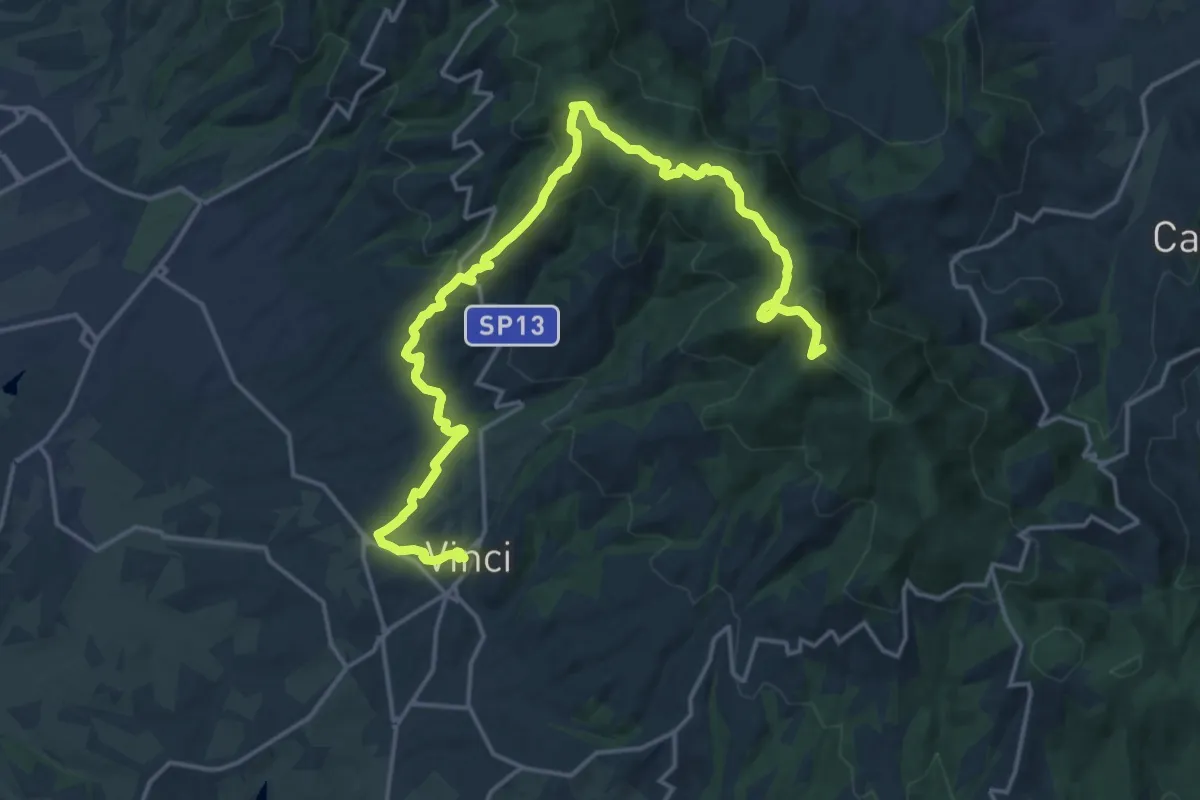
Demanding · Summit
Tappa 3: Bacchereto - Vinci
23.1 km · ↑ 847 m · 7 h 17 min · 13 km away
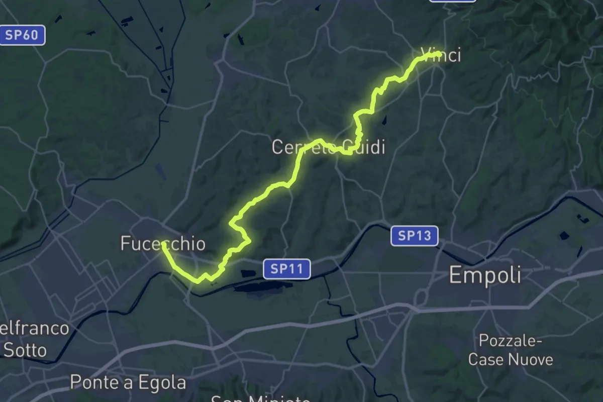
Medium · Trail
Tappa 4: Vinci - Fucecchio
17.7 km · ↑ 294 m · 5 h 5 min · 13 km away
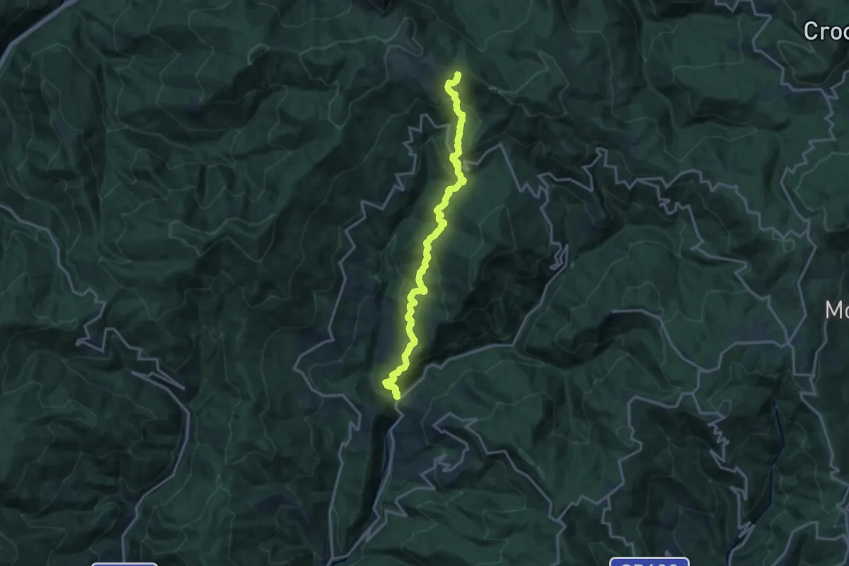
Demanding · Trail
Ponte di Sorana – Croce a Veglia
15.9 km · ↑ 875 m · 5 h 38 min · 13 km away
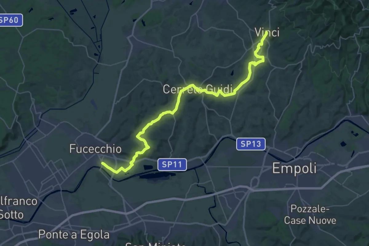
Medium · Trail
Tappa 1 - Da Fucecchio a Vinci
17.5 km · ↑ 243 m · 4 h 57 min · 13 km away
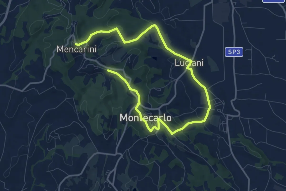
Medium · Trail
Anello Est di Montecarlo
13.8 km · ↑ 296 m · 3 h 54 min · 13 km away
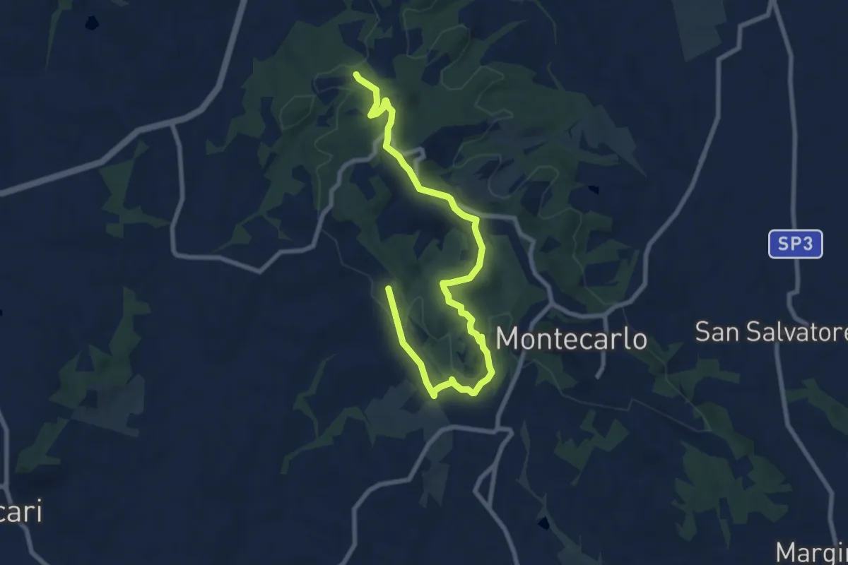
Medium · Trail
Anello Ovest di Montecarlo
9.4 km · ↑ 221 m · 2 h 42 min · 13 km away
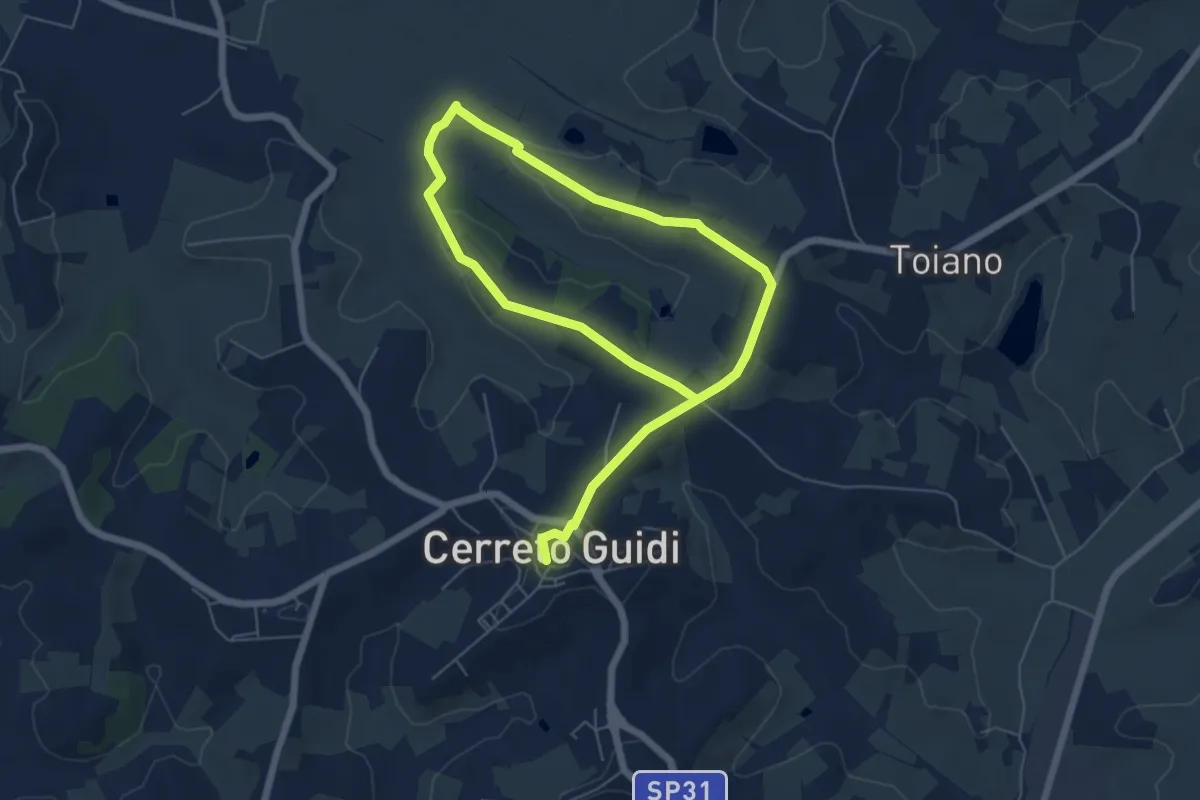
Easy · Trail
Anello mediceo 6 - Sommiano
5.0 km · ↑ 88 m · 1 h 26 min · 13 km away
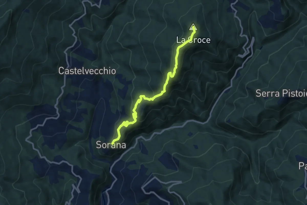
Medium · Summit
Sorana – Ponte alla Torbola
8.9 km · ↑ 505 m · 3 h 11 min · 13 km away
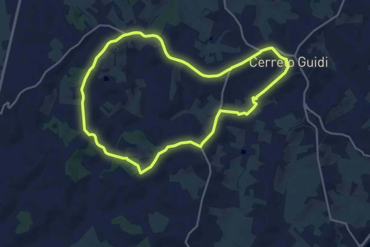
Medium · Trail
Anello mediceo 1 - La Capra
9.6 km · ↑ 167 m · 2 h 45 min · 13 km away
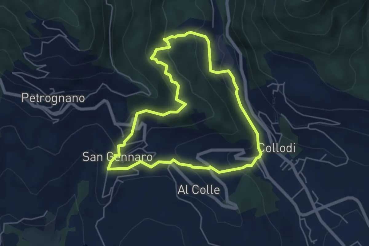
Easy · Trail
Sentiero n.17 "La Pescia"
4.4 km · ↑ 239 m · 1 h 37 min · 13 km away
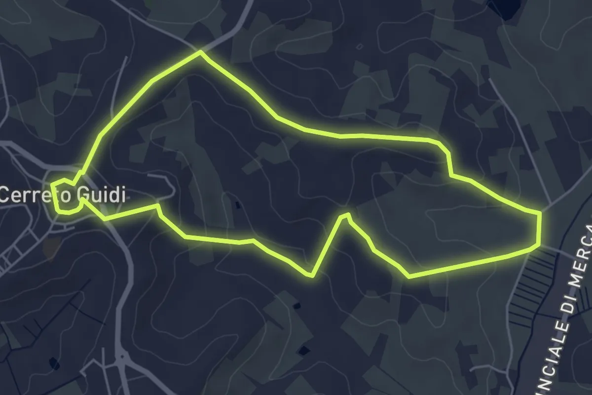
Easy · Trail
Anello mediceo 5 - Callaiola
5.4 km · ↑ 127 m · 1 h 38 min · 13 km away
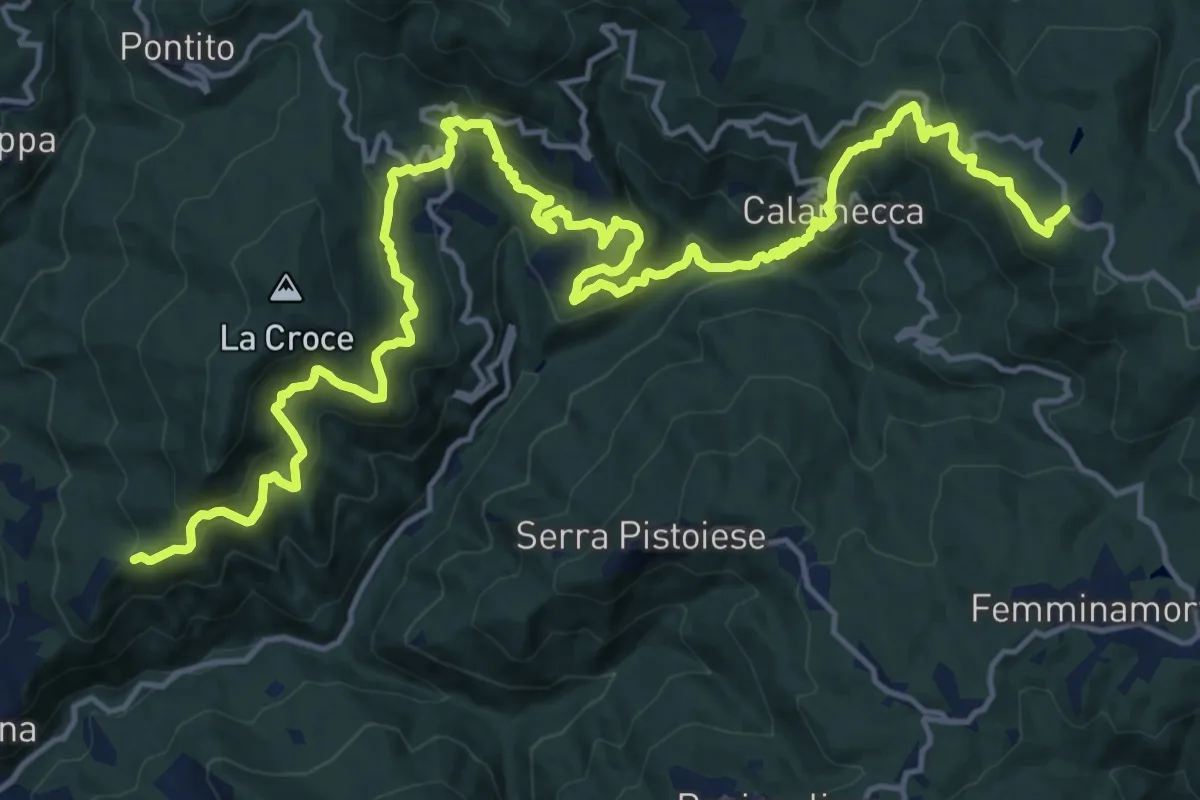
Demanding · Trail
Montaione – Macchia Antonini
12.3 km · ↑ 1049 m · 5 h 10 min · 13 km away
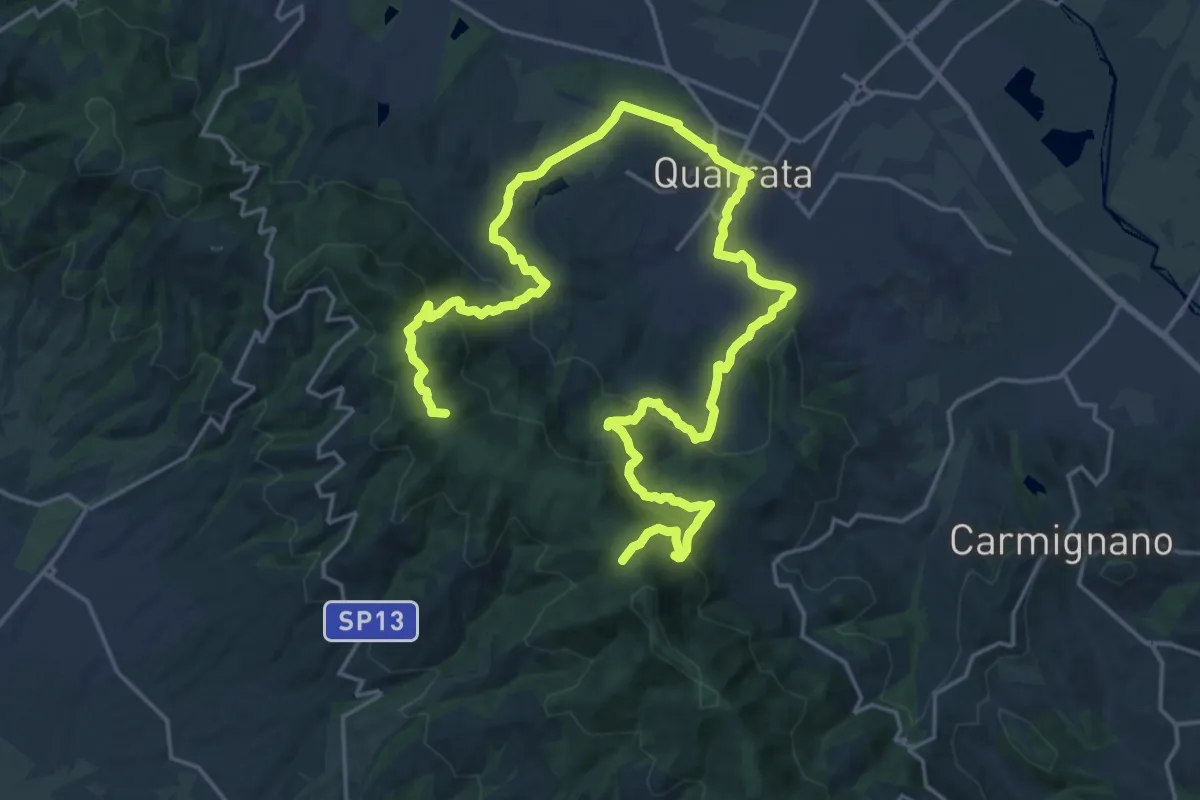
Demanding · Summit
Anello della Magia - Quarrata
32.0 km · ↑ 1351 m · 10 h 29 min · 14 km away
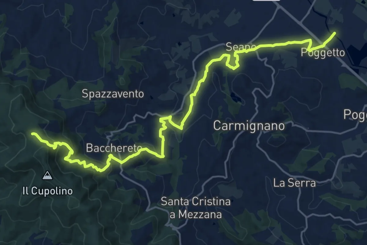
Demanding · Trail
Ponte a Tigliano – Torre Sant'Allluccio
22.0 km · ↑ 774 m · 6 h 52 min · 14 km away
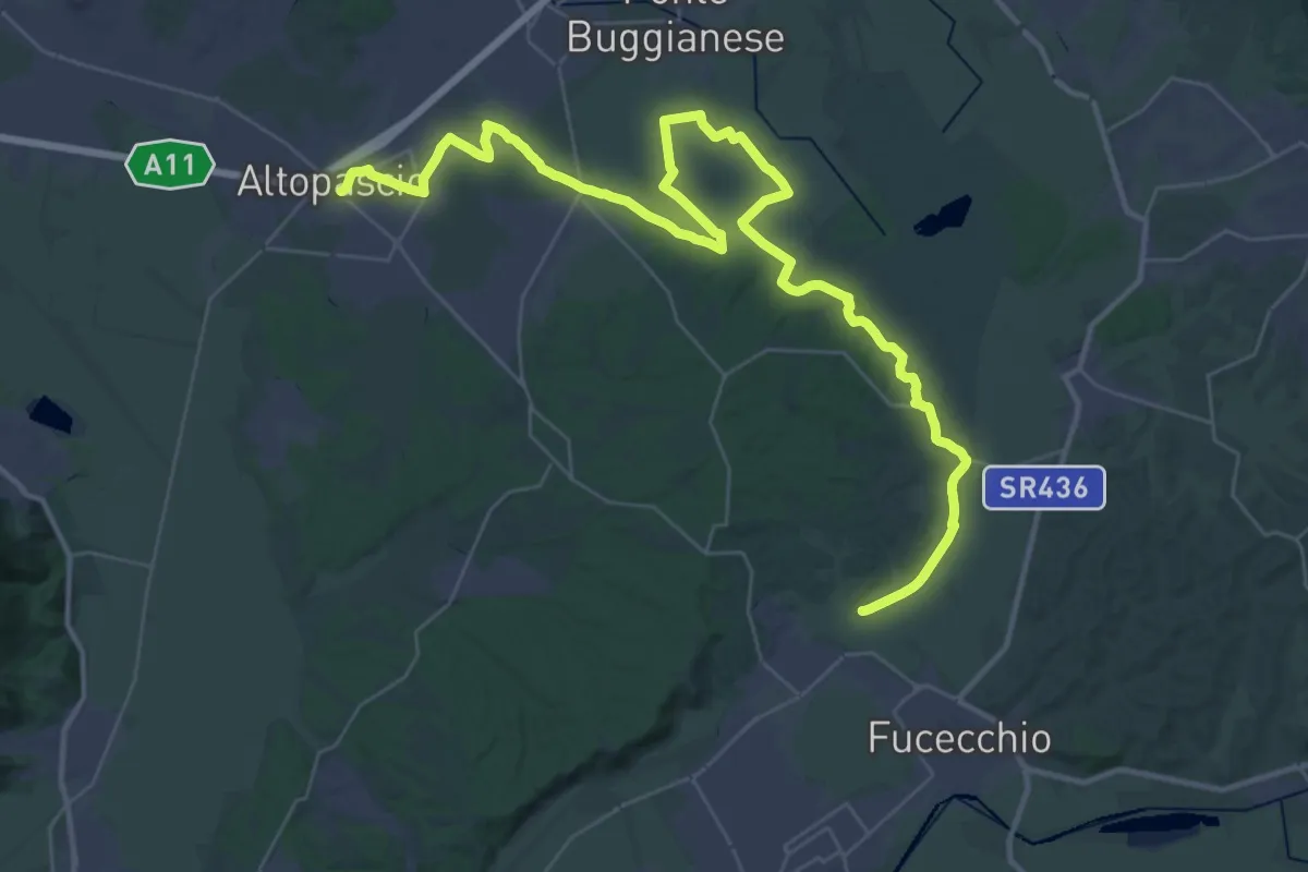
Demanding · Pilgrim path
Via Francigena - Variante d'acqua
25.8 km · ↑ 93 m · 6 h 39 min · 14 km away
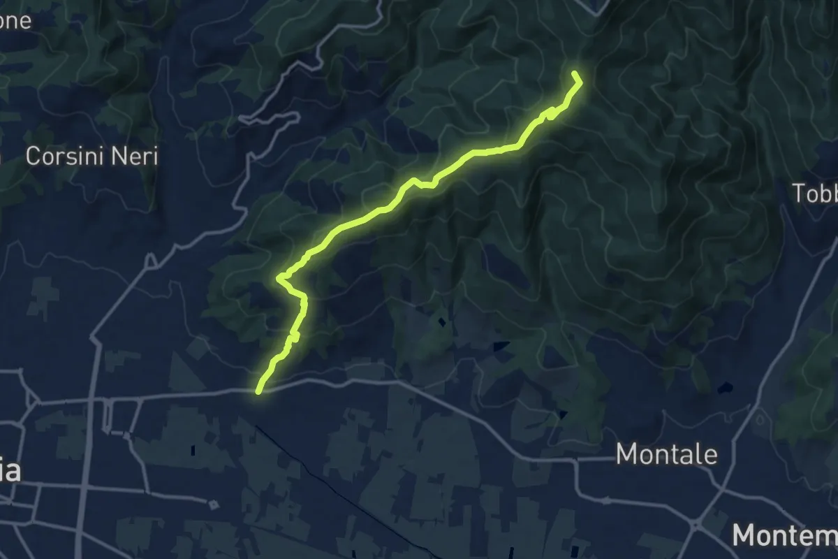
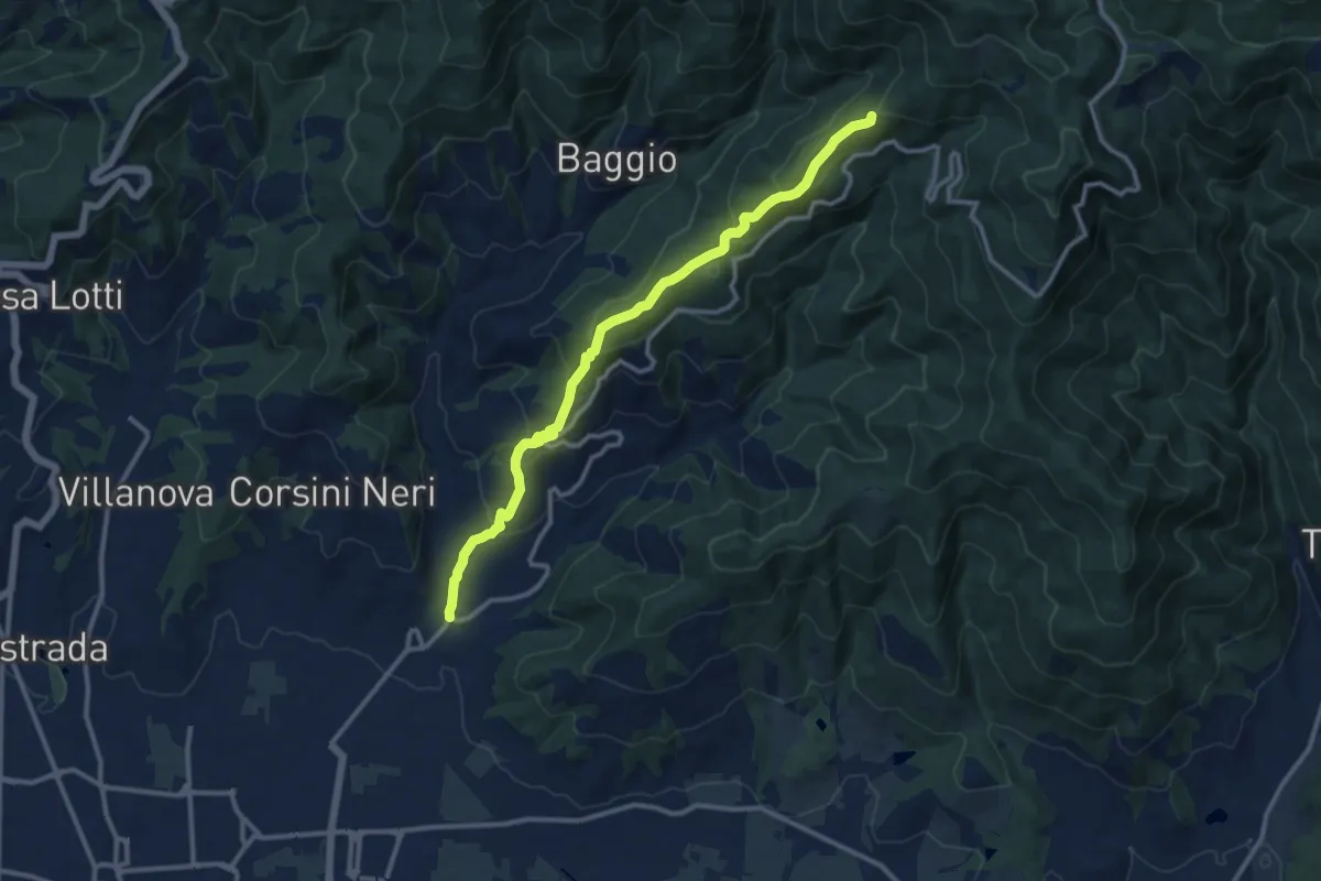
Medium · Summit
Pontenuovo – innesto sentiero 234
12.8 km · ↑ 731 m · 4 h 37 min · 14 km away
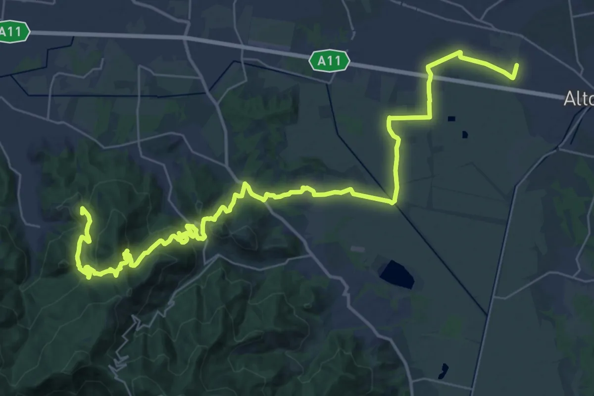
Medium · Summit
Candeglia – innesto sentiero 00
12.2 km · ↑ 685 m · 4 h 22 min · 14 km away
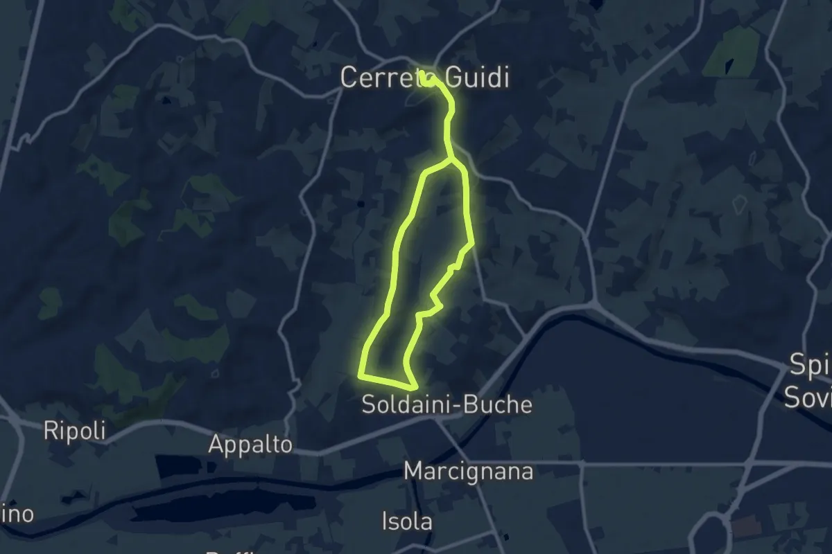
Demanding · Summit
Via Francigena - Variante Sant'Andrea di Compito
20.5 km · ↑ 689 m · 6 h 31 min · 14 km away
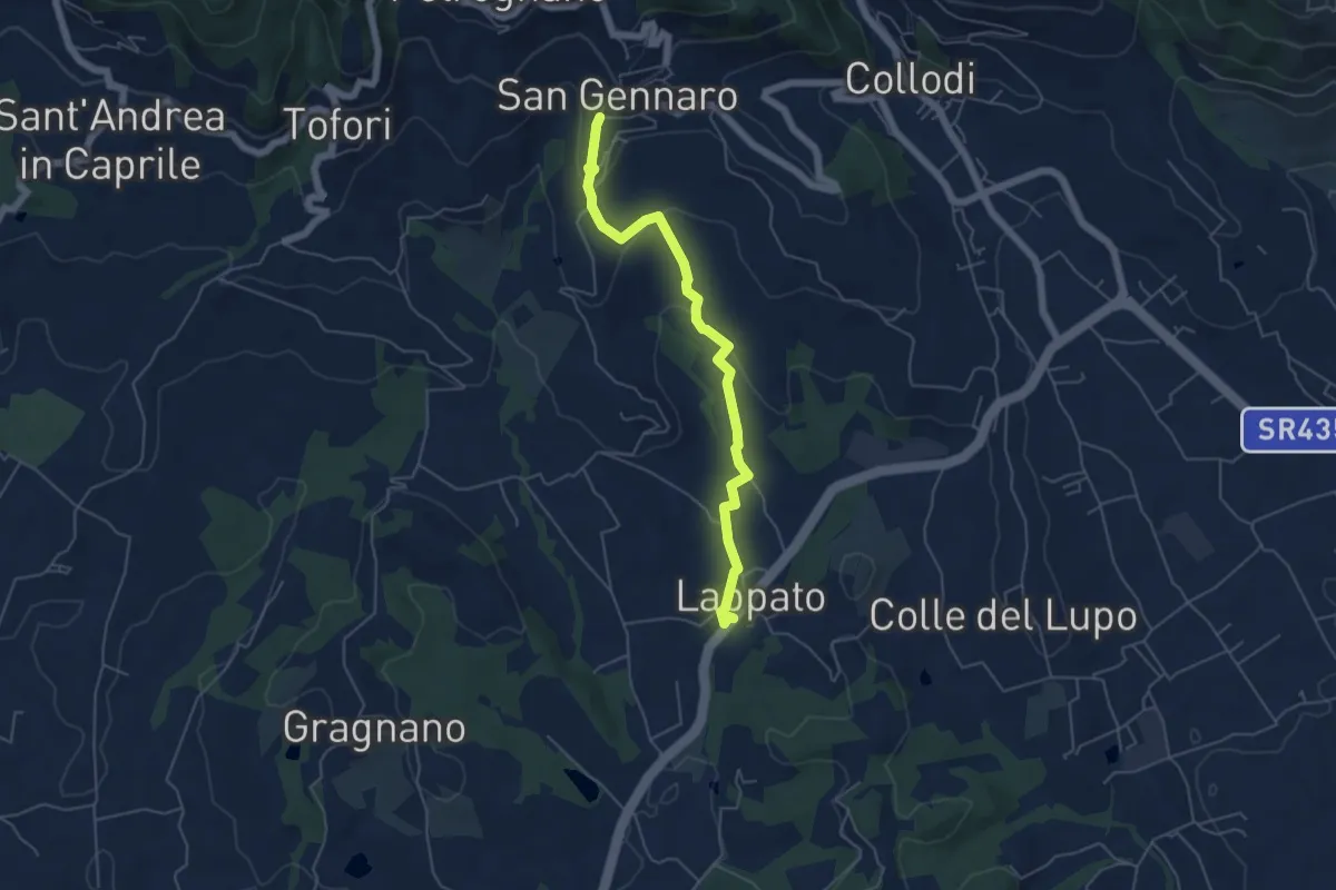
Easy · Trail
Anello mediceo 4 - Via del Lungo
7.7 km · ↑ 127 m · 2 h 11 min · 14 km away
Easy · Trail
Sentiero n.16 "San Gennaro"
5.6 km · ↑ 172 m · 1 h 41 min · 14 km away
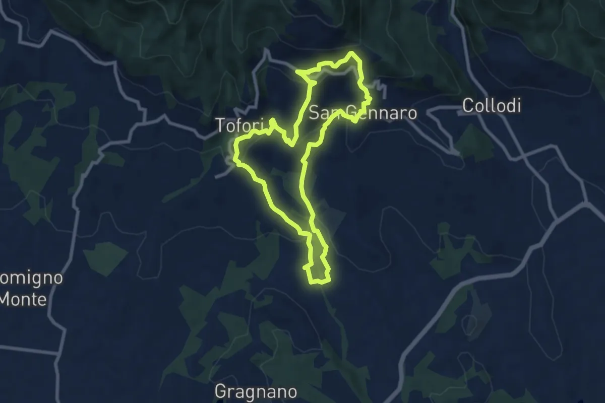
Medium · Trail
Sentiero n.15 "Petrognano"
7.1 km · ↑ 359 m · 2 h 33 min · 15 km away
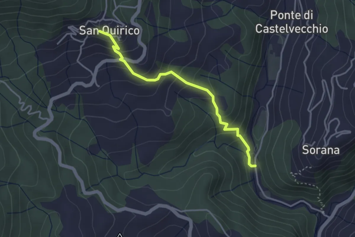
Easy · Trail
Mulino del Monti – San Quirico
3.3 km · ↑ 274 m · 1 h 23 min · 15 km away
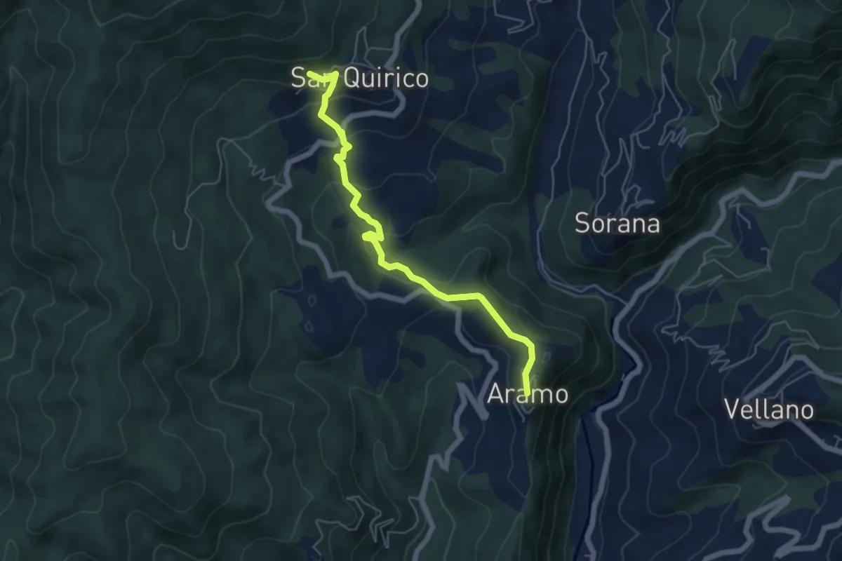
Easy · Trail
Aramo – San Quirico
2.8 km · ↑ 48 m · 53 min · 15 km away