Trails near Montecchio Emilia
69 hikes starting within 15 km, nearest first.
Nearest first, page 1 of 2
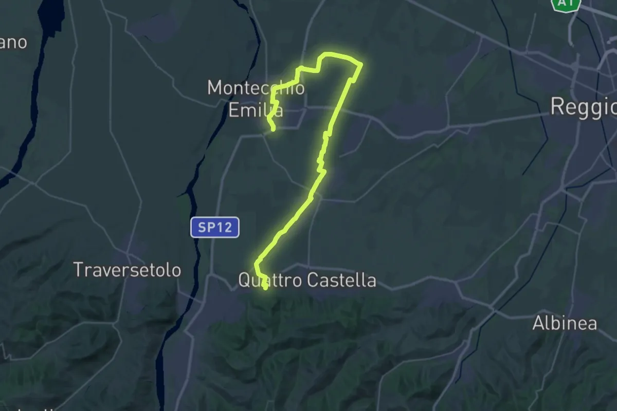
Medium · Trail
Monastero di Montefalcone – Montecchio
17.9 km · ↑ 119 m · 4 h 41 min · 1 km away
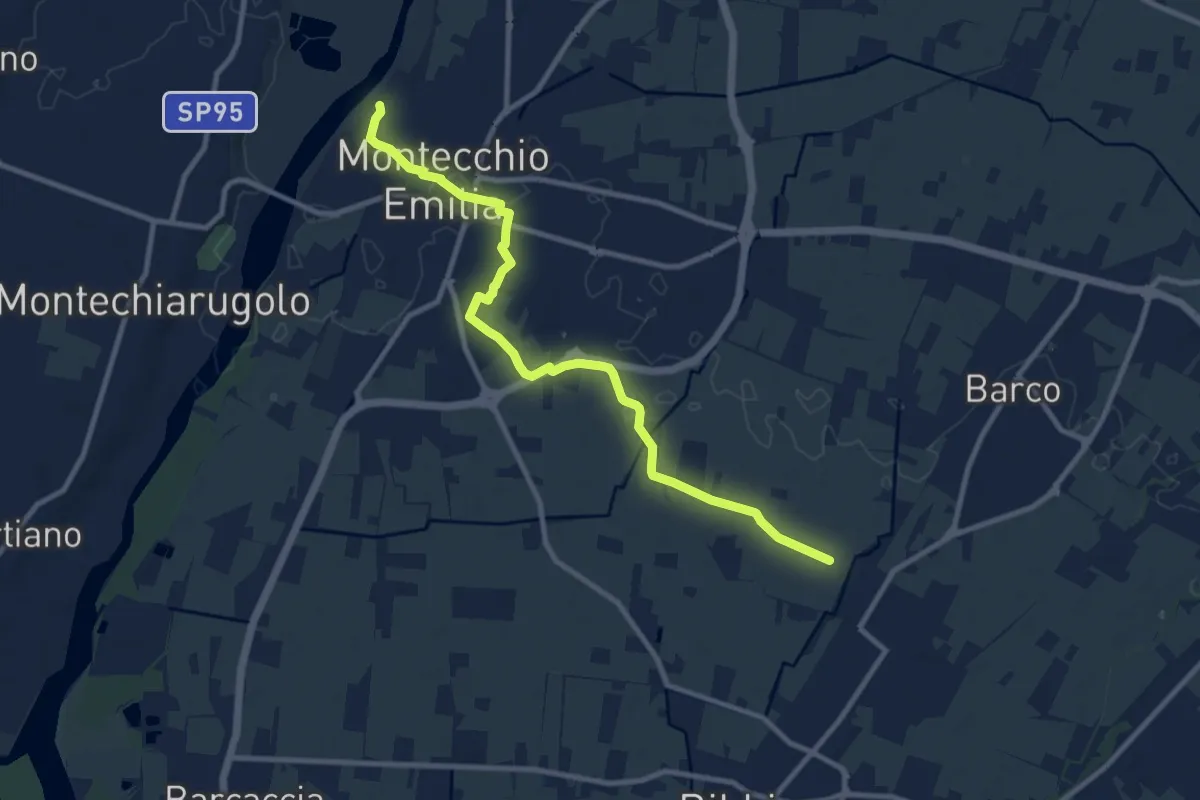
Medium · Trail
Fossa Barco – Percorso 672
10.9 km · ↑ 21 m · 2 h 37 min · 4 km away
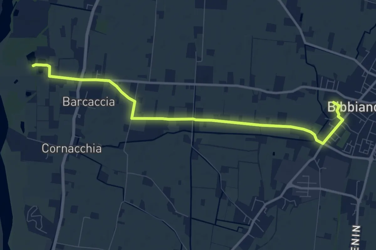
Medium · Trail
Bibbiano – Percorso 672
9.9 km · ↑ 17 m · 2 h 23 min · 4 km away
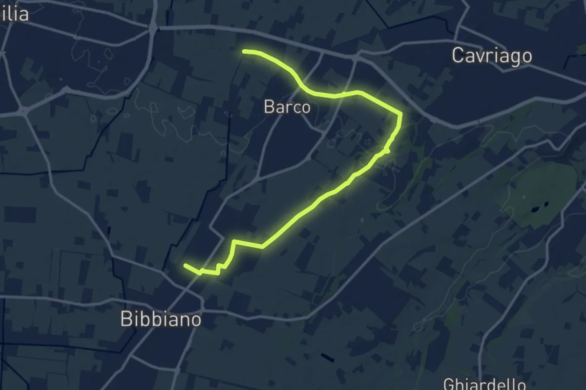
Medium · Trail
Bibbiano – Sentiero 640A
12.6 km · ↑ 42 m · 3 h 4 min · 4 km away
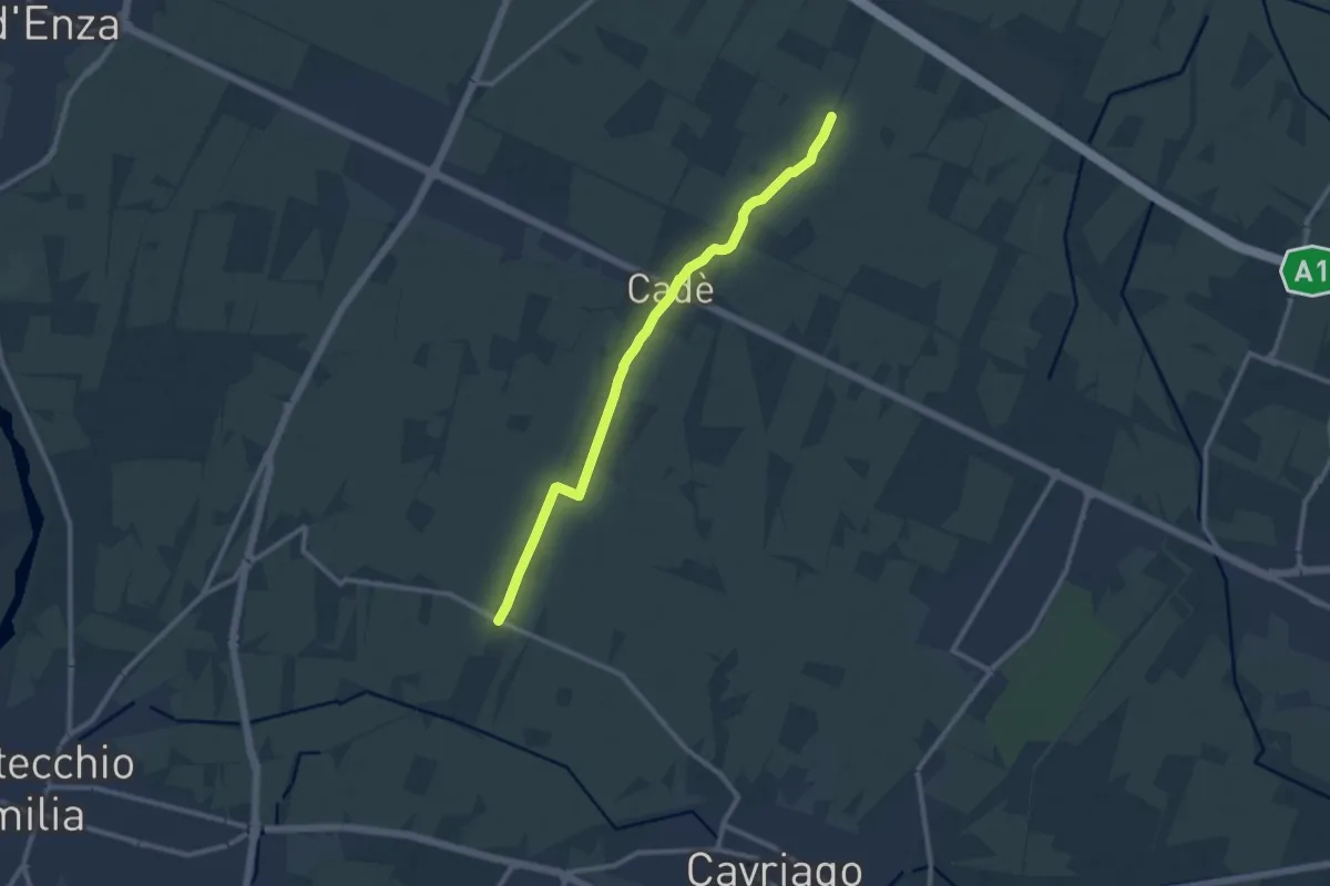
Medium · Trail
Reggiolo-Paverazzi
10.9 km · ↑ 34 m · 2 h 40 min · 4 km away
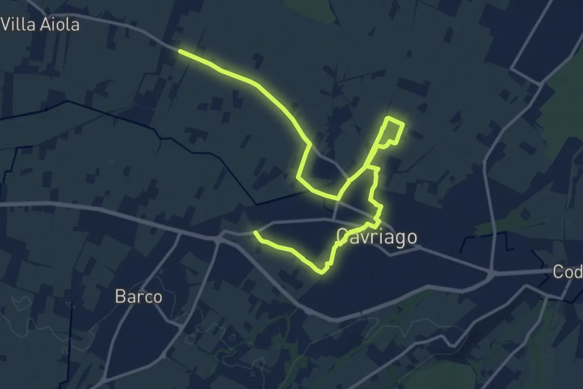
Medium · Trail
Paverazzi – Strada Barboiara
15.0 km · ↑ 53 m · 3 h 39 min · 4 km away
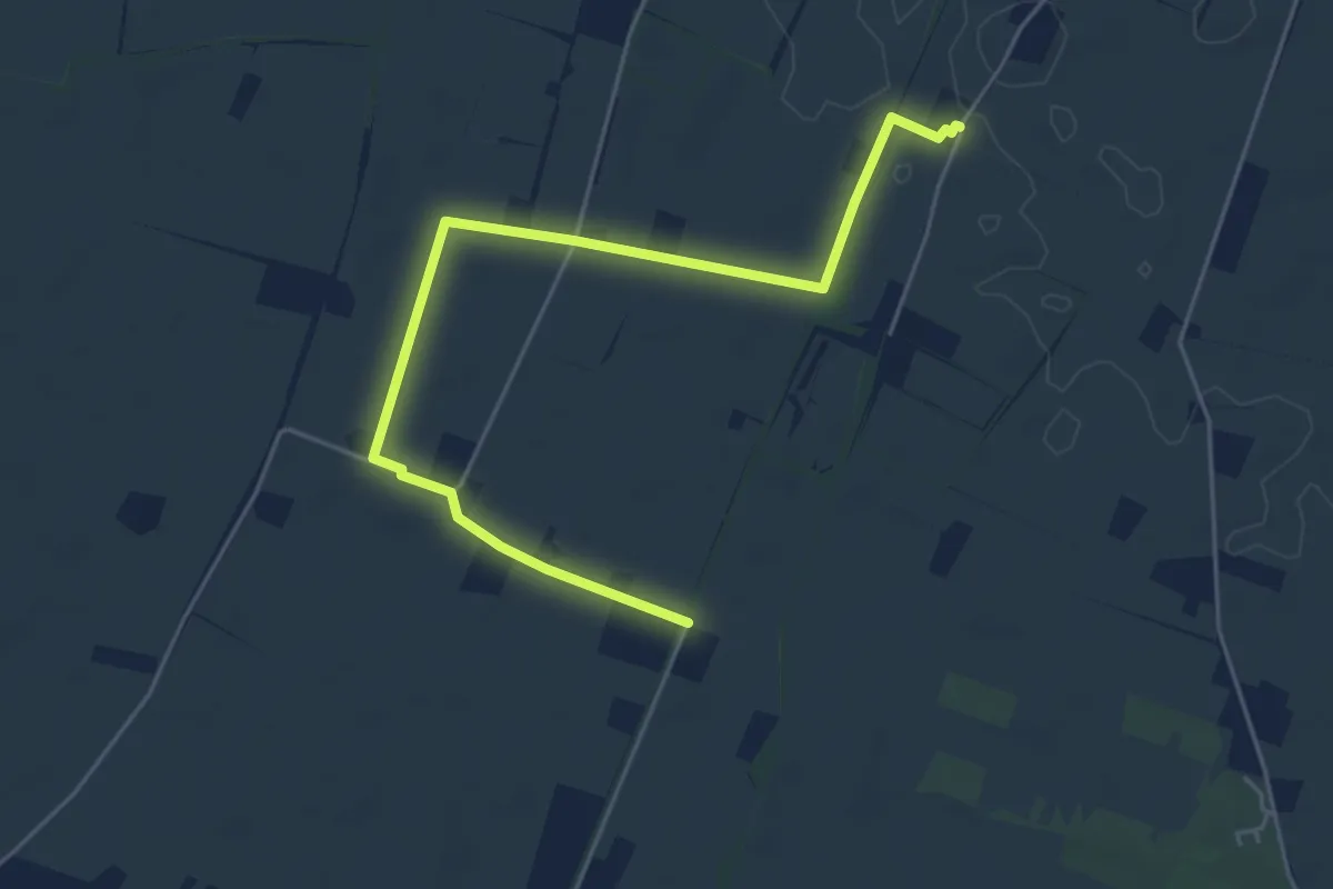
Easy · Trail
Località Il Castello – Bivio Via Villa Chiara 620C
5.8 km · ↑ 8 m · 1 h 24 min · 5 km away
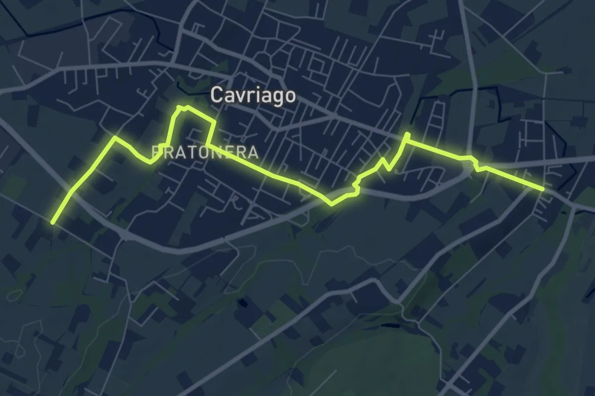
Medium · Trail
Quaresimo – Chiesa San Giovanni
8.4 km · ↑ 49 m · 2 h 5 min · 5 km away
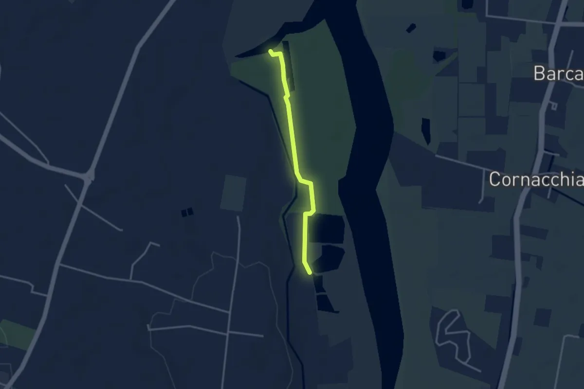
Easy · Trail
Sentiero Area Naturalistica Cronovilla
2.8 km · ↑ 9 m · 41 min · 6 km away
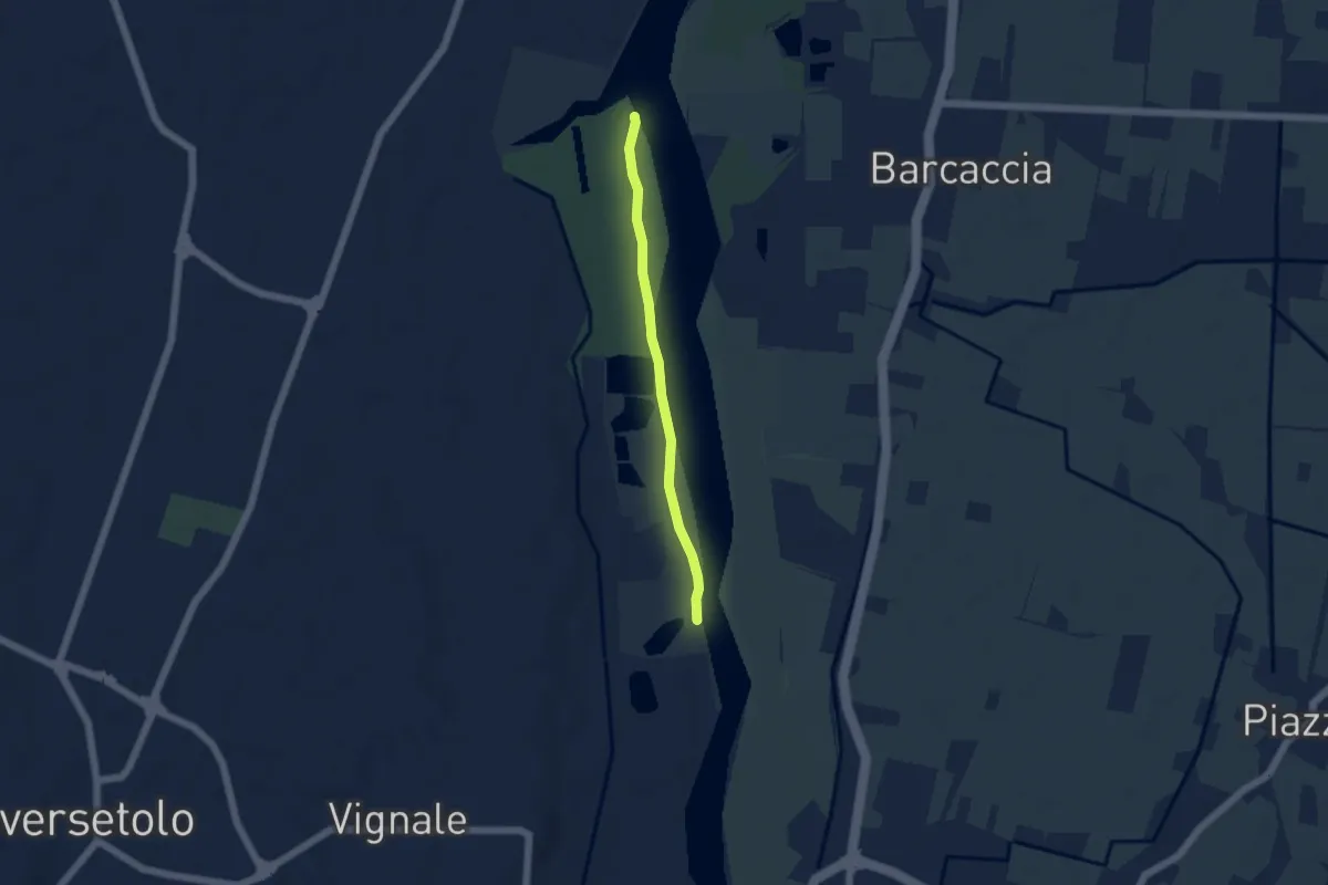
Easy · Trail
Sentiero Area Naturalistica Cronovilla
4.4 km · ↑ 12 m · 1 h 3 min · 6 km away
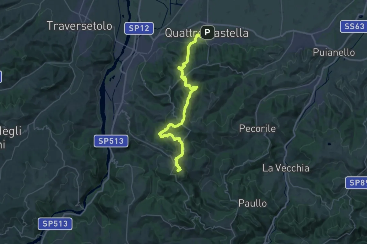
Demanding · Summit
Sentiero Partigiani 1 - sentiero della scelta
27.8 km · ↑ 1313 m · 9 h 24 min · 7 km away
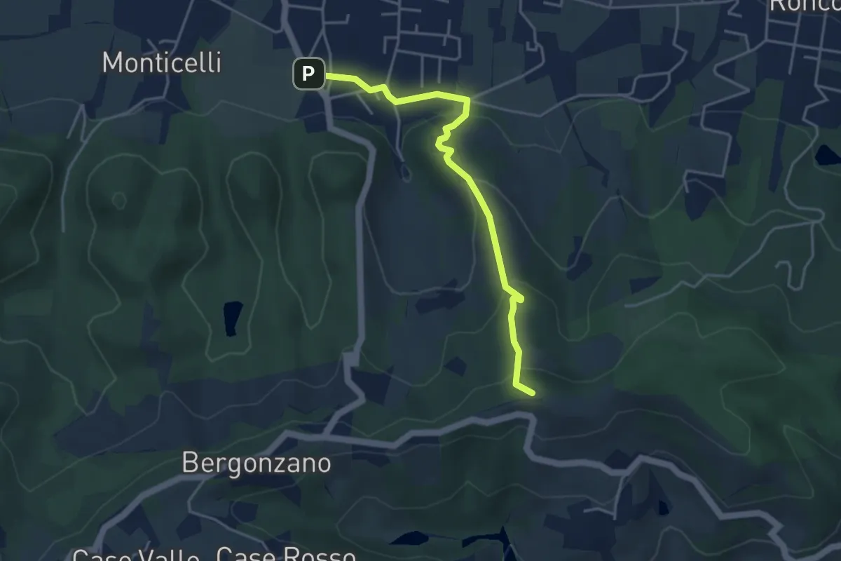
Easy · Summit
Quattro Castella – Monte Airone
4.1 km · ↑ 187 m · 1 h 22 min · 8 km away
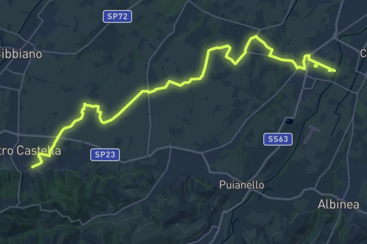
Demanding · Trail
Sentiero dei Ducati Variante Bassa Pianura
31.4 km · ↑ 175 m · 7 h 47 min · 8 km away
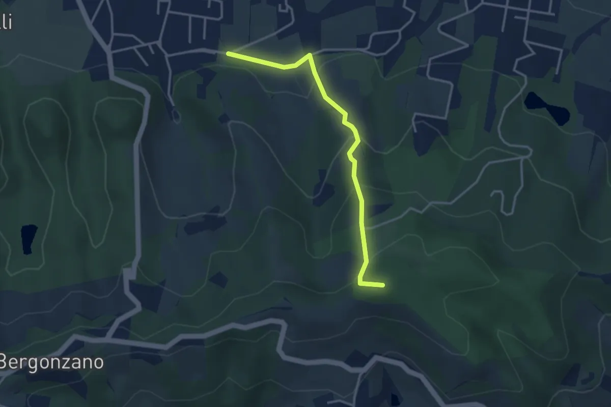
Easy · Summit
Quattro Castella – Sella Monte Biliano
3.3 km · ↑ 196 m · 1 h 12 min · 8 km away
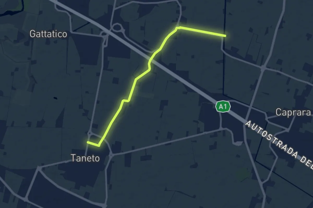
Medium · Trail
Pedriola Nuova – Taneto
8.6 km · ↑ 16 m · 2 h 3 min · 8 km away
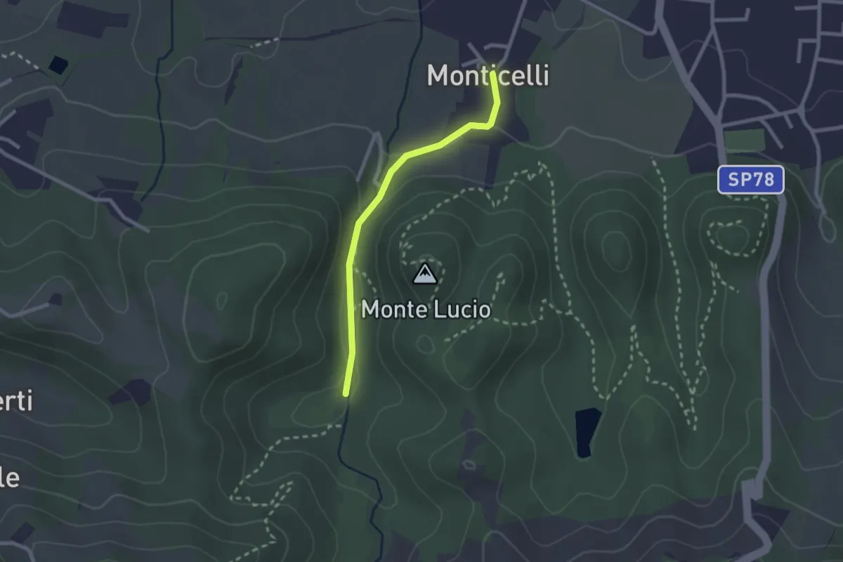
Easy · Trail
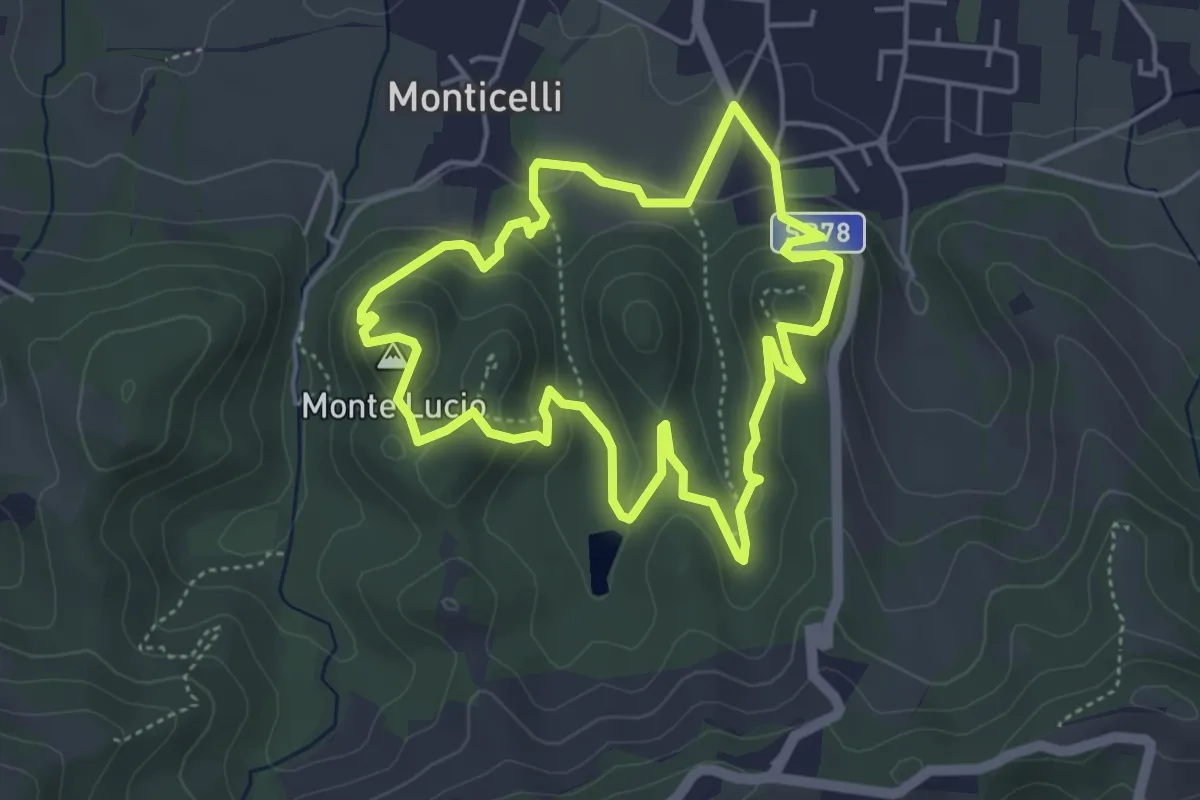
Località La Moia – Monticelli
2.2 km · ↑ 63 m · 39 min · 9 km away
Easy · Summit
Percorso del Parco Bianello
4.6 km · ↑ 169 m · 1 h 31 min · 9 km away
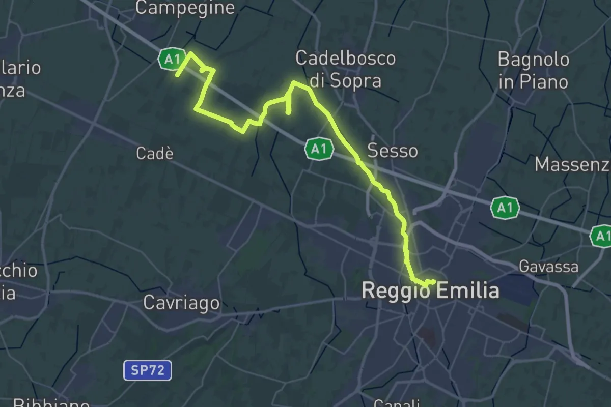
Demanding · Trail
Reggio Emilia – Valle Re
18.2 km · ↑ 33 m · 4 h 37 min · 9 km away
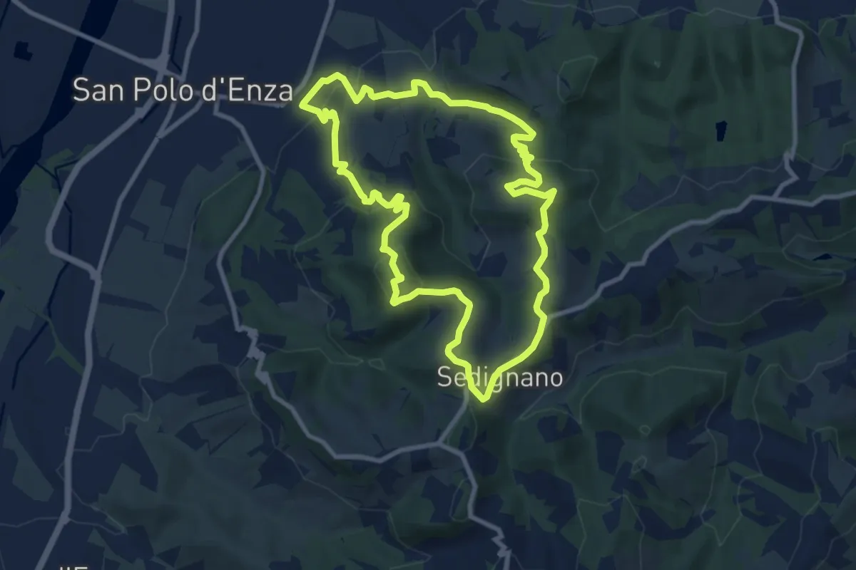
Medium · Summit
San Polo d'Enza – San Polo d'Enza
8.7 km · ↑ 341 m · 2 h 55 min · 9 km away
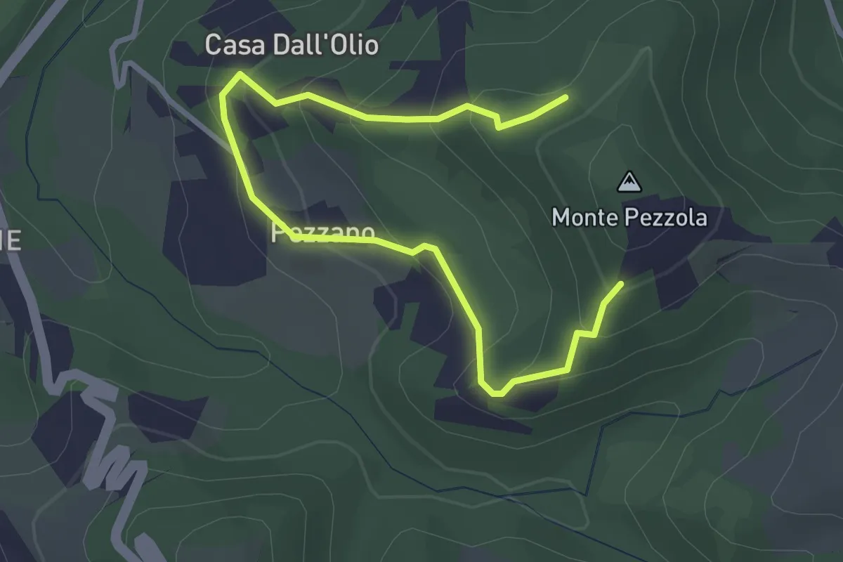
Easy · Trail
Variante di Pezzano
3.8 km · ↑ 220 m · 1 h 23 min · 9 km away
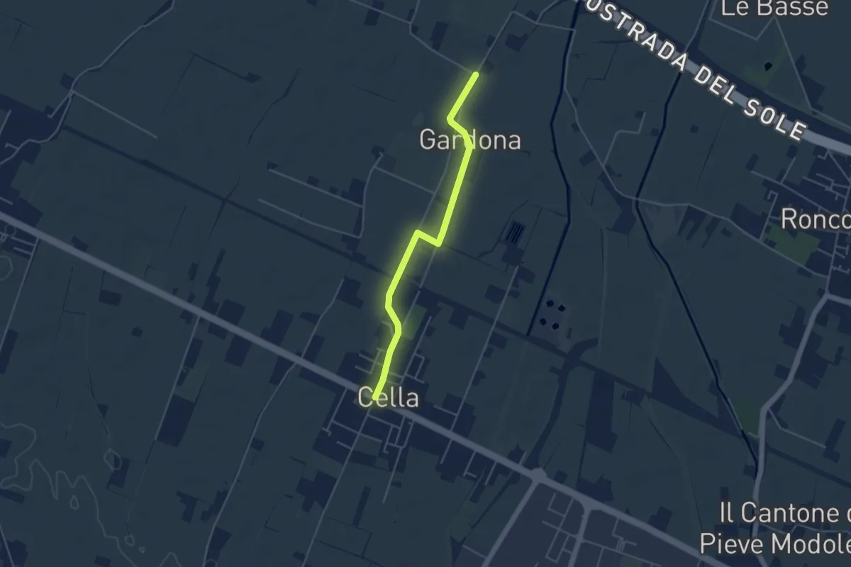
Easy · Trail
Gallana Grande – Cella
4.4 km · ↑ 8 m · 1 h 3 min · 10 km away
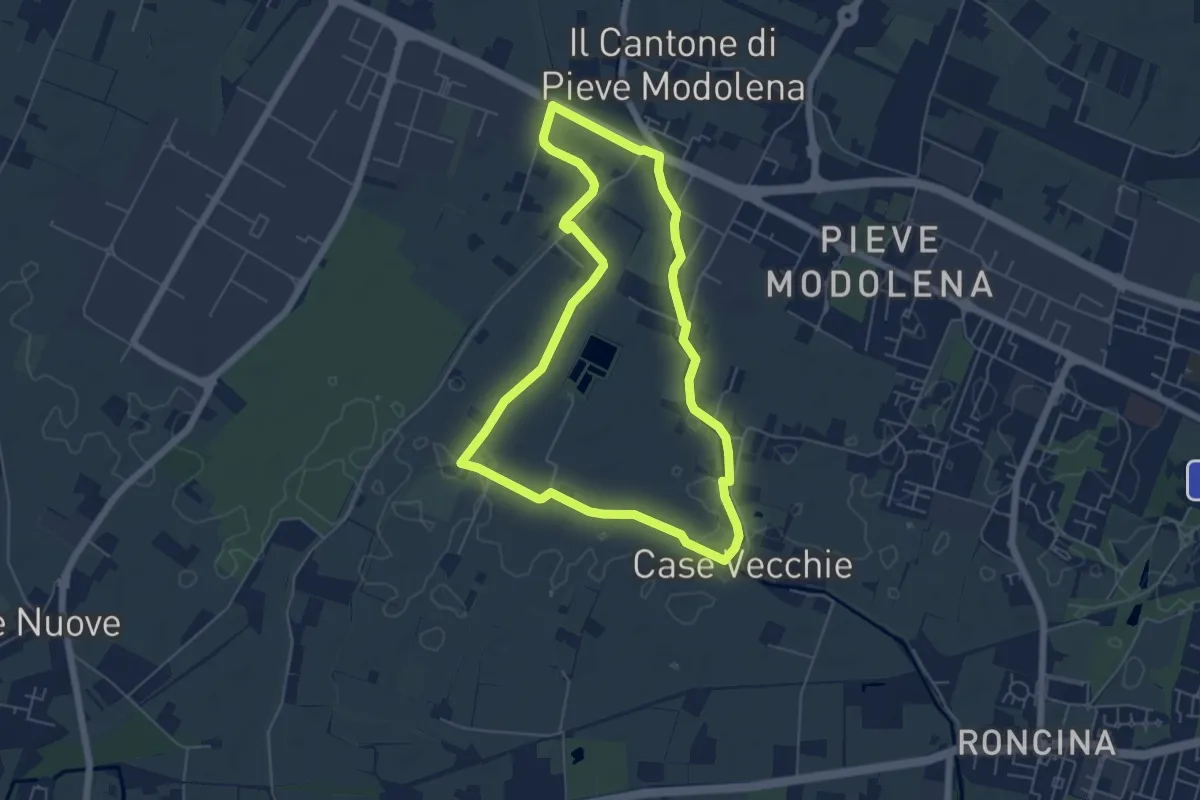
Easy · Trail
Anello delle Acque di Pieve Modolena
5.7 km · ↑ 4 m · 1 h 26 min · 10 km away
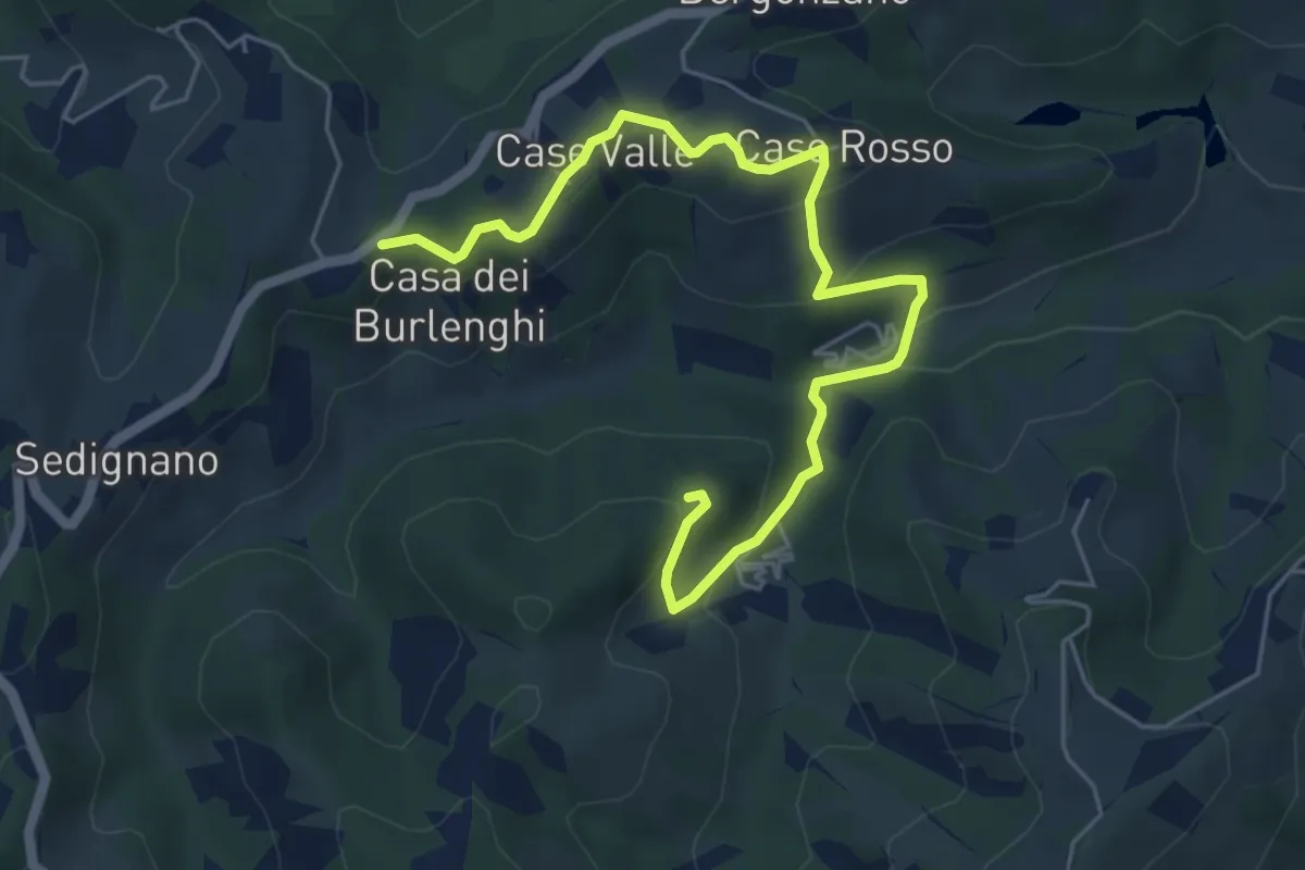
Easy · Trail
Madonna della Battaglia – Sentiero Ducati
6.6 km · ↑ 258 m · 2 h 8 min · 10 km away
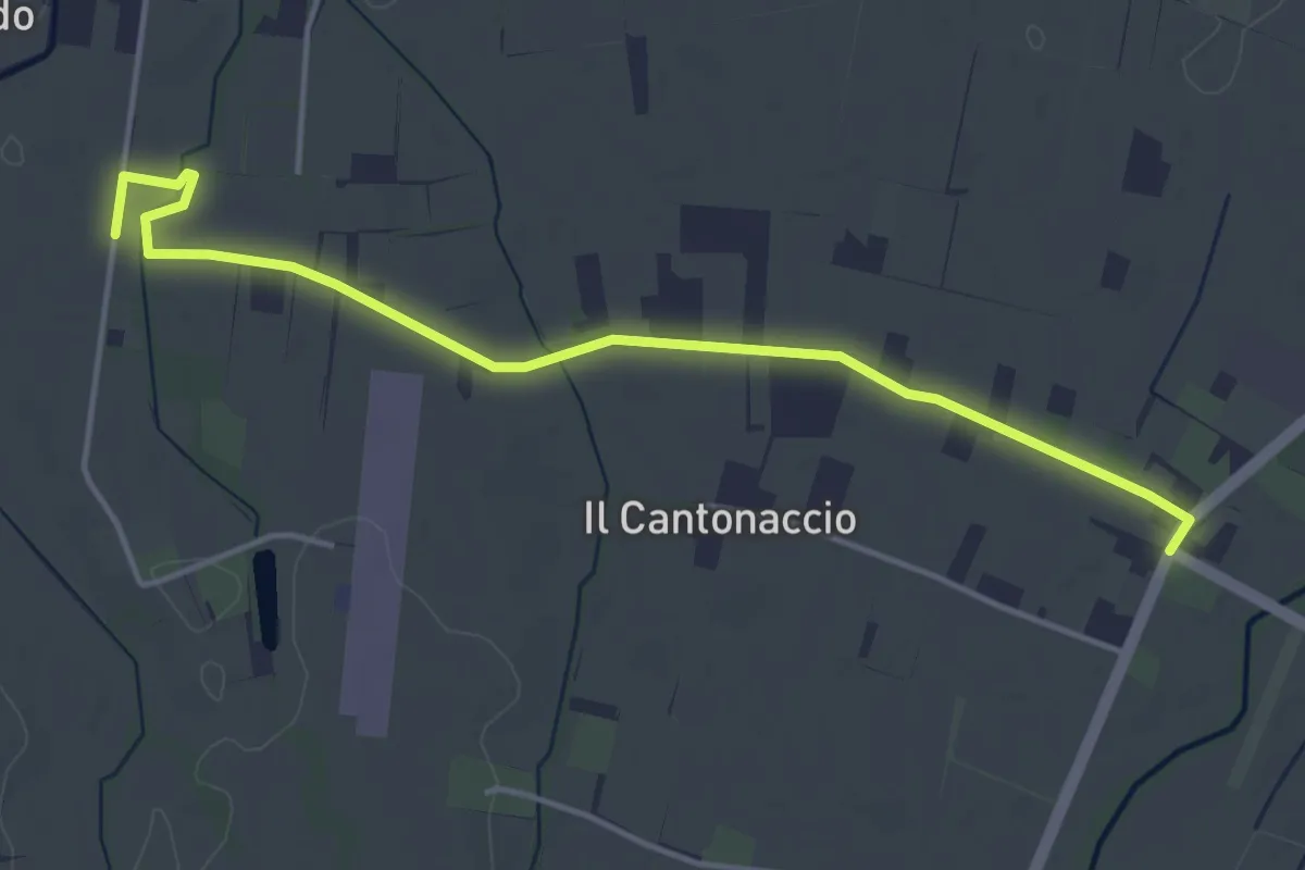
Easy · Trail
Variante Strada della Biodiversità
4.8 km · ↑ 9 m · 1 h 9 min · 11 km away
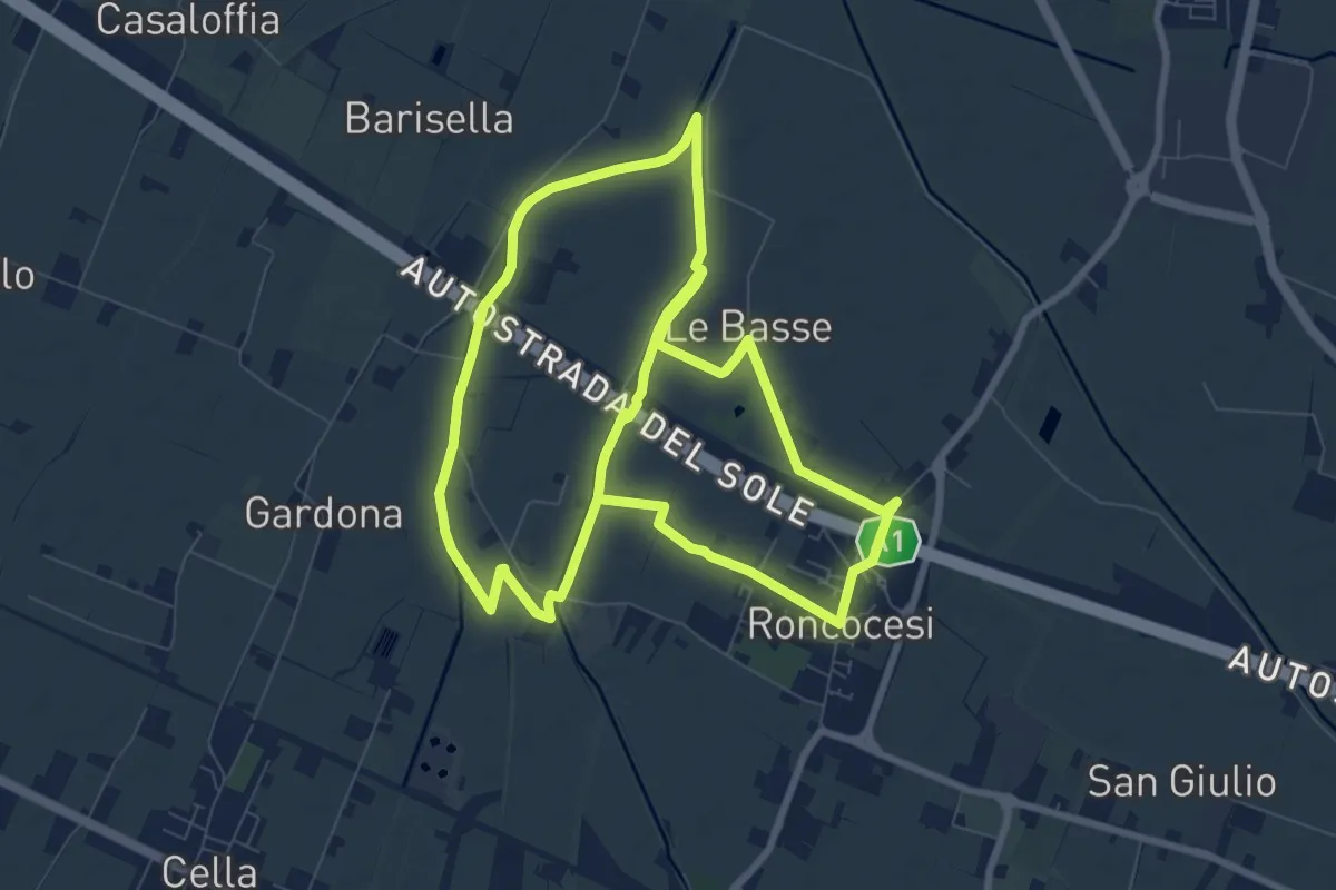
Medium · Trail
Anello di Roncocesi
17.9 km · ↑ 8 m · 4 h 14 min · 11 km away
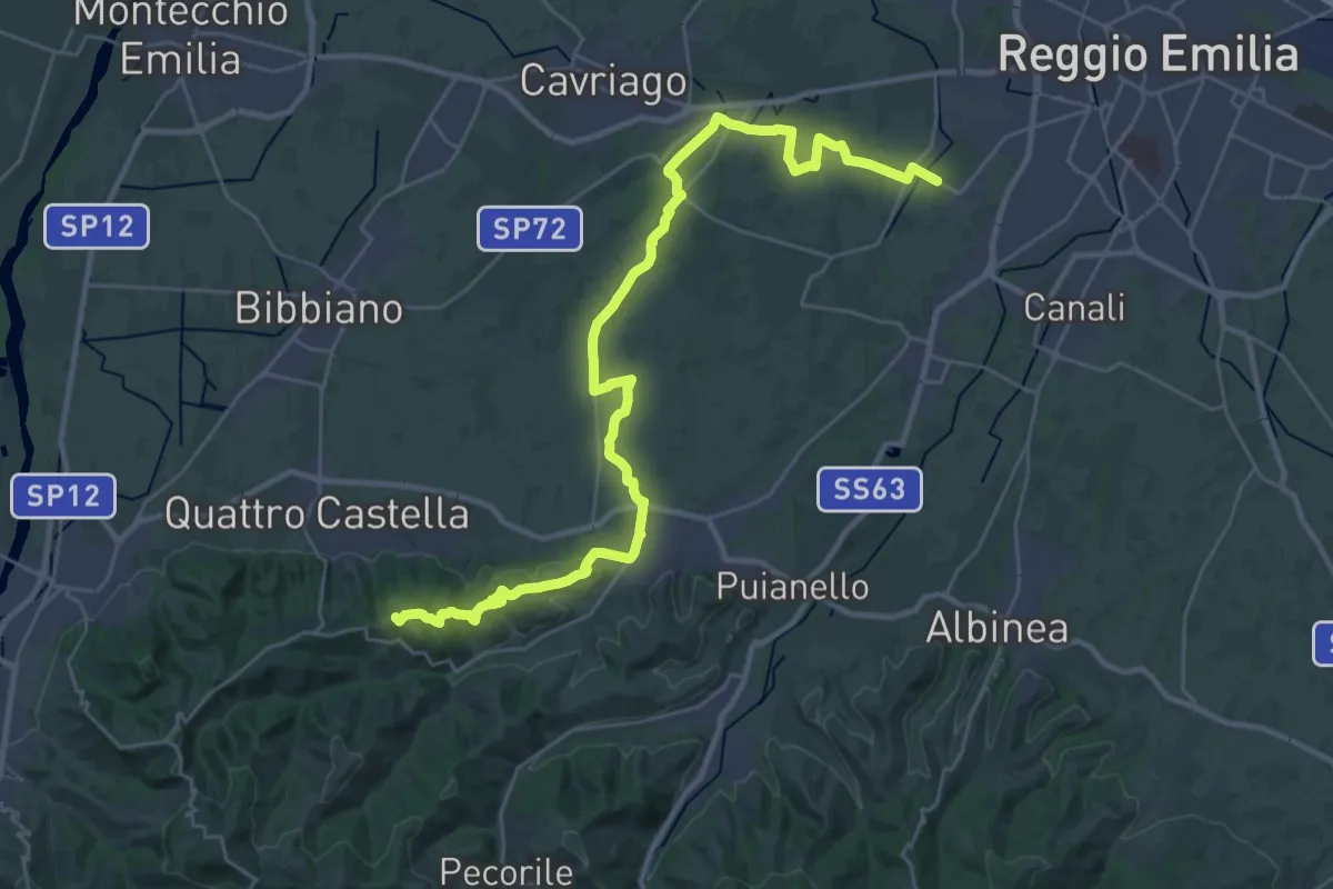
Demanding · Summit
Strada della Biodiversità
36.4 km · ↑ 424 m · 9 h 30 min · 12 km away
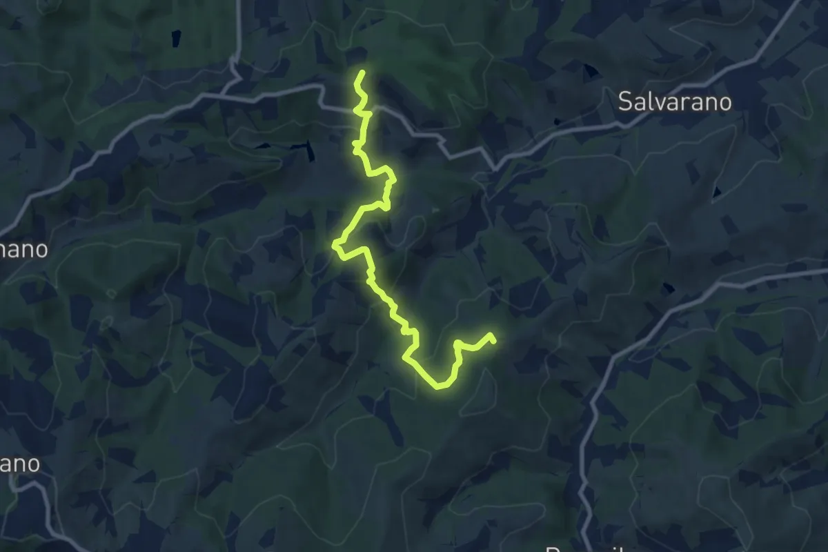
Easy · Summit
Monte Biliano – incrocio 646A
4.8 km · ↑ 282 m · 1 h 49 min · 12 km away
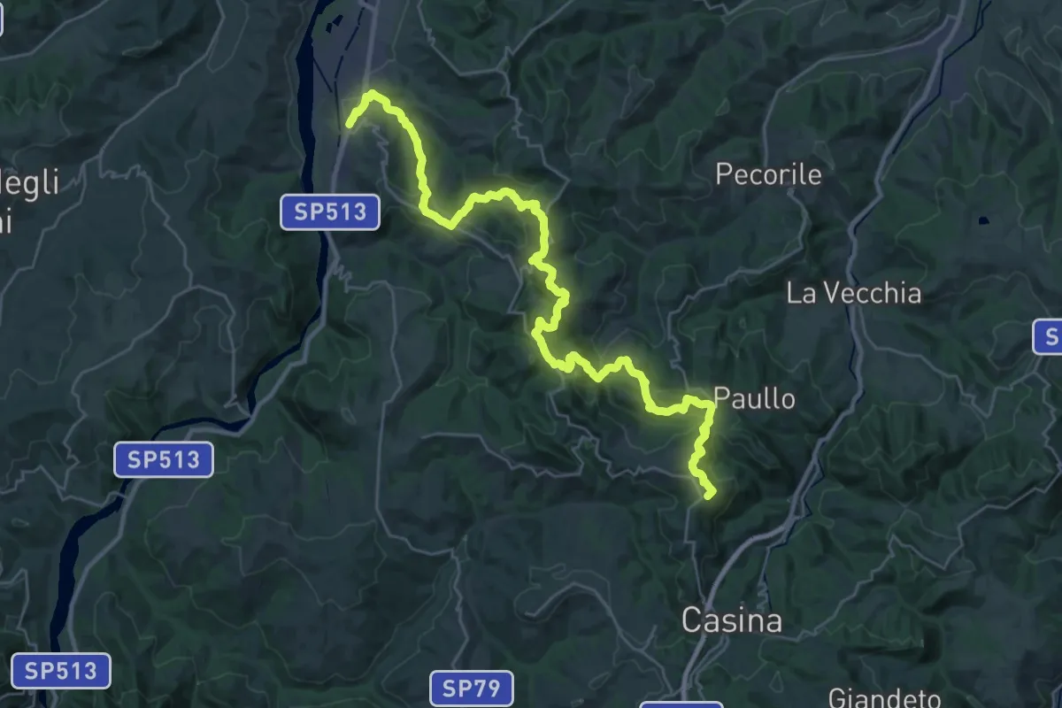
Demanding · Summit
Sentiero Matilde: tappa 1
35.9 km · ↑ 1584 m · 11 h 55 min · 12 km away
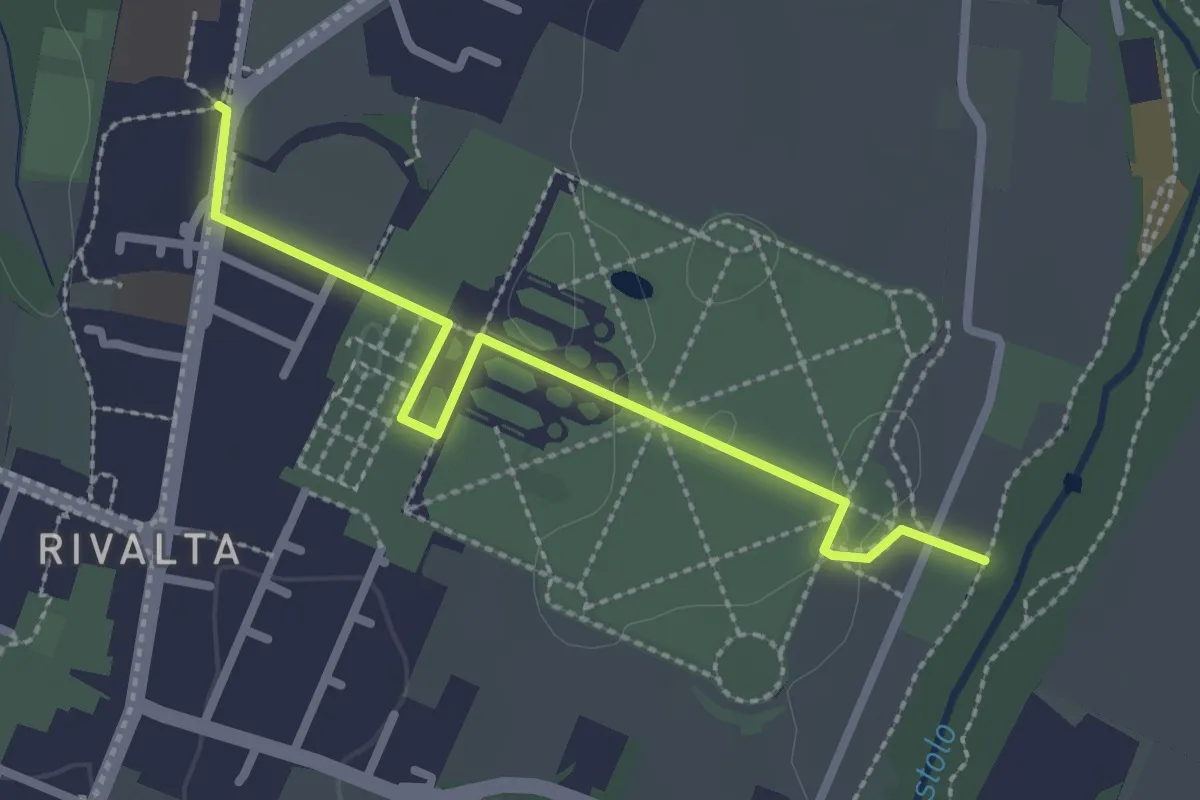
Easy · Trail
Percorso 646D (Rivalta Palazzo Ducale) – Percorso 646 Rivalta Locanda
2.7 km · ↑ 4 m · 39 min · 12 km away
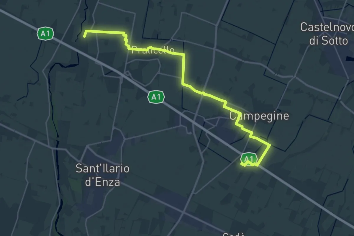
Demanding · Trail
Corte Valle Re – Percorso 672
25.6 km · ↑ 21 m · 6 h 5 min · 12 km away
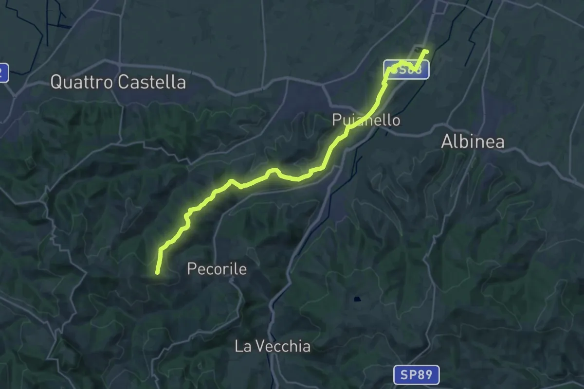
Demanding · Summit
Vasca Corbelli – Monte Pentile
24.6 km · ↑ 497 m · 6 h 54 min · 13 km away
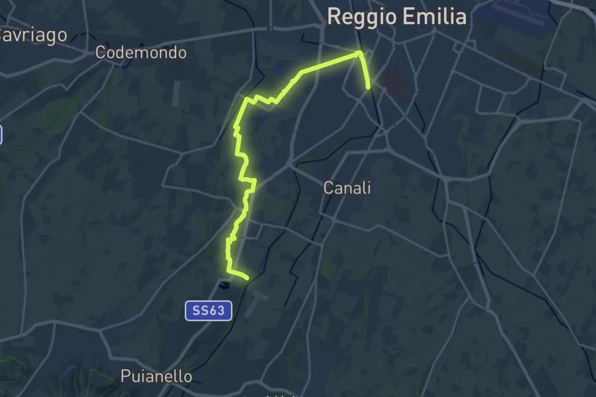
Demanding · Trail
Via delle Ville
18.7 km · ↑ 59 m · 4 h 33 min · 13 km away
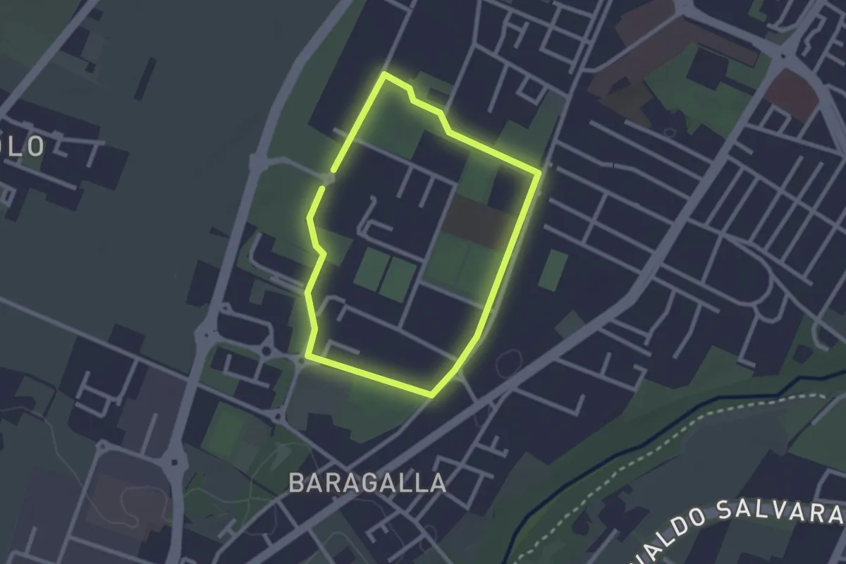
Easy · Trail
Anello Canalina 2
2.1 km · ↑ 4 m · 32 min · 13 km away
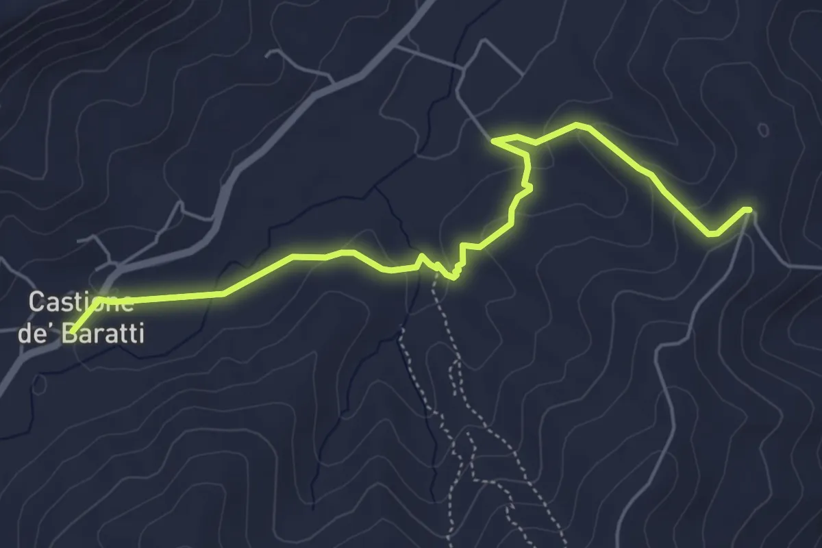
Easy · Trail
Costa di Bazzano - Carvarola - Castione de Baratti
5.7 km · ↑ 174 m · 1 h 44 min · 13 km away
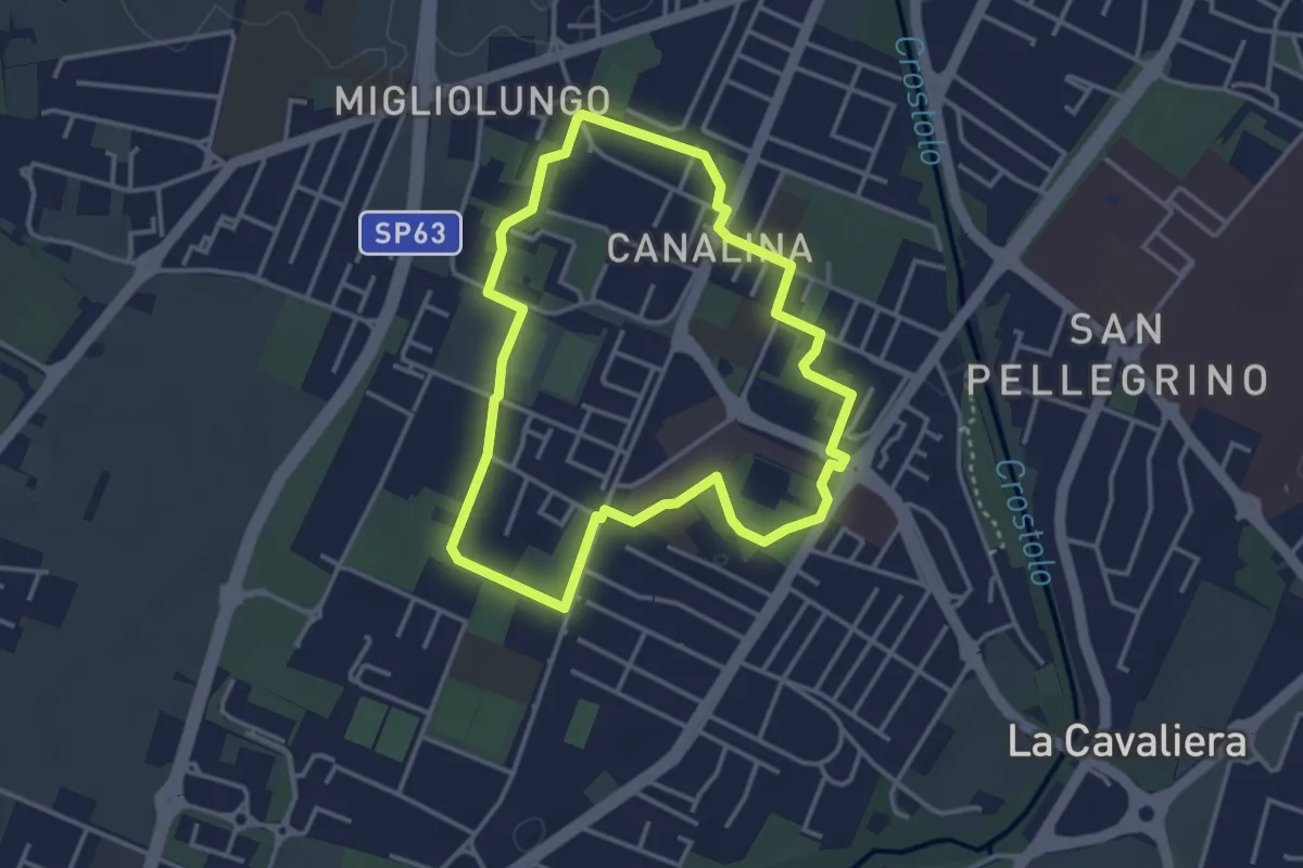
Easy · Trail
Anello Canalina 1
3.5 km · ↑ 9 m · 53 min · 13 km away
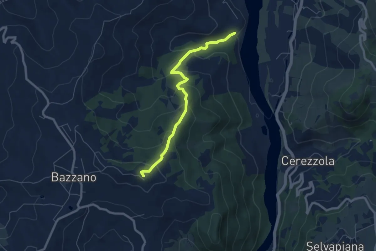
Easy · Summit
Sentiero del Pungitopo
5.9 km · ↑ 312 m · 2 h 4 min · 13 km away
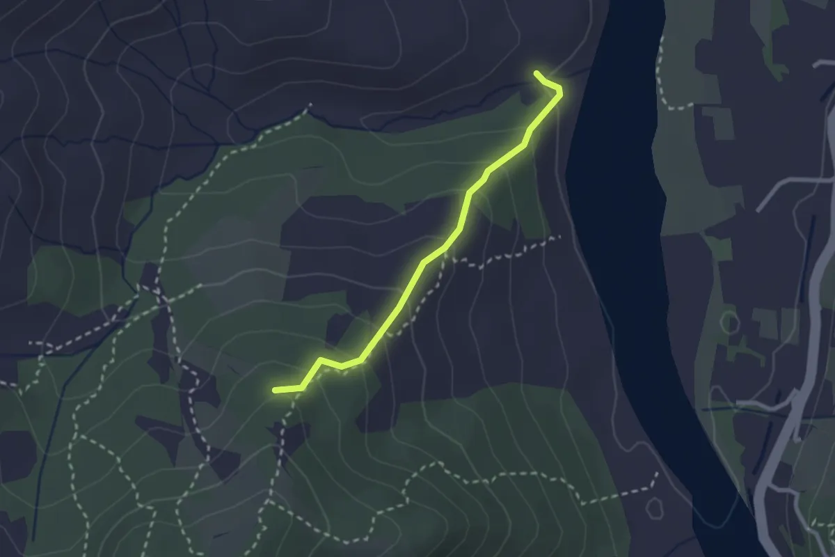
Easy · Trail
Rio Varone – Percorso 706C
2.3 km · ↑ 168 m · 55 min · 13 km away
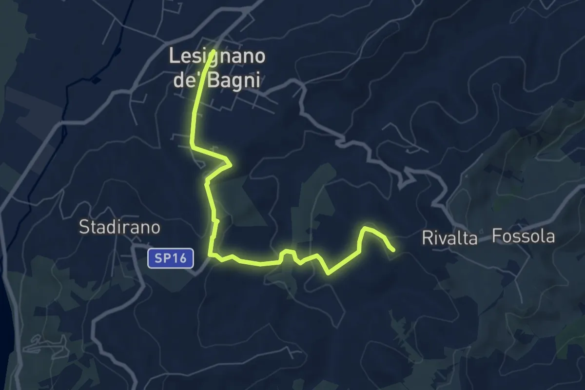
Easy · Trail
Bivio 700 di Rivalta – Lesignano de' Bagni
7.2 km · ↑ 177 m · 2 h 5 min · 13 km away
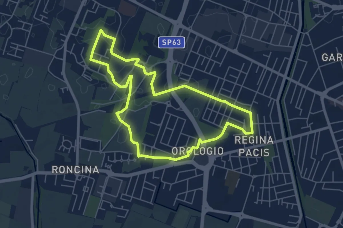
Easy · Trail
Anello Alex Langer
5.0 km · ↑ 12 m · 1 h 17 min · 13 km away
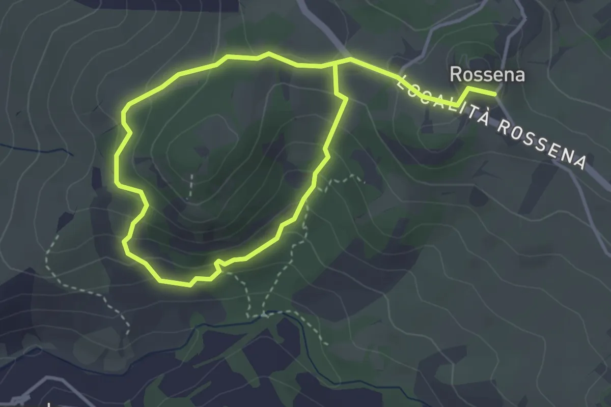
Easy · Trail
Anello della Riserva di Campotrera
2.9 km · ↑ 136 m · 1 h 2 min · 13 km away
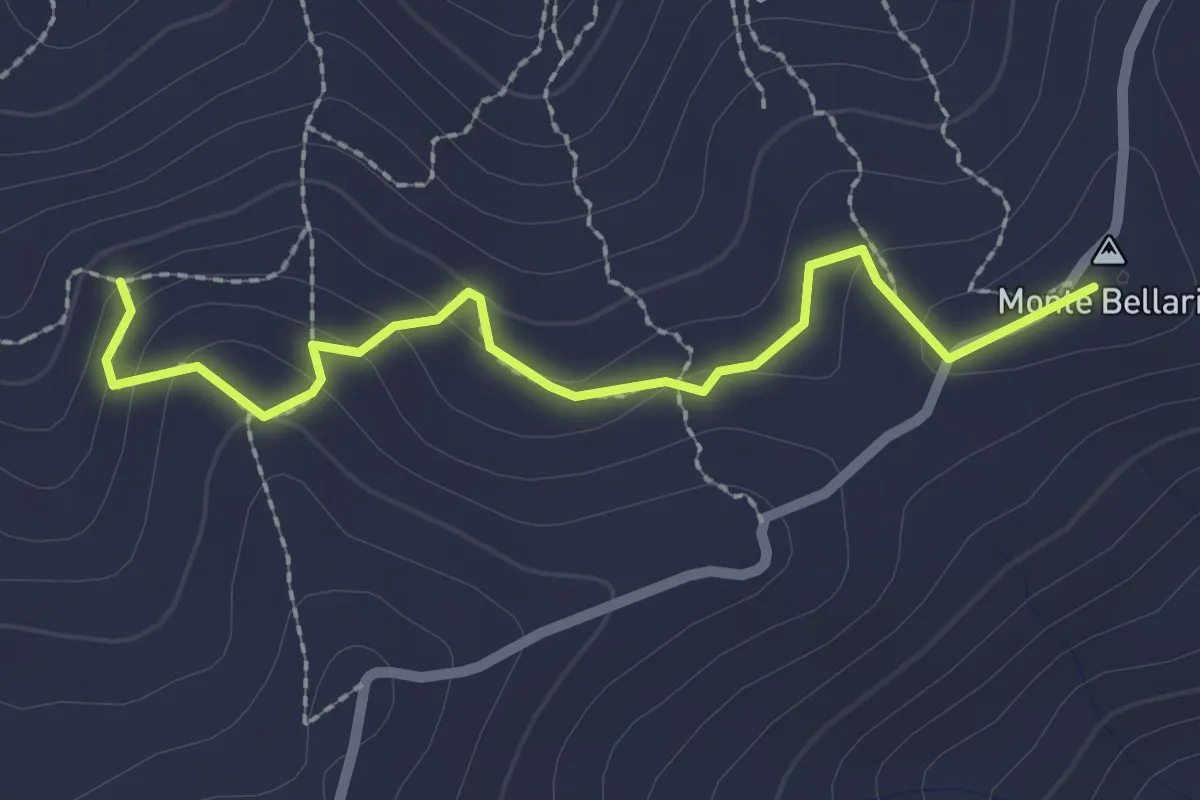
Easy · Summit
Percorso 702 – Monte Bellaria
2.5 km · ↑ 121 m · 51 min · 13 km away
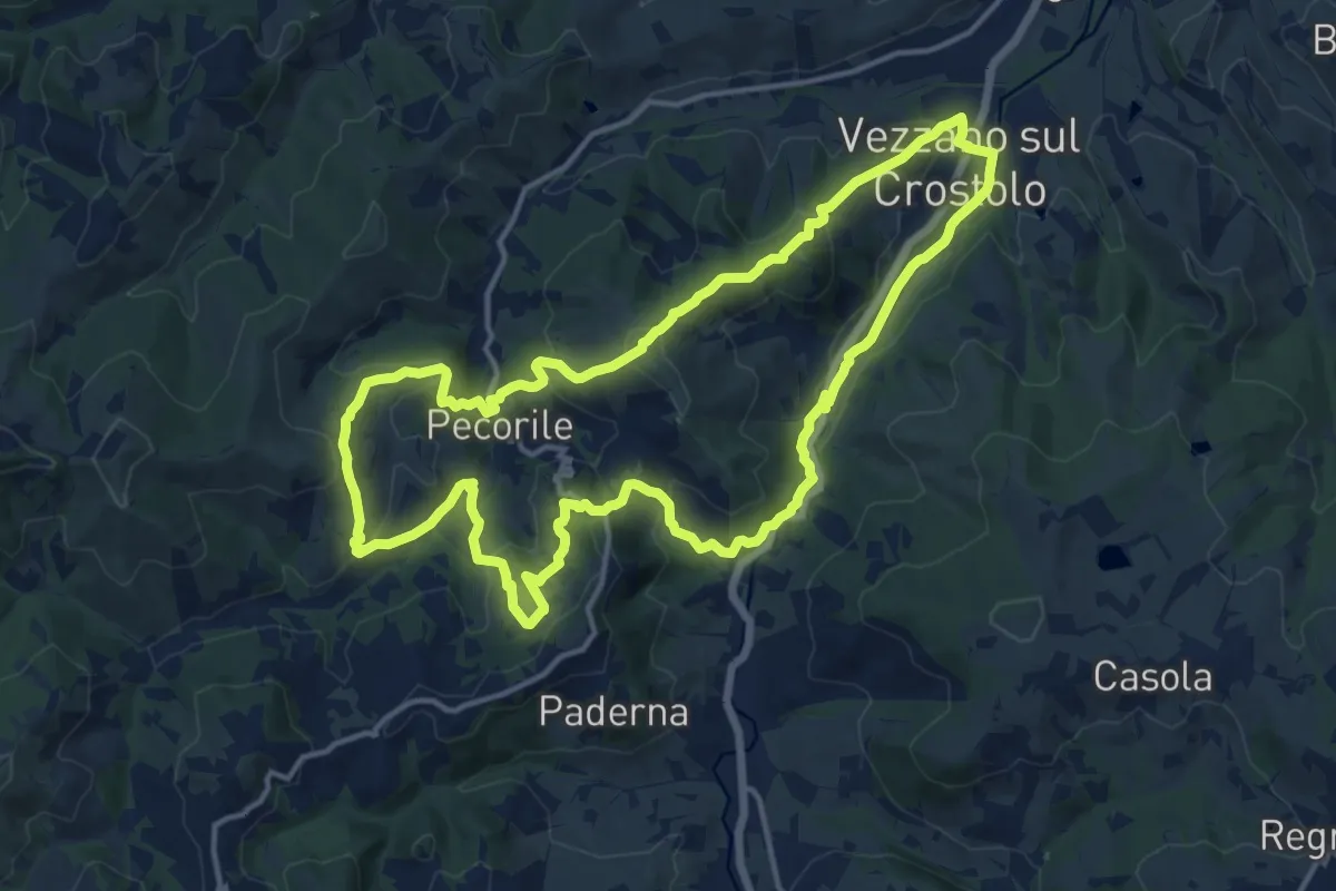
Medium · Summit
Vezzano sul Crostolo – Vezzano sul Crostolo
15.5 km · ↑ 616 m · 5 h 12 min · 13 km away
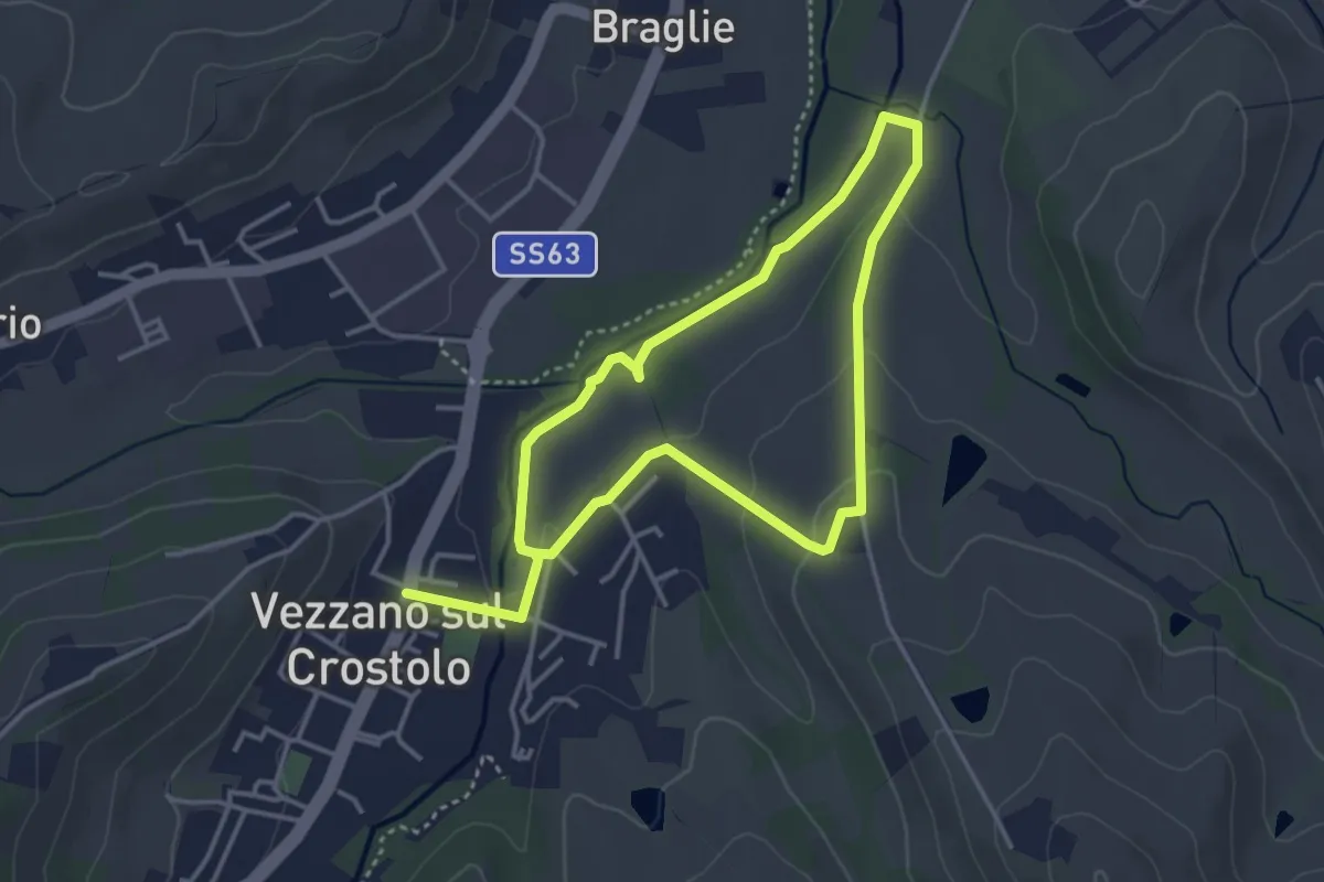
Easy · Trail
Anello Casone di sotto
3.4 km · ↑ 52 m · 58 min · 13 km away
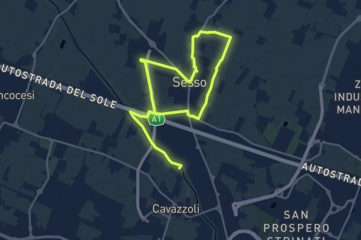
Medium · Trail
Anello di Villa Sesso
14.4 km · ↑ 12 m · 3 h 25 min · 13 km away
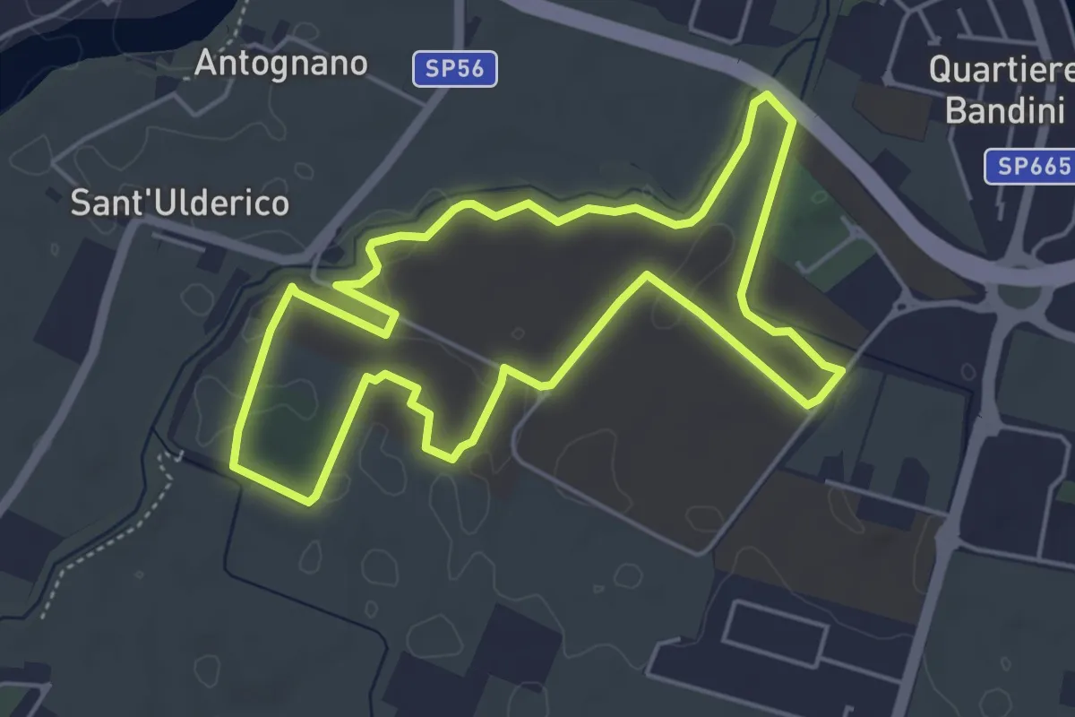
Easy · Trail
Percorso del benessere e dei corretti stili di vita
5.0 km · ↑ 9 m · 1 h 16 min · 14 km away
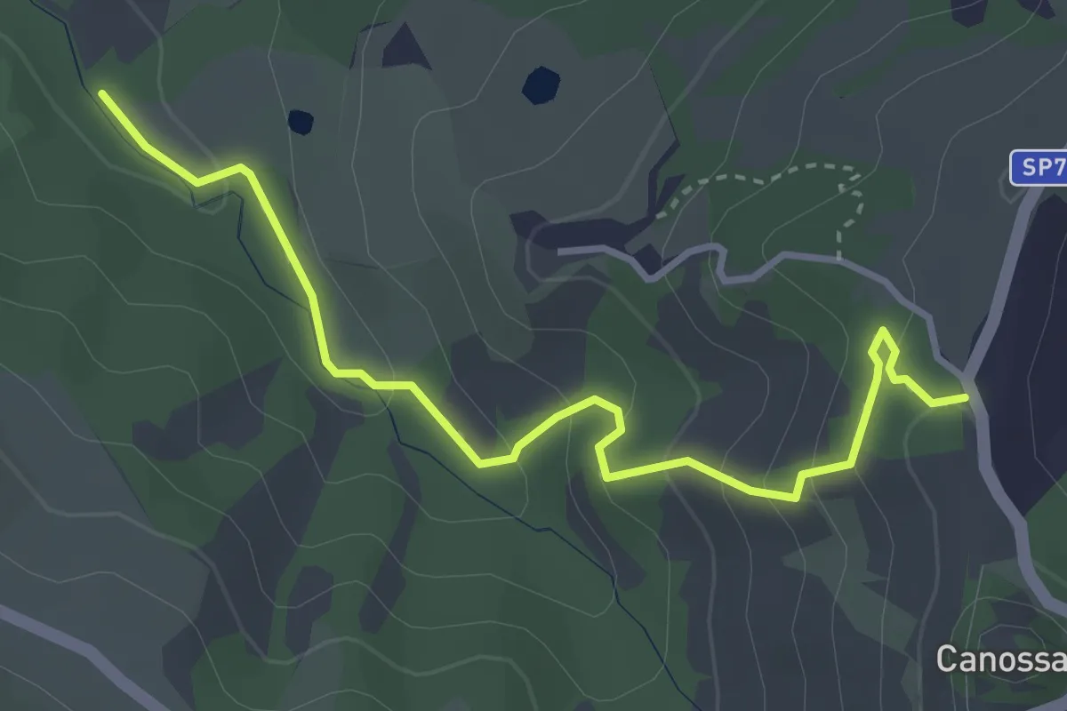
Easy · Trail
Canossa – Rio Vico
3.8 km · ↑ 209 m · 1 h 21 min · 14 km away
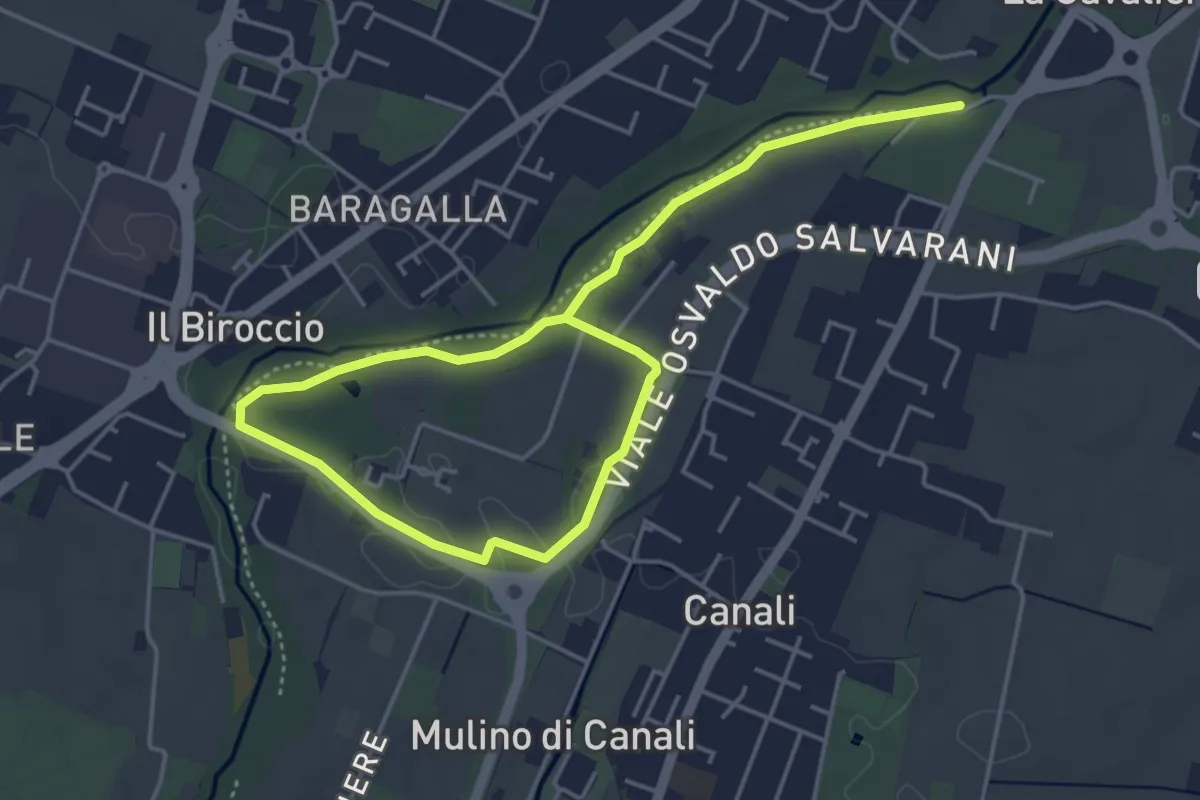
Easy · Trail
Anello Canali 1
6.8 km · ↑ 12 m · 1 h 38 min · 14 km away
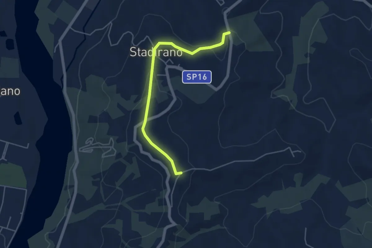
Easy · Trail
Bivio 700C – Bivio 700
4.2 km · ↑ 94 m · 1 h 12 min · 14 km away