Trails near Montecchio Emilia
69 hikes starting within 15 km, nearest first.
Nearest first, page 2 of 2
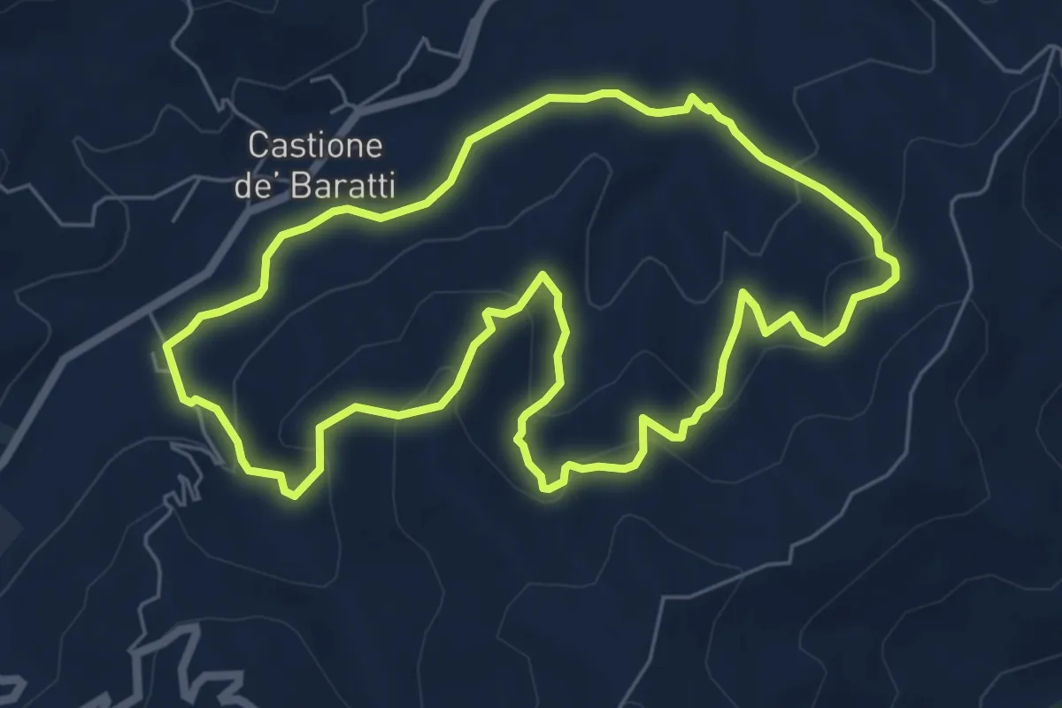
Easy · Trail
Castione De' Baratti - Orio - San Donnino - Rio Brozzo - Castione De' Baratti
6.5 km · ↑ 306 m · 2 h 18 min · 14 km away
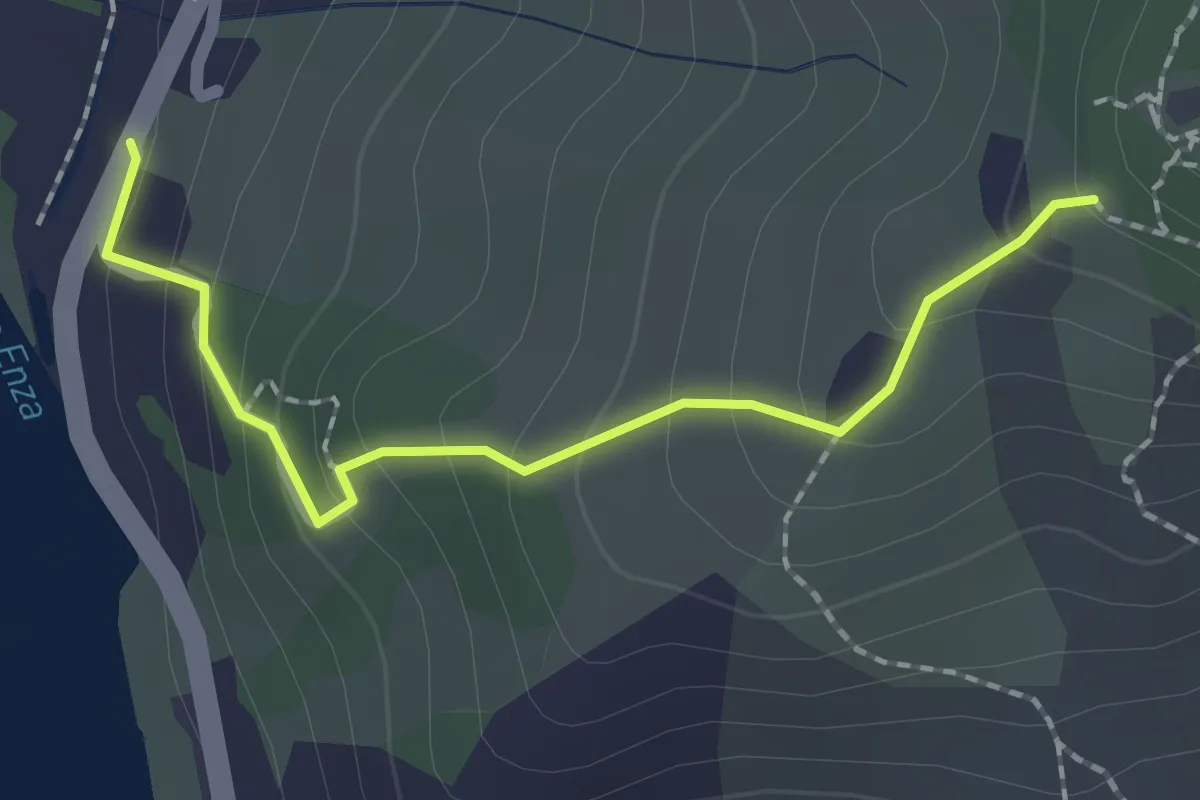
Easy · Trail
Ciano d'Enza – Percorso 662
2.0 km · ↑ 150 m · 48 min · 14 km away
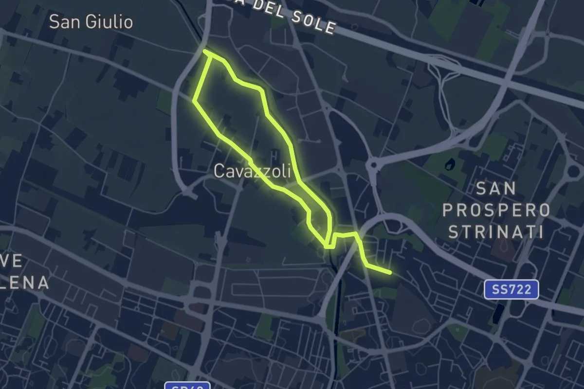
Medium · Trail
Anello di Cavazzoli
9.5 km · ↑ 17 m · 2 h 17 min · 14 km away
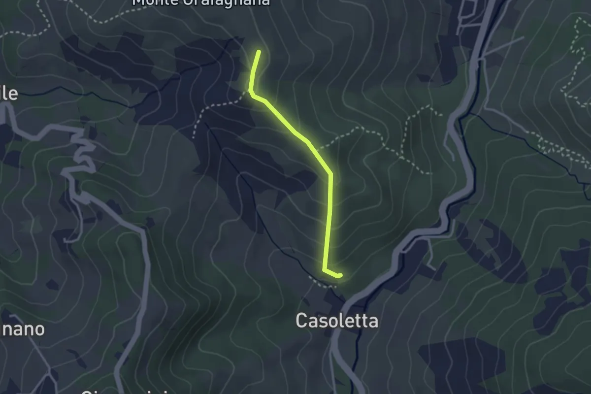
Easy · Trail
Percorso 646 – Percorso 644
2.4 km · ↑ 154 m · 53 min · 14 km away
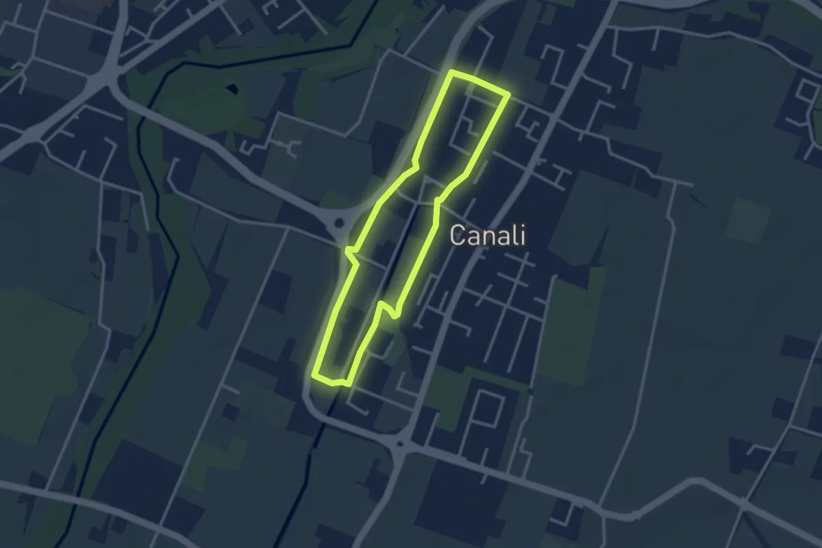
Easy · Trail
Anello Canali 2
2.7 km · ↑ 9 m · 42 min · 14 km away
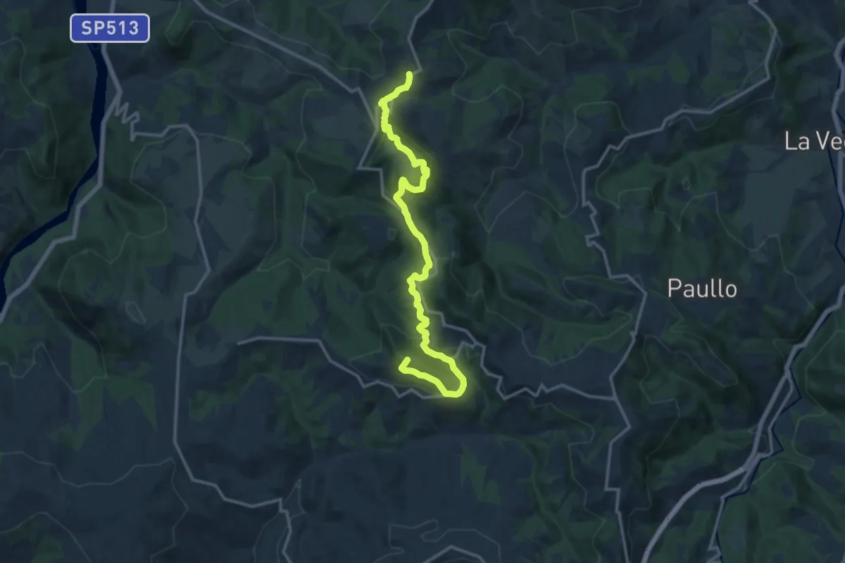
Medium · Summit
Sentiero dei Ducati Tappa 03
15.0 km · ↑ 690 m · 5 h 2 min · 14 km away
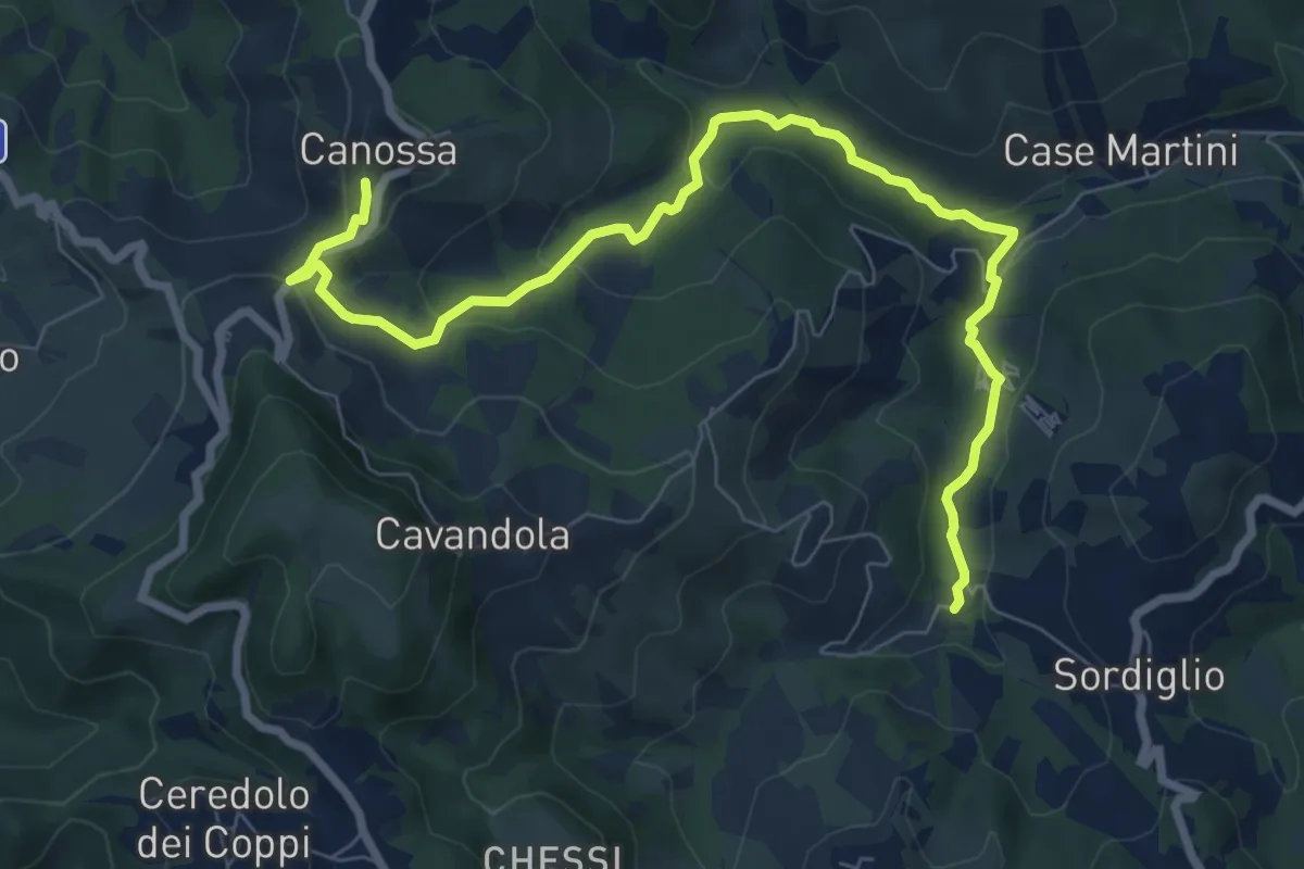
Medium · Trail
Mulino di Votigno – Canossa
9.3 km · ↑ 283 m · 2 h 49 min · 14 km away
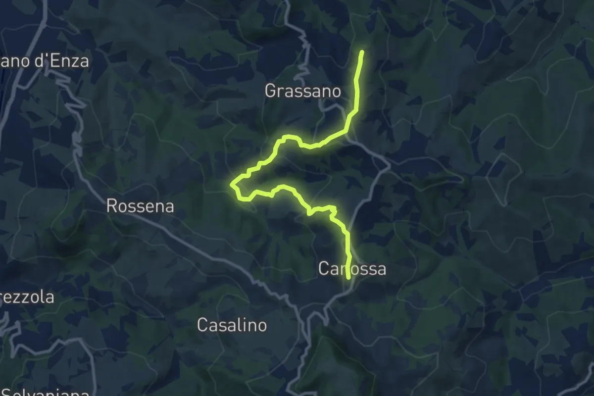
Demanding · Summit
Sentiero dei Ducati Tappa 02
10.0 km · ↑ 523 m · 3 h 30 min · 14 km away
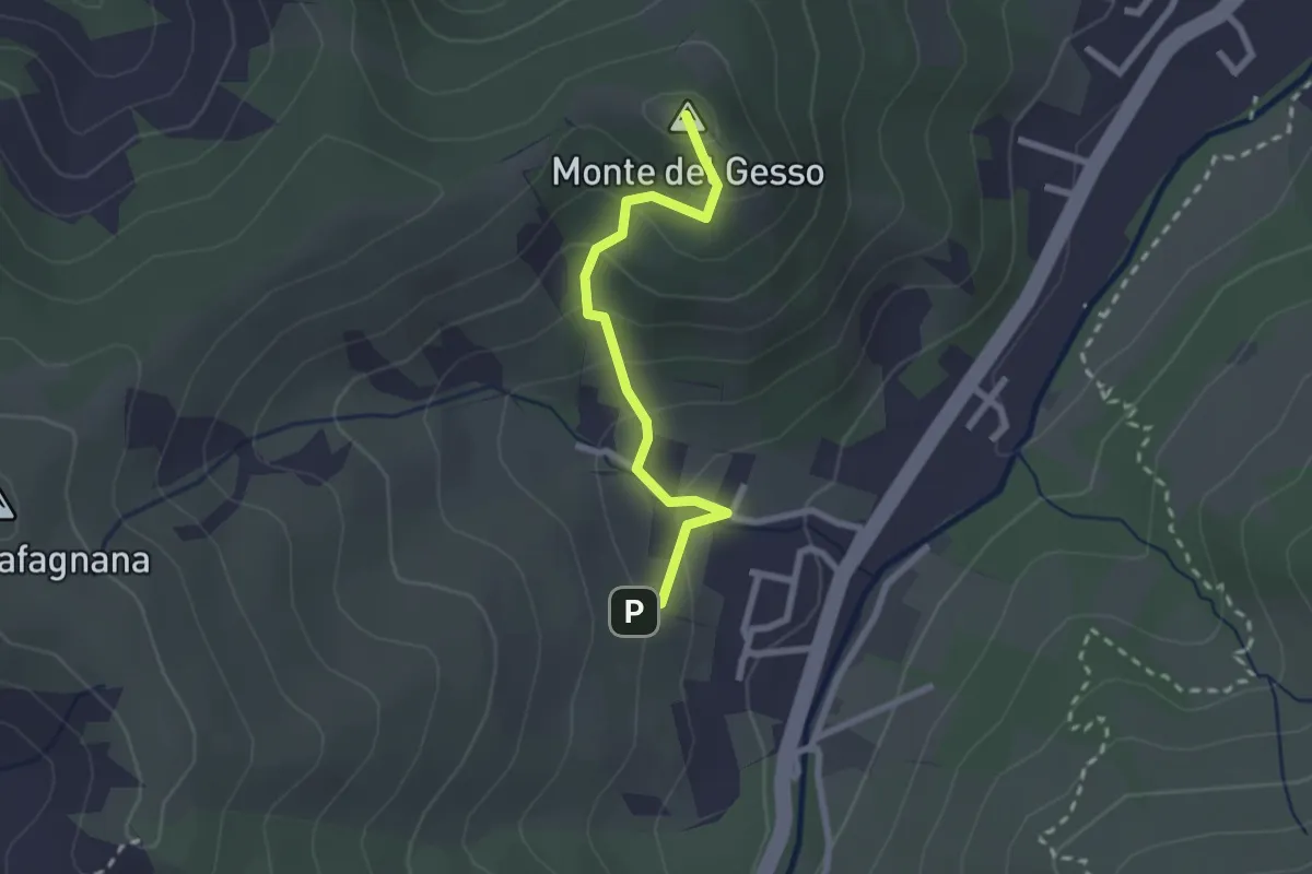
Easy · Summit
Percorso 646 – Monte del Gesso
2.3 km · ↑ 167 m · 54 min · 14 km away
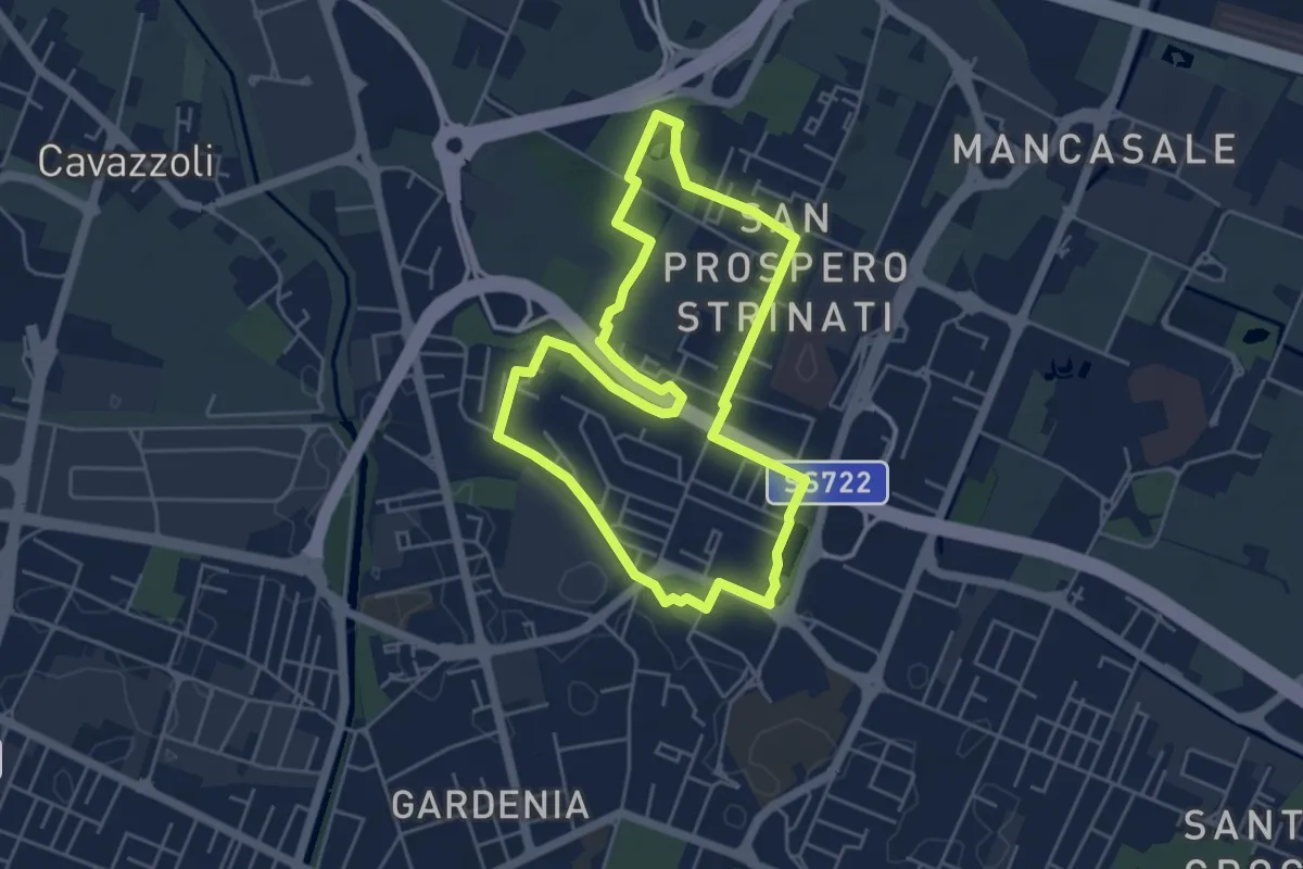
Easy · Trail
Anello di San Prospero Strinati
4.9 km · ↑ 5 m · 1 h 15 min · 14 km away
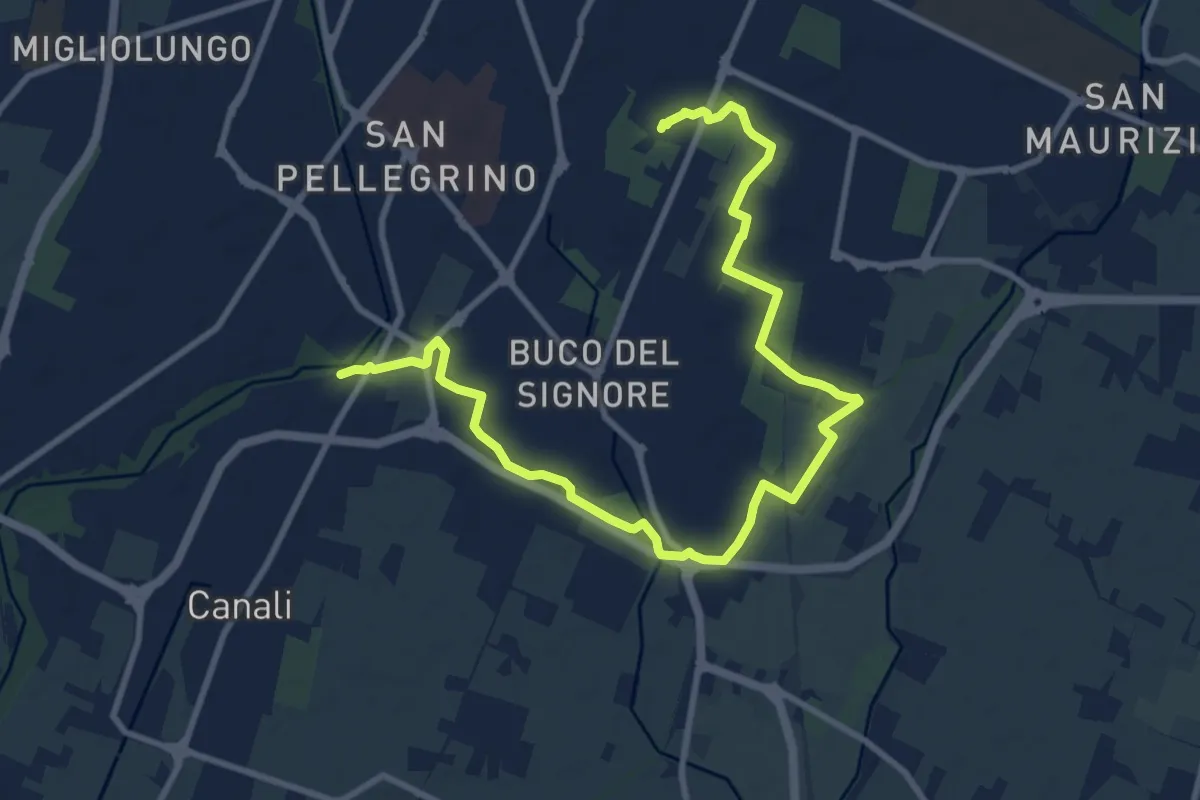
Medium · Trail
Percorso 646J località Pozzo – Percorso 646R Parco Noce Nero
13.0 km · ↑ 27 m · 3 h 8 min · 14 km away
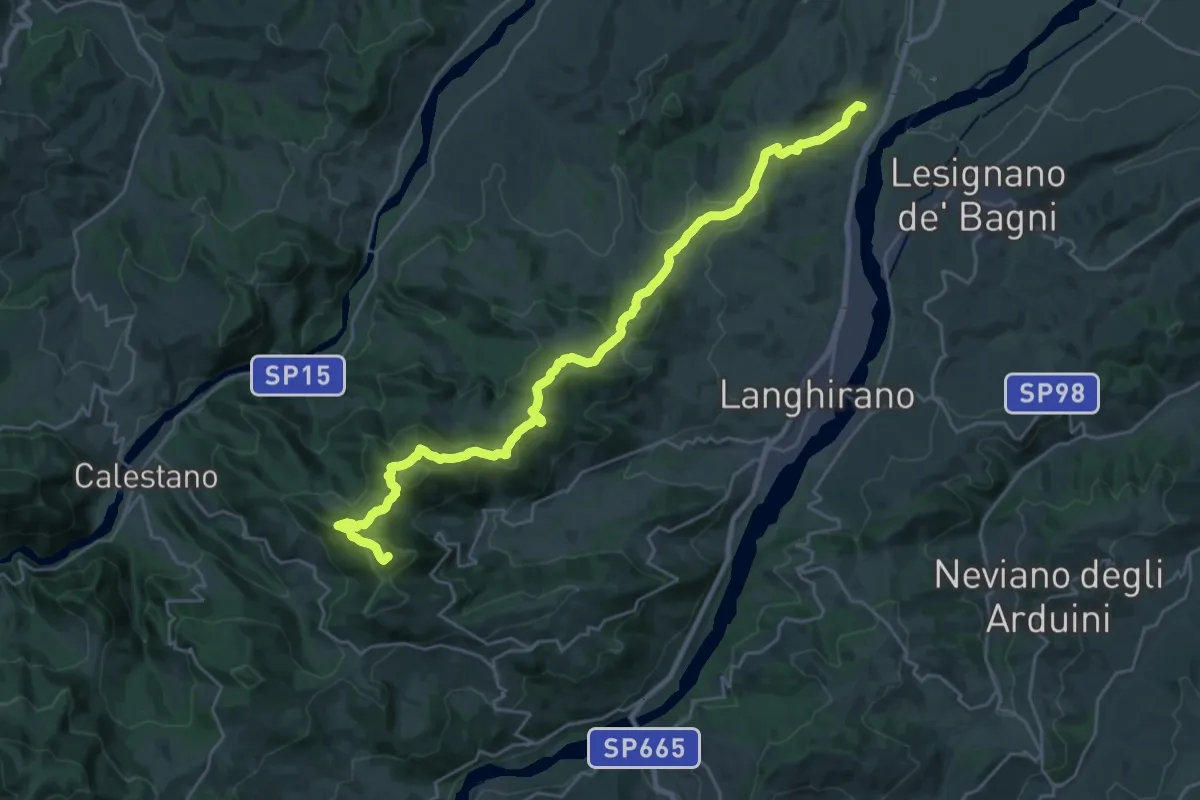
Demanding · Summit
Via Longobarda - tappa1 da Torrechiara a Passo di Fragno
30.2 km · ↑ 1173 m · 9 h 40 min · 14 km away
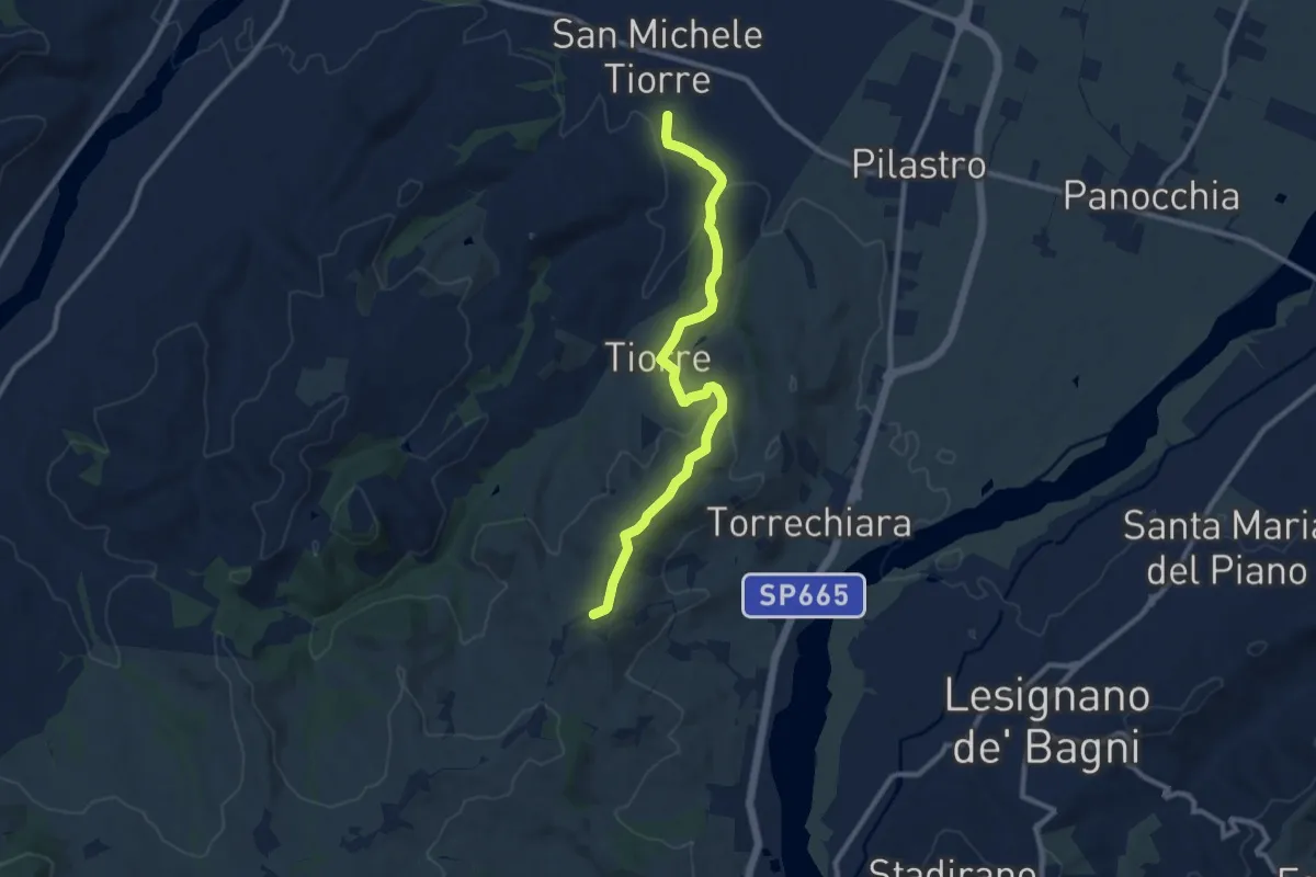
Medium · Trail
Anello dei Poeti del Cinghio
10.2 km · ↑ 279 m · 3 h · 14 km away
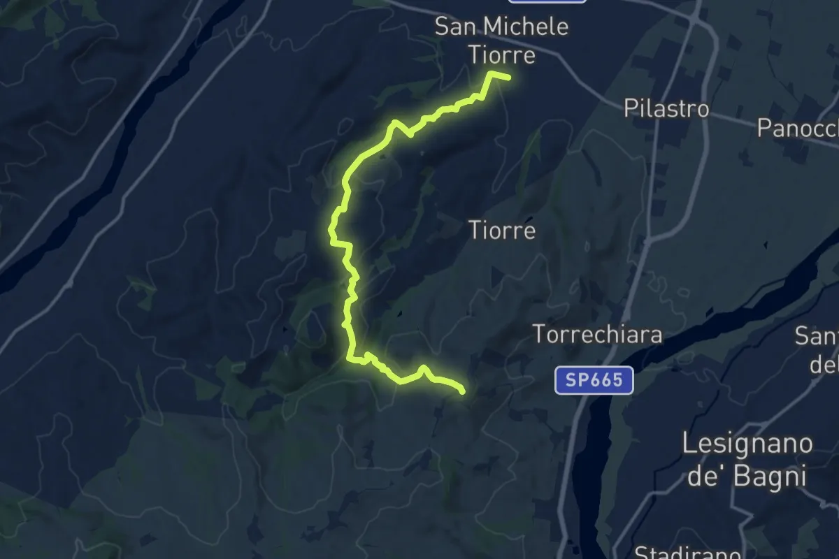
Medium · Trail
Anello dei Poeti del Cinghio - da San Michele di Tiorre a Casatico
14.3 km · ↑ 579 m · 4 h 38 min · 14 km away
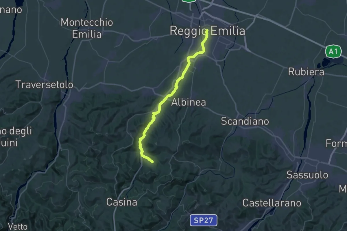
Demanding · Trail
Via Matildica del Volto Santo: Tappa 4B
22.4 km · ↑ 366 m · 6 h 15 min · 15 km away
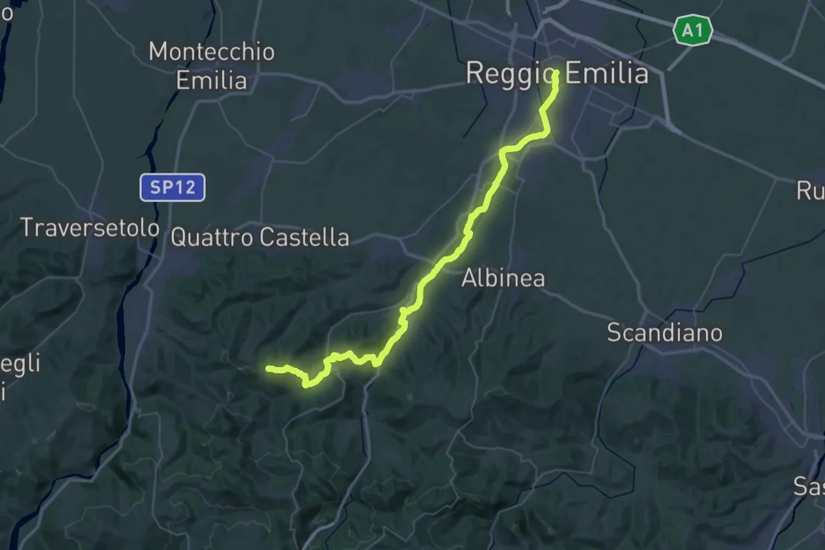
Demanding · Summit
Via Matildica del Volto Santo: Tappa 4
47.8 km · ↑ 911 m · 13 h 16 min · 15 km away
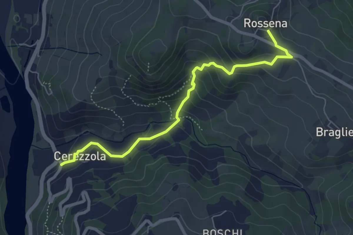
Easy · Trail
Cerezzola – Rossena
5.4 km · ↑ 231 m · 1 h 47 min · 15 km away
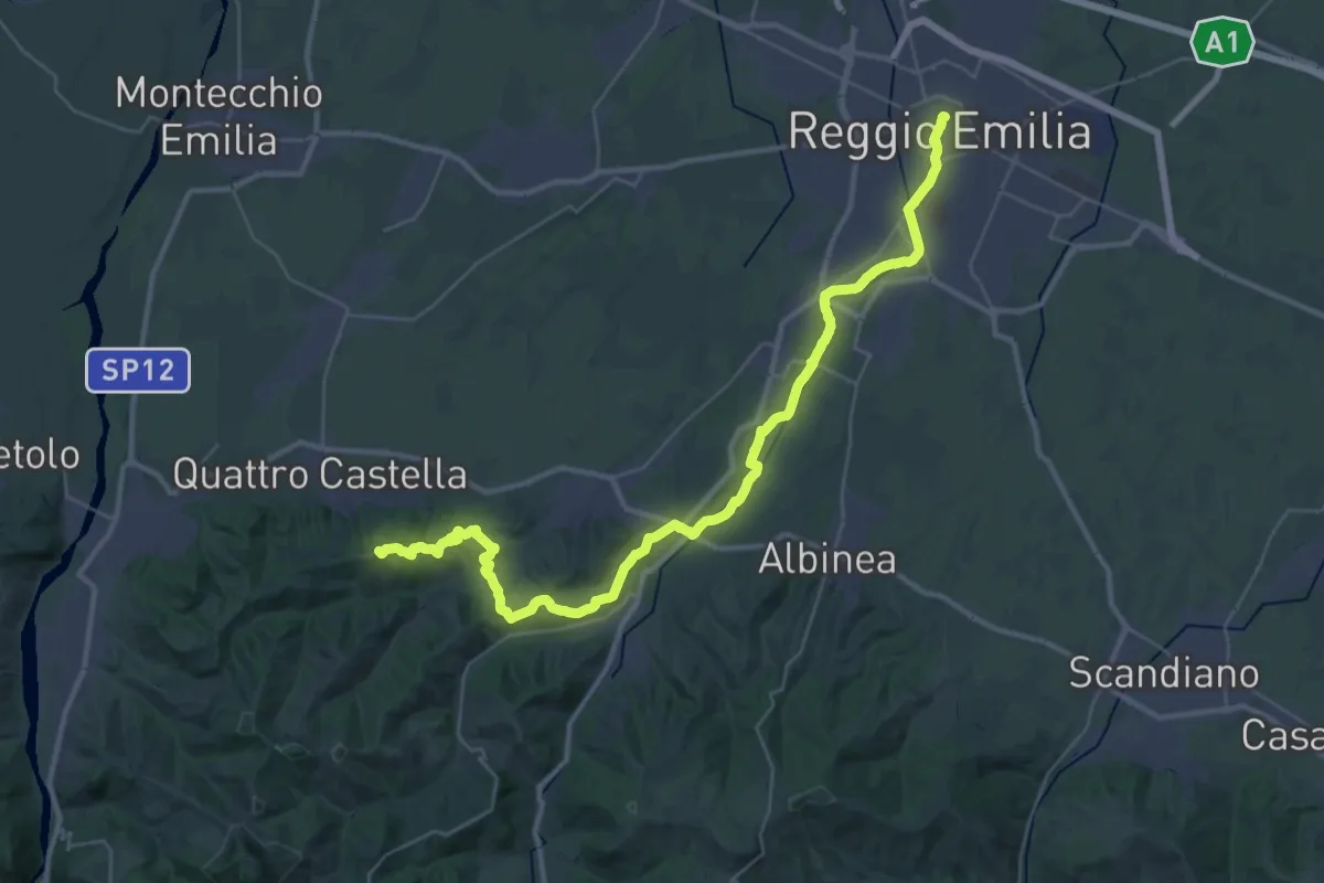
Demanding · Summit
Sentiero dei Ducati Tappa 01
43.7 km · ↑ 643 m · 11 h 42 min · 15 km away
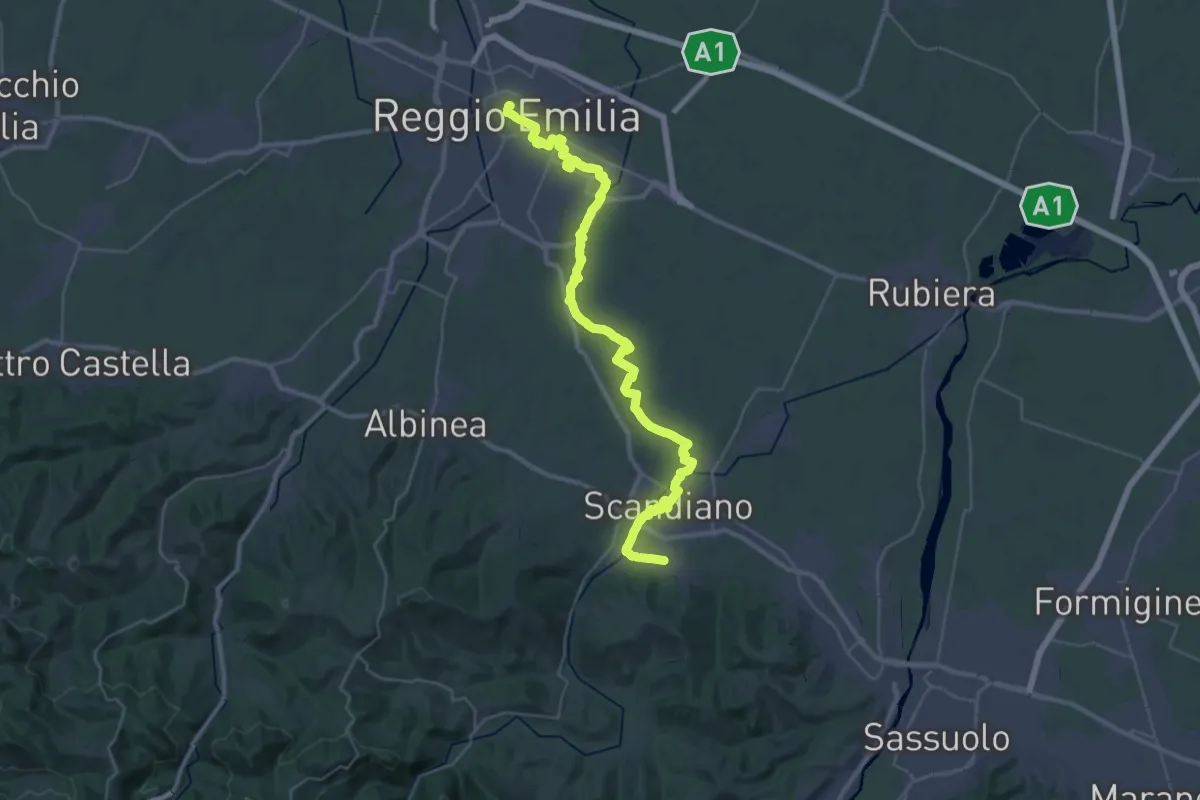
Demanding · Trail
Sentiero Lazzaro Spallanzani - Tappa 1
22.4 km · ↑ 103 m · 5 h 47 min · 15 km away
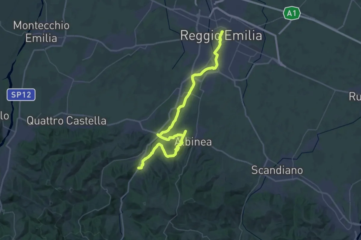
Demanding · Trail
Sentiero Partigiani 16 - sentiero della liberazione
22.5 km · ↑ 271 m · 6 h 10 min · 15 km away
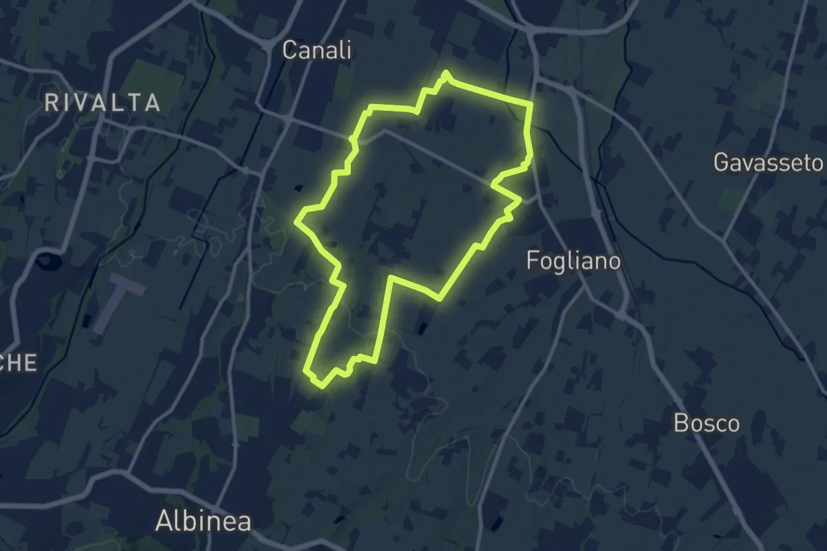
Medium · Trail
Anello di Canali-Fogliano
10.7 km · ↑ 57 m · 2 h 48 min · 15 km away