Trails near Montemurlo
120 hikes starting within 15 km, nearest first.
Nearest first, page 2 of 3
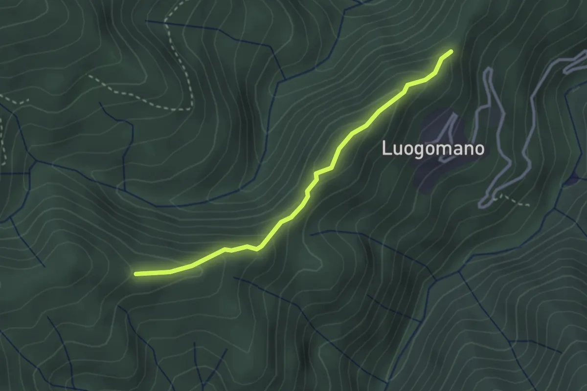
Easy · Trail
Luogomano – Il Cerro
2.9 km · ↑ 197 m · 1 h 6 min · 9 km away
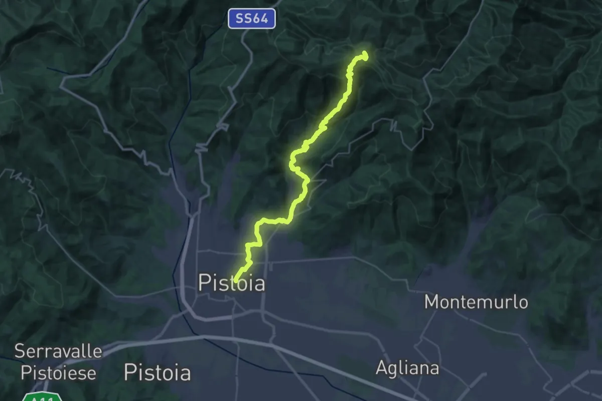
Demanding · Summit
Cammino di San Bartolomeo - TAPPA Spedaletto -Pistoia
29.3 km · ↑ 1358 m · 9 h 51 min · 9 km away
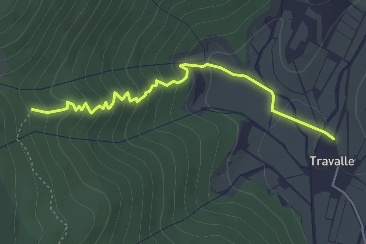
Easy · Trail
Travalle – Casa Villanova
4.0 km · ↑ 261 m · 1 h 30 min · 10 km away
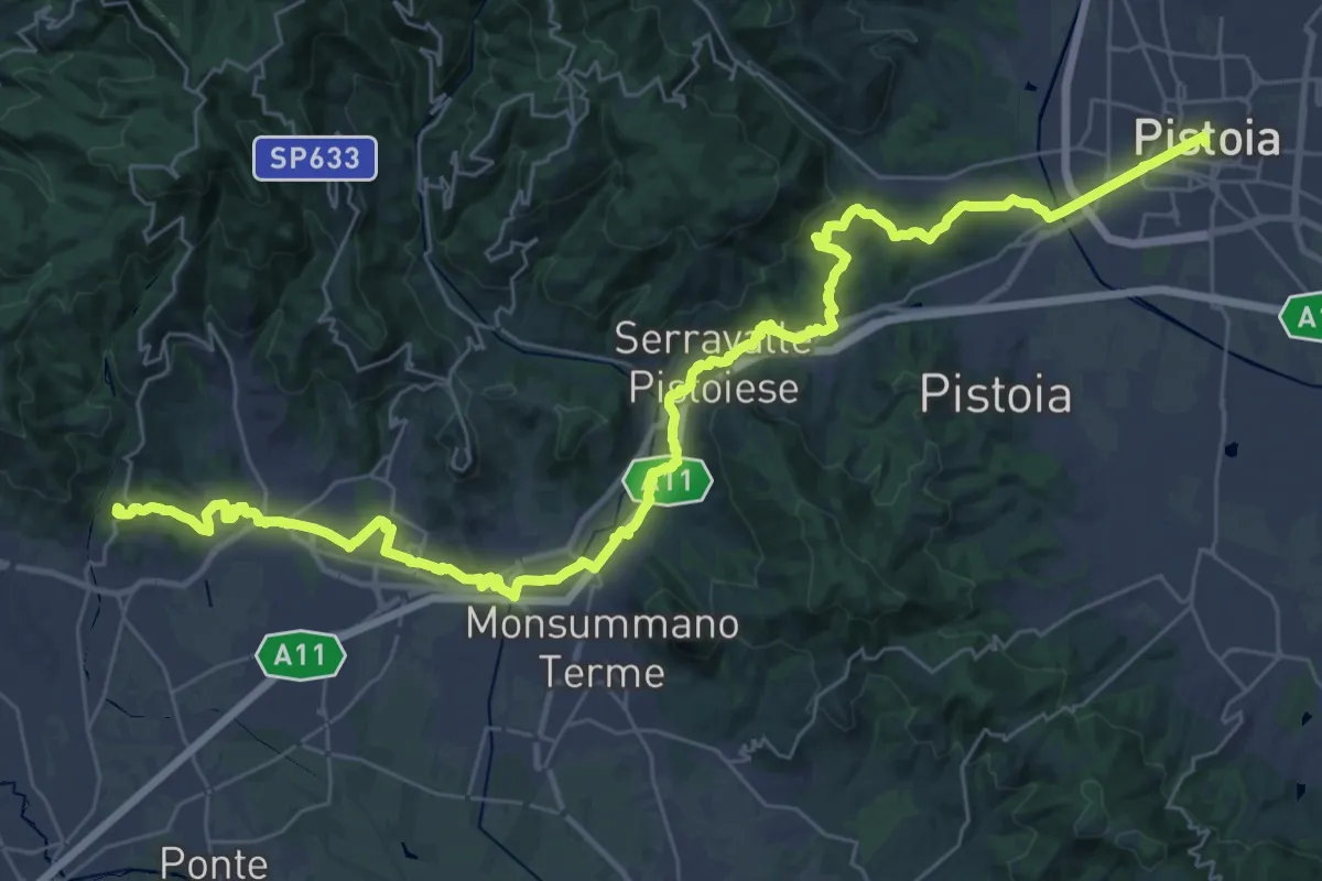
Demanding · Summit
Il Cammino di San Jacopo - Tappa 3
48.0 km · ↑ 989 m · 13 h 29 min · 10 km away
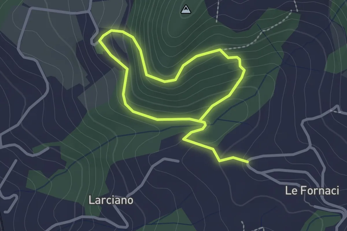
Easy · Trail
Anello della Torre di Melagrana
3.8 km · ↑ 188 m · 1 h 19 min · 10 km away
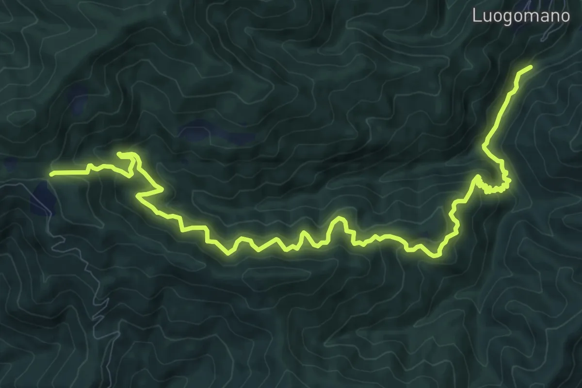
Demanding · Trail
ponte di Taglianico – Passo degli Acquiputoli
15.5 km · ↑ 1312 m · 6 h 30 min · 10 km away
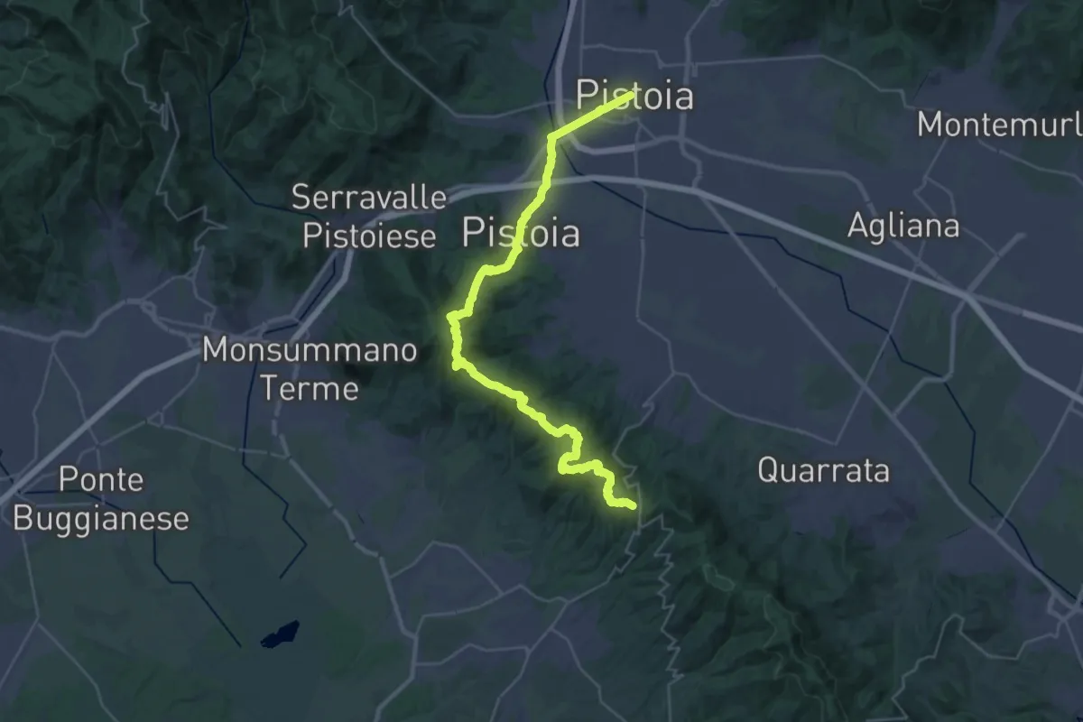
Demanding · Trail
Via Romea Nonantolana e Via della Sambuca: Tappa 7
18.7 km · ↑ 728 m · 6 h 7 min · 10 km away
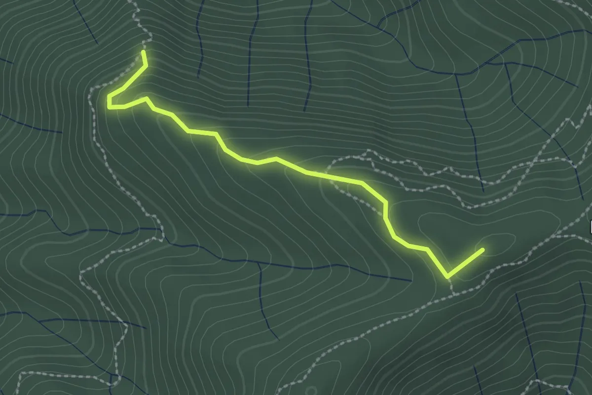
Easy · Summit
Pian Cassai – Foce dei Giganti
2.4 km · ↑ 155 m · 54 min · 10 km away
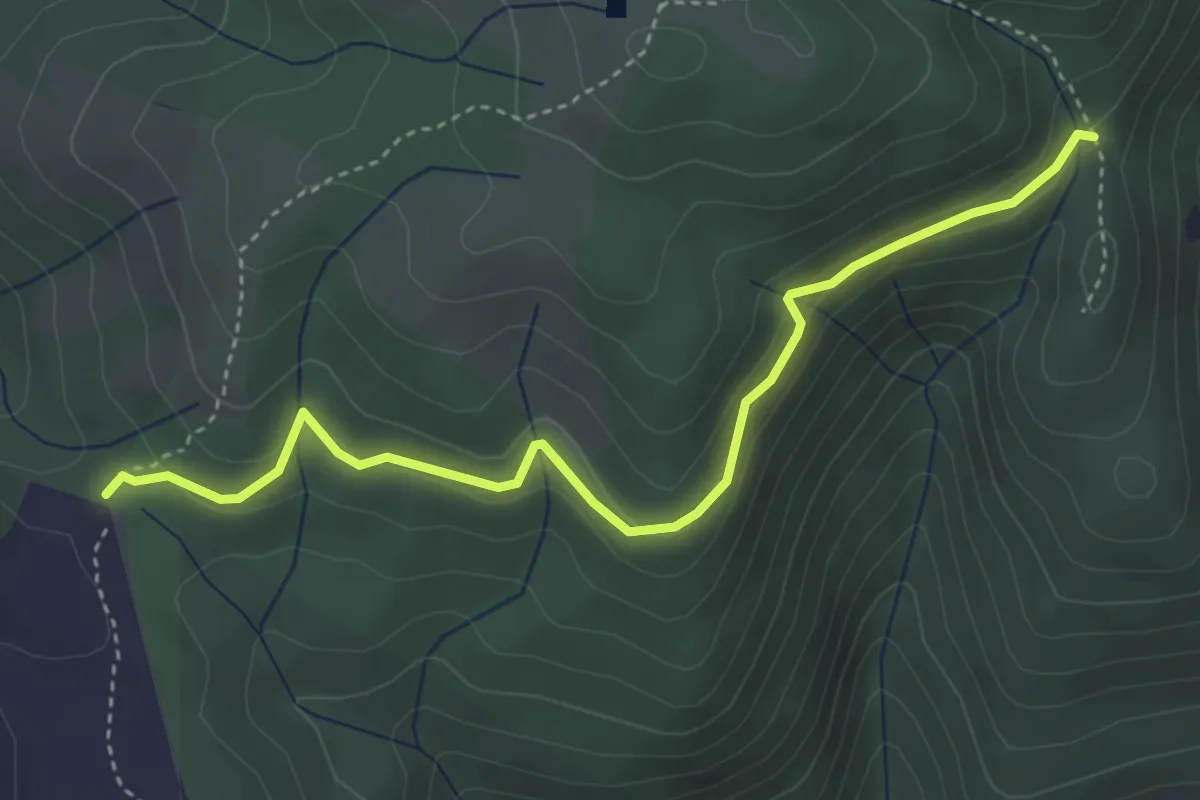
Easy · Cabin
Rimaggio di Monte Maggiore – Foce ai Cerri Nord
4.4 km · ↑ 182 m · 1 h 25 min · 10 km away
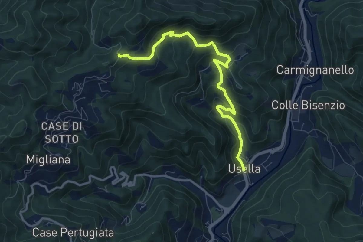
Medium · Trail
Usella – Tabernacolo Crocetta al Canvella
8.7 km · ↑ 528 m · 3 h 13 min · 10 km away
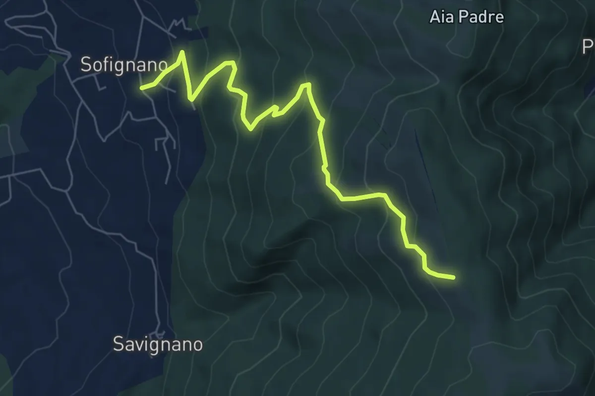
Medium · Trail
Vaiano (località Le Mura) – Poggio Mandrione/Massipiani
6.8 km · ↑ 477 m · 2 h 38 min · 10 km away
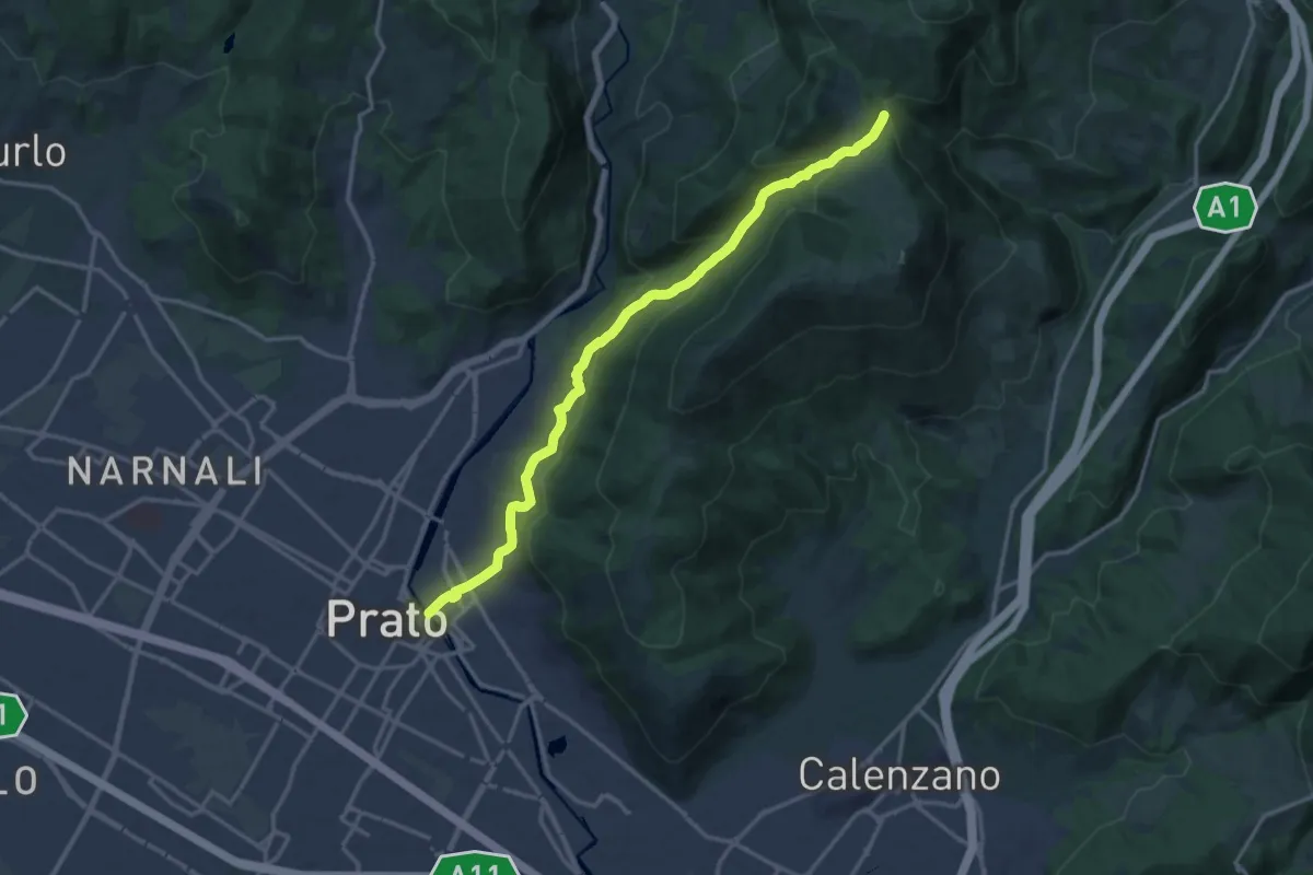
Medium · Trail
Prato - Ponte al Mercatale – Valibona
16.7 km · ↑ 697 m · 5 h 27 min · 10 km away
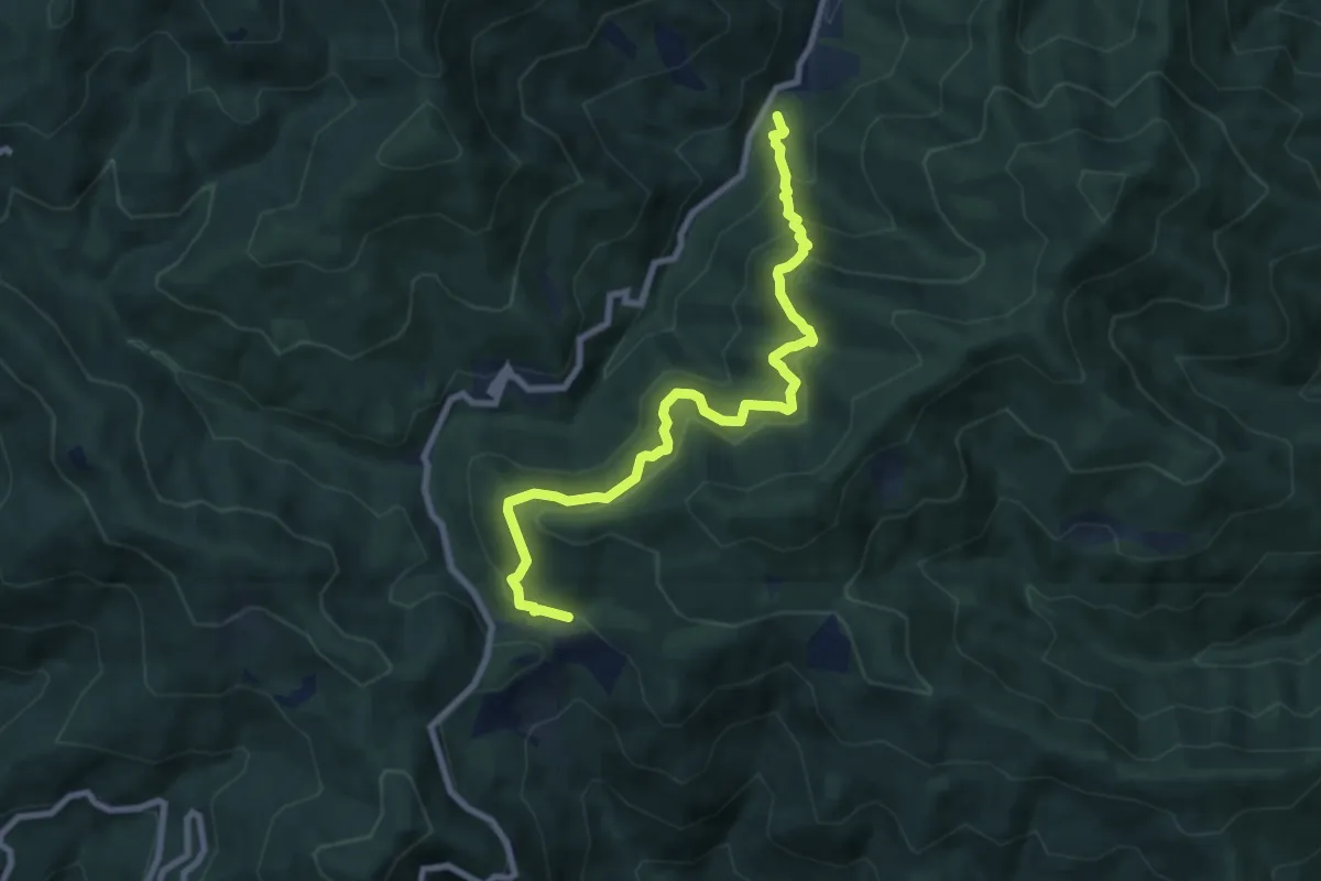
Medium · Cabin
Cascina Spedaletto – Madonna di Santo Stefano
8.9 km · ↑ 667 m · 3 h 32 min · 10 km away
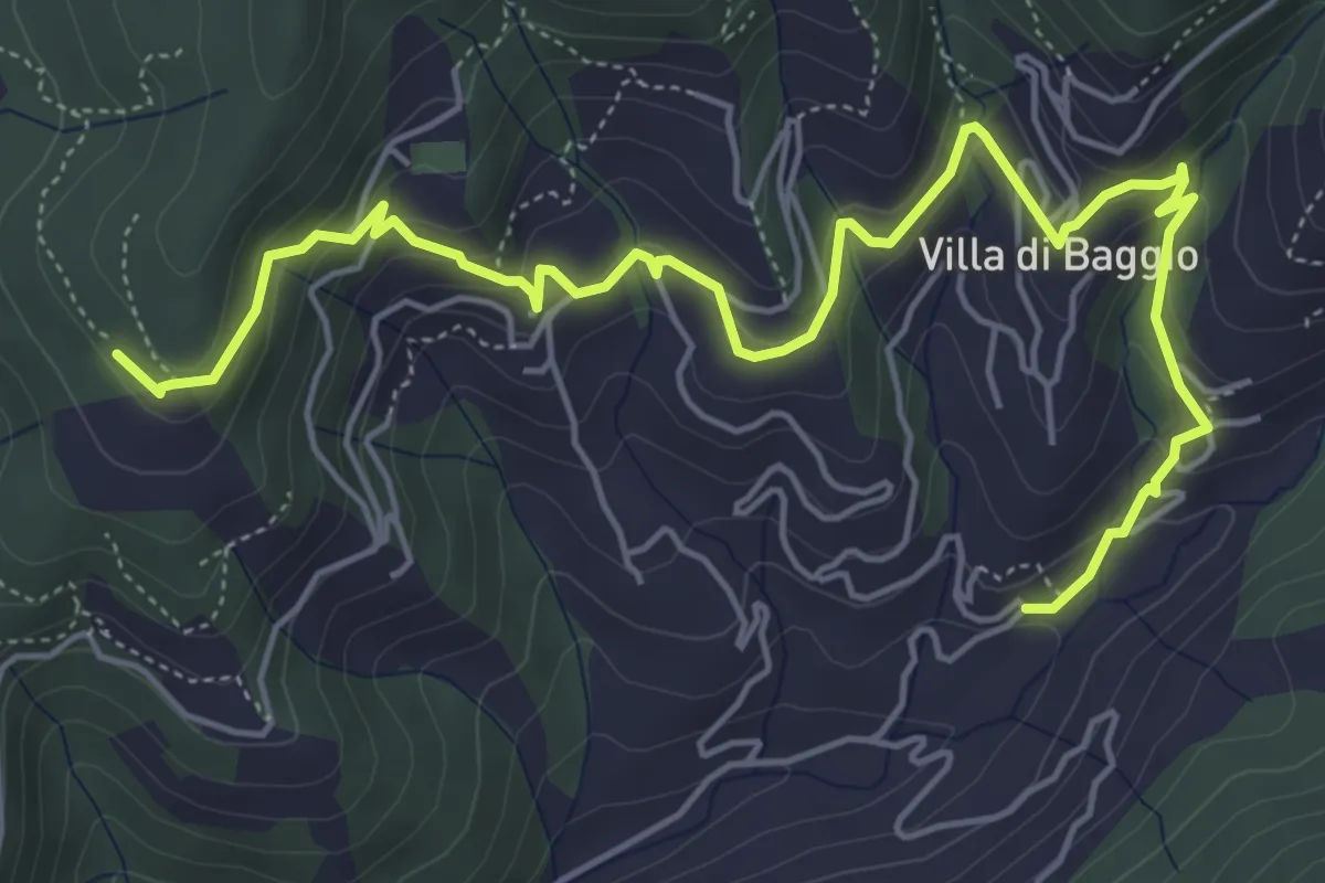
Medium · Trail
Mengarone – Innesto sentiero 208
7.3 km · ↑ 343 m · 2 h 28 min · 10 km away
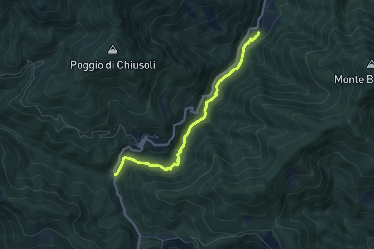
Easy · Trail
Cascina di Spedaletto – Ponte Secco al Monachino
6.2 km · ↑ 172 m · 1 h 50 min · 10 km away
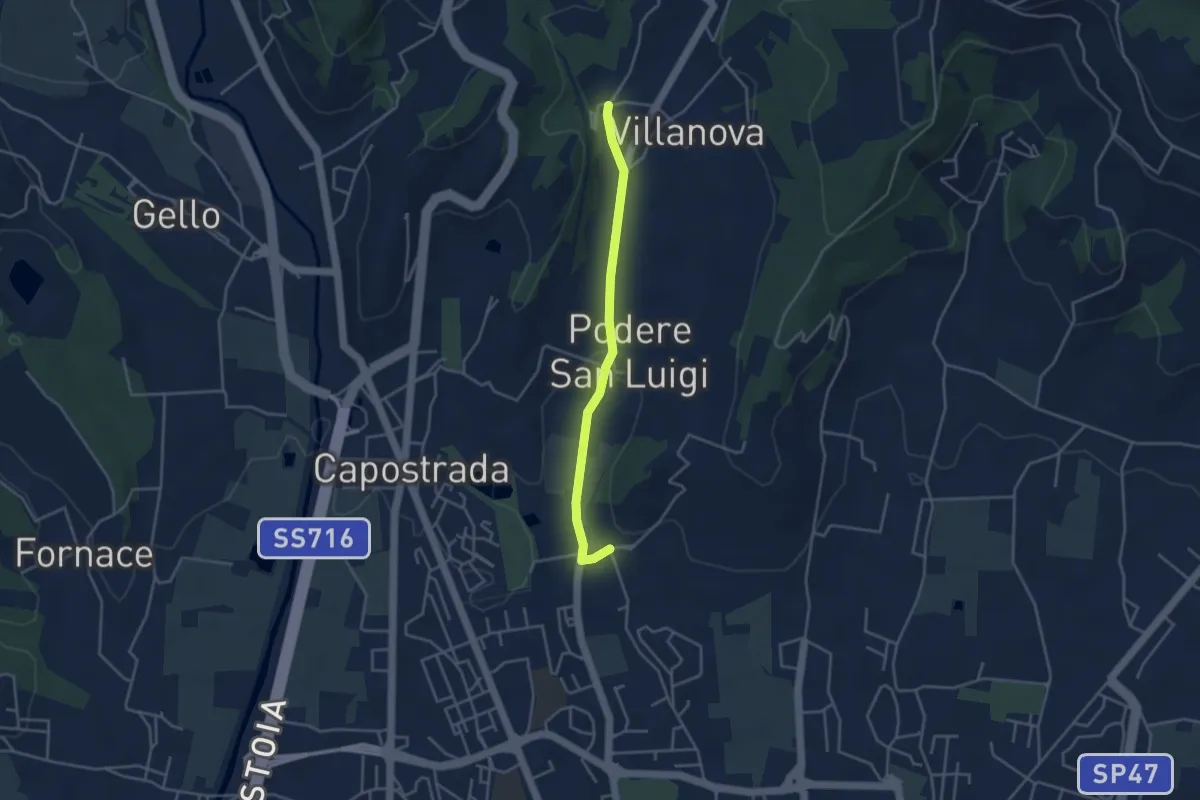
Easy · Pilgrim path
Via Francesca della Sambuca BO-PT: Percorso diretto Via Valdibrana
1.9 km · ↑ 36 m · 32 min · 10 km away
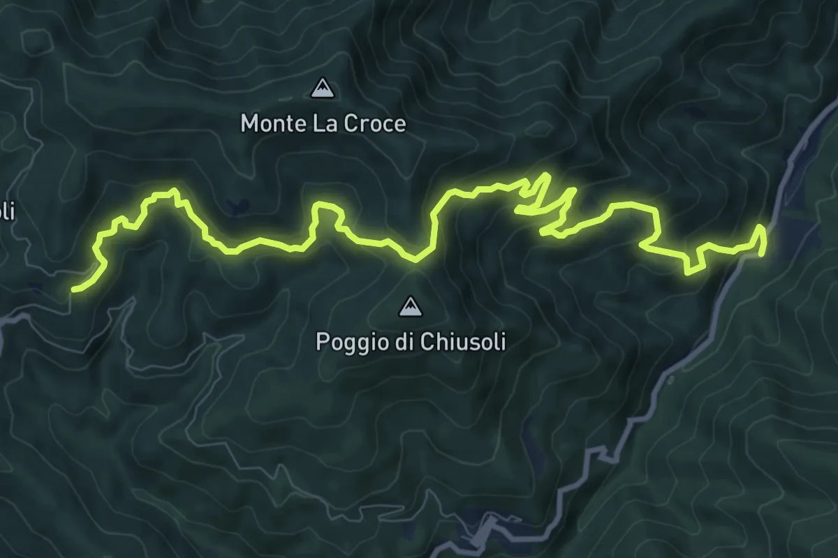
Demanding · Trail
Badia a Taona – Santo Stefano a Monachino
12.9 km · ↑ 801 m · 4 h 47 min · 10 km away
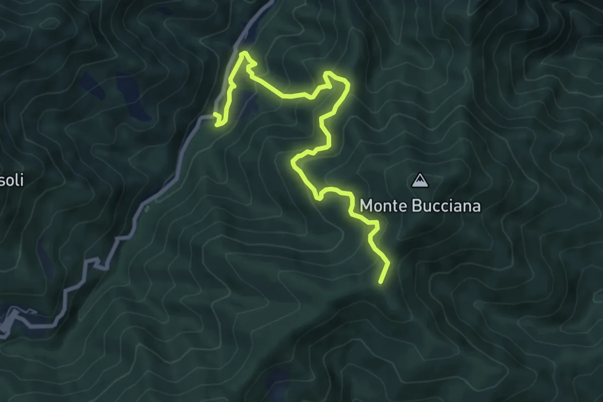
Medium · Summit
Ponticino Santo Stefano a Monachino – Foce di Cerbiancana
7.9 km · ↑ 587 m · 3 h 8 min · 10 km away
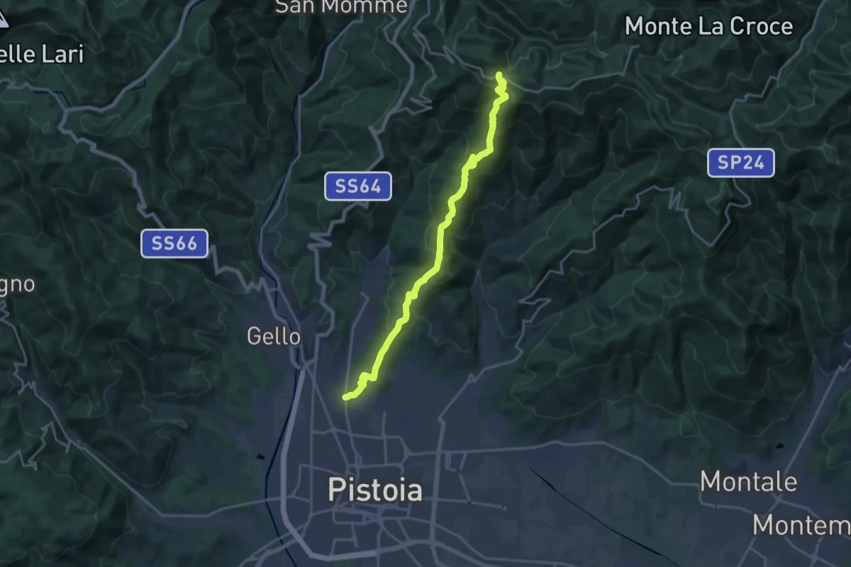
Demanding · Trail
Via delle Gaine - (Pistoia) – innesto sentiero 00
18.7 km · ↑ 959 m · 6 h 30 min · 11 km away
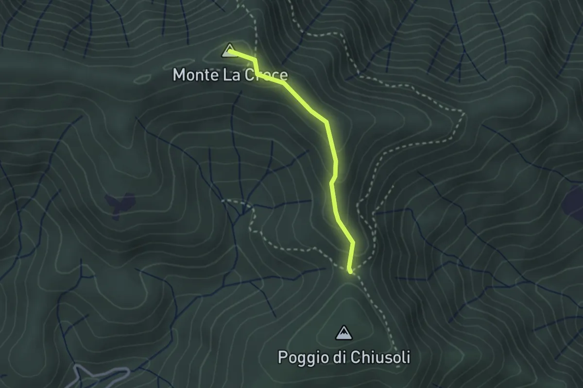
Medium · Summit
Poggio alla Forca – Sasso della Pasqua
2.2 km · ↑ 129 m · 48 min · 11 km away
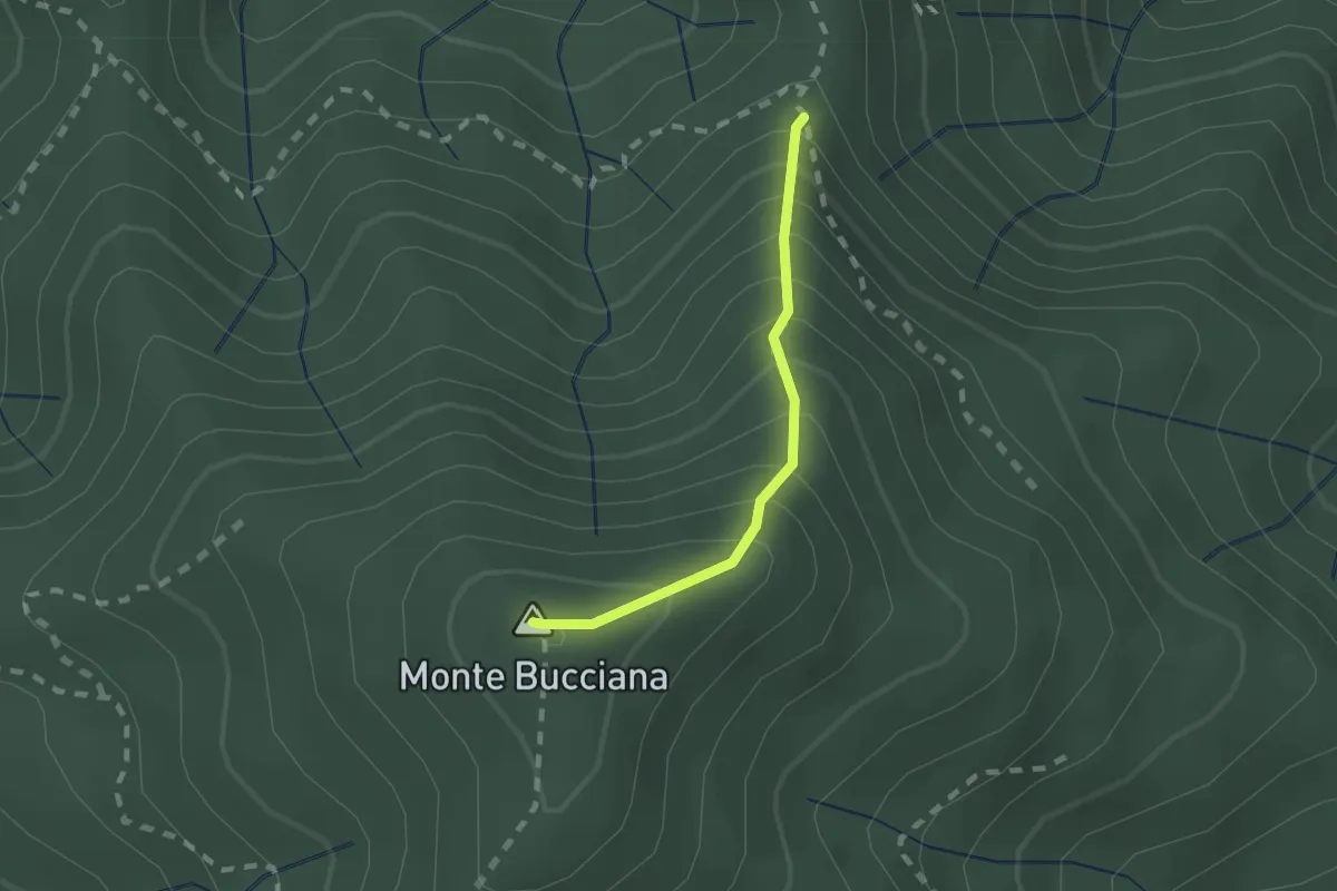
Demanding · Summit
foce di Cerbiancana – Le Cerchiaia/Fregionaia
1.5 km · ↑ 251 m · 54 min · 11 km away
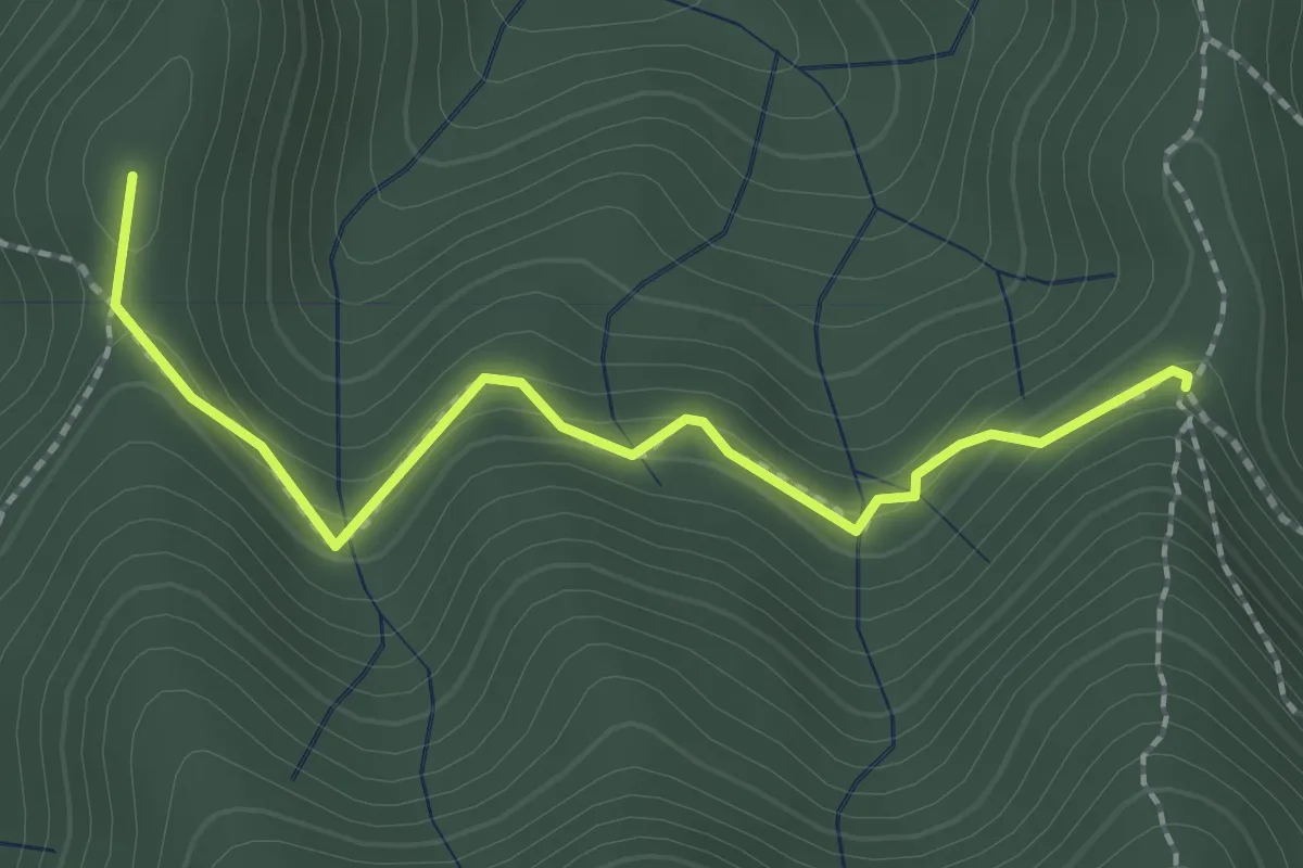
Medium · Summit
Sella della Scavata – Fregionaia
2.3 km · ↑ 98 m · 45 min · 11 km away
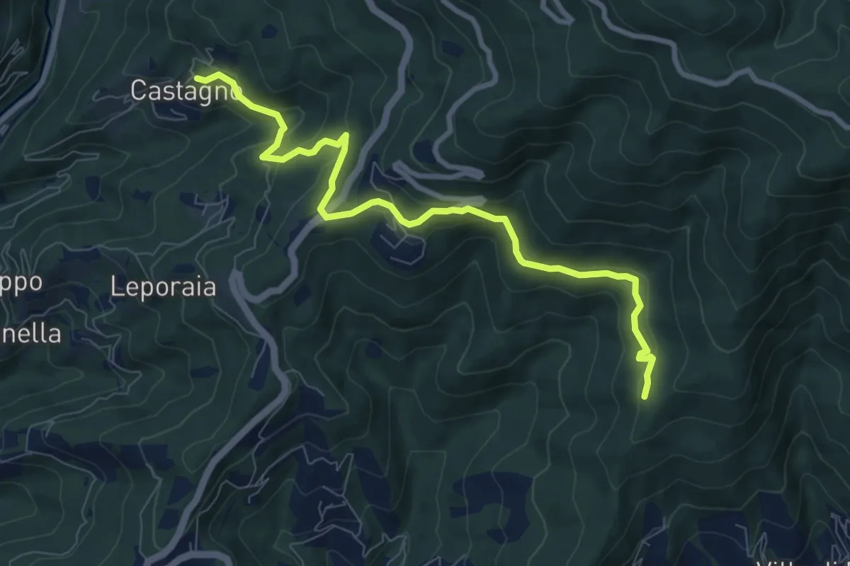
Medium · Trail
Castagno – innesto sentiero 208
8.9 km · ↑ 351 m · 2 h 52 min · 11 km away
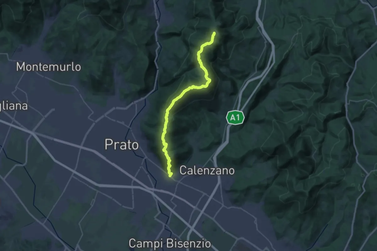
Demanding · Summit
La Querce – Poggio ai Prati (sentiero 00)
26.9 km · ↑ 1335 m · 9 h 15 min · 11 km away
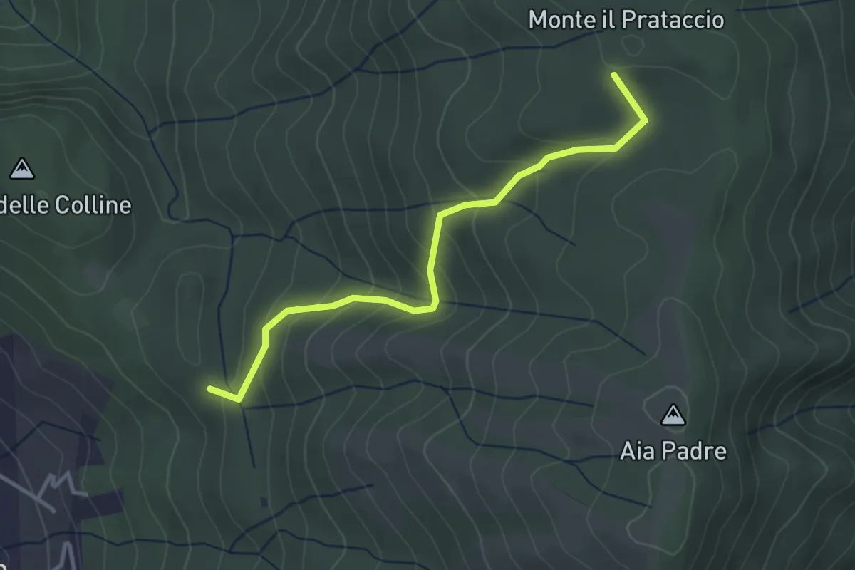
Easy · Summit
Pian dei Bianchi – Il Corso
3.4 km · ↑ 222 m · 1 h 17 min · 11 km away
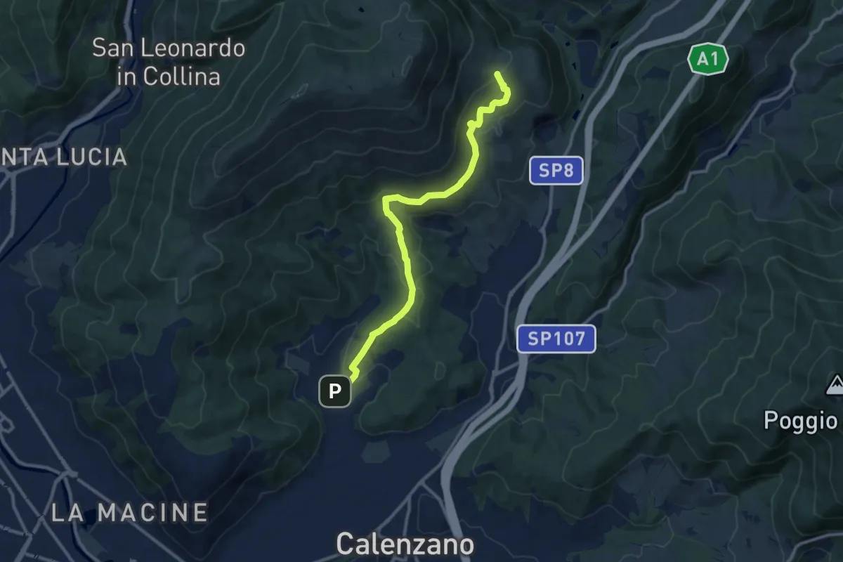
Medium · Summit
Sentiero della Pace
11.4 km · ↑ 392 m · 3 h 32 min · 11 km away
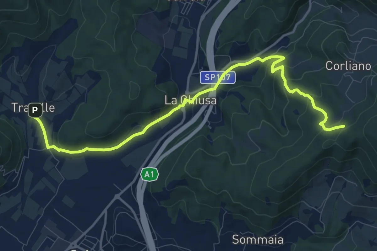
Medium · Trail
La Chiusa – Incrocio sent. 609
11.7 km · ↑ 369 m · 3 h 33 min · 11 km away
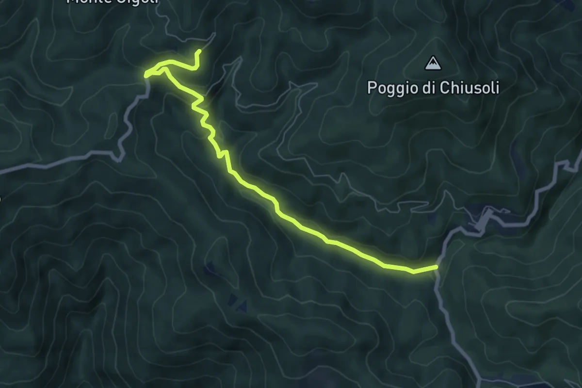
Easy · Trail
Ponte a Rigoli – Bal di Carnevale
7.1 km · ↑ 305 m · 2 h 20 min · 11 km away
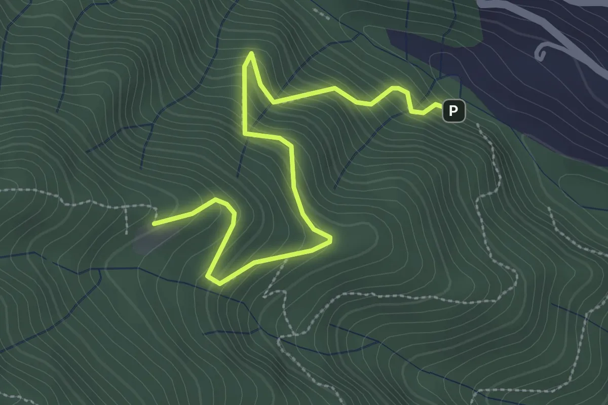
Medium · Cabin
Ponte di Cantagallo – Cascina di Cave
3.5 km · ↑ 398 m · 1 h 42 min · 11 km away
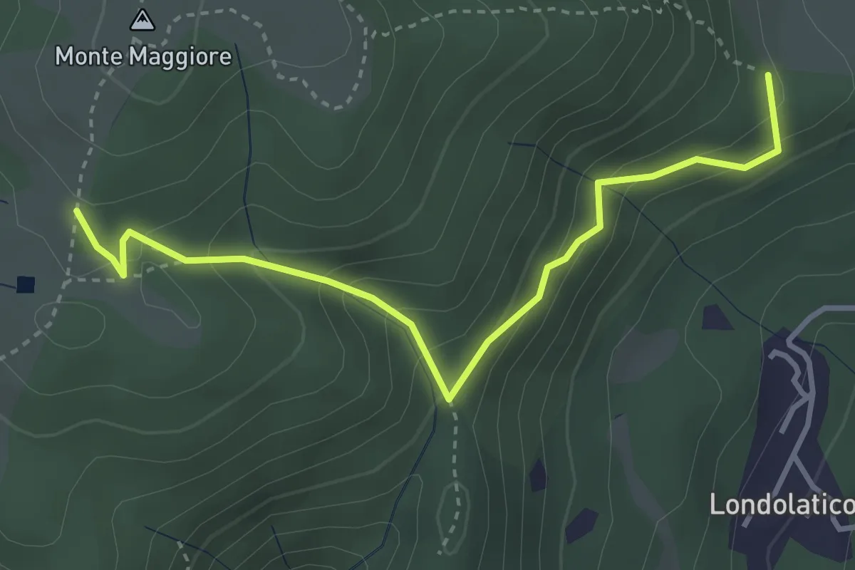
Easy · Summit
Campiano – Conconi di monte Maggiore
3.8 km · ↑ 293 m · 1 h 32 min · 11 km away
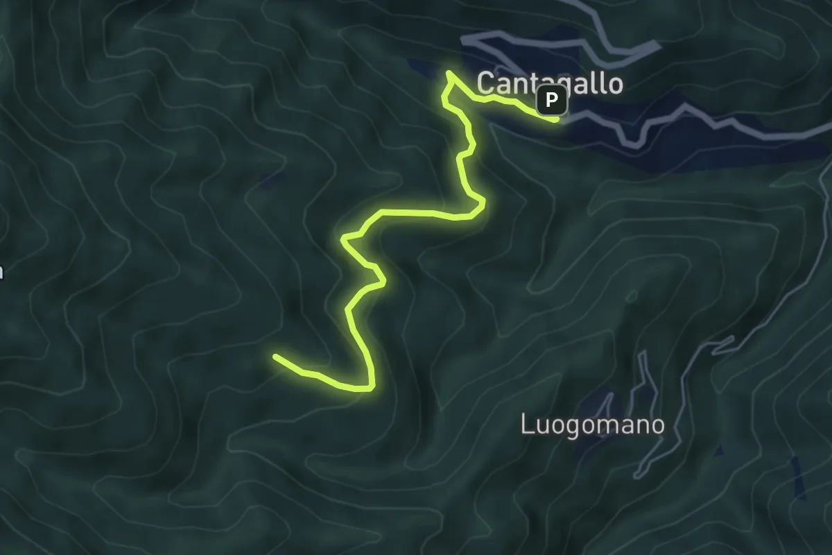
Medium · Cabin
Cantagallo – Cerliano
5.7 km · ↑ 388 m · 2 h 12 min · 11 km away
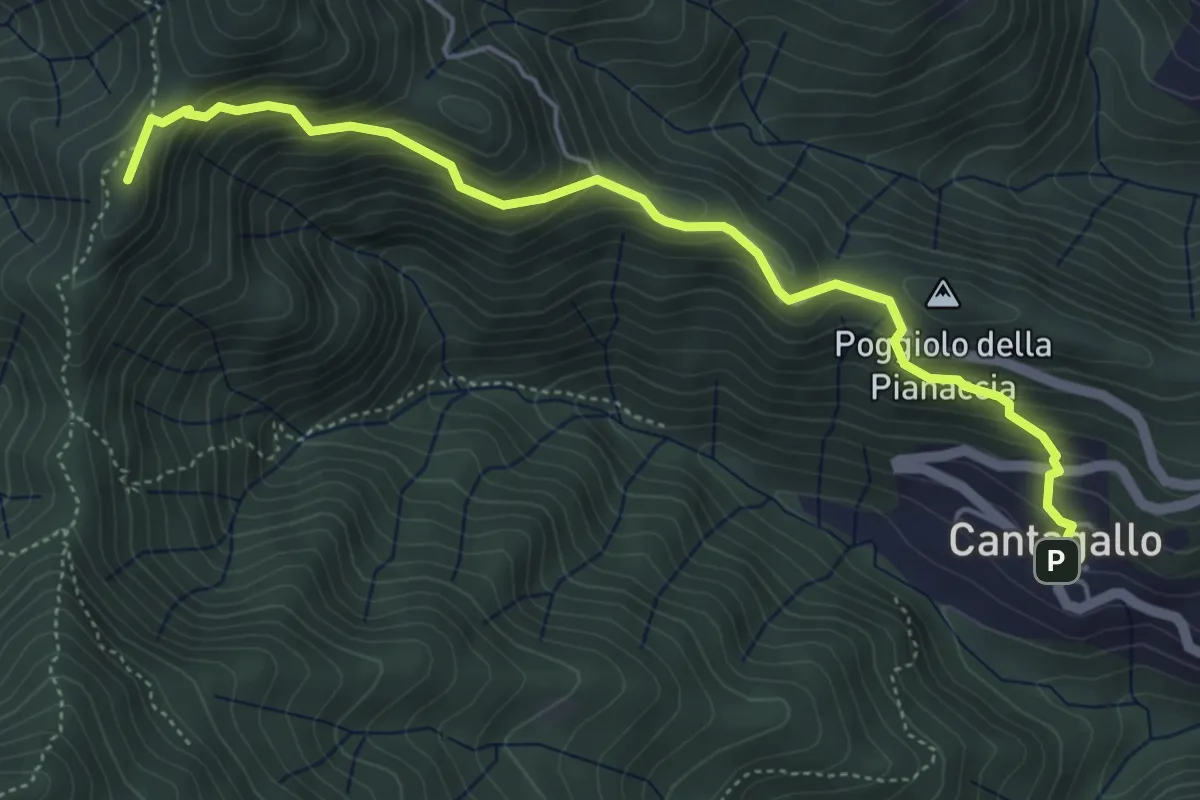
Medium · Summit
Cantagallo – Passo del Treppio
5.5 km · ↑ 466 m · 2 h 19 min · 11 km away
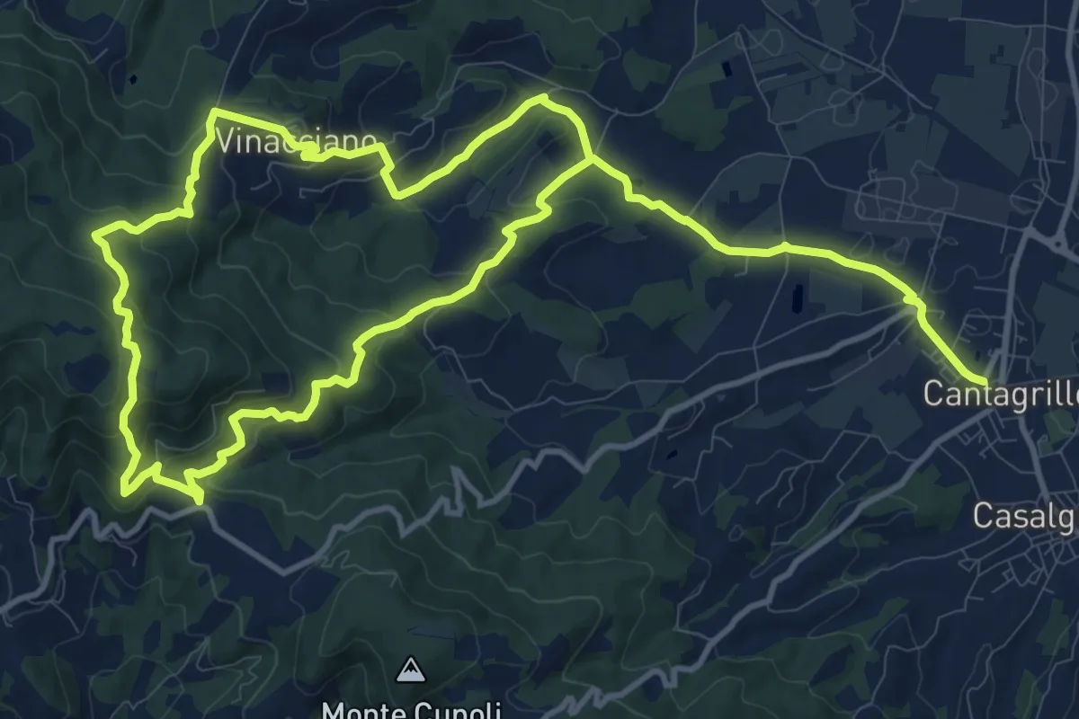
Medium · Trail
Cantagrillo – Cantagrillo
11.5 km · ↑ 463 m · 3 h 52 min · 11 km away
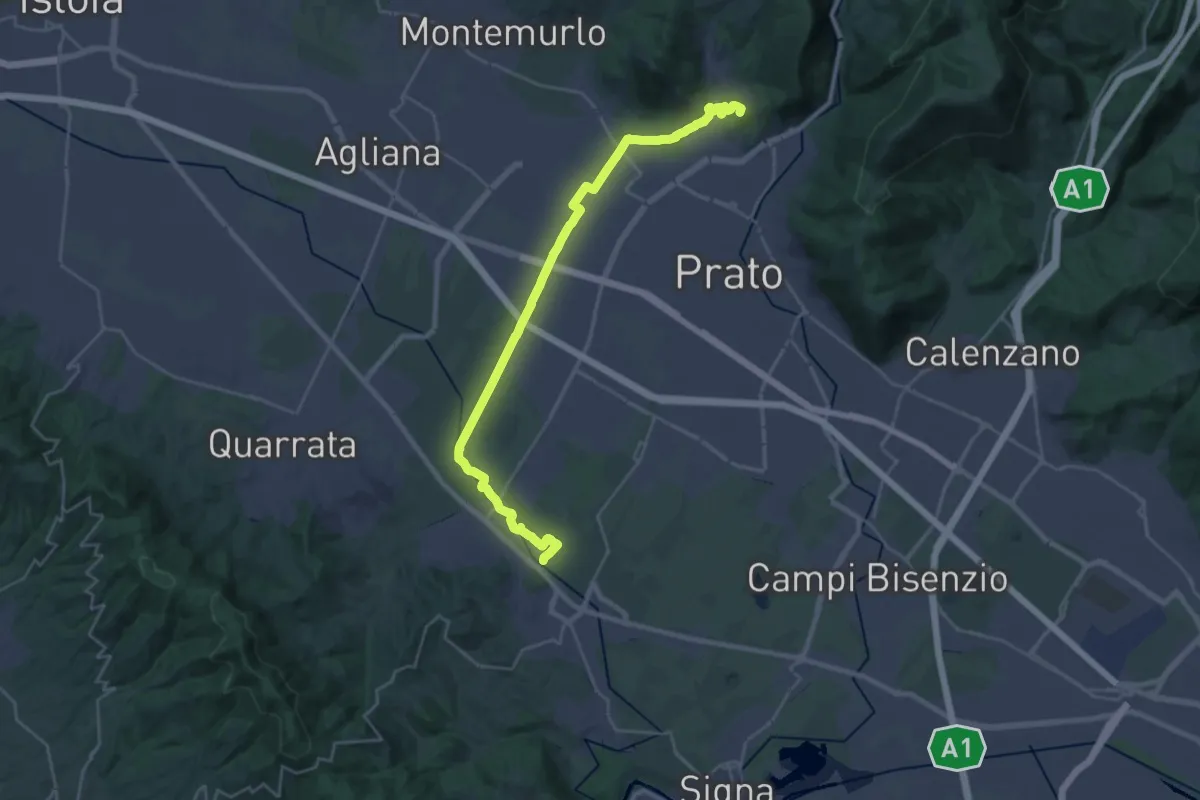
Demanding · Summit
Stazione Centrale Prato – Ponte Manetti - Cascine di Tavola
30.9 km · ↑ 147 m · 7 h 38 min · 11 km away
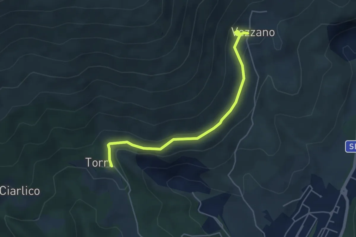
Easy · Trail
Torri di Carraia – Vezzano
4.2 km · ↑ 85 m · 1 h 10 min · 11 km away
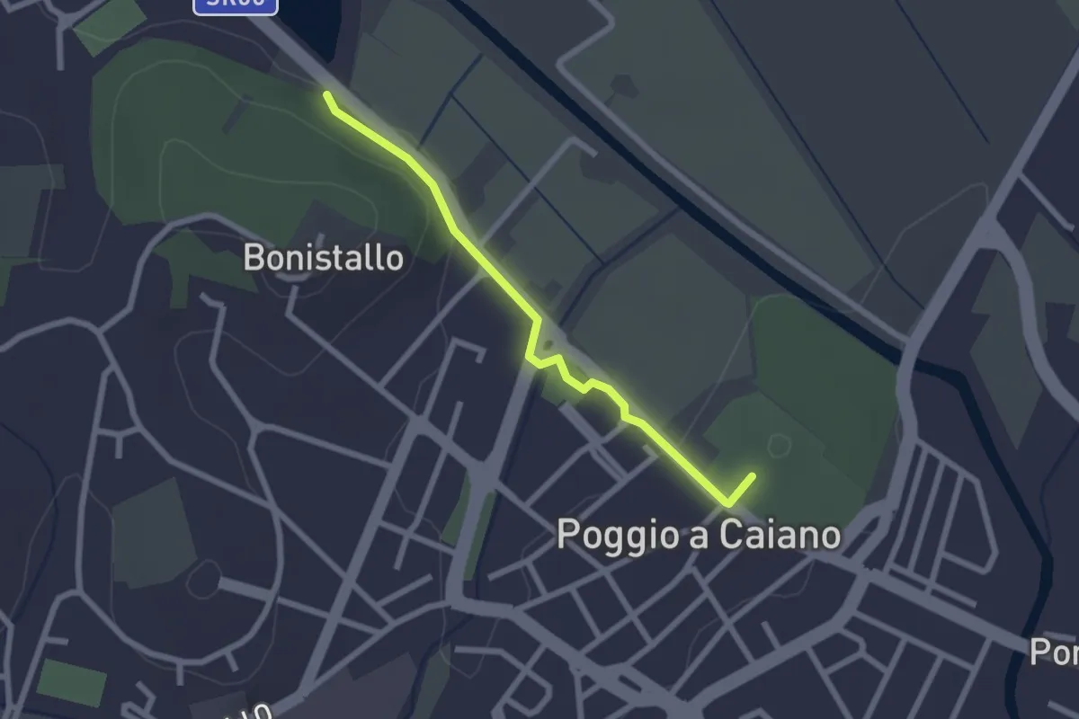
Easy · Trail
Poggio a Caiano – Bargo
2.3 km · ↑ 22 m · 35 min · 12 km away
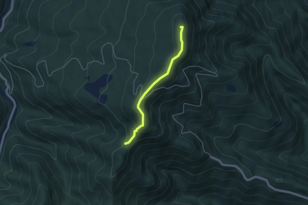
Easy · Summit
Passo di trebbio – Passo delle Pescine
3.2 km · ↑ 176 m · 1 h 9 min · 12 km away
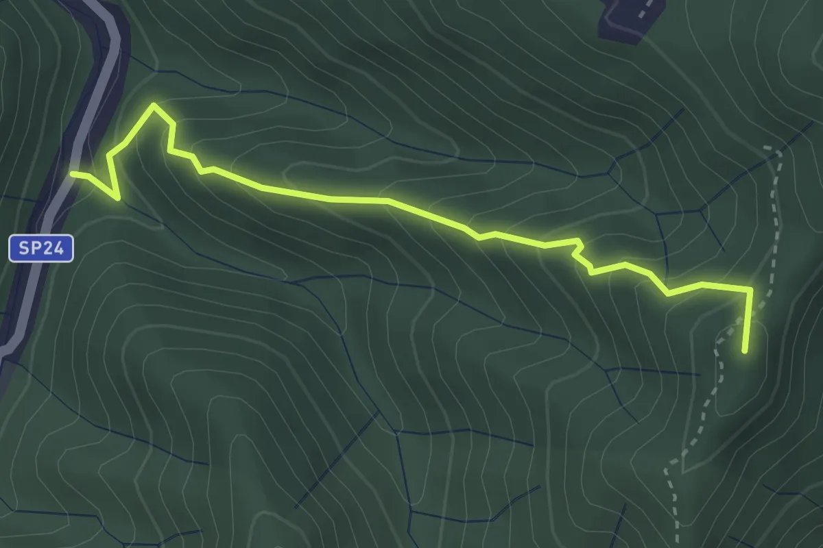
Medium · Summit
Monachino – Passo del Treppio
3.4 km · ↑ 336 m · 1 h 32 min · 12 km away
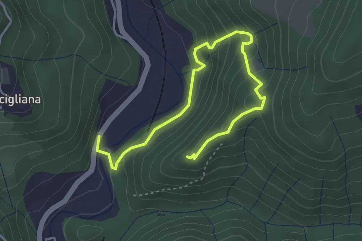
Medium · Trail
Sentiero di Dante
4.2 km · ↑ 343 m · 1 h 45 min · 13 km away
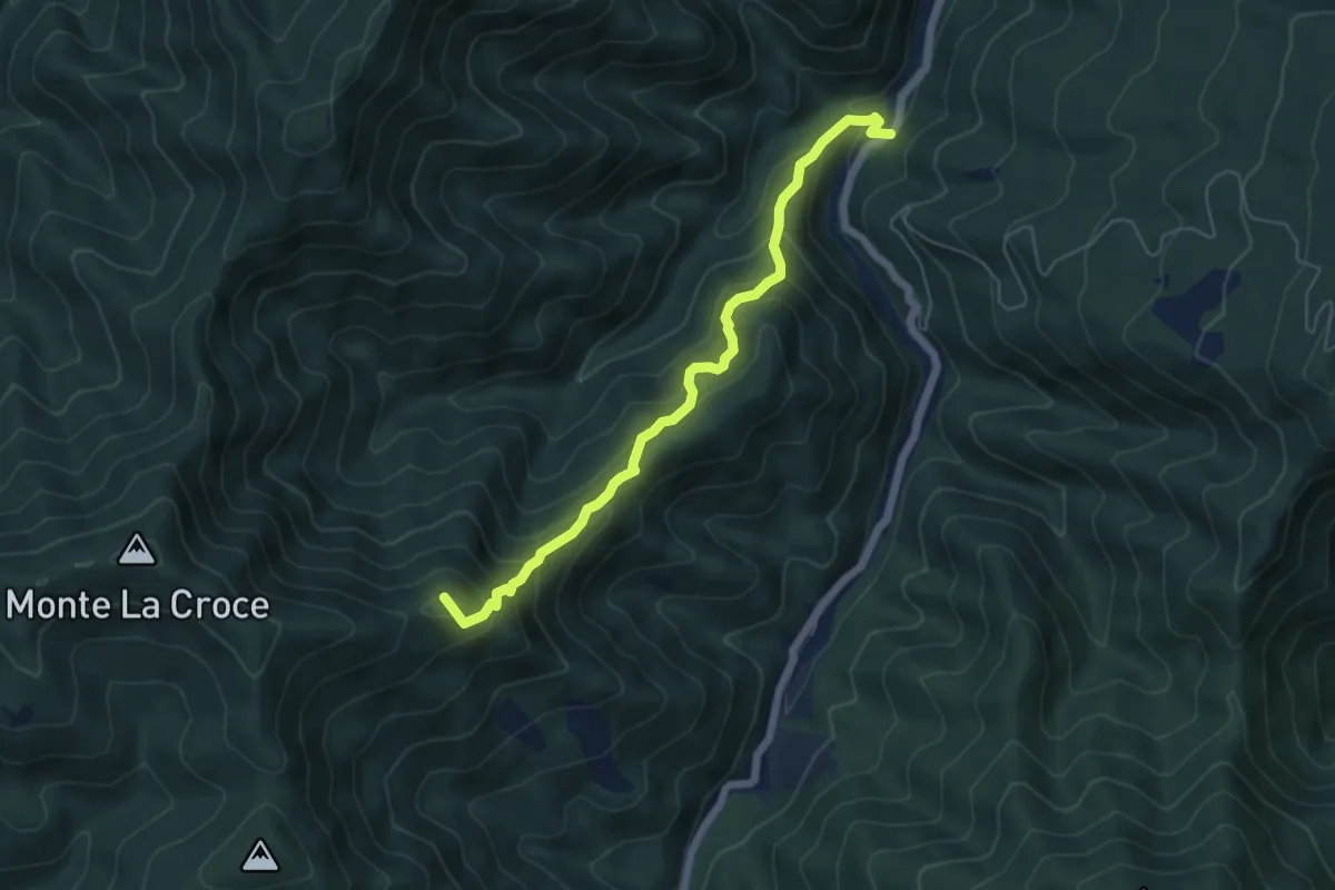
Medium · Summit
Monachino – Lastruccia
5.9 km · ↑ 613 m · 2 h 43 min · 13 km away
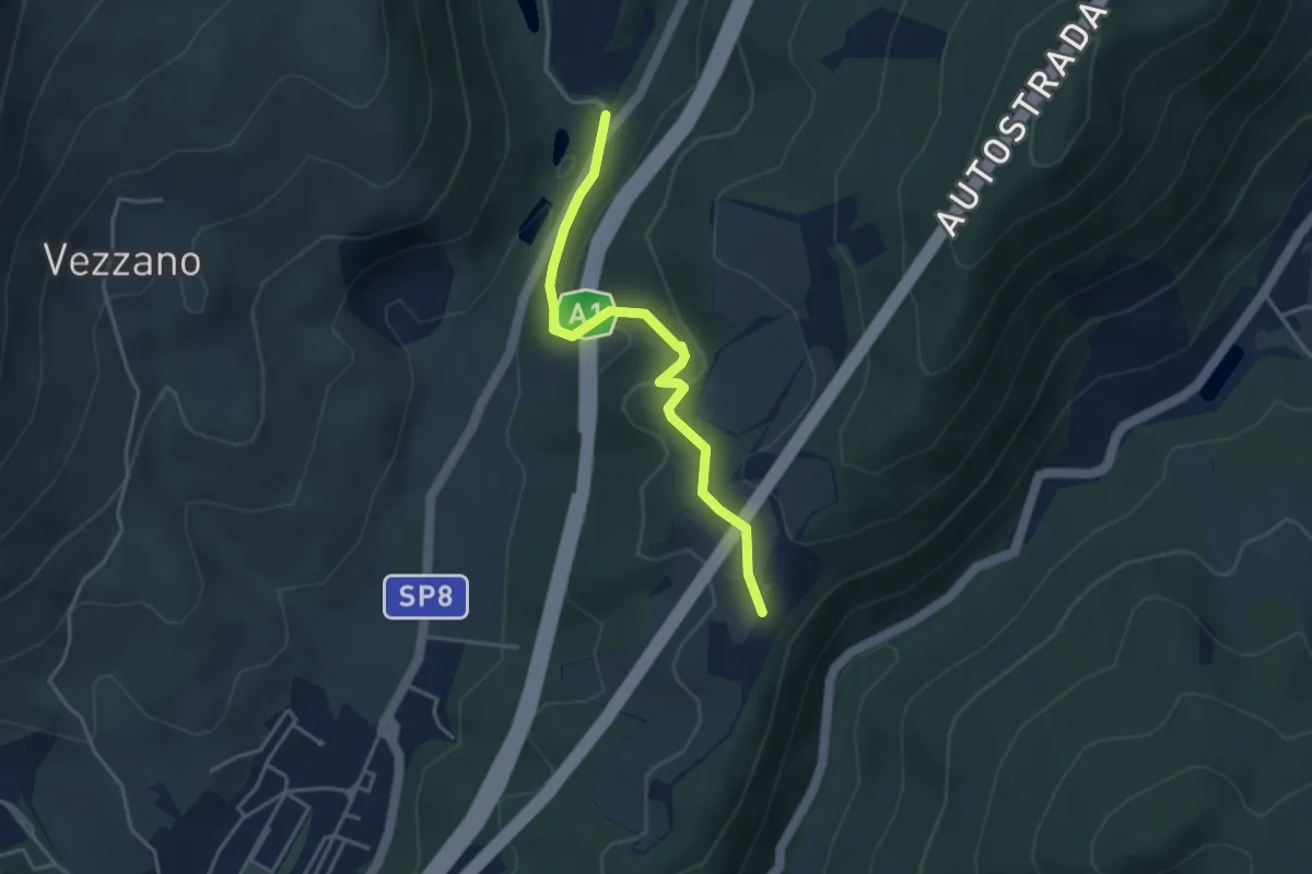
Easy · Trail
La Cassiana – Collina
3.9 km · ↑ 134 m · 1 h 13 min · 13 km away
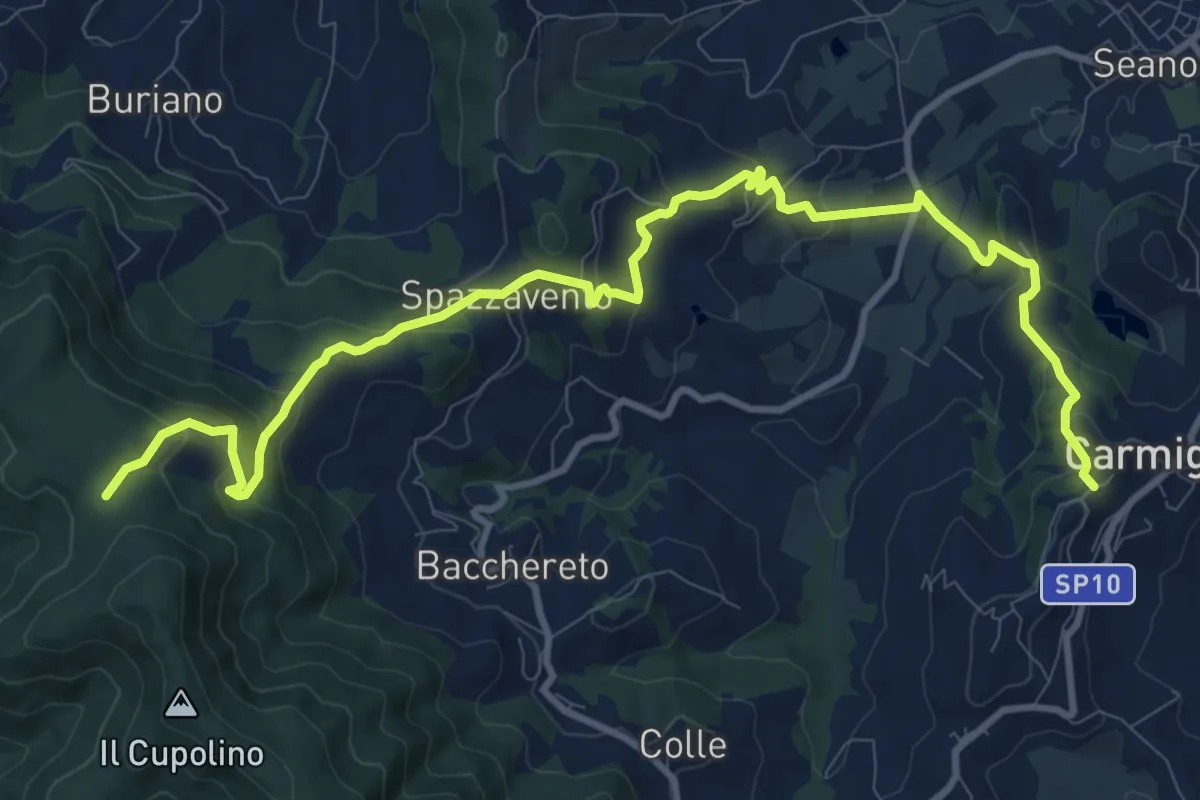
Medium · Trail
Carmignano San Michele – Torre di Sant'Alluccio
13.7 km · ↑ 699 m · 4 h 45 min · 13 km away
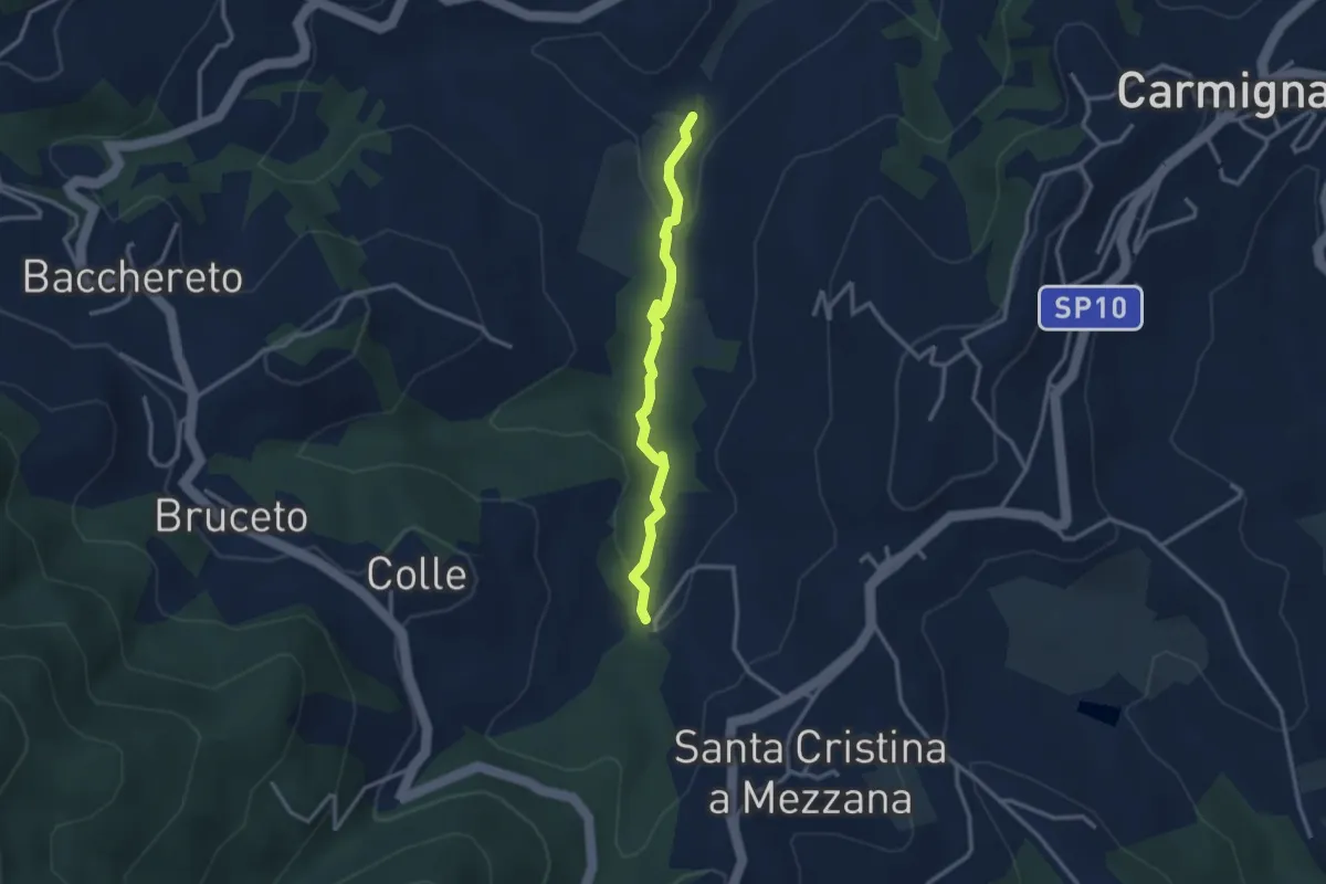
Easy · Trail
Fontanaccio – Il Mulino
2.9 km · ↑ 63 m · 50 min · 13 km away
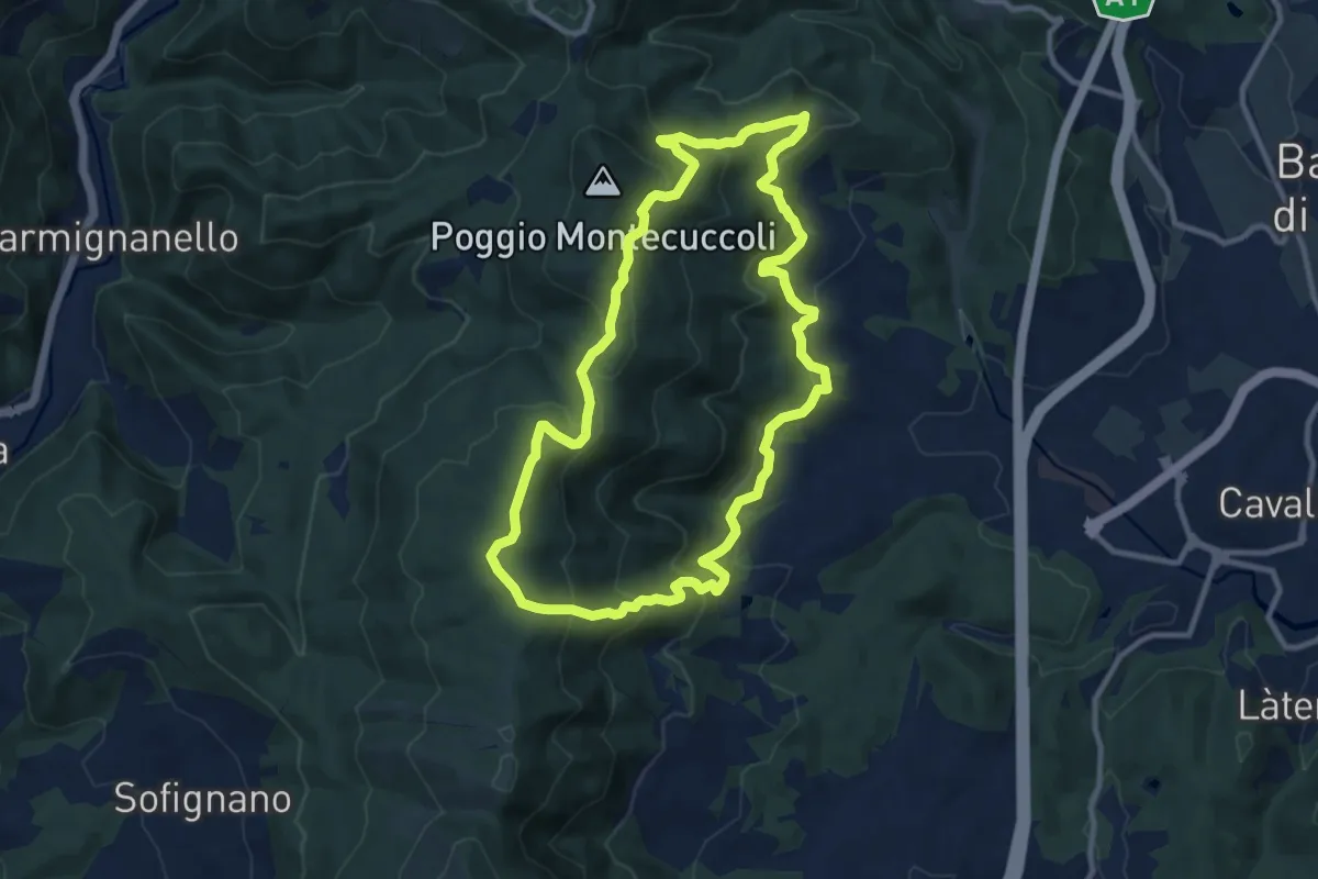
Medium · Summit
Sorgenti di Firenze Trekking - Anello 9: Sul crinale della Calvana
10.4 km · ↑ 524 m · 3 h 43 min · 13 km away
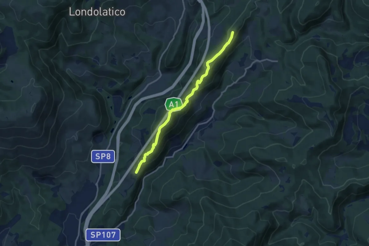
Medium · Summit
Collina – Torricella - Incr. sentiero 600
9.7 km · ↑ 530 m · 3 h 26 min · 13 km away
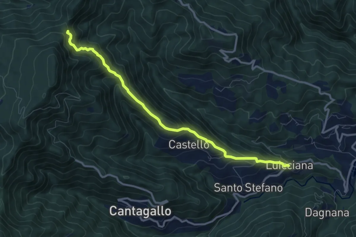
Medium · Trail
Passo delle Pescine – Lucciana
8.7 km · ↑ 605 m · 3 h 22 min · 13 km away
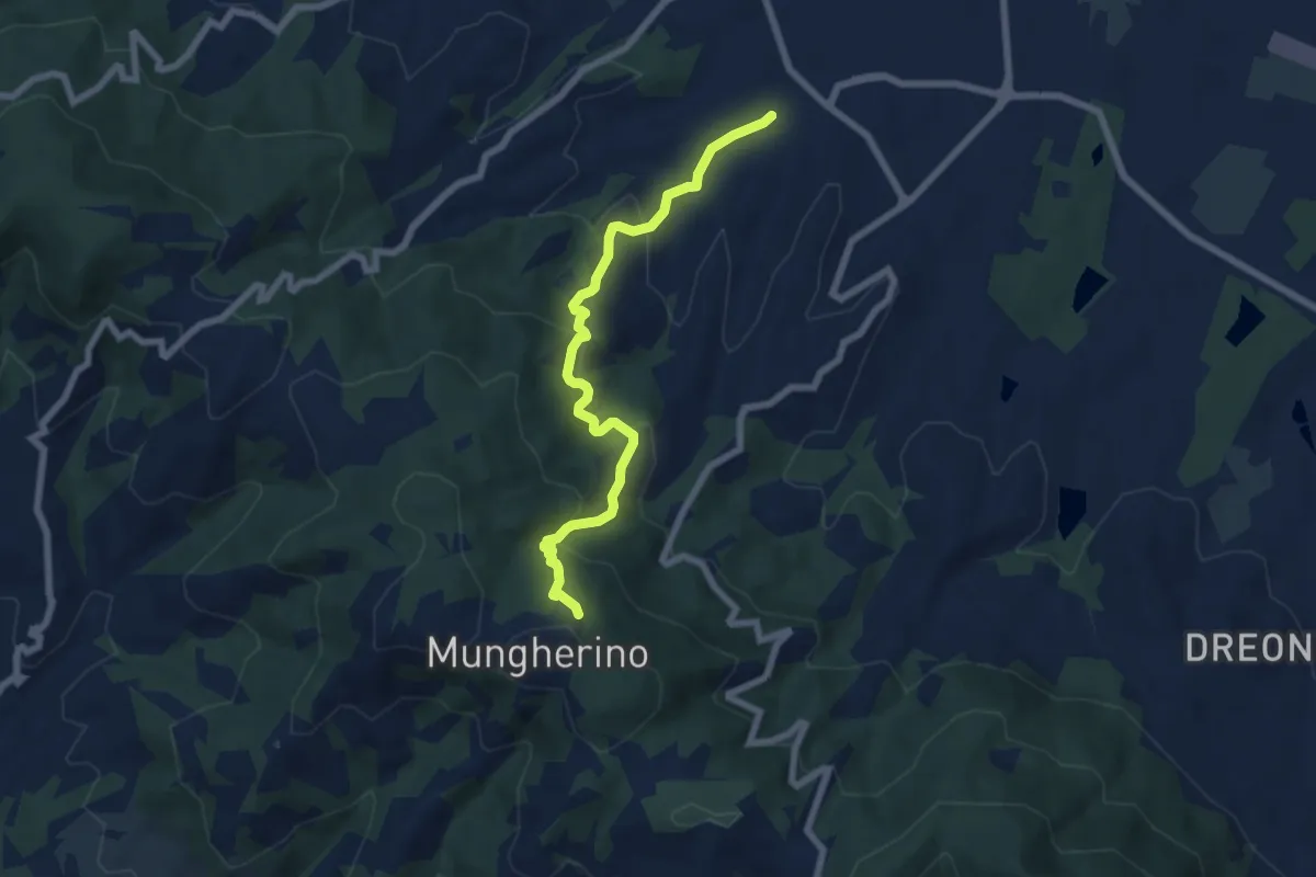
Medium · Trail
Casalguidi – innesto sentiero 800
7.1 km · ↑ 422 m · 2 h 36 min · 14 km away
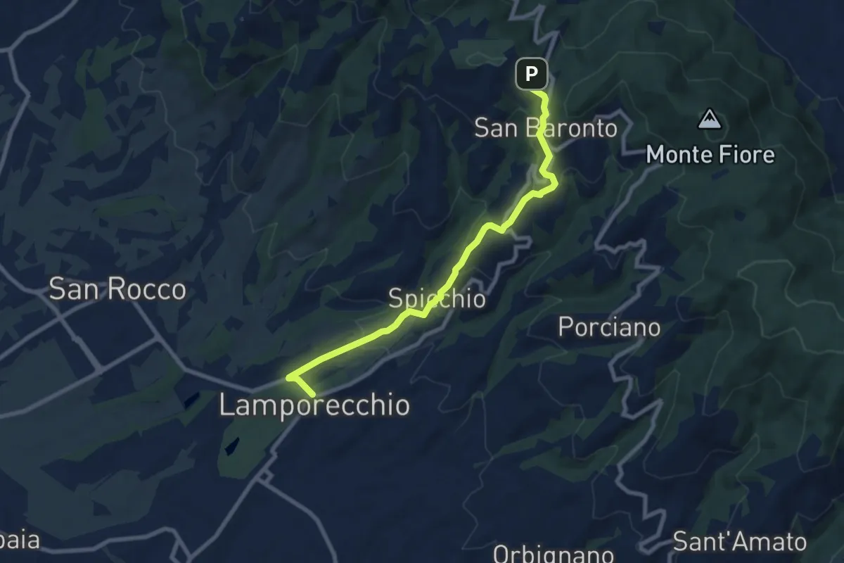
Medium · Trail
Lamporecchio – innesto sentiero 800
8.3 km · ↑ 305 m · 2 h 37 min · 14 km away