Trails near Montemurlo
120 hikes starting within 15 km, nearest first.
Nearest first, page 3 of 3
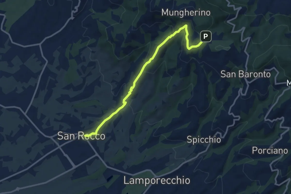
Medium · Trail
Larciano – innesto sentiero 800
8.6 km · ↑ 390 m · 2 h 53 min · 14 km away
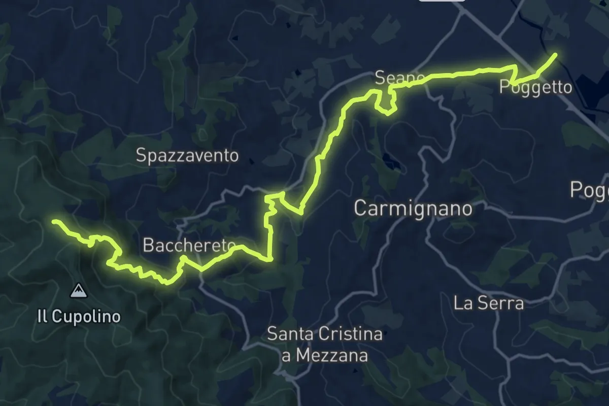
Demanding · Trail
Ponte a Tigliano – Torre Sant'Allluccio
22.0 km · ↑ 774 m · 6 h 52 min · 14 km away
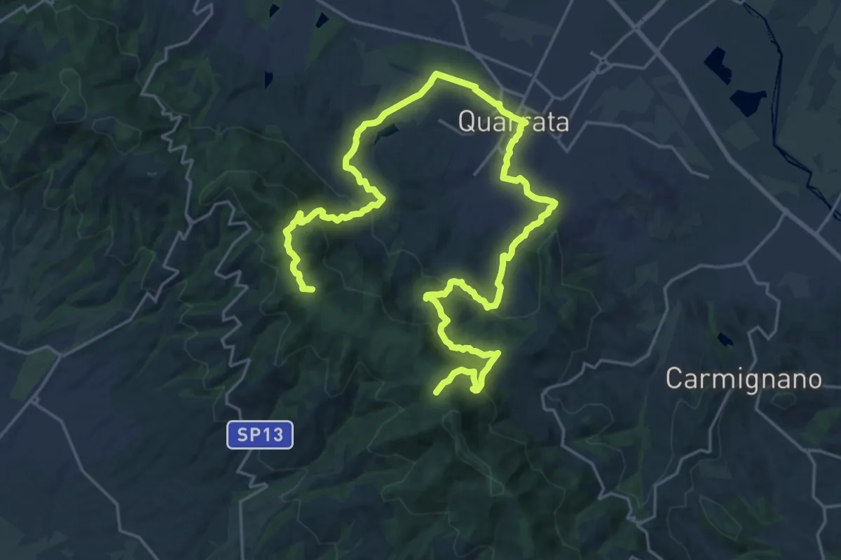
Demanding · Summit
Anello della Magia - Quarrata
32.0 km · ↑ 1351 m · 10 h 29 min · 14 km away
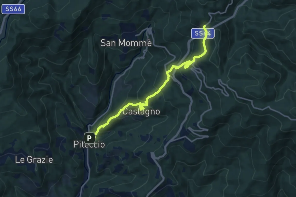
Demanding · Trail
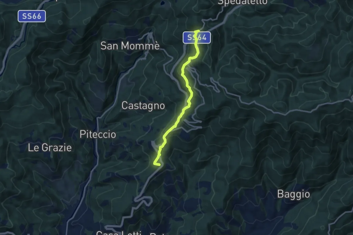
Piteccio – Passo della Collina
10.9 km · ↑ 832 m · 4 h 23 min · 14 km away
Medium · Summit
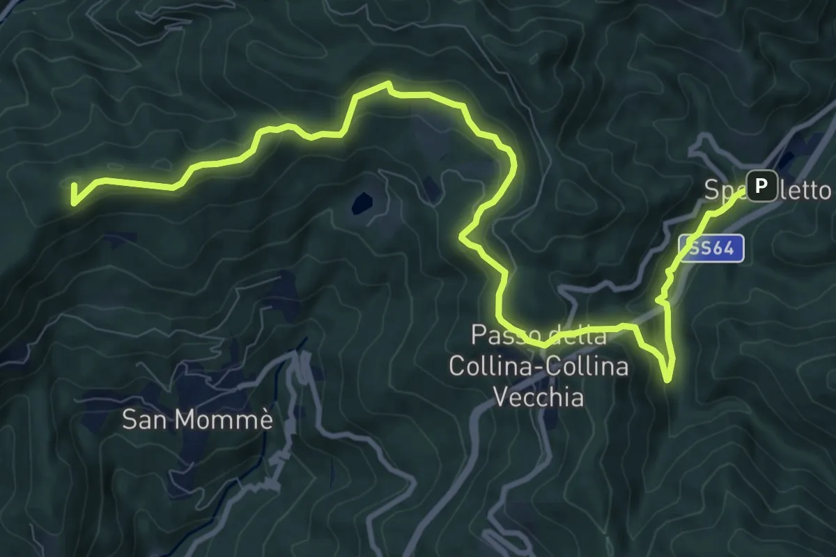
Valdibrana – Passo della Collina
9.2 km · ↑ 449 m · 3 h 9 min · 14 km away
Medium · Summit
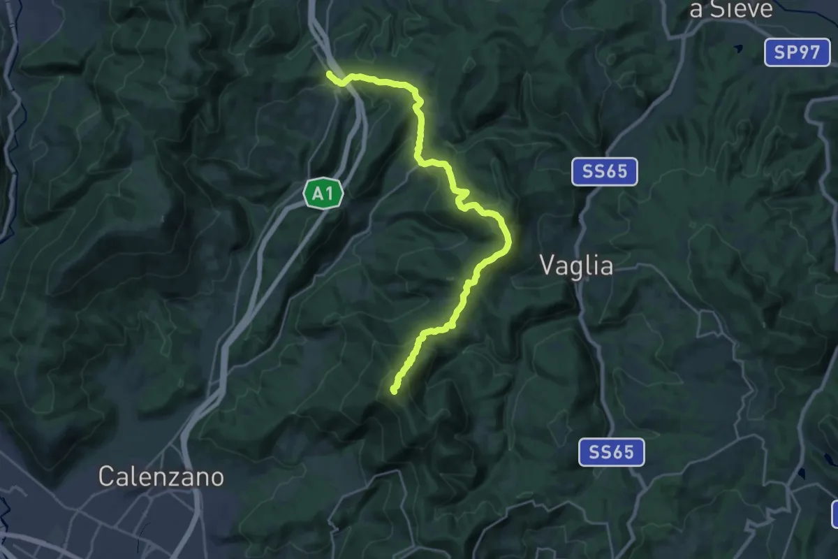
Cammino di San Bartolomeo - TAPPA Pontepetri-Spedaletto
13.1 km · ↑ 516 m · 4 h 12 min · 14 km away
Demanding · Summit
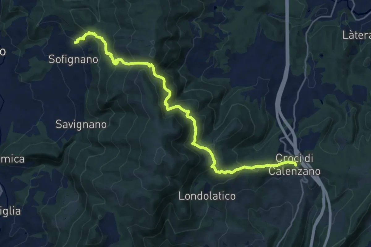
Ceppeto – Croci di Calenzano
24.5 km · ↑ 996 m · 7 h 56 min · 14 km away
Demanding · Trail
Chiesa di Sofignano – Croci di Calenzano
17.0 km · ↑ 948 m · 6 h 4 min · 14 km away
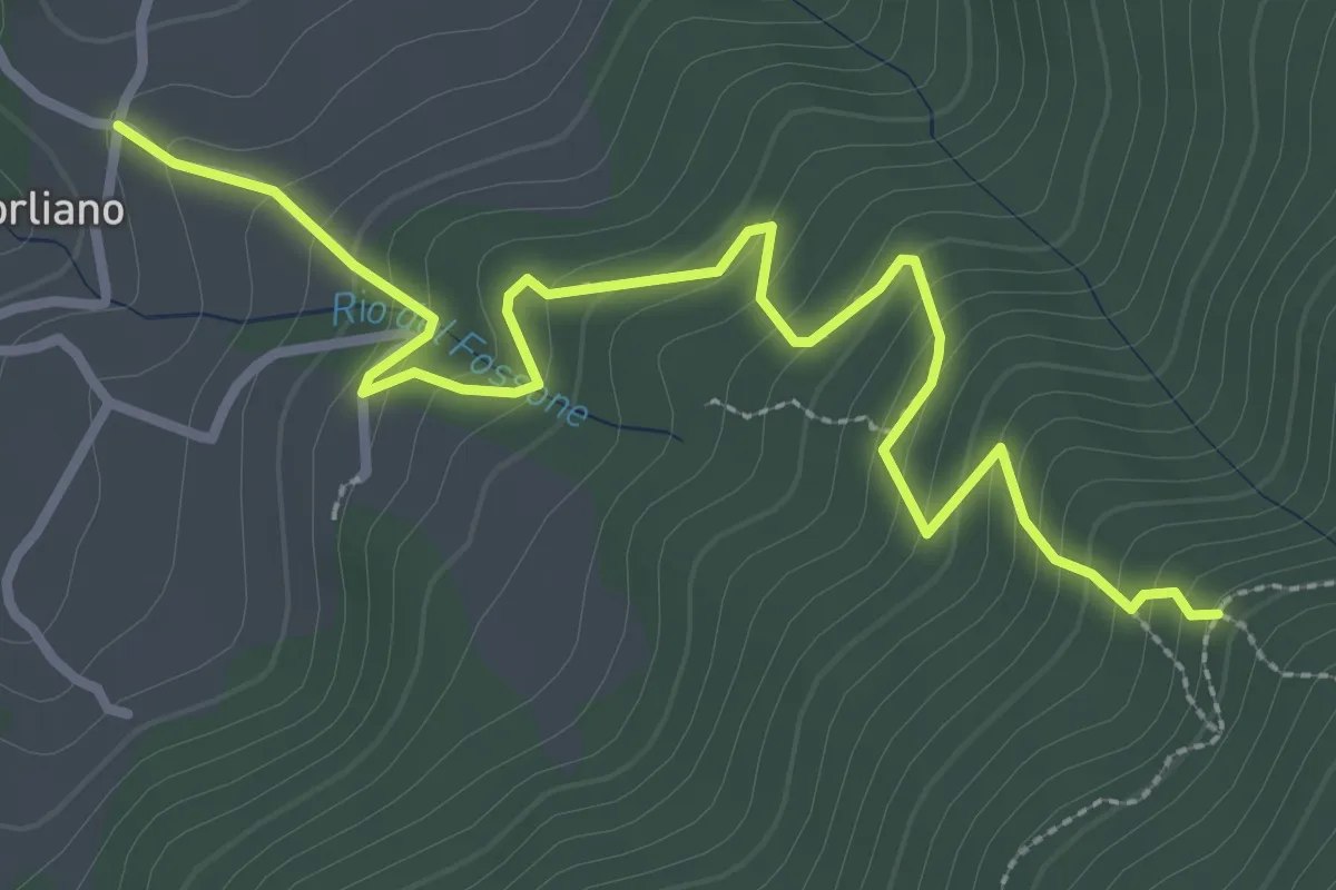
Easy · Trail
Leccio – Quota 590 sentiero 9
3.8 km · ↑ 299 m · 1 h 33 min · 14 km away
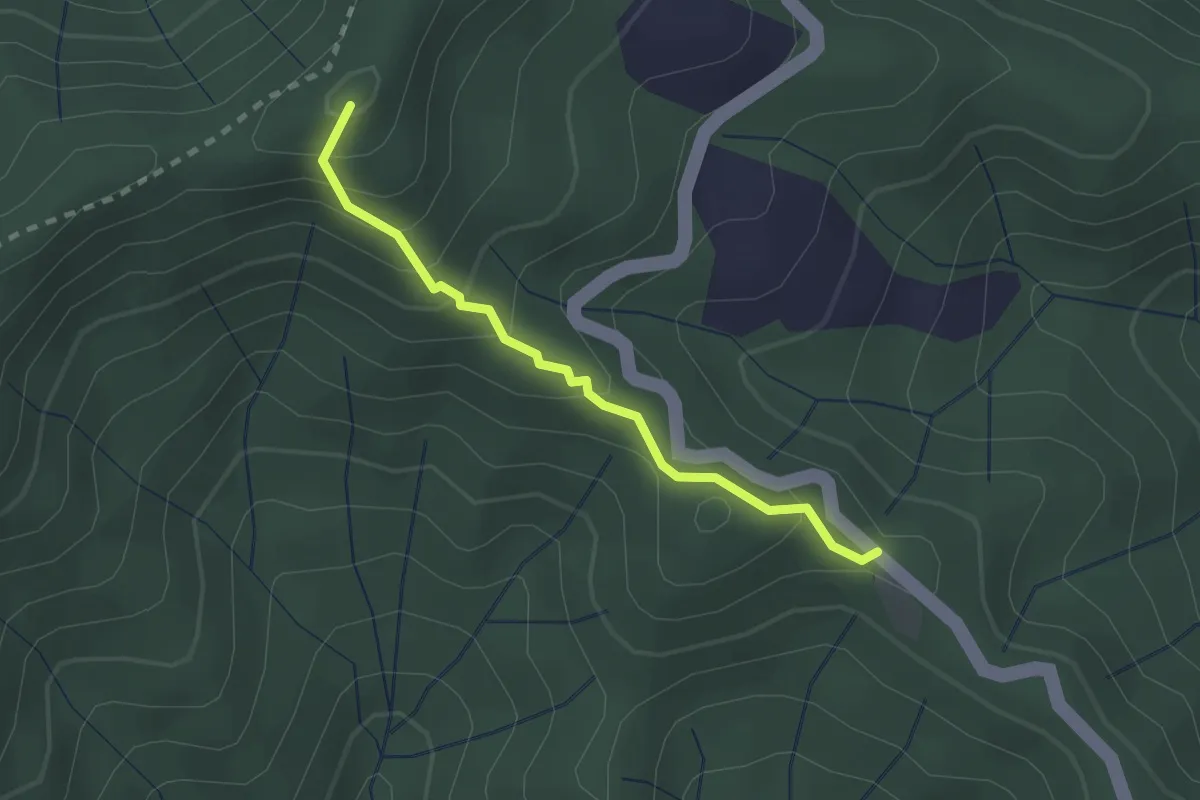
Easy · Summit
Poggio Cattarelle – Rotì
2.1 km · ↑ 178 m · 53 min · 14 km away
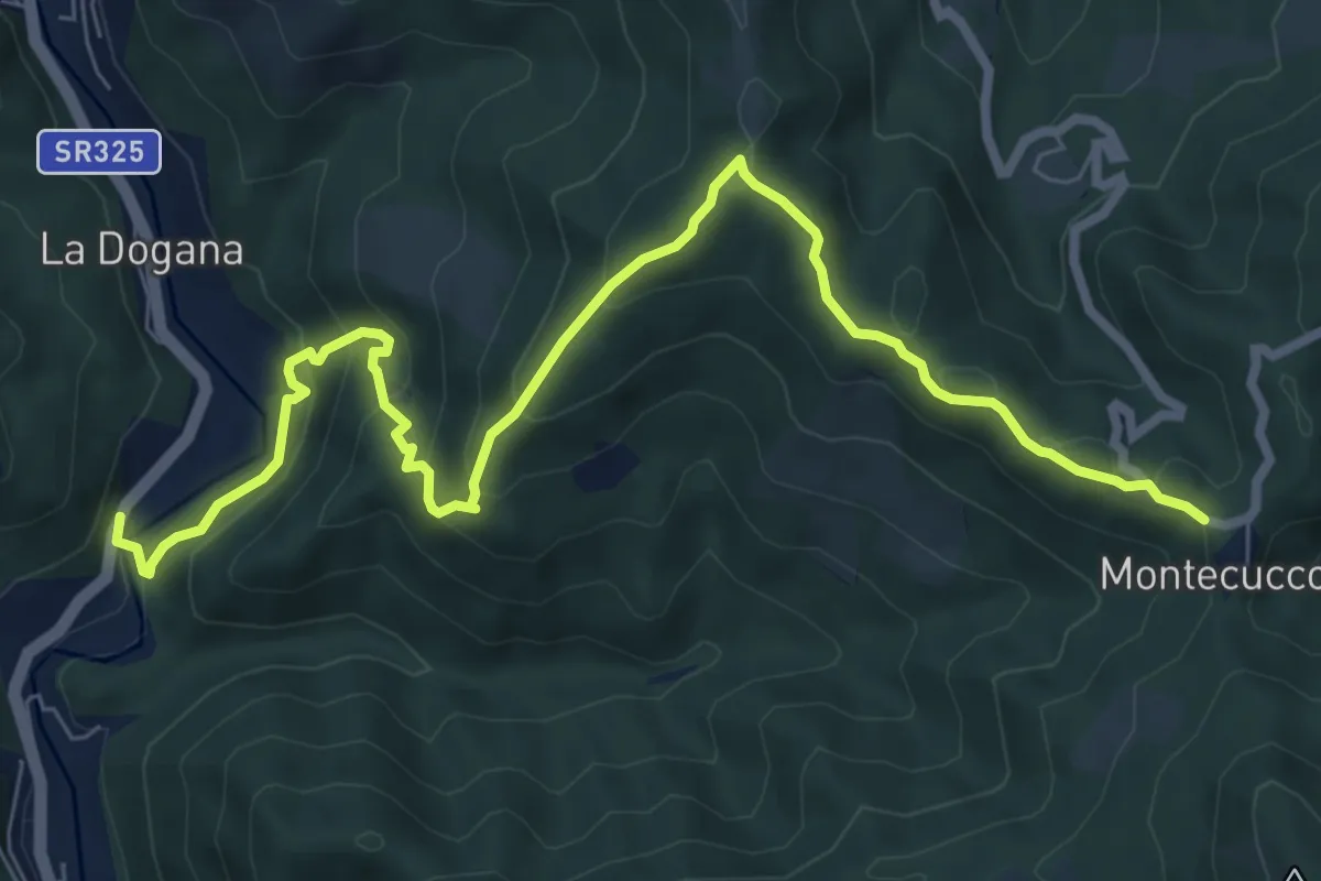
Medium · Trail
Ponte di Cerbaia – Montecuccoli
9.4 km · ↑ 531 m · 3 h 23 min · 14 km away
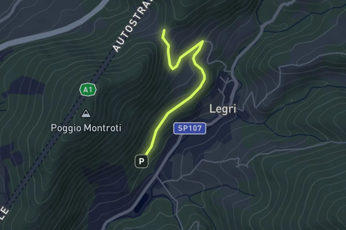
Easy · Trail
Case Cutriolo - Incr. sent. 608A – Collina di Sopra - Incr. sent. 620
3.6 km · ↑ 152 m · 1 h 11 min · 14 km away
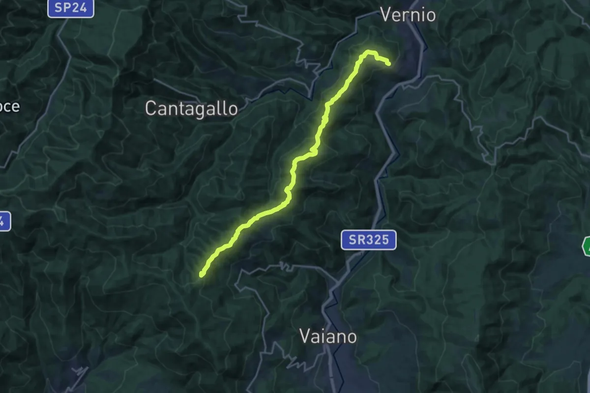
Demanding · Summit
Sant'Ippolito di Vernio – Le Cavallaie
18.4 km · ↑ 791 m · 6 h 4 min · 15 km away
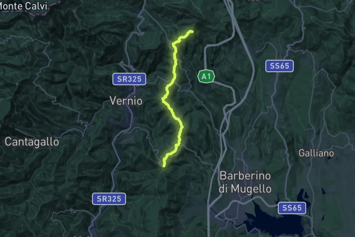
Demanding · Summit
Sorgenti di Firenze Trekking – Anello Principale: Tappa 10
21.7 km · ↑ 891 m · 7 h 3 min · 15 km away
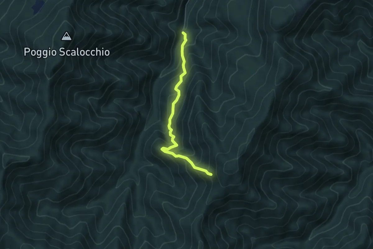
Medium · Trail
Campaldaio di Treppio – Monte Felicione
4.9 km · ↑ 408 m · 2 h 3 min · 15 km away
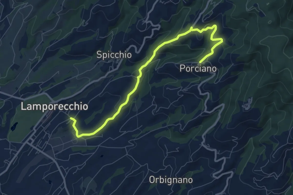
Medium · Trail
Lamporecchio – Porciano
9.1 km · ↑ 368 m · 2 h 56 min · 15 km away
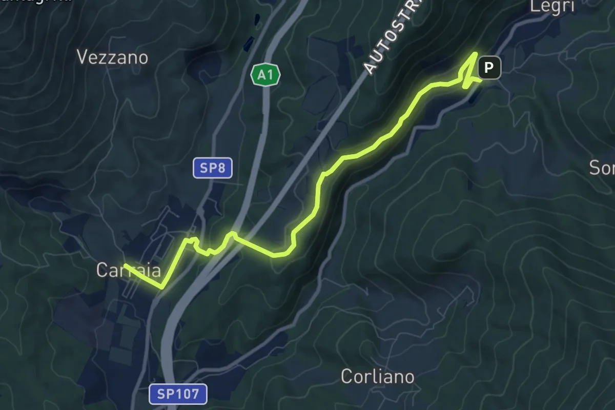
Medium · Trail
Carraia – Lago di Legri - Incrocio sentiero 608
9.8 km · ↑ 331 m · 3 h 2 min · 15 km away
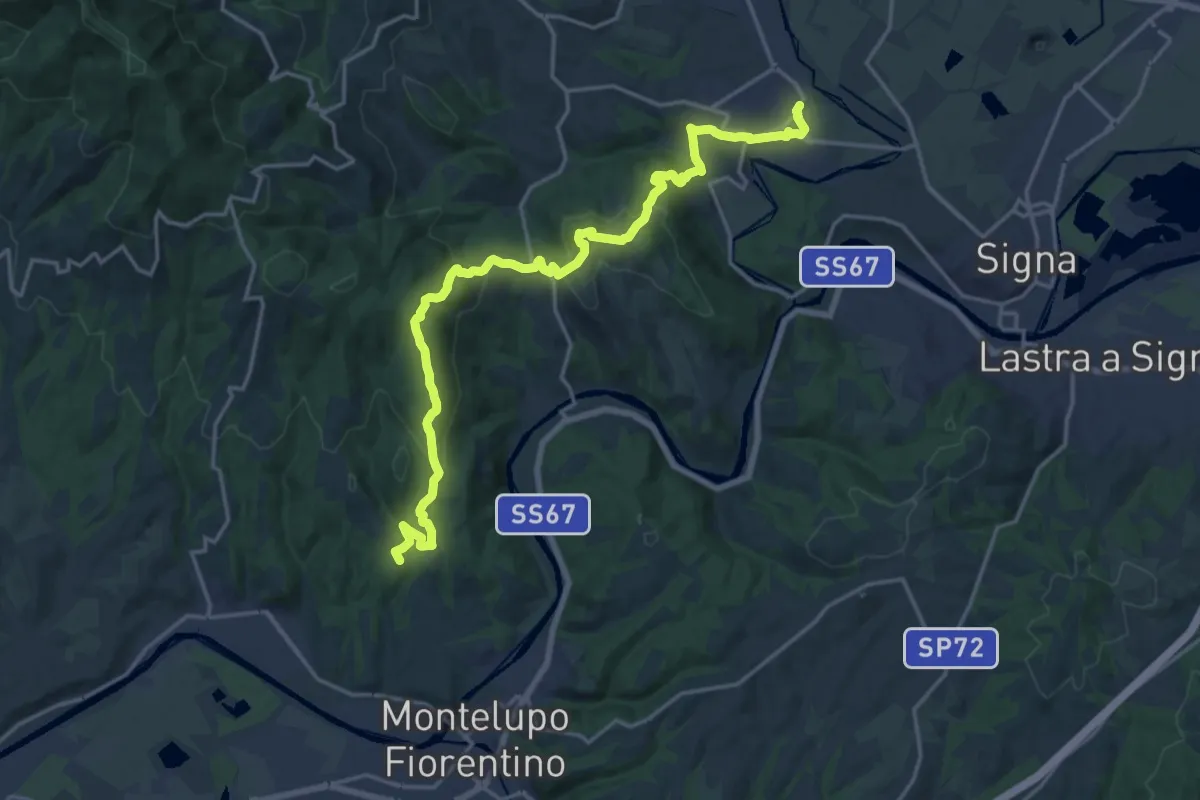
Demanding · Summit
Tappa 4 - Da Montereggi a Comeana
21.9 km · ↑ 781 m · 6 h 52 min · 15 km away
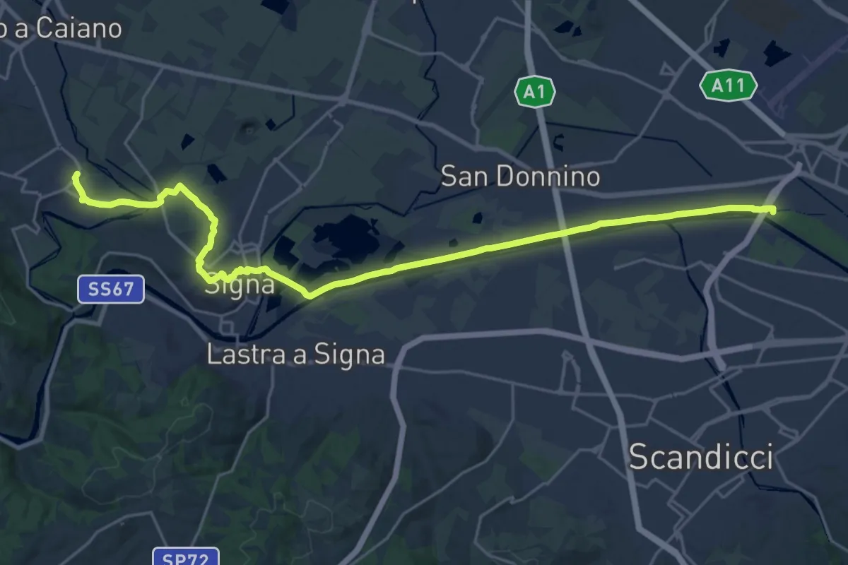
Demanding · Trail
Tappa 5 - Da Comeana a Firenze
26.8 km · ↑ 177 m · 6 h 42 min · 15 km away
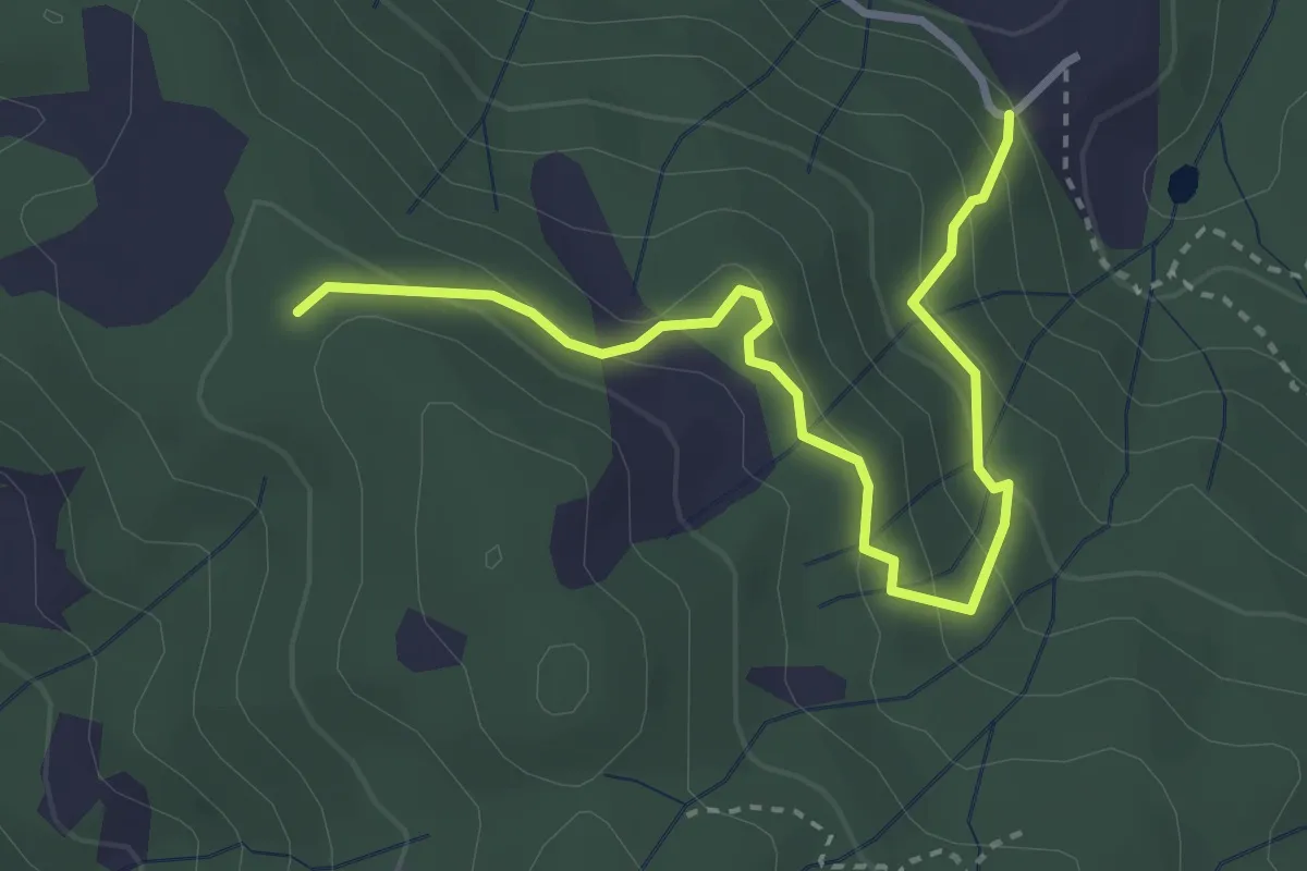
Easy · Trail
Montalto innesto sentiero 821 – innesto sentiero 800
3.7 km · ↑ 215 m · 1 h 21 min · 15 km away
Medium · Trail
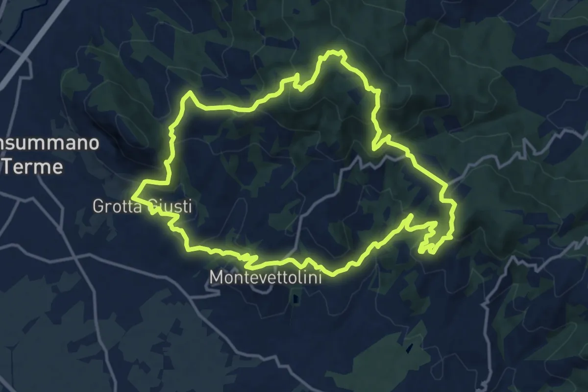
Monsummano – Monsummano
13.2 km · ↑ 628 m · 4 h 40 min · 15 km away
Medium · Trail
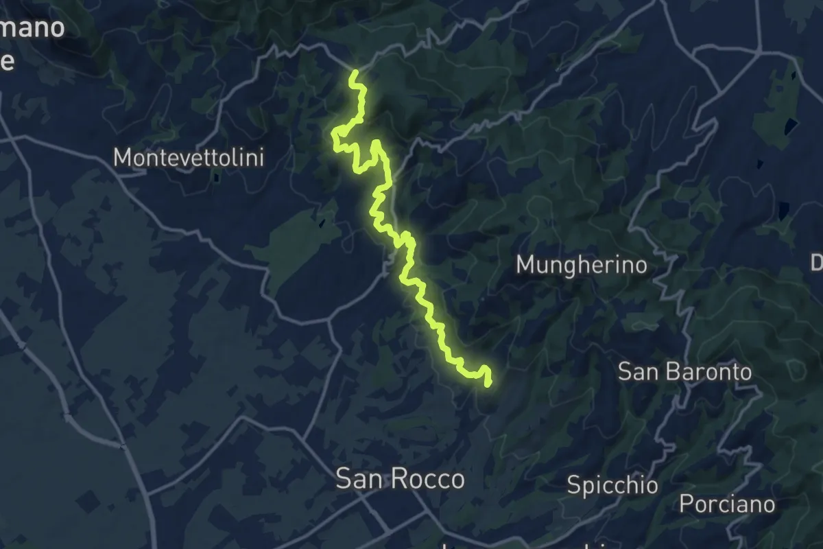
Larciano Castello – innesto sentiero 800
15.2 km · ↑ 612 m · 4 h 54 min · 15 km away
Medium · Trail
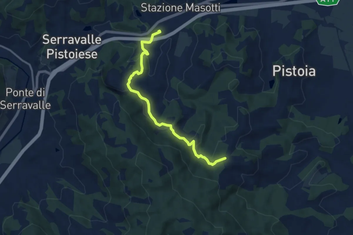
Stazione Masotti FFSS – innesto sentiero 817
8.4 km · ↑ 309 m · 2 h 39 min · 15 km away
Easy · Trail
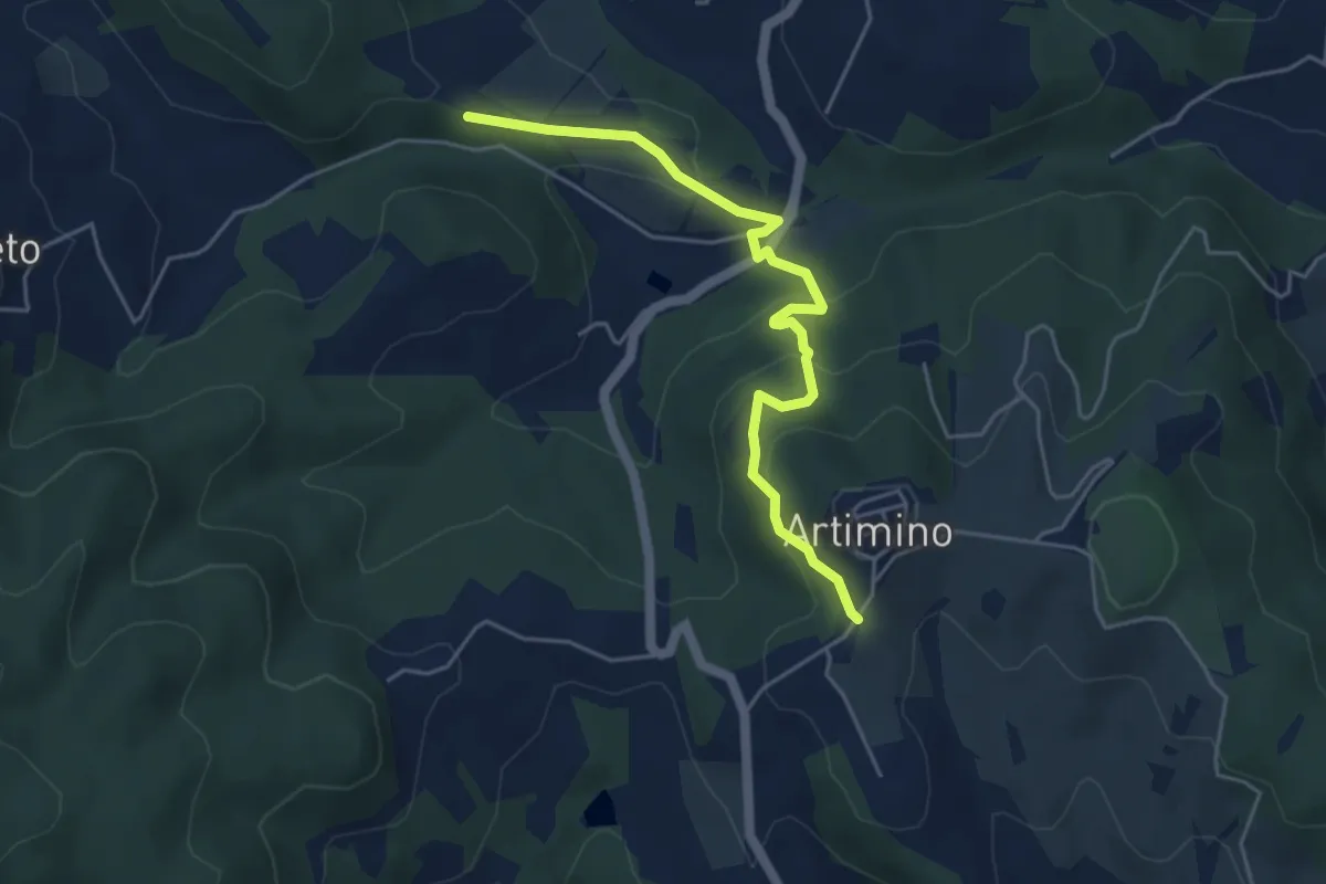
Podere Campisalti – Artimino
5.1 km · ↑ 232 m · 1 h 42 min · 15 km away